2023
Sustainable Urban Recycling | Autumn 2023
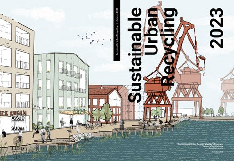
Sustainable Urban Recycling
Sustainable Urban Design Master’s Program
School of Architecture Lund University Autumn 2021
2023
Sustainable Urban Recycling | Autumn 2023
Sustainable Urban Recycling
Sustainable Urban Design Master’s Program
School of Architecture Lund University Autumn 2021