2022
Sustainable Urban Landscape | Spring 2022
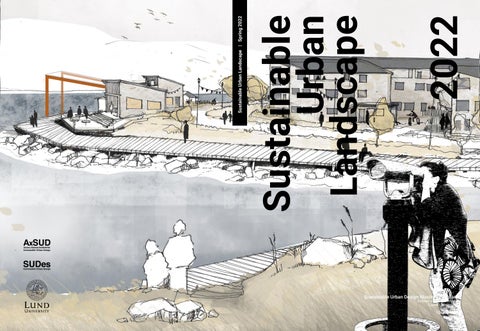
Sustainable Urban Landscape
Sustainable Urban Design Master’s Program
School of Architecture Lund University Spring 2022
2022
Sustainable Urban Landscape | Spring 2022
Sustainable Urban Landscape
Sustainable Urban Design Master’s Program
School of Architecture Lund University Spring 2022