F A T H O M
.
Y E A R N
.
I N N O V A T E
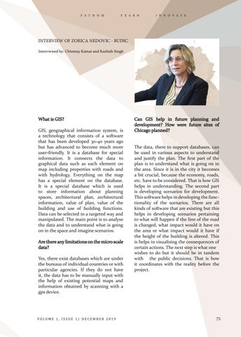
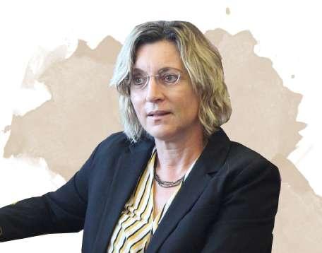
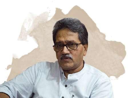
INTERVIEW OF ZORICA NEDOVIC - BUDIC Interviewed by: Chinmay Kamat and Kashish Singh
What is GIS? GIS, geographical information system, is a technology that consists of a software that has been developed 30-40 years ago but has advanced to become much more user-friendly. It is a database for special information. It connects the data to graphical data such as each element on map including properties with roads and with hydrology. Everything on the map has a special element on the database. It is a special database which is used to store information about planning spaces, architectural plan, architectural information, value of plan, value of the building and use of building functions. Data can be selected in a targeted way and manipulated. The main point is to analyse the data and to understand what is going on in the space and imagine scenarios. Are there any limitations on the micro scale data? Yes, there exist databases which are under the bureaus of individual countries or with particular agencies. If they do not have it, the data has to be manually input with the help of existing potential maps and information obtained by scanning with a gps device.
VOLUME 1, ISSUE 1/ DECEMBER 2019
Can GIS help in future planning and development? How were future sites of Chicago planned? The data, there to support databases, can be used in various aspects to understand and justify the plan. The first part of the plan is to understand what is going on in the area. Since it is in the city it becomes a bit crucial, because the economy, roads, etc. have to be considered. That is how GIS helps in understanding. The second part is developing scenarios for development. This software helps in developing the functionality of the scenarios. There are all kinds of software that are existing but this helps in developing scenarios pertaining to what will happen if the line of the road is changed, what impact would it have on the area or what impact would it have if the height of the building is altered. This is helps in visualising the consequences of certain actions. The next step is what one wishes to do but it should be in tandem with the public decisions. That is how it coordinates with the reality before the project.
75
