“LIVE TOGETHER ON THE EDGE EDGE”” - URBAN CANAL PROGRAM Wenrui Zhang (Tammy) z5210751
Issuu converts static files into: and more. Sign up and create your flipbook.
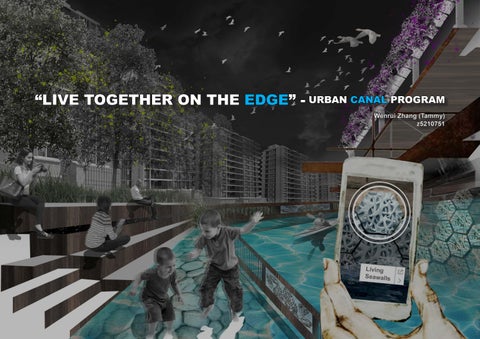
“LIVE TOGETHER ON THE EDGE EDGE”” - URBAN CANAL PROGRAM Wenrui Zhang (Tammy) z5210751