CENTER


A project of:


A project of:
Participatory Architecture of Medium Complexity
1. WHAT IS A CENTER?
The Polycentric City
Multiplicity
2. WHERE IS THE CENTER?
Chicago characteristics
District characteristics
Site characteristics
3. HOW IS THE CENTER?
Thinking process
Manifesto strategies
Strategies
Program list
Analogous examples
Form diagram
4. INSIDE THE CENTER
Altos
Gabions
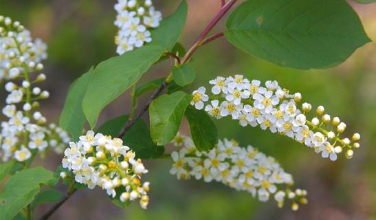
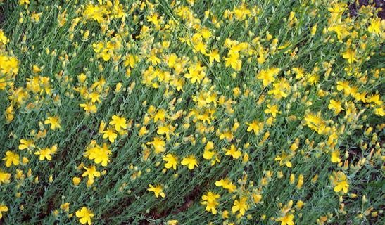
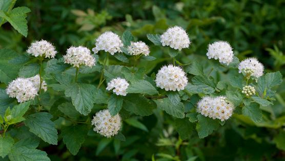
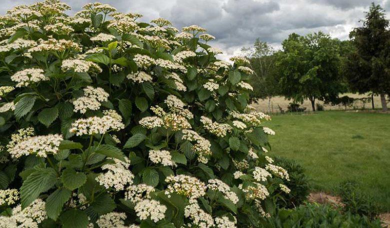
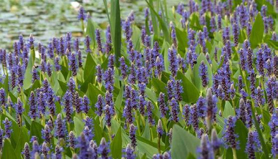
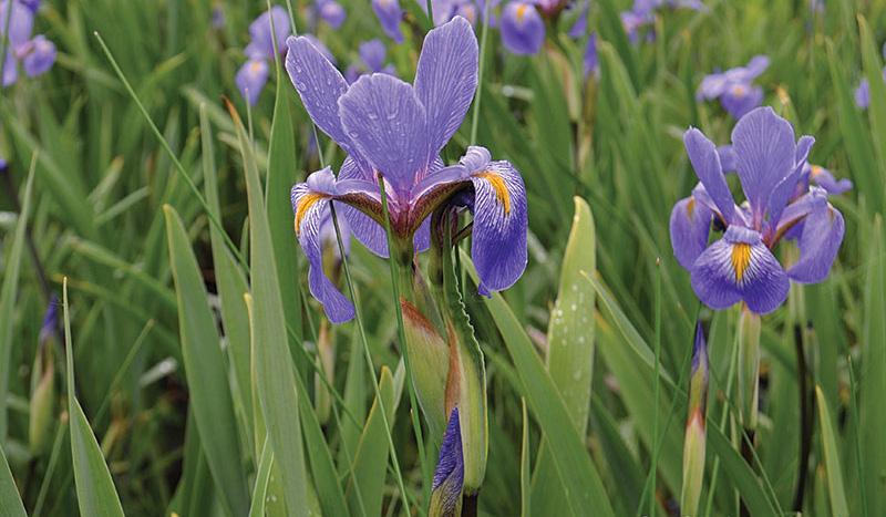
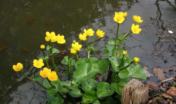
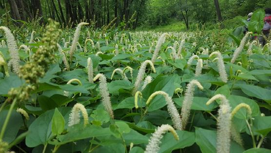
Vegetation pallette
Masterplan
Buffer
4.1. RIVERFRONT
4.2. ACTIVE PARK
4.3. LANE
4.4. NUCLEUS
4.5. CULTURAL AXIS
4.6. MARKET
4.7. BUILT
Materials
Structural
4.7.1. Public
4.7.2. Semi-public
4.7.3. Private Terraces
4.7.4 Bioclimatic
5. DYNAMICS
5.1. WATER
5.2. PEDESTRIAN
5.3. VEGETATION
5.4. USES BY SITUATION
A polycentric city, also known as the 15-minute city, is structured around multiple urban centers where daily needs like work, education, leisure, and services are accessible within a short walk or bike ride. This model promotes social equity, environmental balance, and stronger community ties by prioritizing proximity and human-scale living over urban sprawl.
Center seeks to be part of the strategy to maximize connectivity within the ideology of the polycentric city in contemporary urban contexts.
What characteristics does a site need to have to multiply this type of intervention?
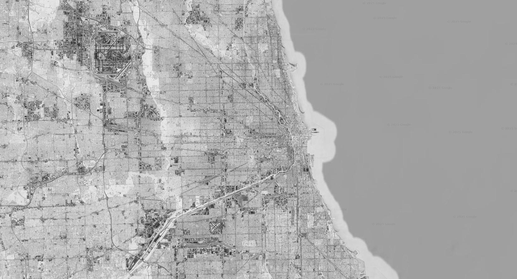
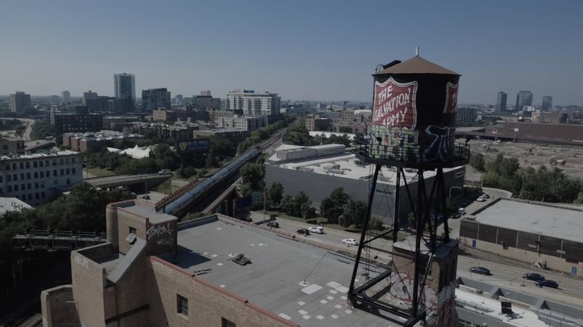
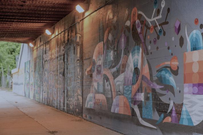
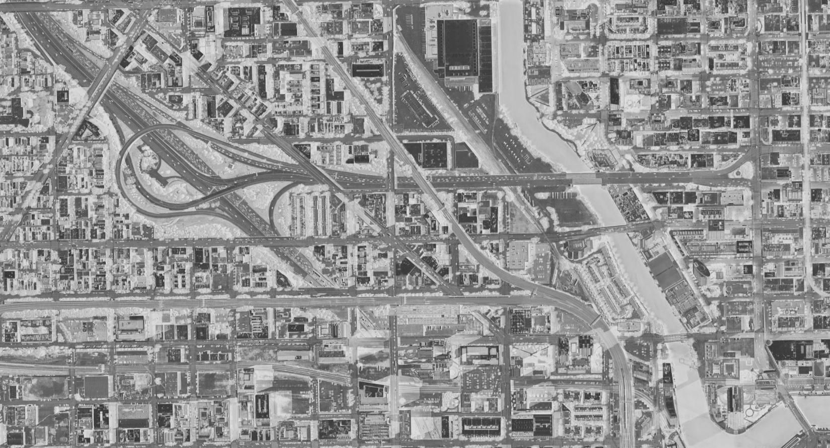
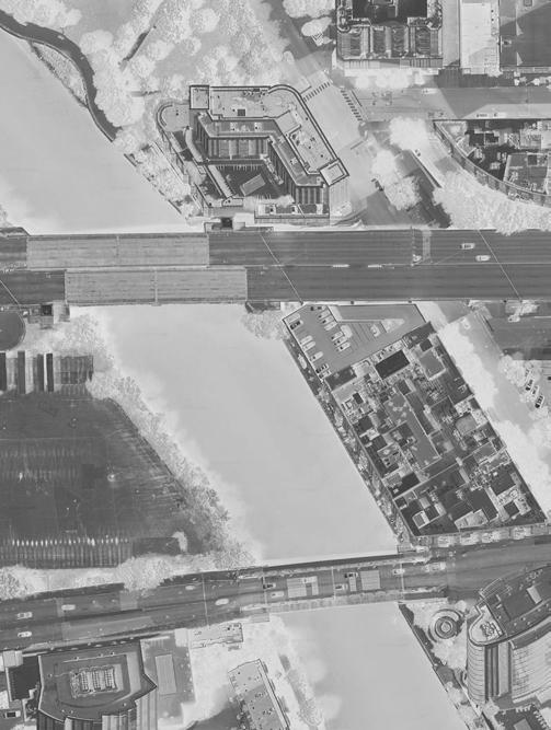
Chicago´s urban fabric pulses through multiple districts, each carrying its own rhythm, energy, and cultural weight. Instead of converging toward one dominant core, the city disperses its vitality across a network of emerging nodes, places where movement, production, and public life intertwine. This polycentric condition creates a landscape in constant negotiation, where boundaries blur and new relationships form between people, infrastructures, and space. Within this shifting field, the site becomes one more point of intensity: a place where the city’s dispersed dynamics connect, reconfigure and evolve into new possibilities for urban life.
ROGERS PARK
FOREST GLEN
EDGEWATER
LINCOLN SQUARE
ALBANY PARK
UPTOWN
PORTAGE PARK
NORTH CENTER
IRVING PARK
LAKEVIEW
LINCOLN PARK
BELMONT GARDENS
AVONDALE
HUMBOLDT PARK
RIVER NORTH
WEST LOOP
SOUTH LOOP
UNIVERSITY VILLAGE
BRIDGEPORT
BRONZEVILLE
KENWOOD SOUTH SHORE
OAK PARK



TRANSITION PLACE WITH URBAN VOIDS
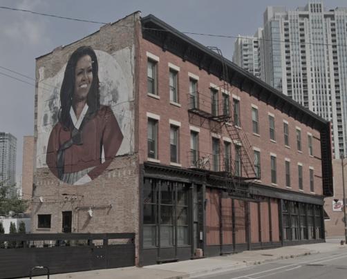
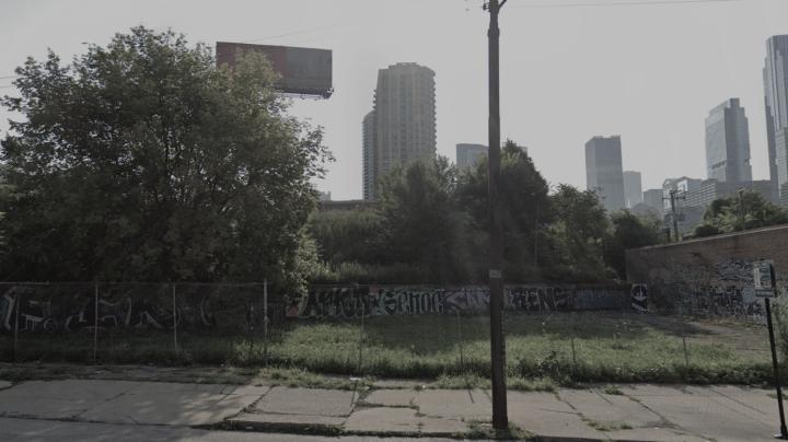
UNRECOGNIZED CULTURAL VALUE IGNORED
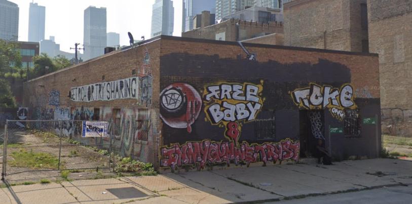
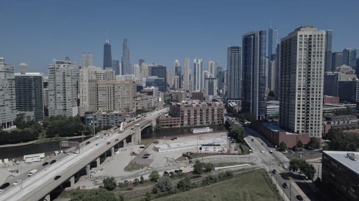

ENHANCE PEDESTRIAN EXPERIENCE

RE-GREEN / REDUCE
HEAT ISLAND EFFECT
ENTRY LANDMARK BY EAST SIDE / RIVER
Architecture of medium complexity acts as an intermediary force within a district. Bold enough to reorganize the existing conditions. Rather than imposing a singular gesture, it operates through calibrated layers, spatial porosity, programmatic hybridity, and infrastructural flexibility. These qualities allow the architecture to register the site’s flows, tensions and latent potentials, translating them into spatial strategies that amplify local dynamics instead of replacing them.




GATEWAY ATRACTOR ACCESS ACTIVATION CONECTION INTROSPECTION

How can we foster “the whole” through a polycentric urban model?
Center is conceived as a system that challenges the fragmented logics shaping contemporary urban life. Concepts such as individualism, mobility, services, housing, cultural divides, and spatial barriers are not treated as isolated issues, but as interconnected forces that shape how communities form—or fail to form—within the city.
By mapping these conditions into a single framework, the project exposes their overlaps and redefines their relationships through strategies that merge access, public space, and programmatic diversity into a cooperative whole. In doing so, Center dissolves physical and social barriers, turning everyday interactions into opportunities for shared belonging and proposing a collective model of urban life that counters isolation and strengthens the dynamics of the polycentric city.
As part of the project’s approach, all nine strategies from the manifesto are applied to address its territorial scale and complexity. Working with such a broad and interconnected context requires multiple lenses that operate simultaneously across ecological, social, and spatial dimensions. Focusing on a single strategy would have constrained the project’s potential and reduced its capacity to respond to the diversity of conditions within the site. By integrating all nine the proposal gains coherence and richness, allowing each intervention to strengthen the others within a unified regenerative framework.

Housing
• Family
• Couples
• Studio Commerce
• Produce Garden
• Agriculture
• Bar
• Communal Kitchen
Health
• Prevention Clinics
• Spiritual Spaces Culture
• Art Galleries
• Museum
• Amphitheater
• Workshop Spaces
Parks
• Green Observatories
• Disconnection Zones
• Roof Gardens
• Green Facades Education
• Elementary School
• Library
Urban Village Project proposes a new model for affordable and livable urban housing. Developed with SPACE10, it reimagines how we design, build, and share our cities to address rapid urbanization, inequality, and environmental challenges. The project introduces a modular wooden system designed for disassembly and circular use, enabling low-impact construction and adaptability. It also proposes a new financial model that makes quality housing accessible to all income levels, and shared living communities that foster connection across generations.
By combining social inclusion, sustainability, and affordability, Urban Village Project envisions resilient and regenerative urban futures.


SelgasCano and U.D. Urban Design AB won an international competition to design the new administrative and planning offices for the City of Stockholm. Their proposal, Drivhus (“Greenhouse” in Danish), will be located in Söderstaden, south of the historic city center.
Conceived as both a workspace for 1,800 people and an open civic forum, Drivhus invites civil servants, politicians, and citizens to meet and discuss the city’s future. The project aims to revitalize a major urban area, transforming its surroundings into more human-centered environments.
At its heart, a natural park anchors the new development, surrounded by housing, commercial spaces, and cultural venues. The park’s greenery extends into the building itself, growing beneath the ETFE double façade, which creates a mild microclimate that supports plant life and enhances the interior workspaces.


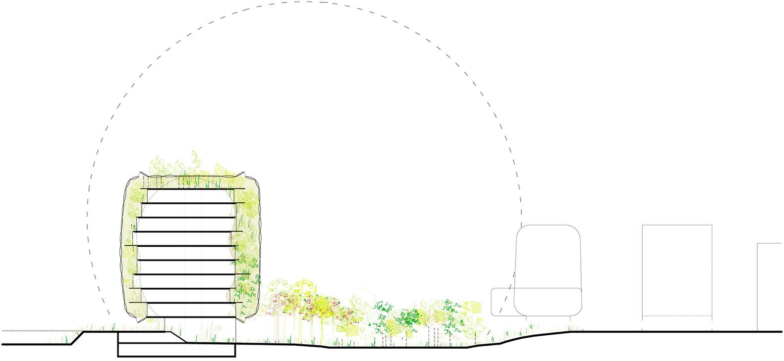
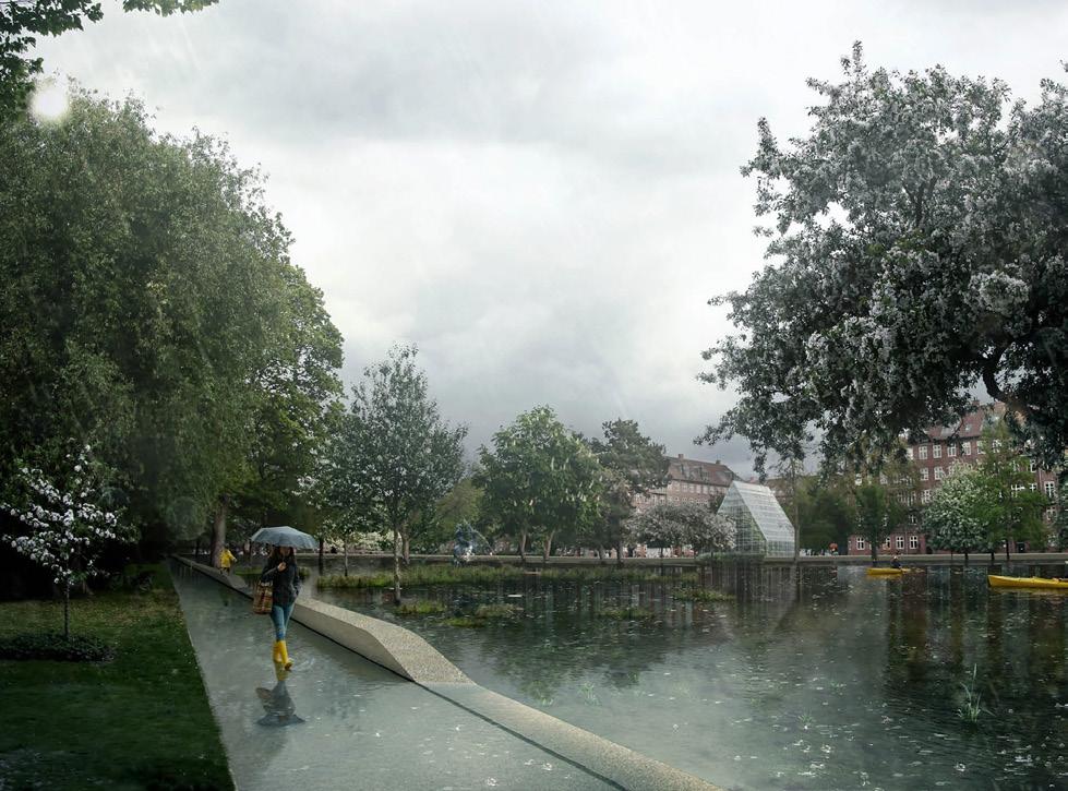
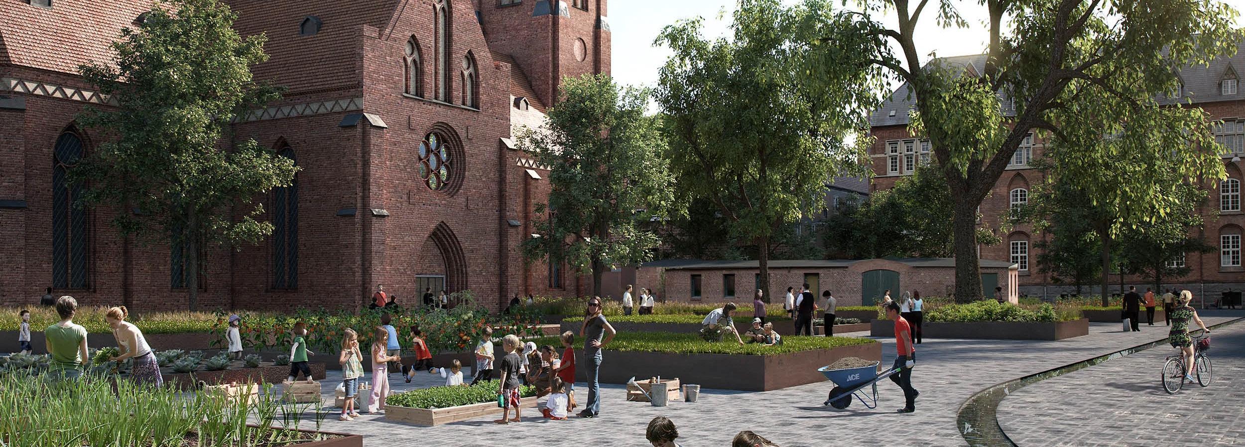
Grow Nørrebro was developed for the Nordic Built Cities Challenge: Cloudburst & Culture, proposing a vision that merges urban development and climate adaptation across 85,000 m² in Copenhagen’s Nørrebro district.
The project envisions a model for growing urban spaces, culture, and nature organically while enhancing the area’s cultural, spatial, and biological diversity.
It unfolds in two layers: the first introduces a cloudburst road linking Hans Tavsens Park to Pebling Sø, creating a “blue thread” for water management and public life that reconnects the area with its historical roots.
The second layer comprises 16 new urban spaces, developed collaboratively with residents and local actors—each acting as a living lab for community, biodiversity, and city culture, ensuring the project’s strong local foundation and long-term adaptability.


Lights & Circulation 3 m 1 m 0.5 m
Habitat exchange
Light & Buildings
Pavillions & Permeability
Playground & Furniture
Altos are a defining component of the project, recurring across buildings and public spaces in four different scales. Beyond their constructive role, they articulate spatial rhythm, enhance permeability, and unify the project’s identity. Their repetition and variation generate continuity, allowing to merge into a cohesive and recognizable system.
Filled with reclaimed concrete from the existing pavement, the gabions act as a unifying landscape element across the site. They embody principles of reuse and regeneration, restoring soil permeability and reinforcing the project’s circular approach.
with


