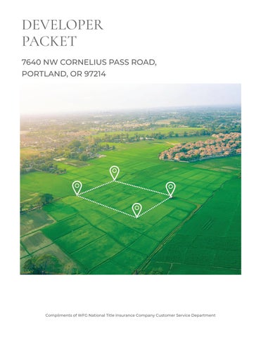
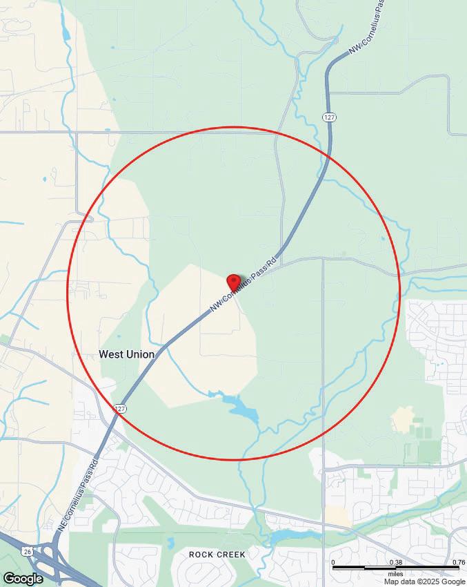
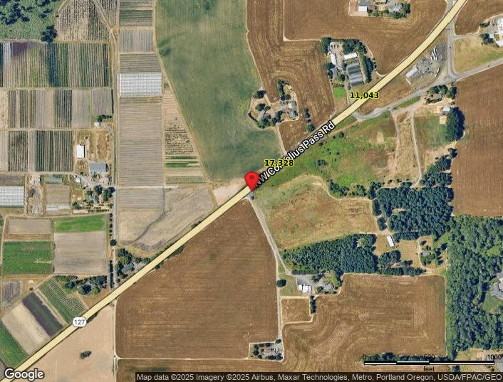
7640 NW CORNELIUS PASS ROAD, PORTLAND, OR 97214
CONTENTS
• Property Details
• Utility As-Builts (Water & Sewer)
• Zoning Information
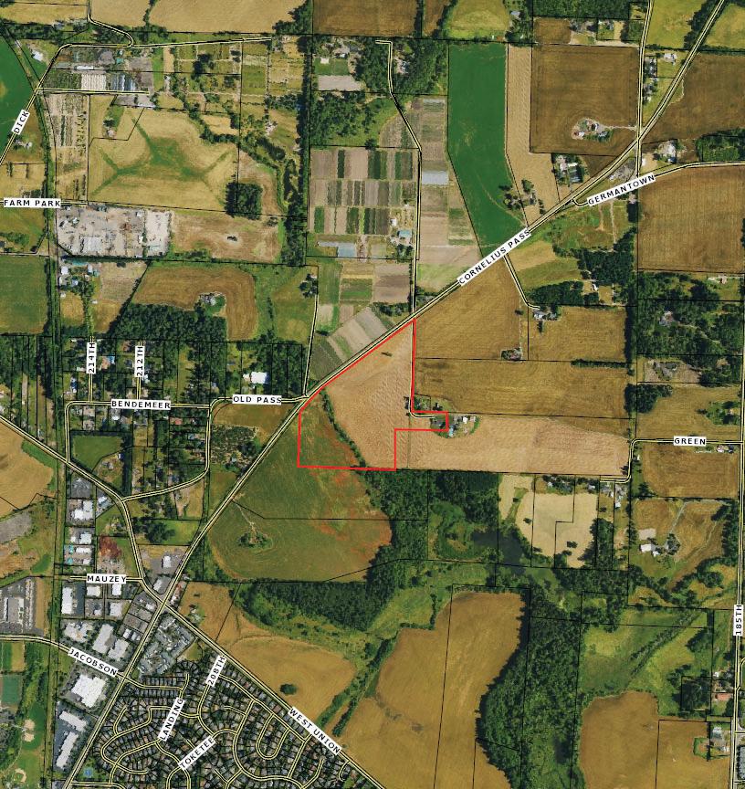
• Custom Maps
• Community Information -Demographics -Traf c Counts
The information contained is provided by WFG’s Customer Service Department to our customers, and while deemed reliable, is not guaranteed.
• Property Information
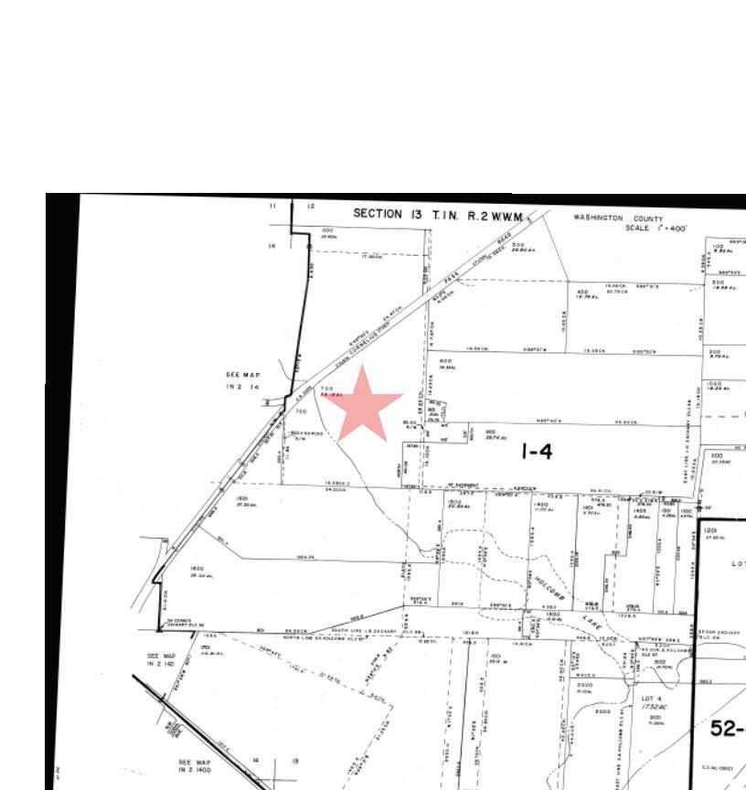
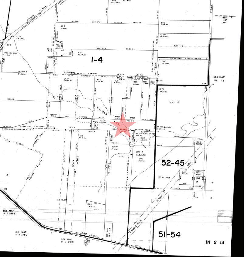
• Assessors Tax Map
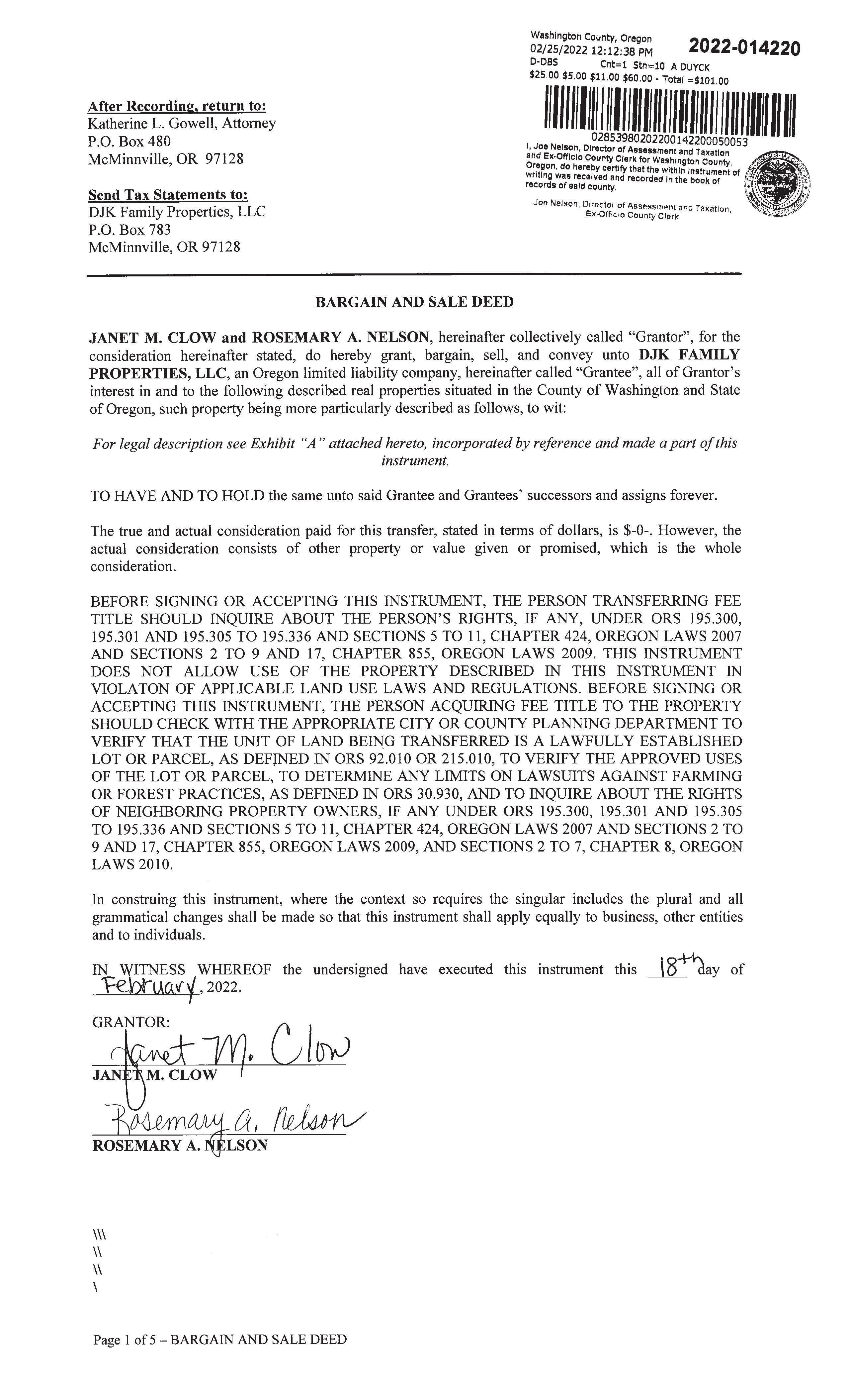
• Vesting Deed
The information contained is provided by WFG’s Customer Service Department to our customers, and while deemed reliable, is not guaranteed.
ZONING
DETAILS
• Detailed Zoning Information
Washington Co.-EFU (Exclusive Farm Use)
• Zoning Map
• Community Jurisdiction
The information contained is provided by WFG’s Customer Service Department to our customers, and while deemed reliable, is not guaranteed.
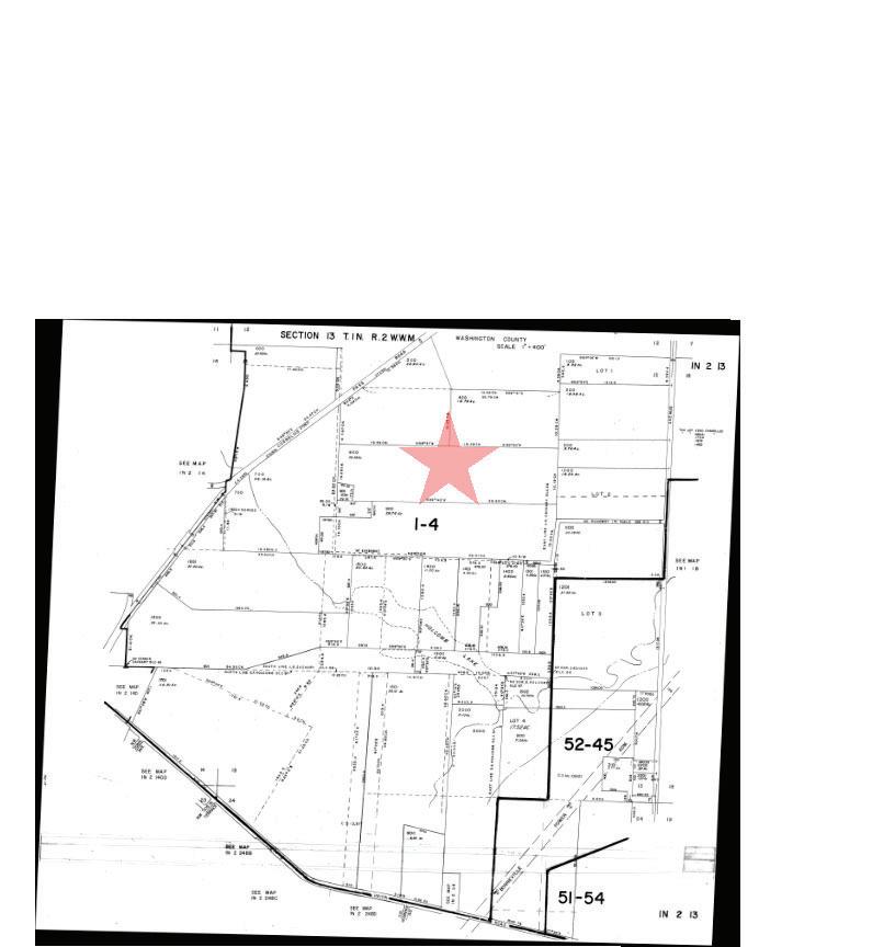
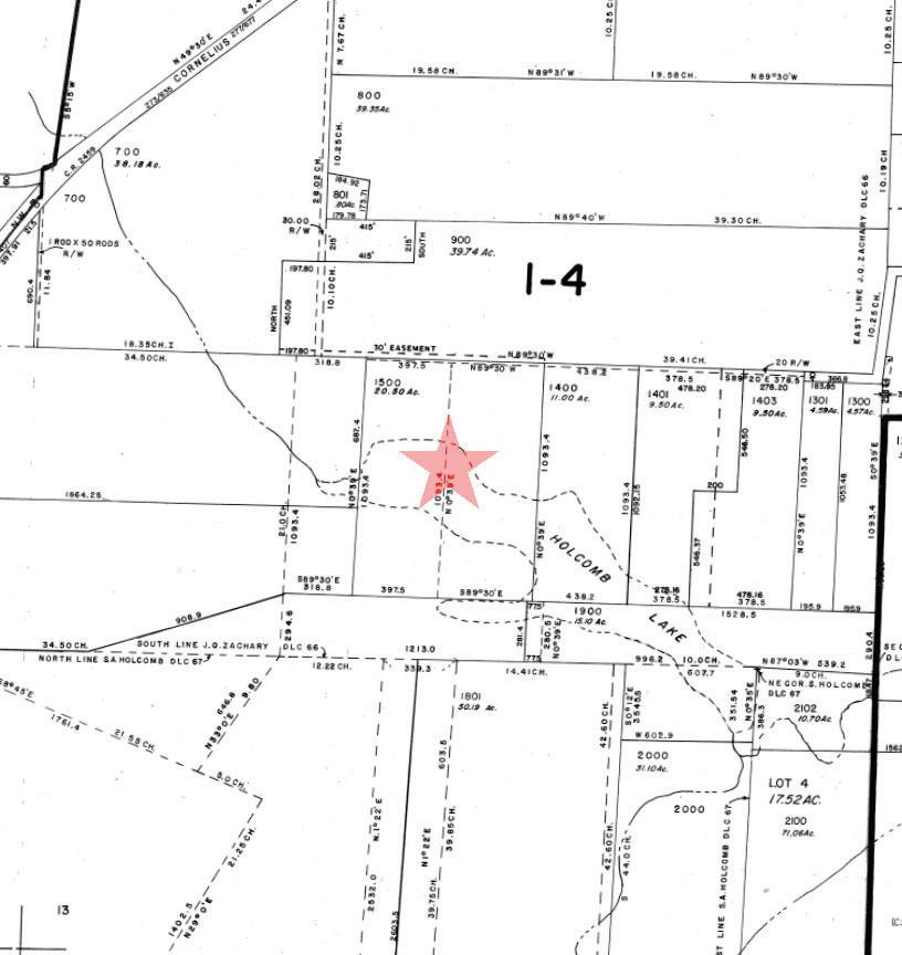
1N2130000700
WashingtonCounty
T1N R2W S13
Latitude: 45.572765, Longitude: -122.885028
1N2130000700
R655981
37.98 acres
N/A
$346,500.00 AGR N/A 200610
400000
346500.00000000
N/A 551
001.04
7640 NW CORNELIUS PASS RD
Unincorporated Washington County CPO7sunset west/rockcreek/bethany
m
Lea et (http://lea etjs.com) | Tiles: © Metro RLIS
Rock Creek-Tualatin River
Upper Rock Creek
Willamette
Tualatin
Outside
Not in a wetland
Outside
Rural
Washington County rural reserve
Hillsboro
Garbarino Disposal
Garbarino Disposal
Garbarino Disposal
WashingtonCounty T1N R2W S13
Latitude: 45.573671, Longitude: -122.877564
Unincorporated Washington County
Rock Creek-Tualatin River
Upper Rock Creek
Willamette
Tualatin
Outside
Not in a wetland
Outside
Rural
Washington County rural reserve
Hillsboro
Garbarino Disposal
Garbarino Disposal
Garbarino Disposal
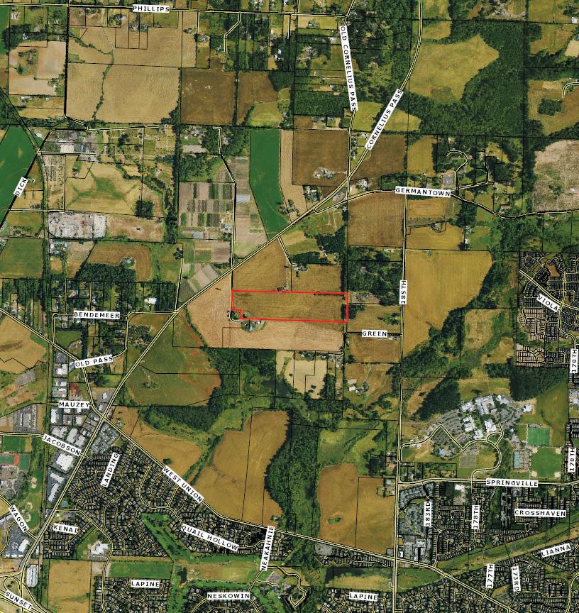
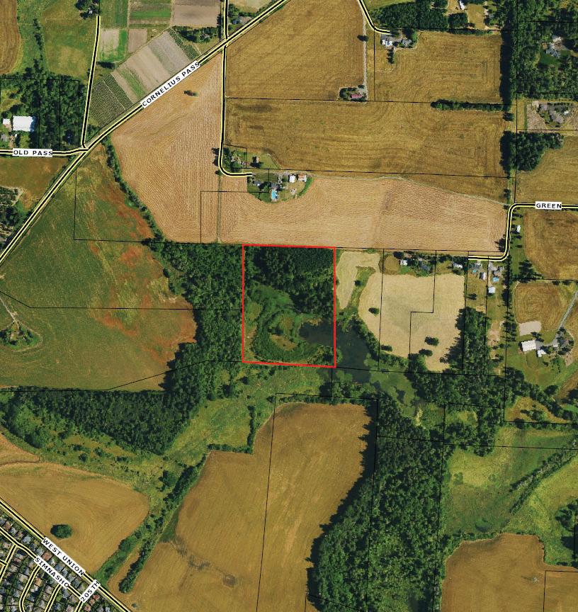
1N2130001500
WashingtonCounty
T1N R2W S13
Latitude: 45.56943, Longitude: -122.880408
1N2130001500
R656098
acres
8052 NW CORNELIUS PASS RD
Lea et (http://lea etjs.com)
Tiles: © Metro RLIS
Rock Creek-Tualatin River
Upper Rock Creek
Willamette
Tualatin
Inside
NWI
Outside
Rural
Washington County rural reserve
Hillsboro
Garbarino Disposal
Garbarino Disposal
Garbarino Disposal
WashingtonCounty T1N R2W S13
Latitude: 45.567226, Longitude: -122.875815
Rock Creek-Tualatin River
Upper Rock Creek
Willamette
Tualatin
Inside
NWI
Outside
Rural
Washington County rural reserve
Hillsboro
Garbarino Disposal
Garbarino Disposal
Garbarino Disposal HILLSBORO 1J