Academics

01 BELOW, BEYOND, BELONG AND BELONG-ING
Railway Transformation
|Climate Resilience
|Metro-Water Integration
02 PRODUCTIVE CORRIDOR
Urban Forest Planning
|Post-Industrial Revitalization
|Community Design
03 LET’S DANCE WITH SOIL
Landfill Restoration
|Regional Ecology
|Community Stewardship
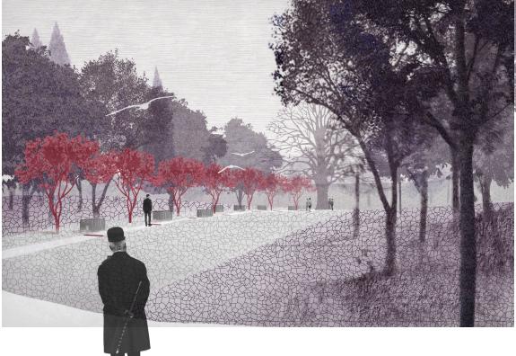
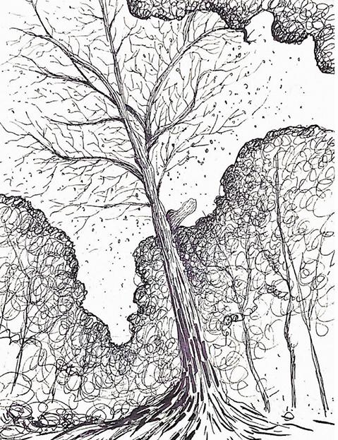
04 INTO THE WOODS OF REGENERATION
Cemetry Design
|Nature-Culture Symbiosis
|Memorial Landscape
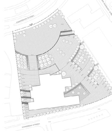
05 CITY HALL PLAZA
Public Space Renewal
|Microclimate Strategy
|Grading and Accessibility
Option Studio
Advised by Bas Smets
Core IV
HGSD
Core III
HGSD
Core II
HGSD
Core I
HGSD
06 PROFESSIONAL WORK SAMPLING
|Construction
|Documentation
|Zonning and Planning
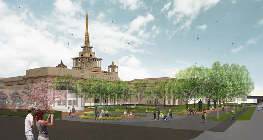
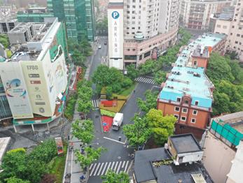
07 YUYUAN PLAZA
Open Space Design
|Streetscape
|Historical Urban Renewal
Design Inquiry
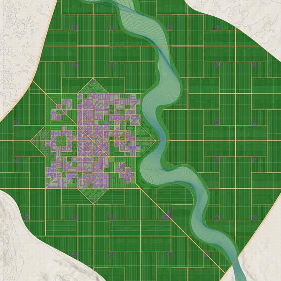
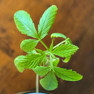
08 HEMP-TOWN
Species-based Urbanism
|Speculative Deisgn
|Multidisciplinary integration
09 TERRTORIAL COMMONS
Extractive Landscape Research
|Geopolitical Mapping
|Narrative Visualization
Team Project Intern at EADG, Hearthstone Village, RMJM
Project Lead Intern at AMJ
MLA Thesis
Advised by Charles Waldheim

Exhibition
Sydney Design Week
Speculative Railway Transformation
for 2100
|Infrastructure Adapation|Climate Resilience
Athens Greece
Individual Studio Project|Advised by Bas Smets|Fall 2024
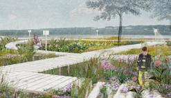
This project envisions the future transformation of Athens’ Metro Line 1 into a railway park system by 2100, responding to a projected 5°C temperature rise that will render much outdoor space unlivable.
The proposal reimagines the decommissioned metro as a connective landscape integrating two systems: the historic metro line and Athens’ largely invisible but culturally significant water networks.
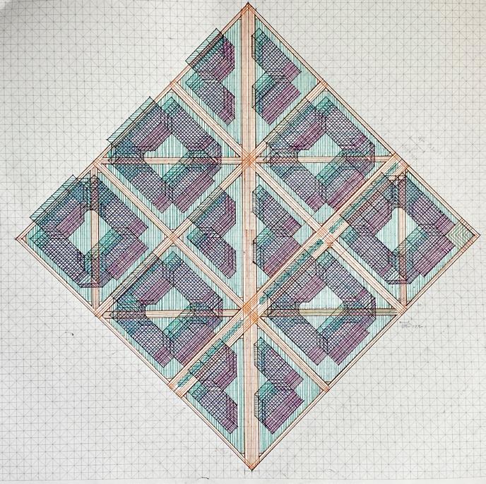
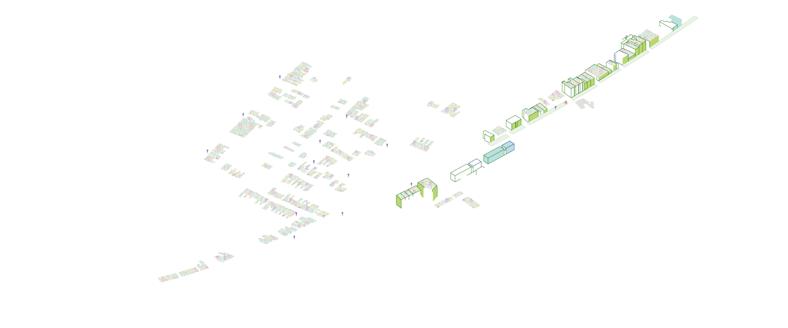
The project uses mapping, sectionsal study and oblique drawings to extract a layered understanding traversing the ground.Nine prototypes integrate the metro and water systems for new landscapes, with reference to local materials and plants. Finally, the design is applied to two specific railway stations for a more livable, adaptive cityscape in Athens, 2100.
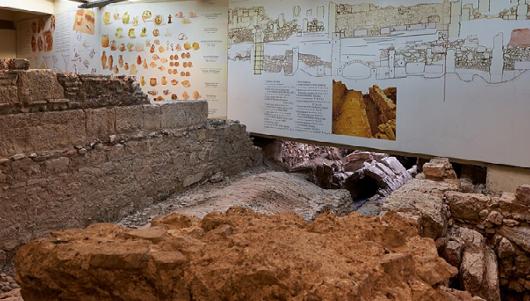
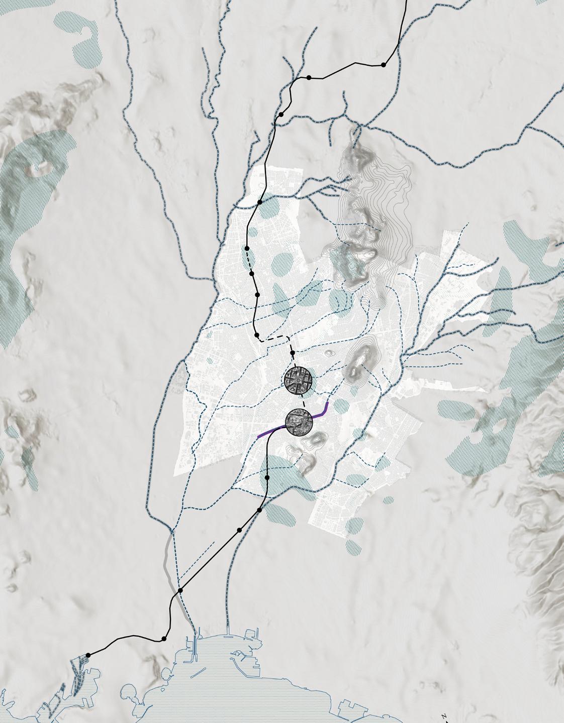

Integrated Railway-Water System
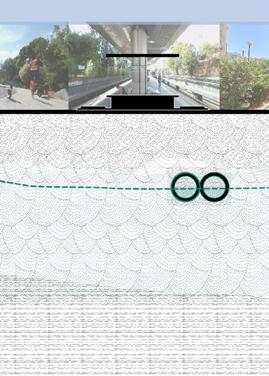
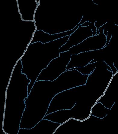
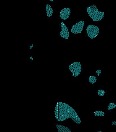
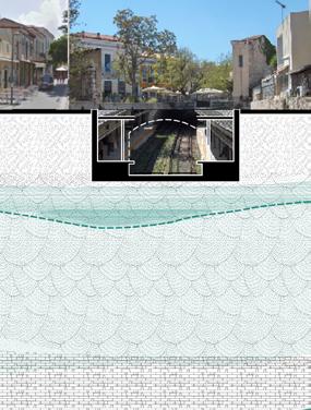
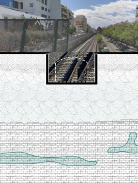
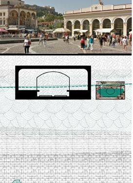
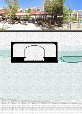
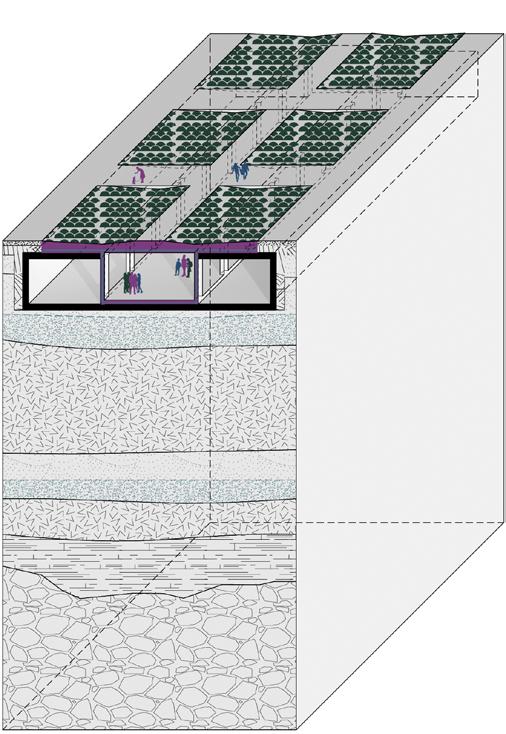
The context study through sections extract a layered understanding below the ground. The context matrix combines metro line and water system at different ground levels to explore the possibility of integrating these two systems for new landscape.
Context Matrix
1.Surfacewater

2.Groundwater
a.Railway Onground
3.Limestone Acquifer
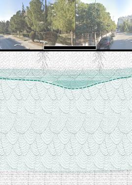
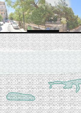
b.Railway Semi-onground c.Railway Underground
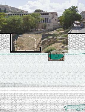
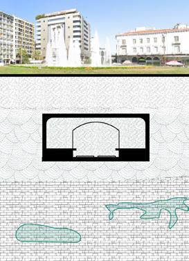
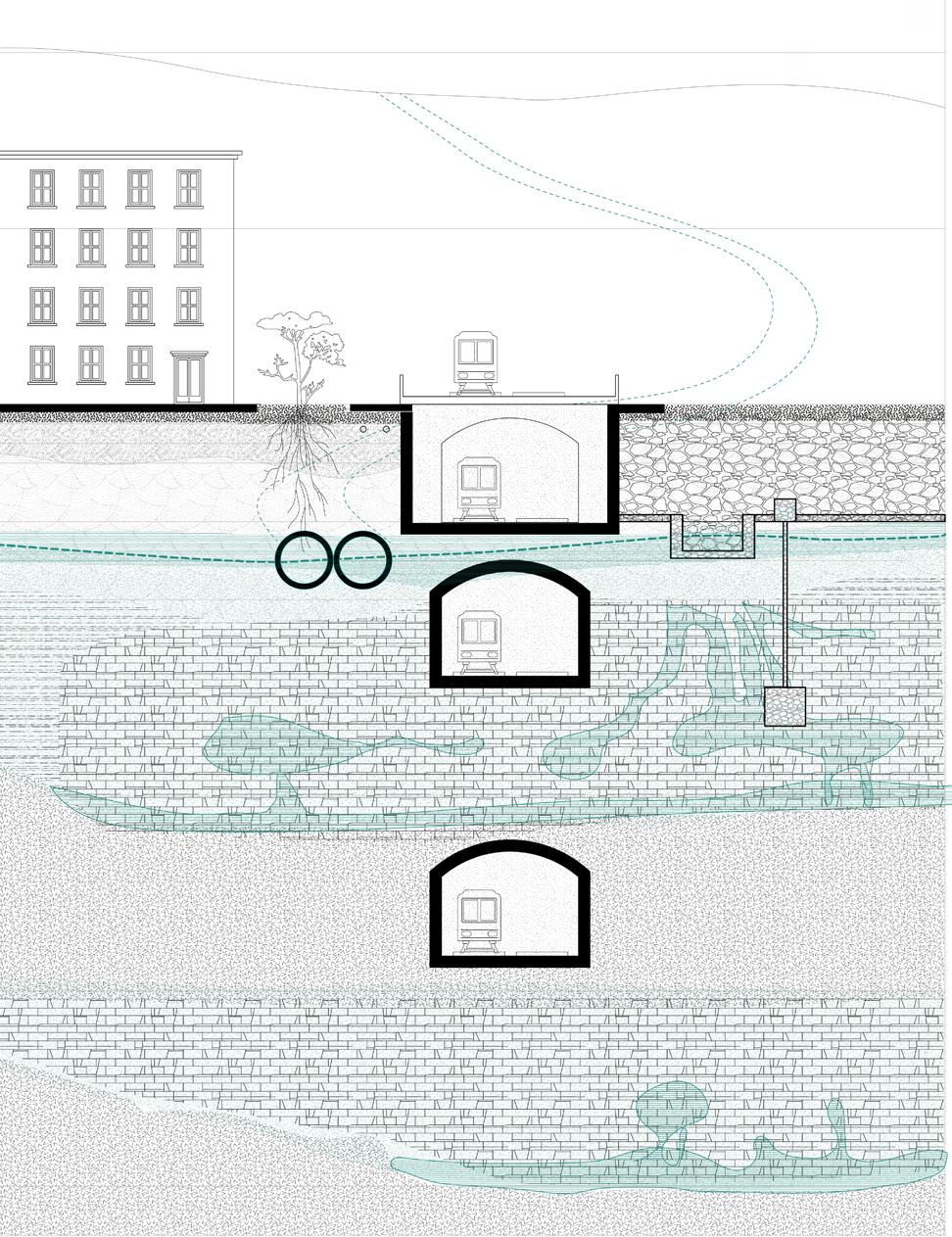
Unconfined Acquifer
Upper Limestone and Karst Acquifer
Impermeable Rockbed
Confined Acquifer
Deep Limestone and Karst Acquifer
Water-Railway Matrix
Railway Level
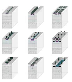
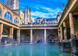
Nine prototype designs incoprates different water system into railway at different ground levels. The use of water is also combined with strategies to create more microclimate comfort. These elements are extracted from local tradition and techniques with water and plants to create new public space rooted in athens ecological and cultural history.
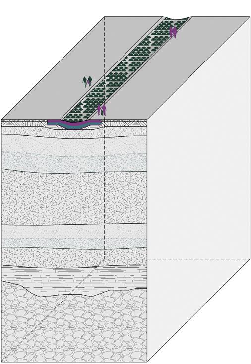
Plan Ground Level
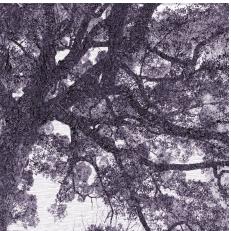
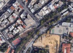
Google view of tree as underground water indicator


Design Prototype
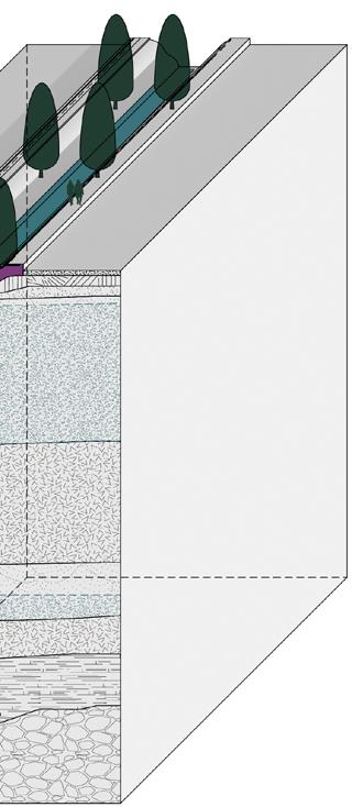
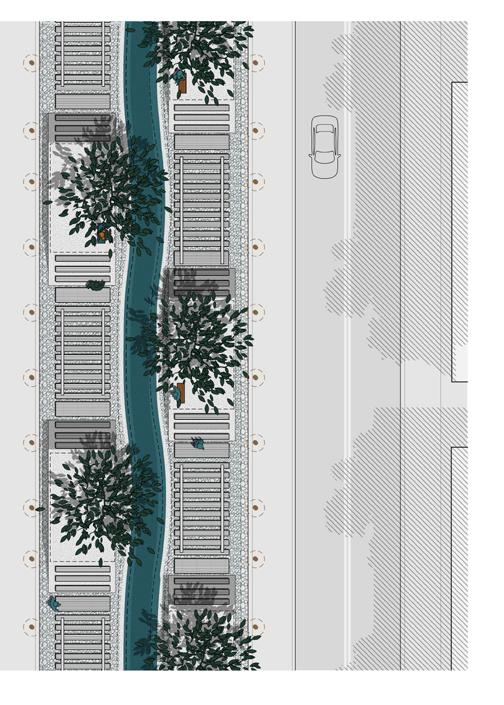
b. Railway Semi-underground
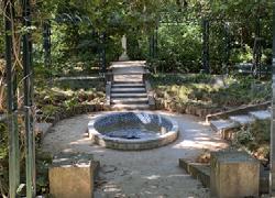
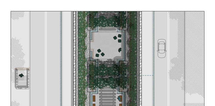
The railway semi-underground uses terrain wall for rainwater collection with climbing plants, daylighting with local pine trees and secret garden with springs under grape pavillions. This creates semi-open space that is common in local informal landscapes.
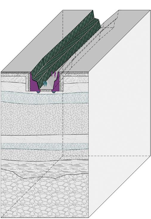
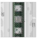
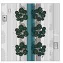
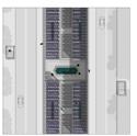
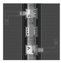
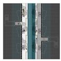
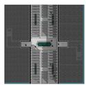
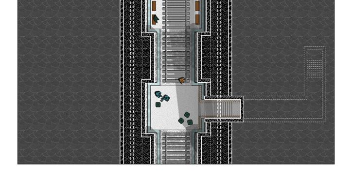

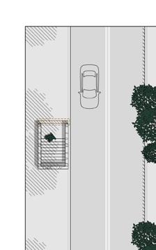
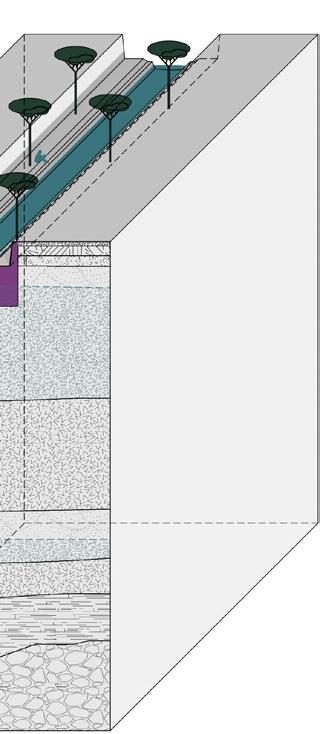
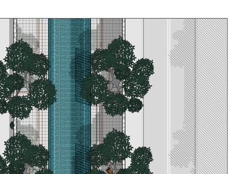
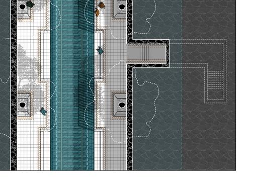
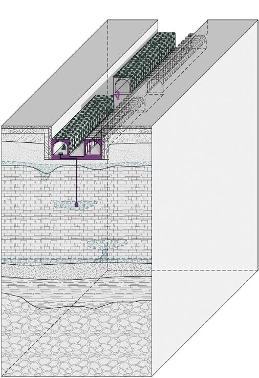
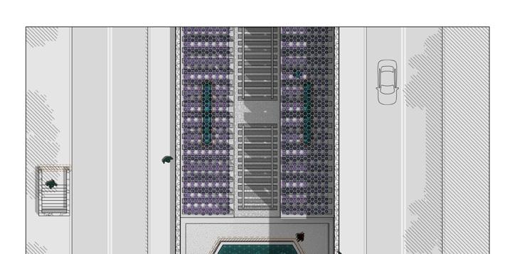
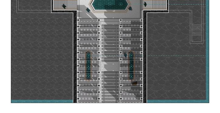
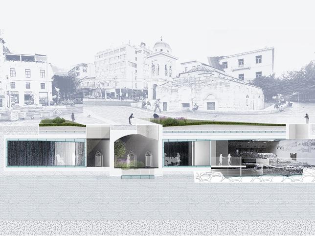
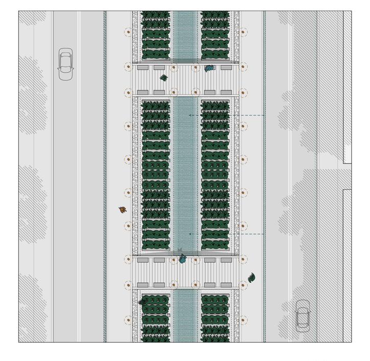
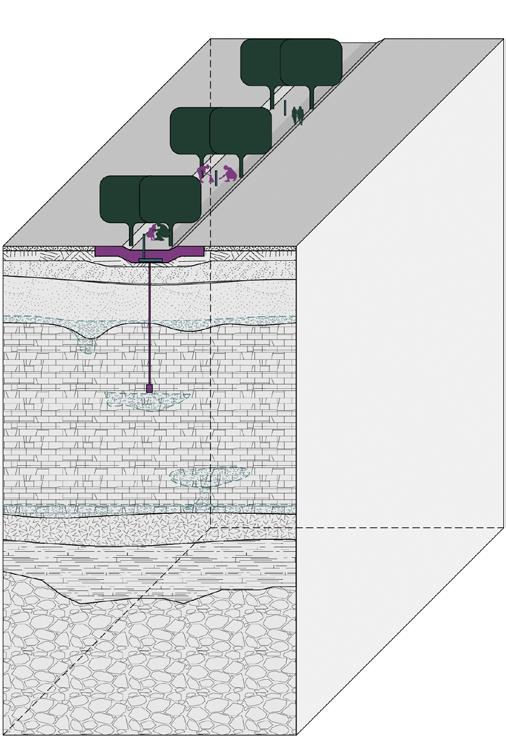
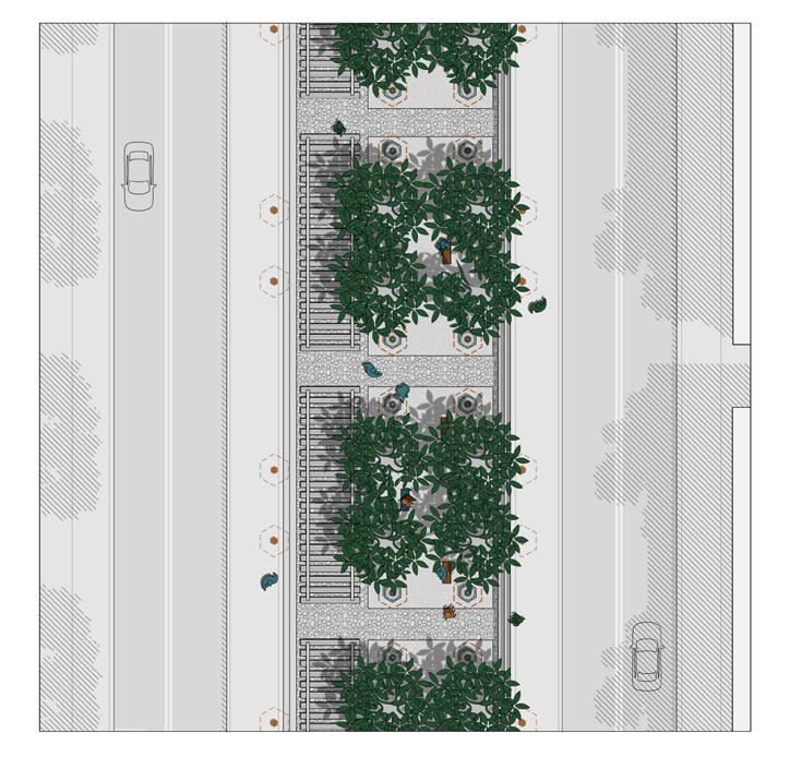
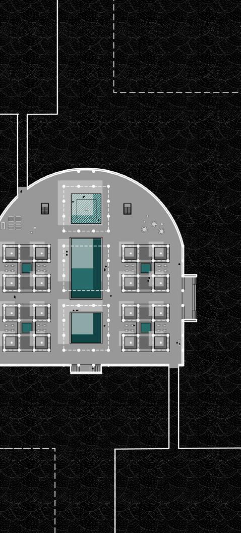
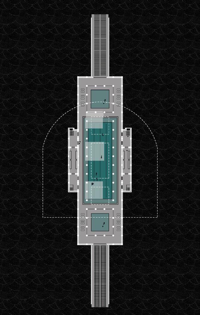
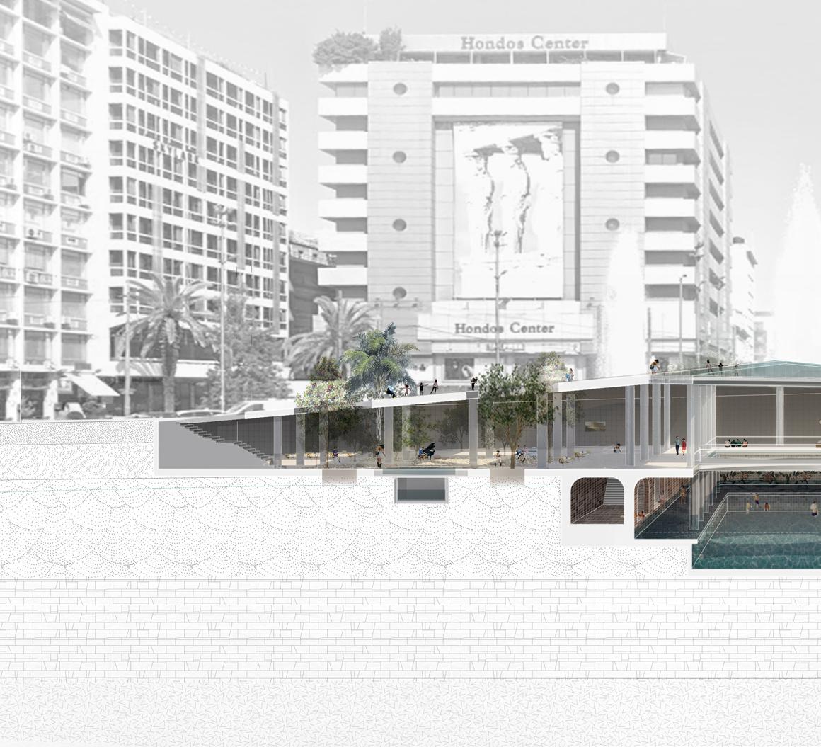
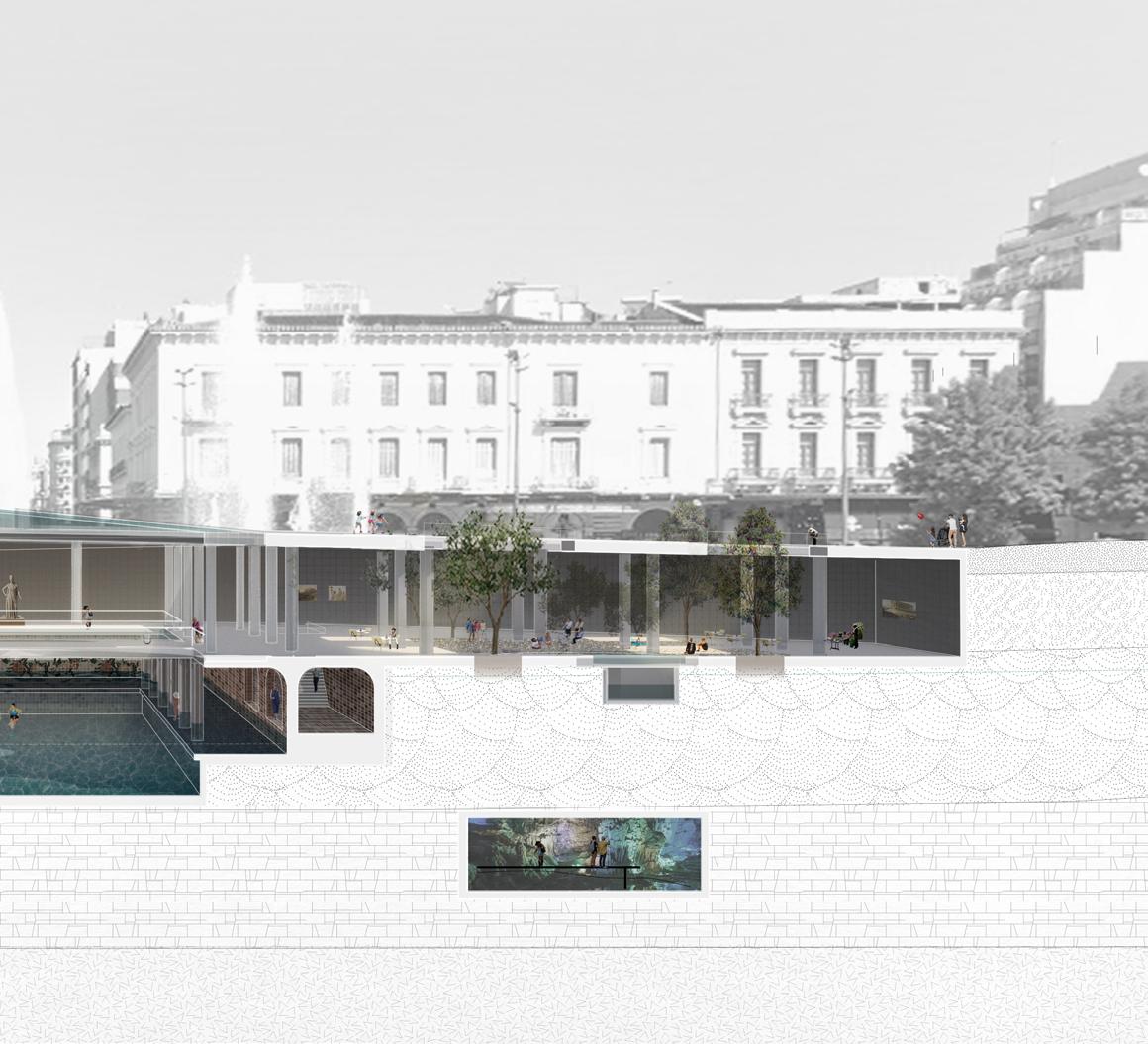
The design for railway underground looks at larger infrastructure transformation below and beyond the metro stations. The design uses green roof with herb plants to collect water and reuse underground. The openings allows trees to grow from underground water while provides shades on ground. The swimming pool provides places for cooling in warmer climate.
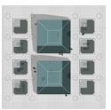
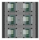
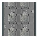
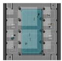
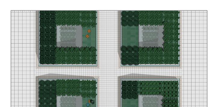
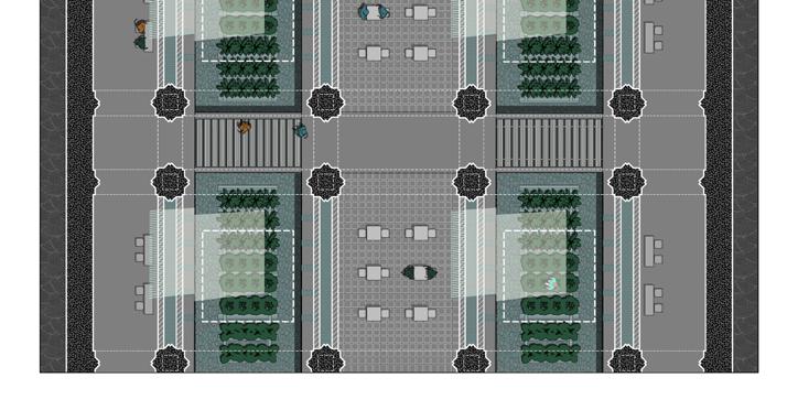

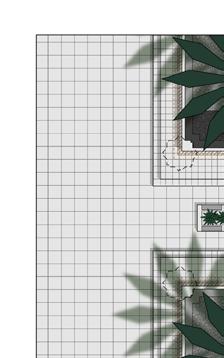
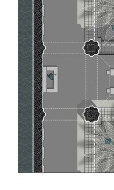
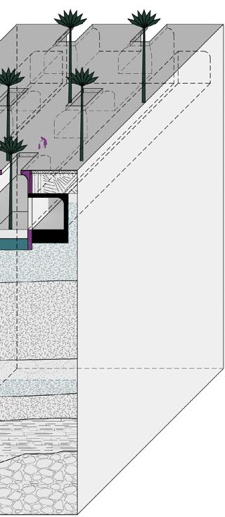
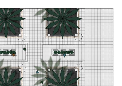
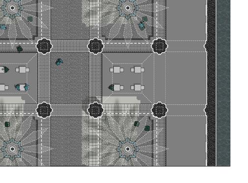
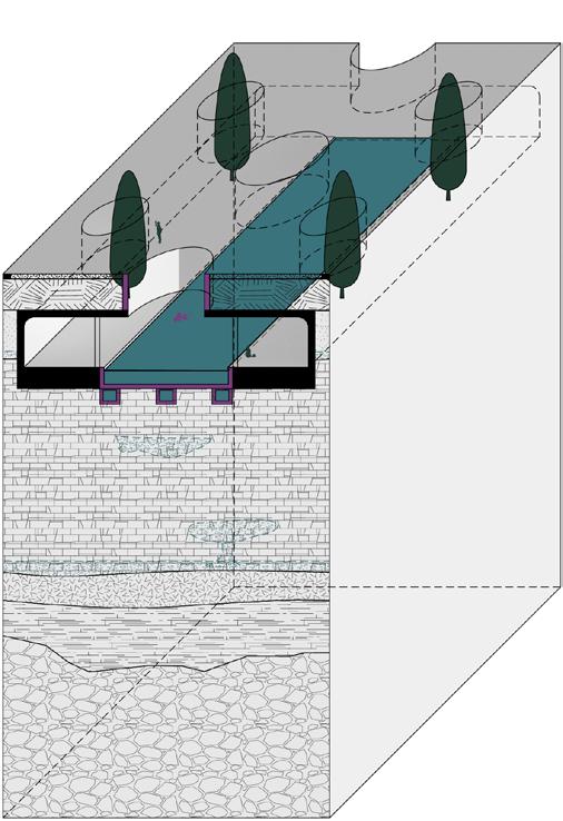
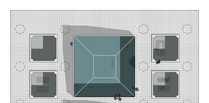
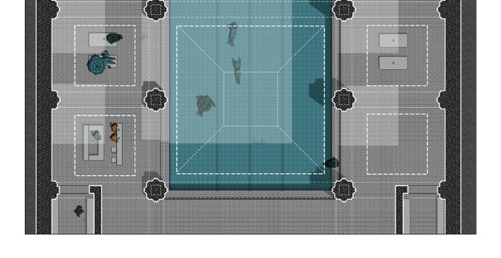
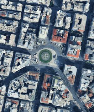
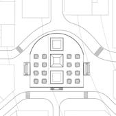
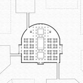
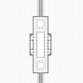
station in Athens city center with a plaza onground and two underground levels. There is also buried river and karst acquifer under the soil layer.
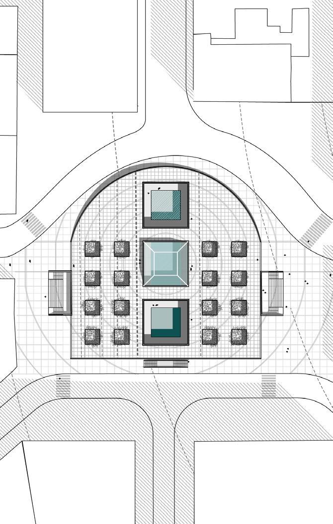
Onground Level Plan

Undergound One Level Plan
Urban Forest Planning for Near Future
|Post-Industrial Revitalization|Community Design
Charlestown, Boston
Individual Studio Project|Advised by Claire Fellman|Spring 2024
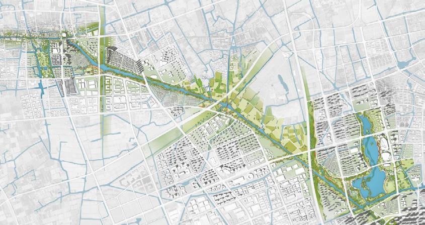
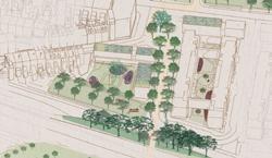
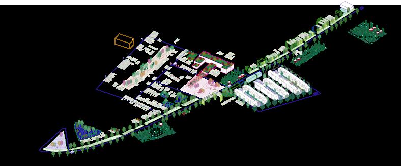
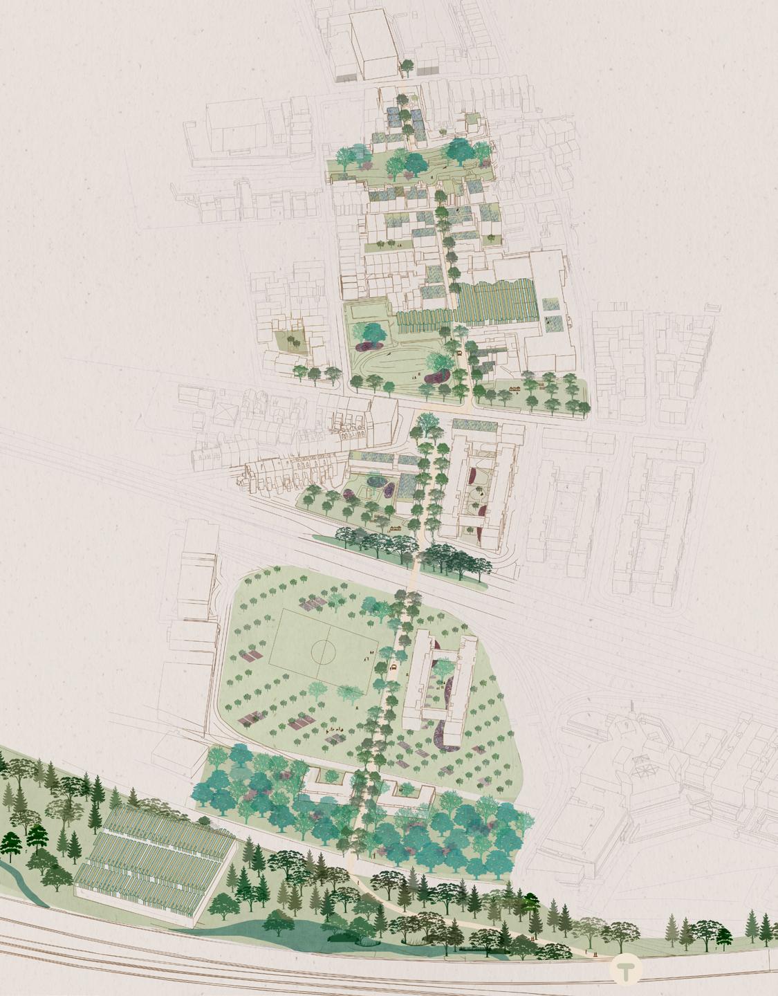
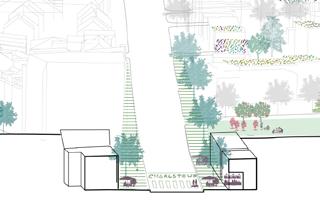
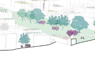
The project envisions an urban forest system within a neighborhood to address island flooding and urban heat island. It revitalizes underutilized urban spaces, fostering walkable, connected communities.
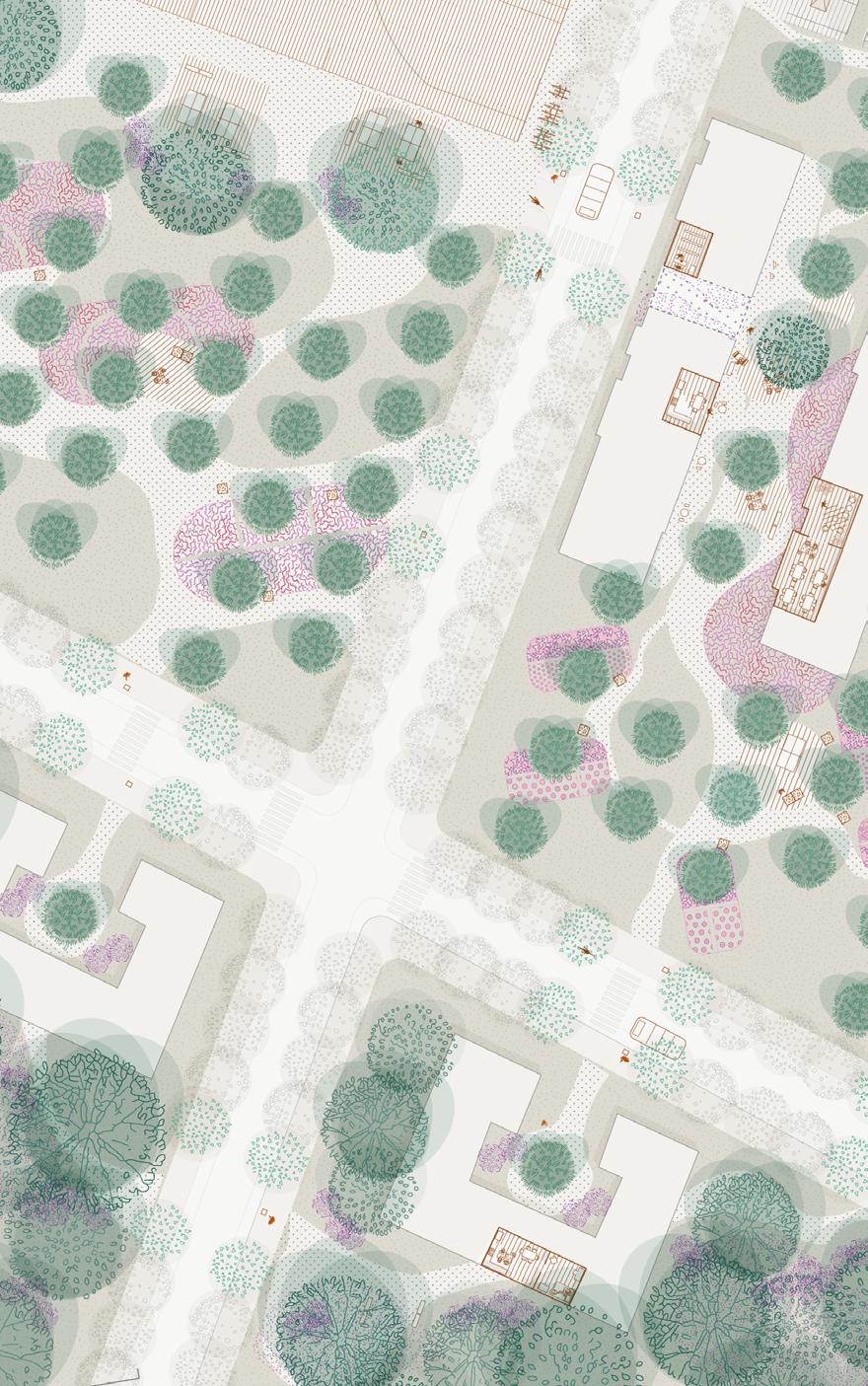
The design integrates three forest types-pollution barriers, urban groves, and community gardens-seamlessly into the urban fabric. These forests are planned in coordination with transportation, housing, and public spaces.
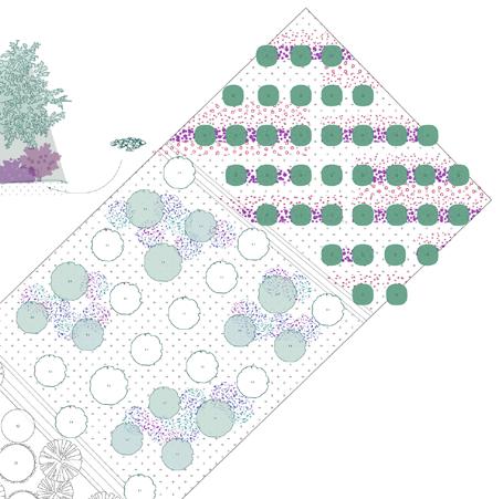
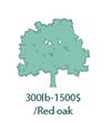
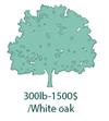
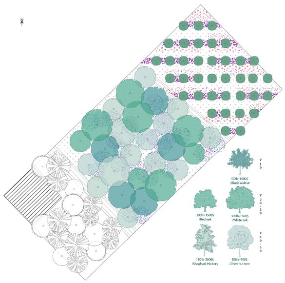
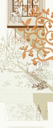
Beyond climate resilience, the urban forests are productive spaces that support social activities. The tree species are centered on nuts trees. Tree growth influences microclimates, understory vegetation, and vegetable crops, while their seasonal yields inspire communal events. With their maturation over 10, 20, or 30 years, the urban forests envisions a shared future for long-term sustainability and community growth.

Spatial System
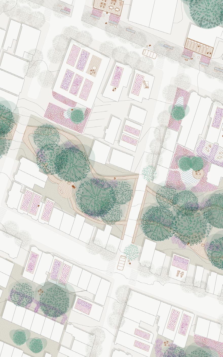
Three Forest Typologies and Urban Fabric
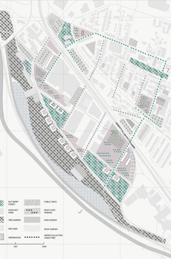
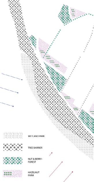
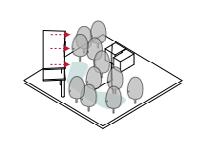
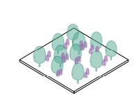
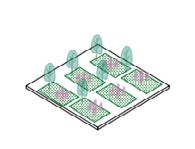
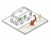
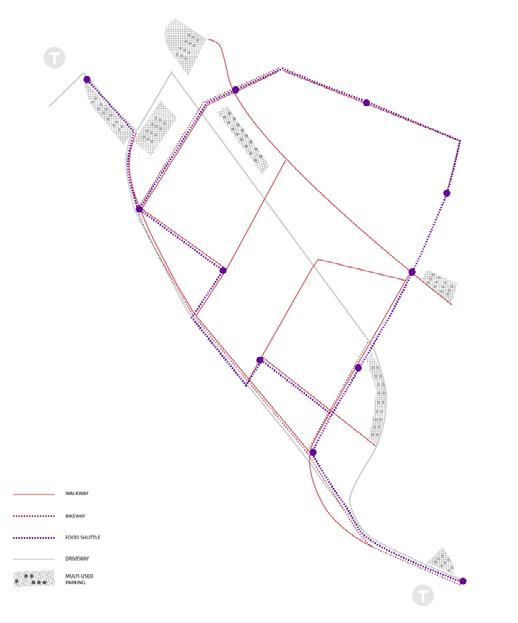
The project proposes three types of forests-tree barriers along the highway and streets for pollution prevention, nut-berry forests at old industrial spaces and open spaces for gathering, and halzenut garden near to the housings. These three type takes use of different current idle spaces and embeded forests into urban fabric from small scale to large scale.
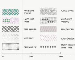
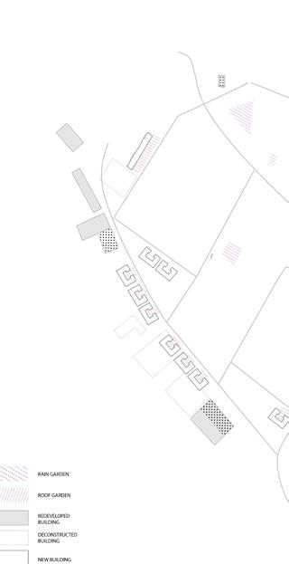

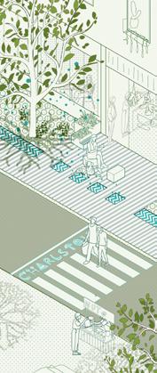
a.Tree Barrier
-Rain Water Collection -Pollution Barrier -Along Highway and Street
b.Nut-Berry Forest
-Urban Grove for Public Event -Adjust Heat Island -Long-term Productivity
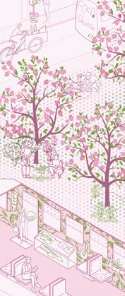
c. Halzenut Garden
-Embeded in Dense Area -Support Community Activity

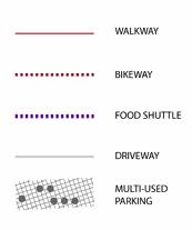
Food Shuttle -Shared Tool -Lecture -Seed Library
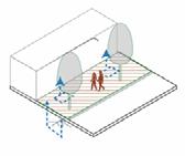
-Cooling System -Cultural Sign System
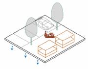
Multi-Used Parking
-Seasonal Market -Water Recycle
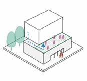
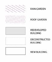
Redeveloped Building
-Hazelnut Garden -Roof Garden & Water Collection
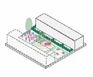
Public Housing
-Community Kitchen -Dry Space -Harvest Event
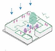
Private Housing
-Community Maket -Restaurant

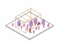
Greenhouse
-Seed Germination -Species Cultivation -Workshop
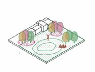
Open Field
-Seasonal Event -Pollinator Garden -Plantation Event
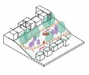
Food Park
-Pick-up Event -Community Gathering
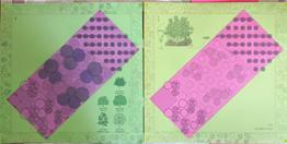

Physical Booklets, Unfolding Spatial Experience and Change over Time
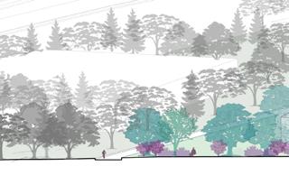
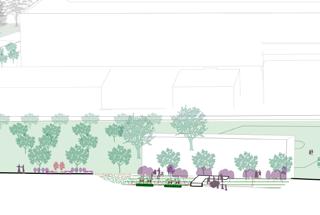

Forest Sequence from Previous Industrial Area to Urban Core
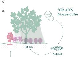
Microclimate, Productivity and Evolution over Time
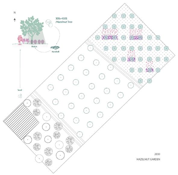
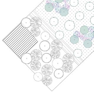
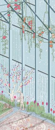
Year 10 Community Garden with Halzenut Tree Year 20 Growth of



03 LET’S DANCE WITH SOIL
Landfill Restoration for Costal Resilience
|Regional Ecology|Community Stewardship
Sangus, Boston
Individual Studio Project|Advised by Rosalea Monacella|Fall 2023
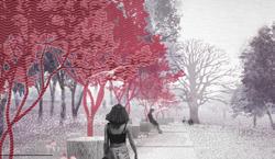
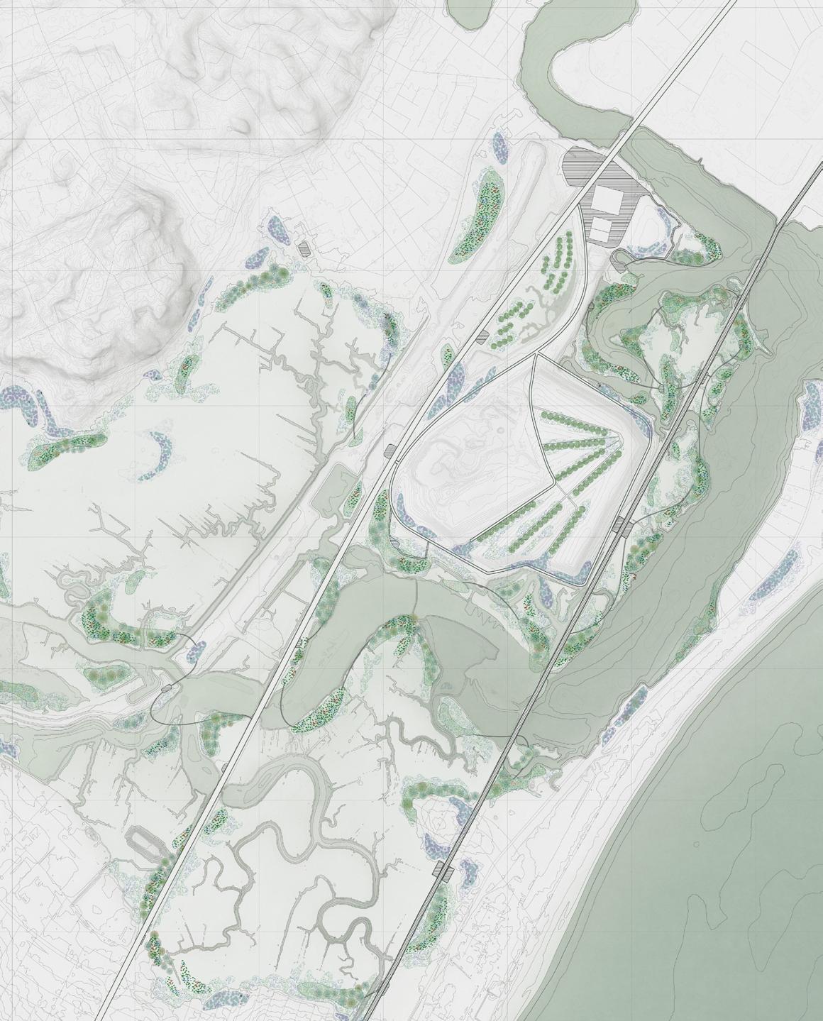
What lies beneath the soil often remains unseen and unknown. At Saugus Marsh, a site transitioning from mineral excavation to landfill accumulation, rising sea levels now threaten to unearth heavy metal pollution buried within the soil. Dance, as a metaphor, reflects the act of synchronizing with the rhythms of others—an act of collective awareness and adaptation.
Tdens along the vulnerable coastline. These gardens evolve through photomediation, plant growth, and soil erosion, morphing and relocating in response to rising sea levels. Acting as agents of change, the gardens reveal the history of soil contamination, represent ongoing processes within the soil, and foster the regeneration of new, healthier soil.






Soil Formation and Metal Pollution
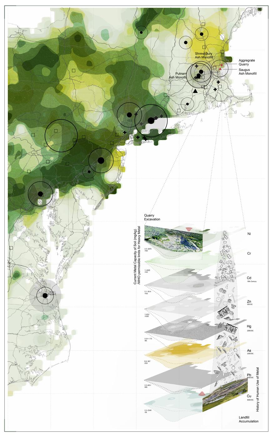
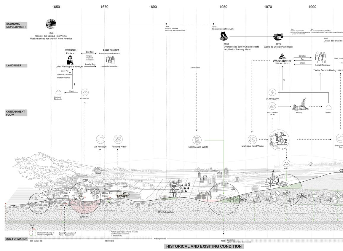
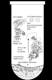
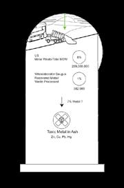
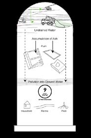
The landfill and mining activities brought large metal pollution into the soil. However, there is currently no monitor at the Sangus Marsh. With the sealevel rise, the pollutions may be brought into water.
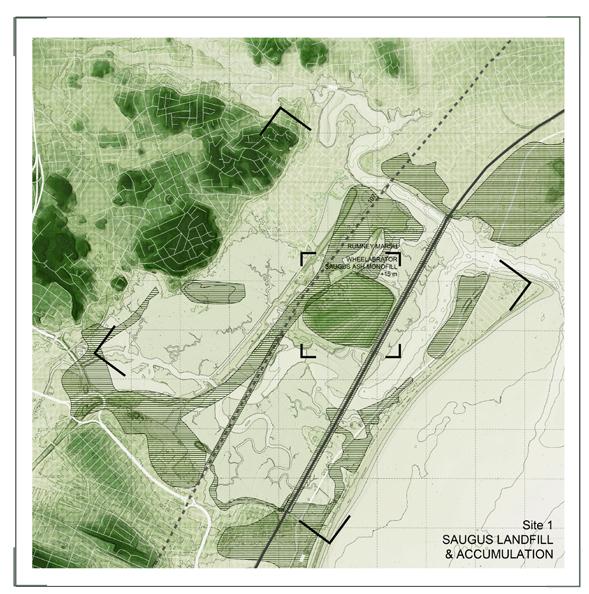
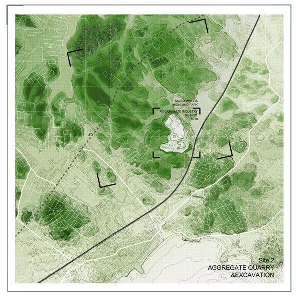
Aggregate Quarry and Soil Excavation
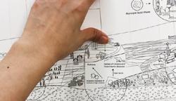
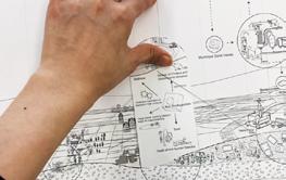
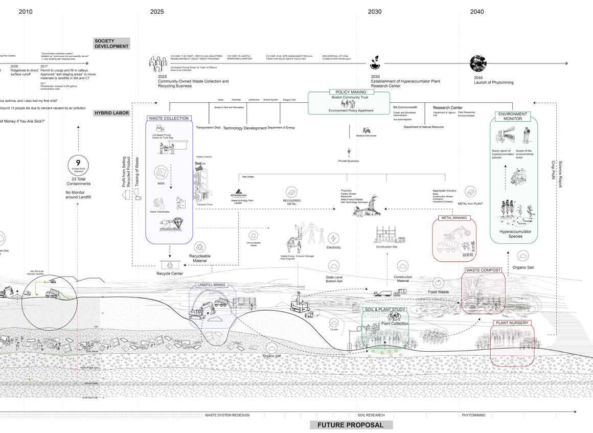
The diagram explores how human shaped the soil and buried invisible pollution histocially and proposes a new waste mangement system with diverse labor for soil remediation, recording and regeneration.

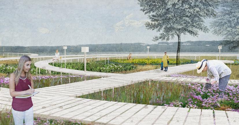
Phase 1. Monitor the Soil-Soil Study and Phytomining
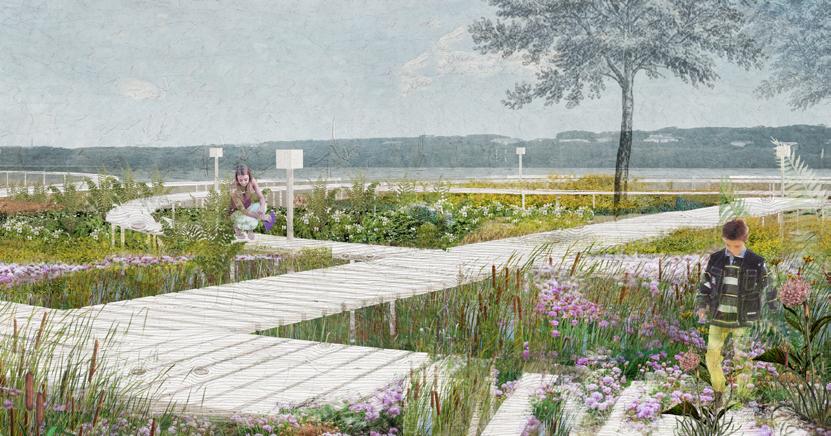
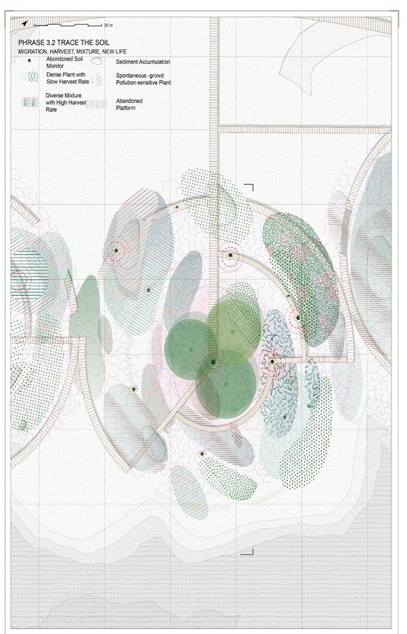
Phase 2. Trace the Soil-Harvest and Plant Migration
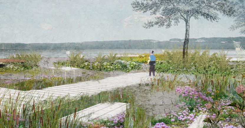
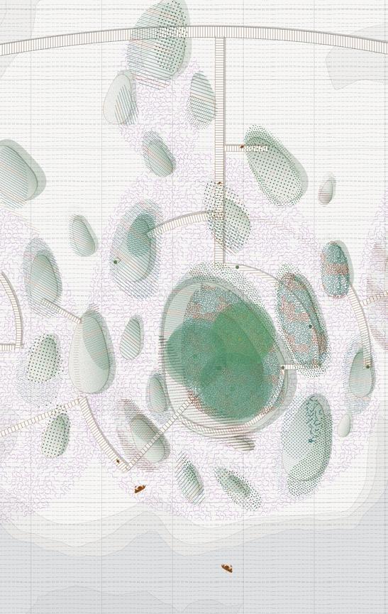
Year 20. Dance with Soil-Spontaneous Emergence
Design Detail
Bioindicator Garden Phases
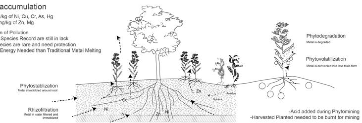
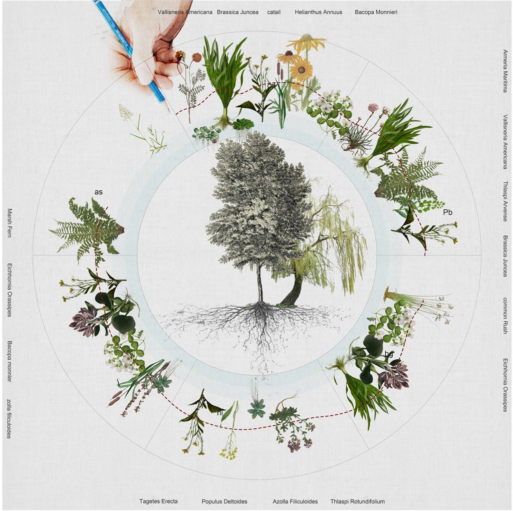
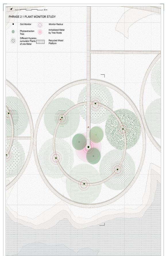
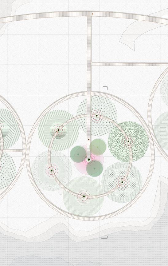
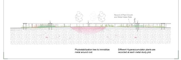
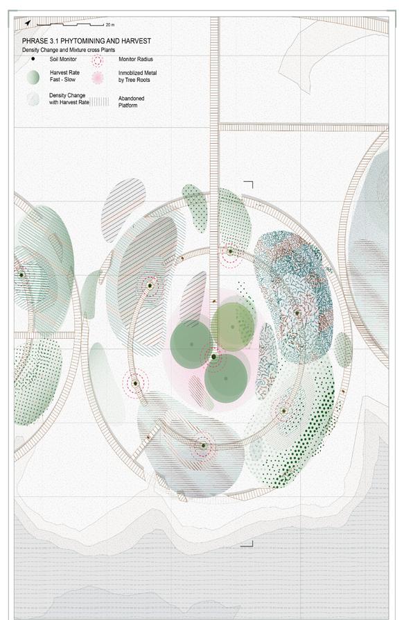
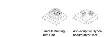
The design uses different hyperaccumulator plants to trace, mediate the soil and produce new soils. Through the time, these plants will morphy with the metal level, harvest rate, and soil movement with tide.


1. Monitor the Soil

Soil Monitor and Radius
Different Hyperaccumulator Plants of one Metal
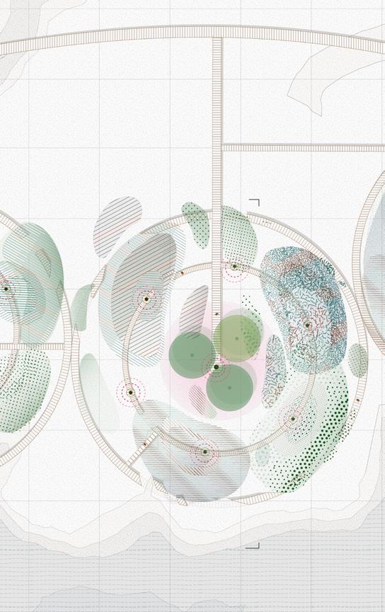


Phrase 2. Trace the soil-Phytomining and Harvest

Inmoblized Metal by Tree Roots
Density Change with Harvest Rate

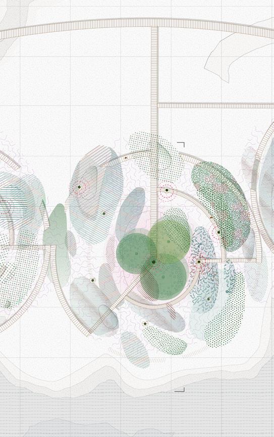
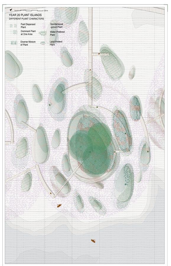


Spontaneous Pollution-sensitive Plant


