Empowering the subsea survey industry www.hydro-international.com
Issue 3 2025 Volume 29
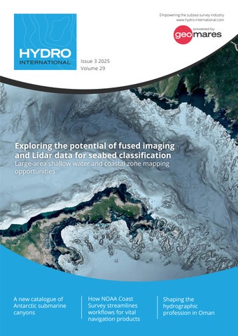
Exploring the potential of fused imaging and Lidar data for seabed classification Large-area shallow water and coastal zone mapping opportunities
A new catalogue of Antarctic submarine canyons
How NOAA Coast Survey streamlines workflows for vital navigation products
Shaping the hydrographic profession in Oman