Empowering the geospatial community www.gim-international.com
Issue 4 2025 Volume 39
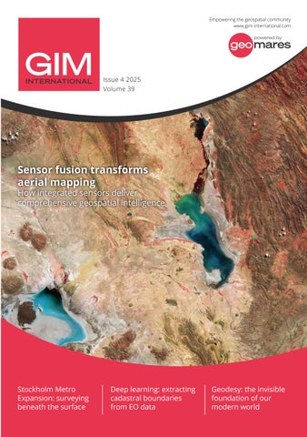
Sensor fusion transforms aerial mapping
How integrated sensors deliver comprehensive geospatial intelligence
Stockholm Metro Expansion: surveying beneath the surface
Deep learning: extracting cadastral boundaries from EO data
Geodesy: the invisible foundation of our modern world