Design & Access Statement Volume 1: Outline Component Addendum

Hawkins\Brown & Studio Egret West
EC.PA.08-A August 2025


Hawkins\Brown & Studio Egret West
EC.PA.08-A August 2025
This Design and Access Statement (DAS) Addendum has been prepared by Hawkins\Brown and Studio Egret West to form part of the previously submitted DAS (EC.PA.08), dated July 2024 to take account of amendments to the Proposed Development and respond to feedback in relation to design received from the Royal Borough of Kensington and Chelsea (“RBKC”) and London Borough of Hammersmith and Fulham (“LBHF”).
Since the submission of the Hybrid Planning Applications, consultation has been undertaken with LBHF, RBKC and relevant statutory and non-statutory consultees. As a result of the consultation feedback, amendments have been made to the Proposed Development.
These amendments can be summarised as follows:
• Amendments to Parameter Plans to reduce height of EC03 by one storey, refine massing of WK02 and other incidental modifications.
• Minor design updates to Development Plots within the RBKC Detailed Component (Plots EC05 and EC06) and LBHF Detailed Component (Plots WB03, WB04 and WB05).
• Inclusion of additional and updated codes within the Design Code.
• Development Specification updates to reflect the above amendments.
• LBHF minimum residential unit number increased from 1,600 to 2,000 (proposed to be secured by an appropriately worded planning condition).
This Addendum is structured to follow the chapter titles and numbering within the DAS (EC.PA.08), dated July 2024 to enable cross referencing with the content of the previously submitted version. It has been prepared to address the key points of feedback, which has been outlined in Chapter 4A - Design Evolution and Engagement Update of this document.
This chapter outlines the design review and evolution in response to feedback from the Local Planning Authorities (LPAs) including public and stakeholder consultation following the submission of the Hybrid Planning Applications. The process can be summarised in three parts, which are captured in the timeline below.
The design evolution and engagement process was shaped by written feedback received from the Local Authorities in February 2025.
Feedback was carefully reviewed by ECDC and relevant members of the design team. Responses were comprehensively considered within the context of the overarching submission and additional content was prepared for continued engagement with the Local Authority planning teams.
Between March and May, a series of design review and response workshops were held with the Local Authorities.
Structured around key feedback topics, these workshops built upon the previous iterative engagement process. They provided an opportunity to clarify feedback and present proposed responses. This included supplying additional information, offering clarifications, and exploring amendments to the Illustrative Masterplan and Control Documents.
Feedback received during the design response workshops period was carefully considered and informed the evolution of the proposals.
Additional Illustrative Masterplan material and enhancements to the Control Documents were developed to further reinforce the quality of the Strategic Framework.
The written feedback received in February 2025 shaped an iterative design review process with the Local Authorities. The following points outline the key topics related to design, townscape and heritage impacts, which informed the design evolution.
Feedback on other topics have been captured in the additional, discipline relevant information that forms part of the Hybrid Planning amendments material.
► Refer to Planning Statement (EC.PA.04).
LBHF & RBKC - Housing Delivery
• Clarify proposed minimum number of homes.
• Provide further information on the illustrative design layouts and plot capacities that have informed the Development Specification.
Royal Borough of Kensington and Chelsea (RBKC) - Design feedback
Public realm and landscape
• St Cuthbert’s Lane: Provide additional information covering character, flexible land use, routes and connections, and green infrastructure. Clarify frequency of vehicular movement.

• West Brompton Square: Provide additional information in response to local character and active frontages.
• Warwick Square: Provide further detail and clarification on framing the space and approach to frontages addressing the square.
• Warwick Place: Clarify intended use.
• Overlapping landscape functions: Review of public realm proposals to ensure protection of biodiversity habitats and allocation of play space.
• West London Railway Line Deck: Clarify the design approach if it is not possible to deliver the Bioline.
• EC22: Review approach for safeguarding footway along Old Brompton Road
• Tree canopies: Clarify safeguarding of tree canopies along the EC13 and EC15 site boundary.
Built form
• EC03 and EC10: Review plot articulation to address monolithic appearance in short and medium range views.
• EC04: Further explore how the presence of the cultural venue can be amplified and celebrated facing the Table Park.
• EC19: Provide additional illustrative design information on possible alternative flexible land use.
• EC20: Explore the integration of a potential cycle and pedestrian connection within the building.
• WB07 and WB08: Review townscape and heritage impact from selected views.
London Borough of Hammersmith and Fulham (LBHF) - Design feedback
Public realm and landscape
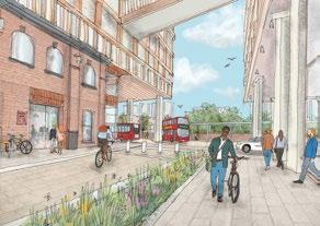
• Station square: Review provision of a new square adjacent to West Kensington Station.
• Empress Passage: Provide additional information on how this part of the Site could come forward.
• Aisgill Gardens: Clarify the access route and circulation in the interim condition as well as the treatment of the northern boundary.
• Aisgill Avenue: Clarify treatment of the western edge condition along the boundary to the Estates.
• Amenity and play space: Clarify provision of play and open space within Phase 1 in isolation as well as across the full Site.
• Overlapping nature and play: Review of landscape and play provision proposals.
Built form
• Lillie Road frontages: Explore an alternative approach to illustrative design of plots WB01, 02 and 07 to reduce perceived scale of buildings in east/west views. Provide additional illustrative design information on how the bus layover could come forward.
• Flexible plots: Provide additional illustrative designs for swing plots that have been identified for delivering alternative flexible uses.
• Amenity to existing building at Kensington Hall Gardens: Further review daylight impact.
The following points outline the key review areas and process of discussion with the LPAs during ongoing design engagement.
The additional illustrative designs and updates to technical information have been incorporated into the revised Illustrative Masterplan and Spatial Strategies chapters within this DAS Addendum.
Where relevant, please refer to other key documents, including:
► Refer to Design Code (EC.PA.C-01).
► Refer to Parameter Plans (EC.PA.B-01).
► Refer to Development Specification (EC.PA.A-01).
► Refer to UGF Plan (EC.PA.10).
► Refer to BNG Assessment (EC.PA.11).
► Refer to ES Townscape and Built HeritageVol 2 (EC.PA.12).
► Refer to Transport Assessment (EC.PA.13).
► Refer to Cultural Strategy (EC.PA.31).
West Kensington Station Square
Public realm and landscape (pg. 62-63)
• The opportunity for a new public open space adjacent to West Kensington Station was explored further.
• Illustrative design studies capture how the space could come forward and relevant design principles were added to the Control Documents.
Public realm and landscape (pg. 52-54)
• Additional illustrative design information was provided to further establish the quality of space and character for Empress Passage.
Built form (pg. 47-51)
• Alternative illustrative studies of the Empress Place plots were explored and informed through workshop discussions. These tested how the built form could be simplified and articulation enhanced to respond to the urban grain and address the risk of perceived monolithic appearance in selected east/west views.
• Additions to the Design Code were produced to capture enhanced design principles on building articulation.
• Additional illustrative design information shaped discussions on how the bus layover area could come forward.
Built form
• The Maximum Height Parameter Plan and potential impact on the existing buildings at Kensington Hall Gardens was further analysed and tested in consultation with the respective daylight/sunlight specialists.


Public realm and landscape (pg. 60)
• Additional illustrative and existing Design Code information was reviewed to agree the level of flexibility for future detailed designs along the boundary to the Estates.
Public realm and landscape (pg. 56-60)
• Additional illustrative design information responded to discussions on the spatial arrangement, play provision and access routes in the interim condition.
• A variety of studies for the treatment of the northern boundary were reviewed to agree an approach that could provide a holistic landscape and play proposal in the interim condition while also coordinating the public realm with future phases to minimise future disruption. Relevant design principles were added to the Design Code.


Public realm and landscape (pg. 84-89)
• The approach to play space allocation within Phase 1 as well as the wider site was discussed in further detail.
• Discussions extended into a joint borough workshop reviewing overlapping uses of play space and ecology within the landscape.


Built form (pg. 65-73)
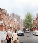
• The illustrative approach to Flexible Plots for residential use was explored and discussed including WB02, WK03 and WK04.
• The capacity for other flexible uses on selected plots was also tested and included EC04 (hotel use) and EC19 (commercial use).
St Cuthbert’s Lane
Public realm and landscape (pg. 18-23)
• Additional illustrative detail was developed to explore and agree how the quality of St Cuthbert’s Lane could be refined to be more integral to Warwick Lane and an extension of the residential character.
• Additional illustrative design was provided for the potential Cluny Mews connection which showed how the public realm in this location could be enhanced and made more legible.
Built form (pg. 18,21,24-26)
• The potential for closing the gap between EC19 and EC18 to reinforce continuity of frontages was reviewed and discussed.
• EC19 - An illustrative design study for how a commercial use could come forward was explored and reviewed.
• EC20 - Clarifications on how the illustrative design and Control Documents respond to the context were provided.
• Design studies for alternative pedestrian and cycle connections from St Cuthbert’s Lane were tested and discussed, including the potential for an integrated connection within EC20.
EC03 and EC10
Built form (pg. 37-39)
• Further illustrative design studies in response to townscape and heritage feedback were explored and discussed. These addressed the risk of monolithic appearance from selected views by testing further articulation of form, height and architectural expression.
Frontages and public realm (pg. 32-33)
• Additional illustrative detail informed discussions on how the space is framed with active frontages and landscape.
Frontages and public realm (pg. 34-36)
• Additional information was developed to clarify how building frontages and spill out spaces are defined and activate the square.
• Further illustrative detail was explored on how the public realm and landscape could be refined to reinforce the response to local character.
Built form (pg. 47-50)
• Alternative Illustrative designs were explored to articulate built form in response to local urban grain and to reduce the perceived monolithic appearance of the plots in selected townscape views.
• Enhancements to the Design Code were discussed to capture additional design principles on building articulation.
Public realm and landscape (pg. 84-89)
• The approach to allocation of play space was clarified in further detail; discussions extended into a joint borough workshop reviewing overlapping uses of play and landscape.
Public realm and landscape (pg. 43)
• A study of the Bioline was explored as a scenario without decking over the West London Railway Line. Input from the ecologist informed the approach and design principles.



• Additional detail was provided and discussed with the borough’s arboriculturalist to demonstrate the considerations that have informed the design. Design Codes were enhanced to capture maintenance principles related to the plots along West Brompton Lane.
Public realm and landscape (pg. 42, 84-89)
• A joint borough workshop explored additional detail to show how nature and play could coexist.
• The Table Park formed a key focus and the approach to overlapping function between play, publicly accessible areas and ecology was discussed.


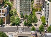


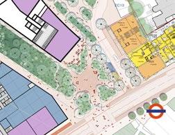


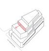
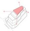
• Adjustments to improve clarity on the overlapping uses were explored and informed the design evolution and approach to nature and play.
Built form and Flexible Plots (pg. 65-73)
• Ongoing discussions on land uses and delivery of homes have continued to inform the Development Specification.
• Additional detail through illustrative designs of alternative uses on the Flexible Plots was provided to clarify how plot testing has informed the assessment of development capacity and future flexibility.
Clarifications and amendments were made to the Control Documents in response to the feedback received from LPAs. Key enhancements are outlined below.
Parameter Plans - Key changes include:
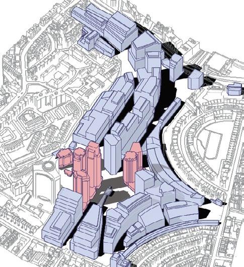
• Maximum Height Parameter Plan amended in response to townscape and heritage engagement.
• Development Zone alignments and limits of deviation adjusted to further define the extent of public realm.
• Access and Movement Parameter Plan amended to add flexibility of potential future connections.
• Extent of below ground area updated to safeguard future use and flexibility.
Design Code - Key changes include:
• Sitewide codes enhanced to address urban grain, massing and articulation in the built form.
• Character Area specific codes enhanced to provide additional clarity and guidance on landscape character and quality.
• Additional or amended Character Area specific codes to address townscape and heritage impacts including further detail on articulation and urban grain as well as adjustments in response to the delivery of Flexible Plots.
Development Specification:
• Updates reflect land use discussions and capacity distribution.
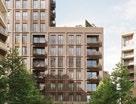

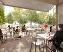

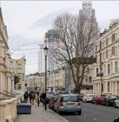


During the determination period, the team has held meetings with both LBHF and RBKC to review updated and additional design information. The table below summarises key meetings to that effect.
October 2024
LBHF Masterplan Meeting Catch up - Consultation response updates
LBHF Masterplan Meeting Consultation response updates
Royal Parks Post-submission meeting Review of application documentation
LBHF Masterplan Meeting Catch up - Consultation response updates
LBHF Masterplan Meeting Catch up - Consultation response updates
RBKC Masterplan Meeting Application progress update
November 2024
LBHF Masterplan Meeting Catch up - Consultation response updates
RBKC Tree Officer Site Visit Review trees along Eardley Crescent and Philbeach Gardens.
LBHF Masterplan Meeting Parameter Plans and Design Code Review - LBHF officer feedback
LBHF Masterplan Meeting Catch up - Consultation response updates
LBHF Masterplan Meeting Catch up - Consultation response updates
GLA Masterplan Meeting Application progress update
LBHF Masterplan Meeting ERA Update
LBHF Masterplan Meeting LBD Relocation Update
December 2024
LBHF Masterplan Meeting Detailed Plots, including WB05 Design Update
LBHF Masterplan Meeting Catch up - Consultation response updates
RBKC Strategic Planning Meeting Meeting with Head of Planning
LBHF Strategic Planning Meeting Meeting with Head of Planning
LBHF Masterplan Meeting Catch up - Consultation response updates
January 2025 RBKC Masterplan Meeting Meeting to discuss QDR, HSE, BS9991
LBHF Masterplan Meeting Catch up - Consultation response updates
LBHF Strategic Planning Meeting Meeting with Head of Planning
LBHF Masterplan Meeting Catch up - Consultation response updates
GLA Masterplan Meeting Land use discussion
LBHF Masterplan Meeting Catch up - Consultation response updates
LBHF Masterplan Meeting Catch up - Consultation response updates
RBKC Commercial Strategy Meeting Meeting to discuss the Commercial Strategy
February 2025
LBHF Masterplan Meeting Catch up - Consultation response updates
LBHF Strategic Planning Meeting Meeting with Head of Planning
LBHF Leadership Meeting Meeting with Leader
LBHF Masterplan Meeting Catch up - Consultation response updates
LBHF Masterplan Meeting Initial Daylight / Sunlight review meeting with Shareholders and GIA
RBKC Strategic Planning Meeting Executive Director for Environment and Neighbourhoods, Executive Director for Housing and Head of Planning.
LBHF Masterplan Meeting Catch up - Consultation response updates
RBKC Masterplan Meeting WSP / RBKC review of RBKC Waste Strategy feedback
March 2025 RBKC Strategic Planning Meeting Meeting with Head of Planningdirection of travel
LBHF Strategic Planning Meeting Meeting with Head of Planningdirection of travel
LBHF Viability Quod / BPS / Cast / BPS QS discussion regarding BPS draft report
GLA Masterplan Meeting Informal application progress update and likely amendments
LBHF Masterplan Meeting Catch up - feedback review meeting
RBKC Masterplan Meeting RBKC feedback meeting
LBHF Masterplan Meeting Catch up - Consultation response updates
RBKC Masterplan Meeting Daylight / Sunlight feedback meeting
Waterman EIA Meeting Ramboll and Waterman Catch Up
LBHF Masterplan Meeting Catch up - Consultation response updates
Waterman EIA Meeting Wind Assessment methodology
April 2025
LBHF Masterplan Meeting Design workshop - Empress Place/West Kensington plots
RBKC Masterplan Meeting Catch up - Consultation response updates
LBHF Masterplan Meeting Meeting between ECDC and Cllr Cowan
LBHF Masterplan Meeting Catch up - Consultation response updates
RBKC Masterplan Meeting Design workshop - EC06&EC03
LBHF Masterplan Meeting Catch up - Consultation response updates
LBHF/RBKC Air quality
LBHF/RBKC EIA response and addendum
LBHF/RBKC Public Realm / Landscape Update
May 2025 LBHF Masterplan Meeting Catch up - Consultation response updates
RBKC Masterplan Meeting Catch up - Consultation response updates
This chapter provides updates to the illustrative design in response to feedback from the Local Planning Authorities (LPAs). It explains how the design has evolved through ongoing engagement and highlights where this has led to enhancements or adjustments to the Control Documents.
The information provided is divided into three categories, based on how each update relates to the previously submitted material. These categories are explained below:
• Additional illustrative design response –Clarifies or enhances the previously submitted DAS information. The proposals and Control Documents as previously submitted remain valid.
• Alternative illustrative design response –Demonstrates how a different approach could be taken while still complying with the Control Documents as previously submitted.
• Amended illustrative design response –Reflects a change or adjustment made in response to feedback. This updated design information supersedes the previously submitted DAS and represents a change to the previously submitted Control Documents.
Updated information is presented across multiple sections within this chapter, including:
• The Development Specification
• Overview of updates by Character Area
• Overview of updates to Built Form
• Topic specific response
• Flexible Plots
• Plot Capacity Studies


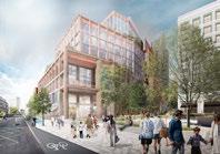


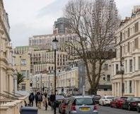


The Development Specification of the Hybrid Planning Applications has been adjusted in response to feedback received from the LPAs.
The rationale for the changes made is summarised below and illustrated in the diagram opposite:
• Revisions to the Detailed Component floorspace due to detailed design considerations and feedback.
• Adjustments to the minimum number of homes in LBHF resulting in: amendments to the minimum and maximum ranges of residential and commercial floorspace; some amendments or clarifications of land use flexibility; and consequent sitewide total changes.
• Adjustments to the overall sitewide Hybrid total floorspace cap, as a direct consequence of the slight increase in the Detailed Component Gross External Area (GEA).
N.B.: The Illustrative Masterplan floorspace and total Outline Component areas remain unchanged since the July 2024 submission. Amendments identified on this page simply reflect the adjustments to the floorspace allocation between uses as defined by the Development Specification, and the minor impact of Detailed Component design development.
► Refer to Development Specification (EC.PA.A-01).
Minor amendments due to design development of Detailed Component (+1,512sqm GEA total).
Amendments to min. and max. floorspace of residential, commercial and other uses in LBHF in response to an adjusted min. number of homes.
Total sitewide adjustments to min. and max. floorspace ranges (resulting from LBHF adjustments above).
+1,512sqm GEA sitewide total as direct consequence of Detailed Component amendments.
Illustrative design updates have been organised by Character Area and topic, as outlined below:
Warwick Crescent
St Cuthbert’s Lane – Additional design studies covering character, flexible land use, and green infrastructure.
Cluny Mews – Additional design studies demonstrating a potential cycle and pedestrian link from St Cuthbert’s Lane to Cluny Mews.
EC20 – Alternative cycle and pedestrian route from St Cuthbert’s Lane to West Cromwell Road.
EC04 – Reinforcement of cultural uses at ground level to enhance prominence.
West Brompton
Warwick Square – Refined proposals for how uses, spill-out spaces, and landscaping frame the public realm.
West Brompton Square – Further development to enhance public realm activation and response to local character.
EC03 and EC10 – Plot articulation amended to address their perceived monolithic appearance in short and medium range views.
The Table
Overlapping nature and play – Amended proposals for landscape and play provision.
West London Railway Line Deck –Clarification of the design approach if the Bioline cannot be delivered.
WB06 –Additional information on the design response to level changes along the Cascades.
Empress Place
Lillie Road Frontages (WB01 and WB07) – Alternative approach explored to reduce the perceived scale of buildings in east–west views.
Workspace Cluster (WB01,02,07 and WB08) – Alternative illustrative design reviewed to reduce townscape and heritage impacts from selected viewpoints.
Empress Place Passage – Additional information demonstrating how this area of the Site could come forward, including clarifying the layout of the taxi rank and bus layover.
Aisgill Gardens
Interim condition – Further detail provided on the quality of public realm and landscaping.
Aisgill Avenue – Clarification on the treatment of the western boundary adjacent to the Estates.
Lillie Sidings
No changes proposed in Lillie Sidings West Kensington
West Kensington Square – Further exploration for the provision of a new public open space adjacent to West Kensington Station.
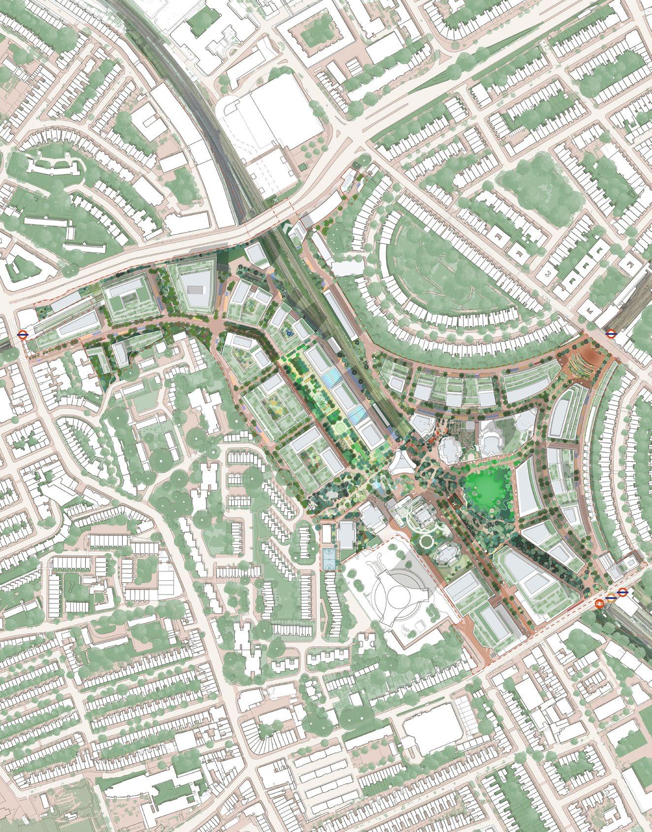
The design of some of the plots has been further developed in response to comments on key townscape views and to provide additional information regarding flexible land use. The relevant plots are outlined below:
Warwick Crescent
• EC04 – Additional hotel use information
• EC19 – Additional commercial use information
• EC20 – Alternative approach with integrated cycle and pedestrian connection
West Brompton
• EC03 – Amended commercial use information
• EC03 – Amended residential use information
• EC10 – Amended residential use information
Empress Place
• WB01 – Alternative commercial use information
• WB02 – Additional residential use information
• WB07 – Alternative commercial use information
• WB08 – Alternative commercial use information
West Kensington
• WK03 – Additional residential use information
• WK04 – Additional residential use information
• WK07 – Additional commercial use information

This section outlines updates to:
St Cuthbert’s Lane – Additional design studies covering character, flexible land use, and green infrastructure.
Cluny Mews – Additional design studies demonstrating a potential cycle and pedestrian link from St Cuthbert’s Lane to Cluny Mews.
EC20 – Alternative cycle and pedestrian route from St Cuthbert’s Lane to West Cromwell Road.
EC04 – Reinforcement of cultural uses at ground level to enhance prominence.
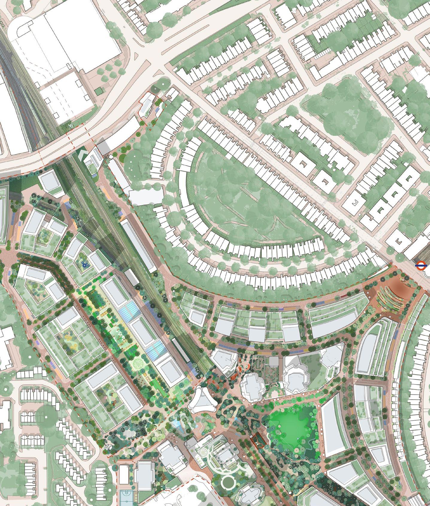
Illustrative designs in the Warwick Crescent Character Area have been further refined to focus on enhancing the character of St Cuthbert’s Lane and the Cluny Mews connection, as well as exploring alternative built form approaches to selected plots.
Feedback received has been summarised into key topics and responses, which were reviewed during design workshops with the LPAs and are outlined on this page.
Summarised key feedback from LPAs
The proposal for the area surrounding St Cuthbert’s Church should further explore its relationship with the surrounding context and enhance the quality of the streetscape, particularly in relation to vehicular movement. It should also reconsider how EC20 connects to both St Cuthbert’s Lane and West Cromwell Road.
Illustrative design response
Further illustrative design information has been provided to establish the quality of public realm of St Cuthbert’s Lane. This includes landscaped traffic-calming measures along the lane, exploring the closure of the gap between EC18 and EC19, and developing an alternative approach to EC20 that incorporates a potential new public cycle and pedestrian connection.
Summarised key feedback from LPAs
There is an opportunity to create a purposeful and positive interface with the church, which should be further explored to give greater detail about what could be achieved, including how the level difference is dealt with and how a connection might be created at the back of the church to Cluny Mews.
Illustrative design response
Additional Illustrative design information has been developed that explores an enhanced Cluny Mews connection with a more positive church interface and legible pedestrian and cycle connection.

The illustrative design of EC04 should reflect its prominence and role as a landmark moment in the scheme, and celebrate the base of the building as it contains a significant cultural venue within it.
Illustrative design response
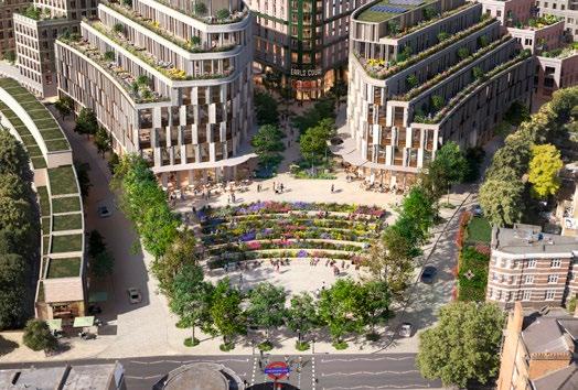
Additional illustrative design material for EC04 has been developed to strengthen the building’s visual prominence and reinforce its cultural use, particularly in views from Earl’s Court Station and the Table Park.
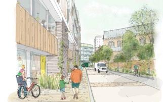
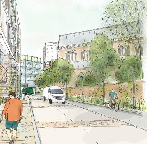
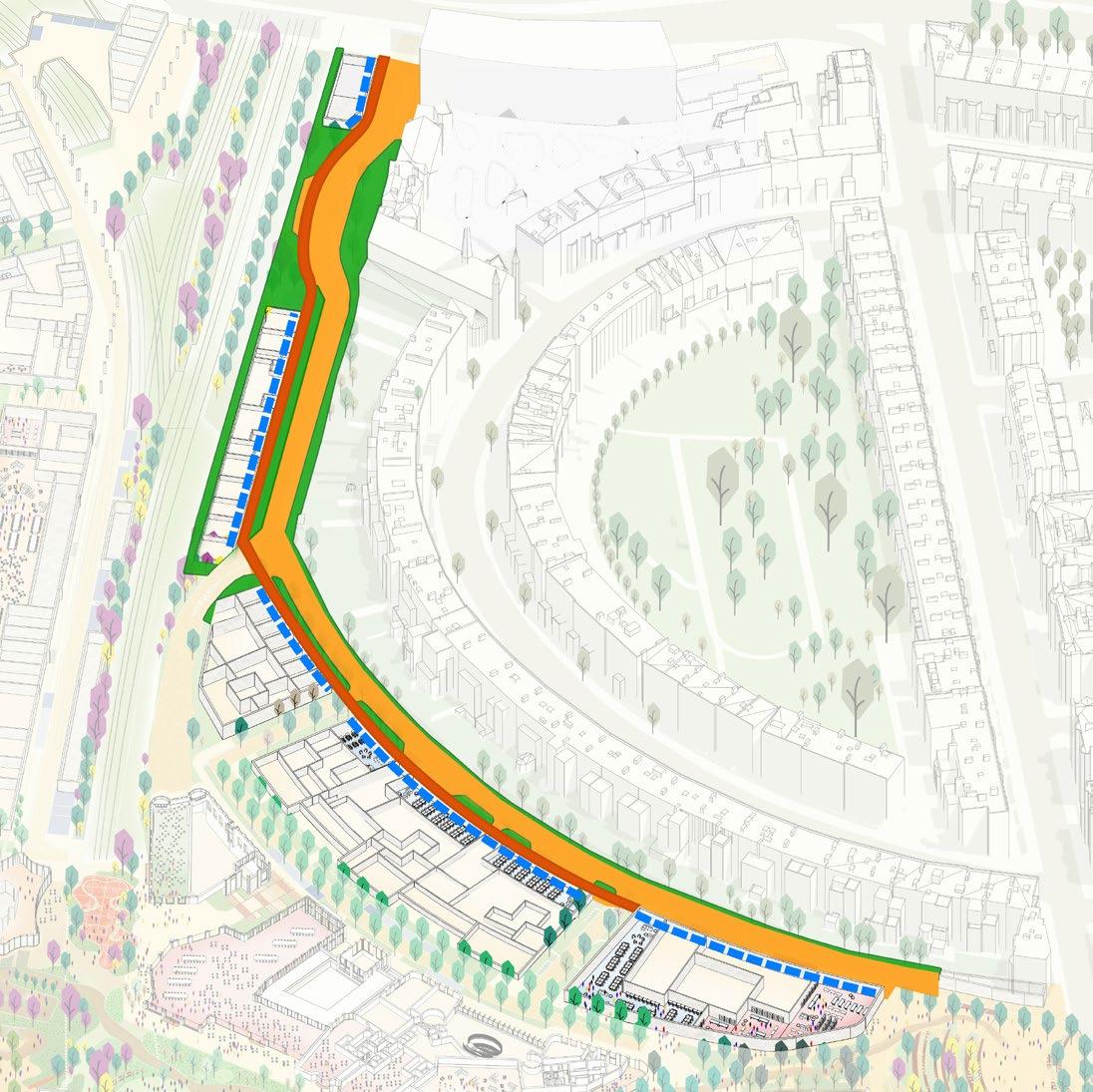
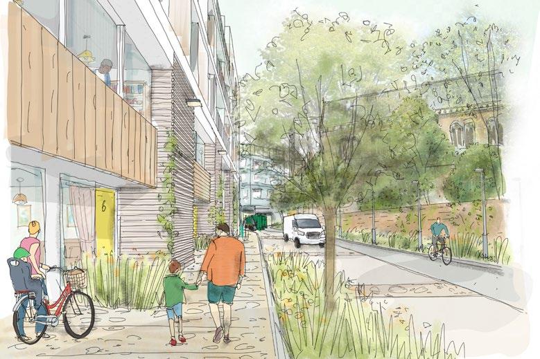
St Cuthbert’s Lane is an extension of Warwick Lane and the proposals have been further developed to include a continuous public realm treatment and active frontages.
The key principles that create a cohesive character for St Cuthbert’s Lane and Warwick Lane are illustrated in the adjacent diagram and views, which include:
• Consistent use of hard landscape materials along both Warwick Lane and St Cuthbert’s Lane.
• A continuous and connected soft landscape strategy along the lanes.
• Active frontages, including residential front doors and entrances.
• A reduced gap between EC18 and EC19 to strengthen the continuity of frontages between Warwick Lane and St Cuthbert’s Lane.
► Refer to Design Code / Warwick Crescent / Landscape / St Cuthbert’s Lane (EC.PA.C-01).
design response
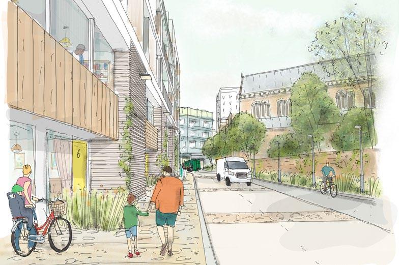
St Cuthbert’s Lane is designed to be a pedestrian-friendly street that forms an extension of Warwick Lane.
The character of St Cuthbert’s Lane is further defined by the following design principles:
• Recessed entrances to create a wider pavement and activate the street with front doors.
• Residential windows and balconies overlooking the street.
• Paving materials selected to integrate with the public realm and help reduce vehicle speeds.
• Potential for reduced street widths and additional planting in certain locations to introduce traffic calming and enhance landscape character.
• Introduction of climbing plants along boundary edges, complemented by additional ground-level and tree planting.
► Refer to Design Code / Warwick Crescent / Landscape / St Cuthbert’s Lane (EC.PA.C-01).
Illustrative design response

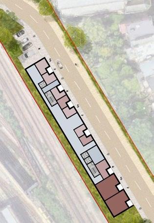
Reduced street width to create more generous pavement
Traffic calming measures introduced through surface and road material
Design Study 2
Further reduced street width in selected locations Illustrative Design Study 1
Planting introduced to create further traffic calming and an enhanced pedestrian environment
The enhancement of landscape and green infrastructure along St Cuthbert’s Lane will further contribute to improving the ecological north-south corridor that extends across the Site and beyond.
The key principles that characterise the green infrastructure along St Cuthbert’s Lane have been enhanced in the Design Code. These are further demonstrated in this additional illustrative design information, including:
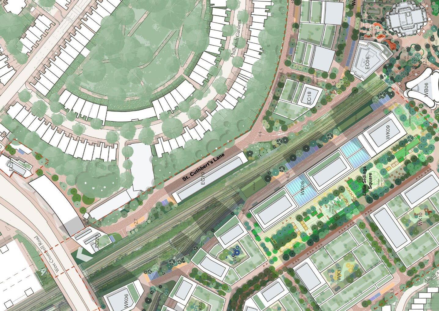
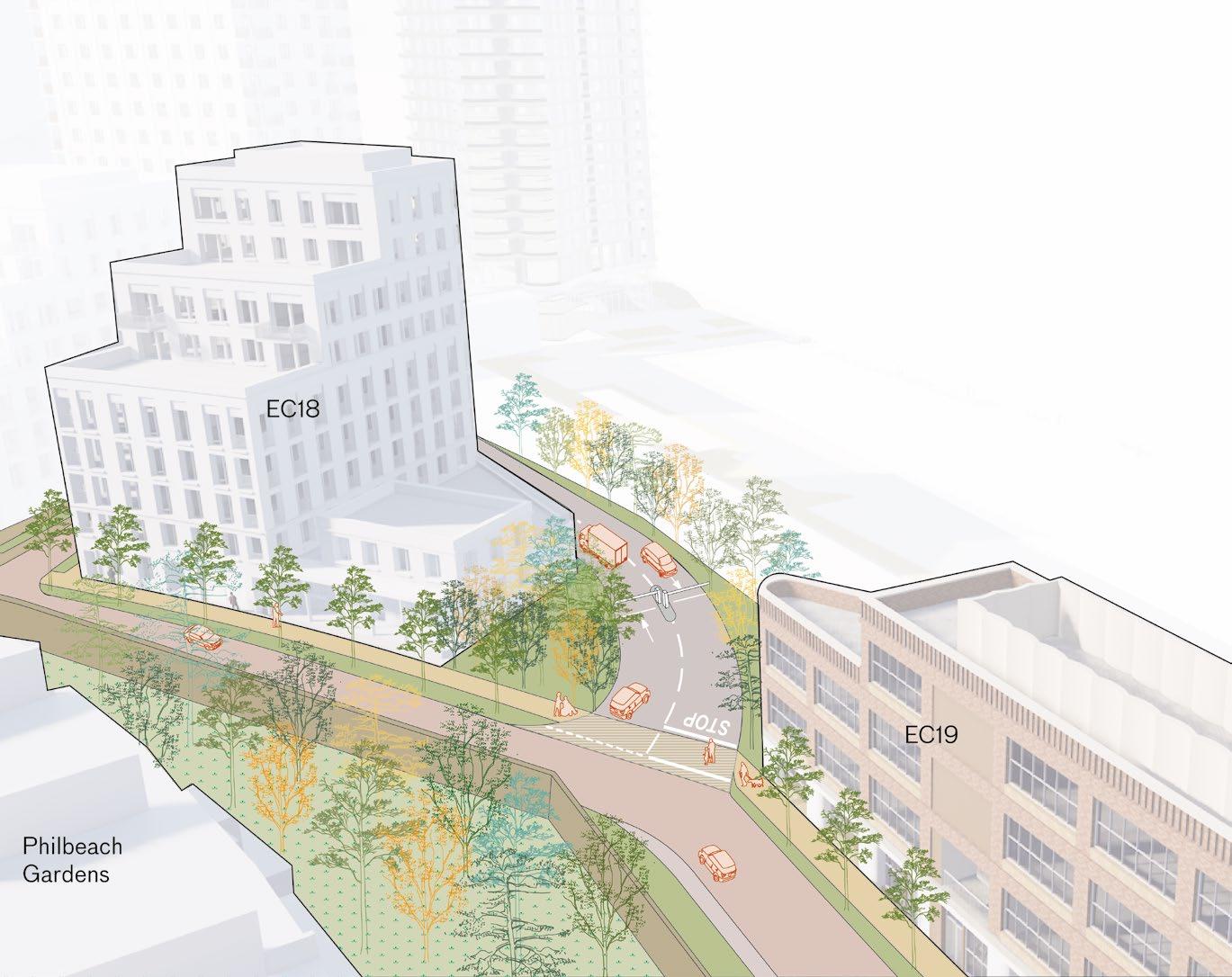
Additional information on crossing of EC07 access road to ensure pedestrian priority along St Cuthbert’s Lane and Warwick Lane.
The key principles that create a safe EC07 access road from St Cuthbert’s Lane are illustrated in the adjacent diagram and, which include:
• St Cuthbert’s Lane is an extension of Warwick Lane. The access road into EC07 is secondary and not part of St Cuthbert’s Lane.
• Continuation of pavement material across the EC07 entrance to create a clear crossing that prioritises pedestrian movement.
• Road markings indicate cars should slow down and stop when turning out of the EC07 access road.
• Clearly visible control barrier reduces the speed of vehicles.
• Closing the gap between EC18 and EC19 through extensions to the lower levels of buildings or an intensity of tree planting. This reinforces Warwick Lane extending into St Cuthbert’s Lane as being the primary route.
► Refer to Design Code / Warwick Crescent / Landscape / St Cuthbert’s Lane (EC.PA.C).
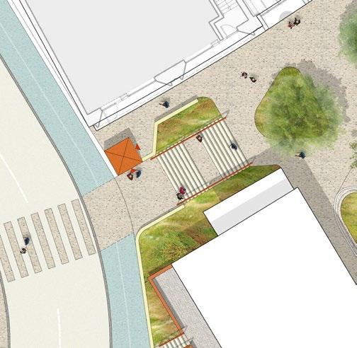
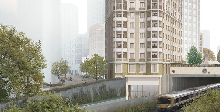
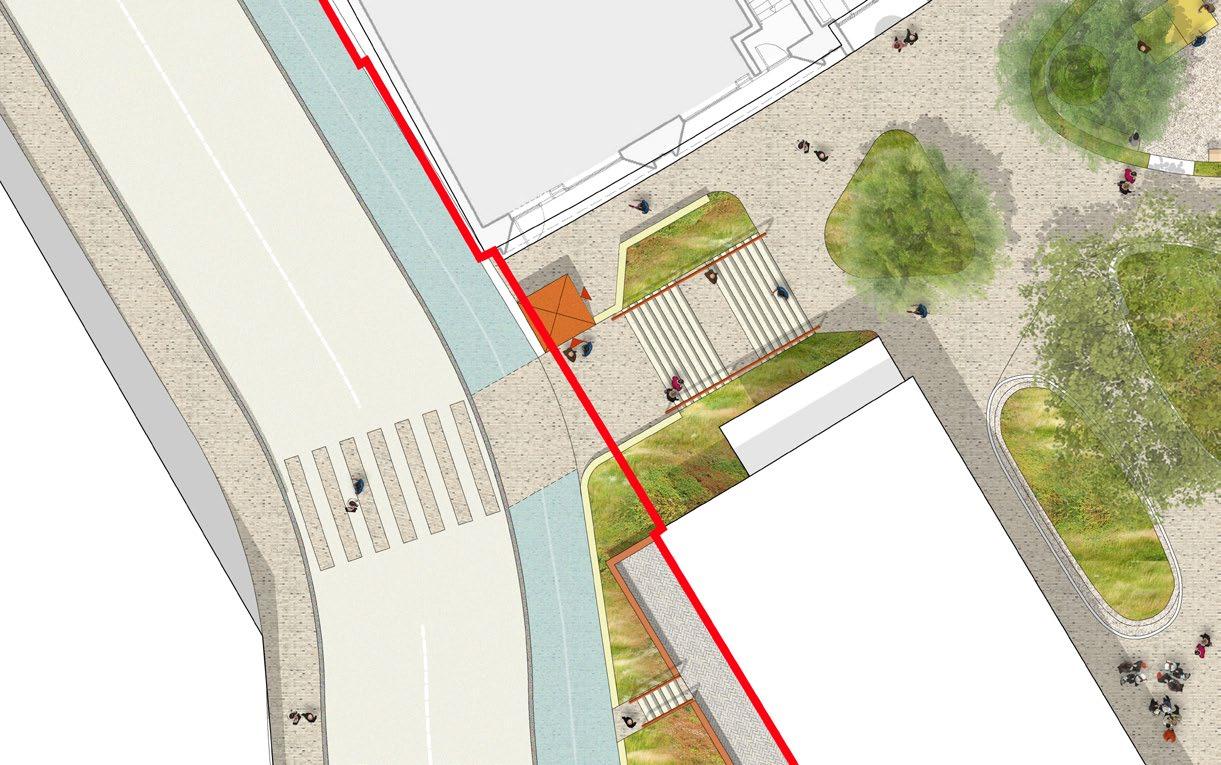
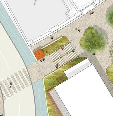
An enhanced connection into Cluny Mews could provide a generous, publicly accessible stair and lift for cyclists and pedestrians, creating a clearly legible route to Warwick Road and the West Cromwell Road junction leading north.
The enhanced design principles informing a potential connection to Cluny Mews are illustrated in the adjacent diagrams and include:
Clearly visible lift and stair when approaching along St Cuthbert’s Lane and Cluny Mews.
Generous stairs aligned with a pedestrian crossing.
Accessible routes maintained to the lift along Cluny Mews.
Retention of existing tree to guide pedestrians toward connections through Cluny Mews.
Planted banks framing access points and minimising the impact of level changes.
A high-quality material palette to unify the public realm.
* The connection to Cluny Mews is located outside of the Site boundary and relies on third party agreements.
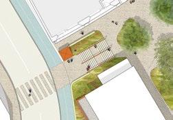


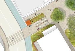
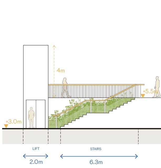
These additional illustrative sections further clarify how the Cluny Mews connection could overcome the 2.5m level change.
To ensure this route is legible, a step width of 4m was tested. A publicly accessible lift and a cycle stair channel provide accessibility for all users and offer flexibility for cyclists navigating the level change. Planted banks help the connection feel welcoming and minimise the visual impact of retaining walls.
* The connection to Cluny Mews is located outside of the Site Boundary and relies on third party agreements.
► Refer to Design Code / Warwick Crescent / Landscape / St Cuthbert’s Lane (EC.PA.C-01).
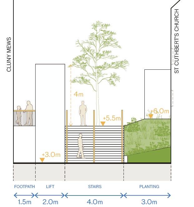
Church windows facing level change
500mm retaining edge to reduce gradient of planted banks Existing tree
Accessible lift
structures retained Cycle stair channel
Planted banks at 1:3 gradient to meet retaining wall behind
Planted banks at 1:3 gradient. Foundations of church to be considered when adjusting levels adjacent to building.
The illustrative design for EC20 has been developed to respond to its architectural context and plays a key role in enhancing both St Cuthbert’s Lane and West Cromwell Road.
The following design principles highlight key considerations for how EC20 could further respond to the local setting and character:
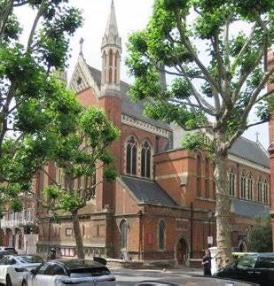
• Pulling back the built form of EC20 and EC19 from St Cuthbert’s Church to protect its setting and maintain a visual connection to its gable end.
• Retaining mature greenery between St Cuthbert’s Church and St Cuthbert’s Lane to preserve the church’s existing setting and create a buffer from vehicular traffic.
• Angling the geometry of EC20 to align with the preferred location of the potential Cluny Mews connection, aiding orientation for cyclists and pedestrians.
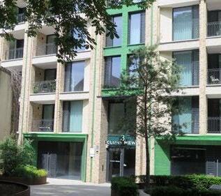
• Creating continuity with the existing Cluny Mews development and integrating a complementary architectural expression within the immediate context.
► Refer to Design Code / Warwick Crescent / Built From (EC.PA.C-01).

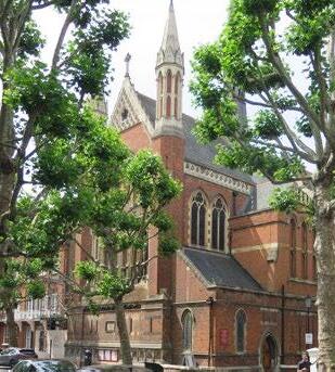
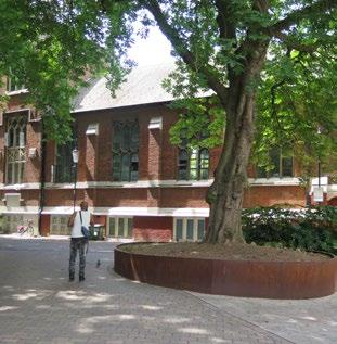

This section clarifies how the architecture of EC20 can further complement the building’s setting and context.
The key principles that respond to local context and character are enhanced in the Design Code. These are further demonstrated in the additional illustrative design information, which include:
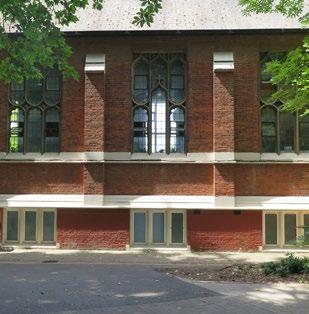
• Selecting materials that complement the adjacent Cluny Mews development as well as St Cuthbert’s Church.
• Expressing craft and ornament through materiality, rhythm and articulating facade components.
• Articulating datums, set backs/roofs and entrances.
► Refer to Design Code / Warwick Crescent / Built Form (EC.PA.C-01).
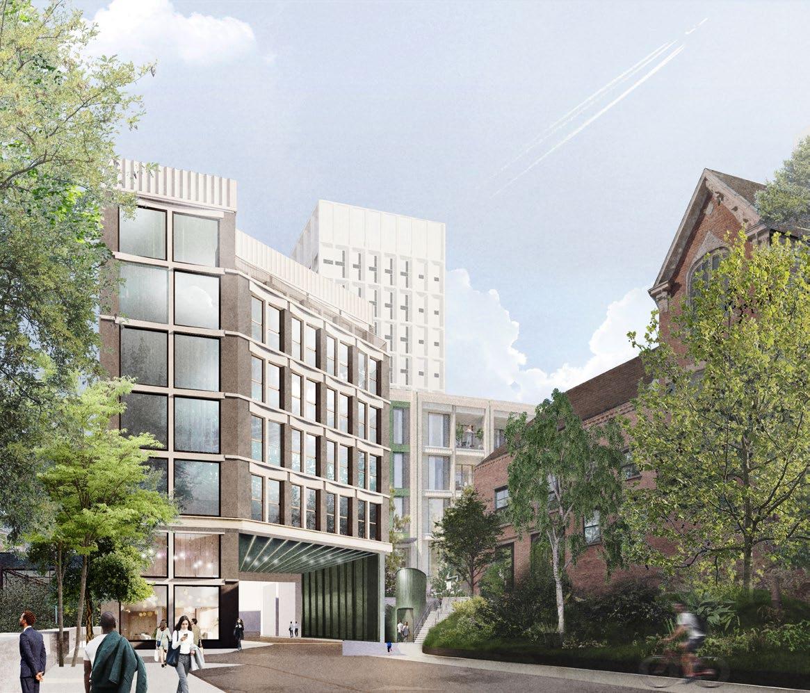
palette and tone complementary to neighbouring buildings. Fenestration rhythm and architectural language responds to adjacent
Stepping down massing in response to St Cuthbert's Community Centre & adjacent Cluny Mews development
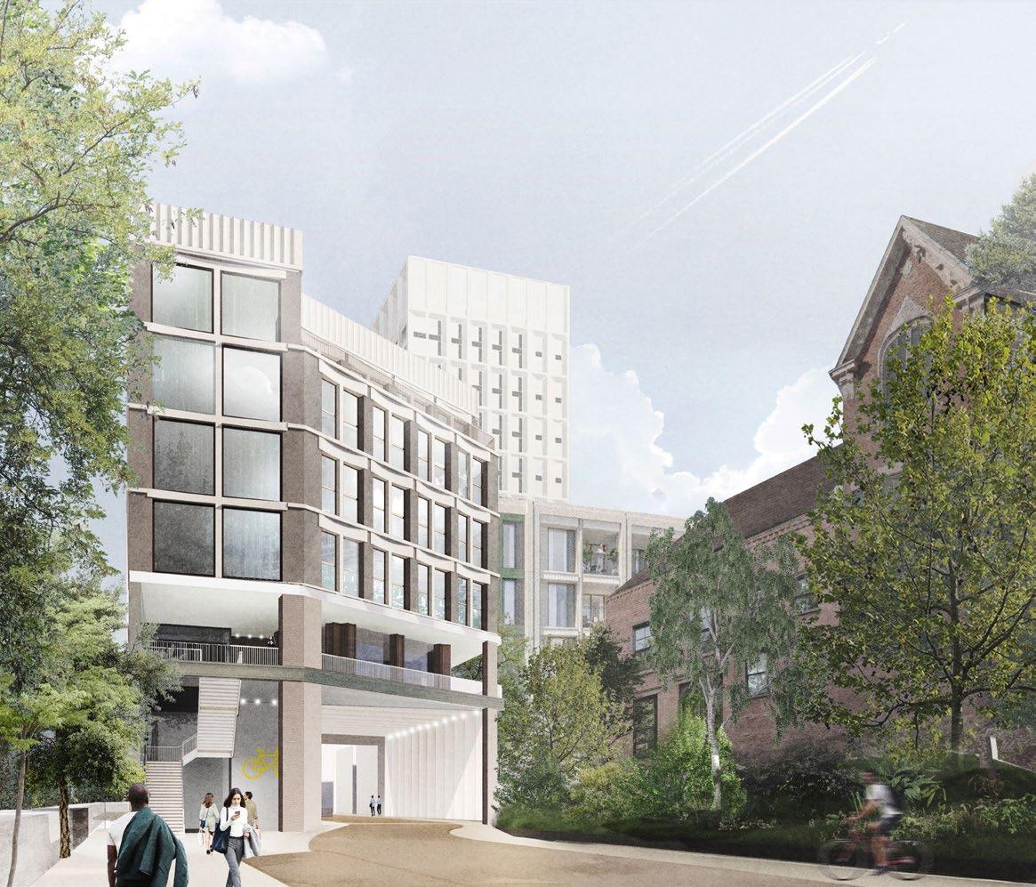
This alternative illustrative design demonstrates how pedestrian and cycle access could be integrated within EC20 to connect St Cuthbert’s Lane with West Cromwell Road. It has been developed as an alternative to the potential Cluny Mews access.
The key principles that define the Lane Plot in this scenario are also set out in the Design Code and illustrated in this proposal, which include:
• Integrating pedestrian and cycle access to navigate the level change between St Cuthbert’s Lane and West Cromwell Road via lift and stair access.
• Providing clear wayfinding for both pedestrians and cyclists, while safeguarding the connection through the 100 West Cromwell Road basement.
• Locating workspace units above the route to overlook the public realm, enhancing safety and creating a welcoming environment
► Refer to Design Code / Warwick Crescent / Built Form (EC.PA.C-01).
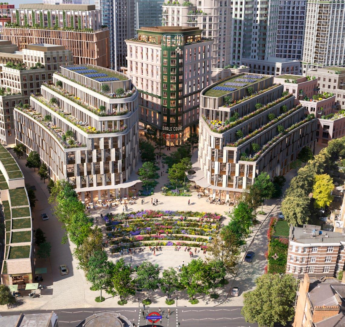
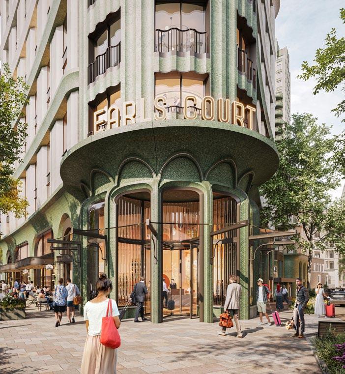
The design response for EC04 has been further developed to enhance its visual prominence and reinforce its cultural use. The proposal illustrates the potential inclusion of a hotel within the prow building facing Warwick Square and further articulation of a standalone cultural venue facing the Table Park.
The key principles that characterise EC04 are set out in the Design Code and are further illustrated through this supporting material, which include:
• The amplification of the prow’s presence at the confluence of key routes through architectural articulation, reinforcing its role as an anchor building, which provides destination food and beverage uses at its base.
• Increasing the prominence of active ground floor uses to celebrate and enhance their visibility at the base of the building.
• Developing a coherent architectural approach that integrates a mix of uses and defines a family of buildings on a shared podium, framing the Table Park to the south and Warwick Crescent to the north.
► Refer to Design Code / Warwick Crescent / Built Form (EC.PA.C-01).
► Refer to DAS Addendum / Chapter 6.10A / Flexible Plot (EC.PA.08-A).
The cultural venue at the base of EC04 presents a distinctive and vibrant design that frames the Table Park and celebrates a new cultural destination.
Key principles for activating the Table Park frontages are set out in the Design Code and further illustrated through this additional design material, including:
• Creating an active, visible, and welcoming entrance for a cultural venue, expressed through distinctive architecture.
• Designing frontages that clearly communicate their intended use while contributing to the animation of the public realm.
• Integrating expressive signage to reinforce the venue’s role as a destination and support a unique identity.
► Refer to Design Code / Warwick Crescent / Built Form (EC.PA.C-01).
► Refer to DAS Addendum / Appendix / Plot Capacity Studies (EC.PA.08-A).

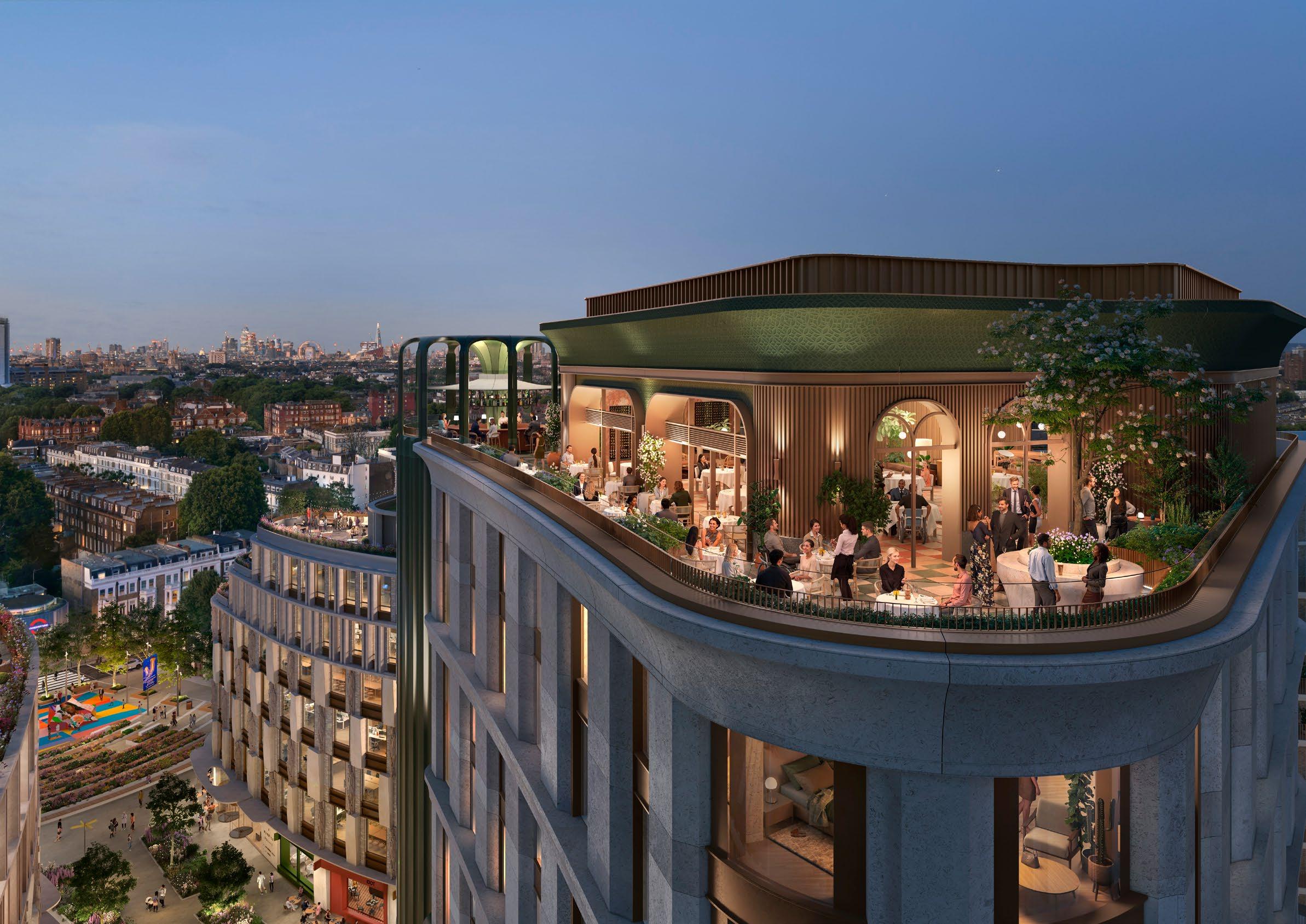
This section outlines updates to:
Warwick Square – Refined proposals for how uses, spill-out spaces, and landscaping frame the public realm.
West Brompton Square – Further development to enhance public realm activation and response to local character.
EC03 and EC10 – Plot articulation amended to address their monolithic appearance in short- and medium-range views.
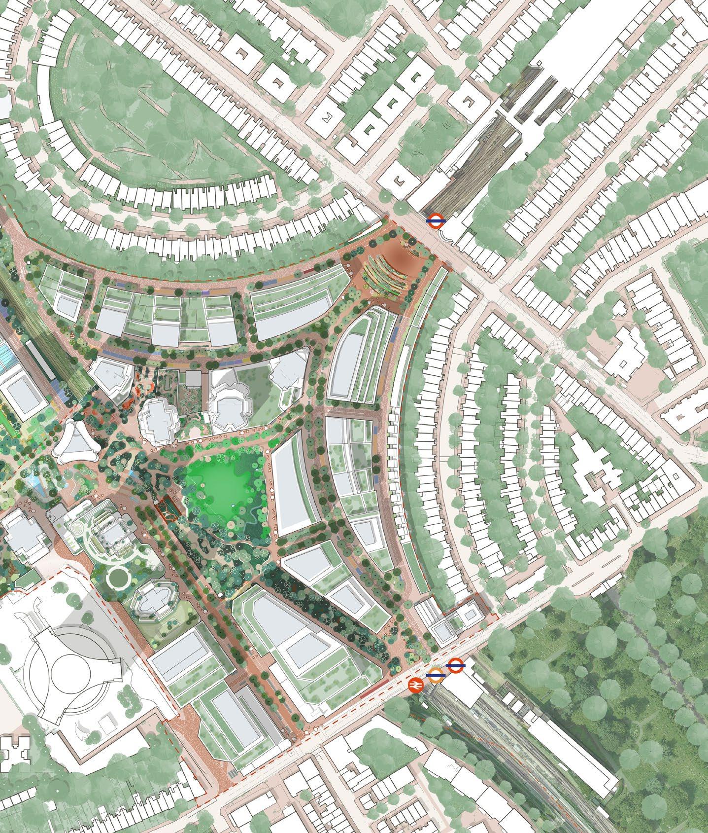
Illustrative designs within the West Brompton Character Area have been further refined to better frame public squares, and several of the built form designs have been amended to respond to key townscape views.
LPA Feedback has been summarised into key topics and responses, which were reviewed during design workshops with the LPAs and are outlined on this page.
Summarised key feedback from LPAs
The relationship between Warwick Square and the EC09 and EC16 plots should be further refined and clarified, as this area forms a key threshold to the site. The frontages of these buildings should contribute to framing the square, alongside the landscape proposals.
Illustrative design response
The illustrative proposals include further refinement of public realm activation principles, demonstrating how ground floor uses, spill-out space, and landscaping collectively contribute to framing and animating the square.
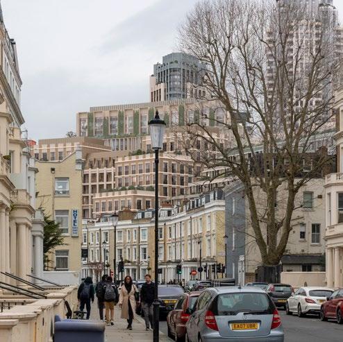
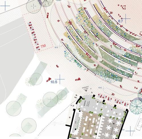
Further design development and clarification is required to show how West Brompton Square and its surrounding context are brought together. This should include additional consideration of how the square is activated and how it responds to the character of Brompton Cemetery.
Illustrative design response
Additional illustrative material has been developed to show how the buildings framing West Brompton Square will activate the public realm through ground floor uses and spill-out spaces. The landscape design also draws on the character of Brompton Cemetery through carefully selected planting and materials.
Further development of the illustrative scheme is required for plots EC03 and EC10. The current proposals appear monolithic and undefined in both form and scale, which is particularly evident in key townscape views of the Site. This should be mitigated by introducing breaks or gaps in the built form and reviewing building height.
Illustrative design response
The illustrative design for both plots has been updated to enhance the integration of the built form within the townscape views identified in the feedback. The revised approach introduces breaks and articulation as well as a reduction in height of EC03 to reduce the monolithic appearance and reflect a finer urban grain across both buildings.
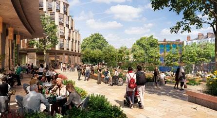
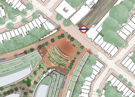
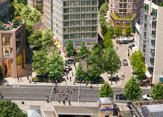
Warwick Square integrates active ground-floor uses and spill-out spaces that further respond to orientation, enrich the public realm, and contribute to framing the square.
The enhanced principles for activating the square, as set out in the Design Code, include:
Framing the square with active ground floors
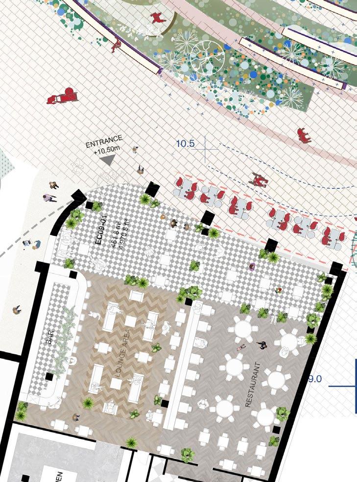
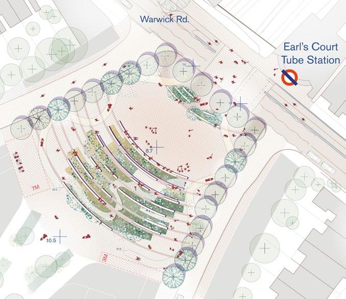
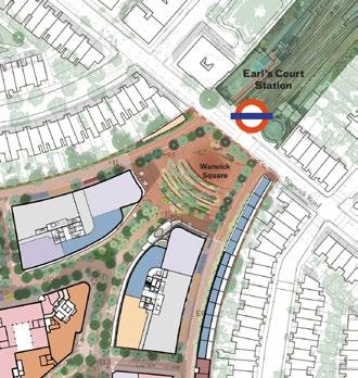
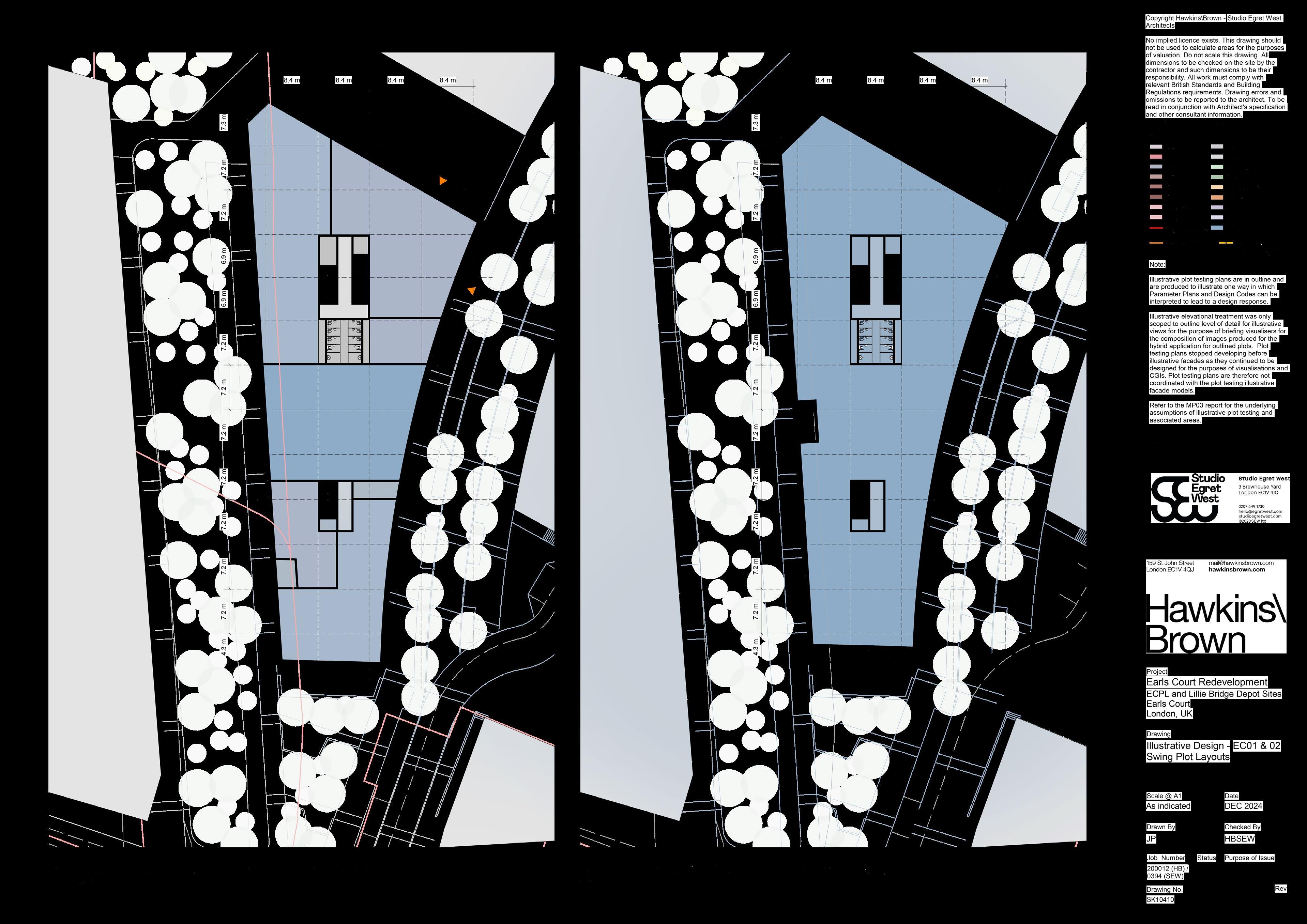

Landscape and built form work together to frame Warwick Square and create a vibrant arrival space outside Earl’s Court Station.
The key principles contributing to the framing of the square include:
• Arranging landscape and tree planting to frame the square alongside building frontages.
• Extending consistent material treatments up to building thresholds to reinforce continuity and definition of the public realm.
• Using a stepped landscape to activate the space and ground floors and guide pedestrian movement along frontages.
• Extending canopies from EC09 and EC16 to shelter spill-out areas and enhance connections with the public realm.
• Ensuring clear visibility of frontages beneath tree canopies along the square’s edges
► Refer to Design Code / West Brompton / Landscape / Warwick Square (EC.PA.C-01).
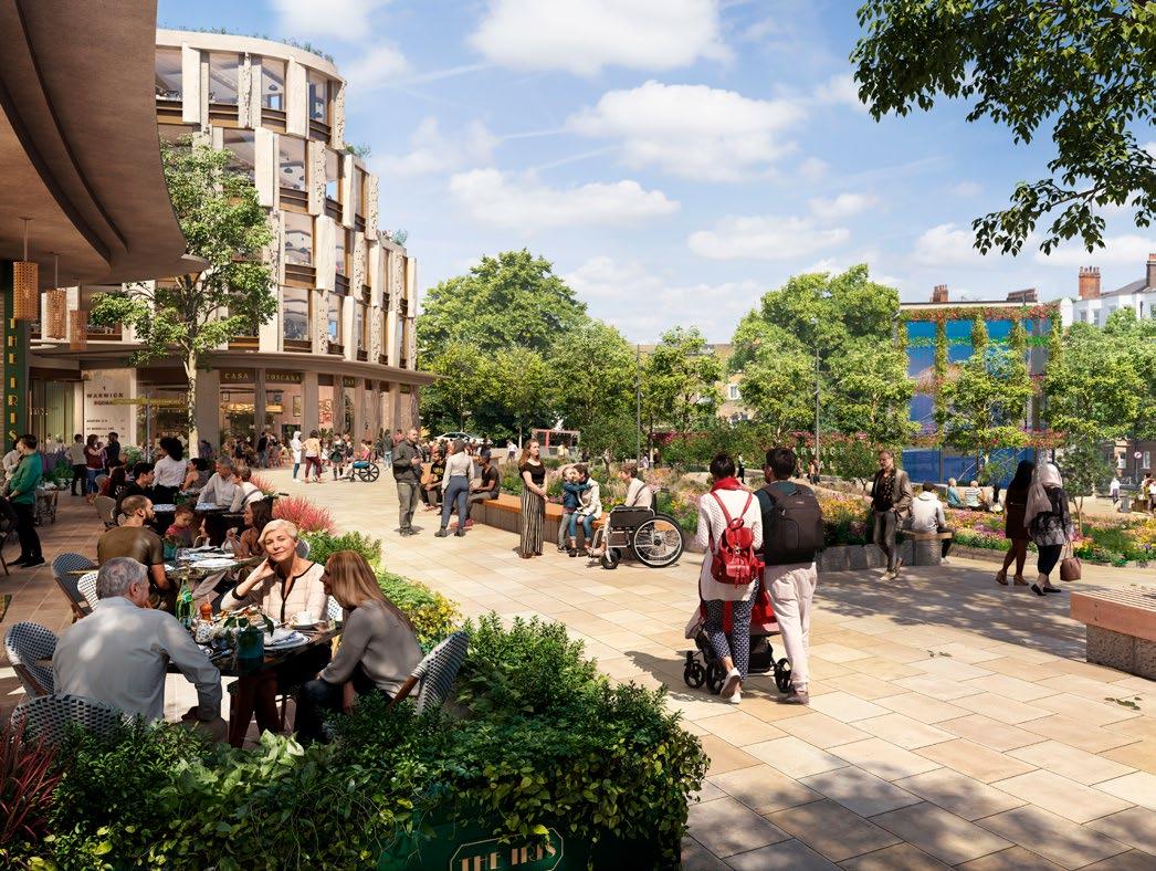
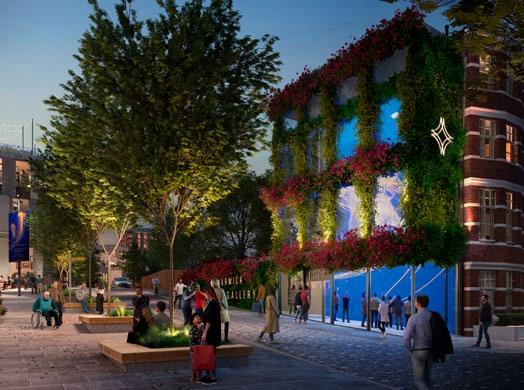
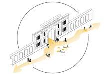
Active frontages and spillout spaces on all sides further contribute to shaping the character and function of West Brompton Square.
The additional design principles for activating and framing the square, have been updated in the Design Code and include:


• Framing the square with a diverse mix of uses, including cafés, workspaces, residential entrances, and cultural or commercial activities.


• Ensuring high visibility and permeability of active ground-floor uses within the public realm.
• Providing a generous south-facing spill-out space along the EC01 frontage.



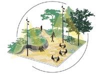
• Extending shared surface treatments to ensure seamless integration between the square and its surrounding built context.
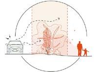
• Creating clear, legible pedestrian connections to and from West Brompton Station.




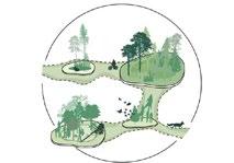
► Refer to Design Code / West Brompton / Landscape / West Brompton Square (EC. PA.C-01).


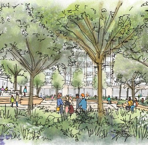
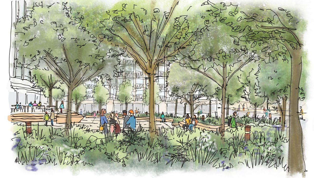
The landscape design draws on the distinctive character of Brompton Cemetery through its planting strategy and material palette. The proposed balance of hard and soft landscape elements also support the square’s function as a key ecological stepping stone to the Table Park.
The additional principles that define the character of West Brompton Square are set out in the updated Design Code and further illustrated through the additional design information. These principles include:
• Incorporating semi-mature tree planting to ensure high biodiversity value.
• Selecting a planting palette that references species and materials associated with Brompton Cemetery.
• Specifying planting that supports and complements existing ecosystems within Brompton Cemetery and the adjacent Site of Importance for Nature Conservation (SINC).
• Integrating ecologically sensitive lighting to maintain and encourage bat and bird movement corridors.
► Refer to Design Code / West Brompton / Landscape / West Brompton Square (EC. PA.C-01).
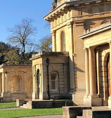
Stone referencing the character of Brompton Cemetery
Trees planted at semi-mature size where feasible
Planting and tree species reference Brompton Cemetery with high biodiversity value
Lighting design considerate of bat and bird movements from Brompton Cemetery
Good visibility of active frontages from within the square
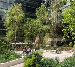
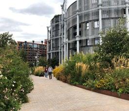

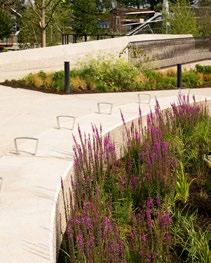
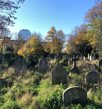
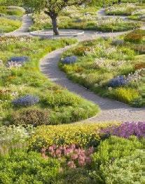
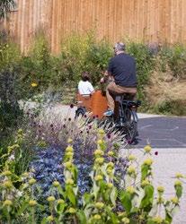
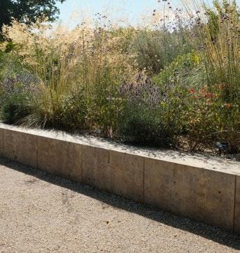
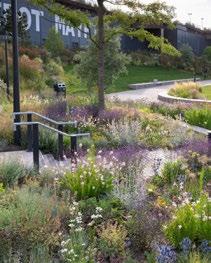
The following reference images provide further information on how the landscape design of West Brompton Square draws inspiration from Brompton Cemetery, through both hard and soft landscaping.
The additional design principles that respond to the character of Brompton Cemetery are described in the updated Design Code and are further demonstrated through this additional reference detail, including:
• Incorporation of stone elements, referencing the buildings within Brompton Cemetery.
• Using tree and plant species found in Brompton Cemetery alongside other complementary species.
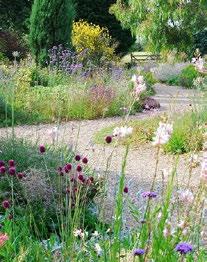
• Selecting a wider planting style with high ecological value, echoing the cemetery’s distinctive planting character.
► Refer to Design Code / West Brompton / Landscape / West Brompton Square (EC. PA.C-01).
01. Identity and Character
Concept Development
From cultured gardens to wild plantings
Allowing people to connect to the vast world of planting types
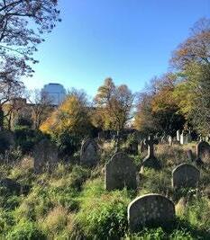
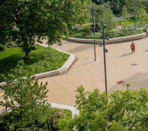
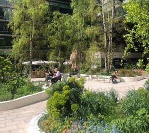
A lush, green space West Brompton Square
Varying on the scale from cultured landscapes to heavily rewilded, creating a variety gardens that present current and future issues we are going to Wilder Plantings
The landscape framework ensures variety of planting types. In the case of West Brompton Square, the design should prioritise a wilder look and feel, taking inspiration from Brompton Cemetery in order to provide habitat connectivity and a high biodiversity value.




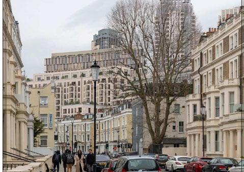
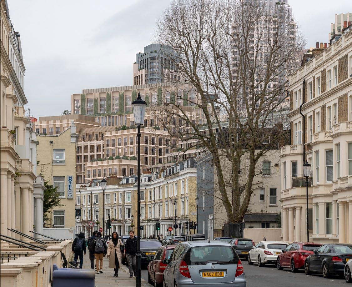
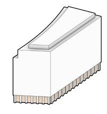
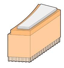
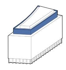
The proposal for EC03 has been amended to reduce its height and perceived monolithic appearance as seen from key townscape views, including Penywern Road and Brompton Cemetery.
The key design principles informing these revisions are reflected in updates to the Control Documents* and the illustrative design, which include:
• Reducing building height to create a more gradual stepping in scale.
• Articulating the façade and roof line to better reflect the finer urban grain of the local context.
• Introducing setbacks on the upper floors to mitigate the perceived length and monolithic appearance from key viewpoints.
*Updates to the Control Documents include a reduction in the maximum parameter envelope and amendments to the Design Code.
► Refer to Proposed Maximum Heights Parameter Plan 006 (EC.PA.B-01).
► Refer to Design Code / West Brompton / Built Form (EC.PA.C-01).
► Refer to DAS Addendum / Appendix / 10.5A Plot Capacity Studies (EC.PA.08-A).
► Refer to ES / Townscape and Built Heritage (EC.PA.12).
Top floor setbacks reduce the length of facade visible from this view and offer
opportunity for roof terrace amenity space and landscape
Articulated bays on top floors respond to a finer urban grain and facade rhythm that is part of the local character
Height reduced by one floor to establish a more gradual stepping up in scale

The proposal for EC10 has been amended to reduce the perceived length of the built form and introduce additional articulation in response to key townscape views, including those from Penywern Road and Brompton Cemetery.
The key design principles informing these amendments, are reflected in updates to the Design Code and the illustrative design, which include:
• Breaking up the monolithic appearance by introducing a break at the top of the building.
• Establishing a stepped building form that allows the building to read as three distinct elements.
• Incorporating architectural articulation and rhythm to respond to the finer urban grain of the local context.
• Selecting materials, textures, and tones that create a clearly legible façade layer, complementing existing foreground buildings.
► Refer to Design Code / West Brompton / Built Form (EC.PA.C-01).
► Refer to DAS Addendum / Appendix / 10.5A Plot Capacity Studies (EC.PA.08-A).
► Refer to ES / Townscape and Built Heritage (EC.PA.12).
Distinct expression of steps break up the built form and create a more gradual transition in scale
Break to the top of the building introduced to address the monolithic appearance
Architectural articulation and rhythm responds to finer urban grain of local context

Tone and materiality creates a clearly legible layer to the backdrop of the view

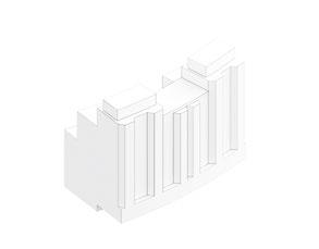

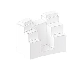

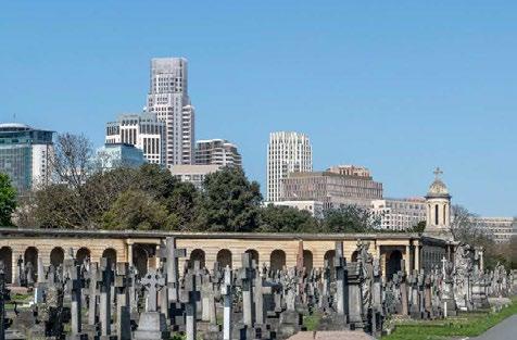
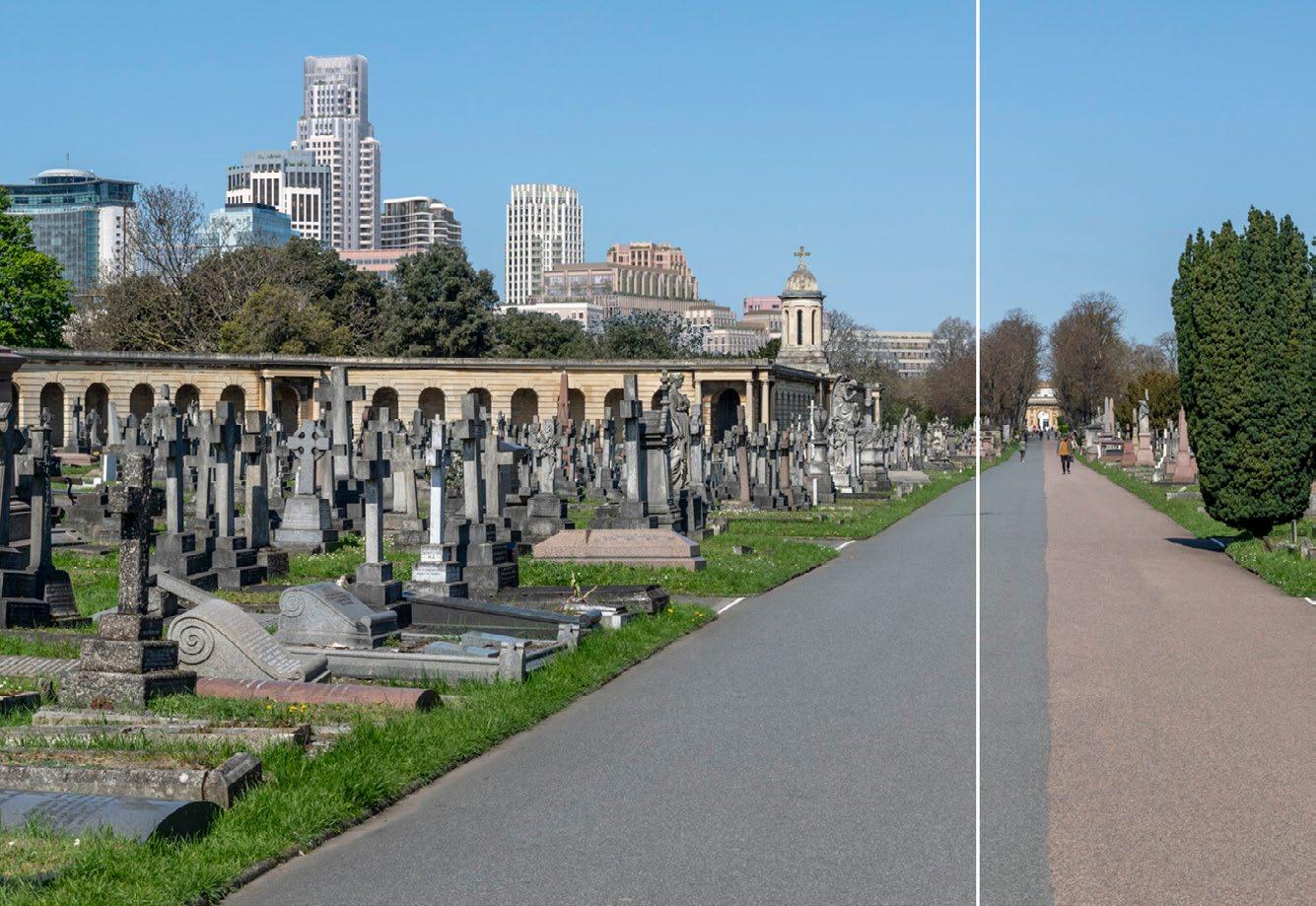
The cumulative impact of the updated illustrative design has been tested in key views from Brompton Cemetery. This demonstrates how the amendments provide an improved response to the setting and reduce the impact on heritage assets.
The key design principles shaping the amendments to both plots are captured in updates to the Control Documents as well as the illustrative designs, which include:
• Reducing the building height of EC03 to create a more gradual transition in scale away from the Brompton Cemetery cupola.
• Introducing setbacks and breaks on the upper floors to reduce the monolithic appearance of both blocks in this and other views along the avenue.
• Articulating architectural expression to break up the built form and respond to a finer urban grain.
• Creating a distinction between buildings through materiality and tone, providing a clearly legible, layered backdrop.
► Refer to Design Code / West Brompton / Built Form (EC.PA.C-01).
► Refer to Proposed Maximum Heights Parameter Plan 006 (EC.PA.B-01).
► Refer to DAS Addendum / Appendix / Plot Capacity Studies (EC.PA.08-A).
► Refer to ES / Townscape and Built Heritage (EC.PA.12).
Setback of top floors reduce length of building top and creates opportunities for roof top amenity terraces
Height reduction of EC03 creates more gradual stepping
Architectural articulation breaks up built from and responds to finer urban grain
Gap on the upper floor of EC10 reduces the monolithic appearance and breaks up the built form
This section outlines updates to:
Overlapping nature and play –Amended proposals for landscape and play provision.
West London Railway Line Deck –Clarification of the design approach if the Bioline cannot be delivered.
WB06 – Additional information on the design response to level changes along the Cascades.
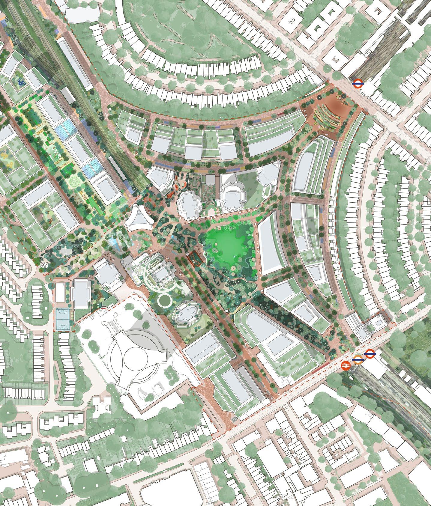
Illustrative designs in the Table Park Character Area have been further developed to clarify how play space and ecological functions can be co-located spatially. Additional information has been provided on the approach to an open West London Railway Line, as well as the interface between the Cascades landscape and built form.
Feedback has been summarised into key topics and responses, which were reviewed during design workshops with the LPAs and are outlined on this page.
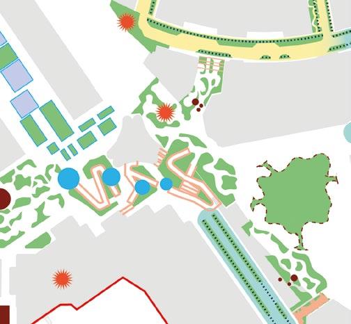
Summarised key feedback from LPAs
The approach to overlapping functions between play space, publicly accessible areas, and ecology should be clarified and further explored to ensure these uses do not compete. Amendments should be considered to enable ecology to thrive without compromising play space provision.
Illustrative design response
The illustrative design and Spatial Strategies (refer to Chapter 7.3A) have been amended to reduce overlapping functions while maintaining the Urban Greening Factor (UGF) and Biodiversity Net Gain (BNG) targets.
Summarised key feedback from LPAs
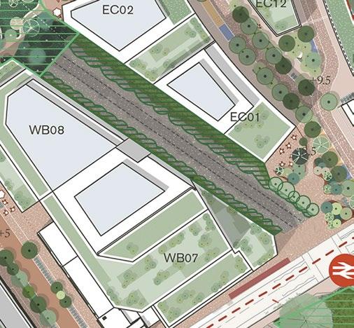
Further clarification is required on the design approach along the West London Railway Line, should it not be possible to deck over the railway and deliver the Bioline.
Illustrative design response
Additional illustrative design information has been provided to clarify the alternative approach if the Bioline cannot be delivered. This includes strategies for enhancing ecology to improve the connectivity of the existing Site of Importance for Nature Conservation (SINC).
Summarised key feedback from LPAs
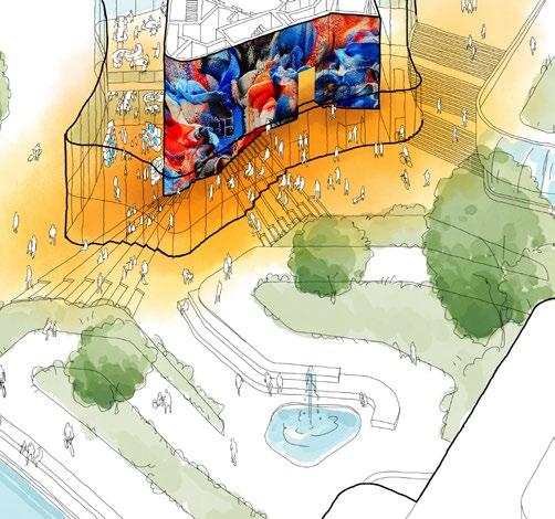
The connection between the ramping landscape along the Cascades and the built form at the base of WB06 is important for delivering a successful public realm at this prominent location within the masterplan. Further detail is required to clarify how this integration will be achieved.
Illustrative design response
Additional illustrative design information has been provided to demonstrate how WB06 responds to the change in levels and how a flexible cultural space could be integrated at this prominent location.
The illustrative design of the Table Park has been amended to reflect refinements in how play space and planted areas are integrated within the public realm.
These amendments were informed by joint borough workshops, where the approach to overlapping nature and play was reviewed. The outcome shaped the strategic location of play and planting areas and was supported by additional detail on play provision, UGF, and BNG scores. This supporting information is provided in the Spatial Strategies chapter (Section 7.3A) of this document.
The amended principles that characterise the Table Park, as set out in the updated Design Code and demonstrated in the amended illustrative design, include:
• Arranging planted areas to avoid overlap with play space calculations and to support accurate UGF and BNG assessments.
• Reallocating play space within the respective borough boundaries to provide clearer evidence of meeting local play requirements.
• Locating additional play space on-plot rather than in the public realm.
• Maintaining the UGF and BNG score.
► Refer to DAS Addendum / Spatial Strategies / Section 7.3 (EC.PA.08-A).
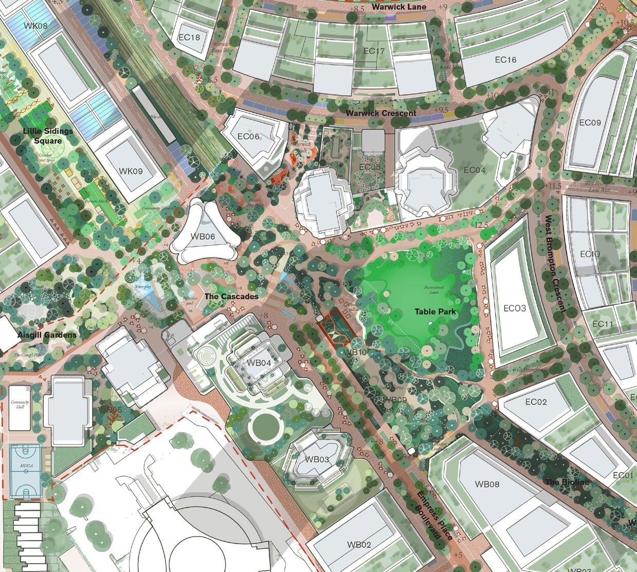
Play space between EC06 and EC05 adjusted following updates to EC06 design.
Northern play space adjusted to provide clear separation between areas included in play space calculations and areas of planting.
Meadow planting around Table Park lawn altered to create edge condition that does not overlap with usable lawn space for informal play.
Woodland play space on western edge of Table Park adjusted to provide clear separation between areas included in play space calculations and areas of planting.
Aisgill Gardens play space adjusted to provide clear separation between areas included in play space calculations and areas of planting.
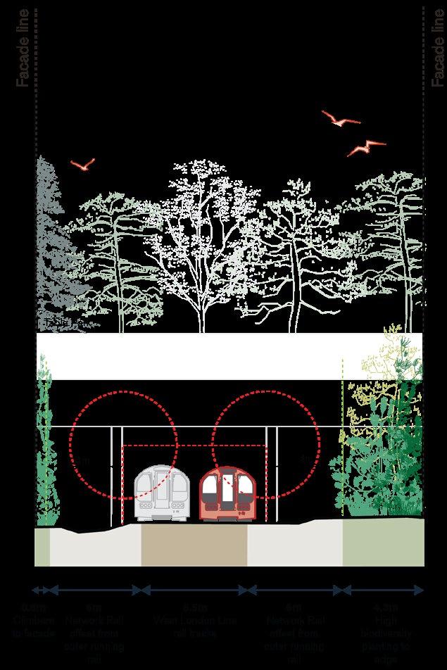
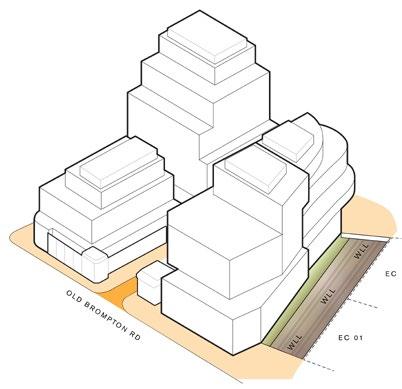
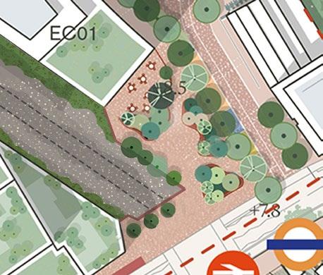
This illustrative design response outlines the proposed approach to the West London Railway Line (WLL) corridor in the event that the Bioline deck is not delivered. It demonstrates how rail-side planting could be introduced to enhance the ecological connectivity of the existing Site of Importance for Nature Conservation (SINC).
The following principles set out how new landscape interventions could replace the fragmented and limited vegetation currently found in the SINC, while also framing West Brompton Square and defining the railway edge condition. Key considerations include:
• Increasing species variety to maximise ecological value through a mix of native scrub and neutral grassland with scalloped planting edges.
• Ensuring consistent and connected vegetation on both sides of the railway track.
• Enhancing planting intensity to strengthen ecological links with the Table Park and the northern section of the SINC adjacent to St Cuthbert’s Lane.
• Introducing trees and low-level planting within West Brompton Square to frame the public space and create a green railway edge.
► Refer to Design Code / The Table / Landscape /The Bioline (EC.PA.C-01).
The ground floor design of WB06 seamlessly integrates with the stepped landscape of the Cascades. The base of WB06 is envisaged as a flexible space capable of accommodating a range of cultural events, using its generous height, transparency, and fluid indoor–outdoor relationship to create a vibrant destination at this prominent location.
The key principles supporting the integration between WB06 and the Cascades are set out in the Design Code and further demonstrated in this additional illustrative material. These include:
• Locating entrances at accessible levels in response to the stepped Cascades landscape.
• Aligning internal floor levels with the public realm to create a seamless indoor–outdoor threshold.
• Providing high levels of ground floor transparency to enhance visibility of active uses and cultural events.
► Refer to Design and Access Statement Volume 1: Outline Component / Spatial Strategies / Access (EC.PA.08).
► Refer to Design Code / The Table / Landscape / The Cascades / Accessible level change (EC.PA.C-01).
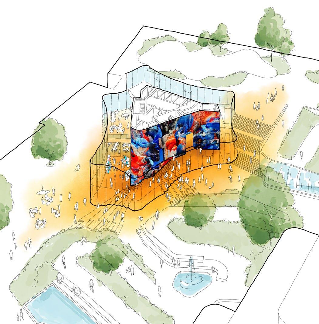
Alternative residential core entrance at Table Park level (+12.5m)
Core walls of building used as exhibition, display or projection space for cultural or event use
Entrances at both Boulevard (+08m) and Aisgill Gardens (+04m) levels
Transparent facade to reveal interior
Amphitheatre type seating creates social space
Interior and exterior floor levels correspond
Base of tower programmed as flexible commercial/cultural space
This section outlines updates to:
Lillie Road Frontages (WB01 and WB07) – Alternative approach explored to reduce the perceived scale of buildings in east–west views.
Workspace Cluster (WB01,02,07 and WB08) – Alternative illustrative design reviewed to reduce townscape and heritage impacts from selected viewpoints.
Empress Place Passage – Additional information demonstrating how this area of the Site could come forward, including clarifying the layout of the taxi rank and bus layover.
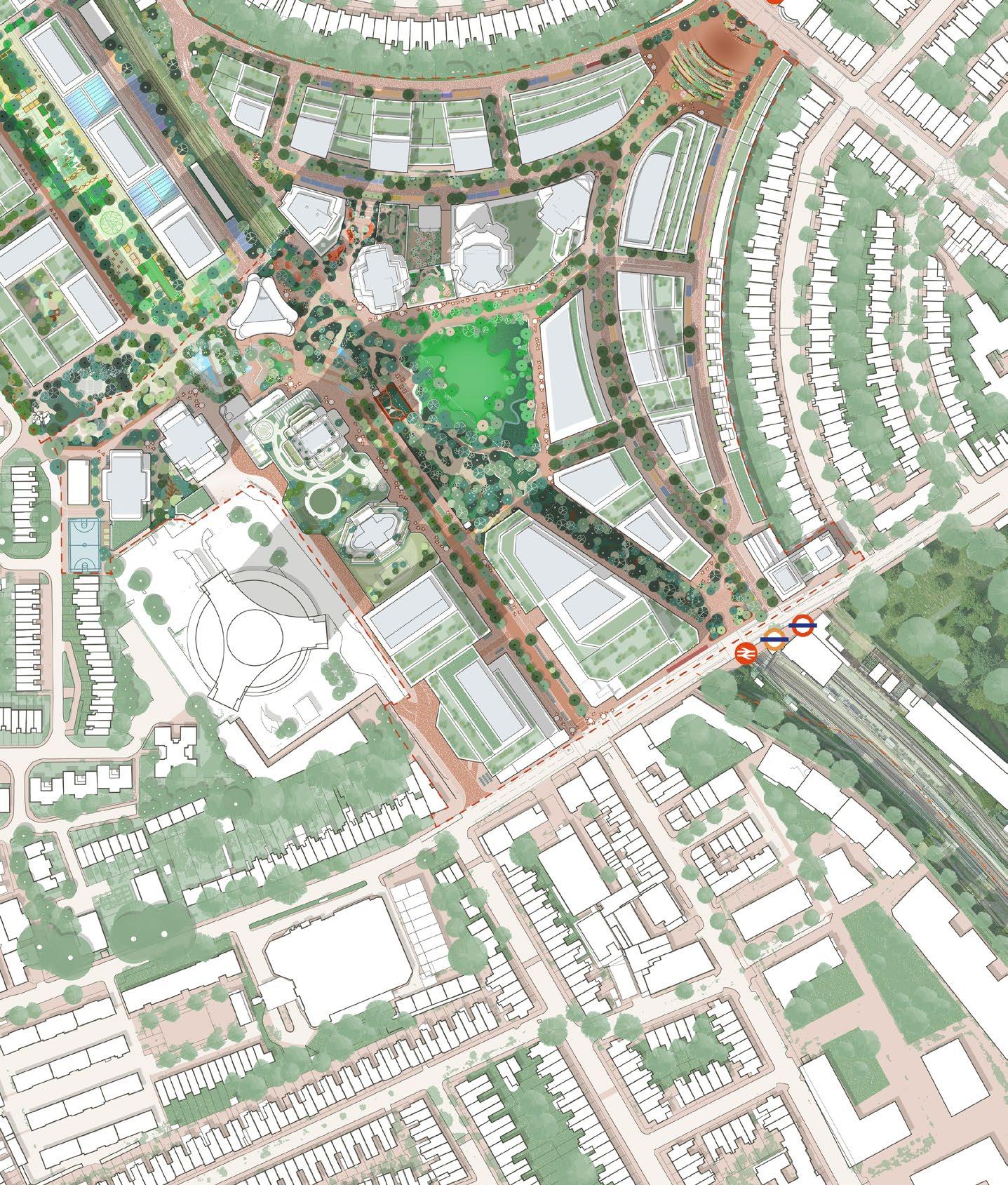
Illustrative designs in the Empress Place Character Area have been refined to explore alternative approaches to the architectural expression of the Lillie Road frontage and Workspace Cluster plots. Additional illustrative information has also been provided on Empress Place Passage and the bus layover space.
Feedback has been summarised into key topics and responses, which were reviewed during design workshops with the LPAs and are outlined on this page.
Summarised key feedback from LPAs
The articulation and built form of the WB07 and WB08 plots within the workspace cluster should be further developed to address their monolithic appearance in key townscape views identified through the feedback.
Illustrative design response
An alternative illustrative design for the workspace cluster at Empress Place has been provided to demonstrate how each plot can be articulated individually to break up the built form, while maintaining a cohesive family of buildings.

Summarised key feedback from LPAs
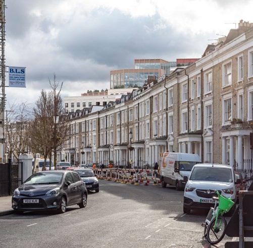
The built form of the Lillie Road frontage should be further explored to test how stepping and architectural expression can be refined, especially in key east- and west-facing views. Particular focus should be given to providing further clarity on WB01 and its potential contribution to the character along Lillie Road and Old Brompton Road.
Illustrative design response
An alternative illustrative design for WB01 has been developed, demonstrating how this plot can integrate with its context and complete the urban fabric along Lillie Road. The design explores a simplified stepped form and reflects a finer urban grain through architectural articulation.
Summarised key feedback from LPAs
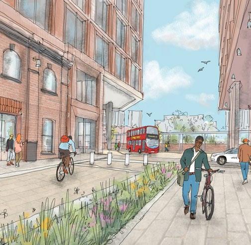
The detailing and illustrative design of Empress Place Passage should be further reviewed to provide more clarity on how this space could be delivered. The proposed bus layover condition and the revised environment require additional explanation.
Illustrative design response
Further illustrative material has been provided for the public realm around Empress Place Passage. A more detailed plan—including the taxi rank and bus layover—clarifies the layout, access arrangements, and quality of finishes that enhance the character and functionality of the space.
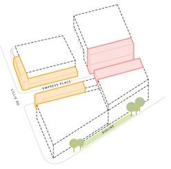
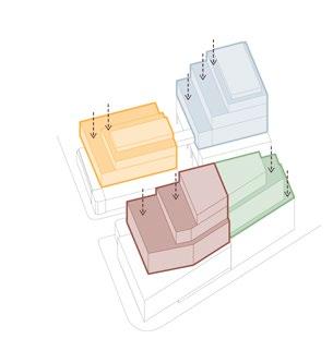
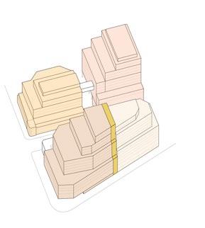
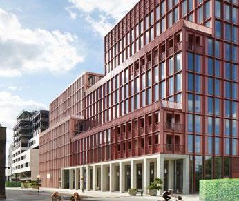
An alternative illustrative design approach for the Workspace Cluster has been developed that simplifies and breaks down the built form by individually articulating plots, while still reading as a family of buildings.
This alternative illustrative design response follows the principles set out in the updated Design Code, including:
• Simplifying stepping and setbacks, and creating clear building articulation to address the perceived monolithic appearance in views from the east and west.
• Breaking down the built form of the combined plots by expressing individual buildings differently through materiality and architectural articulation.
• Integrating with Lillie Road by responding to the varying datums, urban grain, and materiality of the existing buildings in the immediate context.
• Refining and simplifying the stepped form to provide a legible and gradual transition in height.
► Refer to Design Code / Sitewide / Built Form (EC.PA.C-01).
► Refer to Design Code / Empress Place / Building typologies / Large-footprint (EC. PA.C-01).

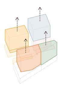
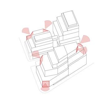
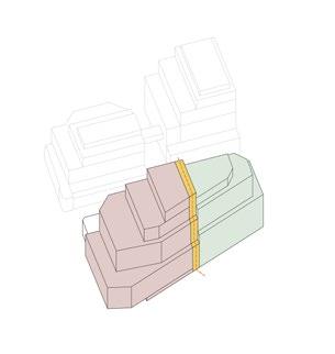
WB07 and WB08 have distinct yet complementary identities, helping to break down the length of the plot. A gradual transition in height is achieved through legible datums that respond to the existing Lillie Road context.
The key design principles that have shaped the alternative approach to these plots are captured in updates to the Design Code and the illustrative design, which include:
• Simplifying the geometry of volumes to create a more legible built form.
• Articulating datums that respond to the existing context to support a gradual transition in height.
• Ensuring prominent corners are visible and clearly legible as key frontages.
• Breaking down the length of the building by articulating individual plots and creating a visual split in the architectural expression.
► Refer to Design Code / Sitewide / Built Form (EC.PA.C-01).
► Refer to Design Code / Empress Place / Building typologies / Large-footprint (EC. PA.C-01).

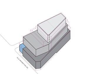
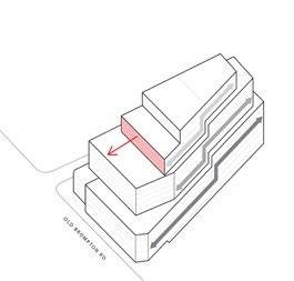
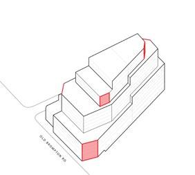
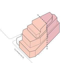
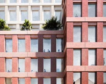
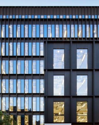
Vertical rhythm and hierarchy
Buildings use a tool kit of vertical fenestration with heavier punctuated façades at lower level, stepping up to lightweight vertical fins at upper levels.
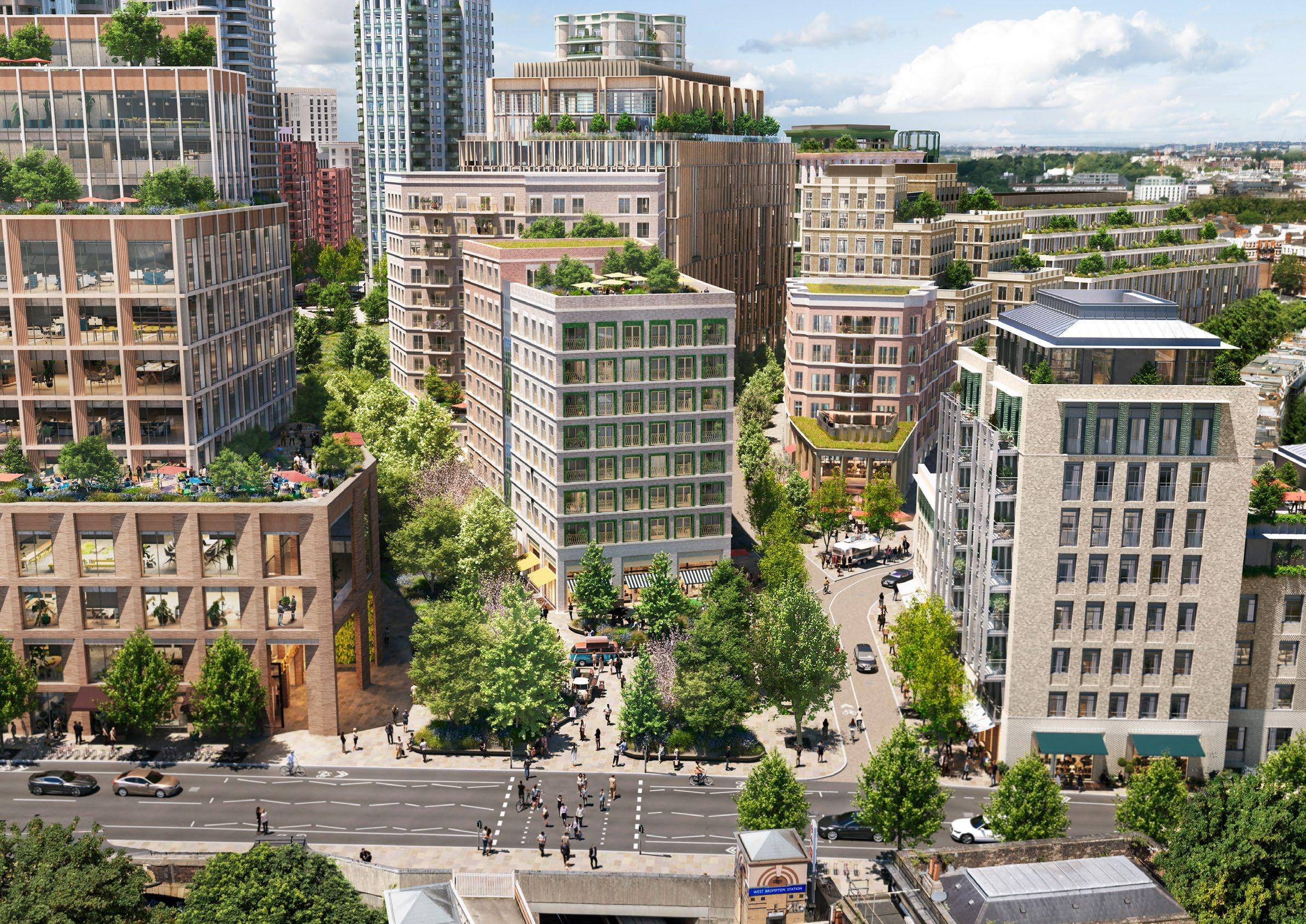
The alternative illustrative design has been tested in key townscape views from the east and west, informing further refinement of the buildings’ articulation and architectural expression in response to the local context.
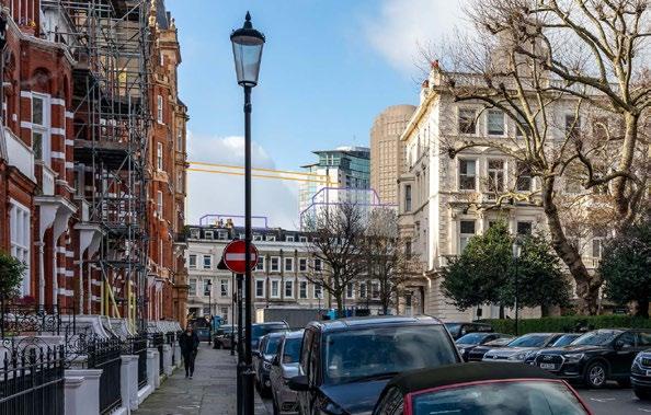
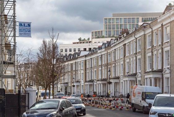
Architectural articulation breaks down the built form and introduces a finer urban grain that responds to the local setting.
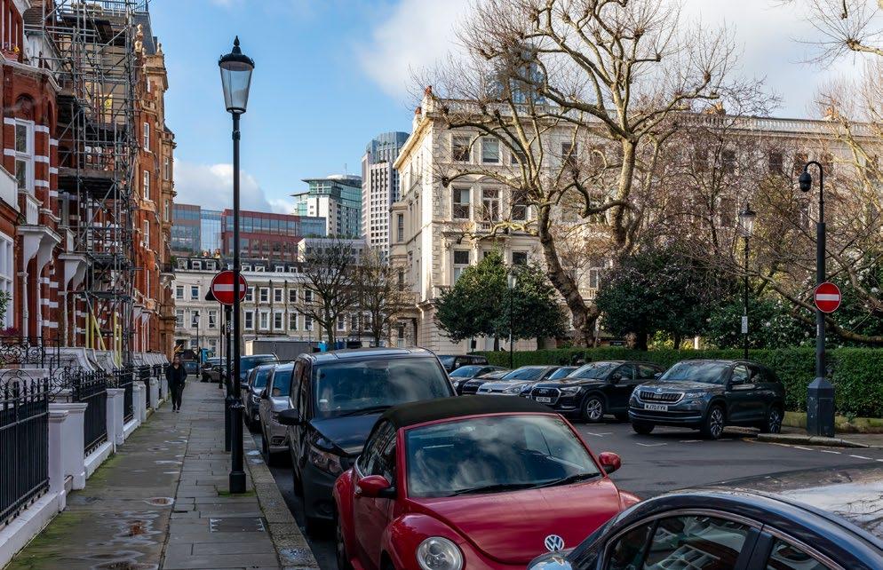
Clear hierarchy in building expression creates a legible layering to backdrop and setting of the view.
Articulating a visual gap through change in materiality breaks down the perceived length of the combined plots.
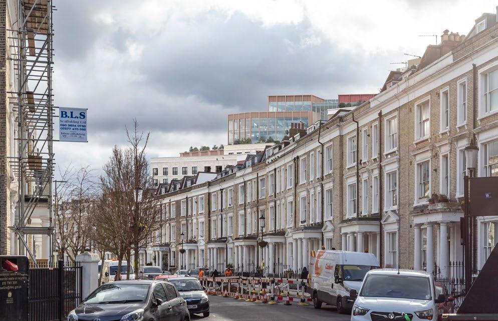
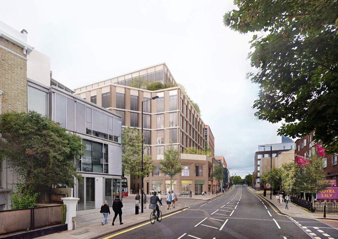
WB01 helps to fill in the gap in the urban fabric along Lillie Road and integrates with its surrounding context. The illustrative design has been further tested to show how the Proposed Development will establish a complimentary transition along Lillie Road.
The key design principles shaping this plot, as captured in the Design Code and this alternative illustrative design, including:
• Extending the Lillie Road frontages and built form to fill in the gap in the urban fabric.
• Simplifying the overall form with a legible and cohesive architectural response.
• Reconfiguring the bus layover to create an integrated bus interchange that minimises its impact along the Lillie Road frontage.
• Enhancing the public realm character with active frontages and an integrated material palette.
► Refer to Design Code / Empress Place / Building typologies / Large-footprint (EC. PA.C-01).

Integrating with the existing datum
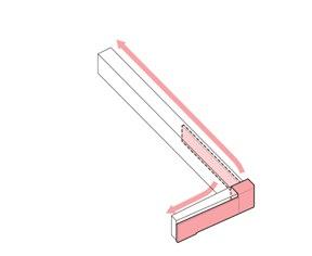
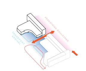
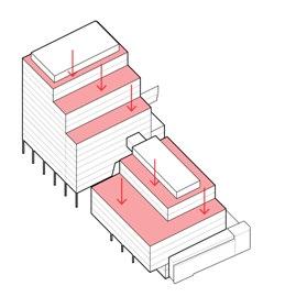
A legible base is created with a horizontal datum that corresponds to the scale of the existing buildings on Empress Place. This ties the workspace cluster together and creates a family of buildings.
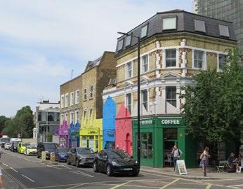
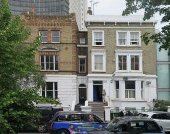
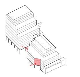
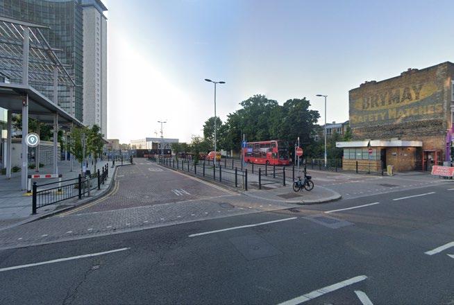
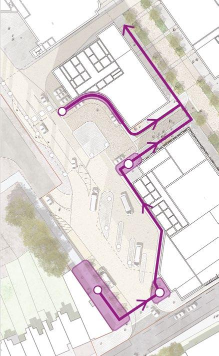
The public realm quality of the boulevard is extended into Empress Place Passage, creating a legible and welcoming connection to the integrated bus layover and taxi dropoff.
The key principles that characterise Empress Place Passage are set out in the Design Code and further demonstrated in this additional illustrative information, which include:
• Activating ground-floor uses with entrances and openings onto Empress Place Passage.
• Reconfiguring the bus layover facility to integrate with the building to frame the space.
• Consolidating the junction with Lillie Road into a single access point, prioritising pedestrian comfort and safety.
• Controlling access into the WB03-04 podium to allow taxi drop-off and facilitate service access to residential buildings deeper within the Site.
► Refer to Design Code / Empress Place / Empress Place Passage (EC.PA.C-01).
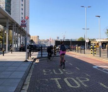
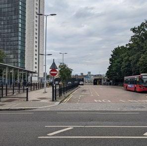
Existing bus driver welfare facilities re-provided within Ground Floor of proposed building
Enlarged pedestrian footway enabled through consolidated vehicular entrance

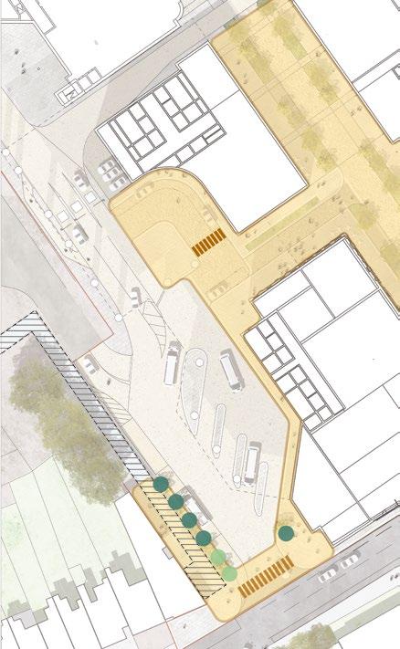
A shared surface demarcated by high quality materials further prioritises pedestrians and cyclists and guides them towards Empress Place Boulevard.
The principles of traffic calming and pedestrian priority are outlined in the Design Code and further demonstrated in the additional illustrative design, which include:
• Using high-quality footpath materials and shared surfaces that match those on Empress Place Boulevard.
• Introducing a coloured macadam road surface to visually extend pedestrian space.
• Establishing level crossings and paved thresholds to improve pedestrian priority.
• Adding tree planting adjacent to the Lillie Road access and bus stop.
• Control access points to restrict vehicular movement.
• Extending shared surface materials around taxi drop-off areas.
• Activating ground-floor frontages facing Empress Place Passage.
► Refer to Design Code / Empress Place / Empress Place Passage (EC.PA.C-01).
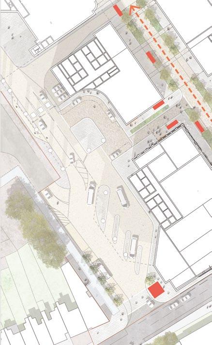
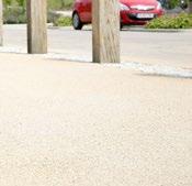
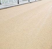
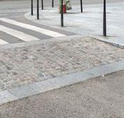
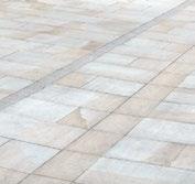
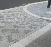
High-quality paving and shared surfaces create a welcoming space with a clear pedestrianfirst emphasis. Building-mounted street lighting minimises clutter in the public realm, while active ground-floor uses provide engaging frontages, ensuring the space is legible and feels safe.


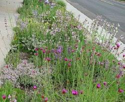

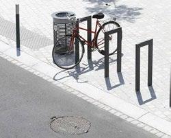
Key topics in this section include:
Interim condition – Further detail provided on the quality of public realm and landscaping.
Aisgill Avenue – Clarification on the treatment of the western boundary adjacent to the Estate.
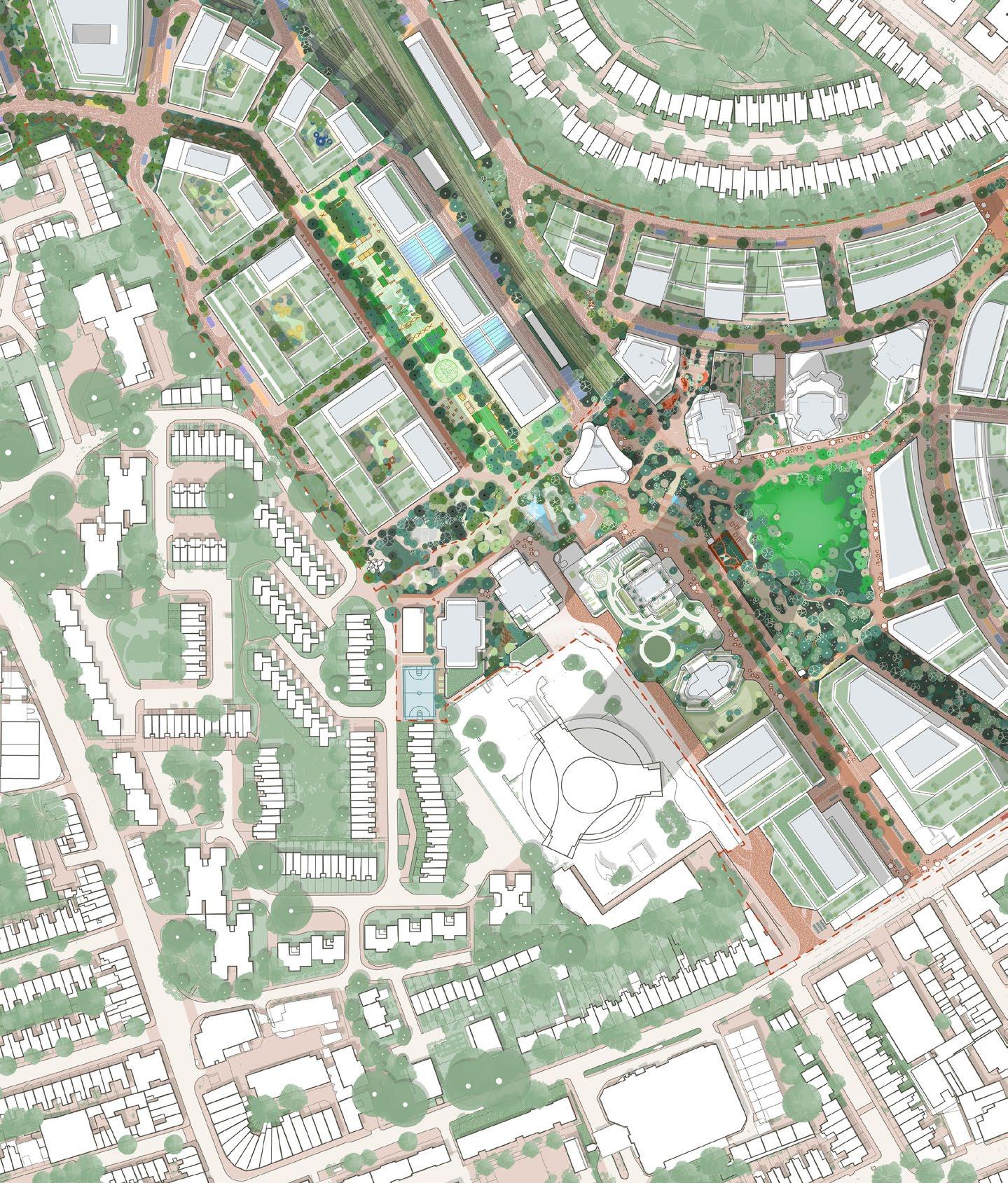
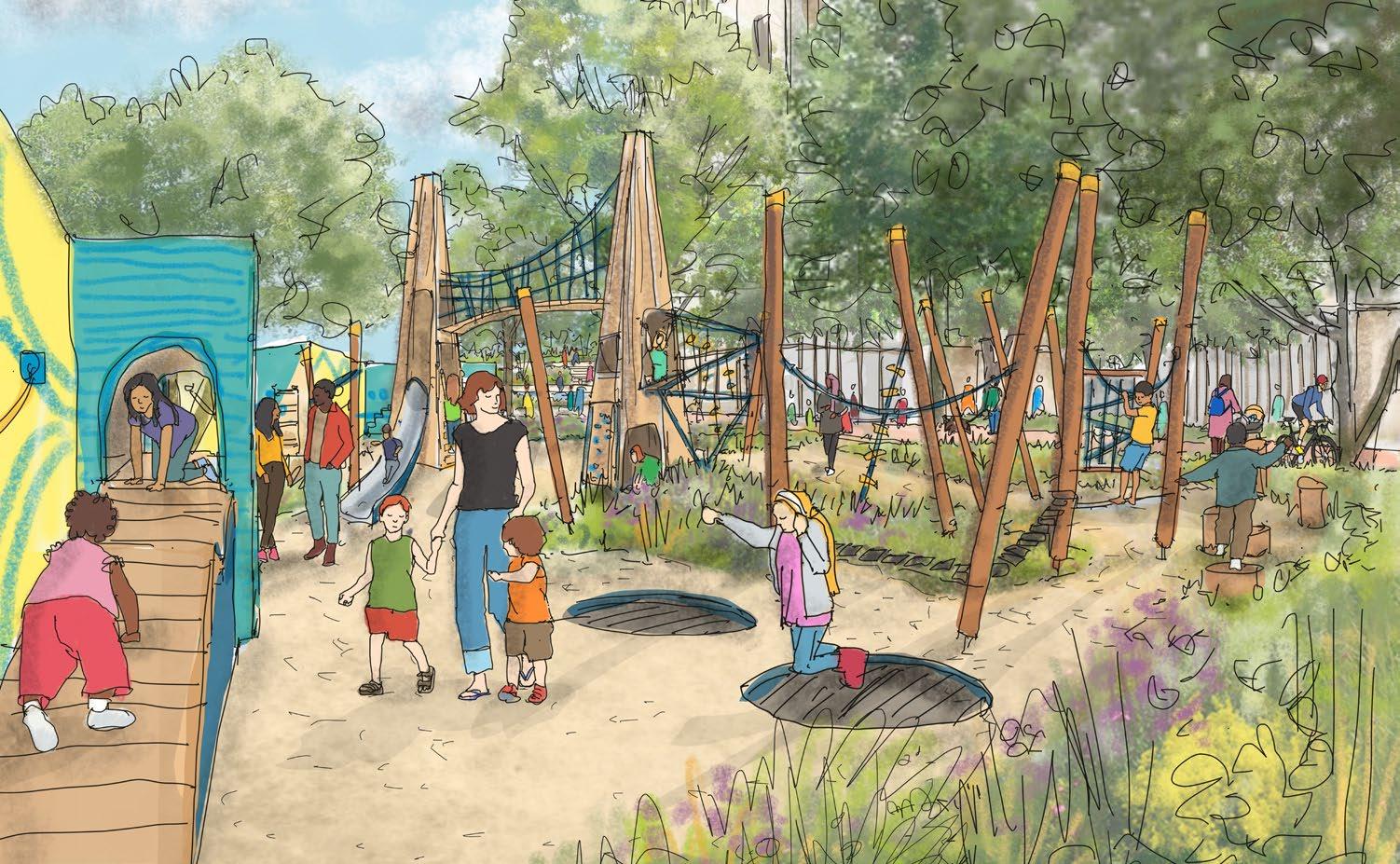
In the initial development phases, a dedicated cycle and pedestrian route is proposed along the southern side of Aisgill Gardens, maximising uninterrupted space for landscape and play.
The principles that characterise Aisgill Gardens in the interim condition are demonstrated in the additional illustrative design information and include:
• A pedestrian route adjacent to the building façade to allow access to entrances and ground-floor uses.
• A cycle lane connecting with the Cascades and maintaining an east-west cycle route across the Site.
• Separate cycle and pedestrian routes to create a safe play and community space, clear of circulation routes.
• Extending the Aisgill Gardens play space up to the hoarding line to provide activation along the Site boundary.
► Refer to Design Code / Aisgill Gardens / Landscape / Aisgill Gardens (EC.PA.C-01).
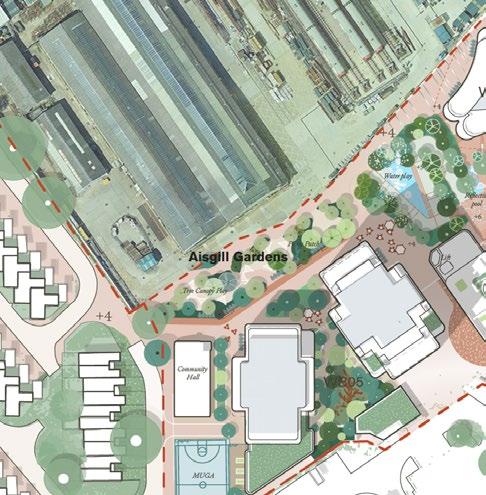
Aisgill Gardens closer to the hoarding line and introducing a separate cycle path along the garden's edge, while expanding the pedestrian area to accommodate food and beverage spill-out spaces. This option not only preserves Aisgill Gardens' original purpose as a communal space for play and community gatherings but also enhances the safety and comfort of cyclists by providing a dedicated path.
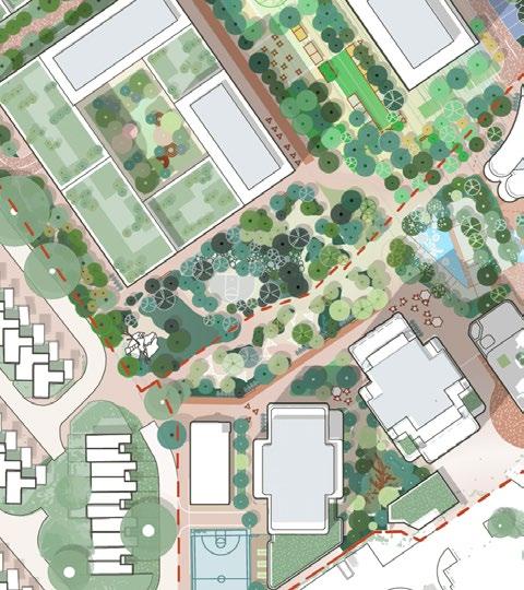
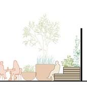
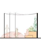
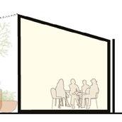
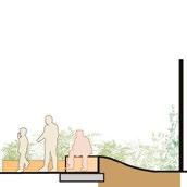
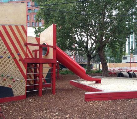
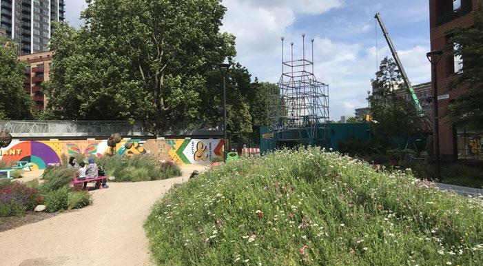
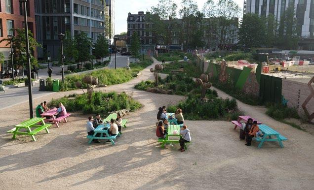
Play elements, street furniture, public art, and planting incorporated with the hoarding can ensure that Aisgill Gardens functions as a playful, community-focused space throughout all stages of the development.
The diagrams and precedent examples illustrate potential treatments for the hoarding along the northern boundary of Aisgill Gardens. The hoarding will be designed to reflect the playful character of the space, which includes:
• Landscape features such as planters, seating, sculptures, and graphics that add vibrancy to the play space.
• In-ground planting extending up to the hoarding line to provide a planting backdrop or separation from the site boundary.
• Purpose-built play elements incorporated into the hoarding design to complement the Aisgill Gardens play space.
► Refer to Design Code / Aisgill Gardens / Landscape / Aisgill Gardens (EC.PA.C-01).


In the interim condition generous public realm and play space will be delivered that is coordinated and seamlessly integrates with future phases.
The principles characterising the interim condition at Aisgill Gardens, as outlined in the additional illustrative design information, include:
• Designing play equipment to align with the proposals of the permanent condition, including future phases along the Site boundary.
• Specifying hard surfaces to be permanent, reducing disruption when Aisgill Gardens is extended with subsequent phases.
• Coordinating tree and planting bed locations with future phases so that it can grown and mature from day one.
► Refer to Design Code / Aisgill Gardens / Landscape / Aisgill Gardens (EC.PA.C-01).
Distinctive hoarding design with integrated street furniture and play elements.
Trees and planting within Phase 1 will be coordinated to coincide with their long term, permanent location.
Play equipment and surfacing within Phase 1 is located to coincide with its long term, permanent location.
Dedicated cycle and pedestrian route is proposed along the southern boundary to maximise the extent for play space and landscape.
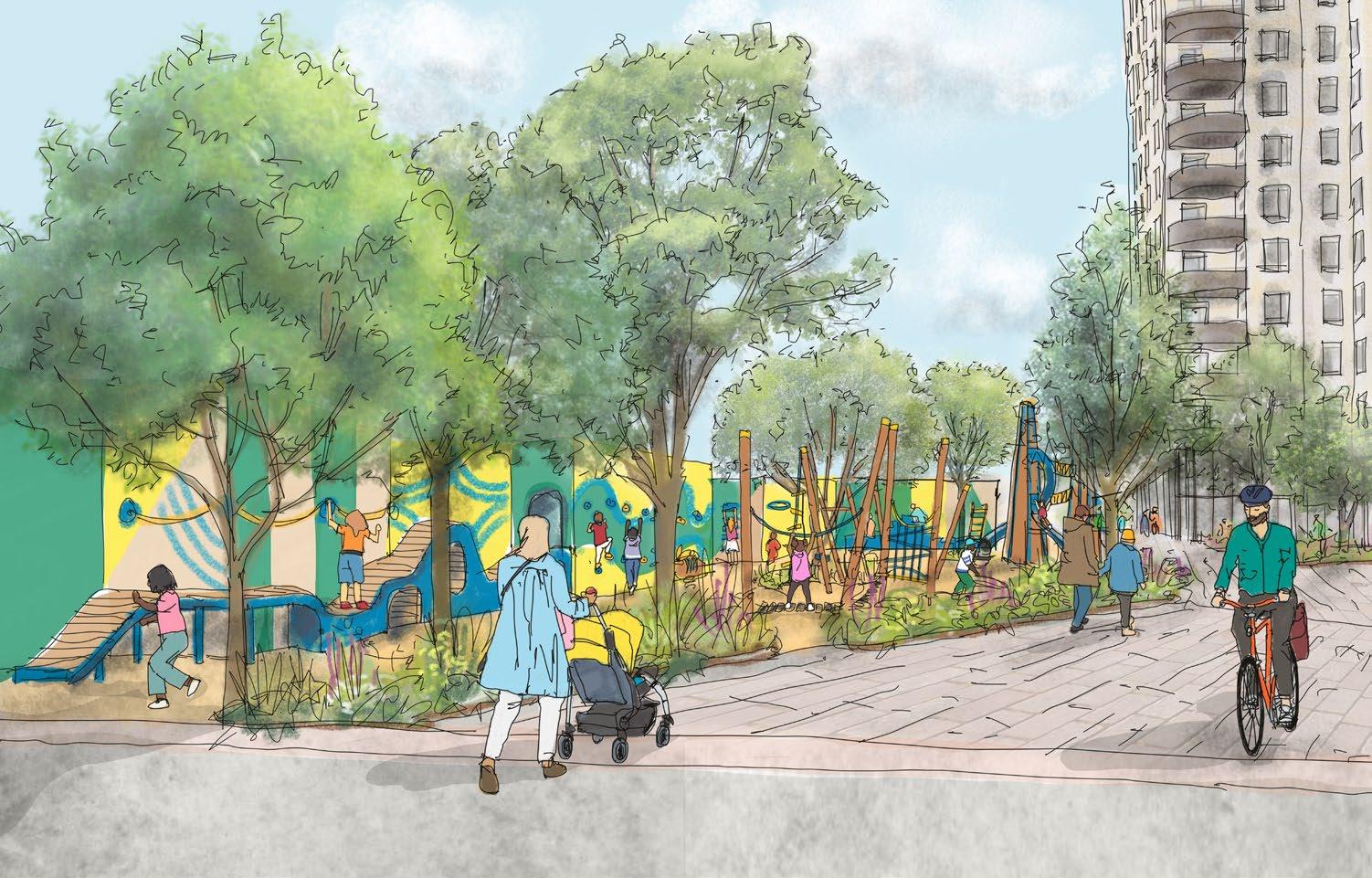
The placement of trees, planting, and play equipment will be coordinated with future development phases, allowing the landscape to mature as each phase progresses.
Distinctive hoarding design with integrated street furniture and play elements.
Generous space for play equipment and surfacing within Phase 1 so that it can coincide with the permanent condition.
Trees and planting within Phase 1 will be coordinated to coincide with their long term, permanent location.
Dedicated cycle and pedestrian route is proposed along the southern boundary to maximise the extent of play space and landscape.
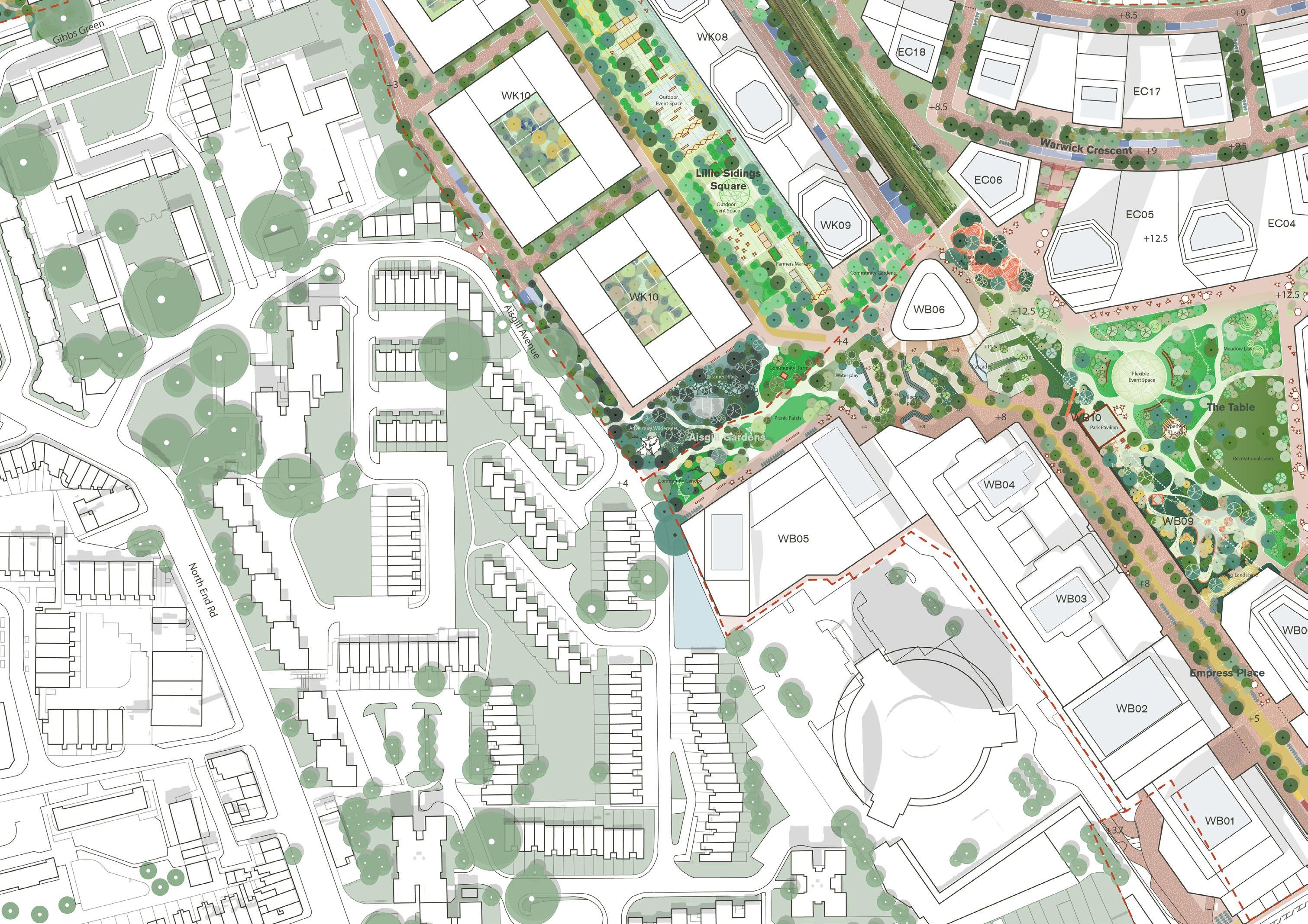
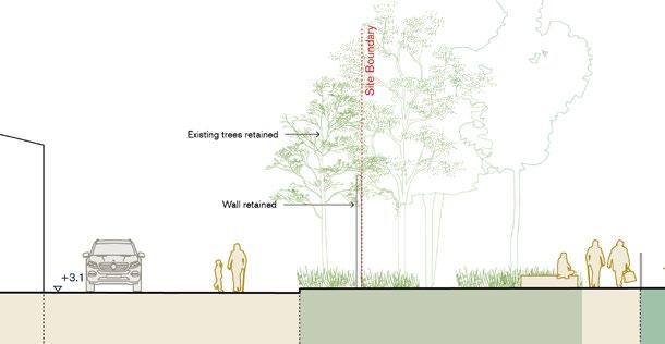
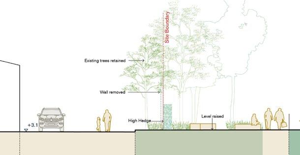
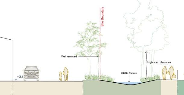
The enhanced approach for the western boundary along Aisgill Avenue is set out in the Design Code, and allows flexibility for various landscape design proposals to come forward as part of a future Reserved Matters Application (RMA).
These options aim to ensure permeability into the Site, improve outlook for Gibbs Green Estate residents, and maintain a well-defined edge through low-level planting and trees that enhance amenity and the public realm.
The final design is intended to be developed in consultation with the local community. To demonstrate the flexibility of the framework approach, the following options have been tested in the additional illustrative design information:
• An edge condition retaining a wall along the boundary.
• A semi-permeable edge using structural hedge planting.
• An open planted edge.
► Refer to Design Code / Aisgill Gardens / Landscape / Aisgill Gardens (EC.PA.C-01).

Key topics in this section include:
West Kensington Square – Enhanced proposals for a new public open space adjacent to West Kensington Station.
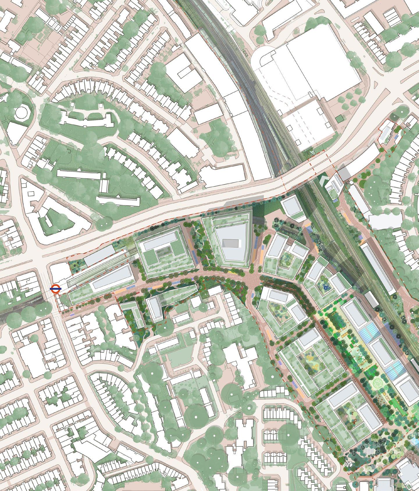
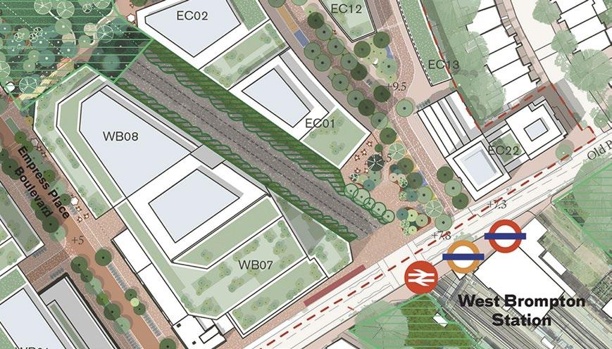
A new station square has been identified as an opportunity to deliver an enhanced and more generous public realm along North End Road, and create a gateway into Beaumont Avenue and the Proposed Development. The design response highlights the key design principles that shape the space. Located within the West Kensington Character Area, the new square forms part of a network of public spaces and routes, as outlined in the updated diagram below.
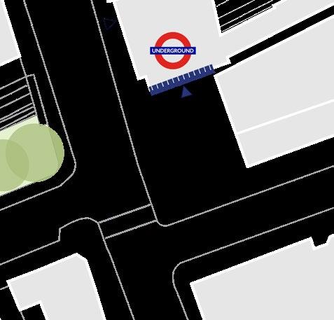
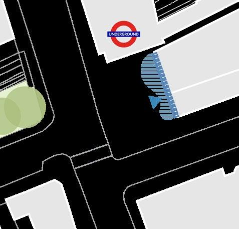
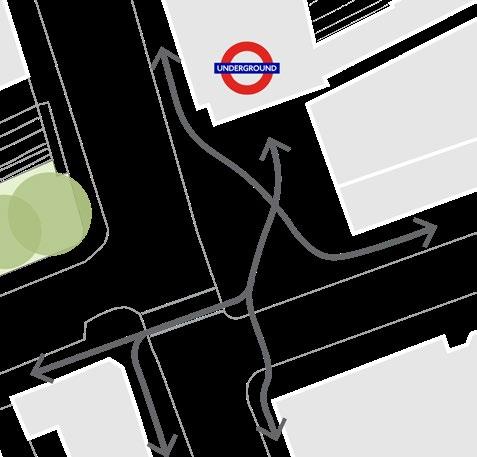
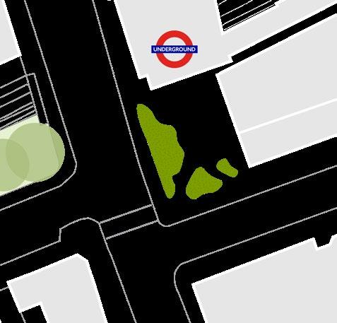
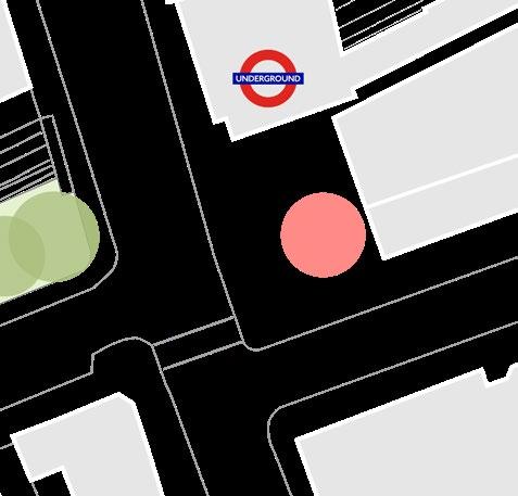

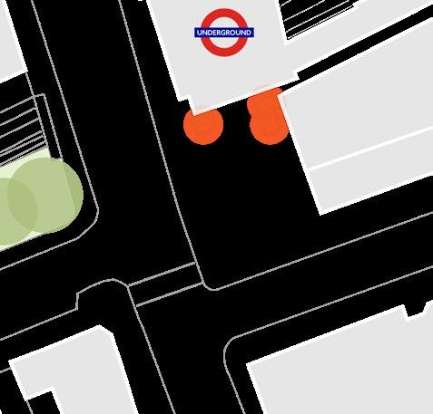
The delivery of West Kensington Square is subject to third party agreement.
The square will enhance the presence and identity of West Kensington station by creating a distinctive public realm integrating landscape with feature paving, public art, furniture and signage.
The key principles that characterise West Kensington Square are described in updates to the Design Code. These are further demonstrated in this alternative illustrative design information and include:
• A new station entrance that creates a distinctive identity, including signage or public art.
• Raised planting that provides a green buffer from the traffic environment, helping to mitigate air quality and noise.
• Active ground floor uses at the base of WK02, with an office entrance and spill-out space onto the square.
• Distinctive street furniture or public art to help animate the space.
• Safeguarding a flexible central area for pop-up kiosks and events.
► Refer to Design Code / West Kensington / Landscape / West Kensington Square (EC. PA.C-01).




In response to feedback received on land use and capacity, additional plots have been tested as Flexible Plots which could accommodate different predominant uses. These plots have been tested in addition to the Flexible Plots identified in the July 2024 Hybrid Planning Submission.
The following additional illustrative plot designs respond to the parameters and principles set out in the Control Documents. While not an exhaustive representation of all flexible land use possibilities, the examples provided collectively present a balanced set of scenarios illustrating potential design approaches to support the working assumptions of the Control Documents.
► Refer to Parameter Plans / Parameter PlanProposed Land Use Ground Level Plan (EC. PA.B).
► Refer to Parameter Plans / Parameter PlanProposed Land Use Upper Levels Plan (EC. PA.B).

The additional Flexible Plots provided in this section include:
• WK03 & WK04: The predominant residential use is illustrated in addition to commercial use;
• EC03: The predominant residential use is illustrated in addition to commercial use.
• EC04: The predominant hotel use is illustrated in addition to residential use.
• EC07: The predominant leisure use is illustrated in addition to a last mile logistics facility.
• EC16: The predominant residential use is illustrated in addition to commercial use.
• EC19: The predominant commercial use is illustrated in addition to residential use.
• WB02: The predominant residential use is illustrated in addition to commercial use.
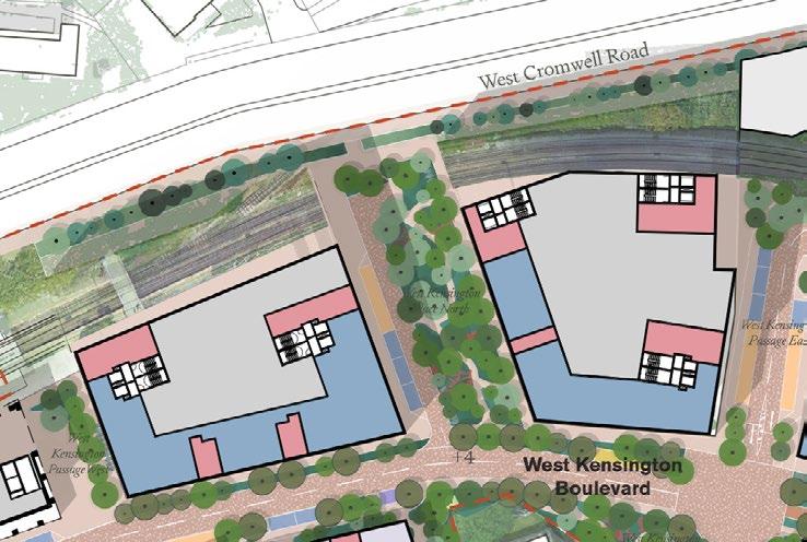
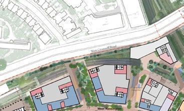
Plot Code: WK03 & WK04
Typology: Large-footprint
Flexible use shown: Residential
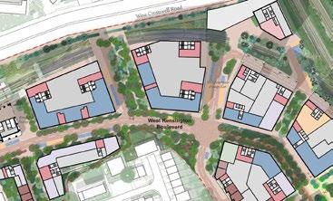
The Illustrative Masterplan envisages a workplace cluster in this area. The Hybrid Planning
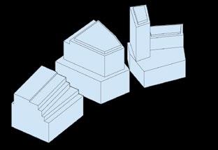
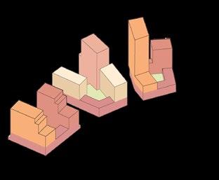


Plot Code: WK03 & WK04
Typology: Large-footprint
Flexible use shown: Residential
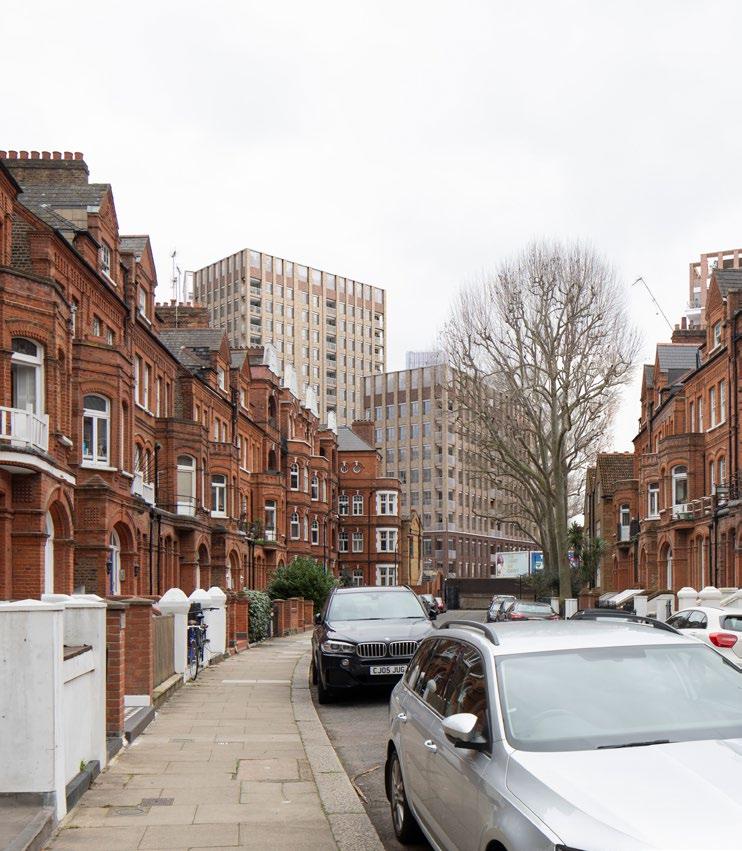
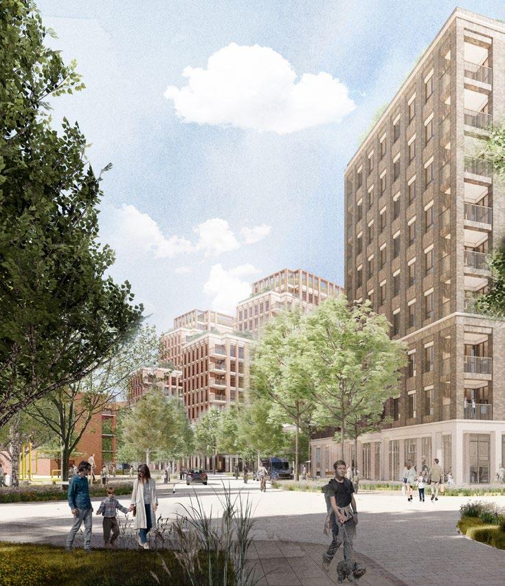
The additional illustrative design proposals show how the buildings will integrate and respond to their context from key views. The key design principles include:
Creating meaningful stepping
The expression of the buildings should contain meaningful stepping to ensure clarity and hierarchy of massing, and provide a mediation in scale as perceived from Mornington Avenue.
Distinguishing the proposal from the foreground
The design of the buildings should have a distinctive rhythm and composition that differ from other buildings in the view, to avoid coalescence in the massing and reduce visual impact on heritage assets and their setting.
Creating green roofs
Establish meaningful setbacks to extend the landscape emphasis into buildings and provide green roofs for residents to access.
Carefully defining datums and steps
Steps should be clearly defined in the built form to frame and establish an intermediate scale. The ground floor datums should establish a human scale with active frontages and entrances.
Illustrative design response
Plot Code: EC04
Typology: Common base
Flexible use shown: Hotel
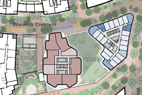
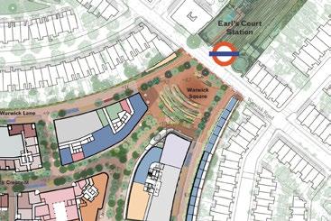
The Illustrative Masterplan envisages a predominantly residential use for EC04. The Hybrid Planning Applications also have capacity for flexible uses to come forward. This additional illustrative design demonstrates how a hotel use could be developed for the plot.
This section sets out an alternative land use scenario for EC04 with:
• Typical Upper Floors - Hotel (T1), later living residential (T2)
• Ground Floor - Mixed-use (café, restaurant, hotel, later living and cultural)
► Refer to DAS Addendum / Appendix 10.5A / Illustrative Plot Plans (EC.PA.08-A).
► Refer to Design Code / Warwick Crescent / Built form / Common base (EC.PA.C-01).
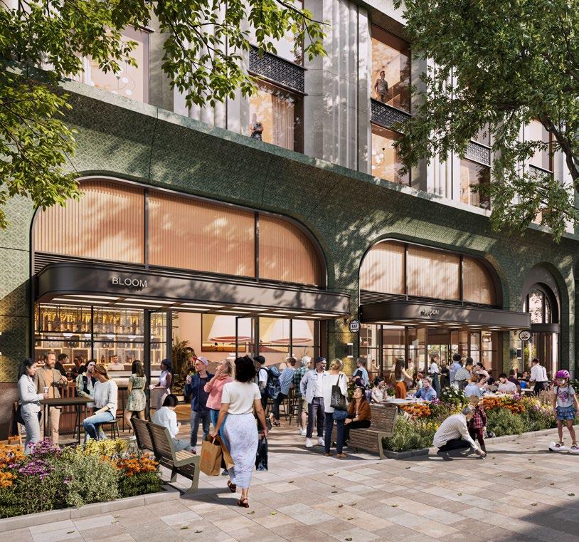
Plot Code: EC16
Typology: Mid-scale block
Flexible use shown: Residential
The Illustrative Masterplan envisages a predominant commercial use in EC16. The Hybrid Planning Applications also have capacity for flexible uses to come forward. This additional illustrative design shows how a design for a residential use could be developed for the plot.
This section sets out an alternative land use scenario for EC16 with:
• Typical Upper Floors - Residential
• Ground Floor - Mixed-use (residential, retail, café, restaurant and cultural)
► Refer to DAS Addendum / Appendix 10.5A / Illustrative Plot Plans (EC.PA.08-A).
► Refer to Design Code / Warwick Crescent / Built form / Common base (EC.PA.C-01).


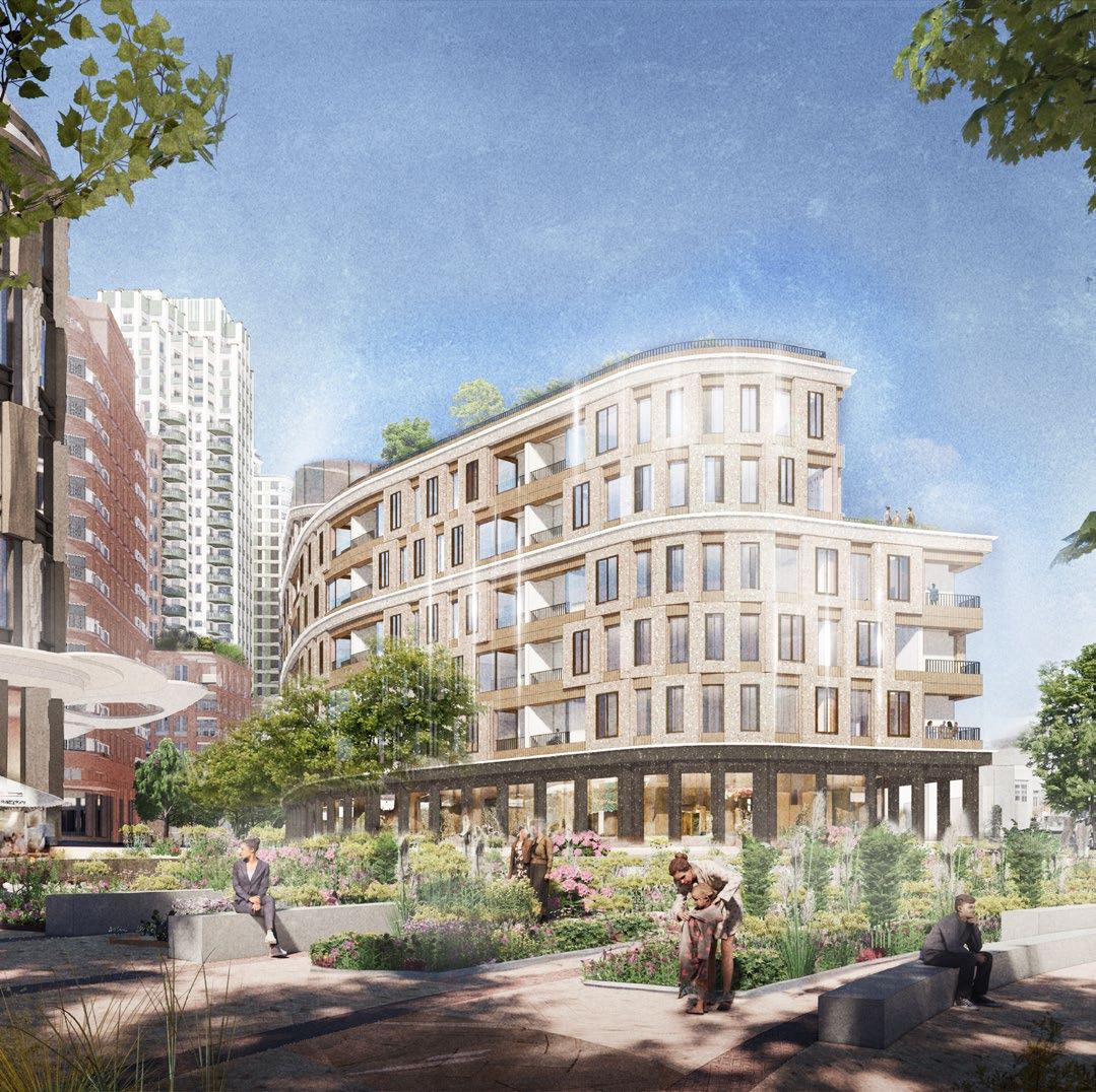
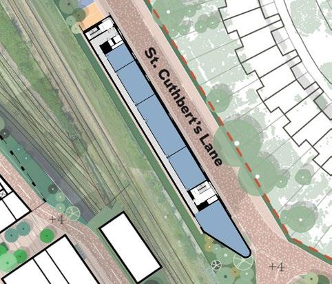
Plot Code: EC19
Typology: Smaller-scale
Flexible use shown: Commercial
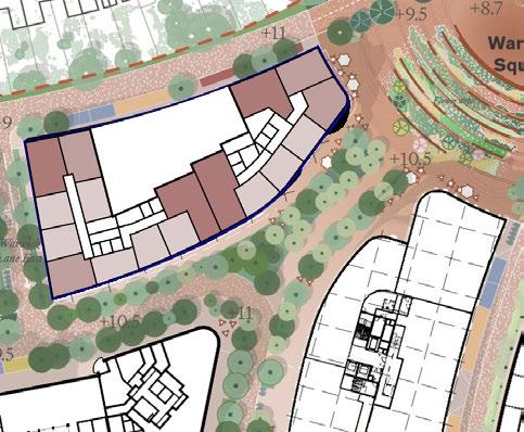
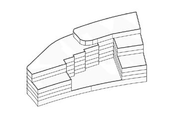
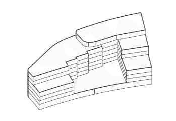
The Illustrative Masterplan envisages a predominant residential use in EC19. The Hybrid Planning Applications also have capacity for flexible uses to come forward. This additional illustrative design shows how a design for a commercial use could be developed for the plot.
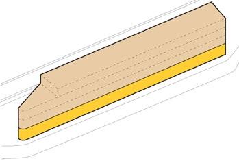
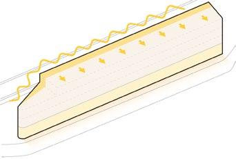
This section sets out an alternative land use scenario for EC19 with:
• Typical Upper Floors - Commercial
• Ground Floor - Commercial
► Refer to DAS Addendum / Appendix 10.5A / Illustrative Plot Plans (EC.PA.08-A).
► Refer to Design Code / Warwick Crescent / Built form / Smaller-scale (EC.PA.C-01).
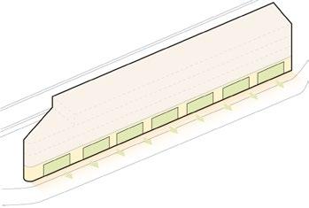
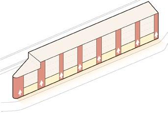
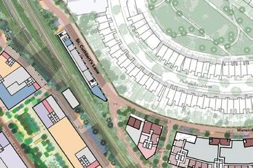

Plot Code: EC07
Typology: Space below Table Park
Flexible use shown: Leisure
The Illustrative Masterplan envisages a last mile logistics facility in this location. The Hybrid Planning Applications also have capacity for flexible uses to come forward. This additional illustrative design shows how a design for a leisure use could be developed for this plot.
This section sets out an alternative land use scenario for EC07 with:
• Ground Floors - Leisure entrance integrated within EC05
• Below Ground Floor - Leisure use
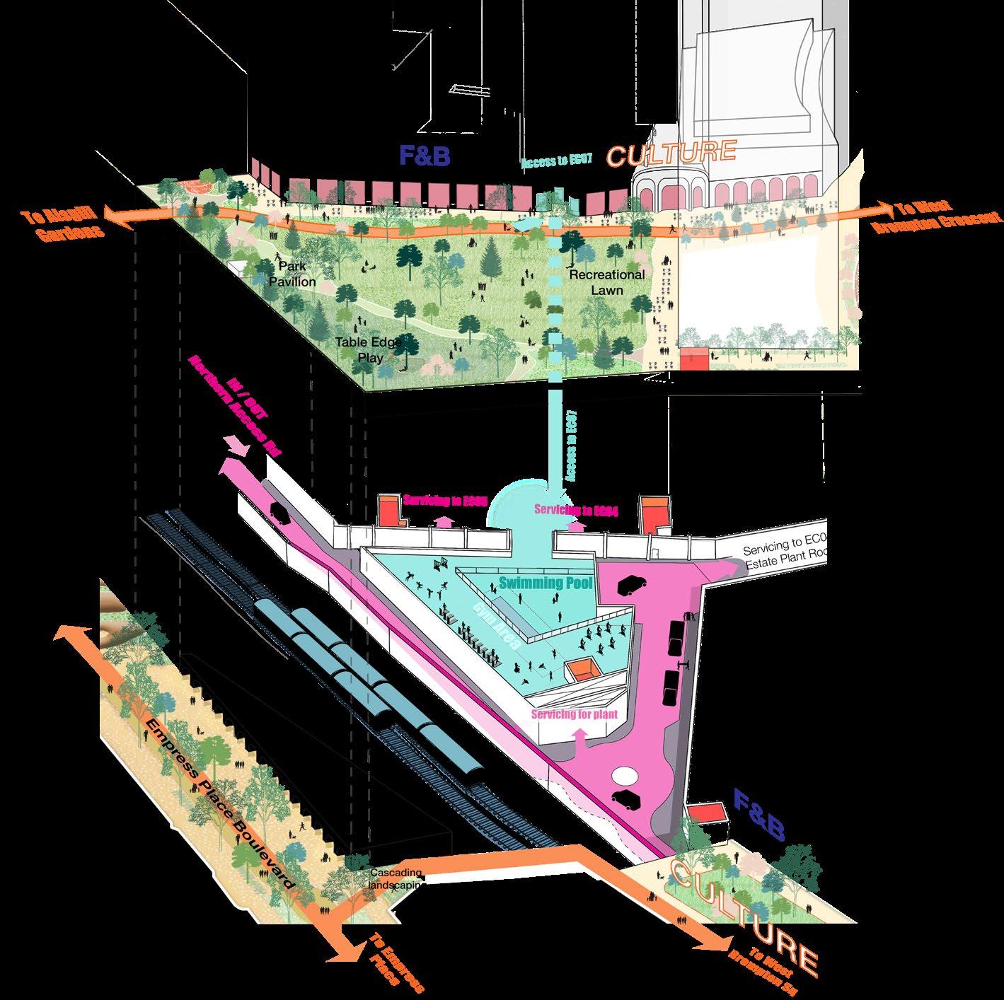
Plot Code: WB02
Typology: Large-footprint
Flexible use shown: Residential
The Illustrative Masterplan envisages a predominant alternative commercial use in WB02. The Hybrid Planning Applications also have capacity for flexible uses to come forward. This additional illustrative design shows how a design for a residential use could be developed for the plot.
This section sets out an alternative land use scenario for WB02 with:
• Typical Upper Floors - Residential
• Ground Floor - Mixed-use (retail, café, restaurant and residential entrance)
► Refer to DAS Addendum / Appendix 10.5A / Illustrative Plot Plans (EC.PA.08-A).
► Refer to Design Code / Empress Place / Built form / Large-footprint (EC.PA.C-01).

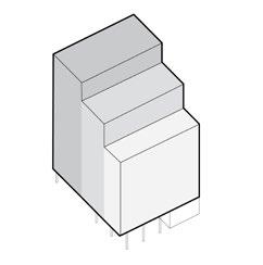
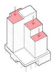
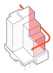

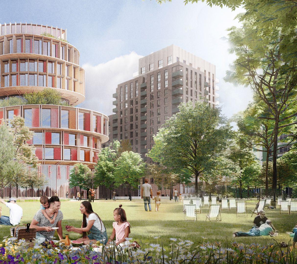
Plot Code: WK07
Typology: Large-footprint
Flexible use shown: Commercial
The Illustrative Masterplan envisages a predominant residential use in WK07. The Hybrid Planning Applications also have capacity for flexible uses to come forward. This additional illustrative design shows how a design for a commercial use could be developed for the plot.
This section sets out an alternative land use scenario for WK07 with:
• Typical Upper Floors - Commercial
• Ground Floor - Mixed-use (retail, café, restaurant and commercial)
► Refer to DAS Addendum / Appendix 10.5A / Illustrative Plot Plans (EC.PA.08-A).
► Refer to Design Code / Empress Place / Built form / Large-footprint (EC.PA.C-01).
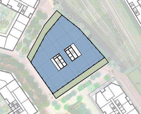
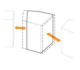
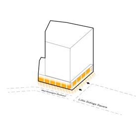
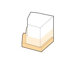
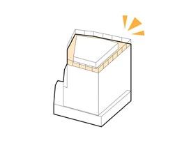
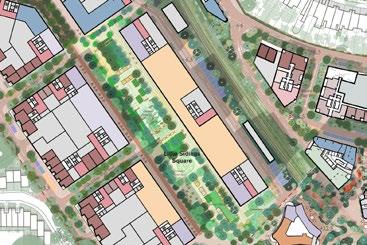
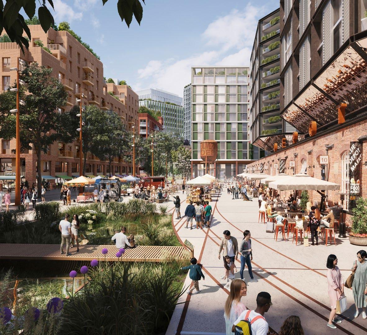
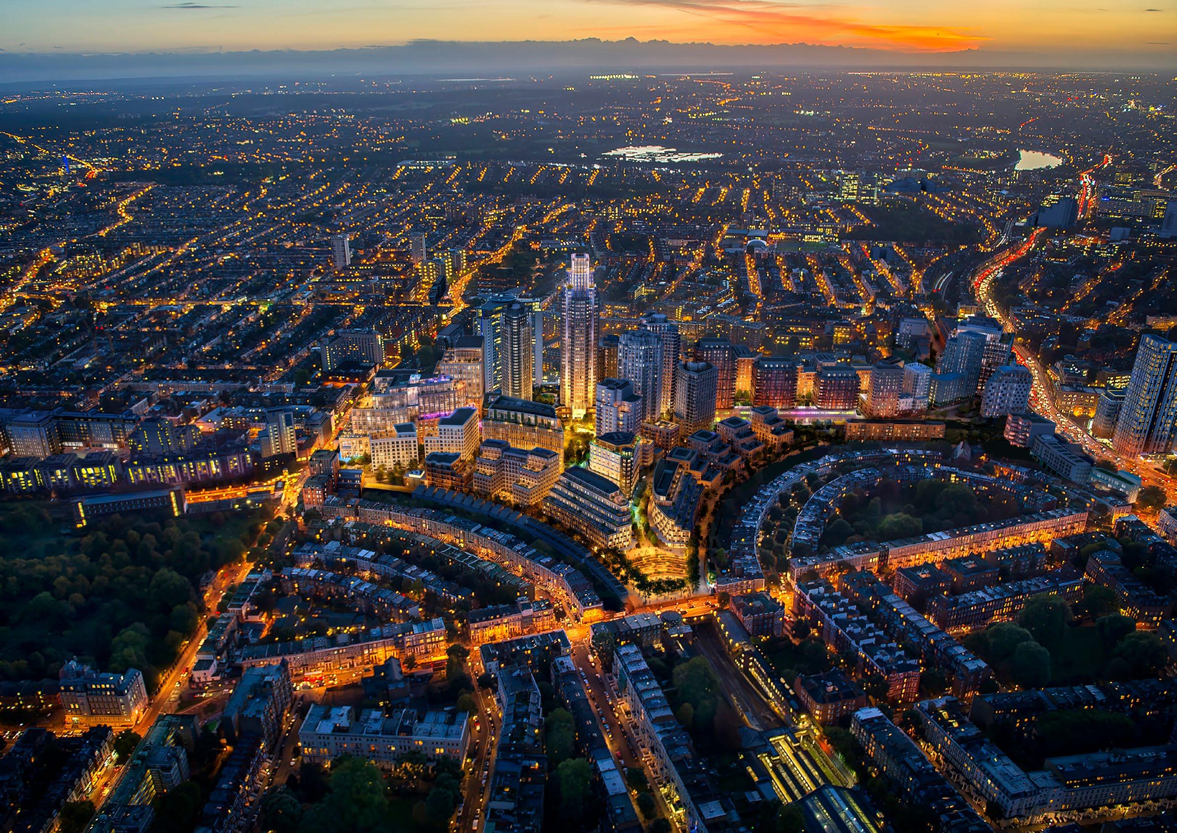
This section provides further detail on illustrative plot testing and clarifies how it has informed plot capacity and the Development Specification.


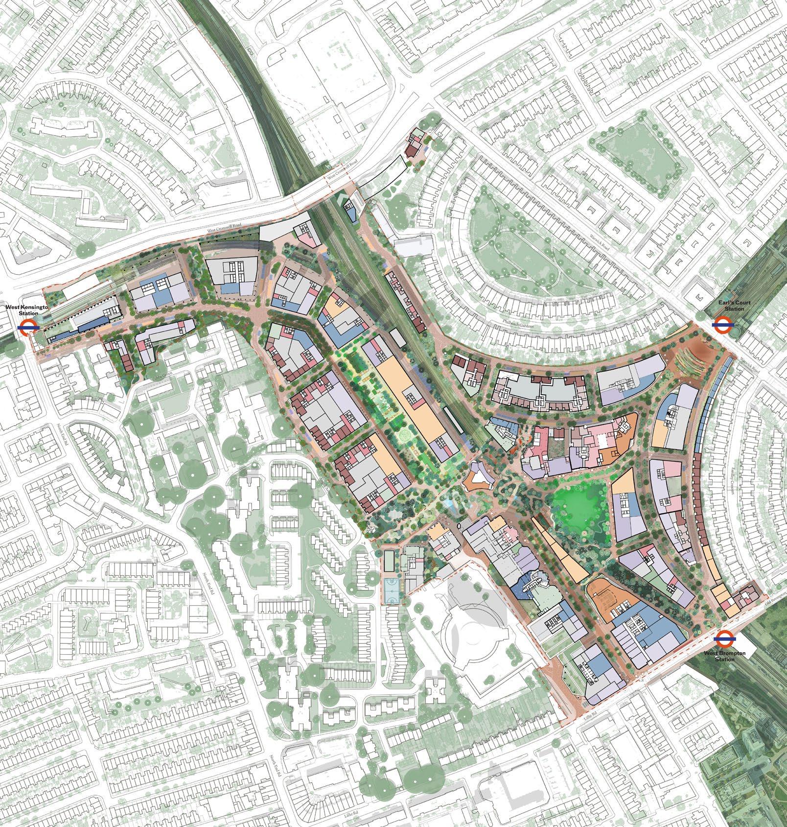
The Outline Component plot capacity studies indicate a range of anticipated homes or land use capacity consistent with current good practice guidance. The Illustrative Masterplan approach


The spatial strategies chapter provides additional resolution to the principles set out in the Strategic Framework. As part of this DAS Addendum, the pages within this chapter have been amended, and additional information has been provided in response to comments received by local authorities.
These align with updates to the Control Documents and the Illustrative Masterplan in response to comments from the Local Planning Authorities. In certain instances, wording has been updated to provide clarification.
These support the principles of the Control Documents with additional technical and illustrative information. Technical detail has been developed through resolution of the Illustrative Masterplan and is presented to evidence the workability of proposals and policy compliance where relevant.

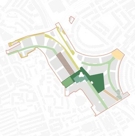


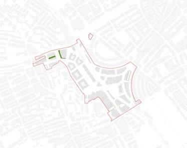
RBKC provided comments requesting clarification on the location of undisturbed habitats.
To address this comment additional information has been added to the adjacent planting strategy diagram, indicating where undisturbed habits would be located. Areas of undisturbed habitats will have minimal overlap with human uses, prioritising planting and habitat creation. These areas are located in the following locations:
• Adjacent to the WLL railway, north of the Table Park.
• Adjacent to St Cuthbert’s church where existing planting banks are being retained.
• Behind plot WK01
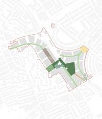
Extract of original DAS page 323


The diagram on this page has been updated to included undisturbed habitats along the railway corridors north of the Table Sitewide biodiversity - planting characters Urban meadow (Table Park)
Bioline (subject to agreement with third party land owners) Post industrial remediation gardens (Lillie Sidings Square) Climate resilient streetscapes Community orchards (Aisgill Gardens)
The Flower Amphitheatre (Warwick Square)
Ecological stepping stone (West Brompton Square) The Cascades Undisturbed habitats
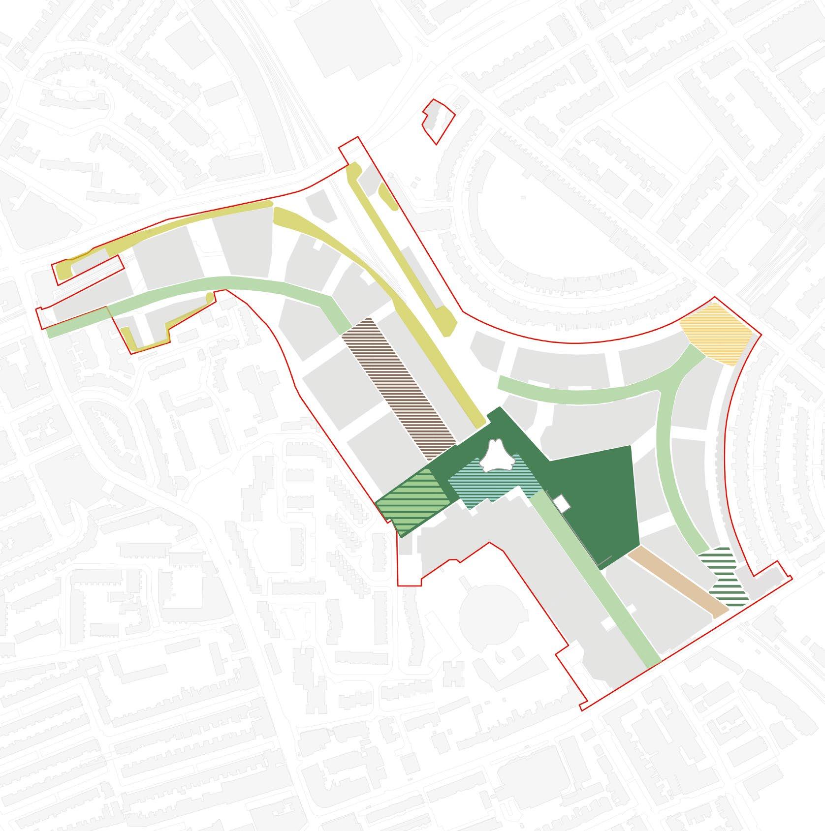
The UGF diagram on this page has been updated to reflect changes to the Illustrative Masterplan and Detailed Components.
The Illustrative Masterplan still achieves a UGF score to meet the policy requirement of 0.4. Updates have been made for the following reasons:
• Allowance for large fire tender access to the Table Park based on updated vehicle tracking.
• Updates to EC06 and EC05 following architectural changes as a result of RBKC comments.
• Changes to arrangement of planting around the lawn within the Table Park following LPA comments on the play strategy.
• Changes to arrangement of planting within play spaces following LPA comments on the play strategy.
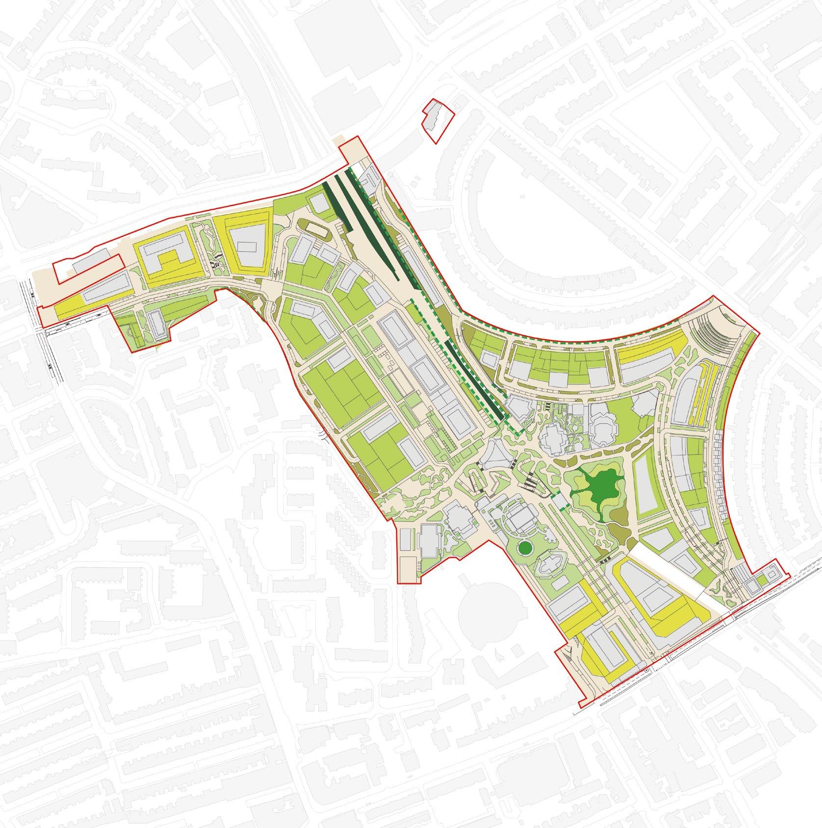
Changes to arrangement of planting around the lawn
Changes to the arrangement of planting within play spaces
Outline opportunities for roof terraces on buildings in the Illustrative Masterplan are in line with the intent of London Plan Policy
D9 Part 4 and would offer elevated views of the Exhibition Garden landscapes, as well as views towards the Thames and the London skyline.
The diagram on this page has been updated to show the following:
• Additional opportunities for publicly accessible roof terraces on WK03 and WK04.
• Additional opportunities for a publicly accessible roof terraces on WB08 that could be connected to the cultural use on this plot.
• Adjacent images provides an illustration of an additional opportunity that has been identified for a roof top terraces.
The diagram on this page has been updated to show additional opportunities for publicly accessible roof terraces on WK03 and WK04
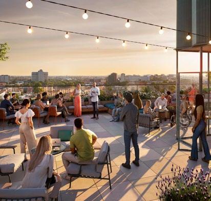
The diagram on this page has been updated to show a additional opportunities for a publicly accessible roof terraces on WB08 that could be connected to the cultural use on this plot
These image provides an illustration of an additional opportunity that has been identified for a roof top terraces
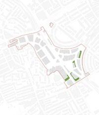


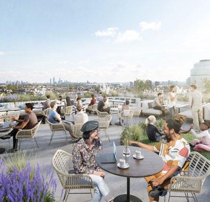
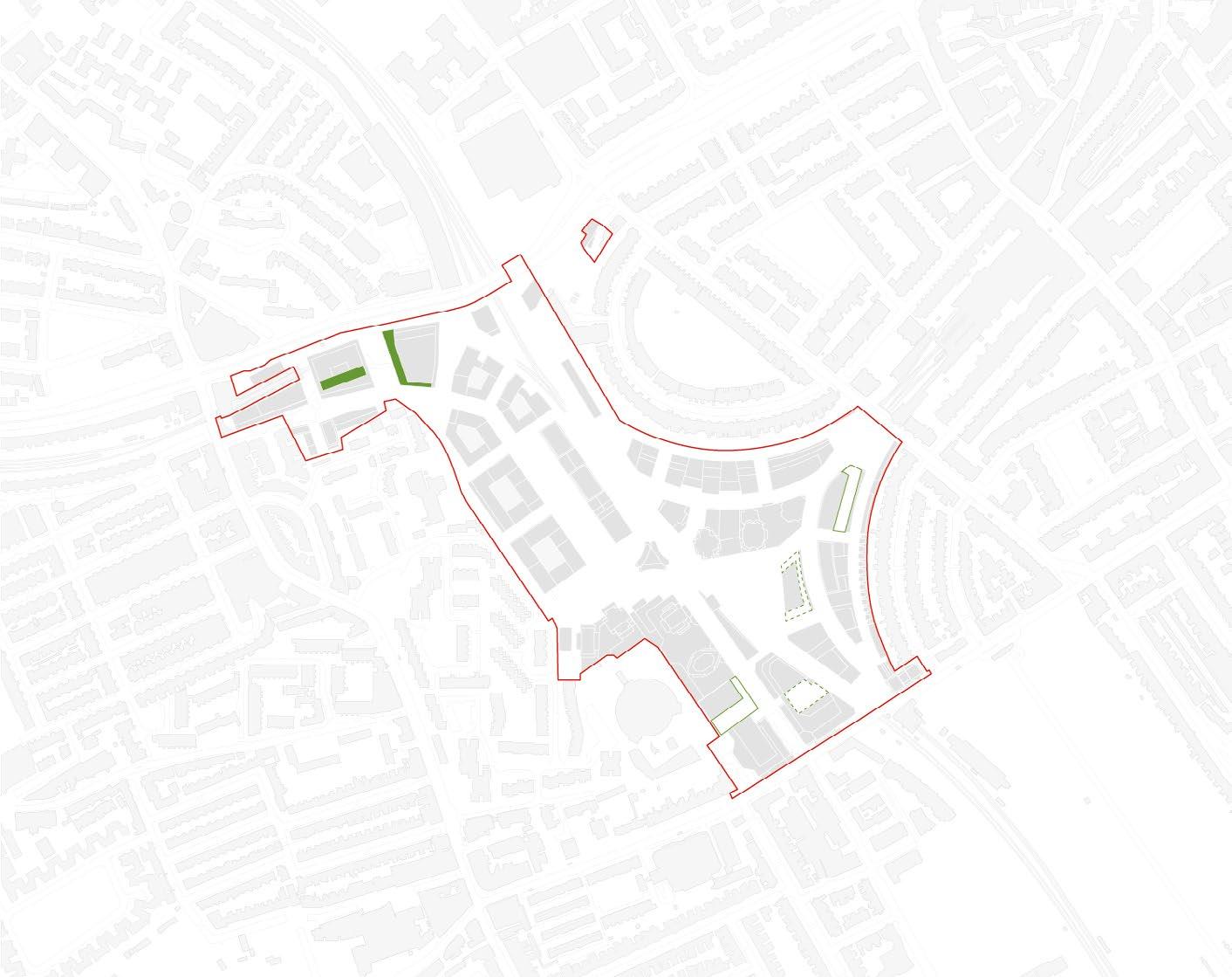
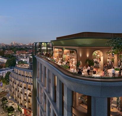
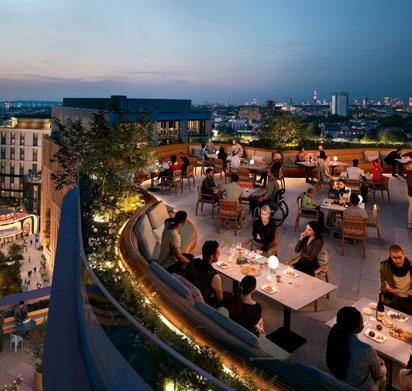
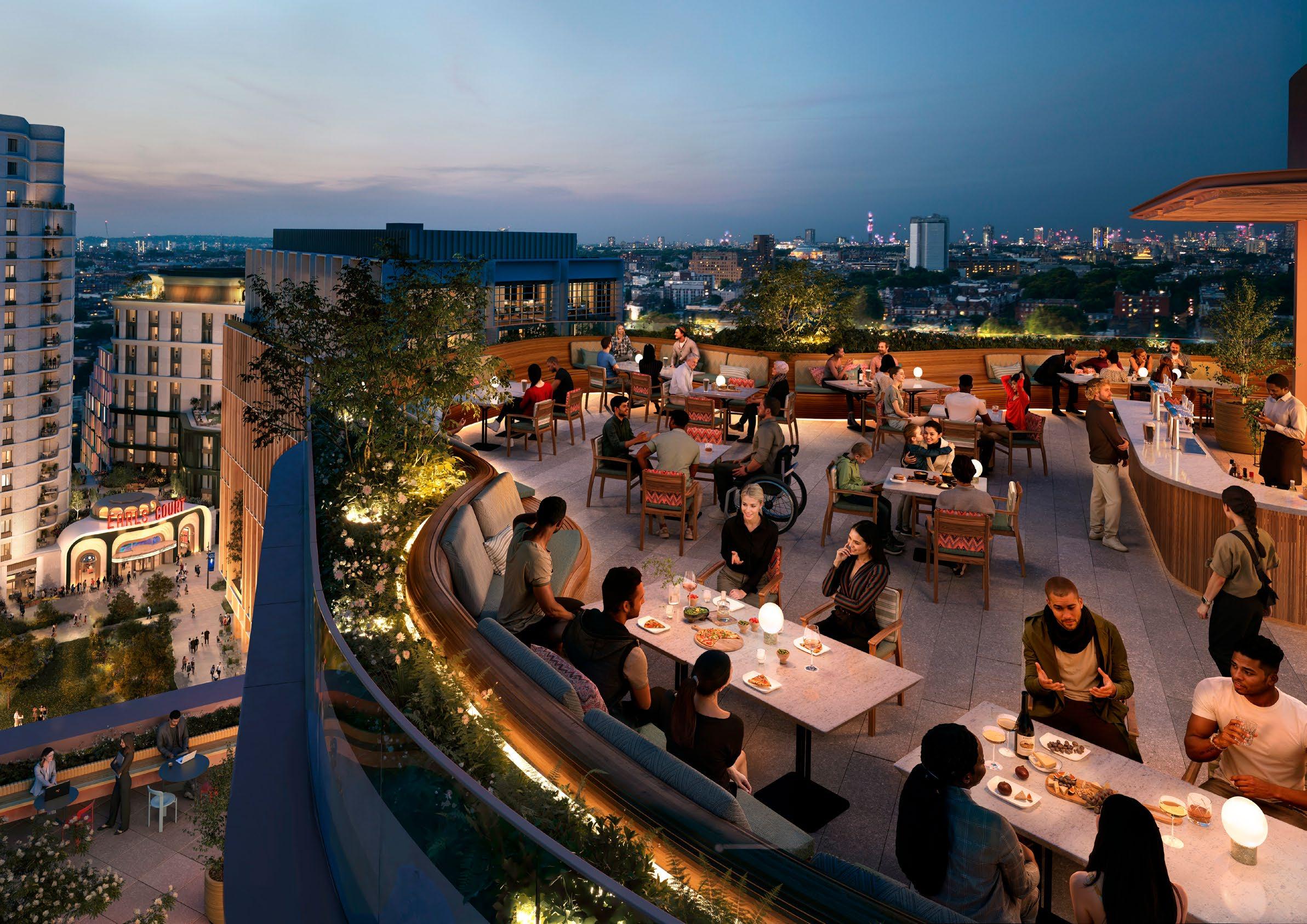
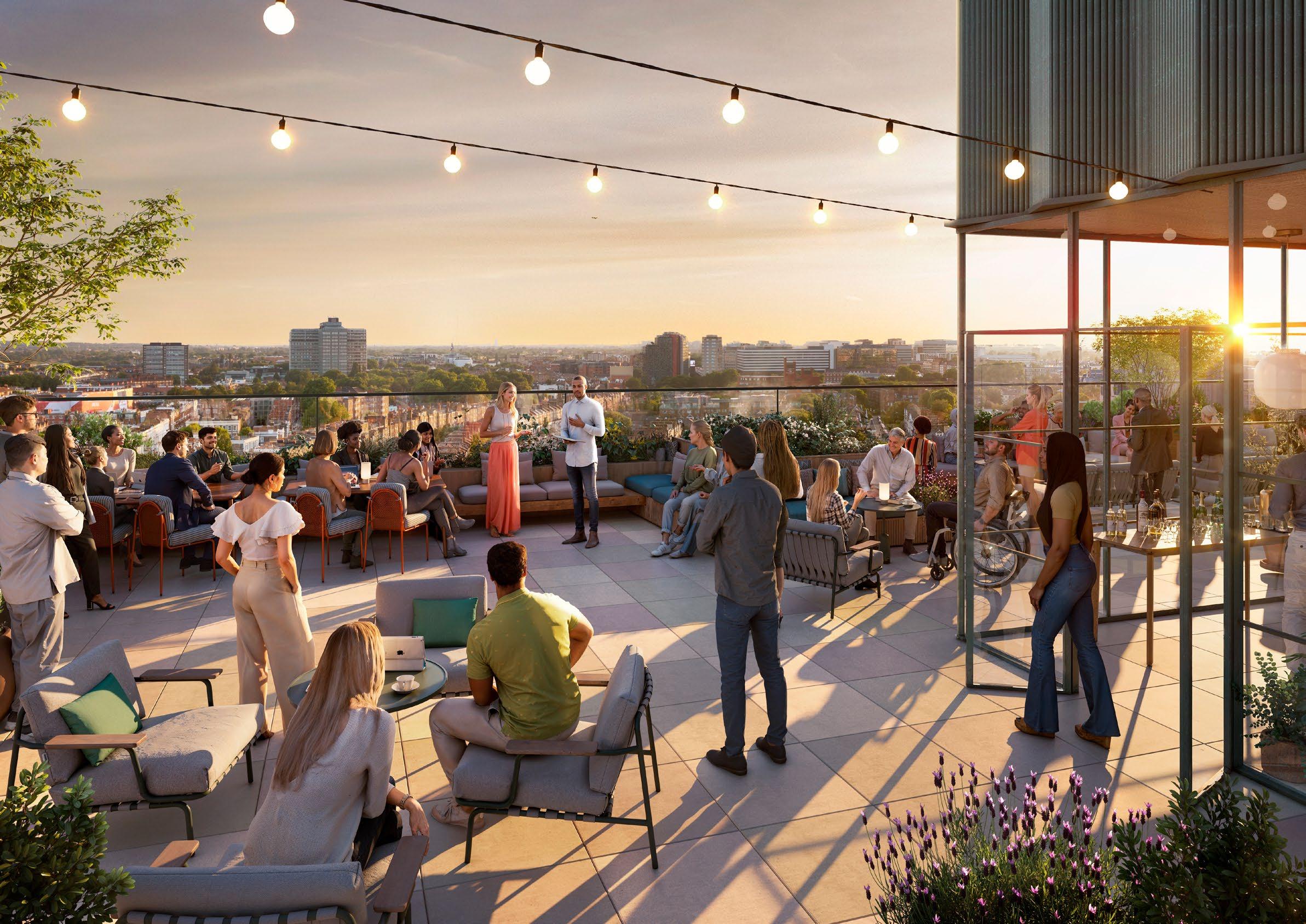
The play strategy diagram on this page has been updated to reflect updates to the Illustrative Masterplan and Detailed Components. Play space requirements are still maintained, but have been re-arranged to avoid overlapping with planted space.
• Play spaces within Table Park and Aisgill Gardens have been re-arranged to minimise overlap between areas included in play calculations and planted areas included in UGF calculations.
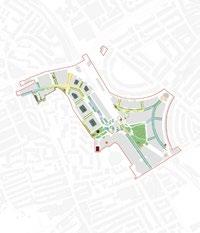


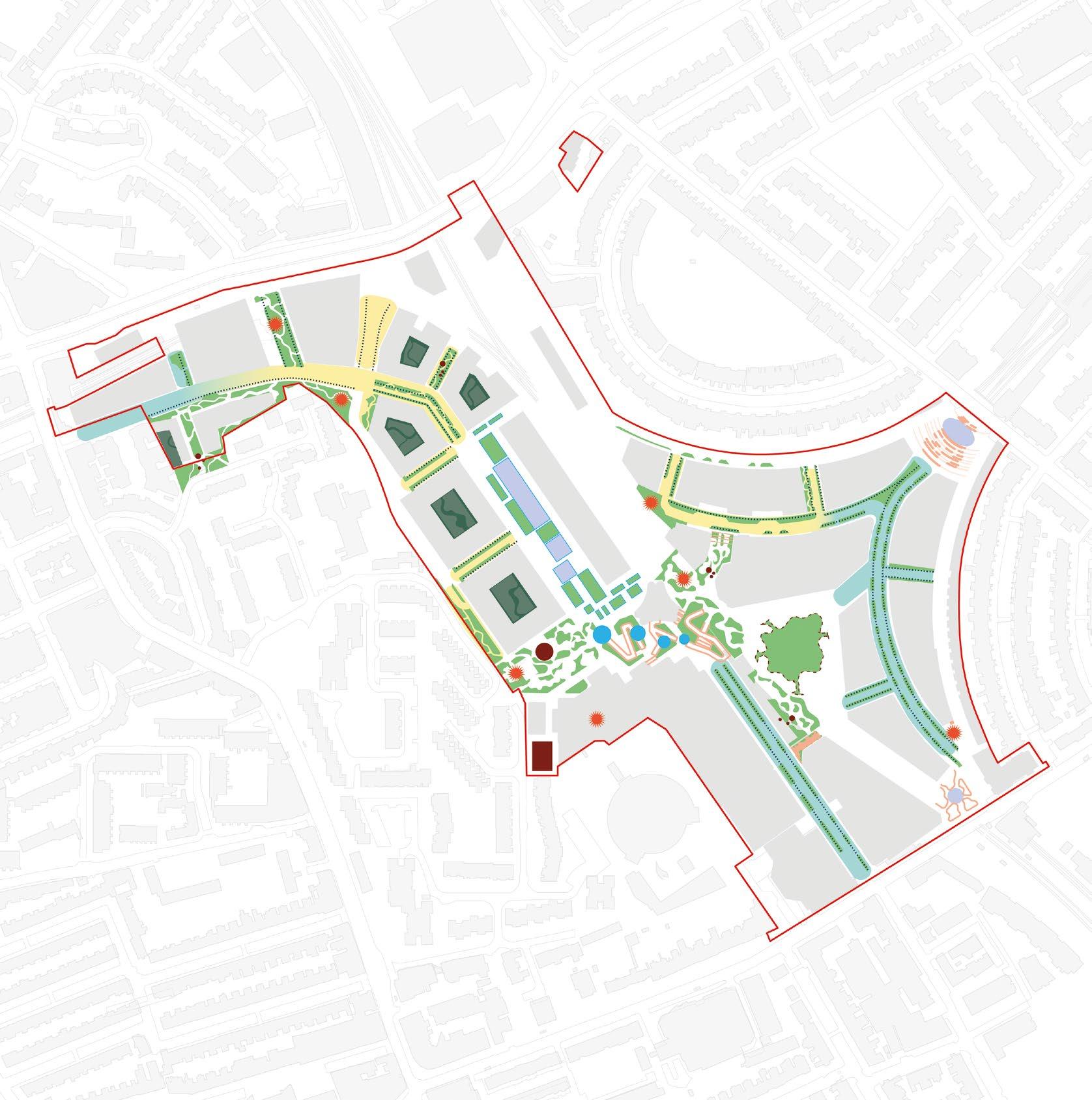
Following feedback on the allocation of play space and planted areas, the following additional information is provided.
• Play space areas have been shown in relation to the illustrative landscape design, rather than as more general zones.
• Plant bed arrangements have been altered to minimise overlap between play space and planting that informs UGF and BNG calculations. At detail design stage it is envisaged that the balance of play space and planting would be explored in more detail, to ensure the nature based principles of the landscape vision are maintained.
• Play space allocation for LBHF and RBKC has been kept within respective borough boundaries.
• Additional play space has been located on plot rather than within the public realm. This only applies to Outline Component as shown on adjacent plan.
• UGF and BNG scores are maintained.
The adjacent plan shows play space locations for Detailed Component (including age categories) and Outline Component. It is not possible to provide a breakdown of play for each plot within the Outline Component, as the individual residential mix requires detailed development.


Flower-rich perennial planting
Semi-natural vegetation - scrub habitat
Semi-natural vegetation
Amenity lawn
Species rich accessible lawn
Play for 0-5 year olds Detail Component
Play for 5-11 year olds Detail Component
Play for 11-17 year olds Detail Component
Play for EC06 nursery
Play for Outline Component
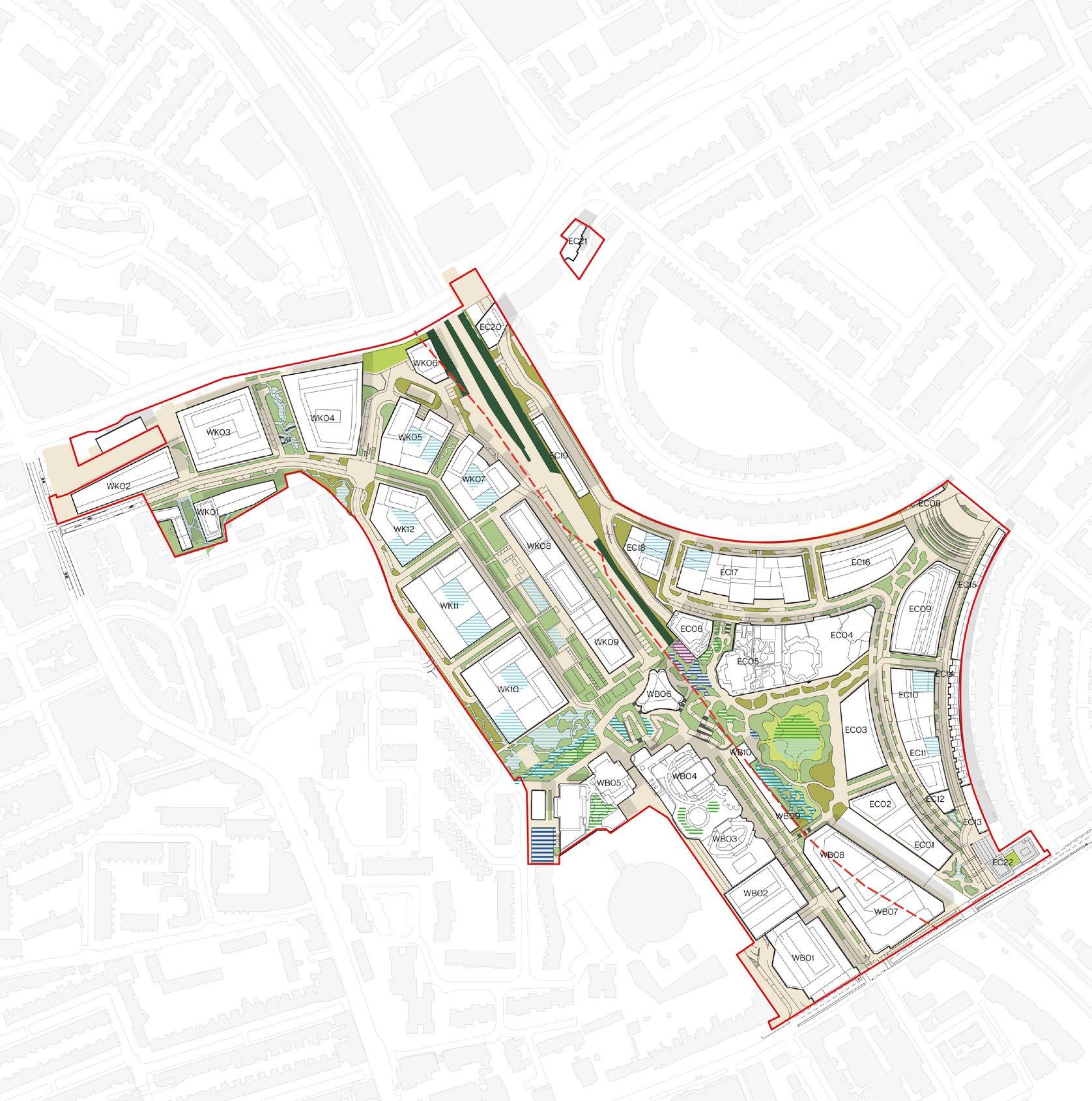
Note:
‘RBKC/ LBHF Public Realm - Detail’ refers to play space associated with the Detail Component which is located within the public realm. The design of these spaces will be developed through Reserved Matters Applications for the landscape design.
‘RBKC/ LBHF On Plot - Detail’ refers to play space associated with the Detail Component which is located within the Detail Component planning boundary. The design of these spaces is captured in the relevant detail planning applications.
Play space for the RBKC Detailed Component has been arranged to ensure it is inside the borough boundary, within distances required under the London Plan, and has limited overlap with planted areas.
The following approach has been taken when considering play locations:
• Play for 0-5 years is located on plot, between EC05 and EC04, and within the lawn area of the Table Park. These are all within the 100m accessibility range required by London Plan play standards.
• Play for 5-11 years is located in the south eastern corner of the Table Park, within an area of woodland play.
• Play for 11-17 years is located to the north of the Table Park in an area of equipped play.
• Dedicated and segregated play space for a nursery at the base of EC06 is located to the north of the Table Park, adjacent to the nursery.
At detail design stage it is envisaged that the balance of play space and planting would be explored in more detail, to ensure the nature based principles of the landscape vision are maintained.

Table illustrating play requirement for RBKC Detailed Components, including age category breakdown and clarification of location in public realm or on plot
Note:
‘RBKC/ LBHF Public Realm - Detail’ refers to play space associated with the Detail Component which is located within the public realm. The design of these spaces will be developed through Reserved Matters Applications for the landscape design.
‘RBKC/ LBHF On Plot - Detail’ refers to play space associated with the Detail Component which is located within the Detail Component planning boundary. The design of these spaces is captured in the relevant detail planning applications.
Flower-rich perennial planting
Semi-natural vegetation - scrub habitat
Semi-natural vegetation
Amenity lawn
Species rich accessible lawn


Play for 0-5 year olds Detail Component
Play for 5-11 year olds Detail Component
Play for 11-17 year olds Detail Component
Play for EC06 nursery
Play space for LBHF Detailed Components has been arranged to ensure it is inside the borough boundary, within required accessibility distances and has limited overlap with planted areas.
The following approach has been taken when considering play locations:
• Play for 0-5 years is located on plot and within Aisgill Gardens. These are all within the 100m accessibility range required by London Plan play standards.
• Play for 5-11 years is located in the Cascades and Aisgill Gardens.
• Play for 11-17 years is located within the reconfigured Multi Use Games Area. The Multi Use Games Area is reliant on discussions and agreement with third parties.
At detail design stage it is envisaged that the balance of play space and planting would be explored in more detail, to ensure the nature based principles of the landscape vision are maintained.
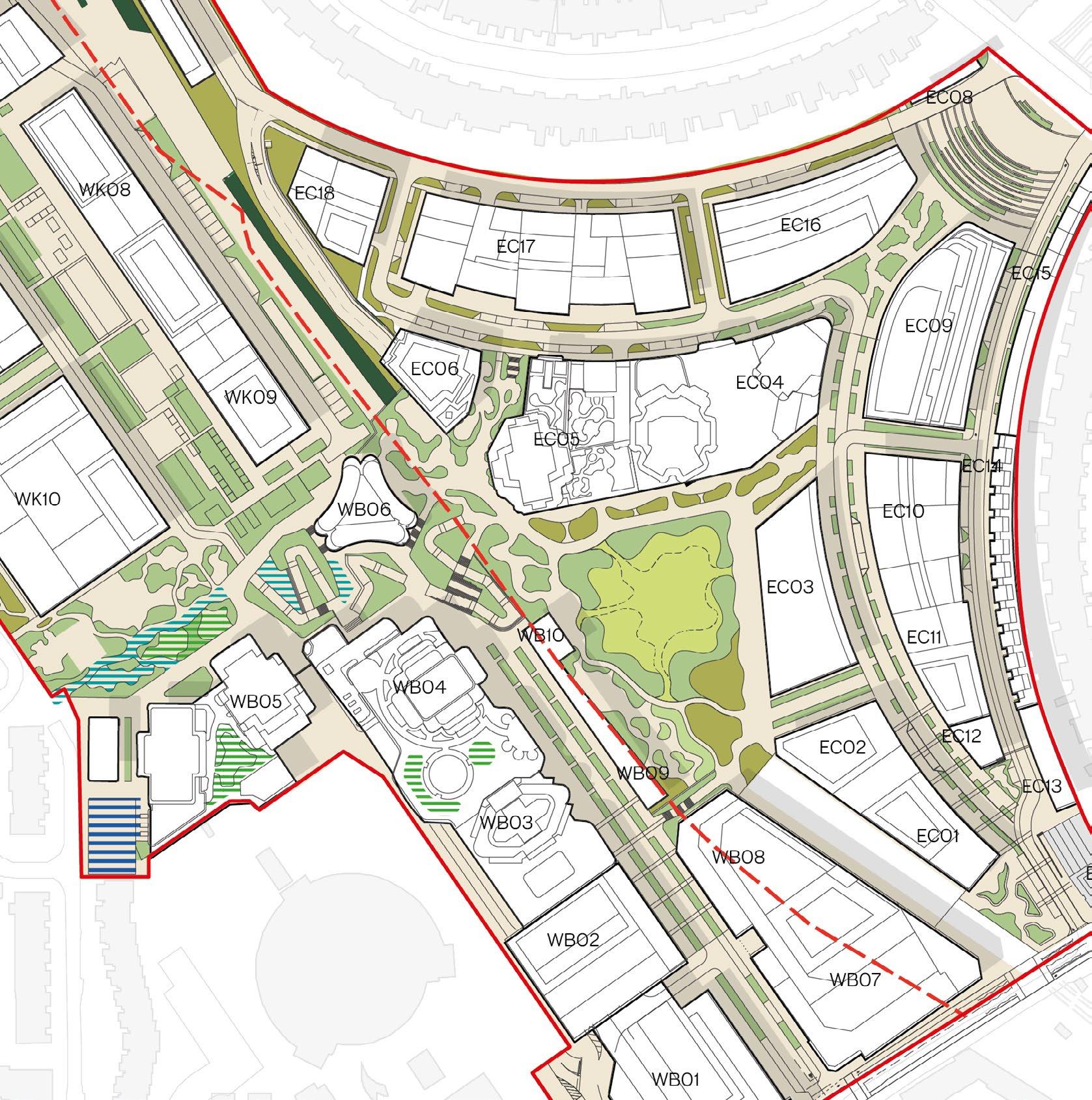
Note:
‘RBKC/ LBHF Public Realm - Detail’ refers to play space associated with the Detail Component which is located within the public realm. The design of these spaces will be developed through Reserved Matters Applications for the landscape design.
‘RBKC/ LBHF On Plot - Detail’ refers to play space associated with the Detail Component which is located within the Detail Component planning boundary. The design of these spaces is captured in the relevant detail planning applications.
Flower-rich perennial planting
Semi-natural vegetation - scrub habitat
Semi-natural vegetation


Play for 0-5 year olds Detail Component
Play for 5-11 year olds Detail Component
Play for 11-17 year olds Detail Component


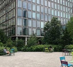
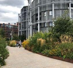
The illustrative design has been updated to allow planted areas within the public realm to be separated from play spaces or other programmatic uses if required, ensuring the biodiversity of habitats can be maximised and protected.
The following approach has been taken for planted areas within the public realm:
• A mixture of scrub habitat, flower-rich perennial planting, and semi-natural vegetation is located within the public realm.
• Areas of planting will be managed appropriately to prevent people entering these areas. The method of management will depend on habitat requirements.
• The adjacent images illustrate methods of preventing access to plant beds, including:
1. Use of raised edges and street furniture
2. Use of low knee rails
3. Temporary chestnut fencing during establishment period.
4. Use of scrub habitats
5. Protection at sensitive corners near main footpaths.
6. Planting area with high levels of density and robust species selection.
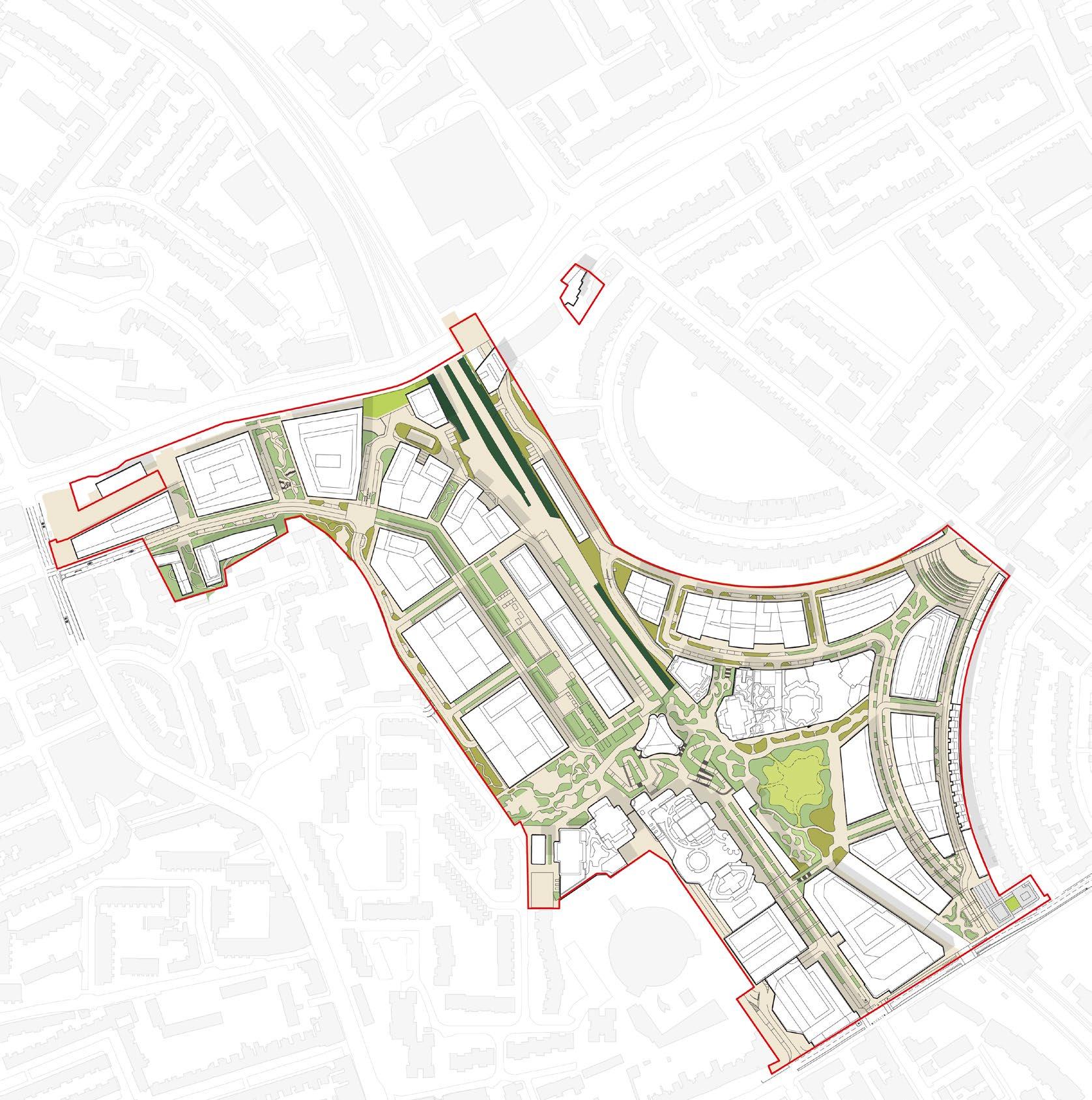
Flower-rich perennial planting
Semi-natural vegetation
Amenity grassland lawn
Scrub planting
Permeable paving
Diagram showing planting areas that do not overlap with play space or other programmed uses
The play strategy diagram on this page has been updated to reflect updates to the Illustrative Masterplan and Detailed Components. Play space requirements are still maintained, but have been re-arranged to avoid overlapping with planted space.
• Play spaces with Table Park and Aisgill Gardens has been re-arranged to minimise overlap between areas included in play calculations and planted areas included in UGF calculations.
• The adjacent zonal diagrams for minimum, maximum and illustrative play scenarios have been updated to reflect the changes described above.
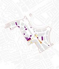


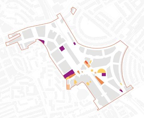
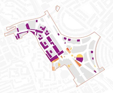
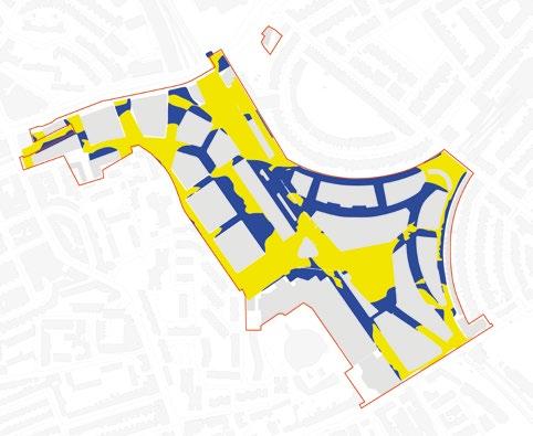
Following further engagement with RBKC and LBHF, the Cycle Network diagram has been updated with the following changes:
• The local cycle route improvement along Warwick Road is no longer indicated and potential north-south connections are now identified within the Site.
Note: The diagram opposite focuses on the cycle network within the redline boundary. Please refer to the transport assessment for further information on the wider cycle network.
Key:
Cyclists share access roads with vehicles
Cyclists on shared or demarcated cycle route
(to be confirmed at detailed design stage)
Cyclists on pedestrian-priority public realm
Indicative lift positions
Mobility hubs
Main Road Local Cycle Routes
Recognised Local Cycle Routes
Other main local roads
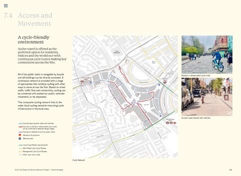
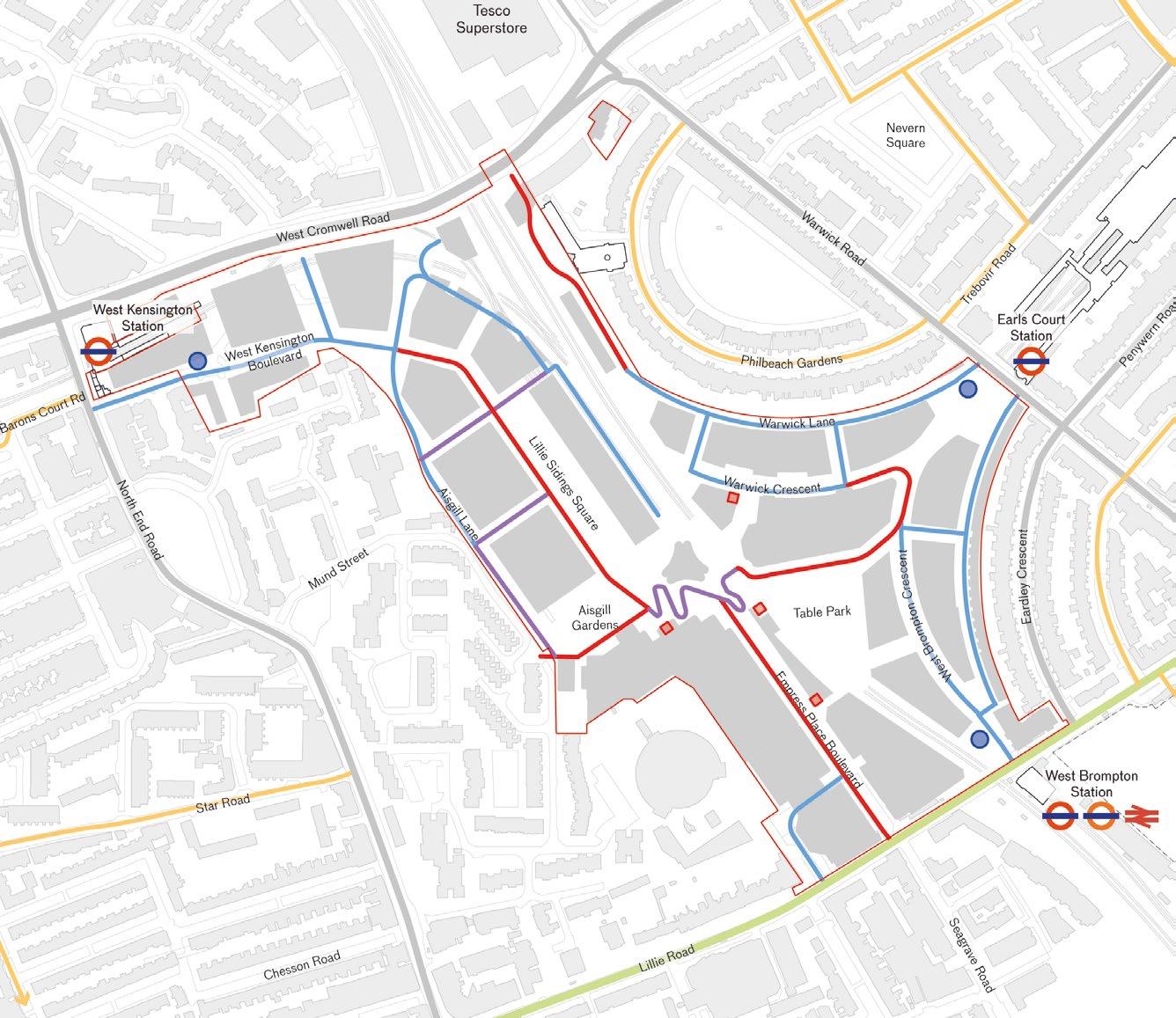
Following further engagement with RBKC, the Deliveries and Servicing diagram has been updated as outlined below:
• St Cuthberts Lane is shown as a route used by all vehicles to clarify the street hierarchy distinguishing Warwick Lane and St Cuthbert’s Lane from the access route into the undercroft below the Table Park.
Key:
Route used by all vehicles
Routes used by all vehicles beyond access control point
Routes used by all vehicles beyond access control point within undercroft
Access control point
Vehicle access for out of hours servicing
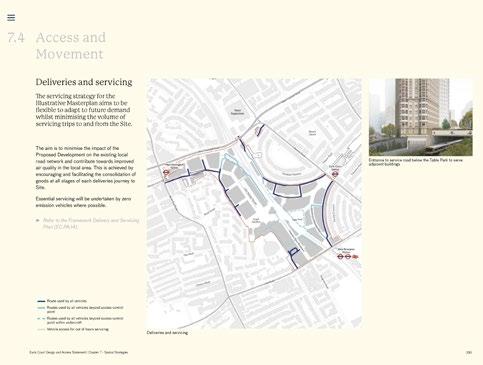
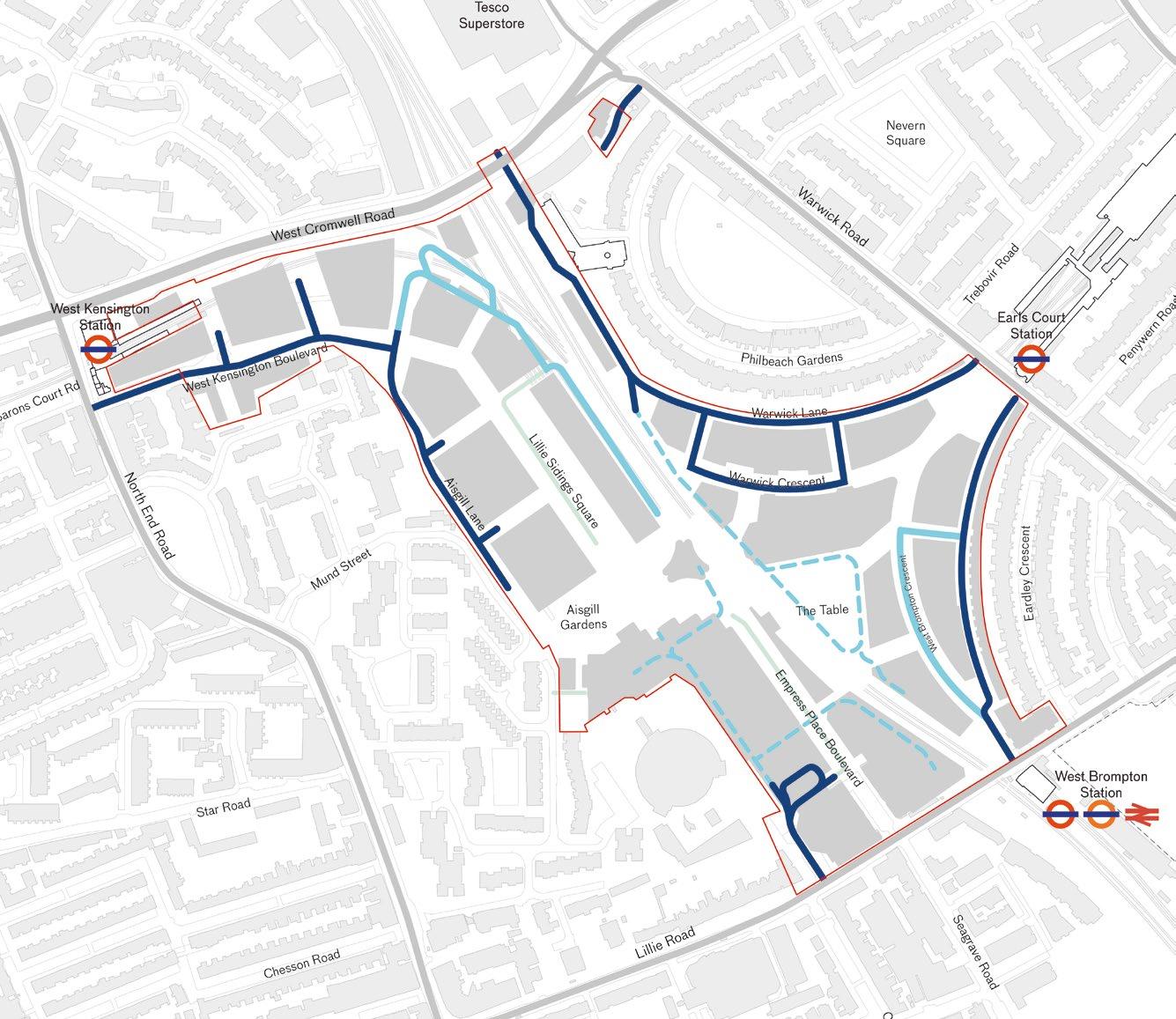
Vehicle access through Aisgill Gardens/ Mund Street limited to emergency vehicles
St Cuthbert’s Lane is shown as a route used by all vehicles to clarify the street hierarchy
Further to feedback from the Local Authorities, the opportunities for drop-off have been clarified in updates to the wording in the following bullet points.
Wording to these paragraphs has been updated
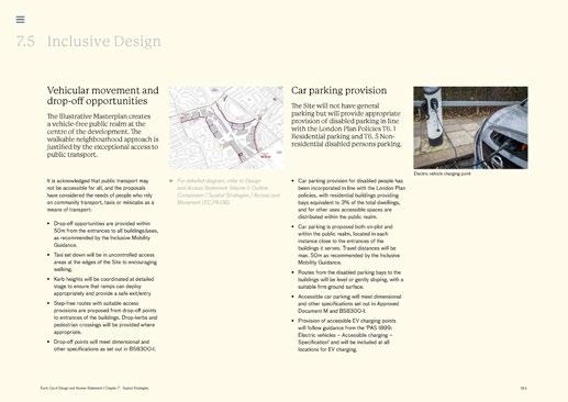
Original wording:
Vehicular movement and drop-off opportunities
• Drop-off opportunities are provided within 50m from the entrances to all buildings/uses, as recommended by the Inclusive Mobility Guidance.
• Taxi set down will be in uncontrolled access areas at the edges of the Site to encouraging walking.
Updated wording:
Vehicular movement and drop-off opportunities
• Drop-off opportunities are provided as close as possible and targeting 50m from the entrances to all buildings/uses, as recommended by the Inclusive Mobility Guidance.
• Taxi set down is encouraged in dedicated areas with onward travel via pedestrian routes. Where necessary, access for taxis through controlled areas will be provided.
Car parking provision
• Car parking is proposed both on-plot and within the public realm, located in each instance close to the entrances of the buildings it serves. Travel distances will be max. 50m as recommended by the Inclusive Mobility Guidance.
Car parking provision
• Car parking is proposed both on-plot and within the public realm, located in each instance close to the entrances of the buildings it serves. Travel distances will be minimised and where possible less than 50m.
The diagram on this page has been updated to align with the Integrated Water Management Strategy and includes the following changes:
• Attenuation Tanks shown along Warwick Crescent and Warwick Lane.
• Attenuation Tanks shown along West Brompton Lane in place of Rainwater Harvesting.
• Distinguishing between the Cascades Landscape Feature and the Podium Level Attenuation.
Key:
Attenuation Tanks
Podium Level Attenuation
Cascades Rainwater Tanks
Infiltration Tanks
Additional Rainwater Harvesting Tanks
The Cascades landscape feature

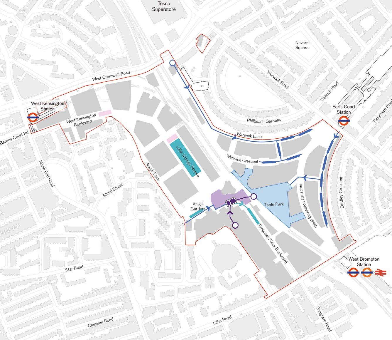
The Cascades Landscape Feature is distinguished from the Podium Level Attenuation
Attenuation Tanks added to diagram
Attenuation Tanks added to diagram
Within this section, indicative layouts provide a high-level validation of general working assumptions to establish likely development capacity, benchmarked against Detailed Component delivery and other current precedent projects. This capacity will be subject to further detailed development and consideration at the RMA stage, reflecting policy obligations at the time of submission.
At this stage, the Illustrative Masterplan approach provides an indicative capacity that incorporates a preliminary assessment including:
• Residential assumptions – based on an indicative mix and current local policy principles and London Planning guidance regarding layout, access, and orientation
• Efficiency assumptions – reflecting current policy considerations including environmental performance and fire strategy implications.
• Servicing requirements – indicative assumptions of plant, back-of-house (BOH), and ancillary spatial needs corresponding to the notional occupancy, residential yield, and current policy requirements.
The following pages within this section of the DAS Addendum summarise the illustrative floorspace capacity of the proposed massing, supported by indicative Ground Floor and Typical Floor plans. The resulting indicative plot capacity is used to inform floorspace figures within the Development Specification. This establishes minimum and maximum floorspace figures across the range of permitted uses within each Development Zone, as well as sitewide totals (with associated floorspace caps), while allowing a degree of tolerance and flexibility for future detailed design development.
Each page provides the following information:
• Indicative floorspace of the plot – expressed as a range of homes or Gross External Area (GEA) in square metres, derived from the block massing of the illustrative plot configuration.
• Proposed outline massing – in conformity with the maximum parameter envelope, showing illustrative design articulation developed during plot testing.
• Indicative layouts – providing indicative configurations of ground and typical accommodation within the illustrative massing to support the working assumptions of plot capacity.
Numerical range of area/ homes achieved in the plot capacity testing
Axonometric showing an indicative massing conforming with the maximum parameter envelope
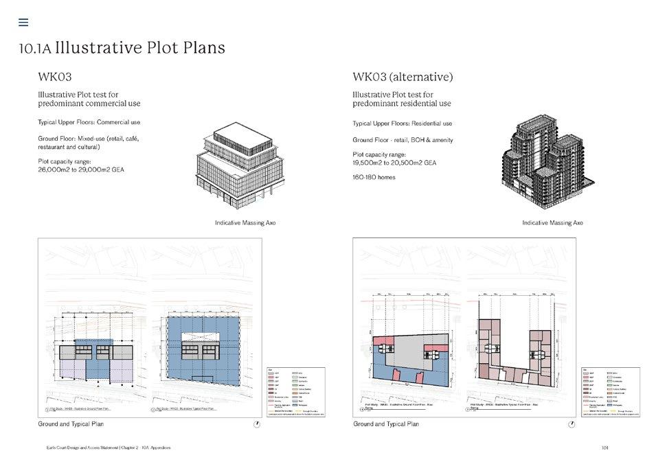
Typical Ground and Upper Floor arrangement showing indicative location of cores and entrances
Indicative residential layout showing a blended mix of homes
EC01 & EC02
Illustrative Plot test for predominant Residential use
Typical Upper FloorsResidential
Ground Floor - Mixed-use (Retail / F+B / Flexible Commercial; Cultural;
EC01 & EC02 (alternative)
Illustrative Plot test for predominant Commercial use
Typical Upper Floors - Office / Research and Development
Ground Floor - Mixed-use (Retail / F+B / Flexible


EC03
Illustrative Plot test for predominant Commercial use
Typical Upper Floors - Office/ Commercial
Ground Floor - Mixed-use (Retail / F+B / Flexible Commercial)
Illustrative Plot test for predominant Residential use
Typical Upper FloorsResidential
Ground Floor - Mixed-use (Retail / F+B / Flexible Commercial; Residential)



Illustrative Plot test for predominant Residential use
Typical Upper FloorsResidential (T1), Later Living Residential (T2)
-
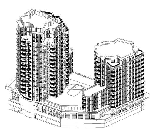
Illustrative Plot test for predominant Hotel and Later Living Residential use
Typical Upper Floors - Hotel (T1), Later Living Residential (T2)
Ground Floor - Mixed-use (Hotel,

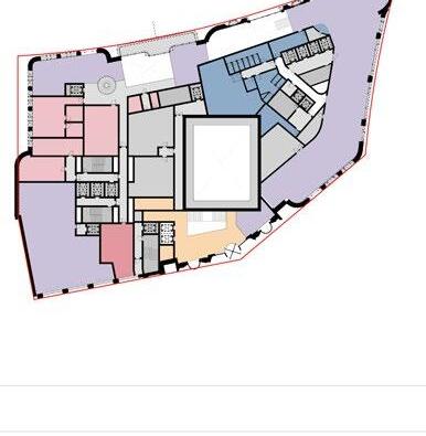

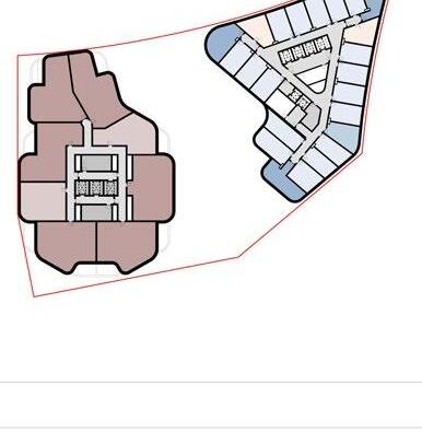


Illustrative Plot test for predominant Commercial use
Typical Upper Floors - Office
Ground Floor - Mixed-use (Retail / F+B)
Plot capacity range:
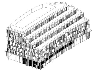
Illustrative Plot test for predominant Residential use
Typical Upper FloorsResidential
Ground Floor - Mixed-use (Retail / F+B; Residential)
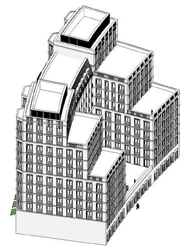


Illustrative Plot test for predominant Commercial use
Typical Upper Floors - Office / Research and Development
Ground Floor - Mixed-use (Retail / F+B / Flexible Commercial; Cultural)

Illustrative Plot test for predominant Residential use
Typical Upper FloorsResidential
Ground Floor - Mixeduse (Retail, F&B, Flexible Commercial and Residential)


Illustrative Plot test for predominant Residential use
Typical Upper FloorsResidential
Ground Floor - Residential; Flexible Commercial
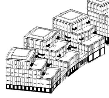
Illustrative Plot test for predominant Residential use
Typical Upper FloorsResidential
Ground Floor - Residential; Flexible Commercial
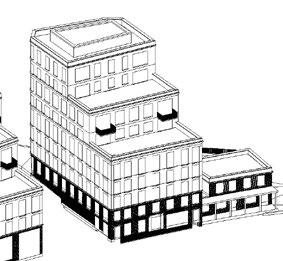


Illustrative Plot test for predominant Residential use
Typical Upper FloorsResidential
Ground Floor - Residential
Plot capacity range:
Illustrative Plot test for predominant Commercial use
Typical Upper FloorsCommercial/Research and Development
Ground Floor - Commercial &


Illustrative Plot test for predominant Commercial use
Typical Upper FloorsCommercial/Research and Development
Ground Floor - Commercial/ Research and Development Plans and Areas
Illustrative Plot test for predominant Residential use
Typical Upper FloorsResidential
Ground Floor - Residential and Community Plans and Areas


WB01
Illustrative Plot test for predominant Commercial use
Typical Upper Floors - Office / Research and Development
Ground Floor - Mixed-use
(Retail / F+B / Flexible
Illustrative Plot test for predominant Hotel use
Typical Upper Floors - Hotel
Ground Floor - Mixed-use (Retail / F+B / Flexible Commercial; Hotel)


Illustrative Plot test for predominant Commercial use
Typical Upper Floors - Office / Research and Development
Ground Floor - Mixed-use (Retail / F+B / Flexible Commercial; Cultural)
Illustrative Plot test for predominant Residential use
Typical Upper FloorsResidential
Ground Floor - Mixed-use (Retail / F+B / Flexible Commercial; Cultural)


Illustrative Plot test for predominant Commercial use
Typical Upper Floors - Office / Research and Development
Ground Floor - Mixed-use (Retail / F+B / Flexible Commercial; Cultural)
Illustrative Plot test for predominant Commercial use
Typical Upper Floors - Office / Research and Development
Ground Floor - Mixed-use (Retail / F+B / Flexible Commercial; Cultural)


Illustrative Plot section
Typical Upper Floors - Office / Research and Development
Ground Floor - Mixed-use (Retail / F+B / Flexible Commercial; Cultural)


WK01
Illustrative Plot test for predominant Residential use
Typical Upper FloorsResidential
Ground Floor - Residential Plot capacity range:
WK01
WK02
Illustrative Plot test for predominant Commercial use
Typical Upper Floors - Office / Research and Development
Ground Floor - Mixed-use (Retail / F+B / Flexible Commercial; Cultural)


Illustrative Plot test for predominant Commercial use
Typical Upper Floors - Office / Research and Development
Ground Floor - Mixed-use (Retail / F+B / Flexible Commercial; Cultural)
Illustrative Proposals
Illustrative Plot test for predominant Residential
Typical Upper FloorsResidential
Ground Floor - Retail / F+B / Flexible Commercial; Cultural
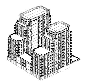


Illustrative Plot test for predominant Commercial use
Typical Upper FloorsCommercial use
Ground Floor - Mixed-use (Retail, Café, Restaurant and Cultural)
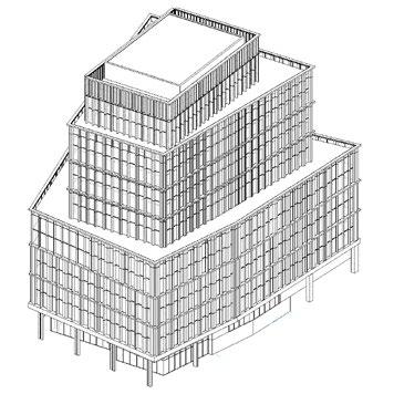
Illustrative Plot test for predominant Residential use
Typical Upper FloorsResidential use
Ground Floor - Retail, BOH & Amenity
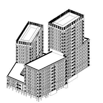


WK05
Illustrative Plot test for predominant residential use
Typical Upper FloorsResidential
Ground Floor - Mixed-use (Retail / F+B / Flexible Commercial; Residential)

Illustrative Plot test for predominant residential use
Typical Upper FloorsResidential
Ground Floor - Mixed-use (Retail / F+B / Flexible Commercial; Residential)
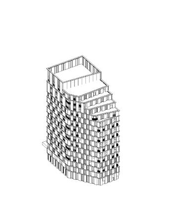


WK08&WK09
Illustrative Plot test for predominant Residential use
Typical Upper FloorsResidential
Ground Floor - Mixed-use (Retail, Café, Restaurant and Cultural)
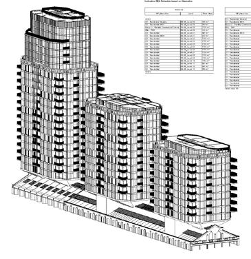
WK10
Illustrative Plot test for predominant Residential use
Typical Upper FloorsResidential
Ground Floor - Mixed-use (Retail, Café, Restaurant and Cultural)
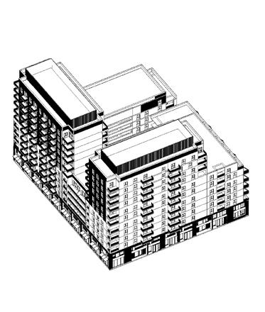


Illustrative Plot test for predominant Residential use
Typical Upper Floors: Residential
Ground Floor: Mixed-use (Retail / F+B / Flexible Commercial; Cultural; Residential)
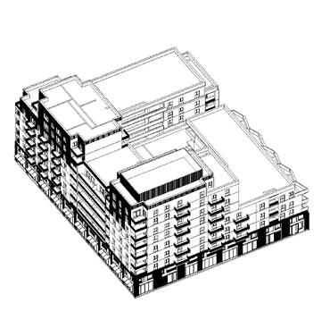
Illustrative Plot test for predominant Residential use
Typical Upper FloorsResidential
Ground Floor - Mixed-use (Retail, Café, Restaurant and Cultural)
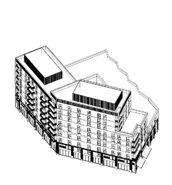


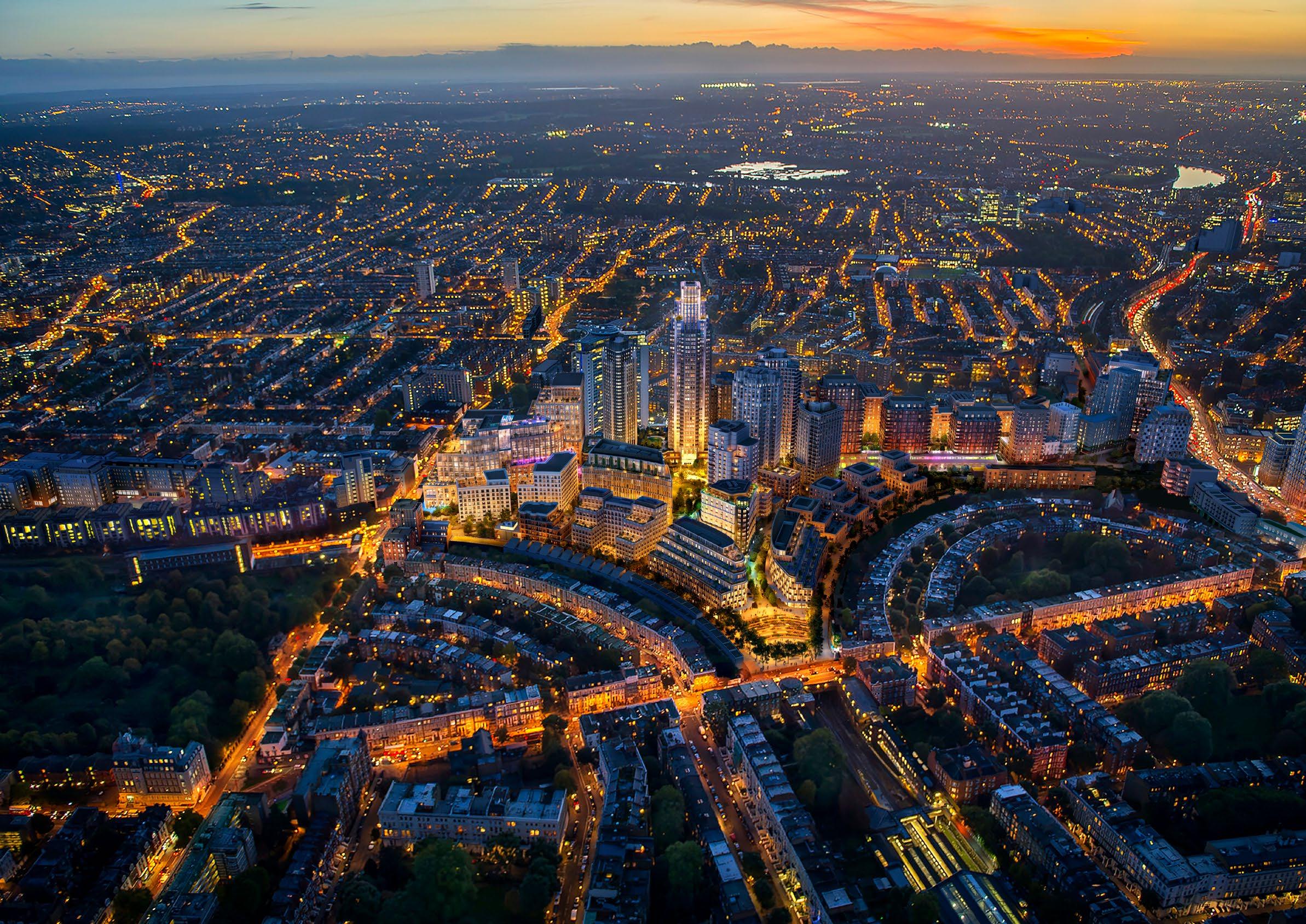
Illustrative Masterplan indicative quantum (approx.):
• Residential 5,700sqm
• Retail 600sqm
• No. homes 50
• Total 6,300sqm
Development Specification (Table 5) permitted maximum floorspace capacity per land use and Development Zone maximum cap:
Development Specification (Table 4) permitted Predominant Use and Other Uses and maximum floorspace capacity:
3d key and Development Zone diagram:
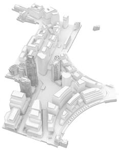

B2 (WB07, part; WB08, part; WB09, part, WB10, part) 27,000 RBKC Predominant Use:

(EC13, EC14, EC15)
Illustrative Masterplan indicative quantum (approx.):
• Office 23,750sqm
• Retail 2,000sqm
• Culture 2,000sqm
• Ancillary 250sqm
• No. homes 0
• Total 28,000sqm
Development Specification (Table 5) permitted maximum floorspace capacity per land use and Development Zone maximum cap:
(WB07, part; WB08, part; WB09, part, WB10, part)
3d key and Development Zone diagram:


Illustrative Masterplan indicative quantum (approx.):
• Office 21,250sqm
• Retail 1,750sqm
• Culture 1,750sqm
• Ancillary 250sqm
• No. homes 0
• Total 25,000sqm
Development Specification (Table 5) permitted maximum floorspace capacity per land use and Development Zone maximum cap:
3d key and Development Zone diagram:

Predominant

B1 (WB07, part; WB08, part; WB09, part, WB10, part)

B2 (WB07, part; WB08, part; WB09, part, WB10, part)
Illustrative Masterplan indicative quantum (approx.):
• Office 42,500sqm
• Retail 1,700sqm
• Ancillary 300sqm
• No. homes 0
• Total 44,500sqm
Development Specification (Table 5) permitted maximum floorspace capacity per land use and Development Zone maximum cap: Development Specification xx
(WB07, part; WB08, part; WB09, part, WB10, part) 30,000 LBHF
B2 (WB07, part; WB08, part; WB09, part, WB10, part) 27,000 RBKC
Predominant Use:
and Research and Development (Use Class E(g)) Other Uses:
Retail F&B / Commercial Culture (Use Classes E(a)/(b)/(c) F / Sui Generis),
Predominant Use: Office
3d key and Development Zone diagram:

Table 5: Hybrid Applications Floorspace and Land Use Table
Parameter Plans - Development Zones with predominant / other uses keyed to Development Specification permitted range of uses


B2 (WB07, part; WB08, part; WB09, part, WB10, part) 27,000 RBKC
Illustrative Masterplan indicative quantum (approx.):
• Residential 2,000sqm
• Office 1,200sqm
• Retail 800sqm
• No. homes 19
• Total 4,000sqm
3d key and Development Zone diagram:

Predominant Use:
Office and Research and Development (Use Class E(g))
Other Uses:
Flexible Retail F&B Commercial Culture (Use Classes E(a)/(b)/(c)
Development Specification (Table 5) permitted maximum floorspace capacity per land use and Development Zone maximum cap:


Illustrative Masterplan indicative quantum (approx.):
• Residential 18,000sqm
• Office 16,000sqm
• Retail 2,400sqm
• Ancillary 600sqm
• No. homes 135
• Total 37,000sqm
3d key and Development Zone diagram:

Development Specification (Table 5) permitted maximum floorspace capacity per land use and Development Zone maximum cap:

Development Specification (Table 4) permitted Predominant Use and Other Uses and maximum floorspace capacity:

Illustrative Masterplan indicative quantum (approx.):
• Residential 19,000sqm
• Office 22,400sqm
• Retail 2,400sqm
• Leisure 600sqm
• Ancillary 1,600sqm
• No. homes 150
• Total 46,000sqm
Development Specification (Table 5) permitted maximum floorspace capacity per land use and Development Zone maximum cap:
Development Specification (Table 4) permitted Predominant Use and Other Uses and maximum floorspace capacity:
/ F Sui Generis), Ancillary (Sui Generis)
3d key and Development Zone diagram:

(EC01, EC02, EC03) 50,000

Predominant Use(s): Residential (Use Class C3), Office and Research and Development (Use Class E(g)), Older Persons Housing (Use Class C2), Education (Use Class F1(a)) or a mix of these uses Other Uses:
Retail F&B / Commercial / Culture (Use Classes E(a)/(b)/(c) / F Sui Generis), Leisure (Use

Predominant Use(s):
Retail F&B / Commercial / Culture (Use Classes E(a)/(b)/(c) F Sui Generis), Ancillary Buildings and Structures (Sui Generis) or a mix of these uses
Predominant Use: Purpose Built Student Accommodation
H (WB03) 31,491 LBHF
Illustrative Masterplan indicative quantum (approx.):
• No stated area.
3d key and Development Zone diagram:

Development Specification (Table 5) permitted maximum floorspace capacity per land use and Development Zone maximum cap:
Development Specification (Table 4) permitted Predominant Use and Other Uses and maximum floorspace capacity:


Predominant Use(s):
(EC09, EC10, EC11, EC12) 40,000
(Use Class C3), Office and Research and Development (Use Class E(g)) or a mix of these uses Other Uses: Flexible Retail / F&B / Commercial / Culture (Use Classes E(a)/(b)/(c) / F Sui Generis), Ancillary (Sui Generis)
Predominant Use(s): Residential (Use Class C3), Office and Research and Development (Use Class E(g)), Older Persons Housing (Use Class C2), Education (Use Class F1(a)) or a mix of these uses
Illustrative Masterplan indicative quantum (approx.):
• No stated area.
Development Specification (Table 5) permitted maximum floorspace capacity per land use and Development Zone maximum cap:
(EC01, EC02, EC03)
G1 (WB11, part) 200 LBHF
G2 (WB11, part)
Other Uses: Flexible Retail F&B / Commercial / Culture (Use Classes E(a)/(b)/(c) / F Sui Generis), Leisure (Use Class E(d) Sui Generis), Community / Social Infrastructure (Use Class F/E(g)), Ancillary (Sui Generis)
Predominant Use(s): Flexible Retail F&B / Commercial / Culture (Use Classes E(a)/(b)/(c) F Sui Generis), Ancillary Buildings and Structures (Sui Generis) or a mix of these uses
Predominant Use(s): Flexible
3d key and Development Zone diagram:

uses)

uses (in addition to predominant uses)

Other uses permitted on Ground Level also permitted at Upper Levels (within the floorspace capacity as defined by the Development Specification).
Illustrative Land Use Plan - Ground Level
Illustrative Masterplan indicative quantum (approx.):
• Community 255sqm
• No. homes 0
• Total 255sqm Development Specification (Table 5) permitted maximum floorspace capacity per land use and Development Zone maximum cap:
Development Specification (Table 4) permitted Predominant Use and Other Uses and maximum floorspace capacity:
3d key and Development Zone diagram:

Parameter Plans - Development Zones with predominant / other uses keyed to Development Specification permitted range of uses
Illustrative Land Use Plan - Typical Upper Level
Illustrative Masterplan planning pack (one possible scenario):


Illustrative Masterplan indicative quantum (approx.):
• Culture 100sqm
• No. homes 0
• Total 100sqm Development Specification (Table 5) permitted maximum floorspace capacity per land use and Development Zone maximum cap:


Use:
(Use Class C3)
Other Uses:
Retail / F&B / Commercial / Culture (Use Classes E(a)/(b)/(c), F Sui Generis), Office and Research and Development (Use Class E(g)), Community / Social Infrastructure (Nursery,

Illustrative Masterplan indicative quantum (approx.):
• Residential 31,250sqm
• Retail 700sqm
• Culture 1,200sqm
• Ancillary 850sqm
• No. homes 240
• Total 34,000sqm
Development Specification (Table 5) permitted maximum floorspace capacity per land use and Development Zone maximum cap:
Development Specification (Table 4) permitted Predominant Use and Other Uses and
3d key and Development Zone diagram:

C2), Education (Use Class F1(a)) or a mix of these uses Other Uses:
Retail / F&B Commercial / Culture (Use Classes E(a)/(b)/(c) / F / Sui Generis),

E(g)),

Persons
(Use
Generis) L (EC05) 27,967
Predominant Use: Residential (Use Class C3)
Other Uses:
Predominant Use: Residential (Use Class C3)
Illustrative Masterplan indicative quantum (approx.):
• Residential 17,000sqm
• Office 11,100sqm
• Retail 700sqm
• Ancillary 600sqm
• No. homes 130
• Total 29,400sqm
Development Specification (Table 5) permitted maximum floorspace capacity per land use and Development Zone maximum cap:
Retail / F&B / Commercial / Culture (Use Classes E(a)/(b)/(c), F Sui Generis), Office and Research and Development (Use Class E(g)), Community / Social Infrastructure (Use Class F/E(g)) L (EC06) 14,091
Other Uses:
Retail / F&B / Commercial / Culture (Use
3d key and Development Zone diagram:


Predominant Use:
Illustrative Masterplan indicative quantum (approx.):
• Residential 24,200sqm
• Culture 1,000sqm
• Ancillary 200sqm
• No. homes 210
• Total 25,400sqm
Development Specification (Table 5) permitted maximum floorspace capacity per land use and Development Zone maximum cap:
L (EC06) 14,091 RBKC
Predominant Use: Residential (Use Class C3)
Other Uses:
3d key and Development Zone diagram:

Flexible Retail / F&B / Commercial / Culture (Use Classes E(a)/(b)/(c), F Sui Generis), Office and Research and Development (Use Class E(g)), Community / Social Infrastructure (Nursery, Use Class E(f))

Predominant Use(s):
(Use Class C3), Hotel (Use Class C1),
Parameter Plans - Development Zones with predominant / other uses keyed to Development Specification permitted range of uses

Illustrative Masterplan indicative quantum (approx.):
• Logistics 2,500sqm
• Ancillary 1,600sqm
• No. homes 0
• Total 4,100sqm
Development Specification (Table 5) permitted maximum floorspace capacity per land use and Development Zone maximum cap:
Development Specification (Table 4) permitted Predominant Use and Other Uses and maximum floorspace capacity:
3d key and Development Zone diagram:

T (WK08, WK09) 45,000 LBHF
Predominant Use(s): Residential (Use Class C3), Purpose-Built Student Accommodation (Use Class Sui Generis), Co-Living (Sui Generis), Older Persons Housing (Use Class C2) or a mix of these uses
Other Uses:
Flexible Retail / F&B / Commercial Culture (Use Classes E(a)/(b)/(c) / F / Sui Generis), Leisure (Use Class E(d) / Sui Generis), Office and Research and Development (Use Class E(g)), Ancillary (Sui Generis)
Predominant Use: Residential (Use Class C3)
U (WK10, WK11, WK12) 68,000 LBHF
V1 (WK06, part) 10,000 LBHF

V2 (WK06, part) 2,000 RBKC

Other Uses: Flexible Retail / F&B / Commercial / Culture (Use Classes E(a)/(b)/(c) F Sui Generis), Office and Research and Development (Use Class E(g)), Leisure (Use Class E(d) Sui Generis), Community / Social Infrastructure F/E(g), Ancillary (Sui Generis)
Predominant Use(s): Residential (Use Class C3), Purpose-Built Student Accommodation (Use Class Sui Generis), Co-Living (Sui Generis), Older Persons Housing (Use Class C2) or a mix of these uses
Other Uses: Storage and Distribution (Use Class B8)
Predominant Use(s): Residential (Use Class C3), Purpose-Built Student Accommodation (Use Class Sui Generis), Co-Living (Sui Generis), Older Persons Housing (Use Class C2), Storage and Distribution (Use Class B8) or a mix of these uses
Illustrative Masterplan indicative quantum (approx.):
• No stated area.
3d key and Development Zone diagram:

Development Specification (Table 5) permitted maximum floorspace capacity per land use and Development Zone maximum cap:
Development Specification (Table 4) permitted Predominant Use and Other Uses and maximum floorspace capacity:
T (WK08, WK09) 45,000
Predominant Use(s):
(Use Class C3), Purpose-Built Student Accommodation (Use Class Sui Generis), Co-Living (Sui Generis), Older Persons Housing (Use Class C2) or a mix of these uses
Other Uses:
Flexible Retail / F&B / Commercial Culture (Use Classes E(a)/(b)/(c) / F / Sui Generis), Leisure (Use Class E(d) / Sui Generis), Office and Research and Development (Use Class E(g)), Ancillary (Sui Generis)
Predominant Use: Residential (Use Class C3)
U (WK10, WK11, WK12) 68,000 LBHF
(WK06,
Other Uses: Flexible Retail / F&B / Commercial / Culture (Use Classes E(a)/(b)/(c) F Sui Generis), Office and Research and Development (Use Class E(g)), Leisure (Use Class E(d) Sui


Illustrative Masterplan indicative quantum (approx.):
• Residential 3,700sqm
• No. homes 30
• Total 3,700sqm
Development Specification (Table 5) permitted maximum floorspace capacity per land use and Development Zone maximum cap:
Development Specification (Table 4) permitted Predominant Use and Other Uses and maximum floorspace capacity:
3d key and Development Zone diagram:

Predominant
U (WK10, WK11, WK12) 68,000 LBHF


Illustrative Masterplan indicative quantum (approx.):
• Residential 1,900sqm
• No. homes 16
• Total 1,900sqm
3d key and Development Zone diagram:

Development Specification (Table 5) permitted maximum floorspace capacity per land use and Development Zone maximum cap:
Development Specification (Table 4) permitted Predominant Use and Other Uses and maximum floorspace capacity:
Parameter Plans - Development Zones with predominant / other uses keyed to Development Specification permitted range of
(WK10, WK11, WK12)


Illustrative Masterplan indicative quantum (approx.):
• Office 2,950sqm
• No. homes 0
• Total 2,950sqm
3d key and Development Zone diagram:

Development Specification (Table 5) permitted maximum floorspace capacity per land use and Development Zone maximum cap:
Parameter Plans - Development Zones with predominant / other uses keyed to Development Specification permitted range of uses


Illustrative Masterplan indicative quantum (approx.):
• Residential 39,000sqm
• Retail 2,400sqm
• No. homes 350
• Total 41,400sqm
Development Specification (Table 5) permitted maximum floorspace capacity per land use and Development Zone maximum cap:
Predominant Use(s):
or a mix of these uses T (WK08, WK09)
(Use Class C3), Purpose-Built Student Accommodation (Use Class Sui Generis), Co-Living (Sui Generis), Older Persons
Predominant Use:
(Use Class C3)
U (WK10, WK11, WK12) 68,000 LBHF
3d key and Development Zone diagram:

Uses:
Retail / F&B


Illustrative Masterplan indicative quantum (approx.):
• Residential 59,000sqm
• Office 400sqm
• Retail 1,400sqm
• Leisure 800sqm
• Community 400sqm
• Ancillary 1,000sqm
• No. homes 520
• Total 63,000sqm
3d key and Development Zone diagram:

Development Specification (Table 5) permitted maximum floorspace capacity per land use and Development Zone maximum cap:
Predominant Use:
(Use Class C3) Other Use(s):
/ Social Infrastructure (Use Class F E(e)/(f)/(g)), Ancillary (Sui Generis)
Predominant Use(s): Office and Research and Development (Use Class E(g)), Storage and Distribution (Use Class B8) or a mix of these uses
Predominant Use(s): Residential (Use Class C3), Purpose-Built Student Accommodation
T (WK08, WK09)
Specification permitted range of uses
Illustrative Land Use Plan - Ground Level

Illustrative

mix of these uses
Predominant Use(s): Residential (Use Class C3), Purpose-Built Student Accommodation (Use Class Sui Generis), Co-Living (Sui Generis), Older Persons Housing (Use Class C2) or a mix of these uses
Illustrative Masterplan indicative quantum (approx.):
• Residential 9,000sqm
• No. homes 75
• Total 9,000sqm
3d key and Development Zone diagram:

Development Specification (Table 5) permitted maximum floorspace capacity per land use and Development Zone maximum cap:
T (WK08, WK09) 45,000 LBHF
Other Uses:
/ F&B / Commercial Culture (Use Classes E(a)/(b)/(c) / F / Sui Generis), Leisure (Use Class E(d) / Sui Generis), Office and Research
Development Specification (Table 4) permitted Predominant Use and Other Uses and
Parameter Plans - Development Zones with predominant / other uses keyed to Development Specification permitted range of uses
Land Use Plan - Ground Level


Illustrative Masterplan indicative quantum (approx.):
• Residential 1,300sqm
• No. homes 10
• Total 1,300sqm
3d key and Development Zone diagram:

Development Specification (Table 5) permitted maximum floorspace capacity per land use and Development Zone maximum cap:
Development Specification (Table 4) permitted Predominant Use and Other Uses and maximum floorspace capacity:
Parameter Plans - Development Zones with predominant / other uses keyed to Development Specification permitted range of uses
Illustrative Masterplan planning pack (one possible scenario):
Predominant Use(s): Office and Research and Development (Use Class E(g)), Residential (Use Class C3) or a mix of these uses
86,000 LBHF
Other Uses: Flexible Retail F&B / Commercial / Culture (Use Classes E(a)/(b)/(c) F / Sui Generis), Leisure (Use Class E(d) Sui Generis), Storage and Distribution (Use Class B8), Ancillary (Sui Generis) Y (WK13) 3,000 LBHF
Predominant Use: Ancillary Plant (Sui Generis)
Predominant Use: Residential (Use Class C3)
Z (WK01) 10,000 LBHF
Other Uses: Flexible Retail / F&B / Commercial / Culture (Use Classes E(a)/(b)/(c) / F Sui Generis), Ancillary (Sui Generis)
Notes in relation to interpretation of land use types and use class references in Tables 4-7:
References to Residential (Use Class C3)’ relate to self-contained residential units, which may include housing for older people with an element of care provision, but which falls within Use Class C3 (as distinct from Use Class C2 Older Persons Housing)
References to Purpose Built Student Accommodation (Sui Generis)’ relate to floorspace and bedrooms or occupation by students in higher education, which will be provided in addition to Class C3 residential units.
References to ‘Co-Living (Sui Generis) relate to Co-Living floorspace and units. Co-Living as a land use (which is interchangeable in title with ‘Shared Living’ as defined in the 2021 London Plan) is defined for the purposes of this Development Specification as non-self contained housing units that fall within
Generis
but are not restricted to occupation by specified groups, such as students or older people.
References to ‘Older Persons Housing (Use Class C2) relate to Older Persons Housing floorspace and units. Older Persons Housing as a land use is defined for the purposes of this Development Specification as self-contained housing units provided with care available and for occupation by people aged, for example, 55 or over that fall
References
Sui Generis, although other uses retail-related uses, such as those associated with cultural activities, may also come forward as part of the Proposed Development. Such uses may alternatively occupy floorspace under other Land Use types such as ‘Culture’.
References to ‘Culture relate to a range of cultural uses that may fall within Use Classes E(a)/(b)/(c), F and/or Sui Generis, although other retail-related cultural uses may also come forward as part of the Proposed Development. Such uses may alternatively occupy floorspace under other Land Use types, such as Flexible Retail Food and Beverage Commercial.
References to ‘Leisure’ relate to a range of leisure uses that may fall within Use Class E(d) and/or Sui Generis, although other leisure-related uses, such as those associated with retail or cultural activities, may also come forward as part of the Proposed Development. Such uses may alternatively occupy floorspace under other Land Use types, such as ‘Flexible Retail / F&B Commercial or Culture.


Illustrative Masterplan indicative quantum (approx.):
• Residential 37,000sqm
• Office 1,000sqm
• Retail 400sqm
• Ancillary 600sqm
• No. homes 330
• Total 39,000sqm
Development Specification (Table 5) permitted maximum floorspace capacity per land use and Development Zone maximum cap:
Development Specification (Table 4) permitted Predominant Use and Other Uses and maximum floorspace capacity:
Predominant Use(s):
(Use Class C3), Co-Living (Sui Generis), Health/Older Persons Housing (Use Class C2), Office and Research and Development (Use Class E(g)), Education (Use Class F1(a)) or a mix of these uses
Other Uses: Flexible Retail F&B / Commercial Culture (Use Classes E(a)/(b)/(c) F / Sui Generis), Leisure (Use Class E(d) / Sui Generis), Ancillary (Sui Generis) X (WK02, WK03, WK04) 86,000 LBHF
Predominant Use(s): Office and Research and Development (Use Class E(g)), Residential (Use Class C3) or a mix of these uses
Other Uses: Flexible Retail F&B / Commercial / Culture (Use Classes E(a)/(b)/(c)
3d key and Development Zone diagram:

(WK01)
Predominant Use: Residential (Use Class C3) Other Uses:
Retail / F&B / Commercial / Culture (Use Classes E(a)/(b)/(c) / F Sui Generis), Ancillary (Sui Generis)
Notes in relation to interpretation of land use types and use class references in Tables 4-7:
References to Residential (Use Class C3)’ relate to self-contained residential units, which may include housing for older people with an element of care provision, but which falls within Use Class C3 (as distinct from Use Class C2 Older Persons Housing)
References to Purpose Built Student Accommodation (Sui Generis)’ relate to floorspace and bedrooms or occupation by students in higher education, which will be provided in addition to Class C3 residential units.
References to ‘Co-Living (Sui Generis) relate to Co-Living floorspace and units. Co-Living as a land use (which is interchangeable in title with ‘Shared Living’ as defined
defined for the purposes of this Development Specification as non-self contained housing units that fall within
but are not restricted to occupation by specified groups, such as students or older people.
References to ‘Older Persons Housing (Use Class C2) relate to Older Persons Housing floorspace and units. Older Persons Housing as a land use is
Specification as self-contained housing units provided with care available and for occupation by people aged, for
units referred to above.
References to Flexible Retail F&B Commercial relate to a range of types of retail, food and beverage and commercial
other uses retail-related uses, such as those associated with cultural activities, may
Land Use types such as ‘Culture’.
References to ‘Leisure’

for the

of
Illustrative Masterplan indicative quantum (approx.):
• Office 77,750sqm
• Retail 2,000sqm
• Ancillary 250sqm
• No. homes 0
• Total 80,000sqm
Development Specification (Table 5) permitted maximum floorspace capacity per land use and Development Zone maximum cap:
Development Specification (Table 4) permitted Predominant Use and Other Uses and
Ancillary (Sui Generis)
Predominant Use(s): Office and Research and Development (Use Class E(g)), Residential (Use Class C3) or a mix of these uses
(WK02, WK03, WK04)
Other
3d key and Development Zone diagram:

Predominant Use: Residential (Use Class C3)
Uses:
Retail / F&B / Commercial / Culture (Use Classes E(a)/(b)/(c) / F Sui Generis), Ancillary (Sui Generis)
Notes in relation to interpretation of land use types and use class references in Tables 4-7:
References to Residential (Use Class C3)’ relate to self-contained residential units, which may include housing for older people with an element of care provision, but which falls within Use Class C3 (as distinct from Use Class C2 Older Persons Housing)
References to Purpose Built Student Accommodation (Sui Generis)’ relate to floorspace and bedrooms or occupation by students in higher education, which will be provided in addition to Class C3 residential units.
References to ‘Co-Living (Sui Generis) relate to Co-Living floorspace and units. Co-Living as a land use (which is interchangeable in title with ‘Shared Living’ as defined in the 2021 London Plan) is defined for the purposes of this Development Specification as non-self contained housing units that fall within the Sui Generis Use Class so are distinct from Class C3 residential units referred to above, but are not restricted to occupation by specified groups, such as students or older people.
References to ‘Older Persons Housing (Use Class C2) relate to Older Persons Housing floorspace and units. Older Persons Housing as a land use is defined for the purposes of this Development Specification as self-contained housing units provided with care available and for occupation by people aged, for example, 55 or over that fall within Use Class C2 so are distinct from Class C3 residential units referred to above.
References to Flexible Retail F&B Commercial relate to a range of types of retail, food and
other uses retail-related uses, such as those associated with cultural activities,
References to ‘Culture


Use(s):
Residential (Use Class C3), Co-Living (Sui Generis), Health/Older Persons Housing (Use Class C2), Office and Research and Development (Use Class E(g)), Education (Use Class F1(a)) or a mix of these uses
Illustrative Masterplan indicative quantum (approx.):
• Ancillary 500sqm
• No. homes 0
• Total 500sqm
3d key and Development Zone diagram:

Development Specification (Table 5) permitted maximum floorspace capacity per land use and Development Zone maximum cap:
Other Uses:
/ Commercial Culture (Use Classes E(a)/(b)/(c) F / Sui Generis), Leisure (Use Class E(d) / Sui Generis), Ancillary (Sui Generis)
Predominant Use(s):
Office and Research and Development (Use Class E(g)), Residential (Use Class C3) or a mix of these uses
Other Uses:
Development Specification (Table 4) permitted Predominant Use and Other Uses and maximum floorspace capacity:
(WK02, WK03, WK04)
Y (WK13) 3,000 LBHF
Flexible Retail F&B / Commercial / Culture (Use Classes E(a)/(b)/(c) F / Sui Generis), Leisure (Use Class E(d) Sui Generis), Storage and Distribution (Use Class B8), Ancillary (Sui Generis)
Predominant Use: Ancillary Plant (Sui Generis)
Predominant Use: Residential (Use Class C3)
Other Uses: Flexible Retail / F&B / Commercial / Culture (Use Classes E(a)/(b)/(c) / F Sui Generis), Ancillary (Sui Generis)
Notes in relation to interpretation of land use types and use class references in Tables 4-7:
possible scenario): Parameter Plans - Development Zones with predominant / other uses keyed to Development Specification permitted range of uses
References to Residential (Use Class C3)’ relate to self-contained residential units, which may include housing for older people with an element of care provision, but which falls within Use Class C3 (as distinct from Use Class C2 Older Persons Housing)
References to Purpose Built Student Accommodation (Sui Generis)’ relate to floorspace and bedrooms or occupation by students in higher education, which will be provided in addition to Class C3 residential units.
References to ‘Co-Living (Sui Generis) relate to Co-Living floorspace and units. Co-Living as a land use (which is interchangeable in title with ‘Shared Living’ as defined in the 2021 London Plan) is defined for the purposes of this Development Specification as non-self contained housing units that fall within the Sui Generis Use Class so are distinct from Class C3 residential units referred to above, but are not restricted to occupation by specified groups, such as students or older people.
References to ‘Older Persons Housing (Use Class C2) relate to Older Persons Housing floorspace and units. Older Persons Housing as a land use is defined for the purposes of this Development Specification as self-contained housing units provided with care available and for occupation by people aged, for example, 55 or over that fall within Use Class C2 so are distinct from Class C3 residential units referred to above.
References to Flexible Retail F&B Commercial relate to a range of types of retail, food and beverage and commercial uses that may fall within Use Classes E(a)/(b)/(c) and/or Sui Generis, although other uses retail-related uses, such as those associated with cultural activities, may also come forward as part of the Proposed Development. Such uses may alternatively occupy floorspace under other Land Use types such as ‘Culture’.
References to ‘Culture relate to a range of cultural uses that may fall within Use Classes E(a)/(b)/(c), F and/or Sui Generis, although other retail-related cultural uses may also come forward as part of the Proposed Development. Such uses may alternatively occupy floorspace under other Land Use types, such as Flexible Retail Food and Beverage Commercial.
References to ‘Leisure’ relate to a range of leisure uses that may fall within Use Class E(d) and/or Sui Generis, although other leisure-related uses, such as those associated with retail or cultural activities, may also come forward as part of the Proposed Development. Such uses may alternatively occupy floorspace under other Land Use types, such as ‘Flexible Retail / F&B Commercial or Culture.


Illustrative Masterplan indicative quantum (approx.):
• Residential 9,000sqm
• No. homes 75
• Total 9,000sqm
3d key and Development Zone diagram:

Development Specification (Table 5) permitted maximum floorspace capacity per land use and Development Zone maximum cap:
(WK02, WK03, WK04)
(Sui
Predominant Use(s): Residential (Use Class C3), Co-Living (Sui Generis), Health/Older Persons Housing (Use Class C2), Office and Research and Development (Use Class E(g)), Education (Use Class F1(a)) or a mix of these uses
Other Uses: Flexible Retail F&B / Commercial Culture (Use Classes E(a)/(b)/(c) F / Sui Generis), Leisure (Use Class E(d) / Sui Generis), Ancillary (Sui Generis)
Predominant Use(s): Office and Research and Development (Use Class E(g)), Residential (Use Class C3) or a mix of these uses
Other Uses: Flexible Retail F&B / Commercial / Culture (Use Classes E(a)/(b)/(c) F / Sui Generis), Leisure (Use Class E(d) Sui Generis), Storage and Distribution (Use Class B8), Ancillary (Sui Generis)
Development Specification (Table 4) permitted Predominant Use and Other Uses and maximum floorspace capacity:
Predominant Use: Residential (Use Class C3) Other Uses: Flexible Retail / F&B / Commercial / Culture (Use Classes E(a)/(b)/(c) / F Sui Generis), Ancillary (Sui Generis)
Notes in relation to interpretation of land use types and use class references in Tables 4-7:
References to Residential (Use Class C3)’ relate to self-contained residential units, which may include housing for older people with an element of care provision, but which falls within Use
C3 (as distinct from Use Class C2 Older Persons Housing)
References to Purpose Built Student Accommodation (Sui Generis)’ relate to floorspace and bedrooms or occupation by students in higher education, which will be provided in addition to Class C3 residential units.
References to ‘Co-Living (Sui Generis) relate to Co-Living floorspace and units. Co-Living as a land use (which is interchangeable in title with ‘Shared Living’ as defined in the 2021 London Plan) is defined for the purposes of this Development Specification as non-self contained housing units that fall within the Sui Generis Use Class so are distinct from Class C3 residential units referred to above, but are not restricted to occupation by specified groups, such as students or older people.
References to ‘Older Persons Housing (Use Class C2) relate to Older Persons Housing floorspace and units. Older Persons Housing as a land use is defined for the purposes of this Development Specification as self-contained housing units provided with care available and for occupation by people aged, for example, 55 or over that fall within Use Class C2 so are distinct from Class C3 residential units referred to above.
References to Flexible Retail F&B Commercial relate to a range of types of retail, food and beverage and commercial uses that may fall within Use Classes E(a)/(b)/(c) and/or Sui Generis, although other uses retail-related uses, such as those associated with cultural activities, may also come forward as part of the Proposed Development. Such uses may alternatively occupy floorspace under other Land Use types such as ‘Culture’.
References to ‘Culture relate to a range of cultural uses that may fall within Use Classes E(a)/(b)/(c), F and/or Sui Generis, although other retail-related cultural uses may also come forward as part of the Proposed Development. Such uses may alternatively occupy floorspace under other Land Use types, such as Flexible Retail Food and Beverage Commercial.
References to ‘Leisure’ relate to a range of leisure uses that may fall within Use Class E(d) and/or Sui Generis, although other leisure-related uses, such as those associated with retail or cultural activities, may also come forward as part of the Proposed Development. Such uses may alternatively occupy floorspace under other Land Use types, such as ‘Flexible Retail / F&B Commercial or Culture.


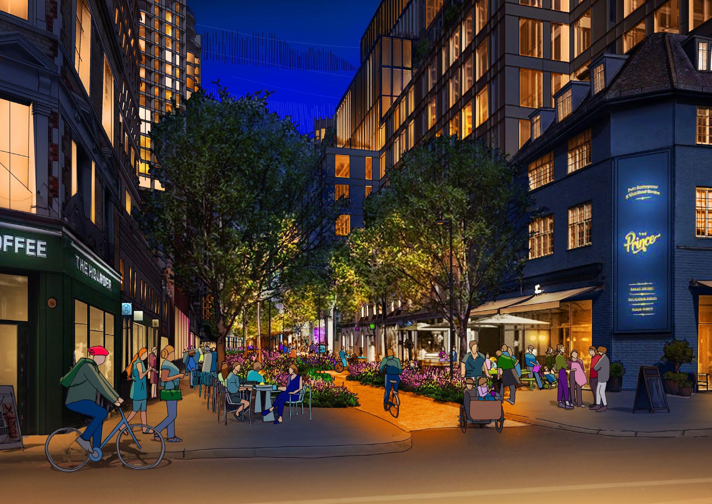
Lighting Strategy
Earls Court, London, UK

The Lighting Strategy for Earls Court supports the Illustrative Masterplan, extending the day and supporting the vital social and economic activity of the city at night. Lighting doesn’t simply keep all those who use the urban realm after dark safe and secure; it makes it legible and accessible, helping us to navigate space and find our way, creating character, ambience and identity. Lighting creates the experience of the urban space after dark.
The lighting of Earls Court provides a unique opportunity to create a truly special experience at night, in a sustainable and forward-thinking way. Rather than approaching each phased project within the Site individually in a piecemeal way, the Lighting Strategy lays the foundations of a sensitive, considered, and unified aesthetic and innovative technical network across the entire Development.
The selective and creative use of artificial lighting will bring unmeasurable benefits to the Earls Court Development, allowing the connections and interaction between its residents, workers, and visitors alike to continue well after the sun has set. It will also bring with it the opportunity to extend and expand important retail and commercial activity. Lighting will help create the identity of Earls Court, delivering a dynamic, exciting vision of the future.
The Lighting Strategy for Earls Court aims to deliver the creative thinking, guidance, standards and recommendations for the delivery of both public and private lighting over time. It not only suggests an integrated approach, where the lighting is realised as part of the evolution of the architecture and landscape, rather than it being applied as an after-thought. It is also one that delivers solutions in an environmentally responsible manner balancing the needs of Earls Court with that of the environment, producing a sustainable response.

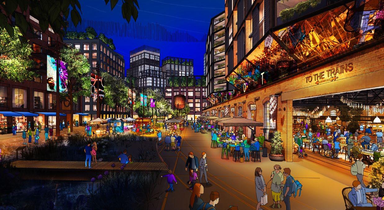
An after-dark survey of areas adjacent to the Earls Court Development Site was undertaken in February 2024 to assess and appreciate the lit qualities of the Site to inform the design team about the context against and amongst which the new Development will sit after dark.
The visit included a visual survey, photographic record taking, and measured readings of light levels from many adjacent streets and paths around the Proposed Development.
The survey acted as one of the starting points against which the Lighting Strategy has been defined, particularly the Legibility and Environmental Zones.
A full summary of the survey is included in the complete Lighting Strategy Appendix A1.
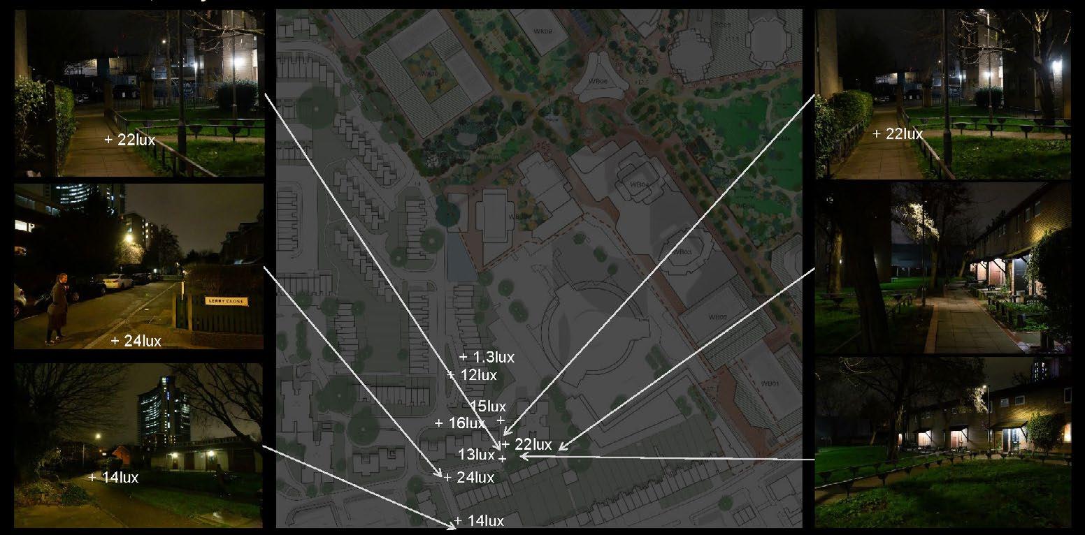
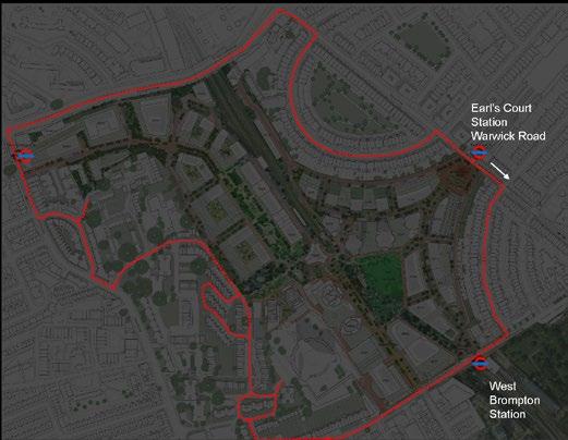
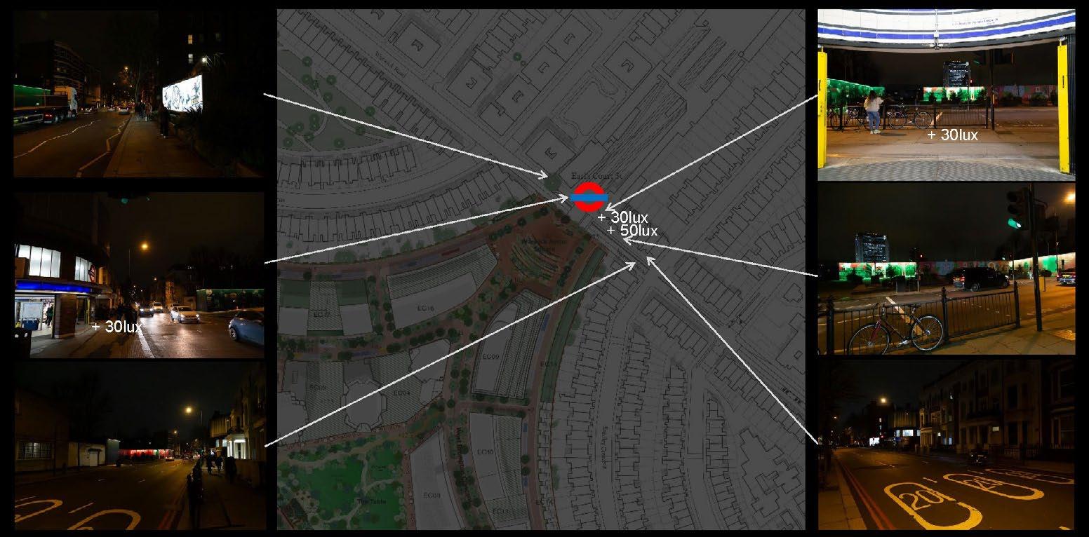
In March 2024, Speirs Major attended Meeting 19 of the Public Realm Inclusion Panel (PRIP) which was set up to inform the design and development of the Earls Court Site. The Panel brings together a range of different viewpoints and perspectives from people who live nearby, the collective experiences of which guide the many faceted design proposals for the Development.
Speirs Major introduced some of the high-level principles which guide our thinking about light, and spoke about the after-dark survey of existing areas which had been recently conducted. Speirs Major then took part in conversations with the Panel as they conducted an exercise of imagining moving along routes through the area after dark and appreciating the different ways in which different people experience those environments.
Some key feedback from the PRIP related to lighting included the following responses (in their own words):
• Lighting should be comfortable for a range of ages and abilities, and wildlife.
• There should be a variety of lit spaces suitable for the different requirements and desires of different people.
• Lighting should enable clear and comfortable visibility of users‘ environments.
• Route edges should be sufficiently lit to be visually clear, for safety of movement.
• Provide spaces for teenagers to hang out after dark away from the scrutiny of adult eyes - not too bright, which can invade their privacy.
• Warmer lighting is preferred on residential streets, cool lighting on main roads.
• Dim light on residential streets is acceptable providing litter, cracked pavements and other trip and fall hazards are still legible.
• Street lighting should not sacrifice the width of pavements and footpaths.



Good design practice dictates that to arrive at a successful lighting solution it is not sufficient to merely adhere to prescriptive levels of illuminance (lux) or to select light sources based on cost and efficacy alone. Whilst these issues are important, other qualitative considerations such as ambience, perception, legibility and environmental impact are recognised as being fundamental to the creation of highquality public lighting solutions. Lighting is the key ‘placemaking’ tool after dark, and must be recognised as such. The development of the lighting across Earls Court considers a large number of criteria. These need to be carefully balanced when designing individual lighting schemes:
Sustainability - Lighting across Earls Court is to be developed with a sustainable approach where the social and economic benefits that artificial lighting brings to any part of a city are balanced with the environmental impacts.
Social Sustainability - Effective, safe and atmospheric lighting will help create a positive environment for people. Careful consideration of the lit character of each part of Earls Court will benefit the whole, providing areas of greater activity by night across the commercial offerings, delivering routes across the Development to residential zones and creating links between existing and new communities.
Economic Sustainability - Good lighting will help support the development of the local night-time economy both within the Site and as part of the wider area. Individual lighting schemes across the Character Areas will be designed to optimise value with respect of both the capital and maintenance costs to ensure a long term sustainable approach.
Environmental Sustainability - The use of lighting comes with environmental consequences including energy use, risk of light spill/light pollution and over-illumination. The quantity of light, and thereby equipment, will be kept to a minimum with specification considering optical control, efficacy and lifetime cost to keep consumption to a minimum, provide precise control of distribution of the light and reduce waste.
Safety - The lighting will be designed to assist in maintaining a safe environment including the positive definition of potential hazards such as steps, ramps and the illumination of areas where pedestrians are likely to encounter moving vehicles. Lighting must be used progressively to help make Earls Court a safe area at night but without over-illumination.
Security - The lighting will provide an overall sense of security, supporting both active surveillance (e.g. CCTV) and passive surveillance, providing recognition of people including good facial recognition. Perceptions of security are not necessarily dependant on providing high levels of light and in some cases darkness will be important to maintaining a sense of concealment and privacy.
Character - Light will help to define the overall character at night as well as make distinctions between the different zones. Employed to reinforce the ambience of individual spaces, to enrich the experience after dark through variety and contrast, a set of principles that establish the site-wide character are developed to ensure a unified environment.


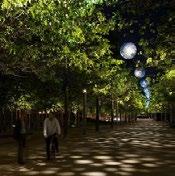






Design Criteria as prioritised across Earls Court
Ambience - The lit ambience of individual areas of public realm will be carefully considered as appropriate for their audience and activities. Individual schemes for areas and buildings will adhere to the ‘Lighting Strategy,’ consider lit context, and provide an appropriate interpretation. Lighting control will enhance the nighttime place making, enable flexibility of ambience through a day, week and year and help create a dynamic experience at night.
Context - The re-development will provide opportunities for experiences that do not exist currently in the local context: buildings providing new vistas contributing to the lit nightscape as seen from new and existing neighbourhoods; Character Areas offering possibilities to enhance and elevate the nighttime economy; the existing railway line the opportunity to retain an area of natural darkness.
Memory - Our memory of a place is enhanced by its atmosphere, opportunities for interaction, and elements of magic and wonder. The nighttime experience of the Earls Court public realm is to create moments which stand out as special and magical and offer the opportunity for people to come back to experience them again and again and to explore new and temporary interventions.
Technology - It is important that each project utilises the latest technology available at the time of procurement
to ensure the best benefit for the project. In this way the associated positive effects on management of the lighting and the social, economic and environmental sustainability of the Development can be properly realised.
Accessibility - The design of the lighting will support the needs of all those visiting after dark, including those with special needs and older adults. Design measures include avoiding excessive contrasts, avoiding direct and reflected sources of glare, not using shiny, mirror-like surfaces, controlling shadows, and limiting potentially confusing upward lighting.
Legibility - The application of light after dark has been developed with a considered and consistent approach to the lighting of key features such as paths, meeting places, boundaries, landmarks and gateways, to provide a intelligible environment which not only aids wayfinding but also helps enhance people’s sense of safety and security.
Capital Cost - Consideration will be given to the type of lighting equipment, warranties, materials, longevity and mounting as part of the Development of individual lighting schemes that demonstrate the aspiration of this Lighting Strategy.
Maintenance Cost - Whole life-cycle cost will be considered
in relation to project life, energy cost, hours of use, labour rates and lamp and driver replacement periods. Maintenance issues will be addressed in terms of cost effectiveness and timescales with lighting control employed to provide remote monitoring, energy use and help maintenance regimes.
Image & Branding - The lit image and branding of the various areas will be composed within their Character Area as well as within Earls Court as a whole. Through careful and considered design, application of the Environmental Zoning, Standards, and Strategy framework, no one interest will take precedent and there will be an appropriate balance of the lit appearance, which will benefit the nighttime economy.
Identity - The experience of the Earls Court at night will play an important role in forming the image and identity of the Development. The lighting will respond to the use of each Character Area after dark as well as its relationship to the adjoining spaces, giving consideration to the way in which it combines to create an overall identity for the Development.
Maintenance - The maintenance of lighting assets will be a key component in the successful long-term delivery of the lighting with technology lasting for many years where high quality equipment is properly and professionally specified and routine maintenance is carried out.
The public realm in most urban areas is illuminated by a combination of both public and private light. Earls Court will be no exception, though it is anticipated that adherence to this Lighting Strategy will allow considerable control over the entire lighting network. The function, lit identity, character and ambience of Earls Court after dark will be determined by the dynamic mix of many layers of light, sometimes in different ownerships. It is essential that each of these layers is fully understood and properly designed, managed and maintained:
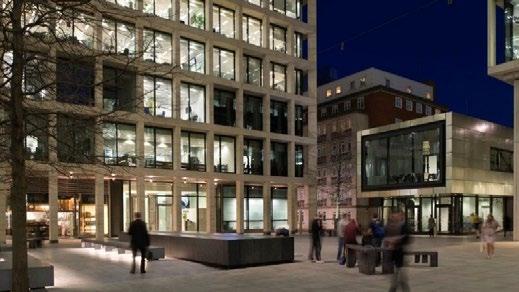
Occupancy - The layer of occupancy lighting refers to interior lighting of retail, residential, office, cultural, and other buildings when seen through their windows. Whilst a varied pattern of occupancy lighting contributes to the vibrant image of an area, the guidelines of the Lighting Strategy with respect to limiting obtrusive light should be closely followed. It is recommended that where spaces are empty that lighting should be turned off, or down, to help save energy and manage light pollution.

Architectural - This refers to the layer of light directly designed, controlled, operated and maintained by both the developers and private properties that is used to highlight individual buildings, operated from dusk to an agreed lighting curfew time. Strict controls are to be exercised over which buildings are highlighted, the design and detailing controlled through the planning process based on guidelines.
Public Art - This is a distinct layer of light that refers to the lighting of works of art, monuments, and other permanent or temporary cultural insertions. Irrespective of ownership lighting should be provided for all public art with the consent of the artist such that it can be appreciated after dark. The provision of ‘light art’ i.e., works of art that use light as their central medium, should be prioritised at night. The creation of art that uses sunlight and daylight is also to be encouraged.
Street - Street lighting refers to the layer of illumination directly designed, controlled, operated and maintained by the Development and local authority which lights the various routes and open spaces from dusk to dawn keeping people safe and secure. The recommendations for the provision of this layer are detailed later within this Lighting Strategy consisting of a series of individually addressable, dimmable, sources using tuneable white sources in the range of 3,000K - 2,200K.
Amenity - Amenity lighting refers to the layer of light directly designed, controlled, operated and maintained by the developer and local authority that supports the main street lighting from dusk to dawn. It will consist of a network of individually addressable, fully dimmable, bulkheads, wall lights, bollards and other amenity luminaires using tuneable white sources in the range of 3,000K - 2,200K, that will generally be building mounted.

Landscape - Landscape lighting refers to the layer of light directly designed, controlled, operated and maintained by the developer, local authority, and private properties which illuminates both hard and soft landscape. Strict controls are to be exercised over which trees, planting, structures, walls, seating and other landscape features are highlighted, the design and detailing of such solutions to be controlled via the planning process based on the guidelines.

Events - It is expected that temporary events and festivals will play a key part in the life of Earls Court. Staged throughout the year they will be as important and active after dark. The frequency of events means that whilst it is effectively a temporary layer of illumination its presence must be carefully considered particularly as it is anticipated that event lighting will often employ a range of dynamic solutions such as colour changing, projection, moving lights, etc.
Signage - Lit signage helps animate the vertical facades of shop fronts and other commercial properties, improving legibility after dark. Whether it is within the interior space of a property, part of a facade, or freestanding in the public realm, any light integrated within signage must be carefully designed to ensure that it enhances the overall legibility and character of a space, rather than overpowering the lit atmosphere in which it is located.

Media - The layer of illuminated media, including screens, lit signs, and other that contribute to the provision of information and wayfinding after dark will be directly designed, managed, operated, and maintained by both the developers of the Site and individual sites within it. All such illuminated elements are to be carefully controlled in terms of their visual brightness to save energy, limit over-illumination and avoid visual confusion through the uncontrolled proliferation of such media.
The Lighting Vision for Earls Court represents the highlevel creative thinking around illuminating what will become one of London’s most engaging and welcoming 21st century neighbourhoods at night.
The initial approach to planning the lighting for Earls Court is to produce a holistic, balanced, and sustainable proposal that draws on best practice. This is in the form of a ‘Lighting Vision’ which provides a creative ‘first response’. It examines how lighting can support social interaction and the night-time economy to create a vibrant and exciting experience after dark whilst supporting the well-being of citizens and local ecologies. It also carefully examines the various environmental issues that need to be considered.
The development of any Lighting Vision and consequent Lighting Strategy for the project needs to consider a large number of issues. These criteria must be carefully balanced not only when considering the public and private lighting across the Development as a whole, but also effectively forming the guiding principles of individual future lighting schemes within the Development.
Creating an exciting new mixed use urban centre such as Earls Court represents a unique opportunity to realise a wide range of creative and technical opportunities. One of these is lighting. Not only in terms of developing new standards for the delivery, maintenance and control of public and private light, but to its proper integration into the fabric and infrastructure of the local area.
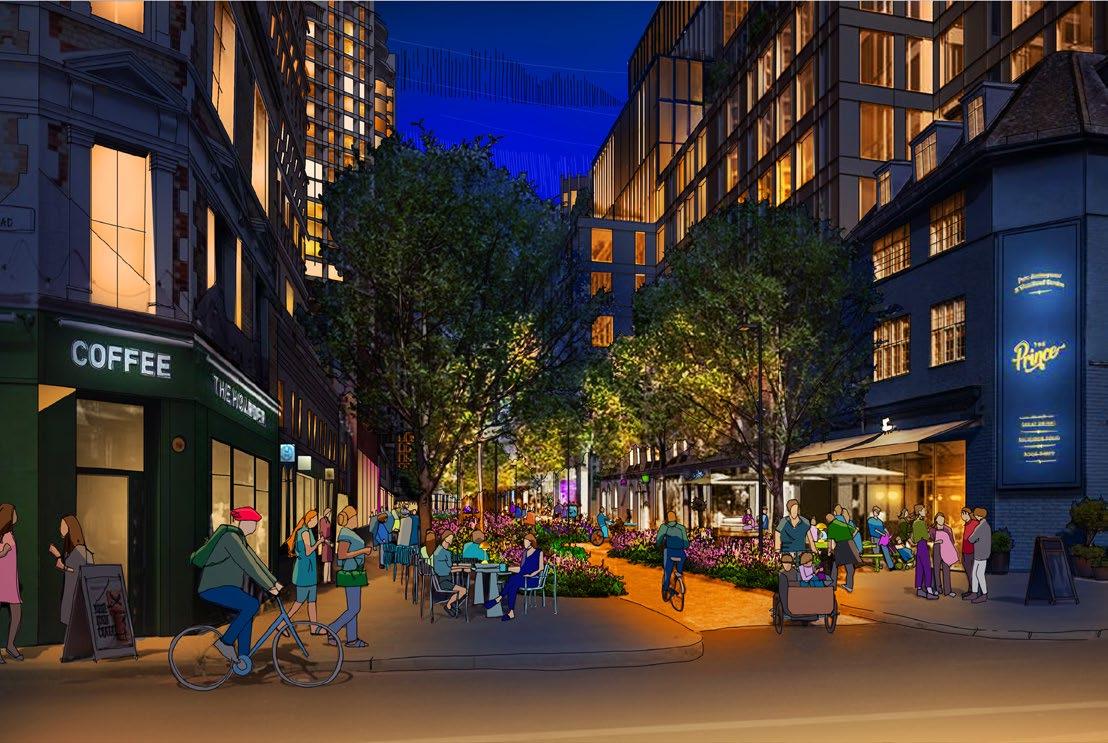
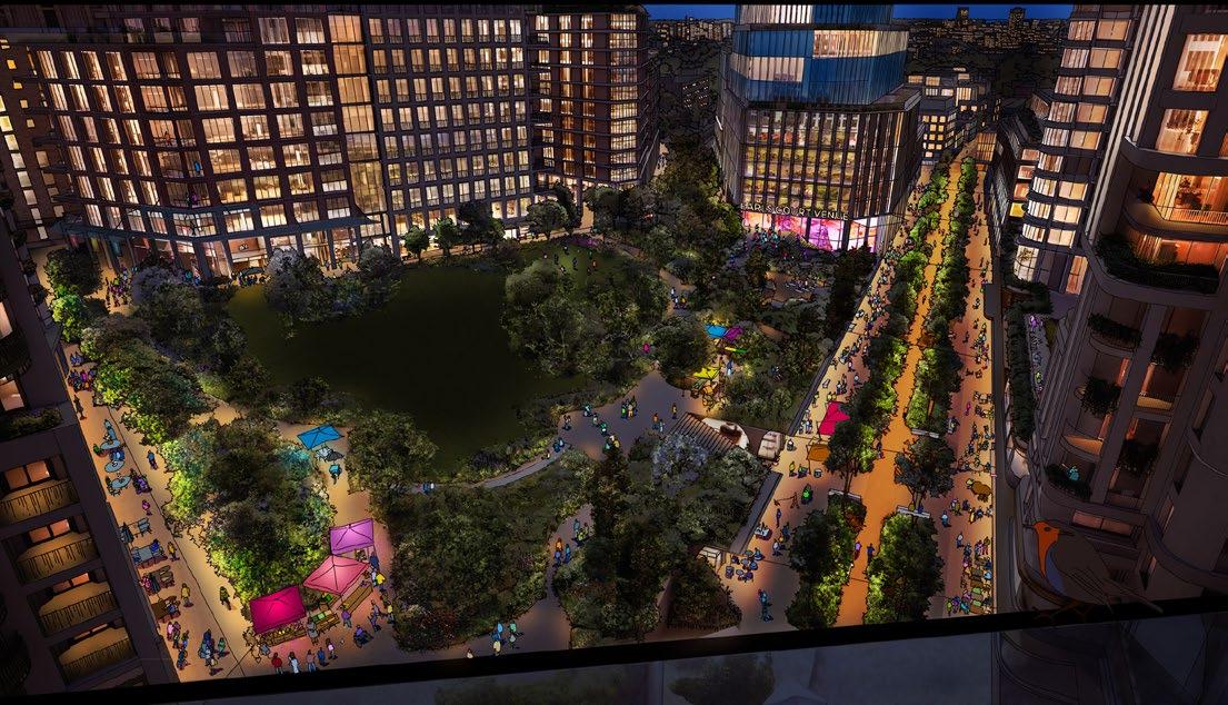
A legibility analysis has been undertaken to help ensure that both visitors and locals can find their way around the Development with ease during the hours of darkness. The analysis is based on the urbanist Kevin Lynch’s work, as summarised in his book ‘The Image of The City’ (MIT Press, 1960), but has been adapted and expanded to address the Site’s specific context after dark.
The legibility of Earls Court after dark will heavily influence peoples’ enjoyment and memory of the area as well as their perceptions of safety and security within it. The analysis serves to identify a series of familiar elements of the visual landscape that present opportunities for lighting or demand particular consideration regarding the balance of light and darkness associated with them. The analysis helps to establish a visual hierarchy for a range of features after dark, the lighting (or deliberate non-lighting) of which will help people orient themselves and find their way intuitively and comfortably.
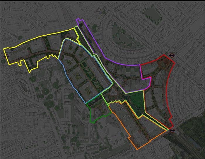
A range of different architectural and landscape treatments are proposed to the streets, squares, and public gardens across the Site. The variety of landscaping, architecture, and uses help form the character of different areas. Lighting will form part of those atmospheres after dark. Similar lighting techniques will reveal different spatial characteristics according to the elements which make up a space, but there will also be variety in the design of lit environments themselves.
Each of the spatial typologies across the Site are explored in more detail in Section 4.0.
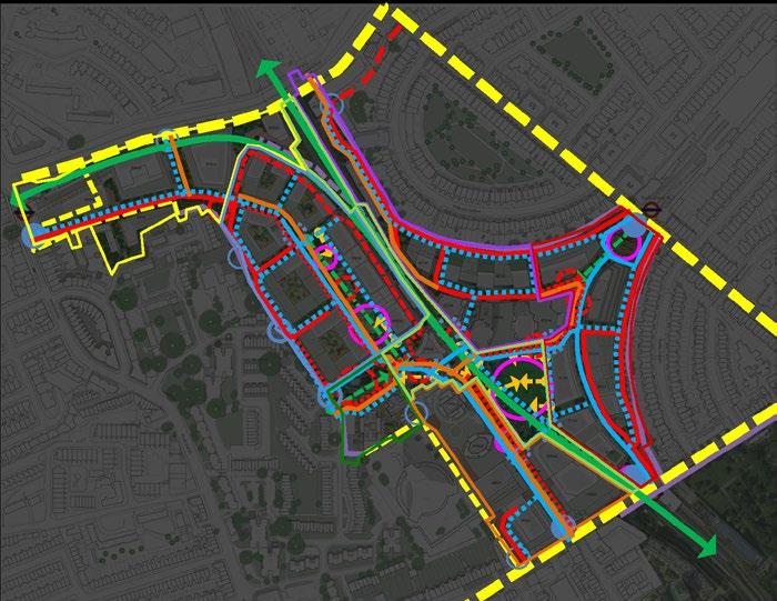
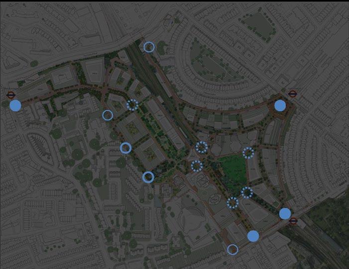
Gateways are significant thresholds between spaces and may be expressed by the contrast in lit characteristics between two spaces or by highlighting the threshold space itself which assists with transition and adaptation. Primary and Secondary gateways as described by light vary due to the functional lighting requirements which handle different traffic intensities and numbers of people moving through them.
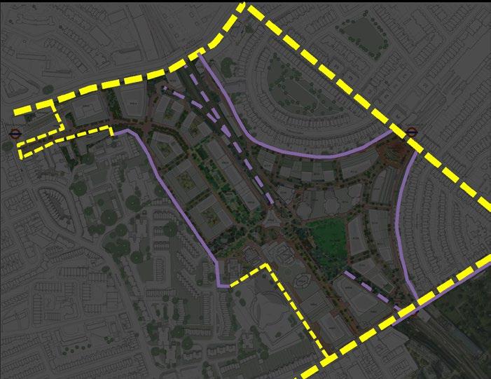
Outside edges face onto a range of different spatial conditions and present a various opportunities. Dark external edges mostly face onto the back gardens of existing residential developments and should be preserved. The North boundary of the Site is the bright and noisy edge and an opportunity for the Site to be appreciated visually. Within the Site itself, a few darker edges are created by the railway and should be preserved.
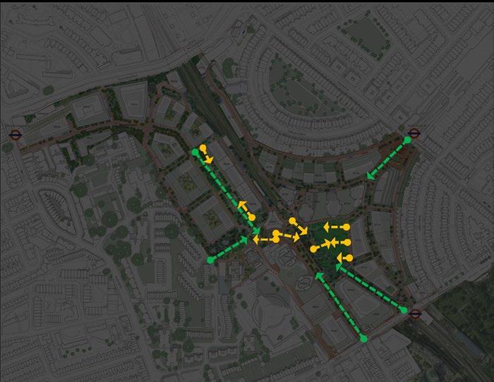
The reinforcement of key views and vistas both into the Site and through the Development aids legibility. Viewing corridors towards key nodes and landmarks should be controlled in terms of the balance of light and dark and the location of lighting equipment such that views though to important destinations and nodes are protected and promoted. The balance of lit architecture on the skyline must be carefully considered.
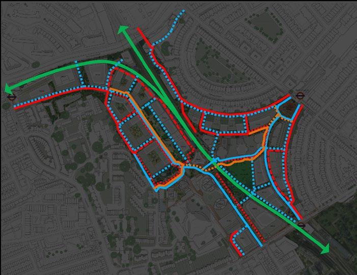
Routes include all manner of roads, streets, footpaths, and are to be considered with regard to their intended users. Vehicular routes need horizontal illumination with good uniformity to ensure that the roadways and their junctions with the pavements are visible with no visual distraction. Lighting to pedestrian paths will be designed to support safety, comfort, aid wayfinding, and provide good facial recognition.
Green corridor
Vehicular
Vehicular (limited access)
Vehicular (emergency only)
Dedicated cycle routes
Cycling shared surfaces
Primary pedestrian
Secondary pedestrian
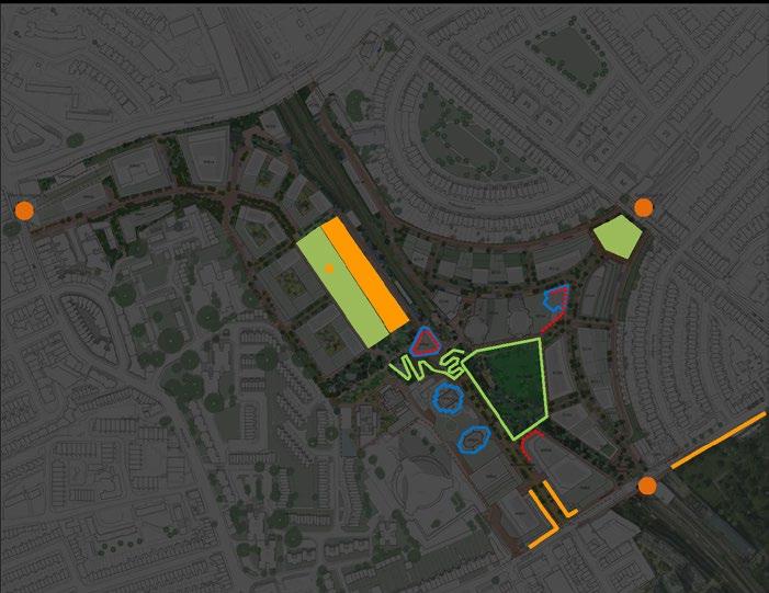
The highlighting of selected facades and key architectural and landscape features can create lit landmarks after dark. This assists with orientation and wayfinding after dark, for people moving through the Site, adjacent to it, and those viewing from afar. Such key landmarks will also form a key part of the lit identity of the Site, contributing to place-making.
Existing
Architectural Heritage
Landmark Buildings
Landscape Destinations
Cultural Landmark Facades

The intersections of routes and key open spaces create meeting places. Lighting to meeting places must consider the nature of activities within these spaces and how the lighting can create an appropriate and variable ambience. Lighting to vertical surfaces helps to enhance character though providing a positively lit backdrop to activities, revealing the form, colour and texture of the natural and man-made context of the spaces.
Primary Secondary
Environmental Zones are a high-level tool used to assess obtrusive light. They are defined by the Institution of Lighting Professionals (ILP) in GN01 ‘The Reduction of Obtrusive Light’, which suggests limitations on light spill, brightness, sky glow, and other elements of lighting which can adversely impact both residential amenity and local biodiversity.
The default Environmental Zone proposed across the Earls Court Site is E3.
Key entrance spaces and areas of highest commercial activity are allocated as E4 Zones.
Areas around the biodiversity corridor running through the Site are assigned an E2 Zone, to further restrict light pollution and the possibly adverse impacts of artificial light at night on biodiversity which relies on these areas
The Environmental Zones described on this page form part of the Earls Court Hybrid Planning Application already submitted and are supported by the full Lighting Strategy Guidelines.
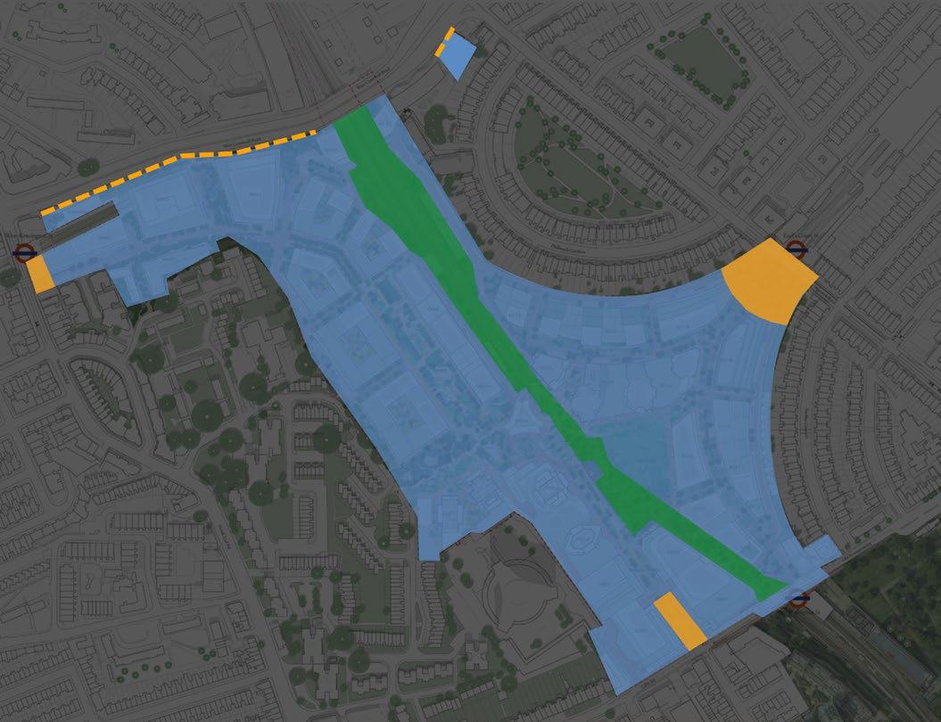
As part of the Lighting Strategy, lighting standards have been determined for the various routes across the Site. These standards apply to roadways, pedestrian paths and cycle routes and have been drawn from current British Lighting Standards, BS 5489-1 /EN 13201.
Whilst lighting standards and the horizontal illuminance and uniformity levels that they prescribe are recommended, it is well established in the field of urban lighting that solely fulfilling requirements for prescribed horizontal illuminance levels will not necessarily lead to a satisfactory lighting solution.
A purely functional, quantitative approach to lighting can lead to a design that is bland and overly utilitarian, placing the emphasis firmly on the immediate visual task and relegating spatial experience to a secondary consideration. Creating an after-dark environment that enhances safety,
security and accessibility does not necessitate high light intensities and strong horizontal illuminance, but rather the selective illumination of key surfaces, forms, and details. The illumination of vertical surfaces, whether they be natural (e.g. trees) or man-made (e.g. architectural and landscape features) will be critical in revealing the proportions and boundaries of spaces across Earls Court after dark.
It is proposed that the intensity of all routes is dimmed to the next lower lighting class from their evening intensities through the later periods of the night, reflecting the reduction in activity and traffic and reducing the impact of light through the night on neighbours and ecosystems. Precise timings of overnight periods will be determined during detail design.
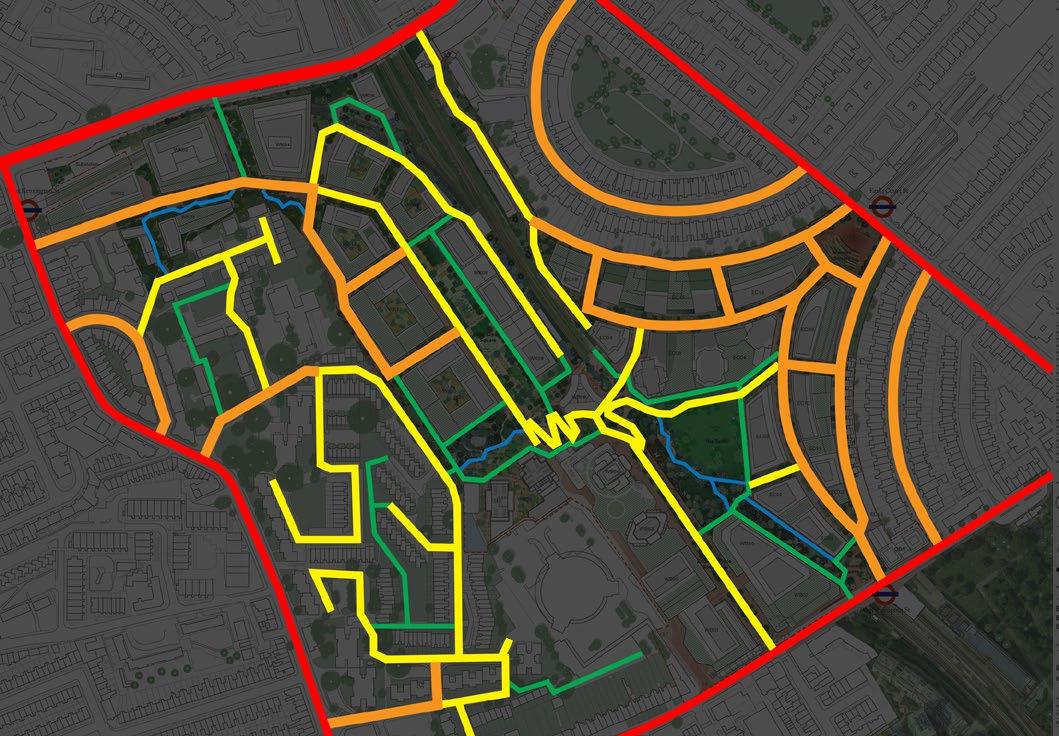
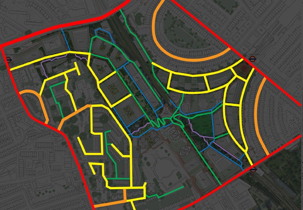
The intensity or brightness of light in any space should vary with the requirements of that space. While moving along a route across the whole Earls Court Development Site, several different spaces may be experienced. It is appropriate that the intensities of light in those spaces varies with their character, aiding the legibility of the Site as a whole and improving wayfinding for all. At the same time it is important that the overall experience of travelling through several different spaces should not introduce so much variety as to become confusing or disorienting: The light intensity of a space should always be considered both in the context of its use and users, and the adjacent areas against which the space will be seen.
Typically, the intensity of light for a space is described by an average illuminance value on the horizontal plane across that space. A measure of uniformity to that illuminance can also be defined, to describe the greatest possible difference between the highest and lowest intensities.
In areas defined by busy movement or heavy traffic, the intensity and uniformity of light will typically be higher. In quieter areas where people may be encouraged to pause and rest, less uniform or textured light, with lower average intensities, may be more comfortable.
The intensity requirements described in the preceding paragraphs which vary with space and function also vary over time, with most routes and spaces requiring a lower intensity of light through the quietest periods of the night when activity is lower.
It should be noted that intensity of light as measured on the horizontal plane is not the only characteristic of light which is perceived, and which informs or creates the lit character of a space. The light on vertical and 3D surfaces, including people, architecture, art, and landscape elements, has a big impact on the characteristics and legibility of a space.
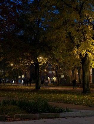
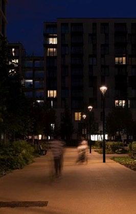
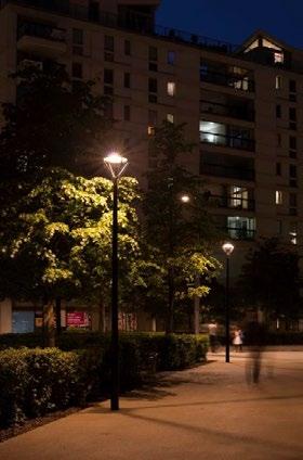

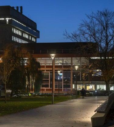
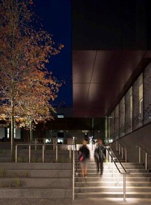


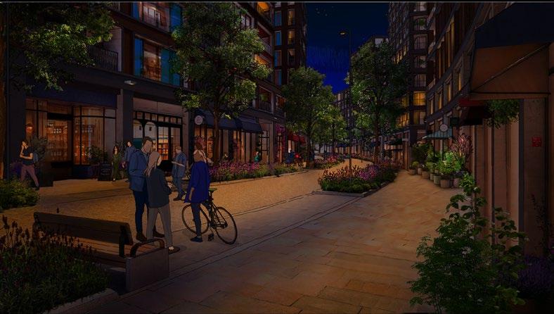
Colour temperatures of the public realm lighting vary across the Site according to the intended use of the spaces and their occupants, and also in relation to their adjacent spaces, easing transition between areas as people move across the Site.
The proposed streets which lead from existing adjacent areas into the new Development will feature the coolest colour temperatures of the public realm lighting, matching the existing 3000K of the adjacent areas. Most of the pedestrian routes and spaces of the Site will be lit to a slightly warmer, welcoming, 2700K. Areas along the proposed wildlife corridor will feature a very warm 2200K light, the spectrum of which features less of the blue wavelengths which many birds and insect species are sensitive to, thereby reducing the impact of lighting on those species.
In line with the proposed dimming of public realm lighting overnight, it is proposed that ‘tuneable white’ fixtures are used, which can shift into warmer 2200K colour temperatures across the entire Site through late night periods to reduce the impact of light spill on residents and ecosystems.
The occasional use of coloured light can add emphasis to a space or feature and distinguish it from its adjacent spatial context or, if limited in its use to particular times, its typical appearance. In order for this distinction to be effective and clear, it is essential that the use of coloured light in any area is an exception to the norm. Too much coloured light, covering an area too large or continuing for too long, runs the risk of simply appearing confusing and reducing legibility.
Key areas where the use of coloured light is proposed include:
During the early evening period, coloured light can be used to bring particular attention to the character of spaces dedicated for play. Such coloured light may be integrated into play equipment itself or could be introduced with slight adjustments to the standard lighting equipment being used in adjacent areas.
Public Realm spaces directly outside cultural venues can at times host the extension of the functions of those internal venues as people spill out into the adjacent space. There is an opportunity for some of the lighting in these areas to be influenced by the interior lighting, and matching coloured light between interiors and exteriors is one way to extend the vibrant internal atmosphere to the exterior. When such coloured light is used, it must only be done so during times in which the cultural interior spaces are in use.
Temporary events will often use coloured light sources as part of the events themselves. This will have an impact on the spaces in which these temporary events take place, changing the atmosphere appropriately in line with the event taking place. Where colour-changing lights are part of the standard public realm lighting of an area, there is an opportunity to change such colours in line with the temporary event lighting, easily expanding the visual impact of the event taking place. Any such changes must not reduce the legibility of the spaces, and should only be activated during the hours of the temporary events themselves.
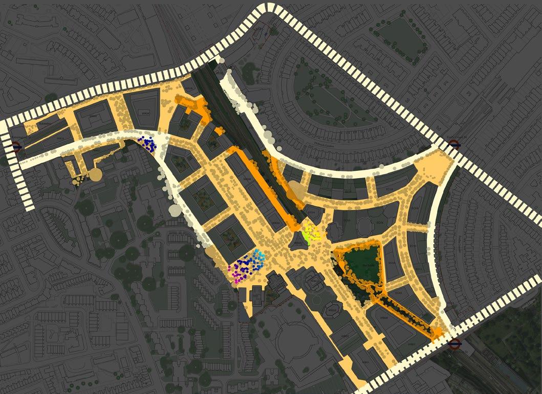
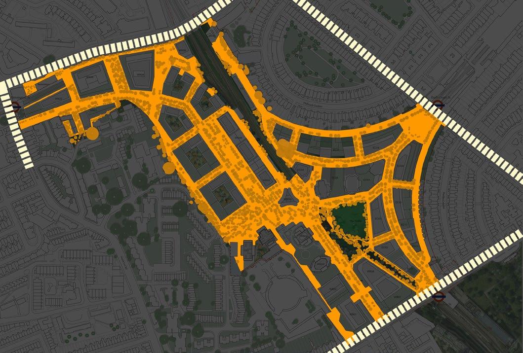
The scale of streetlighting equipment and mounting heights has been selected based on the following criteria:
• Street typology and user type (i.e. pedestrian only or mixed vehicular / pedestrian / cycle) - ensuring that lighting standards are delivered efficiently and also support human scale and minimise light trespass.
• Typical mounting heights employed in the existing context - ensuring that the streetlighting equipment is harmonised with the existing street network.
• Scale of street and architecture - ensuring that the scale of lighting equipment appears in appropriate proportion to the width of street and height of buildings.
• Character of route - allowing the nature of lighting equipment and scale of delivery to enhance the character and ambience of a route, whether it is cosy and intimate or grand and active.
12m feature columns
8m catenary-mounted
8m column-mounted
4m - 6m building-mounted
4m - 6m column-mounted
~1m bollards
<1m integrated
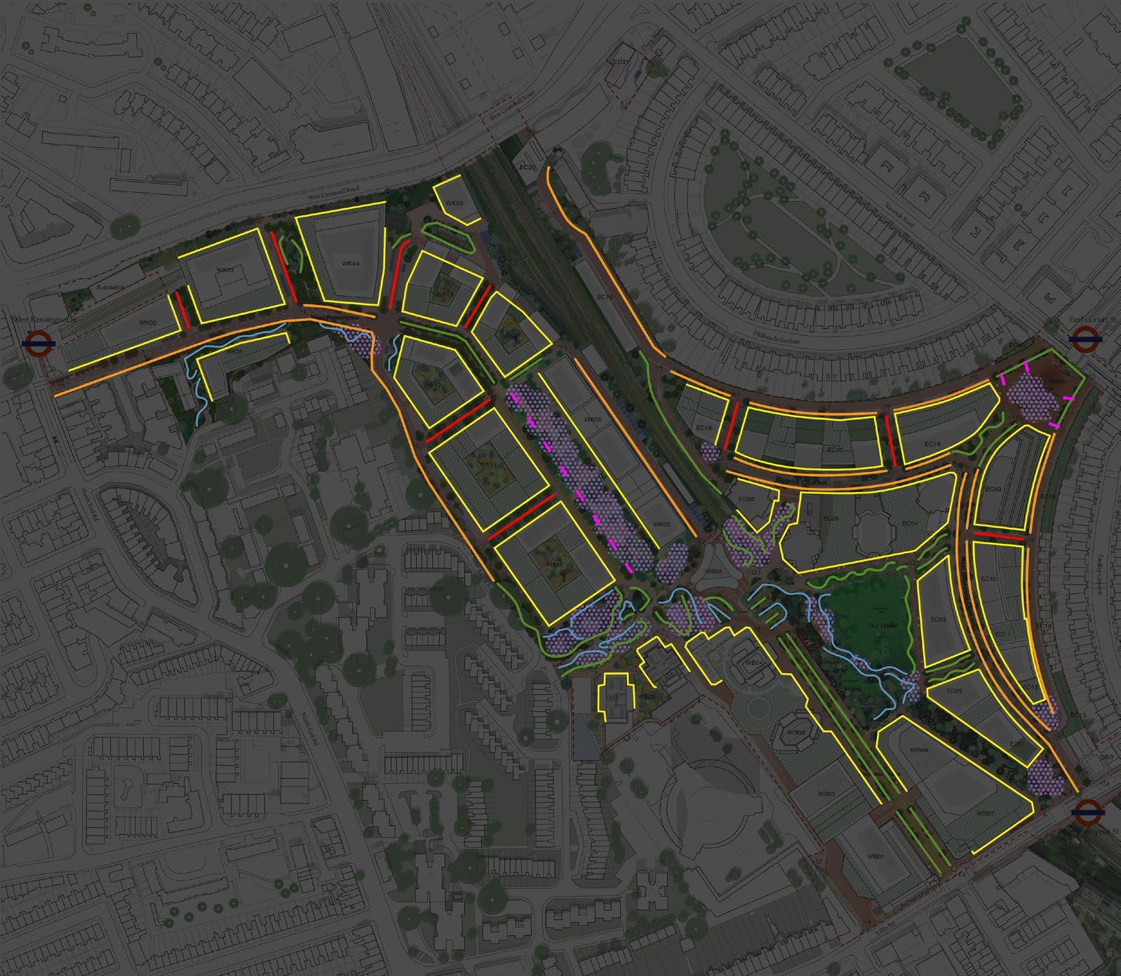
Intelligent lighting control systems will programme changing lit atmospheres across the Site over time, providing appropriate lighting to ensure safety and legibility for users, and suitable for the different intensities of activity expected through the night. Through darker, quieter periods, light intensities will dim down, and colour temperatures will shift to warmer tones to reduce negative impacts on wildlife.
Lighting control systems allow the public realm lighting to be adjusted to suit the patterns of use in each space and would enable lighting to be dimmed or switched down, or have its colour temperature adjusted, when possible. As well as the obvious energy-saving benefits, a suitable lighting control system enables remote monitoring of individual light sources to provide feedback regarding remaining lamp-life and imminent faults, helping to make maintenance regimes easier and more efficient, improving energy efficiency and the perception of safety.
Dimming streetlighting during the late night can also help to support the well-being of Earls Court’s residents through providing a quieter ambience late at night. In public spaces like The Table, a lighting control system would also help to support special events by, for example, allowing adjacent ambient lighting to be dimmed or coloured to enhance temporary events lighting.

Whilst the ‘Lighting Vision’ for Earls Court summarises the general creative overview, providing background, defining key ideas and summarising key criteria, the ‘Lighting Strategy’ seeks to provide more detail including application of the Vision directly into local Character Areas, expanding on the core concepts and principles.
The spaces across Earls Court are characterised by a multitude of factors including the local assets, adjacent route hierarchies and landscape design. This section of the Lighting Strategy provides guidance across the main open spaces and typical routes of the Development, compiling the proposed route lighting standards, colour temperature, colour rendering, and scale of the light sources.
These areas are visualised by indicative illustrated views, rendered plans, and sectional diagrams. This is not intended as a prescriptive design for any particular area, but rather an example and general approach which acts as an initial brief for the design, delivery, operation and maintenance of more detailed lighting schemes.

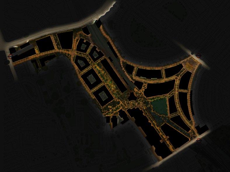
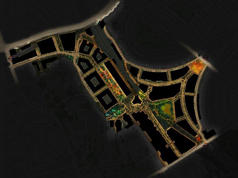
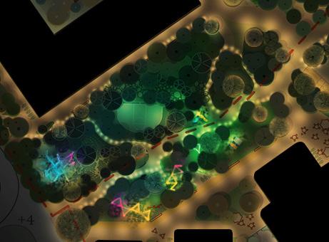
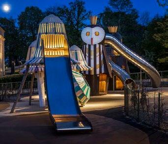

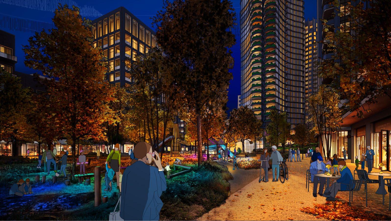
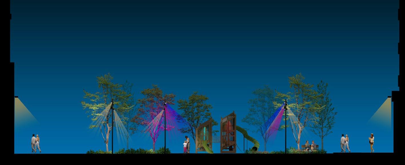
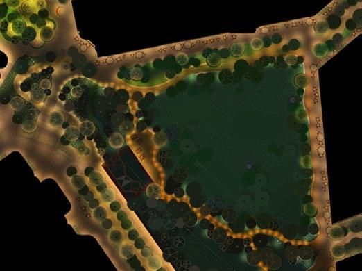
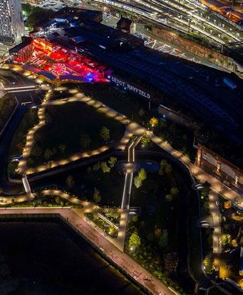

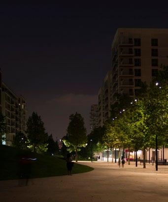


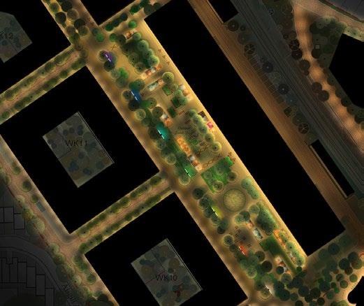
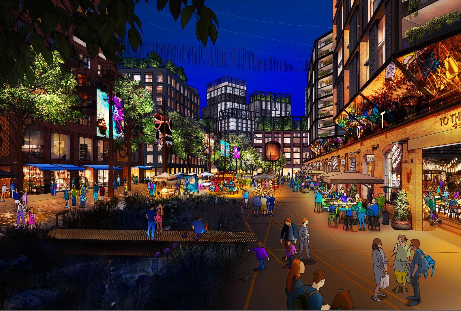

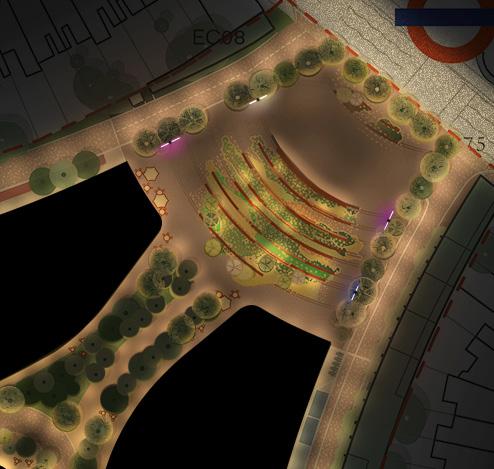
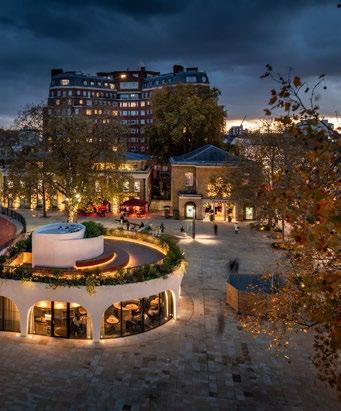

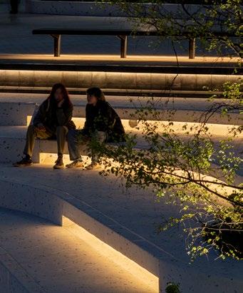
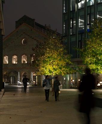
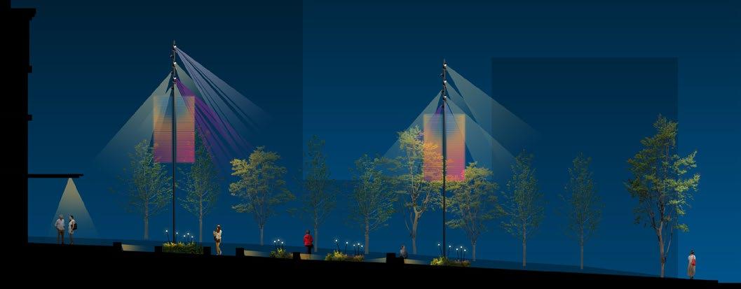
1. Pedestrian pathways alongside buildings lit from building- and canopy-mounted light sources, at approx. 4m - 6m height
2. Vehicular routes lit from column-mounted streetlights between trees, approx. 8m height.
3. Selected trees and planters around square lit from human-scale lighting columns fixed within adjacent planters.
4. Occasional integrated bench lighting, where present.
5. The lighter parts of this square should direct pedestrians along the primary routes of West Brompton Crescent or along the main Lillie Road thoroughfare towards the other primary Site entrance of Empress Place Boulevard. Trees and pathways forming the southern end of the Bioline should remain less bright, preserving the environment of the important biodiversity corridor.
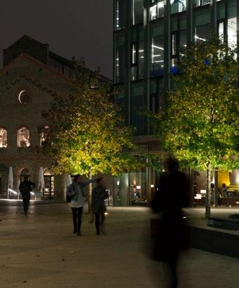
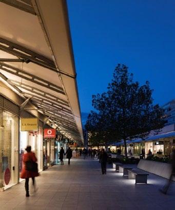
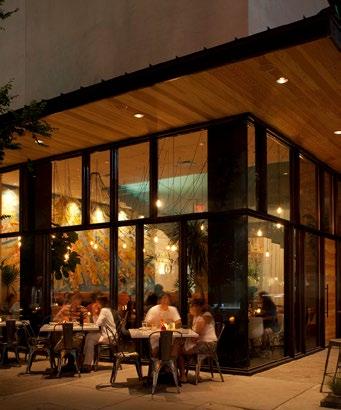

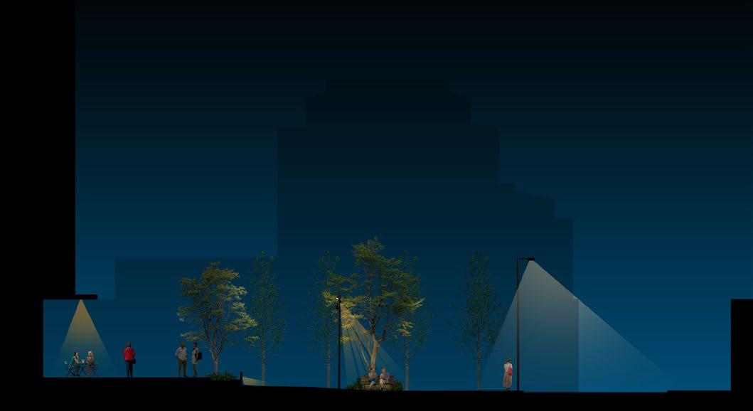
1. Pedestrian pathways alongside buildings lit from building- and canopy-mounted light sources, at approx. 4m - 6m height
2. Central vehicular routes lit from column-mounted streetlights fixed within planters on both sides of the road, approx. 8m height.
3. Selected trees and planters along central route lit from human-scale lighting columns fixed within adjacent planters.
4. Integrated bench lighting, where present.
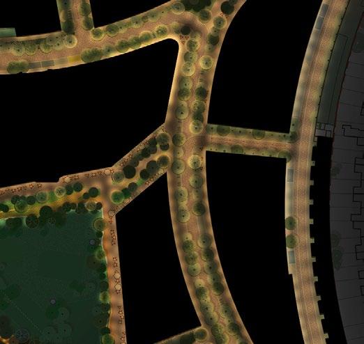
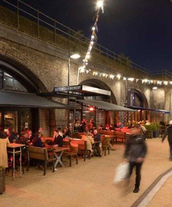
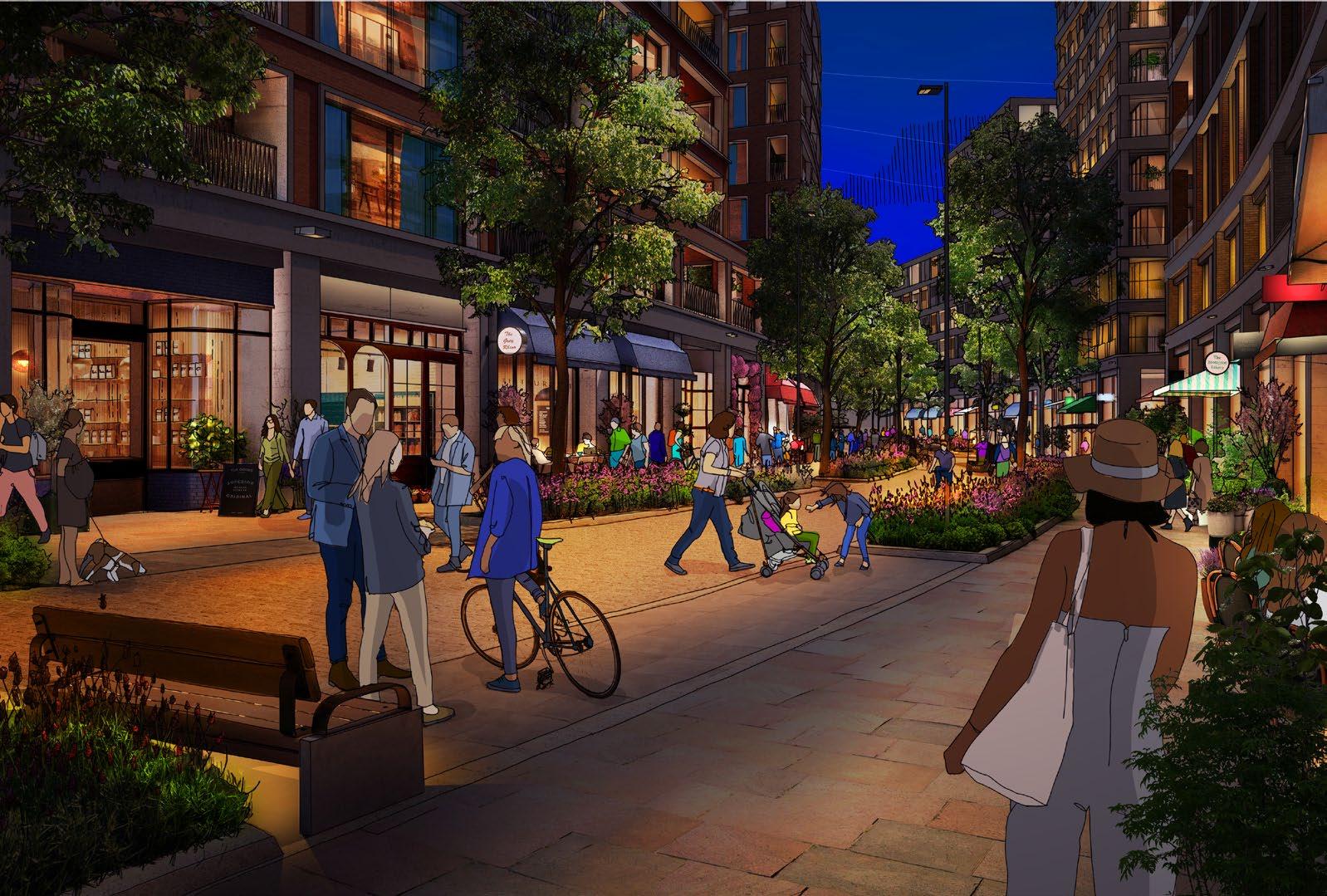
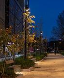
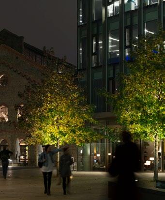
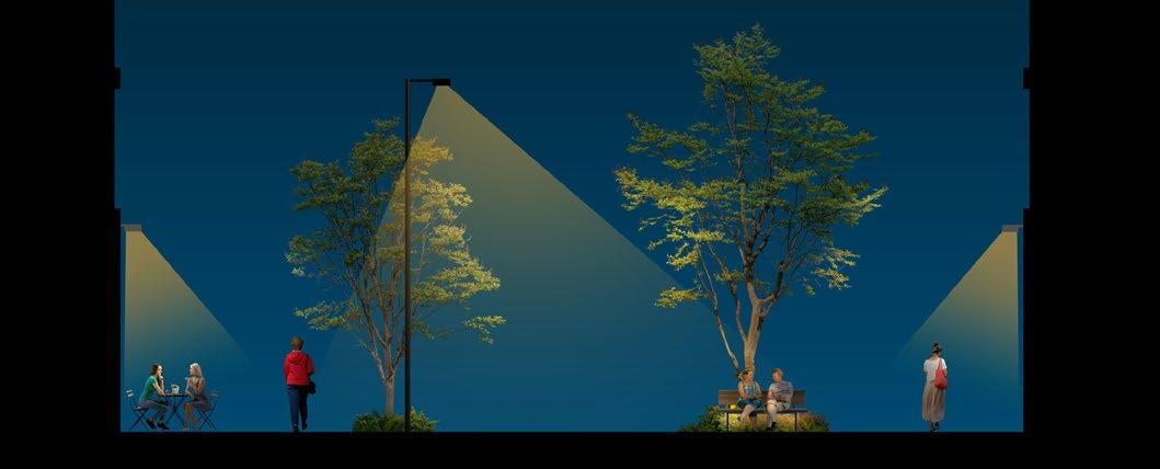
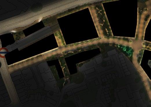
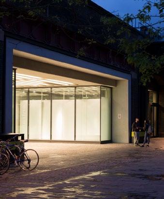
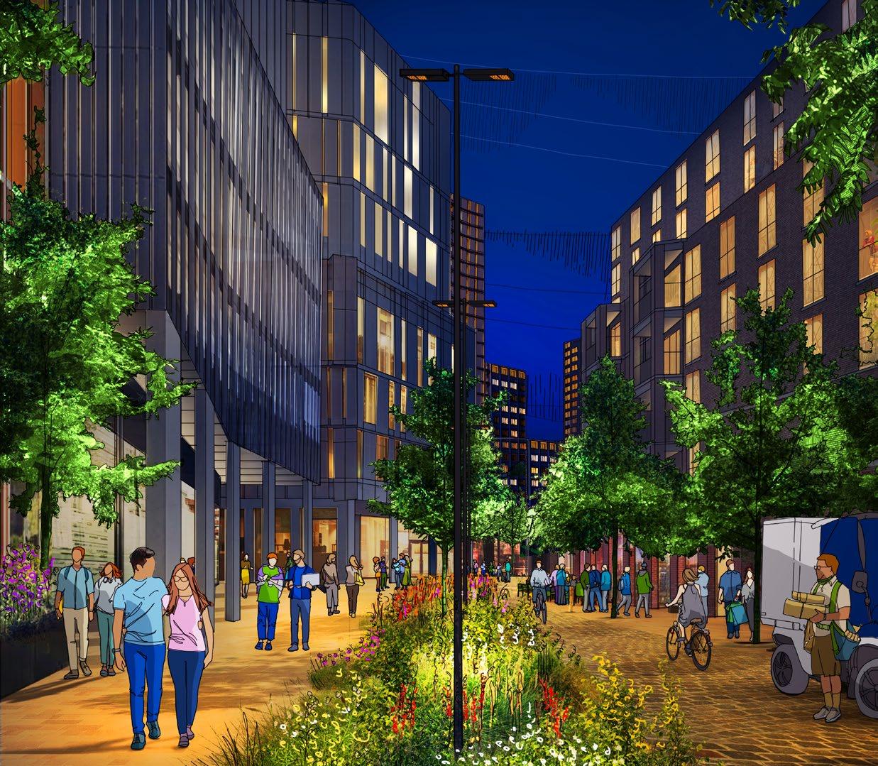
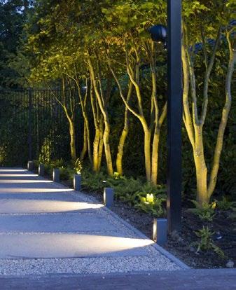


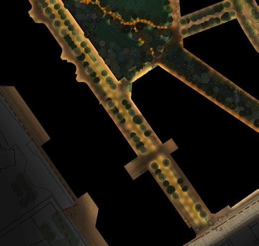
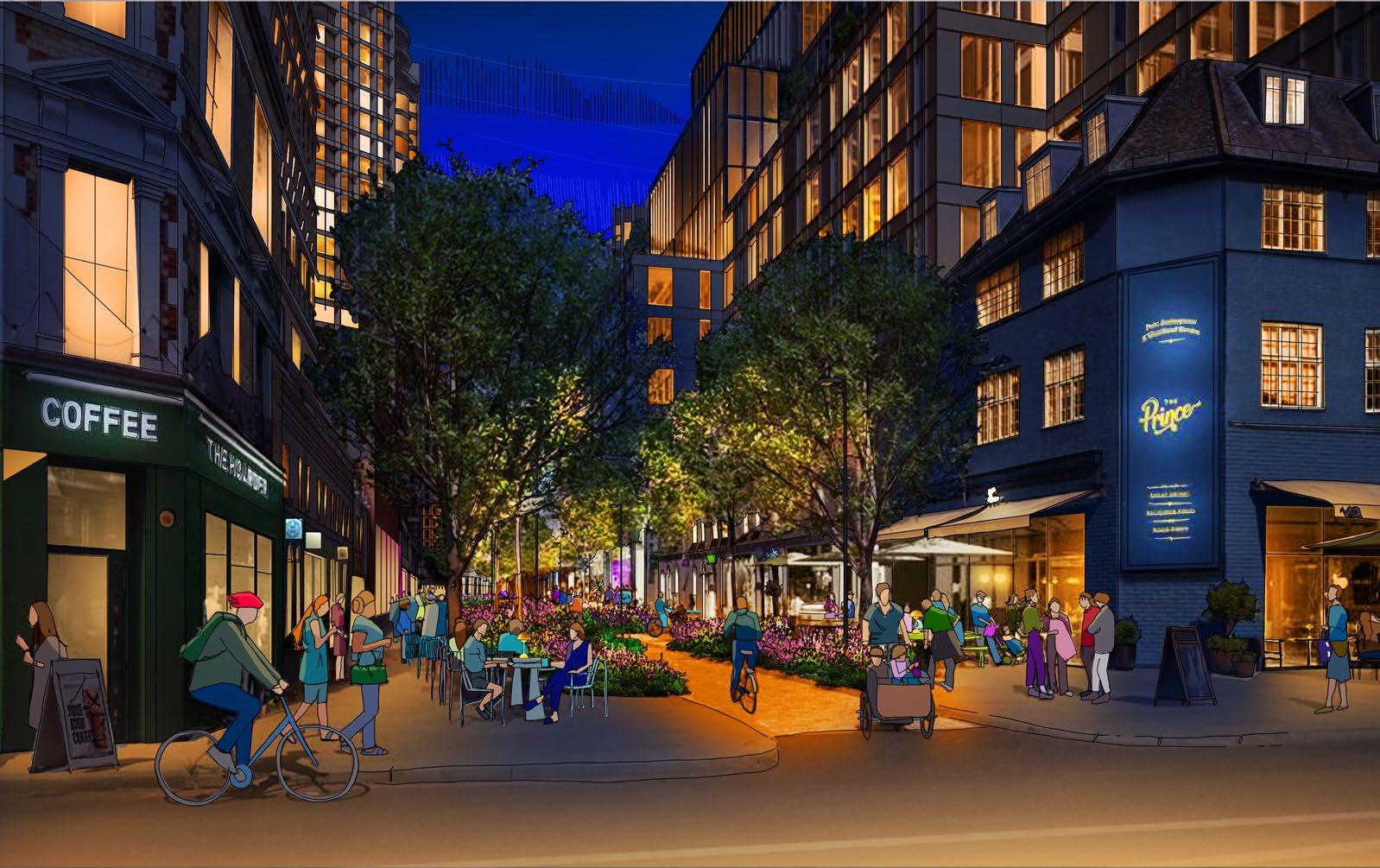
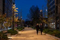
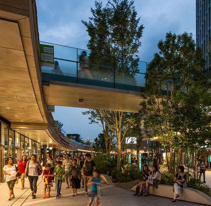
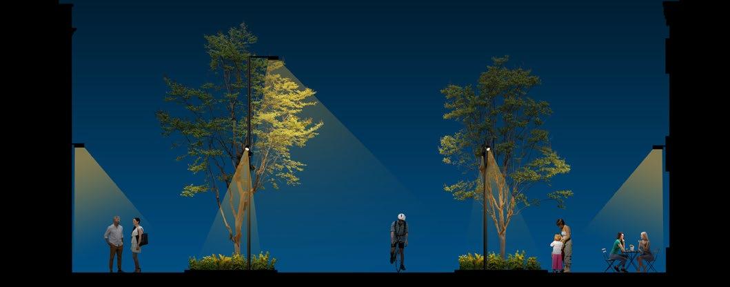
Secondary vehicular access road
1. Pedestrian pathways alongside buildings lit from building- and canopy-mounted light sources, at approx. 4m - 6m height
2. Central vehicular routes lit from catenary-mounted streetlights at a regular datum according to the architecture of adjacent buildings, approx. 8m height.
3. Selected trees at end of street or key junctions lit from human-scale lighting columns fixed within adjacent planters.
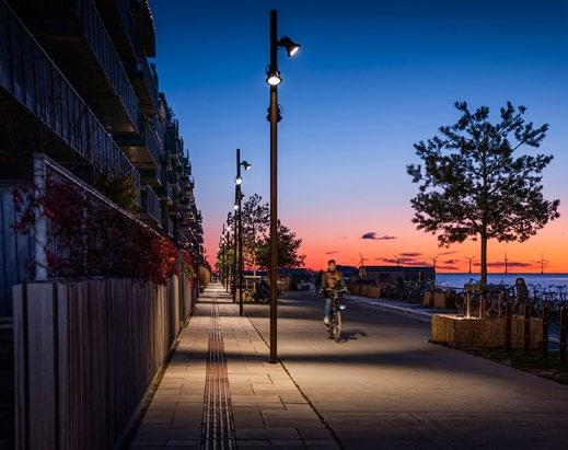
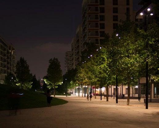
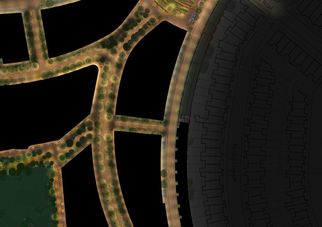
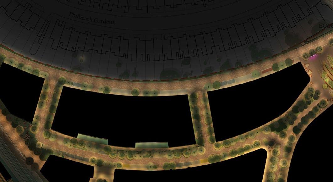
1. Pedestrian pathways alongside buildings lit from building- and canopy-mounted light sources, at approx. 4m - 6m height
2. Central vehicular routes lit from catenary-mounted streetlights at a regular datum according to the architecture of adjacent buildings, approx. 8m height.
3. Selected trees at end s of street or key junctions lit from human-scale lighting columns fixed within adjacent planters.
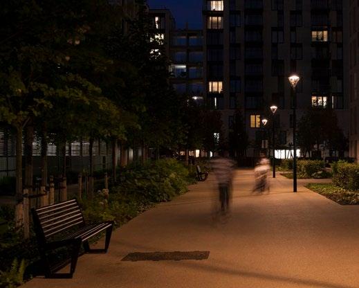


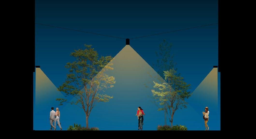

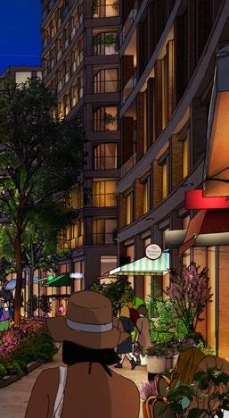
The new buildings of Earls Court will feature a rich variety of architectural styles, scales, and material palettes. This is entirely appropriate for the vibrant context of the boroughs in which the new Development sits, and it also presents a rich opportunity for the appearance of these varied architectures to be expressed and emphasized after dark. This is the point at which care should be exercised. If too many facades are too brightly lit, there is a risk of creating a visually confusing environment, overloading people’s visual fields with too much brightness. Careful restraint is recommended in order to create a comfortable and cosmopolitan base condition, against which there is no need to use too much lighting to create highlights and emphasize landmarks.
In general, the following approaches should be followed for the lighting of all new buildings:
• Façade lighting should be kept to a minimum for any storeys above the lower ground levels.
• In keeping with the surrounding streets of vernacular architectures, the primary lit appearance of buildings after dark should be defined largely by their internal occupation.
• Any façade lighting should be subtly integrated, with no directly visible light sources.
• Crowns for the very tallest buildings should be subtly lit, with no directly visible light sources.
• Uplighting should be avoided, with any light spill up into the sky minimised.
• Façade lighting must be turned off during overnight ‘postcurfew’ hours.


a new large scale urban development, it is envisaged that Earls Court will have a programme of public art, including but not limited to the following:
• Statues and sculpture
• Land art
• Murals
• Light art
• Temporary installations
For some small-scale interventions, for instance adjacent to residential entrances, it may be likely that no additional lighting is required to public art. On the more active thoroughfares, it is highly likely that additional layers of artificial light will be necessary to highlight public art interventions after dark.
When lighting public art and monuments, the same overall goals of the Lighting Vision and Strategy should be considered as when illuminating any other element of the public realm: Upward light spill should be eliminated and light spill beyond the extents of the subject should be minimised. The Environmental Zone should be of primary consideration and the ecological corridor should be protected.
Public art and similar small-scale cultural landmarks also offer an excellent opportunity to form key waypoints and landmarks within the visual context of both physical and augmented environments. Even if lit in a relatively restrained fashion physically, there is scope for exceptionally vibrant lit treatment of a monument or sculpture in a virtually augmented world.
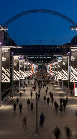
The way in which information is presented across Earls Court as part of the night-time experience is integral to the identity and legibility of the Development. Any information of a civic nature in the form of signage, wayfinding and interpretative material needs to be both restrained and controlled after dark. Typography, pictograms and other graphic material need to be clear and identifiable but without competing with or compromising the lit character of the context. A degree of considerable restraint in the lighting of such elements will fit well when areas are particularly dark, adjacent to ecological corridor for instance.
Another issue which all contemporary built environments must consider is that of lit signage for public organisations and private businesses. This is particularly noticeable in busy retail environments, but it also applies to cultural and other commercial buildings. Retail and signage lighting, including media screens and media facades, is a key contributor to the overall lit image of an urban environment. Such interventions should be controlled through the provision of detailed ordinances and guidelines that align with the Environmental Zone and consider the ecological corridor.
Refer to Section 5.1 for approach to Guidelines.
A yearly calendar of events of different scales is anticipated for the Earls Court Development, and lighting will form a part of such celebrations. These will include:
• Religious holidays and celebrations
• National and civic holidays
• Local festivals
During such times, additional lighting, or temporary changes to existing lighting, may be used to bring attention and activity to all areas of the city centre. Lighting intensities may become momentarily higher. Coloured light may be introduced in areas where it is not usually present. Projection or animation may be employed.
Prescriptive guidelines for how such light can be introduced or altered should not be unnecessarily restrictive, to allow for a wide range of potential artistic and cultural interventions. Nevertheless, the intended atmosphere of the quieter and darker parts of Earls Court, and their setting within the Environmental Zone and adjacent to residential properties should always be carefully considered, and any temporary exceptions to the typical lit atmosphere must not become the norm.
Event lighting must not overwhelm inhabitants or visitors of Earls Court, but rather work within the context in which the Development has been created. Event lighting should therefore only be used on limited occasions and in a way which keeps it truly special.
Guidelines will be established, prescriptive in their nature and intended to strengthen the creative and technical design across the Earls Court Development.
These will include:
Commercial Tenant Guidelines which are intended to reinforce the design of the lighting to various retail, food and beverage (F&B), hospitality, and commercial units which will occupy the Earls Court Development Site, in support of the Lighting Vision and Strategy. They will envision the future potentials on how integrated tenant lighting can be employed and controlled to further improve the visitor’s sitewide experience, and to include the following sections.
• Exterior Identity / Facade
• Signage
• Digital screens
• Shop windows
• Retail Interiors
• Commercial Office / Residential Interiors
Technology Guidelines which provide a description of the proposed approach to be used to deliver the Lighting Strategy for Earls Court, including sources, equipment, and controls with reference to the future procurement, management, and maintenance of lighting assets and the delivery of lit atmospheres. Technological developments must be continuously assessed throughout the lifetime of the project phasing to keep up with cutting edge design and to ensure the Earls Court Development is always employing best practice, staying at the forefront of environmental and technological advances made through continuous innovation in the sector. To be included are the following sections:
• Sources
• Equipment
• Control
• Procurement
• Maintenance
• Recycling
• Management
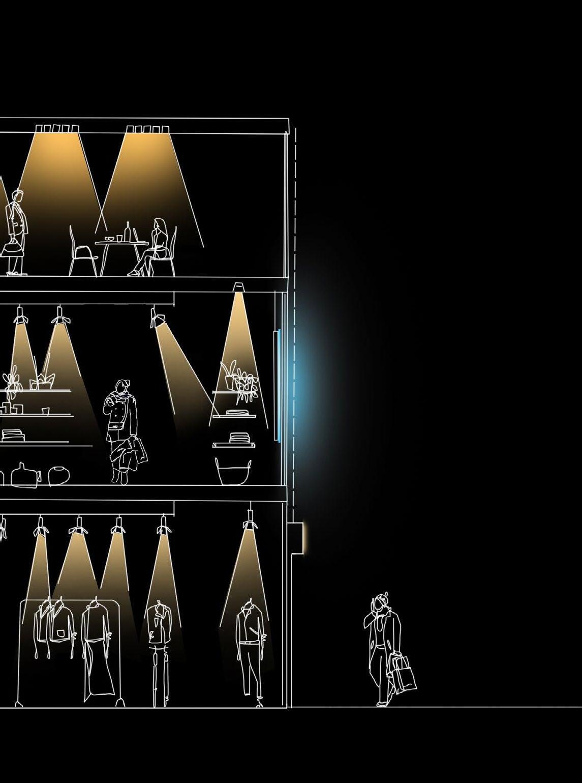




All images within this document are owned by ECDC, the Project Team or are unlicensed. Where an image has been used in the previously submitted DAS (EC.PA.08), dated July 2024, it is referenced in the original document only.
Hawkins\Brown & Studio Egret West EC.PA.08-A July 2025