

Florida Planning Conference 2025
Wednesday, September 17
12:00 PM – 1:00 PM



I. Before the Show: Planning Context/Project Background
II. During the Show: City Administration Insights
III. Behind the Scenes: Implementation Opportunities and Challenges
IV. Post Show: Next Steps For Downtown Sebring
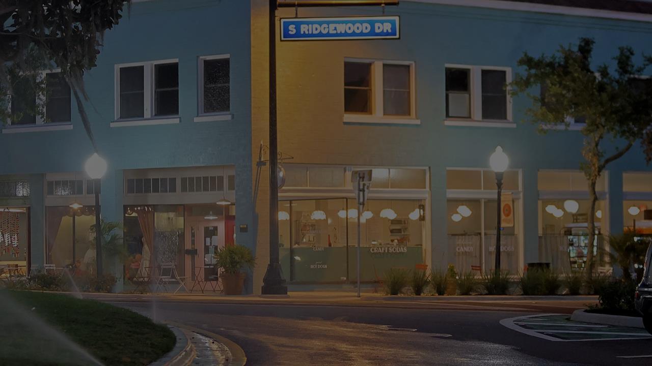
• Location: City of Sebring’s Historic District, Highlands County, FL
•Year Established: 1981
• Size: Approx. 632 acres
• Population: 11,185 (City of Sebring, 2023 ACS 5-Year Estimates)

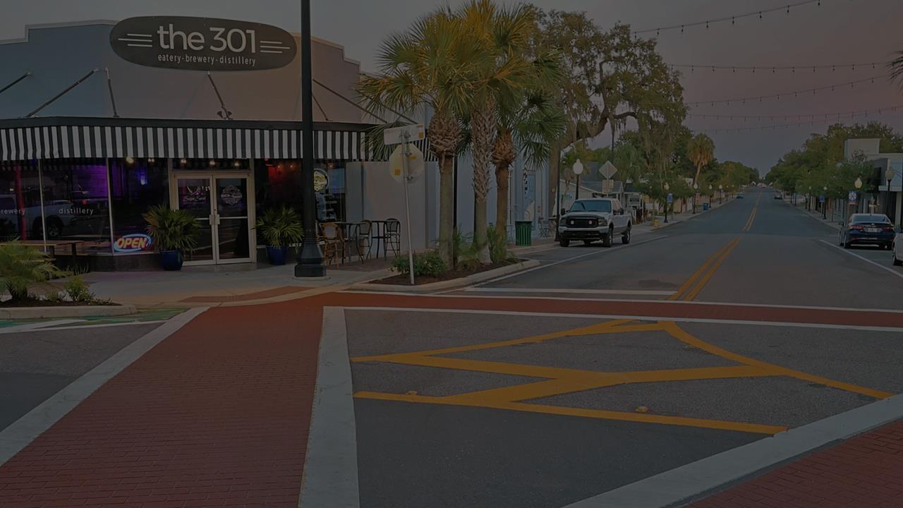

• Sebring CRA Pedestrian Safety and Lighting Enhancements Study (2023)
• Provide a plan for:
•Pedestrian Safety Enhancements
•Lighting improvements
•Traffic calming mechanisms


• Downtown Sebring CRA limits
• Focused on Circle Park and surrounding area
• Included Lemon Street and MLK Jr. Street
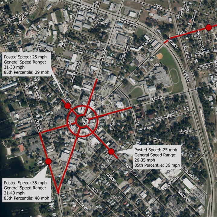

Data Analysis
Traffic Data
Pedestrian Data
Crash Data
Existing Facility Data
Field Observations
Walk project corridors
Observe Existing Conditions
Note barriers and obstacles to mobility
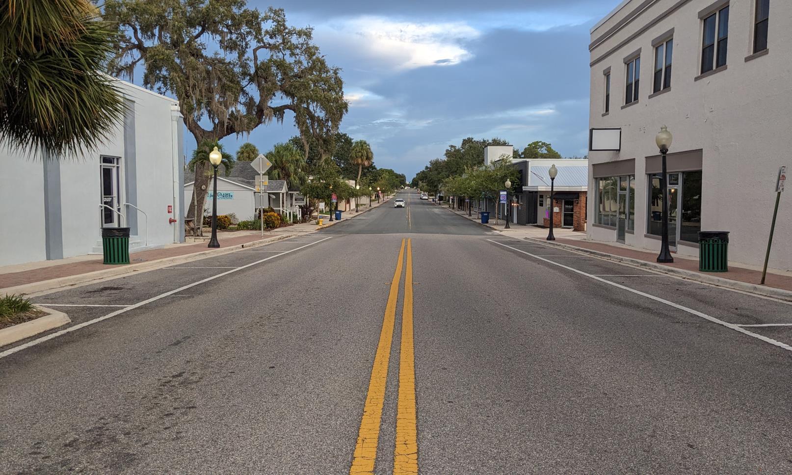

May result in increased speeds

Some have faded markings and there are limited opportunities to cross safely

On-Street Parking
Not consistently striped contributes to feeling of wide streets

Safety Issues at Intersections Include visibility (sight lines) and signage

Lighting
Circle Park is not adequately lit – causing visibility and safety concerns
Speed control and traffic calming
Striping of parking spaces
Additional street markings
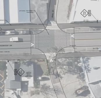
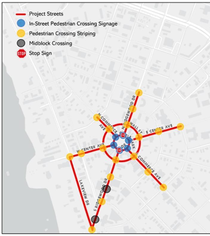
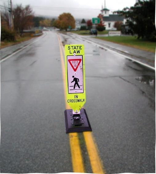
Enhanced pedestrian crosswalks
Increased pedestrian crossing locations
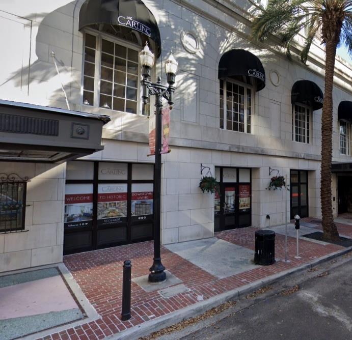
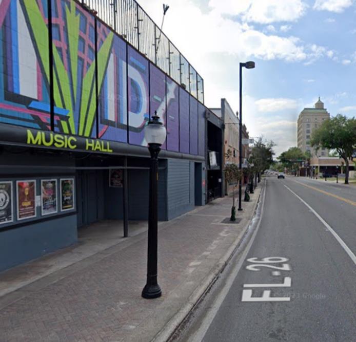
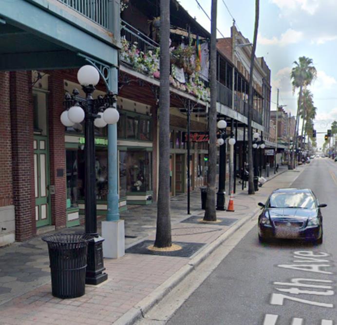
Enhanced lighting at street level
Intersection reconfiguration
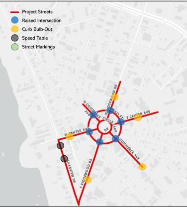
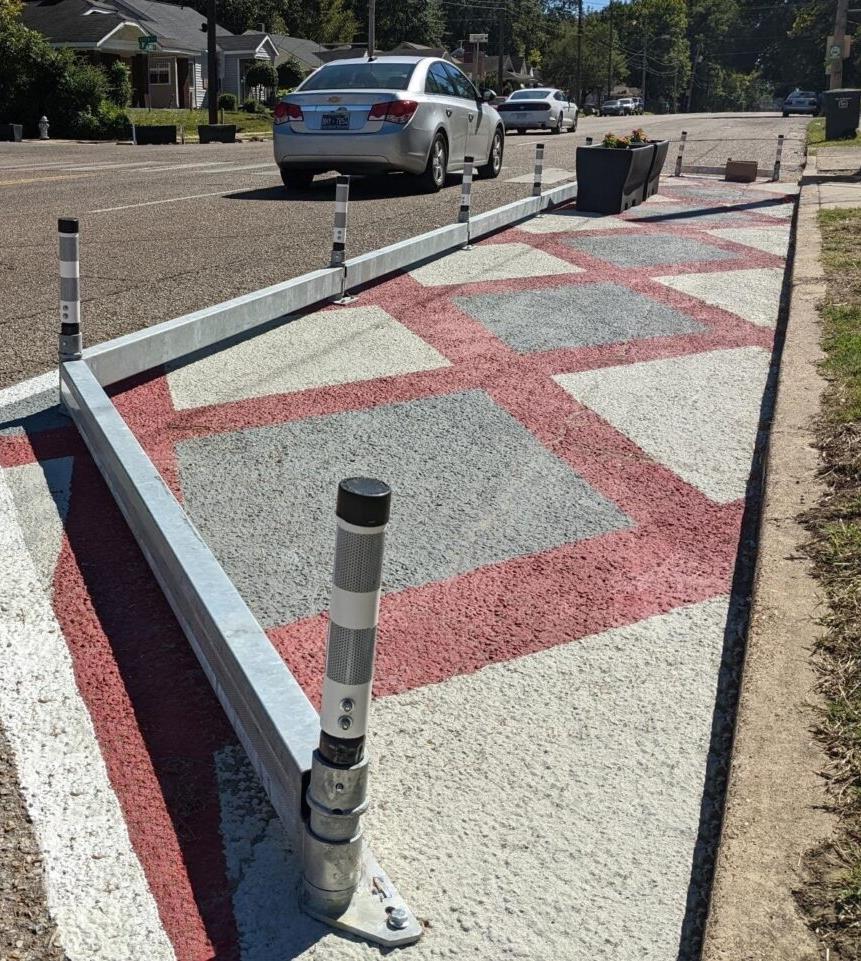
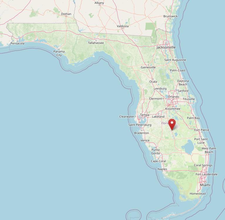
• Offset curb extensions that slow traffic.
• Increases the amount of public space available.
• Amenities such as: bicycle parking, benches, and planters can be implemented.
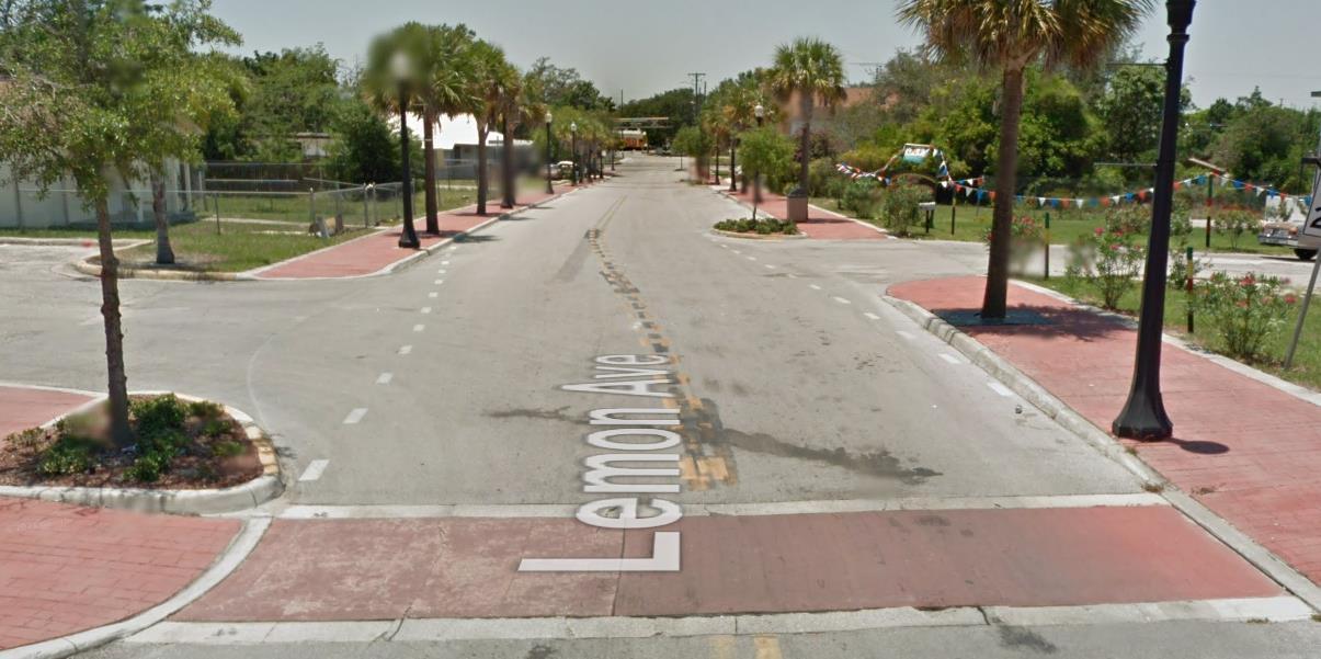

• Midblock traffic calming device from curb to curb.
• Raises entire wheelbase of a vehicle approximately 3 inches.
• Used for roadways that are between 25-45 mph.
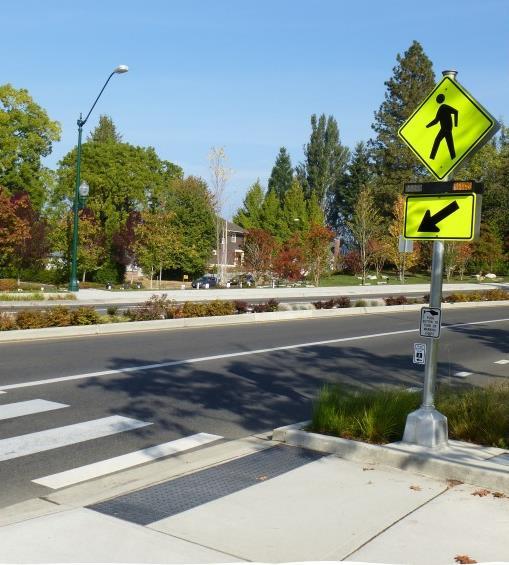
• Work well with the implementation of a Rectangular Rapid Flashing Beacon (RRFB).
• Implement on Commerce Avenue between Circle Park and Mango and Lakeview Drive between Center and Ridgewood
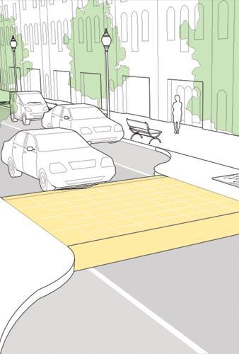
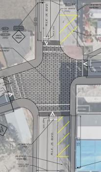
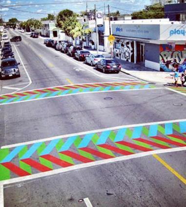
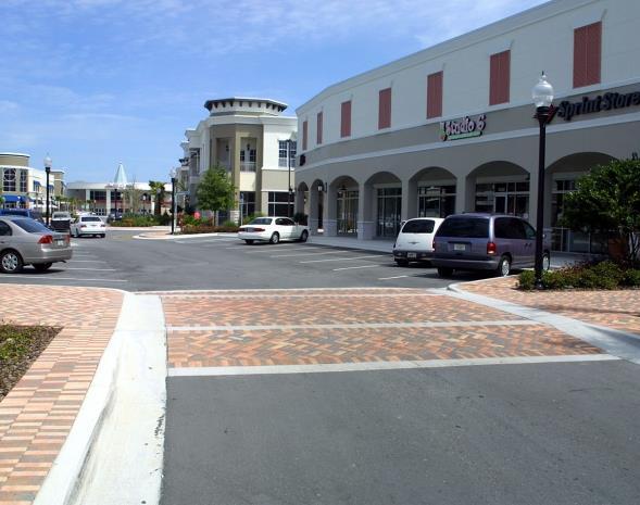
• Crosswalk acts as a speed table.
• Distinctive materials such as pavers or bricks can be utilized to promote traffic calming, however, additional maintenance may be required.
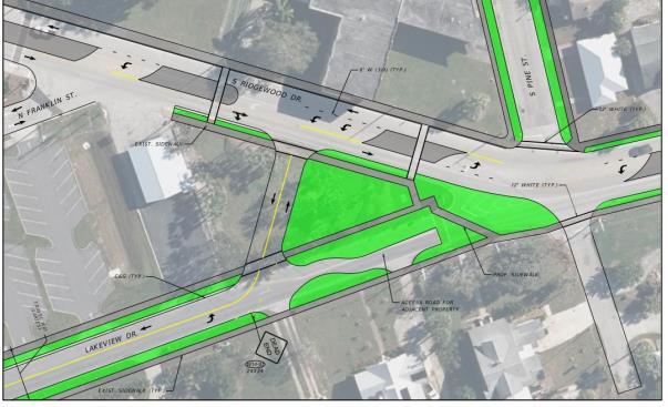
Lakeview/Ridgewood Intersection
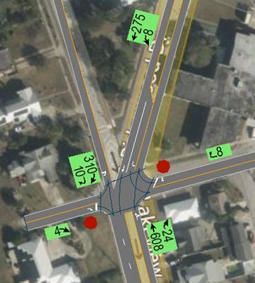

Lakeview/Ridgewood Intersection
• Realign as a T-intersection through existing pocket park
• Convert Lakeview and Franklin Street back to 2-way operations
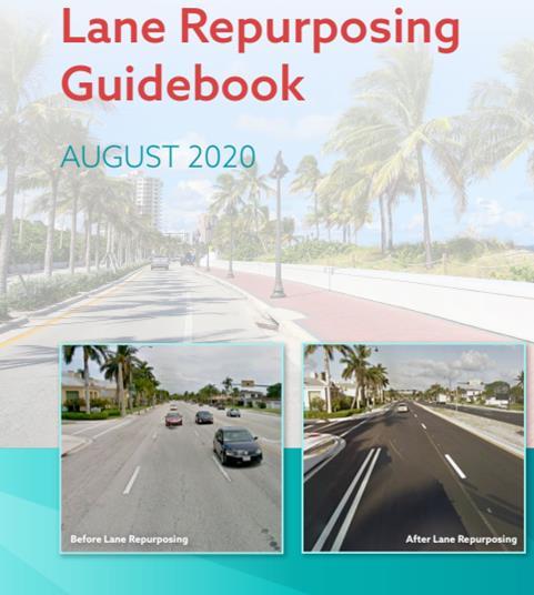
• Conduct a Lane Repurposing Study to evaluate potential lane reduction on Lakeview Drive from Ridgewood to Kenilworth

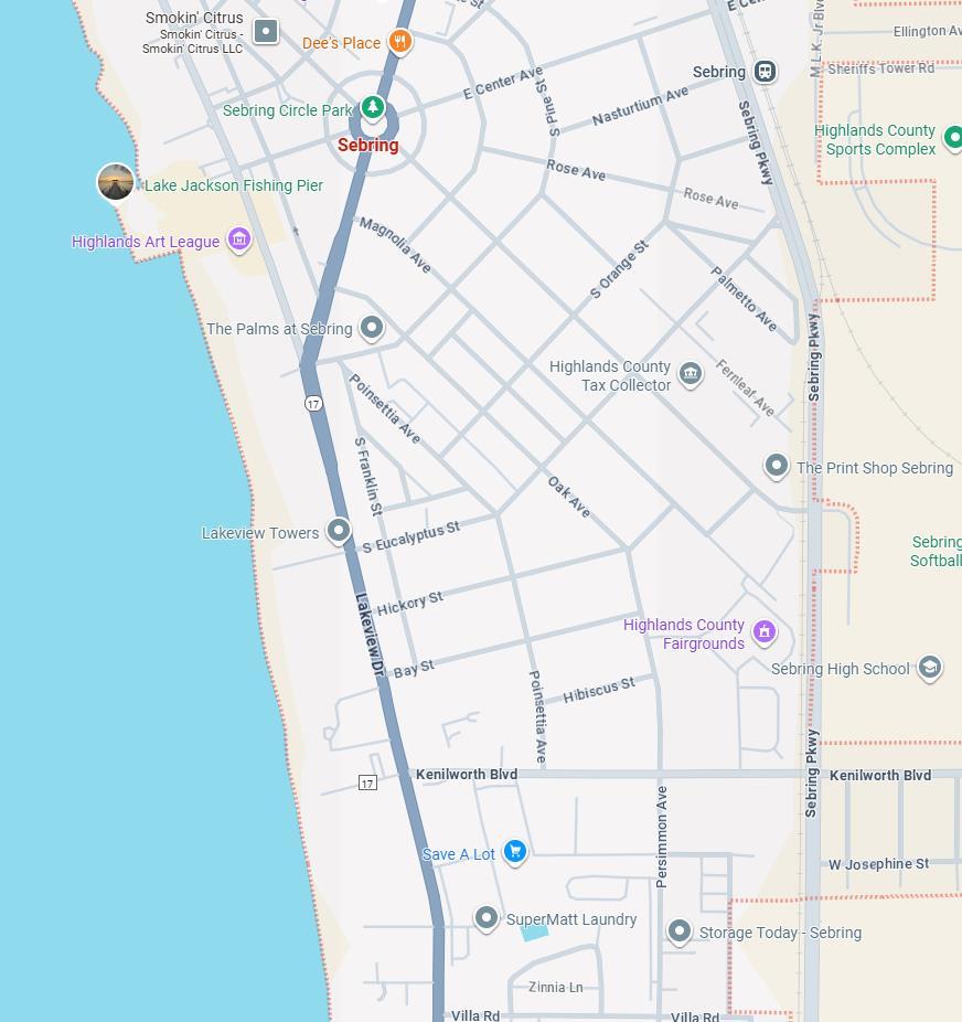
8,600 AADT 2 Lanes

14,700 AADT 4 Lanes

15,500 AADT 3 Lanes
www.pedbikeimages.org
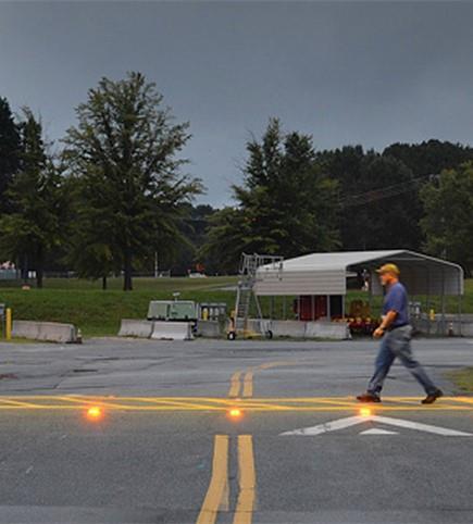
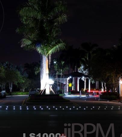
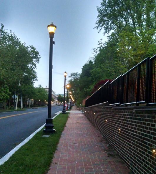
• Creation of a lighting implementation plan
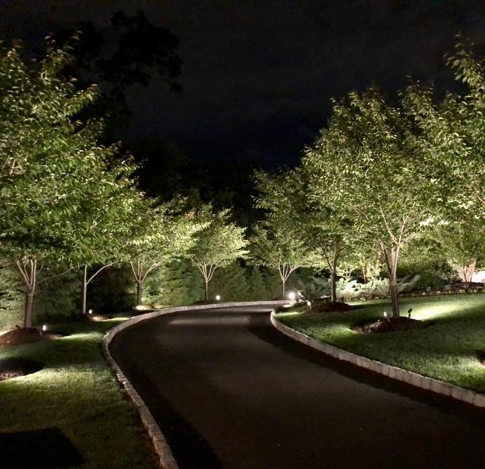
• Potential implementation of uplighting along edges of Circle Park focused on tree canopy and sidewalks
• Implementation of spotlights for local landmarkscould also include from buildings onto Circle Park
