2606_HealesvilleTDF_Issues and Opportunities Report_FINAL
Acknowledgement of Country
Yarra Ranges Council acknowledges the Wurundjeri and other Kulin Nation peoples as the Traditional Owners and Custodians of these lands and waterways. We pay our respects to all Elders, past, present, and emerging, who have been, and always will be, integral to the story of our region. We proudly share custodianship to care for Country together.
Contact
Web yarraranges.vic.gov.au
Email designandplace@yarraranges.vic.gov.au
Phone 1300 368 333
Published by Yarra Ranges Council.
PLANS
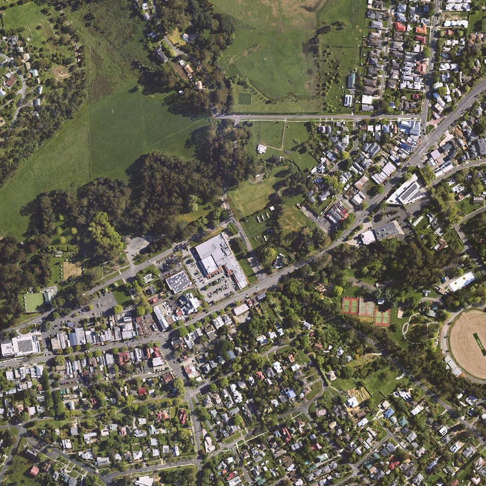
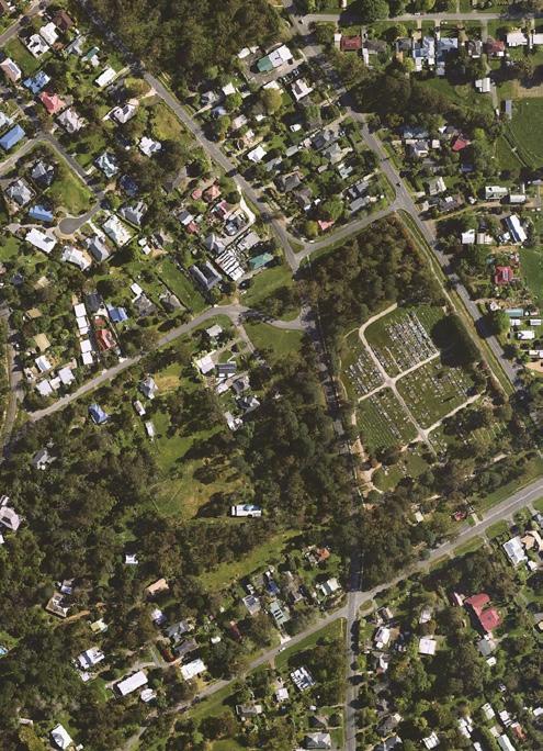
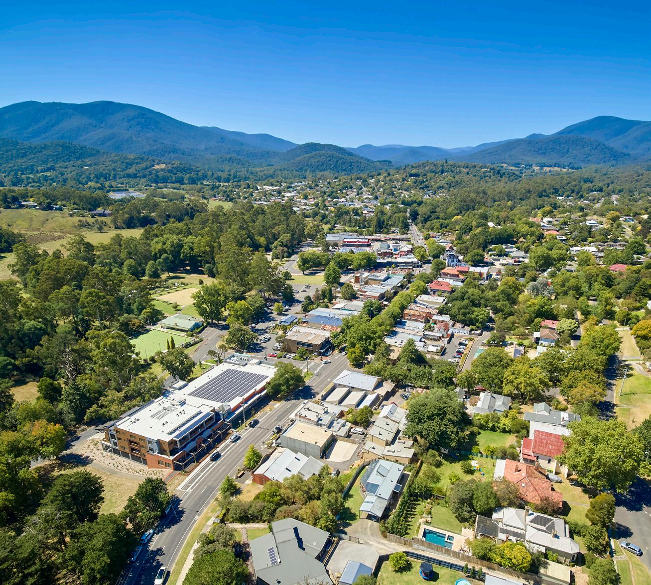
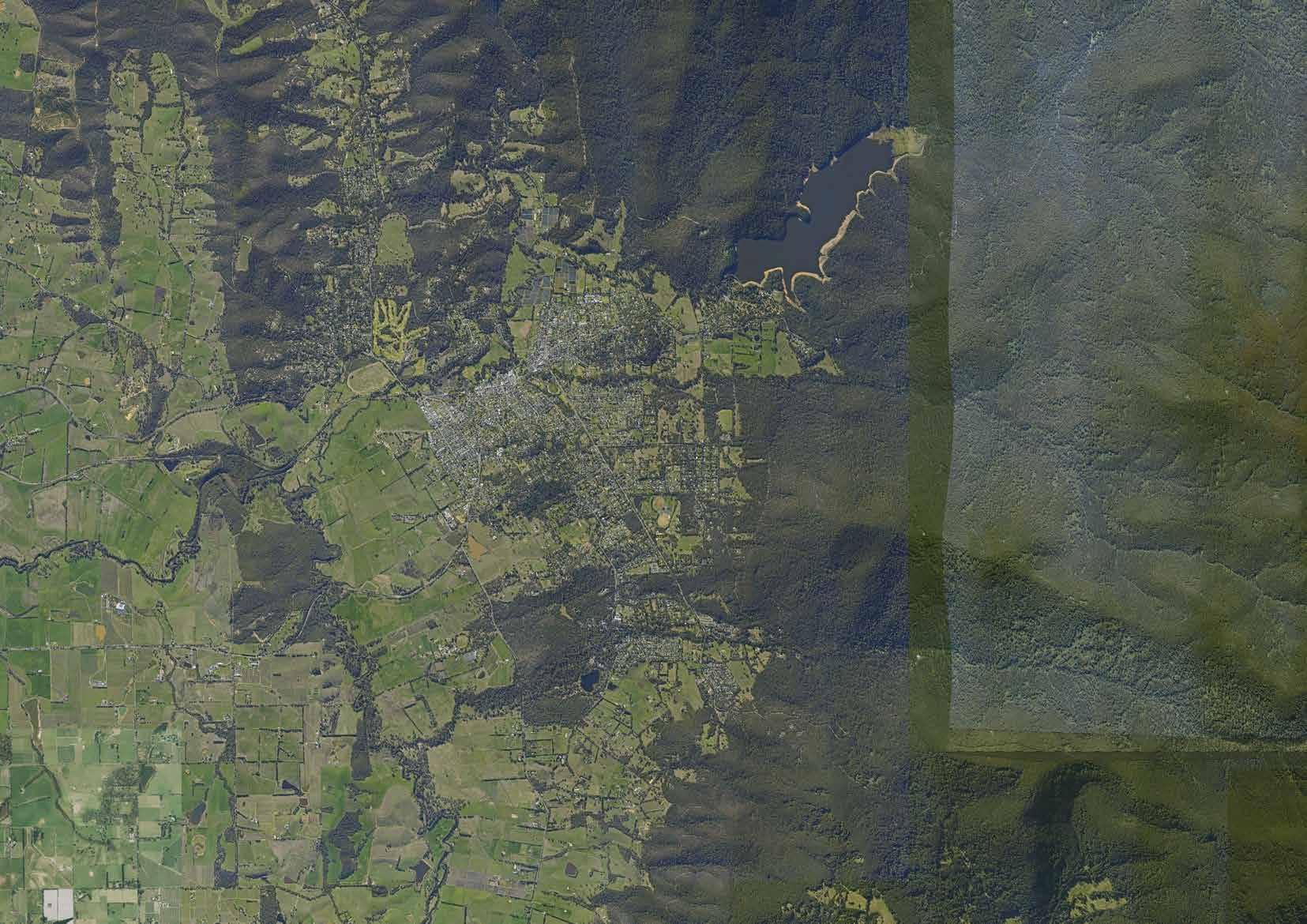
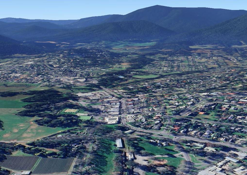
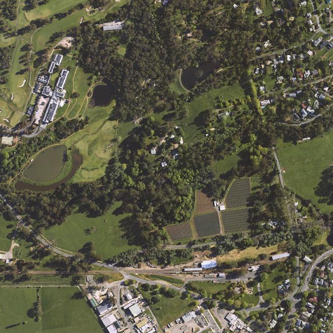
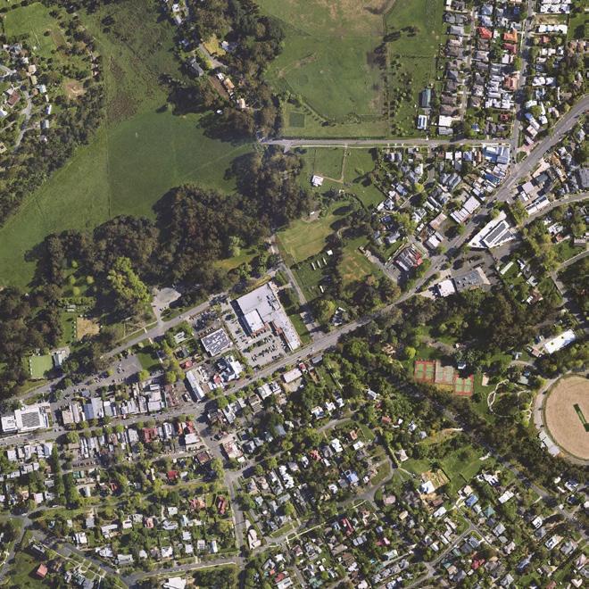
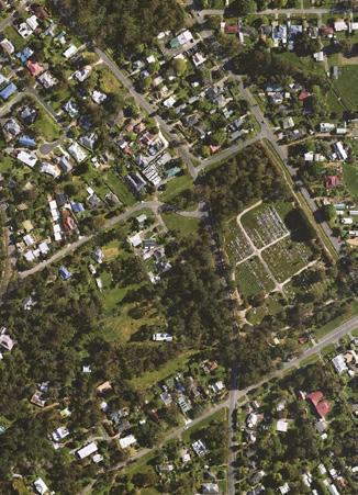
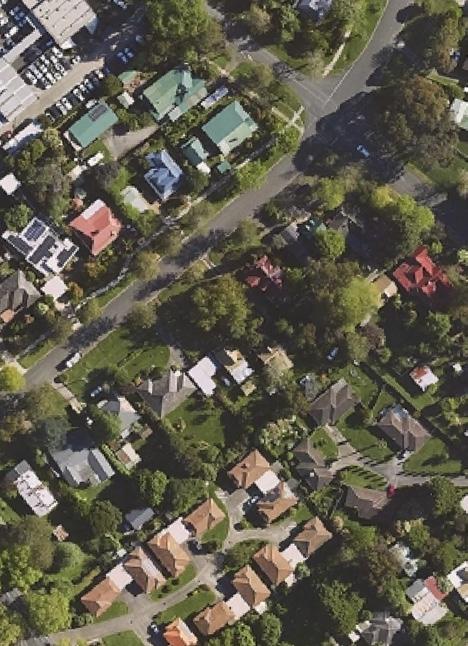
Plan 01 - Healesville Town Centre Aerial
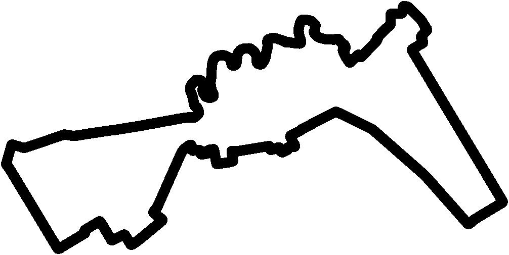
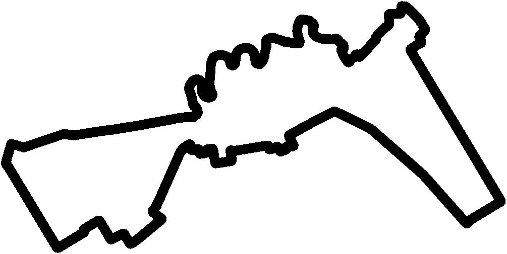
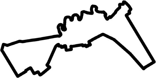
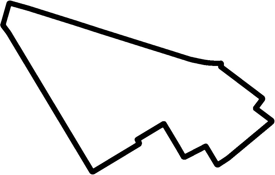
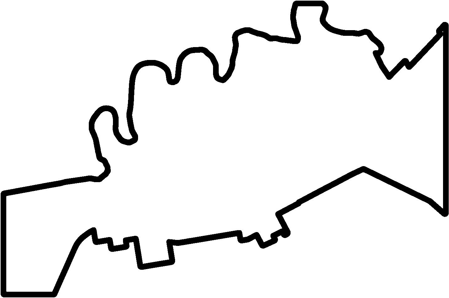
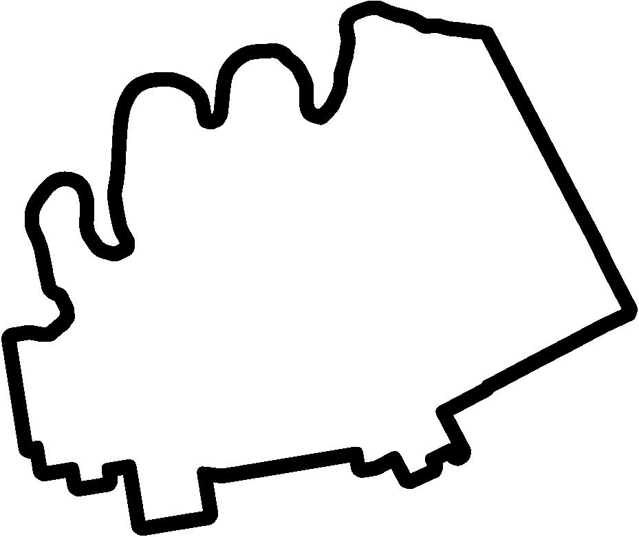
Plan 02 - Healesville TDF Study Area Plan
Plan 03 - Healesville Context - Metropolitan
Plan 04 - Healesville Local Context Plan
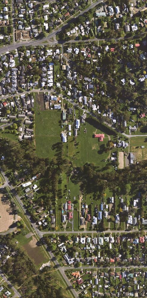
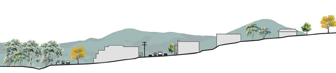
Plan 05 - Artist Impression of Healesville Landscape Plan 06 - Healesville Landform Context Plan
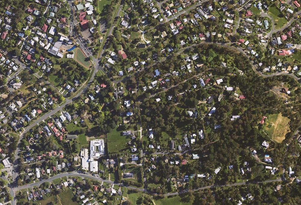
Plan 07 - Healesville
1.1 Overview
Purpose
The Township Design Framework (TDF) 2026 will refresh and build upon the previous strategic work of the Healesville Structure Plan. Its purpose is to provide clear design guidance regarding the development and structuring of land within the Healesville Town Centre primarily along the Maroondah Highway for the next 20 years.
The Healesville Township Insights + Opportunities Report forms the first stage of the Township Design Framework.
It presents an analysis of existing conditions within the Healesville Town Centre, identifying what is working well, what is not, and what is missing to ensure the town centre can continue to be enjoyed by all in the future.
The analysis draws on best-practice urban design approaches, combining theoretical research with feedback from the Healesville community gathered during initial consultation in March-April 2025. Each insight and opportunity is illustrated through a series of maps, cross-sections, diagrams, photographs, and supporting text.
These findings will directly inform the development of design proposals at key sites for the future of the Healesville Town Centre, for which the community will be invited to review and provide commentary on.
What is a Design Framework?
Design Framework’s are strategic planning and placemaking tools that set an integrated vision for future public and private development. They guide interventions shaping open space, buildings, landscape, and the public realm.
Unlike a master plan, which presents a fixed, detailed outcome, a Design Framework offers flexibility by defining key principles and concepts rather than prescriptive solutions. It outlines a vision supported by enough detail at key locations to test economic and functional feasibility.
Design Frameworks also allow ongoing review of actions within the strategic context and help councils assess development proposals using best-practice design guidance.
How to Use this Document
The Insights + Opportunities Report is organised into three main sections.
The first section - Introduction, provides an overview of the broader TDF project and outlines the key parameters guiding the scope of work.
This includes the design vision shaped by contributions from the Healesville community during the initial March-April 2025 consultation, an explanation of how the project builds upon previous strategic work undertaken in Healesville, a definition of the study area, and alignment with relevant legislation and policy.
The second section - Context, examines Healesville through a range of themes, including history, demography, economy, and physical environment. It also begins to explore how traffic and movement function within the town centre, how the buildings look and feel, and where people prefer to gather. Together, these themes provide a comprehensive understanding of the current conditions shaping the town centre.
Analysis forms the final section and overlays the themes identified in Context to understand the connections between issues and opportunities. This section is organised spatially to allow potential projects to be identified within distinct precincts. Each precinct is described in terms of movement and access, character, public realm, and built form.
This section also includes spatial mapping of community feedback gathered during the initial consultation, demonstrating how community insights are beginning to translate into outcomes and how they are informing the development of the TDF. The section concludes by identifying the key sites that will be further explored in the upcoming design framework, giving the community insight into the direction and next steps of the project.
01a: Warburton Township Design Framework
01b: Monbulk Township Design Framework
1.2 Vision for Healesville
Healesville is a charming, historic town and a thriving hub within the Yarra Valley. It retains it’s “small town” feel with leafy streets and a balanced mix of well-maintained heritage buildings and considered new development. Indigenous, settler, migrant and diverse stories are celebrated throughout the public realm and acknowledge the ongoing connection of the township with Coranderrk Station. The town supports local life and tourism with a variety of shops, eateries, attractions and community spaces. The town’s open spaces host a range of recreational activities and events, and the natural environment is flourishing. Healesville is well connected to surrounding townships and has a vast network of accessible paths and trails. Residents live healthy and engaged lives. Tourists are attracted to Healesville to enjoy the local dining, produce, arts and history. Based on Community Feedback from March-April 2025
1.3
Background
The Healesville Township Design Framework will build upon the work of the Healesville Structure Plan (2016).
Discussion Paper
What is it?
• Provided an overview of the current situation of Healesville Township at the time.
• The information was grouped into seven themes
• Housing
• Business
• Heritage, Built Form & Public Spaces
• Natural Environment
• Community Facilities & Services
• Physical Infrastructure
• Transport, Movement & Parking
What was involved?
• Community involvement:
• Community meetings;
• Community workshops; and
• Online engagement and surveys.
What was the next step?
Guidance on the future development direction of Healesville
The Healesville TDF will translate the strategic directions into actual designs and projects prepared for delivery.
Structure Plan Structure Plan - Review
What is it?
• Set the community vision.
• Provides strategic land use and layout framework by:
• Identifying land use issues and opportunities;
• Locating current and future land uses;
• Locating infrastructure; and
• Outlining development controls to support intended land uses.
• Council led with community input
What was involved?
• Council led work with community to identify land use and township layout issues and opportunities.
• Involved input from key stakeholders such as the CFA and DELWP.
• Feedback from Community and Stakeholders captured as objectives and actions.
• Council adopted Structure Plan to guide land use decision making in Healesville.
What was the next step?
Deliver actions set out in the Structure Plan
The below summarises the relationship between the Healesville Structure Plan (2016), and the Healesville Township Design Framework.
What is it?
• Reviewed the content, progress and directions of the Structure Plan.
• Provided updates including:
• Deletion of actions that have been completed;
• Consolidation of similar or duplicated actions;
• Identifying outstanding actions and ways to complete them; and
• Updated references to key State Government policy.
• Recommended that design guidance be more explicit through the creation of an Urban Design Framework.
What was involved?
• Council led work to identify completed, outstanding and/or new actions.
• Involved input from key stakeholders such as the CFA and DELWP.
• Council adopted updated Structure Plan to guide land use decision making in Healesville.
What was the next step?
Design guidance to achieve vision for Healesville
What is it?
• Builds upon preferred development outcomes of Structure Plan
• Sets a design vision for future of town centre in alignment with community expectations
• Prepares built form guidelines
• Nominates key sites for future project work
• Prepares design concepts demonstrating how projects respond to Structure Plan
• Council led with community input
• Focuses on the Physical Environment:
• Built Form;
• Public Realm;
• Streetscapes; and
• Transport.
What is involved?
• Council led work responding to issues identified by community in the Structure Plan process.
• Community will review design concepts and guidelines.
• Document will be updated to reflect feedback from community.
• Council to adopt Township Design Framework to guide decision making to achieve preferred built form environment of Healesville.
Healesville Township Design Framework
Healesville
1.4 Strategic Alignment
The Healesville Township Design Framework will be strategically aligned with both State and Local Strategic Policies.
Planning Practice Note 17
Planning practice notes provide guidance to helps planners and the community navigate planning processes, legislation, and good practice.
Planning Practice Note 17 relates to the preparation of Design Frameworks.
The Healesville TDF will align with this by:
• Including comprehensive analysis of context.
• Looking beyond the individual project and seek to coordinate across projects and opportunities, setting a project in its broader context.
• Incorporating and respond to information from existing strategies and studies.
• Responding to all major stakeholders by integrating their interests and concerns.
• Incorporating major infrastructure issues and provide design direction for the details within infrastructure construction projects.
• Setting out an implementation strategy that looks at a range of time scales.
• Presenting analysis, principles and options for implementation in graphical and written format to a standard suitable for public consultation.
• Illustrating existing constraints and available opportunities, identify different options, and provide a record of why particular options are selected referring to key policy objectives, urban design principles, etc.
• Providing a ‘layered’ response to issues at hand, beginning with the broad contextual issues and principles, and working down to detailed design studies and guidelines for critical locations.
Council Plan 2025-2029
• Lead Strategy: Yarra Ranges Planning Scheme will be amended and updated with the introduction of the following actions: Place Plans, Structure Plans, Township Design Frameworks and Masterplans will all result in changes to the Planning Scheme - Initiative 1: Place-based approach to achieve local priorities.
• In line with Action Plan: Initiative 1 of Strategic Objective: Healthy Connected CommunitiesPlace-based approach to achieve local priorities.
Other Plans
Other relevant plans and strategies from State Government, Council and Industry best practice, that have been considered for the development of the Healesville Township Design Framework include, but not limited to:
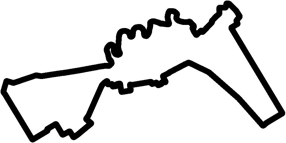
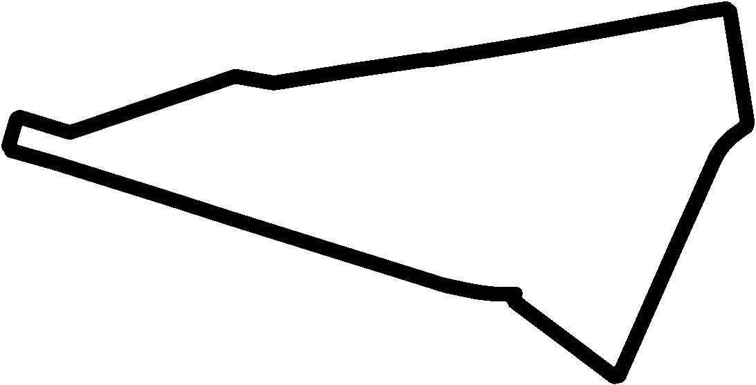
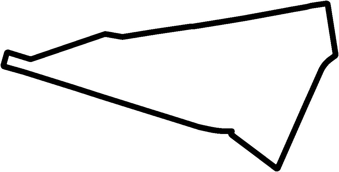
1.5 Study Area
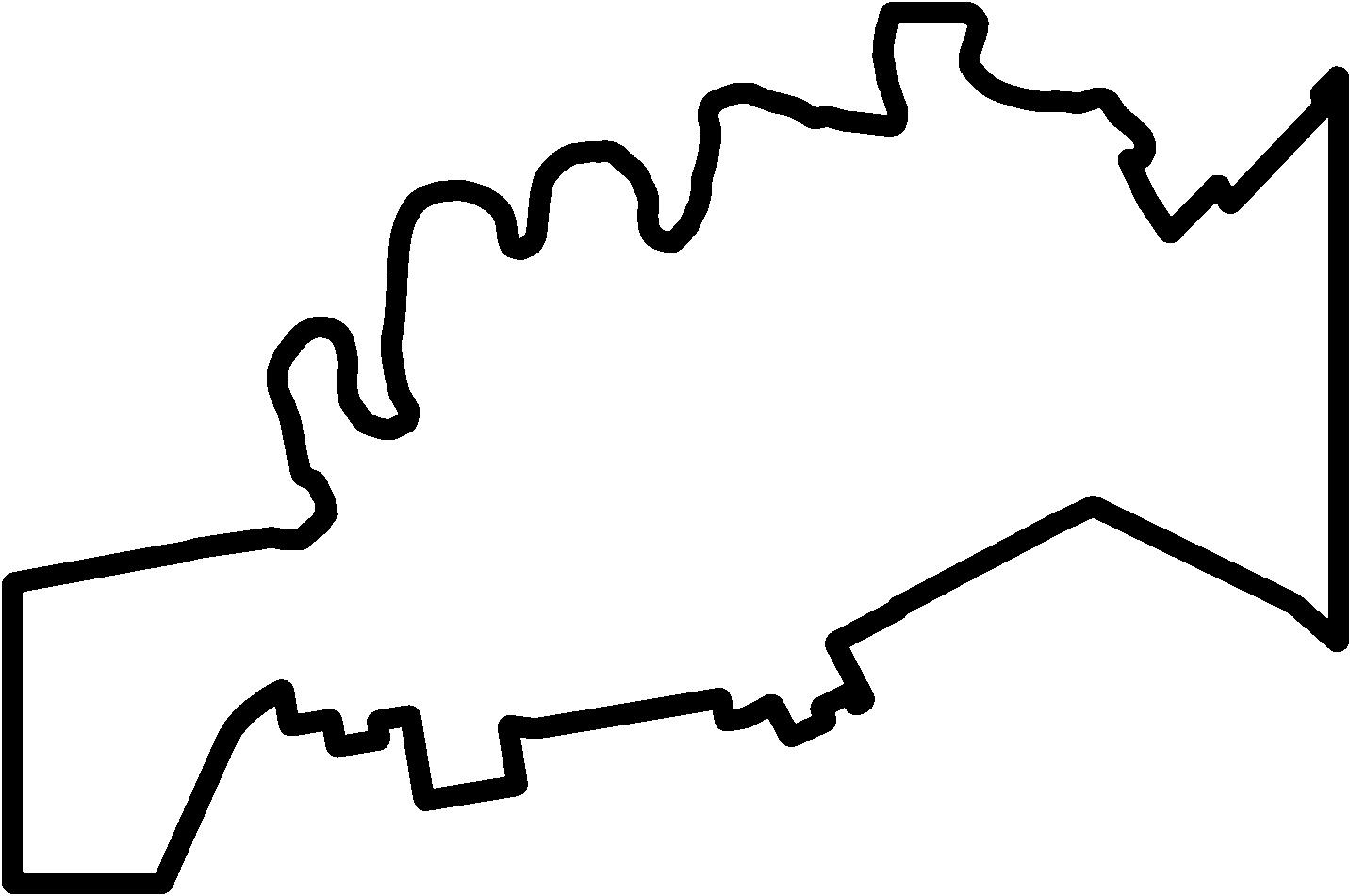
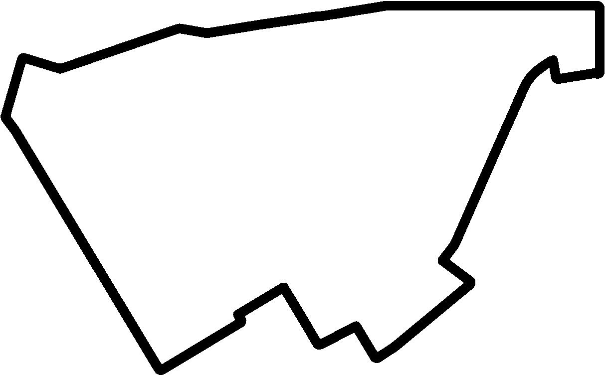
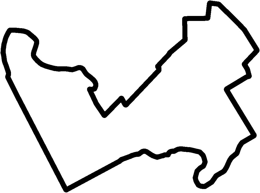
The study area is approximately 75.8Ha in size and includes:
• The commercial areas of town along Maroondah Highway;
• The industrial land around Lilydale Road;
• The publicly owned land in and around Healesville Station; and
• The open space areas of Coronation Park and Queens Park.
The study area is bounded to the north by the Watts River, the residential land to the east and south, and aligns with the Urban Growth Boundary to the west.
The study area is primarily accessed by the Maroondah Hwy with Healesville-Kinglake Rd, Don Rd and Badger Creek Rd also providing additional access routes.
The study area excludes the remaining residential land within the Urban Growth Area Boundary.
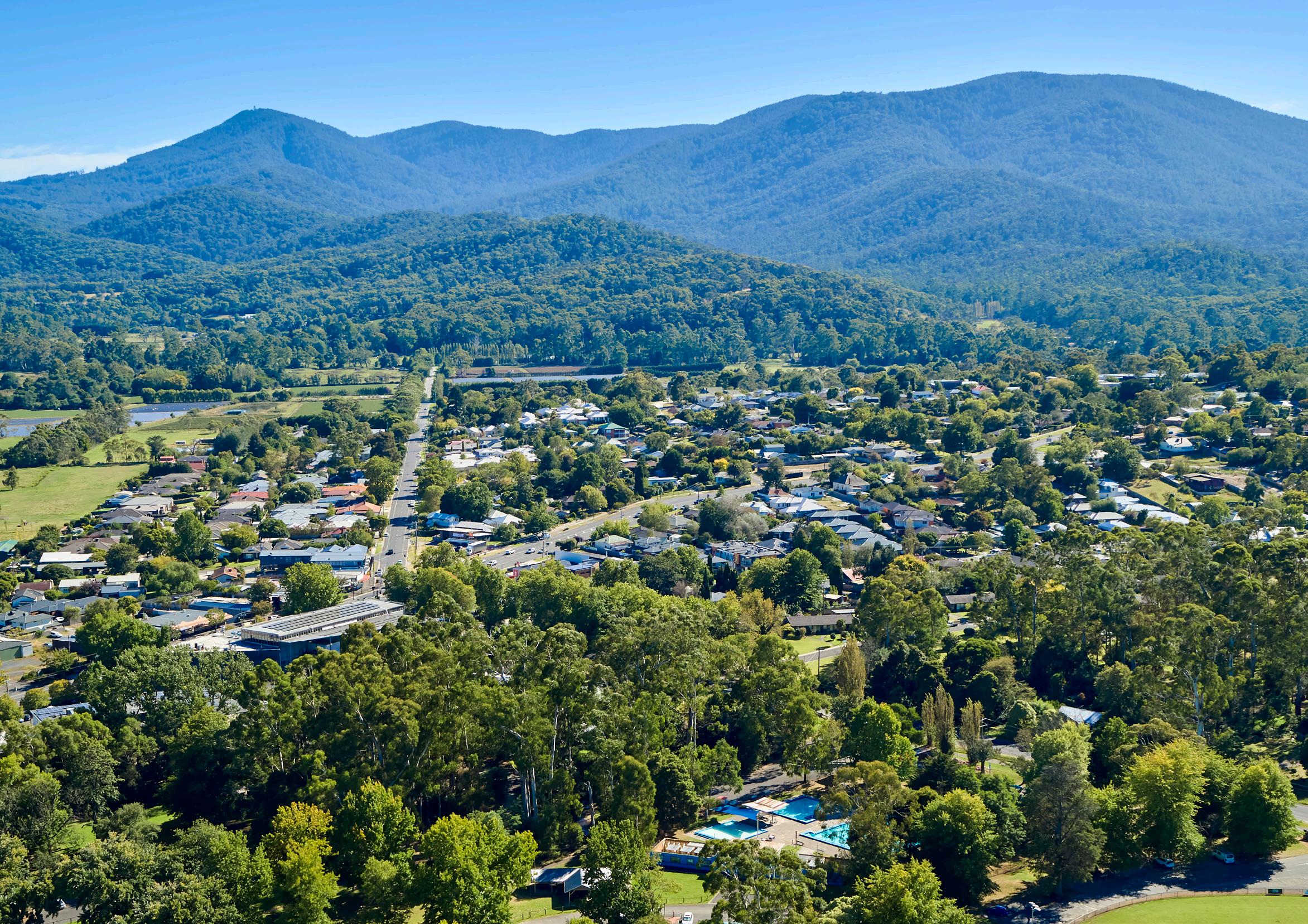
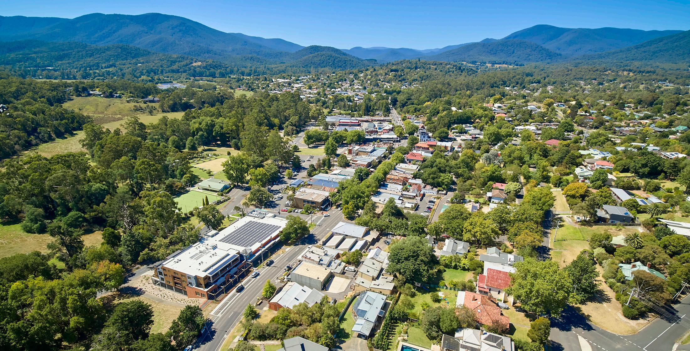
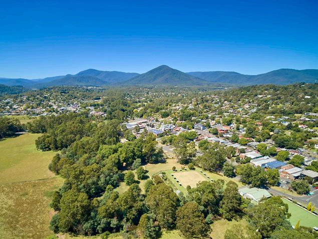
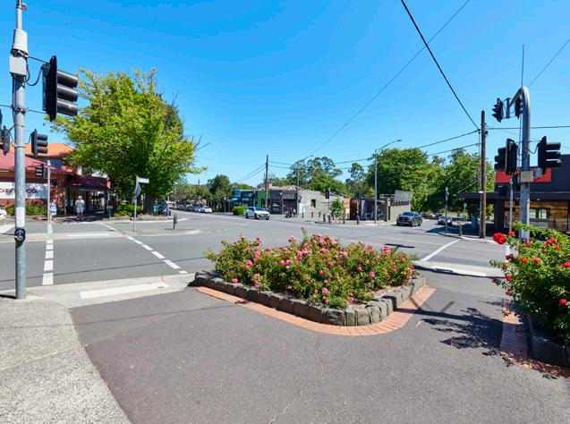
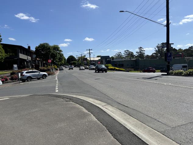
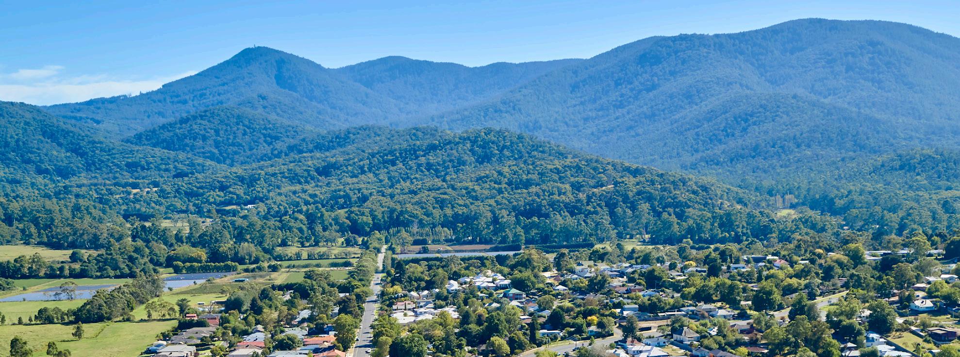
Image 04: View of Healesville Town Centre
2.1
2.1 Regional Context
Yarra Ranges
Yarra Ranges is the largest metropolitan Council in terms of land size in Melbourne. It sits over three Registered Aboriginal Party (RAP) areas; Wurundjeri Woi-wurrung, Bunurong and Taungurung lands.
As an interface Council, Yarra Ranges plays an important role connecting urban and rural Victoria. Yarra Ranges offers a mixture of urban and rural communities. Yarra Ranges is home to over 165,000 people and covers approximately 2,500km². The municipality stretches from the densely populated western suburbs into the foothills, agricultural valleys and forested areas of the Great Dividing Ranges.
Around 70% of our population lives in urban areas, which represent only 3% of the Yarra Ranges landmass. The remaining population is distributed throughout rural areas. There are over 60 townships and small communities within the LGA, making it one of the most diverse of any municipality in the State. The municipality is home to significant natural reserves and boasts popular areas such as the Dandenong Ranges and the Upper Yarra Valley.
The Valley
The Valley sits on the lands of the Wurundjeri Woiwurrung Cultural Heritage Aboriginal Corporation (WWCHAC) and encompasses the Council Ward of Ryrie. The Valley is defined by the Yarra River (Birrarung) and is characterised by a picturesque natural environment and attractions driving tourism. The mix of dense bushland and agricultural parcels has resulted in the area being used for grazing, fruit growing, and wine making amongst other things. The scattered townships that spread throughout the Valley see high visitor numbers all year round. The Valley is a destination for integrated food, wine, cultural, nature and activity-based tourism experiences, with a visitor economy that maximises economic and social benefits that flow to the region.
Plan 03: Healesville Context - Metropolitan
Image 05: View of Yarra Ranges from Healesville
2.2 Local Context
Healesville
Healesville is nestled alongside The Yarra Ranges National Park whose mountain ranges surround the township.
Watts River meanders into town from the Maroondah Reservoir and converges with the Grace Burn and Wirrup Yaluk at Coronation Park. Watts River continues west out of town to meet the Yarra River (Birrarung).
The Maroondah Highway runs through the town centre of Healesville and connects Melbourne to the distant townships in the upper reaches of the Yarra Ranges.
The township services the strong and passionate local Healesville community as well as the surrounding communities of Badger Creek and Chum Creek.
Image 06: View of Yarra Ranges National Park from Healesville
2.3 Population and Demographics
Healesville & Surrounds 2026id.profile
Healesville & Surrounds 2046id.forecast
Yarra Ranges 2046id.forecast
Population
Yarra Ranges had an estimated 160,137 residents as of June 2024.1 The suburb of Healesville had 7,589 residents as of the 2021 Census, a slight increase from 7,461 residents in 2016.2 The gender ratio was 48:52 males to females.3 The 2021 Census was conducted during the Covid 19 Lockdowns which may have impacted results for Healesville.
More recent data are available for the wider Healesville-Yarra Glen local area. In 2024, Healesville-Yarra Glen had 14,040 residents, marginally down from 14,106 in 2016.4 The largest ten-year age groups were 55-64 year olds (14% of residents) and 65-74 year olds (12.9% of residents).5
The population in Healesville and Surrounds is forecast to rise by 3.9% (413 people) between 2026 and 2046 (from 10,635 to 11,047). The main growth will be amongst older persons aged 80+ (458), and middle aged residents aged 40-59 (365 extra residents).6
Footnotes on page 17
Graph 01 - Healesville and Surrounds Population by Age, 2026 and 2046 (forecast).
Diagram 01 - Change in population in Yarra Ranges & Healesville and Surrounds, 2021-2046.
Yarra Ranges 2021Australian Census
2396 (17%)
Aged 14 and under
2.7% of residents
Aboriginal and/or Torres
Strait Islander people
Households and Housing
In 2021, Healesville-Yarra Glen had a high level of:
• residents who were born in Australia and speak English only at home;
• indigenous residents;
• carers and volunteers;
• family households;
• residents with at least one chronic health condition (37%), including mental health (10%).7
It had a low level of residents attending tertiary education.8
Couple families without children were the most common family type at 43% of families, followed by couples with children (41%) and one parent families (15%). Across all households, people living alone made up 24% of households.9
Most houses in Healesville-Yarra Glen (92%) are separate houses, compared to 73% across Victoria. It has a slightly above average level of households with a mortgage (43%), and below average household incomes.10
Aboriginal & Torres Strait Islander
The Yarra Ranges has the largest concentration of Aboriginal and Torres Strait Islander peoples in the Eastern Metropolitan Region of Melbourne, accounting for around 35 per cent of the region’s total Aboriginal and Torres Strait Islander population.
The hub of the region’s Aboriginal and Torres Strait Islander community is around Badger Creek and Healesville, which represents 2.7 per cent of the population within the catchment area. This is higher than the proportion of the Greater Melbourne area population of 1.0 per cent, according to the 2021 Census.11
Diagram
4
5
6
7
8
9
1 Home
Most common language other than English spoken at home
2.4 Local Economy & Community
$97.4M
Supermarkets
Expenditure
From 1st January 2025 – 31 December 2025, total spending within Healesville reached $160.2M, yet only $97.4M came from local residents shopping with Healesville businesses. The majority of economic activity was driven by visitors.
Visitors (outside of Healesville) contributed $62.8M, accounting for 40% of all local expenditure and made up 71% of all customers. This shows that Healesville’s economy is strongly influenced by tourism, making visitor engagement critical for local businesses.
Healesville residents spent $226.6M outside of the township. This leakage far exceeds the $97.4M total spend captured by Healesville's businesses, underlining a major challenge of retaining local expenditure.
Resident & Visitor Experience
Retiree's were the top resident life stage while Young Families were the top visitor life stage. Those aged between 25-34 were the top visitor age band.
Supermarkets were the main category where visitors and local residents spent their money, highlighting Healesville’s role not only as a tourism destination but also as a key service hub for everyday needs.
Healesville Sanctuary is the major tourist attraction of the area and attracts large numbers of visitors annually.
Yarra Valley Rail is another tourist attraction drawing visitors to town. Major redevelopment to the Yarra Glen to Healesville line are currently taking place which will allow for regular tourist services.
Diagram 04 - Key Economic Categories in Healesville, 2025
Diagram 03 - Key expenditure statistics in Healesville, 2025.
$1,594 Median Weekly household income
Employment
On Census Day 2021, Healesville and surrounds had an employment rate of 57% for people aged 15 and over, and an unemployment rate of 5.7%. Only half (50.5%) had full time work. The employment rate for Healesville and surrounds is under the Victorian rate of 62.4%, and the unemployment rate is below the Victorian rate of 5.1%
Industry
The most common industry for jobs within Healesville and surrounds was Health care and Social Services, making 19.8% of jobs. This was followed by Accommodation and Food Services at 12.4%, Retail Trade at 9.8%, and Construction at 8.6%.
Diagram 06 - Industry jobs located in Healesville, 2021
Diagram 05 - Key employment statistics in Healesville, 2021.
Healesville Economic Data credit: Prepared by Yarra Ranges Economic Development & Investment – January 2026
2.5 History & Heritage
In order to understand the history of Healesville, it is important to understand the history of the local region and how it has influenced Healesville today.
Wurundjeri Woi-wurrung Country
Healesville is located on the lands of the Wurundjeri Woi-wurrung people of the Kulin Nations. The Wurundjeri Woi-wurrung people are the traditional owners of the land and have lived on and cared for country for thousands of years.
The Wurundjeri Woi-wurrung people consider the Birrarung (Yarra River) the 'life blood of the land'. It is a significant waterway corridor in Wurundjeri Woiwurrung culture and storytelling. The Watts River and Coranderrk Yaluk (Badger Creek) are also significant cultural waterway corridors for their history around Coranderrk Station. Today all these waterways are recognised as Aboriginal Areas of Sensitivity and have their own protective planning overlays.
Before European colonisation, the Wurundjeri Woi-wurrung people moved with the seasons along the Birrarung (Yarra River). They camped on its banks and constructed barks shelters called 'willams' during the colder months. They hunted and gathered on the land and fished and trapped in the waterways. Annual gatherings brought communities together for ceremonies, games, and performances of song and dance, reinforcing cultural ties and shared knowledge. This is still a large part of First People's culture to this day.
Coranderrk Aboriginal Station
After Europeans arrived in the 1830's, the Wurundjeri Woi-wurrung people were displaced off their land and their population decreased drastically due to disease, sickness and persecution.
In 1863, Simon Wonga, Ngurungaeta (leader) of the Wurundjeri Woi-wurrung people, lead his remaining people up in to the Yarra Ranges seeking land on which they could settle and, in Wonga's words, "work like white men". Accompanied by his friend, Scottish Missionary John Green and his wife, they eventually claimed an area of land at the confluence of the Coranderrk Creek (Badger Creek) and
Birrarung (Yarra River). They named the settlement 'Coranderrk' after a tree that blossoms along the river (Christmas Bush). The Aboriginal Protection Board approved the settlement as an Aboriginal Station and John Green was named superintendent. John Green allowed the Aboriginal people to govern themselves and within a few years the station was prosperous and working towards self sufficiency.
At its largest, the Station covered 4750 acres and featured a school house, dairy and cattle farm, orchards, crop fields, brick making kilns and a hops plantation. The success of the hops plantation eventually lead to the demise of the station.
Closure of Coranderrk
With the hops plantation bringing in good profits, the Aboriginal Protection Board demanded an increase in production. The Coranderrk community were forced to work for unfair pay and under demanding timeframes. With no time to care for their houses, crops or animals, the Station fell in to poor condition and John Green was unfairly dismissed as superintendent in 1874. The community begged for his reinstatement but stricter management was brought in by the Board. Simon Wonga died shortly after and William Barak became the new Ngurungaeta. Conditions continued to worsen at the Station and William Barak walked the 60km journey to Melbourne several times over the next 10 years to petition to Parliament for better conditions and rights for his people. The ruling of a Royal Commission of Inquiry in 1881 improved conditions for a while. When legislation was introduced 1886 that forced many young Indigenous people off the Station, the Station's sense of community was destroyed. Coranderrk was closed in 1924 when only a few residents remained. All others had been sent away and separated from their families by the Half Caste Act. William Barak died in 1903 and is buried in the Coranderrk Cemetery.
In 1920, 78 hectares of Coranderrk's land was given for the establishment of the Institute of Anatomical Research, which later would become Healesville Sanctuary. Then in 1948 the Coranderrk Lands
Bill revoked the reservation of Coranderrk Station and the remaining land was divided up for soldier settlements after WW2. No Aboriginal soldiers were eligible for any of this land.
Relationship with Healesville Township
Healesville township was first surveyed in 1865, two years after the opening of Coranderrk Station. Over the next couple of years, traders set up along the main street to sell their wares to the quickly growing town. Coranderrk Station also had a thriving village at this time and sold meat, dairy products, crops and bakery goods to neighbours in town. Trade between the Township and Station was common. In the 1890's when Coranderrk was less self sufficient, they relied on purchasing their food from the shops in Healesville.
Other goods and materials produced at the Station also had impact in the township. In the 1870's, bricks were being made at the station to build cottages and were also used to construct the superintendents house. When the Station was closed, these bricks were reused in Healesville buildings. Baskets weaved by Aboriginal women at the Station may have also been sold in town.
The relationship between the Township and Station was strengthened when the Coranderrk Football team and the Healesville Football team played their first match in 1888 at Queens Park. The two teams regularly played against each other before they eventually merged to join forces and win the areas trophy competition. The Healesville Football Club continues today.
2 Blackfella Films, First Australians, Episode 3 - "Freedom For Our Lifetime", 2008
3 Stairmand. N, "Coranderrk & Healesville: a Shared History", Yarra Ranges Council
CHUM CREEK
Largest Extent of Coranderrk Station, reserved in 1879
Healesville Town Centre
Boundary
Waterway
CORANDERRK STATION HEALESVILLE
Areas of Cultural Heritage
Sensitivity
BADGER CREEK
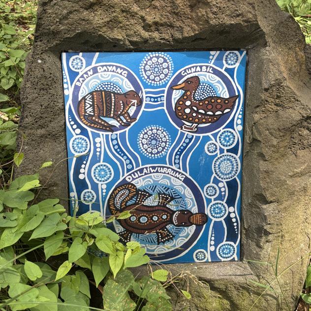
Image 07: Artwork at Coronation Park depicting the platypus creation story.
(Artwork by Amanda Wright)
Image 08: Belonging Garden at Queens Park next to Oonah Aboriginal Health and Community Services.
Establishment of the Town
Healesville township was first surveyed in 1865 and named after Richard Heales who was the Premier of Victoria from 1860 to 1861. The town was positioned along the Yarra Track which linked Melbourne to the Woods Point Goldfields. Within a year 30 traders had set up along the upgraded track (now named Nicholson Street) which established the town centre. These businesses supported the towns growing population and residents of Coranderrk Aboriginal Station who regularly traded handmade items for food goods.
Agriculture and Farming were early industries in the Yarra Valley due to it's fertile soil. The vast forests of the Yarra Ranges were also recognised as a valuable resource and the first sawmill was established in 1863. The newly extended railway line from Lilydale to Healesville in 1889 connected the timber tramways to Melbourne and sawmilling became a thriving industry in Healesville.
The railway also started welcoming tourists in pursuit of healthy leisure activities such as walking in the bushlands of the Yarra Valley. Healesville continued to attract tourists over the next century.
1900-2000
The Yarra Ranges continued to see sawmilling activity until 1948 when it was deemed that all the useable timber had been cut out.
Research in to the Yarra Ranges native wildlife was also sparking attention and the Institute of Anatomical Research was opened outside of Healesville in 1920. It was later opened to the public in 1934 as the Sir Colin MacKenzie Sanctuary (now Healesville Sanctuary) and was the first place to breed platypus in captivity. Healesville Sanctuary is still one of Healesville's most significant attractions. The Maroondah Dam also became a popular attraction for tourists when it was completed in 1927 after six years of construction.
Nicholson Street was renamed Maroondah Hwy in 1948 when it was included as part of the state
highway. With the popularity of car travel as the preferred mode of transport, the railway line was closed to passenger trains services in 1980.
The Yarra Ranges National Park was established in 1995, protecting the vast forests and native wildlife for future generations to enjoy.
2000-Today
The Healesville railway line began operating a tourist railway service in 2010 through the Yarra Valley Rail volunteer group.
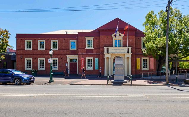
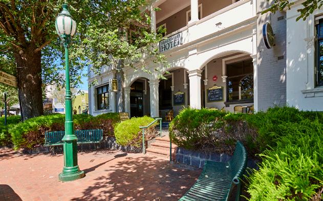
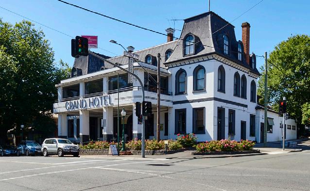
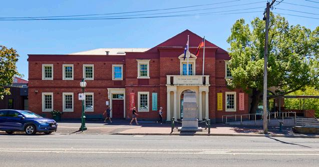
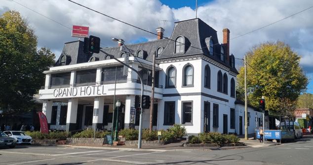
Several heritage buildings still feature including the Grand Hotel (b. 1886), Healesville Hotel (b. 1912) and the Memorial Hall (b. 1924). The oaks and elms planted along Nicholson Street in 1888 are also of significant heritage value today and a key character feature for Healesville.
Coranderrk Today
In 1998, the Indigenous Land and Sea Corporation (ILSC) purchased 80 hectares (200 acres) of the original Coranderrk Aboriginal Station land. This land was then vested to the Wandoon Estate Aboriginal Corporation (WEAC) to manage and care for the land. The only remaining building, the original superintendent's house, became the residence of Traditional Owners who's ancestors were some of the first residents of Coranderrk Station.
Today Coranderrk is guided by the Wandoon Estate Aboriginal Corporation Coranderrk Strategic Plan 2023-33. The Plan has four strategic objectives - environment, reconciliation, education and sustainable organisation. While Coranderrk does not fall within the study area of the Healesville Township Design Framework, the TDF will support the priorities and goals of Healesville's Indigenous community.
1 Victorian Places, “Healesville and Healesville Shire", 2015, victorianplaces.com.au/healesville-and-healesville-shire
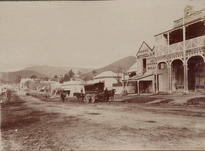
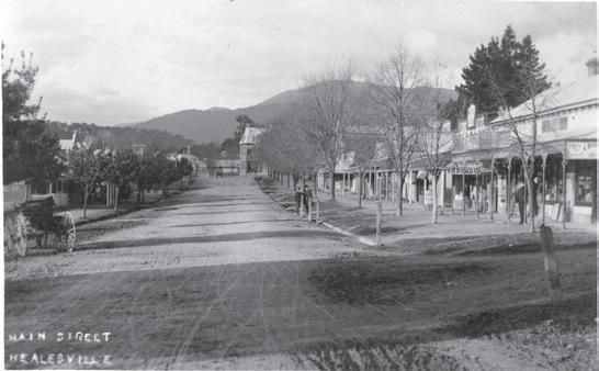
Image 09: Photo of Nicholson St taken between 1898-1912 (Source: State Library Victoria)
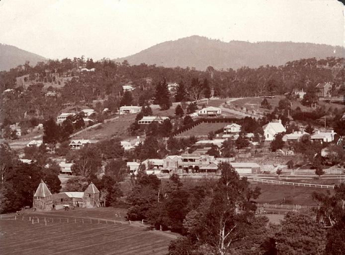
Image 10: Photo of Healesville taken in 1909 (Source: State Library Victoria)
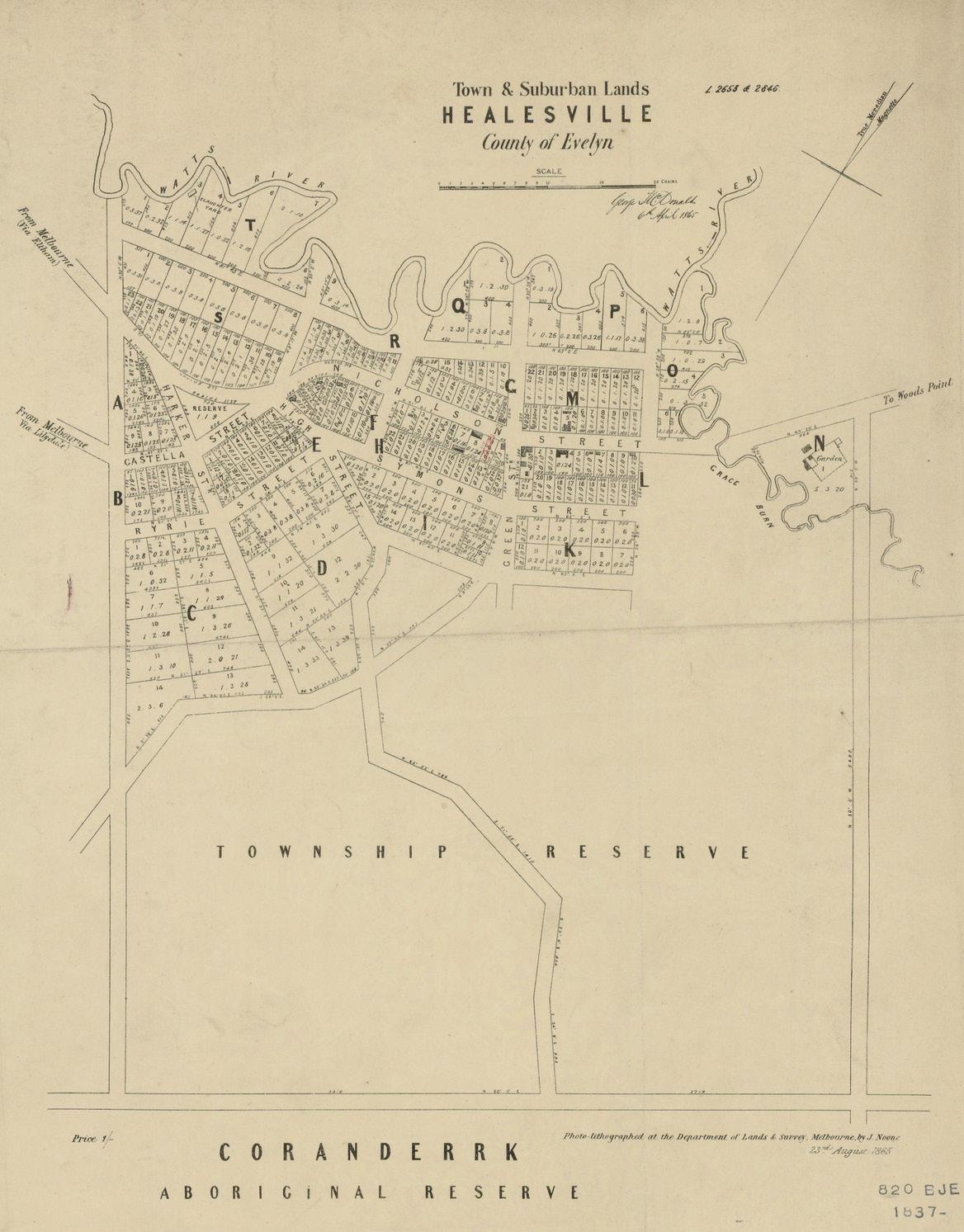
Image 11: Survey Plan of Healesville, 1865 (Source: State Library Victoria)
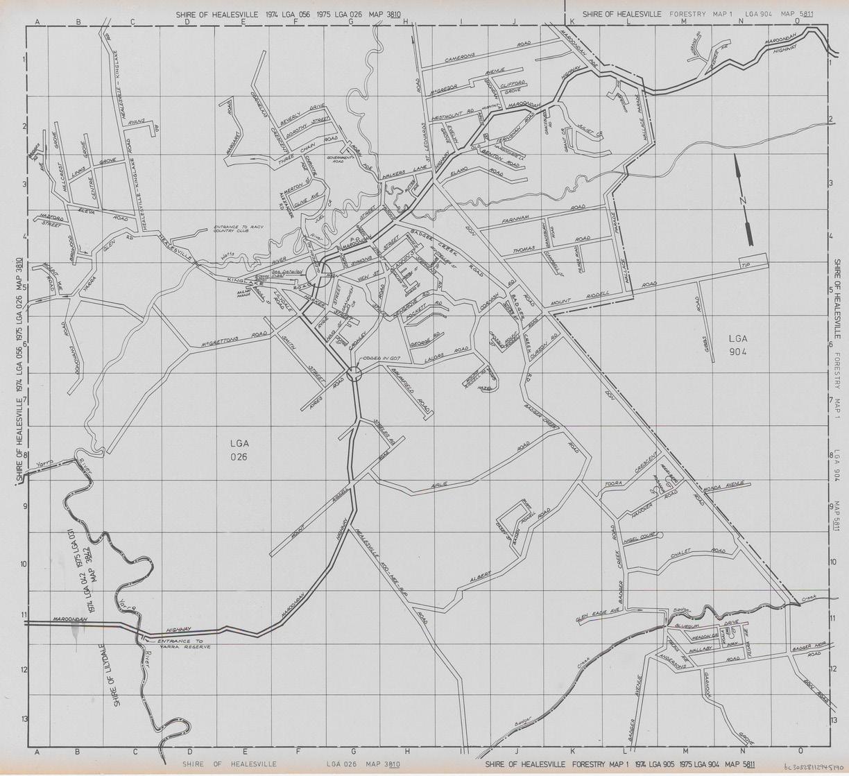
Image 12: Department of Crown Lands and Survey Plan of Healesville, 1975 (Source: State Library Victoria)
2.6 Historical Timeline
Healesville is surveyed and established as a township along the newly constructed road that improved the Yarra Track.
The town's first sawmill is established to harvest timber from the vast forests north of Healesville.
Gold is first discovered in Woods Point and the Yarra Track is created to convoy prospectors from Melbourne.
The Wurundjeri Woi-wurrung people have lived on and cared for country for thousands of years.
Coranderrk Aboriginal Station is opened with missionary John Green as superintendent.
John Green is dismissed as superintendent of Coranderrk and strict management begins.
Queens Park is reserved.
(Photo of Nicholson Street 1909)
SOURCE: STATE LIBRARY VICTORIA
The Maroondah Reservoir is completed.
The Mechanics Institute is opened on Church St.
SOURCE: AUSTRALIAN HANDBOOK 1881
The Shire of Healesville is gazetted.
The Maroondah Dam is completed after 6 years of construction.
Healesville Memorial Hall is opened.
12 independent sawmills have set up in the area and the timber industry is a major contributor to Healesville's economy.
The Healesville Hotel building is rebuilt.
The railway line is extended from Lilydale to Healesville which connects the timber tramways to Melbourne and brings tourists to the township.
The Grand Hotel is opened and street trees are planted along Nicholson Street.
80 acres of Coranderrk Land is acquired by Dr Colin MacKenzie for the establishment of the Institute of Anatomical Research. Coranderrk Aboriginal Station is officially closed.
The Institute of Anatomical Research is opened to the public as the Sir Colin MacKenzie Sanctuary (later renamed Healesville Sanctuary).
SOURCE: HERALD SUN
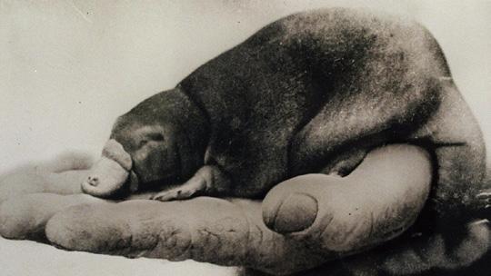
The first platypus to be bred in captivity is born at the Sanctuary and named “Corrie” after Coranderrk (Christmas Bush).
The timber industry begins to decline after all the usable timber is cut out.
80 hectares of the original Coranderrk Aboriginal Station land is purchased and vested in the Wandoon Estate Aboriginal Corporation.
Vineyards are planted and wineries are beginning to establish in the area.
The Yarra Ranges National Park is established.
The Black Saturday bushfires caused widespread devastation and loss of life, greatly affecting Healesville's community.
The Healesville Structure Plan is adopted by Council and identifies the need for a TDF.
The Black Friday Bushfires destroy many sawmills around Healesville but the timber industry continues to grow by harvesting the burnt trees for pulp wood.
Nicholson St is included as part of the new State Highway and renamed Maroondah Hwy.
The Healesville Railway Line ends its passenger train service.
Yarra Valley Rail reopen a section of the Healesville Railway line and start operating a tourist train service out of Healesville Station. The Healesville Township Design Framework (TDF) process begins.
Diagram 07: Timeline of key historic events in Healesville
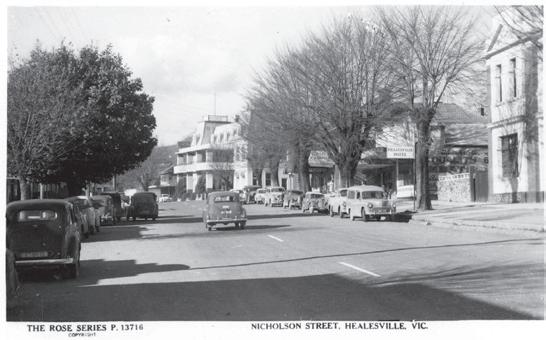
(Photo of Nicholson Street 1940)
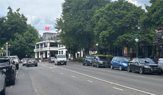
(Photo of Nicholson Street 2025)
SOURCE: STATE LIBRARY VICTORIA
SOURCE: YARRA RANGES COUNCIL
2.7 Land Form
Healesville is situated in the valley at the base of the Yarra Ranges.
Topography
The Healesville town centre sits at the lowest point of the township along the Watts River with the residential areas sitting on higher land above it.
Ridgelines & Highpoints
The Ridgelines of the Yarra Ranges are the dominant visual landform feature of the area. The points of Mt Riddell, Mt Juliet and Mt Monda serve as prominent local landmarks and are visible from most vantage points around the township.
Waterways
The Watts River is the primary waterway that provides a natural northern boundary for the town centre. The Watts River carries flows down from the Yarra Ranges in to the Maroondah Reservoir and on to the Yarra River. The Grace Burn and Wirrup Yaluk are secondary creeks that converge with the Watts River in the town centre, feeding water flows from the slopes of Mt Riddell.
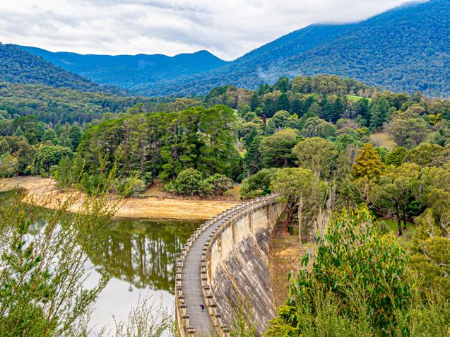
Image 13: Maroondah Reservoir
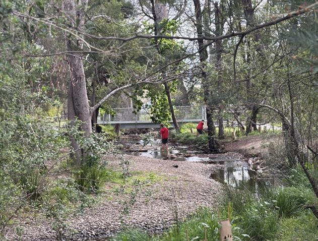
Image 15: Watts River
Image 14: Yarra Ranges behind Healesville, with Mt Riddell the closest peak to the township
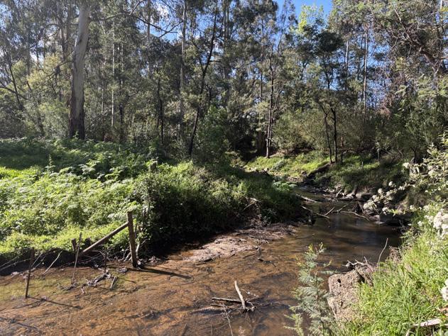
Image 16: Grace Burn
2.8 Environment
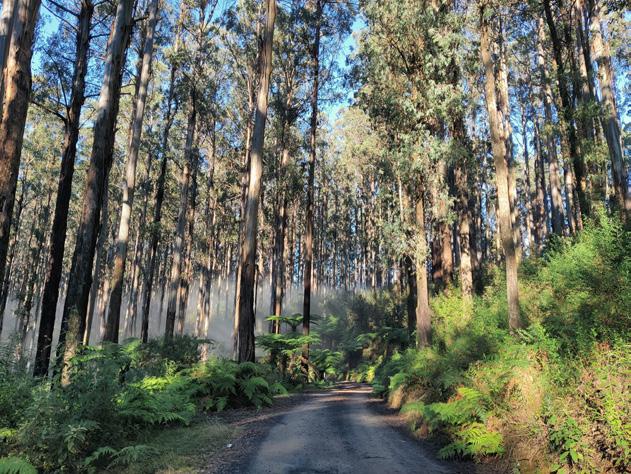
The environment of Healesville is heavily influenced by its proximity to the Yarra Ranges National Park.
Yarra Ranges National Park
Healesville's location at the base of the Yarra Ranges National Park significantly contributes to the character of Healesville. The densely vegetated hills surrounding the township influences the perspective of Healesville as a lush leafy town. Remnant vegetation from before European settlement is also dotted around the township, hinting back to a time when the whole area was densely vegetated.
Vegetation
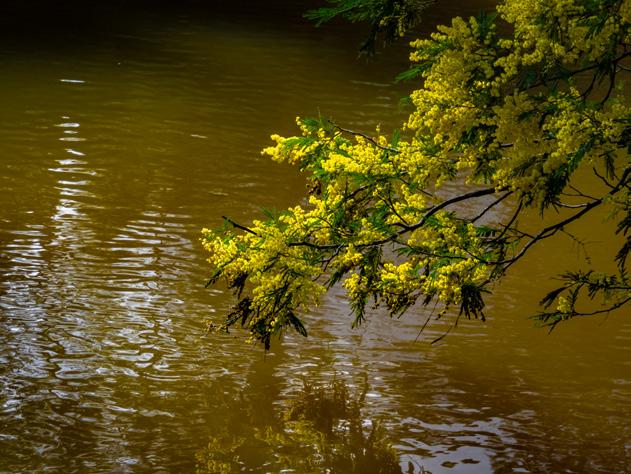
Healesville is heavily vegetated with a mix of indigenous and exotic species. Indigenous plants such as Eucalyptus and Wattles are commonly found along waterway corridors. Exotic species such as Oaks and Elm trees are popular street trees throughout the town and other exotic species dominate private gardens.
Fauna
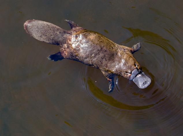
The platypus is a widely associated animal with Healesville due to the conservation efforts of Healesville Sanctuary. Platypus protection areas are common throughout the region, including one marked in Queens Park on the Grace Burn. Other common native fauna in the region include wallaby's, kangaroos, possums, wombats and koalas.
Healesville is also home to a wide array of birdlife. A common bird seen within the town centre is the Ibis which has the popular nickname "bin chicken". The Healesville Ibis seem to live up to this nickname often being found raiding the rubbish bins throughout the town centre.
Image 17: Yarra Ranges National Park
Image 19: Platypus
Image 18: Wattle Tree
Image 20: Landscaping along Maroondah Hwy
2.9 Resilience
While Healesville is set in the picturesque valley abutting the Yarra Ranges, this setting also exposes the township to a range of climate related hazards. Events such as bushfires, landslips, flooding, and severe storms have previously impacted the township. As the climate continues to change throughout the 21st century, these hazards are expected to increase in both frequency and severity.
Climate
Healesville experiences a temperate cool climate in its location at the foothills of the Yarra Ranges. Rainfall is high and consistent throughout the year with peak levels in winter and spring. The township's low setting in the Watts River Valley also lends for frequently overcast and foggy conditions in winter. Snowfall is rare in the township but does occur nearby at Mt Donna Buang. January and February typically record the warmest conditions, including periods of extreme heat.
Bushfire
Bushfire risk is, and will continue to be, the most significant threat to the Healesville township. Extensive forest cover combined with steep and complex terrain makes fire behaviour difficult to predict and manage.
The 2009 Black Saturday bushfires were the most severe in the area’s history, resulting in loss of life and widespread damage to buildings and infrastructure.
Healesville contains two designated Neighbourhood Safer Places: Queens Park and the RACV Healesville Country Club. The Don Road Recreation Reserve also functions as an emergency staging area, supporting helicopter operations.
Flooding
Due to it's location in the Watts River valley, Healesville is subject to flooding in the lower-lying areas, particularly at the convergence of the Watts River and Grace Burn. 2010 and 2011 were the most recent flood events to largely affected the township.
The Yarra River is also subject to flooding but this does not affect the developed areas of Healesville. Flooding of the Yarra River in 1934 is the most notable event that had huge impacts further downstream in Melbourne
The Land Subject to Inundation Overlay reflects the 1-100 year flood extent for the township.
Storm
Storm events have significant impacts across the Yarra Ranges, including extensive tree damage and prolonged power outages. In response, post-event reviews have increased emphasis on home battery systems and other local energy storage solutions to reduce reliance on the main electricity grid during severe weather.
The increasing frequency and intensity of extreme weather as seen in recent years is also likely to heighten the risk of associated hazards, including bushfire and flooding.
Emergency Services
Healesville is supported by a range of emergency services that are critical to disaster preparedness and response. The town centre contains a fire station, police station, designated bushfire ‘Neighbourhood Safer Place’, and an emergency relief hub at the Community Link.
Healesville also hosts a State Emergency Service (SES) unit while being supported by the Chum Creek and Badger Weir Fire Stations in an emergency. Healesville Hospital and Yarra Valley Health is also supported by ambulance services operating out of the Ambulance Victoria Healesville Branch adjacent to the hospital.
2.10 Land Structure
The structure of land use within the town centre of Healesville is predominantly retail and open space but also includes community, industrial, car parking and residential.
Retail
Retail is the most common land use along Maroondah Hwy. The retail types vary from food and drink premises, to grocery stores, to retail boutiques selling a variety of products. Financial services, health services and real estate are also located along the main retail strip.
Larger format retail stores also feature along Maroondah Hwy with two supermarkets located along the central retail strip and larger format food and drink premises located in the east and west commercial areas.
Open Space
Queens Park sits adjacent to Maroondah Hwy and and is the largest open space area within Healesville. It is home to football, cricket and tennis clubs, as well as a district level playground, skate park, BMX track and 25m outdoor swimming pool.
Coronation Park is located along the Watts River and features a network of trails along the waterway. It is also home to the bowling club, community garden and a dog off leash area.
Apex Park is adjacent to the Healesville Railway Station and features large lawns, a playground and a labyrinth.
A pop up park behind the Memorial Hall provides a welcoming entry to the Community Link building and is used to host community events.
A small parcel of land on Green Street is the most recently designated open space area. The design for the park will be highlighted in the TDF.
Community
Community uses in the Healesville town centre include Council services, library, education, theatre, emergency services, and places of worship. Most of the community services are located along Maroondah Hwy except for the Healesville Common which is located on Badger Creek Road and colocates community support services.
Industrial
The west end of the town centre locates industrial uses such as auto repairs, transport companies, construction material and goods manufacturing. A few local manufacturers of beer, wine and spirits are also located in the industrial area and expanding their operations as cellar door businesses.
Car Parking
There is a decent amount of land set aside for car parking in Healesville's town centre. There are four larger formal public carparks located on Taber Lane, at the Healesville Walk shopping complex, beside the Beechworth Bakery/Zonchello/Old Matilda Bay buildings, and at the Healesville RSL. There are also two large unsealed informal car parking areas at the Healesville Station and at Coronation Park. On street carparking is located throughout the town centre with the most prominent areas being the parallel parking along Maroondah Hwy and 90 degree parking located along Lilydale Road. Covered parking is located under Aldi but is signed for customers only. The majority of parking within Healesville is time restricted.
Residential
Very little residential development is located in the town centre of Healesville. There are some residential properties located adjacent to the Healesville Railway Station and next to the Healesville Pool at Queens Park. Shop top housing has recently been developed in the east end of the town centre and two residential properties along Green St sit within the commercial zone.
Key Locations
1. Healesville Police Station
2. Healesville Courthouse
3. Healesville Community Labyrinth
4. Apex Park Playground
5. Healesville Railway Station
6. Healesville Scout Hall
7. Healesville ALDI
8. Old Mechanics Institute
9. Fathers House Church
10. Healesville Bowling Club
11. Healesville Community Garden
12. Coronation Park Dog Off Leash Area
13. Green Street Open Space
14. Healesville Senior Citizens Hall
15. Healesville Library and Community Link
16. The Memorial Hall
17. Healesville Walk Shopping Centre (Coles)
18. Healesville Uniting Church
19. Healesville Commons
20. Oonah Aboriginal Health & Community Services
21. BMX Track
22. Skatepark
23. Healesville Oval
24. Healesville Bike Circuit
25. Healesville Outdoor Pool
26. Healesville Tennis Club
27. Queens Park Playground
28. The Nook
29. Healesville RSL
Coronation Park
Coronation Park
Healesville Memorial Hall
Toscano's Yarra Valley
Maroondah Highway
Maroondah Highway
Maroondah Highway
Healesville Uniting Church
Healesville Hotel
Rathrone House
Symons Street
Symons Street
Furmston Lane
Symons Street
Diagram 08: Healesville Town Centre Cross Sections
Image 21 - Healesville Town Centre - looking west to Yarra Ranges
2.11 Land Use & Management
Zones
Land use zones are rules set by state and local governments that control how land can be used and developed.
Commercial Zones and Industrial Zones
The two retail centres within Healesville are covered by Commercial 1 Zone (C1Z). The industrial estate at the west end of town is covered by Commercial 2 Zone (C2Z) and Industrial 1 Zone (IN1Z).
Residential Zones
The residential land within Healesville is covered by Low Density Residential Zone (LDRZ), Neighbourhood Residential Zone (NRZ) and General Residential Zone (GRZ). The LDRZ residential typology is characterised by low density, single dwellings, on larger lots. The NRZ typology is characterised by older dwellings that contribute significantly to the character of Healesville. GRZ is categorised by a diversity of housing types with higher residential density.
Public Park and Recreation Zone (PPRZ)
Coronation Park, Queens Park and land around Healesville Station is categorised as Public Park and Recreation Zone (PPRZ). These areas recognise land for public recreation and open space. These areas are also prioritised to protect and conserve areas of significance in Healesville.
Transport Zones
Transport Zone 2 (TRZ2) covers Maroondah Highway, Healesville-Kinglake Road, Don Road and Badger Creek Road illustrating the primary access routes into Healesville. Transport Zone 2 (TRZ1) covers the Healesville Station railway corridor with remnant zoning from past railway operations. over River Street and Glenfern Road.
Urban Floodway Zone
The Urban Floodway Zone (UFZ) covers the land at the convergence point of the Grace Burn and Watts River and has the greatest risk and frequency of being affected by flooding. Development is significantly restricted.
Overlays
Healesville's overlays serve to provide guidance on design and built form as well as environmental protection and risk management. This section focuses on Environmental and Land Management Overlays, while Heritage and Built Form overlays are discussed in Section 2.12 Heritage and 2.14 Built Form. There is no Erosion Management Overlay (EMO) in the study area for the Healesville TDF.
Land Subject to Inundation Overlay (LSIO)
The LSIO identifies properties along the Watts River and Grace Burn that are at risk of flooding. The LSIO also aims to protect the quality of the waterways as natural resources and to ensure that development maintains or improves waterway health.
Environmental Significance Overlay (ESO)
The ESO highlights significant vegetation adjacent to and within the Watts River and Grace Burn waterway corridors. These areas of remnant bushland are an intrinsic part of the unique landscape and environmental character of Healesville.
Significant Landscape Overlay (SLO)
The SLO identifies Coronation Park and the majority of residential Healesville as a significant landscape. The aim of the overlay is to conserve and enhance the character of this area.
Environmental Audit Overlay (EAO)
The EAO in Healesville is constrained to three properties and ensures that potentially contaminated land is suitable for uses which could be affected by any contamination.
Bushfire Management Overlay (BMO)
The BMO in Healesville highlights areas where managing the risk of bushfire is a critical consideration to environmental protection, and the impacts of any future development. The BMO covers the entire township which highlights the severity of the risk of bushfires in Healesville.
Restructure Overlay (RO)
The RO identifies old and inappropriate subdivisions which are to be restructured to preserve and enhance the environmental amenity of the area. The RO applies to land between Wilson St and Grace Burn.
2.12 Heritage Places
Heritage (HO)
The Heritage Overlay seeks to conserve and enhance heritage places of natural or cultural significance within Healesville. It aims to conserve and enhance those elements which contribute to the significance of the heritage places, and ensure that development does not adversely affect the significance of these heritage places. The Heritage Overlay conserves specified heritage places by allowing uses that would otherwise be prohibited if this will demonstrably assist with the conservation of the significance of the heritage place.
There are a number of Heritage Overlays that apply to Healesville. These include:
Victorian Heritage Register
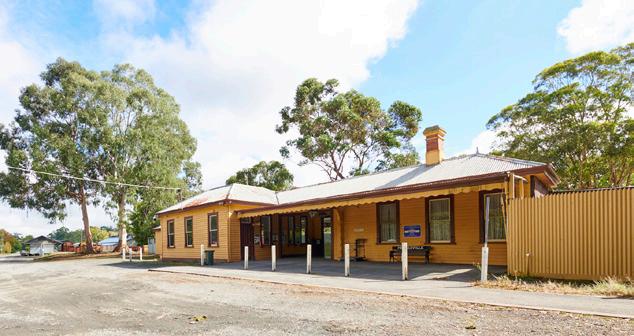
1. Healesville Railway Station Complex (HO2)
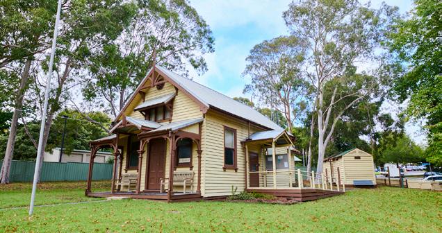
2. Former Healesville Courthouse (HO92)
Yarra Ranges Heritage Overlay
3. Healesville Street Trees and Streetscape (HO159)
4. Queens Park (HO163)
5. The Nook & Nook Monument (HO163)
6. Terminus Hotel (HO169)
7. Healesville Commercial Precinct (HO428) Victorian War Heritage Inventory
8. Healesville Memorial Buildings
9. Healesville War Memorial
10. Healesville Post WWII Memorial
11. Healesville Uniting Church Stained Glass Window
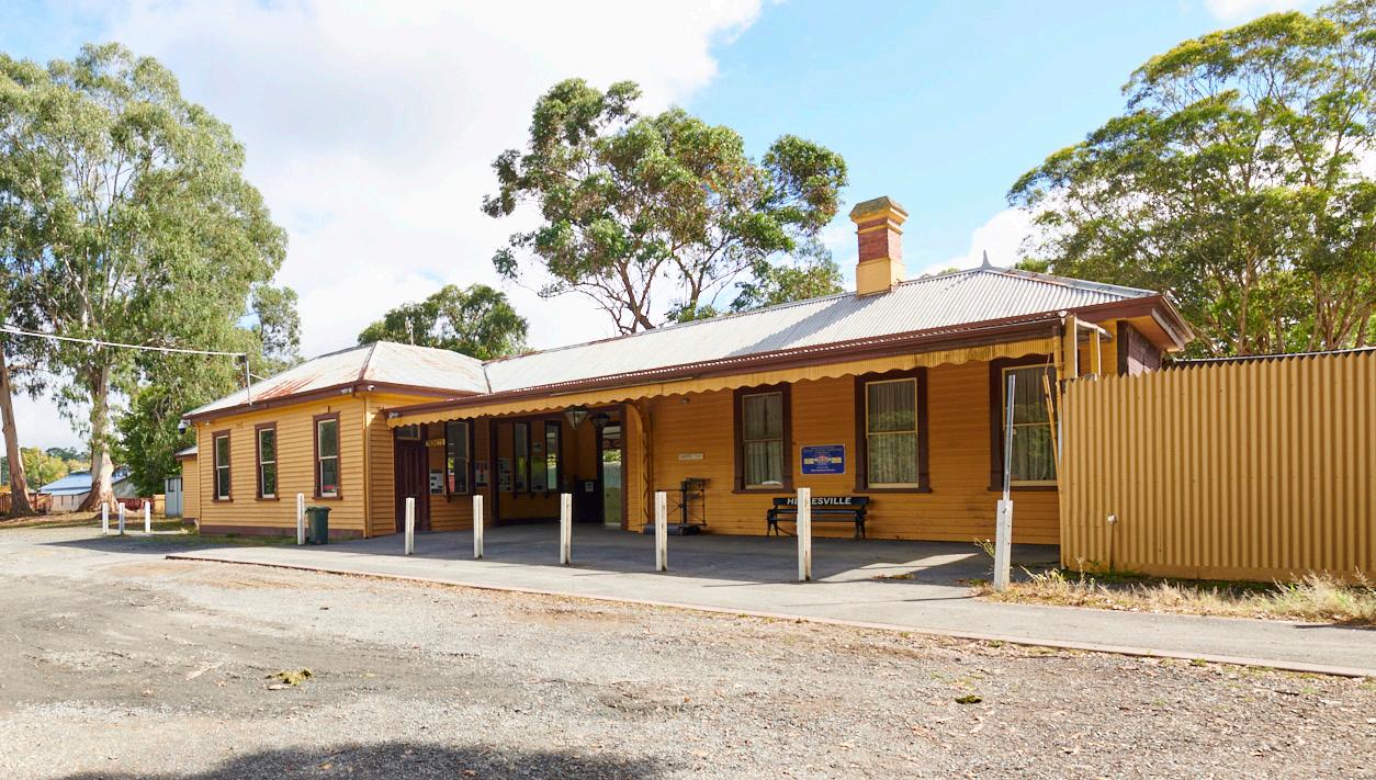
Image 22: Healesville Railway Station Complex (HO2)
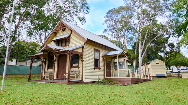
Image 23: Former Healesville Courthouse (HO92)
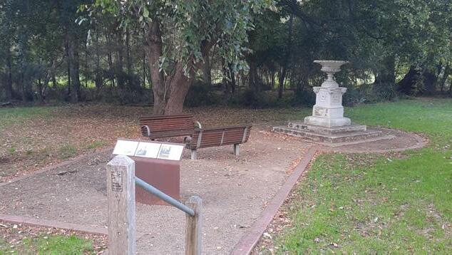
Image 24: The Nook & Nook Monument (HO163)
2.13 Town Centre Heritage
Healesville Street Trees and Streetscape (HO159)
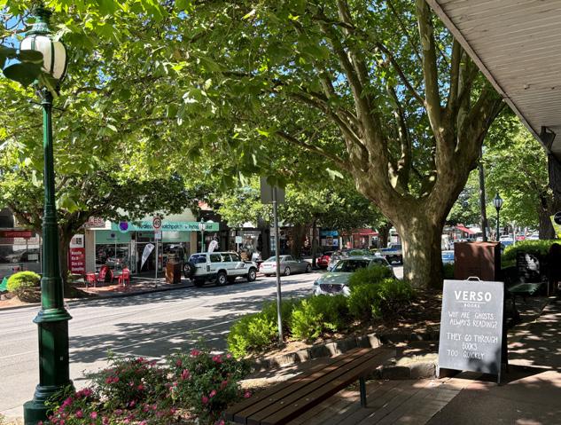
The Healesville Street Trees and Streetscape heritage overlay (HO159) applies to the stretch of Maroondah Hwy between Badger Creek Rd and the intersection of Lalors Rd and Crowly Rd outside of the town centre. This stretch features mature elm, oak and plane trees which were planted in approximately 1888-1889. Other elm and oak trees planted over the last century also help to contribute to the almost continuous tree line. The street trees are an important part of the town's heritage and contribute greatly to the character of Healesville's streetscapes.
An arborist assessment conducted for this project deemed that these street trees have an Useful Life Expectancy of 20-40 years. While this is good news for the short term, succession planting should be considered now to ensure the lasting effect that trees in the main street have on the character of Healesville.
The basalt edged garden beds, circular seating, old-style street lighting, raised footpaths and footpath paving also contribute to the character of Healesville's streetscapes.
The Healesville Commercial Precinct Heritage Overlay (HO428) was added to the planning scheme as a result of the Yarra Ranges Council Healesville Heritage Project completed in 2015. The heritage study assessed the heritage value of properties in Healesville and recommended that properties graded as significant or contributory to the heritage character of Healesville be protected by a heritage overlay. HO428 covers those properties within the Healesville Commercial Precinct.
Heritage Properties (HO428)
There are a number of properties that are covered by the Healesville Commercial Precinct heritage overlay (HO428). These properties were assessed and graded for the overlay as either significant, contributory or non contributory to the heritage character of Healesville.
'Significant' buildings are particularly important historic buildings. They were graded as such based on their level of intactness, architectural style, retention of the original building fabric, and based on any unusual elements that make them distinct.
'Contributory' buildings are also comparatively intact but are less architecturally distinguished than 'Significant' buildings. Alterations to facades, original surfaces or finishes of heritage buildings contributed to their grading as 'Contributory'.
27. YV Financial Services - formerly State Savings Bank (262 Nicholson St)
28. Morris Brown Gifts (264 Nicholson St)
29. T Ferdinand Leather Co (266 Nicholson St)
30. The Mare Coffee Co (268 Nicholson St)
31. Residence behind 266-8 Nicholson St (5-7 Green St)
32. Johnny Boys Pizza (310 Nicholson St)
33. A Little Fishy (312 Nicholson St)
2.14 Built Form - Controls
The Healesville Town Centre is subject to a range of planning controls that influence the design and appearance of built form. These controls are applied across the centre, reflecting the diversity of land uses.
Updates to the Yarra Ranges Planning Scheme following the adoption of the 2016 Healesville Structure Plan have set a goof foundation for how land use controls should respond to local context. However it is noted some further guidance on built form design is required.
Zoning
Commercial and industrial zones—namely the Commercial 1 Zone (C1Z), Commercial 2 Zone (C2Z), and Industrial 1 Zone (IN1Z)—are the predominant zones within the town centre and reflect its primary land use patterns. Other key zones include the Public Use Zone (PUZ), Public Park and Recreation Zone (PPRZ), Neighbourhood Residential Zone – Schedule 2 (NRZ2), and the Transport Zone (TRZ).
Zoning controls provide limited built form or design guidance, with most direction delivered through overlays.
The C1Z and C2Z apply to most properties along the Maroondah Highway and contain no specific design requirements. However, all commercially zoned land is covered by the Design and Development Overlay –Schedule 12 (DDO12), which provides built form and design guidance.
The IN1Z is concentrated on land west of Lilydale Road. While the zone requires consideration of streetscape character, built form, and landscaping, it lacks specific character objectives. There are no additional overlays applied to INZ1 land to reinforce or clarify the desired outcomes.
The PPRZ applies to Coronation Park, Queens Park, and parts of the Healesville Station area. It only provides broad design guidance. Coronation Park is also covered by the Significant Landscape Overlay –Schedule 6 (SLO6), offering more detailed landscape direction, whereas Queens Park lacks an equivalent overlay.
The Public Use Zone applies in two forms within the town centre: PUZ1 covers the police station, while PUZ6 applies to car parking areas along River Street. DDO12 applies to land within PUZ6 only.
The Transport Zone applies to key transport infrastructure, with TRZ1 covering the Healesville railway line, and TRZ2 and TRZ3 applying to major arterial roads.
Design guidance for land within the NRZ2 is provided through the ResCode provisions at Clauses 54–57 of the planning scheme, as well as the Significant Landscape Overlay – Schedule 22 (SLO22).
Design and Development Overlay – Schedule 12 (DDO12)
Design and Development Overlay Schedule 12 (DDO12) applies to Healesville’s primary commercial areas along Maroondah Highway and plays a key role in shaping town centre character. It aims to reinforce a strong main street with a classic and attractive country town character.
While these objectives provide a broad framework, they are largely generic in nature. This reflects the fact that DDO12 is intended to apply across multiple townships, including Warburton, Yarra Glen, and Yarra Junction. As a result, the associated design requirements—relating to building appearance, presentation, height, and overall town centre character—are generalised to accommodate the
differing contexts of each township.
In contrast, townships such as Belgrave and Monbulk benefit from place-specific Design and Development Overlays that clearly articulate locally distinctive features, key landmarks, and reference points unique to those communities.
The introduction of a Healesville-specific Design and Development Overlay, consistently applied across the town centre, would significantly strengthen the ability to establish and reinforce a built form character that genuinely reflects the unique identity and qualities of the Healesville township.
The Significant Landscape Overlay applies to key areas within Healesville, including Coronation Park under Schedule 6 (SLO6), and land within the Neighbourhood Residential Zone – Schedule 2 under Schedule 22 (SLO22). Similar to Design and Development Overlay 12, these overlays acknowledge the close relationship between built form and the surrounding landscape. In particular, they emphasise the need for development to respond sensitively to site topography and to maintain a strong sense of spaciousness. Characteristics described by the SLO are below: Healesvilleischaracterisedbyastrong‘countrytown’ atmosphere,arisingfromvaryingblocksizes,winding roadsandwelltreedprivategardensandpublicareas. Theselandscapesintegratewellwiththesurrounding backdropofmountains,woodedhillsandfarmlandgiving asenseofspaciousnessandruralambience.
Since the adoption of the Healesville Structure Plan in 2016, several major buildings and works applications have been lodged within the Healesville Town Centre. Most of these applications have been approved, with some proceeding to a third-party appeal process.
Where proposals triggered the application of Design and Development Overlay 12 or Significant Landscape Overlay 22, assessment focused on responses to the town centre’s topography, key view lines, and integration with the fine-grained pattern of narrow, closely spaced main street buildings.
Three-storey proposals have become more common. Those that have been supported have generally demonstrated modest upper-level setbacks, allowing views to surrounding ridgelines and treetops to be retained. These developments have also incorporated natural materials such as timber and stone, assisting buildings to visually blend with the surrounding tree canopy and reducing their overall visual prominence within the landscape.
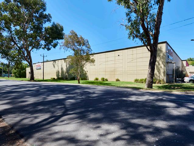
Within the Industrial 1 Zone, recent development activity has mostly involved new warehouses and upgrades to existing industrial buildings. These developments often feature front setbacks dominated by sealed car parking areas, with limited provision for landscaping, diminishing overall streetscape quality.
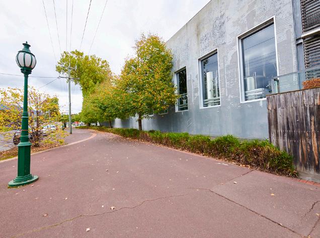
More recently, some industrial buildings have been retrofitted for social and dining uses. This has required design adaptations that seek to balance the industrial character with a contemporary hospitality aesthetic.
The presence of these uses within the industrial area also reflects broader land use dynamics. In particular, limited availability of commercially zoned land has contributed to the establishment of hospitality and visitor-oriented uses in industrial zones, while certain components of these uses—such as distilleries— require an industrial zoning to operate.
As the area becomes increasingly attractive to visitors and tourists, a balanced approach is needed that supports ongoing industrial functions while achieving improved design outcomes. Clearer guidance should therefore be provided to manage this interface, ensuring development responds appropriately to both industrial requirements and the desired character and presentation of the area.
Relevance
Two development applications within the Healesville Town Centre that have been subject to third party appeal proceedings, were initially refused on multiple grounds, including impacts on neighbourhood character. Both decisions were subsequently overturned on review.
In HealesvilleProjectsPtyLtdvYarraRangesSC [2018], the Tribunal placed significant weight on the proposal’s design response to site conditions, particularly topography. In its findings, the Tribunal noted:
The Tribunal further acknowledged that while the building would appear taller at the rear and be more visible from the west and south west, this represented a response to site specific conditions rather than an unacceptable departure from the rural town character:
This decision highlights how perceived bulk and height can be moderated through careful use of topography, setbacks, and building composition, enabling larger developments to achieve an appropriate scale and visual fit within the town centre.
More recently, in GadomePtyLtdvYarraRangesSC [2025], the Tribunal articulated the character of the Healesville Town Centre as possessing a: “charming,countrytown”characterhighlyvaluedbythe community.
The Tribunal emphasised the contribution of mature elm and oak trees along the main street, noting their role in creating a shaded pedestrian environment, providing seasonal visual interest through autumn colour, and maintaining access to winter sunlight. These elements were identified as central to the amenity of the main street, particularly in relation to the elevated southern footpath and integrated seating areas.
In assessing the proposal, the Tribunal found: Theformanddesignofthedevelopmentisofascale thatIfindiscommensuratewiththeland’sCommercial 1zoningandisacceptablewithinthemainstreetof Healesville.TheretentionoftheEnglishOaksattherear providesanattractivebackdropthatmakesapositive contributiontothedistinctiveruralcharacterofthetown.
Collectively, these decisions demonstrate that the character of the Healesville Town Centre has begun to be documented and refined through Tribunal findings. They also provide practical guidance on how development proposals can successfully respond to Healesville’s defining characteristics, including its topography, building height and setback relationships, the retention and incorporation of significant vegetation, and the use of appropriate materials and colour palettes.
Importantly, many of these character defining attributes are equally relevant to industrial land within the town centre. As such, they offer a valuable foundation for developing coherent, Healesville specific built form controls that can be applied consistently across the town centre, reinforcing a distinctive and place based urban character.
2.16 Interfaces
The land use and built form structure of Healesville's town centre results in an urban layout with many different interfaces.
Industrial Interfaces
The Industrial interface is distinctive upon arrival in to Healesville on Maroondah Hwy. The large scale sheds and buildings and lack on streetscape embellishment highlight the productive nature of the area.
Commercial Interfaces
The Commercial interface is also strongly apparent with the density of buildings, change in streetscape and shop front embellishment such as signage and lighting. Back of House areas in the commercial precincts are also often visible from the street and can greatly affect the overall appearance of the streetscape.
Car Park Interfaces
Open car parking areas generally provide street presence and clear view lines across the space. However some boundaries feature inactive edges which reduces visibility and can often impact the feeling of safety. Large expanses of asphalt in these open space areas can also weaken character without additional screening from the street and internal planting.
Open Space Interfaces
Open Space in Healesville has strong visibility from the street and other activity areas. These open space areas contribute greatly to Healesville's character and are well loved and used by the community. However, development in the town centre turns its back to these open space areas which is a missed opportunity to activate these spaces and creates a disconnect between the different land uses.
Residential Interfaces
Development in the town centre primarily backs on to residential properties. This direct interface raises concerns about back of house activities for businesses including light, noise and rubbish controls. Where laneways separate businesses from rear residential fences, movement of delivery vehicles also poses some concern for residents.
Green Wedge Interfaces
The Green Wedge interface is a rural interface that aligns with the Urban Growth Boundary for Healesville. Properties along Hunter Road back on to the Green Wedge Zone and the industrial uses make the rural land less visible. The Green Wedge interface also runs along the northern boundary of the study area but is mainly screened by the dense vegetation along the Watts River corridor. The Green Wedge interface is mainly visible along River St which highlights Healesville position as a rural township.
Heritage Interfaces
Most Heritage places in Healesville present positively to the street and have a strong presence. For property boundary interfaces, it is important to consider both the built form and its curtilage. Interfaces should be sympathetic to the heritage place, avoiding impacts such as overshadowing or obstructed view lines.
Image 28: Commercial Interface of Coles Building along River St
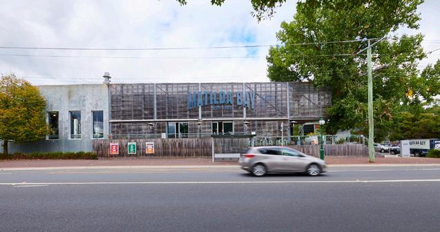
Image 29: Commercial Interface of Old Matilda Bay building along Maroondah Hwy
2.17 Movement - Transport
Transport movement in Healesville is anchored by the Maroondah Hwy and supported by three major arterial roads.
Entry Points
Healesville is primarily accessed by vehicle on the Maroondah Hwy which forms part of the State Transport network. Entry points into the town centre are identifiable at the level railway crossing on Healesville-Kinglake Rd, at Four Pillars where the Maroondah Hwy bends right, at the corner of Queens Park on Don Rd, and when approaching the intersection of Don Rd and St Leonards Rd on Maroondah Hwy.
Road Hierarchy
Maroondah Hwy, Healesville-Kinglake Rd, Don Rd and Badger Creek Rd are all Transport Zone 2 (TRZ2) designated roads and as such are managed by the Department of Transport and Planning (DTP). Any future works to these roads will be subject to approval and discussion with DTP.
Maroondah Hwy is a primary movement corridor and experiences high traffic and freight movement. However, its character through the town centre reflects it more as an activity street and has slow speed limits. Consideration should be given to better prioritise pedestrian movement and enhance the commercial nature of the centre along this stretch.
Badger Creek Rd carries mostly local vehicle movements while Don Rd often carries tourist traffic from Healesville Sanctuary.
All other roads in the town centre are owned and managed by Yarra Ranges Council. River St, Church St and Green St are key local roads in the town centre and should have a greater pedestrian priority and place focus.
The shared path along Healesville-Kinglake Rd will be connected to the Yarra Valley Trail in future stages of the project to provide broader regional links for cycling, and pedestrian movements. Public transport buses run along Maroondah Hwy, Healesville Kinglake Rd, St Leonards Rd and Don Rd.
Public Transport
Healesville is serviced by two bus services; the 684 from Ringwood through to Eildon and the 865 from Lilydale Station to Healesville Sanctuary via Coldstream and Yarra Glen. Both bus routes stop at the bus stop on Green Street but services are limited. School buses also use the bus stop on Healesville Kinglake Road to pick up/drop off students attending schools outside Healesville. The railway line to Healesville was decommissioned from the public transport network in 1980. Due to limited public transport options, private car use is the dominant mode of travel in Healesville.
Active Transport
Bicycle infrastructure within Healesville is limited to on road bicycle lanes on road shoulders and adjacent to car parking along Maroondah Hwy. This arrangement is not ideal for cyclists as sharing the roadway poses significant safety risks, especially on the main transport corridor.
Car Parking
On street car parking is dispersed throughout Healesville with larger parking areas located at Healesville Walk, Taber Lane Carpark on River Street, and in the East End. Other informal carparks are located in Coronation Park and Healesville Station. At peak periods demand for parking along Maroondah Hwy creates access and movement issues.
Servicing and loading
For the commercial areas, servicing and loading areas are largely concealed from the Maroondah Highway with Taber Lane and Furmston Lane providing access points to reduce visibility. However these areas create disconnection from adjoining land uses and open space areas and impact upon residential areas. The servicing and loading for some of the larger format commercial blocks is visible from the main streets.
Image 30: Maroondah Hwy and Green St Intersection
Image 31: Maroondah Hwy, Wilson St and Badger Creek Road Intersection
2.18 Movement - Pedestrian
Healesville benefits from a well-developed path network that forms a strong basis for walkability in the town centre.
Existing Path Network
Healesville existing path network provides good connections between nearby residential areas and the town centre. Footpath widths vary from 1.5m on connecting streets to approximately 5m along sections of the Maroondah Hwy along the commercial strip. Footpaths throughout the town centre also vary in material. The most common material in the commercial areas is coloured asphalt and brick while on connecting roads it is concrete.
Trail Network
A network of trails around Coronation Park and Queens Park provide for leisure walking in Healesville. However the two parks are not connected by trails which limits the trails use for greater connectivity around town. The trails are generally unsealed and made of crushed rock or gravel.
Greater Trail Network
Healesville has been highlighted on the Yarra Ranges Paths and Trails Plan for 2025-2035 to be connected to the Yarra Valley Trail. Badger Creek Rd has also been identified to be upgraded and Don Road extended as part of the Plan. A Maroondah Reservoir Circuit connected to the town centre is also marked as a desirable project for the future.
Within the local context of Healesville, pedestrian connections to key locations such as the RACV, Don Road Recreation Reserve and Big 4 Caravan Park should be prioritised to increase active transport use.
Dedicated Walkways
Two dedicated pedestrian walkways provide additional connections in the commercial area between the Maroondah Hwy and River Street. The walkway beside the Memorial Hall and Library
provides good access to the community facilities and the outdoor seating area. The walkway alongside the Post Office provides access from the Highway to the Taber Lane Carpark, providing easy access to the commercial strip for shoppers.
Laneways
Laneways behind the commercial strip are not arranged to support pedestrian movement. The narrow widths, lack of paths and poor sightlines create safety concerns for pedestrians. However Taber Lane is commonly used by pedestrians to walk between Green St and the Library.
Crossing Points
There are three signalised crossing points along Maroondah Hwy; however their distribution is too largely spaced. Pedestrians often use informal crossing points at visually convenient locations along the Highway but the speed and amount of traffic often make crossing unmanageable for pedestrians.
Pedestrian refuge crossings are located at key locations on or near arterial roads where visibility and traffic turning movements may make it unsafe for pedestrians to cross the entire road.
Zebra crossings and Wombat crossings (raised zebra crossing) are located in high pedestrian traffic areas such as shopping centres.
There is currently no pedestrian crossing over the railway line which is a significant safety concern for pedestrians who are forced to compete with cars and walk on the road.
Movement Barriers
The most significant barrier to pedestrian movement is the lack of crossing points along Maroondah Hwy. Additional challenges, combined with level changes on the high side (south side) of the commercial strip. Other barriers include the Grace Burn and Wirrup Yaluk creeks.
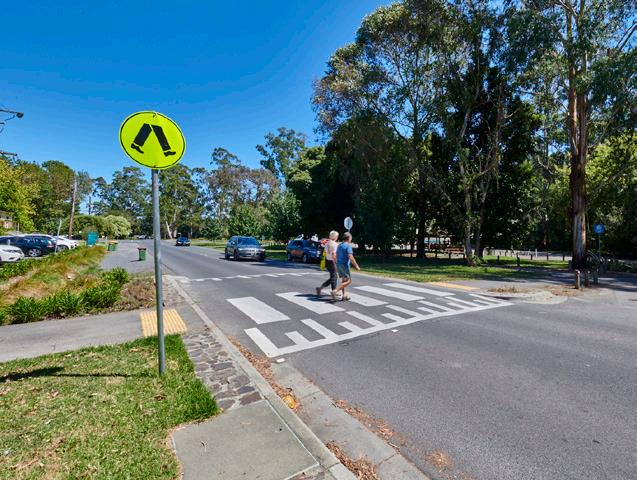
Image 32: Wombat Crossing on River St
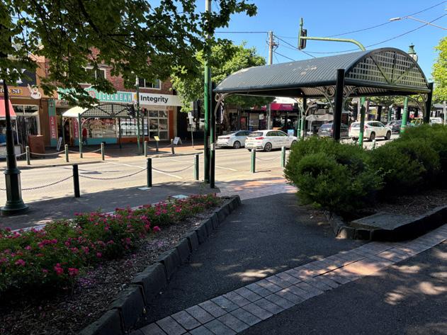
Image 33: Signalised Pedestrian Crossing on Maroondah Hwy
3.1 Precincts Analysis Overview
The Healesville TDF considers the town centre as five separate areas that have their own similar characteristics, referred to as precincts. These precincts are:
Precinct Role and Function
1 Industrial Estate
2 Healesville Station
Precinct 1 is the main industrial area of Healesville and an emerging tourist destination with cellar door, brewery and other local manufacturing businesses providing new customer food and drink experiences.
Precinct 2 encompasses Healesville Station and the open space surrounding it. River Street and HealesvilleKinglake Road bound the precinct.
3 Historic Centre
Precinct 3 is the activity centre of Healesville. The Maroondah Highway provides vehicle access through the precinct and is the main commercial strip. It is defined by the large street trees and heritage buildings. Coronation Park adjacent to the Watts River, provides a passive recreation area for the town centre.
4 Queens Park
5 East End
Precinct 4 is defined by the active and passive recreation area of Queens Park. The Grace Burn and Wirrup Yaluk creeks flow through the precinct.
Precinct 5 is the eastern end of the activity centre. The area features large commercial sites and strip shops along the Maroondah Hwy.
- Healesville TDF Precinct Aerial Plan
MAROONDAH HWY
MAROONDAHHWY
3.2 Precinct 1 - Industrial Area
Precinct Character
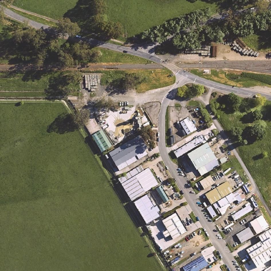
Precinct 1 (13.6Ha) serves as the industrial and local manufacturing area in Healesville. The precinct covers Industrial zoned land and Commercial 2 zoned land which allows for large format commercial and business activities.
Structure
Precinct 1 is bounded by Healesville-Kinglake Rd to the north, Maroondah Hwy to the south, and sits on the Urban Growth Boundary for Healesville on the west. Maroondah Hwy sits at the highest point within the precinct with the majority of the industrial land located on low lying land. Approaching the precinct from the south on Maroondah Hwy provides clear views down Lilydale Rd in to the Industrial Area. Land within the Green Wedge zone neighbours the precinct to the west and it is currently used for agricultural purposes. The Healesville Railway Station sits to the north and a small section of railway corridor runs through Precinct 1. The railway corridor and several properties along Hunter Rd sit on land subject to inundation during extreme flood events. The large vacant property (15 Lilydale Rd) interfaces Healesville-Kinglake Rd.
Public Realm
Lilydale Rd has recently undergone major streetscape upgrades to increase carparking, improve pedestrian movement, and provide landscaping and street trees. This outcome has significantly improved the public realm for this street. Meanwhile Hunter Rd is set up as an industrial access street with some on-street parking but no pedestrian paths or street trees. Harker St has a wide easement and road carriageway with on-street parking, street trees and pedestrian path along the southern edge. Most front yards of properties are bare gravel or contain private carparking. The Avenue of Honour street trees do not continue around the corner along Maroondah Hwy which lays bare the industrial nature of the precinct.
Movement and Access
The Maroondah Hwy is the primary movement route in to Healesville and carries the majority of traffic from Melbourne. Maroondah Hwy bends to the right upon entering Precinct 1 which creates a problematic intersection point with Lilydale Rd and McGrettons Rd. This bend also highlights a key entry point in to the town centre and is framed by the Avenue of Honour street trees which extend further south along Maroondah Hwy. The Maroondah Hwy also supports public transport (bus) movement between Healesville and Lilydale and an outbound sheltered bus stop is located outside Healesville Toyota . Formal 90 degree parking bays exist along Lilydale Rd and a combination of parallel and angle parking is line marked on Hunter Rd and Harker St. A drop off bus parking area is also line marked on Lilydale Rd. Wide shared paths now feature of both sides on Lilydale Rd but do not continue further north over Healesville-Kinglake Rd. On road bike lanes are line marked along Maroondah Hwy. Ardill St and Crisp St are currently informal gravel access roads.
Built Form
Four Pillars Distillery is located in the prominent location on the corner of Maroondah Hwy where it bends to the right. This puts the building in the direct view line of all traffic travelling in to Healesville. The precinct is mostly made up of industrial warehouses that are comparable in height to two or three storey built form. Concrete and metal sheeting in grey and cream colours are the predominant materials and colour palette for the precinct. The Terminus Hotel is protected by a heritage overlay but a fire in the 1970s destroyed much of the original two storey building that dated back to the 1880's. The original Cobb and Co. Stables on Harker St that supported the hotel is also notable but not currently protected by a heritage overlay.
Key Elements
1 Four Pillars Gin Distillery
2 Lilydale Road
3 Terminus Hotel
4 Original Cobb and Co. Stables
5 Shell Petrol Station
6 Healesville Toyota
7 Avenue of Honour
8 Liberty Family Church
9 Lions Club Hall
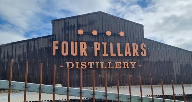
Image 34: Four Pillars Gin Distillery
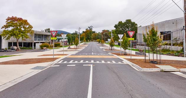
Image 35: Lilydale Road
Community Feedback
During the initial round of community consultation for the Township Design Framework, the community provided feedback on the issues and opportunities for Healesville. The majority of these comments were location based and have been organised in to the relevant Precincts. This page highlights the community's comments for Precinct 1.
The plan spatially maps these comments and provides an idea of where the opportunities are for future improvements.
CHARACTER
Feedback suggested:
• There is desire to see additional trees planted to continue the Avenue of Honour around the corner on the Hwy.
• There is desire for streetscape improvements throughout the precinct, particularly on Hunter Street.
• There is a need to replace old tourist signage.
• There is desire for the front of house environments along Lilydale Rd to have better presentation. This also extends to the hotel interface on Lilydale Rd.
PEDESTRIAN
Feedback suggested:
• There is desire for more footpaths around the precinct, particularly along Hunter Rd.
• There is desire for a pedestrian refuge crossing across Maroondah Hwy to provide a safer connection to the bus stop.
RECREATION & OPEN SPACE
Feedback suggested:
• No comments relating to Recreation & Open Space were provided for Precinct 1.
Feedback suggested:
• There are concerns about the conflicting activity on Lilydale Road of heavy vehicle movement and tourist parking. Suggestions included rerouting the heavy vehicle traffic.
• There is desire for parking along Hunter Road to service cellar door businesses.
• There is concern about the intersection of Maroondah Hwy/Mcgrettons Rd/Lilydale Rd. Described as problematic.
• There is interest in sealing the Hotel carpark for use as tourist and bus parking.
COMMERCIAL
Feedback suggested:
• There is some interest in this area becoming a local manufacturing and dining precinct and tourist area.
• Others want the industrial area retained for industry uses only and for local manufacturing/ hospitality to move elsewhere.
• The cellar door businesses would like a review of hospitality licensing within the Precinct.
Feedback suggested:
• There is interest in locating hotel accommodation within this Precinct which could also house an event/function centre.
3.3 Precinct 2 - Healesville Station
Precinct Character
Precinct 2 (13.2Ha) encompasses the Healesville Train Station and surrounding open space. The Precinct is defined by the Heritage Station building and the supporting railway infrastructure (sheds, water tower, turntable and tracks). The heritage Court House is also located in Precinct 2 in the prominent position on the corner of Harker St and Healesville-Kinglake Rd.
Structure
Precinct 2 is bounded by River Street to the north, Healesville Kinglake Rd to the south, and Maroondah Hwy to the East. Maroondah Hwy sits on the highest point in the Precinct and the land slopes down to towards the station. The station precinct sits on low lying land with the northern open space areas and River St located on land subject to inundation during heavy flood events. The majority of the station precinct is also within an Area of Cultural Heritage Sensitivity due to its proximity to the Watts River. Precinct 2 interfaces with the industrial areas within Precinct 1 to the south and neighbours the Green Wedge Zone to the north. The Precinct sits in the west most corner of the Urban Growth Boundary for Healesville.
Public Realm
The Healesville Station is managed by Yarra Valley Rail who run a tourist train service along the line once a week. The Station building interfaces with a large gravel area which is used as an informal carpark. A playground and labyrinth are located across the carpark from the station within the fragmented open space area called Apex Park. A BBQ shelter and picnic tables are located in Apex park across from the Scout Hall on Glenfern Rd, a fair distance from the playground. Three other open space areas are also located along River St but are not used by the public for any sort of recreational activity. Healesville-Kinglake Rd and River St are lined with mature street trees.
Movement and Access
Healesville - Kinglake Rd is the primary movement route through the precinct to the Healesville Town Centre. Healesville-Kinglake Rd intersects with Maroondah Hwy in Precinct 2 and is an irregular intersection adjoining Glenfern Rd that creates a hazard for vehicular and pedestrian movements. Healesville-Kinglake Rd crosses over the Healesville Railway line as a level crossing with boom gates. This crossing is perceived as an entry point in to the town. Healesville-Kinglake Rd also supports public transport (bus) movements with out of town school buses using the sign-posted bus stops next to the Court House for drop off/pick up. River St is mostly used by local traffic and is particularly attractive with large street trees forming a 'green tunnel'. A pedestrian path runs from the Station Building along the railway reserve in to the town centre.
Built Form
The Healesville Railway Station Complex Heritage Overlay (HO2) applies to a large area of the precinct and protects and conserves the Station Building, Signal Box, Water Tower and Turntable. A series of storage sheds are also located around the station. The Former Healesville Court House is also protected by a Heritage Overlay (HO92) and is currently occupied by the community group U3A. The Healesville Police Station building is located on the corner of Harker St and Maroondah Hwy with a single storey residential property behind. A complex of single storey four residential units also sits adjacent to Apex Park. The Scout Hall sits below the level of Maroondah Hwy on Glenfern Rd and has no active interface to the highway.
Key Elements
Image 36: Healesville Station Building
Image 37: Old Healesville Court House
Community Feedback
During the initial round of community consultation for the Township Design Framework, the community provided feedback on the issues and opportunities for Healesville. The majority of these comments were location based and have been organised in to the relevant Precincts. This page highlights the community's comments for Precinct 2.
The plan spatially maps these comments and provides an idea of where the opportunities are for future improvements.
CHARACTER
Feedback suggested:
• There is desire to see the heritage station building and platform revitalised.
• There is interest in the station yard sheds being used for other community uses.
• There is desire for more wayfinding and tourist signage within the precinct.
• There is interest in more native planting in the park and requests for fallen trees to be replaced along River St.
• There is desire for street lighting along HealesvilleKinglake Rd up to the RACV.
RECREATION & OPEN SPACE
Feedback suggested:
• There is desire for additional seating, picnic tables, shelters, fencing and shading at the playground.
• There is interest in the revitalisation and future use of Apex Park.
• There is desire for greater activation of the Labyrinth.
• There is desire for the open green spaces to be used more often to host community events/markets/activities etc.
Feedback suggested:
• There is concern about the River St/Healesville-Kinglake Rd intersection having bad visibility for turning traffic.
• There is concern about the awkward Hunter Rd/Healesville Kinglake Rd intersection with Railway Parade and Ardill St.
• There is concern about the Healesville-Kinglake Rd/ Glenfern Rd/Hwy intersection turning movements and congestion.
• There is interest in sealing the Station carpark for greater community use and bus/ motorhome/caravan parking.
PEDESTRIAN
Feedback suggested:
• There is demand for a pedestrian crossing on Healesville-Kinglake Rd to connect Lilydale Rd to the Station.
• There is demand for a path along Healesville-Kinglake Rd to connect River St to Lilydale Rd and in to the town centre.
• There is interest in extending the path on Glenfern Rd to River St.
• There is desire for a pedestrian crossing on the Hwy at High St.
• There is desire for a bike trail to connect Healesville to Yarra Glen, Lilydale and beyond.
COMMERCIAL
Feedback suggested:
• There is desire for a cafe at the Station. It was suggested that this could support tourists riding the train and also service local families coming to the playground.
• There is interest in more tourism information to be available at the Station.
Feedback suggested:
• There is demand for accessible public toilets to be open full time at the Station.
• There is interest in the Yarra Valley Rail Tourist Train to run out of Healesville more often.
• There is interest in having a museum at the Heritage Station and for the Healesville Historical Society to use the space.
• There is interest in the use of the Old Court House for additional community programs/activities.
3.4 Precinct 3 - Town Centre
Precinct Character
Precinct 3 (20.6Ha) is the main town centre for Healesville. The Maroondah Highway provides the primary vehicle route through the precinct and is the main commercial strip. It is defined by the large street trees and heritage buildings which contribute greatly to the character of the Precinct. Coronation Park adjacent to the Watts River, provides a passive recreation area for the town centre.
Structure
Precinct 3 is bounded by Watts River to the north and the residential area to the south. The precinct slopes down from the south towards the Watts River in the north. The Maroondah Hwy sits high within the precinct and the strip shops that sit along it are described as being on the high side (south side) or low side (north side) of the street. Coronation Park provides a buffer between the commercial area of the town centre and the Watts River. It also sits on low lying land which is land subject to inundation during heavy flood events. The Taber Lane carpark, Senior Citizen's Centre and Healesville Walk shopping centre (Coles) also lie within the LSIO. The Wirrup Yaluk converges with the Watts River in Precinct 3 within Coronation Park.
Public Realm
Coronation Park is the largest and most significant open space area within Precinct 3. Within Coronation Park is a series of trails along Watts River through the native vegetation. The river is used by locals for recreational fishing. Coronation Park is also home to the Healesville Bowling Club, The Healesville Community Garden and off leash dog area. Picnic tables and seating can be found throughout the park with a shelter beside the gravel carpark. Council also recently acquired land on Green Street for a community open space. Community was consulted on the design of this space and construction began in May 2026. Maroondah Hwy is the commercial spine of Healesville's town centre and features decorative street lamps, seating, rubbish bins, streetscape paving and mature street trees. This section of
Maroondah Hwy is covered by the Healesville Street Trees and Streetscape heritage overlay (HO159) as many of the trees were planted in the late 1880's. The pop up park outside the Community Link building and behind the Memorial Hall is a flexible open space which is used for small community events. The public toilets on Green St sit in the middle of the carriageway and are surrounded by landscaping and pavement treatments. The Taber Lane carpark is closed twice a month to host a community market.
Movement and Access
The Maroondah Hwy is the primary vehicle route through Precinct 3 and the main commercial strip. Speeds are 40km/h along this section and also carries public transport (bus) movement. The sheltered bus stop is located on Green St. Major intersections on Maroondah Hwy are located at Green Street and Badger Creek Rd/Wilson St. River St is often used by locals as a way to bypass the Maroondah Hwy. River St is also put under stress to accommodate car parking on market days when the Taber Lane carpark is closed. The other large carparking areas are at the Healesville Walk Shopping Centre and behind the Community Link. On street parking is available along Maroondah Hwy, Church St, Green St and Wilson St. On road bike lanes are line marked on Maroondah Hwy and there is a good network of paths throughout the precinct.
Built Form
Built form in Precinct 3 mostly occurs along the Maroondah Hwy. On the low side of the street (north side) many buildings have undercrofts at the rear but appear single storey at the street level. On the high side of the street (south side) built form varies from single to two storey. Newer built form development has seen to increase heights to 3 storeys but with significant setbacks on the upper storeys. Significant buildings include the Grand Hotel, Healesville Hotel and Memorial Hall which are all covered by the Healesville Commercial Precinct heritage Overlay (HO428). A more detailed description of the heritage overlay can be found on pages 28-29 of this report.
Citizens Centre
8 Healesville Community Link and Library
9 Healesville Walk Shopping Centre (Coles)
Image 38: Healesville Memorial Hall
Image 39: Grand Hotel
Community Feedback
During the initial round of community consultation for the Township Design Framework, the community provided feedback on the issues and opportunities for Healesville. The majority of these comments were location based and have been organised in to the relevant Precincts. This page highlights the community's comments for Precinct 3.
The plan spatially maps these comments and provides an idea of where the opportunities are for future improvements.
RECREATION & OPEN SPACE CHARACTER
Feedback suggested:
• There is desire to see the heritage buildings restored to their original colours, forms and conditions.
• There is concern about new development that is not consistent with the existing character of the town centre.
• There is demand for a consistent streetscape material and colour palette, including tree and ground cover species.
• There is interest in more public art murals & storytelling elements throughout.
• There is interest in more signage and wayfinding.
PEDESTRIAN & BICYCLE
Feedback suggested:
• There is great demand for a pedestrian crossing over Maroondah Hwy to Queens Park.
• There is also concern about the unsafe crossing conditions at the Maroondah Hwy/ Wilson St/Badger Creek Road intersection.
• There is interest in an additional pedestrian walkway between Maroondah Hwy and the Taber Lane carpark.
• There is interest in providing additional pedestrian crossings along River St and opposite Aldi on Maroondah Hwy.
Feedback suggested:
• There is desire for a fenced dog park in Coronation Park.
• There is interest in nature play elements in Coronation Park.
• There is interest in the design of the Green Street Open Space for flexible community use.
• There is desire for more seating along the Watts River where the waterway is visible.
• There are concerns about the maintenance of the bushland areas along the Watts River.
Feedback suggested:
• There is great concern about the Maroondah Hwy/ Badger Creek Rd/Wilson St intersection. There is demand for an upgrade to improve safety.
• There is interest providing more formalised parking along River St and Wilson.
• There is interest in sealing and formalising the Coronation Park carpark for future event use.
• There is desire for more caravan & motorhome parking
• There is demand for more accessible parking bays in front of key services and shops.
COMMERCIAL & TOURISM
Feedback suggested:
• There is interest in more outdoor dining along Maroondah Hwy but that it should not come at the expense of the streetscape landscaping.
• There is concern about the conditions of back of house areas along Furmston Lane.
PROGRAMS & FACILITIES
Feedback suggested:
• There is interest in exploring other areas to host community markets and events.
• There is desire for a Youth Space or Intergenerational Centre for community use.
• There is interest in connecting the Community Link building and Memorial Hall to provide more spaces for the community.
• There are concerns about the cleanliness of the public toilets.
3.5 Precinct 4 - Queens Park
Precinct Character
Precinct 4 (17.8Ha) is defined by the active and passive recreation area of Queens Park. The Grace Burn and Wirrup Yaluk creeks flow through the precinct. The Healesville Commons also features along Badger Creek Road.
Structure
Precinct 4 comprises the entirety of Queens Park and the Healesville Commons (Living and Learning Centre, EACH and Oonah). Queens Park is bounded by Don Rd in the east, Badger Creek Rd in the west and Maroondah Hwy and the Grace Burn in the north. The Wirrup Yaluk flows through the centre of the park and the northern end of the park is subject to inundation during heavy flood events.
Public Realm
Queens Parks hosts a range of sporting clubs and recreational activities. Closest to Maroondah Hwy is a district level playground and flying fox. The Healesville tennis club provides six courts and small clubrooms. The Healesville Outdoor Pool features a 50m lap pool, two smaller pools and uncovered changes rooms. The small bike park next to the kinder link provides for cycle play for younger children while the BMX track and skatepark along Don Road provide play opportunities for older children and adults. The Queens Park Oval hosts football and cricket games but Don Road Recreation Reserve south of the town centre also provides upgraded facilities for the clubs. The soccer competition has also moved out to Don Road Recreation Reserve so the old soccer field at Queens Park is only used for casual games. The Healesville Dog Club has a shed adjacent to the soccer field. The Oonah Belonging Place Garden and the Horticulture Garden is in need of attention but are intended to provide spots for nature appreciation and education.
Movement and Access
Queens Park is accessed by vehicles from Don Rd. A perimeter road circles the oval ground and the central driveway extends down to the playground, providing car parking adjacent to the Kinderlink, pool and tennis club. A carpark is also located next to the Healesville swimming pool along the Grace Burn. A good network of sealed and gravel paths winds it way through Queens Park with several pedestrian bridges linking over the Wirrup Yaluk. Paths along Don Road and Badger Creek Rd also connect the park to the greater township path network.
Built Form
The built form in Queens Park mainly supports community use and sporting clubs. The Sound Shell is located next to the Grace Burn but receives little use by the community. The Healesville Outdoor Pool Change Rooms are open to the sky and in need of upgrading. The Kinderlink preschool is located opposite the pool. The Healesville Oval Clubrooms are single storey and provide some stepped seating for sports viewing. The Healesville Commons area supports the Living and Learning Centre, EACH, and Oonah Aboriginal Health and Community Services. Several of the Living and Learning Centre buildings do not provide any services to the community as the buildings have been deemed unfit for use. Meanwhile in May 2025 Council approved a planning application for the redevelopment of Oonah Aboriginal Health and Community Service on its current site. The plans for this redevelopment will be reflected in the TDF.
Image 40: Sound Shell
Image 41: Skatepark
Community Feedback
During the initial round of community consultation for the Township Design Framework, the community provided feedback on the issues and opportunities for Healesville. The majority of these comments were location based and have been organised in to the relevant Precincts. This page highlights the community's comments for Precinct 4.
The plan spatially maps these comments and provides an idea of where the opportunities are for future improvements.
RECREATION & OPEN SPACE CHARACTER
Feedback suggested:
• There is desire to see more seating throughout the park, particularly facing the creeks.
• There is interest in lighting throughout the park to increase the feeling of safety, particularly around the skate park and along the Don Road Path.
• There is interest in more signage and wayfinding throughout the park.
• There is desire to have Indigenous art/sculpture and Indigenous naming/information on signage to educate about culture and history.
Feedback suggested:
• There is concern about pedestrian safety on Badger Creek Road and demand for a footpath along the car parking area up to the intersection of the Maroondah Hwy.
• There is desire for additional paths within the park leading off the Wirrup Yaluk pedestrian bridges.
• There is interest in pedestrian refuge crossings over Don Road to connect to residential footpaths.
• There is desire for more trails connecting the Watts River to the Grace Burn.
Feedback suggested:
• There is great interest in upgrading the outdoor pool and facilities.
• There is desire for a youth outdoor area with big play elements and more challenging skate/BMX elements.
• There is interest in more sporting programs for all abilities to run at the oval and for the clubrooms to support a greater range of activities.
• There is concern about the condition of the sporting grounds and other park infrastructure (eg. Sound Shell, Memorials/Monuments, Horticulture Garden, Oonah Gathering Place, etc).
• There is concern about flooding and the health/ maintenance of the waterways.
COMMERCIAL & TOURISM
Feedback suggested:
• There is desire for parking to support caravans and motorhomes.
Feedback suggested:
• There is interest in sealing and line marking the parking along Badger Creek Road.
• There is concerns about the soft edges and potholes on Badger Creek Road.
• There is concern about the traffic speed along Badger Creek Road approaching the Maroondah Hwy.
Feedback suggested:
• There is interest in the renewal of the Healesville Commons with concerns about the condition of the Living and Learning Centre buildings and the future redevelopment of the Oonah building.
• There is desire for more family and youth events to run out of the park, such as outdoor cinema, food truck festival and fairs.
• There is concern about the cleanliness and operation times of the public toilets.
Wirrup Yaluk
Wirrup Yaluk
BADGER CREEK RD
3.6 Precinct 5 - East End
Precinct Character
Precinct 5 (10.6Ha) is the eastern most commercial area in Healesville. The area features large commercial sites and strip shops along the Maroondah Hwy. It also features the urban flood zoned land along the Grace Burn up to where the creek converges with the Watts River.
Structure
Precinct 5 is bounded by the Grace Burn and residential area to the north and Queens Park to the south. The Precinct sits on low lying land and the majority of the precinct is land subject to inundation during heavy flood events. the land between the Wirrup Yaluk and Grace Burn is significantly affected during these events and the land is zoned Urban Flood Zone which greatly restricts development.
Public Realm
The Maroondah Hwy streetscape through Precinct 5 replicates the streetscape styling through the town centre commercial strip. It features the same street lamps, seating, rubbish bins, and footpath paving but the street trees are not as plentiful or as mature. The Nook is a unique open space area within the precinct but sits below the street. The older style road bridge and pedestrian bridges across the Grace Burn also add to the character of the precinct.
Movement and Access
The Maroondah Hwy is the primary vehicle route through Precinct 5 and carries public transport (bus) movement. The bus stop on the south side of the street is sheltered while the north one is only signposted. A major and complex signalised intersection is located on Maroondah Hwy where it meets Don Rd and St Leonards Rd. This intersection is also the only location in the precinct for pedestrians to cross the Maroondah Hwy. St Leonards Rd receives the majority of traffic from the High School, both vehicular and pedestrian/ cycling modes of transport. Don Rd is also a key
tourist route between the town centre, Healesville Sanctuary and the Big 4 Holiday Park in Badger Creek Rd. Vehicular bridges provide crossings over the Grace Burn on Maroondah Hwy, Don Rd, and Wilson St. The Wilson Street bridge does not provide a dedicated pedestrian path and the Don Rd bridge path is very narrow. There is a good network of pedestrian paths through the Precinct but there are no on road bike lanes. There is some parallel on street parking along Maroondah Hwy but the majority of parking provided in the precinct is on the land between the larger commercial sites south of the Maroondah Hwy. The RSL also has a designated carpark which also interfaces Maroondah Hwy and the War Memorial.
Built Form
The built form in Precinct 5 is a mix of strip shops and larger commercial buildings. The strip shops on the north side of the Maroondah Hwy are all single storey built form or varying styles and facades. Newer shop-top style development on St Leonards Rd provides commercial on the ground level with residential apartments above. The larger commercial buildings in the precinct house the RSL, Beechworth Bakery, Zonchello restaurant and the old Matilda Bay site is currently undergoing planning applications. This building in particular has a very imposing interface to Maroondah Hwy and the future of the this building use will be an important consideration for this TDF. The old petrol station on the corner of the Maroondah Hwy and St Leonards Rd is in a prominent location in the precinct and sits at the entry point to the town centre when driving in to Healesville from the Yarra Ranges National Park.
Key Elements
1 The Nook
2 War Memorial
3 Healesville RSL
4 Beechworth Bakery
5 Zoncello
6 Former Matilda Bay Building
7 Yarra Valley Health Medical Centre
Image 42: Healesville RSL
Image 43: Former Matilda Bay Building
Community Feedback
During the initial round of community consultation for the Township Design Framework, the community provided feedback on the issues and opportunities for Healesville. The majority of these comments were location based and have been organised in to the relevant Precincts. This page highlights the community's comments for Precinct 5.
The plan spatially maps these comments and provides an idea of where the opportunities are for future improvements.
RECREATION & OPEN SPACE CHARACTER
Feedback suggested:
• There is concern about the condition and maintenance of vacant land on Maroondah Hwy and Wilson St.
• There is concern about the styling of new development not keeping with the existing character.
• There is desire for the streetscape to be consistent with the character of the central commercial area.
• There are concerns about the size and styling of shop signage and the different types of commercial lighting.
PEDESTRIAN & BICYCLE
Feedback suggested:
• There is demand for a pedestrian crossing over Maroondah Hwy between Rutter Ave and the bus stops.
• There is desire for a dedicated pedestrian path over the Grace Burn alongside the Wilson Street Bridge.
• There is desire for additional trails along the Grace Burn to connect to Coronation Park.
• There are concerns about the condition of paths for use by mobility scooters and walkers.
Feedback suggested:
• There is desire to enhance the Nook and better activate and connect it to the town centre.
• There is interest in situating the war memorial for greater community appreciation.
• There is desire to activate areas along the Grace Burn to bring more attention to the natural corridor.
Feedback suggested:
• There is demand for more accessible parking bays along the commercial strip.
• There are concerns about the amount of carparking and the ease of access of parking because of lack of pedestrian connections over the Hwy.
• There are concerns about the layout of the Don Rd/St Leonards Rd intersection and turning movements with the petrol station.
• There are concerns about Rutter Ave being used to bypass the intersection.
COMMERCIAL & TOURISM PROGRAMS & FACILITIES
Feedback suggested:
• There are concerns about the number of vacant shop fronts and unoccupied buildings.
• There is interest in activating the rear of businesses along the Grace Burn as outdoor dining areas beside the creek.
• There are concerns about the commercial interfaces with the streetscape.
• There is interest in the redevelopment of the old Matilda Bay Site as a local convenience or retail store.
• There is interest in more top shop development.
Feedback suggested:
• There is interest in the precinct operating more as a hub for local families rather than tourists.
Consider
Consider
Consider
Investigate
Investigate
Consider
Consider
Consider
Investigate
Investigate
Investigate
Assess
Assess
Investigate
Investigate
4.1 Next Steps
Design Framework
The next phase of the Healesville TDF will build on the design opportunities and insights identified during the initial phase of work.
Informed by community feedback and supporting analysis, this phase will focus on key sites within each precinct. These sites will be guided by a cohesive design framework that establishes clear design principles, guidelines, and recommendations to help achieve the desired future character for the Healesville Town Centre.
Work to date
Between the initial round of consultation in MarchApril 2025 and the public release of this report, several Council Plans have been adopted. In some cases these Council Plans propose projects that seek to resolve an issue or embrace an opportunity identified by community or by Council Officers in this analysis report. These projects will be identified in the next phase of the Healesville TDF and be identified as actions in the Design Framework.
Members of the community will be invited to register to take part in Community Placemaking Workshops to provide input into the potential design outcomes for key sites.
Master plans and detailed design Planning Scheme Amendment
Consult and engage with community
Seek funding sources for projects
Diagram 09: TDF Project Steps
4.2 Key Sites
Key Sites
The analysis conducted in this Insights and Opportunities report has identified several key sites for future town improvement projects. These key sites will be investigated in more detail in the next phase of the TDF. The Design Framework will not be limited to just these sites and may include additional sites of interest as design proposals are explored.
Precinct 1 - Industrial Estate
1. Lilydale Road Commercial Area
2. Hunter Road Industrial Precinct
3. Lilydale Road Site
Precinct 3 - Historic Centre
7. Community Link/Healesville Memo
8. Green Street Open Space
9. Coronation Park
10. Maroondah Highway Streetscape
11. Central Commercial Area
Project Types
Potential future improvement projects for the Healesville Town Centre will be categorised as Council Projects or Advocacy Projects.
Council Projects
Council Projects will be conducted by Council as they will be identified on land owned and/ or managed by Council. These projects may be planned with a joint invested party but will be funded and orchestrated primarily by Council. Depending on the size and budget needed, these projects may be achieved in the short to medium term.
Advocacy Projects
Advocacy Projects will be sought by Council through the responsible authority who owns/manages the land or infrastructure that the project is identified on. Because of the lengthy timeframes in seeking approval and sourcing funding through advocacy, these projects will be medium to long term projects.
Precinct 2 - Healesville Station
4. Healesville Station
5. Apex Park
6. Healesville-Kinglake Road
Precinct 4 - Queens Park
12. Grace Burn Open Space Area
13. Healesville Outdoor Pool
14. Youth Recreation Area
15. Healesville Commons
Precinct 5 - East End
16. East End Commercial Area
17. Matilda Bay Site
18. The Nook
19. Urban Flood Zone Land
5.1 Policy Alignments - Council
All relevant Council plans and strategies considered in developing the Healesville Township Design Framework are listed below. Where additional plans have been adopted since the consultation period, they have been identified, as they will help address the insights and opportunities outlined in this report.
Council Policy
• Healesville Structure Plan 2016 (updated 2022) - “to establish a framework for the future land use, development and urban design for the Healesville township over the next 20 years."
• Draft Heritage Strategy 2026-2036“Adopt a future focused approach to heritage that connects past, present, and future by integrating environmental, social, and economic sustainability; supporting evolving community values; and caring for collections as long term public assets that actively enhance community wellbeing.”
• Housing Strategy 2024 - “To achieve future development outcomes that respond to valued neighbourhood character attributes of Yarra Ranges’ neighbourhoods, as well as landscape characteristics.”
• Health and Wellbeing Strategy 2025 –2029 - “Creating safer and more inclusive communities”.
• Active Recreation Plan 2023 - “Facilities are designed with inclusion, accessibility, and safety of all people in mind, enabling individuals to make choices based on their needs and interests.”
• Disability Action Plan 2025 - 2029“Inclusive Places - Council buildings and infrastructure are accessible to everyone in our community”.
• Towards a Regenerative Yarra Ranges“Protect and regenerate our biggest assets: environment, community, cultural heritage, and character”.
• Integrated Transport Strategy 2020-2040
- “Transport in Yarra Ranges provides safe, efficient access for the whole community, while protecting the natural environment and unique character of its towns and villages”.
• Paths and Trails Plan 2025-2035 - “Trails provide links between key destinations such as townships, employment hubs and public transport and Trails attract visitors from all over Australia and internationally encouraging tourism spend in the local townships.”
• Stormwater Management Plan 2024 - 2034
- “Encourage all eligible new stormwater assets and developments within Yarra Ranges Council to be water sensitive, allowing them to be attractive, thrive and perform well now and into the future.”
• Creative Communities Strategy 2018“Place and Environment - Yarra Ranges will put culture, history and creativity at the heart of our places. Our connection to the landscape and its natural beauty is entwined with our deep sense of culture. Our priority is to develop vibrant and active public places within our townships that express and celebrate our creativity and heritage.”
• Child and Youth Strategy 2014-2024“Adequate infrastructure exists to meet the needs of children, young people and their families.”
• Nature Plan 2024 – 2034 - “Statutory and strategic planning processes enable best practice land management through integrated planning.”
• Playspace Plan 2019-2029 - “Play is a fundamental component of health, wellbeing and community resilience. Play provides physical, social, cognitive and creative benefits for children, teenagers, and adults of all abilities.”
• Liveable Climate Plan 2020 – 2030“Prepare for a changing climate by recognising the risks, planning ahead and working with others to achieve more together.”
• Tree Canopy Strategy 2024 - 2044 - “We will manage our trees to maximise their cooling benefit and enhance the liveability of our urban areas. Our tree planting will prioritise locations with low or declining canopy cover, particularly those vulnerable to heat. We will continue to implement and adapt our management practices to minimise the risks associated with extreme weather and bushfire.”
5.2 Policy Alignments - State
All relevant State Government Planning Policy that has been considered for the development of the Healesville Township Design Framework include:
Clause 15 - Built Environment & Heritage -
• Planning is to recognise the role of urban design, building design, heritage and energy and resource efficiency in delivering liveable and sustainable cities, towns and neighbourhoods.
• Community-centred design: You’ll have good access to local public facilities and services (such as parks, libraries, community centres and cultural facilities) where you can meet your daily needs close to home. We’ll prioritise designs that encourage social interaction and active lifestyles and put you at the centre.
• Safety and wellbeing: We’ll enhance public safety by designing streets and public places that encourage you to stroll, gather, be social and spend time with family, friends and neighbours.
• Inclusive places: We’ll make sure our places are safe, inclusive and accessible for people of all ages, races, cultures, genders and abilities.
• Green spaces are great spaces: Our parks, streets, homes and public places will be greener and cooler with more canopy trees and street trees.
• Great open space: To make sure you can enjoy great parks, reserves and other green public areas, we’ll make sure they are suitable for all Victorians and close to homes.
• Local business support: We’ll encourage small and medium-sized businesses in local neighbourhoods by creating certainty for business investment.
• Heritage protection: We’ll preserve Victoria’s rich and diverse cultural heritage by protecting significant sites and precincts.
• Active transport: We’ll prioritise active transport, including cycling and pedestrian pathways, so you have more environmentally friendly and healthy commuting options and safer, better connections to public transport.
• Planning should ensure all land use and development appropriately responds to its surrounding landscape and character, valued built form and cultural context.
• Planning should promote excellence in the built environment and create places that:
– Are enjoyable, engaging, and comfortable to be in.
– Support human health and community wellbeing.
– Accommodate people of all abilities, ages and cultures.
– Contribute positively to local character and sense of place.
– Reflect the particular characteristics and cultural identity of the community.
– Celebrate, acknowledge and protect cultural heritage.
– Enhance the function, amenity and safety of the public realm.
Clause 15.01-1S - Urban Design -
• Require development to respond to its context in terms of character, cultural identity and heritage, natural features, surrounding landscape and climate.
• Ensure development contributes to community and cultural life by improving the quality of living and working environments, facilitating accessibility and providing for inclusiveness.
• Ensure the interface between the private and public realm protects and enhances personal safety.
• Ensure development supports public realm amenity and safe access to walking and cycling environments and public transport.
• Ensure that the design and location of publicly accessible private spaces, including car parking areas, forecourts and walkways, is of a high standard, creates a safe environment for users and enables easy and efficient use.
• Ensure that development provides landscaping that supports the amenity, attractiveness and safety of the public realm.
• Ensure that development, including signs, minimises detrimental impacts on amenity, on the natural and built environment and on the safety and efficiency of roads.
• Promote good urban design along and abutting transport corridors.