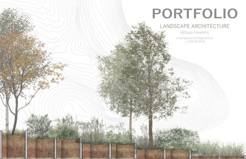
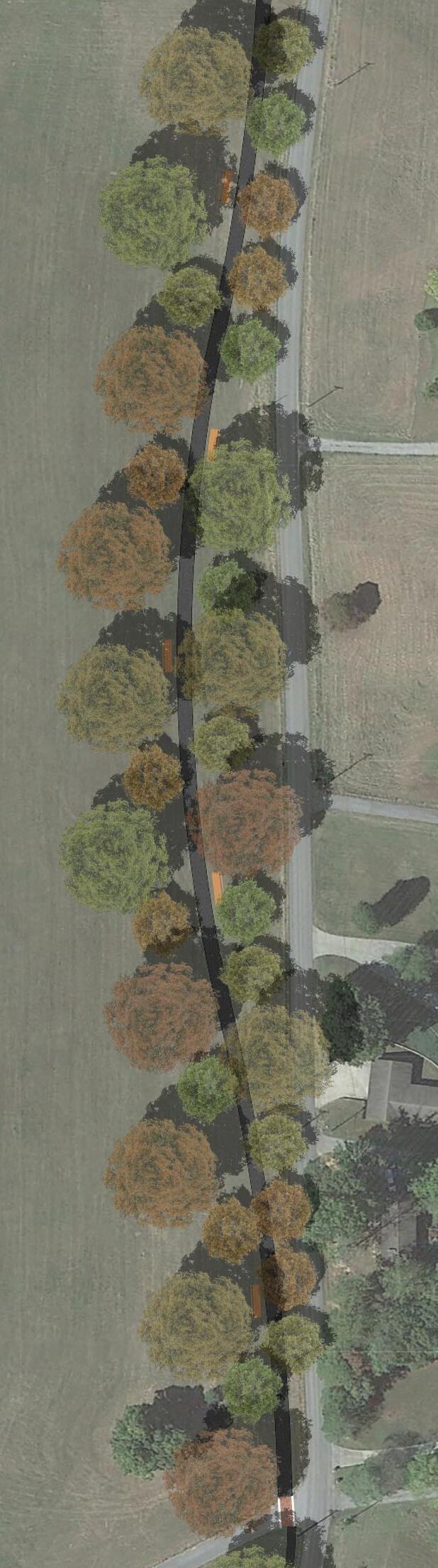
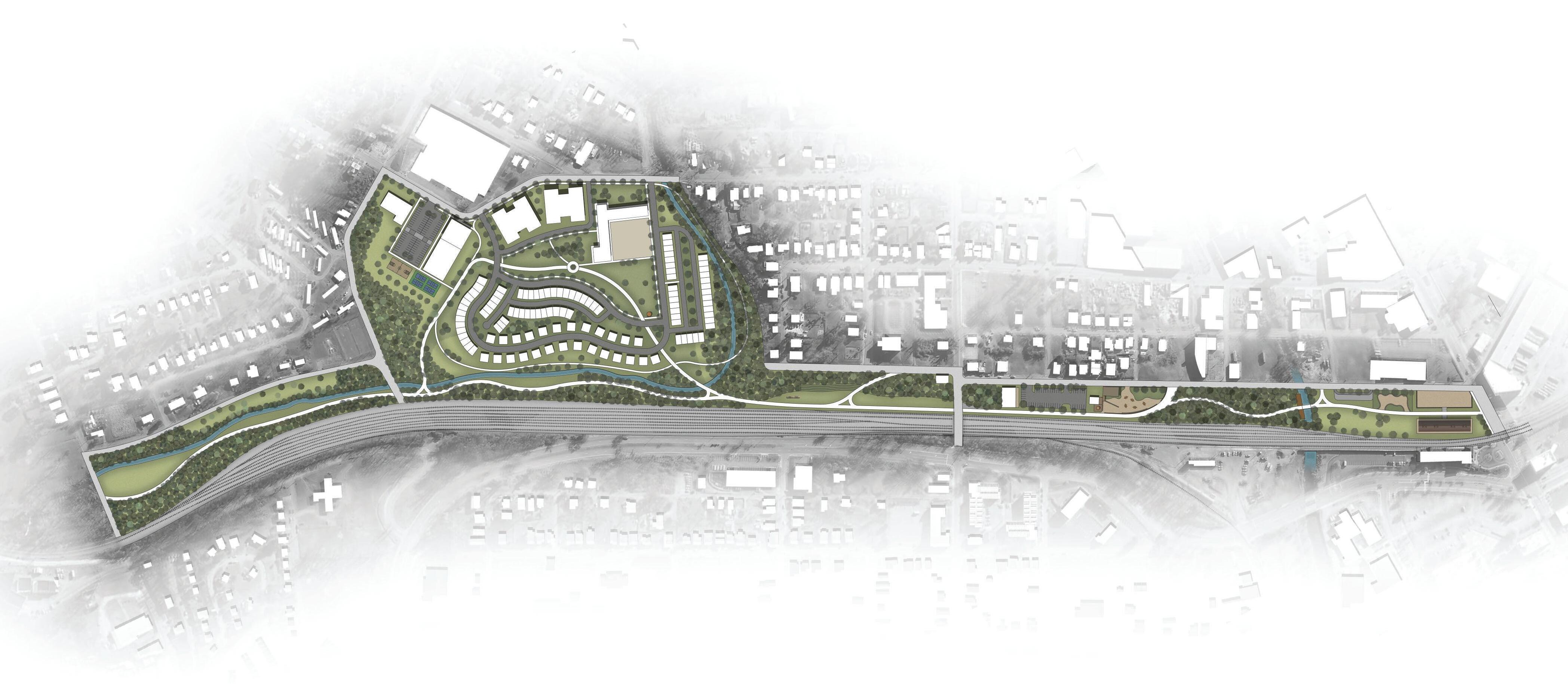
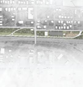
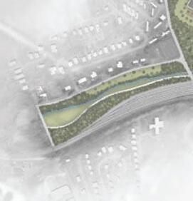
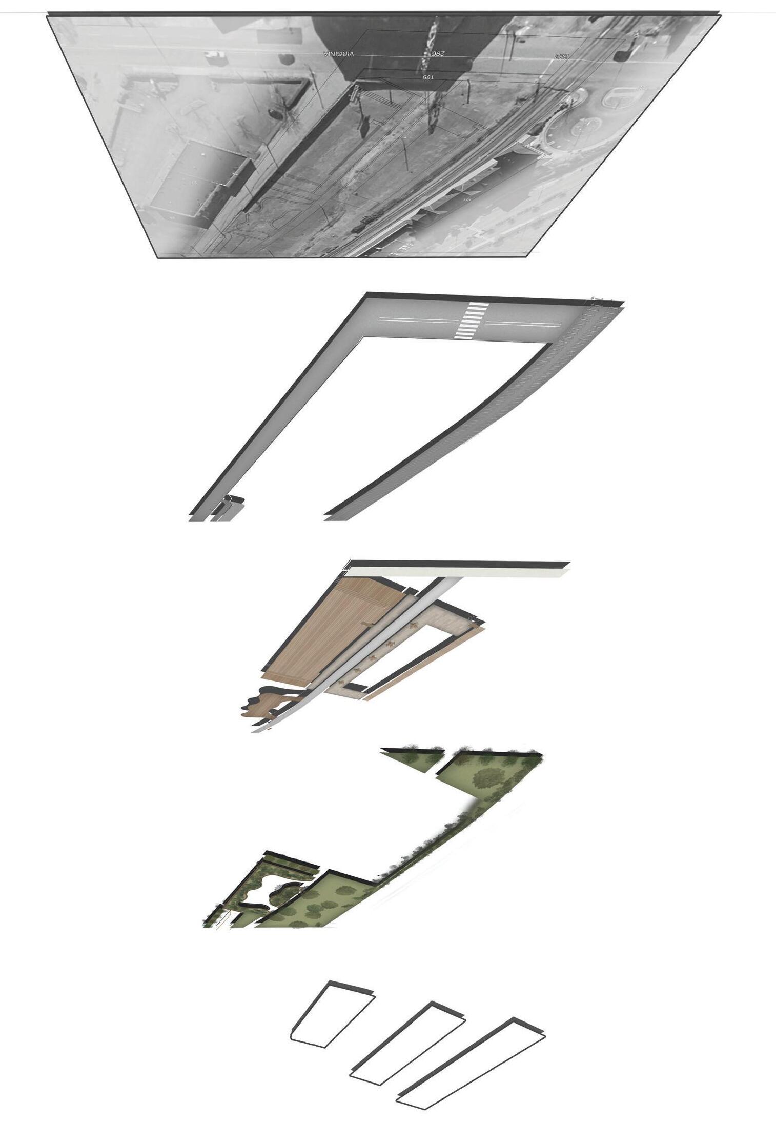
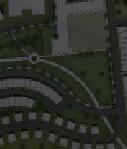
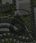
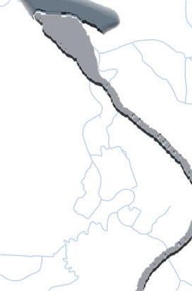
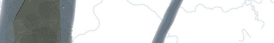
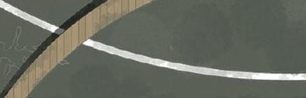
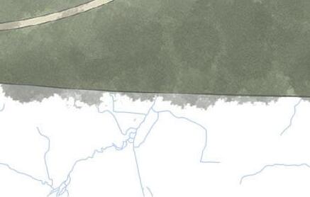
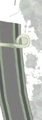
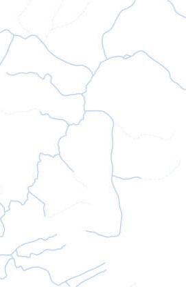
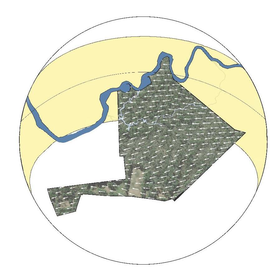
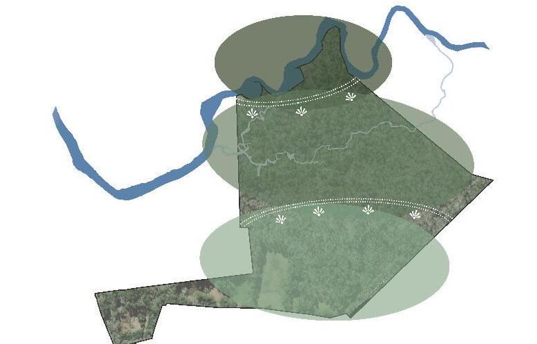
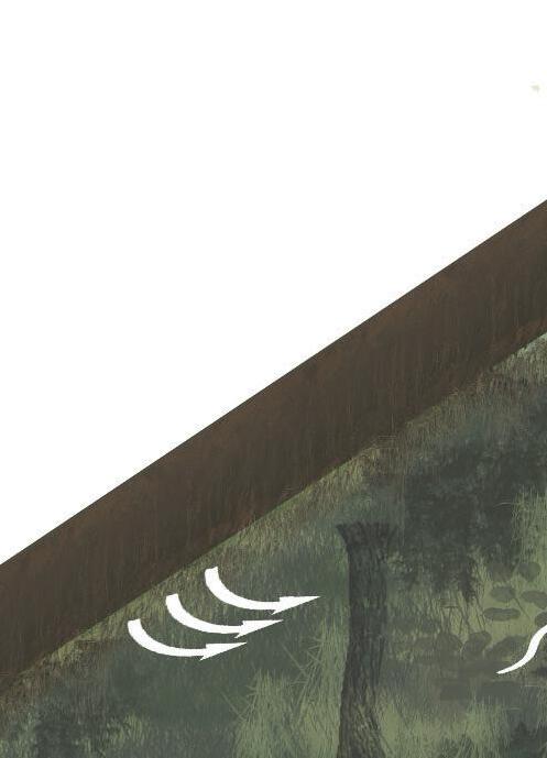
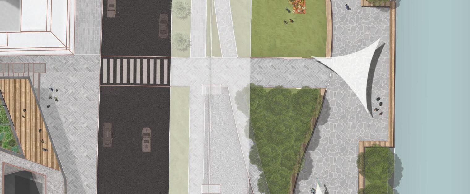
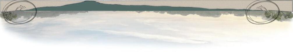
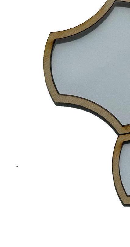
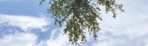
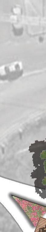
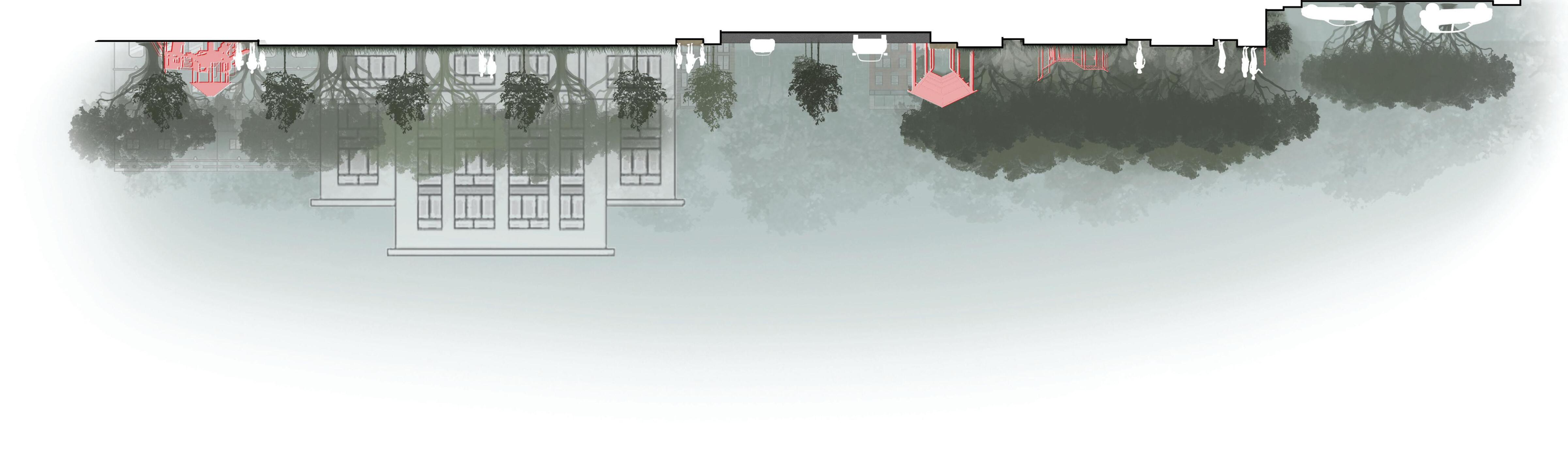
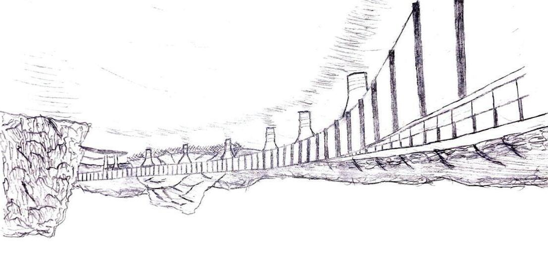
Amid Bristolʼs declining rail-side industry and the rise of deteriorating industrial properties, a renewed vision for development and public appeal has become essential The Greenline Spur integrates sustainability and adaptive reuse to meet the communityʼs diverse needs while offering a rich mix of attractions and amenties. Extending over a mile along the Amtrak railway, the proposed design moves seamlessly through varied landscapes, all connected and accessible by greenway. Each area is intentionally crafted with modern development strategies that support economic vitality, social well-being, and environmental stewardship, resulting in a low-impact, interconnected ecosystem. A residential community along the greenway, Industries Village, further strengthens social cohesion and fosters revitalization, creating an inviting and sustainable living environment for current and future residents. Together, these elements present a vision for a vibrant, connected community that honors its heritage while embracing a sustainable future.
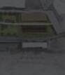
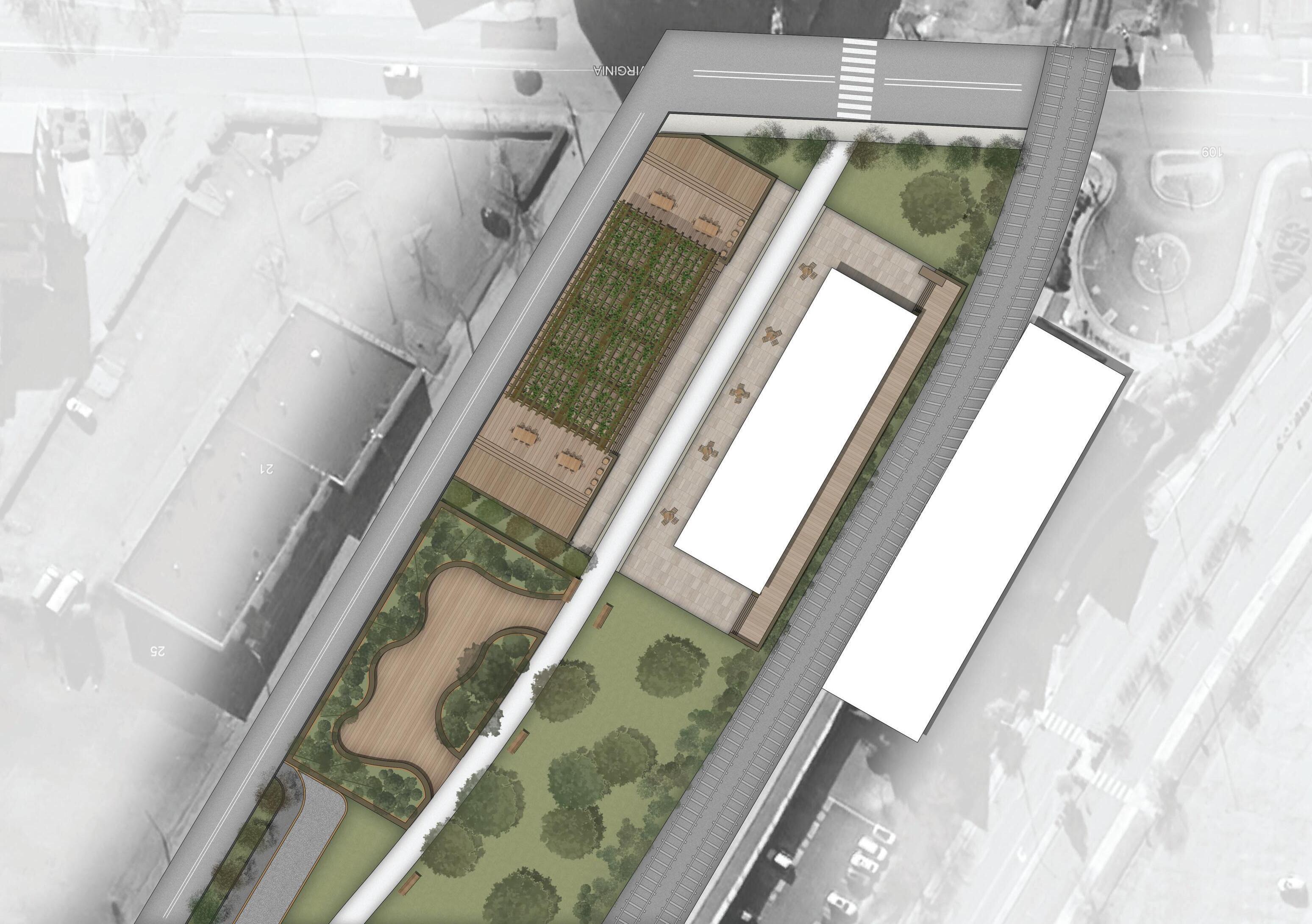
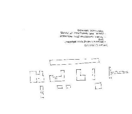
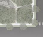
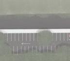
THE GREENLINE SPUR: TRACKSIDE EVENT VENUE
STRUCTURES
LEGEND
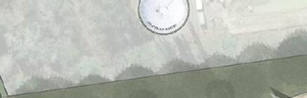
EXISTING TRAIN STATION
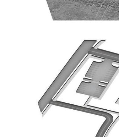
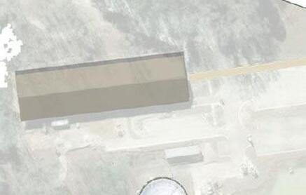
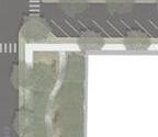
TRACKSIDE EVENT VENUE
WRAP-AROUND PORCH
OUTDOOR COVERED PLATFORM
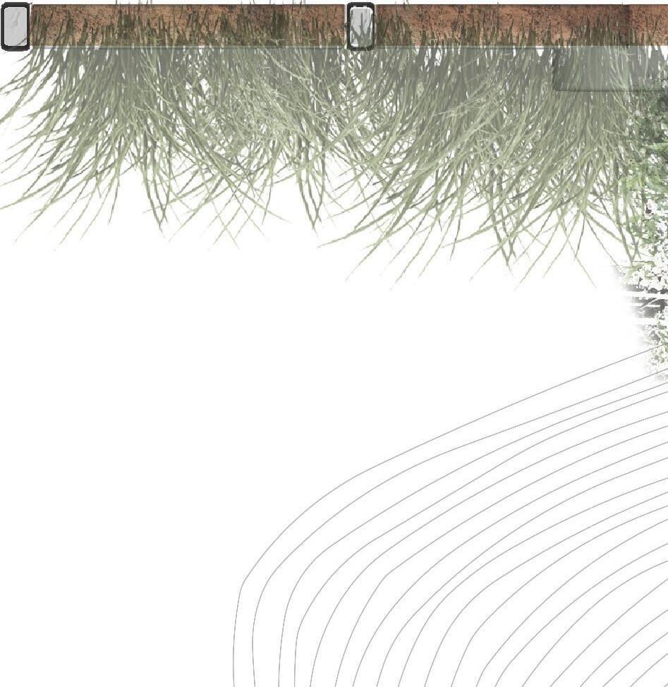
VEGETATED SEATING AREA
BIOSWALE PROTECTION
FOOD TRUCK PULL-IN
TRACKSIDE EVENT VENUE
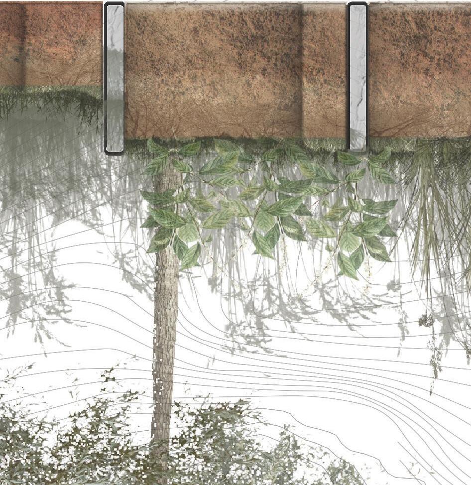
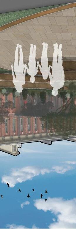
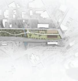
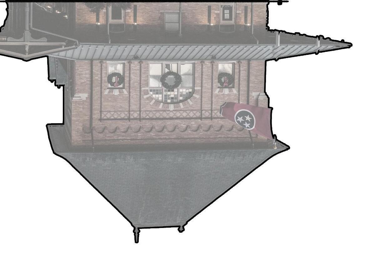
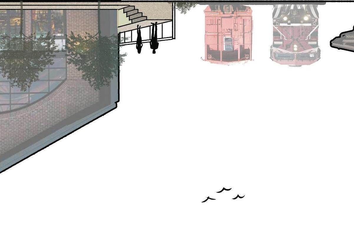
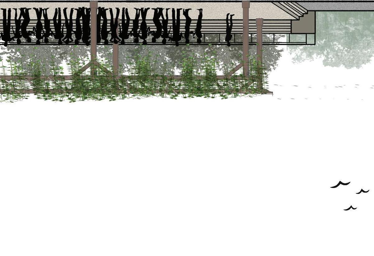
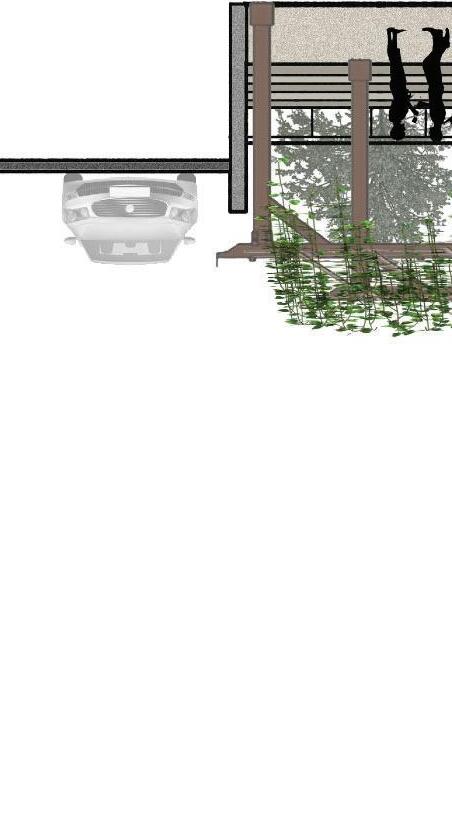
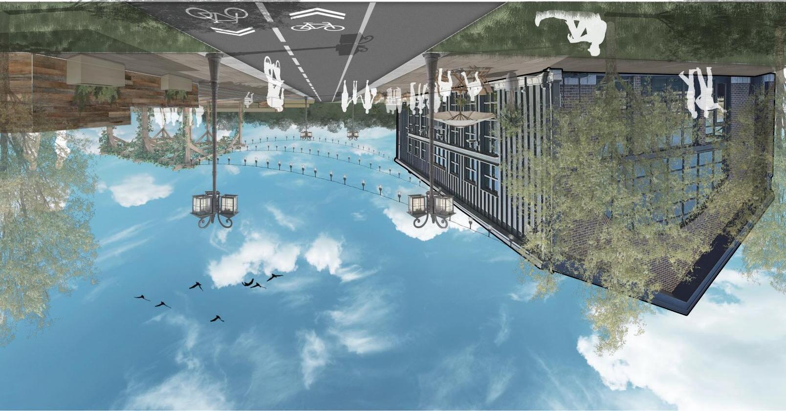
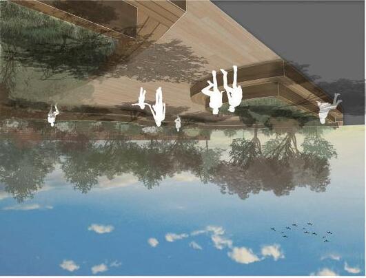
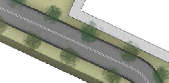
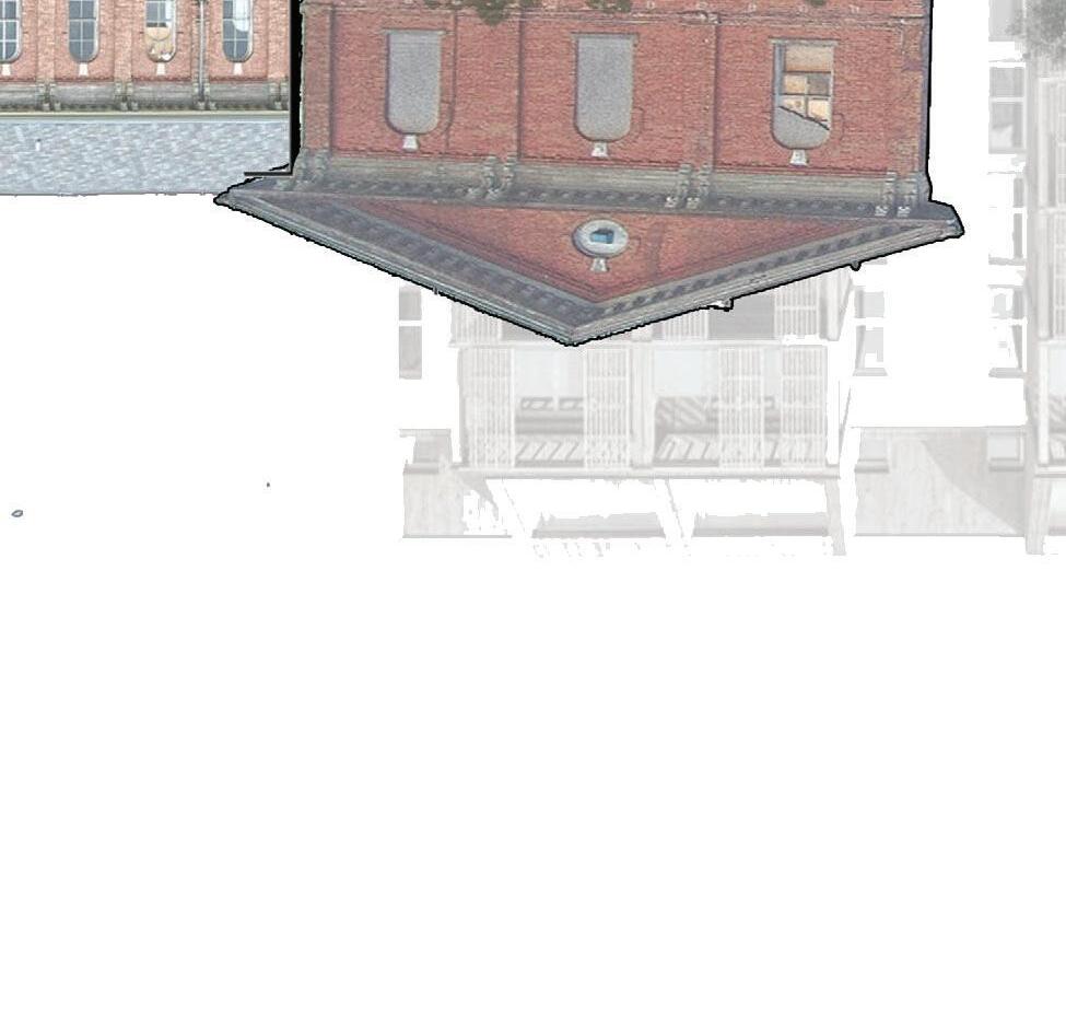
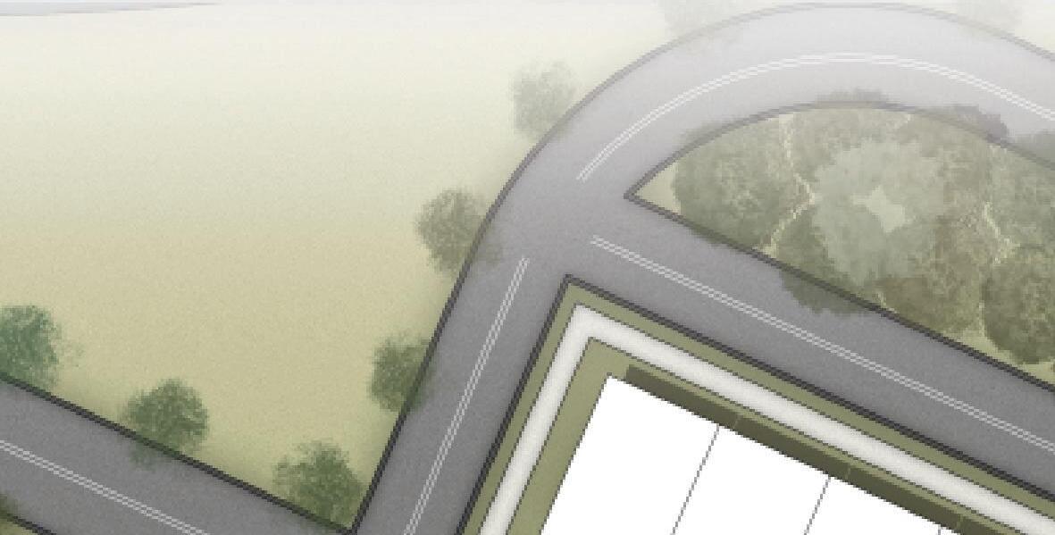
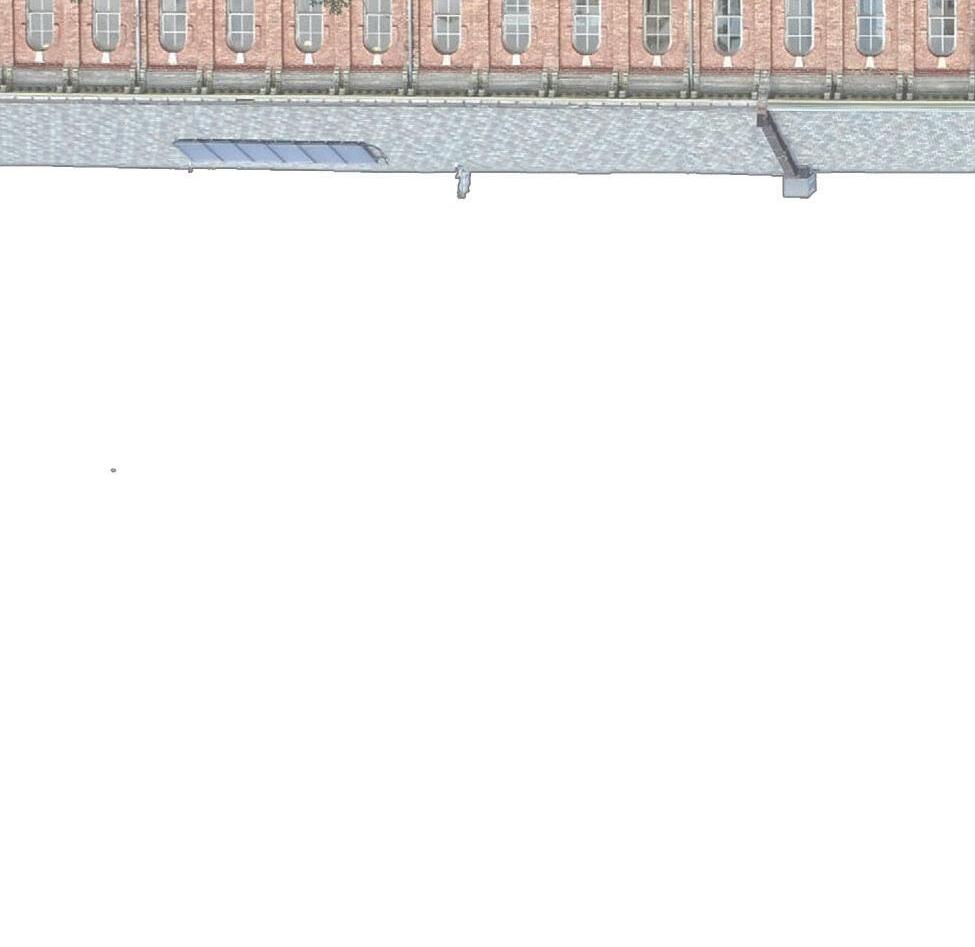
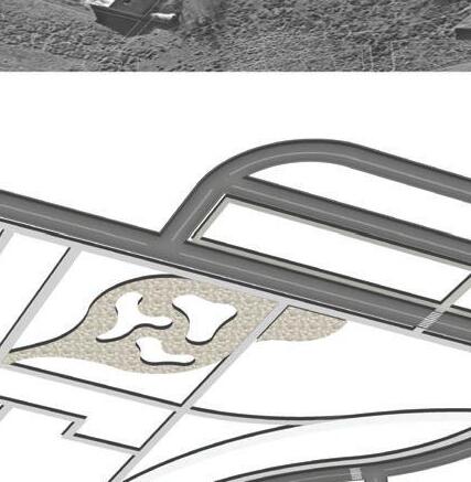
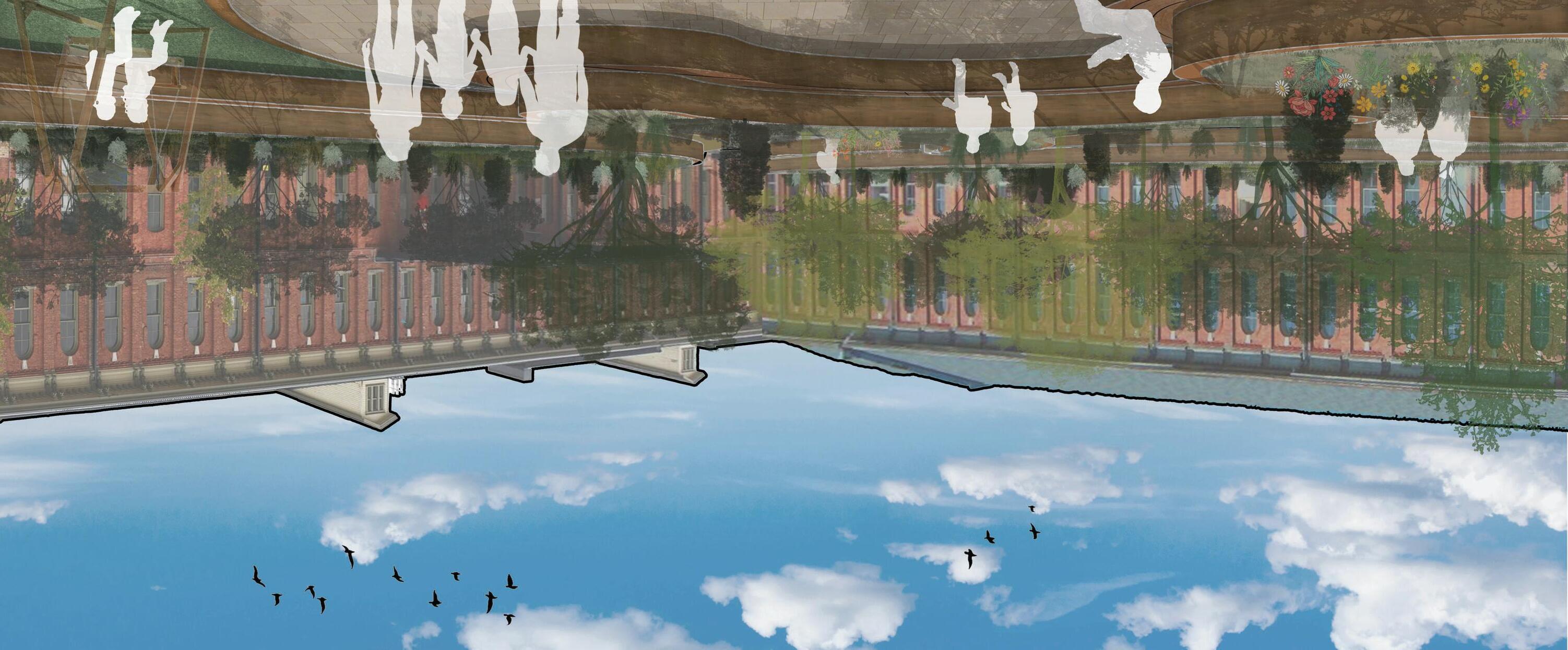
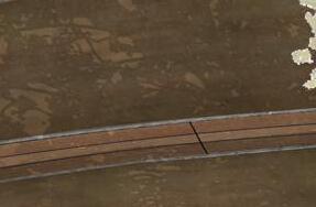
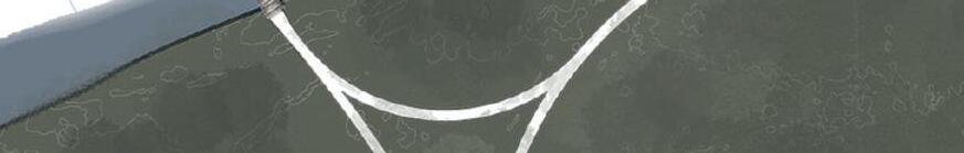
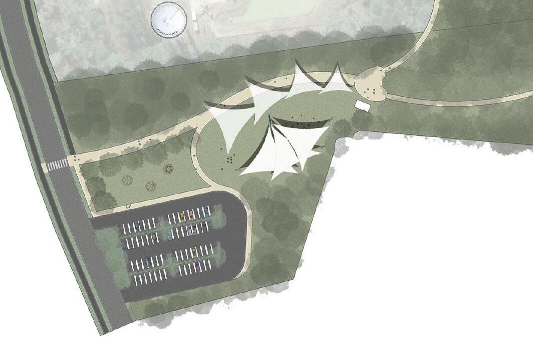
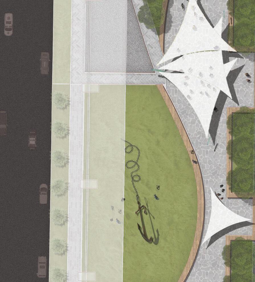
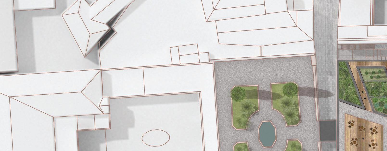
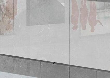
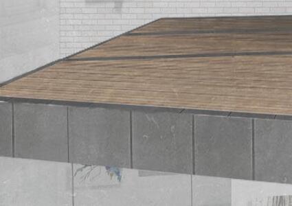
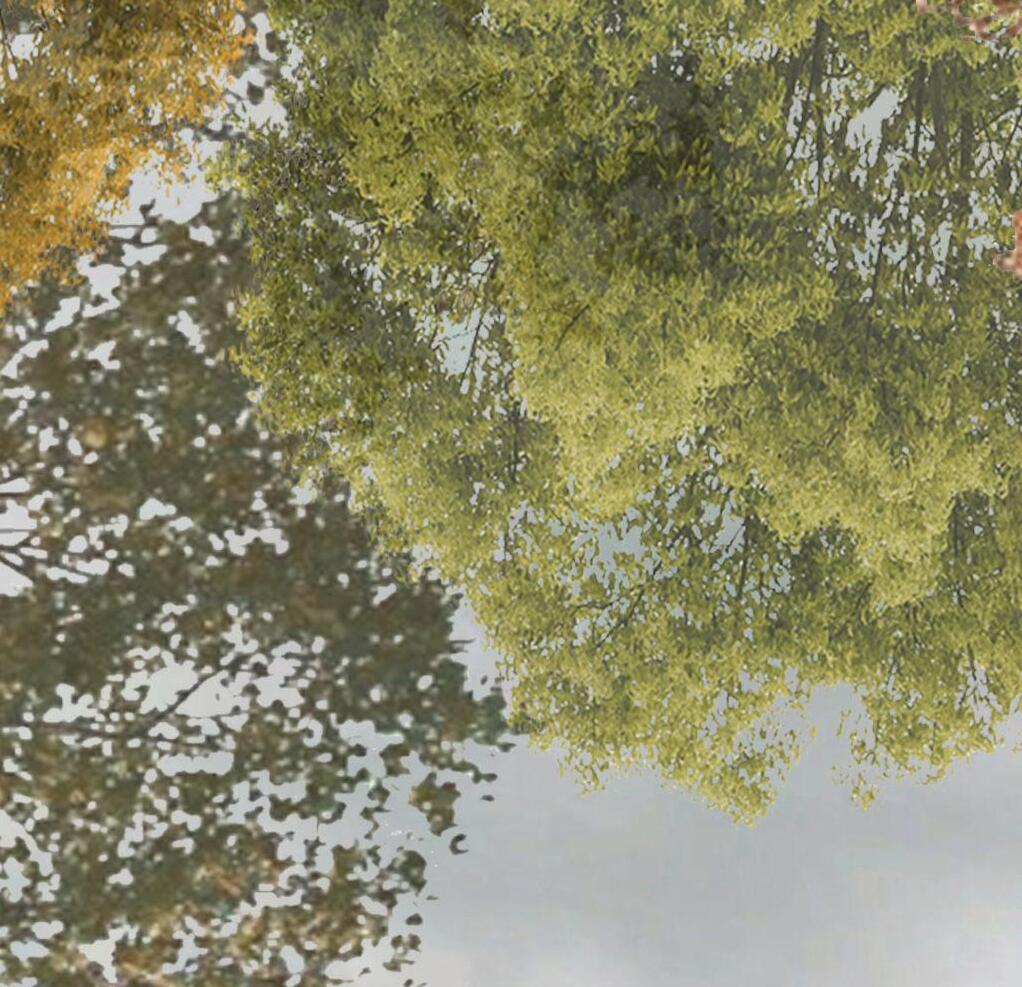
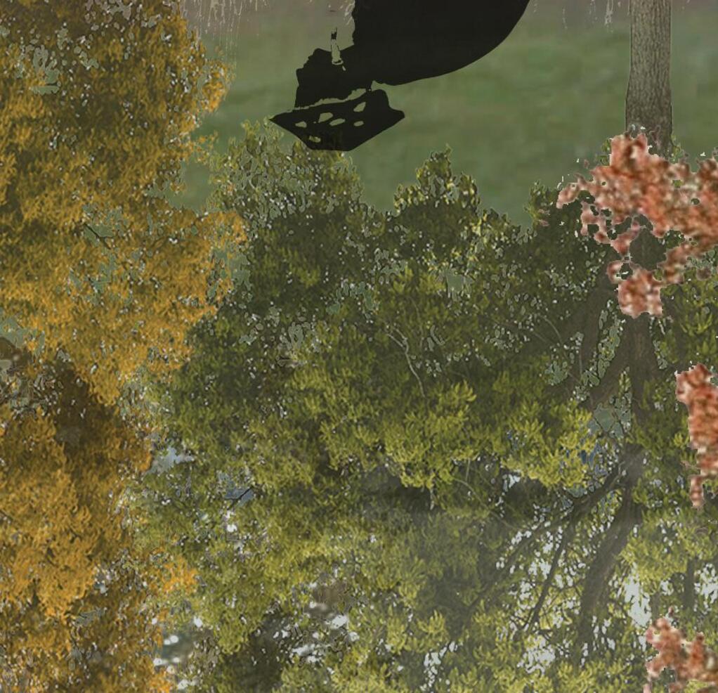
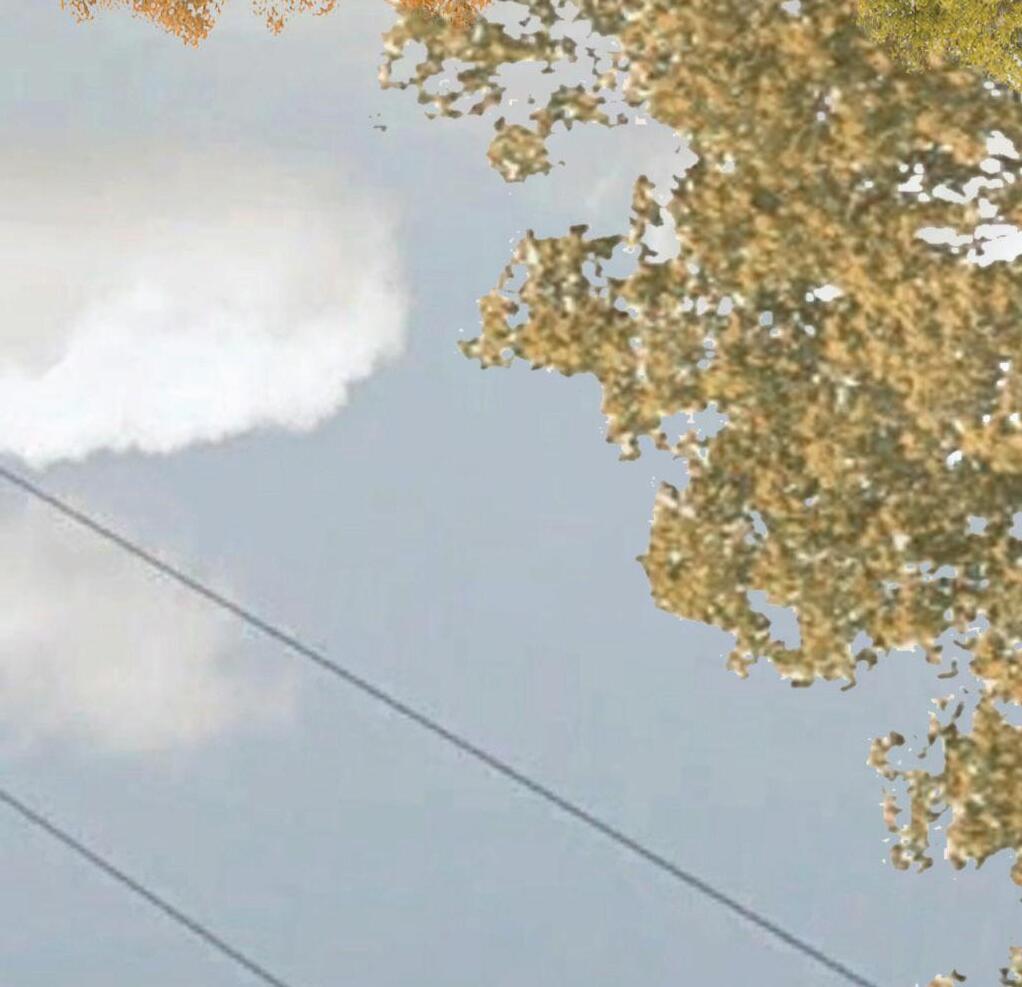
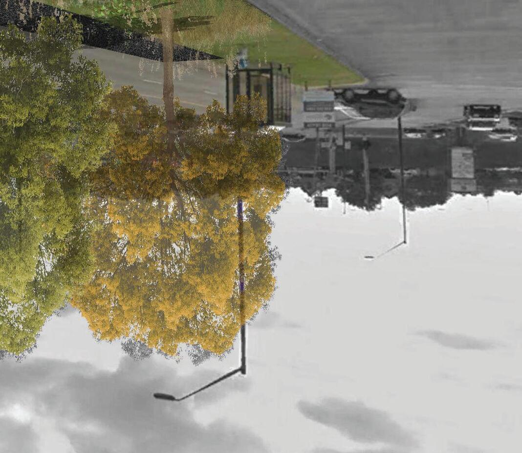
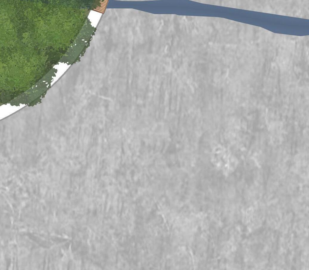
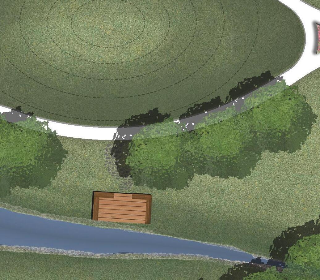
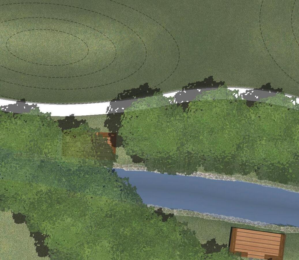
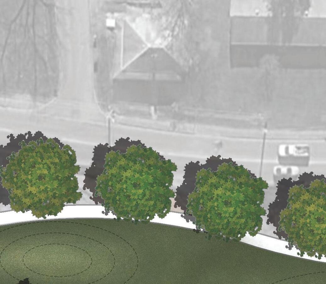
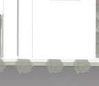
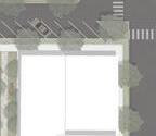
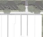
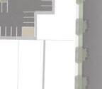
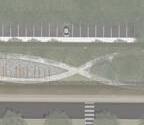
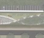
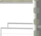
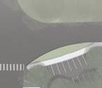
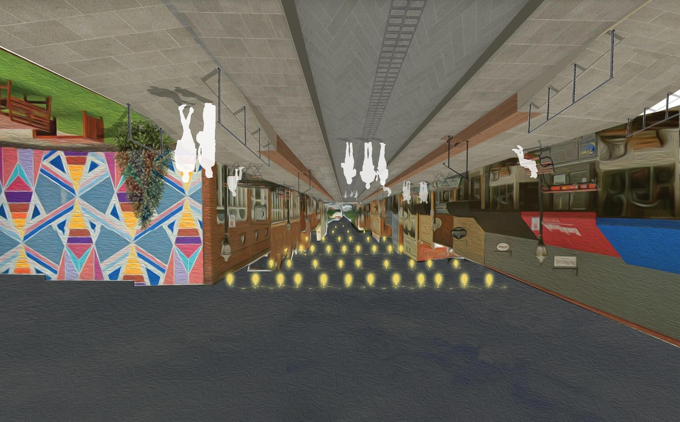
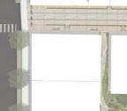
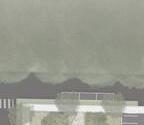
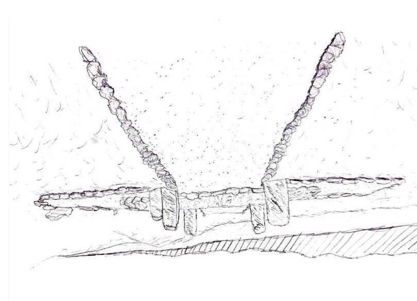
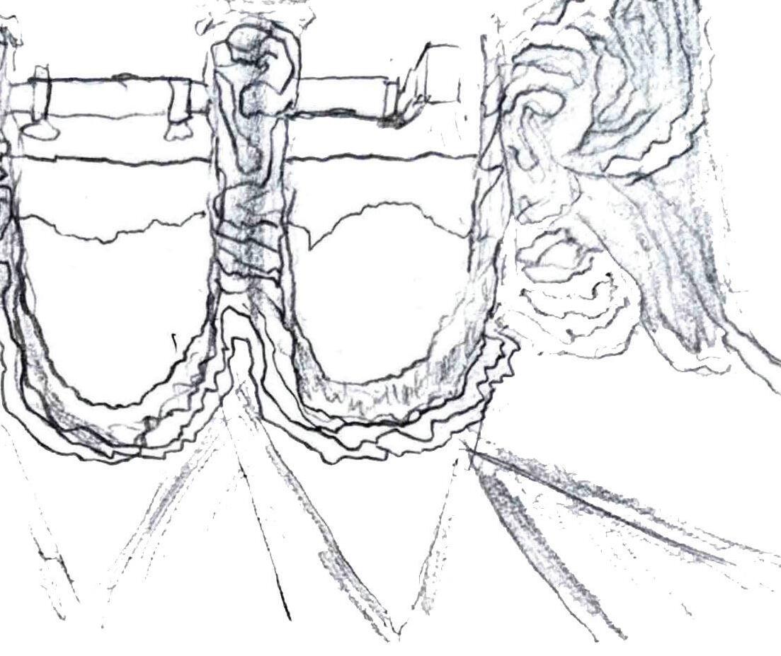
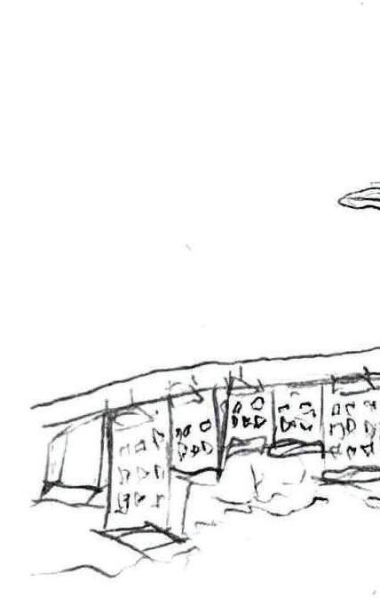
The decision to restore the existing event center to its original function as a train station presents a unique opportunity to honor the spaceʼs history while introducing a new and enhanced event venue directly across the tracks. Trackside Event Venue seamlessly blends local character with contemporary design, creating a sleek, functional space that accommodates gatherings of all sizes. Both indoor and outdoor areas are thoughtfully integrated for year-round use, with the outdoor space remaining open to the public throughout the seasons. Trackside Event Venue serves not only as a key anchor and gateway to The Greenline Spur but also as a welcoming entrance to the heart of Bristol.
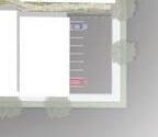
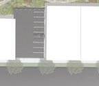
LEFT IMAGE: The event venue as viewed from the State Street, which also serves as a primary gateway into the Greenline Spur.
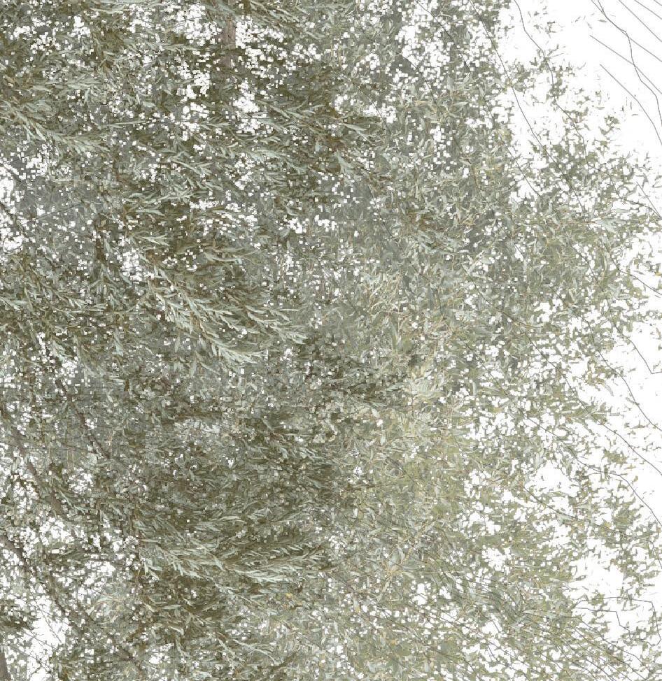
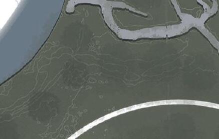
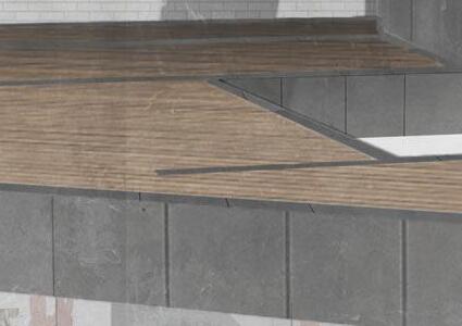
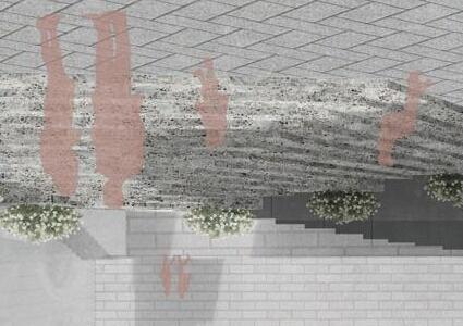
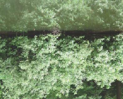
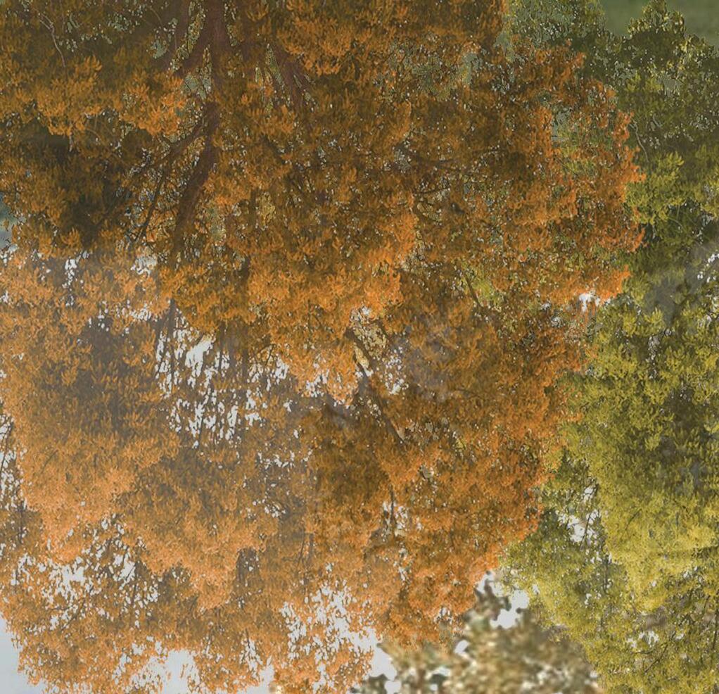
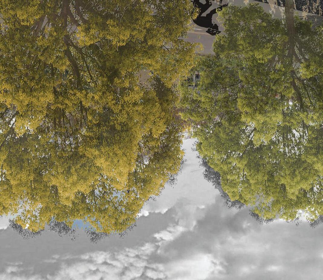
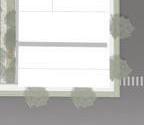
RIGHT IMAGE: Across the site, vegetated lounges pair shaded seating with rich plant life, forming natural retreats throughout.
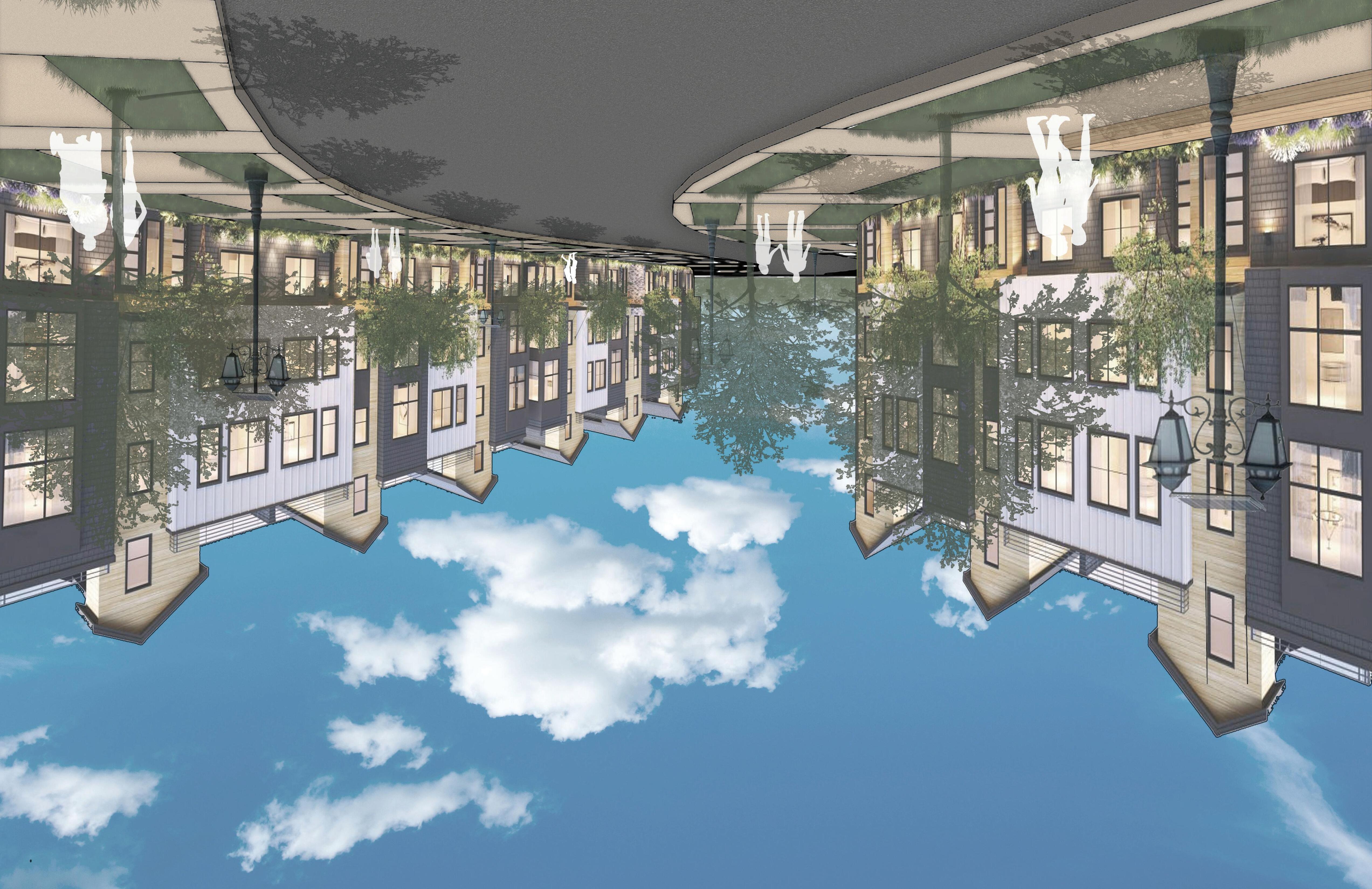
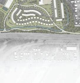
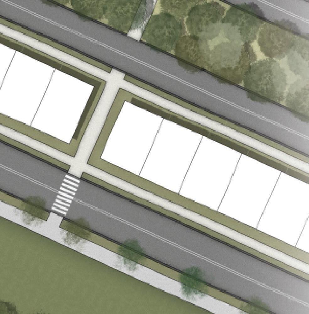
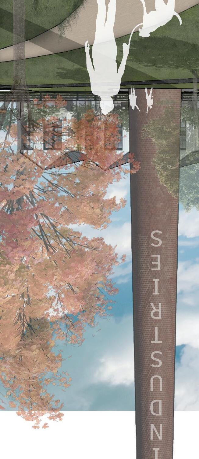
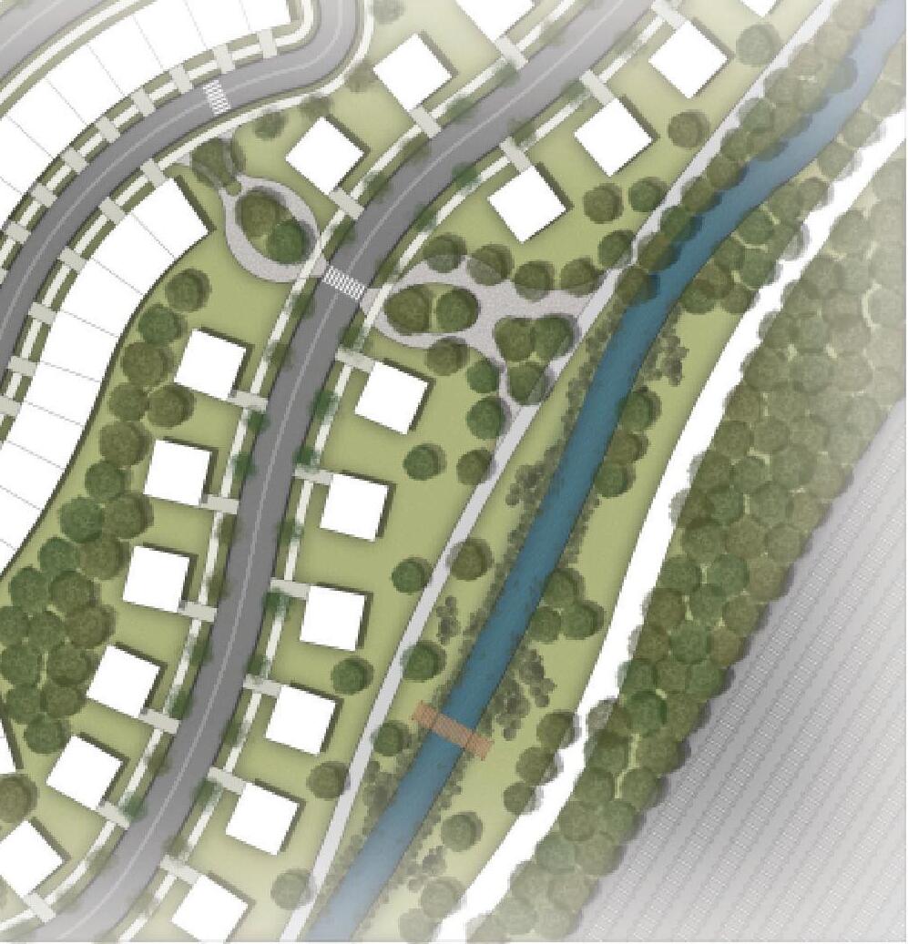
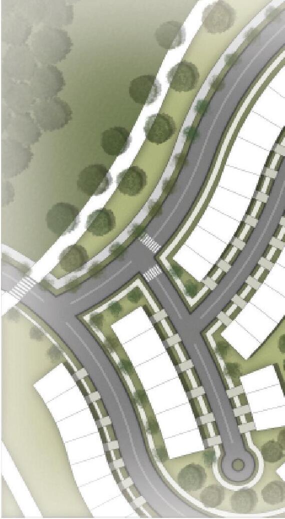
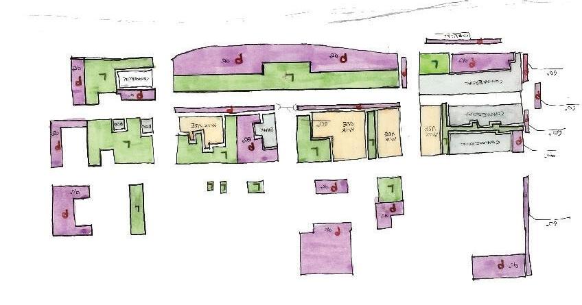
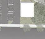
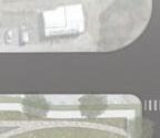
THE GREENLINE SPUR: INDUSTRIES VILLAGE
LEGEND
SINGLE-FAMILY DETACHED
COMMUNITY COMMONS LAWN
TOWNHOUSE ATTACHED
COMMUNITY COMMONS PLAZA
INDUSTRIES MARKETPLACE
EMPLOYEE PARKING
MIXED-USE APARTMENTS
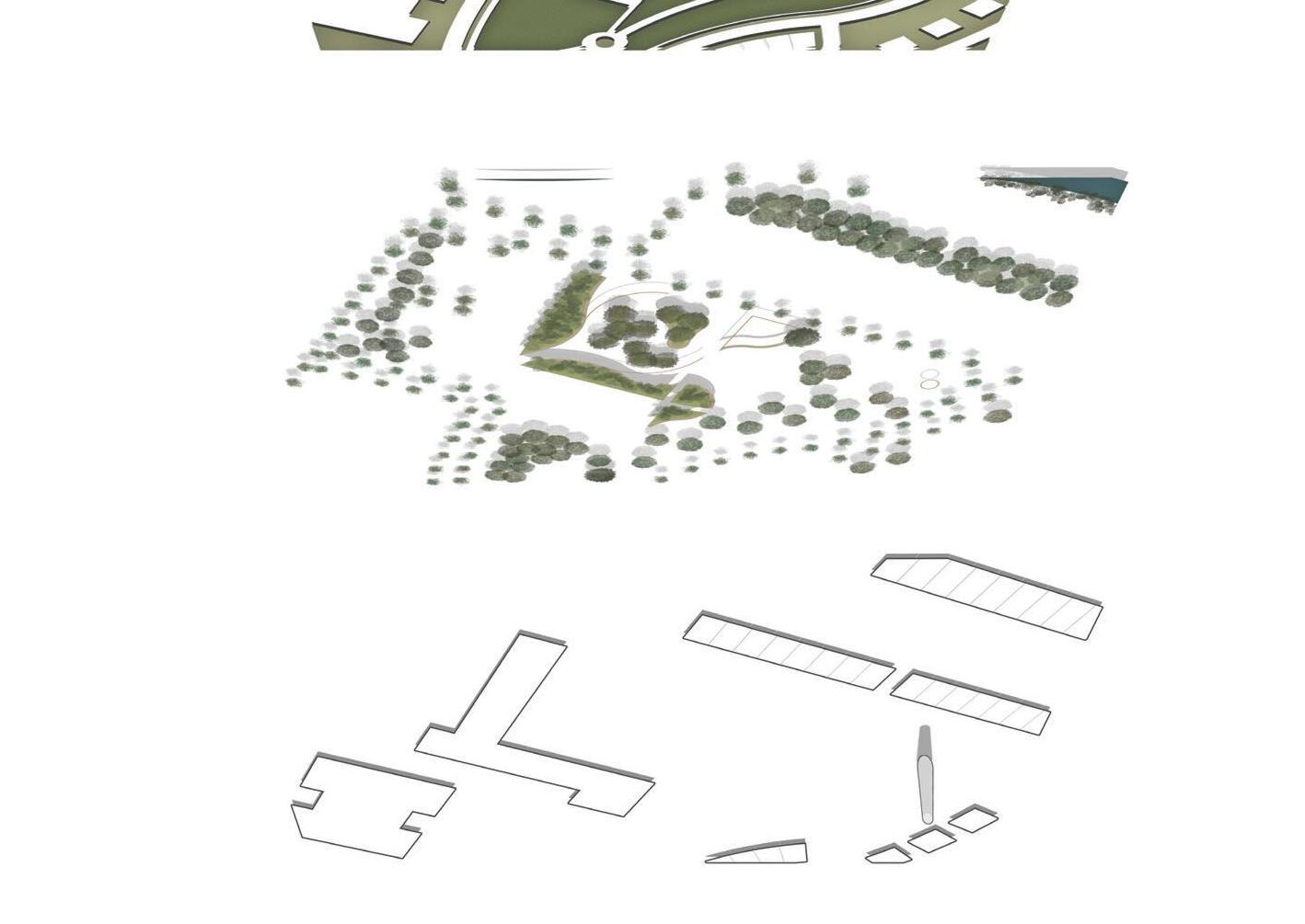
INDUSTRIES VILLAGE
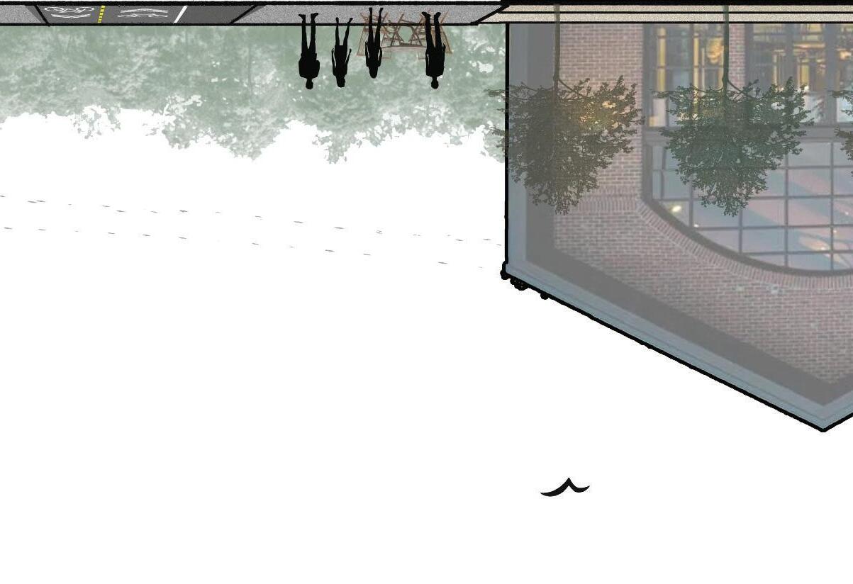
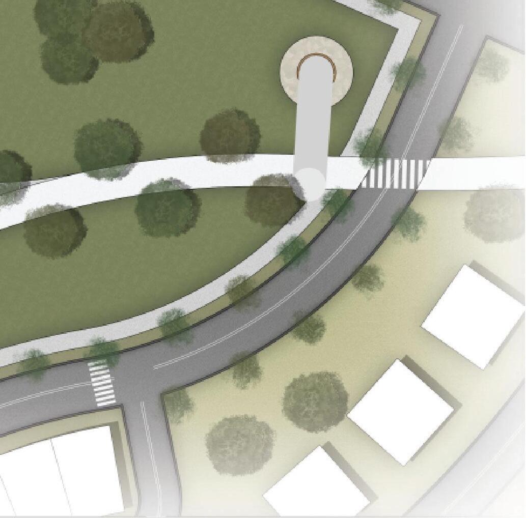
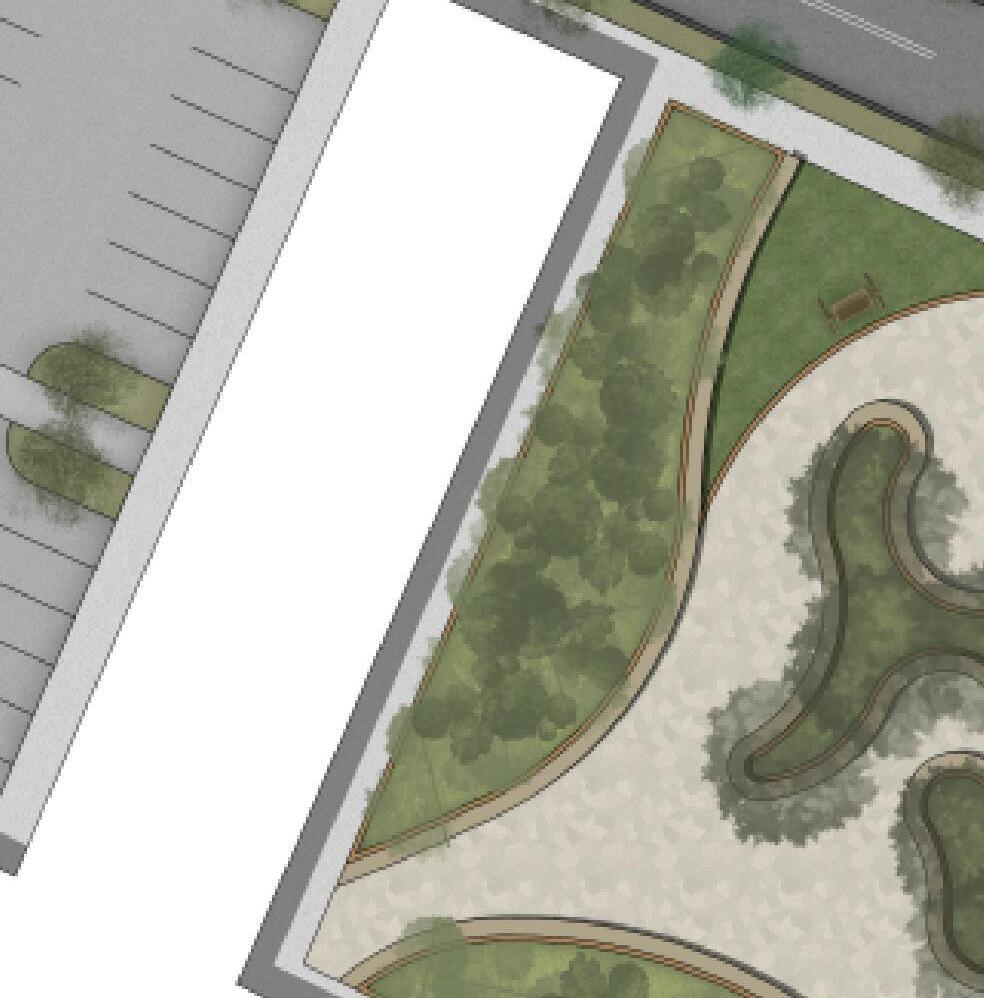
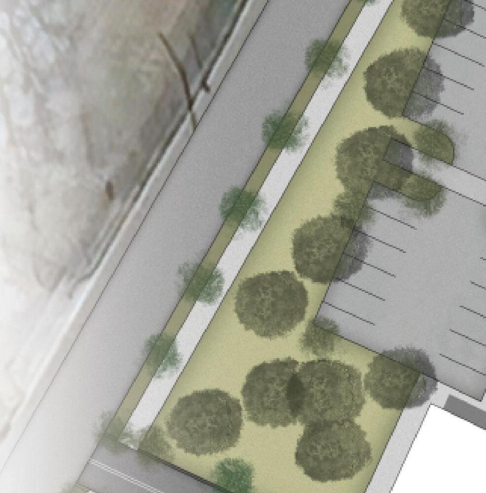
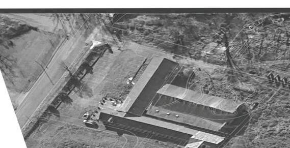
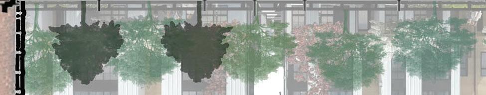
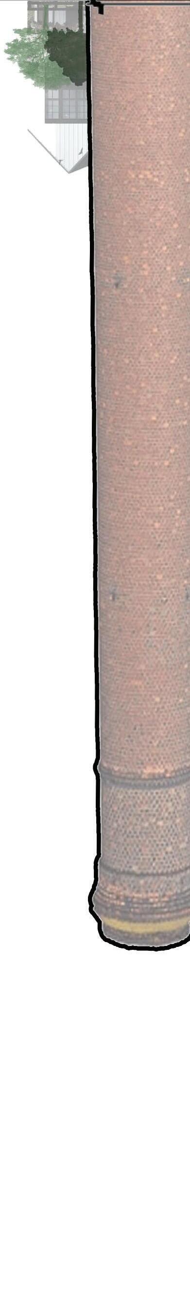
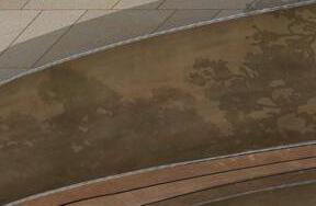
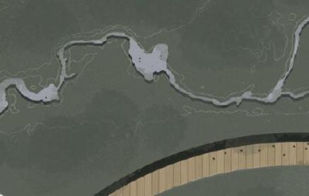
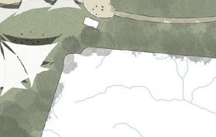
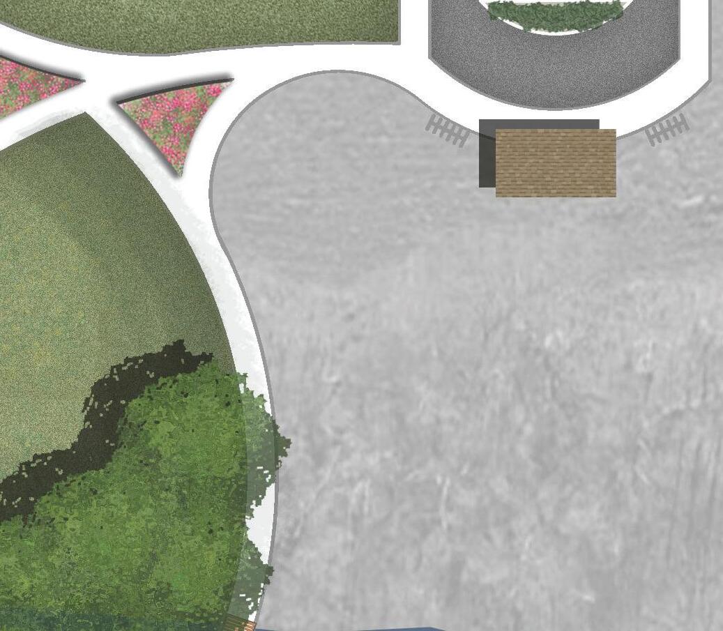
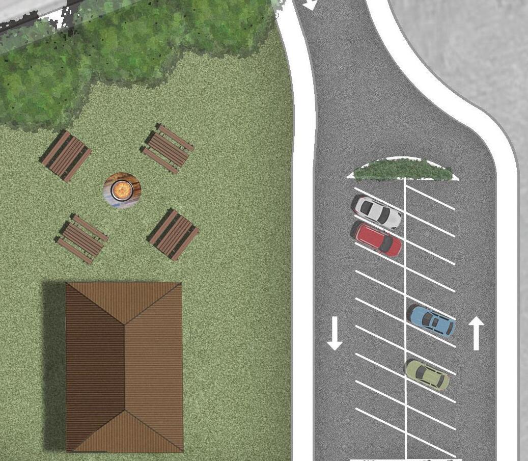
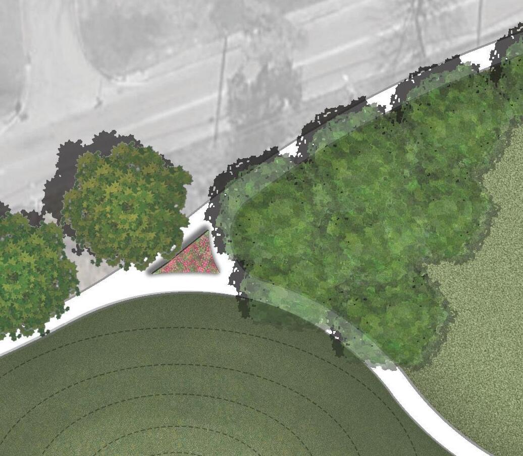
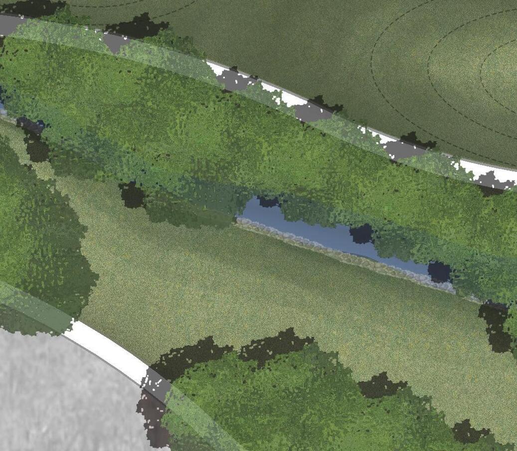
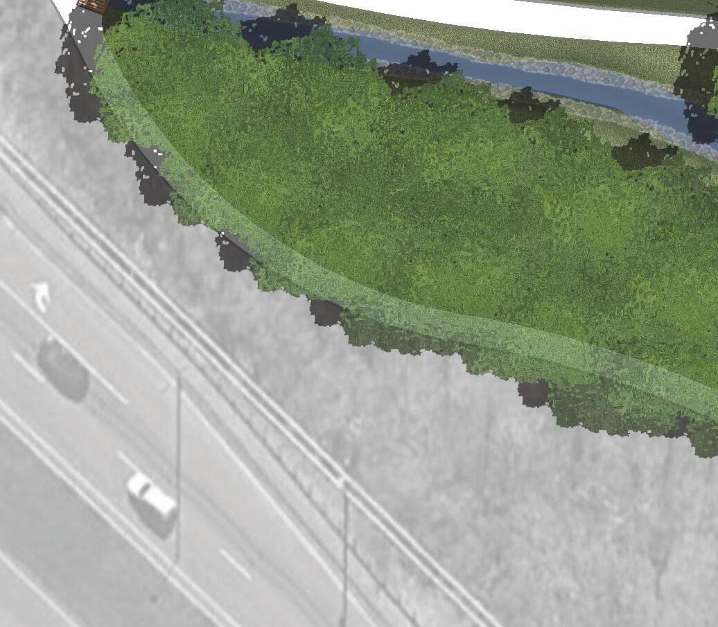
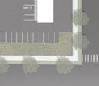
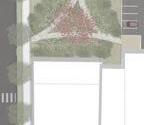
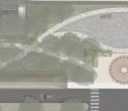
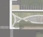
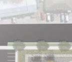
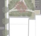
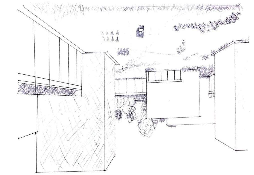
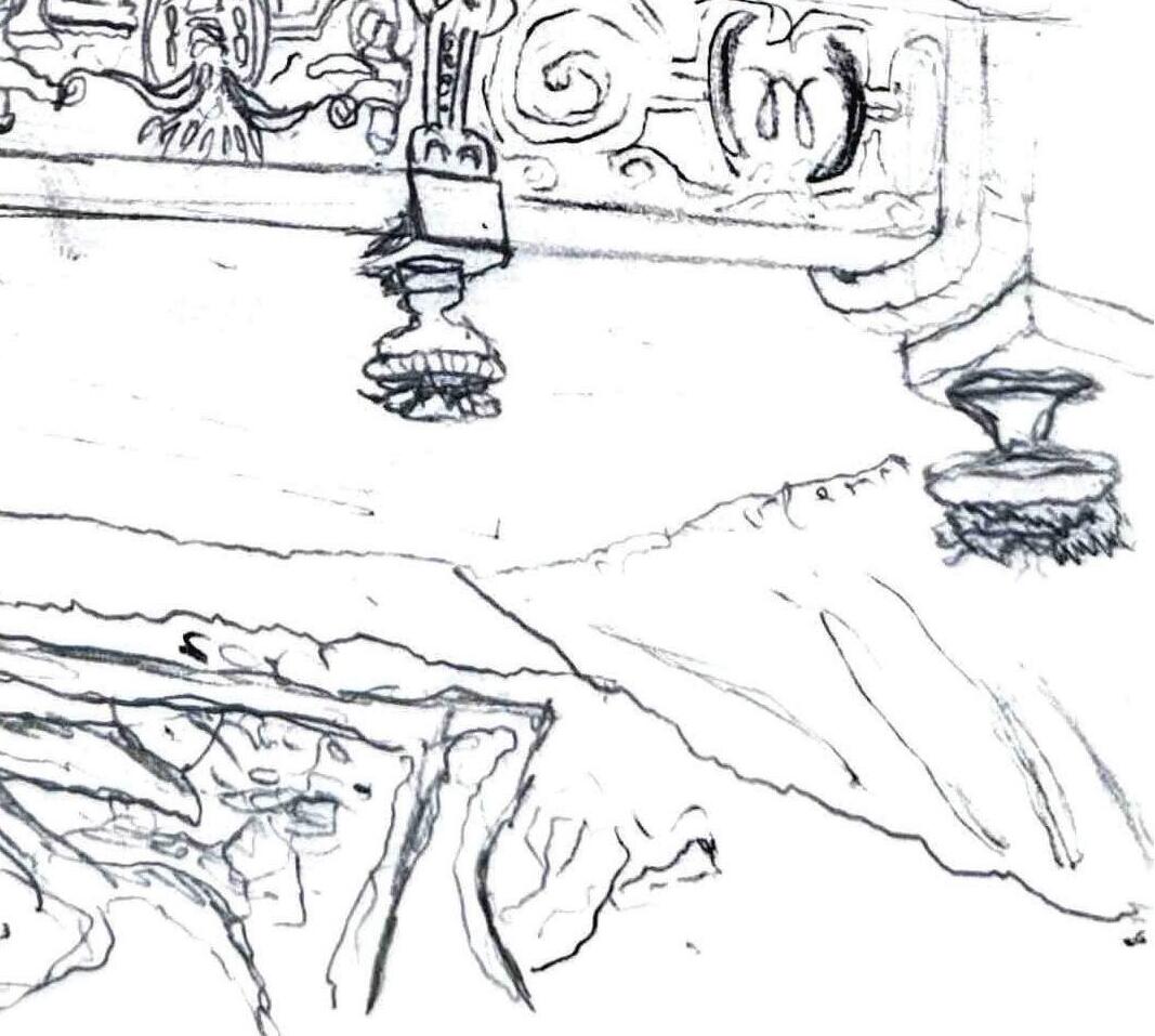
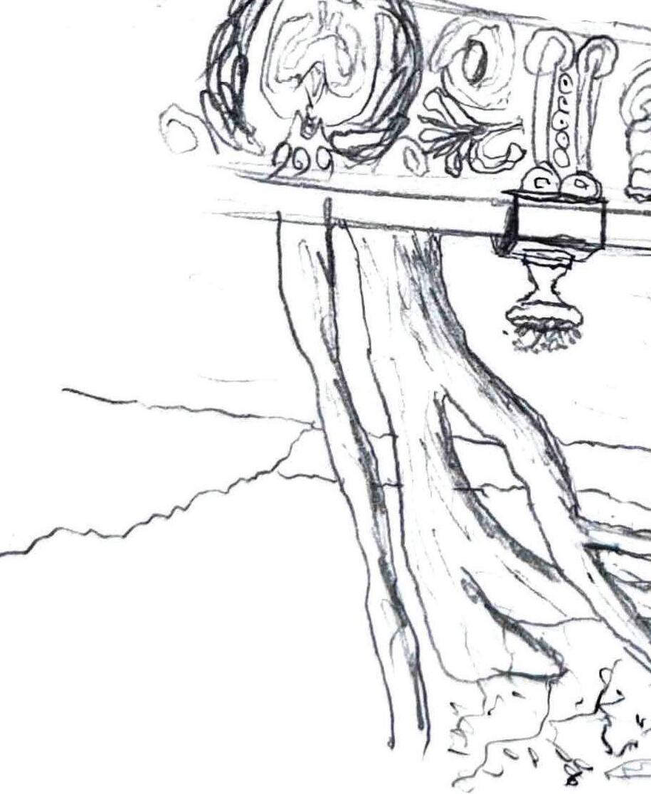
Industries Village is a key anchor of The Greenline Spur, transforming a former industrial processing site into a vibrant, sustainable community that showcases the potential of adaptive reuse. Using low-cost construction, locally sourced materials, and energy-efficient strategies, the village offers a wide range of affordable housing options while reimagining the existing industrial structure as a central community hub featuring shops, cafés, and essential services. Framed by Beaver Creek, the site connects seamlessly to the greenway network through a paved trail system that winds through common areas and encourages walkability throughout Bristol. A repurposed storage facility at the northeast corner further enhances the community with a new recreation center, making Industries Village both a desirable place to live and a destination for the broader region.
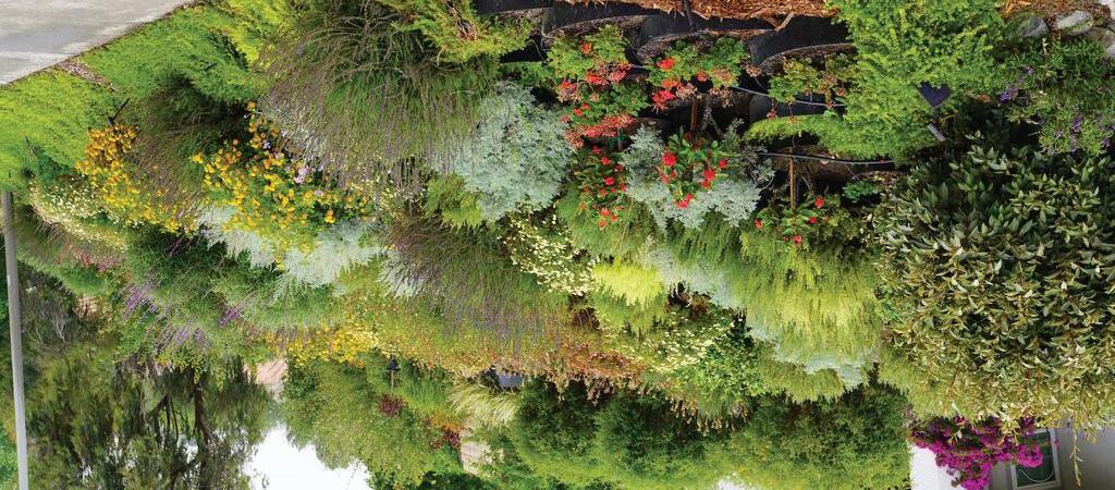
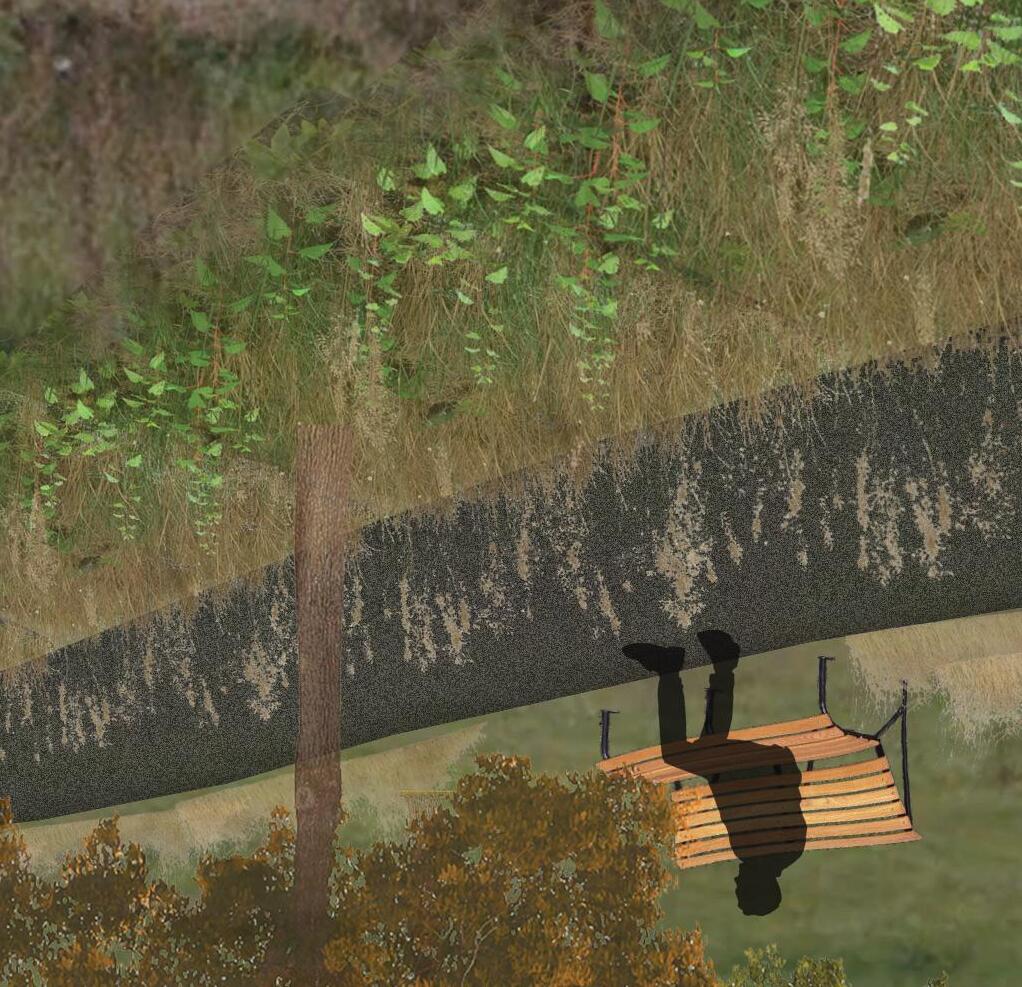
TOP LEFT IMAGE: Lush planting beds animate Industries Village Commons Plaza, anchored by the industrial structure reborn as a dynamic mixed-use marketplace.
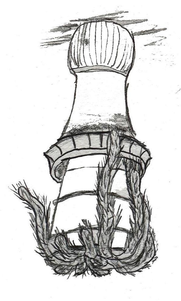
BOTTOM LEFT IMAGE: A spacious Commons Lawn surrounds the signature smokestack, framed by contemporary townhome façades.
TOP RIGHT IMAGE: Residential organization within industries village.
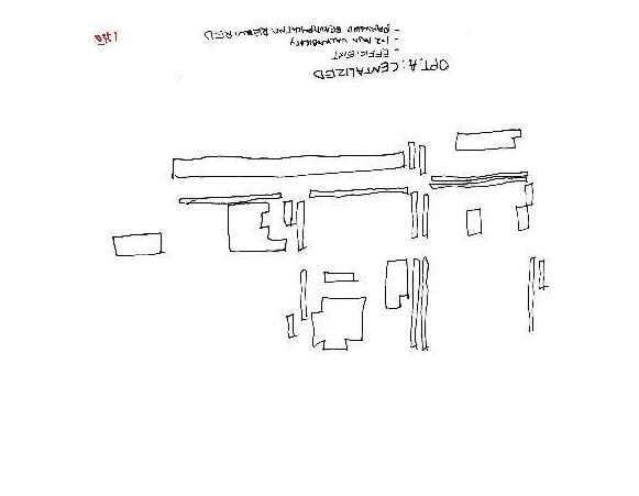
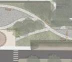
Major Intersection
Minor Intersection Ridgeway Big O The Bean Connectors
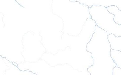
ON-SITE EROSION MITIGATION
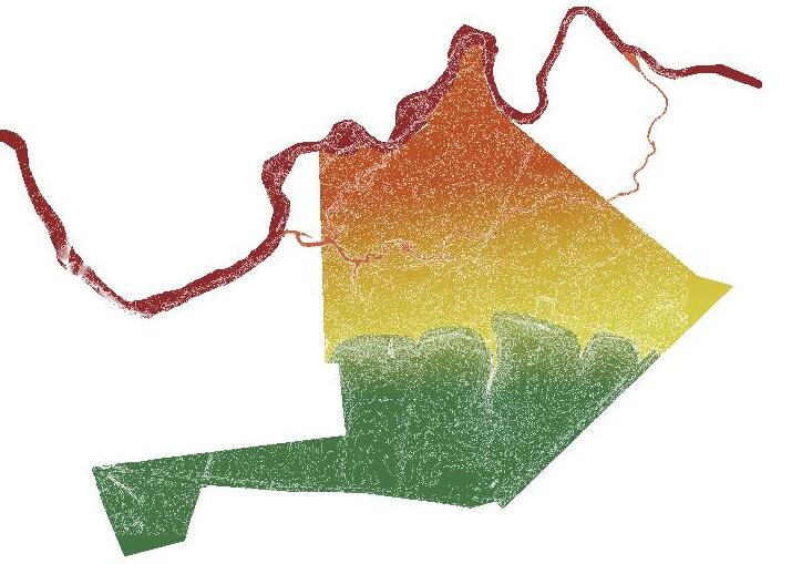
PROJECT BACKGROUND
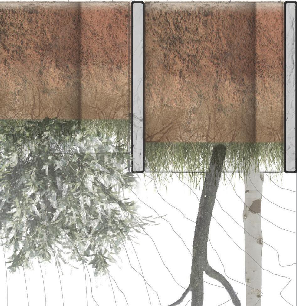
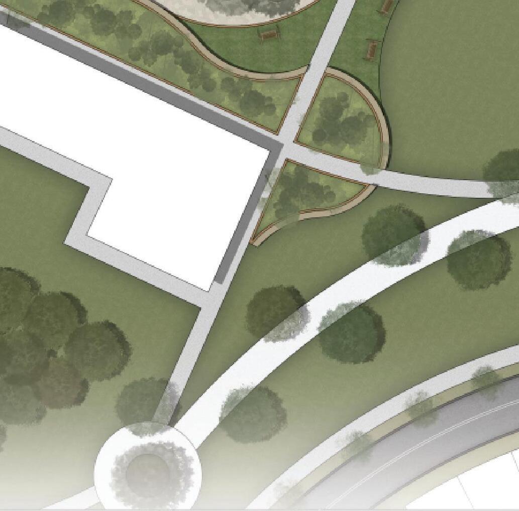
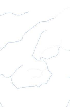
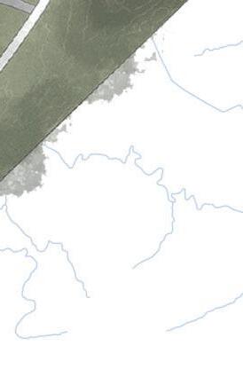
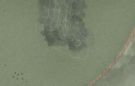
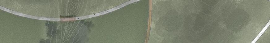
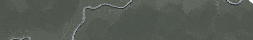
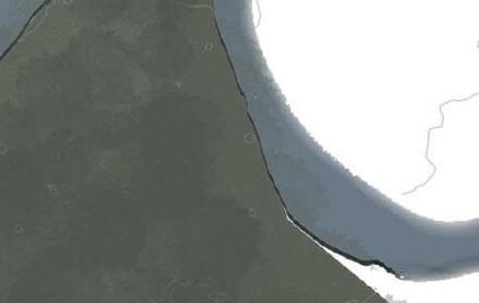
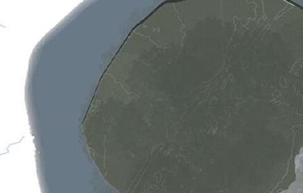
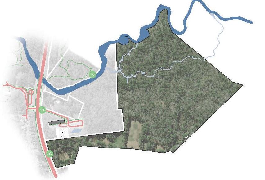
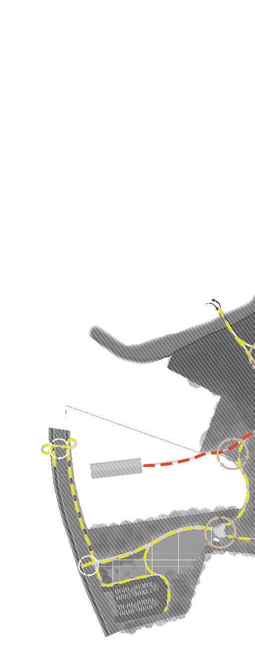
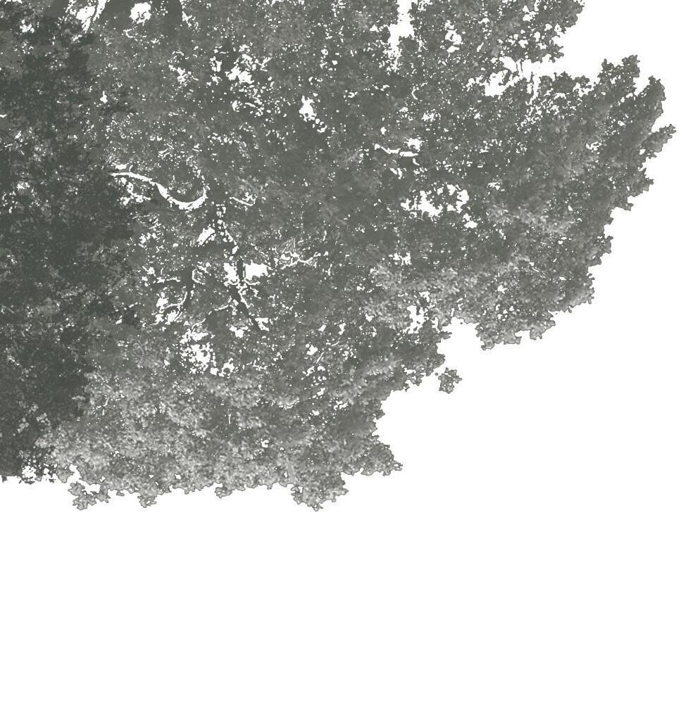
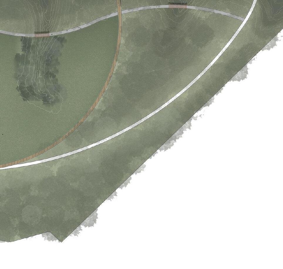
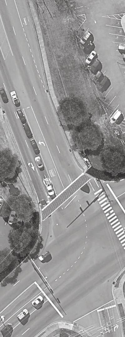
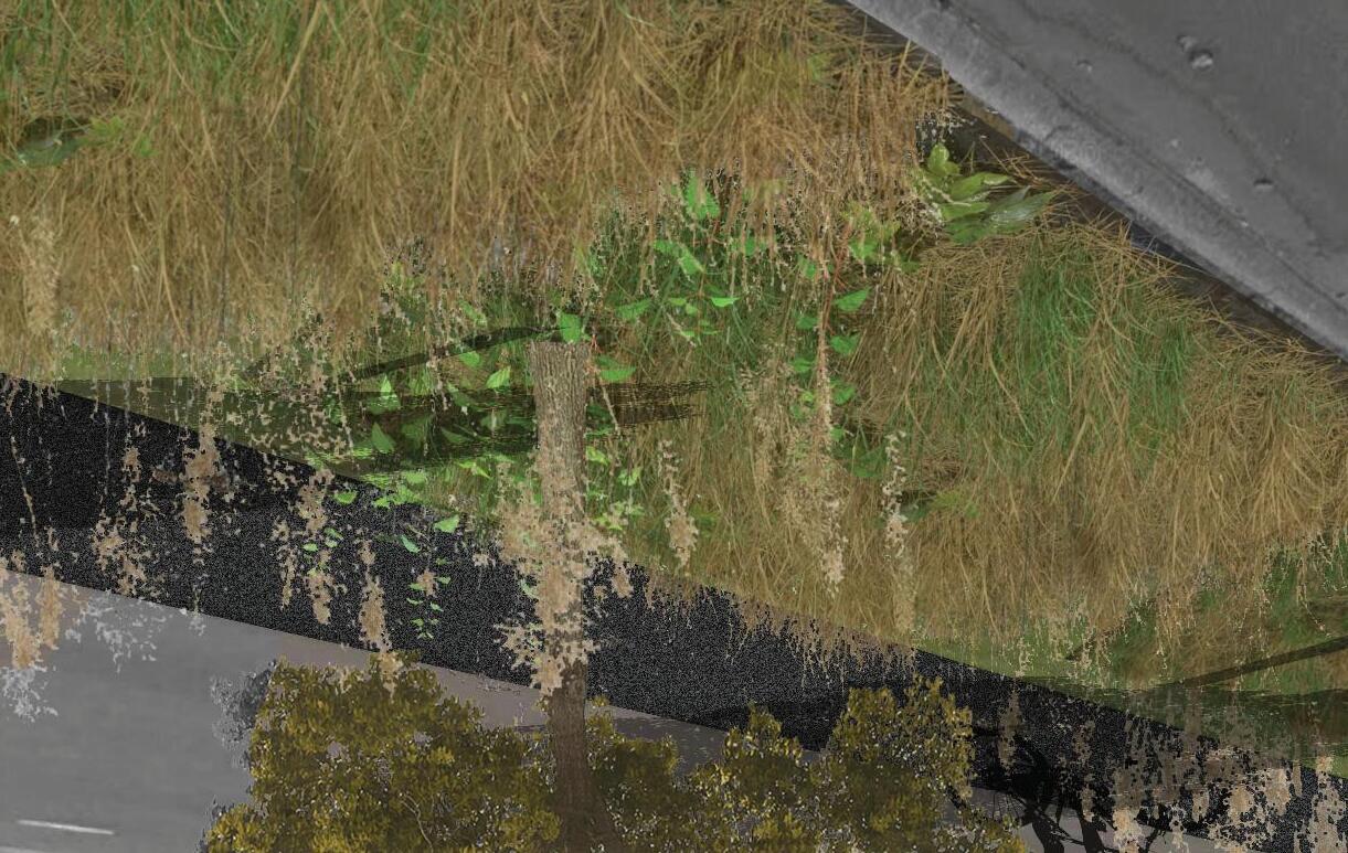
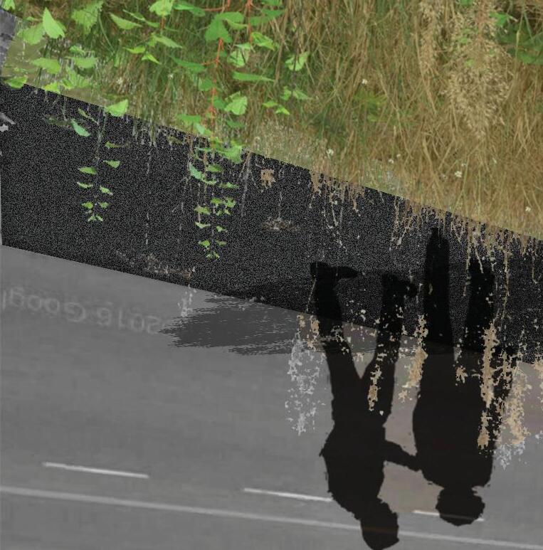
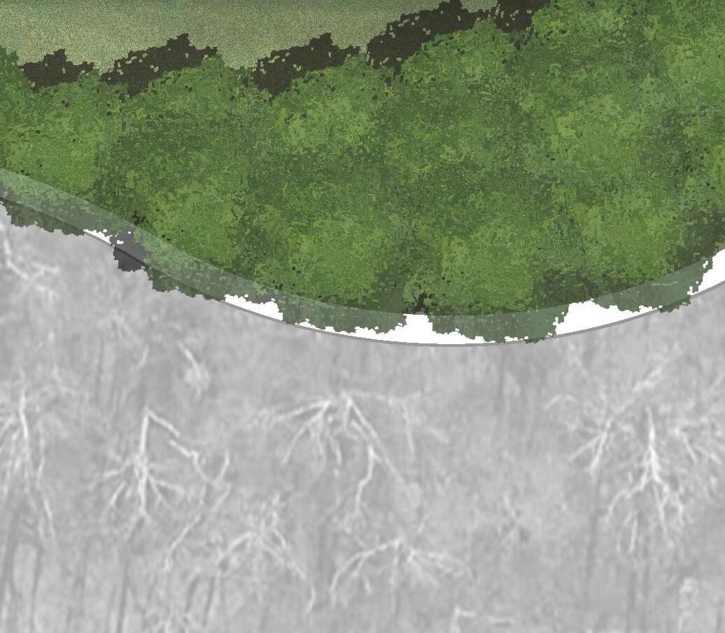
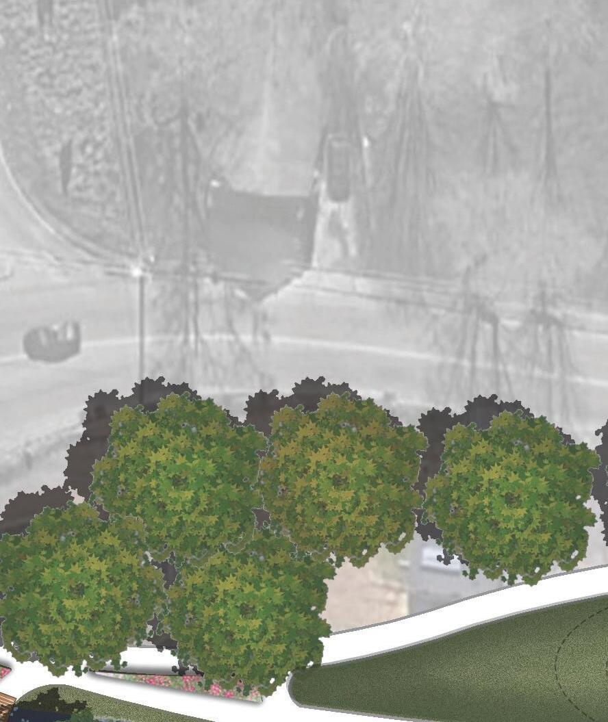
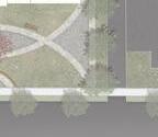
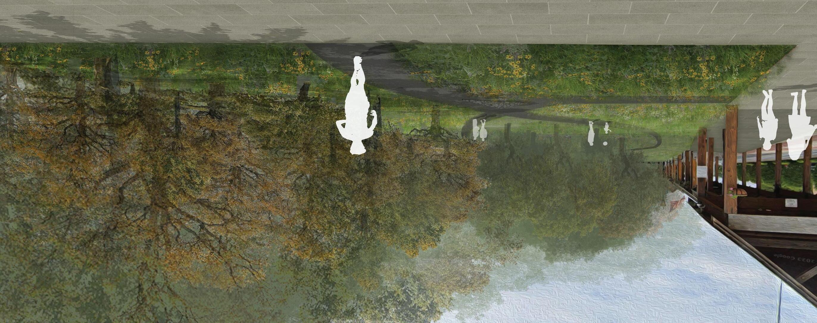
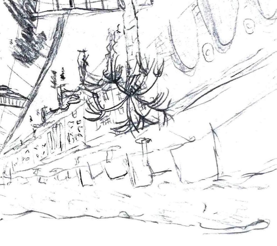
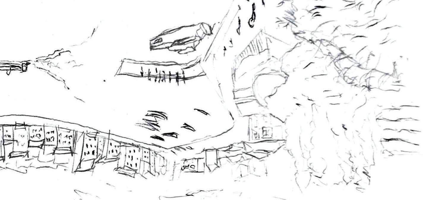
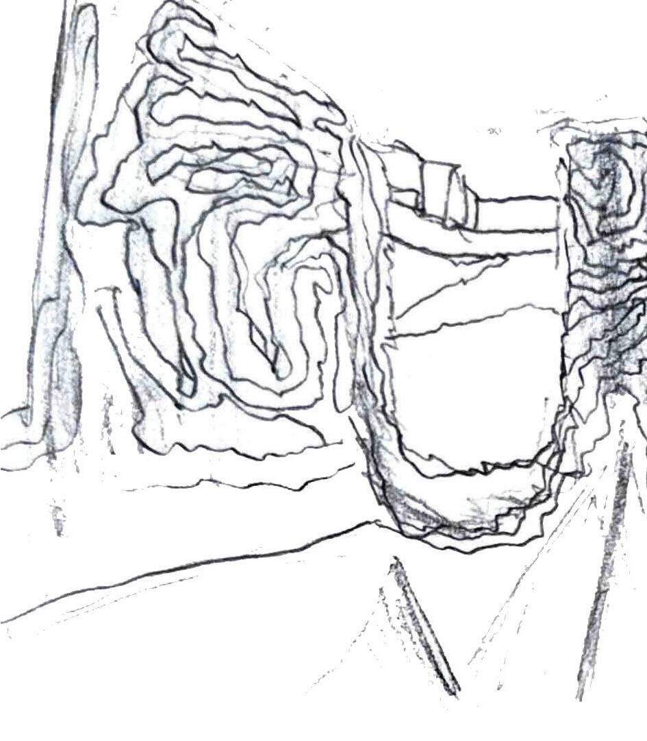
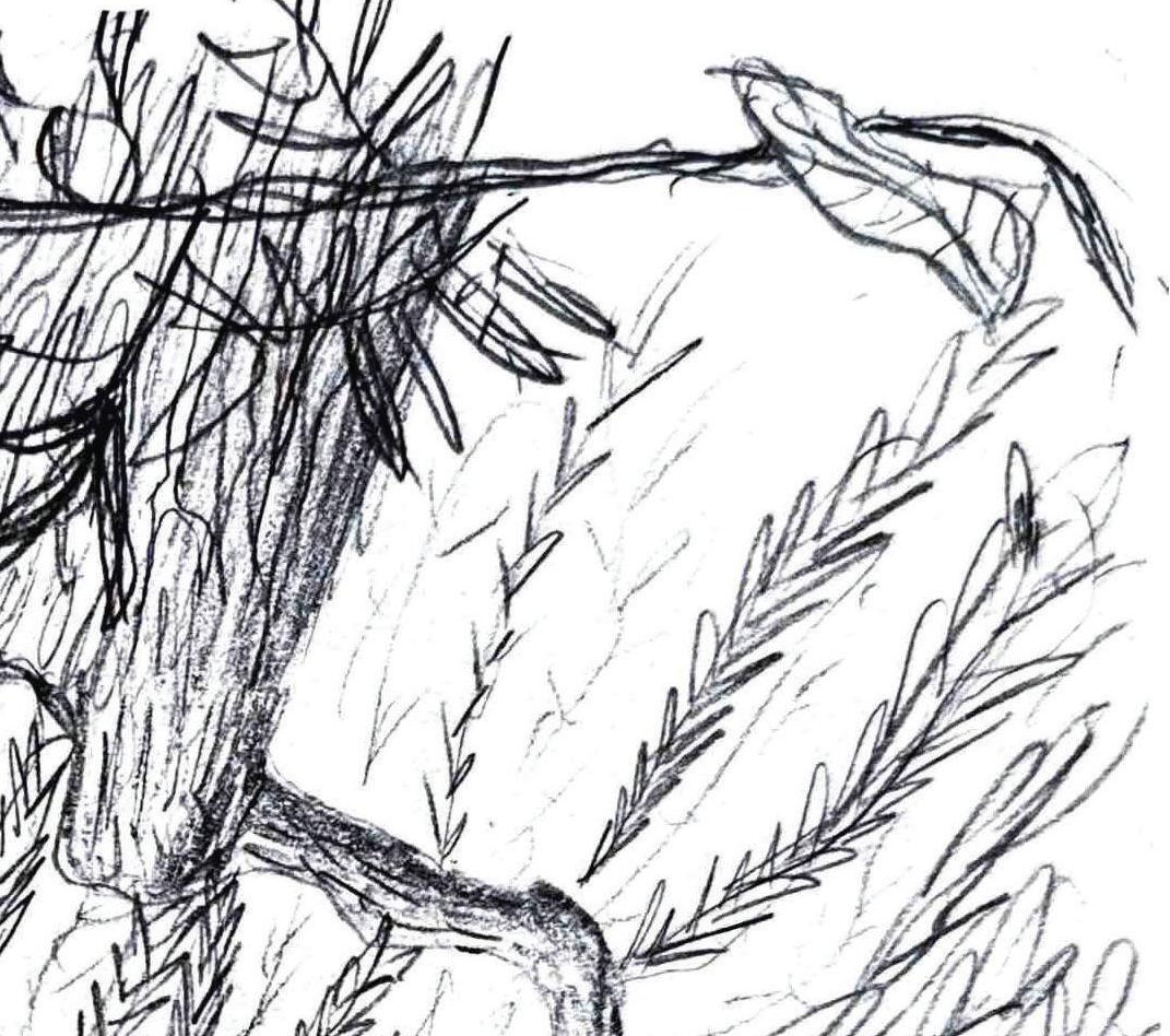
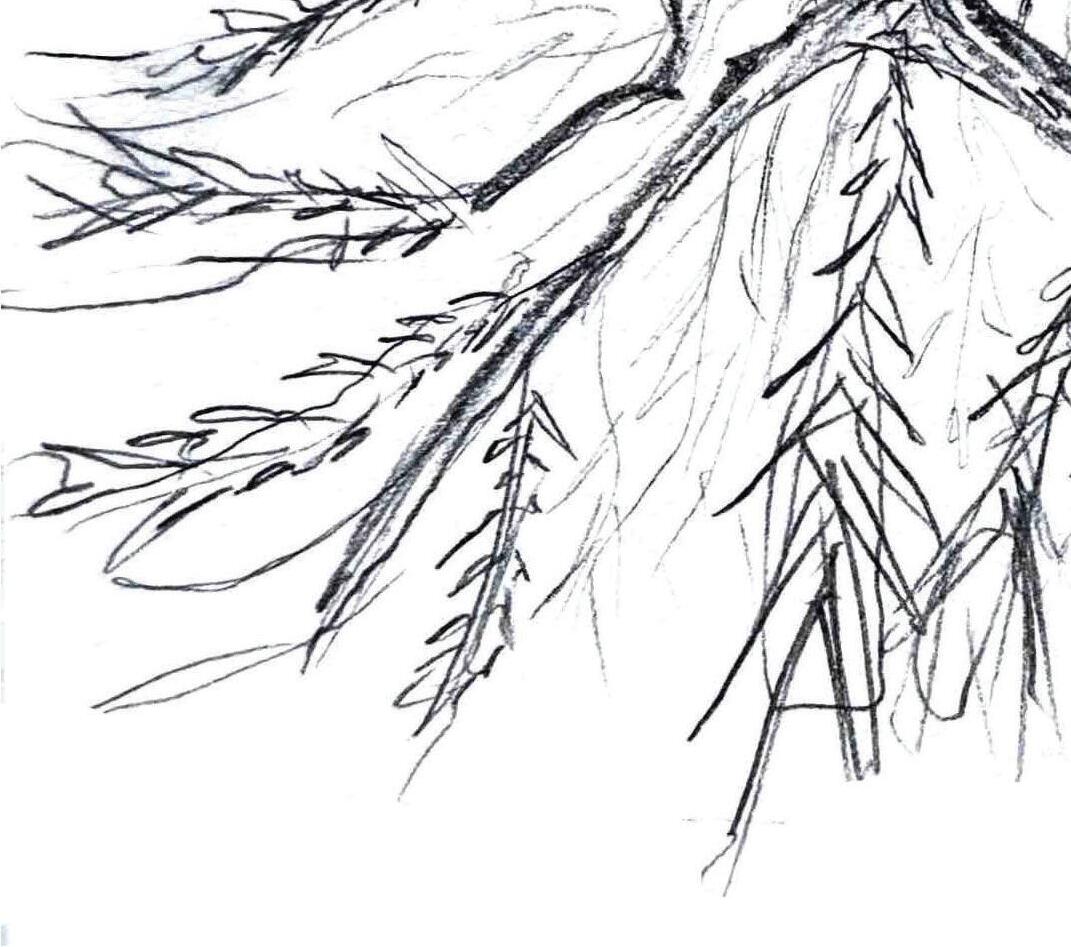
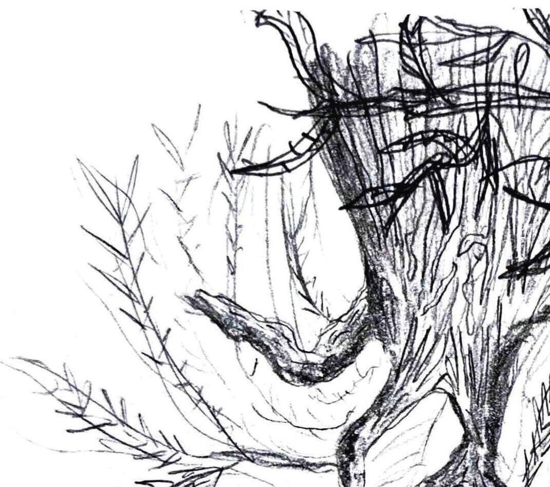
A key destination within the larger Summerville greenway and blueway system, the Observable Forest delivers an immersive experience that blends natural exploration with observation. Designed for education, it allows visitors to explore the layers of an ecosystem, from the forest floor to the canopy, without disturbing the natural balance. The park features upland open spaces, forested paths, and serene boardwalks leading to an active wetland ecosystem. Carefully planned trails and observation points help visitors understand the complex relationships between plants, animals, and their surroundings, fostering appreciation and encouraging conservation of these vital ecosystems.
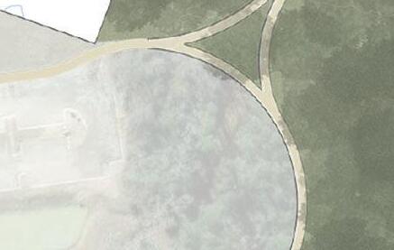
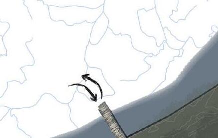
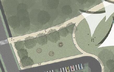
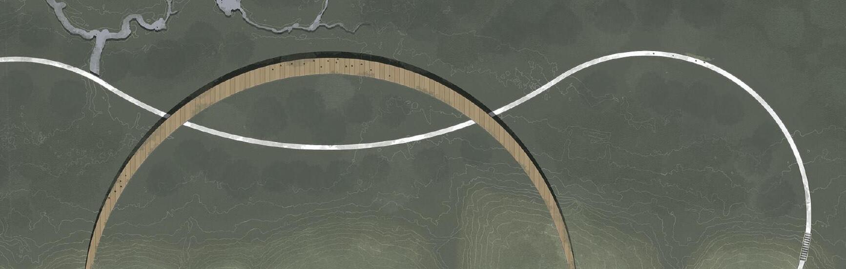
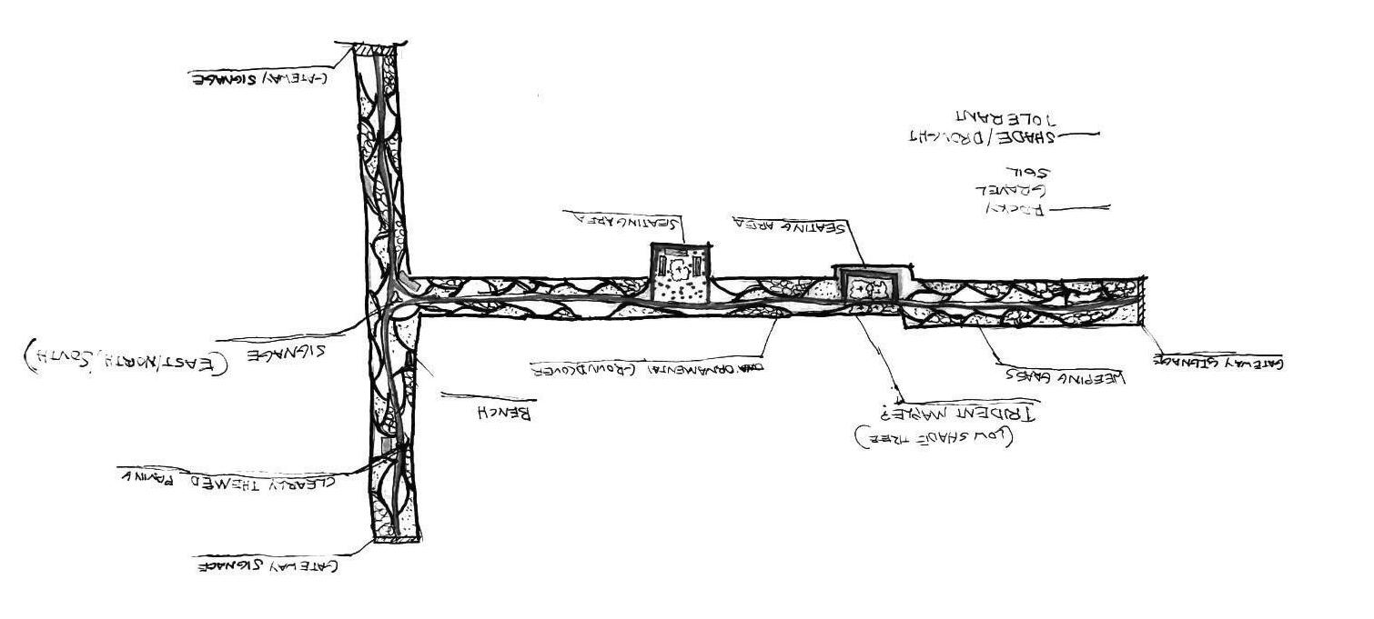
GRAND PEDESTRIAN ENTRANCE
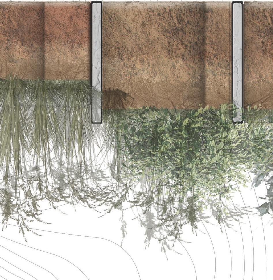
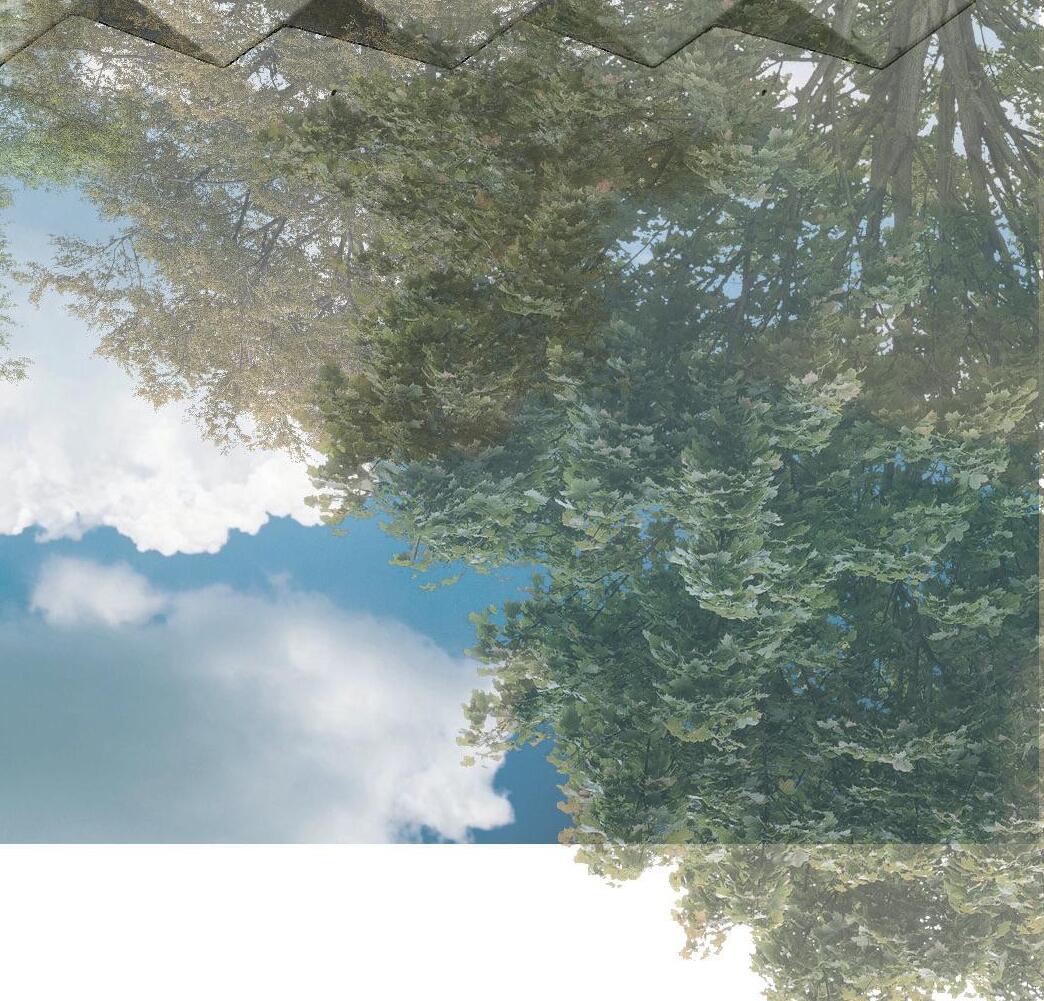
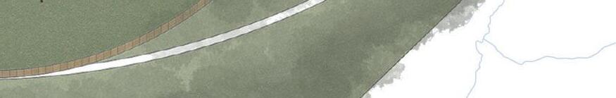
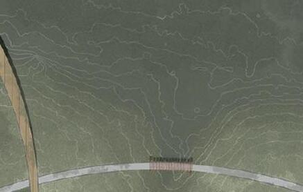
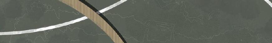
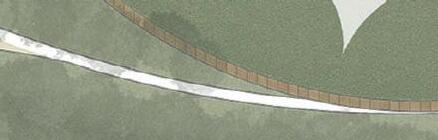
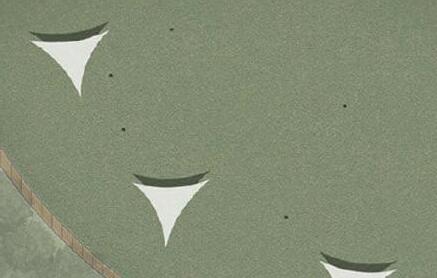
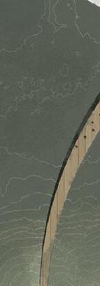
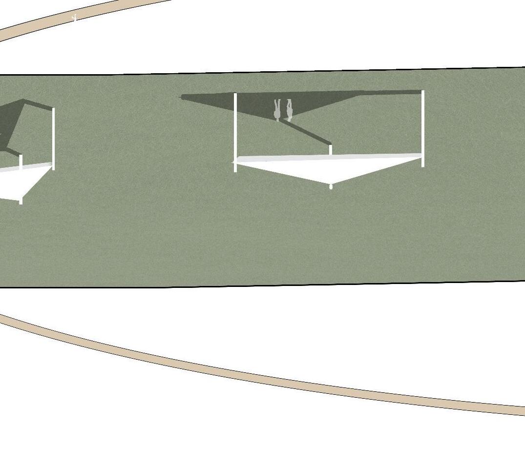
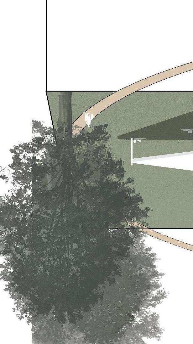
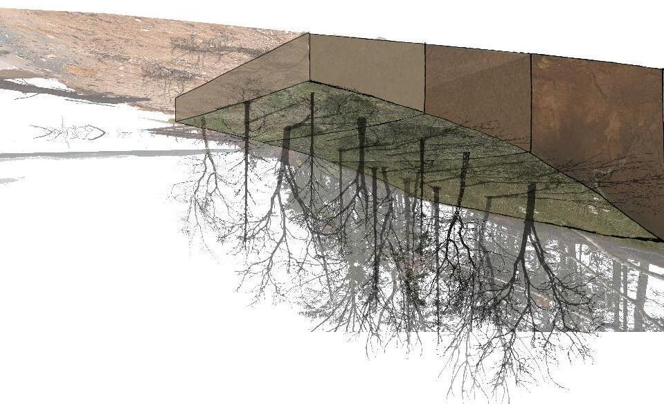
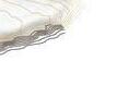
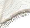
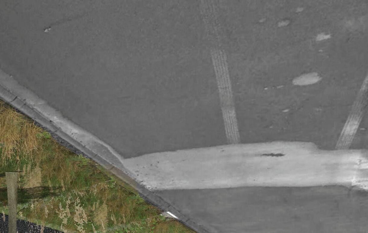
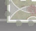
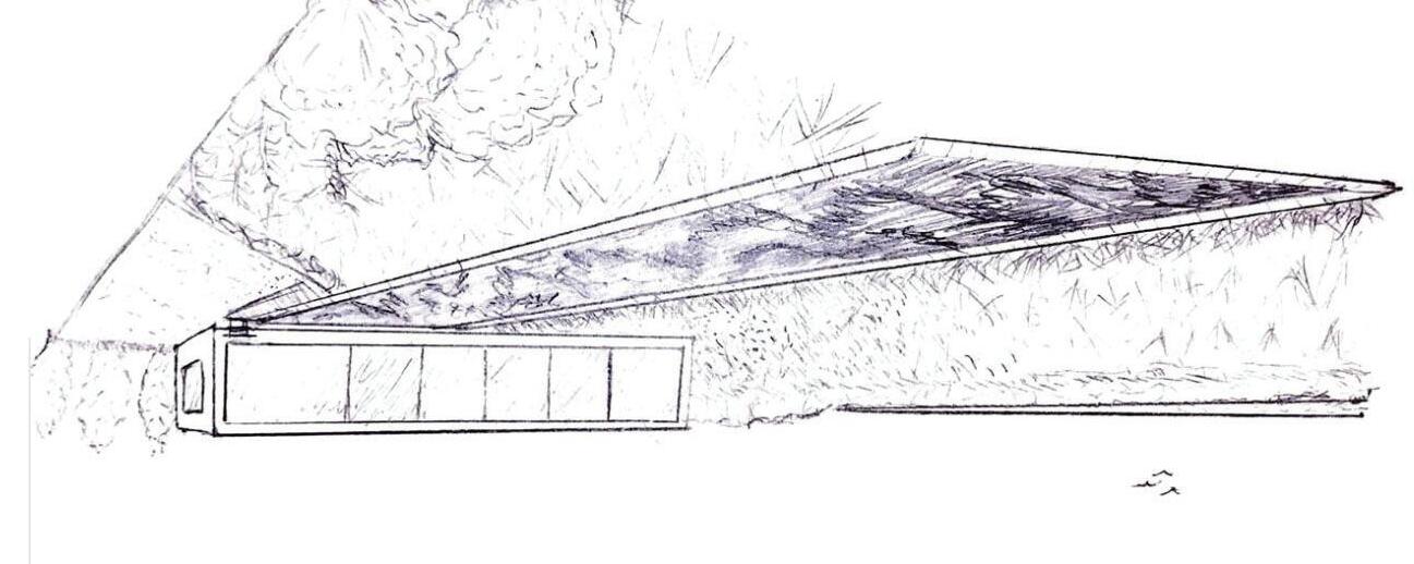
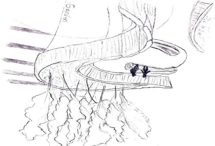
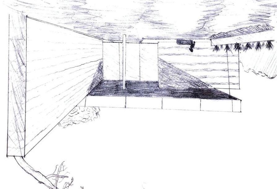
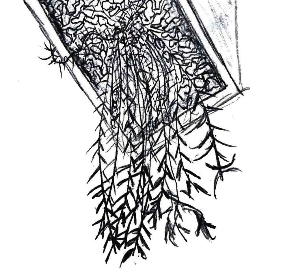
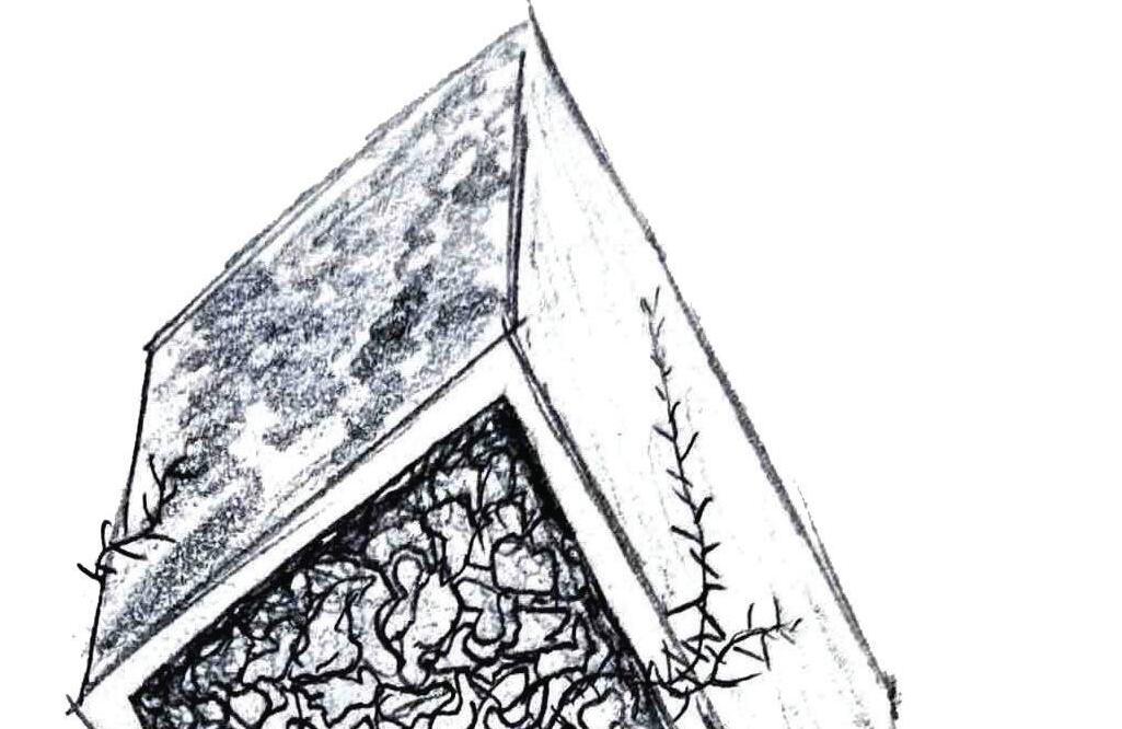
To limit vehicular traffic and reduce runoff within this sensitive area, visitors are encouraged to access the Observable Forest on foot, entering only through a series of towering shade structures that guide them into the densely vegetated ecosystem. Along this monumental gateway, a protected pavilion offers a welcoming pause point for meals, gatherings, or rest before visitors transition into, or out of, the immersive natural environment.
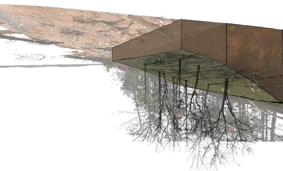
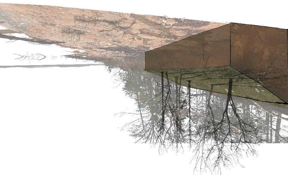
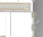
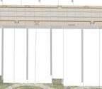
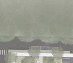
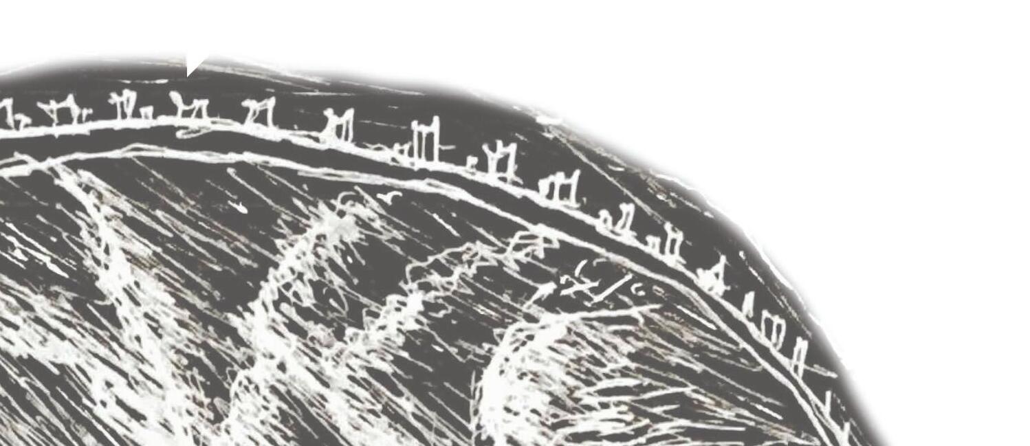
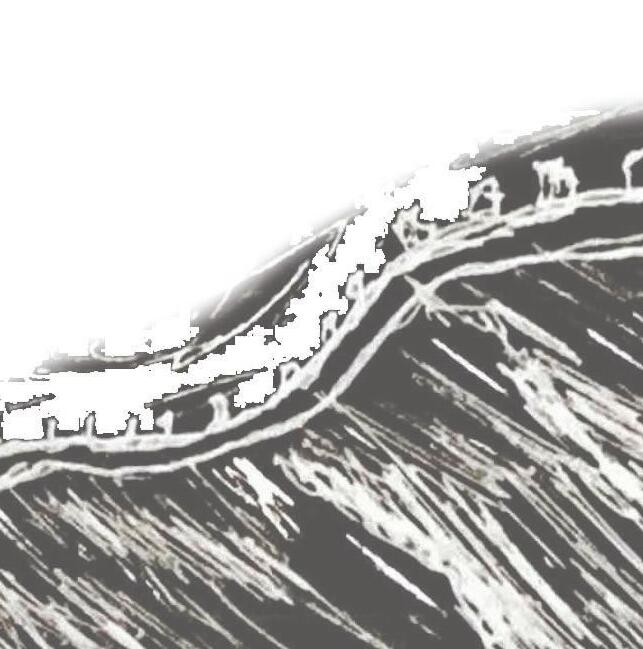
TOP RIGHT IMAGE: the grand pedestrian entrance directs visitors into the site, leading them past a newly installed public pavilion
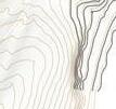
BOTTOM IMAGE: the section of the entrance to the Observable Forest conveys a sense of monumental scale through its structural design and expansive length of the entryway
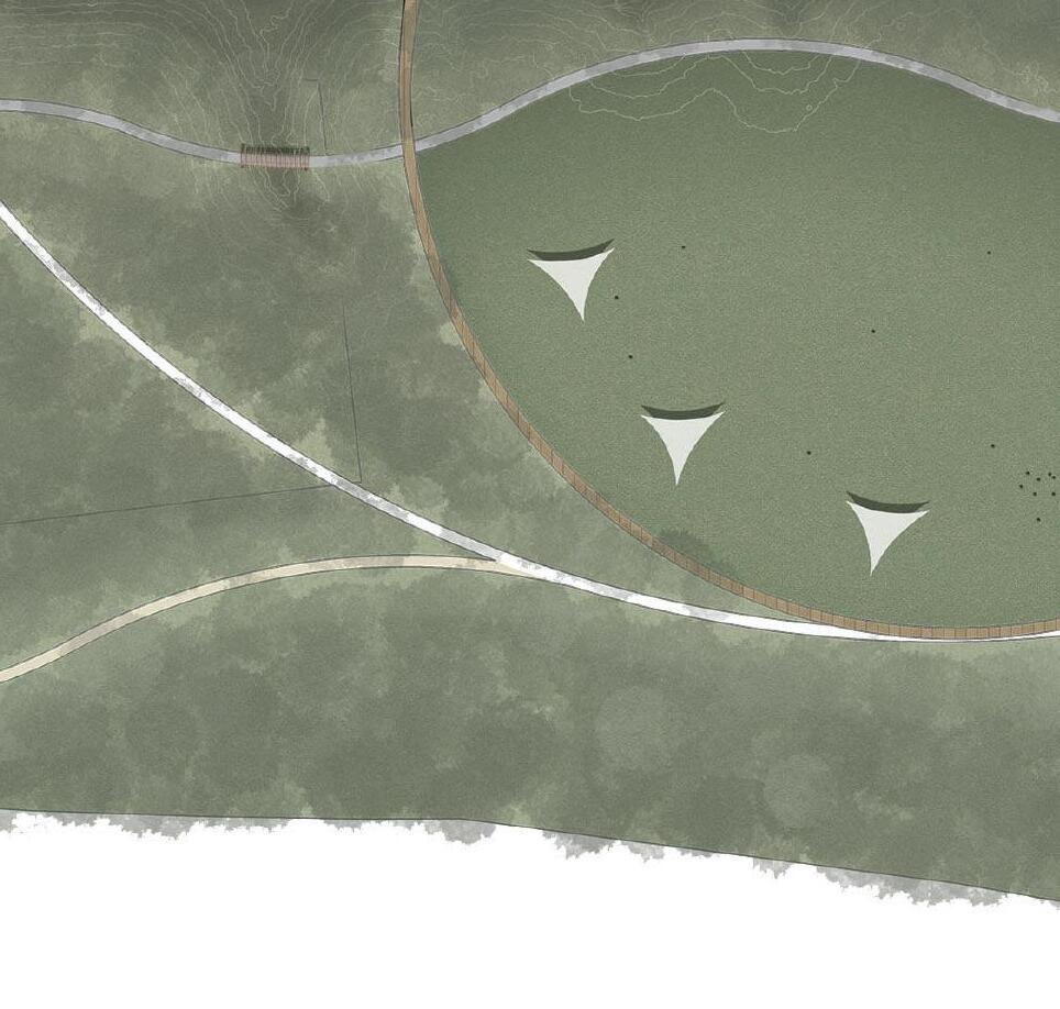
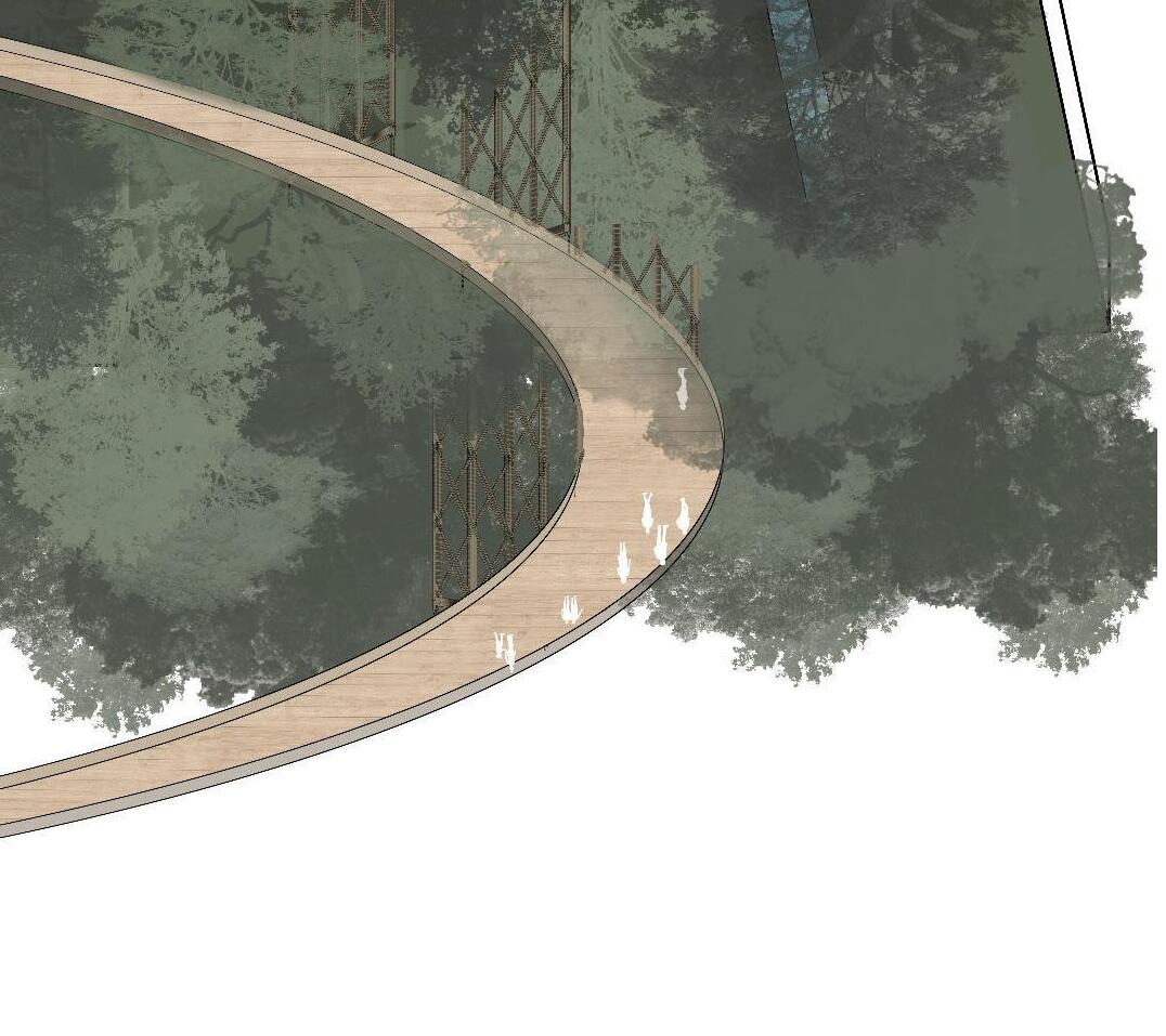
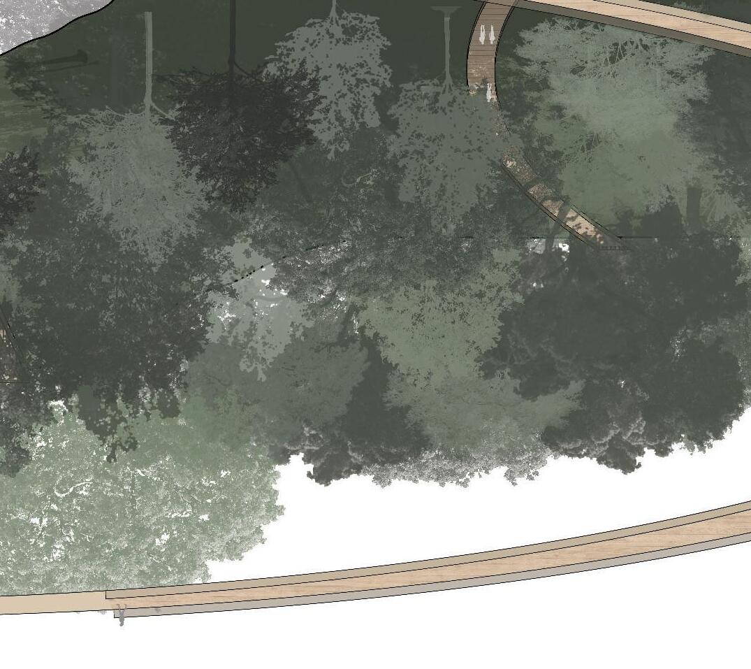
WITHIN THE OBSERVABLE FOREST
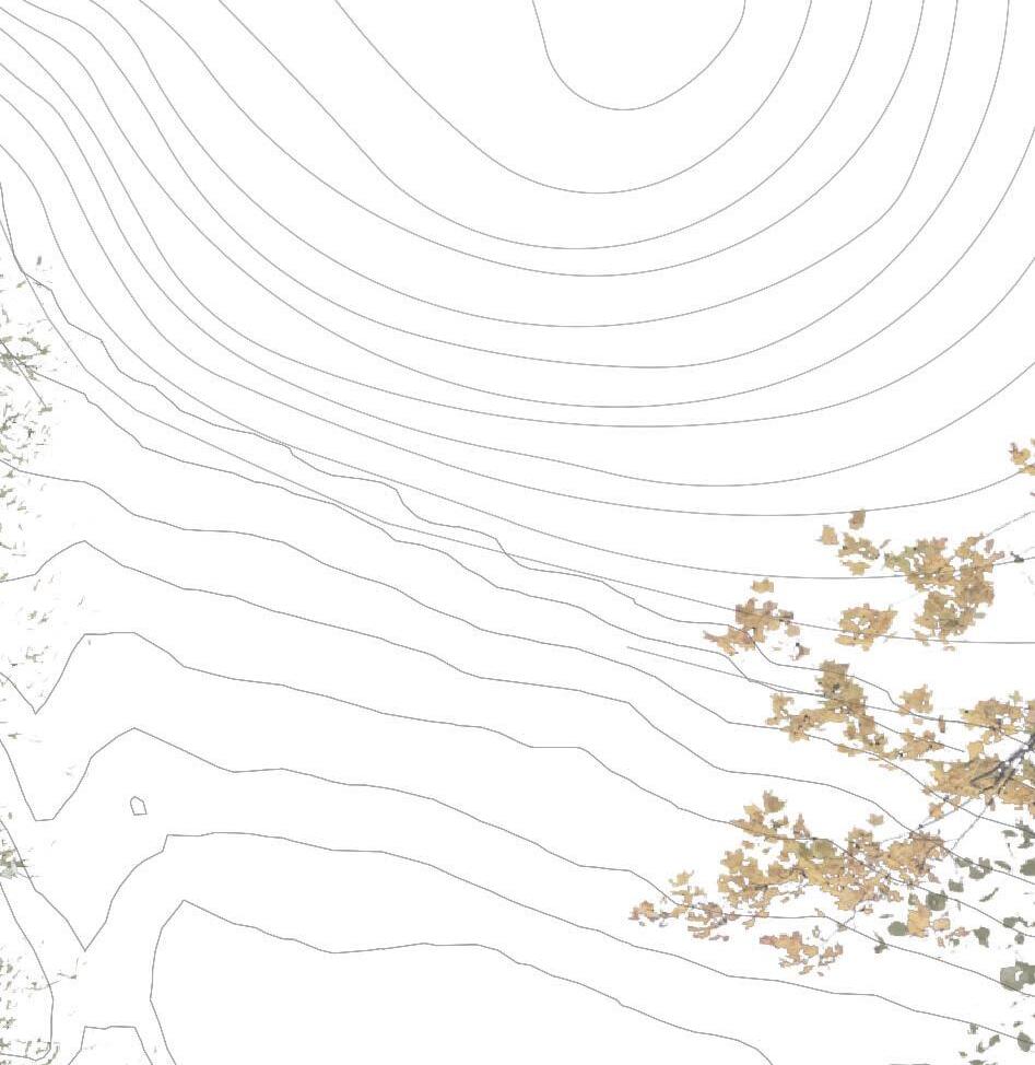
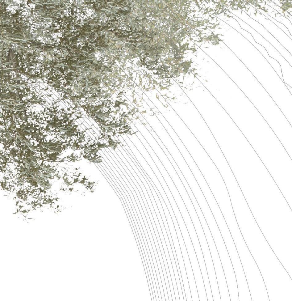
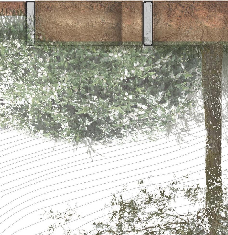
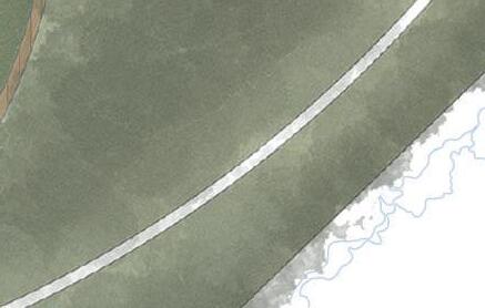
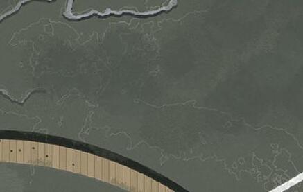
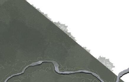
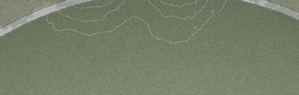
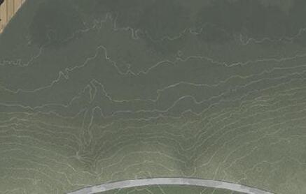
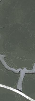
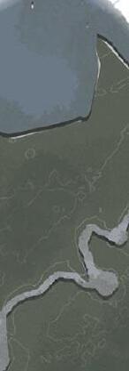
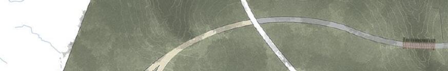
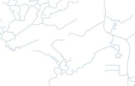
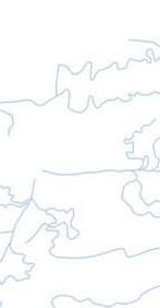
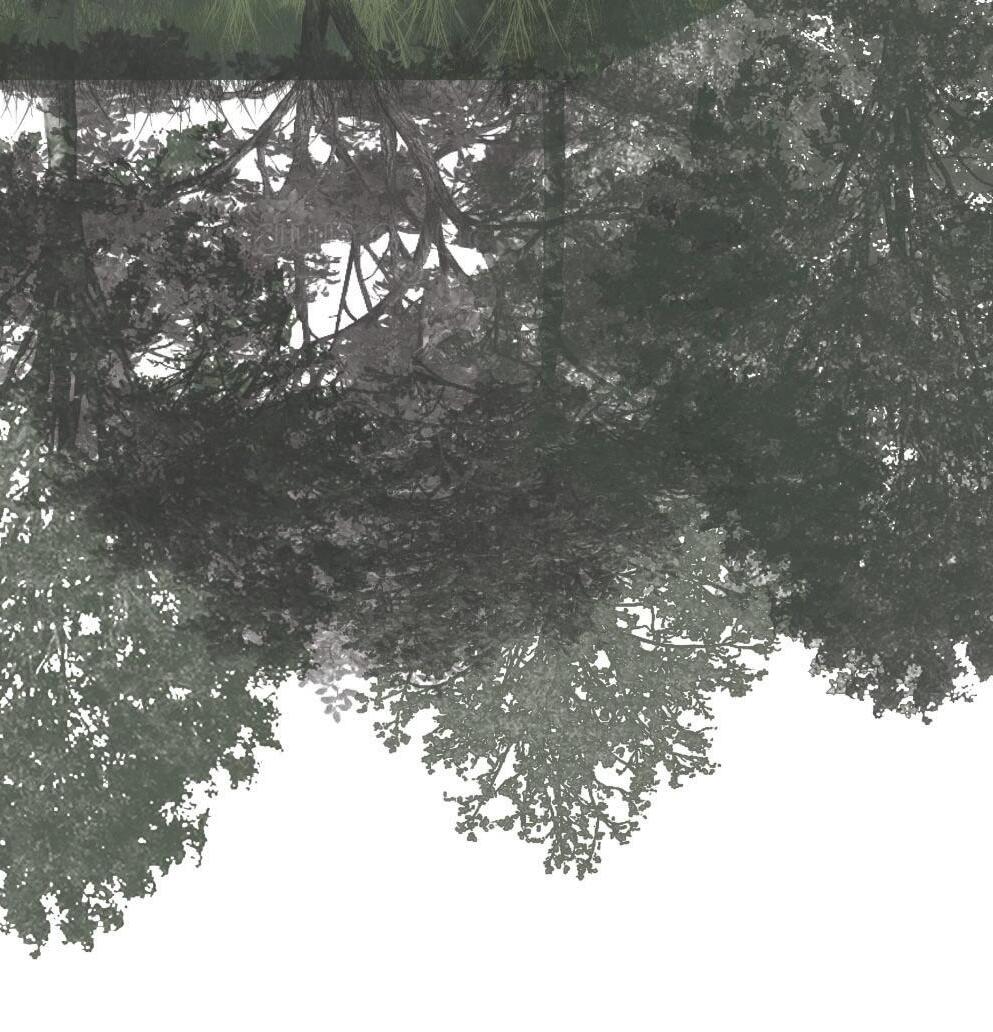
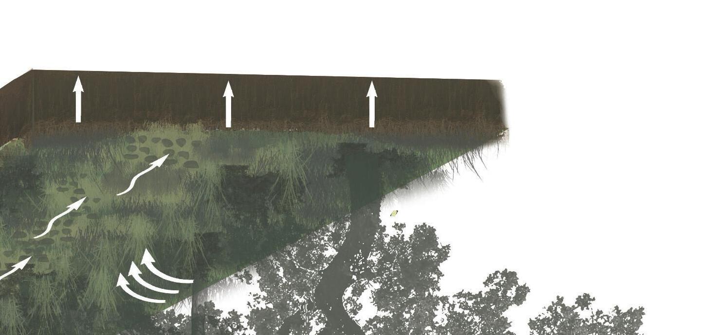
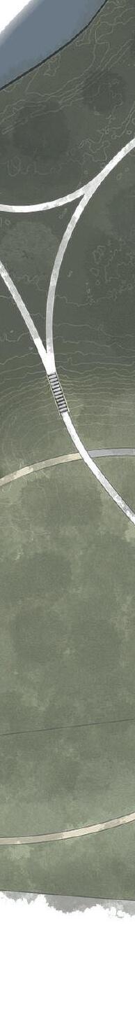
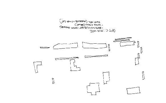
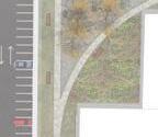
The Observable Forest features three distinct trail networks: Ridgeway, which leads visitors along the edge of the existing drop-off; Big O, offering elevated views into the surrounding tree canopy; and the Bean, the largest loop, guiding users across the entire site. The Bean transitions from upland ecosystems and open gathering spaces to a raised boardwalk that brings visitors into the heart of the wetlands.
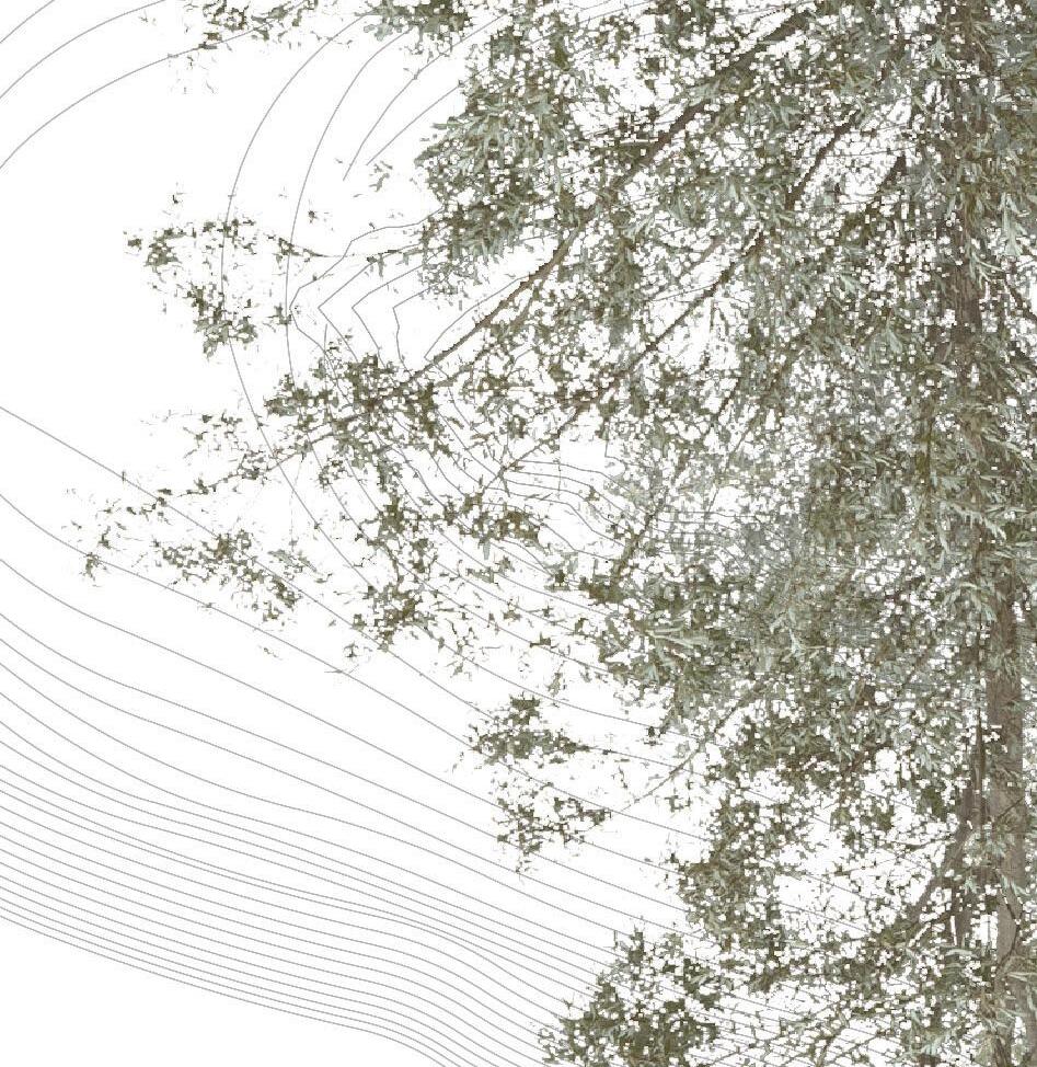
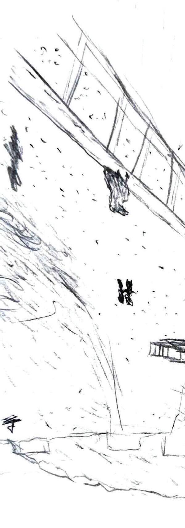
TOP LEFT IMAGE: The Big O boardwalk and Bean offer unique experiences through the dense tree canopy and heart of the lower wetland ecosystem.
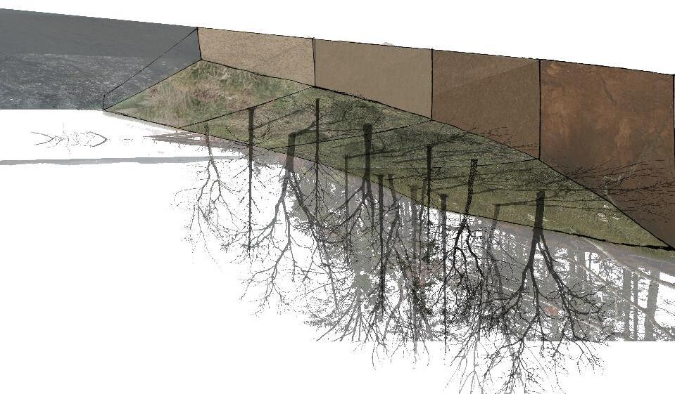
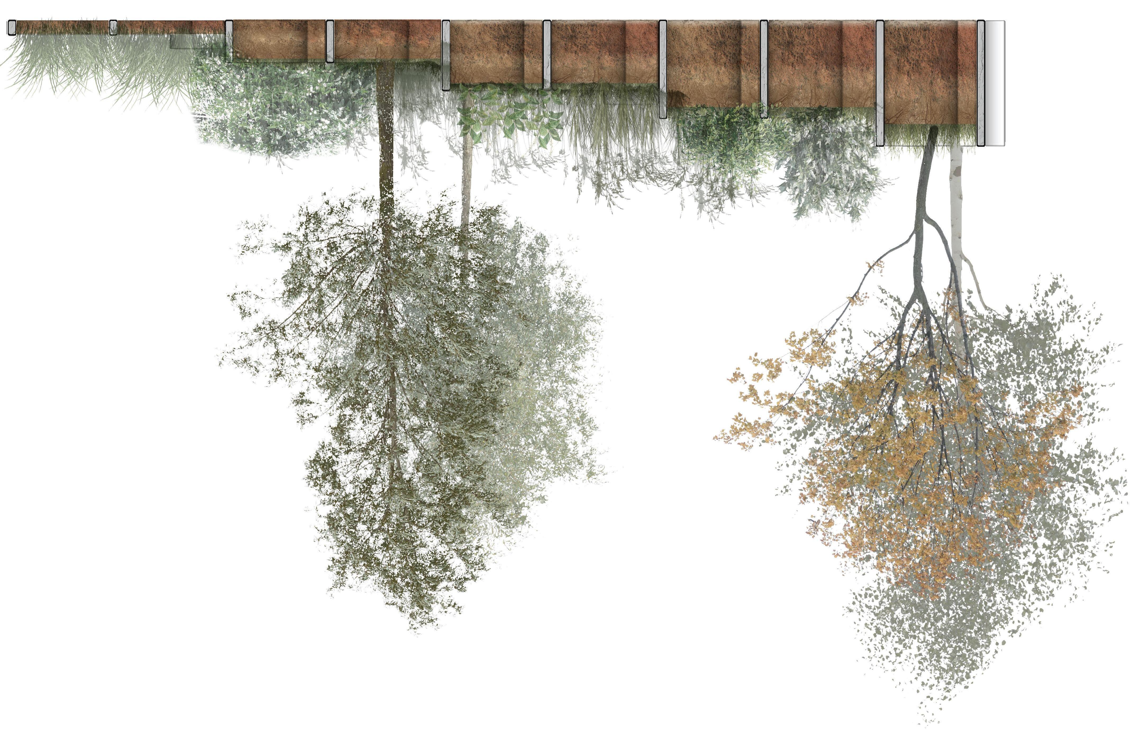
BOTTOM IMAGE: Axonometric showcasing the siteʼs unique perspective and emphasizing the relationship between its paths and varying elevations.
CULTURAL EXCHANGE IN A FAR AWAY PLACE
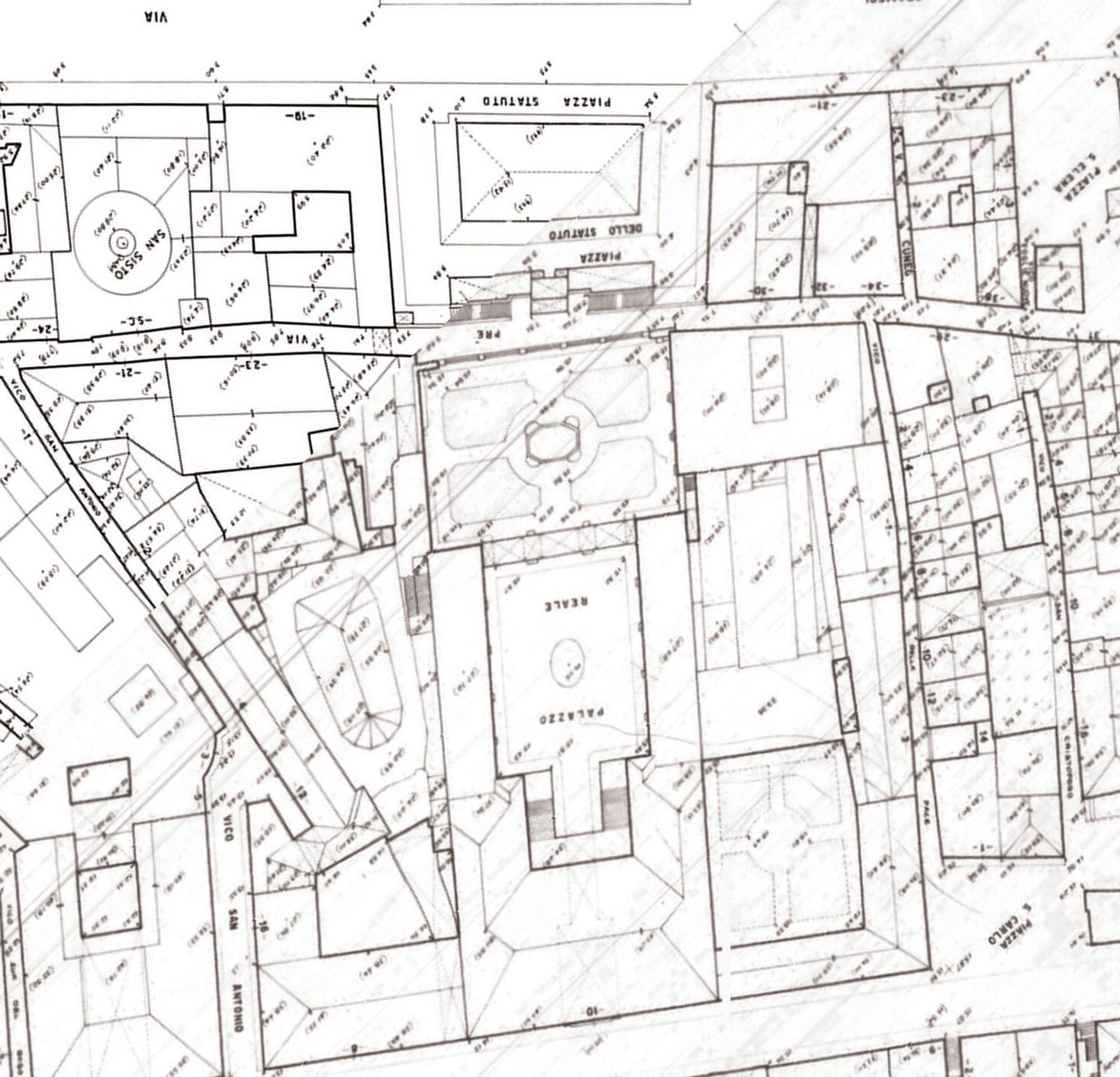
GENOA, ITALY
Design Team: Julia Sansbury, Sean Morris, Kelsey Murphy
PROJECT BACKGROUND
During our third year at Clemson University, we traveled to Genoa, Italy, to explore the intersection of architecture and landscape architecture, focusing on the cultural significance of place. In teams of four, we analyzed piazzas and public spaces to guide our design.
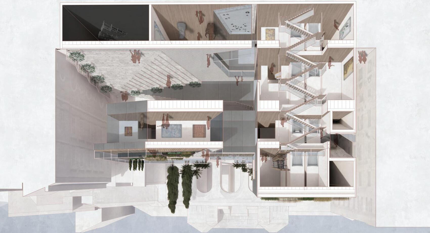
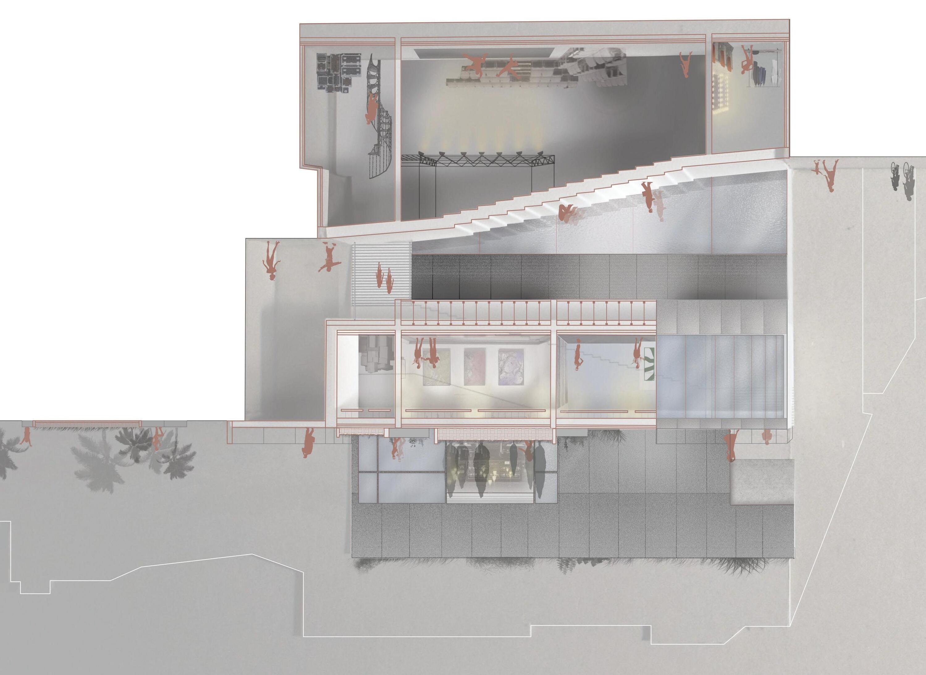
Our design proposes a cantilevered exhibition space dedicated to music and the arts, featuring a sub-level gallery and black-box theater, with the main exhibition hall located on the second floor. The third floor offers an open-air café and rooftop garden with panoramic views of the port, seamlessly connecting to the Palazzo Reale di Genova. A green roof further enhances performance by managing stormwater and helping regulate the buildingʼs climate
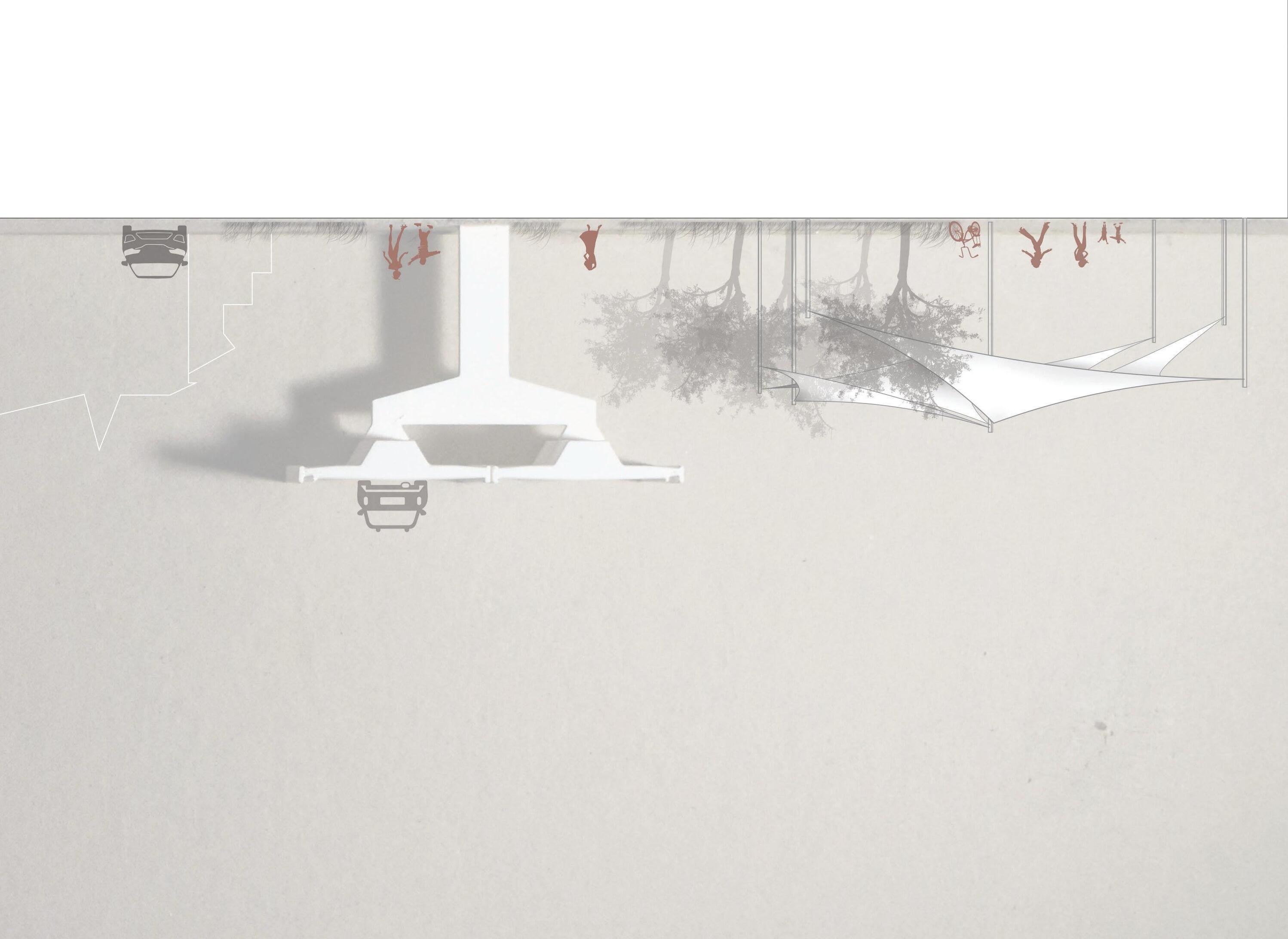
Across the road, where the extensive Port of Genoa stretches outward, a public greenspace encourages outdoor activity and community engagement, using complementary plantings and materials to create a cohesive, lively environment.
The site section extends from the Palazzo Reale di Genova to the Port of Genoa, offering a comprehensive view of the various programmed spaces and levels. It enhances the understanding of circulation and connectivity across the entire site, showcasing how the different areas are integrated and interconnected.
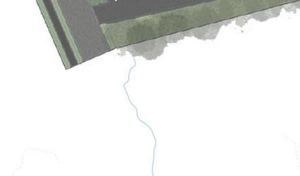
LAKE HARTWELL NATURALIZATION
SOUTH CAROLINA
LAKE HARTWELL FORMATION
PROJECT BACKGROUND
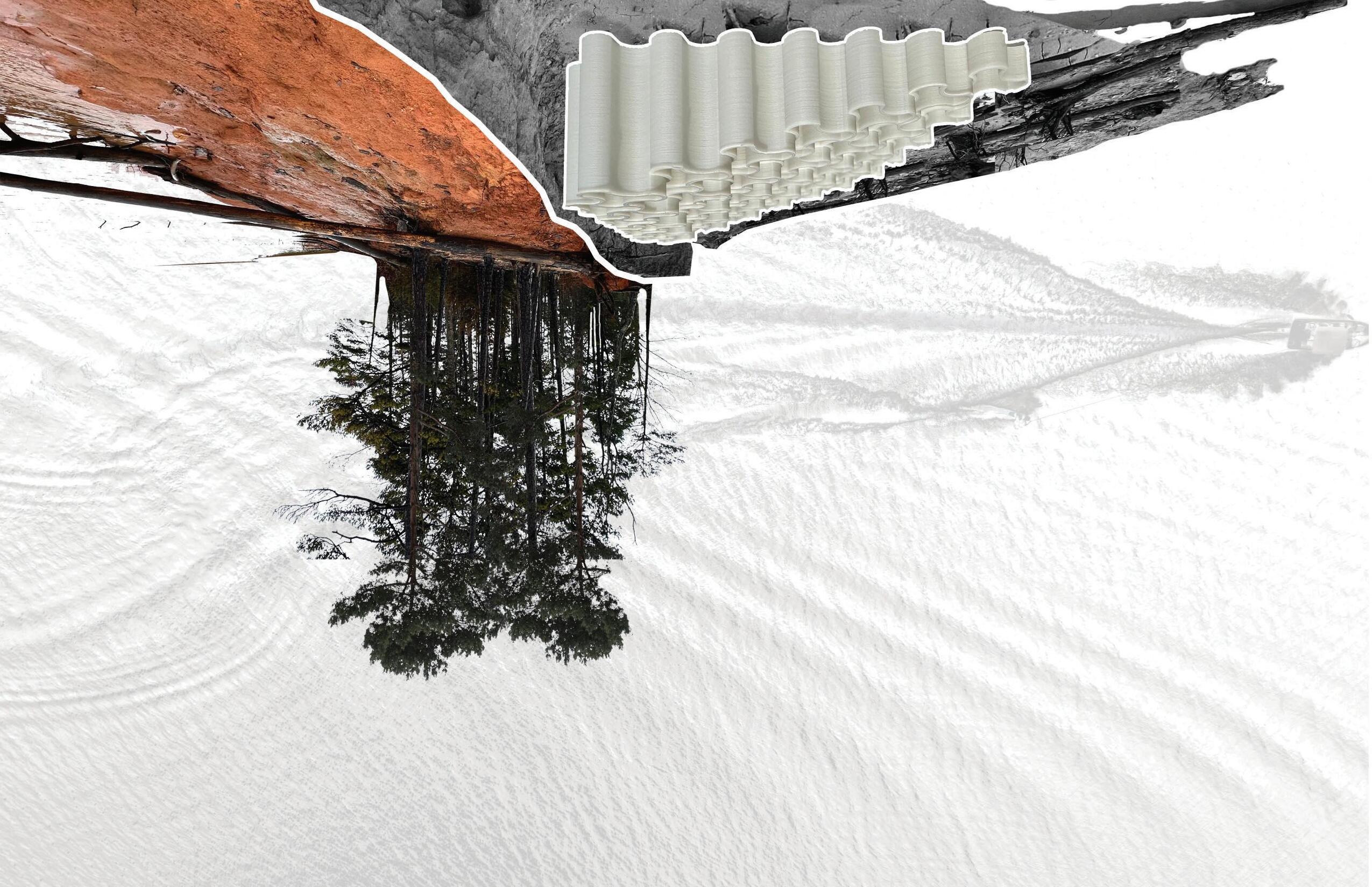
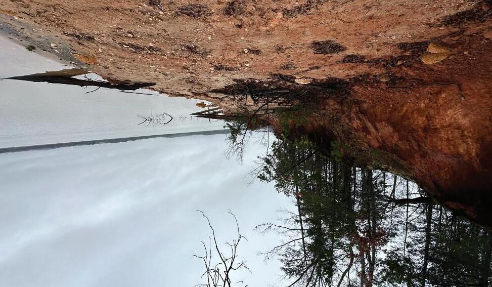
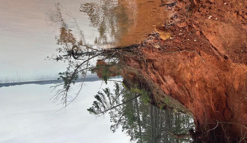
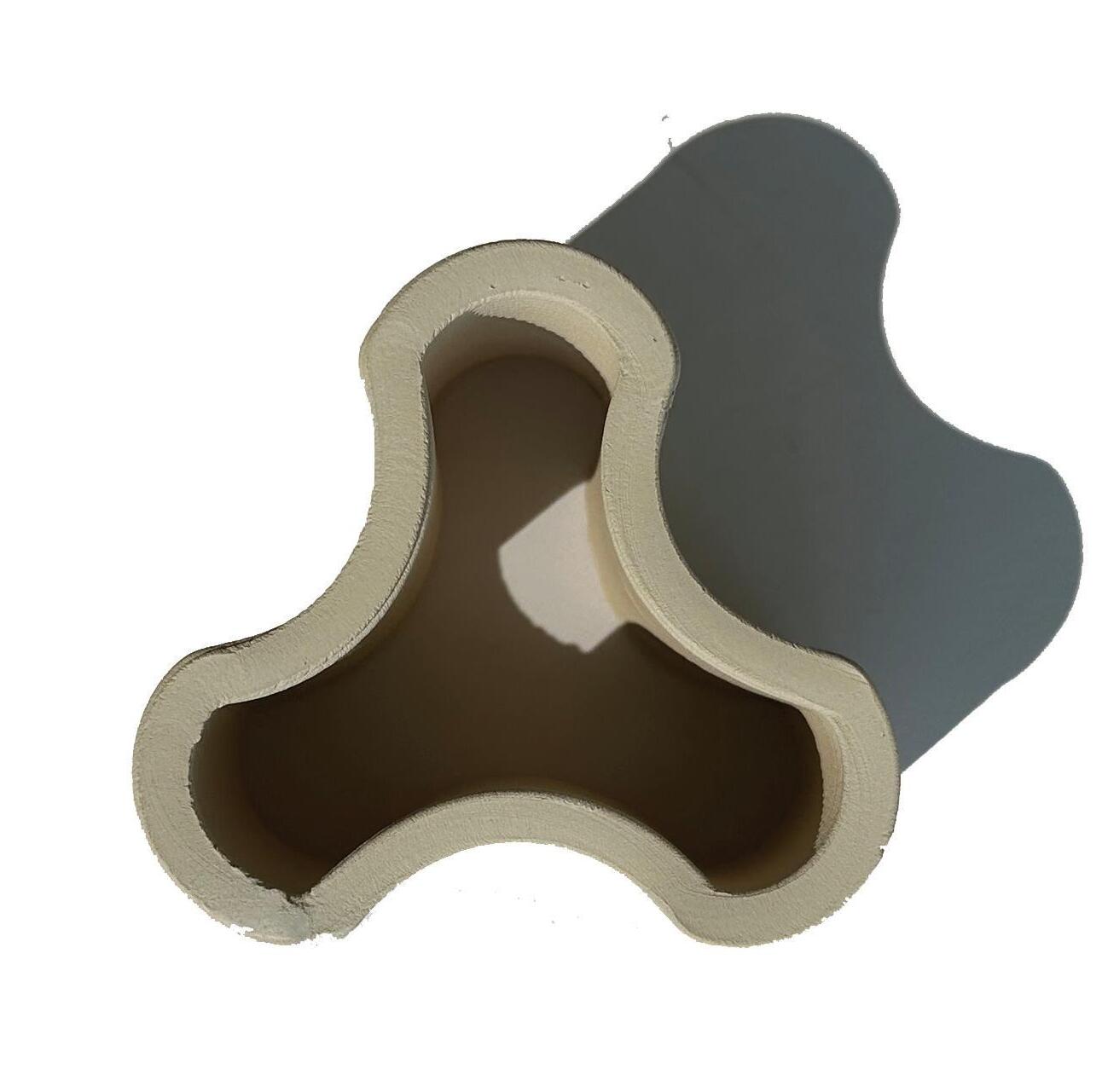
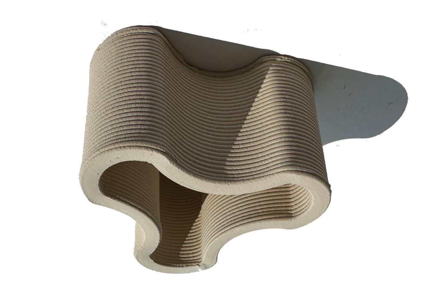
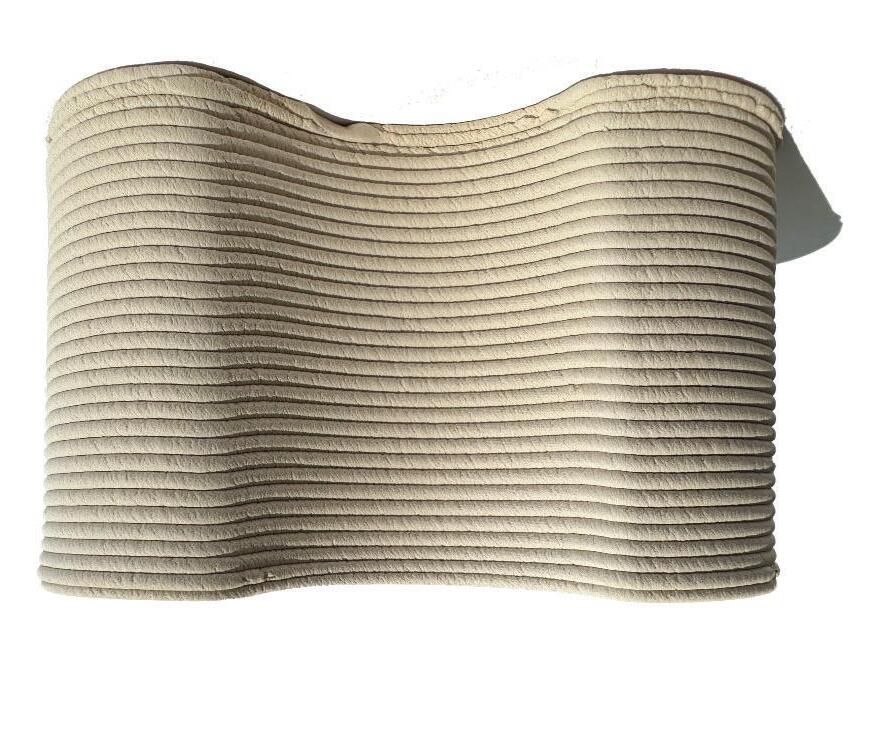
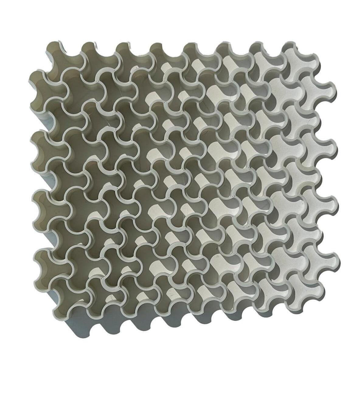
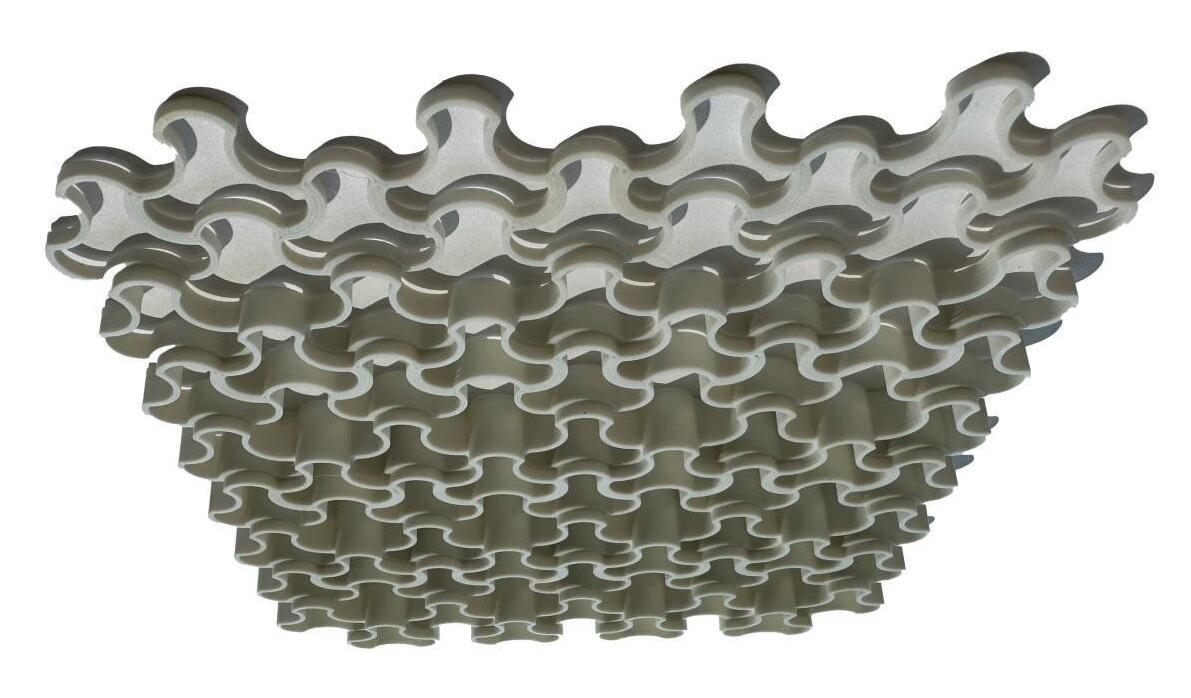
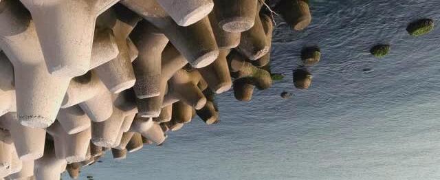
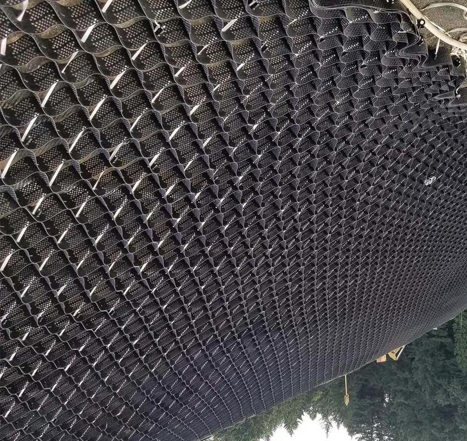
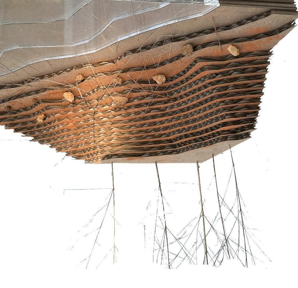
For my undergraduate landscape architecture capstone project, I focused on addressing lake edge erosion, a common issue in man-made lakes, especially as development encroaches. Through research and field observation, I developed a system and prototype aimed at both mitigating erosion and creating a naturalized riparian edge.
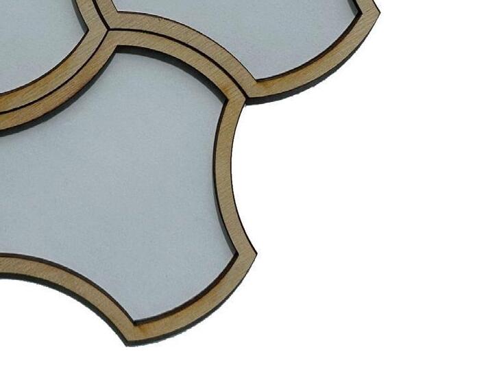
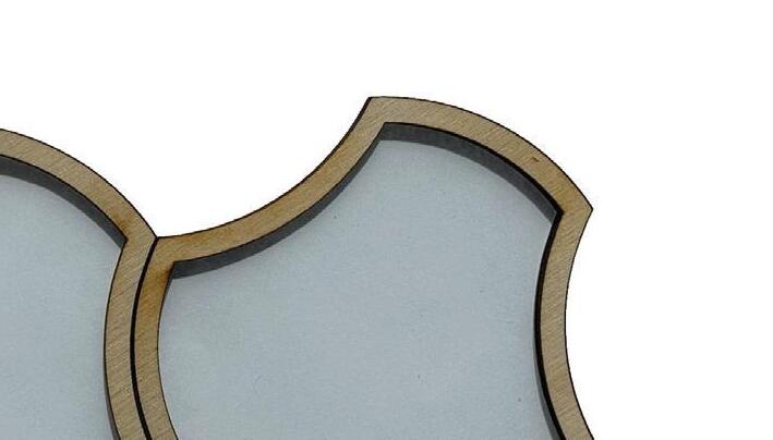
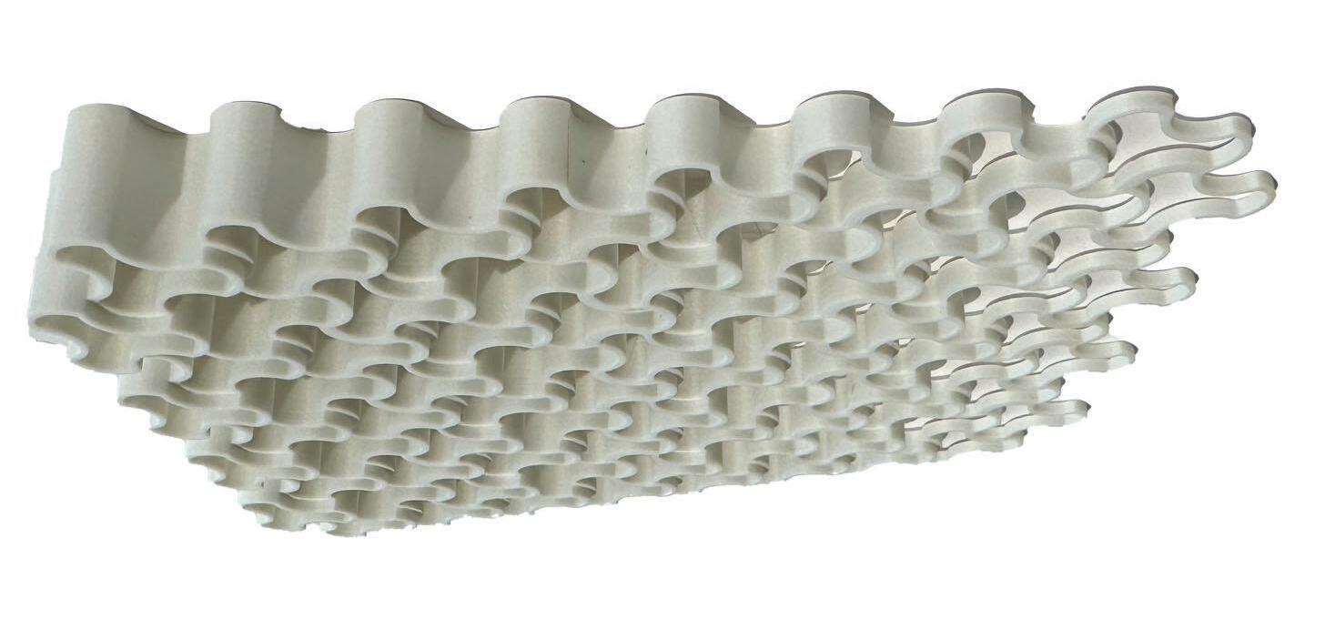
My design combined shape exploration, tessellation, material experimentation, and a review of existing methods. The biostabilizer prototype used biodegradable materials, designed to decompose as plant roots strengthened, eventually fostering a self-sustaining ecosystem.
While the project was not fully completed, it earned me the Faculty Book Undergraduate Award, given annually to a graduating student for exceptional achievement in their capstone project.
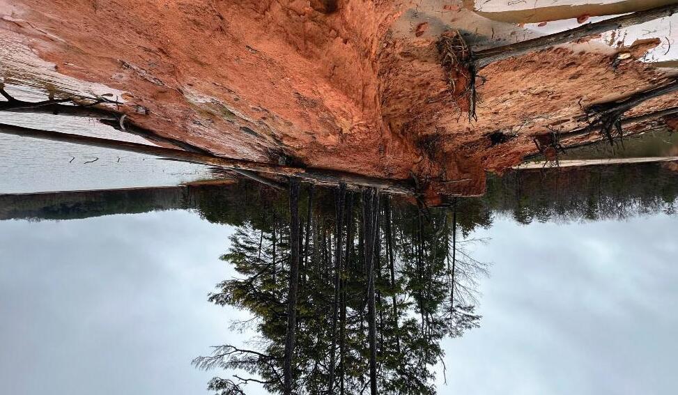
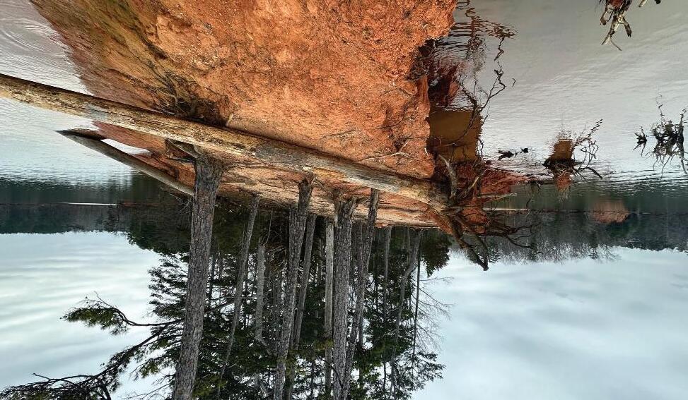
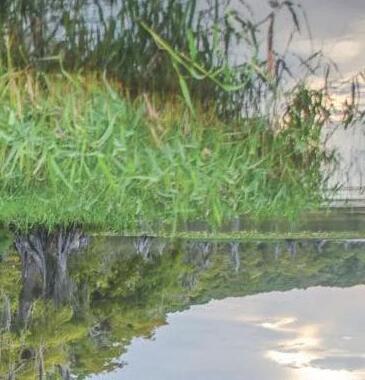
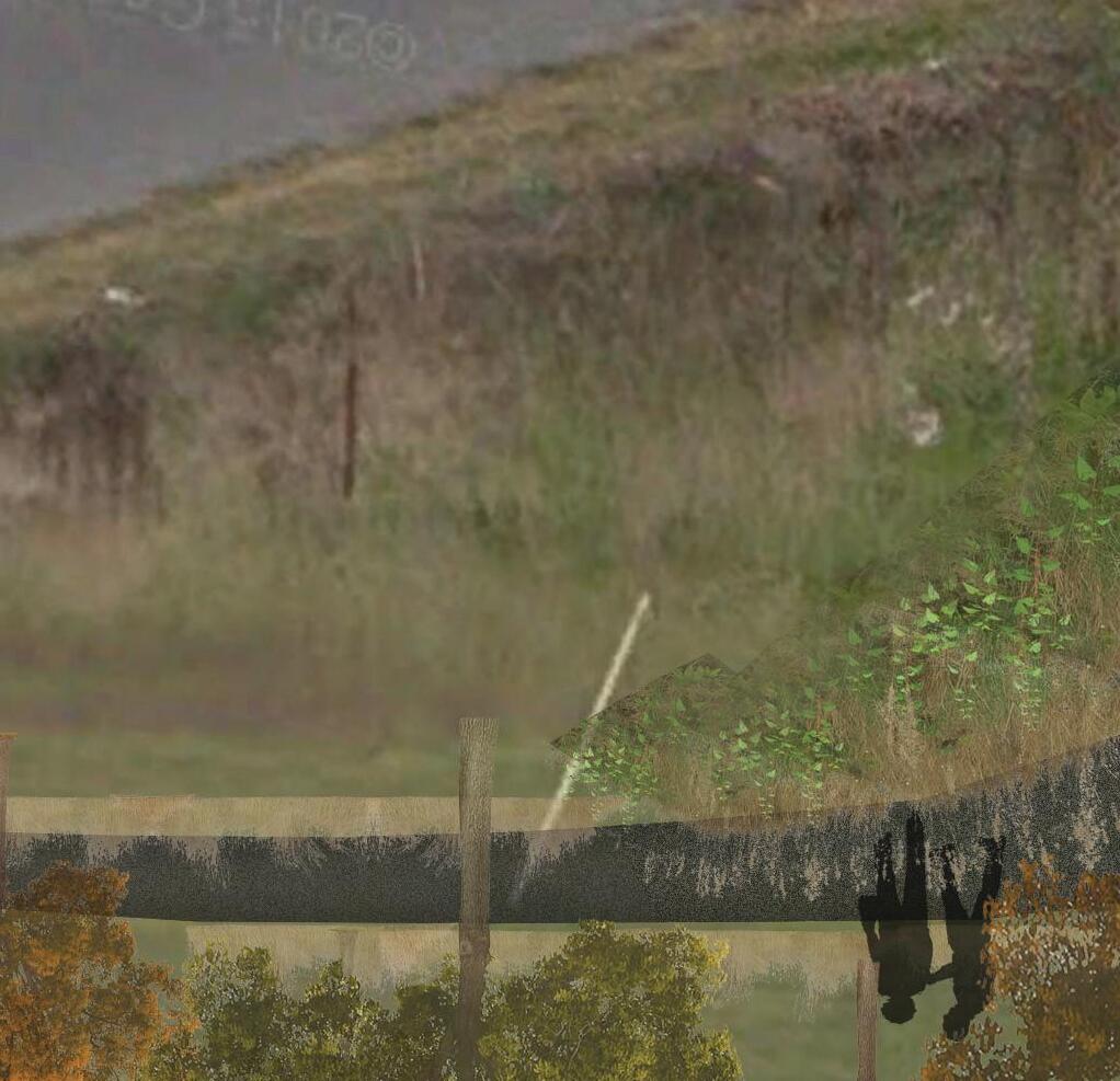
Riparian Edge Destruction Seneca River Flooded
WATER LEVEL FLUCTUATION STUDY
The process began with the exploration and refinement of the prototypeʼs cell shape, focusing on achieving an optimal balance of durability, volume, and tessellation capability. This was followed by material experimentation, assessing the stability of various resources, including clay and small quantities of plaster as potential additives. The final stage involved synthesis, where individual cells were 3D-printed to evaluate the ease of fabrication and to determine whether the prototype could be adapted for different environmental conditions.
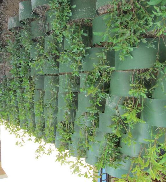
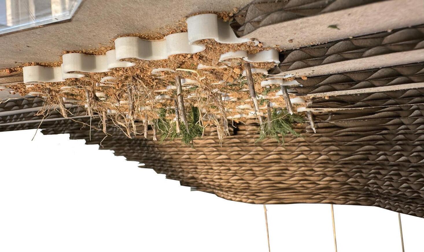
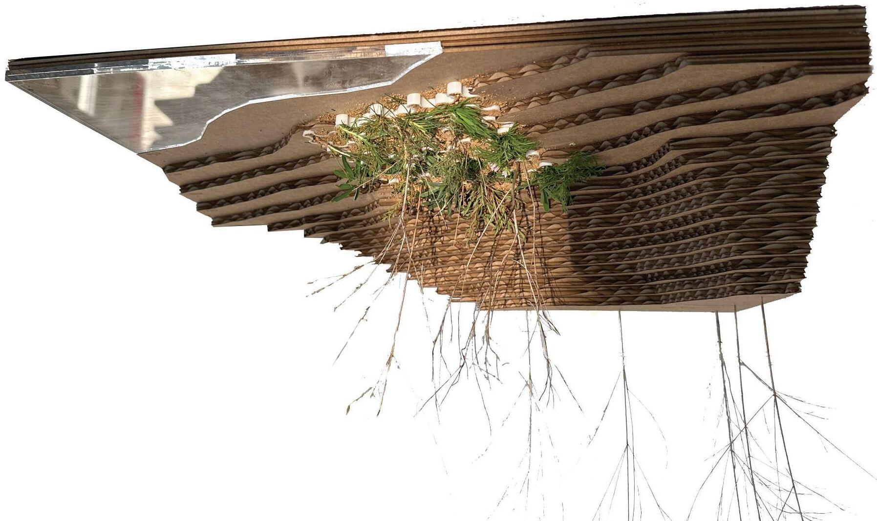
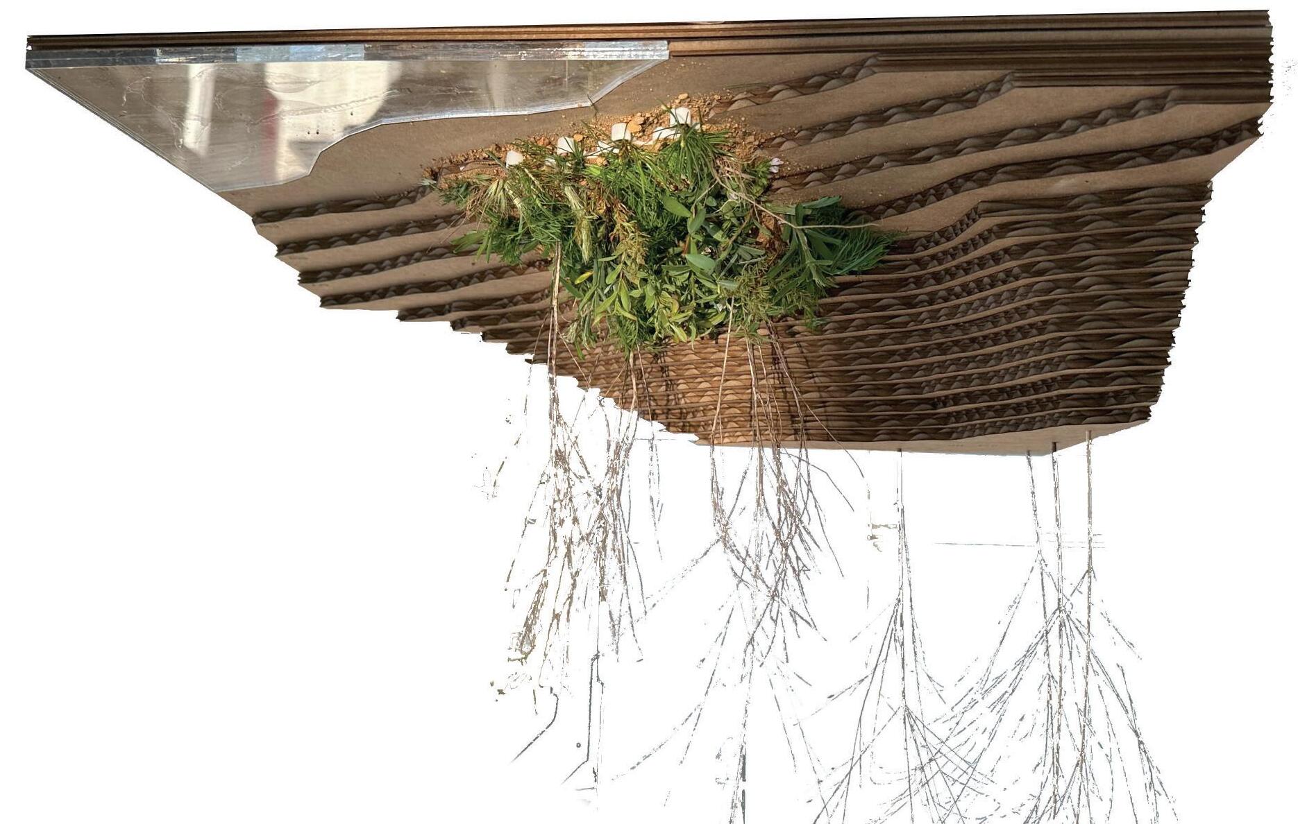
BIOSTABILIZER FULL GROWTH
Once fully established, the tiered biostabilizer, which replicates the natural lake edge, would become redundant if implemented properly. It would gradually deteriorate as the root systems of grasses, low vegetation, and trees take hold, allowing for a self-sustaining, naturalized shoreline.
RedMaple Acerrubrum
River Birch Betulanegra
Summersweet Clethraalnifolio
Switchgrass Panicum virgatum
BaldCypress Taxodium distichium
OvercupOak Quercus lyrata
ButtonBush Cephalanthus occidentalis
Maidencane Panicumhemitomon
WaterWillow Justiciaamericana
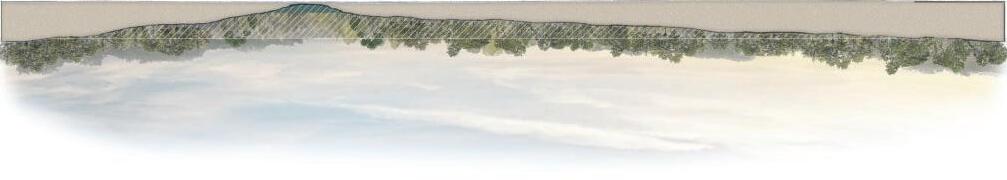
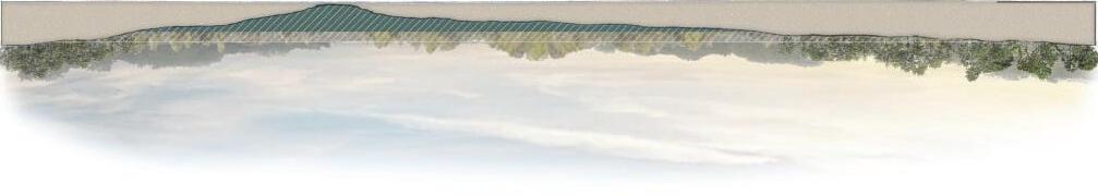
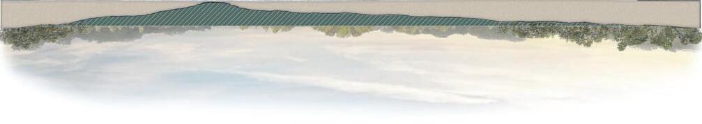
The models accurately represent the siteʼs contours, considering water level fluctuations. Four models, made from chipboard, acrylic, and site-sourced materials, illustrate the process. The first shows existing conditions. In year one, live stakes promote root growth. By year five, vegetation envelops the biostabilizer as roots establish and biodegradation begins. By year ten, the biostabilizer fully decomposes, leaving a selfsustaining ecosystem.
EXISTING CONDITIONSYEAR 1: IMPLEMENTATION
YEAR 5: PARTIAL GROWTHYEAR 10: FULL GROWTH
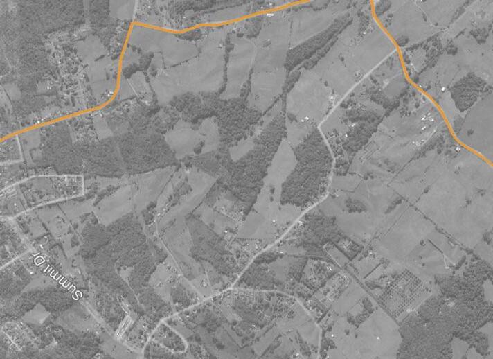
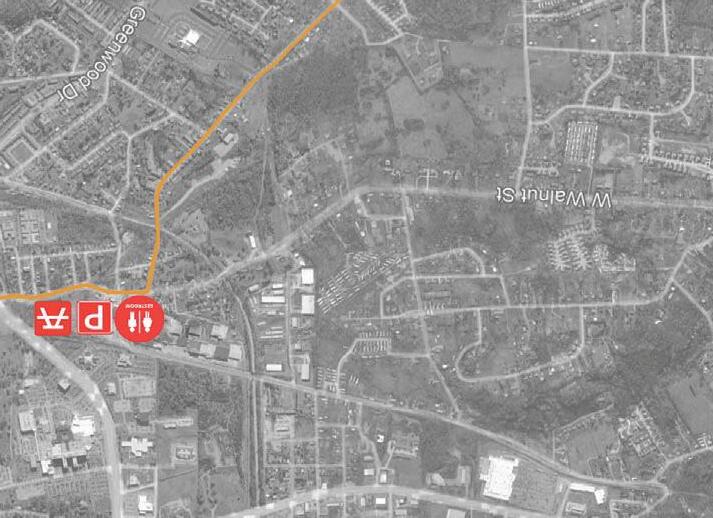
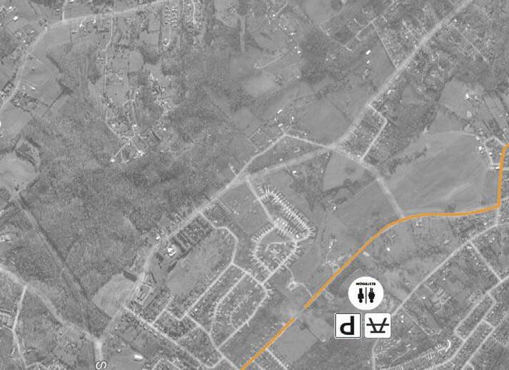
CABOOSE CROSSING GREENWAY AND PARK
WASHINGTON COUNTY, TN
Existing Park
Proposed Park
Existing Parking
Proposed Parking
Existing Bathroom
Proposed Bathroom
Scenic Route
GREENWAY TRAIL
PROJECT BACKGROUND
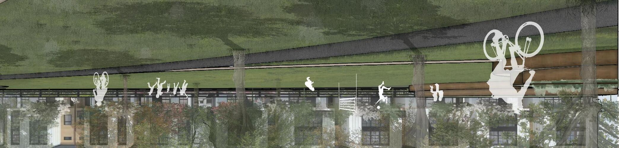
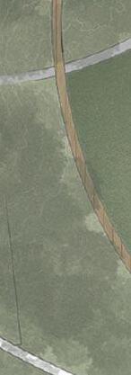
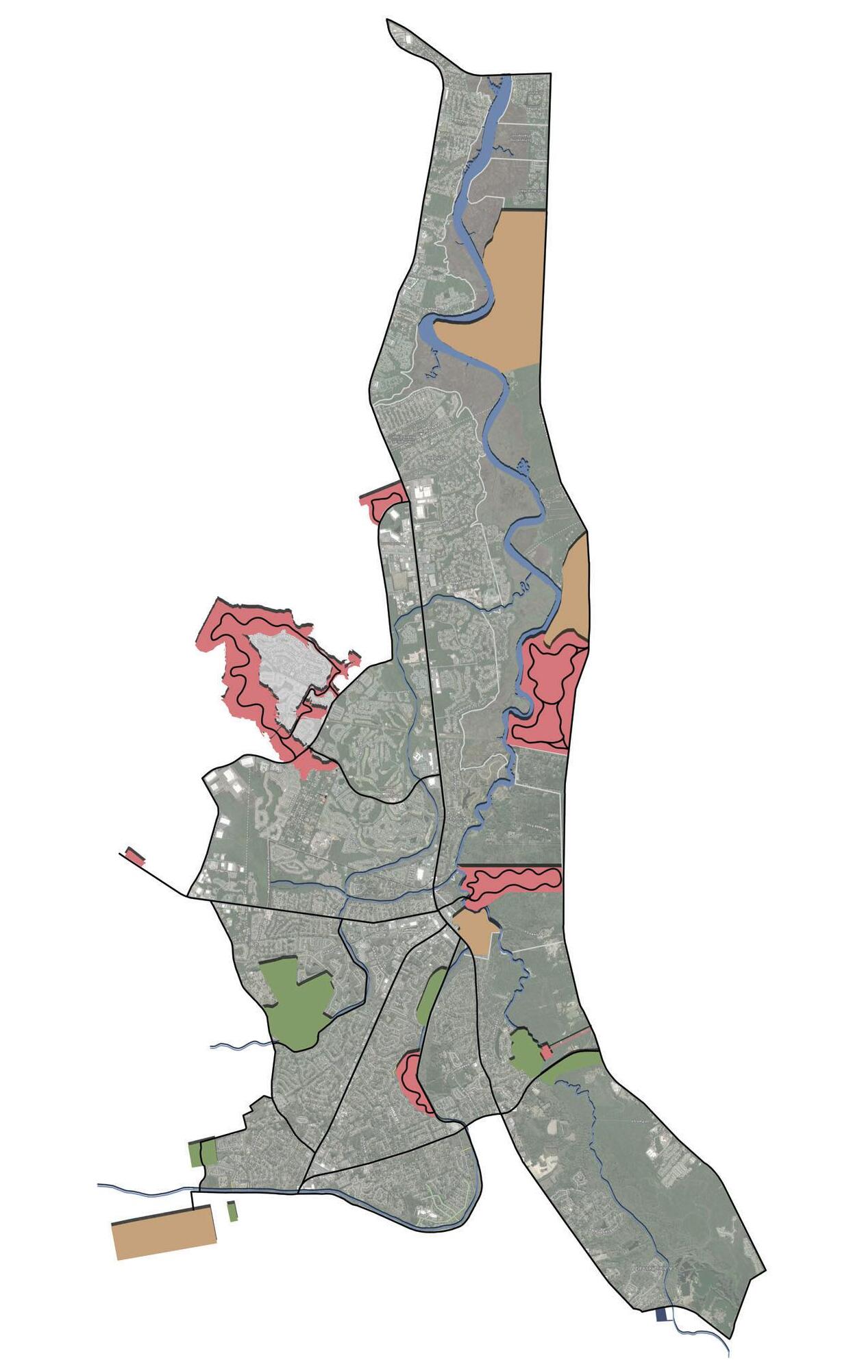
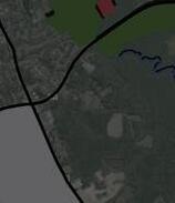
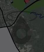
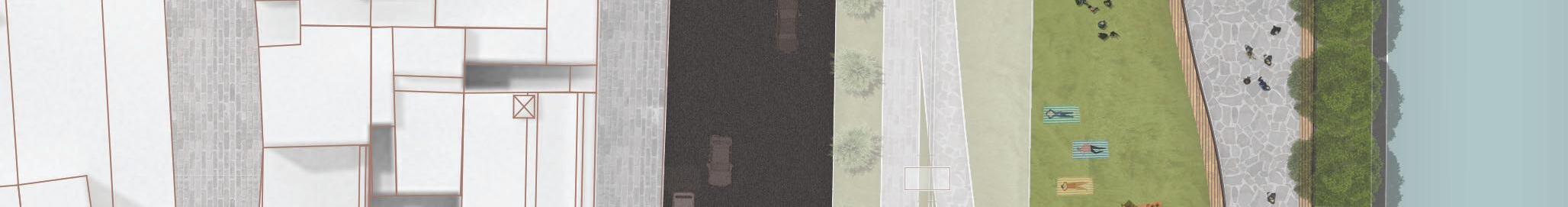
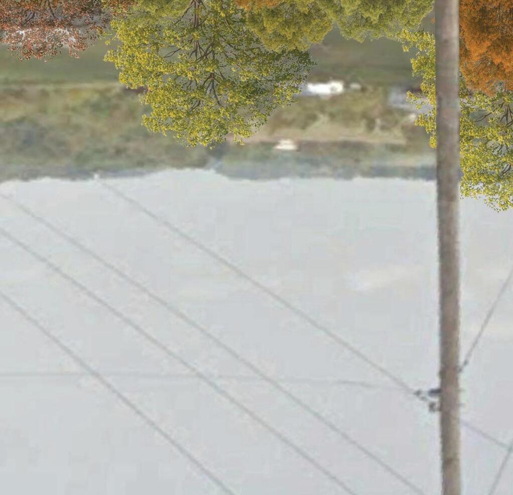
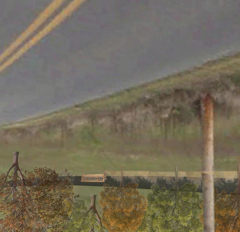
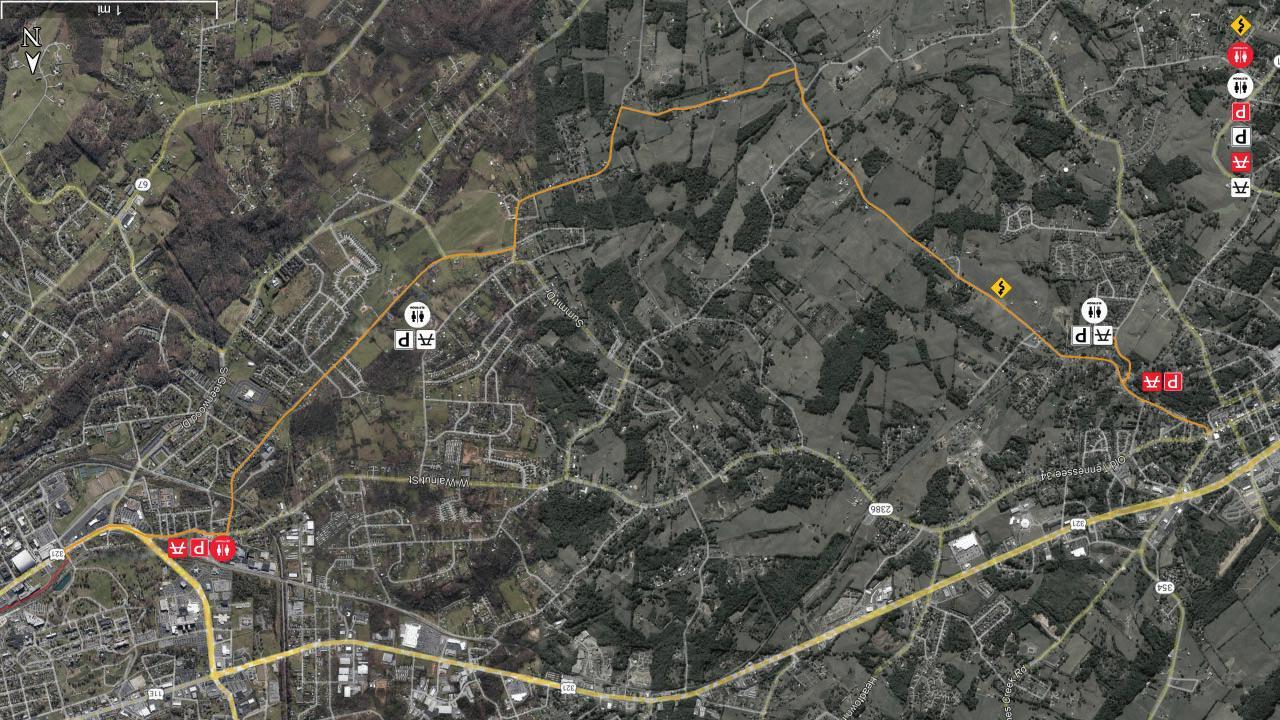
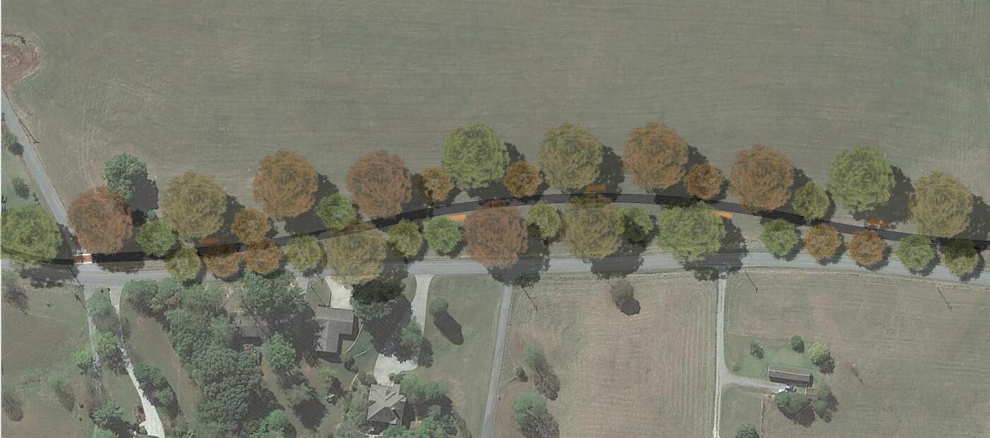
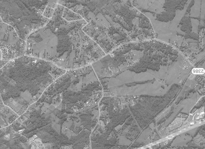
Jonesborough and Johnson City are experiencing significant economic and population growth, creating new opportunities to prioritize community experience and well-being. The Caboose Crossing Greenway provides an immersive, connected experience, linking the two cities with surrounding neighborhoods and satellite towns through rolling hills, farmland, and residential backroads across Washington County. The trail ties together existing outdoor amenities, proposed parks, and scenic routes for residents throughout the broader community. Designed to improve accessibility and promote healthy living, the Caboose Crossing Greenway and its associated parks establish a comprehensive pedestrian network that supports continued growth and future development.
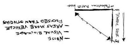
In the analysis of the denser urban fabric within Johnson City, key concerns regarding the condition of existing sidewalks and pedestrian safety were identified as critical areas requiring attention. To address these challenges, a comprehensive framework was developed aimed at fostering increased pedestrian activity while simultaneously enhancing the overall pedestrian experience.
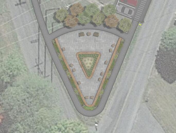
WEST WEDGE PARK A CABOOSE CROSSING EXTENSION
Restrooms
Picnic Area
Event Pavilion
Park Entrance
Park Entrance
Monkey Mounds
Art Instillations Throughout Site
Oak Savanna Ecosystem Waterfront Seated Deck
Bridge Access
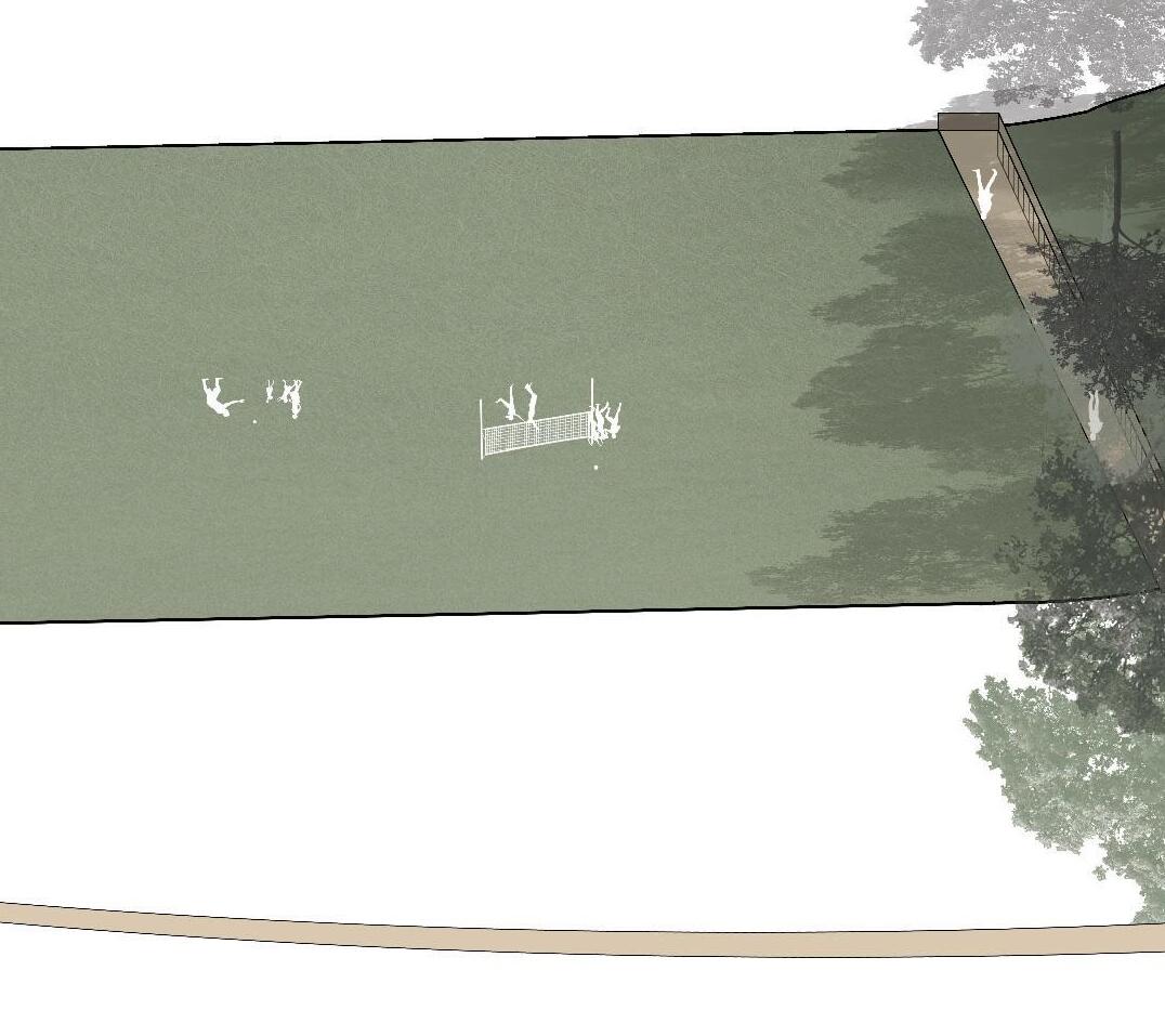
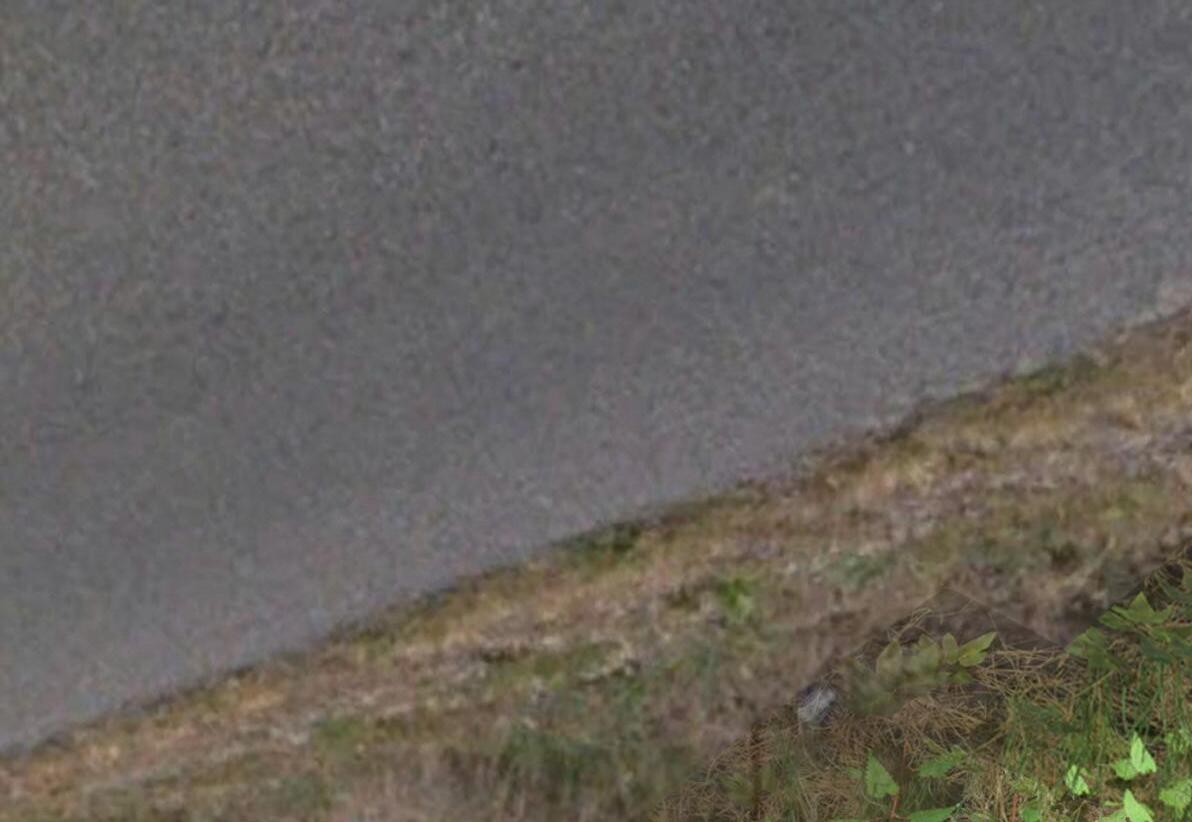
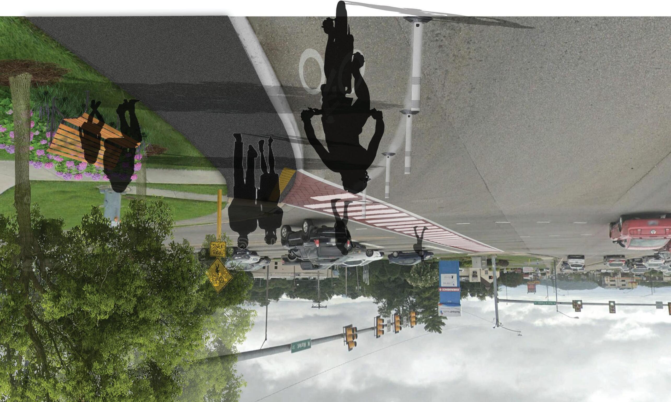
West Wedge Park transforms a compact, undeveloped site with mature oak trees and Bush Creek into an accessible, diverse space. The design provides entry points from the surrounding area and greenway, accommodates various demographics, and restores the oak savannah ecosystem. To the south, the Monkey Mounds offer elevated grassy hills for play and relaxation. The parkʼs revitalized oak savannah provides a serene experience with dense forest and wildflower plantings. Pedestrian bridges cross the creek, and waterfront decks offer immersive views of the riparian ecosystem.
TOP IMAGE: view of the Monkey Mounds from the adjacent roadway
BOTTOM IMAGE: a glimpse into the savannah oak ecosystem, winding alongside Bush Creek, featuring one of several strategically placed waterfront decks
THE GREEN RIBBON IN AN URBAN ENVIRONMENT
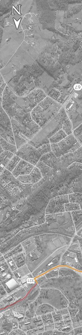
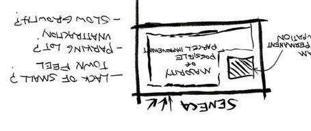
SENECA, SC
PHASE IV ZOOMING IN creating a more in depth plan to use as basis for landscape and parking adjustments
PHASE III VISUALIZATION constructing a mixed-use approach for final concept and visualizing the layout of the area of interest
ANALYSIS & IMPLIMENTATION
ANALYSIS
PROCESS
PHASE I EXISTING SITE observing trends in curculation, parking and greenspace, and parcel improvement along with community needs
Project Background
PHASE II OPTIONS
providing a variety of concepts, each focusing on a different user group or style of atmosphere
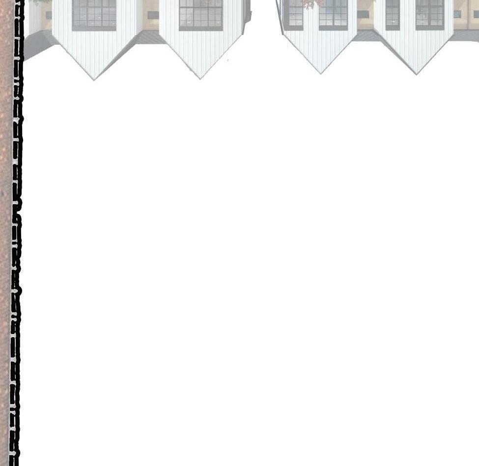
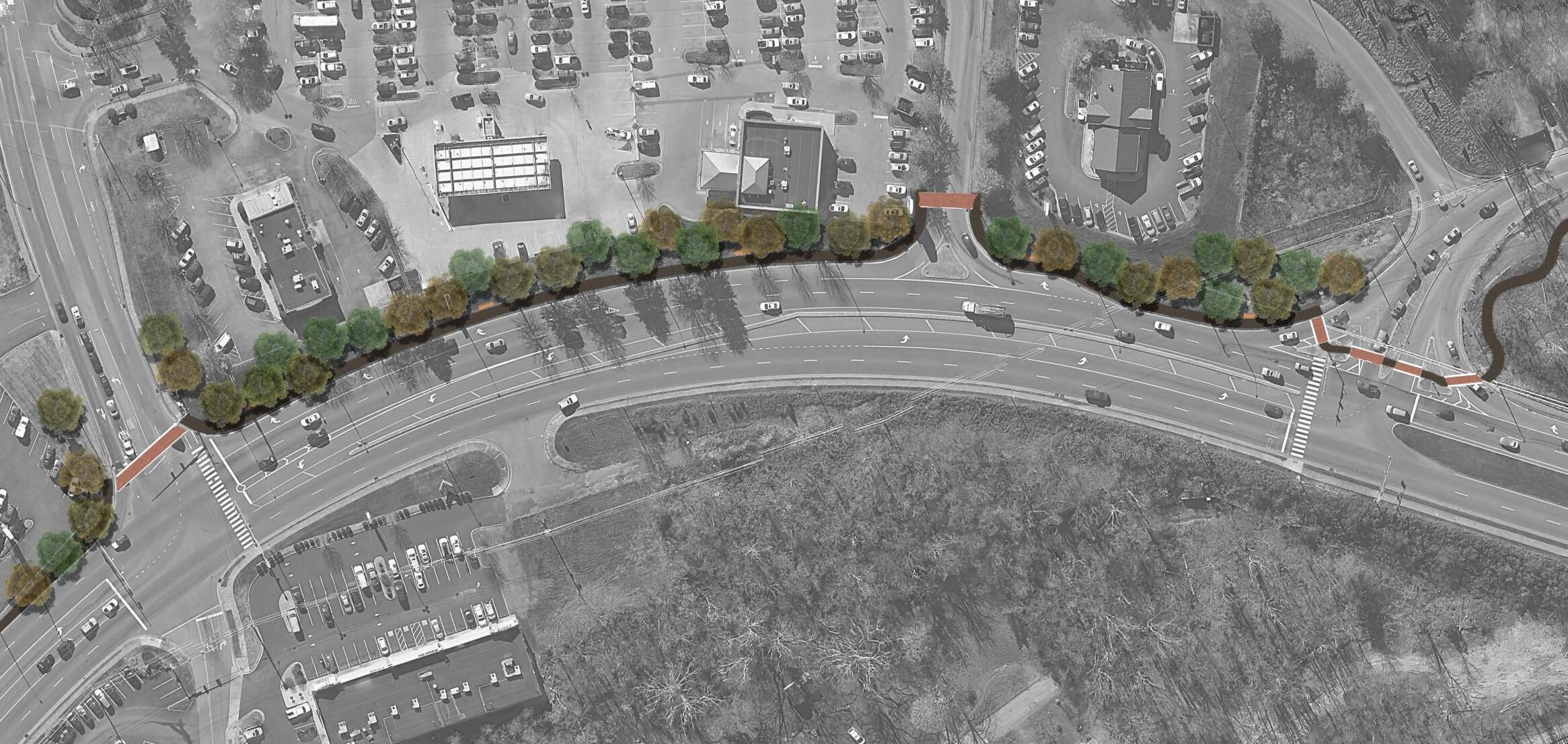
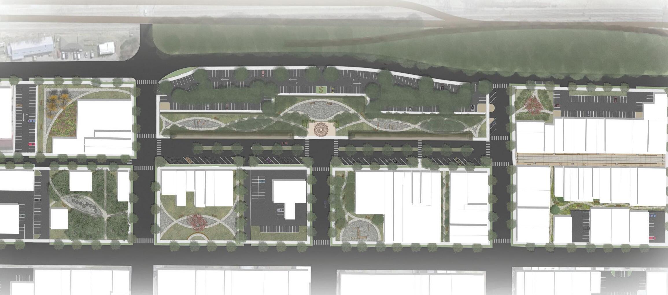
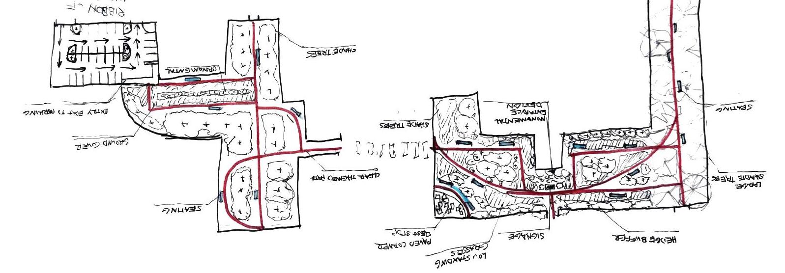
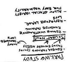
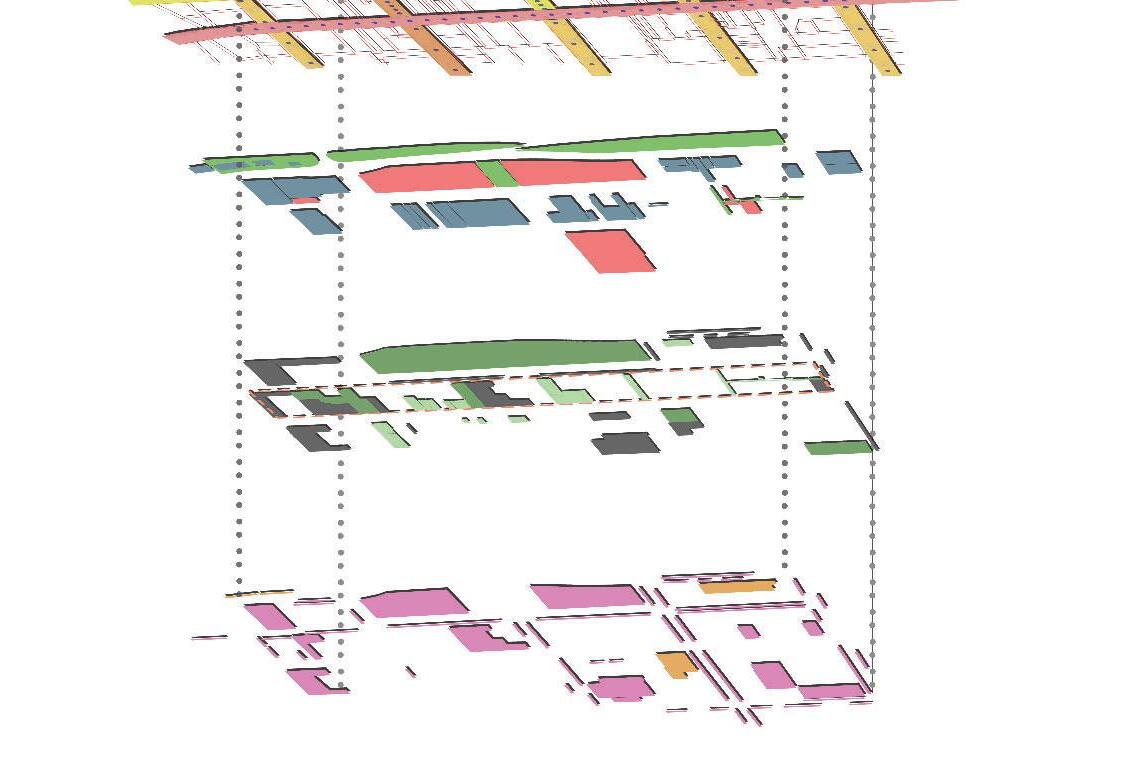
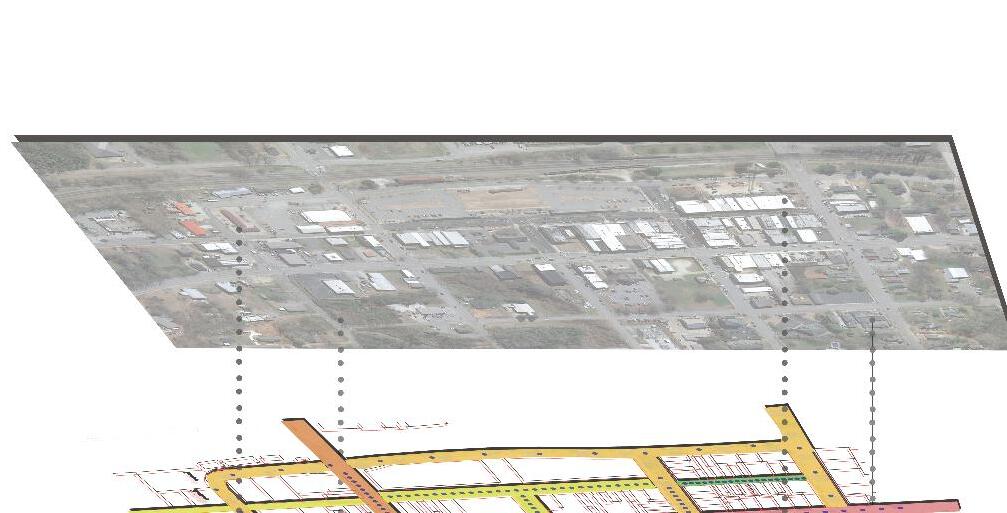
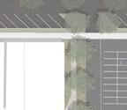
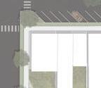
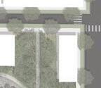
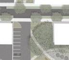
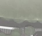
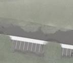
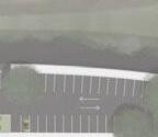
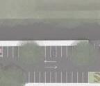
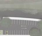
The green ribbon of Seneca transforms urban areas by replacing hardscapes with sustainable vegetation, enhancing both the environmental quality and community appeal. Underused parking lots are consolidated to make room for new ecological corridors, which also serve as visual buffers for the reorganized parking areas. Each block, designed to balance residential and commercial needs, includes its own outdoor space and connects seamlessly to a walkable city network. Ram Cat Alley, a defining pedestrian zone, features warm tones and textured materials that promote movement and relaxation. Nearby, a once-abandoned passage has been revitalized into a vibrant greenspace and walkway accessible from three streets, further integrating nature and mobility throughout the district.
GRAPHICS: Detailed analysis of existing conditions, development of multiple land use concepts, implementation of land use strategies, and the application of distinct corridor design methodologies.
LEFT IMAGE: Ram Cat Alley reimagined as a pedestrian-focused, mixed-use social hub.
RIGHT IMAGE: Former parking area transformed into a central greenspace, featuring vegetated trails and stationary workout stations.