Washington
Spring 2026
A Publication of Washington Trails Association • wta.org
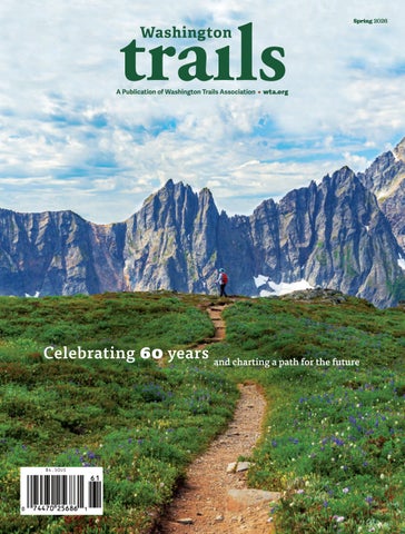
Celebrating 60 years and charting a path for the future
Washington
Spring 2026
A Publication of Washington Trails Association • wta.org
Celebrating 60 years and charting a path for the future