RECREATION WALKING and CYCLING TRAILS
SEPTEMBER 2025 ISSUE NO 330
New Zealand Walk:
A wander along the Karangahake Gorge
Photo Contest winners
New Zealand Walks:
Short walks at
Lake Brunner
New Zealand Walk: New Zealand Walk:
Cape Saddle Walk
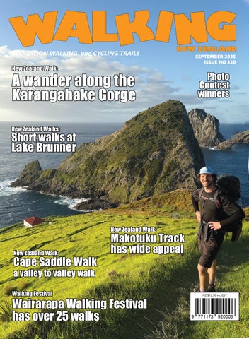
Makotuku Track has wide appeal
a valley to valley walk Walking Festival
Wairarapa Walking Festival has over 25 walks www.walkingnewzealand.co.nz
NZ $12.50 inc GST
Walking New Zealand, issue no 330 - 2025 1