Sam Martin_Y5 | Unit 14 | Bartlett School of Architecture
All work produced by Unit 14
Cover design by Charlie Harris
www.bartlett.ucl.ac.uk/architecture
Copyright 2021
The Bartlett School of Architecture, UCL All rights reserved.
No part of this publication may be reproduced or transmitted in any form or by any means, electronic or mechanical, including photocopy, recording or any information storage and retrieval system without permission in writing from the publisher.
@unit14_ucl
sam.amartin87@gmail.com @sa_martin96
EMBANKMENT AS IT COULD BE
AUGMENTING A MULTI-MODAL TRANSPORT HUB
London, UK
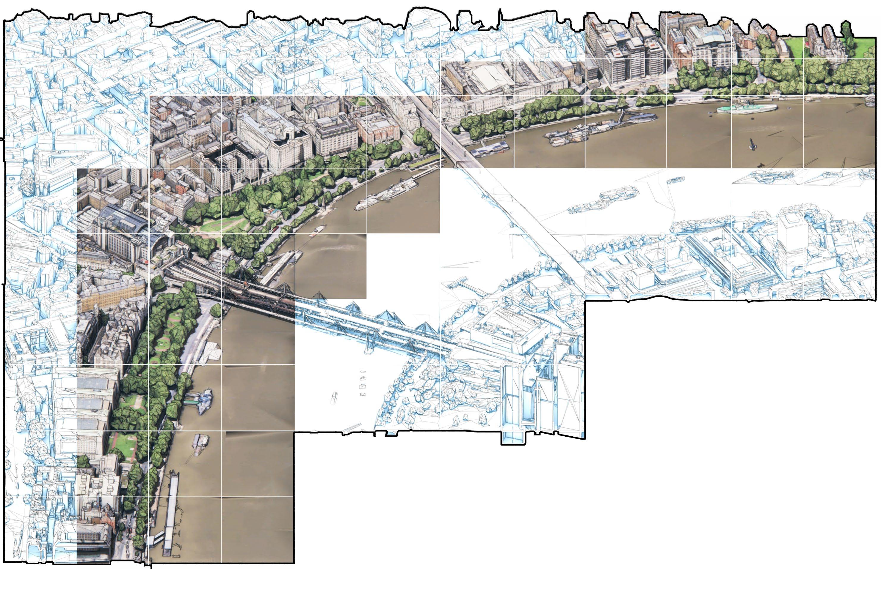
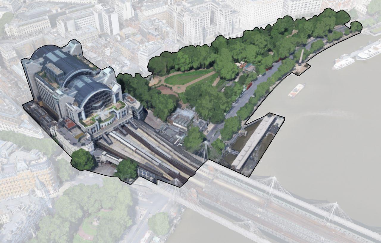
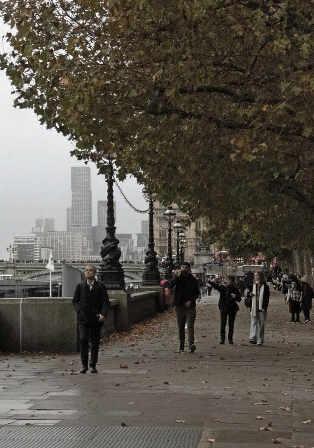
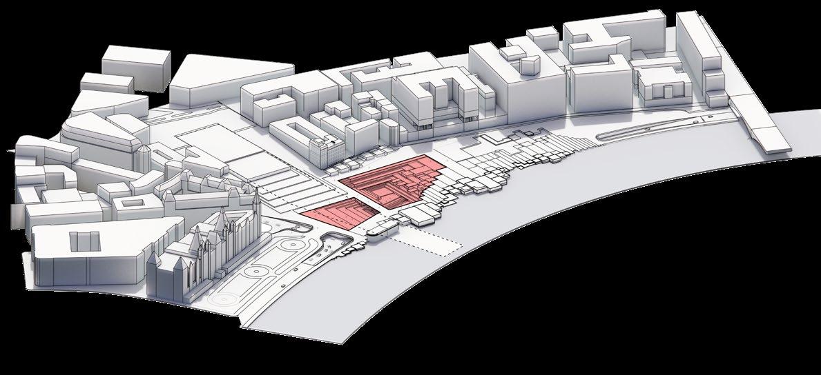
London’s Victoria Embankment, a piece of reclaimed land that lies upon the northern banks of the Thames, is a site of immense historical and geographical importance within the city of London. Historically, its raisin d’etre extends from a Victorian-era need to expand the sewer network and to separate the city from the open sewer in which the Thames had become. Geographically, it is a multi-modal nexus of transport links which lies at the intersection of multiple major urban axis of power; the political power for Whitehall running north to south, the financial & legal axis extending westwards from the City of London, and the cultural axis of Southbank.
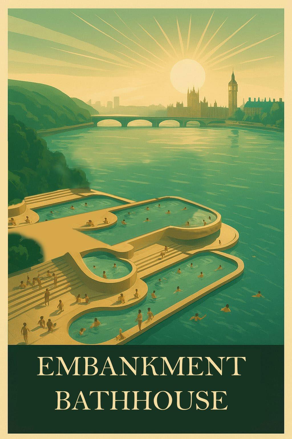
By 2050, London’s Port Authority proposes that the river Thames will be completely clean and safe for recreational activities, raising into the question the relevance of the site’s hard boundary with the river. Furthermore, the various transport connections present on the site are extremely disconnected and fragmented, often with an unclear relationship between them.
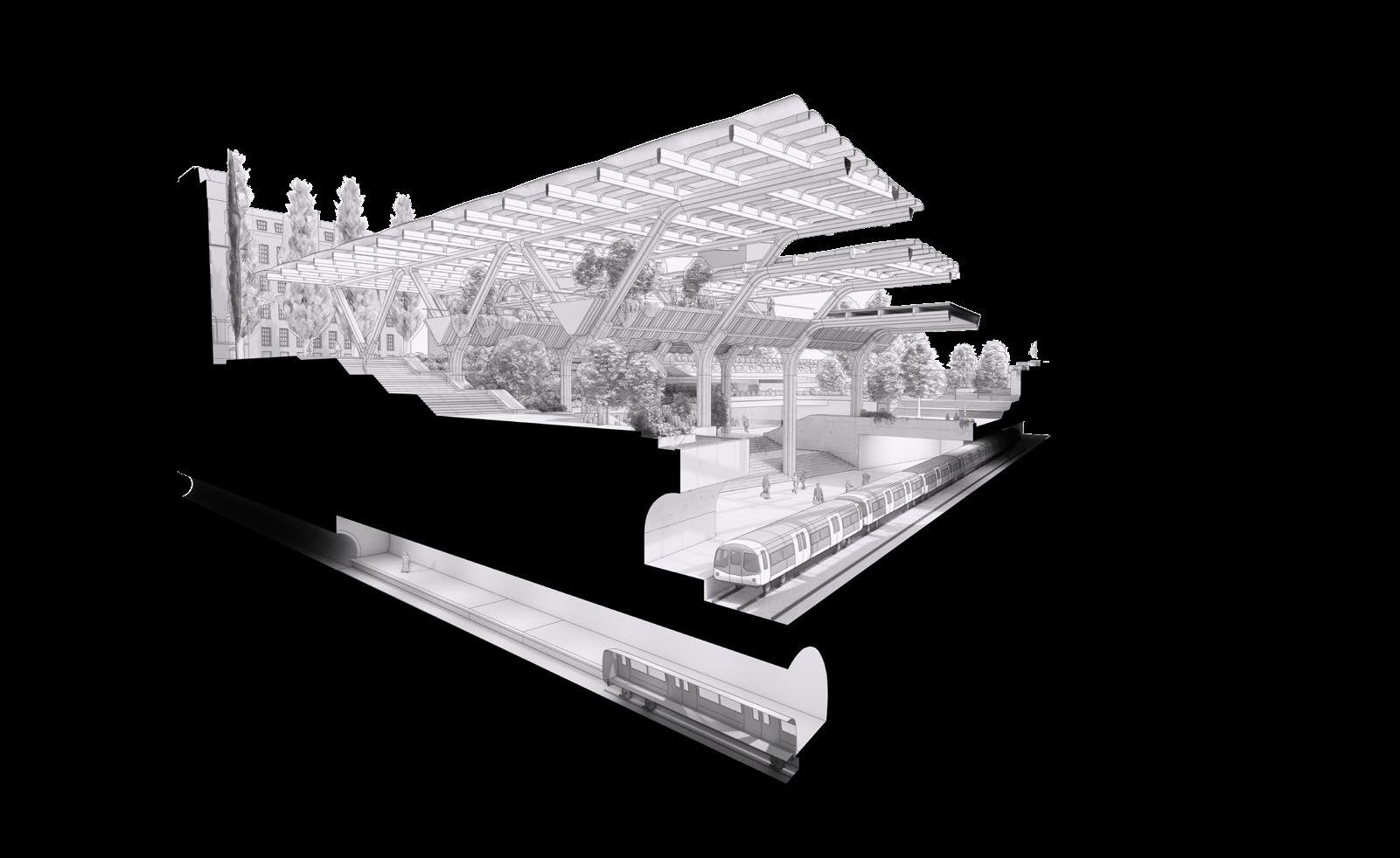
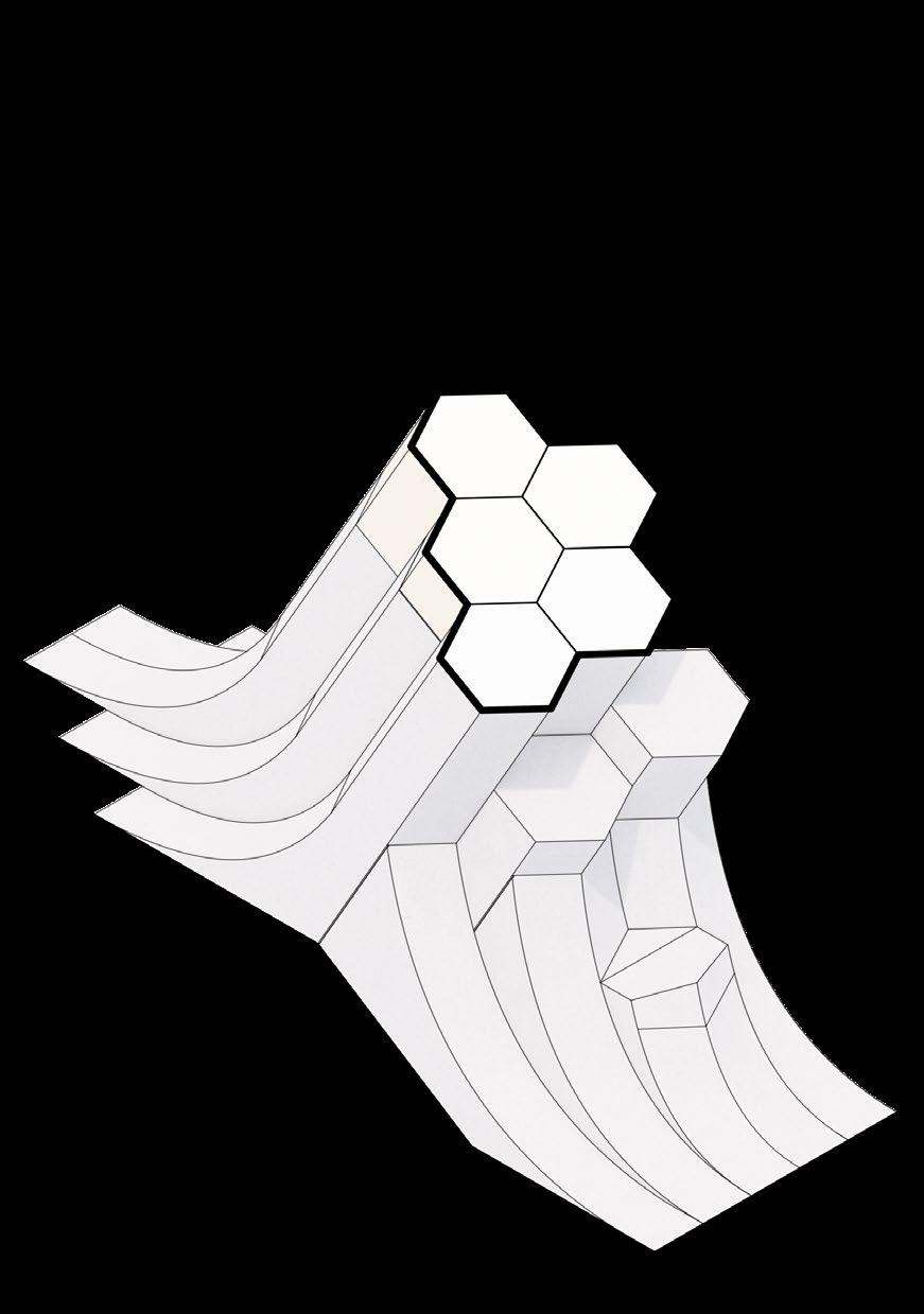
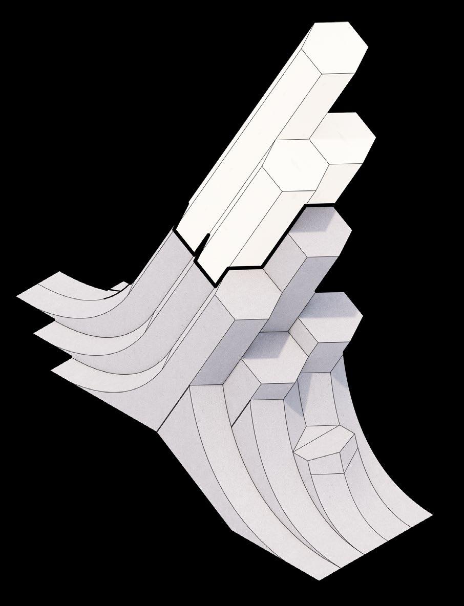
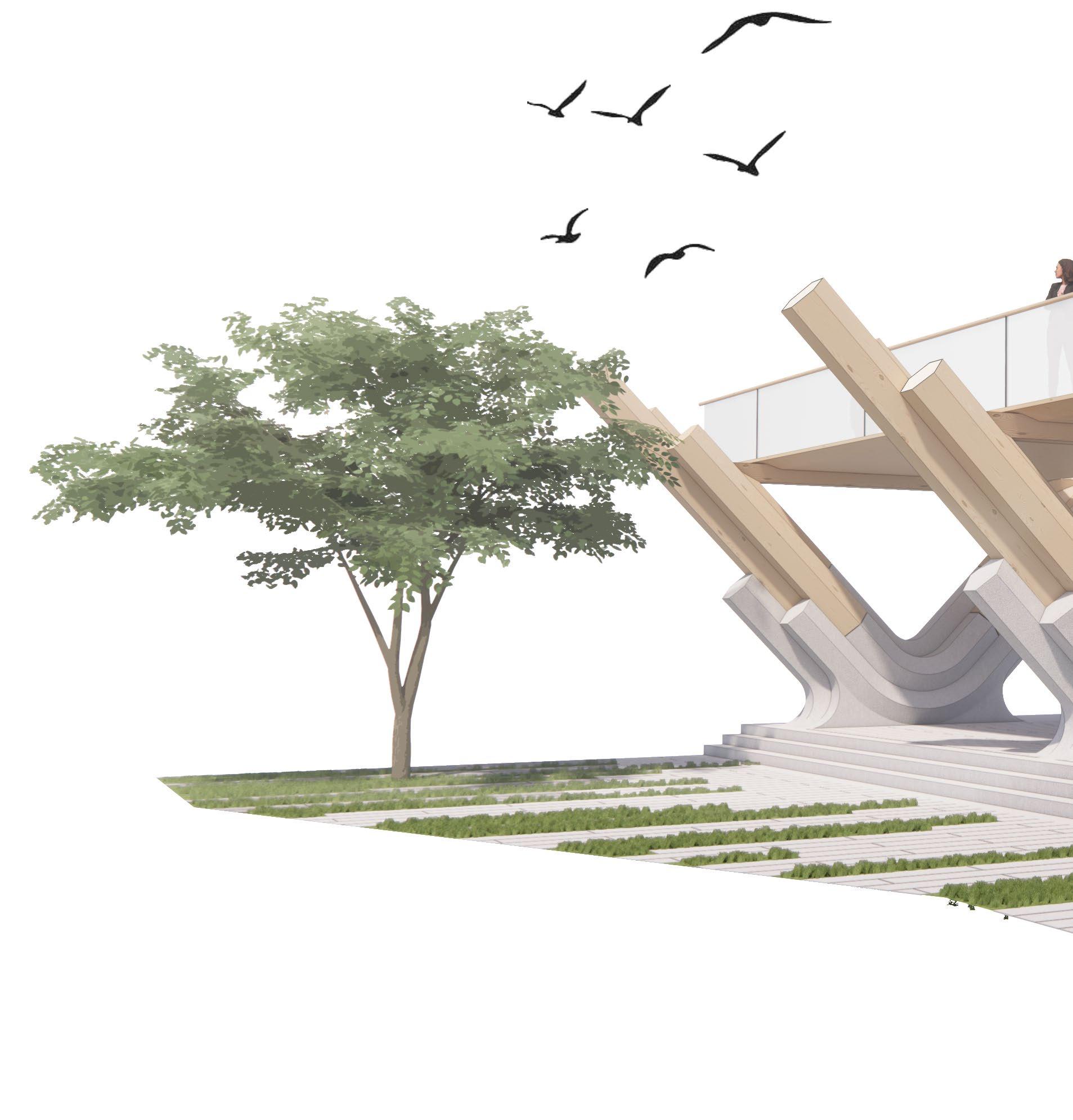
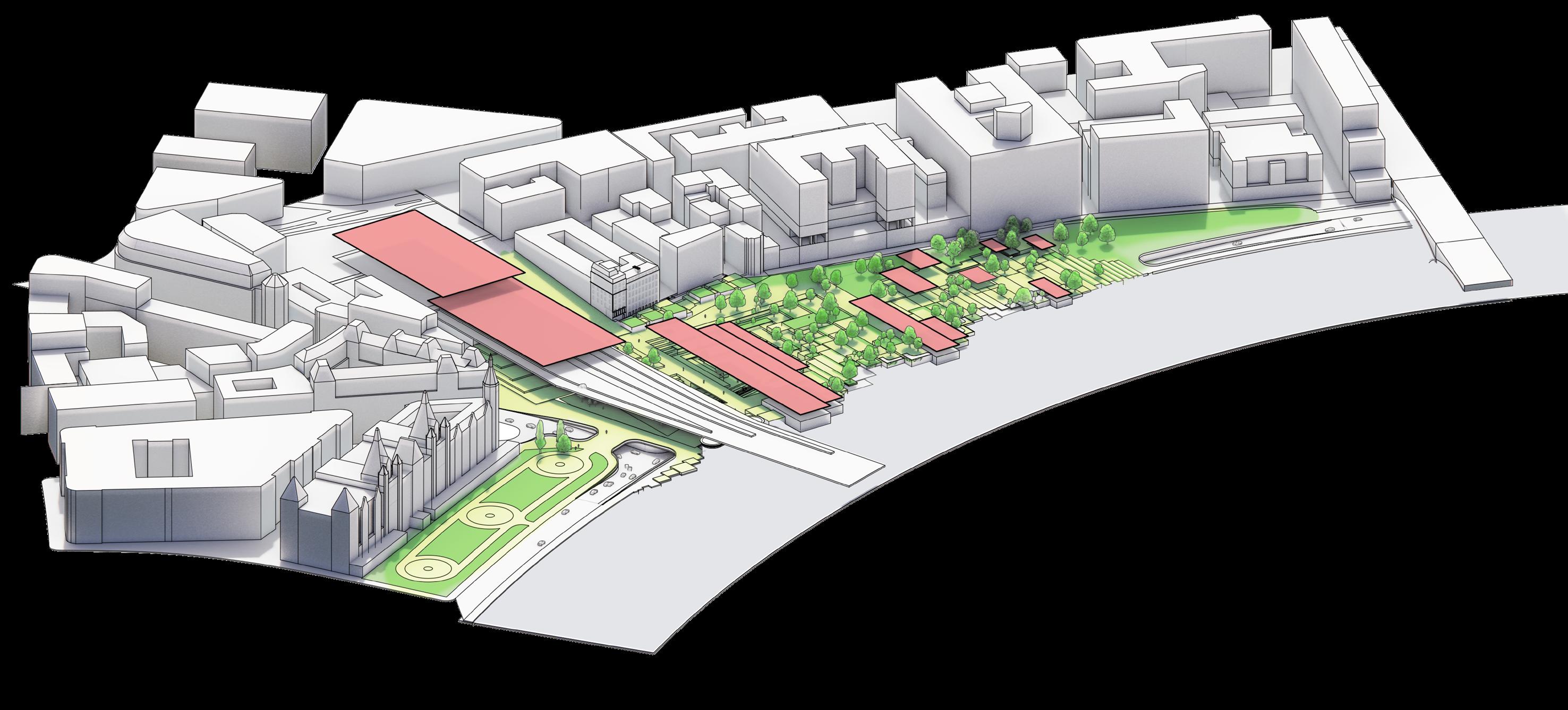
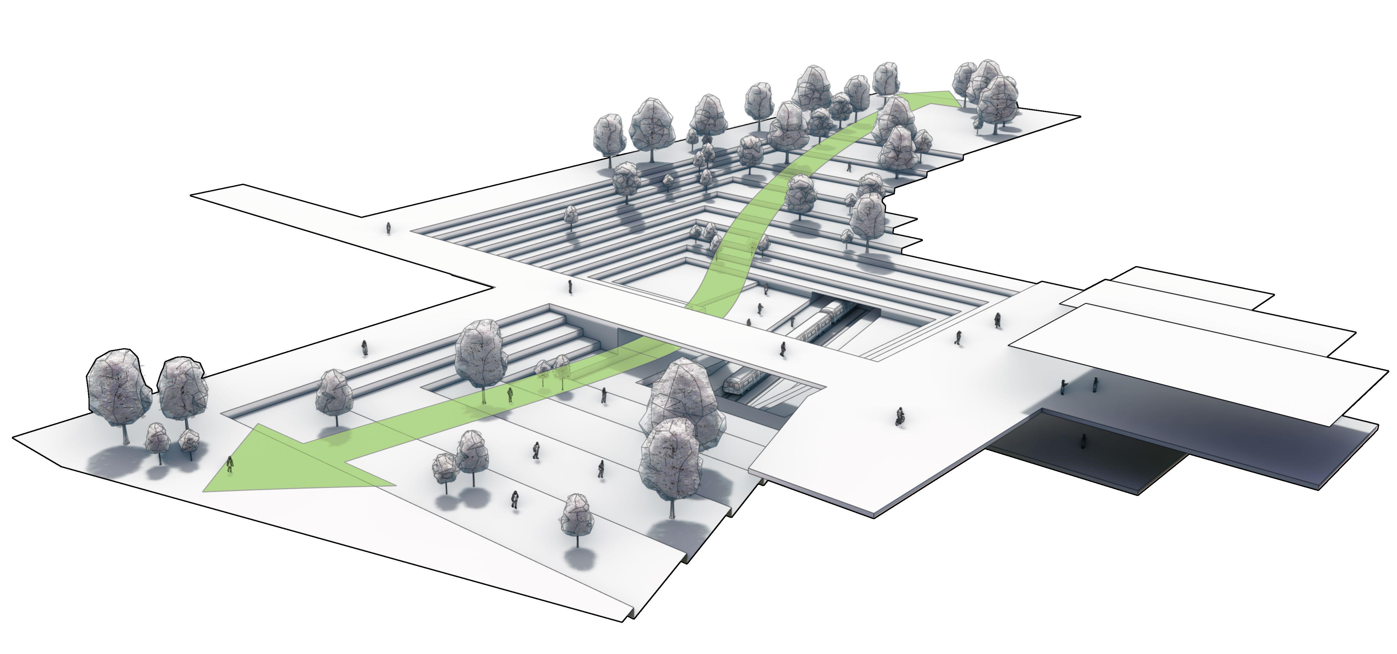
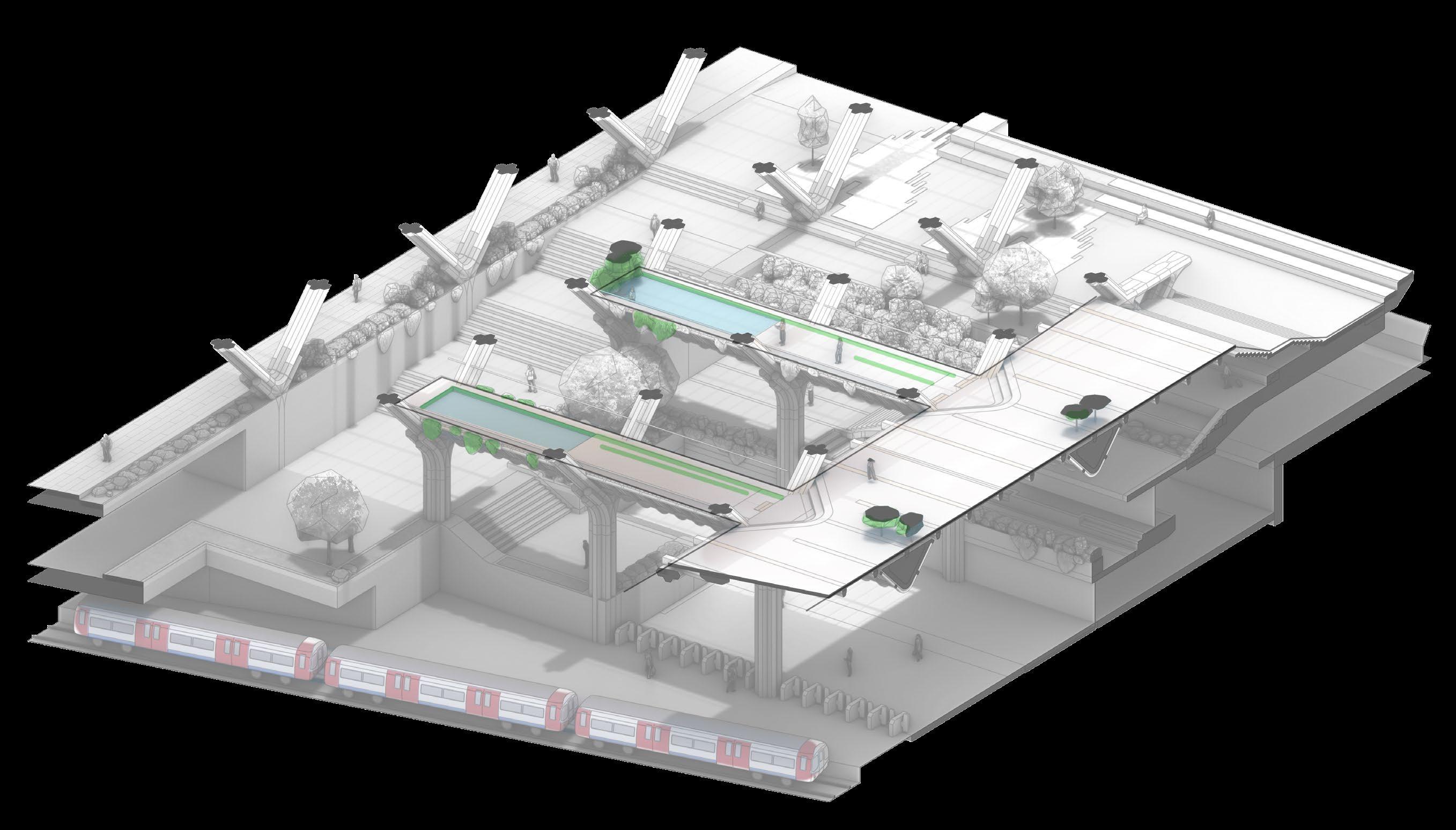
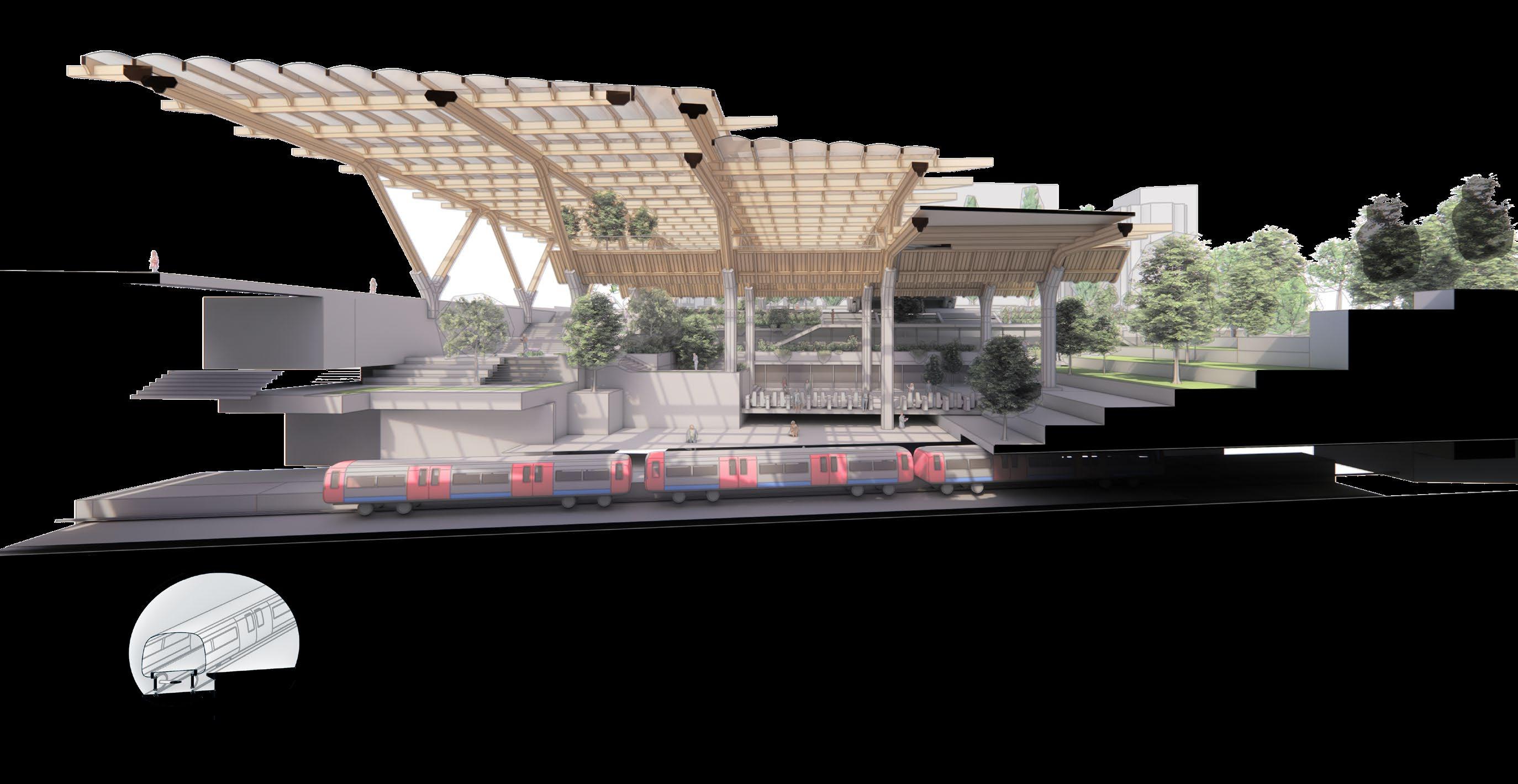
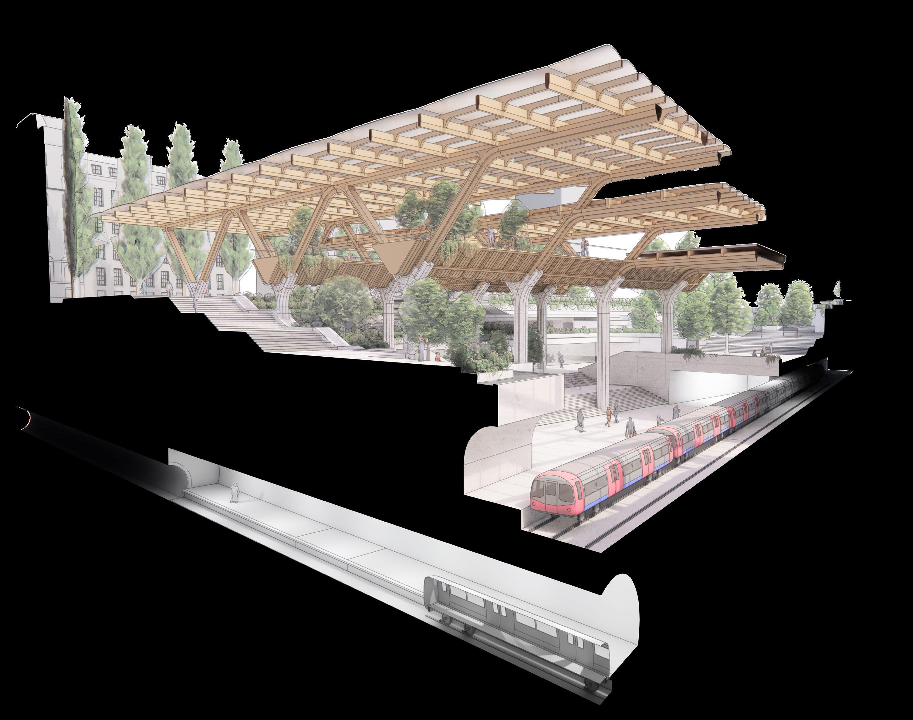
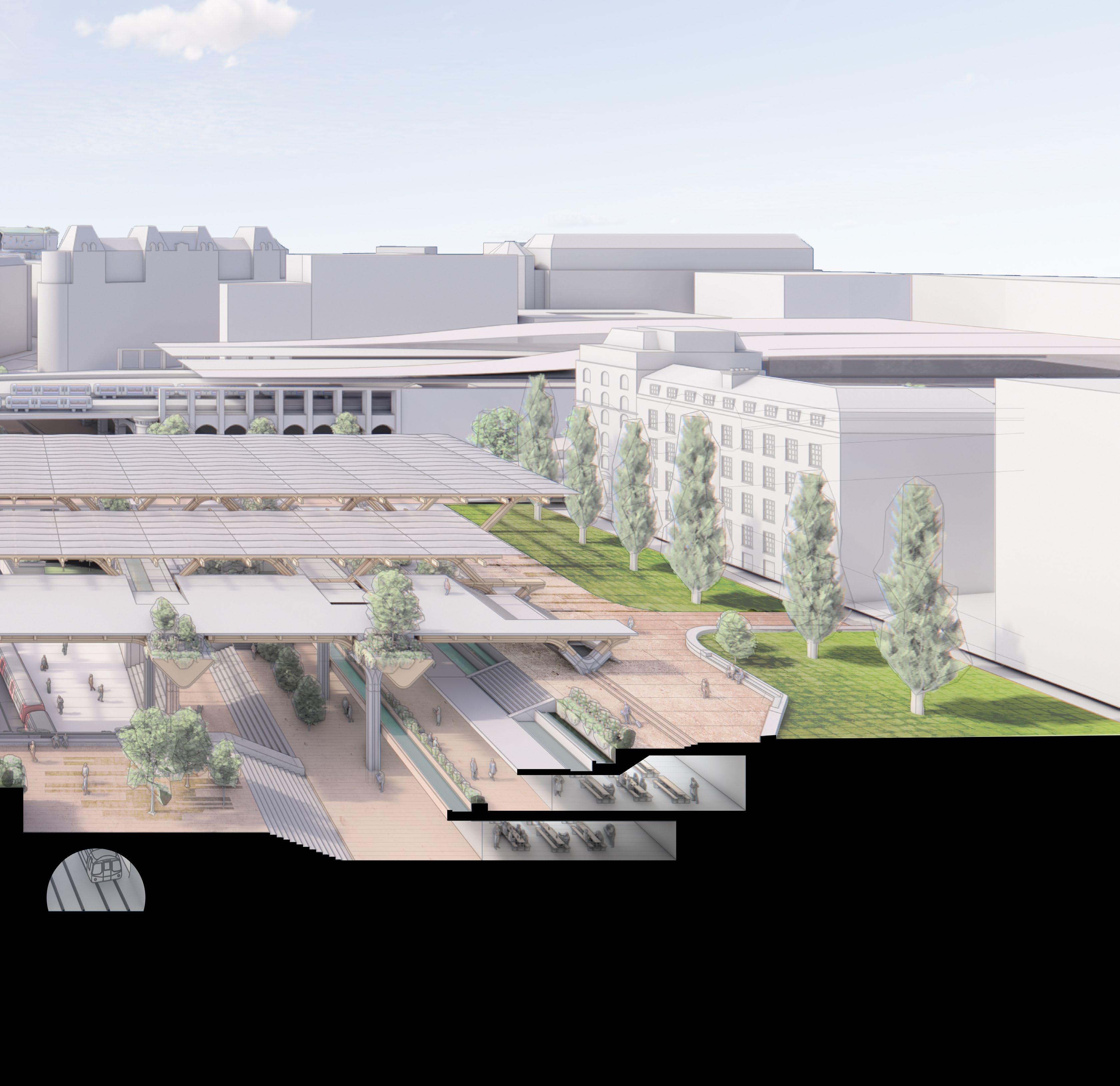
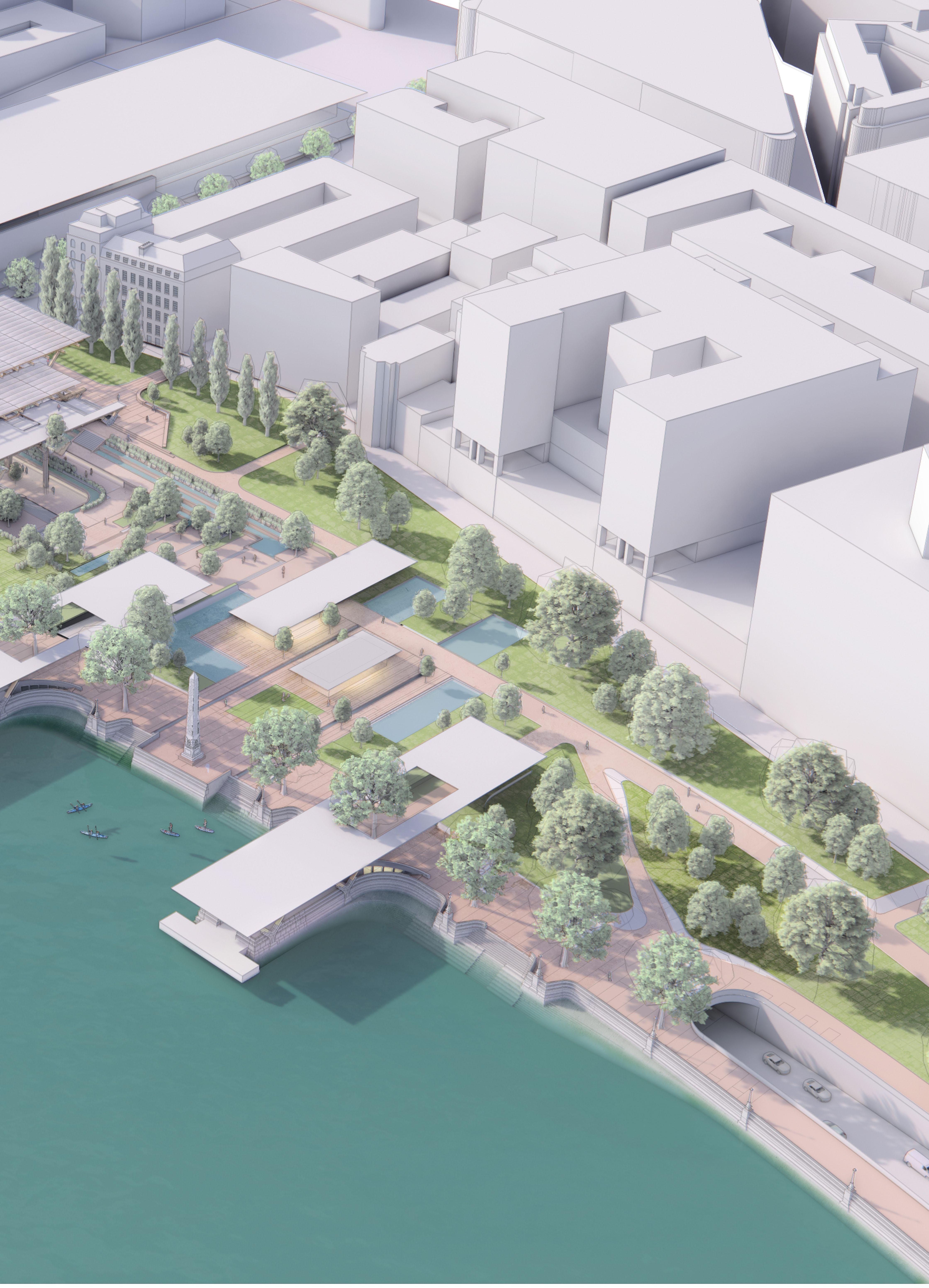
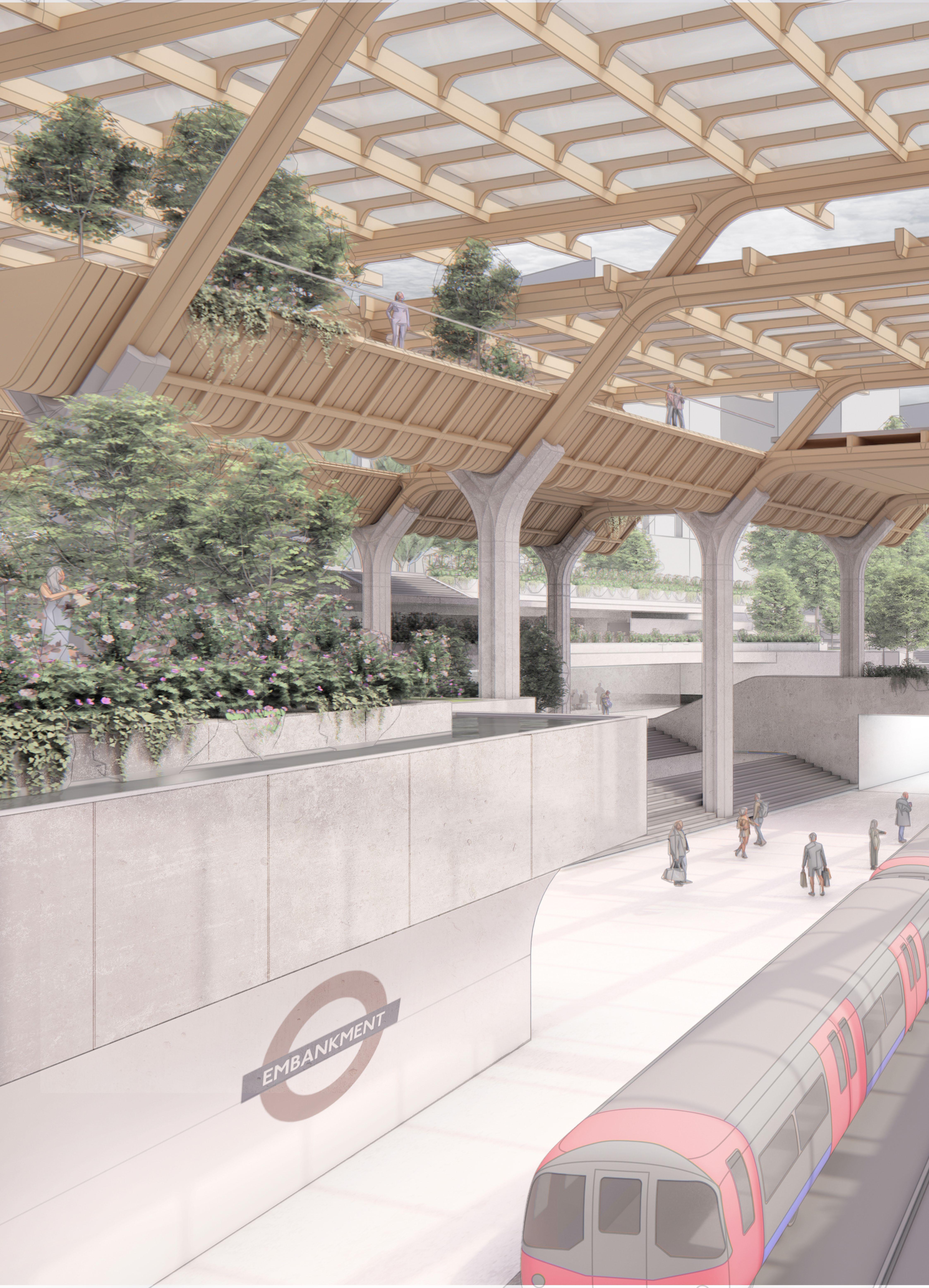
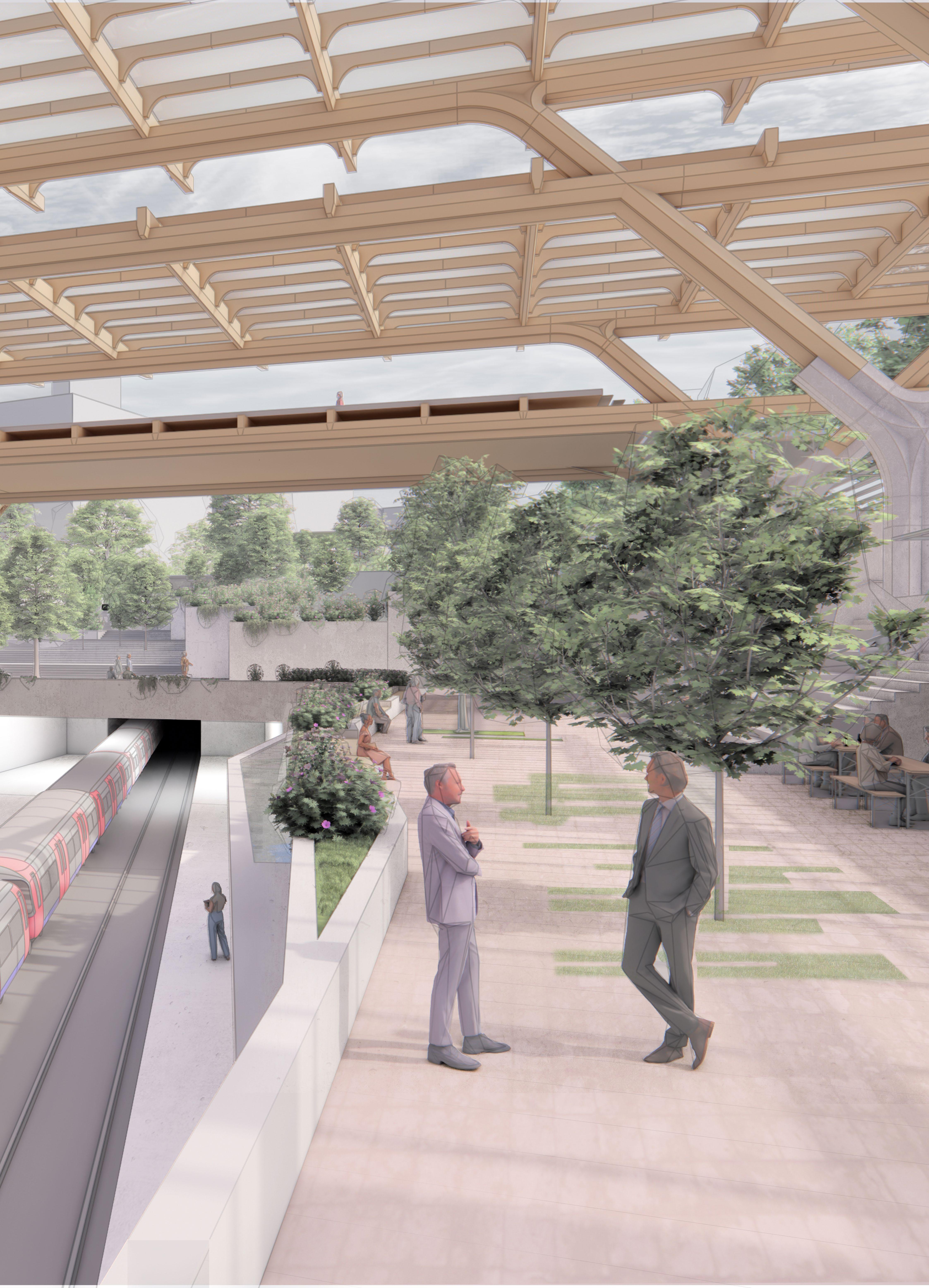
The project thus takes these cues to propose an augmentation to the site, exposing the Circle and District line in a canyon-like condition into which the park, bathing spaces and amenities cascade.
Chapter 1
INVESTIGATIONS
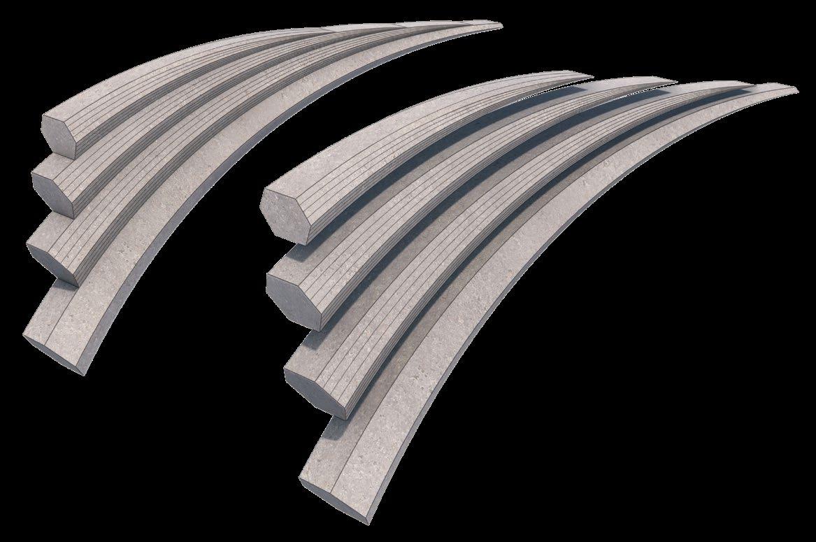
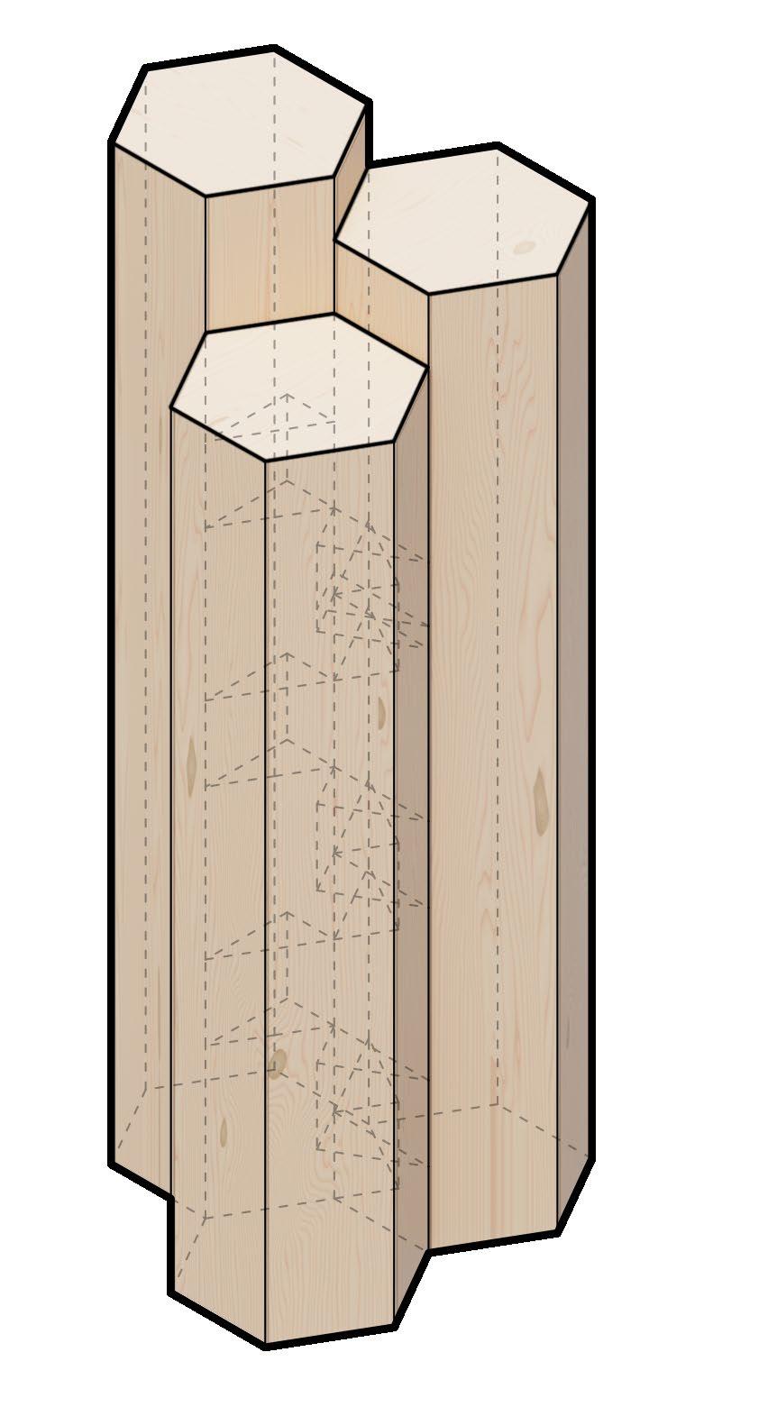
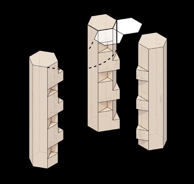
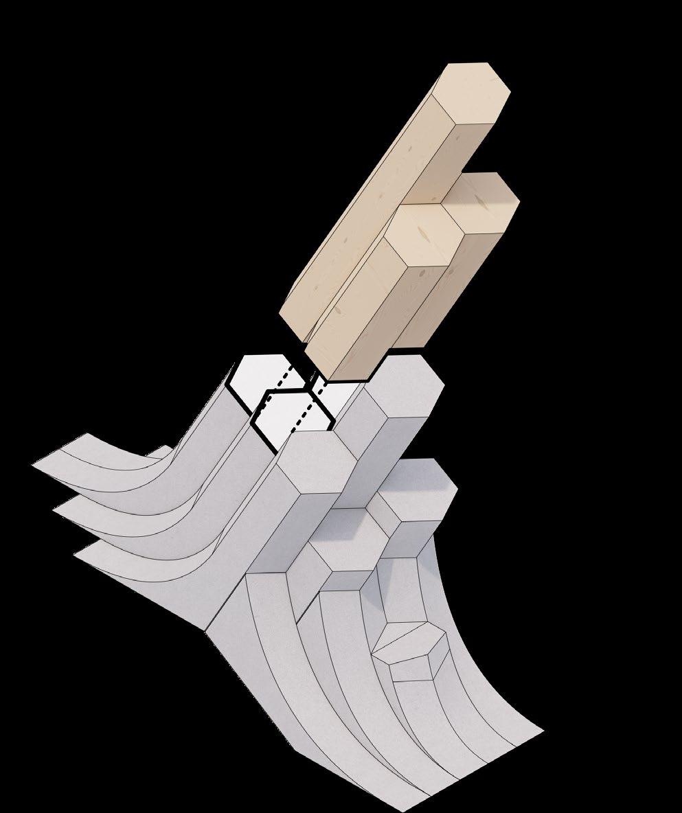
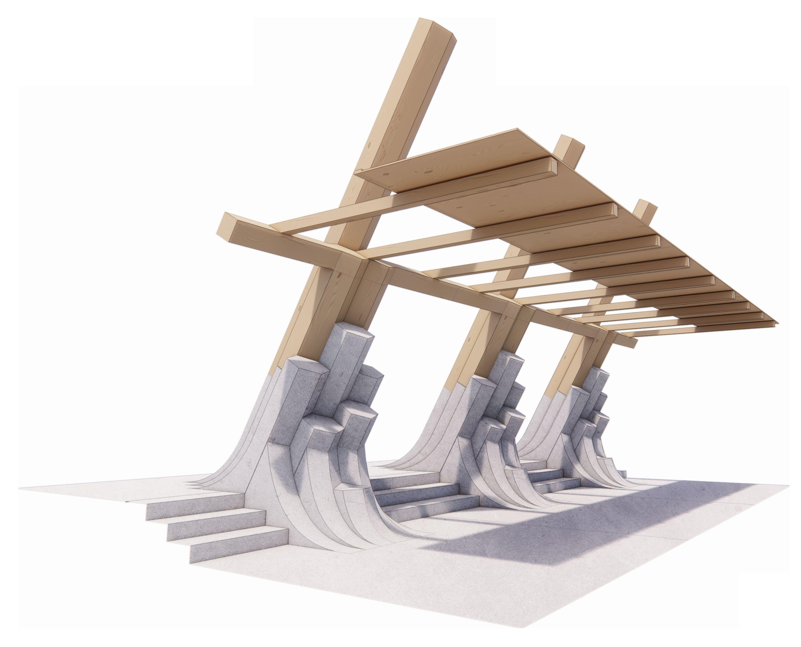
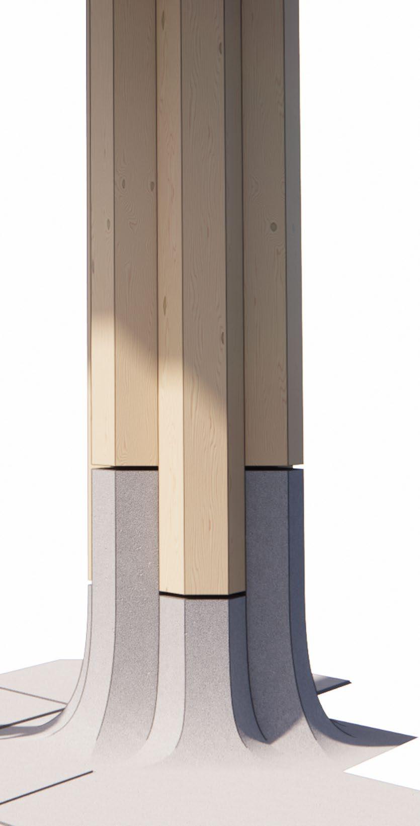
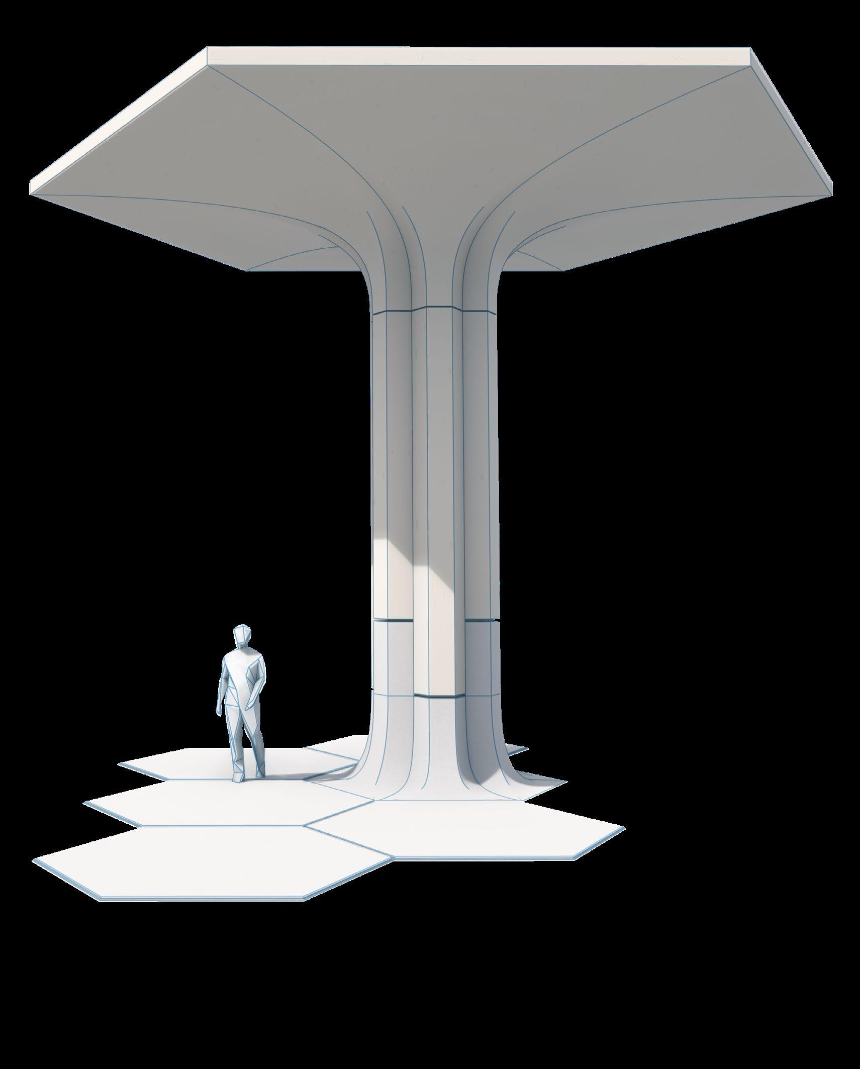
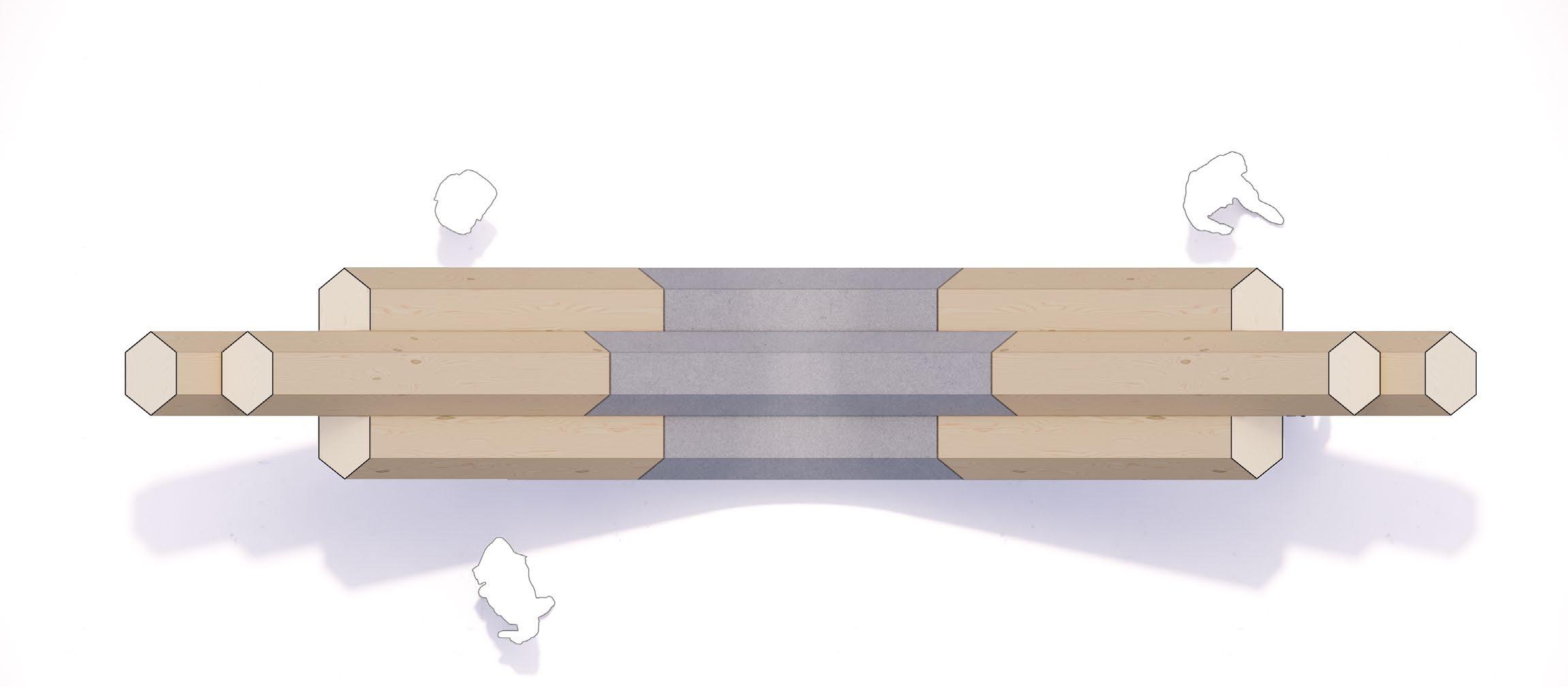
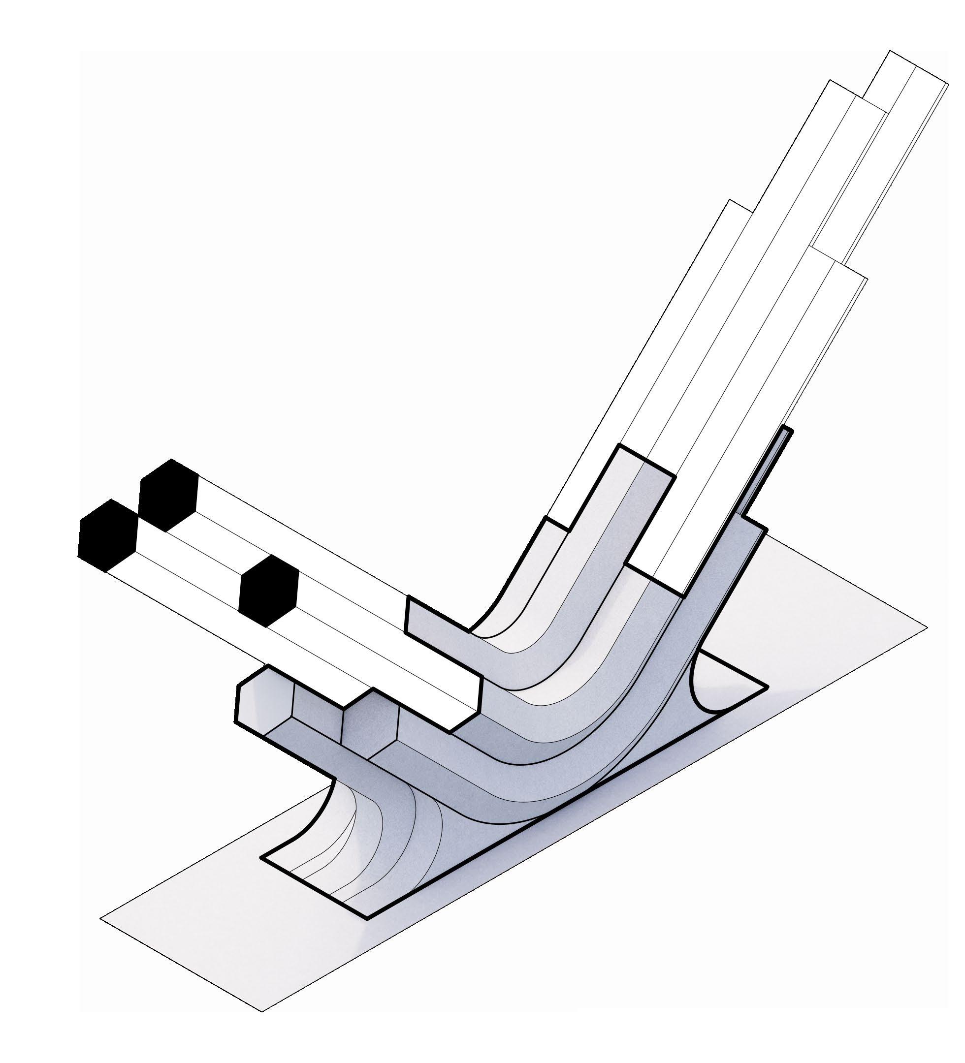
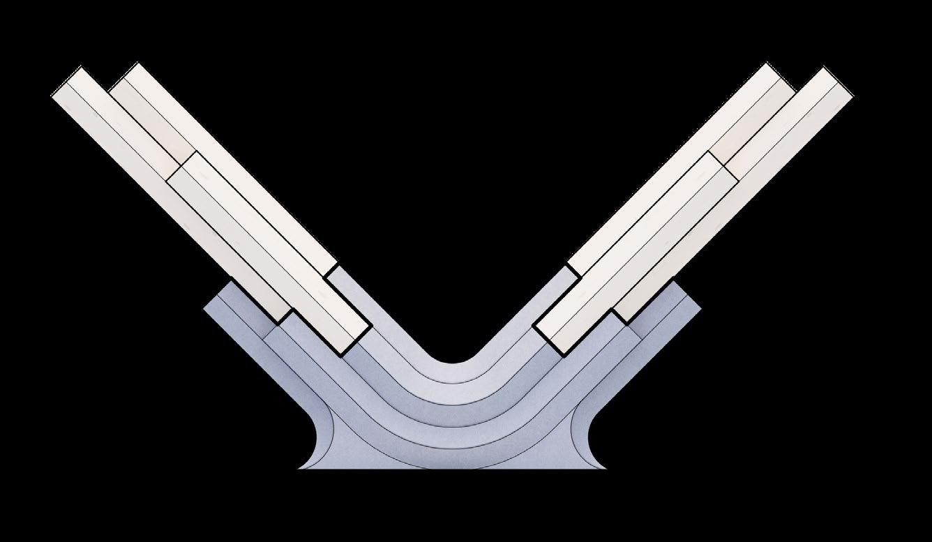
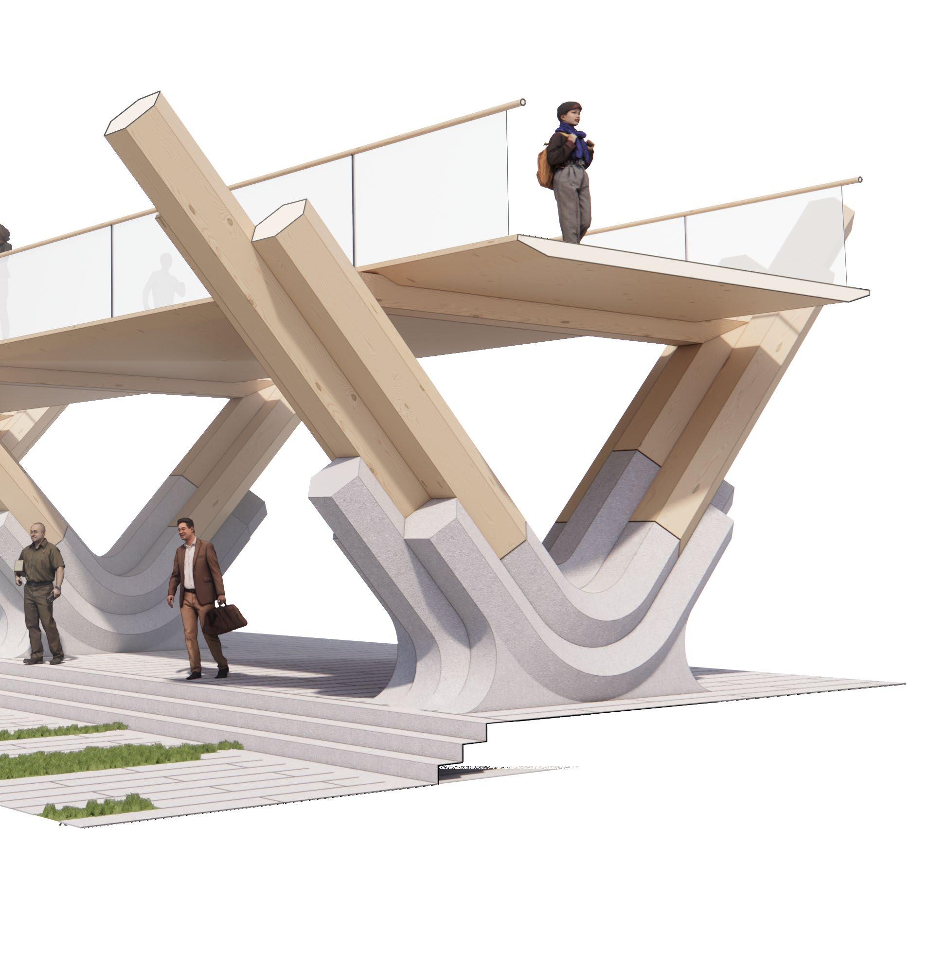
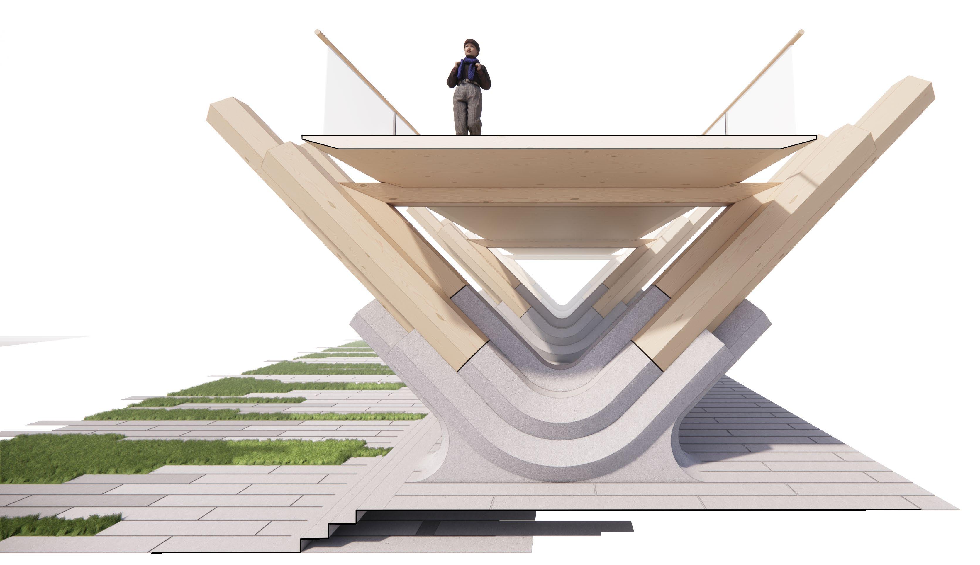
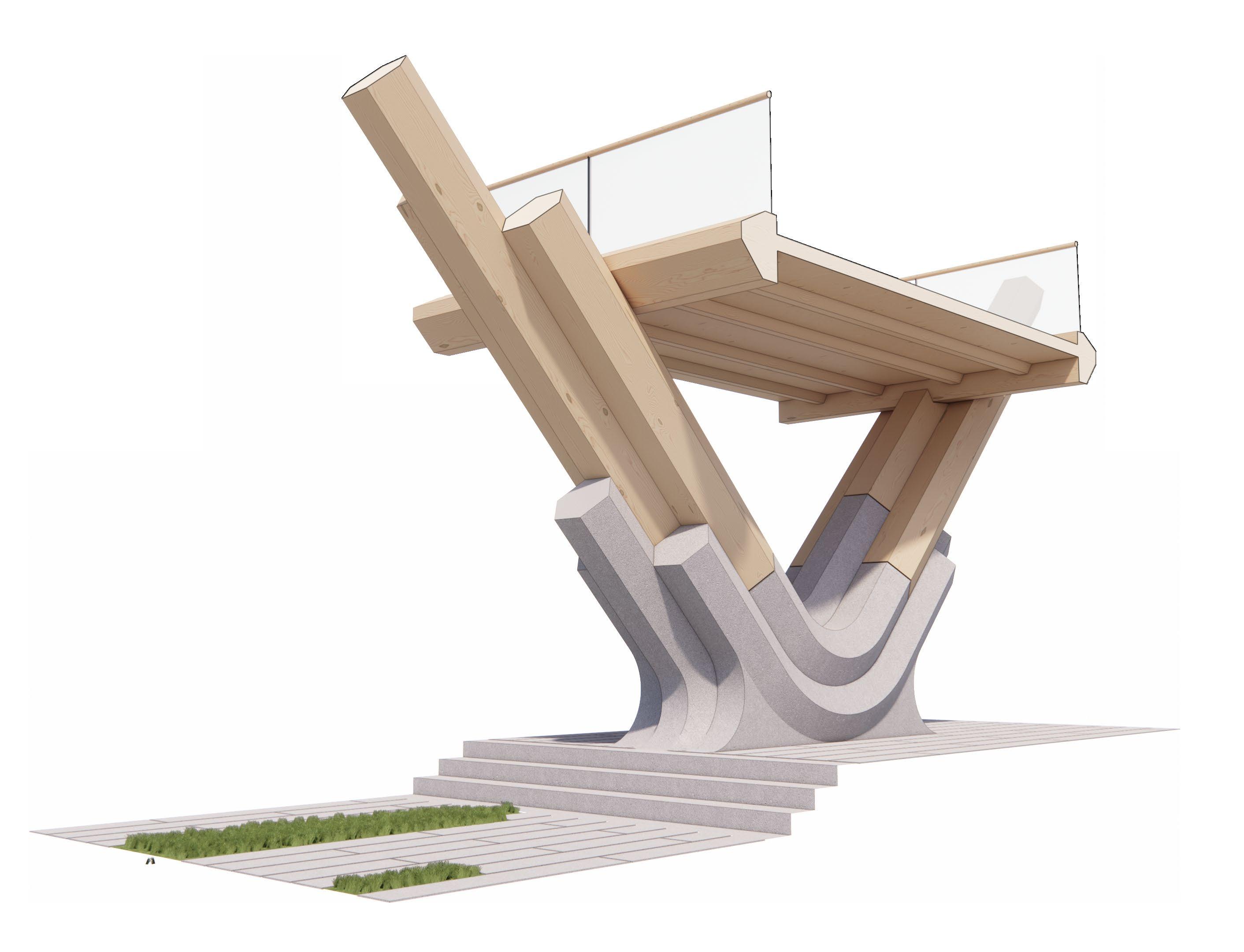
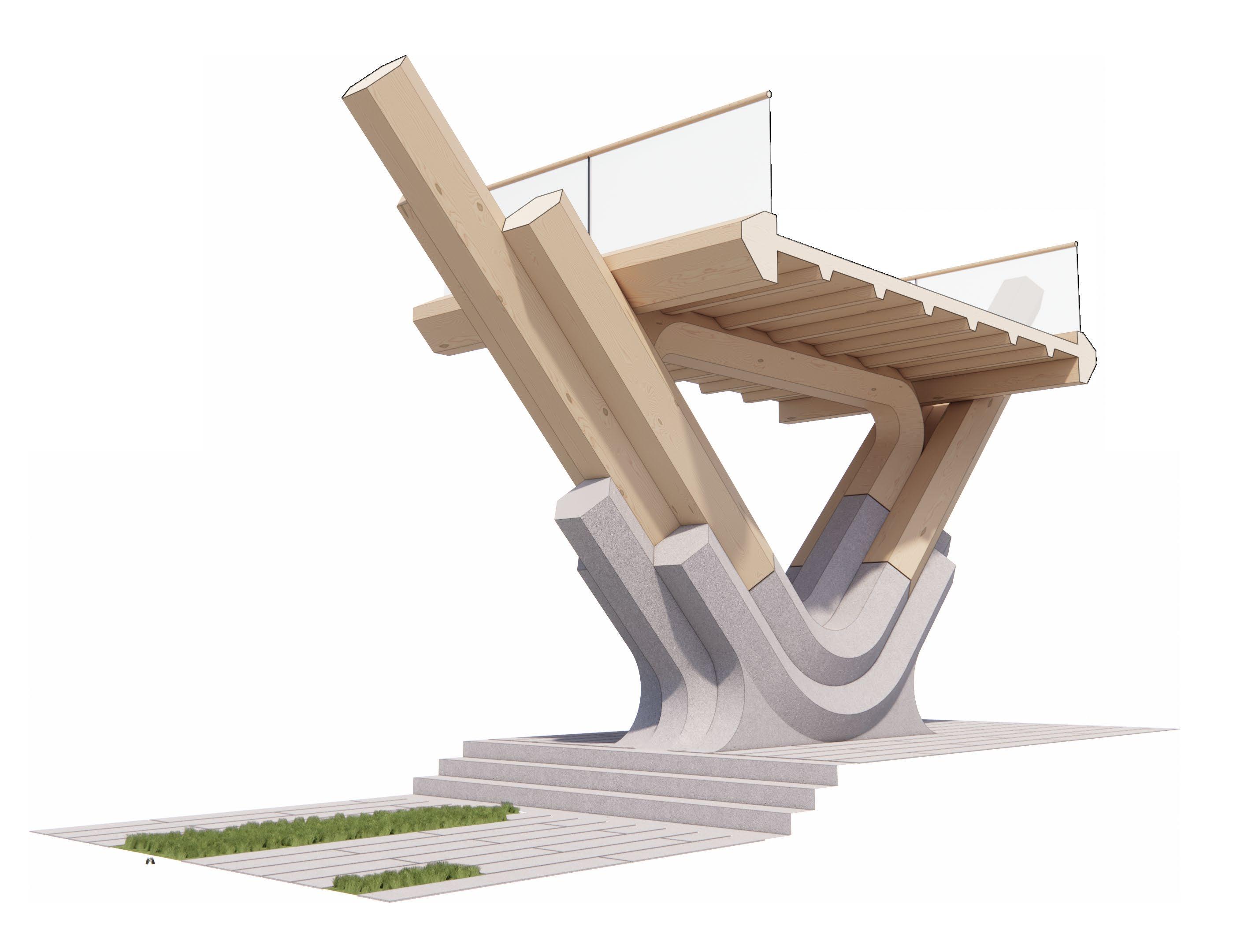
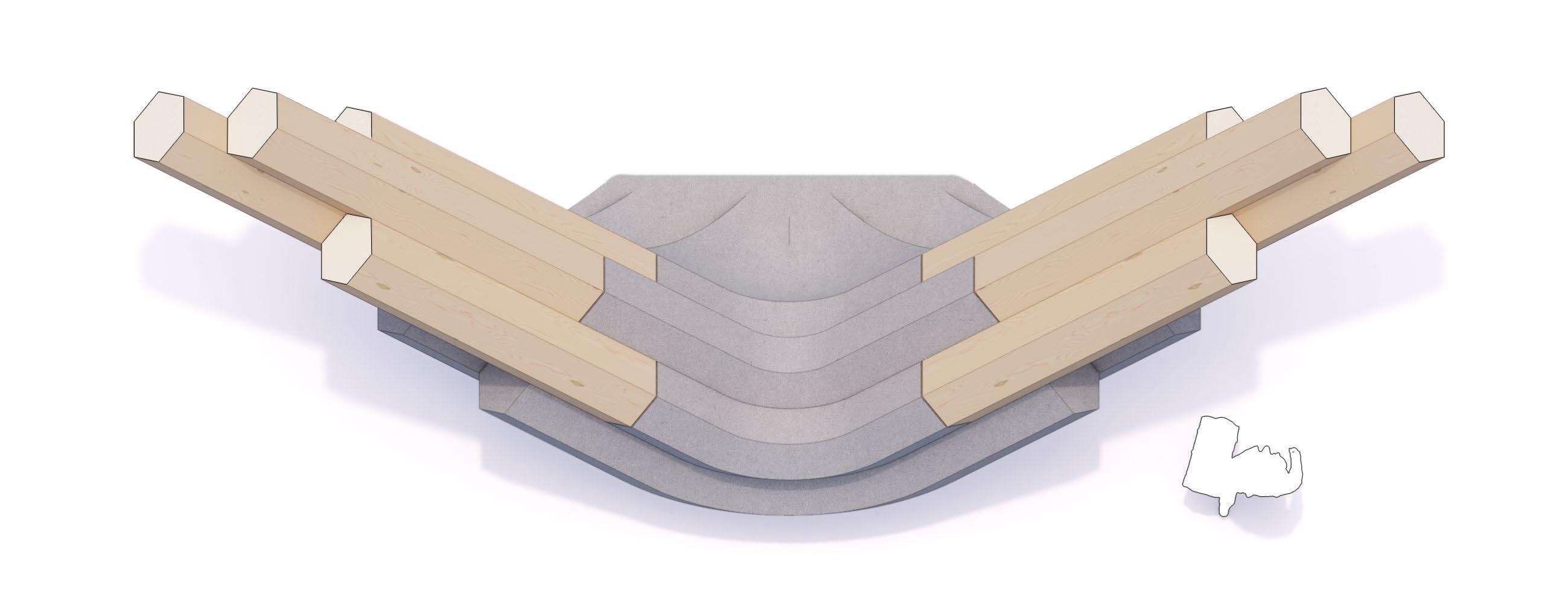
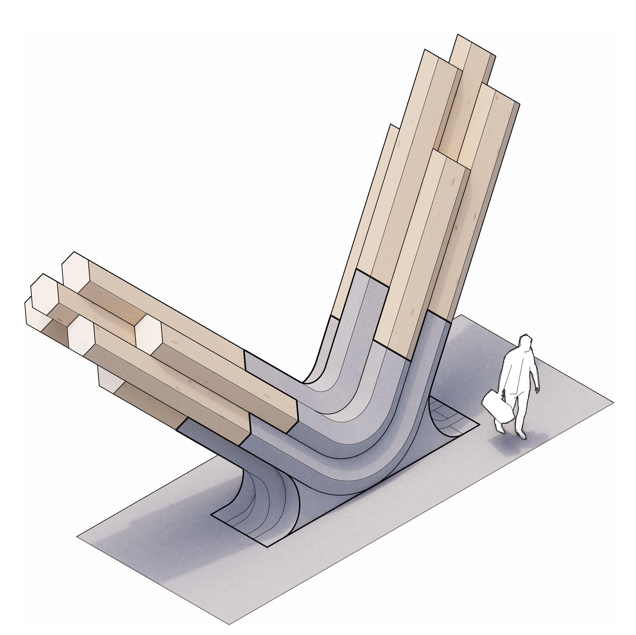
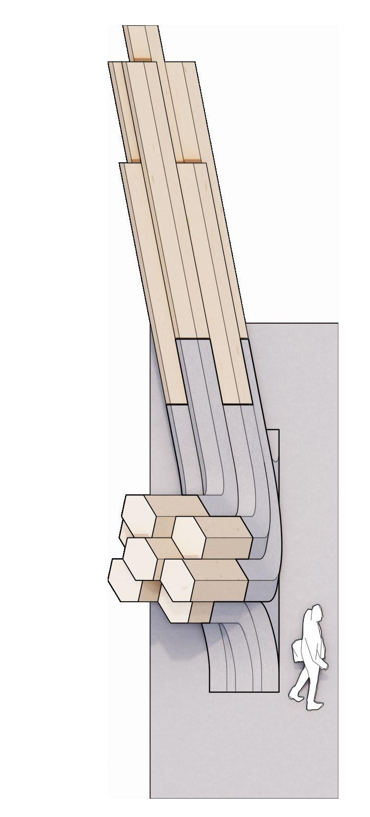
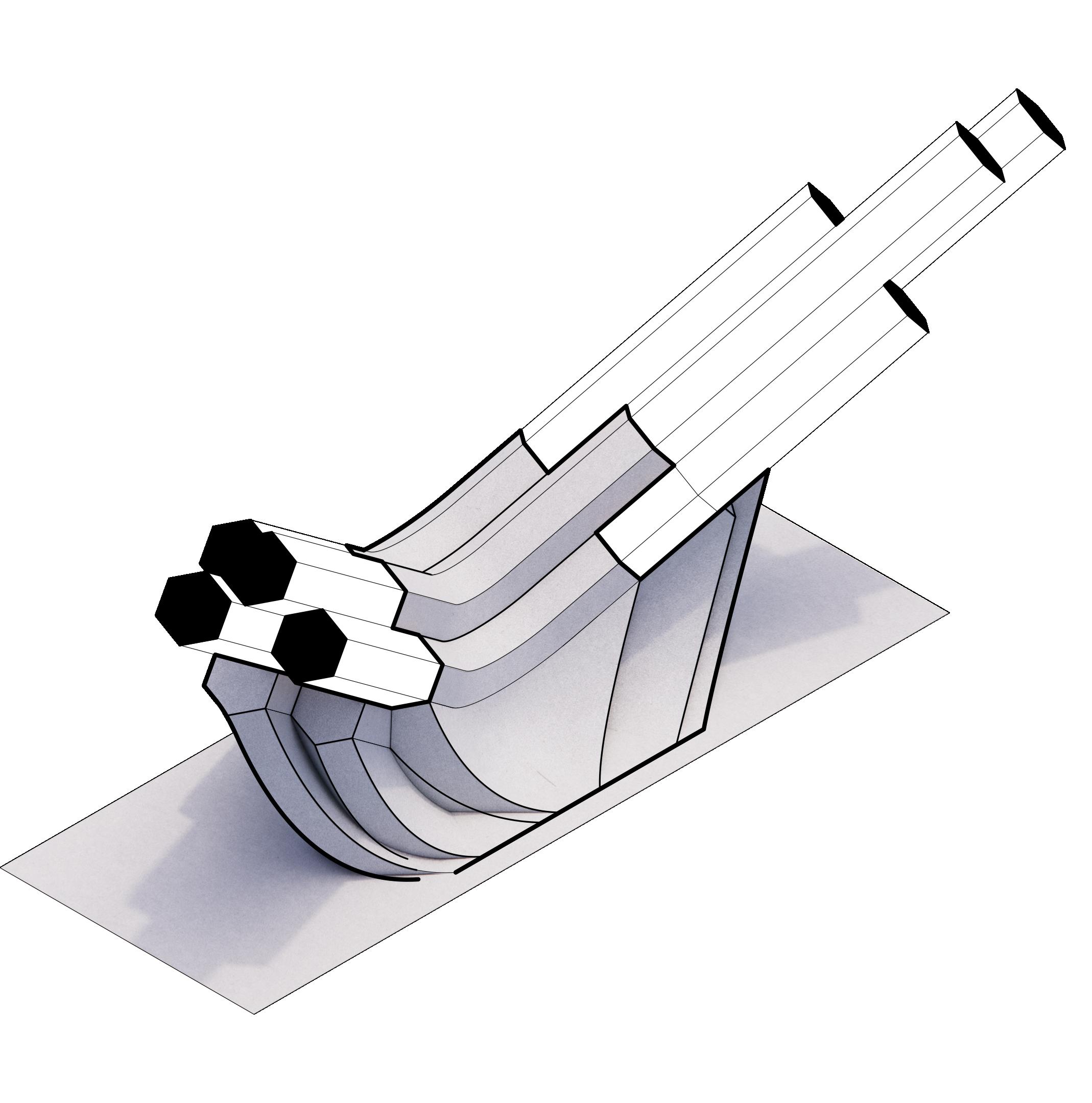
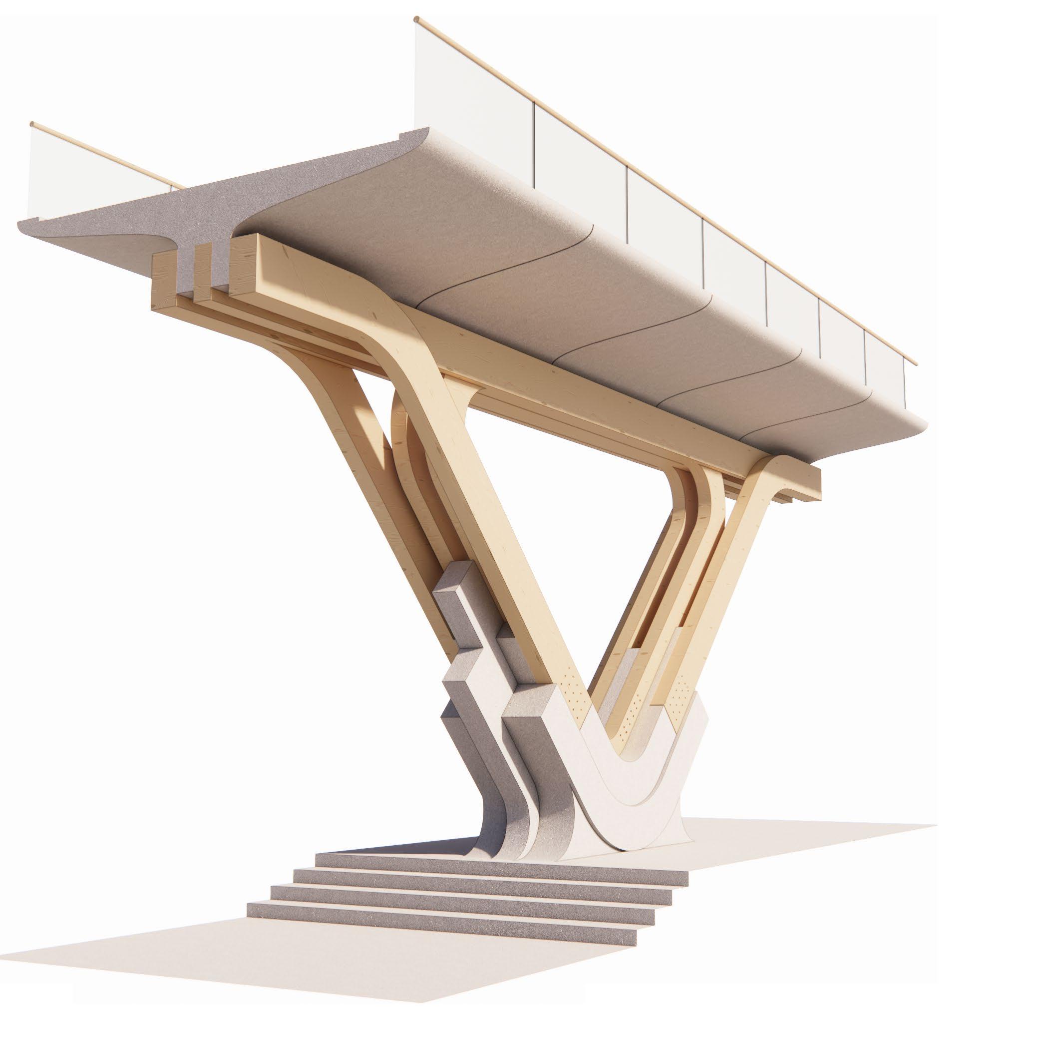
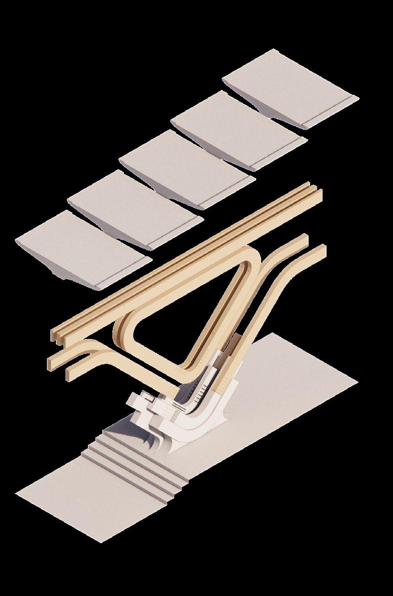
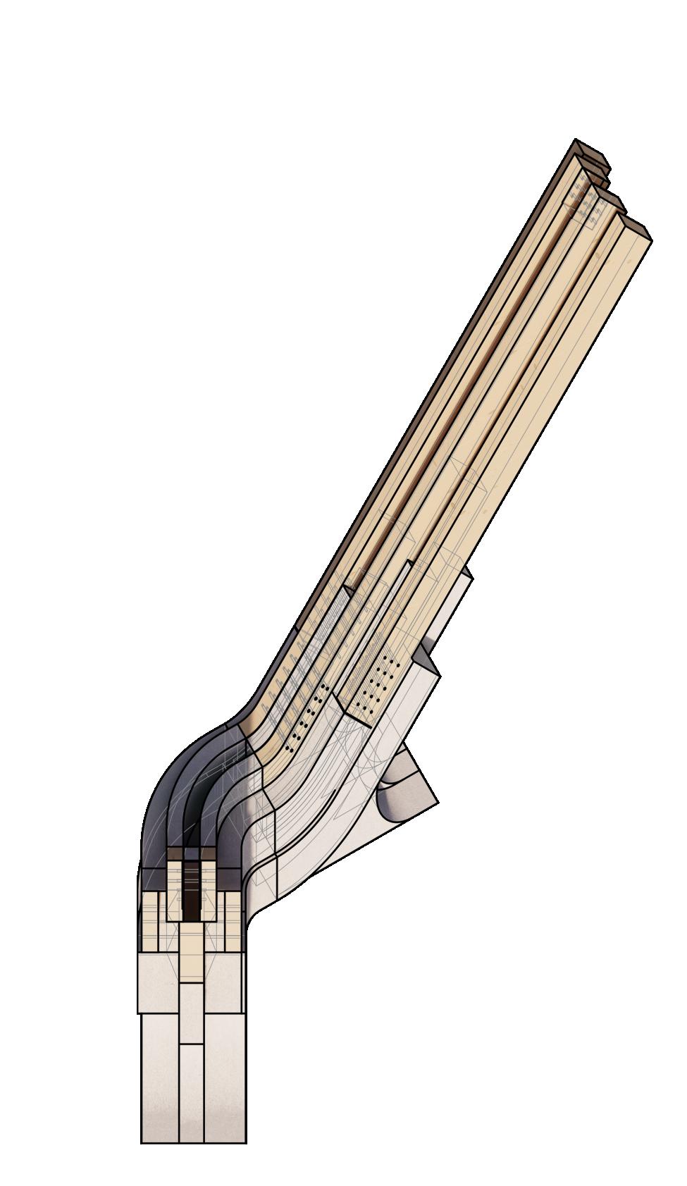
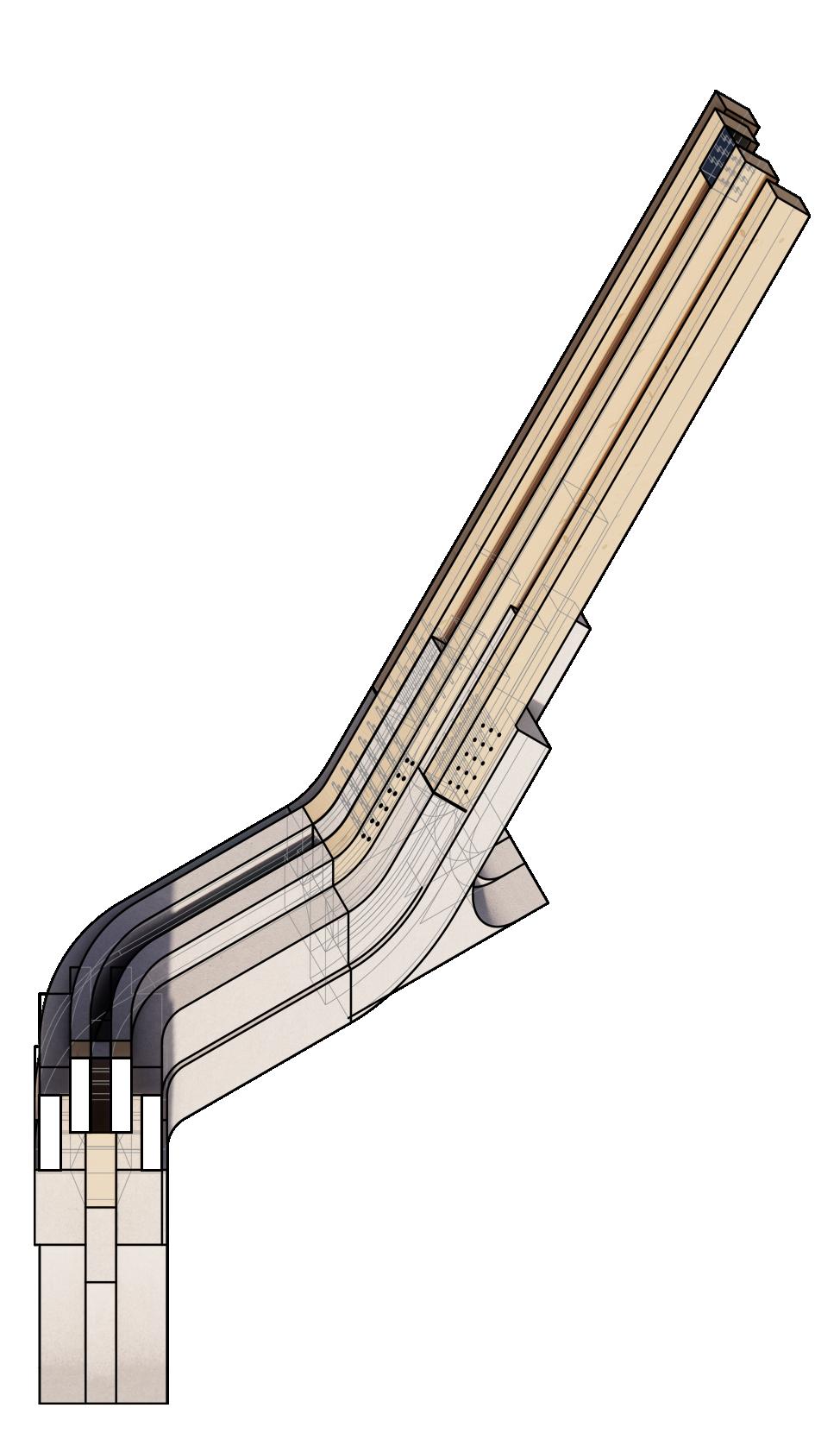
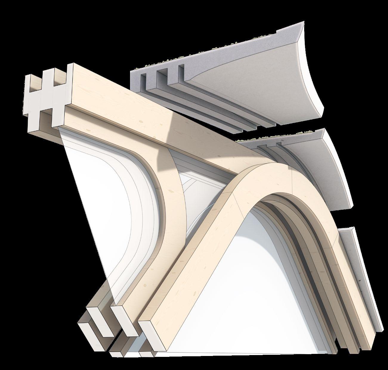
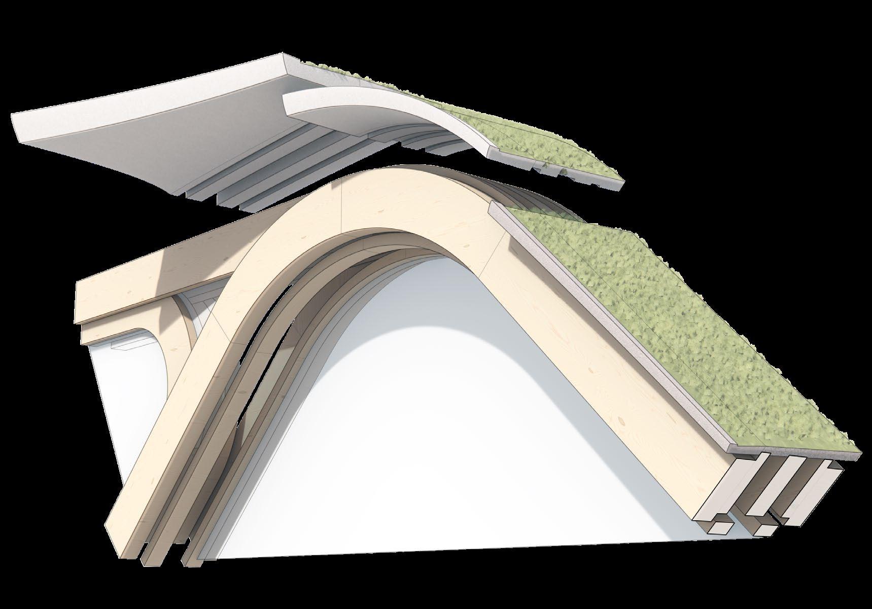
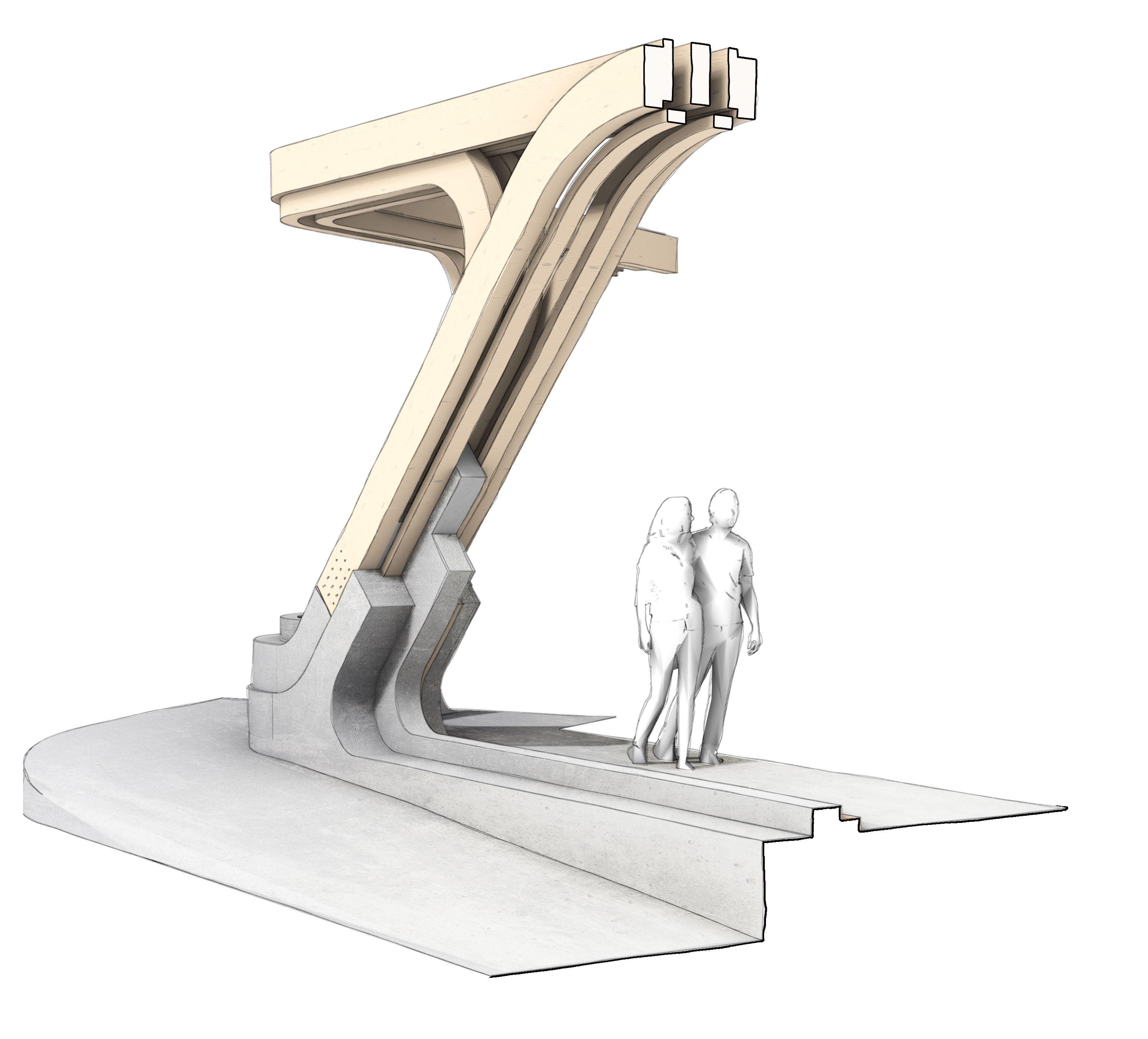
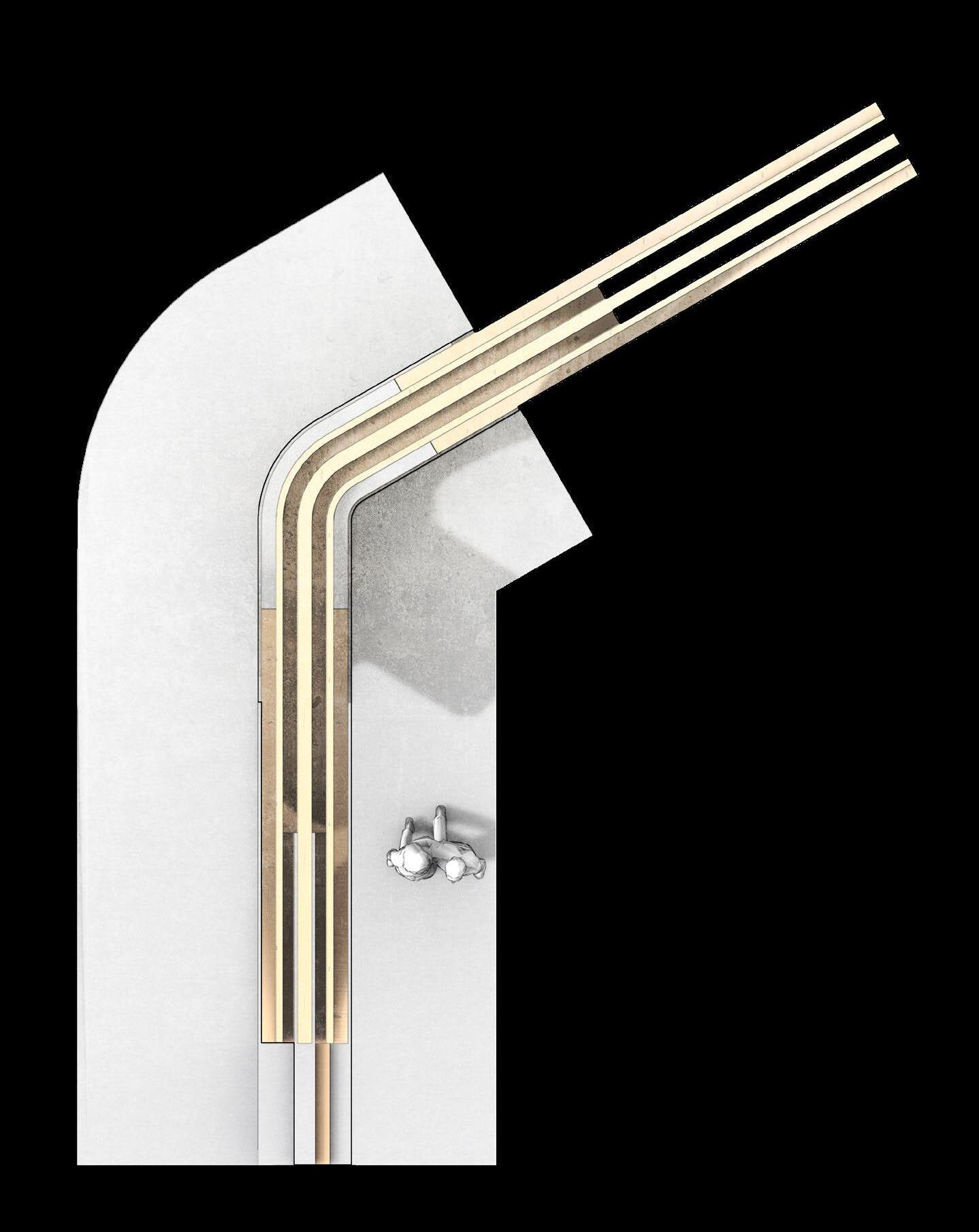
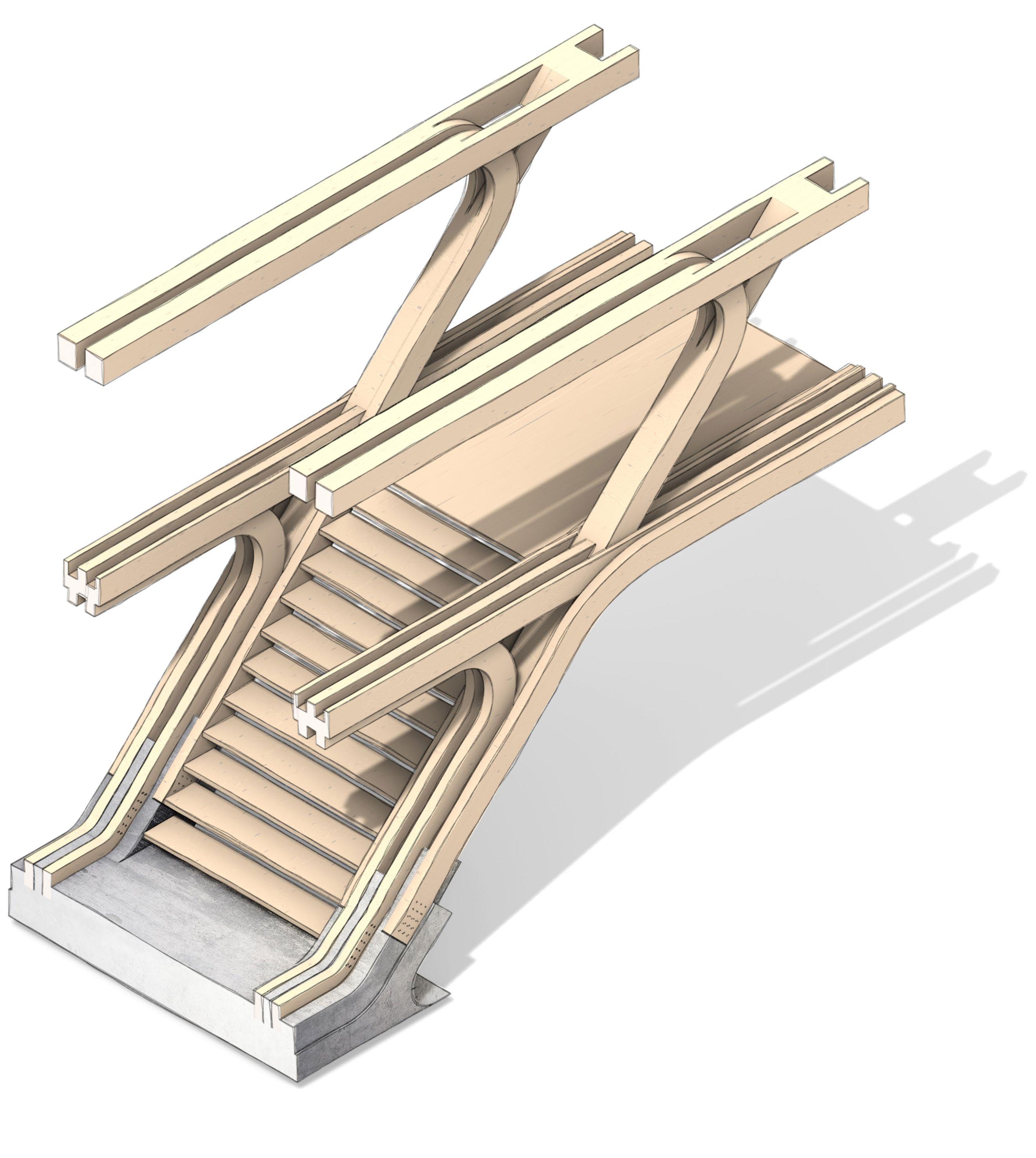
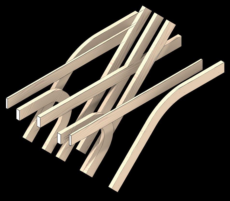
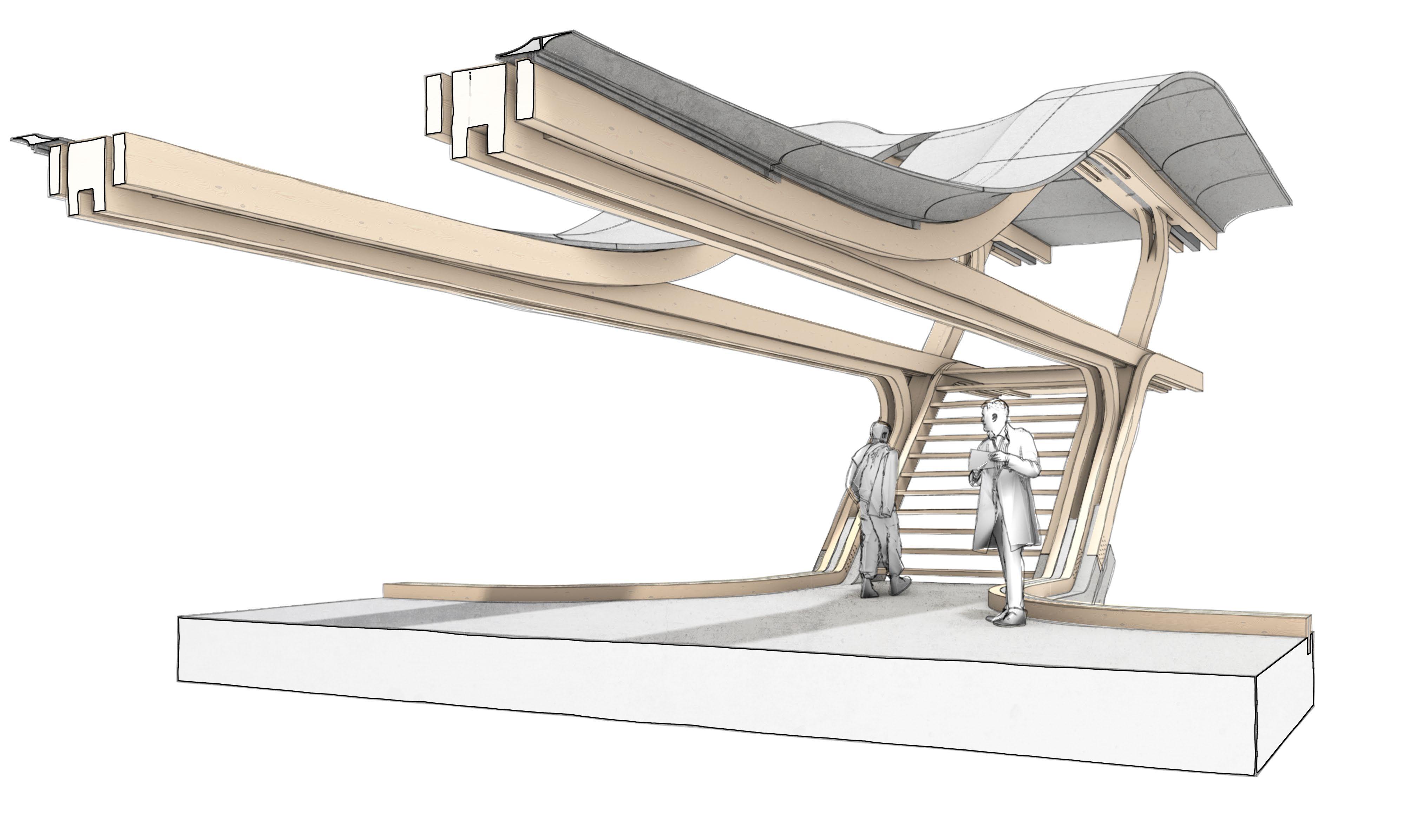
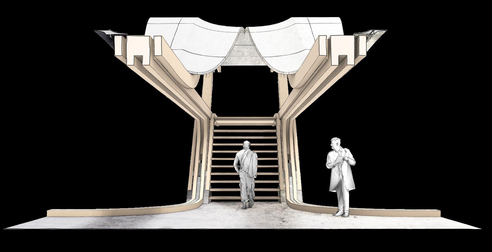
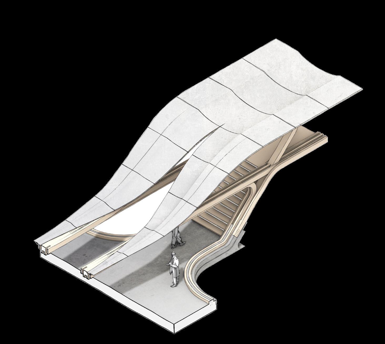
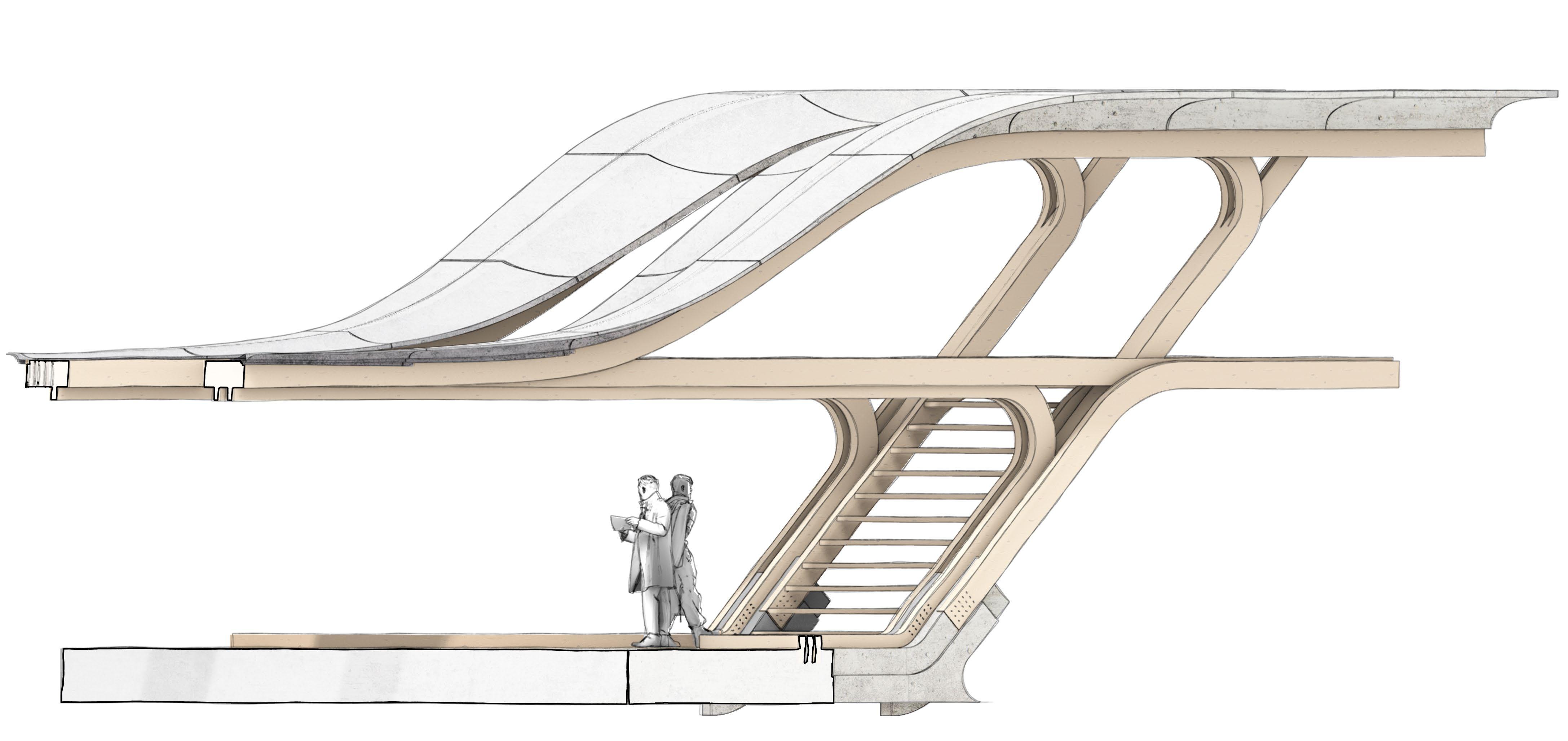
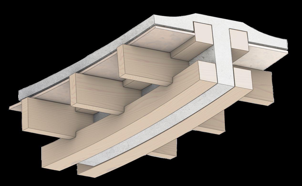
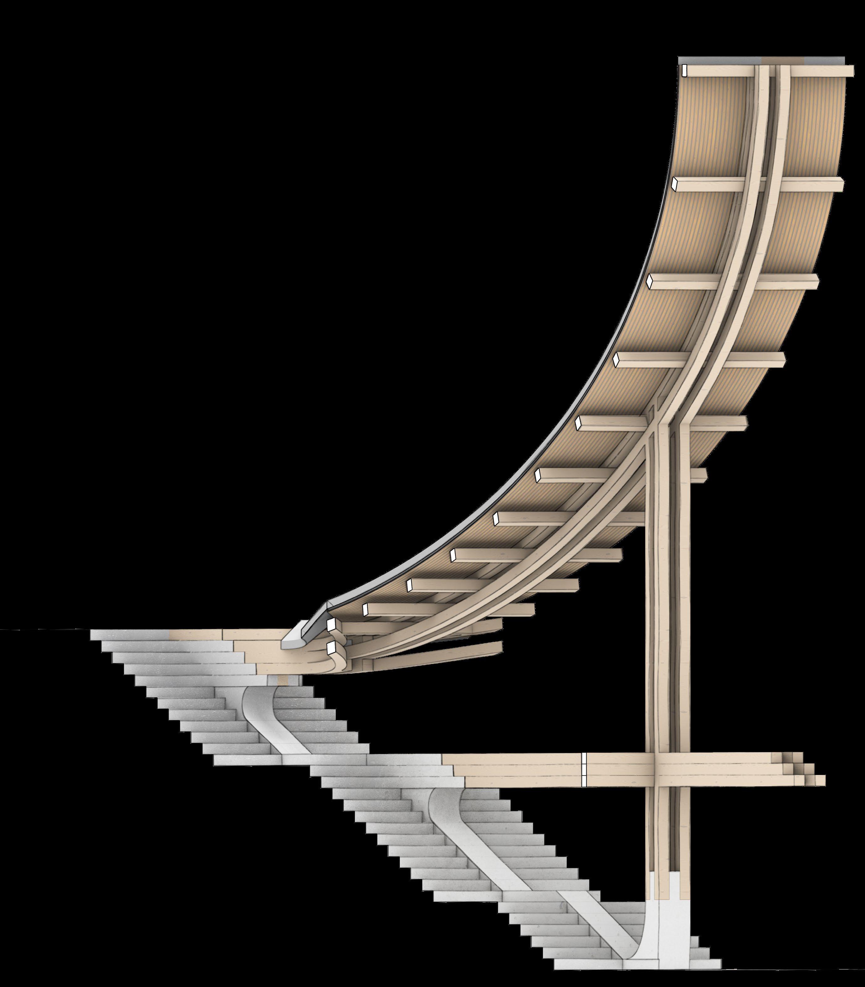
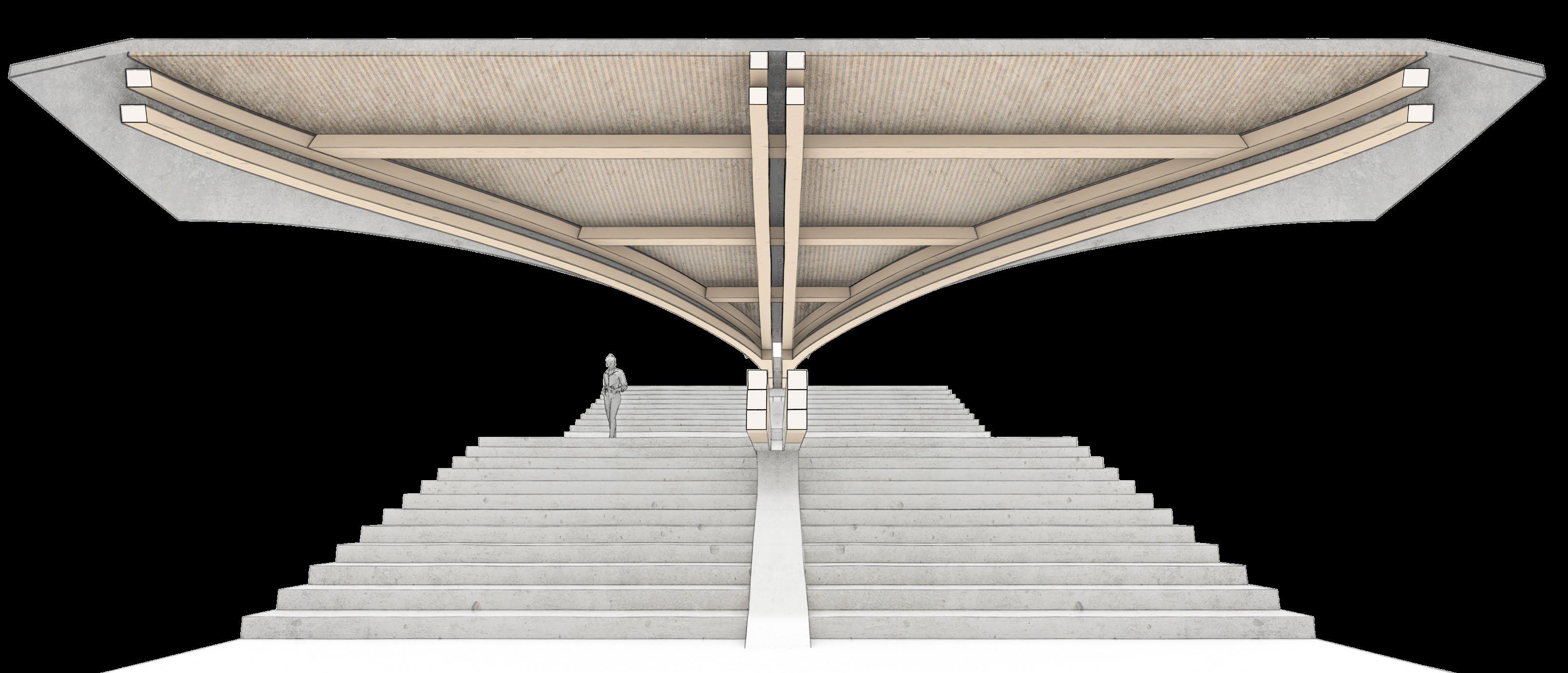
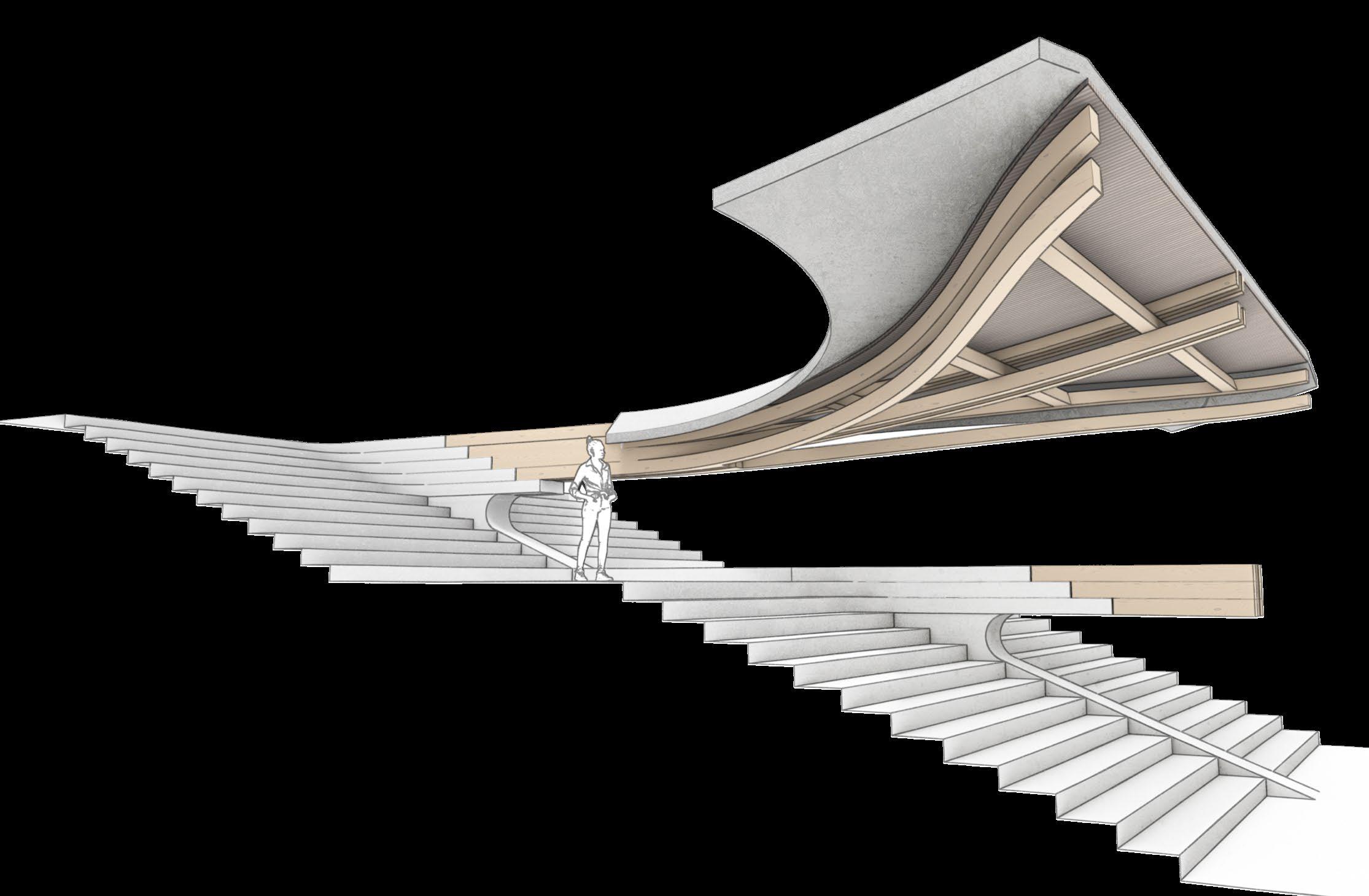
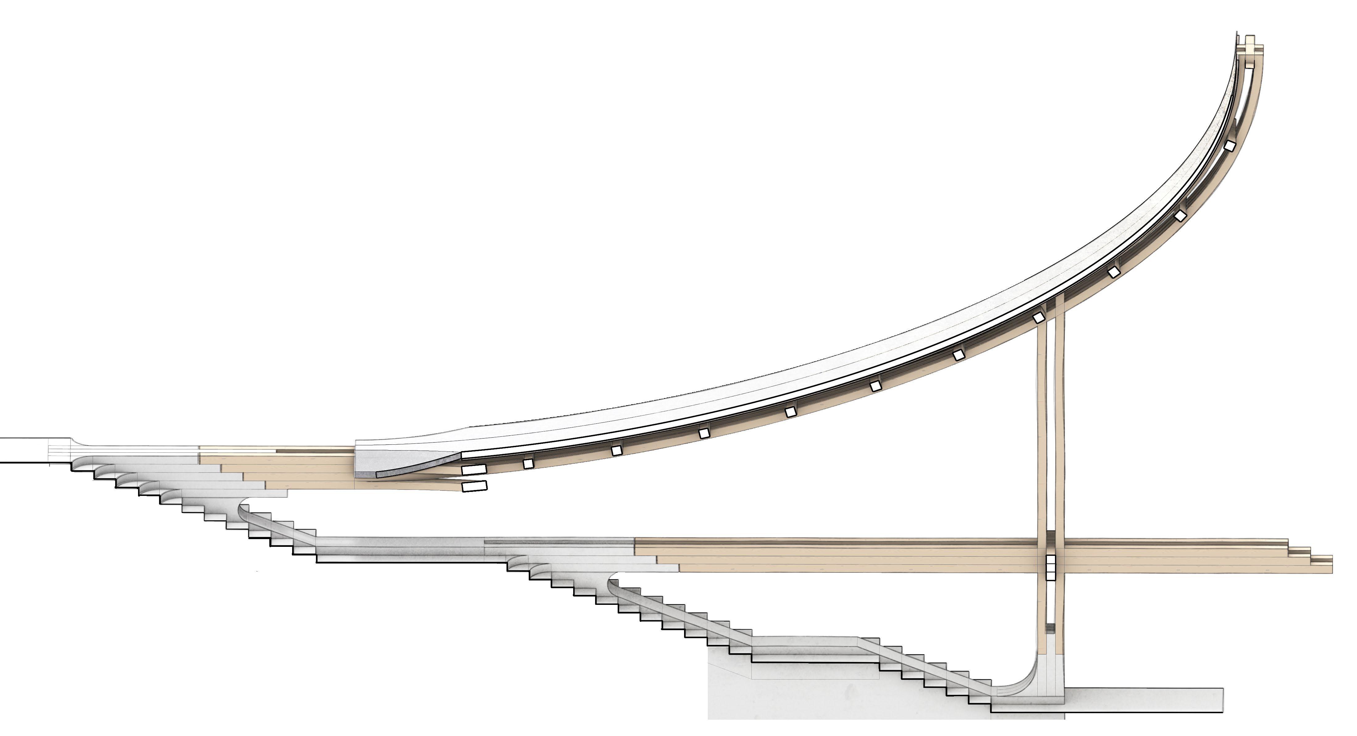
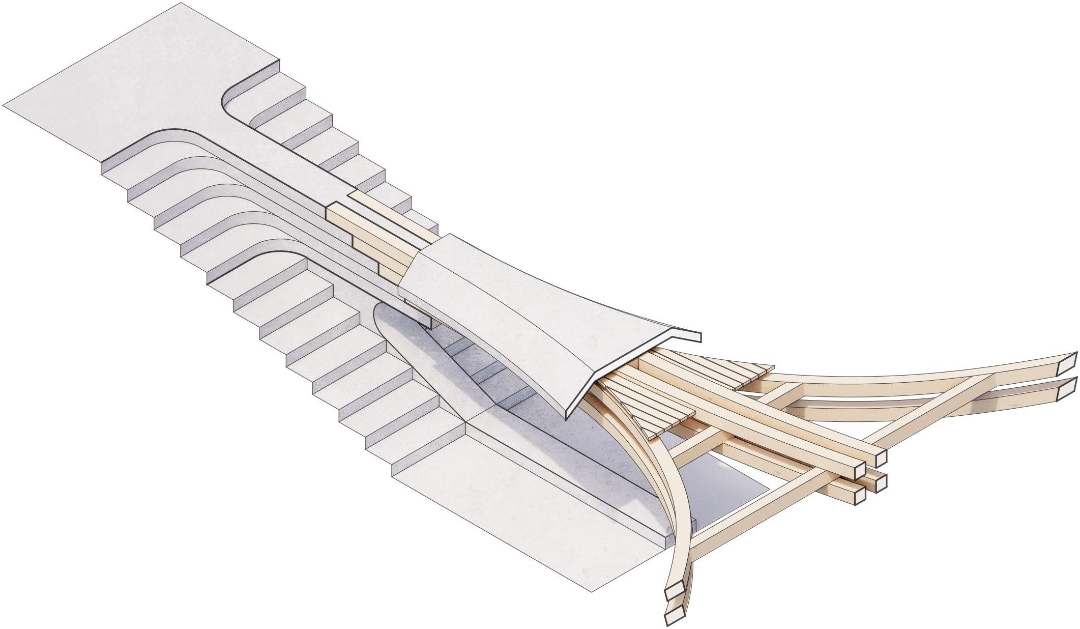
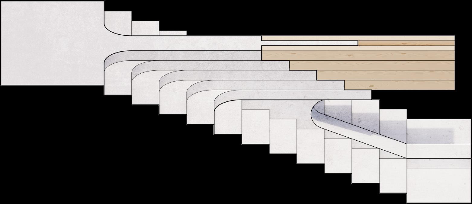
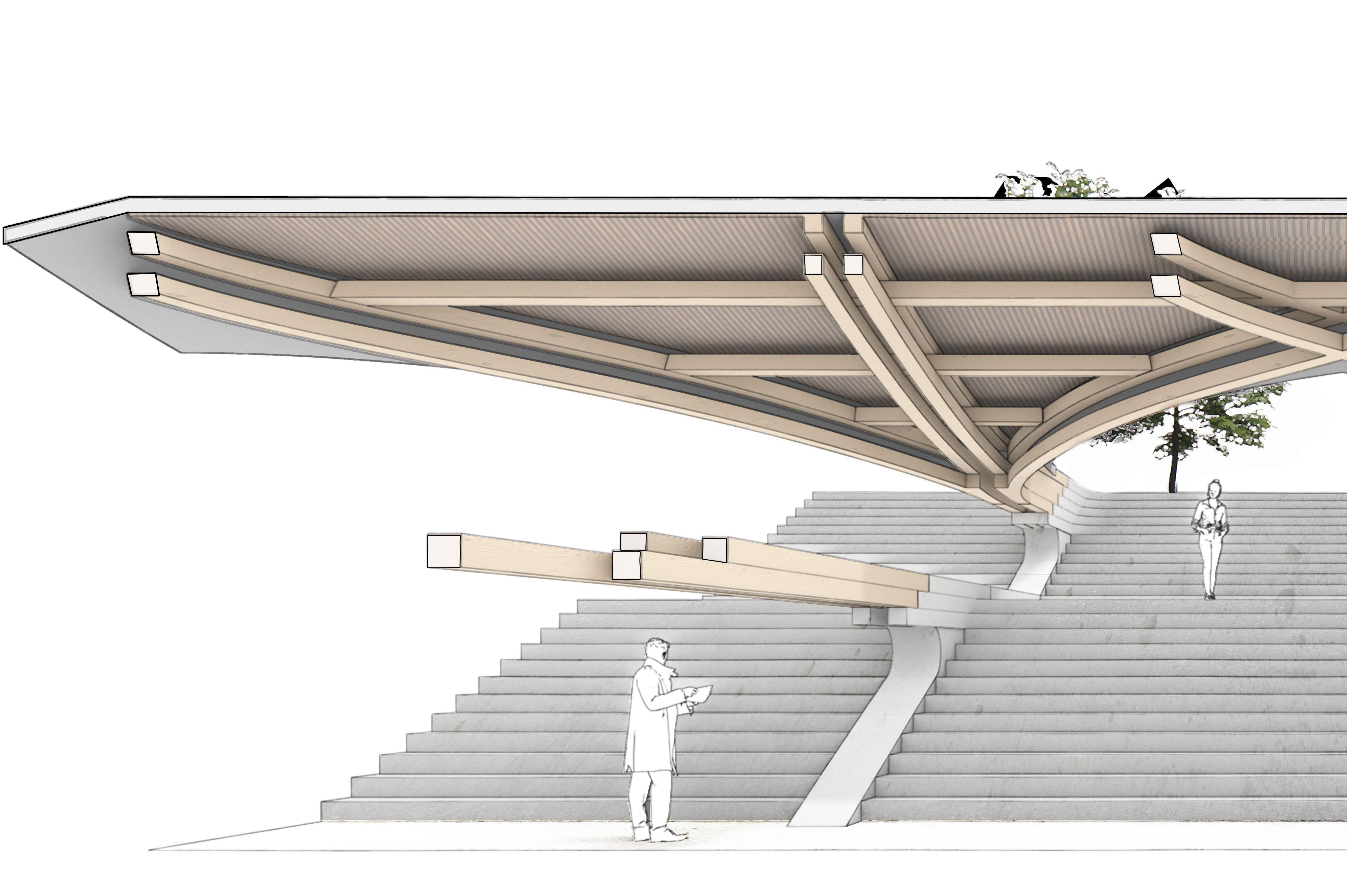
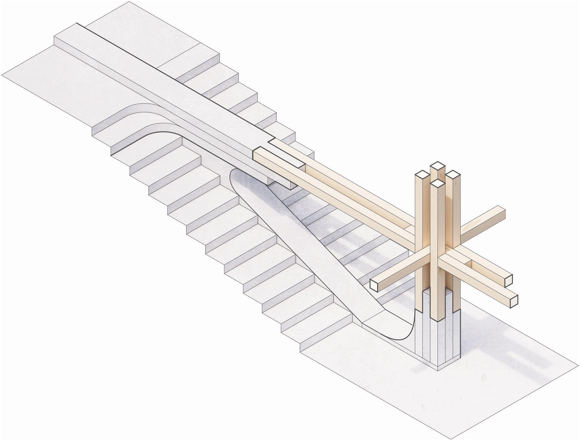
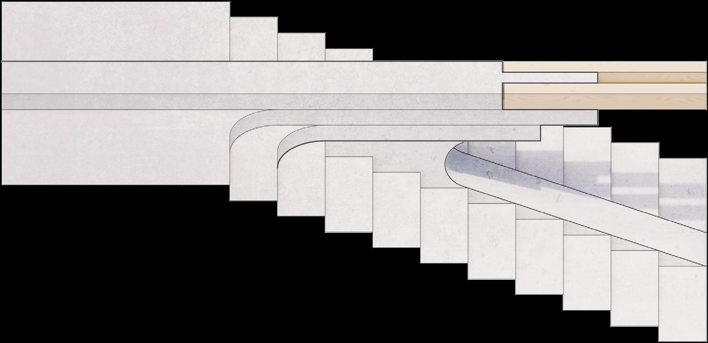
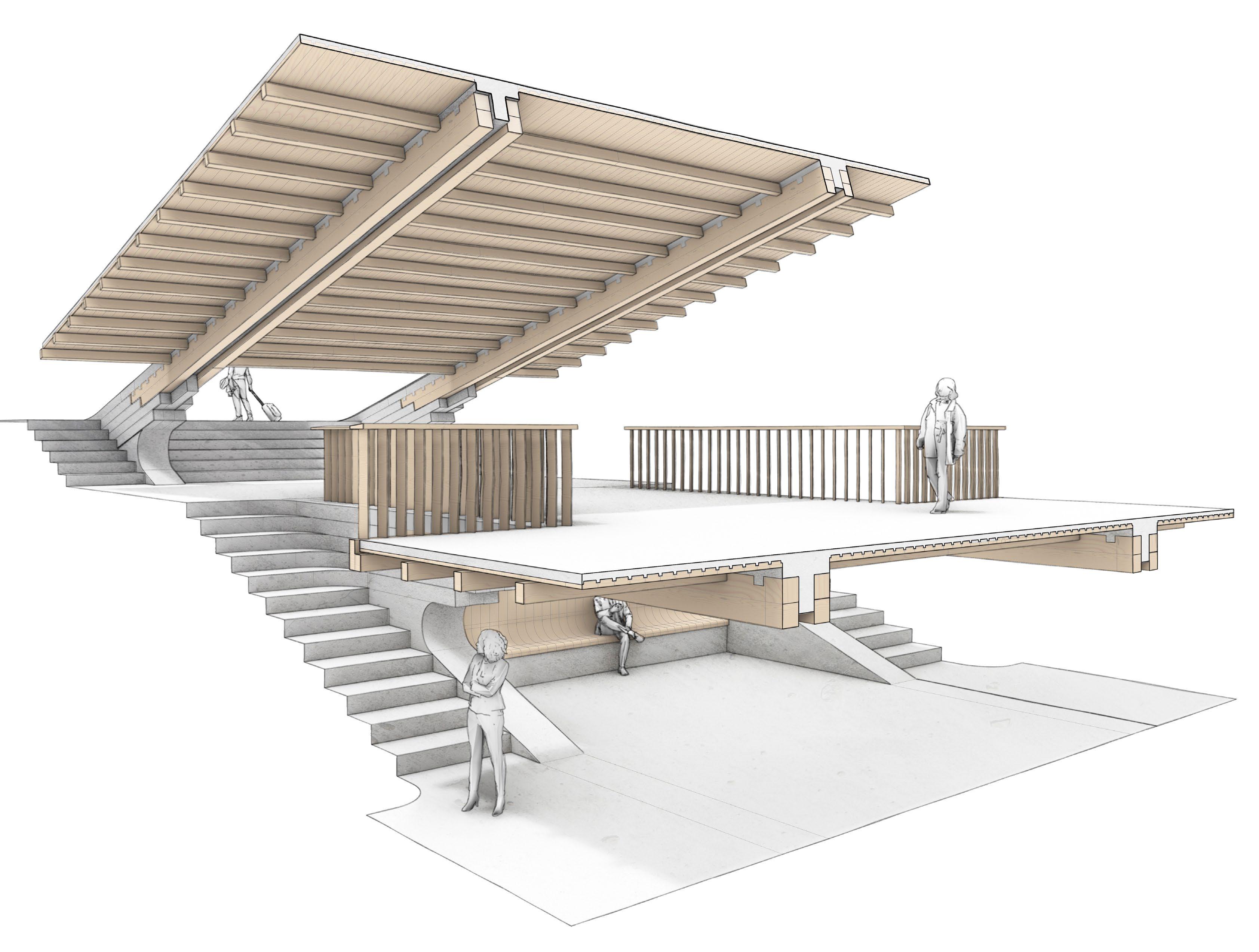
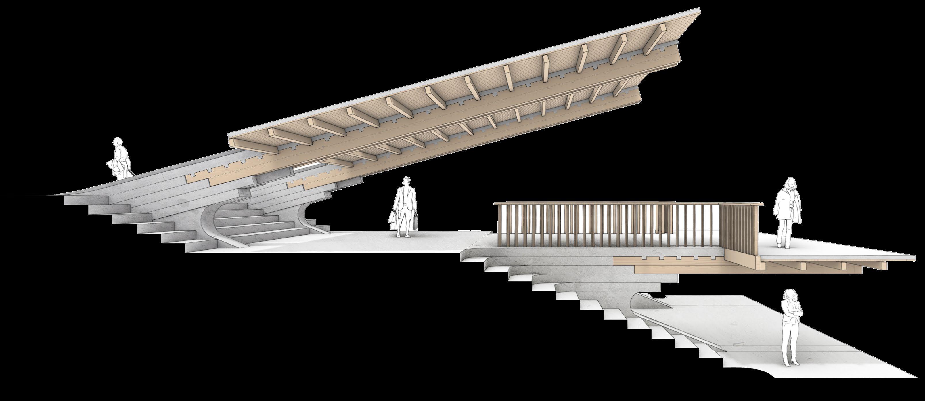
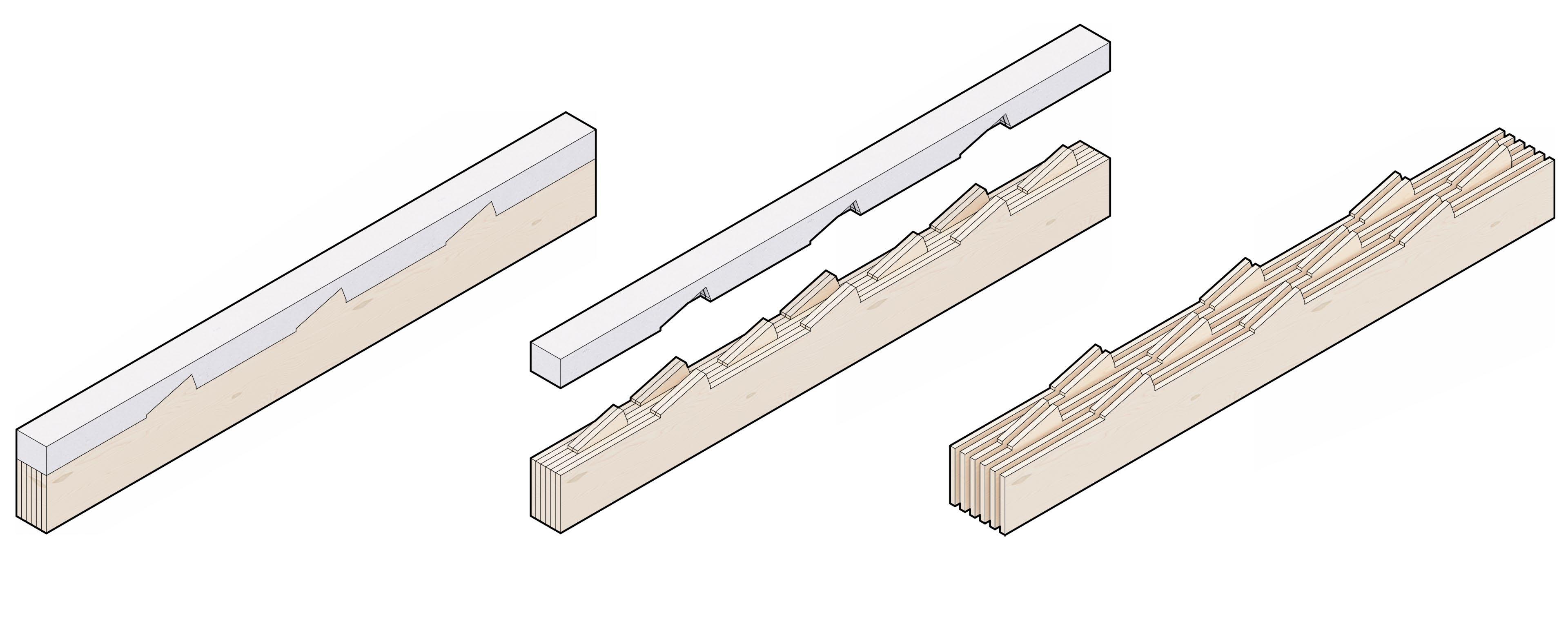
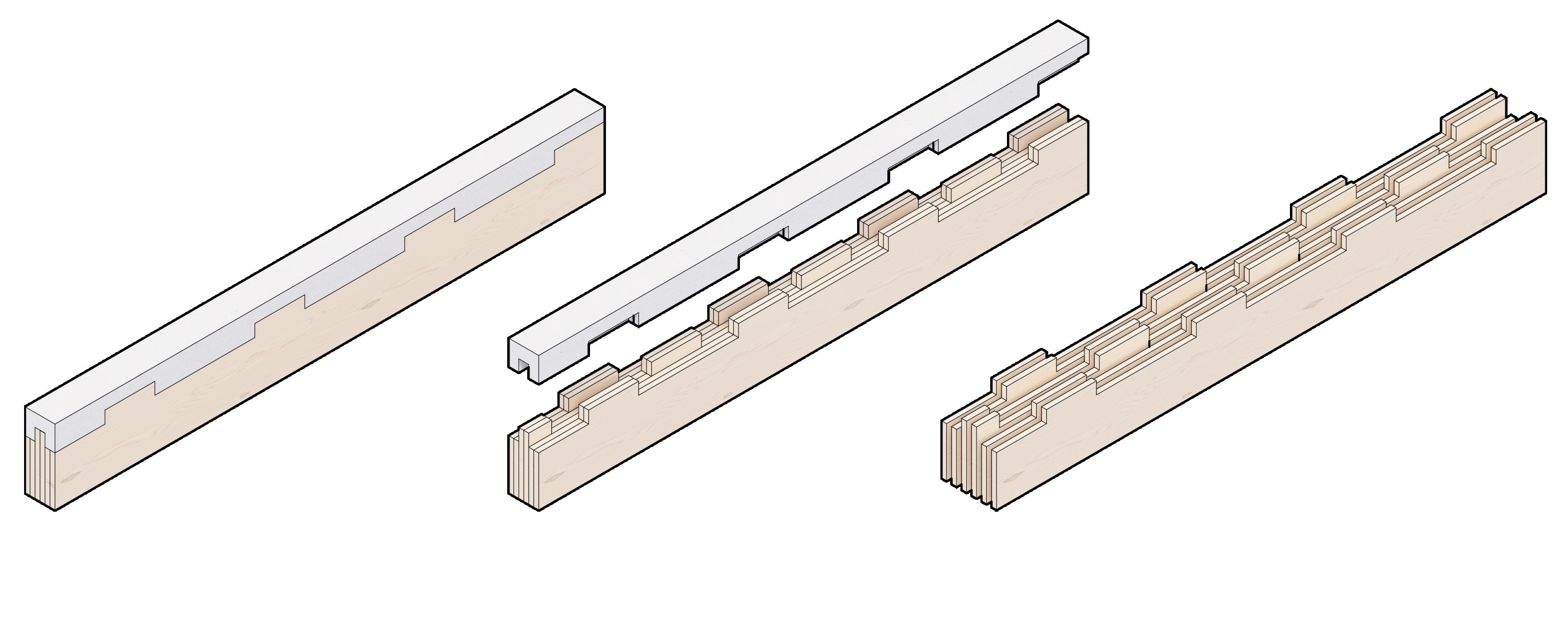
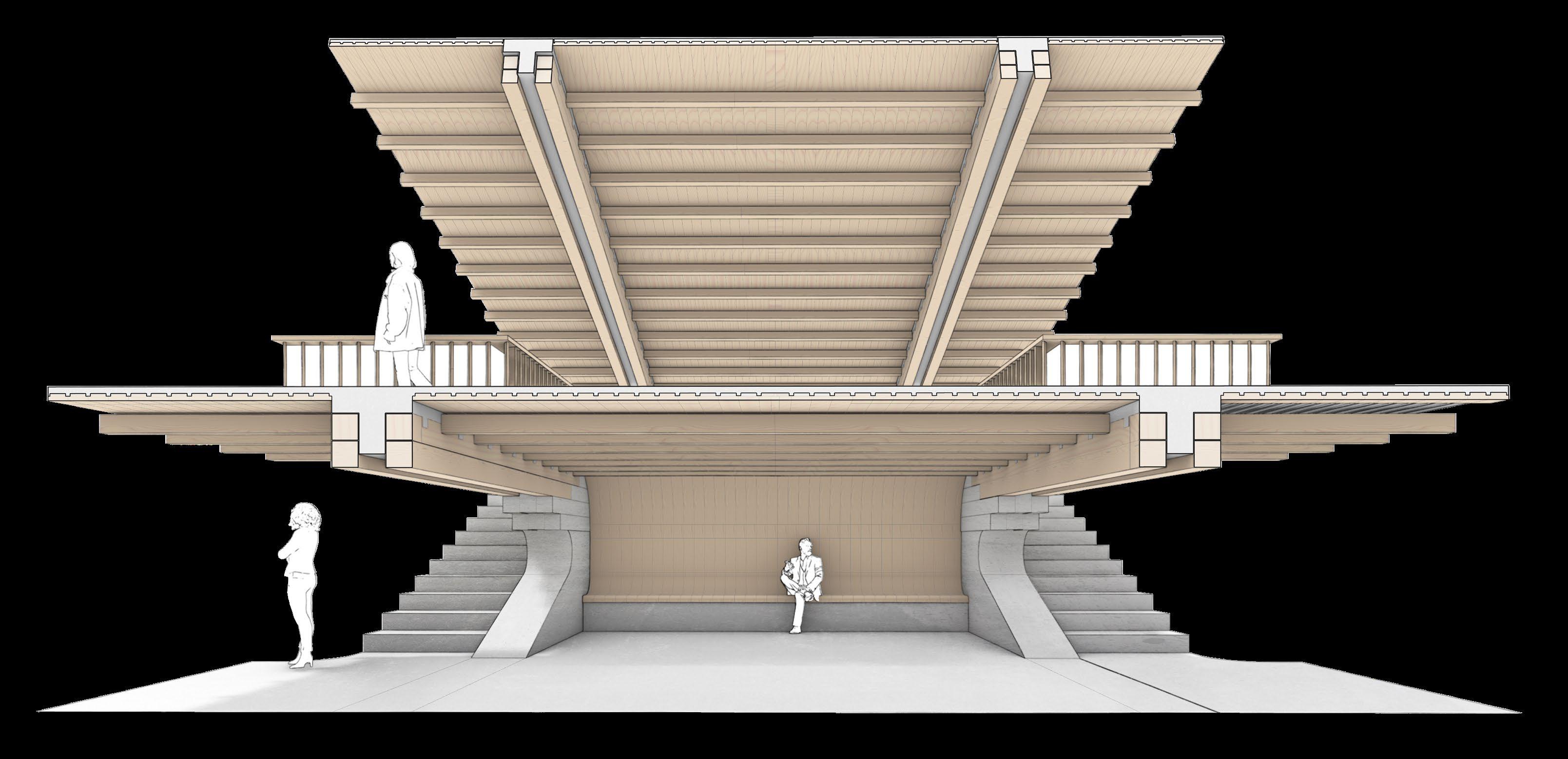
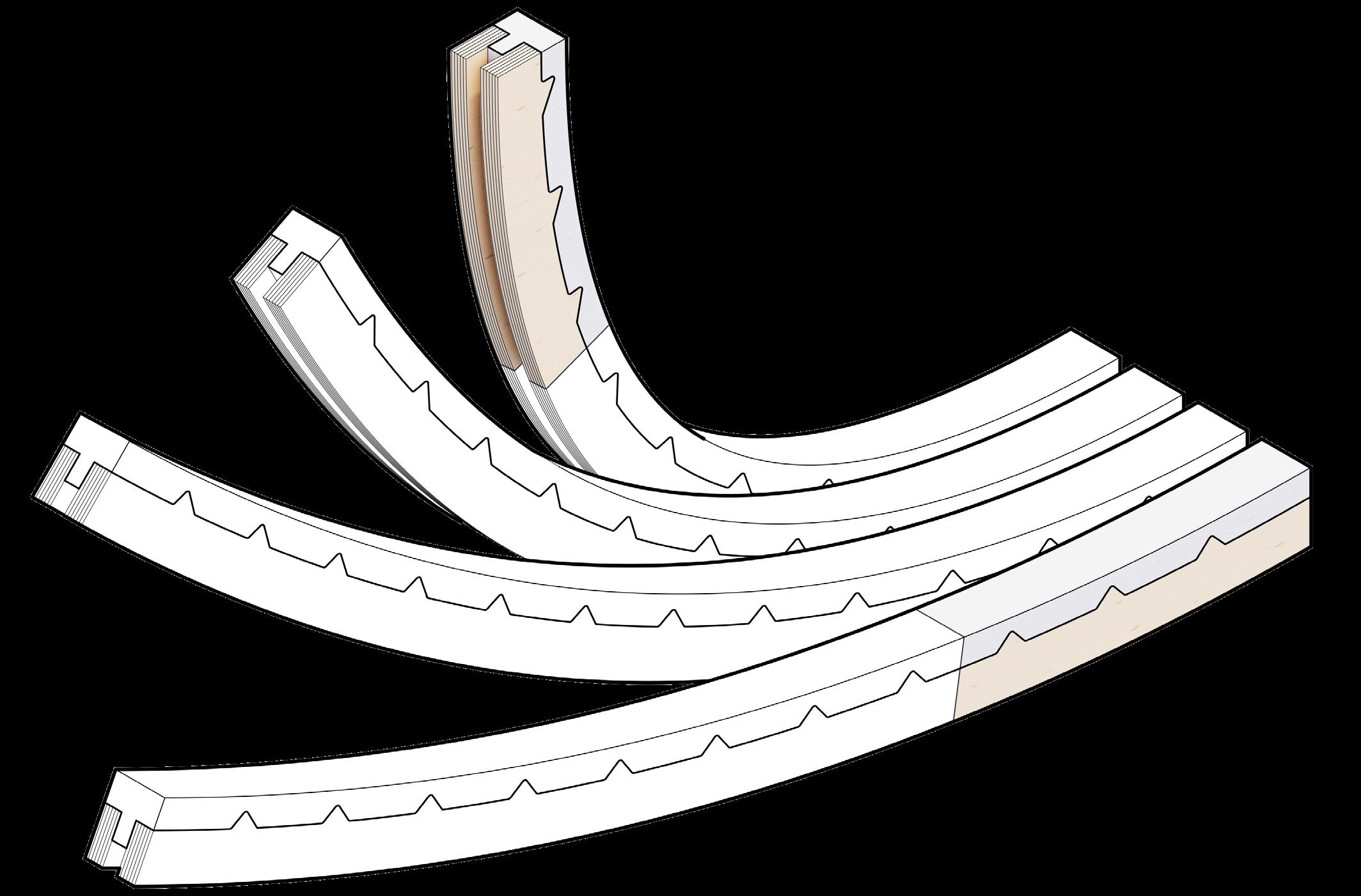
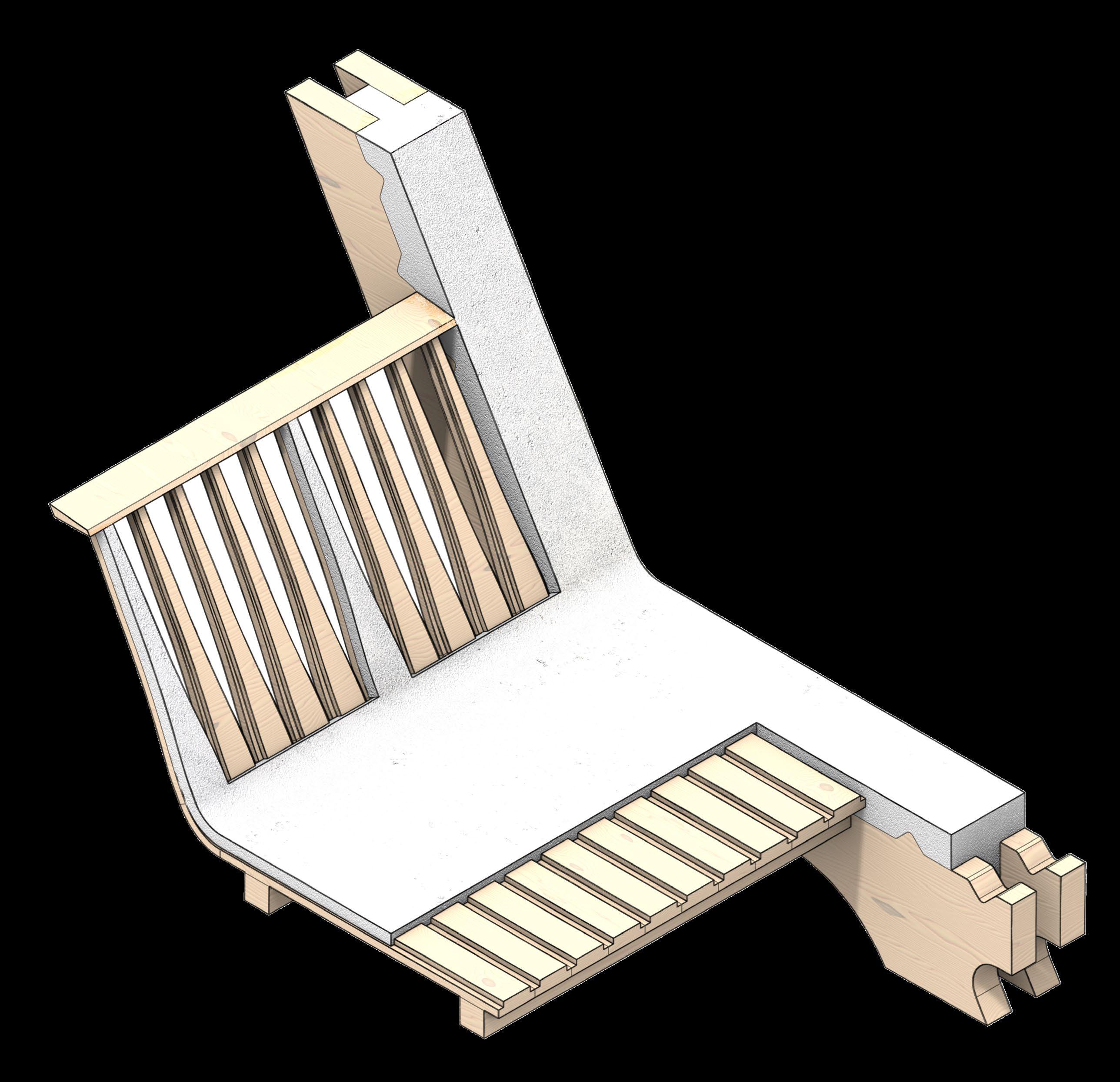
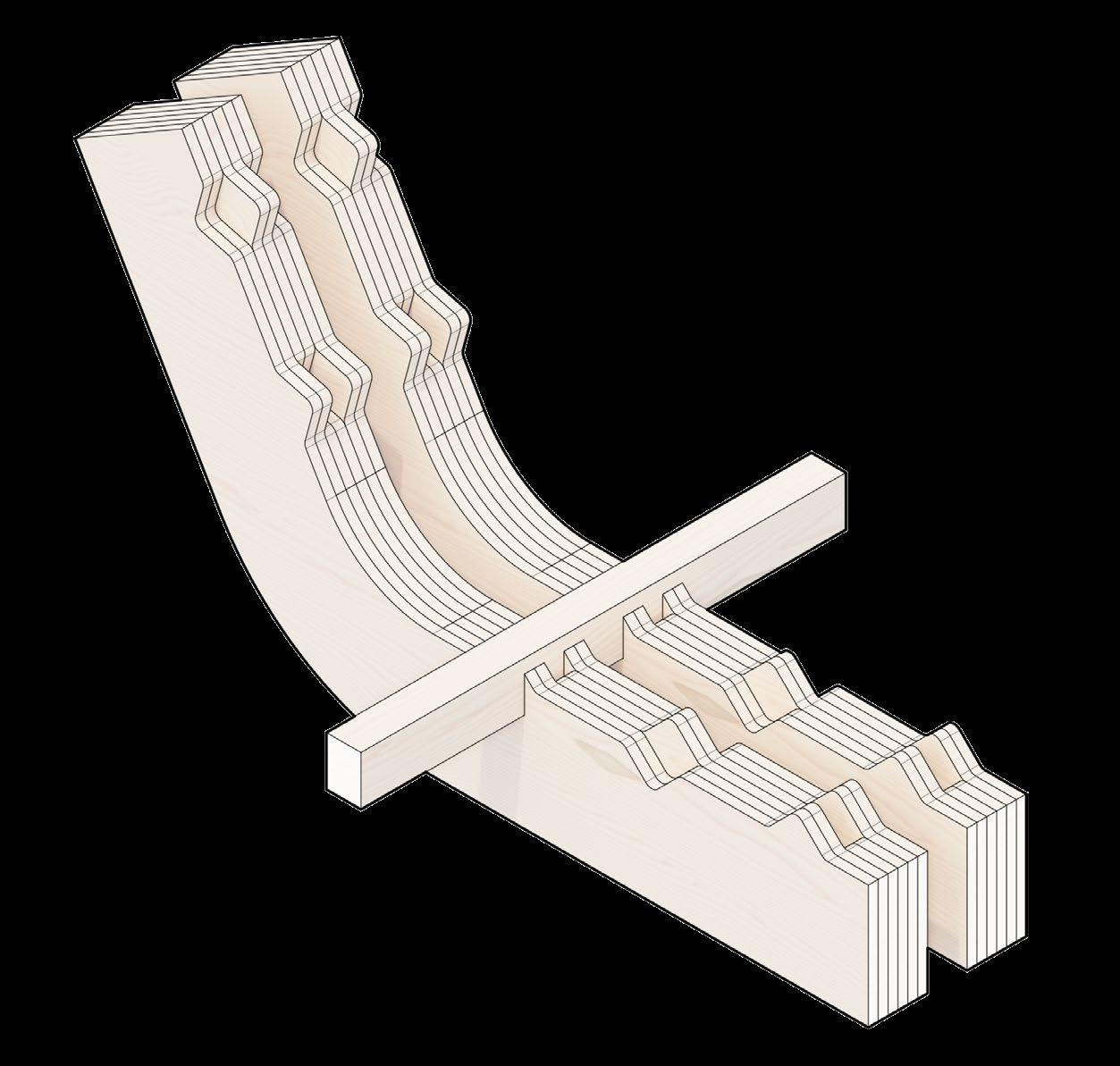
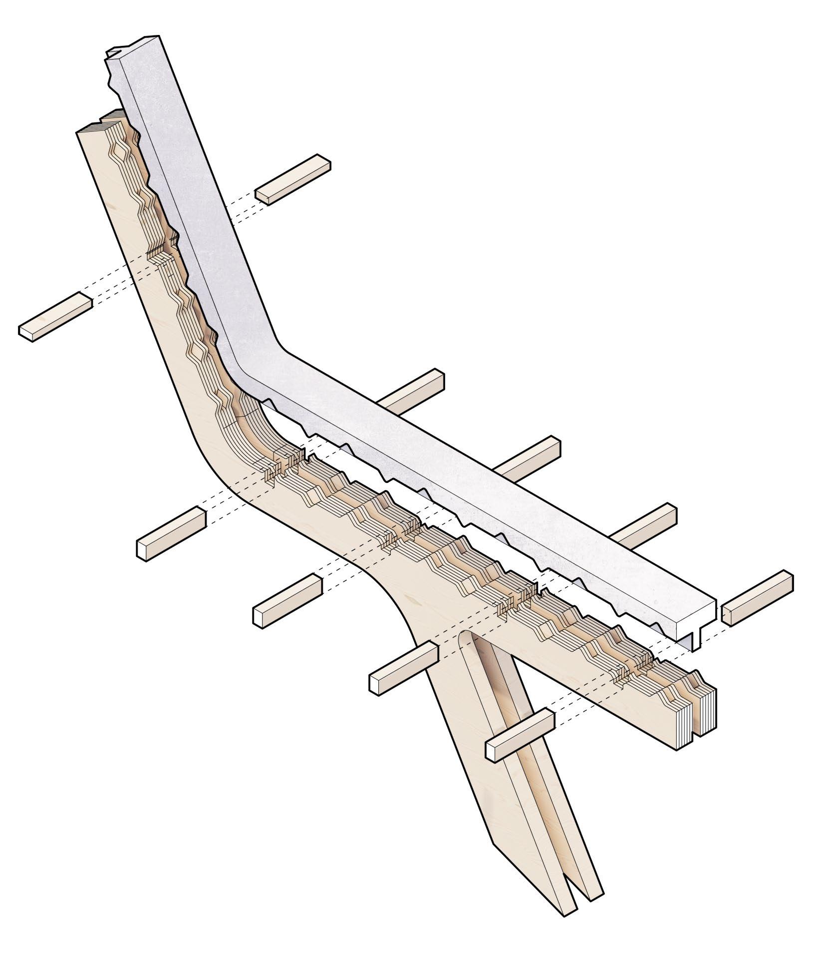
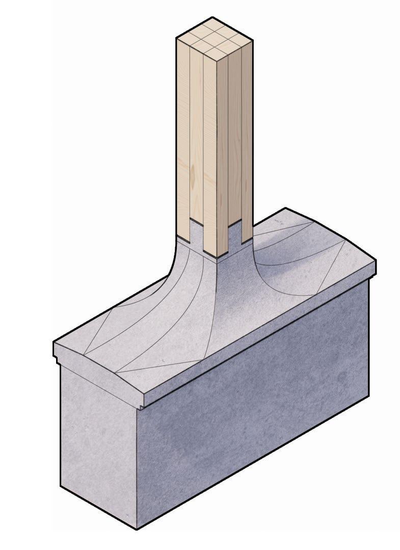
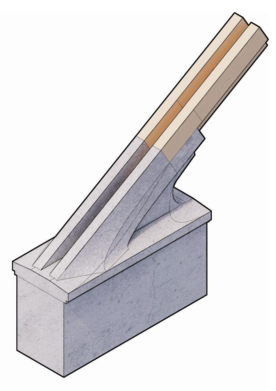
Hybrid timber-concrete composite structures offer numerous benefits over purely timber or purely concrete structures; the advantages of one can compensate for the disadvantages of the other, allowing the outcome to be greater than the sum of its parts. In practice, such hybridization is mostly limited to the simple case of timber beams and precast slab toppings. These investigations push those principles further, exploring and celebrating the potential interface between timber and concrete with limited intermediaries. The shear connection becomes a moment of expression, and the timber itself becomes a permanent formwork for the concrete above.
01: Regular Collonade
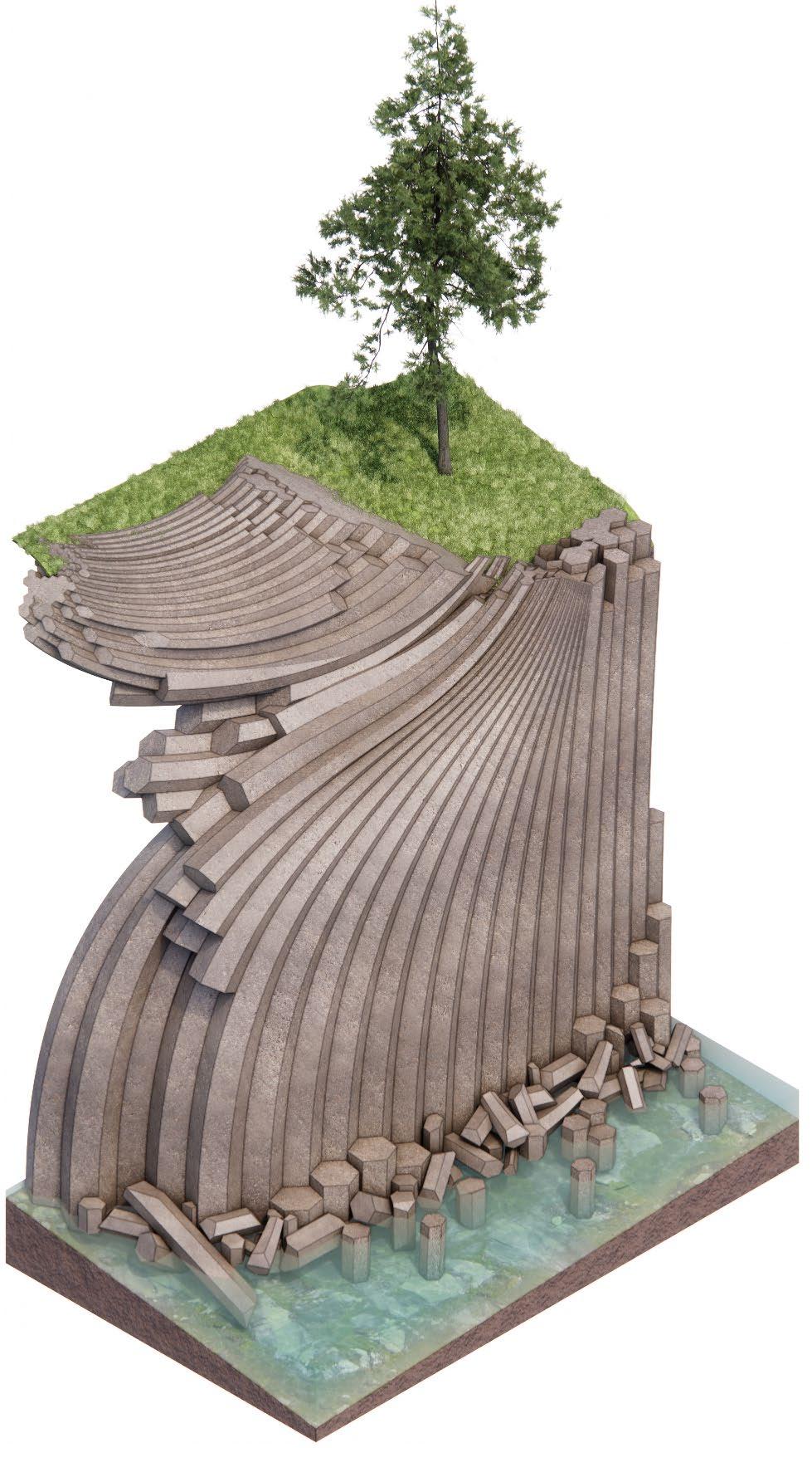
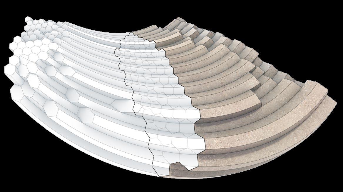
Stress fractures propagate outwards when rapidly cooled from an irregular direction, creating columnar basalt which appear to coalesce together
02: Entablature
03: Columnar Coalescence
BASALT FORMATIONS INVESTIGATIONS
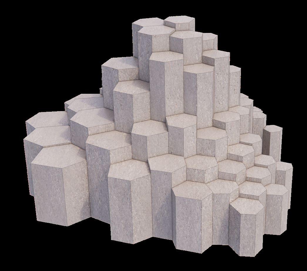
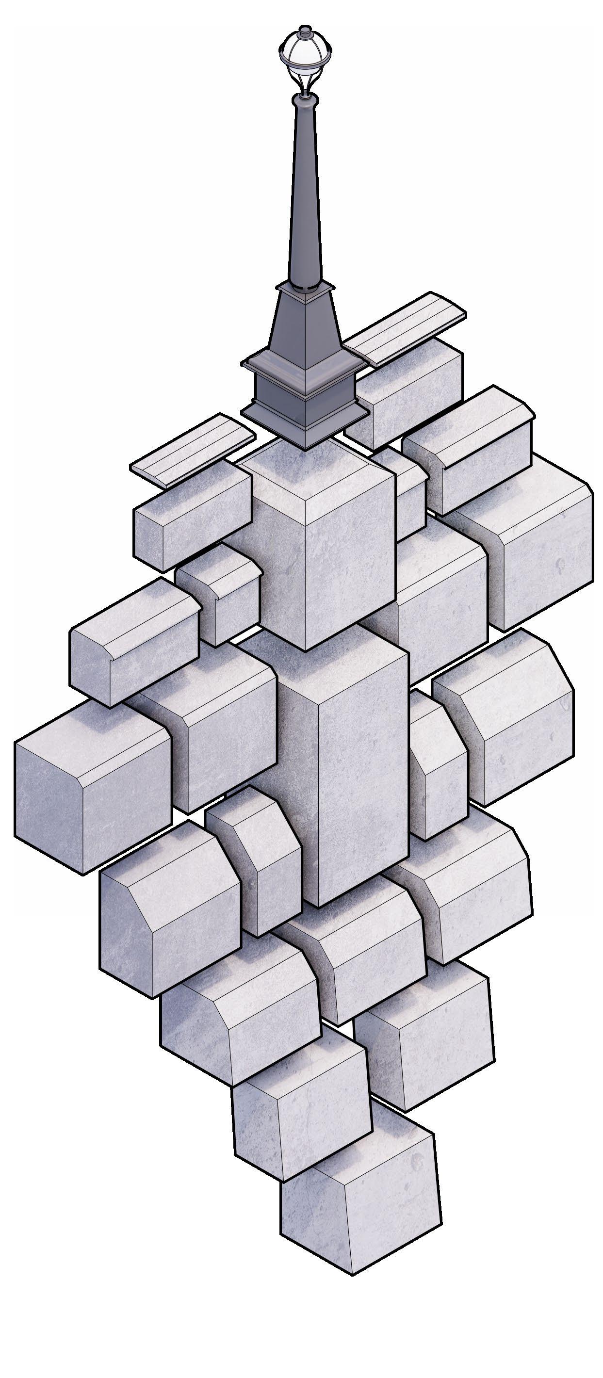
Basalt columns form the initial entrance to the project, with a great deal of order and composition encapsulated within what is a seemingly chaotic natural formation.
02 03
SPATIAL STUDIES
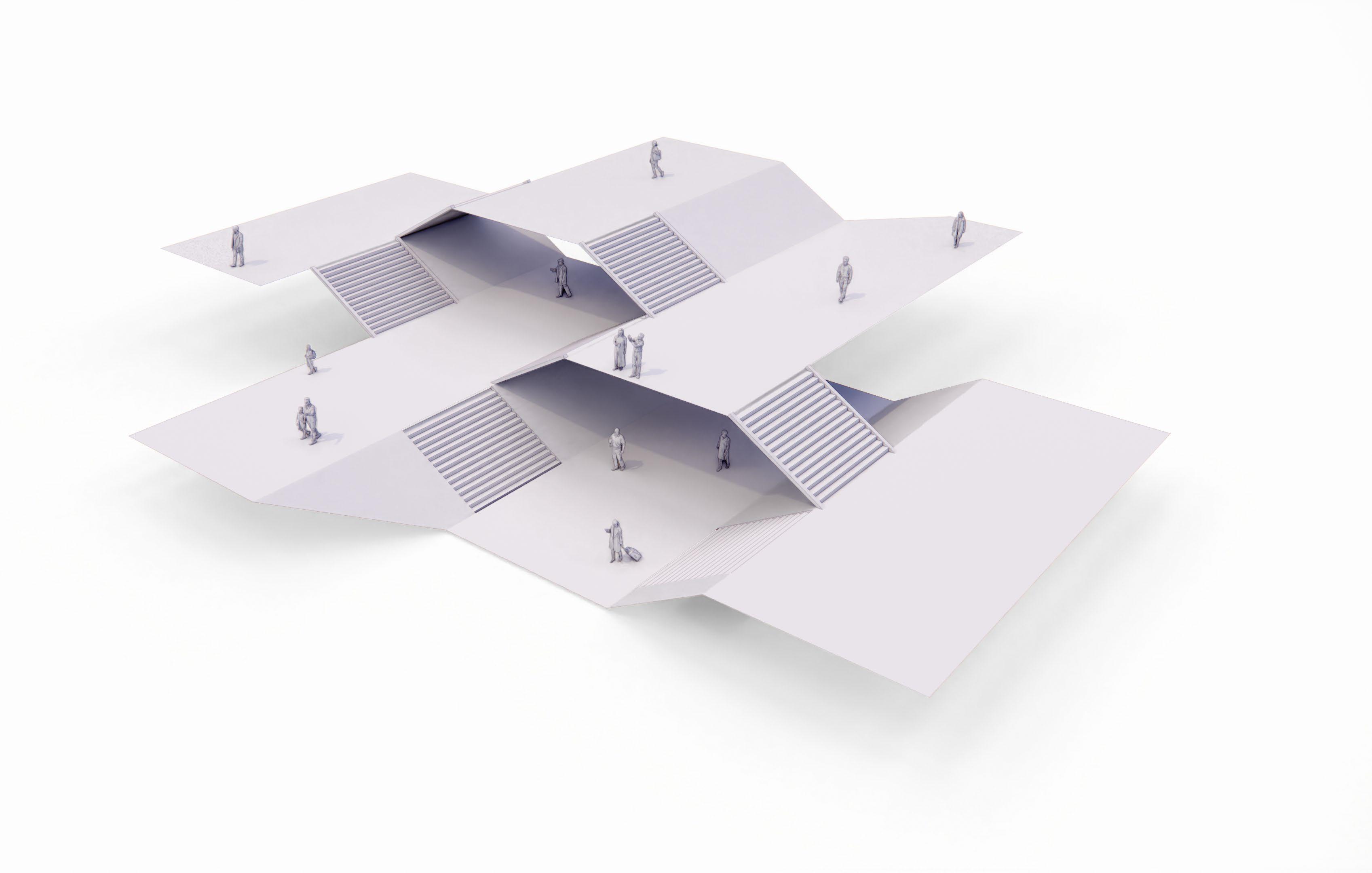
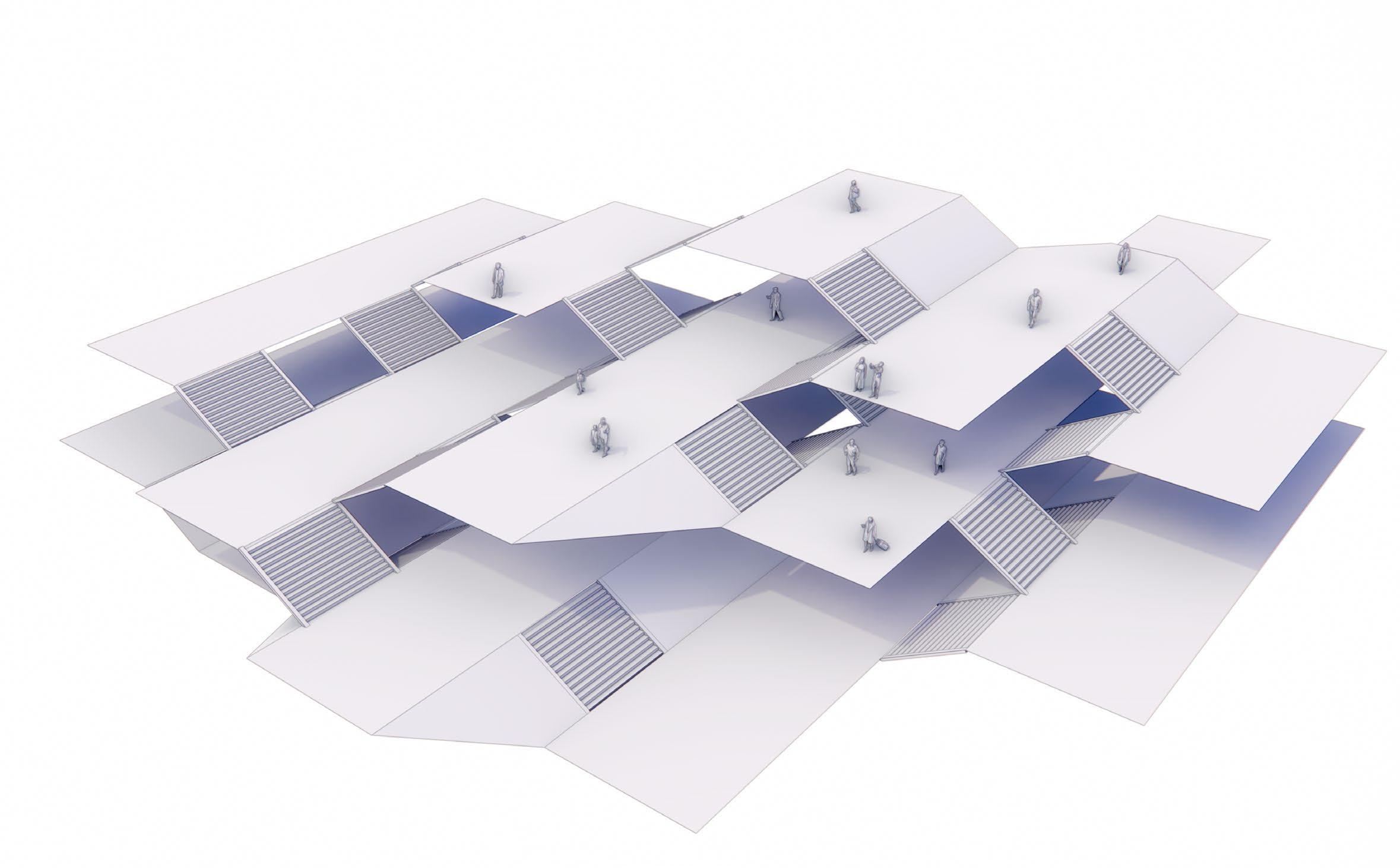
Stacking, folding and staggering spatial studies
01: Stack + Stagger
02: Proliferation
ARTEFACT STUDY:
COLUMN FRAGMENT
Timbers are stacked and
Interlocking Bundles
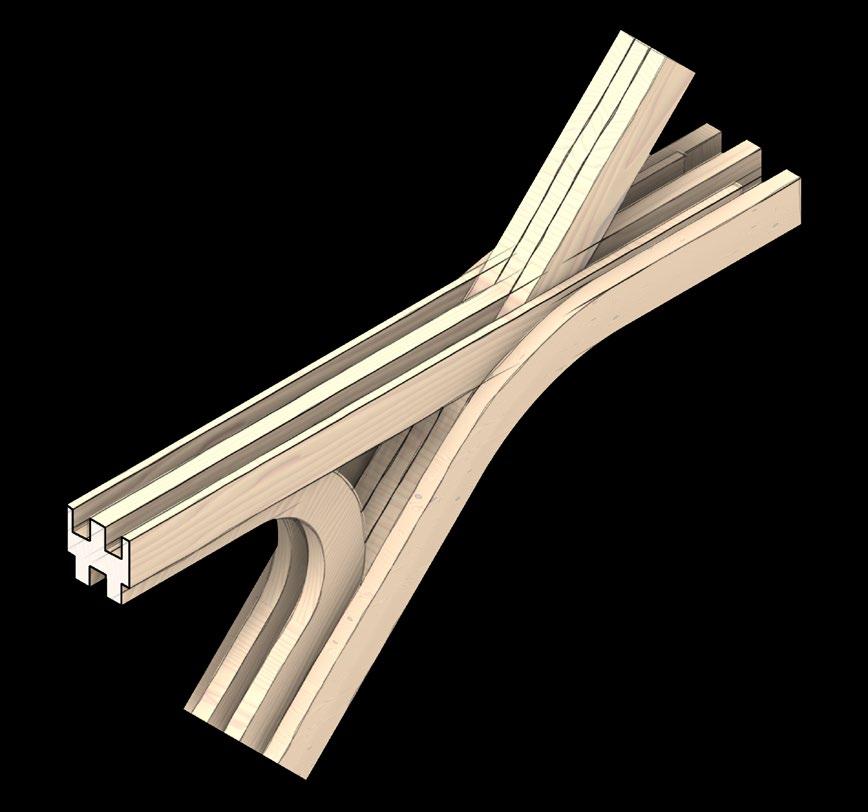
3-Way Interlocking Splice
Bundling Studies - Density of Strands
ARTEFACT STUDY:
COLUMN FRAGMENT
Bundling
Buttressing
Splicing
ARTEFACT STUDY:
BUNDLE + COALESCING
Iteration 01
Iteration 02
Iteration 03
Iteration 04
Iteration 05
ARTEFACT STUDY:
BUNDLE + COALESCING
ARTEFACT STUDY:
Profile Variants
Iteration 04
ARTEFACT STUDY:
ARTEFACT STUDY:
ELEVATED GARDEN WALKWAY
Fragment XX
Iteration 02
Bundle advances to upper levels
Spliced Connection
Intermediate Floor Connection
Bundle component terminates to support intermediate floor
Buttressing Cusp
ARTEFACT STUDY:
V-NODE 01: FLOOR PLATE CONNECTIONS
Iteration 03
Bundle advances to upper levels
Spliced Connection
Intermediate Floor Connection
Bundle component terminates to support intermediate floor
Buttressing Cusp
ARTEFACT STUDY:
V-NODE 01: FLOOR PLATE CONNECTIONS
ARTEFACT STUDY:
02: TILT + TURN
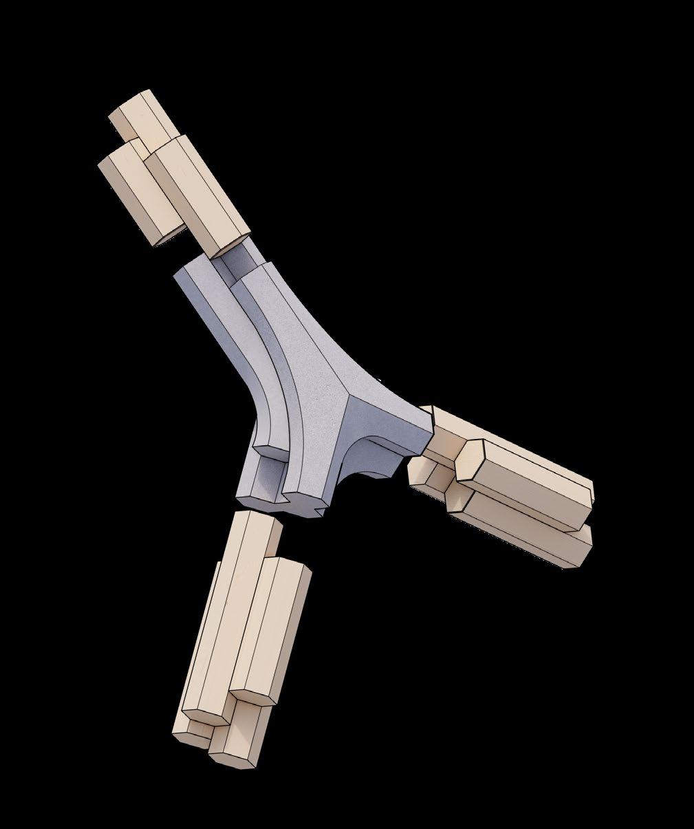
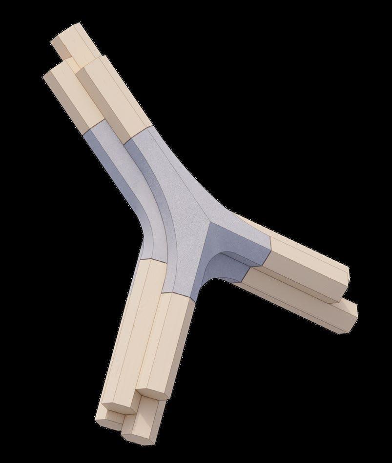
V-NODE
Base Iteration: V-Node sheared
Second Iteration: Footing elaboration
Buttressing Diagrams
ARTEFACT STUDY:
FRAGMENT STUDY
ARTEFACT STUDY:
PROFILE
01: Tapered ‘dual Blade’ Profile
02: Laced Structural Element
01: Turning Footing
02: Turning + Elongated
03: Branching
ARTEFACT STUDY:
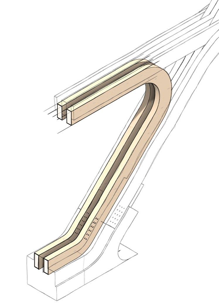
TIMBER BUNDLES AS FORMWORK
ARTEFACT STUDY:
NODE AUGMENTATION
01: Buttress + Splice
02: Buttressing Lace
03: Splice
04: Splice Exploded
Stair Fragment
Interlocking Canopy Structure
Tiered Structure
ARTEFACT STUDY:
BUNDLE + SPLICING OPPORTUNITIES
ARTEFACT STUDY:
BUNDLE + SPLICING OPPORTUNITIES
Roofing Structure
Column / Beam Intersections
ARTEFACT STUDY:
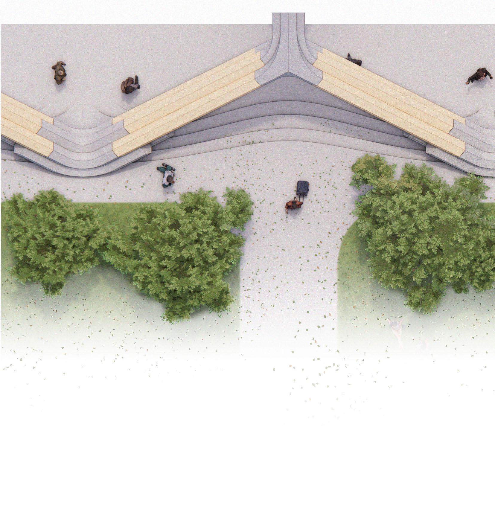
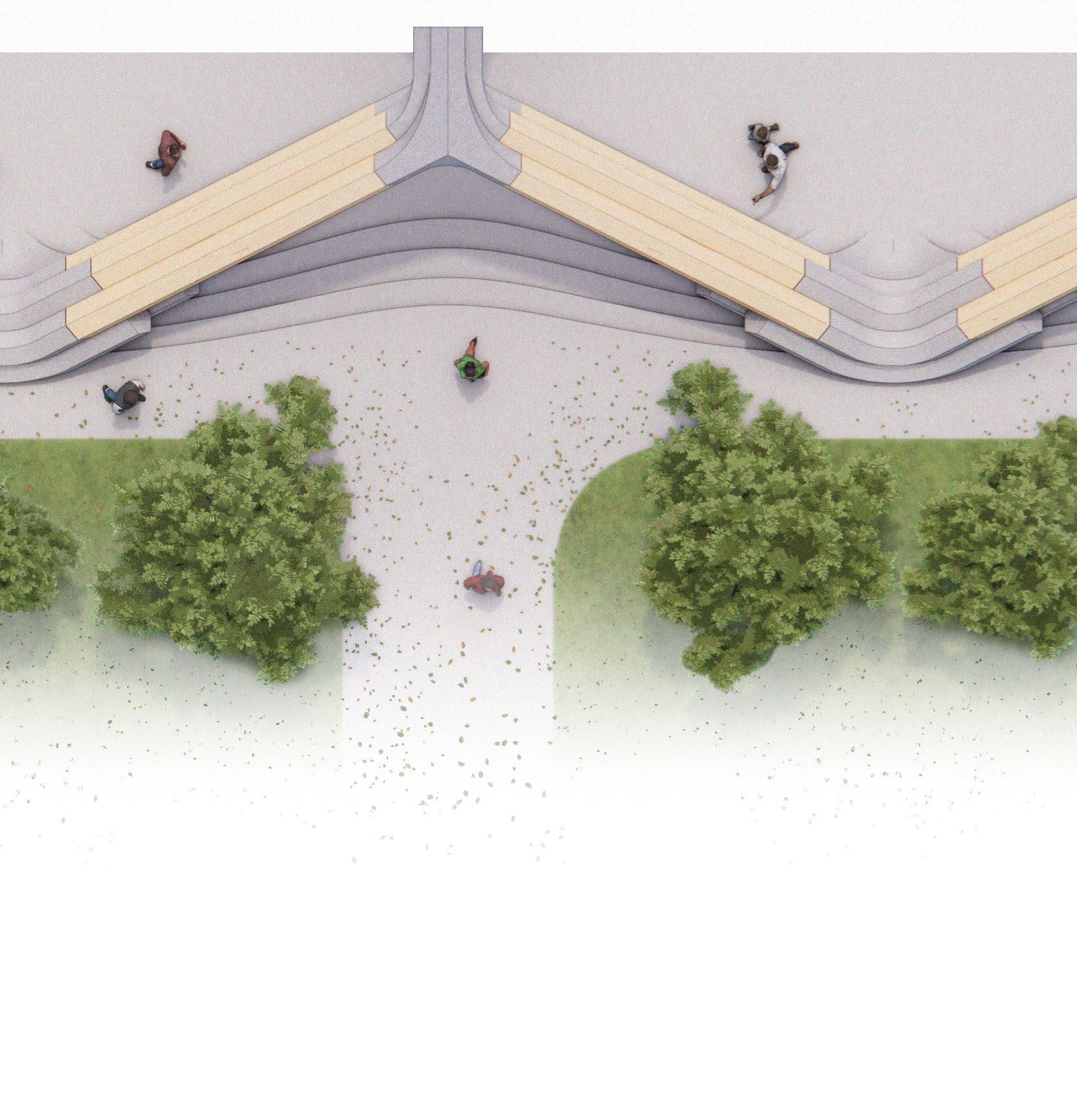
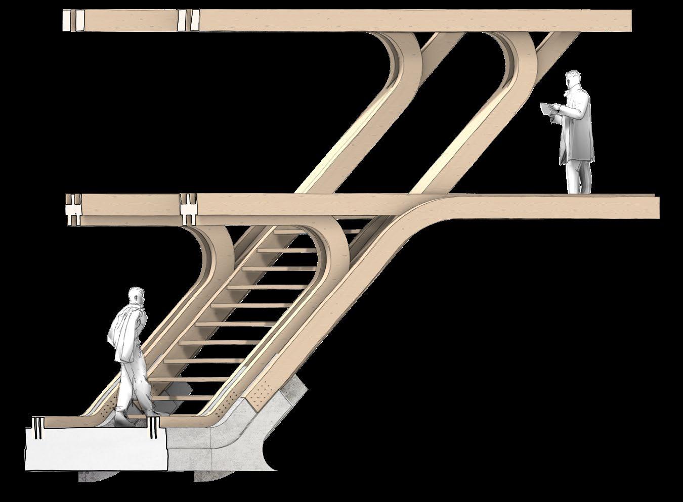
CIRCULATION FRAGMENT
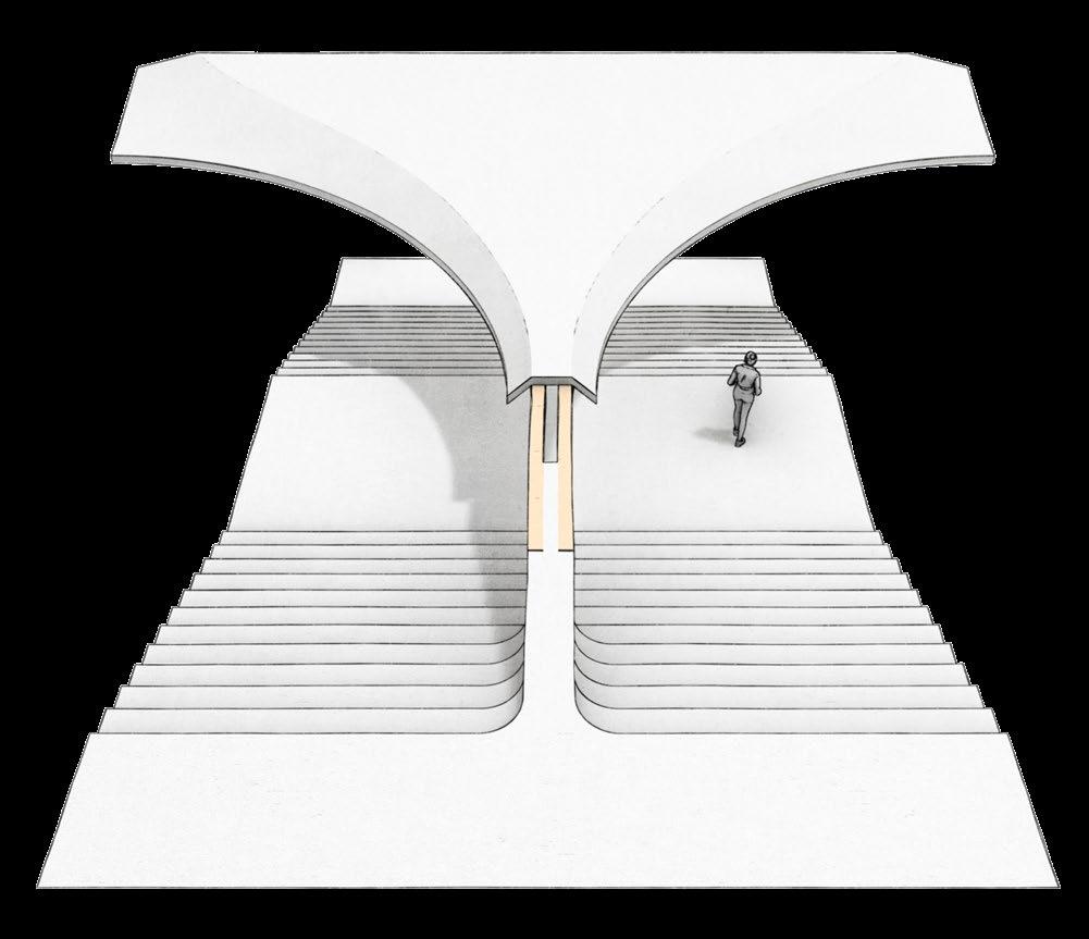
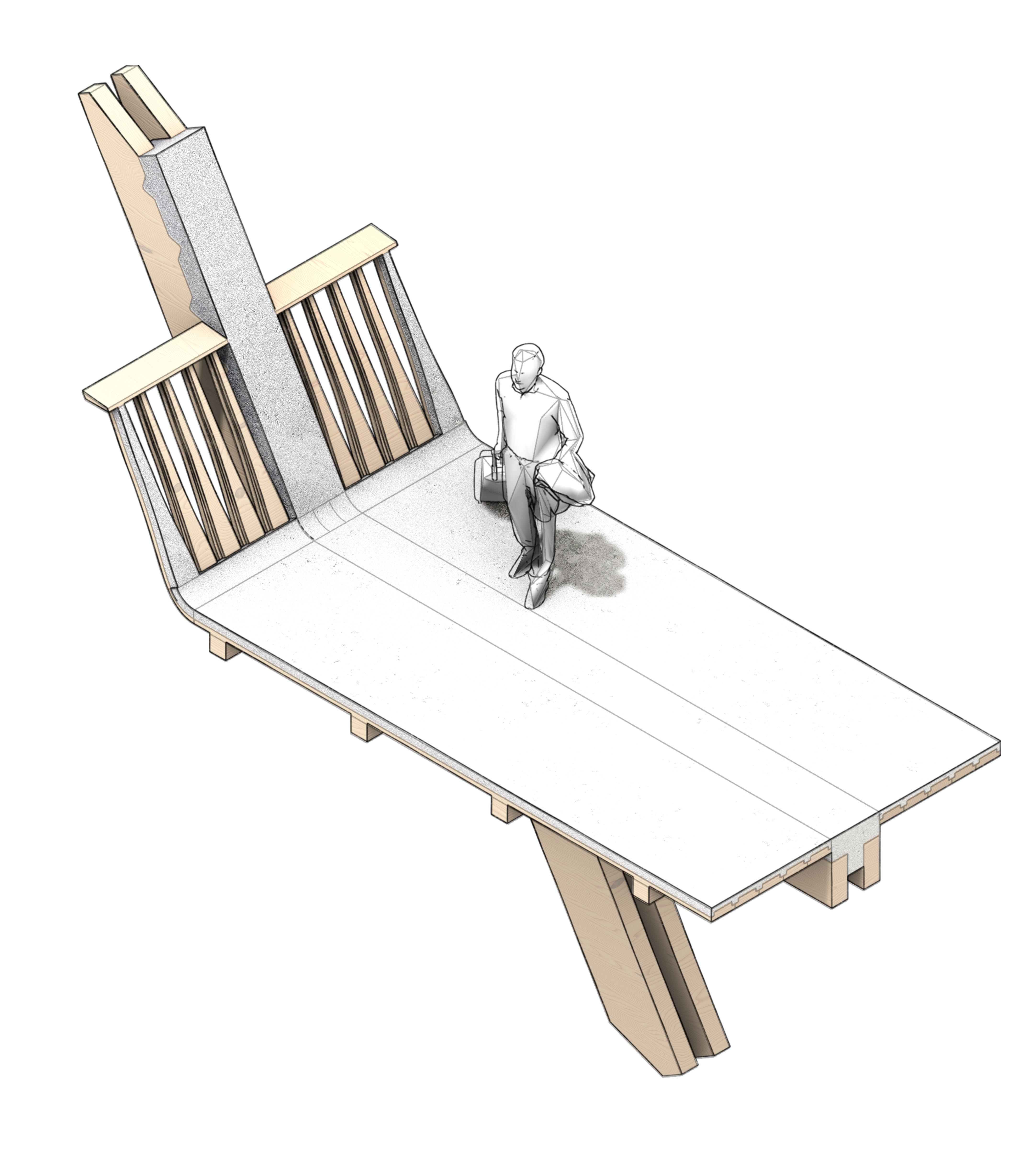
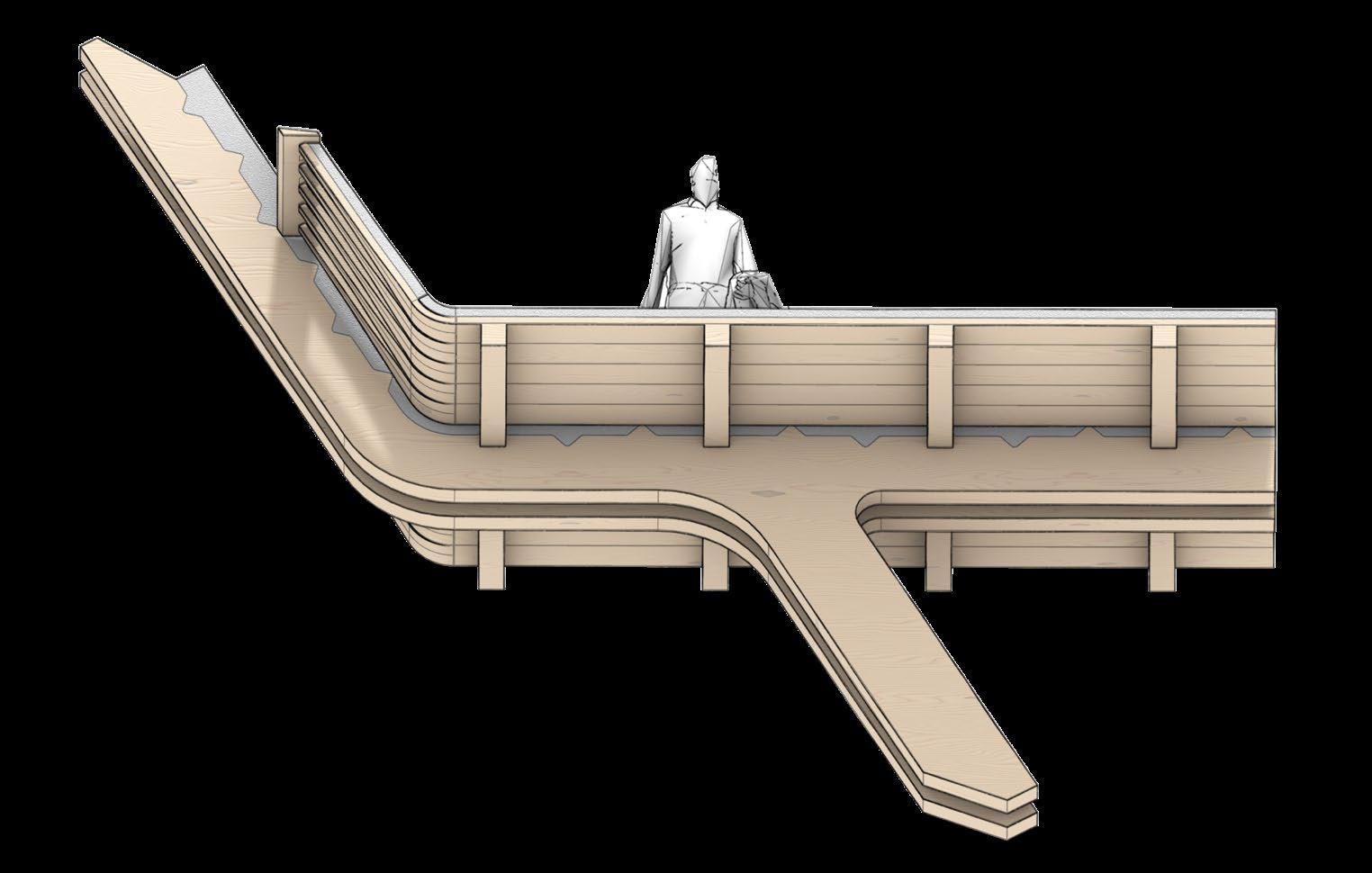
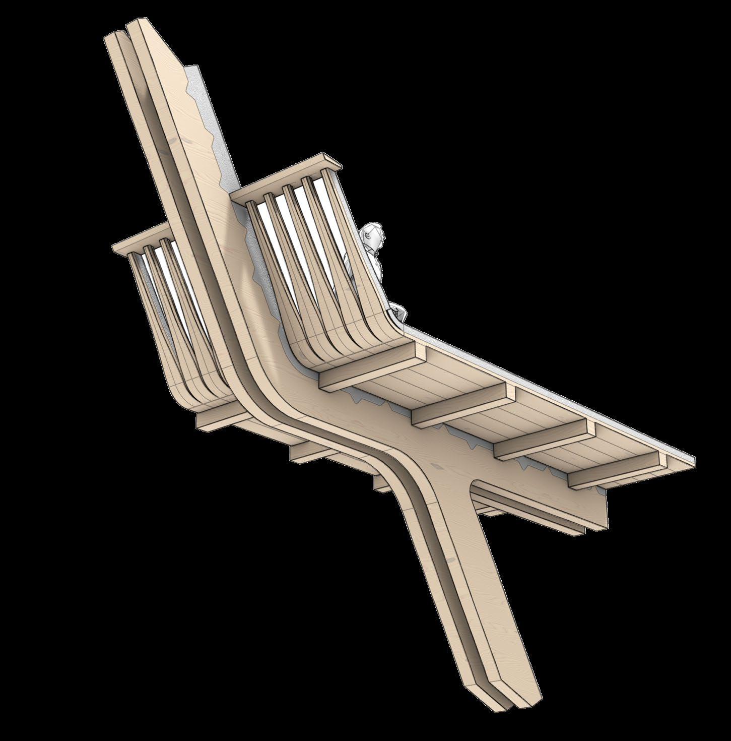
A circulatory fragment acting as the entrance to a transport concourse and articulation of a changing level
Shear Key Variant 01
Shear Key Variant 02
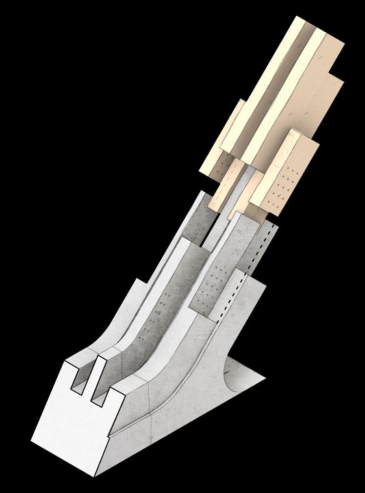
Shear Joint Logic Altering shear key depending upon component angle
ARTEFACT STUDY:
CONCRETE -
TIMBER HYBRIDITY
Roof Entrance Fragment
ARTEFACT STUDY:
FRAGMENT SERIES - CLAY RENDERS
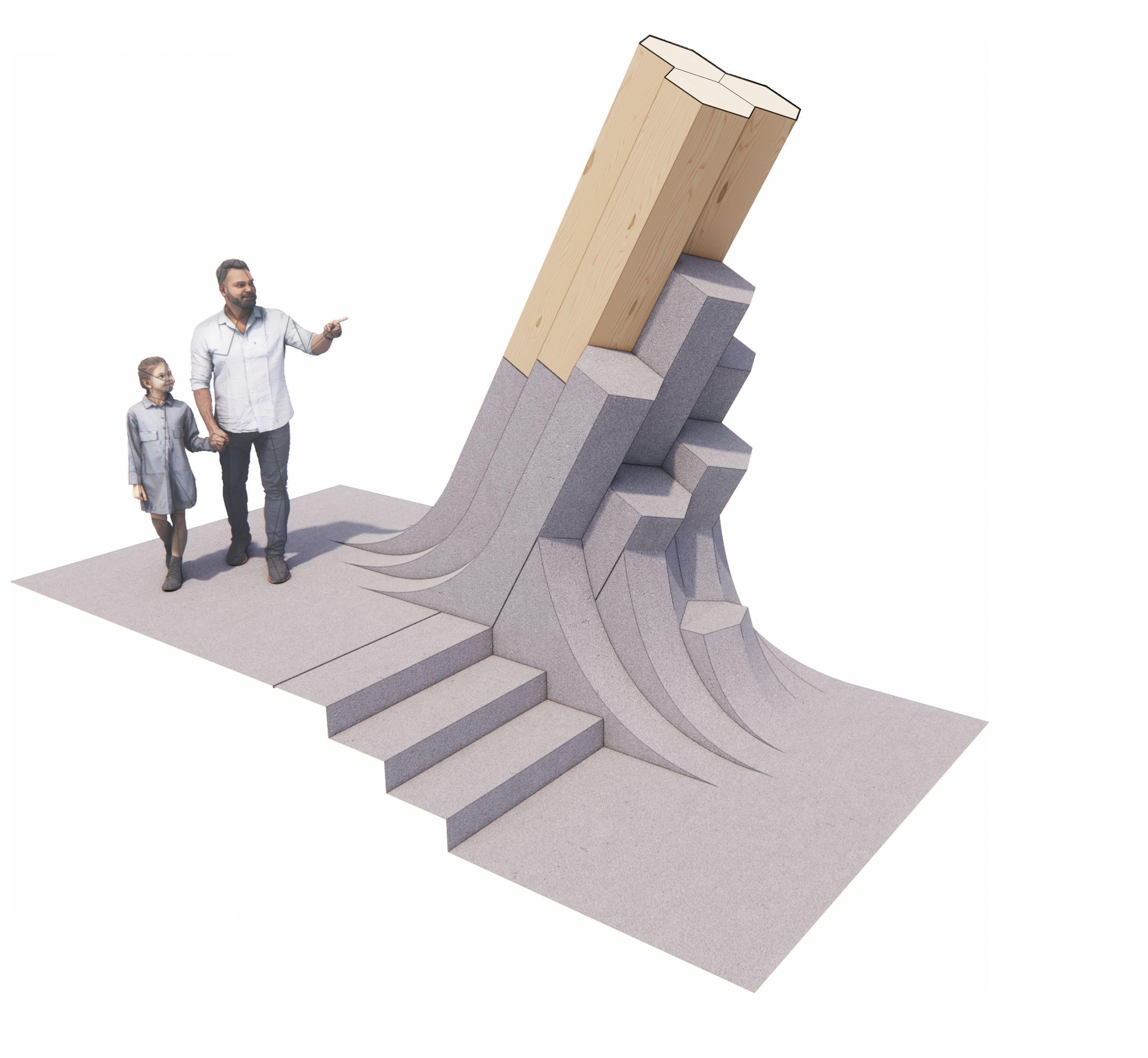
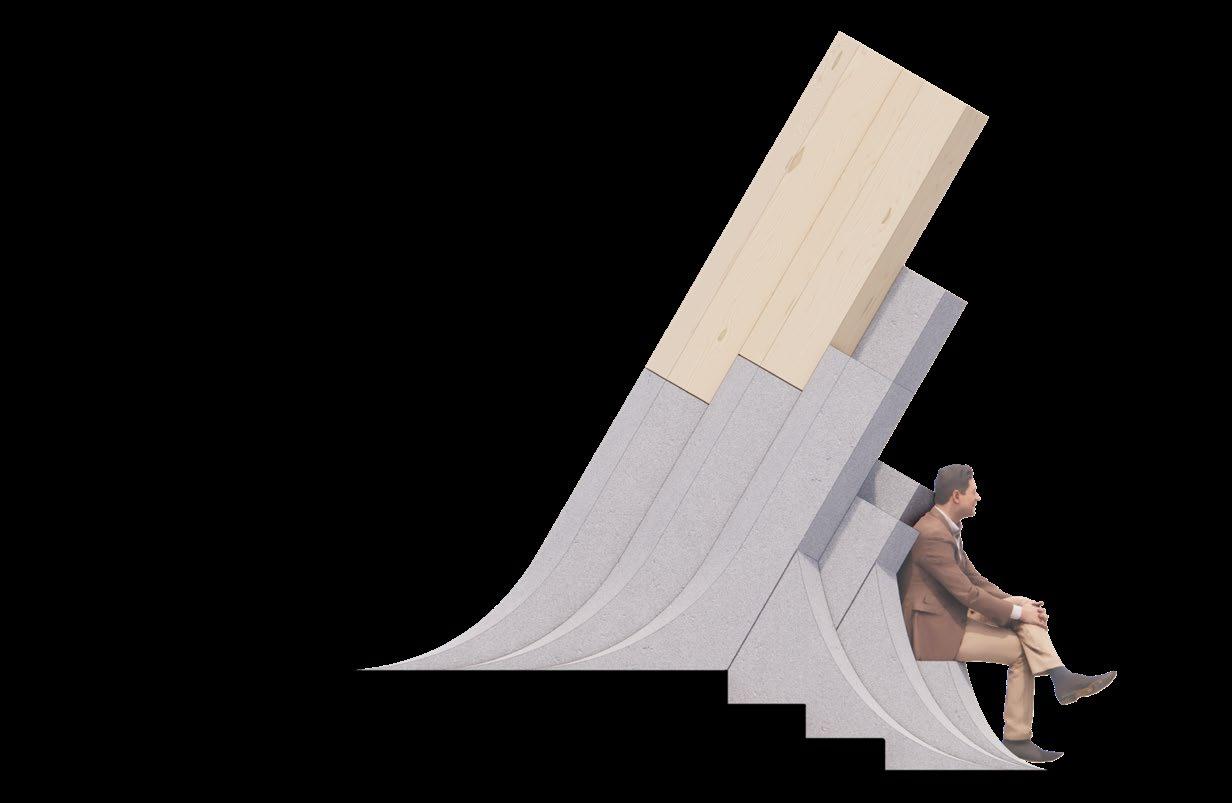
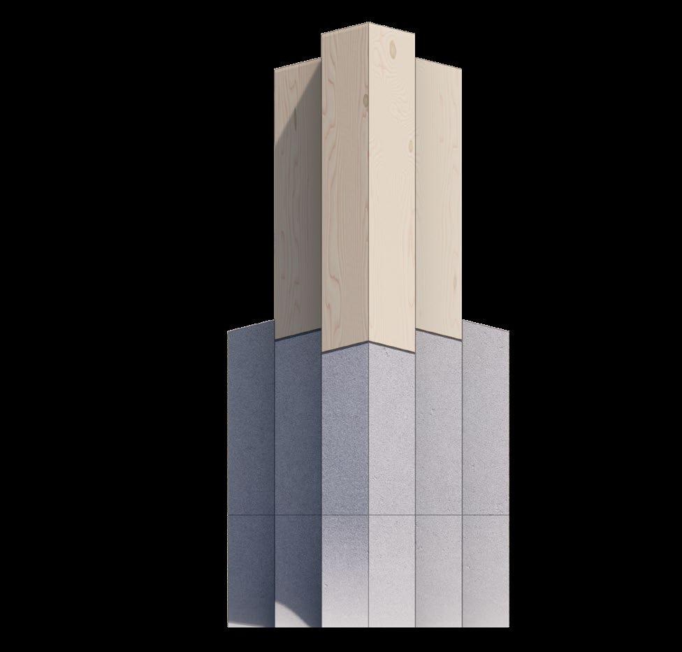
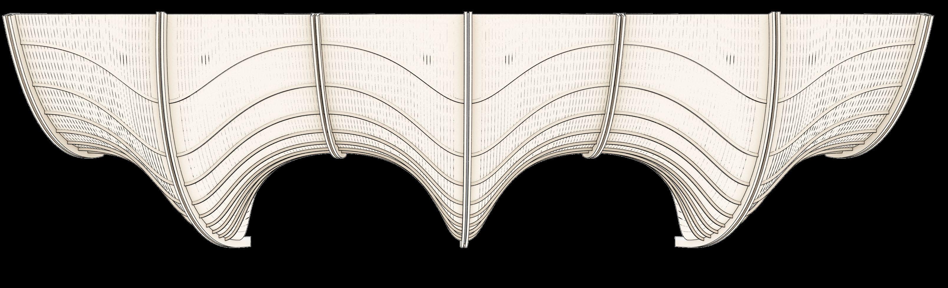
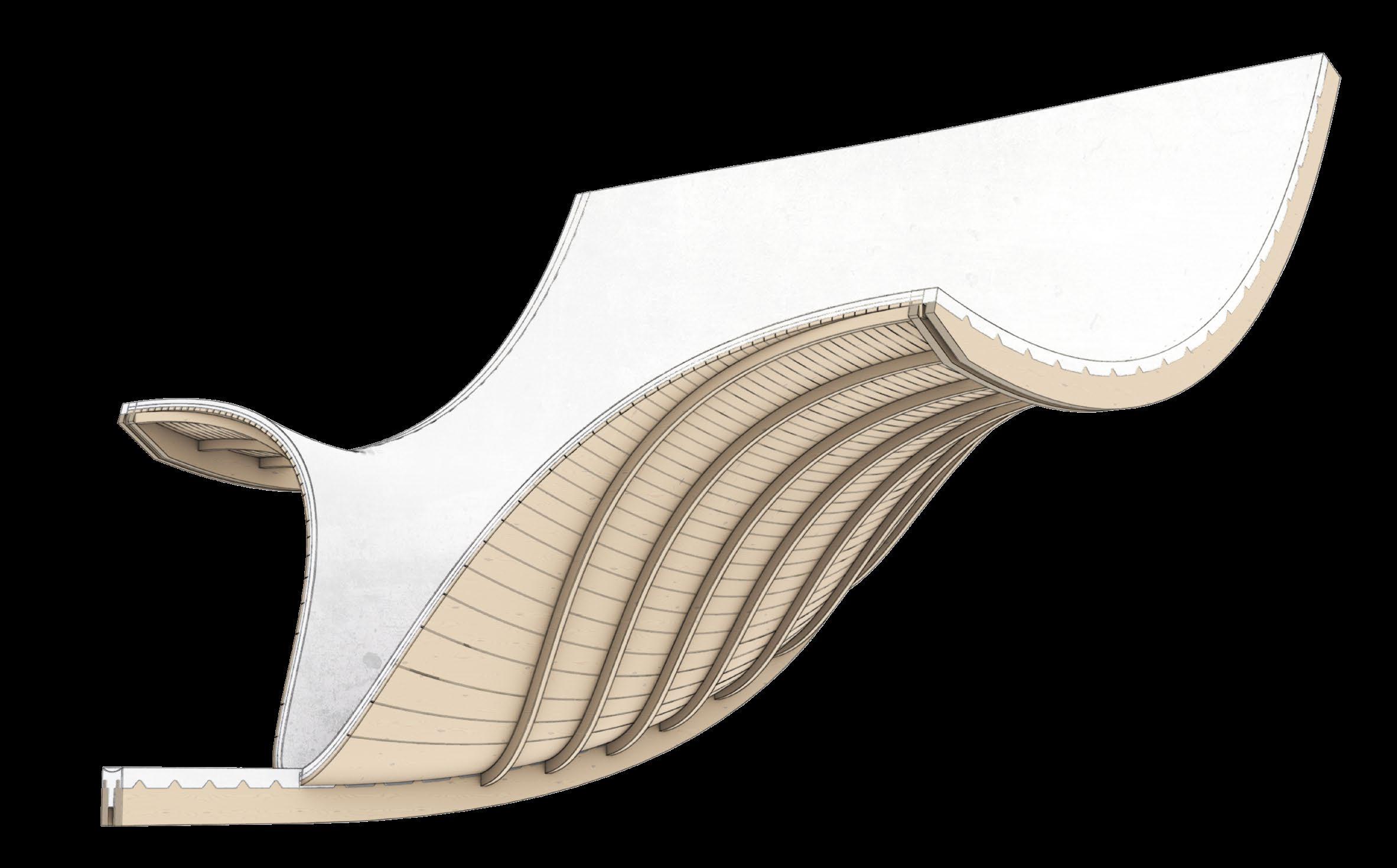
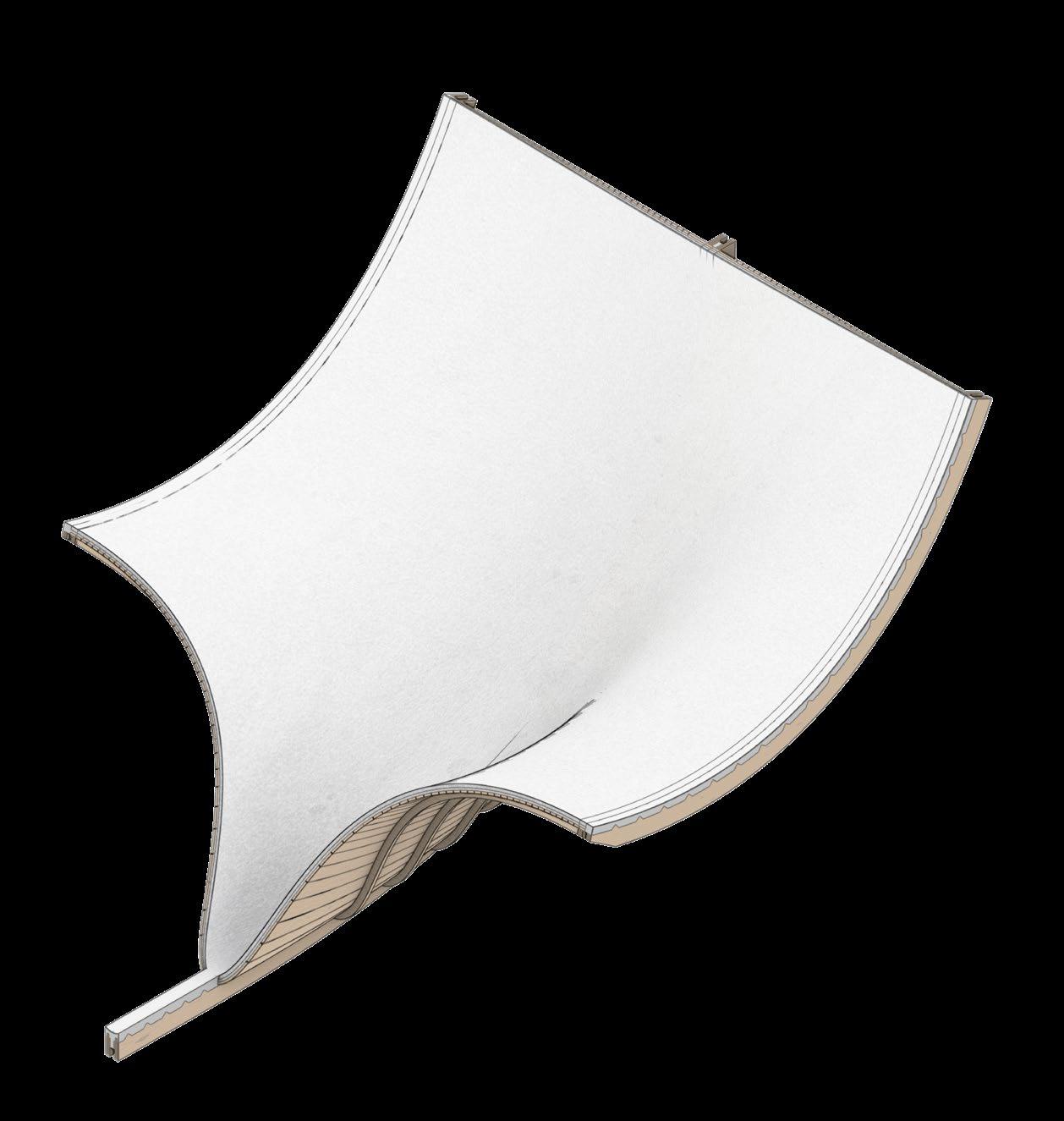
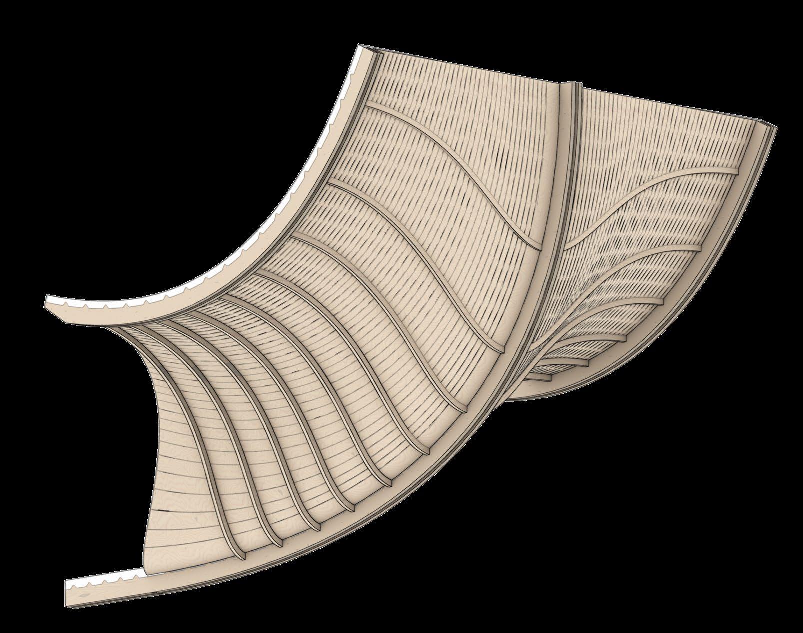
Cantilever timber-concrete composite fragments
Retained Formwork as
In-situ Concrete Topping
Retained Formwork
Composite Primary Structure
Chapter 2
SITE, PROGRAMME + BRIEF
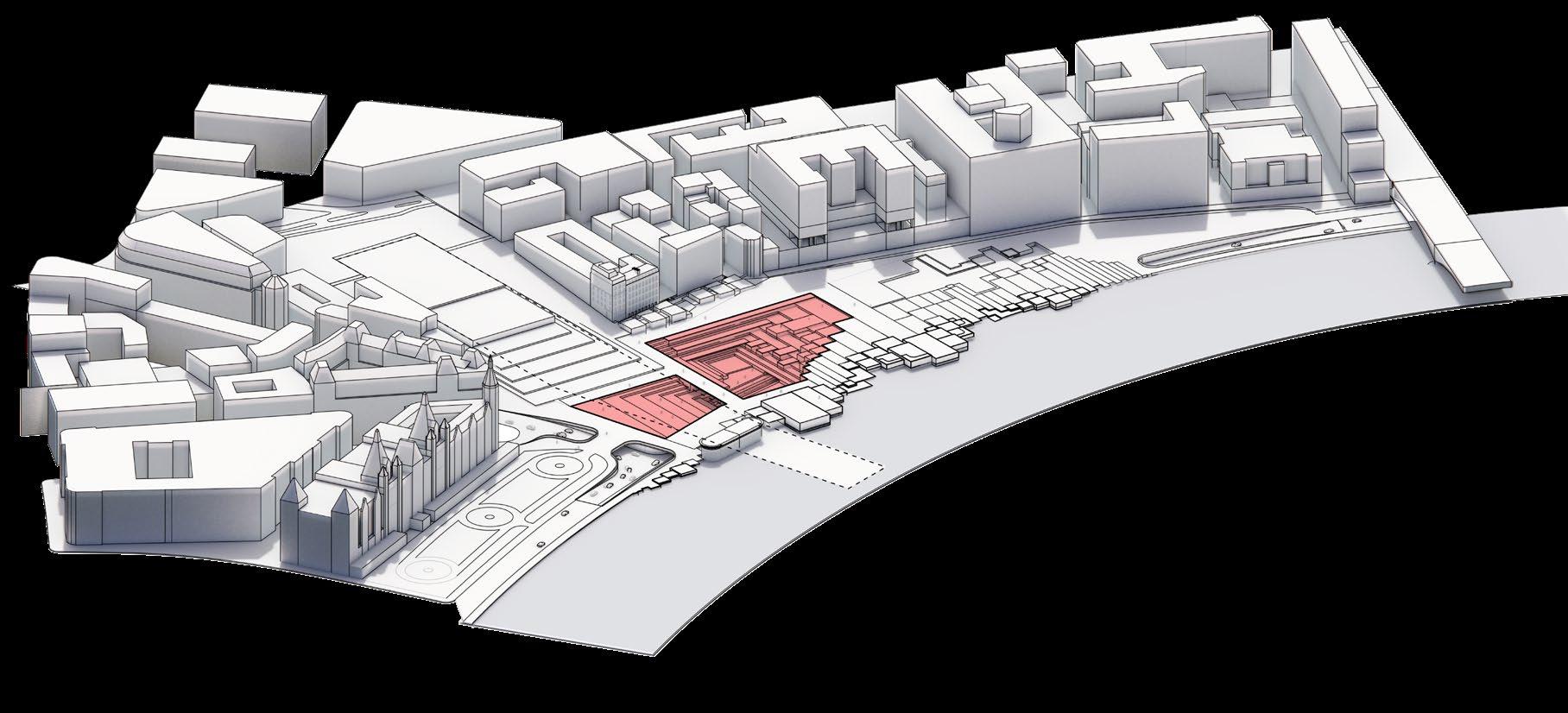
Parcel of Victoria Embankment
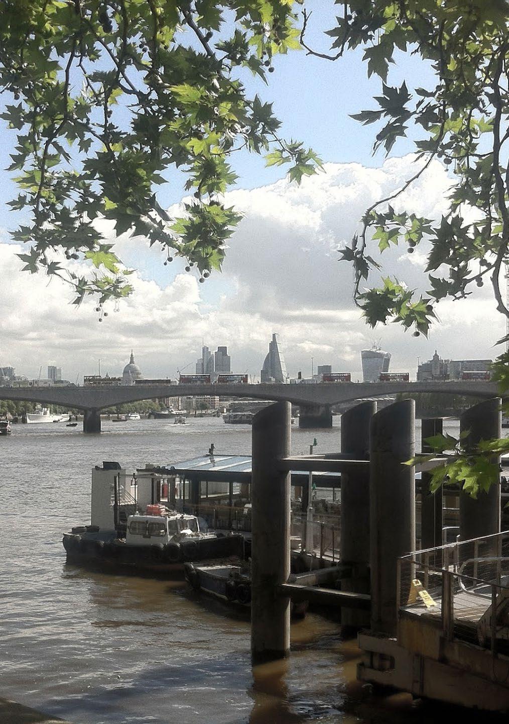
Victoria Embankment exists as a complex transport interchange wherein river transport, national rail, underground and major vehicular routes intersect.
SITE, PROGRAMME + BRIEF
VICTORIA EMBANKMENT
Thames
Reclaimed Land
Victoria Embankment
1865: Reclaiming the Thames
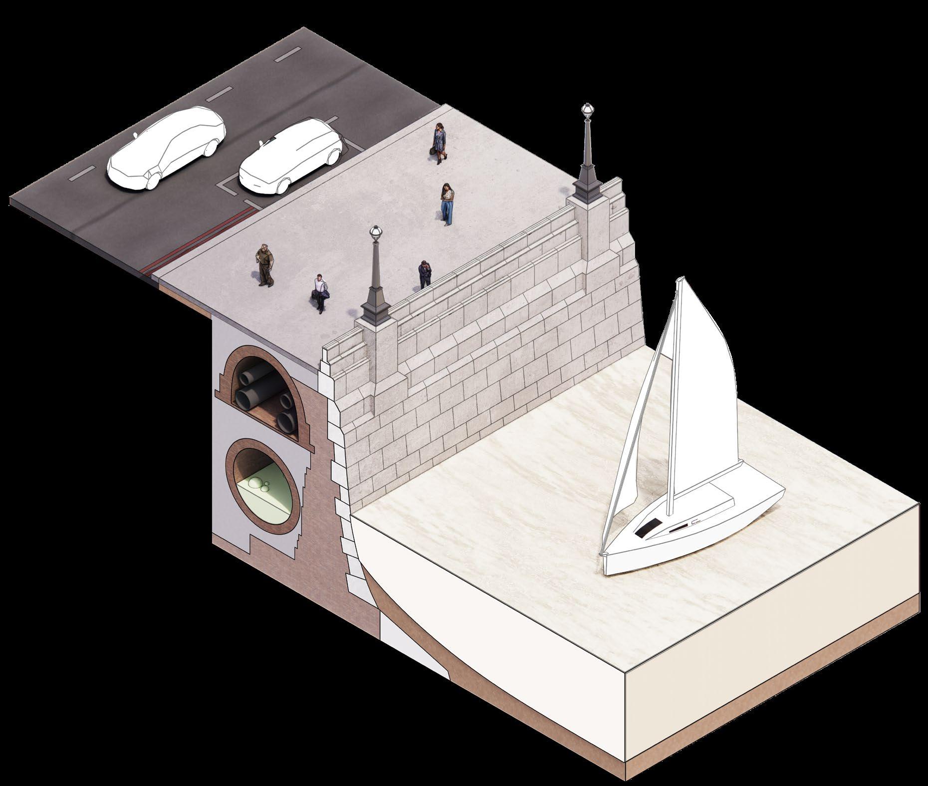
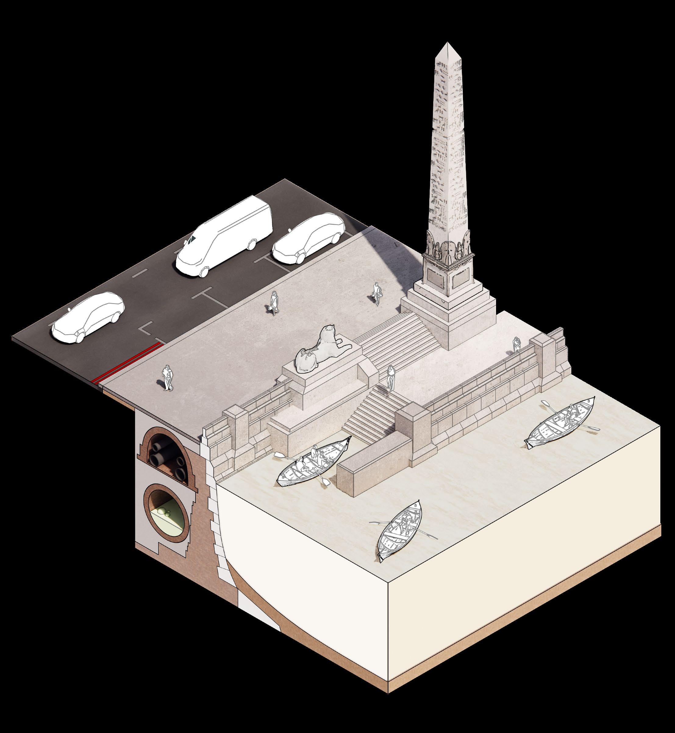
The Victoria Embankment is constructed in London to enlarge the city’s sewer system and provide new underground tunnels and vehicular routes. It also served to separate Londoners from the so-called ‘miasma’ that arose from the highly contaminated water of the time.
Victoria Embankment is a piece of reclaimed land constructed during the 1860s by Joseph Bazalgette to expand London’s sewer network.
Intersecting the Axis of Power
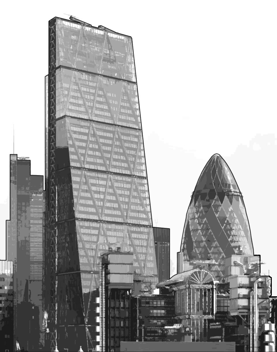
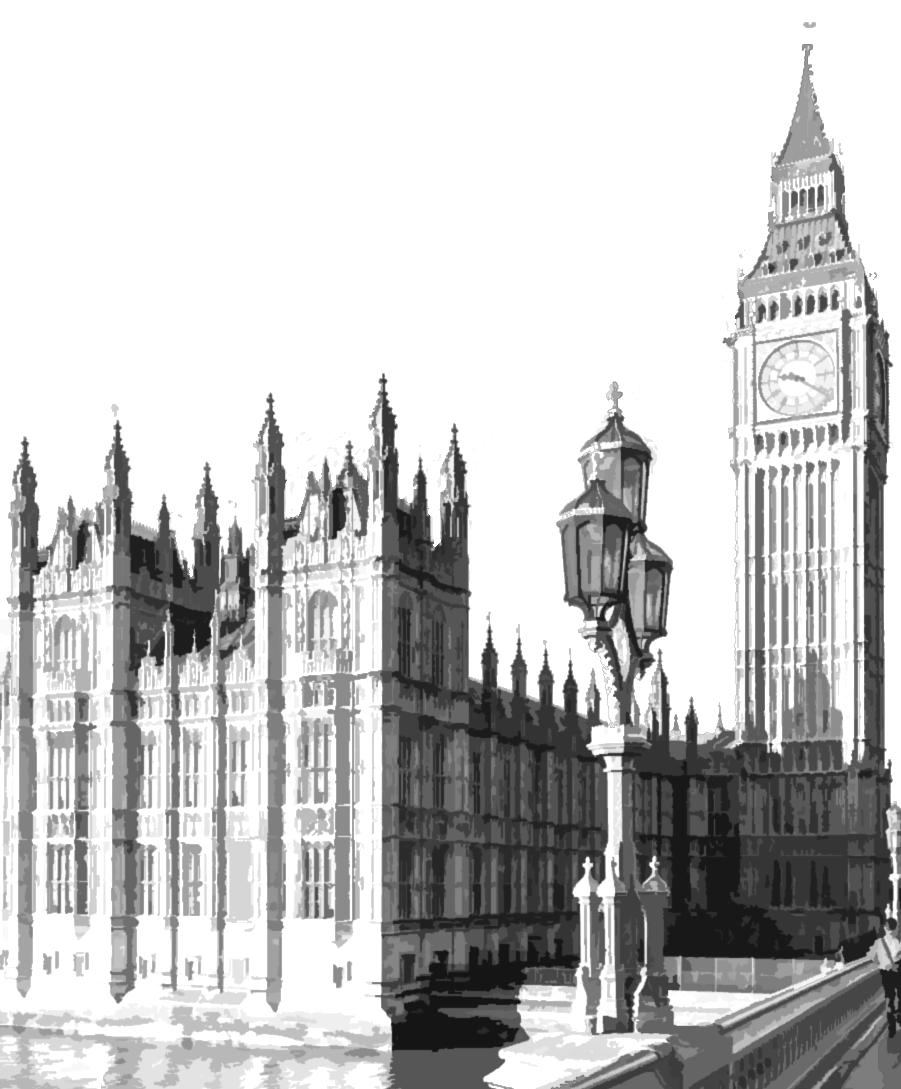
On an urban scale, Victoria Embankment lies at an intersection between two major axis of power: the political power of Whitehall running north to south, and the financial and legal power extending westwards from the City of London.
SITE, PROGRAMME + BRIEF
City of London (Financial / Legal) Whitehall (Political)
Intersecting the Axis of Power
On an urban scale, Victoria Embankment lies at an intersection between two major axis of power: the political power of Whitehall running north to south, and the financial and legal power extending westwards from the City of London.
Intersecting the Axis of Power
On an urban scale, Victoria Embankment lies at an intersection between two major axis of power: the political power of Whitehall running north to south, and the financial and legal power extending westwards from the City of London.
THE CONFLUENCE OF SOCIAL STRATA
Victoria Embankment lies at a prominent location within the city: it is a major transport hub which is also a theoretical intersection between two axis of power: that of the political power of Whitehall running north to south, and the financial and legal axis extending westwards from the City of London.
Major Vehicular Routes
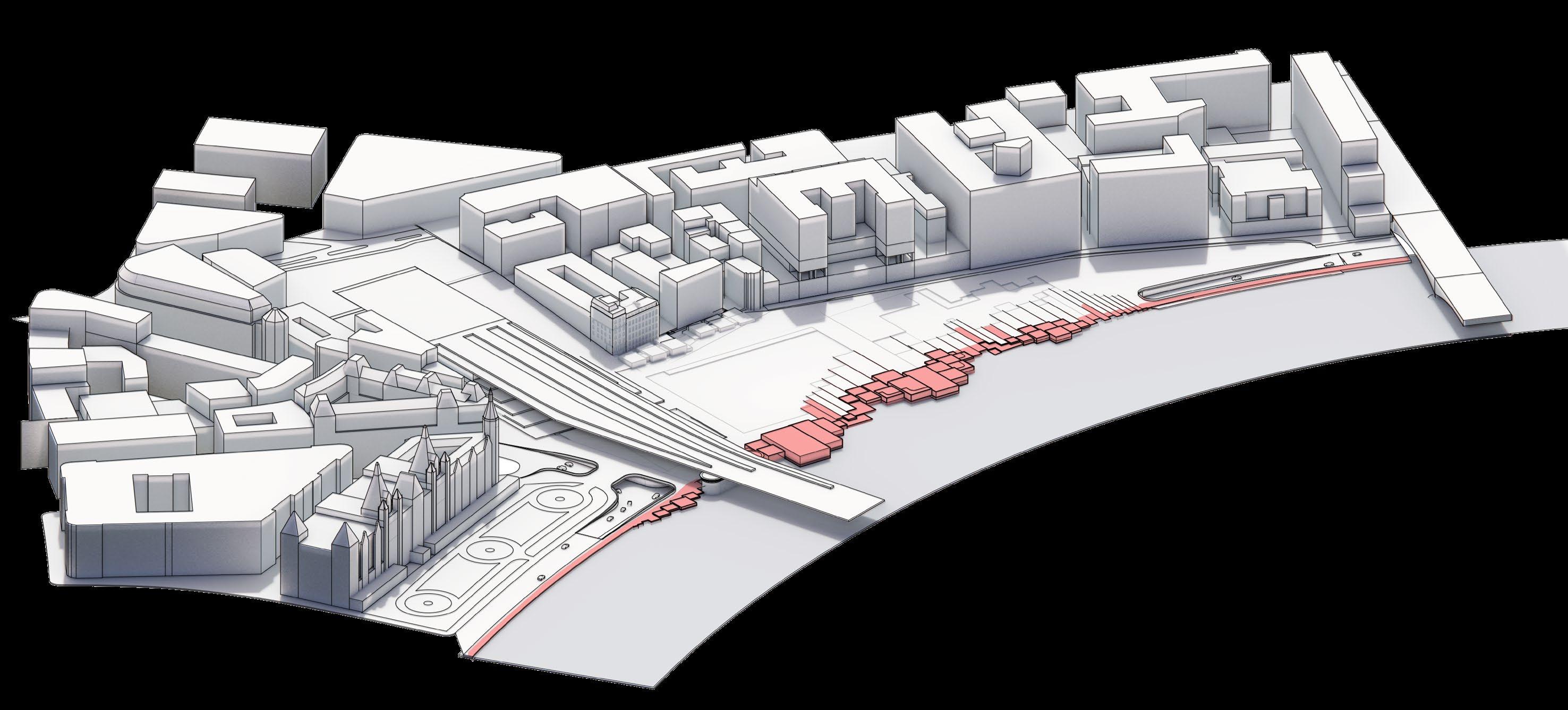
The waterfront is partitioned from the inner part of the site by a major vehicular route running parallel to it.
Pedestrian Routes
Pedestrian routes circulate around the site providing access to the various transport connections
Water Connection
Embankment pier serves both private and public waterway traffic, most prominently
Subway Connections
The site exists at an intersection of the multiple tube lines; northern and bakerloo at Charing Cross itself, and Circle and District at Embankment
SITE,
PROGRAMME + BRIEF
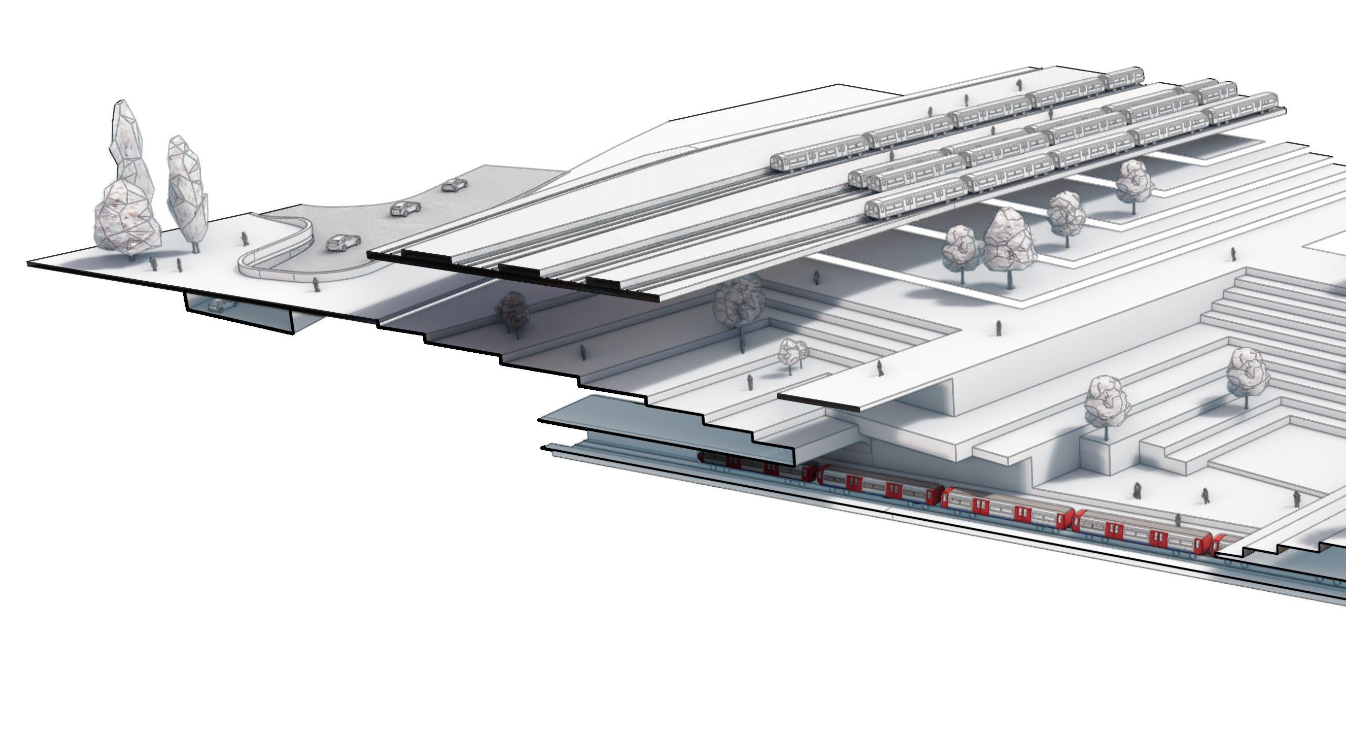
INFRASTRUCTURAL LAYERING
Overground Terminal
The site is a terminal for southeastern national rail trails, approaching via Hungerford Bridge
Victoria Embankment is host to a complex and fragmented array of public transport connections, whilst the waterfront itself is partitioned from the site by a major vehicular route which runs parallel to the water’s edge.
SITE, PROGRAMME + BRIEF
ARCHITECTURAL CHARACTER
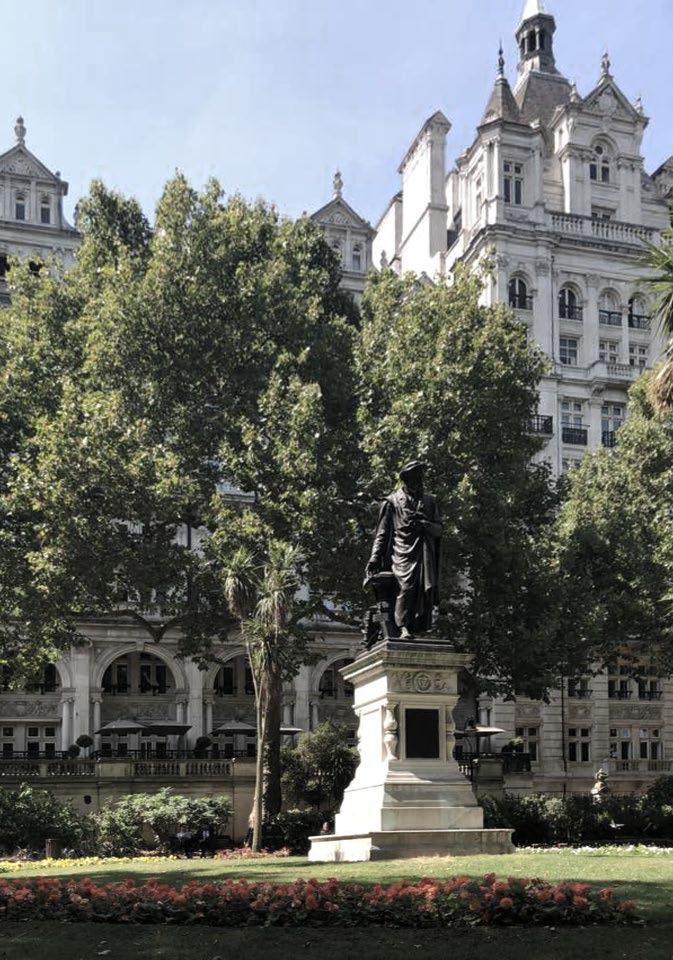
The architectural character is defined by sweeping vistas, grand civic scale and formal, curated gardens
Royal Parkland
Waterfront & Grand Vistas
Tidal Variation
TRANSPORT INTERCHANGE
BATHHOUSE | GARDENS | WATERFRONT LEISURE
SITE, PROGRAMME + BRIEF
EMBANKMENT AS IT COULD BE
EMBANKMENT CONSTRUCTION
The embankment is constructed to expand London’s sewer system and contain the river Thames, which, at low-tide, would expose sewage and rotting carcasses.
A POLLUTED THAMES
Heavy industry and discharge from sewer systems give the Thames a reputation as a dirty and disgusting place.
TIDEWAY SUPER SEWER
A £4.6 billion super sewer is under construction to alleviate a victorian-era sewer which frequently overflows into the river Thames.
THAMES VISION 2050
Port of London Authority (PLA) envisions a clean river, free of pollution and rubbish, supporting more sport, passengers and freight by 2050.
The programme proposes a reimagination of London’s Victoria embankment, reformulating the comple interchange of transport links to create continuity whilst blending these together with a leisure component in the form of bathing, park and hospitality.
Chapter 3
CONCEPT DEVELOPMENT
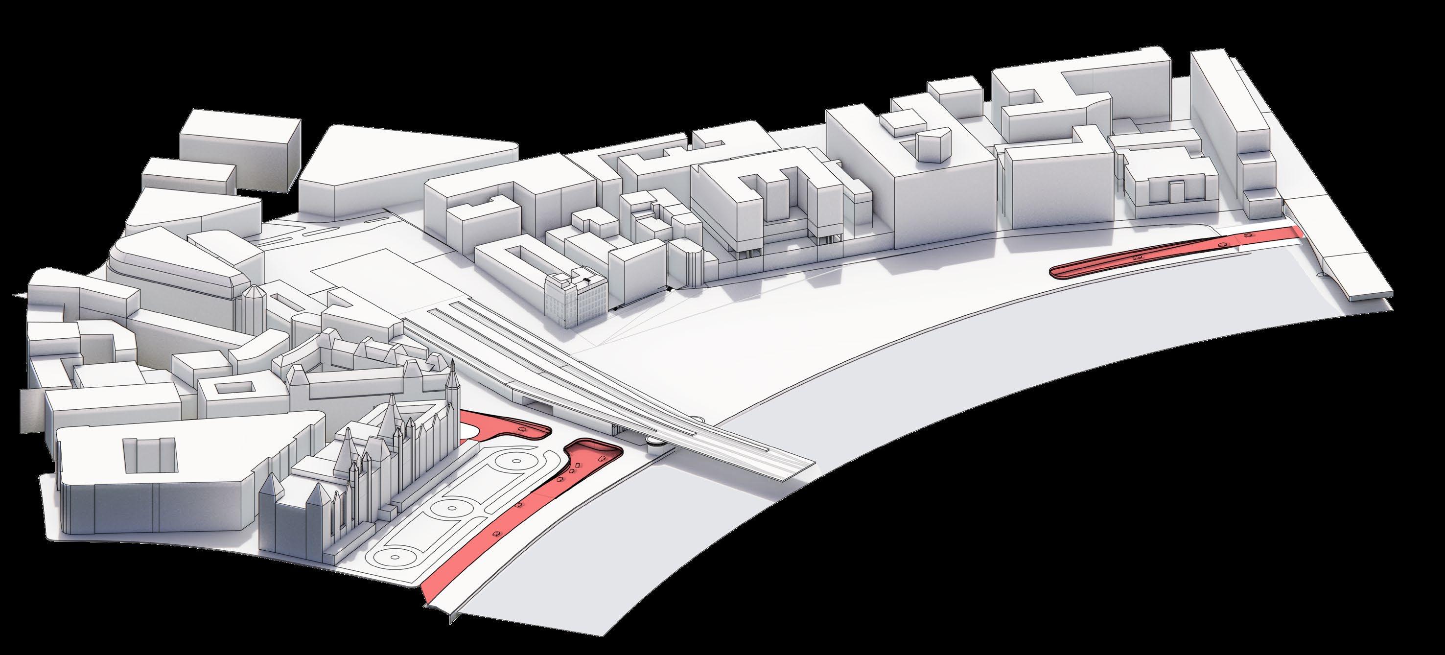
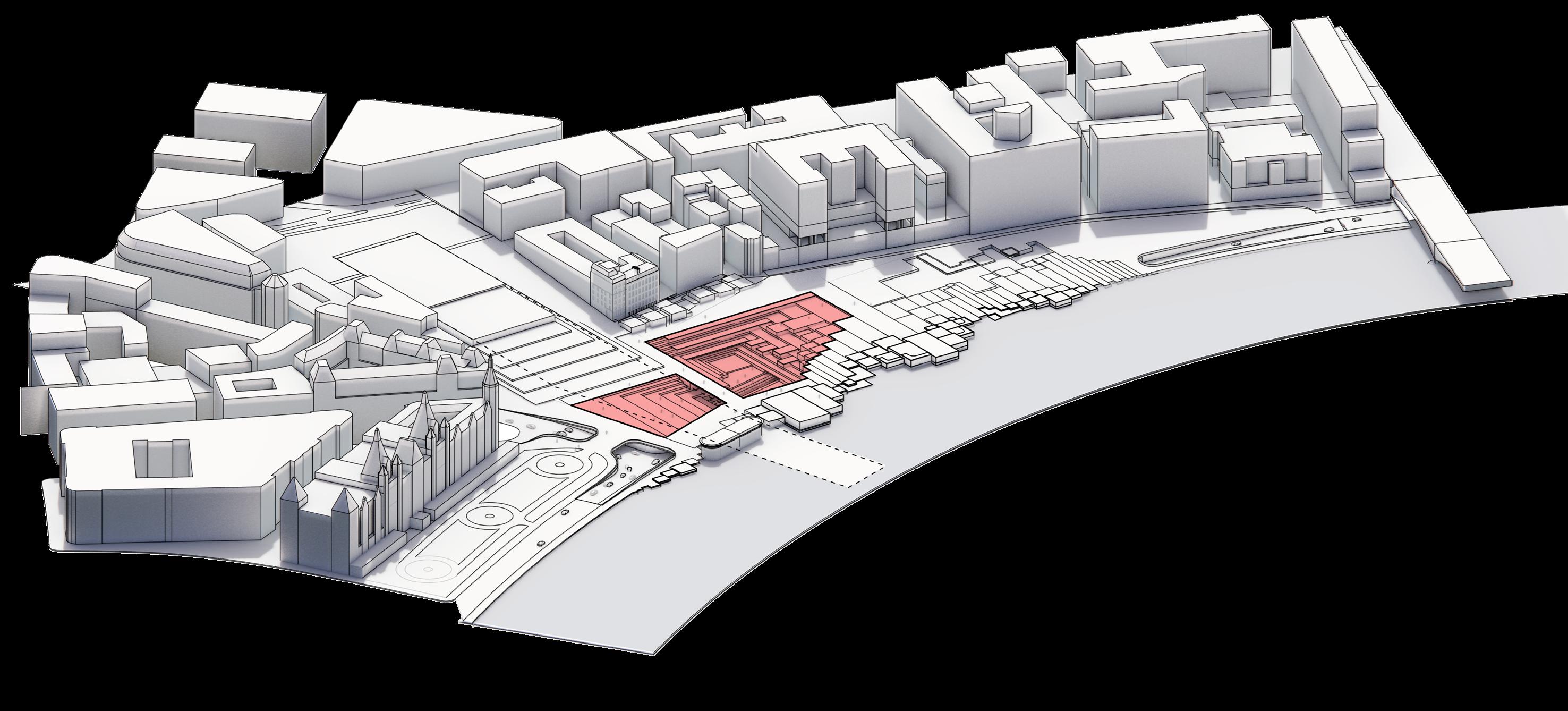
01: Road Buried Below Ground
The road is buried beneath the surface to make way for a public programme above
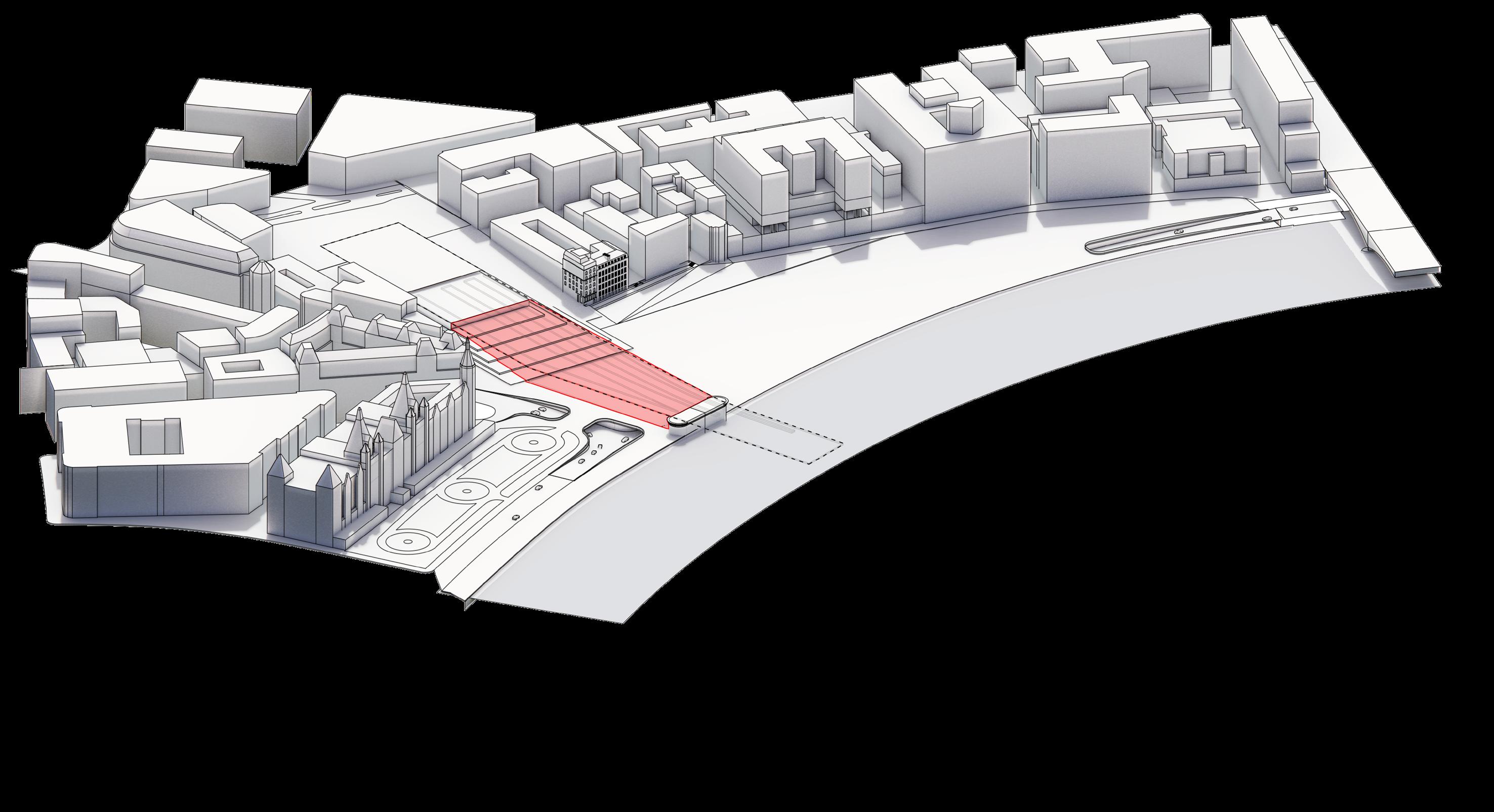
02: Clearing below Bridge
The dark underbelly of Hungerford Bridge is cleared to create a new egress from Charing Cross station above and into public realm below.
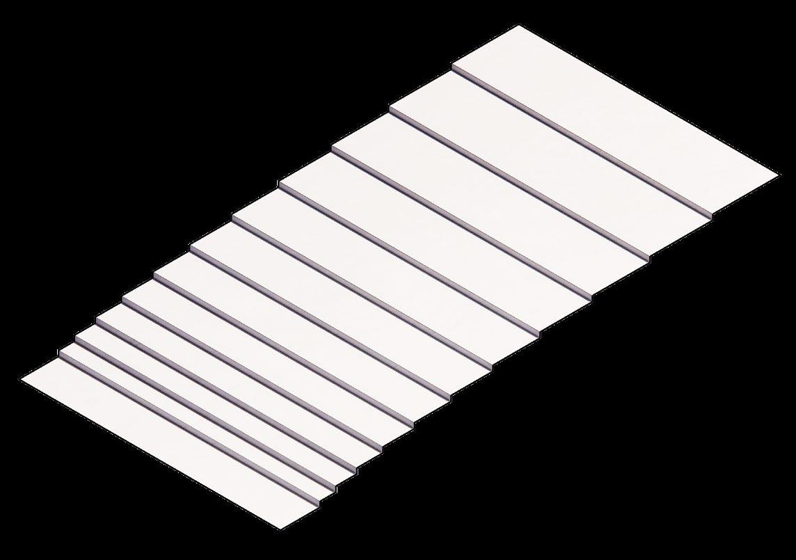
As a global approach to the embankment edge and with the goal of redefining the human relationship with the Thames river, the grain gradually undulates across the shoreline, with larger grains acting as a key pieces of programme whilst acting as protection for the finer grains wherein human interaction with the river occurs.
03: Waterfront Manipulation
The waterfront is manipulated to support access to the river Thames
04: Underground Exposed
The ground plane is manipulated to expose the circle and district underground platform
05: Volume, Canopies + Park
The Victoria Embankment garden infiltrates the exposed underground platform
The road is buried beneath the surface to make way for a public programme above
Underground Exposed
SITE:
Canyon Fragments
The groundplane is sculpted to reveal the Circle & District line, pulling park and leisure amenities down towards the exposed infrastructure.
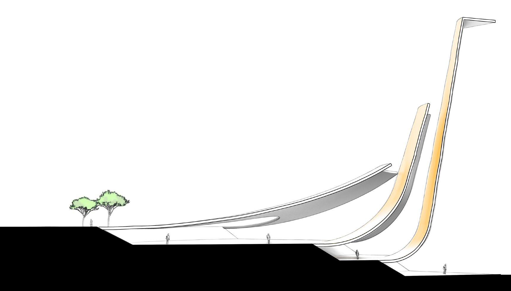
Canyon Sectional Slice
Hungerford Railway Bridge
Charing Cross Terminal
Canyon Connectivity
Bathhouse & Park
(Legal & Financial Quarter)
The road is buried beneath the surface to make way for a public programme above
Royal Park (Political Quarter)
Canyon + Waterfront Slice
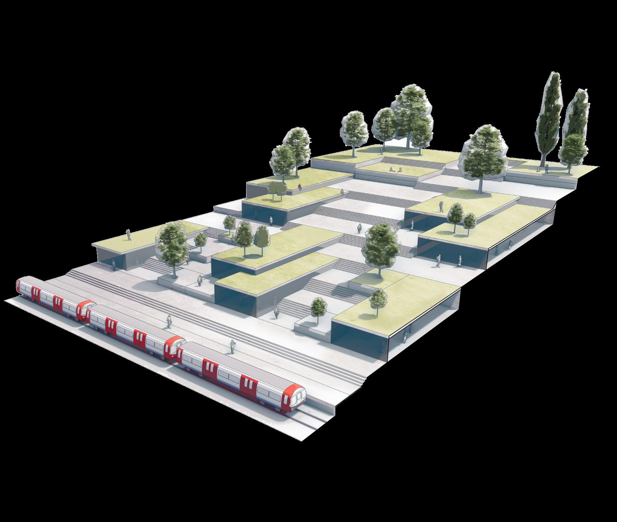
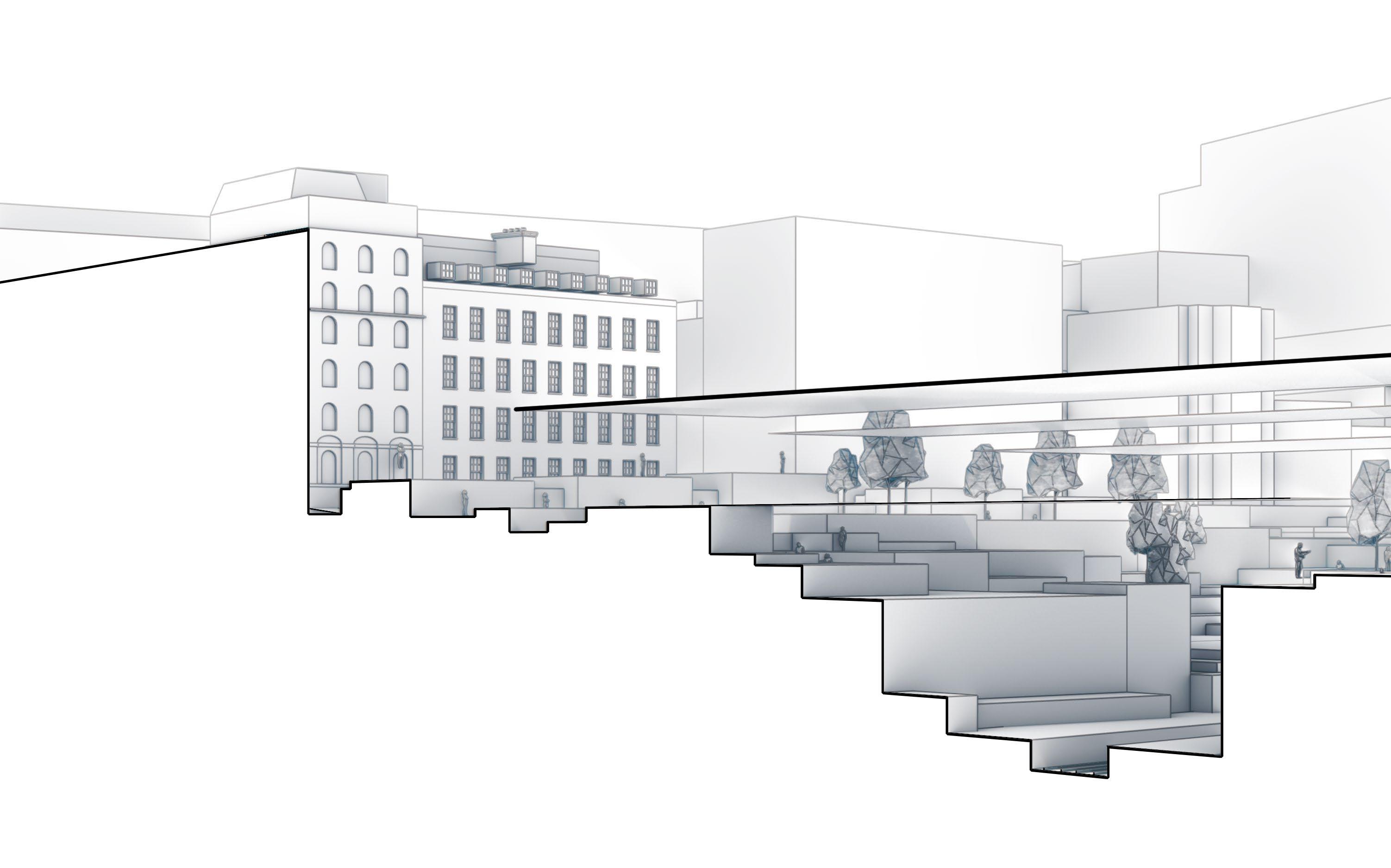
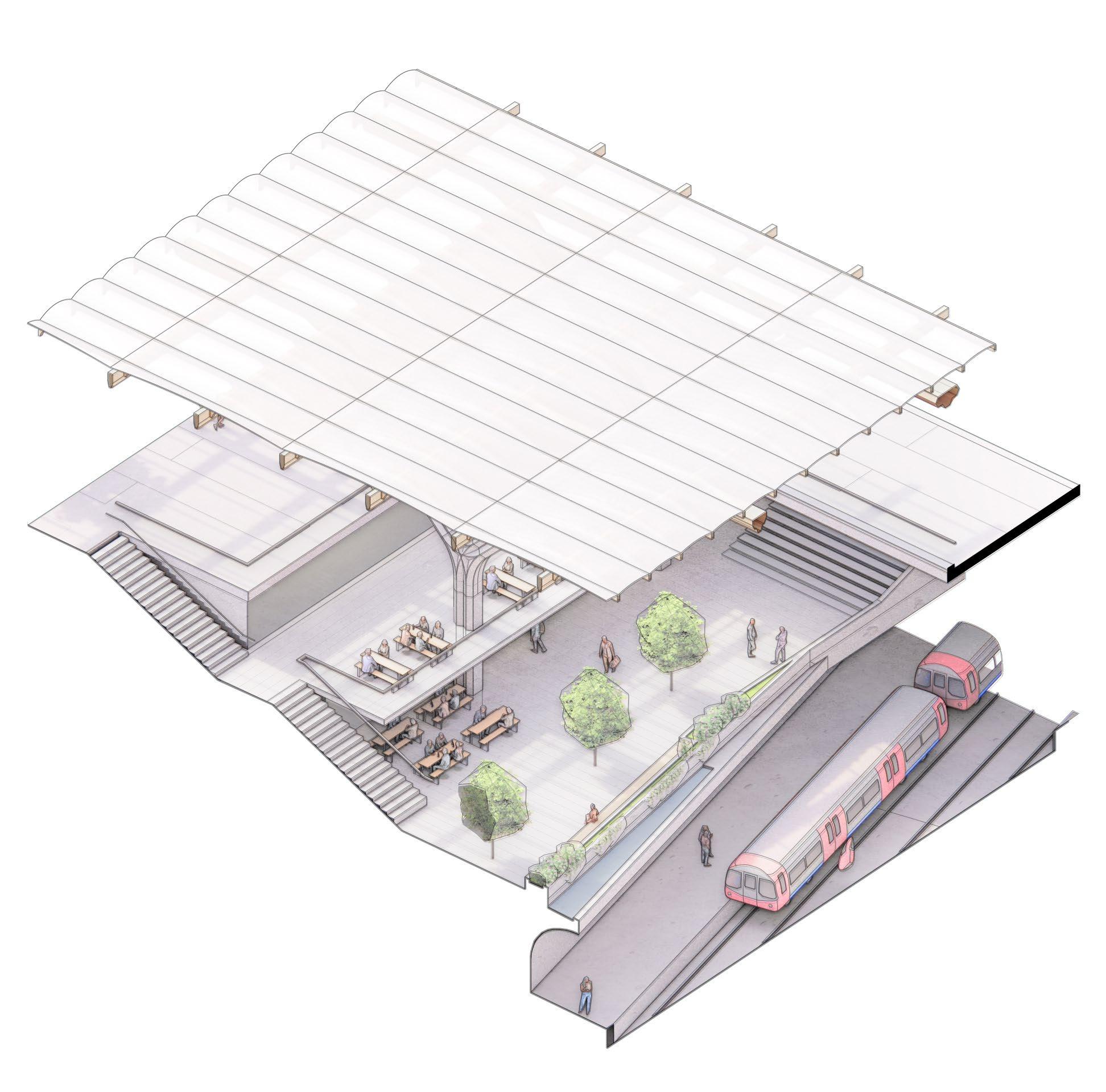
The Circle and District line is exposed to the open air, the ground plane collapses around it creating a ‘canyon’ into which amenities, gardens and places to dwell are integrated
CANYON FRAGMENTS
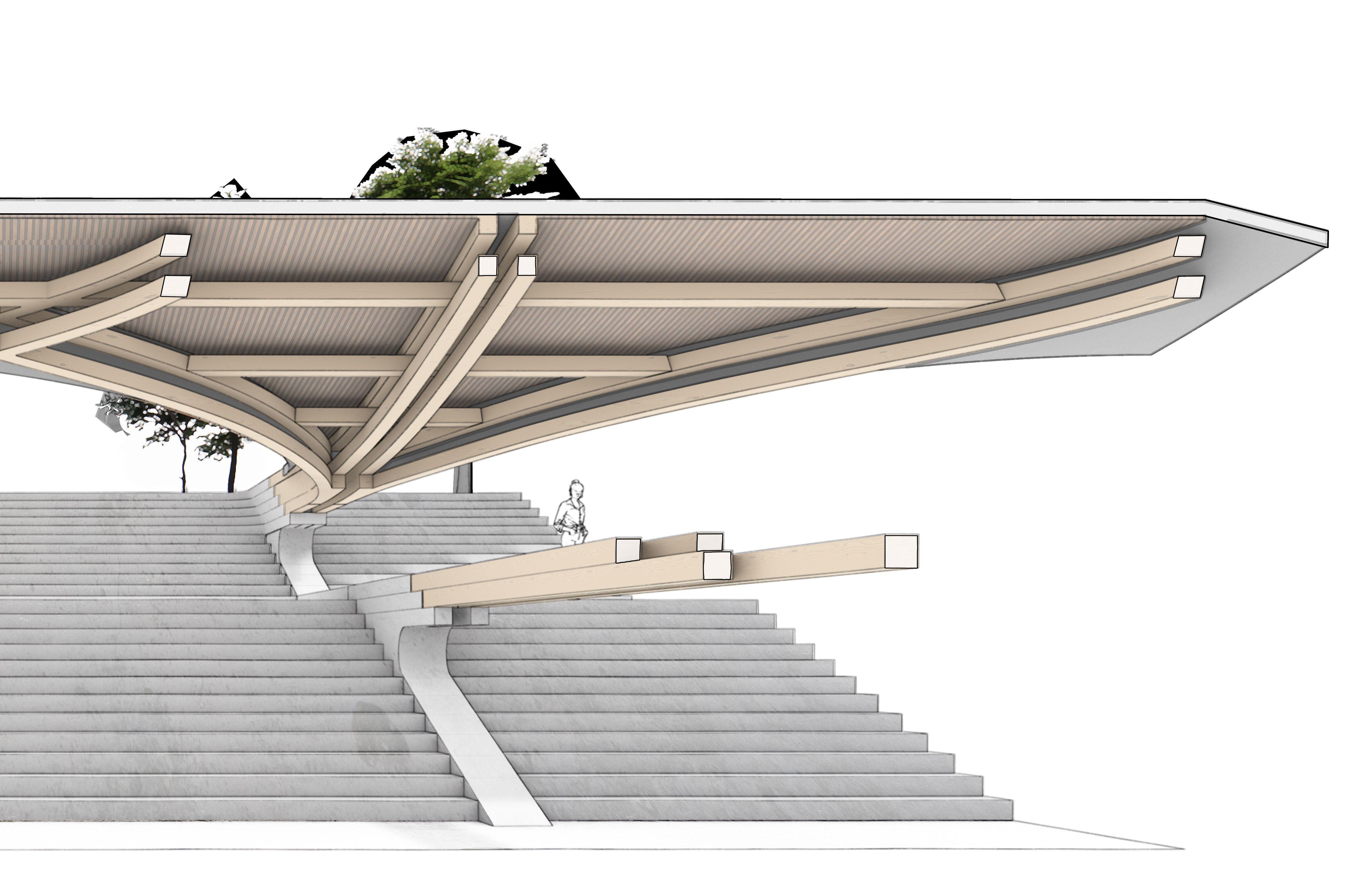
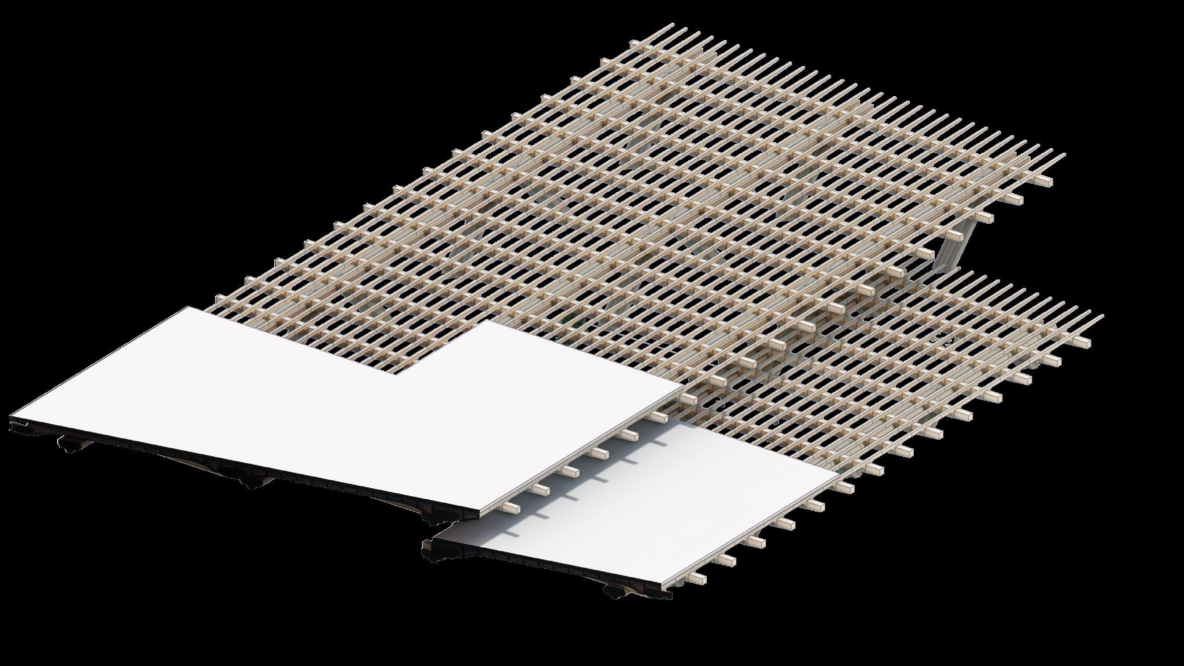
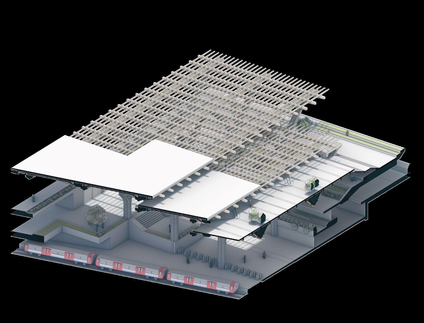
A series of stepping canopies encapsulate the entire canyon and waterfront
Embankment Pier Lobby + Bar
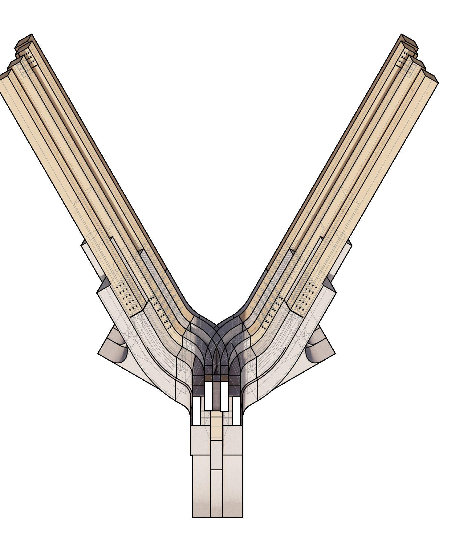
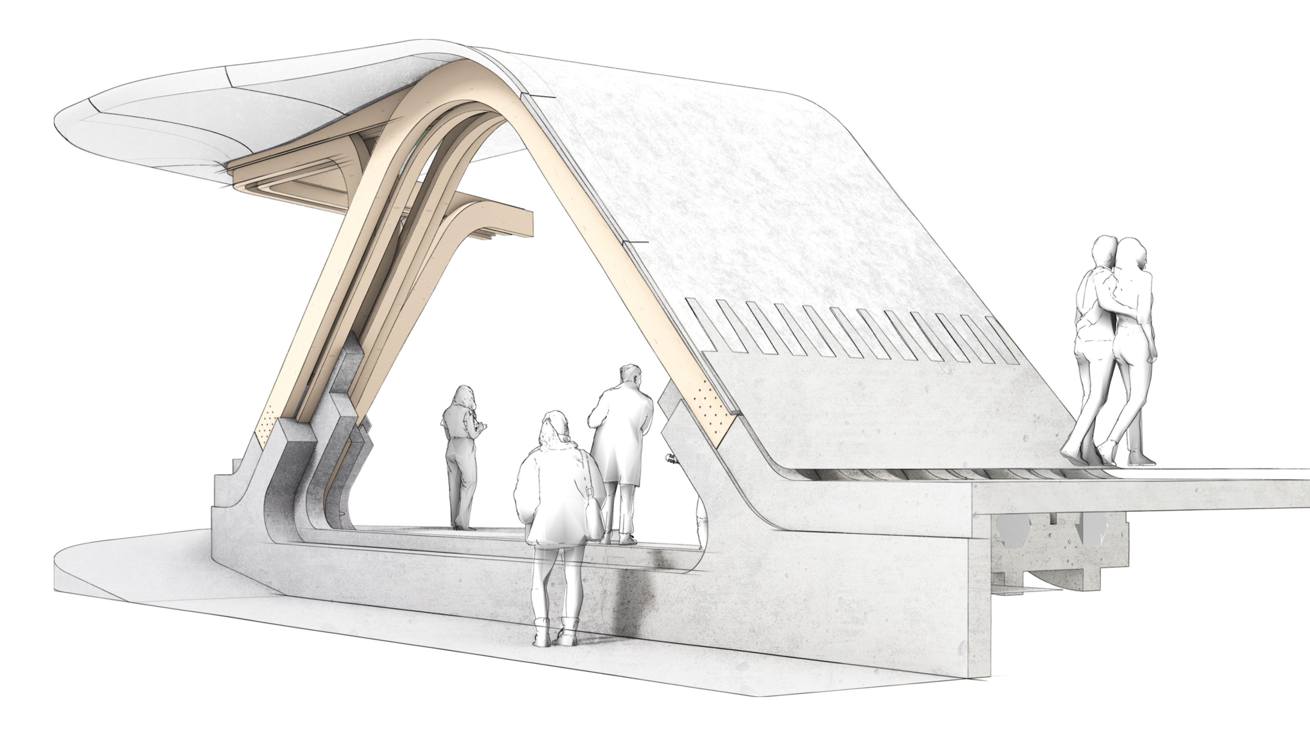
Singular V-node Canopy Support
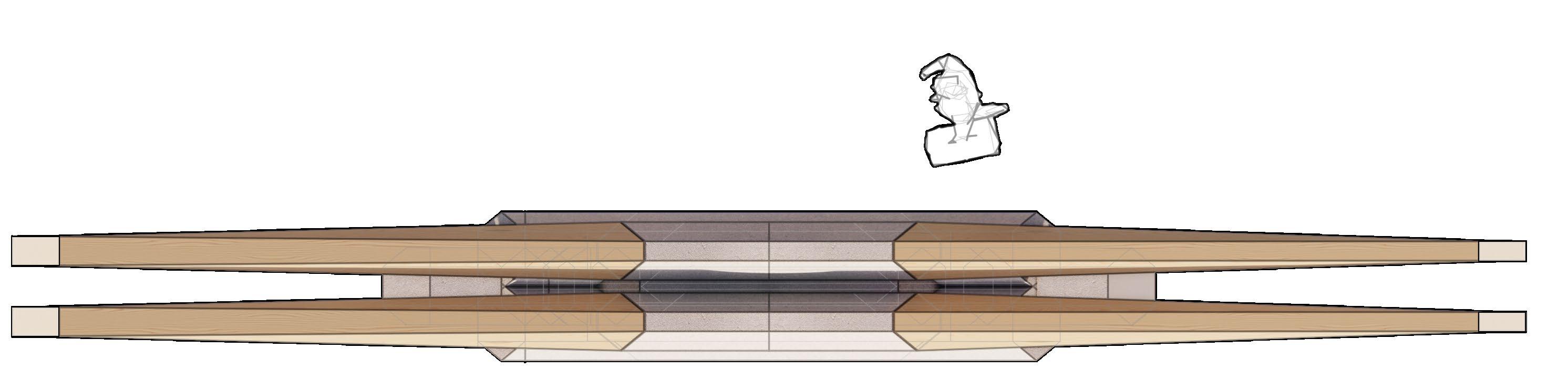
Dual V-node Canopy Support
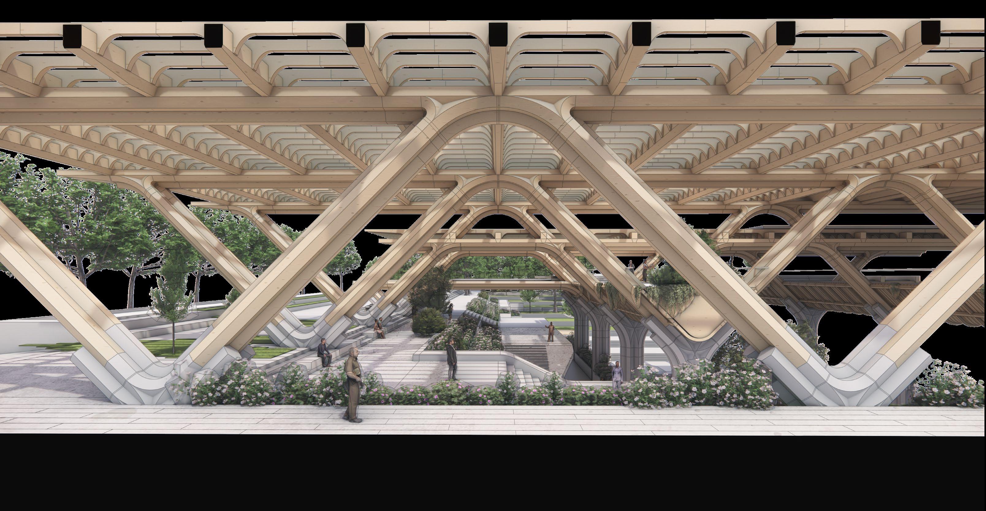
Assembly of V-nodes at regular intervals frame vistas through proposal
Dual V-node Canopy Support
Visibility is maintained between underground platform & Hungerford bridge.
Hanging Garden Fragment
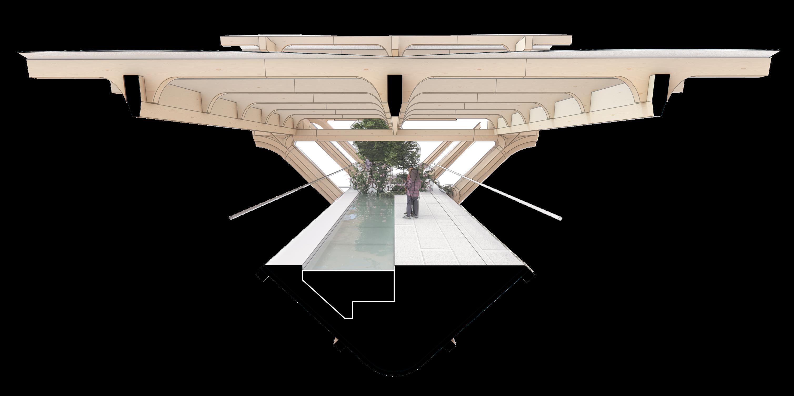
Creation of an ‘attic’ condition with integrated garden and bathing space
Contextual Fragment
Overlooking Sectional Study
The elevated programme overlooks onto the park and infrastructural realm below
ABOVE THE CANYON
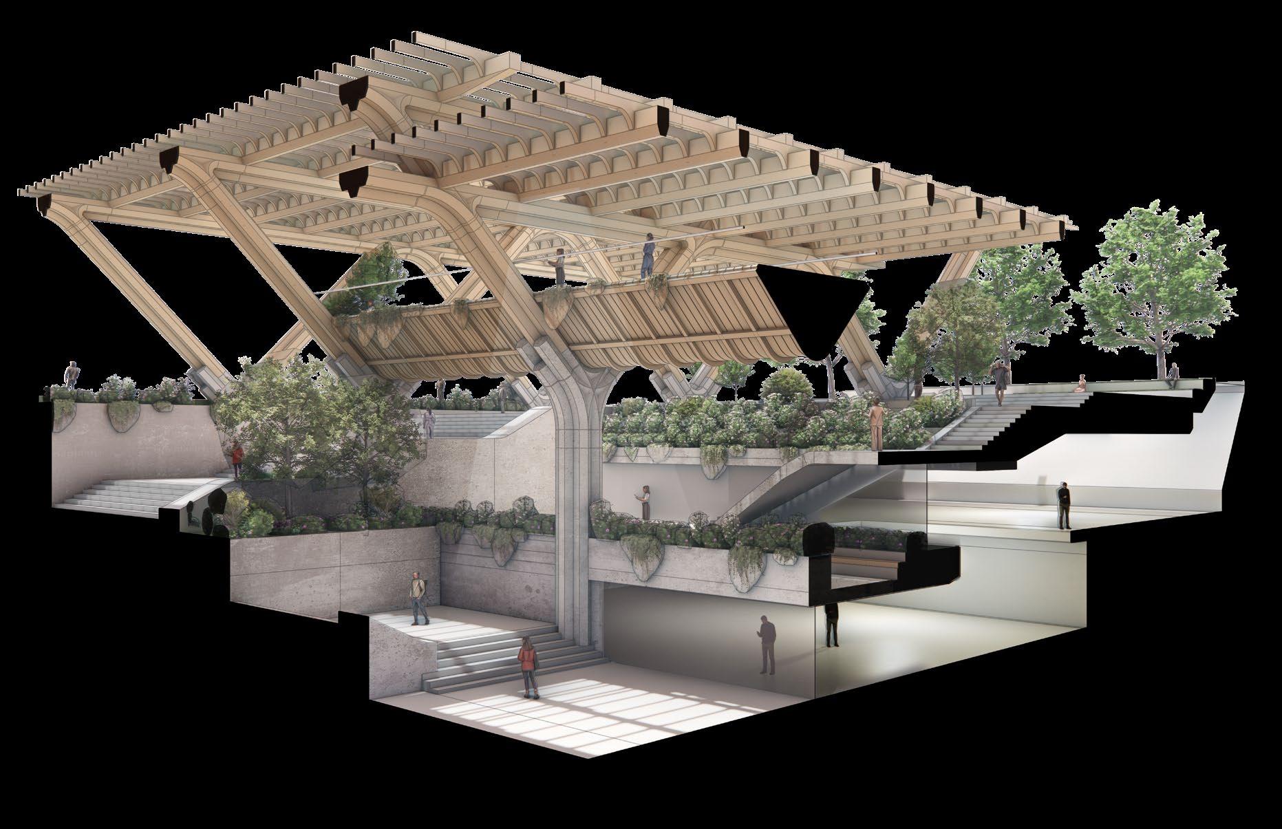
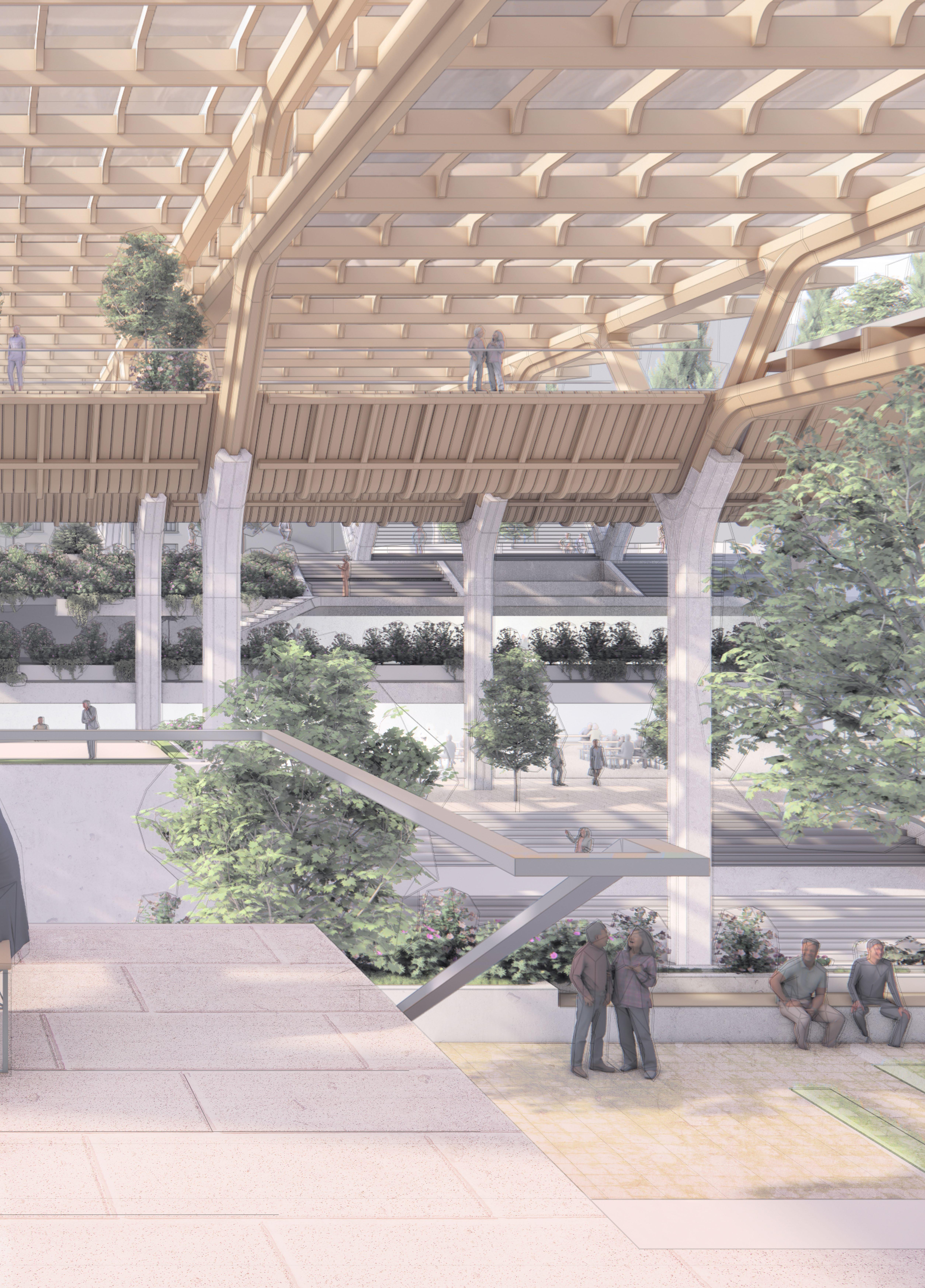
Garden and bathing spaces are elevated above the canyon, integrating the tranquil, slow-moving spaces into a position which overlooks the faster-moving frenetic spaces below and around the user.
Hanging Garden / Bathing Space
UPPER LEVEL ACCESS
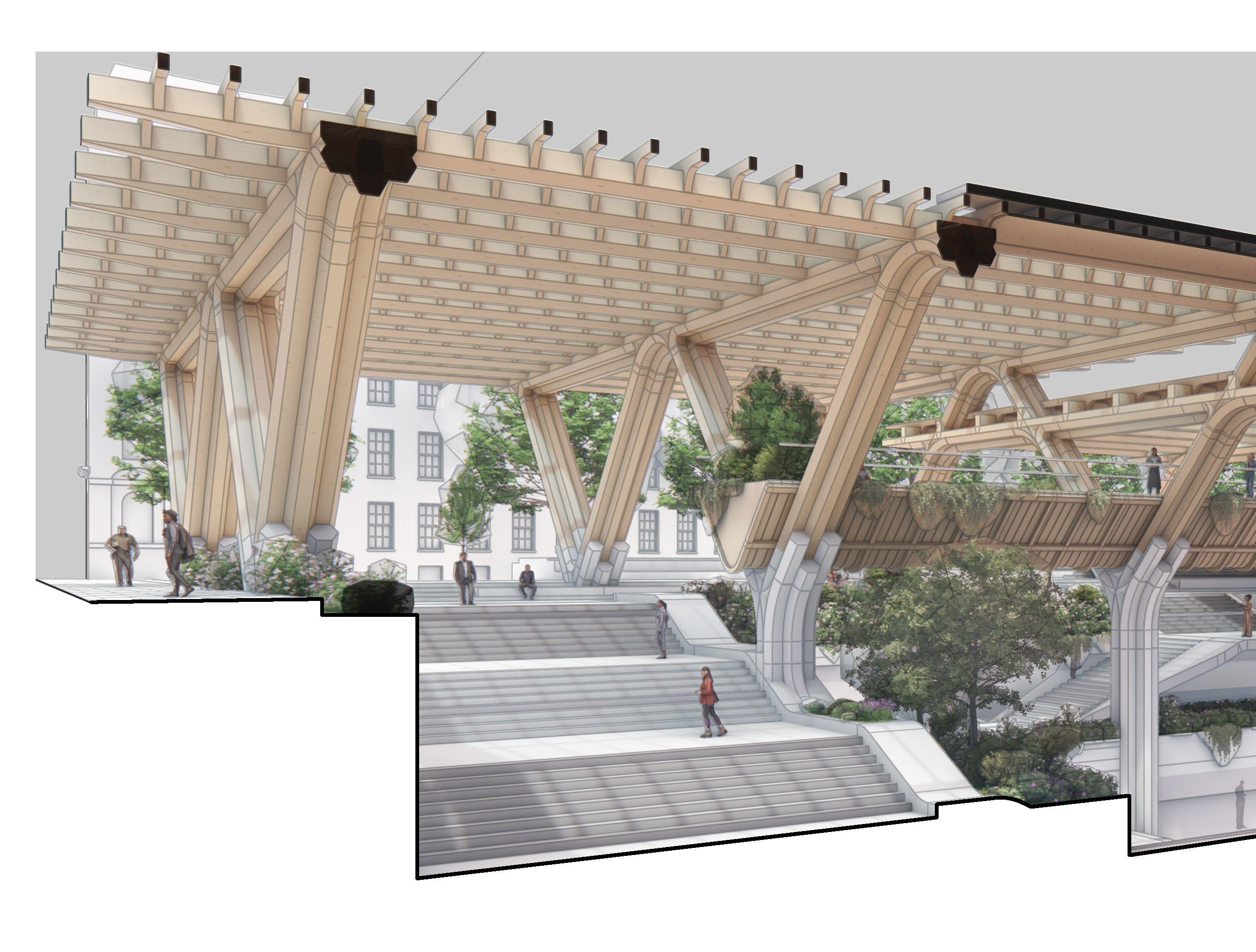
The stepping roof form allows the lower roof to become inhabited and thus a means of access to the elevated spaces.
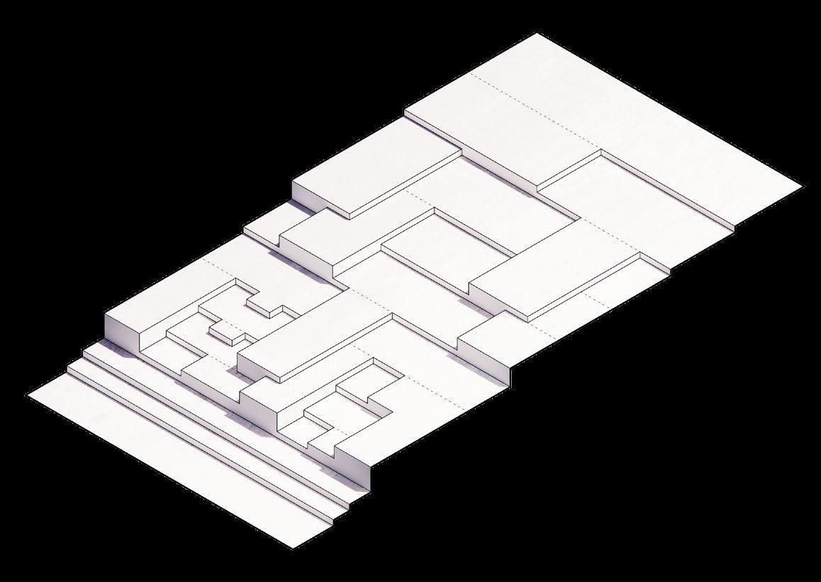
Terracing Morphology
Deformation of terracing to create circulatory routes and hospitality spaces 01 - Simple Terraces
-
Cascading tiers of planters, bathing spaces, circulatory spaces
Hospitality
Underground Platform
‘Underground’-Waterfront Section
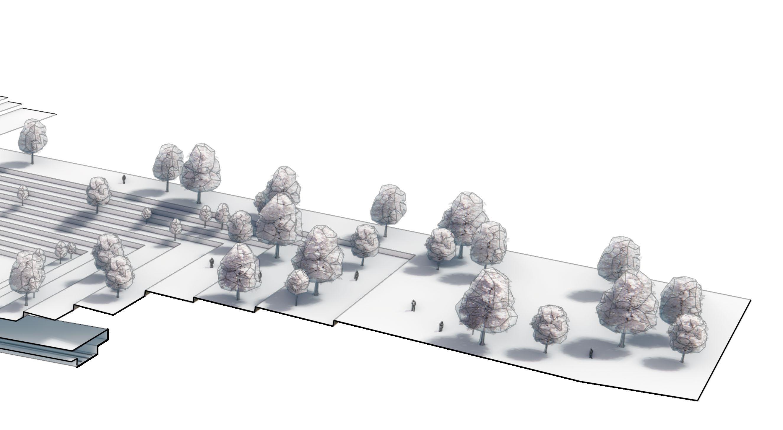
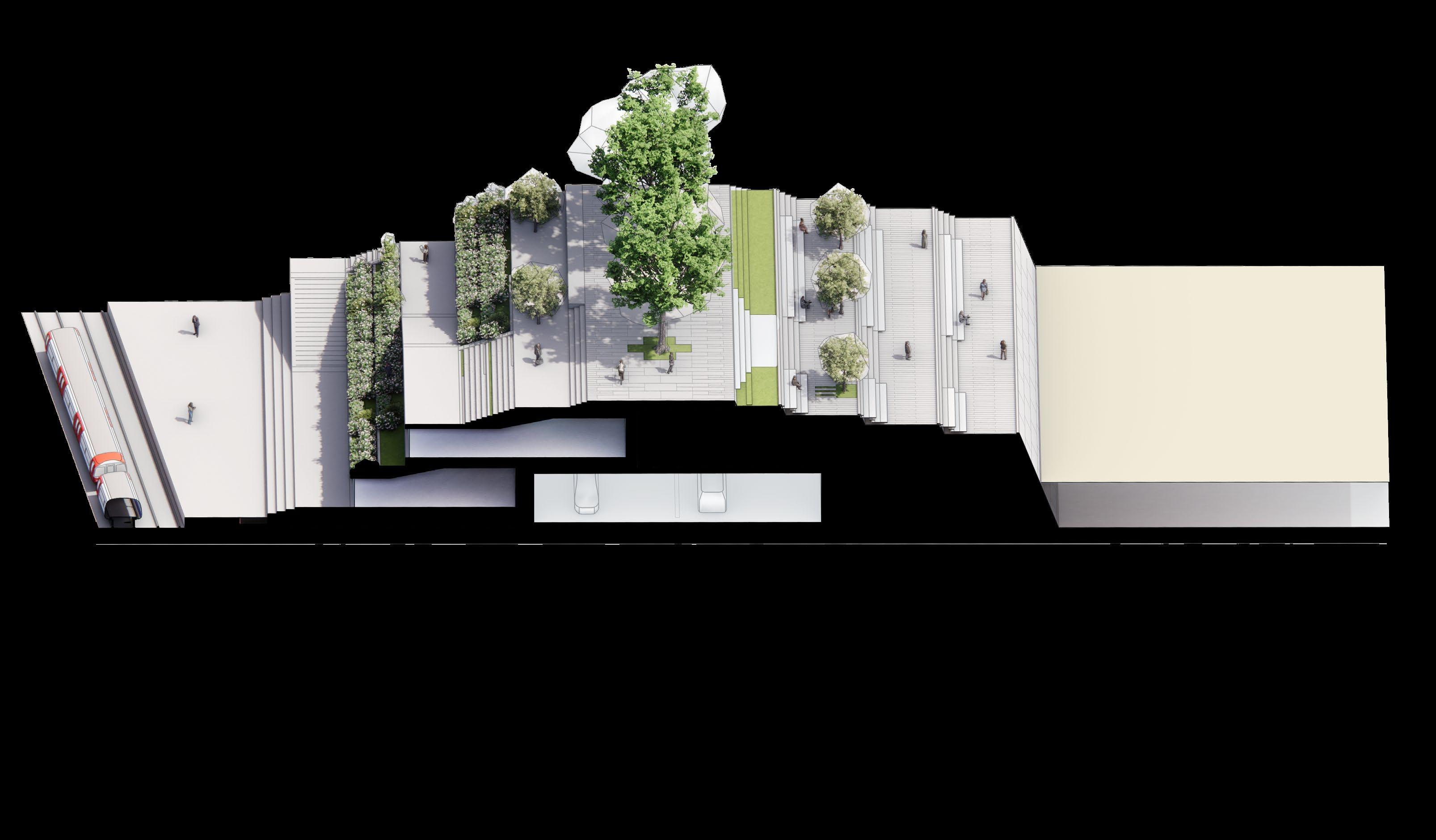
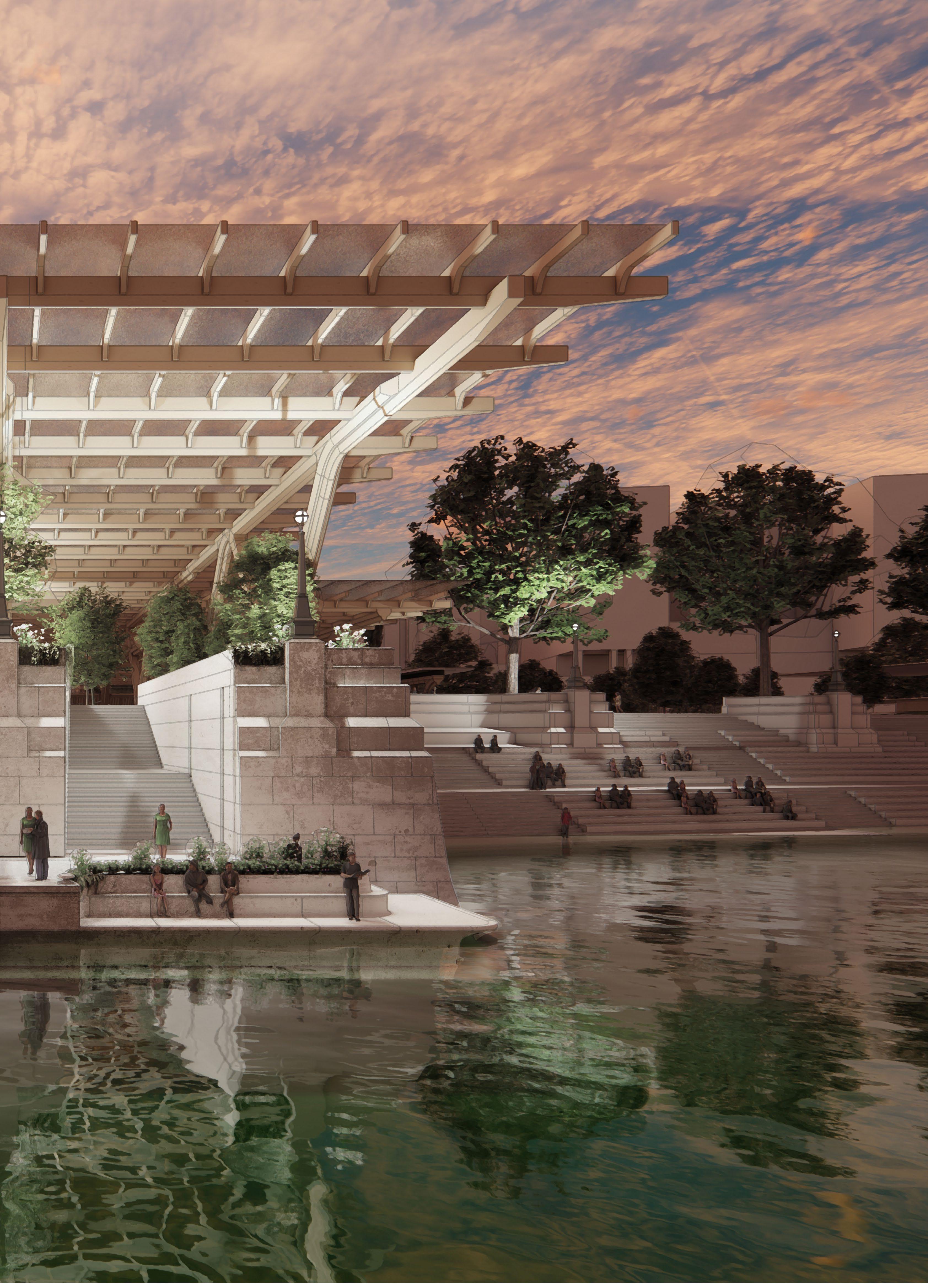
The civic promenade along the waterfront steps down eitherside of the pedestrian; toward the inner of the site, it cascades in tiers containing planters and bathing spaces, folded into which are circulatory routes and hospitality programme. On the opposite side, the waterfront steps in tiers to create access to the Thames across all tidal variants.
High Tide Low Tide
Tidal Public Realm
Civic Promenade
Overground egress Ticket & Billing Foyer
Retained bridge structure as new edifice
Underground Platform Toward Whitehall
Underground Access
route towards Victoria Embankment
HUNGERFORD BRIDGE STRATEGY
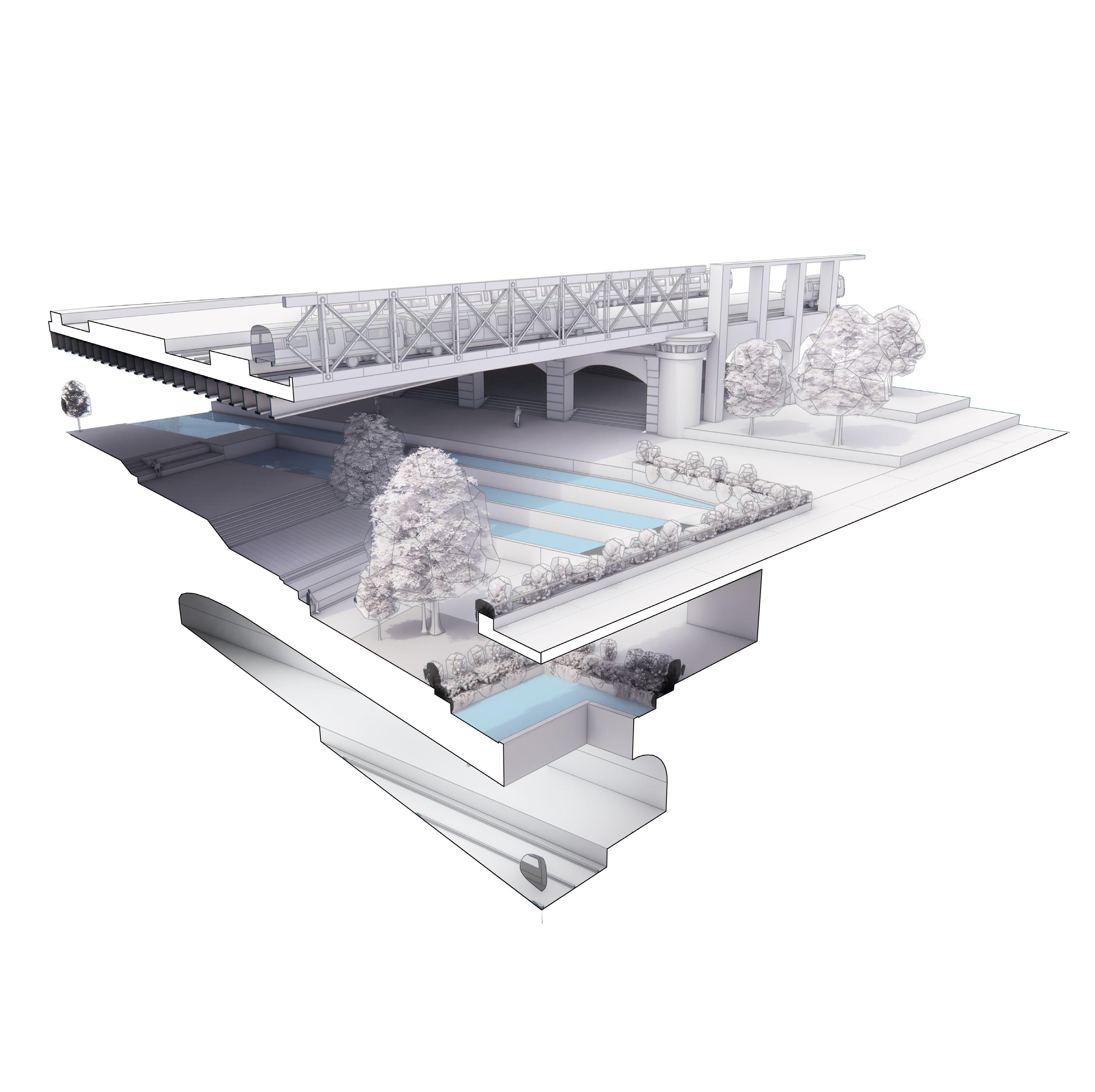
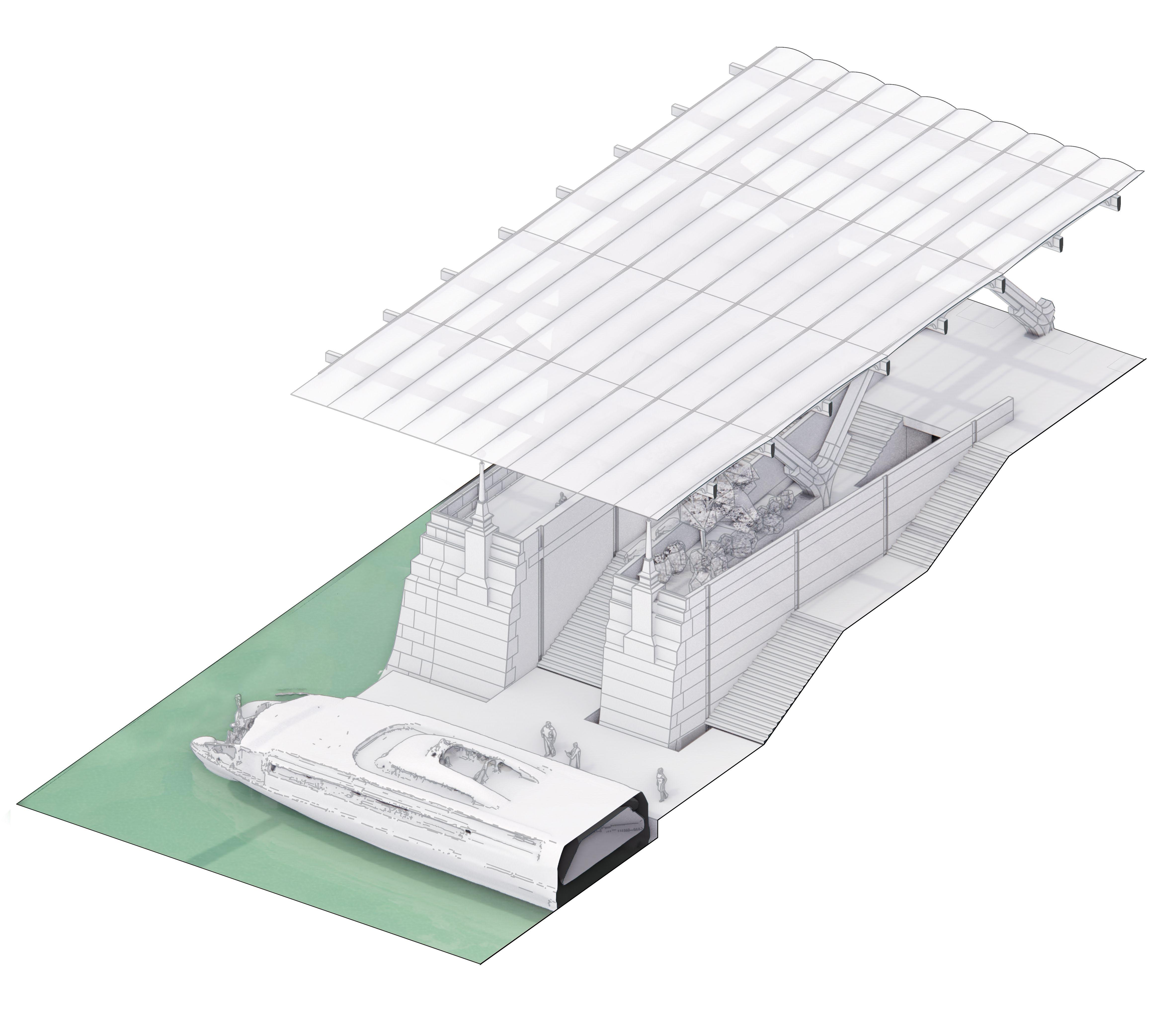
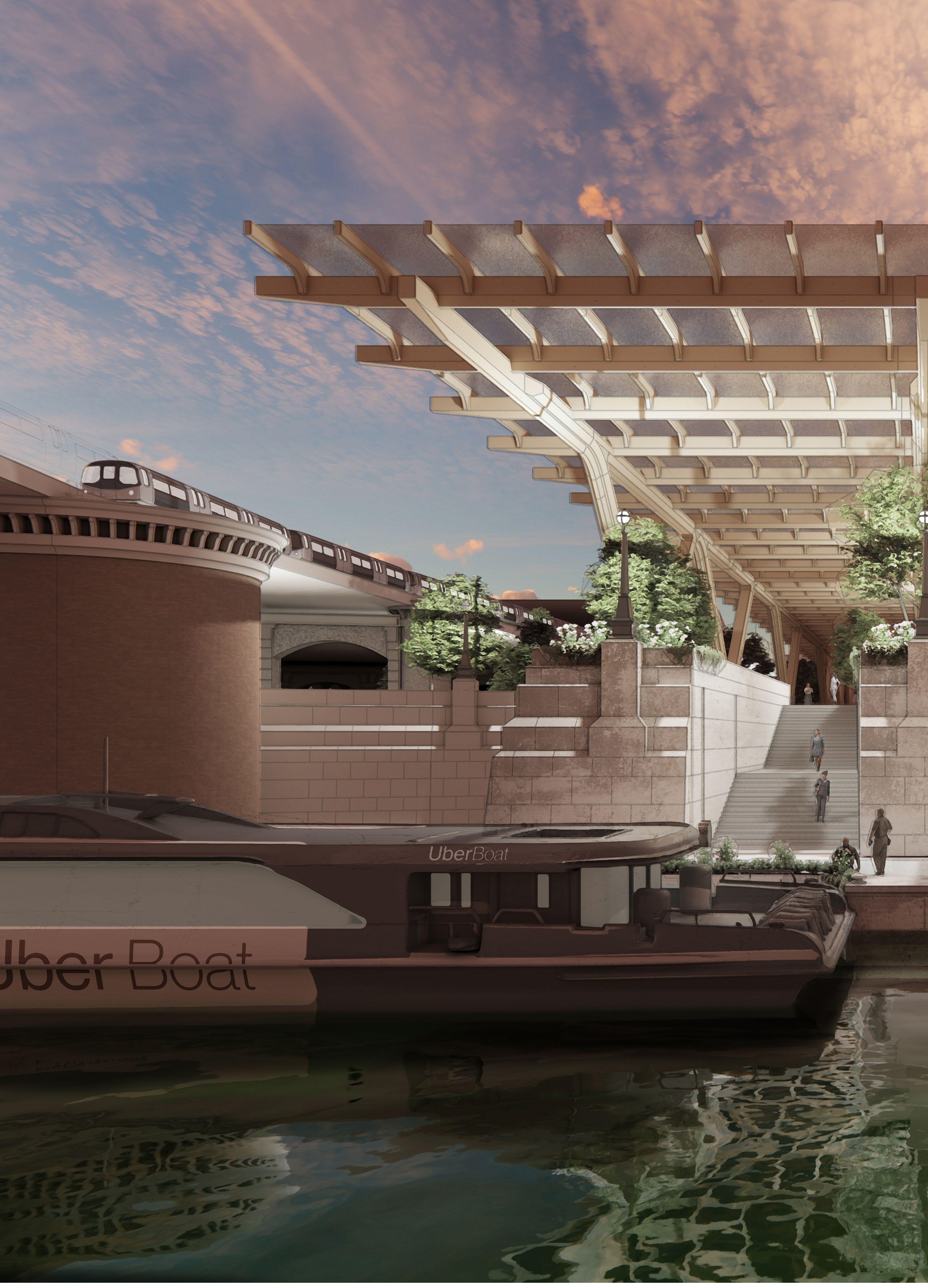
The underside of Hungerford bridge is cleared, with stone vaults and wrought iron support columns retained to act as an edifice for a new egress from the overground platforms above.
Pedestrian
Hungerford Bridge National Rail trains
INFRASTRUCTURAL LAYERING
Charing Cross Embankment
Bakerloo Line Circle & District Line
SITE:
EDGE CONDITION
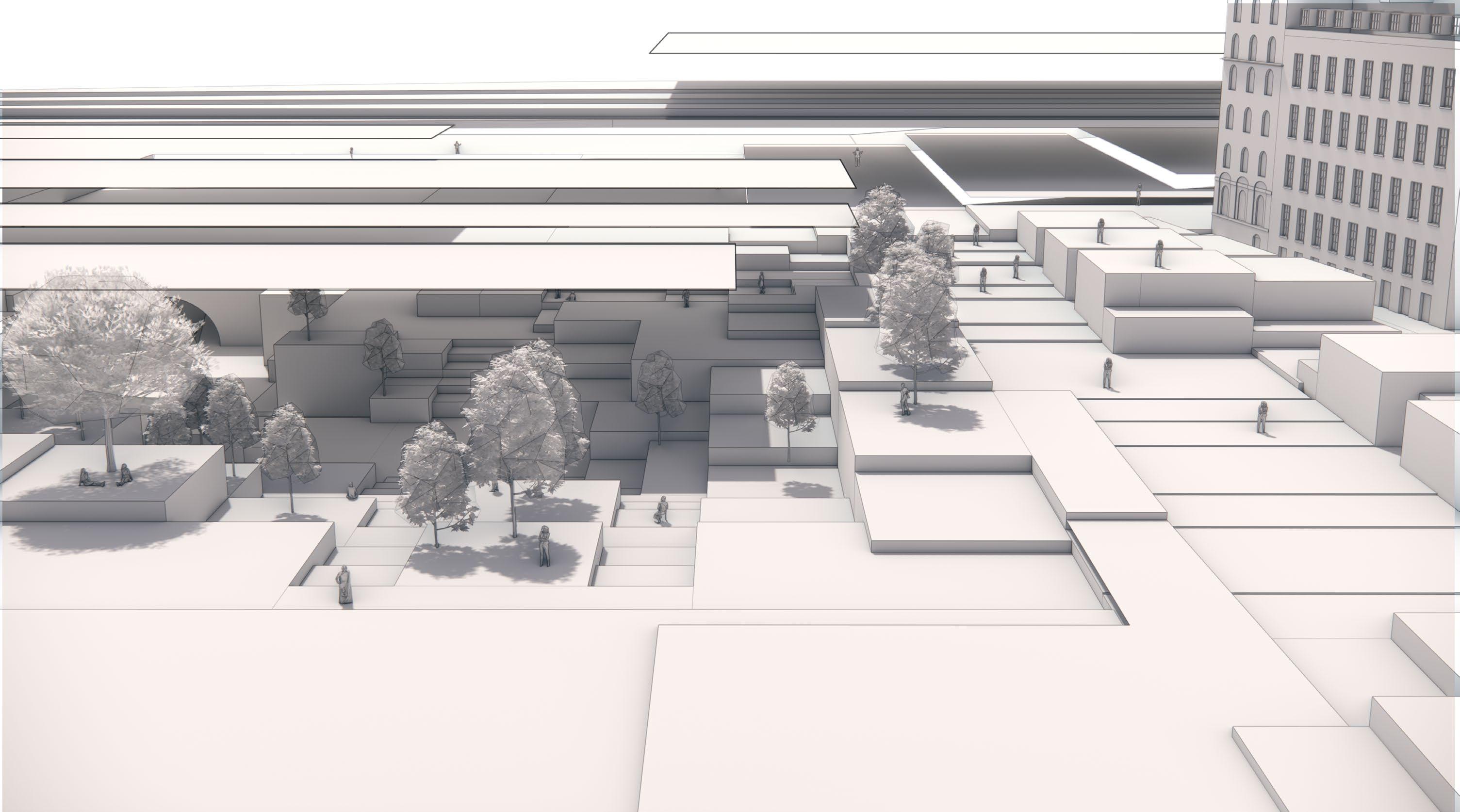
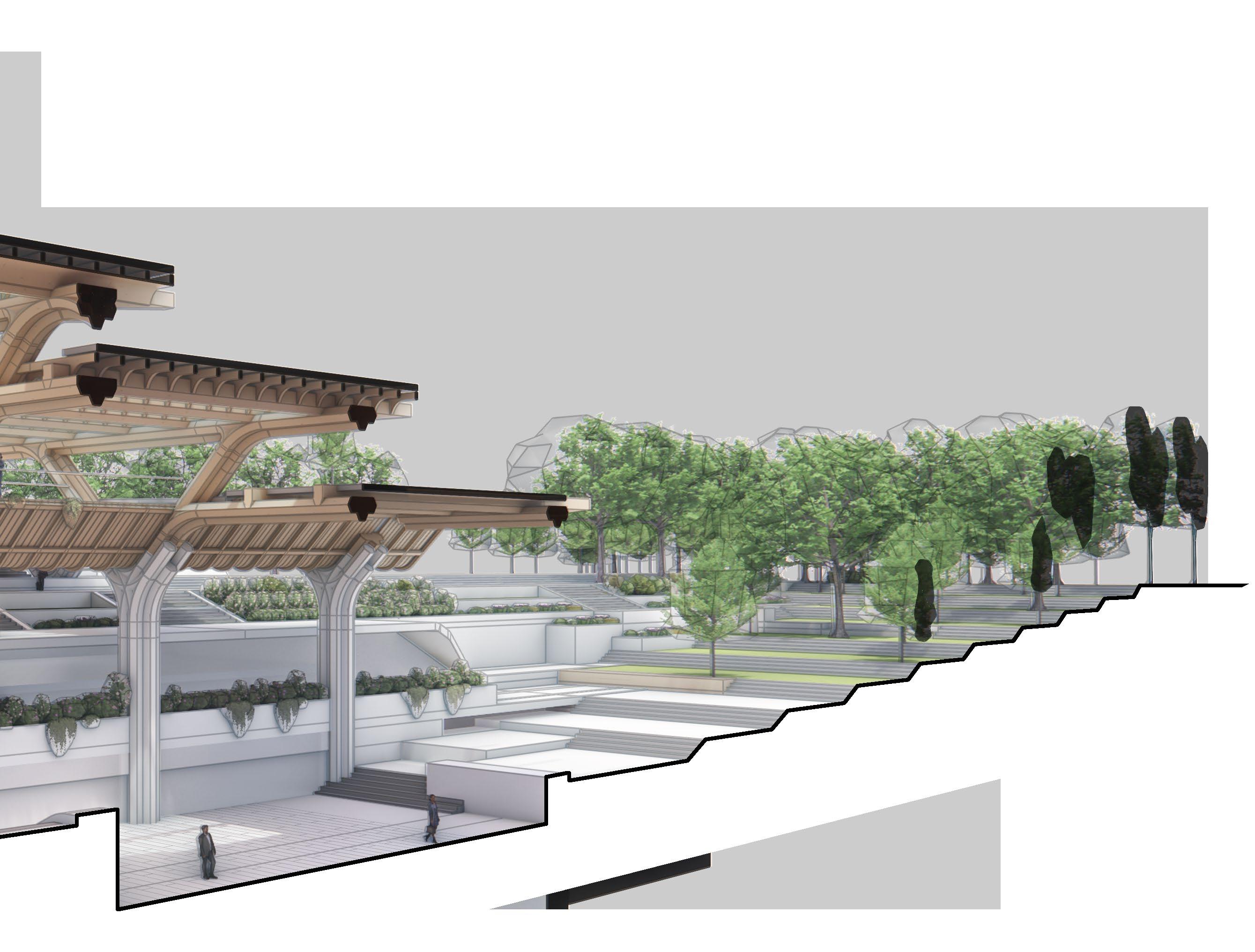
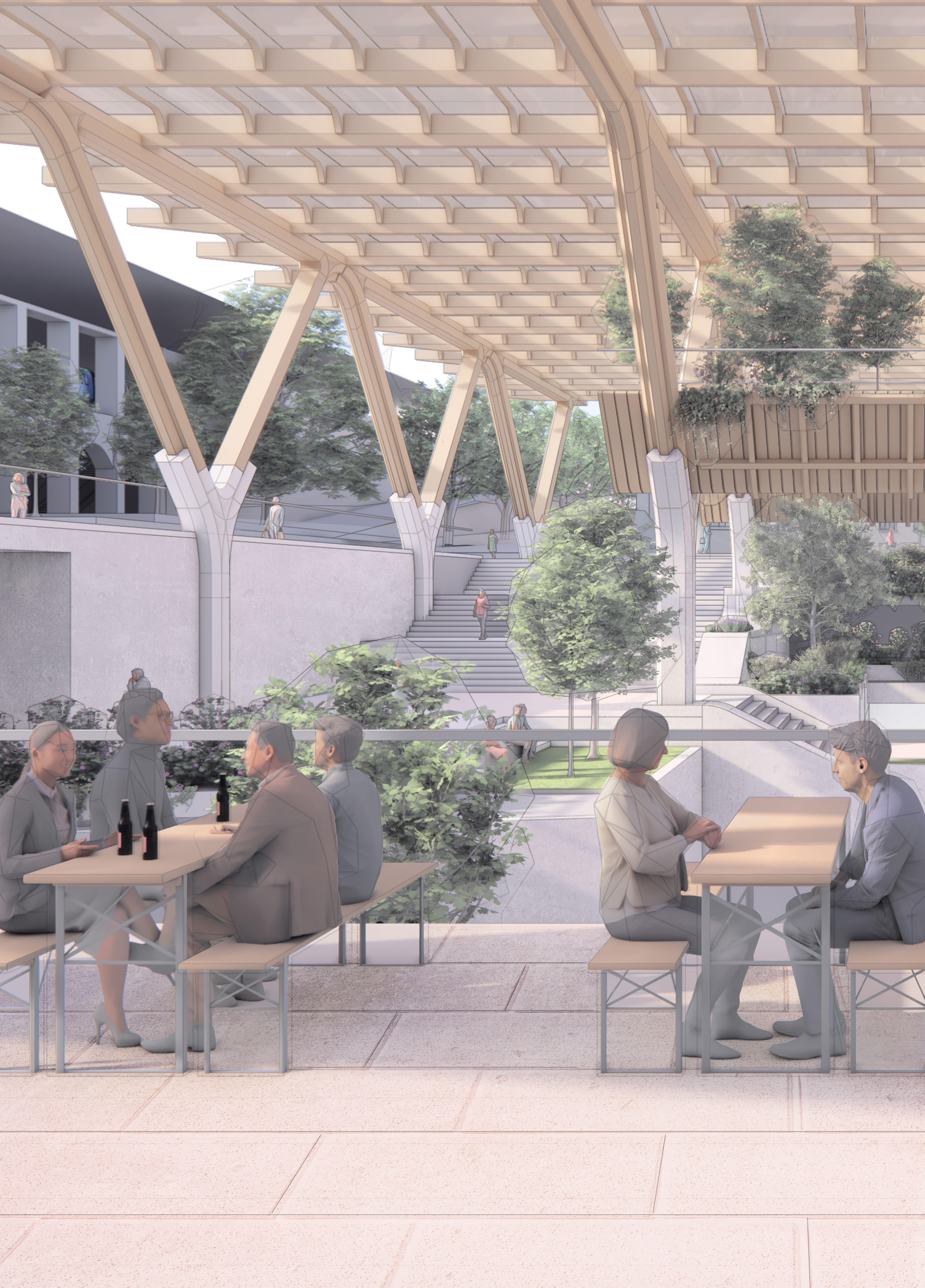
A development view standing on the route towards Embankment pier showing the structural system vaulting over the terraces below, framing vistas towards the park which cascades into the underground and towards the viewer.
SECTIONAL SLICE - PARK
The groundplane is defined by the steeper descent which collapses away from the civic boundary and towards the underground platform in a series of terraces, containing planting, water and hospitality. Perpendicular to this steeper bank, the ground collapses gradually, pulling the park into the infrastructural realm of the exposed underground station.
Embankment Elevation
The landscape gently undulates down towards the parkside, with the initial datum determined by the level of the existing railway bridge (Hungerford Bridge)
WATERFRONT
EMBANKMENT PIXELATION
As a global approach to the embankment edge and with the goal of redefining the human relationship with the Thames river, the grain gradually undulates across the shoreline, with larger grains acting as a key pieces of programme whilst acting as protection for the finer grains wherein human interaction with the river occurs.
Embankment Pier
Primary; serving Thames Clipper boats
Hungerford Bridge Datum
Water Access
Embankment Pier
Secondary; serving small boats
Embankment Pier
Secondary; serving small boats
Water Access
Park Avenue
Stepping Logic
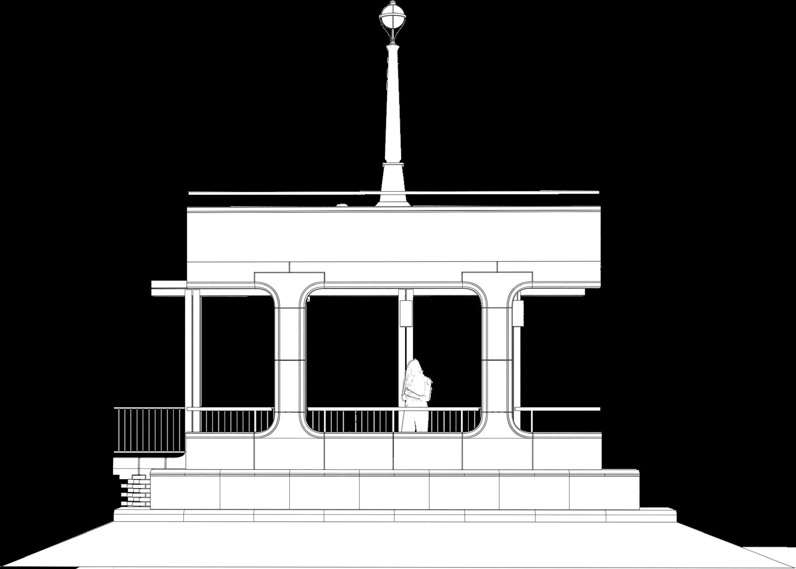
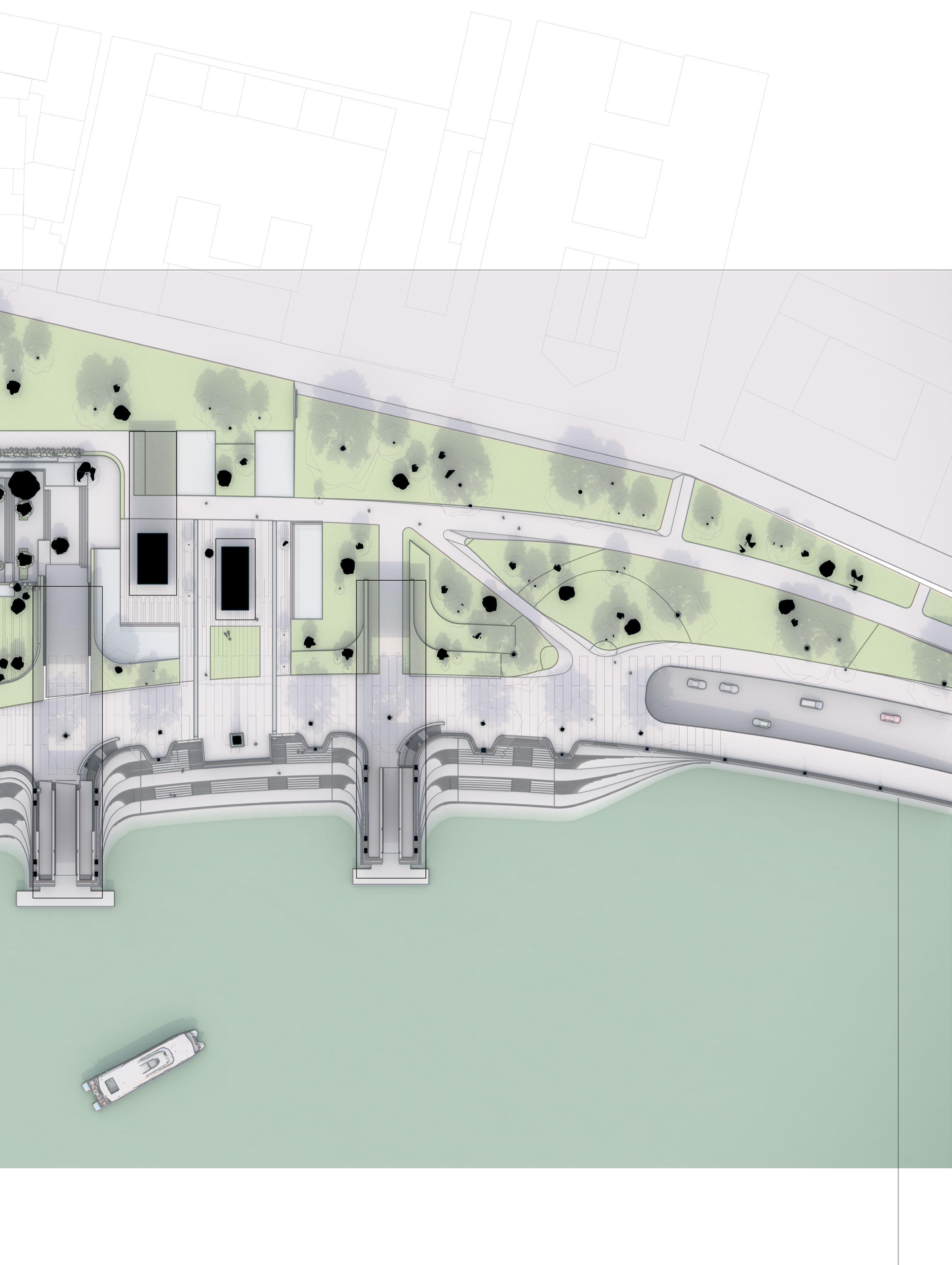
The embankment wall pushes out from the waterfront’s edge to encapsulate piers, between which create enclaves for interacting with the Thames
Embankment Facing Anatomy
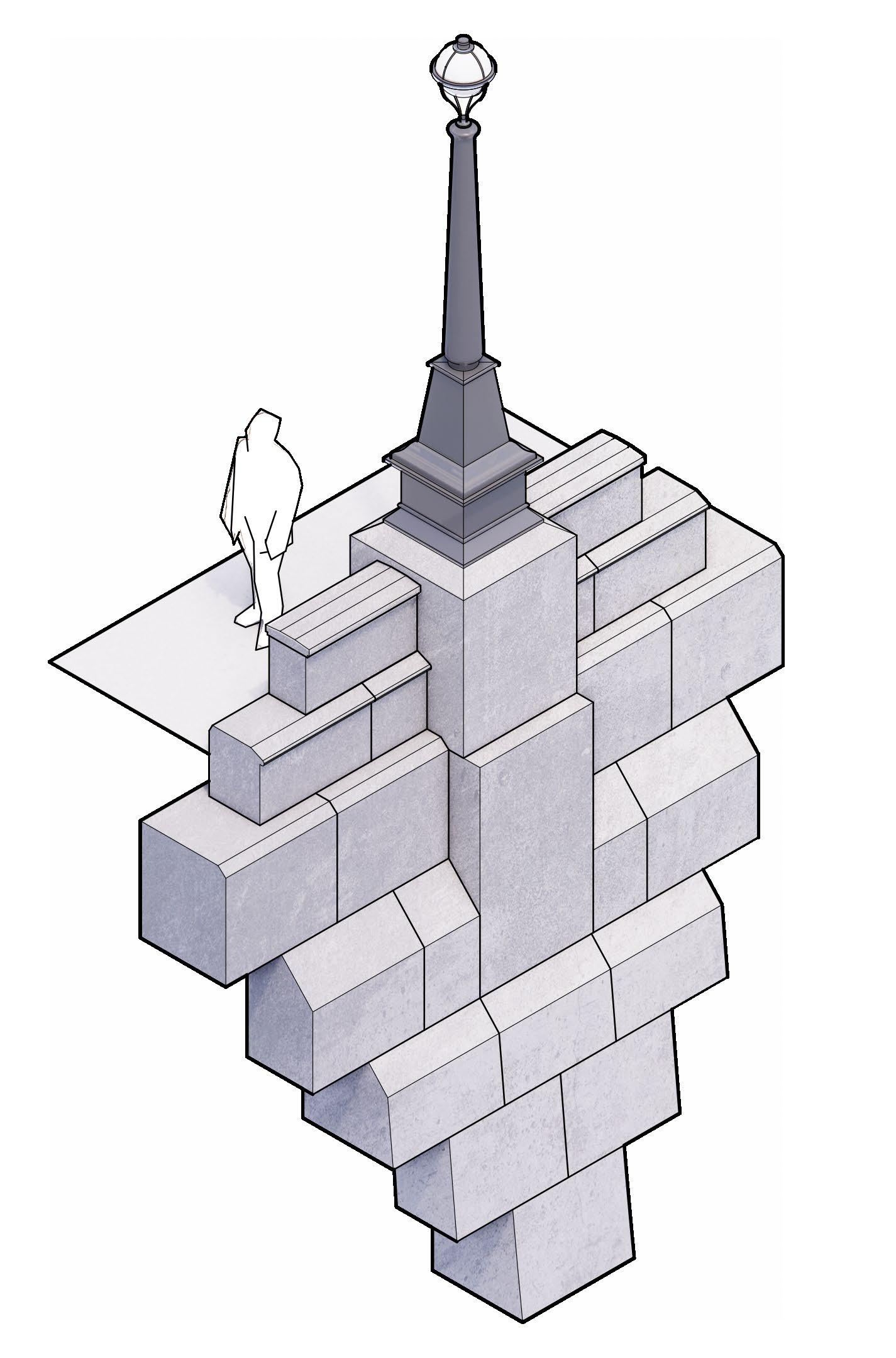
Granite facing wall and regular repeating elements
Spliced Footing Insertions
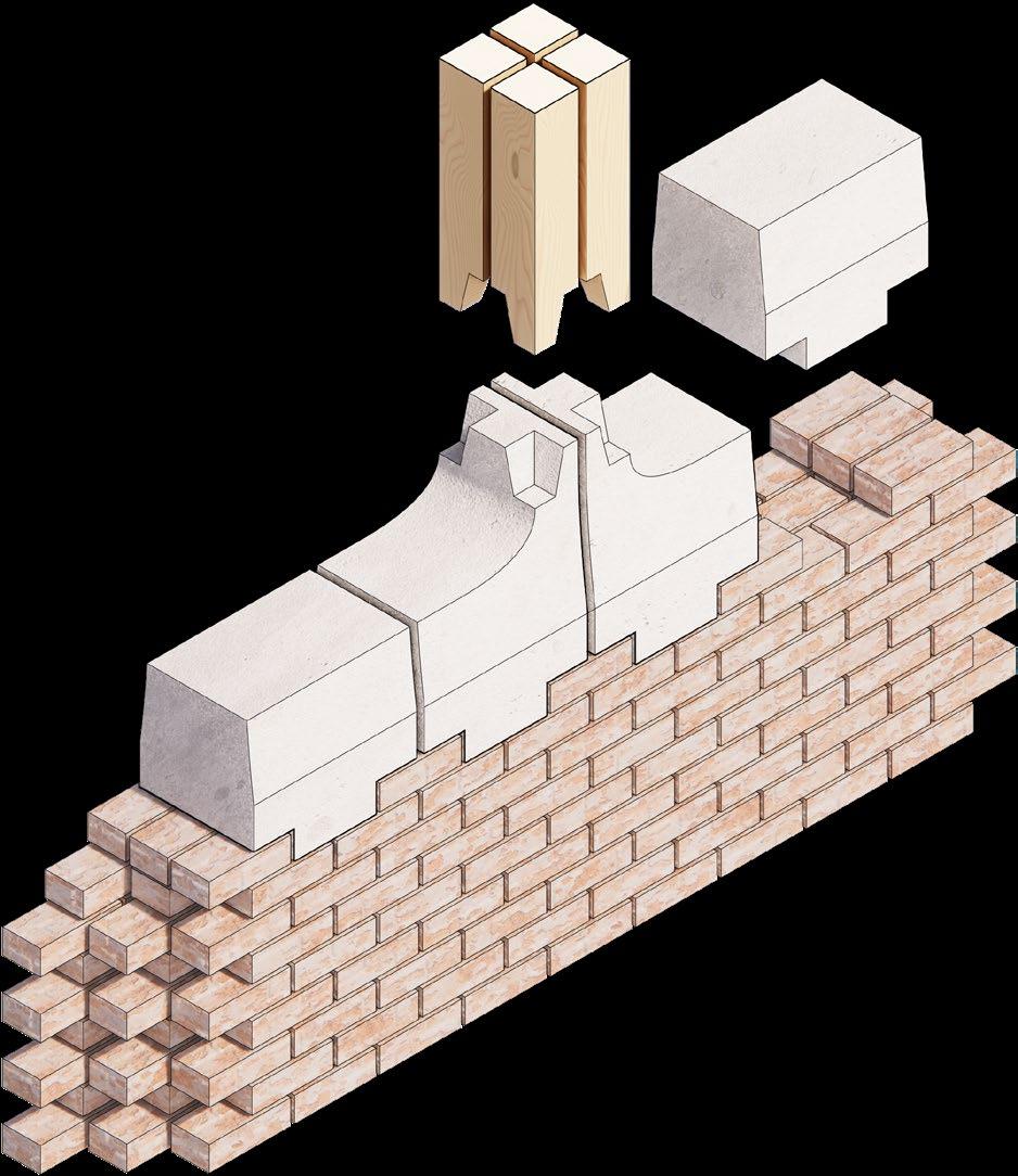
Insertion of customized, sculpted granite blocks into the wall allow an extension of the spatial possibilities
WATERFRONT
DECONSTRUCTING EMBANKMENT
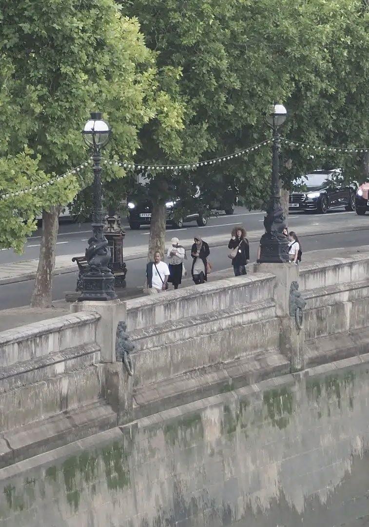
London’s Victoria Embankment is fronted by a monumental granite wall with repeating elements across its length, which represent an opportunity to deconstruct and ‘extend’ the functionality of the wall itself.
Reclaimed London Stock Brick
Behind the granite facing wall lie an immense amount of retaining brickwork
WATERFRONT
RECONFIGURING EMBANKMENT
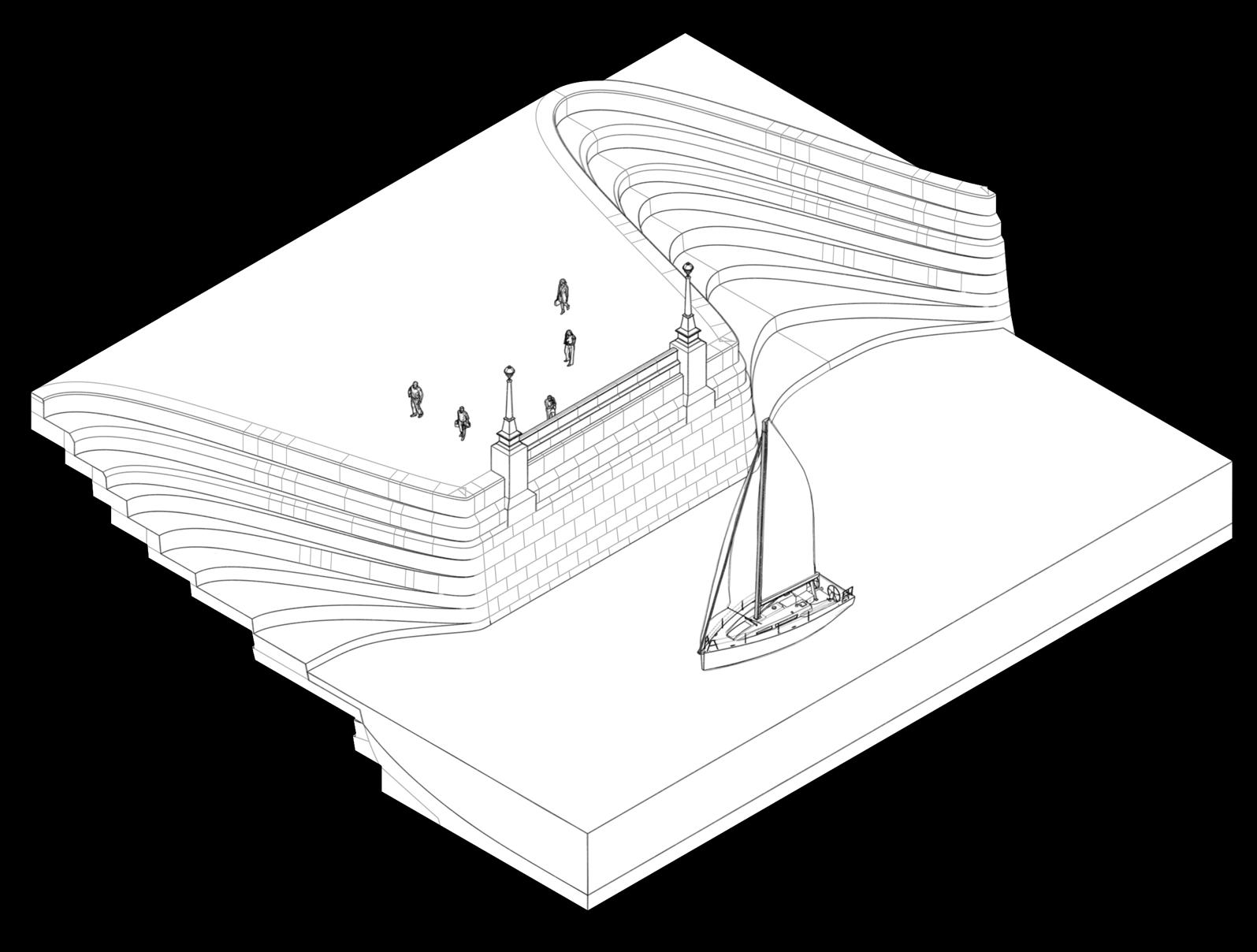
The granite wall is extended upwards to form a colonade condition afront sunken, double-height spaces which allow for the integration of hospitality spaces into the waterfront.
Embankment Translation Logic Series of studies analyzing the potential of shifting and stepping the embankment wall along the granite banding.
Deformed & recessed condition forming public realm
Existing granite facing wall
WATERFRONT
RECONFIGURING EMBANKMENT
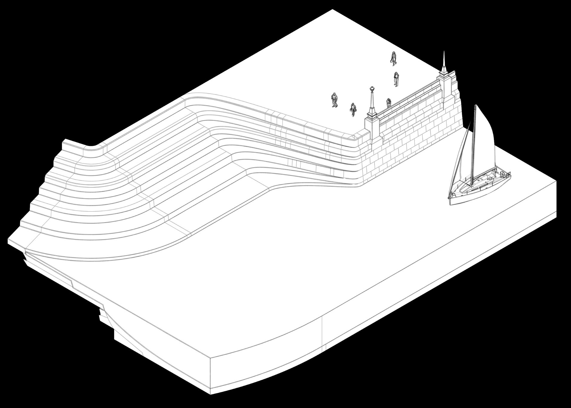
Local deformations in the embankment wall create public realm which becomes available between low and high tide.
Lobby & bar Access
Hospitality +
Embankment Pier Lobby
Enlarged external terraces for walkway + hospitality
WATERFRONT
EMBANKMENT PIER/UNDERGROUND STUDY
Local deformations in the embankment wall create public realm which becomes available between low and high tide.
Embankment Pier
Enlarged external terraces for walkway + hospitality
Underground platform
Civic Promenade
Embankment Pier; Thames Clipper docking pontoon
Embankment Pier Lobby & bar Access
Recessed pontoon guide tracks
Floating pontoon access
Primary Pier
An exploratory fragment of the primary embankment pier serving Thames Clipper water taxis
Embankment Pier; Thames Clipper docking pontoon
WATERFRONT
EMBANKMENT PIER FRAGMENT
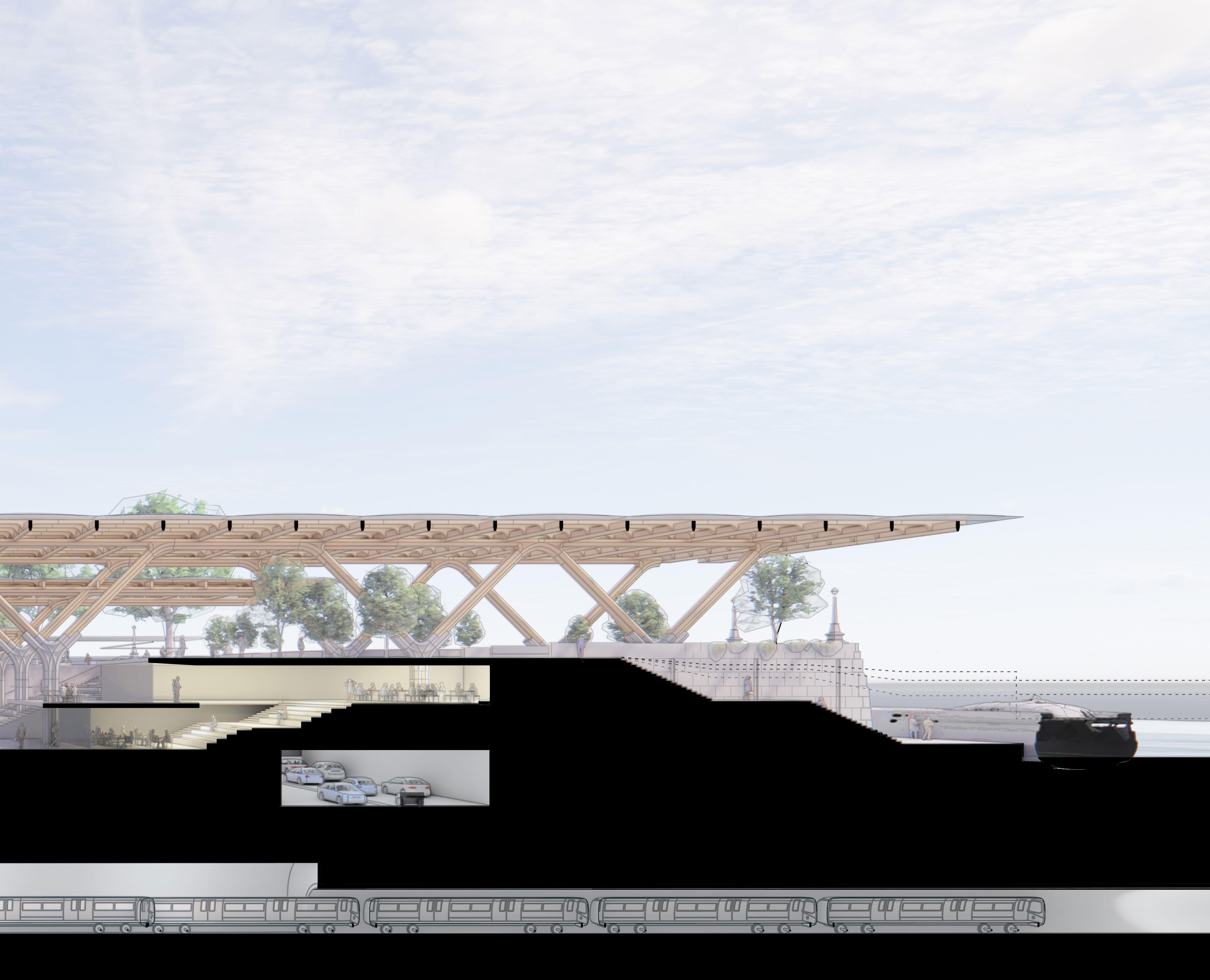
The granite facing wall is pushed out from the surface to encapsulate circulatory spaces to and from the floating pontoons serving Thames Clipper water taxi.
Embankment Pier (Primary)
Embankment Pier (Secondary)
Embankment Pier (Secondary)
Chapter 4
FINAL DRAWINGS
Canyon - Waterfront Pier Section
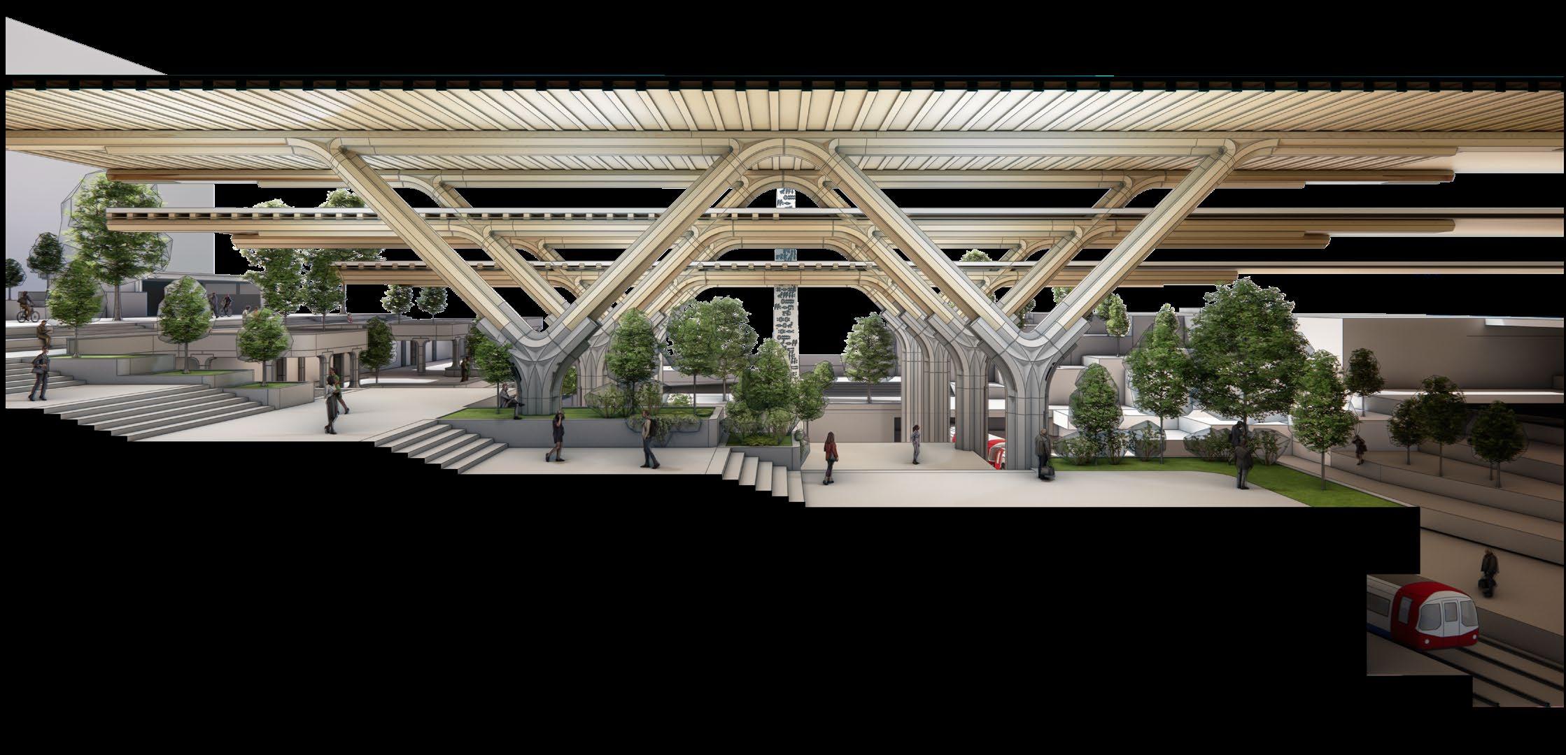
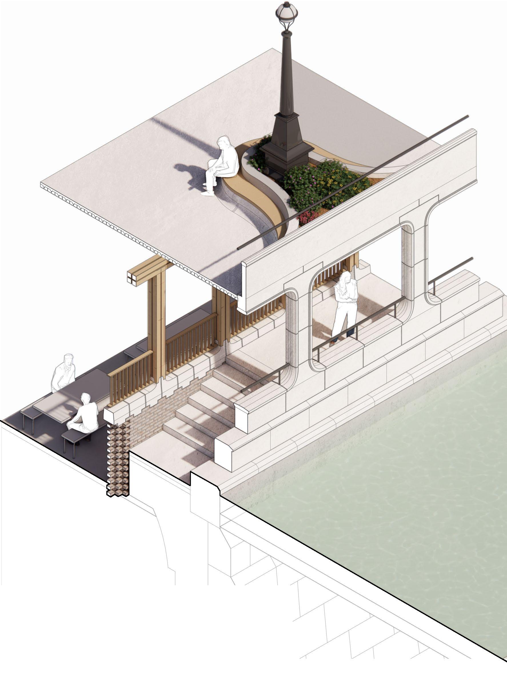
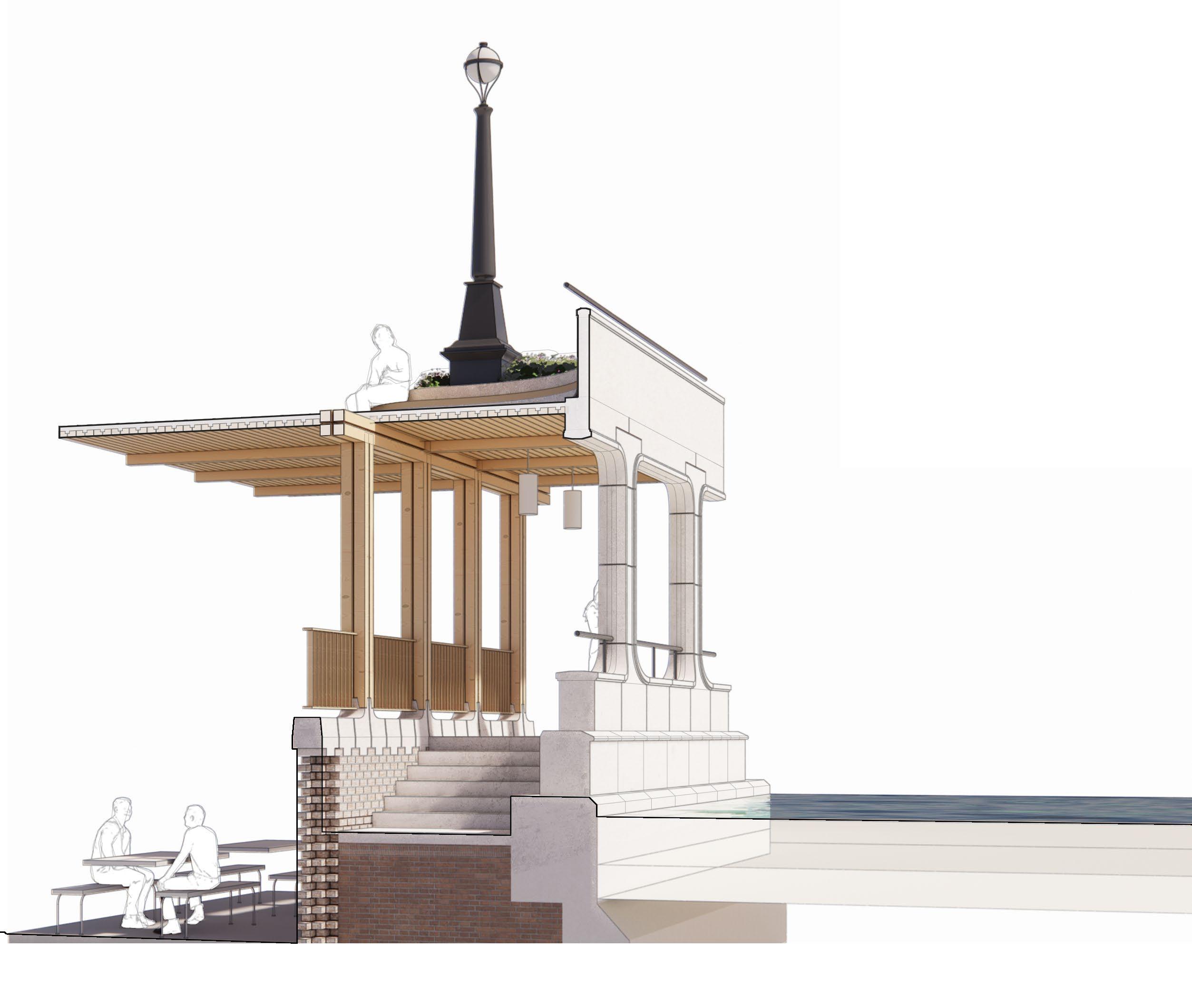
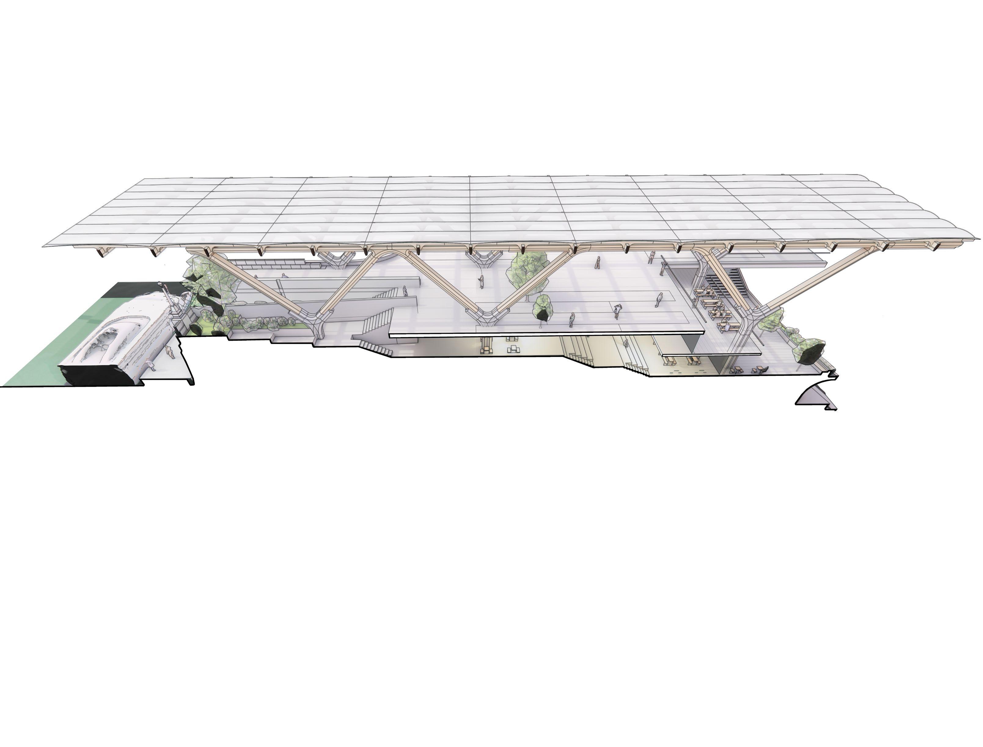
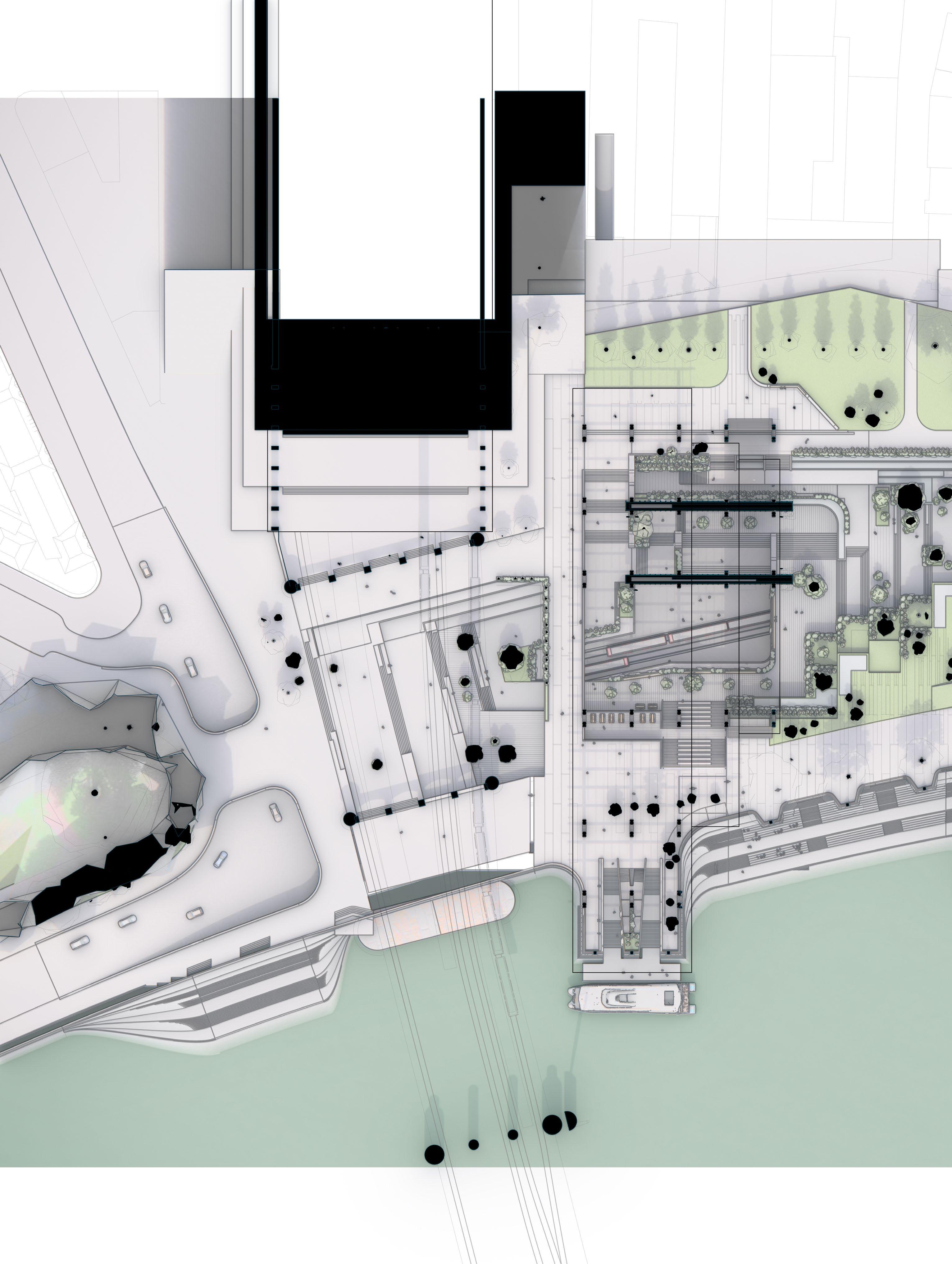
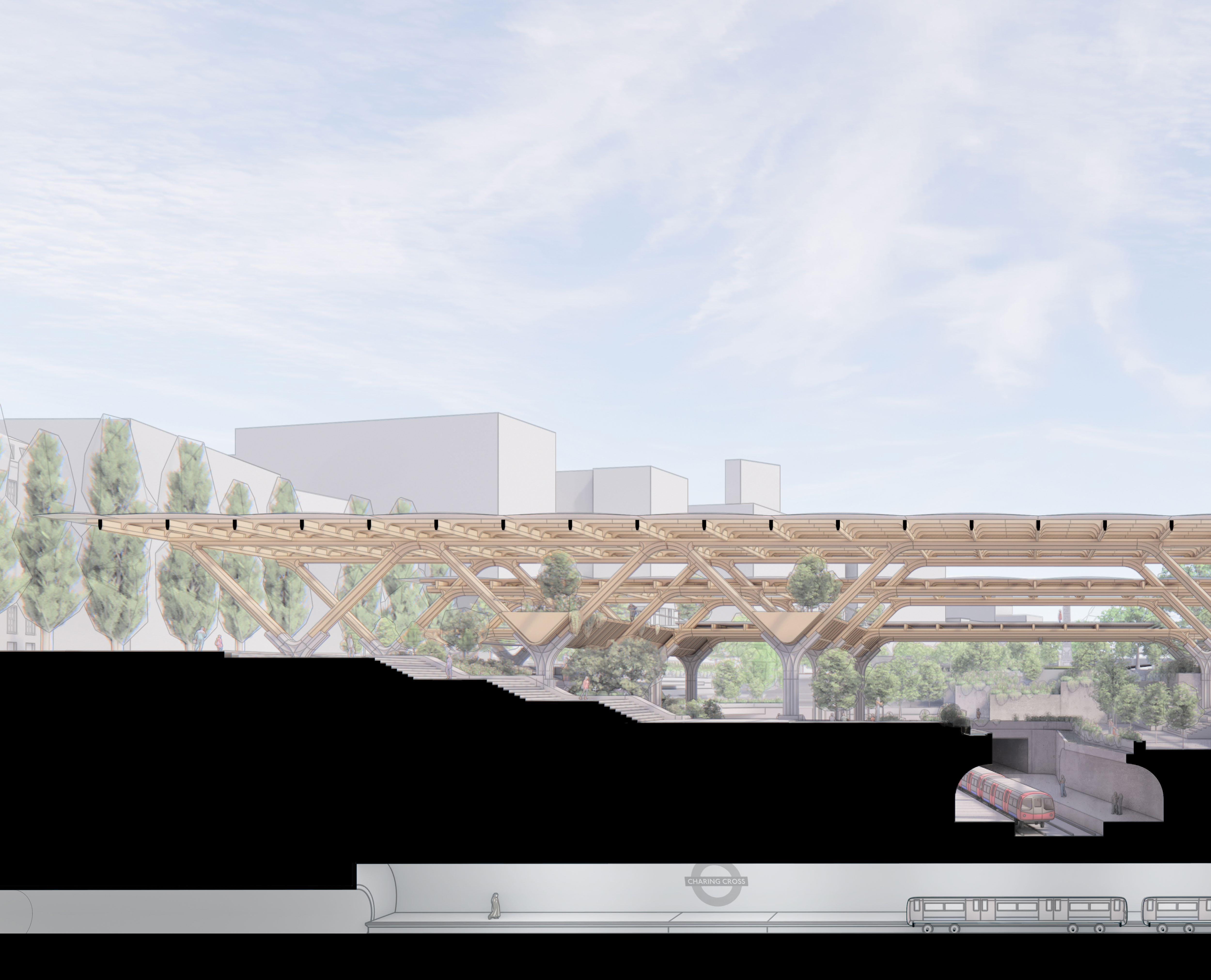
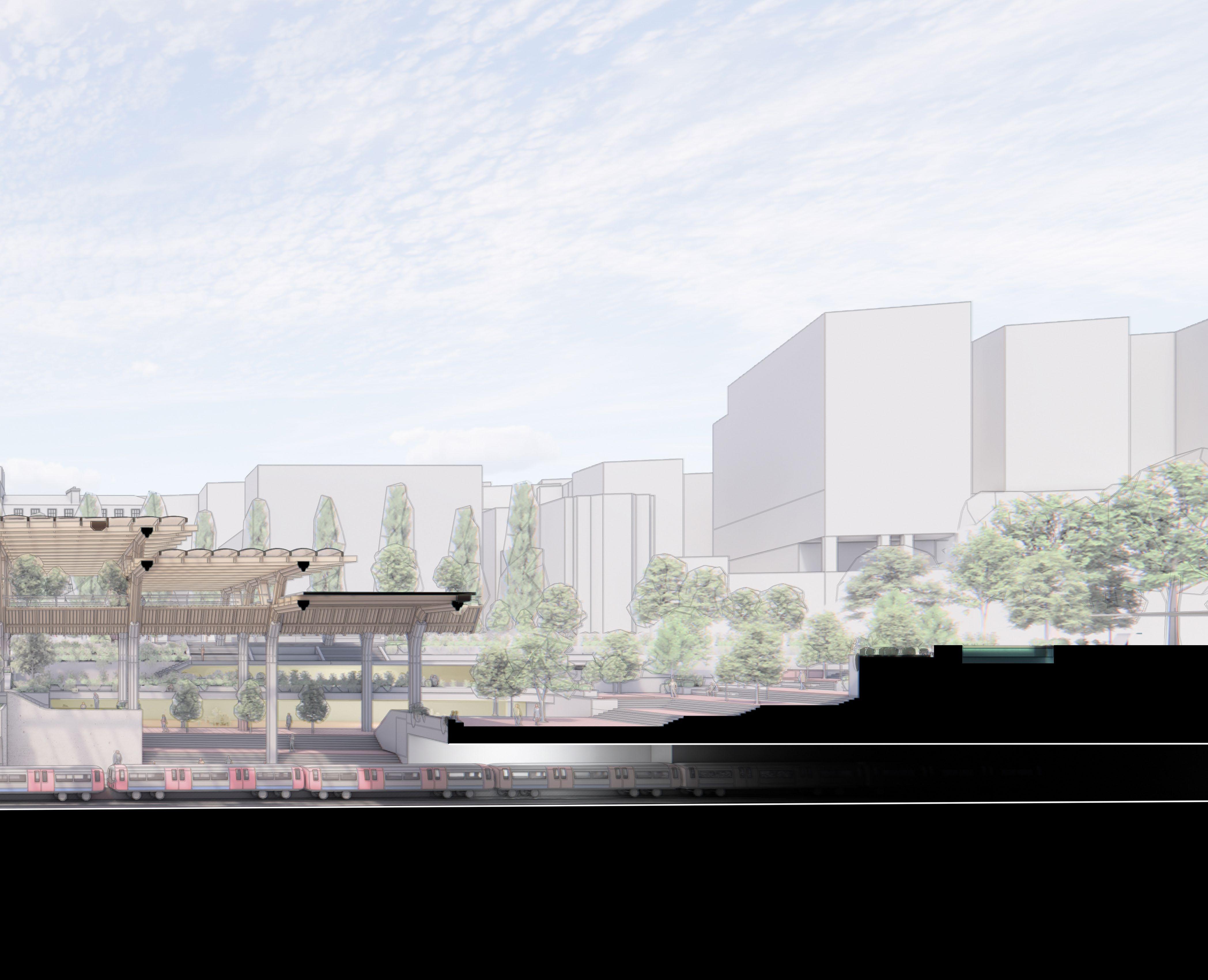
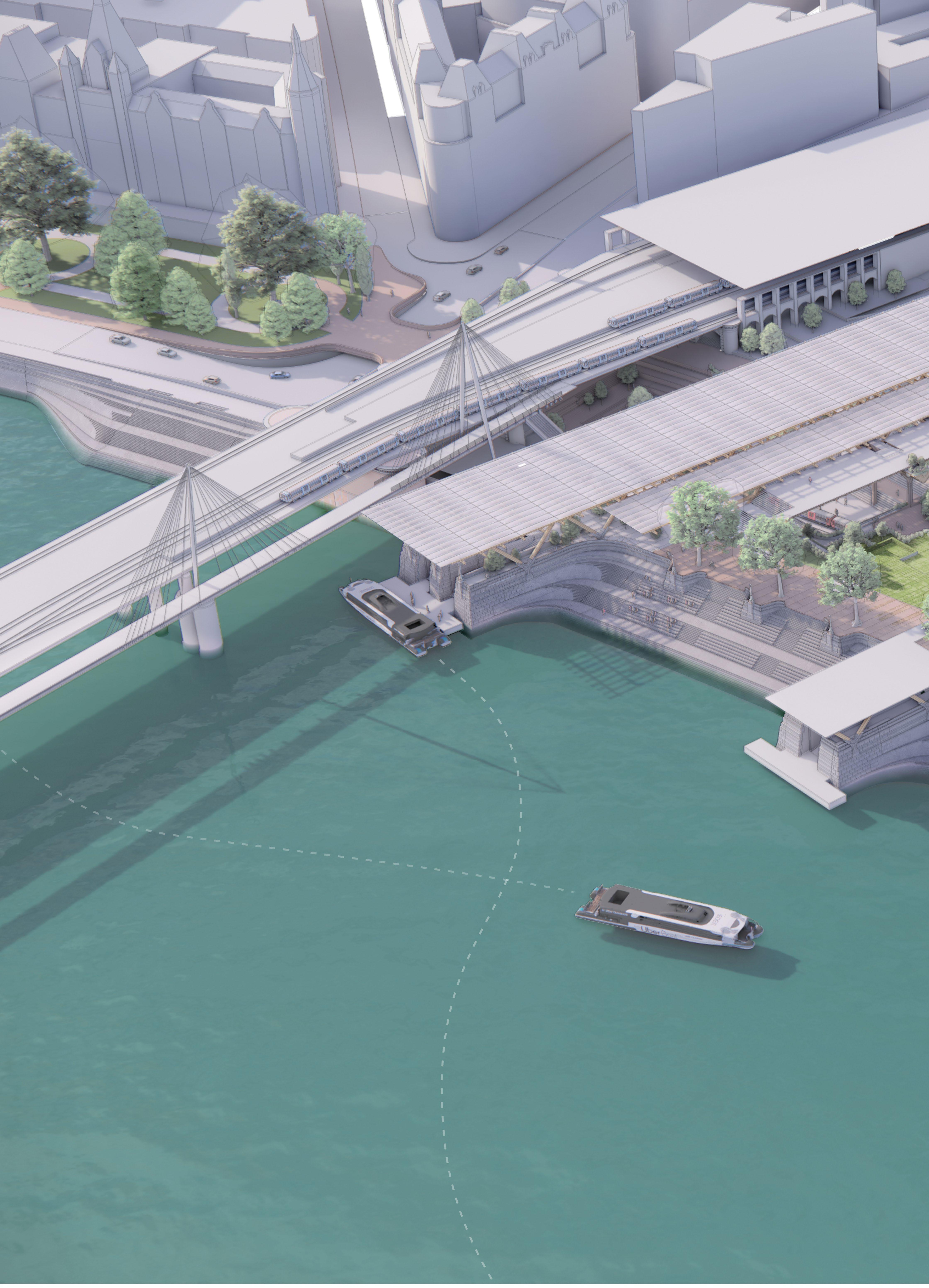
The groundplane collapses towards the exposed Circle and District tube line - the shallower of the two intersecting tube lines on London’s Victoria Embankment - bringing with it both park, water and leisure programme. Towards the waterfront, Embankment pier is encapsulated within the re-sculpted granite facing wall.
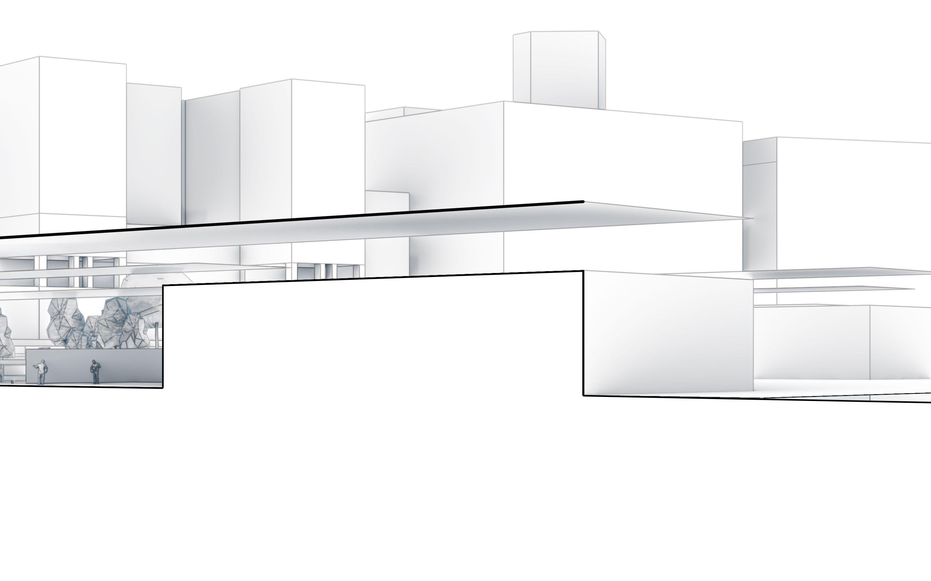
Canyon - Hungerford Bridge Section
The dark underbelly of Hungerford Bridge is hollowed out and the groundplane collapses towards the exposed canyon. Elements of the stone and cast iron support structure are retained to form an edifice to a new egress from the National Rail train platforms above. From the far right, the gardens of Victoria Embankment cascade into the canyon with clear sight lines to the overground trains above, creating visual continuity between the currently disconnected modes of travel.
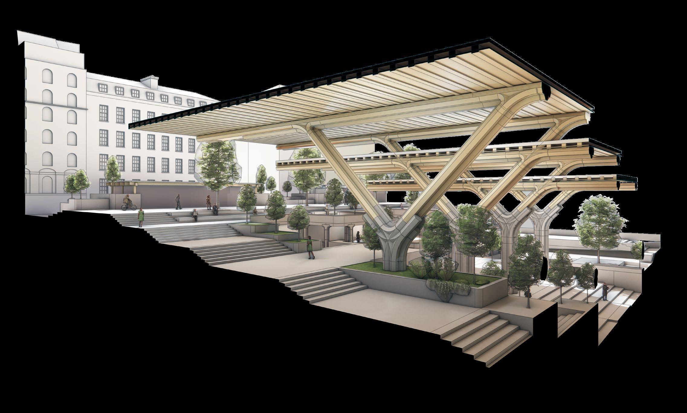
Canyon - Waterfront Section
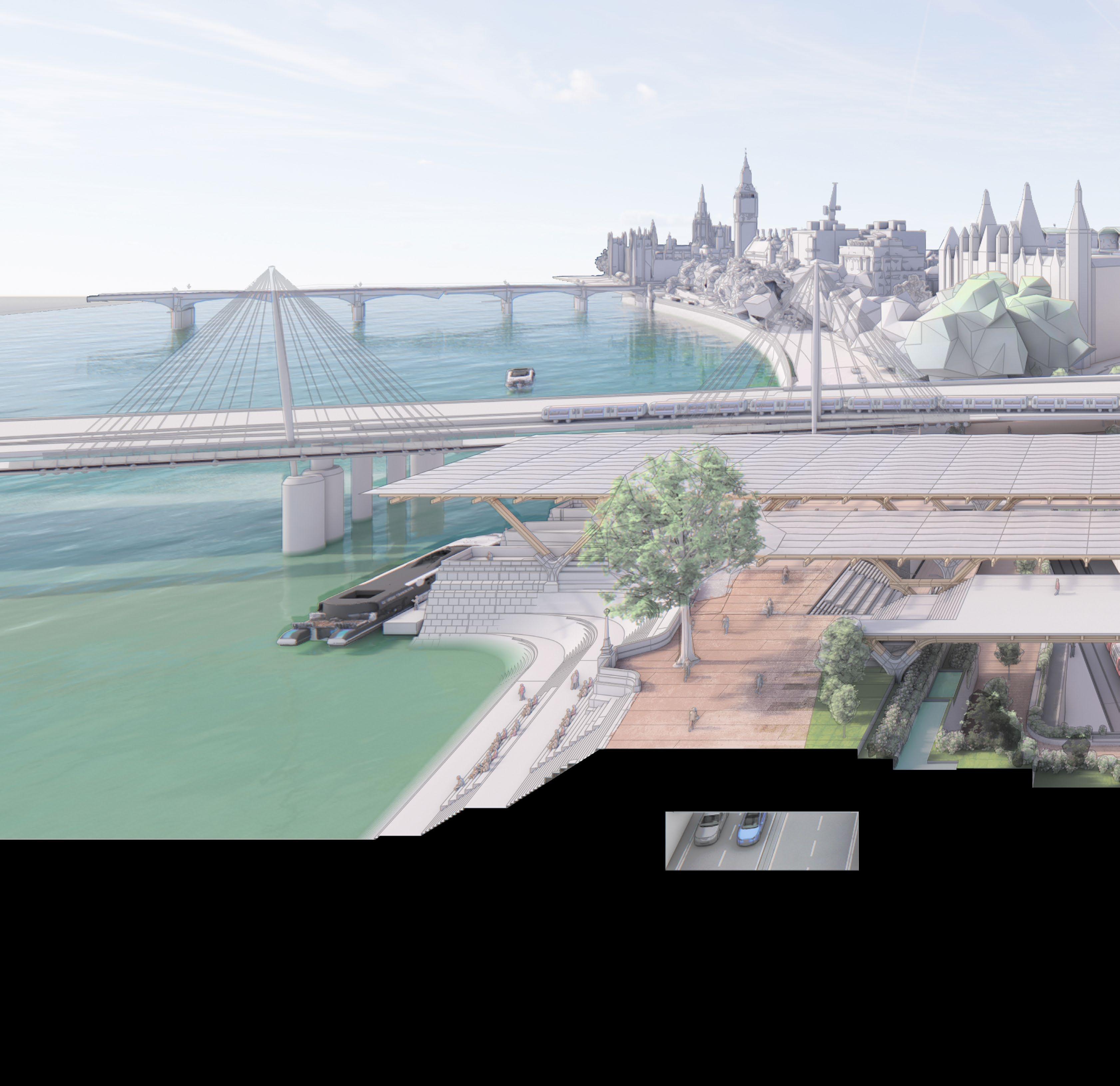
Peering into the canyon and across towards the Houses of Parliament, the underground platform is revealed as an infrastructural incision into the layers of park, water and leisure amenities above. The cascading roof canopies both create and provide access to garden and bathing spaces which float above the canyon. Towards the waterfront, the granite facing wall, once a means of separation between city and the open sewer of the Thames, now cascade in tiers to create public realm at low tide.
Aerial View: Low Tide
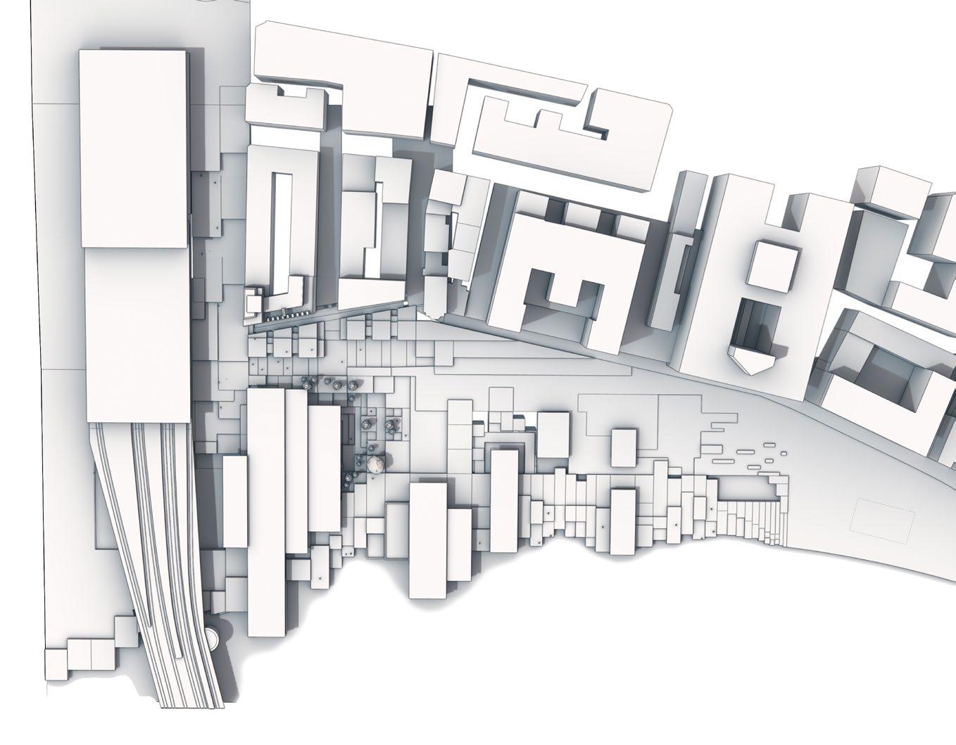
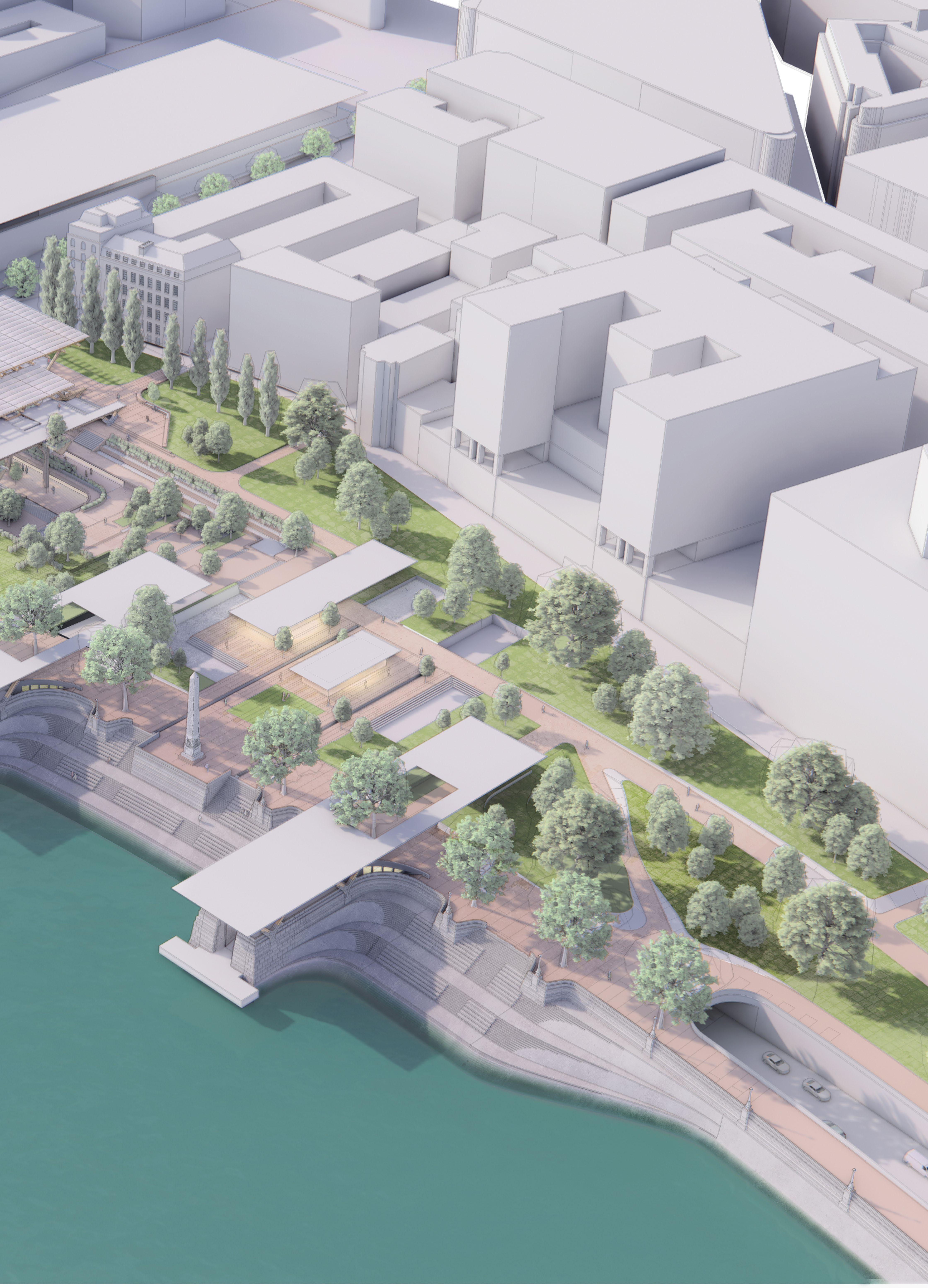
Victoria Embankment, a parcel of land reclaimed from the river Thames in 1864 to separate the city from the open sewer in which the Thames had become, is terraformed to create continuity between leisure and the various modes of transport modes enmeshed into the site. The granite facing wall is re-sculpted to form a continuous means of access to the water, whilst periodically projecting into the river to encapsulate piers and their accompanying amenities.
Aerial View: High Tide
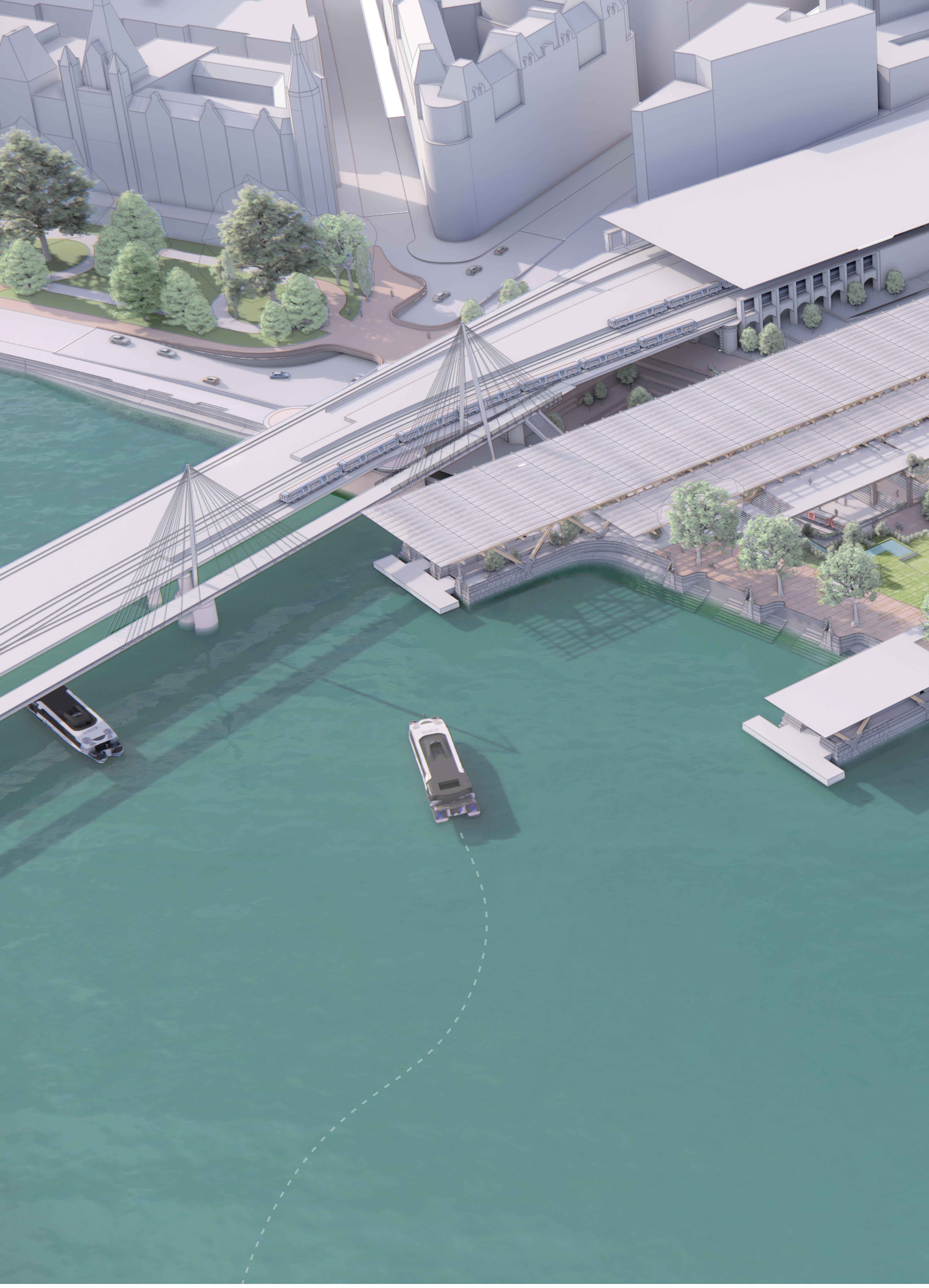
As high tide reclaims the public realm along the waterfront, the water itself - projected by the London Port Authority to be clean and safe for leisure activities by 2050 - infilitrates into the site to form bathing spaces integrated into the gardens and canyon.
All work produced by Unit 14 Unit book design by Charlie Harriswww.bartlett.ucl.ac.uk/architecture
Copyright 2021 The Bartlett School of Architecture, UCL All rights reserved.
No part of this publication may be reproduced or transmited in any form or by any means, electronic or mechanical, including photocopy, recording or any information storage and retreival system without permission in writing from the publisher.
At the center of Unit 14’s academic exploration lies Buckminster Fuller’s ideal of the ‘The Comprehensive Designer’, a master-builder that follows Renaissance principles and a holistic approach. Fuller referred to this ideal of the designer as somebody who is capable of comprehending the ‘integrateable significance’ of specialised findings and is able to realise and coordinate the commonwealth potentials of these discoveries while not disappearing into a career of expertise. Like Fuller, we are opportunists in search of new ideas and their benefits via architectural synthesis. As such Unit 14 is a test bed for exploration and innovation, examining the role of the architect in an environment of continuous change. We are in search of the new, leveraging technologies, workflows and modes of production seen in disciplines outside our own. We test ideas systematically by means of digital as well as physical drawings, models and prototypes. Our work evolves around technological speculation with a research-driven core, generating momentum through astute synthesis. Our propositions are ultimately made through the design of buildings and through the in-depth consideration of structural formation and tectonic. This, coupled with a strong research ethos, will generate new and unprecedented, one day viable and spectacular proposals. They will be beautiful because of their intelligence - extraordinary findings and the artful integration of those into architecture.
The focus of this year’s work evolves around the concept of ‘Constructed Futures’. The term aims to describe architecture and as such fundamentally human future as the result of the architect’s highest degree of synthesis of underlying principles. Constructional logic, spatial innovation, typological organisation, environmental and structural performance are all negotiated in a highly iterative process driven by intense architectural investigation. Inspiration for inherent principles of organisational intelligence can be observed in both biotic and abiotic systems, in all spatial arrangements where it is critical for the overall performance of the developed order. Through the deep understanding of constructional principles, we will generate highly developed architectural systems of unencountered intensity where spatial organisation arises as a result of sets of mutual interactions. Observation as well as re-examination of civilisatory developments will enable us to project near future scenarios and position ourselves as avant-garde in the process of designing a comprehensive vision for the forthcoming. The projects will take shape as research based imaginative tales, architectural visions driven by speculation.
Thanks to: Seth Stein Architects, DKFS, ZHA, Foster and Partners, Minifie Architects, Buro Happold, Amanda Levete Architects, Penta Real Estate, RSHP