Dennis Dean Painter Obituary Surveyors in Government 2026 Exhibitors
& Sponsors
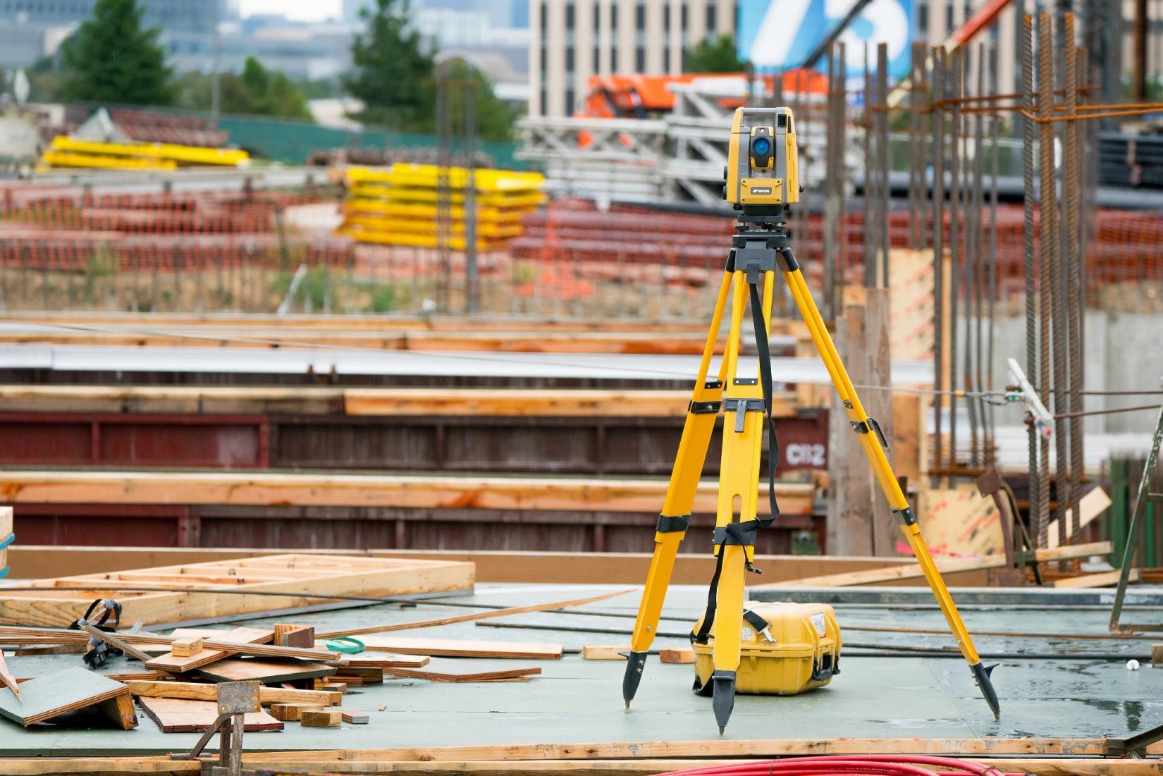
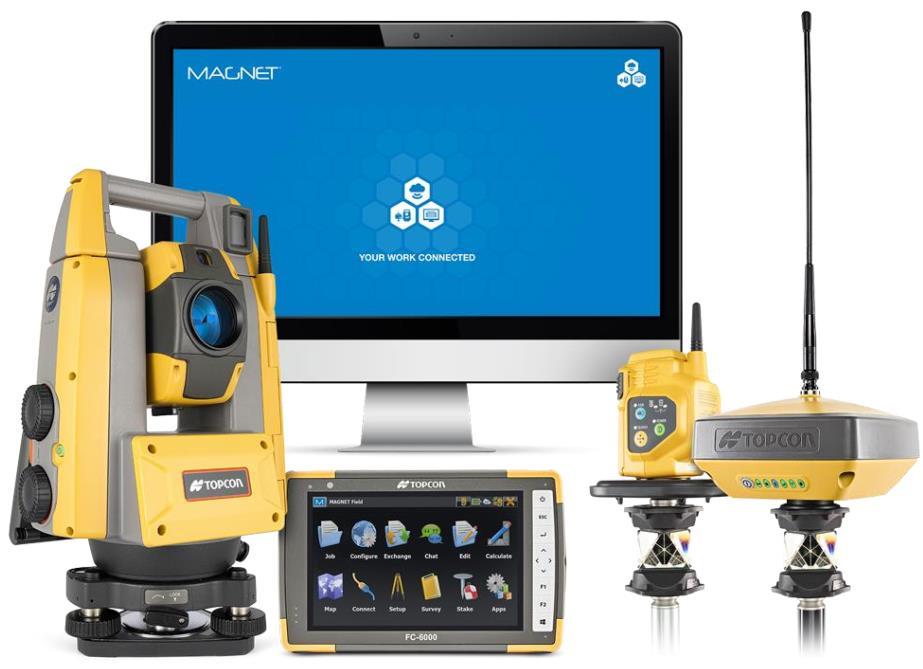
Call us t o g et your complete work flow s olution today ! Efficiency and versatility that will accelerate productivity comes part of a workflow solution that includes the FC-6000 field controller, Magnet software, a HiPer VR receiver and the GT-1200/GT-600 single-operator robotic system. The power of longrange reflectorless measurements comes in your choice of 1”, 2” or 3” GT-1200 models or 2”, 3” or 5” GT -600 models.
CONFERENCE Exhibitors & Sponsors
The F lorida Surveyor is the official publication of the Florida Surveying and Mapping Society, also known as FSMS. It is published monthly for the purpose of communicating with the professional surveying community and related professions who are members of FSMS. Our award winning publication informs members eleven months out of the year about national, state, and district events and accomplishments, as well as articles relevant to the surveying profession. In addition, continuing educational courses are also available.
PRESIDENT’S Message
June 2026
Members,
As I conclude my presidency, I want to extend my sincere appreciation to all the board members and staff who have made my term extremely rewarding and enjoyable. This society is driven largely by dedicated volunteers, supported by a core staff in Tallahassee who keep everything running smoothly. Without their efforts, FSMS would struggle.
I would like to personally thank Justin Ortiz for his work with The Florida Surveyor , Mrs. Cathy Campanile for her help with all matters great and small, and Mrs. Rebecca Porter for “ herding the cats ” —including myself—and keeping us moving in the right direction.
This year, as in years past, presented several legal challenges. With the leadership of our outstanding lobbyist, David Daniel of SBM Partners, along with our exceptional Legal and Legislative team, we were once again able to navigate these challenges successfully.
The Workforce Development Program, led by Katie Britt and Lou C ampanile, has made significant strides. Katie is currently working on upda ting the curriculum and is coordinating with the St. Lucie County School System.
I would also like to congratulate Angela Bailey for leading the effort to establish the “ Women Surveyors of Florida ” group. This is an important step toward fostering greater inclusiveness within our profession. The inaugural meeting will be held at this year ’ s conference.
A Historic Survey Records Working Group has recently been estab lished President Robert Johnson (772) 370-0558 president.fsms@gmail.com
PRESIDENT’S Message
through the efforts of Katie Britt, Howard Ehmke, Rick Pryce, an d Brian Murphy. The goal of this group is to preserve historic records that might otherwise be lost or discarded over time. This initiative provides an excellent opportunity for private practitioners nearing retirement to ensure their records are preserved, as well as for governmental organizations to safeguard valuable historical data. While still in its early stages, the group is gaining momentum and promises to be a valuable asset to our profession.
The new Strategic Plan has been finalized and will be presented for a vote at the conference. I am extremely excited about the innovative ideas it contains and the direction FSMS is heading. More details will be shared soon.
Mr. Brion Yancy will assume the role of president following our conference. I have known Brion for over a decade and am confident that the soc iety will be in excellent hands moving forward.
As a reminder, annual conference will be held July 29 through August 1 at the JW Marriott Miami Turnberry. Rooms are filling quickly, so I enc ourage you to register for classes and reserve your accommodations as soon as possible.
As I mentioned in last month ’ s newsletter, I am still looking for Brevard Chapter members. It has come to my attention that the Space Coa st Chapter has quietly gone dormant. I recently had the honor of hearing f rom Mr. Bill Powell, past Brevard County Surveyor, former State Representati ve, and one of the chapter ’ s founders. He spoke very fondly of the chapter. I would like to hear from more of you in the Brevard area so we can explore rev italizing this once-proud chapter.
As I have always emphasized, your thoughts are important to me, and I welcome your comments and suggestions. While I am stepping down as president of this great society, I fully intend to remain involved and serve in any capacity that I can. Please feel free to reach out to me at rjohnson@ ljasurvey.com .
Respectfully submitted,
Robert N. Johnson, PSM, CFM
Surveying Careers in Florida (Click
Professional Surveyor & Mapper (PSM/SIT)
Location: Delray Beach, FL
Organization: Lake Worth Drainage District
Experience Requirement: 1 - 2 years
Education Requirement: Bachelor's Degree
Salary: $67,000 - $104,000 Annually
Join the Lake Worth Drainage District and play a key role in protecting and managing critical public infrastructure throughout Palm Beach County. We're seeking a motivated Professional Surveyor & Mapper (PSM) or Surveyor Intern (SIT) to support land surveying, mapping, right-of-way management, and GIS initiatives. This position offers a unique blend of office and field work, professional growth opportunities, and a clear path toward Florida PSM licensure for qualified candidates. If you're passionate about surveying, land records, GIS, and public service, we'd like to hear from you.
Professional Surveyor and Mapper
Location: Clearwater, FL
Organization: Pinellas County Surveying & Mapping
Salary: $77,667 - $124,259
Performs professional surveying and mapping work in support of Pinellas County projects and operations. Serves as the Professional Surveyor and Mapper of Record, signing and sealing maps, reports, and land descriptions. This role supervises and develops technical staff and is responsible for reviewing plats in a timely manner, and the review of plats for compliance with Florida State Statutes 177 and County Land Development Code of Ordinances. This position will be responsible in attending preliminary plat and site plan meetings, boundary survey reviews, interpreting title and ownership of real property, and reviewing plat language in collaboration with other departments. Employees in this class perform complex work duties and are involved with public contact concerning County plats and other related activities. The incumbent signs, and seals plats for Conformity and other documents as Surveyor and Mapper of Record in responsible charge. The position may also serve as a subject matter expert on professional and technical matters and reports to the section manager.
SURVEYOR ULTRA
Versatile and lightweight. Penetrates dense canopy and captures accurate ground models for forestry, mining, and infrastructure.
VOYAGER
Precision redefined: ultra-dense, long-range LiDAR delivering unmatched accuracy from UAV or helicopter.
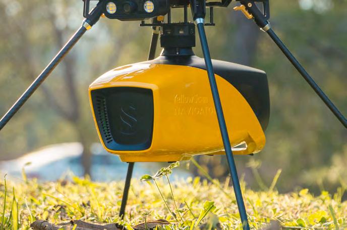
NAVIGATOR
Shallow-water bathymetric LiDAR for rivers, wetlands, and coastal mapping.
PRECISION MAPPING. ANY INDUSTRY. ANY MISSION.
Frontier Precision Unmanned + YellowScan LiDAR
From shallow-water bathymetry to large-area forestry, mining, and infrastructure, Frontier Precision Unmanned delivers the unmatched accuracy of YellowScan LiDAR — integrated on drones or helicopters for any application.
As America’s largest and most trusted YellowScan dealer, Frontier combines the industry’s top LiDAR sensors with decades of geospatial expertise and full-service support. Whether you’re surveying corridors, monitoring coastlines, modeling terrain, or inspecting utilities, Frontier Precision Unmanned provides the tools, training, and experience to ensure your LiDAR investment delivers real results.
With Frontier’s broad lineup of drones, sensors, and software, you’ll find the right system — at the right scale — for your industry.
Partner with Frontier Precision Unmanned — your trusted U.S. YellowScan dealer.
2025-26 Districts and
Directors
District 1 - Northwest
Bay, Calhoun, Escambia, Franklin, Gadsden, Gulf, Holmes, Jackson, Jefferson, Leon, Liberty, Madison, Okaloosa, Santa Rosa, Taylor, Wakulla, Walton, Washington
Chad Thurner (850) 200-2441 chad.thurner@sam.biz
Angela Bailey (850) 559-5039 bailey.angelakay@gmail. com
District 2 - Northeast
Alachua, Baker, Bradford, Clay, Columbia, Dixie, Duval, Gilchrist, Hamilton, Lafayette, Levy, Marion, Nassau, Putnam, Suwannee, St. Johns, Union
Pablo Ferrari (904) 219-4054 pferrari@drmp.com
Nick Digruttolo (352) 374-2249 ndigrutt@gmail. com
District 3 - East Central
Brevard, Flagler, Indian River, Lake, Okeechobee, Orange, Osceola, Seminole, Martin, St. Lucie, Volusia
Howard Ehmke (772) 206-4650 howard.ehmke @bowman.com
Constitution & Resolution Advisory Committee Pablo Ferrari
Annual Meeting Committee Allen Nobles
Legal & Legislative Committee Jack Breed
Surveying & Mapping Council Randy Tompkins
Strategic Planning Committee Brion Yancy
Executive Committee Bob Johnson
Special Committees
Equipment Theft Rick Pryce
Awards Committee Rick Pryce
UF Alumni Recruiting Committee Russell Hyatt
Professional Practice Committee Lou Campanile, Jr.
Workforce Development Committee Lou Campanile, Jr.
Liaisons
CST Program Alex Jenkins
FDACS BPSM Don Elder
Surveyors in Government Richard Allen
Academic Advisory Justin Thomas UF / Earl Soeder FAU
FES Lou Campanile, Jr.
Practice Sections
Geospatial Users Group
Richard Allen
Young Surveyors Network Mary Voor
Board Members
Licensed PSM
Michael Zoltek - Chair Gainesville
Keith Cramer Cape Coral
Landon “Alfie” Cross Boca Raton
Andrew Getz
Dade City
Iarelis (Ia) Hall Apopka
Jim Sullivan Palm Beach Gardens
Danny Williams Cape Canaveral
Consumer Representatives
Jennifer Cannon Ponte Vedra Beach
Wendi McAleese Tampa Board Staff
Christopher E. Green Executive Director
Regenia S. Lee
Government Analyst I
Amy Coody Public Relations Specialist III
Jacob Sternlicht Board Counsel
Ana Gargollo-McDonald Board Prosecutor
Board of Professional Surveyors and Mappers
Chairperson’s Report
I am honored to introduce myself as the Chair of the Florida Board of Professional Surveyors and Mappers for 2026. This year marks my final year on the Board, and I am deeply grateful to my peers for entrusting me with this leadership role.
I am a proud graduate of the University of Florida’s “Surveying and Mapping” program -back before we started using the term “Geomatics” - and have dedicated most of my career to surveying within the state of Florida. Having recently returned to Gainesville, where I was raised, and studied Surveying in college, I feel as though both my personal and professional journeys have come full circle.
As a multi-state licensed Surveyor, I believed I was well-prepared to serve on the Board when I first applied. However, the past seven years have been an ongoing and invaluable learning experience. The Board’s responsibilities encompass licensure applications, state-specific examinations, continuing education, legislative efforts to deregulate the profession, rulemaking, consumer complaints and related investigations, settlement agreements - including survey reviews and the imposition of fines and penalties - and coordination with NCEES, which offers exceptional opportunities for national-level volunteer service.
Our foremost duty as a Board is to safeguard the health, safety, and welfare of the public. I vividly recall my second Board meeting, where I was required to vote on a motion to revoke a professional license. That moment underscored the gravity of our role: to protect the public while ensuring fairness and objectivity in addressing professional misconduct. During my tenure, we have revoked licenses and addressed malpractice, but we have also reinstated licenses, engaged with practitioners during the complaint processes, and provided an impartial and professional forum for discussing emerging and longstanding issues affecting the profession.
Throughout these seven years, certain constants have stood out: the unwavering commitment of Board members to their responsibilities; the Board’s dedication to both public protection and the fair treatment of surveying professionals; continuous efforts to refine rules; and the diligence and professionalism of our Executive Director, administrative staff, attorneys, and investigators. As I enter my final year on the Board, I look forward to continuing to serve with integrity and dedication - supporting the profession, the public, and the state of Florida. Thank you for the opportunity you have given me to serve you, the public and the profession.
round the State A
Hongbo Su, PSM, Associate Professor at FAU
Big news for our Geomatics Engineering students at FAU!
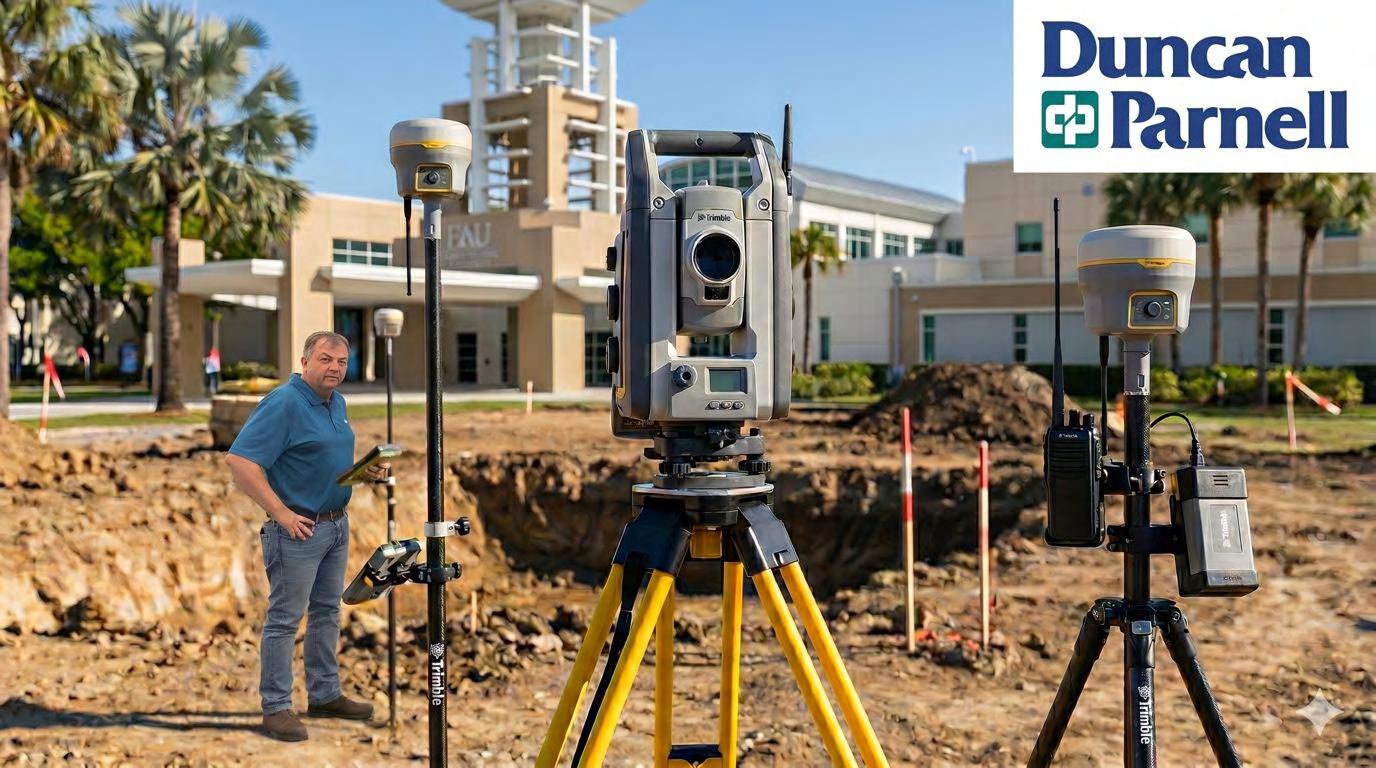
We have officially upgraded our lab capabilities thanks to the incredible generosity of Earl Soeder, Duncan-Parnell, and Trimble.
We are now equipped with the latest, cutting-edge technology, including:
Trimble S7 Robotic Total Station
Trimble R980 GNSS Units (x2)
Data Collectors (TBC710 & TBC510)
This equipment will bridge the gap between classroom theory and real-world application, giving our students a significant head start in their careers. Thank you for investing in our geomatics engineering program and our students' success!
Three-Way Tie Marks 2026 Trig-Star
Contest by Katie Britt
Three Florida students have tied for first place in annual Trig-Star Competition .
The statewide competition introduces students to practical applications of trigonometry used in the surveying and mapping industry, and pairs local surveyors with classrooms to showcase an exciting but often overlooked profession with promising math students. The contest is sponsored by the National Society of Professional Surveyors (NSPS) and the University of Florida’s Geomatics Extension Program
Surveyors work outdoors, indoors, on land, in the air, and at sea, using the latest technologies, including UAVs (drones), computer mapping equipment, and GPS.
Florida expanded access to the exam to beyond the high school setting by hosting competitions both within high schools and through 4-H county clubs.
Winning students and their teachers or county 4-H agents are awarded prizes for placing in the competition, with goal of increasing awareness of the profession among students and educators.
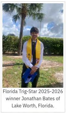
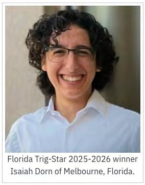
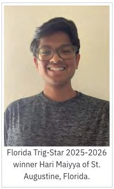
The winners were Jonathan Bates, a senior at Park Vista Community High School in Lake Worth, Isaiah Dorn, a homeschool senior from Melbourne, and Hari Maiyya, a junior at Beachside High School in St. Augustine. Bates and Dorn participated through their local 4-H chapters.
The Florida competition was the regional level of the event, with Hari Maiyya breaking a tie to go on to the national level competition. National winners will be announced soon by NSPS.
For information about participating in the 2026-2027 competition, teachers and guidance counselors should reach out to geo-extension@ifas.ufl.edu. Students who are interested in participating can share this information with their teachers or 4-H agents.
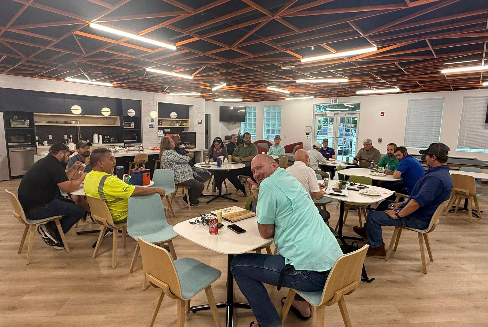
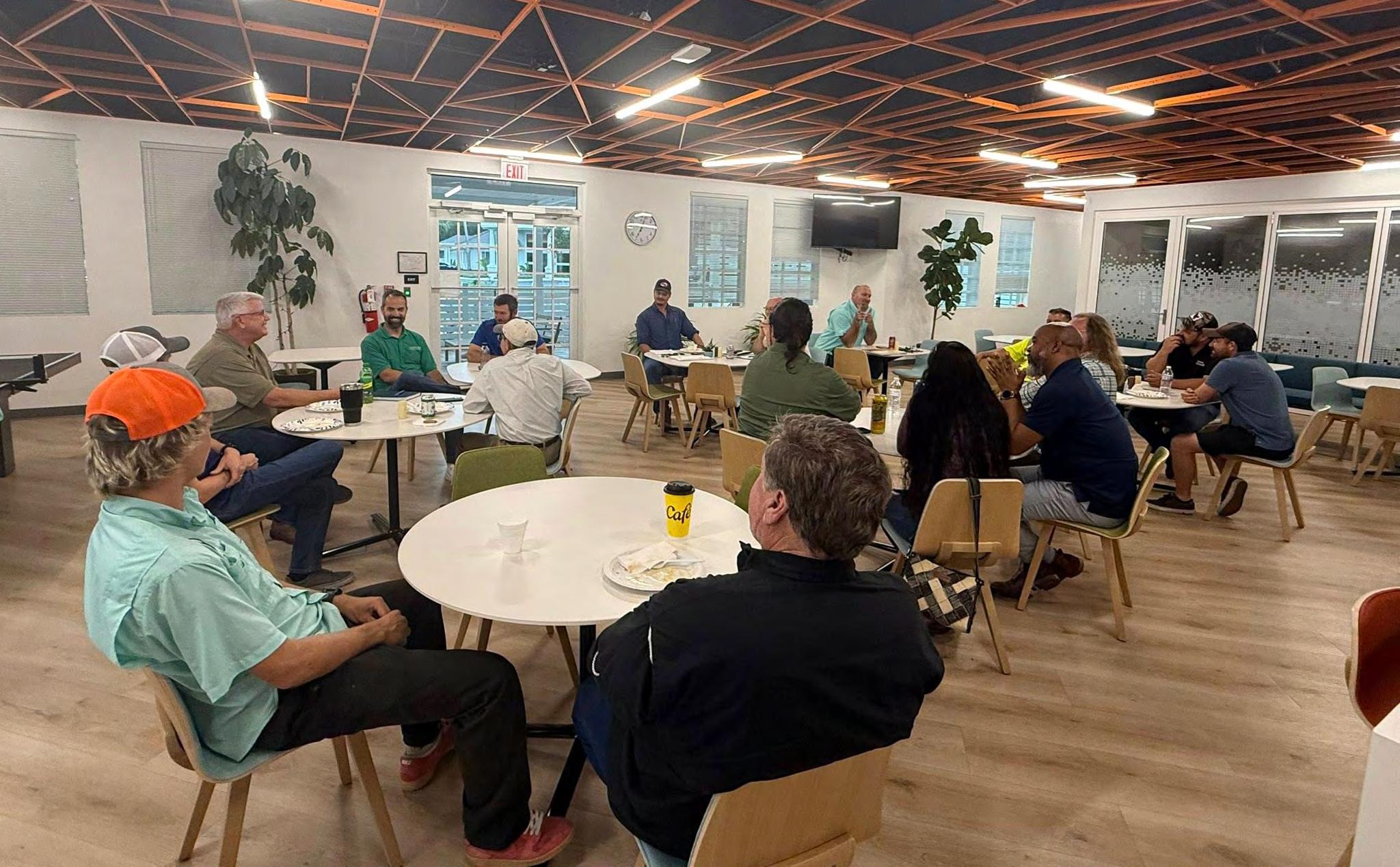
Manasota Surveyors from Pam Hyatt
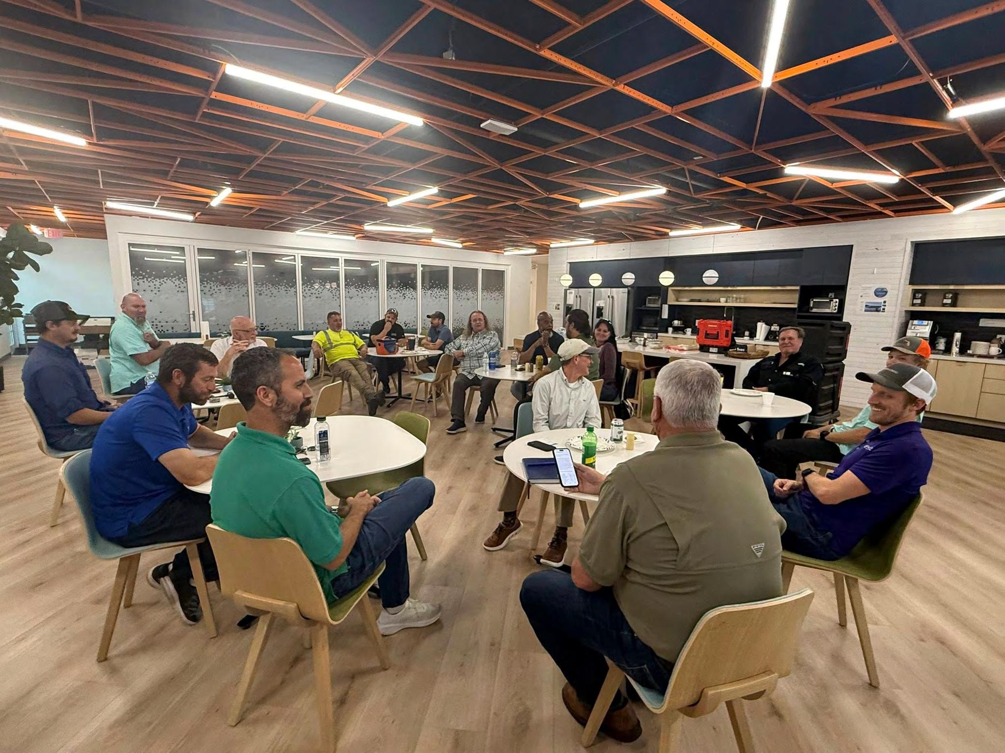
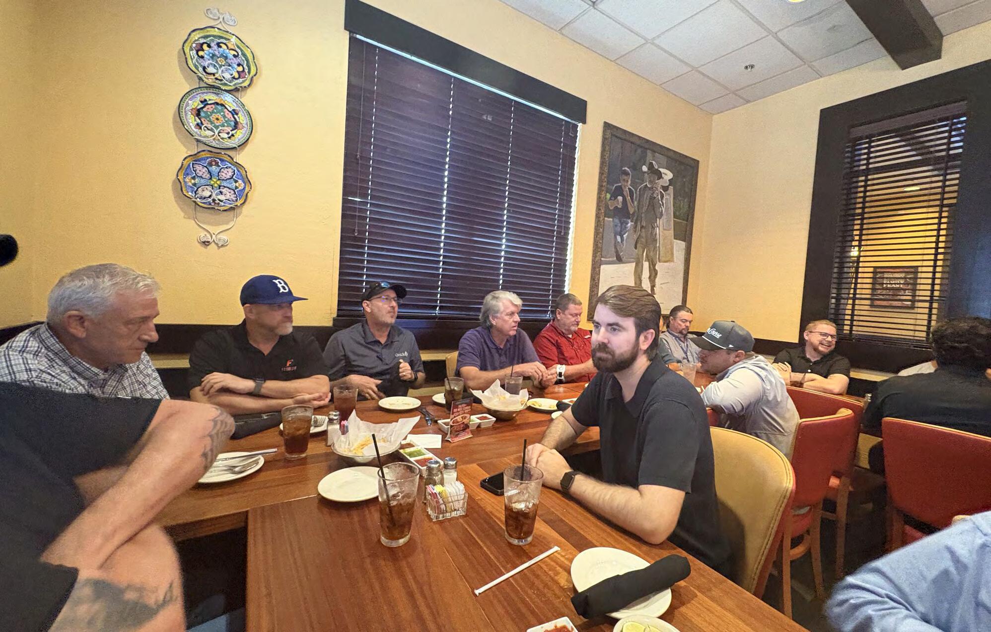
Tonight’s meeting was awesome! Older surveyors, lots of young surveyors, great conversations, fantastic food … if you weren’t here you missed out on a great time. 18 in attendance.
Just a few upcoming events to be aware of:
• July 29-Aug 1 — FSMS Conference. Hope to see lots of you there. It’s always a fun time.
• July 1 — Manasota Chapter social at Big Top Brewery. Let’s get some surveyors who don’t regularly show up to come and hang out with us for an evening!
• Sept 11 — Manasota Chapter golf tournament at Rosedale in Manatee County. This is a Friday, so plan accordingly and be th ere with your foursome!
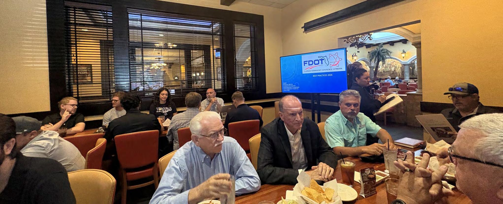
Ridge Chapter Meeting from Karol Hernandez, SIT Successful Meeting!
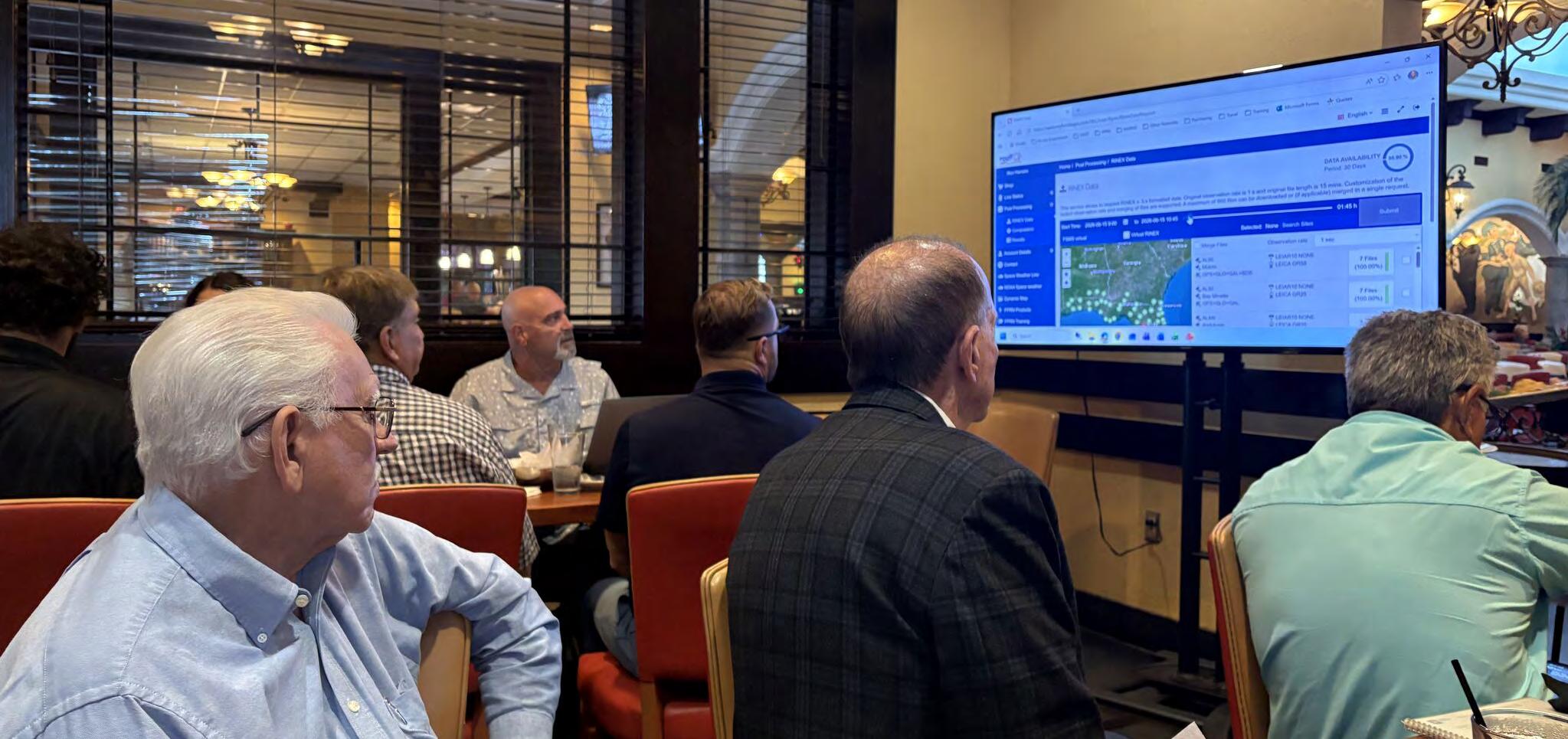
Thank you to all members, old and new, who showed up yesterday at the FSMS Ridge Chapter meeting—also a big thank you to Ron Hanson for the FPRN Best Practices class. We had good learning and camaraderie. Hope to see y’all next month at the Florida Survey ing and Mapping Society conference in Miami.
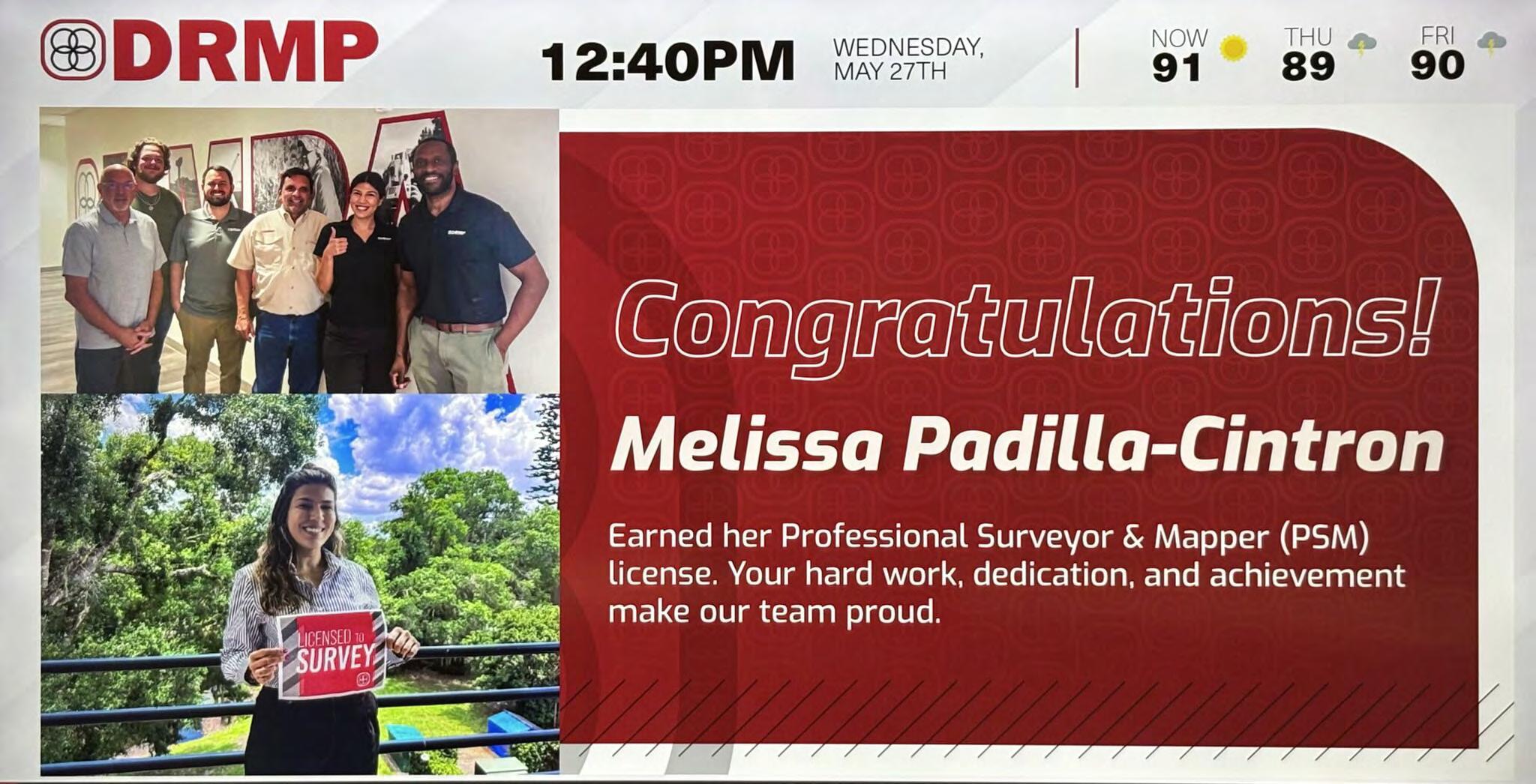
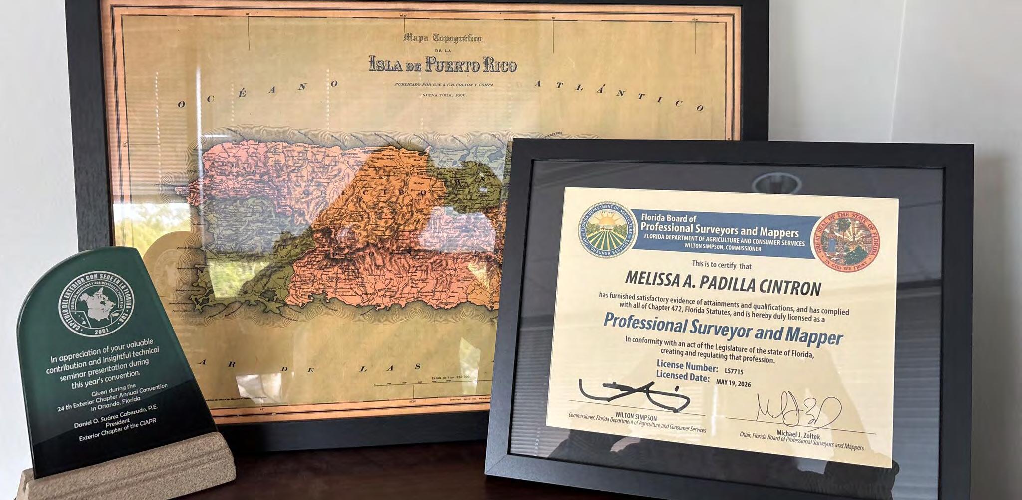
Melissa A. Padilla Cintrón, PSM
Well, I did something… I am a Professional Land Surveyor in the State of Florida!
This milestone represents years of studying, growth, challenge, and support from mentors, colleagues, friends, and family.
Excited for what’s ahead and looking forward to continuing to l earn and contribute to the surveying profession.
Richard Pryce, FSMS 2024-25 Past President
Marker Trees:
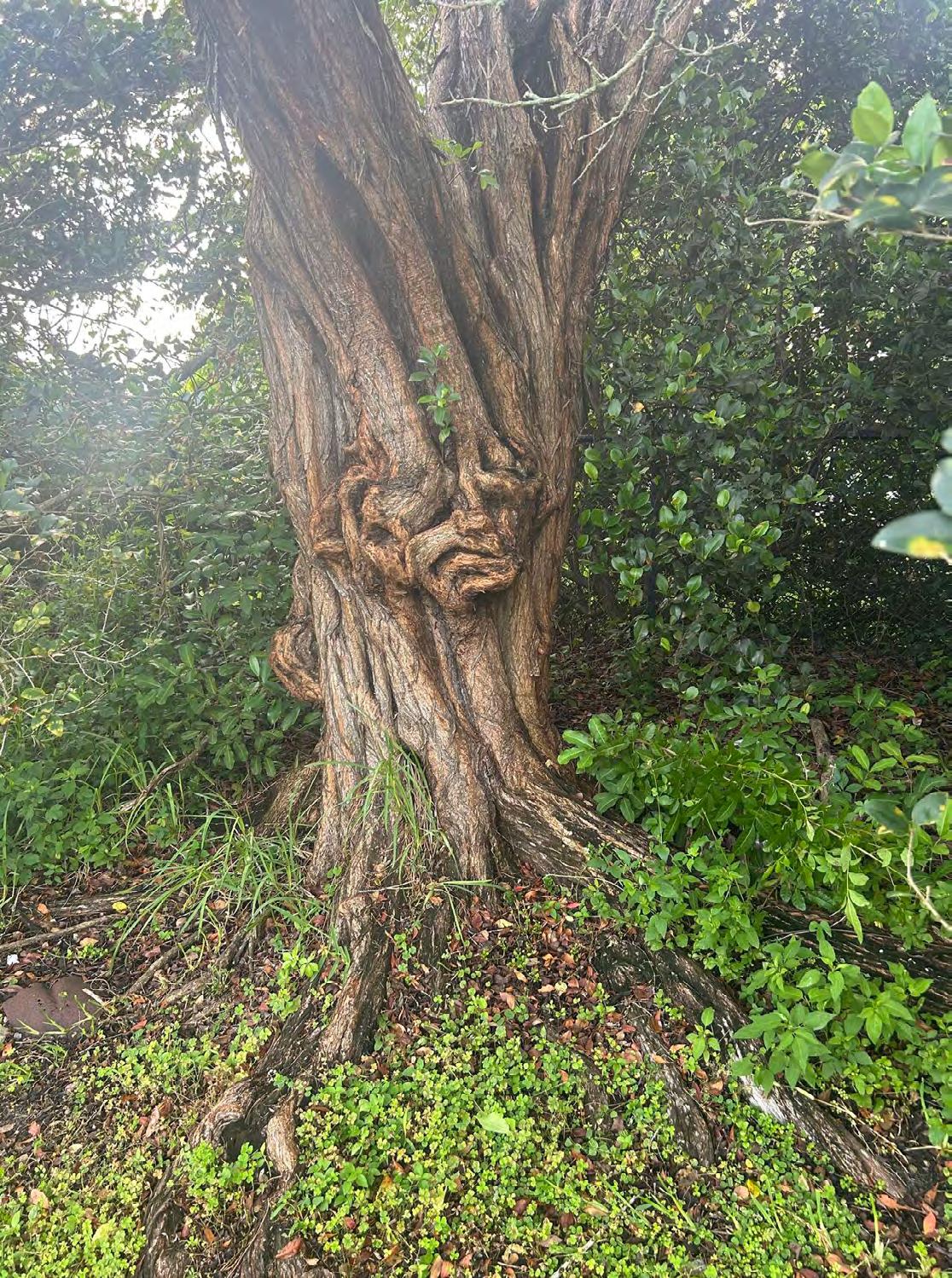
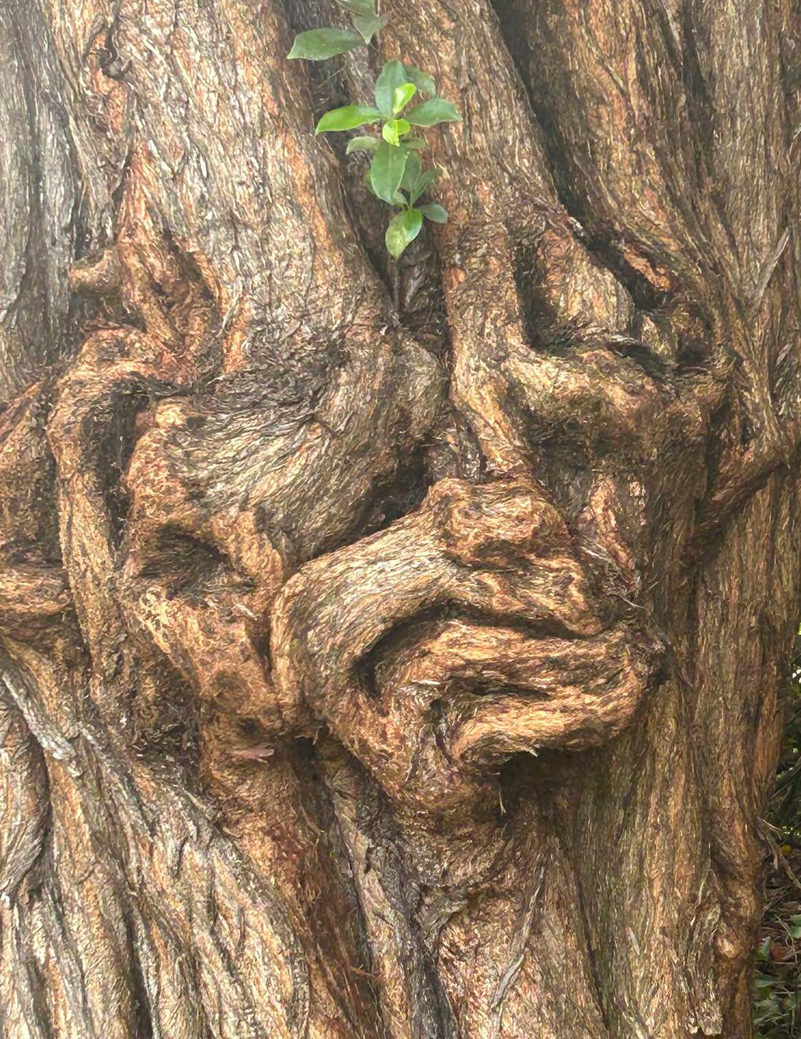
As an outdoor enthusiast and Surveyor, I have spent many decade s in the back woods and swamps of Florida, wandering wildlife trails, cu tting lines for boundaries and sometimes just walking into an interesting looking area because it felt like it was calling me. Surveyors are a strange breed, especially the old school ones. You often find them, what appears to be, wa lking aimlessly looking down at the ground and sometimes up at trees. Sometimes they are just standing there staring into the woods, at a tree, a rock, or at a fence post and appear to be listening for something, possibly the wind. What they are really doing is searching for signs of surveyors from the past and listening for the wisdom and footsteps of those that came before them. Trying to place themselves in the mindset of and thoughts of those surveyors who ventured out into the same area you are in. In some areas, the native Americans made what are called marker trees to show the way, mark a trail, or to signal a gravesite nearby. I believe Surveyors from the past felt as str ongly about the value of trees as sentinels or guardians of important monuments or boundaries and used them as such. I came across this particular tree on one of my aimless walks. Even though this picture is not a marker tree , I think it may be a sentinel of some sort, guarding something nearby with watchful eyes and grotesque face. Happy Surveying!
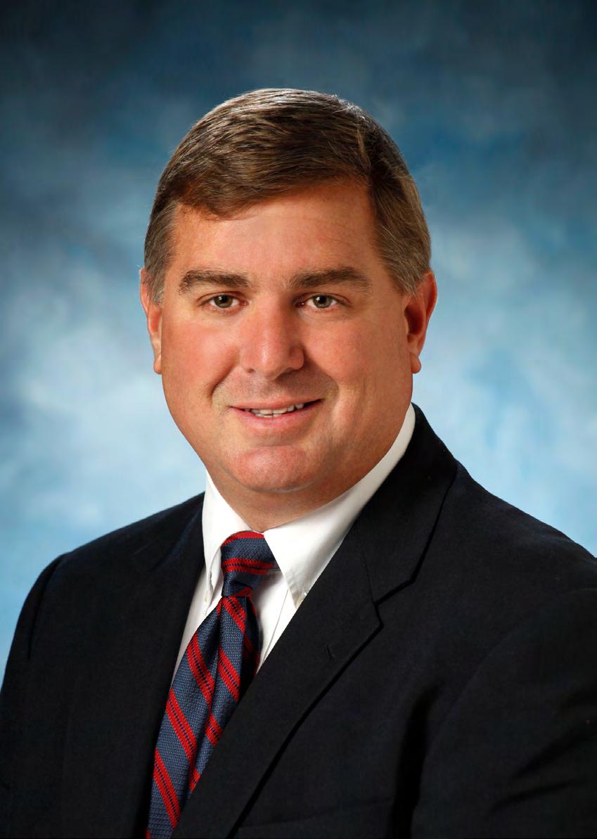
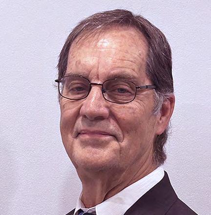
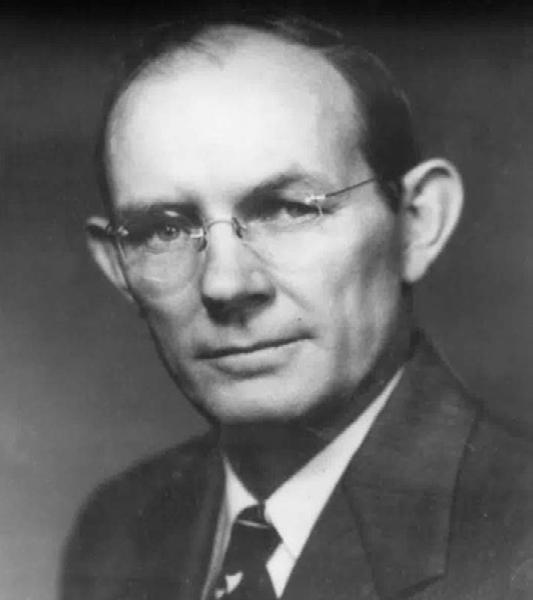
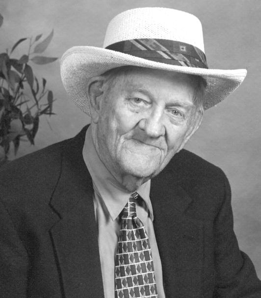
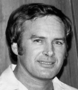
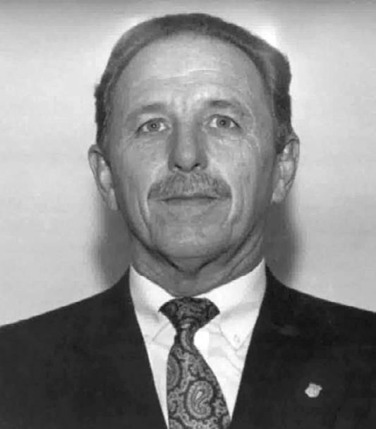
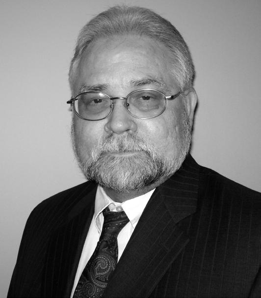
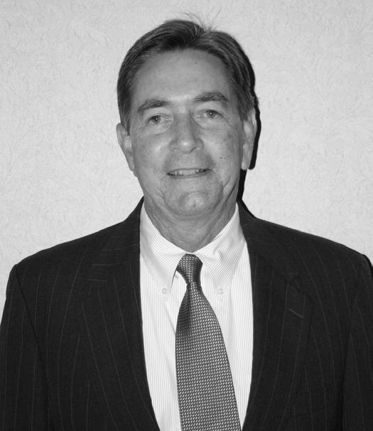
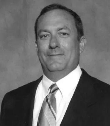
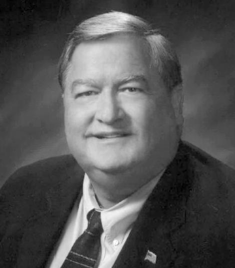
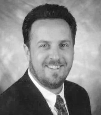
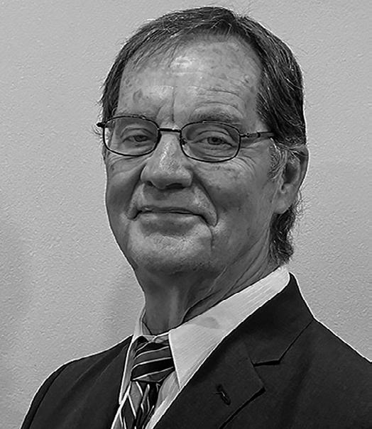
Dennis Dean Painter
September 15 th , 1952 – June 6 th , 2026
Dennis Dean Painter, a highly respected Professional Land Surveyor, devoted husband, father, grandfather, mentor, and friend, passed away on June 6, 2026, at the age of 73.
Dennis dedicated nearly five decades of his life to the surveying profession. Licensed as a Registered Professional Surveyor in the State of Florida in 1979 and proudly assigned License Number LS #3542. He built an exceptional career founded on integrity, precision, professionalism, and an unwavering commitment to excellence. Over his 47 years as a licensed surveyor, Dennis earned the trust and respect of clients, colleagues, and fellow professionals throughout Florida.
Dennis spent the majority of his career with Adair and Brady / A & B Engineering, where he served as Director of the Surveying Department. Adair & Brady, established in 1965, grew into one of the region’s most respected consulting engineering and land surveying firms. Joining the company in the mid-1970s, Dennis played an instrumental role in its continued success and longevity. His expertise, leadership, and dedication helped shape countless
projects and contributed significantly to the firm’s reputation for quality and professionalism.
In January 2022, Dennis joined FRS & Associates, bringing with him decades of knowledge and experience. His contributions quickly became invaluable to the organization. Dennis maintained meticulous records from more than 45 years of surveying work throughout Palm Beach County, creating a legacy of information and expertise that few could match. He was especially renowned for his skill in complex boundary surveys and research. The more challenging the project, the more Dennis thrived, approaching each task with determination, confidence, and remarkable attention to detail.
Throughout his career, Dennis was known not only for his technical expertise but also for his willingness to mentor and guide others entering the profession. He generously shared his knowledge and experience, helping to develop the next generation of surveyors and leaving a lasting impact on countless colleagues and associates.
Above all, Dennis was devoted to his family. He is survived by his beloved wife, his children, five cherished grandchildren, his siblings, and many dear friends. His family was the center of his life, and he took great pride in the accomplishments and happiness of those he loved.
Dennis will be remembered for his strong work ethic, quiet wisdom, generosity, professionalism, and dedication to both his family and his profession. His legacy lives on in the countless projects he completed, the professionals he mentored, and the lives he touched throughout his remarkable career.
Dennis’s presence will be deeply missed, but his contributions, guidance, and friendship will be remembered always.
Link to Obituary: https://www.palmbeachmemorial.com/obituaries/dennispainter-4/events
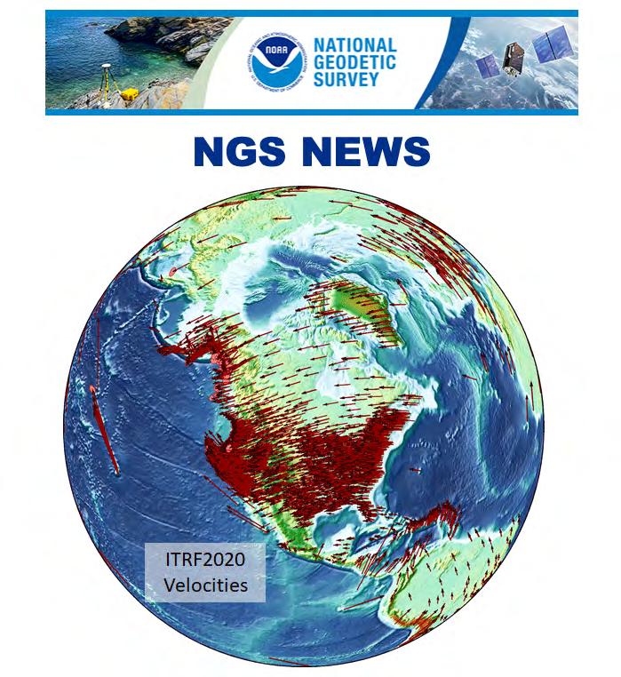
Public Testing Period Ends on Specific NSRS Modernization Products
In June 2025, NGS released preliminary versions of the following three definitional product groups on the NGS beta website to solicit stakeholder review and feedback as part of the modernization of the National Spatial Reference System (NSRS). This public feedback period has now ended, and NGS considers these products stable for implementation planning and integration activities prior to the official release of the modernized NSRS.
• North American-Pacific Geopotential Datum of 2022 (NAPGD2022)
• New Terrestrial Reference Frames of 2022 for North America (NATRF2022), Pacific (PATRF2022), Caribbean (CATRF2022), and Mariana (MATRF2022) plates
• State Plane Coordinate System of 2022 (SPCS2022)
The products will remain available on the NGS beta website. Additional products will be released later in 2026, including NCAT, OPUS, and the Data Delivery System. To provide feedback, please email ngs.feedback@noaa.gov.
WORKFLOW
spaces in between, Duncan-Par nell delivers the technolo g y, exper tise, and suppor t to keep your workf low connected.
From data capture to final deliverables, we help sur veying professionals work more ef ficiently, improve productivity, and move projects forw ard with confidence.
Bradenton | Crestview | Jacksonville | Tallahassee | Tampa
June 2026
Greetings to all my fellow Government and Private Sector Surveyors,
Today I find that I am picking up this article that I had originally started the day after my 20 Years of Service to the City Of Orlando was recognized. I must say I was really humbled by my team and the Engineering Group that we are nestled under. The City Engineer emphasized the importance of our profession and the work we do to benefit the organization. I know the importance of our profession, but it is always good to hear it recognized by others. This was during Surveyors and Mappers Week, and I hope you all in government and in the private sector know the valuable work you are doing for the public, and this goes back to our first priority, PROTECT THE PUBLIC!! This is our first and foremost responsibility. Just as doctors are told, DUE NO HARM. I must also state that I am behind in writing articles. Work and teaching really ate up a bunch of my time and I was always behind writing the articles. Hopefully I will be able to keep up from hereon out as I have taken a break from teaching.
Now that is taken care of, I am going to use the bulk of my time to discuss transitioning of operations. I know that I have touched on this subject, but with presentations and other outreach I find this is a topic that is of interest, maybe not as much as the rewrite of Florida Statutes Chapter 177, but interesting nonetheless. We get asked about our drone operations, which are continually evolving with the introduction of various applications of said use. First was orthophotography, then inspection, and now doing sizzle reels and monitoring. As we transition our services to incorporate a geospatial service instead of a surveying or mapping service, the value to the organization grows.
I would recommend you look holistically at your operations and see what is the need, not just what are your day-to-day services. We still perform construction layout and boundary surveys. We are still doing topographic surveys and specific purpose right-of-way surveys. What ever is needed from our group, we will perform. That does not mean we will not look for ways to use tools
to provide additional services. I tell our leadership and staff, we are working to become recession-proof. A priority of mine is to provide our services at a savings of our current budget. How do we do that you say? What is something being paid for that we can do in-house.
Proactively we are going ahead and laser scanning all of our lift stations. This is something in the past the City has paid for during the design phase, and the goal moving forward is to have the scan in-place before any work is planned. We are also working to incorporate Revit for all of these stations. Eventually the goal would be to scan all of our facilities. We have to start small and grow, that is the process. That is how our drone operations began. One pilot, one mission. Now we have four pilots, and many missions. We continue to see what the need is, and work to meet it. We may not have the skilled staff initially, but we break off staff to have time to work to learn the process and develop the knowledge necessary to effectively complete the task at hand that we are undertaking.
As I tell staff all of the time, Rome was not built in a day. We must foster an environment to learn and grow as a team. Are we always effective? Not always, there is more that can be done to work with our field staff, and that is an area I would like to focus in the future so we can help to expand their knowledge and capabilities. We have done training for all our staff, including the field. Teaching them how to use various applications from our GIS systems, to the other applications available to them. In addition, we are working to include them in our demonstrations by vendors and incorporate all staff in the newer technology projects such as terrestrial scanning, mobile mapping, and aerial mapping.
Does this mean everyone will be a pilot and run a scanner? No. Not everyone has the skill or care to run every piece of equipment. We all have staff that are heavy-handed with equipment, or do not take the time to learn what is required to operate and maintain equipment. The push button mentality is not the way in this profession. One must understand what is the task trying to be completed, and how do you approach the situation? We all have many tools in our toolbelt, and new technologies are just more tools in the proverbial toolbelt.
Looking to incorporate new technologies requires testing and evaluation. As we all know, you must perfect your craft before you can provide. Another area we are currently working and trying to figure out, is what is the correct height and overlap for the use of gaussian splatting in use of drones. We are working within ESRI’s Site Scan and within Pix4D Matic to see the best use cases.
ESRI Site Scan Mesh
ESRI Site Scan Gaussian Splat
The data is much cleaner and allows for better decision making based on the information provided. But on the flip side, we have noiser and messy data flying our traditional cross hatch mission from first testing. So we are going back to the drawing board on something we had narrowed down for traditional mesh and orthomosiacs to now work to refine for a Gaussian Splat model.
On a final note, something else we are doing is helping one of the City’s largest departments update their evacuation plans, this is something surveying and engineering used to do years ago, but had been just included as part of the construction and design that was out-sourced. We are working to help them meet their needs and save their funding for other critical needs, as we do not bill for services. Each savings to the organization enables them to better meet the needs of the citizens, or so that is my goal and objective as we provide our services to address our impact on the City of Orlando.
Until next time my friends, I bid you adieux. Thank you for taking the time to read this article!
Sincerely,
Richard Allen, City Surveyor for Orlando
FSMS Surveyors in Government
Liaison
President of the Geospatial Users Group ASPRS Florida Region Director
202 6 S u S taining
3D Surveying
850-480-0317
30 South Surveying
863-800-3539
AA Surface Pro, Inc.
239-471-2668 Accuracy Datum
863-599-8688
Accuright Surveys of Orlando
407-894-6314
A. D. Platt & Associates, Inc.
(Area of Interest)
Arc Surveying & Mapping, Inc. 904-384-8377 Ardurra 239-292-7773
Associated Land Surveying & Mapping, Inc. 407-869-5002 ATWELL, LLC 866-850-4200
Avirom & Associates, Inc. 561-392-2594
BBLS Surveyors, Inc. 239-597-1315
Bello & Bello Land Surveying Corporation 305-251-9606
Bennett-Panfil, Inc. 941-497-1290
BGE, Inc. 561-485-0824
Boatwright Land Surveyors, Inc. 904-241-8550
Bock & Clark Corporation(NV5) 330-665-4821
Barnes, Ferland and Associates, Inc. 407-896-8608 Barraco & Associates, Inc. 239-461-3170 Bartram Trail Surveying, Inc. 904-284-2224
Bowman Consulting Group 703-454-1000
Braden Land Surveying 727-224-8758
Bradshaw-Niles & Associates, Inc. 904-829-2591
F irm S Directory
Brown & Phillips, Inc.
561-615-3988
BSE Consultants, Inc.
321-725-3674
Buchanan & Harper, Inc.
850-763-7427 C
Calvin, Giordano & Associates, Inc.
954-921-7781
Carnahan, Proctor & Cross, Inc.
407-960-5980
Carter Associates, Inc.
772-562-4191
Caulfield & Wheeler
561-392-1991
CivilSurv Design Group, Inc.
863-646-4771
Clary & Associates, Inc.
904-260-2703
Clements Surveying, Inc.
941-729-6690
Clymer Farner Barley Surveying, LLC
352-748-3126
Coastal Engineering Associates, Inc.
352-796-9423
Colliers Engineering & Design
732-383-1950
Control Point Associates, Inc.
954-763-7611
Cousins Surveyors & Associates, Inc.
954-689-7766
CPH Consulting, LLC 407-322-6841
Craven-Thompson & Associates, Inc. 954-739-6400 D
DCCM (Design, Consulting, Construction Management. 713-874-9162
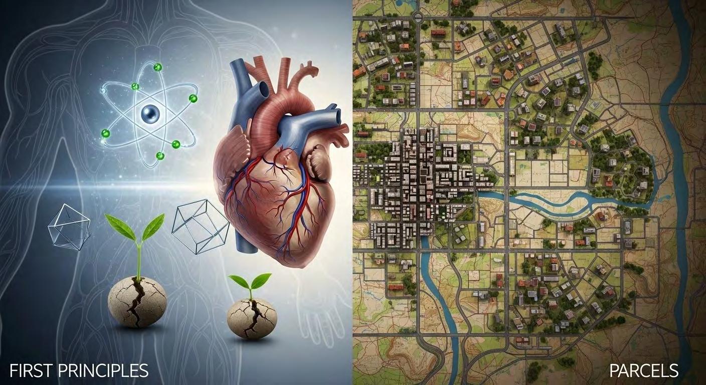
I have been experimenting recently with various ways to explain to others why parcels are inherently complex, and recently began exploring using the First Principles technique:
First principles thinking means refusing to just trust what you've been told is true. Instead of accepting the way a field has always done things its standard tools, its go-to answers, its unquestioned habits you strip everything back to what you can actually prove yourself, and rebuild from there. The philosopher Descartes made this famous, but the instinct is older: if you can't verify something from scratch, you don't really know it you've just borrowed someone else's conclusion. When you apply this to any technical subject, it means hunting down every hidden assumption, asking which ones are actually proven rather than just "how we've always done it," and being honest when the answer is that much of the foundation is shakier than it looked.
What this process changes isn't always the final answer — it's what you can see. Most inherited knowledge is genuinely useful. Experts compress decades of hard experience into tools and shortcuts, and those tools mostly work. But that compression hides things: the uncertainty, the edge cases, the political choices, the moments where someone made a judgment call and everyone downstream just accepted it. First principles analysis doesn't usually burn the whole field down. It shows you what the tools actually are, versus what they imply. The coordinate is still useful. The map is still useful. But now you know you're working with a model of reality, not reality itself and that shift, from borrowed confidence to something you actually understand, is the whole point.
What parcel mapping gets wrong — and what's actually true underneath
Most people learning GIS for the first time do the same thing: open the
software, load the map layer, run a query. The land parcels on screen look official. The data table looks complete. The whole system feels solid and trustworthy.
But it isn't not entirely. Underneath that clean interface, parcel mapping is built on a set of assumptions so widely shared that nobody questions them anymore. They've stopped feeling like assumptions and started feeling like facts. This piece strips them away one by one and asks what's actually, provably true underneath then looks at what the field would look like if it were built honestly from scratch.
The assumptions nobody mentions
Before you can question anything, you have to name what's being assumed in the first place. Here's what most practitioners silently accept from day one:
• Parcels are real, objective things that exist in the world.
• The edge of a parcel is a line.
• Each parcel has one owner.
• Coordinates on a map are ground truth.
• The map is a neutral, unbiased record of reality.
• The shape data and the ownership data are separate things.
• The current map reflects what actually happened historically.
• Parcels cover all land with no gaps.
• You either own land or you don't.
• A parcel exists in two dimensions.
Every single one of these is worth questioning. Some turn out to be just wrong.
What survives when you strip them away
Parcels are objective facts. Not quite. What actually exists is a legal document a deed, a title, a court record that describes a claim. The parcel on the map is someone's interpretation of that document, translated into a shape. The document is the real thing. The polygon is a model of it. When they disagree, which happens more often than you'd think, the document wins. That's not a technicality it's actual property law.
Boundaries are lines. A boundary line on a map is a model of an agreement between people. That agreement might reference a river (which moves over time), a fence (which was built by someone eyeballing it), a stone marker (which got dug up and moved), or a written description that says something like "go north until you reach the old Miller property." Turning that into a precise coordinate is someone's best guess. The line on screen looks exact. The thing it's representing often isn't.
One parcel, one owner. The OWNER field in any parcel database trains you to think ownership is one simple thing. It isn't. The same piece of land can have a family who owns the surface, a utility company with a legal right to run pipes underneath, a bank holding a mortgage, a neighbor with a legal right to cross the corner, and a decades-old restriction that prevents anyone from ever building on it. The database shows you one name. The legal reality has a whole stack of different rights held by different people simultaneously.
Coordinates are ground truth. The deed is ground truth. Coordinates are what you get when someone tries to translate the deed's description into map positions. An old property description that says "from the creek, forty rods east" turned into GPS coordinates in a modern GIS looks incredibly precise on screen. But the precision is in the computer. The original description was vague. High precision and high accuracy are two different
things, and parcel maps often have one without the other.
The map is a neutral record. Every land ownership map reflects decisions made by the people and governments who built it. In the US, the federal survey grid was drawn across land that indigenous people already occupied, turning it into sellable plots before most of that displacement happened. Maps in former colonies drew boundaries for administrative convenience, not to reflect how communities actually organized themselves. Legal land rights that exist under current law like native title in Australia often don't appear on cadastral maps at all. A map doesn't just record reality. It decides which claims count.
The cadastre reflects history. It reflects which claims the government chose to formalize. That's a narrower thing. Plenty of real, legally valid history doesn't make it onto the map.
Parcels tile continuously. Open any real parcel dataset and you'll find gaps slivers between parcels where the geometry doesn't quite connect, roads that aren't parcels, public land registered differently, and in many parts of the world, large areas of land used and occupied by communities but never entered into the formal system. Empty space on the map doesn't mean nobody has rights there. It means the system has no record. Those are very different statements.
Ownership is binary. See above. It's a stack of different rights, and multiple people can hold different layers of that stack at the same time.
Parcels are 2D. Works fine for a house on a flat lot. Falls apart for a condominium (your apartment is on the fourth floor the ground-level polygon tells you almost nothing), a mine (the valuable thing is underground), or an air rights deal where someone has legally purchased the right to build above a railway line. The flat polygon was designed for the simple case and quietly applied to everything.
What's left after stripping everything
Once every inherited assumption is removed, what can you actually prove?
1. Human institutions create bounded claims over portions of the earth.
2. Those claims change over time.
3. They stack multiple rights, multiple holders, multiple purposes, all on the same ground.
4. And the geometry used to represent them carries hidden uncertainty that the precision of coordinates actively conceals.
That's the bedrock. Everything else in parcel mapping is infrastructure built on top of those four facts.
What an honest system looks like
The data model changes. A flat table with one row per parcel, one shape, one owner field that can't represent what's actually true. An honest system needs at minimum: a claims table (the legal right is the core object, not the polygon), a geometry table that can hold multiple representations of the same claim over time, a rights table that captures the full stack of who holds what, and an uncertainty field on every boundary segment that says how confident we actually are in that line's position.
The questions you can ask change. "Who owns this parcel?" becomes "who holds which rights here, as of what date, according to which institution?" That's more complicated to answer but it's the question that actually matters when you're doing a tax assessment, approving a development permit, routing infrastructure, or trying to figure out who to compensate before building a road.
Precision stops masking accuracy problems. A coordinate with eight decimal places looks authoritative. First principles force you to ask separately: how precise is this geometry, and how accurately does it reflect the legal boundary? Those are different questions with different answers, and conflating them produces confident-looking results built on uncertain ground.
The map stops pretending to be neutral. Every analytical layer built on parcel data inherits the politics of whoever built that cadastre whose claims they recorded, whose they skipped, and how carefully they surveyed different neighborhoods. An honest system makes that visible rather than hiding it inside a clean-looking polygon fill.
Time becomes a first-class concern. Land claims aren't static objects. They're
snapshots of agreements at moments in time. A real system tracks the full history: when boundaries shifted, when rights changed hands, when disputes were resolved. Not a "last updated" timestamp on a flat record a versioned timeline of every change, queryable at any point.
The honest bottom line
GIS software is genuinely excellent at working with geometry storing it, measuring it, displaying it, and analyzing it. That capability is real and worth having. The gap isn't in the tools. It's that parcel mapping inherited an institutional framework the cadastre, the tradition of land registration without inheriting the honesty about what that framework can and can't represent.
The polygon looks like a fact. The OWNER field appears to be a fact. The query result appears to be a fact. But they're models of legal claims, built from interpreted documents, carrying hidden uncertainty, and shaped by choices about whose rights were written down and whose weren't.
That doesn't make the data useless. It makes knowing what the data actually is the most important thing, because the only kind of useful data that holds up under pressure is the honest kind.
If you wish to explore these concepts further, please feel free to review a new First Principles section on our website .
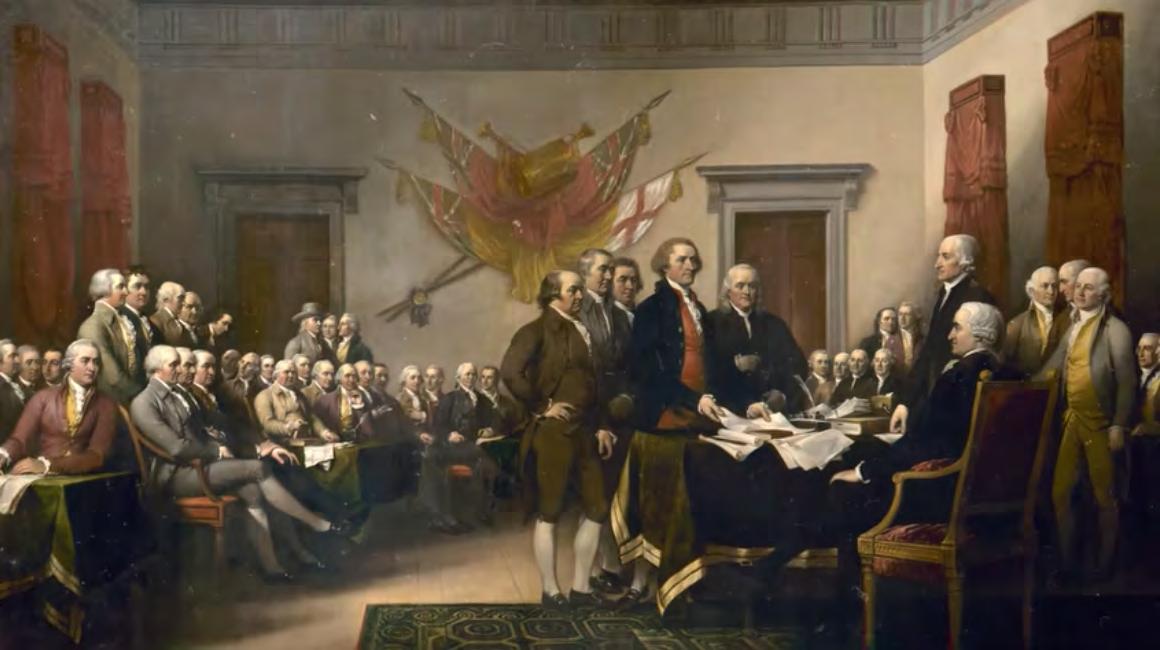
The Story of America: The Declaration of Independence
Registrants Name:
71st Annual FSMS Conference
CONFERENCE REGISTRATION
July 29 – August 1 at JW Marriott Miami Turnberry Resort & Spa
Packet 1 – Full Registration/Best Value
Member
Licensed Non-Member
Non-licensed
$500
$650
$450
Includes: (1) Wednesday Welcome BBQ ticket, (1) Friday Exhibit Hall Breakfast ticket , (1) Friday Exhibit Hall Lunch ticket, (1) Friday Recognition Banquet ticket, and (6) Saturday Seminar CEC’s.
Member
Packet 2 – Partial Registration
Member
Licensed Non-Member
Non-Licensed
$485
$635
$435
Includes: (1) Friday Exhibit Hall Breakfast ticket, (1) Friday Exhibit Hall Lunch ticket, (1) Friday Recognition Banquet ticket, and (6) Saturday Seminar CEC’s
Packet 3 – Saturday Only
Licensed Non-Member
Non-licensed
$260
$360
$210
Includes: (6) Saturday Seminar CEC’s
SATURDAY SEMINARS
August 1
Course options are listed below, please mark the circle next to the course. Choose only ONE course per time segment.
2 Hour Course Options
Course name:
8:00 am–9:40 am (choose one from this row)
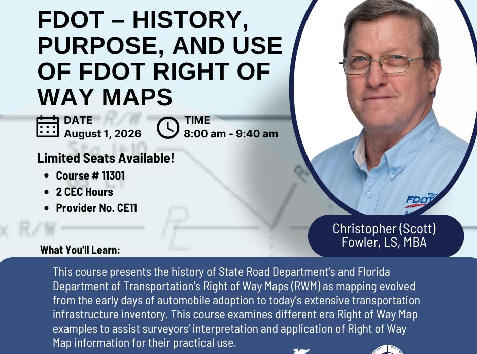
FDOT – History, Purpose, and Use of FDOT Right of Way Maps
(2 CEC’s – Course #11301)
Instructor: Christopher (Scott) Fowler, LS, MBA
Course name:
10:10 am – 11:50 am
(choose one from this row)
1:30 pm – 3:10 pm
(choose one from this row)
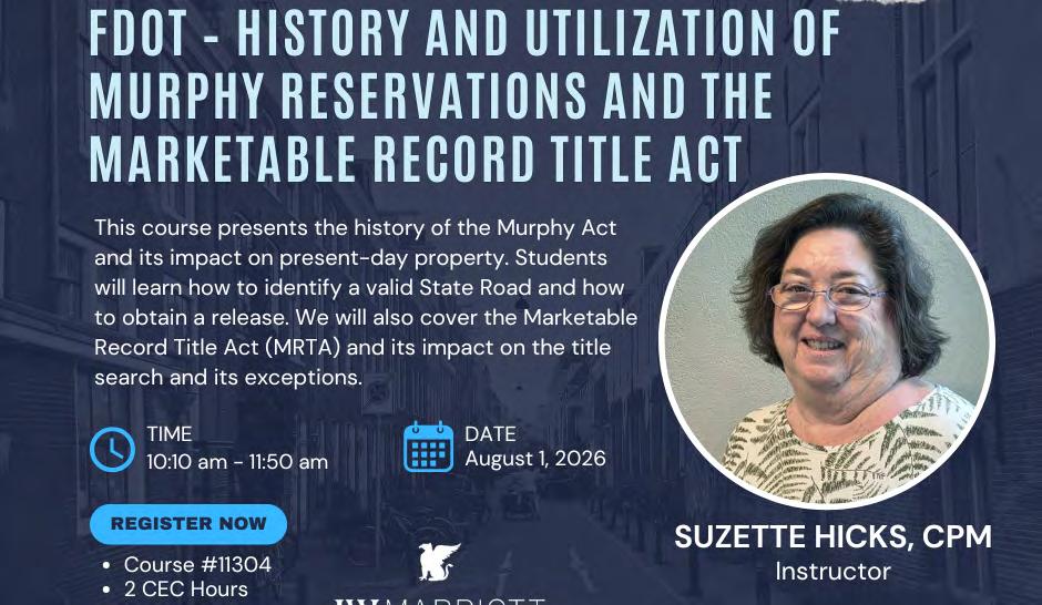
FDOT – History and Utilization of Murphy Reservations and the Marketable Record Title Act
(2 CEC’s - Course #11304)
Instructor: Suzette Hicks, CPM
Course name:
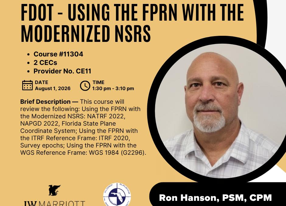
FDOT - Using the FPRN with the Modernized NSRS
(2 CEC’s – Course #11304)
Instructor: Ron Hanson, PSM, CPM
Course name:
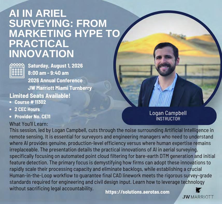
AI in Ariel Surveying: From Marketing Hype to Practical Innovation
(2 CEC’s – Course #11302)
Instructor: Logan Campbell
Course name:
Technology Advancements Supporting Infrastructure
(2 CEC’s - Course # 11306)
Instructor: Mousa Diabat PhD, Rick Wallace, Chad Colson, PSM
Course name:
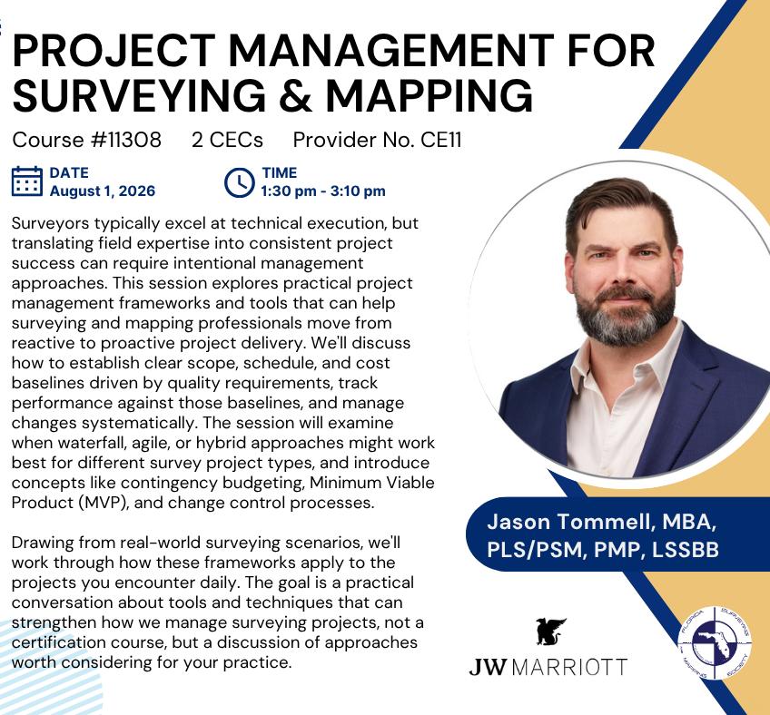
Project Management for Surveying and Mapping
(2 CEC’s – Course #11308)
Instructor: Jason Tommell, MBA, PLS/PSM, PMP, LSSBB
Course name:
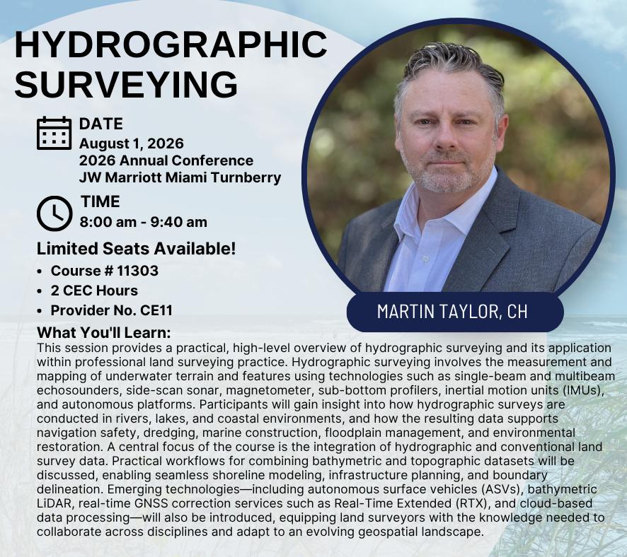
Hydrographic Surveying
(2 CEC’s – Course #11303 )
Instructor: Martin Taylor, CH
Course name:
Electric Utilities: Records, Land Development Role, and Risk Management
(2 CEC’s – Course #11307)
Instructor: Stephen Tinder
Course name:
Conservation Easement Transactions:
How and Why They Affect the Survey Scope
(2 CEC’s - Course #11309)
Instructor: Wendi McAleese
71st Annual FSMS Conference
SIT ($300) / Wed. Seminars ($260) / Thurs. Seminars ($130)
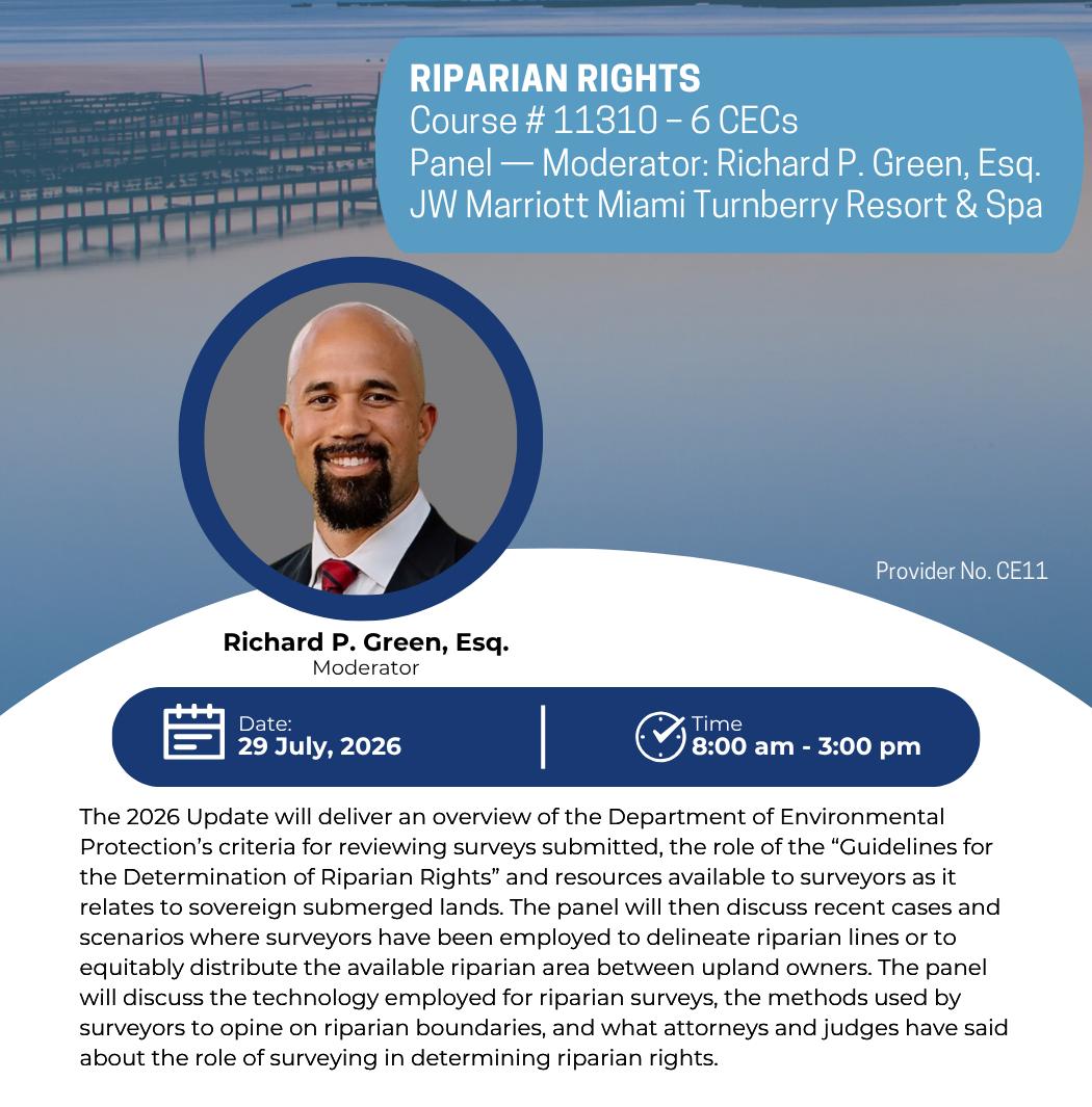
Instructor: Panel – Moderator: Richard P. Green, Esq.
Seminar II:
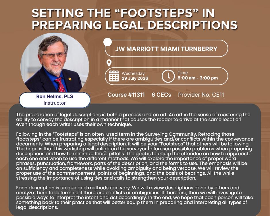
Setting the “Footsteps” in Preparing Legal Descriptions
(6 CEC’s - Course #11311 )
Instructor: Ron Nelms, PLS
SIT Prep Course (Un-Licensed Attendees, No CEC Credit)
July 29
8:00 am – 4:00 pm
Geoscholar's Florida Surveying and Mapping Society Fundamentals of Surveying (FS) Exam/Surveyor in Training (SIT) Certificate Prep Course
You must complete the online course before attending the Seminar. Dr. Lyle will be covering select questions over the required sections to help you with examination preparation. After the Seminar you will have access for 1 year to the online course.
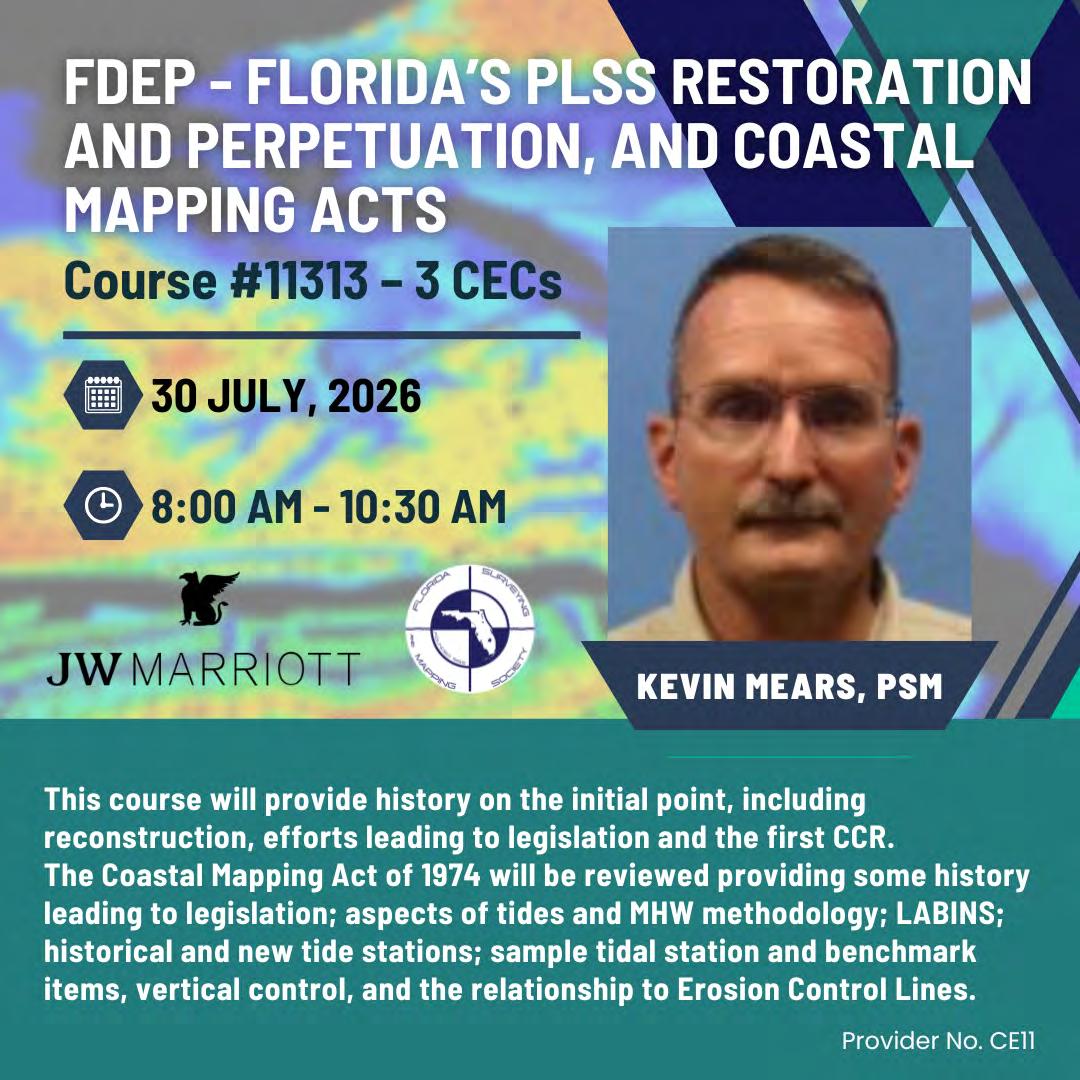
FDEP - Florida’s PLSS Restoration and Perpetuation, and Coastal Mapping Acts
(3 CEC’s - Course #11313)
Instructor: Kevin Mears, PSM
YOUR FLORIDA GEOSPATIAL PARTNER
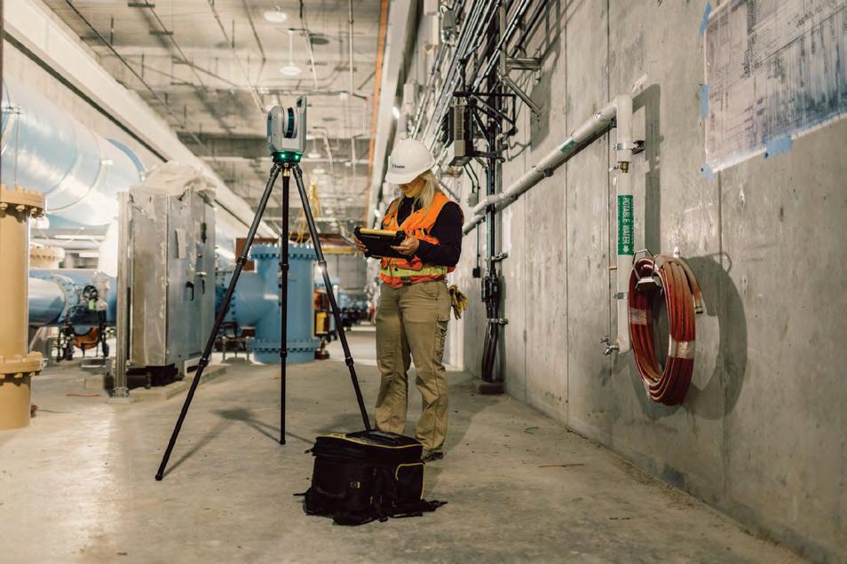
Duncan-Parnell, along with our valued partners, including Trimble and other top brands, are proud supporters of the Florida Surveying & Mapping Society. From solutions including GNSS, scanning, GPR, drones, and more to services including support, rentals, training, and repair, we are pleased to be your one-stop shop for geospatial professionals throughout the Sunshine State.
Jacksonville, FL (904) 620 - 0500
Orlando, FL (407) 601 - 5816
www.duncan-parnell.com
EXHIBITORS
PLATINUM
Duncan-Parnell
Duncan-Parnell is an Authorized Trimble Dealer for land survey, mapping/GIS, and construction instruments — and has been the leading provider of survey & mapping solutions in Florida for over 25 years. Our product offerings include GNSS receivers, drones/ UAVs solutions, robotic and manual total stations, software for workflow integration, digital and automatic levels, 3D laser scanners, mobile mapping and monitoring solutions, construction lasers, as well as a full range of field supplies and accessories. Duncan-Parnell is your full field-to-finish provider. Our Geospatial team has decades of industry experience, certified service centers, and experienced trainers on staff. We’re ready to be a trusted partner and assist with your sales, rental, or maintenance needs. Contact us today!
EXHIBITORS
GOLD
Frontier Precision Unmanned
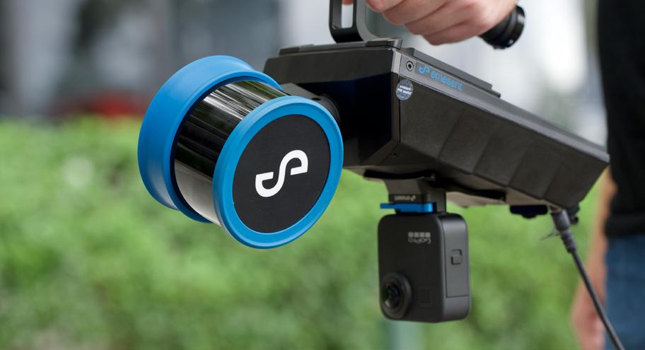
Frontier Precision Unmanned delivers comprehensive uncrewed solutions for surveying and mapping professionals, helping teams move seamlessly from data capture to accurate, usable deliverables. Through expert guidance, data services, and training, we support efficient workflows, reliable results, and scalable program development.
Phoenix LiDAR Systems
Phoenix LiDAR Systems pioneered the commercial drone LiDAR industry, becoming the first company to bring UAV LiDAR solutions to market and helping shape what is now a global technology sector. Today, Phoenix LiDAR designs and manufactures fully integrated, survey-grade laser mapping systems and automation software that enable organizations to rapidly digitize the physical world with unmatched accuracy and efficiency. Combining advanced LiDAR hardware, GNSS/INS technology, imaging sensors, and proprietary flight planning and post-processing software, Phoenix delivers turnkey UAV, mobile, and airborne LiDAR solutions customized for each client’s operational needs.
EXHIBITORS GOLD
TopoDOT
TopoDOT Solutions offers products and services designed to maximize the value of geospatial point cloud data across all operations active in the surveying, planning, design, engineering, construction and maintenance of the world’s transportation and civil infrastructure. Our TopoDOT software application achieves the industry’s highest levels of productivity and quality in every aspect of the digital twin production process. Our TopoShare process offers the industry’s most effective solution to geospatial data governance at the lowest possible cost. And TopoDOT Consulting Services supports our user community in implementing these processes within their operations to ensure the highest levels of productivity, quality and efficiency.
EXHIBITORS
SILVER
Aerotas
Aerotas is a national drone data collection and processing company helping surveyors and engineering firms deliver projects faster and more efficiently. We provide aerial data acquisition, photogrammetry processing, LiDAR classification, orthomosaics, topographic mapping, CAD drafting, and utility corridor support for projects across the United States. Trusted by surveying professionals nationwide, Aerotas combines responsive service, reliable turnaround times, and survey-focused expertise to help firms scale capacity without adding internal overhead.
DIGITAL E. CONSULTING
Digital E Consulting, LLC is based in Miami, FL and offers drone services, LiDAR, and GIS solutions for land surveying, engineering, and construction. We focus on advanced data collection, such as multispectral and high-density LiDAR, and ensure quality through careful processing. Our GIS services include custom spatial analysis, asset mapping, and easy integration of field data into geospatial software. Using AI-powered workflows, we turn complex data into accurate results that help save time in the field and improve project planning. From field data collection to UAS training, we work closely with clients to bring modern reality capture technology into their daily work.
SILVER EXHIBITORS
Exacta Land Surveyors
Exacta Land Surveyors is a premier provider of residential land survey and lien search services, supporting buyers, sellers, title companies, lenders, attorneys, builders, and real estate agents across multiple states. Founded in 1992, Exacta offers boundary surveys, mortgage location surveys, elevation certificates, and municipal lien and estoppel searches. Its builder division serves highand low-volume builders across Texas and Ohio. Sister company Windrose Services handles commercial, construction, and ALTA surveys for developers, architects, and engineers. Exacta also licenses its proprietary platform, SurveySTARS, to other surveying firms nationwide.
GROUNDHAWK
GroundHawk is a trusted subsurface utility mapping firm serving infrastructure and land development projects across the Southeast. Our technicians provide accurate underground utility inventories and analysis so clients can design, dig, and build with confidence. GroundHawk provides utility location, mapping, and analysis, subsurface utility engineering, video pipe inspection, and auxiliary services that support planning and design around complex underground infrastructure. Together, these services give clients the subsurface intelligence they need to plan effectively and avoid conflicts with existing utilities.
SILVER EXHIBITORS
KUCERA INTERNATIONAL, INC.
Kucera International, Inc. is a leading provider of aerial remote sensing, lidar processing/classification, photogrammetric mapping, orthoimaging, CAD and GIS conversion and support, and related services for surveying/engineering, government, industrial/ commercial, and educational/research applications. Kucera’s in-house staff of over 60 experienced geomatic professionals working at offices in Florida, Ohio, and Pennsylvania includes licensed/certified photogrammetrists, surveyors, engineers, GIS/CAD specialists, project managers, pilots, and aircraft mechanics. For aerial data acquisition, Kucera maintains a fleet of high-performance, multi-port manned aircraft outfitted with latest generation aerial lidar, digital aerial imaging, and multispectral sensing systems integrated with advanced airborne GPS/IMU georeferencing technologies. For data processing, mapping, conversion, and support, Kucera uses a variety of robust, proven remote sensing, photogrammetric, imaging, and GIS and CAD technologies/software. Kucera regularly works throughout Florida, the Caribbean region, and other areas of the U.S. Kucera is a long-standing Florida professional surveying and mapping firm and a sustaining member of ASPRS.
SILVER EXHIBITORS
NavVis
BUILD BETTER REALITY — Bridge the gap between the physical and digital worlds through reality capture technology that provides the digital foundation for the world you want to live in. We supply fast, reliable spatial data to service providers and enterprises seeking to capture photorealistic digital twins of the built environment. And our digital factory solutions enable greater organizational operability, productivity, agility, and profitability. Headquartered in Munich, Germany, and with offices in the United States, the United Kingdom, and China, NavVis serves global customers across the surveying, AEC, and manufacturing industries. Learn more at www.navvis.com.
SAFE SITE UTILITY SERVICES LLC
Safe Site LLC is a full-service utility locating and subsurface utility engineering company dedicated to improving safety and reducing risk on excavation and construction projects. Using advanced technologies such as ground penetrating radar (GPR), electromagnetic (EM) locating, vacuum excavation, and utility mapping, Safe Site accurately identifies and documents underground utilities, including gas, water, sewer, electric, and telecom lines. Serving contractors, engineers, and municipalities across the U.S., Safe Site delivers reliable, non-destructive data to help prevent utility strikes and project delays. Learn more at safesitellc.com or call 844-224-4774 for more information or service inquiries.
SILVER EXHIBITORS
YellowScan
At YellowScan, we design, develop, and build LiDAR solutions for professionals that require performance, robustness, and accuracy. Our hardware and software solutions are easy-to-use data collection tools that come with training and support from our experts. Our products come with embedded laser scanners, INS, GNSS receivers, and onboard computing. Each system is designed to meet the highest precision and accuracy needs for 3D mapping. Founded in 2012 in France, we now have sales, customer training, and support representatives around the globe. Our customers use our products in surveying, forestry, environmental research, archaeology, industrial inspection, civil engineering, and mining sectors.
EXHIBITORS
CONFERENCE
AGS (American Government Services)
American Government Services (AGS) is a full-service title company specializing in real estate services for government agencies. AGS has been providing title and closing services in the State of Florida since 1979. American Government Services is a majority women-owned business, certified as a DBE/MBE firm with the State of Florida, and is registered as a real estate broker corporation with the Florida Department of Business and Professional Regulation. AGS hopes to meet and exceed all of your Title service needs.
CARLSON PREFERRED SOLUTIONS
Carlson Preferred Solutions is the exclusive Carlson Software Authorized Dealer for the state of Florida. Specializing in Carlson RTK GNSS base and rover solutions, robotic total stations, RTK & LiDAR drones, data collection, & CAD software.
EXHIBITORS
CONFERENCE
DUKE ENERGY
Duke Energy a Fortune 150 company headquartered in Charlotte, N.C. is one of America’s largest energy companies. The company’s electric utilities serve 8.7 million customers in North Carolina, South Carolina, Florida, Indiana, Ohio and Kentucky, and collectively own approximately 55,700 megawatts of energy capacity. Its natural gas utilities serve 1.6 million customers in North Carolina, South Carolina, Ohio and Kentucky.
Duke Energy is executing an energy modernization strategy, keeping customer value at the forefront as it invests in electric grid upgrades and efficient generation resources to strengthen the system and serve growing energy needs.
FLT GEOSYSTEMS
FLT Geosystems (Florida Level & Transit Co.) is a dealer for Leica Geosystems (Optical, GNSS, High-Definition Scanning, Utility Detection Radar, & Lasers), GeoMax Positioning (Optical and GNSS), Topcon/Sokkia (Optical and Lasers), Spectra Precision (Lasers), Level Best Laser Graders, BathyCat Hydrographic Survey Systems, and many more supply brands. We also deliver wood stakes and lath, rebar, and iron pipe throughout South Florida. We are a factory-authorized service center for Leica, GeoMax, Topcon/Sokkia, Spectra Precision, and David White. Our home office is in Ft. Lauderdale, with a full-service office in Tampa.
EXHIBITORS
CONFERENCE
GPI GEOSPATIAL
For over fifty years, GPI Geospatial, Inc., a subsidiary of Greenman-Pedersen, Inc., has delivered advanced geospatial services in both public and private sectors throughout the eastern United States. Our comprehensive offering of professional surveying and mapping services caters to engineers, architects, land developers, planners, and a wide range of public and private markets, such as energy, transportation, and private development. We provide the most accurate remote sensing and survey data by utilizing specialized aircraft, vehicles, and personnel outfitted with cutting-edge equipment and software. Our team comprises dedicated subject matter experts and support staff, including licensed Professional Surveyors and Mappers, ASPRS Certified Photogrammetrists and Mapping Scientists, GIS Professionals, FAA Licensed Pilots, and Project Management Professionals.
Green Equipment Company
Green Equipment Company is your source for “DAMAGE PREVENTION” tools and products that lead the industry in Innovation and Quality. We offer “Value” through exceptional customer service and competitive pricing. Our highly trained, experienced sales team covers eight states and represents world-leading manufacturers. We are problem solvers, dedicated to meeting our customer’s needs. With Green Equipment Company, you receive continual service after the sale.
EXHIBITORS
CONFERENCE
HALEY WARD
Haley Ward is a 100% employee-owned technical consulting firm offering a wide range of engineering, surveying, planning, architectural, , environmental, and BIM services with offices in Port St. Lucie, Stuart, Melbourne, and Fort Myers, Florida as well as throughout New England.
HAYES INSTRUMENT CO. | GeoNetworking
As of February 2026, Hayes Instrument Co. and Geo Networking have joined forces to serve the surveying, engineering, and construction community better than ever before. By bringing together two trusted names in geospatial technology, we've combined decades of expertise, an expanded product lineup, and broader regional coverage—all under one shared commitment to our customers. Together, we now offer an even stronger combination of premium equipment, expert support, factory-authorized service, and the regional reach to back it all up. Two industry leaders, one mission: helping you get the job done right.
EXHIBITORS
CONFERENCE
iGage
iGage is a nationwide team that provides survey and GIS equipment. We provide GNSS, bathymetric boats, machine control and slam scanners. We pride ourselves on the support we are able to provide our clients. We have offices in 11 states and have multiple licensed land surveyors selling and supporting all of the equipment that we offer. We not only sell the equipment, but we use it in our everyday practices. This gives us a better understanding of how the equipment works and a real empathy for the customers. For more information or to get a demonstration of any of the above items, please feel free to contact us.
LEICA GEOSYSTEMS
With more than 200 years of history, Leica Geosystems, part of Hexagon, is the trusted supplier of premium sensors, software and services. Delivering value every day to professionals in surveying, construction, infrastructure, mining, mapping and other geospatial content-dependent industries, Leica Geosystems leads the industry with innovative solutions to empower our autonomous future.
EXHIBITORS
CONFERENCE
LENGEMANN
Lengemann Corporation has been a leading dealer in the surveying and construction industry since 1962. We provide technology applications in GPS, Robotics, Total Stations, Drones, Machine Control, and now expanded to hydrographical and GPR mapping products. Featured manufacturers include Topcon, Sokkia, Wingtra, CHC Navigation, and Leica. Additional services provided include repair, calibration, rental, support, training, and equipment finance. Our certified onsite training facility is equipped for all your survey and machine control needs. Our L-Net GNSS reference station network supports corrections for your GPS field applications. We are proud to have supported professionals in this industry for over 60 years.
NV5
NV5 is a global leader providing geospatial solutions, services, and software to solve mission critical challenges. From data acquisition to analytics to enterprise GIS and AI solutions and software development, NV5 applies geospatial science to deliver end-to-end solutions and insights to mitigate risk, plan for growth, better manage resources, and advance scientific understanding. We leverage the widest array of advanced remote sensing technologies and apply today's most sophisticated analytic AI frameworks, including proprietary deep learning, computer vision, and predictive analytic models tailored to our clients' needs. Through off the shelf and fully customized solutions, we empower our clients to enact meaningful change across enterprises, communities, and the world.
PrimaVerse
EXHIBITORS
CONFERENCE
PrimaVerse excels in providing top-tier engineering and survey drafting solutions, meticulously tailored to meet the unique demands of each project. Our blend of extensive expertise and a flexible approach empowers us to deliver precise, innovative outcomes that are both efficient and cost-effective. Since our inception, we have been committed to transforming complex CAD challenges into tangible business opportunities. By leveraging stateof-the-art technology and harnessing the passion of our dedicated team, we ensure that every project we undertake is executed with the highest standards of excellence. Our team comprises seasoned professionals who bring a wealth of experience and a meticulous attention to detail, ensuring that every design is not only accurate but also optimized for practical implementation. With a strong foundation built on reliability, innovation, and client collaboration, PrimaVerse stands out as a leader in the engineering and CAD services industry.
R-E-A-L.iT
R-E-A-L.iT is a leading provider of customized reality capture workflow solutions for clients across diverse industries. Established by Derek deBlois in 2021, our company has rapidly evolved to become a trusted partner for businesses seeking innovative solutions in industries like engineering, architecture, public safety, visual effects (VFX), and more. At R-E-A-L.iT, we are dedicated to delivering comprehensive reality capture solutions, expert consulting, and tailored software development to address the unique needs of our valued clients.
EXHIBITORS
CONFERENCE
RIEGL USA
RIEGL USA is the North American headquarters of RIEGL, a global leader in advanced laser scanning solutions. With over 32 years of experience, RIEGL USA specializes in pulsed time-of-flight laser radar technology across multiple wavelengths. We offer cutting-edge laser scanning solutions for airborne, mobile, terrestrial, industrial, and UAV-based applications. Our smartwaveform technologies enable precise digital LiDAR signal processing, resolving range ambiguities, and capturing multiple targets per laser shot. RIEGL USA provides comprehensive sales, support, service, and training across North America, ensuring exceptional customer service and innovative LiDAR technology.
At RIEGL USA we take pride in providing high caliber technical support to our trusted users. Our team consists of highly qualified, trained, and capable engineers and technicians ready to resolve any reported issues related to software and hardware. Support is available after business hours to ensure our customers always have someone they can rely on. In addition, our technicians are certified in various service offerings such as hardware repairs and preventative maintenance to ensure your hardware investment is maintained or repaired in the United States.
EXHIBITORS
CONFERENCE
SAM
For over thirty years, SAM has built a reputation as a trusted, knowledgeable, and innovative partner. Our licensed professionals transform petabytes of complex spatial data into intelligent insights in a holistic Managed Geospatial Services™ (MGS™) framework. As North America's premiere MGS™ company, SAM provides practical, precise, and high-fidelity solutions designed to enhance decision-making, mitigate risks, achieve strategic objectives, and drive costs out of our client's business. Our vision is to advance spatial data acquisition, improve analysis capabilities, and develop predictive analytics to redefine and transform how infrastructure assets are developed and managed throughout their lifecycles.
Skate
Skate is a database for land surveyors. Our goal is to make it easier for surveyors to do their job. To that end:
1. Land records database (surveys, deeds, plats etc.)
2. Monuments database (property corner markers, georeferenced when possible, with coordinates, images and recovery data)
4. Automatic dxf plot function (plots deeds with calls, working on it, georeferenced when available)
5. Automatic records search function (finds relevant records by searching on the internet, working on it)
6. Use on any device (works on your phone or tablet as well as a computer)
7. Reference service (georeferences older assumed system surveys into state plane, working on it)
8. Database of georeferenced boundary polygons (working on it)
EXHIBITORS
CONFERENCE
S urvey Equipment Services, Inc.
With a commitment to excellence, SES is dedicated to helping customers navigate the dynamic subsea survey market. Our robust equipment portfolio and unparalleled 24/7 technical support set us apart from the competition. Located in our expansive 12,000 sq ft HQ in Katy, TX, SES offers a comprehensive inventory of Subsea & Marine Survey Instrumentation for rental and purchase. Our wide range of services includes Equipment Rentals & Sales, Onsite Installation & Training, OEM Systems Integration, In-house Service, Repairs, Calibrations, and Onsite Custom Fabrication. Collaborating with top industry equipment & software manufacturers, we ensure our customers have access to cutting-edge technology. At SES, customer satisfaction remains our top priority.
SURVEYORS INSTRUMENT SERVICES
Surveyors Instrument Services, LLC is a land surveyor and construction equipment supplier based in Tampa, Florida. We offer repairs, service, rentals, supplies, new and used equipment options for all of your surveying needs. Owner, Stan Denison, has 40+ years or service and expertise in the surveying and construction industry. We provide customers with superior service and a quick turnaround time. Our years of experience, knowledge, and service in the industry has allowed us to be a reputable company for our customers. The list of equipment we sell and service is extensive.
EXHIBITORS
CONFERENCE
TRANSIT and LEVEL
Transit and Level Clinic is a leading provider of surveying, construction, machine control, detection, and geospatial solutions serving professionals throughout the Southeast. As an authorized dealer for industry recognized manufacturers including Leica Geosystems, CHCNAV, GeoMax, GeoCue, Carlson Software, Freefly Systems, and Inspired Flight, we deliver precision technology backed by expert support and responsive customer service.
Our team provides industry leading equipment sales, calibration services, training, technical support, repair solutions, and field expertise to help surveyors, contractors, engineers, and construction professionals operate efficiently and confidently. With multiple locations across the region and free delivery available, Transit and Level Clinic remains committed to delivering Service Beyond Measure.
Vertical Aspect
Vertical Aspect is a geospatial technology company serving surveyors, civil engineers, and remote sensing professionals. As the North American reseller for Terrasolid, AISPECO, Teledyne, Inspired Flight, DJI, Virtual Surveyor, and more, we connect professionals with the hardware and software their workflows actually require. We support every stage of the project cycle: software training, hardware integration, and workflow development from acquisition through final delivery. Our team brings field-tested technical knowledge to every engagement. We don't just sell tools, we make sure they work for your operation. That's what it means to work with Vertical Aspect.
EXHIBITORS
CONFERENCE
WOOLPERT
Woolpert is an international architecture, engineering, geospatial, and strategic consulting firm of more than 3,000 talented professionals. Our headquarters remain in Dayton, and we serve clients on a local, regional, national, and international basis from over 75 offices on six continents. Woolpert’s ability to continually adapt to changing times and provide an increasing range of professional services is the basis for our serviceoriented culture.
Sponsors
Name Badges SAM
Room Keys STONER
Conference Tote Bags LANGAN
Swag CAULFIELD & WHEELER
Swag STONER
Registration Desk & Signs
Program Book (Front Cover)
Sponsors
Casino Night STONER
Program Book (Back Cover) WGI
Cornhole Tournament LENGEMANN
Exhibit Hall Luncheon Manasota Chapter
Program Book (Inside Back Cover) Palm Beach Chapter
Sponsors
Registration Packets Collier-Lee Chapter
Registration Packets E.R. Brownell & ASSOCIATES, INC.
Registration Packets Palm Beach Chapter
Sponsors
CST Exams Tampa Bay Chapter
Young Surveyors Event Central FL Chapter
Young Surveyors Event Duncan-Parnell
Young Surveyors Event LANDPOINT
Sponsors
Young Surveyors Event LANGAN
Young Surveyors Event SSMC
Exhibit Hall Luncheon Bar Surveyors Instrument Services
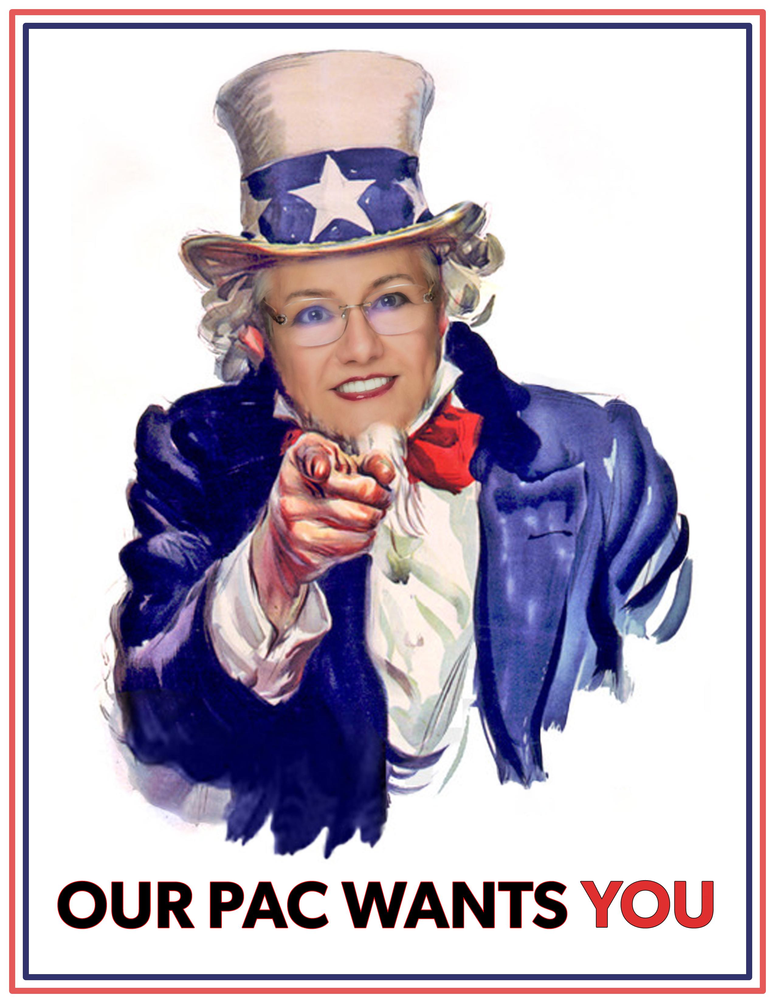
SUPPORT FSMPAC TODAY!
Your contribution can make a monumental difference in ensuring that our profession thrives and our voices are heard where it matters most.
Join FSMPAC and become a driving force for the future of Surveying & Mapping in Florida.
FSMPAC, the Florida Surveying & Mapping Political Action Committee, is your ticket to shaping the future of our profession. Our mission thrives on the generosity of dedicated Surveyors and Mappers who want to champion and safeguard our profession.
Your contributions go toward researching, identifying,and supporting candidates who champion our concerns.
Le arn More & Donate Here
and
Forts, Ports, Canals, Wars
An Uncommon History of Tallahassee & Surrounding Areas
by Dr. Joe Knetsch
Tallahassee has long been known for its trees and flowers
(State Library and Archives of Florida)
The Floral City of the Flowery South: Tallahassee
in the 1880s
In 1880, George Barbour, in his widely read Florida for Tourists, Invalids, and Settlers , described Tallahassee as “one of the loveliest places in all America.” Barbour’s description included a discussion of the parklike squares, the rolling hills surrounding the town and its street pattern, “charmingly irregular and uneven.” He noted the unpretentiousness of the city and its “cozy little cottages” and comfortable roomy mansions. But what actually caught his attention was the neatness of the homes and lawns and gardens, almost all having quite ample grounds, well kept — and “flowers, flowers, flowers!” The friendly rivalry of the citizens in their ornamental displays was a source of amazement to this commentator. As he put it: “Tallahassee is truly a ‘Floral’ city.” 1
The appearance of the country surrounding Tallahassee and including most of the “Red Hills” section, was indeed striking to those travelers who ventured over the flat pine lands of eastern Florida or through the scrub pine of western Florida. The relief of the eye from such monotony inspired writers and visitors to make more flowery comments than may have been justified. But there was no denying the fact of the natural beauty of the area and the lovely landscaping of the local inhabitants. Even though the local economy was struggling through the adjustments of Reconstruction and National recessions, the people of the “Floral City” kept up a remarkably clean and unique environment. Just what Tallahassee and Leon County were recovering from can be seen from the following description:
The Civil War, and its attendant consequences, put an end, temporarily, to the property of the Middle region of the State. Many an old mansion, once the scene of gaiety and luxury, now stands a decaying ruin — in the vicinity of the towns of Middle Florida amid the splendid trees of surrounding parks, deserted by its once proud but generous inmates, who, in the unsettled state of things succeeding the war, removed to the towns for mutual
Forts, Ports, Canals, and Wars
protection. Other grand old homes have been consumed by fire and decay. Long lines of tumbledown negro quarters, dilapidated sugar and gin houses, and abandoned orchards catch the eye from almost every prominent hill-top, and, despite the really beautiful natural surroundings, an observer must feel sad at the many evidences of departed glory and happiness. 2
Yet, despite the gloomy picture, there was rapid change coming to the area. The transition from a cotton plantation, one crop, economy to a diversified multicrop, truck farming basis was taking place even as the writer was putting pen to paper.
One of the major instruments of this change was the Middle Florida Agricultural Fair, which was carried on between 1879 and 1885. This fair served as an important source of new information and a place of demonstration of the latest farming techniques. The friendly rivalry of the flower-growing homeowners found another outlet in the annual event, so much so that spring fairs were organized with the main feature being the floral displays. But the focus of the fairs was the dissemination of new information and the attraction of attention to Middle Florida’s agricultural possibilities. By January of 1878, the fair grounds had been located (on the property of John A. Craig one half mile north of the city limits) and planning was underway for the inauguration of the events in early 1879. These activities were organized by a group of notables calling themselves the “Agricultural and Mechanical Society of Middle Florida.” The committee to organize the affair was headed by William D. Bloxham, Edward Lewis, and Leroy Ball with the president of the Board of Directors none other than Captain C. E. Dyke, the highly regarded editor of the Weekly Floridian. If well managed, the fair would, it was hoped, do “incalculable good generally in attracting attention to ‘the Garden spot of Florida’ and inspiring people with a spirit of improvement.” 3
In this same spirit Leon Countians generally took an active interest in the many exhibitions held around the country in the early 1880s. In 1881, Atlanta held an exposition that was to receive national attention. Accordingly, the Leon County Farmers’ Club, under the leadership of W. L. Vason, President, solicited entries from Leon County for the State exhibition. As
the solicitation stated: “Leon County should not allow this rare opportunity to advertise her resources to be lost. The magnificent banner, won at the Gainesville State [fair] in 1879, will be sent to Atlanta, to wave over our exhibit, and the exhibit must not dishonor the banner.” Items solicited included butter (five pound glass packages), cotton, tobacco, fruits (which matured between October and December), and flowers. As the article noted: “If there is one thing Leon county can excel in, it is in the making of a Floral Display.” In short, anything thought to be worthy of exhibiting the best of Leon County was to be offered for display. Leon County even had an inside tract in the fact that the chairman of the local committee, R. Don McLeod, was also the vice-president of the State Committee for the exhibition. 4 The object, it should be emphasized, was to spread the fame and desirability of Leon County and to attract settlers to the region.
To further the goal of increased immigration to the area, the preparations for the Atlanta Exhibition included the publishing of a pamphlet by the Leon County Farmers Club. This pamphlet was set out for all to see in the December 6, 1881, Weekly Floridian . The usual pattern for this type of publication was followed: a history and topography first, a description of the climate and healthfulness second, attractions for the immigrant third and the longest section contained the agricultural possibilities. All of this information was to entice the new settler to locate in Leon County.
By 1883, Leon County was angling for a predominant spot in the Louisville “Southern Exposition” that opened in August of that year. One of the movers of the Louisville show in Tallahassee was Dr. H. V. Lucas, who went to Louisville as the Assistant Commissioner for Florida (T.E.C. Brinly of Deland was appointed by Governor Bloxham as the head of the exposition team). The results from Middle Florida appear to be somewhat disappointing for we find Lucas writing home the following plea:
At each end of one of the departments are curiosities from Jacksonville-in the middle vacancy … A microscope with a magnifying power of 2,000 diameter would have failed to discover even an infinitesimal atom from Middle Florida. Was it a dream, a myth, that I ever saw such a country… It is for you citizens of Middle Florida to bring to fruition these buds of promise. Your enterprise can
Forts, Ports, Canals, and Wars
make it the garden spot of Florida. Will you not reach out your hands and grasp this opportunity of making known your resources? We have favorable advises from other parts of Florida. Will you not avail yourselves of advertising your section at so little cost?
On the same page of the Weekly Floridian is an appeal from J. W. Dorr, the new editor of the paper. He too found the lack of response surprising and advocated a quick turnaround in the local attitude. 5
The Louisville Exposition was not a total failure for Leon County and R. C. Long was dispatched in early September with a number of exhibits for the visitors to see. Editor Dorr did his part in promoting the interests of the county when he sent “thousands of copies” of the Weekly Floridian’s “Exposition Edition” along with Long. And, good news had already been received from the show; Malachi Martin won a premium for his scuppernong grapes, a harbinger of a new industry then in its infancy in Leon County — wine making. 6
The regional, national and international expositions were a major factor in the spreading of agricultural and other knowledge of advancements in the 1880s and 90s. The well documented success of the Paris exhibition, the Chicago and St. Louis “World’s Fair” and others, demonstrated the power of this form of “advertising” progress. By Leon Countians participating in the state, regional and national expositions, word about the county did get out to a wider audience than the arm-chair adventurers who read the accounts of Kirk Munroe, Charles Norton, George Barbour, or a “Sylvia Sunshine.”
The main reason for entering exhibits, again, was to attract new settlers to the area. As Clifton Paisley has most ably documented in his From Cotton to Quail: An Agricultural Chronicle of Leon County, Florida, 1860-1967 , the emphasis for the 1880s was diversification of crops, sub-dividing the land and finding a new population to lead Leon County out of its mental and fiscal dependence on cotton. The success of Martin’s exhibit of scuppernong grapes, for example, encouraged others, most notably Emile Dubois, to try their hands at vintaculture. DuBois’s success has been well-known and the honors he captured at various exhibitions reflected well on Leon County. The relative success of the Irish potato crops, grown by John Bradford, J. L. DeMilly,
Forts, Ports, Canals, and Wars
and T. J. Roberts also showed the way toward a more diver sified agricultural economy. The increased profitability of tobacco culture, including the building of a cigar factory in Leon County, may have had an additional impact in demonstrating the desirability of the area as an agricultural haven. 7 The era of the 1880s was one of transition for Leon County and one that would have lasting effects in its history.
To attract settlers meant to have a means of conveying the people to the area and the biggest problem for Florida was the lack of railways and roads. The biggest impediment to the development of a transportation system was the injunction against the Internal Improvement Fund placed on it by Francis Vose, etal., who had purchased the old railroad bonds of the defunct Florida Railroad and others. Because the Internal Improvement Fund was the underwriter of these bonds, it became responsible for the repayment.
The War Between the States had crippled Florida’s ability to repay the loans, and going to court was the only feasible way for Vose and other investors to recoup their losses. Not until Hamilton Disston, the wealthy scion of the saw-makers from Philadelphia, purchased 4,000,000 acres of swamp and overflowed lands at $.25/acre ($1,000,000.00) did the Internal Improvement Fund have enough capital to pay off the debt and release for sale the lands held by the State to encourage the development of the transportation system. Only with the release of the Internal Improvement Fund from this debt could the State move aggressively forward with railroad construction.
To develop Leon County, the growth of railroads was considered highly necessary. Even as late as 1886, Leon County was served only by the Florida Railway and Navigation Company line which had 26 miles of mainline, the St. Marks Branch of 11 miles and some additional side tracks showing an assessment of a mere $240,089.31. 8 This paltry mileage had to be improved upon if the county were to be considered desirable. As early as February of 1880, the Weekly Floridian was pushing for the Thomasville to Carrabelle Railroad, under the assumption that a connector would pass through Tallahassee. Editor Dyke, sounding like a promoter of olden times, wrote:
At the starting place on the Gulf in one of the finest harbors on the west coast, between which and New Orleans is only a short
ferriage. A railroad from Tallahassee to Carrabelle will put the balance of the State in easy and cheap communication with the mouth of the Mississippi; and should “the barge canal” scheme be carried through — and this is only a question of time — it is not difficult to see the importance of a railroad terminating at a good harbor, where an immense amount of shipping, whether of barges or what not, must of necessity congregate and pass before entering the canal route to the Atlantic. Such a road will constitute, so to speak, a great link in the enterprise. 9
Unfortunately for Dyke and others, this scheme of a railroad to Carrabelle through Tallahassee and tied into the cross-Florida canal did not come to fruition. However, it did lead many to endorse the canal scheme as a means of economic development for Leon County even though no new railroad was constructed for the purpose of uniting the related interests.
As one reads through the Weekly Floridian for the early years of the 1880s, one gets the feeling of hope and frustration with the lack of transportation facilities in Leon County. Hope sprang eternal in the heart of the various editors of the paper each time a railroad survey or project was announced. When the Pensacola and Atlantic Railroad began its surveys, their progress was eagerly reported by the Tallahassee based paper. There were endorsements of projects, like the Florida and Alabama Northern Railway Company, which might only be, on the surface, related to the development of Leon County. The thought of the day appears to have hinged upon a belief that if railways connecting west Florida to other parts of the country were completed, connectors to Tallahassee would not be far behind. 10 The connection of the Atlantic and Pensacola as well as the Savannah, Florida & Western Railroads must have caused some dismay among the promoters of Leon County in 1882, because this connection made it relatively easy for shipments from west to east to bypass Tallahassee altogether. When it was reported that a connection between Rio Carrabelle and Chattahoochee was in the works, distress may best describe the state of mind of Leon County promoters. 11 Great joy may have leaped into some of their hearts on the announcement of the possibility of a railroad being constructed from Gainesville to Tallahassee as a result of the Disston Purchase. The lands upon which this projected line was to run crossed many of the lands selected by
Forts, Ports, Canals, and Wars
Disston and his successor in title to 2,000,000 acres, Sir Edward James Reed. 12 This line was to run from a point in Gadsden County to some point on the St. Johns River. 13 But, again, this line did not become a reality until much later and then, not under the auspices of either Disston or Reed. By the end of the decade, Tallahassee and Leon County were served only by the Florida Central and Peninsular Railroad’s Western Division. 14
But Tallahassee and Leon County did change rapidly in the 1880s despite the lack of transportation facilities. Because of fires, the city lost the old courthouse, the City Hotel, and the St. John’s Church. During the early 1880s these buildings were replaced by more modern and usable structures. The Tallahassee Hotel Company incorporated to build, in 1882, the new Leon Hotel and attracted wide-spread attention with its classic lines. The new St. John’s Church was completed in time for Easter services in early 1881 and it has remained in service ever since. And the new courthouse was completed in 1883 and served the community for many years thereafter with its proud steeple and stately appearance. 15 The end of the decade saw the construction of the first building of what was to become Florida A & M University, and an appropriation made in 1889 allowed the remodeling of the main building on college hill. 16 Aside from the new diversification of land holdings that Clifton Paisley accurately documents, the building changes in the area also helped shape a new look in the county and city.
The social/political questions that dominated discussion in Leon County during the era centered around the “Colored Question” and the “Local Option Law.” This latter law allowed counties to opt for or against the sale of intoxicating liquors under certain conditions. The bill’s details included provisions restricting sales to licensed dealers only and they had to apply to the County Commission for the permit. No sale on election day to minors or to anyone already intoxicated was allowed under the law. It did allow the making of home consumption wines and grandfathered in those who already had licenses. 17 The provisions of the law favored those like Emile DuBois who already had the proper papers, but heavily discrim inated against any newcomer. The temperance movement, which was then a major national issue, was very active in Leon County and was favored by the Weekly Floridian . To emphasize the points made by the crusaders, stories like the following ran regularly in the paper:
George Pittman, a colored umbrella carpenter of the Capital City, is possessed of an inordinate thirst for mean liquor, and he sometimes indulges his appetite to excess. A few evenings ago he “took in” more than he could manage with safety, and started for his home in “French Town,” a northwestern suburb of Tallahassee. On his way home he had to cross several bridges, some of which span narrow but deep ditches. In steadying his compass to cross one of these “breakers” he missed his reckoning, and was precipitated into a ditch about twelve feet deep, landing on his head. Parties passing by heard him groaning and scrambling in the ditch, pulled him out and took him home. George is now training for a temperance crusade, and we shall not be surprised to hear that he has taken the local field as a temperance lecturer. 18
More tragic stories of drunks getting run over by trains after falling asleep on the tracks, etc., were sprinkled throughout the local newspaper during the 1880s. The culmination of the movement in Leon County came with the vote to go dry in 1904, and forcing Emile DuBois to leave the land of flowers for the greener pastures of Vineland, New Jersey. 19
The “Colored Question” had a number of differing responses from Leon Countians. The best known native, Governor Bloxham, gave his impressions of the state of the black population in an interview printed in the local paper:
Q. How does the condition of your colored population compare with what it was ten years ago?
A. I think it is better. I notice a gradual improvement. The colored people are better educated and, as a rule, have a clearer idea of their duties and responsibilities as citizens. In the neighborhood of Tallahassee, however, they are very careless about saving their money.
Q. Do they show a disposition to acquire land or stock?
A. Only a few of them do.
Q. Are many of them owners of land or stock?
A. No. We have a large colored population, and the percent having property of any kind is very small.
Forts, Ports, Canals, and Wars
Q. Are they anxious to have their children educated?
A. They appear to be.
Q. Are they any more thrifty or industrious than formerly?
A. I can't say that they are. I think, in that respect, they are about the same.
Q. Is there a disposition among the colored people to emigrate? If so, what are their reasons and where do they propose to go?
A. A good many have left the section of the country about Tallahassee, and the probability is that still more of them will go. They go to other sections of the State and to Louisiana and Texas, where they find work on the railways under construction. They get higher wages than on our farms, and that is the reason they emigrate. 20
Some of the letter writers to the paper actually encouraged black emigration to the West and North. As one stated: “Let the North and West see what they can do in subduing the populace and admitting the negro into full and lasting communion — social, political and matrimonial.” 21 But not all held such an unfavorable view of the situation and, on some occasions the community worked very well together, as in the submission of exhibits for the fairs. The old attitudes toward the blacks persisted throughout the white community, but, taken as a whole, the acceptance of the facts of Reconstruction and the new economic basis of society did much to mitigate feelings that led to overt violence elsewhere.
At the end of the 1880s, Leon County had grown in many ways. New settlements, such as Braden and Sunny Hill, had begun to take root, the latter showing a population of 300 in 1886. The surrounding communities of Bradfordville, Centerville, Iamonia, Chaires, Bloxham, and Miccosukee were taking their place as agricultural centers. 22 People still held May parties, attended the fairs, went for picnics on Lakes Jackson, Bradford, Hall, and Overstreet and generally socialized in the time honored tradition of the land of flowers. Many enjoyed the new delights to be found around town, like the new baseball team, the High Steppers, the new courthouse, the new steam yacht on Lake Jackson, and other first-run attractions. Many would also bemoan the loss of such old comfortable monuments such as the old
Forts, Ports, Canals, and Wars
market, the City Hotel, the sale of the Murat home, and the retirement of the venerable C. E. Dyke. The 1880s were an era of transition for Leon County and not all of the changes were easily accepted, but accept them they did. Tallahassee was still “old South” and maintained its “wealth of floral attractions that cannot be surpassed,” 23 yet it made its way toward the new century with hope and charity to all.
ENDNOTES:
1. George Barbour, Florida for Tourists, Invalids, and Settlers . Facts, Reprint of 882ed. Gainesville: University of Florida Press, 1964. 79-80.
2. C. K. Monroe, The Florida Annual: Impartial and Unsectional 1884. New York: 1883. 15-16.
4. The Weekly Floridian. September 20, 1881, “An Exhibit for Leon County.” 3.
5. The Weekly Floridian . August 14, 1883. “Louisville Exposition.” 3.
6. The Weekly Floridian . September 4, 1883. “The Exposition.” 3.
7. Paisley, From Cotton to Quail: An Agricultural Chronicle of Leon County, Florida, 1860-1967. Gainesville: University Presses of Florida, 1981. (reissue) 40-71. Paisley’s discussion of the diversification is one of the few concerning this transitional period, and is well worth the reading.
8. Report of the Comptroller of the State of Florida, for the Fiscal Year Ending December 31, 1886. Appendix, l.
9. The Weekly Floridian. February 6, 1880. “The Thomasville and Carrabelle Railroad.” 3.
10. The Weekly Floridian . July 19 and August 16, 1881. “Pensacola & Atlantic Railroad,” and “The New Railroad Enterprise” respectively. 3 & 3.
11. The Weekly Floridian . January 24, 1882. 3. (No title on the article placed at the bottom of the page.)
12. The Weekly Floridian . April 25, 1882. “A New Railroad Enterprise.” 3.
13. The Weekly Floridian. May 2, 1882. “The Georgia and Florida Midland Railroad.” 3.
14. E. J. Elliott. Elliott’s Florida Encyclopedia or Pocket Directory . Jacksonville: Times-Union Books, 1889. 141-46.
16. Ibid. 69-70. 17. The Weekly Floridian. February 27, 1883. “The Local Option Law.” 2.
17. The Weekly Floridian . April 18, 1882. Untitled. 3.
18. Paisley. From Cotton to Quail: An Agricultural Chronicle of Leon County, Florida, 18601967 . 50-51.
19. The Weekly Floridian. March 21, 1882. “'A Day’s Talk with Gov. Bloxham!” Front Page.
20. The Weekly Floridian . April 19, 1881. “Negro Emigration.” 3.
Dr. Joe Knetsch
21. John R. Richards. Florida State Gazetteer and Business Directory . New York: The South Publishing Co., 1886-87. 83, 86, 87, 104-05, 268-69, 00, 421.
22. April 17, 1883. “A New Florida.” Front Page.
Dr. Joe Knetsch is the author of over two hundred articles and sixteen books, most of them concerning the state of Florida’s historty. Three of these books involve the Seminole Wars and their impact on Florida’s development. He is also a frequent reviewer of books on military history for the Journal of America's Military Past and authored regular articles for Professional Surveyor Magazine for over a decade. For twenty-eight years he served as the historian for the Division of State Lands in the Florida Department of Environmental Protection. Dr. Knetsch lives in Tallahassee with his wife Linda and is now retired.
ARCHIVES FROM THE
BOUNDARIES AND LANDMARKS
A PRACTICAL MANUAL
BY A. C. MULFORD
Boundaries and Landmarks
Chapter XII.
HIGHWAY RECORDS.
Except perhaps the study of the evolution of the pri vate ownership of land, there is nothing more attractive in the realm of surveying than the evolution of the Highway or Public Road. Nor need this statement be confined to the subject in its broadest sense — the study of road building from its earliest times to the present; it is equally interesting to study the evolution of the road system of a town as set forth in the complete Town Records.
In general, history of the roads of an old district is simple. Early records made soon after the settlement simply state that a road was established from such a place to such a place. There is no attempt at description by course and distance and seldom by landmarks or adjoiners, though the width of the road is frequently given. Later follows the description by landmarks or by a statement of the properties which the road touched in its course; later still, the distance in rods from point to point appears. Subsequently come the descriptions by bearings to degrees or quarter degrees and distances in chains and links, and it is in this form that the Road Records of most rural highways, as far as I have been able to observe, actually exist. At the time in their history when surveys were made to this particular degree of accuracy the roads were already so well established that they required no subse quent change, and their records have continued to exist in this form. Later roads are more minutely described, but they are seldom the main roads of a community.
Recent roads, as just stated, are usually fully described in the public records, and in further explanation maps are placed on file. Furthermore the actual location of such road lines on the ground is usually clearly marked by stone monuments accurately set. Such roads
present few serious problems to the surveyor, but when he is called upon to re-locate from the public records the actual lines of old roads inaccurately surveyed and ambiguously, if quaintly, recorded, — roads where greedy possession has encroached amazingly upon the public easement, where time and man have joined forces to obliterate the ancient landmarks, — his problem is of an entirely different kind.
Roads are all supposed to have a certain legal status which is commonly known as a “public easement.” The oretically the road is still the private property of the par ties who adjoin it, with the understanding that they have loaned it to the town for use as a highway for so long as the town shall need it. Such roads are said to be “released” to the town and certain legal steps are necessary in order to make the release binding. It not infrequently happens that through carelessness or ignorance these legal steps have not been properly taken and, in case of litiga tion between the town and the adjoiners to the road, much annoyance arises therefrom. Some roads are actually deeded to the town and become thereby the town’s actual property, but in the country, at least, these are rare. Old records also sometimes describe certain roads as “regu lated” by the highway commissioners. This appears to have been a somewhat irregular and arbitrary process, a “regulated” road continuing as such on the record unless somebody with a grievance brought the law to bear upon it.
With the legal phase of these various forms of record the surveyor has little concern. He must see that his work has been in accordance with the record and that he has found the whole of that record; its legality is the concern of the town’s legal adviser. I have said that it is important that the surveyor should find the whole of the record and this perhaps needs a word of explanation. If a road were sur veyed and recorded once for all the matter of locating it on the ground would become sufficiently difficult after the lapse of years, but it frequently happens that the record is fragmentary and the fragments are hard to identify in the mass of public records.
The normal history of a main country road is usually somewhat
as follows, especially if it is a rather lengthy one joining two or more villages. In the early days of a community public convenience and topographical conditions determine travel along a certain route which, in the expiration of time, is recognized as a public thoroughfare, although it may not appear at all on the public records or perhaps only in the most general terms. Later, as the community becomes more thickly settled and the value of property increases, there is a public demand that the legal status of the road shall be defined and its boundaries officially established. This forms the first definite record and it is a fortunate matter if the first record remains also the last. It frequently happens, however, that later in the public records you may find a petition to have a por tion of this road altered. There are many reasons for doing this. It may be that the parties adjoining the road on both sides may for some cause desire it. It may be that the road requires straightening or that a slight change in the location of some portion will materially reduce the public expense of maintenance. At any rate, the alteration is made and it is hardly ever known of a case where such occurrence of alteration has been noted on the original record. It also frequently happens that the road is altered under an entirely different name from that which it bore in the original description, and that, at the present day, the road is known by an entirely different name from either.
For instance there is a highway which at the present day is almost invariably called the Sandis Hill Road, but which was originally recorded in 1827 under the somewhat laborious title of “Highway leading from Silas Marner’s Barn running southerly till it intersects the highway leading from Townsend Jackson’s to Cold Spring.” In 1832 it was altered under the title of “Pitkin Hollow Highway.” The identity of the two roads can be discovered only by one who has an extensive knowledge of the names of the long dead adjoiners, this knowledge being aided by an incidental record reference to an intersection with a third old road the name of which has also changed. The searcher’s attention having been arrested by these items of description, his conclusions are confirmed by finding a careful entry under the alteration of the date and page of the original description. Following is a copy of the record of the alter ation in full, as it is an excellent example of the wording of an old highway record
and because it furnishes several excellent illustrations of the difficulties which beset the surveyor who actually attempts to locate the bounds of such a highway.
“We the Commissioners of highways of the Town of Oysterbay in the County of Queens having in persuance of the Statute entitled ‘An Act regulating highways and bridges in the Counties of Suffolk, Queens and Kings’ passed February 23rd 1830 taken a view of the highway in the said Town of Oysterbay leading from Pitkin hollow to the dwelling house of Horton Worman and finding said highway to require alteration in some parts thereof as the same was regulated and established by the Commissioners of highways of the said Town of Oysterbay on the 6th day of March 1827 and recorded in the book of the Records of highways of the said Town of Oysterbay pages 183, 184 and 185, Do hereby order and direct that the said highway be so far altered as that the center or middle line thereof shall run as follows to Wit … Beginning 31 Links East-ward from a Walnut tree on the West on Caesar Brown’s Land, and running from thence S 5¾° W 2.35 Ch S a poplar tree making the East Line thence S 14° E 1.81 Ch S — thence S 35° E 5.44 Ch S — thence S 33¼° E 2.47 Ch S — thence S 3°E 4.59 Ch S thence S 4½° E 7.15 Ch S — Thence S ½° E 2.59 Ch S an apple tree on the West Line —thence S 12¼° E 2.20 Ch S a white oak tree one foot East of the East Line and a walnut tree one foot West of the West Line— thence S 33½° E 1.24 Ch S a wild cherry tree on the West Line —thence S 44° E 1.08 Ch S , thence S 39° E 2.72 Ch S an apple tree on the West Line—thence S 28° E 2.88 Ch S —thence S 16° 4.74 Ch S a white oak tree on the W—thence S 12¾° E 1.92 Ch S a walnut tree on the West Line — thence S 16¼° E till it strikes the road leading from Robert Calwell’s to Horton Worman’s — And that the outlines or extreme boundaries of the said highway shall be one and a half rods on each side thereof, so that the said highway shall be three rods wide throughout … And we do further order and direct that the Clerk of the said town of Oysterbay forthwith post a copy of this order on the door of the house where the Annual Town meeting in said Town was last held … Given under our hands at the Town of Oysterbay the 28th day of July 1832.
Copy posted Aug. 6th, 1832 Chs. H. PeterCops T. Clerk .”
Thomas Cock
Isaac Weeds
Jacob Crocker
Taken as old records go the above is a very satisfactory one for the reason that a large number of landmarks are specified. But it will be noticed that many points essential for the exact location of the road upon the ground are entirely lacking. For instance the distance of the starting point from the walnut tree is given but the exact bearing is omitted, the general term “eastward” being used instead. Also there is not the remotest attempt to define the point on the original survey where the alteration begins or where it ends, so that it is impossible to determine to what courses the alterations apply. There is no way of telling at what points on the side lines of the respective courses the various landmarks stand — we only know that a certain tree stood somewhere on the side line of a certain course. Finally, Who was Caesar Brown and where did he live? As a matter of fact several people were asked, but they had never heard the name. Finally I went to one of the oldest men in town and asked him about it. “Yes,” said he, “I remember Caesar Brown when I was a boy. He was an old man and that he lived about where A—’s land is. If you go there I think you will find the hole where the cellar of his house used to be.” On visiting the place the cellar hole was easily found and, what was more, the walnut tree, though dead, was still standing.
I have digressed a good deal from the main line of thought, but I think that the above details will make two points clear: first, that it is very difficult to find sufficiently clear data for re-locating an old road with even approximate accuracy and, secondly, that it is of the utmost importance to obtain the complete record of the road including all changes which it may have undergone.
The genesis of all highways is not the same. While many come from the legalizing of certain ancient traveled ways, others are of gradual growth. Under the general discussion of lot layouts it has been shown how in the proc ess of developing real estate a street may have successive stages of extension as it is carried from one property on into another. In the old days this process of development was so gradual that some years might intervene between the successive steps of street extension. On this account it frequently happened that the street did not go onto the records as a whole, but piece by piece, each section fre quently being described by the land through which it was laid out and the final accepted name of the street never appearing at all. For instance we will say that a street now known as Summit Street runs through the lands of Smith, Jones and Brown. Smith opened the portion through his land first and it was described on the records as “Road through James Smith’s Land.” Five years later Jones decided to extend it through his property and it was duly recorded as “Highway through William Jones’ Land.” Finally Brown carried it through his land to the highway adjoining him, naming it “Summit Street.” It would then very likely be recorded as “Summit Street through John Brown’s Land to the Turnpike.” To get a complete record of Summit Street all three records must be looked up and fitted together.•
Past Presidents
1956 - 1957
H.O. Peters
1960 - 1961
Hugh A. Binyon
1964 - 1965
James A. Thigpenn, III
1957 - 1958
C.
1961 - 1962
Russell H. DeGrove
1965 - 1966
Harold A. Schuler, Jr.
1958 - 1959
P. Goggin
1962 - 1963
Perry C. McGriff
1966 - 1967
Shields E. Clark
1959 - 1960
1963 - 1964
Carl E. Johnson
1967 - 1968
Maurice E. Berry
Harry
Schwebke
John
R.H. Jones
Past Presidents
1968 - 1969
C. Hart
1972 - 1973
Broward P. Davis
1976 - 1977
Robert S. Harris
1969 - 1970
1973 - 1974
E.R. (Ed) Brownell
1970 - 1971
1974 - 1975
E.W. (Gene) Stoner
1971 - 1972
1975 -1976
Lewis H. Kent
Robert W. Wigglesworth
William
Frank R. Shilling, Jr.
William V. Keith
James M. King
Past Presidents
1980 - 1981
Ben P. Blackburn
1984 - 1985
Buell H. Harper
1988 - 1989
Stephen G. Vrabel
1981 - 1982
William B. Thompson, III
1985 - 1986
H. Bruce Durden
1989 - 1990
W. Lamar Evers
1982 - 1983
John R. Gargis
1986 - 1987
Jan L. Skipper
1990 - 1991
Joseph S. Boggs
1983 - 1984
Robert A. Bannerman
1987 - 1988
Stephen M. Woods
1991 - 1992
Robert L. Graham
Past Presidents
1992 - 1993
1995 - 1996
Thomas L. Conner
1999 - 2000 Jack Breed
- 1994
1996 - 1997
R. Niles, Jr.
- 1995
1997 - 1998
E.
1998 - 1999
Nicholas D. Miller
Loren E. Mercer 1994 -
Robert D. Cross
Kent Green
Gordon
Dennis
Blankenship
W. Lanier Mathews, II
Past Presidents
Stephen M. Gordon
Richard G. Powell
Michael J. Whitling 2007
Robert W. Jackson, Jr. 2008 -
Pablo Ferrari
Steve Stinson
Dan Ferrans 2011
Jeremiah Slaymaker
Ken Glass
Russell Hyatt
William Rowe 2003 -
David W. Schryver
Past Presidents
2015 - 2016
2019 - 2020
2024 - 2025
2016 - 2017
2020 - 2021
2017 - 2018
2021 - 2022
2018 - 2019
2022 - 2024
Lou Campanile, Jr.
Robert Strayer, Jr.
Dianne Collins
Don Elder
Richard Pryce
Hal Peters
Lou Campanile, Jr.
Howard Ehmke
Dale Bradshaw
The Florida Surveying and Mapping Society has an eLearning Platform that is linked to your FSMS membership account .
When accessing the eLearning platform, use your FSMS membership username and password to log in. (Not Available for Sustaining Firm Memberships)
As always, Correspondence Courses are available by mail or email.
Updated Correspondence & eLearning Courses:
• Riparian Rights (Video Course)
• Basics of Real Property
• Map Projections and Coordinate Datums
• Elevation Certificates and the Community Rating System
• Datums (eLearning Video Course)
• FL Surveying and Mapping Laws
CHECK YOUR CREDITS HERE
Please email communications@fsms.org to notify us of
Advertise With Us!
All advertisements contained within the publication are published as a service to readers. Publication of the advertisements does not imply or express any endorsement or recommendation by FSMS.
Benefits: Full color; hyperlinks added to your webpages as well as email addresses.
Requirements: Contracts for one year (11 issues) receive 10% discount if paid in advance; 15% for Sustaining Firms. (Ads should be in jpeg, pdf, or png format)
New ads and/or changes are due by the 25th of each month.
Questions? Call our office at (850) 942-1900 or email at communications@fsms.org