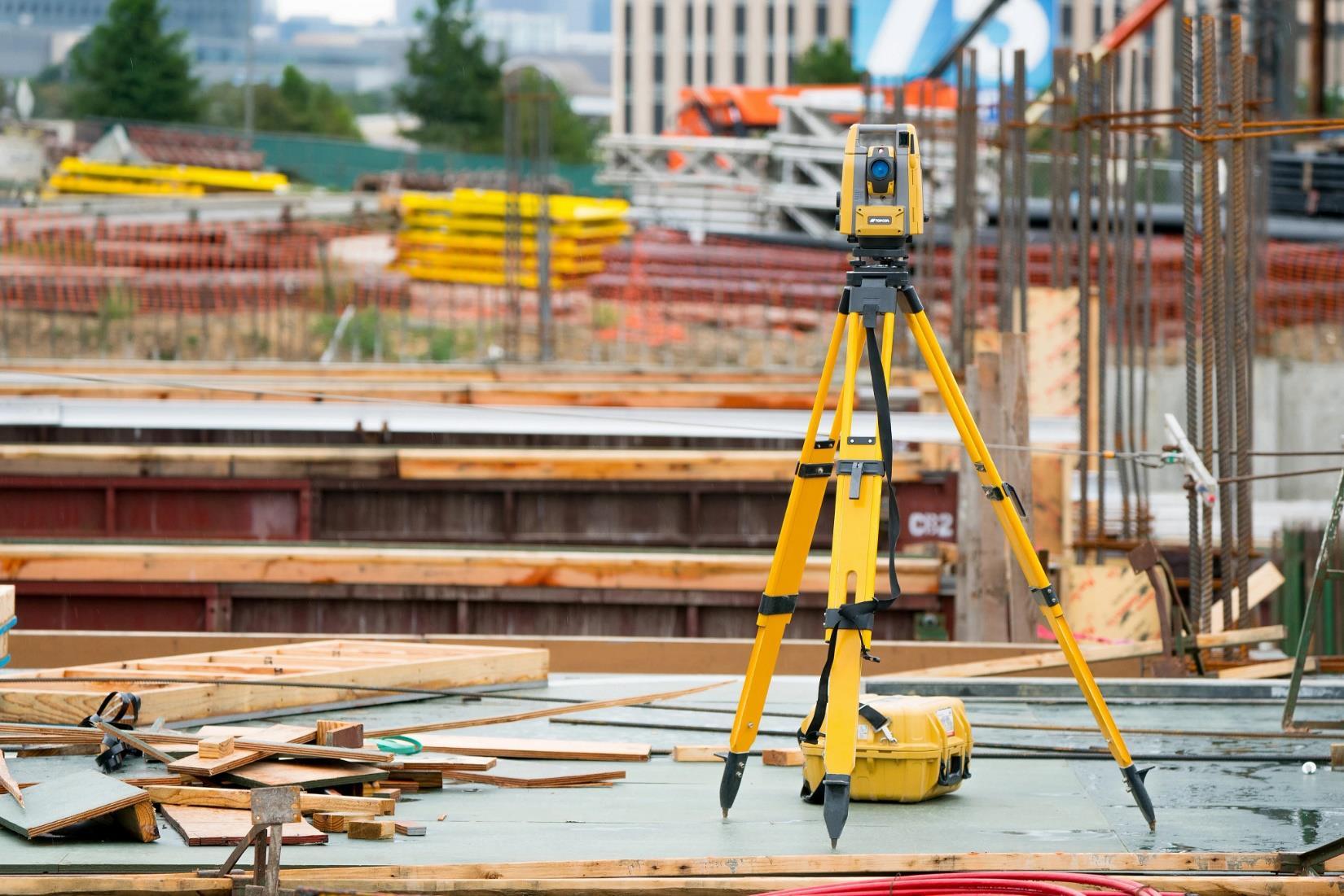
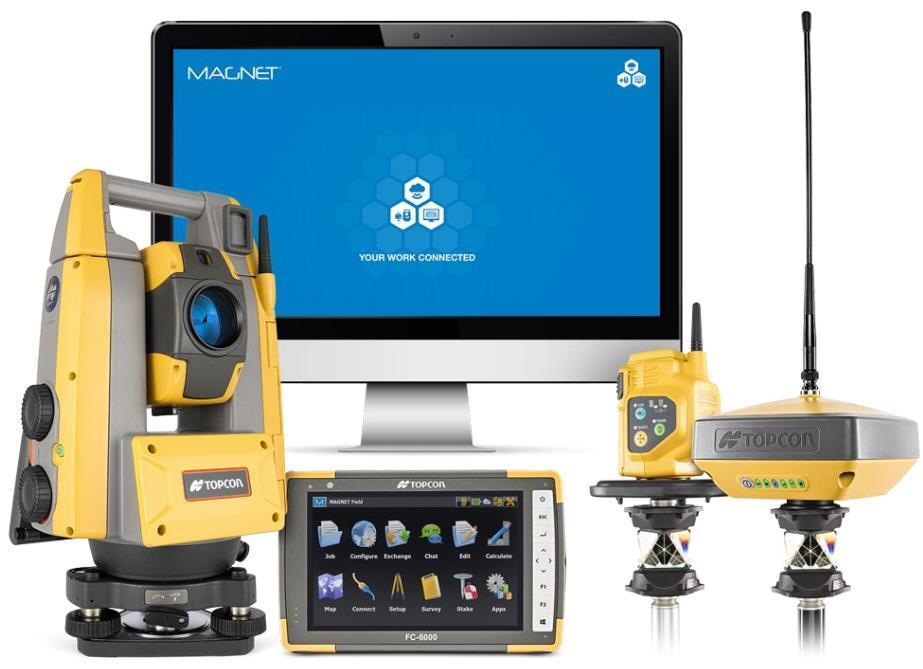
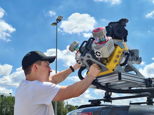
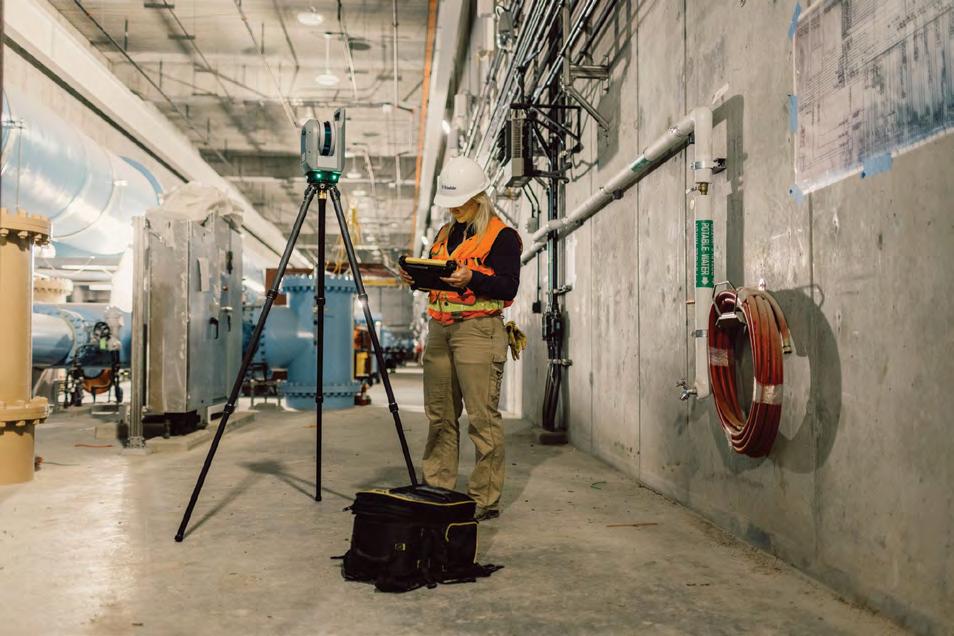
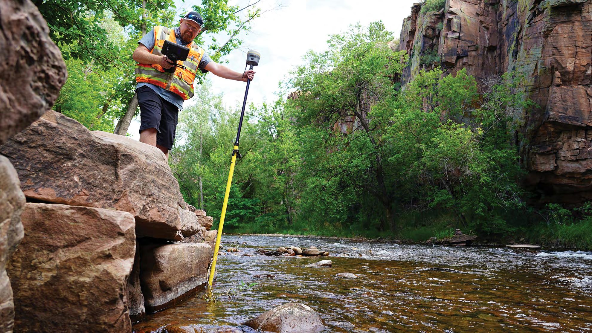
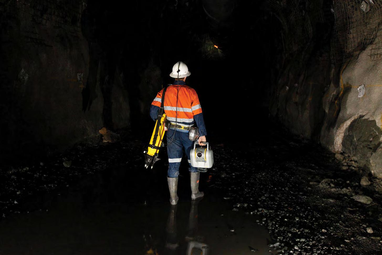
Call us t o g et your complete work flow s olution today ! Efficiency and versatility that will accelerate productivity comes part of a workflow solution that includes the FC-6000 field controller, Magnet software, a HiPer VR receiver and the GT-1200/GT-600 single-operator robotic system. The power of longrange reflectorless measurements comes in your choice of 1”, 2” or 3” GT-1200 models or 2”, 3” or 5” GT -600 models.
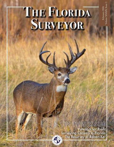
The F lorida Surveyor is the official publication of the Florida Surveying and Mapping Society, also known as FSMS. It is published monthly for the purpose of communicating with the professional surveying community and related professions who are members of FSMS. Our award winning publication informs members eleven months out of the year about national, state, and district events and accomplishments, as well as articles relevant to the surveying profession. In addition, continuing educational courses are also available.
PRESIDENT’S Message
February 2026
Members,
Our last Board Meeting was held on February 6th. I offer a brief recap of the meeting for your review.
Equipment theft
Reporting of Equipment theft has stopped. Speculation is that firms are unwilling to report equipment theft due to the fear of bad publicity, or for some other unknown reason. Please note that this reporting is important not only to document that these thefts are still occurring, but to also educate fellow surveyors of specific locations of concern.
Workforce Development
Katie Britt, through the Geomatics Extension program, is working on a field tech training program for highschool Career and Technical Education (CTE) programs and other job seekers. In conversations with her, her greatest needs right now are contacts at each school district’s CTE program or agriculture program, and teachers that would be interested in teaching this program. If you have contacts, please reach ou t to start laying the groundwork for industry support and need, as well as availability of resources for teachers.
In addition, The Trig-Star competition is back. As many of you may know, The Trig-Star program is a National Society of Professional Sur veyors (NSPS) sponsored annual high school mathematics competition. This comp etition Is based on the practical application of Trigonometry, recogniz ing the best students from high schools throughout the country. The goal of this program, among others, is to acquaint high school students with the use and practical application of mathematics in the surveying profession and to build awareness
PRESIDENT’S Message
of surveying as a profession. If you know a math teacher or stu dent who might want to participate, please share this information with them.
Strategic planning
The Strategic Planning committee has determined that a review and revision of the current strategic plan is warranted. A meeting is planned for the first week of April at the Austin Cary Forest Campus, 10625 NE Waldo Rd, Gainesville.
Awards committee
The Awards Committee, under the leadership of Rick Pryce has cr eated a new award entitled “Oldest Survey Monument.” The purpose of the awa rd is to search for and document historical monuments, 50 years old or o lder, that may still exist before they are lost by development or other en vironmental factors. Criteria will be posted on the FSMS website in the ver y near future.
National Surveyors Week
National Surveyors week March 15-21st., ending with Global surv eyors’ day on March 21st. I would like to seek the help of membership by a ttending your local commission meeting, giving a strong showing of this proud profession. Surveyors’ week was created in part to educate the public of th e value surveyors and how, among so many other things, we are an import ant part of the orderly transfer of title. I believe that one of the bigges t challenges for this profession is not enough people know who we are, and what we do
Conference
The 2026 conference has been set and will be hosted at the JW M arriott Miami Turnberry Resort & Spa from July 29th - August 1st, 2026. Regis tration will open towards the end of March or early April. A reservation lin k will be on the FSMS site in the coming weeks.
Seminars at Sea 2026
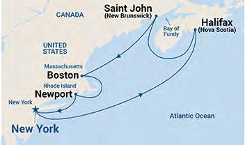
FSMS is putting together a seven-night educational package cont aining 24 CECs aboard the Princess Cruises, Majestic Princess; leaving fr om New York Harbor October 3rd, with stops in Newport, Boston, Saint John ( Bay of Fundy), and Halifax before returning on October 10th. Click here to learn more .
Legislative
PRESIDENT’S Message
The New legislative session is upon us, and it appears that it will be an active one for surveyors and mappers. We are faced with another challenge to our great profession. As expected, there has been a bill file d to revise the requirements for applicants from outside the state who meet certain requirements. I encourage everyone to please contribute to the FSMPAC fund as the defense of our profession is not free.
Membership
We are currently seeing a lot of “graced” members that have for gotten to renew. Please check your renewal status and ensure that you are current. We are planning to make reminder calls in the coming week. Please take care of any outstanding balances as you do not want to get on Mrs. Cath y's bad side!
Your thoughts are important, and I would like to hear from you regarding any comments or suggestions you may have. Please email me at president.fsms@ gmail.com
Pinellas County Public Works is seeking a motivated and collaborative Professional Surveyor and Mapper to manage the Survey Mapping and Research Section. Work includes overseeing professional and technical staff and building cross-departmental teams for the purpose of maintaining and developing the County’s infrastructure while keeping Survey and Mapping goals and initiatives in alignment with Public Works goals and initiatives and the County’s strategic plan.
Assistant County Surveyor
Location: Tallahassee, FL
Organization: Leon County Public Works - Division of Engineering Services
Experience: 5 - 10 years
Education: Bachelor's Degree
Salary: $66,782.01 - $110,190.31 Annually
This position supervises and oversees the Survey Section within the Engineering Services Division of the Public Works Department.
Senior Survey Drafter, Senior Survey Crew Chief, Land Surveyor in Training
Location: Anywhere in Florida
Organization: New Survey Business
Experience: 5 - 10 years
Education: High School / GED
Semi-retired Florida PSM seeking to assist in establishing a new surveying business anywhere in Florida in partnership with qualified individuals to serve the residential construction market. The qualified candidate will be 2-3 years from becoming a Florida registered surveyor, and has a desire to start their surveying business experience as soon as possible.
Professional Surveyor
Location: Royal Palm Beach, FL
Organization: Wilco Electrical LLC
Experience: 3 - 5 years
Education: Bachelor's Degree
Wilco Electrical is looking for a professional surveyor to start and run a new survey division within the company. We have a high volume of work all coming from one client. This position is excellent for someone looking to grow and run an organization that they are fully in command of. Payment will be a negotiated salary plus bonus tied to profitability.
2025-26 Districts and
Directors
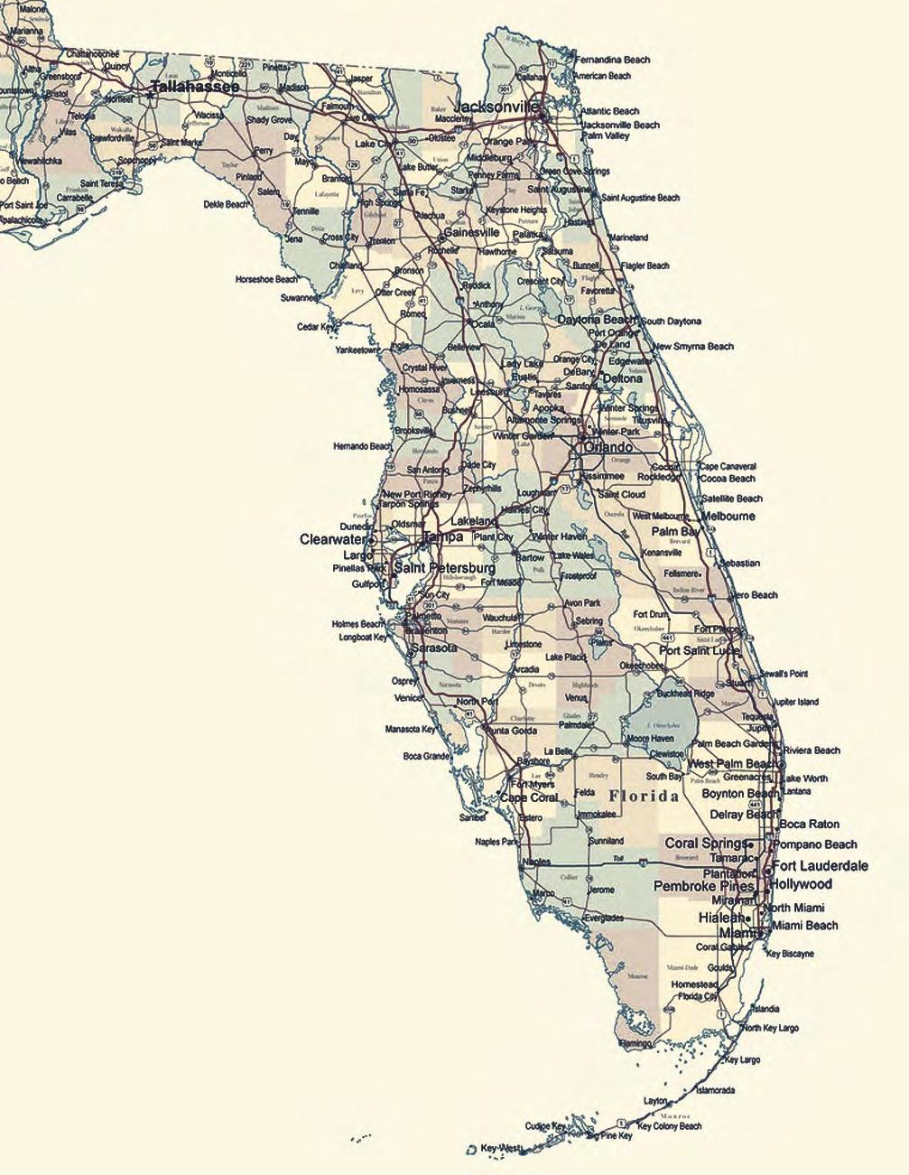
District 1 - Northwest
Bay, Calhoun, Escambia, Franklin, Gadsden, Gulf, Holmes, Jackson, Jefferson, Leon, Liberty, Madison, Okaloosa, Santa Rosa, Taylor, Wakulla, Walton, Washington
Chad Thurner (850) 200-2441 chad.thurner@sam.biz
Angela Bailey (850) 559-5039 bailey.angelakay@gmail. com
District 2 - Northeast
Alachua, Baker, Bradford, Clay, Columbia, Dixie, Duval, Gilchrist, Hamilton, Lafayette, Levy, Marion, Nassau, Putnam, Suwannee, St. Johns, Union
Pablo Ferrari (904) 219-4054 pferrari@drmp.com
Nick Digruttolo (352) 374-2249 ndigrutt@gmail. com
District 3 - East Central
Brevard, Flagler, Indian River, Lake, Okeechobee, Orange, Osceola, Seminole, Martin, St. Lucie, Volusia
Howard Ehmke (772) 206-4650 hehmke@carterassoc.com
Constitution & Resolution Advisory Committee Pablo Ferrari
Annual Meeting Committee Allen Nobles
Legal & Legislative Committee Jack Breed
Surveying & Mapping Council Randy Tompkins
Strategic Planning Committee Brion Yancy
Executive Committee Bob Johnson
Special Committees
Equipment Theft Rick Pryce
Awards Committee Rick Pryce
UF Alumni Recruiting Committee Russell Hyatt
Professional Practice Committee Lou Campanile, Jr.
Workforce Development Committee Lou Campanile, Jr.
Liaisons
CST Program Alex Jenkins
FDACS BPSM Don Elder
Surveyors in Government Richard Allen
Academic Advisory Justin Thomas UF / Earl Soeder FAU
FES Lou Campanile, Jr.
Practice Sections
Geospatial Users Group
Richard Allen
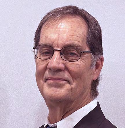
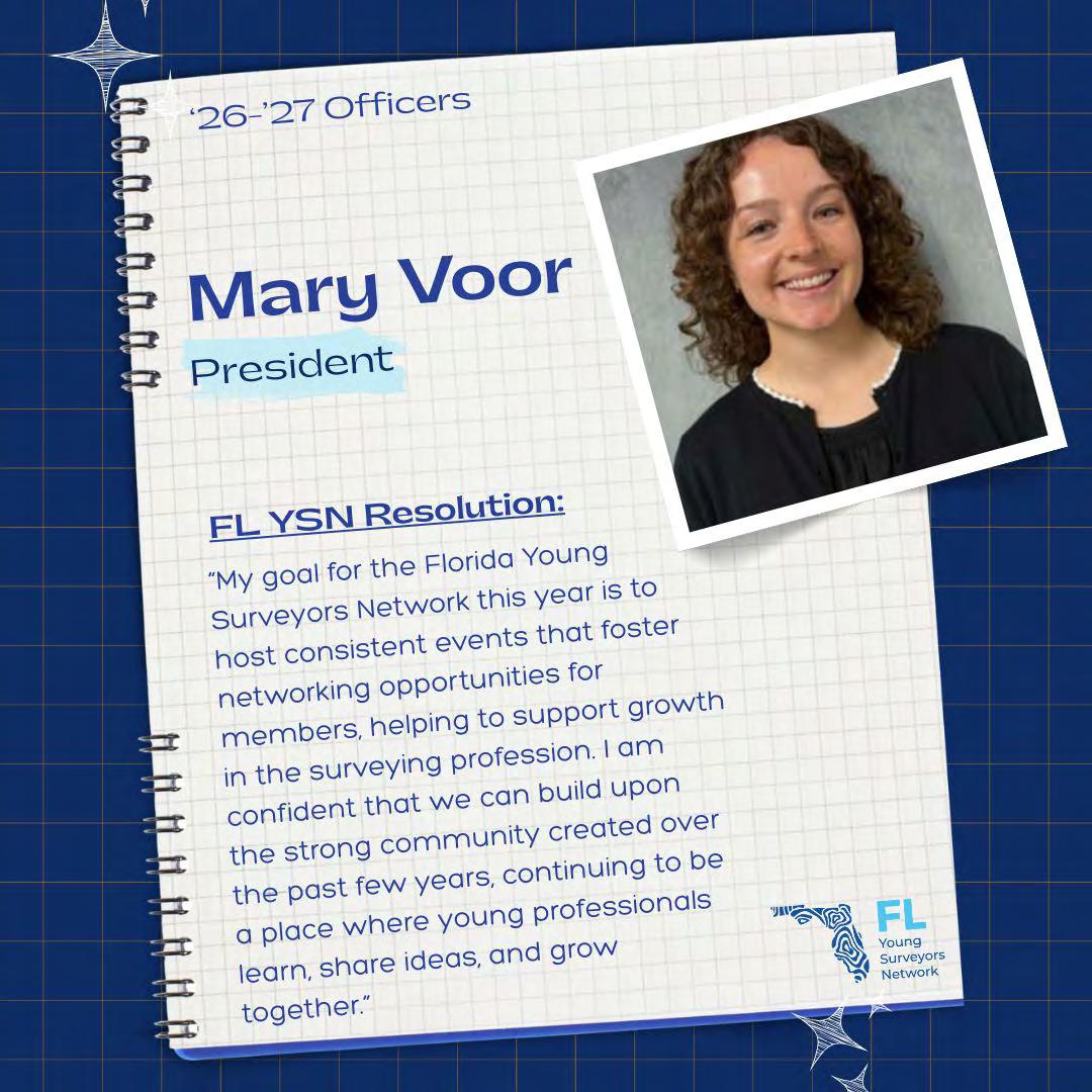
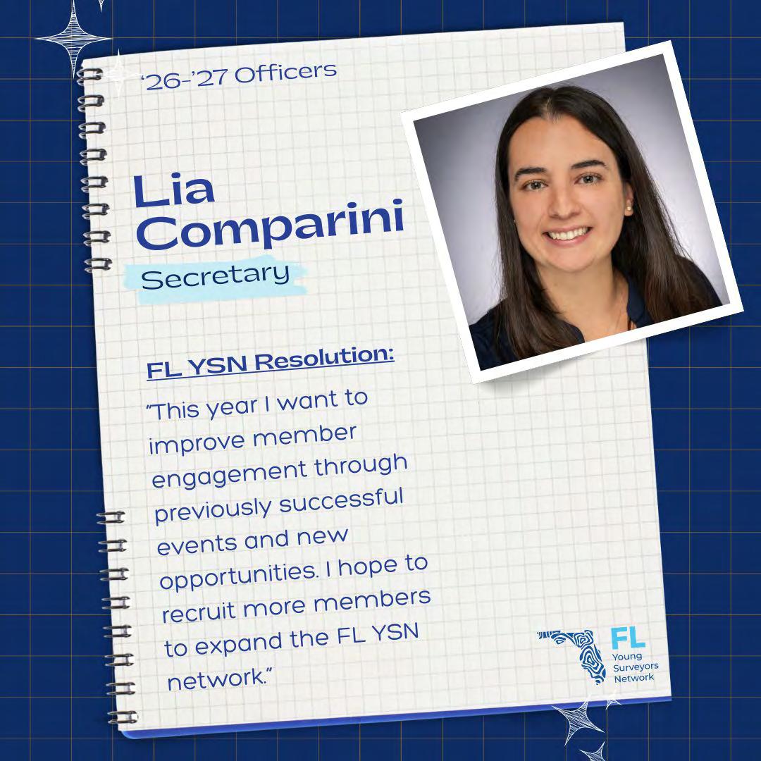
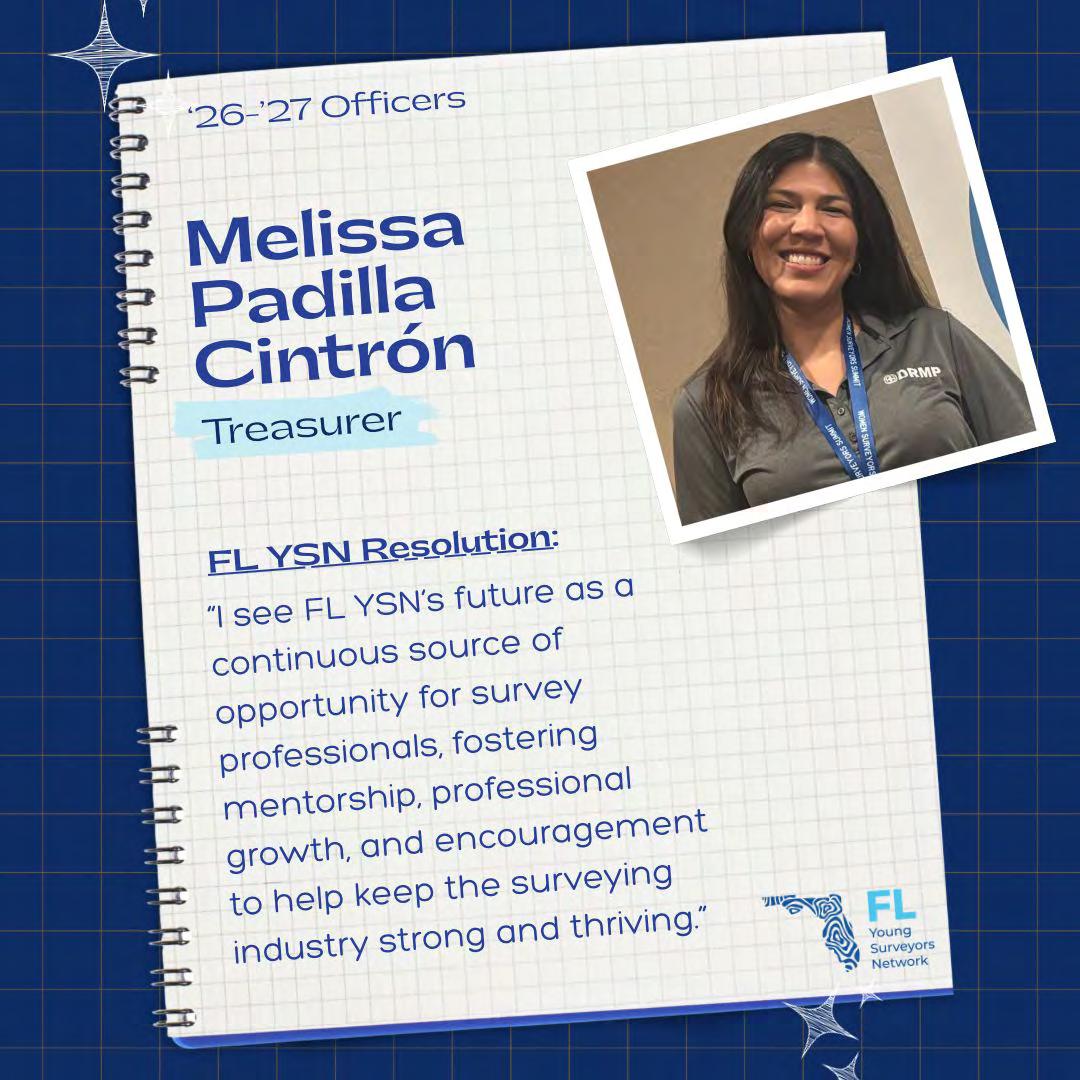
Young Surveyors Network Mary Voor
round the State A
Central Florida Chapter
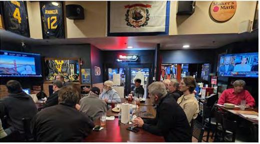
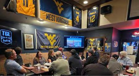
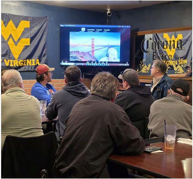
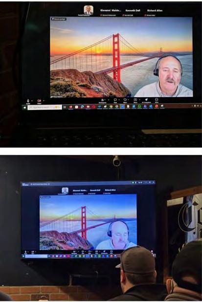
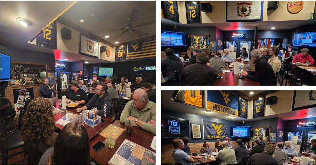
Thanks to everyone who joined the Central Florida Chapter FSMS of the Florida Surveying and Mapping Society for an unforgettable session! We’re still buzzing from (Hank) Henry H. Hanson’s presentation—he’s been licensed as a PSM in Florida since 2007 and has just secured his PLS credential in California. He covered “Changing States – Getting Survey Licensure in Another State,” giving us clear tactics for a smooth transition when relocating or broadening your professional scope.
Your enthusiasm made this gathering both productive and memorab le—looking forward to the next FSMS chapter meeting!
Organized by Central Florida Chapter FSMS Officers:
Edwin Munoz, PSM - President, Ralph A. Nieto - Vice President, Tim JaskiewiczPresident Elect, Marco Krieger - Secretary, Betty Morris, GISP - Treasurer, Allen (Al) Quickel, PSM - District 3 Director, Bill Rowe - Director, Chris LaBerge, PSM - Director, Christy Graves - Director, John Gray - Associate Director, Dr. Youssef Omar Kaddoura - Associate Director, Colton Locklin - Associate Director, Kenn eth Dell SIT - Associate Director, Richard Allen, PSM, CFM - Scholarship/Recruiting/Vale ncia, Dolly Carwile, PSM - Webmaster.
202 6 S u S taining
863-800-3539
239-471-2668 Accuracy
850-329-5551
BGE, Inc. 561-485-0824
Boatwright Land Surveyors, Inc. 904-241-8550
Bock & Clark Corporation(NV5) 330-665-4821
Bowman Consulting Group 703-454-1000
Braden Land Surveying 727-224-8758
Bradshaw-Niles & Associates, Inc. 904-829-2591
Brown & Phillips, Inc. 561-615-3988
BSE Consultants, Inc. 321-725-3674
Buchanan & Harper, Inc. 850-763-7427
F irm S Directory
C
Calvin, Giordano & Associates, Inc.
954-921-7781
Campanile & Associates, Inc.
954-980-8888
Carnahan, Proctor & Cross, Inc.
407-960-5980
Carter Associates, Inc.
772-562-4191
Caulfield & Wheeler
561-392-1991
Chastain-Skillman, Inc.
863-646-1402
CivilSurv Design Group, Inc.
863-646-4771
Clary & Associates, Inc.
904-260-2703
Clements Surveying, Inc.
941-729-6690
Clymer Farner Barley Surveying, LLC
352-748-3126
Coastal Engineering Associates, Inc.
352-796-9423
Colliers Engineering & Design
732-383-1950
Control Point Associates, Inc.
954-763-7611
Cousins Surveyors & Associates, Inc.
954-689-7766
CPH Consulting, LLC 407-322-6841
Craven-Thompson & Associates, Inc. 954-739-6400
Culpepper & Terpening, Inc.
772-464-3537
DDeGrove Surveyors, Inc. 904-722-0400
Dennis J. Leavy & Associates
561-753-0650
Dewberry 407-843-5120
Donald W. McIntosh Associates, Inc. 407-644-4068
Donoghue Construction Layout, LLC. 321-248-7979
Douglass, Leavy & Associates, Inc. 954-344-7994
DRMP, Inc. 833-811-3767
DSW Surveying & Mapping, PLC. 352-735-3796
Duncan-Parnell, Inc.
800-849-7708
Durden Surveying and Mapping, Inc. 904-853-6822 E
ECHO UES, Inc.
888-778-3246
Eda Consultants, Inc.
352-373-3541
Eiland & Associates, Inc. 904-272-1000
Element Engineering Group, LLC. 813-386-2101
Engenuity Group, Inc.
561-655-1151
ER Brownell & Associates, Inc.
305-860-3866
202 6 S u S taining
ETM Suryeying & Mapping
904-642-8550
Exacta Land Surveyors, Inc.
866-735-1916
Ferguson Land Surveyors
727-230-9606
First Choice Surveying, Inc.
407-951-3425
Florabama Geospatial Solutions LLC
850-480-7467
Florida Design Consultants, Inc.
727-849-7588
Florida Engineering & Surveying, LLC.
941-485-3100
FLT Geosystems
954-763-5300
Ford, Armenteros & Fernandez, Inc.
305-477-6472
Formtech Land Surveying Inc.
786-429-3034
Fortin, Leavey, Skiles, Inc.
305-653-4493
Frontier Precision Unmanned 701-222-2030
F.R.S. & Associates, Inc.
561-478-7178
G
GCY, Inc.
772-286-8083
GeoData Consultants, Inc 407-732-6965
Geoline Surveying 386-418-0500
Geo Networking, Inc. 407-549-5075
GeoPoint Surveying, Inc. 813-248-8888
George F. Young 727-822-4317
Germaine Surveying, Inc. 863-385-6856
GISurv, LLC 954-651-5942
GPI Geospatial, Inc. 407-851-7880
Gustin, Cothern & Tucker, Inc. 850-678-5141
H
Haley Ward 207-989-4824
Hanson Professional Services, Inc. 217-788-2450
Hanson, Walter & Associates, Inc. 407-847-9433
H.L. Bennett & Associates, Inc. 863-675-8882
HUB International 850-386-1111
Hyatt Survey Services 941-748-4693 I
Ibarra Land Surveyors
305-262-0400
I.F. Rooks & Associates, LLC. 813-752-2113
J JAVAD 408-770-1770
Johnston's Surveying, Inc. 407-847-2179
F irm S Directory
KKCI Technologies
954-776-1616
Keith and Associates, Inc.
954-788-3400
Kendrick Land Surveying, LLC
863-533-4874
KPMFranklin (407) 410-8624
Kugelmann Land Surveying Inc.
321-459-0930
L
Landmark Engineering & Surveying Corporation
813-621-7841
Land Precision Corporation
727-796-2737
L&S Diversified, LLC.
407-681-3836
Langan Engineering and Environmental Services, Inc.
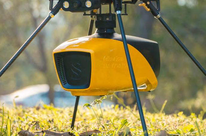
Versatile and lightweight. Penetrates dense canopy and captures accurate ground models for forestry, mining, and infrastructure.
VOYAGER
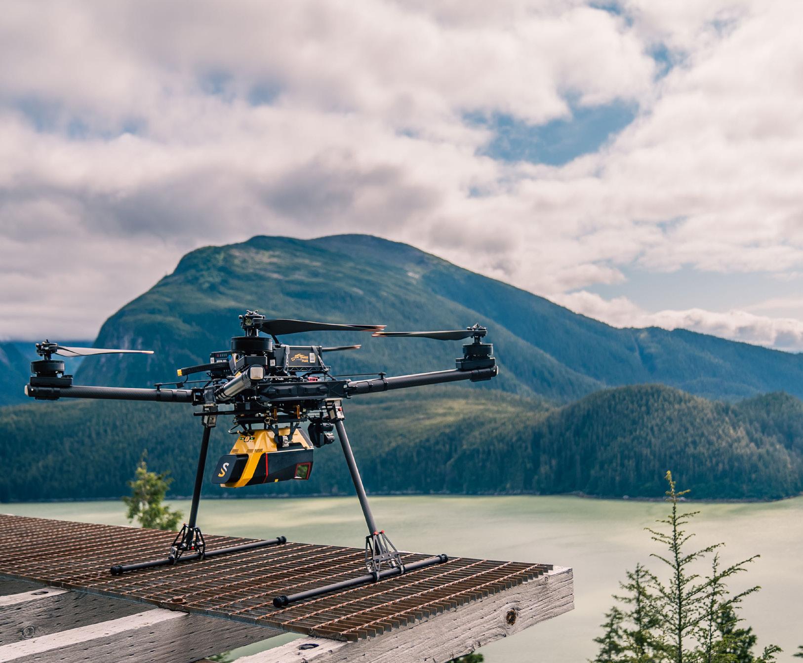
Precision redefined: ultra-dense, long-range LiDAR delivering unmatched accuracy from UAV or helicopter.
NAVIGATOR
Shallow-water bathymetric LiDAR for rivers, wetlands, and coastal mapping.
PRECISION MAPPING. ANY INDUSTRY. ANY MISSION.
Frontier Precision Unmanned + YellowScan LiDAR
From shallow-water bathymetry to large-area forestry, mining, and infrastructure, Frontier Precision Unmanned delivers the unmatched accuracy of YellowScan LiDAR — integrated on drones or helicopters for any application.
As America’s largest and most trusted YellowScan dealer, Frontier combines the industry’s top LiDAR sensors with decades of geospatial expertise and full-service support. Whether you’re surveying corridors, monitoring coastlines, modeling terrain, or inspecting utilities, Frontier Precision Unmanned provides the tools, training, and experience to ensure your LiDAR investment delivers real results.
With Frontier’s broad lineup of drones, sensors, and software, you’ll find the right system — at the right scale — for your industry.
Partner with Frontier Precision Unmanned — your trusted U.S. YellowScan dealer.
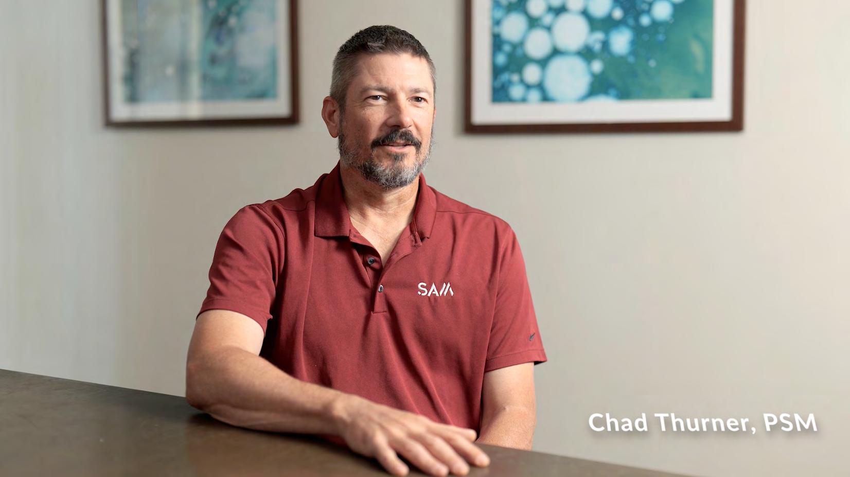
Chad Thurner, PSM with SAM
CST E xam Status
For future CST exams like this one, always keep updated by visiting the NSPS calendar found at https://cstnsps.com/calendar/
Potential for Profit
In the year 813, Charlemagne who had just been crowned emperor over much of western Europe by the Pope, issued a well-known decree. It started with the Latin words: “ Volumus ut pondera vel mensurae ubique aequalia sint et iusta .” That translates to: “We desire that weights and measures should be equal and just everywhere.” For almost a thousand years after that, French kings kept chasing the same basic goal: national unity. People sometimes summed it up in a catchy phrase that played on words: “ un roi, une foi, un poids ” (one king, one faith, one weight). (Note: The more common version of the saying was actually “ un roi, une loi, une foi ”—one king, one law, one faith, but the idea of uniform weights fit right into that push for everything to be the same across the kingdom.) In 1543, King Francis I stated it plainly: the king’s supreme authority included the power to standardize all measurements throughout his realm. Yet despite these repeated royal efforts, by 1790, just before the French Revolution, France was still a mess when it came to measurements. According to reliable estimates of the time, the country had:
• 13 different lengths for the pied (the French “foot”),
• 18 different lengths for the aune (an “ell” used mainly for measuring cloth),
• 24 different sizes for the boisseau (a dry measure roughly like a bushel for grain).
And that was actually an understatement. In just the seventy-four parishes around Angoulême (a city near Bordeaux), locals used more than 100 different sizes of the boisseau. One single parish even had four completely separate versions of it. Imagine trying to buy or sell grain, cloth, or land when the “ruler” or “container” everyone used changed from one village to the next or even from one neighborhood to the next. It made trade confusing, unfair, and ripe for cheating. Having wildly different local measurements created huge opportunities for cheating and fraud.
Think about it: when buying wheat or cloth, only the person right there watching the bushel get filled or the fabric get stretched knew the real amount. Buyers from far away or even the next town could easily get ripped off because they couldn’t trust the “standard” measure being used. You’d think the clear benefits of having one reliable, exact system everywhere would have made it simple for kings and emperors to enforce uniform measurements. But they didn’t stick for a very basic reason that's key to understanding the whole history of weights and measures. No matter how many laws rulers passed demanding uniformity, the actual tools—the
scales, yardsticks, measuring rods, and containers—were owned and controlled by local city governments and powerful landed nobles. These measures weren’t just practical tools; they were major money-makers. Local lords and officials could tweak them slightly to their advantage. Giving up that control meant giving up profit and influence, so they resisted hard unless someone forced them to. Who actually controlled the weights and measures was a clear sign of who held real day-to-day power in a region. In France before the Revolution, that confusing patchwork of hundreds of different sizes showed just how strong feudal power still was. Local lords (called seigneurs ) kept the traditional right to set and regulate measurements in their own areas. The central king might issue decrees, but on the ground, the nobles and local authorities called the shots.
On the surface, England faced the same problems with inconsistent measurements as France did. Back in 960, King Edgar declared that “the measure of Winchester” (Winchester being England’s ancient capital) would be the official standard for the entire kingdom. That sounded great in theory—a single, reliable set of units everyone should use. But just like in France, later kings had to keep repeating the demand for uniformity. The famous call for “one weight and one measure” shows up word-forword in Richard the Lionheart’s decree in 1189 and then again, just 26 years later, in the Magna Carta of 1215 in Clause 35, which required standard measures for wine, ale, corn, and cloth widths across the realm, with weights handled the same way.
The fact that monarchs kept issuing these laws suggests the earlier ones weren’t sticking—local variations and cheating persisted. One of the most significant medieval efforts came from Henry III in 1266 with the Assize of Weights and Measures. This law introduced the “sterling system,” which tied coin weights directly to everyday measures: an English silver penny (a “sterling”) weighed a certain number of grains, and 240 of those pennies made up one pound in weight. This 240-pennyweight-to-the-pound ratio lasted an incredibly long time, well over 700 years in Britain and even influenced early American coinage until the dollar system took over. Still, Henry’s successors had to keep passing laws cracking down on “false and deceitful measures.” In 1496, Henry VII took a surprisingly forward-thinking step: he ditched the older sterling pound for a more standardized European unit, the troy pound, which is still used today mainly for precious metals and gems, with 12 ounces to the pound and 5760 grains total. This was part of his broader push to clean up trade and finance. Yet less than a century later, in 1588, his granddaughter Elizabeth I had to step in with even more legislation. She explained that new rules were needed because of “the uncertainty of the weights then in use, to the great
slander of the realm and [injury] of many, both buyers and sellers.”
To appreciate why Gunter’s chain stands out for its precision and reliability, you have to see it against this long backdrop of endless confusion, cheating, and inconsistent measurements in England (just like in France). Local variations, fraud, and outdated units made trade unreliable and unfair for centuries. Queen Elizabeth I (who ruled from 1558 to 1603) was more attuned to the needs of Parliament and the merchants, landowners, and common people represented in the House of Commons than many earlier monarchs. This made her more effective at pushing reforms. A big contrast shows up in how she handled different types of measurements: weights and volumes stayed messy and full of compromises, while lengths (especially for land surveying) got cleaner and more accurate.
For weights, Elizabeth had to make concessions to practicality and powerful trade interests. She kept the lighter troy system (great for small, valuable items like gold, silver, and gems) but added the heavier avoirdupois system (literally meaning “having weight”). Avoirdupois went from ounces up through pounds, stones (14 pounds), hundredweights (100 or 112 pounds, depending on context), and tons—perfect for bulk goods. England’s biggest export was wool, traded in massive quantities, and Flemish markets (key trading partners) always used avoirdupois for it. So allowing both systems was a practical nod to different merchants: goldsmiths used troy for light stuff, wool traders used avoirdupois for heavy loads.
Similar give-and-take happened with liquid measures. Elizabeth legalized a larger gallon for beer/ale (to match common practice) and a smaller one for wine. Sloppy wording in the laws even led to four legal sizes of bushel for grains and flour adding more confusion instead of fixing it. But when it came to length and area, especially for measuring land, things were simpler, more precise, and forward-thinking. In a key 1593 statute, Parliament finally defined the mile clearly as exactly 1,760 yards (or 5,280 feet). This replaced the old Roman-style mile of about 5,000 feet (or roughly 1,667 yards). The change wasn’t random, it was driven by real-world surveying needs and tied into agriculture.
The new mile fit perfectly with existing land units:
• 1 furlong = 220 yards (a “furlong” originally meant the length of a furrow a team of oxen could plow without turning, about one-tenth of a mile in practice).
• 1 mile = 8 furlongs = 1,760 yards.
• An acre (a standard unit of farmland) was easiest to measure as a rectangle: 220
yards long by 22 yards wide (one furlong by one-tenth of a furlong). Surveyors called this 40 perches by 4 perches (a perch, also called a rod or pole, = 5.5 yards or 16.5 feet).
Surveyors loved working with multiples of four—it made their calculations clean and easy. Elizabeth’s length measures reflected this “fourness” in a striking way. A 1566 rule summed it up like this: “Foure graines of barley make a finger; foure fingers a hande; foure handes a foote.” (That’s four dry barley grains laid end-to-end equaling one “finger” or inch-like unit; four fingers making a “hand;” and four hands equaling a foot.) This gave a foot of 16 small “inches” (finger-breadths). But surveyors dealing with land didn’t care much about tiny units like that. Over time, the more practical foot of 12 larger inches (the one we’re familiar with today) took over as the standard. The really precise and important units were the bigger ones: the yard, which built up into the perch, the furlong, and the mile. Here, Elizabeth’s reforms shone with remarkable accuracy. In 1601, a precise brass yardstick was created as the official national standard. Copies were made and distributed widely. When this Elizabethan yard was carefully re-measured in 1797 using more advanced 18th-century scientific methods, it turned out to be exactly 36.015 inches long—extremely close to the modern 36-inch yard, showing how spot-on it was for the time.
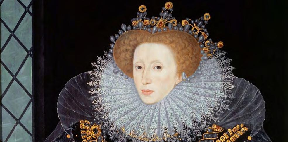
The Elizabethan era was truly an age obsessed with measurement in every sense of the word. Accurate measuring wasn’t just about rulers and scales, it became essential for survival, discovery, science, art, and social life. English sailors and explorers relied on precise tools to navigate the vast, uncharted oceans. Elizabeth I
They used instruments like the cross-staff and the quadrant to measure the angle of the sun or stars above the horizon, helping them calculate latitude and stay on course. This was crucial for daring voyages, most famously Sir Francis Drake’s circumnavigation of the globe from 1577 to 1580. He and his crew depended on these measurements to cross unknown seas without getting hopelessly lost. Measurement also lay at the heart of the emerging scientific revolution. Francis Bacon (1561–1626), often called a founding father of the modern scientific method, argued that true knowledge came from careful observation, experimentation, and above all, quantifiable measurement. Instead of relying on ancient authorities or guesswork, science should be built on facts gathered through precise tools and repeated tests. His ideas in works like Novum Organum (1620) helped shift the world toward empirical, evidence-based thinking.
Even everyday social life and culture were soaked in the idea of “measure.” When Elizabethans greeted each other, they were literally “taking one another’s measure”— judging character, status, or worth. In dancing, they performed tightly controlled, rhythmic steps in dances like the energetic galliard (a lively, leaping court dance popular at Elizabeth’s court—she reportedly danced several every morning even in her 50s) and the more intimate, turning volta (or la volta , a scandalous partner dance involving lifts and spins that some considered too risqué). These dances demanded perfect timing and “measure” to the music’s beat—without it, the steps fell apart.
This obsession with measure wasn’t accidental. It reflected the values of the rising class that dominated the era: the enclosing, acquisitive gentry—wealthy landowners and gentlemen farmers. Their parents or grandparents had often bought up former church or crown lands during Henry VIII’s dissolution of the monasteries in the 1530s–1540s. These families aggressively enclosed common lands that peasants once shared for grazing or farming, turning them into private estates for more profitable sheep-raising or efficient agriculture. Accurate land measurement thanks to tools like Gunter’s chain helped them survey, claim, and profit from these properties. Without precise boundaries and measures, the land remained a chaotic “wilderness” open to dispute; with them, it became private wealth.
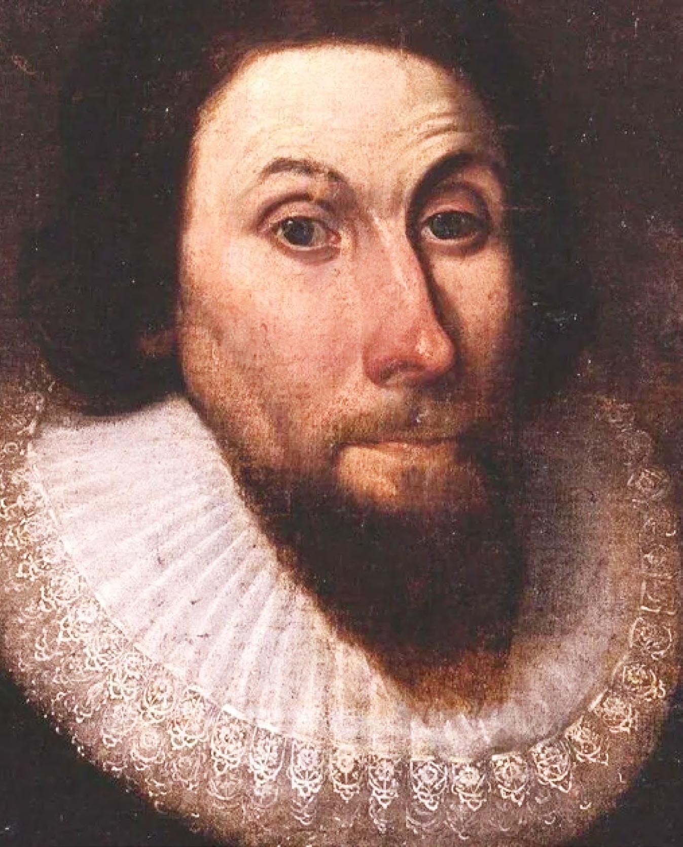
John Winthrop was exactly the kind of man shaped by this world of measurement, enclosure, and private property. His family had risen into the wealthy gentry class during the time of Henry VIII. Winthrop’s grandfather (Adam Winthrop) bought the 500-acre Groton Manor in Suffolk, England, around 1544—land that had been seized from the Catholic Church during Henry VIII's Dissolution of the Monasteries in the 1530s. This was part of a huge transfer of former church estates into private
hands, creating a new generation of prosperous landowners like the Winthrops. John himself grew up managing this estate, becoming a vigorous encloser—someone who fenced off common lands (previously open for villagers to graze animals or gather resources) and “improved” them through better farming techniques to boost profits. He was a classic example of the acquisitive Elizabethan/Jacobean gentry: practical, ambitious, and deeply invested in turning land into measurable, controllable wealth. By the late 1620s, economic pressures hit hard; falling rents from tenants, declining farm prices, and religious tensions under King Charles I (who cracked down on Puritans) made life tougher for landowners like Winthrop. Combined with his strong Puritan beliefs (a desire for a purer, more godly society), these factors led him to step up in 1630. He volunteered to lead the Massachusetts Bay Company’s new colony in what became Boston, selling much of his English property and sailing with the first large group of settlers on the Winthrop Fleet.
The royal charter gave the colonists permission to settle in New England, but not everyone agreed this meant they could simply take the land. A notable dissenter was Roger Williams, who founded Rhode Island after being banished from Massachusetts. Williams argued that the land rightfully belonged to the Native inhabitants and that settlers should buy it fairly from them first—respecting their rights and avoiding unjust seizure.
Winthrop rejected that view outright, drawing on the same logic he’d learned growing up amid enclosures and land improvement. In a famous 1630s writing (often called “Conclusions for the Plantation in New England”), he argued: “As for the Natives in New England, they inclose no Land, neither have any settled habitation, nor any tame Cattle to improve the Land by.”
John Winthrop
In other words: Native Americans didn’t fence off property, build permanent farms, or raise domesticated livestock in the English style. To Winthrop (and many English thinkers influenced by ideas later echoed by John Locke), true ownership—“civil” or legal property rights—came from actively improving and enclosing land. Without those markers of “civilization,” the Natives had only a vague “natural right” to roam and use the land temporarily, not exclusive ownership. Therefore, the English could lawfully claim and settle the “unused” or “waste” portions, leaving enough for Native use if needed. New England, like old England, would belong to those who could survey it precisely with tools like Gunter’s chain, enclose it with fences, and turn it into productive, taxable property.
The drive for profit made it absolutely essential to figure out who legally owned this valuable New England territory. According to John Winthrop’s reasoning and that of many English colonists, the Native inhabitants had no real claim because they didn’t enclose the land with fences, build permanent farms, or use it in ways that matched European ideas of “improvement” and ownership. As Winthrop put it in his writings, the Natives “inclose no Land, neither have any settled habitation, nor any tame Cattle to improve the Land by.” Without those markers, in his view, they held only a loose, natural right to use the land—not exclusive, transferable property rights. For Winthrop and settlers like him, ultimate legal ownership came from the English Crown. The land belonged first to King James I as the feudal overlord. The king then exercised his authority by granting rights to settle and possess it to investment companies like the Massachusetts Bay Company that funded and organized the colonies across the Atlantic. But land ownership is never straightforward. It’s not just about the dirt under your feet. It includes a whole package of rights: to the soil itself, to minerals buried below, to trees and plants growing on top, even to sunlight, air, water access, and the ability to build, farm, hunt, fish, or simply enjoy the property. These rights can be bought, sold, rented, leased, inherited, or divided up in countless ways. Modern lawyers still describe land as a “bundle of rights,” a collection of separate legal privileges that can be split, traded, or restricted individually.
The 1629 charter that created the Massachusetts Bay Company reflected this complexity. Much of the document was a long, detailed list spelling out exactly what the king was granting: “Landes and Groundes, Place and Places, Soyles, Woods and Wood Groundes, Havens, Portes, Rivers, Waters, Mynes, Mineralls,” basically every conceivable feature and resource. The king promised to “give, graunt, bargaine, sell, alien, enfeoffe, allot, assigne and confirme” all these to the company and its settlers. Even so, the colony never fully escaped royal control. The charter specified that the
land would be held “of” the king “in free and common soccage” (an old feudal term, often spelled “socage”). This was the most favorable form of land tenure available at the time, far better than older feudal obligations like military service or holding land “in capite” (directly from the king with heavy duties). In “free and common socage,” settlers owed only symbolic loyalty (like fealty, or a pledge of faithfulness) and perhaps a small fixed payment (often just a token amount, like a fifth of any gold or silver found). No knights, no forced labor—just a straightforward, heritable right to use and profit from the land.
The division of who was responsible for what in the early American colonies was clearly shown by who did the measuring and at what scale. The king set the bigpicture outer limits of British America using broad geographic references in the royal charters, mostly lines of latitude based on maps available at the time. These were high-level grants defining huge swaths of coastline and interior land. But once the king handed over rights to a specific area, it was up to the company or later proprietors that invested the money and organized the settlement to handle the detailed work. They appointed professional surveyors to mark out the actual boundaries on the ground, laying out town lots, property lines, and colony edges using tools like chains, compasses, and astronomical observations. A classic early example comes from King James I’s 1606 charter (often called the First Charter of Virginia) to the Virginia Company, which had two branches: The London Company got the southern zone: permission to plant a colony “in some fit and convenient Place, between four and thirty and one and forty Degrees of the said Latitude.” This stretched from about modern South Carolina up toward New York City, though they focused on what became Virginia.
The Plymouth Company got the northern overlapping zone: “between eight and thirty Degrees and five and forty Degrees,” covering parts of New England and beyond. In 1620, a new charter reorganized things and gave the revived Plymouth group, now the Council for New England, clearer control over what became known as New England: “from Fourty Degrees of Northerly Latitude... to Fourty-eight Degrees of the said Northerly Latitude.” This set the southern edge around the modern Pennsylvania–New Jersey area northward into parts of Canada, reducing overlap with Virginia’s claims.
The companies were responsible for turning those neat lines of latitude and longitude into actual boundaries marked on the ground. That meant hiring surveyors to run straight lines westward from the coast, no matter what the terrain
threw at them. Surveyors constantly complained about the job. It was one thing for early settlers to zigzag inland naturally—following rivers, valleys, and the easiest paths up into the foothills of the Blue Ridge Mountains or the Alleghenies. It was quite another to force a perfectly straight line through hills, swamps, and endless forests until you finally broke out into the open piedmont savannas. But to legally claim and defend their territories, the owners had no choice: the boundaries of colonies and individual plantations had to be precisely surveyed and marked westward.
The toughest obstacle by far was the Great Dismal Swamp, a massive, nearly impassable wetland straddling the border between Virginia and North Carolina. In the 1700s, it was estimated to cover around 2,000 square miles. In 1728, William Byrd II—a wealthy Virginia planter, member of the governor’s council, and one of the Virginia commissioners on the joint survey team, wrote a famous account of the expedition called The History of the Dividing Line betwixt Virginia and North Carolina . Byrd vividly described the nightmare of crossing the swamp: The reeds grew about 12 feet high and were so thick and tangled with sharp bamboo briars that the pioneers had to hack open a path by hand. The “ground,” if you could call it that was so spongy that every footprint filled instantly with water. The worst part was the huge cypress trees blown down by wind, piled up in heaps. Sharp snags stuck out from their limbs in every direction like pikes or spears, requiring constant caution to avoid getting impaled. Undeterred, the lead surveyor, William Mayo, plunged ahead into the reeds and vanished from sight. On the far side, Byrd and the other commissioners waited nervously. After a week with no sign of the team, they started firing muskets into the air to signal or attract attention, but heard nothing back. Finally, on the ninth day, the mud-caked, exhausted surveyors emerged, having successfully run the boundary line straight through about 15 miles of that hellish swamp.
Similar hardships plagued the surveyors tasked with running the boundary between North Carolina and South Carolina in the 1730s, when the original Carolina colony was officially split into two separate provinces. The first teams faced brutal conditions: “Extraordinary fatigue [from] Running the said Line most of that time thro' Desart and uninhabited woods,” plus crossing rivers and marshy lowlands that were perfect breeding grounds for snakes and swarms of aggressive mosquitoes. After pushing only a few miles, the exhausted surveyors quit—stopping 11 miles short of the intended 35th parallel (the latitude line meant to mark the key turning point from northwest to due west).
The work paused for nearly 30 years due to the difficulties and lack of urgency. Then in
Seminars at Sea 2026 Seminars at Sea 2026
The Cruise
• Princess Cruise Line - Majestic Princess
• 7 Nights
• Leaving out of New York Harbor 10/3/26
• Newport, Rhode Island
• Boston, Massachusetts
• A morning of “Learning” at Sea
• Saint John (for the Bay of Fundy), Canada
• Halifax (Nova Scotia), Canada
• A morning of “Learning” at Sea
• Return to New York Harbor 10/10/26
The Learning
• Two - 6 hour live morning classes while onboard during two days at sea from 7 am to Noon.
• History of Swamp and Overflowed Lands and Island Surveys in Florida (6 CECs) Course# 11097
• The Great Halifax Explosion of 1917: The Roles of the Surveyors & Planners (6 CECs) Course# 11096
• 12 hours CE Credit via your choice of Correspondence Courses.
• Registering for the Learning will be at an additional cost of $500 per seminar attendee above the cost of the Cruise. Click Here to Register for The Learning Provider No. CE11.
The Instructor
Dr. Joe Knetsch will be our live onboard instructor for the 2026 Seminars at Sea. Dr. Knetsch received his Ph. D. in history from Florida State University (1990), an MA in history from Florida Atlantic University (1974) and a B.S. from Western Michigan University with a major in History and Economics. He was the historian for the Florida Department of Environmental Protection (formerly Department of Natural Resources), Division of State Lands from 1987 to August of 2014.
The Details
• Book early to secure your cabin - FSMS currently has Deluxe Mini-Suites and Deluxe Balconies on hold until May 2026 at the below rates. Click Here to Check out the Cabins and their Availability
• Category MB - Mini-Suite $2066 per person based on double occupancy.
• Category DB - Balcony $1846 per person based on double occupancy.
• Please note at the time of booking with Princess any promotions which could include reduced fares or deposits will be applied to your booking. If there is another category of cabin you would like to book, our Travel Advisor Gail Oliver will work with you on finding the best cabin for the best rate to suit your needs. It is important to book with Gail to be considered a part of the FSMS group to receive the group benefits. Contact Gail Oliver at Tesoro Travel via email at gail@tesorotravel.com or phone at 904-687-5655.
The Sponsorship
$3000
• Verbal Recognition during Event
• T-shirts with your company logo
• “Thank You” on FSMS website and social media posts
• Listed in all Seminars at Sea Communication
• Featured Full-page ad in The Florida Surveyor Magazine
1764, James Cook, a skilled surveyor from North Carolina took over the job starting from where the earlier line had ended. He was supposed to correct or continue to the proper 35th parallel and run it westward. But Cook ended up running the line 11 miles south of the 35th degree, exactly where the previous team had stopped short. Whether this was an honest mistake due to poor instruments, tough terrain, miscalculations, exhaustion, bad weather, or something more intentional, the result was clear: North Carolina gained about 660 square miles of extra territory at South Carolina’s expense. Cook blamed “the rains, the hot weather and the insects” for distracting him, or so he claimed in reports. Later British authorities noticed the error and demanded compensation for South Carolina, eventually awarding them additional land (around 600–760 square miles total adjustments in later settlements to offset various errors, including this one). This incident showed the real-world power surveyors held. And this wasn’t an isolated case, boundary surveys across the colonies were full of similar “mistakes,” disputes, overlaps, and adjustments, often influenced by local interests, fatigue, bad tools, or outright bias.
In 1688, John Love published the first surveying manual written specifically for the challenges of the American colonies: Geodaesia: or, The Art of Surveying and Measuring of Land Made Easie . Love, who had spent years working as a surveyor in Carolina, realized that English surveying books were designed for the well-settled, cultivated farmlands back home and didn't help much in the New World. American surveyors faced thick, uncharted woodlands, swamps, rivers, and vast wilderness where no roads, fences, or landmarks existed. Many colonial surveyors, he noted, struggled with basic tasks that English mathematicians would find simple. For example, he described a common problem: a grant might specify “a certain quantity of Acres” to be laid out, but the shape could be extreme, like a rectangle “five or six times as broad as long.” To inexperienced surveyors who only knew how to measure a simple field, figuring out the exact dimensions and angles to fit that area into the terrain seemed like a tough puzzle. Love wrote that this kind of question stumped young men in Carolina, and existing books offered no clear guidance.
His book filled that gap by focusing on the unique difficulties of American conditions: running straight lines through dense forests, dealing with uneven hills, and marking boundaries in remote, unsettled country, unlike England’s longestablished estates with clear paths and features. Love insisted readers learn some fundamental math, including how to calculate square roots (essential for figuring areas and proportions). He explained how to use key instruments:
• The circumferentor (a type of compass for measuring horizontal angles and bearings),
• The semicircle (for measuring vertical angles, like the slope of hills),
• The plane-table (a portable drawing board for sketching maps directly in the field by sighting angles and distances).
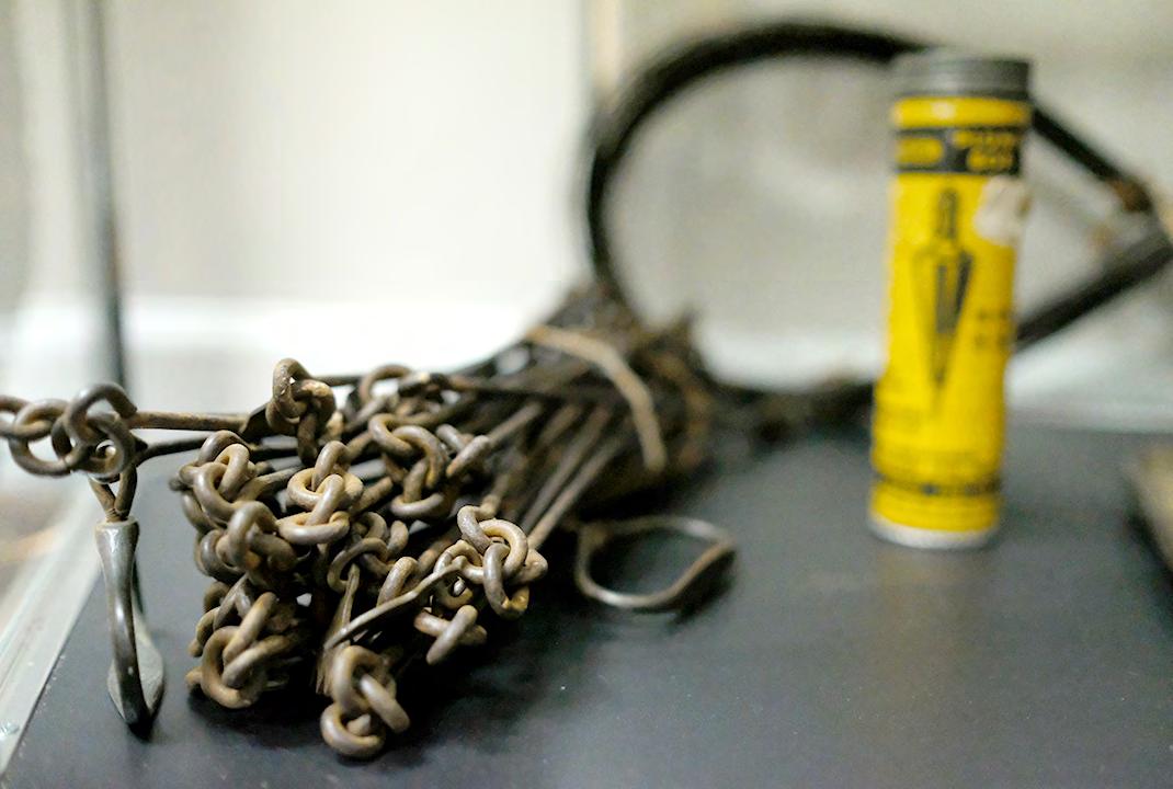
Love kept things practical and accessible. He showed that you didn't need advanced skills for everyday surveying: in many cases, you could get by using only Gunter's chain.
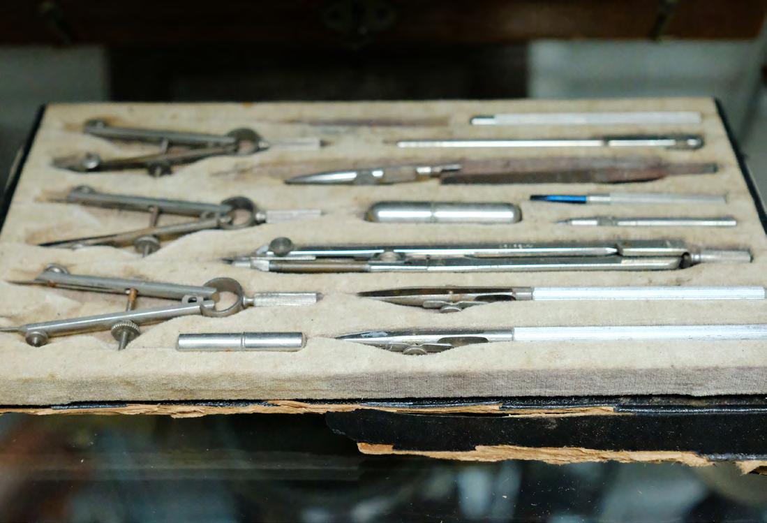
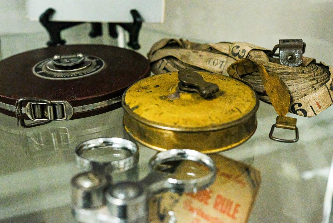
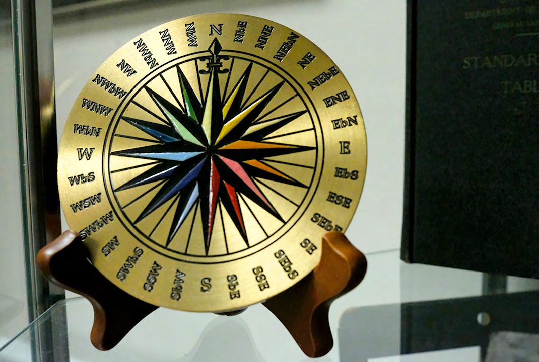
It was clear now that surveyors came in different skill levels and experience tiers, and their equipment was the clearest way to tell them apart. At the most basic level, almost every land measurer carried simple tools: a 16½-foot rod or more importantly, Gunter’s chain. These were essential for everyday work like laying out farm fields or town lots. A solid professional surveyor went further. By the 1700s, they typically used a circumferentor (also known as a surveyor's compass), a brass instrument with a magnetic needle to measure horizontal angles and directions (bearings). Over time, this evolved into more advanced versions: the theodolite or transit, which added a telescope with crosshairs for precise sighting, plus a builtin compass and a plumb line. These allowed surveyors to measure both horizontal and vertical angles accurately, even over rough terrain. The top-tier experts carried even more sophisticated gear for astronomical observations to double-check their position on Earth. This included a quadrant or sextant to measure the angle of the sun or stars above the horizon, helping confirm latitude during long surveys.
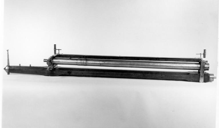
The pinnacle came when Charles Mason and Jeremiah Dixon, two highly skilled astronomer-surveyors, were hired in 1763 to finally settle a long-running border dispute between the two colonies, the famous Mason-Dixon Line. Their kit included state-of-the-art instruments from John Bird, London’s leading maker of precision scientific tools known for exceptional craftsmanship. The standout piece was a zenith sector (also called a zenith telescope), a massive, finely calibrated telescope almost 6 feet long, mounted to point straight up, directly overhead. To use it, the surveyors had to lie flat on their backs on the ground and sight specific stars as those stars passed exactly overhead (crossing the meridian). Star charts (catalogs showing exact positions of stars at different dates and latitudes) then let them calculate their precise latitude with extraordinary accuracy down to within a couple of arc seconds, far better than most colonial surveyors could achieve.
Surveying the Mason-Dixon Line cost the Calvert family (proprietors of Maryland) and the Penn family (proprietors of Pennsylvania) a huge amount, roughly about £3,500. For them, it was money well spent. In a young, frontier colony with no established records or courts to easily settle disputes, a precise survey was the only
reliable way to prove ownership and prevent endless fights over land. Without accurate boundaries marked on the ground, anyone could squat on or claim a piece of property, leading to violence, lawsuits, or lost investments. Pennsylvania showed this clearly: while the colony was famous for William Penn’s Quaker ideals of religious tolerance and peaceful coexistence, its success also depended heavily on the surveyor’s chain. Penn believed order and planning were essential to his vision. Right from the start, in 1681, Penn promised the first settlers (the “First Purchasers” who bought land rights in England) that the capital would be carefully laid out: “A certain quantity of land, or ground plat, shall be laid out, for a large town or city, in the most convenient place, upon the river, for health and navigation.” He wanted a healthy, navigable spot along the Delaware River to support trade and community life.
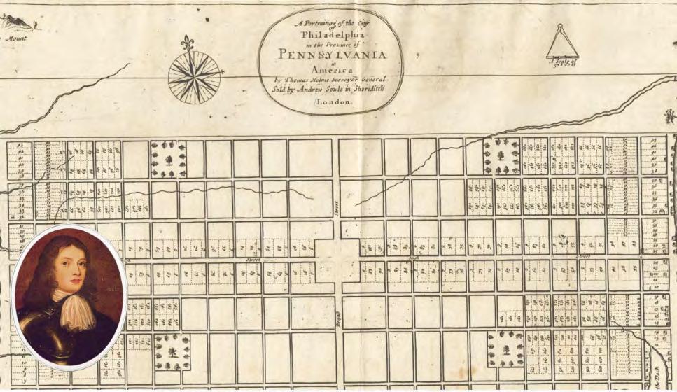
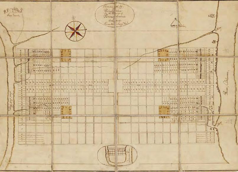
His surveyor-general, Thomas Holme, drew up the original plan in 1682–1683. The city, Philadelphia was designed as a neat grid between the Schuylkill and Delaware Rivers. At its center was a large open square (now Penn Square or Center Square), measuring exactly 10 chains by 10 chains, since Gunter’s chain was 66 feet long, that’s 660 feet square, or about 10 acres. The grid featured wide streets, four smaller neighborhood squares (today’s Rittenhouse, Logan, Franklin, and Washington Squares), and house lots arranged so families lived close together, “so that the neighbors may hold one another in a Christlike manner and praise God together,” as Penn put it.
Holme's 1683 Plan for Philadelphia (showing Penn's central 10-chain square.)
The royal charter that King Charles II granted to William Penn in 1681 gave him sweeping legal authority as the proprietor of Pennsylvania. This included the power to enforce rules on settlers, such as requiring them to pay an annual quitrent, a small fixed fee often just a fraction of a penny per acre paid directly to Penn instead of performing traditional feudal obligations like repairing roads, providing military service, or other labor duties owed to a lord.
In the Carolinas, the owners took an even more structured approach to land division. In their 1669–1670 document called the Fundamental Constitutions of Carolina, they decreed that the lowland coastal area should be pre-surveyed in advance by a surveyor-general. The land would be divided into neat squares and rectangles using straight lines running east-west and north-south, creating a grid-like pattern before settlers arrived. The goal was ambitious: to build an American version of a European aristocracy. Ordinary immigrants would get modest grants (often around 100 acres) and pay a feudal quitrent. Above them would be a hierarchy of proprietors, lords of the manor, and lesser nobles, with rank and status tied directly to the size of their landholdings. To make sure everything stayed orderly and enforceable, the system required a multi-step process: a settler first got a land warrant from the governor, then the surveyor-general measured and marked the plot, and only after that could the land be officially allocated and registered. This grand feudal-aristocratic plan never fully took root, settlers resisted the rigid hierarchy, quitrents were hard to collect, and the Constitutions were largely ignored or suspended by the 1690s, but the emphasis on presurveying and rectangular divisions influenced early land distribution in the region.
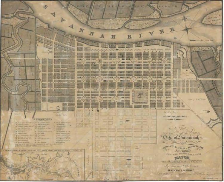
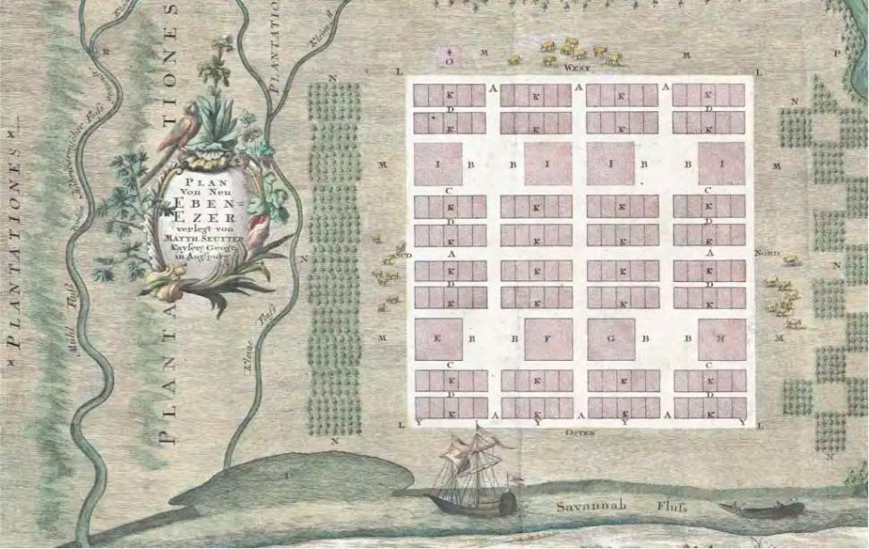
In Georgia, the Trustees including the idealistic James Oglethorpe, had similar goals but with a more egalitarian, reform-minded twist. They wanted to survey the territory carefully before handing out land to create a slave-free, alcohol-free society of hardworking small farmers and yeomen living in close-knit communities. Oglethorpe envisioned rectangular properties arranged to promote equality, mutual support, and moral living, no massive plantations, no slavery (banned until 1750), and limits on how much land one person could own. The best surviving example of this vision is Savannah, Georgia’s capital, which Oglethorpe personally helped lay out starting in 1733. He designed it as America’s first fully planned city: a repeating grid of wards, each centered on a beautiful open square surrounded by residential blocks, trust lots for public buildings and wide streets. The pattern used rectangular blocks and equal-sized lots to encourage walkable, integrated neighborhoods where people lived close together for community and defense.
YOUR FLORIDA GEOSPATIAL PARTNER
Duncan-Parnell, along with our valued partners, including Trimble and other top brands, are proud supporters of the Florida Surveying & Mapping Society. From solutions including GNSS, scanning, GPR, drones, and more to services including support, rentals, training, and repair, we are pleased to be your one-stop shop for geospatial professionals throughout the Sunshine State.
Jacksonville, FL (904) 620 - 0500
Orlando, FL (407) 601 - 5816
www.duncan-parnell.com
Oglethorpe's Plan for Savannah (the ward-and-square grid designed for orderly, egalitarian
The companies and proprietors who held land directly from the king might have kept North America under tight colonial control if they had maintained their grip on property rights. But the colonists brought with them a powerful idea: private ownership of land. Once in America, this belief created its own unstoppable momentum toward independence and change, often clashing with the old feudal systems back home. The direction history would take became clear in the very first years after the Pilgrims landed at Plymouth in the harsh winter of 1620. Their agreement with the English investors who financed the voyage required them to work the land collectively; pooling all labor, crops, and profits for seven years, then splitting the gains with the backers. This communal setup should have appealed to the tight-knit group, who had already endured persecution together and crossed the ocean united by their shared faith. Yet the system failed dramatically. In the early
years, everyone worked the fields in common: young single men were assigned to help families, and no one owned their own plot. The results were disastrous—crops were neglected, people slacked off, and the colony nearly starved. Governor William Bradford, who led Plymouth for decades, later explained in his famous history Of Plymouth Plantation that the communal approach bred resentment and inefficiency. People felt they were laboring for others without direct reward.
In desperation, Bradford listened to complaints and made a major change around 1623–1624: he divided the land into private parcels. “And so [I] assigned to every family a parcel of land according to the proportion of their number,” he wrote. The effect was immediate and dramatic: “This had very good success, for it made all hands very industrious, so as much more corn was planted than otherwise would have been.” Families now worked their own plots and productivity skyrocketed, enough food was then produced to secure survival. But the shift had a downside. Bradford noted sadly that “no man now thought he could live except he had catle and a great deale of ground to keep them all,” with everyone “striving to increase their stocks.” People began spreading out across the bay to claim more land for livestock
and farming. The compact town that had kept the community close together “was left very thinne,” scattered homesteads replaced the tight-knit village.
Religious freedom had been the Pilgrims’ main reason for coming to America, but the pull of private property proved too strong to resist. As Edward Winslow wrote in his 1624 pamphlet Good Newes from New England , “Religion and profit jump together.” Faith and the desire for personal economic gain reinforced each other, driving settlers to claim, improve, and expand their holdings. This early experience at Plymouth foreshadowed a broader pattern across the colonies: the English idea of individual land ownership rooted in measurement, enclosure, and profit became a revolutionary force. It undermined the proprietors’ and king's centralized control, encouraged dispersed settlement, fueled expansion, and planted the seeds for demands for greater self-rule. What started as a practical fix to avoid starvation evolved into a core American value that helped transform colonies into an independent nation. ■
2026 MEMBERSHIP
Membership for 2026 is open and available for those needing to renew or for those wanting to join The Florida Surveying and Mapping Society. You can Renew your current membership by Clicking Here and logging-in to your FSMS account.
For those New Members wishing to join or rejoin if they were not a member in 2025, Click Here to read about our Membership types and click on the “Join FSMS Today” button at the top of the page to begin your membership with The Florida Surveying and Mapping Society.
Forts, Ports, Canals, Wars
An Uncommon History of Tallahassee & Surrounding Areas by
Dr. Joe Knetsch
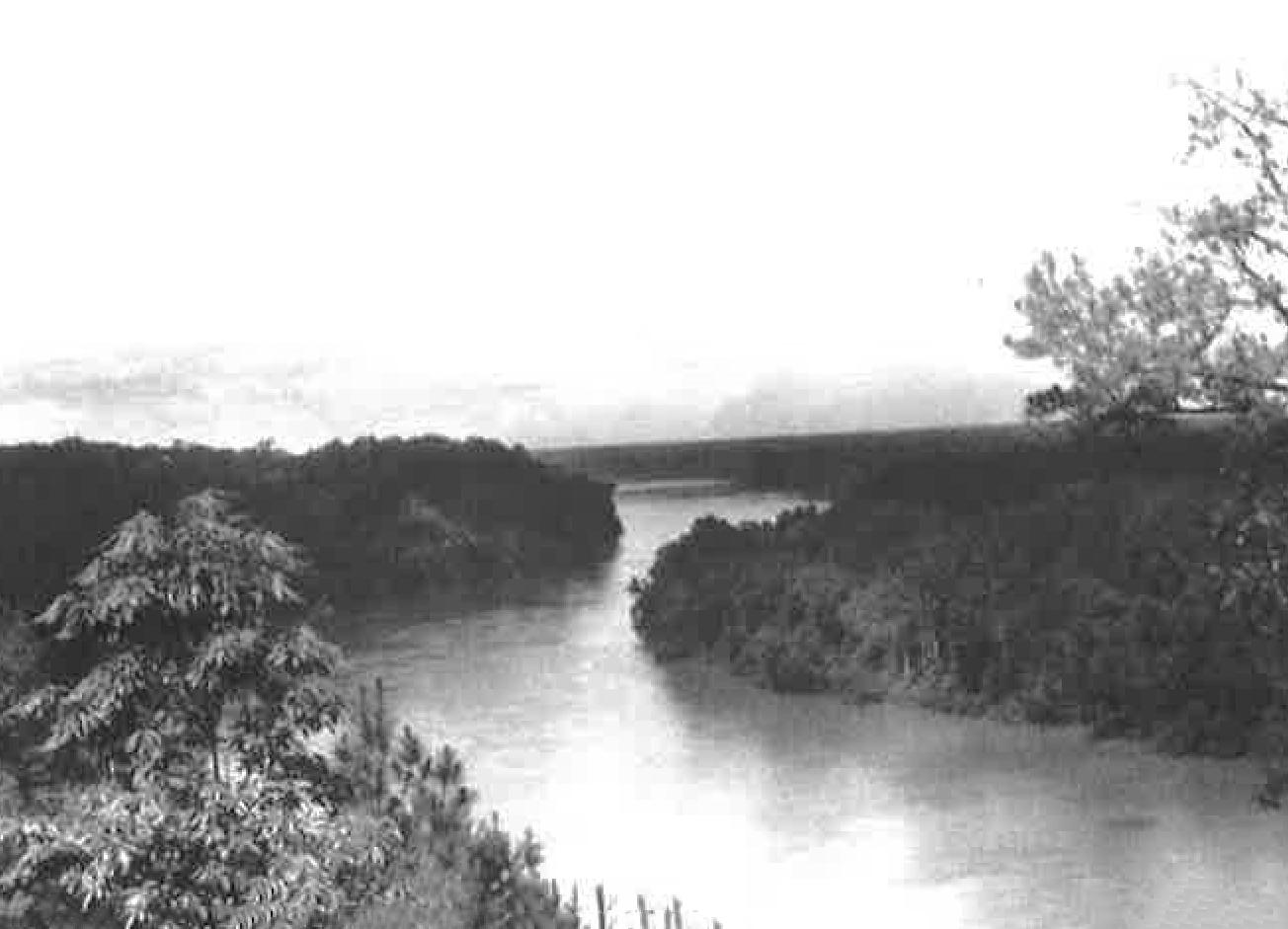
A view of the Apalachicola River, the western boundary of the Forbes Purchase
(State Library and Archives of Florida)
CHAPTER 8
Robert Ker and the Resurvey of the Forbes Purchase Line
Robert Ker[r] was a unique individual; competent, religious, petty, and conniving. He came to Tallahassee somewhere in the latter 1820s and soon established himself as a leader in the local Presbyterian Church along with his friend, Colonel Robert Butler. According to the historian for Talla hassee’s First Presbyterian Church, Ker was employed as a teacher in the Leon Academy along with Alexander Aikman. The classes offered at this five month school included Latin, Greek, English sciences, and additional lectures in moral philosophy and astronomy. By December of 1829 Ker was being considered for a post in Magnolia, but did not receive the appoint ment because he was not yet received into the Presbytery and recommended by two leaders of the congregation. By 1832, he had rectified the educational omission and served as the “supply” for the Old Philadelphia Church near Quincy for two years. As a consequence, he is sometimes referred to in various letters and correspondence as “Rev.” Robert B. Ker. 1
Ker also cook an active role in the community and was among those who followed Butler into the Masonic Lodge. He is often found on petitions to the Federal Government for such things as the promotion of the Dade Institute, requesting the passage of the Armed Occupation Act, and other ventures. 2 In 1839, he served as an election warden (Poll watcher) in Tallahassee during the crucial election of the Congressional Delegate and the approval or disapproval of the St. Joseph’s Constitution, the prelude to Florida’s being eligible for statehood. Like most surveyors of his day Ker was active in the community and was looked to for leadership.
His official relationship with Robert Butler, Surveyor General of Florida, began on December 14, 1830, when he signed his first contract for surveying. The contract was for 500 miles of public lands and private claims in the Territory of Florida. He was to receive the customary four dollars per mile and his bond was two thousand dollars. 3 Ker had a small problem right away in that he misread his instructions and began surveying
Forts, Ports, Canals, and Wars
in Ranges 23 and 24 East instead of East of Ranges 23 and 24. He quickly found his mistake and consulted with Deputy Surveyor Paul McCormick who was surveying in the next range. 4 He also found that part of his Township was covered with water and not fit for cultivation. Sometimes the water was waist deep and probably cold, given the letter was written in January of 1831. Ker also met some gentlemen in the neighborhood who were riding with Governor William Pope Duval and they informed the Deputy that they would soon be petitioning Butler for the surveying of their lands in present day Madison County. 5 Such information was always useful to the politically attuned Surveyor General. Butler replied to Ker informing him that he could move on with Mr. McCormick and survey other townships south of the Basis Parallel if they needed the mileage to meet the contract. 6
Ker’s work must have proven satisfactory to Butler, always the demanding boss, for we find him receiving a second contract for surveying 700 miles of public lands and private claims in December of 1834. One of his bondsmen was Thomas Brown, later governor of Territorial Florida and the owner of one of the important hotels in Tallahassee. This survey was one of the more delicate ones demanded of Florida’s deputies in that it was to connect the lines of public survey with the then existing Indian Boundary. Deputy Surveyor Benjamin Clements had earlier received permission to run the Parallel through the Indian nation, but the situation was getting more difficult. Butler wrote to the Commissioner of the General Land Office, Elijah Hayward, that it was probably better to delay the surveying of that area until the Indians (Seminoles) left the vicinity as per the Treaty of Paynes Landing. 7 As Butler predicted, trouble did follow the surveyors within and without of the Indian boundaries and Ker’s crew was reportedly fired upon. This delayed the returns of his survey to the Surveyor General. This letter to Hayward was dated June 11, 1835, and already the Seminoles and their allies were balking at leaving Florida. 8 On December 28, 1835, they made good their threats and attacked Indian Agent Wiley Thompson and Lieutenant Constantine Smith outside the walls of Fort King (Ocala) and met and defeated a column of soldiers under the command of Major Francis L. Dade, killing 108 men in the process. The Second Seminole War had begun in earnest and the United States was to fight the most expensive — in men lost and money spent — Indian war in its entire history.
Butler had his own problems at this time with sickness and fever. Two of his already short staff were taken very ill, and one was too ill to return to work. The other Clerk had to be sent to St. Marks for sea bathing and a slow recovery. 9 Ker also became ill upon his return and the intrepid deputy could not get his returns in three months after his arrival in Tallahassee. Once again, Tallahassee proved not to be a healthy location for those who lived here. While Ker was recovering, Butler received the volume containing the case concerning the Panton & Leslie company, that is, the Forbes Purchase. 10
Colin Mitchel v. United States , decided by the United States Supreme Court in 1835, granted to the heirs of John Forbes and Company the lands confirmed to them by the Spanish crown. It was not an easy battle for the heirs, and required patience and money to get the decision. The lands amounted to well over one million acres, and it was the single largest land grant recognized in Florida. The grant was unique in Florida and contested primarily over the origins of the title. The Creeks and Seminoles living in the area had run up considerable debts to the trading company of Panton & Leslie. These inhabitants did not have enough cash, crops, or furs to bail themselves out of the accumulated debt. The company decided it would take land instead of the money due the firm. The Spanish officials agreed rhat this was legitimate and approved the exchange. Later arguments by Richard K. Call against the validity of an Indian based title did not persuade the Marshall court to rule against the government. 11 The acceptance of land meant that the land would have to be sold to bring any profit to the company.
Prior to the Mitchel case, however, the lands within the purchase had been the subject of extensive litigation that also made its way to the Supreme Court of the United States. In the case of Carnochan & Mitchel v. Christie, the principals argued over lands as a means of payment of the accumulated debts of Carnochan and Mitchel. This firm, operating out of Savannah, Georgia, had run up a considerable debt to its factor in Liver pool, William Christie. Christie wound up accepting over thirty shares of the firm converted into acres of lands held by Carnochan and Mitchel in West Florida totaling 150,000 acres. The Mitchel involved in this case was Peter Mitchel (Colin was the brother) who also was the majority holder of land in the Great Arredondo Grant under the firm known as the Florida Associates, operating out of New York. John Carnochan was a partner in the firm of Carnochan & Mitchel, Savannah,
Forts, Ports, Canals, and Wars
Georgia, and owned land in Florida, Georgia, and elsewhere. Carnochan also built a house and improved his property within the Forbes Purchase, first along the Apalachicola River and later along Rocky Comfort Creek. The arbitrators appointed by the court came to the conclusion that the 150,000 acres should be held in trust for Christie by Colin Mitchel (then living in Havana, Cuba) until such time as the lands sold for enough to pay the debt, at 5 percent interest, to Christie. This decision was set aside by the Supreme Court and remanded to the Circuit Court for further adjudication.12 Some surveys had to be done to determine who owned what lands within the Forbes Purchase before specific deeds could pass to answer the indebtedness question.
Added to the confusion were the petitions filed by settlers within the Forbes Purchase prior to its adjudication by the Mitchel decision of 1835. Among the early settlers of Gadsden County who petitioned the Congress for recognition of their claims were William Ellis, John Collins (Carnochan’s probable neighbor at Rocky Comfort), Henry Yonge, William Pope, and the heirs of John Tanner. 13 Three of the Forbes Company’s traders, including Edmond Doyle and William Hambly, also received grants of lands within the Purchase along the Apalachicola River. A final confusing factor was that two towns, Pantonia and Collinton, were platted and lots were offered for sale. With all of these people demanding surveys and proper warranty of title, the path to security did not run through the Forbes Purchase.
The concessions made to the company by the Indians was uncertain, and two northern boundary lines were run before both sides and the Spanish government were satisfied. The company had Asa Hartfield of Charleston, South Carolina, run the new northern boundary beginning in 1807. Once this boundary was established on the ground, the surveyor began laying out lots of 360 acres in 60 chain squares, except along the banks of the Wakulla River. The lines of this “Hartfield Survey” are unusual, but it is, as surveyor Rod Maddox has written, logical in that the lines run are perpendicular to the Wakulla River and the Gulf of Mexico. 14 It was not an easy survey to run under any circumstances but added to Hartfield’s problems were the troublesome Miccosukee Indians, who demanded money “not to disturb him” in his work. His instructions have been lost to history, probably destroyed in the fire that destroyed the store run by John Innerarity. Hartfield also surveyed St. Vincent’s Island, the preliminary lines of Forbes Island in the
Dr. Joe Knetsch
Apalachicola River, and the concession made to trader William Hambly. 15
The other major survey of the Purchase prior to the Mitchel decision involved the famed “Little River Survey.” According to Maddox’s study, this plat of survey was first divided into lots measuring one hundred by eighty chains run on the magnetic meridian that deviated from the true Meridian by 7 and a half degrees. A disagreement among the partners involved in the sale of the Purchase resulted in a court order in 1823 that demanded the Little River Survey be redone so as to satisfy the various interests in the land. Daniel McNeil obtained the contract to resurvey the Little River parcel, making some large changes in the previous work done by Brown and McBride. McNeil cut the lots in half by running a line east to west, thereby making the lots fifty by eighty chains. He extended the original survey further southward, thus making additional lands available for sa1e. [A later survey by McDonald, done in 1839, was never legally approved or adopted.] The northern boundary of the McNeil survey ran as closely as possible to that done by Hartfield in 1808, but because the notes have never been found we do not know if the lines are the same. 16
When the Mitchel decision came down and Butler was notified that a new survey of the grant had to be run, the Surveyor General chose Charles Goldsborough to do the work. Charles Goldsborough was a near relative of Lieutenant, later Admiral, Louis Goldsborough who was the son-in-law of Attorney General William Wirt, a powerful man in Jacksonian circles. Wirt had interests in Florida and even attempted to colonize his lands in Jefferson County by bringing in German immigrants to “Wirtland.” Another son- inlaw to Wirt was Judge Thomas Randall, who was to look after the immigrant community. Goldsborough, a teacher in a Columbus, Georgia academy prior to coming into Florida, was a very scrupulous man who wanted to do the job right. Unfortunately, he may have bitten off more than he could chew and almost immediately ran into trouble. The lands of the Purchase were not rolling hills or level prairie, but were crisscrossed by deep ravines, were spotted with large cypress swamps, and contained the lovely area we still call Tate’s Hell. There were many pockets of wonderfully fertile lands that fit naturally into the cotton culture of the day, however, they were not prominent within the Purchase. Goldsborough began his work in earnest in late 1835. The usual instructions were issued requiring the surveyor to
tie into all existing lines of public surveys, carefully meander the coast line along the Gulf of Mexico, etc. Goldsborough also was required to accurately survey Forbes Island in the Apalachicola River, which had been included in the Purchase by the Court’s decision over the objections of Richard Keith Call, the attorney representing the United States. St. Vincent’s Island was to be surveyed in like manner and each island had to be tied back into the mainland. A special survey of the boundary line of the property containing the old Fort of St. Marks was to be done in a manner to allow for the Circuit Court to set the limits of the actual extent. This was a rather vague order from the court and undoubtedly added to the confusion of the survey.
Goldsborough did his best to accomplish these complicated tasks. In November of 1835 he requested Butler to inform him if the islands lying west of the Fort of St. Marks were to be meandered, noting that they were mostly covered with marsh grasses and appeared to him to be included within the boundary. The complication he noted was the very numerous inlets, tidal streams, and bayous that formed some of these so-called islands.
As much of this “land” was covered with grasses and mud, it would make difficult surveying. Butler was short in his reply noting that all he had to do was follow the Court’s directive and implied that “mud banks” were not to be included as land in the survey. Goldsborough’s slow progress drew the ire of Butler and the grant holders who put more pressure on the surveyor to finish the work. The communications between the surveyor and the Surveyor General made it clear that he was having great difficulties with the work. Goldsborough’s inability to finish the work in the 1835-36 surveying season did not sit well with Butler, who did not anticipate any extension of time. However, Goldsborough continued his work into the 1836-37 season only to find that he could not close the work. Further delays, including some debilitating illness with the surveyor, made for further impatience by the Surveyor General and the Apalachicola Land Company, the heir to Forbes & Company. In the bitter ending to the Goldsborough attempt at surveying, he had to admit he could not find his mistake(s) and gave up the contract. It was a bitter and expensive experience. 17
Strapped with an unusable survey and crushed for time from the courts, the land company and the General Land Office, Butler turned to his
Forts, Ports, Canals, and Wars
fellow churchman Robert B. Ker to finish the job. Ker signed his contract on February l, 1839, and took the field immediately. He was furnished with copies of the Court’s decision, the general instructions (1831) and copies of all the other grants recognized within the Forbes Purchase. His special instructions were the same as those to Goldsborough and did not include the St. Marks reserve. This was delayed until the Superior Court decided the issue. Ker went right to work and did not have any major delays in the field except in the person he employed to do his calculations and protraction. He was in from the field before the holidays, but it was the office work which delayed his return. In a letter to Butler dated December 24, 1839 Ker explained his dilemma: “For fear you might think that I have not been assiduously employed , since my recovery, as I ought to have been, permit me to say since the middle of last October I have been 14 hours out of the 24 engaged in making my ‘Returns’ ready for your office. The making of this Return is a Herculean job. My Dear Sir, you can have no conception of the mass of figures & calculations it takes. I had not the most distant conception of it when I engaged last winter to execute the work. The making of the “Return” is infinitely more onerous than the field work.” 18 By the first week of January, 1840, Ker had made his returns.
The question has arisen as to why the lines and corners Ker set along the boundary do not match those of the earlier surveys by Brown and McBride. Part ot the answer may lie, and this is speculation, in the error margin allowed to surveyors between the time of the Brown and McBride work and that of Ker’s. Assuming that the former surveyors worked with or under John Coffee in Mississippi or knew of the instructions he gave his surveyors, the margin of error allowed was twelve poles (3 chains) on Township lines and two poles (1/2 chain) for Section line work, the room for error in the modern sense is very great. 19 The 1831 instructions are generally silent on this feature, but did note that the lines should close within reason. And what of the two lines run prior to the work of Brown and McBride? Was there still evidence of these lines on the ground when Ker worked the area and did he follow the same line as Brown and McBride? These questions, stemming as they do from the original inquiry, surely need much more research, IF the evidence is still available. Since we know that the work of some of the surveyors within the Forbes Purchase went up in flames in 1836, we may never know the exact answers.
On the 3rd of April 1840, Butler sent in Ker’s work to the General Land Office. Ker was praised by the Surveyor General of his “highly satisfactory” work. The returns included all of the calculations, which were double checked by A. A. Nunes, Butler’s highly capable clerk. It also included sixteen plats showing the connections of the grant to the public surveys. In writing to James Whitcomb, Commissioner of the General Land Office, on July 1, 1840, Butler noted that seventeen plats showing the connections had been approved and placed on record in his office. He also noted, “The entire survey has been placed upon the general plan of this office the Register this day furnished with copies of the maps & aforesaid and the other maps of this office of the same tenor have been filed with Cancelled written in their face.” Butler had every reason to be satisfied with his deputy at this point in time.20
Ker’s career did not turn out to be as rosy as his returns for the Forbes Purchase. Within a few short years he was to become involved in a scandal that rocked the surveyors of Florida for a time. In this case he falsified letters, allegedly written by Alabama investors, stating that the surveys conducted by Sam Reid in southern Florida were faked and that the land was high and dry pine land. The facts spoke differently and Reid claimed that he had not even reached the area because of the high water. After a remarkably thorough investigation and much letter writing, Reid’s work was exonerated and Ker admitted writing the faked letters from Alabama. What was the motive for such an action by a man allegedly of the cloth is not known. Ker’s days as a surveyor were over at that point in time and he fades from the scene, probably leaving Tallahassee. 21
Whatever the verdict on the life and career of Robert Ker, he performed one of the more difficult surveys in early Florida history. His work stands today as a monument to his perseverance and abilities. It is hard to imagine the development of northern Florida without the history and surveying of the Forbes Purchase. To Robert Ker’s tenacity we owe a good part of our heritage and the development of parts of three counties in northern Florida. The accuracy and acceptability of his work has stood the test of time and to this we owe a bit of gratitude to the life of Robert Ker.
ENDNOTES:
1. Barbara Rhodes. At First: The Presbyterian Church in Tallahassee, Florida, 1828-1938.
Forts, Ports, Canals, and Wars
Tallahassee, Florida: First Presbyterian Church, 1994. 7.
2. Clarence E. Carter, Editor. The Territorial Papers of the United States, Volume XXV: The Territory of Florida, 1834-1839 . Washington: National Archives and Records Administration, 1960. 573. Hereafter, Territorial Papers, Volume and page number. See also Territorial Papers , Volume XXVI. 86.
3. Robert B. Ker “Contract and Bond” file, Title and Land Records Section, Division of State Lands, Florida Department of Environmental Protection, Tallahassee, Florida.
4. Letters and Reports to Surveyor General, Volume 1: 1825-47. 159. Letter of January 6, 1831. Ker to Butler. Title and Land Records Section Division of State Lands, Florida Department of Environmental Protection, Tallahassee, Florida.
5. Ibid.
6. Ker, Contract and Bond file. Letter of February 22, 1831. Butler to Ker.
7. Territorial Papers . Volume XXV. 128.
8. Ibid. 142-143.
9. Ibid. 128.
10. Ibid. 170.
11. John C. Upchurch. “Some Aspects of Early Exploration, Settlement, and Economic Development Within the Forbes Purchase.” Masters Thesis, Florida State University, August 1965. 10-14.
12. Carnochan & Mitchel vs. Christie . 24 U.S. 446, 11 Weaton 446 (1826). The author would like to thank Pamela Vojnovski for finding this case and bringing it to his attention. 13 American State Papers: Public Lands, Volume 4. House of Representatives Report No. 465. 19th Congress, 1st Session. Washington: Gales & Seaton. 448-451. 14 Rod Maddox. “The Forbes Purchase; A Surveyor’s Dilemma.” Senior Paper, University of Florida, 1982.
13. American State Papers: Public Lands, Volume 4 . House of Representatives Report No. 465. 19th Congress, lst Session. Washingron: Gales & Seaton. 448-451.
14. Rod Maddox. “The Forbes Purchase; A Surveyor’s Dilemma.” Senior Paper, University of Florida, 1982. Quoted in Joe Knetsch. “The Forbes Purchase: A Further Look.” Part 1. The Florida Surveyor . October 2002. 18-19.
15. Knetsch. Forbes Purchase. 19.
16. Maddox cited in Knetsch. “Forbes Purchase: A Further Look,” Part 2. The Florida Surveyor . November, 2002. 10.
17. Joe Knetsch. “No Closure: Charles Goldsborough’s Failed Attempt to Survey the Forbes Purchase.” The Florida Surveyor . March 1995. 18-25.
20. Territorial Papers: Florida . XXVI. 129-130 and 163-164.
21. Joe Knetsch. “Colonel Sam Reid, The Founding of the Manatee Colony and Surveying the Manatee Country, 1841-1847.” Sunland Tribune . Tampa Historical Society, October 1995. Also see Joe Knetsch. “False and Uninformed Charges: The South Florida Surveys of Sam Reid.” The Florida Surveyor . February 1993.
Dr. Joe Knetsch
Dr. Joe Knetsch is the author of over two hundred articles and sixteen books, most of them concerning the state of Florida’s historty. Three of these books involve the Seminole Wars and their impact on Florida’s development. He is also a frequent reviewer of books on military history for the Journal of America's Military Past and authored regular articles for Professional Surveyor Magazine for over a decade. For twenty-eight years he served as the historian for the Division of State Lands in the Florida Department of Environmental Protection. Dr. Knetsch lives in Tallahassee with his wife Linda and is now retired.
ARCHIVES FROM THE
BOUNDARIES AND LANDMARKS
A PRACTICAL MANUAL
BY A. C. MULFORD
Boundaries and Landmarks
Chapter VII.
DEEDS WITH COMPLETE DESCRIPTIONS.
In direct contrast to deeds containing descriptions by adjoiners only is the class which, for lack of a better name, we might call “Deeds with Complete Descriptions.” Such deeds usually commence with a clear location of the start ing point and then continue by course and distance completely around the piece to be described with frequent reference to definite landmarks. If the deed by adjoiners, previously given in Chapter II, were to be rewritten along these lines, the description would read something like this:
“Beginning at a stake standing at the Northwest corner of the property to be conveyed at a point on the East line of the highway leading from M— to N— adjoining land of William Smith and running thence S 68¼° E, 25.77 chains along land of said William Smith to land of Richard Jones as the fence now stands, thence along said Jones’ land S 5½° E, 16.60 chains to a large Stone at the Southeast corner, thence along land now or late of John Brown S 88° W, 14.27 chains to the middle of the Spring, thence N 22° W, 57 links to a Black Oak tree, thence S 87½° W along said lands now or late of Brown, II chains to the East line of the highway, thence along the East line of said highway N 4¾° W, 15.63 chains to the point or place of Beginning, containing within the said bounds Forty-one Acres and 38 Square Rods of land, be the same more or less, according to a survey made by John Wolcott, County Surveyor, October 30th, 1819.”
In this case the surveyor has clear and specific directions for his guidance, but actual practice will show that this is by no means an unalloyed blessing, for while these direc tions point the line he is to follow they are also liable to restrict him very severely. If the description were surely exact and accurate, as most modern
descriptions are in tended to be, the case would be different, but the descrip tions of these older deeds is in general only approximate in accordance with the loose methods of conveyance of their time. How is the surveyor to tell what items are to be followed minutely, what ones are to be taken with allow ance and what ones are to be thrown out altogether? In the foregoing instance it is taken for granted that there have been no clerical errors in the field notes, the descrip tion furnished by the surveyor or the deed as drawn.
In the first place the courses in the above description are given only to quarter degrees, which allows and prac tically necessitates an error of some minutes in the bearing of every course in the description. In the second place the original survey was probably run with an old-fashioned surveyor’s compass, which is a crude instrument at best. Concerning the compass in the present case we do not know whether its meridian coincided exactly with the line of sight, whether the needle was accurately centered and moved freely on the pin or that the compass ring did not contain minute fragments of iron which might attract the needle. Still further we have no proof that John Wol cott did not read the needle through steel-bowed spectacles. Beside this we do not know whether he took backsights as well as foresights, whether he made allow ance for diurnal variation or whether he was troubled in his work by local attraction. Incidentally we do not know whether the same causes of local attraction exist today that existed in 1819 or whether the ones observable today were then present.
It is possible of course to determine the true meridian by observations of the Polar Star or by solar apparatus, but the exigencies of ordinary surveying frequently preclude both these methods. Granted that the meridian can be established on the ground and that the exact declination of the needle in 1819 for the locality is known, how nearly will the line thus determined agree with the line as origi nally surveyed when the original record itself is so involved in probable and indeterminable error? It seems that the old proverb, “A chain is as strong as its weakest link,” is singularly applicable in the
present instance. The pres ence in the original fieldwork of a single one of the many possible errors makes it a very uncertain matter whether the line carefully established from meridian agrees at all closely with the old line on the ground as it was surveyed nearly a century ago.
Nor do the possibilities of error in description lie in the compass bearings alone. There are perhaps still greater certainties of error in the chaining. We do not know cer tainly whether John Wolcott held his chain level or laid it along the ground. He may have struck a compromise between the two by always running full-length chains and holding them as nearly horizontal as the ground, however rugged, would allow — a method which has been done. In any case, if the country were rough, we are practically sure that the chain was considerably off the horizontal a large part of the time. In case of running parallel with a hedgerow or overgrown fence, we do not know whether he actually determined his offset points at right angles to the true stations before chaining or whether he simply laid out an equal distance at each end and “guessed” that he had established his chaining points opposite the stations. Furthermore we do not know how much the line was obstructed at the time of the original survey, how high the chain had to be held or what methods were used to deter mine the ground points under the ends of the chain.
Among this mass of probable errors it seems hopeless at first to think of reaching anything like definite results, but there is a mitigating circumstance which has not been mentioned. The old surveyors were more particular, it often seems, about leaving behind them permanent marks than are the surveyors of today. The modern surveyor is prone to run an instrument traverse where he can do so most easily, and from this he runs offsets to the corners which he marks with stakes none too large. As a result the actual line between corners is untraversed and unmarked. The old surveyors used larger corner stakes; they generally held closely to the course and frequently set line stakes at all compass stations, blazing the timber with a liberal hand.
I have in memory an old surveyor who at an advanced age took with him to the grave a knowledge of property relations which the younger men who have come after him may never hope to acquire, but whose methods of work became fixed in the days when less accuracy was de manded. His bearings were seldom closer than 5 minutes and accurate measurements would often shorten his dis tances ten feet in the thousand in rough and hilly country. But as a marker of a line he had few equals. If his map called for a stake in a certain place, there on the ground would be found a short strong post of locust about one foot tall. If his map called for a stone, you would find a stone that required a crow bar to move it, and his marked trees carried the scars forever. His courses and distances were inaccurate in the modern sense of the word, but they were always sure guides to the immediate vicinity of clear and substantial landmarks defining the actual boundaries.
Considering, then, all the uncertainty connected with description of land and the possible and probable errors which may exist in each case, I have been led to adopt in my own work the “Principle of Cumulative Evidence.” It seems that, either rightly or wrongly, it is incumbent on the surveyor to collect all the evidence in each case and to carry his work along the lines of the preponderance of probability. In nearly all cases, while some of the data are either ambiguous or even conflicting, there is usually a large preponderance of evidence which points more or less clearly to one solution of the problem, and my own experience, containing some few examples, leads me to believe that this generally indicated solution is probably the right one. I have generally found that this line of reasoning appeals pretty strongly to all parties interested and that there is a general willingness to abide by a decision so reached. The fact that you have been willing to collect all data possible and hear all sides of the case begets confidence, and the rest is largely a matter of common sense.
If, however, the evidence for and against re-locating an old line in a certain place is pretty evenly divided, it is my belief that a conference of all parties interested should be arranged with a view to establishing a line by agreement, as a sure and safe way of preserving
CLAY SHOOT CLAY SHOOT
the peace and fixing the boundary for the years to come.
In the description mentioned at the beginning of this chapter it will be noted that most of the courses are very long, as, for instance, the first course of 25.77 chains or a little over 1700 feet. It will be readily seen that a deflec tion of a very few minutes at one end will cause a serious departure by the time the other end of the course is reached. Hence, if the compass is taken as the only guide of direc tion, the slightest error in correcting the variation will have disastrous results, supposing that the original record was perfect; and furthermore, 25.77 chains is a long distance to have been chained accurately in the old days. The deed states that this course was run “as the fence now stands.”
Any traces then of this old boundary are to be regarded as evidence in point, and it will be very remark able if a number of remains are not found somewhere along the line. A bearing taken with the proper care along the general line of these landmarks should show very nearly by actual measurement how much the compass has changed since the time of the original survey. If this actual variation agrees with the theoretical variation, so much the better. The distance named in the description will en able the surveyor to tell when he approaches the near vicinity of the northeast corner, but the position of the corner should be determined from the sum total of evidence. Old stakes, fence remains, marked timber, lines along which the land has been cleared, marks of old balks or hedgerows, claims of adjoiners and testimony of old residents all have their place in the body of evidence on which the corner may be reestablished. The dimension named in the deed should be binding only in the case of total lack of other trust worthy evidence. In nine cases our of ten the careful measurements of today will overrun the point where the corner originally existed.
It is not necessary, however, to settle the first course as the first step. Careful investigation may prove that mat ters are much clearer and much more certain in the vicin ity of the stone at the southeast
corner. It may be that the line from the stone to the center of the spring is very clear and that the variation of the compass may be best established along this line. It is also quite possible that the field marks indicating the back line or second course of the description may be clear near the stone and that, by tracing these backward, evidence previously overlooked may be found showing where this course meets the first course, the result being the establishment of the northeast corner which was before more or less uncertain.
In short, no fixed rule of procedure can be laid down, and the realization of this seems to me to be the first step toward a right solution of problems of this nature. I do not mean by this that the matter should be gone at hap hazard, but that the mind should be in a receptive condi tion, ready to give a hearing to all evidence and quick to analyze, arrange and weigh this evidence. Furthermore the mind should give its first attention to the broader consideration of the case, coming down to details and minutiae later. To this end I have always found it advan tageous to go completely around the piece of land to be surveyed in the company of the owner, hearing all he has to say and noticing the main features and the landmarks as far as possible. It is better that this should be done several days before the actual fieldwork begins, in order that there may be mapped out in the mind some definite plan of work fitting the conditions in hand. A plot of the piece of land in question, made according to the description given in the deed, will often prove very useful as a starting point from which to work out toward a plan of common-sense procedure in making the actual survey.
Between the two extreme classes of descriptions, those with full dimensions and those with no dimensions, there are all kinds of intermediate varieties. Some deeds de scribe partly by adjoiners and partly by course and dis tance, some by linear dimensions only, and there have been some of the sides described by compass bearing only. Others are plainly made up in whole or in part from courses and distances borrowed from the descriptions of the sev eral adjoiners, regardless of the different variations of the compass as determined by
the different dates of the differ ent component surveys.
No two of these problems are alike, but they are all open to the same method of investigation and solution, in accord ance with the preponderance of evidence from all sources carefully collected, thoroughly analyzed and honestly weighed.•
SUPPORT FSMPAC TODAY!
Your contribution can make a monumental difference in ensuring that our profession thrives and our voices are heard where it matters most.
Join FSMPAC and become a driving force for the future of Surveying & Mapping in Florida.
FSMPAC, the Florida Surveying & Mapping Political Action Committee, is your ticket to shaping the future of our profession. Our mission thrives on the generosity of dedicated Surveyors and Mappers who want to champion and safeguard our profession.
Your contributions go toward researching, identifying,and supporting candidates who champion our concerns.
Le arn More & Donate Here
Past Presidents
1956 - 1957
H.O. Peters
1960 - 1961
Hugh A. Binyon
1964 - 1965
James A. Thigpenn, III
1957 - 1958
C.
1961 - 1962
Russell H. DeGrove
1965 - 1966
Harold A. Schuler, Jr.
1958 - 1959
P. Goggin
1962 - 1963
Perry C. McGriff
1966 - 1967
Shields E. Clark
1959 - 1960
1963 - 1964
Carl E. Johnson
1967 - 1968
Maurice E. Berry
Harry
Schwebke
John
R.H. Jones
Past Presidents
1968 - 1969
C. Hart
1972 - 1973
Broward P. Davis
1976 - 1977
Robert S. Harris
1969 - 1970
1973 - 1974
E.R. (Ed) Brownell
1970 - 1971
1974 - 1975
E.W. (Gene) Stoner
1971 - 1972
1975 -1976
Lewis H. Kent
Robert W. Wigglesworth
William
Frank R. Shilling, Jr.
William V. Keith
James M. King
Past Presidents
1980 - 1981
Ben P. Blackburn
1984 - 1985
Buell H. Harper
1988 - 1989
Stephen G. Vrabel
1981 - 1982
William B. Thompson, III
1985 - 1986
H. Bruce Durden
1989 - 1990
W. Lamar Evers
1982 - 1983
John R. Gargis
1986 - 1987
Jan L. Skipper
1990 - 1991
Joseph S. Boggs
1983 - 1984
Robert A. Bannerman
1987 - 1988
Stephen M. Woods
1991 - 1992
Robert L. Graham
Past Presidents
1992 - 1993
1995 - 1996
Thomas L. Conner
1999 - 2000 Jack Breed
1993 - 1994
1996 - 1997
Gordon R. Niles, Jr.
- 1995
1997 - 1998
E.
1998 - 1999
Nicholas D. Miller
Loren E. Mercer 1994 -
Robert D. Cross
Kent Green
Dennis
Blankenship
W. Lanier
Mathews, II
John M. Clyatt
Past Presidents
Stephen M. Gordon
Richard G. Powell
Michael J. Whitling 2007
Robert W. Jackson, Jr. 2008 -
Pablo Ferrari
Steve Stinson
Dan Ferrans 2011
Jeremiah Slaymaker
Ken Glass
Russell Hyatt
William Rowe 2003 -
David W. Schryver
Past Presidents
2015 - 2016
2019 - 2020
2024 - 2025
2016 - 2017
2020 - 2021
2017 - 2018
2021 - 2022
2018 - 2019
2022 - 2024
Lou Campanile, Jr.
Robert Strayer, Jr.
Dianne Collins
Don Elder
Richard Pryce
Hal Peters
Lou Campanile, Jr.
Howard Ehmke
Dale Bradshaw
The Florida Surveying and Mapping Society has an eLearning Platform that is linked to your FSMS membership account .
When accessing the eLearning platform, use your FSMS membership username and password to log in. (Not Available for Sustaining Firm Memberships)
As always, Correspondence Courses are available by mail or email.
Updated Correspondence & eLearning Courses:
• Writing Boundary Descriptions
• Basics of Real Property
• Map Projections and Coordinate Datums
• Elevation Certificates and the Community Rating System
• Datums (eLearning Video Course)
• FL Surveying and Mapping Laws
Please email communications@fsms.org to notify us of
Advertise With Us!
All advertisements contained within the publication are published as a service to readers. Publication of the advertisements does not imply or express any endorsement or recommendation by FSMS.
Benefits: Full color; hyperlinks added to your webpages as well as email addresses.
Requirements: Contracts for one year (11 issues) receive 10% discount if paid in advance; 15% for Sustaining Firms. (Ads should be in jpeg, pdf, or png format)
New ads and/or changes are due by the 25th of each month.
Questions? Call our office at (850) 942-1900 or email at communications@fsms.org