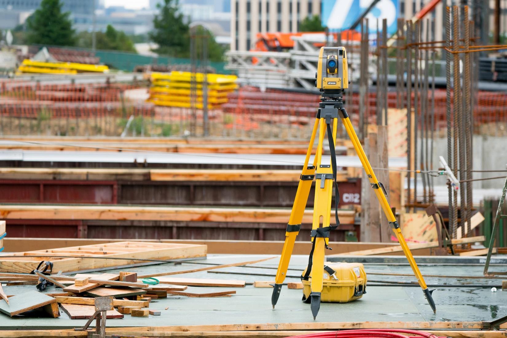
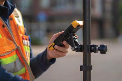
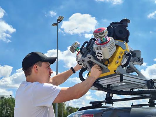
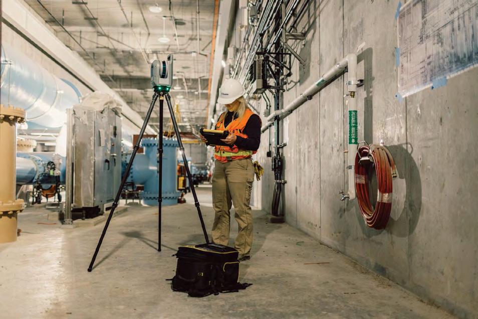
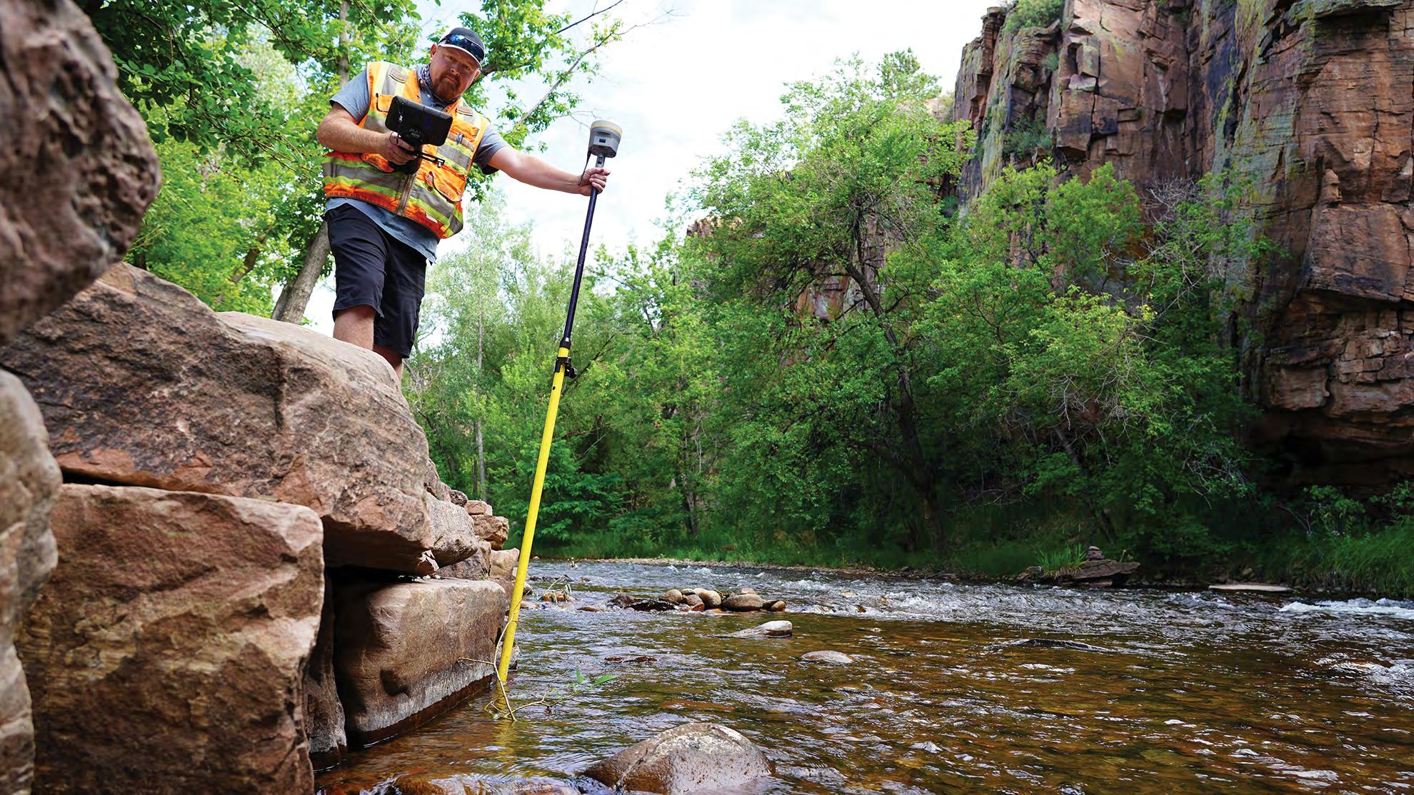
Call us t o g et your complete work flow s olution today ! Efficiency and versatility that will accelerate productivity comes part of a workflow solution that includes the FC-6000 field controller, Magnet software, a HiPer VR receiver and the GT-1200/GT-600 single-operator robotic system. The power of longrange reflectorless measurements comes in your choice of 1”, 2” or 3” GT-1200 models or 2”, 3” or 5” GT -600 models.
The F lorida Surveyor is the official publication of the Florida Surveying and Mapping Society, also known as FSMS. It is published monthly for the purpose of communicating with the professional surveying community and related professions who are members of FSMS. Our award winning publication informs members eleven months out of the year about national, state, and district events and accomplishments, as well as articles relevant to the surveying profession. In addition, continuing educational courses are also available.
PRESIDENT’S Message
April 2026
Members,
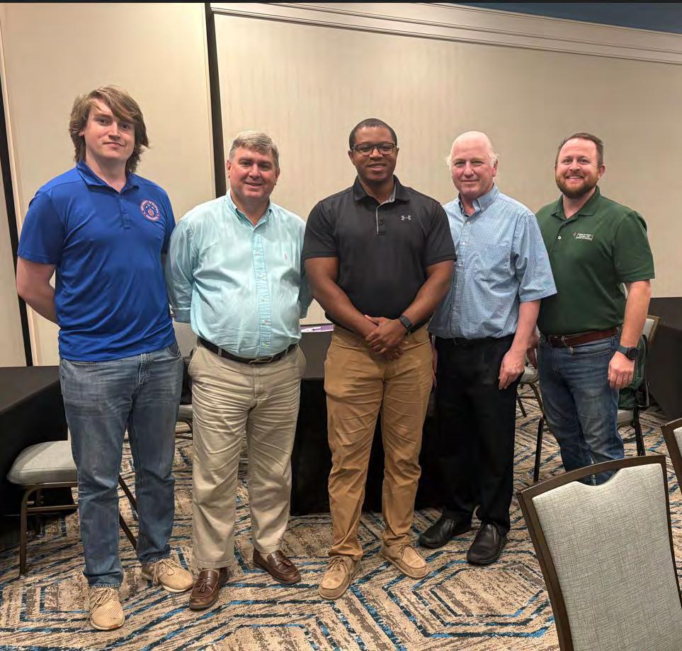
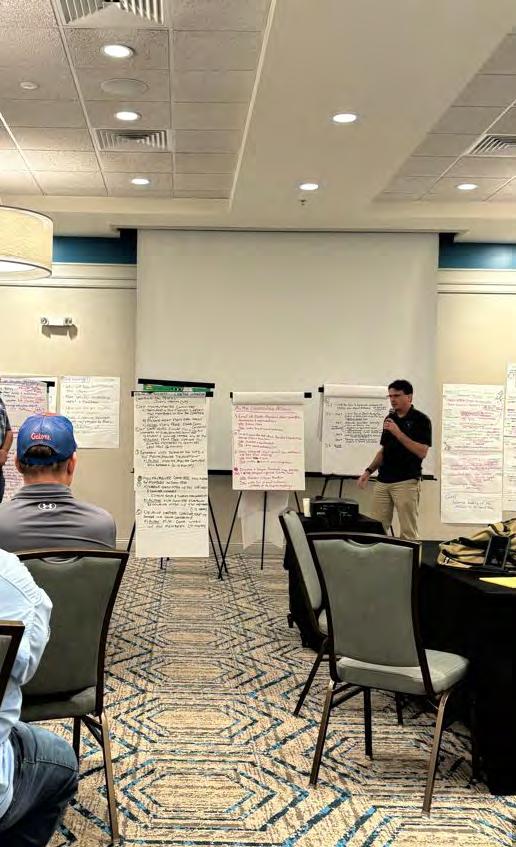
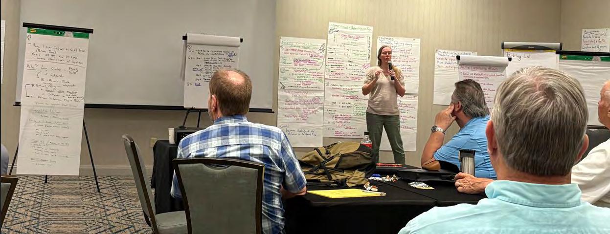
First off, I want to thank Joy Hazell, State Specialized Agent in Conflict Management Director, Florida Natural Resources Leadership Institute, School of Forest, Fisheries and Geomatics Sciences (FFGS), and Jon Dain, School of Forest, Fisheries, and Geomatics Science for moderating this past Strategic Planning session. Our meeting was held March 31st - April 1st at the Drury Inn & Suites in Gainesville. Under their guidance, I believe the Strategic Planning Committee came away with some great discussion with amazing planning ideas worked through. The draft plan is currently being formalized for introduction at our next board meeting. With the ideas touched upon, I feel like we have a great path moving forward.
Upon completion of the Strategic Plan meeting, the Board shifted to our quarterly general session Board Meeting.
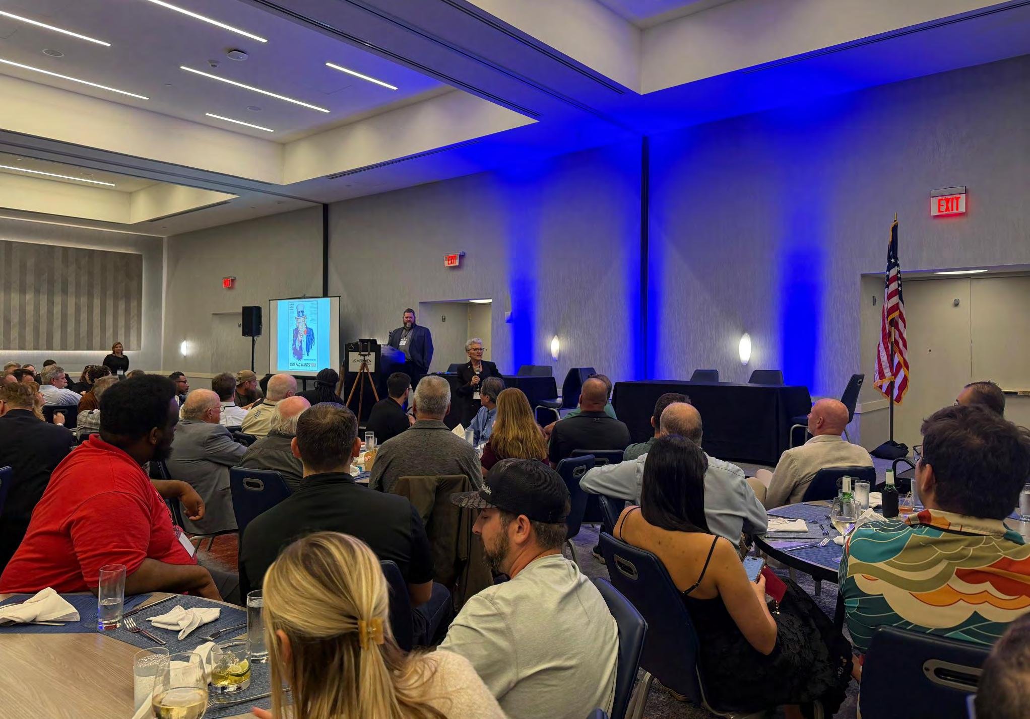
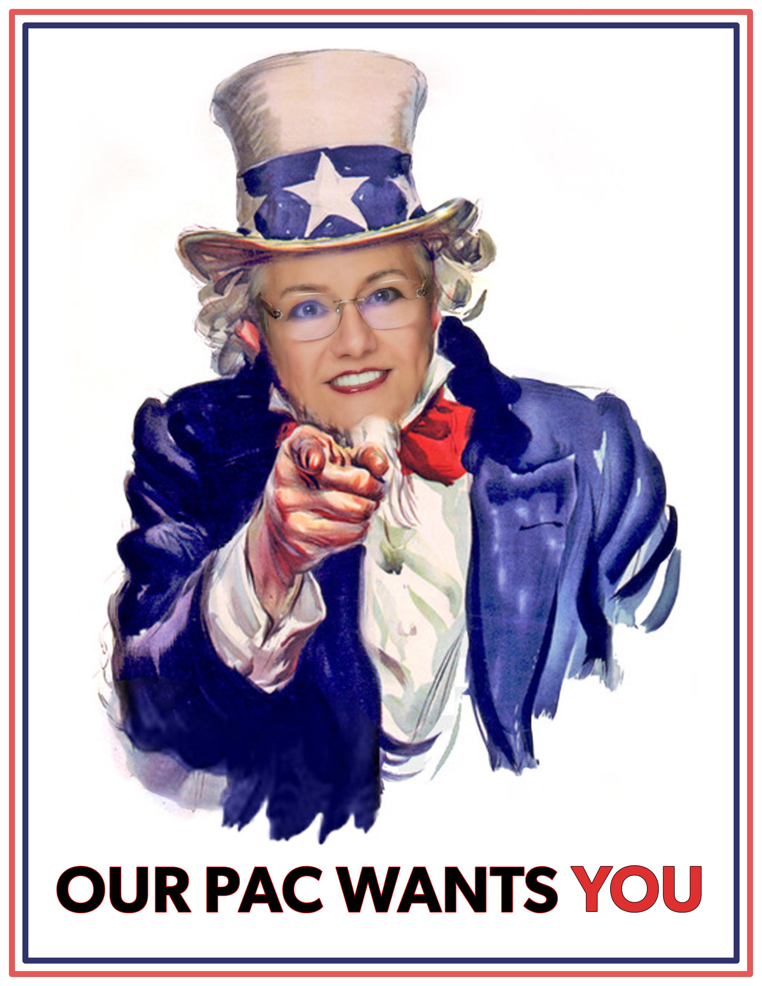
I would like to thank David Daniel, Jack Breed and the rest of the Legislative Team for a job well done. The Florida Legislative regular sessi on ended with no action taken on either of the initiatives of concern, Survey or Licensing or Deregulation of Professions. In talking with Jack after our mee ting and learning of the extra effort this group sometimes has to expend, I know w e have the best Legislative assistance available. Which leads me to the FS MSPAC. The Florida Surveying and Mapping Political Action Committee fund i s utilized to maintain dialogue with elected officials, explaining the impor tance of our profession to Florida’s growth, and is central to warding off th ese legislative attacks that we appear to keep encountering. I’d like to encour age you to please donate.
PRESIDENT’S Message
Another great highlight from our meeting that I would like to m ention, is the creation of a new practice session “Women Surveyors of Florida” . The goal of this forum is to support professional development, mentorship, and retention of women surveyors. I would like to recognize Angela Bailey for suggesting this and bringing this group into existence. I believe this to be a powerful addition to the society.
Conference
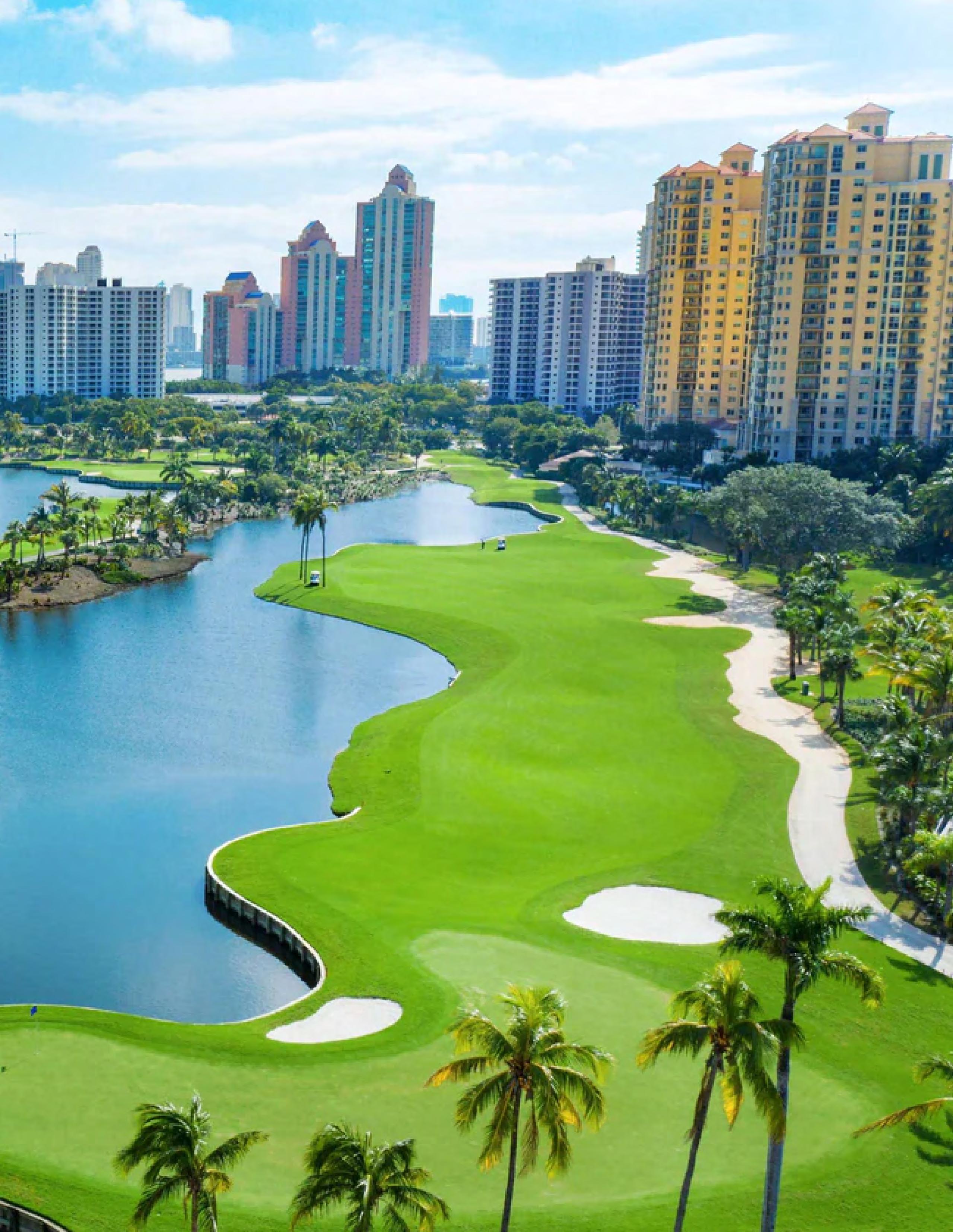
As most of you know, the 2026 conference has been set and will be hosted at the JW Marriott Miami Turnberry Resort & Spa from July 29th - August 1st, 2026. Registration is now open. The education list is finalized, and I for one am looking forward to several of the listed classes. I can tell you now, room reservations will go fast, so I encourage you to book early.
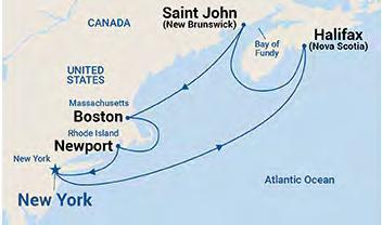
Seminars at Sea FSMS has put together another Seminars at Sea package that depa rts October 3rd aboard Princess Cruise Line - Majestic Princess, from New Y ork Harbor and proceeds to the following destinations: Newport, Rhode Isla nd , Boston, Massachusetts, Saint John (for the Bay of Fundy), Canada, Halifax (Nova Scotia), Canada, and returning to New York Harbor October 10th. There w ill be two live morning seminars while onboard from 7 am to Noon, and 12 h ours of CE credit will be provided by your choice of correspondence course s.
Scouting Merit Badge
On Saturday May 2nd, The University of Florida School of Forest , Fisheries & Geomatics Sciences, will be hosting a Fishing, Forestry and S urveying Merit Badge. The event is for Scouts ages 13 and up. This is a great program to introduce kids to surveying, and I plan on attending. If you know of a youngster that may want to learn a little more about surveying, this would be a great event for them. For more information follow the link pr ovided above or e-mail Katie Britt, Assistant Director for Geomatics Extension.
Respectfully submitted,
Robert N. Johnson, PSM, CFM
2025-26 Districts and
Directors
District 1 - Northwest
Bay, Calhoun, Escambia, Franklin, Gadsden, Gulf, Holmes, Jackson, Jefferson, Leon, Liberty, Madison, Okaloosa, Santa Rosa, Taylor, Wakulla, Walton, Washington
Chad Thurner (850) 200-2441 chad.thurner@sam.biz
Angela Bailey (850) 559-5039 bailey.angelakay@gmail. com
District 2 - Northeast
Alachua, Baker, Bradford, Clay, Columbia, Dixie, Duval, Gilchrist, Hamilton, Lafayette, Levy, Marion, Nassau, Putnam, Suwannee, St. Johns, Union
Pablo Ferrari (904) 219-4054 pferrari@drmp.com
Nick Digruttolo (352) 374-2249 ndigrutt@gmail. com
District 3 - East Central
Brevard, Flagler, Indian River, Lake, Okeechobee, Orange, Osceola, Seminole, Martin, St. Lucie, Volusia
Howard Ehmke (772) 206-4650 howard.ehmke @bowman.com
Constitution & Resolution Advisory Committee Pablo Ferrari
Annual Meeting Committee Allen Nobles
Legal & Legislative Committee Jack Breed
Surveying & Mapping Council Randy Tompkins
Strategic Planning Committee Brion Yancy
Executive Committee Bob Johnson
Special Committees
Equipment Theft Rick Pryce
Awards Committee Rick Pryce
UF Alumni Recruiting Committee Russell Hyatt
Professional Practice Committee Lou Campanile, Jr.
Workforce Development Committee Lou Campanile, Jr.
Liaisons
CST Program Alex Jenkins
FDACS BPSM Don Elder
Surveyors in Government Richard Allen
Academic Advisory Justin Thomas UF / Earl Soeder FAU
FES Lou Campanile, Jr.
Practice Sections
Geospatial Users Group
Richard Allen
Young Surveyors Network Mary Voor
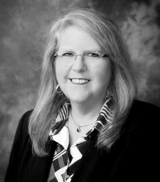
Sherry Kirkland, psm of 30 South Surveying
A Huge Congratulations to our 2026 Recruitment Champion, Sherry Kirkland of 30 South Surveying.
Sherry Recruited Four New Members ( 1 Sustaining Firm, 1 Full, and 2 Associates ) as part of our 2026 Membership Recruitment Contest. As the winner, she will enjoy a 2 night stay at the JW Marriot Miami Turnberry Resort & Spa during annual conference along with a Packet One Registration.
Thank You to all of this year's participants in the membership recruitment contest. Together, we continue to grow and reach new heights!
round the State A
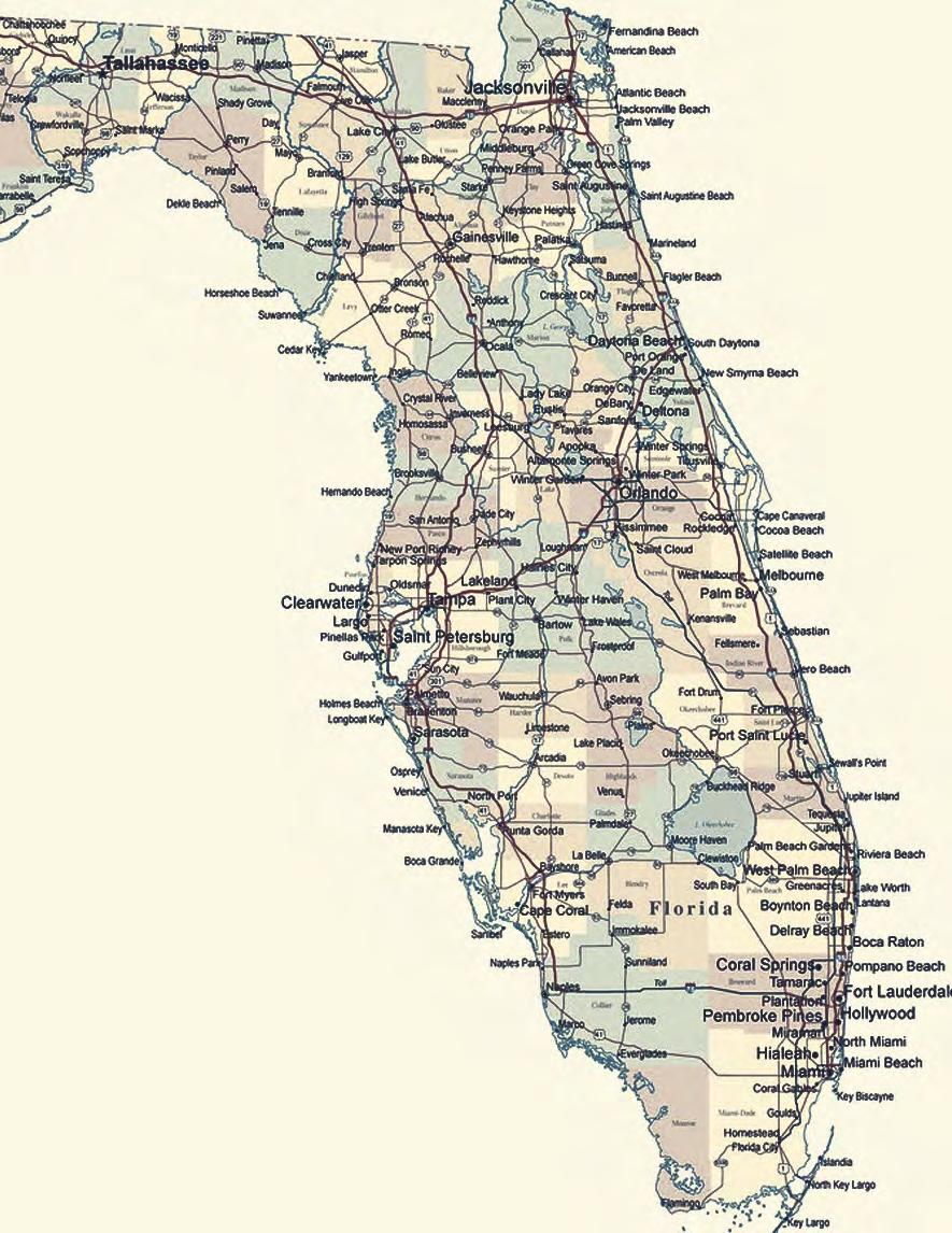
26th Parallel North
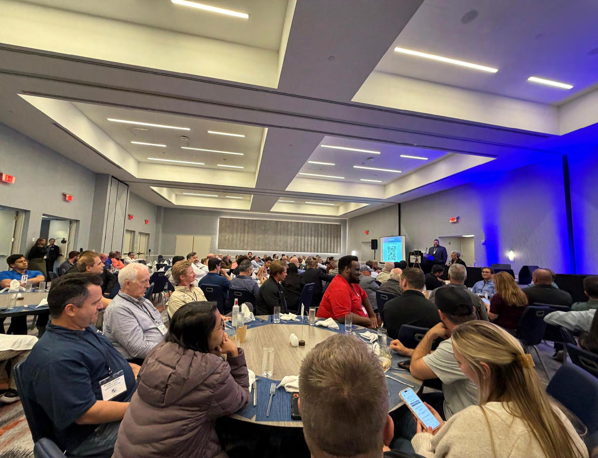
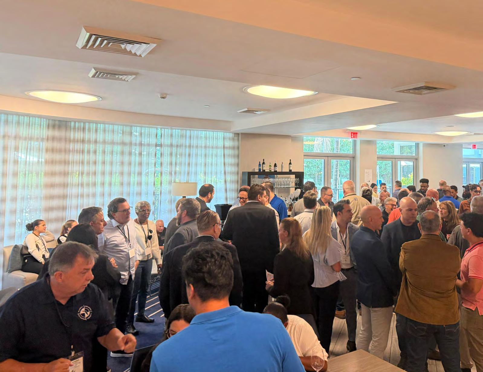
Had a great time last night connecting with our fellow surveyors in South Florida. Thank you, Florida Surveying and Mapping Society for hosting such a great event!
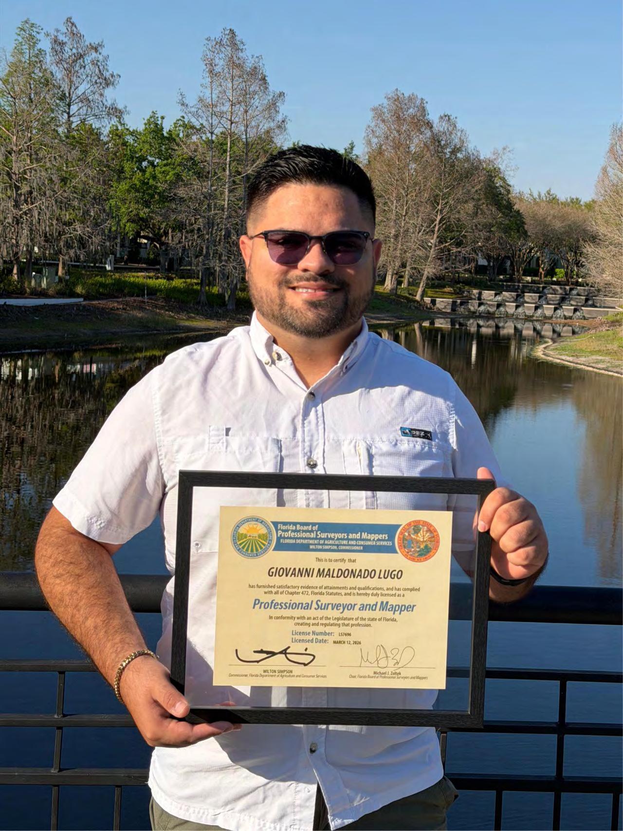
Associate Member Giovanni Maldonado Lugo, PSM, PLS
From goals to reality! Closing National Surveyors Week with gratitude after receiving my PSM certification.
Growth, discipline, and purpose. This is just getting started.
CST E xam Status
For future CST exams like this one, always keep updated by visiting the NSPS calendar found at https://cstnsps.com/calendar/
Florida Young Surveyors Network
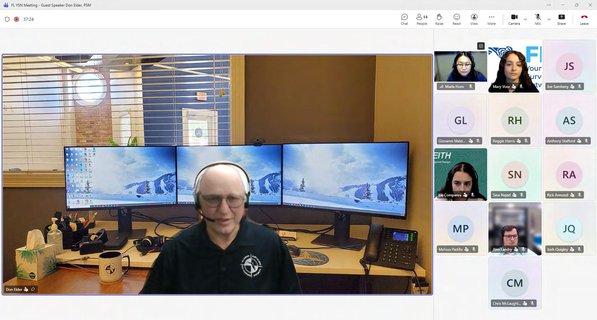
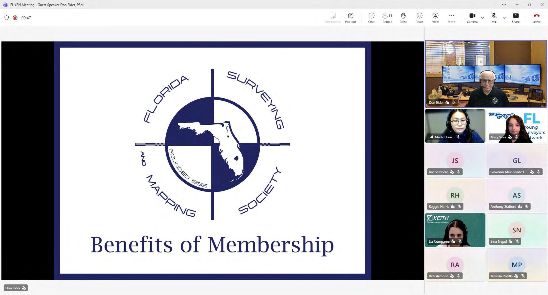
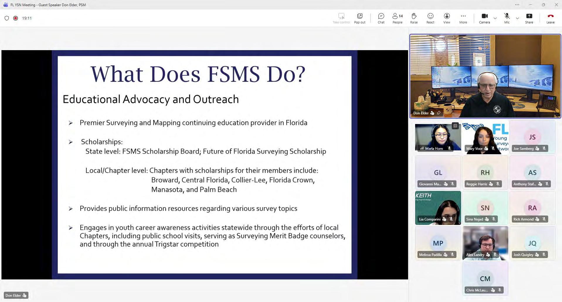
This past week we hosted our March meeting, as part of our monthly virtual meeting series. We are so thankful to past FSMS Preside nt, Don Elder, for providing his time and knowledge about the Florida Surveying and Mapping Society.
During the meeting, Don discussed how the FSMS functions as a s tate society and how to get involved on a Chapter, Committee, and State level. Additionally, he emphasized the importance of networking , noting the people he's met being a key takeaway from his involv ement.
We appreciate everyone who took the time to attend and have lunch with us this past Wednesday, we are looking forward to seeing you all at the next one!
Rick Armond
Florida YSN - FSMS Membership Committee
Representative
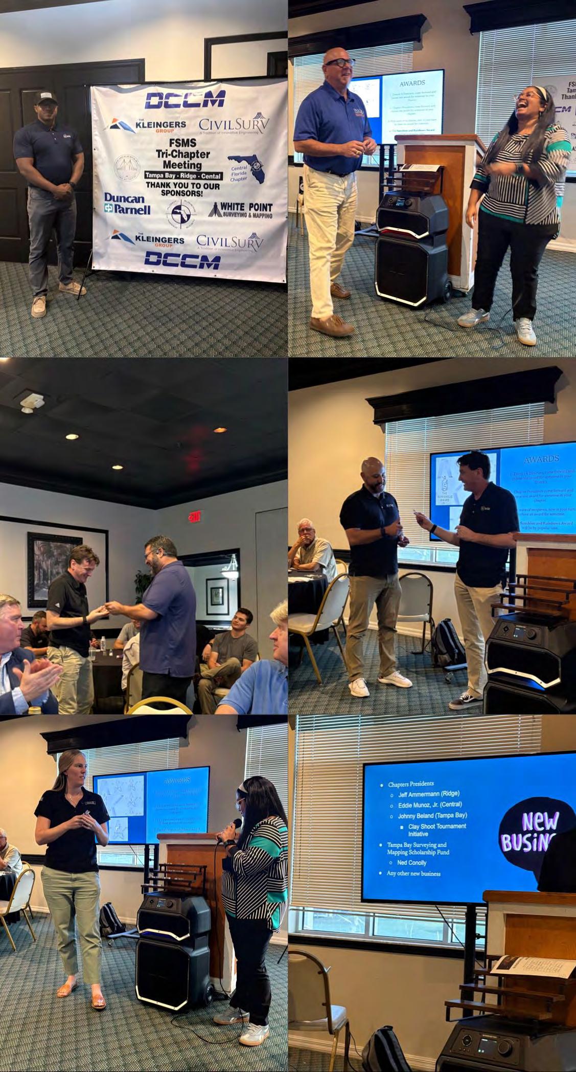
Great to be part of the FSMS Tri-Chapter Meeting bringing together the Tampa Bay, Ridge, and Central Florida chapters.
This year I’m focused on engaging with FSMS chapters across the state. I’ve set a goal to attend as many meetings as possible while maintaining a strong FL YSN presence Florida Young Surveyors Network
Last night’s meeting was a great example of why these chapter meetings matter for young surveyors. A scholarship opportunity was presented, and at the same time, a young professional looking for opportunities was immediately connected with local surveying firms.
There’s no better place for young surveyors to build relationships and connect to real opportunities within the profession.
I appreciate the conversations from last night and look forward to building momentum across the state.
Florida Young Surveyors Network
FSMS Membership Representative, Rick Armond, attended the Flori da Surveying and Mapping Society Strategic Planning Meeting held i n Gainesville, FL.
At the meeting, Rick had the opportunity to participate in planning exercises related to mentorship at the chapter and state level, discussing ways to encourage involvement from young professionals within the FSMS.
As shown by Rick, it is important to remember how active attend ance and participation opens the door to meaningful discussion that ulti mately improves our industry as a whole. Thanks for representing us we ll, Rick!
Marla Horn Florida YSN - Marketing
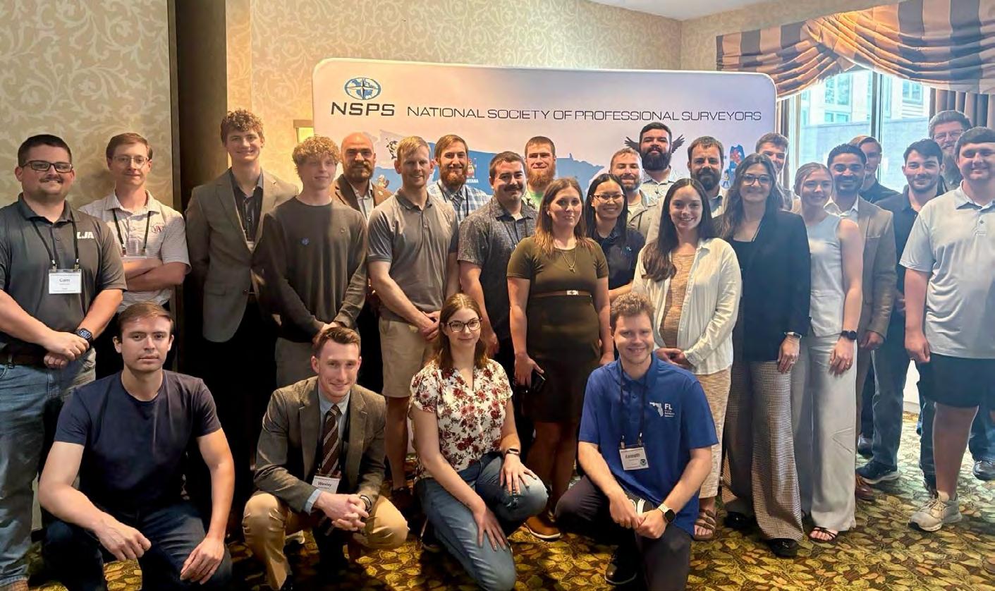
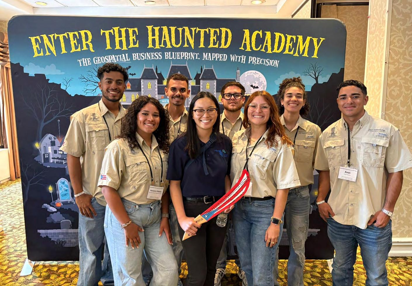
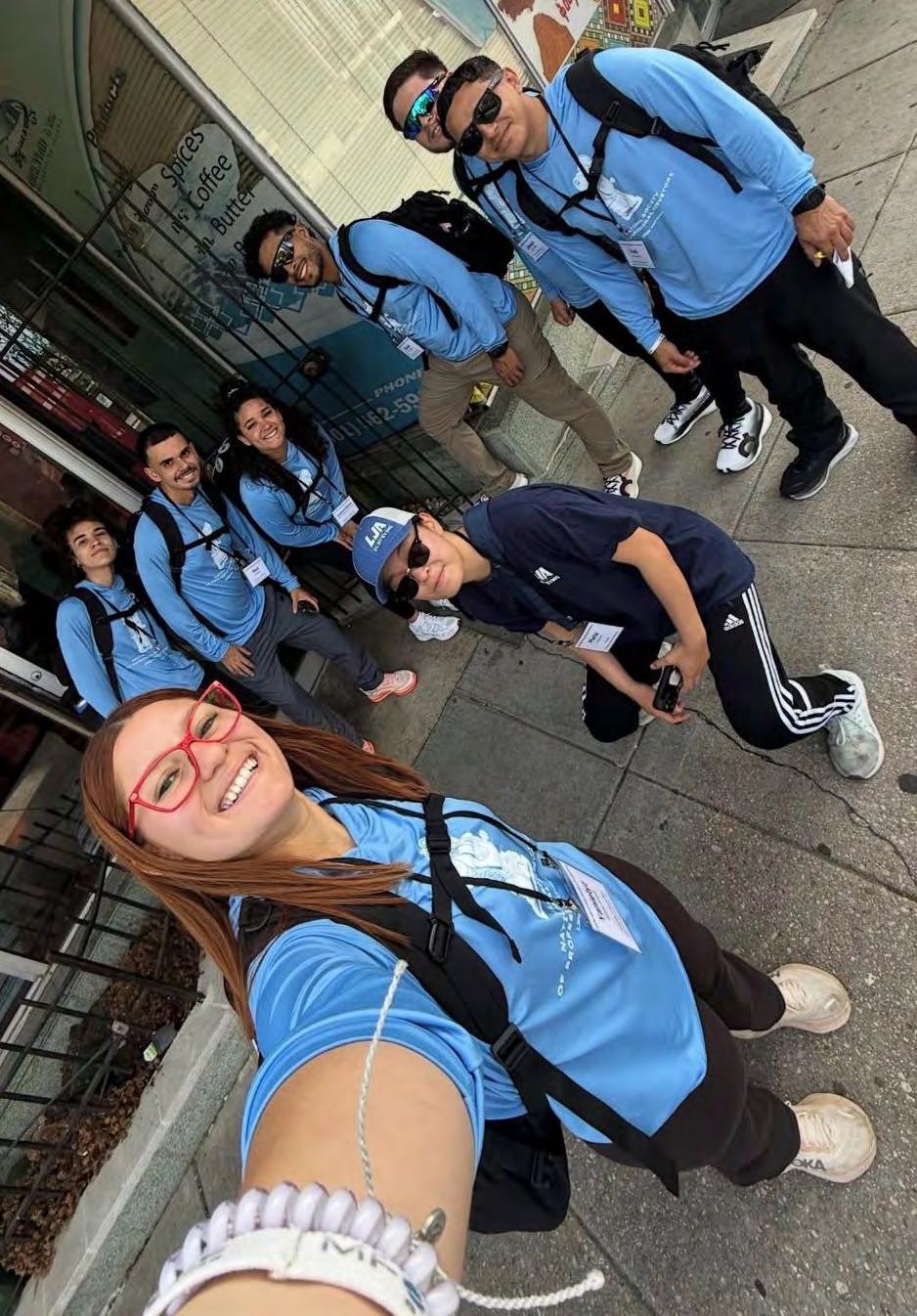
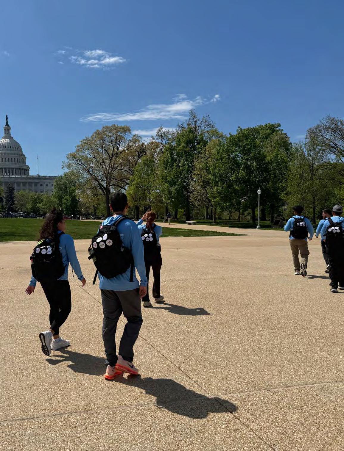
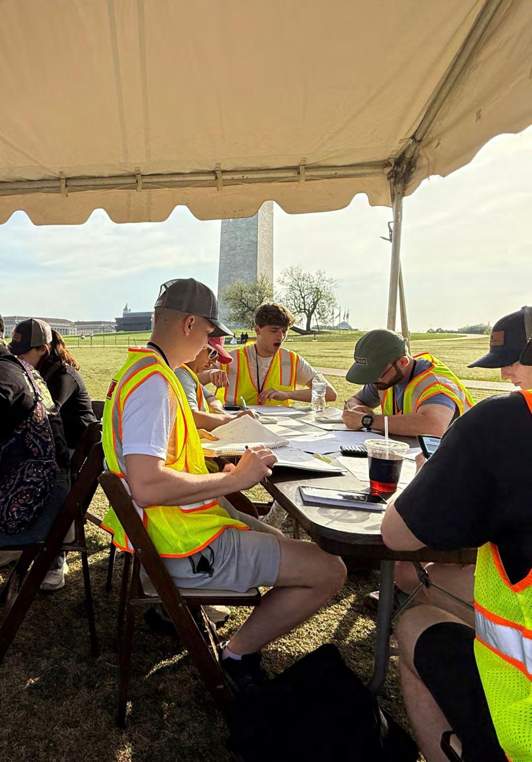
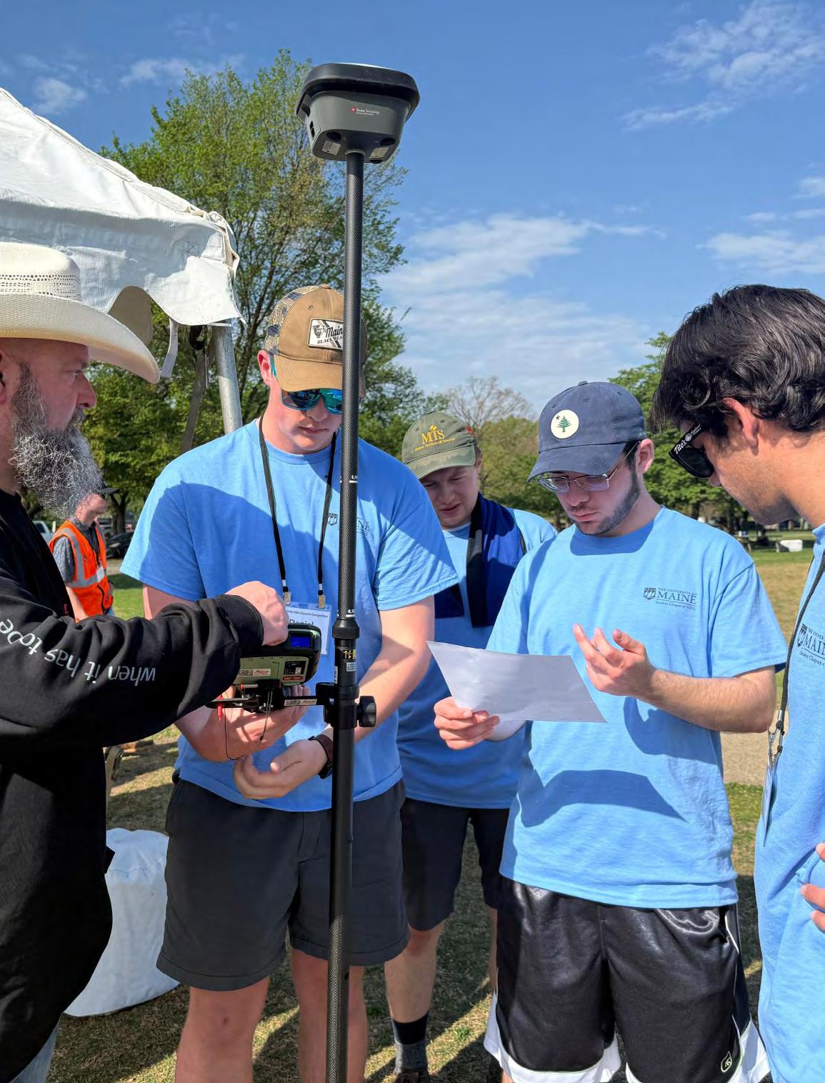
This past week I had the absolute pleasure of attending the 202 6 NSPS Young Surveyors Network (YSN) Student Competition in Washington DC, making the transition from competitor to volunteer.
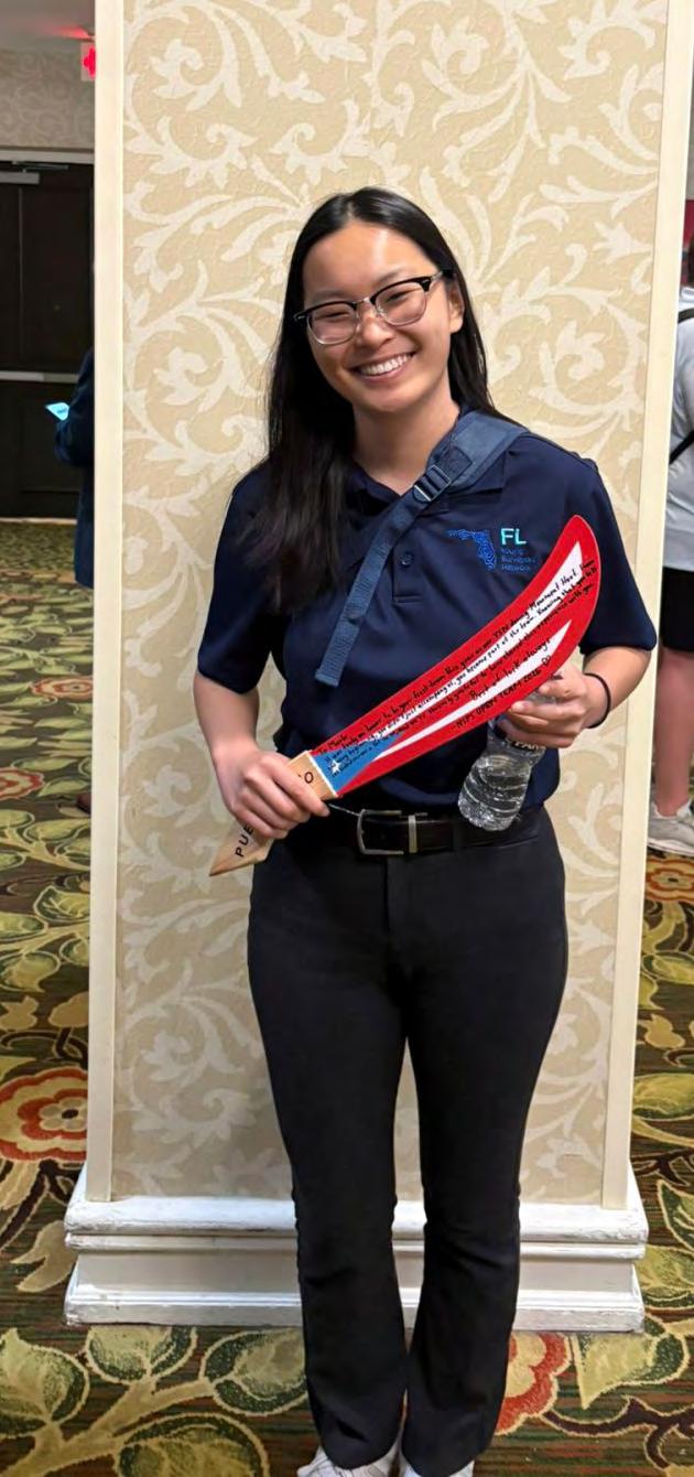
As a first time volunteer, I was met with a whole new perspectiv e for the competition that ignited my career path two years ago. From tre kking 15mi to search for monuments with the University of Puerto RicoMayaguez team , to assisting in field exercises on the national mall, I was able to interact with students, advisors, and YSN members from all across the country. It is truly inspiring to see how passion for the i ndustry can start conversations and unite young professionals toward common goals.
I’d like to thank the Florida Surveying and Mapping Society and the Florida Young Surveyors Network for providing me with the opportunity t o attend this event. It would not have been possible to send one, let al one FOUR representatives from the state of Florida without the amazing s upport from our community. Signing off, Go Gator Surveyors!
Rick Armond Florida YSN - FSMS Membership Committee Representative
Proud to be part of this community and the work it’s doing to move the profession forward!
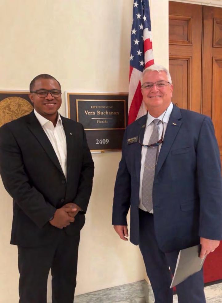
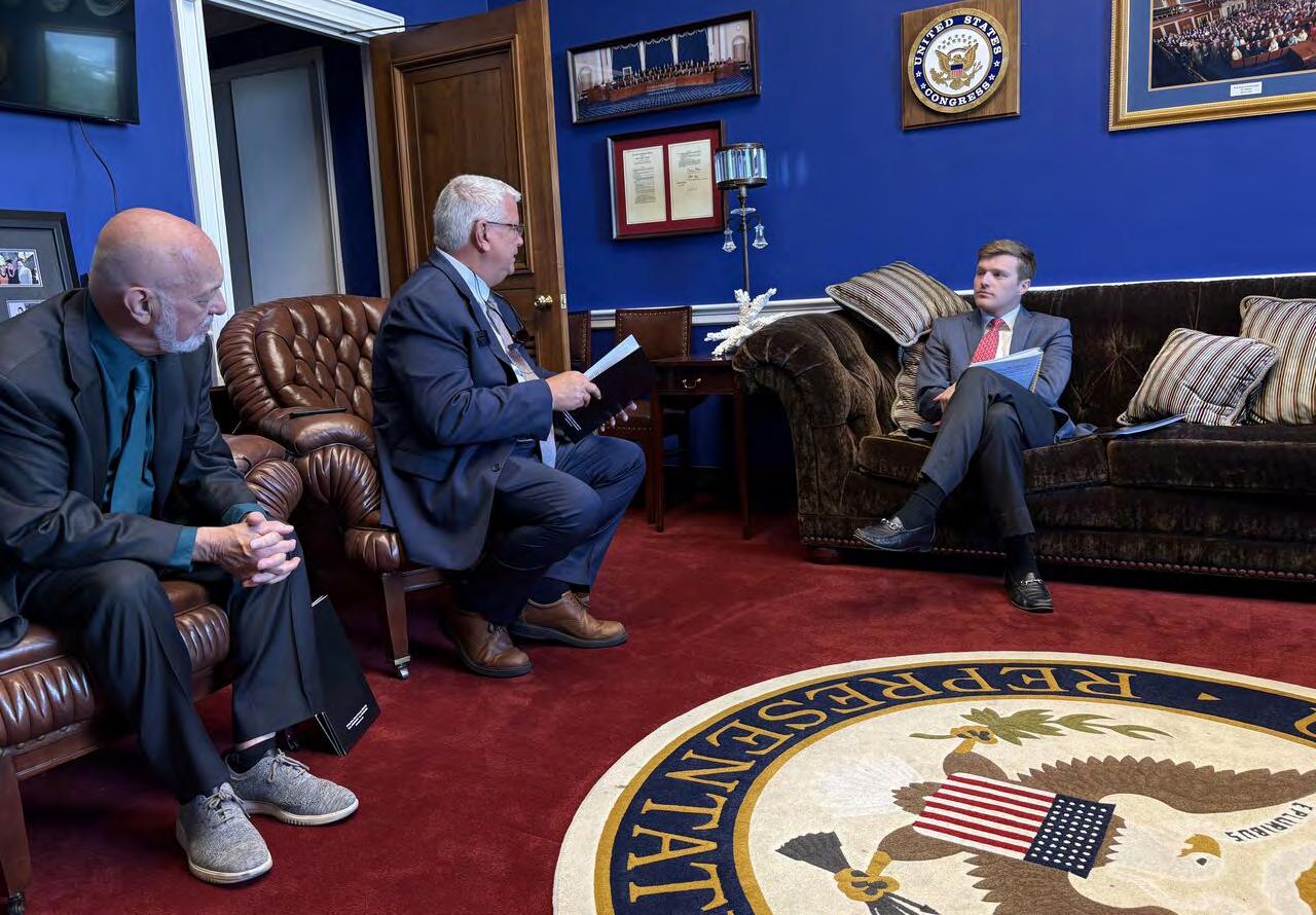
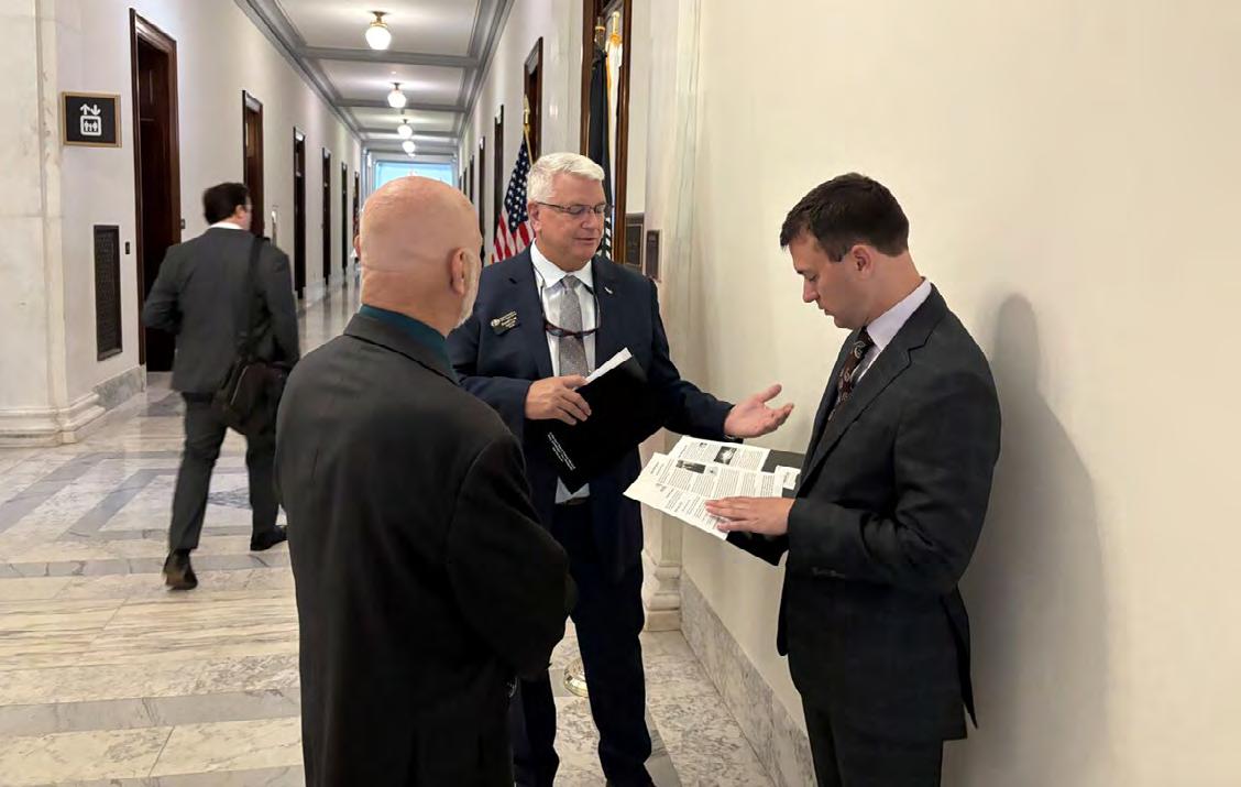
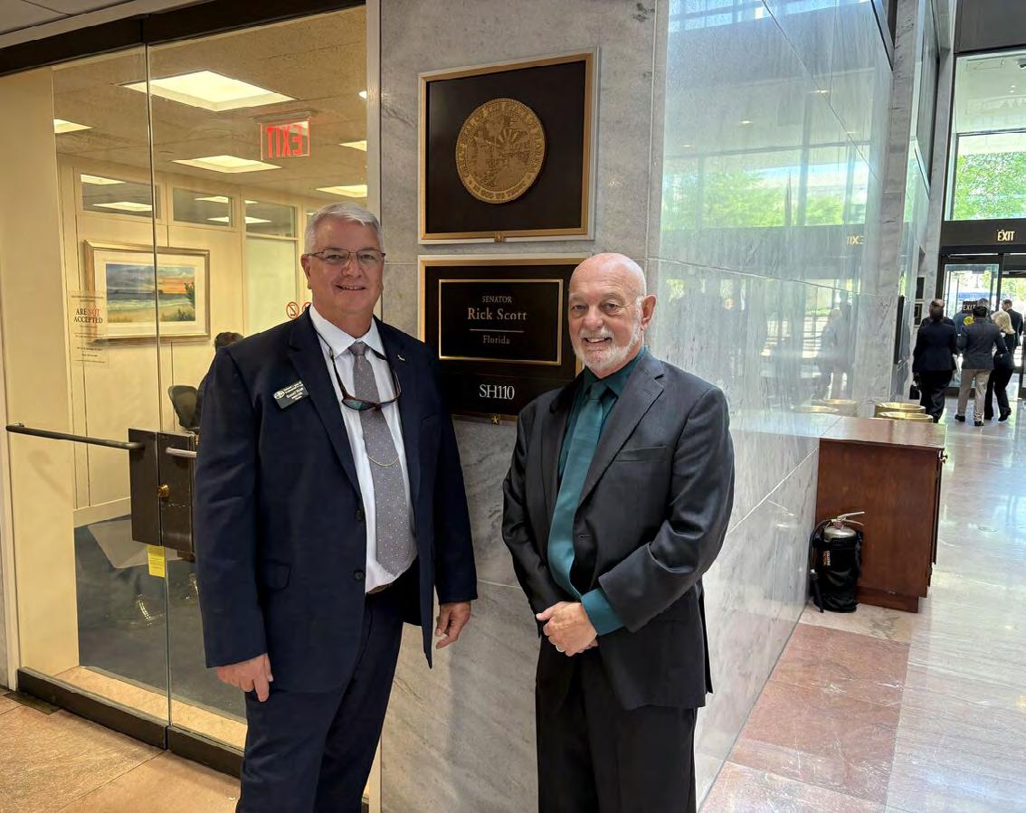
This week, I had the opportunity to participate in NSPS Day on the Hill, and I can say it’s an experience I won’t forget.
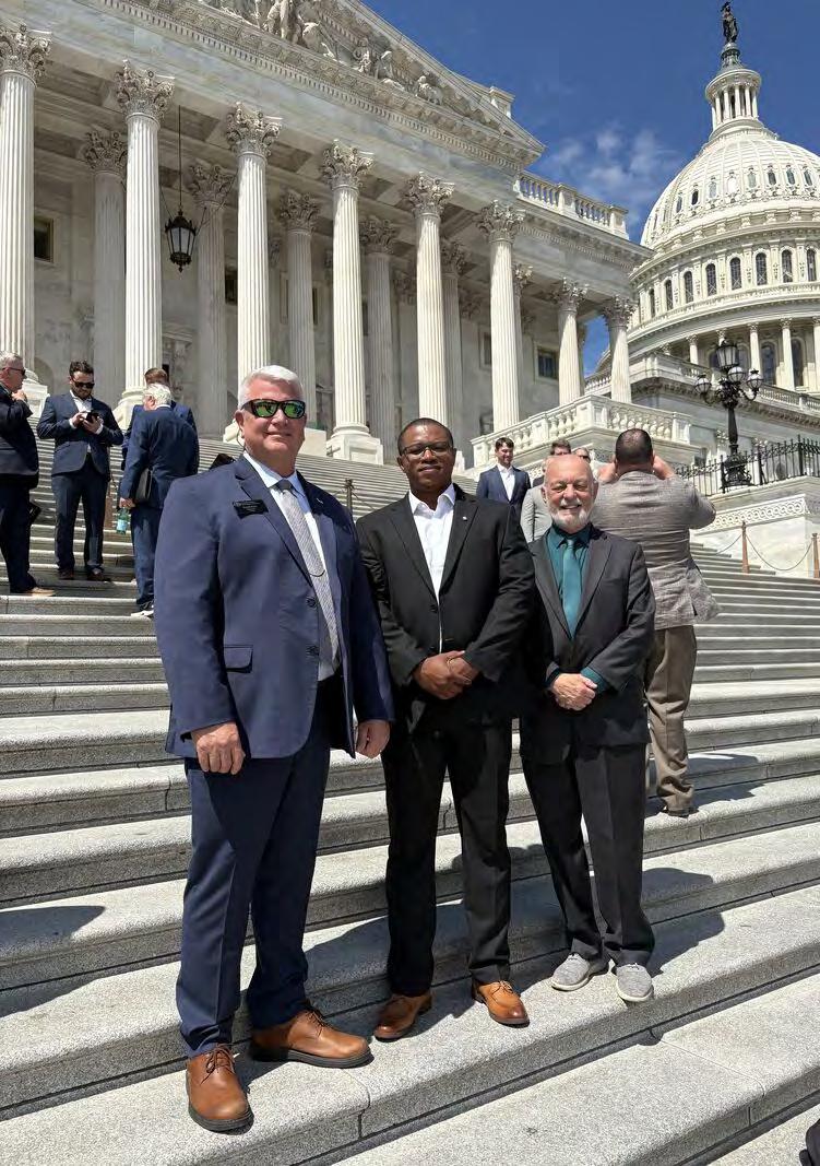
Surveyors from 46 states came together to align on key issues impacting our profession, including the Geospatial Data Act / NGS modernizati on efforts, the Alpha-gal Allergen Inclusion Act, and Transition Assistance Program (TAP) workforce pipeline efforts in the National Defense Authorization Act.
We then met with representatives and staffers on Capitol Hill to advocate for how surveying and geospatial data support infrastructure, surveyor health and safety, and workforce development .
I had the opportunity to join Bob Miller and Russell Hyatt. Hav ing met Russell at a prior FSMS board meeting, it was great to reconnect. Our d iscussions made it clear this is how change happens, and I got to see it fi rsthand. I want to thank both for the guidance and insights they shared with me throughout the day. Grateful for the opportunity to be involved and lookin g forward to what’s ahead for the profession.
SURVEYOR ULTRA
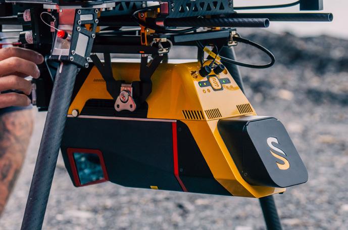
Versatile and lightweight. Penetrates dense canopy and captures accurate ground models for forestry, mining, and infrastructure.
VOYAGER
Precision redefined: ultra-dense, long-range LiDAR delivering unmatched accuracy from UAV or helicopter.
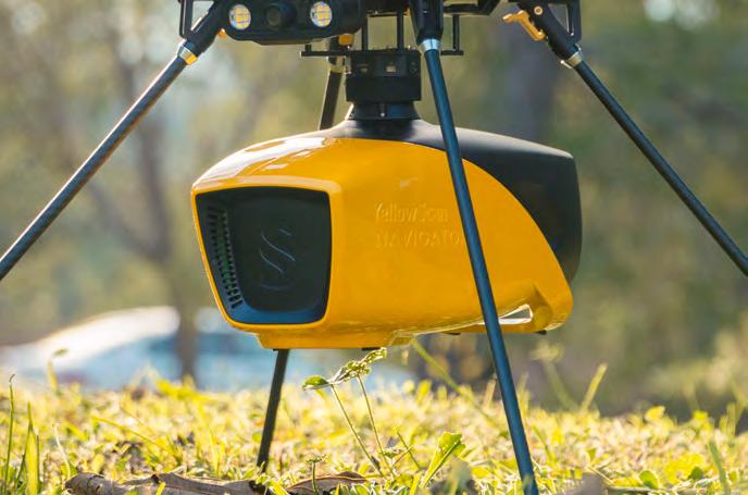
NAVIGATOR
Shallow-water bathymetric LiDAR for rivers, wetlands, and coastal mapping.
PRECISION MAPPING. ANY INDUSTRY. ANY MISSION.
Frontier Precision Unmanned + YellowScan LiDAR
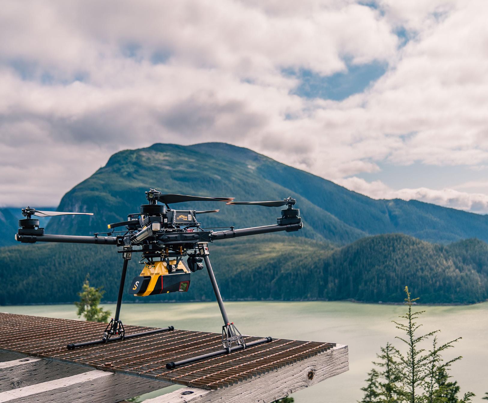
From shallow-water bathymetry to large-area forestry, mining, and infrastructure, Frontier Precision Unmanned delivers the unmatched accuracy of YellowScan LiDAR — integrated on drones or helicopters for any application.
As America’s largest and most trusted YellowScan dealer, Frontier combines the industry’s top LiDAR sensors with decades of geospatial expertise and full-service support. Whether you’re surveying corridors, monitoring coastlines, modeling terrain, or inspecting utilities, Frontier Precision Unmanned provides the tools, training, and experience to ensure your LiDAR investment delivers real results.
With Frontier’s broad lineup of drones, sensors, and software, you’ll find the right system — at the right scale — for your industry.
Partner with Frontier Precision Unmanned — your trusted U.S. YellowScan dealer.
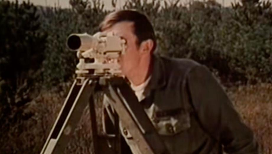
The Mapmaking Process (U.S.
Army 1973)
202 6 S u S taining
3D Surveying
850-480-0317
863-800-3539
Bello & Bello Land Surveying Corporation 305-251-9606
Bennett-Panfil, Inc. 941-497-1290
BGE, Inc. 561-485-0824
Boatwright Land Surveyors, Inc. 904-241-8550
Bock & Clark Corporation(NV5) 330-665-4821
Bowman Consulting Group 703-454-1000
Braden Land Surveying 727-224-8758
Bradshaw-Niles & Associates, Inc. 904-829-2591
Brown & Phillips, Inc. 561-615-3988
F irm S Directory
BSE
Consultants, Inc.
321-725-3674
Buchanan & Harper, Inc.
850-763-7427
C
Calvin, Giordano & Associates, Inc.
954-921-7781
Carnahan, Proctor & Cross, Inc.
407-960-5980
Carter Associates, Inc.
772-562-4191
Caulfield & Wheeler
561-392-1991
CivilSurv Design Group, Inc.
863-646-4771
Clary & Associates, Inc.
904-260-2703
Clements Surveying, Inc.
941-729-6690
Clymer Farner Barley Surveying, LLC
352-748-3126
Coastal Engineering Associates, Inc.
352-796-9423
Colliers Engineering & Design
732-383-1950
Control Point Associates, Inc. 954-763-7611
Cousins Surveyors & Associates, Inc. 954-689-7766
CPH Consulting, LLC 407-322-6841
Craven-Thompson & Associates, Inc. 954-739-6400
DDCCM (Design, Consulting, Construction Management. 713-874-9162
UF/IFAS School of Forest, Fisheries, and Geomatics Sciences
352-846-0850
Upham, Inc.
386-672-9515
Voler Group 407-681-3836
Wade Surveying, Inc.
352-753-6511
Wantman
WBQ Design & Engineering, Inc. 407-839-4300
Whidden Surveying & Mapping, Inc. 561-790-5515
LLC
LinkedIn = 2,582 Followers
Facebook = 1.1K Followers
X = 384 Followers
Instagram = 720 Followers
YouTube = 79 Subscribers • 28 Videos
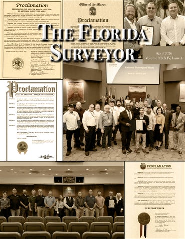
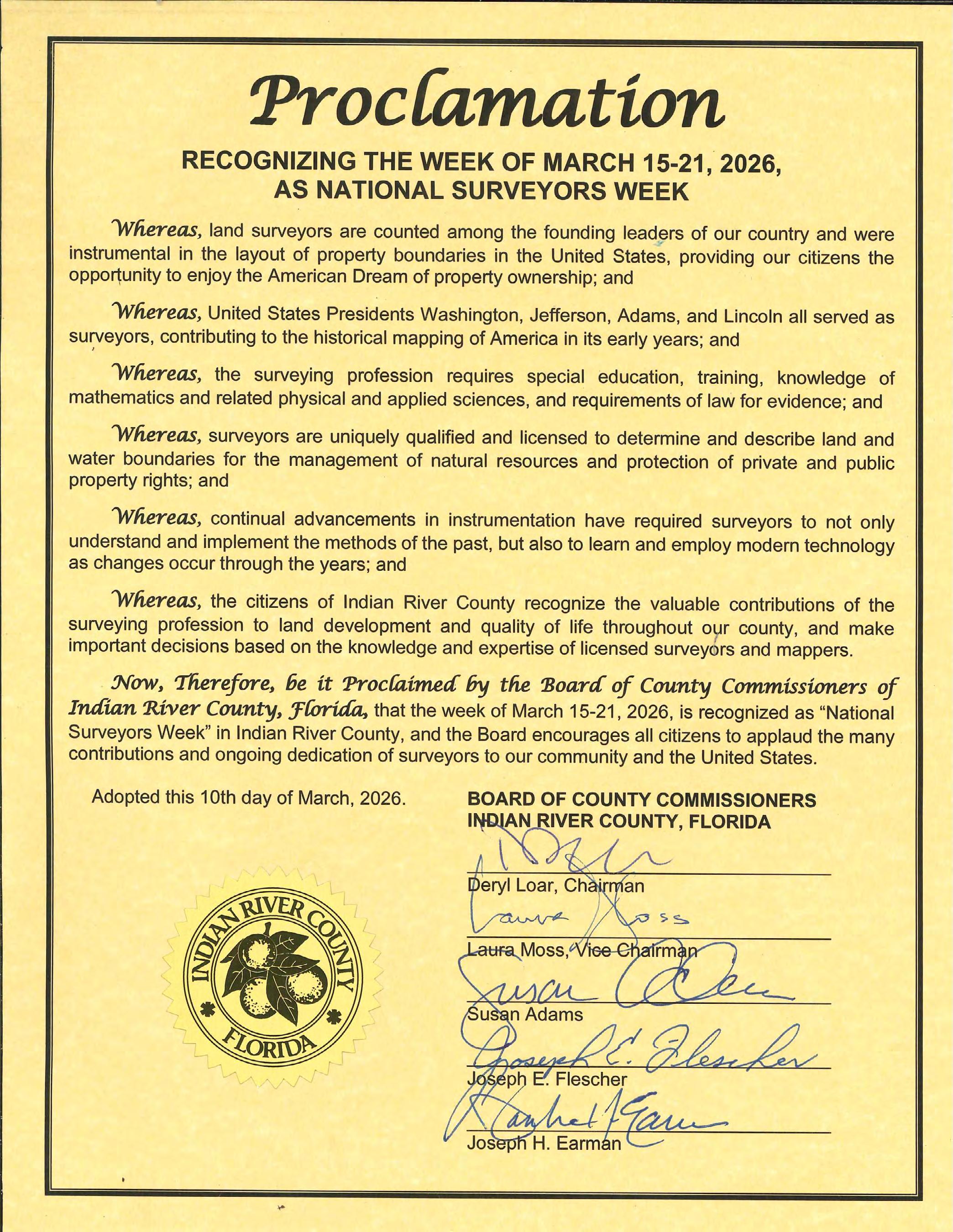
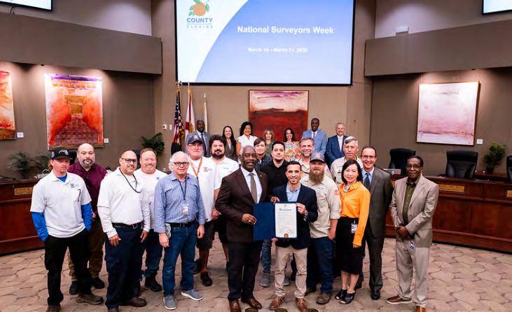
Proclamations from 2026 National Surveyors Week
March 15th – 21st , 2026
Thank You to all the Surveyors who sent in their Proclamations.
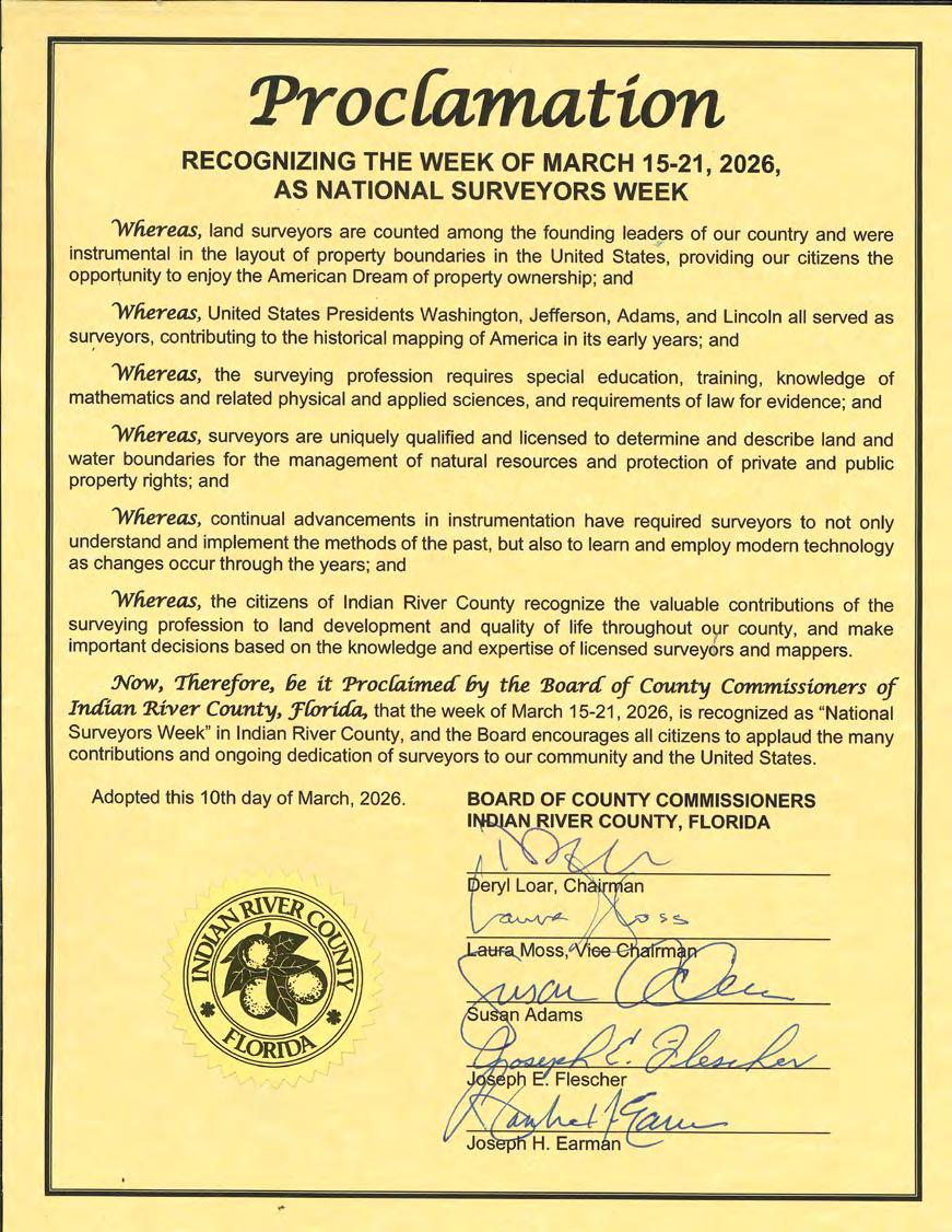
COUNTY COMMISSIONERS
Deryl Loar, District 4, Chairman
Laura Moss, District 5, Vice Chairman
Susan Adams, District 1
Joseph Flescher, District 2
Joseph H. Earman, District 3
1.CALL TO ORDER
BOARD OF COUNTY COMMISSIONERS
INDIAN RIVER COUNTY, FLORIDA
C O M M I S S I O N A G E N D A
TUESDAY, MARCH 10, 2026 - 9:00 AM
Commission Chambers
Indian River County Administration Complex 1801 27th Street Vero Beach, Florida 32960 indianriver.gov
John A. Titkanich, Jr., County Administrator
Jennifer W. Shuler, County Attorney
Ryan L. Butler, Clerk of the Circuit Court and Comptroller
2.A. A MOMENT OF SILENT REFLECTION FOR FIRST RESPONDERS AND MEMBERS OF THE ARMED FORCES
2.B.INVOCATION
Pastor Carl Darrisaw, Friendship Missionary Baptist Church
3.PLEDGE OF ALLEGIANCE
Commissioner Laura Moss, Vice Chair
4.ADDITIONS/DELETIONS TO THE AGENDA / EMERGENCY ITEMS
5.PROCLAMATIONS and PRESENTATIONS
5.A.
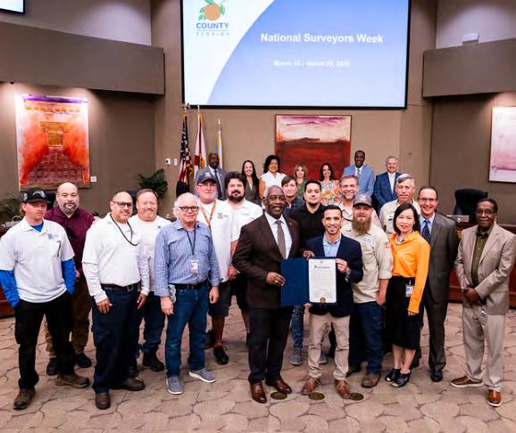
Presentation of Proclamation Recognizing the Week of March 15-21, 2026, As National Surveyors Week
Proclamation Attachments:
5.B. 2026 Proclamation Attachments:
Designation of March 2026 as Procurement Month
5.C.
Presentation of Proclamation Celebrating the Girl Scouts Turning 114
Attachments:
Proclamation Girl Scouts Turns 114
Indian River County
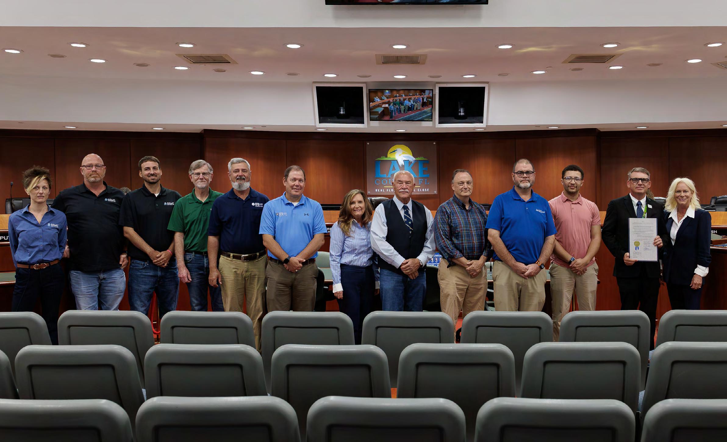
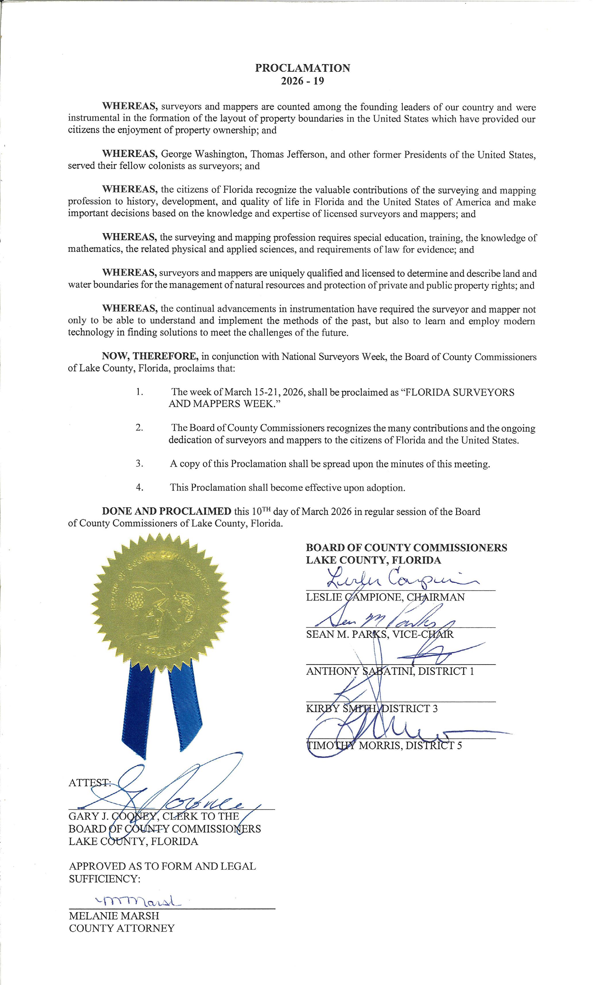
Lake County
From Chris McLaughlin, PSM
— Date: 3/10/2026
Location: Tavares, FL
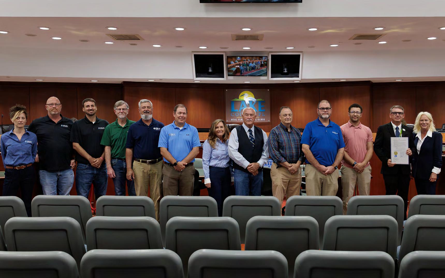
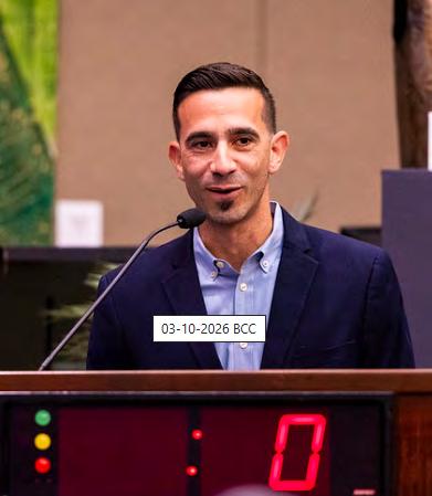
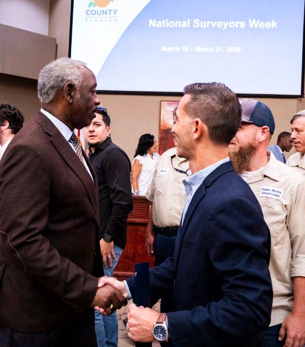
Event: Lake County (FL) Board of County Commissioners regular meeting National Surveyor’s Week Proclamation (special thanks to Lake County Surveyor Cary Melvin for setting it up!)
Photo credit: Lake County
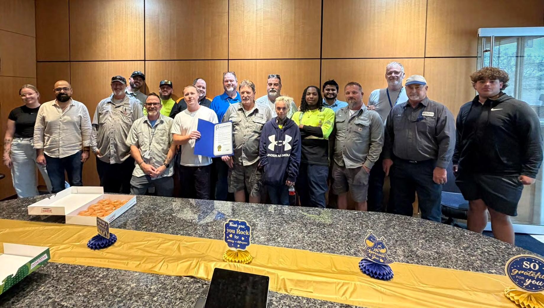
People in photo (L-R): Lindsay Duncan (SSMC), Kevin Ruehl (SSMC), Matt Siebert (SSMC), Steve Brant (Halff), John McGlohorn (CFB Surveying), Chris McLaughlin (CFB Surveying), Suzanne Osbourne (Halff), David Melvin (Land Pro Seminars), Matt Kalus (Orange County), Richard Allen (City of Orlando), Andrew Whitaker (Lake County), Cary Melvin (Lake County), Lake County BOCC Chair Leslie Campione.
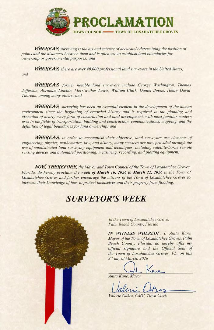
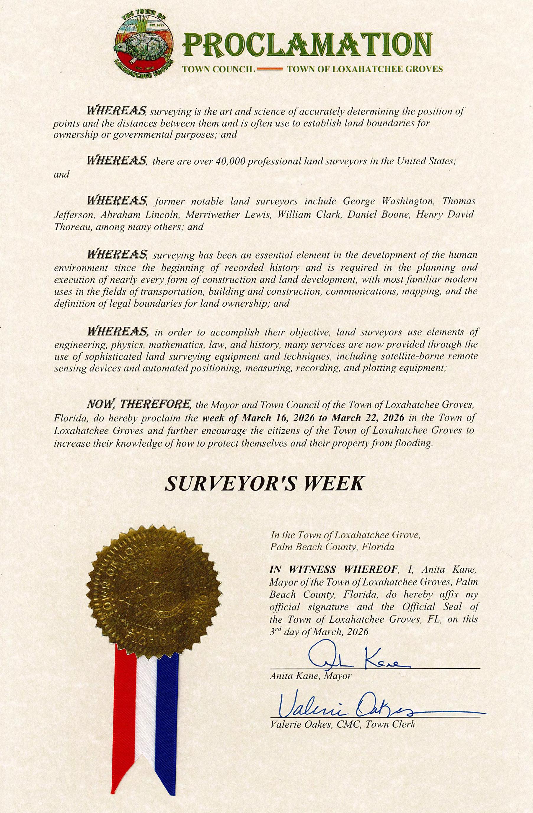
Town of Loxahatchee Groves
Martin County
Orange County
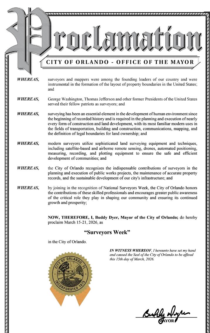
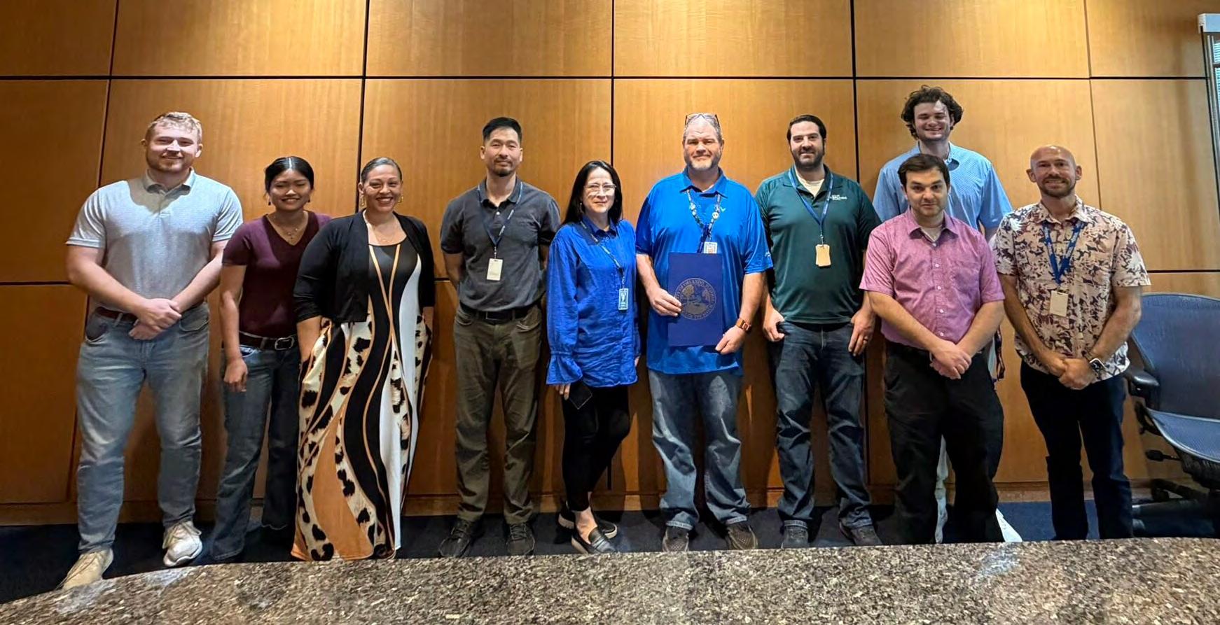
City of Orlando
WHEREAS, surveyors and mappers were among the founding leaders of our country and were instrumental in the formation of the layout of property boundaries in the United States; and
WHEREAS, George Washington, Thomas Jefferson and other former Presidents of the United States served their fellow patriots as surveyors; and
WHEREAS, surveying has been an essential element in the development of human environment since the beginning of recorded history and is required in the planning and execution of nearly every form of construction and land development, with its most familiar modern uses in the fields of transportation, building and construction, communications, mapping, and the definition of legal boundaries for land ownership; and
WHEREAS, modern surveyors utilize sophisticated land surveying equipment and techniques, including satellite-based and airborne remote sensing, drones, automated positioning, measuring, recording, and plotting equipment to ensure the safe and efficient development of communities; and
WHEREAS, the City of Orlando recognizes the indispensable contributions of surveyors in the planning and execution of public works projects, the maintenance of accurate property records, and the sustainable development of our city's infrastructure; and
WHEREAS, by joining in the recognition of National Surveyors Week, the City of Orlando honors the contributions of these skilled professionals and encourages greater public awareness of the critical role they play in shaping our community and ensuring its continued growth and prosperity;
NOW, THEREFORE, I, Buddy Dyer, Mayor of the City of Orlando; do hereby proclaim March 15-21, 2026, as
“Surveyors Week” in the City of Orlando.
IN WITNESS WHEREOF, I hereunto have set my hand and caused the Seal of the City of Orlando to be affixed this 15th day of March, 2026
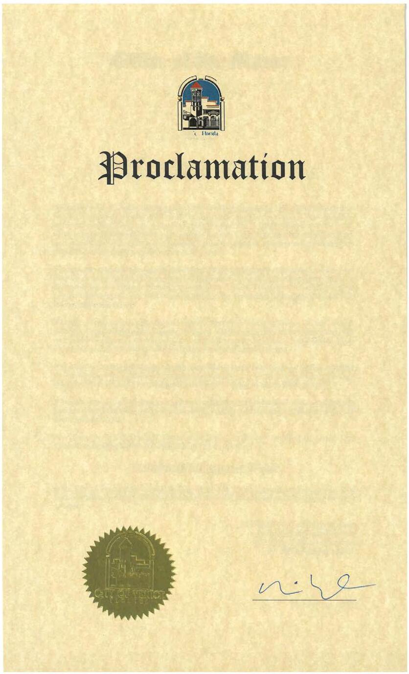
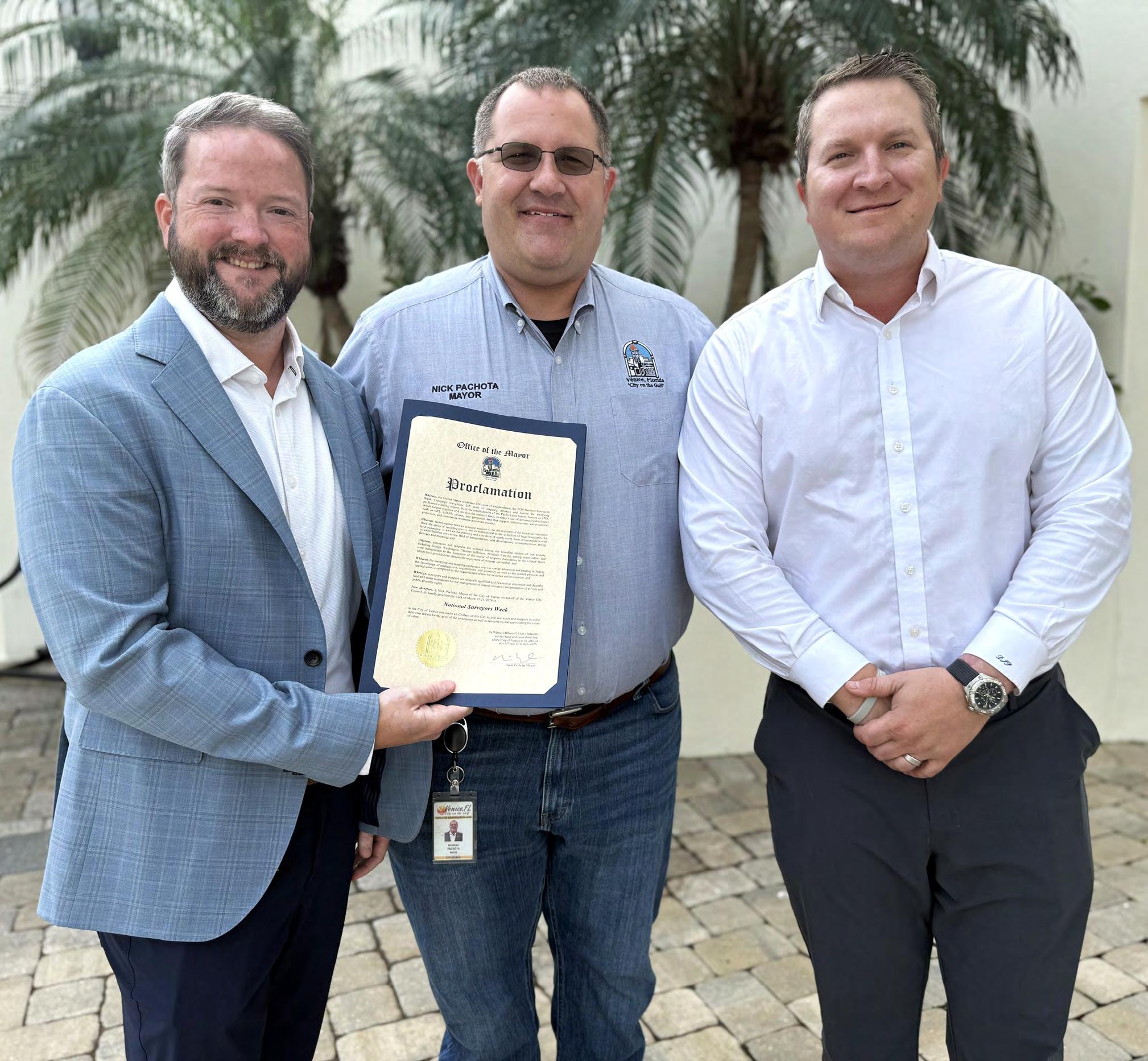
City of Venice
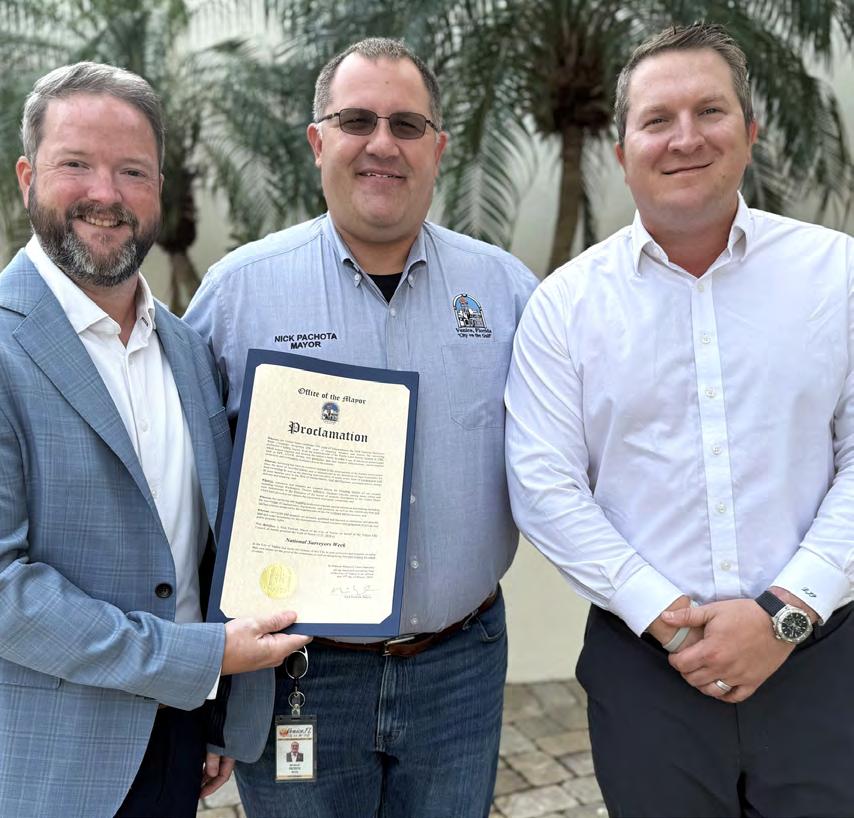
Pictured is Mayor of Venice, Nick Pachota, in the middle, with CEO and Licensed Surveyor, Erick Bennett on the left, and CFO David Panfil, on the right.
Seminars at Sea 2026 Seminars at Sea 2026
The Cruise
• Princess Cruise Line - Majestic Princess
• 7 Nights
• Leaving out of New York Harbor 10/3/26
• Newport, Rhode Island
• Boston, Massachusetts
• A morning of “Learning” at Sea
• Saint John (for the Bay of Fundy), Canada
• Halifax (Nova Scotia), Canada
• A morning of “Learning” at Sea
• Return to New York Harbor 10/10/26
The Learning
• Two - 6 hour live morning classes while onboard during two days at sea from 7 am to Noon.
• History of Swamp and Overflowed Lands and Island Surveys in Florida (6 CECs) Course# 11097
• The Great Halifax Explosion of 1917: The Roles of the Surveyors & Planners (6 CECs) Course# 11096
• 12 hours CE Credit via your choice of Correspondence Courses.
• Registering for the Learning will be at an additional cost of $500 per seminar attendee above the cost of the Cruise. Click Here to Register for The Learning Provider No. CE11.
The Instructor
Dr. Joe Knetsch will be our live onboard instructor for the 2026 Seminars at Sea. Dr. Knetsch received his Ph. D. in history from Florida State University (1990), an MA in history from Florida Atlantic University (1974) and a B.S. from Western Michigan University with a major in History and Economics. He was the historian for the Florida Department of Environmental Protection (formerly Department of Natural Resources), Division of State Lands from 1987 to August of 2014.
The Details
• Book early to secure your cabin - FSMS currently has Deluxe Mini-Suites and Deluxe Balconies on hold until May 2026 at the below rates. Click Here to Check out the Cabins and their Availability
• Category MB - Mini-Suite $2066 per person based on double occupancy.
• Category DB - Balcony $1846 per person based on double occupancy.
• Please note at the time of booking with Princess any promotions which could include reduced fares or deposits will be applied to your booking. If there is another category of cabin you would like to book, our Travel Advisor Gail Oliver will work with you on finding the best cabin for the best rate to suit your needs. It is important to book with Gail to be considered a part of the FSMS group to receive the group benefits. Contact Gail Oliver at Tesoro Travel via email at gail@tesorotravel.com or phone at 904-687-5655.
The Sponsorship
$3000
• Verbal Recognition during Event
• T-shirts with your company logo
• “Thank You” on FSMS website and social media posts
• Listed in all Seminars at Sea Communication
• Featured Full-page ad in The Florida Surveyor Magazine
2026 MEMBERSHIP
Membership for 2026 is open and available for those needing to renew or for those wanting to join The Florida Surveying and Mapping Society. You can Renew your current membership by Clicking Here and logging-in to your FSMS account.
For those New Members wishing to join or rejoin if they were not a member in 2025, Click Here to read about our Membership types and click on the “Join FSMS Today” button at the top of the page to begin your membership with The Florida Surveying and Mapping Society.
Castillo de San Marcos and Fort Matanzas
National Monuments Cultural Landscapes
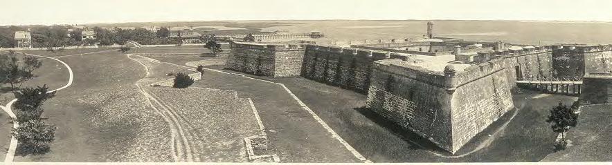
Castillo de San Marcos and Fort Matanzas, both in present-day northeastern Florida, represent the best-preserved evidence of the Spanish Empire’s 287-year presence in southeastern North America. The oldest masonry fortification remaining in the continental United States, Castillo de San Marcos formed the core of a system of defenses built to protect St. Augustine, Florida, which was the first permanent European settlement in the continental United States. Fort Matanzas National Monument is located about 14 miles south of Castillo de San Marcos National Monument on Rattlesnake Island. The Spanish constructed Fort Matanzas between 1740 and 1742, designed as a series of towers along the Matanzas River from which soldiers watched for enemy ships entering the river that provided access to St. Augustine.
Landscape History
Spain constructed Castillo de San Marcos between 1672 and 1695, selecting the site based on its proximity to the Matanzas River and its harbor. It was built to defend St. Augustine, their main colonial outpost in southeastern North America, and to protect the important
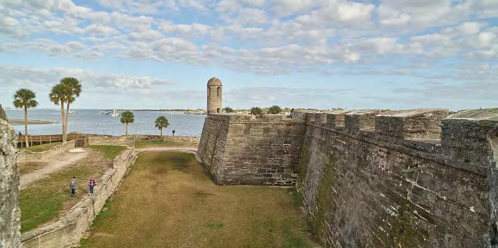
Walls and grounds of the Castillo de San Marcos in St. Augustine, Florida in 2020.
Carol Highsmith, Library of Congress.
sea routes from the North American continent to Spain.
The interaction between the Spanish missionaries and Native Americans had a devastating impact on the tribes, who did not have immunity to infectious diseases introduced by the Europeans. The Timucua in east Florida and Guale tribes along coastal Georgia were among the hardest hit. Through the hardships wrought by enslavement, conquest, and conversion, Native Americans from the Timucua, Guale and Apalachee (occupying the area of Florida between the Aucilla and Apalachicola Rivers) played a significant role in the history of the Spanish establishment of St. Augustine and the construction of Castillo de San Marcos. The Spanish utilized the labor of Native Americans, enslaved Africans, convicts, hired workers, and soldiers to construct the two defensive works and to grow food crops for settlement.
Fort Matanzas, initially constructed from 1740-1742, served as an important outpost to guard the “back door” route to St. Augustine. Both Fort Matanzas and Castillo de San Marcos became the property of Great Britain in 1763. The British changed the name of Castillo de San Marcos to Fort St. Mark. Both forts returned to Spanish control in 1784. The United States took possession of Castillo de San Marcos and Fort Matanzas in 1821 when Florida became a territory of the United States. From 1821 to 1900, the U.S. War Department maintained a small garrison at Castillo de San Marcos and used it for various functions, including as a storage facility and a military prison. Numerous Native Americans were incarcerated here following various conflicts in Florida and in the American West.
In 1825, the War Department changed the name of Castillo de San Marcos to Fort Marion and made various changes to the fort and landscape. Over the decades of managing the property, the War Department developed an appreciation for the fort’s historic significance and made efforts to preserve the building and its features. By the end of the nineteenth century, the less-used Fort Matanzas was in poor condition and its foundation had split into three sections, necessitating extensive repairs.
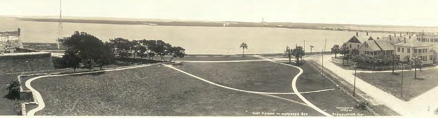
Castillo de San Marcos (then still called Fort Marion) and Fort Matanzas were declared national monuments on October 15, 1924. In 1933, the War Department transferred the two properties to the National Park Service. An Act of Congress restored Castillo de San Marcos’ original name in 1942 as part of a public-private partnership
“Fort Marion on Matanzas Bay, St. Augustine, Fla.” Castillo De San Marcos National Monument, ca. 1912. Harris Co., Copyright Claimant. Library of Congress.
to foster heritage tourism in St. Augustine based on Spanish culture. Through the park’s efforts, both fortifications continue to reflect the history of European colonialism in North America.
Historic Significance
For cultural landscapes such as Castillo de San Marcos National Monument and Fort Matanzas National Monument, documenting existing conditions and evaluating historic resources are critical in the development of a strategy for their management and treatment. Cultural landscape analysis involves two primary activities: evaluating historic significance and assessing historic integrity using criteria determined by the National Register of Historic Places.
Castillo de San Marcos National Monument
The National Register of Historic Places listing recognizes two periods of significance for Castillo de San Marcos. The first, 1672-1821, corresponds to the Colonial period which begins with construction and ends with the transfer of the fort to the United States. The second period, 1821-1924, represents the period when the property was under the administration of the U.S. War Department. Castillo de San Marcos, including the moat, covered way, glacis, and ravelin, are significant for their connections with military history and representation of efforts to protect Spanish interests in southeastern North America. It is also important for military engineering principles, standing as the oldest masonry fortification in the United States and representing theories and conventions of coastal defense during the periods of construction and development.
The fort’s history is also notable for its association with Chief
Osceola, who led the Seminole Nation against the U.S. Army during the Second Seminole War. Beginning in 1835, the U.S. Army pursued Osceola and his band of warriors as they withdrew to avoid capture. In October 1837, Osceola arrived under the flag of truce in St. Augustine to negotiate with American government officials. Osceola was seized and imprisoned at Castillo de San Marcos (then Fort Marion). In December 1837, the army sent Osceola to Fort Moultrie, near Charleston, South Carolina, where he died on January 30, 1838.
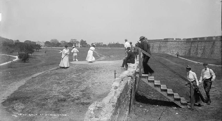
The development of a picturesque landscape around Castillo de San Marcos in the 1890s reflects ideas at the time about recreation and landscape design. The War Department created a park-like landscape around the fort, installing walkways, planting trees, and adding benches. Over time, the military reservation essentially functioned
Golf at St. Augustine, at Castillo de San Marcos, c.1902. Detroit Publishing Co., William Henry Jackson, photographer. Library of Congress.
as a public park for residents of and visitors to St. Augustine. The recreational use of the property during the War Department period is historically significant because it featured an early baseball game, which included pioneer African American professional baseball players, and the first golf course built in Florida. An exhibition game played on the baseball diamond, featuring members of a professional African American team called the Cuban Giants, occurred on the fort’s grounds in 1885. The NPS later removed many features of the War Department period, diminishing the legibility of the design and removing the association the landscape may have had to that period.
Fort Matanzas National Monument
The 1976 National Register of Historic Places listing for Fort Matanzas establishes a period of significance extending from 1500 to 1899. The timeframe spans events surrounding the Ribault Massacre of 1565, construction of Spanish outposts built to defend St. Augustine, and construction of the headquarters and visitors center.
The site is associated with the 1565 Ribault Massacre that occurred within the area of what is now the park and comprises part of the sequence of events whereby Spain eliminated France from its competition for dominance in northern Florida. The Spanish learned that the Gulf Stream provided the most efficient return route to Spain. The control of shipping channels along this route, including those on the eastern coast of Florida,was critical to the expansion of Spanish influence.
In 1564, the French Huguenots established Fort Caroline in presentday Jacksonville, 60 miles north of what is now Fort Matanzas National Monument. Pedro Menéndez de Avilés was sent to defend Spanish interests in Florida and to remove this French threat. Jean Ribault arrived to resupply the French at Fort Caroline on the same day that Menéndez arrived in Florida. Menéndez and his men overtook Fort Caroline and massacred the French soldiers who had been shipwrecked and were marching back north to Fort Caroline. With the end of French occupation of the area, the Spanish established St. Augustine as their capital in Florida, and proceeded to construct wooden watchtowers along the Matanzas River.
The coquina-masonry Fort Matanzas is important for its architecture, with design elements that are like those at other Spanish-built coastal fortifications. The historic buildings and landscape and the
Headquarters/Visitor Center Complex are significant as examples of NPS rustic style, focusing on the use of natural building materials and intended to blend in with the natural environment.
Landscape Description
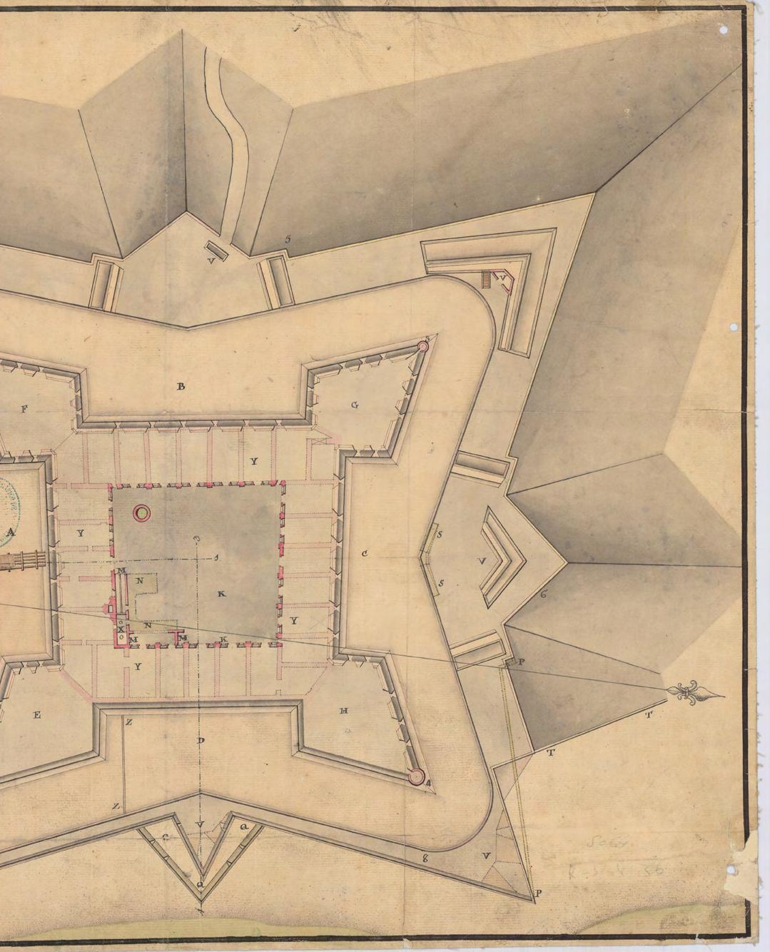
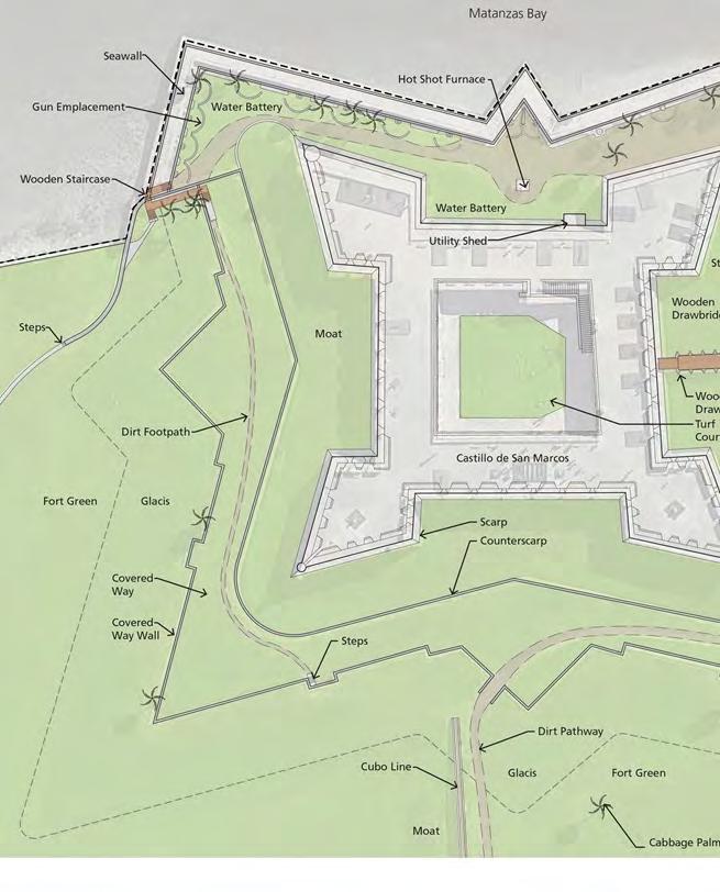
Castillo de San Marcos and its surrounding landscape reflect conventions of seventeenth-century military engineering, specifically the bastion system of fortification design. This style incorporated bastions from which to fire artillery and a series of earthworks outside the fort’s walls to keep invaders at a distance. Castillo de San Marcos is a symmetrical fortification with four corner bastions, curtain walls, multiple embrasures, a glacis, and a moat, among other features.
The coquina walls of Castillo de San Marcos are thirty feet high, ten to fourteen feet thick at the base, and five feet thick at the top. Coquina is a consolidated sedimentary rock composed of fragments
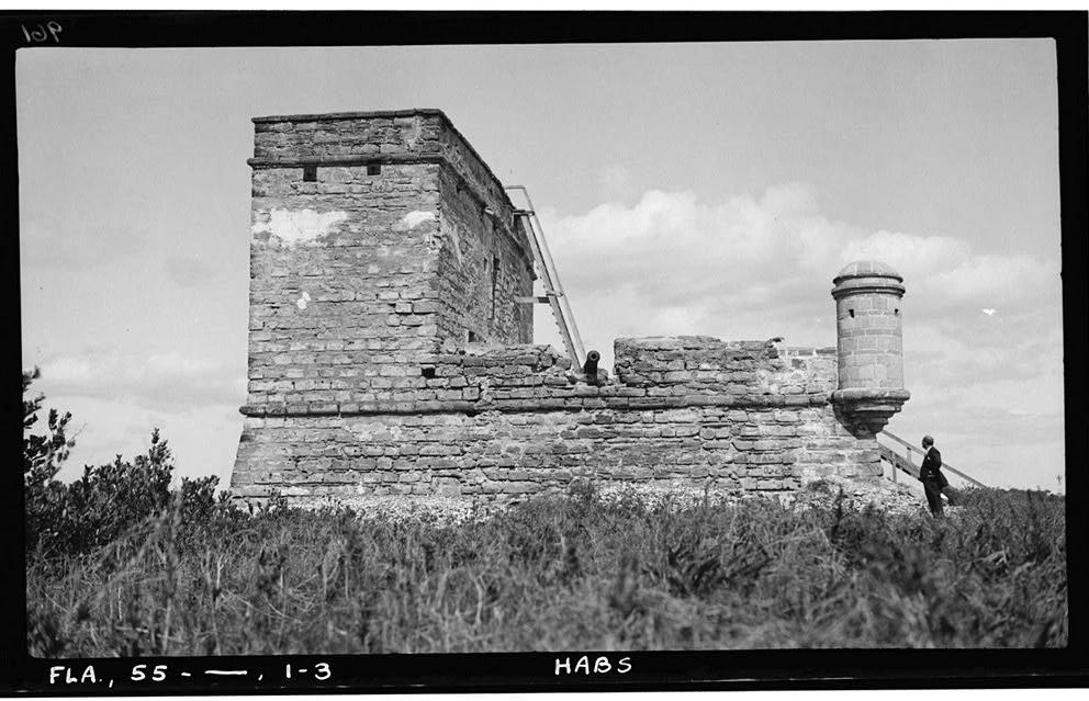
Side view of Fort Matanzas c.1934.
Historic American Buildings Survey, Library of Congress.
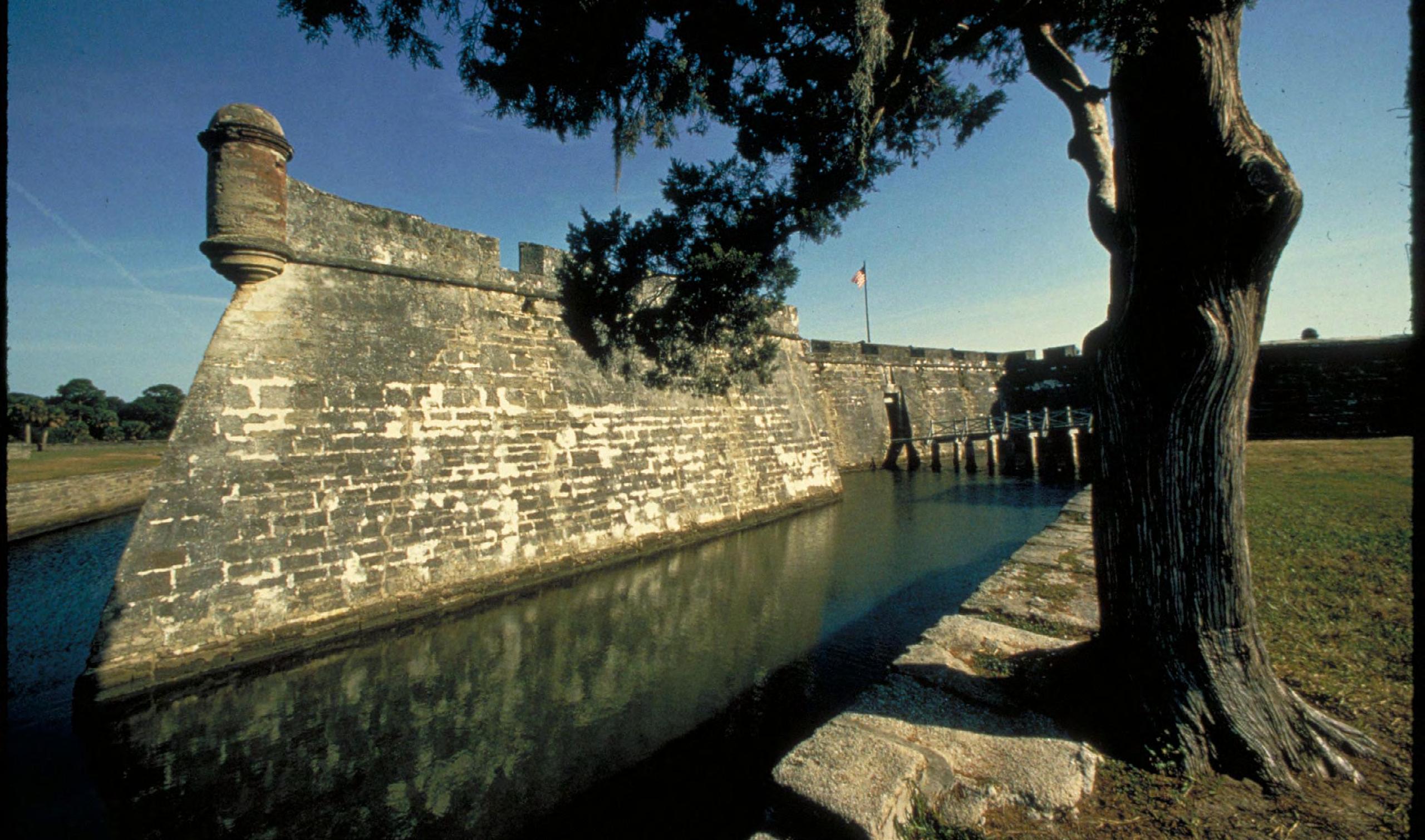
of various shells, sand, and limestone. The entrance or sally port into the fortress is located in the southern curtain wall. The moat currently surrounds the fort on three sides (northern, western, and southern). For much of its early history, the moat also extended around the eastern side of Castillo de San Marcos, but the United States Army Corps of Engineers modified the eastern section of the moat during the construction of the water battery in 1842-1844.
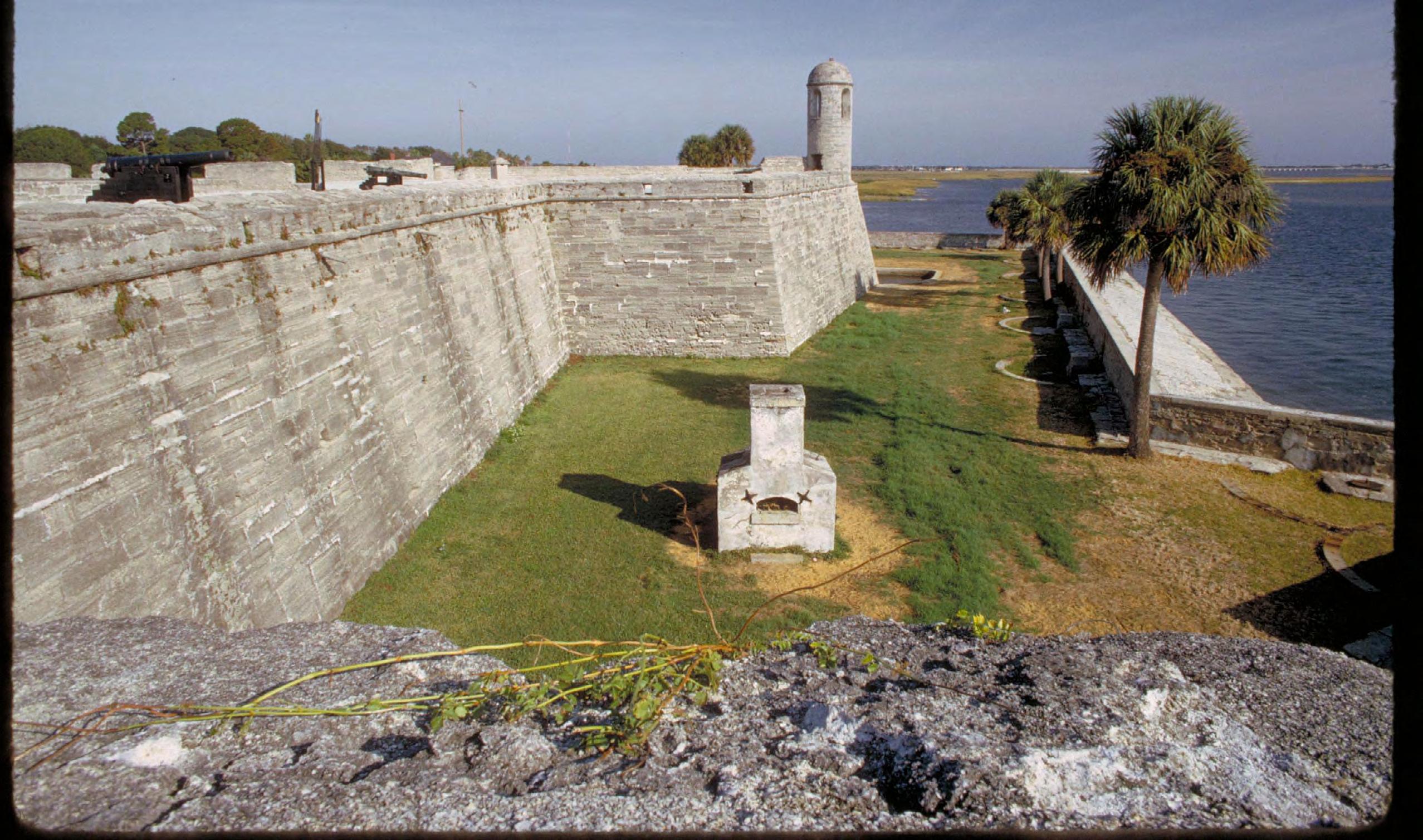
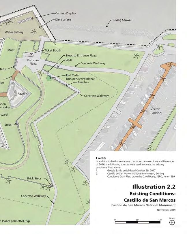
A seawall extends north and south from the water battery to hold back the waters of Matanzas Bay.Spain originally built a seawall adjacent to Castillo de San Marcos in the 1600s, but the United States Army Corps of Engineers largely rebuilt the seawall in the 1830s and 1840s using granite and coquina. The Army Corps of Engineers subsequently extended the seawall to the south and north, so today, the entire eastern boundary of the national monument includes a seawall. The covered way occupies the area beyond the moat, on the northern, western, and southern sides of the fort.
The glacis, a grassy slope, extends out from the covered way wall. The glacis and covered way occupy the northern, western, and southern
A section of the moat and outside wall of Castillo de San Marcos. National Park Service
sides of the fort. The glacis leads down to a large,open green space. Modern walkways cross the greenspace, connecting to adjacent roads andpoints of crossing. Where trees are present, predominant species include live oak (Quercus virginiana), red cedar (Juniperus virginiana var. silicicola), and cabbage palm (Sabal palmetto).
The presence of trees in the landscape is a character-defining feature of the War Department period of significance. Many of those trees became part of the landscape in the late 1800s and early 1900s. However, this aesthetic was very different than the military landscape during the Spanish Colonial period. Maintaining an open space filled with low-growing turf replicates the appearance of the landscape in the 1880s. The common turf species grown in Florida include Bahiagrass, Bermuda grass, Centipede grass, Seashore Paspalum, St. Augustine grass, and Zoysia grass, with Bermuda grass being the most appropriate choice for replicating the War Department period. More information would be needed to identify specific species grown around the fort during the Spanish colonial period.
The much smaller Fort Matanzas featured a large parapet wall, sentry
Hotshot furnace beside the seaward battlement walls at Castillo de San Marcos National Monument. National Park Service
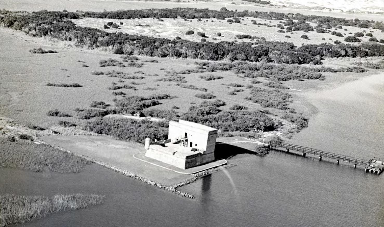
Fort Matanzas in the 1970s, showing the land that was added to preserve the fort's foundations. National Park Service
watchtower, and a deck upon which cannon were mounted. Fort Matanzas was also constructed with locally-sourced coquina stone.
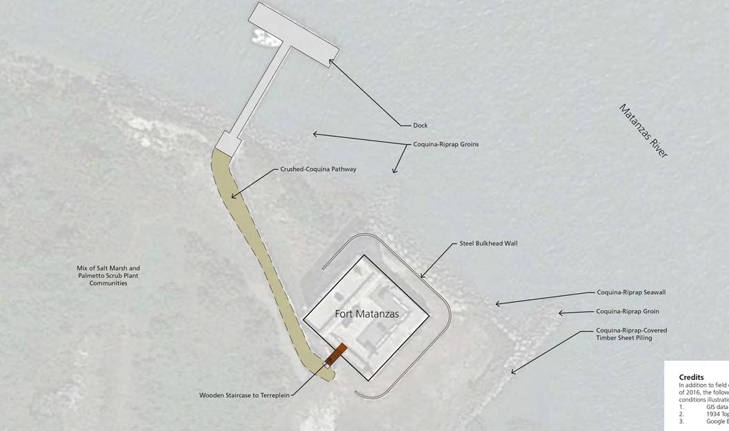
Fort Matanzas features a thirty-foot-high observation deck, a terreplein, officer and soldiers’ quarters, and a powder magazine. The United States War Department and, later, the NPS, completed stabilization and restorations to the fort in the 1900s. A ferry service transports visitors to the fort from the visitor center across the Matanzas River. The built environment is incorporated into the site in a way that preserves most of the natural vegetation and utilizes the existing plant communities and individual plants for functional and educational purposes.
Landscape Preservation and the Cultural Landscape Report
As early as the 1830s, military officials recognized the historic significance of Castillo de San Marcos and attempted to repair broken and deteriorated features.
The War Department oversaw a major stabilization of the Fort
Site plan from the Cultural Landscape Report showing existing conditions at Fort Matanzas, 2019. National Park Service
Matanzas in 1927, and in 1935 administration was transferred to the NPS. The NPS constructed a visitor center and ranger residence across the river from the historic fort and maintained the fort, made necessary repairs, and installed a seawall.
In 2020, the National Park Service produced a Cultural Landscape Report (CLR) for Castillo de San Marcos National Monument and Fort Matanzas National Monuments. This document helps to establish the historic significance of the landscape through an examination of the site history and existing conditions of the character-defining features of the two national monuments. It provides treatment recommendations that are intended to preserve historic resources while addressing issues related to the contemporary use of the site and helps to inform the decision-making process for site management, specifically around issues like visitor use, turf management, and resilience to natural hazards.
The main goals of treatment are to improve interpretation of the sites by preserving or rehabilitating the character-defining elements of the national monuments that were present during the period of significance.
It also aims to improve the ability of the landscape to withstand pressures associated with steadily increasing visitation and its impact on vegetation and the circulation system at the national monuments.
Sections of this article were adapted from the 2020 Cultural Landscape Report for Castillo de San Marcos and Fort Matanzas National Monuments, prepared by WLA Studio and published by the National Park Service.
Published by The National Park Service
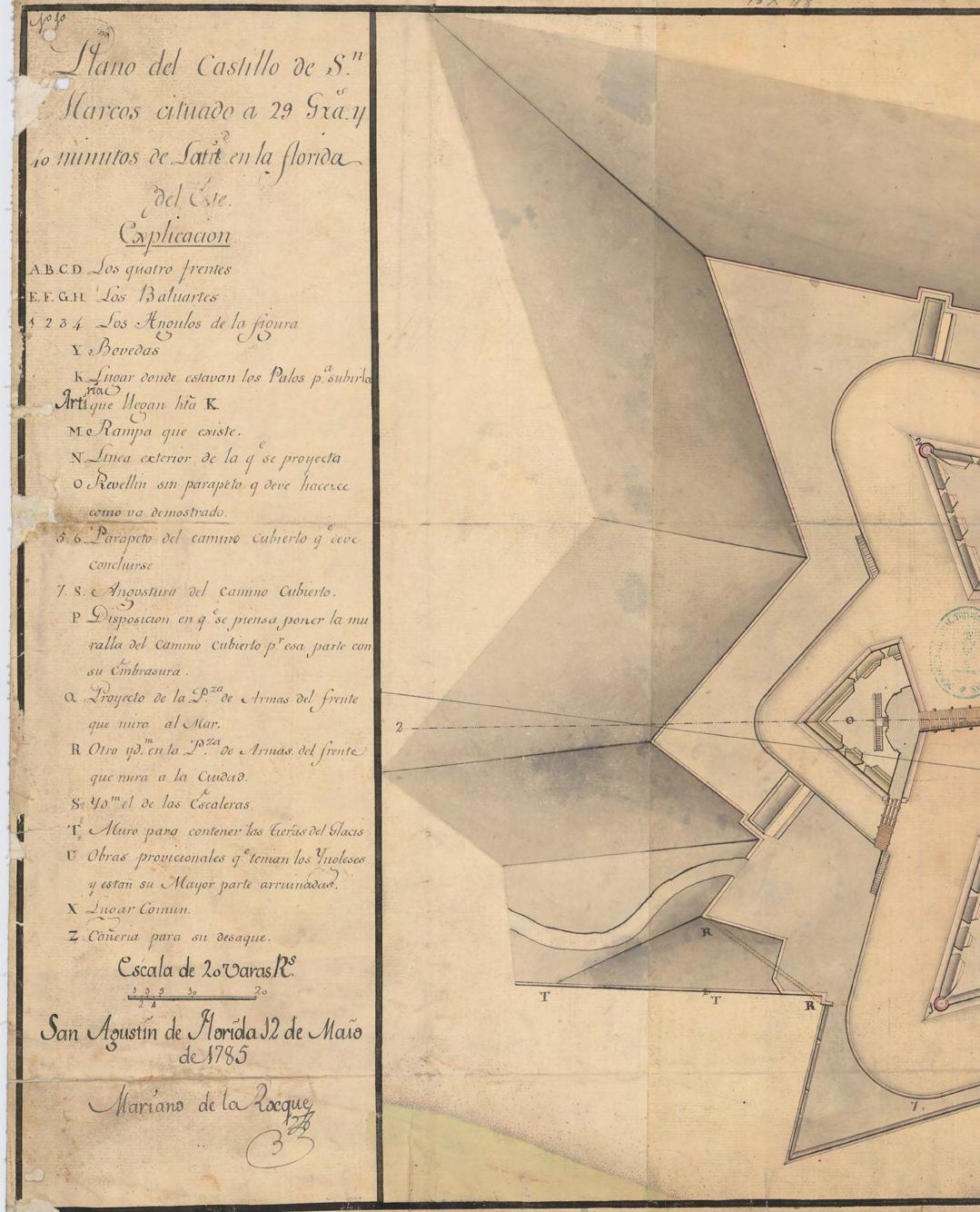
Site plan in the Cultural Landscape Report shows existing conditions at Castillo de San Marcos. National Park Service
YOUR FLORIDA GEOSPATIAL PARTNER
Duncan-Parnell, along with our valued partners, including Trimble and other top brands, are proud supporters of the Florida Surveying & Mapping Society. From solutions including GNSS, scanning, GPR, drones, and more to services including support, rentals, training, and repair, we are pleased to be your one-stop shop for geospatial professionals throughout the Sunshine State.
Jacksonville, FL (904) 620 - 0500
Orlando, FL (407) 601 - 5816
www.duncan-parnell.com
Conference Schedule 2026
Wednesday, July 29
7:00am - 5:00pm Conference Registration Desk Open
7:30am - 8:00am Seminar Sign-In
8:00am - 12:00pm Golf Tournament
8:00am - 5:00pm BPSM Meeting
8:00am - 5:00pm BBQ Teams Cooking
8:00am - 3:00pm Seminar I
Riparian Rights
Course #11310 - 6 CEC Hours
Instructor: Panel
8:00am - 3:00pm Seminar II
Setting the “Footsteps” in Preparing Legal Descriptions
Instructor: Panel – Moderator: Richard P. Green, Esq.
Seminar II:
Setting the “Footsteps” in Preparing Legal Descriptions
(6 CEC’s - Course #11311 )
Instructor: Ron Nelms, PLS
SIT Prep Course (Un-Licensed Attendees, No CEC Credit)
July 29
8:00 am – 4:00 pm
Geoscholar's Florida Surveying and Mapping Society Fundamentals of Surveying (FS) Exam/Surveyor in Training (SIT) Certificate Prep Course
You must complete the online course before attending the Seminar. Dr. Lyle will be covering select questions over the required sections to help you with examination preparation. After the Seminar you will have access for 1 year to the online course.
FDEP - Florida’s PLSS Restoration and Perpetuation, and Coastal Mapping Acts
(3 CEC’s - Course #11313)
Instructor: Kevin Mears, PSM
Forts, Ports, Canals, Wars
An Uncommon History of Tallahassee & Surrounding Areas
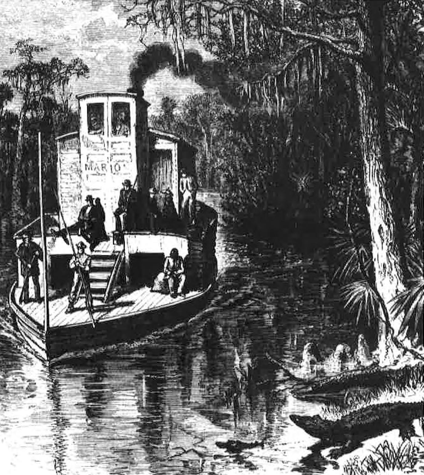
There were enthusiastic supporters for canals so steamboats could navigate throughout the state (State Library and Archives of Florida) and
by Dr. Joe Knetsch
CHAPTER 10
Canal Fever in North Florida
In 1761, England’s Duke of Bridgewater completed construction of a canal connecting the emerging industrial town of Manchester with his estates at Worsley. His successful venture was duplicated throughout England and influenced many prospective canal builders in America. By 1817, the state of New York was willing to gamble on the construction of the Erie Canal, which by its opening in 1825, was already showing signs of profitability. Though the Erie was not the first canal built in the United States, it was one of the most successful and received great play in the American press. Construction of this famed canal initiated the American phase of the so-called canal boom.
The people of Florida were not immune to the “canal fever” that spread across America. The idea of canals in and through Florida was not new; the Spanish had considered constructing at least one major canal across the state. By the early l820s, many Floridians and observers of Florida, were actively writing about and discussing the construction of a cross-Florida canal.In 1823, Charles Vignoles, noted topographical engineer and author of Observations Upon the Floridas , wrote:
It is across this part of Florida [North Florida] that at some not distant time a communication will be established for travelers to New Orleans. Steam boats coming direct from the large northern cities will enter the St. John’s and proceed up to some eligible landing, and the passengers taking stages to the banks of the Suwanee near its mouth will again embark in these ambu lating hotels, and proceed along the shores of the Gulf of Mexico to New Orleans… Connecting the water of Black Creek and Santa Fe rivers by a navigable canal of thirty or forty miles a route may be opened, that will afford many facilities for bringing the produce that comes down to Appalachie Bay, to the Atlantic markets, and of conveying the returns: independent of the fruits of the plantations for many miles around the canal. 1
Forts, Ports, Canals, and Wars
Vignoles’s optimism concerning the development of such a canal was not shared by everyone. Writing in his diary for 1823, Richard Keith Call, planter and future territorial governor, noted:
We first visited the mouth of the River Vacassar Bay, and already visionary schemes are projected, such as connecting from this point the Gulf and Atlantic by a Canal — the St. John's River — which runs north, the distance to be canaled is estimated not to be more than eighteen or twenty miles — but 1 fear the want of sufficient water on the Bar for large vessels will check the enter prise.
Though Call would become an enthusiastic supporter for canals as a delegate to Congress, governor, and investor, his comments presaged the Bernard-Poussin Report of 1829. 2
Florida’s territorial delegate to Congress, Joseph M. White, actively campaigned for the proposed canal along the same route indicated by Vignoles. 3 He placed before Congress the Territorial Legislature’s memorial of December 10, 1825. The reasons presented by the legislature were quite telling and included the observation that numerous wrecks took place every year on the shores of Florida in which: “the planter is deprived in an hour of the product of his twelve months’ labor. The capitalists of the country become bankrupt and the energies and enterprise of the citizens are enervated and destroyed.” 4 Not only did the memorialists want the crossFlorida canal, but they also wanted to extend the digging further to include an inland navigation via a channeled waterway from St. Marks to Mobile Bay that would approximate only twelve miles “where the cutting would not require more than to be a ditch of sufficient dimension to contain the column of water required.” 5 White and his “memorialise” friends did get the government to approve the funding of a survey of the route in 1826, with the aid of a resolution from Representative Daniel Webster. 6
Middle Floridians saw a chance to benefit greatly from this grand concept, but they were not alone. Many in East Florida did not wish to be, as they viewed it, subservient to the middle Florida planters. On August 26, 1826, Joseph M. Hernandez wrote to the Secretary of War asking for a survey of a different route. He wished to connect the St. John’s with Tampa
Bay. Hernandez stated, “A canal in this direction would pass through the richest part of Florida, and would place an inexhaustible store of valuable Naval materials at the command of the government.” 7 This rivalry would spur the enthusiasts from both factions to propose a whole series of canals throughout the state.
Joseph White continued to push for the canal and many other improvements that were directly related to it. For example, on January 21, 1828, he proposed appropriations for the removal obstructions in the Apalachicola and Aucilla Rivers and improvements at St. Marks. 8 The intent was made clear with the publication, on May 28, 1828, of the “Report of the Canal Commissioners.” The vast benefits of the cross-Florida canal envisioned by this group would test the imagination of the modern reader, but as an example of the true extent of “canal fever”, it is an outstanding document. The benefits to North Florida were to be tied directly to a large network of canals and improvements that would link up with the crossFlorida canal. Mr. White and his friends appeared to be planning a low cost, relatively effi cient transportation system that would open the broad markets of the east coast to Florida’s produce.
The dreams expressed in the report were not as vague as they may seem. For the dreamers of North Florida:
The rivers Amaxura, Suwaney, Steinhatchy, Aussila, St. Marks, Appalachicola, Choctawhatchey, Pascagoula, Pearl, Chefuncty, and the two Ametes vary in depth at their mouths from four to eight feet, and all wash countries of various characteristics, but of the prospect, under a favorable climate, of rearing, at no distant day, production of value equal to any other southern section of equal extent. The production of the territory intersected by these streams, must be transported in small vessels, and if a passage through the promontory of Florida could be obtained, the markets of the Atlantic would be opened to those now limited to the uncertain, and often overstocked, mart at New Orleans. 9
Not only would Florida products be more competitive, but the time saved and the reduced risk would be sure to yield greater profits. John Lee Williams, in 1827, gave the figure of $500,000 per year lost because of
Forts, Ports, Canals, and Wars
wrecks and piracy off the coasts of Florida. By his estimation, the canal across Florida would only cost $440,000 to construct. His estimated savings would be $60,000 in the first year of operation. 10 The savings, in both money and lives, the safety of travel, the broadening of the markets, and the development of the territory were all goals to be reached with the main canal, but more were in the offing:
In the center and western districts the improvement of navi gation of many of the lakes and srreams intersecting the country would be no less beneficial. The Lake St. Pedro, with its neigh boring ponds, as well as those of Mecosuky, Iamonea and Jackson, might very probably be made feeders to canals communicating with navigable points on the Oscilla, St. Marks, and Waculla, and thus afford the convenience of water transportation from that district of country bounded by the Suwaney and Ocklockoney. 11
Thus middle Florida would be tied into the vast new system centered on the cross-Florida canal.
Was there any follow-up to this seemingly romantic scheme? On November 19, 1828, the Lake Jackson Canal and Navigation Company came into existence. The object: to connect the Ochlockonee River with Lake Jackson and thence to the Wakulla River and the port of St. Marks. Permission included the right to use Lakes Iammonia and Miccosukee (and other like lakes, ponds, etc.) to connect the Ochlockonee and Aucilla Rivers. 12 The backers of this project included three of the large land owners on Lake Jackson: Richard Keith Call, Robert Butler, and Thomas Brown. Unlike many other companies of this period, this one actually appears to have constructed something, a dam on Lake Iammonia that subsequently involved Call in a nasty court case. 13
Call, who would later suffer severe losses in the 1843 hurricane that destroyed the town of Port Leon and the railroad that led to it, did not enter the canal business blindly. 14 On January 7, 1828, John Gamble (of Union Bank fame) wrote to Call:
I regret that I cannot give any time to your canal just now. I am
Forts, Ports, Canals, and Wars
too busy, and will continue to be so until my crops are all planted. But let me urge you not to embark in canalling without having previously secured the means of accomplishing your object. More schemes have failed, and more money has been lost, from this than from any other cause. If the work should be commenced, and afterwards left for a time in an unfinished state, its resumption will be attended with nearly as much expense as if nothing had been done.
Have you good clay, for puddling, convenient to the line of the canal? From the porosity of the soil, it is probable that the canal will require puddling nearly the whole length. It will be indispensible when there is, any embankment.
There is great danger of mistakes being made in the estimate of the quantity of excavation, embankment, etc. Upon the first canal, which I made as Contractor, the Engineer’s estimate fell short one third of the actual quantity of work necessary to be done. 15
Gamble’s advice was sound, not only for his friend Call, but for all investors in canals. 16 The movement for a cross-Florida canal was dealt a blow when the Bernard-Poussin Report was made public. Based upon a number of surveys made in 1827-28, the Report concluded:
The coast on the Gulf of Mexico, between Tampa Bay and Apalachie Bay, cannot be approached by vessels drawing more than five feet: in this latter bay, eight feet can be carried at high tide, to St. Marks. Besides, the ridge of the peninsula of Florida has a mean elevation of one hundred and fifty feet above the ocean, and its top does not offer, at any place, either natural reservoirs or heads of streams adequate to the supply of a canal having very large dimensions. Therefore, a ship channel destined to connect, through the peninsula, the Atlantic with the Gulf of Mexico, is not practicable. 17
This negative report by an eminent engineer like General Bernard could be assumed to be the death knell of such a project. However, on January 28, 1830, the Speaker of the U.S. House of Representatives received an “Estimate for Completing the Survey and Estimate of a Canal to Connect the Waters of the Atlantic and the Gulf of Mexico.” The dream obviously was going to live, regardless of the blow dealt to it by the Bernard-Poussin Report.
The push for the cross-Florida canal carried with it other objectives than those already mentioned. Chief among them was the exploitation of the Apalachicola River basin. One canal company, the Chipola Canal Company, included on its board of directors a number of names familiar to those interested in North Florida’s history: Benjamin Chaires, Peter W. Gautier, Senator John Clark, Jacob Robinson, and William P. Hort. The purpose of this company was to attempt to construct a canal or railroad connecting the Apalachicola River to St. Andrew’s Bay. The initial effort apparently produced very little and the company had to be revived by the Legislature in 1832 as the St. Andrew and Chipola Canal Company. With an appropriation of $9,000 the company did try to begin a canal, but ran into land title problems and, with the aid of Joseph White, could only resolve them through the disallowance of the interfering claims. Eventually, the planters along the Chipola settled for lobbying to remove the trouble some natural bridge located 65 miles from the mouth at the Dead Lakes. 18
The other Apalachicola River basin canal concern involved the intense rivalry between the cities of St. Joseph and Apalachicola. The result of this rivalry was, for the canal era, the Lake Wimico and St. Joseph Canal Company, which was chartered by the Territory on February 14, 1835.Surveys were ordered and conducted for the route, and the shoals at the mouth of Lake Wimico were removed. However, the lake was found unsuitable for steamer navigation, partly because of the shoals and a tricky channel, but more importantly, because of the Company’s decision to try to construct a railroad to Iola instead. The railroad had the advantage of being a more direct route to the Apalachicola River and was more dependable than trans- shipment across the treacherous lake. Thus, the concept of a Lake Wimico Canal became an early victim of the railroads. 19
The Aucilla and Wacissa Rivers drew considerable attention as the objects of canals and other improvements. In 1831, the Territorial Legislature incorporated the Wacissa and Aucilla Navigation Company. The corporate body listed in the act of incorporation read like the “Who’s Who” of cottonbelt aristocracy. The list included James Gadsden, Achille Murat, William B. Nuttall, John G. and Robert Gamble, and William Bellamy. Powerful men easily obtained a wide latitude for construction. The fourth section of the act reads:
Forts, Ports, Canals, and Wars
Sec. 4. Be it further enacted that the said company shall have the right to clean out and make the said Wacissa and Ocilla Rivers sufficiently navigable for boats drawing not more than eighteen inches water; from the head of said Wacissa co the Gulf of Mexico; and to effect the said object, che said company shall have the right to cut such canals, erect sucb dams or embank ments, construct such lock or locks, and to make, construct, and erect such other works as they may deem necessary for making said rivers navigable as aforesaid; and furthermore, if the said company shall hereafter deem it more advisable to connect the Wacissa River with the St. Marks River, by a navigable canal, they are hereby authorized and empowered to do so. 20
The act gave the company broad power, but in a unique contradiction, the Legislature passed, over the governor’s veto, acts incorporating a St. Marks Navigation Company and giving Hector W. Braden the right to construct a canal either through or around the natural bridge of the St. Marks. The potential for conflict is obvious and was avoided only because none of the projects involving the St. Marks reached fruition. 21
Interest in the Aucilla continued in 1832 when William Bellamy offered a resolution to remove the natural bridge of the Aucilla to make it more attractive for settlers to move into the area. He noted that a government engineer said the entire project could be done for a mere $10,000. For Bellamy, removing the obstruction in the Aucilla would make the entire Aucilla basin suitable for commercial farming and raise the value of the surrounding lands which, he stated, belonged mostly to the federal government. 22 As if to drive the point home, a petition appeared in Congress on May 14, 1832, which even more clearly stated the interest in the Aucilla:
The Petition of the Undersigned Inhabitants on or near the Ocilla River respectullly represent that the Counties of Jefferson and Madison (in Florida) and Thomas, Lowndes, and Ware of the State of Georgia are materially interested in the Navigation of the Ocilla River. That if the Government will appropropriate the sum estimated by Lt. Long whose report (from actual survey) is herewith enclosed, the People will make said stream Navigable to the Georgia boundary — The Petitioners feel themselves further bound to say that not more than one fifth of the
land on the Ocilla River has been sold (which is valuable) and remains on hand as petitioners believe in consequence of the obstructions of said River. 23
The petition, signed by William Bailey, William and Abraham Bellamy, W.S. Graham, John Gorman, and many more, drew forth another resolution from the Legislative Council asking for the same things. 24 In 1835, the Legislature revived the Incorporation Act of 1831. The end result of all this activity is still to be seen today — the locally well-known “slave canal” on the Wacissa River, constructed in the mid-1850s.
With the Panic of 1837 and the Second Seminole War, canal activity in North Florida nearly disappeared. The only major legislative activity appeared to be an act allowing James M. Harris to build a dam, with lock, across the St. Marks River; an act amending several acts concerning the Lake Wimico and St. Joseph Canal Company; and an act amending the incorporation of the St. Andrews and Chipola Canal Company. 25 None of these projects appear to have changed the face of North Florida. In fact, the quetion must arise as to why — with all the schemes, dreams, and political maneuvering — Florida’s bout with “canal fever” produced no lasting results. Before attempting an answer to this question, one must consider the economics of canals and the extent to which North Florida followed national patterns regarding the canal boom of the early 19th century.
Historian Harvey H. Segal had discerned three distinct cycles of canal building based upon his studies of the northern canal systems. The first cycle lasted from roughly 1815 to 1834, reaching a peak in about 1828. The second cycle lasted from 1834 to 1844 and the third from 1844 to 1860. Clearly, the majority of Florida canal projects took place in the first cycle with a lag into the second cycle. As noted above, the Panic of 1837 and the costliness of the Second Seminole War effectively ended the canal fever in Florida. The later problem of the Florida banks and the repudiation of the Territorial debt froze Florida out of the bond markets and discouraged foreign investment. Thus, Florida’s portion of the boom did not carry over to the final cycle — especially after the advent of the railroads. 26
North Florida in the era of the canals was a frontier society, marginally
Forts, Ports, Canals, and Wars
developed and under-populated. This made it more difficult to develop a canal as a viable economic entity. Generally speaking, new settlements, because their local markets were so small, endeavored to develop a long distance trade so as to market their produce and procure lower-priced domestic items. Normally, the smaller the market area, the higher the price for necessities tended to be.
North Floridians attempted to resolve this economic dilemma through the construction of canals. Unfortunately, none of the major backers of canal projects had expertise in canal building or in any other form of transportation. They were planters whose main focus was their crops, with trans portation as a peripheral — though necessary — activity. As nonspecialists or tradesmen, they wanted the canals for one purpose: delivering their produce to market in the peak season. This meant that the return trip was of little importance, and that there would be serious problems for the canals when it was not peak season. An idle canal was an upexploited resource with low economic value simply because it was not being used co capacity. Thus, the economic backwardness of the area tended to lessen the chances for the canals to turn a profit. 27
The frontier condition brought other problems that inhibited profitability of long term investments such as canals. Where would one get the labor and materials to build a canal? Gamble’s letter to Call, quoted previ ously, gave an indication of some of the problems. A canal is not just a big ditch; it takes engineering ability, some skilled labor, and a high initial investment just to get a canal started. Culverts, locks, embankments, etc., all take skill and money to construct and use. In a frontier environment, skilled labor was a difficult commodity to obtain; therefore, initial labor costs tended to be much higher in a frontier environment than in a more urban one.
Canal construction was also very time-consuming. The Erie Canal took nine years to complete. Without a steady flow of money and materials (assuming labor stability) the construction of a canal would be halted. As Gamble’s letter shows, if such a project were left idle for too long, one might as well begin anew. With questionable credit, the frontier environment did not offer the best opportunity for profitable canal construction.
Theoretically, canal construction had benefits attached to it. For example, the skill level of the workers employed in canal construction would increase the skill pool of the settlement area. Large local purchases of food and raw materials would act as a stimulus to further economic activity. Also, the influx of cash to pay for the local goods would increase the circulation of money and encourage additional business. Finally, if the canal was a “developmental” canal (one that will depend on the growth of trade along its route), people would be attracted to the area and increase the overall demand for additional goods and services. For a variety of reasons, some already indicated above, the theory did not apply to North Florida’s canal schemes. 28
For potential users of canals there were a number of cost factors to consider. Time spent in transit was an important factor for anyone competing in outside markets. As the Report of the Canal Commissioners showed, Floridians were very aware of the competition in the New Orleans market, and felt themselves to be at the mercy of known jobbers in that city. Forced to look for alternative methods of reaching the most favorable market, they became enthusiasts for the cross-Florida canal which would open a more direct route to the profitable markets in the northeast.
As the memorial from the legislature demonstrated, insurance costs were a factor in North Florida’s push for canals. Safety of the voyage had to be guaranteed or the planters ran the substantial risk of losing everything on one voyage. Many planters obviously felt that the costs of a livelihood had to be better protected. Shipping from a relatively undeveloped frontier area with inadequate harbors and other facilities made the costs of underwriting higher than those found in a more developed area.
Because the major crop shipped from North Florida was cotton, the costs of spoilage were very low; however, tolls would have been a cost factor to consider if any major canal had been completed. Perhaps the highest variable cost experienced by North Floridians would have been the costs of trans-shipment. But here, North Floridians had some advantages. Most planters had their own wagons and teams as a matter of course in the operation of their holdings. Because cotton was the major export, the wagons were already adapted to hauling the substantial loads. Planters who hauled their cotton to St. Marks or other points did so in their own rigs, which
Forts, Ports, Canals, and Wars
obviously reduced these costs, as did their not having to wait to make the return trip. The only costs incurred by this operation were the opportunity costs associated with alternative uses for the wagons and teams.
The unpredictable nature of shipping was a major cost factor to consider because it affected the insurance costs, the transit time, and the costs of warehousing. Canals, it was assumed, would lessen, though not eliminate, this unpredictability, with a corresponding reduction in costs. 29
With this brief discussion of some of the economic factors concerning canals, one is in a better position to answer the question: Why did canal fever produce so few tangible results in North Florida? Primarily, no consistent formula or criterion appears to have been established for selecting canal projects. The Report of the Canal Commissioners provides no criterion and suggests a “scattergun” approach to the problem. This relatively haphazard approach can be seen in the fact that the Lake Wimico and St. Joseph Canal Company was incorporated before it was discovered that Lake Wimico could not perform the task assigned to it, namely safely carrying large steamboat traffic.
The fact that the Legislative Council was not equipped to handle or direct the new responsibilities of canal incorporation can be seen in the extremely broad, and sometimes contradictory, nature of the powers granted to the various bodies created by its fiat. The granting of power to three different groups to construct a canal, dam, or improve the St. Marks River, all within the space of three days, gives exceptional credence to this argu ment. The council, responding to local political influence and with no expe rience in direct developmental investment, simply was incapable of making proper delegations of power and responsibility. In this, Florida’s legislators had a great deal of company on the national level.
However, with the above stated problems in mind, the main factor to consider is simply that Florida’s population did not expand rapidly enough to create the demand needed to make canals economically viable. Low weight or low value items, like bulky cotton bales, could be shipped to ports on the canal system, but the return voyage would need to have sufficient cargo to make it a profitable enterprise. Without the growth of major urban centers to demand these return voyage goods, there would be little incentive to maintain
a canal system. The goods needed by North Florida’s scattered population could be more readily and regularly supplied by wagons, trains, and the existing waterway system. The lack of demand therefore helped to lessen the economic need for canals.
In conclusion, North Florida was involved with the national phenomenon known as “canal fever” in a big way. It followed many of the same patterns found in other areas of the country, and it experienced many of the same problems. The fact that these problems were not solved as successfully here as in other places should not diminish the impact of the canal boom on the development of North Florida. Events such as the Panic of 1837 and the Second Seminole War conspired against the potential success of the projects. Some external benefits were reaped from the canal projects, such as an increased knowledge of the Territory provided by the surveys. More research into Territorial Florida’s economic development must be conducted and examined in a larger context before the true picture of the importance of “canal fever” in Florida can be definitely stated.
ENDNOTES:
1. Charles Vignoles, Observations Upon the Floridas . Facsimile reproduction of the 1823 edition. (Gainesville, 1977), 80.
2. Richard Keith Call, “Extracts from a Diary of Richard Keith Call.” Call Papers, Box No. 1 at the Florida Historical Society Library, Tampa, Florida. Brigadier General Simon Bernard of the U.S. Army, a former engineer in Napoleon’s army, and Captain William Tell Poussin were assigned to survey a cross-Florida canal route for the brigade of Topographical Engineers on March 15, 1826. The survey was in response to an “Act for the Survey of a Route for a canal between the Atlantic and the Gulf of Mexico,” passed by Congress on March 3, 1826. The complete report may be found in House Executive Doc. 102, 20th Congress, 2d Session, 1829.
3. U.S. Congress. Senate. 19th Congress, 1st Session. S. Doc. 21:8.
4. Clarence E. Carter, ed., The Territorial Papers of the United States: The Territory of Florida . (Washington, 1960), 24:379. ( Hereafter, Territorial Papers. )
5. Ibid., 381.
6. Ibid, 382. (Footnote)
7. Ibid., 630.
8. U.S. Congress Senate. 20th Congress, 1st Session. S. Doc. 50
9. “Report of the Canal Commissioners.” Pensacola Gazette and Florida Advertiser , May 16,
Forts, Ports, Canals, and Wars
l828. Commissioned by the territorial governor and council, the canal commissioners induded Edward R. Gibson and James Gadsden.
10. John Lee Williams, A View of West Florida . Facsimile reproduction of 1827 Edition. (Gainesville, 1976), 131.
11. “Report of the Canal Commissioners,” 9.
12. Venila Lovina Shores, “Canal Projects of Territorial Florida.” Tallahassee Historical Society Annual 2 ( 1935).
13. Territorial Papers , 26:812-814
14. Lula Dee Keith Appleyard, “Plantation Life in Middle Florida, 1821-1845,” (Master’s Thesis, Florida State College for Women, 1940), 57.
15. Letter of John G. Gamble to Richard Keith Call, January 7, 1828, Box 2, MS 20 to MS 43, Folder No. 34, State Library of Florida, Florida Collection, Tallahassee, Florida.
16. W.T. Cash, “William Pope Duval,” Tallahassee Historical Society Annual 1934. Cash notes that Duval also proposed a canal to connect Lake Jackson to the Ochlockonee River (p. 4). The letter Duval sent to the President of the Legislative Council suggesting this is dated October 20th, 1828.
17. U.S. Congress House of Representatives. 20th Congress, 2d Session. H. Doc. 147:51-52.
18. Jerrell H. Shofner, Jackson County, Florida: A History . (Marianna, Fla., 1985), 52-57. Also see the Territorial Papers , 26:491-92.
19. James Owen Knauss, “St. Joseph, An Episode of the Economic and Political History of Florida,” Florida Historical Quarterly . 5-6 (1927), Pt. 1, 183-184· Pt. II, 4. Also sec Shofner, 57. Benjamin Chaires was the contractor for the railroad for a fee of $50,000.
20. Florida, Territory of, Legislative Council Acts, 1831: 80.
21. Shores, 14.
22. Legislative Council Acts , 1832: 48.
23. Territorial Papers , 24: 698.
24. Ibid., 807.
25. St. Augustine News , April 13, June 1, 1839.
26. Harvey H. Segal, “Cycles of Canal Construction,” in Canals and American Economic Development , ed. Carter Goodrich. (New York, 1961), 169-215.
27. Philip R.P. Cathie and Katherine Daigle. “The Effects of Developments in Transportation on the Inland Empire.” Agricultural History 56 (1982): 23-27.
28. See Segal, and Carter Goodrich, “American Development Policy: The Case of Internal Improvements,” in American Economic History: Essays in Final Interpretation . S. Coben and F.G. Hill, eds. (Philadelphia, 1966), 197-207.
29. Ronald W. Filante, “A Note on the Economic Viability of the Erie Canal, 18251860.” Business History Review 48 (1974), 95-102.
30. Robert A. Lively, “The American System: A Review Article,” in American Economic History: Essays in Interpretation. S. Coben and F.G. Hill, eds. (Philadelphia, 1966), 178-196.
Dr. Joe Knetsch
Dr. Joe Knetsch is the author of over two hundred articles and sixteen books, most of them concerning the state of Florida’s historty. Three of these books involve the Seminole Wars and their impact on Florida’s development. He is also a frequent reviewer of books on military history for the Journal of America's Military Past and authored regular articles for Professional Surveyor Magazine for over a decade. For twenty-eight years he served as the historian for the Division of State Lands in the Florida Department of Environmental Protection. Dr. Knetsch lives in Tallahassee with his wife Linda and is now retired.
ARCHIVES FROM THE
BOUNDARIES AND LANDMARKS
A PRACTICAL MANUAL
BY A. C. MULFORD
Boundaries and Landmarks
Chapter IX.
THE RELATIONS OF THE SURVEYOR AND THE LAWYER.
Before leaving this general subject it would perhaps be well to consider for a few moments the relation between the surveyor and the one who may perhaps be called his co-worker — the lawyer.
Surveys are usually made in order to furnish the de scriptions to be used in legal instruments and the data necessary for legal proceedings. The surveyor does not necessarily look upon a survey in the same light as does the man of law, and he must be governed largely by the particular legal requirements of the case in hand. While the surveyor naturally looks for the intention implied in the earliest conveyance of a piece of land and seeks to get back to the original boundaries, the lawyer may sweep aside all this exact and careful work and require a survey according to the boundaries of today, on the ground of undisputed possession for a number of years. Yet the lawyer will promptly admit that the course followed by the surveyor was the proper course for the surveyor, the responsibility of departing from the ancient record resting entirely with himself. Furthermore the lawyer is generally very glad to know what the original conditions actually were, no matter how far he may subsequently depart from them.
I have said that the surveyor must be largely governed by the legal requirements of the case in hand, but I do not mean by this that he should endeavor to make legal de cisions for himself. The surveyor is usually employed by a lawyer direct or by a man who has an attorney looking after his interests, and the survey is usually wanted for some special and particular purpose. Though the surveyor may not at all approve the lines he is directed to follow, I do not think that he can very well refuse to do the work unless it is very clear that he is making himself a party to questionable proceedings. In case he does not fully
agree with the instructions which he receives I think that he should make his employer or his employer’s attorney shoulder completely the responsibility for those instruc tions, and that he should retain written evidence of the same if possible. If a moral issue is at stake he should refuse the work rather than enter upon an undertaking which he believes to be questionable.
I think there is no doubt that the legal intricacies con nected with the search and guaranteeing of complicated titles are beyond the province and the full appreciation of the ordinary surveyor, yet he must render intelligent help to the lawyer who is attending to the same. I think that in these cases he should obtain the most explicit directions concerning the measurements which he is to make and that he should make a most full and careful report to the lawyer of the conditions as found on the ground, and that he should then ask for full directions as to what the final survey must show and should assume responsibility for absolutely nothing but the honesty and accuracy of his work. By so doing he will be certain of keeping his own hands clean and of retaining the respect of all those by whom he is employed.
It is a curious fact that a great many lawyers who are continually dealing with land transfers are grossly ignorant of the simplest details of surveying — I should say that the minority know the number of feet in a chain. As a result many useful details which the surveyor would gladly furnish in connection with the piece of land in question are to many of them difficult of comprehension or absolutely meaningless. On the other hand the surveyor is probably equally ignorant of the law of property. A frank recognition by each of his own limitation is, I think, the first step to a sound understanding and furnishes a starting point from which both may work together toward accu rate and satisfactory results.
Chapter X.
HOUSE LOTS.
While it may be said that in general the most important problems that vex the surveyor arise in connection with acreage and the determination of old boundaries, yet there is a class of smaller surveys which, in its way, is capable of giving infinite trouble. This is the group of house-lot surveys. In fact I think it may be fairly said that there is more strife and litigation over the boundaries of these small holdings than there is over the boundaries of large tracts.
The reasons for this are not difficult to find. Usually land which is divided into lots is held at a much higher valuation than that which lies in large tracts, and an inch error one way or the other is a very much more serious matter. Moreover since the dimensions are comparatively small and extremely specific, property owners feel that the surveyor should be able to show them exactly where their boundaries lie. This expectation is thoroughly reasonable in case of modern lot layouts in large communities where property limits are minutely defined, but such surveys usu ally come under the hands of city engineers and seldom fall to the lot of those whose work lies in country-towns and villages or at best in the suburbs of lesser cities.
It seldom happens that an engineer opening an office in such a community will be called upon at first to cut up a piece of property into building lots, but it is highly prob able that one of his earliest orders will be to set the corner stakes of a plot according to a map of lots already in ex istence. He may perhaps be materially aided in this work by a few suggestions as to the methods in which country property has usually been subdivided. Subdivided prop erties in the country are usually of two kinds:
1. Properties Controlled by Real Estate Companies.
These properties are usually independent units. They are bought and handled purely as money-making enter prises and they are laid out entirely with a view to bring ing in the greatest possible returns on the investment. As a result they usually bear no relation whatever to the adjoining properties. They usually have a complete street system of their own which is entirely independent of the road system of the town, except that it connects with one or more highways already existing. Long experience in handling land in the market has given these real estate companies the knowledge of how to cut up the land most profitably, and they generally furnish the surveyor a plan of subdivision which he is expected to follow within the limits of common sense. For this plan they require a careful map of the boundaries of the property showing its relation to the adjoining highways and also the location of all buildings standing upon it. If the map also shows clearly the boundaries between woodland and cleared land and the location of all streams, ponds, swamps, ravines, etc., in short any points of knowledge which may be useful in subdividing the property, so much the better. Guided by this map the owners will make a plan for subdivision which it will be the surveyor’s later work to actually place upon the grounds.
2. Properties owned by Private Individuals usually not Professional Real Estate Men.
It sometimes happens that Mr. Smith, looking over his more or less extensive property, finds a portion which is at present yielding small returns, and it strikes him that it would be an excellent idea to cut it up into building lots and sell it to small holders. Feeling fairly well convinced that the town is going to grow in that direction he proceeds to carry his plan into effect.
The actual work of subdividing the land is carried out with all degrees of wisdom and unwisdom. I have seen an owner lay out lots with a common fifty-foot “metallic” tape, using no transit and making no map. As the prices which he asked for his lots were singularly fair he made many sales; and in all cases he made the conveyances and prepared the deeds personally. I have known of another case where the
lines were run, not with a transit but with a plain surveyor’s compass, many of the main lines being of such a nature that it was impossible to see from one end to the other. The chain or tape work was such as might be expected from a man who would lay out building lots by a magnetic needle. A map was then prepared according to what this survey was intended to be and the deeds were drawn by a third party who knew very little about the conditions in the case. These instances are of course ex treme and the final complications arising in each of these properties may easily be imagined.
The conditions under which country property is sub divided are usually somewhat as follows:
A man — the Mr. Smith above mentioned — owns a piece of property bounded on one side by a highway and he decides to cut up this property into lots. If it is a small property he opens one street through the middle of it from the highway to the back boundary; if it is fairly large he opens two or more parallel streets. These streets are usually at right angles to the highway and are spaced a number of lot widths apart, often without any particular attention being paid to the fitness of the land for road building. All lots that can be so arranged are made to face on the public highway. The remainder are made to face, as far as possible, on the main streets which have been cut through and the balance are faced on cross streets placed at suitable (or unsuitable) intervals at right angles to the main streets. These cross streets run to the side lines of the property and stop.
Inasmuch as the exact boundary of the public highway is seldom known, and as its course frequently changes one or more times in passing across the front of the property, it is seldom attempted to make the highway the starting point of the lot layout. The intersection of the first cross street with the main street or streets is usually made the place of beginning, and from this point the property is cut up into blocks which shall, as far as possible, contain an exact number of rectangular lots of the dimensions which have been decided upon by the owners. It will be seen, however, that all those lots which touch
SUPPORT FSMPAC TODAY!
Your contribution can make a monumental difference in ensuring that our profession thrives and our voices are heard where it matters most.
Join FSMPAC and become a driving force for the future of Surveying & Mapping in Florida.
FSMPAC, the Florida Surveying & Mapping Political Action Committee, is your ticket to shaping the future of our profession. Our mission thrives on the generosity of dedicated Surveyors and Mappers who want to champion and safeguard our profession.
Your contributions go toward researching, identifying,and supporting candidates who champion our concerns.
Le arn More & Donate Here
the outer bound aries of the property will, in all probability, have irregular shapes and dimensions, determined by the direction of these boundaries at the different points of contact. Such lots are the “remainders” resulting from this sum in division and for convenience may be spoken of as “residual lots” or simply as “residuals.”
It only remains now to make a map of the property with an ornate title and imposing names for the streets. This map will show all lots by number, the position of the streets and also the exact dimensions of all the standard lots. The dimensions of the “residuals,” if given at all, are followed by the “plus-and-minus” sign or are pre ceded by the abbreviation “abt.” to show that these dimensions which come in contact with the claims of other adjoiners are not guaranteed. The same reservation is usually employed in giving the depths of the lots which face on the public highway, while the oblique frontages caused by the change of direction of the side line of the highway are frequently left entirely blank. Of course there are lot maps where all these dimensions have been carefully worked out and where the description of each lot is complete and accurate, but the above has, I think, been the more common practice in lot maps of the kind de scribed.
It may be that Mr. Jones, one of the adjoiners of the property described above, having seen how successful Mr. Smith was in his enterprise, may decide to do the same thing and cut up his property into lots, and the proba bilities are that he will follow the same general plan. If his land is in the rear of Mr. Smith’s he will continue the main street through his own property and will make cross streets in much the same manner as did Mr. S. If his land lies at one side he will cut main streets from the highway, parallel with Mr. Smith’s, and will continue that gentleman’s cross streets at least to the nearest main street.
This seems a very simple process, but in reality there are certain complications which frequently arise. Mr. Jones, in having the survey made for the map, will direct the surveyor to follow the description given in his own deed and frequently (especially if the deeds are old) this description will not agree in all details with the description
according to which Mr. Smith laid out his map. If the same surveyor does the work in both cases he will, or should, use his best endeavors to prevent any complica tions, but in case the second map is made by a person who is unfamiliar with the details of the first layout, in all probability there will be some point where the lots of one map will overlap those of the other or else there will be a gap left between. I do not think that this trouble can be always rightly charged against the surveyor, for the reason that if he were to do sufficient work to safeguard against all possibilities of complications in any of the adjoining properties which might at some future day be cut up into lots, he would have the pleasure of doing a large amount of work at his own expense. In all probability Mr. Jones would flatly decline to pay for anything but the work done in actually cutting up his land and in determining its boundaries with a fair degree of accuracy according to the description contained in his own deed. I think on the whole that a surveyor has done his duty when he has made all reasonable endeavor to prevent misunderstanding, and has made clear on his map what dimensions are to be con sidered as not absolutely certain. If the person who draws the deeds is equally careful, there can be little danger of serious controversy. Half the strife concerning the bound aries of residual lots arises from the omission of the qualifying terms which should be used concerning these doubtful dimensions, and which have been clearly shown, or should have been clearly shown, by the surveyor in the map on which the deeds were based.•
Past Presidents
1956 - 1957
H.O. Peters
1960 - 1961
Hugh A. Binyon
1964 - 1965
James A. Thigpenn, III
1957 - 1958
C.
1961 - 1962
Russell H. DeGrove
1965 - 1966
Harold A. Schuler, Jr.
1958 - 1959
P. Goggin
1962 - 1963
Perry C. McGriff
1966 - 1967
Shields E. Clark
1959 - 1960
1963 - 1964
Carl E. Johnson
1967 - 1968
Maurice E. Berry
Harry
Schwebke
John
R.H. Jones
Past Presidents
1968 - 1969
C. Hart
1972 - 1973
Broward P. Davis
1976 - 1977
Robert S. Harris
1969 - 1970
1973 - 1974
E.R. (Ed) Brownell
1970 - 1971
1974 - 1975
E.W. (Gene) Stoner
1971 - 1972
1975 -1976
Lewis H. Kent
Robert W. Wigglesworth
William
Frank R. Shilling, Jr.
William V. Keith
James M. King
Past Presidents
1980 - 1981
Ben P. Blackburn
1984 - 1985
Buell H. Harper
1988 - 1989
Stephen G. Vrabel
1981 - 1982
William B. Thompson, III
1985 - 1986
H. Bruce Durden
1989 - 1990
W. Lamar Evers
1982 - 1983
John R. Gargis
1986 - 1987
Jan L. Skipper
1990 - 1991
Joseph S. Boggs
1983 - 1984
Robert A. Bannerman
1987 - 1988
Stephen M. Woods
1991 - 1992
Robert L. Graham
Past Presidents
1992 - 1993
1995 - 1996
Thomas L.
1999 - 2000 Jack Breed
- 1994
1996 - 1997
R.
- 1995
1997 - 1998
E.
1998 - 1999
Nicholas D. Miller
Loren E. Mercer 1994 -
Robert D. Cross
Kent Green
Gordon
Niles, Jr.
Dennis
Blankenship
W. Lanier Mathews, II
Conner
Past Presidents
Stephen M. Gordon
Richard G. Powell
Michael J. Whitling 2007
Robert W. Jackson, Jr. 2008 -
Pablo Ferrari
Steve Stinson
Dan Ferrans 2011
Jeremiah Slaymaker
Ken Glass
Russell Hyatt
William Rowe 2003 -
David W. Schryver
Past Presidents
2015 - 2016
2019 - 2020
2024 - 2025
2016 - 2017
2020 - 2021
2017 - 2018
2021 - 2022
2018 - 2019
2022 - 2024
Lou Campanile, Jr.
Robert Strayer, Jr.
Dianne Collins
Don Elder
Richard Pryce
Hal Peters
Lou Campanile, Jr.
Howard Ehmke
Dale Bradshaw
The Florida Surveying and Mapping Society has an eLearning Platform that is linked to your FSMS membership account .
When accessing the eLearning platform, use your FSMS membership username and password to log in. (Not Available for Sustaining Firm Memberships)
As always, Correspondence Courses are available by mail or email.
Updated Correspondence & eLearning Courses:
• Riparian Rights (Video Course)
• Basics of Real Property
• Map Projections and Coordinate Datums
• Elevation Certificates and the Community Rating System
• Datums (eLearning Video Course)
• FL Surveying and Mapping Laws
CHECK YOUR CREDITS HERE
Please email communications@fsms.org to notify us of
Advertise With Us!
All advertisements contained within the publication are published as a service to readers. Publication of the advertisements does not imply or express any endorsement or recommendation by FSMS.
Benefits: Full color; hyperlinks added to your webpages as well as email addresses.
Requirements: Contracts for one year (11 issues) receive 10% discount if paid in advance; 15% for Sustaining Firms. (Ads should be in jpeg, pdf, or png format)
New ads and/or changes are due by the 25th of each month.
Questions? Call our office at (850) 942-1900 or email at communications@fsms.org