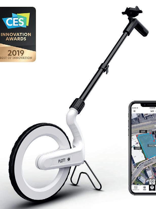
Easily measure and map
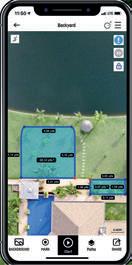
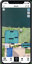
Carta delivers a state of the art, real time mapping and measuring system – displayed directly on your smartphone.
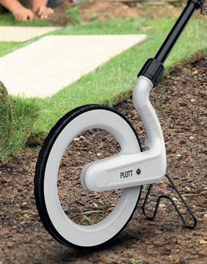
Simply wheel along the edges of an area using Carta to digitally capture the shape and dimensions. Carta effortlessly measures ANY curved or freeform shape –then instantly derives square footage, cubic yards/feet, perimeter data, etc.
No more squaring off complex shapes then overestimating your material and inflating your quote. Use Carta to map out a new garden, deck layout, irrigation system, plus many other projects. Its a few easy steps.
OVERVIEW BENEFITS
- Draw complex paths in real-time
- Calculate area
- Quick and Easy material estimation
- Create, store, and export digital “projects”
- Guidance to real-world points
- Spray attachment for marking
- Add notes, images and videos
by PLOTT
LAND MEASURING WHEEL AND MAPPING SYSTEM
MAPPING & MEASURING DIRECT TO YOUR SMARTPHONE
KEY FEATURES
- Create, measure, & reposition multiple paths in one file
- Material cost estimation calculator
- Guide mode for relocating key points
- Paint spray can attachment for marking out
- Easy exporting (DXF, JPG, PLTT)
- Operates with iOS & Android mobile phone
- Set distance alerts for fencing applications
- No Need for GPS, mobile or internet access (works anywhere)
- Change measurement unit (feet, yard, inch, metre)
- Import backgrounds (for visual reference)
LAND MEASURING WHEEL
The Carta by Plott platform allows you to map and measure projects in real time, mark points of interest, take notes, and guide you back to marked points in the
Easily share projects with colleagues, share images with clients so they can see exactly what is being done,
≥ 18 hours (3x AA batteries) Area, Perimeter, Volume, etc. Metres, Feet, Cubic Yards
Carta provides a mapping and measuring system