2026
SOUTH FLORIDA ENVIRONMENTAL REPORT
WATER YEAR 2025 (MAY 1, 2024–APRIL 30, 2025) FISCAL YEAR 2025 (OCTOBER 1, 2024–SEPTEMBER 30, 2025)
March 1, 2026
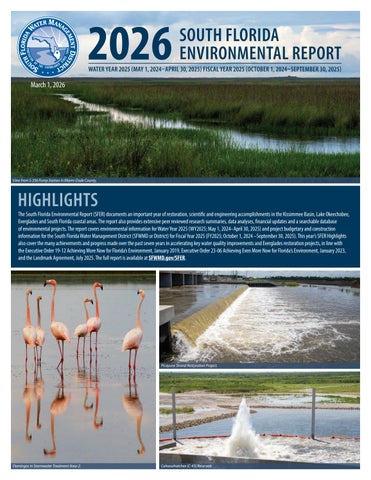
View from S-356 Pump Station in Miami-Dade County.
HIGHLIGHTS
The South Florida Environmental Report (SFER) documents an important year of restoration, scientific and engineering accomplishments in the Kissimmee Basin, Lake Okeechobee, Everglades and South Florida coastal areas. The report also provides extensive peer reviewed research summaries, data analyses, financial updates and a searchable database of environmental projects. The report covers environmental information for Water Year 2025 (WY2025; May 1, 2024–April 30, 2025) and project budgetary and construction information for the South Florida Water Management District (SFWMD or District) for Fiscal Year 2025 (FY2025; October 1, 2024 –September 30, 2025). This year’s SFER Highlights also cover the many achievements and progress made over the past seven years in accelerating key water quality improvements and Everglades restoration projects, in line with the Executive Order 19-12 Achieving More Now for Florida’s Environment, January 2019, Executive Order 23-06 Achieving Even More Now for Florida’s Environment, January 2023, and the Landmark Agreement, July 2025. The full report is available at SFWMD.gov/SFER.
Picayune Strand Restoration Project.
Flamingos in Stormwater Treatment Area-2.
Caloosahatchee (C-43) Reservoir.