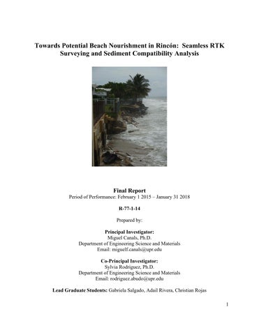
Towards Potential Beach Nourishment in Rincón: Seamless RTK Surveying and Sediment Compatibility Analysis
Final Report Period of Performance: February 1 2015 – January 31 2018 R-77-1-14 Prepared by: Principal Investigator: Miguel Canals, Ph.D. Department of Engineering Science and Materials Email: miguelf.canals@upr.edu Co-Principal Investigator: Sylvia Rodriguez, Ph.D. Department of Engineering Science and Materials Email: rodriguez.abudo@upr.edu Lead Graduate Students: Gabriela Salgado, Adail Rivera, Christian Rojas 1