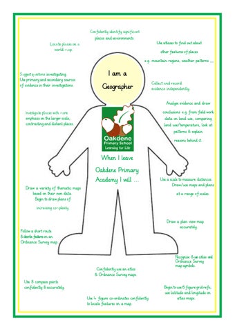
places and environments.
Use atlases to find out about other features of places e.g. mountain regions, weather patterns ,,,
investigating. Use primary and secondary sources of .evidence in their investigations.
I am a Geographer Analyse evidence and draw conclusions e.g. from field work data on land use, comparing land use/temperature, look at patterns & explain
emphasis on the larger scale; contrasting and distant places.
reasons behind it.
When I leave
Oakdene Primary Academy I will ... Draw a variety of thematic maps based on their own data. Begin to draw plans of
Use a scale to measure distances. Draw/use maps and plans at a range of scales.
Draw a plan view map accurately.
Follow a short route & describe features on an Ordnance Survey map.
Confidently use an atlas & Ordnance Survey maps. Use 8 compass points confidently & accurately. Use 4 figure co-ordinates confidently to locate features on a map.
Recognise & use atlas and Ordnance Survey map symbols.
Begin to use 6 figure grid refs; use latitude and longitude on atlas maps.