3 minute read
Water, Nature & Driftless Area


Advertisement
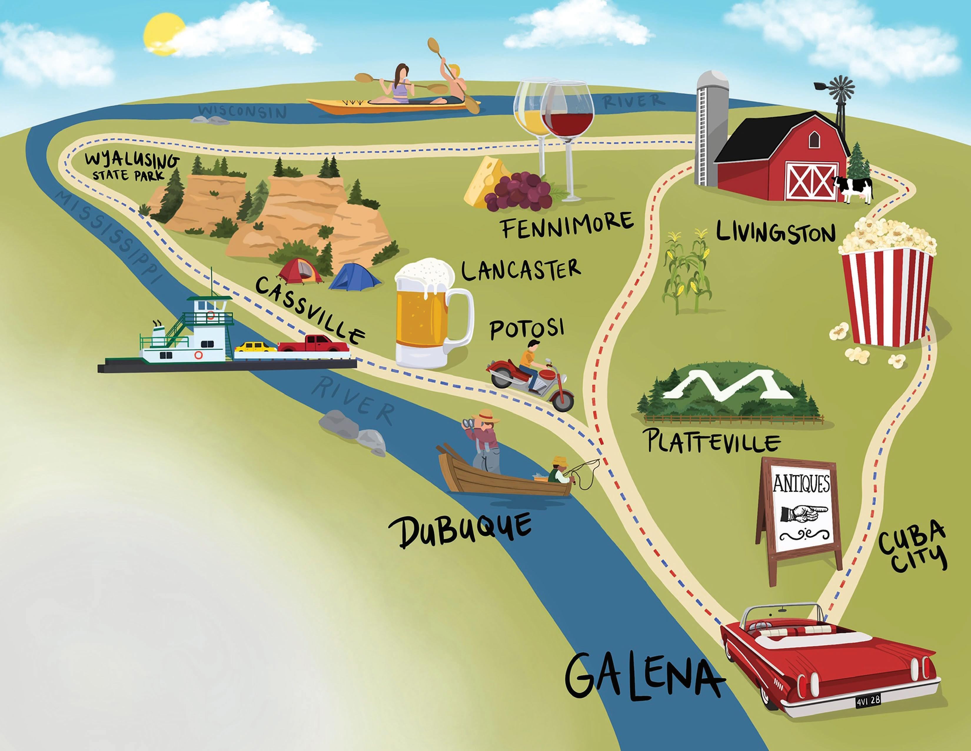
More information and maps at grantcounty.org/tourism
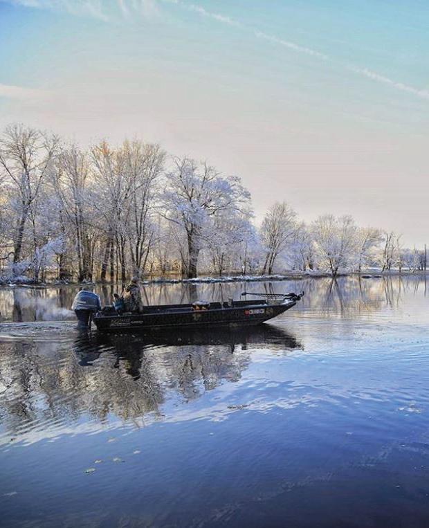
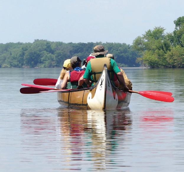
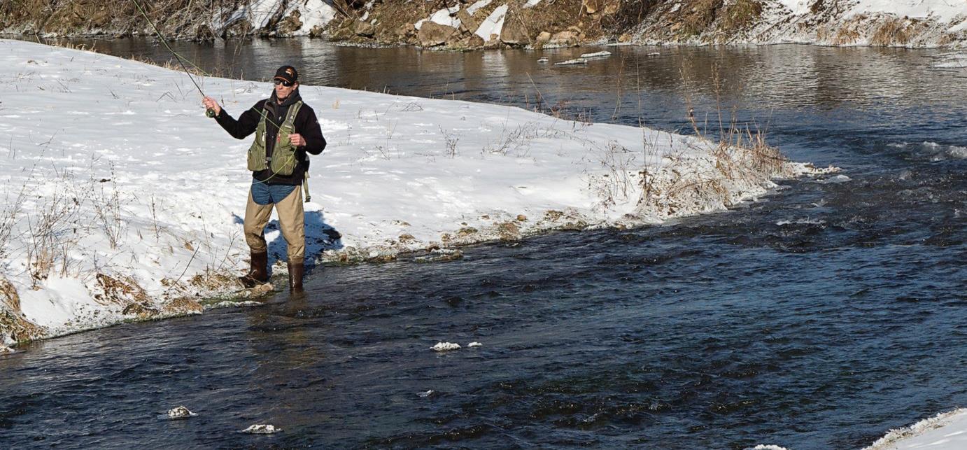
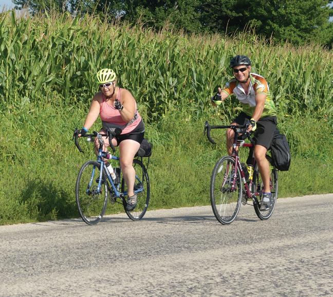
Grant County is home to the “Most Scenic Campsite” in all of Wisconsin, according to a 2020 Reader’s Digest ranking. Wyalusing State Park offers 2,700 acres of spectacular scenery overlooking where the Mississippi and Wisconsin Rivers converge. This park features a canoe trail, hiking, caves, bluffs, Native American burial mounds and more. Plus, Grant County is home to Nelson Dewey State Park. Just off the Great River Road outside of Cassville, it features an abundance of wildlife so you can reconnect with nature. Inland, cyclists of all skill levels can find the right path for them with more than two dozen area bike loops that comprise the 900+ mile Driftless Challenge. With two coasts, you’re never far from the water in Grant County. The mighty Mississippi and Wisconsin Rivers form over 90 scenic miles of natural borders to our north and west. Fishing, kayaking, boating, tubing, swimming, or camping on the beach are a few ways to enjoy the water. But that’s just the beginning. Our unique landscape is home to over 100 miles of world class trout streams. Join anglers from around the country as they wet a line. Between the Lower Wisconsin State Riverway and Upper Mississippi flyway, there’s always a spot to see a variety of animals near our shores.
Fishing, Boating, Canoeing, Kayaking.
County & Community Boat Launches Canoe / Kayak Launches Wisconsin River Outings Canoeing, Kayaking, Tubing Outfitters
Parks, Trails, Pathways, Natural Areas
Wyalusing State Park, Bagley/Wyalusing Nelson Dewey State Park, Cassville State Natural Areas, Various Potosi Point, Potosi Lower Wisconsin State Riverway, Various
David Canny Rountree Branch Trail
and Mound View State Trail, Platteville SW WI Bike Routes, Various


& The Driftless Area
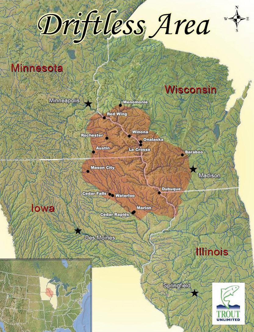

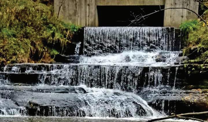
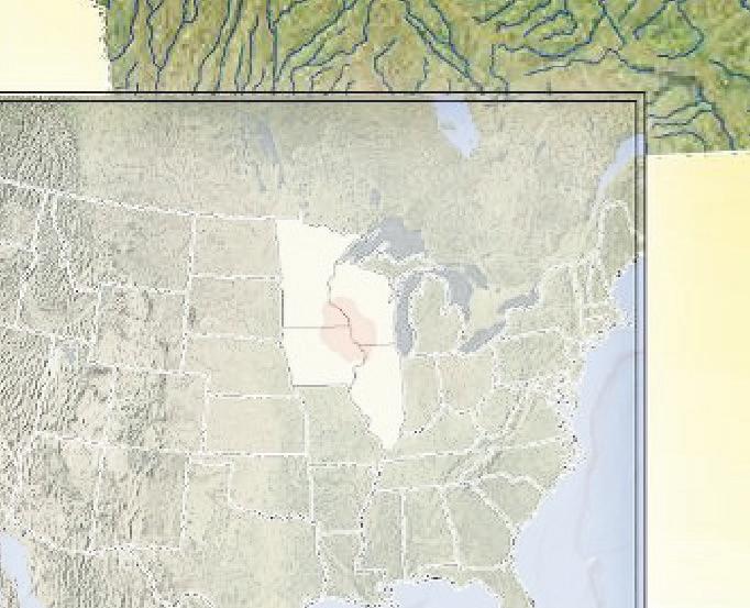
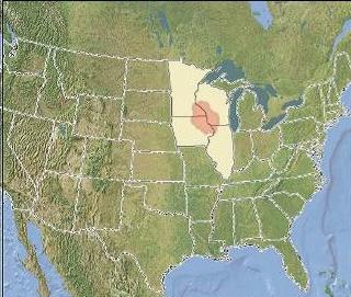
“Wow!” That’s the first thing most people say when they first visit this region closely followed by the question, “Why is this so different?” Well welcome to “The Driftless”. The answer to your question goes back some 10,000 to 12,000 years to the last great ice age. Glaciers were pushing down from the north that were leveling and scouring everything in their path…except for what you see here. The glaciers spared this area which preserved our hills and then the waters they unleased as they receded carved the steep valleys you see today. Today “the Driftless” covers over 24,000 square miles in a four state area. That’s three times larger than the Black Hills in case you were wondering. The Mississippi River carves through the center of it all but that’s just the beginning. There are literally thousands of miles of streams and rivers waiting for you to discover them. And the cool spring fed streams make for a trout fishing paradise. The hills, the valleys, the waterways, even the vegetation make a stunning and beautiful region like nowhere else. Welcome to “the Driftless” and go ahead, say it again….”Wow”.


Used by permission of Trout Unlimited.
Used by permission of Trout Unlimited.