SIDE SHOTS August 2025
Professional Land Surveyors of Colorado
Volume 56, Issue 3
SIDE SHOTS
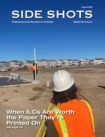
When ILCs Are Worth the Paper They’re Printed On see page 26
SIDE SHOTS August 2025
Professional Land Surveyors of Colorado
Volume 56, Issue 3
SIDE SHOTS
When ILCs Are Worth the Paper They’re Printed On see page 26