The Murillo Bulletin Journal of PHIMCOS
The Philippine Map Collectors Society
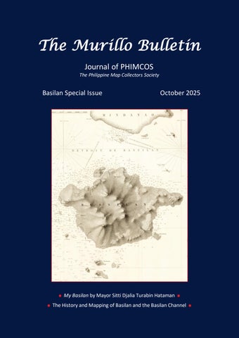
Basilan Special Issue
October 2025
My Basilan by Mayor Sitti Djalia Turabin Hataman The History and Mapping of Basilan and the Basilan Channel
The Murillo Bulletin Journal of PHIMCOS
The Philippine Map Collectors Society
Basilan Special Issue
October 2025
My Basilan by Mayor Sitti Djalia Turabin Hataman The History and Mapping of Basilan and the Basilan Channel