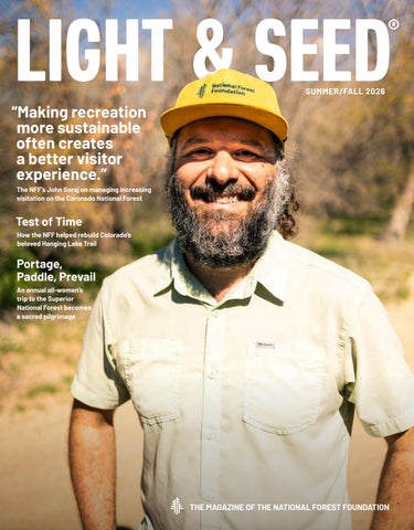
“Making recreation more sustainable often creates a better visitor experience.”
The NFF’s John Goraj on managing increasing visitation on the Coronado National Forest
Test of Time
How the NFF helped rebuild Colorado’s beloved Hanging Lake Trail
Portage, Paddle, Prevail
An annual all-women’s trip to the Superior National Forest becomes a sacred pilgrimage
Play it Forward
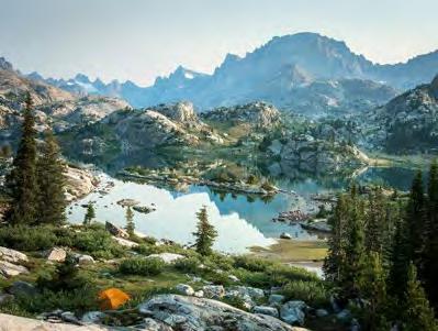
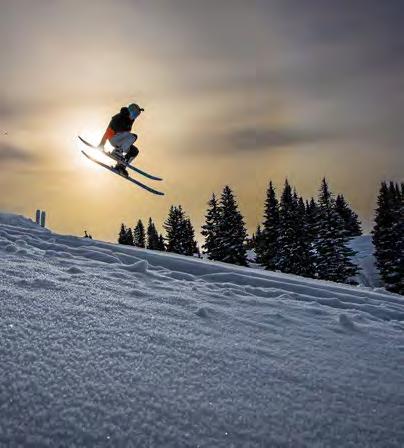
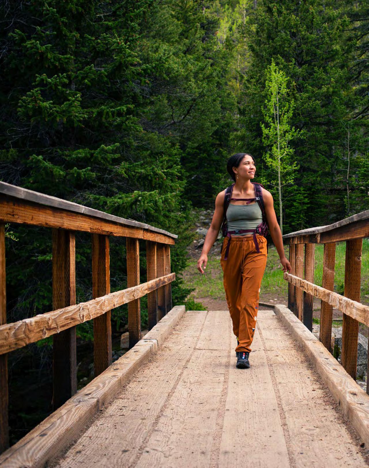
Hike to the top of a mountain and gain a new perspective. Catch a trout and learn about life cycles. Paddle through a gorge and submit to nature’s rhythms.
On our National Forests and Grasslands, recreation can be many things: a pastime, a livelihood, a lifelong memory. But for all of us, it offers the same promises: a return to balance, a path to renewal, a reminder that beauty is not built but protected.
At the National Forest Foundation, our recreation projects are as much about creating personal connections to these beautiful places as they are about preserving them, whether that’s building a backcountry cabin that a family can return to year after year or restoring a trail network—and a sense of community—after a hurricane.
As our nation celebrates its 250th birthday, the National Forest Foundation is proud to join millions of Americans in honoring this historic milestone. This year is more than an anniversary. It is an invitation to reflect on the legacy we’ve inherited and the responsibilities we carry onward.
OUR VISION
A world where caring for forests is second nature
OUR MISSION
Transform America’s love of nature into action for National Forests
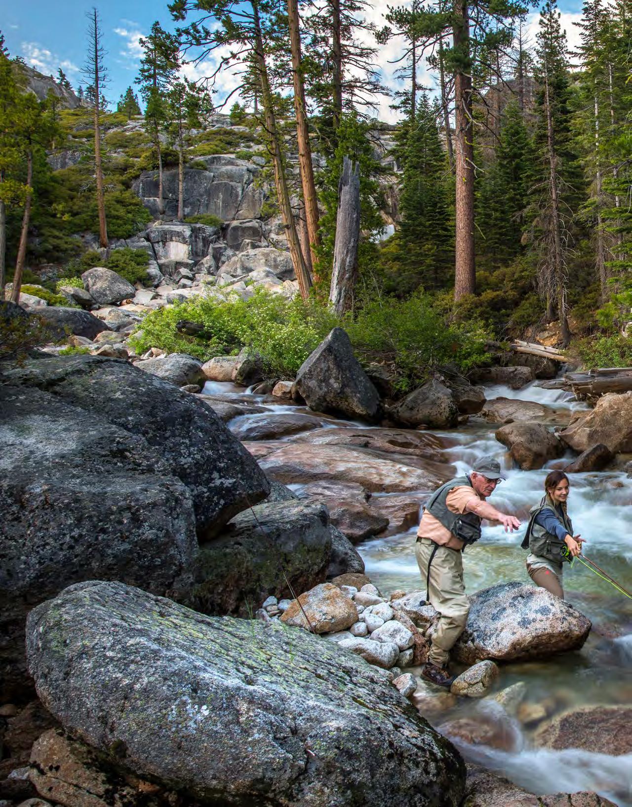
Eldorado National Forest. Photo by Phil Reedy
Pocket Guide
CORONADO NATIONAL FOREST
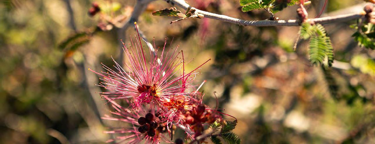
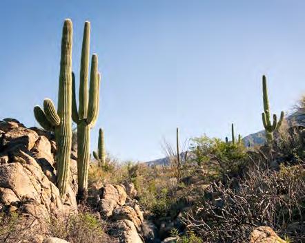
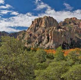
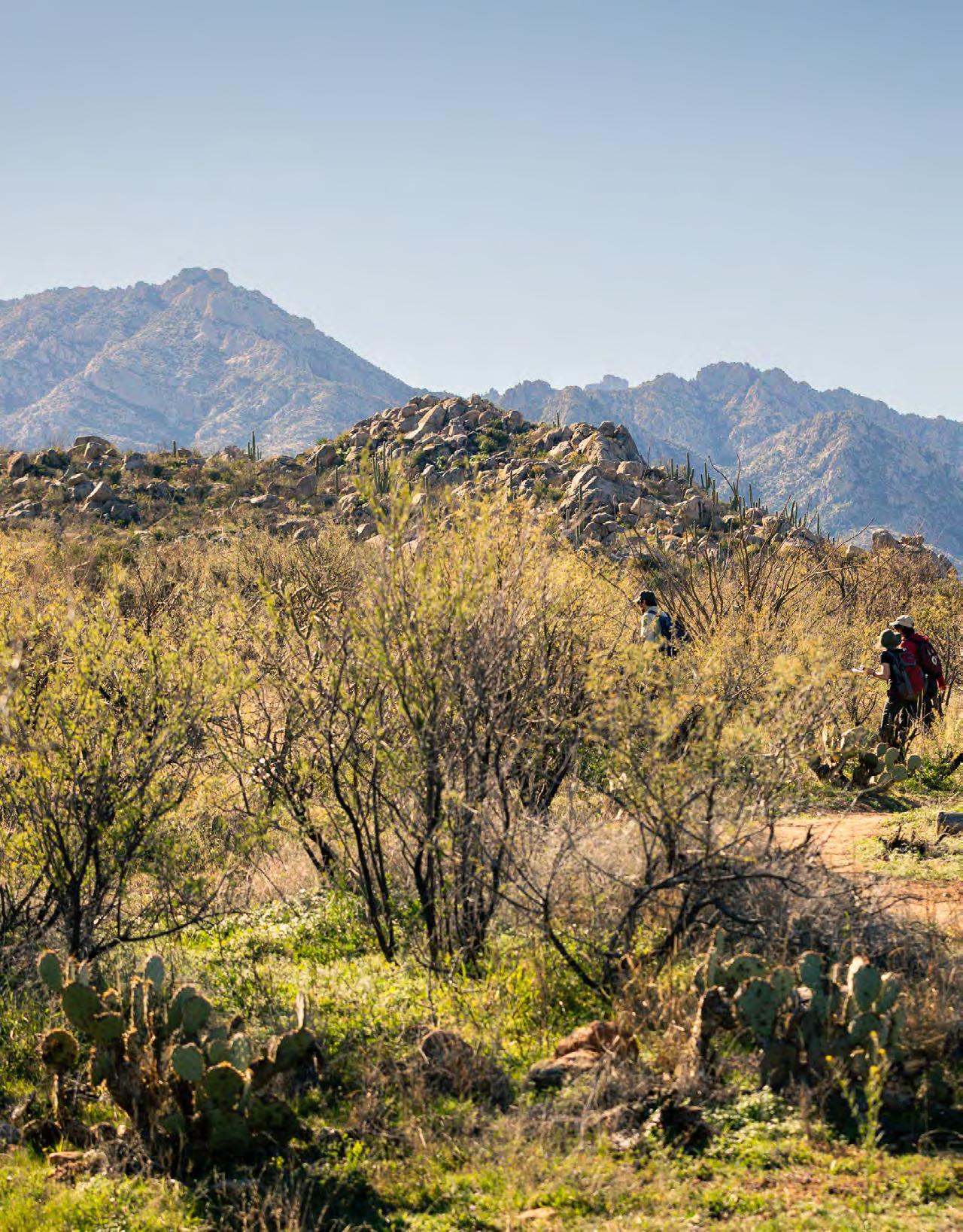
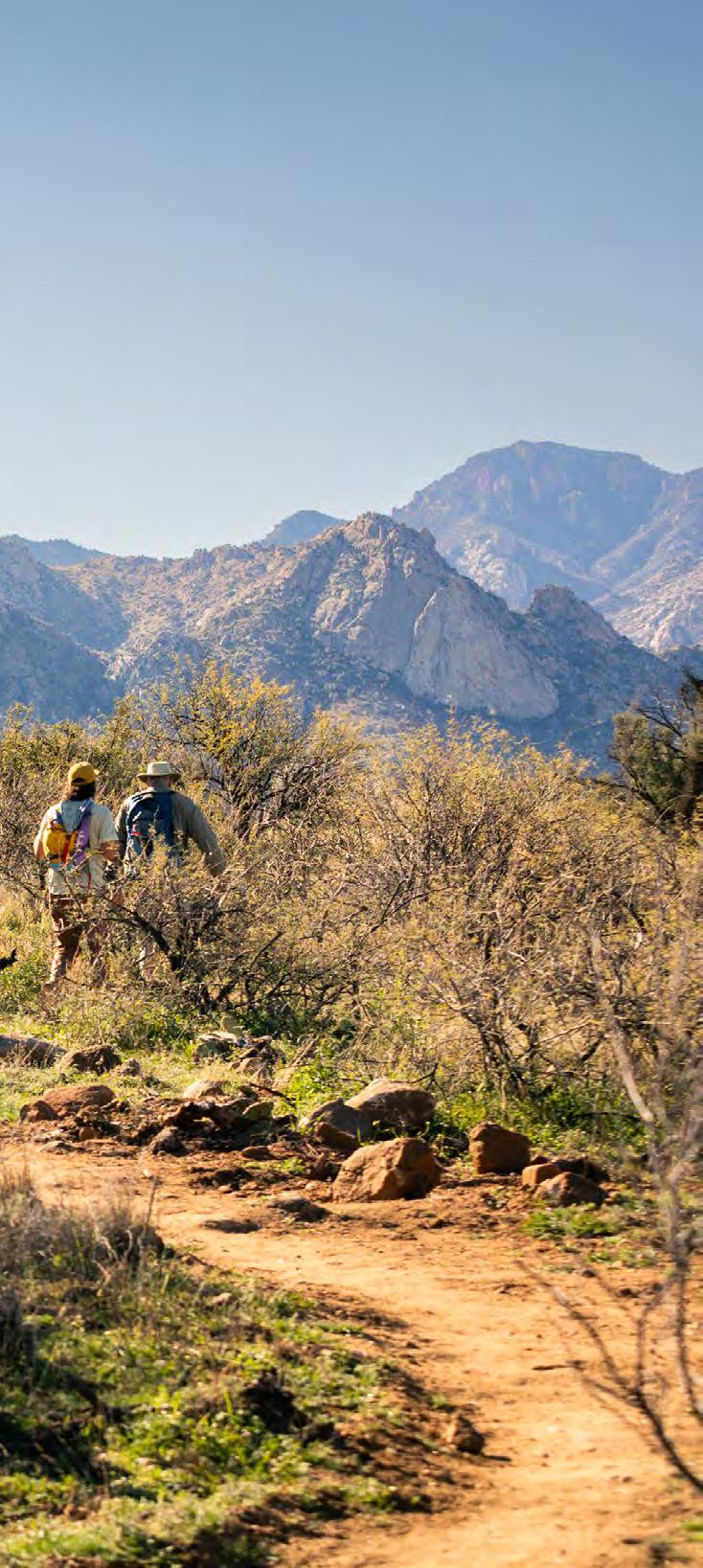
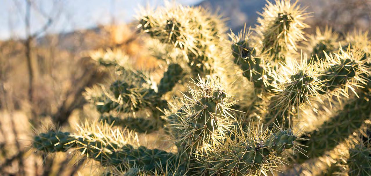
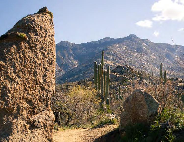
Uncover the Coronado National Forest, 1.7 million acres in southeastern Arizona and southwestern New Mexico that encompass one of the most geographically diverse forests in the country, from desert lowlands to alpine tundra.
Experience all four seasons during a single day’s journey, spot wildlife that cannot be found in other National Forests, and enjoy spectacular views from the widely scattered mountain ranges, or “sky islands,” that rise dramatically from the desert floor.
HIKE THE FIVE-MILE LEMMON ROCK LOOKOUT TRAIL to a historic Forest Service cabin for far-reaching views of southeastern Arizona.
GO SPELUNKING THROUGH THE HONEYCOMBED PASSAGEWAYS OF ONYX CAVE in one of the Santa Rita Mountains’ many limestone outcroppings.
Agenda
CLIMB ROCKFELLOW DOME, a distinctive granite peak, two miles from the parking area on Ironwood Road off of Interstate 10.
BIRDWATCH IN MADERA CANYON for rare and migratory species that can’t be found elsewhere in the country, such as the Elegant Trogon and Whiskered Screech-Owl.
6
SKY ISLANDS range in elevation from 3,000 to 10,720 feet
SPECIES OF HUMMINGBIRDS, including Violetcrowned, Calliope, and Costa’s 15
Intel
BOOK A CABIN AT HISTORIC KENTUCKY CAMP for gorgeous views of the Santa Rita Mountains, easy access to the Arizona Trail, and pitchblack skies perfect for stargazing. Reservations open on recreation.gov six months in advance and fill up fast.
DETOUR TO SUMMERHAVEN, a charming mountain getaway at mile marker 25 on the Sky Island Scenic Byway. Try the largest homemade cookies in Arizona at Mt. Lemmon Cookie Cabin.
TIME YOUR VISIT to spring, late summer, or early fall for the best birdwatching. Visit friendsofmaderacanyon.org to learn about specific timing by species.
For guides to all 154 National Forests, visit: nationalforests.org/find-a-forest
Photos by Tony Aragon, Benjamin Olsen, Steve Wolfe
Photos by Derek DiLuzio, Tony Aragon, National Forest Foundation. Cover photo by Tony Aragon.
Turn the Tide
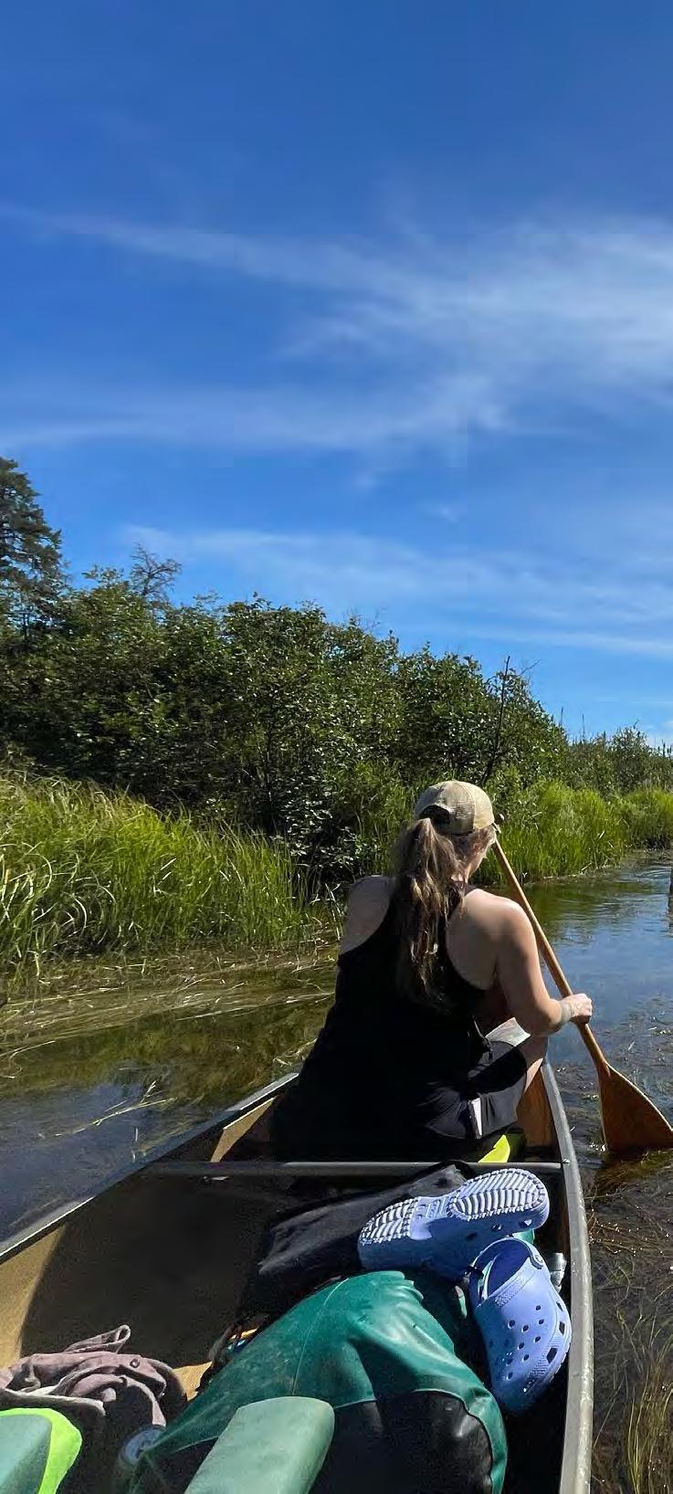
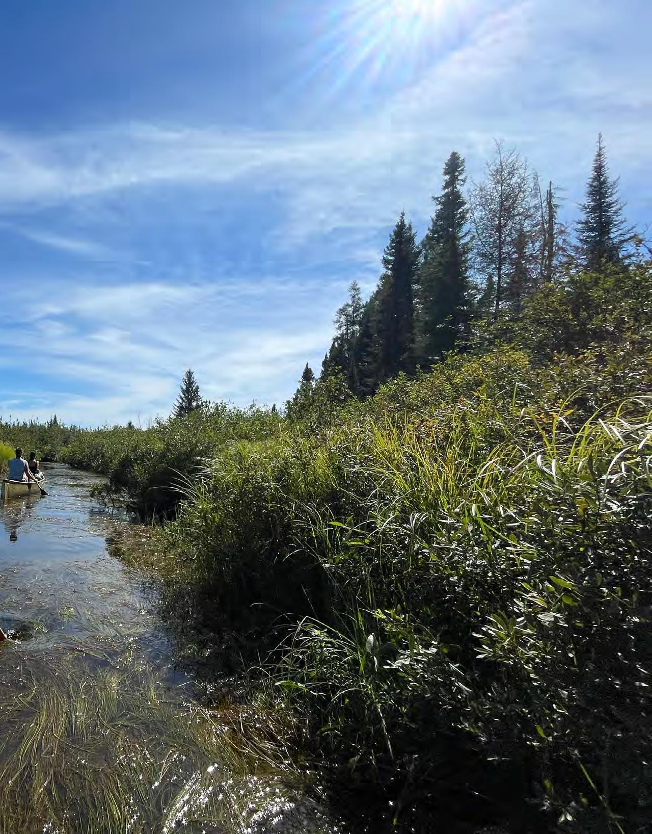
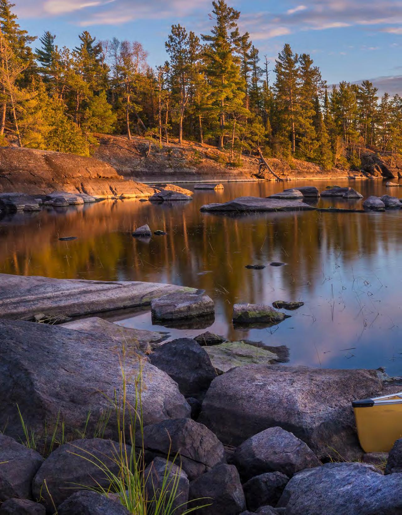
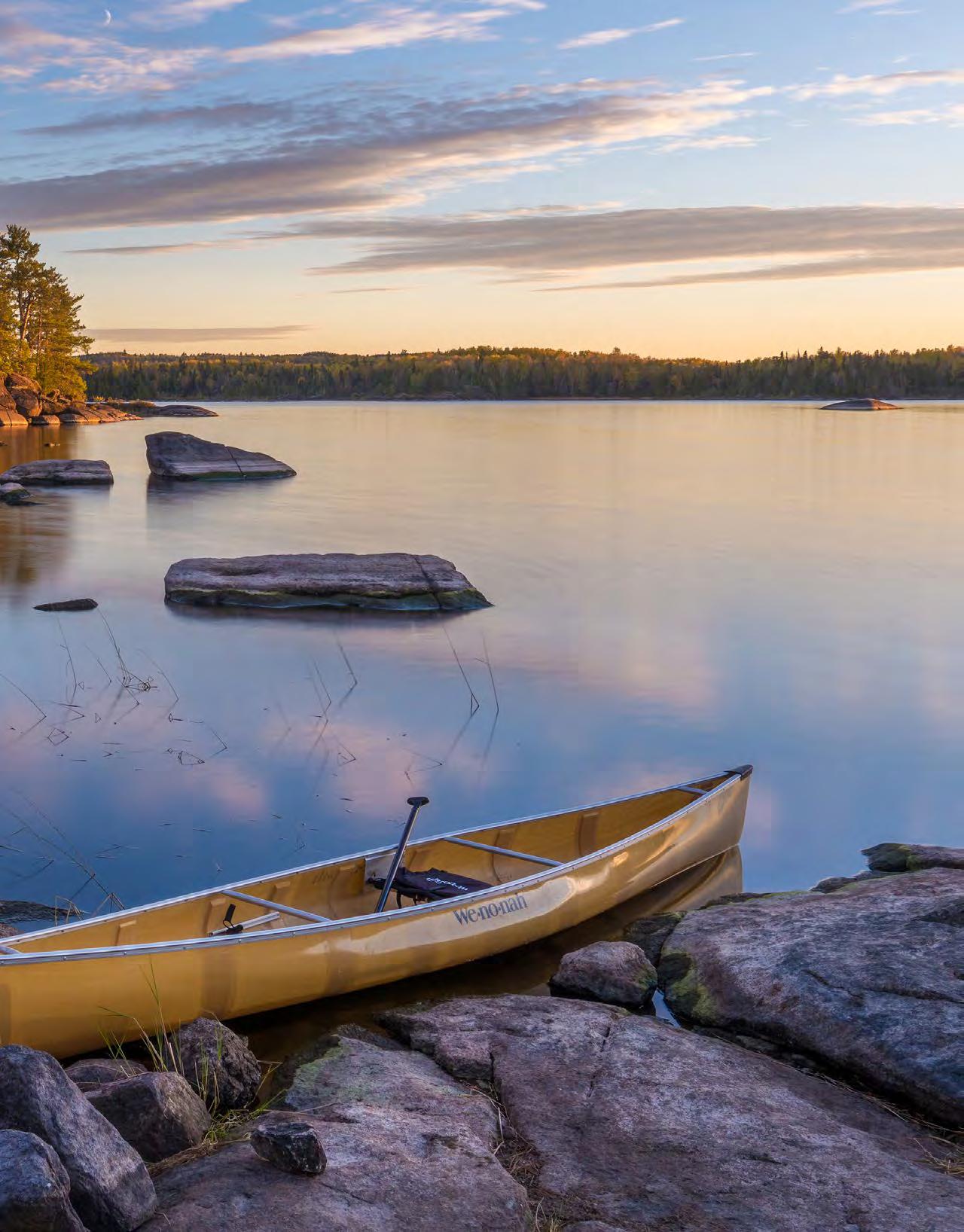
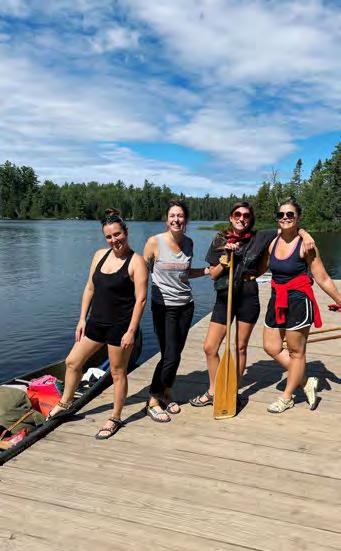
Every summer, writer Marley Flueger and a group of friends paddle the Boundary Waters in the Superior National Forest. Now in its fifth year, “these annual returns have become a mirror held up to passing time,” writes Flueger.
For each of these women, the pilgrimage offers a temporary refuge from life’s demands and expectations. “We’re no one’s anything, just women tending to the fire and each other,” she describes.
In her essay “The Ritual of Recovery,” Flueger traces how these chapters of life and loss are reflected in the landscape. The Boundary Waters is where Flueger and her friends can witness each other’s transformations; where healing is not solitary, but shared.
Read the full story on page 14.
Photo by Marley Flueger
Built to Last
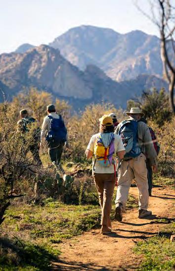
Attracting more than two million visitors annually, the Coronado National Forest has become one of the most popular recreation areas in Southern Arizona. The growth in visitation and increase activities beyond hiking such as horseback riding and mountain biking, has led to overcrowding, trail degradation, and conflicts between different recreationists.
In 2020, the National Forest Foundation (NFF) and its partners got to work on addressing these issues by “listening to both one another and visitors,” says John Goraj, the NFF’s Southern Arizona program coordinator. Rather than manage visitation, the teams focused on making the most of existing infrastructure, such as connecting two out-and-back trails to create a beautiful, one-way loop.
As plans begin to materialize, writer Robin Tricoles visited the Coronado to report on how these efforts are adapting to the needs of the region’s growing outdoor community.
Read the full story on page 18.
Photo by Tony Aragon
A Trail for the Century
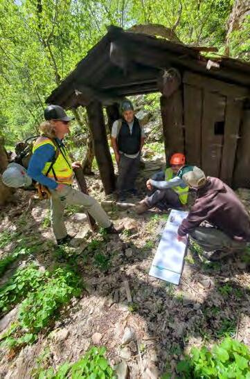
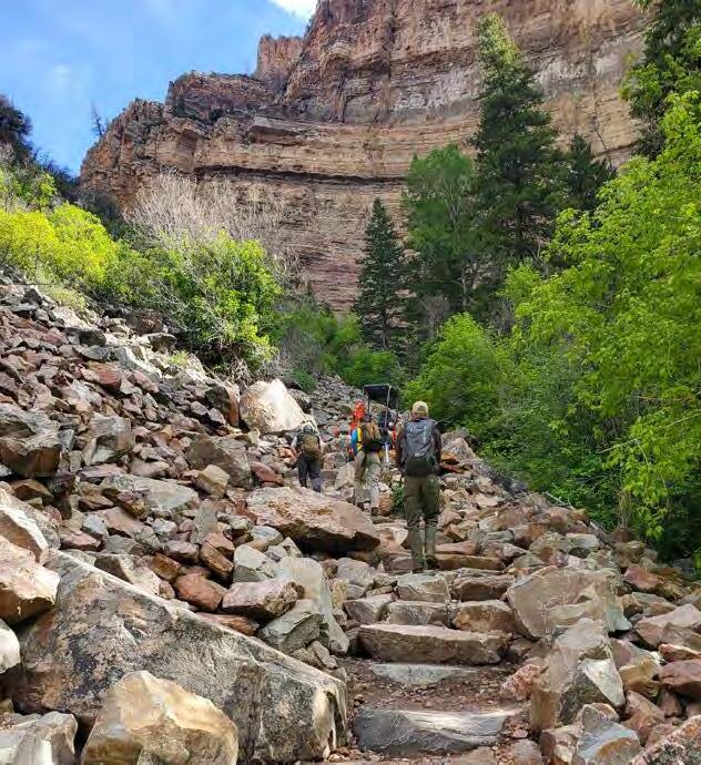
Hanging Lake is one of Colorado’s most iconic places. When the Grizzly Creek Fire burned over 32,000 acres in and around the White River National Forest in 2020, the lake itself was miraculously spared. However, massive debris flows after heavy rains caused major damage to the Hanging Lake Trail.
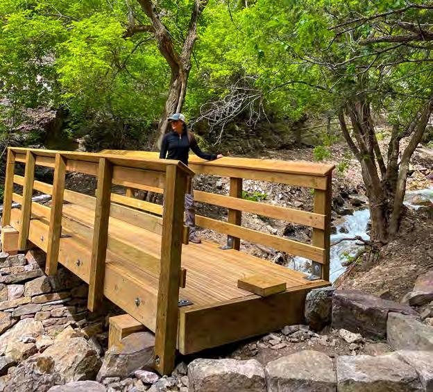
The National Forest Foundation (NFF) saw this as an opportunity to remake the path into a world-class trail. After a fiveyear closure during which the NFF rallied multiple funding and building partners, the route has reopened to the public.
For “A Hundred Years of Fortitude,” writer Corey Buhay walked the new route alongside Emily Kasyon, the NFF’s program coordinator for the White River National Forest. For Kasyon, a Colorado native, this restoration felt particularly personal. “There’s so much history of people coming here to make lifelong memories,” Kasyon said. “It’s so cool to be a part of it.”
Read the full story on page 24.
Photo by National Forest Foundation
First Responder
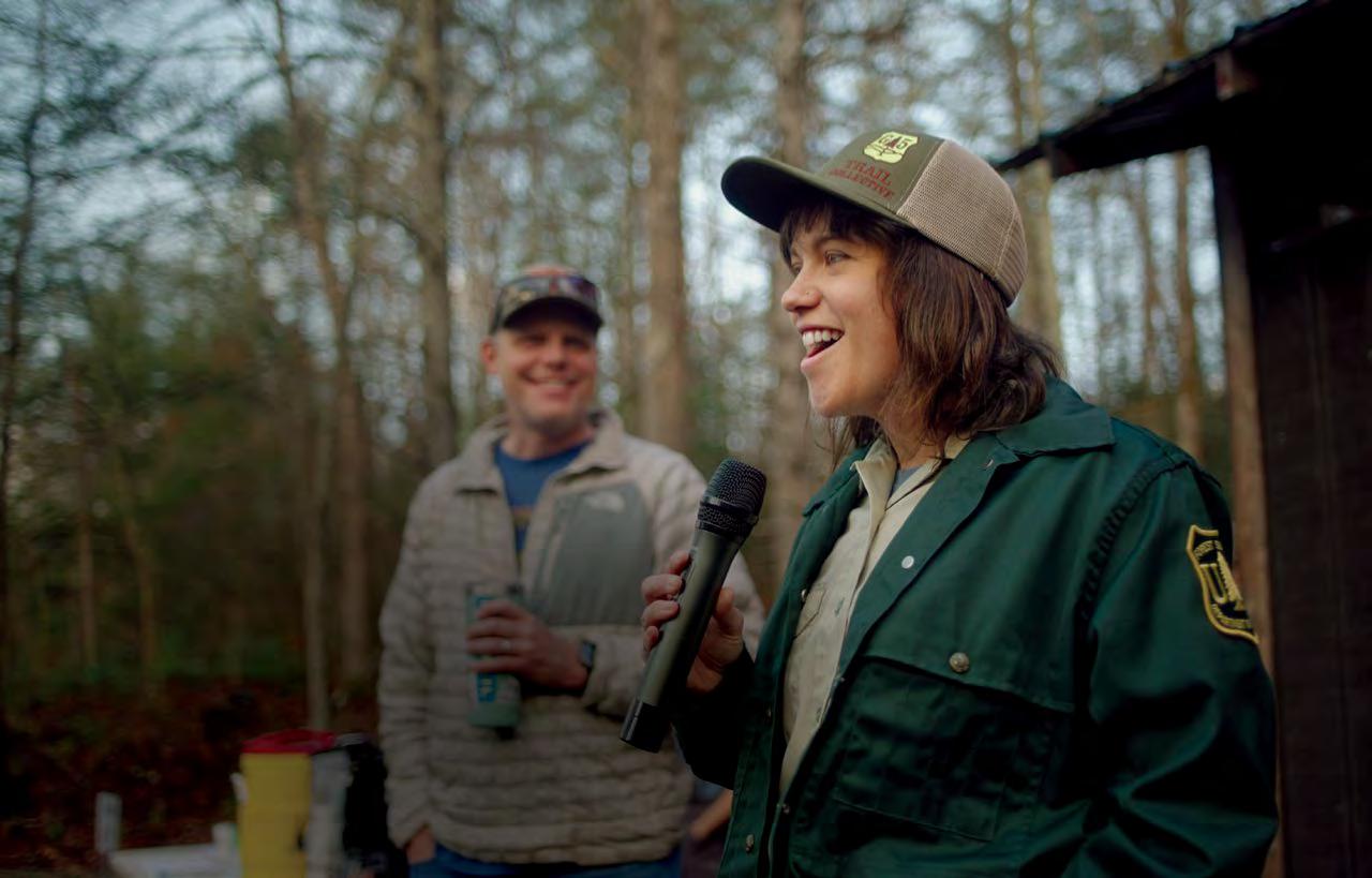
For Lisa Jennings, the recreation and trails manager for the Grandfather District of the Pisgah National Forest, rehabilitating after Hurricane Helene has been a race against time.
INTERVIEW BY ERIN VIVID RILEY
When Lisa Jennings was growing up, she moved around a lot for her parents’ work in higher education. From living in a small town in the Sierra Nevada Mountains to the base of the Blue Ridge Mountains in rural Georgia, the spectacular settings helped Jennings embrace the constant change. Despite her outdoorsy childhood, it wasn’t until she drove through the redwoods in Northern California that she realized she wanted to work with trees.
A few years out of college, Jennings secured one of the Forest Service’s most coveted roles in one of its most popular destinations. As the recreation and trails manager for the Grandfather District of the Pisgah National Forest, she achieved a standard in the past decade that’s unheard of for such a highly used district: almost clearing the area’s trail maintenance backlog. Then, Hurricane Helene made landfall in 2024.
We spoke to Jennings about her response after the storm hit, the immensity of the recovery effort, and the resiliency of Pisgah’s communities.
What was your experience of the immediate aftermath of the storm? As Forest Service employees, most of us are also wildland firefighters and have been trained to respond to emergencies. After the hurricane, I went to the police department and they plugged me in right away.
I advised the police and fire chiefs through early incident management steps and helped the town get resources on the ground in the first few days. Then I stepped into a public information role, leading the first-ever radio broadcast in western North Carolina. It was one of the most meaningful things I’ve done.
How has your work changed since Hurricane Helene? In one instant, the entire second half of my career changed. We have 300 miles of trails on the Grandfather Ranger District, and just before the storm, we had gotten to this amazing milestone where we had maintained every mile within a single year. Then the storm hit and set everything back.
In one instant, the entire second half of my career changed.
What has the recovery work been like? The complexity of identifying challenges on such a wide system that’s so highly used is immense, involving spreadsheets and rankings and hundreds of people from multiple organizations. We’ve opened 75 percent of our trails, but the greater recovery work will take decades.
What is your current focus? One of our focus areas is the Old Fort Trails Project, a 42-mile system that broke ground in 2022. For every mile of trail that opened, a new business opened in Old Fort, (a former textile town 20 miles east of Asheville). Before Helene, the trails were welcoming an average of 250 visitors a day.
During the storm, every business flooded and the town was devastated. We’re still in that place of recovery where our local communities and businesses are saying, “Can we do this? Can we stay here?” So there’s been a lot of pressure to move as quickly as possible.
Is the trail system open to visitors? We were able to open the trail system early on, and as of January, the main point of access to the trails—a 100-foot-bridge that flipped over from the force of Helene—has been rebuilt. It’s been amazing going into town and seeing bikes on the back of
cars again, and seeing people come in and breathe new life into Old Fort.
What do the next decades of recovery look like? You know, through crisis comes opportunity. We’ve had to start over, but we have each other, we have our network of partners. How do we use this opportunity to build something better and more resilient? So when this happens again, we’ll have the pieces in place.
Follow along with the restoration projects on the Grandfather Ranger District of the Pisgah National Forest on Instagram at @g5trailcollective
Check out the Southern National Forest Recovery Fund at nationalforests.org/ southernforestsrecovery and contribute to the recovery of small communities around the Pisgah and Nantahala National Forests.
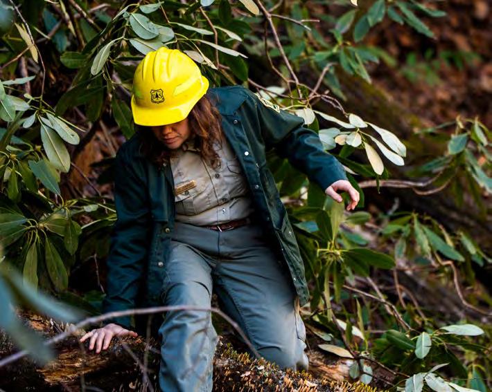
LEFT: As a recreation and trails manager for the Pisgah, Lisa Jennings manages one of the busiest units in the National Forest system. Photo by Lisa Jennings
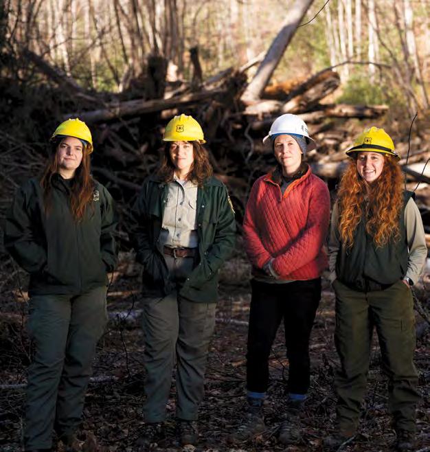
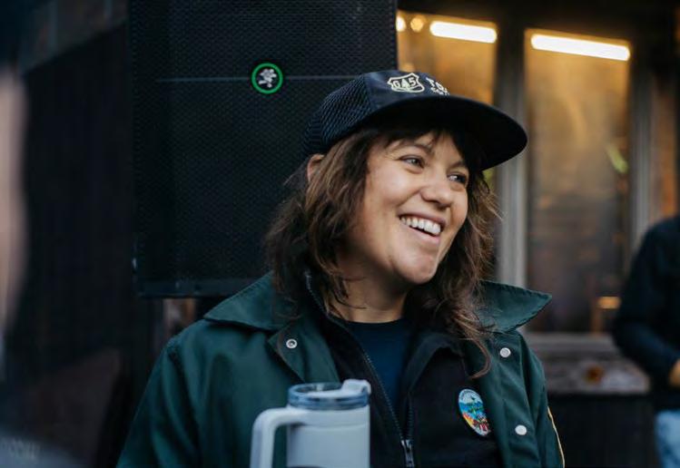
ABOVE: Lisa Jennings with colleagues Dana Hodde, Rachel Blackburn, and Hunter Campbell. Photo by Derek DiLuzio
Ranches and Recreation
At Babbitt Ranches, Billy Cordasco balances grazing, conservation, and responsible recreation.
INTERVIEW BY ERIN VIVID RILEY
Stretching from near the Grand Canyon to the Little Colorado River in Northern Arizona is a swath of country that’s nearly the size of Rhode Island. It’s a mix of private, state, and federal land—including the Coconino and Kaibab National Forests—historically part of Babbitt Ranches, a family-owned enterprise that was founded in 1886.
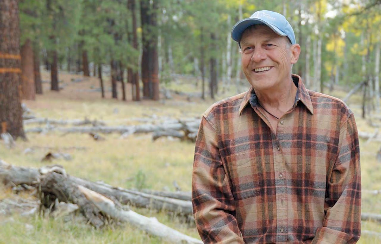
When Billy Cordasco, the great-grandson of the ranch’s original founders, became president in 2002, he wanted to invest in recreation. Rather than see it as an opportunity for development, he treated it as a way to encourage self stewardship through education.
For many recreation, restoration, and wildfire mitigation projects, the National Forest Foundation (NFF) relies on private landowners like Cordasco for support and access. Take the Derffer Forest Restoration Project as an example. The NFF is treating more than 3,000 acres on the Coconino National Forest, including parts of the Arizona Nordic Village, a ski area that Babbitt Ranches acquired in 2012.
We spoke to Cordasco about what it means to encourage responsible recreation.
What was it like growing up on Babbitt Ranches? I grew up in and around Babbitt Ranches and spent a lot of time on the Coconino and Kaibab National Forests, hiking and hunting deer and turkey. There was no question about getting into forestry and wildlife. It wasn’t until college, in 1986, that I started working with Babbitt Ranches as a cowboy, and through the years, have cycled through many roles.
What kinds of recreation do you have at the ranch? We host hikers, trail runners, mountain bikers, and horseback
The NFF works with landowners like Billy Cordasco on its restoration projects. Photo by Q Martin
riders all across Babbitt. We have many miles of trails and dispersed camping. Plus, 20 miles of the Arizona Trail comes through, from the Tub Ranch area to the Kaibab National Forest. And nearby, the Arizona Nordic Village is part of Babbitt and has more than 35 miles of groomed trails for cross-country skiing and snowshoeing.
What have you learned from managing recreation areas? When ethics are really high—and I mean everything from relationships to values to accountability—very little direct management and few regulations are necessary. Selfmanagement by recreationists is the only feasible way to achieve sustainable outdoor recreation practices across these vast landscapes.
Have you faced any challenges with over-visitation? We had a case with SP Crater, a beautiful dormant volcano in the middle of Babbitt Ranches. It got put on Instagram a few years ago and now we have people wanting to hike up the sides and camp on the rim, where a breeding pair of golden eagles keep getting chased off. It’s not that any one of you is doing anything wrong, it’s that they are all here doing it. Rather than create more regulations and enforcement, we’ve tried increasing awareness and investing in education, which is more cost-effective and better for everybody involved, but it takes participation.
When ethics are really high… very little direct management and few regulations are necessary.
What is your outdoor recreation philosophy? I’ll illustrate it with an example. For a long time, Babbitt Ranches had your usual speed limit signs. Drivers would often go above the limit, so we started thinking about how to get through to them. We decided to switch the signs to: “Please consider driving safely,” and speeding became much less of an issue. We need to encourage a paradigm shift toward the participatory.
Follow the Babbitt Ranches on Instagram at @babbittranches
Donate to the Northern Arizona Forest Fund at nationalforests.org/northernazforestfund, a locally focused initiative developed by the NFF to protect watersheds and forests through fostering innovative partnerships.
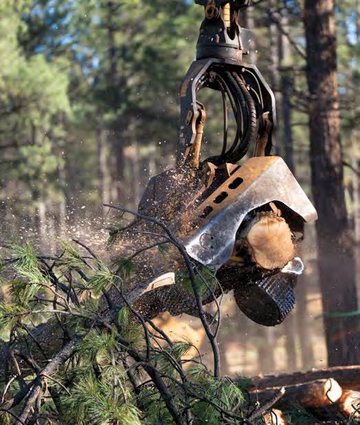
LEFT: The NFF is treating more than 3,000 acres on the Coconino National Forest.
Photo by Q Martin
ABOVE: Healthy forests help ensure National Forests continue to provide recreation opportunities. Photo by Elizabeth Sexton
The Ritual of Recovery
How an annual all-women paddling trip in the Superior National Forest helped me heal after cancer
STORY AND PHOTOS BY MARLEY FLUEGER
The portage looked finished before it was.
After a quarter-mile of ankle-breaking stones and hungry mosquitoes, the woods opened to a patch of light and water. I shifted the canoe, eager for the relief of bare shoulders, when the path veered right and narrowed into little more than a game trail.
So much for that.
I adjusted my grip and kept going, plowing through rib-high tallgrass that snagged my arms and calves like Velcro. The trail pitched upward into bare rock, slick and exposed, then dropped just as sharply.
The canoe felt heavier this year. No, it dawned on me. I’m weaker. It was my fifth year making this sacred, sticky pilgrimage.
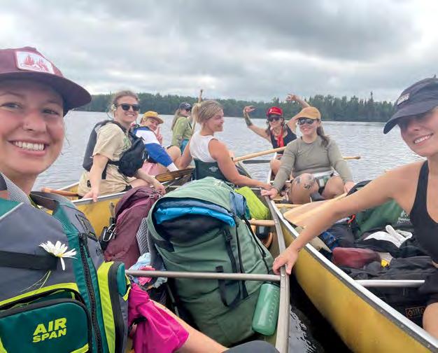
Every summer, I return to the Boundary Waters Canoe Area Wilderness in Minnesota’s Superior National Forest with a shifting flotilla of women in our thirties. A few are old friends. Others are new. One I see only here, among the spruce and granite, and I cannot imagine her anywhere else.
The group is never quite the same. Some have portaged beside me year after year. Others arrive wide-eyed, entering this endless wilderness for the very first time. We are nurses and
hairdressers, mothers and talk-show hosts. Titles that matter less the farther we paddle.
Cell service is spotty at best deep in this million-acre chain of lakes as large as Yellowstone and Yosemite combined. I used to consider this a small inconvenience, a fair trade for the ritual of retreat. But in the summer of 2024, the silence felt like mercy.
In the year leading up to that trip, I’d learned what one phone call can do. A doctor on the other end asked if I was driving and told me to take a seat. Then she said words that made the floor drop: cervical cancer. Stage unclear.
After that, every ring trained my body to brace—for more testing, more treatment, more tears. Even months after my first all-clear, my stomach still dropped when the screen lit up, certain the trapdoor would open again.
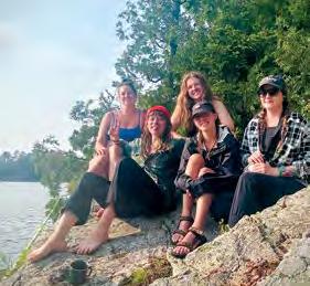
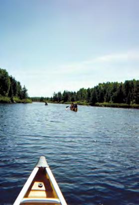
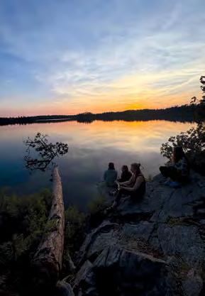
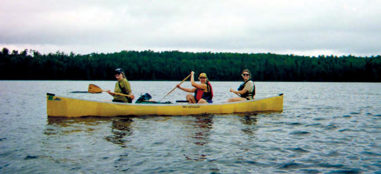
LEFT: Writer Marley Flueger taking a break from paddling the Boundary Waters. RIGHT: Photographs from various trips to the Superior National Forest.
But out on Lake Saganaga—a seventy-mile ribbon of blue stitched along the Canadian border—there was only one call to answer: keep going. Alive and delightfully unreachable, I sank into the steady work of moving forward, paddling headlong into the wind.
By late afternoon, we slipped into a narrow inlet, claimed a wide campsite in the jack pine, and got to work. As we pitched tents and hauled firewood, exhaustion quieted the fear and vigilance that had become my baseline.
After camp was set, we dragged our chairs onto the great granite slabs that formed our island and sat facing west. The wind had let go. The lake lay still, dark and deep, swallowing the sinking sun.
The rock beneath us was among the oldest on Earth. The view, by contrast, was young.
For more than two billion years, this landscape bore an ancient mountain range worn nearly flat by rain and wind and entropy. Then the ice came. Mile-thick glaciers, slow and merciless, carved deep wounds along fractured fault lines and stripped the land to stone.
When the ice receded, life reorganized itself around the damage. Meltwater settled into the scars. Moose arrived. Loons. Dragonflies. Beaver, who looked at all that devastation and thought: I can work with this.
Out here, womanhood isn’t measured by what a body can produce. In the glow of the fire, it becomes something lived and practiced.
Cancer cleaves a life the same. There is a before. There is an after. And there is a deep gash fixed in time, around which everything must be rebuilt.
That first summer back, sitting at the edge of Lake Saganaga, I felt myself cross into the after. I didn’t yet know what it would look like—only that something had been taken, and whatever came next would have to adapt to altered ground.
But out here, there was no rush to solve these kinds of riddles.
The women around me moved through the small rituals of evening—stoking the fire, passing around food and mugs and bug spray. Doing what needed doing. Asking nothing of me but to tie a few strong knots for the bear bag.
Each summer, I return to the same wilderness with a different circle. The friend who once wept over a miscarriage now beams, passing around photos of her toddler. The
Flueger returns to the Boundary Waters every year with a group of friends, both old and new.
light-footed traveler arrives heavy with the grief of a dying father. Someone always comes unsure of what she can endure, and leaves surprised by the answer. These annual returns have become a mirror held up to passing time. A practice in watching before become after, and in showing up—again and again—for the life you land in.
When I was diagnosed, survival came at the price of my fertility. I had assumed I could choose motherhood when I was ready, the way we all believe time is generous. When that choice slipped away, grief followed, along with a nagging sense that I was now, somehow, less of a woman.
But year after year, the Boundary Waters shows me otherwise.
Out here, womanhood isn’t measured by what a body can produce. In the glow of the fire, it becomes something lived and practiced—best shared beneath towering trees, loons singing like showgirls drunk on moonlight.
On the way out this year, I found myself alone on the long portage. It was early. Overcast. The wind sharp and insistent, the way it always seems to be on exit day.
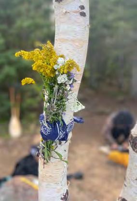
The path was still narrow, still punishing. But deep in the tallgrass, the clouds broke, and light spilled through. Goldenrod nodded beside my boots. Purple asters lined a beaver-worked creek. I broke a few stems and tucked them into my kerchief. They wouldn’t last. That was the point. I paused there, bent to the flowers on the empty trail. Then she appeared, triumphant. A woman, her first year
out, charging through the tallgrass with a canoe on her shoulders, arms trembling, face split open in a grin.
As she passed, my wild bouquet brushed the hull of her canoe. And I thought of all the versions of womanhood I’d seen along those trails. All the versions I’d been. Before the rupture. After the reorganizing.
Beneath my boots lay land shaped by ancient damage.
Each year, I walk its old wounds.
Each year, I leave some of mine behind.
That seems to be the agreement.
Bring your binoculars when paddling through Superior National Forest. The Boundary Waters Canoe Area Wilderness is one of the country’s most biodiverse birding hotspots. Recognized by the National Audubon Society as a globally important bird area, the wilderness has 225 species, 163 of which nest in the area.
Marley Flueger is a writer and copywriter based in Milwaukee, Wisconsin, and raised near Minnesota’s many lakes and rivers. She works with mission-driven organizations and writes about land, food, community, and the complicated art of being human.
Every summer, Flueger and her friends reconnect in the Superior National Forest.
A Trail by Any Other Name
As public lands continue to grapple with how to manage overcrowding, the Coronado National Forest is learning that the solutions often come from creating a better—and more interconnected—visitor experience.
STORY BY ROBIN TRICOLES
PHOTOS BY TONY ARAGON
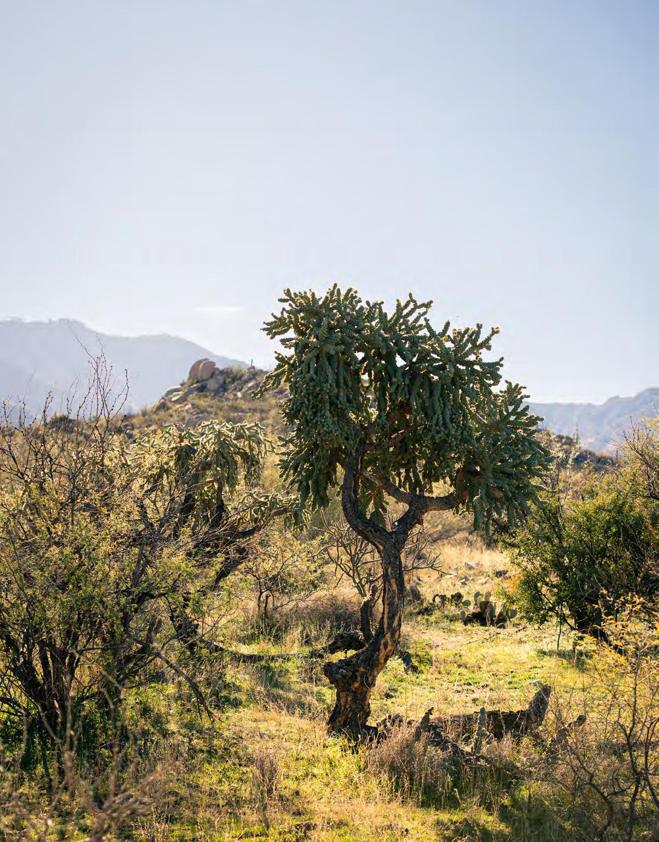
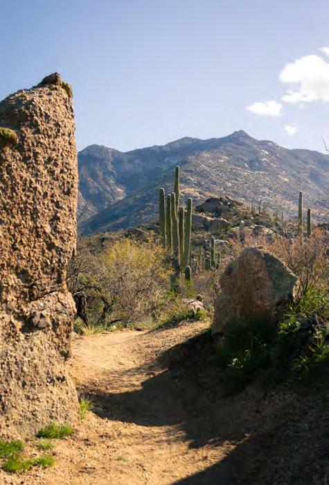
It was an unusually warm February morning in the Santa Catalina Mountains, a range that rises from the Sonoran desert just north of Tucson, Arizona. Saguaro, ocotillo, and barrel cactus dotted the rolling landscape.
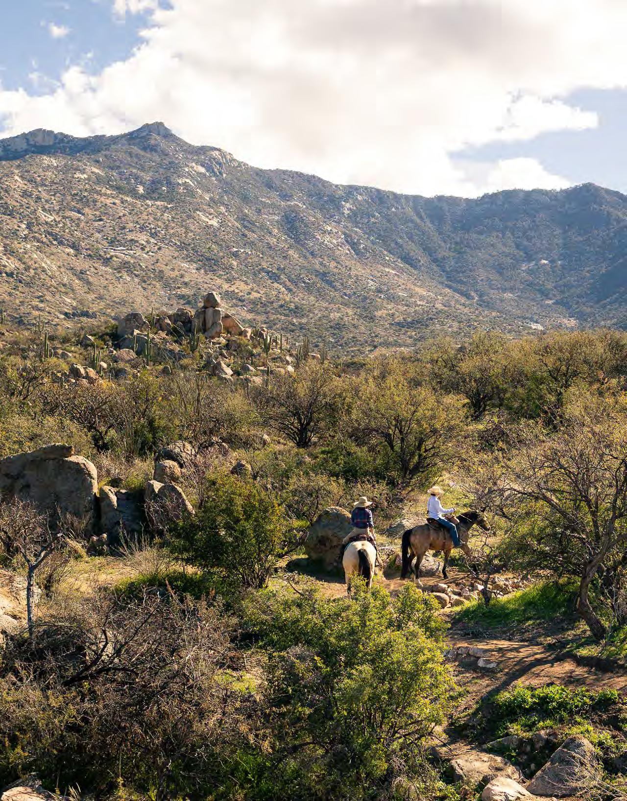
Two women guided their horses over a brand-new path while a trail crew stepped aside.
“Thank you, thank you,” called out one of the riders, who easily navigated the bouldery path. “We love what you’re doing. My horse thanks you, too.”
What the trail crew is doing is enacting the Santa Catalina Trail Plan, a ten-year project to build, update, and diversify 50 miles of trails across the busiest district of Southern Arizona’s Coronado National Forest.
Given its proximity to Tucson, some 10 miles southwest, the Coronado National forest’s Santa Catalina Ranger District attracts more than 2.4 million people every year, estimated to be two-thirds of the forest’s overall visitation. Most visitors converge at just a few areas in the district: on 9,171-foot Mount Lemmon, along recreation-packed Catalina Highway, and in Sabino Canyon Recreation Area, a popular summer destination with waterfalls, creeks, and shallow pools.
The district’s popularity has led to overcrowding, trail degradation, and conflicts between different recreationists. So in 2020, the National Forest Foundation (NFF) and its partners got to work. The teams started with rehabilitating areas impacted by that year’s Bighorn Fire, which burned nearly 200,000 acres, before moving on to addressing issues at the Santa Catalina’s most visited sites.
“We have to consider the mix of a growing city, major wildfire, plus the trend we are seeing that people are using trails on a daily or weekly basis as part of their lives,” says Adam Milnor, the recreation, heritage, and lands staff
The Coronado National Forest spans 1.7 million acres across Arizona and New Mexico
officer for the Coronado National Forest. “But complexity creates opportunity.”
As public lands across the country continue to contend with how to manage overcrowding, all options are on the table, from introducing permits and education to increasing fees. The NFF-backed Santa Catalina Trail Plan, meanwhile, has prioritized dispersing visitors and capitalizing on existing infrastructure. Despite only being halfway through the project timeline, visitors are already feeling the impact.
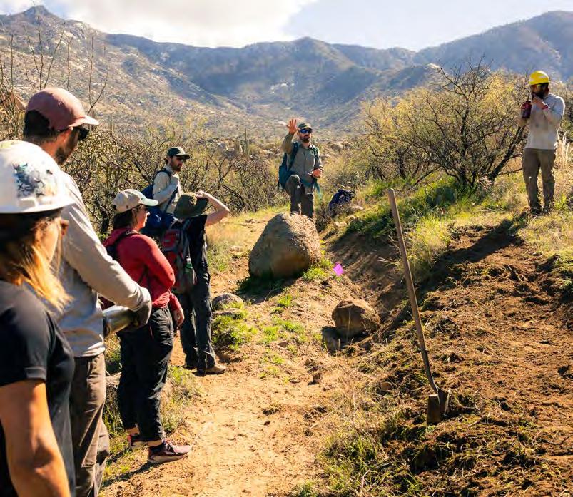
“We started off by really listening to visitor feedback,” said Eric Ruljancich, founder and owner of Outslope Trail Solutions, which designs, constructs, and repairs trails. He’s been at it for more than three decades.
Before designing the Santa Catalina Trail Plan, in addition to conducting a survey that yielded 3,000 pieces of feedback, the Forest Service, Outslope Trail Solutions, and other partners conducted workshops for individual user groups. “From mountain bikers to horseback riders, these focused sessions encouraged open dialogue, so we could better understand how people were recreating in these areas,” said Ruljancich.
The teams discovered that an area in need of intervention was Finger Rock Trail, a challenging but wildly scenic
seven-mile route with views of a 100-foot rock formation in the shape of a pointing finger. Between 2017 and 2019, the trail saw an average of 4,000 hikers every January, Arizona’s peak hiking month. In 2022, that figure had risen to 14,500—a 260-percent increase.
As an out-and-back trail, the path was experiencing twice that amount of use. It also left hikers struggling with two-way traffic. The NFF and its partners discovered that by connecting the trail to a nearby route—the five-mile Pontatoc Canyon Trail—to create a loop.
The NFF secured a $100,000 grant from Arizona State Parks and Trails to construct the connector, which involved carving a trail in incredibly challenging terrain. To assist Ruljancich and his crew, dozens of volunteers from the Southern Arizona Hiking Club helped hike in water—climbing an elevation gain of 1,500 feet—to cache at the building site.
In February 2025, the connector trail opened to the public, creating a seven-mile loop that is already one of the top-rated routes in the Coronado. Within a month, it received more than 500 reviews averaging 4.9 stars on the hiking app AllTrails.
“The Finger Rock connector is an amazing example of dispersal,” said James Terlep, trails access coordinator
When people don’t have to see others as frequently, the visitor experience improves.
Jake Baechle, the recreation staff officer for the Santa Catalina Ranger District
for the Southern Arizona Hiking Club, which contributed a portion of the funds for building the new trail.
According to Jake Baechle, the recreation staff officer for the Santa Catalina Ranger District, finding solutions to overcrowding that simply make better use of existing infrastructure is key. Plus, “when people don’t have to see others as frequently, the visitor experience improves,” said Baechle.
The visitor feedback also revealed another issue from overcrowding: conflicts between different types of recreationists. The increase in popularity of other activities, particularly mountain biking and climbing, has created bottlenecks at destinations that had primarily served hikers and trail runners in the past.
Some 20 percent of trails in the Santa Catalina Ranger District permit mountain bikers, most of whom were converging in Golder Ranch, an area of sculpted granite dome and rugged washes formed by erosion of the Catalina Mountains. The trail system of nearly 20 miles meanders through desert terrain with panoramic views of towering saguaros, rocky outcrops, and distant peaks.
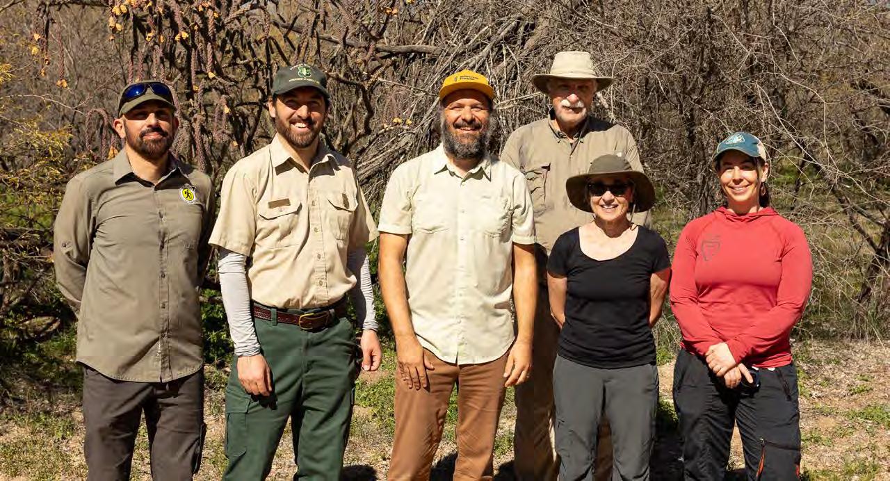
CLOCKWISE FROM LEFT: The Coronado has more than 1,000 miles of trails; Trail designer Eric Ruljancich explains the vision behind the Santa Catalina Trail Plan; Eric Ruljancich, Jake Baechle, John Goraj, and Jim Terlep, as well as writer Robin Tricoles and Maggi Dawson of the Climbing Association of Southern Arizona.
The Finger Rock connector is an amazing example of dispersal.
James Terlep, trails access coordinator for the Southern Arizona Hiking Club
“Its large boulders and slab geology makes for a distinctive riding experience compared with other Sonoran Desert trail systems,” said Milnor, of the Forest Service.
To address the increase in mountain bikers at Golder Ranch, Ruljancich and his crew focused on creating long sight lines to avoid potential collisions. This involved rerouting paths and constructing discreet retaining walls that also help ward off erosion.
Meanwhile, at Crags Against Humanity, one of the most accessible and popular climbing areas on the Coronado, long wait times and overflowing parking were causing issues along Catalina Highway. The layout of the climbing area made this overcrowding difficult to manage: 51 routes—with grades ranging from 5.5 to 5.12—are concentrated just off the road.
The NFF helped secure funding to support the Climbing Association of Southern Arizona in making improvements. As an experienced climber and volunteer stewardship coordinator for the organization, Ruljancich and his trail crew widened the route from the parking area, enhanced the belay terraces at the base of the cliff faces to increase safety, and installed more signage—including maps of the area—to educate visitors and encourage more dispersal.
“Making recreation more sustainable often creates a better visitor experience,” said John Goraj, the NFF’s Southern Arizona program coordinator. “What we’ve been able to accomplish is a beautiful example of the power of partnership, of listening to both one another and visitors.”
Support to the NFF’s Southern Arizona Forest Fund at nationalforests.org/southernazforestfund, which focuses on reducing wildfire risk, managing treatment of invasive plants, and improving trails and recreation areas across the Coronado National Forest.
Tucson-based Robin Tricoles has worked as a staff writer, podcaster, public radio reporter, and local host for NPR’s ‘All Things Considered’. Her stories about science, nature, and medicine have appeared in The Atlantic, The New Republic, and the Washingtonian.
LEFT: Horseback riding in the Coronado has gained popularity in recent years.
ABOVE: The Coronado is one of the most geographically diverse forests in the country.
A Hundred Years of Fortitude
After a devastating fire and flood, the National Forest Foundation helped rally an entire state to rebuild Colorado’s iconic Hanging Lake Trail. Now, after five years of work, the path is back—and better.
STORY BY COREY BUHAY
PHOTOS BY NATIONAL FOREST FOUNDATION
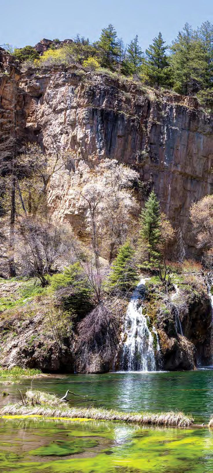
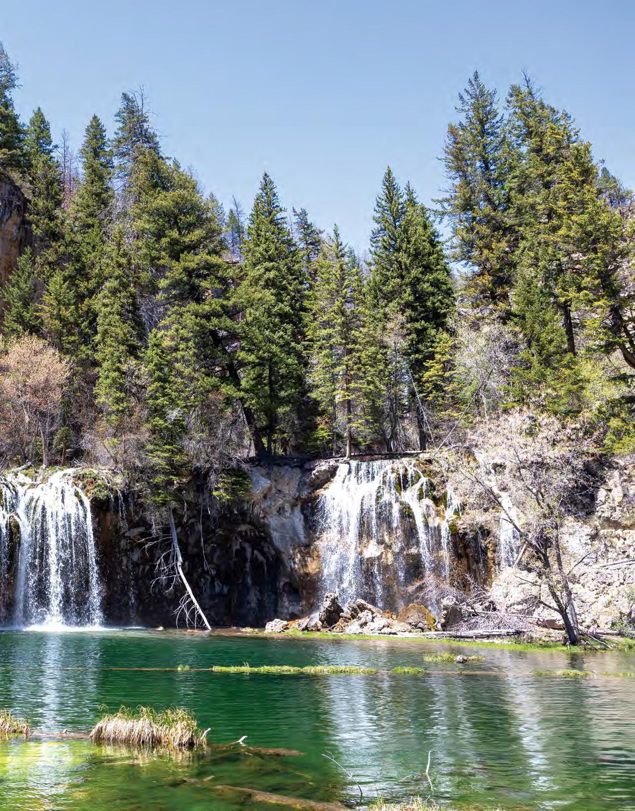
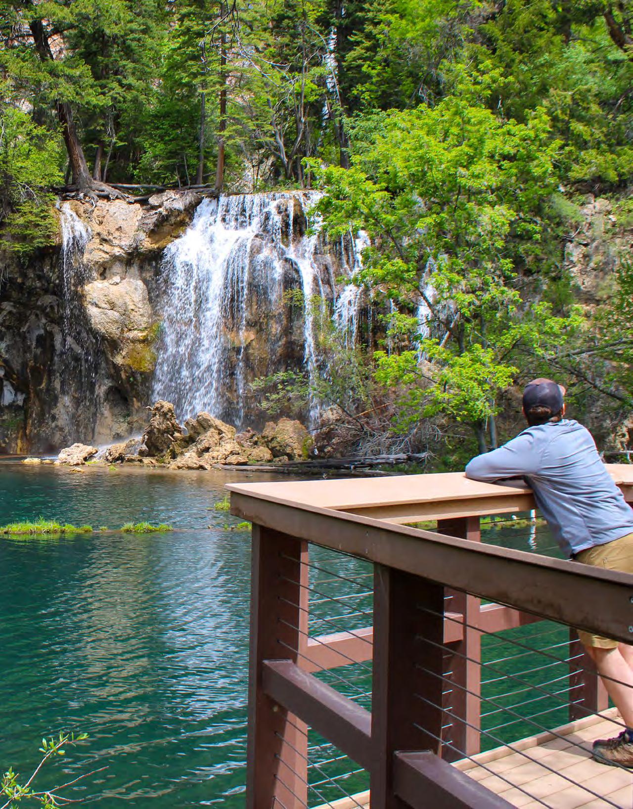
When I moved to Colorado a decade ago, Hanging Lake was one of the first places I was told I must see. The trail to the alpine lake is short—just 1.2 miles—but it spirals up a narrow ravine, carrying hikers 1,200 feet up through lush evergreen forest to a lake that has no right to exist in any world beyond FernGully or Neverland.
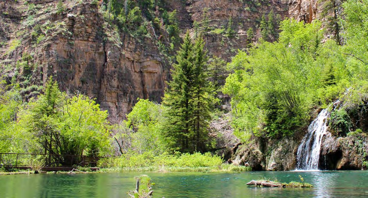
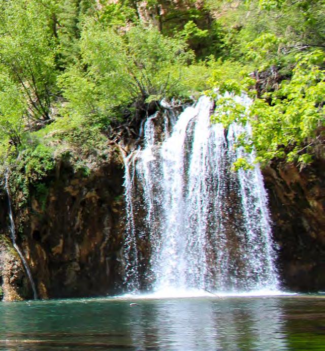
Its glassy waters shift from translucent emerald to electric blue, and they sit cupped in a shelf of pale travertine. Waterfalls mist into the pool from underground rivers with no known origin. It’s hard to believe the place exists.
It’s even harder to imagine that, five years ago, it almost didn’t.
In 2020, the devastating Grizzly Creek Fire tore through more than 32,000 acres of the White River National Forest, including Glenwood Canyon, where Hanging Lake sits.
Locals spent those days glued to their radios and social media feeds.
“People didn’t know if the lake was going to survive the fire,” said Emily Kasyon, the White River National Forest program coordinator for the National Forest Foundation (NFF).
As soon as it was safe to, Forest Service officials flew a drone over the damage. Incredibly, aerial photos showed Hanging Lake untouched, a pristine gem amid a charred forest. It felt like a miracle. But Mother Nature wasn’t done yet.
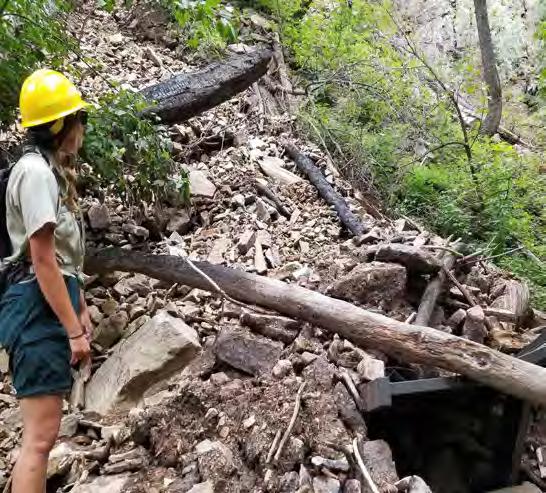
The Grizzly Creek fire left wood debris and rubble scattered across the surrounding hillsides. The following summer, rain and snowmelt flowed down the affected slopes, funnelling catastrophic debris flows down the narrow ravine.
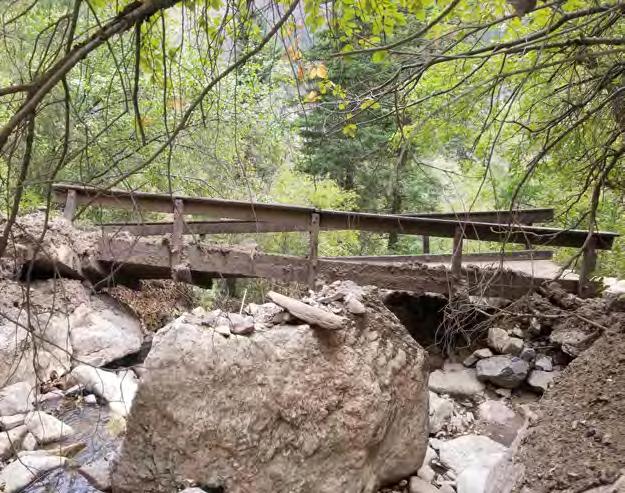
Restoration crews leapt into action, but almost as soon as they finished repairs, a 500-year rain event struck Glenwood Canyon in 2023, scouring away whole sections of the trail. Charred trunks and rockfall buried retaining walls, dislodged two bridges, took out the interstate, and left the creek choked with rubble.
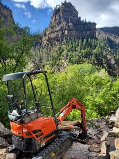
CLOCKWISE FROM LEFT: In addition to rebuilding the trail to Hanging Lake, pictured here, the NFF helped build a viewing platform; destruction caused by a major rain event following the Grizzly Creek Fire.
“It was catastrophe after catastrophe, back to back, for three years in a row,” said Kasyon.
This time, land managers shut down the trail completely, suspending public access for nearly a year. Around 15,000 hikers were forced to cancel their trail reservations—and with them, airline tickets, hotel stays, and restaurant bookings. The loss of tourism was a massive blow to the gateway town of Glenwood Springs, which earns an estimated $4.6 million annually from visitors to Hanging Lake alone.
“Hanging Lake is the most clicked-on link on the Visit Glenwood website,” said David Boyd, public affairs officer for the White River National Forest. “It’s a really special place for the people of Colorado, but it also attracts visitors from all over the world.” Suddenly, all that was gone. Glenwood’s lush backyard refuge had become a disaster zone.
Local stakeholders knew they had to do something.
The NFF, Glenwood Springs, the Forest Service, Roaring Fork Outdoor Volunteers (RFOV), and a handful of other community members convened a working group. Everyone was devastated. But they also saw an opportunity.
There’s so much history of people coming to Hanging Lake to make lifelong memories.
Emily
Before the fire, Hanging Lake was drawing up to 189,000 hikers per year—a level of human traffic the original 1800s-era footpath was never built to withstand. By the 2010s, social media fame had turned the trailhead into a mall parking lot. Cars lined the access road and highway. Forest Service rangers caught hikers cutting switchbacks, leaving trash, and swimming in the lake’s biochemically delicate waters. Endless footsteps dug the trail deep into the crumbling earth. In some places, the path became a four-foot trench.
By 2020, the Forest Service was already desperate to make repairs. After the floods, they realized this was their chance to start from scratch—and do things the right way.
The catch: re-working the trail would be a huge project— and an expensive one. That’s where the NFF came in. The organization immediately jumped in to coordinate partners and raise funding. It also brought on extra personnel, including Kasyon.
Kasyon got her start on a saw crew in Southwest Colorado, slashing through invasive weeds to restore river ecosystems. She didn’t expect to fall in love with restoration work, but she did. Over time, Kasyon rose
Kasyon, the NFF’s White River National Forest program coordinator
ABOVE: NFF staff surveys the rehabilitated trail.
RIGHT: After the trail was destroyed by fire and flooding, the Forest Service saw an opportunity to build a more resilient route.
Our goal was to build a trail that feels like it’s always been here.
Sam Massman, forest recreation program manager for the White River National Forest
through the ranks, becoming an expert in large-scale landscape rehabilitation.
After the 2023 floods, the NFF realized it needed a project manager, someone both passionate about the work and good at bringing people together. Kasyon was the perfect fit. Plus, she grew up in Colorado. Restoring the landscapes that made her fall in love with the outdoors as a kid was a dream come true.
“There’s so much history of people coming here to make lifelong memories,” Kasyon said. “It’s so cool to be a part of it.”
Before bringing Kasyon on board, the NFF helped secure a grant from Colorado Parks and Wildlife and generous support from the Great Outdoors Colorado, an organization that uses a portion of the state’s lottery funds to preserve natural spaces. Glenwood Springs and other groups also chipped in.
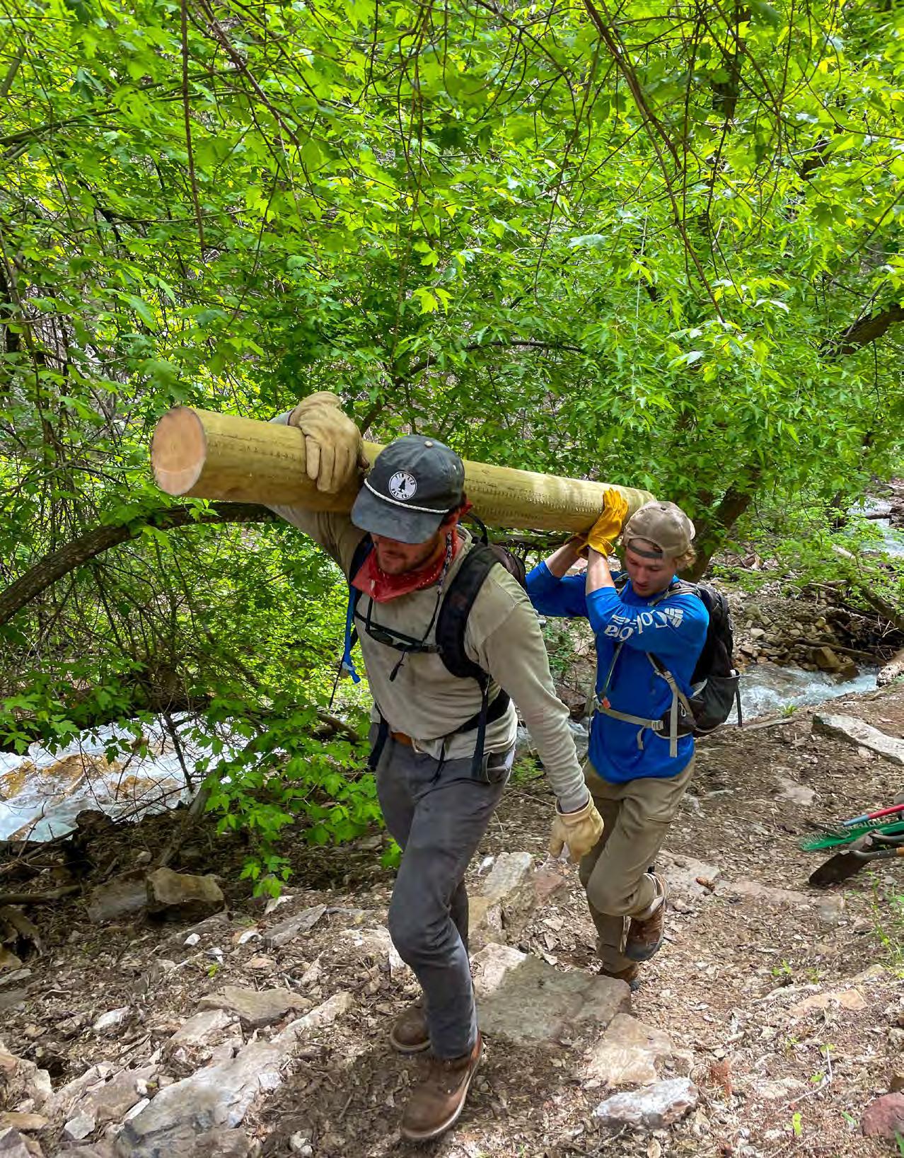
After shoring up the funding, trail crews, landscape architects, and master trail builders began creating one of the most thoughtfully designed trails in Colorado history. The goal: build something that could withstand another 100 years of foot traffic and future flooding.
In February 2026, as I walked with Boyd and Kasyon along the new trail, it became clear how much had gone into redirecting and reinforcing it. The snow-dusted path, winding through a hanging garden of conifers, is an intricate jigsaw of stepping stones, stack-stone walls, and rock staircases—all designed to defy erosion and keep hikers on the route.
“Our goal was to build a trail that feels like it’s always been here,” said Sam Massman, a lifelong trail builder and the forest recreation program manager for the White River National Forest. The new path sits nestled among the rocks and trees, rippling along the existing topography as if it’s been a feature of the landscape since the beginning of time.
That feel wasn’t an easy one to manufacture; Kasyon said their teams spent hours poring over plans, color-matching bridges to historic designs, carefully interlacing old stonework with new materials, and making delicate slices into cliffsides to widen the trail by careful degrees.
“We’ve created a trail that’s sustainable and flood-resistant,” she said. “It’s also a better hike.” More than 1,100 stone steps make for a steep but engaging trek—and a faster one. According to Glenwood Springs officials,
LEFT: Bridal Veil Falls deposits minerals to Hanging Lake, which gives it its bright color.
RIGHT: Trail builders added more than 1,100 stone steps to the trail.
the new route has slashed the average hike time by 30 minutes.
Still, as we ascended the final twisting staircase to the lake, Kasyon couldn’t help but slow down to take it all in.
“It never gets old,” she said, taking her phone out. “I think this is the 75th hike I’ve done to the lake since the project started, and I still take the same photos every time.”
I couldn’t blame her. The lake was just as stunning as I’d remembered. And now, it feels like it has a trail worthy of it.
To many longtime locals, the transformation has been shocking, said Becca Schild, RFOV’s executive director.
The volunteer organization has worked at Hanging Lake annually since 2010. Last year, the crew returned for the first time since the fires.
“It felt like the difference between being in a log cabin versus a marble mansion,” Schild said about the new trail.
The stewardship group will continue its work at Hanging Lake, but the new trail design will require less maintenance than in the past. That leaves RFOV more time and energy to devote to other areas, further bolstering the trails around the White River and shoring up the community’s treasured outdoor recreation economy.
The Hanging Lake project will have other ripple effects, too. According to Kasyon, all the stakeholders who came together over the lake have learned to collaborate and problem-solve in ways they didn’t previously think possible.
“There are so many areas in the White National Forest that need care and stewardship,” said Kasyon. “We’ve discovered that when we come together over a shared goal, we can do some really cool things, so we plan to keep this collaboration going.”
Secure a timed permit before hiking the Hanging Lake Trail ($12) at visitglenwood.com/ hanginglake. While making your reservation, consider donating to the Roaring Fork Stewardship Fund, which benefits the White River National Forest.
Corey Buhay is a freelance writer, editor, and guidebook co-author based in Colorado. In her spare time, she works as a volunteer bat monitor for the City of Boulder.
Heard in the Woods “
“Nature doesn’t judge — it embraces us. Whether it’s your first hike, your first paddle, or your first time simply sitting under the trees, you have a community waiting for you. You belong here.”
Ariel Barrios Jr., Chapter Founder, Latino Outdoors Wisconsin, as quoted in Madison 365
“Study after study says we’re wired to be out in nature.”
Dr. Brent Bauer, Director of Complementary and Integrative Medicine, Mayo Clinic in Rochester, Minnesota, as quoted in AP News
“These mountains have challenged me and they have loved me. They, without judgment, have seen me at my best and at my worst… Giving thanks in the form of trail work… I can’t think of a better way to spend [my life].”
“Outdoor recreation is a cornerstone of our economy, generating jobs, supporting entrepreneurship and small businesses, and providing essential opportunities to engage with our natural surroundings for physical and mental health.”
Amy Allison, Director, NC Outdoor Economy Office, as quoted in Blue Ridge Outdoors
Arlo Lynne, Trail Crew Member, as quoted in Trail Crew Stories
Superior National Forest. Photo by Christopher Brink
“[Study] results suggest that accessible natural areas may be vital for mental health in our rapidly urbanizing world. Our findings can help inform the growing movement worldwide to make cities more livable, and to make nature more accessible to all who live in them.”
Gretchen Daily, Bing Professor in Environmental Science, Stanford Woods Institute for the Environment, as quoted in Stanford Report
“I’m in their habitat when I’m hunting. I’m not an observer, I’m a participant… I want to make sure that those animals are going to be out there forever.”
Land Tawney, Founder, Backcountry Hunters & Anglers, as quoted on CBS Mornings
“The nice thing about hiking is that it exists along an entire continuum, from a gentle walk on a flat wooded path to mountain climbing”
Dr. Aaron L. Baggish, Associate Director, Cardiovascular Performance Program at Massachusetts General Hospital, as quoted in Harvard Health Publishing
“These are our public lands. We, as the public, have a responsibility to protect them while also enjoying access. It’s a balance between the two.”
Scott Brady, Publisher, The Overland Journal, as quoted in AZ Family
“What unites the wisest trails, I have found, is a balance of three values: durability, efficiency, and flexibility. If a trail has only one of these qualities it will not persist for long: a trail that is too durable will be too fixed, and will fail when conditions change; a trail that is too flexible will be too flimsy, and will erode; and a trail that is too efficient will be too parsimonious, and so will lack resilience.”
Robert Moor, as written in “On Trails: An Exploration”
Turning Recreation into Restoration
In partnership with the NFF, ski lodges on National Forests are providing guests a way to give back
BY CAROLYN BUCKNALL
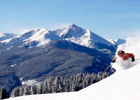
By late autumn, thick, fluffy snowflakes blanket the Rockies in a pillowy layer of powder, transforming the hillsides of the White River National Forest into a skier’s paradise.
Every winter, millions of visitors flock to our nation’s forests to ski, snowboard, and reconnect with loved ones. From quick getaways in humble lodges to week-long retreats at grand resorts, National Forests host nearly a third of Americans’ annual ski trips. In the coming years, as outdoor vacations continue to grow in popularity, forests expect to host even more visitors.
More people means more pressure on the ecosystems that host our treasured retreats. That is why, nearly two decades ago, the National Forest Foundation (NFF) teamed up with Vail Resorts to provide their guests a way to give back to the places where they play, so when the snow melts, we can do the conservation work that will help transform the hillsides again—for good.
The partnership resulted in the Ski Conservation Fund, which started with a simple idea: give skiers and riders
the opportunity to donate when they purchase online products like Epic Passes, lift tickets, lodging, or merchandise, and the NFF will match every dollar with $0.50. The money raised supports stewardship priorities for the National Forest where the resort is located, which are set by the fund’s Community Advisory Committee of local conservation, recreation, and government leaders.
In Colorado’s White River National Forest, Vail Resorts’ guest-donation program raises nearly $1 million in sustainable recreation projects annually. Supplemented by other local partners, the fund supports recreation initiatives from trail stewardship programs that educate the community to maintenance and accessibility improvements that allow more people to enjoy the forest.
As more resorts across the West partner with the NFF to meet stewardship goals, the Ski Conservation Fund has snowballed into a multimillion-dollar conservation program built on our belief that when Americans are given an easy way to protect their National Forests, they will.
Consider visiting and contributing to one one of our Ski Conservation Fund partners as you plan for this winter’s adventures.
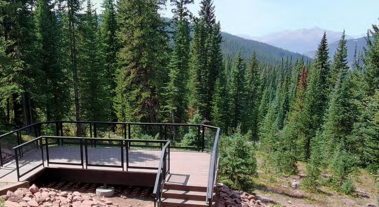
In 2025, the White River Ski Conservation Fund funded the reconstruction of the popular Mount of the Holy Cross Overlook Deck, located on Vail Pass in Vail, Colorado, to meet ADA Accessibility Standards. Photo by Levi Harvey
National Forest Foundation
27 Fort Missoula Rd. Ste 3 Missoula, Montana 59804
At the National Forest Foundation, we believe forests and grasslands are as vital to all communities as clean air and water. Through Light & Seed®, we aim to share stories that connect you to the incredible lands of the U.S. National Forest System.
SUSTAINABLE PRINTING
Light & Seed® is printed on recycled paper made of 30% post-consumer content. This FSC-certified paper ensures the highest environmental and social standards have been followed throughout the process of wood sourcing, paper manufacturing, and print production. More at fsc.org.
QUESTIONS AND FEEDBACK
We’d love to hear from you. Reach our team at marketingandcommunications@ nationalforests.org.
Photos by Lisa Jennings, National Forest Foundation, Marley Flueger and Tony Aragon
Ski for the Trees
Did you know?
Downhill skiing is the 2nd most popular activity on National Forests after hiking
SKI CONSERVATION FUND PARTNERS
NATIONAL FOREST
NATIONAL GRASSLAND
Since 2007, the Ski Conservation Fund has raised over $15M
Teaching Sustainable Recreation
WHITE RIVER NATIONAL FOREST, COLORADO
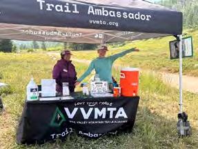
In 2025, the NFF and Vail Resorts supported the Vail Valley Mountain Trail Alliance’s Trail Ambassador program, which educates visitors about responsible recreation and local restrictions, in addition to coordinating trash collection on busy trails.
1k+ Conversations 30lbs of trash collected
Restoring Vital Watersheds
SANTA FE NATIONAL FOREST, NEW MEXICO
VAIL SKI RESORT
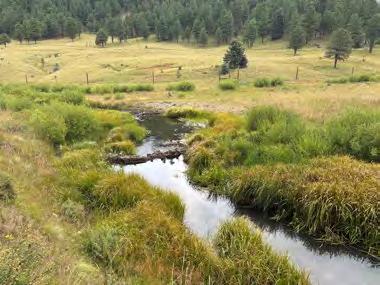
With support from Ski Santa Fe, the NFF partnered with Rio Grande Return to repair and install new structures that improve stream health and water availability in San Antonio Creek, a tributary of the Rio Grande River.
beaver dams installed 35 volunteers participated
SKI SANTA FE
Photo by Rio Grande Return
JACKSON HOLE MOUNTAIN RESORT
Photo by Vail Valley Mountain Trails Alliance
Photo by Jack Affleck
Building Wildfire Resilience
BRIDGER-TETON NATIONAL FOREST, WYOMING
In partnership with the NFF, Indigenous crews from the Eastern Shoshone and Northern Arapahoe Tribes are thinning forests near the Jackson Hole Mountain Resort this summer to reduce the risk of catastrophic wildfire.
13 acres will be treated
5 local crew members will be hired
How the Ski Conservation Fund works:
01
02
The NFF matches $0.50 for every dollar contributed
Resort guests opt to donate to conservation initiatives when they buy tickets or lodging
Did you know?
National Forests host 25% of ski areas and 60% of the skiable terrain in the U.S.
04
03
Community leaders set priorities for how to spend the funds on their local forest
The NFF identifies and leads projects that match the following priority areas:
» Wildfire Resilience
» Land & Watershed Restoration
» Recreation Enhancement Visitor experience and forest health is improved!
National Forests give us clean air and water, wildlife habitats, and places to explore.
Sign up for the National Forest Foundation’s Tree-Mail™ newsletter at nationalforests.org/tree-mail-SF2026. Tree-Mail™ shares the stories behind the work and the people who make it possible.