Landscape Architecture Portfolio
UC Berkeley B.A. LA 2023 | RISD MLA 2026


Landscape Architecture Portfolio
UC Berkeley B.A. LA 2023 | RISD MLA 2026
Tijuana-San Diego Border |Academic | Individual Ld Arch 102 | 6 Weeks | Sp. 2022 UC Berkeley
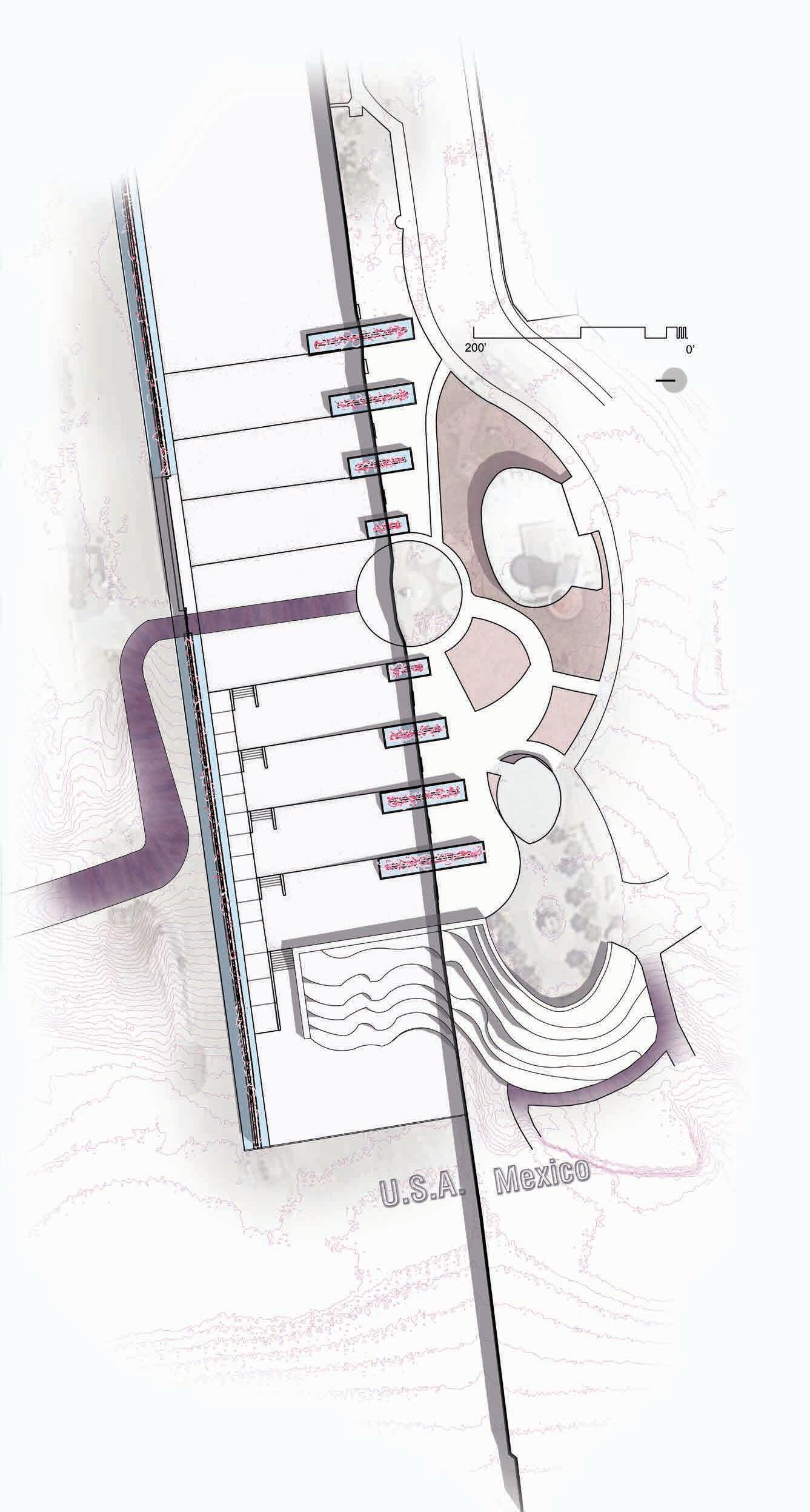
Utilizing the noman’s land space that the two borders create in the U.S.A. to restore binational communication.
La Esquina de Latinoamerica (The corner of Latin America) is visited by migrants from across the U.S. A. to see their loved ones through the corroded fence that divides the U.S.A. from Mexico.
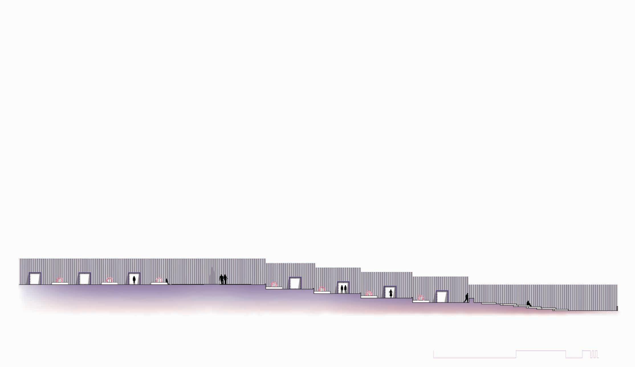
The project starts in the U.S.A. and expands into the Mexican side to provide a better sense of unity. While the planters that intersect the border are a political statement, their primary function is to create an intimate space for gathering individuals in a heavily monitored area.
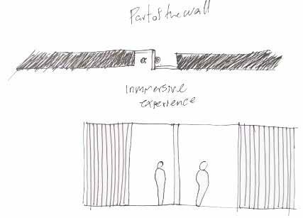
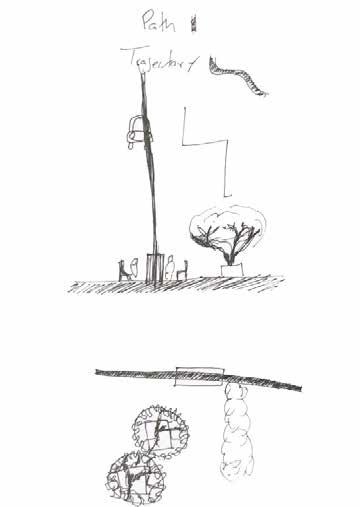

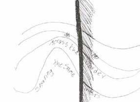

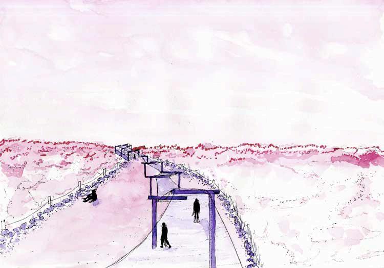
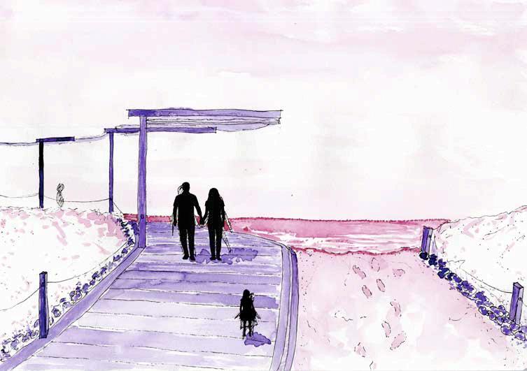
The entrance of the site is in the Tijuana River National Estuarine. On most days, the vehicular path is obstructed, and visitors must walk 1.6 miles of uneven track to reach their destination. By formalizing this part of the pilgrimage, I am curating an atmosphere for the emotions the users


Approaching destination
The boardwalk from the estuary extends to lead the user into the borderland space. where recycle permeable pavers create the terraces along the border. The planters use saltwater to irrigate native halophyte vegetation. The shrubs and aggregates on the planters are a perfect solution for the border patrol restrictions for overhead canopy clearance for monitoring purposes.

Santa Ysabel, CA | Academic | Individual Arch 230 | 4 Weeks | Sp. 2011 Mesa College
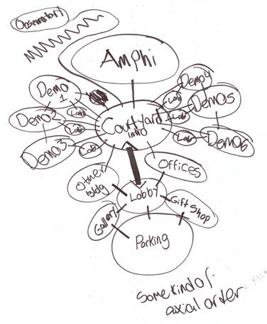
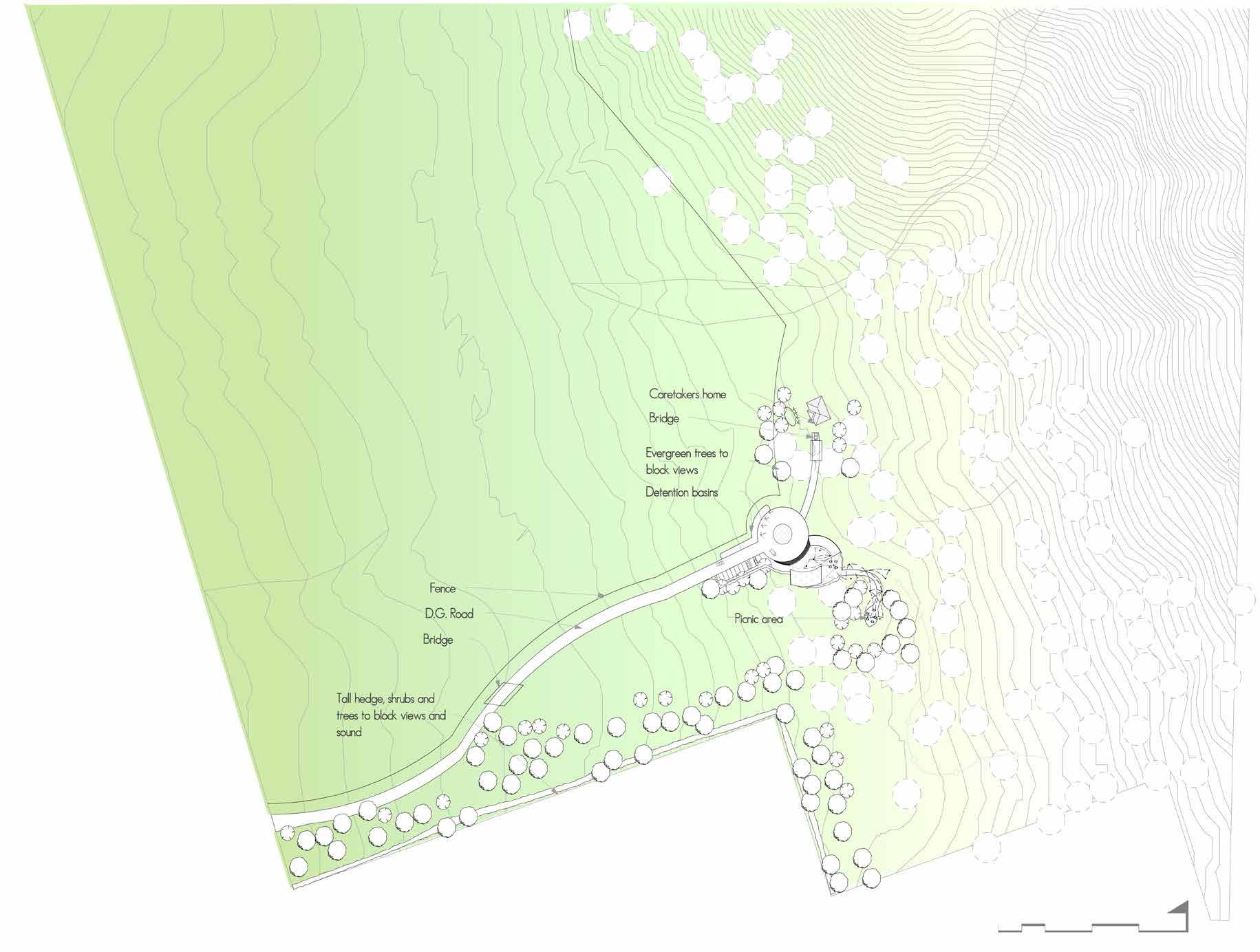
Ecological park for recreation, providing vehicular access for visitors and park keepers.
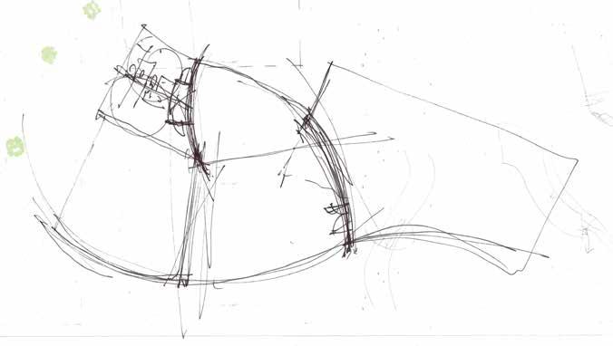
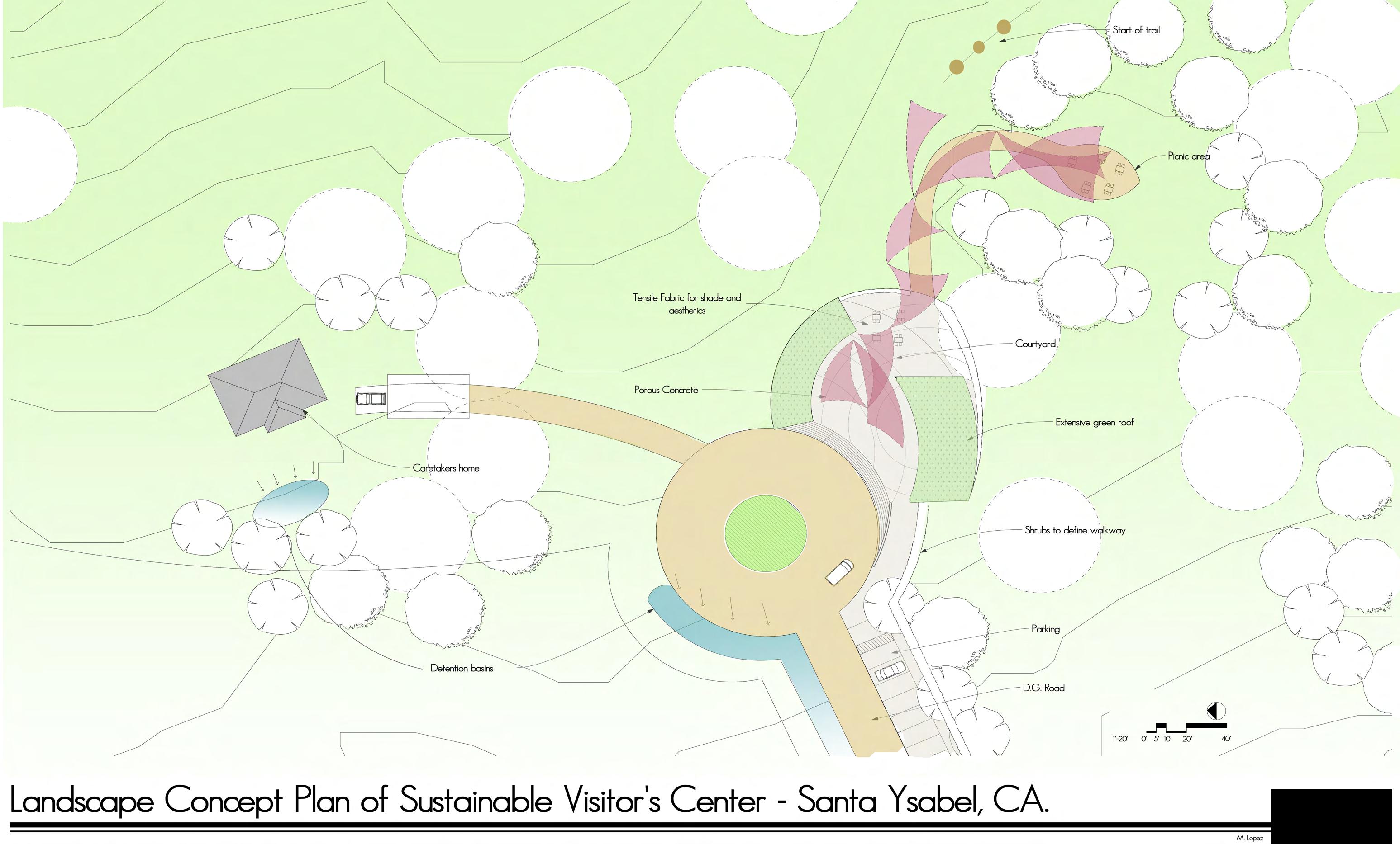
The grassy plains of Santa Ysabel are the perfect place to establish an ecological park that promotes sustainability. Using the current views, shade, and climate control provided by the existing vegetation and topography, the visitor center offers a great example of passive design by taking advantage of site-specific orientation. Additional trees and shrubs screen adjacent properties and create niche spaces.
Besides the visitor’s center, which features a green roof, the park includes a picnic area, trails, and a home for the park’s caretaker. Storm water is treated on-site with detention basins and swales near the hard surfaces.
Cardiff by the Sea, CA | Academic | Individual Arch 180 | 6 Weeks | Sp 2010 Mesa College
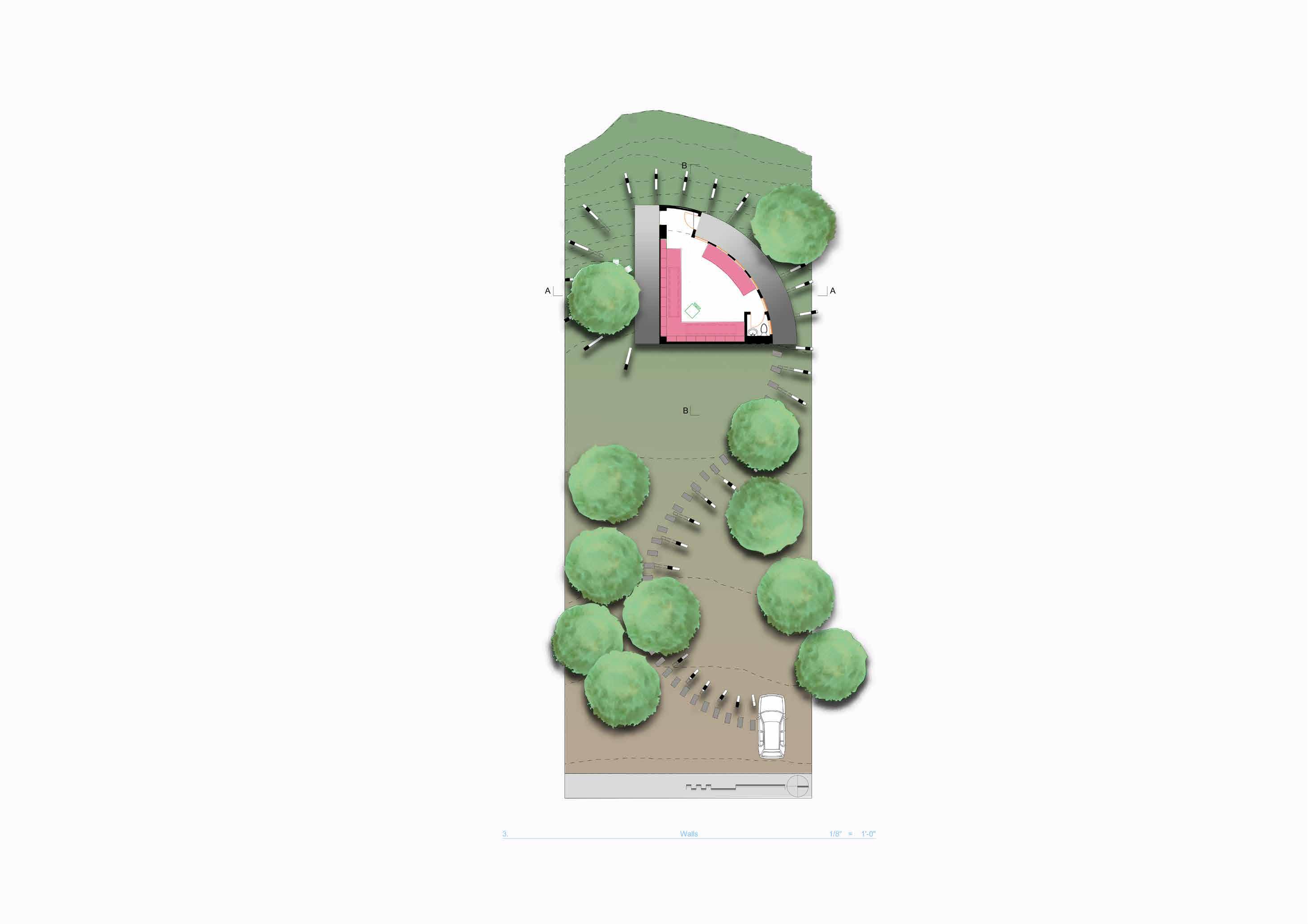
Vacant residential lot with whitewater views to be converted to an inspiring office with minimal square footage.
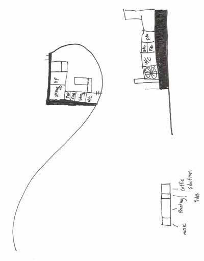
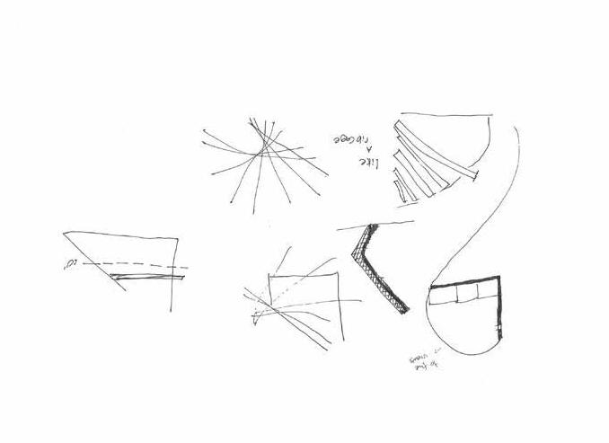
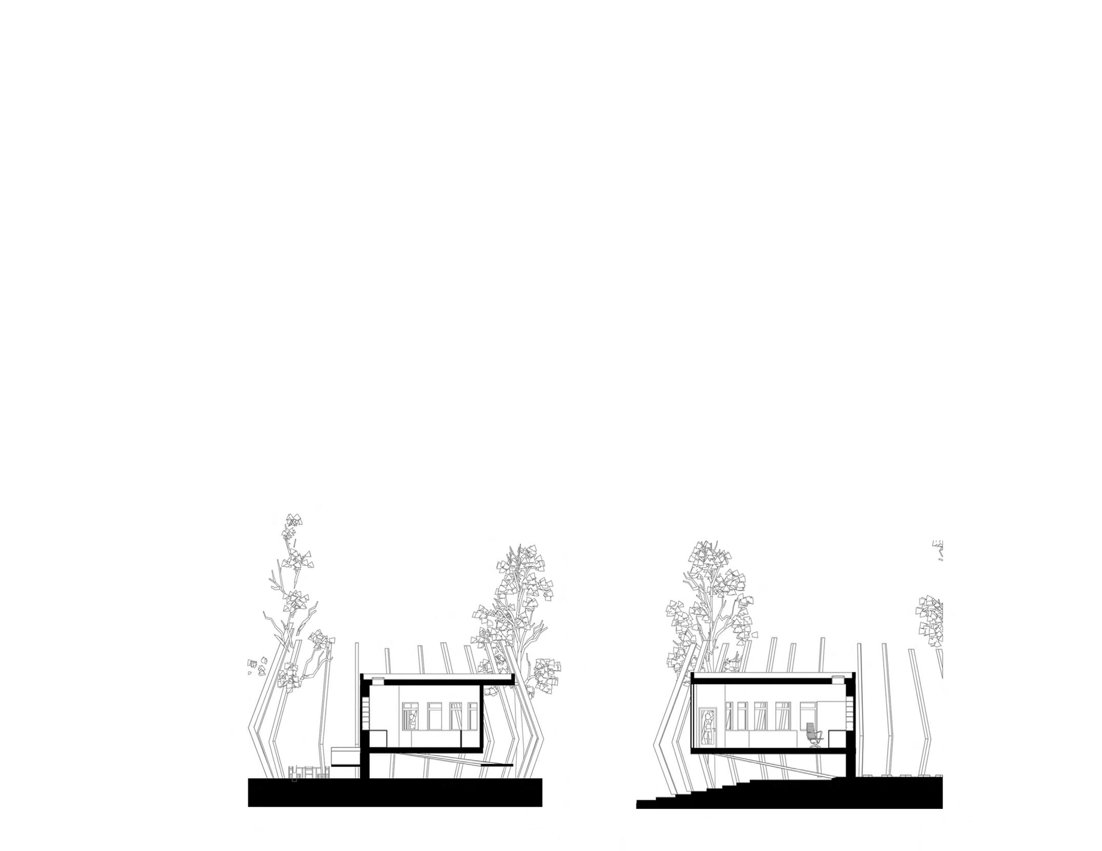
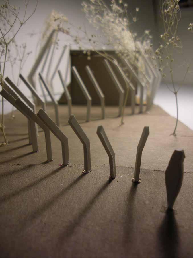
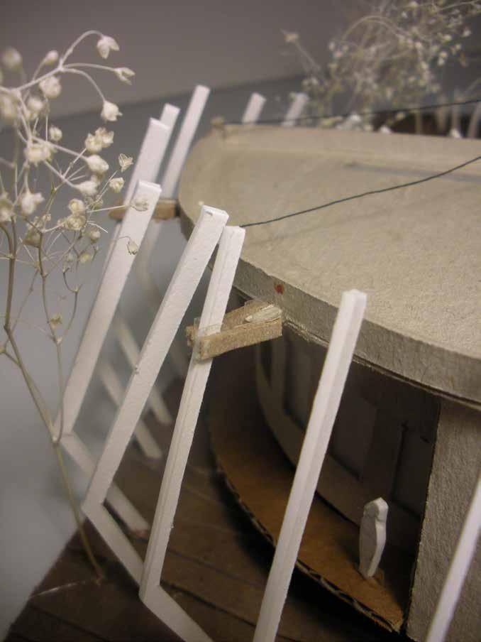
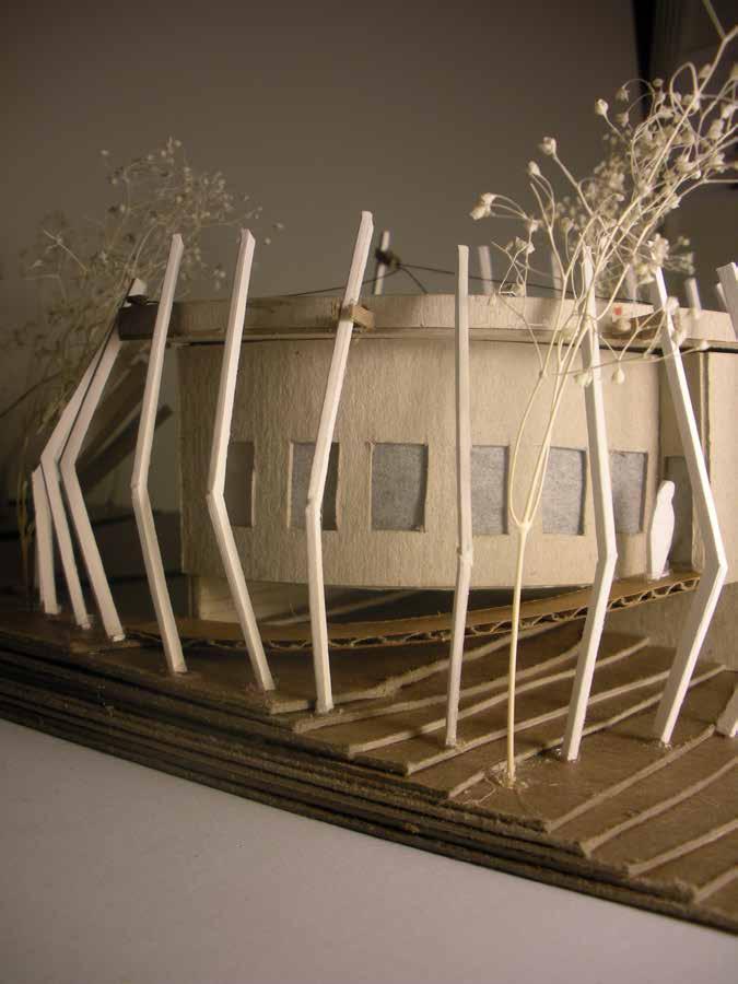
This project is in a residential neighborhood where property setbacks are strictly enforced. My response was focused on creating an enjoyable transition from the moment you arrive at the site. The beams delineate a sinuous curving path leading you to wrap around and experience the curve wall that makes the indoor space unique. These beams also help support the cantilever structure.


Farallon Islands, CA | Academic | Individual Ld Arch 101 | 6-Weeks | Fall 2021 UC Berkeley
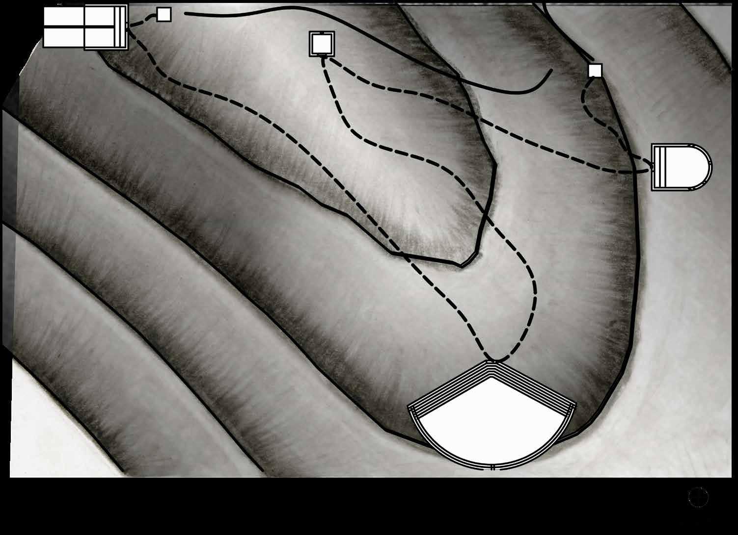
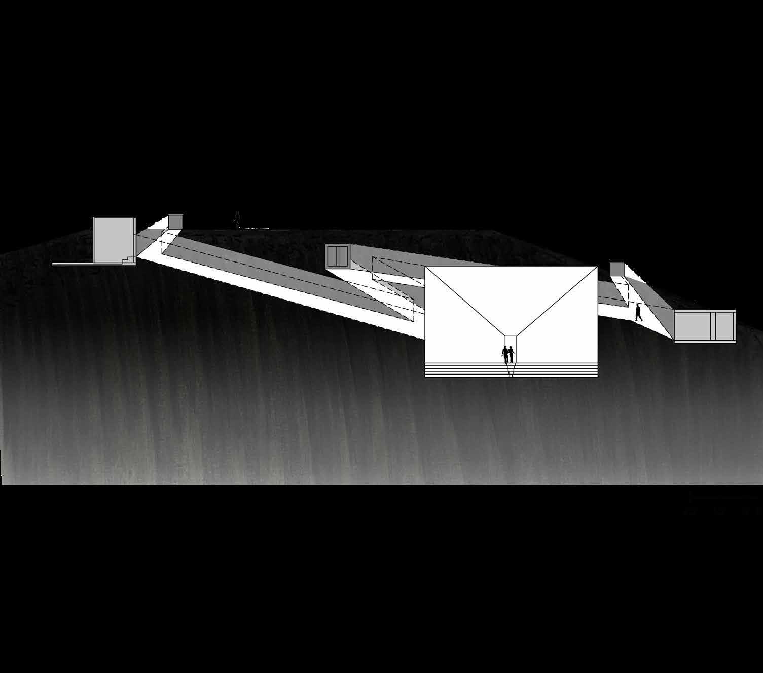
Observatory in the Farallon Islands to experience the Genus loci.
An immersive experience in the Farallon islands, 27 miles off San Francisco, CA coast. Inspired by the Indigenous Miwok myth, the journey’s starting point is Point Reyes, making a 2 1/2-hour boat ride out to one of the islands. Proceeding on a path that will take you around essential points of the island while maximizing scenic views. On this journey, visitors experience the roughness of the island and the variety of species that inhabit the islands.
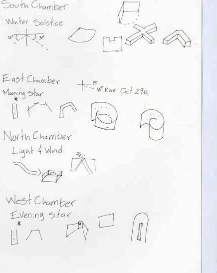
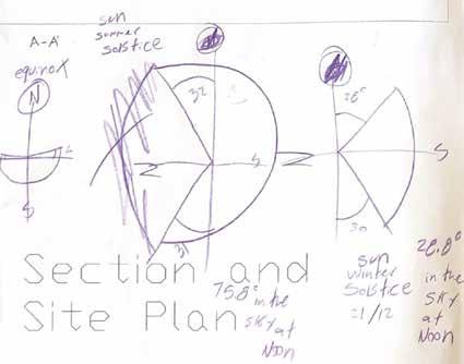
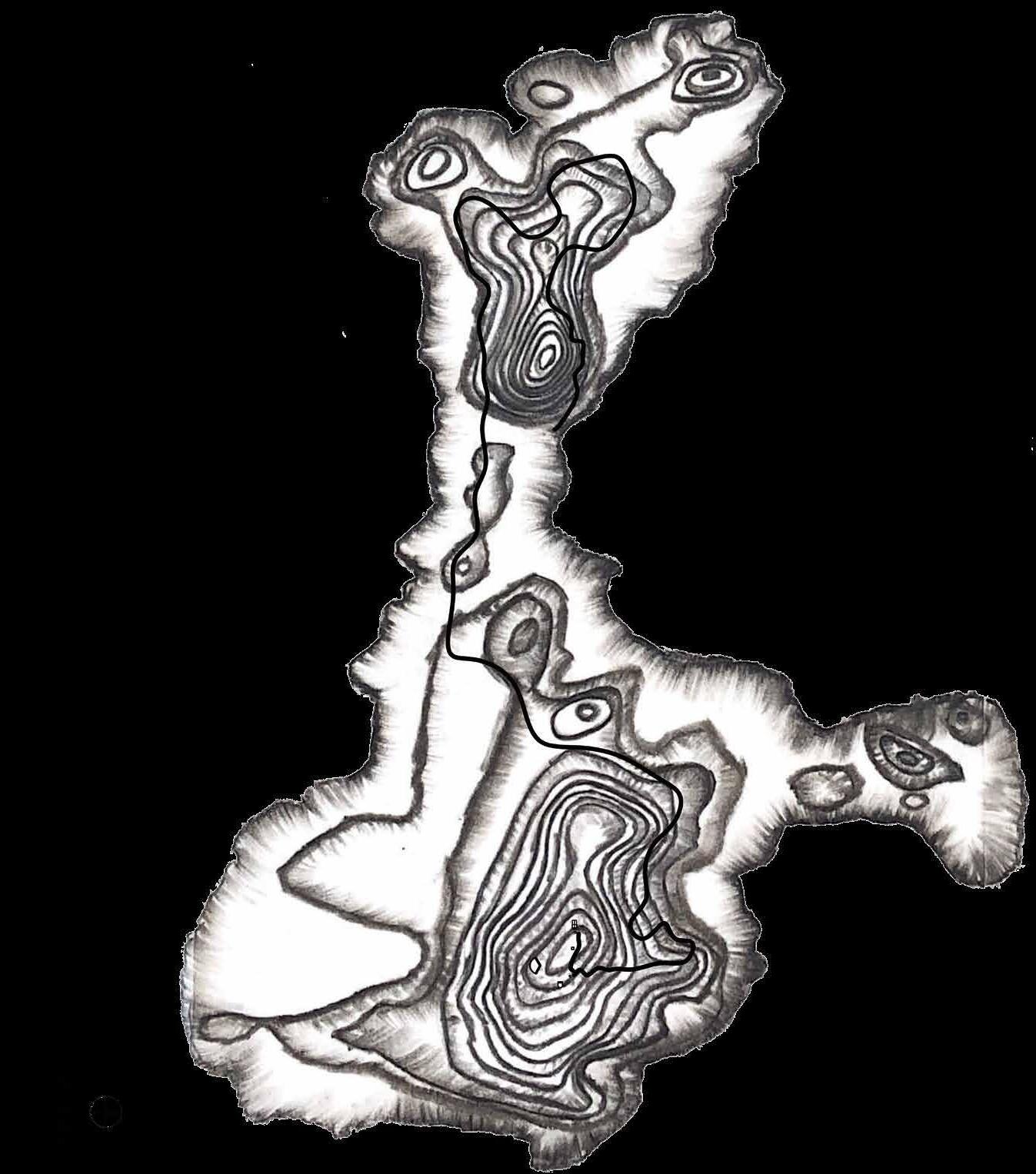
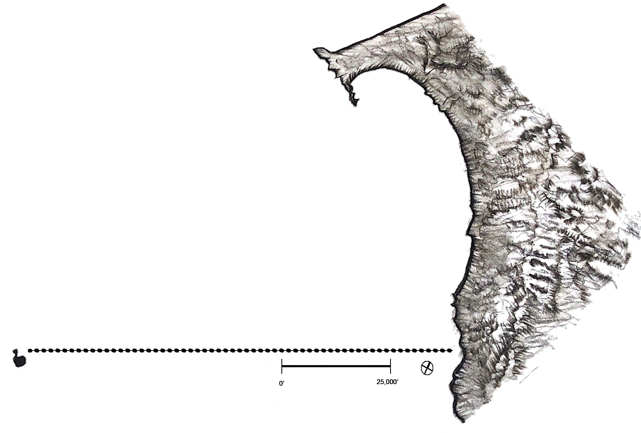
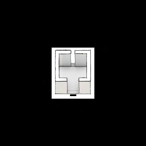
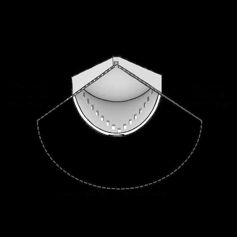
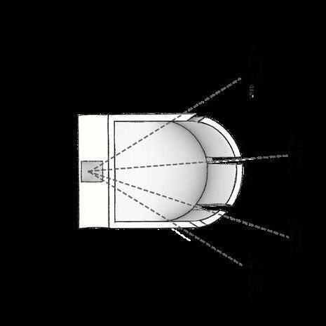
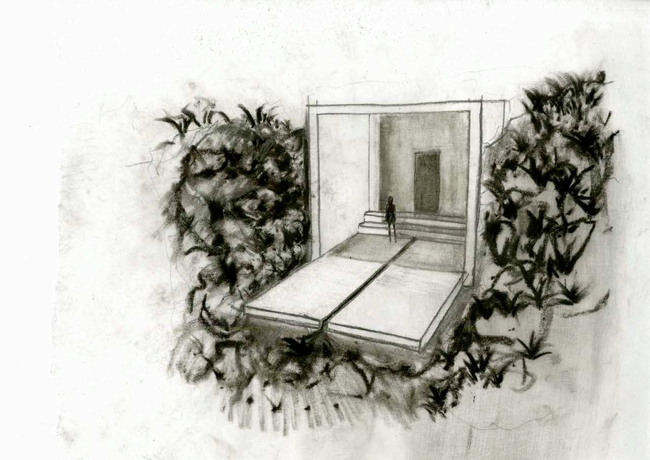
Once the highest point is reached, the visitor will descend into 4 chambers aligned with the cardinal points following the sun pattern in solstice events.
The start of the descent is at the East chamber, where an openings reveal the ascension of the morning star. Moving to the North chamber to experience a soft slither of light, this chamber is in direct contrast to the South chamber where the emphasize is on the sun’s trajectory on the winter solstice through expansive windows. The West signifies the end of the journey for the the souls of the Miwok and visitors alike. A runnel extends from the entrance of the chamber to the open face of eternity.


New London, CT | Academic | Individual
Ld Arch 2204 | 4-Weeks | Fall 2024 RISD
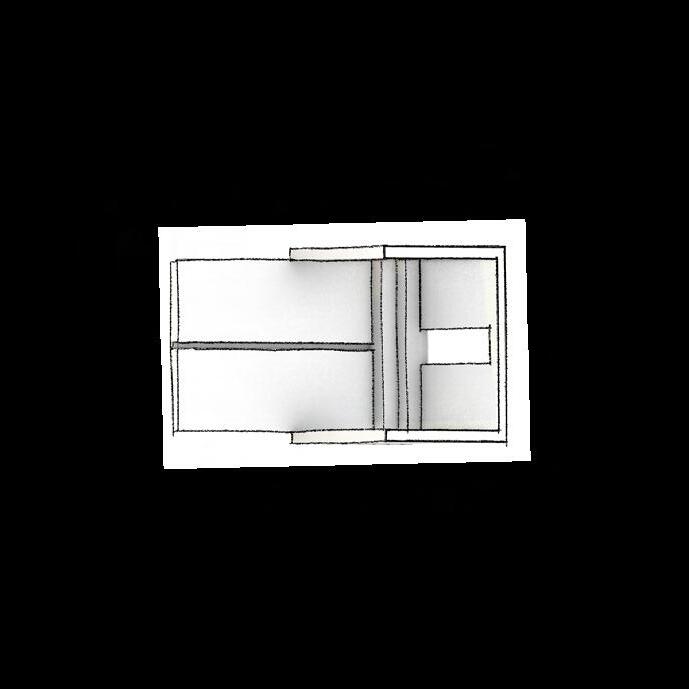
A Porous Residential Neighborhood in Downtown New London
The legacy of urban renewal has taken a toll in Downtown New London (CT) where the majority of activity is centered on administrative and private offices.
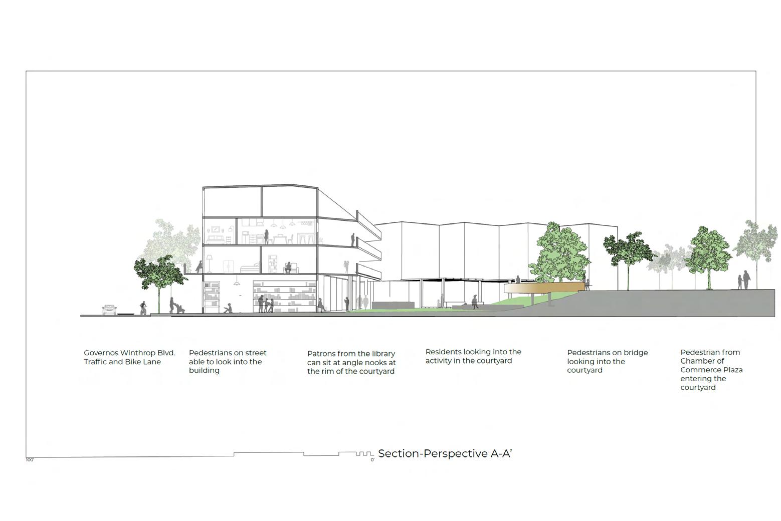
A-A’
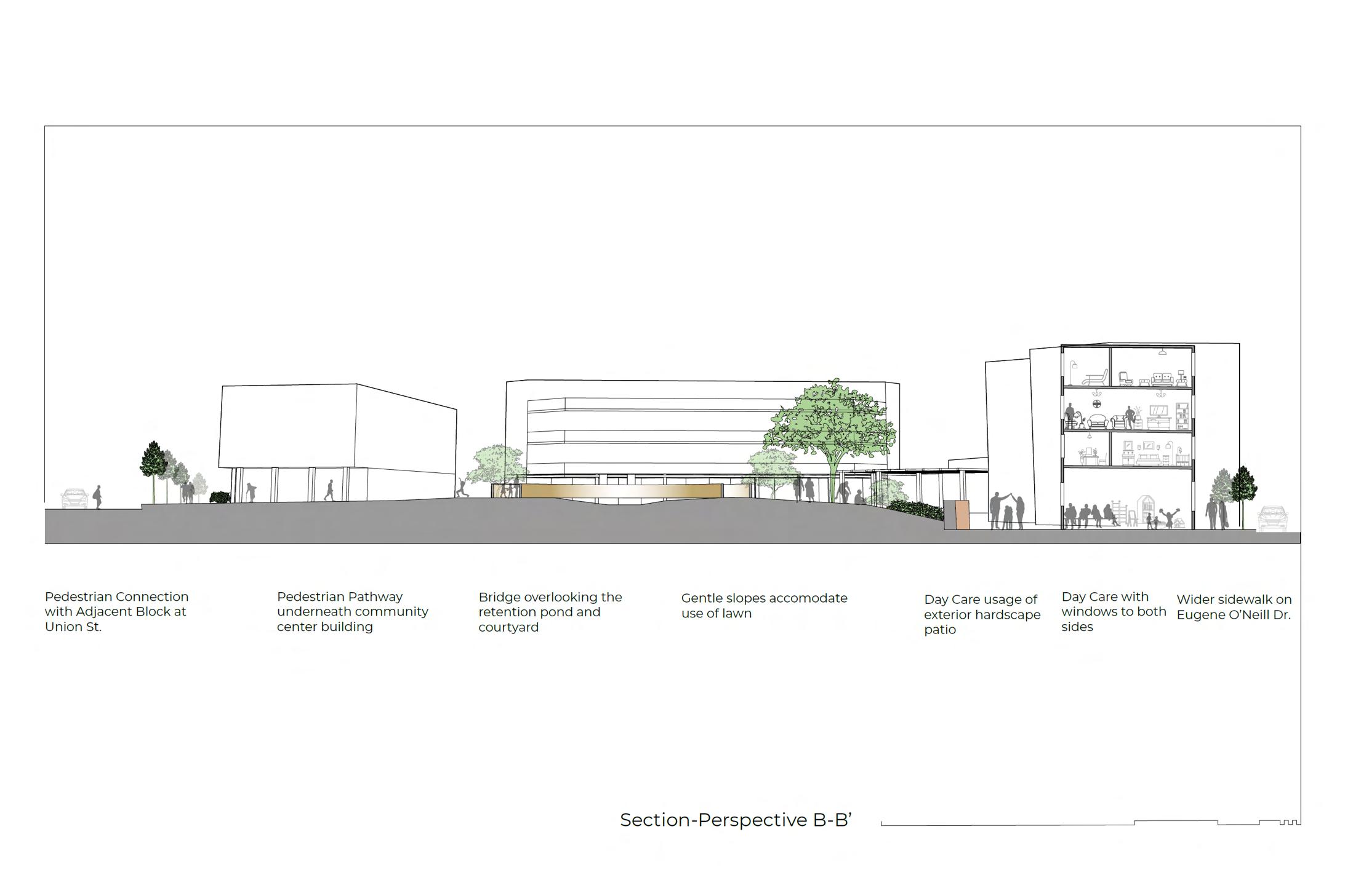
Section-Perspectove B-B’
Cunliff Lake, RI | Academic | Individual Ld Arch 2266 | 4-Weeks | Fall 2023 RISD
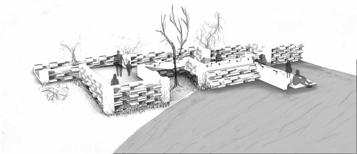
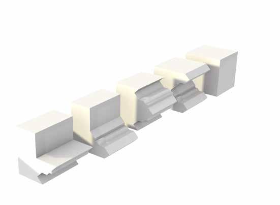
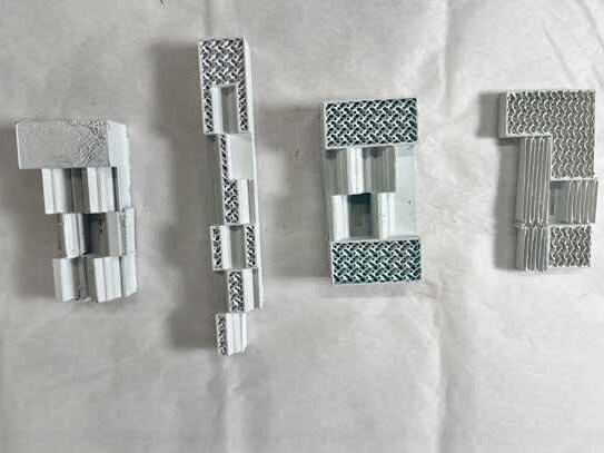
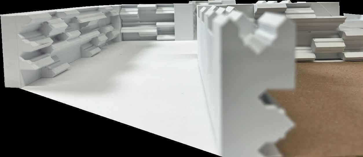
Equal access to water bodies is a necessity. In this project we tackled the addition of a new boat launch in a lake inside Roger Williams Park in Providence. A unique challenge in this project was to design it with a family of modules used as vertical and horizontal. The shapes of these modules developed sea wall will create niches for crustaceous

Providence, RI | Academic | Team
Ld Arch 2254 | 4-Weeks | Fall 2024 RISD
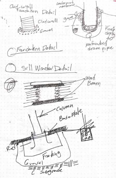
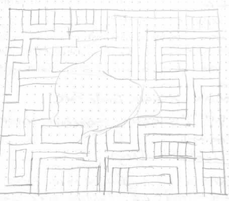
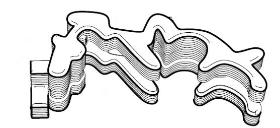
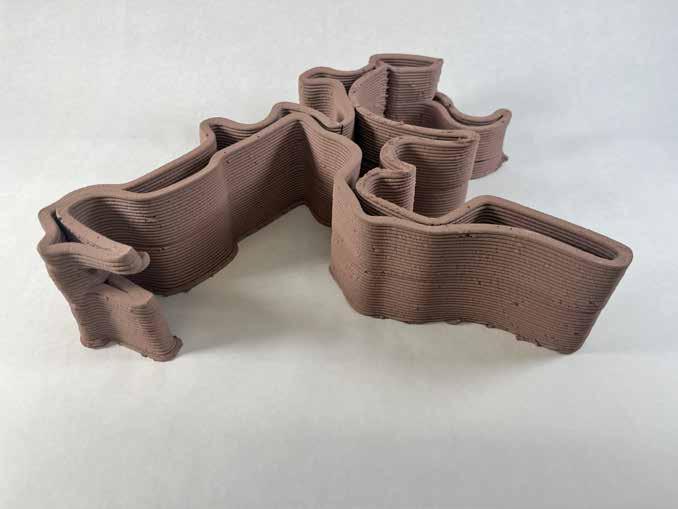
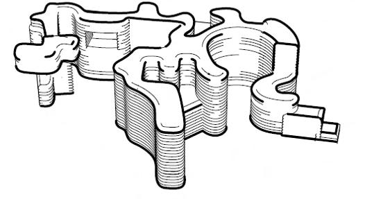
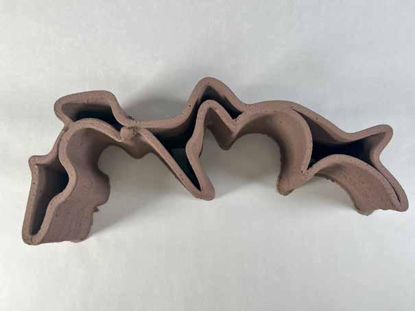
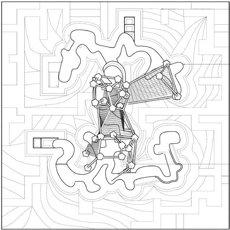
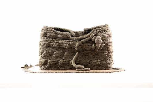
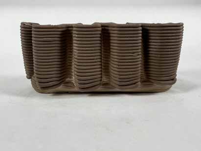
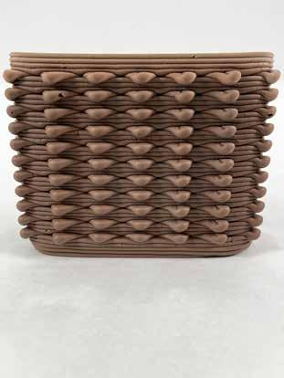
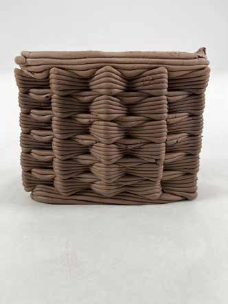
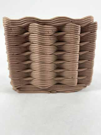
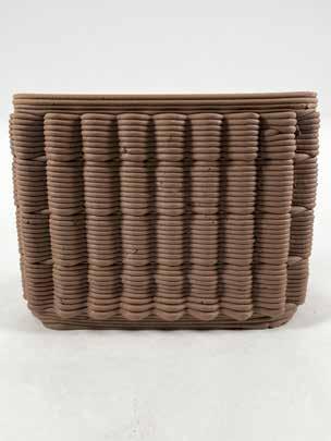
This project focused on incorporating elements of Play, Shelter and Ground into a new structure to stimulate children’s activity time. A play structure that incorporates a clay whimsical clay wall that allows different ways of interaction. The complete set included 3D printed clay walls and a structure that held a mesh for climbing.
Providence | Academic | Collaborative Study Project | 4-Weeks | Winter 2025 RISD
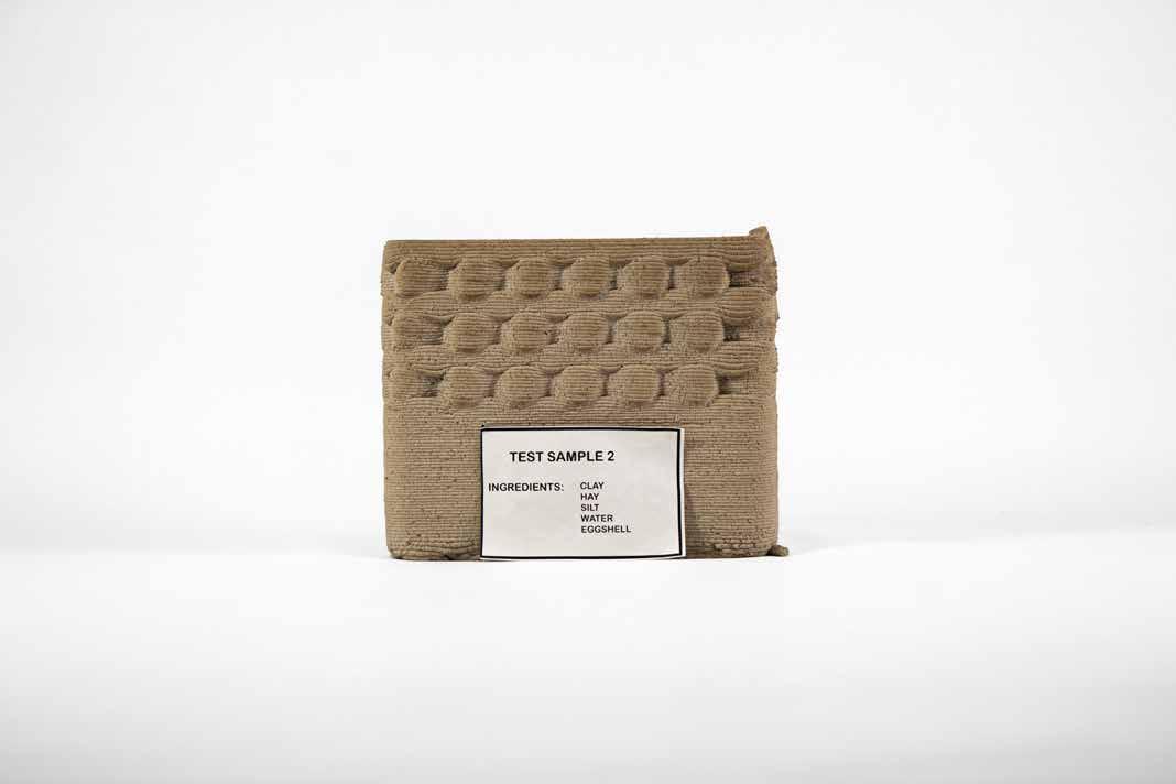
How can innovative technologies such as 3D printing be used to design earthen structures for positive impact in built environments, maximizing the ecological benefits of mosses or algae? As a case study, we analyze vernacular practice and earthen techniques in Africa, China, and Mexico. Earth is abundant, cost effective, and easily accessible and can be reshaped through additive manufacturing processes such as 3D printing to create bio-receptive surfaces in built environments.
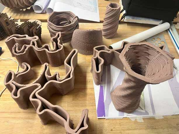
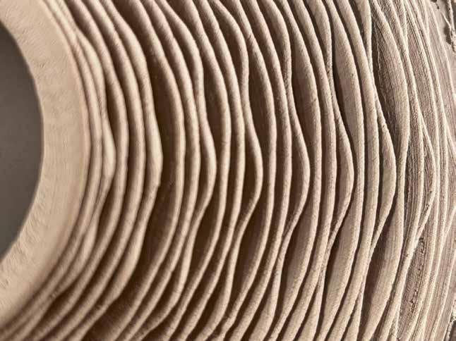
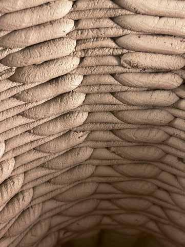
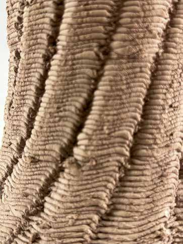
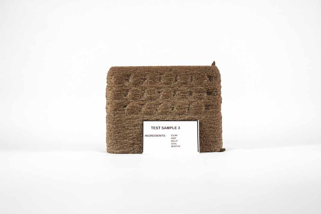
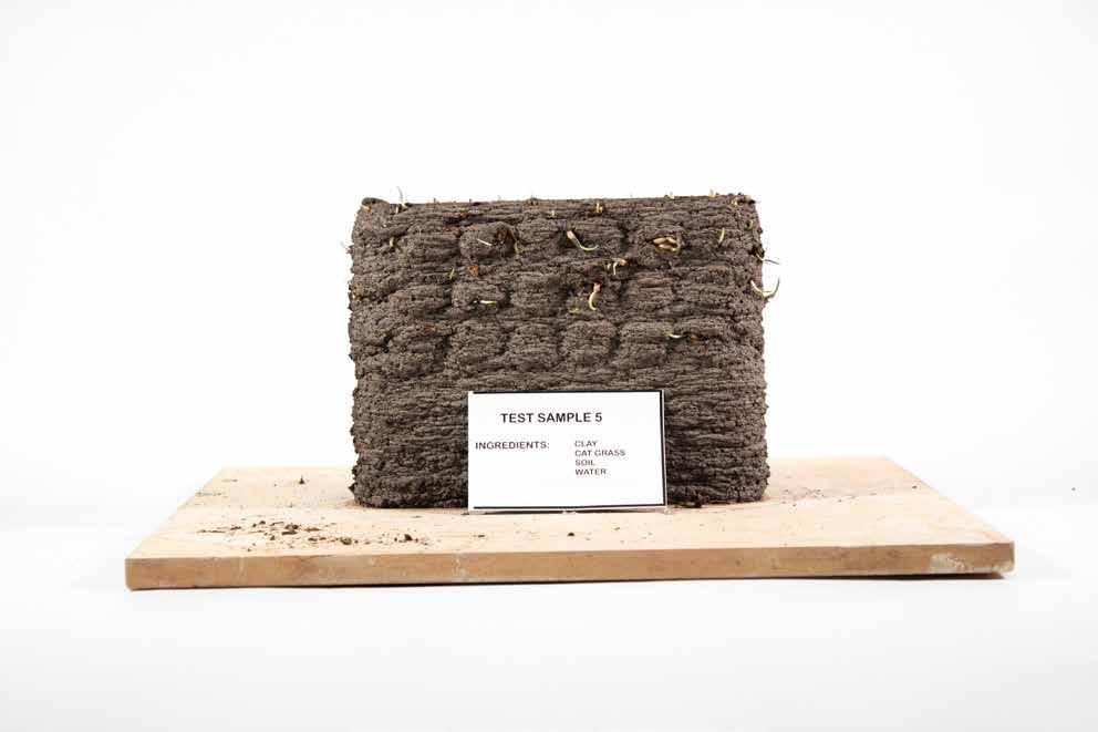
This project explores the integration of clay with silt and other materials like straw, algae, eggshells in 3D-printed.
Parting from a base design, we experimented with adding ingredients to clay. The textures created were intricate, so solid some ephemeral.



Tijuana River Watershed | Academic | Individual Independent Project | 4-Weeks | Fall 2024 RISD
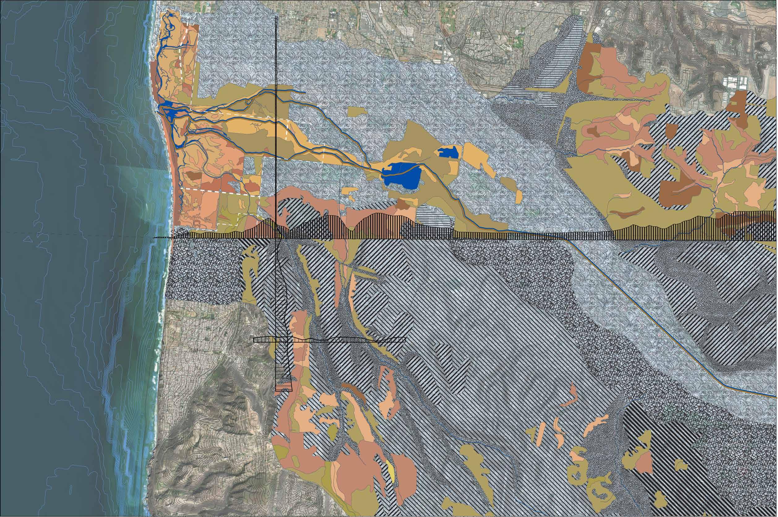
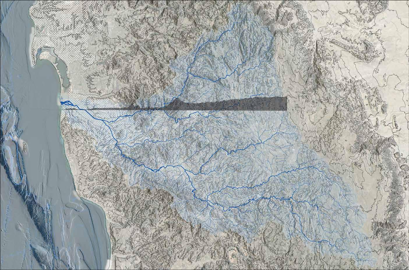
This the first map of a series looking at the Intentional watershed and resources of the Tijuana River at different scales.
The map shows the westernmost part of the political divide of USA-Mexico, the San DiegoTijuana land border.
This map emphasizes the binational watershed the political divide and the importance of better communication in management since everything that happens upstream in Tijuana flows downstream from South to North into the U.S.
The information gathered shows the topography, bathimetry, watershed delineation, urban fabric of Tijuana, Tecate and San Diego, intermittent stream, political division, The Transect is cut at the political divide showing the difference landforms the border wall traverses.
The magnitude of the watershed and the territory that encompasses gives us a better idea of who are the governmental actors that need to work together in order to better manage the region between two countries.
The tedious work of homogenization of data from different countries with different unit measures was overwhelming at first but worth it. Arch GIS Pro, Data Source: USGS and INEGI.mx
Political Divide Transect
Urban Fabric
River and Stream Hierarchy
Watershed Delineation
Contours 50’
Contours 100’
Hill-shade and Base Map
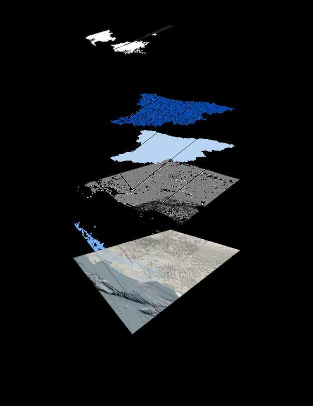

Second map of the three-part series. Showcasing the different layers of information across the border we can determine predominate features are shared in spite of the political divide. The different management styles of the landscape on both sides is deteriorating the environment in different ways. Nevertheless the geomorphological features (hatches) sustain the ecology (solid colors) that characterize the region. The hydrology runs South to North, gathering sediment, pollution and other precarious material downstream hitting the international border with an overwhelming amount of material that bypasses the sediment traps entering into the main body of the estuary. The tidal functions of the salt estuary(dashline in white) are impacted by the excess. This is a call for binational cooperation. Perpendicular crossections were drawn to better understand the relation of the valley with the surrounding canyons.
