C-ITIES
housing in mexico city
DOMESTI-
C-ITIES
housing in mexico city
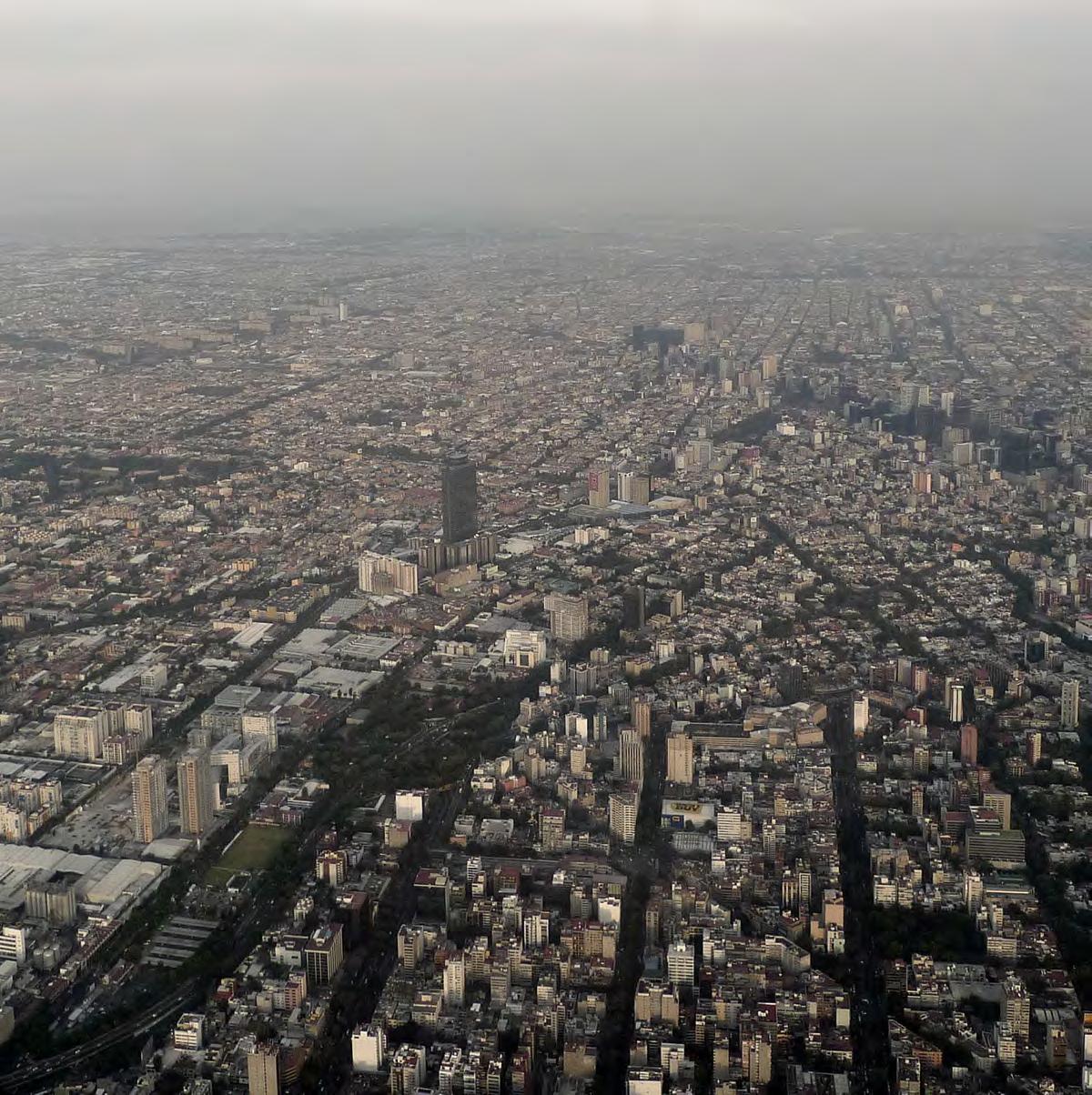
Under the title “Domesti-C-ities,” the semester discusses different models of home making and their implications for the city, and surveys the spatial strategies of occupation, the mechanisms of social appropriation, and the myriad of interests and related constituencies at play.
The assignments develop an initial inventory of housing development types as city fragments, study their characteristics, and develop a critical commentary of their current conditions and the potentials for alternate model. From the larger footprints of the mid 20th Century Unidades Habitacionales, examples of workers housing, contemporary affluent gated communities, infill developments and popular developments in the city’s periphery, the studio will interrogate the potential of the domestic as urban infrastructures driving the generation of new forms of urbanity.
Acknowledging the many radical metamorphosis that Mexico City has embodied through time, students will speculate on the open ended possibilities to reimagine the city through the spheres of domesti-C-ity.
The first half of semester investigates a series of formative cases of urban housing in Mexico City and expanded metropolitan area. Working in groups, students will then develop a cartographic analysis interrogating an expanded notion of site- through temporal, spatial and experiential relationships. In the second half of the semester, students (working in groups or individually) will speculate on the deployment of alternative approaches to the provision of urban housing through critical commentaries to issues of location, performance, finance, and agents involved.
CONTINENTAL AREA
WATER BODIES
URBAN AREAS
MIDDLE AGE (YEARS)
TOTAL POPULATION (INHABITANTS)
BIRTHS DEATHS
POPULATION IN HOUSEHOLDS
HOUSEHOLDS
AVERAGE SIZE OF HOUSEHOLDS (INH)
FEMALE-HEADED HOUSEHOLDS
MALE-HEADED HOUSEHOLDS
TOTAL NUMBER OF INHABITED PRIVATE HOUSING
AVERAGE OCCUPANCY IN PRIVATE HOUSING
INVESTMENT EXERCISED IN HOUSING**
LITERACY RATE OF POPULATION AGED 15 TO 24 YEARS
POPULATION >5 YEARS WITH INDIGENOUS LANGUAGE
POPULATION COVERED BY HEALTH SERVICES
3,689,053 4.1 847,910 2,841,143 3,749,106 4.1 30,283,706 99.3 376,830 8,811,664 99 0.94 2,616 46,782 129,849 5,163 1,237 33,282,683 6,792,931 7,197,314 18,841,627
CONTINENTAL AREA
WATER BODIES
URBAN AREAS
MIDDLE AGE (YEARS)
TOTAL POPULATION (INHABITANTS) BIRTHS DEATHS
POPULATION IN HOUSEHOLDS HOUSEHOLDS
AVERAGE SIZE OF HOUSEHOLDS (INH)
FEMALE-HEADED HOUSEHOLDS
MALE-HEADED HOUSEHOLDS
TOTAL NUMBER OF INHABITED PRIVATE HOUSING
AVERAGE OCCUPANCY IN PRIVATE HOUSING
INVESTMENT EXERCISED IN HOUSING**
LITERACY RATE OF POPULATION AGED 15 TO 24 YEARS
POPULATION >5 YEARS WITH INDIGENOUS LANGUAGE
POPULATION COVERED BY HEALTH SERVICES
PERCENTAGE
ÁLVARO OBREGÓNAZCAPOTZALCOBENITO
27.72 0 792.37 31 8,851,080 145,609 58,870 8,595,130 2,388,534 3.6 749,744 1,638,790 2,453,031 3.6 25,689,498 99.6 2,014,896 5,644,901 291 2.03 1,528 25,842 99,313 3,573 1,415 28,158,696 10,950,710 4,625,236 186,298
CONTENTS
URBAN INVENTORY OF 14 HOUSING CASES
MEXICO CITY URBAN ANALYSIS
SPECULATION
URBAN INVENTORY OF 14 HOUSING CASES


COLONIA DOCTORES
UNIDAD CUITLAHUAC
CUAUHTÉMOC 12
AZCAPOTZALCO


LOMAS DEL CHAMIZAL
CUAJIMALPA DE MORELOS
4

TORRES DE MIXCOAC
ÁLVARO OBREGÓN
8

UNIDAD HABITACION. GUELATAO JUAREZ
IZTAPALAPA
VECINDARIOS TEPITO
CUAUHTÉMOC
3

LOMAS DE SOTELO
MIGUEL HILDAGO
COLONIA PRESIDENTE MADERO
AZCAPOTZALCO
56

CONJUNTO HABITAC. NONOALCO
TLATELOLCO
CUAUHTÉMOC
910
CONJUNTO AMSTERDAM
CUAUHTÉMOC
UNIÓN ANTORCHISTA
CHIMALHUACÁN STATE OF MEXICO

7

CENTRO URBANO PRESIDENTE ALEMÁN
BENITO JUÁREZ
1112


UNIDAD HABITACIONAL SANTA FE ALVARO OBREGÓN
INTEGRACIÓN LATINOAMERICANA
COYOACÁN
1314



COLONIA DOCTORES
I Cuauhtémoc Borough
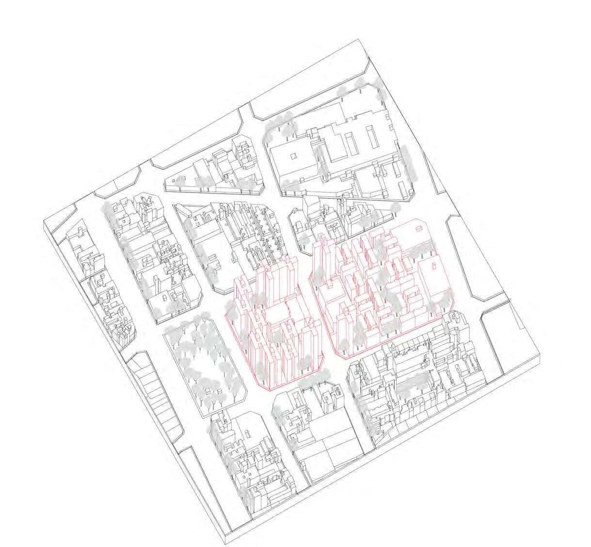
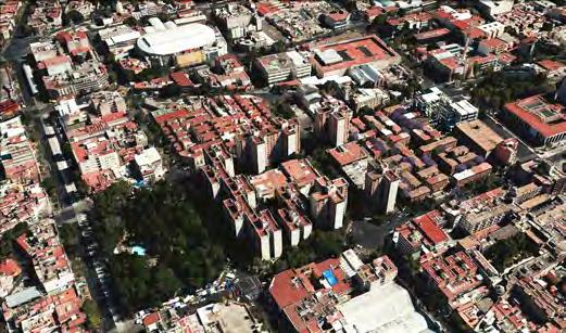
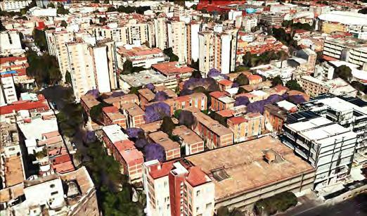
Colonia Doctores is a neighborhood southwest of the historic center. It is bordered by Avenida Cuauhtémoc to the west, across from Belen Street to the north, Eje Central to the east and Eje 3 Sur José Peón Contreras to the south.
The neighborhood was planned by Francisco Lascuráin in 1889, in an area called “La Indianilla.” However, Lascuráin never followed through with his plans to construct the neighborhood. Gaining approval from the Mexico City Council in 1895, the Mexican City Propriety Sindicate Limited proposed renewal of the plan to develop the neighborhood. The major streets such as Niños Heroes, Dr. Lavista, and Dr. Río de la Loza were laid out. Originally the colonia was called “Hidalgo” but, as almost all of the streets here are named after famous physicians, the area became known as “Doctores,” leading to its current official name.
Following the inspiration of the regular orthogonal grid by Cerda Plan in Barcelona, the urban fabric in Colonia Doctores exhibits the block corners cut in a chamfer, and ample pedestrian space. Additionally, the master plan aimed to create a clear geometric street structure in order to organize spaces, functions, and movement.
In 1880, Ramón Guzmán, owner of an enterprise of streetcars pulled by mules, established a yard there for the maintenance and storage of his vehicles. A couple decades later, a large part of this area was owned by the Compañía de Tranvías, also known as the Mexican Electric Transway, to serve as a trainyard and housing for the maintenance workers of rail cars. Today the Procuraduría de Justicia del D.F. is located in its place.


URBAN PARAMETERS



PUBLIC SAFETY
The area has a reputation of being high crime. It was ranked among the top 25 neighborhoods of the city for percentage of residents incarcerated, and it was ranked fourth most “dangerous” neighborhood based on the total number of reported crimes per day, behind Centro, Colonia del Valle, and Colonia Narvarte. It is also known for its large numbers of cantinas, cabarets and “hotels de paso”. However, most of the crime associated with this area is related to car theft and chop shops. For example, a Hummer stolen from El Paso, Texas, was recently found intact on the streets here.

Image sources:http://www.sinembargo.mx/08-042015/1307090

Image sources:http://www.aztecanoticias.com.mx/ notas/seguridad/169920/balacera-en-la-coloniadoctores-4-lesionados


Image sources:http://www.24-horas.mx/balacera-en-lacolonia-doctores-reportan-un-muerto/

Image sources:http://www.m-x.com.mx/2015-05-07/ documentan-en-10-fotos-una-balacera-en-la-coloniadoctores-del-df/

Image sources:http://periodicocentral.mx/2014/nacionalseccion/se-registra-balacera-en-la-colonia-doctores-del-dfimagenes-fuertes


LOCAL CRIME SPECIALIZATION
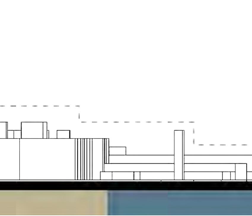
The occurrence of crimes is not randomly distributed; it embraces some spatial principles and characteristics that cannot be simply illustrated by the traditional crime measures: crime count and crime rate. Defined as “local crime specialization,” this approach studies whether and to what extent a unit area specializes in a particular crime relative to the whole study area. This way, specific countermeasures could be adopted by the police and government to hinder the occurrences of crimes. Unfortunately, perhaps due to its proximity to the Colonia Buenos Aires, a hotbed for stolen car parts, Colonia Doctores has a bad reputation of high crime incidences, especially car theft. The 3D model in Colonia Doctores explores why specific crimes occur in particular places by observing the characteristics that attract criminal activity, and how urban design can help improve the situation. Inspired by Jacobs’s “the Death and Life of Great American Cities”, I think that a sense of ownership of space for residents significantly increases public safety in communities. The concept of “eyes on the street”could enhance the opportunity to supervise the streets, which are oriented to face each other and provide visibility of properties. In conclusion, streets with a diverse mix of land uses creates more activity and busier streets could potentially reduce crime occurrences.


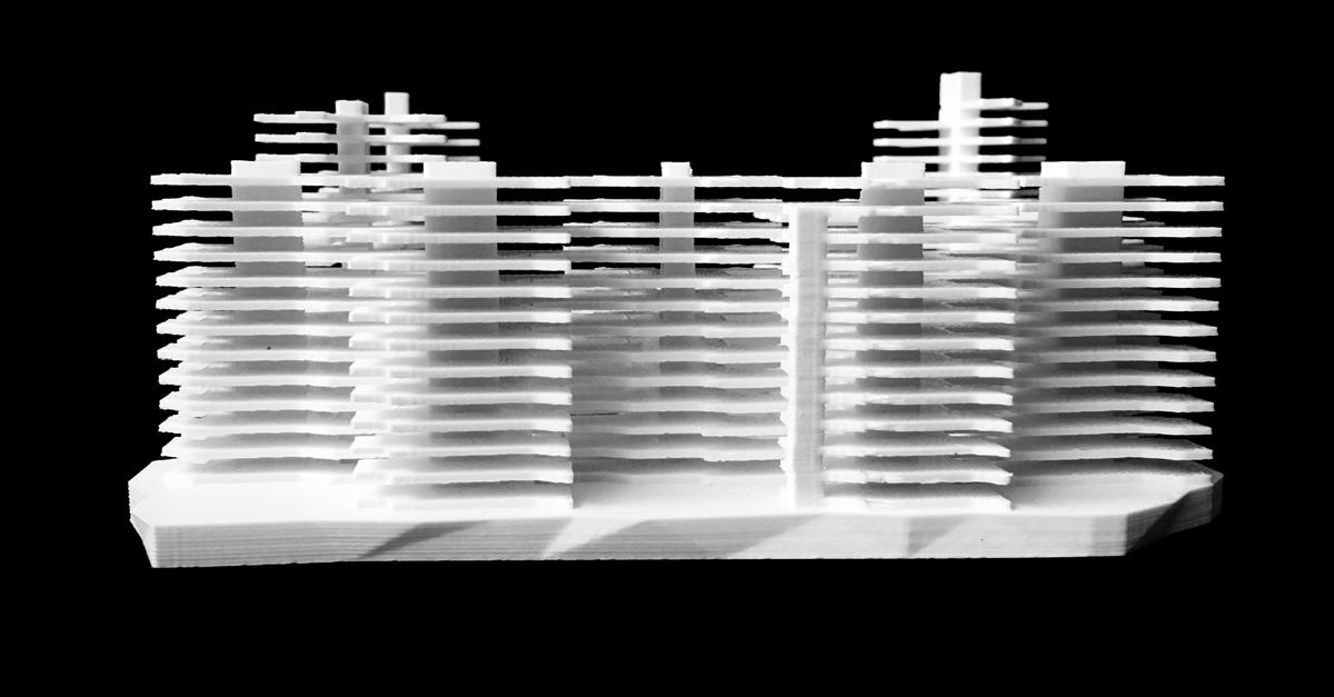


CUITLAHUAC 2 Azcapotzalco Borough +
UNIDAD HABITACIONAL
Designed and constructed in 1966, the Unidad Habitacional Cuitlahuac is a social housing project in the Azcapotzalco Delegation, in the northwestern part of Mexico City. It’s recorded history dates back to the pre-Hispanic era where it was the seat of the Tepanec dominion until the Aztec Alliance overthrew it. In the mid 19th century, the area became a part of the capital. In the following century, it became heavily urbanized completely transforming its former rural farming land into industrial areas and modest blue collar housing.
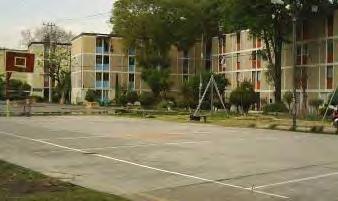
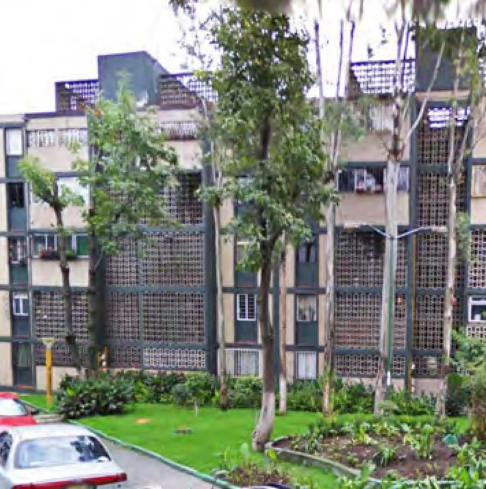
The neighborhood is located adjacent to the large railyards of Pical Pantaco and close to one of the largest operating industrial areas in Mexico City known as Industrial Vallejo. The design encompasses 2,500 units housed in 117 buildings, and home to over 15,000 residents in two large urban blocks crossed by an electric line running east to west. The four-floor slab buildings are mostly oriented in clusters with open space between them. The central cultural hub along with the landscaped courts, winding paths, designated parking lots and abundant greenery throughout, make the neighborhood a safe haven for residents.
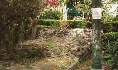
Historically, Azcapotzalco was home to an aqueduct, Xancopincan, a major supplier of water to the city. This water infrastructure played an important role in the history of the city, but was demolished during the construction of the housing project. Today, only a small stone hole marks the remains of this beautiful and important piece of history. Overall, the housing project is a modest construction with a good proportion of the built and open environs, a stark contrast to its surroundings.


URBAN PARAMETERS

THE STORY WITHIN
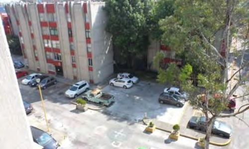
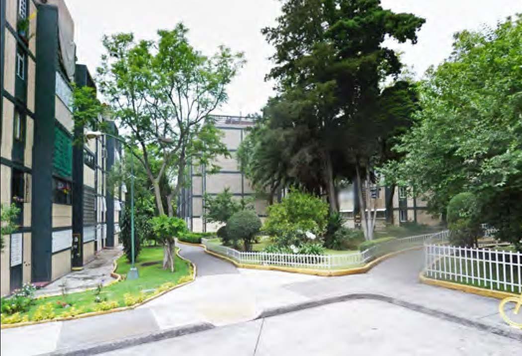
Located in Azcapotzalco Delegation, the Unidad Habitacional Cuitlahuac is an oasis for its inhabitants with accessible, abundant open space, landscaped pathways, designated parking areas, cultural center, retail outlets and play spaces. The first row of pictures shows us a visual of what it would look like to live in this neighborhood.
http://www.monografias.com/trabajos82/manantial-xancopincan-azcapotzalco/manantial-xancopincan-azcapotzalco2. shtml



Although Azcapotzalco Delegation is an industrial area today, it was once known for the famous Xancopincan aqueduct. This used to be the major source for water supply in the city. But, in the 1960’s, during the construction of this development the aqueduct was closed leaving only a small stone hole to mark its remembrance. The images on the second row shows this transformation.


QUIRK?
Quirk? “a peculiar behavioral habit.”
Mexico City’s rich urban fabric brings together incredible stories about the environmental, cultural, economic and political agendas that have transformed its geography over time. The juxtapositions that engulf the visitor are amazing. They make sense and at the same time they don’t.
It is hard to imagine at this point that the entire city was nothing but a huge lake. Yet, it was. On its waters, the Aztecs settled to give birth to Tenochtitlan. From the existing inhabitants in the region, they learned the art of farming on water; an amazing intervention at that time. But since then, the city’s geography has undergone many changes: its surface waters are almost completely depleted, and open spaces dwindle with every new development.
In such conditions of extreme congestion with barely any open park space, is the beautiful Unidad Habitacional Cuitlahuac. It is a haven for the residents with its decongested planning interspersed with lush greenery. The design of this neighborhood is in stark contrast with its surroundings, when it should ideally be the norm. Cuitlahuac is like an oasis in the dessert.
This makes it peculiar and strange, though very beautiful and probably an example of a comfortable housing environment. But?


3
TEPITO NEIGHBORHOOD
Cuauhtémoc Borough
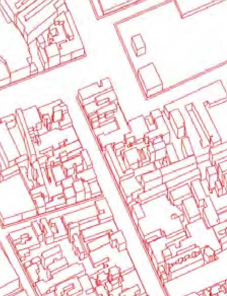
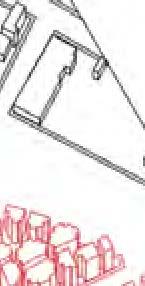
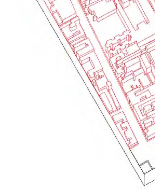
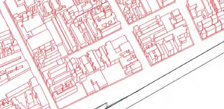
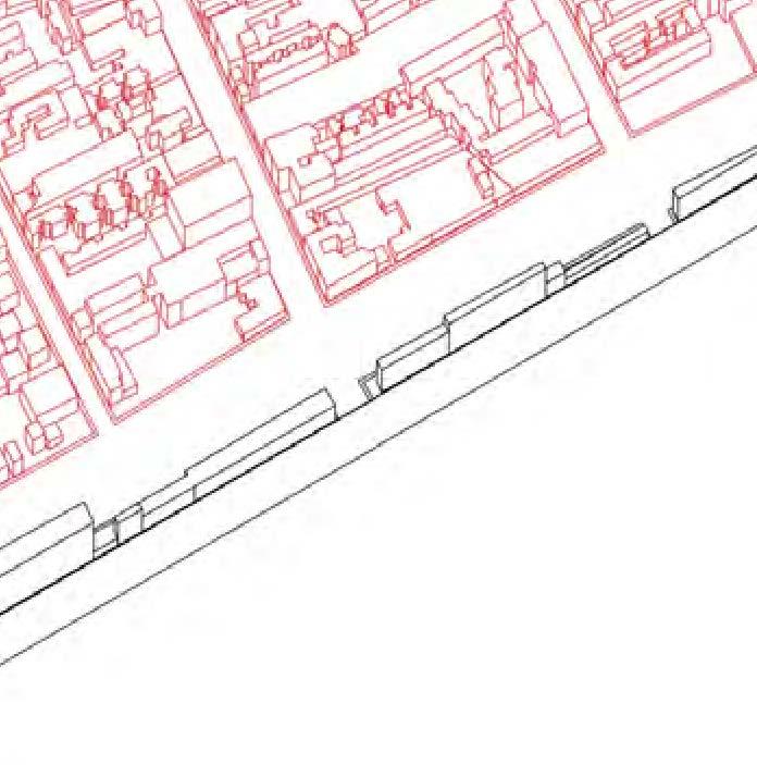
Tepito is a popular neighborhood close to the Historic City Center and home to one of the most famous street markets or tianguis. Following the pre-colonial tradition, the tents appropriate the streets with their colorful structures. Together with the tents, there are shop-fronts occupying all the first floors in the buildings, making for one of the most dynamic market areas in the city.
The intensity of use of the street parallels the density of the built form in this neighborhood. Tepito is known by its Vecindarios, popular housing structures classified as substandard housing due to the lack of basic utilities per unit, their small size, and the crowdedness. While problematic, the vecindarios provide housing to a large population who works in the informal market, without the capacity to access the formal structures of social housing provided by the government.
From an economic perspective, Tepito is the biggest black market in Mexico City. Diverse illegal products coming from across the world are traded in the market. The shop-front is the access to the normal products and the space behind the facade is the little processing plant for copying, package, and other supporting processes. The legal and illegal commercial activities both operated here.
All in all, these informal activities also sponsor higher rates of crime, and the participation of teenagers in the illegal activities. Tepito is a kaleidoscope that is full of possibility, but also creates many problems. It reflects the flow of the economy and the relation between the informal market and the city space.


















URBAN PARAMETERS


Image sources: http://www.diariodemexico.com.mx/wp-content/uploads/2013/08/tepito_11.jpg

Image sources:http://archivo.eluniversal.com.mx/img/2013/07/Ciu/tepito_800x535-movil.jpg
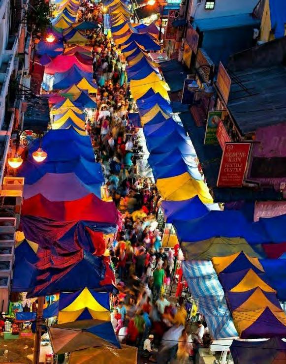
Image sources: https://s-media-cache-ak0.pinimg.com/736x/0f/94/23/0f94230e28922bb3716428e908fb9181.jpg
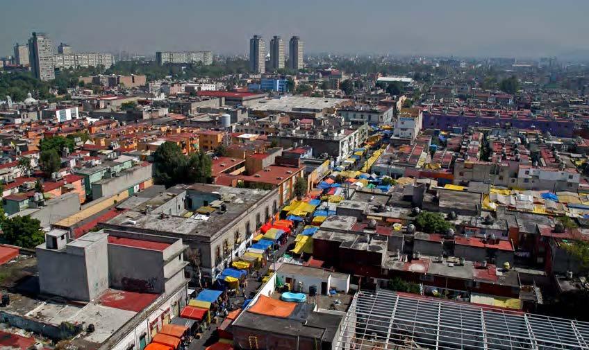
Image sources:https://i.ytimg.com/vi/Fbv0NnGttZI/maxresdefault.jpg

Imagesources:http://www.ciudadcapital.com.mx/wp-content/uploads/2011/03/En-Tepito....jpg

IMPORT COUNTRIES
COMMERCIAL NETWORK IN TEPITO


SOCIAL PROBLEMS

TRADE ACCESSED
PRODUCTS TYPE


The commercial network of Tepito includes illegal and legal products imported from other countries. Diverse products trade to people through different commercial accesses, meanwhile different party involved in this international activities. Coexisting with the dynamic exchange of goods and services, the district houses many social problematics and the marginalization of the residents.
Image.source.from_http://www.diariodemexico.com.mx/wp-content/uploads/2013/08/tepito_11.jpg;https://i.ytimg.com/vi/Fbv0NnGttZI/maxresdefault.jpg;http://archivo.eluniversal. com.mx/img/2013/07/Ciu/tepito_800x535-movil.jpg;http://www.ciudadcapital.com.mx/wp-content/uploads/2011/03/En-Tepito....jpg;https://s-media-cache-ak0.pinimg.com/736x/0f /94/23/0f94230e28922bb3716428e908fb9181.jpg;https://kimberleyjbrown.files.wordpress.com/2013/06/dscn3474.jpg;http://assets.vice.com/content-images/contentimage/no-slug/ a7810500cce2b2e0b6a6162688151aba.jpg;https://favelaissues.files.wordpress.com/2013/01/dsc03014.jpg;http://america.aljazeera.com/content/ajam/articles/2013/12/8/a-culturaltour-ofthefiercebarriomostmexicanswontvisit/jcr:content/mainpar/textimage_0/image.adapt.990.high.tepito_market_03a.1386975816106.jpg;http://msnbcmedia1.msn.com/j/MSNBC/ Components/Slideshows/_production/ss-110118-mexico-shaul/ss-110118-mexico-04.grid-9x2.JPG;http://shoebat.com/wp-zontent/uploads/2015/11/Mexico.png
DYNAMIC SYMBIOSIS
The informal market and city have a symbiotic relationship. This relationship is dynamic. At different times, the informal market displays tactics of occupation to appropriate public space and inject new, different functions. These fluid transformations also impact the activities’ distribution pattern in the city grounds, promoting exchange of goods and money, and bringing consumers at different times of the day. These street markets grow within the city by using common-people economy as a nutrient to develop a unique commercial mechanism.
The major motivation to drive this variation is the operating system of commercial activities. When the market is closed, the traffic system enables both for automobiles and pedestrians’ use. It is also the time for supplying, preparing, and transporting products. During market operating hours, the high density commercial activities begin, and most of the spaces are only accessed by pedestrians.
This urban phenomena demonstrates the flexible functions and diverse activities sponsored by public space through an extended daily routine.
Open Markets


Permanent Tents
Temporary Tents


Closed Markets

Pic(s) from
from 3D Model


LOMAS DEL CHAMIZAL 4 + Caujimalpa de Morelos Borough
In the last two decades, Mexico City’s economy has transformed from industrial to an internationally recognized global city. This shift is due to rise of investments in corporate and financial services, communication and transportation sectors and real estate. These changes have affected employment patterns, land use and eventually, the very built environment. The city stands at crossroads with the emergence of new investments and an uncontrolled growth pattern to house the thousands arriving to the city in search of prosperity.
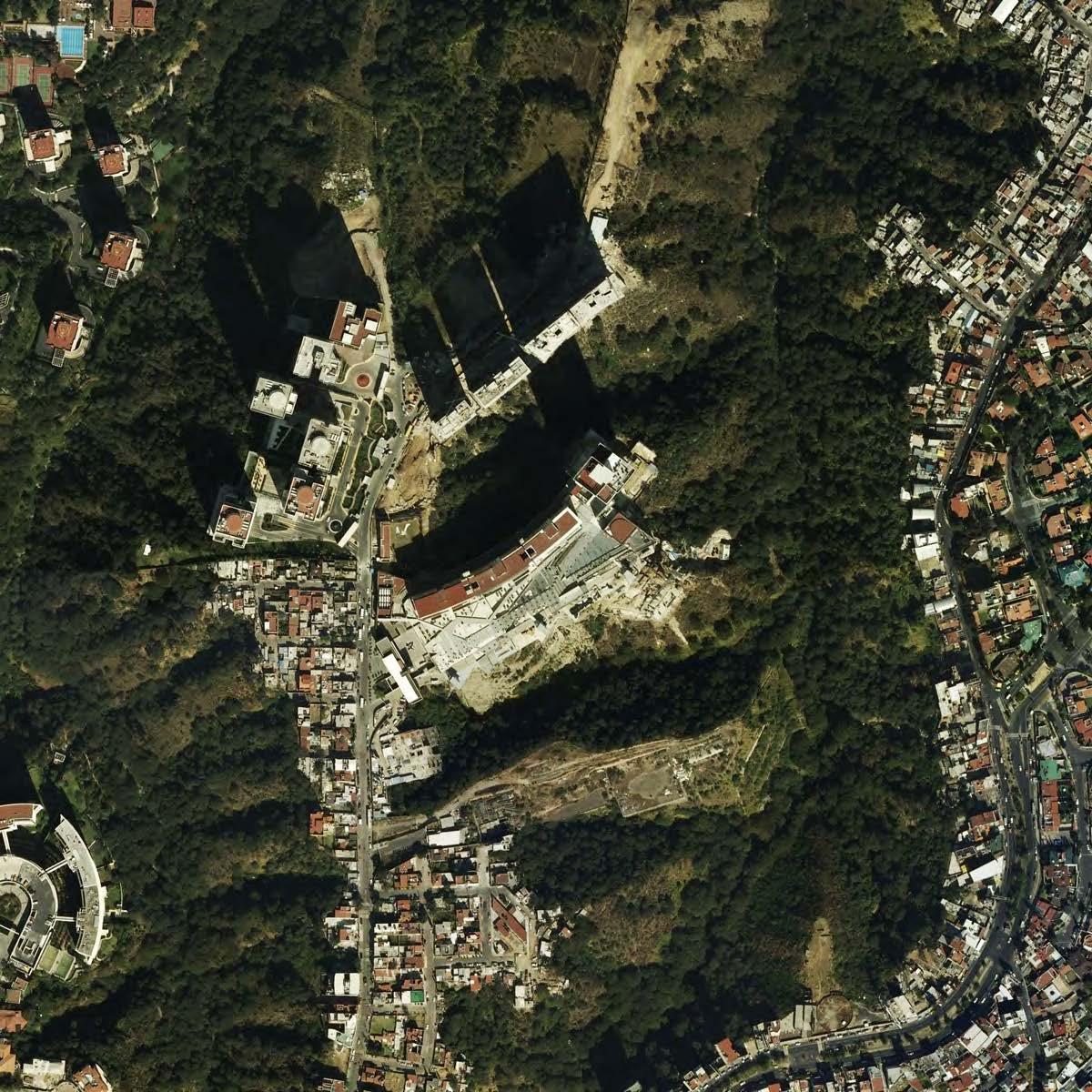
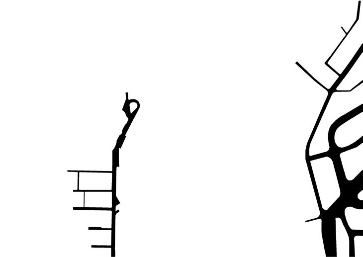
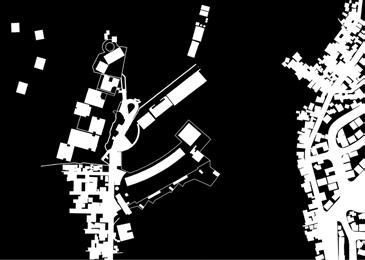
The new economy made possible large investments in upscale commercial and residential projects in many parts of the city, and most prominently in Santa Fe, a key geographical node in the larger metropolitan area. Santa Fe, situated in the western part of Mexico City, caters to the privileged economic elite. In contrast the eastern part of the city faces expansion due to informal settlements and land invasions.
Santa Fe sits in a strategic location, close to the proposed airport and in a convenient topography that aids in creating highly segregated neighborhoods that are cut off from the city’s cultural and social networks. In a place like Mexico City where centralities, old or new, have always been associated with polarization and socio-spatial segregation, the current real estate practices have further exacerbated this. Today, Santa Fe stands as a stark contrast to many areas in the city, a demonstration of how the interests of a few are enough to create a new identity for the city.

URBAN PARAMETERS




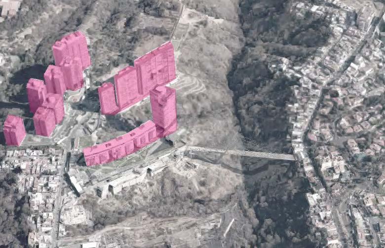
THE TWO SIDES...
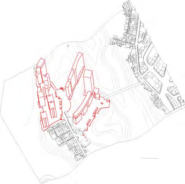
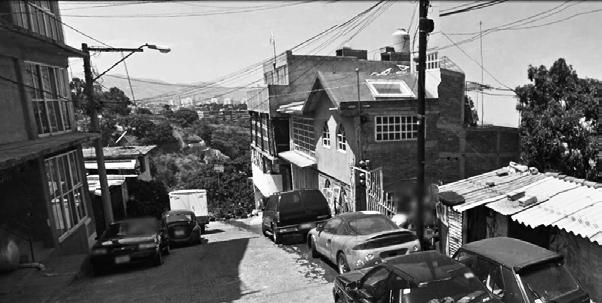
The region continues to develop in an isolated fashion, secluding itself from the cultural and socioeconomic networks of the city while on the other hand the city around it is proof to high settlement densities due to its growing population. The urban form of the city displays the growing disparities between the socioeconomic classes.

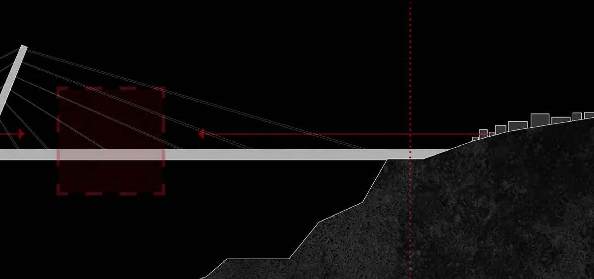
EQUILIBRIUM
Spaces have the capacity to manifest emotions. They hold within them the ability to intrigue one’s conscious, transforming our thoughts and actions, and our very imagination of what is possible.
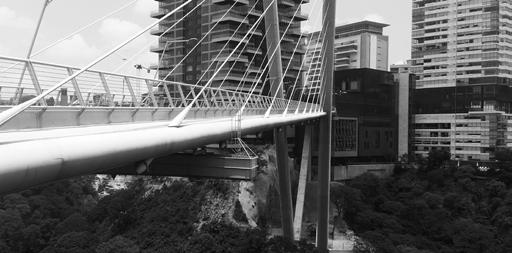
Spaces establish continuities or render insurmountable boundaries. In the still frame, a bridge suspends between two sides of a coin, the rich effluent lifestyle and a common man’s settlement. The bridge spatializes the thin line that extends between these disparities. It stretches across the expanding crevice in a desperate attempt to hold together the two sides that constantly drift away.
Suspended between these disparities is equilibrium, the opportunity to occupy a space in space, an open room to everyone. At the bridge, a new space to celebrate alterity, to bring together the different socioeconomic groups at the two ends. This way, suspended atop the crevice, it is a constant reminder of how elemental public spaces are to a society.


LOMAS DE SOTELO 5 Miguel Hidalgo Borough +
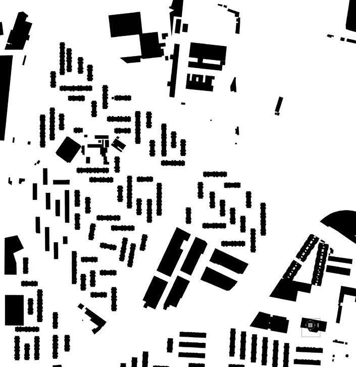
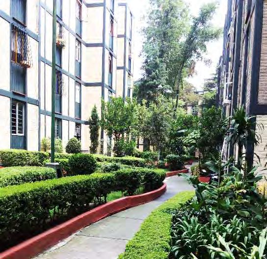
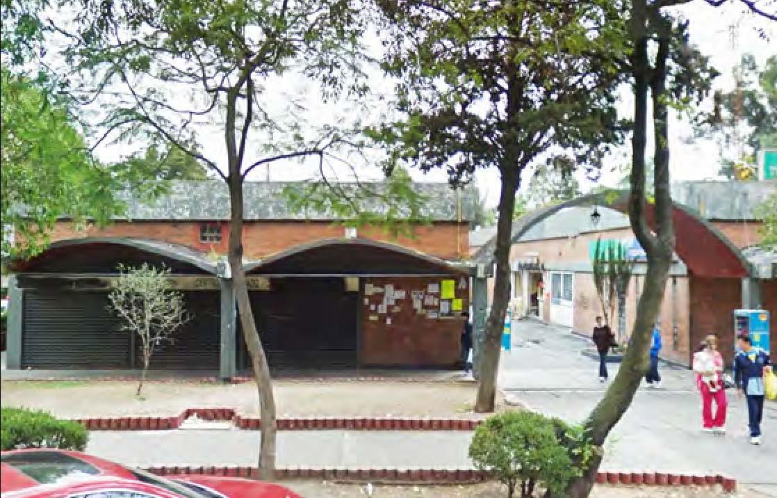
Designed by architect Agustin Landa Verdugo between 1965 and 1967, Lomas de Sotelo is a social housing project modeled largely off one of Landa Verdugo’s earlier sites, Loma Hermosa. The design comprises of 2,090 apartments housed in 82 various sized slab buildings of 4 stories each. A few significant features of the site are the market building and school at the center of numerous dead-ending streets. This central area coupled with numerous small parks, inner courtyards, meandering pathways, and lush greenery throughout create a self-contained housing oasis for residents. Lomas De Sotelo demonstrates Landa Verdugo’s expertise in urban planning. His tendency to exclude internal roads for car circulation, prioritizing pedestrian moment and including space for commerce, schools, and gardens amongst the housing are features of housing projects he became famous for.
Despite these intentions, the site today is overrun by cars, especially in the dead-end streets and lack of parking. The interior courtyards, a mix of green space, playgrounds, and open space, have retained their beauty and provide residents with public space that offer some privacy. This is especially important given that the site is surrounded by high-volume roads on all sides. Overall, the site is regarded as one of the nicest places to live in the Miguel Hildago neighborhood by providing residents a variety of services and ecological beauty.

URBAN PARAMETERS

NEIGHBORHOOD UNIT
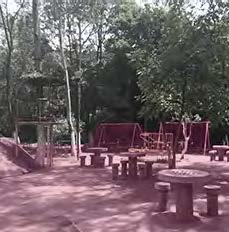
Lomas de Sotelo includes a number of model community planning features. To the right are images of an interior courtyard and playground, and meandering pathways.
Below is an additional image to showcase the rich vegetation accompanying the pedestrian areas and pocket parks. At the core of the neighborhood, the central market space and the school.
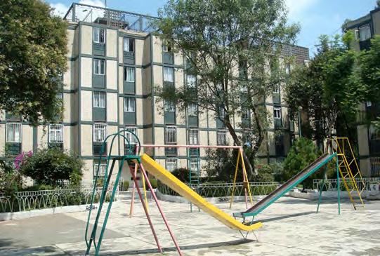
photo: Wikipedia.https://upload.wikimedia.org/wikipedia/en/d/db/Lomas_de_Sotelo.jpg


icasas., http://www.icasas.mx/venta/departamentos-distritofederal-miguel-hidalgo/clasico-departamento-lomas-sotelo_17425


DAILY LIFE AT LOMAS DE SOTELO
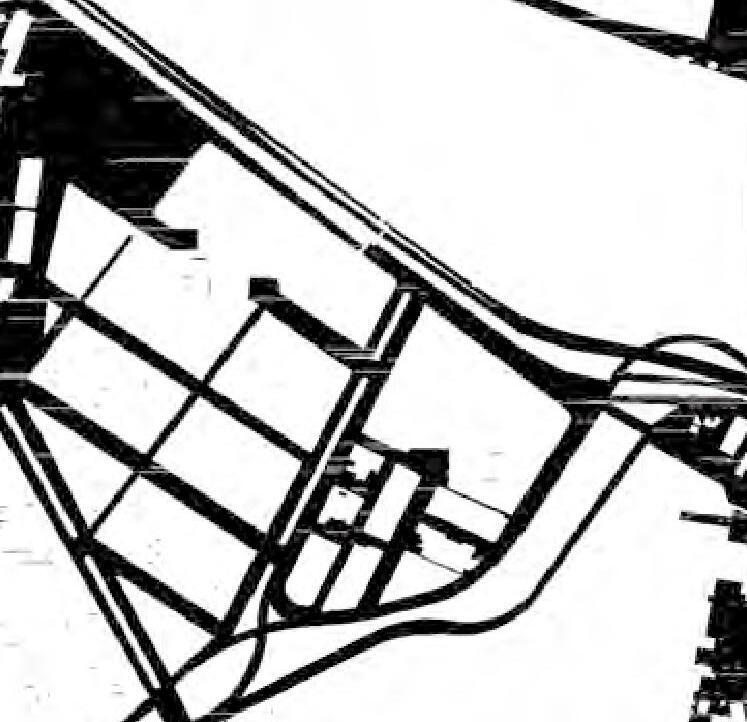
This image represents the center of the neighborhood of Lomas De Sotelo; the market and school, as illustrated in pink. Surrounding this center, four roads dead end, enclosing this center into a selfcontained space relatively free of traffic and noise. By design, Lomas De Sotelo, provides an ideal neighborhood setting for individuals of all ages. It’s focus on pedestrians and proximity to shopping nearby, enables individuals to meet many of their daily needs without traveling far.
This image represents many of the daily activities that take place on the site, from walking to school, to playing in the hidden playgrounds, to shopping at the market, to celebrating a birthday party with a pinata. At first glance, the design of this site appears simple, yet when looking closer, it enables a rich variety of activities to take place. Further, while many of these daily occurrences can be overlooked as trivial, they produce the memories of community and place that keep people grounded in where they call home.








COLONIA PRESIDENTE MADERO 6
Azcapotzalco Borough +

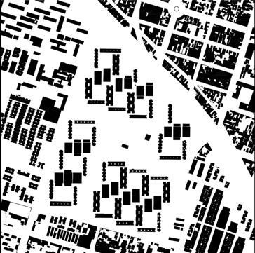
Located in the Azcapotzalco Borough, Colonia Presidente Madero stands out as a social housing project of interest in one of the most heavily industrialized areas in Mexico City. The massing consists of low-rise two storey structures located along the edges running west to east and along a central axis, with higher six to seven storey structures on either side. The structures are organized around multiple landscaped courtyards, leaving parking in the perimeter of each block. This configuration of built and unbuilt volumes, and the rotation of the buildings in relationship to the urban grid (possibly a climatic response) creates interesting viewing angles and activates the central community spaces.
The overall building density of the immediate surroundings is high (approximately 160 inhabitants/ha) and consists of mixed commercial and residential use. The presence of a public plaza centered around which the social housing units are located indicates the variety of people and activities that might be found within this neighborhood at any given point of time. However, there is a noticeable lack of public parks in the immediate neighborhood (apart from the plaza). This spawned the question of whether social housing projects could be an opportunity to contain community spaces designed to facilitate shared public accessibility.



Urban Parameters

CONTEXTUAL OBSERVATIONS
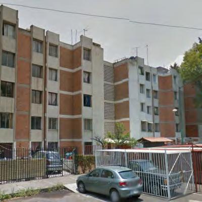
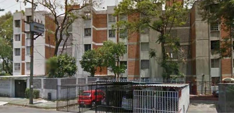
In contrast to the protected internal spaces of the project, “car cages” along the (external) periphery of the site hint at a lack of security in the immediate context. This immediate context consists of a mix of residential & commercial use.
Building facade along the street


Children’s play area located in a roundabout in a neighborhood near by

Context shows primarily ground level commercial with residential on the upper floors
Pause.
Why pause?
In many neighborhoods of Mexico City, the endless compound walls and contiguous ground-level commercial functions do not particularly encourage a break from daily routines or opportunities for social interaction. One can find local interventions scattered throughout the city (generally in precarious locations – roundabouts, medians, transmission towers) intended to address this.
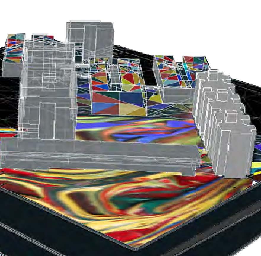
The social housing project has been used to speculate how site edges and building morphology could be tweaked to allow for these pauses and moments of social interaction. It also explores the sharing of open space, a scarce resource in Mexico City, between what is typically considered “public” and “private”. The bridge and the changes to the street corner represent a gate, challenging the strict boundaries between the two to create a connection. The rooftops of the middle (lower) buildings of the housing project are further looked at as potential social spaces (at times with a physical connection to the ground level) to augment the existing central social space. The spatial ideas purposefully address multiple levels to make it experientially more interesting.
The bold, vivid triangles of colors are symbolic of movement flows where one keeps to one’s path, while remaining connected to another through the spirit of moving through a single environment at a point in time. These triangles meld and swirl together in those moments of “pause” where there is an opportunity for a deeper, communal experience.






UNIÓN ANTORCHISTA
7 Chimalhuacán, Mexico State
Unión Antorchista’s housing unit is located on the northeast of Chimalhuacán, which means a place for those who have shields in the native tongue Nahuatl. Located in the eastern side of Mexico City, in the State of Mexico, Chimalhuacán is part of the ZMCM, the Greater Mexico City Metropolitan Area and has become a home for an increasing population relying on informal mechanisms to access the housing market. With a population of 650,000 in the 2010 census, Chimalhuacán has mainly developed under these schemes.
The strategies of land appropriation are diverse, and rely in both formal and informal mechanisms. In most cases, they sponsor land takings in former ejidos, and public and private undeveloped property with no access to any kind of utilities or infrastructure. Known as paracaidistas (they will parachute on the land) would eventually develop in the area with their own logic , in a free organic way with no supervision from any institution of authority. Overtime, these developments will gain access to electricity, water supply and sewage, and after decades inhabitants would gain tenure over their properties. Through street protest, and sometimes physical violence, the State would eventually correspond to the group’s demands in exchange of political support. The leader(s), would work ‘hand in hand’ and backed by either a Union (supported by a Political Party ) or directly with the Political Party, will get the demands through voters support.
These urbanization dynamics have sponsored huge misery belts in the periphery of Mexico City. With high crime rates and many social and environmental problems, they continue to offer a home to many of the poor without access to housing otherwise.
URBAN PARAMETERS

A TYPE OF CITY
Movimiento Antorcha Campesina (Peasant Torch) is a civil association of national reach devoted to the eradication of poverty in Mexico. Founded in 1974 in Tecomatlán, Puebla, one of their main goals has been the provision of housing for the poor and informal workers without access to social housing programs.
Nowadays, “Antorcha Campesina” is present in most of the Mexican territory and know as “Unión Antorchista,” and they are one of the main drivers of urbanization in the periphery of many Mexican cities.
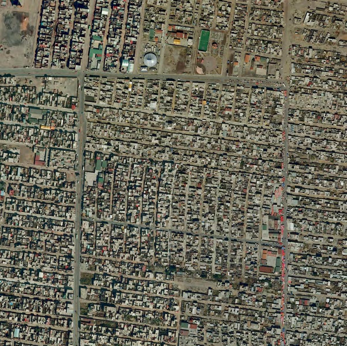
The images on the right illustrate the emergence and consolidation of one of the settlements led by Unión Antorchista in Chimalhuacán. The imagery show the progressive improvement of the areas over time, with infrastructure and services upgrades taking place years after the initial occupation.


CELLULAR LEVEL
Urban Cells grow in a very responsive and intuitive way. Their self-organizing capacity dictates what to do and when, operating in response to what’s happening in their surrounding environment.
Chimalhuacán, and the structures that house its more than 650,000 inhabitants, renders one of the sites appropriated by the cellular commands. For a few decades already, they have been operating in a responsive way to social and political occurrences, reacting to their environment in a fluid and opportunistic manner.
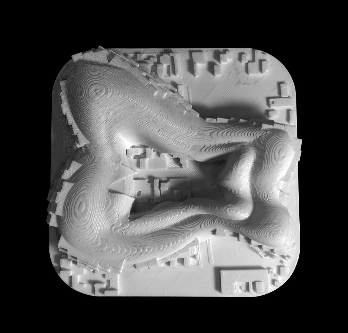
The cellular commands expand and multiply based on the available human capital and the opportunistic political manoeuvering. This is represented by the organic shapes and blocks, the changing heights and volumes and the way they integrate together.




TORRES DE MIXCOAC 8
Álvaro Obregón Borough +
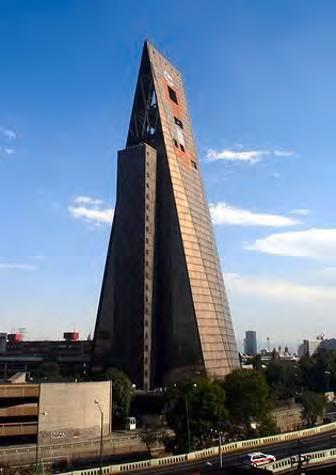
Torres De Mixcoac is a housing project designed by Abraham Zabludovsky and Teodoro González de León and built in 1967. These architects designed a large number of outstanding residential buildings and offices in Mexico City, advancing the agenda of the Modern Movement and demonstrating an impeccable handling of contemporary design, techniques and materials.
Torres De Mixcoac is an exemplary housing project displaying the best functionalist postulates in search of greater efficiency at lower cost. Zabludovsky was able to experiment with different construction systems and the use of apparent materials to give the building a decent finish with low maintenance requirements. Apartment buildings built by then, in which he acted as developer, architect and builder, remain a reference in the production of affordable housing solutions in the city.
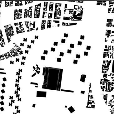
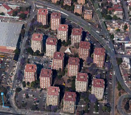
Torres De Mixcoac includes 16 towers of 12 levels with 4 apartments on each level, totaling 768 departments. Although ground level parking takes on most of the ground level areas, the towers are connected by a pedestrian network, creating an central open space area punctuated by Mathias Goeritz’s sculpture “The Pyramid.” The inclusion of public art by some of the most prestigious national artist was another important characteristic of the Modern Movement in Mexico City.
Around Torres De Mixcoac, there are traditional buildings, lower towers and a huge commercial mall. Their different grains showcase the diverse social classes of the residents, the management and size of open spaces.


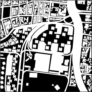
Urban Parameters
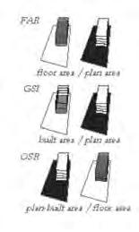
AMENITYAMENITY
The way that the architects dealt with the relationship between the towers and the highway is interesting. Trees and shrubs fill the gap between towers (except in the parking lots), suspending a green canopy over the open space. Amidst the noise and pollution produced by elevated highways and suburban-type malls, this still enables people who live here to enjoy a higher quality of life. Regardless of living in towers, there is still enough open space to have social conversations.

Image Sources:https://twitter.com/cdmexeneltiempo/status
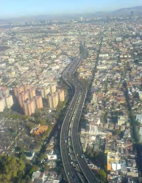

Image Sources: http://www.panoramio.com/photo/12418745


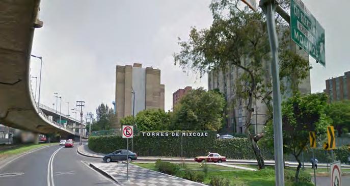

Zabludovsky and Gonzalez de Leon’s work delineates a language of its own, characterized by the revaluation of the wall and its durable textures, particularly through the use of concrete. The experience gained in this genre is expressed in the housing complexes Torres de Mixcoac and Vallejo La Patera, erected in the late sixties, a critical time in the radical modernization of the city. These towers were built a long time ago but they still look modern and run well with all their various functions.
CONTRAST
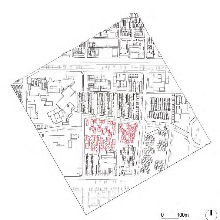
When looking at Torres De Mixcoac, the relationship between density and the height of buildings is of interest. For the 3D print model, I selected a circle maintaining the tall towers, low towers and the traditional buildings. The size of different types of buildings are completely different as well as the experience while walking through these spaces. As for the Mixcoac towers, since the buildings go high, the land use is smaller than other types of buildings. In order to meet the need of parking from the residents, most open space around towers are used as parking lot and planting trees. Walking through them, people can feel more sense of modernity. Compared with that, the lower towers which also have lots of open space make people feel more freedom because in the almost same density, the height is lower so that people won’t feel the feeling of pressure from tall buildings.
When examining the surrounding area, it’s easy to tell the difference. More intense of the space, less for the housing. The size of both buildings and streets is smaller. The different width of roads also indicates the use and flow rate of cars is different. When walking on those streets, you can easily feel the difference.


UNIDAD HABITACIONAL GUELATAO DE JUAREZ 9 Iztapalapa Borough +
Located in the Iztapalapa borough, this area has grown rapidly after the 1985 earthquake. The majority of residents are low-income groups and immigrants, with the area having a high level of socioeconomic marginalization. A significant number of people lack sufficient access to public services. Crime rate is relatively high, much of it related to drug trafficking, rape, muggings and robberies of taxi drivers and public buses. In response, citizens build defensible mechanisms to protect themselves, such as fences outside housing and car boxes. Although these measures relatively prevent their properties from crime, they also prevent connectivity and communication with the rest of the neighborhood. Eventually, a parcel becomes a detached and segregated housing box.
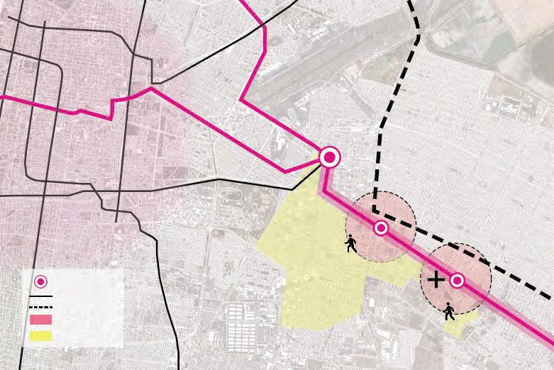
In general, the infrastructure serving this area is limited, with poor connections to the public transportation system (only line A of the Mexico City Metro system), one passenger transport center, two regional hospitals and a sport park.
The different phases in the Unidad Habitacional provide social housing to low-income groups. Normally they are 4-6 floors, walk-up apartments, organized freestanding or clustered. Without enough open space, the density is relatively high. In some parcels, five or six buildings cluster around a quadrangle for public activity. In others, the buildings are arranged homogeneously and no public open spaces are created.


URBAN PARAMETERS

TYPICAL HOUSING TYPOLOGIES
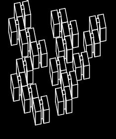
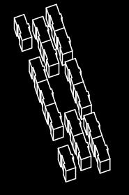


Image sources: http://www.google.com/maps/Insurgentes/guelatao de juarez

Image sources: http://www.google.com/maps/Insurgentes/guelatao

Image sources: http://www.google.com/maps/Insurgentes/guelatao de juarez
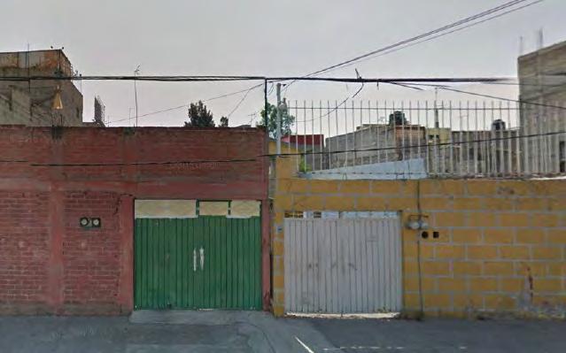

Image sources: http://www.google.com/maps/Insurgentes/guelatao de juarez

http://www.google.com/maps/Insurgentes/guelatao de juarez

Image sources: http://www.google.com/maps/Insurgentes/guelatao de juarez

Image sources: http://www.google.com/maps/ Insurgentes/guelatao de
FENCE AND FEAR

Image sources: http://www.google.com/maps/Insurgentes/guelatao de juarez
People in this area are in an atmosphere of fear. They build fences to protect their land, their housing and other properties.
What do they fear?
“In Mexico City, the area of Iztapalapa has the highest rates of rape, violence against women, and domestic violenceinthecapital.”
Ríos,Fernando.ElSoldeMéxico.RetrievedMarch3,2011
THE DILEMMA OF SOCIAL HOUSING
Izatapala is one of the Delegaciones with a larger proportion of low-income residents in Mexico City. Without enough capital to purchase a more centric house, the majority of people have to congregate in dense, remote areas, far from services and their working places. The urban grid is homogeneous and houses are modest, self-built in many cases. In this sea of modest developments, the 3D model case showcases a social housing project in Iztapala dating from the 1980’s
Social housing is a pressing issue in Mexico City, as the government can not find the mechanisms to provide affordable housing for the large group of low-income population. Compared with the homogenous and dense housing around, the Unidad Guelatao de Juarez offers good amenities. Ten 5-floor units connect each other into a single serrated building. This shape creates space for public activity and parking. Within walkable distance, there are some public service and social amenities like a hospital, two subway stations and stores. Despite the attempt project s like this represent, social housing is built with poor quality standards, limited open space, lack of services and the most notable problem: far away from jobs and the city center. People’s commuting directly causes another overwhelming problem in Mexico city: traffic congestion.
What if all the citizens in a city work at home? The direct result is the relief of traffic pressure. However, the city could be lethargic in the long run because activities and communication happened during commuting would diminish. Is that really good for city? Obviously not. So only by functional dispersal of city center could solve the problem.
Comparison Between The Case And Self-Built Housing
social housing case self-built housing

The Traffic Connection Of Site To The City Center
CENTRAL CITY AREA
line1 line5 toindustrial area todowntown
subway station
line SITE 5min’s walk
city boundary central city area
residential area
IZATAPALA BOROUGH 5min’s walk CETRAM: Pantitlan


CONJUNTO HABITACIONAL
NONOALCO TLATELOLCO Cuauhtémoc Borough +
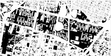
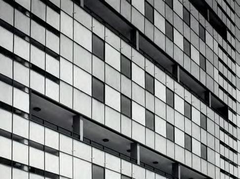
Designed by architect Mario Pani, the Conjunto Habitacional Nonoalco Tlatelolco was envisioned as a city within a city, with its own schools, hospitals, cultural spaces, stores and recreational facilities. As a model social housing project, it was designed to house people from different economic social strata and it had 102 buildings with 11,916 apartments for 70,000 inhabitants. By introducing the language of modernity and different technological advances, this project shifted the focus of urban social housing from low-rise to high-rise plus ample areas of open space. This area integrates parks, artwork and other features around a series of collective areas.
The site surrounds the Plaza de las Tres Culturas (Plaza of the Three Cultures), a place that symbolizes the synthesis of Mexico’s pre-Hispanic and colonial pasts with the modern day. The symbolic meaning of this development in the recent history of the City has two other important moments: the killings of students in the days prior to the 1968 Olympics, and the aftermath of the 1985 earthquake that led to the collapse of a number of buildings. Over time, people started to leave the habitat due to the fear of the buildings structural safety. Today the place is facing dangers of vacancy, crime and lack of services.
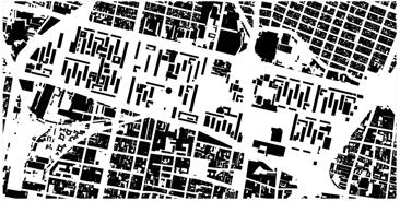
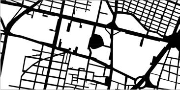
Though the project is very large, it presents interesting spaces at various scales for all age groups. The buildings ranging from low-rise to highrise are connected to other facilities through covered walkways, creating spaces of social interest all through the project. When compared with its surroundings, this project has an incredible amount of open space in a sea of very dense residential and mixed use developments.

URBAN PARAMETERS

SOCIAL HOLLOWS


http://www.archdaily.mx/mx/772426/clasicos-de-arquitectura-conjunto-habitacional-nonoalco-tlatelolco-mario-pani/55dbd868e58ece48a7000057-clasicos-de-arquitectura-conjunto-habitacional-nonoalco-tlatelolco-mario-pani-foto
The project when constructed, 1964

http://www.archdaily.mx/mx/772426/clasicos-de-arquitectura-conjunto-habitacional-nonoalco-tlatelolco-mario-pani/55dbde46e58ece48a7000069-clasicos-de-arquitectura-conjunto-habitacional-nonoalco-tlatelolco-mario-pani-imagen
The design uses variations in height, finishes and applications. Even with this versatility, all buildings are part of a harmonious and coherent group.


http://mapio.net/o/3737602/
Plaza of the Three Cultures


http://www.archdaily.mx/mx/772426/clasicos-de-arquitectura-conjunto-habitacional-nonoalco-tlatelolco-mario-pani/55dbdbb9e58ece052b000051-clasicos-de-arquitectura-conjunto-habitacional-nonoalco-tlatelolco-mario-pani-imagen
Recent images from the development
SOLITUDE
People and Space
Closed and Open
Activity and Emptiness
Cuauhtemoc vs Nonoalco Tlatelolco
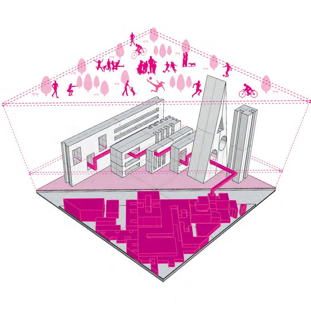
Social housing has influenced the living conditions of residents in Mexico City by a large extent. Considered to be a city by itself, Nonoalco Tlatelolco it is now reeling in solitude. People are leaving due to the fear instilled by past events. Spaces that have grown organically show life, but the spaces that were designed to behave that way, have failed.
The hollowing out of people seems to be creating social vacancy in large housing projects. The fact that people are abandoning such spaces to live closer to the ground, could mean that their share of open space is floating in the air.


ALVARO OBREGON SONORA
NUEVOLEON INSURGENTES YUCATAN


CONJUNTO AMSTERDAM JAVIER SANCHEZ II
Cuauhtémoc
Borough +
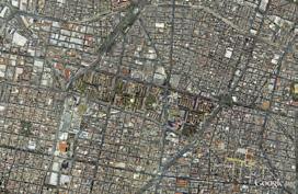
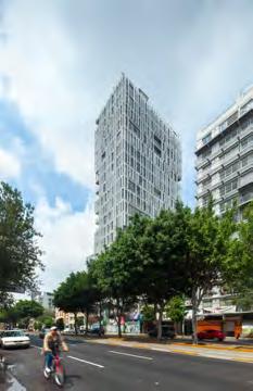
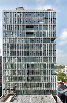
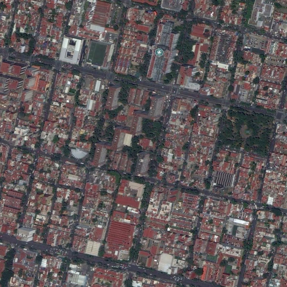
Conjunto Amsterdam is a 19 floor, 18,590 sqm mixed-use real estate development located in Colonia Hipódromo. It was designed by Javier Sánchez and completed in 2012.
The project consists of two separate parts: Amsterdam tower on the eastern side, aligned with Insurgentes Avenue, and covering most of the parcel and containing retail, parking and offices as well as residential units on the upper floors. And the low rise part made up of three separate buildings (Centro Qi, Amsterdam 315 and Amsterdam 309) on Amsterdam Street. The buildings are connected with a pedestrian path and overlook a central courtyard.
Centro Qi on Amsterdam street was an abandoned building that was refurbished as an office and connected to the complex. The other two buildings are residential and offer two different typologies: Amsterdam 315 with double height units places around an inner courtyard and Amsterdam 309 with retail on the ground floor and linear residential units in the upper floors.
The design Conjunto Amsterdam provides a respectful and mature approach to densification when compared with previous models spotted in its surrounding as it seeks to sit peacefully with its neighbors by borrowing certain aspects of their building typologies. The sudden spike in the streetscape caused by the tower was contained in one area of the development as a “…slim and lightweight rectangular volume.” The project was received positively by the public and by the younger dwellers of the colonia and is widely viewed as a symbol of progress and modernity in Mexico City.


URBAN PARAMETERS

INSURGENTES & AMSTERDAM - IN & OUT
Insurjentes Avenue
http://www.panoramio.com/photo/42164015

Amsterdam Street
http://www.panoramio.com/photo/42164006
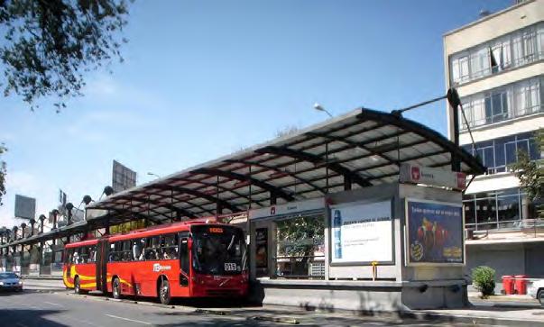
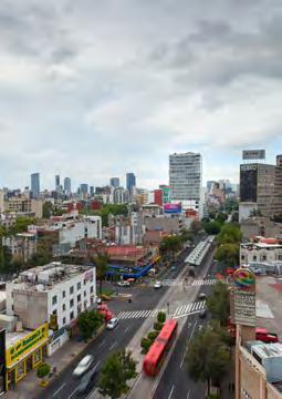
Insurgentes avenue that borders Colonia Hipódromo from the east is a main artery for traffic and public transportation between the North and the South of Mexico City.
With its fast pace and high skyline, it conceals a unique urban experience in Colonia Hipódromo.
General view looking North
http://www.panoramio.com/photo/86929082


Existing urban fabric by Jorge Portales
http://www.panoramio.com/photo/86929082



http://www.archdaily.com/342633/amsterdam-tower-jsa

http://www.panoramio.com/photo/45574386
Once inside the unique boulevard network derived from a horse race track is revealed, it stands out of the overwhelming monotony of the urban grid around it.
The bean shaped Amsterdam street with its tree-rowed median flows around the colonia revealing architecture from different epochs.
Deeper into the colonia, the last layer is revealed: Parque México in its center.

http://www.panoramio.com/photo/42164006
AT THE END OF THE RAINBOW
Upon perceiving the skyline of a city from a distance, trying to imagine where those towers stand is difficult as they are often shrouded by the bulk of other buildings that surround them. And upon closer inspection they appear too big to be captured from street level.
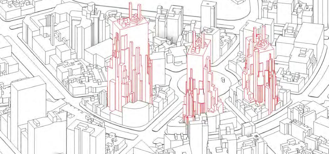
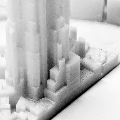
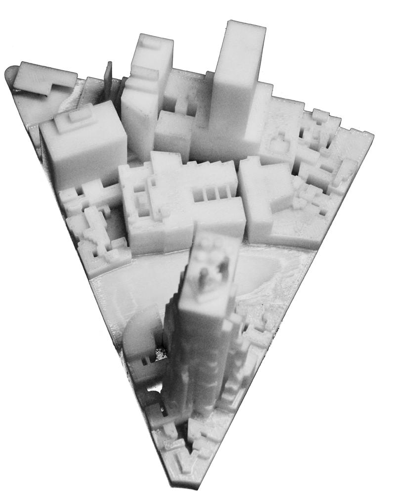
Chasing a tower becomes as futile as chasing the rainbow. In order to maximize this effect, the towers in this speculation are completely concealed from the street reclaiming the inner space of the city blocks, and giving way for the existing urban fabric.
Mexico City and in particular Cuahtemohoc Distrcit are undergoing a redensification process that’s been driven mainly by the real estate market. This process is creating an imbalance between areas where such developments are profitable and where they’re not.
The aim of this speculation is to explore different mechanisms of densification. In the case of “Colonia de Hipodromo,” a balance between its already congested extremities and the calmer center can be achieved by intensifying the inner blocks with four towers having ascending heights, and thus complementing Conjunto Amsterdam.
This approach sacrifices the inside blocks in order to preserve the proportions in the avenues. By transferring development rights from the outside parcels to inside, with the new towers that will enjoy multiple exposure and panoramic views of Parque del Mexico.
This scheme might also be beneficial in terms of traffic management; the towers could be fed by three entry points on slower streets rather than the one on the shorter frontage they generally get on an avenue.




CUPA - CENTRO URBANO PRESIDENTE ALEMÁN I2 Benito Juárez Borough +
The Conjunto Urbano Presidente Alemán is a residential complex located in the Colonia Del Valle, south of Mexico City. It is the first formal application attached to the principles of functionalism of Le Corbusier. The architect, Mario Pani, designed it based on the Ville Radieuse, in order to create a complex program with the 3 principles of light, space and green.
During the 1940’s, the influx of workers arriving to the city to work in the growing industrial areas created an enormous pressure over the mechanisms of social housing provision. To tackle this issue, the Directorate General of Civil Pensions developed and supported a careful plan that could have a shot-term impact.
This project was designed and constructed from 1947 to 1949, in an 40,000 m2 area, at an estimated cost of twenty million pesos, located between the streets Felix Cuevas, Mayorazgo (now Adolfo Prieto), Parish and Avenida Coyoacán. The program distribution is composed 20% Residential, 10% Services, 55% Recreational and 15% Roads and Transportation. The modern residential complex follows a diagonal terrain, provides 1080 units in a vertical distribution to free the ground floor, and occupies no more than 25% of the surface. The ground-floor commercial area, including shops, laundries, child-care and medical clinic make the site dynamic and lively. In addition, the new school meets the long-standing demand of surrounding dwellers.


URBAN PARAMETERS

IMAGES FROM THE SITE
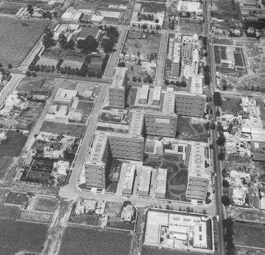
Image sources: http://www.academia.edu/
The project consists of nine 13-storey buildings and six 3-storey buildings.
Seven of the nine tall buildings (A to G) are attached in a zigzag form linking two opposite corners of the site, as opposed to previous free layouts.
The remaining two tall buildings (H and J) located on the other two corners of the site, opposite to each other.
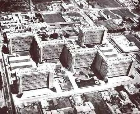
Image sources: http://unavidamoderna.tumblr.com/

The six low buildings (K-V) are parallel to Coyoacan Avenue. They are divided into two groups, on either sides of the block, composed of a total of 1080 apartments.
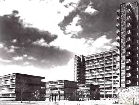
Image sources: http://unavidamoderna.tumblr.com/
12 floors of the 13-floor building are intended for rooms with the ground floor being used for shops and arcades.

Image sources: www.yelp.com


Every building follow the North-South line, allowing almost all the rooms face the east or the west.

The buildings occupy approximately only 20% of the land, leaving a considerable area for free use, like gardens, plazas and pool.

Image sources: http://www.msaudcolumbia.org/
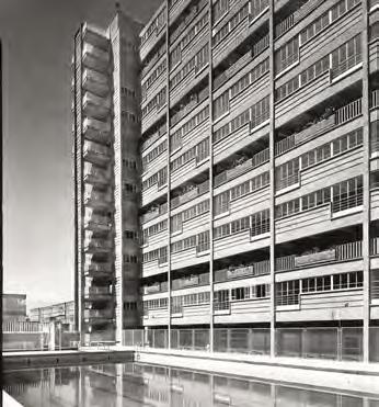
Image sources: http://vivebj.com/cupa/

The apartments are on two floors, with one (entry level) kitchen and dining room. In this way, there is only a horizontal movement every three floors. Therefore, the elevators only have 5 stops in the building.


Image sources: https://es.wikipedia.org/wiki/Multifamiliar_Presidente_Alemán
FUNCTIONALISM HIGH EFFICIENCY
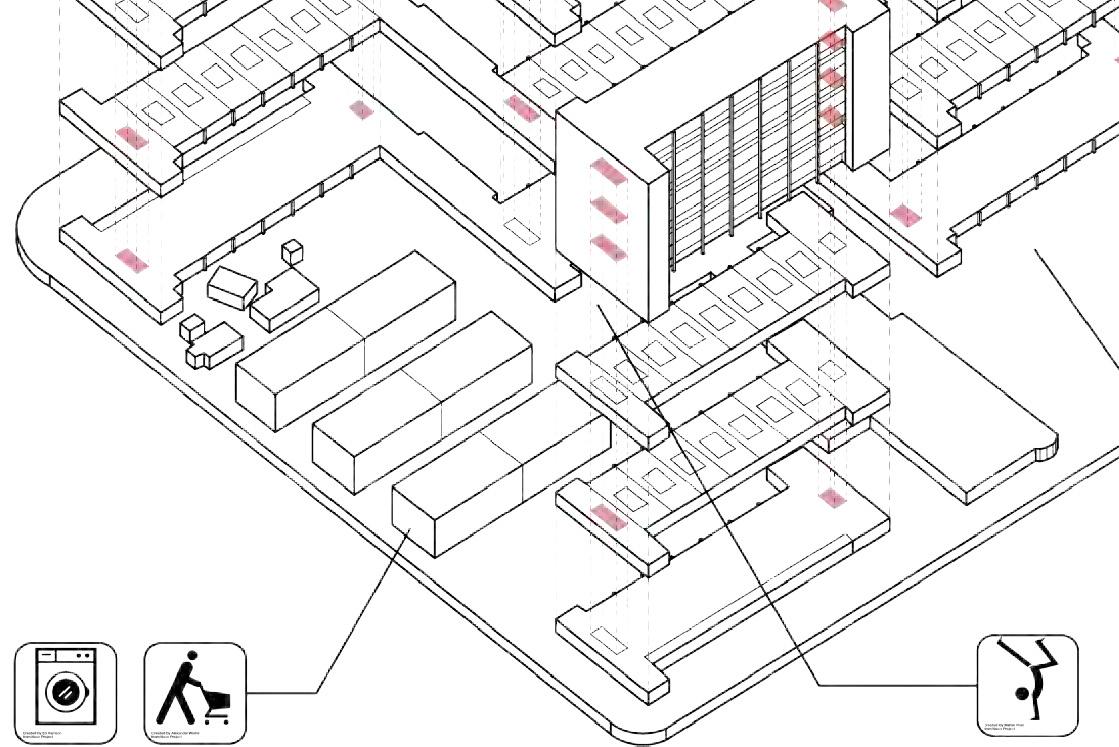
This model is an abstraction of Cumbre Cerro del Chiquihuite, a modern social housing. The project was created in direct response to the rapidly growing population of Mexico City, and shows extremely high efficiency.
Originally the project was designed as 200 houses for rent to State workers, however, following the precepts of Le Corbusier, the project ended up including 1080 units and occupying no more than 25% of the ground surface, leaving plenty of open spaces for gardens, plazas and pools tat dwellers and visitors can use for free. Most of residential area around it are high-density, with less open space. At CUPA, the ground floor has a very open typology that permits the flow of people from one side to the other where the common spaces are located.
The project also shows the efficiency inside of the building. Different from traditional units, it separates kitchen/dining room and bedroom into two parts and locates them in different floors. Therefore, there is only a horizontal movement every three floors, and the elevators only have 5 stops in the building. Also, the corridors are marked every three levels, making a clearer circulation as well as space efficiency.




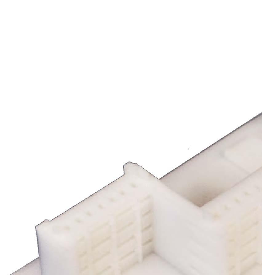
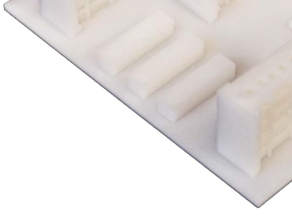
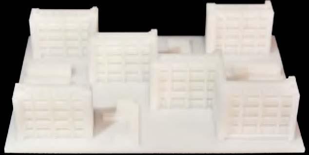
IMAGES OF 3D PRINT MODEL





UNIDAD HABITACIONAL SANTA FÉ I3Alvaro Obregón Borough
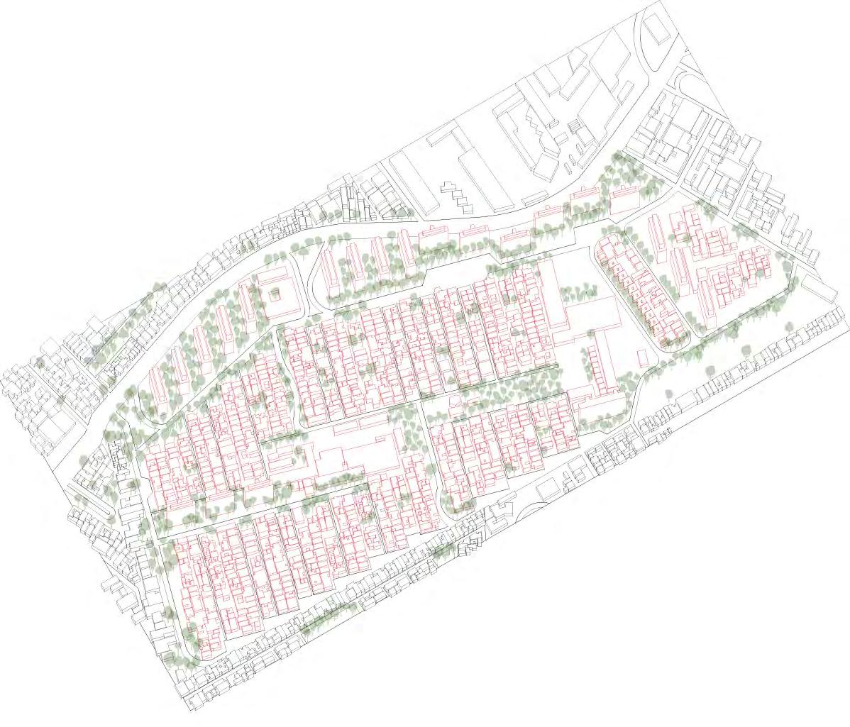
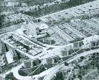
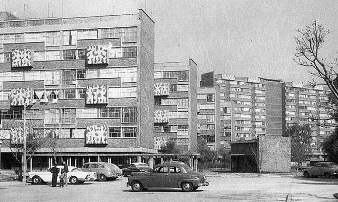
Built in 1957, Santa Fe was conceived as a self-sufficient district, a small city in itself, with public spaces, recreational facilities, hospitals, community centers, and social centers serving the social housing. The mid-rise housing types include a series of perimeter slab buildings and a central low-rise mat. The total number of housing in the development is 2199 which includes different building typologies from, tall 7 storey towers, mid-rise 4 storey towers and a majority of the housing being smaller 1-2 storey houses located in the “heart of the city”.
Surrounded by a few major roads that define the site boundary, the taller buildings on the perimeter help create a buffer from that edge condition to the low-rise houses in the center of the land. As visible from the images, the site was developed in an orthogonal grid with everything laid out in a very organized layout but the building orientations are very different when placed in the context of the surrounding city.
Following the principles of the “Heart of the City” Eighth International Congress of Modern Architecture (CIAM) in 1951, this project embodied the call for modernization of the Nation. From the overall layout, to the individual architectural design of the individual buildings, everything is an attempt to create this image of moving towards modernization. As in a typical European City, at the very center is an area for communal gathering and social interactions in the form of open parks, recreation centers etc. Building up to this center are various typologies that help define the character of the different streets within the site. Along with this central space, smaller pockets of private spaces interspersed between every other house in every such row of houses.


URBAN PARAMETERS

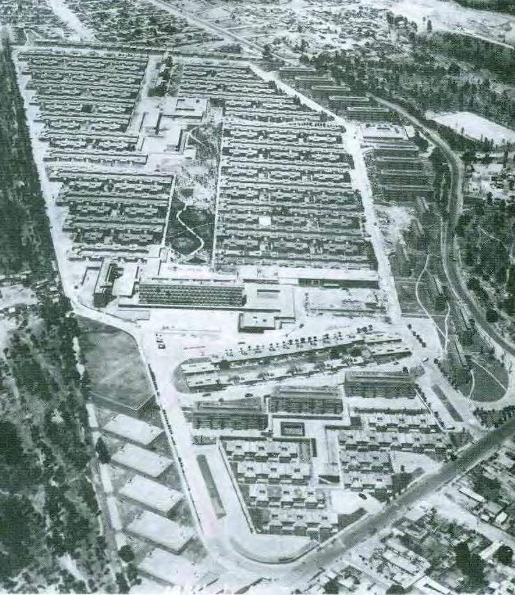
HISTORIC IMAGES OF SITE DEVELOPMENT
1.https://www.pinterest.com/pin/545850417307342054
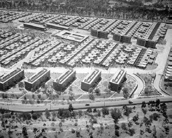
Historic images of the site clearly showcase the “heart of the city” ideology in the master planning of the development. These images also help to get a contextual sense of how this development was placed in an open area to function as an island within the larger city area. Even though the base plan seems rigid and structured, it allows for expression of the residents’ individuality.
2.https://s-media-cache-ak0.pinimg.com/736x/e9/c6/1b/ e9c61b31ee68b9f10153fd75cc2a7eee.jpg
3.http://www.skyscrapercity.com/showthread.php?p=114045715
COMPARATIVE STUDY OF SPACES FROM 1957 TO NOW

1.http://65.media.tumblr.com/d95b39e546b24440a64751d6f7ff43d7/tumblr_ mj23unjsI01qg7a6mo1_1280.jpg

3.http://40.media.tumblr.com/36b0738c82d5e56e07ef3ff8f2bd1ebd/tumblr_ mpdbsvrvuf1ronnnyo1_1280.png
5.https://2.bp.blogspot.com/-TAglL3TlKRQ/VvyDTe955qI/AAAAAAABNkE/_ e769IlHxdYE6SC4tXj0QDPWHz17vg8vg/s1600/info1.jpg;
2.https://www.pinterest.com/pin/545850417307342054;

4.http://www.pulsodf.com.mx/wp-content/uploads/2015/01/ big_391453_8696_1979.jpg;
6. https://upload.wikimedia.org/wikipedia/commons/b/b6/Edificio_ Unidad_Habitacional_Santa_Fe.JPG
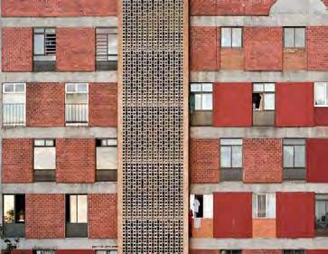
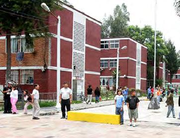
The architectural style of some of the buildings is so visionary that over 50 years of usage, there has been little to no alteration of that initial image that the architect created. Overtime, people took ownership and maintain the beautiful spaces provided to them.
The residents’ use reads in the building facades with lines of clothes drying in the air. This moments of extroverted domesticity point to the increase in density where the living space gets reduced over time and people innovate to carve out additional space.
Overtime, subtle differences in the public realm can be observed. In the historic image, open spaces and buildings are completely accessible, yet lined with cars. While the modern street is lined by fences that create distinct barriers and yet the street is filled with people.
THE MORE IN LESS
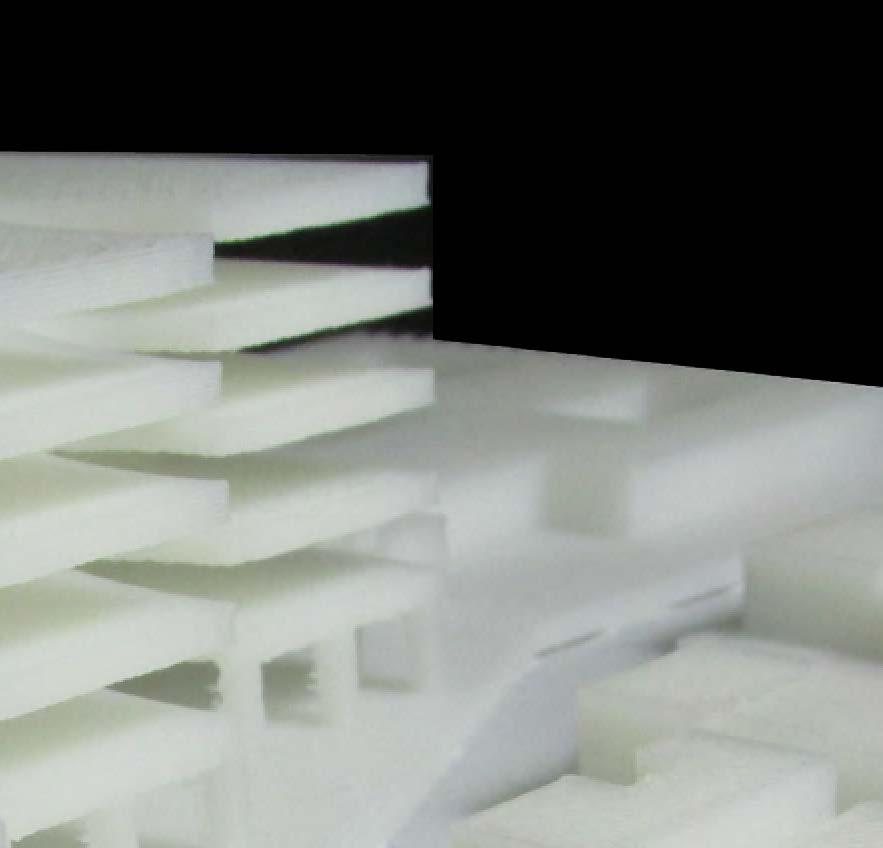
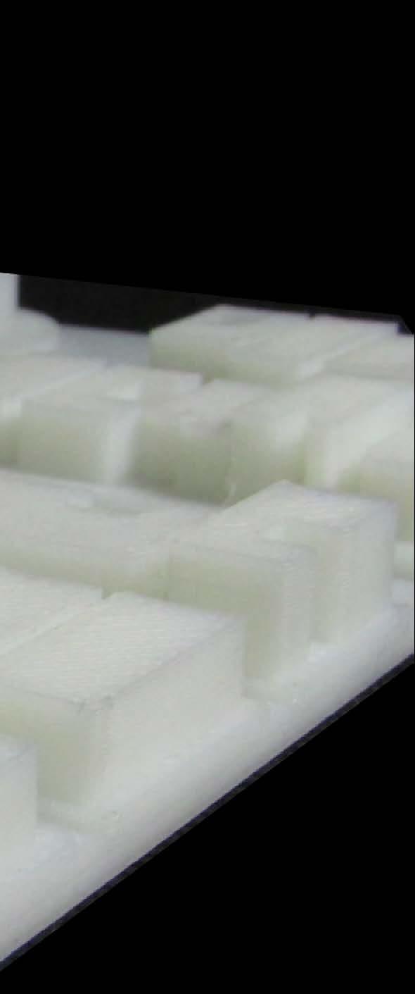
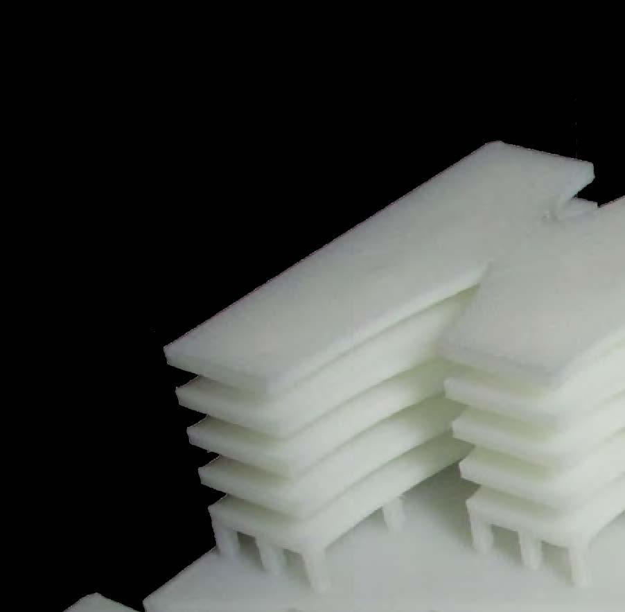
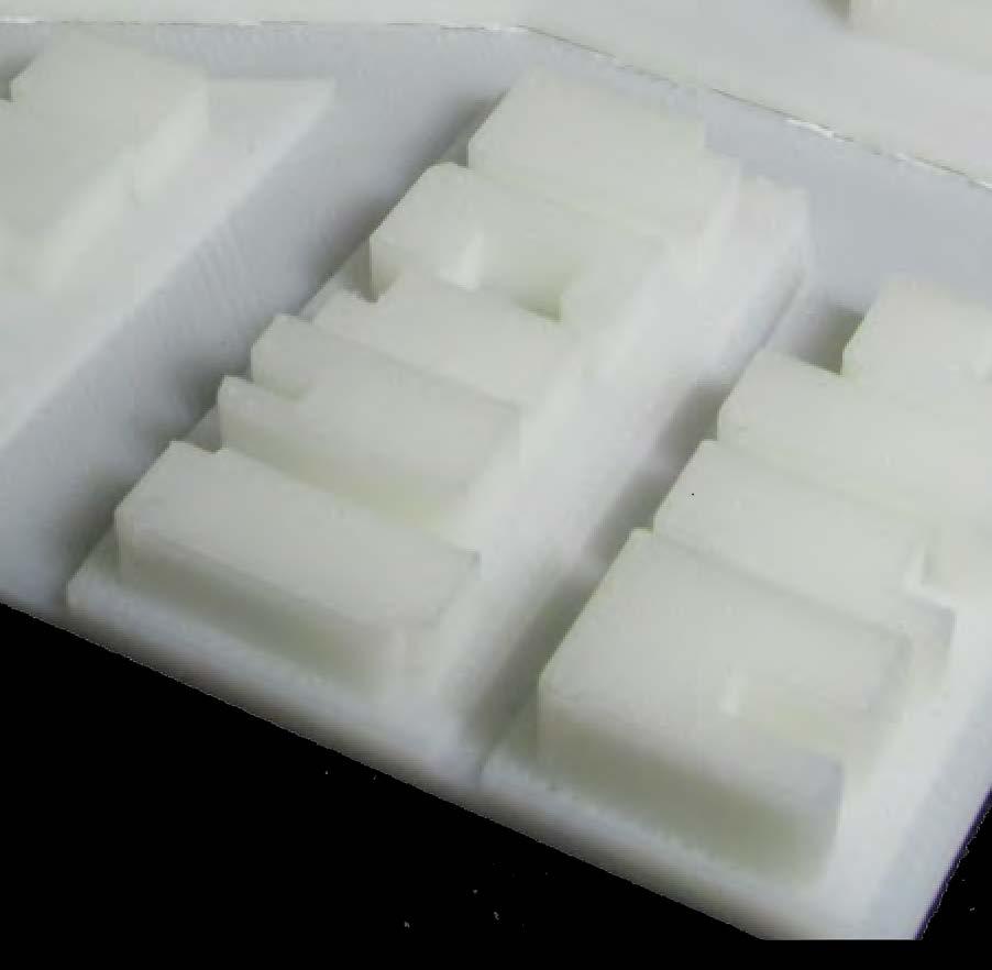
Space, a crucial resource for sustaining and improving the people’s quality of life in Mexico City, is unevenly distributed. So, how do you go about creating more with less, to address scarcity with intensity? A small portion of the social housing development Unidad Habitacional Santa Fe in Mexico City is used as a testing ground to explore these ambitions.
The taller buildings are spread out in the perimeter of the development, with little to no program for the spaces in between. So, the proposal speculates on the multiplication and intensification of a diverse and varied quality of space. The intermittent spaces between buildings could be projected on several different floors which connect and create additional space simultaneously. By joining the adjacent buildings to each other, these bridges provide a space that is completely free to be visualized, adapted and used by the residents of such clusters. This will help build an ephemeral space that constantly reflects the people that inhabit it.
This proposal also helps instigate a stronger sense of community within each cluster, where every floor could take on a different program and the programs then rotate over the different floors as well as clusters and thus create a thriving, diverse and microeconomy that the residents can take ownership of. Along with providing social benefits, should the resources be available, a lot of this space could also be productive by hosting small urban farms, gardens etc., thus adding ecological and economical benefits.
Ultimately, a good design is one which can be replicated with minor modifications to respond to the context. The strategies here are generic enough that should they be successful, they could be applied to several different aspects of the Urban Fabric at several different scales.









INTEGRACIÓN
LATINOAMERICANA Coyoacán Borough I4
Integración Latinoamericana is a social housing project designed by Sanchez Architects and Associates, in collaboration with Hector Humberto Meza and Ricalde, and constructed between 1974 and 1976.
The project was commissioned by the Fovisste, requiring the maximum use of the land and the ability to integrate various social groups in the development. The intervention contains different building types housing 3780 inhabitants in total, at a density of 740 inhabitants per hectare. The units are arranged around gardens and elevated parking spaces to create harmonious spaces between buildings with green areas and outdoor recreation centers. At the main entrance there are five levels integrated into a single unit up to three types. The ground floor apartment is a courtyard house with own entrance. The higher housing has two bedrooms with lobbies to provide private access and three-bedroom duplex housing is on the top floor. Other blocks are 10 to 15 levels of apartments with a common service area on the top floor.
Despite the high density, the architects and designers create different a human scale micro-environments. The public open space occupies 50% of the total area. The connections between public, semi-public and private spaces were designed to create a sense of community among residents.

URBAN PARAMETERS

SOCIAL HOUSINGS IN INTEGRACIÓN LATINOAMERICANA
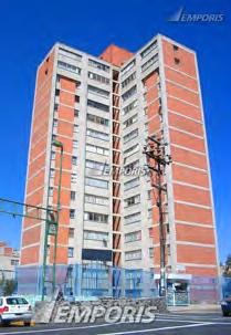


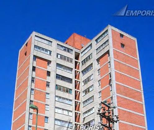
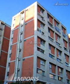


Image Source : http://www.emporis.com/complex/109235/unidad-habitacional-integracion-latinoamericana-mexico-city-mexico

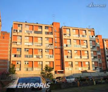

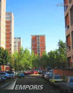


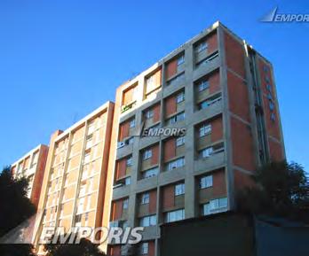
SOCIAL HOUSING ISLAND
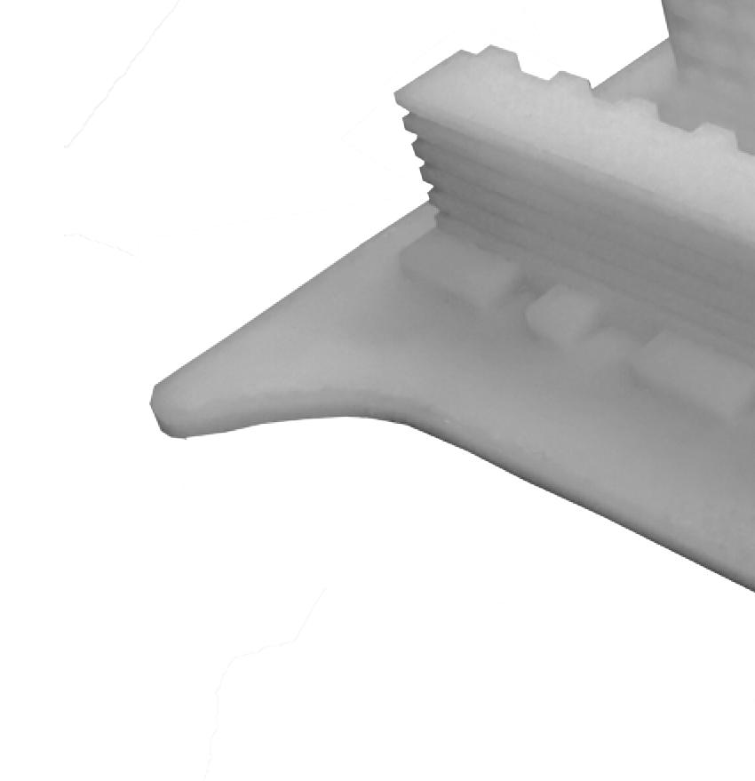
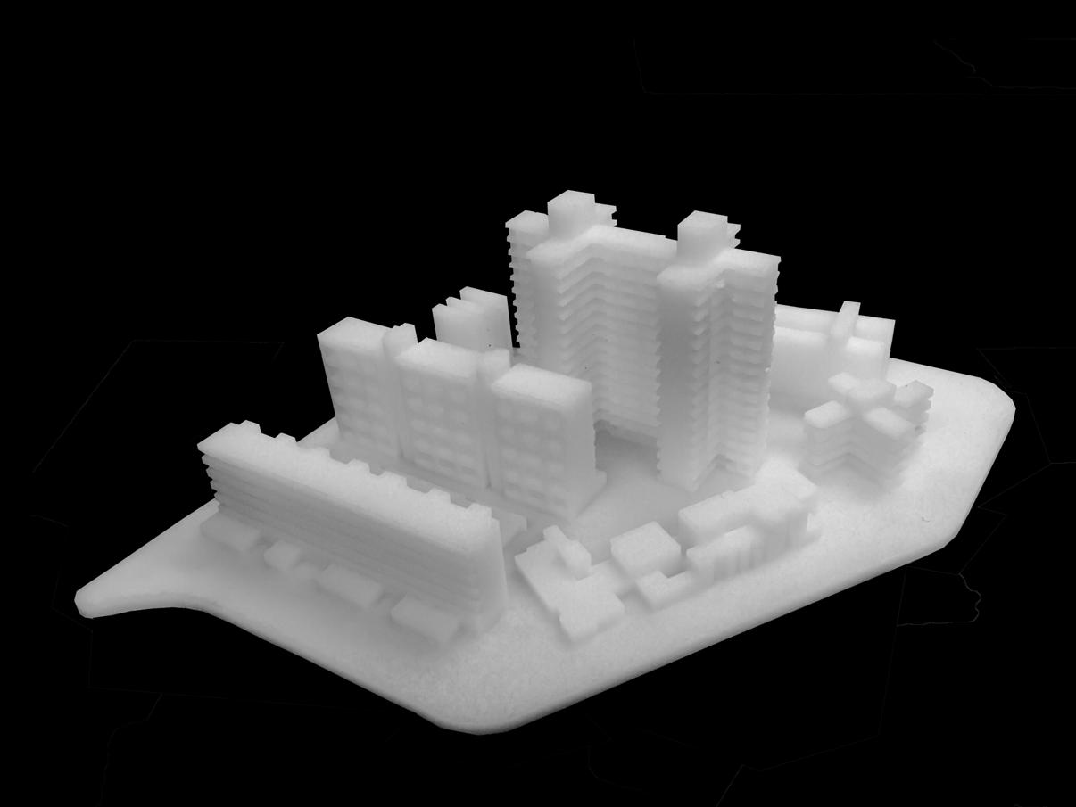
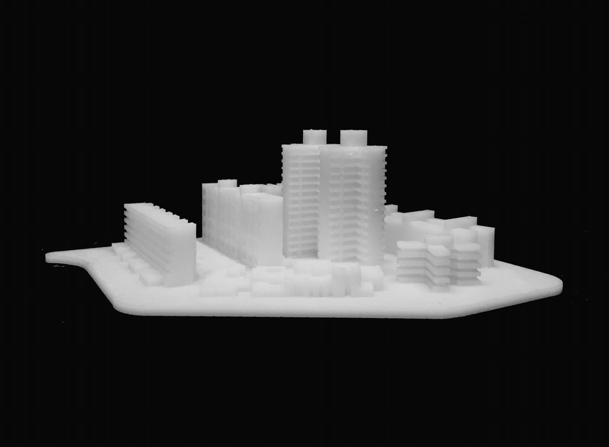
Social Housing Island is a virtual model showcasing different types of social housing in or around the Integración Latinoamericana. Imaging you are the next client who tries to choose one living space in the whole area, you must get lost while walking around and figuring out which type of residential hall will be the best for you. Don’t worry. Social Housing Island will offer you a whole portfolio of options.
The island shape comes from a real block of the Integración Latinoamericana site, and the location of each residential hall is exactly spread out from the center point to the original direction. It is easy to figure out the types of residential halls and the floor ranges, and compare them all together.


MEXICO CITY URBAN ANALYSIS

MEXICO VS THE WORLD : distribution of open spaces per person Buenos
CLOSED
Open Area Distribution in Mexico City
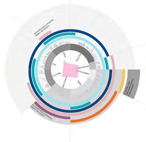
A city’s urban fabric is complex with various intersecting layers. One such layer is that of Open space. Commonly misconstrued as just recreational parks, open space encompasses a larger scope, that of political, social, cultural, civil, tourism and many other negative connotations like drug dealing, prostitution and crime.
These spaces has helped influence a large horizon of elements as big as the built fabric and as miniscule as the daily activity/routine of an individual. These spaces are ecocosms bubbling with activity and life.
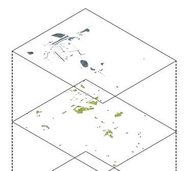
Mexico city ranks among the Global cities in the world but at the same time it ranks highest in the cities with the least open space per person. The disparity in the distribution of open spaces is very apparent as the concentration of such spaces lie in the historical center thus reducing quality of life, increasing travel time and expenditure for those lesser fortunate.
Open spaces come with many intrinsic qualities and the study of these spaces help understand the built fabric and the various layers in greater depth.
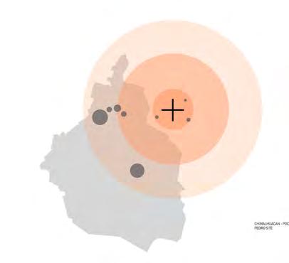
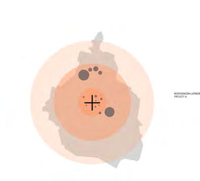
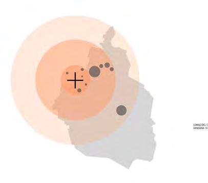
ACCESS TO OPEN SPACES FROM NEIGHBOURHOODS OF MEXICO CITY



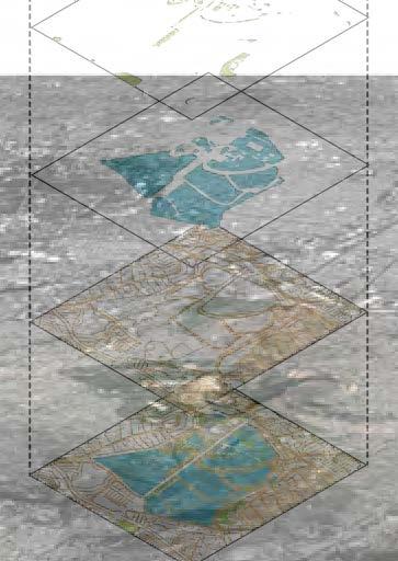
DISTRIBUTION OF OPEN SPACES




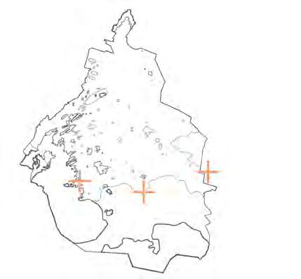
SECTION THROUGH THE CITY CENTER


CHAPULTEPEC PARK
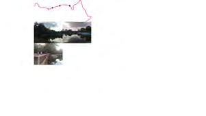
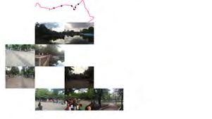
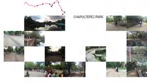
It is known as Mexico city’s lungs. It is a huge ecological space in the vast megalopolis, spreading across an area of 686 hectares. It is a large unpaved area that allows for aquifer recharge, ameliorates the “heat-island” effect, and attracts rain. The park is valued as a cultural and historic area as well as green space. It also attracts a number of tourists and has a zoo and the Anthropology museum inside it.
PASEO DE LA REFORMA
Paseo de la Reforma is a wide avenue that runs diagonally across the heart of Mexico City. The avenue is filled with tourist attractions, luxurious restaurants, hotels, office buildings, public art exhibitions, and new construction. The Reforma is a very important artery of Mexico City. It is filled with tall buildings showing economic power. The Reforma turns into a pedestrian only space during the weekends.



REVOLUTION MONUMENT




ALAMEDA CENTRAL
Located in the heart of the city, Alameda Central attracts people from different sectors of the society. It is a very active and transformative space with a space for relaxation, activities like salsa dancing, music and also social and civic protests and demonstrations. It is also a spectator for a number of crimes and illegal drug dealings that take place in the city.
ZOCALO
One of the largest city squares in the world, Zócalo in Mexico City spans across 57,600 m2.
It is a center of power and attracts a large number of tourists. It is a very powerful space and is the ideal open space for public events, demonstrations and protests.


CHAPULTEPEC PARK ALAMEDA CENTRAL




TRANSECT 02



UNAM Ecological Reserve
The UNAM Ecological Reserve is located inside the University of UNAM and is a UNESCO protected site. It is 237 hectares in area and is primarily used for research and conservation purposes.

Xochimilco is best known for its canals, which are left from what was an extensive lake and canal system that connected most of the settlements of the Valley of Mexico. These canals, along with artificial islands called chinampas, attract tourists and other city residents to ride on colorful gondola-like boats called “trajineras” around the 170 km (110 mi) of canals.
A man made agricultural island is known in the verge of being urbanized. Huge economic flows, pollution of the chinampas, change in production types are all issues being tackled in Xochimilco.
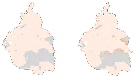
Encroachment of the Settlements into the Wooded Areas
URBANIZATION ENCROACHING INTO THE PROTECTED AREAS
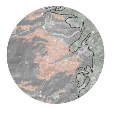
Encroachment of the Settlements into the Protected Areas


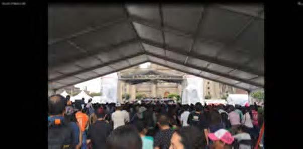


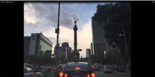


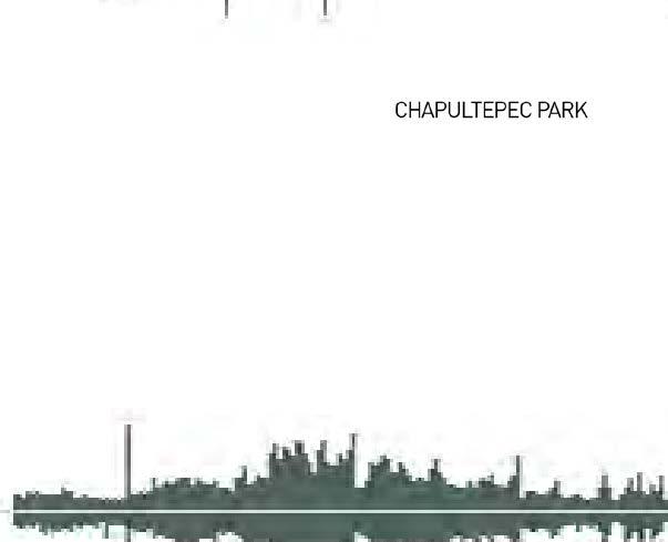

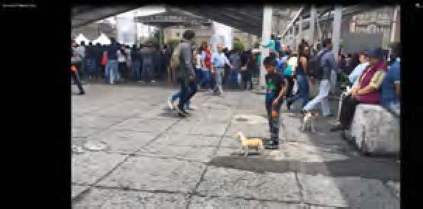


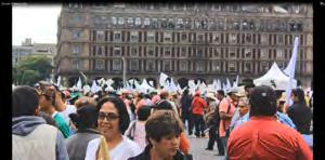
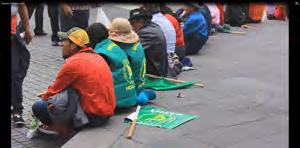

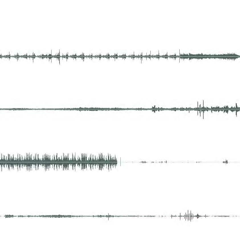
SOUNDS OF MEXICO CITY





SAFE STREETS & PLAY
Safety and Playscapes Field Guide
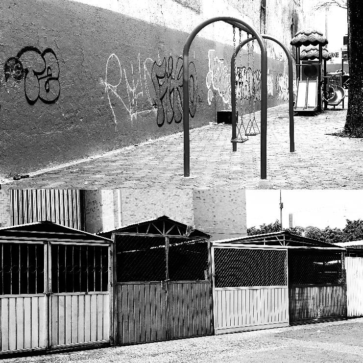
These two field guides together expand on previous studies mapping street quality and assessing the quality of play spaces. These two guides provide greater depth of observations based on our interactions with residents and of our many walks through a variety of neighborhoods, streets, parks and play areas.
We hope these guides together bring attention to the wide variety of street conditions and play spaces in Mexico City and how these are all influenced by perceptions of fear and safety.


STREET QUALITY IN MEXICO
Safety and Playscapes Field Guide
The field guide fleshes out the speculation and research that our previous mapping of streetscapes and security features was based on. Moments with local residents and visuals gave us deeper insight into what was happening in the field versus the data.
An interesting point to note is that we were not able to explore the interiors of housing communities from afar and had not included it in our mapping. However, on visiting these communities, the visual cues that we were considering increasingly common in the “outside” world were present even within the communities - both with and without open public access.
X O C H I M I L C O

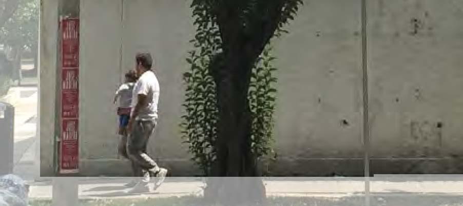
AND LOCAL RESIDENT, MALE
THERE IS AS MUCH CRIME AS THERE IS ANYWHERE ELSE. WE ARE A CLOSE COMMUNITY SO I FEEL SAFE. -TRAJINERA VENDOR
AND LOCAL RESIDENT, FEMALE
P O L A N C O





IT IS THE SAFEST AREA IN THE CITY.
- local domestic workers, female “ “ IT IS SAFE TO WALK ALONE EVEN AT NIGHT. street vendor, male “ “


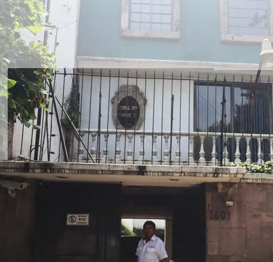


R E S I D E N T I A L
C O M M U N I T I E S
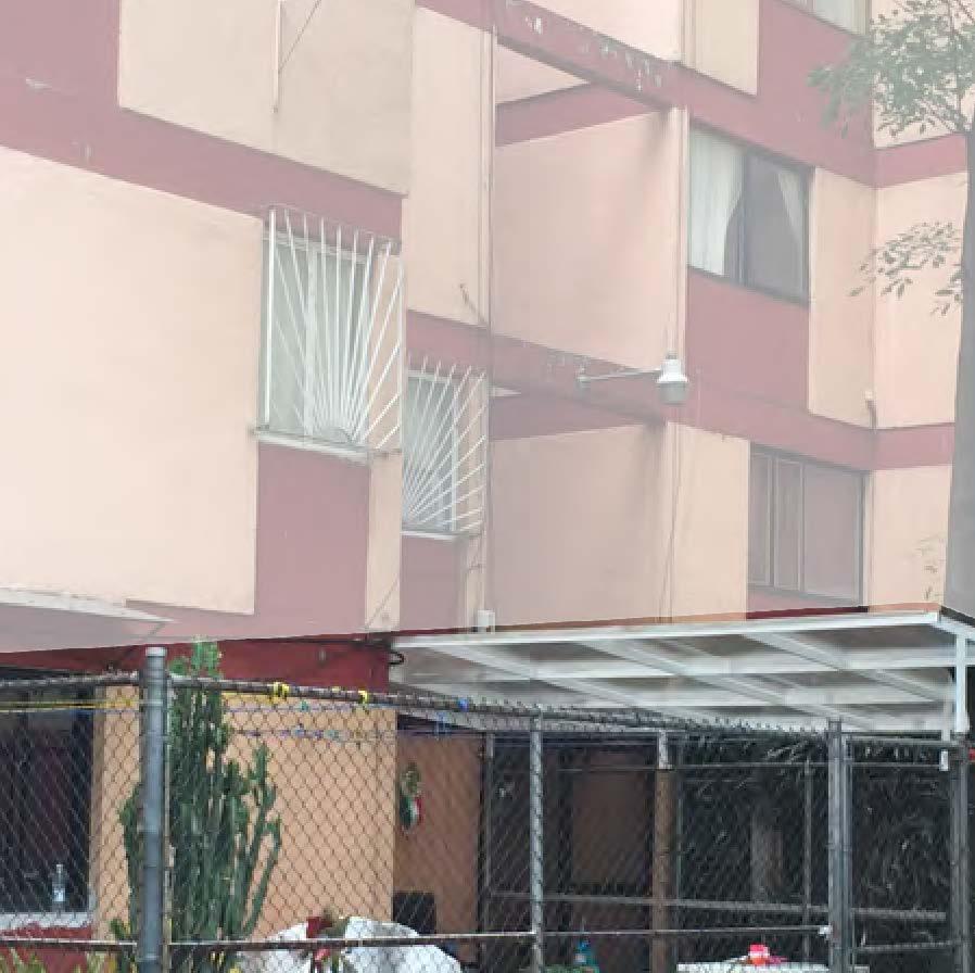


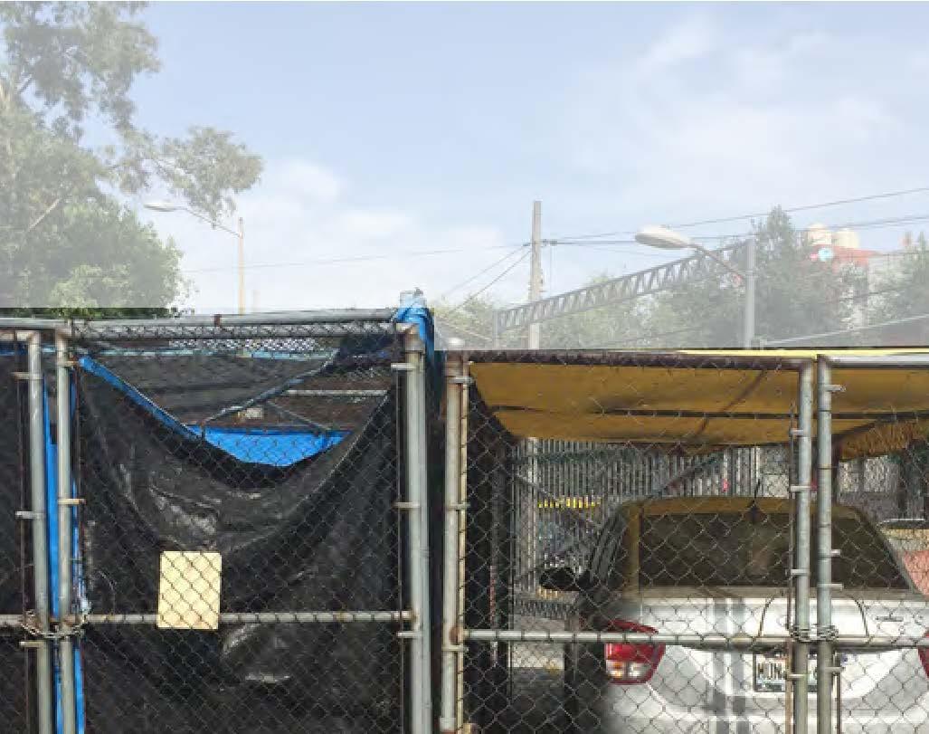

UNIDAD HABITACIONAL INTEGRACION LATINOAMERICANA




ASSESSING PLAY SPACES
Safety and Playscapes Field Guide
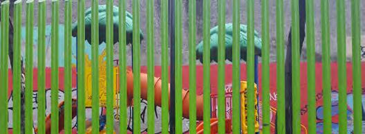
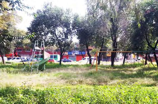
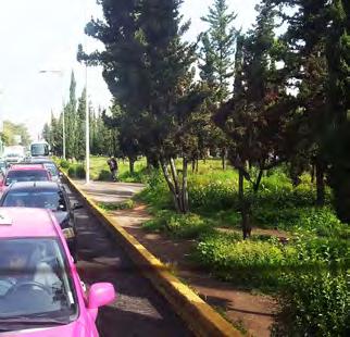
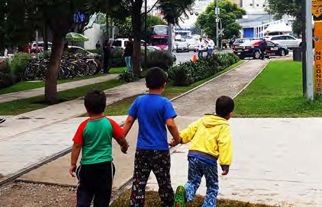
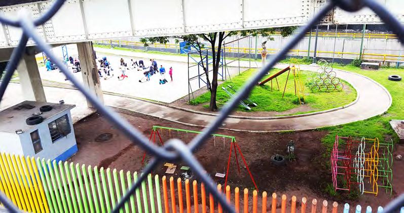
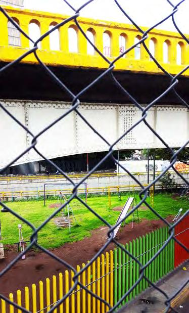
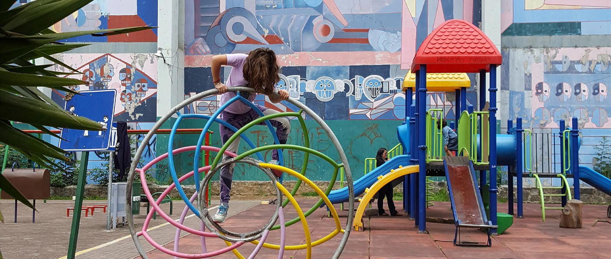
Play spaces for children vary dramatically in their characteristics and nature in Mexico City. Security concerns, natural surveillance, location, etc., all contribute to creating vibrant, safe play areas for children.
In this field guide, we document parks and playgrounds in Mexico City using a number of factors to evaluate the quality of such places for children to play. Through the use of this guide, you too can evaluate the quality of play spaces.
QUALITY INDICATORS:
TYPOLOGY
LOCATION + ACCESS
NATURAL SURVEILLANCE
IMAGE
TERRITORIALITY
PROXIMITY TO POLLUTION
CONTEXTUAL CRIME
EXAMPLES OF PARKS
PARKS / PLAYGROUNDS OBSERVED
neighborhood park
presence of people, slow traffic, safe access
median park
presence of people, high fence fast traffic, dangerous access

destination park
high fence, no presence of people, controlled access points



EL CENTRO

EVALUATION:
LOCATION
NATURAL SURVEILLANCE
CONTEXTUAL CRIME
POLANCO

IMAGE
PROXIMITY TO POLLUTION TERRITORIALITY


EVALUATION:
LOCATION
NATURAL SURVEILLANCE
CONTEXTUAL CRIME
IMAGE
PROXIMITY TO POLLUTION TERRITORIALITY
LOCATION NATURAL SURVEILLANCE CONTEXTUAL CRIME
IMAGE PROXIMITY TO POLLUTION TERRITORIALITY EVALUATION:
GUERRERO


LOCATION
NATURAL SURVEILLANCE CONTEXTUAL CRIME
PROXIMITY TO POLLUTION TERRITORIALITY EVALUATION:
IMAGE
EVALUATION:
LOCATION
NATURAL SURVEILLANCE
CONTEXTUAL CRIME
IZTAPALAPA

EVALUATION:
LOCATION
NATURAL SURVEILLANCE
CONTEXTUAL CRIME
IMAGE
PROXIMITY TO POLLUTION TERRITORIALITY
IMAGE
PROXIMITY TO POLLUTION TERRITORIALITY
EVALUATION OF PLAY AREAS
You can use this list to assess the quality of additional parks and play areas.
TYPOLOGY
SCHOOL - PUBLIC PARK - Semipublic SPACE - PLAYGROUND
LOCATION
MEDIAN - NEIGHBORHOOD - ROUNDABOUT - DESTINATION PARK
ACCESS
CONTROLLED ACCESS --- 1 --- 2 --- 3 --- 4 --- 5 --- OPEN
NATURAL SURVEILLANCE
PRESENCE OF PEOPLE --- 1 --- 2 --- 3 --- 4 --- 5 --- NONE
IMAGE
HOW WELL MAINTAINED IS THE SPACE?
VERY WELL --- 1 --- 2 --- 3 --- 4 --- 5 --- NOT WELL
TERRITORIALITY WHO ‘OWNS’ THE SPACE?
PROXIMITY TO POLLUTION
HOW CLOSE TO MAJOR ROAD?
ADJACENT --- 1 --- 2 --- 3 --- 4 --- 5 --- FAR AWAY
CONTEXTUAL CRIME
CRIME RATES IN THE AREA
CONNEXITY
Working in while living out
Mexico’s city population suffers a daily temporarily change going from 8 million to near 20 million inhabitants.
People that moved to the far suburbs in the 70’s and 80’s, are growing at rates never seen before building new cities around mexico city
These suburbs mainly in the south-west point are eating literally Mexico’s state territory and are creating a big mass of population which daily commute by crossing almost the entire city from the south-west area to the north and central areas using the city’s public transport system.
How do 10 million people move through the city? Mexico city has a very complex and complete public transport, creating important overlapping nodes giving birth to places where you can change your system of transportation, meaning that you can change from subway, rbt, bus to even a taxi in a single station.
These stations called Centros de transferencia multimodal CETRAM (multimodal transfer centers) are located in the hole scale of the city, by selection the most fluent ones and the areas of population they serve, we can analyze people’s flow through the city and how a these super dense territory is entering to the city though as we describe as city gates or checkpoints.
The unbalance seen through Mexico city it’s not only driven by social classes, but also by the connectivity within the city’s axis, which we think is defining and shaping the city’s spatial form.
CONNEXITY
Working in while living out
Series of diagrams showing people’s daily movement entering and leaving the city, explaining how Mexico City houses almost 22 million people
WORKING
WORKING IN WHILE LIVING SOUTHWEST
WORKING IN WHILE LIVING SOUTHWEST


IN WHILE LIVING SOUTHWEST



STATE

8.8 million inhabitants with a density of 5,817

million inhabitants with a density of 5,817


million inhabitants with a density of 5,817




An area serving 21.2 million people. Central and North-west work and capital concentration
Ground level mainy private trasnport 14.3 million inhabitants with a density of 668
million inhabitants
DENSITY CHANGE
An area serving 21.2 million people.

An area serving 21.2 million people.
Organize the administrative strcutre of Mexico City.
Area
Central and North-west work and capital concentration
Central and North-west work and capital concentration
Ciudad

14.3 million inhabitants with a density of 668
million inhabitants with a density of 668 Organize the administrative strcutre of Mexico City.
Main resource of trasportation for low income social class By daily population flow give urban shape to
Organize the administrative strcutre of Mexico City.
Area
Ground level mainy private trasnport
Main resource of trasportation for low income social class
Mexico’s City population expands and contracts daily from 8 million to near 20 million city users.
Ground level mainy private trasnport
The far suburbs built in the 70’s and 80’s continue to grow at rates never seen. These suburbs mainly in the south-west areas are literally eating Mexico’s State territory and are housing a big mass of population. In their daily
Main resource of trasportation for low income social class
Mexico’s City population expands and contracts daily from 8 million to near 20 million city users. The far suburbs built in the 70’s and 80’s continue to grow at rates never seen. These
commute, the have to cross reach the north & central-west centers using the public transport
How do 10 million people move Mexico City has a very complex public transport system, creating overlapping nodes where you system of transportation, from MEXICO CITY
commute, the have to cross the entire reach the north & central-west employment centers using the public transport How do 10 million people move through Mexico City has a very complex


the entire city to central-west employment transport system. move through CDMX? complex and complete creating important you can change your from subway, rbt, bus


to a simple taxi in the same station. These station a.k.a. Centros de Transferencia Multimodal, CETRAM (multimodal transfer centers) are distributed across the city. By selecting the ones with higher riderships and the population they serve we can track people’s entry points to the city, and their routes to their working areas.


Concepttual maps exposing the working and living areas, the different public transport options people can have access to and the areas in the delegaciones that impacts them.


For the average resident in the East side of the city, for example someone from Chimalhuacan this commute could represent 3 or 4 hrs p/day. Connectivity plays a central role today’s geographical unbalance Mexico City is forcing the low income population to pay with time for connectivity.


CONNEXITY
Working in while living southwest


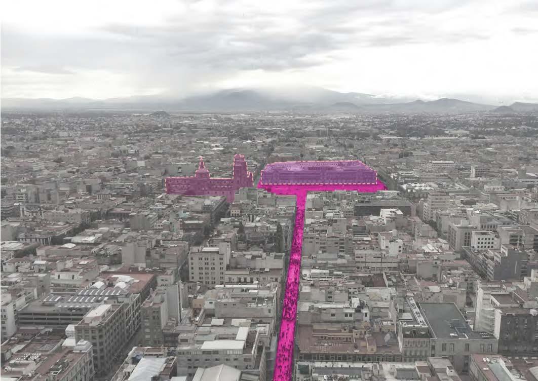


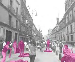
Centro Historical : dynamic walking street
CONNEXITY: TRIP GUIDE
The state or quality of being
Connectivity [kon-ek-tiv-i-tee].
The state or quality of being connected or connective.
Connexity is transforming and merging into an exercise consisting on reading and documenting the conditions of a person or a thing in a specific time while picking between private or public transport systems in its search to be joined, linked or united in Mexico city.
We can speak about our unique experiences during different intense moments under the public transport goes while housing people’s movement mainly while entering and exiting the city, and create maps explaining density perceptions and representations of the urban space and issues that creates while working in different periods of the day.
Documentations comparing our perceptions of the urban typology while moving through the urban grid and its direct relation with social classes. Documentation of interesting transit lines moments which are solved by layering up to 4 levels up in the city space.
Documentations interpreting different relations of the urban scale with the human scale of leaving an open card to fill with colleges connectivity experiences during the trip.
But this exercise in it search of stay connected, it’s also directly connecting our journey with Mexico’s City urban grid, allowing us to see in a map how far we got be connected and for how long was the connection with the city, almost preparing us, to be connected with the logics for the new and maybe already seen places of interest during our Mexico city field trip.







Vasconcelos Library & Tlatelolco & Tepito









Mexico's East Side : the informals








Latinoamericana: social housing project


Xochimilco: Water as a lifestyle and living tool




Fe: isolated island for the rich










FORKS IN THE WAY
An Experience of the city
Using a BIKE to Move Around
Intersections are one of the most important phenomenon in a city. They bring forth the several layers that build up a city’s urban fabric and create opportunities for creating several more intersections within each of those layers.
The main aspiration of the exercise is to create speculative maps that help define the experiential journey of a person at such intersections in the city using Metro stops, Bus stops and identifiable ‘forks’ in the road while driving or biking as the defined nodes and explore the different experiences the city has to offer at these intersections.


A bike is a very personal, on-the-street mode of transportation that truly helps the user interact and engage with edge conditions, programs and several different layers of infrastructure in the city simultaneously. While the velocity of movement may be faster than walking, it still helps view the city like a pedestrian and understand what is going on at the street level. Factors such as climate, temperature, crowd, traffic, landscape, economic benefit etc. all help define certain parameters for choosing a bike as a means to move around.










FORKS IN THE WAY
An Experience of the city
Using a CAR to Move Around
A bike is a very personal, on-the-street mode of transportation that truly helps the user interact and engage with edge conditions, programs and several different layers of infrastructure in the city simultaneously. While the velocity of movement may be faster than walking, it still helps view the city like a pedestrian and understand what is going on at the street level. Factors such as climate, temperature, crowd, traffic, landscape, economic benefit etc. All help define certain parameters for choosing a bike as a means to move around.








FORKS IN THE WAY An Experience of the city
Using a PUBLIC TRANSIT to Move Around

Public transit is quite possibly the path that intersects with a lot of layers of the city. In this path, we have studied walking, bus and train as the mix of public transit to get to 2 different points. With each mode, you get an increased sense of the people you’re surrounded with and not necessarily the city that surrounds you. For instance in a bus you might be anxious to find a seat in the crowded bus or struggling to get in/ get out of a crowded bus so as to not miss the stop. Moving into a subway enhances this people experience even more because suddenly you are in a closed car with hundreds of people moving in the same directions and the only distraction possible is at the stations where you might have to exit or transfer.
Diagonal 20 de Nombre

















FORKS IN THE WAY An Experience of the city
For the Human Perspective
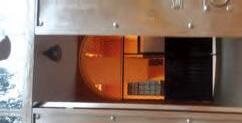
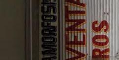
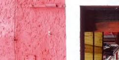
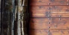
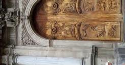
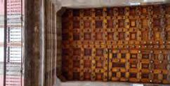
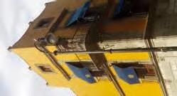
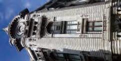
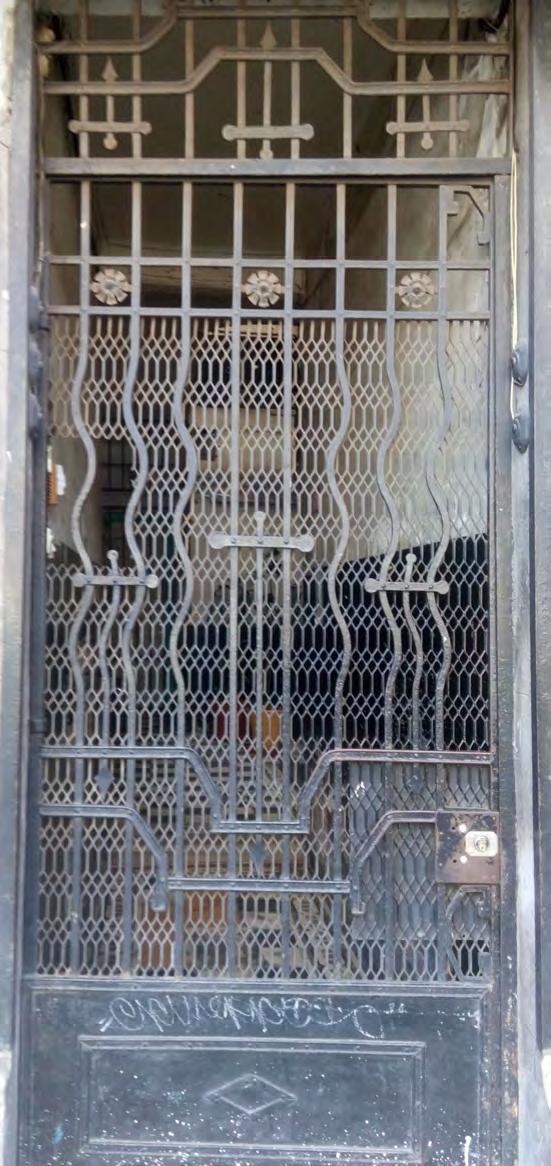
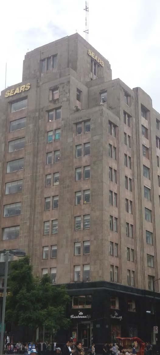
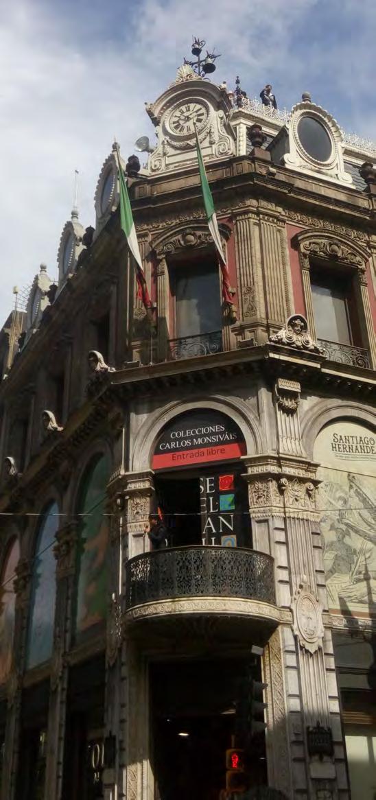
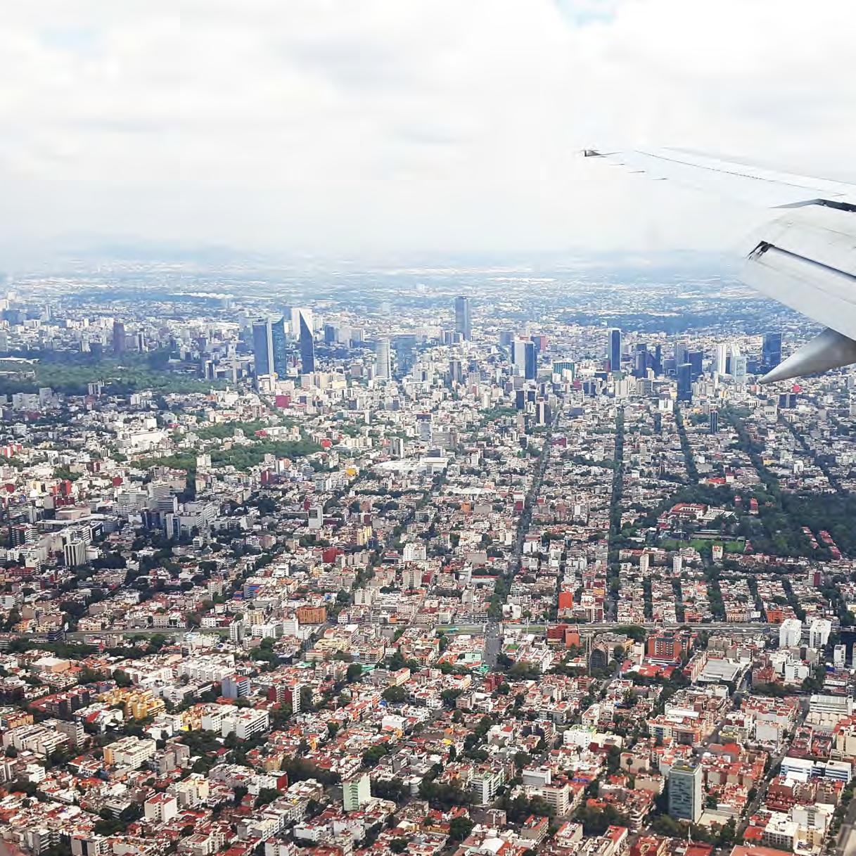
Walking as an exercise to map the city offers a very person and intimate experience of the city and truly helps understand the deep connection that people of Mexico have with the ground. All the acitivities are always focussed on the street condition and the boundaries are constantly being negotiated for space, function and even time.
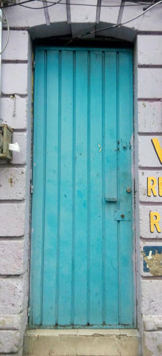
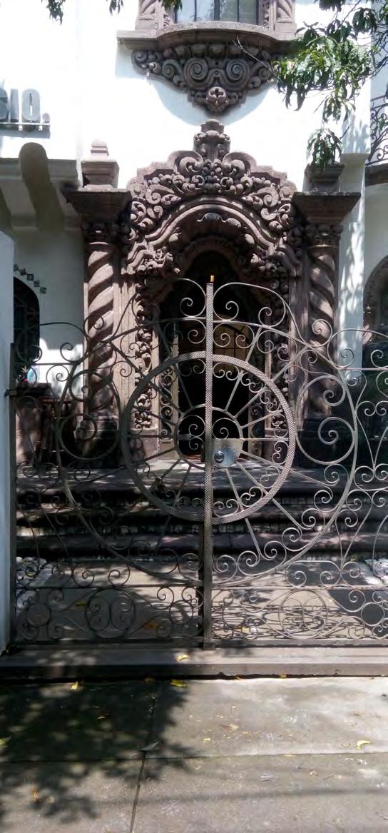
Apart from this street perspective, there are several aspects about the city that stand out and talk a lot about several socio-economical and cultural elements that make up this city. There are several threshold conditions as explored from a study of doors in the neighborhood to corners of buildings which depict a very interesting moment of transition in the urban fabric that either changes or creates a perception of change from the point of view of a human street. These corner conditions also help define and in some cases exaggerate the human scale on the street.















FIELD GUIDE
to Mexico City Friendly Giants
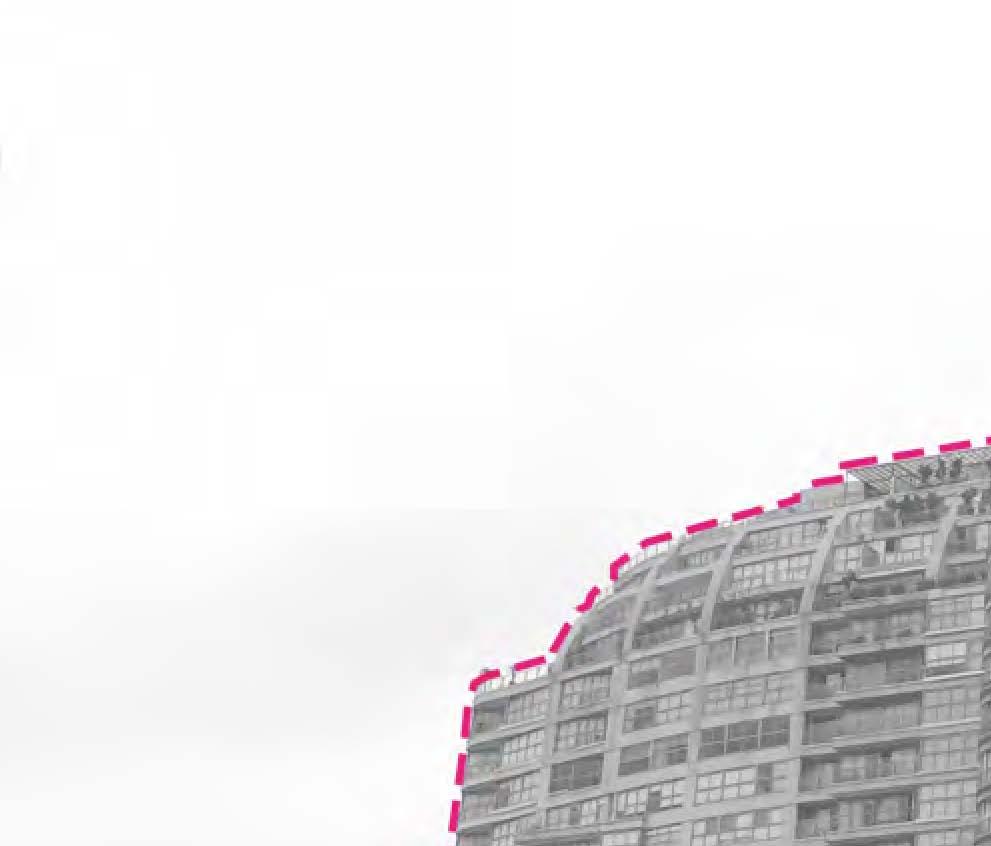
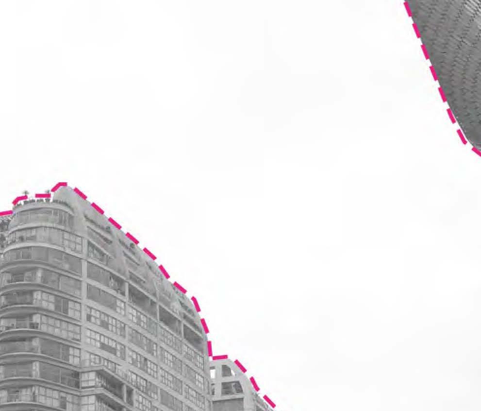
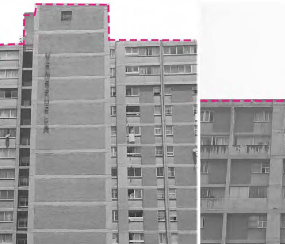
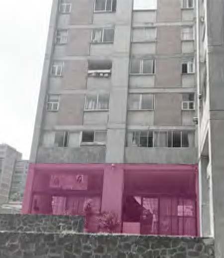
This field guide documents three elements that help make skyscrapers in Mexico City friendlier to the human experience. These three elements include a building’s face or facade, it’s base, or how it interacts with the street, and it’s personality, or it’s overall form that gives it it’s unique charm and character within the sea of the metropolis. Elements of these observations such as screens and raised open spaces were incorporated into the design of my hybridization to provide a richness that responds to the climate of Mexico City.
PERSONALITIES BASES FACES
BASES
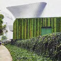
MUSEO SOUMAYA POLANCO
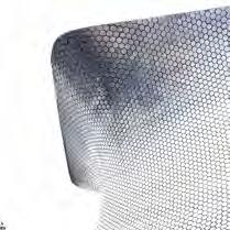



The building sits very strangely on the ground. Visually the connection is harsh on the eyes. The use of rose bushes at the perimeter of the site adds to this visual clutter. PLAN


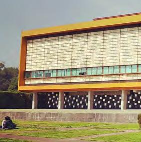
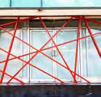
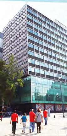

building uses an interesting red design to situate the tall structure on the site.
The first five floors situate the project onto the site and appeal to the human-scale.


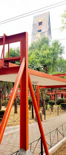

A great way to design for the human eye - include a roof that covers the sidewalk.
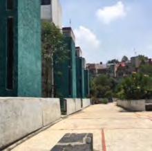
UNIDAD HABITACIONAL INTEGRACION LATINOAMERICANA
FACES
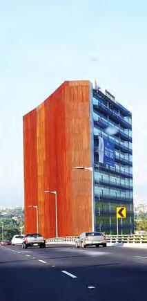
SAN ANGEL / PERIFEDICO

CENTRAL DISTRICT


PERIFEDICO
Rusted metal ‘wall’ appears solid, but is a system of vertical screens/panels. Interesting mix of materials and heights give this high-rise a humanelement.

PERIFEDICO


PERIFEDICO

PERSONALITIES


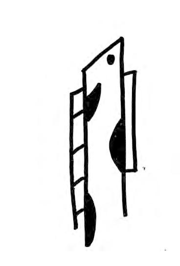


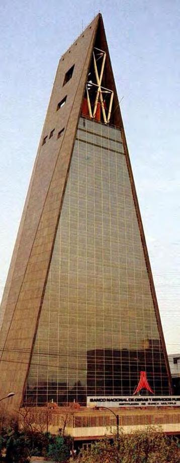
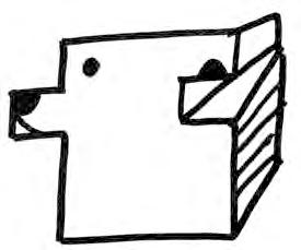
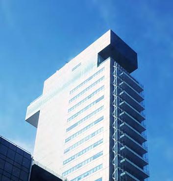
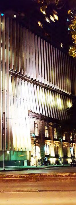


TEXTURES AS A LANGUAGE OF SPACE

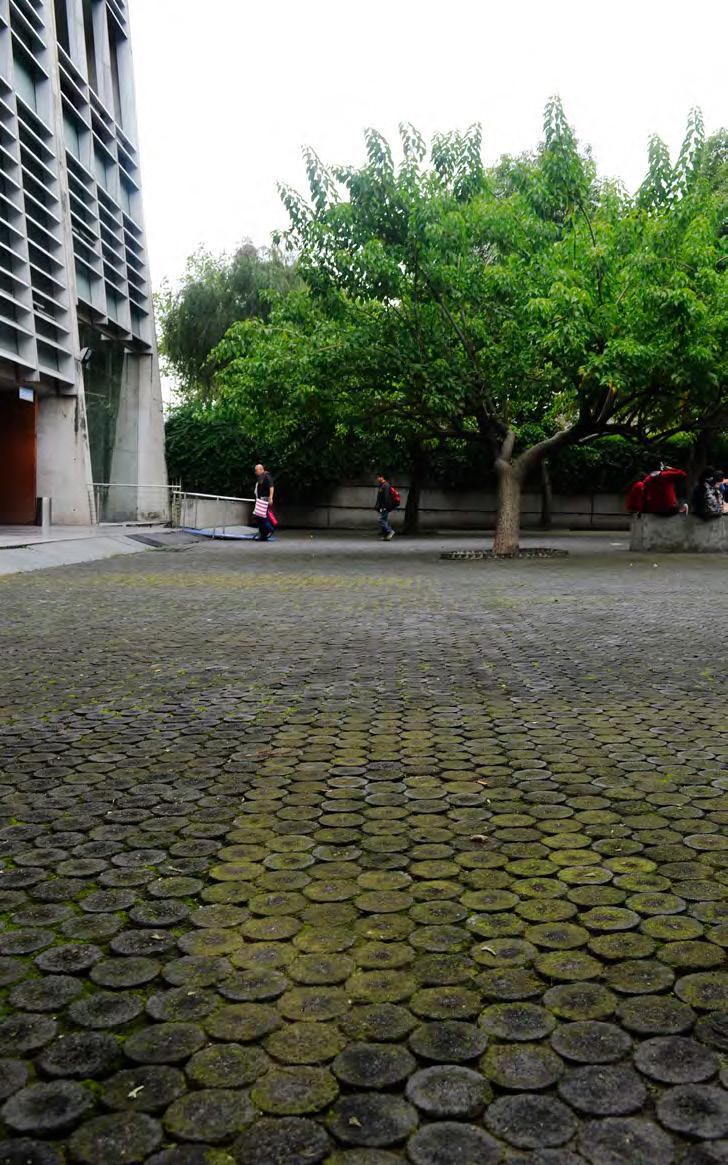
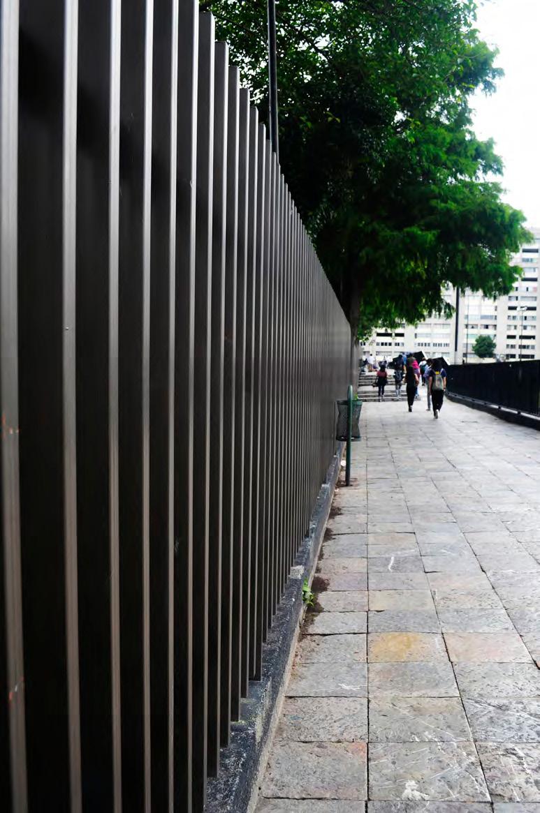





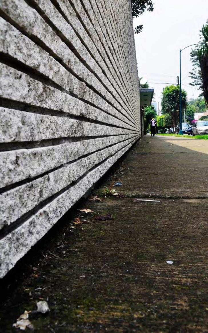


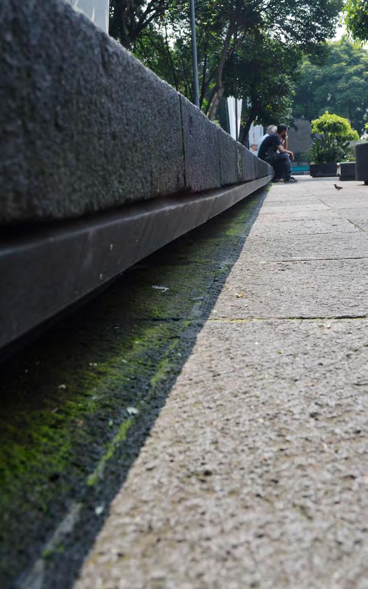


THRESHOLDS
Spatial + Social + Mental
Home to street, neighborhood to neighborhood, city to the periphery, the negotiations are endless.
Hola! It’s Mexico City.
Cultures change, social conditions change, and all of a sudden your perception of the city changes. This perception is not just due to spatial qualities but a lot of sensory qualities of the space. In this journey of understanding the city, it is exciting to read the behavior of important thresholds in the city. Beneath the formal and informal settlements, there are a lot of social relationships which influence these thresholds. These social relationships are so strong that they can impose fear on the people walking by. The city is so incredibly diverse that at times an empty street could instill fear and at the same time, a street filled with people can easily keep you on the toes.
The city has shown that it can easily isolate spaces where necessary. Intrestingly, a social housing project in the city has become a threshold. In the case of Tlatelolco Nonoalco, the project is bounded by road networks and rail lines, leaving it to exist on its own. The thresholds of economy and growth present interesting exchanges prevalent in the city and these negotiations are often easily overcome by this city that never stops.
doors as [stories]
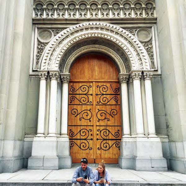


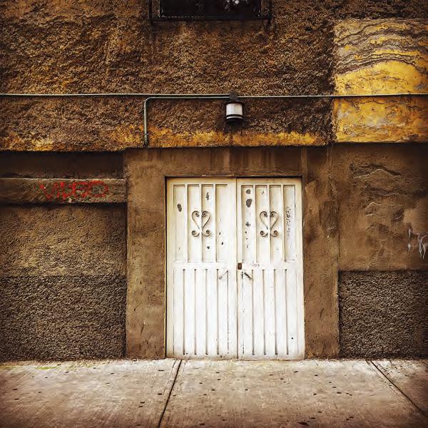
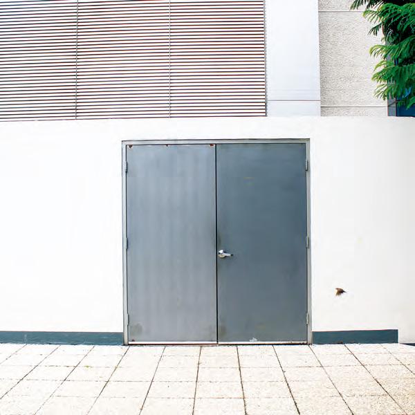
doors as [blockades]
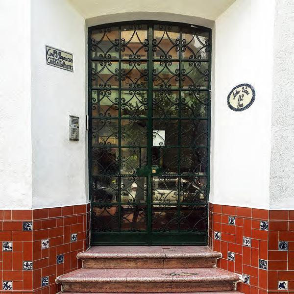

doors as [passages]


doors as [mysteries]
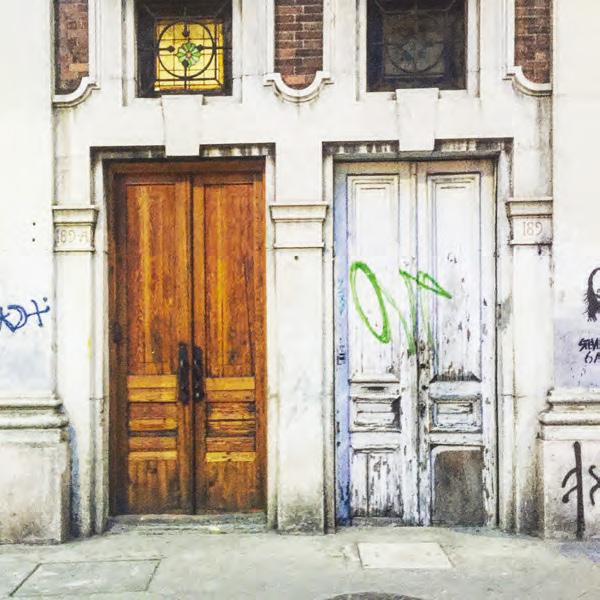
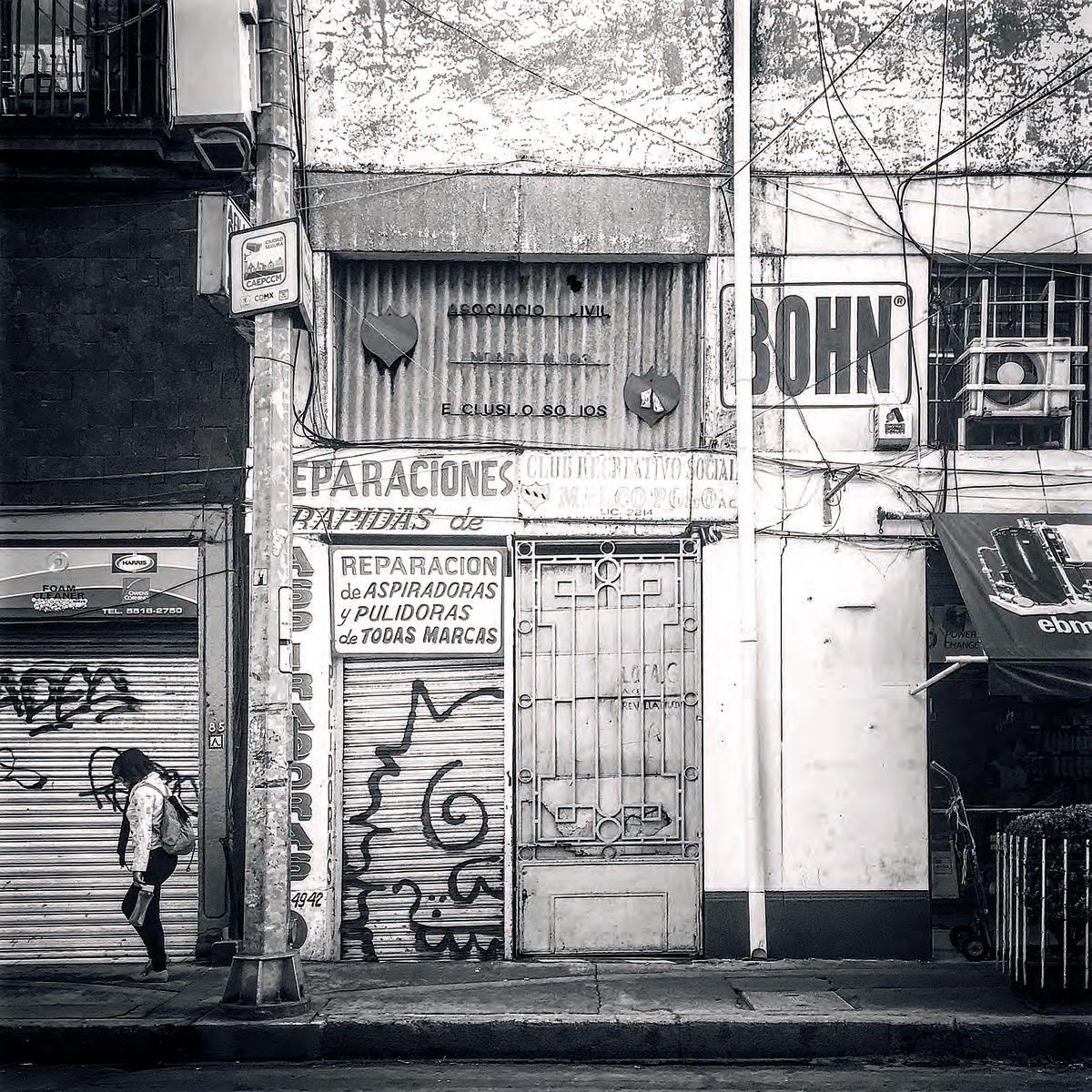


streets as [parks]
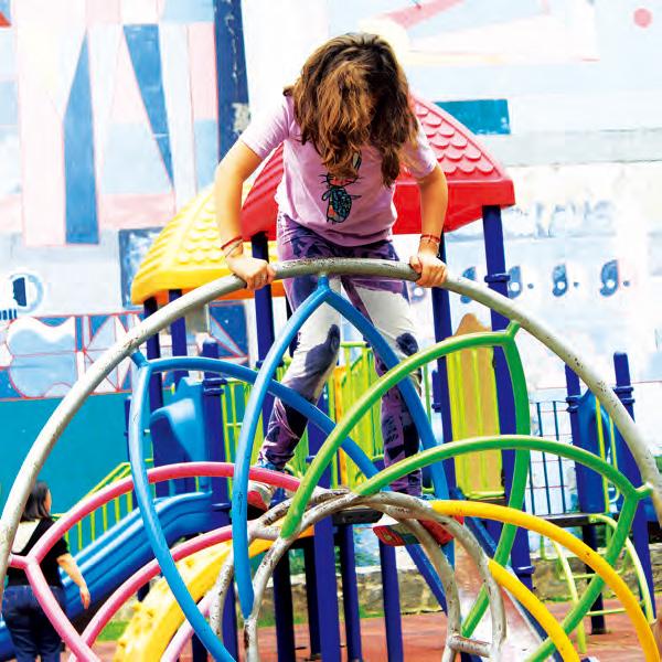

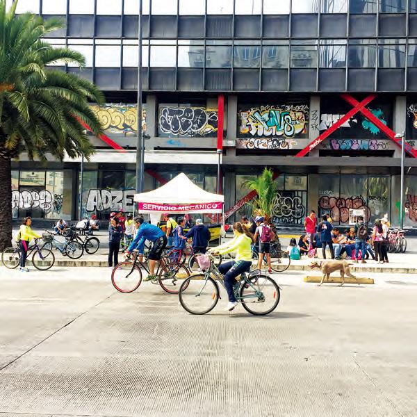
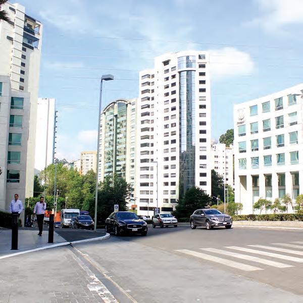


streets as [markets]

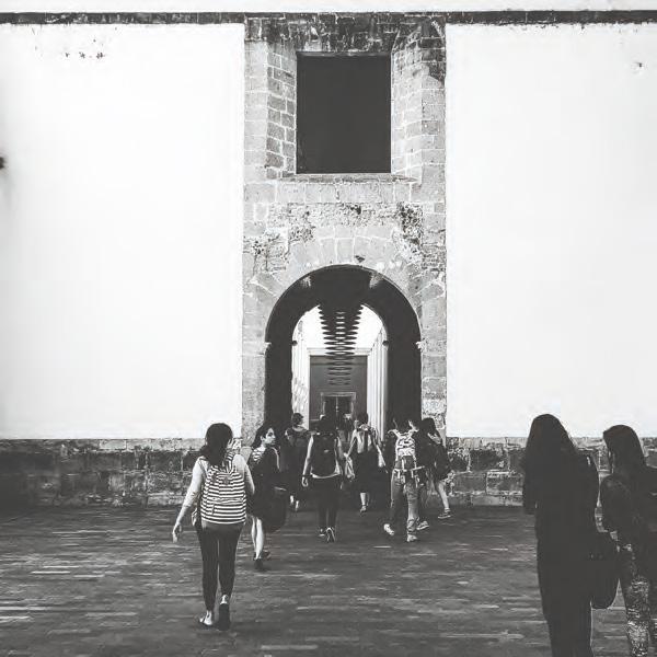
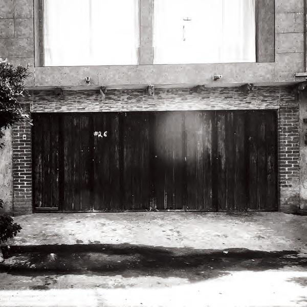
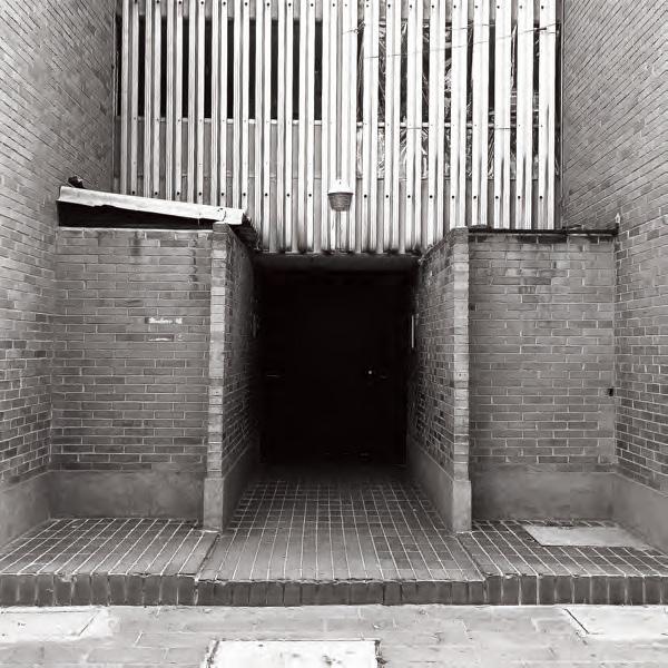


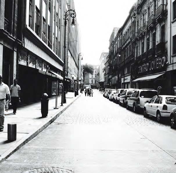


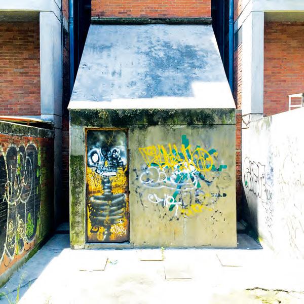
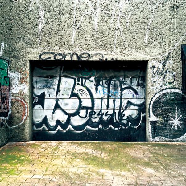
streets as [crimezones]

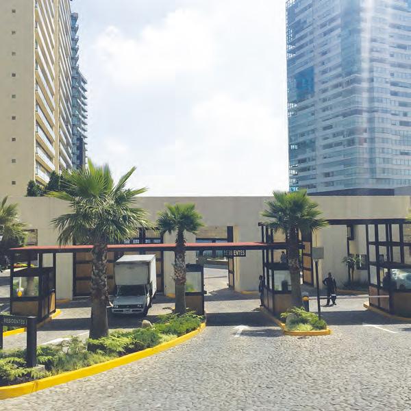

boundaries of [isolation]
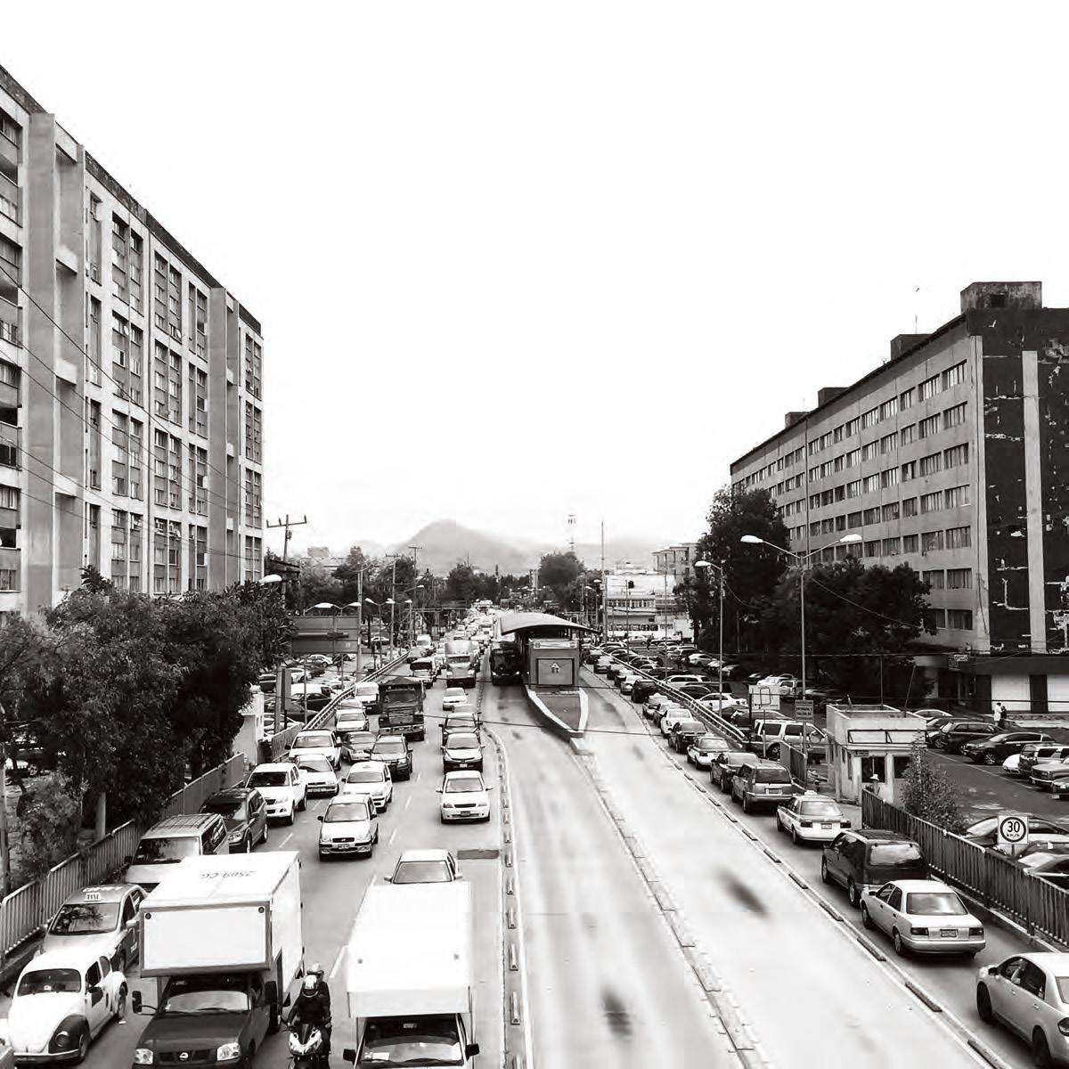
boundaries of [fear]

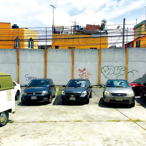


boundaries of [growth]
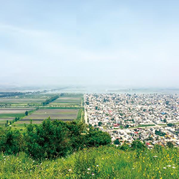
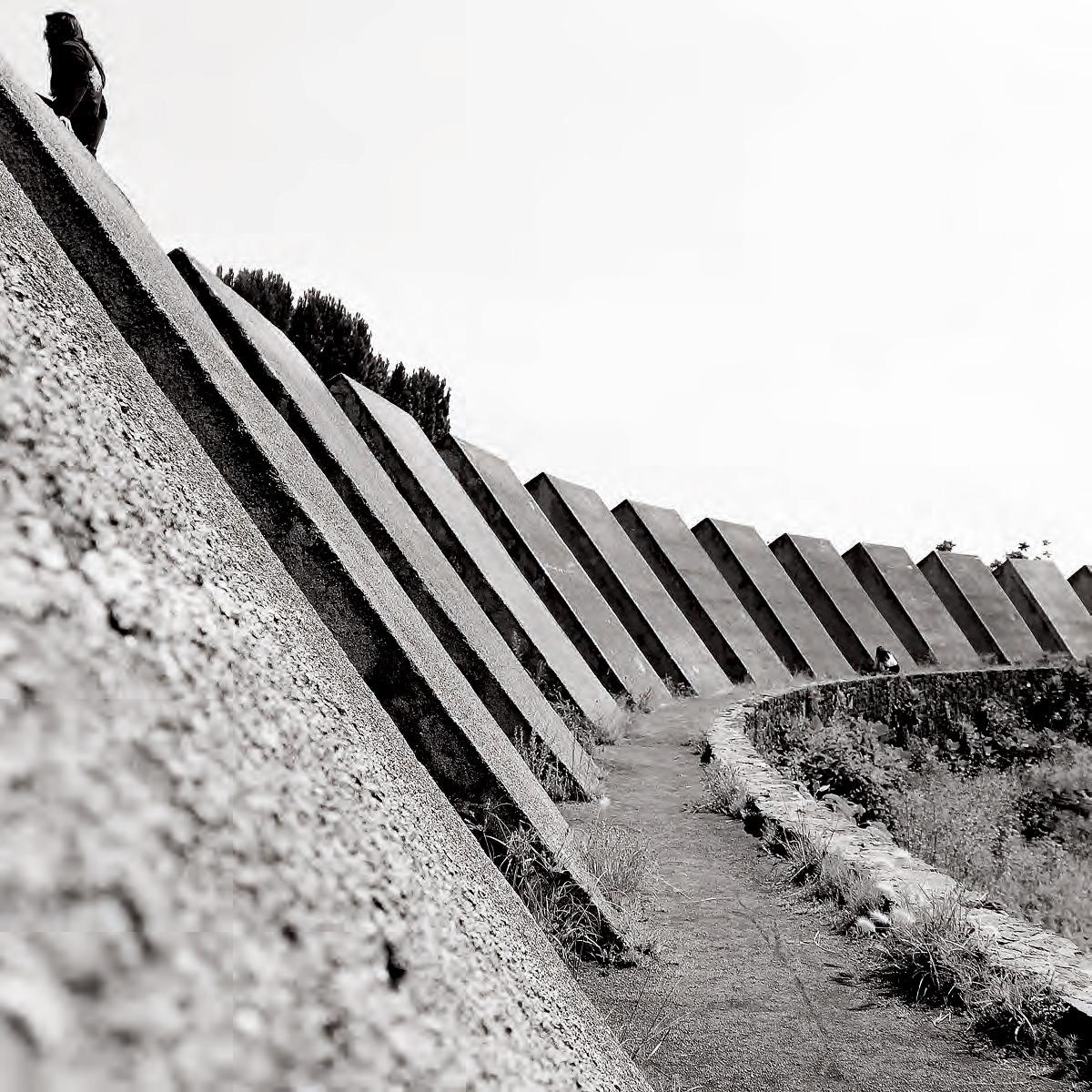
boundaries of [nature]


URBAN SPECULATION PROJECTS
RELATIVE ABSURDITY
Recovering Place Amongst the Metropolis
Relative Absurdity combines two precedents, the Byker Wall, a social housing project that features a solid mass of housing forming a wall to shield the lower height housing on the interior of the site, and the Unidad Habitacional Santa Fe, that arranges 5-story housing blocks to form a porous wall, with much greenspace in between the buildings. Using theses precedents, Relative Absurdity seeks to create a wall that instead engages with the road, rather than turn its back on the noise and rush of the cars, as was the case in both of the precedents. Using the strategy of adding and subtracting to a mass of a wall, the project creates an object of spectacle in the city with a friendly personality. By reproducing variations of the structure along different points of highways, the massiveness of the city all of a sudden becomes a bit smaller and perhaps friendlier as the design suggests. The driver along Periferico suddenly feels a new sense of place and one can use the absurd structures as landmarks in the megalopolis.
In addition to engaging with the highway, the building markets itself as a symbol of a return of street life. Hiding behind the facade of the obscure structure or covered street, and an inner ‘street’ lined with housing taking inspiration from both of the adjacent neighborhoods and shops. The building symbolizes a return of the traditional street as place that was destroyed when the highways were created. The project’s absurd shape, points to the highway as the absurd reality. Finally, the project proposes the addition of a high-speed bus line on the highway as both sites are located beyond the scope to the final metro stops in Mexico City and aim to democratize the freeways for all, not just for those who can afford a car.
Byker Wall

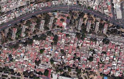

Image Sources: Top Left; http://www.chroniclelive.co.uk/news/local-news/byker-wall-residents-celebrate-transfer-1368008 All other images; GoogleEarth.
SELECTED SITES


SEMI- POROUS
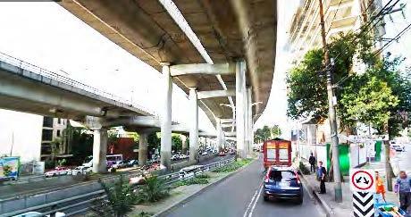

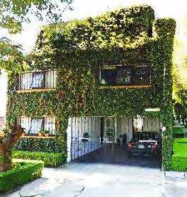

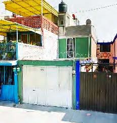


FIRST IMPRESSIONS ENTERING THE ARCADE TUNNEL TO THE HIDDEN STREET
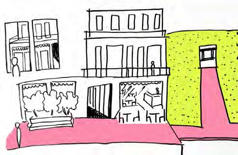
MEANDERING DOWN THE STREET

WAITING FOR THE BUS
PLAYGROUND
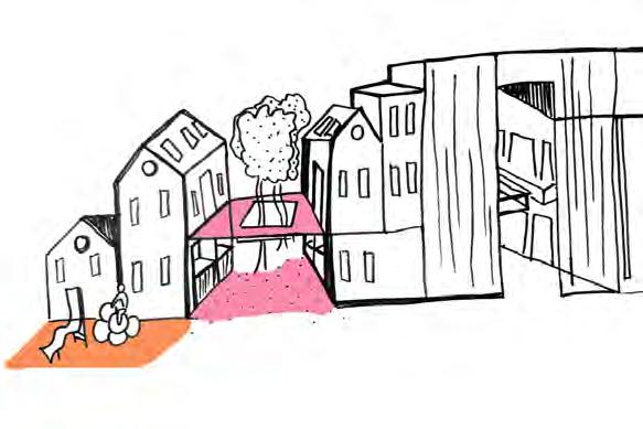

THE STREET
PROPOSAL
POSSIBLE ALTERNATIVES
URBAN ADDRESS & IDENTITY
For Infrastructural Lifestyles
Challenging the mono-functional nature of transportation infrastructure in Mexico City, Interlace weaves together different layers of the urban fabric to foster innovation and improve the overall quality of life of the urban dwellers.
Per norm, infrastructure has traditionally been a separator of neighborhoods, challenging the everyday routines of the residents living in its surroundings. This proposal uses the industrial area of Tlalnepnatla, currently bounded by ample rail and road infrastructure, as a testing site to retrofit urban infrastructures with additional programs and occupations.
The new neighborhood would provide increased density in housing as well as office buildings to help create job opportunities due to the close proximity of the transit hub. The project is an attempt to integrate infrastructure and lifestyle that flourish because of their closeness and provide an alternative to the segregation that is typically observed in such settings.
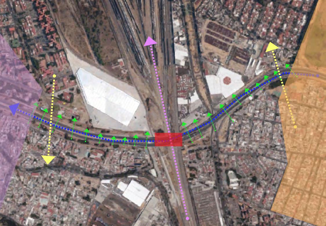
The proposal adds a transit hub at the intersection of the rail and highway, adding bus and train service to the existing infrastructure and increasing mobility and access to the job centers in the western part of the city.

The proposal also uses green infrastructure in form of parks, open public spaces and public amenities (green houses) at this node to seep through the unused industrial area and provide a usable buffer for the surrounding neighborhoods
Using the land occupied by a lot of abandoned industries, this would be an ideal spot to intervene in to really tie infrastructure and hybrid together. This would also provide for an interesting juxtaposition of built space with the existing neighborhoods in the area.

Phase One of the proposal would work towards improving connectivity in the neighborhood by extending connections and improving the road infrastructure on the ground plane. It would also focus on improving the land occupied by the warehouses.
The next part of the development would focus on locating the transit hub to begin establishing conditions conducive to start developing a new neighborhood in the area.


By phasing out the development of residential and commercial buildings simultaneously, it ensures a sustainable development strategy, where in things are added on as and when the neighborhood becomes successful.
The greenhouses placed in this green buffer offer a controlled environment amenity and could be developed for rain water retention that adds some ecological value to the development.

RETAIL RESIDENTIAL OFFICES
EXISTING BUILDINGS


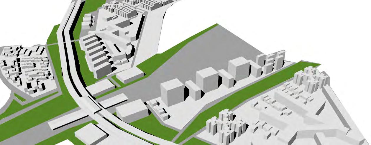

Image Sources: http://fineartamerica.com/featured/mexico-city-jazzberry-blue.html
URBAN MIXER
The experience of Mexico City varies widely depending on the available transit options at your reach. In a city that displays striking spatial inequalities, different social classes have very disparate access to important urban facilities. While richer people have easy access to better facilities, the poor are confined in remote, isolated areas with few amenities and poor connectivity city-wide.
To challenge the status quo, this proposal mixes social classes and lifestyles and provides the low and middle income residents equal choice to enjoy the same facilities as the high income residents. The site is strategically situated in the edge between an industrial district and a residential area, along a transit corridor. The main goal is to bridge and re-connect the two sides using the metro bus stations as anchors. To disintegrate the boundary condition, the project keeps the original bridge as the ramping circulated space, and builds a hybrid commercial-residential living space above the current stations. To address the human scale, the first three floors are commercial, with eight meters depth renting space that opens to everyone. On the top of commercial area, there are two different types of residential halls; the higher type for the high-income group in low density, and the lower type for the low-mid income group in high density. Both groups share the open space and facilities on the lower level, with components that cater to their different acquisition power. All residents and transit users access the markets, the gym, and other common facilities. Separated by the commercial floors, the residents have the convenient access to the metro bus and the main road, and enjoy the existing park in their surroundings.




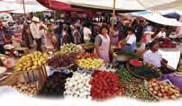


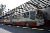
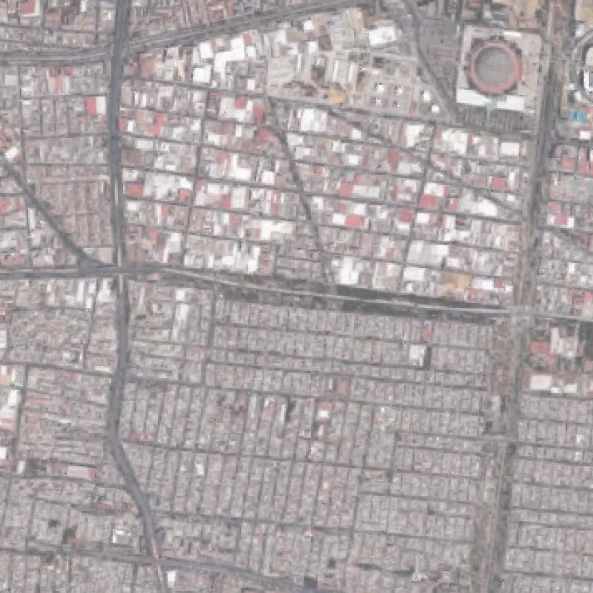


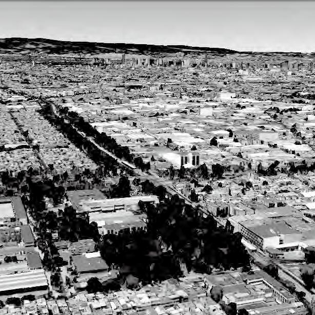

Case Study


Source: From Yitong Yao


Office and Communal
3RD PERIFERICO

LIMITLESS a new layer of movement
Mexico City has grown from 3.1 million 1950 to 8.9 million in 2015 surrounded by a metropolitan area of more than 22 million.
This explosive growth has challenged the formal mechanisms of housing provision pushing the lower income population to the informal settlements in the fringe of the metropolitan area, and creating vast extensions of urban land where utilities and infrastructures only consolidate after the informal land takings consolidate overtime. As a result, Mexico City renders as a limitless agglomeration that continues to infill the Valley of Mexico Basin.
The construction of boundaries and thresholds has long been a project in the policy and architectural spheres. From the subtle use of water and lattices, to decisive growth boundaries, Mexico City is a fertile ground to experiment with the many disciplinary mechanisms to shape transitions and built limits.
In the proposal, I take on the hidden history of water tied to the origins of the city and the architectural lattice as flexible mechanisms to reimagine alternate patterns of growth for the city. The architectural lattice (celosias) have many ornamental and functional design qualities: they create protective building skins that support natural ventilation, and their porosity properties can render interesting visual relationships, acting more as a threshold while still being a boundary condition.
The design speculates on the creation of a porous boundary to contain Mexico’s City growth by using the public transport network to define the city’s limit Re-introducing a lake system again and creating new water/ road transit lines will give residents more mobility choices.
WORKING IN, LIVING OUT


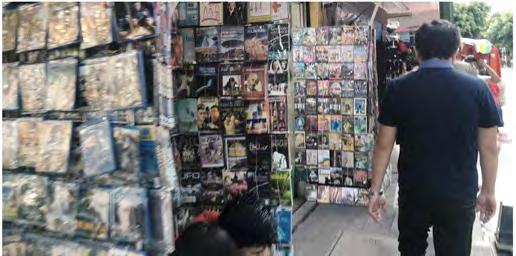
GETTING IN THE CITY


GETTING IN THE CITY

GETTING IN THE CITY

GETTING IN THE CITY

GETTING IN THE CITY

HOUSING CONDITIONS
OUTSIDE THE CITY


HOUSING CONDITIONS
Inside the city


GUELATAO DE JUAREZ, 1
Working with thresholds


UNIVERSIDAD DE CHAPINGO
Understanding thresholds


THRESHOLDS
In Public Space
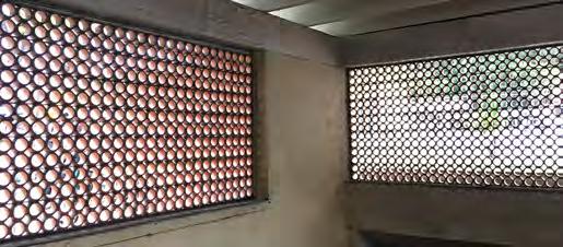
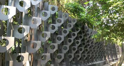

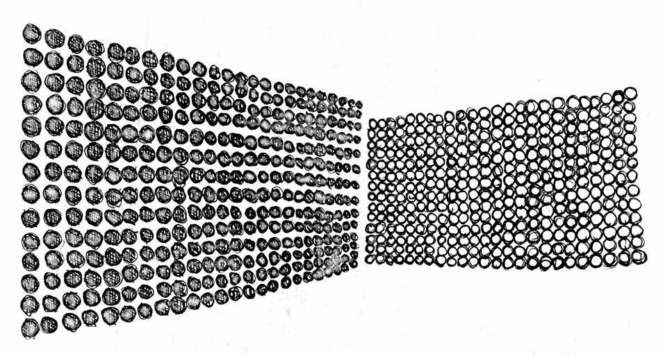


THRESHOLDS
In housing units
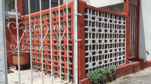


THRESHOLDS
Living thresholds


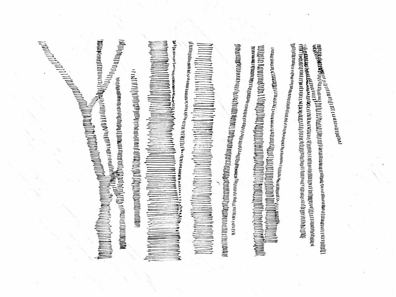

A HISTORY OF WATER
reintroducing water
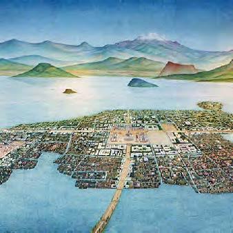
A HISTORY OF WATER
how they did it

Drawings analizing native water techniques


system in diagrams
A HISTORY OF WATER VS

Diagram comparing limit vs threshold, explaining how the system works

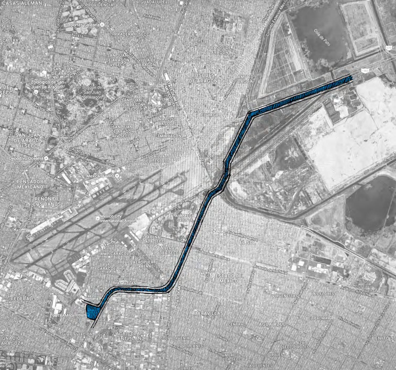
PLAN VIEW SECTION
how water enters the city


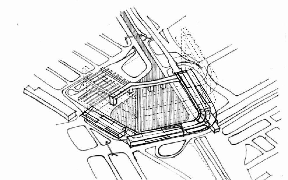


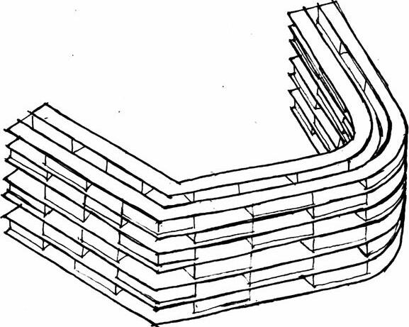
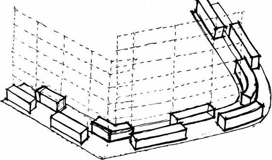


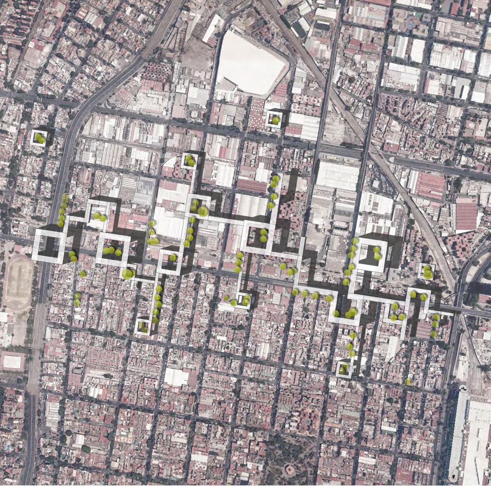

SKY CITY
Open
Space & Urban Corridor
The main idea of this design is to connect the industrial area and the residential area, by establishing an open, equitable, accessible and diverse public space system on the existing urban context.
The site located in the junction of Azcapotzalco and Cuauhtémoc. This industrial area is completely surrounded by neighborhoods. Because of the different land usage and the highway on the one side of the site, this area has an invisible boundary. However, in the industrial area, there are still many residential buildings for the workers. Therefore, how to over the boundary and connect both sides is the main topic of this design.
The two original cases is Colonia Presidente Madero in Mexico City and Steven Holl’s Spatial Retaining Bars in Phoenix. The former subject is a group of social housings which consists of two 6-7 floor buildings, two 3 floor buildings and a courtyard. The latter located in the edge of city, in order to prevent the urban unlimited expansion. The hybrid project transforms and combines the unit form of Spatial Retaining Bars, and the open space of Colonia Presidente Madero, then comes into being an urban corridor.
However, different from the concept of the original case, this design more likes a bridge rather than a boundary. The new structure is built above the city without removing existing buildings, and has a close view connection with landmark. It is continual and accessible in both sides of the street, in order to attract all groups of people.
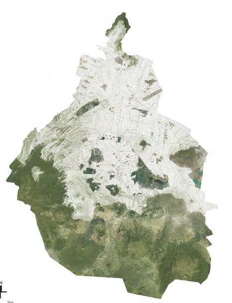
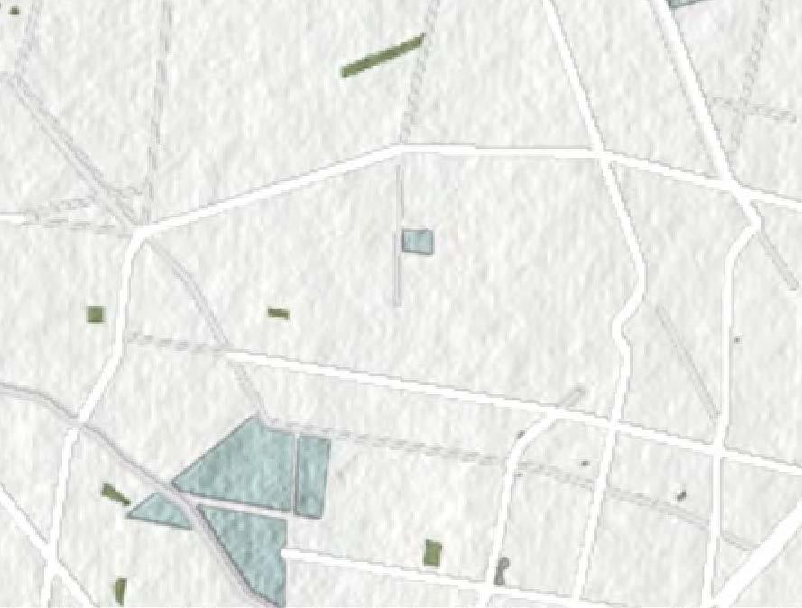
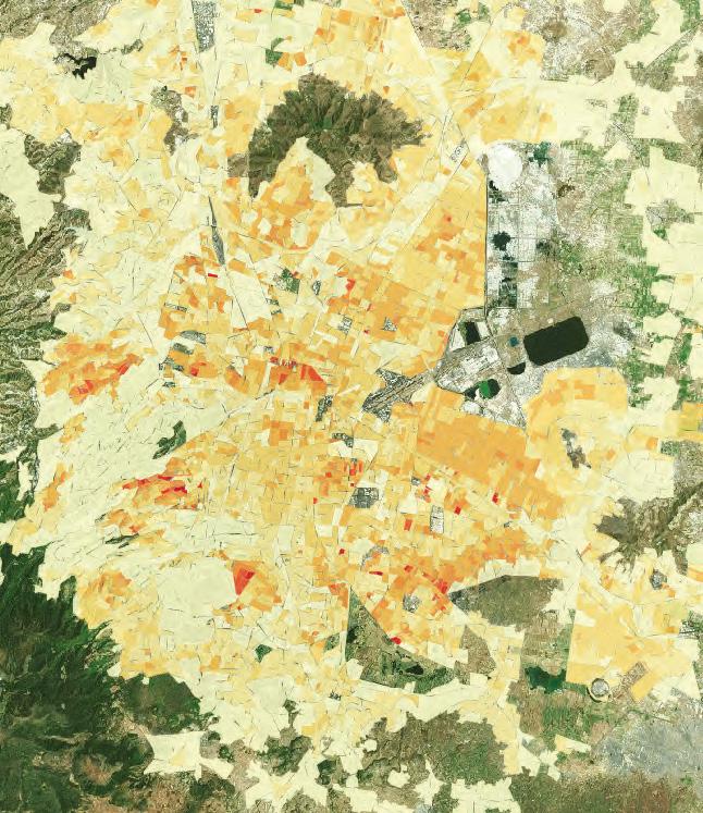

SITE ANALYSIS
Dirstribution of Residential Buildings

BOUNDARY
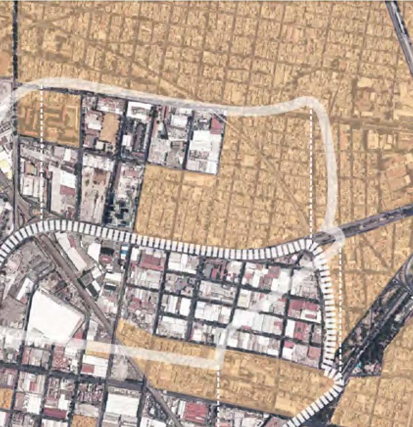
Industrial Area


Residential Buildings

Area


SITE PERSPECTIVE


Main Elements
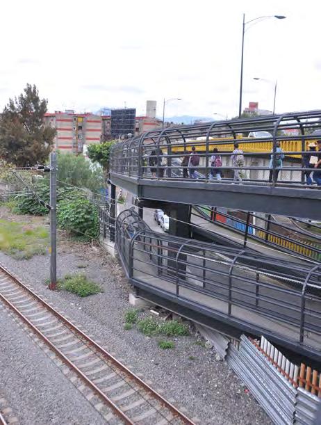

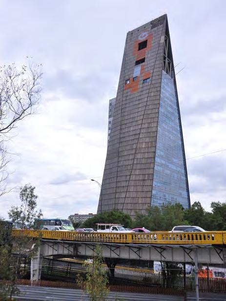

FIELD GUIDE
How Can Open Space Connect Different Functions and Social Classes?

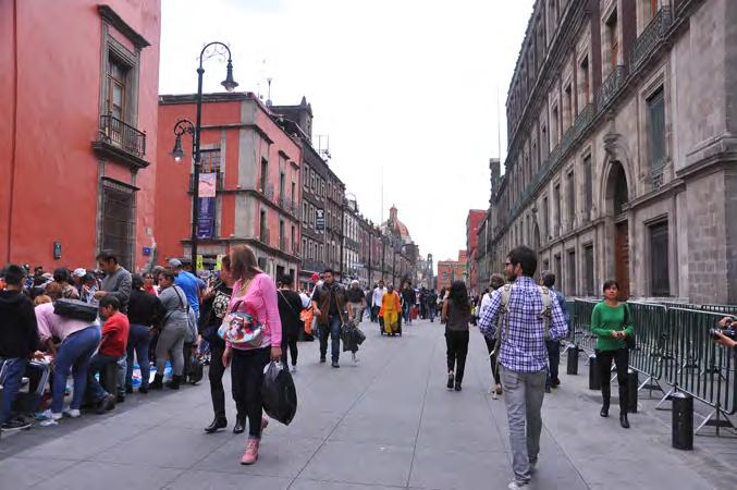


Mexico City: Mix-use open space
Method one: Create diverse open space system to attract all groups of people and make the space more energetic

FIELD GUIDE
Distribution of Open Space in Different Elevations


Mexico City: Roof garden / vertical greening
However, most of these roof open spaces are kind of private. They are only open for people who work or live here.
Method two: Based on the degree of openning, distribute the open space in the vertical direction.


ORIGINAL CASES STUDY

Image sources: http://megaestructuras.tumblr.com/page/22
Form a new horizon with views of the desert sunrise and sunset
Frame views of the distant mountains and desert.
Leave open space in the internal of the structure for dwellers to communicate, entertain and relax. The courtyard is kind of close, for it surrounded by buildings on all sides and only has one entrance.
Sited on the periphery of Phoenix, this structure aims to avoid the unlimited expansion of urban space to desert.


Image sources: http://megaestructuras.tumblr.com/page/22
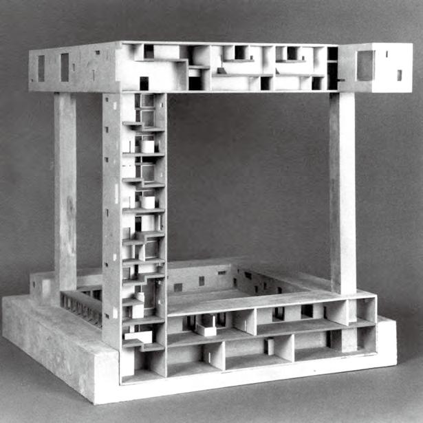
Living Areas
This loftlike space hang in silent isolation, has a great view of desert and mountains.
Work Space
Work is conducted electronically from loft spaces adjoining dwellings.
Communal Space
Communal life is encouraged by entrance and exit through public squares at grade.
Cultural Facilities
These spaces are suspended in open frame structures.
Image sources:https://lebbeuswoods.wordpress.com/
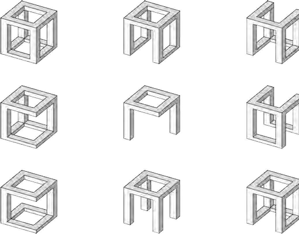


CONCEPT DEVELOPMENT
“Z“-dimension Architecture
El Lissitzky’s proposed horizontal skyscraper 1923–1925


Image sources: https://archidialog.com/tag/spatial-retaining-bars/
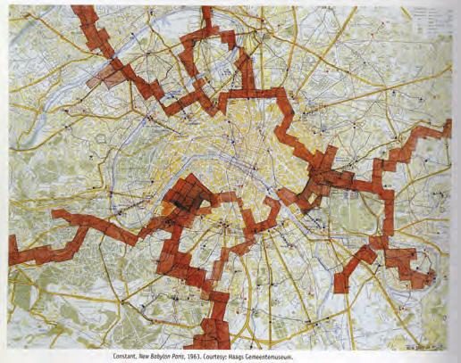

OMA’s CCTV Headquarters
Image sources: http://archpaper.com/

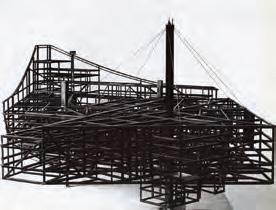
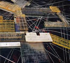
Image Sources: https://docklandsgameon.wordpress.com/2011/04/05/new-babylon/
CONCEPT - From “Boundary“ to “Bridge“
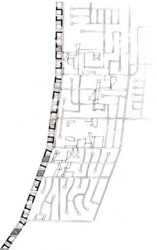
How to create more open spaces and realize the urban corrider?
Divide the courtyard into 4 parts:
Existing building’s roof; New structure’s roof; Couryard;
CONCEPT DEVELOPMENT


Scale analysis


Living space
Recreation center
Commerce...
Community
Business
Viewing deck...
The possibility of combining two units
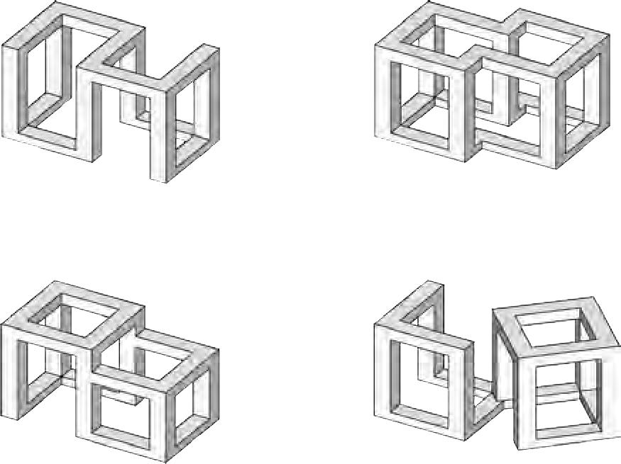
PERSPECTIVE


FACADE


ARCHITECTURE DESIGN
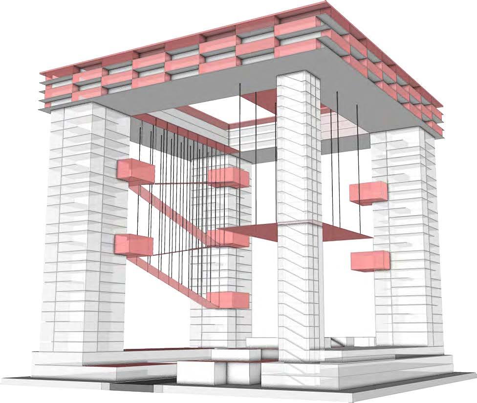
How to realize the diverse open space system?
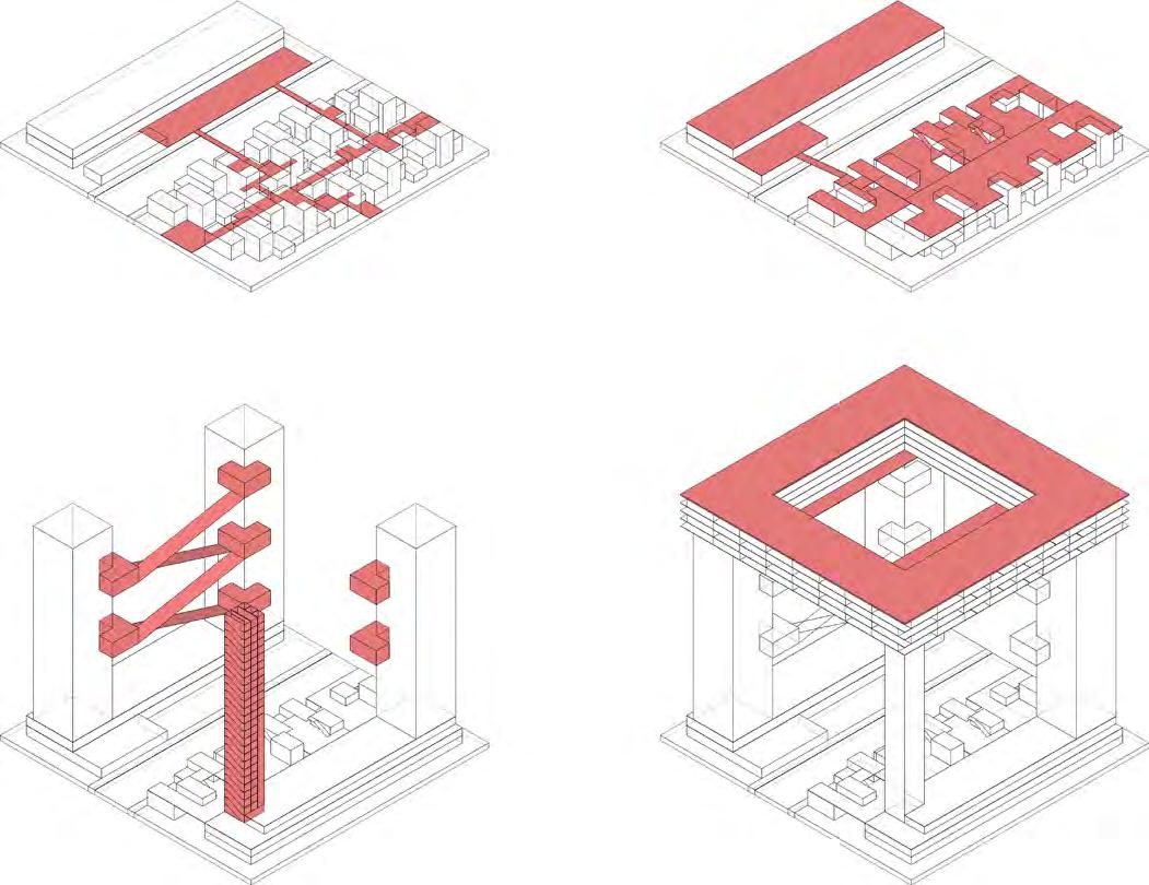
ARCHITECTURE DESIGN
Distribution of Open Space
Urban Corridor System
Hanging Garden
Hanging Platform & Suspended Corridor
Provide recreational space for people who work here; connect different “columns“ (Semi-Public)
Verticle Circulation & Platform
Provide dependent transportation system to living space and roof platform (Semi-Public)
Roof Playground
Create safe and sunny space for children to play and for dwellers to exercise (Semi-Public)
Urban Streets and Sidewalks
Roof Corridor
Connect existing residential buildings and the new structure (Public)


LIVING SPACE
LOFTLIKE WORK AREA
COMMUNITY CENTER
RETAIL
ARCHITECTURE DESIGN



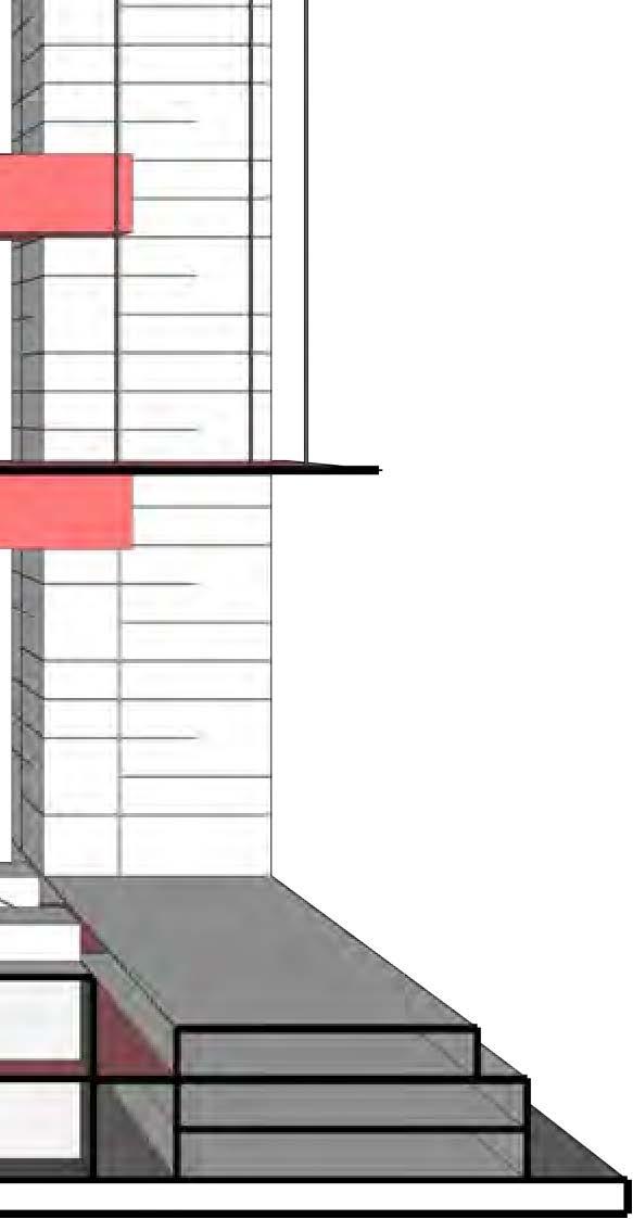


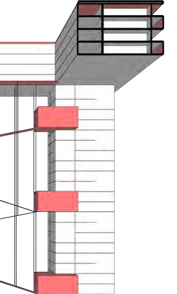


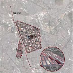

SKY CITY
System above a city

Sky-City explores opportunities for urban redensification of underutilized industrial sites to respond to housing demand. The proposal reconnect the cargo area at Pical Pantaco, close to Industrial Vallejo, with the surrounding residential area by developing the air rights to house low-income workers close to their job locations.
In the design exploration, I take inspiration from two cases: CUPA, by Mario Pani, and New Babylon, by Constant. CUPA represents a highly efficient tower building typology housing for low-income workers, with facilities meet the basic needs of the residents such as laundry shop, variety store, super market, bakery, medical office, restaurants, and post office, all in the first floor. New Babylon is a utopian project that proposes an ideal world of “ludicity” suspended over the existing urban grounds. The fabric of the city is divided into various multi-storey sectors, within which residents move around on foot or take lifts between the different floors. Climate, light and air are all artificially controlled. Designed to be flexible, its buildings form a network of structures supported on pillars and extending regionally.
Inspired by these two cases, Sky-City builds a high-density flexible residential area on top of the industrial grounds providing additional services to the residents.

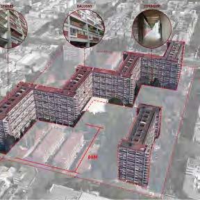
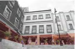
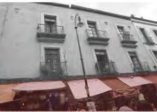


REFORMA
POLANCO

NONOALCO - TLATELOLCO
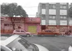

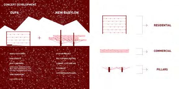
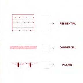


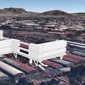

Image sources:http://www.inspirefirst.com/2013/05/30/settlements-city-strategies-lekan-jeyifous/

POROUS CITY
Green, Connected, Diverse
The design concept of Porous City is based on connectivity, ecological functions and population diversity to enable multiple groups of people’s activities and lifestyles. The programmatic structure supports living, working, and recreation, and nurtures a rich ecosystem for other living creatures.
The site is located in the current international airport of Mexico City, soon to be relocated. The intervention considers the connection with the surrounding areas through circulation patterns, block and building typologies and urban ecosystems. At the core, the existing airport landscape will remain, staging a new urban ecosystem.
The design strategies include:
1. City within city: mixed-use, self-sufficient, diverse.
2. Garden within city: open, green, low-impact, ecological.
3. Link building and city through an organic network.
The two original projects driving the hybrid exploration are Toulouse le Mirail and Conjunto Habitacional Nonoalco Tlatelolco. Their house typologies all show the features of high-connectivity and diversity. In my synthesis, I expand this characteristics to also integrate the landscape as medium for the design of the city.
Toulouse le Mirail
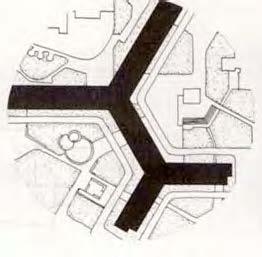
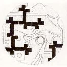


Conjunto Habitacional
Nonoalco Tlatelolco


Strategy
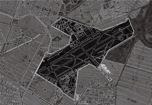
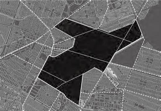

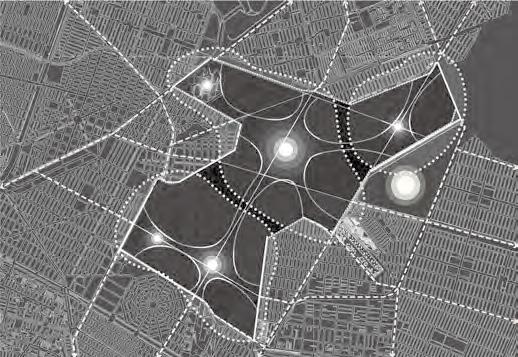

Site Plan
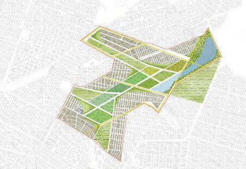
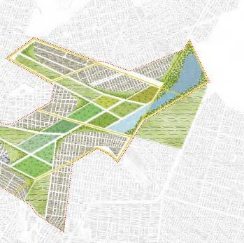
Housing Typology


THE EDGE
Mexico City expands without limits.
Located in the Valley of Mexico Basin, the city has swallowed almost completely the former system of lakes in the area. From its foundation, the growth of the city has been fostered by both formal and informal mechanisms. From the transformation of public streets to informal markets of global trade, the exhibition of capital accumulation by the corporations and the wealthy in Reforma and Santa Fe, to an extinct volcano today completely urbanized, every space in the city serves the representation of the many conflicting interests at stake in Mexico City. Though the city continues to attract population in search of better living conditions, the economic opportunities are very uneven and large population sectors are marginalized in the rapidly urbanizing areas at the fringe.
CONTAIN / SUSTAIN / SYNERGIZE. To respond to these dynamics of continuous growth and scarcity, THE EDGE reimagines the boundary of the city as a threshold of sustenance.
The project draws inspiration from three cases: the complex informal occupation of the ground in Tepito, Steven Holl’s horizontal living above ground in the fringe of the city, and Aravena’s framework for incremental housing. The hybrid responds to the conditions of its location taking into account economic and social needs and reintroduces water as both element of containment and sustenance.
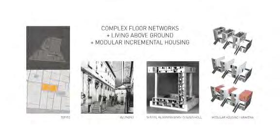


https://mapzen.com/products/tangram/
HYBRID: XICO CITY
Crater-Lake Settlement
Mexico City is a city of enclaves defined by different types of boundaries: roads, water, topography... Although these boundaries create sharp discontinuities in an otherwise homogeneous urban and social fabric, the enclaves they define depend on each other to function daily.
Many of these enclaves are informal settlements that grow incrementally, in a customizable way. Similar to Borneo-Sporenburg, where architecture realizes the desires of the wealthy, the informal enclaves in the periphery of Mexico City express the identities and social aspirations of their dwellers. Hybridizing these two cases, this speculative project recreates a new enclave placed it in a protected environment with well-defined boundaries: Cerro de Xico.
Xico City is an enclave surrounded by an artificial lake that sits in the volcano crater of Xico on the southern eastern edge of Mexico City. The lake and the crater form the geographic conditions for the enclave to survive independently of its surrounding by providing fresh water, fishing and farming.
Xico City is centered around a civic center containing schools, medical facilities and a central market area. Water will reach every parcel and could be used as an alternative means of transportation. Random public spaces scattered around the city can later be refitted by the residents according to their needs. Similarly, housing grows according to the residents’ desires while the additional land can be used for farming.
HYBRID: XICO CITY


http://www.uniroma2.it/didattica/labaca1/deposito/Case_a_schiera_II-3.pdf


http://kaanarchitecten.com/souvenir-projects/borneo-sporenburg-amsterdam/


Proposed Housing Typologies in Xico City in Comparison With Housing Typologies in Borneo-Sporenburg


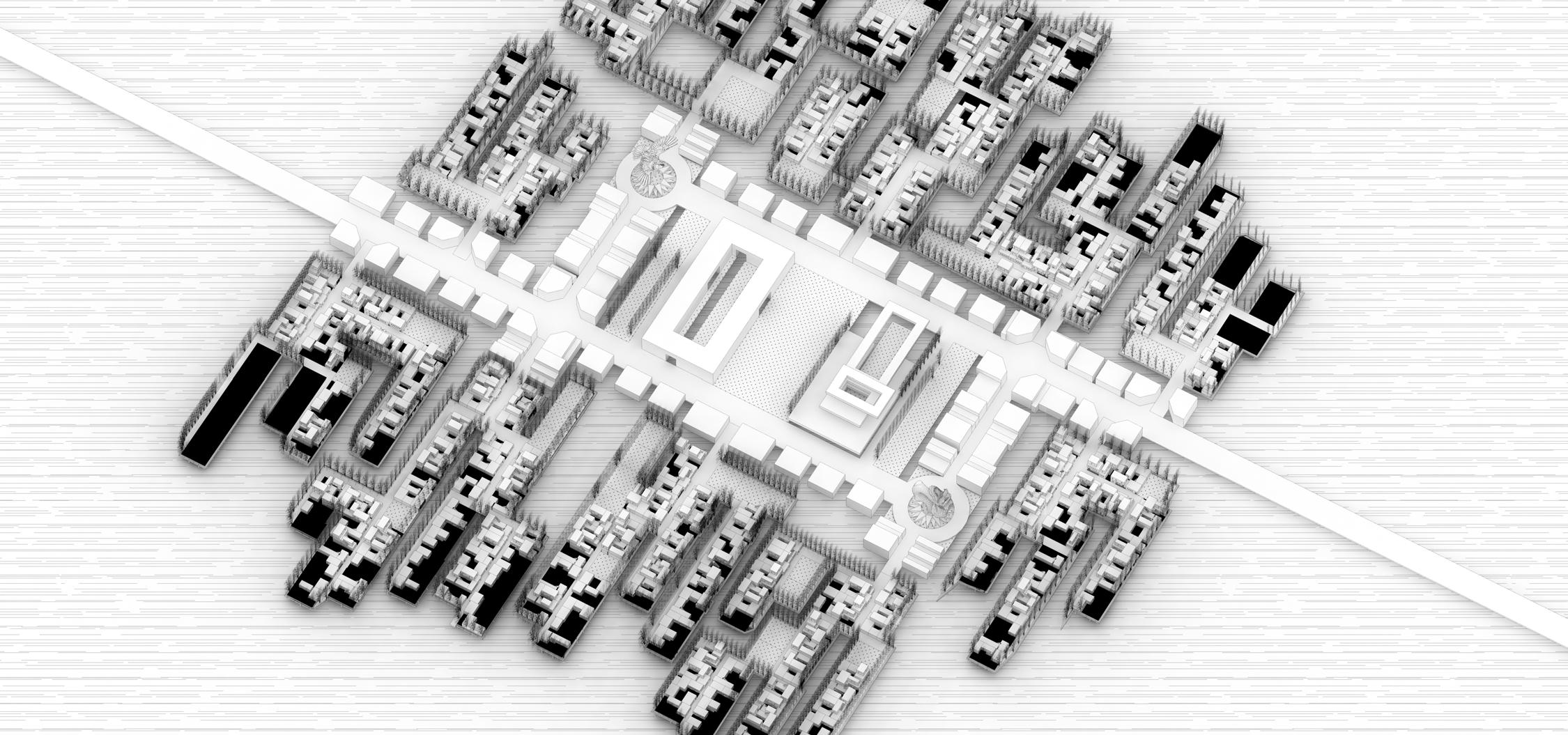


HIGH-CLASS PEOPLE
High- class people occupied the high price area in the city or establish their own kingdom in the suburb, They spend money to exchange the service from low-class people. Moreover, they use big structure to expand their space.

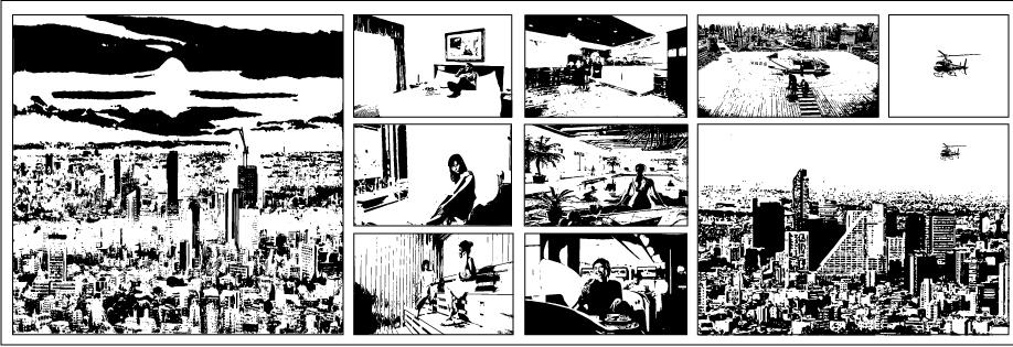
Population No.Income
Population No.Income


LOW-CLASS PEOPLE
Low- class people cannot afford the high price of land and rent in the city, they spend their time and money to commute to the city everyday. Then, they use their manpower to exchange the money from high-class people. Moreover, they have their own organic ways to expand their space.


Population No.Income



CASE STUDY:LOMAS DEL CHAMIZAL


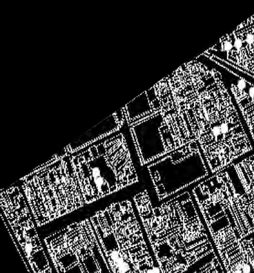


CONCEPT COLLAGE:THE TREE OF DESIRE
The desire of tree becomes a new mechanism for city development. Developers find the suited area for this parasitic housing typology to grow. It brings the clear water, stable electricity, job opportunities ,markets and other benefits to local residents,The man power in this area become the nutrient absorbed by the desire of tree. Their fate and life style also connect with this system.


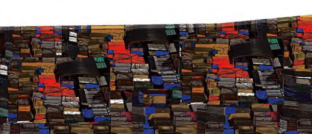


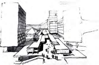
Sorce from_https://agingmodernism.wordpress.com/lemirail/


CASE STUDY:TOULOUSE LE MIRAIL
Toulouse Le Mirail uses an organic layout in response to the perspective of a new city lifestyle and experience, it has certain modules to combine with different elements, it also creates a pedestrian area in a certain layer, all the lower is mixed-use and served as public space for residents.


Sorce from_https://agingmodernism.wordpress.com/lemirail/
Upper layer
Housing (Wealthy People)
Lower layer Tiangius&facilities (Residents)
SITE ANALIYSIS: MARKETS RESOURCE DISTRIBUTION
METROPOLITAN SCALE : MAP
This project uses the site that lack of the resource of market system as a demonstrative site to display how this new concept can be developed in the city and balance the demand between local people’s life and the desire of the developers.
LEGEND >300
200-300
100-200
50-100
0-50
Location of Public Markets
Central Market
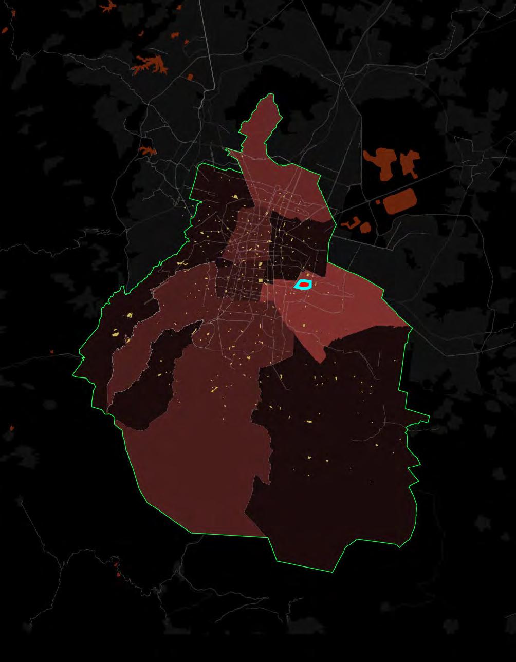
SITE: LA MGDALENA CONTRERAS
Total Population: 239086
Numbers of Tianguis: 3 (NO.14)
Numbers of Public Market: 5 (NO.14)
Each Market services 29886 persons (NO.1) + Public Markets Tianguis T =1000
MARKETS’
NUMBER DELEGACAIN POPULARTION/ MARKET NUMBER
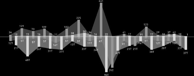
Azcapotzalco Álvaro Obregón Benito Juárez Coyoacán Cuajimalpa de Morelos Cuauhtémoc Gustavo A. Madero Iztacalco Iztapalapa La Magdalena Contreras Miguel Hidalgo Milpa Alta Tlalpan Tláhuac Venustiano Carranza Xochimilco
Step1: Habitate Finding
The proper habitat for this typology is in high density area, majority of residents is low- class people. Moreover, this area lack of basic infrastructure.

Step2: Foundation Piles Drilling
Survey the opens pace in this area, to decide the location of the foundation piles ,according to different distribution of open space.
Step3: Structure System Connection
Depend on different structure of distance, arrange different size of pile to support the structure.
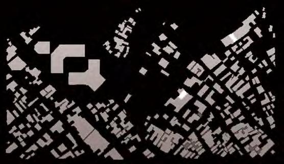


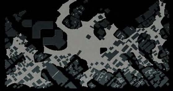


Step4:
New Layer Display
Build the middle Layer to divide the housing users and residents below.
Step5:
Layer Opening Design
Depend on different demand of light ,ventilation and other factors to design the position of the opening on the middle layer.
Step6:
New Building Insert
Insert different type of housings on the middle layer, and design the mixed-use programs in GF.


TYPOLOGY_AXON:
The TREE OF DESIRE

New Buildinging Complex
2F-Top Floor:Housing
GF: Housing Public Service
Middle Layer:Facility
Original Buildings 1F
Original Buildings 2F
Original Buildings 3F
WATER SUPPLY SYSTEM
ELECTRICITY SYSTEM
FACILITY LAYER&PARKING
FACILITY COLUMN
ORIGINAL COMMUNITIES


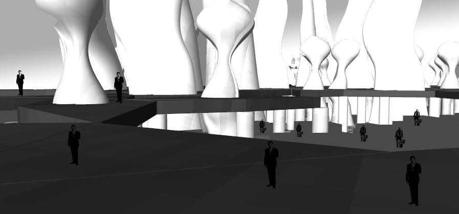


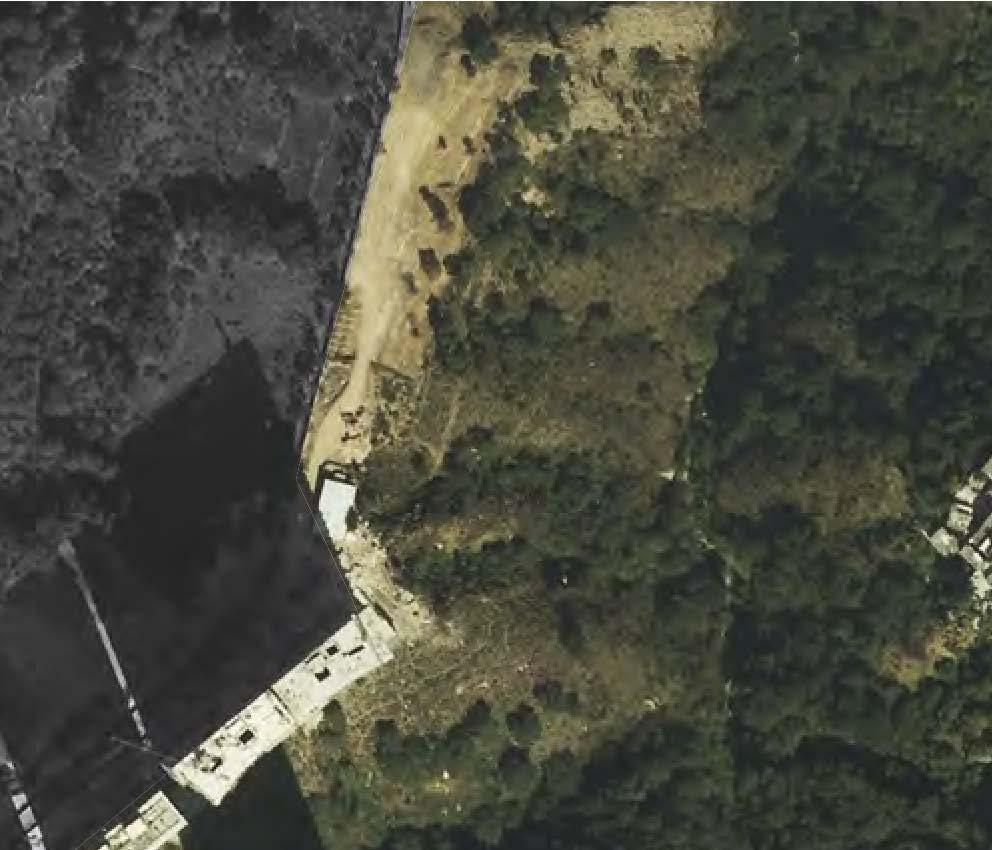


ENCLAVE X
Positioned in a ravine between two socioeconomically disparate enclaves in Mexico City, Enclave X proposes a new model for urban living that reimagines existing social structures. As a third enclave, X automatically challenges the practical nature of the existing bridge connecting the other two and acts as a parasite reinstating their autonomous nature. In doing so, Enclave X proposes a model that fuses a progressive closed-loop resource efficiency of the self-sustaining Regen-village in Europe, with the high rise built typology of Lomas del Chamizal and the social organization of informal settlements in Mexico City.
To appropriately realize the potential of a wholly self-sustaining settlement at multiple scales, Enclave X exists in an alternate world where there is no distinction between live, work and play, a prototype to be replicated in response to the tyranny of current economic disparities imposed to the urban dwellers. The spatial arrangement and qualities of each settlement is constantly evolving – adapting and growing over time in accordance with the user groups’ requirements.
Located in situations with disconnected, disparate enclaves, each settlement is an enclave based on its inhabitants’ (common) interests or idea of “play”, collectively forming a larger city network. Particular contextual opportunities shape the way each hybrid affects the disconnected enclaves. This “city” is designed to facilitate its inhabitants to realize a quantifiable value to their “play” without the use of money. It empowers them to live independently such that the traditional distinctions of live, work and play are now erased.
RE-GEN VILLAGE
SELF SUSTAINING
In a context that might benefit greater from additional types of ‘work’ apart from agricultural based, it would be relevant for

http://ecoinventos.com/ecoaldea-holanda/?utm_content=buffer525d9&utm_medium=social&utm_source=facebook.com&utm_campaign=buffer
BUILDING THE WORLD

mexico city as a network of communities


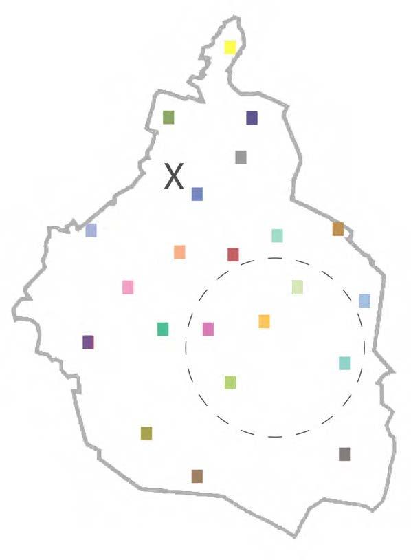


exchange of contributions


a community as a composition of city wide contributions (from each “play”)


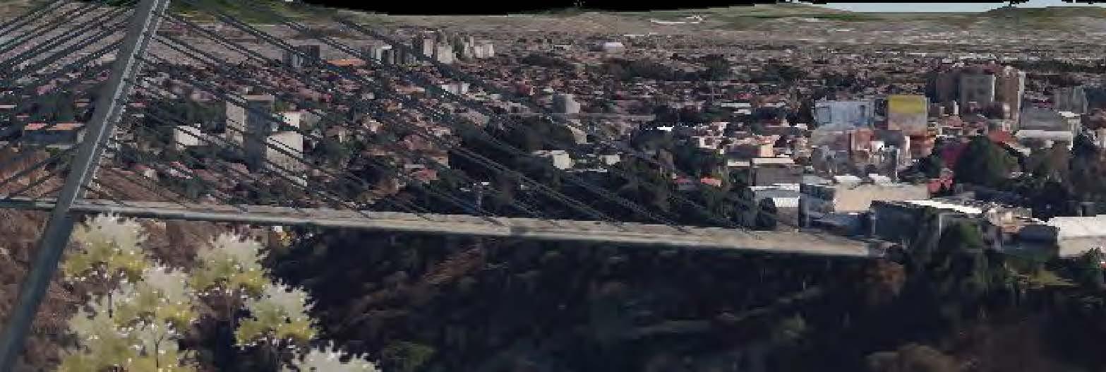





X makes use of the existing

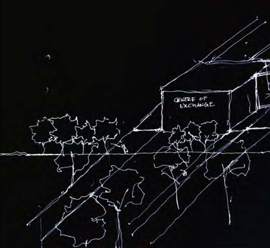

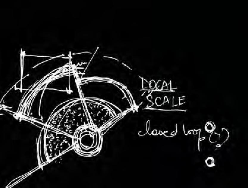


AREAS OF EXCHANGE
GREEN SPACE & SERVICES
COMMUNITY PRIMARY EDUCATION
NEUTRAL PLAY SPACES (FOR SKILL SETS REQUIRING TRAVELLING BETWEEN
ENCLAVES) PROGRAMMATIC & SPATIAL IDEAS
LOMAS DEL CHAMIZAL
EDGE CONDITION

wealthy low-income ravine

X does not aim to be an exclusive community and is open to all

FUTURE EXPANSION (LIMITED TO 200 INHABITANTS) publicly accessible
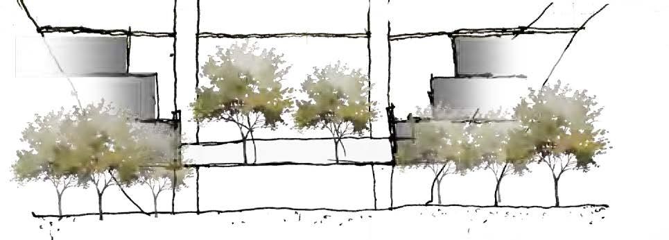


CENTER OF EXCHANGE




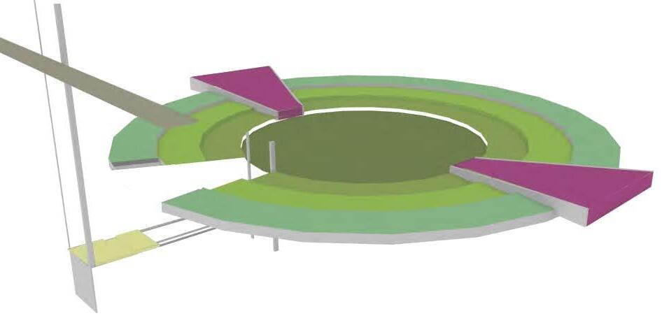
ORGANIZATION OF CORES & FUNCTIONS
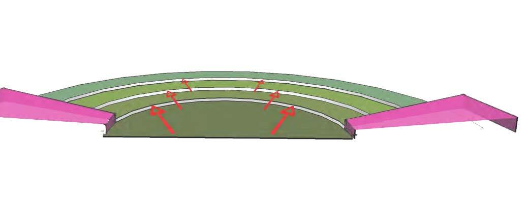


fixed service core
16+ units of user defined sizes.
Depending on space usage, horizontal expansion is also possible




+8.0-10.0 M CENTRAL
+8.0-10.0 M




Single volume has been split into two skylights & other openings can be defined by the user


organic farming

http://www.biodiversita. info/organic-farmingfuture/


http://ryallporter.com/orient-artist-studio/
single volume studio spaces


ground level
primary school



https://commons.wikimedia.org/wiki/ File:Our_pre-July_4th_picnic_NOLA.jpg

https://www.google.com/search?q =outdoor+learning&rlz=1C1CHJW_
https://www.google. com/search?q=outdoor+ learning&rlz=1C1CHJW_

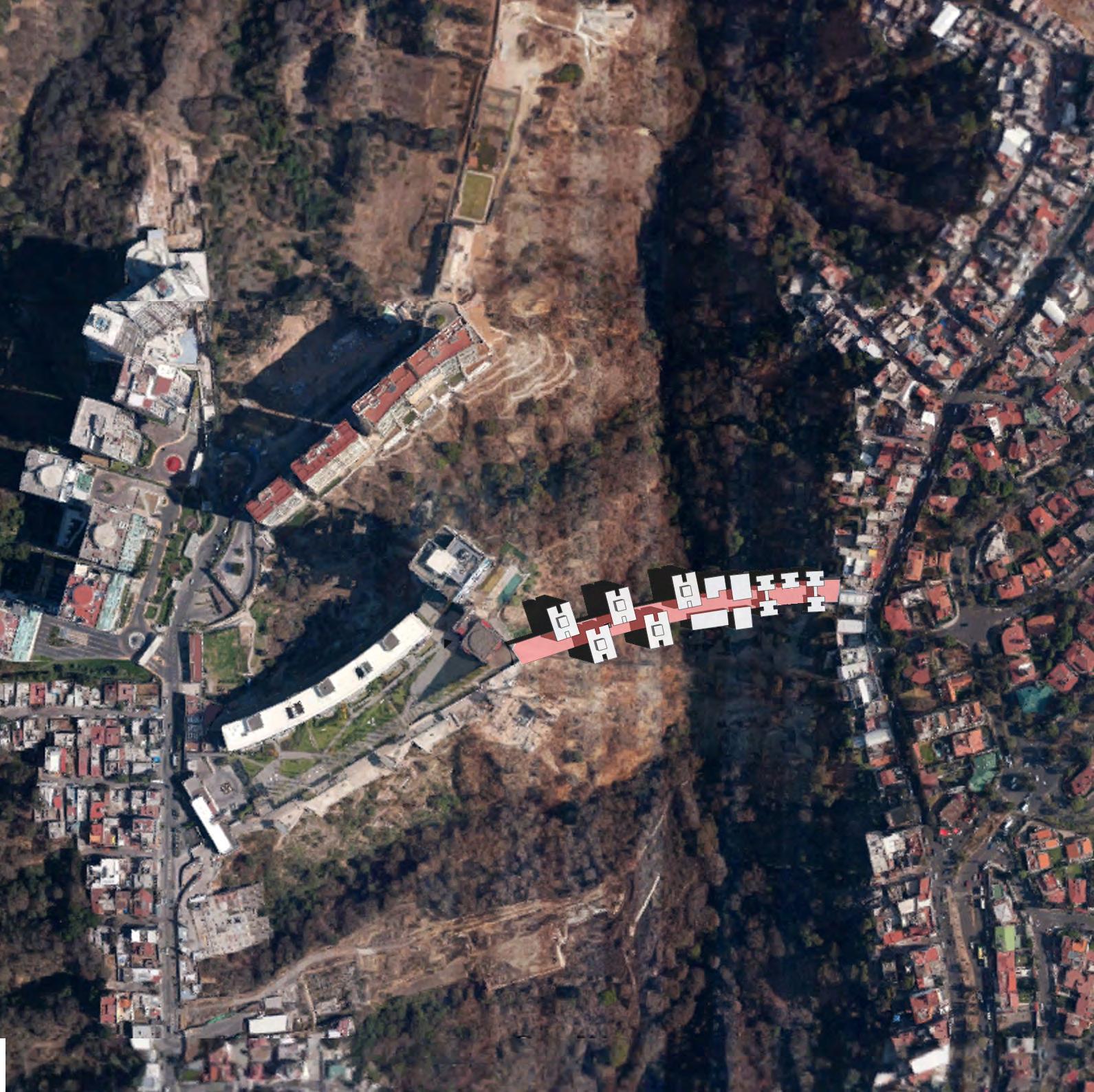

“BRIDGE” THE GAP
community as a bridge
Mexico City has a huge gap between the rich and poor. While in the site, Lomas de Sante Fe, it is more obvious through the division of two side by the ravine. The deep ravine forms a nature visible boundary, also, it becomes an invisible boundary which blocks the two sides, who have quite remarkable disparities in life, without any communication.
The rich, live in the high mountain on the west side, enjoy better environment, nature scenery and exclusive amenities; however on the east side, the poor suffer from pollution, crowded living space and limited infrastructure. Why on earth should the superior residential area be solely occupied by the rich?
Therefore, the subject tries to build a mix community to break the boundary among the two sides. By hybridizing one indigenous case and a foreign case in London, I provide more social housings for the low and middle income group. And I use an urban corridor to connect horizontally the two sides and vertically social housings as the bridges. The bridge is not confined to work as only bridge: they provide amenities and public space for the poor, give priority to the pedestrian transportation which is most used by the poor, and create quick access to the west area.
Would the housing manage to bridge the invisible boundary eventually? Perhaps not. It may just serve for the unprivileged, and even undermine the rich’s interest. So the discrimination and segregation could be much stronger. It is always a question that what the architecture could achieve, and what it could not.
Lomas de Sante Fe, Mexico City

two sides of the valley ...
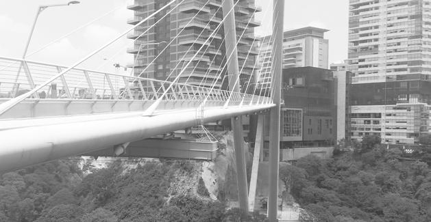

Visible Boundary:

high-income group
BRIDGE INVISIBLE BOUNDARY
income group
Invisible Boundary: The Huge
Disparity


CASE STUDY
Motopia, London
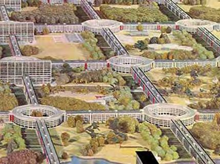
[EFFICIENT CIRCULATION]
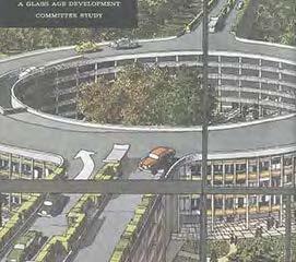
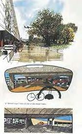
seperation of car and pedestrian
housing as "elevated street"

HOUSING
HOUSING
HOUSING
PUBLIC SPACE block
CASE STUDY
Colonia Doctores, Mexico City


[FLEXIBLE HOUSING TYPOLOGY]


Main


mixed-use
ground floor commercial; upper floor residential
mixed-use
ground floor commercial; upper floor residential vertical circulation entrance apartment
BRIDGE THE GAP
[efficient circulation system]
+ =
[flexible space combination]
[bridging community]
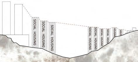
vertically, offering more social housing for middle and low income group
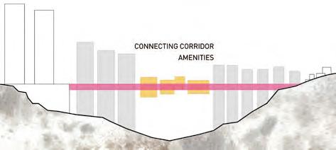
horizontally, offering flexible public space to create connection and civic activities

the scale changes smoothly to fit different buildings on two sides

UPPER: social housing
MIDDLE: circulation & amenities
LOWER: social housing
TYPOLOGY
[VARIOUS SPACE COMBINATION]
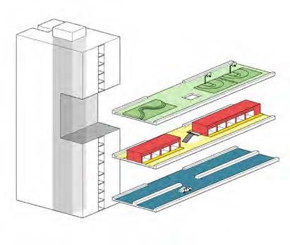


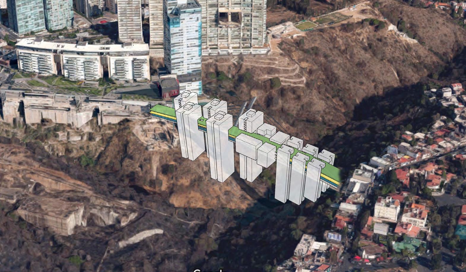

BIOGRAPHIES


BIOGRAPHIES
Adam Abou-aleiwi holds a bachelor of architecture degree from the Lebanese University. Adam has worked on a multitude of high-end residential housing throughout his practice in Beirut, Lebanon. Currently he’s pursuing a postprofessional degree in urban design at the University of Michigan with a focus on exploring created and transformed space as new possibilities for alternate lifestyles.
Vandhana Balachandran holds a Bachelor of Architecture Degree from Measi Academy of Architecture, India. Her interests focus on the dynamics between people and architecture, and how this influences the creation of optimal urban spaces. Post graduation she plans to work on projects that embrace the exchange between users and space.
Chiao-Chun, Chung holds a bachelor of Architecture Degree from Tunghai University in Taiwan. His work considers the role of architecture and urban design devising strategies that address social issues derived from fast paced urbanization. After practicing as an architect in his home country for a few years, upon graduating from UM he plans to engage on actionable projects related to the study of city phenomena globally.
Erika Linenfelser holds a BA in urban studies and design from Hampshire College in Massachusetts before making her journey to the Midwest where is also currently pursuing a Masters in Urban Planning from U of M. Her long history working with community organizations grounds her design interests in reimagining communities into more creative, just, and healing places to live.
Prashanth C Raju holds a degree in Architecture from MEASI Academy of Architecture, India. He is currently pursuing a dual degree in Urban Planning and Design at the University of Michigan. In his work, he is interested in addressing the relationship between the built and natural environments, and the various negotiations and interactions between them.
Ashrita Shetty holds a Bachelor of Architecture from Bangalore, India. Always intent on exploring the psychological, social and environmental implications that the design of the built environment can shape, she is particularly interested in working on public and community scale interventions.
Jun Sun is a graduate of Qingdao University of Technology with a Degree in Engineering. She is interested in designing spaces with an emphasis on solutions to people’s needs to improve their living conditions. Her other interests will include interweaving nature into her urban designs.
Gayatri Tawari has a background in Architecture and Construction Management in her undergraduate degree at Illinois Institute of Technology, Chicago. She is interested in exploring how architecture and urban design can be used to affect quantifiable effect on everyday life and work towards creating cityscapes that foster innovation.
Srinidhi Venugopal holds a degree in architecture from the Hindustan University, India, and she is currently pursuing a dual degree in Urban Planning and Design at the University of Michigan. Her love for her roots and the desire to give back to her community informs her focus on the study of distressed environments and their transformation into productive sites in developing countries.
Yurong Xiao holds a degree in Urban Planning from Sun Yat-sen University in China. She is interested in the socioeconomic aspects of urbanism, and her work addresses issues of inequality among urban dwellers. After completing her degree in Urban Design, she plans to stay in Chicago to work as a designer engaged in the transformation of metropolitan regions in the U.S.
Yitong Yao holds a Bachelor of Architecture Degree from South China University of Technology. She is interested in exploring the ever-changing relationship between architecture and the larger urban context, especially as it pertains to the integration of new built interventions in the historical city.
Ziwei YE holds a Bachelor of Engineering in Urban Planning from Xiamen University in China. Interested in coordinating the relationship between the “old” and the “new”, as well as the relationships among cultural heritage, historical continuity and socio-economic development in the transformation of the urban condition.
Xu Zhang holds a Bachelor of Architecture Degree from Illinois Institute of Technology, and currently studies in Master of Urban Design in University of Michigan. She is interested in human-scale design and its role in advancing better urban living conditions, globally.
Pedro Duhart holds the bachelor Degree of Architecture by the School of Architecture of the Universiad de Celaya. After working a few years, he currently focuses on trying to understand which and how deep are the relationships between the architecture of public space and the life styles they create for their surrounding users pushing his academic approach as much as he can to real social world issues.
