ATTRAVERSO IL MASSICCIO.
TERRITORIO, PAESAGGIO E ARCHITETTURA IN ALTA VALLE SERIANA, DALLA RICERCA ALLA MOSTRA
ACROSS THE MASSIF.
TERRITORY, LANDSCAPE, AND ARCHITECTURE IN THE UPPER SERIANA VALLEY, FROM RESEARCH TO EXHIBITION
Marco Bovati
ATTRAVERSO IL MASSICCIO.
TERRITORIO, PAESAGGIO E ARCHITETTURA IN ALTA VALLE SERIANA, DALLA RICERCA ALLA MOSTRA
ACROSS THE MASSIF.
TERRITORY, LANDSCAPE, AND ARCHITECTURE IN THE UPPER SERIANA VALLEY, FROM RESEARCH TO EXHIBITION
Marco Bovati
LA FOTOGRAFIA COME PRATICA PER LA DESCRIZIONE DEL PAESAGGIO
PHOTOGRAPHY AS A PRACTICE FOR DESCRIBING THE LANDSCAPE
Andrea Oldani
VISIONI DI MASSICCIO
VISIONS OF THE MASSIF
Fulvio Adobati, Renato Ferlinghetti, Sara Invernizzi
RETI TESSUTI MANUFATTI: MORFOLOGIE DELLA RETICOLARITÀ
NETWORKS FABRICS ARTIFACTS: MORPHOLOGIES OF RETICULARITY
Marco Bovati
FORME DELLA TRADIZIONE E CONTEMPORANEITÀ: SPERIMENTAZIONI PROGETTUALI SULL’ARCHITETTURA MONTANA FORMS OF TRADITION AND CONTEMPORANEITY: DESIGN EXPERIMENTATIONS IN MOUNTAIN ARCHITECTURE
Kevin Santus
IL CONTRATTO D’ABITARE E LA CYBERCARTOGRAPHY THE “CONTRATTO D’ABITARE” AND CYBERCARTOGRAPHY
Emanuela Casti, Emanuele Comi, Mario Paris
Parte 02
IL SIGNIFICATO DEI LUOGHI: LA COLONIA ALPINA
DALMINE COME CASO DI STUDIO
THE SIGNIFICANCE OF THE PLACES: THE DALMINE ALPINE COLONY AS A CASE STUDY
Giulio Mirabella Roberti, Monica Resmini, Stefan Vieths
TRE AZIONI DI PROGETTO PER UNA RETICOLARITÀ
DELLA VALLE SERIANA
THREE DESIGN ACTIONS FOR A RETICULAR VISION OF THE SERIANA VALLEY
Gerardo Semprebon
NUOVE FORME DI PRODUZIONE: PROGETTO PER IL
RECUPERO DELLA CAVA DI SELVINO.
UN ESPERIMENTO DI UPCYCLING
NEW FORMS OF PRODUCTION: DESIGN PROPOSAL FOR THE REUSE OF THE SELVINO QUARRY. AN UPCYCLING EXPERIMENT
Ilaria Valente
LA PIANA DI CLUSONE, APPROCCI METODOLOGICI
AL PROGETTO E STRATEGIE DI SISTEMA
THE CLUSONE PLATEAU. METHODOLOGICAL
APPROACHES TO DESIGN AND SYSTEMIC STRATEGIES
Alisia Tognon
VOCI DI MASSICCIO: LA COSTRUZIONE DI UNA MOSTRA
VOICES OF MASSIF: AN EXHIBITION SET UP
Silvia di Mauro, Kevin Santus
Voci
paesaggio e architettura in alta
Marco Bovati, Politecnico di Milano
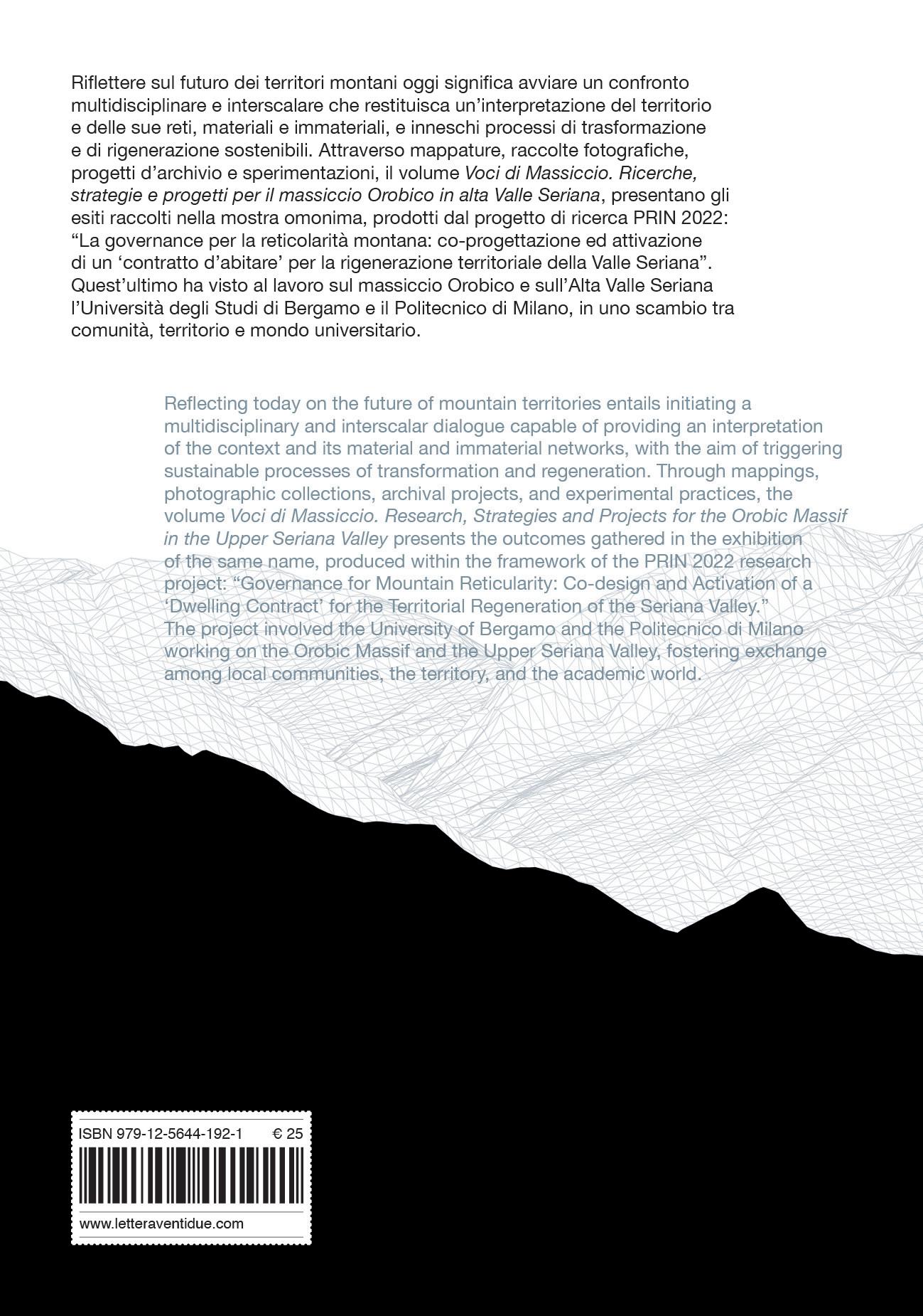
Riflettere sul futuro dei territori montani oggi significa avviare un confronto multidisciplinare e interscalare capace di restituire un’interpretazione del contesto e delle sue reti, materiali e immateriali, nella prospettiva di innescare processi di trasformazione e di rigenerazione sostenibili.
I territori indagati nell’ambito della ricerca PRIN “La governance per la reticolarità montana: co-progettazione ed attivazione di un ‘contratto d’abitare’ per la rigenerazione territoriale della Valle Seriana”, che ha visto operare sul massiccio Orobico e sull’Alta Valle Seriana l’Università degli Studi di Bergamo e il Politecnico di Milano1 presentano un elevato livello di complessità, frutto dell’intreccio stratificato e reciprocamente interagente tra componenti geomorfologiche, ambientali, paesaggistiche, storiche, socioeconomiche e insediative.
Nella prospettiva determinata dagli obiettivi della ricerca2, tale complessità è stata affrontata secondo un approccio conoscitivo e interpretativo, finalizzato alla messa a punto di strumenti operativi e di scenari progettuali, in grado di svolgere un duplice ruolo: da un lato, la verifica delle ipotesi formulate e, dall’altro, la simulazione delle dinamiche trasformative all’interno di un contesto dinamico e multifattoriale. Il lavoro sul territorio montano, palinsesto di processi lenti e cumulativi di formazione naturale e antropica nel quale tracce materiali e immateriali testimoniano una lunga storia di adattamenti, trasformazioni e crisi, risulta ancor più complesso alla luce dell’emergere di interpretazioni fortemente divergenti e spesso contraddittorie del tema. Visioni conservatrici e nostalgiche, orientate alla tutela di tradizioni ritenute in declino, si contrappongono a modelli di tipo consumista che insistono nel riprodurre logiche di sfruttamento turistico, nonostante le evidenti crisi ambientali ed economiche. Accanto ad esse emergono tensioni verso un ritorno più radicale dell’arcaico che, come ampiamente discusso3, si configurano come impliciti, ma riconoscibili, fenomeni di colonizzazione
culturale nuovamente fondati su una visione urbanocentrica del territorio montano.
È a partire da questo quadro interpretativo che la ricerca ha provato a porsi secondo un punto di vista altro, capace di guardare al futuro senza disconnettersi dal passato e teso a ricercare un modello per la montagna, in grado di porsi criticamente nei confronti delle visioni citate in precedenza4. Questo approccio ha prodotto un’attitudine metodologica che, nelle chiavi interpretative individuate e negli strumenti impiegati, ha perseguito finalità conoscitive e operative, orientate a costruire un quadro di azioni finalizzate ad indagare i contenuti complessi del territorio e a prefigurarne le possibili trasformazioni. Tale interpretazione operativa dei territori oggetto della ricerca, secondo una lettura che ne ha evidenziato l’appartenenza all’idea di massiccio, e la messa in luce della reticolarità delle relazioni spaziali, economiche e sociali in essi presenti, si è combinata con un approccio interscalare e multidisciplinare, volto a coglierne le dinamiche strutturali e trasformative.
Inoltre, la proiezione trasformativa dell’intero percorso di ricerca ha messo al centro il ruolo strategico del progetto, soprattutto di fronte alla complessità dei temi emersi. Oltre agli esiti formali, esso ha inteso assumere implicazioni conoscitive, politiche e operative, offrendosi come campo di mediazione tra le dimensioni spaziali e sociali, al fine di tradurre fragilità, istanze sociali e risorse latenti in strategie di rigenerazione sostenibile. Ciò, in accordo con una visione secondo cui il carattere sperimentale della proiezione strategica, proprio del progetto architettonico e urbano, contribuisce a renderlo un efficace terreno di verifica di ipotesi interpretative e di metodologie di ricerca, configurandolo come strumento per orientare la transizione futura senza semplificare la complessità dei processi e del campo di indagine.
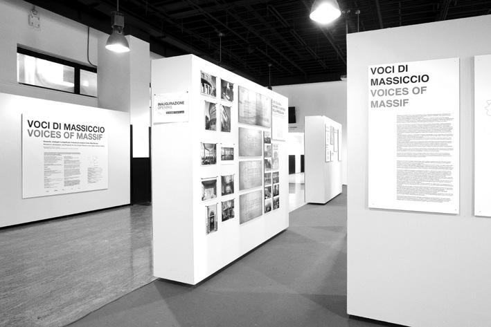
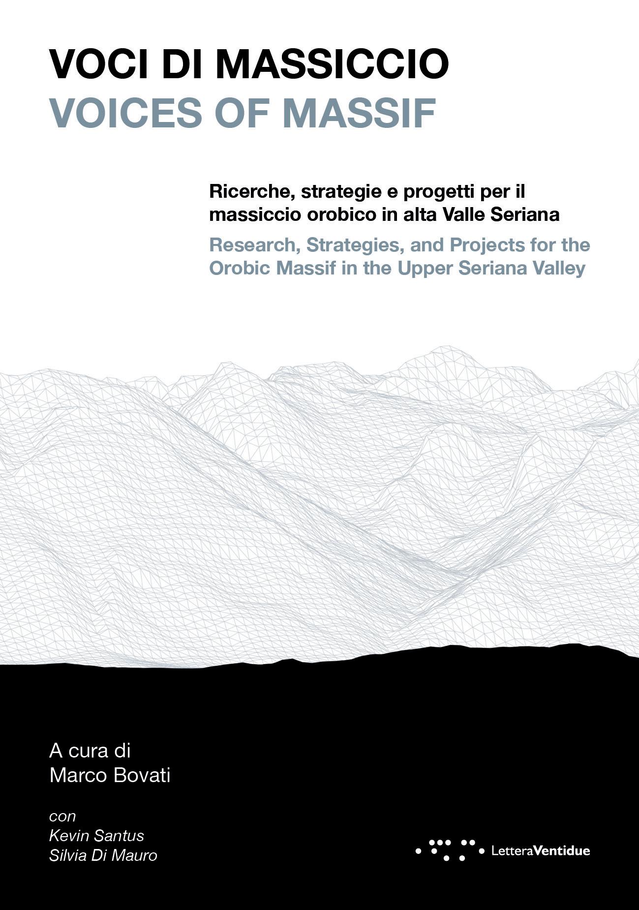
L’insieme di queste considerazioni è confluito nella realizzazione della mostra Voci di Massiccio. Ricerche, strategie e progetti per il massiccio Orobico in alta Valle Seriana, la quale ha presentato gli esiti del progetto di ricerca PRIN 2022, configurandosi come suo momento conclusivo.
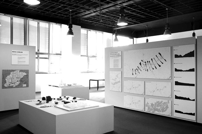
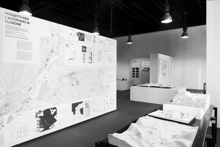
Curata dall’unità di ricerca del Politecnico di Milano, l’esposizione si è articolata in diverse sezioni tematiche, fortemente connesse tra loro –tra cui una raccolta fotografica, un’indagine cartografica e archivistica e una serie di sperimentazioni progettuali – che sono confluite nella costruzione di una narrazione trasversale. Ne è scaturito un ritratto complesso di una porzione significativa del paesaggio orobico, che ne ha evidenziato la trasformazione storica da luogo della produzione a territorio fragile, afflitto da fenomeni di abbandono, ma al contempo
Reflecting today on the future of mountain territories entails initiating a multidisciplinary and interscalar dialogue capable of providing an interpretation of the context and its material and immaterial networks, with the aim of triggering sustainable processes of transformation and regeneration.
The territories investigated within the PRIN research project “Governance for mountain reticularity: co-design and activation of a ‘housing contract’ for the territorial regeneration of the Seriana Valley”, conducted by the University of Bergamo and the Politecnico di Milano1 on the Orobic massif and the Upper Seriana Valley, are characterised by a high degree of complexity. This complexity results from the stratified, mutually interacting, and intertwining geomorphological, environmental, landscape, historical, socio-economic, and settlement-related components.
From the perspective defined by the research objectives2 (outlined in the final volume), this complexity was addressed through a cognitive and interpretative approach aimed at developing operational tools and design scenarios capable of fulfilling a dual role: on the one hand, verifying the hypotheses formulated; on the other, simulating transformative dynamics within a dynamic and multifactorial context.
Work on mountain territories—understood as a palimpsest of slow and cumulative processes of natural and anthropogenic formation, in which material and immaterial traces testify to a long history of adaptations, transformations, and crises—appears even more complex in light of the emergence of strongly divergent and often contradictory interpretations of the theme. Conservative and nostalgic visions, oriented toward safeguarding traditions perceived as declining, are opposed by consumerist models that insist on reproducing logics of tourist exploitation, despite evident environmental and economic crises. Alongside these, tensions emerge toward a more radical return to the archaic, which, as widely discussed3, can be understood as implicit yet recognisable forms of cultural colation, once again grounded in a city-centred vision of mountain territories.
It is from this interpretative framework that the research sought to position itself from an alternative standpoint, capable of looking toward the future without severing ties with the past and aimed at identifying a model for mountain territories that critically engages with the aforementioned visions4. This approach produced a methodological attitude that, through the interpretative keys identified and the tools employed, pursued both cognitive and operational objectives, aiming to construct a framework of actions to investigate the complex contents of the territory and prefigure its possible transformations.
This operational interpretation of the territories under study—highlighting their belonging to the idea of a massif and bringing to light the reticular nature of the spatial, economic, and social relations present—was combined with an interscalar and multidisciplinary approach aimed at grasping their structural and transformative dynamics.
Moreover, the transformative projection of the entire research process placed the strategic role of design at its core, particularly in relation to the complexity of the themes that emerged. Beyond formal outcomes, design was understood to entail cognitive, political, and operational implications, serving as a field of mediation between spatial and social dimensions to translate fragilities, social demands, and latent resources into strategies for sustainable regeneration. This aligns with a vision in which the experimental character of strategic projection—intrinsic to architectural and urban design—makes it an effective terrain for testing interpretative hypotheses and research methodologies, configuring it as a tool for guiding future transitions without simplifying the complexity of processes and fields of inquiry.
These considerations culminated in the exhibition Voci di Massiccio.
Ricerche, strategie e progetti per il massiccio Orobico in alta Valle Seriana, which presented the outcomes of the PRIN 2022 research project and served as its concluding moment.
Curated by the Politecnico di Milano research unit, the exhibition was structured into several strongly interconnected thematic sections— including a photographic collection, a cartographic and archival investigation, and a series of design experiments— that converged to construct a transversal narrative. The result was a complex portrait of a significant portion of the Orobic landscape, highlighting its historical transformation from a place of production into a fragile territory affected by abandonment, yet at the same time rich in potential and open to a new cultural interpretation oriented toward the definition and promotion of conscious transformative actions.
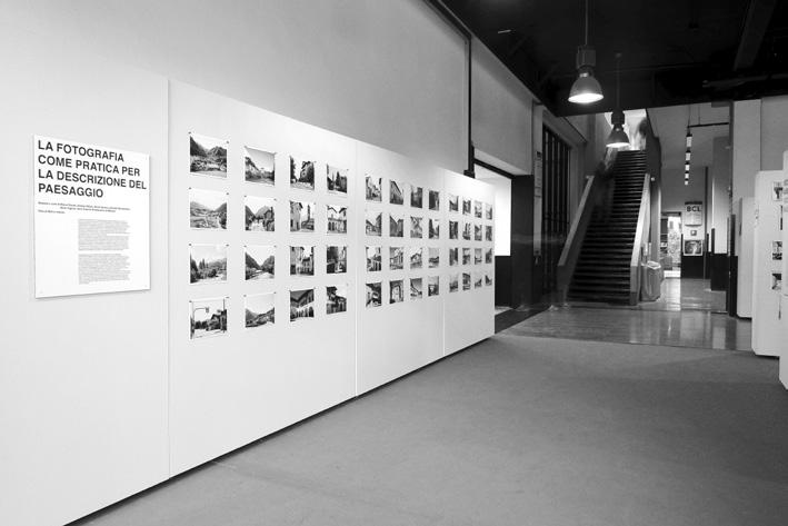
An attempt was made to combine historical-critical observations, morphological investigations, and photographic campaigns in order to construct a form of knowledge that was rich yet not fragmented, coherent yet not univocal, open to multiple readings and hierarchizations. This materialised in a network of interconnections among different forms of knowledge and multiple modes of representation. The reticular nature of the knowledge produced—consistent with the recognition of the reticular nature of the Orobic massif under investigation—guided the structuring of the exhibition toward a condition of spatially organised hypertext, enabling visitors to construct autonomous itineraries and to interpret the research outcomes through a multiplicity of approaches and interpretative keys. Although the exhibition path did not prescribe a rigid sequence of visit, it opened with the section devoted to the photographic interpretation of the landscape, here understood as an instrument for slow and in-depth knowledge of the territory: a non-linear visual traversal that, by linking valley floors, passes, and ridgelines, sought to narrate the Orobic massif in its physical and spatial density and its constitutive complexity. This section demonstrated how, in recent years, photography has become a central tool in landscape research, evolving toward the status of a structured critical practice. The recent advent of post-photography— triggered by the digital revolution and further radicalised by artificial intelligence—renders the authorial work of Marco Introini an act of resistance and an affirmation of the centrality of the human, critical, and selective gaze in interpreting research contexts. The outcomes of the photographic investigation highlighted relationships, discontinuities,
Interpretare la reticolarità tra architettura e territorio
La sezione Interpretare la reticolarità tra architettura e territorio riunisce contributi che indagano le connessioni tra spazio costruito e territorio Orobico. Attraverso la fotografia, la progettazione, la geografia e la rappresentazione digitale, gli autori propongono letture che rivelano la trama di relazioni, materiali e simboliche, che definisce il territorio montano contemporaneo.
The section Interpreting the Reticularity between Architecture and Territory brings together contributions exploring the connections between built space and Orobic landscape. Through photography, design, geography, and digital representation, the authors offer readings that reveal the material and symbolic networks shaping the contemporary mountain territory.
Andrea Oldani, Politecnico di Milano
Ricorrere alla fotografia nelle ricerche sul paesaggio è, col tempo, diventato una pratica diffusa e costante. Questo risultato corrisponde a una lunga linea di evoluzione che ha visto i primi esperimenti pionieristici di documentazione del paesaggio trasformarsi inizialmente in un genere e poi, ribaltandone i canoni e le modalità, assumere i connotati di una vera e propria pratica strutturata di documentazione e di critica del reale. Ciò ha permesso di distanziare la fotografia di paesaggio dagli altri generi, mutando l’idea di invenzione e il concetto di creazione artistica, indirizzandoli verso l’intenzione critica, il processo e la strutturazione della narrazione, dando origine a progetti che hanno sostenuto le campagne fotografiche e il lavoro degli autori.
Guardando all’Italia, il pionieristico lavoro di Giuseppe Pagano e Guarniero Daniel del 1936 getta un ponte tra architettura e paesaggio e offre, in modo sistematico, un ritratto del paesaggio rurale dei primi decenni del XX secolo. Si attua così un progressivo distacco tra un approccio iconografico, come quello elegantissimo degli Alinari, per muovere verso un uso sperimentale a supporto della fotografia, con differenti ambizioni artistiche, e un progetto teso a restituire il valore di un’esperienza e di un’ipotesi interpretativa critica raccontata attraverso la fotografia.
Spostando lo sguardo verso l’Europa, osserviamo come la fotografia di paesaggio diventi oggetto di interesse per le istituzioni, che ne diventano committenti e finanziatori di campagne strutturate. Torniamo così agli albori della fotografia, in Francia, con la Mission héliographique del 1851, a cui si associa idealmente la grande Mission photographique de la DATAR (Délégation à l’aménagement du territoire et à l’action régionale), svolta tra il 1984 e il 1988, con l’intento di rappresentare il territorio francese in trasformazione.
Estendendo ulteriormente l’osservazione, la mostra New Topographics – Photographs of a Man-altered Landscape del 1975 segnala un’ambizione altrettanto profonda. I fotografi, presentandosi in una rinnovata veste
La fotografia come pratica per la descrizione del paesaggio
Over time, the use of photography in landscape research has become a widespread and established practice. This development is the result of a long evolutionary process, beginning with the earliest pioneering experiments in landscape documentation, evolving into a genre, and then overturning its conventions and modes of operation to take on the characteristics of a fully structured practice of documentation and critical engagement with reality. This process distanced landscape photography from other genres, transforming the concepts of invention and artistic creation, and redirecting them towards critical intent, process and narrative structure. This shift gave rise to projects that supported photographic campaigns and sustained the work of individual authors.
In the Italian context, the pioneering work of Giuseppe Pagano and Guarniero Daniel in 1936 establishes a connection between architecture and landscape, offering a systematic portrayal of the rural landscape of the early twentieth century. This marks a gradual departure from an iconographic approach, such as the refined and elegant work of Alinari, towards an experimental use of photography that supports different artistic ambitions and a project aimed at conveying the value of experience and critical interpretation articulated through photography. Turning our gaze to Europe, it is possible to observe how landscape photography became the focus of interest for institutions that took on the roles of commissioners and funders of organised photographic campaigns. This phenomenon can be traced back to the early days of photography in France, specifically the Mission héliographique of 1851. Ideologically linked to this initiative is the major Mission photographique de la DATAR (Délégation à l’Aménagement du Territoire et à l’Action Régionale), which took place between 1984 and 1988, aimed to capture images of French territory undergoing transformation.
Taking a broader perspective, the exhibition New Topographics: Photographs of a Man-Altered Landscape (1975), signals an equally profound ambition. By presenting themselves in a renewed social role as bearers of a vision of the world, photographers articulate an increasing density of themes centred on the concept of landscape. Photography definitively ceases to be a representation of the sublime, instead becoming a sometimes unsparing account of our relationship with the environment and the cultural, social, economic and anthropological issues with which it is deeply implicated. Similarly, Viaggio in Italia (1984), curated by Luigi Ghirri, established a comparable approach to observing the landscape and marked the emergence of a group of photographers committed to intellectual engagement. Through the distinctiveness of their perspective, they established a specific vision for their contribution to an informed, interdisciplinary approach to landscape narration.
This process confirmed authorial photography as a primary means of documenting and narrating landscapes, and initiated a tradition in which these masters were joined by pupils, innovators, and new authors. While these
contemporary photographers approach the landscape in diverse ways, they are united by a common goal: to combine meticulous attention to the photographic image with critical content, while reaffirming the photographer’s indispensable role as an intellectual capable of observing, contextualising, selecting and structuring the image, and presenting it as material open to multiple interpretations by the final viewer.
This approach also encompasses the decision to use an authorial photographic contribution for the PRIN research, the results of which are displayed in the exhibition and presented in this catalogue. There is, however, a second reason for this involvement. It is rooted in the present. It is also reflective of the future. Photography is a constantly transforming medium, marked by significant interactions between technique, language and content. The relatively linear progression of its development encountered a radical shift with the advent of digital imagery and photo-editing software. The means of capturing light and producing images have not only changed, becoming numerical, but the resulting product is also easily altered and manipulated, rendering photography highly optional. With the arrival of digital technology, the process that once produced a credible document became uncertain, and photography lost its authority as evidence. At the same time, however, photography has become increasingly accessible, assuming the character of a consumer product and achieving an unprecedented level of dissemination through the Web.
Thus, post-photography emerged through uncontrolled circulation and manipulation. It is no longer photography itself, but rather its evolution, which has become even more complex with the advent of artificial intelligence. In its hyper-diffusion, artificial intelligence poses the ‘synthetic eye’ against the ‘real’ eye of the photographer. The manipulation of numerical data and the falsification of images that resemble reality have been surpassed by generative data interpolation and the creation of images that bear no relation to reality. This situation requires a profound re-evaluation of the assumptions underlying the use of photography, including the field of landscape research, and opens the way to a radically renewed understanding of its ontological status.
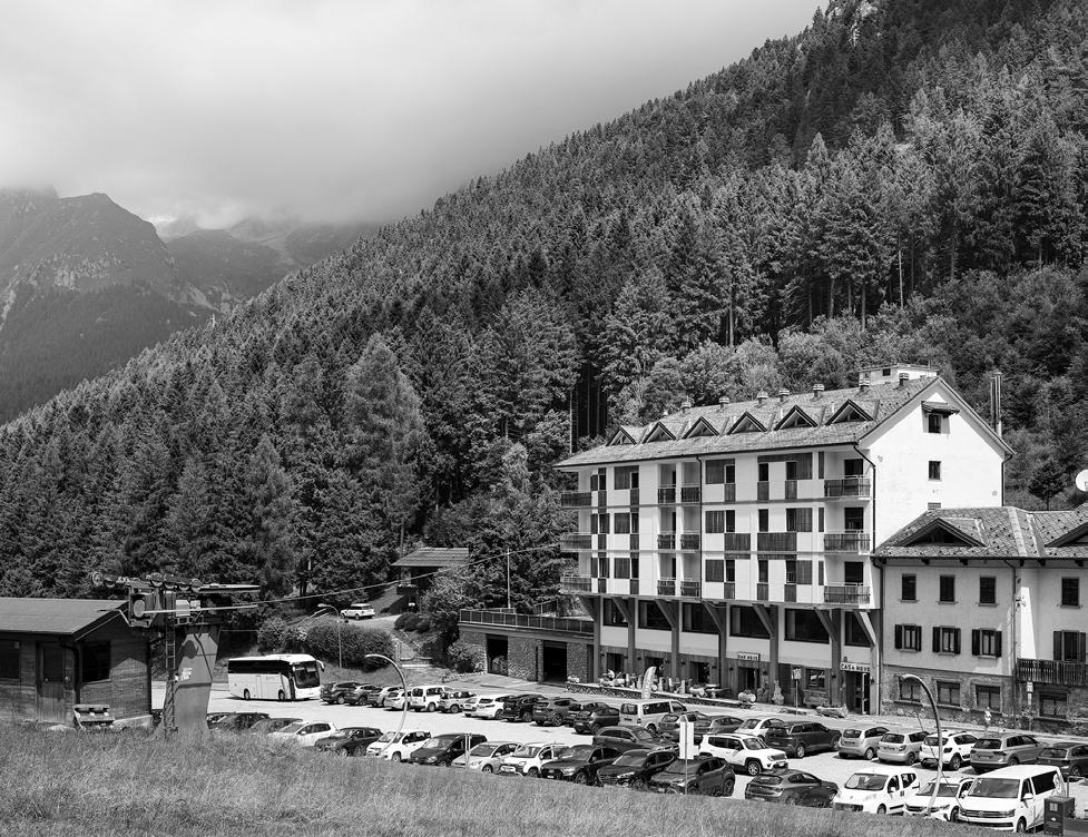
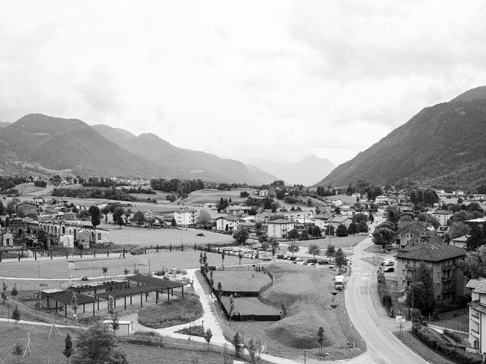
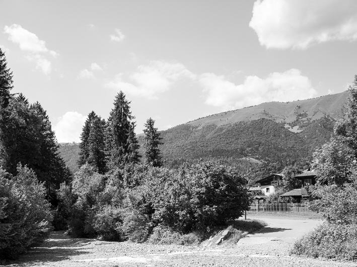
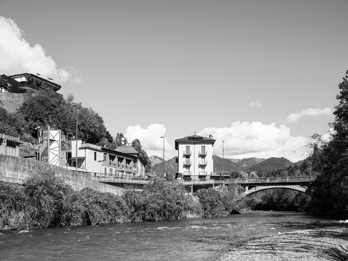
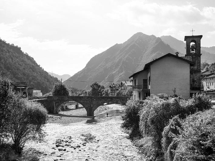
In this context, the decision to employ photography, through the authorial contribution of Marco Introini, becomes an act of resistance, intended to reaffirm the value and uniqueness of the medium. Behind each image, one perceives the physical consistency of the territorial transect, unfolding between the Presolana Pass and the Zambla Pass, crossing the intermediate areas of Val del Riso and the Clusone Plateau, and passing through the municipalities of Ponte Nossa and Parre, located in the lower part of the valley. The images constitute the visible outcome of an exercise of observation and represent the synthesis of the footsteps taken and thoughts developed by the photographer. The sketches, presented alongside the photographic images, offer the clearest evidence of a distinctly human intelligence that critically engages with reality and provides a transcription of it that, through an intimate, creative relationship, brings together graphic and photographic media.
Interpretare la reticolarità
Interpretare la reticolarità tra architettura e territorio
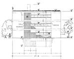
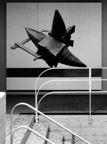
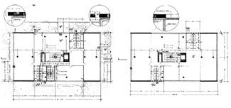
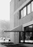
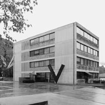
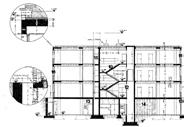

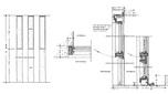
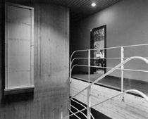
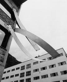
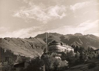
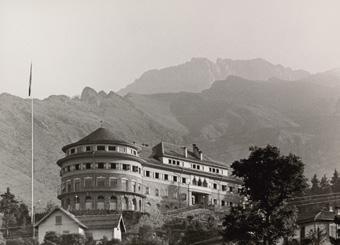
01. Veduta della colonia con lo sfondo della Presolana.
(Anni ’30, © Fondazione Dalmine).
View of the holiday camp from the village with the Presolana mountain on the background (years 1930s).
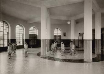
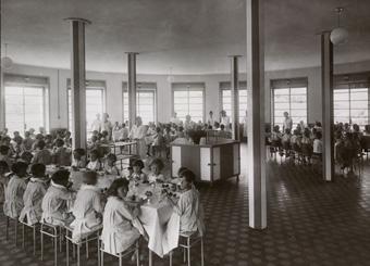
02-03. La palestra e il refettorio. (Anni ’30, © Fondazione Dalmine).
The gym and the dining hall.
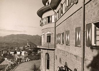
04. Facciata principale, dettaglio. (Anni ’30, © Fondazione Dalmine.
Detail of the front view.
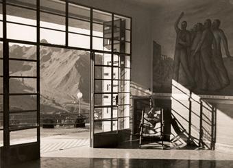
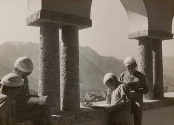
05-06. Atrio d’ingresso e loggia al secondo piano. (Anni ’30, © Fondazione Dalmine). Entrance hall and loggia on the second floor.
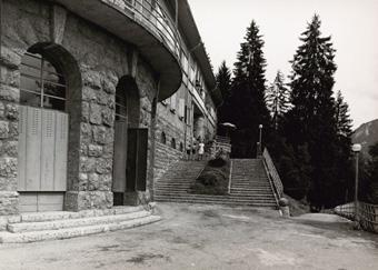
07. Lo scalone di accesso all’ingresso principale.
(Anni ’30, © Fondazione Dalmine).
The staircase to the main entrance.
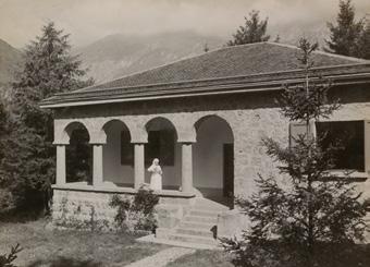
08-09. Veduta della Colonia e del padiglione di isolamento.
(Anni ’30, © Fondazione Dalmine).
View of the Colony and the quarantine pavilion.