Madrid / Gothenburg
Barcelona / Edinburgh
Iciar de Águeda Martín

Madrid / Gothenburg
Barcelona / Edinburgh
Iciar de Águeda Martín


an architecture and landscape architecture student’s recopilation of projects investigations, experiencies and learnings...
2018 - 2025 Architecture & Landscape Architecture Student Portfolio
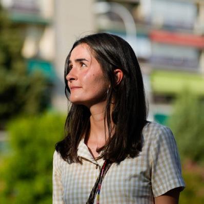
This is me!
Iciar de Águeda Martín
EMiLA student & Architecture graduate UPC, Barcelona /UPM, Madrid, Spain
Seven years ago, I started my academic journey, a journey that now has taken me to the field of landscape architecture, but one that did not begin so directly towards it. Back in Madrid, the city where I have been born and raised, I started my studies in architecture. Once I finished my degree, I was feeling architecture was not only about building or construction, but that there was much more involved in any project. I understood architecture as a trans-disciplinary practice combined with many other disciplines such as urbanism, social studies, heritage... and of course landscape. This holistic vision of the design and planning of spaces in different scales, contexts and with human or more than human agents was my turning point into landscape architecture. There is still a lot to learn in this journey, although in this portfolio I present a brief compilation of some of my projects, research, experiences and learnings to date...
Universitat Politècnica de Catalunya European Master in Landscape Architecture
Universidad Politécnica de Madrid
Bachelor of Science in Foundation of Architecture
20242026 2024
Chalmers University of Technology Exhange Year: Erasmus Program
20182024
Colegio Fuhem Montserrat Secondary School, field of sciences
Thompson Rivers University (BC, Canada)
English immersion summer studies
20212022
2024 2023 2022 2019
UPC Collaboration Grant
Development of publications for the UPC’s Master’s in Landscape Architecture
Velber Proyectos Técnicos S.L.
Extracurricular Internship at an architecture studio
Mukarna Arquitectura (APPC)
Extracurricular Internship at an architecture studio
La Pasa Gin Bar Waitress and barista
20162018 2016
Open House Madrid
Volunteer guide at some of the most emblematic buildings in Madrid
IFEMA (Fair Institution of Madrid)
Information an public relations hostess (Compagnie Frutière)
iciar.deagueda@gmail.com
+34 629 385 313



Practices on natural mythologies / Rehabilitating abandoned school and other activation actions / Summer 2023

Stonemasonry at Santa María de Rioseco Monastery
Stonemasonry practices and restoration techniques / Restoration of the western door of the monastery / Summer 2023


Bachelor Thesis Work
With honors, Fall 2023
ETSAM-UPM, Madrid, Spain
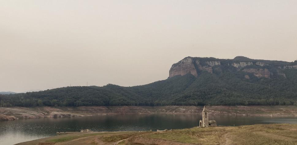
Firstly, I present my very first landscape project, developed in group during my first semester of the master studies in Barcelona. The location of the project takes place in the Natural Reserve of Guilleries-Savassona, in the region of Barcelona and near the town of Vic. The landscape reflects a central great reservoir of water (Pantà de Sau), that was reaching an extremely low percentage of its capacity due to the drought experienced in the last years in Catalonia, built by encapsuling with a dam the flow of the Ter River, framed and contoured by cliffs and mountains in reddish colours, all covered by a very dense vegetation.
Tendencies occurring in the last decades when more and more small settlements linked to the cultivation fields, agricultural and livestock production and the forest management, locally known as masías, have been abandoned as a reflection of the rural exodus to the cities, leaving the land to develop towards the densification of the forest, with the added factor of the extreme drought, have led to an increasing risk of fires throughout the territory.
visibledrought at the Pantá de Saureservoir...
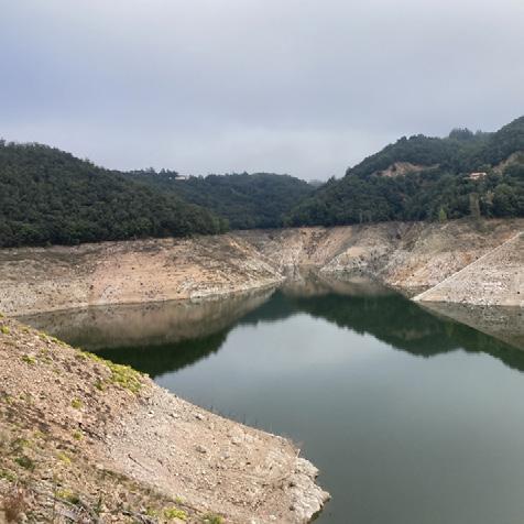

In this context, our project line focuses on diversifying and redistributing the activities and uses that this space can offer, while always being compatible with management, the most sensitive wildlife, and seasonality, with the transversal intention of reactivating the landscape.
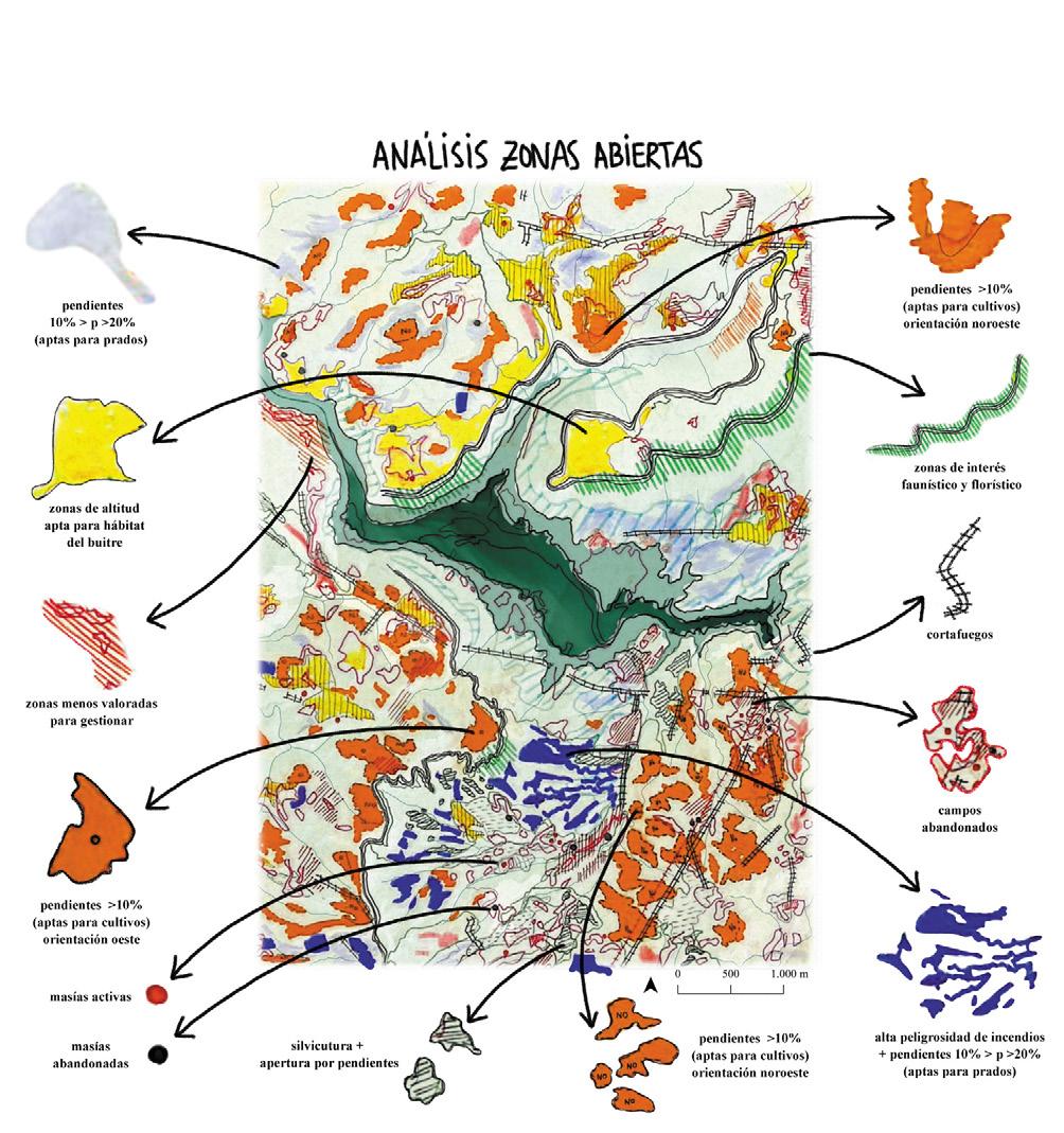
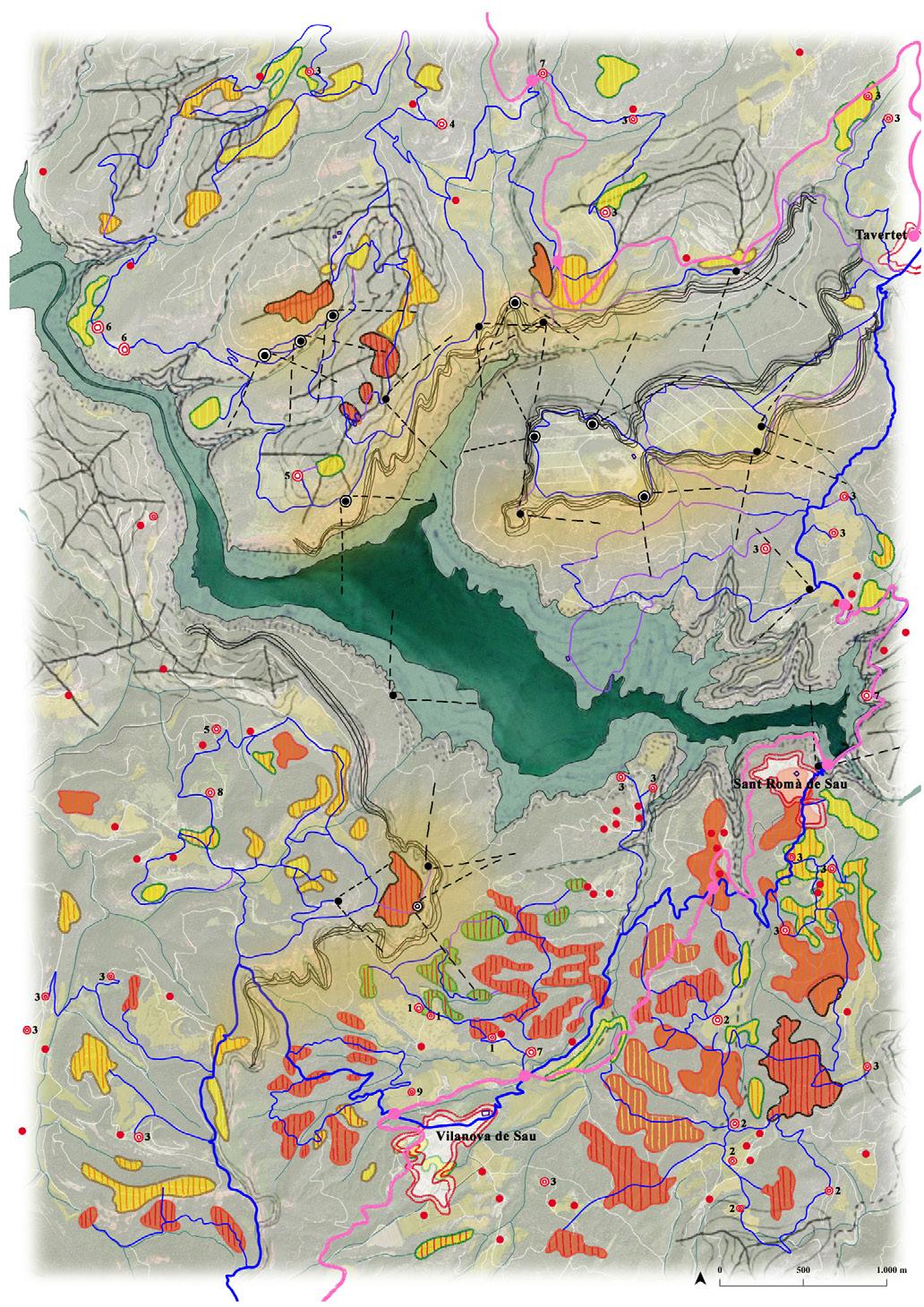
After several analysis where we contrasted and overlapped different information layers extracted from the different official geodata bases and some hand sketched drawings where we interpreted the aerial images in different periods of time, we identified forest areas with the potential to be converted to grassland or crops through management, forest areas with management priority due to fire danger, masías with high vulnerability to fire... We further defined which areas were chosen to be opened, for what use (agricultural crops, meadows or pasture) and by what type of management (clearing, silviculture, prescribed burning and/or livestock grazing). These management types were thought to be combined with the human intervention, as part of the reactivation of the territory and, consequently, of inhabiting it in a regulated and continued way.
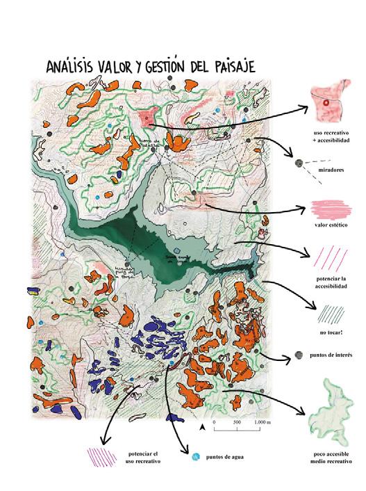


To attract these potential new human agents, and to make them stay and contribute to the territory, we analysed frequencies, intensity and main uses of the natural park. In addition, and complementary to this analysis, we carried out a survey to define the possible target groups of the population from which this reactivation of the territory could be initiated. This is how we came to define the proposal for the project, where three main strategies in the territory were followed.
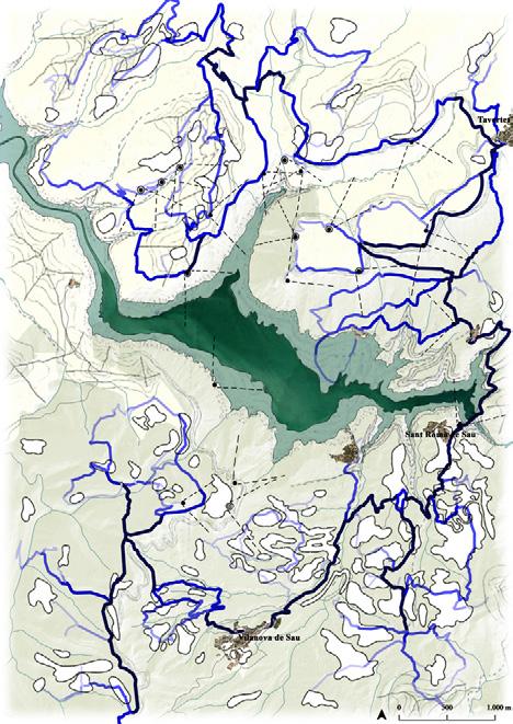
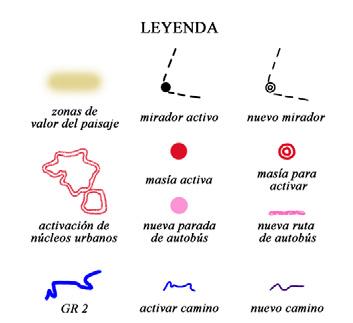
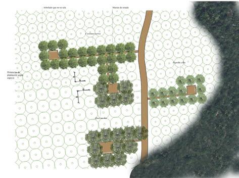
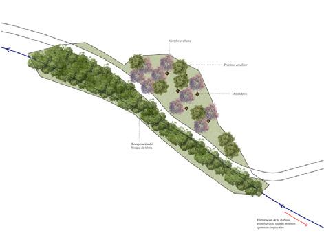
The first one, as previously mentioned, consisted of the opening of forest areas. This strategy proposed the use, the maintenance plan and the socioeconomic plan for these areas. The second proposed strategy was to reactivate abandoned masías, giving them a new purpose related to the use and management of the adjacent (existing or purposed) terrains related to the primary sector. The final strategy of the masterplan (the one with the aim for attraction) was to reactivate the mentioned GR-2 route to reconnect the territory.




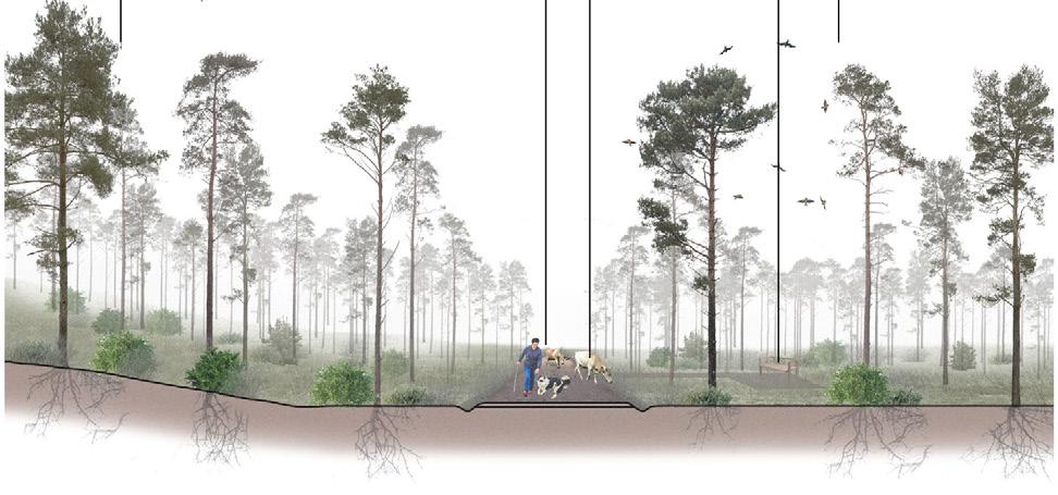



Silviculture section + plan
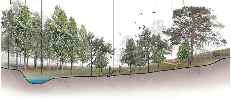
Riverside section + plan
Production section + plan
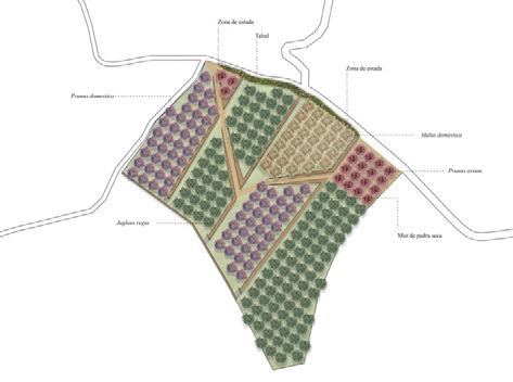

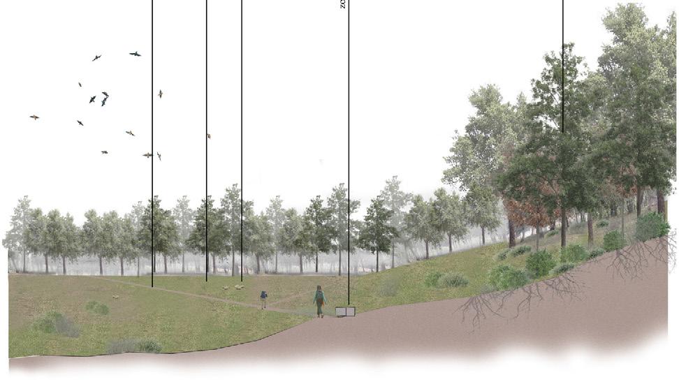
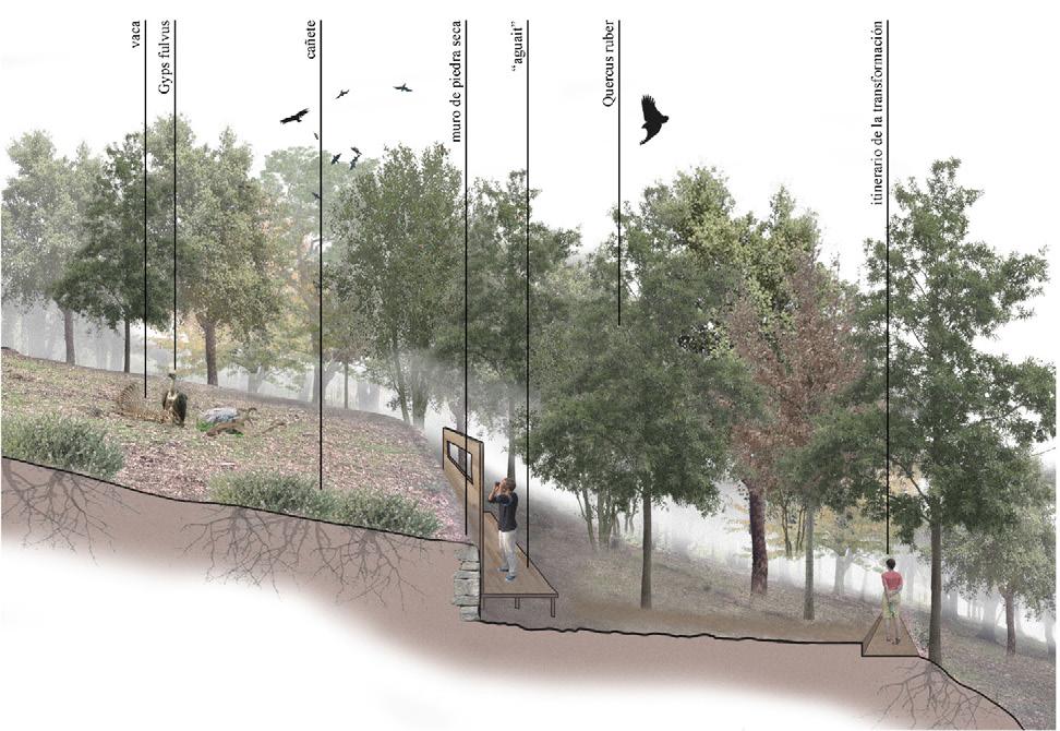
Finally, as a zoom in in our masterplan for Guilleries-Savassona, we designed the “transformation itinerary“, a route that allows the user to walk through and get to know both the land and its management, following a sequence of new proposed open areas with different uses; recreational areas, terraced areas with vines and fruit trees, meadows for resting next to livestock and bird observatories.
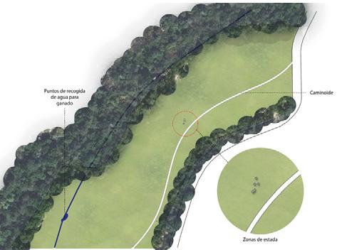

Bird-watching section + plan



Academic work
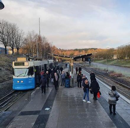
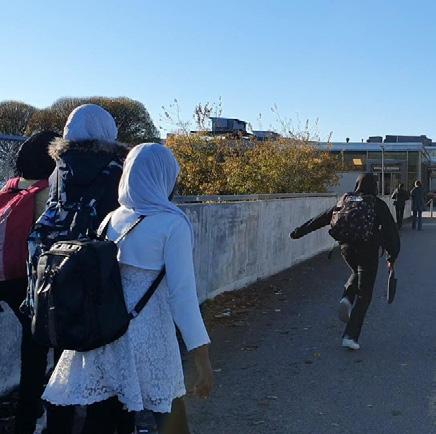
This secondly presented project was developed in group during my exchange year in Sweden, in the city of Gothenburg, more specifically in the neighbourhood of Hjällbo. At first sight, this area seemed like any other residential area from the suburbs built during the 60’s in Sweden, many green areas, open spaces, good transport, concrete buildings… and also very disconnected to the preconceived image we had, made from media and prejudices. It was only when hearing the inhabitants when we started understanding the space...
During the semester we became to understand Hjällbo as a reflection of the failures of the current system, revealing the weak threads in the social fabric.
In search of a new narrative, a new story, a new perspective, voices were formed within a description of a place full of compassion, community, love, resources and people, captured on the threshold of Gothenburg. Amidst the farces, preconceptions and external forces struggling to alter the character of this place, can the passion within reveal itself as a transformative force, rewriting the script of Hjällbo?


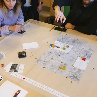
For this project we approached the participation process designing games as tools to exchange information, experiences, hopes, memories, dreams....
We also had interviews and conferences, but during the process of designing these three games, we found how games can create a safe space, a context to address certain issues in a more informal way.
The first two games were not tested with the main project agents, they were simply tested in conjunction with other colleagues as part of the process. For the last game, the agents were involved and the feedback was very positive.
But first, we stablished a manifesto...

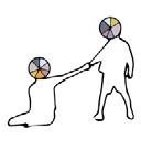
grafic manifesto
Where is the collective dimension?
If we recognize social networks and lived experience as spatiality? How can we include this dimension in spatial planning?
Can these forces counteract shortterm projects?
Can they foster long-term thinking and complexity?
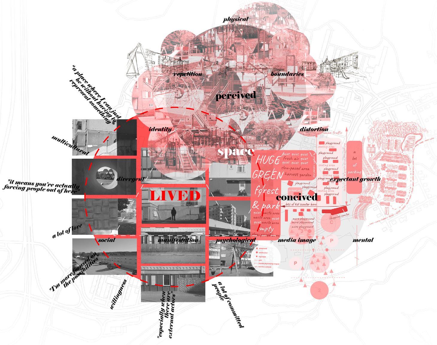
Planning for a long time has been resembling an easy button which combats injustice with new buildings, housing crisis with luxury apartments. Participatory, collaborative, empowerment is words that has lost their meaning in contemporary urban planning discourse; appropriated by market influenced stakeholders, they mask, or softens, top-down planning, market-dominated governance and socio-spatial exclusion and displacement.

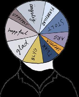
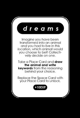
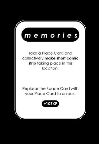
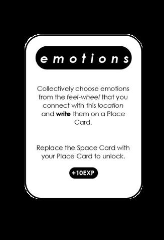
In the game Greetings from Hjällbo dreams , memories and emotions resemble “lived experience” and is an experiment in how to collect these. By performing various actions related to these three categories in pairs, the game board is transformed into a collage of Hjällbo, made from the game participants.





HOUSING COMPANY
Yout hopes: build trust, lifting the area Your fears: not an easy task to approach inhabitants
Your perception of Hjällbo: trusting issue from both sides and a lot of criminality
TENANT‛S ASSOCIATION
Yout
Your
Your perception of Hjällbo: the

WHEN ALL OF THE QUOTES HAVE BEEN READ, THE PLAYERS WILL CHECK HOW MANY TIMES THEY WHERE CORRECT... MAYBE THEY WILL BE SURPRISED ABOUT WHO SAID SOME QUOTES, AND THEY WILL SEE THAT THEIR OPINIONS ARE CLOSER THAN THEY MIGHT THINK...
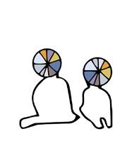

I AM GUESSING IT WAS THE INHABITANTS
During interviews with local agents in Hjällbo, we noticed that many seemed to have the same opinions but thought that the views of the other agents were the opposite. In GAME 2, as the game goes, some preconceptions and prejudices are shown, and common knowledge is shared. We explored how close opinions were among the different local actors.

We made a final game

This final game is the result of the combination between the first two, where communication between the stakeholders and the collection of the lived experiences are the main purposes for it.
The Playce game is based on the idea that spatial planning should not be an objective, top-down solution, but should be based on the subjective and specific needs of each inhabitant. We believed that understanding the inhabitants’ emotional ties to Hjällbo was necessary for planning the physical design.
We hoped that this game could be used as a tool to understand the specific and subjective in contrast to the objectivity of traditional urban planning, which is too often based on the idea that everyone thinks and experiences reality as “the majority”, or the norm.
The aim of the game was to visualize personal differences in the way people experience places and to invite a discussion about the emotional aspect of space.
The first part of the game visualizes projections linked to mental images, what we call representations of space, which we believe influence the processes that shape the physical urban landscape.
In the second part of the game, these are confronted with actual lived experiences of place in the form of memories and emotions.


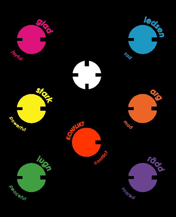


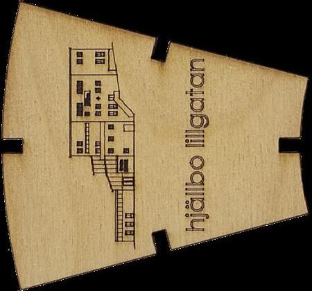
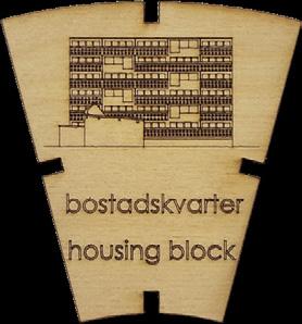
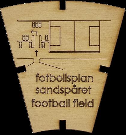
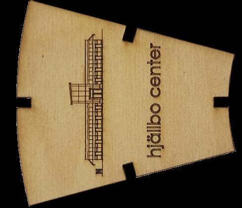

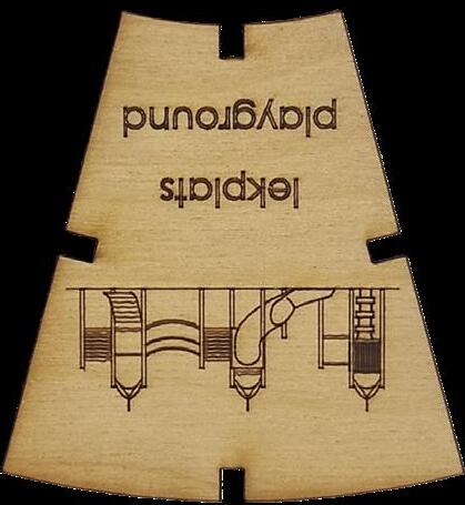
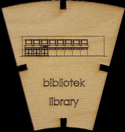
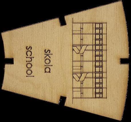

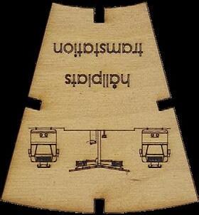
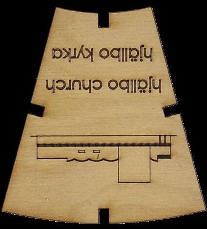

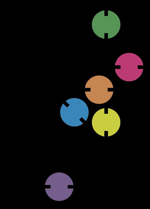

game board, tokens and cards


Academic work, Projects 1
Spring 2019 & Fall 2023
ETSAM-UPM, Madrid, Spain
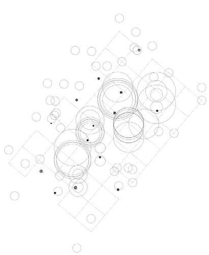
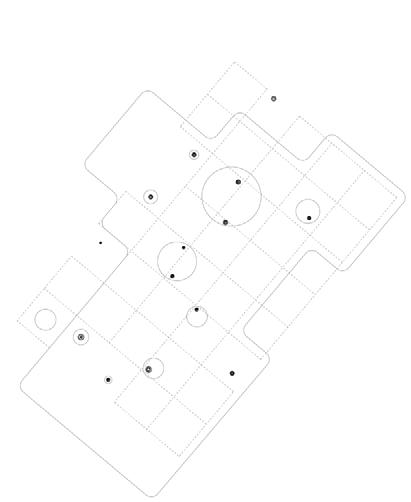
In this thirdly presented architecture project I want to highlight my technical representation skills. The main idea behind it was to design the space aiming for it to become a meeting place and with a multipurpose use in which, in a park environment, you can read a book and have a coffee in a natural environment. This pavilion is located in the Parque del Oeste, right in front of the entrance to the Moncloa interchange, in the city of Madrid.
It is composed of a 5x5m grid, on which the pillars that support the flat roof are placed. It consists of an underground floor where the parking lot is located, a first floor where the pavilion program is developed, and a walkable roof from where to observe the park environment. The first floor is used for public use, with a cafeteria, a bookstore and a conference room (which is developed in double height, appearing above the roof, to contribute to the illumination of the space).
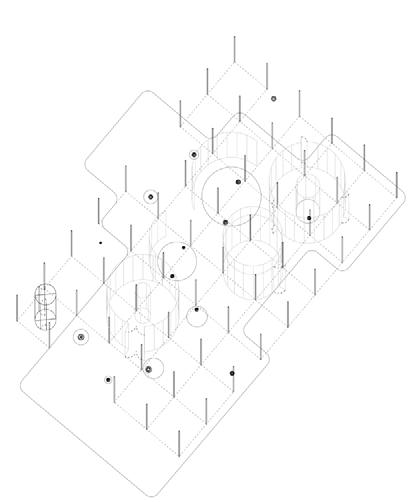
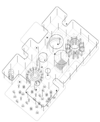
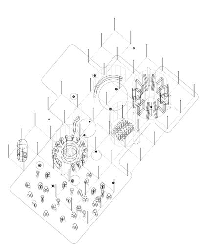


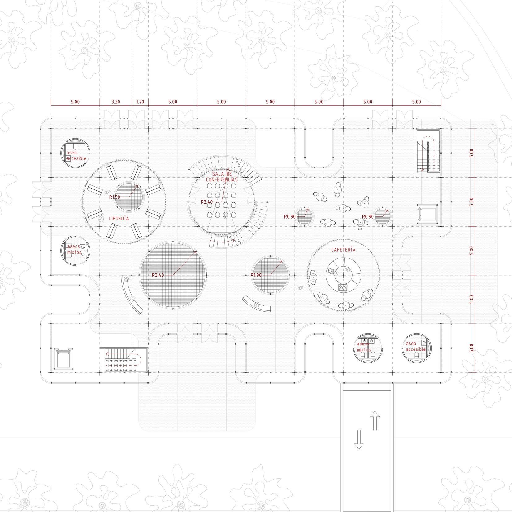

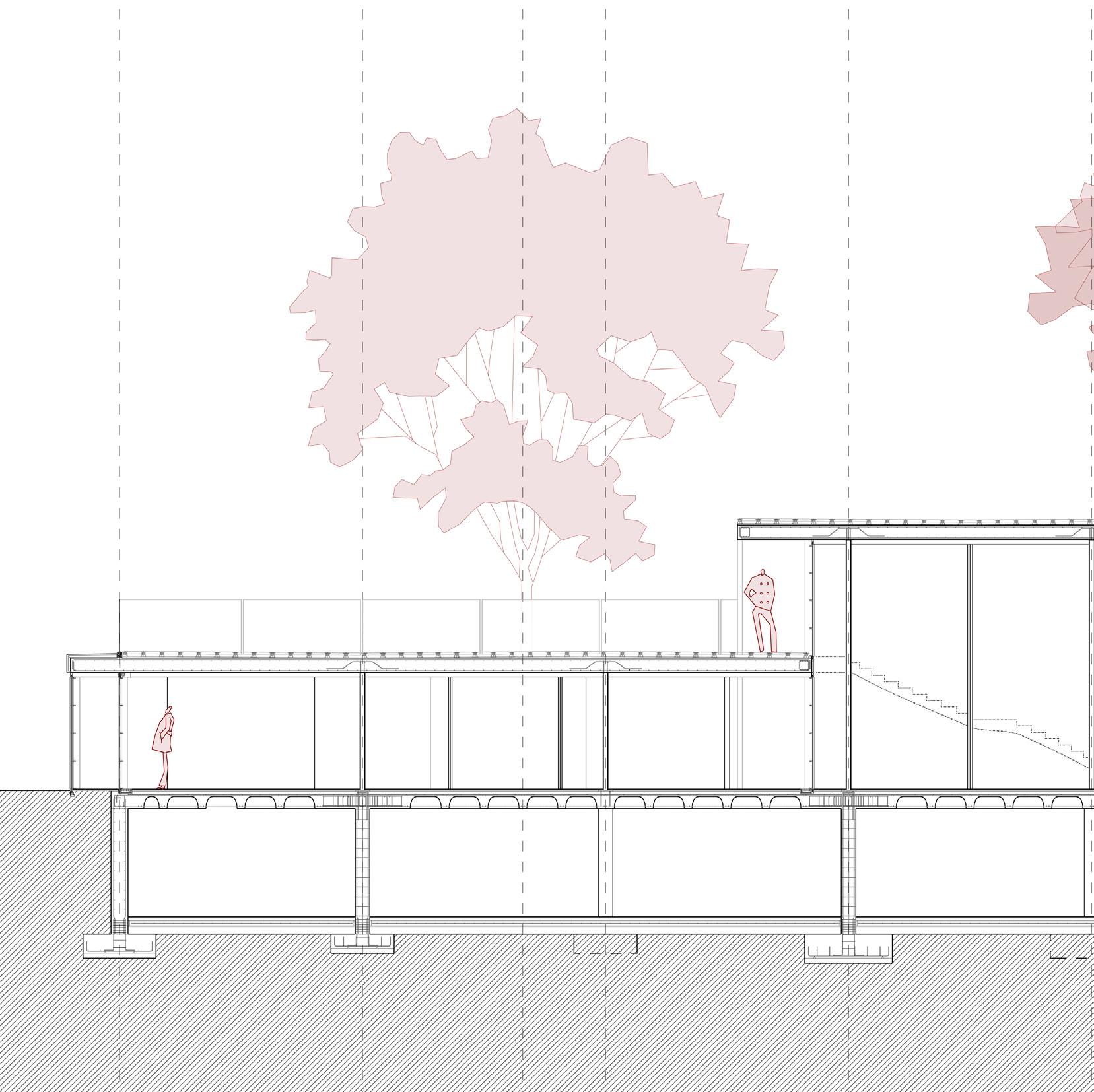
In addition, the roof has a series of openings at some points, generating interior courtyards, used to supply natural ventilation to the basement parking, while illuminating as skylights on the first floor.
The perimeter enclosure of the pavilion is composed of two layers: a first one following the roof line and a second one set back 1 meter from the roof line, thus generating an air chamber that will help to air-condition the pavilion. Both this enclosure and those of the interior courtyards are made of glass.

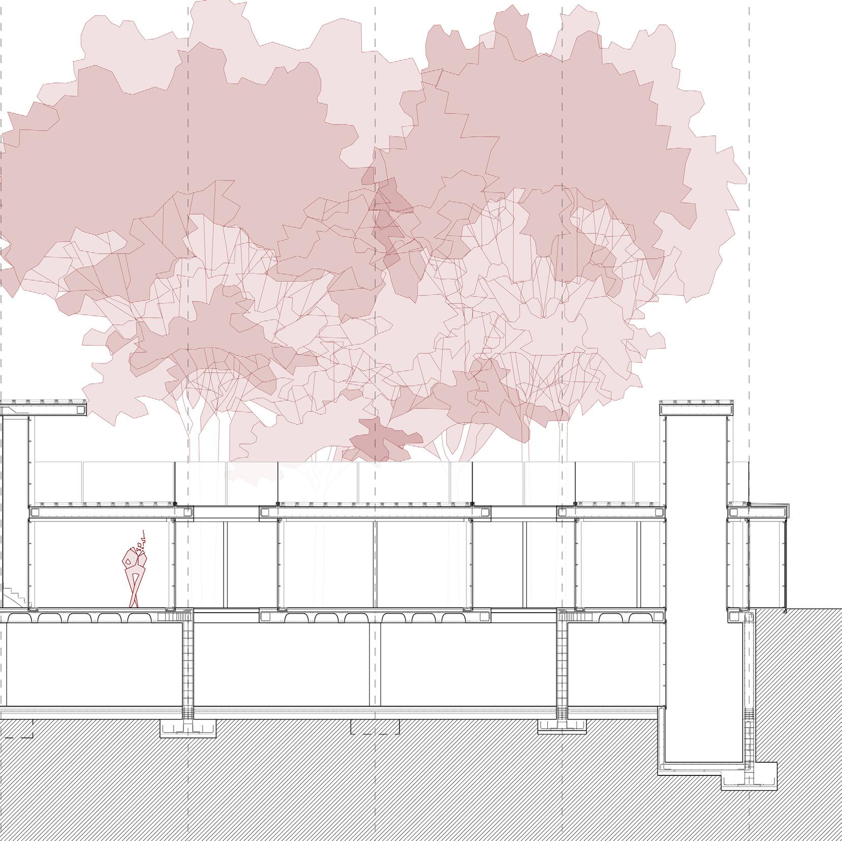

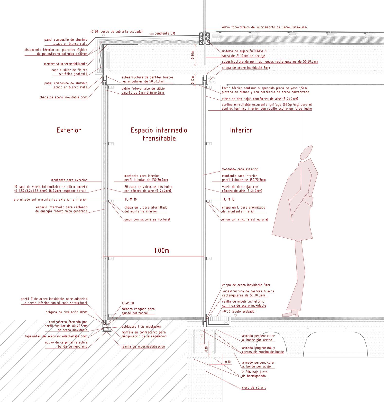
exterior interior intermediate walkable space
interior interior non-accesible courtyard
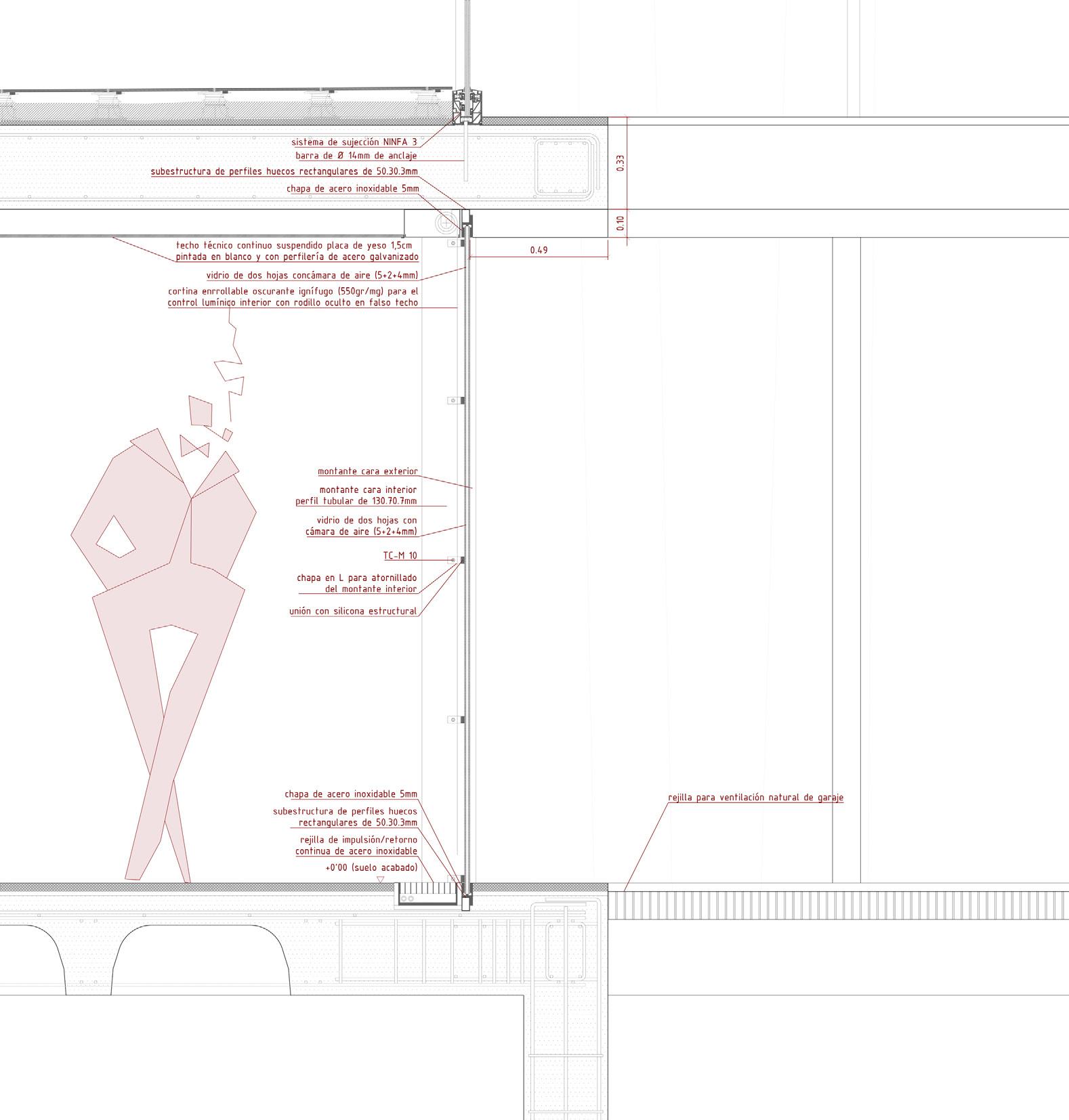


Studio Individual Work
Spring 2025
ECA-UoE, Edinburgh, Scotland
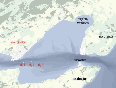
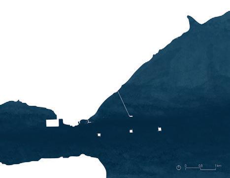
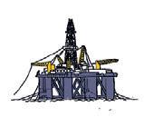
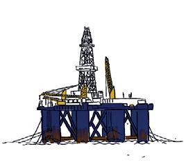
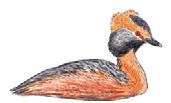
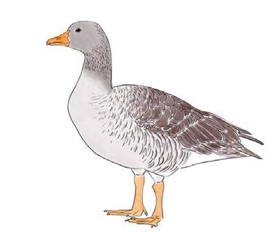
Sea level rise over the next centuries, could lead in the worst-case scenario expected to the disappearance of most part of the coast line in the Cromarty Firth. This could result in the formation of the archipelago of Invergordon, composed by the main island of Invergordon and three small “artificial islands” made from the abandoned remaining oil rigs in the firth. In addition, wetland areas could expand, concentrating a larger population of birds that would find breeding refuge in the large oil rig structures... Will this extreme fatal future actually become a relief for the land, the firth and the biodiversity from the human industrial activities, creating an unexpected better-case scenario?
Analysing some of the predictions made by the IPCC explained in the “Special Report on the Ocean and Cryosphere in a Changing Climate”, there are four possible speculative futures ahead of us. These four scenarios are calculated based on the Coupled Model Intercomparison Project Phase 5, which provided estimated futures for the climate to predict consequences.


These scenarios are the Representative Concentration Pathways (RCPs) which acknowledges future emissions and concentrations of greenhouse gases, aerosols, and chemically active gases, as well as land uses. The four RCPs are the RCP 2.6, RCP 4.5, RCP 6.0 and the RCP 8.5, where the RCP 8.5 represents the worst future estimated where the temperatures could rise to 5.4ºC for the end of the century.
The rising of the temperatures in the future will lead to many changes in the global climate, like the rising of the global mean sea level.
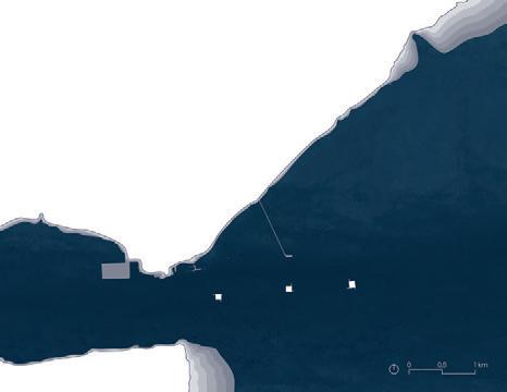
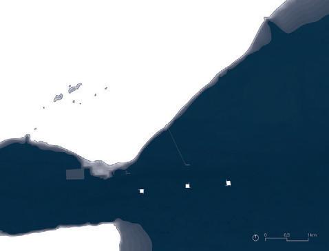


Looking at the worst-case scenario, when the 25th century arrives, sea level could have raised up to more than 5 meters. If this speculative future takes place, the world will have completely changed from what we know now, and of course, the Cromarty Firth too.





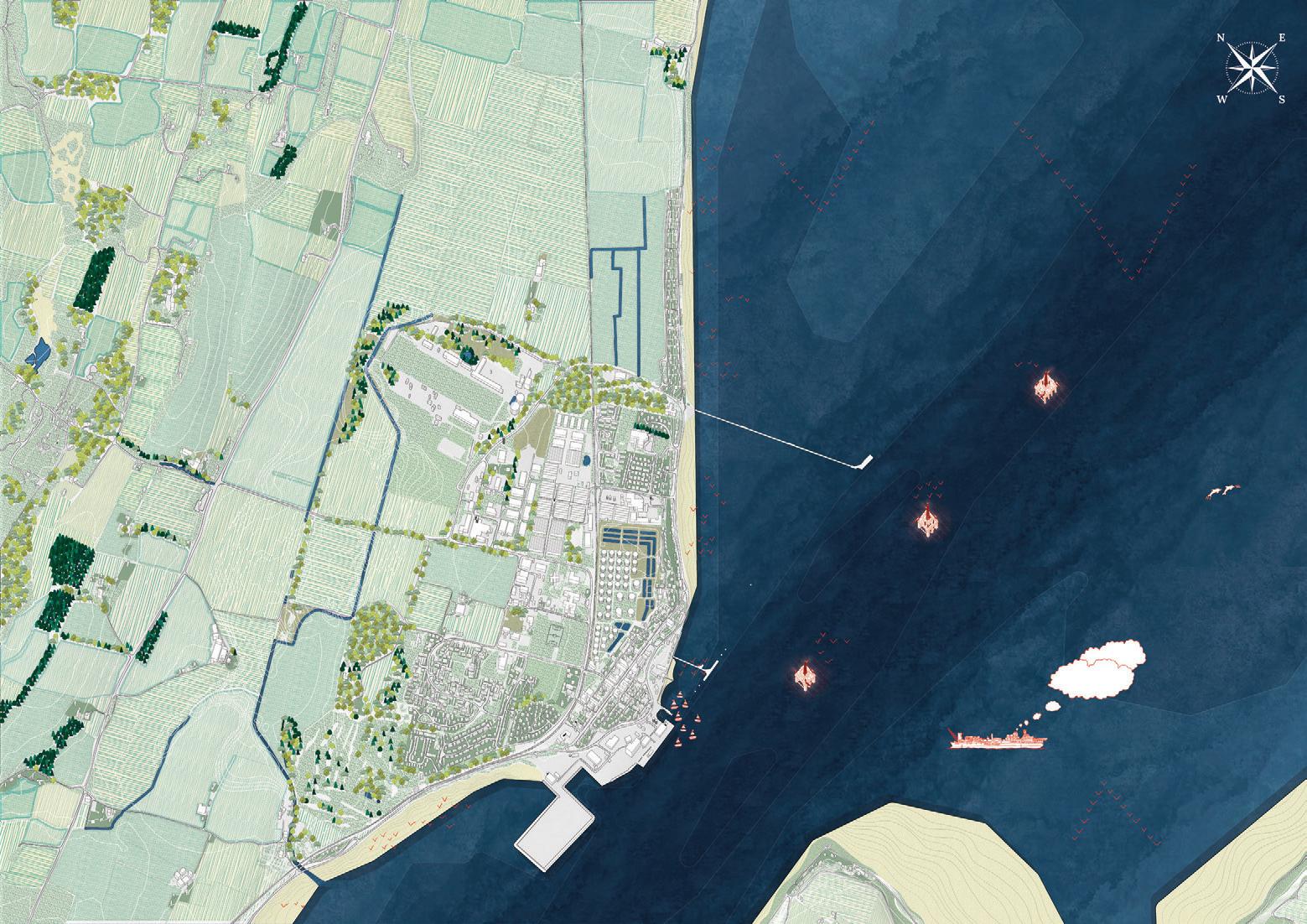
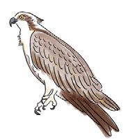

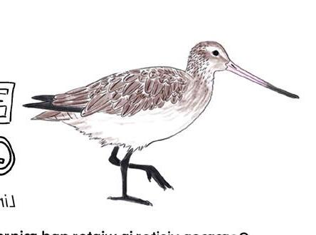





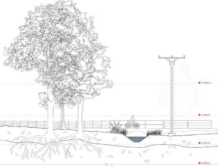

With this starting point, the speculative future I am predicting is one based on the RCP 8.5 but 190 years further in the future, in the year 2490, as when this year arrives, following the tendencies of the “worst-case scenario”, Invergordon will no longer be a coastal town, but it will have become an island.



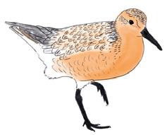

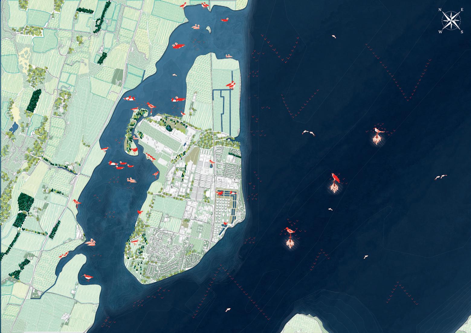
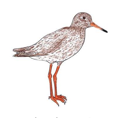


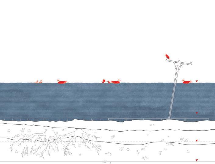


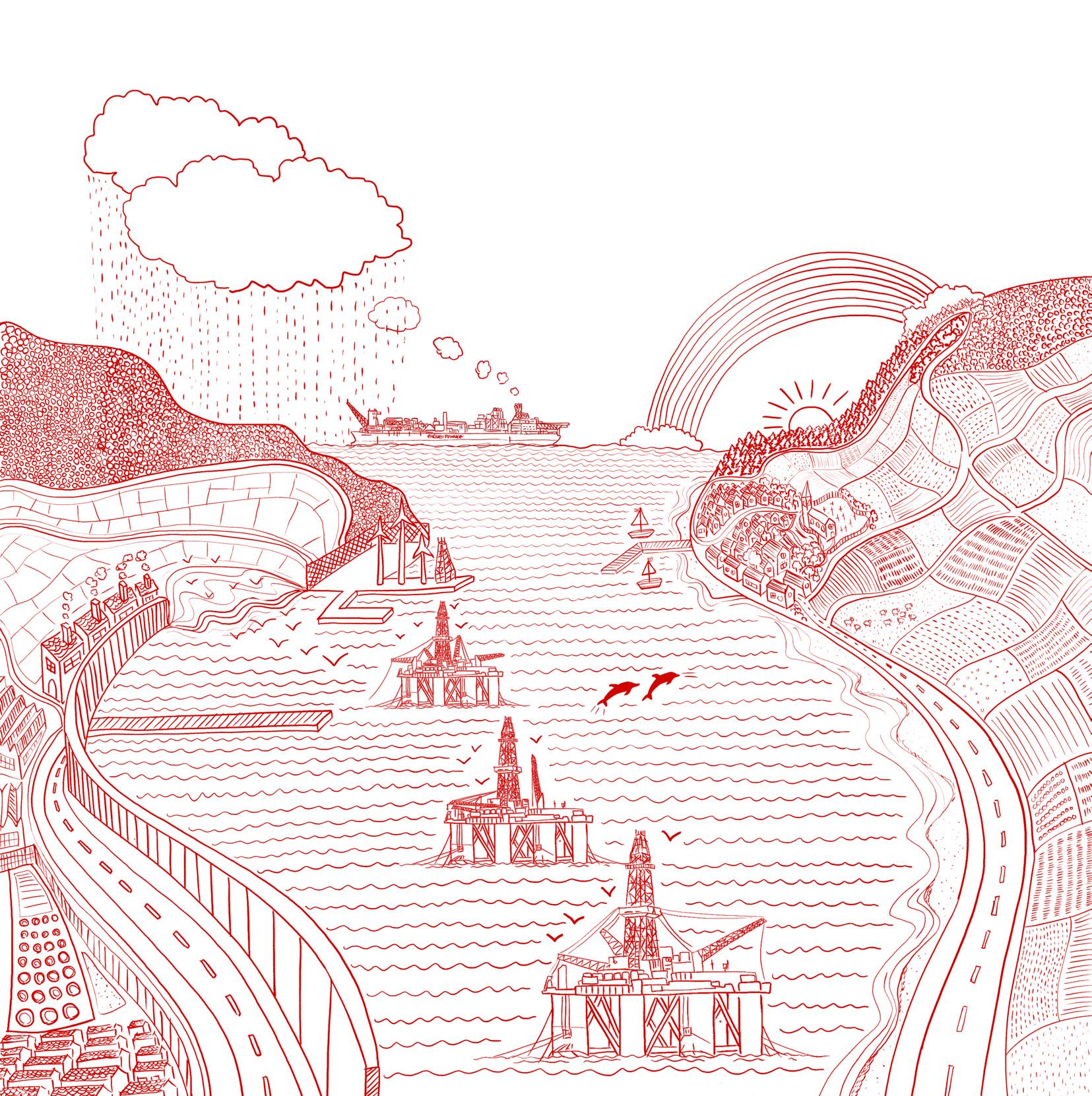
drawing of
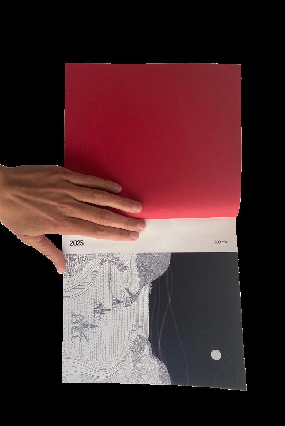
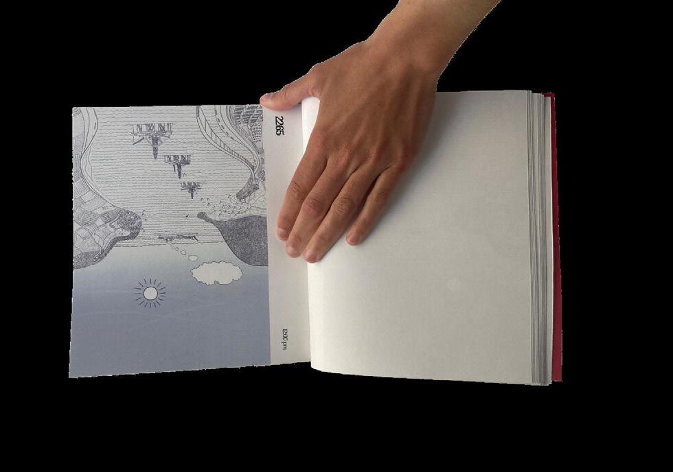
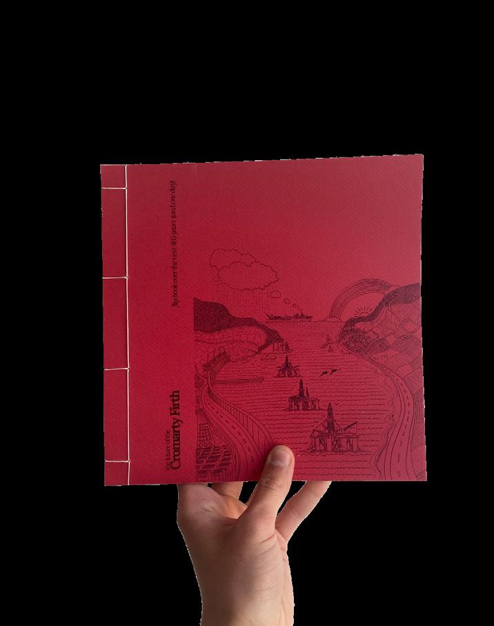

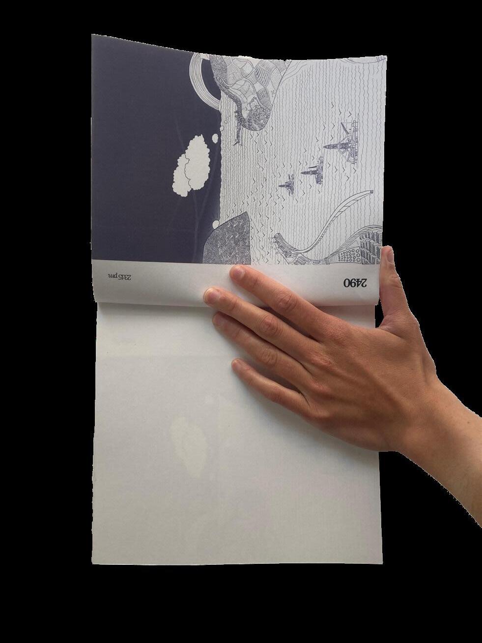
As part of the development of the speculation, narrative tools were developed to work with different communication methods… these tools were an animation, a fanzine, plaster models, and a flipbook.


Bachelor Thesis Work
With honors, Fall 2023 ETSAM-UPM, Madrid, Spain
Lastly befor starting my landscape studies, during the development of my bachelor thesis I got to study deeply a very contemporary topic of my interest affecting the landscape where I spent all my summer vacations, where I grew up, and where all my family comes from.
The issue of macro-farms is increasingly present in the fields and kitchens all over Spain, with very different points of view and opinions on many occasions, but... what does their presence in the territory imply?, are they a sustainable livestock farming model?, do they generate more opportunities or more disadvantages?, what environmental, social, economic and landscape impacts do they generate?
In this case the scale of the investigation is limited to the province of Segovia, where the proliferation of these farms since 1975 has only increased, with a total of 129 largecapacity intensive pork farming facilities, commonly known as macrofarms (macrogranjas).

S ac n me to readthefull thesis!

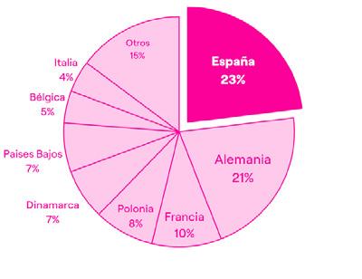
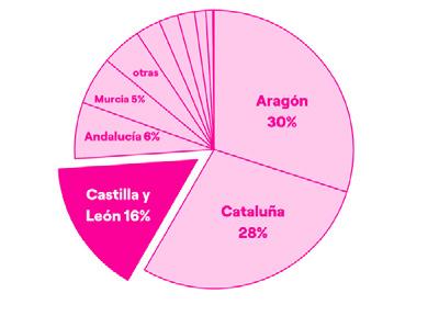
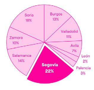


chronological evolution of the instalation of large-capacity intensive pork farming facilities in the province of Segovia


evolution of the instalation of large-capacity intensive pork farming facilities in the province of Segovia per decades since 1975

consumptions, critical points and potential impacts of macro-farms
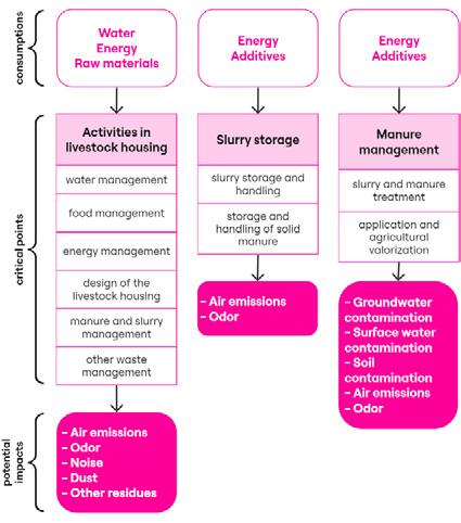
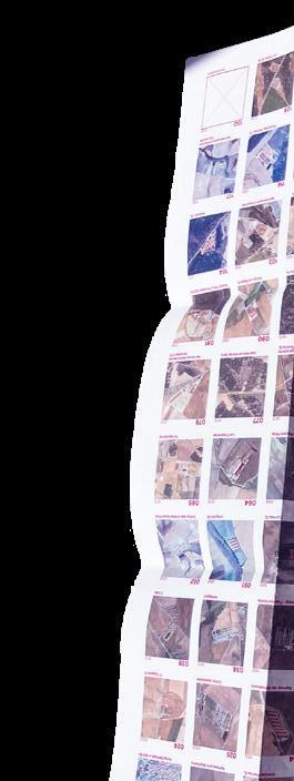
The socioeconomic, environmental and landscape impact was studied, field work was carried out to visit the farms and talk to those responsible for them and, finally, detailed characterization sheets of each of the 129 macro-farms in the province of Segovia were developed to create an inventory. Two of these characterization sheets were also expanded with a brief interview with employees of these facilities. All characterization sheets contain information collected throughout the development of the thesis, relevant to the understanding of the location and characteristics of each farm. To identify these farms, the name of the farm, and the code with which it will be identified in the database generated, are indicated at the top of the sheet.
In order to to geospatially analyze the situation, a georeferenced database of the macro-farms of Segovia was developed, including cadastral information, emissions, basic data of each farm...
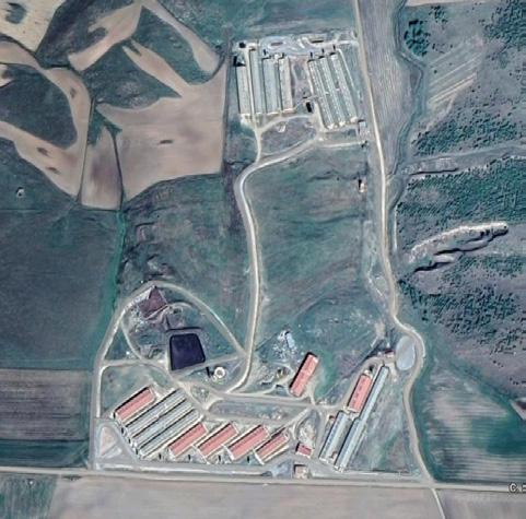
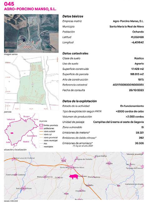
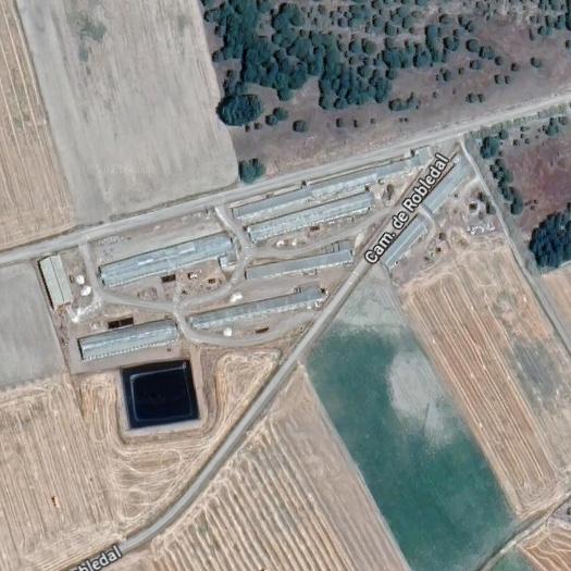
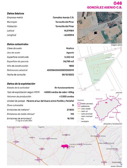


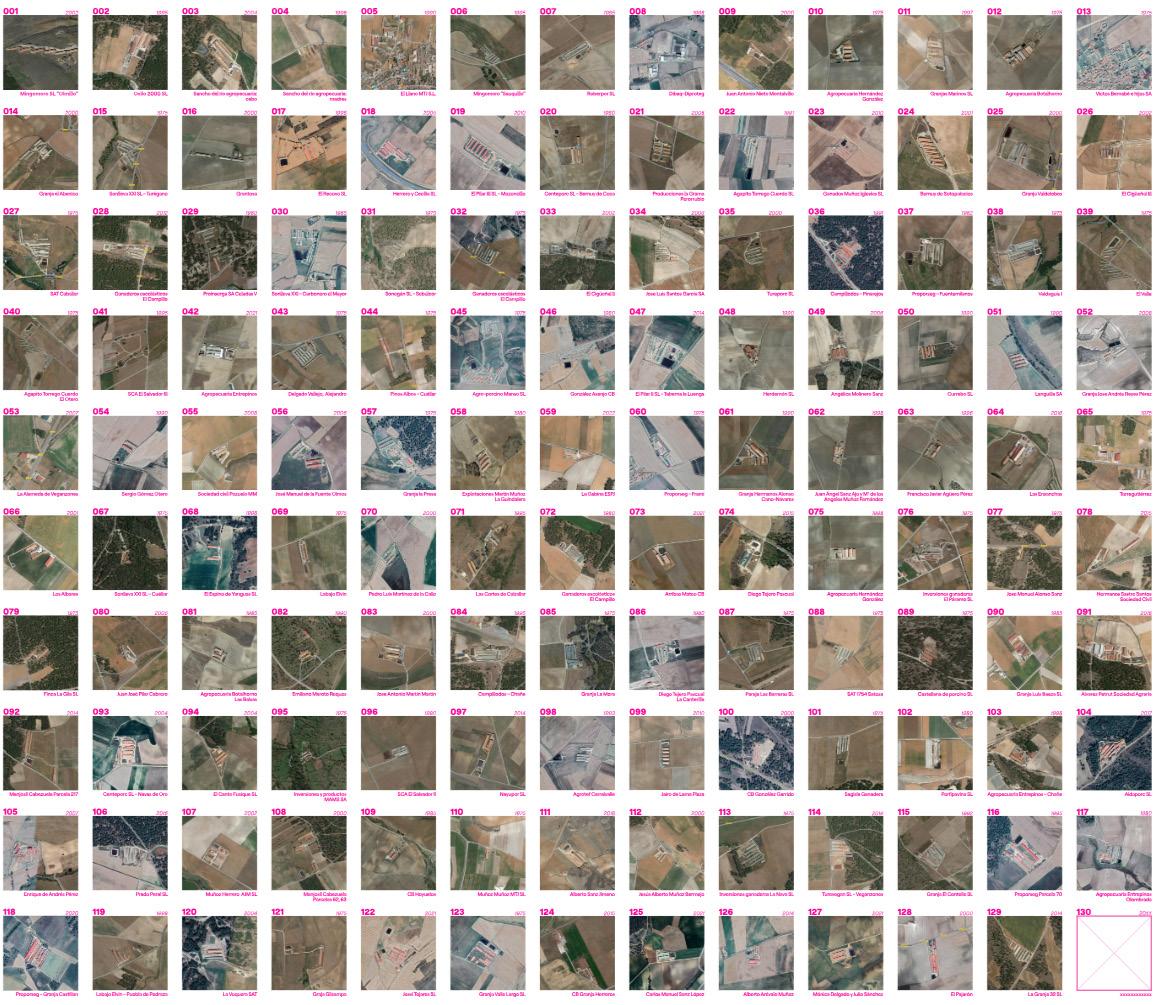
developed catalogue for the 129 macro-farms


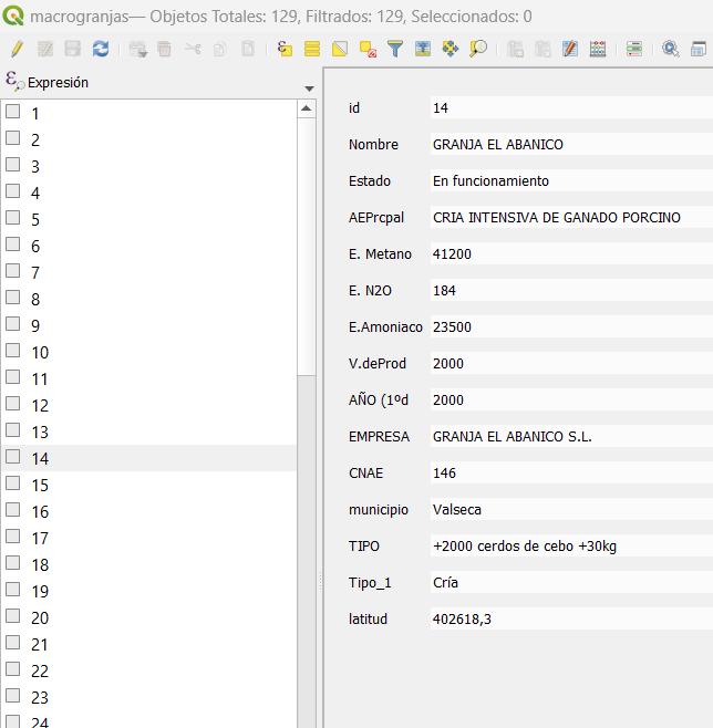

screenshot of the attribute table developed in the “macro-farms” layer of the shapefile

With the GIS program QGis, I locate one by one all 129 intensive pig farming facilities. Once these facilities are located in an ESRI shapefile layer, I start adding in the attribute table of this layer all the relevant data (the name of the farm, municipality in which it is located...) organized by columns.
To do this, I previously downloaded all the cadastral records of the plots where the farms are located and visited all the entries of each of the facilities in the PRTR-ES.
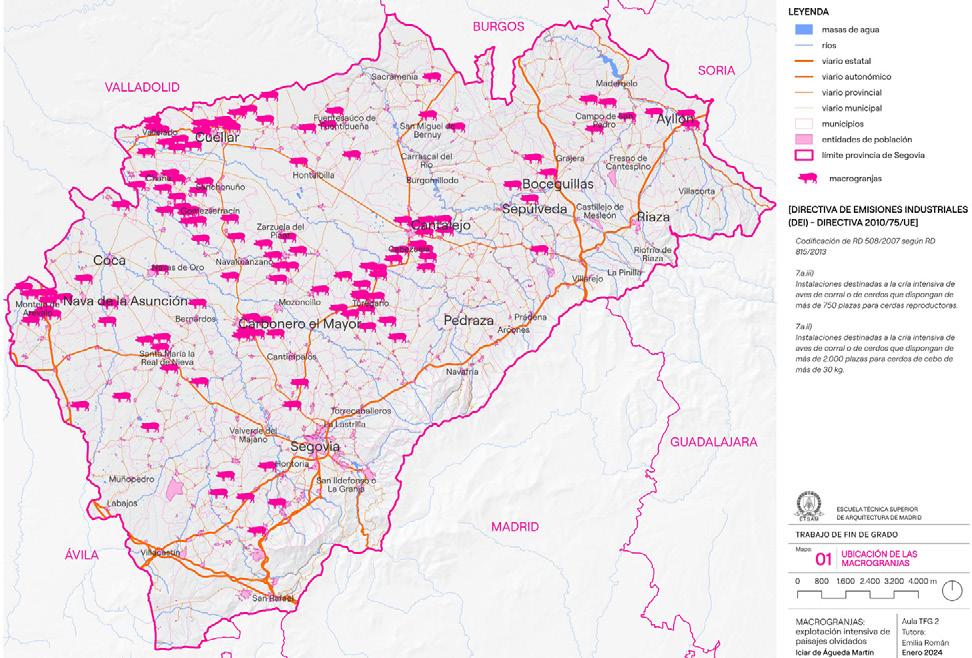
map 01/12 - location of the macro-farms

map 05/12 - number of macro-farms in every municipality

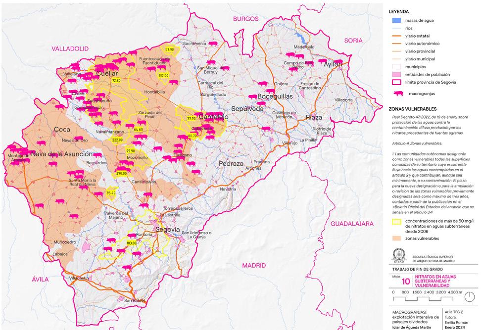
In this way, the result obtained is georeferenced information, with a table of attributes that shows in detail the characteristics of each macrofarm. With this information I developed 12 maps relevant to the investigation.
As for the field work, interviews were conducted with representatives of the parties involved, on the one hand, the farmers and, on the other, the associations. Brief reflections on these interviews and on the visits to the farms were elaborated.


Summer workshop
Summer 2023, Morphi, Greece
Investigation group TRANS-UPM
Before my final semester of bachelor studies, I had the opportunity to participate in a summer workshop organized by the Observatory of Transdisciplinary Practices in Architecture (TRANS), an investigation group from my bachelor’s home university (UPM). This workshop took place in Morfi, a very small village in the increasingly depopulated region of Thesprotia, in the north-west cost of Greece, where agriculture and tourism are the main economic activities, due to the very important role of the landscape, that also relates to ancient mythology.
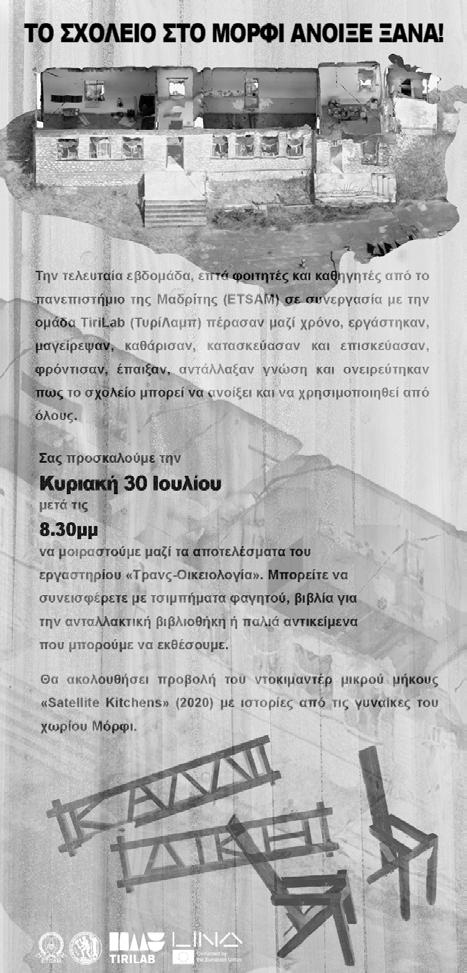
The project focused on the restoration of the local school of the village, which was an infrastructure abandoned for decades, to unlock a new gathering place for the local community, and in this way activate, through the people, the territory. In the beginning, the specifics of the final design of the restoration project were not clear, but the approach towards the way it was going to be thought were very carefully and intentionally planned.

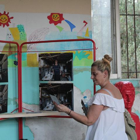
During the workshop days, the focus was on keeping a transversal approach were drawing, writing, preparing a meal or building a table was valued of equal significance in the process of the developing of project itself. Acts of caring, creating community, taking cultural practices into the nature and creating experiences were some of the parallel “projects” carried on during the workshop.
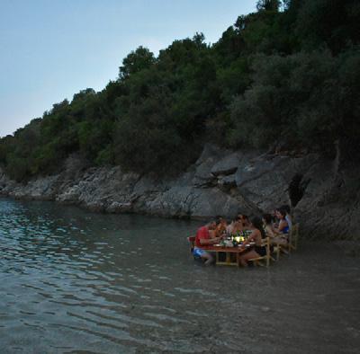

The re-activation of the school as a cultural and social hub was possible by the operation of small actions such as cleaning, fixing the wooden floor, painting the walls, restoring old furniture and building new tables and benches.
The last step carried on as part of the project; the “hosting the host”. When the restoration of the school was finished, the local community that welcomed us in their village during the workshop were invited to discover the new space that now was for them to take over


Summer Workshop
Summer 2023
Santa María de Rioseco, Spain

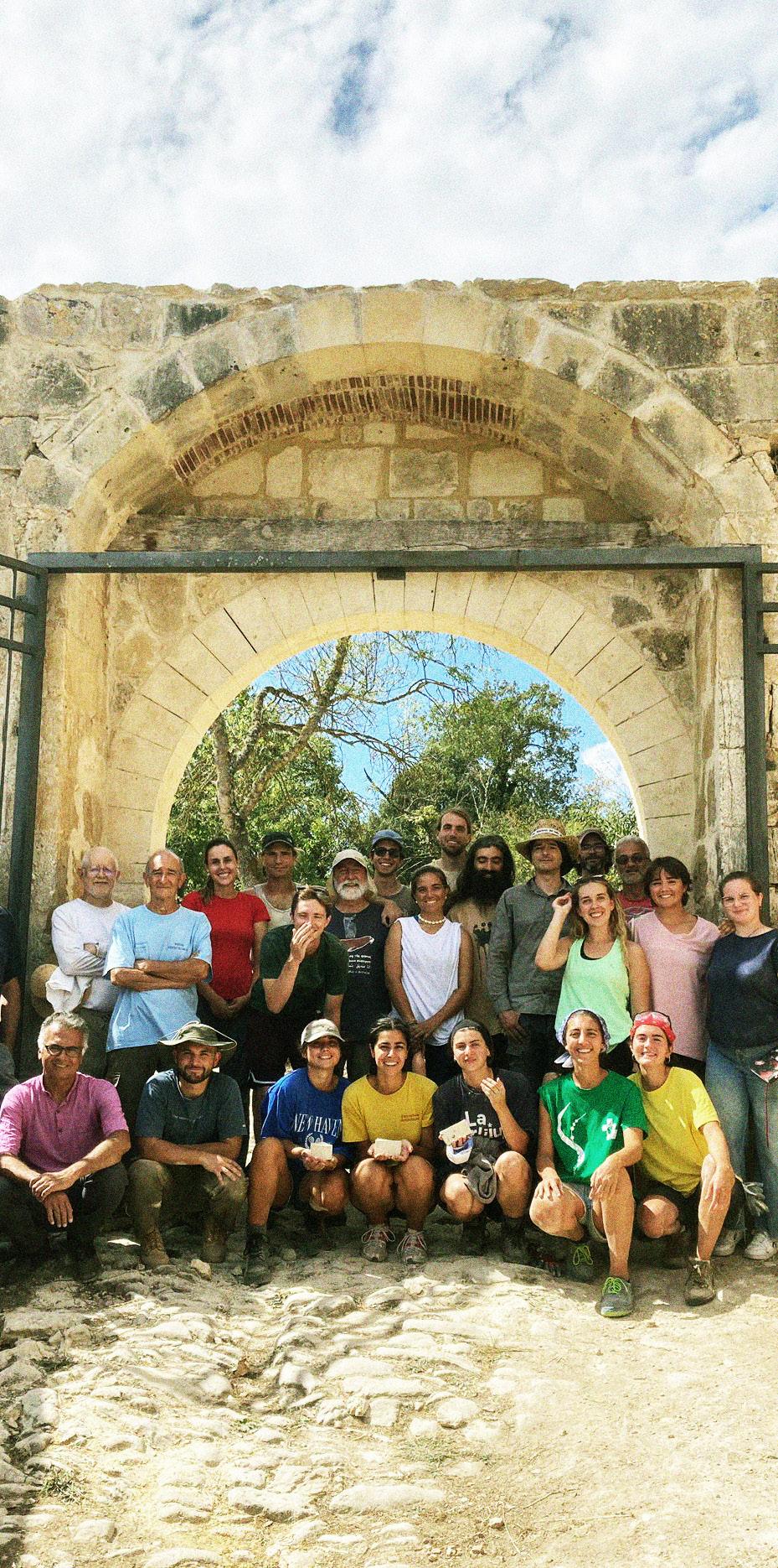
During one week I was able to be part of the reconstruction work of the western entrance door to the Monastery of Santa María de Rioseco in Burgos.
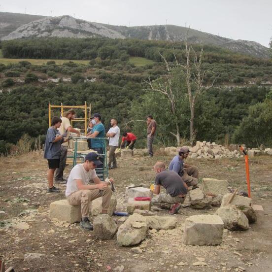
For this we carried out the design of the reconstruction, stonework of the stone ashlars and their placement to complete the arch, all during five intense days.
In addition, we didn’t only learnt about stonework, we were also able to learn about the history of the monastery and the natural environment in which it is located.
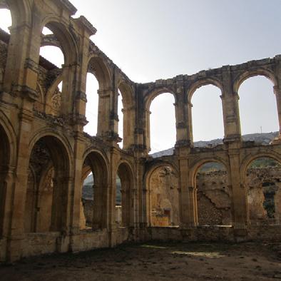
working at the m


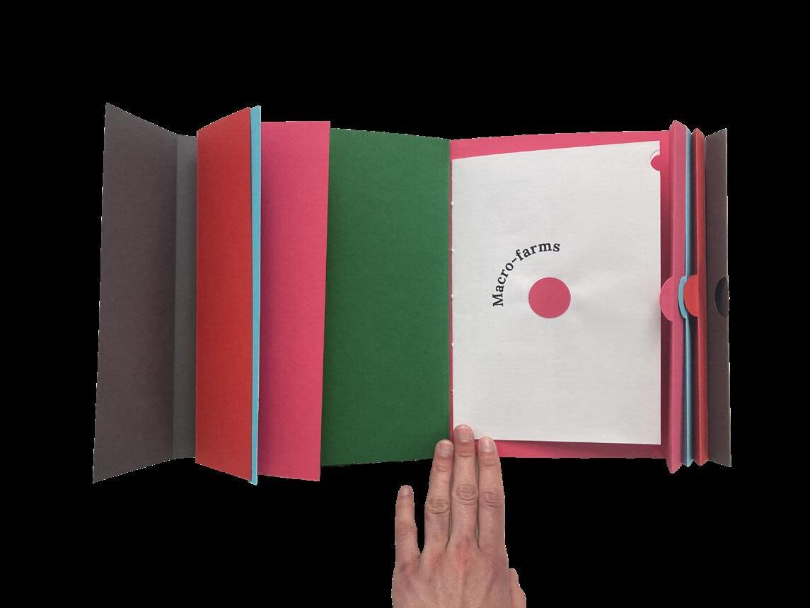
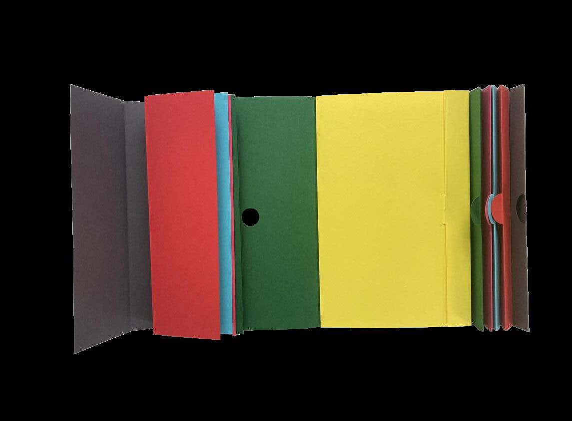
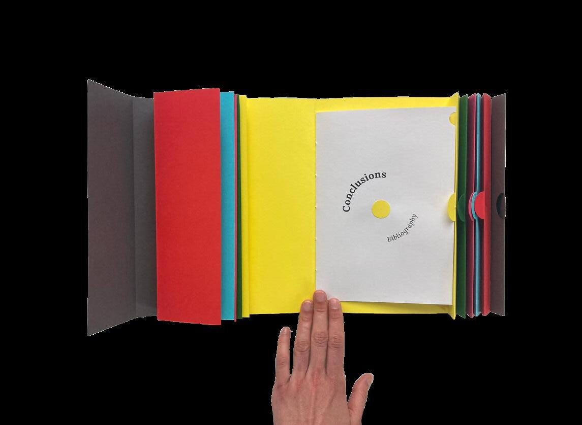
For some of the projects I have done over the years, I also developed physical publications, as a personal interest and hobby of mine. Here are some of them....
2024
Macro-farms
Bachelor thesis (auto-edited)
With Honors/ETSAM/UPM


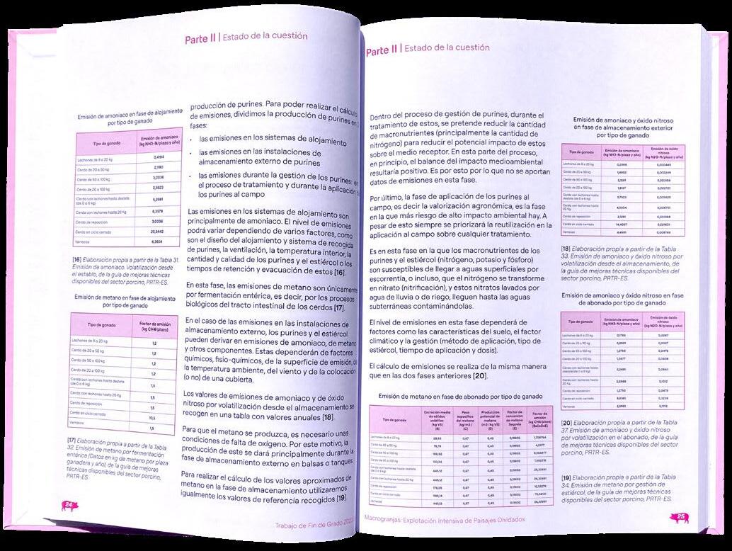


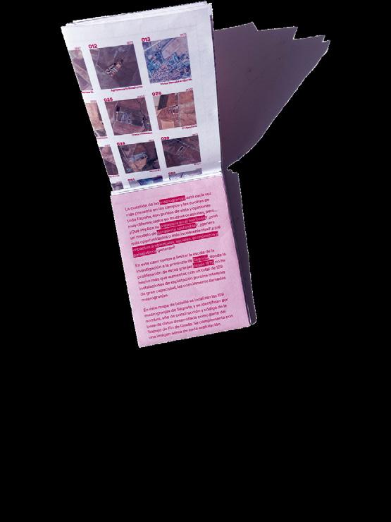

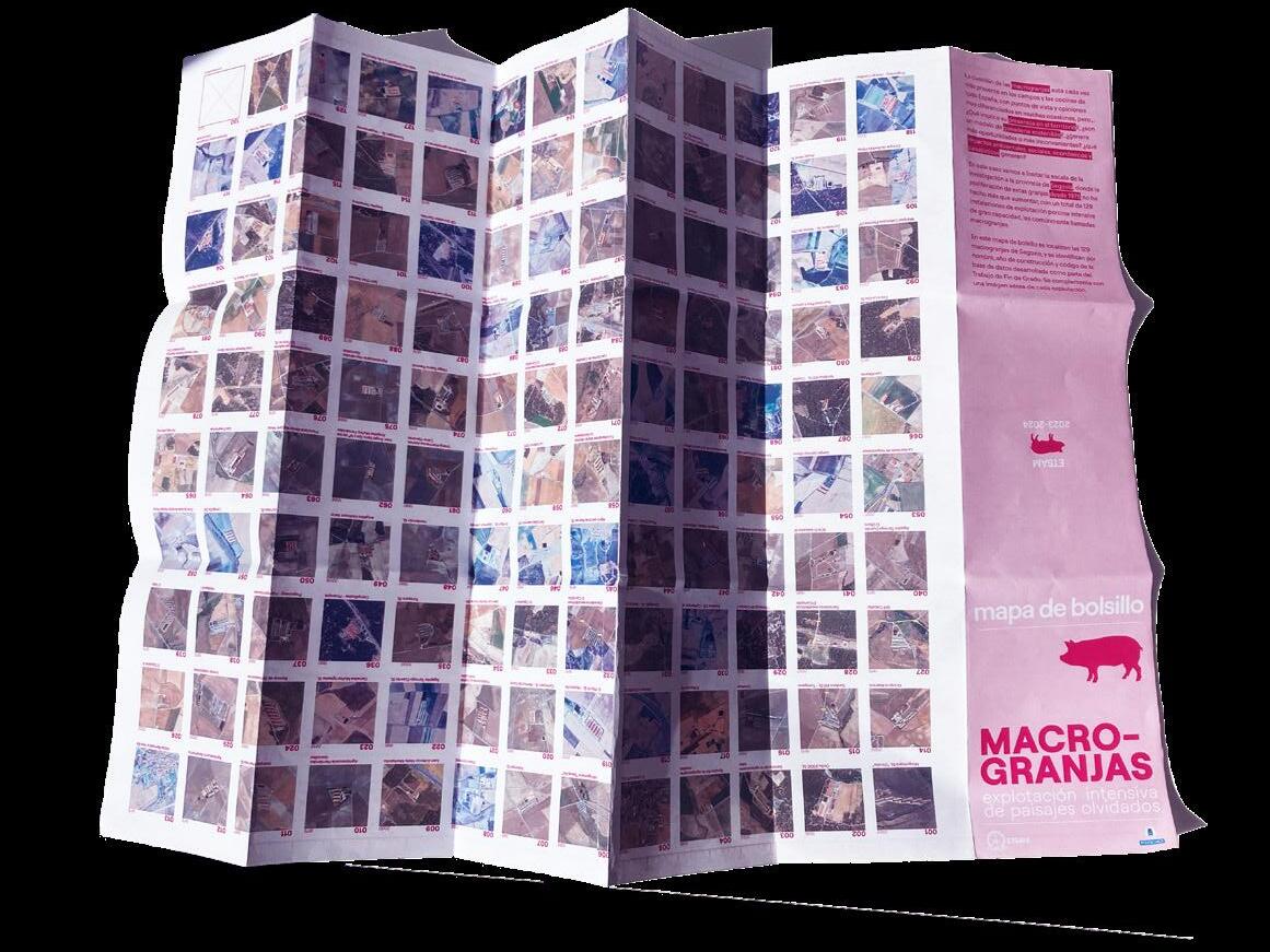
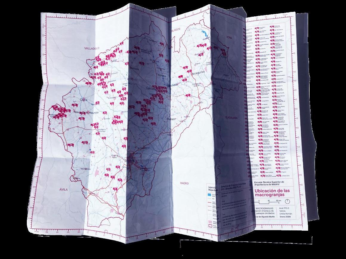
forgotten landscapes Compilation and georeferencing of data, analysis and study of the socioeconomic, environmental and landscape impact of the construction of intensive pig farms in the province of Segovia since 1975.
*publications
2025 Physical Portfolio
Academic Portfolio
University of Edinburgh
Edinburgh College of Arts
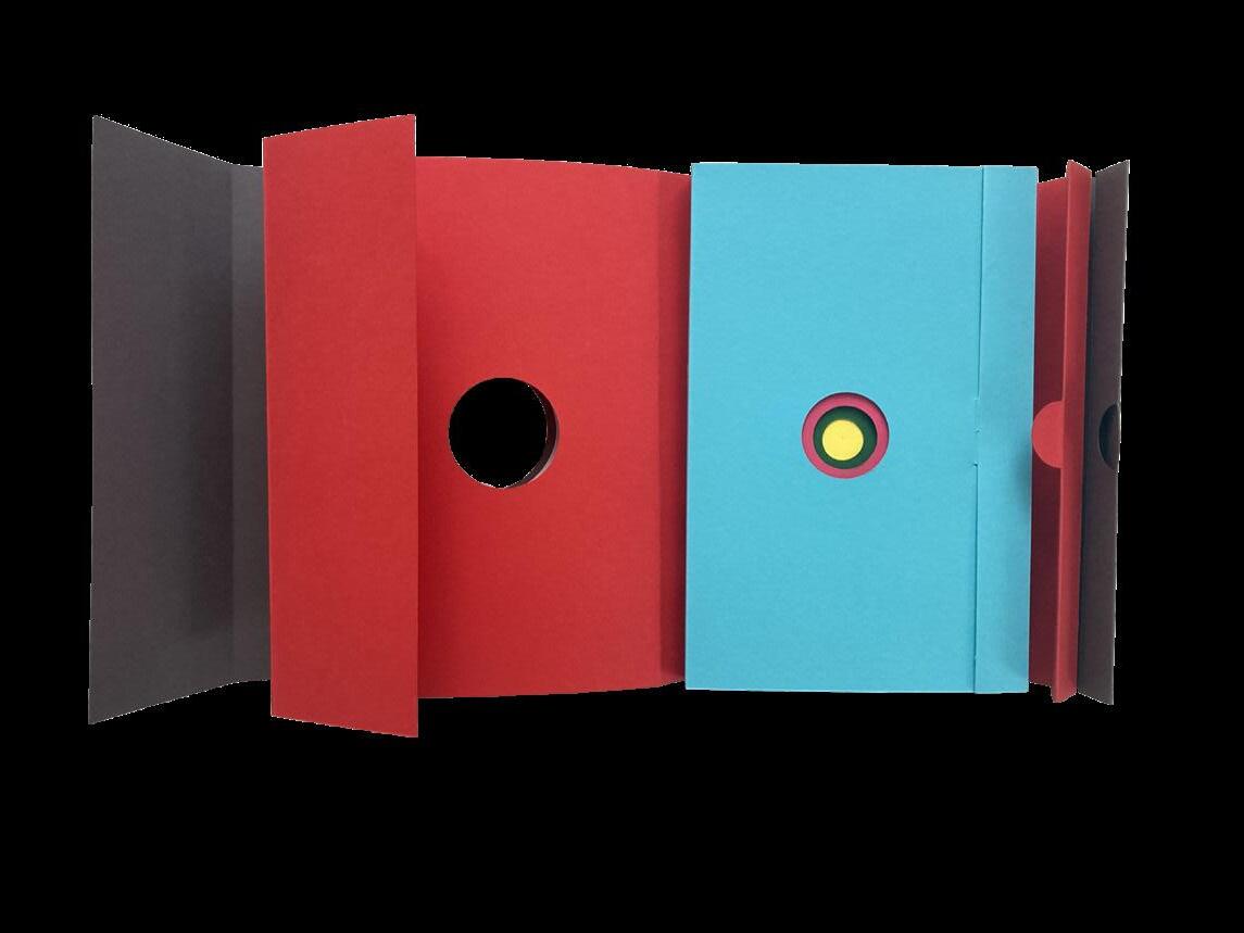



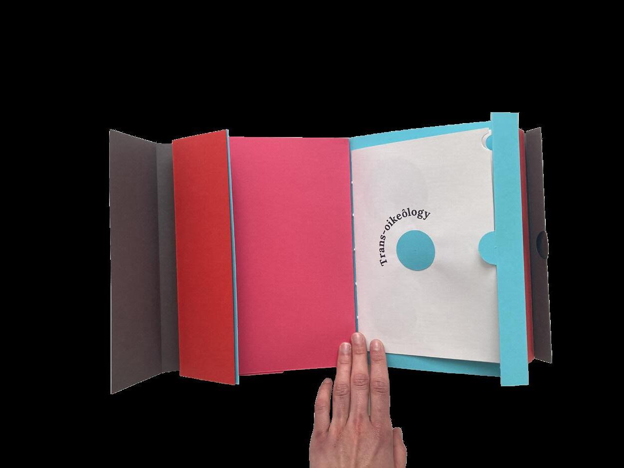
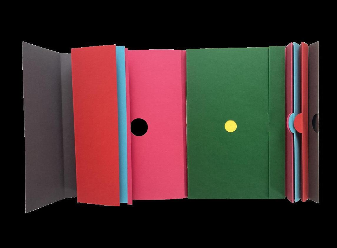
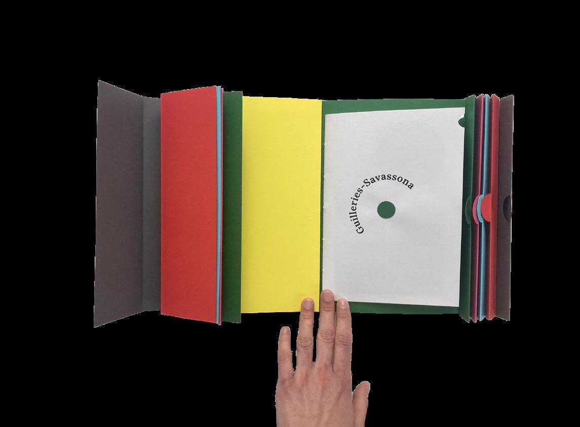
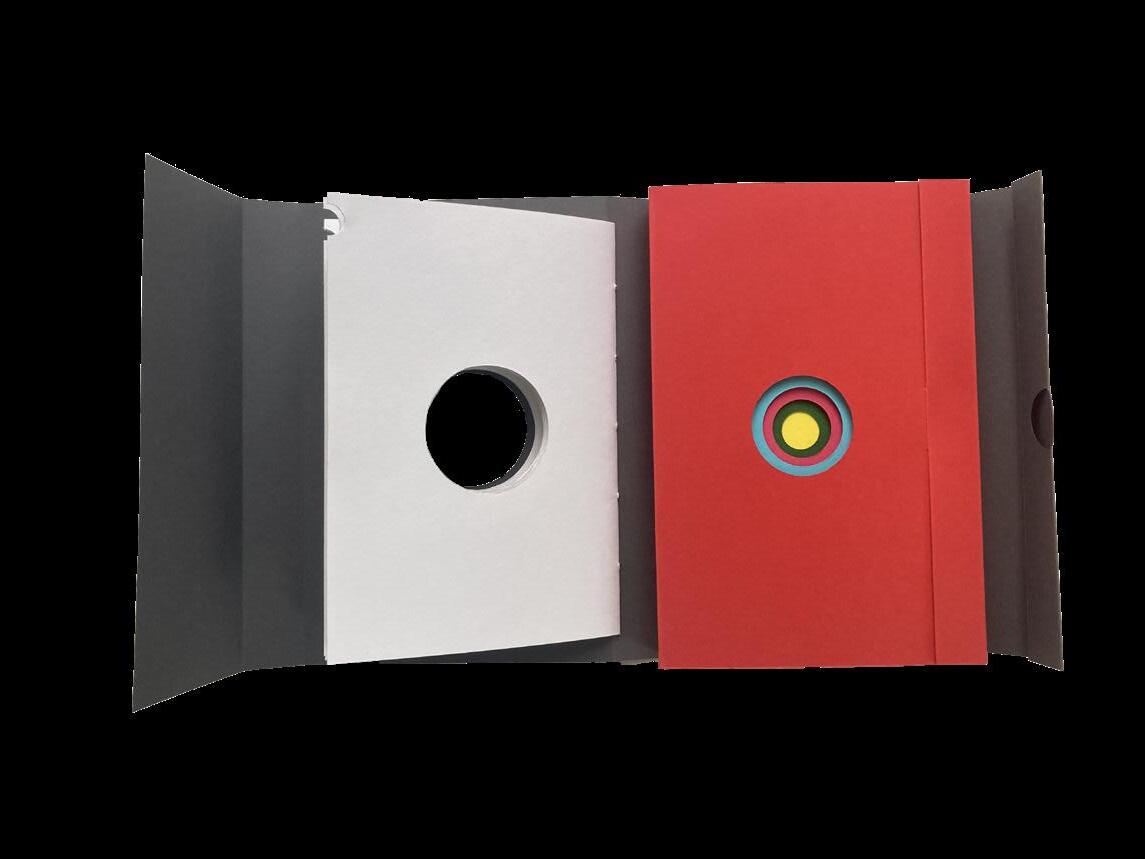
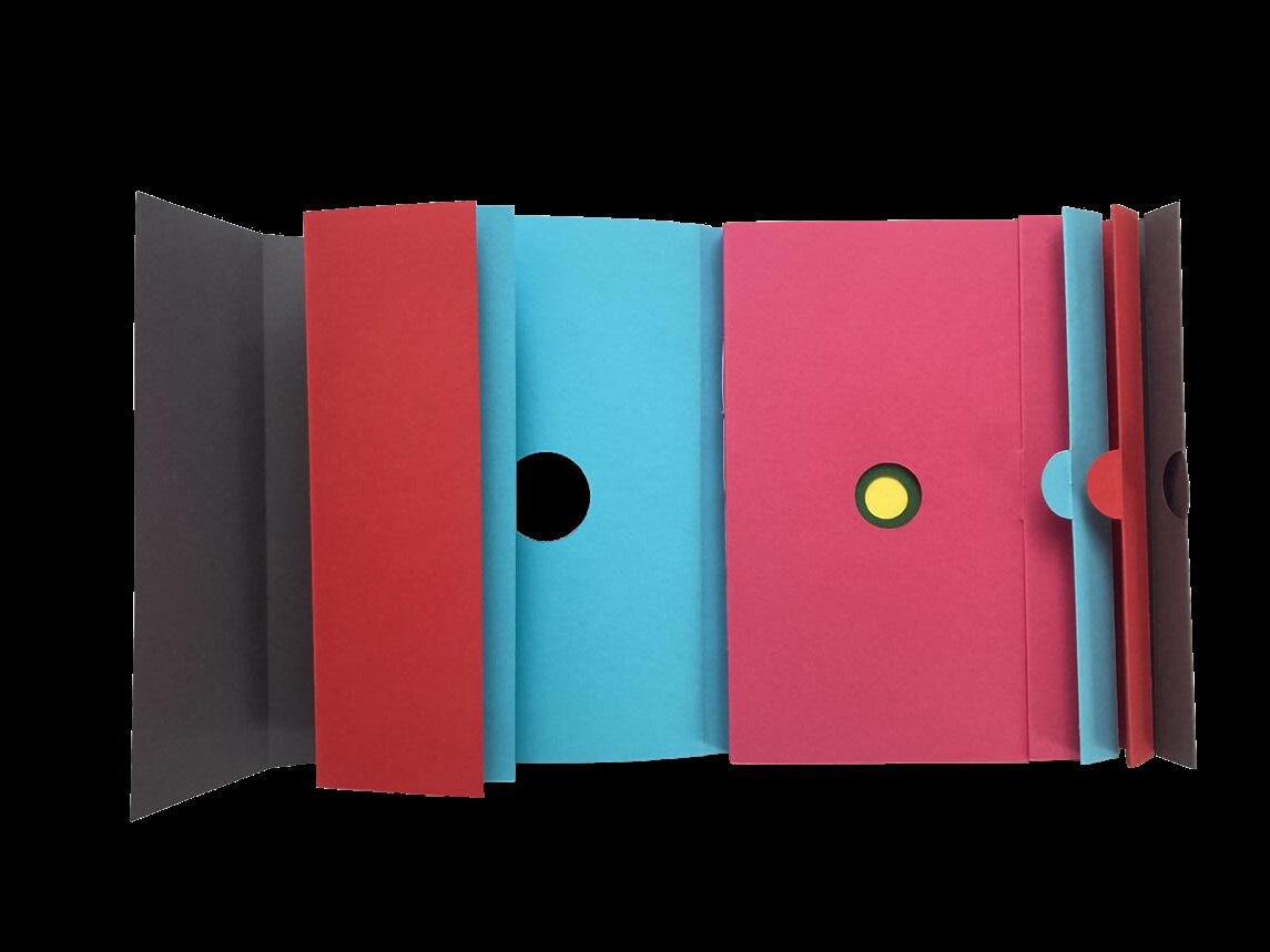
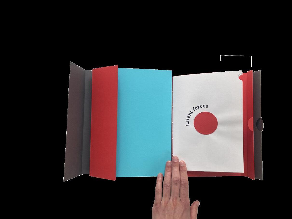
Academic Portfolio developed as part of my second semester as an EMiLA student at the Edinburgh College of Arts. In this portfolio I reflect on my journey towards landscape architecture, and extract tools and devices from my pas studies to carry with me in my future practice.


f or yourtime and consideration
