INFRASTRUCTURE
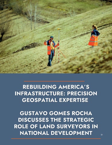
REBUILDING AMERICA’S INFRASTRUCTURE: PRECISION GEOSPATIAL EXPERTISE GUSTAVO GOMES ROCHA DISCUSSES THE STRATEGIC ROLE OF LAND SURVEYORS IN NATIONAL DEVELOPMENT
Gustavo Gomes Rocha is a topographic engineer and geospatial specialist with over 15 years of experience in Brazil and the U.S. He specializes in field engineering, regulatory compliance, and international knowledge transfer, having worked on major projects in mining, transportation, flood mitigation, and energy infrastructure.

In an era of historic infrastructure reinvestment and climateresilientplanning,landsurveyinghasbecomeavitalprofession supportingthephysical,economic,andenvironmentalresilience of the United States. However, a shortage of credentialed surveyors presents a significant obstacle to national progress, potentially leading to delays in federally funded projects, disruptingurbandevelopment,andcompromisingpublicsafety invulnerableareas.Thisarticlehighlightsthecrucialroleofland surveyors in shaping U.S. infrastructure, demonstrating how advanced geospatial techniques, including drone-based photogrammetry and digital terrain modeling, are revolutionizing modern engineering. More than just a technical skill, geospatial expertise now forms a core part of national economic strategy, aligned with the Bipartisan Infrastructure Law, the Good Jobs Initiative, and the Build America, Buy AmericaAct.
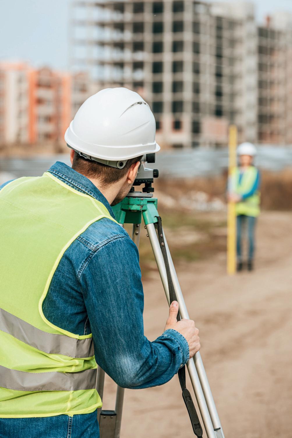
SmartCitiesincorporatetechnologyinto urbandesignforimpactfulprojectsin mining,transportation,floodmitigation, andenergyinfrastructure.
Rebuilding America’s infrastructure
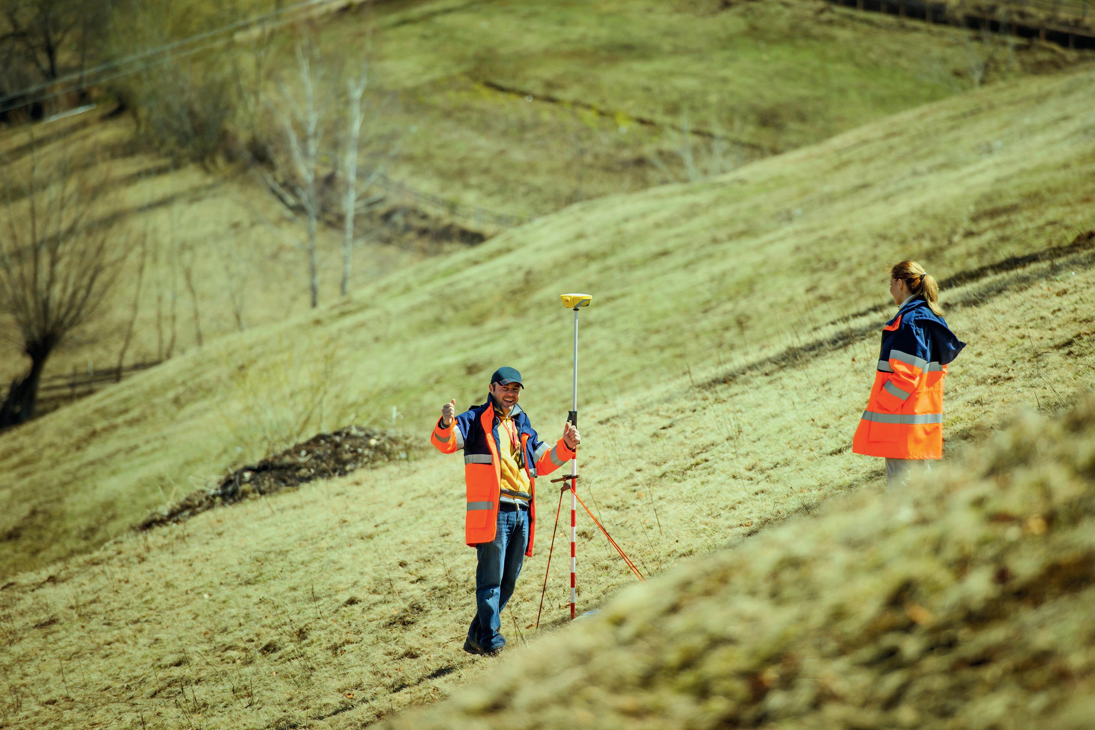
The modernization of America’s infrastructure is one of the country’s most ambitious public works undertakings in decades. From interstate highways and freightcorridorstofloodmitigation systems and broadband networks, these projects require more than just capital—they demand geospatial precision. While funding and political will have received national attention, successful implementation hinges onalesser-knownprofession:land surveying.
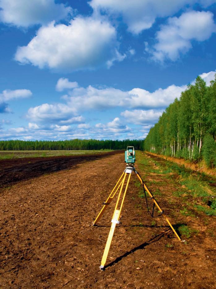
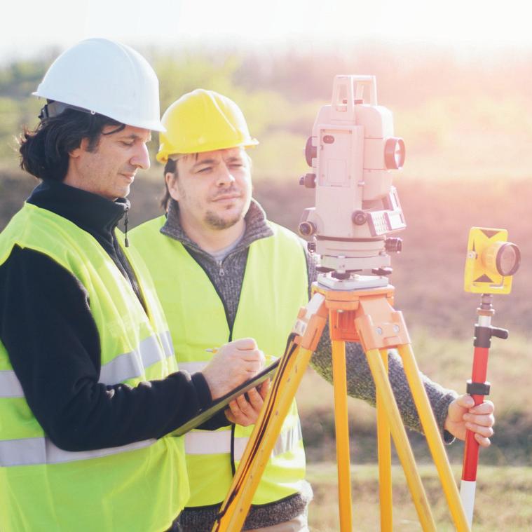
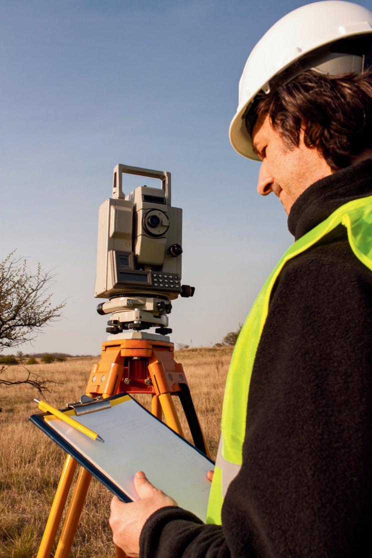
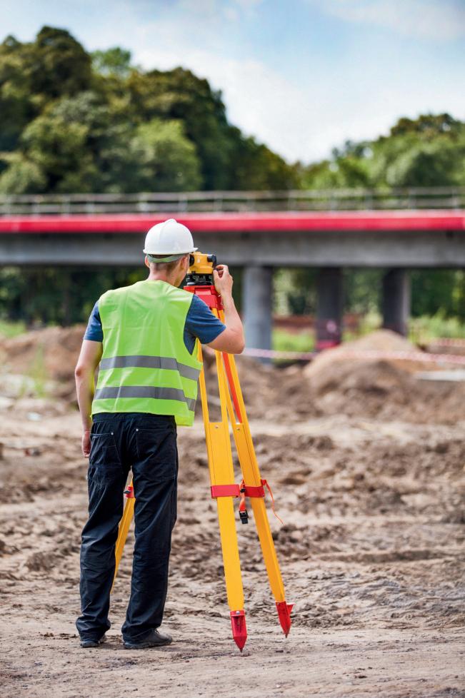
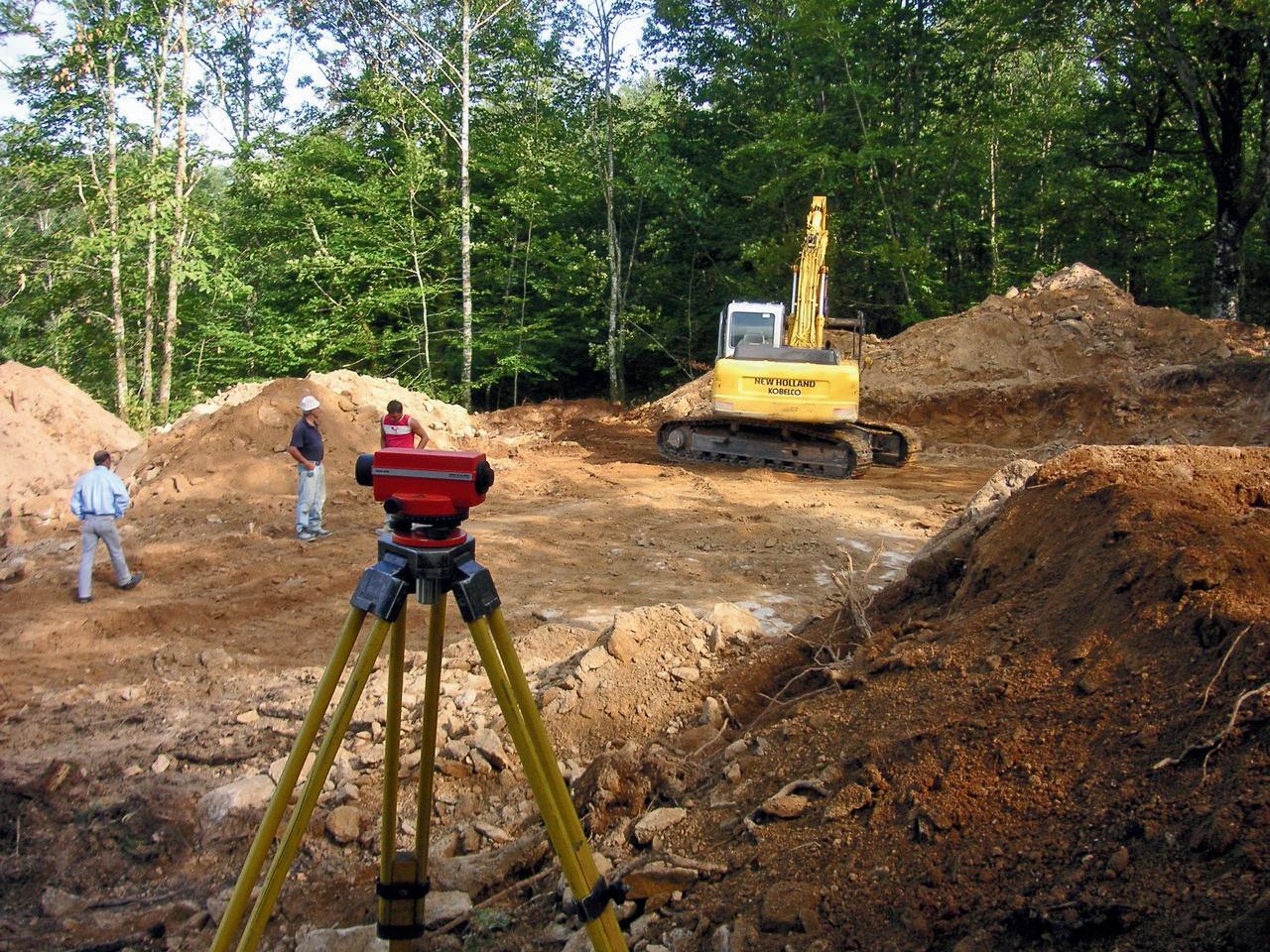
Land surveyors enable infrastructure by establishing geodetic control points, certifying elevation benchmarks, and verifying boundarylines.Thesedatapointsguideeveryphaseofdesign, permitting, construction, and compliance. Without accurate topographic data, volumetric assessments, and drainage modeling, infrastructure projects risk costly design errors, litigation, and construction delays. Whether defining FEMA flood zones or mapping right-of-way corridors for utility expansion, surveyors translate terrain into buildable environments.
THE U.S. SURVEYING AND MAPPING INDUSTRY: A STRATEGICENGINEOFNATIONALINFRASTRUCTURE
As of 2024, the U.S. surveying and mapping industry represents a $12.6 billion market that supports over 100,000 projects annually across various sectors, including construction, transportation, energy, and environmental resilience (IBISWorld, 2024). Since the passage of the Bipartisan Infrastructure Law, over $550 billion has been allocatedforpublicworksandresiliencyupgrades—morethan 75% of which require high-accuracy land surveying in their planning and approval stages (U.S. Department of Transportation,2023).
Surveyors bridge the gap between engineering and compliance. For example, the expansion of electric vehicle charging networks relies on ADA-compliant slope measurements,stormwatercalculations,andgeodeticmarkers for electrical spacing. In both urban and rural contexts, surveyorsserveasthetechnicalbackbonethatenablespublic andprivatecapitalinvestment.
The American Association of Geographers (AAG) estimates that the broader geospatial economy contributes more than $87 billion annually to the U.S. economy, both directly and indirectly. Meanwhile, the National Science Foundation (NSF) hasidentifiedgeospatialscienceasanationalresearchpriority, particularly for its role in disaster resilience, energy efficiency, andsustainableland-useplanning.
LABOR MARKET AND WORKFORCE TRENDS: A SYSTEMIC BOTTLENECKININFRASTRUCTUREDELIVERY
Despite its strategic importance, the U.S. land surveying profession faces an acute human capital shortage. According totheBureauofLaborStatistics(2024),thereareonly57,400 actively employed surveyors in the U.S., a figure that has declinedby11%overthepastdecade.Over35%ofthecurrent workforceisovertheageof55,whilefewerthan6%areunder 30,signalingacriticalgenerationalimbalance.
The education pipeline is underdeveloped. Only 30 ABET-accredited programs in surveying or geomatics exist nationwide, producing fewer than 1,200 graduates per year. In 2023, only 750 degrees were awarded in these disciplines, far below the level needed to sustain national infrastructure goals. Licensure further compounds the issue, as it requires field apprenticeships, state-specific exams, and ongoing education barriers that deter both new entrantsandmid-careertransitions.
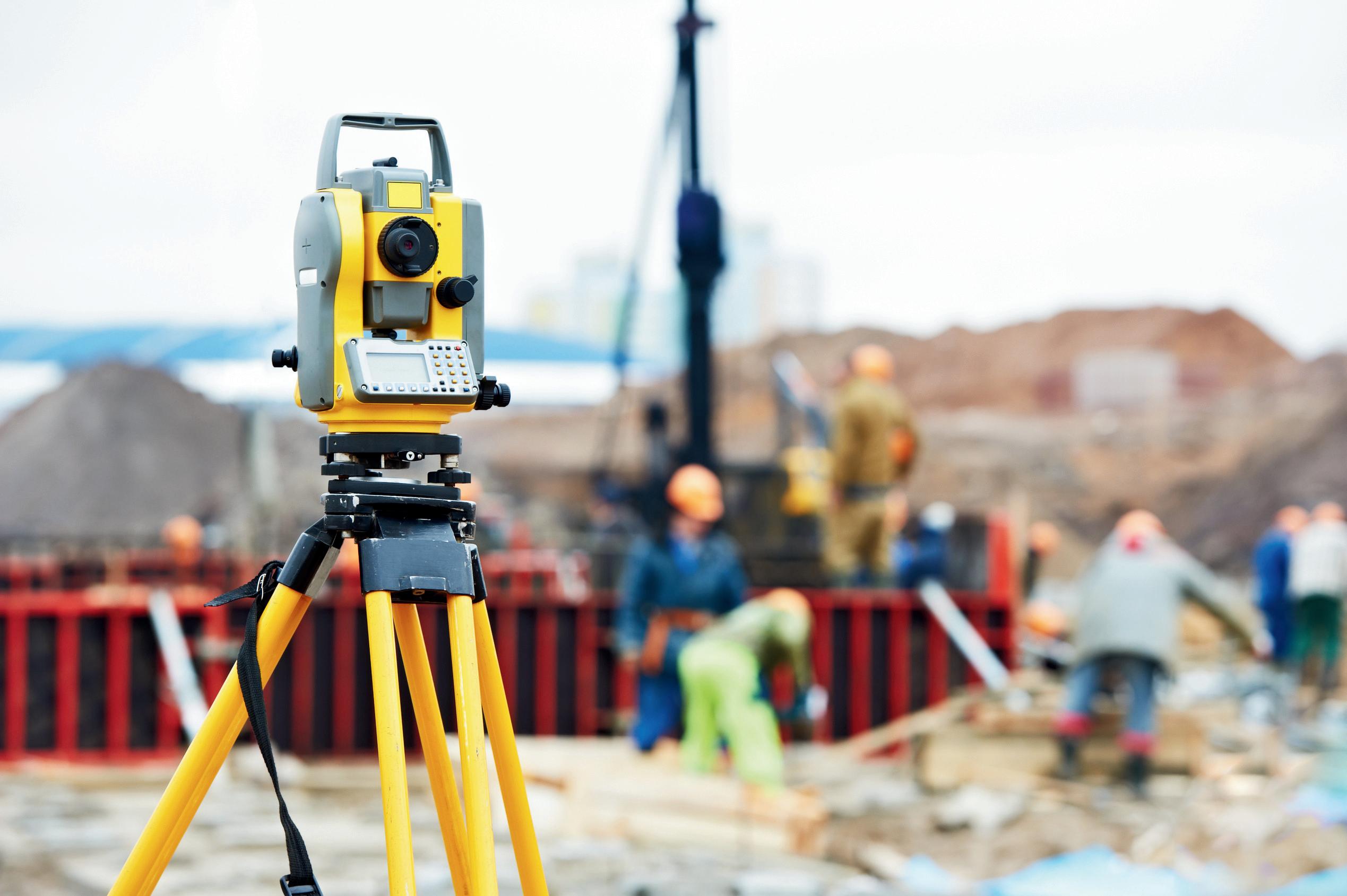
Technology, while powerful, cannot offset the shortage. Tools such as LiDAR, drone mapping, and GPS-RTK still require licensed operators who understand terrain classification, regulatory interpretation, and spatial compliance. The National Geodetic Survey’s forthcoming modernization— transitioning from NAD83 and NAVD88 to a new geoid-based model in 2025, will also require retraining and expanded technical capacity. Without sufficient workforce scaling, the U.S. risks a geospatialskillsgapthatcouldunderminethesuccessoffederallyfundedinfrastructure.
AFORCEMULTIPLIERINTHENATIONALECONOMY
Surveying is not only foundational, it is catalytic. Each new job in land surveying supports an additional 5.2 jobs in engineering, construction, compliance, and environmental services, according to the Economic Policy Institute (2024). The industry contributes approximately $3.4 billion annually in value-added labor to theU.S.GDP.
DatafromtheAmericanCouncilofEngineering Companies (2023) shows that early-phase surveyingreducesprojectdelaysbyanaverage of 17%. Municipalities like Austin and Denver, which have adopted real-time surveying platforms, report faster permitting, improved zoning enforcement, and lower litigation exposure. The result is more infrastructure deliveredontime,onbudget,andatscale.
Geospatial services are also indispensable for climate adaptation. FEMA’s flood risk models, the EPA’s environmental remediation plans, and USGS’s national elevation data all rely on high-accuracysurveying.Withover$50billion in federal investment earmarked for climateresilient infrastructure by 2030, surveyors are nolongeroptional—theyaremission-critical.
OUR INDUSTRY EXPERT: GUSTAVO GOMES ROCHA
At the intersection of field engineering, regulatoryfluency,andinternationalknowledge transfer is Gustavo Gomes Rocha, a topographic engineer and geospatial specialist with over 15 years of professional experience across Brazil and the United States. His career spans high-impact projects in mining, transportation, flood mitigation, and energy infrastructure,eachrequiringtechnicalmastery andalignmentwithcompliance.
In Brazil, Gustavo Gomes Rocha led complex surveying operations for slope stabilization, volumetric analysis, tailings dam safety, and drone-basedterrainmodelinginhydrologically sensitive regions. Upon relocating to the U.S., headaptedseamlesslytoFEMAclassifications, ANSI standards, and DOT protocols. His work now supports infrastructure funded under the BipartisanInfrastructureLaw,includingpipeline grading, stormwater assessments, and land developmentinitiatives.
Beyond technical delivery, Gustavo Gomes Rocha contributes to capacity building by mentoring junior technicians, standardizing geospatial workflows, and transferring advancedtechnologiestounderservedregions.
His ability to operate across regulatory systems and terrain typologies offers a unique comparative advantage, particularly in areas where credentialed professionalsarescarce.
EXCLUSIVE INTERVIEW WITH GUSTAVO GOMES ROCHA
His profile aligns with national goals, including expanding geospatial literacy, modernizing workforce pipelines, and enabling safe, efficient, and compliant infrastructure nationwide.t where geospatial leadership is crucial to achieving longtermoutcomes.
What do you see as the most critical challenge in U.S. land surveying today?
The most urgent challenge is a systemic shortage of credentialed professionals. As federal infrastructure investments accelerate through programs like the Bipartisan Infrastructure Law, the current surveying workforceisunabletomeetthedemand—
especiallyinruralareas,energytransitionzones, andcoastalregionsfacingclimate-relatedrisks. This workforce scarcity is not just a labor issue but a national capacity constraint, impacting timelines, permitting, and public safety outcomes.
What role does surveying play in environmentalandpublicsafety?
The most urgent challenge is a systemic shortage of credentialed professionals. As federal infrastructure investments accelerate through programs like the Bipartisan Infrastructure Law, the current surveying workforce is unable to meet the demand— especiallyinruralareas,energytransitionzones, andcoastalregionsfacingclimate-relatedrisks.
This workforce scarcity is not just a labor issue but a national capacity constraint, impacting timelines, permitting, and public safety outcomes.
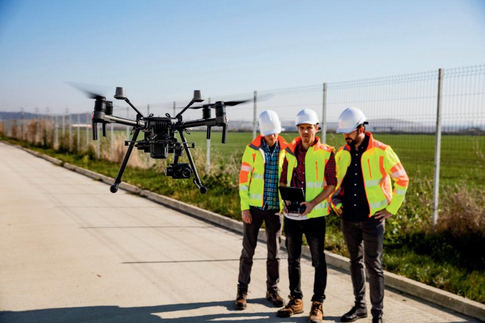
How has drone mapping changed yourworkflow?
It accelerates field operations and improves safety.Aerialphotogrammetrycanreplacedays of work in hazardous areas. However, the real value lies in accurately interpreting that data in linewithregulatoryrequirements.
Why did you choose to continue your careerintheU.S.?
The U.S. is undergoing a generational infrastructure renewal. I saw an opportunity to leverage my international experience in a national effort where geospatial leadership is crucialtoachievinglong-termoutcomes.
How are you supporting workforce development?
Itrainemergingprofessionalsinbothtoolsand standards, including drone operations, GPS workflows, and regulatory compliance. My goal is to strengthen local capacity, particularly in regionsunderpressurefromprojectdemand.
How do you work with engineers and planners?
I integrate terrain data into zoning codes, engineering tolerances, and environmental requirements. This collaboration streamlines permitting and ensures that infrastructure is buildable,safe,andcompliantfromthestart.
LookingForward
The geospatial profession must be elevated from a support function to a national strategic imperative. Land surveying should be embeddedinallfederallyfundedinfrastructure workflows,fromsiteselectionandpermittingto post-construction monitoring. Spatial data must be treated as a core input, not an afterthought.
Second, the United States must rapidly scale geospatial education and training. Partnerships with the National Science Foundation’s STEM programs and the Department of Labor’s apprenticeship models can accelerate certification, close equity gaps, and build regionalresilience.
Finally, institutionalizing geospatial standards intoinfrastructurelegislationwillensuregreater fiscal accountability, reduce permitting delays, and protect long-term public investment. Surveyors do more than measure land—they safeguardthefoundationsuponwhichAmerica rebuilds.
References
American Council of Engineering Companies. (2023). Surveying Practices and Economic Impact.https://www.acec.org/
American Society of Civil Engineers. (2023). Infrastructure Report Card. https://infrastructurereportcard.org/
·
BureauofLaborStatistics.(2024).Occupational Outlook Handbook: Surveyors. https://www.bls.gov/ooh/architecture-andengineering/surveyors.htm
EconomicPolicyInstitute.(2024).JobMultipliers inTechnicalFields.https://www.epi.org/
FEMA.(2023).NationalRiskIndexMethodology and Data Documentation. https://hazards.fema.gov/nri/
IBISWorld. (2024). Surveying & Mapping Services in the U.S. – Market Research Report. https://www.ibisworld.com
National Geodetic Survey. (2023). Datum Modernization. https://geodesy.noaa.gov/datums/newdatums/
·
National Science Foundation. (2023). STEM Education Strategic Priorities. https://www.nsf.gov/
U.S. Department of Transportation. (2023). Transportation Infrastructure Finance and InnovationAct.https://www.transportation.gov/
White House. (2022). Infrastructure Investment and Jobs Act Fact Sheet. https://www.whitehouse.gov/
·
Goodchild, M. F. (2020). Geospatial data in the 21st century: New directions and ethical challenges. Journal of Surveying Engineering, 146(2), 04020003. https://doi.org/10.1061/(ASCE)SU.19435428.0000305