REFRAMINGU.S.ENERGYSECURITY:THE STRATEGICROLEOFSUBSURFACESCIENCE
TheUnitedStates’energysystem,whichthecountry usestoproduce,store,anddeliveroilandgas,relieson muchmorethandrillingwells.Atitscore,itdepends ontheabilitytounderstandwhatliesbeneaththe Earth’ssurfacewithahighdegreeofaccuracy.Thisis wheresubsurfacesciencecomesin,afieldthat encompassesspecialtiessuchasseismicgeophysics andreservoircharacterization.
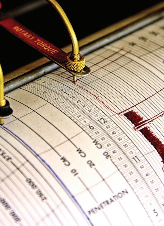
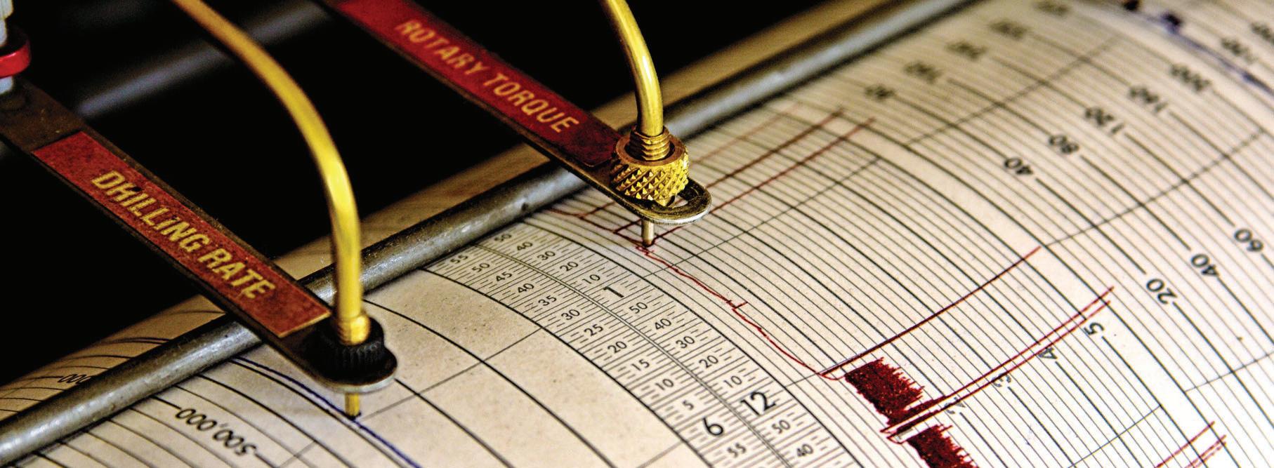
Thesedisciplinesenablescientistsandengineersto create3Dmapsofundergroundrocklayersbyutilizing soundwavesandcomplexdataanalysis.Thinkofitlike takinganultrasoundoftheEarth,exceptinsteadof lookingforaheartbeat,expertsarelookingforpockets ofoilandgastrappeddeepbelow.Thistechnology enablescompaniestomakeinformeddecisionsabout wheretodrill,howtodrill,andhowtooptimizethe outputfromeachsite.
WHYISTHISIMPORTANTNOW?
Becausetheglobalenergylandscapeischanging rapidly.Politicalinstabilityinkeyoil-producing regions,supplychaindisruptions,andthepushfor cleanerenergyhaveallmadeitmorechallengingto ensureastableandaffordableenergysupply.Tostay ahead,theU.S.mustmaximizetheuseofitsdomestic energyresources,andthatmeansutilizingthebest availablesciencetoextractthoseresourcessafelyand efficiently.
Inpracticalterms,seismicgeophysicshelpsenergy companiesavoidcostlymistakesbyreducingthe numberofdryholes,wellsdrilledthatproducenooil. Reservoircharacterizationenablesthemtoextract moreoilandgasfromexistingfieldswithouttheneed todrillnewones.Thesetechnologiesalsohelpextend thelifespanofolderfields,makingthemproductive forlonger.
Thisisnotjustatechnicalissue;it’sanissueof nationalsecurityandeconomicstability.Energy expertswhospecializeinthesefieldsplayacrucial roleinhelpingtheU.S.maintainitsenergy independence,mitigateenvironmentalrisks,and supporteconomicgrowth.Asthesemethodsevolve withtheaidofadvancedcomputing,artificial intelligence,andmachinelearning,their significancecontinuestoincrease.
Attheheartofthisinnovationareprofessionalssuch asgeophysicistsandreservoirengineers,whosework combinesearthscience,dataanalysis,and engineering.They’rehelpingtoensurethatAmerica’s energysupplyisnotonlymoreefficientbutalsomore resilientinthefaceofglobalchallenges.
ECONOMICFOUNDATIONS:THEOIL&GAS SECTORANDITSSTRATEGICDEPENDENCIES
Theoilandgasindustryisoneofthemostsignificant contributorstotheAmericaneconomy. Everyyear, thissectoraddsmorethan$1.7trilliontothenation’s grossdomesticproduct. Italso supportsnearly11 millionjobsacrossawiderangeoffields,including engineering,logistics,datascience,and manufacturing.
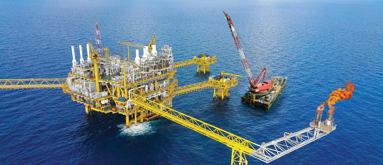
TheUnitedStatesiscurrentlytheworld’sleadingoil producer,butachievingthisstatushasnotcome easily.Muchoftheoilislocateddeepunderground incomplexgeologicalformations,particularlyin regionsliketheGulfofMexicoandthePermian BasininTexasandNewMexico.Extractingenergy fromtheseareasrequiresmorethandrilling.It demandsadvancedscientifictechniquesthatallow energycompaniestoseebeneaththesurfaceand understandpreciselywhereandhowtodrillwith precision.
Oneofthemostsignificantinnovationsinthisfieldis theuseof4Dseismicimaging.Thistechnologyuses soundwaves,sensors,andpowerfulcomputersto producedetailed,time-basedimagesofunderground reservoirs.Ithelpsscientistsunderstandhowoiland gasmoveovertime,whichimproveshowcompanies manageextraction,reduceswaste,andlowerstherisk ofdrillinginunproductiveareas.Thisisoftenpaired withartificialintelligenceanddataanalytics,making explorationmoreaccurateandlessexpensive.
Federalpolicyisplayingasignificantroleinadvancing thesetechnologies.ThroughtheBipartisan InfrastructureLawandtheInflationReductionAct,the governmenthasallocatedfundingtoupgrade explorationtechnologiesandencouragecleaner,more efficientmethodsofproduction.Theseeffortsaimto modernizeenergydevelopmentwhilemeetingboth environmentalandeconomicgoals.
Thereisalsoastronglabormarketincentivebehind thistransformation.TheUnitedStatesBureauof LaborStatisticsprojectsthatthedemandfor geoscientists,whoincludeexpertsinsubsurface imagingandreservoirmodeling,willgrowbyfive percentoverthenextdecade.Theseprofessionals earnwellabovethenationalaverage,withmedian annualwagesexceeding$92,000andtopearners bringinginover$165,000.
Despitethispromisingoutlook,theindustryfacesa seriouschallenge.TheAmericanGeosciences Institutewarnsthatthecountrymaybeshortmore than135,000qualifiedgeoscientistsby2031.
Thisshortfallisduetoawaveofretirementsand adeclineinstudentspursuingcareersinearth sciences.Withoutenoughskilledprofessionals tofilltheseroles,thenation’sabilitytomaintain andexpandenergyproductioncouldbeatrisk.
Thisgrowinggapintechnicaltalenthighlightsthe urgentneedtoinvestinworkforcedevelopment. Programsthatsupporteducationingeoscience, attractinternationaltalent,andprovideongoing professionaltrainingwillbeessentialtosecuring America’senergyfuture.
QUANTIFYINGIMPACT:SEISMICINNOVATION ANDU.S.ECONOMICMULTIPLIERS
Seismictechnologyandreservoirmodelingmay soundlikenichescientifictools,buttheyhavea surprisinglysignificantimpactontheAmerican economy.Theseadvancedmethodsenableenergy companiestofindandextractoilandgasmore efficiently,directlycontributingtonational productivity,jobcreation,andpricestability.
TheU.S.DepartmentofEnergyhasestimatedthatif thecountrycouldimproveitsrecoveryofoilandgas fromknownundergroundreservoirsbyjustten percent,itcouldaddbetween$200billionand$300 billiontothegrossdomesticproductoverthenext decade.Thatincreasewouldcomefromutilizing betterscienceandtechnology,ratherthandrilling morewells.
Attheheartofthistransformationisseismic innovation.Usingsophisticatedtechniques, scientistssendsoundwavesdeepintotheEarthand analyzetheechoestocreatedetailedimagesof undergroundrocklayers.
Theseimageshelpenergycompaniesavoid unproductivedrilling,oftenreferredtoas“dry holes,”whichsavesmillionsofdollarsandreduces environmentalrisk.
Reservoirmodelinggoesevenfurther.Itcombines datafromgeology,engineering,andfluiddynamics tosimulatethemovementofoilandgas undergroundovertime.Withthisinformation, companiescanmakebetterdecisionsaboutwhen andwheretodrill,howtomanagepressureinthe reservoir,andhowtoextendthelifeofexisting wells.
Theseinnovationsdomorethanboostoil production.Theyalsogenerateeconomicripple effects.Increasingthesuccessrateofexploration andextendingthelifespanofoilfields,companies cutcostsandcreatenewjobopportunitiesin engineering,manufacturing,transportation,and construction.Infrastructureprojectsrelatedto pipelines,processingfacilities,andlogisticsoften followsuccessfulfielddevelopment,amplifyingthe economicbenefits.
Additionally,advancedmodelinghelpscompanies complywithenvironmentalregulationsbyidentifying saferdrillingroutesandminimizingunnecessary surfacedisturbance.Thismakesenergydevelopment moresustainableandbetterreceivedbyregulators andcommunitiesalike.
Duetotheirextensiveeconomicbenefits,these technologieshavegarneredsignificantinterestfrom bothgovernmentagenciesandprivateinvestors.They arenowconsideredcrucialtoolsnotonlyforboosting energyefficiencybutalsoforsupportingnational economicgrowth.
GeoscienceatthecrossroadsofNationalEnergySecurity
FROMSUBSURFACETOSTRATEGY:THE NATIONALURGENCYOFELEVATING GEOPHYSICALSCIENCEINU.S.ENERGY POLICY
TheUnitedStatesisenteringapivotalmomentinits energystrategy.Asthenationnavigatesadual mandateofreducingemissionswhileensuring secureandaffordableenergy,aless-discussedyet foundationaldiscipline,geophysicalscience,is emergingasacriticallever. Despiteitsstrategic importance,appliedgeoscienceandseismic interpretationremainunderutilizedinU.S.policy discourse,educationalpipelines,andinfrastructure investmentpriorities.Attheheartofthisdisconnect liesabroaderissue:themisclassificationof geoscientificexpertiseasasupportfunctionrather thanastrategicnationalasset.
Thisoversighthasfar-reachingimplications. AccordingtotheU.S.BureauofLaborStatistics (2024),thedemandforgeoscientistsisprojectedto grow5%overthenextdecade,yetthesupplyof specialiststrainedinadvancedseismicmodeling,4D time-lapseanalysis,andsubsurfacefluiddynamics isinsteepdecline.Withouttargetedfederal intervention,theU.S.risksawideningexpertisegap inmanagingagingreservoirs,optimizingcarbon storage,andtransitioningtosustainableenergy systems.
STRATEGICIMPERATIVE:REFRAMING SEISMICINTERPRETATIONTECHNOLOGYAS ANATIONALASSET
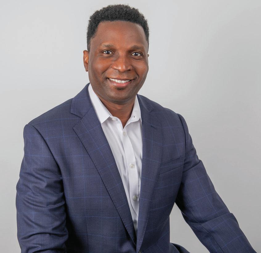
Unlikeconventionalgeologicalsurveys,modern geophysicalanalysisleveragesreal-timeseismicdata, machinelearning,andreservoirmodelingtode-risk drillingoperationsandmaximizerecoveryfrom complexfields.Oneofthemostcompellingcase studiesillustratingthenationalvalueofthisexpertise istheworkofSipuikineniMiguelAngelo,asenior explorationgeophysicistwhosecareerspans pioneeringeffortsinbothtraditionalhydrocarbon extractionandnext-generationmodelingtechniques.
Duringhistenureataleadingmultinationalenergy company,SipuikineniMiguelAngeloledtechnical initiativesacrossAngola’sBlock14,adeepwaterfield facingthecommonchallengeofreservoirdepletion. Hesuccessfullyguidedthedrillingoffourproduction wellsandoneinjectionwell,resultinginanetgainof over16,000barrelsperday,integrating4Dseismic surveys,amplitude-versus-offset(AVO)analysis,and dynamicmodeling,
Theseoutcomesnotonlybolsteredoperational efficiencybutcontributedtotheeconomic stabilityofAngola,acountrywhereoilrepresents morethan50%ofGDP.
Interviewby AnaPaulaMontanha,Editor-in-Chief
IntheU.S.context,thesemethodshold transformativepotential.Maturedomesticbasins— suchastheGulfofMexico,Permian,andEagleFord— couldbenefitfromsimilarinnovations.Butdeploying thematscalerequiresaworkforcetrainedinseismic stratigraphy,geostatistics,andreservoirsimulation. Hereinliesthepolicygap:whilefederalfunding prioritizesrenewabletechnologyandgrid modernization,thereislittlecoordinatedinvestment inthegeoscientificworkforceunderpinningallforms ofsubsurfaceenergydevelopment.
WORKFORCECRISIS:THEVANISHING PIPELINEOFGEOSCIENCEEXPERTS
Federaleducationandlabordatapointtoan alarmingtrend.
EnrollmentinGeoscienceprogramshasdeclinedby 22%since2017(NationalScienceFoundation, 2023),withfewerthan2,000U.S.students graduatingannuallywithadvanceddegreesinthe field.Compoundingthisproblemisthe fragmentationofindustry-academiapartnerships thatoncefacilitatedseismicresearch,reservoir modeling,andfieldtraining.
SipuikineniMiguelAngelo’sowntrainingexemplifies whatisnowincreasinglyrare.Asagraduatestudentat theUniversityofOklahoma,hecontributedtothe AttributeAssistedSeismicProcessing& Interpretation(AASPI)consortiumunderProfessor KurtMarfurt.
Hisworkledtoaco-authoredpaper,"Integrated SeismicTextureSegmentationandClusterAnalysis AppliedtoChannelDelineationandChertReservoir Characterization,"publishedinGeophysics,apeerreviewedjournaloftheSocietyofExploration Geophysicists.
Thealgorithmsdevelopedthroughthisresearch
remaininuseacross12multinationalsponsorsand haveenabledoperatorstoidentifythin-bedded channelsandfracturedreservoirsthatconventional methodsoftenmiss.Suchacademic-industry consortiaareincreasinglyunderfunded.Without intentionalrevivalandexpansion,potentiallythrough partnershipswiththeNationalScienceFoundation’s GeoPathsprogramorDOE’sFossilEnergyand CarbonManagementR&Dinitiatives,theU.S.willlack thesubsurfaceintelligenceneededtomanagecarbon capture,criticalmineralextraction,andenhanced geothermalsystems.
CASESTUDY:FROMANGOLATOTHEU.S. GULFCOAST-APLAYBOOKFORMATURE FIELDS
TherelevanceofSipuikineniMiguelAngelo’swork extendsbeyondproductionmetrics.
Hismethodologiesofferareplicablemodelfor optimizingagingU.S.oilfields—apriorityidentifiedin theDepartmentofEnergy’s2025StrategicPlan.In particular,theuseoftime-lapse(4D)seismicdatato monitorreservoirpressureandfluidmovementallows operatorstotargetuntappedpockets,delay abandonment,andreducetheenvironmental footprintofnewdrilling.
InAngola,SipuikineniMiguelAngelotackledreservoir compartmentalizationincomplexfieldsthrough integratedstaticanddynamicmodeling.His methodologyincludedfault-sealanalysis,pressure connectivityinferredfromwellinterferenceacross faultblocks,andseismicattributeinterpretationto delineatereservoirboundariesandfaulting.
Thiscomprehensiveapproachprovidedaclearer understandingofreservoirconnectivity, improvingdrillingstrategiesandlong-termfield developmentplanning,ensuringlong-term productivity.
EXPERTOPINIONEXCLUSIVEINTERVIEW: SUBSURFACEINTELLIGENCEINTHEAGEOF ENERGYTRANSITION
InterviewFeaturingSipuikineniMiguelAngelo,
SeniorExplorationGeophysicist
AspartofHumanCapital’songoingserieson executiveleadershipandindustrytransformation, Editor-in-Chief AnaPaulaMontanha speakswith expertsshapingthefutureoftheirfields.Inthis interview,Mr.SipuikineniMiguelAngelo,shareshis insightsasaninternationallyrecognizedgeoscientist withover15yearsofleadershipinseismic interpretation,reservoircharacterization,and opportunitymaturationforcomplexhydrocarbon systems.HecurrentlyservesasaSeniorExploration Geophysicistatamajorintegratedenergycompany, wherehisworkhasledtomulti-welldrillingprograms, fieldrevitalizationstrategies,andtechnological innovationsin4Dseismicmodeling.Acontributorto theAASPIconsortiumandco-authorofpeerreviewedresearchcitedglobally,hismethodologies havereshapedhowtheindustryapproachesmature fielddevelopmentandfrontierbasinevaluation.
Whyisseismicinterpretationmorecritical nowthaneverbefore?
Theenergylandscapeisshiftingrapidly—between decarbonization,geopoliticalinstability,andaging reservoirs,themarginforerrorhasbecomerazorthin.Seismicinterpretationtodayisnotjustabout identifyinghydrocarbons;it’saboutde-riskingbillions incapitaldecisions,optimizingsubsurfaceefficiency, andpredictingdynamicreservoirbehaviorinrealtime. Thefutureofenergy—whetheroil,gas,CO storage, orgeothermal—demandsprecisionsubsurface intelligence.That’swhatmodernseismic interpretationdeliverswhenintegratedwithmachine learningandtime-lapse(4D)analysis.
Howdogeophysicistscontributeto minimizingrisksduringtheexplorationof subsurfaceresources?
Geophysicistsarealsokeytothesafeexploitationof subsurfaceresources.Onceatargethasbeenfound, geophysicistsneedtoassesstheoverburdenfor potentialdrillinghazardsincludingshallowgas, overpressurecompartments,andlocationsthatare susceptibletounderwaterlandslides(masstransport complexes)orstrongflow(turbidites).
Whereasgeophysicistsworkingforupstream companiesareconcernedwithplacingthedrillbit, geophysicistsworkingformidstreamcompaniesneed topotentialgeohazardswhenlayingpipeline(andfor offshorewindmills)highpowerelectriclines.
SinceMacondo,operatorsintheUSGulfof Mexicomustalsoidentifyshallownonhydrocarbonbearingreservoirsthatcanbeused toshunthighpressureoilincaseofanaccident.
IntheOklahoma,Texas,andNewMexico, geophysicistsneedtomapandthenmonitor reservoirsforwastewaterdisposalthatboth protectsfreshwateraquifersandavoids triggeringearthquakes.
Whatarethemostoverlookedbarriersto advancingsubsurfaceinnovationinthe U.S.?
Onemajorbarrierisworkforceattrition.We’relosing experiencedinterpreterstoretirement,andnot enoughnewtalentiscomingin—especiallywiththe declineingeoscienceenrollments.Anotheristhe underutilizationoffield-provenglobaltechniques withinU.S.basins.
4Dinterpretation,seismicstratigraphy,andadvanced attributeanalysistotrackfluidmovementand enhancereservoircharacterization—arerarely prioritizedinU.S.policyorpermitting.Despitevast subsurfacepotential,thelackofinstitutionalsupport foradvancedgeophysicslimitsfullresource utilization.
What’sonemisconceptionpolicymakers haveaboutgeoscientists?
Thatweonlycontributeduringtheexplorationphase. Inreality,seismicexpertsareintegralacrosstheentire assetlifecycle—fromearlyprospectevaluationtolatestageenhancedrecovery,andevenabandonment planning.Weinfluencereservoirmanagement,CO injectiondesign,geothermalviability,andmore. We’renotjustdatainterpreters—we’resystems thinkers.
HowcanU.S.agenciesbettersupport geophysicalinnovation?
First,byembeddinggeophysicalmodelinginto regulatoryrequirementsforcarboncapture, geothermal,andoffshoreprojects.Second,by investinginpartnershipsbetweenacademia, government,andindustry—similartothemodelwe hadattheAASPIconsortium.Third,byensuring immigrationpathwaysremainopentospecialistswho offerrareandcriticalcapabilities.It’snotjustabout hiring—it’saboutnationalreadiness.
Lookingahead,wheredoyouseethe greatestgeoscientificopportunityinthe nextdecade?
TheconvergenceofAIwithsubsurfacedatamodeling iscreatingnewfrontiers—especiallyforcarbon storageandfrontierbasinexploration.We’llseemajor advancesinautomatedfaultinterpretation,real-time drillinganalytics,anddynamicreservoirprediction. Butthosemodelsstillneedexperiencedinterpreters tocalibrateandvalidate.Humanexpertiseremains themostcriticalvariableintheequation.
Interviewby AnaPaulaMontanha,Editor-in-Chief
POLICYRECOMMENDATION: INSTITUTIONALIZINGGEOPHYSICAL EXPERTISEINNATIONALINFRASTRUCTURE ANDENERGYLEGISLATION
Toensurenationalenergyresilience,theU.S.must embedgeophysicalscienceintoitsstrategicplanning. Policysolutionsshouldinclude:
WorkforceInvestment: LaunchaGeoscience WorkforceDevelopmentActincollaborationwiththe DepartmentofLaborandNSFtosupport apprenticeships,credentialingprograms,andmidcareerupskillingforseismicinterpretation.
DataModernization: Fundnationalsubsurfacedata repositoriesandopenseismiclibrariestoenable modelingandAI-basedreservoiranalytics,buildingon NOAA’sNationalGeodeticSurveyandUSGS initiatives.
University,nationallab,andindustryresearchers needaccesstodatathattheycanfreelypublish. Thisistrueevenforfolkswhoworkforservice companies.
IntheU.S.,thereareonlyafewsurveyseasilyavailable -TeapotDome,WY,StrattonField,TX,and WellingtonField,KS.Thefirsttwoareover25years old.TheUSBOEMdoesprovideaccesstoUSGOM3D surveys,buttheseareallvintage,approximately25 yearsold,andnoneofwhichhaddepthmigration appliedtothem.Alaskadatavolumesarealittlebetter quality,buthardertoaccessforthenoninitiated.
Morerecently, someUSDOEfundedsurveysfrom Nevada(forgeothermal)andIllinois(forCO2)have becomeavailable. Butthesearepostage-stampsize surveysthathavenotbeenprocessedusingthemost advancedtechnology(e.g.tomographyandwideazimuthdepthmigration).
Incontrast,takealookatallofthepaperspublished byAmericanresearchersondatafromNewZealand. TheNZP&Mmadeanefforttoreleaseabout253D surveysabout8yearsago.Theyareallofhigh quality,someofwhicharedepthmigrated.Sohere wehaveuniversitiesintheUSworkinghardtoimage andbetterunderstandthegeologyofNewZealand!
R&DPartnerships: Expandfederalsupportfor industry-academicconsortiatotranslateresearch intooperationalworkflows—modeledaftertheAASPI consortiumthattrainedleaderslikeSipuikineni.
RegulatoryIntegration: Mandategeophysical assessmentsandtime-lapseseismicdatainall federallyfundedoil,gas,geothermal,andCCS projects.
CONCLUSION:SUBSURFACEEXPERTISEASA CORNERSTONEOFU.S.ENERGY SOVEREIGNTY
SipuikineniMiguelAngelo’scontributionsinseismic texturesegmentation,4Dmonitoring,and multidisciplinaryreservoirmodelingrepresentthe kindofhigh-impactinnovationthatU.S.energy strategymustprioritize.
TheU.S.cannotaffordtotreatsubsurfaceexpertise asanafterthought.Whethersecuringenergy independence,scalingcarboncapture,or navigatingclimateresilience,seismicinterpreters andgeophysicalmodelersareessential infrastructure.
ThefutureofU.S.energymayverywellrestonthe shouldersofprofessionalswhocanseebelowthe surface,literallyandstrategically.
REFERENCES
Matos,M.,Yenugu,M.,Sipuikineni,M.,&Marfurt,K. (2011).Integratedseismictexturesegmentationand clusteranalysisappliedtochanneldelineationand chertreservoircharacterization.Geophysics,76(5), P11-P21.
Angelo,M.S.,M.C.Matos,andK.J.Marfurt,2009, Seismictexturesegmentationandclusteringanalysis todelineatereservoirgeometry:79thAnnual InternationalMeeting,SEG,ExpandedAbstracts, 1107–1111.
BureauofLaborStatistics.(2024).Occupational OutlookHandbook:Geoscientists. https://www.bls.gov/
NationalScienceFoundation.(2023).GeoPaths: AdvancingSTEMWorkforceDevelopmentinthe Geosciences.https://www.nsf.gov/
DepartmentofEnergy.(2025).StrategicPlanfor Secure,Modern,andSustainableEnergySystems. https://www.energy.gov/
AttributeAssistedSeismicProcessing& InterpretationConsortium(AASPI).Universityof Oklahoma.https://mcee.ou.edu/aaspi/
NOAANationalGeodeticSurvey.(2023).Datum ModernizationProgram.https://geodesy.noaa.gov/