Hiking
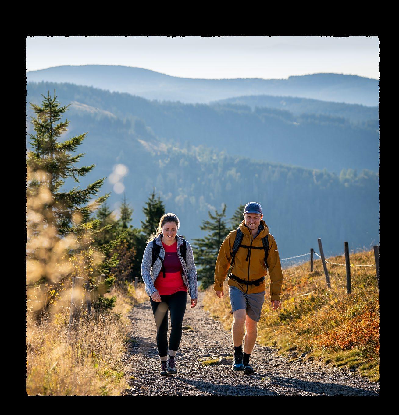
Premium Hiking in the Black Forest Highlands




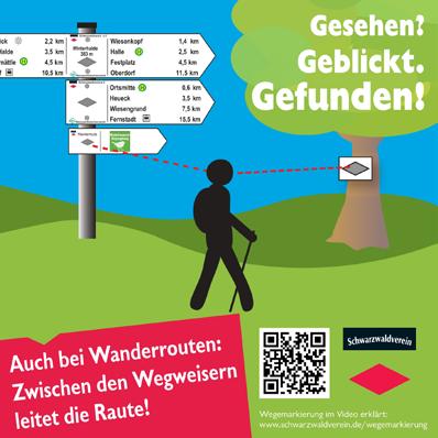
The Black Forest has a uniform hiking signage system which was introduced by the Schwarzwaldverein and the Black Forest Mountain Rescue.
The signposts provide the name of the location and the distances to the next signpost location as well as other destinations. Between the signpost locations, the trails feature smaller signs in diamond shapes (mostly yellow, but also red or blue). Special emergency kilometre markers can also be found on the Black Forest Highlands premium trails. 5 These complement the emergency guidance system of the Schwarzwaldverein and allow for more rapid assistance by rescue workers in an emergency, also between the signpost locations. Like the locations of the Schwarzwaldverein signposts, the kilometre information locations are stored at the emergency control centres (tel.: 112). Should you happen to get lost on your chosen hiking trail, remember that the corresponding diamond will always guide you between the signpost locations. 6
1
2 Location field: name of the location with altitude above sea level. Location name = rescue location!
Destination field: with names of the next signpost locations and distance in kilometres to them. Pictograms with info about public transport, gastronomy, infrastructure where applicable.
3 Guiding trail diamond: also includes the name of the trail with long-distance hikes.
4 Hike sign: with its own symbol on the signpost. The respective diamond leads the way between signposts.

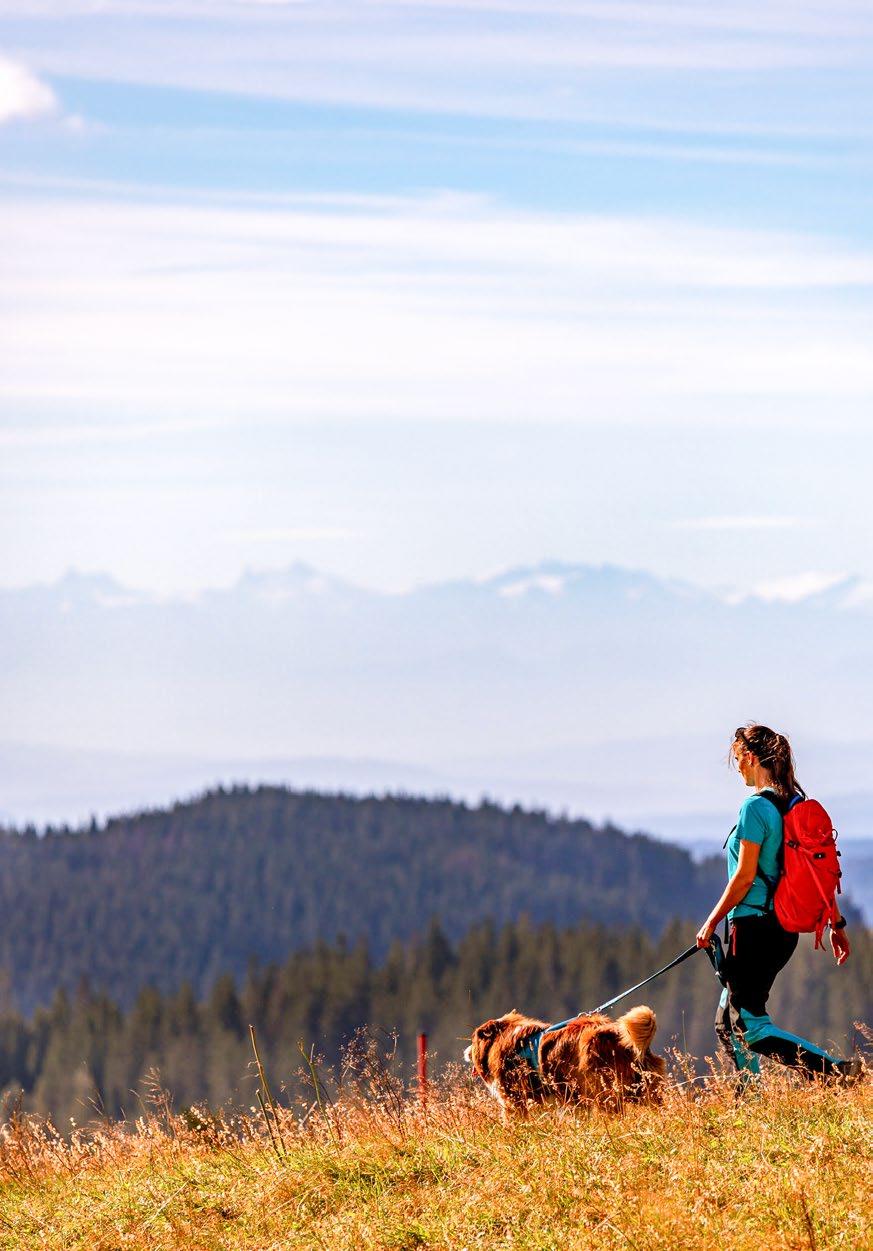
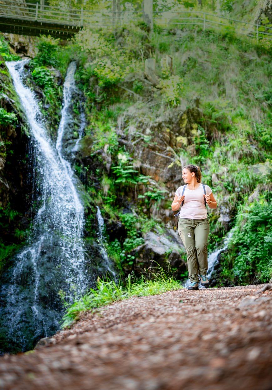
Hikers can find everything their heart desires all year round on more than 2,100 kilometres of signposted trails. Magnificent views of forests, mountains and lakes guarantee adventurous experiences and ensure hiking pleasure.
The Black Forest Highlands premium trails are mostly signposted as circular tours. These trails combine stunningly beautiful natural scenery with excellent refreshment points.
All the premium trails are also certified by the German Hiking Institute as premium hiking trails. Premium, because, in contrast to the regular hiking trails, they are additionally equipped with a continuous system of signposts, guarantee nature-like hiking trails off the roads and provide for especially enjoyable experiences.
You can generally find your way on your hike using the “Bollenhut” Hat premium trail markers with the 1 name of the hike. In some places, only the “Bollenhut” Hat marking 2 is used between the signpost locations and at intermediate signposts. At the intermediate signposts you will find either the red signposts 3 or those from the Schwarzwaldverein. At the signpost locations you can find your way using the red 4 signposts.



Detailed information and maps of the premium hiking trails are available at: hochschwarzwald.de/premium-trails



Actively exploring the Black Forest Highlands isn’t possible with physical limitations? Actually, it is! Our extra-wide hiking trails (mostly unpaved) offer the best comfort and unique panoramic views. You will also find special handbike trails in the region for maximum cycling enjoyment.
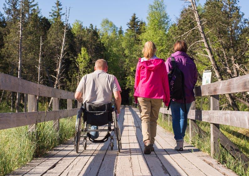
More information for your accessible holiday
More information about accessible paths
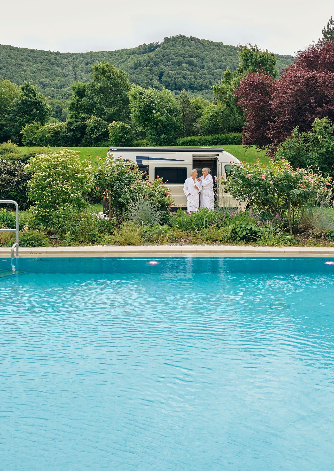
Your getaway in the Hochschwarzwald is waiting for you – relax at the Day spa and dream in your own motorhome.
By the way, motorhome travellers in search of relaxation can enjoy a wide variety of options across Baden-Württemberg. At mein-thermen-stellplatz.de, you’ll discover 24 motorhome pitches situated close to a thermal spa.
| info@heilbaeder-bw.de | naturerholt.de
Particularly high air quality, oxygen-rich forests and an altitude of over 800 metres characterise the health resorts in the Black Forest Highlands. On vital hikes across extensive meadows and through idyllic villages you can enjoy wonderful views and recharge your batteries.
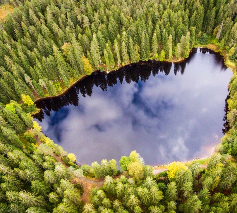
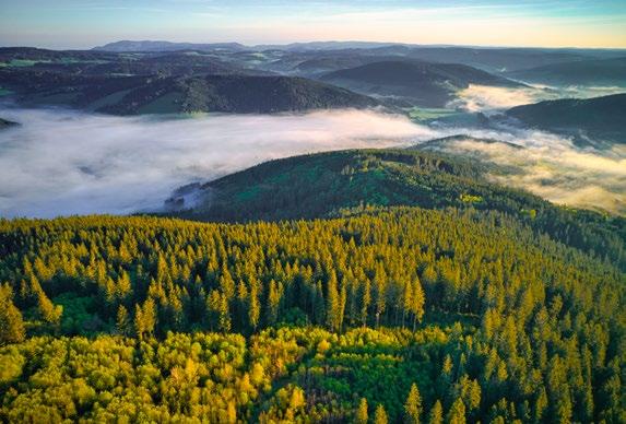
Hiking on specially designated “high altitude hiking trails” in the officially recognised health resorts of Hinterzarten, Titisee, Schluchsee, Schluchsee-Fischbach, Schluchsee-Faulenfürst, Schönwald, St. Blasien, Lenzkirch and Lenzkirch-Saig supports your well-being in a gentle way due to the mild, stimulating climate. You can experience and intensely appreciate a range of revitalising climate elements while you hike. The varied difficulty levels of the high altitude hiking trails make it possible for you to enjoy the stimulating climate in a measured way to improve your vitality.
The body learns, through varying stimulation, how to react to different temperatures or oxygen levels and activate adjustment processes. Breathing and circulation are stimulated, for example. The combination of exercise, being close to nature and the benefits of the high altitude climate actively contribute to improving your health and guarantee relaxation at the same time. Healthy hiking in the high altitude climate region therefore has a particularly long-lasting effect on your body, mind and spirit.
Full information about the high altitude climate: hochschwarzwald.de/high-altitude-climate-trails
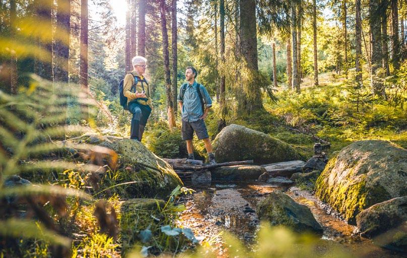
Movement in the Black Forest Highlands high altitude climate region offers you a number of things: The invigorating and restorative factors of the landscape, the play of colours in nature in the different seasons, the soothing noises like a babbling brook or wide, inspiring views turn movement into a natural active ingredient that guarantees relaxation.
As in any sporting activity, age, health and fitness also play a role in high altitude hiking. The same rule applies: don't overdo it!

in the Black Forest Highlands
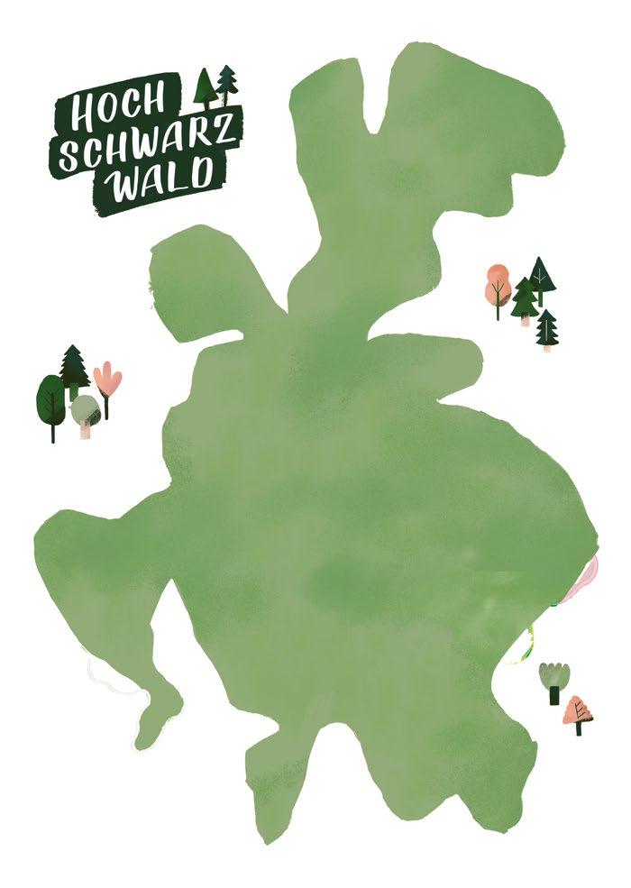
Difficulty: easy
Difficulty: medium
Difficulty: hard
Schonach St. Georgen
Schönwald
St. Peter Furtwangen
St. Märgen
Breitnau
Hinterzarten
Eisenbach (Hochschwarzwald)
TitiseeNeustadt
Saig
Feldberg Lenzkirch
Friedenweiler
Lö ngen
Todtnau
Schluchsee
Bonndorf
Grafenhausen
St. Blasien
ÜhlingenBirkendorf Häusern
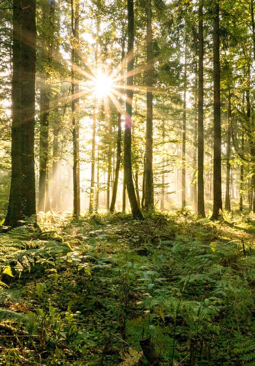
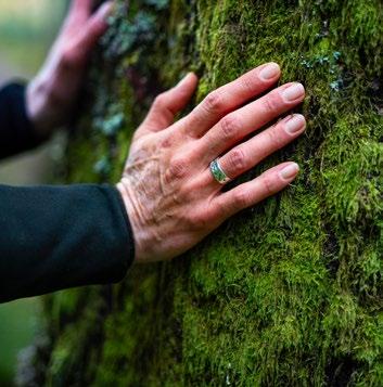
The crucial difference between your usual walk and forest bathing lies in mindfulness.
The soothing green and the tranquillity of the forest allow stress hormones to ebb away and bring balance to the soul. During forest bathing, the heartbeat measurably slows, blood pressure drops and general well-being improves. The unique forest climate plays a crucial role here: the treetops provide shade, while the trees evaporate water at the same time. This results is pleasantly cool temperatures even on hot summer days and provides higher humidity than in other locations.
Time spent in the forest lets you escape the hustle and bustle, unwind and experience a deep sense of natural well-being.

Want to know everything to keep in mind during forest bathing?

We have created a guide for you: hochschwarzwald.de/forest-bathing
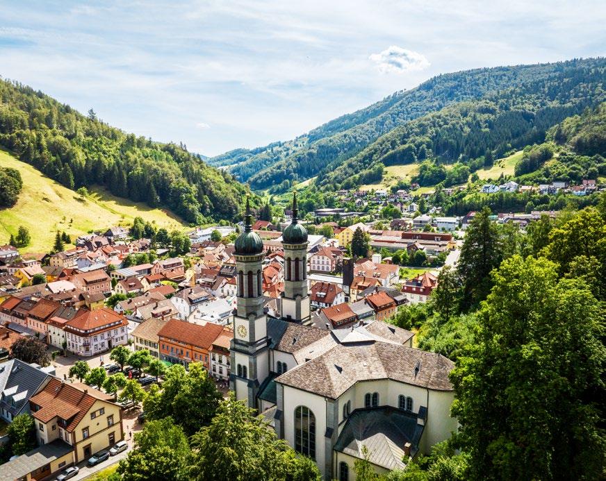
Todtnau Mountain Region stretches from the lovely “Wiesental” valley to the southern slopes of the subalpine Feldberg Mountain, ranging from 600 to 1,386 metres in altitude. Thanks to its location between the highest Black Forest mountains, it offers hiking tours of various difficulties with beautiful views of the Black Forest Highlands.
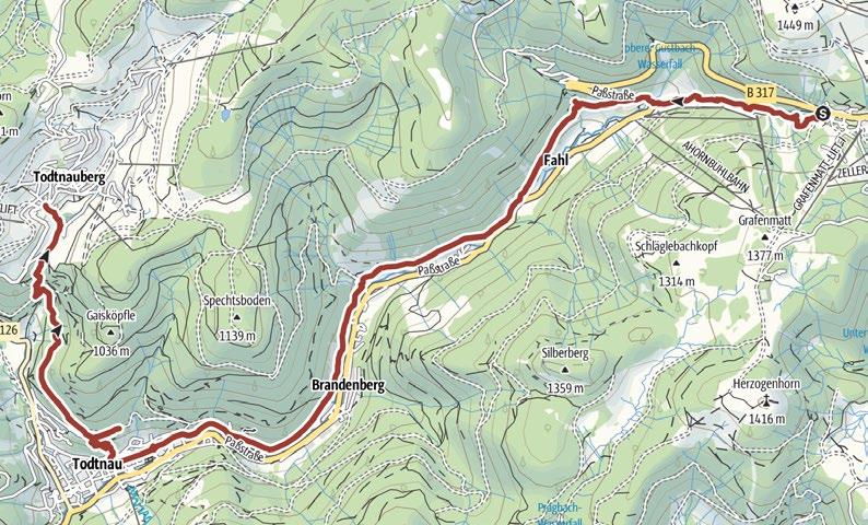
Start by hiking along the Feldberg Pass to the Wiesenquelle spring. Next, take the Hebelweg trail to reach the Fahler Waterfall above the National Training Centre. Continuing down the valley, proceed towards Brandenberg and on through the Wolfsschlucht gorge towards Todtnau. After passing through the town centre, you reach the forest, through which you hike to the Todtnau Waterfall and past the BLACKFORESTLINE. The tour ends at the Hotel Sternen in Todtnauberg .
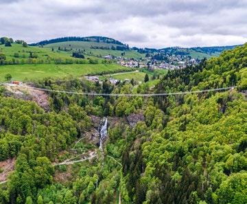
August Euler Platz, Feldberg or Hotel Sternen, Todtnauberg
Condition:
Walkable: April to October
Wasserfallsteig

Valley station car park
Hasenhorn, Todtnau
21.7 km 8:00 h
952 m 899 m
Condition:
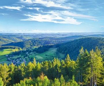
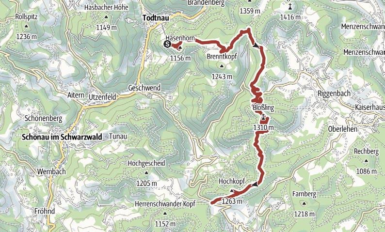
This hike sets out towards the Hasenhorn observation tower on Gisiboden Alm. You continue over the Brenntkopf, past the Präger Boden and along the Prägtal valley towards Hofeck. The trail then wends its way up the mountain to the summit of the Blößling with its glorious views. Continuing past the Blößlingsattel and the Präger Eck, you reach the Hoher Zinken and Ledertschobenstein viewpoints and the Hochkopf . After the Weißenbachsattel, you continue to Hochkopfhaus and take the bus back to Todtnau.
This hike takes you to the summit of the Stübenwasen and to the longest bench in the world. From there, follow the Westweg to the Todtnauer Hütte and continue to the Feldberg Mountain summit. From the plateau, you take the path to the Feldbergturm tower with its spectacular views. You then hike downhill to Feldsee, before taking the bus back uphill to the Caritas House.
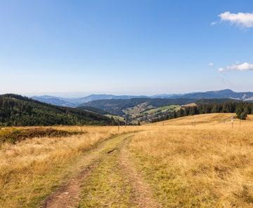
Radschert hikers’ car park, Todtnau or Caritas Haus, Feldberg
Start by hiking to Schlechtnau along the former railway line, before continuing towards Geschwend. The trail then takes you towards the village church and Gisiboden. Continuing to the Prägbach, you follow the watercourse to basin around Präg, with its steep walls, and continue into the town centre. You can catch the bus back to Todtnau from here.
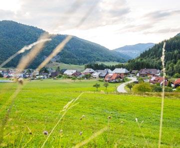
Silberberghalle, Todtnau 15.05 km 4:43 h
h
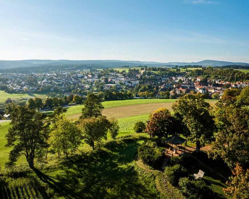
Bonndorf is situated at an altitude of 600 to 1,050 metres in the northeast of the district of Waldshut about 18 kilometres north of the Swiss border. It is the ideal holiday destination with a modern infrastructure and extensive leisure facilities. The tourist highlight is Germany’s biggest canyon, the “Wutach Gorge”.
Start at the Church of St. Maria Himmelfahrt in Gündelwangen. The path leads past the former Gasthaus Hirschen on the right to the Bühlbachweg until you reach the gorge. Proceed along the Freiburg–Bodensee trail (white-red diamond) until you reach the Schattenmühle and continue through the Lotenbachklamm gorge. You then meet the Bähnle cycle path, proceeding to the Vogtsberghütte (barbecue area) before returning to the church.
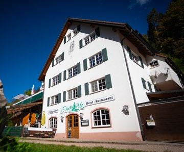
Gündelwangen church, Bonndorf
Condition:
Walkable: April-October
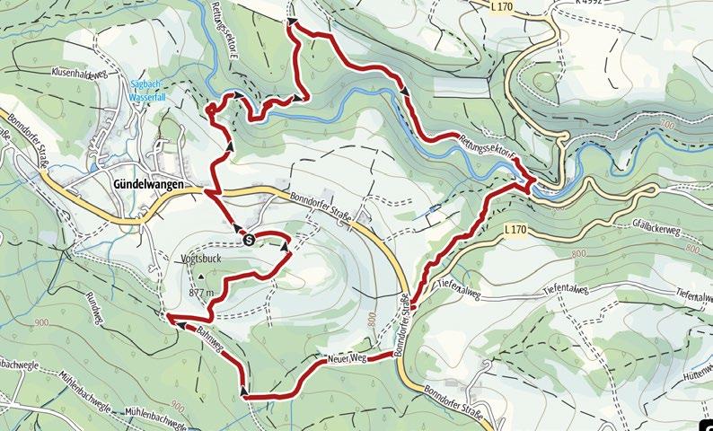
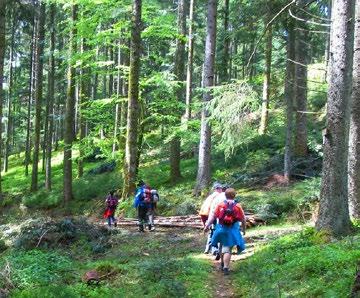
From Bonndorf school, go left to the Schwarzwaldhotel; the forest track begins opposite. After 1 km, turn right into the “Bierbrunnen” and go for 1.5 km through the forest. Continue right on the Brosiweg trail (2.3 km), left on the Dobelweg to Alte Sägestraße, then uphill and right via the Ganter, Biedermann and Schuttplatzweg trails. Cross the meadow, the L 170, go along the Hinterwiedenwege trail, past the chapel and back to the school.
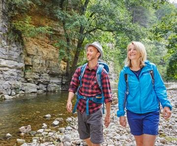
The Wutach Gorge, can be explored on many trails from Bonndorf or Löffingen. The “classic hike” follows the main leg of the “Schluchtensteig” trail. From the Wutachmühle, you hike upstream through narrow valleys with steep rock walls. Via the Rümmelesteg you reach the Wutachaustritt falls and continue along impressive rock galleries and waterfalls to the Schattenmühle Inn.
Wutach Gorge circular trail
Your hike starts at the hikers’ car park in Boll and descends into the Wutach Gorge. After reaching the valley floor, your walk takes you downstream towards Wutachmühle. On narrow paths you pass through the wild romantic gorge, sometimes close to the water, but also high up and past the rock gallery. At the Schurhammerhütte you leave the gorge and return to Boll via the Rosshütte (barbecue location) and the Fischerweg trail.
Family-friendly circular hike
This stroller-friendly panoramic walk leads you around and through Bonndorf. You will enjoy sweeping landscapes with views as far as the Feldberg Mountain, into the Baar region and, in good weather, as far as the Swiss Alps. The walk takes you along asphalt paths and is therefore easy in any weather. Other highlights of the hike are Bonndorf castle, the Japanese Garden and the numerous places to eat.
Condition:
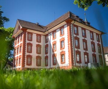
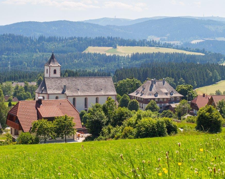
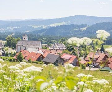
Breitnau spa resort is located at an altitude of some 1,000 metres on a plateau to the east of Freiburg. Picturesque farms and sweeping views of the mountains and valleys of the Black Forest up to the 1,493 metre tall Feldberg Mountain, the highest peak in the holiday region, await you.

The Türkenlouis circular trail on the “Breite Au” reveals seven Baroque defensive structures, offering magnificent views over the Rhine valley to the Vosges Mountains, the Feldberg Mountain and the Swiss Alps as part of a circular trail. The trail leads from Breitnau via the Roßberg to the Hugenweiher pond, Fahrenberg, and back to the village via the Ringelschanze.
with its Vitra Design bench
The hike takes you to Wirbstein, on to the Konradenhof and past Heiligenbrunnen to Fürsatzhöhe. From there, you follow the path on past Thurner and Weißtannenhöhe to Fahrenberger Höhe. You can enjoy an unbelievable view from the four-metrelong bench. You eventually reach the Naturfreundehaus via Ankenbühl, before returning to Breitnau via Schanz Waldeck.
Condition:
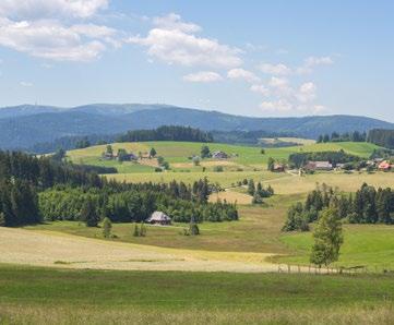
Hikers’ car park at the church, Breitnau
Hiker’s car park, Breitnau church 13.42 km 4:30 h 9.2 km 2:50 h
Condition:
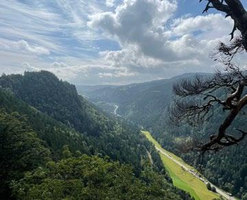
This trail takes you to the Maria im Moos Chapel and uphill past Neuhofsäge, where a brief detour to the Piketfelsen viewpoint is well worth it. It will surprise you with a spectacular view of the Höllental valley and the surrounding Black Forest. On the way back, you follow the path past Mittlere Ravenna and Obere Ravenna to Wirbstein.
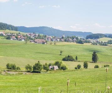
Hikers’ car park at the church, Breitnau 5.4 km 1:45 h
Condition:
Passing the old vicarage in Breitnau, you follow the road further into the back streets. You pass the traditional Black Forest Farmhouses and can enjoy the sensational view of the Feldberg Mountain while you do. The Maria Chapel in Moos is well worth a visit. The path takes you past the Upper Mill and back to Breitnau.


Since 1924, Elztalbrennerei Weis has stood for uncompromising quality and true distilling craftsmanship.
Our premium fruit brandies are made from fully ripe, aromatic fruits sourced from the Black Forest region—crafted with expertise refined over generations. Distillation takes place in traditional copper stills—precise, gentle, and with the highest standards of flavor and purity.
The result: characterful distillates with a distinctive taste. Our range extends from classic fruit brandies and fine liqueur specialties to international spirits—always with the ambition of creating exceptional moments of enjoyment from the finest fruits.
Elztalbrennerei Georg Weis GmbH
Elzstr. 39-41 · 79261 Gutach im Breisgau
Tel.: +49 (0)7681/4718-0
elztalbrennerei.de
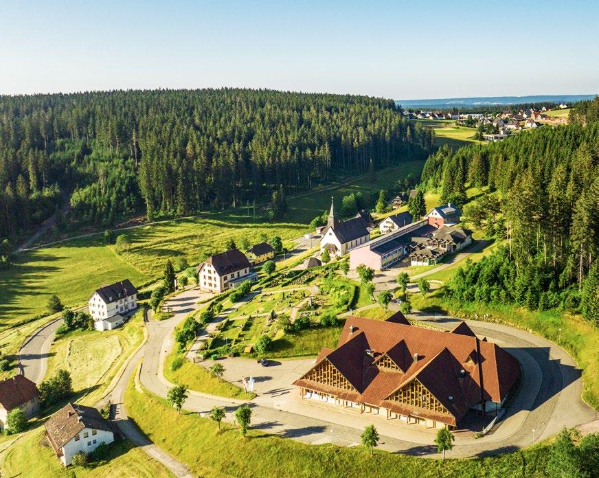
(Hochschwarzwald)
Eisenbach (Hochschwarzwald) got its name from brown haematite mining, which was mined here for almost 500 years. Today, the town is particularly popular among clock enthusiasts and nostalgic winter sports lovers, and consistently offers hikers a breathtaking panorama thanks to its altitude.
You set out through the forest towards Schwärzenbach and onward to the Höchstberg barbecue area. The hike takes you past traditional farmhouses towards the plateau, where you can enjoy a spectacular view across the whole of the Black Forest Highlands to the Feldberg Mountain – on a clear day, you can even see the Alps. You return to your starting point along the sunny path at the edge of the forest.
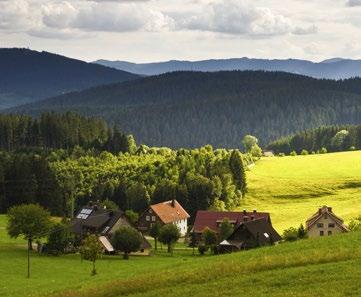
in Schollach
Start your hike by walking to the Schollacher Sommerberg along the edge of the forest. Continue towards Rengethof with a breathtaking view of the Renget with ponds and lone trees, and continue to the Judas Thaddeus Chapel. On the Hochberg, you pass the Schneckenhof, once home to the first ski lift in the world, before following the trail back.
Condition: Hikers’ car park at the Höchst, Eisenbach
St. Wolfgang Church, Schollach 3.98 km 1:15 h 15.54 km 4:37 h
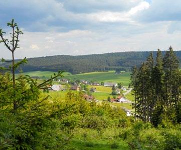
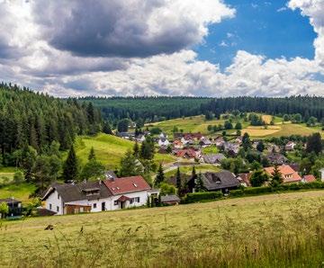
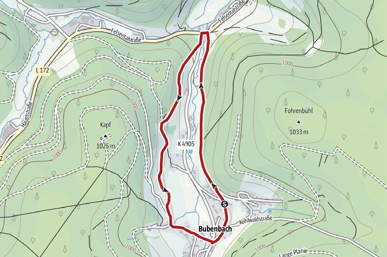
Follow the “Heilkräuter-Lehrpfad” signposts on your hike along the edge of the forest to the Blessinghof Chapel and then along forest and meadow trails back to the centre of town. On the way, you pass 20 medicinal herbs, which are described and explained in more detail on information boards.
Haus des Gastes, Bubenbach
3.03 km 1:30 h
Condition:


The best place to get a feel for tradition is at a place where it is cherished, such as Breisach am Rhein. Discover the world of sparkling wine at Geldermann Sektkellerei and experience a guided tour through our historic 15th century cellars! Learn all about the intricacies of sparkling wine production and the traditional bottle fermentation method on your tour.
The production of sparkling wine based on centuries-old traditions makes Geldermann sparkling wine as distinctive now as it was in the past.

Geldermann Privatsektkellerei GmbH
Am Schloßberg 1 · 79206 Breisach am Rhein
Tel. +49 (0)7667/834-0
geldermann.de
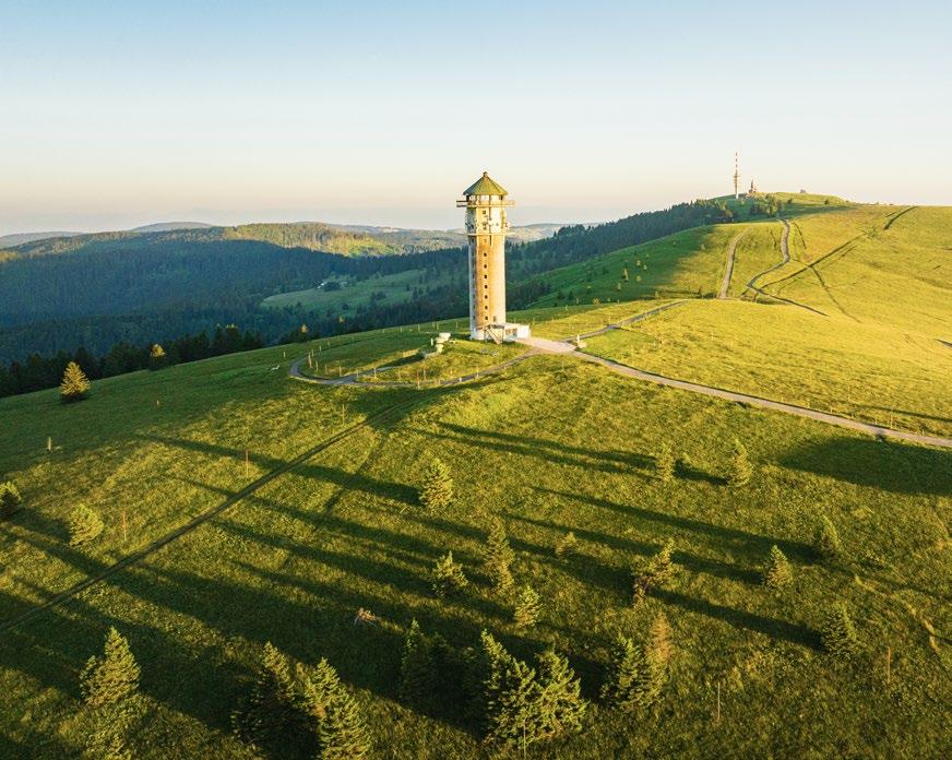
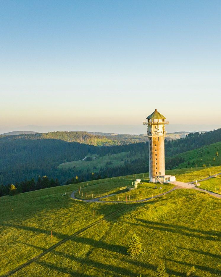
The highest peak in the Black Forest awaits you – the 1,493 metre Feldberg Mountain. Enjoy idyllic paths and magnificent panoramas on and around the Feldberg Mountain! The top station of the Feldberg Cable Car at 1,450 metres is the perfect starting point for the most beautiful trails through the high altitude hiking area.
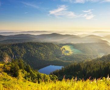
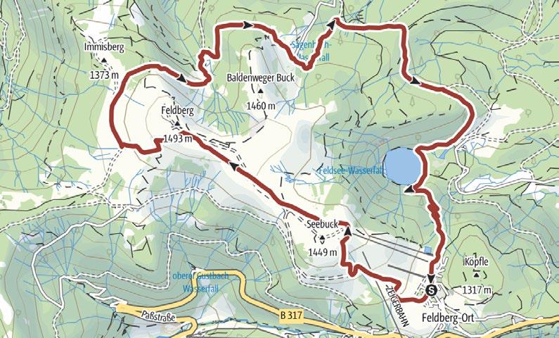
Immediately after setting off (Haus der Natur) , the trail turns “snappily” uphill and past the Bismarck monument to the Feldberg tower and the summit of the Feldberg Mountain . Stop to enjoy the breathtaking views, from the Zugspitze to Mont Blanc. From there, narrow paths and little bridges take you past traditional, rustic Black Forest mountain huts to Raimartihof and then along the shores of lake Feldsee . The hiking trail then takes you back uphill to the start.
Walkable: May-October
Feldbergst eig
Altglashütten-Falkau station
4.62 km 1:13 h
48 m 48 m
Condition:
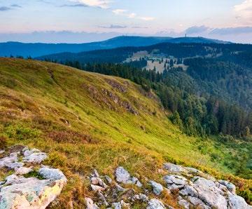
August Euler Platz
hikers’ car park, Feldberg
11.1 km 3:32 h
507 m 507 m
Condition:
Start at Altglashütten-Falkau station, then take the Erich-Fink-Weg trail. Proceed past the gnawed trees and beaver dams to the mini-golf course with its kiosk – the ideal place for a break. Continue past the Schwellenweiher pond, before bearing right and uphill to the barbecue area and Falkauer ski lift. Continue towards Windgfällweiher pond. Finally, go gently downhill before bearing left back to the start.
You first ascend several metres in altitude up the path towards the Herzogenhorn until you reach the summit cross. The spectacular panorama from the summit is the reward for your climb. On the descent, you head towards the Krunkelbachhütte and pass the Rabenfelsen with its fantastic views. From there, follow the path to the Menzenschwander Hütte and back to your starting point.
The hike takes you past the most beautiful Hofkapellen chapels in Bärental. From the blacksmith past the chapel in the wonderful Bartleshof farm garden, you continue to Michelhof with its new chapel. Heading towards Raimartihof, the trail takes you to the Zipfelhof Chapel and, along the Feldseeweg towards Bärental, you come to the little Benez Chapel near Oberbärental.
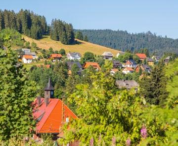
Visit the Feldberg Mountain with the Bismarck monument on the Feldberg Cable Car, and enjoy a breathtaking view over the Feldsee. After visiting the Feldberg tower with its viewing platform, you can reach the summit of the Feldberg Mountain on an asphalt path before returning to your starting point.
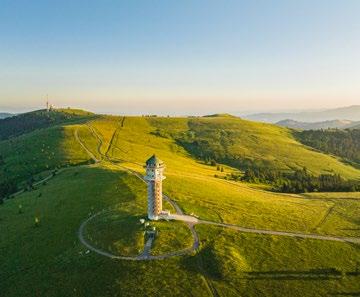
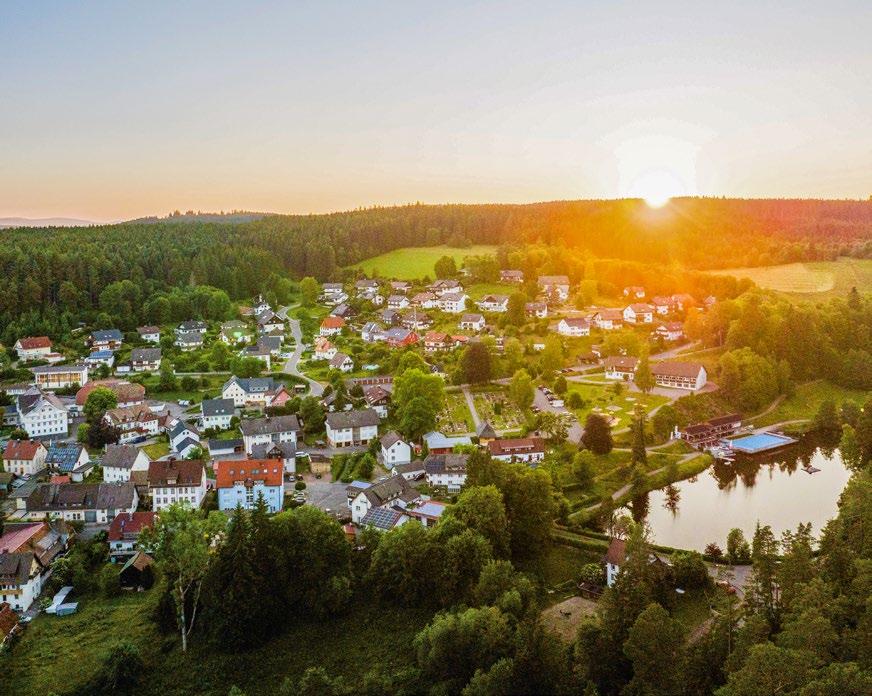
The mysterious forest “Klosterwald”, the imposing Rötenbach gorge and the floral magic of the Rötenbach meadows promise the perfect Black Forest landscape for extended walks and hiking holidays.

This hike takes you through the narrow, wild and romantic Rötenbach Gorge with its multitude of little waterfalls. Passing the Rötenbachschluchthütte , you reach the mouth of the Rötenbach stream into the Wutach Gorge . After proceeding uphill through the unspoilt forest, you come across the “Am Hörnle” viewpoint . Proceed towards “Krebsgraben” before arriving at the “Rötenbacher Wiesen” nature reserve. Your hike continues towards Rötenbach before you return along the “Ameisenpfad” trail.
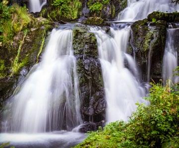
Hardt hikers’ car park, Rötenbach
Walkable: May to September
Rötenbachschlucht
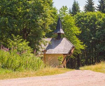
St. Johannes Baptist parish church, Friedenweiler
7.33 km 3:00 h
Condition:
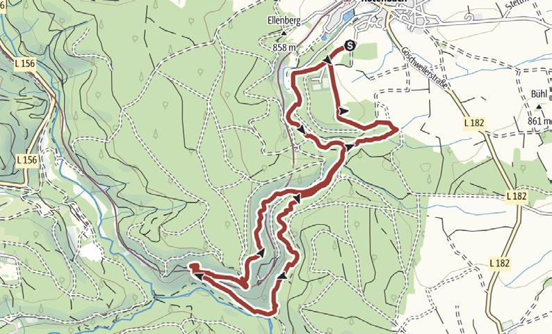
Hardt hikers’ car park, Rötenbach
15 km 5:00 h
Condition:
Walkable: May to September
Follow the trail towards the clinic to the Schilling Chapel. The path takes you past Wiedenkreuz towards Neustadt. You can enjoy an impressive panoramic view of the imposing Gutachtal bridge from the Max Engelsmann hut, and on a clear day you can even see the Alps. Follow the trail towards the Rudenberg past chapels, along the edge of the forest to the Schilling Chapel before making your return.
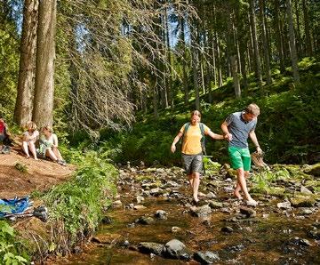
Walking along the Rötenbach, you cross the wild stream with its impressive rapids and little waterfalls several times on walkways and bridges until you reach the point where it meets the Wutach. You then continue downstream and leave the wild Wutach Gorge at the “Räuberschlössle” with a stunning view into the gorge itself. Then follow the trail to Göschweiler back through fields and woodlands.
Follow the Rötenbach riverside path towards the wildlife park past the barbecue hut with a view over Rötenbach. The forest path takes you to a small hill, where the Witterschneekreuz pilgrimage church and the chapel await you. You can then return to the town centre and take the train back to Rötenbach or walk back through the “Rötenbacher Wiesen” nature reserve.
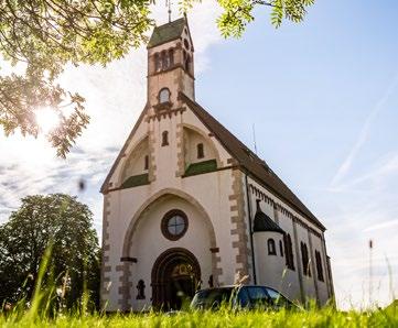
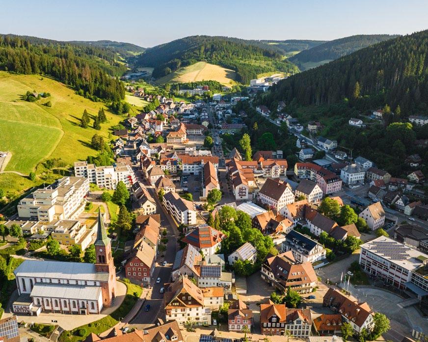
Furtwangen is a paradise for nature lovers and clock enthusiasts alike. In this historically important town for clockmaking, there are many attractions to discover, such as the source of the Danube river.
Circular hike across the
Your tour takes you to the Fatima Chapel and then on to Kohlplatz and Raben. Continue through the Schochenbach valley past Schochenbach to Steinhalde. Your hike then takes you along the idyllic mountain stream following the blue diamond markers to the health centre and then back across the marketplace to your starting point.
Cyriak town church, Furtwangen
source of the Danube to the Rohrhardsberg
At the Naturfreundehaus Brend, head towards Brendhäusle and continue through the Siegelwald forest to Kolmenkreuz, where you can make a side trip to the source of the Danube river. You then return to St. Martin's Chapel past the Käsmatte and the Spechtanne. From there, follow the Westweg to the Günterfelsen rocks and back to the start, where a side trip to the observation tower is worthwhile.
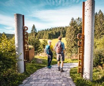
hikers’ car park, Furtwangen
km 4:00 h
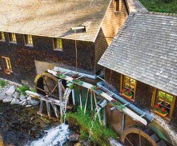
Schwarzwaldhalle, Neukirch
13.08 km 4:00 h
393 m
Condition:
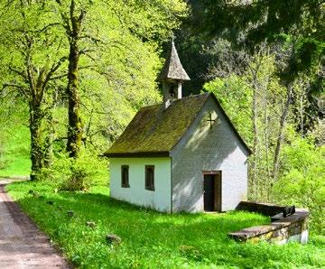
Hiking information board at Fernhof, Furtwangen
7.23 km 2:10 h
Condition:
Circular route to the water mill
Cross the Bregenbach valley on a gentle descent and join a mountain path that takes you in a wide loop through the Kohlerwald forest to the Balzer Herrgott with beautiful views. Next, hike down to the Hexenlochmühle through the forest and follow the Bregenbach valley trail. Pass the Rappenfelsen along the banks of the idyllic Bregenbach before returning to your starting point.
Follow the signs for Königenkreuz and pass a forest hut. The Königenhof, or royal court, which was completely destroyed by an avalanche in 1844, once stood here. From here, continue to the Kajetan Chapel and on to the Kohlplatzbildstöckle, where you can enjoy a glorious view over Neukirch. Heading towards Steinberg, return to the Fernhöhe and back to your starting point.
AIR QUALITY RESORT
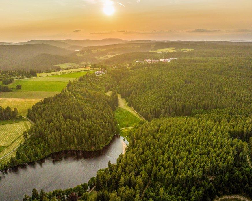
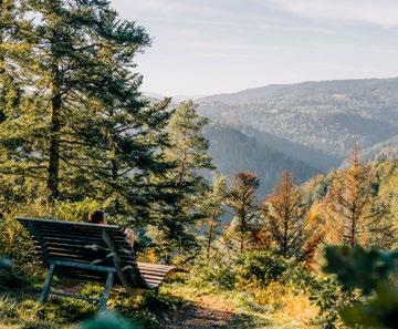
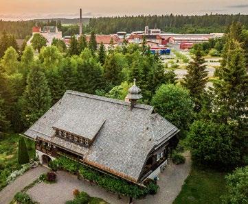
Grafenhausen, with its landmarks, the “Heimatmuseum Hüsli" (museum of local history) and the "Staatsbrauerei Rothaus” (Germany's highest brewery), lies in Rothauser Land at an altitude of 450 to 1,100 metres. If the weather is good, you can even enjoy the glorious Alpine panorama on extensive hiking trails.
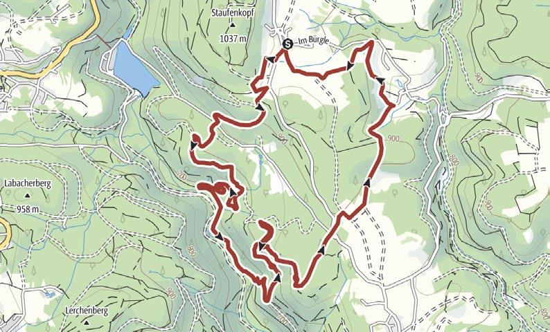
Your hike takes you past the Sacred Heart Chapel and down into the Schwarza valley. From the picnic area at the “Muckenlochpfad” trail, the path leads you along narrow trails to the Rappenfelsen rock formation and on to the Brenden hiker’s car park. The trail then continues through a small grove to the “Bündt” deer reserve before taking you back to the starting point.
Hüsli hikers’ car park, Grafenhausen
8.91 km 2:30 h
m
Condition:
m
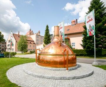
Rothaus brewery, Grafenhausen
8.09 km 3:30 h
m
Condition:
m
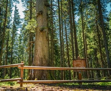
This hike takes you through beautiful forests, past the oldest fir in Germany to the Schlüchtsee. Following the Promenadenweg trail, along the the River Schlücht, you reach Grafenhausen. After the village square, pass the sculpture park and the Schwarzwaldhaus der Sinne (Museum). Your hike back takes you across broad meadows and pastures – with an impressive view of the Alps a on a clear day.
First, you will learn a variety of interesting facts about the brewery on the Zäpfleweg trail alongside the brewery. Heading towards Balzhausen, your hike takes you past Faulenfürst along peaceful, idyllic hiking paths and wide trails. On a clear day, you can marvel at a wonderful Alpine panorama here. You return to the starting point via Amertsfeld and Brünlisbach.
Follow the way to the Schlüchtsee lake. From there, you hike along the Promenadenweg heading for Grafenhausen, towards the Schwarzwaldhaus der Sinne and the sculpture park. You continue past the Schlüchtmühle and Tannenmühle water mills before reaching the Naturena swimming lake on unspoilt trails and continuing to Birkendorf on the nature trail. The bus then brings you back.
Hüsli hikers’ car park, Grafenhausen
21.36 km 5:00 h
Condition:
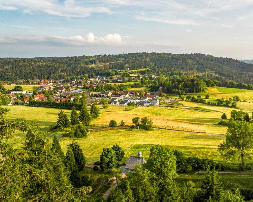
On a high saddle between 700 and 1,100 metres above sea level lies the municipality of Häusern. After a long hike, you can enjoy a cool, refreshing swim in the highest forest outdoor pool in Germany with stunning views down into the “Albtal” valley 200 metres below.
Wending your way through the Windberg valley and the wild and romantic Windberg Gorge, you hike towards St. Blasien to the Windberg waterfalls. From the St. Blasien Cathedral, follow the signs towards the Alb reservoir. Cross the Albsee bridge onto the Albsteig ascent, which takes you back to Häusern. From the sports field, you hike back to your starting point on the educational nature trail.
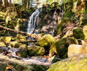
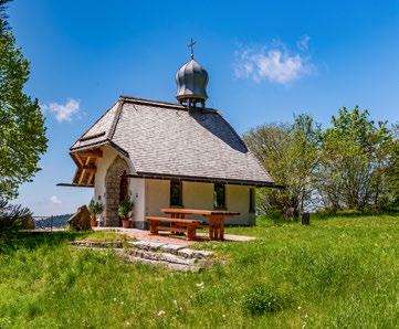
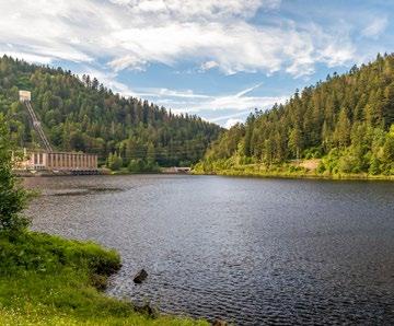
Walking past the water-treading area, you leave the Wittlisberg Chapel behind you and enjoy the panoramic view of the Alb valley until you reach the Alb reservoir –with a view of the Alps on a clear day. Passing meadows and pastures and through shady forest, you pass the Bildstöckle wells before returning to Häusern.
Condition: Town hall, Häusern or St. Blasien Cathedral
Wittlisberg Chapel, Häusern 12.15 km 4:30 h
2.49 km 0:41
8.3 km 3:20 h
Häusern
2.10 km 2:15 h
Circular hike at
Through the town and past the Naturfreundehaus, follow the path to the B500 which you cross, heading towards Mahlerhöfle. Then follow the “Schwarza” river to the Schwarzabruck power station. The Schwarzabruckweg takes you back to your starting point.
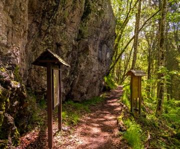
Your hiking tour, with more than 50 information stations on the topic of forests, begins at the Felsenweg. From there, continue over the Scheibenfelsen to the sports field in Häusern. Passing the field, keep following the signs. It is possible to take a short detour to the Fuchsfelsen rocks, where you can enjoy a magnificent view. Passing through the Goldegasse, you then return to the starting point.


Schwarzwaldverein is servicing a system of more than 24.000 km of marked trails. About 200 local associations provide a broad variety of activities in outdoor sports, cultural projects and nature protection for members and guests. Find out more about us on
trails ok? everything ok! more good news here:

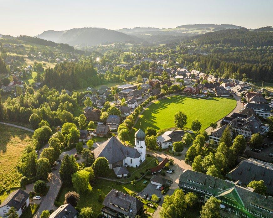
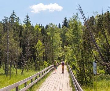
Mountain landscapes characterised by dense forests, wide meadows, clear mountain lakes and a mysterious upland moor await you in Hinterzarten. The perfect combination of health and wellness options and a huge network of hiking trails awaits you here.
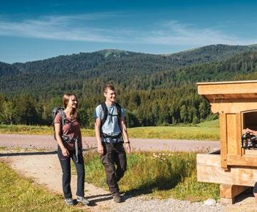
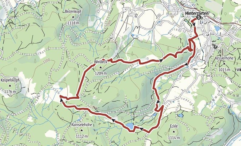
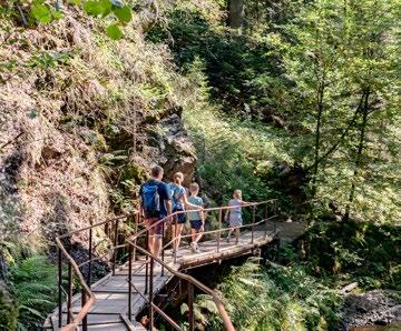
The “Säbelthomaweg” premium hiking trail awaits you in the park, behind the Kurhaus Hinterzarten. Start by taking the Westweg to the Mathisleweiher, located in the nature reserve. Then continue slightly uphill to the Häusle farm , where you can enjoy the magnificent view of the Feldberg Mountain . The trail takes you back past the Bisten, Windeckkopf and Vincenz-Zahn-Felsen viewpoints.
Condition: Kurhaus, Hinterzarten 10.9 km 4:00 h
Station/Kurhaus, Hinterzarten
Hofgut Sternen, Breitnau
7.25 km 2:30 h
Condition:
Walkable: May to October
Hinterzarten train station
3.79 km 1:30 h
Condition:
Follow the trail towards the Löffel valley and pass various sawmills, the ropeworks and the Wohn-Mahl-Mühle, before reaching the Hofgut Sternen hotel. The famous Ravenna viaduct and the wild and romantic Ravenna Gorge await you immediately after. Return via the Schule Birklehof or the Rössleberg and the upland moor.
The trail takes you on a circular route to and across the Hinterzartener Moor nature reserve. After a section of path along meadows and pastures, follow the Moorquerweg trail over a bridge and see the moorland up close. You return to your starting point past the idyllic barbecue area and the Földi clinic.
This hike takes you over the Klausenpass to the Sägehofwald forest wayside cross. Proceeding along the forest trail takes you to Winteracker and past Weberhansenhof farm. The signposts lead you towards the Hinterwaldkopf hut, before you continue along forest and meadow paths to the wayside cross at Dr. Ganter Weg, past the Hanselehof farm and back to your starting point.
Gasthaus zum Engel hikers’ car park, Hinterzarten
Condition:
HIGH-ALTITUDE CLIMATE TRAIL
A varied round tour to Lake Titisee and through the refreshing forest air back to Hinterzarten.
Follow this sign:
Kurhaus, Hinterzarten 12.34 km 3:30 h
Condition:
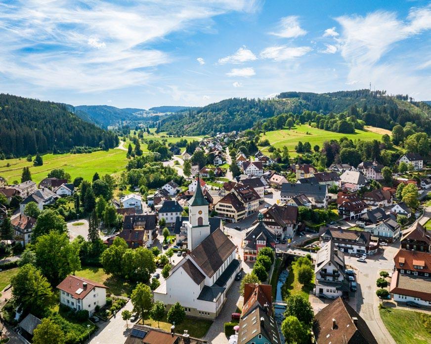
Lenzkirch lies at the heart of the Black Forest between Lake Titisee, the Feldberg Mountain, Lake Schluchsee and the wild and romantic Wutach Gorge. The family-friendly town is the perfect starting point for hikes, including around the 1,192 metre tall Hochfirst or the picturesque Windgfällweiher.
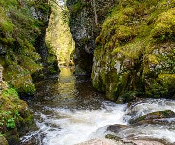
Passing a small chapel, this trail takes you along narrow paths to the spectacular Höllochfelsen rocks 2 . Next, walk alongside the Haslach until it meets the Wutach. Follow the Wutach for a while before leaving the gorge through stony areas, where the view over the sweeping Gutach valley opens up before you. Make your return along the historical railway line 3 with its imposing viaducts.
Walkable: May to October
Viadukt- und Schluchtentour
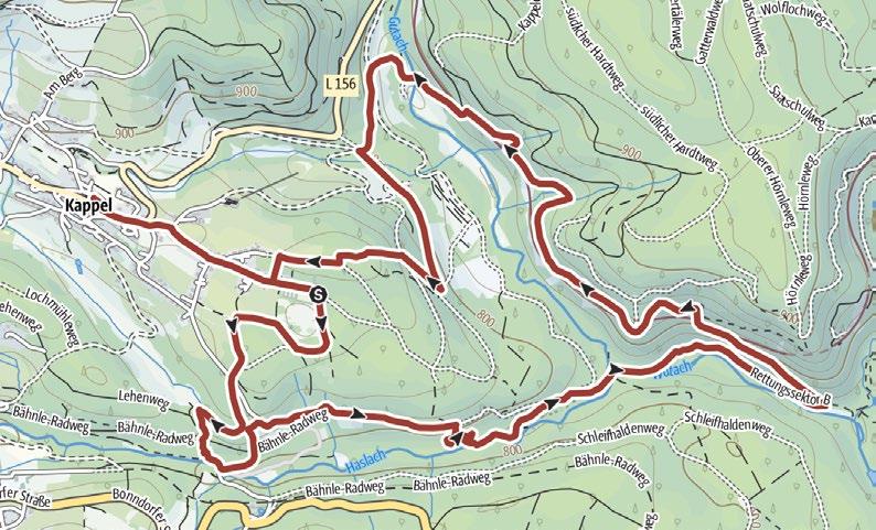
Hirtenpfad hikers’ car park, Raitenbuch
7.84 km 3:00 h
225 m 225 m
Condition:
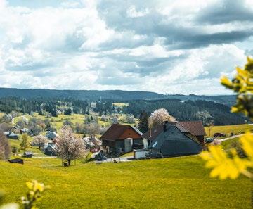
Start on the Raitenbucher Höhe with a spectacular view. Continue through the valley down to the Möslehof with its unique floral display. After proceeding along Raitenbucher Straße and past the rest area at the “Alten Ahorn”, your route turns uphill again towards Luzenhäusle, onto the highest point of the trail and back to the starting point of your tour. Along the paths used by shepherd boys of times gone by, you learn their stories.
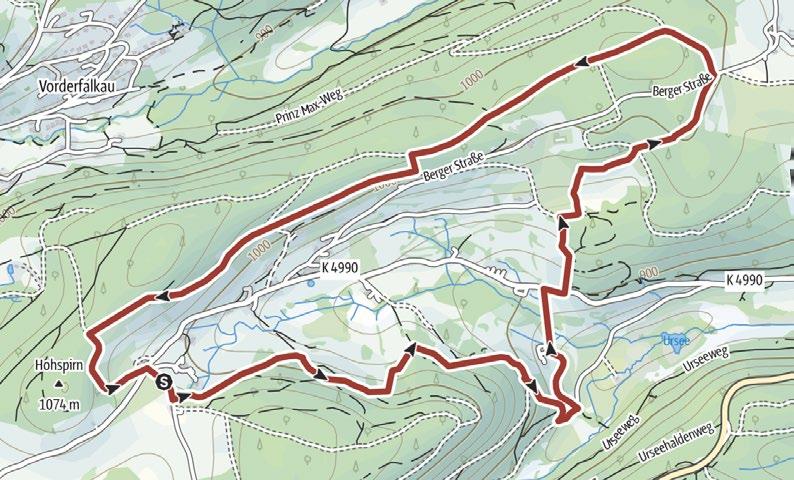
The path takes you past the mill wheel and through the spa garden via a narrow path along the stream to the Ursee valley bridge. The trail continues past the watertreading area with its Kneipp facility until you enjoy a spectacular view into the Ursee valley where an upland moor continues to thrive. Take the path along the sparse edge of the forest past the Möslehof and back to the Urseebach bridge.
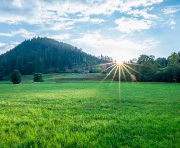
The Hochfirstweg and the Turmweg trails lead you to a sparse forest where you can enjoy the refreshing, aromatic breeze. A small path along the edge of the forest takes you past the Vitenhof farm. On your hike across meadows and pastures back to your starting point, you can enjoy a glorious view over Saig.
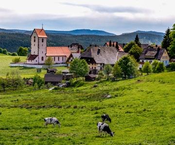
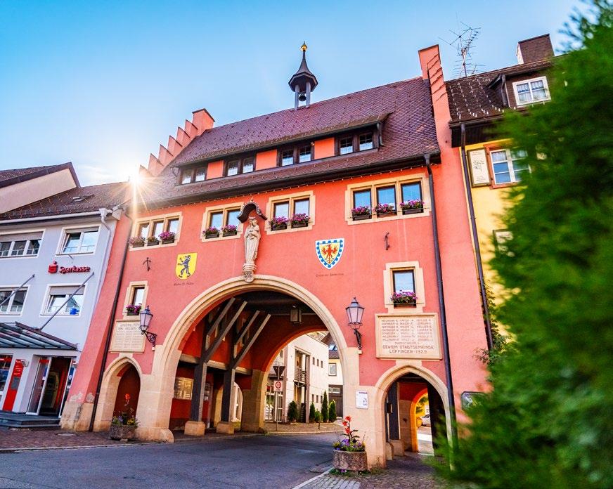
With its historic market town and direct access to Germany's largest Canyon, the Wutach Gorge, Löffingen has a lot to offer. You can go for relaxed strolls and challenging hikes in the woods of the Black Forest Highlands and the open, hilly landscape of the Baar.

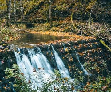
Enjoy your tour of the Wutach , Gauchach and Enge gorges. A section of the “Schluchtensteig” trail takes you to the wild and romantic Gauchach Gorge . You can take a breather at the “Wanderheim Burgmühle” . The challenging Enge gorge or the alternative route, take you back to the starting point of your hike.
In case of rain
Drei-Schluchten-Halle hikers’ car park, Bachheim 9.64 km 3:20 h
Condition:
Walkable: May-October
3-Schluchten Tour
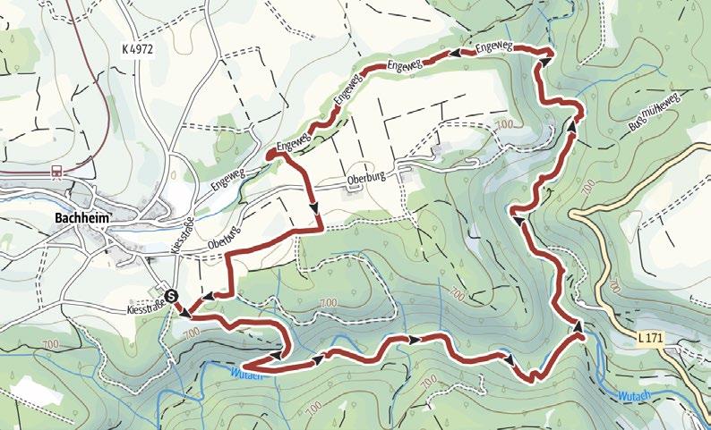
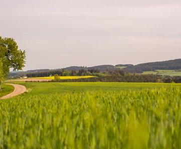
Start by hiking to Göschweiler through open meadows with beautiful views. From there, the trail continues to the Rosshag sinkholes. The sinkholes are remarkable examples of the karst landscape which is typical of the region. On your hike, you learn interesting facts about the history and causes of the sudden occurrence of the sinkholes in the winter of 1954.
Condition:
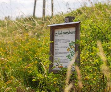
Passing the town hall, go through the Mailänder gate to the edge of town, where the medicinal herbs trail awaits you. Information boards tell you about the effects of 26 medicinal herbs along the circular trail. A path takes you on to the Oele and then along the edge of the forest, where beautiful views across the Mauchach valley spread out before you. Your return takes you along the Mauchach.

It first starts to bubble in the foothills of the Black Forest: the valuable mineral water springs in Bad Peterstal and Bad Rippoldsau were discovered in the first half of the 19th century and spring from the depths of the Black Forest, with water pure and fresh. For water experts, this mineral water is among the highest quality water in Germany, thanks to its balance of minerals and the harmonious taste.
The “Black Forest” brand of still mineral water is especially popular at present. It is Germany’s lowest-sodium mineral water in Germany, has recently been recognised with the highest Öko-Test rating of “very good” and is one of the most widely-consumed still mineral waters in Germany. Thanks to its name, the “Black Forest” brand acts as an ambassador for the Black Forest, one of the best known and most popular holiday regions in the world.
Peterstaler Mineralquellen GmbH
Renchtalstraße 36 77740 Bad Peterstal
Tel.: +49 (0)7806 987-0
peterstaler.de · blackforest-still.de
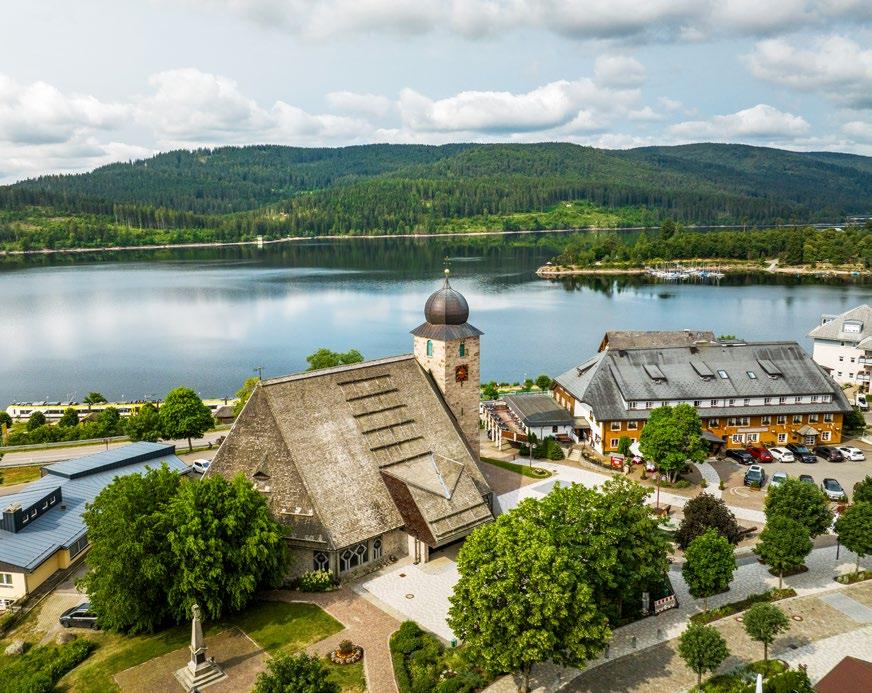
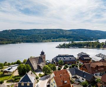
Located at the largest Black Forest lake of the same name, Schluchsee is situated at an altitude between 930 and 1,300 metres. Lovely hiking tours through the surrounding forests and around the lake await you in Schluchsee, the centre for watersports in the Black Forest.
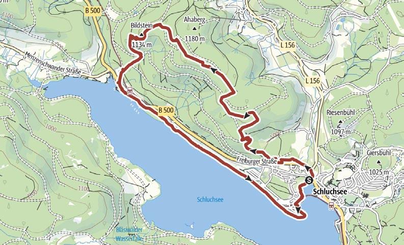
After passing though the entry to the Schluchsee Jägersteig trail, your hike takes you through the Bannwald forest to the Hanselefelsen and across the Ahaberg towards Bildstein. You can make exciting discoveries on the “Pirschpfad” trail here or take the direct path to the Bildstein viewpoint . The trail continues down to Unteraha past the jetty , to the Amalienruhe and back through the town.
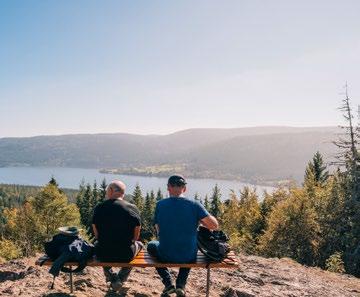
“Im Wolfsgrund” car park, Schluchsee 11.95 km 4:00 h
Condition:
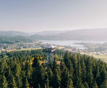
This hike takes you from the town centre up to the Riesenbühl tower on a narrow, somewhat challenging trail. A magnificent view of Lake Schluchsee and the surrounding area is your reward for the climb – with views as far as the Alps depending on the weather. Passing a small rest area, you return to your starting point on wide forest trails through the woods.
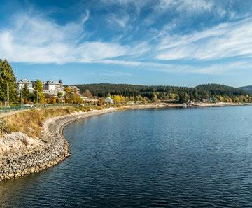
This hike takes you right along the shores of the lake, first passing Amalienruhe with its beautiful views. A multitude of little beaches invite you to take a refreshing dip in the lake in good weather. The trail continues to the dam along unspoilt paths surrounded by native forests and returns to the starting point, consistently following the shores of the lake.
Condition:
This trail takes you uphill along narrow paths, where you can enjoy the tranquillity of the forest. Arriving at the highest point of your hike, you enter sparser forest and more open terrain and follow the trail towards Seebrugg. Your descent takes you almost all the way to the lake, where you can enjoy the view of the dam, before returning to your starting point.
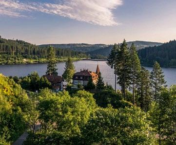
Follow the trail through the town towards the sports field and on to the Riesenbühl Tower where you are rewarded with a glorious view. This trail takes you through the forest to Fischbach and on to Bildstein – with a magnificent view of the lake and across to the Alps. Passing the lakeside, you reach the idyllic Amalienruhe and continue before reaching your starting point.
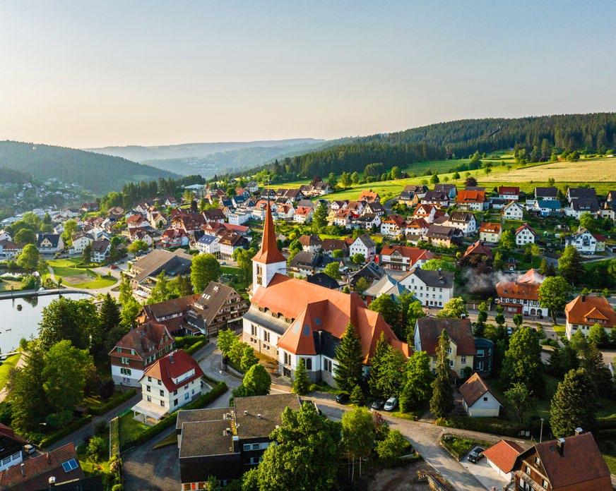
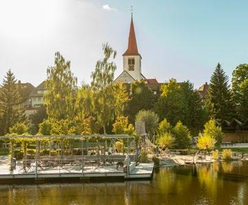
Schonach has made it into the Guinness Book of Records for being home to the first “world’s largest cuckoo clock”. Today, you can see this unique piece of clock history from both the outside and the inside. Outdoors, destinations such as the legendary Blindensee and the Rohrhardsberg nature reserve beckon.
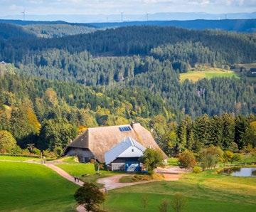
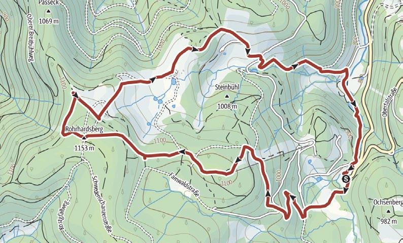
The trail takes you through unspoilt forests and to the summit of the 1,163 m high Rohrhardsberg . From there, you hike down to the historic Ochsenhof and continue to the forest adventure station with its wood grouse sculpture. You return to the Mühlebühl bridge past the Elz waterfalls . In summer, cuckoo clocks in a wide variety of colours and shapes adorn the forests, guaranteeing a very special hiking experience!
Mühlebühl car park, Schonach 8.72 km 4:00 h
m 366 m
Condition:
Haus des Gastes, Schonach
km 5:30 h
Haus des Gastes, Schonach
Condition:
km 4:00 h
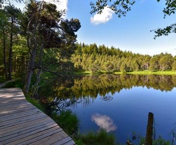
This trail takes you past the ski jump to Reinertonishof and the Küferhäusle. You have the option of taking a detour to the Triberg waterfalls on the way. Otherwise, continue on to the Weißenbacher Höhe and follow the trail to the Blindensee upland moor lake where you can enjoy the unspoilt natural surroundings. Make your return via the Wilhelmshöhe and the Naturwaldpfad.
Heading out of town, the trail takes you past the Sparkasse bank towards the Blindensee. Pass through the stunning nature reserve to reach the “Vorderen Vogte”, and enjoy the views of the Rohrhardsberg. You eventually reach the Wilhelmshöhe via the Herrenkreuz, before hiking back with a view of Schonach to accompany you.
After passing through the spa gardens, the trail takes you uphill into the forest to the Holzeck. Then proceed along the “Trimm Dich” fitness trail to the Laubwald forest and Laubwald Chapel. Returning to the original path, you reach Holz. Continuing back towards your starting point, you enjoy a spectacular view of the Gutach valley.
CLIMATIC
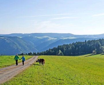
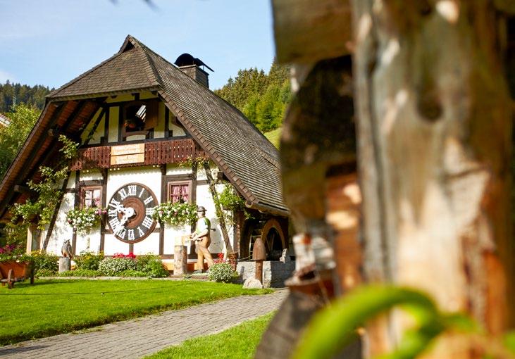
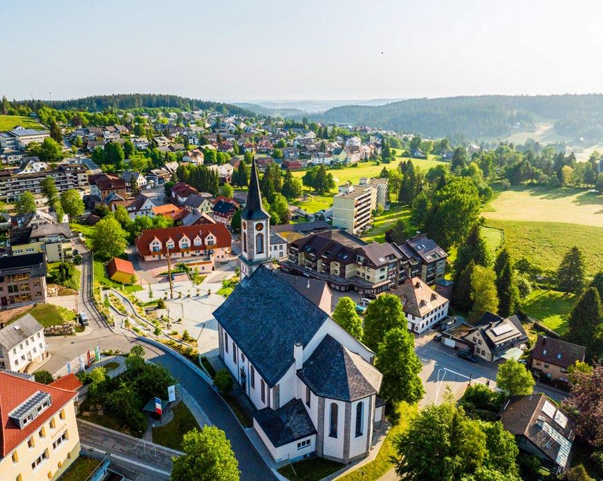
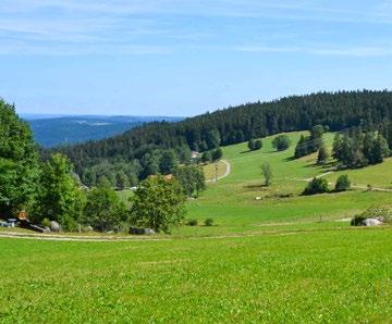
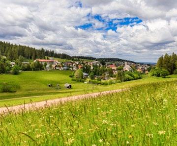
Its location at an altitude of 1,000 metres makes Schönwald one of the highest towns in Germany. The 58 kilometre network of hiking trails offers a wide range of hikes through the spectacular beauty of the surrounding forests and the Blindensee.
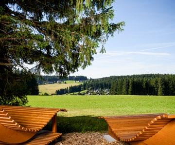
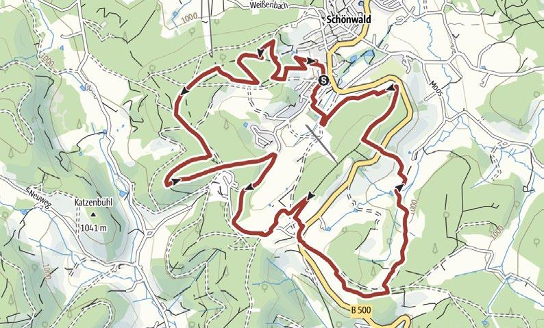
Following the trail anticlockwise, you come to the Adler ski jump before continuing along a narrow path through a magical forest to the “Auf der Höh” sunbathing station. Meadow and forest paths bring you to the Himmelwiese meadow via the Katharinenhöhe and onto the Höhenweg, where spectacular views of Schönwald and the Black Forest scenery await you. You then hike uphill to the Ochsenhöhe following the meadow path, before a trail takes you to the DobelSkilift and back to the starting point.
Gutenhöhe hikers’ car park, Schönwald
10.26 km 2:15 h
Condition:
Town hall, Schönwald
6.1 km 1:30 h
Condition:
The top of the Prisen valley offers you a spectacular view across the Prisen valley and the Gutach valley. Narrow nature trails take you down into the Prisen valley and then back uphill, through the forest with a panoramic view of Schönwald. Following the path towards the bobsled track, you hike past Blindenhäusle to Geutsche and finally uphill back to your starting point.
HIGH-ALTITUDE CLIMATE TRAIL
Passing the old Hilfshof, you cross the valley to the old Escheckstraße and then uphill to Escheck. Continuing through the Basler valley and across the Höfle, you reach the monument to the birthplace of the cuckoo clock memorialising the Schönwald clockmaker Franz Ketterer, who built the first cuckoo clock on this site in 1737. You make your return via Moos and Sägloch.
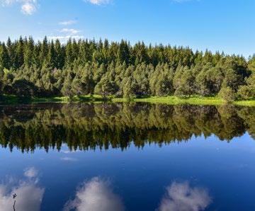
Passing through the Zinswald forest, the trail takes you into the Briglirain nature reserve. Continue across the Vogte and the Weißenbacher Höhe, with plenty of glorious views, to the Weißenbacherwald forest, finally reaching the idyllic and unique Blindensee nature reserve, the subject of a number of legends. Your hike back takes you through Blindenhof and Blindenhäusle.
KNEIPP
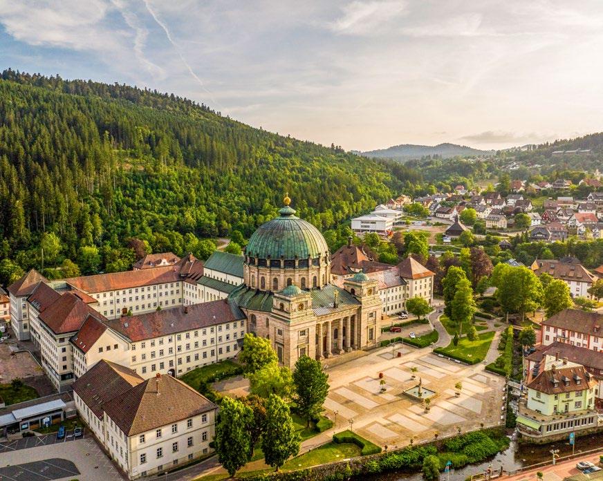
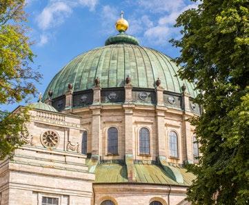
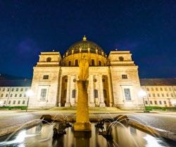
Find Black Forest culture at its most unspoilt in one of the most traditional holiday towns in the Black Forest. The imposing St. Blasien Cathedral, the third largest domed church in Europe, and the Menzenschwander Waterfalls on the southern slopes of the Feldberg beckon for an intense outdoor adventure.
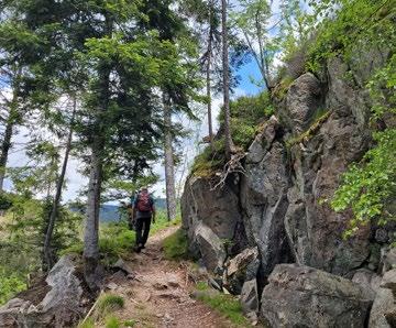
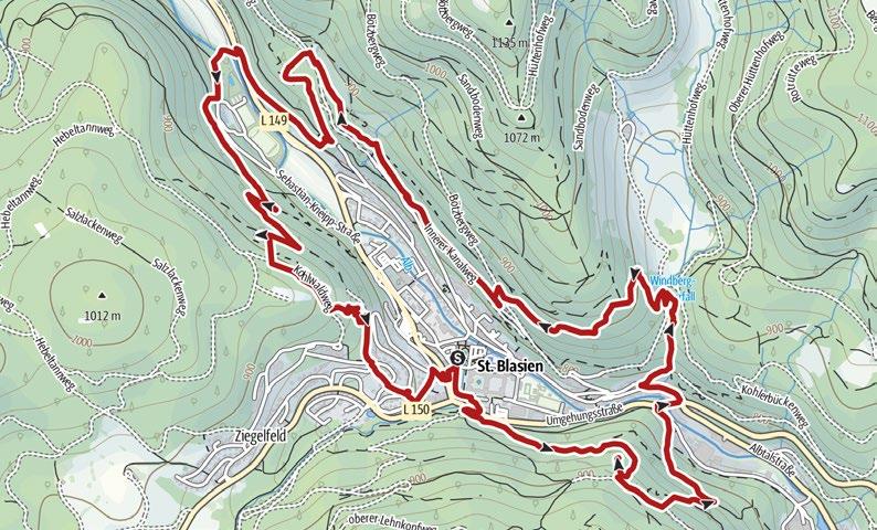
This themed hiking trail starts at the “Haus des Gastes” in the spa gardens. Going along the Tuskulumweg trail, you reach the Luisenruhe, with its pavilion and view of the cathedral. Continue along the Windberg path by the waterfall to the “Groll-undSchmoll” bench and along the Philosophenweg trail to the wildlife enclosure . Choose between: the normal path via the ford through the river “Alb” or the alternative path via Wasmer stone. Both paths lead to the Weissenstein, with panoramic views. Back in the spa garden, it is worth visiting the cathedral 7 .
Condition: Haus des Gastes, St. Blasien
Mösle car park, Menzenschwand
10.79 km 4:00 h
313 m 313 m
Condition:
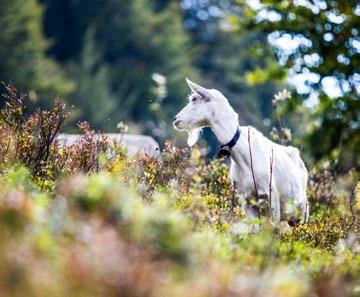
Menzenschwander Geißenpfad
The newly designed Mösle car park is the starting point for this tour. Your hike takes you past several impressive Black Forest Farmhouses to Flößer’s Rast , with its spectacular view. Idyllic trails take you downhill through the Klusenbach valley to the Menzenschwand Waterfalls ; from there you take the Menzo trail to the two radon and fluorite springs . You return to your starting point via the Krunkelbach pastures.
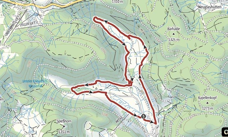
Passing through the spa gardens, the Albsee trail takes you through the forest and along the edge of the forest to the romantic Alb reservoir. The reservoir and the surrounding forest provide a glorious view as you hike around it. While hiking you cross the dam and a wooden bridge before the trail takes you back into town.
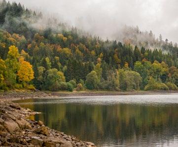
HIGH-ALTITUDE CLIMATE TRAIL
Passing through the spa gardens, your hike takes you along the slope above the town towards the wildlife enclosure, accompanied by beautiful views. From there, you turn uphill through the forest and across open terrain, across meadows and pastures with views across the surrounding hills. The trail then takes you downhill on narrow paths and across little bridges through the Windberg Gorge and back.
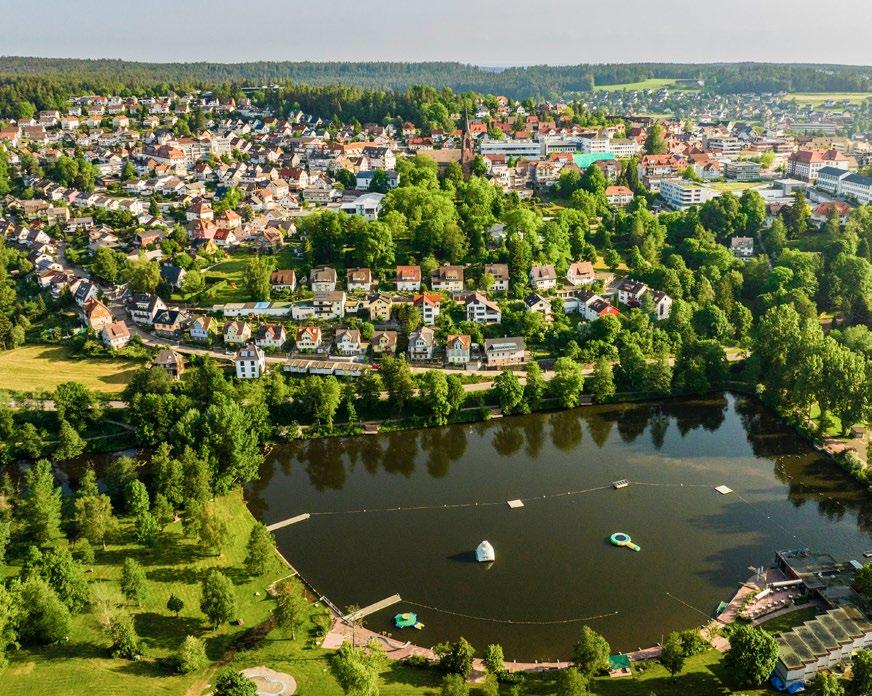
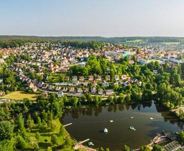
St. Georgen, established by monks in 1084, offers unspoilt hiking enjoyment on some 90 kilometres of trails. Locations like the Brigach or the Klosterweiher offer the perfect way to relax after an exciting day of hiking. Cultural highlights await at the Deutsches Phonomuseum.
At the Naturfreibad Klosterweiher, the trail takes you out of town and through the forest to the Kesselberg. You can make a side trip to the source of the river Brigach below the Hirzbauernhof on your way to the Sommerauer Höhe. The trail takes you back via the Silberbrünnele and the Wagschachen Nord. Information boards along the route provide interesting information about the region.
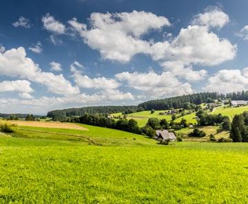
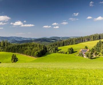
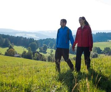
Your hike takes you past the church to the Silberbrünnele via the Kühlbrunnen and the Wagschachen. The trail takes you back to town past the Glashof. Striking impressions of the town and special glimpses of the surrounding forest and tranquil nature await you along the trail.
Marktplatz, St. Georgen
10.95 km 3:00 h
Condition:
Marktplatz, St. Georgen
11.71 km 3:00 h
Condition:
First, the trail takes you up to the Roßberghöhe and to the Wagschachen before you follow the Hochwälder Höhe. You then pass the Falkenhof and continue downhill through the Bruckenwald forest, where you enjoy a beautiful view of Langenschiltach. You finally follow the path along the edge of Langenschiltach past the Vohenlohe and along beautiful forest trails back to the starting point.
This hike takes you through the town and continues uphill to the Schanzgraben, where you have a beautiful view of St. Georgen. Passing Hinterlehen and Lochbronn, you reach the Mühlbach, which you follow into the town. After a gentle ascent into the Röhlinwald forest, you proceed downhill once again and back to the starting point in St. Georgen.

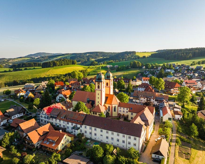
Situated at 890 metres on the Black Forest Panorama Road, St. Märgen offers the most scenic tours. Although the monastery that was established in 1118 is now closed, the dominant baroque pilgrimage church remains, providing a very special cultural experience during your hiking holiday.
A Inspireyourself!
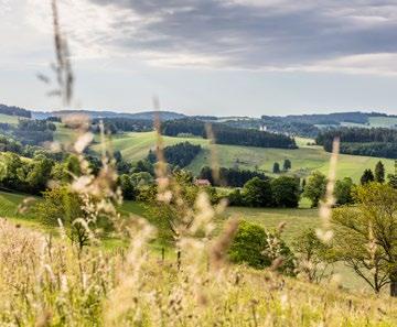
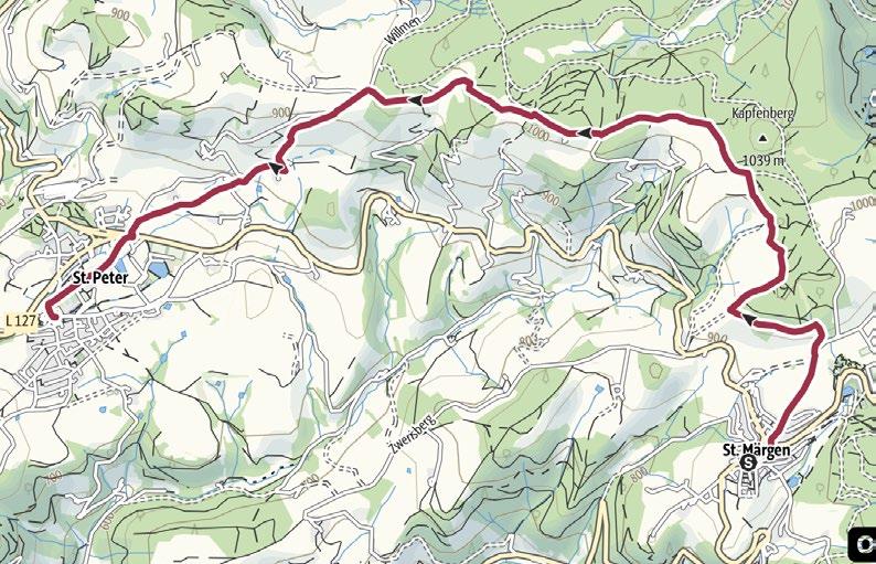
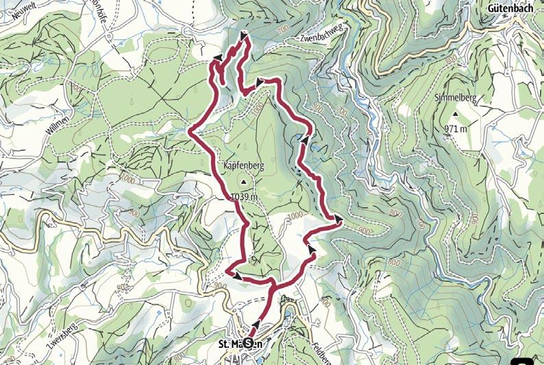
This route takes you through the town centre to the source of the Ibach and on to the Kapfen Chapel. Here, you enjoy a spectacular view over the monastic settlements of St. Märgen and St. Peter all the way to the Feldberg Mountain and the Kandel – and on a clear day you can even see the Vosges. The panorama trail continues to the Vosges Chapel and then down to St. Peter. You can return by bus.
Town hall, St. Märgen
12.2 km 3:55 h
524 m 524 m
Condition:
Through the mystical Bannwald forest to the
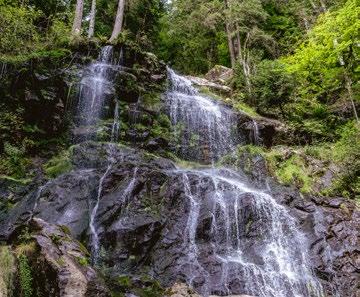
The trail leads past the Rankmühle to the Gutachterhalde forest area. Passing the Hohwartfelsen, with spectacular views, you hike through the forest to the Hirschbach Falls . A narrow path takes you uphill to the mystical Zweribach waterfalls . You then hike through a closed forest area to the Kapfen Chapel and back on the panorama trail with its spectacular views.
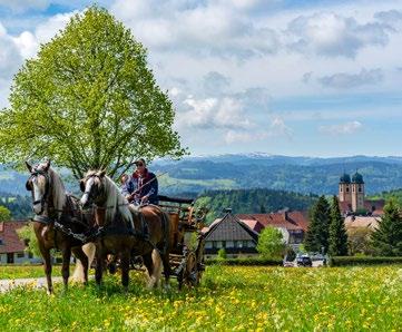
The trail leads you past the Rankmühle and on to the riding arena. Along the way, you can learn interesting information about the Black Forest “Kaltblutpferdezucht” horse breeding programme, before continuing through the Pfisterwald forest. Your hike through the forest takes you past a mountain hut and then to the Thomashöhe, where you can enjoy fabulous views of the Black Forest Highlands and follow the forest trail back again.
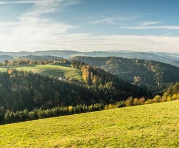
Follow the meadow path to the Michelehäusle, consistently accompanied by a view of the distant Rhine valley – all the way to the Vosges in good weather. Hiking through open landscapes, you initially reach the Wildmooswald forest before conquering the final climb to the Fahrenberger Höhe where a spectacular view awaits. You return along the forest paths and past the Doldenbühl.
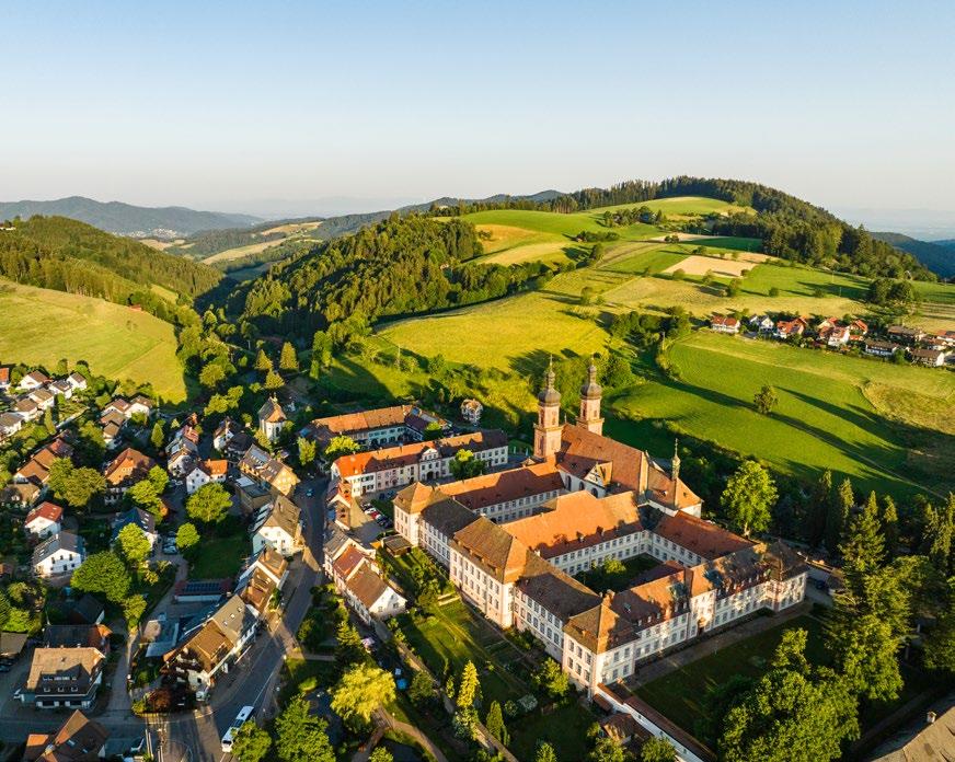
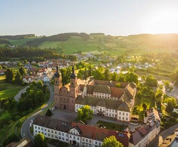
St. Peter is situated on the high plateau on the southern slopes of the Kandel on the Black Forest panoramic road. Here, the Kandel offers discovery areas for you to explore while hiking and climbing.
As a cultural highlight, you can visit the former Benedictine monastery with its magnificent baroque church.
To the pilgrimage church on the
Heading towards the Lindenberg, the trail takes you past the Eckpeterhof, up a short but steep trail and through the forest to the pilgrimage church. There, you have a panoramic view of the Iben valley, the Dreisam valley and across the Rhine valley to the Vosges. The trail takes you along the Hochgericht Kreuzweg stations to the Himmelsliegen, where you can enjoy the panorama before taking the path back.
Klosterhof, St. Peter
Lindlehöhe and Langeckhöhe
The trail takes you up to the Hornweiher and continues uphill, where benches invite you to take a load off and enjoy the view. You reach the Langeckhöhe through the forest and walk the last section to the Lindlehöhe, where you will be rewarded with a glorious view of the Feldberg Mountain and the Schauinsland. You return along the ridge and via the Kandelhöhenweg.
Zähringer Eck car park, St. Peter 6.45 km 2:00 h 7.91 km 2:30 h
Zähringer Eck car park, St. Peter
21.7 km 6:35 h
Start by following the trail up to the Kandel. The Kandel pyramid at the summit offers a magnificent view – in good weather as far as the Alps. The Kandelhöhenweg takes you downhill into the forest; you return to the Sägendobel via the Brandeck and the Felsenhof. The Haldenweg trail takes you past the Steingrubenhof and through the Scheuerwald forest back to St. Peter.
Condition:
Zähringer Eck car park, St. Peter
16.32 km 5:00 h
692 m 692 m 480 m
Condition:
Hike along meadow and forest trails past the Schweighofmühle water mill and the Steinhäusle to the Hanissenhöhe. The trail takes you into the lower Iben valley, with beautiful views for company. The route continues steadily uphill, with spectacular panoramic views, until you reach the Maria Lindenberg pilgrimage chapel. From there, you conquer the last climb to the Hochgericht before making your return.
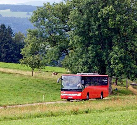
As a guest in the Black Forest Highlands, you can use buses and trams throughout the region free of charge–even for longer distances. You will receive the KONUS guest card from your host at check-in. The card with the KONUS symbol serves as your free ticket on buses and trains operated by participating transport companies (excluding ICE, IC, and EC services) for the duration of your stay.
The SBG Wutach Gorge hiking bus brings you back to your starting point after your hike in the Wutach Gorge from April until mid-October.
The SBG Black Forest Highlands hiking bus gives you more flexibility on your hikes from April to October, running from St. Blasien to Feldberg and back via Bernau, Todtmoos and Todtnau.
More information can be found under hiking & leisure buses: suedbadenbus.de
Schwarzwald Tourismus GmbH
Tel.: +49 (0)761/8964693 konus-schwarzwald.info
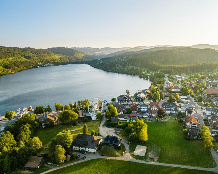
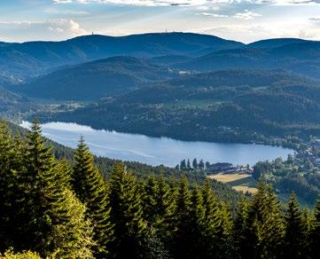
Lake Titisee, after which the town is named, together with its Seestraße, is one of the best-known destinations in Germany. The lakeside, with its views across the beautiful Black Forest lake, invites you to linger and relax, or to set out on spectacular hikes through the surrounding valleys and hills.
Passing the Titisee bathing area, you reach the Bruggerwald water-treading area and the idyllic Eisweiher. Your hike continues along a small, root-covered path towards the “Bühlberg” and continues towards the “Bankenhansenkreuz”. The trail back to Titisee takes you through gates and pastures, past the Feuerwehrhotel and the Bankenhof.
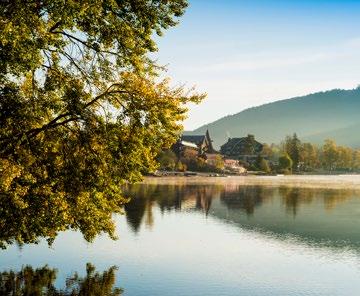
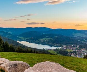
Your route leads you past the station to the Hochfirst ski jump. From there, you continue uphill to the Hochfirst. Your reward is the beautiful view – all the way to the Alps in good weather. At the tower, you descend on a somewhat steeper path to the village of Saig near Lenzkirch. You pass through the village and take the hiking trail downhill to the Titisee footpath and back.
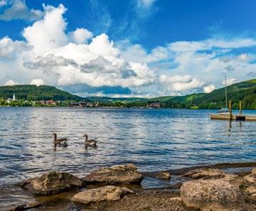
Kurhaus, Titisee or Hinterzarten train station
9.55 km 3:00 h
Condition:
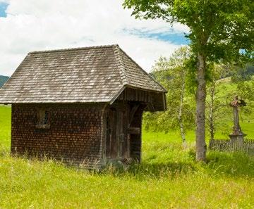
Schildwende hikers’ car park, Titisee
10.94 km 3:00 h
Condition:
Your walk takes you through the spa gardens to the bathing area, where you enter the forest. Hiking uphill, you pass the “Jockelehof” and follow the trail to the Adlerweiher and Hinterzarten station. From there, you can take the train back or hike past the Adler ski stadium and across the “Scheibenfelsen” through the forests back to your starting point.
with beautiful court chapels
This idyllic trail takes you past historic old chapels, with wonderful views. Your hike takes you through the “Schildwende” valley towards the “Fürsatzhöhe”, where a spectacular view awaits you. Enjoy the tranquillity on the Höhenweg and through the “Siedelbach” valley, before reaching the „Jostal“ valley. From there, you follow the path back to your starting point.
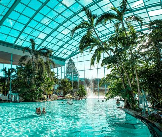
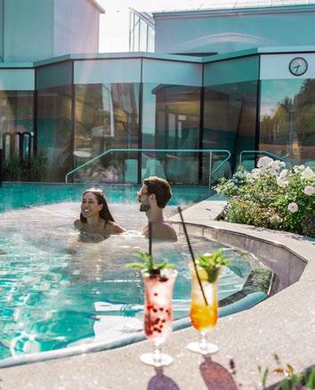
© Badeparadies Schwarzwald
Relax beneath real palm trees and let your gaze wander over turquoise waters: at the Spa and Water Pradise ‘Badeparadies Schwarzwald’ in Titisee, this holiday dream becomes reality 365 days a year.
The water park brings together three distinct worlds under one roof – Galaxy, the Palmenoase and Palais Vital – offering the perfect combination of action, relaxation and wellness.
And where better to soothe tired feet after a hike in the beautiful Black Forest Highlands than in one of the 12 themed saunas or the various vitality pools? Regional specialities served in several restaurants round off the indulgent experience perfectly.
Badeparadies Schwarzwald
Am Badeparadies 1 · 79822 Titisee-Neustadt
Tel.: +49 (0)7651/9360333
badeparadies-schwarzwald.de
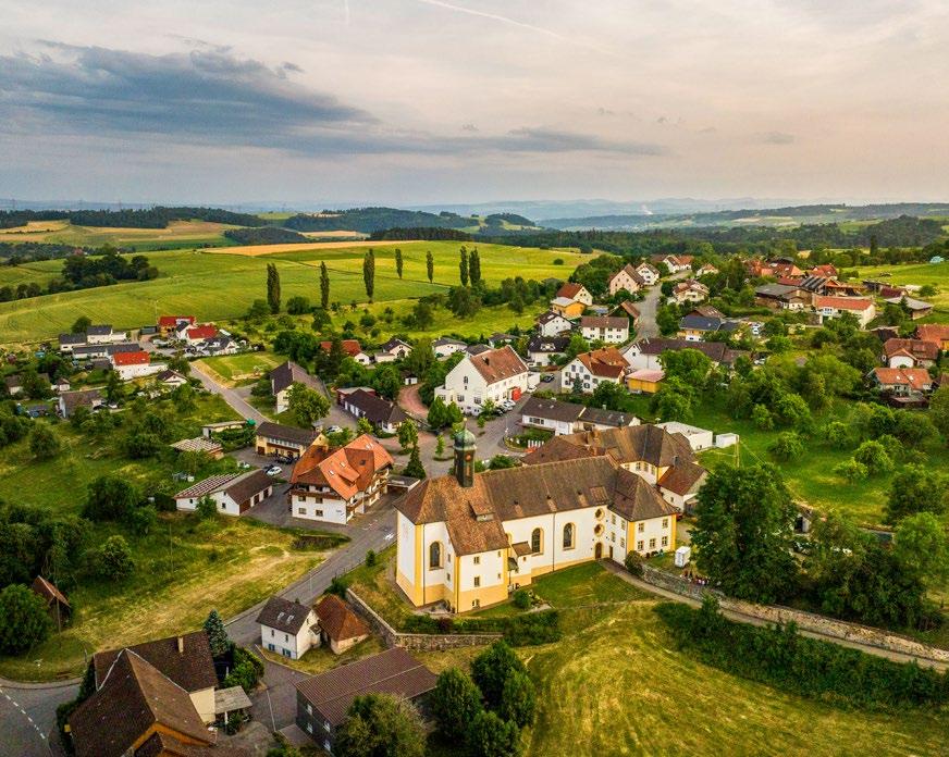
Ühlingen-Birkendorf is situated on the southern edge of the Black Forest Highlands at an altitude of 450 to 1,100 metres, just across the border from Switzerland. In good weather, you can even enjoy the Alpine panorama. The romantic valleys invite you on beautiful hikes, while the Naturena Badesee promises a wonderful way to cool off.
Ühlingen-Birkendorf (50 years)
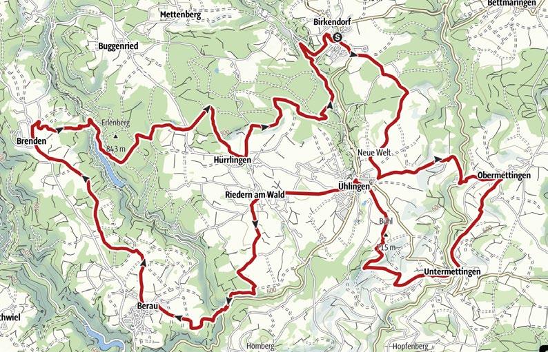
To coincide with the 50th anniversary (2025) of Ühlingen-Birkendorf, you can hike through all eight districts (Birkendorf, Ühlingen, Ober- and Untermettingen, Riedern am Wald, Hürrlingen, Berau and Brenden) of the municipality on this wonderful circular tour.
Haus des Gastes, Ühlingen-Birkendorf
13.25 km 4:00 h
Condition:
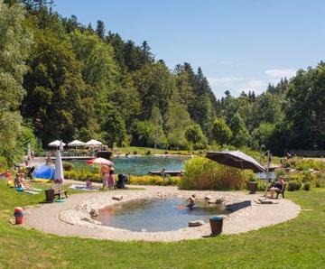
Haus des Gastes, Birkendorf
6.87 km 2:30 h
Condition:
Our hiking tour takes us to the Steinatal. On this tour, we follow the river to the Roggenbach castles. The ruins of Roggenbach (Weißenburg) form part of this group of castles, with the south tower, which was used as a viewing tower and the north tower (Steinegg), 400 metres away. The castle nestles magically in the countryside and invites visitors to dream and puzzle over how the lords and ladies of the castle might have lived here many centuries ago.
On this scenic circular hiking tour, you pass both the NATURENA bathing lake and the Kugelwald trail. Do you dare jump into the refreshing water?
Starting from Ühlingen, this hike takes you across the Schwalbenhof and the area “Libach”. Passing across the stunning Schlüchttal valley with its rock formations, you ultimately find your way back to the starting point in Ühlingen.
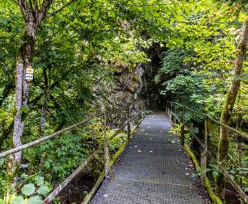
Variety is guaranteed on this scenic tour around the village of Birkendorf. Enjoy the views from the 840-metre Bühl before cooling off in the forest as you pass the gorge!
Condition: Town hall, Ühlingen
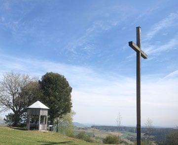
Haus des Gastes, Birkendorf
km 2:00 h 8.63 km 2:45 h
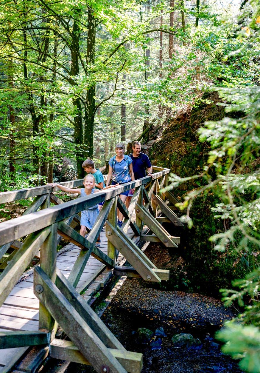
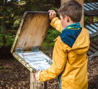
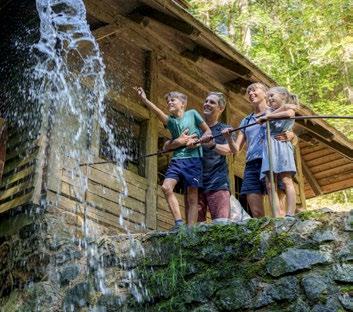
The Black Forest Highlands offer a variety of options for families to explore nature together and have plenty of fun at the same time! Children can discover the Black Forest through fun and adventure on our themed trails, nature trails, local rallies and geocaching tours.
Eager to go on a little tour of discovery? Kuhnigunde, Mugg, Velt and many others are already looking forward to exciting adventures with you on the various themed trails.

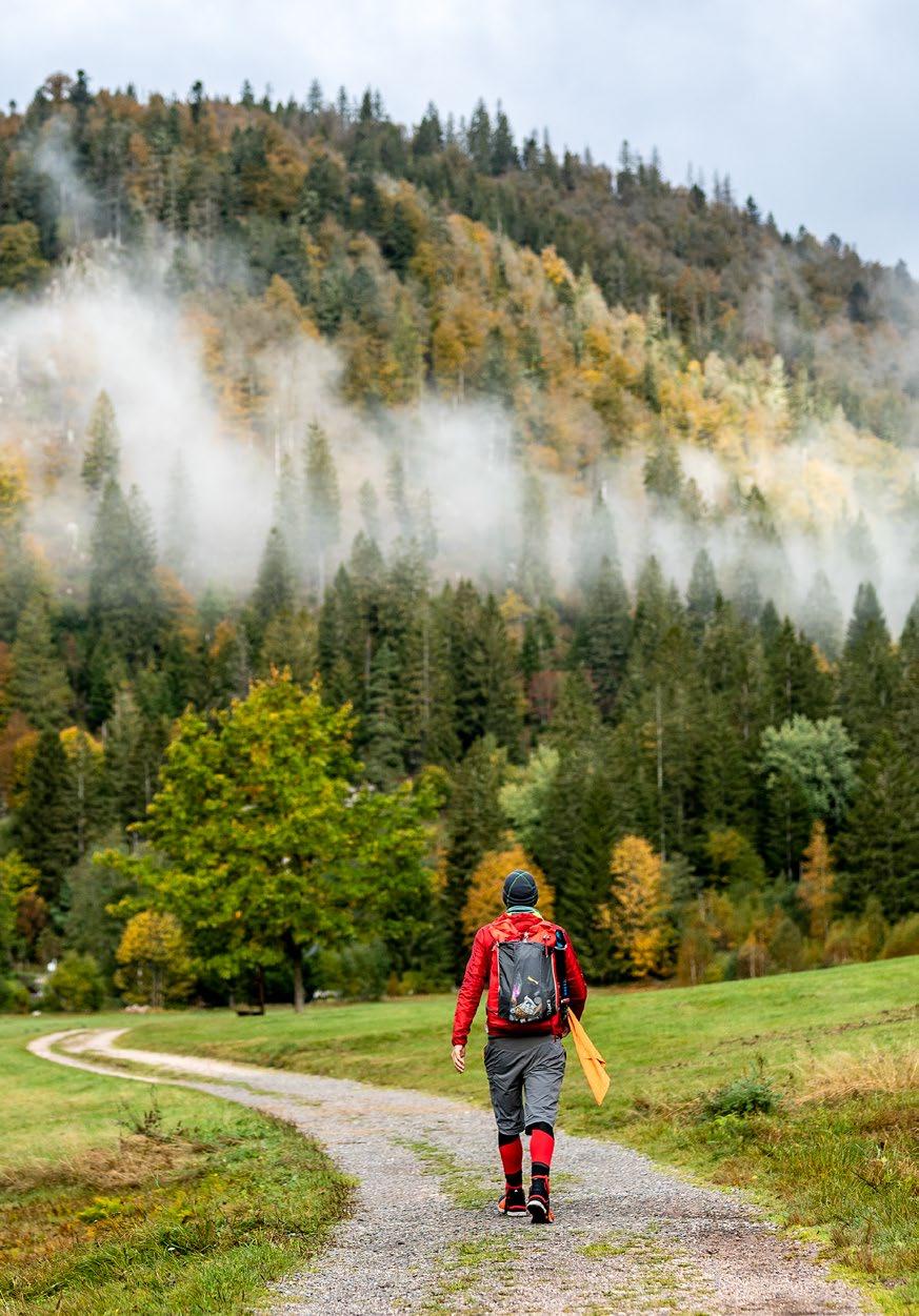
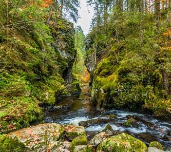
Those seeking a special hiking experience in the Black Forest will find plenty to enjoy on long-distance hiking trails such as the Westweg (p. 106), the Schluchtensteig (p. 108), the Albsteig (p. 110) and the WasserWeltenSteig (p. 112).
The long-distance hiking trails lead through the unique Black Forest landscape in several stages, and offer hikers an unforgettable holiday experience. And that doesn’t just mean the major long-distance hiking trails with up to twelve stages. There are also shorter hiking trails with three to seven stages that offer even more options for discovering the Black Forest on foot.

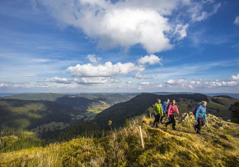
It’s the classic and the best-known long-distance hiking trail in the Black Forest: the 285-kilometre-long Westweg was the first long-distance hiking trail to be created in 1900 by the Schwarzwaldverein. It wends its way through the Black Forest from the north (Pforzheim) to the south (Basel tri-border area) and vice versa.
Westweg
Western

Mittelweg
Pforzheim – Waldshut: 233 km
Querweg
Freiburg
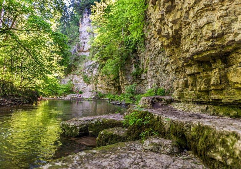
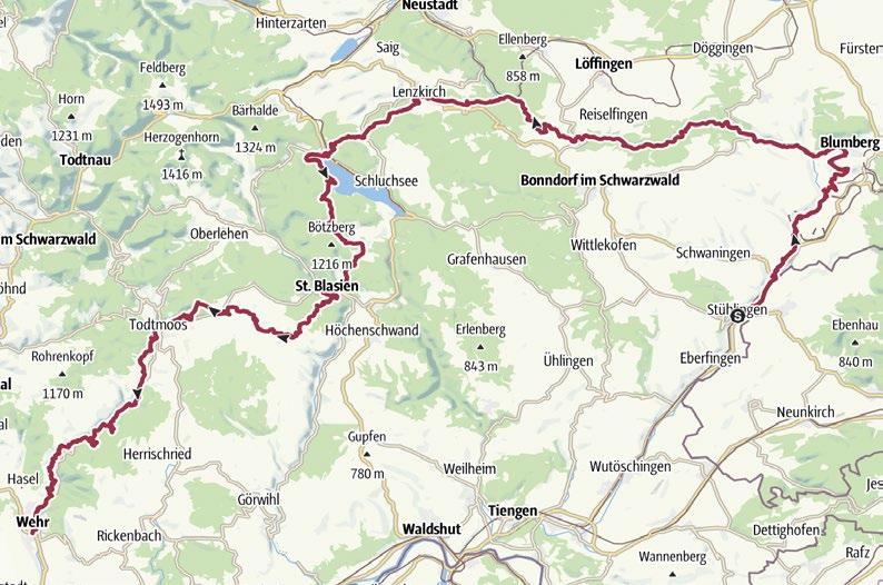
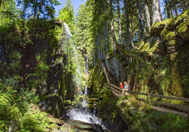
Gorges and ravines, waterfalls and lakes, high moorland, flowering meadows and pastures, vivid green primeval forests and dark pine forests line this premium trail along its 119 kilometres through the Southern Black Forest National Park.
From Stühlingen through the Wutach Gorge to Lenzkirch and the Schluchsee, past St. Blasien Cathedral, over the Dachsberg and past Ibach to Todtmoos, then through the Wehra Gorge to Wehr. This isn't just a valley trail – quite the opposite. Rocky spurs and mountain peaks are also regular features on the trail.
Time and again, you enjoy fantastic views of the gorges you have just hiked through or those in the distance. Sometimes the Feldberg Mountain peeks over the forested mountains of the Black Forest, and then there are the glaciated mountains of the Swiss Alps that line up for panoramas in the south and encourage the eye, but not the feet, to wander.
Stage 1
Stühlingen - Blumberg
Stage 2
Blumberg - Schattenmühle
Stage 3
SchattenmühleSchluchsee-Fischbach
Stage 4 SchluchseeFischbach - St. Blasien
Stage 5
St. Blasien - Todtmoos
Stage 6 Todtmoos - Wehr

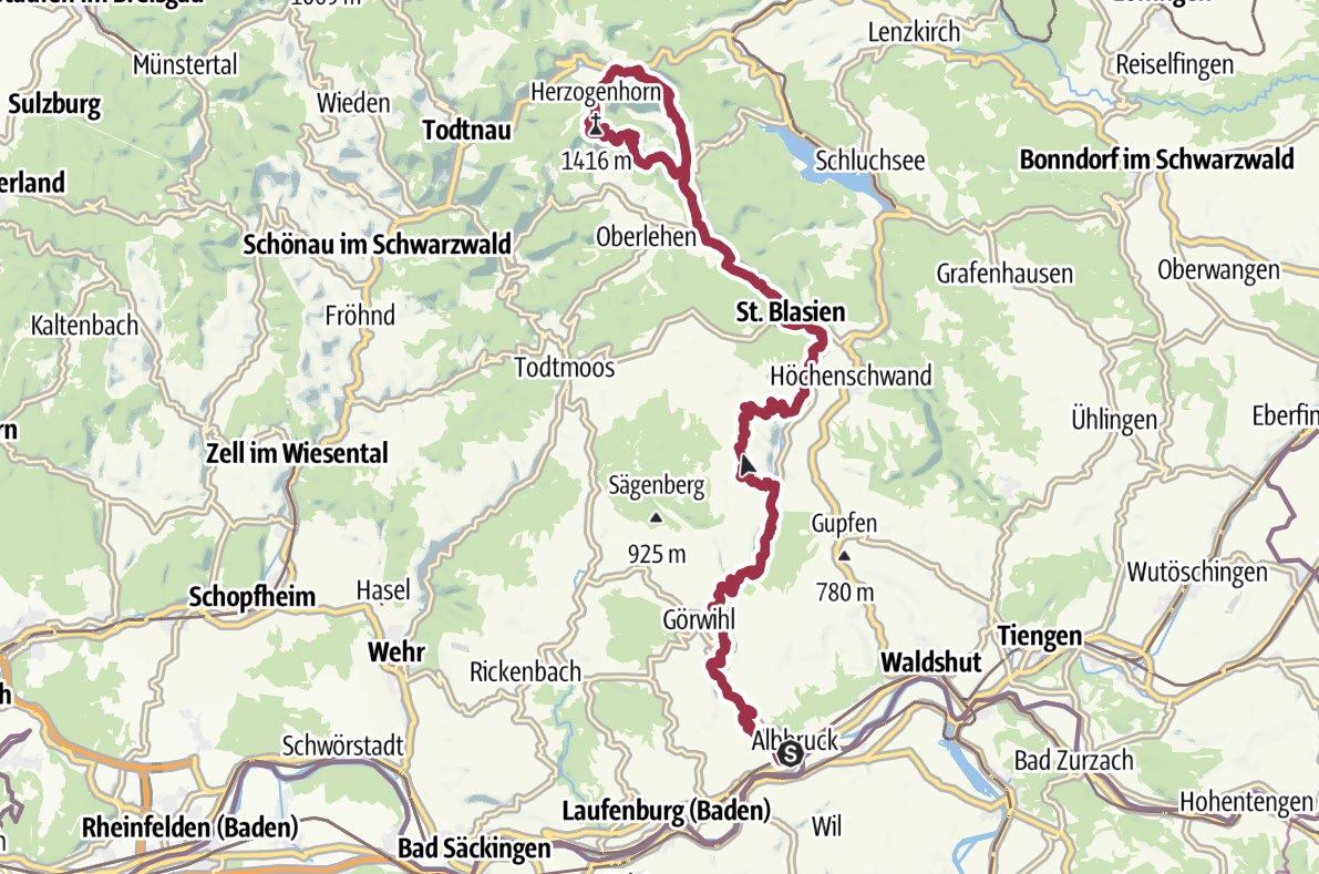
The Teufelsküche, Höllbach waterfalls and Schmugglerpfad trail all lie on the challenging Albsteig long-distance hiking trail in the Black Forest. As if that wasn't exciting enough, the trail, which covers more than 83 kilometres, also promises plenty of highlights when it comes to outdoor adventures by the water.
Depending on how you plan the individual daily stages, you can spend the day on an athletic hike or master the more than 2,700 metres of altitude difference (uphill) on shorter day tours. Narrow natural paths, shady forest trails and sunny pathways through fields invite you on an intensive outdoor adventure.
First, you head upstream along the Alb into the Hotzenwald forest, which offers plenty of views over the Alb valley, the Rhine valley and on to the Swiss Alps. The route splits after St. Blasien. Along the Menzenschwander Alb with its striking waterfalls or the Bernauer Alb over the Herzogenhorn, the highest peak on the tour, the journey will take you on a hike to the Feldberg Pass. You can also take both paths and return to St. Blasien in a loop.
Stage 1
Albbruck - Görwihl
Stage 2
Görwihl - Wittenschwand
Stage 3
Wittenschwand - St. Blasien
Stage 4
St. Blasien - Bernau
Stage 5
Bernau - Feldberg

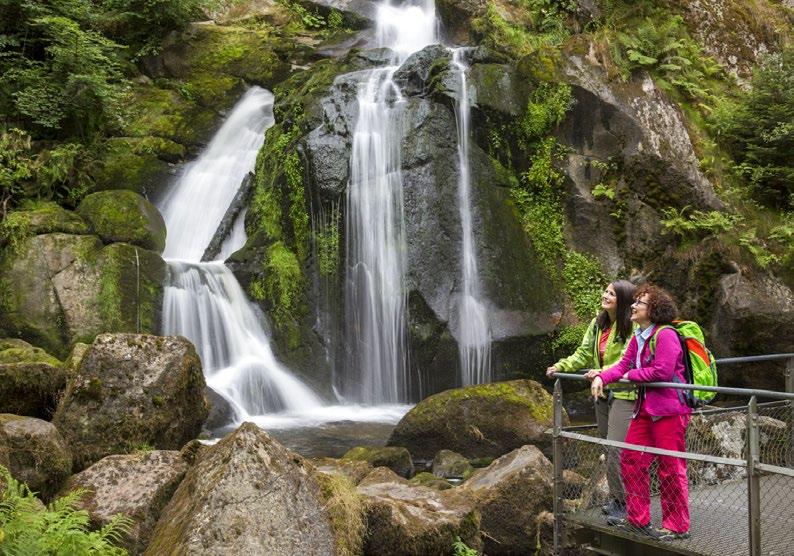
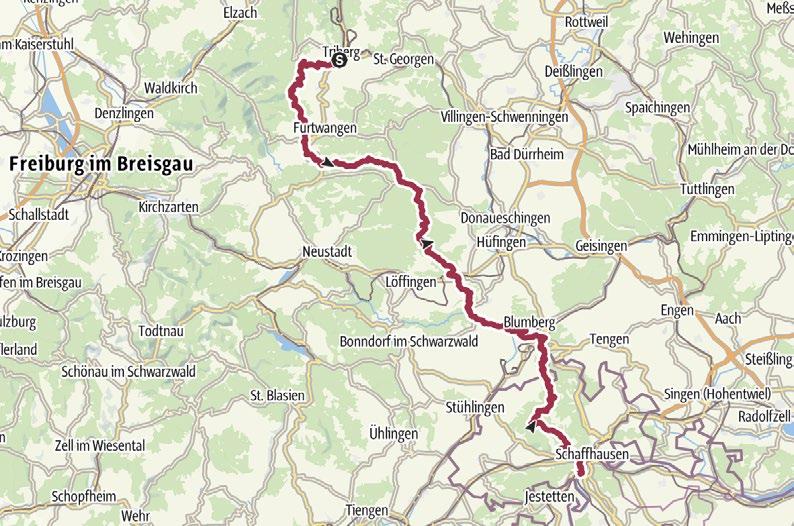
Mountains, forests, pasture meadows, gorges and observation towers with views as far as the Swiss Alps – hikers can find everything that defines the Black Forest along the 109 kilometre premium trail. And of course, you will encounter the element that gave the hiking trail its name: water.
You encounter water in a wide variety of forms between the spa town of Triberg in the Black Forest and the destination in Neuhausen am Rheinfall in the Swiss Canton of Schaffhausen. The trail is cleverly designed to follow the gentle mountain ranges along the watershed between the Rhine and the Danube, exploring the landscape, shaped by water, in the Southern Black Forest Nature Park and the surrounding areas in the process.
Waterfalls gush into the valley along the trail – at the Triberg waterfalls at the start and the majestic Rhine Falls at the destination, for example. And then there are babbling streams that run gently alongside the path or leap playfully and cascade through primeval gorges. Water is almost omnipresent along all six stages.
Stage 1
Triberg - Brend
Stage 2
Brend - Hammereisenbach
Stage 3 Hammereisenbach - Unterbränd
Stage 4
Unterbränd - Achdorf
Stage 5 AchdorfSiblinger Randenhaus
Stage 6
Siblinger RandenhausNeuhausen am Rheinfall
Condition: 109.61 km 31:35 h
You can get up-to-date information on the trail conditions and closures at our tourist information offices or online via the website 2 , the Hochschwarzwald app or the hiking WhatsApp channel. 1. 2. 3. 4. 5. 6. 7. 8.
Depending on the weather conditions and season, the trails can be slippery in places, especially in the gorges. Caution and sturdy footwear is therefore recommended.
It is best to stick to the winter hiking trails when there is snow and ice. An overview is available here: hochschwarzwald.de/winter-activities
Use the contact form for trail status reports 1 if you notice anything unusual on your hike!
You can find out whether the tours are suitable for prams in the respective tour information on our website.
Stick to the specified direction of a tour when there are recommendations!
Plan your hike so that you can pass by refreshments or take a packed lunch with you!
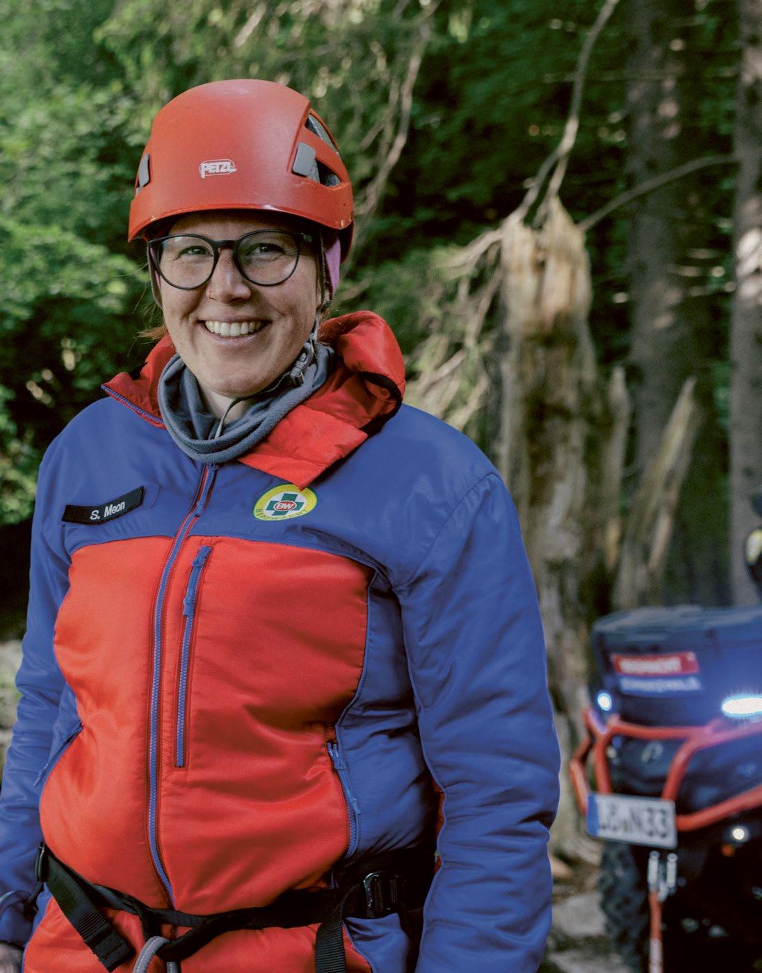
In an emergency, call the mountain rescue service on 112.

Experience nature, respect agriculture.


Stay on the trails to protect wildlife
Tranquillity is important for both wildlife and plants. Hike along the marked paths – that’s how we protect our nature.
On the move together
Whether it’s cycling, jogging or winter fun – use the paths that are provided and take account of others.
Enjoy nature to the full
Flowers, fruits and berries are a gift.
Pick berries in moderation – so there’s enough for everyone.
Litter isn’t welcome here
Take all your rubbish home with you.
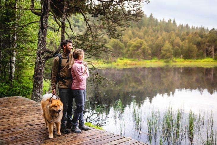
Keep dogs on a leash
Keep your dog on a leash and collect any waste.
Don’t disturb wildlife
Stay calm and respectful and at a distance.
Close fences and gates
If you open fences or gates always close them again.
Park responsibly
Use parking spots in designated areas and leave the exit routes clear. Travelling by public transport not only means you don’t need to find a parking space, but also helps to reduce the burden on the environment.
Respect private property
Fields, forests and farms are also places of work. Only enter them with permission.
Stay with nature in mind
If you use designated areas or trekking camps for camping or making fires, be sure to protect the landscape.



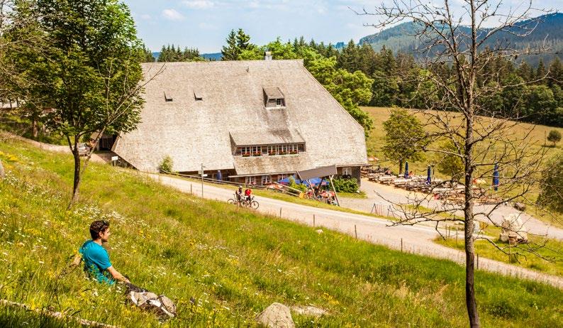
After challenging climbs and variety-packed trails, quaint huts and mountain inns invite you to enjoy some well-earned relaxation and a cosy get-together. Treat yourself, and enjoy homemade specialities in the heart of the beautiful countryside!
You can find an overview of the managed huts and self-catering huts in the Black Forest Highlands on our website.
Restaurants & cafés
Has a storm taken you by surprise? Do you have dirty boots and drenched clothing? Are you still on the trail late into the evening feeling tired, and you don’t want to go any further? Then one of our “quality hosts“ could be perfect for you.
Our certified “quality hosts” can pick you up along your route and ensure that your luggage is transported to your next accommodation without any problems. After all, your personal comfort is the top priority. Do you still need hiking tips or weather forecasts for the days to come? Our knowledgeable employees will be happy to help.
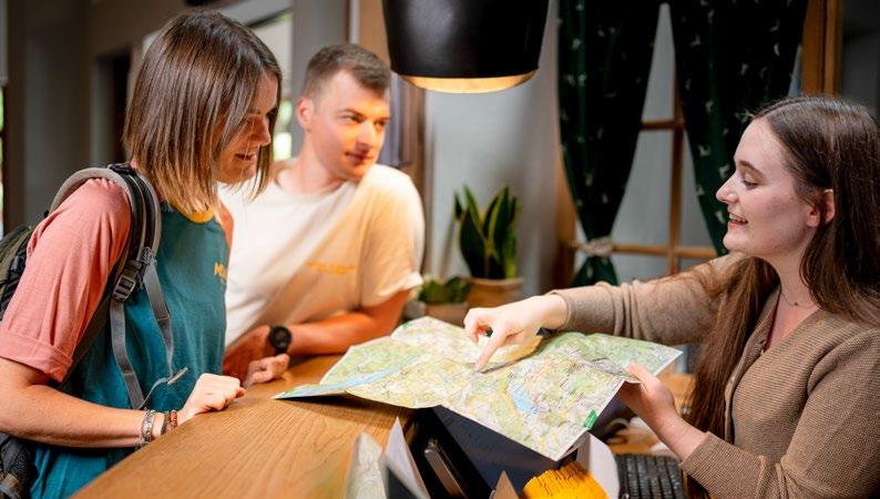
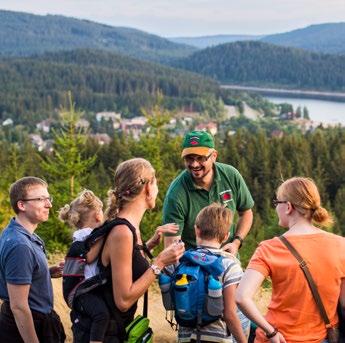
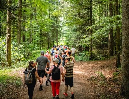
Discover the scenic highlights of the region and the best rest points, and tease special secret tips out of your hiking guides on guided tours!
We offer up to 500 guided hiking tours (mostly in the hiking season). Whether it’s a day tour or a half-day tour, our hiking guides accompany you to the most beautiful places in our holiday region. The huge range of hikes in the Black Forest Highlands offers the right tour for everyone: with varying lengths and difficulty levels as well as a variety of themes and landscapes.
AInspireyourself!
A production of Hochschwarzwald Tourismus GmbH
Contact
Freiburger Str. 1 ·79856 Hinterzarten
Tel.: +49 (0)7652/1206-0
Fax: +49 (0)7652/1206-89219
info@hochschwarzwald.de hochschwarzwald.de
Chair of the supervisory board:
Mayor Andreas Graf
Managing Director: Patrick Schreib
Project team:
Jonas Eckert, Sophie Engert
Conceptualisation & design:
James McGrow, Bettina Magg
Illustration:
Michaela Conradi, James McGrow
Key
Trail route
Car
Bus stop Restaurant/café
Station
Map source:
Outdooractive Kartografie Geoinformationen
© Outdooractive Deutschland: © GeoBasis-DE / BKG 2018
Other countries: © OpenStreetMap (ODbL) –Contributor (openstreetmap.org/copyright)
Images: © Hochschwarzwald Tourismus GmbH
Limited edition, published: 2026
Note:
All information is provided without guarantee. The use of this booklet is at your own risk. We do not accept any liability for the correctness of the tour information, descriptions and maps.
Note on gender:
In the interests of readability, we aim to avoid the use of gendered language. All references to persons apply equally to all genders.
Most of the experiential installations, themed trails and/or premium trail projects in the Black Forest are and were funded by the Southern Black Forest Nature Park, with funds from the state of Baden-Württemberg and the Glücksspirale lottery.

Or as a project of the state of Baden-Württemberg as part of the CAP Strategic Plan Germany 2023-2027, financed with funds from the European Union under the European Agricultural Fund for Rural Development (EAFRD) and with funds from the federal state of Baden-Württemberg.
More information:
Hochschwarzwald Tourismus GmbH
Freiburger Str. 1 · 79856 Hinterzarten
Tel.: +49 (0)7652/1206-0
hochschwarzwald.de
We print our brochures and flyers on 100% recycled paper.
Our premium partners: