EARTH SCIENCES HISTORY GROUP
Newsletter No. 44 December 2013 A newsletter for members of the ESHG that unearths the history of the Earth’s historians ISSN 0815-7235
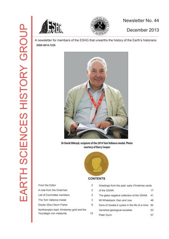
Dr David Oldroyd, recipient of the 2014 Tom Vallance medal. Photo courtesy of Barry Cooper
CONTENTS From the Editor
2
Greetings from the past: early Christmas cards
A note from the Chairman
2
of the GSWA
17
List of Committee members
2
The glass negative collection of the GSWA
41
The Tom Vallance medal
3
Mt Whaleback: then and now
48
Doctor (Doc) Norm Fisher
6
Sons of Gwalia-2 cycles in the life of a mine 50
Northampton lead, Kimberley gold and the Youndegin iron meteorite
15
Vanished geological societies
53
Peter Dunn
57