Earth Sciences History Group
Newsletter No. 41 December 2010 A newsletter for members of the ESHG that unearths the history of the Earth’s historians ISSN 0815-7235
ISBN 978-1-74168-356-1
THEMATIC ISSUE Snapshots of the geological mapping program covering the whole of Australia
CONTENTS From the Editor
2
A note from the Chairman
2
List of Committee members
2
ESHG session at AESC 2010: List of Abstracts
3
Keynote address: The past is the key to the present: Australian geological mapping from the 1830s to World War II 4 Book launch speech: The Forgotten Explorers
30
Book review: A mirage in the desert?
32
t of
or lis f 3 e ag See p bstracts A
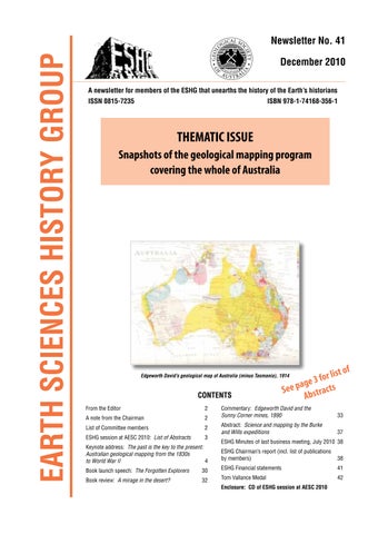
Edgeworth David’s geological map of Australia (minus Tasmania), 1914
Commentary: Edgeworth David and the Sunny Corner mines, 1890
33
Abstract: Science and mapping by the Burke and Wills expeditions
37
ESHG Minutes of last business meeting, July 2010 38 ESHG Chairman’s report (incl. list of publications by members)
38
ESHG Financial statements
41
Tom Vallance Medal
42
Enclosure: CD of ESHG session at AESC 2010