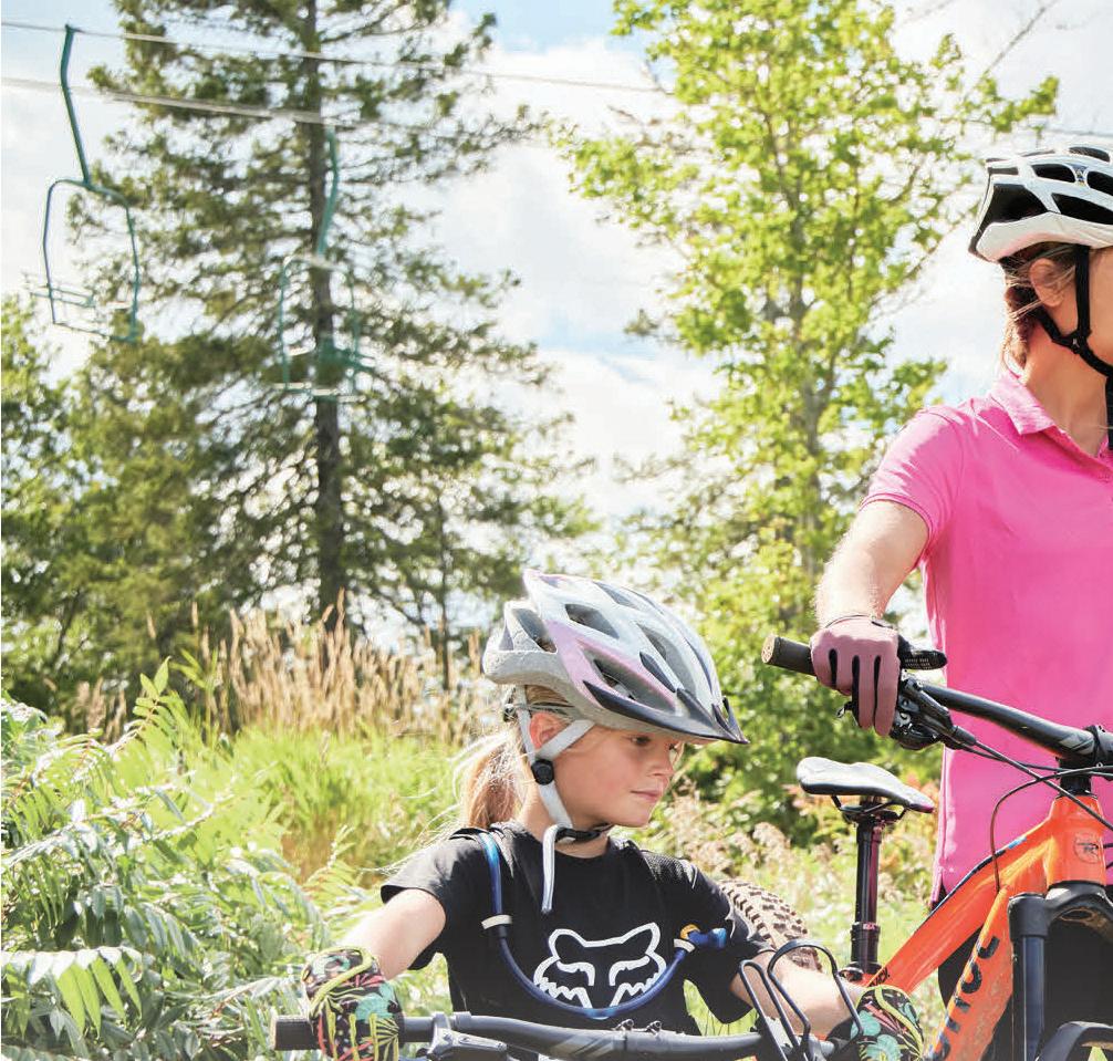
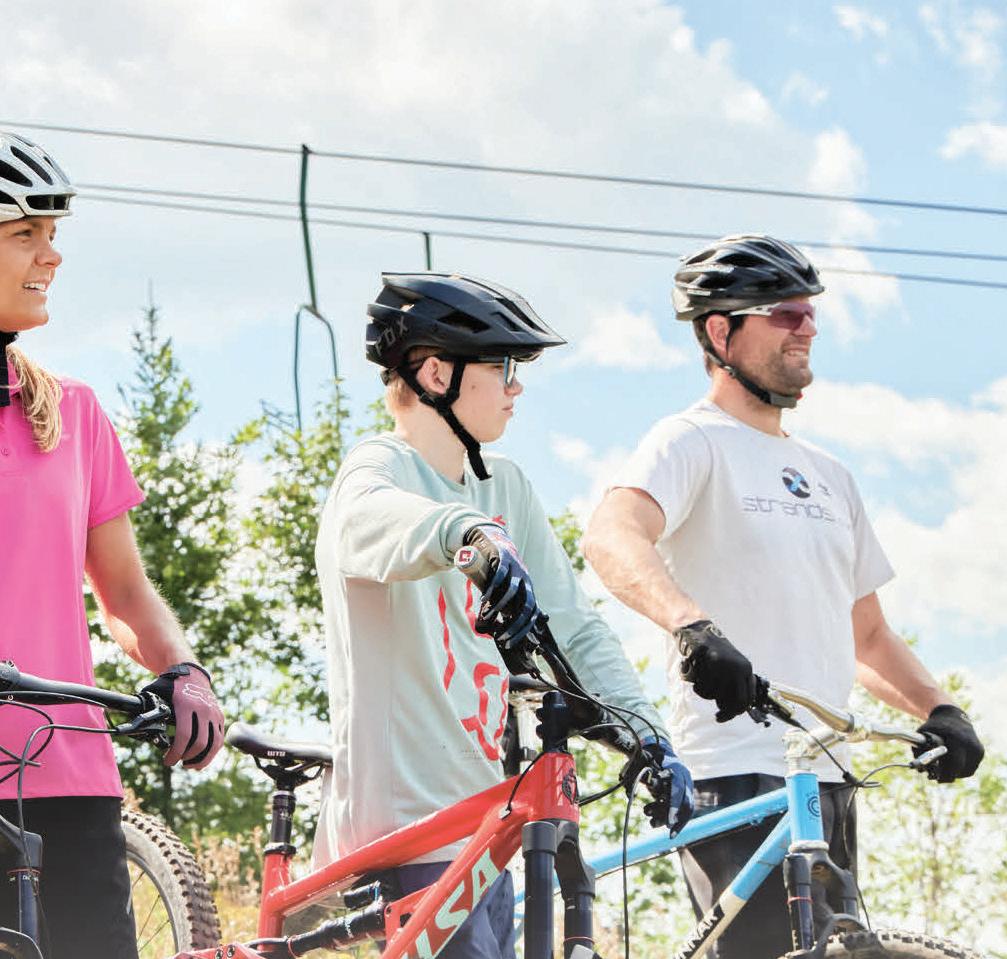
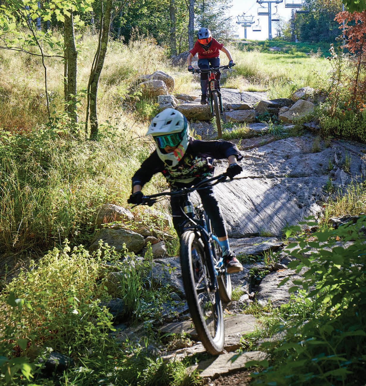
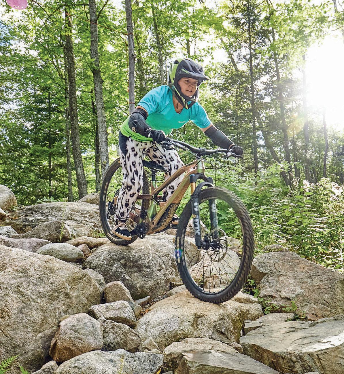
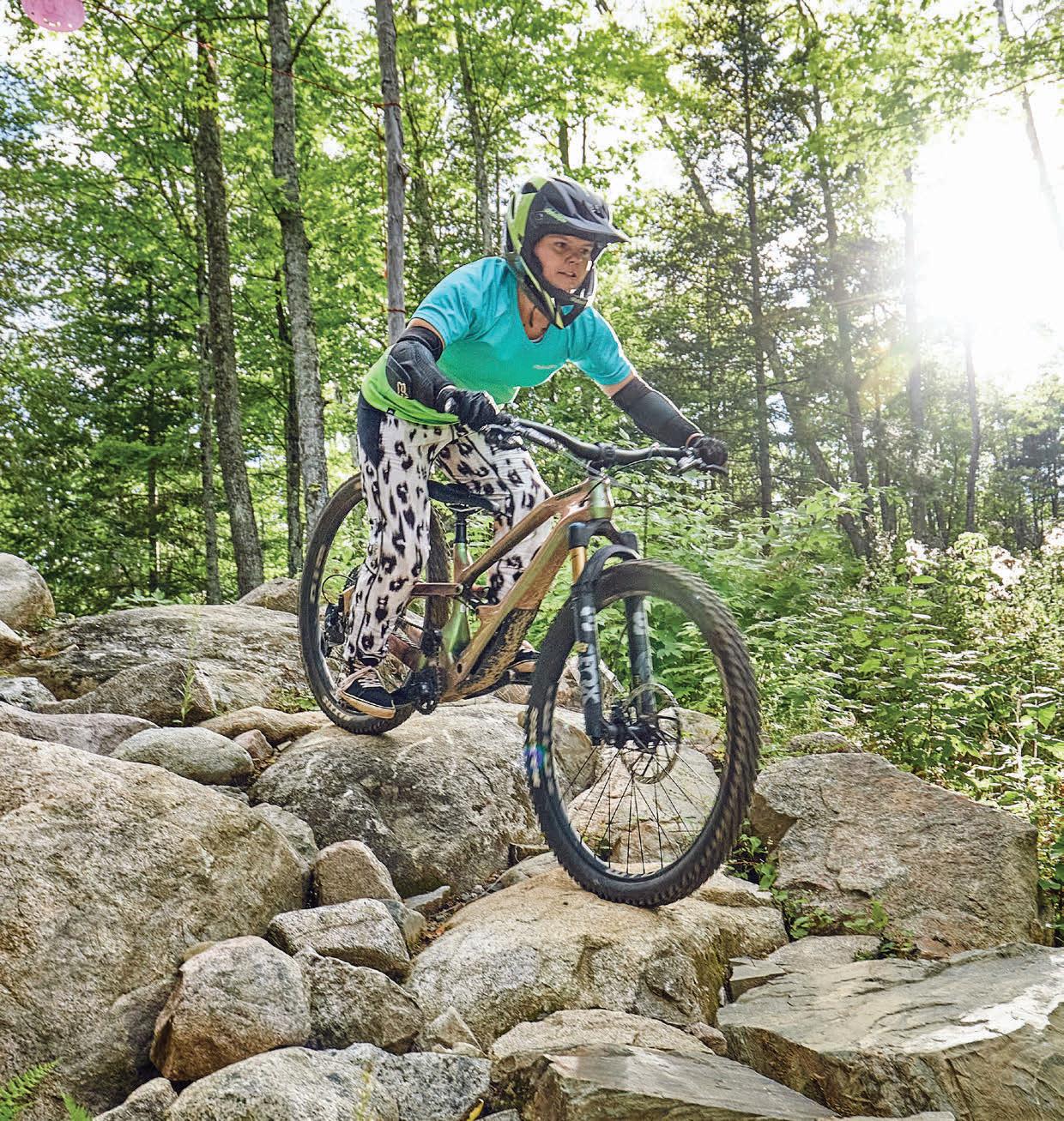
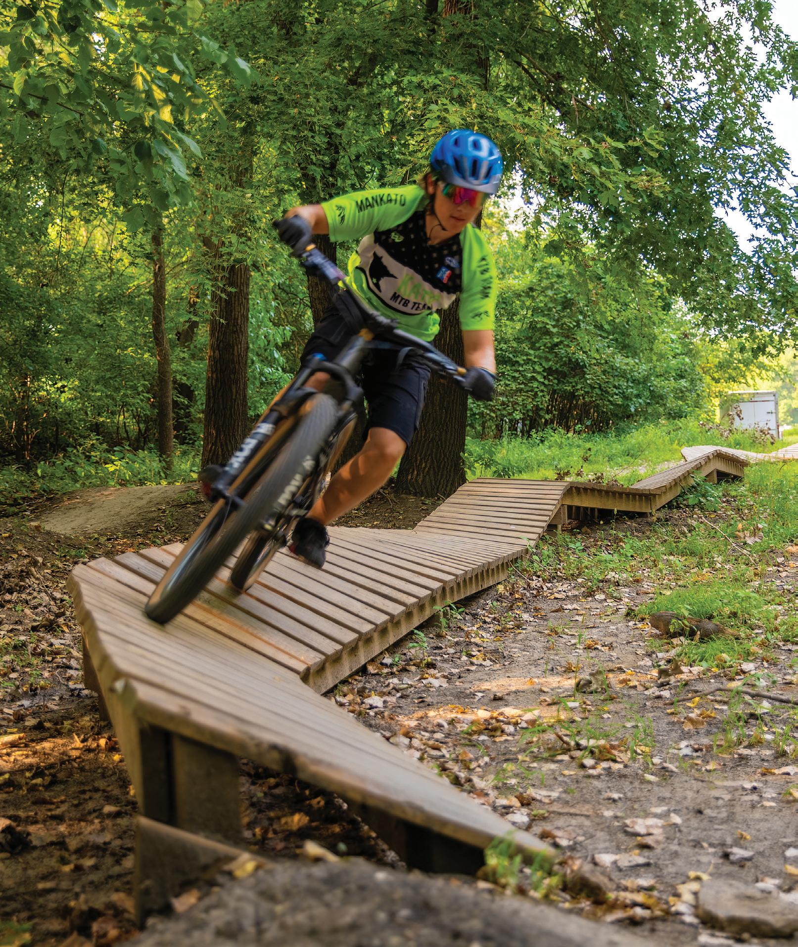
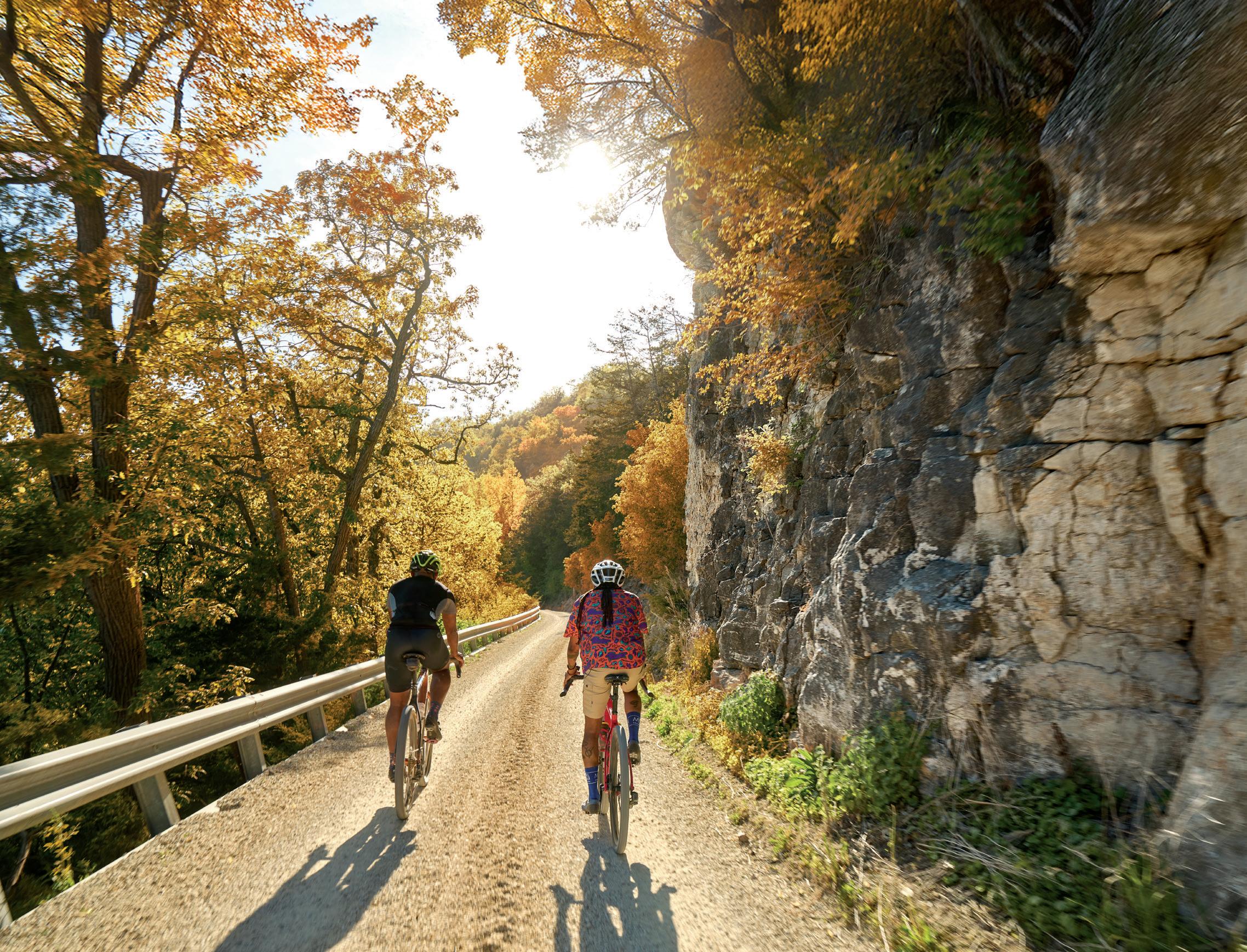
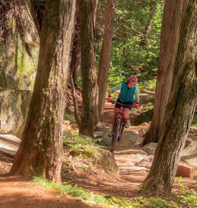
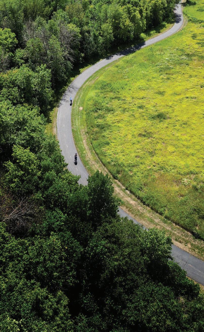
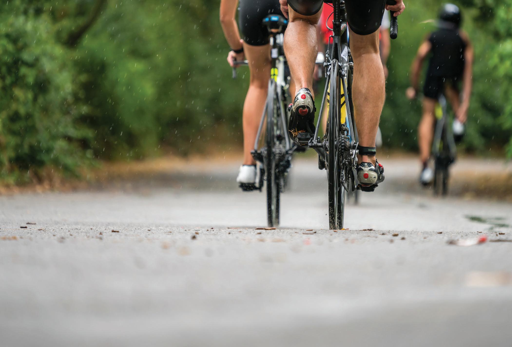
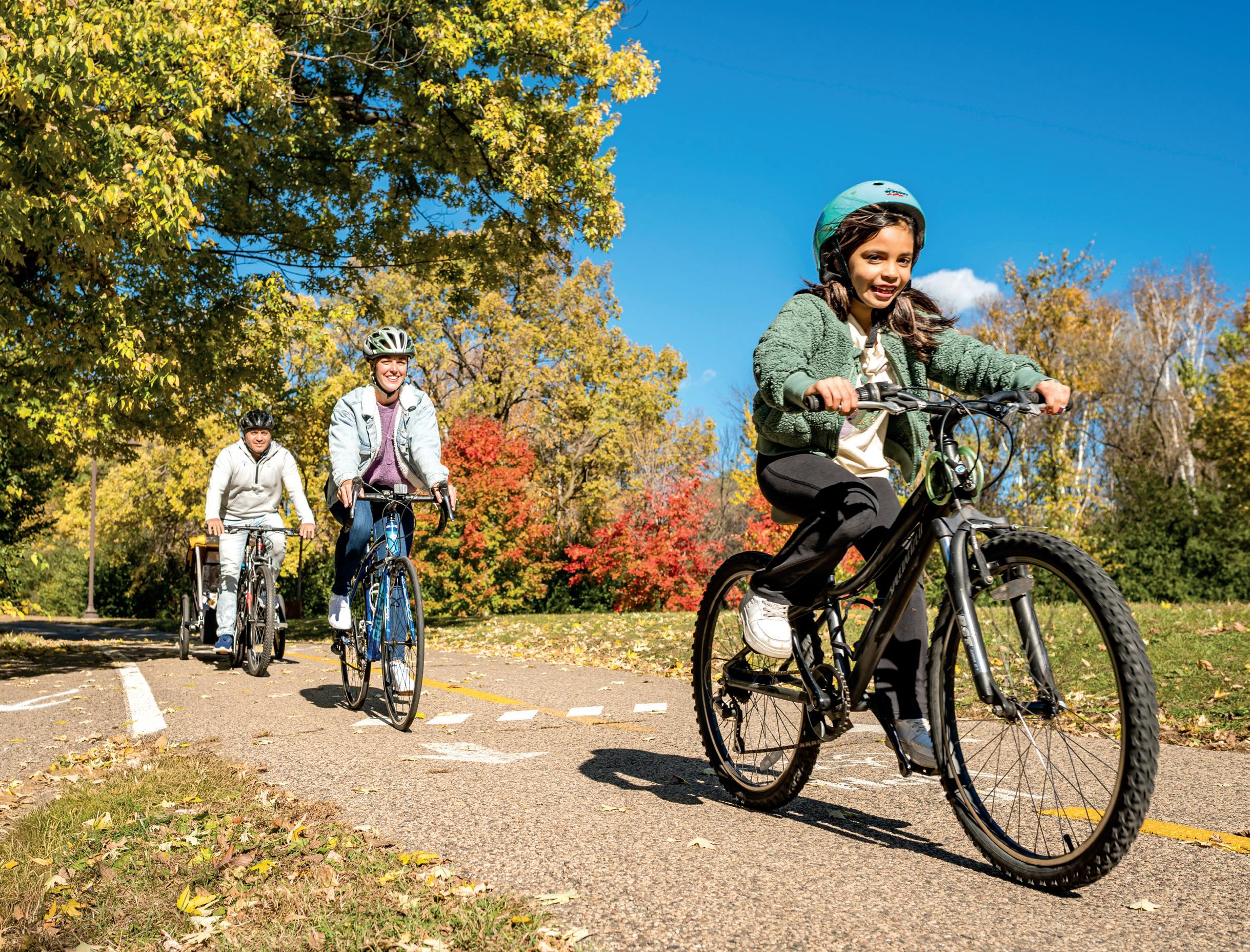
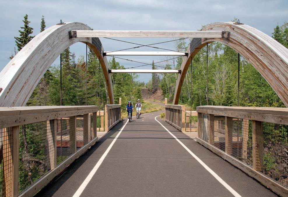
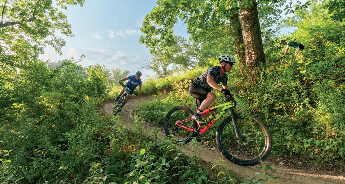
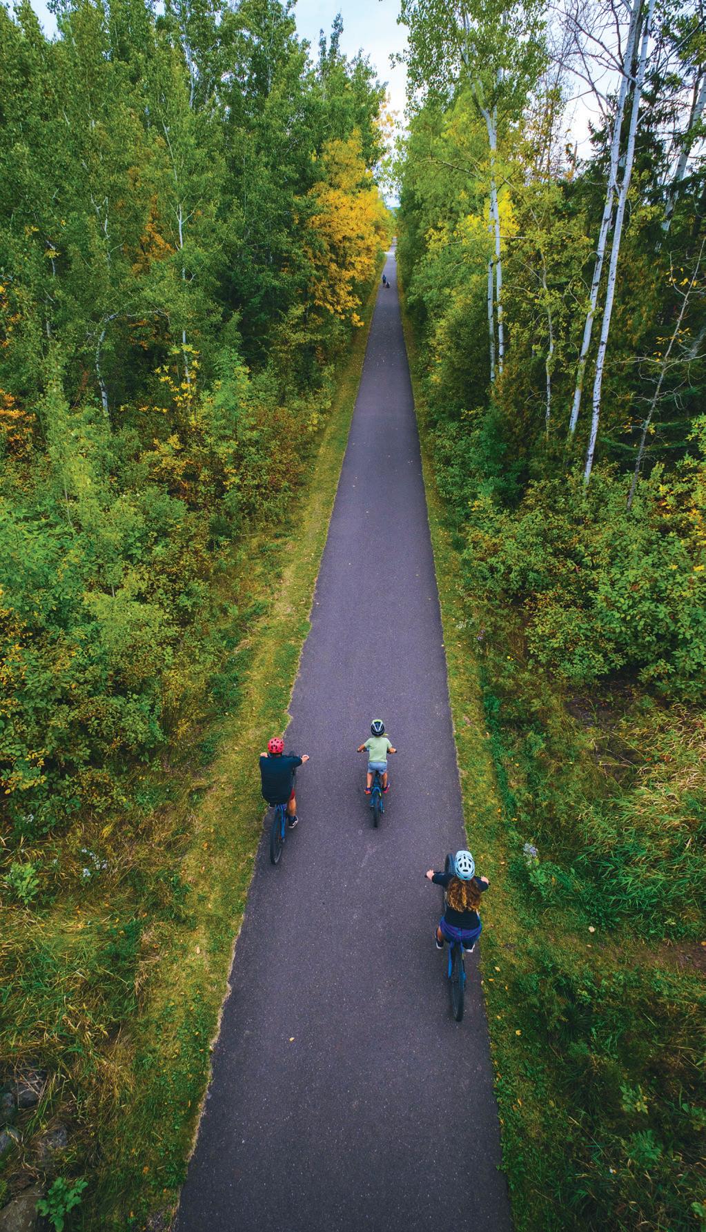
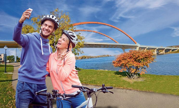
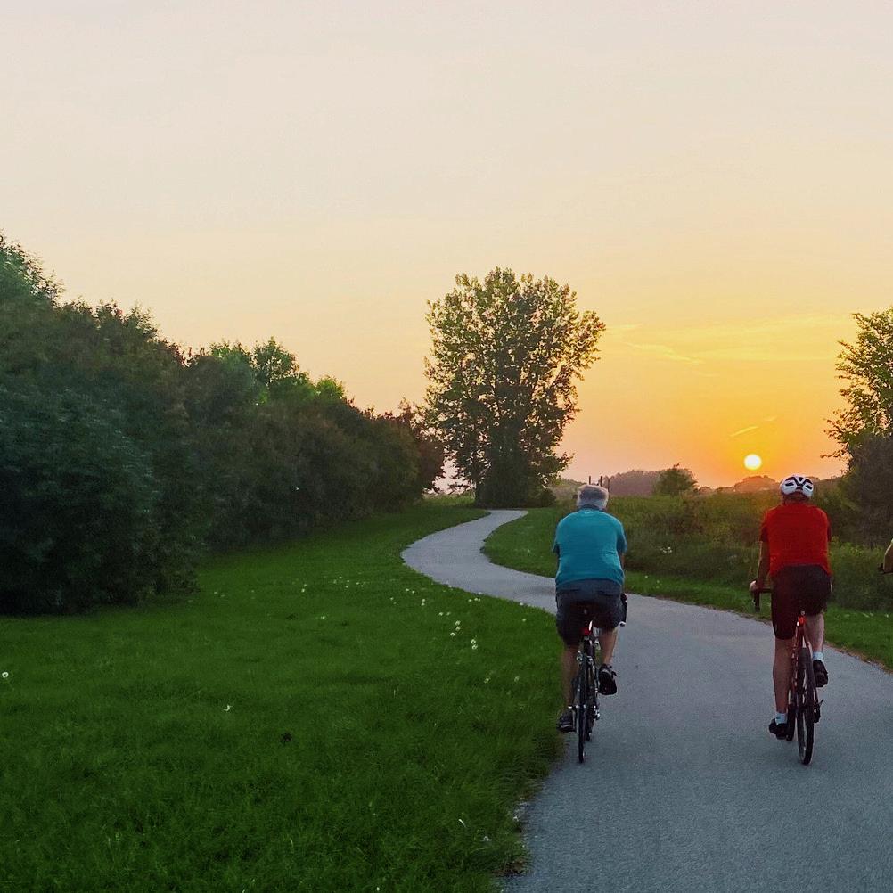
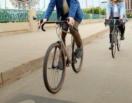
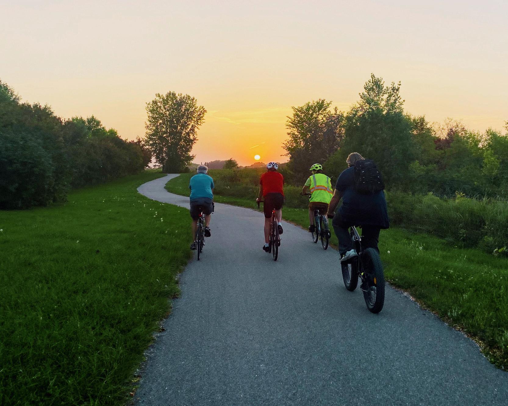
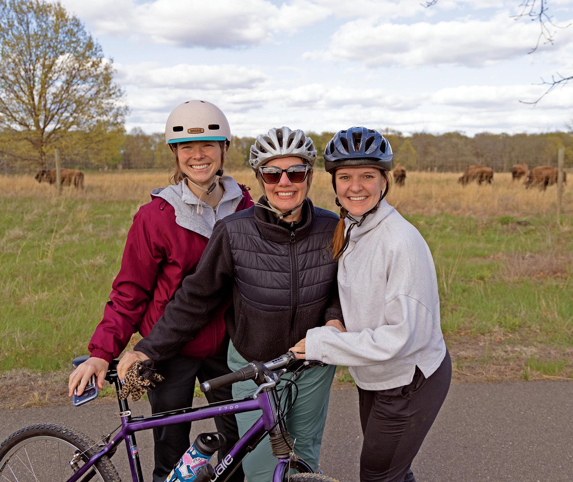
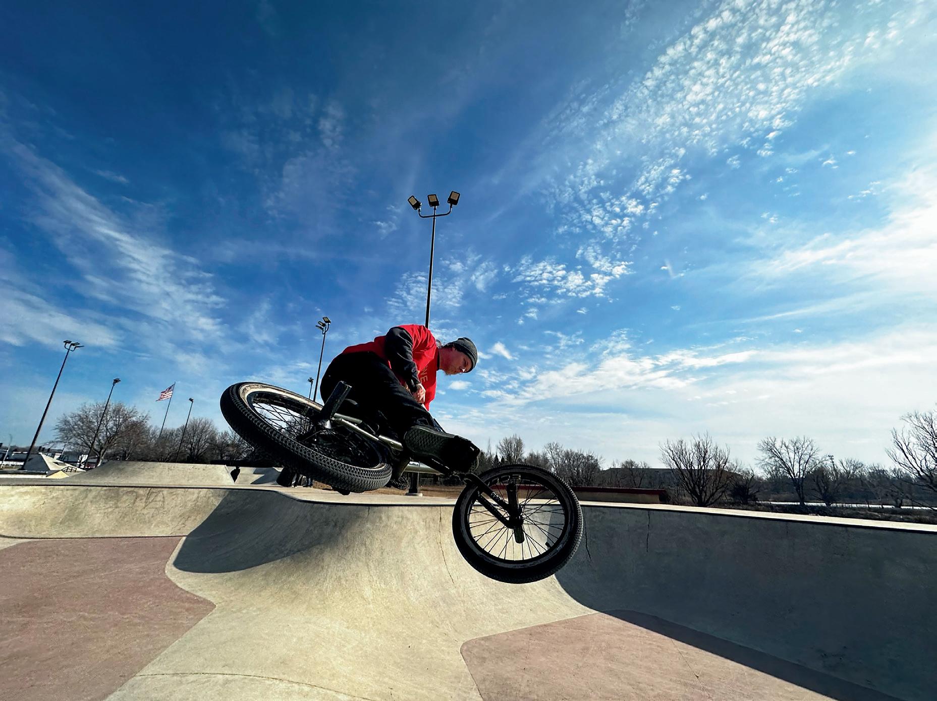
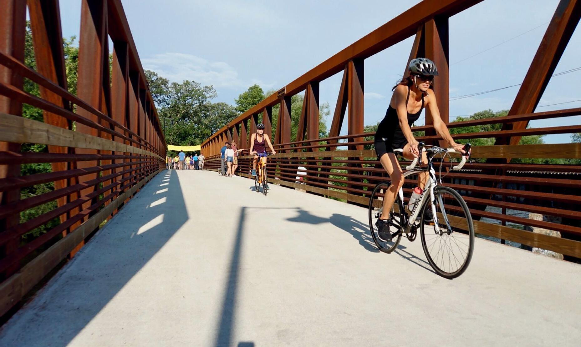
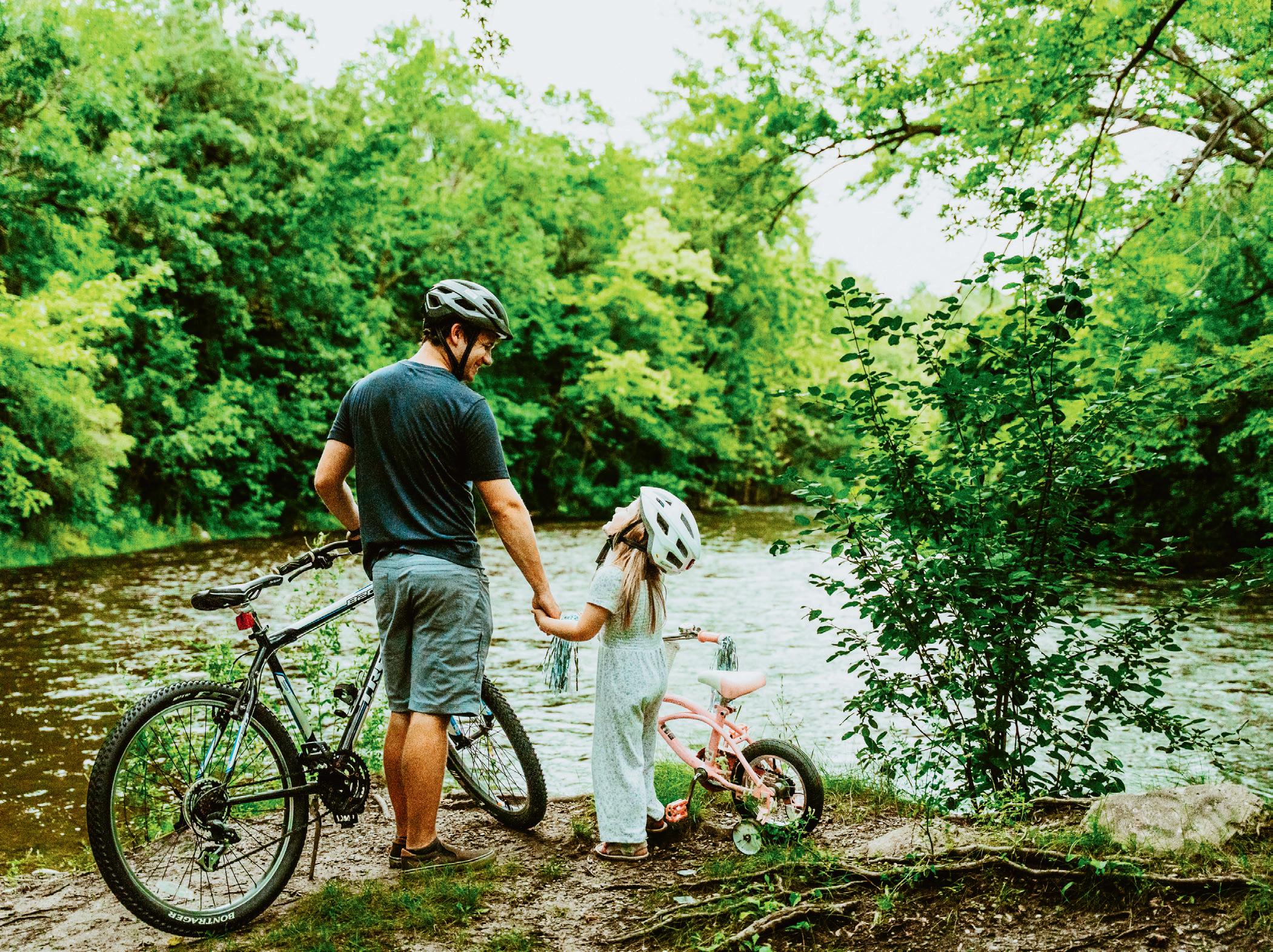
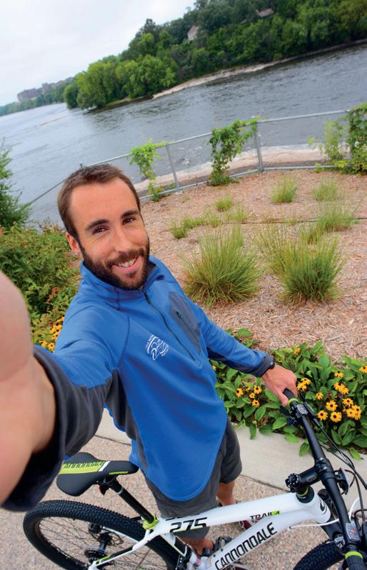
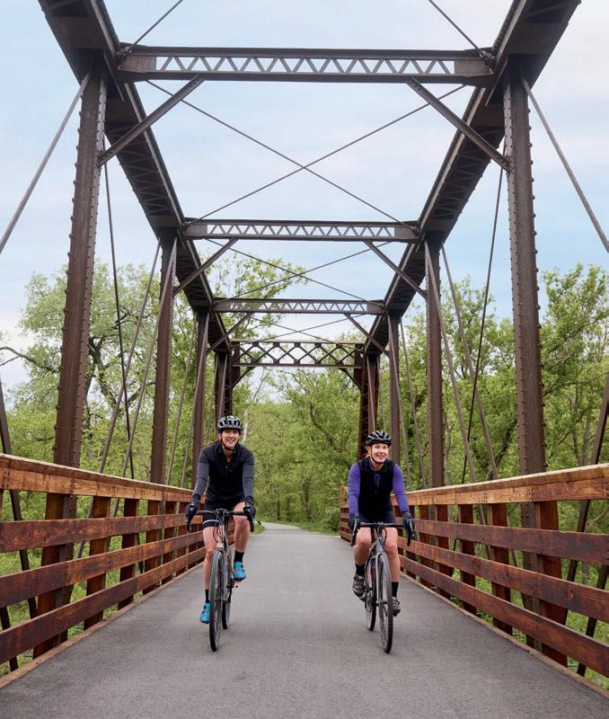
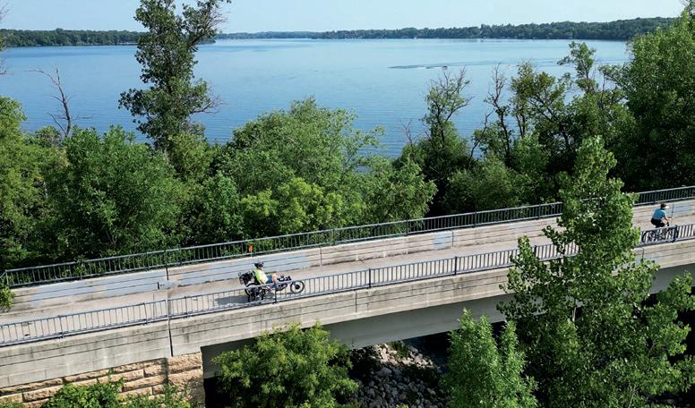
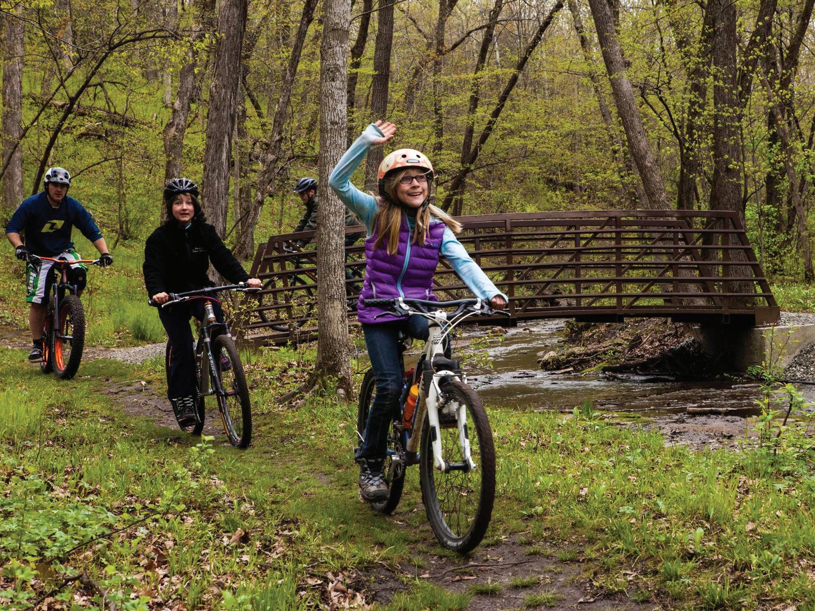
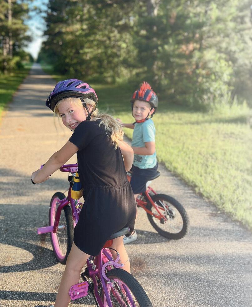
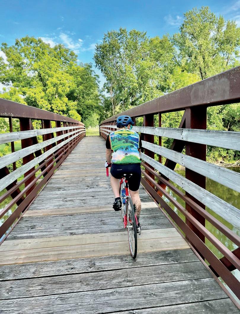
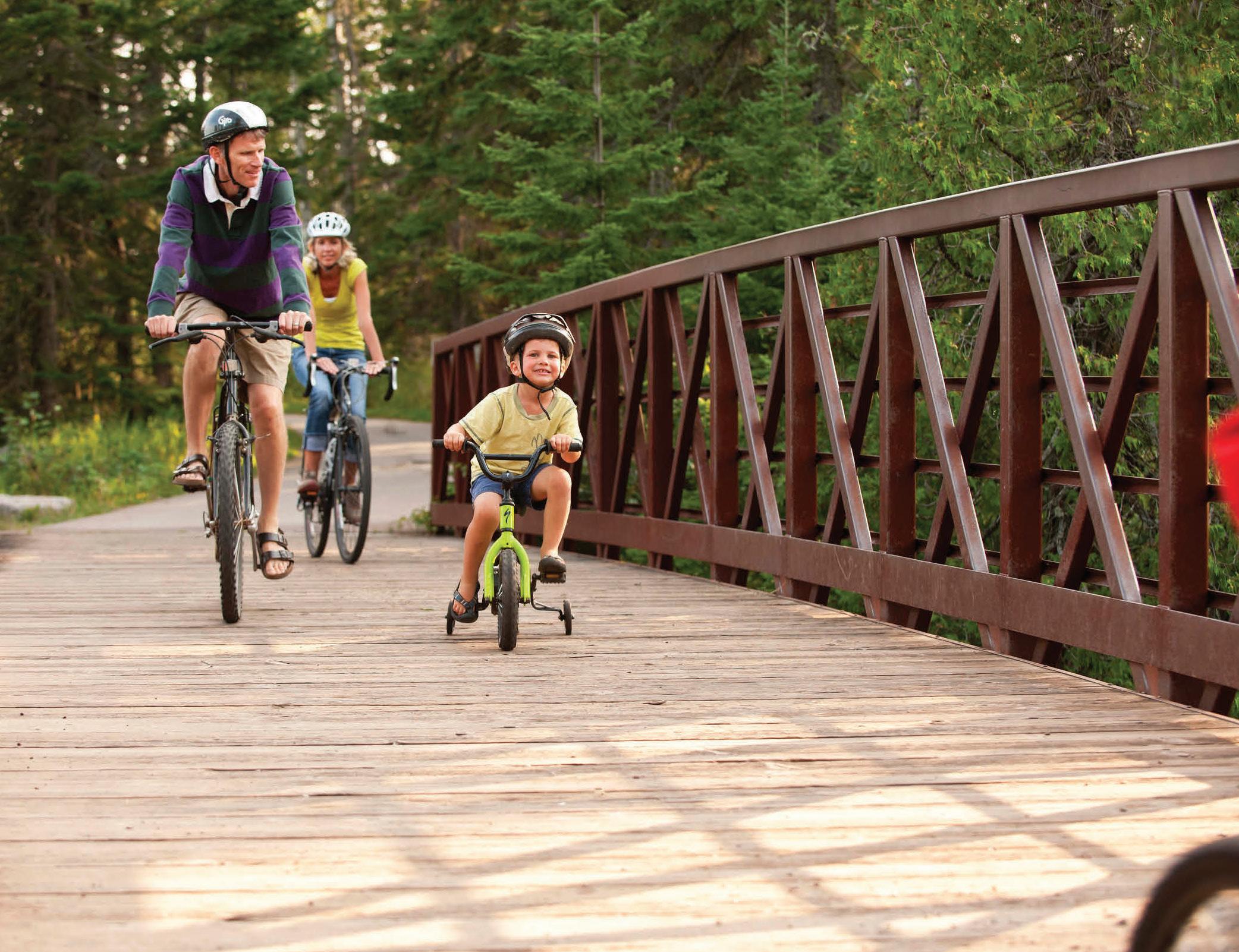
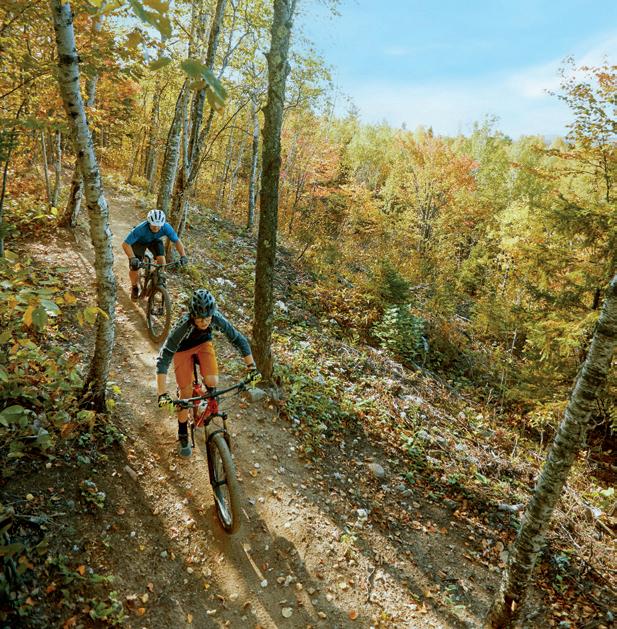
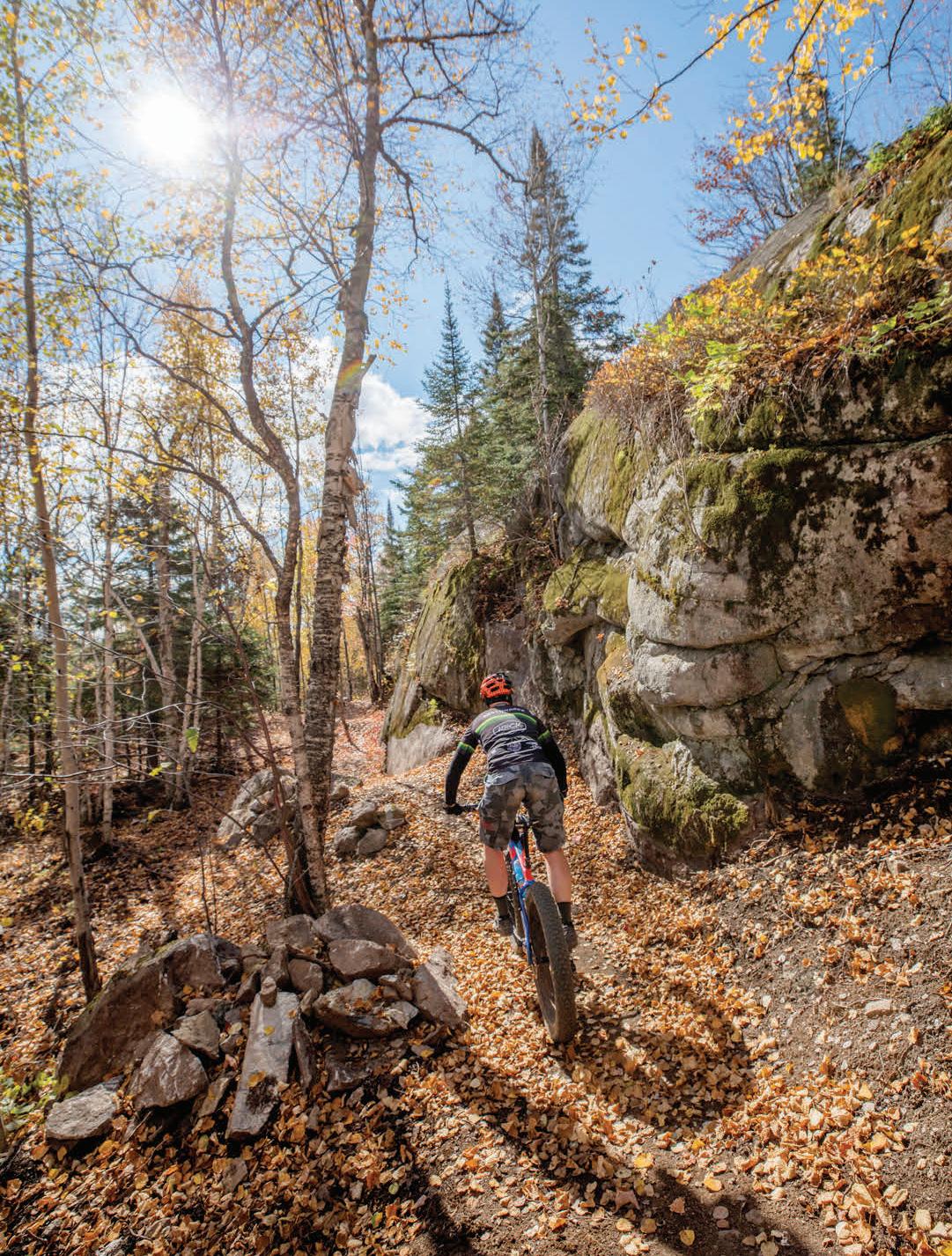
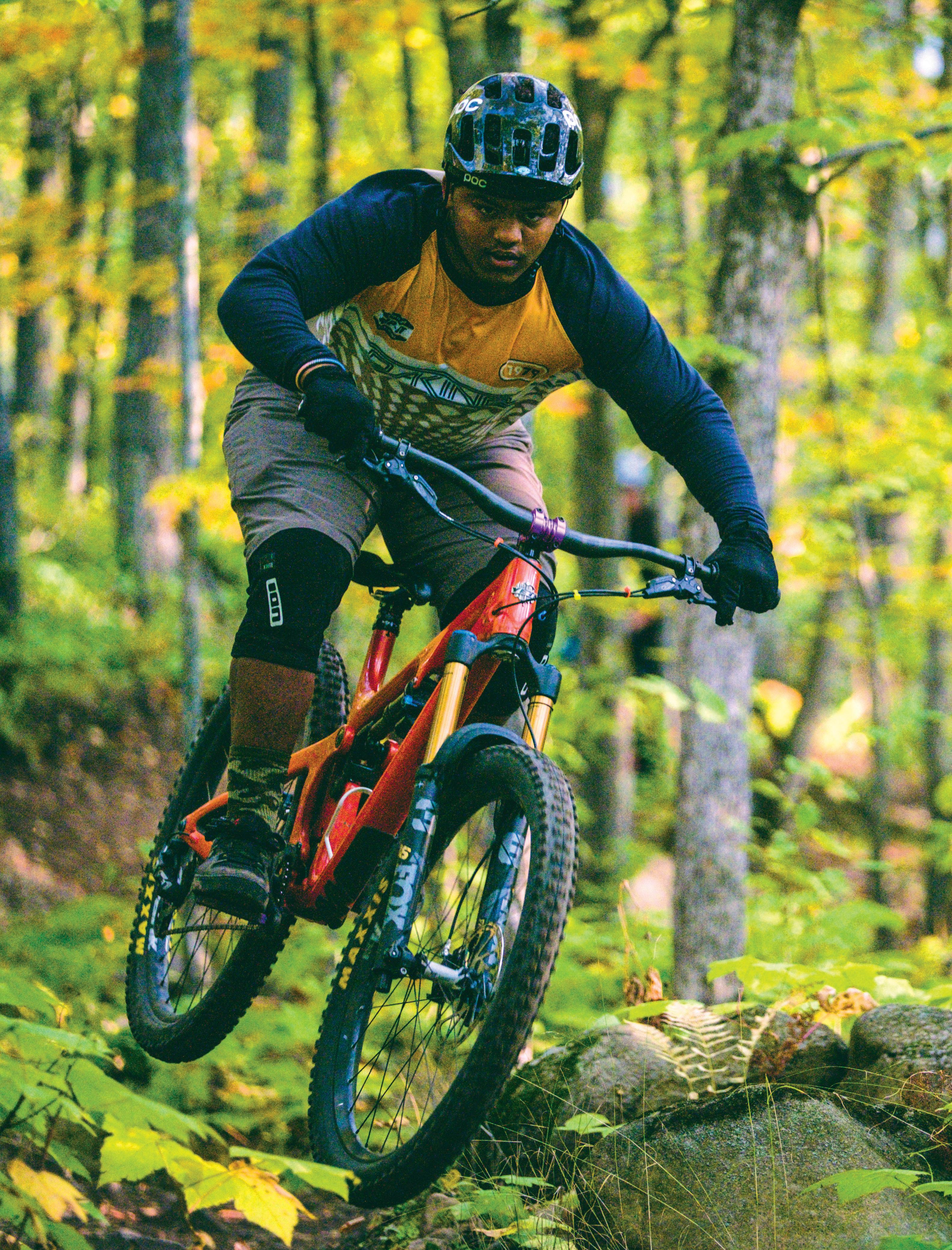
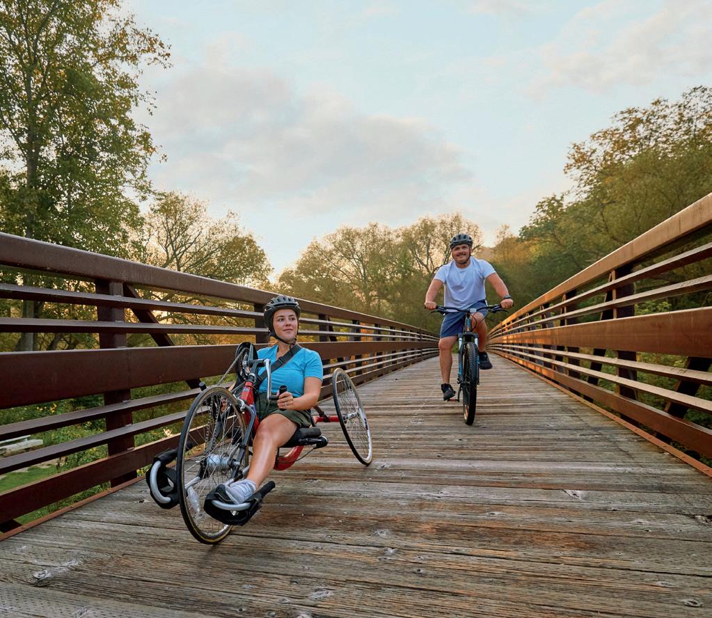
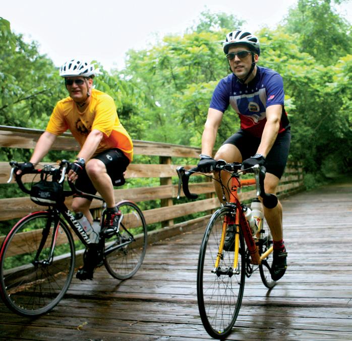
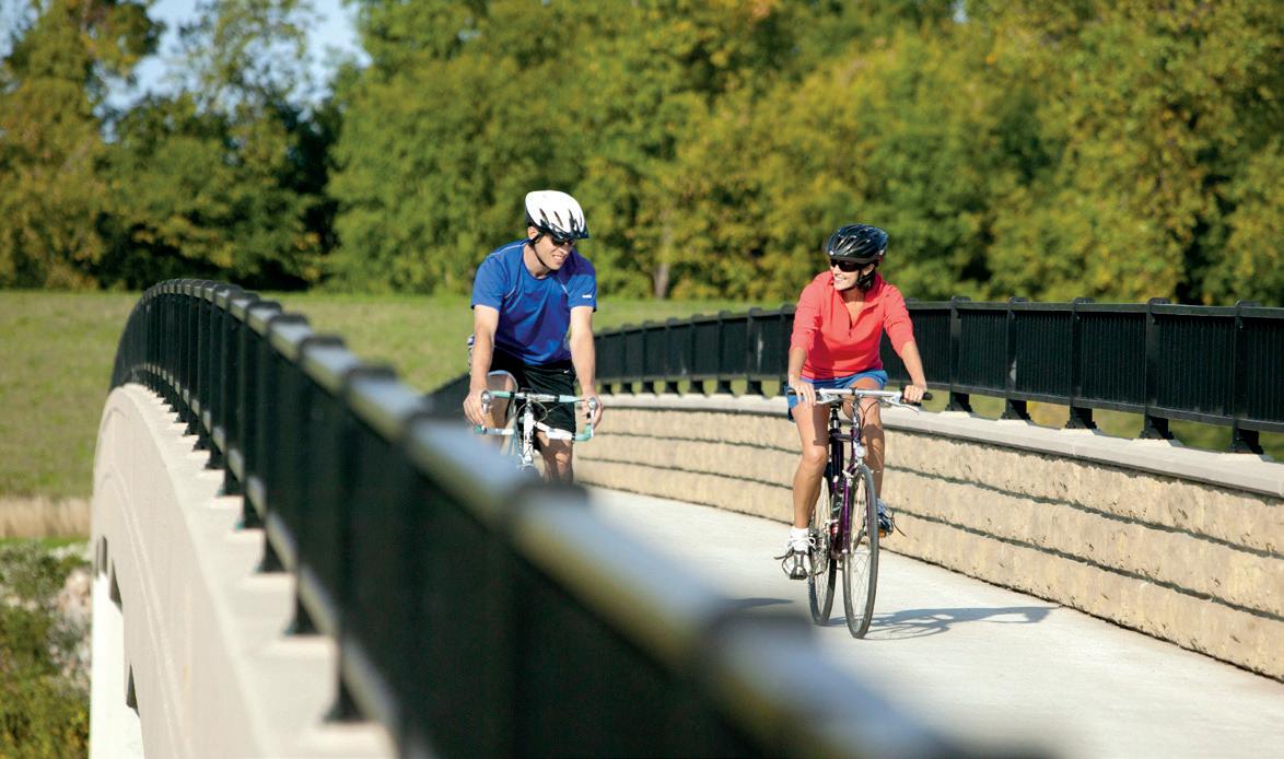
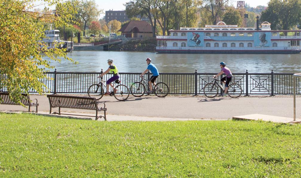
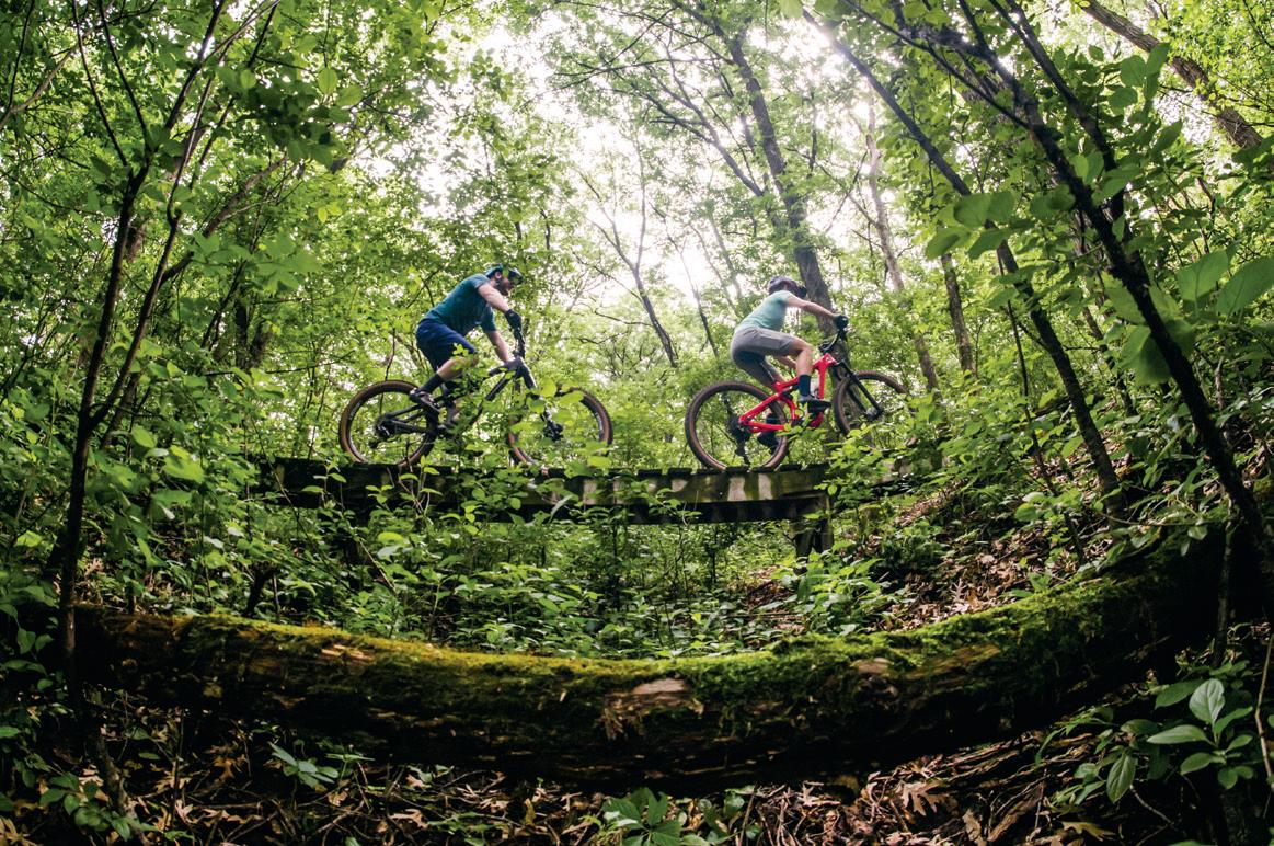
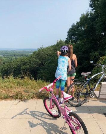
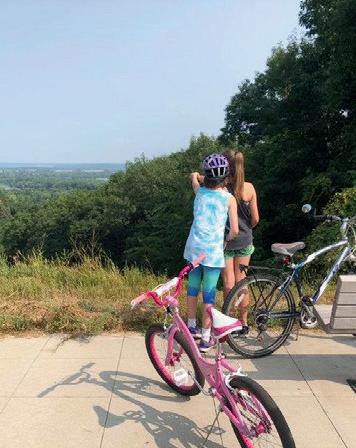
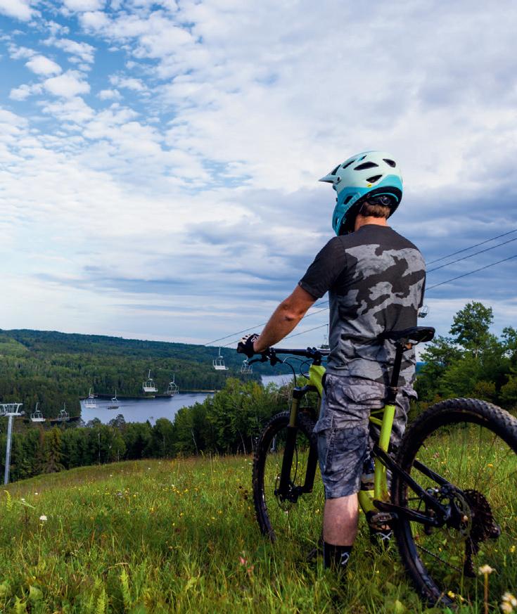
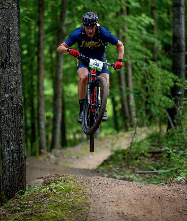
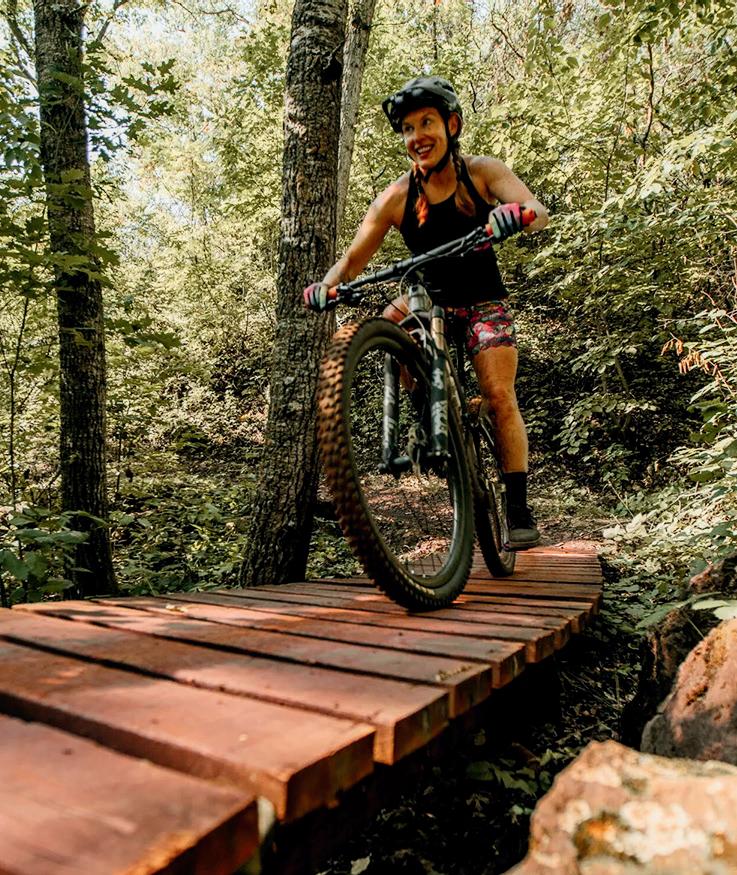
Did you know? Greater Mankato features some of the best biking opportunities in the state and boasts over 50 miles of cycle-friendly trails and loops. Gear up for biking adventures throughout all four seasons while soaking up the breathtaking scenery of blu s, rivers, lakes, and wildlife. The community of Mankato and North Mankato have been designated a Bronze Bicycle Friendly Community by the League of American Bicyclists, Washington D.C.
27 5 6 8 12
GETTING IN GEAR
Explore the latest innovations in biking gear, technology, and accessories.
PEDALING FORWARD
Advocates work to preserve Minnesota’s bike infrastructure.
MINNESOTA BIKING, A TO Z
From trails and gear to safety tips and hidden gems, our A-to-Z guide is your roadmap to cycling in Minnesota.
FRINGE BENEFITS
What can Minnesota’s borders tell us about who we are? Hop on a bike and find out.
RIDE GUIDE OF MN TRAILS
Navigate thousands of miles of trails with detailed route information, GPS coordinates, parking details, and more.
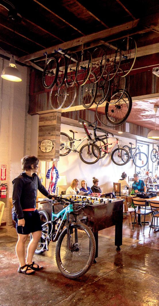
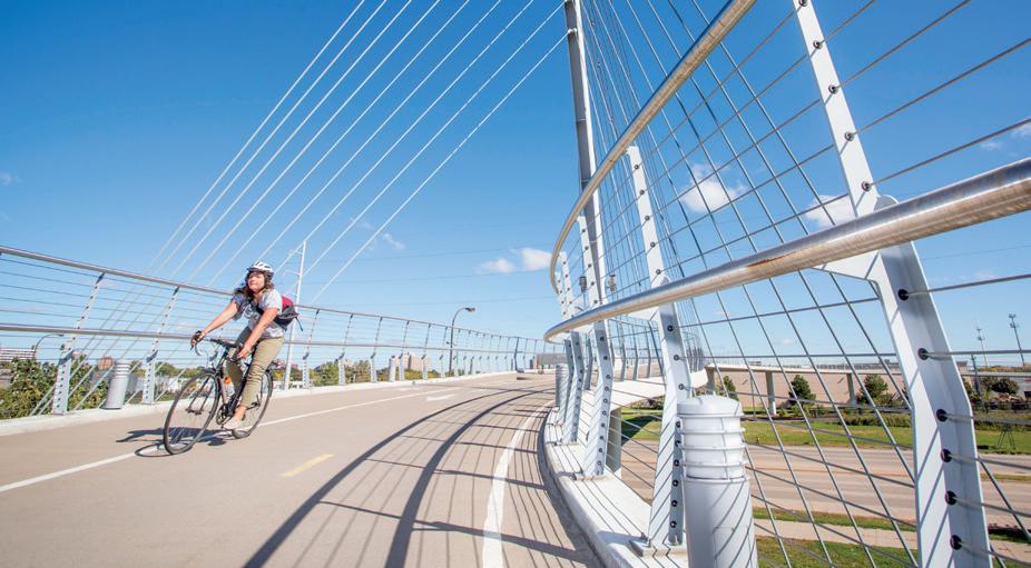
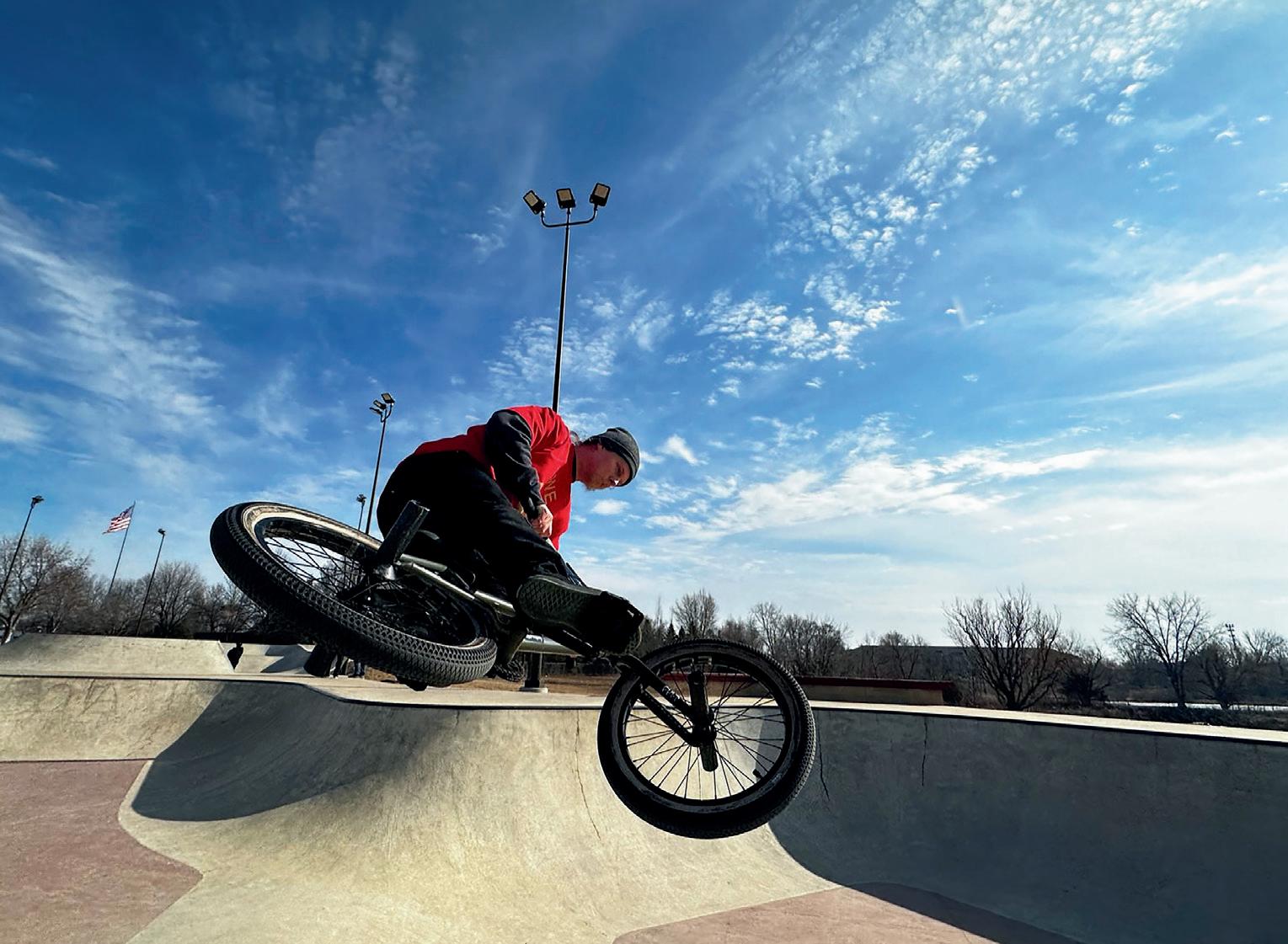
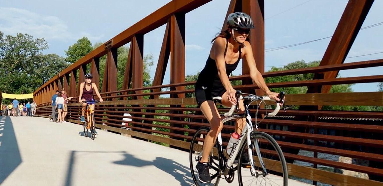
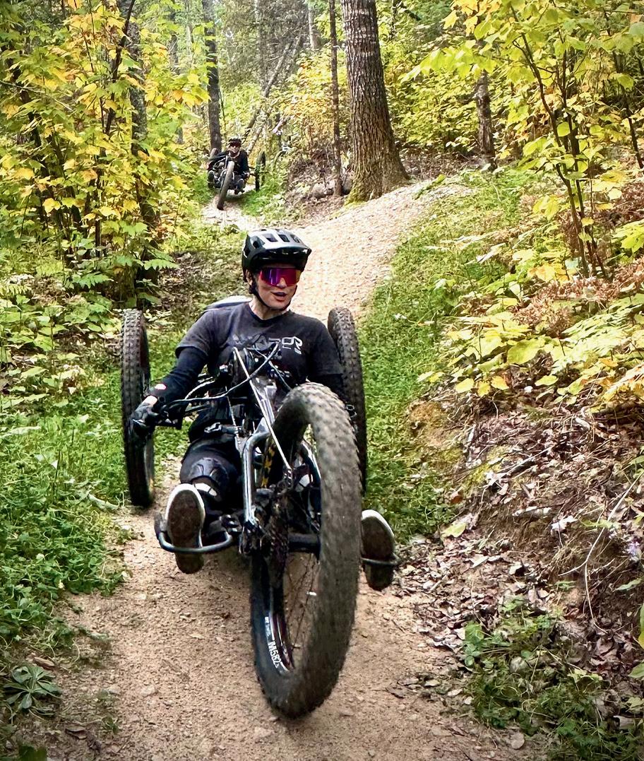
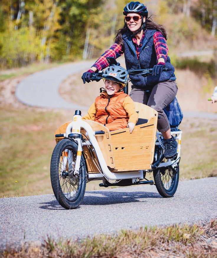
PHOTOS (FROM ABOVE) PAUL VINCENT, SALSA CYCLES, VISIT COOK COUNTY
LANESBORO
ON THE COVER
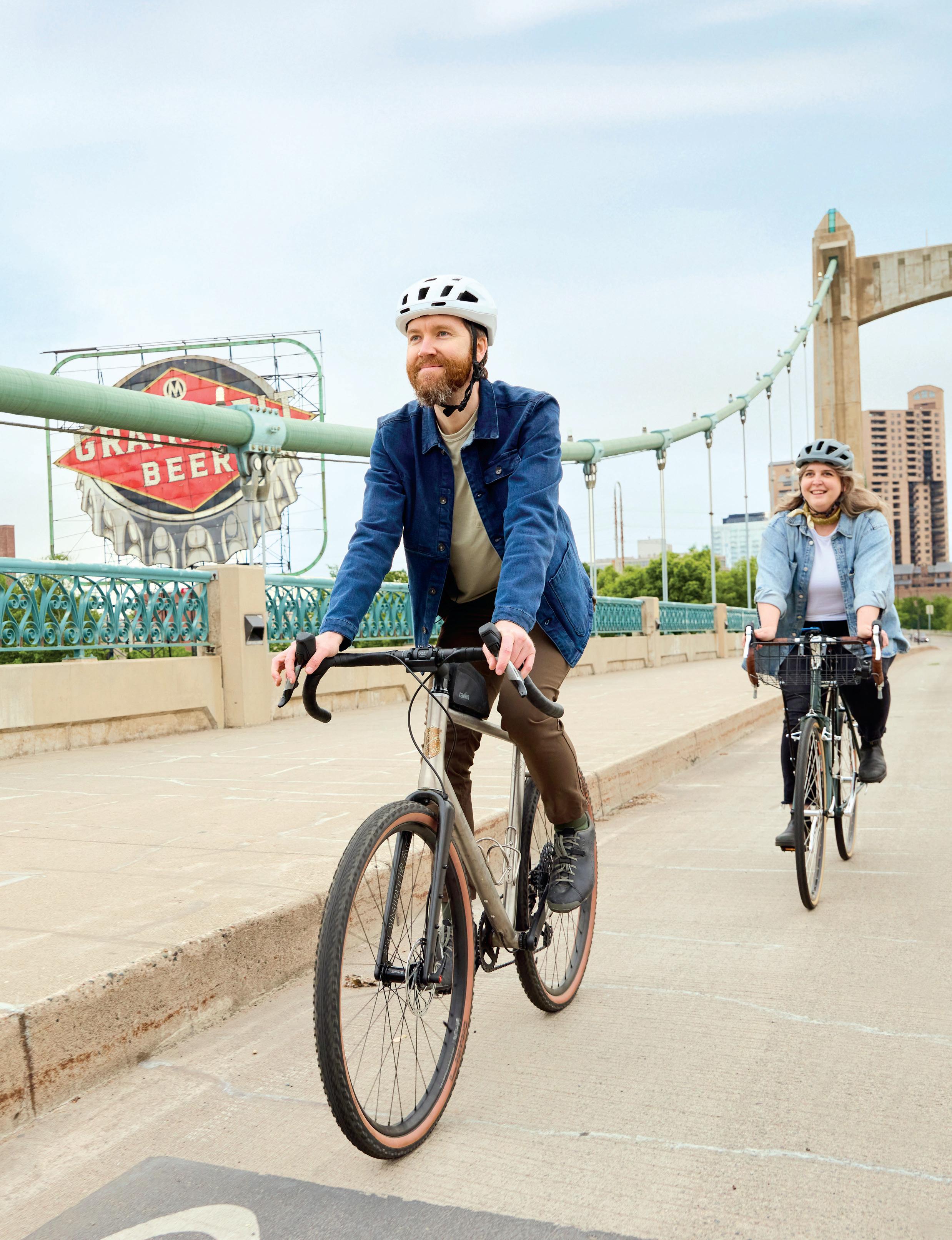
Exploring Minneapolis, consistently ranked among America’s most bike-friendly cities.
PHOTO BY Paul Vincent/ Explore Minnesota
SUPERIOR NATIONAL FOREST
THE ANYTHING CRADLE BY BLOOMINGTON’S SALSA CYCLES CAN HOLD DOWN PLENTY OF GEAR
From wooded dirt trails to scenic paved paths, Bloomington is your gateway to incredible biking adventures in the Twin Cities. Explore the beauty of the Minnesota River Valley and connect to an expansive regional trail network. A er the ride, keep the fun rolling with shopping, dining and entertainment at Mall of America®. Then recharge with a stay at one of Bloomington’s 45+ hotels, o ering convenient access to trails, a ractions and more.
Find itineraries for your kind of biking fun at BloomingtonMN.org/Biking
More Than Miles
i ’ ll be honest. I’m not the rider logging dawn miles or debating tire width at the trailhead. But putting together this annual Bike Minnesota guide didn’t require me to pretend otherwise—it required paying attention to what Minnesota does exceptionally well. And the evidence is everywhere. By nearly every reputable measure, Minnesota is one of the best states in the country for biking (if not the best). The League of American Bicyclists has consistently ranked us a Top 5 Bicycle Friendly State, citing our extensive trail networks, strong safety policies, and culture of active transportation. PeopleForBikes regularly places Minnesota communities among the nation’s most bikeable, and Rails-to-Trails Conservancy notes that our state boasts thousands of miles of rail-trails, linking cities, small towns, lakes, forests, and farmland in ways few states can match. What stands out most isn’t just infrastructure—it’s accessibility. From urban commuter corridors like the Midtown Greenway to familyfriendly pump tracks, gravel backroads, and iconic long-distance trails, biking here isn’t niche. It’s woven into how Minnesotans move, explore, and experience the outdoors across all four seasons.
This guide isn’t about elite performance or insider jargon. It’s about showcasing a state that has quietly—and sometimes coldly—built one of the most robust biking cultures in America. Whether you ride every weekend or are simply bikecurious, Minnesota has already done the hard part. The rest is just getting out there.
SENIOR CIRCULATION MARKETING COORDINATOR David Benvenuto
EDITORIAL & BUSINESS OFFICE
GREENSPRING MEDIA 9401 James Ave. S., Suite 152 Bloomington, MN 55431 612-371-5800 FAX 612-371-5801
HOUR MEDIA
CEO Stefan Wanczyk
PRESIDENT John Balardo
SUBSCRIPTIONS & BACK ISSUES
A subscription to Minnesota Monthly is $14.95 per year (U.S. only). For subscriptions, call 866-660-6247. Back issues are $5.95 + shipping, prepaid. Change of address: Enclose address label, send to Hour Media LLC, 5750 New King Drive, Suite 100, Troy, MI 48098, and allow 30 days.
EDITORIAL To contact the editorial department with feedback, freelance submissions, or story suggestions, go to minnesotamonthly.com/contact.
ADVERTISING Information about advertising is available at minnesotamonthly.com/advertise or by calling 612-371-5800. The pages between the covers of this magazine (except for any inserted material) are made from wood fiber that was procured from forests that are sustainably managed to remain healthy, productive, and biologically diverse.
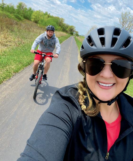
MY HUSBAND RYAN AND ME BIKING ON THE DEAN LAKE TRAIL IN SHAKOPEE
Gear GETTING IN
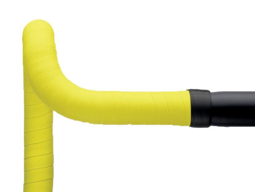
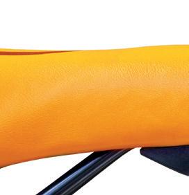
1. CANNONDALE KNURLTACK BAR TAPE This tape combines lightweight EVA foam and silicone gel to reduce road vibrations, while a knurled grip and vibrant colors add comfort and style. $28, cannondale.com
2. TWIN SIX STANDARD TECH CAP Hopkins-based Twin Six designed this breathable microfiber cycling cap with a sleek, three-panel fit that looks good on just about any head. $25, twinsix.com
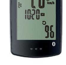
3. CATEYE PADRONE DIGITAL BIKE COMPUTER The CatEye Padrone shows your ride stats, cadence, heart rate, trip distance, and other data on a large screen and can be synced to your phone. $109.95, angrycatfishbicycle.com
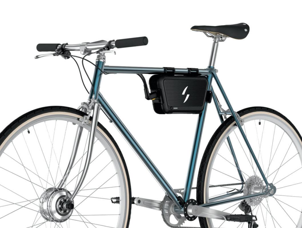
4. SWYTCH ELECTRIC BIKE CONVERSION KIT Not ready for a new e-bike? Swytch’s conversion kit can electrify your current bike with a motor wheel, pedal sensor, and battery pack. Starts around $500; price varies depending on bike type, battery pack, and other specs; swytchbike.com
5. ROMP FEED BAG Made in Duluth, Romp’s Feed Bag mounts to your bike and keeps snacks, a water bottle, and ride essentials within easy reach. $50, rompbags.com
6. MOON SPORT METEOR-X AUTO Ride safer with a new front light that clocks in at 450 lumens and features a handy sensor to automatically turn the light on and of. The Meteor-X can run up to 90 hours before it needs a charge. $44.99, eriksbikeshop.com
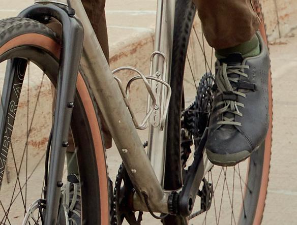
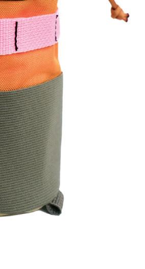
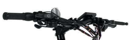
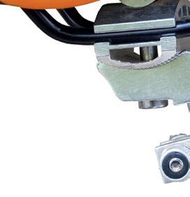
7. SALSA EXP SERIES ANYTHING CRADLE Bloomington-based Salsa Cycles’ Anything Cradle secures gear to your handlebars while keeping cables clear. Pair it with a Salsa dry bag for extra storage on any adventure. $125, salsacycles.com
ForwardPEDALING
A LOOK AT HOW MINNESOTA ADVOCATES ARE WORKING TO PROTECT TRAIL ACCESS AFTER FEDERAL INFRASTRUCTURE GRANTS ARE CANCELED
by JENNIFER PITTERLE
Last september , the U.S. Department of Transportation under President Donald Trump began revoking or canceling grants that had already been announced— grants that would help fund urban bike lanes, recreational trails, and more cycling and pedestrian infrastructure all around the country, including in Minnesota. Ofcials cited “hostility to motor vehicles” as the rationale behind the claw-backs, arguing that grant programs should focus on major roads and other projects that support car-focused travel.
Now, Minnesota cycling advocacy organizations are stepping up to raise awareness of the funding cuts and shine a spotlight on why bike-friendly infrastructure, from countryside trails to urban lanes, matters.
Erik Noonan is the communications manager at the Bicycle Alliance of Minnesota (BikeMN), a nonprofi t that focuses on making Minnesota “a place where it is easy, convenient, and safe to bike, walk, and roll,” Noonan says. The organization provides a curriculum for elementary and middle schoolers on getting around without cars and engages with the state legislature and agencies to improve bike access. “Minnesota has always excelled at bike infrastructure and policy when compared to the rest of the nation,” Noonan says. But the bike outlook for the state is facing two key challenges.
First, funding for “the good stu f ” is getting harder to fi nd. “Corridor funding typically only extends to the car-prioritized roadway, and not the pieces of infrastructure that bike riders
rely on,” Noonan says. Those pieces are, incidentally, also what make community spaces comfortable, beautiful, and enjoyable to spend time in. “No one wants to sit outside a cofee shop on a street that feels like a highway. No one wants to have a picnic in a parking lot.”
The second main challenge, according to Noonan, is the (false) idea that enough has been done to make cities bike friendly, especially in urban areas like Minneapolis, St. Paul, Duluth, and Rochester. Many municipalities—including the big ones listed here—are still making progress on decades’ worth of adopted plans to improve bike and pedestrian infrastructure. Noonan mentions the Rochester Active Transportation Master Plan, the St. Paul Bicycle Plan, and many statewide Safe Routes to School initiatives as examples of inprogress work that are now threatened by funding cuts. “All of these deserve to be seen through, and compromising on quality will compromise on results,” Noonan says. “After all, a 90% safe route is not a safe route.”
Looking ahead, Move Minnesota will work to clarify what “highway purposes” means for state and local agencies, so that existing funding can go to support infrastructure for all modes of transportation—not just cars.
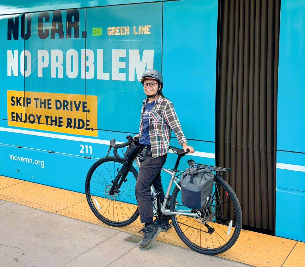
“Overall, there’s plenty of community demand for more bikeways,” says MJ Carpio, executive director of Move Minnesota, an organization that advocates for better transportation options for Minnesotans—from bikeways to passenger rail and everything in between. On the side of optimism, Carpio notes that, as of this writing, 12 projects in the Metro area will be funded through 2029 under the Met Council’s Regional Solicitation process. “People have [also] been excited about the creation of the state’s first e-bike rebate program,” Carpio says.
“There’s rightfully pessimism, however, in how bikeways are designed and whose perspectives are included in the process,” she adds. A recent campaign in Minneapolis asks for dedicated bus lanes, protected bike lanes, and wider sidewalks. “Decision makers apply a double standard to people who bike and take public transit—they supposedly either just commute or just visit shops, but not both—whereas you can take your car to do anything,” Carpio says.
BikeMN’s advocacy work in 2026 will focus on helping to end the trend of car-only infrastructure spending; pushing for the use of the “Idaho Stop,” where cyclists can treat a stop sign as a yield sign; and making it clear that e-motos (not to be confused with e-bikes) aren’t legal on roads and trails in Minnesota.
“At a local level, we’re working on ensuring the adopted Summit Avenue Regional Trail plan doesn’t get derailed by a small group of wealthy opponents, and getting the fantastic Rochester bike system connected into their downtown with world-class infrastructure,” Noonan says.
BikeMN will also expand its advocacy this summer to communities located along state trails. “These communities are often the economic engines of their regions, in no small part thanks to the two-wheeled culture they champion,” Noonan says. “We hope to help them maximize the infrastructure made possible by the advocacy work we have all benefitted from.” TO LEARN MORE AND TO GET INVOLVED WITH LOCAL BIKE ADVOCACY EFFORTS, VISIT BIKEMN.ORG AND MOVEMN.ORG
MOVE MINNESOTA EXECUTIVE DIRECTOR
MJ CARPIO BY A GREEN LINE TRAIN
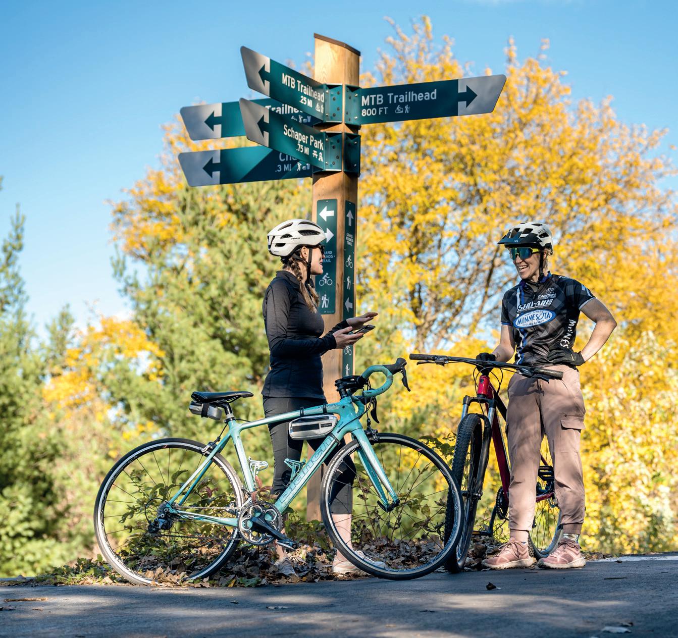
CYCLISTS SOCIALIZE AT THEODORE WIRTH REGIONAL PARK
LEFT: SENATOR SCOTT DIBBLE MET WITH ADVOCATES ABOUT THE RECONSTRUCTION OF MINNEAPOLIS’ SIXTH AVENUE NORTH
MINNESOTA BIKING,
APPS TO DOWNLOAD
A
A A Z Z B TO
YOUR ESSENTIAL ALPHABET OF TRAILS, TIPS, AND TOOLS FOR EXPLORING THE STATE ON TWO WHEELS
by ALESHA TAYLOR
Biking in minnesota is more than an all-weather pastime— it’s a way we explore, commute, unwind, and rediscover our state mile by mile. From forested singletrack to sun-soaked river trails, every route has its own rhythm, its own community, its own story. And whether you’re a seasoned rider or someone dusting of a bike for the first time in years, there’s always something new to learn. This A-to-Z guide brings together the trails we love, the safety tips we rely on, and the small joys that keep us pedaling. Consider it your invitation to get out there and ride—however and wherever the path calls next.
Before you hit the trails, hit the app store. Trailforks, Ride with GPS, and Strava help you navigate routes, track rides, and connect with Minnesota’s cycling community.
BRAKE CHECK
Before you roll, squeeze both levers—brakes should engage quickly, feel firm, and stop the bike without pulling to one side. Whether cable or hydraulic, reliable braking is your first line of defense on fast descents, crowded trails, and sudden surprises.
CUYUNA COUNTRY
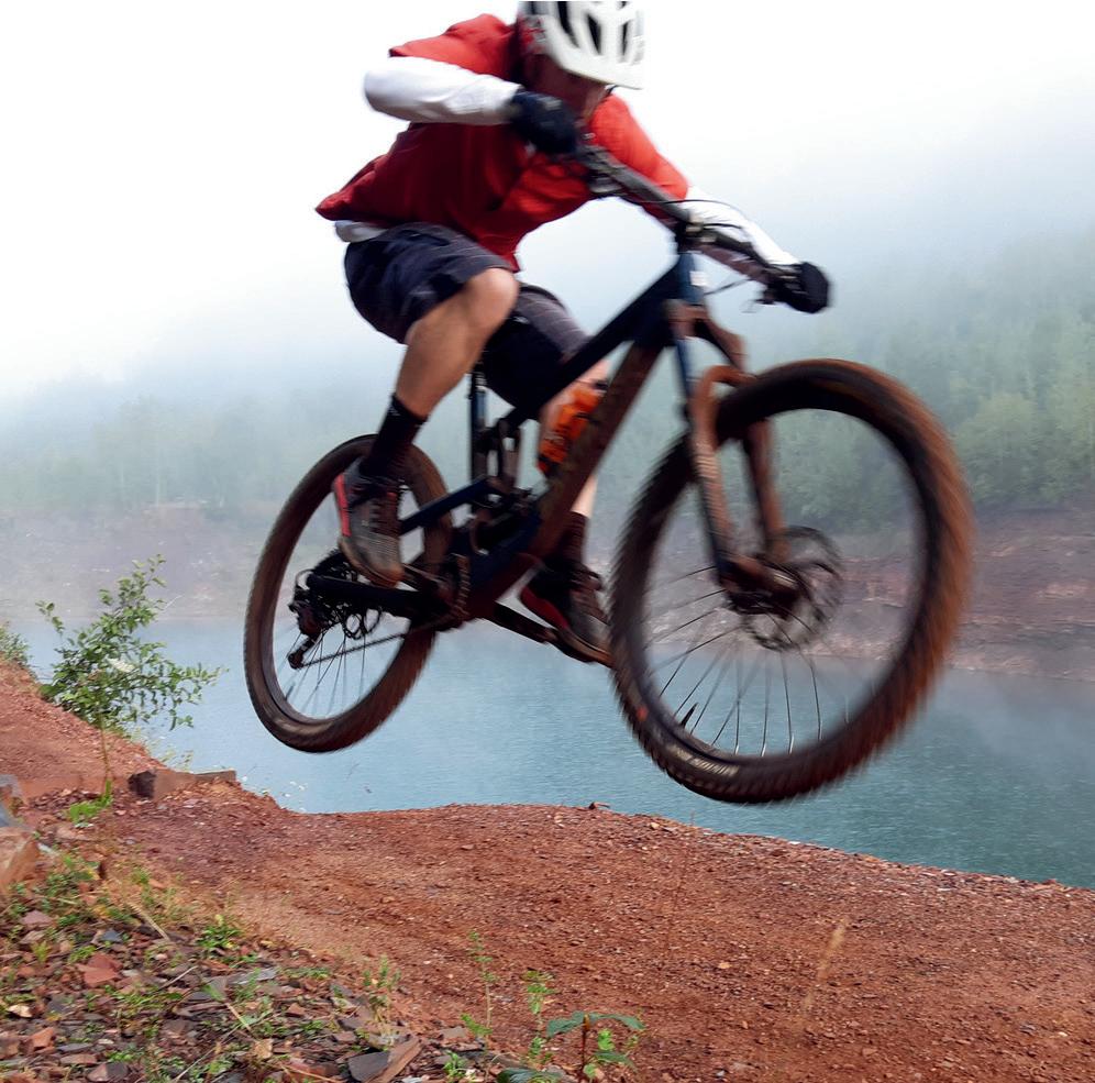
Minnesota’s year-round, red-dirt playground is internationally recognized as a top-tier mountain biking destination, with more than 50 miles of trails winding through reclaimed iron mine pits, lakes, and forested hills.
DDRIFTLESS REGION BORDERS
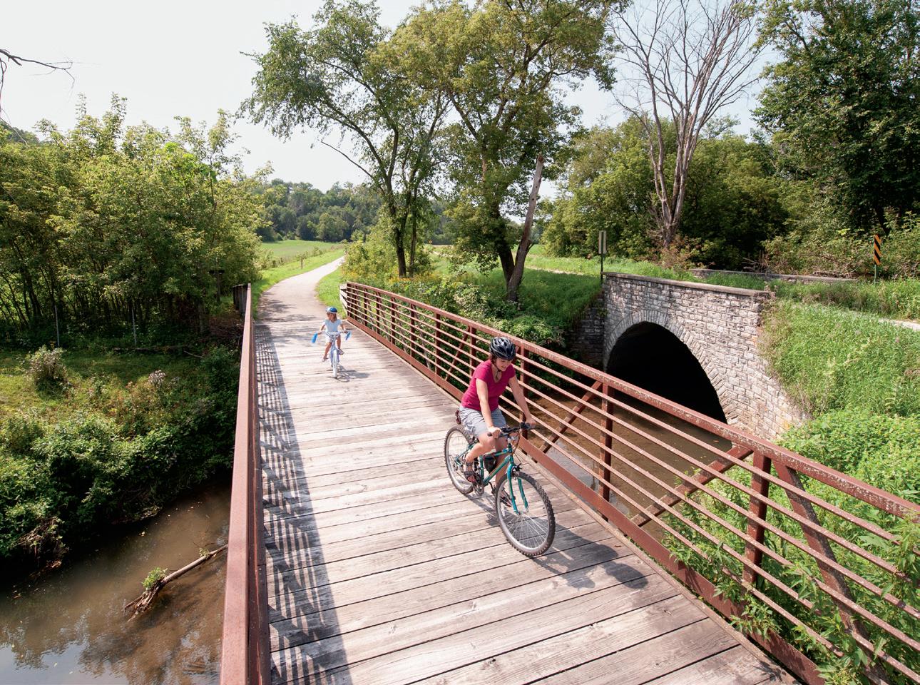
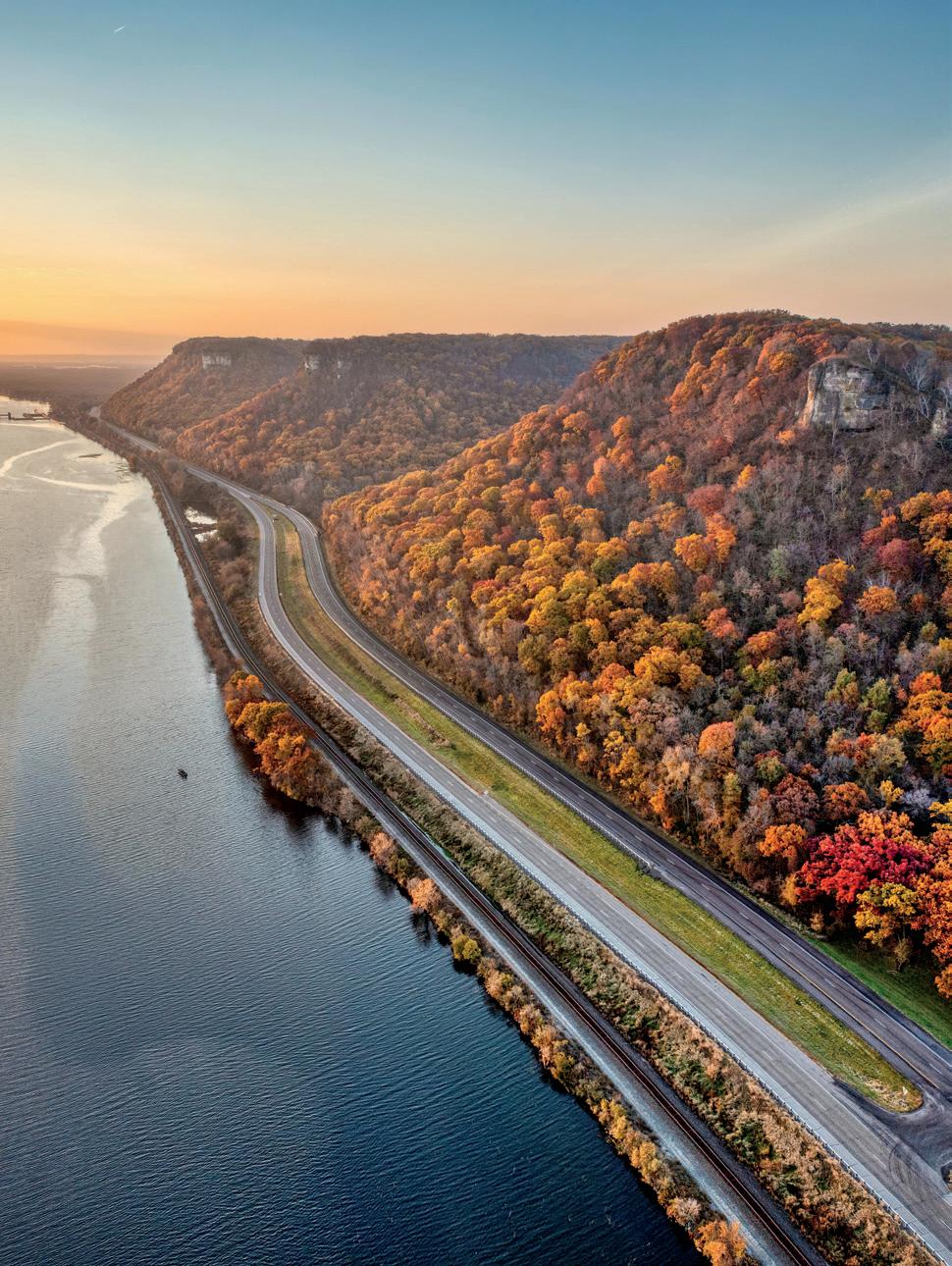
Explore rolling hills and winding roads near Lanesboro— especially the Root River State Trail, a 42-mile paved path, connecting the charming small towns of Houston, Peterson, Whalan, Fountain, and Rushford.
EE-BIKES WELCOME
With e-bikes surging in popularity over the past few years, most Minnesota trail systems have adapted to accommodate them—typically allowing Class 1 and Class 2 e-bikes, which provide pedal assist (and, for Class 2, a throttle) up to 20 mph. Rules can vary by trail and managing agency, however, so it’s always smart to check local regulations before you roll.
FIT CHECK IN 60 SECONDS
Start with saddle height: When your heel rests on the pedal at its lowest point, your leg should be fully extended—this ensures a slight bend in the knee when pedaling normally, boosting efciency and protecting your joints. Dial in tire pressure based on terrain and tire width—roughly 60-90 psi for road bikes, 30-60 for gravel, and 40-70 for hybrids—since slightly lower pressure improves comfort and traction without sacrificing speed. Finally, check handlebar alignment: Wrists should stay straight, elbows softly bent, and your reach should feel natural, not strained. If you notice neck, shoulder, or hand discomfort, small tweaks to bar angle or height can make a big diference fast.
HHYDRATION MATTERS
Drinking small amounts every 15-20 minutes helps maintain thermoregulation and energy output; even mild dehydration (as little as 1-2% of body weight) can impact performance on hot or high-mileage rides.
J
JUNCTIONS TO KNOW
Trail hubs like Hopkins, Cannon Falls, and Walker make ideal jumping-of points, with multiple trails converging in each town—from metro connectors and river corridors to long-distance routes like the Cannon Valley and Paul Bunyan State Trails—perfect for flexible group rides and easy route planning.
GGITCHI-GAMI STATE TRAIL
Running more than 30 miles (with additional segments in development) along Lake Superior’s North Shore, the paved Gitchi-Gami State Trail delivers lake views, forested stretches, and safe of-road biking between Duluth and Two Harbors.
IINDEPENDENT BIKE SHOPS
Independent bike shops are the heart of Minnesota’s cycling community, ofering everything from expert repairs to local route intel and friendly advice. Favorites like Tangletown Bike Shop in Minneapolis, OneTen Cycles in Mendota Heights, and Northern Cycle in Bemidji are more than service stops— they’re hubs where riders connect, share stories, and discover the best roads, trails, and hidden loops across the state.
KKNOW YOUR SIGNALS
Hand signals keep group rides smooth and safe—left, right, slowing, and stopping are the essentials.
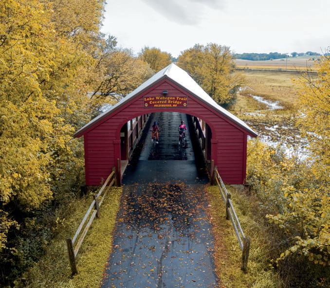
LLAKE WOBEGON TRAIL
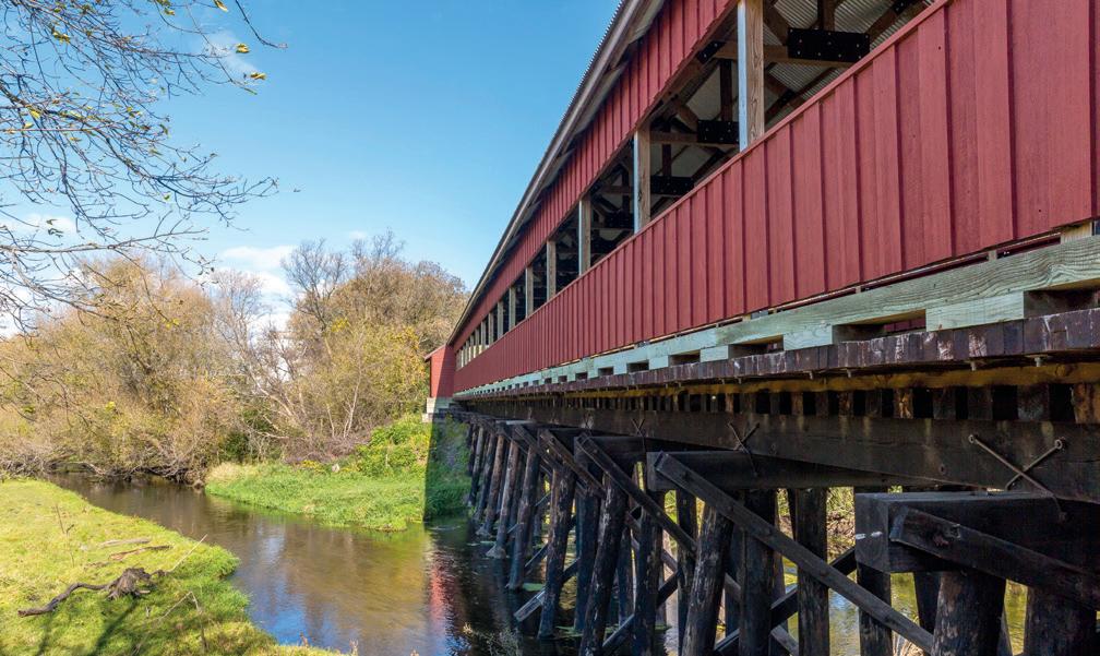
This 65-mile central Minnesota gem ofers smooth pavement, small-town charm, and access to the state’s longest covered bridge in Holdingford.
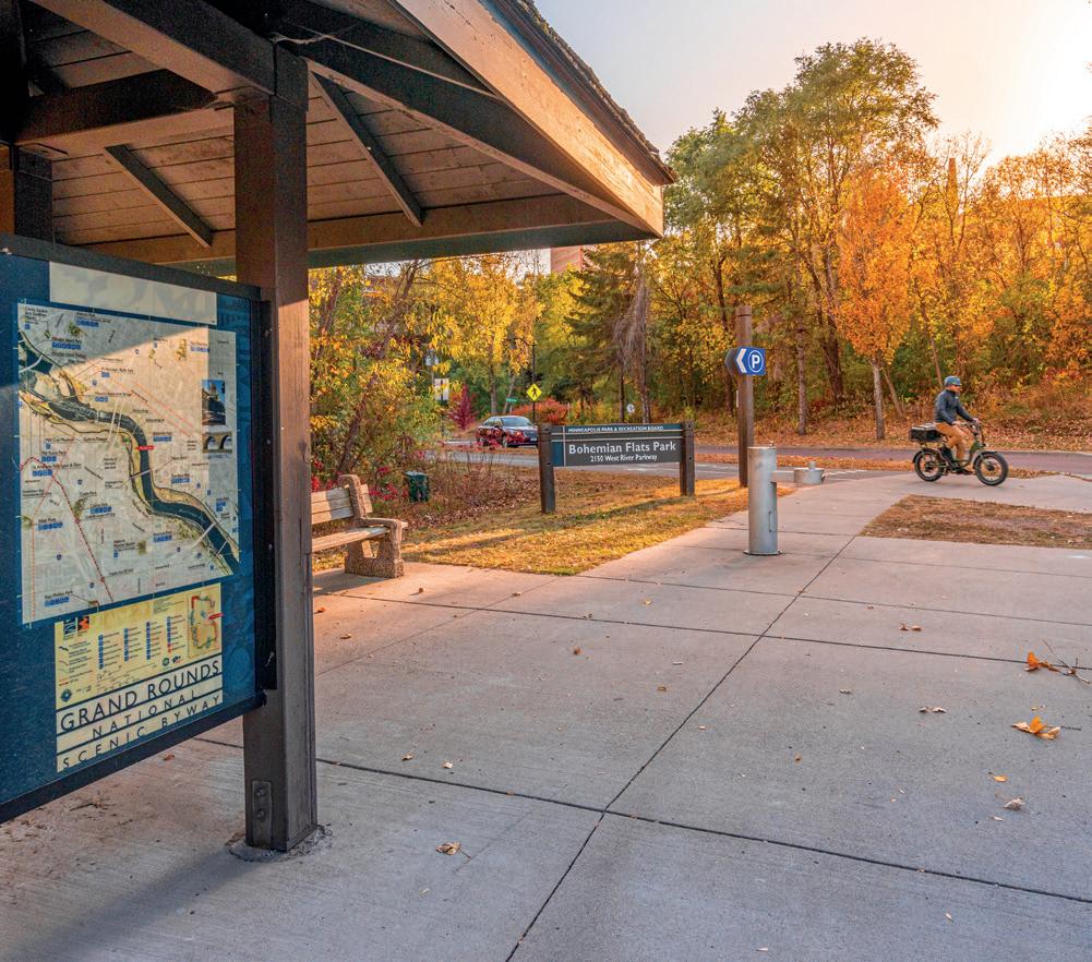
MIDTOWN GREENWAY
NIGHT RIDING
OThis Minneapolis choose-your-own-adventure bike highway is a 5.5-mile, car-free ribbon tucked into a former rail trench. It’s where commuters fly, weekend riders wander, and skyline views sneak up between murals and bridges, making it one of the fastest and most delightful ways to cross the city on two wheels.
N
With the right setup, after-dark rides can be calm and comfortable. Think a white front light (at least 500 lumens) and a red rear blinker, plus reflective ankle bands or a lightweight reflective vest—bonus points for bike-mounted reflectors or spoke lights that boost side visibility on city streets and trails.
PPUMP TRACKS
Family-friendly pump tracks and bike skills parks are popping up statewide, like the dirt pump courses and jumps at Cottage Grove Bike Park in West Draw Park and interconnected pump loops and jump lines at Eagan Bike Park, giving riders of all ages and abilities fun places to hone handling and flow skills.
OFF-ROAD OPPORTUNITIES
Minnesota’s singletrack scene spans from metro forests to Iron Range terrain, with Theodore Wirth Regional Park and Lebanon Hills Regional Park ofering fast, well-maintained trails close to the Twin Cities. Head north to Biwabik’s Giants Ridge or Detroit Mountain Recreation Area for rugged elevation, lift-served riding, and some of the state’s most scenic of-road miles.
QQUICK REPAIRS
Learn basic fixes: patching tubes, adjusting brakes, tightening a chain. A mini multi-tool goes a long way.
RECOVERY
Post-ride stretching, hydration, and—yes— ice cream or a patio beer are part of the Minnesota cycling ritual.
SADDLE COMFORT
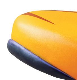
A properly fitted saddle supports your sit bones—not soft tissue—while quality padded shorts (chamois) reduce friction and pressure on longer rides. Small adjustments in saddle height, tilt, or fore-aft position can dramatically improve comfort, turning what could be a painful outing into a ride you actually want to repeat.
TW SUNPAVED OPTIONS
CROSSTRAINING
VOLUNTEER TRAILS
Trail systems thrive because riders give back—dig days, cleanups, and advocacy keep wheels rolling. (Learn more on page 6.)
Yoga, strength work, and mobility training keep cyclists balanced, powerful, and injury resistant.
TRAIL ETIQUETTE
Yield to pedestrians, stay right, don’t block the path at rest stops, and leave no trace. Easy peasy.
Minnesota’s crushedlimestone trails and gravel roads unlock quieter, scenic riding across Greater Minnesota, from the Luce Line State Trail west of the Twin Cities to forested routes in the Chippewa National Forest.
WAYFINDING WINS
Clear mile markers, junction signage, and trailhead maps across Minnesota’s major trail systems make longer rides easier to plan—and far less likely to end in wrong turns.
YOUTH ON WHEELS
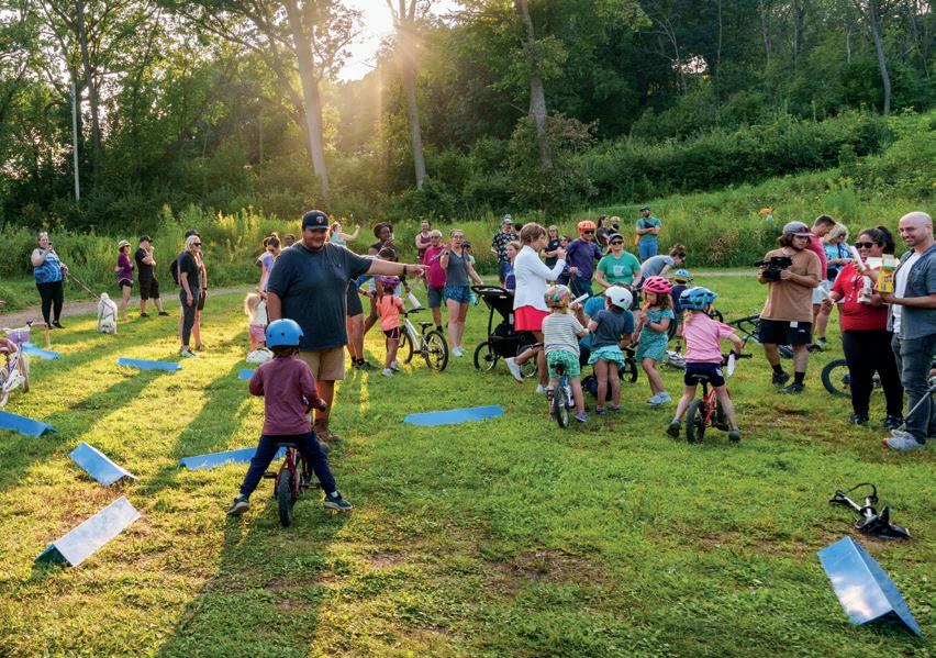
From pump tracks to skills parks, Minnesota is investing early in young riders, with family-friendly bike facilities like Bloomington’s Tretbaugh Bike Skills Park designed for all ability levels. Programs such as the Loppet Trail Kids mountain bike clinics also help introduce children to trail riding safely, building confidence and lifelong riding habits across the state.
ZONE SMART
Check surface, elevation, and services before you ride—Minnesota’s bike zones vary widely, even within a single county.
EXPLORING MINNESOTA’S BORDERS BY BIKE, FROM FROZEN RIVERS TO GRAVEL HORIZONS
by CHRIS PASCONE
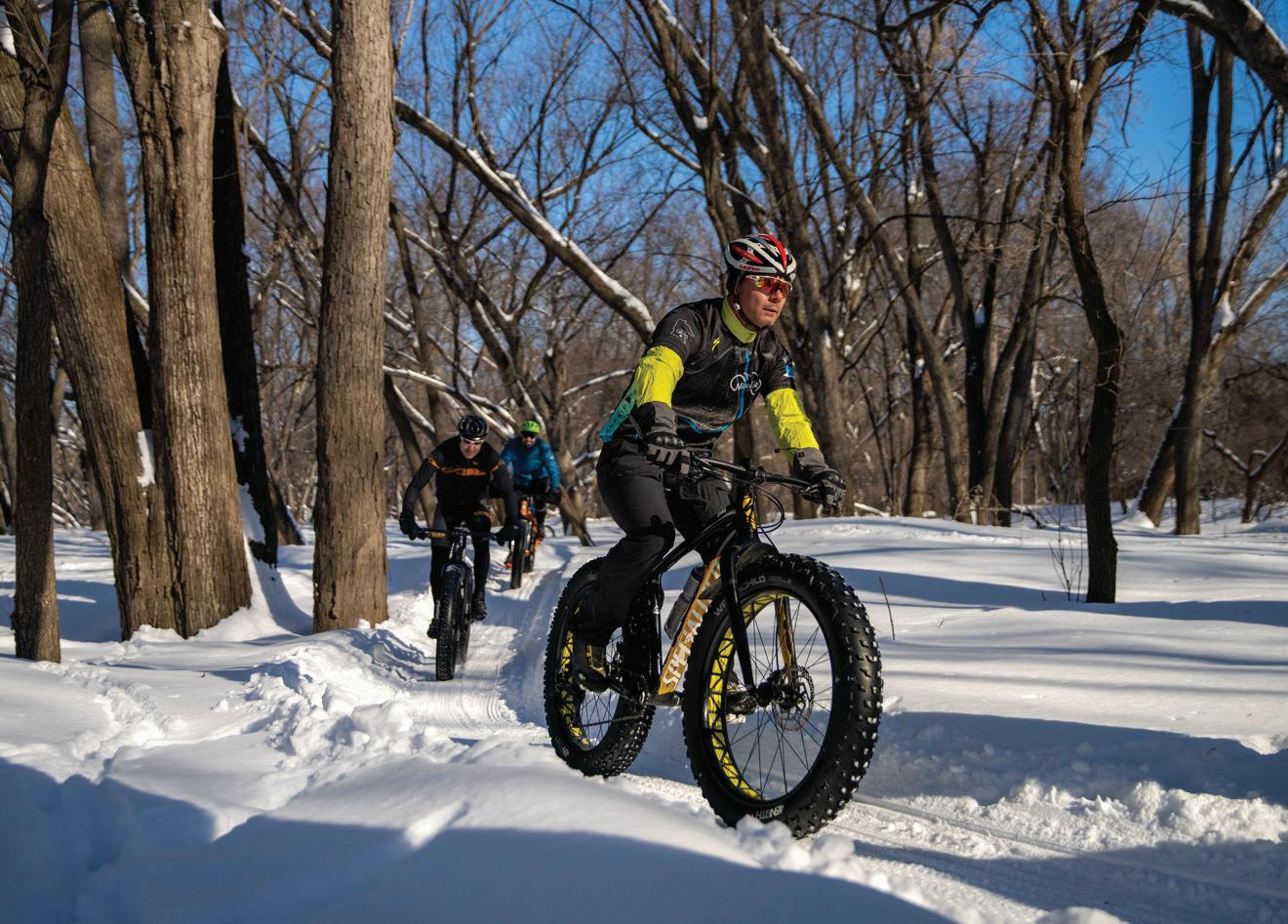
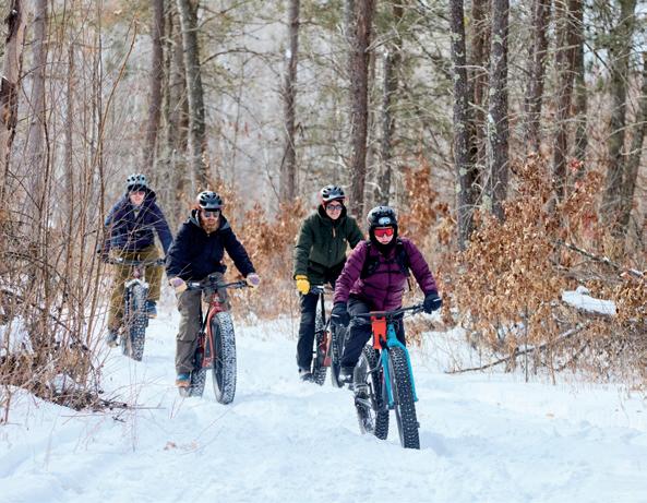
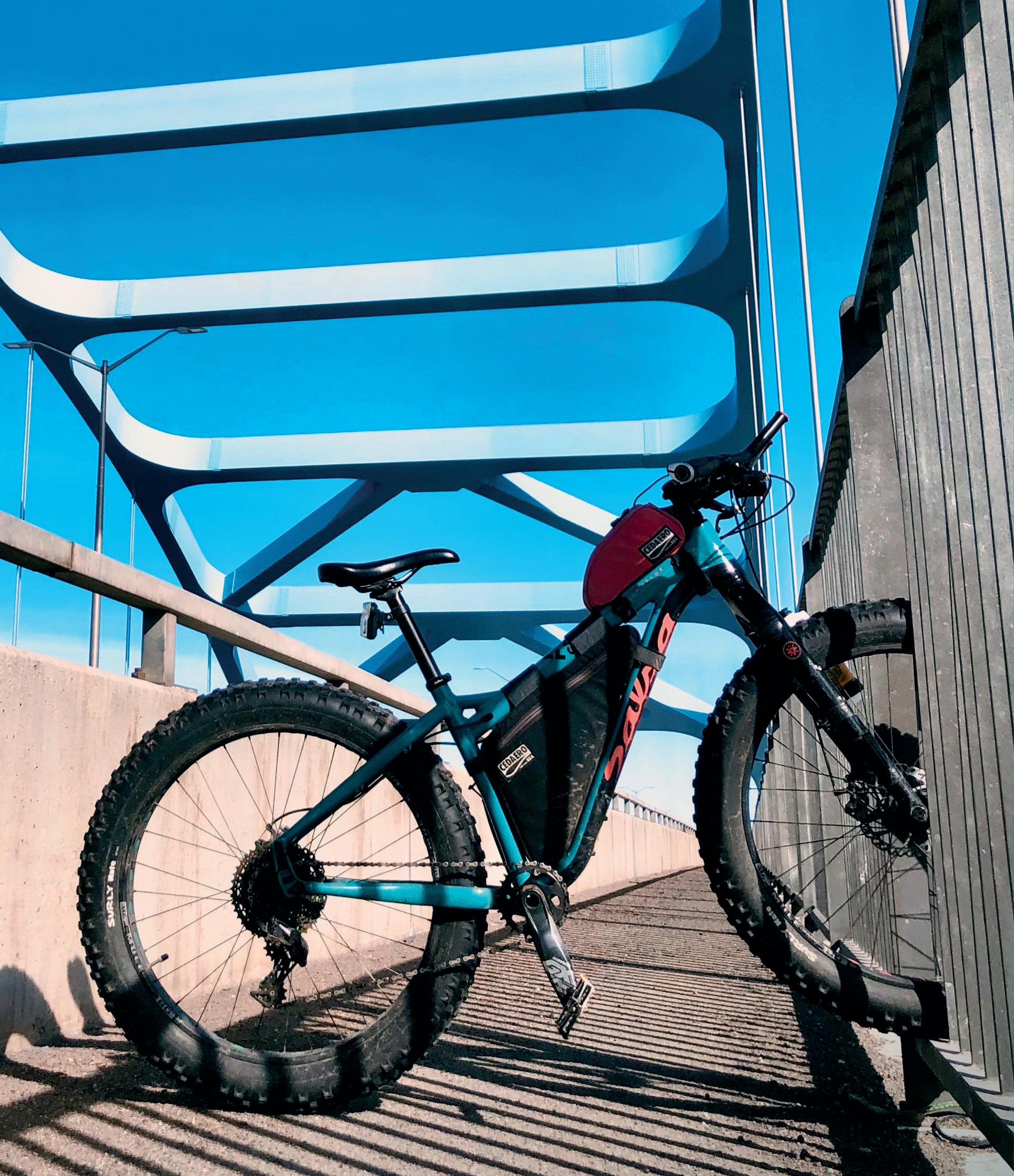
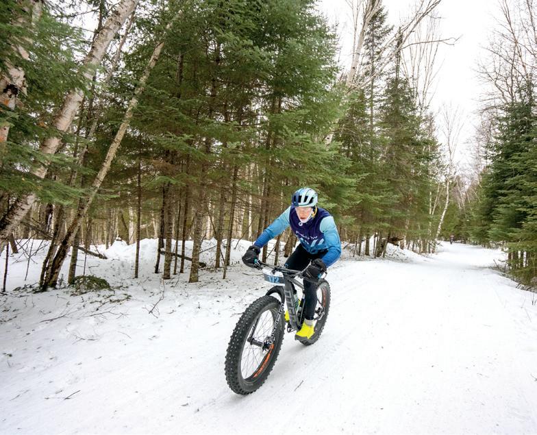
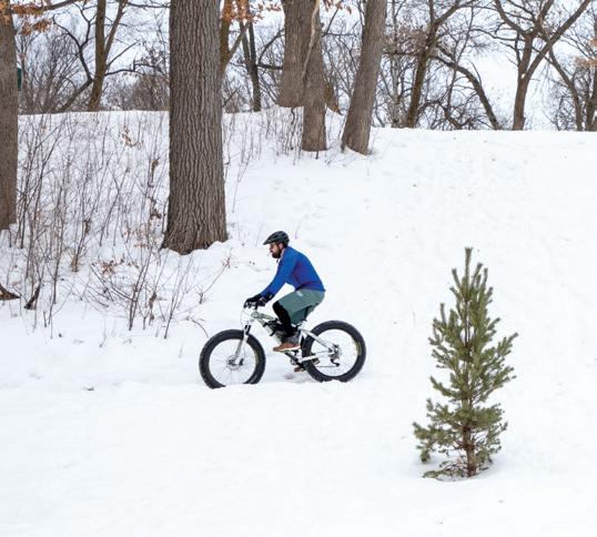
Biking the solid ice of the St. Louis River is a winter ritual for Duluth fat bikers. Here, the ice creates a natural surface where each crank of the pedals can take you to Wisconsin or Minnesota, as you choose. You’re tracing the border here, which runs right down the center of the wide, shallow St. Louis—perfect for border biking on ice.
Riding our borders can encapsulate who we are as Minnesotans. Whether you’re riding the fertile fields by the Iowa border or the north country, “where the winds hit heavy on the borderline,” our state boundaries are the fringes and edges of our Minnesota identity. Biking, too, informs our personalities and personas, encapsulating values that many Minnesotans hold true: self-transportation, environmental consciousness, a healthy lifestyle, and a passion for the outdoors.
Choosing routes along our North Dakota, South Dakota, Iowa, and Wisconsin borders (our state’s Michigan border is water only!), as well as our two Canadian provincial borders, creates a two-wheeled quest to better understand those characteristics that define us as a state. Consider taking a border route the next time you’re looking to combine bike exploration with life on the fringe.
BIG BORDERS
Minnesota has big borders. Our Canadian border alone is 547 miles long, from the prairie to Lake Superior. Our North Dakota border is approximately 434 miles, following the constantly meandering Red River. At least the Iowa border simplifies things, following the 43°30' parallel north latitude for 276 miles of farmland. All these various geographical areas create a diverse biking landscape. It takes a lot of borders to hold our state’s nearly 87,000 square miles within, so you’ve got lots of options to play with.
PHOTO LARRY MISHKAR
BONG BRIDGE, DULUTH
Fringe BENEFITS
THE DAMN: DAY ACROSS MN
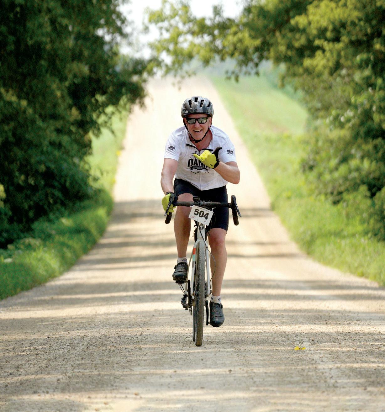
Let’s start at the South Dakota border. In fact, let’s even cross into Gary. Why here? Gary is the starting line of the wicked Day Across Minnesota (DAMn): a one-day bike race from South Dakota to Wisconsin.
Wait, what? Yes, hundreds of people ride their bikes across the state—in under 24 hours, for competition. This race is legendary in the gravel biking community. The DAMn proves that riding border to border in a day is doable, just in case you were considering it.
According to race director Chase Wark, who’s also a professional bike racer, the DAMn takes place on 90% gravel roads. “We hit gravel less than a mile into the event,” explains Wark, who lives on the state’s opposite border, in Winona. Wark has completed the DAMn twice himself.
From Gary, the DAMn takes riders 240 miles (more than many people care to even drive in a day) across Minnesota to the Wisconsin border in Red Wing. The DAMn starts at midnight, so the first six hours of riding are in the pitch dark. On the bright side, Wark says riders hit the Minnesota River Valley right at sunrise. “There’s just something about starting in the dark with hundreds of people and then being able to experience the sunrise. There’s more elevation change as you head east. You finish in the Driftless. There are di erent stages of the state that people get to experience. There are dark moments and light moments,” explains Wark.
While most riders won’t attempt something like the DAMn, riding even a small stretch of backcountry roads by South Dakota or Wisconsin will get you far o the beaten path.
BORDER BLUFFS: MINNESOTA-WISCONSIN
Wark loves riding the Minnesota-Wisconsin border daily from his home in Winona. “I ride Highway 61 often. It follows the Mississippi River from Red Wing to La Crescent. Winona is weird, because we’re in a spot where Wisconsin is also north of us, and east. The border goes southeast from my house.”
Wark feels safe riding Highway 61 because it has rumble strips and a shoulder separating bicycles from car tra c. He also recommends riding 61 at non-rush-hour times, like the middle of the day.
For Wark, “Highway 61 is one of the most beautiful roads that exist for riding. You’re looking at the blu s on the Wisconsin side the whole way.”
Wark has a southeast border loop ride recommendation, too: Take Highway 61 south from Winona to La Crescent, then head west to Houston on Highway 16 (Historic Blu Country Scenic Byway). Now you’re in the scenic Root River Valley. From Houston, take any of the blu roads back up to Winona.
Bonus: If you want to check the Iowa border o your list, Wark has a recommendation there, too. Ride County Road 2 from New Albin, Iowa, to Eitzen, Minnesota. “The road keeps crossing back and forth from Iowa to Minnesota and back, so you never quite know which state you’re in,” laughs Wark. This is also a much quieter road than Highway 61.
HIGHWAY 61 NEAR WABASHA
DAY ACROSS MINNESOTA
WAY OUT WEST: RIDING BY THE NORTH DAKOTA BORDER
So, where does one start biking by North Dakota? One option is the Agassiz Recreational Trail, which starts in Crookston, Minnesota, just miles from the border. This classic rail-trail is a gem for mountain bikers and fat bikers. The abandoned railroad grade, now converted into a multi-use, naturalsurface trail, runs 52 miles south to Ulen, Minnesota. You’ll ride through Clay, Polk, and Norman counties in the heart of Minnesota’s sugar beet territory.
Why use a mountain bike on this fl at trail? The Agassiz isn’t paved and rides best on wider tires. But riding smooth dirt is more fun anyway—you feel an instant connection to nature on this surface. You’ll be transitioning from farmlands to woodlands throughout the Agassiz Trail.
Another good biking area, albeit a little farther from North Dakota, is Pelican Rapids. Here, one can access the paved Heart of the Lakes Trail and ride 7 miles to Maplewood State
Park, then through the park itself for an additional 3.8 miles. Farther east from the state park, the trail continues another 16 miles to Perham. This smooth bike path traverses through majestic woods that are on the farthest western edge of Minnesota’s deciduous forests.
There are also hundreds of miles of gravel roads in the Pelican Rapids area begging for exploration. It’s about an hour’s drive from here over to Fargo, North Dakota, for après-biking food or drinks.
TWIN PORTS: MINNESOTA-WISCONSIN
Border riding can be downright conflicting. Larry Mishkar, resident of west Duluth, likes to ride over the Bong Bridge (with a dedicated bike path) from Duluth’s Denfeld neighborhood to Superior, Wisconsin, for lunch at the Anchor Bar. Mishkar—a serious trainspotter—takes this route to get high up and observe the many trains crossing the St. Louis River on the swing bridge tracks below.
And for the ultimate border route, Mishkar takes his fat bike in winter to ride the frozen St. Louis itself. Mishkar uses studded tires and particularly likes riding under the Oliver Bridge, which connects Duluth to Oliver, Wisconsin.
“I was born in Wisconsin but made my life in Minnesota,” recounts Mishkar. “I’ve always lived, and biked, between the two places.”
Mishkar also loves riding the Gandy Dancer Trail between Danbury and St. Croix Falls, Wisconsin, on a golden October day, when the whole trail is bathed in bright yellow from the surrounding maple trees. This natural-surface trail favors bikes with wider tires.
MAPLEWOOD STATE PARK
GANDY DANCER TRAIL
BIKING THE CANADIAN BORDERLINE
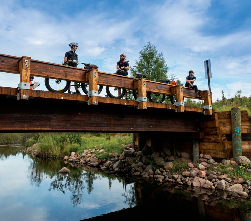
While Minnesota borders Manitoba in the northwest, it’s the northeast border with Ontario that is particularly sought after as a biking destination. The Superior National Forest’s incredible network of gravel roads extends from Ely in the west to the Grand Portage Reservation in the east, and provides dozens of deep-woods bike trip options. This area is particularly well suited to bikepacking, with dozens of national forest campgrounds making for easy camping by bike.
Another of Mishkar’s favorite things to do on a bike is get on the gravel roads north of Grand Marais and just start pedaling. Mishkar finds that solitude—and adventure— abound by the Canadian border. For defi ned routes, check out Visit Cook County’s biking trails map for routes like the Fire Box Loop, Lima Mountain Trail (a great family ride), and Devil Track Loop.
Farther east, from the gravel Arrowhead Trail, which dead ends at the Boundary Waters Canoe Area Wilderness, riders can access multiple stunning overlooks into Canada and the Pigeon River Valley.
Wherever you go biking north of Grand Marais, expect to encounter beautiful roller-coaster-style terrain and incredible wildlife viewing from your silent steed. For optimal conditions (no bugs, great colors!), September is the time to hit the border country by Canada for two-wheeled travel.
THE DUM: DAY UP MINNESOTA
Finally, if the DAMn sounded rough but intriguing, how about joining Minnesota’s southern and northern borders in one day by bike? Chase Wark has, and he called this ride the “DUM”—the Day Up Minnesota.
“I started in New Albin, Iowa, and essentially followed Highway 61 all the way up to Stillwater. Then I went due north to Hinckley and got on the Munger Trail. I rode that to Duluth, then picked up Highway 61 and rode it all the way to the Canadian border in Grand Portage. I chose a day with a strong south wind for a tailwind the whole way to Canada.”
Altogether, Wark rode his 473-mile DUM creation in 22 hours, 56 minutes (plus just over four hours of non-riding time, for a total elapsed time of 27 hours, 14 minutes, border to border). Of course, you don’t have to do it in a day.
Next time you’re looking for a biking adventure, spread out to the fringes. Pick a border. Pick a day. Let the edge of the state show you something new.
WILLARD MUNGER STATE TRAIL
BIKE THE MISSISSIPPI
100+ Miles Ride through bluffs and wildlife
Hastings City Trail 10 Mile scenic loop
Mississippi River Greenway Connects Hastings to St. Paul
Vermillion River Greenway Includes 35 ft waterfall
Point Douglas Trail Connects Hastings to Prescott, WI
Towns Along the
TRAIL
CYCLING CULTURE IN Minnesota and Wisconsin has never been just about the ride itself. It’s about the towns along the way—the cofee shops waiting at the trailhead, the lake views around the next bend, the brewery patios after a long afternoon in the saddle, and the communities that have embraced cycling as part of their identity. From Minnesota’s bluf country and Northwoods to Wisconsin’s forested trails, these routes connect riders to memorable destinations, each offering its own pace, scenery, and sense of place.
For Twin Cities riders looking to stay close to home, Dakota County Parks provides an easy gateway into Minnesota’s broader cycling network. Regional greenways and paved trails weave through river communities, natural areas, and scenic overlooks, while connections to the Mississippi River Trail allow riders to follow one of the country’s most iconic waterways through the metro and beyond.
CRUISE THE LAKE WOBEGON TRAIL
GO OFF COURSE WITH THE FAMILY
From the rugged trails of Quarry Park to the paved serenity of the Lake Wobegon Trail, Greater St. Cloud is the ultimate basecamp for your next outing. Explore miles of riverside paths, conquer granite landscapes, and refuel with a concert or show at one of our local venues.
Northeastern Minnesota offers some of the state’s most rewarding riding, where rugged scenery and welcoming trail towns go hand in hand. In Biwabik, Giants Ridge has earned a national reputation as the premier lift-served mountain bike park in Minnesota and one of the best downhill destinations in the Midwest. Riders can choose from more than 10 miles of cross-country trails winding through the Superior National Forest, or tackle 10 purpose-built gravity trails featuring flowy jump lines, technical rock gardens, and fast descents—all accessible via a high-speed chairlift. Nearby communities including Biwabik, Virginia, and Ely offer great places to refuel, explore local shops and breweries, and extend the adventure beyond the trail.
Alexandria has quietly become one of Minnesota’s best biking destinations, ofering something for nearly every type of
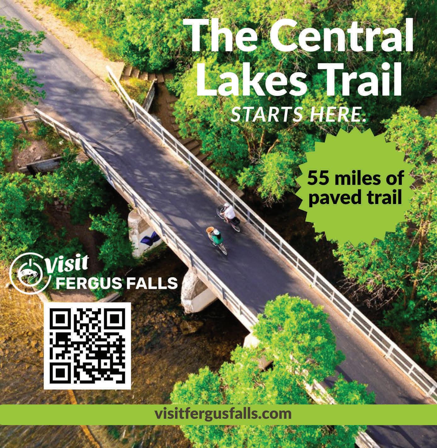
rider. The 55-mile Central Lakes State Trail passes through the heart of the lakes area, connecting riders to scenic shorelines, rolling countryside, and charming downtown stops. For those seeking more adrenaline, Lake Brophy County Park features mountain bike trails that traverse glacial hills with sweeping lake views, while additional trail systems at Kensington Runestone Park ofer wooded adventures. After the ride, cyclists can explore Alexandria’s vibrant downtown, local breweries, lakeside restaurants, and iconic attractions like Big Ole and the Runestone Museum. Wausau, Wisconsin, has earned national recognition as one of the country’s top small cities for cycling, ofering everything from scenic road rides to challenging mountain bike terrain. Explore the technical singletrack of Nine Mile County Forest, downhill runs and a pump track at SylvanHill, or the 83-mile Mountain-Bay State Trail.
Minnesota’s trail culture shifts into classic lake-and-forest terrain. Greater St. Cloud serves as an important hub along the Lake Wobegon Trail, a paved rail-trail stretching more than 60 miles through central Minnesota farmland and small towns. The area also connects into the Mississippi River Trail system, making it a natural jumping-off point for longer touring rides.
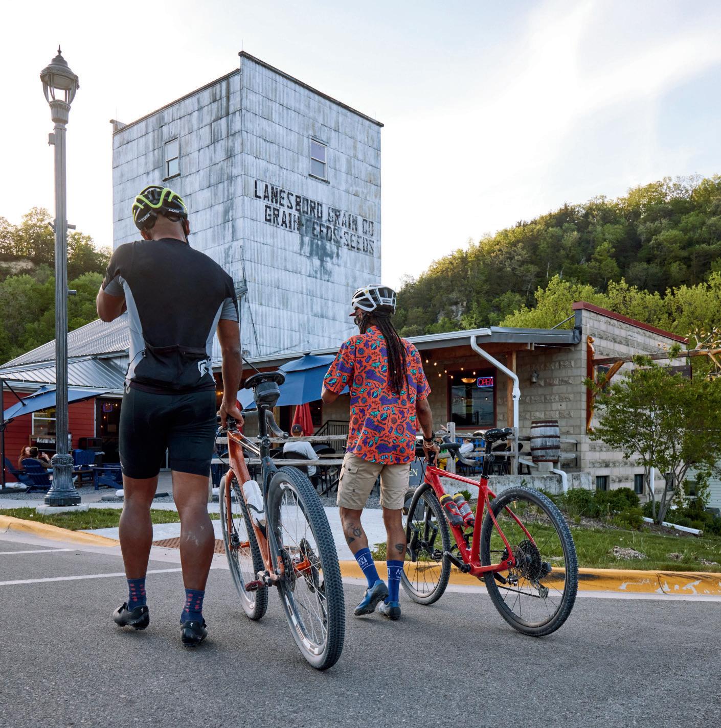
The Driftless Region remains one of Minnesota’s most beloved biking destinations—and Lanesboro sits at the center of it all. Nestled along the Root River State Trail, the town has become synonymous with scenic cycling weekends, drawing riders to its limestone blufs, winding river corridors, and picturesque small towns. The extensive Root River and HarmonyPreston Valley trail network creates opportunities for everything from casual family rides to full-day cycling adventures through bluf country.
GIANTS RIDGE
ALEXANDRIA
ROOT RIVER STATE TRAIL, LANESBORO
WAUSAU
MISSISSIPPI RIVER BEAVER ISLAND TRAIL, ST. CLOUD
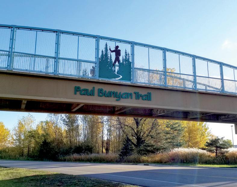
Farther into the Northwoods, the Brainerd Lakes Area opens the door to one of Minnesota’s most iconic cycling routes: the Paul Bunyan State Trail. At 115 miles, the paved rail-trail carries riders through forests, lakes country, and resort towns on its journey north toward Bemidji. The Brainerd area has also become a nationally recognized mountain biking destination thanks to the nearby Cuyuna Lakes trail system, known for its red-dirt terrain and dramatic mine-lake scenery.
At the northern end of the Paul Bunyan State Trail, Bemidji has fully embraced its identity as a biking community. Riders can cruise lakeside paths around Lake Bemidji, connect into the Paul Bunyan corridor, or explore the area’s growing network of trails winding through towering pines and quiet forests.
Around Walker and the Leech Lake area, the Heartland State Trail ofers a more relaxed Northwoods ride through pine forests, lake country, and smalltown Minnesota. As one of the state’s oldest rail-trails, the route connects seamlessly with the Paul Bunyan State Trail, creating expansive ride opportunities through the Chippewa National Forest region.
BEMIDJI
PAUL BUNYAN STATE TRAIL, BRAINERD
In west-central Minnesota, Fergus Falls and Perham anchor another distinct style of riding, where long, paved rail-trails stretch through lakes country, prairie landscapes, and quiet rural communities. Fergus Falls sits along the Central Lakes Trail, part of one of the state’s longest connected paved trail systems, while Perham offers access to the Heart of the Lakes Trail and the relaxed pace that defines Otter Tail County summers.
...by the lake and through the woods, to the state park we go...
Heading south from the Twin Cities, Northfield ofers a quieter pace rooted in history, riverfront charm, and easy trail access. Riders can explore the Mill Towns State Trail between Northfield and Dundas before venturing toward nearby regional favorites like the Cannon Valley Trail and Sakatah Singing Hills State Trail, where wooded river valleys and rolling farmland define the landscape.
The trail towns of Cook County ofer some of the most spectacular riding in the Midwest. Centered around Grand Marais, Lutsen, and Tofte, the region gives cyclists easy access to the paved Gitchi-Gami State Trail, scenic gravel roads through the Superior National Forest, and acclaimed mountain biking networks like Britton Peak
CENTRAL LAKES TRAIL, FERGUS FALLS
PERHAM
and Pincushion Mountain. After a day in the saddle, riders can refuel at local breweries, restaurants, and cafes while soaking in Lake Superior views. Whether you’re chasing singletrack, gravel, or shoreline cruising, these North Shore communities make an ideal basecamp for adventure.
Anchored by the North Shore communities of Two Harbors, Beaver Bay, and Silver Bay, Lake County offers some of Minnesota’s most spectacular cycling. Riders can follow the paved Gitchi-Gami State Trail as it winds along Lake Superior, connecting state parks, scenic overlooks, and lakeside communities. For those seeking more adventure, Split Rock Wilds delivers nearly 20 miles of purpose-built mountain biking with rocky terrain, technical features, and breathtaking views of the world’s largest freshwater lake. The region’s extensive network of gravel roads—many tracing former mining
Photo
COOK COUNTY
and timber routes—ofers endless opportunities for exploration. Between the scenery, trail variety, and welcoming small towns, Lake County is a mustride destination on the North Shore.
Together, these communities tell the story of biking in Minnesota itself: diverse landscapes, welcoming small towns, and trails that invite riders not just to pass through, but to slow down and stay awhile.
LAKE COUNTY
DULUTH MOUNTAIN BIKING TRAILS
CANNON VALLEY TRAIL
LOCATION: Cannon Falls, 44.5582494768784, -92.7215914
TYPE: Paved
DISTANCE: 19.7 miles; trail between miles 13.5 and 17.5 is closed during the spring and summer of 2026 for repairs.
DESCRIPTION: This 80-acre park is rich with history and natural beauty. Located on the east bank of the Des Moines River, this trail has switchbacks, berms, and jumps that drop 120 feet into the Des Moines River valley.
PARKING: Available on-site.
LEVEL: Easy to difficult
COST: Free INFO: 507-847-2525; co.jackson.mn.us
BLAZING STAR STATE TRAIL
LOCATION: Albert Lea, 43.642570657540055, -93.32250720864288
TYPE: Paved
DISTANCE: 8 miles
DESCRIPTION: A paved trail that connects Albert Lea Lake and Myre-Big Island State Park, this trail features a diverse landscape of wetlands, prairie, and oak savanna, as well as great birding spots in the spring and fall.
PARKING: Trailheads available at Frank Hall Park or East Front Street; parking also available in Myre-Big Island State Park.
DESCRIPTION: Ride through hardwood forests and prairie with trails that are suitable for beginners and experienced riders. There’s also an abundance of wildflowers in season.
DESCRIPTION: This paved trail traces the Cannon River and features many miles of sightseeing, from the Cannon River Turtle Preserve to an abandoned river channel.
PARKING: Parking available in Cannon Falls at the Main Street city lot and at several other access points.
LEVEL: Easy
COST: $7 daily wheel pass for 18 and older; $30 per season INFO: 507-263-0508; cannonvalleytrail.com
DESCRIPTION: Caron Park sits at the transition between prairie and historic Big Woods habitat, meaning it has rich environmental features and history. Trails are bidirectional and pass by Prairie Creek. Keep an eye out for the natural waterfall as well.
PARKING: Street parking available. LEVEL: Easy to moderate COST: Free INFO: 507-332-6112; ricecountymn.gov
CASEY JONES STATE TRAIL
LOCATION: Currie and Pipestone, 44.07673831807797, -95.67169985998149
TYPE: Both paved and unpaved DISTANCE: 19.5 miles
DESCRIPTION: Connecting Pipestone, Woodstock, Lake Wilson, and Currie, this trail boasts Lake Shetek and rolling prairie. Named afer railroad engineer Casey Jones, it was one of the first trails to be authorized by the state of Minnesota.
PARKING: Pipestone: available off Highway 23; Woodstock and Lake Wilson: available at community parks; Currie: available at the End-O-Line Railroad Park and Museum; Lake Shetek State Park: available in several areas of the park with vehicle permit.
LEVEL: Moderate to challenging COST: Free INFO: 507-283-6053; dnr.state.mn.us
CEDAR CREEK PARK
LOCATION: Fairmont, 43.6049339, -94.4793534
DISTANCE: 1.8 miles
TYPE: Paved
DESCRIPTION: This compact-yetscenic trail is lush with trees. The park also features an additional 3 miles of mowed nature trails and three 18-hole disc golf courses.
PARKING: Available on-site.
LEVEL: Easy
COST: Free INFO: 507-235-9330; fairmont.org
DOUGLAS STATE TRAIL
LOCATION: Between Rochester and Pine Island, 44.0837317762188, -92.54636590230987
TYPE: Paved
DISTANCE: 12.5 miles
DESCRIPTION: Pass through some rich agricultural land and see geese and pheasant on this bike trail built off an abandoned railroad grade.
PARKING: Rochester: available south on CSAH 22, 2 miles to Olmstead County Road, then 0.3 miles east to Rochester trailhead; Douglas: west on Olmstead County Road 14, 3 miles to the Douglas trailhead; Pine Island: Goodhue County Road 11 for 0.5 miles to Pine Island City Park trailhead.
DESCRIPTION: With scenic views of Gamehaven Lake, the Gamehaven trail system contains a rolling singletrack trail designed for racing. Be careful not to trespass on the nearby marked Boy Scout camp property. Fat biking is available in the winter.
PARKING: Lot available near the Reservoir Parking Connector.
LOCATION: Red Wing, 44.54331291260561, -92.56974800229244
TYPE: Paved
DISTANCE: 47 miles when complete (currently in progress)
DESCRIPTION: This trail allows riders to pass through grass prairies, oak savanna, and maple forests while keeping an eye out for creatures like deer, wild turkeys, and bald eagles.
PARKING: Available in the city of Red Wing, the Hay Creek unit of the Richard J. Dorer State Forest, and the southern portion of Covered Bridge Park in Zumbrota.
LEVEL: Easy
COST: Free
INFO: 507-206-2847; dnr.state.mn.us
GREAT RIVER RIDGE STATE TRAIL
LOCATION: Between Plainview and near Eyota, northeast of Rochester, 44.02113956303226, -92.25532408696955
TYPE: Paved
DISTANCE: 15 miles when complete (currently in progress)
DESCRIPTION: Made up of a largely agricultural landscape, this trail features miles of quiet farmland and a few creek crossings.
PARKING: Plainview: at trailhead on Third Street SW; Elgin: in town; Eyota: on County Road 9.
LEVEL: Easy
COST: Free
INFO: 507-206-2847; dnr.state.mn.us
HARMONY-PRESTON VALLEY STATE TRAIL
LOCATION: Between Harmony and Preston, southeast of Rochester, 43.67297840203906, -92.07252436184632
TYPE: Paved
DISTANCE: 22 miles; trail between 305th Avenue and Fourth Street North in Harmony is closed through July 2026 for construction.
DESCRIPTION: The northern two-thirds of the trail are constructed from a former railroad and continue to pass through farmland and wooded areas. There is much wildlife to see as well, such as deer, hawks, and wild turkey.
PARKING: Harmony: Take Fourth Street NW for 0.5 miles to parking lot; Preston: Take Fillmore Street (County Road 12) 0.5 miles to parking lot.
DESCRIPTION: This short two-way trail near St. Olaf College can be accessed by crossing Highway 19 or from Sechler Park. As the name suggests, it parallels Heath Creek and winds through a quaint, pleasant, wooded area.
DESCRIPTION: This 9-mile loop has steep climbs and winding curves, and it passes through a mature hardwood forest and blufops.
PARKING: Heading toward the bluff, follow the Huff Street crossing of Highway 61 and turn right onto Lake Boulevard. Go about three-quarters of a mile to reach the Holzinger Lodge parking lot on the lef
DESCRIPTION: This trail is easy to moderately difficult with log jumps and hills amid a wooded landscape. Located adjacent to Lake Kohlmier, the trail is also scenically appealing.
DESCRIPTION: Due to Kiwanis’ river valley and floodplain terrain, this double loop trail has many exciting features: boardwalks, rocks, and jumps. Fat biking is available in the winter.
PARKING: Available by the park shelter or the lower gravel lot.
DESCRIPTION: Including the Luverne Loop, Ashby Memorial Trail, and Blue Mounds Trail, the trails of Luverne take bicyclists through city sights, lakes, agricultural fields, and views of the Blue Mounds cliff line.
PARKING: Luverne Loop: public parking available along the route; Blue Mounds: available at intersection of Main Street and Mound Avenue, at Blue Mounds State Park, and at Cliffline Area along County Highway 8 (parking pass needed).
LEVEL: Easy
COST: Free INFO: cityofluverne.org
MEMORIAL PARK TRAILS
LOCATION: Red Wing, 44.5620233061009, -92.52115171068394
DISTANCE: 20 miles
TYPE: Unpaved
DESCRIPTION: Trails range from easy to difficult and are shared with hikers and cross-country skiers.
PARKING: Located in Red Wing, from Main Street Southeast on Highway 58, continue on Bush Street to Mississippi National Golf Links for paved surface.
LEVEL: Moderate to difficult
COST: Free INFO: redwingmtb.com
MYRE BIG ISLAND STATE PARK
LOCATION: Albert Lea, 43.63735457116805, -93.30890121680532
DISTANCE: 7 miles
TYPE: Paved and unpaved
DESCRIPTION: Trails are shared with hikers and wind through forested hills and pass by Albert Lea Lake. Note that trails have limited accessibility when wet.
DESCRIPTION: This singletrack trail has berms, a rock garden, and drops— an easy to intermediate-level ride suitable for all cyclists.
PARKING: Trails are not located on the Nature Center property, but north of the intersection of Highway 19 and Henderson Station Road. Parking available in this area.
LEVEL: Easy to moderate COST: Free INFO: neycenter.org
RED JACKET TRAIL
LOCATION: Between Mankato and Rapidan, 44.11812558615121, -94.04924536948536
TYPE: Paved and crushed stone
DISTANCE: 6 miles
DESCRIPTION: Named afer a Seneca Indian chief, the Red Jacket Trail employs three railroad trestles. The impressive Red Jacket Trestle spans the length of the Le Sueur River and Highway 66. This trail also includes Red Jacket Trail Park, which has stunning views of the trestle.
PARKING: Mankato: Take Riverfront Drive exit off U.S. 14, turn lef onto Riverfront Drive, then turn right on Stoltzman Road for parking; Weagel Park: From Sibley Street, turn right onto West Seventh Street, turn lef onto Highway 66, turn lef onto Indian Lake Road for parking; Red Jacket Trail Park: From Highway 22, turn right onto County Road 90, turn lef onto Highway 66, and turn lef for parking available on the right.
DESCRIPTION: These easy, multi-use trails pass by the Straight River and provide scenic views of the bluffs. Fat biking is available in the winter.
PARKING: Available on-site.
LEVEL: Easy
COST: Free INFO: rbnc.org/seasonal-recreation
ROOT RIVER STATE TRAIL
LOCATION: Between Fountain and Houston, 43.767994056762554, -91.8739631309798
TYPE: Paved
DISTANCE: 42 miles
DESCRIPTION: Root River State Trail presents splendid views of the limestone bluffs of the Root River Valley, as well as historical buildings and rural communities in passing trail towns. There is much wildlife to see, such as wild turkey, deer, and even ratlesnakes, which are a state protected species.
PARKING: Fountain: From Highway 52, take County Road 8 a mile to available parking; Lanesboro: From County Road 8, turn right onto Parkway Avenue South. Parking available on the street and next to Sylvan Park on the lef. Peterson: From County Road 25, continue straight before turning right onto Park Street, and turn right again on Fillmore Street for parking; Rushford: From Highway 16, turn north on Elm Street and find parking at the restored railroad depot; Houston: Turn west on Plum street off of Highway 76 and go one block to the Nature Center.
LEVEL: Moderately challenging
COST: Free
INFO: 507-206-2847; dnr.state.mn.us
S AKATAH SINGING HILLS
STATE TRAIL
LOCATION: Between Faribault and Mankato, 44.20289183408095, -93.62574380027883
TYPE: Paved
DISTANCE: 39 miles
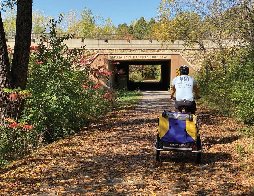
DESCRIPTION: Developed on an abandoned railroad grade, Sakatah Singing Hills State Trail passes through Sakatah Lake State Park and provides access to a few other lakes and parks within the route. Sakatah is the Dakota word for “singing hills.”
PARKING: Mankato: On U.S. 14, go 8 miles to Riverfront Drive exit, then turn right onto North Riverfront Drive. In 0.6 miles, turn lef onto Lime Valley Road, where parking will be available; Faribault: Take Exit 59 on I-35 and turn right onto Highway 21 to White Sands Park.
DESCRIPTION: Running along the shore of the Cannon River, this trail is ideal for beginners dipping their toes into mountain biking. There’s even a skills area with berms, jumps, and beams.
PARKING: Available on-site.
LEVEL: Easy
COST: Free INFO: 507-645-3045; northfieldmn.gov
SEVEN MILE CREEK
COUNTY PARK
LOCATION: St. Peter, 44.26607627636511, -94.03297212790913
TYPE: Unpaved
DISTANCE: 10 miles
DESCRIPTION: This 628-acre park switches from the Minnesota River to valley grasslands, to deciduous forests, to bluffs. Riders can see white-tail deer and wild turkeys.
DESCRIPTION: Built into the side of the riverbank above the Straight River, this hand-built singletrack goes up and down the various ravines.
PARKING: Available on 14th Street.
LEVEL: Easy to moderate
COST: Free
INFO: croct.org/shatuck-st-marysmtb-trail
RED JACKET TRAIL
SHOOTING STAR STATE TRAIL
LOCATION: Between LeRoy and Austin, 43.58312814261466, -92.78426342228396
TYPE: Paved
DISTANCE: 29 miles
DESCRIPTION: Built off an unused railroad bed, this trail follows meadows and hardwood groves to agricultural fields. There is a Norwegian church that serves as a rest stop as well as a memorial for Margie Meier, a supporter of the trail.
PARKING: LeRoy: on Lowell Street, east of County Road 14; Rowe Pit: off County Road 14, north of LeRoy; Lake Louise State Park: Parking available with vehicle permit; Taopi: between Maple and Main streets on the south side of Highway 56; Adams: Parking available on the south side of West Main Street (Highway 56). Rose Creek: Parking available off Highway 56 or Fourth Street; J.C. Hormel Nature Center: off 21st Street.
LOCATION: St. Peter, 44.349280221505246, -93.94325355434016
TYPE: Unpaved
DISTANCE: 11 miles
DESCRIPTION: With some of the best views of the Minnesota River in the area, Traverse des Sioux Park is one of Minnesota’s historic sites. It has easy bidirectional trails that weave through the trees.
DESCRIPTION: This singletrack trail passes through the woods and alongside
Oak Creek with challenging sharp turns, steep drops, and roots and logs to hop. Fat biking is available in the winter.
PARKING: Available at the Big Spruce loop.
LEVEL: Moderate to difficult
COST: Free INFO: mtbproject.com
CENTRAL LAKES STATE TRAIL
LOCATION: Between Fergus Falls and Osakis, 46.019977109347366, -95.69989050871006
TYPE: Paved
DISTANCE: 55 miles
DESCRIPTION: Home to the Kensington Rune Stone and the glacial Seven Sister Prairie, this scenic trail winds through forests, farmland, and rolling hills near Alexandria.
PARKING: Fergus Falls: Parking available at Central Lakes State Trail Trailhead off Highway 210 and in DeLagoon City Park; Alexandria: in Big Ole Park; Osakis: by Osakis Information Center; Dalton, Ashby, Evansville, Brandon, and Garfield: in dedicated lots or city streets.
LEVEL: Easy
COST: Free INFO: 218-671-7930; dnr.state.mn.us
CUT LAKE TRAIL
LOCATION: Pine River, 46.740247956407195, -94.64083628102338
TYPE: Unpaved
DISTANCE: 10 miles
DESCRIPTION: This trail winds around Cut and Deer lakes and provides a nice, quiet ride through the forest.
PARKING: On 24th Street SW (County Road 2), just north of the road, roughly 10.5 miles west of Pine River.
LEVEL: Moderate
COST: Free
INFO: exploreminnesota.com/profile/ cut-lake-trail
C UYUNA LAKES STATE TRAIL
LOCATION: Deerwood, 46.476303, -93.8978952
TYPE: Paved
DISTANCE: 8 miles
DESCRIPTION: Inside the Cuyuna Country State Recreation Area, this trail features six natural lakes and undeveloped shoreline with a variety of fish species, including trout, bass, sunfish, and walleye.
PARKING: Crosby: take Highway 210/6 and follow the signs to the Crof Mine Historical Park. Parking is also available on the west side of Highway 6; Riverton trail head: from Highway 210, go north to County Road 128. Take a right to the intersection of Rowe Road. Turn lef, and parking is available on the right of
LOCATION: Fergus Falls, 46.30874481742957, -96.04813564612337
TYPE: Unpaved
DISTANCE: 2.2 miles
DESCRIPTION: Developed by volunteers and the City of Fergus Falls, Ferber Park’s biking trails are a mix of flat terrain and rolling hills and are still in the process of being improved and implemented.
PARKING: Available on-site.
LEVEL: Easy to moderate
COST: Free
INFO: fergusfallsmn.gov/explore
GLACIAL LAKES STATE TRAIL
LOCATION: Between Willmar and Paynesville, and Roscoe and Cold Spring, 45.258949875652604, -94.94604522871388
TYPE: Paved
DISTANCE: 29 miles
DESCRIPTION: This trail bisects western tall-grass prairie and deciduous forest terrain, where one can view reptiles, small mammals, and buterflies. As the name implies, the lakes surrounding the area make this trail scenic.
PARKING: Willmar: On Highway 12 east to County Road 89, turn lef for parking available at the Civic Center; Spicer: Go west at the junction of Highway 23 and County Road 10; New London: Go 1 mile northeast of Main Street on County Road 31. Parking is available at the intersection of River View Lane; Hawick: Parking available at the intersection of Highway 23 and County Road 2; Richmond: On Highway 23, go north one block on Central Avenue South.
LEVEL: Easy
COST: Free INFO: 320-409-2051; dnr.state.mn.us
HILLSIDE PARK
LOCATION: Elk River, 45.305232931902374, -93.5397575181757
TYPE: Unpaved
DISTANCE: 6.6 miles
DESCRIPTION: These wooded mountain biking trails are perfect for both beginner and expert riders looking to work on their skills. Fat biking is available in the winter.
PARKING: Available on-site.
LEVEL: Easy to difficult
COST: Free INFO: 763-635-1150; elkrivermn.gov
DIRECTORY bike trails
JAIL TRAIL
LOCATION: St. Cloud, 45.54284775542044, -94.12989383864738
TYPE: Unpaved
DISTANCE: 2.7 miles
DESCRIPTION: Despite being named for the trail’s proximity to one of Minnesota’s correctional facilities, there’s nothing criminal about this trail. It is a singletrack ideal for all skill levels with great wildlife viewing, short climbs, and fun, quick turns.
DESCRIPTION: These trails, ideal for both beginner and expert riders, wind through the uphill prairie and have jumps, drops, and sweeping turns. For unbeatable views of Alexandria, make sure to bike to the top of the park. To access the park by bike, take the paved Central Lakes Trail, which skirts this trail system.
PARKING: Available on-site.
LEVEL: Easy to difficult
COST: Free
INFO: 320-762-2999; douglascountymn.gov
LAKE WOBEGON TRAIL
LOCATION: Between St. Joseph and Osakis, with a spur north from Albany to Holdingford, 45.66974843864027, -94.73500939739333
TYPE: Paved
DISTANCE: 65.5 miles
DESCRIPTION: This trail is named afer the fictional town of Lake Wobegon, coined by Minnesota radio personality Garrison Keillor. The small towns along the trail, such as Holdingford, gave Keillor inspiration for this fantastical place. The lengthy trail features lakes, woodland, and open farmland.
PARKING Available at the following trailheads: Waite Park, St. Joseph, Avon, Albany, Freeport, Melrose, Sauk Centre, West Union, Holdingford, and Bowlus.
LOCATION: Between Onamia and Isle, south of Mille Lacs Lake, 46.073303151105655, -93.66768878255682
DISTANCE: 11 miles
TYPE: Paved and gravel (multi-use trails)
DESCRIPTION: This trail features scenic forest and countryside, plus a beach and swimming area, in Father Hennepin State Park. Keep an eye out for the rare albino whitetail deer dwelling in the area nearby.
PARKING: Onamia: available at the Library/Depot on Roosevelt Road; Isle: on Fifh Avenue, one block south of Main Street.
DESCRIPTION: This beginner-friendly ride begins at the Environmental Learning Center and winds through deciduous and prairie woods, with some boardwalk and bridges along the way.
PARKING: Gravel lot available below main education building.
LOCATION: Waite Park, 45.537378770689166, -94.2417132542613
DISTANCE: 2.2 miles
TYPE: Dirt, gravel, grass
DESCRIPTION: The largest park in the Stearns County Parks system, Quarry Park has a wide variety of doubletrack multi-use trails as well as hard-packed aggregate and natural-surface trails for both walking and biking. Fat biking is available in the winter.
PARKING: Available on-site.
LEVEL: Moderate
COST: $5 daily Labor Day through Memorial Day; $10 daily Memorial Day through Labor Day; $25 annual.
INFO: 320-255-6172, stearnscountymn.gov
SAUK RIVER REGIONAL PARK
LOCATION: Sartell and St. Cloud, 45.588523387509625, -94.19102858097271
TYPE: Unpaved
DISTANCE: 2 miles
DESCRIPTION: This is a short, easy ride ideal for beginners, although a technical line is available along a berm. A skills course and two skills-building trails were also built in 2023.
PARKING: Available at Friends of Whitney Dog Park.
DESCRIPTION: With varied topography and an expert-level climb up the Continental Divide, this trail system is challenging, but the views are worthwhile.
DESCRIPTION: This trail system is a short and sweet ride with moderate terrain, a seesaw, and a balance beam.
PARKING: Available on-site.
LEVEL: Moderate
COST: Free
INFO: 320-484-4334; mcleodcountymn.gov
LAKE WOBEGON TRAIL
Northwest Minnesota
AGASSIZ RECREATIONAL TRAIL
LOCATION: Between Ulen and Crookston, 47.3917113309243, -96.2708251183878
DISTANCE: 53 miles
TYPE: Unpaved
DESCRIPTION: This abandoned railroad grade rides through Minnesota farmland and provides views of Sand Hill and Wild Rice rivers. There are also opportunities to see squirrels, coyotes, and deer.
PARKING: Crookston: Go 1.5 miles southeast to where Highway 9 and Highway 102 meet; Fertile: available on city streets; Ulen: available off Highway 32, north of County Road 34 and County Road 16.
LEVEL: Easy to moderate
COST: Free
INFO: dnr.state.mn.us
DUNTON LOCKS COUNTY PARK
LOCATION: Detroit Lakes, 46.78277831342375, -95.8826124318148
DISTANCE: 7 miles
TYPE: Paved
DESCRIPTION: Located on the shores of Muskrat Lake and Lake Sallie, this 53-acre park offers miles of mountain biking trails that pass through hardwood forested hills in the northern end and wooded terrain in the southern end. Northern trails pass through what was once a gathering spot for indigenous communities, so there are remnants of Native burial mounds throughout the trail.
DESCRIPTION: These easy, wide singletrack trails wind around the perimeter of the Red River. Since the trail is short, take multiple laps around for a more high-energy and intensive workout.
PARKING: Available on-site.
LEVEL: Easy
COST: Free INFO: mtbproject.com
GREATER GRAND FORKS GREENWAY
LOCATION: East Grand Forks and Polk, 47.9223034634545, -97.016854137529
DISTANCE: 10 miles (in Minnesota)
TYPE: Paved
DESCRIPTION: This trail connects the border of Grand Forks, North Dakota, and East Grand Forks, Minnesota, along the Red River and Red Lake River. There are a multitude of campgrounds, fishing sites, and playgrounds to enjoy, as well as golf courses and ice skating and hockey rinks.
PARKING: River Heights Park: Go east 2.7 miles on Gateway Drive from North Dakota to enter Minnesota. Take the East Grand Forks exit and turn lef onto Fourth Street. Parking will be available on the right; Confluence of Red River and Red Lake River: Go east on Demers Avenue. Take the Fourth Avenue South exit, then turn lef onto Minnesota Avenue. Turn lef, and parking is available before the Third Avenue Bridge.
LOCATION: Between Park Rapids and Cass Lake, 47.15239558501804, -94.6402347711641
DISTANCE: 49 miles
TYPE: Paved
DESCRIPTION: One of the first railroads that was converted to a bike trail, the Heartland State trail features views of lakes, rivers, streams, and wildlife such as bald eagles, bobcats, and coyotes. This trail also connects to the Paul Bunyan State Trail.
PARKING: Park Rapids: From Highway 34, go north 0.25 miles on Mill Street
for parking in Heartland County Park; Dorset: Go north 1.4 miles on Highway 225 from Highway 34 for parking; Nevis: Parking available off Highway 34 at the intersection of County Road 18 and Village Road; Akeley: North from Highway 34, go 0.1 miles on Hillside Avenue for parking; Walker: Go south on County Road 12, proceed 0.25 miles from Highway 371 to Lake May Drive and Heartland Place; Erickson’s Landing: Parking available 2 miles north of Walker on Highway 371; Steamboat Landing: Go west off Highway 371. Afer 0.3 miles, parking is available on 130th Street NW; Cass Lake: Parking available on the north side of Highway 2.
LEVEL: Easy to moderate
COST: Free INFO: 218-308-2372; dnr.state.mn.us
LAKE BRONSON STATE PARK
LOCATION: Lake Bronson, 48.72464568280081, -96.62574936732443
DISTANCE: 7 miles
TYPE: Paved and unpaved
DESCRIPTION: This trail system is a non-challenging way to enjoy all the natural beauty Lake Bronson has to offer, from mink and oters to scenic lake views. Trails are mostly flat with some small hills here and there.
DESCRIPTION: Maplelag Resort maintains well-groomed trails throughout the summer and fall seasons, as well as some fat-biking segments for the winter. On over 19 trails, a $15 pass will let bikers experience all sorts of difficulty levels and terrains.
PARKING: Park in the first lot upon entering the premises.
LOCATION: Cass Lake, 47.33475588209354, -94.56299046803375
DISTANCE: 19 miles
TYPE: Paved
DESCRIPTION: Named for the Ojibwe word for “bald eagle,” this scenic trail winds through Chippewa National Forest and connects to the Heartland State Trail.
PARKING: Available at the Cass Lake Wayside Rest on Highway 2 and the South Pike Bay Picnic Area.
DESCRIPTION: This singletrack trail rides through rolling hills and flowing turns and even has a 60-foot manmade mountain for more experienced bikers. It is a wide open, grassy terrain that is well maintained and groomed.
PARKING: Street parking only.
LEVEL: Easy to moderate COST: Free INFO: mtbproject.com
MOUNTAIN VIEW RECREATION AREA
LOCATION: Detroit Lakes, 46.803811296323396, -95.77470215879677
DISTANCE: 5 miles
TYPE: Unpaved
DESCRIPTION: These singletrack trails are moderately challenging, with several different loop options. Riders enjoy a ride through a hardwood forest and can take a connecting trail to Detroit Mountain.
DESCRIPTION: This trail system features twisty and challenging trails that make use of the land’s natural topography, perfect for bikers of all levels looking to improve their skills.
PARKING: Available on-site.
LEVEL: Easy to difficult
COST: Free INFO: 218-333-4210; co.beltrami.mn.us
PAUL BUNYAN STATE TRAIL
LOCATION: From Crow Wing State Park (Brainerd Lakes Area) to Lake Bemidji State Park, 47.58041820986701, -94.82077033900367
DISTANCE: 115 miles (not including short on-road connections through Baxter and Bemidji)
TYPE: Paved
DESCRIPTION: Boasting the title of Minnesota’s longest state trail and the longest continuously paved rail trail in the United States, the Paul Bunyan State Trail also hosts oak savannas and prairies with bountiful wildlife.
PARKING: Available in the following locations: Akeley, Backus, Baxter, Bemidji, Brainerd, Chippewa National Forest, Crow Wing State Park, Guthrie, Hackensack, Jenkins, La Porte, Lake Bemidji State Park, Lavinia, Merrifield, Nary, Nisswa, North County Trail, Pequot Lakes, and Walker.
LOCATION: Two Harbors, 47.10797577653353, -91.74888998090665
DISTANCE: 10 miles
TYPE: Unpaved
DESCRIPTION: Ride through the boreal woods of the Superior National Forest. Groomed for fat biking in the winter. This trail is also being planned to expand, up to 15 to 20 miles.
PARKING: Available on-site.
LEVEL: Easy
COST: Free INFO: 218-834-8340; co.lake.mn.us
FOREST HISTORY CENTER
LOCATION: Grand Rapids, 47.23006146579099, -93.5653451963995
DISTANCE: 5 miles
TYPE: Unpaved
DESCRIPTION: This short, beginnerfriendly ride takes bikers through Minnesota’s picturesque north woods, with three combined trails: the Forest of Today Trail (3 miles), the River Trail (1 mile), and the Swamp Trail (1 mile).
PARKING: Available on-site.
LEVEL: Easy
COST: Free
INFO: 218-327-4482; mnhs.org
GITCHI-GAMI STATE TRAIL
LOCATION: Along the North Shore of Lake Superior, 47.197014020035446, -91.38489784445896
DISTANCE: Over 36 miles (will be 86 miles when complete, currently in progress)
TYPE: Paved
DESCRIPTION: This trail has been slowly under construction for two decades but allows bicyclists to ride along the North Shore of Lake Superior while enjoying birch and aspen forests, lakeside beaches, and waterfalls. This trail, when completed, will connect five state parks.
PARKING: Silver Creek Cliff: Go to the east side of the Silver Creek Cliff tunnel. Parking is available at the Silver Creek Cliff wayside; Grand Marais: available at the Grand Marais public water access; Schroeder to Tofe: available at the MNDOT wayside, Temperance River State Park, and Tofe town park off Sawbill Trail; Gooseberry Falls State Park to Silver Bay: available at Twin Points public water access, Iona’s Beach Scientific and Natural Area, Split Rock Lighthouse State Park trail center, Silver Bay hockey arena, rest area near the Beaver River, and Gooseberry Falls State Park.
DESCRIPTION: In the warmer months, the Hidden Valley Ski Trails are transformed into professionally developed singletrack mountain biking trails that take riders through the scenic white pine forest. There are even technical and skills tracks with jumps for more advanced riders.
PARKING: Go half a mile from the junction between Highway 1 and 169 to
Hidden Valley Road. Take a right and go half a mile, where there will be parking at the Hidden Valley chalet.
LEVEL: Easy to advanced COST: $5/day donation from non-members.
DESCRIPTION: These twin trails are praised for their jumps, rollers, berms, and fast and loopy descents, all with the backdrop of the scenic wilderness. This ride has beginner portions but is most suited for experienced riders who can handle switchbacks and jumps.
PARKING: Available at Briton Peak Trailhead in Tofe, Ski Hill Road Trailhead in Lutsen Mountains, and on Onion River Road.
LEVEL: Easy to moderate
COST: Free
INFO: northshorevisitor.com
LEGION PARK TRAIL
LOCATION: Grand Rapids, 47.24930472184074, -93.5370897796433
DISTANCE: 7 miles
TYPE: Unpaved
DESCRIPTION: Located in American Legion Memorial Park, this lighted singletrack trail was hand-built and features technical twists, turns, and curves.
DESCRIPTION: Ride around the scenic lake area with the beautiful company of rolling wooded hills and grassy bogs.
PARKING: Off County Road 45, go 1.25 miles west of Scenic No. 7.
LEVEL: Easy to moderate
COST: Free
INFO: 218-365-6123; ely.org
SPLIT ROCK WILDS TRAILS
LOCATION: Beaver Bay, 47.250677544354645, -91.31509781458476
DISTANCE: 25 miles
TYPE: Unpaved
DESCRIPTION: This rugged, backcountry trail on the North Shore features a huge rock garden, rolling terrain, and more features in the beautiful woods along Lake Superior’s shore.
PARKING: Access from Split Rock Lighthouse State Park’s campground area.
DESCRIPTION: Minnesota’s largest state park offers miles of scenic trails, rich history, and abundant wildlife, including eagles, deer, foxes, beavers, and more.
PARKING: Available on-site.
LEVEL: Easy to moderate
COST: Free
INFO: 320-280-7880; dnr.state.mn.us
TACONITE STATE TRAIL/ DAVID DILL/ARROWHEAD STATE TRAIL
LOCATION: Grand Rapids to Ely, 47.753649836777285, -92.49971458091905
DISTANCE: 165 miles
TYPE: Paved and unpaved
DESCRIPTION: Taconite State Trail intersects with the David Dill/ Arrowhead State Trail west of Lake Vermillion. The first 6 miles are paved, while the rest is unpaved and suitable for mountain biking through forests of birch, aspen, and isolated lakes and streams. Heading north, one can see the remains of the taconite and mining industry.
PARKING: Available at the following trailheads: McCarthy Beach State Park, Minnesota Highway 73, U.S. Highway 53, Minnesota Highway 1, Minnesota Highway 169 (Peyla), and Minnesota Highway 135 (Tower).
LEVEL: Moderate to challenging COST: Free INFO: 218-328-8980; dnr.state.mn.us
WILLARD MUNGER STATE TRAIL
LOCATION: Between Hinckley and Duluth, 46.45338162213786, -92.76890421120025
DISTANCE: 70 miles; first mile is closed through July 2026 for construction
TYPE: Paved
DESCRIPTION: The Duluth segment of this trail takes bikers through the stunning scenery of Jay Cooke State Park, while the northeast part features views of the St. Louis River and the twin ports of Superior and Duluth. Watch for wolves, coyotes, and even black bears along the way.
PARKING: Carlton: Go one block south of Highway 210 on County Road 1; Duluth: Parking available at the northern trailhead on Grand Avenue (Highway 23) and 75th Avenue; West Hinckley: Go one block north of the Hinckley Fire Museum (the intersection of Highway 61 and County Road 18); Jay Cooke State Park and Moose Lake State Park: Parking available with vehicle permit; General C.C. Andrews State Forest: Parking available at Dago Lake Day Use Area, McCormick Lake Day Use Area, and Willow River Campground.
DESCRIPTION: A fast singletrack, switchbacks, as well as doubletracks are all features that are available in this park’s trail system. There are also plenty of logs and wooden bridges to explore. Fat biking is available in the winter.
PARKING: Available at the south entrance to the park off 90th Street.
DESCRIPTION: The Bethel Fire Department used to put on a haunted atraction in this area, giving it its spooky title. But this 80-acre wooded area is now more known for its interconnected bike trails that feature loops, log jumps, and some lefover man-made obstacles from the haunted atraction days.
PARKING: Available on-site.
LEVEL: Easy to moderate COST: Free INFO: mtbproject.com
B ROWN’S CREEK STATE TRAIL
LOCATION: Grant to Stillwater, 45.07114359636236, -92.83703667336673
DISTANCE: 5.9 miles
TYPE: Paved
DESCRIPTION: This trail follows Brown’s Creek, a trout stream with a dense canopy that provides ample shade for trail users. One may also see views of the St. Croix River and the National Scenic Riverway, Minnesota’s only river in the federal Wild and Scenic Rivers system.
PARKING: Downtown Stillwater: Parking avail-able at the eastern end of the trail on Laurel Street; East Brown’s Creek Nature Preserve: Go south of the intersection of McKusick Road and Neal Avenue; Grant: Parking available under the Gateway State Trail bridge.
DESCRIPTION: Singletrack mountain biking trails take riders through drops, downhill flow trails, and breathtaking views of Crystal Lake and the surrounding forest.
PARKING: Available on-site.
LEVEL: Easy to moderate COST: Season or day pass required, see buckhill.com.
DESCRIPTION: Cruise the south side of Carver Lake with loops, switchbacks, and gorgeous lake views. Fat biking is available in the winter.
PARKING: Available at lower parking lot on 3175 Century Ave. S.
LEVEL: Easy to moderate COST: Free INFO: 651-714-3583; woodburymn.gov
CEDAR LAKE LRT REGIONAL TRAIL + MINNESOTA RIVER BLUFFS LRT REGIONAL TRAIL
LOCATION: Between Hopkins and Minneapolis, 44.9448662350375, -93.3360918310428
DISTANCE: 19.9 miles
TYPE: Paved and crushed stone
DESCRIPTION: This is an aggregate trail and former railroad that goes from Hopkins to Chaska. Bicyclists can view Shady Oak Lake, Riley Lake Park, and the Minnesota River Valley.
PARKING: Hopkins: Parking available at Depot Coffee House between Excelsior Boulevard and Milwaukee Road; Eden Prairie: Go west of Eden Prairie Road to Miller Park on Highway 212; Chaska: parking available where the trail meets Pluff Creek Drive.
LEVEL: Easy COST: Free INFO: threeriversparks.org
DAKOTA RAIL REGIONAL TRAIL
LOCATION: Between Wayzata and New Germany, 44.90557485411182, -93.73812083751056
DISTANCE: 26 miles
TYPE: Paved
DESCRIPTION: Passing through Lake Minnetonka and Waconia, this trail follows the former Dakota Rail Corridor that ended in 2001.
PARKING: Wayzata: available at Shaver Park and the municipal parking lot on
Lyric Avenue; Mound: available at the downtown transit center at the intersection of Lynwood and Commerce boulevards; St. Bonifacius: available at Don Logelin Memorial Lions Park; New Germany: available on Broadway Street.
LOCATION: Champlin, Dayton, and Maple Grove, 45.13848231014937, -93.43794067983092
DISTANCE: 30 miles
TYPE: Paved
DESCRIPTION: Throughout Elm Creek Park Reserve, there are 20 miles of paved trails that eventually connect to the Rush Creek Regional Trail.
PARKING: Available at Coon Rapids Dam Park and Elm Creek Park Reserve.
LEVEL: Easy
COST: Free
INFO: 763-694-7894; threeriversparks.org
FORT SNELLING STATE PARK
LOCATION: St. Paul, 44.86622487242993, -93.19118793210258
DISTANCE: 10 miles
TYPE: Unpaved
DESCRIPTION: This is a pleasant, relatively flat, and beginner-friendly ride that takes riders along the Dakota County side of the river. Fat biking is available in the winter.
PARKING: Available by Gun Club Lake and at Picnic Island.
LEVEL: Easy
COST: $7 daily vehicle pass; $35 year-round
INFO: 612-279-3550; dnr.state.mn.us
GATEWAY STATE TRAIL
LOCATION: Between St. Paul and Pine Point Park, west of Stillwater, 45.03434111747131, -92.94844903074005
DISTANCE: 18 miles
TYPE: Paved
DESCRIPTION: Built off the former Soo Line Railroad grade, this trail has a surprising number of rural areas, considering its proximity to the city. This trail features wet-lands, parks, and lakes to view along the way.
PARKING: Available at the following trail accesses: North Saint Paul Trailhead, Flicek Park, Maplewood Community Center, Highway 36, and Second Street (North St. Paul), Arlington Avenue, 55th Street (southwest of Highway 36 and I-694), Mahtomedi Athletic Fields-Green Lot, Jamaica Avenue, under Gateway State Trail Bridge near Lake Masterman,
Pine Point Regional Park (fee required), and along city streets.
DESCRIPTION: The Grand Rounds Scenic Byway System is one of the United States’ longest continuous systems of urban parkways. This system weaves through lakes, wetlands, lagoons, and woodlands and runs along parkways such as St. Anthony Parkway, Victory Memorial Drive, and Theodore Wirth Parkway.
PARKING: North: Take I-35W south into Minneapolis and exit on Stinson Boulevard. Take a right on Stinson Boulevard heading north, then turn lef onto St. Anthony Parkway; South: Take I-35W north into Minneapolis and exit at 46th Street. Take a lef on 46th Street to East Lake Harriet Parkway; West: Take I-394 east into Minneapolis and exit at Penn Avenue. Take a lef on Penn to Glenwood avenues to Theodore Wirth Parkway; Downtown Minneapolis: Take East Hennepin Avenue to West River Parkway.
DESCRIPTION: This trail was hand-built by volunteers from the Carver Trails group and features hills, sharp corners, and verticals. A green trail is available for beginners, as well as a short black trail for advanced riders.
PARKING: Available across the street at Pioneer Ridge Middle School during off-school hours only. During school hours, park at nearby city parks and ride in from there.
LEVEL: Easy to moderate COST: Free INFO: 952-448-5633; chaskamn.gov
LAKE ELMO PARK RESERVE
LOCATION: Lake Elmo, 44.9709084381651, -92.90314923887563
DISTANCE: 19.4 miles
TYPE: Mixed
DESCRIPTION: This multi-use trail is a
pleasant ride that offers a view of Eagle Point Lake. Fat biking is available on the Big Bluestem Trail in the winter.
DESCRIPTION: Take an easy, beginnerfriendly ride through the big woods and wetland areas. The mountain bike trailhead begins at Hilltop Picnic Area, while an 8-mile paved path loops around the park reserve.
DESCRIPTION: Made to accommodate varying levels of biking skill levels, this trail system takes riders through Minnetonka’s Big Woods remnant forest and has steep topography and a fast and flowy singletrack. Bikers can bike all the way through by entering through the Minnesota River Bluffs Regional Trail and leave their cars at home.
PARKING: From Shady Oak Road, park in the lower lot by the lake.
LEVEL: Easy to challenging COST: Free INFO: minnetonkamn.gov
LUCE LINE STATE TRAIL
LOCATION: Plymouth through Watertown, Winsted, and Silver Lake to Hutchinson, 44.955466487588176, -94.0351518733759
DISTANCE: 63 miles
TYPE: Limestone from Plymouth to Winsted, paved from the McLeod and Carver County line to Hutchinson, crushed rock from Hutchinson to Cedar Mills, natural (mowed grass) from Cedar Mills to Cosmos, and crush rock from Cosmos to Thompson Lake.
DESCRIPTION: The Luce Line is a preserved countryside, featuring woodlands, prairie, and nearby lakes with ducks and geese. Bicyclists can enjoy the differing landscapes of both metropolitan and rural Minnesota.
PARKING: Carver County Road 127:
available south of County Road 20; Cedar Mills: available on the south side of Highway 7; Cosmos: available at Thompson Park and 252nd Avenue; Hutchin-son: off Highway 7 on each end of town; Independence: east side of County Road 110 and south of County Road 6; Lyndale: off County Road 92; Long Lake: Head south on Old Crystal Bay Road to Watertown Road. Go west to Stubbs Bay Road. Then, go south 0.25 miles for parking; Plymouth: off 10th Avenue North and Vicksburg Lane; Silver Lake: north side of Highway 7 at Park Avenue; Watertown: off Vega Avenue; Winsted: available at Babcock Avenue/County Road 1 and Kingsley Street/County Road 9.
DESCRIPTION: The Midtown Greenway, following the path of an abandoned railroad, makes commuting through the city efficient. Since the path is separated from the street grid, the Greenway makes for quick and seamless traveling, also connecting to the Minneapolis Chain of Lakes and paths along the Mississippi River.
PARKING: Bracket Field Park: Take I-94 to Exit 235A toward Riverside Avenue. Merge onto Ninth Street, then turn right onto 26th Avenue. Turn lef onto East 25th Street, then turn right onto 36th Avenue South. Go 0.4 miles to East 28th Street, then turn lef onto South 39th Avenue for available parking.
DESCRIPTION: With over 14 miles of trails ranging from easy to advanced, riders will experience wetlands, grasslands, and woodlands. The beginner trails feature a wider tread, while the more advanced loops, like the Raptor Ridge loop, have flowy trails and berms.
DESCRIPTION: First opened in 2020, this course is for experienced riders who can handle steep hills, jumps, and teeters. Fat biking is popular here in the winter. As it is a newer course, more trails are planned to be added in the future.
PARKING: Available at the top of Holy Spirit Trail.
DESCRIPTION: Connecting to the trail systems of the Minnesota River Bluffs Regional trail, Cedar Lake Regional Trail, and Nokomis-Minnesota River Regional Trail, Nine Mile Creek provides bikers with scenic views of Hennepin County, including the wetlands and woodlands of the Edina area and Lake Nokomis up north.
PARKING: Available at Hopkins Depot, Hopkins Valley Park, Walnut Ridge Park, Bredesen Park, Fred Richards Park, Adams Hills Park, and Roosevelt Park.
LEVEL: Easy to moderate COST: Free INFO: threeriversparks.org
REID PARK LOOP MOUNTAIN BIKING TRAIL
LOCATION: Lake Elmo, 44.99304046785611, -92.87468758854796
TYPE: Unpaved
DISTANCE: 1 mile
DESCRIPTION: This is a rather easy, accessible ride for beginners or those geting back into biking. It is still a work in progress, with help from community volunteers.
DESCRIPTION: This trail system features two singletrack loops, abundant wildlife, and seasonal highlights including wildflowers and pelicans.
PARKING: Available on-site.
LEVEL: Easy to moderate COST: To park inside the park, a $7 daily vehicle pass or $30 annual pass is required.
INFO: 763-324-3300; anokacountyparks.com
SAM MORGAN REGIONAL TRAIL
LOCATION: St. Paul, 44.92741997048706, -93.11997721551134
DISTANCE: 9 miles
TYPE: Paved
DESCRIPTION: Take in the cityscape of St. Paul and views of the Mississippi River on this 9-mile ride that leads bicyclists through Shepard Road, Upper Landing Park, and Indian Mounds Park.
PARKING: Available at Batle Creek Regional Park, Lower Landing Park, Upper Landing Park, the end of Randolph Avenue, and Crosby Farm Regional Park.
DESCRIPTION: This easygoing trail winds through rolling hills, hardwood forests, and wetlands, with winter grooming available for fat biking.
PARKING: Available at North and South parking lots.
LEVEL: Easy
COST: Free INFO: co.isanti.mn.us
SUNFISH LAKE PARK
LOCATION: Lake Elmo, 44.9991546, -92.8984612
DISTANCE: 5 miles
TYPE: Unpaved
SUNRISE
PRAIRIE REGIONAL TRAIL/HARDWOOD CREEK REGIONAL TRAIL
LOCATION: Between North Branch and Hugo, 45.16187311112033, -92.99321080201005
DISTANCE: 26 miles
TYPE: Paved
DESCRIPTION: These connecting trails pass through both farmland and hardwood forests, plus a number of wetland areas. Afer traversing both the west and south branches of the Sunrise River, Sunrise Prairie Regional Trail changes into the Hardwood Creek Regional Trail in Forest Lake.
PARKING: North Branch: Take I-35 to Exit 147, then go 0.6 miles east on Highway 95 to Forest Boulevard. Turn right to go south, then turn right again onto Maple Street for available parking.; Stacy: Take I-35 to Exit 139, then go 0.3 miles east on Stacy Trail for available parking; Wyoming: Take I-35 to Exit 135 for Chisago County Road 22. Go east for 0.2 miles on East Viking Boulevard. Turn lef onto Forest Boulevard; Forest Lake: Take I-35 to Exit 131, then go east for 0.8 miles on West Broadway Avenue.
LEVEL: Easy
COST: Free
INFO: 651-257-1300; chisagocountymn.gov or 651-430-8370; washingtoncountymn.gov
DESCRIPTION: Although a short ride, this is a technical trail with climbs, descents, and plenty of hills, ideal for those training for endurance.
PARKING: Available on-site.
LEVEL: Moderate
COST: Free INFO: burnsvillemn.gov
VALLEY VIEW TRAIL
LOCATION: Oak Park Heights, 45.029216029832185, -92.80128832941563
DISTANCE: 3.2 miles
TYPE: Unpaved
DESCRIPTION: Known as the crown jewel of Lake Elmo's park system, this 284-acre preserve features prairie, wetland, and woodland habitats, plus skill-building mountain bike trails with berms and rollers.
PARKING: Available on-site.
LEVEL: Moderate to challenging COST: Free INFO: lakeelmo.org
DESCRIPTION: This singletrack mountain biking trail has steep but brief hills and technical drops and curves, ideal for the intermediate rider. Riders will pass through prairie grasses and even a small creek.
PARKING: Available at main Valley View parking lot near trailhead.
LEVEL: Moderate
COST: Free
INFO: cityofoakparkheights.com
SAM MORGAN REGIONAL TRAIL
WEST DRAW BIKE PARK
LOCATION: Cotage Grove, 44.84565684928497, -92.9693756897273
DISTANCE: 2.4 acres (park, not a trail)
TYPE: Dirt
DESCRIPTION: This small but mighty work-in-progress bike park features jumps, ramps, pump tracks, and fun for the whole family. They regularly add new obstacles, so keep an eye out.
DESCRIPTION: This trail has segments for beginners, intermediate, and advanced bikers, and passes through the fields and woods on the west side of Lake Marion.
PARKING: Available at gravel lot near the soccer fields and Casperson Park.
LEVEL: Easy to challenging COST: Free INFO: lakevillemn.gov
XCEL ENERGY MOUNTAIN BIKE PARK
LOCATION: Shakopee; 44.7951554, -93.4493332
DISTANCE: 4 miles
TYPE: Unpaved
DESCRIPTION: This park has a handful of beginner-to-intermediate trails that loop around Quarry Lake, and the singletrack course follows a prairie area. There’s also a pump track, as well as the “chicken foot”—a fallen oak tree cut for riders to traverse.
PARKING: Available on-site.
LEVEL: Easy to difficult COST: Free INFO: 952-233-9300; shakopeemn.gov
Northern and Central Minnesota (Mountain Biking)
CHIPPEWA NATIONAL FOREST
LOCATION: Around Deer River, Grand Rapids, Walker, and Cass Lake, 47.48629075889229, -94.03690983076658
DISTANCE: Varies
TYPE: Paved and unpaved
DESCRIPTION: Chippewa National Forest offers miles of mountain and recreational biking trails, including sections of the scenic Mississippi River Trail, plus abundant wildlife and natural beauty
PARKING: Available on the north and south ends of the forest.
DESCRIPTION: Experience world-class mountain biking with Cuyuna’s singletrack trails, spread out over 800 acres of vegetation and lakes. The trail difficulty is denoted by color, as Cuyuna is accessible to the most novice and the most seasoned of mountain bicyclists.
PARKING: Ironton: available at Third Street between Irene and Winona avenues, or Curtis Avenue between Highway 210 and Second Street.
LEVEL: Trails vary from easy to extremely challenging
LOCATION: Detroit Lakes, 46.813250587547365, -95.78332125293907
DISTANCE: Varies
TYPE: Unpaved (dirt)
DESCRIPTION: In the summer months, Detroit Mountain provides premier mountain biking for all levels and ages, including cross-country contour flow trails, a skills park, and downhill gravity trails.
PARKING: Available on-site.
LEVEL: Trails vary from easy to extremely challenging
COST: Pricing varies by season, see online (season passes available). INFO: 218-844-7669; detroitmountain.com
DULUTH TRAILS
LOCATION: Around Duluth, 46.718500078229624, -92.21673113760153
DISTANCE: Varies
TYPE: Unpaved
DESCRIPTION: From Mission Creek to Spirit Mountain, the scenic backdrop of Lake Superior makes for exceptional mountain biking. Hilly terrain and wooded hillsides weave through the city’s rocky terrain, totaling over 90 miles.
PARKING: Lots and street parking available.
LEVEL: Trails vary from easy to extremely challenging
LOCATION: Biwabik, east of Virginia, 47.578831869614845, -92.3031907961994
DISTANCE: 37 miles of road and mountain biking trails; connects to the paved Mesabi Trail
TYPE: Paved and unpaved
DESCRIPTION: Giants Ridge is a favorite getaway for skiing and golfing, and also the largest lif-served mountain bike park in the Midwest. It offers 10 gravity trails that cover a variety of terrains suitable for beginner to expert riders. There are also 9 miles of cross-country trails within the Superior National Forest.
LOCATION: Demonstration Forest, Two Harbors, 47.10857093529782, -91.74904554603354; and Split Rock Wilds, Beaver Bay, 47.252825013355746, -91.32108177301674
DISTANCE: 10 miles; 22 miles
TYPE: Unpaved
DESCRIPTION: Demonstration Forest: four singletrack trails with scenic views great for beginners; Split Rock: new trail system for advanced riders with technical terrains.
PARKING: Demonstration Forest: From Two Harbors, go about 8 miles northwest to Drummond Grade, parking at the forest entrance; Split Rock: Take Highway 61 to Superior Hiking Trail.
LEVEL: Easy to challenging COST: Free INFO: lovinlakecounty.com
DESCRIPTION: The Milaca Trails offer everything from relaxing rides to challenging terrain, with scenic singletrack and doubletrack routes winding along the Rum River.
PARKING: Available in Recreation Park, near the entrance to Forest Hill Cemetery, and west off County Road 112.
DESCRIPTION: Minnesota's first state forest offers scenic mountain biking through rolling, glacier-shaped terrain, dense woodlands, and lakeside landscapes.
PARKING: Available off Beauty Lake Forest Road and Pillsbury Forest Road.
LEVEL: Moderate
COST: Free INFO: dnr.state.mn.us/state_forests
PINCUSHION MOUNTAIN TRAIL SYSTEM
LOCATION: Grand Marais, 47.77119387341624, -90.31674203238342
DISTANCE: 6 miles
TYPE: Unpaved
DESCRIPTION: Seven hard-pack trails intersect in this trail system, giving riders a stunning view down the mountain, plus an overhead look of Grand Marias.
PARKING: Turn west onto Gunflint Trail for 3 miles and watch for signs pointing to Pincushion Mountain on the right, which will lead to a parking lot.
DESCRIPTION: Established in 2020 from an abandoned iron mine, with miles of towering cliff faces, lakes, and overlooks, this park continues to add trail miles.
PARKING: Available at the Minnesota Discovery Center.
LEVEL: Easy to challenging
COST: Free INFO: redheadmtbpark.com
RED WING MEMORIAL PARK
LOCATION: Red Wing, 44.56151190773725, -92.52103110226072
DISTANCE: Varies
TYPE: Unpaved
DESCRIPTION: With 31 available mountain biking trails that wind through scenic, elevated terrain, there is something for all skill levels.
PARKING: Take Highway 61 to Plum Street to East Seventh Street to Skyline Drive.
LEVEL: Easy to challenging COST: Free INFO: red-wing.org/407/trails
SUPERIOR NATIONAL FOREST
LOCATION: Around Ely, Tofe, and Grand Marais, 47.866510712173636, -91.48020017303766
DISTANCE: Varies
TYPE: Unpaved (gravel and dirt)
DESCRIPTION: Explore the spectacular boreal forest along the numerous singlelane gravel roads. Pincushion, Big Aspen Trail, and Peak Trailhead are just some of the mountain biking trails available.
PARKING: Lots and street parking available.
LEVEL: Easy to extremely challenging COST: Free to bike INFO: 218-626-4300; fs.usda.gov/superior
DESCRIPTION: Located on 500 wooded acres, the area has turned former mining ores into twisty, sloping, thrilling mountain biking trails.
PARKING: Available at Tioga Beach and trailhead parking lot off Tioga Beach Road.
LEVEL: Easy to extremely challenging COST: Free INFO: tiogarecreation.com
Greater Twin Cities and Southern Minnesota (Mountain Biking)
BATTLE CREEK REGIONAL
PARK
LOCATION: Eastern part of St. Paul, 44.93859455583189, -93.01400074827198
DISTANCE: 9.5 miles of trails
TYPE: Paved and unpaved
DESCRIPTION: With trails varying in difficulty, plus views of the Mississippi River, Batle Creek Regional Park provides accessible mountain and road cycling for nature enthusiasts and steadfast bicyclists alike.
PARKING: Available at Batle Creek Recreation Center and on Upper Afon Road.
DESCRIPTION: Containing almost 2,000 acres, Lebanon Hills Regional Park is the largest park in the Dakota County Park System. The trail system provides picturesque views of lakes and wooded areas, and the West Trailhead is suitable for mountain biking.
PARKING: Available on Johnny Cake Ridge Road or on Galaxie Avenue on the west side of the park.
DESCRIPTION: Located within the flood plain of the Minnesota River, this trail is ofen referred to as the “River Botoms.” In the winter, fat biking is quite popular.
PARKING: Available at Sibley Park and Waterfront Park access points.
LEVEL: Moderate
COST: Free INFO: morcmtb.org
MINNESOTA VALLEY STATE RECREATION AREA
LOCATION: Between Shakopee and Belle Plaine, 44.65130663231192, -93.71618683506946
DISTANCE: 35 miles
TYPE: Unpaved and paved
DESCRIPTION: This state recreation area preserves part of the Minnesota River Valley, which contains wetlands, oak savanna, and floodplain forest. Enjoy a ride with a view of the Minnesota River or Horseshoe Lake. The trail is natural surface from Belle Plaine to Chaska, then paved from Chaska to Shakopee.
PARKING: Available on-site.
LEVEL: Easy
COST: $35 annual; $7 daily INFO: 651-259-5774; or the DNR at 651-296-6157; dnr.state.mn.us
LEBANON HILLS REGIONAL PARK
MOUNT KATO
LOCATION: Mankato,
44.13335298833132, -94.03330907158977
DISTANCE: Over 7 miles
TYPE: Unpaved
DESCRIPTION: Open May through October, Mount Kato’s mostly wooded singletrack trails wind past ponds and ski runs, with scenic views of the Minnesota River from the hilltop.
PARKING: Available on-site.
LEVEL: Moderate to challenging COST: $130 seasonal; $5 daily. Prices subject to change.
INFO: 507-625-3363; mountkato.com
Fat Bike Birkie
MARCH 13, 2027
MT. TELEMARK VILLAGE, CABLE, WI go.birkie.com/fbb
North America’s premier on-snow bike event. Riders test their skill and endurance on the professionally groomed American Birkebeiner Ski Trail Three distances: Big Fat 47K, Half Fat 21K, and Fun Fat 10K
Epic Bike Fest
JUNE 4-6, 2027
MT. TELEMARK VILLAGE, CABLE, WI
go.birkie.com/epic
An incredible cycling festival weekend that challenges every rider while being fun for the entire family and friends. Food trucks, expo/festival, beer tent on-site, and games a weekend worthy of the title Epic!
MURPHY-HANREHAN
PARK RESERVE
LOCATION: Near Savage, 44.724149839699734, -93.34821522409575
DISTANCE: Over 10 miles
TYPE: Unpaved
DESCRIPTION: This one-way singletrack system features beginner, intermediate, and advanced loops, from rolling prairie terrain to wooded trails, wetlands, and technical ladder bridges
PARKING: From I-35W, take County Road 42 west to County Road 27. Turn south then east on 154th Street. Go south on County Road 75 to the park entrance.
DESCRIPTION: Theodore Wirth is the largest park in the Minneapolis system, with a mix of easy, moderate, and
challenging trails.
PARKING: Available in trailhead lots and in nearby neighborhoods.
LEVEL: Easy to challenging COST: Free INFO: 612-230-6400; minneapolisparks.org
WINONA AREA
LOCATION: Holzinger Trail System, 44.0410900933339, -91.66255080212011; and Cherry Hill, 44.059776620726886, -91.73056506656435
DISTANCE: 9 miles; 6 miles
TYPE: Unpaved
DESCRIPTION: The Holzinger and Cherry Hill trail systems offer some of the Midwest's most challenging mountain biking, with a mix of technical singletrack, doubletrack, and rugged terrain.
PARKING: Holzinger: available in Holzinger Lodge parking lot; Cherry Hill: lot available at the end of Brook Drive off County Road 23.