Empowering the subsea survey industry www.hydro-international.com
Issue 4 2025 | Volume 29
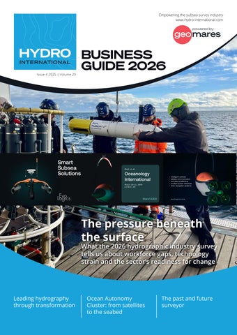
BUSINESS GUIDE 2026
The pressure beneath the surface
What the 2026 hydrographic industry survey tells us about workforce gaps, technology strain and the sector’s readiness for change
Leading hydrography through transformation
Ocean Autonomy Cluster: from satellites to the seabed
The past and future surveyor