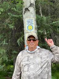
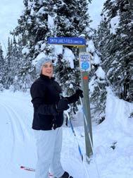
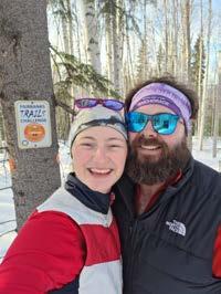
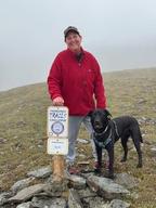
Click on events and look for “Fairbanks Trails Challenge.” You must register for this program on the FNSB Parks and Recreation website. Your FREE registration helps us track participants and keep you in the know about important updates and trail closures.
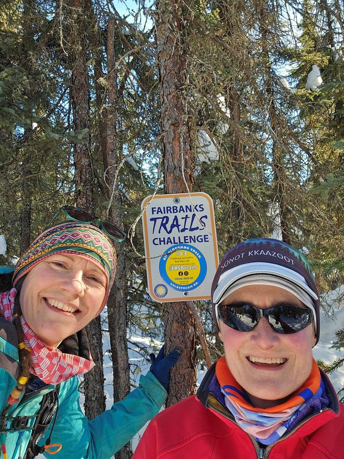
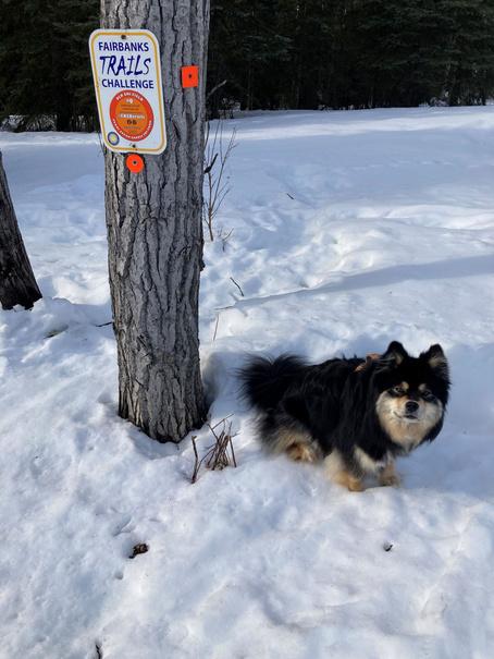
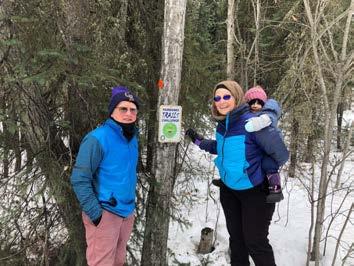
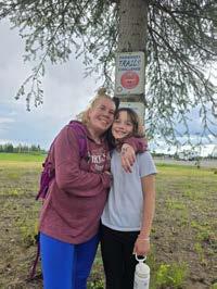
FIND the signs that say “Fairbanks Trails Challenge”
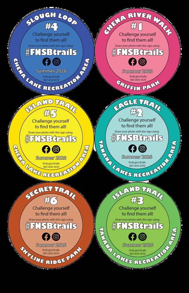
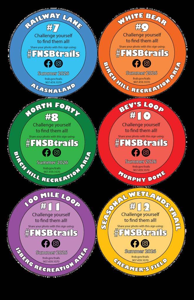
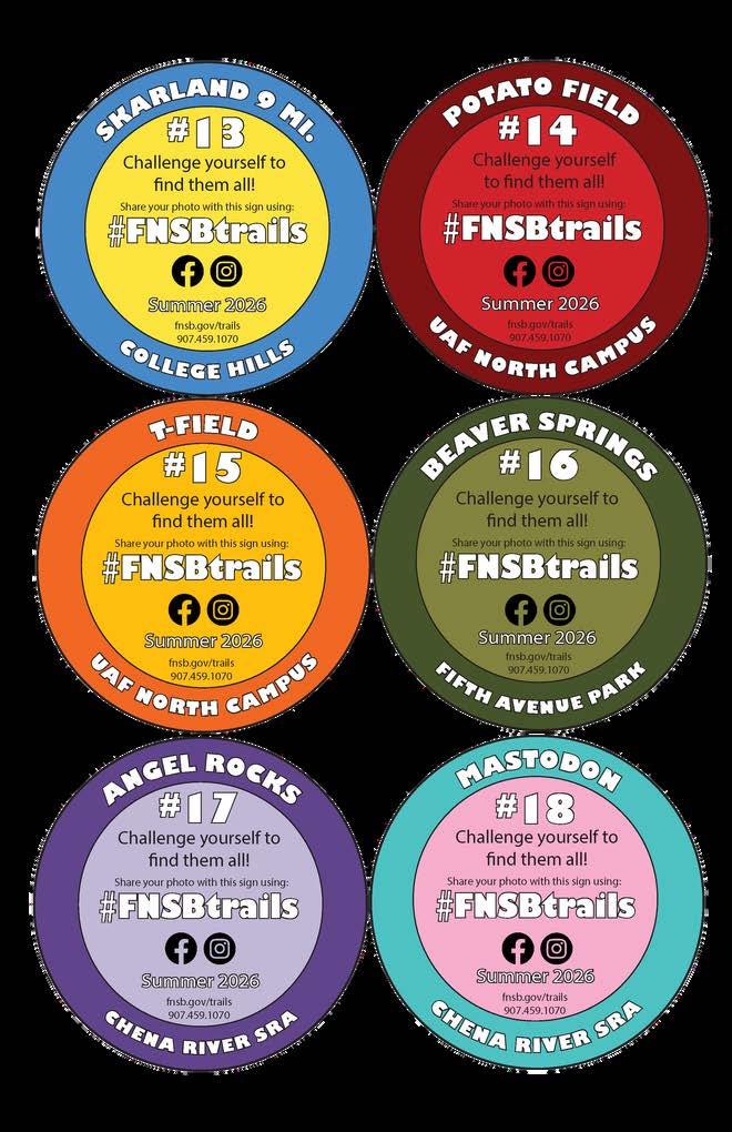
Twenty signs are located somewhere along the trails on the list. Keep an eye out for orange trail markers — the sign will be near!
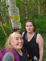
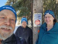
Snap a PHOTO with the signs to celebrate that you made it!
SHARE your “selfie.” Here are two ways to share: SEPT 30, 2026! Submit the checklist by
1) Post your photos on Facebook or Instagram and type “#FNSBtrails” in your post!
2) Email your photos to trails@fnsb.gov or parks@fnsb.gov
(Note: Posting and emailing photos is not a requirement, but it's still a fun way to share your trail triumphs and you might be featured in our next guide!)
st COMPLETE the checklist to claim the Trailblazer Award!
The checklist will come to the email used for registration on September 1 and again on October 1 . The checklist only needs to be completed once to count!
TRAILS CHALLENGE AWARDS:
Make it to Fairbanks Trails Challenge signs and you will earn the esteemed "Trailblazer Award!"
Find at least FIVE signs for folks 60 & up!
TRAILS CHALLENGE TIPS:
Everyone was new to these trails at one time. Here are some tips to make your first couple trails as enjoyable as possible:
1.Start SMALL. Choose the right trail for your fitness level and experience level. Plan a hike that is suitable for everyone in your party and let the slower person set the pace.
2.KNOW where you GO. Familiarize yourself with the trail. Review maps and talk to someone who has done the trail before.
3.Check the weather. Weather can be unpredictable so remember to dress accordingly and pack extra layers.
4.Leave a PLAN. Tell someone where you are going. If you don’t make it back when you expect to, this person can alert your emergency contact.
5.PACE yourself. If you start out too fast you’ll tire out. Take your time and smell the roses!
6.Bring water. Drink often to stay hydrated and your pack will get lighter throughout the day!
7.Protect from the SUN & BUGS. Bring sunscreen, bug spray, and clothing to protect your skin, even on cloudy or cold days.
8.Bring FIRST AID. Inspect and replace missing items from your first aid kit before each hike.
TRAIL ETIQUETTE:
Multiple-Use Trails
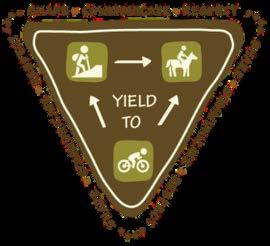
YIELD signs like the one here describe what to do in specific encounters, but always stick to the GOLDEN RULE: PRACTICE COMMON SENSE AND COURTESY!
Typically you should yield to the passerby who has least stopping control.
Always yield to dog teams and horses and give the animals plenty of space.
Motorized trail users should slow speeds when encounters are possible.
Hikers can usually step aside more easily than other users.
Respect the land, landowners, and neighbors!
Local trails cross a variety of types of terrain, land ownership and regulation. When out on the trails, remember:
Plan ahead to know where you go and who owns the land.
Respect private and public property by staying in the public trail corridor.
Obey signage and land use rules such as allowable trail uses.
Prevent damage by avoiding wet trails during spring break-up and heavy rains. Many good winter trails cross frozen bogs and cannot sustain summer use.
Tails on Trails
Your furry friends need exercise too! Here are some things to remember when bringing your pets on a trail walk:
You are responsible for your actions and the actions of your dog.
Always keep your dogs properly restrained with a leash (FNSB code Title 22.28.010).
Pick up any pet waste (FNSB Code Title 22.28.020).
Yield the right-of-way to other trail users trying to get around your pet.
Avoid disturbing wildlife and provoking dangerous encounters.
MAPS AND APPS TO GET YOU THERE:
DOWNLOAD THE MAP:
Individual PDF maps of many Borough trail systems are now available for download on our web page: fnsb.gov/trails.
Find maps under the Trail Maps tab on the left side menu. Some maps are designed for use on your GPS-enabled mobile device and can be displayed on any PDF reader. When viewed in an installed mobile application, each map will show your location on screen in real time. Cool! These maps can also be printed or viewed without using a special app.
OPEN WITH AN APP:
Georeferenced map applications allow you to navigate using your mobile device’s GPS even without cellular reception! There are a variety of geo-referenced PDF apps available for Apple and Android devices. Consult your preferred mobile app’s instructions for complete information.
We use an application called AVENZA MAPS, though other apps also work. Upload maps to the AVENZA app from Dropbox or your device storage.
MAP AND APP TIPS:
Download the map onto your device BEFORE leaving cell reception! (Data rates may apply.) Enable Location Services so the mobile map application can show your location on the map. In areas with no cellular reception, phone battery life significantly decreases. Cold weather can also drain batteries! Using airplane mode will improve battery life and will not interfere with GPS tracking.
File sizes for georeferenced maps may be very large. AVENZA recommends users connect to a WiFi network when downloading.
Like all GPS technology, your device’s accuracy will be compromised by cloudy weather, cliff walls, canyons, tall buildings, or other obstructions.
GPS is no substitute for preparedness! Research your destination. Plan, pack and dress accordingly!
2026 SUMMER TRAILS:
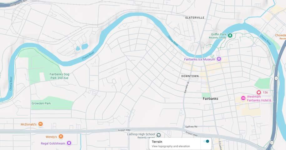
1) Chena River Walk @Griffin Park
Get there: You can access this trail easily by parking at the Morris Thompson Cultural Center. Head towards the Moose Antlers and take a right! The sign is on the right side of the trail.
Tips: The entire length of this paved road is 6.7 miles long. Park at Pioneer Park, Carlson Center, or the 2 Ave Dog Park to extend the trip to the sign even more! nd
From the Freedom 250 History Trail: “Experience the stories, landmarks, and legacies that helped shape a nation. The United Stsates is turning 250 and Fairbanks Alaska, is ready to celeberate in a big way. As one of Alaska’s cities with ties to the gold rush, indigenous presence and wild landscapes, Fairbanks offers visitors the chance to authentically learn about the stories and people of the past and present. Our many historic buildings and neighborhoods link the community to its heritage and in a way to our future. As you explore the trail, learn about the community we have built and are striving to improve for the next 250 years.” Find more info online here: https://www.explorefairbanks.com/america250
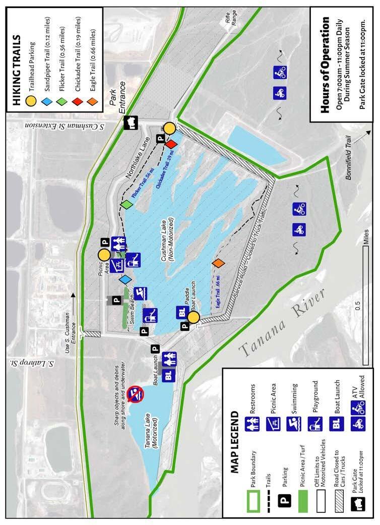
2) Eagle Trail @ Tanana Lakes Recreation Area
Get there: Eagle Trail can be accessed from the parking lot at the end of Westlake Lane.
Tips: This is a flat, wide, packed gravel trail, so it is likely stroller and wheelchair accessible.
Trailhead Coordinates: 64.795494, -147.738692
) Island TRAIL @ TANANA LAKES RECREATION AREA
Get there: Head to Tanana Lakes Recreation Area and park at the Paddle Boat Launch. Launch your own non-motorized boat or rent a canoe, kayak, stand up paddle board, or row boat from the Alaska Dream Adventures kiosk!
Tips: Don your life jacket and paddle across the non-motorized lake to reach the “islands.” Walk around to explore the trails, have a snack at the picnic bench on the lagoon, and find the trail sign.
Trailhead Coordinates:
@ chena lake recreation area
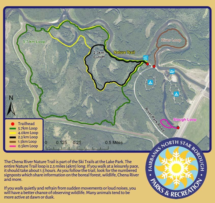
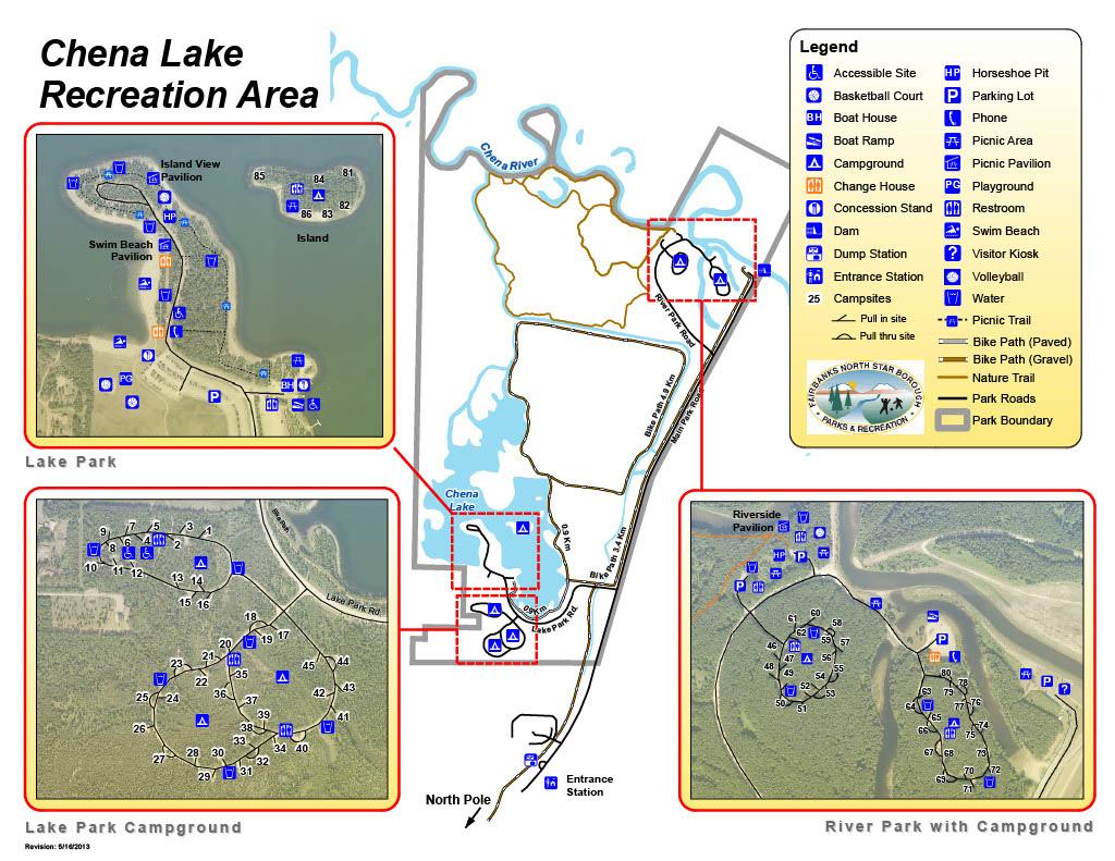
Get there: Enter Chena Lake Recreation Area and continue taking Laurance Road past the Lake Park sign and down to the River Park. The Slough Loop is located just after River Park rd. Park alongside the road or drive further up and park in the first dirt lot to the left. You can walk back a short distance to the trailhead.
Tips: This trail is non-motorized with the loop being about 1 mile long.
Trailhead Coordinates: 64.787806, -147.187043
@ CHENA LAKE RECREATION AREA
Get there: Head to Chena Lake Recreation Area as described above. Park at the Lake Park and launch your own nonmotorized boat or rent a canoe, kayak, stand up paddle board, or row boat from the Alaska Dream Adventures kiosk!
Tips: Don your life jacket and paddle to the biggest island on the lake. There you'll find a nice camp area and a cool hidden trail. It's an excellent spot for a secluded picnic and there's even an outhouse on the island along the trail. If you find someone has already claimed the campsite, please respect their space. Consider looking for this trail before the late evening hours so as not to disturb campers. <.25 MILE
@ Skyline Ridge Park
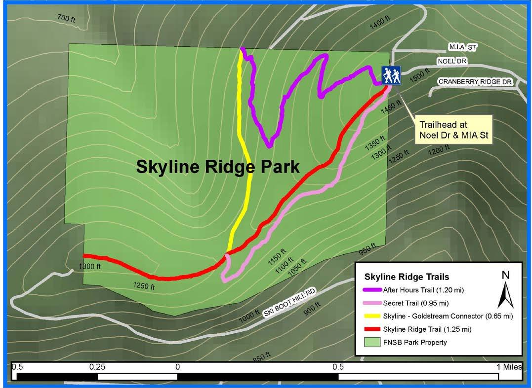
Get there: From Farmer’s Loop Road, take Summit Drive to Cranberry Ridge, or Skyline Drive to Crestline Drive. Follow Cranberry Ridge uphill to Noel Drive. Public access to the park is at the Skyline Ridge Trailhead at the intersection of Noel Drive and Mia Street. Parking is limited.
Tips: All the trails at Skyline Ridge are nonmotorized in the summer. Parking at the trailhead is limited; please park courteously. After Hours is the first footpath on your right off of the main arterial Skyline Ridge Trail while the Secret Trail is on the left. Come prepared with bug spray!
Trailhead Coordinates: 64.920189, -147.744612
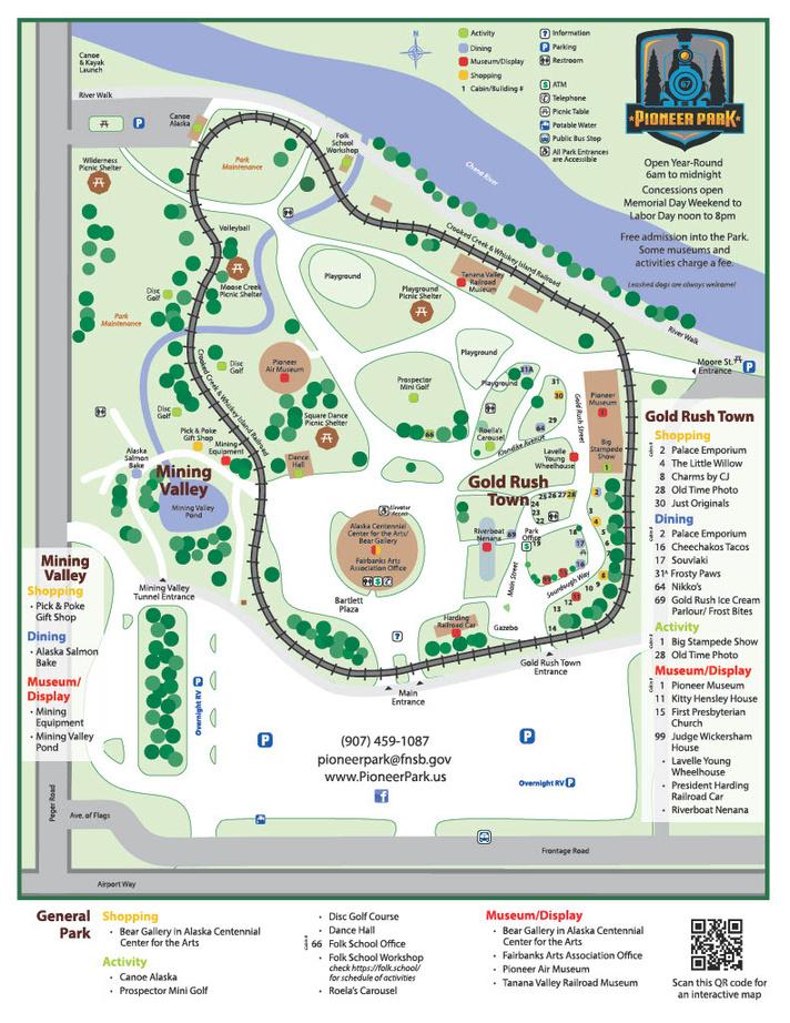
7) Railway Lane @ Pioneer Park/Alaskaland*
Get there: Find Pioneer Park off Airport Way and Peger Road. Enter through the main entrance and head right towards Gold Rush Town and towards the Railroad Museum. Keep an eye out as you get closer to the museum!
Tips: This is a short, quick loop to do with your dog or for a lunchtime walking break. The trail is friendly to stroller wheels and bikes (no biking through Gold Rush Town!). Take a walk around the park or hop on the train for a fun ride!
From the Freedom 250 History Trail: “Experience the stories, landmarks, and legacies that helped shape a nation. The United Stsates is turning 250 and Fairbanks Alaska, is ready to celeberate in a big way. As one of Alaska’s cities with ties to the gold rush, indigenous presence and wild landscapes, Fairbanks offers visitors the chance to authentically learn about the stories and people of the past and present. Our many historic buildings and neighborhoods link the community to its heritage and in a way to our future. As you explore the trail, learn about the community we have built and are striving to improve for the next 250 years.” Find more info online here: https://www.explorefairbanks.com/a merica250
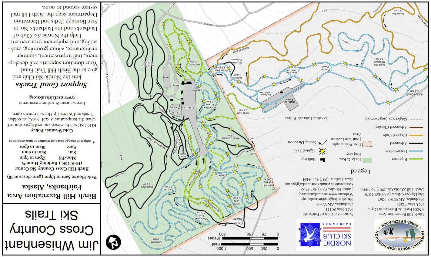
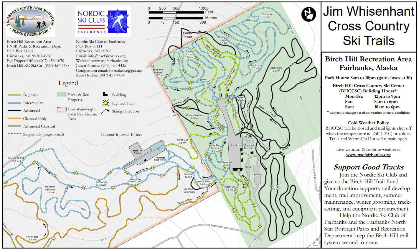
8) North Forty @
Birch Hill Recreation Area
Get there: Parking for trail is at the Birch Hill Recreation Area and Ski Center, located at 101 Wilderness Drive. Hours: 8am to 10pm. Gates close at 10pm.
9) White Bear @ Birch Hill Recreation Area
Get there: Parking for trail is at the Birch Hill Recreation Area and Ski Center, located at 101 Wilderness Drive. Hours: 8am to 10pm. Gates close at 10pm. White Bear is on U.S. Army Ft. Wainwright lands. Register for your Recreation Access Permit
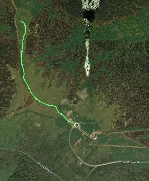
Get there: From Fairbanks, head North on the Parks Highway. Turn right (then an immediate left) onto Sheep Creek Road. Follow Sheep Creek Road approximately 5 miles to Murphy Dome Road. Turn left onto Murphy Dome Road. Continue for 15 miles until you reach the top. Follow the trail to the farthest rock outcropping. Continue on the rightside of the base and be on the lookout for the sign on the right!
Tips: Buggy!! Trail access is on the west side of the parking lot. There are numerous social trails you might find yourself at an intersection of. Follow the main route along the ridge toward the farthest rock outcropping. Sections of this trail are extremely rutted and can be muddy.
Trailhead Coordinates: 64.954426, -148.365528
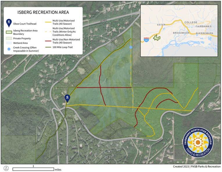
11) 100 Mile Loop Trail @ Isberg Recreation Area
Get there: Parking for Isberg Recreation Area is located off Oboe Court near the intersection of Isberg and Cripple Creek Roads. This trail is a portion of the Cripple Creek-Rosie Creek Trail and an existing segment of the proposed “100-Mile Loop Trail.” The trail sign is within the first mile on the newly resurfaced portion of the trail from the parking lot.
Tips: This is a multiple use trail. Isberg’s trails are mostly suited for winter. Prepare for muddy conditions—rubber boots recommended! Use caution on this trail when operating motorized vehicles and avoid perpetually wet spots. In dry weather, you can make a more challenging 2.4 mile loop by connecting the powerlines.
Trailhead Coordinates: 64.803346, -148.067775
12) Seasonal Wetlands Trail @
Creamer’s Field
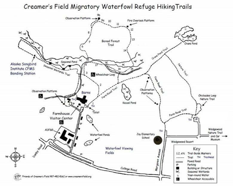
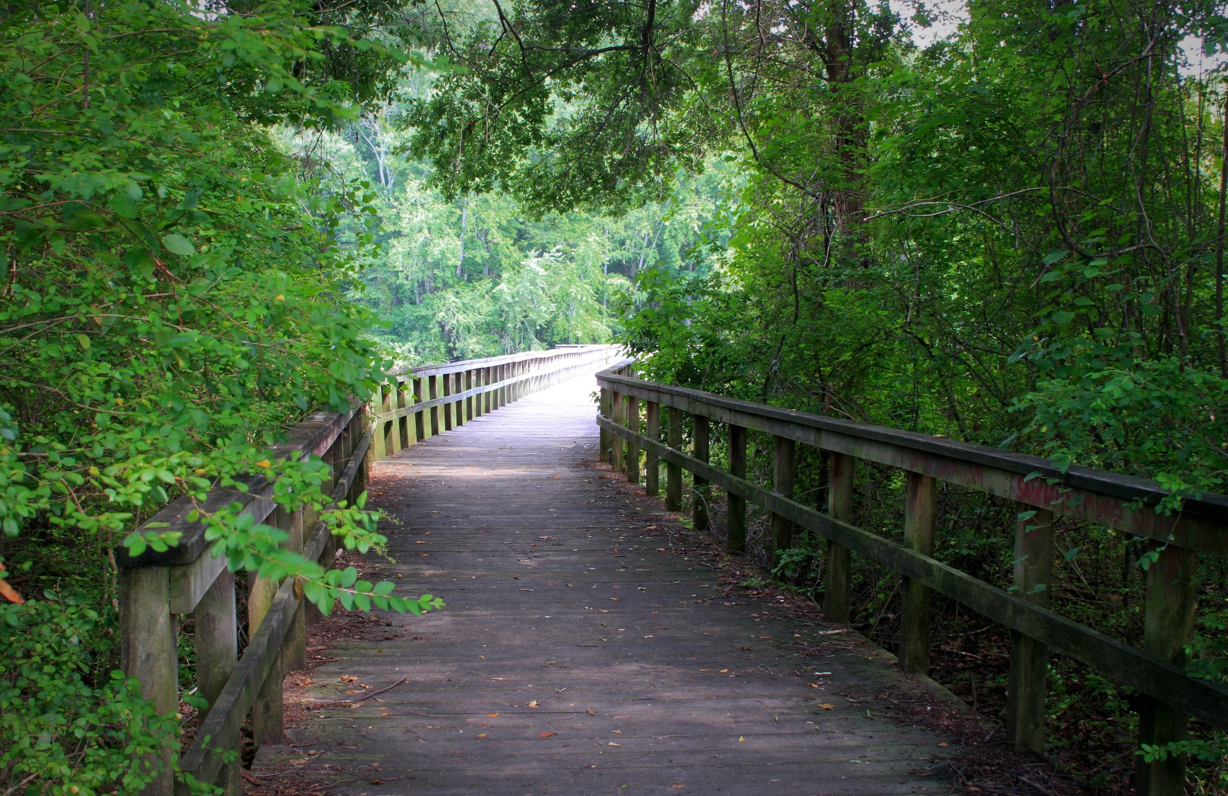
Get there: Park near the Farmhouse Visitor Center and find the trailhead marked “Nature Trail <--”. Follow the main trail until the first fork, keep left towards the Boreal Forest trail. Follow the trail over the bridge to reach the Seasonal Wetlands Trail! Keep left of the trail until you reach the boardwalk. This is an out and back trail.
Tips: Bring bug spray! Trail may be wet!
Trail Coordinates: 64.863575, -147.737075
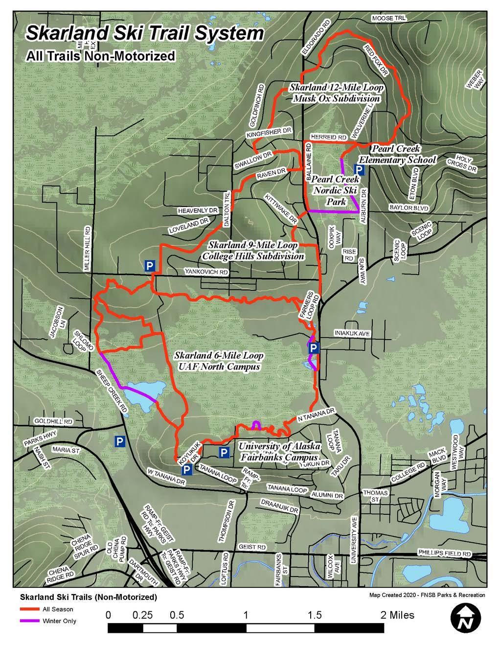
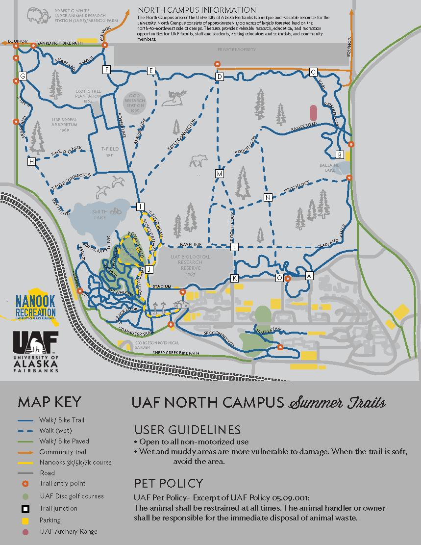
Get there: This trail traverses neighborhoods north of the UAF Campus trails and Pearl Creek School. The nearest parking option is at Pearl Creek School. Find the trailhead near Ballaine Rd and Raven Dr.
Tips: This is a non-motorized trail originally built for skiing by the the UAF ski team. You may be familiar with the six-mile loop within the UAF North Campus trails. Two extensions, the 9-mile loop and the 12 mile loop, were added north of the current campus by the ski team in the 1950's and 1960's. Since then, residential development has surrounded the trail, but a public trail easement still exists through these private neighborhoods. It is important to respect the private properties, stay on the main trail (avoid unmarked social trails), and keep dogs leashed so they don't wander into people's backyards.
Trailhead Coordinates: 64.891558, -147.818196
TRAILHEAD
PARKING
Get there: Head to UAF and take Tanana Loop W to N Koyukuk Dr to Tanana Dr. Park in the parking lot. Begin the trail facing away from the buildings and to the right. Keep right at the first fork in the trail, and make a left at the second fork. Follow the trail around the potato field and back out.
Tips: Bring bug spray! One muddy/wet spot heading to Potato Field and one more around the field. Potato Field is a disc golf course so be mindful if folks are playing a game. You can also cut the distance in half and make a left when you get to Potato Field to find the sign. Just dont forget to check behind you!
Trailhead Coordinates: 64.860512, -147.852693
PARKING
Get there: Head to UAF and take Tanana Loop W to N Koyukuk Dr to Tanana Dr. Park in the parking lot. Begin the trail facing away from the buildings and to the right. Keep right at the first and second fork in the trail, follow the main trail out to T-Field.
Tips: Bring bug spray! There are a few muddy/wet spots heading out to T-Field and it gets
Difficulty:
<1 MILE
PARKING
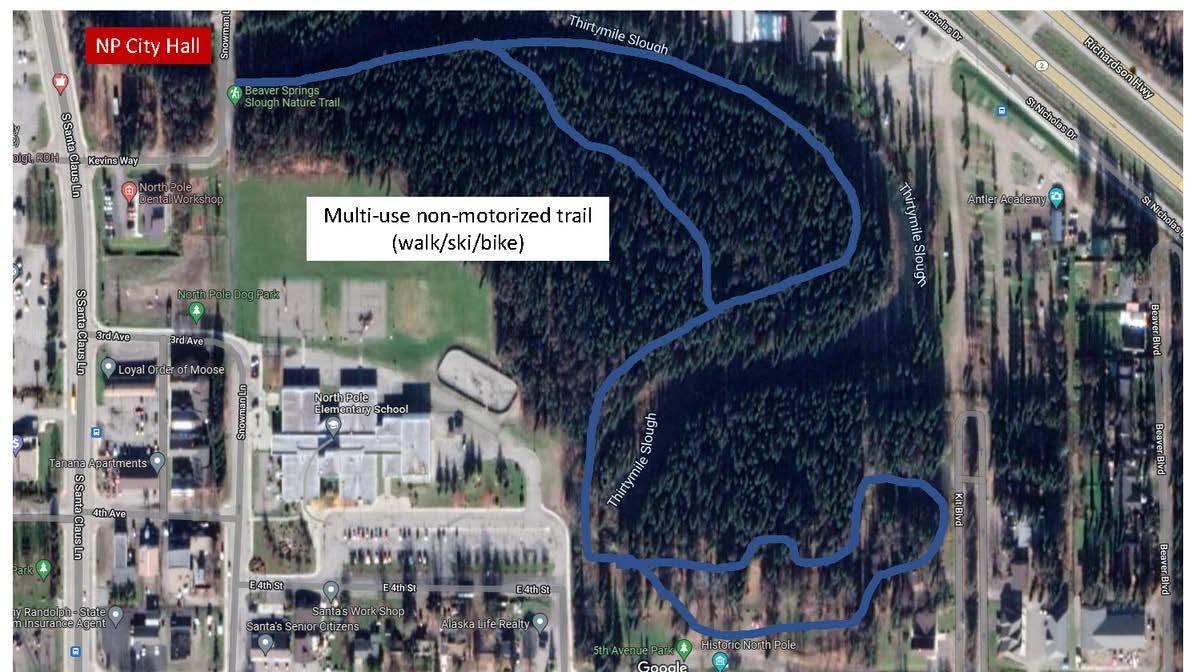
Get there: Parking for the Beaver Springs Nature Trail is at the 5th Avenue Park in North Pole, off E 5th Avenue between Santa Clause Lane and the Richardson Highway. Find information on the Beaver Springs Trail and 5th Avenue Park at this link.
Tips: Check out the 5th Avenue playground, then head to the left/west side and cross over the bridge onto the nature trail! The trail is flat and is stroller and wheelchair accessible.
Trailhead
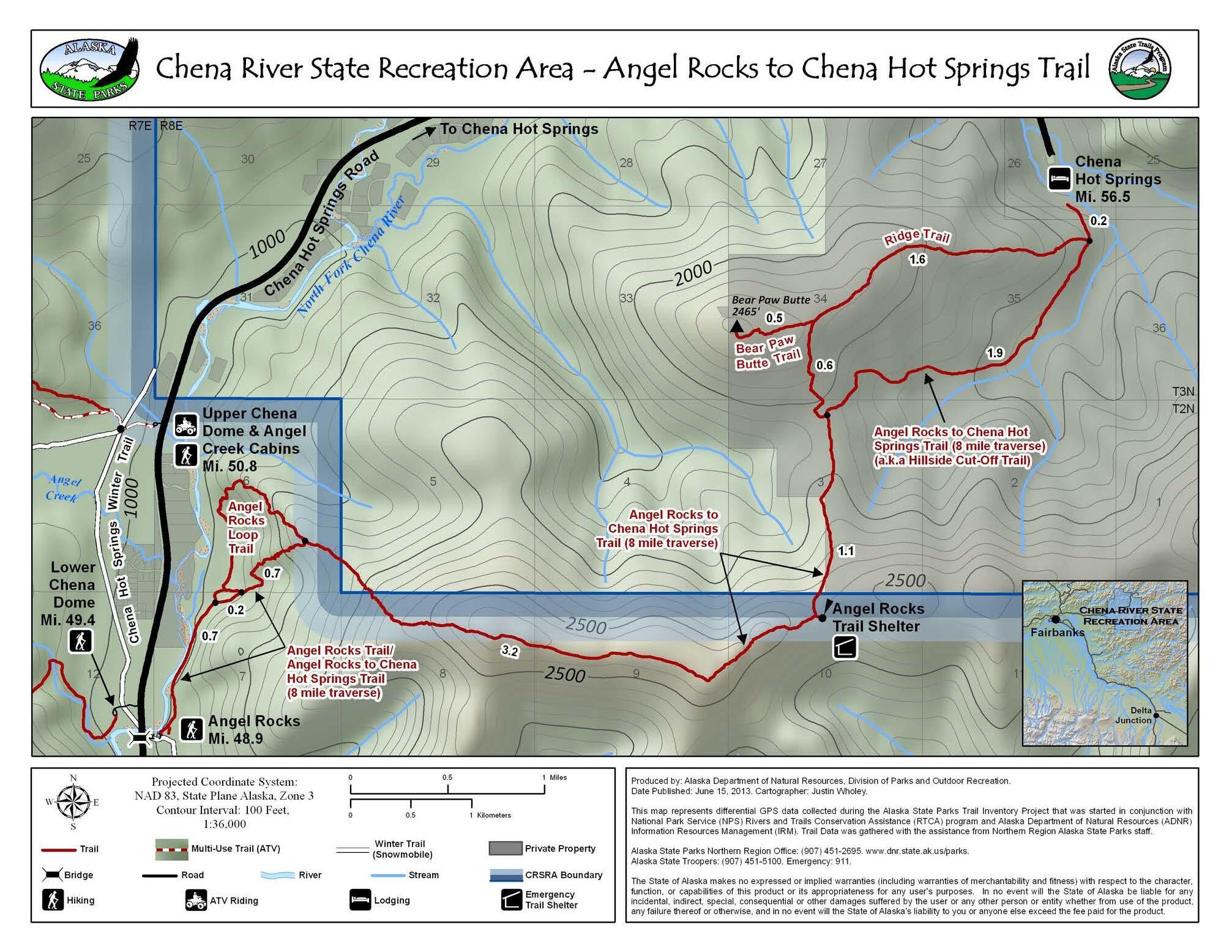
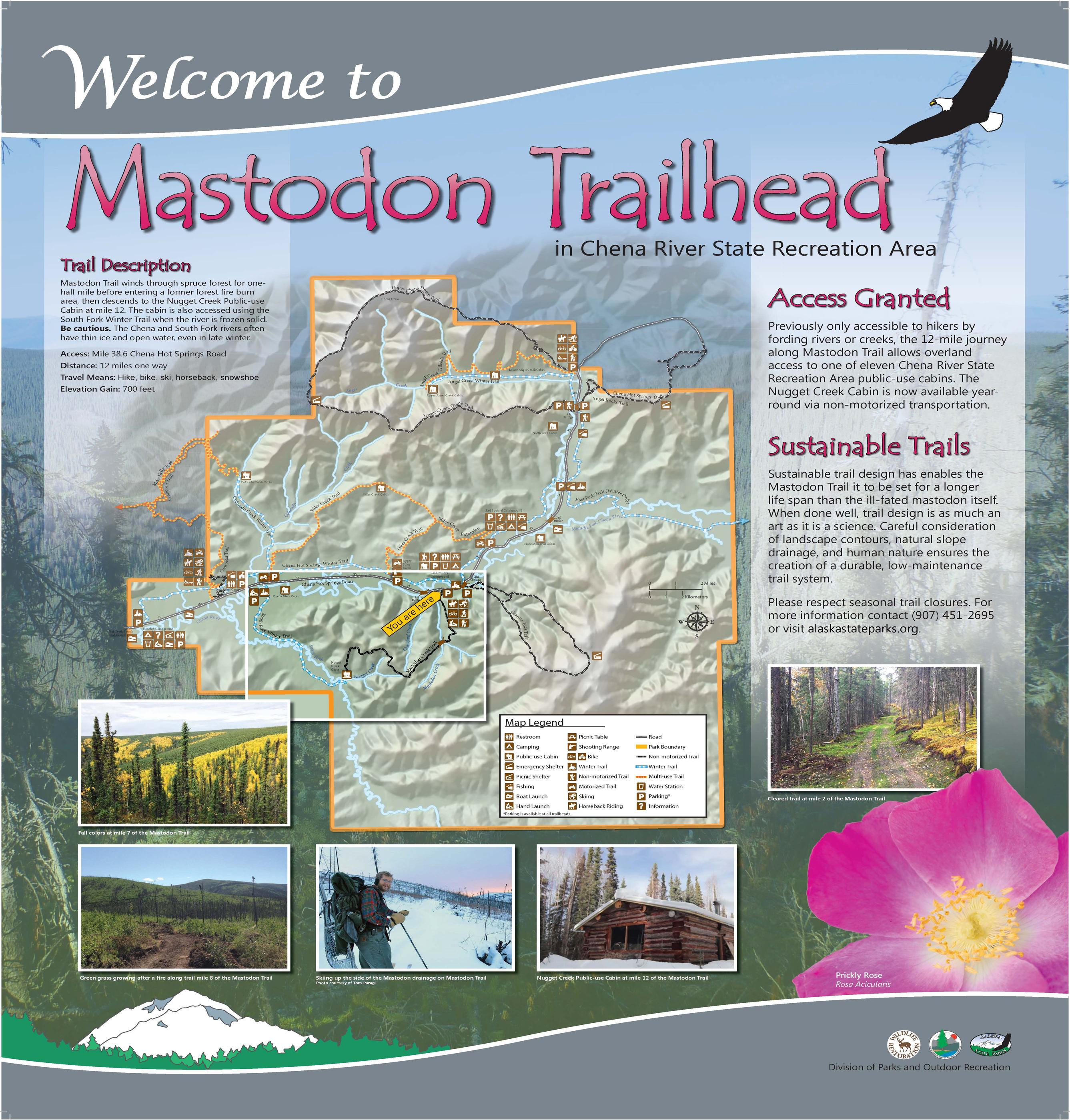
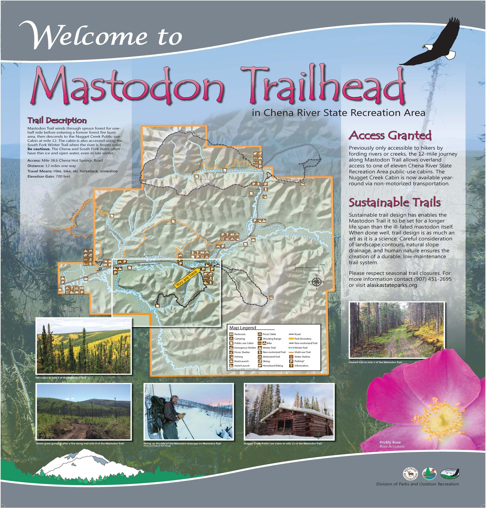
Chena River State Recreation Area
Difficulty:
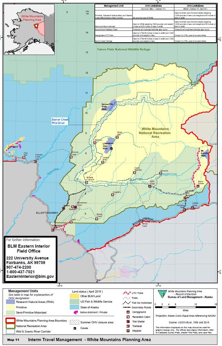
Get there: Travel almost 56.5 miles up the Steese Highway to U.S. CreekNome Creek Road. Take a left onto this road for a scenic drive over the alpine tundra ridges and into the Nome Creek Valley. After a few miles and after crossing Nome Creek, turn right toward the Mt. Prindle campground. A mile or so down this road you'll find a Quartz Creek trailhead pullout on the left with a nice kiosk (there is a pullout before this, but no kiosk). The area is managed by the US Bureau of Land Management, Alaska, Eastern Interior Field Office. For maps and info check out their website: https://www.blm.gov/visit/white-mountains
Tips: The trail itself is open to ATV use, though there are restrictions off trail. This 16 miles developed trail climbs into alpine tundra and passes through white spruce forest valleys. The trail traverses a series of ridge lines with sweeping valley views to end at Quartz Creek. The Quartz Creek trail includes steep grades, rough terrain and several stream crossings. Pay special attention to posted regulations and restrictions on OHV/ATV use. Watch for lingering snow drifts blocking the trail- it may require turning around. This is a remote area. Come prepared for all conditions.
Trailhead Coordinates: 65.360667, -146.613100
QUARTZ CREEK TRAIL
20) Tabletop Mountain Trail @
White Mountains National Recreation Area
Get there: From the Steese Highway, hikers should turn left onto U.S. Creek Road at mile 57.4. Continue on the gravel road for about seven miles until it splits into a T intersection. There are multiple scenic viewpoints and photo opportunities along the way. Turn left at the T, and continue for another eight miles on this secondary gravel road in the direction of Ophir Creek Campground. The trailhead for Table Top Mountain is on the right. The trail requires a steady climb of about a thousand feet. At the top, hikers can explore two summits for wide, expansive views of the White Mountains and the Alaska Range on a clear day.
Tips: This is a non-motorized area. BLM has ongoing road closures heading to the trailhead. The road is open on weekends ONLY. More info: https://www.blm.gov/visit/white-mountains/trail-update
tABLE tOP mOUNTAIN tRAIL
FAIRBANKS FAIRBANKS
JUNE20,2026-SEPT30,2026 JUNE 20, 2026 - SEPT 30, 2026