Data Provided By: First American Title Ins Co


Data Provided By: First American Title Ins Co


This report is not an insured product or service or a representation of the condition of title to real property. It is not an abst ract, legal opinion, opinion of title, title insurance commitment or preliminary report, or any form of Title Insurance or Guaranty. This report is issued exclusively for the benefit of the Applicant therefor and may not be used or relied upon by any other person. This report may not be reproduced in any manner without First American or Title Security's prior written consent. First American or Title Security does not represent or warrant that the information herein is complete or free from error, and the information herein is provided without any warranties of any kind, as-is, and with all faults. As a material part of the consideration given in exchange for the issuance of this report, recipient agrees that First American or Title Security's sole liability for any loss or damage caused by an error or omission due to inaccurate information or negligence in preparing this report shall be limited to the fee charged for the report. Recipient accepts this report with this limitation and agrees that First American or Title Security would not have issued this report but for the limitation of liability described above. First American or Title Security makes no representation or warranty as to the legality or propriety of recipient's use of the information herein.

This REiSource report is provided "as is" without warranty of any kind, either express or implied, including without limitations any warrantees of merchantability or fitness for a particular purpose. There is no representation of warranty that this information is complete or free from error, and the provider does not assume, and expressly disclaims, any liability to any person or entity for loss or damage caused by errors or omissions in this REiSource report without a title insurance policy.
The information contained in the REiSource report is delivered from your Title Company, who reminds you that you have the right as a consumer to compare fees and serviced levels for Title, Escrow, and all other services associated with property ownership, and to select providers accordingly. Your home is the largest investment you will make in your lifetime and you should demand the very best.

Owner Information
Owner Name : Amfahr Gary J / Amfahr Michelle S
Mailing Address : 548 N 104th Pl, Mesa AZ 85207-2407 R113
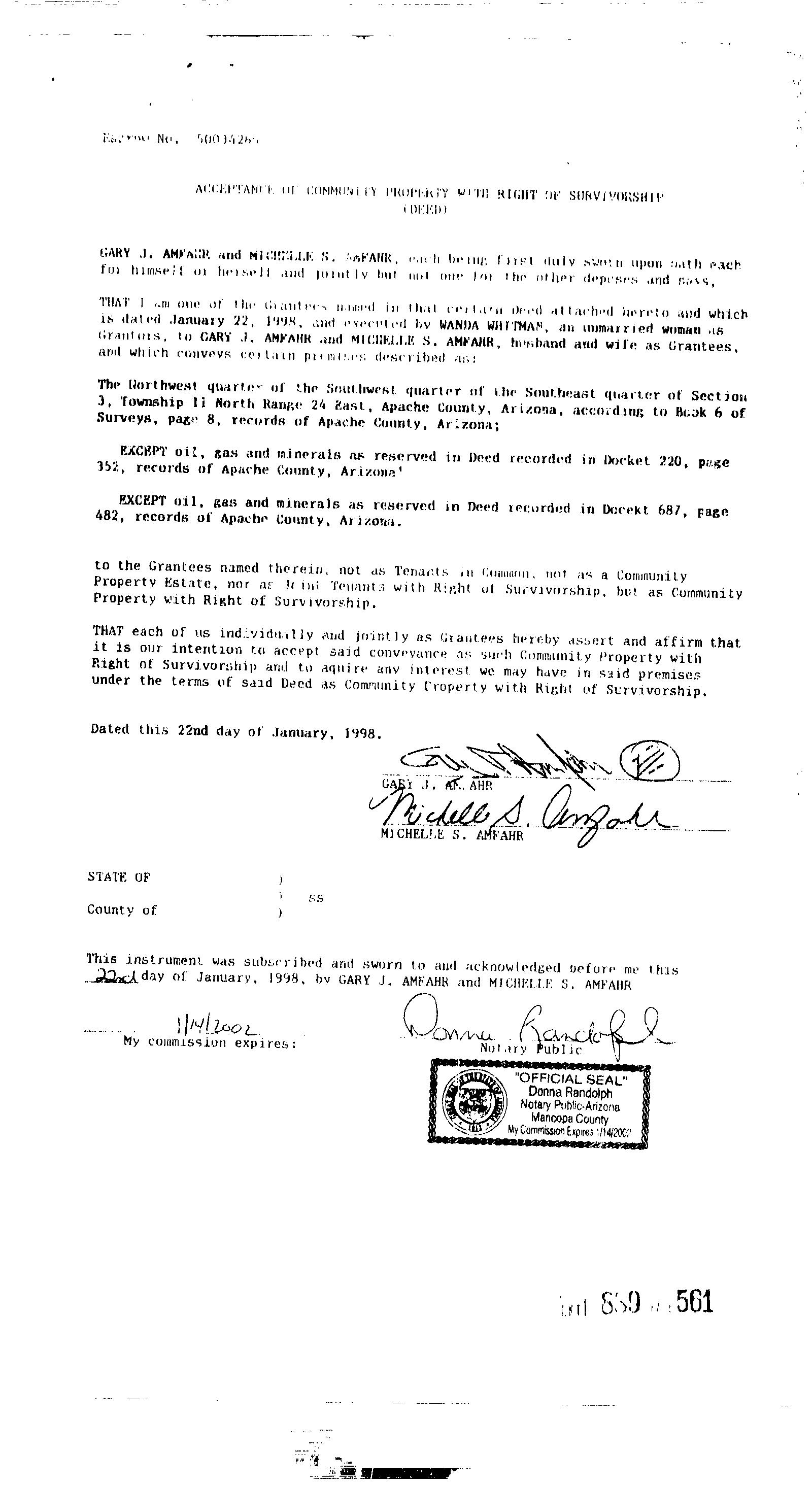
Vesting Codes : / / Joint Tenants

Location Information
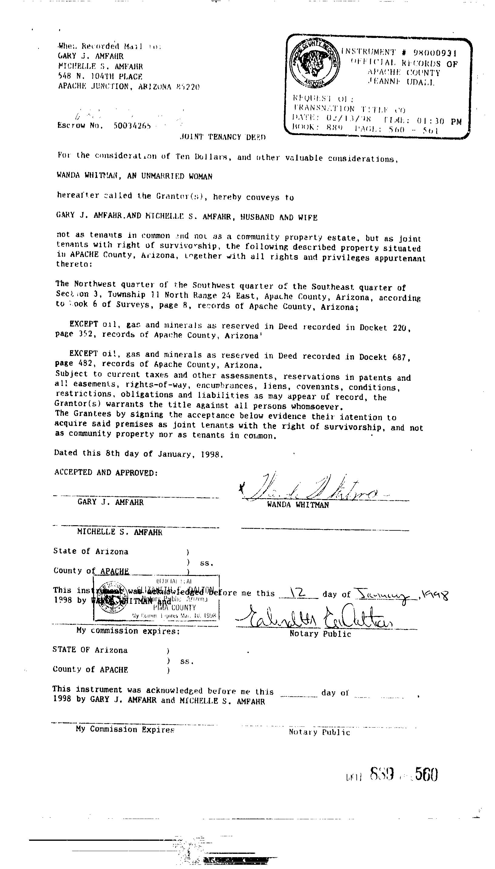
Legal Description : Section: 3 Township: 11n Range: 24e Nw4 Sw4 Se4
County : Apache, Az
Census Tract / Block : 9702.02 / 2
Township-Range- Sect : 11N-24E-3
APN : 107-39-015F
Last Market Sale Information
Recording/Sale Date : 02/13/1998 / 01/00/1998
Sale Price : $10,000
Property Information Land
Alternate APN : R0020730
Map Reference : 0311N24E / 0311N24E
Neighbor Code : 3.04
Document # : 889-560
Deed Type : Deed (reg)
Customer Name : Jeremiah Stiffler
Customer Company Name : First American Prepared On : 04/10/2023
© 2023 CoreLogic. All rights reserved

Customer Name : Jeremiah Stiffler
Customer Company Name : First American Prepared On : 04/10/2023
© 2023 CoreLogic. All rights reserved

Customer Name : Jeremiah Stiffler
Customer Company Name : First American Prepared On : 04/10/2023

© 2023 CoreLogic. All rights reserved


Customer Name : Jeremiah Stiffler
Customer Company Name : First American Prepared On : 04/10/2023
© 2023 CoreLogic. All rights reserved

Customer Name : Jeremiah Stiffler
Customer Company Name : First American Prepared On : 04/10/2023
© 2023 CoreLogic. All rights reserved

31 COUNTY ROAD 8052 Distance 0.2 Miles
Owner Name : Tun Kyaw Z Property Tax : $261.18
Total Value : $31,510 Lot Acres : 9.84
Land Use : Residential (nec) APN : 107-39-014C
56 COUNTY ROAD 8052 Distance 0.22 Miles
Owner Name : Payan Refugio Recording Date : 10/26/2005

Sale Date : 10/00/2005 Sale Price : $5,200
Total Value : $3,430 Property Tax : $40.76
Land Use : Residential Acreage Lot Acres : 1.20
Subdivision : Show Low Pines 03 APN : 107-03-282
54 COUNTY ROAD 8052 Distance 0.23 Miles
Owner Name : Bauer Brian A Recording Date : 10/19/2020
Sale Date : 10/16/2020 Sale Price : $3,200
Total Value : $3,430 Property Tax : $40.76
Land Use : Residential Acreage Lot Acres : 1.20
Subdivision : Show Low Pines 03 APN : 107-03-281
60 COUNTY ROAD 8052 Distance 0.23 Miles
Owner Name : Neese Dennis J Property Tax : $40.76
Total Value : $3,430 Lot Acres : 1.20
Land Use : Residential Acreage APN : 107-03-283
50 COUNTY ROAD 8052 Distance 0.23 Miles
Owner Name : Foster Gene William Property Tax : $40.76
Total Value : $3,430 Lot Acres : 1.20
Land Use : Residential Acreage APN : 107-03-280
Subdivision : Show Low Pines 03
62 COUNTY ROAD 8052 Distance 0.23 Miles
Owner Name : Neese Dennis J Property Tax : $40.76
Total Value : $3,430 Lot Acres : 1.20
Land Use : Residential Acreage APN : 107-03-284
© 2023 CoreLogic. All rights reserved
Customer Name : Jeremiah Stiffler Customer Company Name : First American Prepared On : 04/10/2023Customer Name : Jeremiah Stiffler
Customer Company Name : First American Prepared On : 04/10/2023
© 2023 CoreLogic. All rights reserved

SEARCHED BY: + FIRST AMERICAN TITLE,FC0,JSTI
SEARCHED DATE: 04/10/2023 11:25 AM PDT,R9C8
PARCEL: 107-39-015F
PARCEL: 107-39-015F
MAIL: 548 N 104TH PL MESA AZ 85207-2407

LEGAL: NW4 SW4 SE4 SEC 3 T11N R24E.
CURRENT OWNER(S)
AMFAHR GARY J
AMFAHR MICHELLE S
ADDITIONAL PROPERTY INFORMATION
STANDARD LAND USE: VACANT LAND (NEC)

