Preface
We live in a very fragile world in an unstable balance with nature and with ourselves, as evidenced by the events unfolding around us as this catalogue is being published. We live on an island within the world — our continent — where problems take on a different scale, in a privileged context that gives us the responsibility, precisely because we are not subjected to extreme conditions, to seek solutions and to find action lines that improve the context of our society and can also be extrapolated to other parts of our Earth.
For decades, we have been exploring how architecture, urbanism, and the landscape of our territory — of our cities, of our society — can contribute to improving the lives of those who inhabit our planet, both human and non-human.
Water, air, earth, and fire — the natural elements — together with the analysis of ways of life, including all forms of life in our community, the reuse of what already exists, and the recycling of materials to reduce construction, have been the guiding principles that have enabled a young architecture to emerge across 47 different sites, analysing, researching, processing, creating new environments, and regenerating the land through its work.
Re-Sourcing presents 153 new projects that are gathered here as case studies, the result of the work of a vast community of teams: architects, urban planners, and landscape architects; young professionals and students; committees and national associations; cities and local stakeholders — this layered network that allows the Europan community to dream and to act in order to improve your life, our life, our planet.
MANUEL BLANCO, Europan President
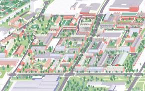
The Results Catalogue of the Europan 18 session presents all the projects rewarded on the different sites located in 47 cities in 12 European countries.
The theme of this session was Re-Sourcing The fragility of the Earth’s ecosystem and social crises lead us to imagine alternative practices to harmful extraction of resources, overconsumption and pollution of living milieus. Regenerating projects embracing nature and culture had to be thought of. It is about weaving synergies between bio- geophysical data with socio-spatial justice and health.
Three main directions for designing forms of resilience and resourcing of inhabited milieus make it possible to reactivate other forms of dynamics and narratives around the ecologies of living and caring:
Re-Sourcing from natural elements: The natural and vital elements of water, air, earth and fire are today linked to risks and disasters, which affect places. Projects must take into account these vital elements by finding logics of adaptation with the built environment.
Re-Sourcing from social dynamics: Reconsidering the living conditions also required projects that are able to simultaneously preserve intimacy, commonality and solidarity in which humans and non-humans can cooperate.
Re-Sourcing from materiality: Designing projects to transform existing buildings has to be driven by the 3R strategy: Reducing new construction; Reusing already constructed spaces and materials; Recycling by using onsite bio-geosourced materials (earth, stone, fibre) in order to preserve natural resources.
Inside this thematic frame, the 10 national juries composed of 96 independent members — first preselected an average of 25% of the 804 entries the most interesting ones crossing the 3 main thematic lines of the session and developing them inside contextual strategies. Before a second meeting, all the juries gathered in Lisbon for the Forum
of the Cities and the Juries to meet the site representatives and discuss the preselection together at the European level. The juries’ then met one last time at the national level to award different prices on each site, taking into account the European debates that took place in Lisbon.
The final selection rewarded 45 winners each receiving €12,000 —, 47 runners-up each receiving €6,000 —, and 61 special mentions
This catalogue showcases all 153 rewarded projects, not classified by country, but based on two of the main directions of re-sourcing (‘from natural elements’ and ‘from social dynamics’), themselves divided into 3 sub-thematics. The materiality is transversal to the other two directions.
The six thematic chapters are introduced by articles written by experts (mostly members of the Europan Europe Scientific Committee) and giving analysis on the rewarded projects.
The juries found that Europan 18 was a very interesting session, because from the general theme of Re-Sourcing, competitors took care of the territories and places they had to design the evolution of. Very often they have developed the regeneration of the existing natural elements as a starter, opening potentialities to then propose new social dynamics and new ways to connect buildings integrating biomaterials. And the open spaces create hybrid spaces mixing public spaces and nature at different levels.
After the competition, meetings will now be organised between the site representatives and the rewarded teams as well as, at the local level, workshops to let the rewarded teams present and very often adapt — their ideas to more detailed contexts. From there, we are looking forward to seeing a maximum of implementation processes follow the projects at different scales from territorial to proximity.
DIDIER REBOIS, Europan General Secretary
By Chris Younès (FR) and Didier Rebois (FR)
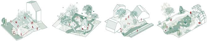
Re-Sourcing from Natural Elements
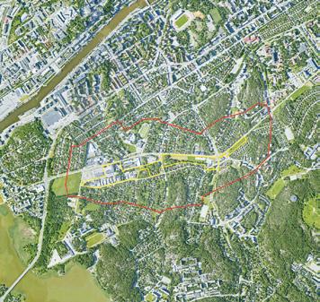
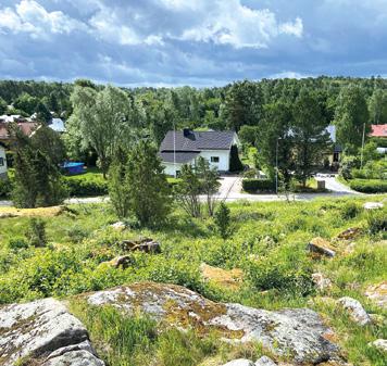
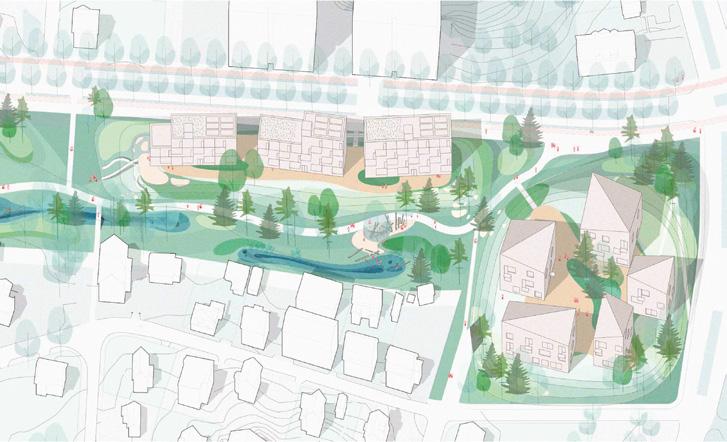
Karlstad (SE)
Visions for Våxnäs 100
mention A PATTERN FOR VÅXNÄS 102
Regensburg (DE)
zam wachsn 104
Speichersdorf (DE)
orchard St. Gallen (CH)
Re-Sourcing from Social Dynamics
Landscapes The Optimism of Regenerating Landscapes
By Wim Wambecq (PT) Amersfoort-Koppelbrug (NL)
Font del Gos (ES)
Pans!
(AT) 145
Recode the Road 146
of Iloni)
Getafe (ES)
Winner
Special
Lahti (FI)
Winner Active Trajectories 222 Runner-up Salppuri — Spirit of 224 Olympia in Lahti Special mention Hauska Tavata! 226
Oviedo (ES)
Winner ¡dame tira! 228
Runner-up Abrir puertas y ventanas 230
Special mention GALERIA JARDÍN VACÍO /* Special mention LA MATERIA 232
Special mention ¡Tun, tun! Abre la muralla 233
Riez (FR)
Winner The mystery of the apple 236 and the bear
Special mention Contrefort Communal 238 Special mention L’atelier des Tessons 239
Roa (NO)
Trondheim (NO)
What Design Strategies and Agencies 258 for Neighbourhoods to Save the City?
Sustaining Open Neighbourhoods 260 by Design?
By Socrates Stratis (CY)
Building on the Various Agencies
of People and Places
By Dimitri Szuter (FR)
Amersfoort–Otto Scheltus (NL)
ont mOeTTO me 272 halverwege
mention Build on Otto Scheltus! 274
mention Stop demolition 275 and make sense of place
From urban to social links
Learning through the city
(FR)
de la Fontaine du Bac
Miramas (FR)
Romainville (FR)
Rendez-vous 312 sous les Ormes Runner-up QUARTIER MONDE — 314 Libre pensée Special mention Hors Normes 316
Special mention It Takes A Village 317
Uppsala (SE)
Runner-up Staging the Scene 322
Special mention Gottsunda’s Common 324 Ground
Vitoria-Gasteiz (ES)
— Bustaldea
6/ Creating New Urban 332 Relationships
Mediation and Duration, Two Strategies 334 to Re-Articulate Urban Relationships
By Carlos Arroyo Zapatero (ES) and Nicolás Martínez Rueda (ES)
Amersfoort-Amicitia (NL)
Capriccio: 346 Beyond the Analogue Runner-up Old Walls, New Ties
Map of Sites
Dembeni (Mayotte, FR)
Trondheim
Roa
Lahti Nome
Karlstad
Uppsala
Amersfoort – Amicitia
Amersfoort – Flint
Amersfoort – Koppelbrug Amersfoort – Kop van Isselt
Amersfoort – Otto Scheltus
Amersfoort – Stadhuisplein
Jullouville
Caen
Romainville
Mantes-la-Jolie
Genève
Grand Nancy
Eslöv Malmö
Turku
Clermont-Ferrand
Fumel
Oviedo
Vitoria-Gasteiz
La Nive
Speichersdorf
Regensburg
Bregenz – Hard – Fußach – Höchst
St. Gallen
Luzern
Miramas
Blagnac Nailloux
Riez
Brignoles
Barcelona – La Font del Gos
Barcelona – La Verneda
Zagreb
Polignano a Mare
Navalmoral de la Mata
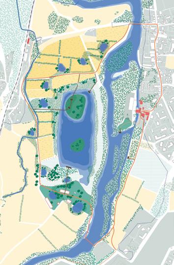
Lisboa
Madrid Getafe
Santa Pola
Felanitx – Es Sindicat
1 — Re-Sourcing from Natural Elements
Dealing with water
Fumel (FR)
Jullouville (FR)
La Nive (FR)
Lisboa (PT)
Mantes-La-Jolie (FR)
Turku (FI)
Reactivating soils
Eslöv (SE)
Genève (CH)
Karlstad (SE)
Regensburg (DE)
Speichersdorf (DE)
St. Gallen (CH)
2— Re-Sourcing from Social Dynamic
Regenerating Landscapes
Amersfoort – Koppelbrug (NL)
Barcelona – La Font del Gos (ES)
Bregenz – Hard – Fußach – Höchst (AT)
Dembeni (FR)
Nome (NO)
Polignano a Mare (IT)
Santa Pola (ES)
Inducing a Second Life
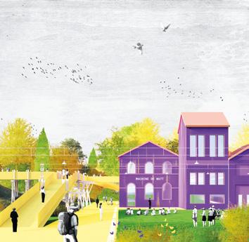
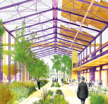
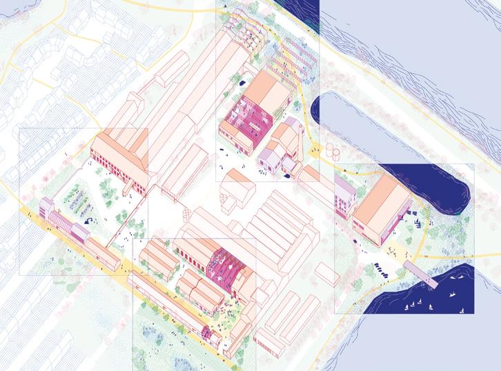
Amersfoort – Flint (NL)
Blagnac (FR)
Felanitx – Es Sindicat (ES)
Getafe (ES)
Lahti (FI)
Oviedo (ES)
Riez (FR)
Roa (NO)
Trondheim (NO)
Promoting Open Neighbourhoods
Amersfoort – Otto Scheltus (NL)
Barcelona – La Verneda (ES)
Caen (FR)
Clermont-Ferrand (FR)
Madrid (ES)
Miramas (FR)
Romainville (FR)
Uppsala (SE)
Vitoria-Gasteiz (ES)
Creating New Urban Relationships
Amersfoort – Amicitia (NL)
Amersfoort – Kop van Isselt (NL)
Amersfoort – Stadhuisplein (NL)
Brignoles (FR)
Grand Nancy (FR)
Luzern (CH)
Malmö (SE)
Nailloux (FR)
Navalmoral de la Mata (ES)
Zagreb (HR)
results
introduction
Towards a Regenerative Sustaining of Inhabited Milieus
By Chris Younès (FR) — Anthro-philosopher
of inhabited milieus, professor at Paris’s École Spéciale d’Architecture (ESA). Nominated for the 2025 Grand Prix d'Urbanisme (FR). Founder member of ARENA (Architectural Research European Network). Founder and member of the Gerphau research laboratory, www.gerphau.archi.fr
And Didier Rebois (FR) — Architect, General Secretary of Europan and coordinator of the Scientific Committee, www.europan-europe.eu
Faced with the criticality of living conditions — planetary limits, climate emergency, declining biodiversity, inequalities — the array of projects presented at Europan 18 marks a clear shift: turning nature as recurring birth into one of the fundamental issues in the transformation of inhabited milieus. This reconsidering the existing, but also the unstable, the uncertain, and the troubled, leads to new scenarios for sustaining (maintenance, gentle reactivation and/or evolution of milieus). Critical investigation of the rewarded projects highlights different strategies aimed at considering different types of natural regenerative sustainability in order to initiate restorative connections between environmental and social conditions vs. the unsustainable depletion of living milieus and people.
Regenerating means not only taking from the milieu, but even more giving back to it, as advocated by Michel Serres in The Natural Contract. This is to prevent humans from behaving like parasites that end up destroying their host, and to encourage humans to interact not from above or at the centre, but alongside and among others, reconsidering how everything interacts and co-evolves. This involves synergies and symbiosis between natural and anthropogenic dynamics, whether at the local, territorial or landscape levels, taking into account transversal multi-scale processes originating in living ecosystems. How can we combine the revival of the alreadythere with a new beginning?
Among the rewarded projects, five strategic lines of regenerative sustaining are particularly significant: new local naturo-cultural alliances; the renaturation of industrial and mobility infrastructures; the configuration of large symbiotic parks; the recreation of natural continuities across large territories; and regenerative prospects.
NEW LOCAL NATURO-CULTURAL ALLIANCES
While vernacular traditions saw human settlements establishing themselves based on the milieu’s biomaterial conditions regarding the potential for subsistence, materials and know-how, a certain form of modernism has continually abstracted itself from this by taking distance from the local scale. However, a shift is taking place contributing to the promotion of a networked circular economy based on solidarity, in which renewable resources, recycling, reuse and subsistence are on the agenda, as is the involvement of local populations thanks to their multiple capacities to be active agents in their immediate environment, so that they do not suffer, but are stakeholders in a concern for sobriety and the limitation of deadly impacts.
On a naturally disordered and fragmented site, ‘neither urban nor rural’, runner-up project Where the Wildflowers Grow on the outskirts of Zagreb (HR) does not try to superimpose a new urbanity seen from above, but relies heavily on the already-there, particularly the
Fig. 1 — Zagreb (HR)
Runner-up
Where the Wildflowers Grow
→ See more p.402
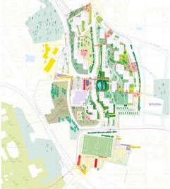
Fig. 2 — Clermont-Ferrand (FR) Runner-up Space for All
→ See more p.296
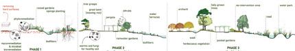
Fig. 3 — Amersfoort-Kop van Isselt (NL)
Winner
Re:Isselt — Growing by Reuse
→ See more p.352
Fig. 4 — Eslöv (SE) Runner-up
Between the Walls
→ See more p.86
6 — Bregenz-HardFußach-Höchst (AT) Winner
Recode the Road
→ See more p.146
5 — Fumel (FR) Winner
From Rust to Roots
→ See more p.32
Fig. 7 — Polignano a Mare (IT) Winner
The Rewilding Grounds
→ See more p.168
Fig. 8 — Grand Nancy (FR) Runner-up
The Ribbon, the Sponge and the Willows
→ See more p.372
Fig.
Fig.
presence of nature on the small scale. This allows the creation of ‘a network of local green interventions — mini parks, tree planting, etc. —’ to form a patchwork of gardens between the built fragments, using residual or unused plots. These gardens have a climatic role to play, in particular in preventing urban heat islands. This natural enhancement leads to new uses: ‘meeting points, small spaces for sharing and semi-collective socialising, equipped with basic facilities (barbecues, tool sheds, smokehouses, etc.)’, creating a constellation of vibrant mini-centres (fig. 1).
In a social housing neighbourhood in Clermont-Ferrand (FR), the Space for All runner-up project uses empty spaces between functionalist buildings to propose a network of six interconnected mini-parks. They are designed as large gardens based on a reappropriation of the land, which regains its living dynamic and takes on natural functions. This renaturation of open spaces is conceived as a ‘co-creation between living beings — humans and other-than-humans — and their milieus’, a project that ‘moves from control to caring’ (fig. 2).
Other projects are linked to this approach. In Amersfoort-Kop van Isselt (NL), winning project Re:Isselt — Growing by Reuse focuses on revegetation ‘from the project’s earliest stages, allowing landscapes to develop and mature alongside the built environment’ — a setting where the circular economy is not only practised but also experienced on a daily basis (fig. 3).
Runner-up project in Eslöv (SE), Between the Walls, also starts with the land and existing resources to promote the creation of microclimates ‘with productive use of the soils and enhanced biodiversity between the walls and gables built using bioregional materials’ (fig. 4).
RENATURATION OF INFRASTRUCTURES, INDUSTRIAL SITES, AND MOBILITY, WATER AND ENERGY SUPPLY NETWORKS
Industrial wastelands, as well as numerous obsolete infrastructures and mobility spaces constitute a significant ‘heritage’ of opportunities in terms of material stocks and possible reuse, but also of memories. How can we
reinvest in these technical spaces by inventing interfaces with a reactivated natural environment, enabling revitalising hybridisations and favouring new uses, ecological/soft mobility, and water and energy supply?
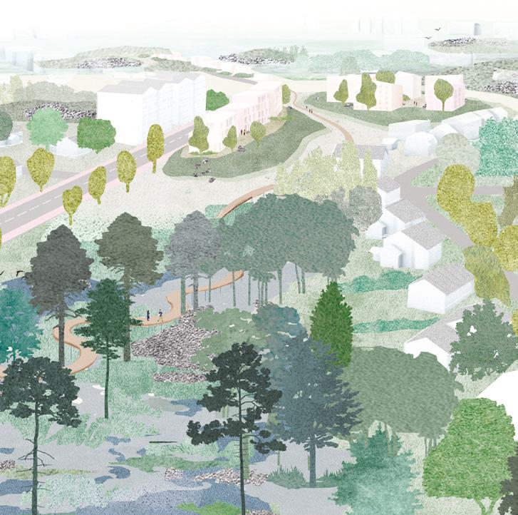
Winning project in Fumel (FR), From Rust to Roots, is located in a valley which, in addition to an obsolete industrial heritage, is composed of ‘a mosaic of orchards, vineyards, groves and small villages’, which according to the authors are sustainable resources. The site, which has known intense mining activity, also offers opportunities by combining ‘the generosity of the land and the resilience of the communities’. On this basis, the project can reconsider the relationship with the landscape and design the link to the industrial heritage and memory, combining ‘the rich biodiversity and regenerative cycles of nature’ with the activation of new uses inside inherited spaces (fig. 5).
The Bregenz-Hard-Fußach-Höchst (AT) site is a transit route that becomes a ‘crisis line’ as it crosses territories where ‘river, lake, marsh and agricultural environments, rich in biodiversity and inhabited by plant and animal communities’ intersect, forming an ecological heritage between the Rhine delta and Lake Constance. Winning project Recode the Road considers the fragility and vulnerability created by these meeting points between the road and the edge landscapes as an opportunity to reconsider them as transit areas, creating smooth transitions and small-scale landscape continuities (fig. 6).
CONFIGURATION OF SYMBIOTIC INHABITED PARKS
Renewed configurations celebrate invigorating natural and social connections, which break down barriers and reveal biogeochemical and landscape reconnections with the great cycles of the elements (water, air, earth, fire), of the living things and of societal rhythms. Mutually beneficial symbiotic relationships are thus sought, tending to harmonise metamorphoses in peaceful relationships between artefacts and nature in perpetual flux, without underestimating the power of the wild nature.
In Polignano a Mare (IT) winning project
The Rewilding Grounds aims to rebuild connections between natural and urban landscapes and ‘between the coastline and the agricultural hinterland’. To achieve this, it uses existing features to design three parks, integrating uses that form ‘a continuous green infrastructure’. The project combines several strategies: climate regeneration through a forestry programme creating an ecological corridor; and the reinforcement and revitalisation of public spaces to create attractive and connected urban hubs. Including varied itineraries along ‘tree-lined avenues, wooded areas and shaded spaces’ and open landscaped areas, the project aims to promote green tourism ‘to reduce seasonal dependence’ (fig. 7).
On a multi-site location along the Meurthe River in the Grand Nancy (FR) area, runner-up project The Ribbon, the Sponge and the Willows proposes to create a unified natural element — a ‘large circular river park’, the role of which is to ‘reconnect rural and urban areas’ through two natural entities, the Meurthe and Moselle rivers, by enhancing water resources. The park fits into its territory by ‘building on the geographical base’ and preparing for climate change (including slowing down and circulating water to reduce runoff and favour infiltration and storage, thereby preventing flooding). Based on this natural regeneration, the park ‘puts peri-urban areas into perspective’ at the south of the metropolis. Backed by the canal in particular, new uses are being created in a flexible and evolving manner.
Other projects are regenerating sites around a park (fig. 8).
The already largely wooded site in Blagnac (FR) offers the beginnings of a park landscape. Winning project The Commons Laboratory aims to reveal this park in several stages: requalifying the public spaces, and rediscovering lost links around soft mobility, water, living soils and the memory of the place. The buildings fit into a landscape grid. The existing monumental functionalist building ‘condenses a city system within a park that provides shelter for the living’ (fig. 9).
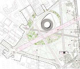
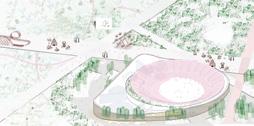
Based on the circular geometry of the arenas converted into an epicentre, winning
project ALL-RING . Una plaza para todos. in Getafe (ES) proposes ‘a system of rays forming a mosaic of landscapes: a thermodynamic infrastructure creating a microclimate, shaded areas thanks to the planting of large trees, water features and misting systems to reduce the ambient temperature’ (fig. 10).
(RE-)CREATION OF ECOLOGICAL CONTINUITIES ACROSS LARGE TERRITORIES
This category refers to transversal territorial guidelines for large-scale renaturation involving strategic geographical and societal data. These issues are correlated with external and/ or internal evolutionary factors linked to levers and broad areas of the fabric of living milieus.
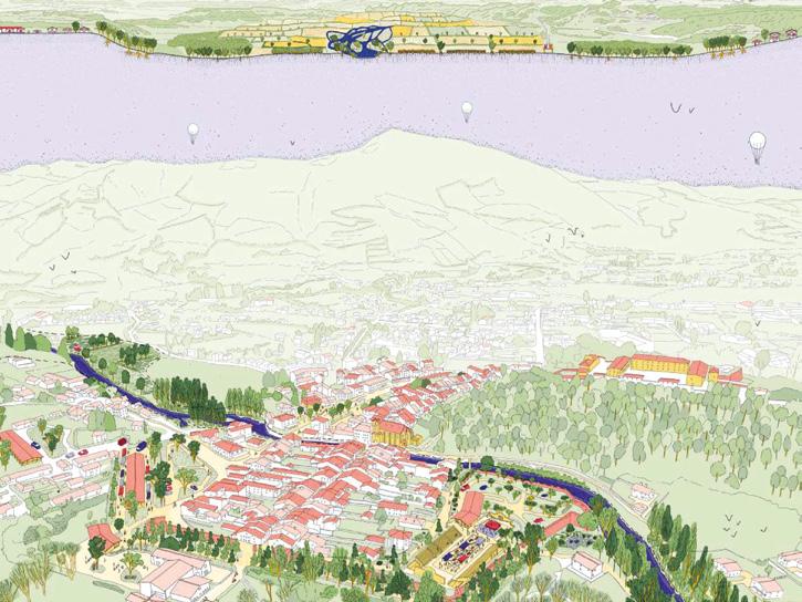
The challenge for the site along the River Nive (FR) is to repair the multiple discontinuities in the routes and to better connect the natural elements (river and agricultural landscape) with the social and tourist activities associated with them. Runner-up project Entraide achieves this goal on a territorial scale by creating new continuity in the route network to make the valley fully accessible ‘from the river to the land with junctions that reveal the link between water and the territory’. Three approaches enable this goal. The first is to ensure the protection of natural areas by drastically limiting human presence, allowing biodiversity to flourish. The second is to make access to the river easier ‘by promoting it as a common good’. And the third is to convert obsolete industrial buildings by giving them new educational, social and local material production uses. The converted buildings then serve as landmarks along the new continuous route connected to the river (fig. 11).
In Navalmoral de la Mata (ES) winning project ACTION – REACTION proposes renaturation to create natural systems and combat the fragmentation caused by infrastructures and urban development. The aim of the project is to restore natural continuity through ecological corridors that enhance biodiversity. Floodplains and retention basins are created based on the models of the ‘Sponge City’ and ‘Regenerative Urban Planning’. This allows human flows to re-establish and
Fig. 9 — Blagnac (FR)
Winner
The Commons Laboratory
→ See more p.202


Runner-up Entraide
→ See more p.48
Winner ACTION – REACTION
→ See more p.394
10 — Getafe (ES)
Winner ALL-RING. Una plaza para todos.
→ See more p.214
Fig.
Fig. 11 — La Nive (FR)
Fig. 12 — Navalmoral de la Mata (ES)
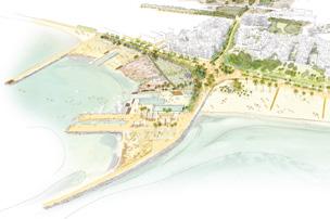
Fig. 13 — Santa Pola (ES)
Winner Water’s journey
→ See more p.176
Fig. 14 — AmersfoortKoppelbrug (NL)
Runner-up
Assembly City → See more p.134
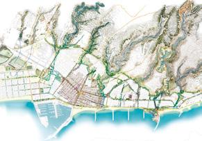
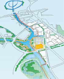


Fig. 15 — Jullouville (FR)
Runner-up
Le climatorium des possibles
→ See more p.40
Fig. 16 — Dembeni (FR)
Winner Racines et Horizons
→ See more p.154
unused spaces to be reactivated. The aim is to respond to environmental risks (heat waves, floods) while ‘enriching urban life through accessible, resilient and multifunctional green spaces’ (fig. 12).
Other sites require the restoration of natural territorial continuity.
In Santa Pola (ES), urbanisation has disrupted watercourses, ravines and sediments flown to the sea, causing ecological interruption and imbalances, particularly in water management, leading to flooding and periodic increases in heat. Winning project Water’s journey proposes to create a natural water drainage system across the entire cape, forming a series of strategic transversal axes, reconnecting the mountain to the sea and the city to its environment. These green links reintroduce biodiversity and enhance urban spaces (fig. 13).
In Amersfoort-Koppelbrug (NL), runner-up project Assembly City is anchored in the regional network of green and blue spaces; the project ‘extends the ecological corridor along the river, connecting the city to its surroundings’ (fig. 14).
REGENERATIVE PROSPECTS
A category of complementary interventions engages in prospective scenarios that focus on open, evolving processes related to adaptation to climate change, hazards and associated risks for humans and other-thanhumans. This leads to new ways of imagining the future of present and future generations.
Runner-up project in Jullouville (FR), Le climatorium des possibles, starts from the idea that the city is already — and will be even more so in the future — facing climate change, without the possibility to predict with certainty all the negative effects: flooding, sea submersion, heatwaves and drought. However, the topography of the site itself can turn it into ‘a place of hospitality and regeneration between communities and living environments’ in this environment. The project therefore aims to make the site ‘an evolving prototype project’ that prefigures a resilient territory adapted to the changing climate, centred around an inhabited vegetable garden, living and productive
roofs, an environmental observation tower, and ‘sponge soils’ to absorb excess water and prevent flooding. ‘It is as much a research space as a constantly evolving living environment’ (fig. 15).
In Mayotte, an archipelago in the Indian Ocean, the municipality of Dembeni (FR), where the mangrove landscape is being invaded by spontaneous housing, winning project Racines et Horizons is based on the observation that ‘resources are becoming scarce and linear growth models are unsustainable’. The project’s authors believe it is necessary to take time to rethink these models and to start promoting a circular economy adapted to this particular context by introducing reuse and resource efficiency through recycling, thereby limiting imports of materials. Taking into account ‘the fundamental complexity of Mayotte, with the juxtaposition of legal and customary regimes’, the project also proposes to rethink the governance model, focusing on experimentation with new methods of land management involving local communities (fig. 16).
CONCLUSION
During this investigation, it became clear to us that regenerative sustaining as presented above constitutes constellations that seek to take care of vulnerabilities and interdependencies by exploring approaches other than the nature vs. culture dualism or extractivist techno-solutionism. With a view to sobriety and limiting deadly impacts, the proposed weavings envisage new symbiotic and synergistic conditions. The processes mentioned above, although only briefly discussed in this article, reveal that they are part of the triple imperative of lasting, inheriting and starting over. This is achieved through other narratives and the sustaining of the creation of inhabited milieus, in search of sustainable, co-existential regenerative agreements. They are developed within a wide cultural diversity, but always in a situational and experiential manner. The challenge is, again and again, to hold on to the world and to bring together regenerative natural and cultural cohabitations.
resourcing
from natural elements
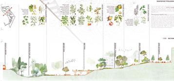
1. dealing with water
In context of global warming, to live and to re-dynamise inhabited milieus thanks to water is a strong driver for re-sourcing; crossing the challenge to adapt to risks (flooding, marine submersion, coastline withdrawal, drought…) and to restore ecological milieus to improve quality of life, health and joy of every day.
Fumel (FR) — Jullouville (FR) — La Nive (FR) — Lisboa (PT)
Mantes-La-Jolie (FR) — Turku (FI)
Water Territories: From Resistance to Resilience
By
Annelies De Nijs (BE)
Urban designer, co-founder of Atelier Horizon — www.atelierhorizon.com and lecturer at KASK School of Arts Ghent (BE)
And Céline Bodart (BE)
PhD Architect, lecturer at the Faculty of Architecture of Liege University (BE) and at the Paris-la-Villette School of architecture (FR)
For too long, water has been approached in a singular way in our territories treating it as either a static ‘postcard’ aesthetic or a hidden, utilitarian backside of the city. This binary approach severed our understanding of water as a fundamental landscape system. To design in the face of contemporary climate instability, we must resource our relationship with the hydrological cycle, acknowledging it not as a decorative element, but as the primary geomorphological scaffolding of our territories. Re-centring water as a developmental driver moves us beyond mere mitigation. Here, valleys act as systemic backbones, watersheds define territorial cohesion, and rising sea levels shift from external threats to internal design parameters. Dealing with water through project-processes unfolds across three dimensions, which are 1) the landscape foundations, 2) the territorial solidarities, and 3) the living metabolisms. By unravelling these layers, we can move toward an urban design that does not merely manage water, but actively inhabits its logic.
1. LANDSCAPE FOUNDATIONS
To truly deal with water, a project must first engage with the site’s structural essence: its soil, topography, and geomorphology. By acting directly upon these landscape foundations, we can restructure the territory to accommodate new hydrological logics, such as increased infiltration or flood resilience. The landscape is not a passive stage, but an active guide. These reclaimed foundations become the primary framework for new development housing, infrastructure, and recreation — effectively redrawing the territorial logic from the ground up. This shift from ‘site-as-surface’ to ‘site-as-system’ is vividly illustrated in several of the E18 projects.
Enhancing Exceptional Geographical Positions
Several E18 sites occupy singular landscape positions, inviting nuanced, integrated strategies for their evolution. Runner-up project De la Mare à la Manche in Jullouville (FR) (fig. 1) exemplifies this through a refined scalar shift. Tasked with rethinking a former vacation colony at the urban fringe, the team intentionally ‘steps back’ to re-situate the site within its broader hydrological context — reweaving
2 — Lisboa (PT) Winner As Memórias da Água
→ See more p.54
Fig. 3 — Fumel (FR)
Special mention
F3 La Fabrique Fertile de Fumel
→ See more p.34
Fig. 1 — Jullouville (FR) Runner-up
De la Mare à la Manche
→ See more p.38
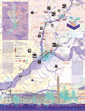
Fig.
Fig. 4 — Turku (FI) Winner
Landscape as a city — city as an island
→ See more p.66
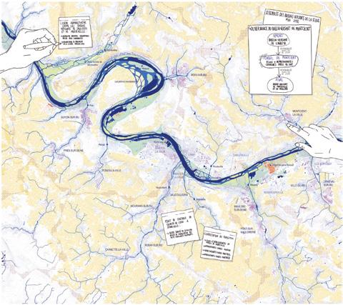
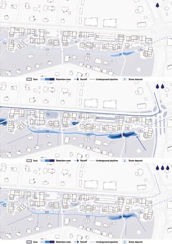
Fig. 5 — Turku (FI)
Special mention Vicus Selvaticus → See more p.71
Fig. 6 — Mantes-la-Jolie (FR)
Special mention
Chronicles of a living Seine
→ See more p.64
connections between the valley, lake, wetlands, and urban fabric. By treating water systems as a primary design driver, the project generates a large-scale strategy where productive programming is dictated by the landscape. Here, the distribution of reed beds, forests, and public spaces is governed by soil permeability and specific phytotechnologies, ultimately restoring a coherent identity to the site.
Winning project As Memórias da Água in Lisbon (PT) (fig. 2) uses topography as a generative guide. By leveraging the site’s steep gradient, the proposal associates agricultural, urban, and recreational programs with specific altimetric levels and hydrological conditions. Linked by a recreational spine, these programs function as a contemporary reimagining of Patrick Geddes’ Valley Section, unravelling the site’s terraced heritage to restore the intrinsic synergy between geography and human use.
Revaluing the Soil as a Key Towards Resilience
In Fumel (FR), the legacy of an industrial iron factory has left behind a landscape defined by heavy-metal contamination and a fractured relationship with the River Lot. Special mention project F3 La Fabrique Fertile de Fumel (fig. 3) reclaims this site by treating the soil not as a liability, but as a resource. By deploying differentiated phytoremediation strategies, the project transforms the site into a reservoir of biodiversity that re-establishes a lost connection to the river. Viewing the soil as a palimpsest, the design adds a transformative new layer to an already dense underground history. These strategies for pedological renewal offer a scalable model for the entire territory, where numerous post-industrial sites along the Lémance and Lot rivers await a more resilient future.
In Turku (FI), the infiltration and storage capacity of the soil are the primary drivers for reimagining the banks of the Aura River. Winning project Landscape as a city – city as an island (fig. 4) criticises the rigid urban history that systematically erased the site’s natural landscape structures. Today, the proposal
reorients the urban tissue toward the water, using the Aura’s hydrological figure as both a coherent spatial image and a catalyst for public life. This water landscape is designed as an adaptive metabolism that slows, stores, and filters runoff. Complementing this approach, special mention project Vicus Selvaticus (fig. 5) focuses on temporal flexibility, designing a stormwater system that fluctuates with the seasons. This infrastructure of infiltration becomes the neighbourhood’s new backbone, allowing diverse urban programs to dock onto a living, breathing hydrological system.
2. TERRITORIAL SOLIDARITY
Engaging with landscape foundations necessitates a reimagining of territorial solidarity. The E18 projects simultaneously challenge our traditional relationship with water, moving away from water as a mere resource to exploit toward a mindset of shared responsibility and regional interdependence.
Introducing Watershed-Scale Governance
Restructuring geo-morphology inevitably reshapes territorial management. In Mantes-la-Jolie (FR), special mention project Chronicles of a living Seine (fig. 6) uses speculative fiction to project an urban future where water is the primary protagonist. Its most radical proposal replaces rigid administrative borders with watershed-scale governance. By aligning political structures with hydrological realities, the project transforms participation from a localised checkbox into a systemic necessity. Ultimately, returning to landscape foundations establishes a new, resilient societal bedrock.
Reclaiming Alternative Relations with Water
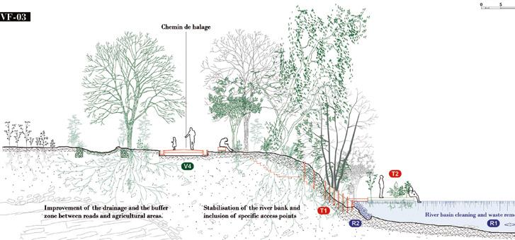
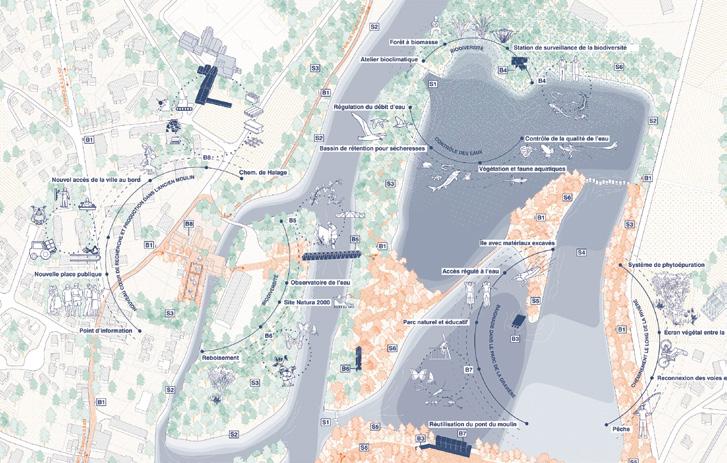
Taking even further the need for a new mindset to deal with water, some E18 projects build on a strong, radical statement. In La Nive (FR), the special mention project proposes a new moral frame to rethink the rules of inhabiting the river. Le contrat moral de la Nive is based on a necessary restored balance between the services that the ecological
milieu of the river offers to human collectives and the ones that they should give in return. The project calls for a new kind of legal and civic framework, a contract binding together the living conditions of the river and its inhabitants. From this perspective, the project offers dialogue spaces between multiple actors and various interests, as well as to imagine new forms of solidarity between down- and up-stream areas of the watershed (fig. 7).
To reclaim alternative relations with water, some projects question moral frames when others invite to gather around a strong political standpoint. In Barcelona-La Font del Gos (ES), special mention project I AM THIRSTY addresses the question of hydric justice calling for equal access to water as well as the restoration of water cycles. The water is then placed at the core of the project proposal, opening up a new hydrological perspective by deploying various low-tech systems (fig. 8). The project offers an open-ended approach which could translate citizens’ engagement into collective urban regeneration. Even if such projects seem to offer more thinking materials than designing ones, they matter because they stress out, trouble, and enlarge what water can be as a re·source for inhabited milieus.
3. LIVING METABOLISMS
Water territories very often suffer from years and years of harmful human activities. The prevailing relations with natural milieus have long been that of extraction and overconsumption, leaving behind an overall exhaustion, both ecological and social. Such exhausted landscapes call for a renewal of the relations between water and human activities, which are new kinds of living metabolisms.
Revisiting the Timeframe of Future Waterscapes
Many E18 projects sites question the possible alternative, desirable future for industrial remains along water infrastructure. What remains from the industrial past though is not only the exceptional spatial resources, but also deeply polluted soils and toxic materials. The experimentation of new timeframes appears
as a key to envisioning the regeneration of such polluted places, as proposed by winning project From Rust to Roots in Fumel (FR). To regenerate Fumel’s relationship with its landscape and industrial heritage, the winning team puts forward a process-oriented design: starting with a phase for collective recognition of the site latent resources, including first actions to restore its natural functions, and progressively leading to a socio-ecological landscape by the introduction of new programs and activities (fig. 9). Such a processual timeframe responds to the specific constraints of industrial remains: it allows time for ecological ecosystems to recover from pollution, for local dynamics to balance economic supports, and for inhabiting communities to apprehend the change into their daily environments. Rethinking the project timeframes can be engaged with a long-term perspective but also through a collective reassessment of the very short-term actions.
The design project appears then to thicken the presentness of the sites. In Mantes-la-Jolie (FR), the winning team Ce(ux) qui reste(nt) sees the industrial wasteland not only as a striking isolated built frame, but also as belonging to a larger history of the Seine productive territory (fig. 10). The design strategy, following an approach that is both sensible and technical, is to reveal and enhance the site’s spatial and material resources. The project interweaves different intervention strategies on the existing built frame but lets the question of its own starting point open. While three possible trigger operations are presented, the one that could be privileged still needs to be discussed, because of the technical and financial issues raised by the conversion of polluted brownfield sites. To reconsider industrial remains as resources for new living metabolisms, the E18 projects call for working with multiple timescales, oscillating between desirable futures and tactical presents. And both interweaving, for the best.
The Playing Part of Unexpected Allies
Many E18 projects seek for new kinds of allies to reframe the relationship with water and its metabolisms. But those new allies
Fig. 7 — La Nive (FR)
Special mention
Le contrat moral de la Nive
→ See more p.52
Fig. 8 — BarcelonaLa Font del Gos (ES)
Special mention I AM THIRSTY
→ See more p.144
Fig. 9 — Fumel (FR) Winner
From Rust to Roots
→ See more p.32
Fig. 10 — Mantes-la-Jolie (FR) Winner
Ce(ux) qui reste(nt)
→ See more p.60
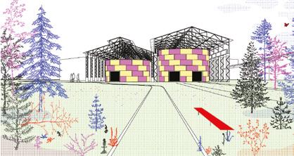
Fig. 11 — La Nive (FR) Runner-up Entraide
→ See more p.48
Fig. 12 — Fumel (FR)
Special mention La confédération des hexapodes
→ See more p.35
can be surprising… It is to the small ones, the usually disqualified parts, the dirty ones that a leading role is here assigned to regenerate large waterscapes.
Runner-up project Entraide in La Nive (FR) invites us to reconsider our wastes as allies to regenerate the socio-ecological metabolism of the river Nive. The Nive’s Territory is exposed to both severe floods and growing risks of drought. Facing such challenges, Entraide proposes a new Territorial River Park to adapt human settlements and activities with water fluctuations (fig. 11). But the proposal is not based on a technical approach of risk management. Instead it seeks to foster awareness-raising experiences of co-living with unpredictable water. A set of micro-architectures — each made of local waste reuse — punctually structures the territorial intervention. Wastes from industry and construction, discards of agricultural activities, garbage from soils and rivers maintenance, become bridges, natural paths, pavilions, observatories, or even research centres. Wastes can act as an unexpected ally to care for exhausted milieus, such as many other entities long seen as undesirable in our living environments.
In Fumel (FR), special mention project La confédération des hexapodes reconsiders the local population of insects as a strategic ally to lead the site’s regeneration (fig. 12). The project proposes to restore the riparian conditions of the milieus surrounding the industrial complex: it expands the landscape continuities (woodlands, grasslands) around the valley’s hydrographic network in order to enhance the living environments of different insect species. It also matters to develop intermodal mobility tracks (rail-cycle) inasmuch as the more car use is limited, the better coexistence with insects is ensured. Such attention given to the entomofauna of Fumel into the project also serves socioeconomic purposes. The reuse of the existing buildings is framed by the introduction of a new insect food chain, linking with the actual agri-food production of the territory.
CONCLUSION
The E18 projects signal a departure from managing water toward inhabiting its logic. These proposals demonstrate that landscape foundations offer more than technical mitigation; they provide a framework to reorganise cities from the soil upward. By centering water in the ‘re-sourcing’ process, we bridge the gap between geomorphology and society. Ultimately, water is our most vital connective tissue — moving us beyond survival toward a resilient, shared urbanism.
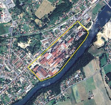
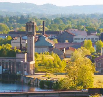
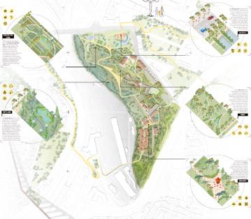
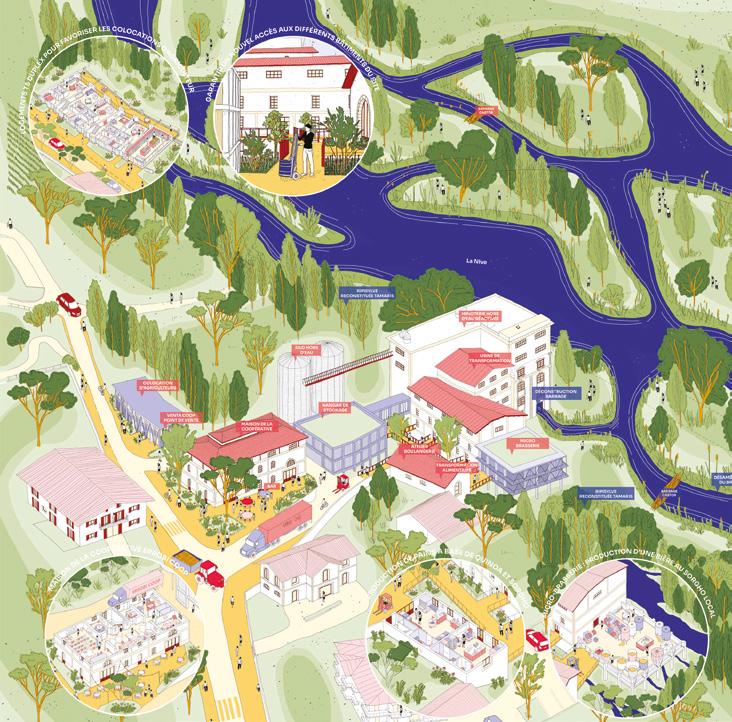
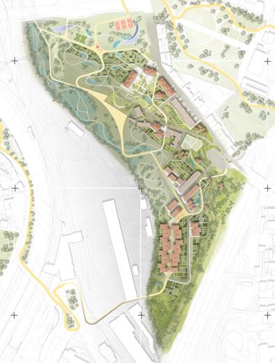
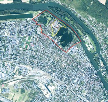
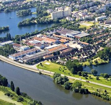
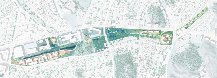
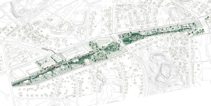
Fumel (FR)
How to activate industrial heritage through mixed and innovative programming that highlights existing resources?
Site Context
A key site of French steel production, this vast industrial complex, established in 1847, reached its peak in the 1970s when it employed over 3,000 workers daily. The following decades marked the beginning of difficulties for the factory, with restructurings and waves of layoffs before its final closure in 2018. The former factory has shaped the history of Fumel in all aspects. Its foundries animated the territory, altered the landscape, brought together communities of workers, and generated a local economy. Since 2008, the community of communes has owned the site and now aims to transform it and make the territory more attractive.
Questions to the competitors
How can we deal with a critical urban decline? How can we make the area attractive again by building on its specific characteristics? How can we invest in a polluted site while ensuring that it is transformed for the future? How can we transform negative commons into a positive dynamic? How can we turn a solar farm into an exemplary project that generates urbanity? How can the site’s memory be preserved as part of a new history? How can we reconnect the site with its environment and its elements? How can we make this site a model of economic, social and environmental development that is exemplary and sustainable throughout the region?
Scales XL/L
Location Fumel
Population 5,154
Reflection site 770 ha
Project site 20 ha
Site proposed by Architect and State Landscape Consultant
Actor(s) involved Community of Communes of Fumel, Commune of Monsempron-Libos, DDT47, UDAP of Lot-etGaronne, Region Nouvelle-Aquitaine, Banque des Territoires
From Rust to Roots
Team point of view
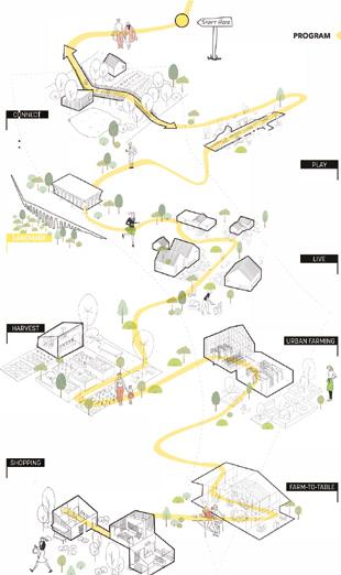
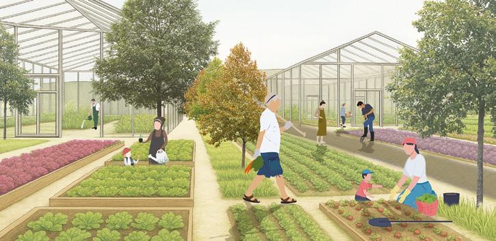
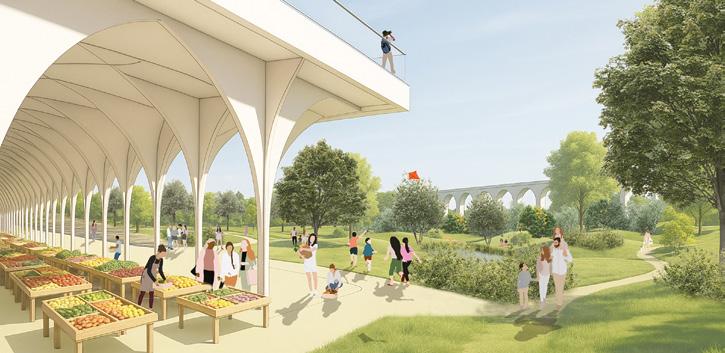
From Rust to Roots transforms Fumel’s abandoned steelworks into a regenerative landscape where past and future converge. Through phased strategies of recognition, reclamation, and regeneration, the project heals polluted soils, restores biodiversity, and seeds new programs in energy, agriculture, and culture. It weaves together ecological renewal, heritage preservation, and social inclusion, turning a symbol of industrial decline into a vibrant commons and a model for resilient, hopeful futures.
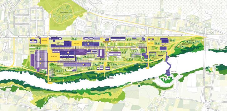
Author(s) —
Zuhal Kol (TR), Carlos Zarco Sanz (ES), Architects urbanists
Contributor(s) — Berna Yaylalı (TR), Landscape architect; Tuğçe Dilan Özdemir (TR), Yasir Mahdi (TR), Architects
Contact — zuhal@openact.eu carlos@openact.eu www.openact.eu
The team envisions the former Fumel factory as a living, regenerative landscape. The project responds to post-industrial decline through an ecological, social, and cultural transformation, drawing on existing resources: the workers’ collective memory, fertile soils, local biodiversity, and solar energy potential. The jury commends the project for its ability to address multiple issues and scales, but above all for its flexibility and adaptability over time, allowing for the gradual integration of resources from the site and the surrounding area. Jury point of view
F3 La Fabrique Fertile de Fumel
Team point of view
The Fumel factory project, once a symbol of an industrial region, proposes a paradigm shift: moving from an iron factory to a living factory. The soil becomes the project’s main resource, which must be understood, protected, and fertilised in order to reintroduce life. It is therefore defined as a common good, understood as an interface within the landscape that connects the actors of the territory, both human and non-human. he project reconnects with the productive and memorial function of the site, no longer through machinery, but through living organisms. Pollution, an unwanted legacy, becomes an unexpected resource. The acronym F3 sums up the project: Factory, a collective place that transforms the territory of tomorrow; Fertile, living soils to produce; Fumel, a local history to be reactivated.
Author(s) —
Rafael Comby (FR), Architect, urbanist; Leon Giseke (DE), Maria-Elena Laghi (IT), Landscape architects; Arnaud Laval (FR), Landscape architect, urbanist
La confédération des hexapodes
Team point of view
Due to the site’s unique relationship with the Lot Valley and its ecotone, the riparian forest, hexapods are the main focus of this project, a vector for the site’s revival. It aims to revitalise the valley’s biodiversity through this spectrum and introduce a virtuous dynamic centreed on life on the former metallurgical wasteland. The hexapod theme serves as a pretext for addressing, more generally, the need to reconnect human uses and biodiversity, a territory’s primary resource. The rehabilitation of the former metallurgical plant is approached like a giant pergola, blending biodiversity with heritage. New, innovative programs are emerging related to insects.
Author(s)
—
Jean-Baptiste Lescudé (FR), Architect, urbanist

Contact — jb.lescude@gmail.com
Jullouville (FR)
Scales L/S
Location Jullouville
Population 2,401
How to envision mix uses transformation of a vacation camp in nature?
Site Context
Jullouville , located in the Manche department, developed primarily as a seaside resort in the late 19th century. Classified as a tourist resort, it benefits from the appeal of Granville and its proximity to the Bay of Mont-Saint-Michel: while the town’s population of 2,401 multiplies tenfold in peak season, it also faces a high proportion of second homes, property prices nearly twice the departmental average, and an aging demographic. To counter this trend, the municipality aims to strengthen year-round activities. Jullouville proposes a site of a former vacation camp to create new dynamics that will contribute more broadly to the transformation of the town, which oscillates between periods of intense tourism and significant seasonal vacancy of housing.
Questions to the competitors
How can this dormant site initiate a process of permanent and accessible activities with a territorial impact? How can an urban transformation process be set in motion, envisioning mixed-use scenarios, and who can carry these projects forward? How can revitalising the former vacation camp foster a renewed connection with water while preserving the natural environment? How can a heritage site with strong transformation potential be revitalised into a cohesive and high-quality urban ensemble?
Reflection site 222 ha
Project site 4.1 ha
Site proposed by Municipality of Jullouville
Actor(s) involved Municipality of Jullouville
De la Mare à la Manche
Team point of view
Through the redevelopment of the Colonie site, the aim is to position Jullouville within the coastal arc from Granville to Mont-Saint-Michel. Programming and partnerships will enable the municipality to retain ownership and ensure the site’s openness to residents. This activity ecosystem seeks to rebalance a local economy still focused on summer tourism, by promoting traditional landscape skills, especially wetland practices like reed cutting. Anchored in an alternative heritage approach, the project follows a method of architectural and ecological continuity to support Jullouville’s longterm transformation.
Author(s) —
Léo Akahori (FR), Annabelle Hucault (FR), Architects
Contributor(s) —
Timothée Cantard (FR), Ecologist, geographer
Contact — Paris (FR) contact@murascala.com www.murascala.com
Jury point of view
The team prioritises an architectural response drawing upon the qualities of the built and natural heritage. They deliver a comprehensive project with uses and activities that cater to multiple scales of appeal and influence: services for residents (local level), housing (city level), and spaces dedicated to research (broader scale). The team proposes a heritage-focused approach and a process of adapting the existing buildings for mixed uses. The project proposes a real approach to architectural experimentation.
Le climatorium des possibles
Team point of view
While it is difficult to predict the future in the Anthropocene era, one thing is certain: Jullouville will not escape the challenges of climate change. Le climatorium des possibles draws on the city’s sensitive and dynamic environments and employs cultural, economic, programmatic, architectural and landscape hybrids to organise its renewal. Rather than a fixed project, our proposal is centred around an evolutionary process, a living resource-place enabling us to prototype what tomorrow’s climate-resilient world could look like. It is as much a research space as it is a constantly evolving place to live. We share its numerous shapes and stories through conceptualisation, a specific vocabulary and the development of a transdisciplinary toolbox.
Author(s) — Gaspard Basnier (FR), Ronan Le Cornec (FR), Architects urbanists; Léo Diehl-Carboni (FR), Heritage architect; Louise Gluntz (FR), Landscape architect; Lawan-Kila Toe (FR), Architect, PhD candidate
Contributor(s) — Kenza Ambraisse (FR), Artist; Clémentine Genet (FR), Architect, urbanist
Contact — Paris (FR) contact@bureauinvisible.com www.bureauinvisible.com
The project proposes a generous intensification of the site’s uses with a strong human presence (leisure, market gardening, festivals, crafts) as well as animal and plant life. The park becomes a permanent space for experimentation and accommodates light and demountable structures, while the existing buildings are occupied by spaces for cultural and artisanal production. This is a deliberate and eclectic proposal that seriously addresses the issue of climate adaptation. Jury point of view
The coastal sentinels
Team point of view
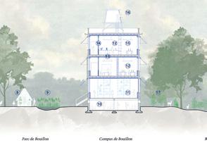
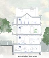
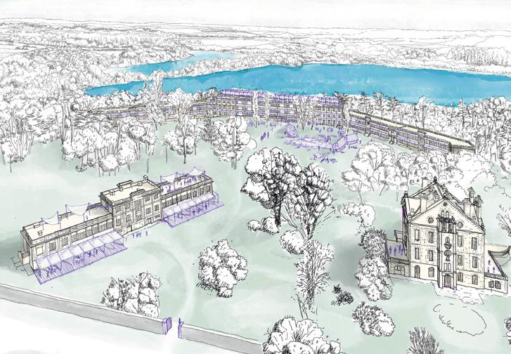
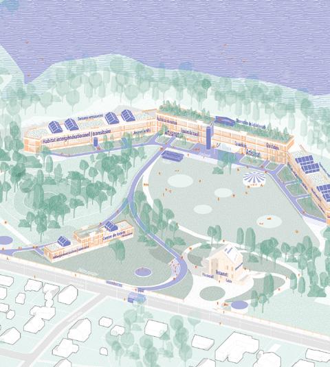
Jullouville, a coastal town facing rising sea levels and erosion, is beginning its transformation. The project proposes a speculative atlas of postcards to imagine a territorial transition: five symbolic figures guide concrete actions at the scale of the site and the watershed. The former summer camp becomes a Coastal Resilience Centre, the heart of a learning territory. Around the Bouillon Campus, a model for coastal adaptation emerges, based on five new local sectors and a strategy of managed retreat. Jullouville becomes a post-seaside laboratory, aligned with its geography and natural cycles.
Author(s) —
Jeanne Aïssaoui (FR), Pietro Mariat (FR), Selin Delamare (FR), Pierre Bertin (FR), Charles Chepy (FR), Architects
Jury point of view
Contact — pietro.mariat@gmail.com
The team hypothesises a post-seaside urban shift, forcing housing and tourism to retreat to a hinterland area around new micro-centres. This response to coastal erosion comes with a renaturalization of the seaside town. In this new narrative, the former colony of Jullouville becomes a campus dedicated to the emergence of new ways of living and experiencing the coastline. This project proposes a manifesto on the scale of the greater coastline opening up the debate and many lines for reflection.
Épicentre d’intérêts
Team point of view
Épicentre d’intérêts is the revitalization of a site strategically located at the crossroads of many territory structuring elements. Between sea and land, at the heart of the city with its villages and coastline. Surrounded by sources of activity and potential programs to activate, the site is moving from the status of an enclave to become a village square. Buildings, remarkable for their potential, are just waiting to be revived through an innovative form of associative governance, combining public authorities, local economic and institutional actors, led by a mantra: the common interest. It’s by carrying out this renewal within a Collective Interest Cooperative Society that the town hall manages this new ambitious site focused on the social and solidarity economy and the common property.
Author(s) —
Geoffrey Castille (FR), Aurélien Rousselle (FR), Architects
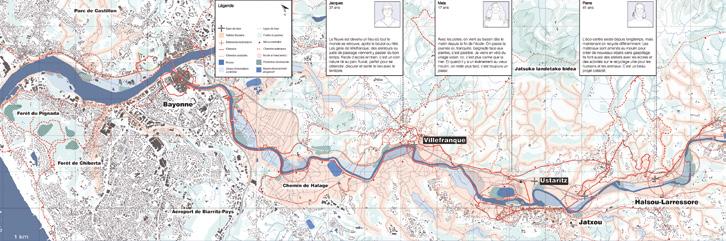
La Nive (FR)
In three contrasting sites along the river, how to create new cohabitation between nature and humans?
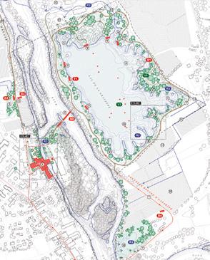
Site Context
The Nive catchment area is a multifaceted space where water and humans maintain an ambivalent relationship characterised by conflicts and temporary balances. It is a protected natural site located within a developing economic zone and a rapidly growing population, an entity that illustrates the issues surrounding the management of commons, and a governance territory tested by the practical challenges of ecological transition and adaptation of modern societies. With this large territorial reflection site and its three micro-territory project sites, it is possible to address issues involving different dimensions.
Questions to the competitors
From upstream to downstream, these sites are located in Saint-Jean-Pied-de-Port, Ustaritz, and Villefranque. Three contrasting situations along the Nive which illustrate this large territory’s challenges in their own way:
— The challenges of coexistence between residents, users, tourists, and wildlife; and the balance between creating landscapes suited to human uses and protecting the biodiversity present.
— The challenges of renewing the interfaces between inhabited spaces and the river, balancing the desire for proximity and orientation of towns and centres towards the Nive with the management of flood risks.
— The challenges of large-scale territorial cohesion around the river, notably through the towpath.
Scales XL/S
Location River Nive area
Population 97,600
Reflection site 110 000 ha
Project site Saint-Jean-Pied-de-Port: 15.4 ha, Ustaritz: 47.4 ha, Villefranque: 27.1 ha
Site proposed by Pays Basque Agglomeration Community Actor(s) involved Pays Basque Agglomeration Community, Municipality of Ustaritz, Municipality of Saint-Jean-Pied-de-Port, Municipality of Villefranque
Ressources de la Nive
Team point of view
The project proposes a coherent approach to managing the territory of the Nive and its regeneration based on the sustainable use of its resources. The answer to the question of how to manage a territory in a resilient and sustainable manner lies in the river basin itself and its material and cultural resources and the identity of the region. Material resources include forests, fields, quarries and water management, while cultural resources refer to community knowledge, local techniques, as well as cultural and symbolic elements such as the chemin de halage and other identity components of the region. The project proposes the management of local resources, techniques, and knowledge as tools for territorial regeneration and as drivers of socioeconomic development and social cohesion.
Author(s)
—
Julio Gotor Valcárcel (ES), Architect
Jury point of view
Contact — Vogesenplatz 1, 4056 Basel (CH) info@studiogotor.ch www.studiogotor.ch
The project is situated at the scale of the greater Nive River basin, a relevant scale for understanding the territorial ecosystem, its landscape, and its functioning. The team emphasises the interconnectedness of three fundamental issues for caring for the territory: water management, ecological management, and the management of spaces inhabited or traversed by human activities and communities. Based on this territorial vision, the team develops specific proposals for each of the three sites, cultivating a sensitive and tangible relationship with the river. The jury highlights the demonstrative nature of this multi-scalar proposal, which underlines the interdependence of different scales.
Entraide
Team point of view
Towards a circular and interspecies territorial park
Entraide imagines a new future for the Nive Valley by weaving together ecological care, material reuse, and local solidarity. It proposes a territorial river park structured as a living, regenerative system, rooted in mutual aid between humans and non-humans.Through soft infrastructures, reactivated waste streams, and micro-architectures made from local materials, the project fosters new forms of coexistence. It embraces the river as a guiding presence — an active force in a shared landscape — while risk zones become spaces for learning, exchange, and resilience. Rather than offering fixed solutions, Entraide initiates a long-term journey toward balance.
Author(s) —
Aron De Cesero (IT), Pierluigi Recca (IT), Architects; Marta Magnaguagno (IT), Architect, urbanist
Jury point of view
Contributor(s) —
Edoardo Ambrosio (IT), Sofia Bonotto (IT), Pierpaolo Coppola De Almarza (IT), Isabelle Quinto (IT), Students in architecture
Contact — Endèma — Belluno, Catania, Trento (IT) info@endema.it
Inspired by Pierre Kropotkine’s concept of mutual aid between humans and nature (1902), the team also draws on the contemporary thought of philosopher Donna Haraway and her book ‘Staying with the Trouble’ (2016). The team envisions the project as an evolving process of coexistence with the river, aiming to transform at-risk areas into spaces of social and ecological innovation. The project develops across several scales of intervention, from XL to XS. The proposal addresses the theme in depth while also considering the question of how to use the project sites.
Faire Terre la Nive
Team point of view
Faire Terre la Nive rethinks the watershed to address today’s environmental challenges. It relies on three pillars: deconstructing and rewilding land to restore water cycles, and adapting agriculture (sorghum, quinoa, agroforestry). The cooperative ‘La Source de la Nive’ unites local authorities, residents, businesses, and associations around concrete actions: farmland trust, training, food processing, and local markets, for a shared management of common goods. The project ‘fait taire’ a vulnerable land and plants the seeds of a fertile watershed and a hopeful future.
Author(s) —
Marine Gate (FR), Major risks architect; Yann Houllard (FR), Architect, urbanist; Anouk Etienne (FR), Urbanist, programmer
Jury point of view
Contact — Sant Joan Despí (ES) collectifmaya@gmail.com www.collectifmaya.com
The team reconsiders the relationship between the river and the territory, the soil and human activities. They work simultaneously on agricultural soils and natural environments to improve the ecological functioning of the valley: de-developing areas to restore a more natural water cycle; re-naturalising to increase infiltration capacity; and adapting crops to climate change. This proposal is relevant to agriculture issues, the management of food resources, and the use of cooperative economics.
Le contrat moral de la Nive
Team point of view
Le contrat moral de la Nive invites watershed residents to co-write a positive narrative for their territory. Through this agreement, the Nive becomes co-owner of a dynamic layer of its river course — a space for dialogue and the spread of good practices across the watershed. These aim to reconnect the river with its water cycle, sparking new tourism, agricultural, ecological, and societal dynamics. The Nive is represented by the Syndic, a governance structure guided by the Labo, which ensures its ongoing health. This moral contract raises awareness of local challenges and strengthens the emotional and conscious connection between inhabitants, their watershed, and their river.
Author(s) —
Justine
Laliche (FR), Architect; Louise Deshayes (FR), Architect, engineer
Contributor(s) — Mathilde Martinot-Lagarde (FR), Architect, engineer; Léa Louis-Tardieu (FR), Architect
Contact —
les.riveuses@gmail.com
Lisboa (PT)
Over a tunnel for water, how to create a new city layer?
Site Context
In Campolide, Lisbon, we are faced with a territory with unique characteristics in the city: on the one hand, it is isolated from the adjacent urban fabric, marked by road and rail infrastructures, with a complex morphology and steep slopes, still reflecting a past of agricultural and working-class character, devalued and degraded; and on the other hand, it is located on a slope facing west, overlooking the Alcântara Valley, currently integrated into the city’s structuring system of green corridors, with panoramic views. The secular Águas Livres Aqueduct, built in the XVIII century, is an extraordinary landmark and protagonist of the site south views, crossing the Alcântara Valley with its stone arches and entering the Monsanto Forest Park.
Questions to the competitors
After the undergoing construction of a major tank and tunnel to prevent downstream flooding in low-lying areas of the city, a design solution is required for a new urban cover. This should (re)connect a part of Lisboa that has been separated from the adjacent urban fabric by major public works, such as railway line and motorways. How can we create new ways to use natural resources wisely in the built environment and boost ecological balance between natural flows and urban needs? How can we establish effective connections between urban areas and overcome the limitations imposed by infrastructure? How can we shape a sustainable, beautiful and inclusive future while providing housing and habitat?
Scales XL/L
Location Campolide, Lisbon
Population 14 787 (Campolide)
Reflection site 253 ha
Project site 11.6 ha
Site proposed by Lisbon Municipality
Actor(s) involved Lisbon Municipality, others
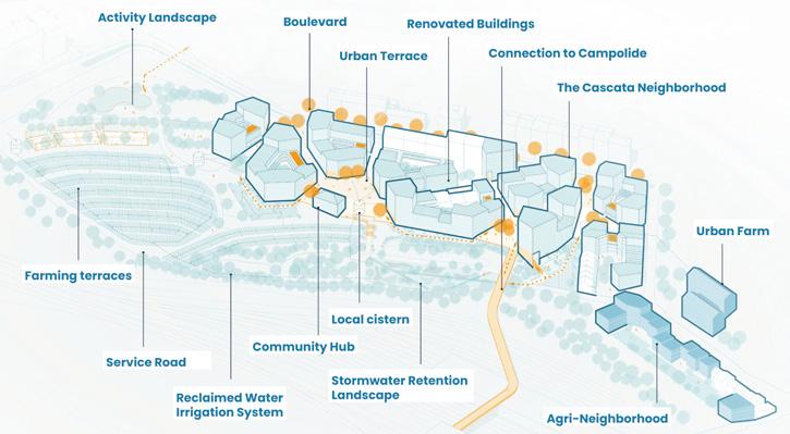
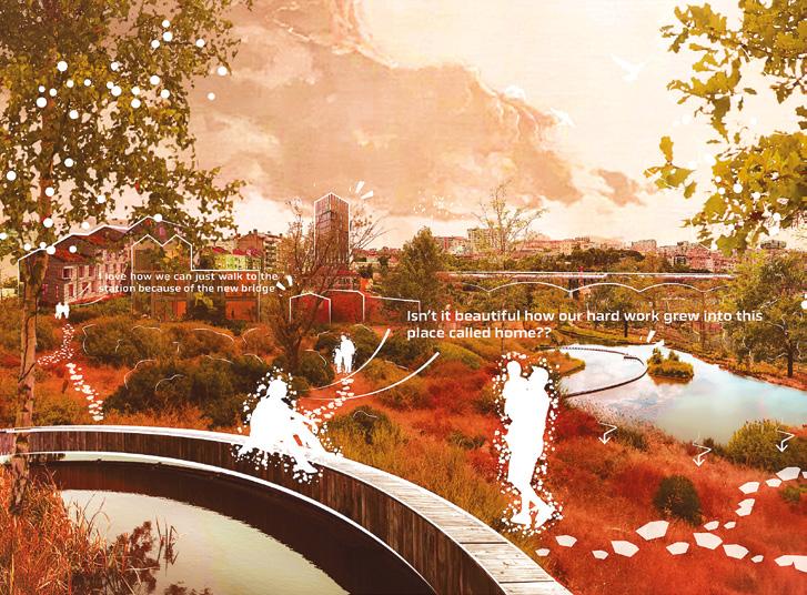
As Memórias da Água
Team point of view
As Memórias da Água is an urban regeneration project that reimagines Lisbon’s Campolide district through the lens of memory. Located within the city’s main green corridor and marked by severe topographical and infrastructural challenges, the area is restructured around a central pedestrian path connecting ecological, productive, residential, and social functions. The project integrates rainwater management systems, urban gardens, new housing, and collective spaces — reviving a neglected landscape while offering a replicable model for a resilient, sustainable, and identity-driven urban future.
Author(s) —
Marta Marino (IT), Damiano Ceriani (IT), Landscape architects; João Henrique de Oliveira Conceição (PT), Architect; Naya Aslan (SY), Sara Mahmoud Salem (EG), Jide Sleiman Haidar (LB), Architects urbanists
Jury point of view
Contact — Lisbon (PT)
marta.marino1991@icloud.com www.linkedin.com/in/martamarino-572788151
This project shows a good understanding of the site within the city and a diversity of proposed strategies. It proposes an ecological function, connected to Lisbon’s green infrastructure network, as well as a productive, residential, social, and cultural functions. The project addresses the various challenges posed by the current site’s location through a design language that integrates key elements of the surrounding environment, reinforcing its formal identity. The proposed scale is appropriate and feasible, adding value to the neighbourhood.
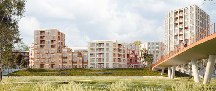
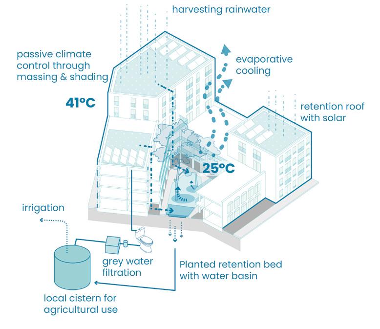
Cascata Urbana
Team point of view
Cascata Urbana combines a dense, sustainable neighbourhood with an agricultural focus. Water is treated as a valuable resource and reused in staggered cycles, with surface water and greywater integrated into a systematic irrigation network for fields and community gardens, while also circulating through housing typologies to support domestic reuse and cool courtyards and public spaces during the summer. Strategic new connections link the area to its surroundings, making new qualities accessible beyond the site. Existing paths and buildings are carefully integrated into the urban fabric. Above the large cistern, a wild, flood-resilient landscape with partially submerged plants offers a natural experience, accessed via wooden walkways. With its urban terraces and ecological logic, the quarter becomes a confident, future-oriented piece of the city.
Author(s) —
Vanessa Giolai (AT), Daniel Loeschenbrand (AT), Jan Niklas Schöpf (AT), Architects, Urbanists
Contact — arch.jan.niklas@gmail.com www.janiklaschoepf.com
Jury point of view
This project responds very well to the city’s current challenges, specifically for this location. It presents a balanced urban solution, combining residential density with environmental responsibility. It considers the hydrological landscape, mobility, and the daily life that can be generated within the surrounding environment.
A Place Called ‘Growth’
Team point of view
Regeneration through contextual evolution
A Place Called ‘Growth’ reclaims Lisbon’s Campolide as a civic ecology. By revealing its hidden water systems and embracing the site’s topographic logic, it transforms neglected infrastructure into a participatory landscape. The strategy unfolds across time: from co-built timber bridges and sponge parks to a circular housing model that blends market dynamics with cooperative self-production. Growth is reframed, not as expansion, but as care, resilience, and co-authorship. This is not a masterplan, but a living framework where community, ecology, and urbanism regenerate together.
Author(s) —
Timothy Simons (NL), Urbanist; Anoushka Kolahulu (IN), Architect, urbanist
Contact — Rotterdam (NL) timothy-95@hotmail.com www.linkedin.com/in/timothy-simons-4b7191187/
Mantes-la-Jolie (FR)
How to breathe new life into the Entre-Lacs industrial site and forge new links with the city and its green, blue and urban fabric?
Site Context
The Entre-Lacs site, located along the Seine between the consolidated city centre of Mantes-la-Jolie and the Val-Fourré district, made of an 11-hectare industrial wasteland nestled between two lakes created by former quarries. While this urban and landscape location is remarkable, access and use of the site are currently limited due to the high level of soil pollution. The town wishes to promote a site with a unique architecture and history.
Questions to the competitors
How can we strengthen the green, blue and brown frameworks and make them part of the fabric of urban public spaces, as well as citizens’ uses? How can we take advantage of the relationship with water, its different natures, assets and risks? How can we regenerate the site’s soil, which is largely artificialised and polluted? How can we enhance the value of existing built and non-built assets in line with the ‘3Rs’ principle (reduce, reuse, recycle)? What uses would enable the site to be immediately reused and opened to the public, so that there is no break in the life of the site and the city? How can the site’s history be shared and enhanced to strengthen links between neighbourhoods?
Scales XL/L
Location Mantes-la-Jolie
Population 44,539
Reflection site 85 ha
Project site 11 ha
Site proposed by City of Mantes-la-Jolie
Actor(s) involved Public Land Establishment Île-deFrance, Greater Paris Seine & Oise Urban Community
Ce(ux) qui reste(nt)
Team point of view
Located in the Seine Valley, the Dunlopillo site (10 hectares) is part of a large industrial complex adjacent to riverside parks and leisure areas. Its decline presents an opportunity to transform it into a fertile zone of friction between these entities, generating urban intensity. Rather than proposing a single strategy, the project offers a toolbox derived from a historical analysis of the site’s material and spatial configurations throughout the 20th century. Three families of tools define combinatory scenarios and localised interventions: clearing out, reassembling, ruination.
Author(s) —
Camille Gineste (FR), Thomas Flores (FR), Architects urbanists; Vincent Prevost (FR), Architect, landscape architect
Contributor(s) —
Richard Dmitri Hees (DE), PhD on Pollution and Cost optimisation
Contact — 1 Passage Plantin, 75020 Paris (FR) thomas.flores@outlook.fr @warm.weekend
The project stands out as a highly original proposal. The team presents a different approach to ‘project design’ — one that avoids the desire to control or dominate the site through an uncertain master plan. The proposal fully embraces the theme by mobilising the site’s spatial, material, and symbolic resources with a sensitive and iconic approach that conveys meaning. The jury wanted to distinguish the team for the relevance and sensitivity of their perspective on industrial architecture. Jury point of view
LUEURS CONTAGIEUSES
Team point of view
The project regenerates the Entre-Lac brownfield in Mantes-la-Jolie by leveraging material, vital, and energetic resources across three progressive phases. First, it focuses on the site itself: depolluting, strategically managing existing structures, and fostering community engagement. The second phase sees the project’s principles spread contagiously through the city, integrating urban circular economy, disseminating reclaimed materials for climate adaptation, and transforming initial prefigurations into lasting activities that radiate throughout the city. Finally, in the third phase, the Entre-Lac model expands to the entire Mantois bioregion where a constellation of over 400 reactivated sites form a cooperative ecosystem aligned with natural rhythms and concerted resources use.
Author(s) — Lucas Darcy (FR), Léo Pauvarel (FR), Jean Montagne (FR), Architects; Yann Ninot (FR), Architect, engineer; Théo Seguin Nasstrom (FR), Architect, urban planner
Jury point of view
Contributor(s) — Axelle Bourguignon (FR), Architect, illustrator, graphic designer; Marceau Bariou (FR), Architect, urban planner
Contact — Studio Punch architecture
Jean Montagne architecte Yann Ninot architecte & EXISTANTS
The proposal aligns with the spirit of a competition of ideas, employing conceptual and graphic research to express both a short- and long-term vision of the site. The proposals are diverse, some local and located, others more generic, including biodiversity mapping and the use of low-tech solutions to revitalise the site. The project proposes a forward-looking and systemic approach that mobilises all kinds of resources and solutions across multiple time horizons.
Chronicles of a living Seine
Team point of view
In the Entre-lacs, the Seine plays a leading role. The transformation of the former industrial site must therefore take into account all the uncertainties of the river. To anticipate without freezing outcomes, fiction is mobilised. It enables the crossing of scales and temporalities to create a layered future, in which project actions are tools to reveal multiple possibilities. The Entre-lacs can thus become a productive, permeable, and ever-demonstrative space. Through play and exploration, fiction can take various forms to invite everyone to shape the future. Gradually developing the project’s dialogues is a way of moving toward collective responsibility for water resources.
Author(s) —
Laura
Lièvre (FR), Léa Lederer (FR), Joseph de Metz (FR), Architects urbanists
Contact — Paris (FR) laura.lievre@outlook.com
Turku (FI)
How to transform an area lacking identity and with risks of flooding into a natural urban strip?
Site Context
Vähäheikkilä neighbourhood is located south of Turku city centre, reasonably close to the Aura River and the sea. Its environment is varied in terms of land uses and urban structure. Between the housing estates, a strip of undeveloped land and small industrial buildings remains, partly unplanned and unfinished in appearance. Among small industrial plots there is a green area, once reserved for a potential road which is no longer needed. The district lacks a common identity that would link its parts into a whole. The competition site serves as an important stormwater route. The urban stream runs at present mostly in an underground pipe. It collects water from an extensive catchment area, but the risk of flooding is high
Questions to the competitors
How to transform the area reserved for an unbuilt street into a new central urban space for the entire Vähäheikkilä neighbourhood? How can the site be better integrated with the surrounding neighbourhoods and the city centre? How to implement natural measures for stormwater management to reduce the risk of flooding and to create an attractive feature? How to improve urban nature, focusing on increasing biodiversity in greenfield areas and preserving valuable meadows? How can the site balance business, industry, education, and mixed housing in a sustainable manner? What form will new housing and services take in this small-scale neighbourhood?
Scales S/S
Location Vähäheikkilä, Turku
Population 1,100 (Vähäheikkilä)
Reflection site 103 ha
Project site 13 ha
Site proposed by City of Turku
Actor(s) involved City of Turku, private partners
Landscape as a city — city as an island
Team point of view
Our design proposes a radical shift: nature becomes the framework for urban growth. The Varsoja stream is restored as a central corridor, combining flood control, ecology, and vibrant public spaces. Architectural archipelagos are embedded within the landscape, drawing on Turku’s unique rocky landscape formations. The approach leverages Turku’s diverse ecosystems – rocky outcrops, boreal forests, meadows, and wetlands – to create a resilient, green urban centre that fosters community and adapts to climate challenges. By reopening and celebrating the stream, the project transforms fragmentation into opportunity, promoting social interaction, flood resilience, and a deep connection between urban life and natural systems.
Author(s) —
Louise Audurier (FR), Urban planner; Oksana Chebina (UA), Johan Rey (CO), Architects; Yevheniia Likhachova (UA), Urban designer; Philipp Steinbacher (DE), Landscape architect
Contributor(s) —
Prakhar Rawal (IN), Ecologist; Melissa Soh (AU), Landscape architect; Nithish Kini Ullal (IN), Sustainable energy consultant
Contact — Berlin (DE) cityasisland@ gmail.com
This project presents an interesting reading of the urban development and the natural landscapes and biotopes of Turku. It juxtaposes the rigid historic grid of the city with the morphology of the famous Turku Archipelago. From the meeting of these two, the proposal takes a starting point for a concept which inverts the relationship of the urban and the natural. The result is an inventive urban structure where built islands meet the natural landscape which acts as a connector. The proposal has succeeded in creating a rich and unique world of its own. Jury point of view
Wild Vähäheikkilä
Team point of view
What is Wild Vähäheikkilä? In the context of current ecological challenges, a new understanding of urbanity is taking centre stage: the recognition of the city as a habitat for more than just people. Wild urban nature does not stand for anarchy, but for natural self-organization, co-evolution and resilience. Urban space is shaped in coexistence with all forms of life. Wild urban nature does not mean a return to ‘pure’ nature, but the integration of natural processes into the urban fabric — as a co-creator, as part of a shared future. The transformation of the canalised stream, not as a pure infrastructure project, but as a living dynamic organism gives rise to new urban qualities. Water is not controlled here, but accompanied. It becomes the engine of ecological, spatial and social renewal.
Author(s)
—
Marc Rieser (DE), Urban planner
Jury point of view
Contact — caos caos, Hamburg (DE) info@caoscaos.eu www.caoscaos.eu
This project focuses on nature as a part of the design process, giving nature itself an agency in the process. The project presents an interesting in-depth reflection of natural processes as a choice towards uncertainty: where nature is the leading character of design, edges are soft and space remains in flux — incomplete, open, alive. The core concept references Japanese kintsugi, proposing nature as the connecting golden seam in the fractured urban fabric. This approach claims to work out of the existing conditions instead of imposing a new grid on the site, which results in a flowy and somewhat restless urban layout.
Bäckbo
Team point of view
The Bäckbo concept centres on creating a sustainable, inclusive community where all generations connect naturally. Designed around three main hubs — a lively Generations Park, a nature-oriented Stormwater Park and a vibrant Event Square — the plan integrates flexible housing, ecological networks, and diverse public spaces. Phased development with temporary uses encourages early community engagement and adaptable living, fostering a vibrant neighbourhood from the very start. At its core, the plan enables a good life: everyday encounters, access to nature, opportunities for participation, and a sense of belonging — all woven into the fabric of the area through thoughtful design.
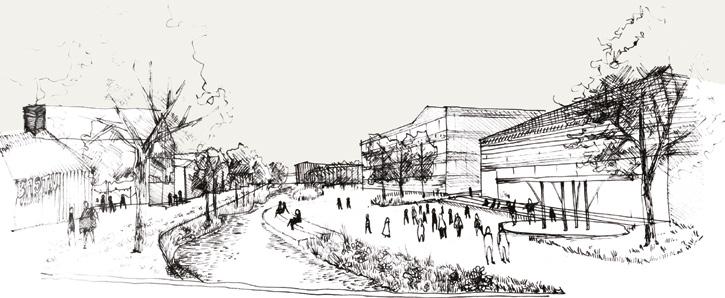
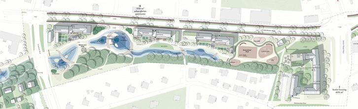
Author(s) —
Aura Pajamo (FI), Architect; Tuulikki Peltomäki (FI), Landscape architect; Moona Tikka (FI), Urbanist
Contact — Helsinki (FI) backbo.europan@gmail.com
Vicus Selvaticus
Team point of view
Vicus Selvaticus is a visionary proposal for Turku: not just a new neighbourhood, but a living ecosystem where humans and nature coexist, regenerate, and evolve together. Rooted in the Finnish concept of luonto, it celebrates a deep cultural bond with water, forests, and shared landscapes. The project repairs past urban fractures, supports local economies, and creates inclusive public spaces. Inspired by regenerative design, it fosters biodiversity, ecological corridors, and climate resilience. Like a new Aurajoki, Vicus flows into the city, nurturing collective memory and a multispecies community where care, coexistence, and transformation shape a fertile future.
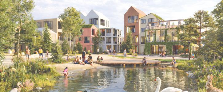
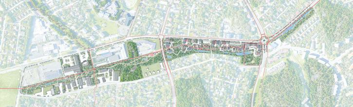
Author(s) — Maicol Negrello (IT), Architect, landscape architect; Silvia Lanteri (IT), Architect, urbanist; Junior Perri (FI), Sara Barera (IT), Alessandro Monaldi (IT), Fabrizio Accossato (IT), Niccolò Bellei (IT), Architects; Sara Marzio (IT), Landscape architect; Chiara Fabbri (IT), Architect, urban designer; Chiara Bossù (IT), 3D artist; Gaia Cattaneo (IT), Student in architecture
Contact — Collettivo Selvaticus, Turin (IT)
archnegrello@gmail.com
collettivoselvaticus@gmail.com www.collettivoselvaticus. wordpress.com
2. reactivating soils
In this family of sites, the potential of soils could guide the evolution of a site in a process of space’s regeneration, intensification or addition. The biological dimension of available land could trigger new ecological and social relations, and interactions between organisms for a mutual benefit. From the horizon to the scale of the microorganism: which is the capacity of soils to infiltrate biodiversity provide ecosystem services and give continuity to the territory?
Eslöv (SE) — Genève (CH) — Karlstad (SE) — Regensburg (DE) Speichersdorf (DE) — St. Gallen (CH)
Geographical Urbanism
By Iñaki Alday (ES)
aldayjover architecture and landscape, Barcelona (ES) / New Orleans (US) www.aldayjover.com and Tulane School of Architecture and Built Environment (US) www.architecture.tulane.edu
The evolution of the Europan projects in recent years, from their initial focus on housing to the current wide panoply of urban and landscape scales and problems, allows us to identify a series of prevalent trends among the new generations of European architects, urban planners and landscape architects. The most attractive aspect of this analysis is to observe the creativity and intuitions of these generations, expressing their concerns, the issues they consider most relevant and worth addressing, and the action principles to face these dilemmas.
At the urban and territorial level in this group of priorities and criteria for action there is a collage of recent trends in continuous reinterpretation: ‘Landscape Urbanism’, ‘Water Urbanism’ or ‘Forest Urbanism’. These design approaches can be grouped under the broader concept of ‘Geographical Urbanism’, which I have been working on for the last 30 years. The project for the Recovery of the Gállego Riverbanks in Zuera, by aldayjover1, 2 is internationally known for being the first design of a flood in public space and architecture in the contemporary Western world. However, this project is fundamentally a proposal of geographical urbanism: to reconnect the town, give it a façade, generate public space on an urban scale, and identify a new area of growth to the south, all structured by the river as the main geographical element, until then mistreated and forgotten at the back of the urban area (fig. 1).
This sensibility has spread in different ways across all continents: branding in North America with the term ‘Landscape Urbanism’3, large-scale execution in Asia with tens or hundreds of built projects, and general
professional and public opinion awareness in Europe4. The idea of ‘Geographical Urbanism’ is not so much another attempt at a novel trend as a vindication of pre-industrial thought and the basic concepts that we can identify throughout history in human settlements concepts that until recently seemed distant, well known and not very exciting. The contemporary proposals, and in particular the Europan 18 winner and runner-up proposals, connect this pre-industrial approach with new contemporary concerns. What happens when the concepts of ‘Decentralised City’, ‘Isotropic City’, ‘Polycentric City’ or ‘15-Minute City’ are superimposed on the idea of ‘Geographical Urbanism’? What are the impacts of communication networks and other apparently non-material systems of the digital society on the logic of the territory? How are the multiscale systems of urban metabolism incorporated into geographical logics — drinking water and sewage, waste, energy, transport of goods and people, etc.?
When analysing a group of Europan 18 prize-winning projects at least three main lines of work emerge within a geographical approach to urban planning: Ecology; Water and Topography; and Built Scale.
The winning project in Eslöv (SE) articulates the masterplan through a powerful transversal corridor that, in the absence of territorial connections, experiments with the creation of a local ecological system (fig. 2). It presents the interesting attempt to create a geographical element on a neighbourhood scale, perpendicular to the north-south promenade that divides the plot in two. In Karlstad (SE), the runner-up proposal ‘stretches’, in both sides of the plot, the existing north forest, trying to
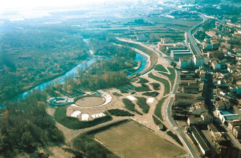
Fig. 1 — Zuera (ES)
Recovery of the Gállego Riverbanks
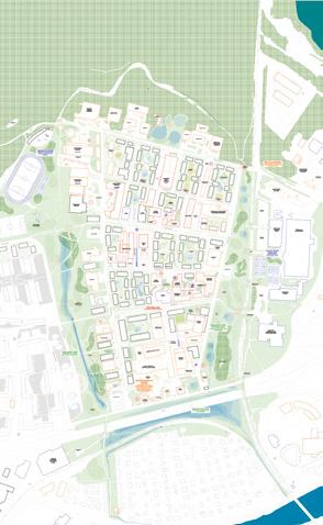
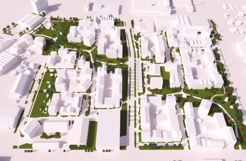
Fig. 2 — Eslöv (SE) Winner
Life in Progress
Reincarnation of Bruksstaden → See more p.84
Fig. 3 — Karlstad (SE) Runner-up Visions for Våxnäs → See more p.100
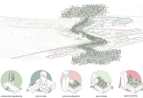
Fig. 4 — Regensburg (DE)
Winner zam wachsn
→ See more p.104
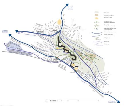
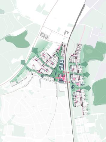
Fig. 5 — Regensburg (DE)
Special mention
Regensburger Nordstern
→ See more p.108
Fig. 6 — St. Gallen (CH)
Winner Abbey in RE major
→ See more p.116
reach the river that runs south, close to the project area (fig. 3). The Høglandet Park runs between the housing area, the cultural and educational facilities and the sports area. The west Park (Laglandet Park) acts as a buffer space between the new neighbourhood and the existing city. It is worth asking whether this standard solution — the transition zone between the existing and the new — should be put into crisis in favour of a ‘building transition’ and an ecological and geographical corridor more intimately connected to new urban forms and their housing and facilities. The winning project in Regensburg (DE) is surely the clearest of those that use the ecological corridor as an articulating element of new urban growth, connecting forests to the east and west, and turning it into the main public space. This project develops a bright urban form that complements the idea of the corridor. Its low-rise blocks — three or four storeys — are articulated by public spaces on a neighbourhood scale and small towers that anchor them as visual references, offering an excellent counterpoint to the horizontality of the buildings and the urban forest that crosses the neighbourhood (fig. 4).
Water and topography are not as essential in urban articulation as might have been expected in the group of the prize-winning projects analysed. The proposal most focused on these two intertwined themes is the special mention in Regensburg (DE). Instead of the forested corridor of the winning proposal described above, and which incorporates small ponds, the special mention identifies two drainage lines that are also transversal and a third north-south that converge in a retention lagoon. The proposal repeats the same strategy on the other side of the rail tracks (fig. 5). It is interesting to compare the landscape sophistication of the special mention, which develops the built form less elaborately, with the rotundity of the green corridor of the winning proposal, enriched with the very interesting urban morphology described above.
The third line of work to highlight in this group of prize-winning projects is the geographical scale of the architectural element.
The site of St. Gallen (CH) presents a significant topographical complexity at the foot of the adjacent mountain. The winning proposal makes a daring exercise in macrostructure, continuous and permeable at the same time, with a geometry fragmented enough to be integrated into the place (fig. 6). It extends horizontally, parallel to the slope, or descends in steps perpendicular to it, depending on the needs of this trace of a geographical scale. A stream runs through the building on the west side and another surrounds it on the east. The structure is anchored to the ground or raised on it with piles, offering multiple entry points, partially surrounding public spaces or completely enclosing an agora.
In conclusion, it is worth noting the interest of most of the prize-winning designers on the Eslöv (SE), Karlstad (SE), Regensburg (DE) and St. Gallen (CH) sites in approaching the design of new neighbourhoods using geography and its main elements as a key to articulating new forms of urban life, connected to their territories. The result has large-scale ecological and water management implications that are a planetary urgency. And for their inhabitants they offer an experience of great richness at multiple scales, from the tree and the bench in the corridor or in small ramifications or frayed greens between the buildings — to the ability to access the mountain, the river or the lagoons that help manage storms. What thirty years ago was little less than an eccentricity is today a way of understanding how to inhabit the planet.
1. K. Shannon, From Theory to Resistance: Landscape Urbanism in Europe, in Ch. Waldheim ed., Landscape Urbanism Reader, Princeton Architectural Press 2006, 150-153.
2. I. Alday, Floods, River Dynamics, and Climate Change in Urban Public Space, in I. Alday, M. Jover, J. Arcos, F. Mesonero, Cities and Rivers, ACTAR 2023, 14-23.
3. Ch. Waldheim, Landscape as Urbanism, in Ch. Waldheim ed., Landscape Urbanism Reader, Princeton Architectural Press 2006, 35-53.
4. K. Shannon, From Theory to Resistance: Landscape Urbanism in Europe, in Ch. Waldheim ed., Landscape Urbanism Reader, Princeton Architectural Press 2006, 141-161.
From Soil to Groundswell: Emerging Landscape Processes
By Miriam García García (ES) PhD Architect, landscape architect & urban designer. Founding partner
LANDLAB, laboratorio de paisajes, Barcelona (ES) — www.landlab.es/en/
Soil as a regenerative infrastructure capable of generating new ecological and social relations — emerges from a long trajectory in contemporary landscape thought rather than from a simple response to crisis. This perspective shifts the focus of design from built form to the ecological and spatial processes embedded in the ground.
An early expression of this shift appeared in Groundswell: Constructing the Contemporary Landscape (MoMA, New York, 2005), which showed how cities were reclaiming obsolete spaces by working with existing ecological and material conditions. In this view, soil is no longer a passive substrate but a living infrastructure that structures processes of regeneration and territorial transformation.
The Europan 18 rewarded projects in the category Re-Sourcing from Natural Elements / Reactivating Soils operate within this logic. On these sites, soil guides the evolution of the place, activating transformation processes that do not replace existing conditions but awaken their latent capacities. From territorial to microbial scales, the biological dimension of soil generates new ecological and social relations, fostering interactions oriented toward mutual benefit. Landscape is thus understood as a relational system rather than a finished object: to design is to create the conditions from which resilient and cooperative dynamics can emerge.
Special mention project Ten Guidelines of Transformation in Eslöv (SE) proposes the urban regeneration of an industrial heritage where process itself becomes the agent of environmental and social reconstruction. Ten guidelines — ranging from phytoremediation to processual density and hydrological balance — anchor adaptability, learning, and resilience over time. Streets are recalibrated, buildings are erected in temporal sequences, and temporary structures such as greenhouses and pavilions activate space between phases. Density emerges as the ground recovers its capacity to sustain life, and the first residential clusters are conceived as extensions of the regenerated landscape: productive courtyards, edible gardens, water-harvesting systems, and envelopes inspired by regional agricultural typologies articulate an architecture that breathes and mediates between public and domestic realms (fig. 1).
Following a similar logic, winning project Hej Våxnäs! in Karlstad (SE) transforms an industrial area into a sustainable neighbourhood through a phased process: Reactivate, with pilot projects that bring new life to industrial buildings, creating creative hubs and a green axis connecting the city centre to the urban forest through early community participation; Reintegrate, introducing modular housing, cultural spaces, and mobility improvements that convert warehouses
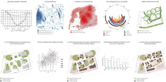
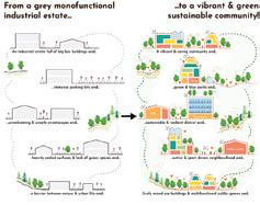
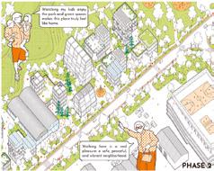
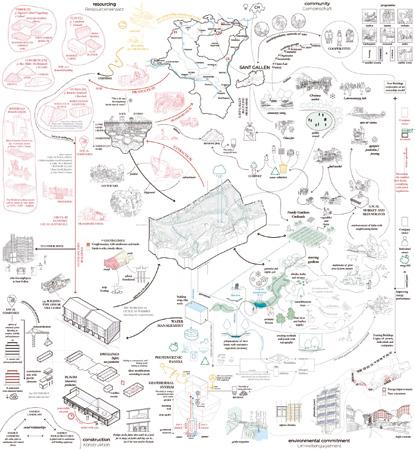
Fig. 1 Eslöv (SE)
Special mention Ten Guidelines of Transformation → See more p.88
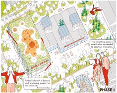
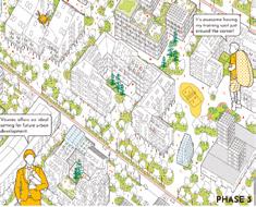
Fig. 2 Karlstad (SE) Winner Hej Våxnäs! → See more p.98
Fig. 3 St. Gallen (CH) Winner Die den Gletscher bewohnen → See more p.118
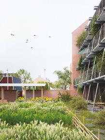
Fig. 4 Eslöv (SE)
Runner-up
Between the Walls
→ See more p.86
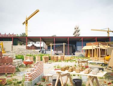
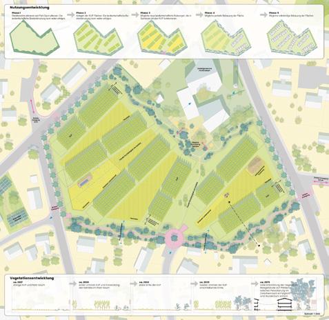
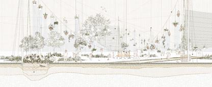
Fig. 5 Speichersdorf (DE) Winner
Restorative Productive Space
→ See more p.110
Fig. 6 Genève (CH)
Special mention VERTICAL Reforestation
→ See more p.95
into dynamic urban assets; and Reconnect, consolidating a resilient and replicable urban fabric through strategic infrastructures, parks, rain gardens, and bioclimatic housing. In both projects, soil and existing elements are not obstacles but regenerative resources, and early, visible action builds trust while preparing the ground for lasting change (fig. 2).
Other projects, such as winning project
Die den Gletscher bewohnen in St. Gallen (CH) reveal how geology conditions both architecture and regeneration. Located at the threshold between molasse and moraine formations, the project responds to unstable soils and forgotten watercourses by generating green corridors, wetlands, and retention areas that support biodiversity and microclimate. Architecture operates as a flexible infrastructure, open to temporary appropriation and negotiation between permanence and possibility, turning the ground into a platform for continuous transformation (fig. 3).
Soil-forming metaphors — the garden, the orchard, the forest — act as catalysts for regeneration processes, activating biodiversity alongside social and productive relations in the following projects:
Runner-up project Between the Walls in Eslöv (SE) reuses existing walls and gables to insert biomaterials — straw, reed, hemp, and reclaimed timber — between solid structures, generating microclimates, productive land uses, and enhanced biodiversity. Walls, vegetation, and water systems organise gradients between public, semi-public, and private spaces, while former industrial hangars are converted into prefabrication areas and collective courtyards connected to new green spaces, fostering an integrated and regenerative habitability (fig. 4).
Winning project Restorative Productive Space in Speichersdorf (DE) advocates preserving agricultural soil without sealing it, maintaining its productive function while integrating it as recreational space for the city. Through an urban and temporal framework, the project distinguishes between soils to be protected for their fertility and those more suitable for development. Collective housing is concentrated near the station on
low-fertility land, while a residential exchange system promotes intergenerational mobility: older residents move into adapted homes, and released houses are rehabilitated for young families — achieving social renewal without consuming new soil. The project demonstrates that the orchard is not merely productive land but an ecological and social infrastructure linking soil, biodiversity, water management, and urban experience within a dynamic process of activation and regeneration (fig. 5).
Special mention project VERTICAL
Reforestation in Genève (CH) conceives the square as climatic and ecological infrastructure beyond its role as a mobility node, making climate action visible and shared through reforestation. A vegetation calendar based on the Miyawaki method — integrated into Geneva’s climate strategies for 2030 and 2070 — positions vegetation as urban infrastructure rather than decoration. The proposal inverts the conventional outward expansion of green space, proposing renaturation from within through dense micro-forests in the city’s core. Reforestation unfolds as a participatory process: a prototype at Plan Palais activates successive phases of germination, aerial nursery, and transplantation, reusing existing elements to create microclimates, pedagogical spaces, and new forest layers. Hard, sterile surfaces are progressively transformed into shaded, biodiverse, and resilient public environments (fig. 6).
These projects show that soil — and process-based design — seeks not a final product, but an adaptative landscape where architecture, ecology and community interact over time. Soil becomes an active infrastructure that supports biodiversity and social relations. Urban regeneration thus operates as a groundswell where time, participation and local resources generate evolving territorial value.
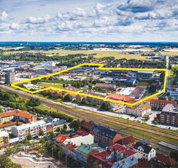
Eslöv (SE)
How to transform an industrial area into an accessible and dynamic neighbourhood?
Site Context
Eslöv has its origins in the community that grew around the railway station . The railway has divided the town into two parts : western Eslöv, primarily a place for housing and commerce, and eastern Eslöv, a diverse area with many businesses and a few scattered residential neighbourhoods Bruksstaden is located centrally in eastern Eslöv, just a stone’s throw from the railway station. The project area is adjacent to Östergatan, one of Eslöv’s main entrance roads, which is set to become the backbone of eastern Eslöv. The large industrial blocks lined with long industrial streets also contain industrial train tracks that run through the area. Although the industrial tracks are largely a reminder of a bygone era, some are still in use. The central location of this area offers an opportunity to better connect eastern and western Eslöv.
Questions to the competitors
How an industrial area can be transformed into a vibrant district with approximately one thousand homes and several other functions? How can the district be anchored in the place and in the story of the city of Eslöv? How can urban planning integrate residential areas on the eastern side of the project area with the rest of the city to create a more unified urban environment? How should the railway track be integrated into the future urban landscape? How can new uses be found for valuable buildings, and how can materials and infrastructure from the site be reused?
Scales XL/L
Location Skåne, Eslöv
Population 20,488
Reflection site 1,380,000 km2
Project site 163,000 km2
Site proposed by Eslöv municipality
Actor(s) involved Eslöv municipality
Life in Progress — Reincarnation of Bruksstaden
Team point of view
Reincarnation refers to the belief in the rebirth of the soul in a new body after physical death. The soul goes through a continuous cycle of birth, death and rebirth, with each life form representing a new chapter on the path to knowledge, purification or redemption. Actions in the previous life influence the next. Reincarnation therefore represents a dynamic process of transformation and spiritual growth — life does not end, it changes. The reincarnation of Bruksstaden is understood as a holistic transformation of a formerly industrial and commercial location into a mixed, vibrant urban area in transition to nature. The term ‘reincarnation’ symbolises the rebirth of this place with a new spirit — not as a radical new beginning, but as a further development based on the existing buildings, history and existing resources.
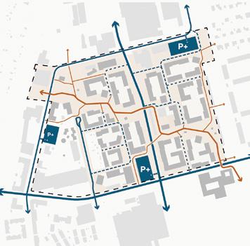
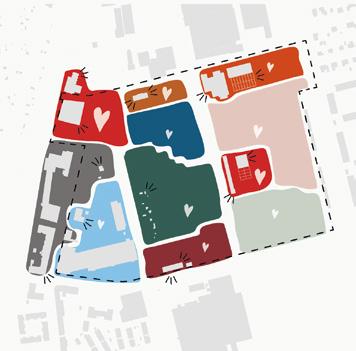
Author(s) —
Marc Rieser (DE), Urban planner
Jury point of view
Contact — caos caos, Hamburg (DE) info@caoscaos.eu www.caoscaos.eu
This project shows a profound and forward looking vision of Bruksstaden as a place in continuous transformation, where the former industrial and commercial landscape is reborn into a mixed and vibrant urban district through the reuse of buildings, materials and social structures. The three process levels (resources, the learning framework and the Living Lab) are interlinked and enables adaptive planning, participation and continuous experimentation. This process oriented approach strengthens ecological, social and cultural sustainability in a wise way. By activating existing qualities, fostering flexible neighbourhoods and developing high quality green and blue structures the proposal shapes a resilient and identity rich district capable of constant renewal.
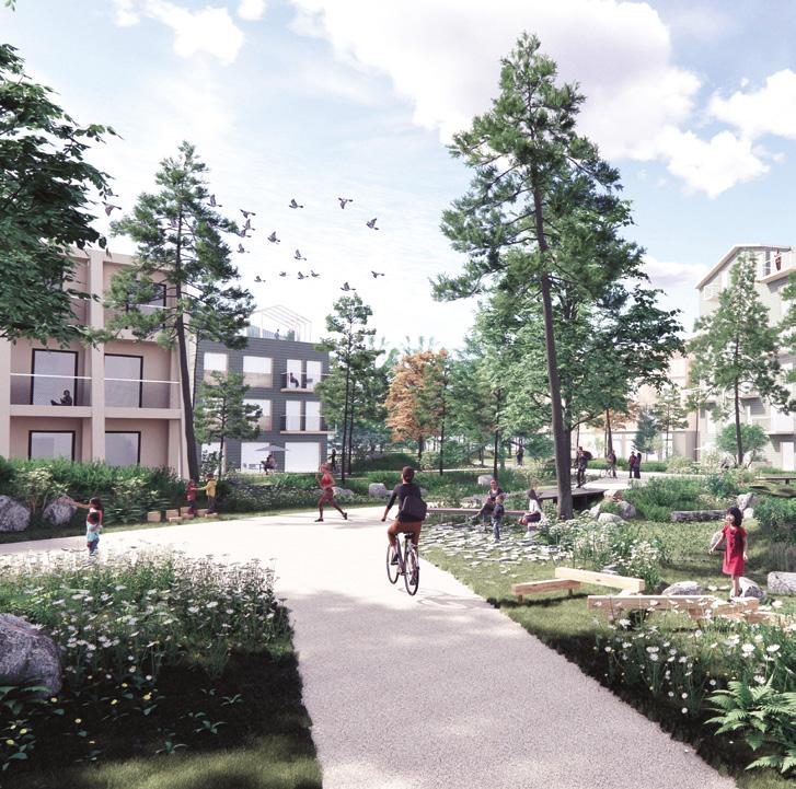
Between the Walls
Team point of view
Between the Walls aims to demonstrate a development process that supports ecosystem restoration and builds a culture rooted in reuse, local bio-based materials, and long-term resilience through three themes of actions: to take care of, to make with, and to live with the earth. This includes natural soil remediation, a community test hub for prototyping and participation, and systems for productive courtyards, food production, and inclusive greenery supporting biodiversity and water management. The unpredictable conditions of resources encourage a design strategy based on a coherent framework inspired by existing walls and masonry gables in the area. The core principle is to create infills of biomaterial in between solid gables made of reused materials and existing structures.
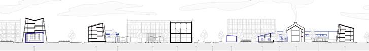
Author(s) —
Maija Virkki (SE), Rikard Murgård (SE), Architects
Jury point of view
Contact —
@virkkis_architecture
@rikardmurgard
This project transforms Bruksstaden into a resilient and inclusive urban area by building with and living with the land, while valuing and reusing existing resources and structures. Through three main strategies, taking care of the land, building with the land and living with the land, it combines land restoration, cultivation of building materials, reusing existing buildings and the creation of green and blue infrastructures that support biodiversity and microclimate. New housing and public spaces are designed as infill between reused walls and gable structures, with biological materials and flexible solutions that create both social meeting places and long term sustainable, aesthetically coherent urban spaces.
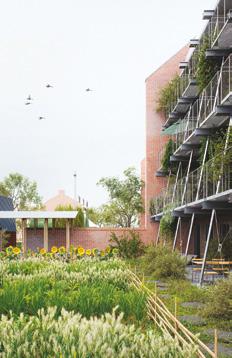
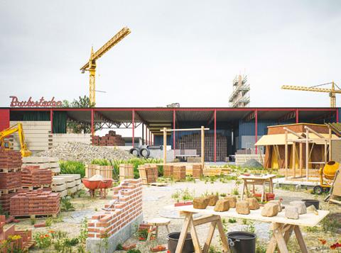
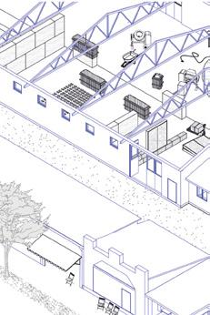
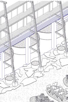
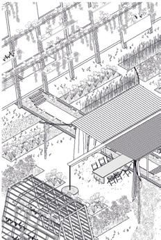
Ten Guidelines of Transformation
Team point of view
Ten Guidelines of Transformation proposes a regenerative urban renewal of the industrial heritage in Östra Eslöv. The project outlines a concrete and carefully sequenced spatial vision — housing quarters, a central square, and integrated infrastructures — but its core strength lies in the guiding logic. Ten clearly formulated guidelines — from phytoremediation to processual density and balancing drought and flooding — anchor adaptability, learning, and resilience over time. It offers a framework that grows through care and collective agency. This dual approach — precise action in the present and open-ended negotiation of future spaces — enables Bruksstaden to evolve without losing coherence.
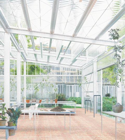
Author(s) —
Josephine Harold (SE), Architect, urbanist; Justus Schweer (DE), Architect
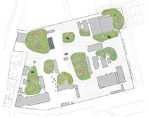
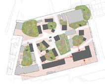
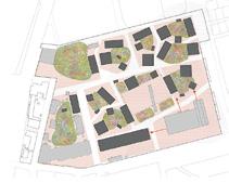
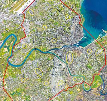
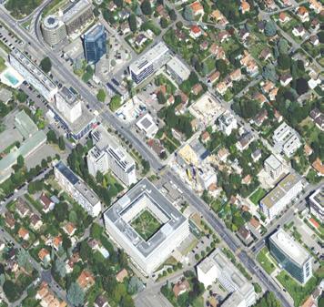
Genève (CH)
How to think about tactical urbanism for bioclimatic landscaped public spaces?
Site Context
The ambition of Geneva’s public stakeholders is to respond to the climate emergency with a long-term planning, aimed at both the decarbonization and the resilience of the agglomeration. Voted in 2024, the ‘Strategy for the Tree Planting of the urban area’ calls for innovative solutions in terms of space, function and uses. The project Moving (with) trees meets the needs of society in the short, medium and long term by ideation, prototyping, and upscaling. A constellation of sites in the Canton is proposed, considered in their urban qualities, mechanised and active mobility, and even alarming climate projections.
Questions to the competitors
What should the public square of 2050 look like, subject to the rigours of an uncertain climate? How do time issues, public space use and climate emergency converge towards a new generation of decarbonised and resilient urban types and forms? How will citizen participation create collective, solidarity-based and shared resilience? How could architecture and landscape, through a temporary ‘afforestation’ project, allow the creation of a space that inspires new ecological behaviour? How can the processual and temporary enhancement of public spaces with tree installations associated to cultural events help the citizens understand global warming?
Scales XL/L
Location Genève
Population 205,839
Reflection site 100 ha
Project site 2 ha
Site proposed by State of Geneva, Department of Territory, Office of Urban Planning
Actor(s) involved State of Geneva, Department of Territory, Office of Urban Planning, Fondation
Braillard Architectes
La Parade du Vivant
Team point of view
La Parade du Vivant is a mobile ecological intervention that travels across Geneva over 16 weeks, transforming 15 urban sites into temporary green spaces for nature and community. Ten trailers — eight planted ‘bioramas’ and two social podiums — form a festive procession that reclaims cardominated spaces and reveals the city’s ecological potential. Inspired by local landscapes, the trailers host native vegetation, wildlife features, and real-time climate sensors. Each weekly stop invites public interaction, fostering a shared urban culture rooted in biodiversity, mobility, and collective joy.
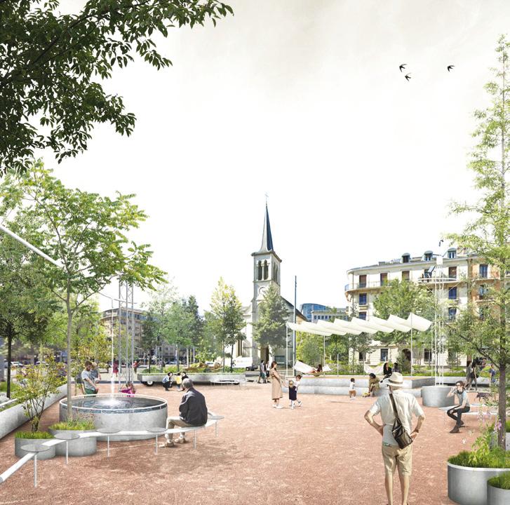
Author(s) —
Björn Bracke (BE), Natan van Loon (BE), Joke Vande Maele (BE), Landscape architects, urbanists
Jury point of view
Contributor(s) — Wei Lei (CN), Landscape architect
Contact — Molenaarsstraat 111 — 3b, 9000 Ghent (BE) info@kollektif.be www.kollektif.be
Over the course of an entire summer, La Parade du Vivant proposes an expansive journey across the Canton of Geneva, activating each week one of the 15 designated sites through a series of ephemeral interventions. Every Friday, a procession of ten wagons sets out toward a new destination, where it settles for a week of activities and public festivities. This project offers at the same time a performative aspect of a travelling parade and more didactic, participatory moments that unfold during its weekly installations. As a large, celebratory showcase of nature, the project reconfigures each site to enable a temporary but meaningful reappropriation of public space.
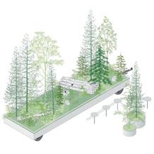
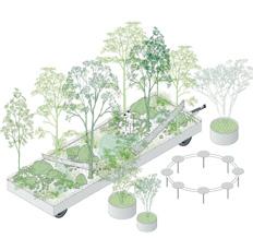
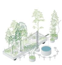
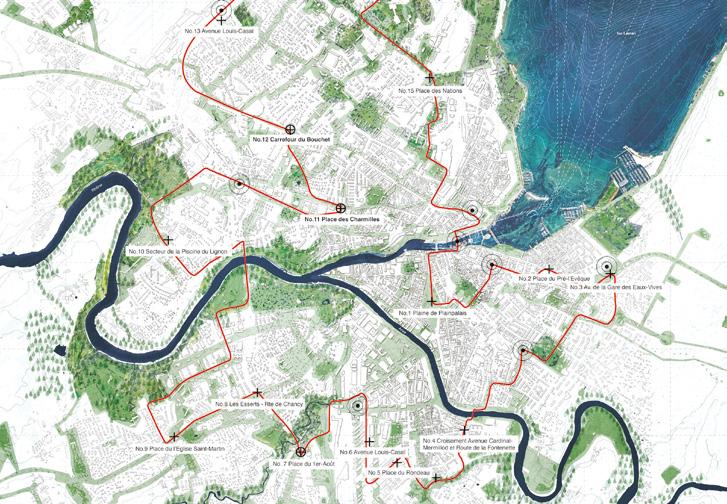
The Farandole of One Thousand Saplings
Team point of view
Our project combines the pragmatic principles of placemaking with a poetic narrative. Drawing on local resources, we seek to create spaces and moments that foster urban vitality and well-being, with particular attention to climate resilience. Beyond physical transformation, we engage with environmental challenges by facilitating collective action. Our interventions are frugal and reversible, yet their effects ripple through the urban system. The activation of public squares by forestation aims to kindle various earths of biodiversity poised to ignite a broader urban transformation. The idea of a moving forest inspired a folkloric and fantastical iconography, bringing to life a farandole of allegorical figures drawn from the cultural and landscape mosaic that shapes the consolidated city.
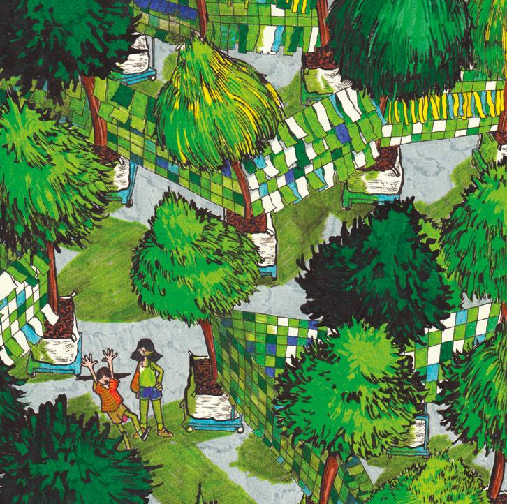
Author(s) —
Alphonse Bardou-Jacquet (FR), Artist; Charlotte Vermeulen (FR), Architect, urbanist; Esther Delaunay (FR), Architect carpenter; Thibault Carcano (FR), Urbanist, geographer
Jury point of view
Contact — atelier.7lieues@gmail.com www.7lieues-act.com www.linkedin.com/company/7lieues
Both the chosen theme by this project and its implementation align convincingly with the idea of a festive, ephemeral event. The decision to anchor the proposal within four hydrological basins — Rhône, Arve, Left Bank, and Right Bank — demonstrates a thoughtful reading of the Geneva territory, while the selection of public squares provides a rich diversity of atmospheres and genuine opportunities for temporary interventions. The routes proposed for the farandole traverse major urban arteries, ensuring high visibility and strong public impact. This bold choice corresponds well with the project’s ambition and the number of festive moments envisioned.
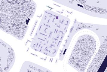
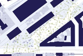
Genève, Paysage Exposé
Team point of view
The project cuts out sites within sites, revealing pre-existing qualities activated through a localised tabula rasa. It proposes the fabrication of a new ground with a clear archetype: the wall, a drainage system and retaining structure. Built using soil reclaimed from excavation waste, this wall supports the urban forest, where trees are organised according to a climatic grid and an arborization system adapted to the city. The new ground gains in thickness, revealing the microtopography and the potential of an archipelago of oases. The base, carved out with refrigerating voids within the wall, offers temperate refuges. Together, the elements compose a climatic place capable of irrigating the territory with potential.
Author(s) —
Frederik Dahlqvist (CH), Albin Mehmeti (CH), Alexander Wegener (CH), Architects
Contact — ATELIERGROUPE, Genève (CH) mail@ateliergroupe.ch www.ateliergroupe.ch @ateliergroupe_darchitecture
VERTICAL Reforestation
Team point of view
Reactivating Geneva’s Squares. Nature, Memory, and Participation.
Geneva’s urban future reconnects with its natural past through vertical reforestation. Using the Miyawaki method, the project restores biodiversity in city squares via dense, native micro-forests. It transforms hardscapes into living, participatory environments, addressing climate change, heat islands, and social disconnection. Starting with a prototype at Plan Palais, the initiative integrates vegetation, public interaction, and urban design. Through seasonal planting, shared care, and ecological layering, Geneva’s squares become civic gardens, climate shelters rooted in community and nature.
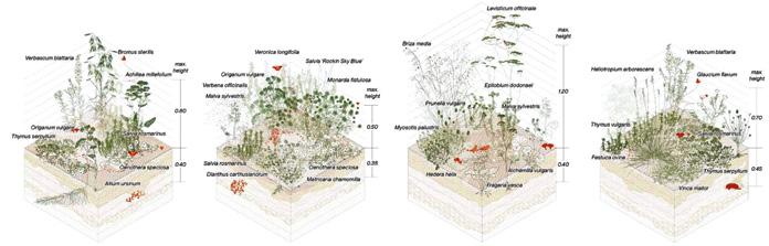
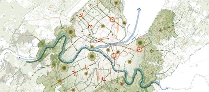
Author(s) — Wladimir Pulupa (CH), Mirari Cimadevilla Cuesta (ES), Architects; İçim Atlı (TR), Architect urbanist; Pablo Hernando del Amo (ES), Karla Paola López Carillo (MX), Landscape architects
Contributor(s) — Carlos Alberto Ríos Limón (MX), Catalina de Jesús Lima Morales (MX), Fernanda Cervantes Rojas (MX), Valeria Itzel Pozos Espinosa (MX), Landscape architects
Contact — Basel (CH) @mutation__ studio
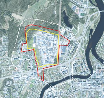
Karlstad (SE)
Scales L/L
Location Karlstad
Population 97,000
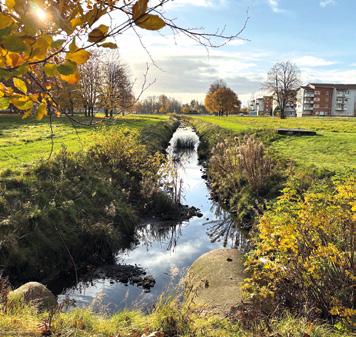
How to transform an industrial district into a sustainable community where nature and urban life thrive?
Site Context
Developed during the 1970s and designed for increasing car use, today Växnås district is dominated by industry, commerce, and sports facilities, leaving it disconnected from its surroundings and unsafe at night. Våxnäs’ strategic location positions it as a key site for redevelopment into a vibrant, multifunctional district where housing, businesses, public infrastructure, and green spaces coexist. Flooding is a significant challenge due to Våxnäs’ flat terrain and clay-rich soil. The I2-Forest, Karlstad’s largest outdoor recreational area and a great biodiversity asset, borders Våxnäs but remains underutilised due to limited access points.
Questions to the competitors
How can flood-prone areas in Våxnäs be transformed into assets for recreation, resilience, and biodiversity? How can water management strategies be integrated into public spaces to address flooding while enhancing quality of life? What strategies can strengthen links between Våxnäs and Karlstad’s green infrastructure, such as the I2-Forest and ecological corridors? How can Våxnäs prioritise pedestrians, cyclists, and public transport while reducing car dependency? What strategies can ensure coexistence between human activity and the preservation of non-human life? What existing resources, such as industrial buildings and infrastructure, can be repurposed for sustainable development?
Reflection site 106 ha
Project site 71 ha
Site proposed by Karlstad municipality
Actor(s) involved Karlstad municipality
Hej Våxnäs!
Team point of view
Hej Våxnäs! aims to re-source existing assets and integrate nature-based solutions, such as watersmart infrastructure that channel stormwater into green corridors and wetland parks. Former industrial buildings will be repurposed into co-working hubs and sports facilities. New timber housing developments will reflect local craftsmanship and industrial traditions. Streetscapes will become safe, vibrant, and pedestrian-friendly — featuring permeable surfaces, expanded green areas, and connected cycling paths that link to pocket parks, public plazas, Låglandet Park, and I-2Forest. This transformation creates a blueprint for how post-industrial neighbourhoods can become climateresilient, inclusive, and future-ready — with community and biodiversity at the centre of the change.
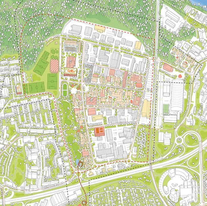
Author(s) —
José (Pepe) Lacruz Vela (ES), Álvaro Sánchez Garda (ES), Architects
Jury point of view
Contact — pepelacruzcarch, Onda (ES) [J. Lacruz Vela] www.pepelacruzarch.com Estudio Sanga, Pamplona (ES) [Á. Sánchez Garda] www.estudiosanga.com
Through a multistep, participatory process that combines analyses, tests and initiatives with long term investments the proposal builds both trust and a flexible model that can inspire other cities to transform postindustrial areas into sustainable, living neighbourhoods. Hej Våxnäs! cleverly presents a clear, sustainable and communicative planning strategy in an engaging and educational way that ties Våxnäs together and opens up an inclusive and developable planning process.
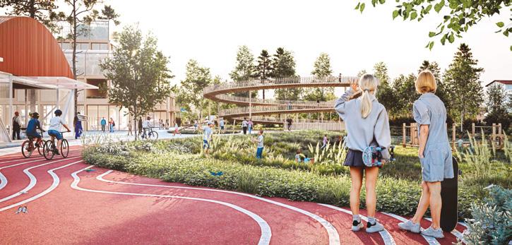
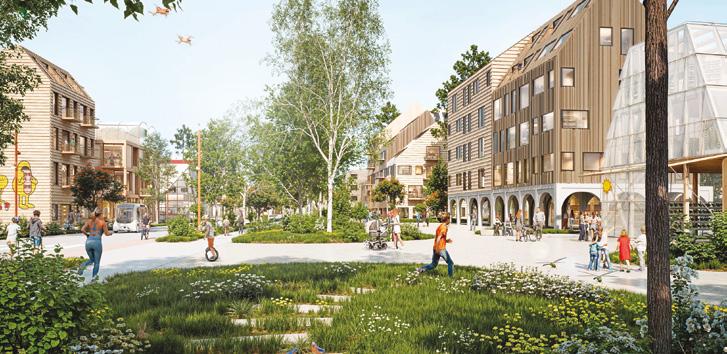
Visions for Våxnäs
Team point of view
Our proposal centres on four key visions for Våxnäs. First, the neighbourhood should flourish with blue and green spaces that shape and support local activity while strengthening connections to surrounding areas. Second, by enhancing pathways and green corridors and adding small-scale urban interventions, Växnes will become better integrated with Karlstad. Third, through adaptive reuse, reconfiguration, densification, and layering of existing buildings, materials, vegetation, and land, Våxnäs will gain resilience and a strong local identity. Finally, by introducing public, cultural, and residential uses, the area will evolve into a vibrant and inclusive community.
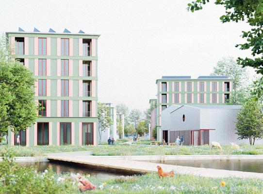
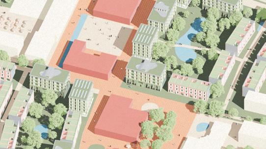
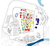
Author(s) —
Lars Gustav Rogne (NO), Anne Marte Gjørvad (NO), Tuva Marthinsen Eidsten (NO), Architects; Joao Baptista (PT), Student in architecture
Jury point of view
Contributor(s) — Sofya Markova (NO), Landscape Architect
Contact — annemarte.gjorvad @gmail.com
The strength of this project lies in its clear and nature-based strategy that transforms a fragmented industrial area into a vibrant neighbourhood by integrating blue green structures, circular reuse and new housing forms. By combining ecological corridors, small scale ‘confetti’ interventions and the reuse of existing buildings, a sustainable, identity strong and socially inclusive neighbourhood is created that strengthens the connection between Karlstad, Klarälven and the L2 forest.
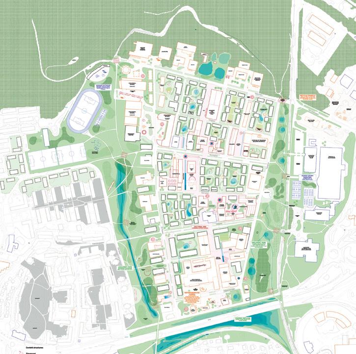
A PATTERN FOR VÅXNÄS
Team point of view
Våxnäs has lost much of its history through fire, infrastructure and industrialization. Yet, hidden traces remain — old roads, farmland ditches — that guide a new urban strategy. We propose a transformation into a resilient, vibrant district by building on what's there. Every building is a resource, and the aim should be to keep them, remodeling only when necessary and densifying thoughtfully. Asphalt is removed to restore green-blue infrastructure, improving water resilience. Borders caused by roads and rails are overcome through new paths and bridges. Starting with the bus depot, we test mixed uses — sports, culture, housing — creating a scalable model. A phased, plot-based approach respects ownership and existing uses while promoting gradual, sustainable change.
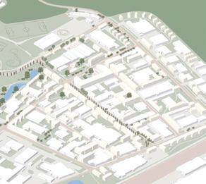
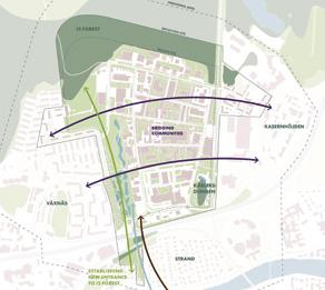
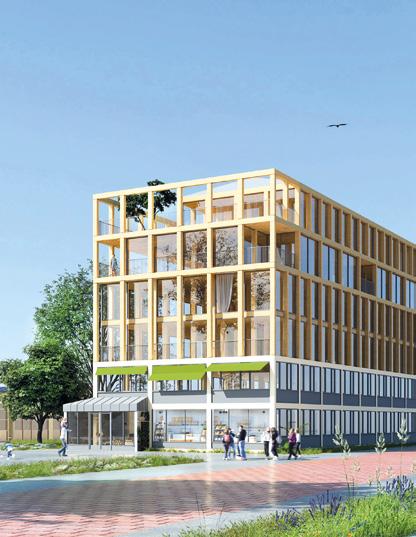
Author(s) —
Nils Jarlöv (SE), Student in architecture; Benjamin Björksell (SE), Student in architecture and engineering; Annabell Aichele (DE), Architect
Contributor(s) — Malin Almgren (SE), Landscape architect
Contact — nils.jarlov@gmail.com
Regensburg (DE)
How to develop a new experimental district by introducing slow mobility and attracting mix uses?
Site Context
Regensburg is in the Free State of Bavaria; in the middle of the landscape of the Danube plain with its river valleys and rolling hills. The 107-hectare-large project site in the north of Regensburg represents one of the last large space reserves for the further development of the city and is situated between a commercial area and the existing settlement area. For Regensburg, the aim is to develop a mixed-use, low-traffic district that is as climate-neutral as possible. The new city district is supposed to close the spatial gap and provide affordable living space for at least 5,000 residents. The aim is a city of fifteen minutes.
Questions to the competitors
How can a new urban district be created, with housing, work, commerce and recreation, which at the same time stands for a new approach to land use? In which steps and intermediate stages should a 107 ha urban development area be built up? How can closing the gap in the urban fabric be designed in harmony with natural processes? What architectural forms of expression, building methods, and building typologies are oriented towards the future?
Scales L/L
Location Regensburg, Bavaria
Population 170,000
Reflection site 425 ha
Project site 107 ha
Site proposed by Regensburg municipality Actor(s) involved Regensburg municipality, private partners
Aerial photo: Stadtverwaltung Regensburg, Amt für Stadtentwicklung / Foto: Hansa Luftbild AG , © Urheber Drone photo: Stadt Regensburg, DB 1. 3 Presse- und Öffentlichkeitsarbeit / Foto: Stefan Effenhauser
zam wachsn
Team point of view
zam wachsn creates a harmonious further development of the urban and landscape structures, connected by the naturally designed Greenconnector. Identity-forming towers, inspired by Regensburg's patrician towers, are creatively reinterpreted and serve as community spaces with a variety of uses. The mobility concept promotes sustainable transportation with cycle paths and new public transport connections. The area is divided into neighbourhoods with community squares, mobility hubs and towers. Apartments, a school, leisure spaces and communal gardens are being developed in six construction phases. The housing types are designed to be flexible, sustainable and communal in order to create a vibrant, natural environment for around 9,000 residents.
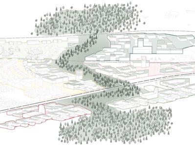

Author(s) —
Mara Foerster
(DE),
Architect
Jury point of view
Contributor(s) — Hannah Andree (DE), Maxima Schad (DE), Johanna Kern (DE), Moritz Molitor (DE), Susanne Weppler (DE), Sabeth Rosenbrück (DE), Students in architecture
Contact — zam.wachsn@gmx.de @zam.wachsn
The project is based on a careful analysis of the existing environment from the territorial scale to the scale of proximity, interweaving scales by means of the central new eco-corridor which crosses the area from west to east. The existing biotope is preserved and relaunched with an ecobridge over the infrastructures to facilitate continuity for all species. The reforestation process will increase the biodiversity of the site, offering the best possible living conditions alongside a greenblue infrastructure. The project explores the idea of ‘growing together’ relating it to a process of implementation in phases, in which the number of humans, animals and plants grow at the same time together.
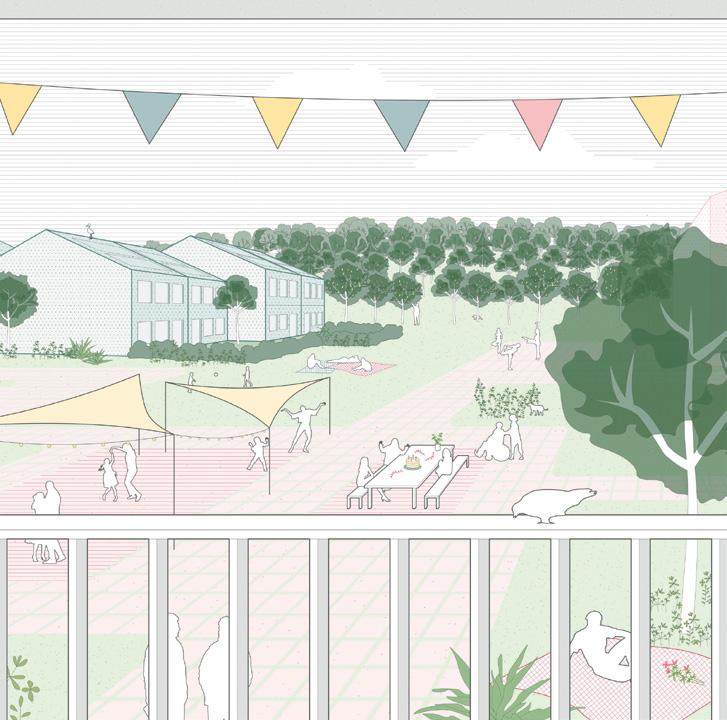
GreenCityPuzzle
Team point of view
The new GreenCityPuzzle urban district plays a central role in linking the landscape of Regensburg’s northern urban area. A surrounding Forest Belt encloses, connects and harmoniously integrates the urban district into its surroundings. The Mobility hubs enable low-car living and connect rail, bus, and bike. The concept envisages a modular structure of green spaces and buildings that can be puzzled together as required. Four types of green space shape the area: the Forest Belt, the Blooming Strip, the Breathing Zone and the Community Parks. The modular urban structure includes eight communities with varied housing types from YardLiving, ClusterHousing to assisted-living HomePlus centred around the Urban Heart.
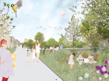
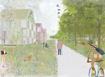
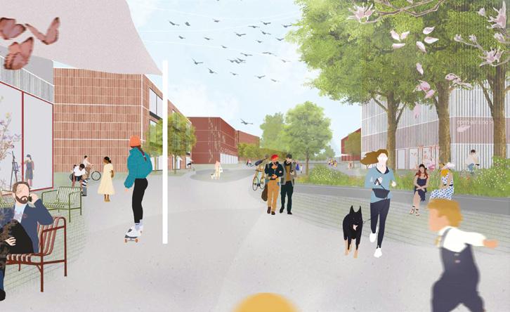
Author(s) —
Yannick Güdter (DE), Architect
Contributor(s) —
Julia Hohman (DE), Emely Mathes (DE), Students in architecture; Simon Lach (DE), Tillmann Cornelius Ratajczak (DE), Raphael Stark (DE), Students in landscape
Contact — GreenCityPuzzle@gmx.net
This project propose an innovative approach in line with the theme of ‘Re-Sourcing’ and the specific context of Regensburg. The independent urban design features eight unusually large, porous block edges. These are not closed city blocks, but open structures that combine to form large-scale squares. At the heart of the design are the spacious green inner areas, around which loosely grouped building structures are arranged. The design envisages these climate-resilient centres being used as multi-purpose green spaces, some communal, some private. Jury point of view
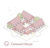
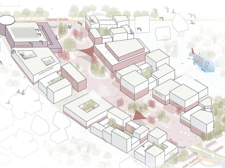
Regensburger Nordstern
Regensburger Nordstern creates an urban and green connection between the existing settlement of Wutzlhofen and the northern commercial area. The green heart of the new neighbourhood is a star-shaped park with blue-green radiations that connect the adjacent landscape with the new mixed used neighbourhood islands. The centre of the quarter is the lively area around the new S-Bahn stop. The principle of the building structure is based on three pillars: 1. residential towers to accentuate important landmarks, 2. loose building structures towards the edges with orchards and 3. commercial courtyards for flexible uses. A special feature is the cold district heating network, which makes it a climate-neutral showcase project for the whole of Regensburg in terms of energy production and consumption.
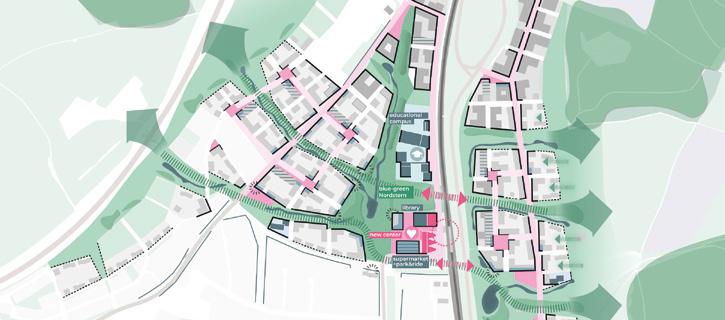

Author(s) —
Lorenz Brösch (DE), Student in urban planning; Eva Hoppmanns (DE), Architect urbanist; Johannes Zerfaß (DE), Architect
Contact — Berlin (DE) lorbroe@gmail.com
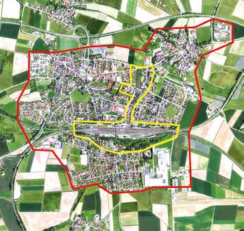
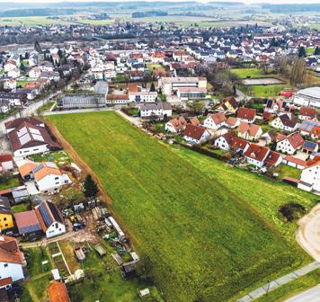
Speichersdorf (DE)
Scales L/S
How can the station area become an attractive and dynamic urban and green district?
Site Context
Speichersdorf is in the Upper Palatinate in the Free State of Bavaria in southern Germany and part of the Nuremburg metropolitan region. The aim of the city is to strengthen the resilience of the municipality vis-à-vis demographic changes, economic upheavals, and the effects of climate change. The participants can choose from three areas to be developed further:
1) For the former festival hall, concrete architectural proposals for repurposing the construction of the hall and finding a new use for the building should be developed.
2) At the historical railway station, proposals for an innovative, sustainable, and vibrant district with modern forms of housing and building typologies and alternative mobility are sought.
3) An overall strategy should be elaborated for the multifaceted open spaces in the centre of the municipality.
Questions to the competitors
How can the former festival hall be revitalised and further developed with low-cost structural interventions? How can a future-oriented neighbourhood with new forms of housing and typologies be created on the railway station site? What role can the open areas inside the municipality play in the future?
Site proposed by Speichersdorf municipality
Location Speichersdorf, Bavaria
Population 5,907
Reflection site 245 ha
Project site 0.9 ha
Actor(s) involved Speichersdorf, Deutsche Bahn, private owners
Aerial photo: Luftbild mit Berachtungsraum und Projektgebiet Geobasisdaten: Bayrische Vermessungsverwaltung
© Bayerische Vermessungsverwaltung 2025, Bundesamt für Kartographie und Geodäsie; www.bayernatlas.de
Drone photo: © Thomas Müller, M.A., freier Fotograf, Weimar
Restorative Productive Space
Team point of view
Speichersdorf is not only located in a rural environment that often extends right up to the edge of the settlement, but this environment also extends into the municipal area, with wide, open spaces that have been enclosed by buildings but are still farmed and stand in stark contrast to the singlefamily homes. The urban areas generally turn their backs on the rural areas and separate themselves with walls and hedges. Areas are either agricultural land or private residential property. Accessible natural areas, can only be found in the wider surroundings. Instead of just living side by side, this functional and atmospheric tension has the potential to create new, recreational production spaces that connect natural, rural and urban life.
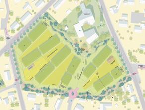
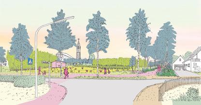
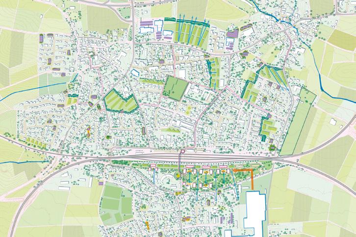
Author(s) —
Lorenz Junge (DE), Hikari Masuyama (JP), Architects; Justus Pleil (DE), Landscape Architect
Contact — kupla@posteo.de Jury point of view
This project reinterprets the agricultural areas within Speichersdorf as productive and recreational spaces. It responds in a unique way to the theme of ‘Re-Sourcing’ by linking urban and landscape use and proposing a space-saving transformation. The starting point is the consistent prioritization of internal development. With great sensitivity, the concept develops location specific answers to socially relevant questions with respect to the responsible use of land, energy, and local resources. It creates a multi-layered landscape that is effective both socially and with respect to production.
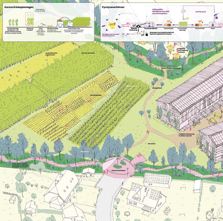
IDEENWERK creative engine
Team point of view
The vacant community hall in Speichersdorf is set to be transformed into a modern, multifunctional centre. With its central location, solid structure, and distinctive architecture, it offers great potential. The new ‘Werkhalle’ will provide space for creative work, start-ups, craftsmanship, and collaboration. Flexible work areas, open workshops, a café, and event spaces will foster interaction, innovation, and a strong local identity. Sustainable materials, a climate-conscious energy concept, and community involvement will turn the hall into an inclusive place for learning, making, and living, open to all generations.
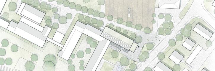
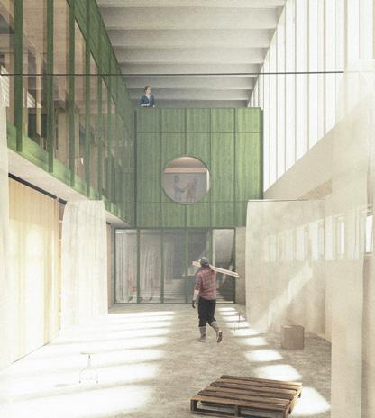
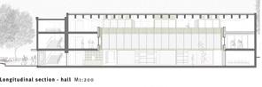
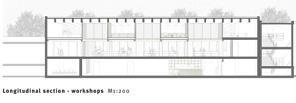
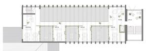
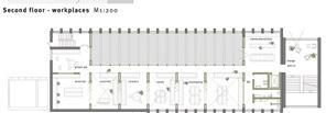
Author(s) —
Gregor Wastl (DE), Josef Bader (DE), Architects
Jury point of view
Contact — studio bader wastl Knappertsbuschstraße 5, 81927 München (DE) buero@studio-baderwastl.de www.studio-baderwastl.de
This project emphasises the importance of the solid building fabric as architecture that shapes the townscape in a central location and therefore wants to make it into a ‘creative engine’ for the further development of Speichersdorf. It focuses on the community hall, which has provided stability and a sense of identification with the location for generations, and, thanks to its robust structure, offers great potential for valuable architectural renovation. At the same time, flexible possible uses strengthen the character of the hall and enable the location to be experienced in a new way — thanks to the different heights and room sizes.
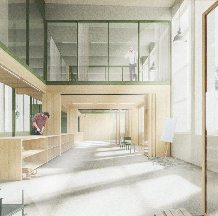
In-Between cottage garden and orchard
Team point of view
The conversion of the festival hall will become the productive hub of the new village centre of Speichersdorf. Between the productive landscape areas, the cottage garden in the south and the orchard meadow in the north, the converted festival hall will become a toolbox for rural life. The hall is opened up in a targeted manner with minimal interventions. Five precise additions make it flexible and accessible. The adjacent open spaces will become a place of communal learning, with a focus on climate adaptation and biodiversity. The scope of the intervention and the diversity of functions enable rapid implementation and economical operation. The new space ensemble (festival hall, cottage garden, and orchard meadow) form a locally rooted response to Europe’s structural challenges.
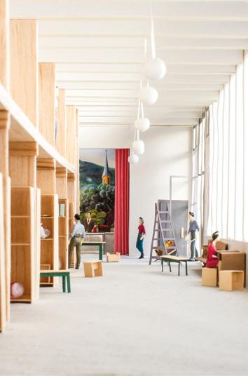
Author(s) —
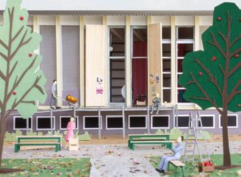
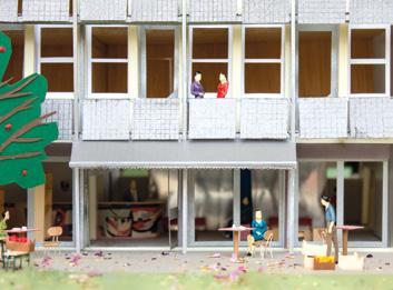
Olga Cobuscean (DE), Architectural, urban theorist; Philipp Goertz (DE), Linus Hermann (DE), Architects
Contact — Berlin / Düsseldorf (DE) olgacobuscean@gmail.com
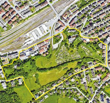
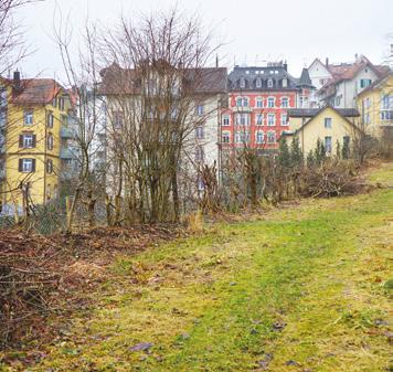
St. Gallen (CH)
How
can
an area with housing and nature
— but cut from the city-centre by the railway line — be transformed into a new green neighbourhood?
Site Context
The Ruckhalde is a largely undeveloped area in the west of the city of St.Gallen. It gained historical significance for rail travel through the ‘Ruckhalde curve’, the narrowest cogwheel curve in the world. With the closure of the above-ground railroad line and its relocation into a tunnel, there is now an opportunity to redefine the vacated terrain and its surroundings. Dealing with the steep topography, the existing green structures and the new tunnel poses challenges for the structural development of the site. On the other hand, the proximity to the city centre as well as to large natural areas and the possibility of connecting to existing neighbourhoods offer ideal conditions for the development of a new neighbourhood with a high proportion of green space and for a broad section of the population.
Questions to the competitors
How can new and innovative forms of cohabitation be integrated into an existing urban landscape? Which design solutions and processes can be used to initiate and support a sustainable development of Ruckhalde? Which strategies allow room for innovation and future adaptation? How can diverse, changing needs be considered at an early stage and be used constructively?
Scales L/L
Location St. Gallen
Population 82,000
Reflection site 12.4 ha
Project site 12.4 ha
Site proposed by City of St. Gallen
Actor(s) involved City of St. Gallen
Abbey in RE major
Team point of view
Abbey in RE major revisits the origins of St. Gallen by adopting a monastic typology that supports high residential density, encourage social interaction, ensures minimal footprint, and achieves maximum spatial efficiency. The volumes follow a green path, successor of an old railway line, highlighting the site’s defining features, and reaching the upper part of Ruckhalde with the gentlest possible slope, while maintaining a linear progression disrupted by folding for generating identifiable public spaces at multiple scales, linking a coherent and balanced urban system. Elevating most of the constructions seeks to preserve the natural flows of the soil and minimise disturbance to topography. This enables high residential density while ensuring the least impact on the existing ecosystems.

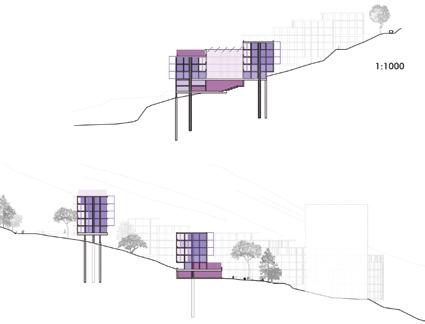


Author(s) —
Anna Bosch Calvo (ES), Guillem Oró Grau (ES), Architects
point of view
Contact — P R A X I S arquitectura Girona (ES) arquitecturaenpraxis@gmail.com
This project brings together four conceptual strategies into a compelling hillside megastructure. 1. Drawing on the typology of the St. Gallen monastery, the large form reinterprets traditions of collective living, offering a radically different urban model within the predominantly single-family context of the Ruckhalde. 2 . Its curved, partly zigzagging geometry recalls historic routes and green corridors, making existing spatial traces legible through form. 3. Despite its linear presence, the structure is conceived as a sequence of units that supports both phased construction and thematic differentiation. 4. The elevated ground floor, opened through a system of columns, creates permeability up and down the slope and evokes precedents from Latin American housing.
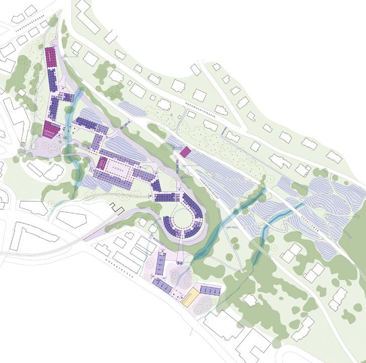
Die den Gletscher bewohnen
Team point of view
Die den Gletscher bewohnen is an encounter between architecture and reality, but also with the history of St. Gallen through the glacier — its influence on local architecture, the soil, the rocks, the fauna and flora, the relationship between the urban and the rural, the human interactions behind construction, the environment, the car, and shifting social dynamics. The project is not a dogmatic answer, but a set of reflections on a specific reality: the Ruckhalde area, at the edge of the city where architecture listens to the ground, to time, and to the ways of living yet to come.
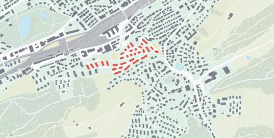
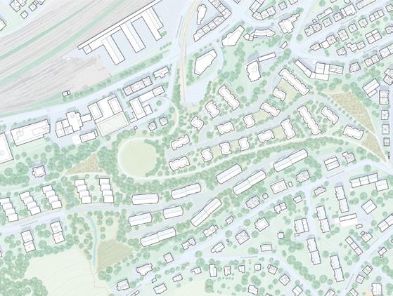
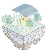
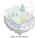
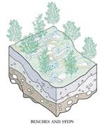
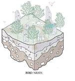
Author(s) —
Andrew Georges (LB), Architect urbanist; Bettina Kagelmacher (DE), Jorge Sánchez Bajo (ES), Roman Schober (CH), Architects
Jury point of view
Contact — Zürich (CH) t. +41 797814839 info@romanschober.ch
This project frames its local proposals for urbanism, ecology and phasing within a broad geological narrative. Situated at the transition between molasse and moraine formations, the team interprets the Ruckhalde site as the remnant of a former glacial landscape, recalling the geomorphological substrata and long-term resource dependencies that shape it. The architecture responds to forgotten watercourses and layered temporal sediments. Informed by discourses of the Anthropocene, the project culminates in the thesis of a necessary metabolic embedding of contemporary building and living: ‘The building is more than architecture — it is part of a social and metabolic process, where people, materials, and actions interact continuously’.
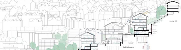
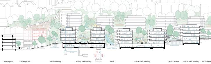
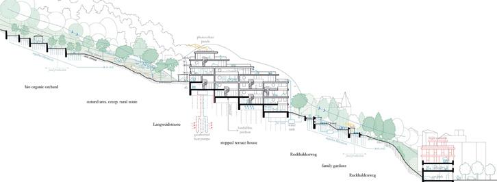
3/ regenerating landscapes
How to design processes and projects for the revaluation of landscapes that focus on the interdependencies and eco-dependencies of resources (natural, cultural, productive) and the territory? The regeneration of landscapes can become a mediation tool between residential areas, facilities, and obsolete infrastructures and territories undergoing transformation (even at risk) as a result of the effects of climate change.
Is an invitation to think at the resources of the area in a regenerative way to support a healthier environment for humans and non-humans?
Amersfoort – Koppelbrug (NL) — Barcelona – La Font del Gos (ES) Bregenz – Hard – Fußach – Höchst (AT) — Dembeni (FR) Nome (NO) — Polignano a Mare (IT) — Santa Pola (ES)
The Optimism of Regenerating Landscapes
By Wim Wambecq (PT)
Architect, assistant Professor, Researcher URBinLAB in Lisbon (PT), founding partner Midi — www.ateliermidi.eu, Brussels (BE) / Lisbon (PT)
In the last decade, well after the term ‘Anthropocene’ was coined, claiming that humankind is defining a new geological epoch, the notion of sustainability has enormously evolved. What was once a container term for the complexity of the task at hand becoming sustainable — unfolded in a broad terminology that signalled a more concrete path towards true operationalisation, making specific sustainable objectives more precise: resilience, (climate) adaptation, circularity, just ecological transition and many more, amongst which ‘Re-Sourcing’, the Europan 18 theme, and its sub-theme ‘Re-Sourcing from Natural Elements. Regenerating Landscapes’. Europan typically foregrounds innovative themes that practice seeks to integrate through project proposals that explore these new frontiers.
From our exploitative behaviour in the search for natural resources and functionally comfortable habitats many landscapes have been left neglected or abandoned, disturbed, used and abused in their very core while we are highly dependent on them. ‘Regenerating Landscapes’ is more than a theme. It somehow lies at the core of global sustainability and forms the essence of our inhabiting planet Earth. What strategic concepts can we draw from the explorative proposals in the theme of ‘Regenerating Landscapes’?
MATERIALS AT THE CORE, A ‘VERNACULAR SYSTEM’?
Most proposals explore a material-central position of spatial practice. Large-scale visions result from reconsidering the processes of material flows needed to construct the territory. The landscape’s local (renewable) resources are positioned at the core of long-term transformation, discretely complemented by global market products, consciously applied where local materials need complementing.
In Racines et Horizons (fig. 1), winning proposal in Dembeni (FR), habitat construction incorporates a rationale of systemic integration in the mangrove ecosystem and in the system of material flows. The proposal’s shifting urbanization structures are in fact also re-circulations of Mayotte’s material flows. In Nome (NO), systemic material thinking as a generator of landscape is inherent to the project call. Special Mention Green Mineral Park (fig. 2) redefines the field of spatial design as a strategic device for piecemeal decisionmaking and transformation. The project consists of a framework — what the authors call ‘a method of attention’ — that proposes to engage with contextual knowledge through deep-mapping and interdisciplinary exploration. A spatial syntax of ‘acts of care’ defines the ‘spatial insertions’. The ultimate objective of this work is to set up a resilient spatial

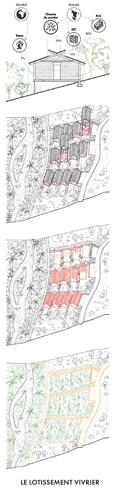
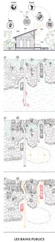
Fig. 1 — Dembeni (FR) Winner Racines et Horizons
→ See more p.154
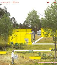
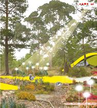
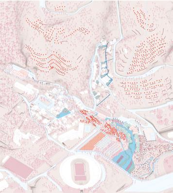
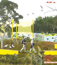
Fig. 2 — Nome (NO) Special mention Green Mineral Park
→ See more p.165
Fig. 3 — Barcelona-La Font del Gos (ES) Runner-up Volver a la Frontera/Barrio
→ See more p.142
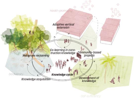
Fig. 5 — Bregenz-HardFußach-Höchst (AT)
Winner
Recode the Road
→ See more p.146
4 — Dembeni (FR) Runner-up
Four Rs for Dembeni
→ See more p.156
Fig. 6 — BarcelonaLa Font del Gos (ES) Runner-up
De Pedres, Pans!
→ See more p.138
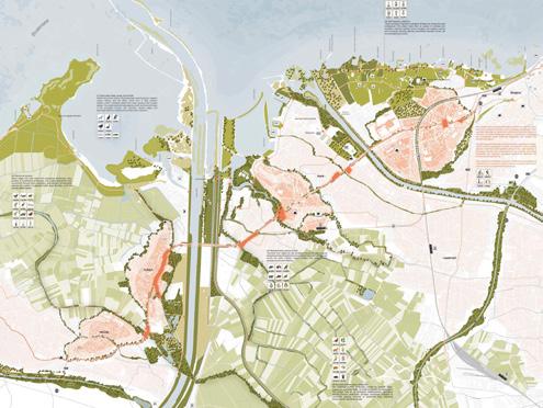
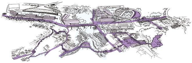
Fig.
system that secures territorial care during the extractive processes.
This ‘vernacular system’ approach uses the power of contextual knowledge systems ancient and technological — to navigate human and more-than-human territorial necessities and seeks to primarily use local, renewable resources. Landscape regeneration is not achieved by one design act alone, but by the incessant act of making wellinformed and well-contextualised spatial decisions. Such a long-term commitment is most durable when the knowledge, materials and people involved are from the context itself.
PIECEMEAL TERRITORIAL CARE
Landscape regeneration is anyways a longterm project and can therefore not be easily managed. In some of the rewarded proposals, urban interventions are tailored to better manage their ecological impact. The landscape is then intelligently used as the strategic device within which urban disruptions and ecological adaptation are aligned or at least managed in an incremental way.
Volver a la Frontera/Barrio (fig. 3), runner-up proposal for Barcelona-La Font del Gos (ES), develops a series of replicable strategies. If consistently and insistently applied, the strategies can give rise to a coherent spatial outcome, framed by its geographic base: topography, soil type, vegetation and water. New urban typologies are grafted on the regenerating landscape and give a spatial and social cohesion to the village. The motor of the village’s transformation is the regeneration of the landscape. By re-sourcing its capacity for a local economy, the village gains its ‘raison d’être’. The valley structure accommodates the accumulation of water, the growth of agricultural products and the installation of the village’s social structure around a new ‘Rambla’ (etymologically ‘the sandy riverbed’) that reinserts the village into Barcelona’s natural territory.
In Four Rs for Dembeni (fig. 4), runner-up proposal in Dembeni (FR), local knowledge drives gradual transformation, exemplified by the system of social exchanges between local population, public entities and associations.
The motor of change works at the speed of endogenous processes. A series of operations are indicated and expected to lead to longterm adaptation and resilience with limited external intervention. This includes a step-bystep construction manual of housing refitting to densify and liberate the ground floor where needed through a replicable local materials building system.
Different projects demonstrate the ongoing shift — necessarily — from deterministic masterplanning to the integration of uncertainty. Embedded in a framework of deep territorial knowledge, a range of spatial interventions can respond to both a visionary direction and ad hoc decisions related to contextual site conditions. The driving mechanism behind gradual change is that the balance between ecological and development ambitions can be realised by insisting on maintaining this balance at any scale of intervention, insertion or strategy.
AN ECOLOGICAL STRUCTURE
Despite the diverse site conditions and proj ect requirements, many proposals consider the necessity to look well beyond the project site’s extension. Whether the assignment was a complex, iconic building like in Amersfoort-Koppelbrug (NL), the regeneration of a former railway site, in Polignano a Mare (IT), the masterplan for a village, in Barcelona-La Font del Gos (ES), or the reintegration of a logistics corridor, in Bregenz-HardFußach-Höchst (AT), ecological networks are proposed to carry the sites’ transformations well beyond their perimeter. The networks penetrate dense urban tissue, restructure villages, or define the development frame within which complex urban programmes can be inserted.
In Recode the Road (fig. 5), the winning proposal for the logistics corridor in BregenzHard-Fußach-Höchst (AT), the refitting of the corridor can only appear when inserted in the broad ecological network. The (important) mono-focussed motorised corridor unfolds into its landscape and evolves into a multifaceted structure of water management, active mobility, ecology, production, tourism…
The territory is ‘recoded’ (regenerated) to make the systemic landscape qualities more evident and coherent as a vision.
De Pedres, Pans! (fig. 6), runner-up proposal for Barcelona-La Font del Gos (ES), is based on the same principles. The transformation of the village follows the ecological regeneration of the torrent valley. The binary drawing code makes the collaboration evident between development axis and the valley’s ecological functioning, producing a range of urban figures that produce a new civic quality. Grey infrastructures become active mobility structures, water is reused for ‘horts’ (community gardens), torrents are brought to the foreground and replace parkings…
Winning proposal for Polignano a Mare (IT), The Rewilding Grounds (fig. 7), equally breaks through the scales of all sites to make them hotspots of an extended rewilding network that penetrates the dense urban tissue. The ecological networks re-orients the city towards its latent landscape qualities. The railway, the streets, urban waterfronts and the sites create a permeability of trees and water in search of a continuous sensorial landscape of orchards, bug, aromatic or wildflower gardens, herbs or mediterranean woods.
Runner-up proposal for AmersfoortKoppelbrug (NL), Assembly City (fig. 8), takes this approach inside the multifunctional building complex. Assuming that a regenerated landscape around the canal structure is the site’s main legacy, it proposes an open building structure that can be disassembled. Leisure and living go hand in hand with a landscape that penetrates the open structure. Is this what architecture looks like when we give precedent to the landscape as the dominant feature in the site’s transformation? The proposal revisits how to organise the integration architecture-landscape not only from a direct designer perspective, but also as a long-term curator of the landscape.
SOIL, WATER AND VEGETATION
Topography and soil, water as an acting agent and the vegetation that mediates both while creating a habitat, form the constituting elements of this long-term curatorship towards regenerating landscapes. In Racines et Horizons (fig. 9), winning proposal in Dembeni (FR), topography is directly referred to as the solution. From the lagoon, mangrove to the slopes and plateau, a range of habitats can be re-enforced as an ecological basis for different ways of inhabiting. It leads to an approach somehow different from the notion of a (more hierarchical) ecological structure of the previous proposals. The topographic base is a guiding principle that can steer gradual adaptation towards a stable inhabited ecosystem (more isotropic) at any place in the territory. Soil, water and vegetation in dialogue with road structures, houses or productive spaces, appear in endless variations based on the topographic condition.
Winning proposal for Santa Pola (ES), Water’s journey (fig. 10), puts the interplay between earthworks (soil), water management and ‘plantings to enhance habitat’ at the core of a flow of experiences between the quarry and the waterfront. The proposal pivots technocratic approaches (yellow, blue and green mixtures) towards real spaces of experience. As soil, water and plants are the base ingredients to the landscape regeneration, it is easily upscaled as a strategy to deal with the system of torrents between high- and lowland that structures the territory at a much larger scale.
The Mineral Network (fig. 11), winning proposal in Nome (NO), uses these base ingredients to steer ‘environmental disturbance towards environmental progress’. The amount of matter (soil) that will become available is used to insert the operating pieces of the mineral network in the landscape, organising water management and articulating new landscapes. The mineral network is in fact also a system of landscape experiences that emerge from disturbance, a key concept in nature that stimulates ecological reconfiguration.
7 — Polignano a Mare (IT) Winner
The Rewilding Grounds
→ See more p.168
Assembly City
→ See more p.134
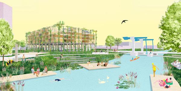
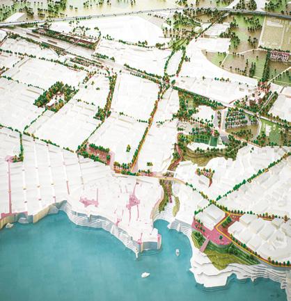
Racines et Horizons
→ See more p.154
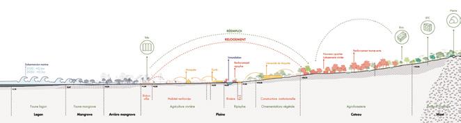
Fig.
Fig. 8 — Amersfoort-Koppelbrug (NL) Runner-up
Fig. 9 — Dembeni (FR) Winner
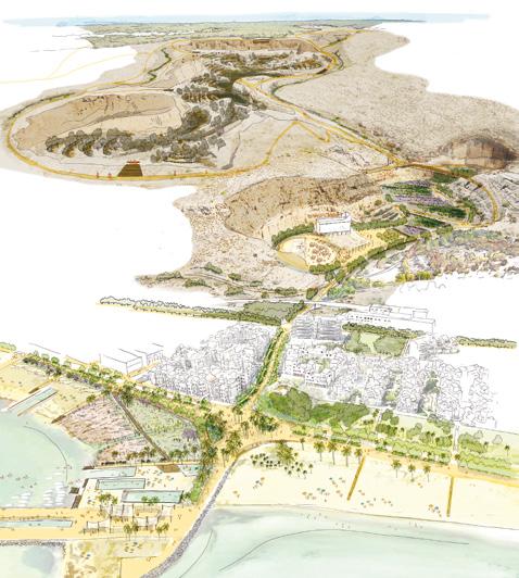
10 — Santa Pola (ES) Winner Water’s journey
→ See more p.176
11 — Nome (NO)
Winner
The Mineral Network
→ See more p.162
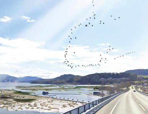
Fig.
Fig.
WHAT’S IN A NAME?
The range of rewarded proposals demonstrate that ‘Regenerating Landscapes’ can serve as the development paradigm able to incorporate architecture, infrastructure, urbanism, and even mining. The territory’s ecological base is the foundation for any spatial intervention in the search to be ‘sustainable’. As stated in the beginning, this container term has evolved into an expanding terminology to enrich the discourse on how to reach this generic objective. The proposals casually introduce a varied new use of language to describe how regenerating landscapes generate new typologies of spaces and ways of thinking.
‘Re-Knowledge’ ( Racines et Horizons , in Dembeni (FR) — see fig. 1) suggests environmental regeneration by ‘recycling’ local vernacular knowledge and expanding it beyond its current, romantic meaning. It operationalises local knowledge and seems key to many future transformations. ‘Rambla’ (Volver a la Frontera/Barrio , in Barcelona-La Font del Gos (ES) - see fig. 3), what we all know as an urban esplanade in the dense urban city, filled with life, was in fact originally a’ sandy waterbed’, alluding to its original ecological base. Demystifying (natural) origins to tap into historic depth might carve paths towards future regeneration. The proposal De Pedres, Pans! (see fig. 6) in Barcelona-La Font del Gos (ES) does not use common urban language, but intelligently appropriates a popular saying ‘to make bread out of stones’ — to communicate the essence of change: that a rich identity can be found by making the local context, however poor it might look, excel in being itself. Regenerating landscapes is thus about creating a continuous field of unique identities.
Architecture and urban design then also become the vehicle of ecological restoration. The proposal Green Mineral Park (see fig. 2) in Nome (NO) suggests that ‘architecture is not a tool of control: it is a way of witnessing’. Indeed, a spatial intervention a disturbance — imposes a reaction from its surroundings. Natural processes are often revealed by explicit interventions. If we can
better understand them, then maybe our ‘architectural witnesses’ can be more than passive bystanders and produce meaningful progress. The proposal taps into this potential and is consequently full of stimulating terminology: ‘salt licks’, ‘earth shells’, ‘pollination stations’, ‘seed-bank shelters’, ‘(re)-production hubs’, ‘fog catchers’, ‘photosynthetic lenses’, ‘dust-suppression misters’, and so on.
Finally, ‘Regenerating Landscape’ is also a social project where new participants are invited to overcome the ancient urban/rural dichotomy. In a regenerating landscape, a citizen can be a farmer, or a forester can spend part of his time as a local librarian. In the proposal Volver a la Frontera/Barrio (see fig. 3) in Barcelona-La Font del Gos (ES), such people might be reminded of ‘Prosumers’, who both produce and consume local products. Although this directly alludes to the known concept of short-chain food networks, we might extrapolate its pragmatic meaning towards the potential of regenerating landscapes that stimulate a wide amplitude of fluid and hybrid lifestyles.
‘Regenerating Landscapes’ is therefore not just a continuous field of unique identities. It is also an optimistic look to an ecologically sane and socially resilient future existence.
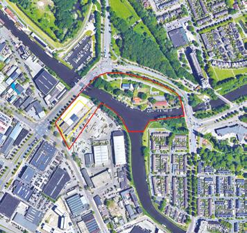
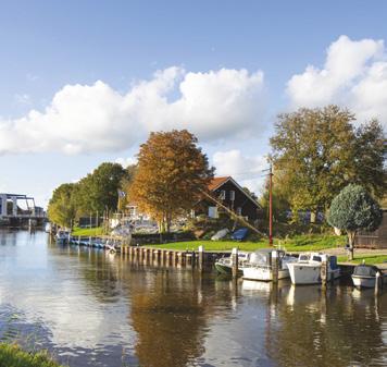
Amersfoort- Koppelbrug (NL)
Scales L/S
How to create, along a river, a new landmark for health, recreation and community well-being?
Site Context
The Koppelbrug is a cornerstone in the ambitious urban transformation of Kop van Isselt. The site offers an unique opportunity to rethink Koppelbrug as a multifunctional urban hub, skillfully blending indoor and outdoor sports facilities, residential spaces, and parking. Situated along the scenic river Eem, the area aspires to become a landmark destination for health, recreation, and community well-being. This location is pivotal, serving as a dynamic transition point between residential, industrial, and ecological zones.
Questions to the competitors
How to Create an iconic building that showcasing innovation, sustainability, and establishing a landmark that embodies the aspirations of the Koppelbrug area? How to create a sensitive public space where health and recreation integrate indoor facilities with the surrounding environment? How to create opportunities for swimming, boating, and riverside leisure, blending cutting-edge indoor sports with thoughtfully designed outdoor activities to foster community wellness? How to enhance the area’s role as both an ecological corridor and a recreational haven?
Location Koppelbrug, Amersfoort
Population 160,000
Reflection site 3.80 ha
Project site 0.44 ha
Site proposed by Amersfoort Municipality
Actor(s) involved Amersfoort Municipality
A Good Sport
Team point of view
A Good Sport proposes a new form of urban density in which living, moving, and ecology are deeply intertwined. Sports functions are superimposed, forming a vibrant ecosystem where encounters and health are a natural part of everyday life. Sports infuses the parking and housing with a healthy lifestyle. One can trail run around the house, climb to their car or do yoga after work. This intense mix of functions is made possible by a resilient structure of rammed earth, recycled steel, and timber. In this building sports is for everyone and the sports hall is presented as the beating heart of the building, open to the public and directly accessible from the park. The building becomes not only a destination but also a catalyst for movement — in the body, in the city, and in nature.
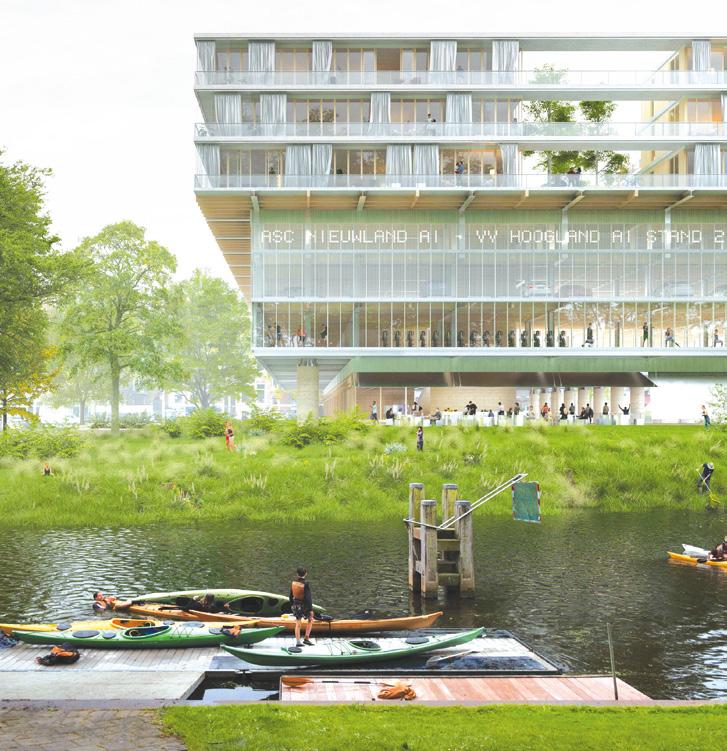
Author(s) —
Martijn Dahrs (NL), Italo de Vroom (NL), Nick Boer (NL), Architects
Jury point of view
Contact — minplusarchitecture@gmail.com www.minplus.eu @minplus.eu
The project proposes a clear, elegant, and adaptable integration of multiple programs that vary widely in scale and spatial character. A Good Sport succeeds where others struggle; in uniting housing, mobility, and sports facilities within a single coherent concept that remains both functional and inspiring. The parking structure, serving not only the complex itself but also the surrounding neighbourhood, provides a robust and flexible framework that supports the large-scale sports program at an urban level. The design introduces a layered living environment that alternates between outward-facing urban façades and a softer, inward-looking courtyard. This contrast creates a balance between openness and intimacy, allowing for social interaction and everyday activity to flourish.
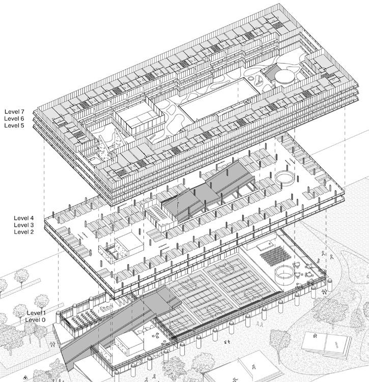
Assembly City
Team point of view
We live in a time defined by emergencies — climate, housing, and social — and architecture must explore new ways of building and living by proposing reversible spaces ready for uncertainty. Assembly City is a proposal for a new kind of urbanity: a habitable, prefabricated and demountable infrastructure that reduces emissions and responds to the growing need for housing. The building extends the landscape and links to the site's green and water systems. It becomes a new symbol for Amersfoort — not shaped by form, but by empathy. It is also a city of assembly: a horizontal way of living where housing, sports and nature coexist as one. Sports facilities and dwellings are places for care, activity and encounter. An open framework for fairer and shared futures.
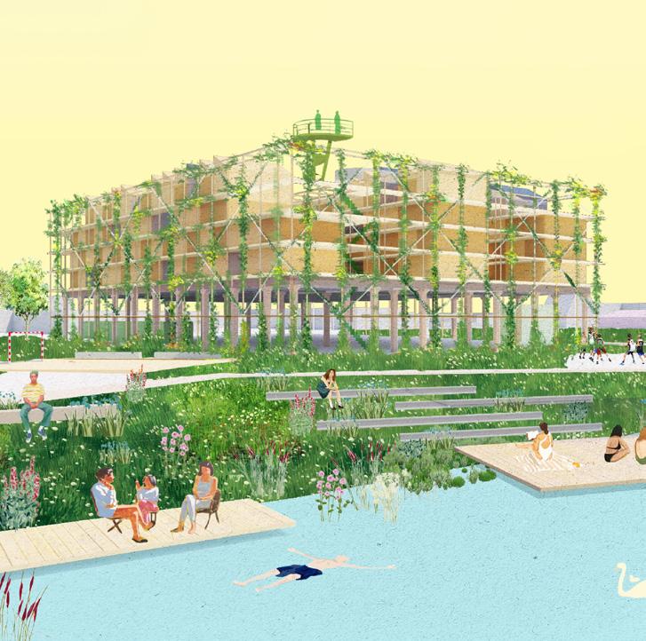
Author(s) —
Joan Gener González (ES), Miquel Ruiz Planella (ES), Adrià Orriols Camps (ES), Architects
Contact — h3o architects Carrer Verdi 150, 08012 Barcelona (ES) h3o@h3o.es www.h3o.es
Assembly City presents a bold and open-ended concept — a modular, prefabricated, and demountable system that proposes a new way of thinking about adaptability in architecture. With its straightforward, low-tech expression, the structure conveys a spirit of experimentation and resourcefulness that fits the maker-oriented character of the area. Its dynamic and expandable framework suggests a growing system, capable of continuous evolution and reuse of materials on-site. The project envisions a vibrant living environment with flexible, switchable units supporting diverse housing types and community configurations. It captures the atmosphere of an inventive, productive neighbourhood — part workshop, part home — and extends the ecological corridor along the Eem through its open and porous design.
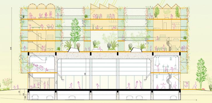
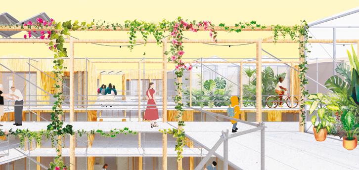
H.E.A.R.T.Y Hub
This project makes use of the ecological resources of the Eem River to create a healthy complex that integrates nature into living and sports. The sports centre is designed as a boundary-free space, where an optimised structural system and operable sliding panels allow seamless indoor-outdoor flow. Sports fields can be flexibly arranged, enabling users to enjoy exercising in a natural setting. On the residential side, we envision an inclusive housing model managed autonomously by the community, welcoming families of various backgrounds. Through a range of housing typologies with different living standards and community co-created stepped rooftop terraces, the design fosters social cohesion. The terraced volumes also extend the natural landscape onto the roofs, offering residents an enhanced living experience. Team point of view
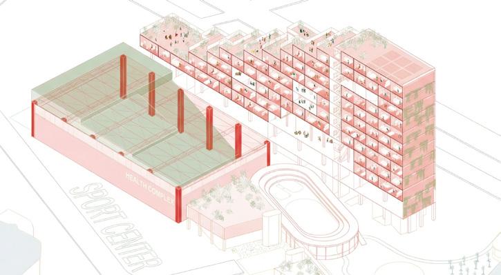
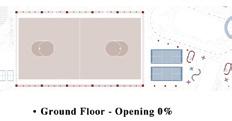
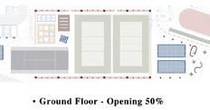
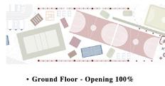
Author(s) —
Kai Wang (CN), Architect
Contributor(s) — Yusen Liu (CN), Yiting Zhou (CN), Intern architects
Contact — Johan Braakensiekstraat 149, 3119NN Schiedam (NL) t. +31 624334921
kai@justopenarch.com / www.justopenarch.com
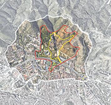
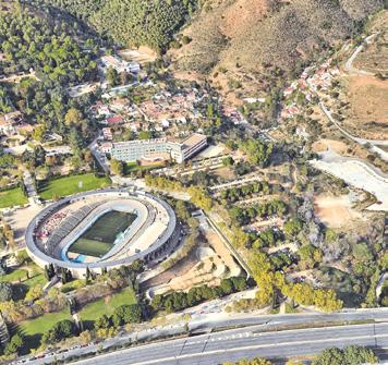
Barcelona-
La Font del Gos (ES)
Scales L/S
How to imagine mix-uses urban transitional spaces at the boundary between city and nature?
Site Context
La Font del Gos is a residential area located in the district of Horta-Guinardó, in northwest Barcelona and at the foot of the Collserola mountain range. The neighbourhood emerged in the 1930s, due to immigration from other parts of Spain, resulting in settlements that were established in rural areas without prior planning. La Font del Gos has never been officially recognised as a neighbourhood and it lacks services such as basic shops and neighbourhood facilities, forcing residents to travel to other areas of the city despite the challenges posed by limited access and insufficient public transport. It is a part of the city that straddles urban and natural environments, which is why the site offers opportunities beyond the urban level, forming part of a larger ecosystem, with the potential to act as a catalyst for initiatives related to the climate emergency and other crucial factors for modern cities.
Questions to the competitors
What role can the future Font del Gos neighbourhood play in relation to the rest of the city? What synergies can be created to reinforce its metropolitan connection? How should the urban fabric be structured? What types of residential homes could be adapted to the site? What new uses could be developed?
Location La Font del Gos, Barcelona
Population 350
Reflection site 69.3 ha
Project site 17.6 ha
Site proposed by Barcelona City Council
Actor(s) involved Barcelona City Council, private parties
De Pedres, Pans!
A local saying, ‘De les pedres en fem pans’ — literally, ‘We turn stones into bread’, speaks to making the most from what seems overlooked. An urban transformation based on freeing forgotten torrents to flow downwards, De Pedres, Pans! proposes a new eco-systemic boundary between Horta and Collserola, with La Font del Gos as its keystone. As a transitional ecosystem part of a redefinition between city and nature in the Barcelona Metropolitan Area, a wide and complex boundary is made through closed-cycle logics: re-purposing obsolete grey infrastructures to promote active mobility, re-thinking pre-existing typologies to increase the diversity of activities and services, reusing greywaters linked to new productive ‘horts’ and daylighted torrents, and re-signifying car parks and empty lots, so as to generate a new civic structure that weaves city and nature.
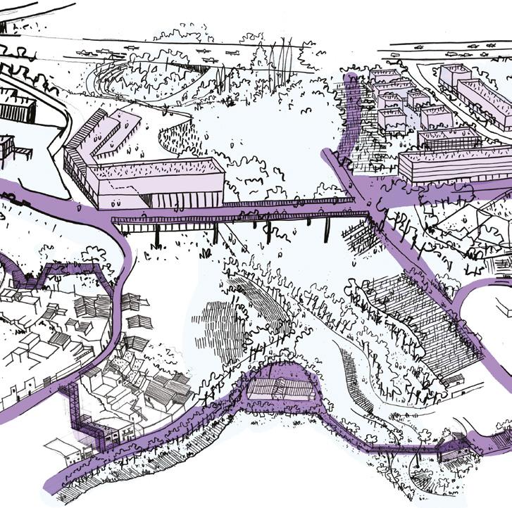
Author(s) —
Aleix Saura Vallverdú (ES), Alba Maria Tierz Puyuelo (ES), Architects urbanists; Pol Aguilella Saavedra (ES), Architect
Jury point of view
Contributor(s) —
Marina Aucejo Ibáñez (ES), Biologist, enviromentalist
Contact — info@unasuma.com
This project looks beyond the strict boundaries of the two parts that make up this urban area: La Font del Gos and Cal Notari. The project’s rigorous large-scale reading makes it possible to glimpse a new strategy for the neighbourhoods located between the Ronda de Dalt and the foothills of Collserola, proposing a more integrated, comprehensive vision. It proposes an urban axis that brings order to the area, re-stitching and integrating the fragments of major facilities and linking them with smaller-scale elements, turning this axis into a central, structuring feature. The dissemination of elements and small architectural structures within the project is thus integrated into a practical and recognizable framework.
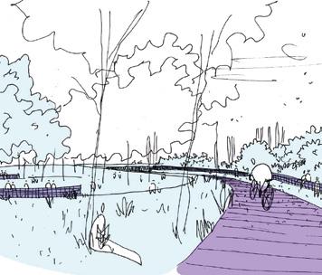
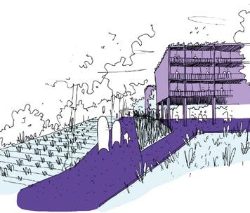
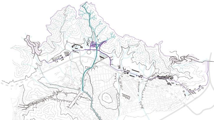
Tuning la Font
Team point of view
Restore man-nature balance in a territory that has lost its rhythm, allowing people to inhabit in tune with its surroundings. The land responds offering ecological services when nurtured and protected by a caring community. In our vision of Font del Gos, living here means cooperating for the transformation of the territory through the valorisation of its cultural and natural resources. New public spaces and green infrastructure for community and legitimacy. Fighting climate change through concrete compensation actions such as agroforestry, driven by a revitalised community centre and a new rural cooperative that plants, produces, and shares. A vision in which the stream of the mythical Font returns to the surface and consolidates the identity and values this community carries.
Author(s) —
Francesca Ciudino (IT), Filippo Giuseppe Nicolo Marchetta (IT), Anna Marcon (IT), Andreas Georgios Theodoridis (GR), Fabrizio Veneruso (IT), Pietro Vitale (IT), Architects
Jury point of view
Contact — Reggio Emilia (IT) fabrizio.veneruso01@gmail.com
This project offers a relevant interpretation of the built elements and the nature of existing self-built housing. The interventions focus on improving what can be enhanced while sacrificing what is in the worst condition, in order to restore connections with the Collserola park at several points. At the urban and neighbourhood scale, the proposal outlines various strategic interventions that enhance the conditions of the area, adding public spaces or small facilities with the aim of creating minor urban centres that retain the identity of the place. Among these improvements are the provision of proper staircases, some elevators, and pedestrian bridges to improve access to the homes, as well as the proposal to ‘mentor’ the self-construction of small pavilions as initial steps in a process toward lasting improvement.
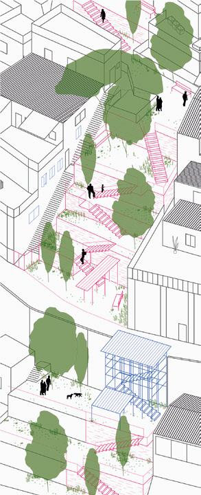
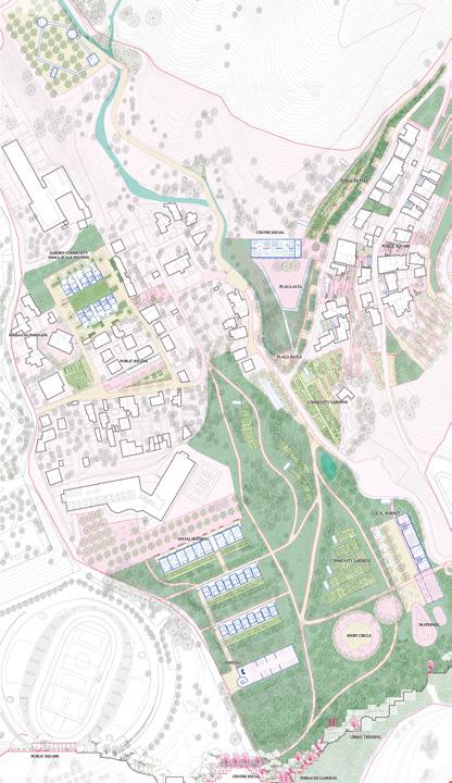
Volver a la Frontera/Barrio
Team point of view
La Font del Gos, a fragile and informally developed neighbourhood on the edge of Barcelona, is reimagined as a prototype for regenerative peri-urban living. Aligned with Europan, the project integrates ecological restoration, circular production systems, and phased development to enhance livability and resilience. Existing homes are consolidated and retrofitted, while new modular housing are constructed on stabilised terraces to accommodate multigenerational residents and mixed uses. The project promotes local circular production by integrating sustainable agriculture and community-based resource management. With upgraded infrastructure, vibrant public spaces, and a slow-mobility network, the neighbourhood evolves into a climate-resilient, inclusive, and selfsufficient peri-urban ecosystem.
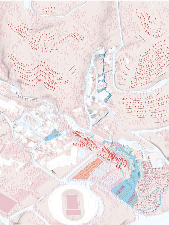
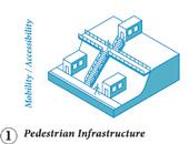
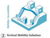
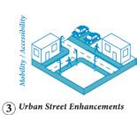
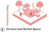
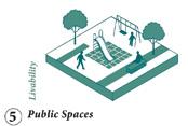
Author(s) —
Margherita Pasquali (IT), PhD Architect; Evgeniia Sokolova (RU), Architect; Elena Madiai (IT), PhD fellow-sociologist
Jury point of view
Contributor(s) —
Yusuf Kurt (TR), Sara Abi Merched (LB), Students in architecture
Contact — Corso Italia 8, 20900 Milano (IT) Pasquali Giaume Architetti Associati pasquali.associati@gmail.com www.pasqualigiaumearchitetti.com
A distinctive feature of this proposal is the intention to productively anchor the neighbourhood to its location through agricultural activity. The plan aims to transform La Font del Gos into ‘a prototype of a new form of peri-urbanism’, supported by a sustainable circular economy based on the exploitation of agricultural resources, rooted in the neighbourhood itself. It also proposes a system of interventions to improve the built fabric through material, infrastructural, or spatial redefinition. This project includes solutions that do not aim to create a unified whole but rather mimic the way the two settlements that make up La Font del Gos to foster social cohesion.
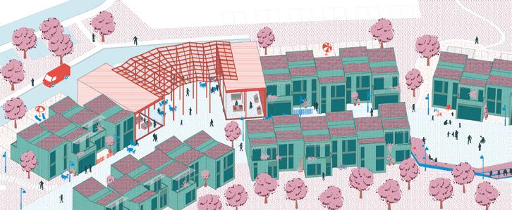
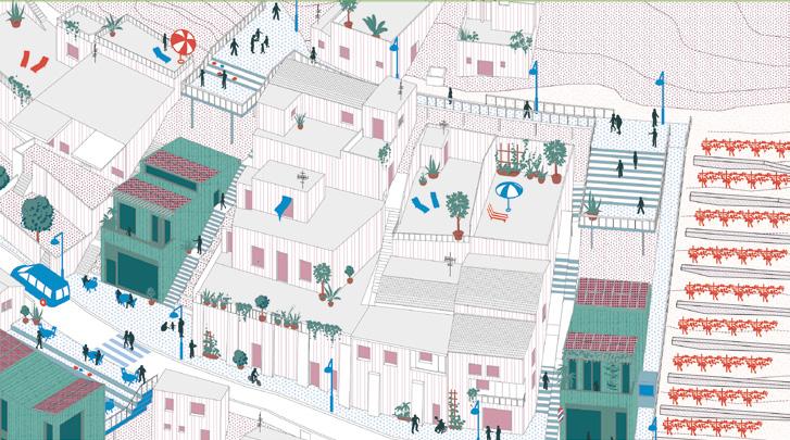
I AM THIRSTY
Team point of view
At the edge of Collserola Park, the project reclaims Font del Gos and Cal Notari through a territorial approach rooted in hydrical justice. Facing drought, erosion, and social neglect, it restores natural water cycles via low-tech, replicable systems: wadis, rain gardens, reservoirs, and permeable soils. A former parking lot becomes the ‘Earth Fabrika’ — a civic hub with a tree nursery and public services. Soil regeneration and water retention shape a resilient, inclusive landscape. By empowering local governance and collective care, the project transforms water into a tool for ecological repair and social equity.
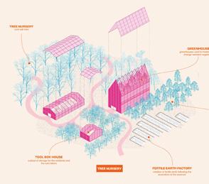
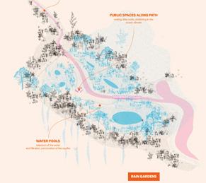
Author(s) —
Adrian Wetherell (CH), Dane Tritz (CH), Sidney Wirth (CH), Architects
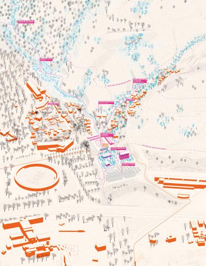
Contact — Point 0, Lausanne (CH) office@point0.ch www.point0.ch
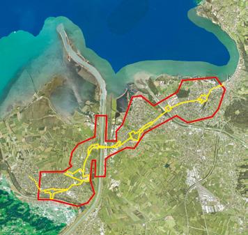
Bregenz-Hard-
Fußach-Höchst (AT)
Scales XL/L
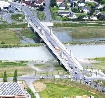
How to create a strategy to reshape a motorised street in order to foster interconnected environments thanks to
the landscape?
Site Context
In Vorarlberg, the L202 or ‘Magistrale’ is a crucial logistical artery linking Switzerland, Austria, and Germany. It drives economic growth by enabling trade and supporting local industries. However, this prosperity comes at a cost for villages along the route, where heavy car and lorry traffic disrupts daily life, creating noise, pollution, and safety concerns. The contrast between high-speed transit needs and the slower rhythms of village life highlights the urgency for solutions that balance mobility with livability. The L202 runs through three villages — Höchst, Fußach, and Hard — before reaching the city of Bregenz. This corridor is part of the Rhine Delta, an economic hub that, together with the Rhine Valley, is home to 80% of Vorarlberg’s population and most of its commercial activity. Urbanization has shaped the region into a continuous settlement. Its polycentric landscape distributes cultural, educational, and health services across multiple centres.
Questions to the competitors
How to reimagine this heavily frequented motorised street, which cuts through villages and sensitive landscapes? What tools and actionable guidelines can address the entire length of this corridor to gradually transform it into a space of potential and a forward-thinking approach to infrastructural corridors like this? How can this route be transformed into an open space of possibilities — one where neighbourhoods, green areas, and active mobility can thrive alongside motorised traffic? Can this very infrastructure, which supports economic prosperity, evolve into a system of synergy, fostering an ‘Erlebnisraum’ that benefits all who interact with it?
Site proposed by Federal state of Vorarlberg
Location Bregenz, Hard, Fußach, Höchst
Population 55,788
Reflection site 1,286 ha
Project site 120 ha
Actor(s) involved Federal state of Vorarlberg, Planning office and mayors of Bregenz, Hard, Fußach and Höchst
Owners of the site Federal state of Vorarlberg, private owners, municipalities
Recode the Road
Team point of view
The L202 is more than a mere road; it is a piece of software executing obsolete instructions. Designed for speed and flow, it slices through landscapes that need healing, slowing down, and growing back: we propose to recode this infrastructural code and turn the L202 into a living corridor that fosters connections between ecology, mobility, and community. It is a territorial reprogramming: an opensource protocol to restore soil, regenerate ecological continuity, and re-activate public space through light, replicable, and scalable actions.
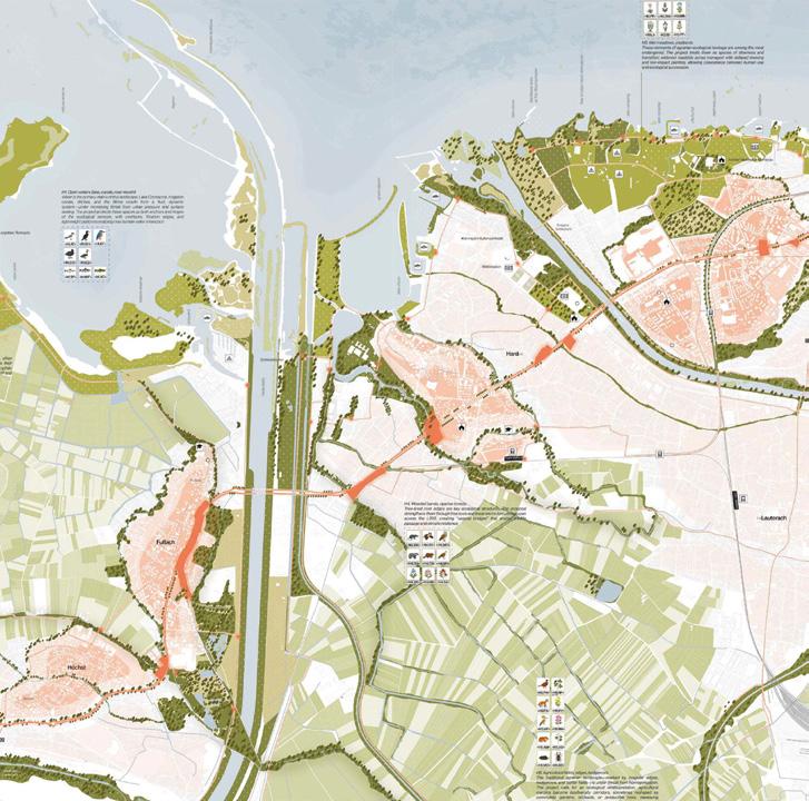
Author(s) —
Lorenza
Sartori (IT), Luca Luini (IT), Architects; Riccardo Masiero (IT), Urbanist
Contributor(s) —
Andrea Curti (IT), Architect
Contact — LLUMAA, Gallarate (IT) info@llumaa.com www.llumaa.com
Jury point of view
Instead of proposing a linear sequence of interventions along the L202, the project introduces a broad, geographically informed reading of the entire region. By working with the analytical layers ‘solid’, ‘fluid’, and ‘biotic’, it succeeds in interpreting the territory across the dividing road as a coherent network of ecosystems connected through soil conditions, watercourses, and habitat structures. the project formulates a vision that transforms the road space into a diverse habitat where different modes of mobility coexist, but which is primarily conceived as a rich threshold space that no longer divides but connects.
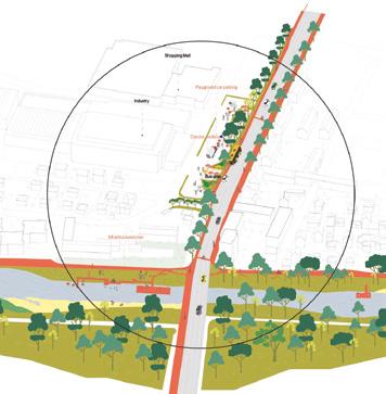
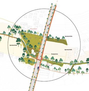
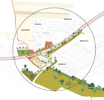
PINCH ME! L202 just woke up…
Team point of view
PINCH ME! L202 just woke up… as ‘climate street’. Faced with demographic shifts, new mobility needs, and the climate crisis, the L202 had to change. With input from many stakeholders and targeted small-scale interventions, it’s becoming a ‘climate street’ — a model for sustainable infrastructure in the Rhine Delta. No longer a barrier, it now supports public life, urban development, biodiversity, and the regional landscape. New micro-centres connect neighbourhoods and embed the road in its local and regional context. As the first regional climate street, the L 202 is key to a livable, sustainable future.
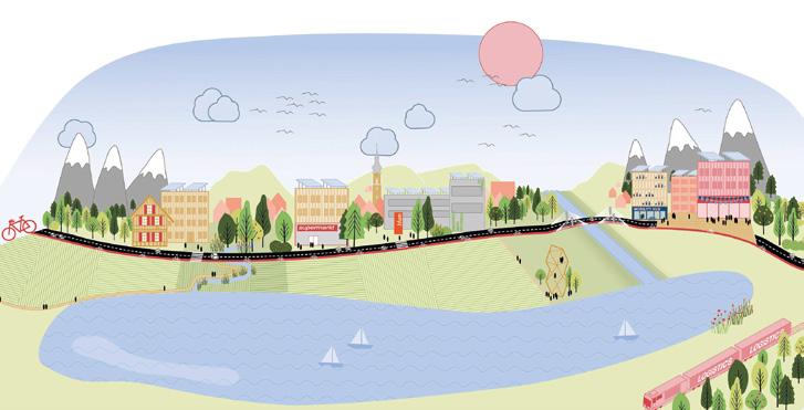
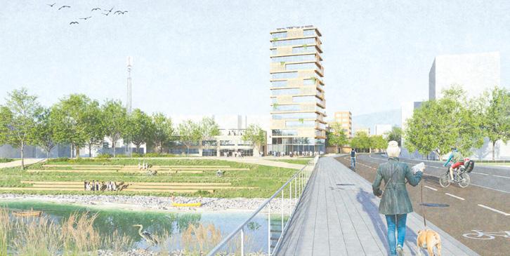
Author(s) —
Rune Hattig (DE), Johannes Trautmann (DE), Architects; Janke Rentrop (DE), Clara von den Driesch (DE), Urbanists
Contact — raumbredouille (DE) raumbredouille@gmail.com @raumbredouille Jury point of view
This project proposes to transform the heavily traffic-burdened L202 into a ‘climate street’ — a road that is no longer a barrier but becomes the connective backbone of climate-responsive regional development. With a finely calibrated system of three intervention types — Tree Bridge, Green Bay, and Common Ground — it proposes efficient, small-scale, and transferable measures capable of achieving significant impact with limited means. Landscape corridors and street modules link ecological and social spaces, opening new cross-connections between key locations. In this way, the road becomes a place of exchange between mobility, nature, and community.
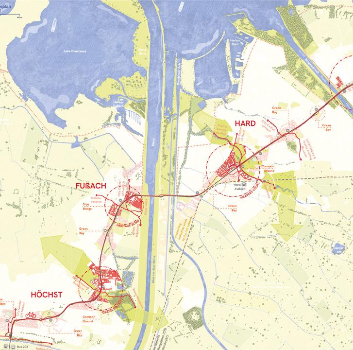
The Landscape of Havens
Team point of view
The Landscape of Havens reimagines the L202 from a car-dominated barrier into a regenerative corridor where mobility, ecology, and daily life coexist. Based on user portraits, fieldwork, and spatial analysis, the project introduces ‘Havens’: site-specific interventions supporting care, transition, and activation. These nodes, linked by blue-green infrastructures, turn traffic impact to easy accessibility, enhance local identity, and restore ecological connectivity. Havens integrate multimodal hubs, quiet zones, social and cultural living spaces, productive edges and climate-adaptive design. They are forming a flexible, place-based strategy to transform infrastructure into a shared landscape of resilience, memory and community.
Author(s) — Katarina Kuk (SI), Zala Koleša (SI), Andraž Podvez (SI), Architects urbanists; Andrej Panker (SI), Architect; Martin Valinger Sluga (SI), Urban planner; Quentin Drouet (FR), Spatial planner; Nika Marn (SI), Landscape architect
Contributor(s) — Maria Ljuština (HR), Architect; Nik Erik Neubauer (SI), Artist
Contact — kuk.katarina8@gmail.com @po_cetrti
This project evolves the idea of the L202 as an infrastructure of care into a poetic yet systematically structured proposal. The road is conceived as a sequence of ‘havens’ — spatial harbours of calm, encounter, and resource sharing — that interweave ecological, social, and mobility-related qualities within a coherent framework. The twelve distinct havens form a structured Catalogue of Havens, in which each intervention — whether green, blue, or social — responds precisely to its local context. Jury point of view
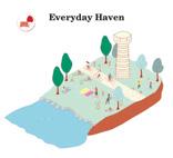
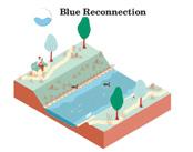
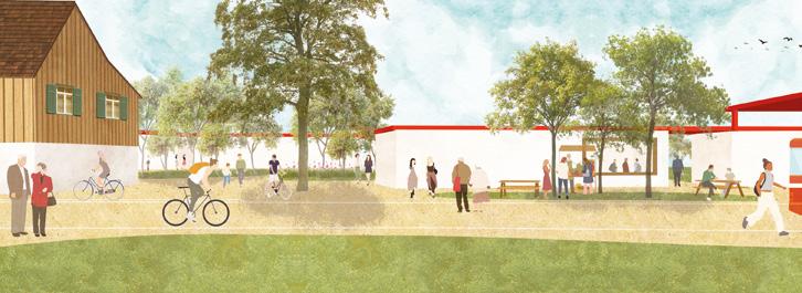
Dembeni (FR)
How can mangrove and habitat (today informal settlements) cohabit in order to create an eco-urbanism?
Site Context
Located in the municipality of Dembeni, on the eastern coast of Mayotte, the site extends along National Road 3 (RN3). Characterised by informal urbanization, it presents a mosaic of self-built dwellings, ranging from simple tin-roofed ‘bangas’ to multi-story concrete houses. Often constructed in high-risk areas and near protected natural spaces, these buildings exhibit a gradual decline in quality as they extend away from the main road towards the mangrove.
Questions to the competitors
How can the interfaces between inhabited and natural areas be reorganised to promote resilient urbanization adapted to local socio-cultural dynamics? What rehabilitation strategies can be implemented in neighbourhoods located in highrisk natural hazard zones? How can mangrove spaces be sustainably reintegrated into the urban fabric while fostering an inclusive approach for residents? How can innovative solutions be designed to rehouse populations with dignity while enhancing the natural heritage?
Scales XL/L
Location Dembeni, Mayotte Island
Population 15,848
Reflection site 83 ha
Project site 11 ha
Site proposed by EPFAM (Public Land Establishment of Mayotte) and CADEMA (Dembeni Mamoudzou Agglomeration Community)
Actor(s) involved EPFAM (Public Land Establishment of Mayotte) and CADEMA (Dembeni Mamoudzou Agglomeration Community)
Racines et Horizons
Team point of view
In the context of a global environmental crisis, marked by increasing resource scarcity and the limitations of current development models, territorial public policies in Mayotte must be rethought through the lens of insularity. This situation calls for a strategic approach to spatial planning, one that is attentive to the environmental, social, and economic constraints of the territory. This involves producing locally wherever possible, rethinking reuse, promoting a circular use of resources, recycling, reducing pollution, and importing only what is strictly necessary. The objective is to move toward ecological, social, and economic sustainability. Our proposal is rooted in this perspective. It acknowledges the complexity of land tenure in Mayotte shaped by the coexistence of statutory and customary systems and puts forward a strategy for shared land governance.
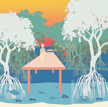
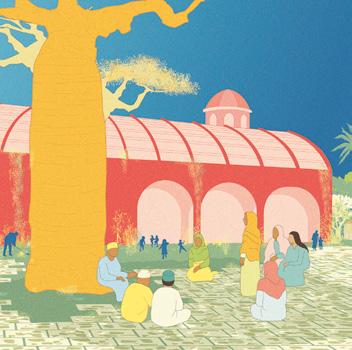
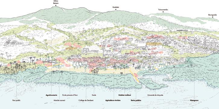
Author(s) —
Mathis Augustin (FR), Akram Lemouchia (DZ), Architects; Sophie Régal (FR), Ethnologist, landscape designer; Raphaël Zéphir (FR), Architect-urbanist
Jury point of view
Contributor(s) — Oumaïma Sabbar (FR), Student in architecture
Contact — racinesethorizons976@ gmail.com
The project is primarily based on the organization of institutional and civil stakeholders at the island and site levels. It relies on a participatory approach that includes the families. The team offers a very detailed socio-territorial analysis, particularly regarding land and soil management. Reflection on shared management models guides the team's proposals concerning housing design, the management of common spaces, and the preservation of agriculture and the natural environment. The jury appreciated the team's vision for the island as a whole, its narrative of the territory, and the precision of its operational methods.
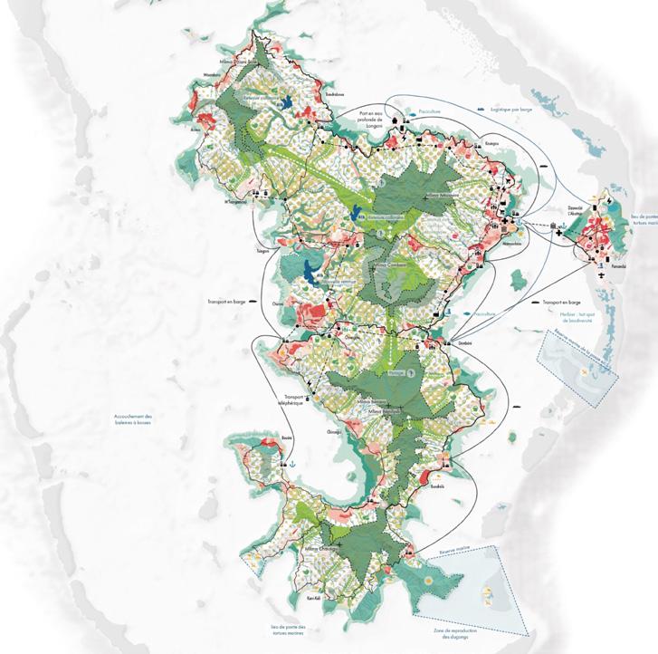
Four Rs for Dembeni
Team point of view
The transformation of Dembeni is not imposed from above, but shaped from within — through a network of local actors: institutions, materials, ecosystems, and even climatic forces like cyclones. The familiar three Rs — Reduce, Reuse, Recycle — are deepened by a fourth: Reknowledge. Local materials and knowledge drive the transformation. Only what truly must be demolished is removed; lost space is translated from horizontal sprawl into vertical extensions, addressing unhealthy living conditions. At its heart lies the reconnection of natural protective systems, especially mangroves, not as peripheral green zones, but as active, structuring elements of the urban fabric. Reknowledge means reactivating existing skills, matter, and memory — to shape a resilient, just, and conscious future.
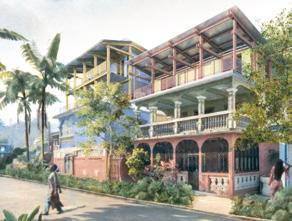
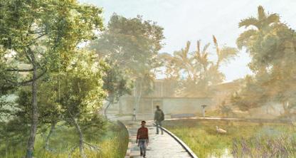
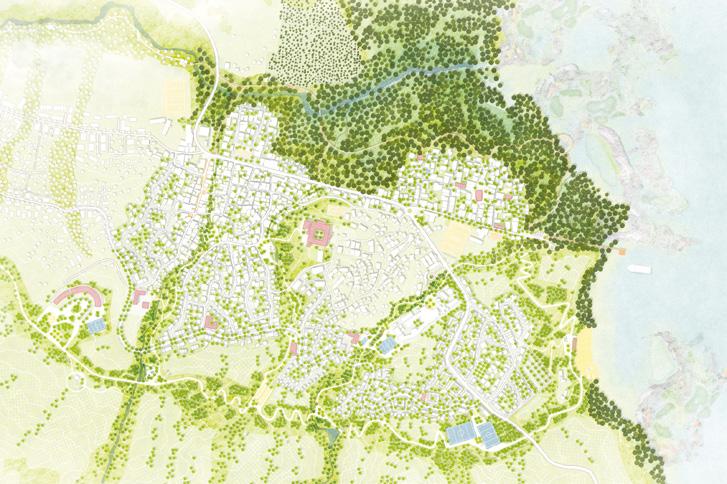
Author(s) —
Felix Ridder (DE), Landscape architect; David Seitz (DE), Urbanist; Luiz Seitz (DE), Irina Schmidt (DE), Architects
Contact — space-practice.com mail@space-practice.com
Jury point of view
The team explores the relationship between inhabited spaces and natural milieus by considering the residents’ practices and their perception of the surroundings. The project is based on a broader vision of urban renewal and incorporates a temporary relocation plan. The architectural interventions combine targeted demolitions and raised structures, as well as the creation of public facilities and local green spaces. The project demonstrates a nuanced approach to both the neighbourhood and architectural scales.
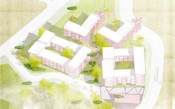
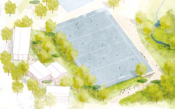
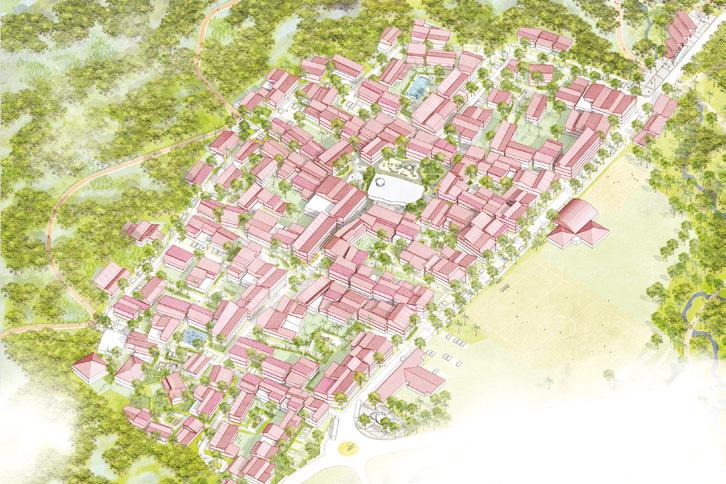
Chronicles of a living pact
Dembeni a breath in three waves
In 2070, Dembeni has become a living city, shaped by a deep alliance between nature and its people. Faced with risk, it was collective strength that led its renewal. Residents, builders, officials, and associations co-designed new ways of living: agricultural terraces, local materials, and knowledge passed down through generations. From mangrove to hillside, every intervention was a shared act. In Dembeni, adaptation became a collective endeavor, and every inhabitant a force for change. Team point of view
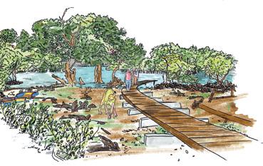
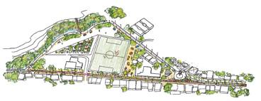
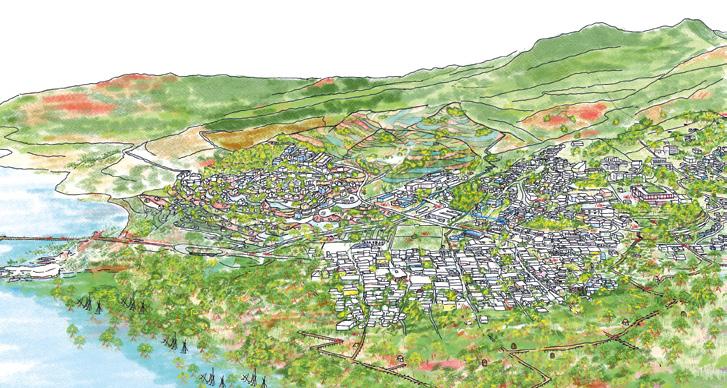
Author(s) —
Chloé Avogado (FR), Amélie Chézeaux (FR), Adriana Filain (FR), Juliette Osman (FR), Major risks architects
Iloni Huju (the ascent of Iloni)
Team point of view
Iloni Huju project aims to revitalise this village located on the west coast of Mayotte by improving living conditions, particularly for precarious housing, through vertical densification and improved management of major natural risks. It incorporates the restoration of the mangrove, which is essential for natural protection, while fostering social cohesion through shared spaces and participatory consultation. The plan is based on supported self-construction, renaturation and sustainable urban development, with the objective of creating a resilient village in harmony with its environment. The project is structured in five stages: participatory diagnosis, improvement of infrastructure, construction on stilts, clearance and revegetation of ground surfaces, and ecological restoration of the mangrove, ensuring balanced and long-term development.
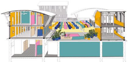
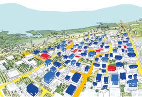
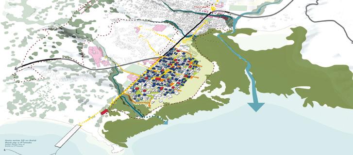
Author(s) — Gabrielle Cheng (MU/FR), Architect, urbanist, editor; Audrey Richomme (FR), Matthieu Bisasur (MU), Architects; Angéline Fontaine (YT), Designer, urbanist; Irfani Toybou (YT), Urbanist; Galilé Bernard Lameille (FR), Designer
Contributor(s) — Cécile Meurou (FR), Architect, urbanist
Contact — La Réunion / Mayotte (FR) gabrielle.cheng.atelier@ gmail.com @gabrielle.terla.editions
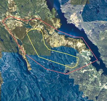
Nome (NO)
Scales XL
Location Nome
Population 6,587
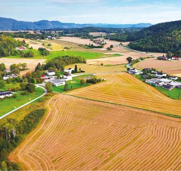
How to make a vision for a more sustainable industrial mining park and rethink the transformation of the landscape?
Site Context
Europe’s largest rare earth element (REE) has been discovered in the municipality of Nome. This is a crucial resource for technologies like supermagnets, computers, and rockets. This discovery pressures Nome municipality to allow mining, but no decision has been made yet. If approved, the mine will permanently alter the landscape, requiring extensive infrastructure, including landfills that could rival the size of nearby mountains. Nome is exploring the concept of a Green Mineral Park an industrial ecosystem where companies collaborate to minimise waste and maximise circularity. Typically, only 1% of the rock extracted contains REEs, the remaining 99% holds untapped potential. Instead of focusing solely on technical and economic factors, this competition highlights the broader spatial and societal implications.
Questions to the competitors
How can we challenge the conventions of traditional mining to create more sustainable and innovative practices? How can such a transformation integrate with its surroundings and remain adaptable for future technologies? How can the industrial park benefit local communities? How can concepts for the Green Mineral Park ensure that industrial development is spatially, ecologically, and socially responsive? How can material reuse, reduced environmental impact, and industrial synergies transform mining byproducts into new opportunities for local development?
Reflection site 1,200 ha
Project site 300 ha
Site proposed by Nome Municipality
Actor(s) involved Nome Municipality
The Mineral Network
Team point of view
From extraction to regeneration
The Mineral Network reimagines mining in Nome as a catalyst for historical and ecological restoration, circular economy, and community resilience. Rare earth extraction becomes a visible, integrated part of public life, supporting research, jobs, and biodiversity. Infrastructure connects industry, people, and ecosystems across Ulefoss and Lunde, blending high-tech innovation with landscape design. Waste is transformed into resources and new habitats. The mine is designed for adaptability, growing and shrinking over time, and eventually giving way to nature and new uses. Nome becomes a model for a regenerative, future-proof industry.
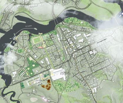
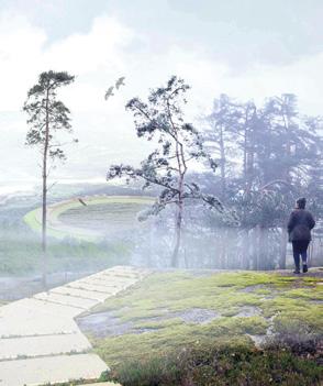
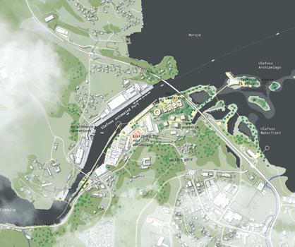
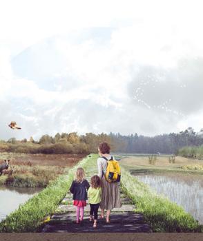
Author(s) —
Giacomo Gallo (IT), Karlijn Simone Besse (NL), Architects; Remco Alexander van der Togt (NL), Landscape architect; Robert Thomas Younger (DE), Urban planner; Tadej Gregorič (SI), Student in urbanism
Jury point of view
Contact — Amsterdam (NL) www.newenvironments.eu www.bremlandschap.nl www.otherspheres.com
The project demonstrates a clear and confident territorial strategy, positioning the mining industry not as a hidden or environmentally stigmatised activity, but as an integral and even celebrated part of the regional identity. By proposing a monumental architectural structure that showcases the local resources above ground, the team redefines the cultural role of extraction and frames it as a civic and educational experience. This is a courageous and forward-looking gesture, signaling a new paradigm in how industrial landscapes may be understood and designed. The project demonstrates a rare capacity to connect architecture, infrastructure, and ecology within a single, long-term vision.
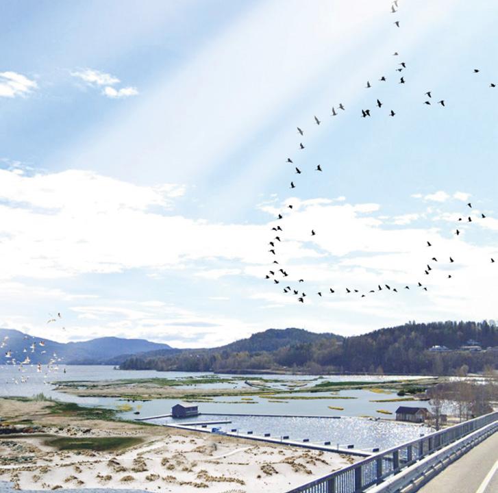
A 100 Years Playbook
Team point of view
How can we rethink mining in a time of ecological urgency, spatial fragility, and shifting global economies? The 100 Years Playbook offers a long-term framework to guide the evolution of Nome’s Green Mineral Park — socially, ecologically, and spatially. Instead of a fixed masterplan, the Playbook illustrates guiding principles, design strategies, tools and visions that adapt across decades: from the first phase of extraction and construction, to the realisation of the poly-actor campus, to potential futures of reuse, rewilding, and civic renewal. Through the three temporal scales the mining park is treated not as a static facility, but as a living ecosystem shaped by collaboration, care, circularity and long-term territorial care. // This project is partially based on the Refshaleøen Development Playbook by EFFEKT (CC BY-SA 4.0).
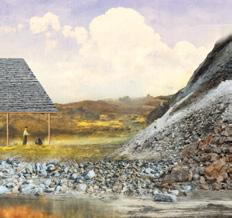
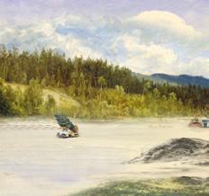
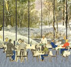
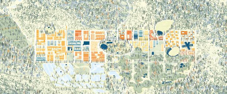
Author(s) —
Alberto Roncelli
(IT),
Nicole Vettore (IT), Architects
Contact — Roncelli Studio (DK) studio@albertoroncelli.com www.roncelli-studio.com
Green Mineral Park
Team point of view
What we propose is caring. Before extraction begins, we establish the park, not as a gesture of mitigation, but as an act of positioning. Through small interventions, we initiate relationships between species, materials, and humans. Every move is rooted in what the site gives, and what it demands we protect. Resourcing here means designing systems that metabolise damage. It becomes an ethical commitment: no material leaves untouched, no gesture made without consequence. Ours is not a strategy of repair after harm, but a refusal to design without responsibility.
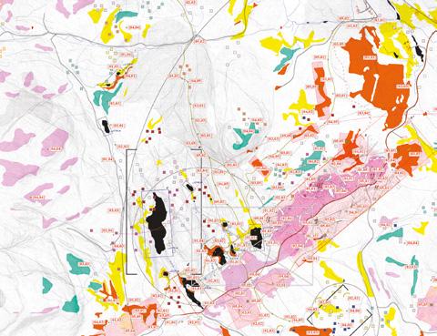
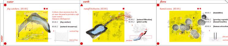
Author(s)
—
Mehmet Derin Incekas (TR), Pelin Gezer (TR), Architects
Contact — memestudioooooo@gmail.com
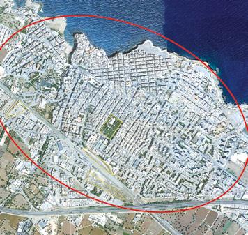
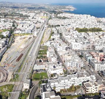
Polignano a Mare (IT)
Scales L/S
How to strengthen landscape connections and reconnect the fragmented areas?
Site Context
Polignano a Mare is located 33 km south of the coast of Bari. It is characterised by the magnificent location of its historic centre, which stands on a rocky outcrop overlooking the Adriatic Sea. Its wealth lies in tourism related to marine activities and agriculture. With an average of 250,000 visitors per year, the FEE, Foundation for Environmental Education, has awarded Polignano a Mare the Blue Flag since 2008. The city must respond to new needs of the community that must deal with the activity of tourism by building new social, housing and service dynamics according to the principles of ecological transition, energy saving, inclusiveness. The project sites are in the area of the FS station, a few minutes’ walk from the historic centre and Lama Monachile. An urban regeneration is foreseen to create new public and private facilities and to give back to the community the nodal spaces of the city fabric.
Questions to the competitors
How to generate new ways of living for the community by combining connections, services and landscape values? How can we strengthen landscape connections and reconnect the fragmented areas with sustainable actions to enhance local resources? How to preserve the natural, morphological and historical-cultural characteristics of the landscape? How to promote interconnection between the different modal transport solutions in reference to the railway infrastructure? How to ensure soil permeability and promote renaturalisation processes, as well as introducing new functions to serve the community and local productivity.
Site proposed by City of Modugno
Location Railway Station Area
Population 17,680
Reflection site 60 ha
Project site 3 ha
Actor(s) involved City of Polignano a Mare, FS Sistemi Urbani
The Rewilding Grounds
Team point of view
The Rewilding Grounds project aims to reconnect the urban and natural landscape of Polignano a Mare by restoring physical and perceptual links between the coastline and agricultural hinterland. It envisions three urban parks with integrated functions and the adaptive reuse of Villa Pinocchio. Developed along the Bari-Lecce railway, the park system forms a green-blue infrastructure. By integrating rural landscapes into urban design, the project promotes sustainable tourism and yearround accessibility. It is structured around three strategies: ecological and climate regeneration, public space enhancement, and sustainable mobility, including an intermodal hub, cycling paths, and improved public transport.
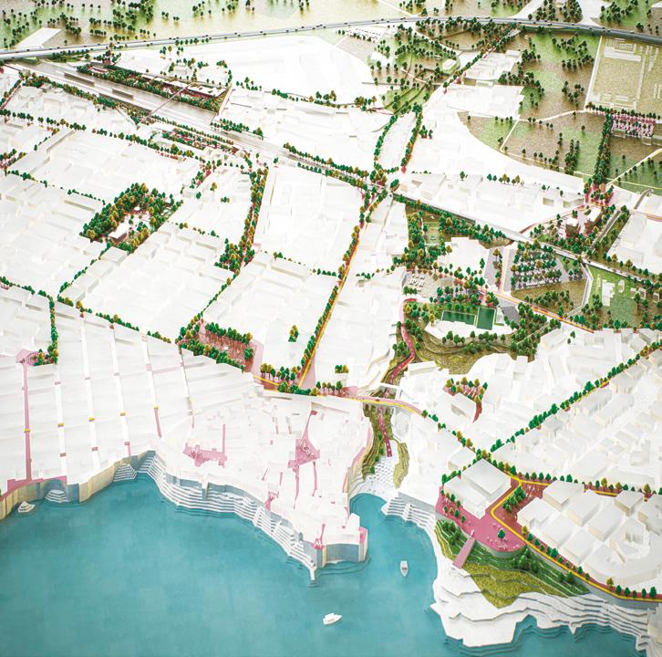
Author(s) —
Josephine Saponaro (IT), Jacopo Leccia (IT), Daniele Russo (IT), Architects
Contributor(s) —
David Kevin Longo (IT), Teo Morel (CH), Alfred Peci (CH), 3D designers
Contact — Milan (IT) contact@danielerusso.eu
This project has a clear urban vision and successfully connects territorial and local dimensions. It defines flows and mobility within the system of the four areas and develops the concept of the three parks, envisioning an integrated coexistence between human and non-human life. The theme of connecting the urban fabric of Polignano a Mare with its natural and agricultural landscape is fundamental to the project. The definition of a ‘light’ and flexible architecture, adaptable to new uses on a 7/24 basis, proves highly effective. Jury point of view
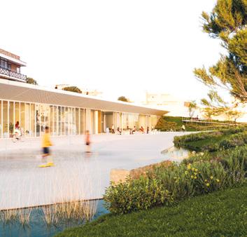
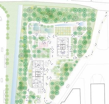
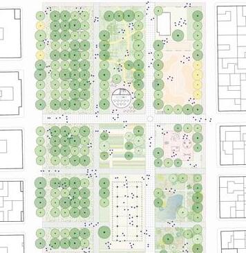
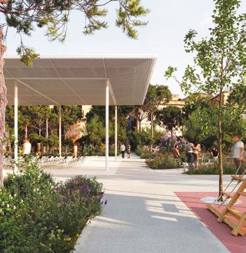
LEARNING FROM POLIGNANO
The project intends to reconnect the agricultural landscape with the downtown area and the spaces along the sea. A hinge space that winds around the railway axis, capable of inverting the perception and livability of the urban system. LEARNING FROM POLIGNANO goes in two directions: on the one hand, it considers the agricultural backbone of the hinterland not as a backbone, but as an important element, which must be put back at the centre with a view towards slow and sustainable tourism. On the other, it provides a series of axes transversal to the city — which intersect the intervention sites, public spaces and existing facilities, as well as some areas localised for future interventions envisaged by the ‘Piano Strategico’ plan — to improve the quality of domestic urban spaces, creating connections with vegetation and cycle-pedestrian paths that connect to the coast. Team point of view
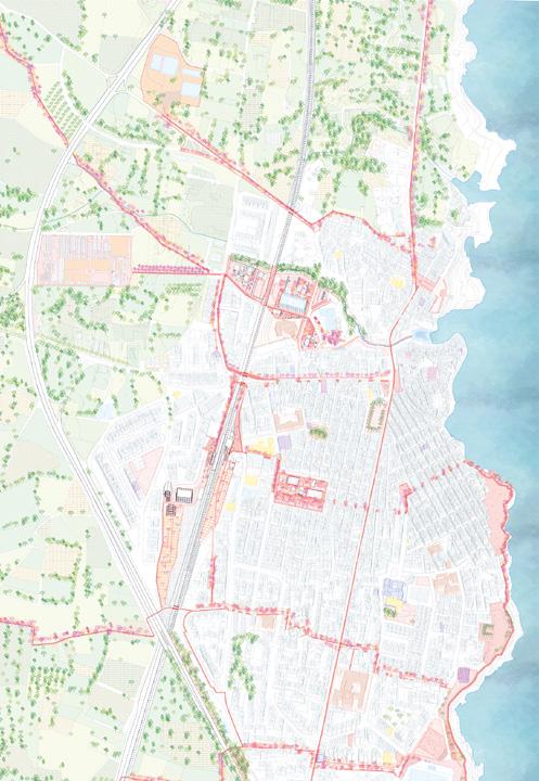
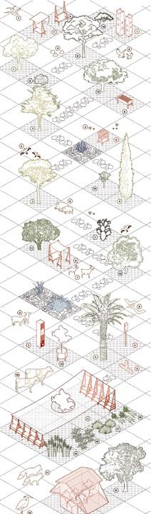
Author(s) —
Silvia Lanteri (IT), Architect urbanist; Maicol Negrello (IT), Sara Marzio (IT), Landscape architects; Sara Barera (IT), Architect, landscape architect; Giulia Barone (IT), Margherita Oberto (IT), Maria Vittoria Nicastro (IT), Students in architecture; Martina Mazzotta (IT), Architect
Jury point of view
Contact — @collettivo_selvaticus www.collettivoselvaticus. my.canva.site
This project proposes a strong vision concerning Polignano’s relationship with the agricultural palimpsest that defines its cultural identity. The railway axis thus becomes a hinge space on which the project works to reverse the perception and livability of the urban system — a linear zone interwoven with transversal green corridors and cycle-pedestrian paths. The proposal reinforces the ecological principles, moving beyond intensive and monocultural agricultural practices in favor of biodiversity, promoting the coexistence of resilient agricultural activities, shared living spaces, and natural habitats.
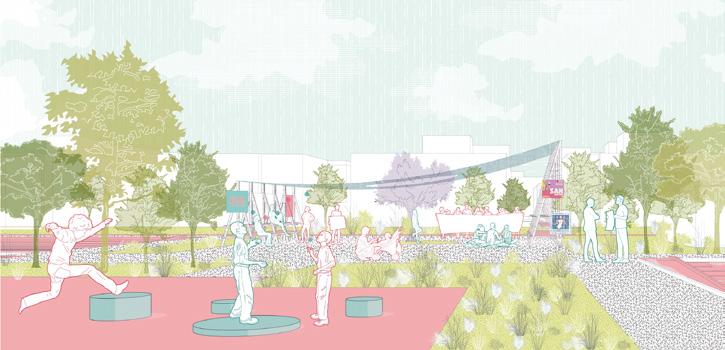
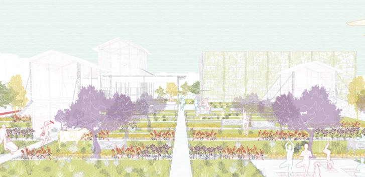
Complementary Colours
Team point of view
Complementary Colours are those that by definition enhance each other. The project starts from the analysis of the territory of Polignano, from the importance of the colours of the sea, of the limestone rock, of the Mediterranean scrub surrounding the white lime buildings. The diffusion of these colours throughout the urban fabric is fundamental, as is the morphology of the territory, naturally dug by the lama. The project is modeled precisely according to this organic and decisive geometry: the Pinocchio area looks for the sea and is a blue lama, the Lepore area looks for the scrub and is a green lama, the Marconi area looks for the rock and is a solid and brown lama. Complementary functions are art and green, which bring life, bring contamination, bring freedom to Polignano a Mare.
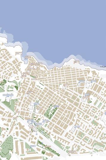
Author(s)
—
Anna Vittoria Zuliani (IT), Architect
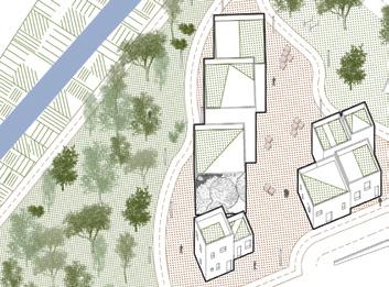
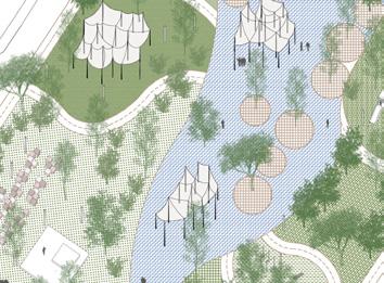
Contact — Reggio Emilia (IT) annavittoria@zuliani.re.it www.annavittoriazuliani.pb.design
Polymnia Futura
Team point of view
Polymnia Futura addresses Polignano a Mare's tourism-resident coexistence challenges through sustainable urban regeneration. Via Lepore becomes a mobility hub with underground parking and panoramic belvedere; Viale Trieste develops as a multifunctional railway gateway; Via Marconi hosts innovative social housing with proximity services; Villa Pinocchio becomes a park seamlessly integrated with the urban fabric. Key interventions include 24,000 sqm of renaturalised surfaces, greenery, sustainable mobility networks with electric buses, and mixed-use developments. The strategy promotes local materials, renewable energy systems, and nature-based solutions, creating a resilient model that honours historical identity while building a sustainable future.
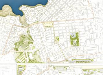

Author(s) —
Micaela Colella (IT), Maurizio Barberio (IT), Architects; Angelo Figliola (IT), Architect, environmentalist; Khaled Gamal Abdelnaser Ahmed Mohamed (KW), Architect, urbanist
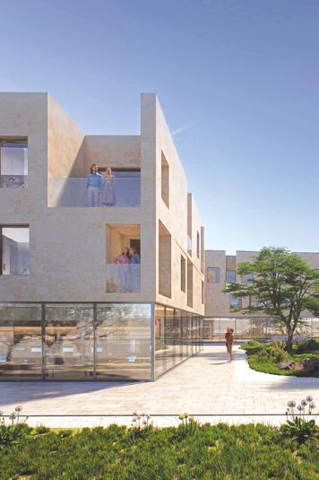
Contact — Barberio Colella Architetti, Bari (IT) studio@barberiocolella.com www.barberiocolella.com
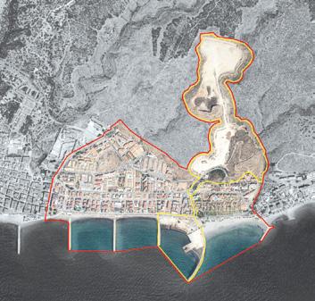
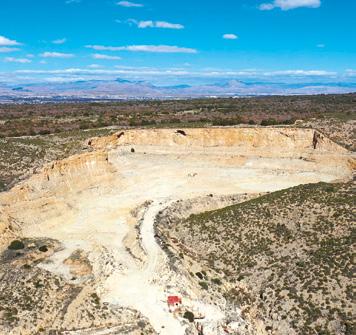
Santa Pola (ES)
How to regenerate a former mining site by creating an alliance between inhabited environments and natural elements?
Site Context
Santa Pola is a tourist municipality on the southeast coast of Spain, located between two centres of activity: Alicante and Elche. Santa Pola was and still is a fishing village, but tourism is now its main source of income. The floating population increases fivefold in summer. The project area is about a quarry from which the material for the breakwater of the dyke of the port of Torrevieja, a neighbouring town, was extracted (1923). When the Torrevieja project was completed, the quarry breakwater, which was an auxiliary and provisional work, was not removed. After the Civil War (1946), two dry docks and shipyards were built in the shelter of the breakwater. The quarry, nowadays, in disuse, which has left large slopes and cuttings.
Questions to the competitors
This space, which has become an urban void, needs to be regenerated. But would it be possible to use this need as a driving force for regeneration? Would it be enough to regenerate the over-exploited space and remove the old warehouses to restore the centrality, the previous use, to cover the sloping ground and leave an empty space where there were warehouses to repair the boats? Or would it be better to take advantage of the urban void for new activities? Is it possible to be reborn by forging an alliance between inhabited environments and natural elements? Could this alliance restore the lost centrality of these spaces within the territorial strategy?
Scales L/S
Location Ensanche de Levante/ Santa Pola
Population 37,816
Reflection site 5,831 ha
Project site 24.5 ha
Site proposed by Valencia Regional Government, Santa Pola City Council
Actor(s) involved State, Regional and Local administrations, private
Water’s journey
Team point of view
The Sierra and Cape of Santa Pola, a unique geological and environmental area, faces threats from climate change, rising sea levels, and severe flooding. Urban development has disrupted the natural hydrological network, isolating the city from its green infrastructure. This project seeks to restore water management through a network of green connectors, including the transformation of urban voids like the Santa Pola Quarry and Varadero Beach. It focuses on recovering water flows, enhancing public spaces, and reconnecting the city with its natural surroundings through ecological restoration and recreational spaces. The proposal aims to revitalise these areas, promoting sustainable urban living and interaction with nature.
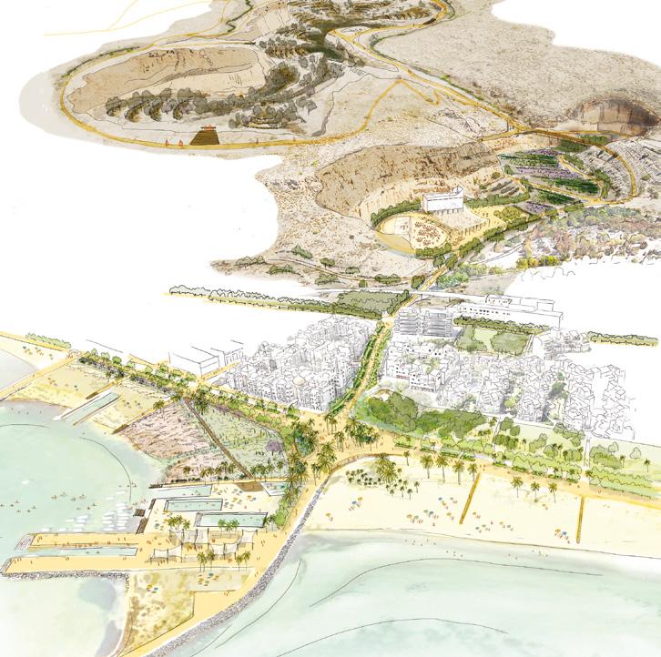
Author(s) —
Carla Coromina Cabeceran (ES), Andrea Díaz Lacalle (ES), Ibon Doval Martinez (ES), Architects, landscape architects; Javier Rubio Frías (ES), Environmental biologist, landscape architect
Jury point of view
This project shows a good understanding of the territory that places the site in its dynamic geographical systems. Water and relief are reaffirmed as founding vectors of landscapes and initiate the construction of a new narrative. This story embodies spatial and temporal scales by aptly orienting the interactions between land and water. It is part of an economical and effective strategy to make the dynamics of the environments the way to re-source the site and its future resilience with regard to climate change. From the large to the small scale, this project is built over time and for the benefit of water to create places that can be appropriated by new uses.
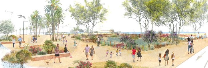
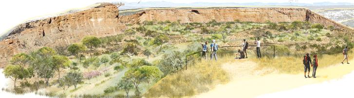
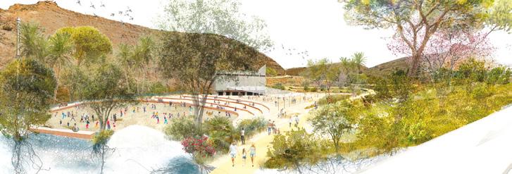
panarchy cycles 3p4o
Team point of view
panarchy cycles 3p4o is a strategic masterplan for the ecological regeneration of the post-extractivist Varadero-Cantera site in Santa Pola. It unfolds in four types of operations developed across three phases. Inspired by resilience theory, this proposal understands landscape as an active agent in sustaining the practices that characterise a place. By working with ecological functions, spatial continuities, and cultural logics, the project initiates regenerative processes that re-signify the territory over time.
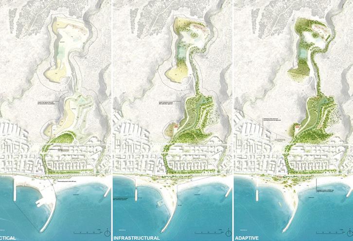
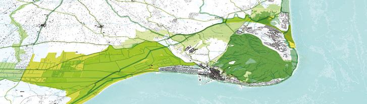
Author(s) —
Daniel Dent Murgui (ES), Manu Esteban Álvarez (ES), Architects, landscape urbanists
Jury point of view
Contact — dentmurgui@gmail.com vmealvarez@gmail.com
This project poses a detailed systemic analysis of the processes at work and proposes to engage in a new cycle of transformation advocating the ‘co-evolution between nature and culture, a place where regeneration is not a final state but a continuous and living process’. This project makes time, one of the key factors in his approach. It is presented in the form of a strategic action plan in three stages — tactical, infrastructural and adaptive. These different stages of development are associated and combined with actions on the field, the habitats, the program and the continuities, all of which work in iteration.

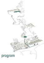
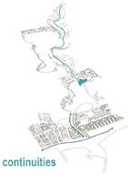
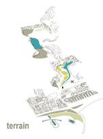
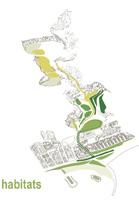
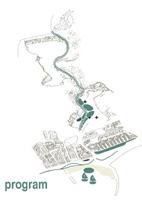

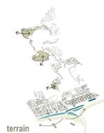
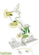
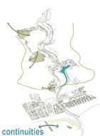
The Cape flows to the sea (and back again)
The core vision of the project is to reinterpret the entire atoll as an integrated system — both natural and anthropic. Activating the ecological and spatial dynamics of this unit provides a foundation for broader territorial relationships and regenerative practices. The proposal integrates landscape and urban strategy based on three co-depependent systems: a Cabo–City Buffer that restores ecological continuity; a City–Sea Buffer that enables a resilient, productive edge; a Transversal System of Ravines that connects mountain, city, and sea through. The quarry embraces the visible marks left by extraction and the intrinsic values of the place as key drivers for its regeneration proposal.The shores offers protection from flooding while enabling recreational and water sports activities. Team point of view

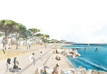
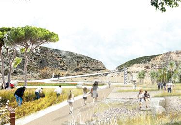
Author(s) — Valentina Piliego (IT), Melanie Theodosopoulou (GR), Evanthia Beristianou (GR), Giovanna Bartoleschi (IT), Architects, landscape architects; Daniel Gómez de Zamora y Martínez (ES), Biologist, landscape architect
Contributor(s) — Kai Romero (CL), Architect, landscape architect
Contact — Barcelona (ES) info@coremaestudi.com @corema.estudi
resourcing
from social dynamics
4/ inducing a second life
The ‘multiple heritage’ of derelict buildings provides a precious source for a larger urban transformation, which is launched by interventions that operate first in the scale of the site itself. Integrating social and cultural traces in the sites’ geographical and physical rehabilitation enables an upscaling of the transformation’s impact. It can induce a second life whose urban energy radiates far beyond its physical limits.
Amersfoort – Flint (NL) — Blagnac (FR) — Felanitx – Es Sindicat (ES) Getafe (ES) — Lahti (FI) — Oviedo (ES) — Riez (FR)
Roa (NO) — Trondheim (NO)
The New Normal for Elephants
By Julio de la Fuente (ES) Architect, urban planner, co-founder of GutiérrezdelaFuente Arquitectos
in Madrid (ES) www.gutierrez-delafuente.com
A compilation of E18 rewarded proposals offers new readings of a multilayered heritage of derelict buildings — we call them elephants because of their big scale in comparison with their surroundings — embedded in our cities and villages. These elephants provide a valuable source for a larger urban or rural transformation, as shown in the Flint theatre in Amersfoort (NL), the Orange Campus in Blagnac (FR), the Winery Es Sindicat in Felanitx (ES), the bullring of Getafe (ES), La Malatería healthcare facility in Oviedo (ES) or the EntreLacs obsolete industrial buildings in Mantesla-Jolie (FR).
The comparative analyses at European scale allow the transition from the local conditions to the common strategies, sharing visions on how to implement them. But which kind of strategies can infill new uses throughout time and reconnect these elephants with the territorial resources? And regarding the resources on-site, how can circular principles become the driver of a minimum-footprint reuse?
TIMELINESS FRAMEWORKS
On some sites, the goal is to offer credible uses for the future conversion of an obsolete building as an early stage of urban evolution. But this is not so evident nowadays with the political and economic atmosphere of uncertainty. There is an interesting trend in some of the proposals to manage these conditions, suggesting a concept of timeliness as an essential strategy for reusing.
In Amersfoort-Flint (NL), winning proposal Reverse Structuralism (fig. 1) is giving a new life to a theatre complex through a threedimensional framework anchored to the structuralist concept of the original scheme. This super-grid is a permeable device to open-up the complex, inviting public space to colonise the former cultural building and giving room for future uses in an open-ended evolution: reusing, not as a finished product, but as a platform for action.
In Mantes-la-Jolie (FR) another kind of elephant, an industrial one, is located on a wasteland nestled between two lakes. Runner-up entry LUEURS CONTAGIEUSES (fig. 2) offers a long-term transformation process as a fantastic narrative of potential situations based on three different steps — incubations, contagions, disseminations — embracing the
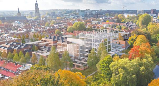
Fig. 1 — Amersfoort-Flint (NL)
Winner
Reverse Structuralism
→ See more p.196
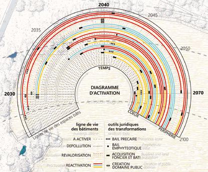
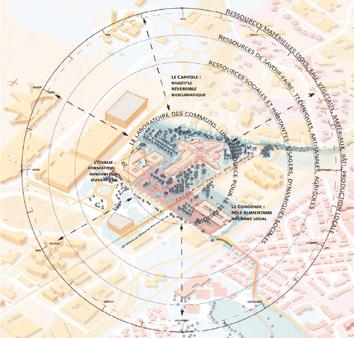
Fig. 2 — Mantes-la-Jolie (FR) Runner-up LUEURS CONTAGIEUSES
→ See more p.62
Fig. 3 — Blagnac (FR) Winner
The Commons Laboratory
→ See more p.202
Fig. 4 — Felanitx–Es Sindicat (ES)
Winner
RE[VI]URE ES SINDICAT
→ See more p.206
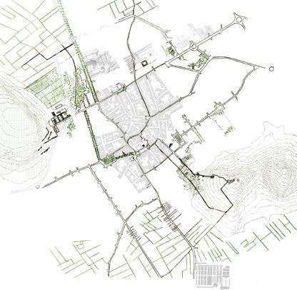
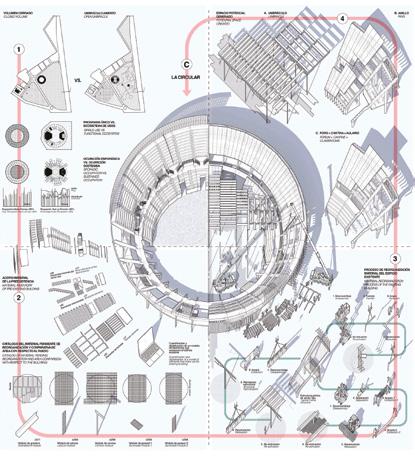
Fig. 5 — Getafe (ES)
Special Mention
LA CIRCULAR
→ See more p.218
Fig. 6 — Oviedo (ES)
Special Mention
LA MATERIA
→ See more p.232
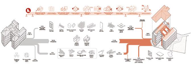
unpredictable and composing with them. As the authors conclude: ‘It’s not about predicting, but about enabling’.
MULTILAYERED LANDSCAPES
Rediscovering relations between the large scale and the scale of proximity is a common approach found on the E18 entries to reconnect disused buildings with their contexts. Some entries work with the notion of a multilayered heritage as a productive force to inform the reuse process. The idea of a living-lab of transformation process is often rooted in the landscape and the local communities, triggering projects where experimentation becomes a method related to everyday needs, seasons and uses.
An emblematic example is the winning proposal in Blagnac (FR), The Commons Laboratory (fig. 3), focused on reintegrating the site into a carefully studied territory, taking advantage of the local resources. Rather than adding more buildings, the project focuses on restoring the natural links between people and environments. The existing buildings are reused through one-off minimum interventions with programmatic diversity as an ongoing experimental link to the territory.
Also in the former winery Es Sindicat en Felanitx (ES), winning project RE[VI]URE ES SINDICAT (fig. 4) understands the large building as an interface to reconnect the natural ecosystems of the surroundings with the city implementing a new productive tapestry. In line with this ambitious landscape vision, the project demonstrates how cultural and artistic programs could revitalise Es Sindicat while evoking memories of its original purpose.
AS FOUND MATERIALITIES
Reviewing the E18 entries, we can find how the adaptive and circular projects respond to as found environments are growing as a practice of minimum interventions of reuse on-site, combining technical accuracy and the indeterminacy of chance with a new sense of authorship and without a predeterminated aesthetics. These projects render the caring of the already-there through methodological
processes that include a very precise measuring of the built stock.
In Copenhagen, Pihlmann Architects recently transformed the former Thoravej 29 industrial hall into a municipal disability centre, culminating in 95% of the material to be repurposed within the building itself. The building is its own material bank.
We found this kind of logic in two special mention projects in Spain in Getafe with LA CIRCULAR (fig. 5) and in Oviedo with LA MATERIA (fig. 6). The first one starts the project narrative describing the building as a large prefabricated circular system — 2,180m³ concrete, 2,150 pieces across 26 typologies — that has remained inert since 2015. The team creates spatial conditions for a multifunctional program by reusing 100% of these precast components. The design serves as a Circular Knowledge Transfer Centre for the future, setting an example for the more than 1,800 bullrings in Spain. The second one offers a procedure of selective deconstruction to create a new housing model in a similar approach where the existing building is transformed into a material bank of 7,708.7 tons of available resources, of which 2.9% are relocated, 78.2% preserved, 17% recycled and 1.9% discarded.
…TOWARDS A NEW NORMAL
We could consider these operational strategies — timeliness frameworks, multilayered landscapes, as found materialities — as the basis for a new urbanism of modesty: a performance for a new spectacularity that empowers resources as a normality to reuse existing elephants. If timber construction is nowadays considered as the new normal in central Europe in terms of the building industry, could we consider this practice of modesty to be the new normal in urban and rural transformation processes?
Transforming Ensembles: From Driving-Force to Driving-Source
By Bernd Vlay (AT)
Architect, teacher, researcher, co-founder of StudioVlayStreeruwitz
in Wien (AT) — www.vlst.at/en/
The following selection of projects doesn’t face elephants but ensembles that circle around an imaginary re:sourcing of a heritage that is ‘broken’ in different ways and different scales: lack of life, loss of function, isolation, fragmentation. By means of thoughtful project/process-conceptualizations heritage itself becomes the trigger of a powerful transformation unfolding suppressed and hidden potentials of the existing. Broken first life becomes the driving force of vital second life through ‘re-environmentalization’: site-specific geographies empower environmental, cultural and social traces enabling multi-scalar rehabilitation through deep transformation. This paradoxical ‘figure of making’ dissolves the restrictive dichotomy of preserving and destructing, liberating heritage from its mono-identity of a mythical first life. Second life flowers as a carefully elaborated setting of multiple traces. Their ingenious and imaginary orchestration decipher the already there to become the driving-source of a multilayered transformation process.
PRODUCTIVE BLASTING
A Museum is not a Museum / A Village is not a Village
Strong figures entail strong identities archetypes whose dominant narrative hides a bunch of latent qualities. In this case one might have to blast the archetype in order to allow suppressed qualities to blossom.
The winning project in Riez (FR), The mystery of the apple and the bear (fig. 1), suggests
a thoughtful and promising disintegration of the village in order to consolidate its geographical potential. A matrix of ‘deep heritage’ establishes a vital ‘ecosystem of gestures, uses, stories, landscapes, soils, and other living things’ that embeds the village in a territorial figure, animated by a model of shared governance, finally liberating Riez from Riez.
In Trondheim (NO) a new museum shall act as a catalyst for revitalising an isolated part of downtown. Winning project Leütenhaven Reclaimed (fig. 2) dissolves the museum as an object weaving an ensemble of buildings into the city’s fabric. An underground parking garage turns into a sunken square which extends the adjacent public space into the museum’s heart absorbing the museum’s institutional entity in a larger environment. Museum visitors become strolling citizens in public space.
SCENOGRAPHIC WEAVINGS
Re:Sourcing Peri-Urban Pleasures
Quite contrary to Trondheim (NO) and Riez (FR) the sites in Roa (NO) and Speichersdorf (DE) are characterised by a periurban sprawl lacking a strong archetypical urban figure. The winning projects demonstrate that the overall ‘broken’ presence of the rural landscape within a fragmented suburban condition can be a driving-source to establish a surprising peri-urban coherence and new forms of centrality.
In the winning project of Roa (NO), Roa’s Rag Rug (fig. 3), the power of Roalinna’s
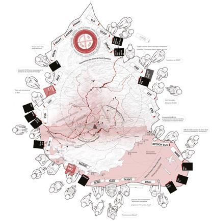
Fig. 1 — Riez (FR) Winner
The mystery of the apple and the bear
→ See more p.236
Fig. 2 — Trondheim (NO) Winner Leütenhaven Reclaimed
→ See more p.248
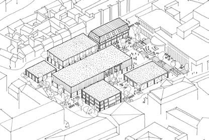
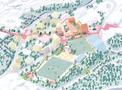
Fig. 3 — Roa (NO) Winner Roa’s Rag Rug
→ See more p.242
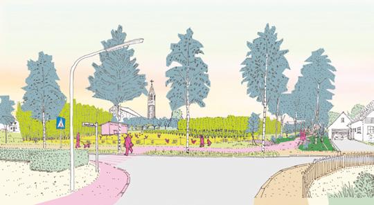
Fig. 4 — Speichersdorf (DE)
Winner
Restorative Productive Space
→ See more p.110
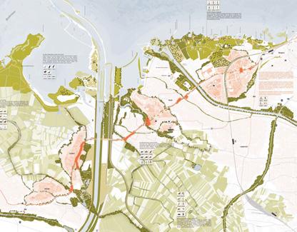
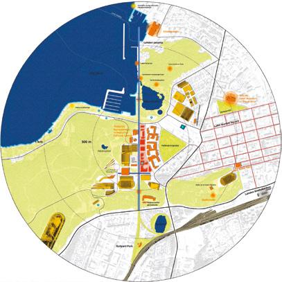
Fig. 6 — Lahti (FI)
Winner
Active Trajectories
→ See more p.222
Fig. 5 — Bregenz-HardFußach-Höchst (AT)
Winner
Recode the Road
→ See more p.146
centrality not only relies on the compressed sequence of central uses between two public transport stops. Rather, it stages a geographical identity: the Rag Rug — a carpet into which landscape patches are woven as remnants of former buildings — forms a ‘green embroidery’. It stitches together Roalinna with its surrounding landscape. Its inclusive character stages a synergetic relationship of geography and place — a re:sourcing-scenography Its staged oscillation between openness and intensification becomes the driving-source of a new centrality.
In Speichersdorf (DE) winning project Restorative Productive Space (fig. 4) establishes this oscillation through an archipelago of post-agrarian islands on which fast growing plants contribute to a circular process of energy production. Along the islands’ fringe a green park-seam adds a range of recreational uses to the productive program. Moreover, a network of pathways along and across the islands introduces walkable pleasures whose scenographic moments establish a powerful coherence that re:sources the broken periurban condition instead of denying it.
TRANSFORMATIVE VECTORS
Making Lines a Source of Re:Sourcing
What if linear figures such as a street or a central spine are turned into a vector of transformation with an impact far beyond their physical limits? Whereas the winning project in Bregenz-Hard-Fußach-Höchst (AT), Recode the Road (fig. 5), imagines strategies for an existing national road to become a linear ecological corridor contributing to the landscape’s regeneration, Lahti’s (FI) winner
Active Trajectories (fig. 6) imagines the existing mobility spine as an active linear park suggesting a centrality that — beyond its sequential intensity — celebrates the transversal relationship between the city in the east and the landscape in the west.
In both projects the line becomes a vector that, almost magically, sets up a new ecological condition on a territorial scale: the street and the spine are ‘reborn’ as transformative vectors whose transversal power repairs the territorial condition, either in establishing
fruitful relationships and encounters (Lahti) or in resurrecting a damaged ecology by enabling their genetic talents to unfold (Bregenz-Hard-Fußach-Höchst).
OPERATING ACROSS SCALES AND MODES
The Grand Modesty of a New Normal ‘Productive Blasting’, ‘Scenographic Weavings’ and ‘Transformative Vectors’ operate beyond the object scale: elephants1 dissolved into ensembles embedded in specific ‘geographies’ suffering from a desperate discrepancy: a lack of life faces an abundance of space and/or time (history). How to re:source this inhibiting abundance that suffers from a lack of life? By promoting a multilayered heritage that simultaneously operates across scales and modes (culturally, socially, historically, institutionally, programmatically) the winning teams underline an eco-geographical attitude that introduces a resource-driven sensitivity beyond an ostensible spectacle. Each of these eco-geographies relies on the resilience of the site’s genetic code, of its operational potential which the projects impressively transfer into promising performance figures. Here, the wheel has come full circle: elephants 1 and ensembles enjoy the grand modesty of a new normal.
1. Know more about elephants in the previous article The New Normal for Elephants on p.186.
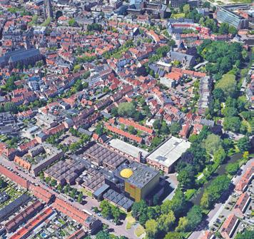
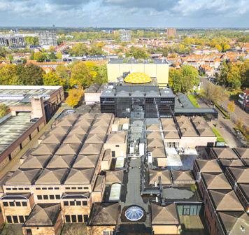
Amersfoort– Flint (NL)
How to create a vibrant, inclusive, multi-functional facility?
Site Context
The City of Amersfoort is re-imagining urban life at Flint, transforming this currently inward-facing building into an open, dynamic, and locally integrated space — a welcoming ‘central living room’ for all. A space where individuals from diverse backgrounds can come together, fostering connections through a wide range of cultural, social, and recreational activities. This transformation prioritises multi-functionality, adaptability and a meaningful relationship with its urban environment materially and socially. By aligning the building’s functionality with contemporary needs, Flint seeks to position itself as a landmark that stimulates creativity and encourages collaboration. Think of a new and strong program for this location that can contribute to a vibrant city and be a meeting place for a wide range of users and visitors.
Questions to the competitors
How to create a vibrant, inclusive multi-functional building, a space where innovation and creativity converge to connect a diverse, multi-generational community? How to envision a place that fosters collaboration and inspiration through a strong and new cohesive commercial and/or social program? Guided by principles of transparency and openness, how to propose transformation which embrace the building’s original design? Principles including its flexible grid, internal street, and multi-purpose spaces. How to enhance the principles of its structuralist design to foster adaptability and sustainability?
Scales L/S
Location Flint, Amersfoort
Population 160,000
Reflection site 3.35 ha
Project site 1.49 ha
Site proposed by Amersfoort Municipality
Actor(s) involved Amersfoort Municipality
Reverse Structuralism
Team point of view
The city is never finished. Culture is not a product. And space belongs to everyone. We don’t need a landmark, but a commons. In Amersfoort, we propose to transform the structuralist cultural centre — once a ‘play cave for everyone’ — into an open framework of possibilities. What became monofunctional through DeFlint Theatre will be reversed. Minimal interventions reactivate the building: not demolished, but re-read and re-used. A place shaped by use. Not a fixed image of the future, but a spatial toolset — a collective foundation for a cultural ecosystem growing from within.
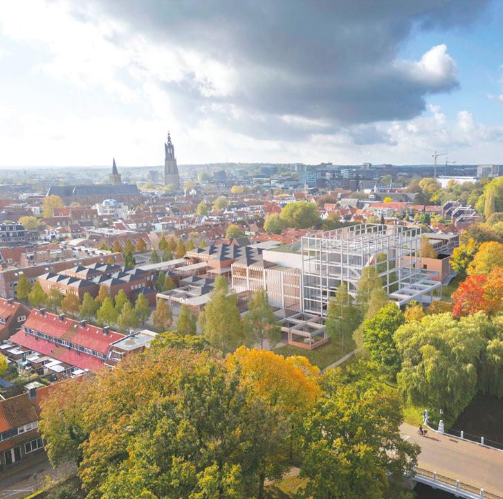
Author(s)
—
Paul Moritz Keul (DE), Gabriel Deliancourt (DE), Architects
Contact — reverse-structuralism@web.de Jury point of view
The designers take the structuralist concept of the original scheme as their starting point and build on it for the future transformation of the site. The proposal reorganises the site’s messy expanse by defining three distinct yet complementary entities: the transformed Flint complex and two former car parks redeveloped as independent building blocks. Together, they form a coherent and diverse new piece of city — an urban collage where variety produces unity.
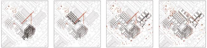
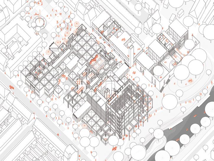
FlintKwartier: re-value, re-use,
Team point of view
re-connect
The Flint theatre is a dissonant building complex in the old inner city. It is designed by Onno Greiner following a grid system. The cultural complex is inward-looking and poses a challenge for transformation should its theatre function be discontinued. This project proposes turning the entire complex inside out and breaking it up, allowing it to blend into the morphology and atmosphere of the inner city. It focuses on revaluing, reusing, and reconnecting the existing grid structure to address future challenges, such as adding housing and improving the inner city’s attractiveness. It includes diverse living spaces, atelier and maker spaces, shared facilities, and green pedestrian-friendly public spaces, enhancing social diversity and urban connectivity.
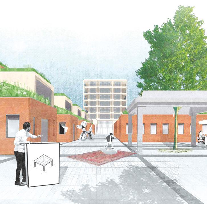
Author(s) —
Thomas Rosema (NL), Architect; Remon Mulder (NL), Urbanist
Contact — Rotterdam (NL) info@rosema.eu www.rosema.eu
Jury point of view
Programmatically, this project chooses to focus almost entirely on housing while transforming the existing complex into a fine-grained urban fabric of streets, alleys, and small squares. The intervention is radical, yet it maintains the spirit of the original structure. The result is a picturesque new urban quarter that integrates smoothly with the neighboring residential districts on both sides of the current Flint site. The project proposes to rework the riverside park edge: a separate strip of buildings, punctuated by a rotated tower volume, establishes a new architectural identity that breaks with the dominant image of the old theatre block.
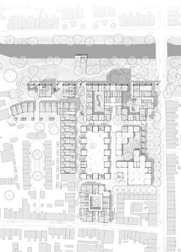
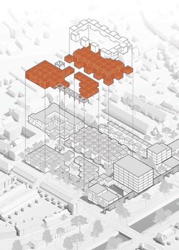
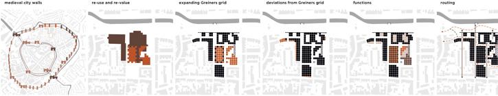
CTRL ALT, FLINT!
Team point of view
CTRL ALT, FLINT! reinvents the former theatre as an open, inclusive, and adaptable structure. The project reveals the potential of the existing building through a frugal and circular approach: improved circulation flows, opened façades toward the city and green belt, reuse of reclaimed materials from partial deconstruction. It hosts a wide range of uses including shared workspaces, creative studios, teaching restaurant, indoor and outdoor performance stages as well as housing for families and artists. This hybrid space fosters synergies between culture, learning, daily life, and social innovation. Conceived as a living urban tool, continuously accessible and active, Flint becomes a catalyst for connection, serving the inhabitant and supporting Amersfoort’s urban transition.
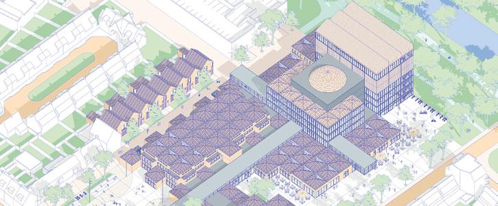
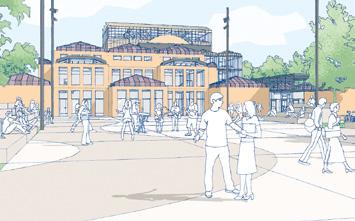
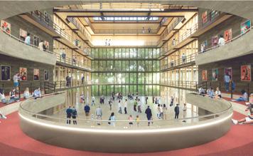
Author(s) —
Lucas
Carrio (FR), Hans Prieur (FR), Kimberley Bellamy (FR), Architects
Contact — Lille (FR)
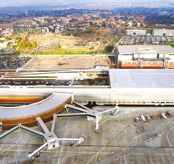
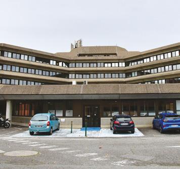
Blagnac (FR)
How can a tertiary obsolete site be reused as a hybrid open space at the heart of the airport park?
Site Context
Located west of Blagnac, between the Voie Lactée (RM 902) and Toulouse-Blagnac Airport, the Orange Campus site is one of the emblematic landmarks of this aeronautical economic hub, which hosts the highest concentration of corporate real estate in the metropolitan area. The competition seeks to explore the full range of possibilities for repurposing this built ensemble, envisioning a broader urban, landscape, ecological, and environmental transformation of the district. As a pilot site for building reuse and soil renaturation, the Orange Campus offers a unique opportunity to develop innovative strategies for adapting existing structures — whether through reuse, rehabilitation, or deconstruction. The project aims to introduce a diversification of urban functions oriented toward innovation and shared services (education, co-working, mutualised services…) while ensuring its long-term evolution. By leveraging the site’s resources, the challenge is to reimagine economic zones that are more sustainable, resilient, and environmentally responsible
Questions to the competitors
In the economic context of the airport sector, how can this tertiary architectural heritage be adapted, reshaped, recycled, and repurposed while leveraging the intrinsic qualities and resources of the existing structures? What strategies can foster a diversification of uses oriented towards innovation and shared functionalities? How can the site be opened to its surroundings, re-establishing physical, functional, and symbolic connections with the broader territory ? What strategies can be implemented to regenerate soils and initiate a new way of inhabiting economic districts?
Scales XL/L
Location Blagnac, Toulouse Métropole
Population 27,000
Reflection site 100 ha
Project site 9 ha
Site proposed by Blagnac municipality
Actor(s) involved Blagnac municipality, Icade, Urbain des Bois, Banque des Territoires
Owner(s) of the site private owner (possible acquisition by the municipality)
The Commons Laboratory
Team point of view
What if the site itself became a resource? Orange’s departure reveals a rare opportunity: to transform a monofunctional campus into a unifying space and able to bring together the territory’s many dynamics. By revealing the living forces already at work — residents, know-how, local networks, fertile soils, social initiatives — the site becomes a living lab and a shared lever for transformation. A place to grow, make, and transmit; to inhabit transitions at the rhythm of uses and seasons. This is not about imposing a trajectory, but building it collectively. And what if, in the end, the territory’s true wealth was our ability to create a shared narrative?
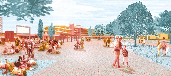
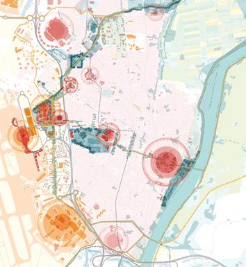
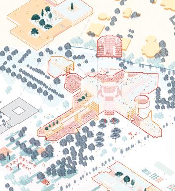
Author(s) —
Ugo Bourdon (FR), Antoine Gerard-Steiner (FR), Ysé Masurier (FR), Jeanne Alcala (FR), Architects; Pauline Guiffant (FR), Emma Thieffry (FR), Architects, urbanists
Contact — ub@banquise-studio.com ysemasurier@gmail.com jeannealcala94@gmail.com pauline.guiffant@gmail.com emm.thieffry@gmail.com
The project leverages the site’s resources (soil, buildings, know-how and inhabitants) to reconcile ‘three worlds’: the banks of the Garonne river, the inhabited city, and the economic zone. It aims to embody the regeneration of a commercial site through an approach combining several types of frugal interventions, precisely situated within the landscape, the public spaces, and the architecture. The proposal operates at all scales. The attention paid to architectural heritage with measured interventions is fully aligned with the session’s theme. The project’s openness and evolution offers real prospects for future collaborations with local stakeholders.
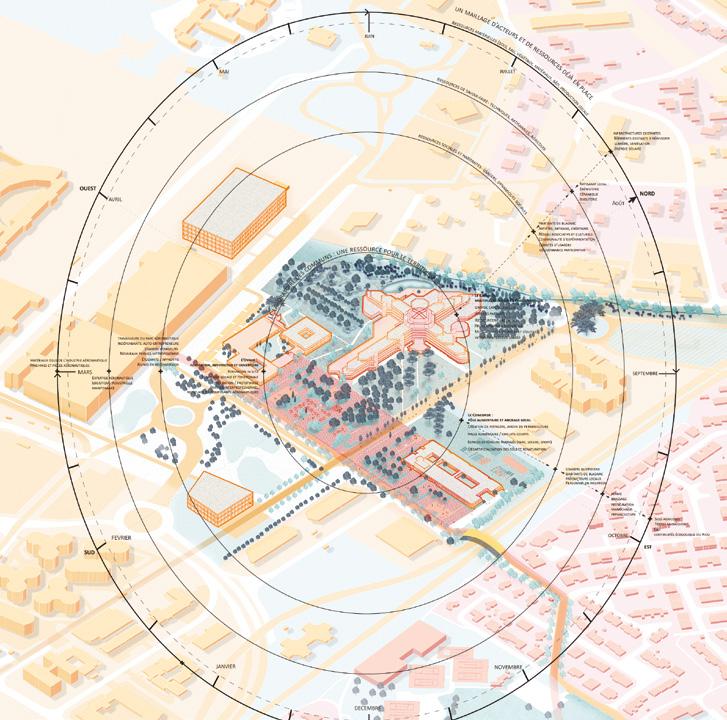
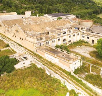
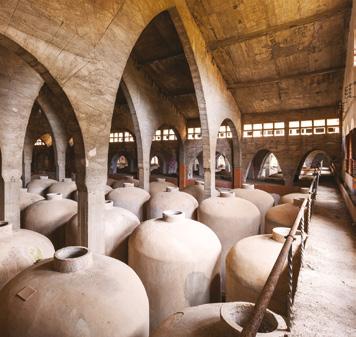
Felanitx–Es Sindicat (ES)
How to revitalise socially and culturally the ‘cathedral of wine’?
Site Context
The municipality of Felanitx is located in the southeast of the island of Mallorca in the region of Migjorn, which rural landscape is characterised by the cultivation of vineyard. The urban nucleus of Felanitx is located 115m above sea level, in the middle of a series of hills. Historically, Felanitx has been an important wine-growing area in Mallorca, culminating at the beginning of the 20th century with the creation, next to the old train station, of the Oenological Station and the founding of the Cooperative Winery of Felanitx, Es Sindicat. This Cooperative is a symbol, a reference for its typology, style, authorship and construction; it is included in the list of the 100 elements of Spain’s Industrial Heritage and was declared an Asset of Cultural Interest (BIC) with the category of ‘monument’ in 2001. The rebirth of Es Sindicat, which succeeded in bringing together a population, has an implicit social and ecological benefit, re-emerging as a cultural reference of the highest level, at a time of social fight for recognition and recovery of the island’s own culture.
Questions to the competitors
How can the symbolic and emotional character of the building be preserved by combining uses, users and projects that can trigger revitalising synergies in Es Sindicat? How, through art and culture, can Es Sindicat strengthen bonds with its immediate surroundings while establishing insular and international alliances? What will be the principles of the transformation of Es Sindicat, a unique historic building with a high level of heritage protection, that will enable its revival?
Scales L/S
Location Felanitx, Mallorca, Balearic Islands
Population 18,357
Reflection site 148.6 ha
Project site 8.9 ha
Site proposed by Regional Government of Balearic Islands (Govern de les Illes Balears)
Actor(s) involved Govern de les Illes Balears, Mallorca Council, Felanitx City Council
Owner(s) of the site Mallorca Council
RE[VI]URE ES SINDICAT
Team point of view
Cooperative heritage reborn, nature restored Es Sindicat, the historic wine cooperative of Felanitx, is reborn after 35 years of abandonment. This emblem of Mallorca’s productive memory is transformed into a cultural and natural hub, integrating heritage, artistic creation, and biodiversity. The proposal connects the building with its territory through parks, urban gardens, and ecological corridors, restoring the link between city and nature. A circular, resilient model returns Es Sindicat to its cooperative essence, projecting it as a benchmark for sustainability, culture, and community for the future.

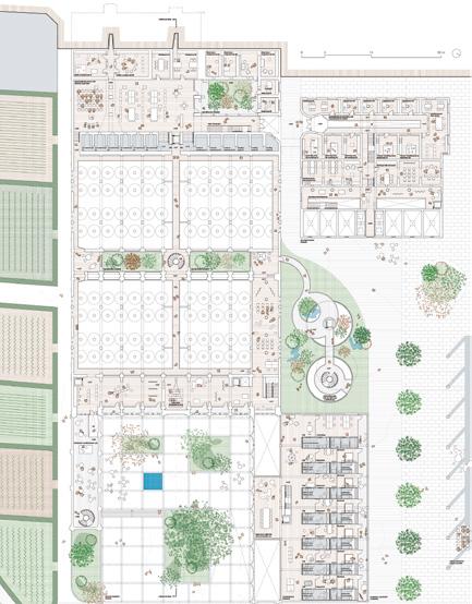
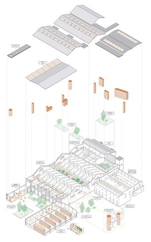
Author(s) —
Arnau Carbó i Xalabarder (ES), Francisca Gual Ors (ES), Aina Perelló Barceló (ES), David Perelló Palma (ES), Sergi Pérez i Gil (ES), Architects
Jury point of view
Contact — Mallorca (ES) reviureessindicat@gmail.com
This project expresses the desire to connect the natural and urban areas through elements inherent to the natural environment, including replanting vegetation, attempts to recover fauna, activating water systems, and the introduction of agriculture. The design brought the same concept into the building’s interior through greenery and water management. Both are considered excellent goals to maintain in subsequent phases of the project. The urban planning considerations fit naturally with the agricultural surroundings and with an excellent connection to the urban fabric, laying out continuous uses and pedestrian circulations.
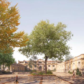
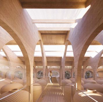
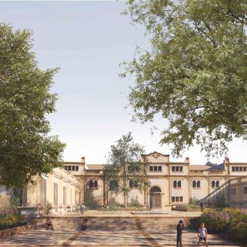
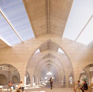
La Fábrica del Paisaje
Team point of view
The landscape of Mallorca, shaped by centuries of human activity, is now threatened by current dynamics and the abandonment of traditional practices. Es Sindicat, as a key part of the whole, houses a cultural centre dedicated to outreach and awareness through art. However, it is not merely a container of knowledge — it also structures a bioclimatic and living landscape ensemble. Within the productive park of the Garden of the Arts are spaces where learning and cooperation converge among the various actors responsible for the preservation and creation of the landscape. La Fábrica del Paisaje aims to preserve this architectural and territorial heritage by reactivating cooperation and supporting cultural, social, and environmental initiatives through art and collective action.
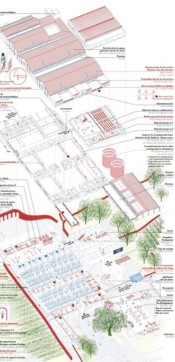
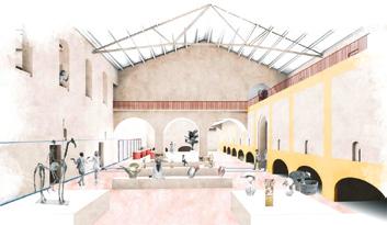
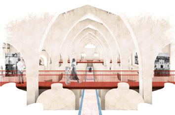

Author(s) —
Ana Isabel Muñoz Sánchez (ES), Nathanaël Pinard (FR), Architects
Contact — n.pinard@ateliercarrenoir.com www.ateliercarrenoir.com
Jury point of view
This project proposes a detailed study of the territorial and landscape conditions of the surroundings, which ultimately underscore the Sindicat’s situation as a hinge between the built area of Felanitx and its natural surroundings. It creates an agricultural tapestry that connects the village with La Mola and with the Sindicat building, also occupying the current boundary created by the road. The proposal incorporates areas surrounding the project site, improving the connection and activating a transition space between the urban centre and the agricultural surroundings.
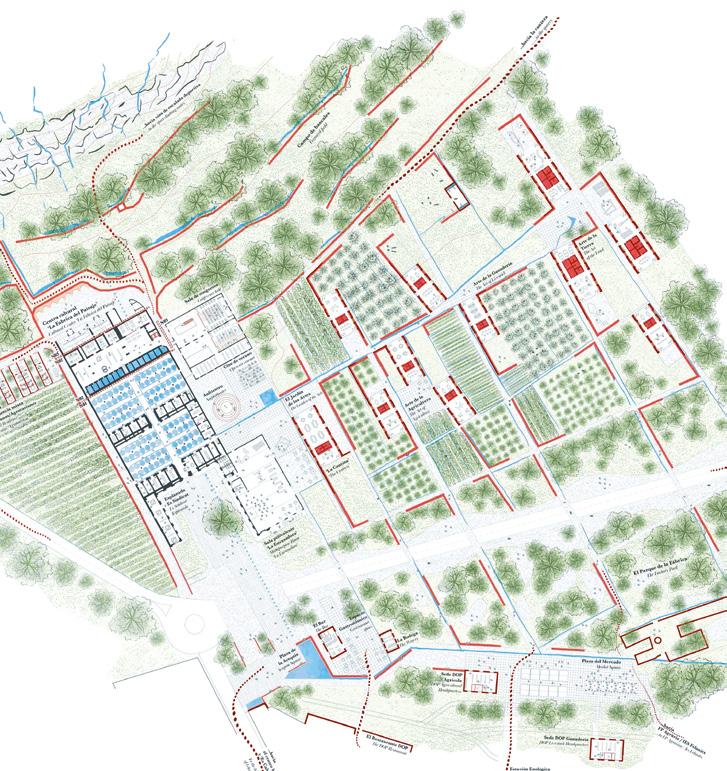
Ancorar. Un espai per a quasi tot
Team point of view
Ancorar proposes adapting ‘Es Sindicat’ to the climate crisis through passive strategies inspired by traditional wisdom and efficient resource use. It integrates the four elements: water, air, fire, and earth: rainwater harvesting, natural ventilation using the ‘Embat’ wind, reduced energy consumption with solar panels, and sustainable local materials. Green spaces and sustainable mobility enhance environmental quality. Minimal interventions create flexible, high-quality spaces for diverse community uses. The building regains its productive essence, combining technology, sustainability, and memory, anchored in Felanitx and the spirit of ‘Es Sindicat’.
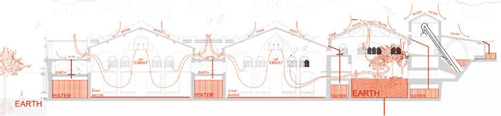
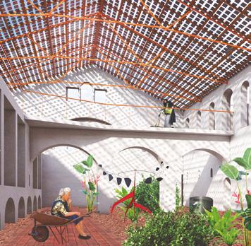
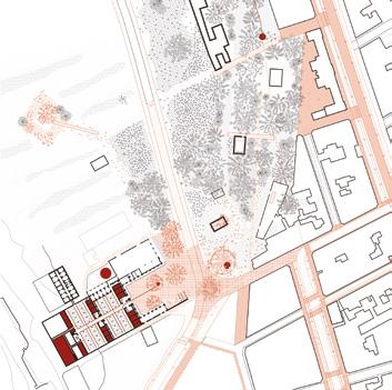
Author(s) —
Javier Esteve Casañ (ES), Claudia Ferrer Riera (ES), Iolanda Salca (RO), Architects
Contact —
Javier Esteve Casañ, Barcelona (ES), Atzur arquitectura, Ibiza / Barcelona (ES) / www.atzur-arquitectura.com / @atzur_arquitectura
Iolanda Salca, Barcelona (ES) / www.s1cav30.wixsite.com/iolandasalca
Mills to the Mountain
Team point of view
Mills to the Mountain is a territorial and architectural proposal in Felanitx, Mallorca, that reconnects the town with its rural and productive identity. At its core, the project rebuilds two silos as public vertical spaces, marking the start of a new axis linking the Es Sindicat winery to the Sa Mola ridge. A hybrid agro-park bridges the urban edge, blending agriculture, ecology, and public use. The historic winery is restored with minimal, reversible interventions, integrating a cooperative cellar, cultural spaces, artist residencies, and an archive. Through layered, flexible programming, Mills to the Mountain becomes a living interface between heritage, community, and contemporary rurality.
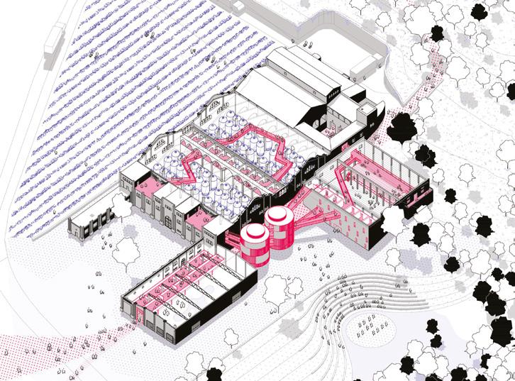
Author(s) —
Laura González Rabilero (ES), Pedro Secades Alonso (ES), Architects urbanists
Contact — Madrid (ES) lauragonzalezrabilero@gmail.com pedrosecadesalonso@gmail.com
RELEARNING COEXISTENCE
Team point of view
For centuries, humans lived in harmony with nature and community, solving problems collectively. Technology disrupted this balance, replacing collaboration with isolation and weakening ties to both people and environment. Es Sindicat — a historic example of community-built architecture — embodied the lost integration of social and natural ecosystems. Today, as a cultural centre, it has the potential to renew these connections. Through shared spaces, cultural exchange, and minimal, respectful interventions, Es Sindicat fosters belonging, memory, and sustainability — inviting people to rediscover community, nature, and themselves. It stands as a living testament to a more conscious way of building and being — where architecture supports emotional, environmental, and cultural reconnection.
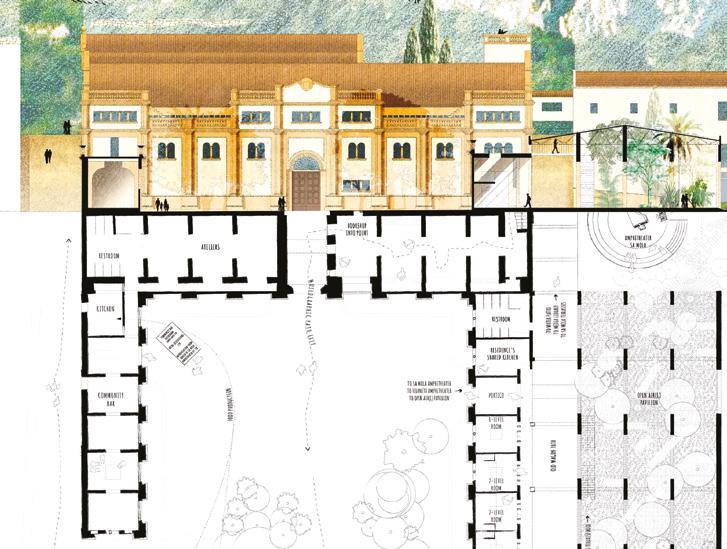
Author(s) —
Silvia Gelain (FR), Architect, landscape architect
Contributor(s) —
Ekaterina Solonina (RU), Architect
Contact — ATELIER CHONY, Bourg-lès-Valence (FR) info@atelierchony.com www.atelierchony.com @atelierchony
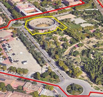
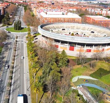
Getafe (ES)
How to requalify a bullring so that it becomes a facility for local community, city and metropolitan area?
Site Context
Getafe is a pole of innovation in the metropolitan area of Madrid. It has a solid business and economic fabric, in permanent innovation and development. Taking advantage of this opportunity, the City Council wants to launch the initiative Getafe Urban Laboratory, GLU. The aim is to place the territory and the city at the service of innovation, generating multiple synergies, in constant reciprocal feedback. The project site is a bullring that has been unused since 2015, because of structural seating, which needs a cultural renaissance. The location of the bullring has, as a strength, the possibility of reconverting it into a metropolitan facility. Its emplacement, with a suburban train stop and transport interchange, places the site 15 minutes from the centre of Madrid. Its location at the apex of a highly differentiated urban fabric according to the pattern of each neighbourhood, various non-permeable edges and the availability of public land, can be a creative stimulus that not only transforms the building itself, but also resolves the current perception of fragmentariness
Questions to the competitors
How can we requalify the building so that it becomes a facility that serves the local community, the city and the metropolitan area? How can the rebirth of this building link the nearby facilities? Maestro Gombau Music School, Juan de la Cierva Sports Centre, future Molinos Civic Sports Centre, etc. And how to rebirth it with sustainable parameters over time? How can isolated architecture be transformed into architecture capable of articulating its surroundings? How can this Regeneration give rise to a higher quality public space? How to create a replicable model of typological?
Scales XL/S
Location Getafe, Madrid
Population 189,906
Reflection site 23 ha
Project site 1.3 ha
Site proposed by Getafe City Council
Actor(s) involved Getafe City Council
Owner(s) of the site Getafe City Council
ALL-RING.
Una plaza para todos.
Team point of view
ALL-RING transforms Getafe’s bullring into a Social Condenser and Climate Refuge. By activating a dual productive and cultural memory, it becomes an urban hinge that stitches the city’s fabric via ecological corridors and a grand fair axis. A mosaic of landscapes creates a climatic oasis, while the building — a flexible system of rings, lines, and points — hosts a diverse civic-cultural program. The result: a new ecosystem that regenerates social bonds and acts as resilient infrastructure for the climate crisis.
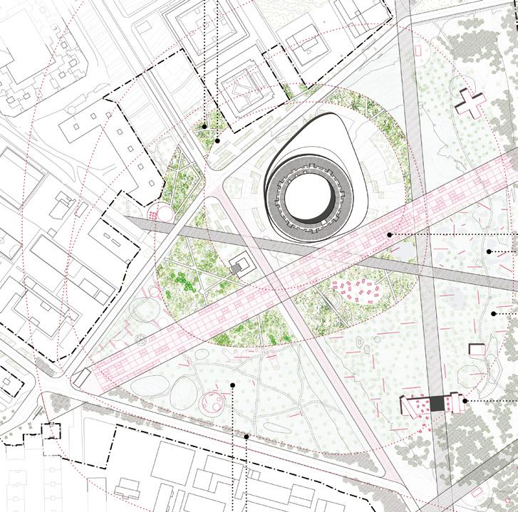
Author(s) —
Luciano Barsuglia (AR), Franco Calise (AR), Antonio Jesús Gutiérrez García (ES), Paola Mester (AR), Martín Zlobec (AR), Architects
Jury point of view
Contributor(s) —
Yara
Castiblanco (CO), Architect
Contact — Granada (ES) contacto@ma-ap.com
This project addresses multiple scales at the same time. Both the planning (1), urban design (2) and architectural strategies (3) serve as ‘diagrams of opportunity’ that are malleable to take on different forms, materialities, and phasing options without weakening the larger urban ideas at stake. (1) The proposal takes on the ecological implications of the site, the ecosystems it produces, its hydrological performance, and the flora it cultivates. (2) A series of radial and concentric zones are conceived around the bull arena, an armature for the organization of the landscape that mediates between the bull ring proper and the park at large. (3 ) The bull ring is enhanced with a new base plinth, an amorphous base that has the capacity to absorb multiple programs within it.
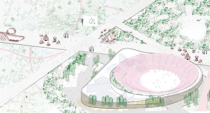
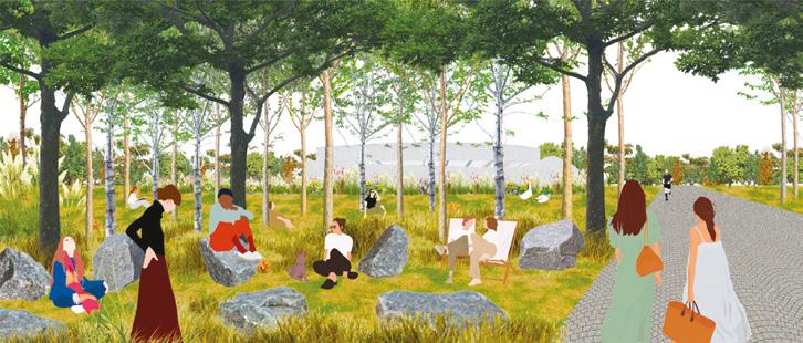
THOLOS
Team point of view
THOLOS proposes a socially and environmentally responsible approach to reactivate an obsolete infrastructure for the community, creating a more permeable and cohesive urban fabric, and aiming to place Getafe on the map of big regional events. Through a strategic intervention that combines respect for the original structure of the Plaza with the implementation of a new service plinth and an elevated ring, the complex is given a new image with urban impact and capabilities that make Tholos a highly competitive infrastructure for hosting sports, cultural, and business events — without losing its vocation as a unifying hub for local schools of theatre, music, and dance, as well as schools, high schools, and neighbourhood associations. Tholos aims to become a public-oriented benchmark for a new decentralised network of spaces for culture, sport, knowledge-sharing, and leisure in the region.
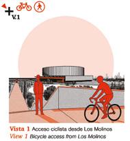
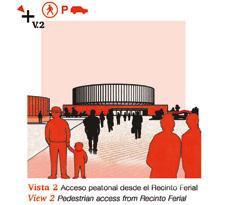
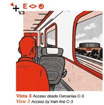
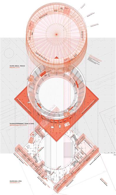
Author(s) —
Ana Sabugo Sierra (ES), José Manuel de Andrés Moncayo (ES), PhD Architects; Alicia Peña Gómez (ES), Architect
Contact — tholos.gtf@gmail.com www.goa-arquitectura.es www.aliciaarquitectura.carrd.co Jury point of view
This project has both the architectural and landscape scales in its conception. If the interventions in the park are more ‘acupunctural’ — ie. limited in scope, they are also more attendant to the existing conditions of the site. The definition of the bull arena and its potential transformation is specified with significant detail. Much like the winning scheme, the base of the building offers a plinth — a square one — that is rotated on the geometry of the fairgrounds, acknowledging the wider context on which it is on axis. The building is conceptualised not only as ‘architecture’, but as a mediated technology with the base facades electronically imbued with LED pixels, allowing for both visual transparency from within, but also the telegraphing of images from the outside.
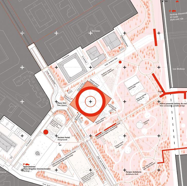
LA CIRCULAR
Team point of view
2,180 m³ of prefab concrete; 2,150 pieces across 26 typologies, abandoned since 2015. A three-scale strategy is proposed: 1. Activate social dynamics through the systemic empowerment of innovation and knowledge. LA CIRCULAR is a Knowledge Transfer Hub. 2. Transform the bullring through circular strategies, breaking its centripetal, monolithic, and closed condition. LA CIRCULAR is a centrifugal, multifunction, and open infrastructure. The reorganization and reassembly of its original structural components without waste, reframe the new building as a material bank. 3. Transcend the notion of architectural typology. LA CIRCULAR is defined as a new kind of urban infrastructure full of potential.
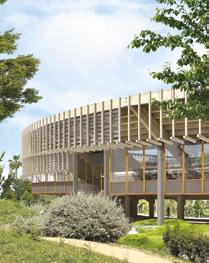
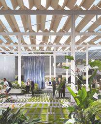
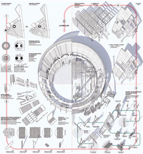
Author(s) —
Begoña de Abajo Castrillo (ES), Jerónimo Van Schendel Erice (ES), Architects
Contributor(s) — Jaime de la Torre Barceló (ES), Architect
Contact — Madrid (ES) b.deabajo@upm.es jeronimo@estudiopeninsula.com @dabg.deabajogarcia
Open Frame
Team point of view
The project reimagines Getafe’s urban landscape by seamlessly integrating architecture and nature, forming an open and collective system. At the heart of this transformation is the adaptive reuse of the bullring — redefined as a multifunctional civic space with a transparent and inviting presence. Supported by a flexible column grid system, the structure accommodates a wide range of uses, from everyday activities to large-scale public events, while allowing for future extensions and evolution over time. Its blurred physical and functional boundaries open the building to its surroundings, reinforcing its role as an accessible and active social platform. Through open public spaces, modular strategies, and thoughtful reuse, the project becomes a living model for urban regeneration.
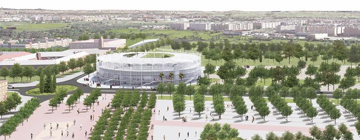
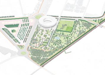
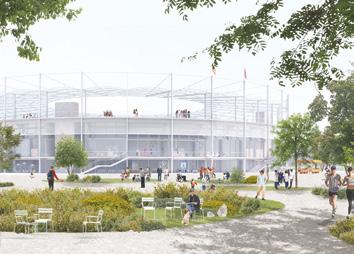
Author(s) —
Xixi Sun (CN), Architect, landscape architect; Hugo Hu (FR), Architect, engineer; Yujie Wang (CN), Architect
Contact — Paris (FR) xixi.sun15@gmail.com
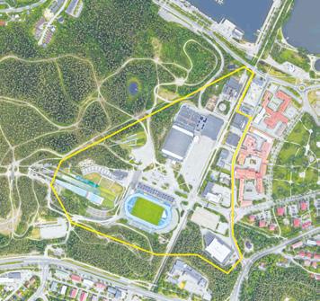
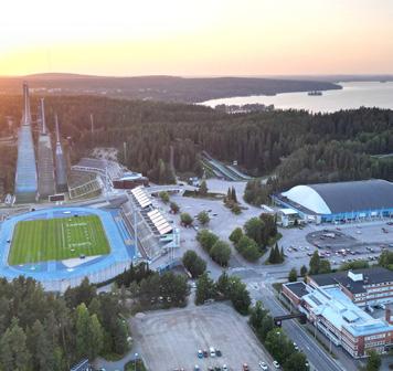
Lahti (FI)
How to re-imagine the Sports Centre park as a community hub of sports and leisure?
Site Context
The Lahti Sports Centre is the internationally renowned heart of Nordic skiing games and winter events in Finland. Besides being a popular year-round destination for tourism, the diverse sports facilities make the site the most visited place for everyday recreation and exercise for Lahti residents. The three ski jumping towers, built on a natural hillside, are a signature feature of Lahti. The Sports Centre plays a significant role in terms of the cityscape acting as the western boundary of the urban core and uniquely marking the end of the city’s main street axis. The area of the ski jumping towers and stadium is recognised as a nationally valuable heritage site. This classification applies also to the adjacent 1950s urban area to the east and the Radio Hill region to the southwest.
Questions to the competitors
How can the design leverage the area’s unique natural setting, the distinctive geomorphology of Salpausselkä, its rich cultural history, and the integration of sports and recreation within an urban environment? Another key objective is to develop plans for immediate improvements to the visitor orientation of the area in preparation for the 2029 Nordic World Ski Championships. How can these initial steps create a foundation for a long-lasting vision? How can the core of the site be transformed into an inviting, pedestrian-friendly hub at the heart of the Sports Centre? What improvements are needed for the main access points? How can a cohesive vegetation concept enhance the spatial quality of central pedestrian areas and better integrate the built environment with Salpausselkä’s natural landscape? How should the demand for new sports and amenity buildings be addressed, and how can the relationship between these structures and public spaces be best considered?
Scales XL/S
Location Lahti Sports Centre
Population 120,000
Reflection site 495 ha
Project site 32.5 ha
Site proposed by City of Lahti
Actor(s) involved City of Lahti
Owner(s) of the site City of Lahti
Active Trajectories
Team point of view
A Vision for Lahti Sport Centre and beyond Active Trajectories reimagines the Sport Centre as a dynamic hub that weaves together Sport, Nature, and Culture. At the heart of our proposal lies a 1.8 km linear active park, a north-south axis that connects the Sport Centre with Lake Vesijärvi and the future Railway Park. This is complemented by an east-west axis linking the city centre to Salpausselkä Geopark, anchored by a new ‘ring gate’ that marks the intersection of movement, identity, and experiences. Our vision prioritises pedestrians and introduces a social and ecological infrastructure, celebrating Finnish identity through biodiversity, human-scale design, and shared public space. With flexible programming for all seasons and ages the project fosters wellbeing, active lifestyles, and coexistence between people and nature.
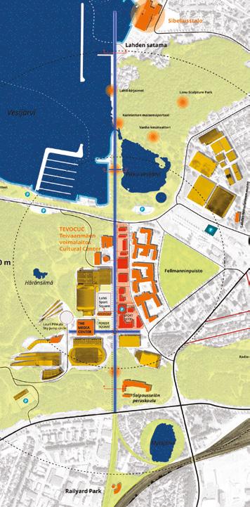
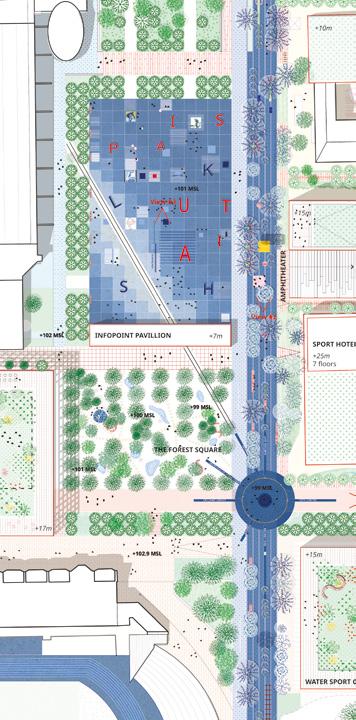
Author(s) — Jacopo Gennari Feslikenian (IT), Landscape architect, architect; Matteo Motti (IT), Urban planner, architect; Ishaani Paresh Shah (IN), Hengxing Cao (CN), Abhinand Krishnakumar Menon (IN), Landscape architects
Contributor(s) — Buket Turan (TR), Landscape architect
Jury point of view
Contact — BLU.works, Fajã Grande (PT) t. +351 910417089
info@jgf.works / www.bluworks.eu @blu.works
www.linkedin.com/company/bluworks
Active Trajectories is a balanced proposal which focuses on creating clarity and new spatial hierarchy on the competition site, adding significant new programming and use to the area. A thorough reading of the site and Lahti’s evolution as a city is presented, with emphasis on understanding and researching all-year-round use in relationship with the existing events and activities in Lahti. The historical analysis is connected to a vision of future development and phasing. The overall concept is rationally organised and allows for flexibility in the future planning phase. The proposal considers the entire site and identifies new functional zones along the main axis routes, adding moderate urban infills in well-chosen areas.
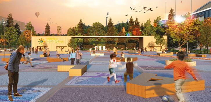
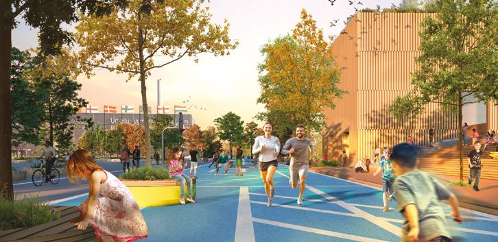
Salppuri — Spirit of Olympia in Lahti
Team point of view
The plan brings together sports, events, daily activities, diverse nature, unique topography, built sustainably and inspired by the spirit of the ancient Olympic Games. Central Plaza forms the event area and a recreational park enriched with greenery. A new multipurpose arena with a façade of ski-like wooden pillars is situated next to Suurhalli. The Water Sports Centre, spa and a new hotel are located at the Teivaanmäki power plant. The ski jump stands are transformed into an amphitheatre, with a wooden bridge structure enabling free movement between the area’s functions. The Salpausselkä Geopark Centre is proposed next to the Ski Museum. In place of Isku Arena, an experimental self-sustaining housing concept is proposed. A wooden hybrid parking facility is built at the entrance.
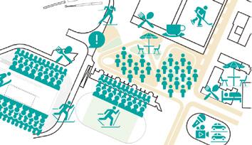
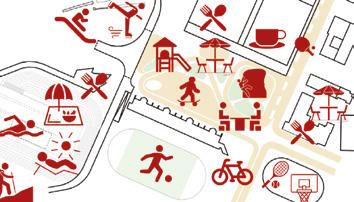
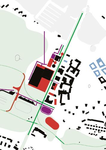
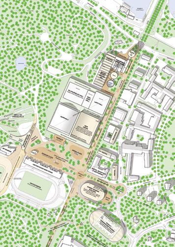
Author(s) —
Erkko Aarti (FI), Mikki Ristola (FI), Architects
Jury point of view
Contributor(s) —
Lauri Kärpänoja (FI), Niina Laukia (FI), Architects
Contact — office@aor.fi www.aor.fi
Salppuri — Spirit of Olympia in Lahti is a carefully investigated proposal, with well balanced solutions. The proposal develops a clear architectural language with wood as the main material for the new buildings. The aim is to create coherence and a recognisable identity in the area and simultaneously promote Lahti as a pioneer in wood construction. A good understanding of scale is demonstrated throughout, with both large-scale new facilities, smaller scale infills and re-use of existing structures included in the chosen interventions. Several ambitious sustainability concepts are also proposed, and the proposal is responding to the competition task in many levels.
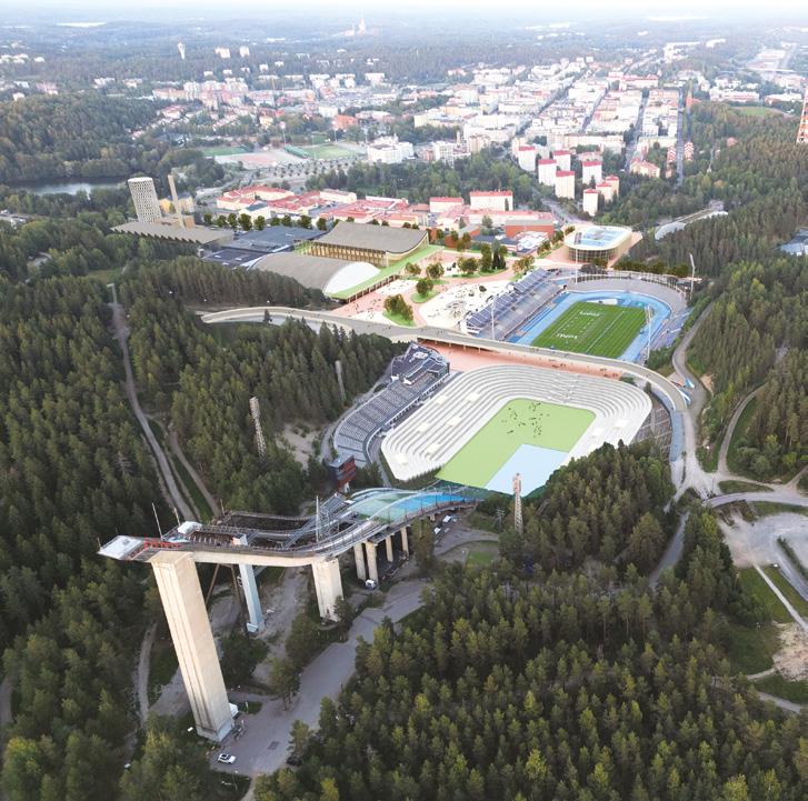
Hauska Tavata!
Team point of view
Hauska Tavata! is a bold reimagining of the Lahti Sports Centre as a sustainable and inclusive fusion of forest and city. The site, now pedestrian-focused, transforms former car-dominated infrastructure into vibrant green and social spaces. No longer a place to simply pass through, but to dwell in. Sports facilities are thoughtfully consolidated around Suurhalli, creating a unified hub that supports diverse events and fosters interaction. A rich network of new amenities — from pavilions to a wellness centre — activates the area throughout the year. Wellness, cultural, and hospitality elements further enrich the program, encouraging intergenerational connection. Tapping into underutilised potential, the project offers a socially and ecologically sustainable vision for a flourishing future.
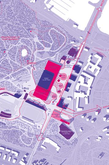
Author(s) —
André Backlund (FI), Architect; Andrea Verni (CY), Architect, urbanist
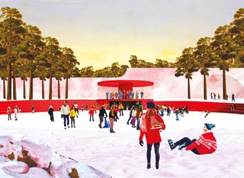
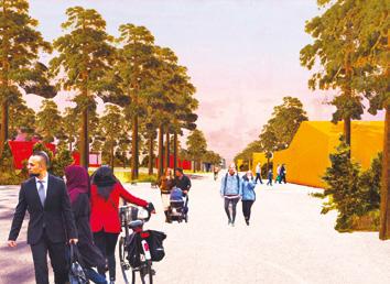
Contact — Rotterdam (NL) officeANDAND@proton.me
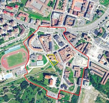
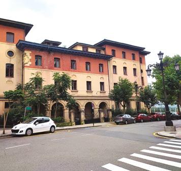
Oviedo (ES)
How to transform a disused care facility into housing for young people, promoting social interaction and urban integration?
Site Context
The Principality of Asturias presents a site aimed at rehabilitating a disused building in the San Lázaro neighbourhood of Oviedo. This project aims to transform the emblematic building into rental housing for young people as part of a strategy to facilitate access to housing and promote innovative and sustainable solutions. The idea is not only to respond to the housing needs of the young population, but also to contribute to the social and urban revitalisation of the neighbourhood, integrating principles of sustainability and accessibility.
Questions to the competitors
How can we achieve the integration of the project with the surrounding urban environment, facilitating the connection with other areas of the city and what measures should be implemented to encourage the use of sustainable modes of transport, promoting a greener and more accessible city? How can we integrate neighbourhood associations and the community in the rehabilitation process of the building, ensuring that the project respects the history of the neighbourhood while strengthening its viability and maximising the long-term social impact? How can we rehabilitate a building to ensure a flexible, accessible and comfortable design that responds to the current and changing needs of young people, without losing its original character or compromising on quality and while retaining its use as a facility? How can we rehabilitate a building to meet nearly zero energy consumption standards, incorporating sustainable technological solutions and applying principles of circular economy to promote the reuse of resources and optimise the building’s life cycle?
Scales L/S
Location La Malatería, Oviedo
Population 220,543
Reflection site 8.8 ha
Project site 0.23 ha
Site proposed by General Direction of Housing of the Principality of Asturias
Actor(s) involved Principality of Asturias & Oviedo City Council
Owner(s) of the site Principality of Asturias Government
¡dame tira!
Since the days of the Asturian mining industry, asking for ‘tira’ has symbolised solidarity and brotherhood. It was in this spirit that the Malatería was founded and it is thanks to that same spirit that it has endured. The project aims to value the building’s original welfare role prior to its abandonment. To this end, it is essential to recognise and enhance its condition as a territorial gate between city and nature: a social, cultural, and ecological threshold where an inclusive, community-based housing system can coexist with both the history and the present needs of the neighbourhood. The crossing paths create a new centrality inside the building, filling it with activity and biodiversity. This central feature becomes the structuring element of the project: the climatic atrium. Team point of view
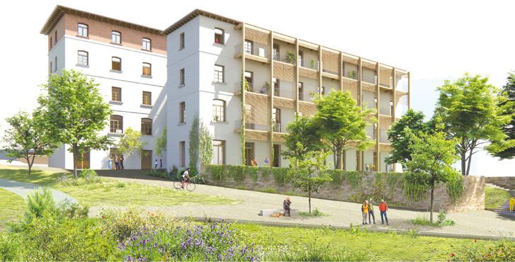
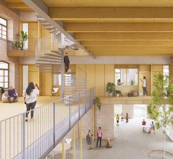
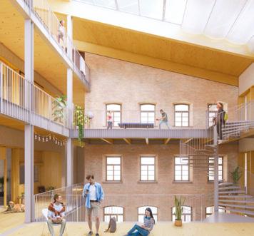
Author(s)
—
Jordi Juanola (ES), María F. Herrero (ES), Antonio Burgos (ES), Juan Burgos (ES), Architects
Contact — dametira@outlook.es
Jury point of view
The proposal shows a strong understanding of the existing building, its potential, and its limitations. It uses the interstitial space between volumes to create a meaningful social core that supports communal life. The integration of the building within the neighbourhood is strengthened through thoughtful interventions that enhance continuity between the street, the public-facing ground-floor programs, and the garden. The careful placement of public and community spaces at the lower levels ensures accessibility and encourages a socially vibrant ground plane that will greatly enhance the relation of the building to its surroundings. New architectural elements are added with sensitivity: they enhance environmental performance, improve spatial quality, and provide valuable additional area without compromising the identity of a building that holds significance for the local community.
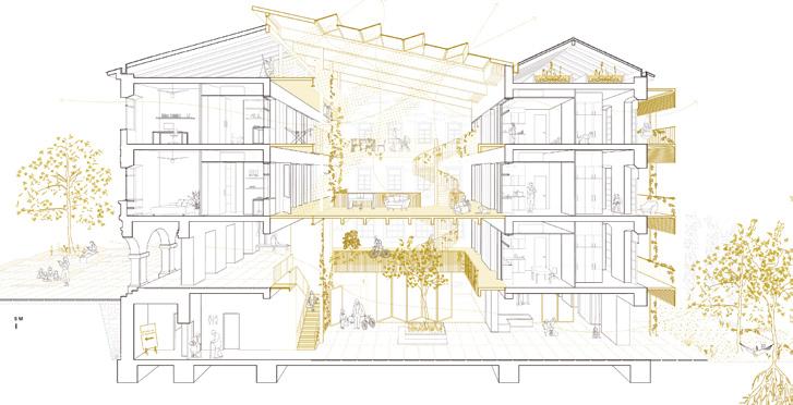
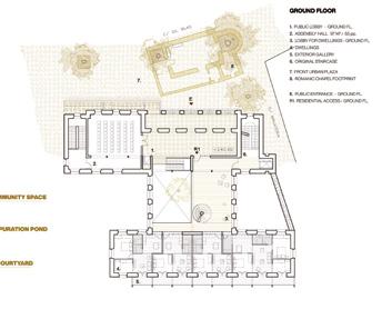
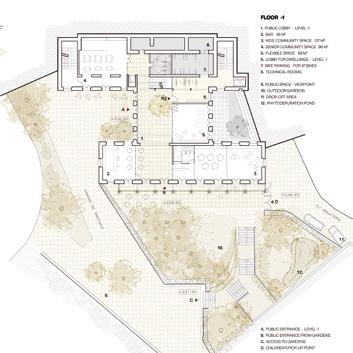
Abrir puertas y ventanas
The proposal gives La Malatería de San Lázaro in Oviedo a second life as affordable rental housing for young people, true to the motto ‘La Malatería no se tira’ (‘La Malatería won’t be demolished’). It preserves most of the 1929 structure with simple gestures. A new plaza on the west façade connects it to the Parque de Invierno, the Camino de Santiago and a cycling route, weaving it into historic paths and daily routes. Inspired by the Asturian casa de corredor, the proposed design adds exterior galleries for natural light and ventilation in flexible dwellings. A central courtyard acts as a passive energy hub, while shared spaces serve the building’s residents, the neighboring community and pilgrims. Local materials and techniques root the project in place. Team point of view
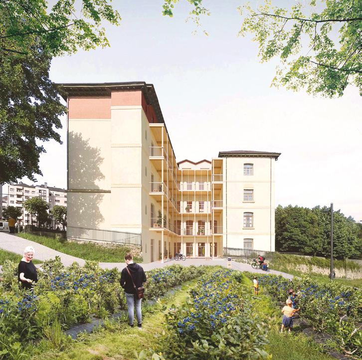
Author(s) —
Carlos Canella Lozano (ES), Sofia Lens Bell (ES), Miguel de la Ossa Peinador (ES), Vania Collazo Pequeño (ES), Architects
Jury point of view
Contact — Madrid (ES) info@lenscanella.com www.lenscanella.com
This project presents a bold and generous urban strategy, opening the perimeter of the site and creating an inviting public space that redefines access to the building. The landscape design — both on the site and in relation to its surroundings — is thoughtful, well composed, and contributes significantly to the overall quality of the proposal. The new entrance sequence effectively connects to the building’s social core, clearly organising the different programs and improving legibility. A notable strength is the respectful treatment of the existing building, preserving characteristic architectural elements such as the staircases while adding new components that support the updated functional requirements.
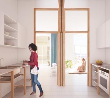
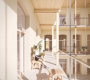
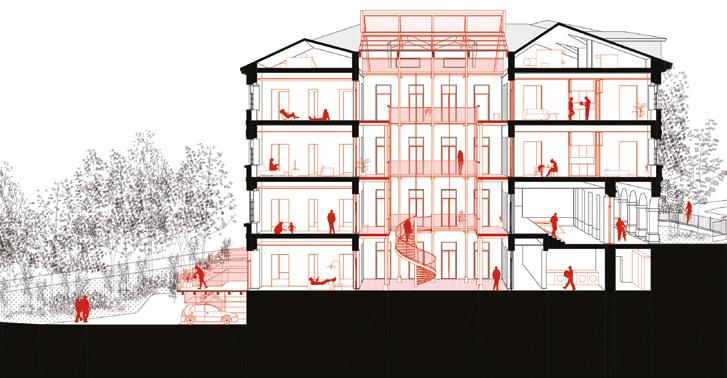
LA MATERIA
Team point of view
LA MATERIA is based on three key principles: recognising the historical, cultural, and material value of the existing building; understanding its physical condition and spatial potential; and responding to contemporary housing needs. The intervention redefines the site’s boundaries to create a meeting place for both residents and the wider community, opening up to the landscape and prioritising sustainable mobility over private car use. Against the logic of demolition, the proposal promotes selective deconstruction, reuse of materials, and the integration of low-embodied-energy systems. The building becomes a material bank — where components are preserved, relocated, or recycled to extend their lifecycle.
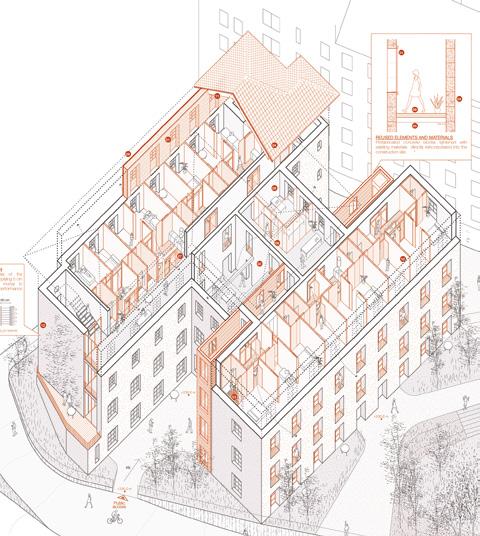
Author(s) —
Justo Díaz Diego (ES), Guillermo Pozo Arribas (ES), Architects
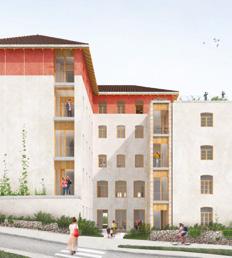
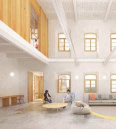
Contact — Madrid (ES) info@paddestudio.es @padd.estudio www.paddestudio.es
¡Tun, tun! Abre la muralla
Team point of view
The Malatería of San Lázaro, formerly a leprosy hospital and later a residence, has always been a closed and isolated place. The project seeks to reverse this isolation without losing its identity, creating a new axis that connects the neighbourhood and the park, transforming the lower floors into a covered plaza and adding a light, transparent ‘double skin’ that, besides improving thermal comfort, brings life and activity around the building. The dwellings, made of prefabricated wooden modules, are flexible and adapt to the needs of young people. The walls of the Malatería are opened, transforming the fortress into an inhabited plaza.
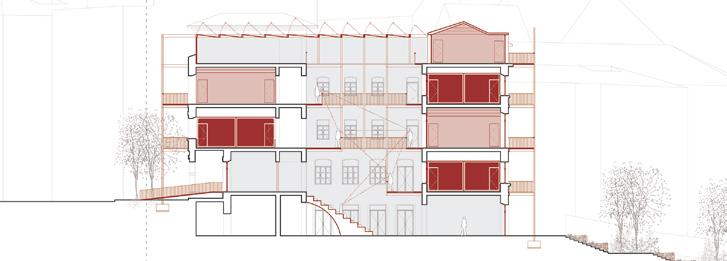
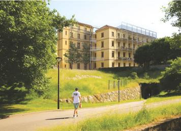
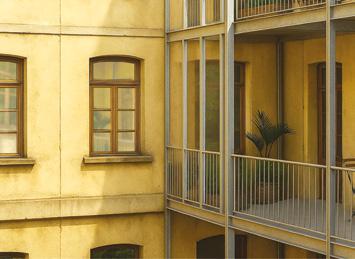
Author(s)
—
Álvaro Menéndez Fernández (ES), Architect
Contact — Oviedo (ES)
info@arquitecturaanonima.es www.arquitecturaanonima.es
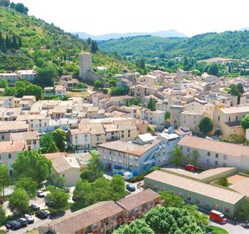
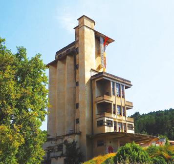
Riez (FR)
How to revitalise the city centre while preserving heritage?
Site Context
Riez is located in the south of the Alpes-de-Haute-Provence département, at the foot of the Valensole plateau and in the heart of the Verdon Regional Nature Park. It enjoys an exceptional natural environment, attracting large numbers of tourists in summer However, its distance from major urban centres and its rural setting mean that Riez is in an intermediate position, marked by a certain loss of attractiveness. Grand Rue, the central axis of the medieval town, is lined with old 17th-century mansions, including the emblematic Hôtel Mazan. However, Grand Rue site has suffered from numerous demolitions and today presents a heterogeneous urban fabric, alternating between residential buildings in varying states of preservation and urban wasteland. The commune of Riez is planning to revitalise its old town centre, through an ambitious urban requalification project.
Questions to the competitors
How to regenerate a city centre by building on and enhancing the area’s natural resources and heritage? How to restore the desire to live in the old town? At a time when houses with gardens are still the preferred housing model? How to promote new forms of housing, develop new ways of living and encourage intergenerational exchanges? How to strike a balance between preserving architectural heritage and integrating new forms of housing? How to link the typological particularities of the medieval centre (alleyways, backyards, built density, etc.) to the process of producing a contemporary city?
Scales XL/L
Location Riez
Population 1,683 (3,000 in summer)
Reflection site 1 km2
Project site 1 ha
Site proposed by City of Riez
Actor(s) involved Direction Départementale des Territoires des Alpes de Haute-Provence (DDT), Direction Régionale des Affaires Culturelles de Provence-Alpes-Côte d’Azur (DRAC PACA), Unité départementale de l’Architecture et du Patrimoine des Alpes de Haute-Provence (UDAP), Sud Region, Alpes de HauteProvence Department, Verdon Regional Nature Park, Fondation du patrimoine PACA, Villages et Cités de Caractère from Alpes de Haute-Provence Department, Riez Youth City Council
Owner(s) of the site City of Riez / private owners
The mystery of the apple and the bear
Team point of view
In Riez, the heritage is deeper than stones: it extends to soils, uses, stories, living. This set is subject to a risk, that of abstraction. To answer this question, we propose a matrix reading of the territory, crossing natural capacities, living forces, political intelligences and cultural heritage. This matrix reveals the thickness of the place, its tensions, its potentials. It guides a framework of conscious re-actions, in resonance with climate, social and landscape issues. The mystery of Riez’s coat of arms — an apple and a bear with no known history — becomes a symbol of a memory to reactivate. RE-Sourcing is about transmitting, transforming and inhabiting heritage, to make Riez an anchored and living climate city.
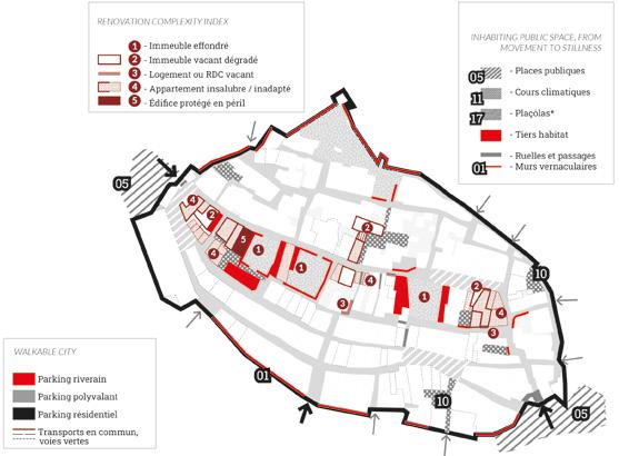
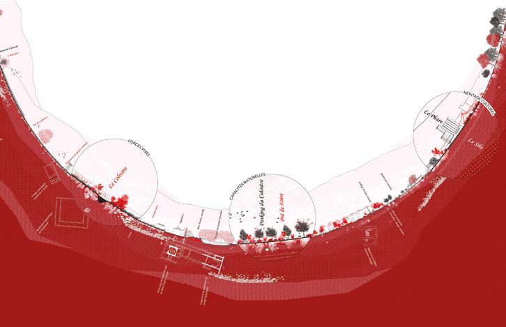
Author(s) —
Lea Kauffeisen (FR), Raphaël Jolly (FR), Architects urbanists
Contact — Bureau KAU (FR) bureaukau@gmail.com / www.bureaukau.com RJ Architecte (FR) rjolly.architecte@gmail.com
Inspired by Riez’s coat of arms, the team seeks to breathe new life into a small town brimming with hidden resources. They value the already-there by revealing the area’s ‘deep heritage’, which is not merely built: it encompasses a space-time continuum, ecosystems, a cultural legacy, and a wealth of storytelling material. The project unfolds a whole range of interventions and small, dynamic programs, such as a school for eco-construction. From an architectural and environmental perspective, the team deftly addresses the issue of climate adaptation for public spaces and existing buildings. The jury commends the multifaceted nature of the proposal, blending housing, the local economy, and social life.
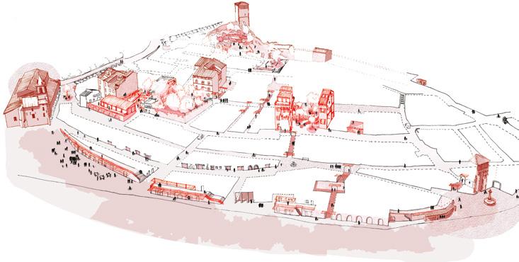
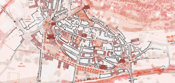
Contrefort Communal
Team point of view
The project proposes a sensitive support and expansion of the historic building fabric in Riez. The existing residential typology of individual row houses is upgraded through targeted interventions and functionally combined to create a vibrant organism. In this way, the historic city centre becomes a shared residential structure that enables a diverse, sustainable and communal way of living. Additional structures are made of mineral and wooden rubble from upgrading modifications in the city. They support not only the crumbling existing walls but also form an urban keystone, a Contrefort Communal to the main public spaces of the centre. These new rural typologies host shared facilities like cultural programs, spaces for education and care facilities for different generations.
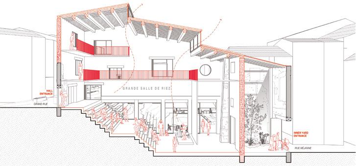
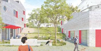
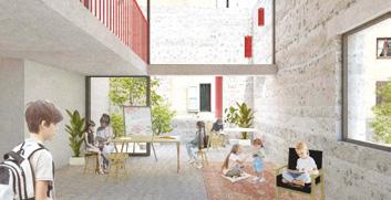
Author(s) — Sebastian Caballero (AT), Maria Covrig (RO), Stephanie Ganahl (AT), Daniel Koller (AT), Architects
Contributor(s) — Dominik Tschabrun (AT), Student in architecture
Contact — Studio Margarita, Vienna (AT) mail@studiomargarita.com www.studiomargarita.com
L’atelier des Tessons
Team point of view
L’atelier des Tessons explores Riez as a living palimpsest, where Roman ruins, landscapes, and urban traces form a fragmented heritage. The project involves four phases: Collect, by observing and gathering physical, historical, and cultural fragments; Assemble, by creating narratives through exhibitions, booklets, and local landmarks; Repair, by transforming decayed spaces into public areas and sustainable housing; and Share, turning the Hôtel de Mazan into a dynamic knowledge hub. This approach fosters a renewed sense of community, strengthens local identity, and reimagines Riez as a vibrant, resilient town.
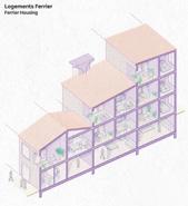
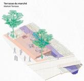
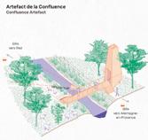
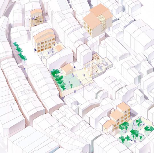
Author(s) — Elias Vogel (FR), Duc Truong (FR), Emilie Froelich (FR), Brice Franquesa (FR), Architects
Contributor(s) — Stéphane Majewski (FR), Architect
Contact — Strasbourg (FR) mail@sempervera.eu www.derdiedas.fr
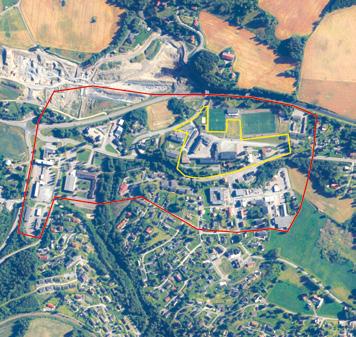
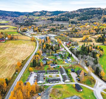
Roa (NO)
How to repurpose the former school grounds as a starter to create a vibrant village centre?
Site Context
Roa, nestled north of Oslo, faces a paradox. While its sister villages thrive as Oslo suburbs, the northernmost settlement of Lunner Municipality Roa, stagnates, seemingly ‘just a little too far away’ from the metropolitan boom. Fragmented and dispersed planning and a dearth of public spaces further erode its appeal. Ironically, its strategic location sitting just outside of a newly established road toll is making Roa increasingly attractive to larger industries and big-box retailers . Norway’s unique geography, climate, and rugged terrain have led to the development of numerous communities with a car-based suburban structure. Additionally, Norway’s economy has traditionally been based on resource extraction and agriculture, which has led to the development of smaller, dispersed communities like Roa. It lacks the infrastructure and amenities of a traditional city centre, and it is characterised by an aging population, as the younger generations move to the cities in search of work. The need for housing, coupled with the need for modern medical facilities, a new library, and much-needed public spaces, presents a chance to reinvent the village centre.
Questions to the competitors
How can the site become an identity marker for youth in the village? The task is about generating a vision for how the site can be transformed with housing, social and physical activities for young and elderly people as well as a few key services. How can the development of Frøystad serve as a starting point to help for structuring a denser, more attractive, and more inclusive centre in Roa, beyond the project site, in order to free up brownfields for development and thus reduce pressure on virgin lands?
Scales L
Location Roa, Lunner
Population 950
Reflection site 26 ha
Project site 3 ha
Site proposed by Lunner municipality
Actor(s) involved Lunner municipality, Akershus county
Owner(s) of the site Lunner municipality Commission
Roa’s Rag Rug
Team point of view
A revitalised Roalinna extends through Frøystad, woven from old and new elements like a fillerye (a carpet woven from scraps). The new streetscape, in dialogue with a green embroidery, spur the growth of a village more oriented toward community and shared experiences. Frøystad concentrates shared life at certain points, and allows for the natural, unplanned and private at others. Existing buildings are fully engaged, adding to a sequence of programmable outdoor and indoor spaces; inviting Roa to explore new ways to inhabit and imagine togetherness. Existing elements, communal spaces and connective green structure are three points of departure for a Roa that embraces and develops its own distinct identity through long-term and collaborative growth and different phases of transformation.
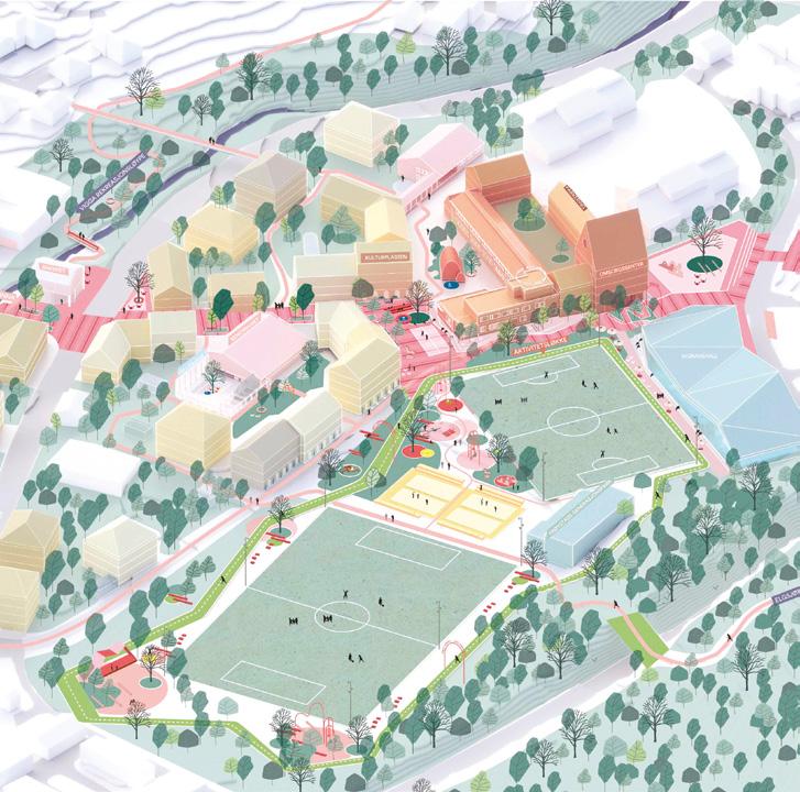
Author(s) —
Joanna Attvall (SE), David Ottosson (SE), Architects, urbanists;
Josephine Philipsen (SE), Landscape architect; Mikael Petterson (SE), Architect; Isabella Landtreter (SE), Student in architecture
Jury point of view
This proposal presents a narrative through Roa’s places, function, and experiences. The red axis acts as a strong backbone through the village, connecting Roa Station via Roalinna, across Hadelandsveien, and up past the old school buildings to a new square near the sports fields. This spatial sequence continues northward toward the swimming hall, bus station, and future residential development. The project combines existing identity with strong placemaking strategies and highlights movement, connectivity, and shared life as central themes. It reveals and enhances the qualities of Frøystad, making them accessible to all, and proposes a rich and playful concept for all generations and seasons.
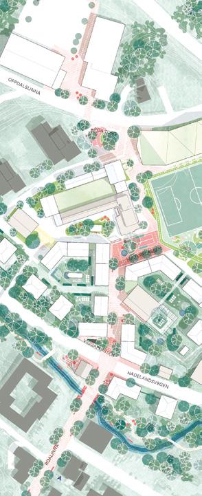
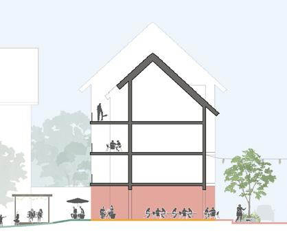
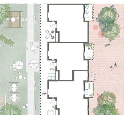
Living Roa — Collective Identities
Team point of view
The proposal envisions a new neighbourhood at the heart of Roa, transforming a fragmented, caroriented town into a cohesive, walkable place. Positioned between the centre and surrounding nature, the site reconnects urban life with landscape, becoming a key anchor for sustainable growth. It integrates compact housing, public spaces, biodiversity, and circular resource use in a flexible, adaptive framework. Frøystad is built around two courtyards linked by a green corridor, with phased, small-scale development. It forms a new civic and ecological core, offering shared spaces, services, and homes that foster healthy, connected living. Architecture reflects local heritage through timber, pitched roofs, and reused materials, supporting a low-impact lifestyle rooted in place.
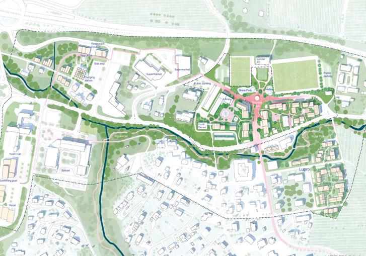
Author(s) —
Samuele Agrimi (IT), Fabio Bari (IT), Architects
Contact — Copenhagen (DK), Barcelona (ES) asbuiltw@gmail.com @asbuilt_workshop
This proposal presents a clear extension of Roalinna up to Frøystad, integrating key public institutions such as a library, skatepark, and other sports attractions. The concept is nature-based, accessible, and strategically rooted in existing identity. It marks an important first step in connecting Roa’s municipal functions and demonstrates a strong analysis of the village. The proposal strengthens existing qualities along the river and connects key elements of the urban fabric. The public street is marked in red, emphasising its role in the urban structure. Jury point of view
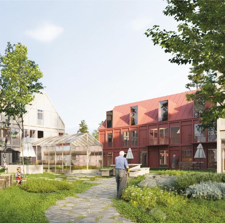
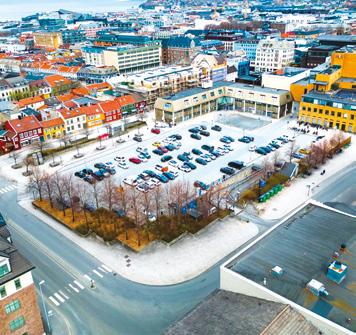
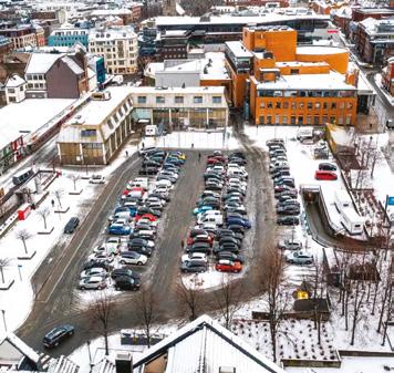
Trondheim (NO)
How to transform an aerial parking lot into an extroverted art museum linked to public spaces and passages?
Site Context
Trondheim art museum and Nordenfjeldske Kunstindustrimuseum National Museum of Decorative Arts and Design are at a crossroad. They both reside in small, introverted buildings that are not up to the task of preserving their collections safely, nor do they have space to do outreach, borrow art from elsewhere, do events or in other ways engage sufficiently with the public at a time where the participatory role of the museum is becoming ever more important. Several reports point to the benefits of relocating both museums together in a new building downtown. The selected site is a parking structure next to the Trøndelag theatre, across from a busy artery road that divides the downtown. The new museum building can provide this part of town a much-needed public space, in synergy with neighbouring institutions. This could create a pull factor to help revitalise a slightly undeveloped part of downtown and give Trondheim a museum that is the city worthy.
Questions to the competitors
What role can the museum play in the city today and for the next hundred years? How does an extrovert museum with adjacent public spaces engage with its surrounding city, its neighbours, inhabitants, and passers-by? What will Trondheim and the region gain from investing in a new art museum at Leütenhaven? How can the museum function as an accessible public space, attract new user groups and act as an infrastructure for Trondheim’s art scene? How can we find ways to include additional partners, programs, and functions, to reflect the museum’s extroverted role, on a site that is generous enough to accommodate more than just the museum itself?
Scales S
Location Trondheim
Population 214,000
Reflection site 59 ha
Project site 0.9 ha
Site proposed by Museums of Southern -Trøndelag (MiST)
Actor(s) involved the Museums of Southern -Trøndelag (MiST), Trondheim municipality, Trondheim County
Owner(s) of the site Trondheim municipality
Leütenhaven Reclaimed
Team point of view
A shared ground for art and community
The museum is placed underground, freeing the ground level for the city. Inspired by Trondheim’s network of alleys and courtyards, the site becomes a porous urban landscape with pavilions, workshops, and meeting places. The museum is not a closed monument but a platform for movement, activity, and community. It blends public and private, art and everyday life. A cultural hub forms through collaboration with educators, artists, and creative communities. Designed for long-term relevance, the structure supports changing content and users. The old parking basement becomes flexible exhibition space, while the ground level adapts with the city.
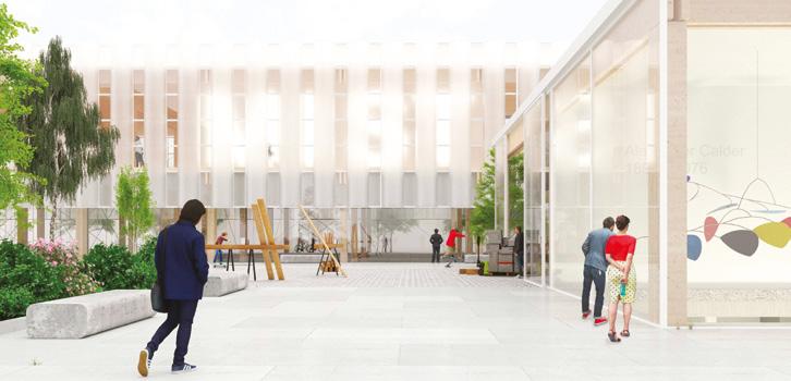
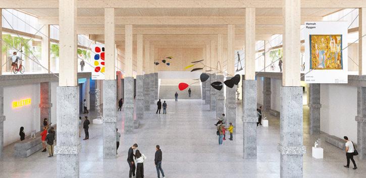
Author(s) —
Haakon Walderhaug (NO), Mille Mee Herstad (NO), Oskar Wilfred Johnsen Aronsen (NO), Adrian Rove Nordgård (NO), Saulius Bulavas (LT), Architects; Jeppe Bervell Johnsen (NO), Student in architecture
Contact — TOTO Arkitekter, Oslo (NO) Hei@toto.no www.toto.no @totoarkitekter
This proposal stands out for its strong engagement with the existing structure and the city. The project’s central idea — a multipurpose public living room at the heart of the museum — establishes a generous and engaging indoor public space while reusing the existing parking structure. This strategy not only grounds the project in the realities of the site but also conveys a powerful message about urban transformation and sustainability: turning a parking garage into a museum redefines priorities, placing culture before cars in the city centre. Jury point of view
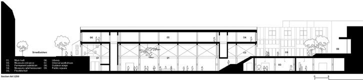
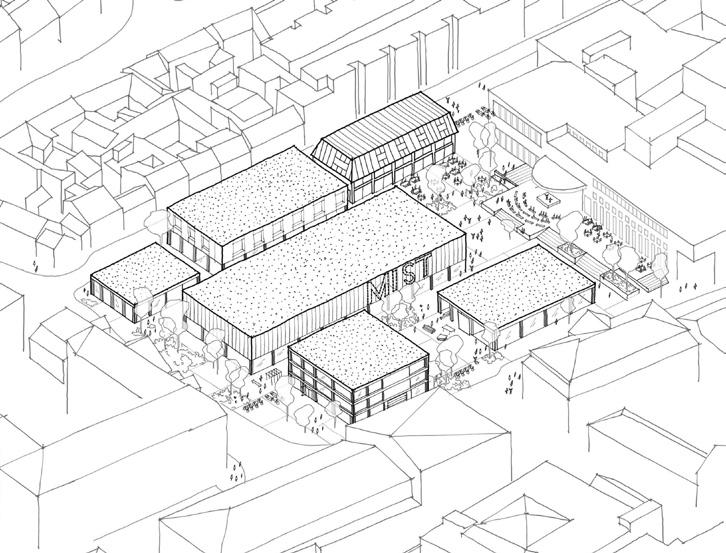
FYRTÅRN
Team point of view
Trondheim boasts a remarkable cityscape underscored by historical sightlines, including Munkegata and Nordre gate, which converge upon the iconic church towers of Nida-rosdomen and Vår Frue kirke. The proposal introduces the new museum for Art, Decorative Arts, and Design, seamlessly extending the city’s traditional sightlines toward the sea acting as the ending point of Smedbakken. Acting as a contemporary cultural corner-stone, the new museum integrates to Trondheim’s urban narrative, elevating architectural expression while respecting the established city structure. Conscious attention to the surrounding building’s heights integrates smoothly into the cityscape, while the tower acts as a cultural beacon guiding Trondheim visitors to enjoy the city’s cultural heritage and future.
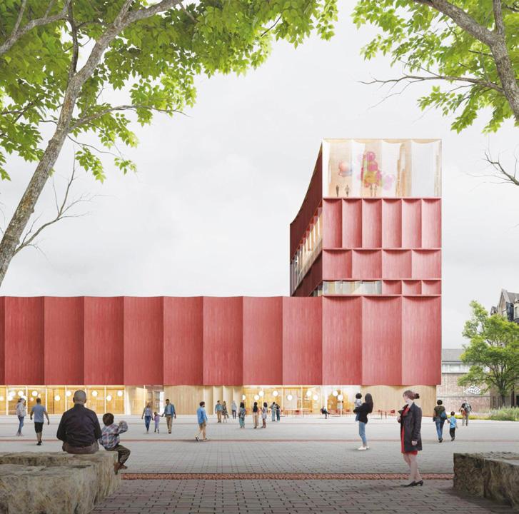
Author(s) —
Heljä Nieminen (FI), Havu Järvelä (FI), Architects
Contact — keltainen toimisto info@keltainentoimisto.fi www.keltainentoimisto.fi
Jury point of view
This proposal stands out as a ‘lighthouse’ — a project that is highly visible and immediately recognizable. It establishes a strong and confident architectural character, demonstrating a clear design will and a belief in creating identity through form and presence. The project convincingly looks and feels like a museum. The provocative and bold expression positions it as a potential landmark, while its realistic organizational layout gives it credibility. The design creates impressive indoor spaces that appear functional and engaging.
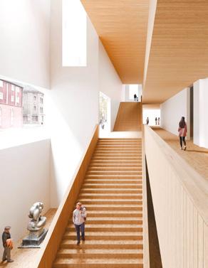
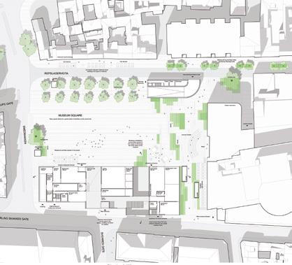
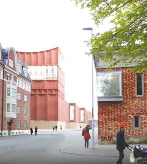
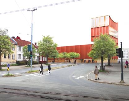
Re:Frame — A New Museum Model for Leütenhaven
Re:Frame proposes a fundamental shift in how a museum exists within the city. Rather than a static monument apart from urban life, it envisions the museum as civic infrastructure: open, flexible, and deeply interwoven with its context. Through the strategies of Re:Connect, Re:Form, and Re:Act, it becomes a living framework that dissolves barriers and invites collective authorship. It imagines the museum as an evolving civic platform, ready to adapt to unknown futures and rooted in the belief, that culture is something we continuously create together. Team point of view
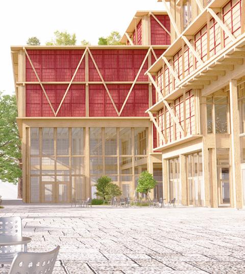
Author(s) —
Hedvig Skjerdingstad (DK/NO), Architect
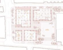
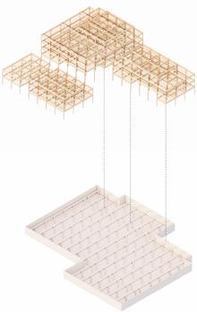
Contact — Copenhagen (DK) www.mimastudio.com
Samspill
Team point of view
Samspill, the new museum for Trondheim, not only re-uses the existing parking structure as the base for the new building, but also re-sources the broad cultural network already existing in Midtbyen and in the whole city. Its porous ground floor breaks barriers with entrances on all sides, leading into a public program of café, store, auditorium, multipurpose space, and a full-height atrium that acts as an urban living room. Below, parts of the former parking are transformed: a hypostyle hall becomes a sculptural gallery, while a music venue activates the site with night events, extending the museum’s presence beyond daytime. Exhibition galleries follow a generic grid but meet specific conditions varying in size, light, and views — balancing curatorial flexibility with spatial richness.
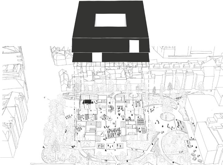
Author(s) —
Gaetano Giordano (IT), Dimitrios Andrinopoulos (GR/NL), Architects
Contact — Rotterdam (NL) t. +39 3757282344 / +31 640585820 www.samspill.eu
VEVE
Team point of view
Veve, the Norwegian word means ‘to weave’, expresses the core concept of our project: weaving together the city history, memories and traditions. The museum guides inhabitants and visitors to rediscover the city of Trondheim from new perspectives, offering a variety of itineraries. The museum presents an unique opportunity to enrich Trondheim’s cultural landscape. From the urban scale, the project proposes a green cultural axis connecting with key cultural landmarks. Two pedestrian shortcuts are designed to allow people to cross the site in their daily life. Public spaces are also created on higher levels to offer panoramic views of both the city and the sea. Our proposal offers an extroverted -24hour-museum, connecting daily life of the locals with generous public spaces on all levels.
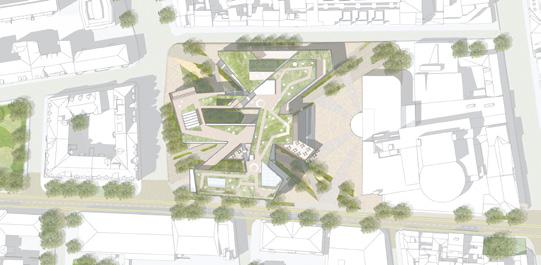
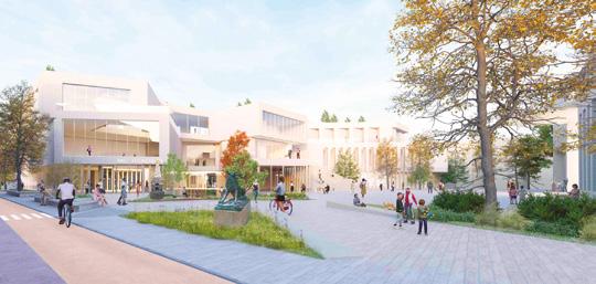
Author(s) —
Chengxin Li (CN), Jian Guan (CN), Architects; Zhaoying Zhu (CN), Architect, urbanist
Contact — Atelier GLZ zhuliguan75@gmail.com
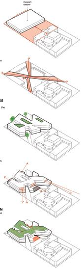
5/ promoting open neighbourhoods
How to transform urban areas and enclaves into open neighbourhoods? How to constitute the smallest urban entity of proximity, exchange and governance, consisting of humans and more than humans? Open urban neighbourhoods can be enablers of citizenship and accommodators of diverse temporalities of stay. They may be pivotal sites for initiating and implementing social and ecological changes, rippling through the rest of the city, thus being valuable for the European Green Transition.
Amersfoort – Otto Scheltus (NL) — Barcelona – La Verneda (ES) Caen (FR) — Clermont-Ferrand (FR) — Madrid (ES) — Miramas (FR) Romainville (FR) — Uppsala (SE) — Vitoria-Gasteiz (ES)
Romainville (FR) Runner-up
QUARTIER MONDE — Libre Pensée
→ See more p.314
What Design Strategies and Agencies for Neighbourhoods to Save the City?
‘Can neighbourhoods save the city?’ is the title of a book whose authors bring to the foreground the role of urban neighbourhoods as ‘the site where the right of the city is staged and practised’ 1 . They refer to marginalised neighbourhoods where inhabitants ‘found courage to fight back collectively’ against social exclusion. Teddy Cruz and Fonna Forman see these neighbourhoods as ‘a reservoir of urban creativity and agency’ 2, from where one may reimagine alternative political economies. Neighbourhoods are also reservoirs for green transition, according to the New European Bauhaus.
However, what is the relationship between neighbourhood and city? Jane Jacobs coined the notion of the ‘open city’ to unpack the contribution of her lively, dense, and multifunctional neighbourhood in Manhattan, opposing modernist urbanism. The notion of the open city is further developed by Richard Sennett’s Designing Disorder argument to address the brittle city, thereby confronting fragmentation, segregation, and isolation.3
Can neighbourhoods really save the city? ‘Welcome to My Back Yard’ was the motto of Crimsons Architectural Historians regarding a disenclaving project for Hoogvliet in Rotterdam 4 . ‘Welcome Back in My Back Yard: an Urban Porosity Interrogation’5 was a Europan-led investigation regarding the transformation of design patterns of exchange between competition sites and the rest of the city during the implementation processes of winning design strategies.
However, some scholars argue that by emphasising neighbourhoods as a space for resolving urban issues, there is an increasing risk of decentralising civic responsibility without sufficient public guarantees. Consequently, unpaid civic labour compensates for a shrinking institutional capacity, thus consolidating the neoliberal urban project. Isn’t it a formula for sustaining enclaved and privileged neighbourhoods?
Thanks to the Europan 18 ‘Re-Sourcing’ theme, the potential of mobilisation by design in neighbourhoods as active urban and political units has come to the forefront. How do the rewarded projects envision sustaining open neighbourhoods and caring for them? How to welcome newcomers in existing neighbourhoods? What are the agencies of the neighbourhood inhabitants activated by the Europan winning projects?
1. Moulaert, Frank, Erik Swyngedouw, Flavia Martinelli, and Sara González, eds. Can Neighbourhoods Save the City?: Community Development and Social Innovation. London: Routledge, 2010. p.221.
2. Cruz, Teddy, and Fonna Forman. Spatializing Justice: Building Blocks. Cambridge, MA: The MIT Press, 2022, p. 84.
3. Sennett, Richard, and Pablo Sendra. Designing Disorder: Experiments and Disruptions in the City. London and New York: Verso Books, 2020.
4. Provoost, Michelle, and Felix Rottenberg, eds. The Big WiMBY! Book. Rotterdam: NAi Publishers, 2007.
5. Stratis, Socrates. Welcome Back in My Back Yard: an Urban Porosity Interrogation. In Ideas Changing Europan Implementations, edited by Didier Rebois, 46–50. Paris: Europan Europe Editions, 2012.
Sustaining Open Neighbourhoods by Design?
By Socrates Stratis (CY) PhD Architect, urbanist; Professor, Dpt. Architecture, Univ. of Cyprus.
Co-founder of AA&U and LUCY director www.urbanlabucy.eu, www.aaplusu.com, www.socratestratis.com
SUSTAINING OPEN NEIGHBOURHOODS BY DESIGN?
In this first part, we address some of the above-mentioned questions through the study of seven fantastic rewarded projects in: Clermont-Ferrand, Miramas, and Romainville, in France; Vitoria-Gasteiz, Barcelona, and Madrid, in Spain; and Amersfoort-Otto Scheltus, in the Netherlands. ‘Introducing Planet Earth at your Doorstep’, ‘Supporting Negotiable Futures’ and ‘Designing Incompleteness’ are the three design strategies I propose using as analytical filters to reveal the design patterns of open neighbourhoods across the seven rewarded projects.
Introducing Planet Earth at Your Doorstep
The Fontaine du Bac housing complex is part of the Limagne plain at Clermont-Ferrand (FR). A typical 1970s centralised-designed and built housing development, sitting within a controlled vegetated surface (more on p.293). Europan has invited young practitioners to suggest ways to connect the site with the rest of the city and to propose means of implementing the values of the European Union’s
‘Green Transition’, including addressing the challenges of an ageing population and the lack of proximity services.
Similar challenges are relevant to Cité Chiminote, a former railway housing estate in Miramas (FR) (more on p.305), a city influenced by the current intensive agricultural activities in the Crau region. Flash rainfalls in autumn 2055, mistral winds, droughts and a wet winter of 2100, subterranean grounds comprising layers of poudinge rocks, sands, the Crau water table and clays. They are all depicted on an axonometric drawing of the Radical softness, runner-up project for Miramas. It seems to be part of a critical zone, according to Bruno Latour, where planet Earth’s climate change is being observed and addressed through a design strategy that addresses the scarcity of water resources (fig. 1).
Let’s look at another drawing, from the Space for All runner-up project in ClermontFerrand (FR). It is a colourful frontal axonometric that depicts a park system, a network of natural spaces with variable levels of human and nature presence, with increased biodiversity, according to the authors. The drawing
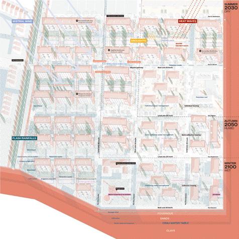
1 — Miramas (FR)
Runner-up
Radical softness
→ See more p.306
Runner-up
Space for All
→ See more p.296
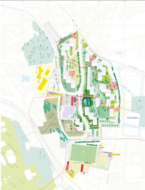
Fig.
Fig. 2 — Clermont-Ferrand (FR)
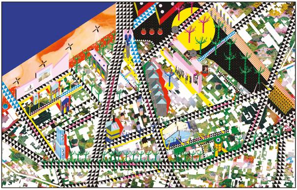
QUARTIER MONDE — Libre Pensée
→ See more p.314
Fig. 4 — Madrid (ES) Runner-up
Cultivating the Commons
→ See more p.302
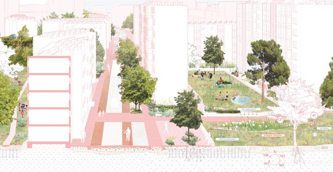
Fig. 3 — Romainville (FR) Runner-up
fosters a potential shared vision among the inhabitants of Fontaine du Bac for co-creating a new landscape (fig. 2).
Both projects offer a concrete set of strategies on ‘how to land on planet Earth’, answering Bruno Latour’s interrogation1. They design constructive entanglements between housing estates and natural processes. They embark on transforming the public grounds, a tiny piece of planet Earth’s crust, by adjusting the ground floors of the existing apartment buildings. Isn’t it a way to sustain the openness of the two neighbourhoods by supporting the spatial practices of planetary citizens?
Supporting Negotiable Futures
The Les Ormes district in Romainville (FR), a neighbourhood of mostly single-family homes, has found itself at a crossroads both geographically and existentially (more on p.311). What is the future of Les Ormes, a typical Parisian metropolitan suburb under enormous land development pressure due to the planning of new public transport connections (metro and tram)? The Casa de Campo neighbourhood in Madrid (ES) is flanked by two large transport infrastructures. It is much denser than Les Ormes with apartment buildings and still insufficient shared spaces (more on p.299). The site is part of the Madrid Metropolitan Neighbourhoods Green Transition Plan. Nevertheless, how could the rewarded projects enhance the active agency of Casa de Campo’s inhabitants in this transition?
Runner-up projects QUARTIER MONDE — Libre Pensée in Romainville (FR) and Cultivating the Commons in Madrid (ES) reject master-planning as a modality to address such questions. Instead, they offer a complex design apparatus of piecemeal urbanism. They adopt an open design process and populate it with guides, tools, scenarios, principles and manifestos.
We are looking at a beautiful site plan for the future-to-be situated urbanism as part of the Quartier Monde project. All buildings are depicted by their absence as white holes on an immense colourful carpet-like ground (fig. 3). Thanks to the six principles the ‘Quartier Monde carpet’ will be collectively woven by
composing with gleanings and adjustments, creating new proximities of use and offering new collective spaces, and turning the interstices into micro-public spaces. The project’s authors propose performing the six principles as an alternative to the future envisioned by the real estate land pressures. Yet, in some instances, they risk being more generic than situated.
In the same logic as QUARTIER MONDE’s situated urbanism produced the ‘carpet’, Cultivating the Commons offers a series of perspective drawings. A colourful interstitial space, populated with vegetation and activities, dominates the foreground where the buildings, depicted with black lines, remain in the background (fig. 4). An interstitial space becomes a field of potential common ground. The perspective image, which is also true of QUARTIER MONDE’s site plan, shows an indicative spatial manifestation of a complex collaborative design process.
A time diagram on the same panel provides some hints about the design process, but risks being too linear and unable to incorporate potential controversial matters one would expect in such a context.
Yet, the success of both projects lies in the acceptance of the imprevisible future as a legitimate partner of today’s planning. Openness in this case is manifested in the urban design projects by embracing unpredictability, uncertainty, slowness, as well as modalities of collective governance.
Designing Incompleteness
Vitoria-Gasteiz (ES): the competition site comprises five run-down, yet still inhabited apartment buildings (more on p.325). The apartment building on the competition site in Amersfoort-Otto Scheltus (NL) has been lying empty for a while increasing the concern of the neighbourhood’s inhabitants regarding its future development (more on p.271). In Barcelona-La Verneda (ES), the future building lot lies empty. It is an open space within an existing neighbourhood (more on p.277).
What kind of urban forms and architectural typologies can one use to enhance sociability and exchange among current and
newcoming residents? How to reuse existing buildings or build new ones to host newcomers of medium- to lower-income status in existing neighbourhoods without causing evictions or raising NIMBY reactions?
An axonometric line drawing depicts the reused apartment buildings in Vitoria-Gasteiz (ES). The structures are wrapped with a new ‘blanket’ following Lacaton & Vassal’s architectural paradigm ( Care Blanket , winning project, fig. 5). Another axonometric drawing shows how the existing apartment building in Amersfoort-Otto Scheltus (NL) is divided into units thanks to new vertical circulation cores (ont mOeTTO me halverwege, winning project, fig. 6). Both reused buildings are depicted sitting comfortably within the existing urban fabric thanks to an inviting reprogrammed ground floor with shared amenities and public space. A site plan in a black-and-white line drawing shows the proposed housing building in Barcelona-La Verneda (ES) (Komorebi, winning project, fig. 7), located within the thickness of an urban armature that connects the main public spaces of the neighbourhood. The new building, thanks to the shape of the ground floor, invites the pedestrian public flow, creating a passage territory according to Sennett’s open city.
All three projects in the reciprocal sites offer incomplete urban forms, another value of the open city, thus inviting public space, hence the city, to play a crucial role in shaping the final design outcome. Additionally, all three projects take particular care of the apartments’ shared spaces. Aren’t they both building shared spaces and porosity to the public space, the cradle for emerging open neighbourhood subjectivities?
CONCLUSION
Jane Jacobs’ famous neighbourhood has gone under harsh gentrification replacing the 1960s population and urban activities with new ones from a much higher social status. Could Jacobs’ neighbourhood openness have been maintained by design?
Thanks to the three design strategies that have set the framework for revisiting the seven rewarded projects, we have developed concrete examples of openness in urban neighbourhoods. ‘Introducing Planet Earth at your Doorstep’ showed us how design can support neighbourhood residents in becoming planetary citizens through spatial practices.
‘Supporting Negotiable Futures’ highlighted the manifestation of openness in embracing unpredictability, uncertainty, and slowness, as well as modalities of collective governance. And ‘Designing Incompleteness’ revealed the cradle for emerging open neighbourhood subjectivities.
The complex design apparatus, as well as the quality and genre of the modes of representation of the seven projects are extraordinary. They show the exigency of design-led visual information and its active agency in the political arena where the projects have entered.
Is it enough to resist current land development pressures and increasing segregation tendencies? They offer roadmaps to a future to be collectively produced, inviting the rest of the urban actors to take their share of responsibility.
1. Latour, Bruno. Down to Earth: Politics in the New Climatic Regime. Cambridge, UK: Polity Press, 2018.
Fig. 5 — Vitoria-Gasteiz (ES) Winner Care Blanket
→ See more p.326
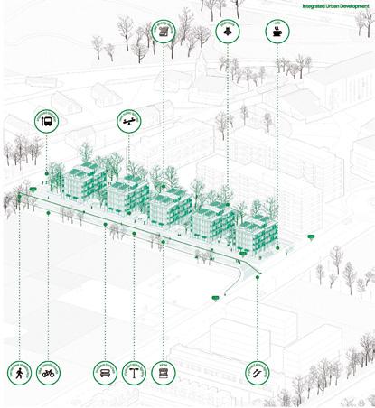
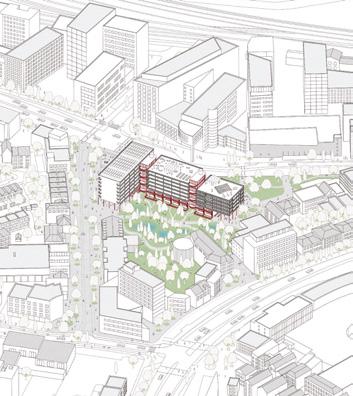
6 — AmersfoortOtto
Winner ont mOeTTO me halverwege
→ See more p.272
→ See more p.278
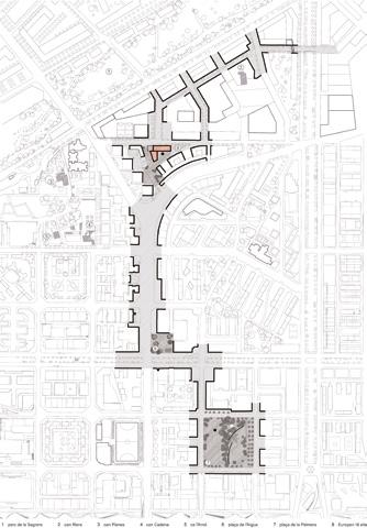
Fig.
Scheltus (NL)
Fig. 7 — BarcelonaLa Verneda (ES) Winner Komorebi
Building on the Various Agencies of People and Places
By Dimitri Szuter (FR) PhD Architect, researcher and performer. Founder of P.E.R.F.O.R.M! - www.perform-the-city.org
To promote open neighbourhoods, we must ask what needs to be open, to what, and to whom. The sites in this family feature vulnerable, isolated, and often neglected neighbourhoods; nevertheless, they have great potential! Whether in Romainville (FR), Madrid (ES), Caen (FR), Uppsala (SE), Miramas (FR), or Vitoria-Gasteiz (ES), the existing situation, while not always remarkable, is rich in ways of life, community networks, inventive typologies, and ecosystem anchors. Through the rewarded projects, we highlight three complementary approaches that promote open neighbourhoods and initiate exemplary processes for urban regeneration.
EMPOWERING COMMUNITIES FOR A SHARED AGENCY
Opening up decision-making to residents is a fundamental lever to promote open neighbourhoods: who defines the specifications, how do needs emerge, and what mechanisms to use to involve residents as actors in the regeneration of their living milieus? Far from superficial or ‘cosmetic’ consultation processes, the Europan projects focus on devising inclusive processes capable of restoring real capacity for action to local communities. Winning project Rendez-vous sous les Ormes in Romainville (FR) illustrates this approach by focusing on meeting places conceived as a situational, event-based mechanism (fig. 1). Drawing on ritualization, the team builds a relational and political infrastructure that allows the neighbourhood’s future to be collectively reimagined. This strategy makes sense in a
context of high vulnerability to land pressure, where the residents’ union becomes a tool of resistance against speculative logic. These micro-political situations arising in strategic areas of the neighbourhood reveal the site’s situational potential1 and mark the first steps towards collective mobilization. In Madrid (ES), special mention project Colectivo Colonia is developing a virtual ‘empowerment’ infrastructure. The team designs a digital platform for action (fig. 2) bringing together residents, spaces, and collected data to shape a collective vision for the neighbourhood’s transformation. The application links needs or emergencies with spaces and opens up associated transformation scenarios. These scenarios are then developed locally and translated into concrete transformation actions through two modalities: tactical and structural. Attention to these gradual transformations allows ideas to be tested in the real conditions before structural implementation.
REINFORCING THE EXISTING POTENTIAL THROUGH INCREMENTAL DESIGN
Promoting open neighbourhoods also means accepting uncertainty. The processes are open and evolving, taking shape through experimentation and reorientation. Here, projects use incremental approaches, allowing ideas to emerge from neighbourhoods, be tested at small-scale and evolve based on the effects of these first transformations.
In Caen (FR), special mention project CITÉ/ÉCOLE: Learning through the city takes as starting point the void left by the
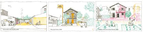
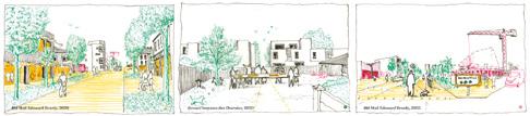
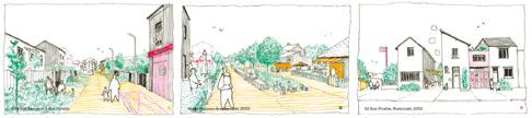
Fig. 1 — Romainville (FR)
Winner
Rendez-vous sous les Ormes
→ See more p.312
Fig. 2 — Madrid (ES)
Special Mention
Colectivo Colonia
→ See more p.304
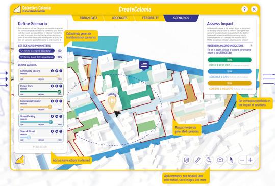
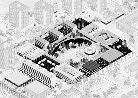
Fig. 3 — Caen (FR)
Special Mention CITÉ/ÉCOLE:
Learning through the city
→ See more p.292
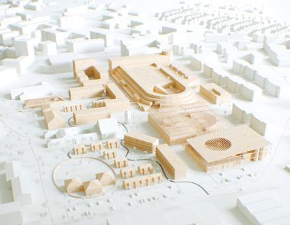
Fig. 4 — Uppsala (SE) Runner-up
Staging the Scene
→ See more p.322
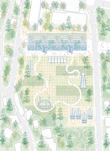
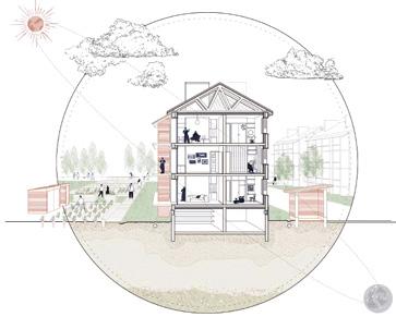
Fig. 5 — Miramas (FR) Runner-up Still, Life
→ See more p.308
Fig. 6 — Vitoria-Gasteiz (ES) Special Mention
Five Skins — Bustaldea
→ See more p.330
disappearance of the Albert Jacquard middle school. This void is both physical, marked by demolition and symbolic, reflecting the loss of a central place in the neighbourhood’s collective memory. The project rebuilds a centrality from these remains (fig. 3), regenerating an inherited spatial figure while developing an open program around learning and collective transmission. The process unfolds like an open score, where the site — epicentre of the neighbourhood’s rebirth — becomes an experimental base camp, evolving until it becomes the new heart of the neighbourhood by 2040.
In Uppsala (SE), runner-up project Staging the Scene takes an incremental approach on another scale, tackling the gradual transformation of a major activity centre (fig. 4).
‘The proposal sees Gottsunda as a place that evolves with the people who live there, not through a complete reset but by carefully building on what already exists’. Rather than a radical transformation, the team proposes a series of precise actions — cutting, opening, connecting, adding, reconfiguring — carried out on the existing structure with careful attention. The transformation is conceived as a continuous process, building the site’s evolution over time, without however emphasising the effects of one transformation or another in the design of the process.
BEYOND BUILDINGS, ARCHITECTURE AS A REGENERATIVE ECOSYSTEM
Beyond transforming buildings, opening up neighbourhoods means reconnecting them to broader territorial ecosystems. Here, projects are no longer limited to issues of improving access through mobility or creating new centres of activity — they rather seek to integrate habitats into wider ecological, landscape, and productive systems. In Miramas (FR), runner-up project Still, Life considers the site as a territorial ecotone located at the interface of two larger ecosystems: the Crau plain and the Berre lagoon. The project is therefore part of a territorial ecology approach aimed at rebalancing environments through local synergies. It uses existing resources — agricultural waste from the Crau plain, silt taken from upstream of the
Étang de Berre, and reactivated canal networks — to design new soils, envelopes, and constructions at the heart of the railway town (fig. 5). By using water, pebbles, plant fibres, and silt as materials, the project contributes to the resilience of ecosystems while producing an architectural materiality rooted in the territory. In Vitoria-Gasteiz (ES), special mention project Five Skins explores a symbiotic relationship with territorial ecosystems inspired by Hundertwasser’s philosophy of five skins to open up strategies for coexistence with the environment (fig. 6). By rethinking domestic typologies, communal facilities, and the big house as a symbiotic ecosystem, the project aims to reconnect with the territory, going far beyond the transformation of the five existing housing blocks. By integrating circular water management, renewable energies, and ecological continuity, the project promotes a model of resilience and urban regeneration in harmony with the natural environment.
From this analysis on how some rewarded teams propose to ‘open’ neighbourhoods, we can deduce the necessity to share — in a much deeper way — the decision-making power to transform the city, and even more so when it comes to priority neighbourhoods. We must redouble our creativity to imagine the project infrastructures — as relational devices — necessary for any regenerative process that aims to be inclusive. It would seem a priority to favour incremental approaches, openended partitions, and care for each transformation effort (whether tactical or structural) by cultivating synergies between operations. This is how we can continue to think about and build the city in an agile and open way, paying ever greater attention to the broad spectrum of what is ‘already there’. Finally, we need to think more about transformations on multiple scales, taking care to link the transformation principles to broader territorial realities in order to think of the project as a regenerative ecosystem.
1. Boucher, M.-P. & Prost, J.-F. (2011). Fragments of action for the city: interview with Brian Massumi. Inter, (108), pp. 16–21.
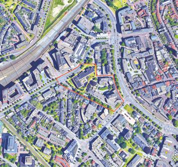
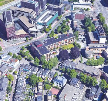
Amersfoort–Otto Scheltus (NL)
How to rethink a well-located housing building as an urban hotspot bridging the central station and historic centre?
Site Context
The Otto Scheltusflat presents a key opportunity to reconnect and reshape its urban fabric recreating a new landmark and meeting place for the city. Situated at a vital intersection, the location can function as a connector between the central station and historic city centre improving and ensuring effortless flow of people to the city centre. The vision to aims transform the location into an integrated urban cluster seamlessly connecting with the surrounding urban context. Focusing on innovative residential typologies and introducing dynamic public functions contributing to a vibrant street life. A cohesive inner public space with well-designed transitions between public and private areas has the potential of creating comfortable and welcoming urban environment.
Questions to the competitors
How to transform Otto Scheltus location into a thriving urban hotspot, guiding residents and visitors intuitively from the station to the heart of the city? How to reshape the urban context by optimising building scale and alignment, exploring possible visual connection toward the iconic Onze Lieve Vrouwetoren? A space that enhances connectivity and revitalises the streetscape. How to expand or reshape the existing building into a cluster of buildings accommodating housing program with a mix of elderly housing and other social groups combined? The ground floor will play a key role offering public spaces such as a city café, co-working areas, or fitness facilities, carefully balanced to enhance the living experience for residents while creating a vibrant urban street life.
Scales L/S
Location Otto Scheltusflat, Amersfoort
Population 160,000
Reflection site 2.47 ha
Project site 0.60 ha
Site proposed by Amersfoort Municipality
Actor(s) involved Amersfoort Municipality, Housing corporation Alliantie
ont mOeTTO me
halverwege
Team point of view
Amersfoort is a city of in-betweens. The ont mOeTTO me halverwege project transforms the Otto Scheltusflat into a vibrant connector, opening paths between station and old town, weaving architecture and nature into a porous, welcoming hub. A sponge garden expands green space, absorbing rain, cooling summers, and nurturing biodiversity. New communal spaces foster encounters: shops, cafés, and shared workshops animating the ground floor. Subtle densification respects the context, while bioclimatic strategies reduce energy needs. Here, circulation becomes an invitation, and every home is bathed in light, offering spaces to gather, share and belong.
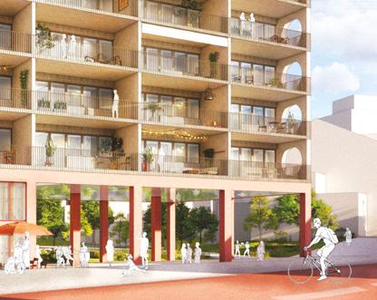
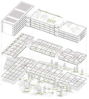
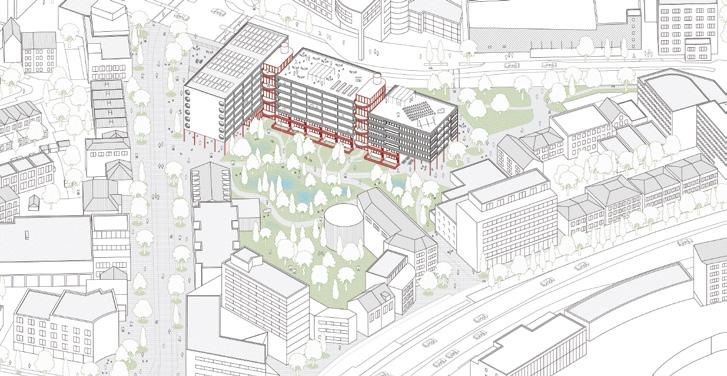
Author(s) —
Maria Agrici (FR), Charlotte Guillochon (FR), Laura Levy Ruimy (ES), Victor Mesguich (FR), Architects; Frederique Van Vuure (NL), Architect-engineer
Contact — inbtw.collective@gmail.com
The winning proposal combines respect for the building’s post-war modernist legacy with a forwardlooking social and architectural strategy. The design’s strength lies in its ability to humanise the large housing block — softening its volume and breaking down its scale through the addition of corridor stairwells that serve both as architectural elements and as vertical meeting places for residents. The project opens the plot at key corners, creating welcoming communal spaces that encourage social interaction and strengthen the connection to the surrounding streetscape. Jury point of view
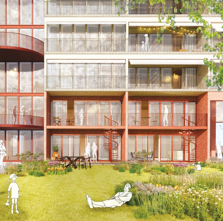
Build on Otto Scheltus!
Team point of view
One of the greatest challenges architecture faces today is how to deal with the built environment and how to use it to address the crises our cities are already facing and will face in the near future. The competition entry Build on Otto-Scheltus! focuses on the reuse of a post-war modernist residential building. The entry is developed based on the principle of continuing the building. The design preserves and reinforces the architectural character of the existing structure while transforming it through carefully considered interventions into a sustainable, ecological, and socially resilient building that is viable for the future.
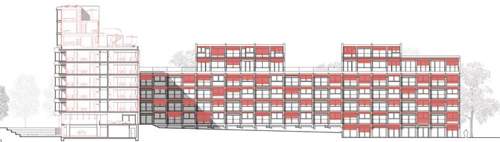
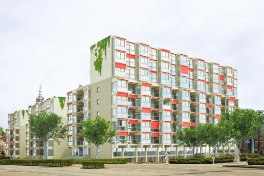
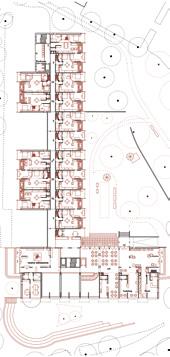
Author(s) —
Philip Becker (DE), Architect; Tim Becker (DE), Student in architecture
Contact — Koblenz (DE)
Stop demolition and make sense of place
Team point of view
The Otto Scheltusflat might be outdated in terms of thermal comfort, organisation and foremost its awkward position within the urban fabric but it is an amazing framework to build upon. Our proposal aims to respect the building’s structure and give it a new life by adding to and modernising it. Only very precise cuts will be made within the existing structure minimising demolition work and therefore not adding to the building’s carbon footprint while revitalising this large building complex. All the new elements will be prefabricated using bio-based materials such as cross laminated timber floors and walls, woodfibre insulation, wood cladding and wooden window frames. In doing so a vibrant new building will be created for a diverse group of people.
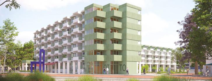
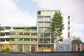
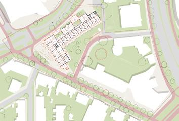
Author(s) — Daan Vulkers (NL), Keimpke Zigterman (NL), Architects
Contributor(s) — Antonio Acocella (IT), Visualiser
Contact — De Rijpstraat 133, 1056 XN, Amsterdam (NL) info@unknownarchitects.nl www.unknownarchitects.nl
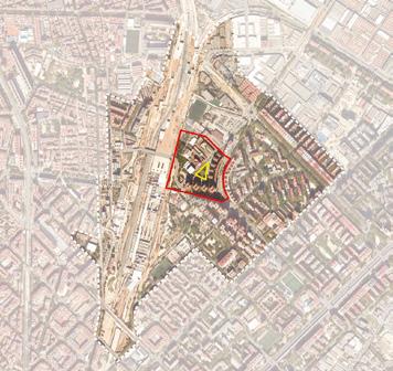
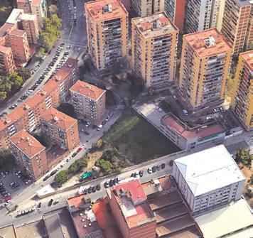
Barcelona–
La Verneda (ES)
How to design a new residential building in order for it to integrate the city’s environment?
Site Context
The project site is in the Sant Martí district, very close to the future Sagrera Intermodal Station and the linear park that will cover the railway tracks. They will have a great influence on the project area as it will reconfigure mobility both on a local scale and on an urban and interurban scale. This will also allow the union of neighbourhoods historically separated by the railway wall, as well as the urban recovery of the railway and industrial land. The project site is classified as a facility and is in a transitional position between two very different urban fabrics. Facing a problem of access to housing, the Government of Catalonia is promoting the 50,000 Plan, a public housing programme that plans to increase public housing by 50,000 units by 2030. Within this framework, Incasòl proposes the use of this plot for the construction of a minimum of 60 housing units, together with a public facility on the ground floor of the building.
Questions to the competitors
How can we adapt the spatial and functional organisation of housing to today’s lifestyles? How can we reduce construction time of new housing developments? How can we reduce the environmental impact of new housing developments? How do we place the new building on the plot so that it integrates optimally with its surroundings? How can be designed the free space on the plot to enhance its use as a space for social relations and an integrating element of the environment? How can the design of the facilities contribute to solving the accessibility problems of the area, taking into account its relationship with the current and planned urban axes? How can the future building be related to the facilities of the Casa de Barri de la Verneda?
Scales L/S
Location Calle Santander 12, La Verneda neighbourhood, Barcelona
Population 1.65 M
Reflection site 25.6 ha
Project site 0.23 ha
Site proposed by Institut Català del Sòl (Incasòl)
Actor(s) involved Barcelona City Council, Incasòl
Owner(s) of the site 100% public
Komorebi
Team point of view
The project takes into account all the particularities of the history of the district of La Verneda and develops them by integrating them in the project. Thus, a public equipment bridges the height difference of the plot and helps connecting the existing urban fabric and the future one near the Sagrera station. The public building integrates urban gardens for its users like a former catalan masia. The apartments are developed on ground floor and 7+ with a modular structure aligned with the Santander street allowing rich interior visuals and flexibility for the user. A walkway connects all the flats and allows social interaction between the inhabitants of the block. Adaptable shutters on the west facade protect the interior from the sun while allowing cross ventilation.
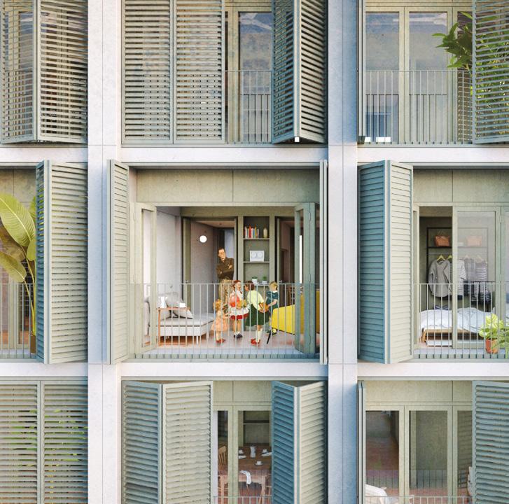
Author(s) —
Aina Roca Mora (ES), Robert Comas Miralpeix (ES), Architects
Contact — Girona (ES) rcomasmiralpeix@gmail.com Jury point of view
Komorebi proposes a modular systematization of the building, which allow the feasibility of industrialising its construction. The volumetric and positional decisions of the new building reflect a careful reading of the site at the urban scale, strategically concentrating the new volume to allow for the creation of a new square facing the Verneda neighbourhood. This square is conceived as a continuation of the existing sequence of public spaces in the area, with a ground floor housing the civic centre, significantly increasing the number of potential users who will benefit from the intervention. It is a project that contributes to the making of the city.
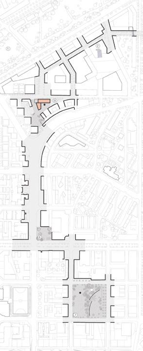
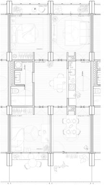
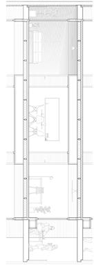
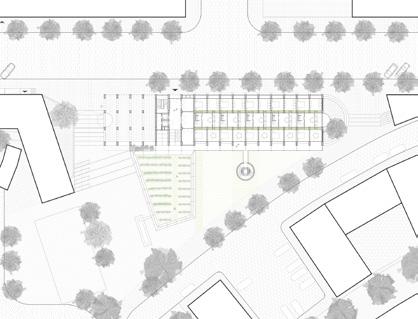
Team point of view
The project is based on a circular floor plan that acts as a hinge between two urban fabrics, avoiding direct visual confrontation with the large adjacent buildings. In response to the current climate and housing emergencies, the design proposes a modular, prefabricated timber dwelling with triple aspect and cross-ventilation, accessed via a central courtyard that promotes natural airflow and serves as a climatic refuge. Embracing the ideal of energy and food sovereignty, the ground floor houses public workshops managed by Casal de la Verneda, which is provided with a new access and connection core.
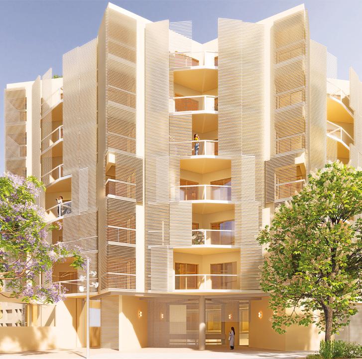
Author(s)
—
Adrián Haro Charneco (ES), Architect
Contact — Barcelona (ES) haroadri@gmail.com www.adrianharo.com
niu (Catalan for ‘nest’) appears to allude to the shape of the plan of this project; a chain of units, the apartment floors, that closes like a bracelet around a courtyard. It creates a compact cylindrical volume of ground floor plus six stories, which brings order to the surrounding context, both existing and forthcoming, positioning itself tangent to Santander street and fitting into the plot. In an urban context of diverse fabrics, this proposal contributes its own urban language, giving the building identity and character. The niu project develops its proposal with great attention to prefabrication, seemingly aiming to reconcile the otherwise whimsical appearance of its form.
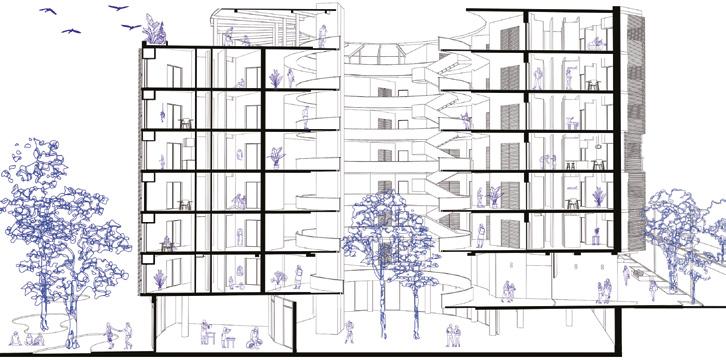
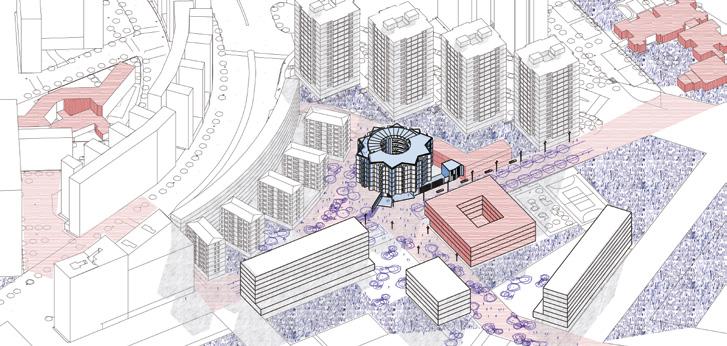
BCN2030 EcoHabitats
Team point of view
Against a city that consumes, this proposal introduces a transformative infrastructure: Eco-habitats that generate energy, cultivate resources, and weave community, integrating nature, technology, and vital diversity. Housing moves beyond hierarchies and fixed functions to become a non-normative space, open to different bodies, rhythms, and ways of living. A replicable system that, in La Verneda, next to the Casal de Barri, acts as a social, productive, and green hub. A new way of making city through what is common, living, and shared, from the closed block to a fertile fabric, from an extractive model to a new urban ecosystem.
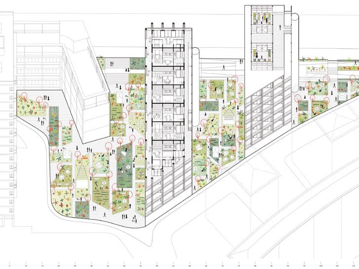
Author(s) —
Carmen Povedano Olleros (ES), Pablo Navas Diaz (ES), Architects
Contact — info@povedanonavas.com www.povedanonavas.com @povedanonavas
comú(r)
Team point of view
Living between walls, building the common. comú(r) rethinks La Verneda, a neighbourhood with strong social ties but insufficient shared facilities. Instead of adding new buildings, it expands what already exists: the ground floor extends the local community centre with intergenerational spaces, a multipurpose room open to the street, a shared garden, and a four-phase greywater treatment system. This gives both a social answer — more community — and a climatic one — ecological water use. Above the concrete base, prefabricated wooden walls contain kitchens, bathrooms, and storage, creating flexible homes in between. A lighter exterior structure forms shared community spaces that adapt over time. The stepped volume fits the triangular site and improves sunlight. comú(r) fuses comú (common) and mur (wall), turning walls into infrastructure that builds community and supports new ways.
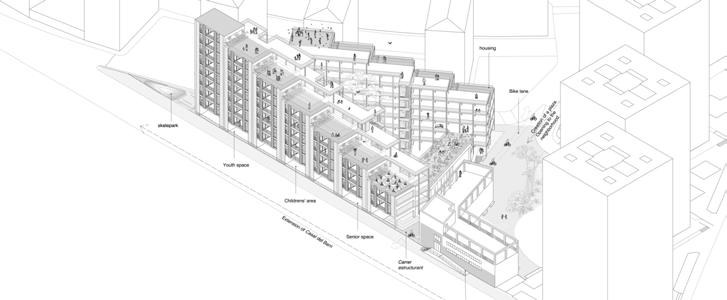
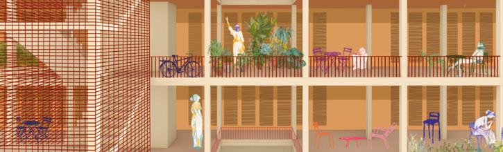
Author(s) —
Covadonga Canellada Vigil (ES), Rosalía Martínez Pérez (ES), Sara Osorio Santín (ES), María Rodríguez Grela (ES), Alba Suaña García (ES), Patricia Vázquez Sáez (ES), Architects
Contact — ha.veinticinco@gmail.com www.ha-veinticinco.es @ha_veinticinco
Life Outside the Box
Team point of view
Life Outside the Box reimagines public housing for liquid generations. We propose flexible homes where modules with essential functions help you organise your house and free up the rest of the space. So, you can change layouts whenever you want. This flexibility combines with industrializable design that allows everything to be dismantled and reused. But domesticity isn’t just inside your home: we create community spaces where you bump into neighbors in generous courtyards, enjoyable rooftops, and meeting walkways. In La Verneda, Barcelona, two strategically positioned buildings make this vision real. Long live Architecture that flows with life!
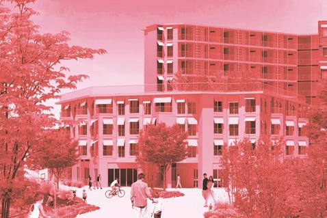
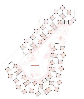
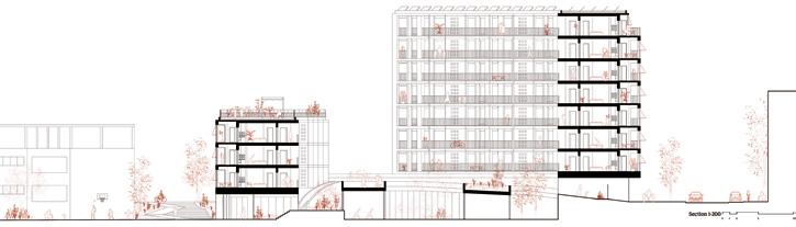
Author(s) — Carlota de Gispert (ES), Ivet Gasol (ES), Marta Benedicto (ES), Anna Llonch (ES), Clara Vidal (ES), Lucía Millet (ES), Architects
Contributor(s) — Luca Volpi (ES), Sustainability consultant
Contact — Cierto Estudio, Barcelona (ES) hola@ciertoestudio.com www.ciertoestudio.com
RECYCLING ENCOUNTERS
Team point of view
RECYCLING ENCOUNTERS reflects on both the legacy of the Prim sector and the theme of re-sourcing from social dynamics. The urban transformation serves as a catalyst for a resilient response that recalls the identity of an area that is about to change radically. We position ourselves as scavengers, searching for ways to lower the impact of this destructive process by recuperating otherwise wasted material and incorporating it both in the new construction as well as in the transformation of the landscape. The site becomes a hinge-like element between the two neighbourhoods, old and new. It serves as a space of interaction, work, leisure, play, while the living spaces hover above in their privacy. A homogenous use of heterogeneous materials ties the site and the surrounding area together.
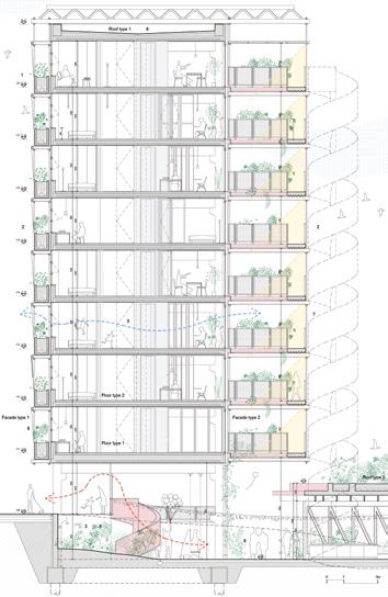
Author(s) —
Andreea Rădulescu (RO), Cristian Stoian (RO), Teodor Dascălu (RO), Architects
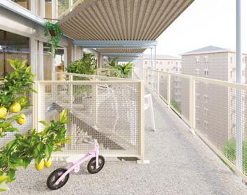
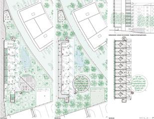
Contact — Temporary Office of Architecture (RO/BE) contact@t-oa.eu www.t-oa.eu @temporaryofficeofarchitecture
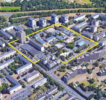
Caen (FR)
How to create a new polarity in the Chemin Vert district?
Site Context
Since 2017, the City of Caen and its partners have been engaged in an urban renewal program for the Chemin Vert neighbourhood, located in the northwest of the city. In 2029, the district will be served by the new streetcar line, which will link the project site directly to downtown Caen in 15 minutes. Today, the Chemin Vert district is faced with persistent dysfunctions: aging housing, a stagnant housing offer, social housing enclavement, and commercial fragility. Public players have expressed their ambition to strengthen this deteriorated social link and revitalise the district focusing on the Jacquard-Molière sector. The challenges facing this sector, which includes the site of the former Jacquard college, a shopping mall, housing and facilities, are to create a new centrality by opening up the area, building on the existing commercial appeal, developing a new housing offer that will guarantee the mobility of the social housing stock and rethinking the restructuring of public facilities around the site.
Questions to the competitors
How can we reopen the project site from the future streetcar station to the public amenities, while re-examining the complex interweaving of the Halle and housing? How can we create a new centrality while revealing the site’s landscape qualities? How can a new neighbourhood centre reflect the notion of an archipelago city? How can we recreate social ties throughout the district, integrating the idea of intergenerational cohabitation? How can the various programs be staged with a vision that is sustainable and evolves over time?
Scales L/S
Location Caen
Population 110,000
Reflection site 25 ha
Project site 2 ha
Site proposed by City of Caen, Caen La Mer Habitat
Owner(s) of the site City of Caen, Caen La Mer Habitat
La Mémoire Circulaire
Team point of view
At the heart of the Chemin Vert neighbourhood in Caen, the project reimagines a way of living that is more inclusive, ecological, and rooted in the site’s history. Where the former Albert Jacquard school once stood, an open void becomes a new resource: a vibrant public square open to all, dedicated to urban farming, shared knowledge, and collective life. Around the transformed Molière Hall, a circular ecosystem takes shape: local food production, reused timber modules, community workshops, intergenerational housing, and cultural spaces come together to form a generous and resilient urban core. This project is a call to re-source our daily lives — to draw from memories, materials, and local know-how to collectively build a sustainable, nourishing, and human-centred city.
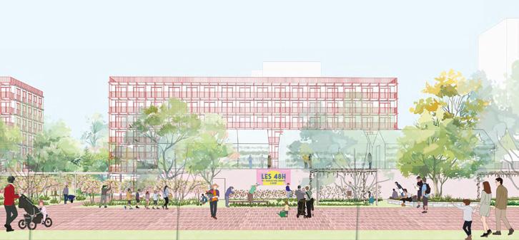
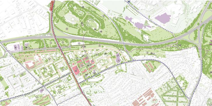
Author(s) —
Viet-Thai Dang (VN), Architect; Kim-Khanh Hoang (VN), Landscape architect
Contact — Paris (FR)
dangvietthai13@gmail.com / t. +33 6 01 59 21 98 kimkhanh0108@gmail.com / t. +33 6 36 11 28 62
Jury point of view
The team addresses the issue using the tools of circular urbanism. They explore the concept in several directions: considering the material resources of existing buildings (rehabilitation, reuse, and recycling techniques); preserving natural and landscape resources (biodiversity, atmosphere, water, and vegetation); and considering intangible resources, particularly social ones. The project reflects an approach of respectful adaptation to the existing structure, without demolition, and with a clearly defined intervention plan.
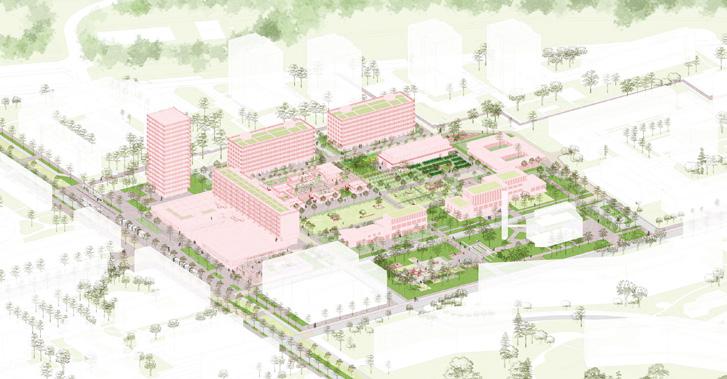
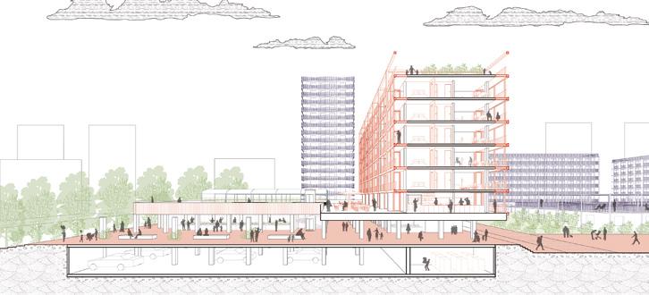
The jacquard Site —
From urban to social links
Team point of view
The proposed project redevelops an enclosed site, marked by the demise of the secondary school, by creating a central area that opens up to the surrounding urban and landscape landmarks. Two key axes link urban landmarks and green corridors. The reconfigured shopping centre becomes a rotunda, complemented by an open-plan market hall. The programme combines intergenerational housing, local facilities, shops and urban agriculture. The project makes the most of renovation and elevation, sustainable water management and green spaces. The public space encourages use, exchange and social inclusion, in particular through a strong artistic dimension rooted in the history of the site and the provision of private and public spaces that encourage social interaction.
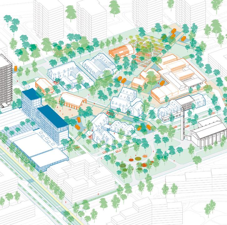
Author(s)
—
Killian Le Cocq (FR), Thomas Christien (FR), Architects urbanists
Contact — klxtc.archi@gmail.com
Jury point of view
The project enriches the original urban composition with a diagonal pedestrian mall whose orientation subverts the historical grid. On an architectural scale, interventions also break the linearity of the buildings through additions and subtractions. This results in new volumes and perspectives for the neighbourhood, fostering openness and the creation of pathways. The project offers a simple, yet rich and complex solution in its ability to transform the existing environment, introducing new urban and architectural atmospheres, reworking public space, and enhancing social and environmental resources.
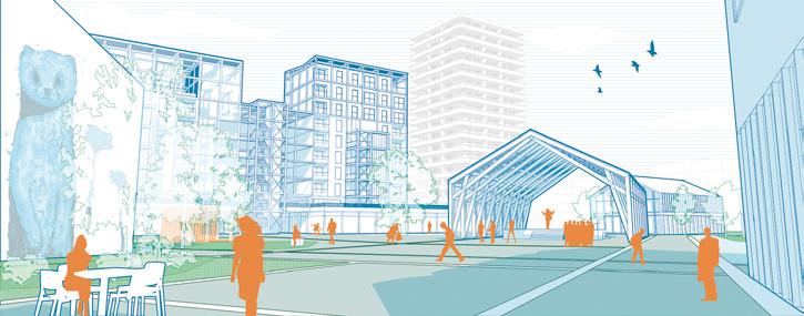
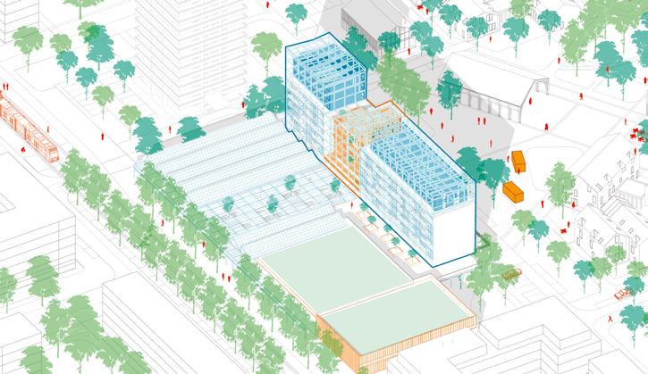
CITÉ/ÉCOLE: Learning through the city
Team point of view
The former site of the Albert Jacquard school, now abandoned, invites a careful reading of its past and its potential. Though the buildings are gone, the place remains rich in memories, stories, and shared experiences. Rather than fixating on nostalgia, this memory becomes a springboard for future transformation. Rooted in existing practices and local narratives, the project draws on the concept of the learning city — where education flows beyond the school walls and into everyday life, fueled by informal knowledge, social ties, and collective engagement.
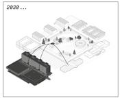
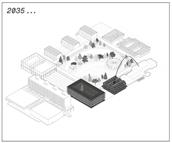
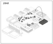
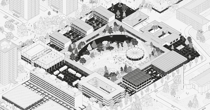
Author(s) —
Arnaud Sanson (FR), Marcos Garcia Anitua (ES), Architects
Contributor(s) — Brice Cossart (FR), Landscape architect
Contact — Arnaud Sanson: info@mute.archi www.mute.archi
Marcos Garcia Anitua: mganitua@gmail.com
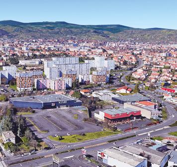
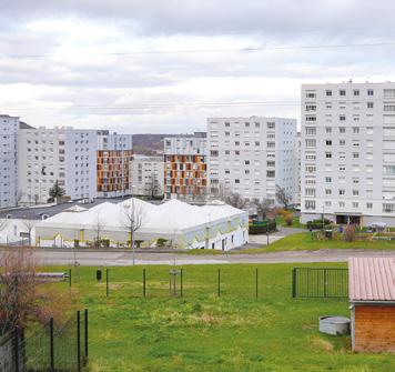
Clermont-Ferrand (FR)
How to revitalise the La Fontaine du Bac district by intensifying the external spaces?
Site Context
La Fontaine du Bac is a neighbourhood located in the southeastern arc of ClermontFerrand, near La Pardieu — one of the largest commercial and business districts of the metropolitan area — and just below the Cézeaux university campus. It serves as a regional and national gateway into the city. As one of many fragmented urban entities, La Fontaine du Bac is part of a sprawling, diffuse cityscape that extends almost continuously to the metropolitan limits. A large-scale housing complex with 909 units distributed across 24 buildings on a 6.4-hectare site, La Fontaine du Bac benefits from generous outdoor spaces weaving between and around the tower, which contributes to the deep attachment of its residents, who affectionately refer to it as ‘the village’. To address the aging and increasing economic vulnerability of its population, while also embracing ongoing societal and environmental transitions and anticipating the evolution of neighbouring districts, La Fontaine du Bac must now embark on a profound transformation.
Questions to the competitors
How can the landscape of La Fontaine du Bac be revitalised? How can it be transformed into a new shared public foundation, actively used and embraced by all its residents? How can the transformation of La Fontaine du Bac’s spaces foster new ways of living? How can evolving uses initiate and shape these transformations? How can the neighbourhood be opened up to adjacent districts while preserving and even strengthening existing social and community dynamics? What spatial reconfigurations and landscape interventions should be implemented to make the neighbourhood more adaptable to major future changes — whether urban, social, or climatic?
Scales XL/L
Location Clermont-Ferrand
Population 150,000
Reflection site 90 ha
Project site 13 ha
Site proposed by Assemblia
Actor(s) involved Assemblia, City of Clermont-Ferrand
Entwined horizons
Team point of view
Built in the 1970s, Fontaine du Bac offers spacious and functional social housing. It is paradoxically isolated despite being centrally located. Today, demographic shifts and social vulnerabilities call for much needed transformation in the form of a resident-led cooperative starting with low-cost, adaptable initiatives. The strategies proposed work across three different scales: a) Enhancing housing with bioclimatic upgrades and accessibility (nucleus); b) activating shared amenities in residential clusters (grouping); and c) transforming the main north-south axis into a green connector (network). These actions foster social resilience, spatial equity, and metropolitan integration.
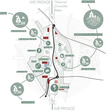
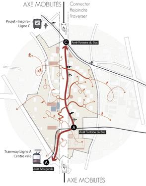
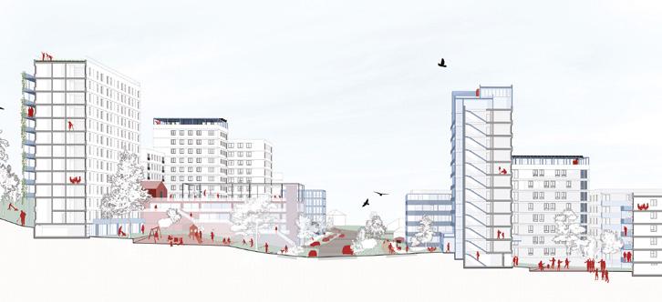
Author(s) —
Simon Letondu (FR), Architect; Sylvain Jouve (FR), Architect, photographer; Sophie Tillier (FR), Landscape architect
Contact — Clermont-Ferrand (FR) www.sl-architecture.fr www.sylvainjouve.fr s.tillier.paysage@gmail.com Jury point of view
The team proposes to intensify uses to transform a residential block into a mixed-use neighbourhood blending housing, new services, and amenities. The spatial and architectural proposal reveals a meticulous analysis of the site and its potential. The team is counting on the involvement of residents and users, who are included in the process of transforming and enhancing their daily lives. The jury emphasised the quality of the architectural and urban response, which consists of adding rather than subtracting, in a logic of strengthening uses and neighbourhood life.
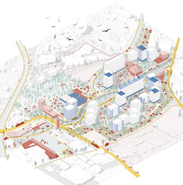
Space for All
Team point of view
The big open grounds of Fontaine du Bac aren’t voids to be filled but habitats to be built. Beneath the surface, rich soil — recently used mainly for infrastructure — still holds memory and the potential to regain natural functions. Above, the area thrives with people and life. Here lies the landscape’s true promise: connecting ground and community. Space for All builds on what exists, proposing a framework of six interconnected parks that foster ecological value and social connection, serving as a starting point for co-creation. Moving from control to care, we aim to develop a social biotope — an ecosystem linking living beings and environments. Fontaine du Bac will be a new urban green space that connects, hosts, and regenerates both human and non-human life, where there’s space for all.
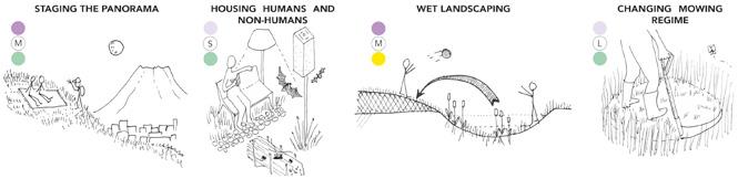
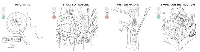
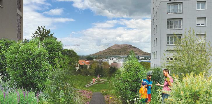
Author(s) —
Francesco Apostoli (IT), Engineer-architect; Aymeric Bey (FR), Architect; Johanna Bendlin (DE), Architect, landscape architect
Contributor(s) — Henri
Niget (FR), Architect
Contact — e18fontaine@gmail.com
The project addresses the challenges of daily mobility, landscape, and ecology through an original landscape design: a system of parks composed of six themed gardens creates a continuous flow of uses and spaces, offering varied atmospheres depending on the level of human presence. Enhanced by a toolbox and micro-landscaping features, the project strikes a balance between landscape design and spontaneous development. It shows sensitive qualities and effectively integrates climate considerations. Jury point of view
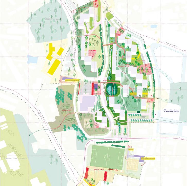
La Coopérative de la Fontaine du Bac
Europan 18’s ambitions provide us with an opportunity to propose a project methodology that seeks to embrace a profound change in the existing housing system, promoting social and environmental justice and the self-determination of residents. Built on existing social dynamics, particularly the relatively stable and long residence times of residents, Re-source aims to be a testing ground for a radical shift in the role of stakeholders in the Fontaine du Bac area. The project ultimately aims to give residents back the power to influence their housing in the broadest sense through the creation of a housing cooperative, and to train landlords in the creation of this type of structure in order to disseminate this model, wherever conditions permit. Team point of view
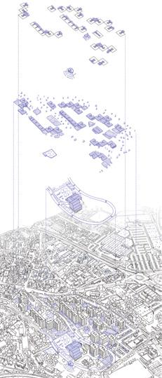
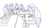
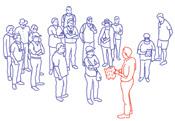
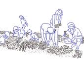
Author(s) —
Florian Durand (FR), Baptiste Cayrel (FR), Oskar Rischewski (FR), Nina Salachas (FR), Gaëtan Macabéo (FR), Architects
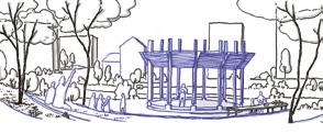
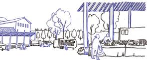
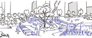
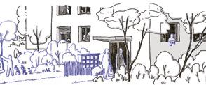
Contact — Collectif Supercali (FR) collectif.supercali@gmail.com @collectif.supercali
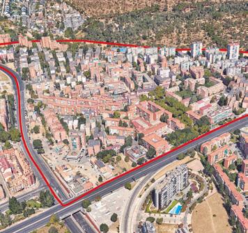
Madrid (ES)
How to regenerate a neighbourhood by rethinking its open spaces?
Site Context
Madrid City Council is promoting a Strategic Neighbourhood Regeneration Plan for pre-1985 residential urban fabrics. This Plan defines more than 400 neighbourhood units (UB) as territorial areas suitable for the diagnosis and urban regeneration project. Almost half of these units are neighbourhoods built between the 1950s and 1980s to shelter the immigrant population. These peripheral residential estates are made up of large ‘superblocks’ in which different types of free-standing residential blocks have been arranged, forming an ensemble alien to the traditional notions of streets, plots, etc. The open spaces, which barely make up a minimal road network, are characterised by the presence of mostly inter-block spaces for collective use, halfway between the public and the domestic. The Colonia Casa de Campo is one of these neighbourhood units of the open block city. Located to the west of the municipality, it is bordered to the north by areas of high environmental quality, either consolidated (Casa de Campo) or potential (Meaques stream). Its southeastern and southwestern limits are formed by important road infrastructures that separate it from other similar units. It has been declared a preferential area for urban regeneration due to its socio-economic conditions of vulnerability
Questions to the competitors
How should the Action Plan for the Casa de Campo neighbourhood be conceived to be a tool for the urban regeneration of the neighbourhood? How should this regeneration be oriented to transform the neighbourhood into a healthy one? What is the role of collective spaces as catalysts for the urban regeneration of the neighbourhood? How can these spaces improve sustainability and health? How could they be managed by involving citizens?
Scales L/S
Location Colonia Casa de Campo, Madrid
Population 11,676
Reflection and Project site 35.50 ha
Site proposed by Madrid City Council
Actor(s) involved Directorate for Urban Regeneration, Latina District
Alleyways
Team point of view
Colonia Casa de Campo, built in the 1970 s, envisioned shared spaces between open block buildings. Over time, these areas became asphalt parking or green zones fenced off by hedges. The neighbourhood is isolated by heavy car traffic, disconnecting it from nearby areas and Casa de Campo park, resulting in a limited public social life. The proposal aims to enhance daily life quality by revealing a network of pedestrian alleys connecting existing and nearby social spaces. These alleyways promote the transformation of inner-block areas into green meeting spaces, protected from drought by collected rainwater. Alleyways invites the community to enjoy a walkable, shaded, and social environment — walk to school, stroll to the park, chat, relax under fruit trees or share tapas at a kiosk.
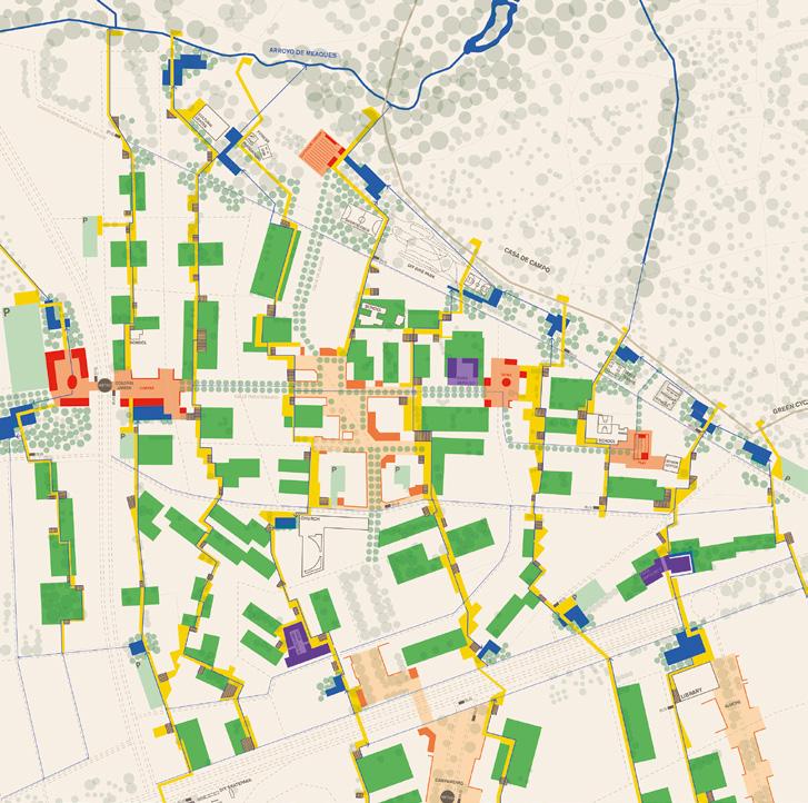
Author(s) —
Leo Luken
(NL), Urban
Designer; Nick Sebastian Fimpel (DE), Gizem Asici Thiele (TR), Architects
Contributor(s) —
Elif Soylu (TR), Architect
Contact — Rotterdam (NL) leoluken@gmail.com Jury point of view
This project proposes an interesting multiscalar approach to the urban and spatial transformation of the Casa de Campo neighbourhood. It stands out for its reconfiguration of the residential area through a new organization of public space; structured around a system of main axes that incorporate existing facilities, recovered inter-block spaces, and revitalised central public areas. The project enables the reconfiguration of the dynamics of the neighbourhood through a system of actions, a toolbox, that focuses on transforming public space at different scales, with the goal of reconnecting the neighbourhood at pedestrian and ecosystemic levels.
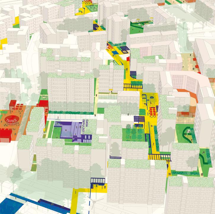
Cultivating the Commons
What does regeneration mean? And what planning instruments regenerate? With our proposal for Europan 18 , we define an Action Plan as an impulse to reclaim the undefined interblock as spatial commons of the city and its inhabitants. The base unit of this commons are the ‘corrala courtyards’, clearly bound sections of interblock space, managed by the surrounding residents. Ground floor corrala — residents are entitled to appropriate a one meter wide zone around their apartments with open built structures. The corrala courtyards core is open to any uses decided upon by the corrala commoners. Co-created with the residents, the city hall adopts a circulation plan that aims at reducing traffic, improving pedestrian mobility and creating little neighbourhood squares called ‘placitas’. Team point of view
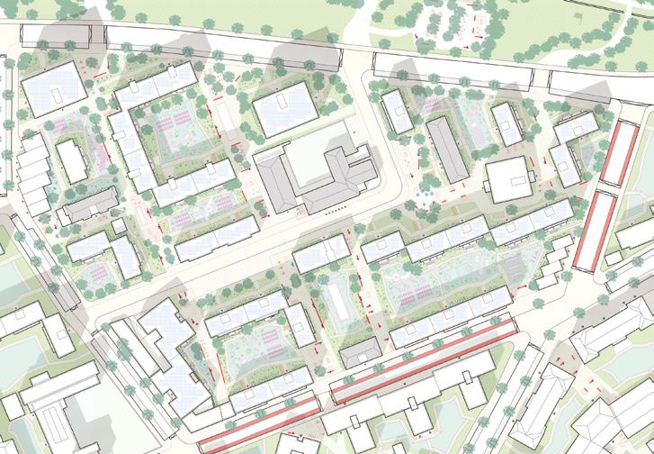
Author(s) —
Atidh Jonas Langbein (DE), Nami Gradolì Giner (ES), Architectural, urban designers; Eduardo Vicente Puertes Espert (ES), Mar Monfort Vengut (ES), Architects; Matti Drechsel (DE), Urban planner
Jury point of view
Contact — Munich (DE) / info@alltaegliche-raeume.de www.alltaegliche-raeume.de Valencia (ES) / info@clab.es nami.gradoli.giner@gmail.com
This project stands out for its thorough, detailed, and rigorous reading of the site, which becomes the main support for its transformation. This proposal would reorganise the hierarchy of open spaces based on the interrelation of two new overlapping networks; the network of ecological axes, which bring Casa de Campo Park into the neighbourhood and extend beyond it, and the network of semipedestrian axes, which connect to public transport hubs and other small urban nodes. The project has an approach to citizen participation, highlighting the organization into ‘corralas’ (community pods/clusters) as a spatial strategy associated with small communities, enabling a more efficient and focused development of the process.
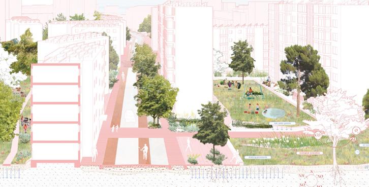
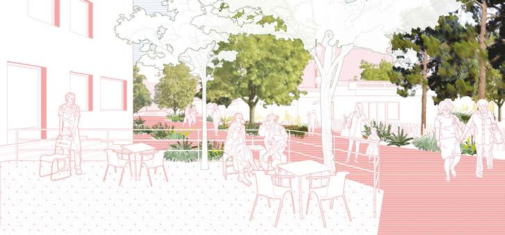
Colectivo Colonia
Colonia Casa de Campo stands at a crossroads. Originally designed as an escape from the city, it now mirrors the very conditions it sought to avoid: fragmented, car-centric, and disconnected. Yet, its 100,000 m² of leftover spaces offer a unique chance for reinvention. Colectivo Colonia is an Action Platform, an adaptive ecosystem of tools, strategies, and processes, designed to support ongoing action and empowers residents to transform these voids into a vibrant urban commons. Through a systems-based approach — linking People, Space, and Data — it supports collective visioning, spatial activations, and long-term stewardship. From quick wins to lasting change, Colonia’s regeneration begins not with expansion, but with reimagining what already exists — together.
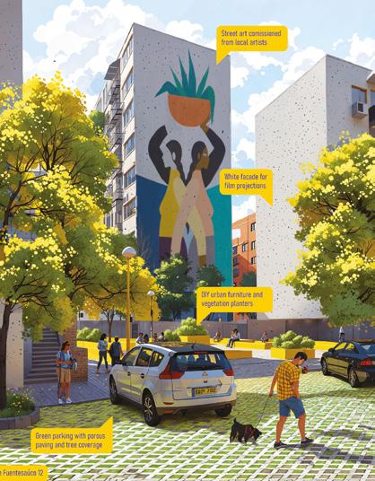
Author(s) —
Jaka Korla (SI), Architect; Martin Valinger Sluga (SI), Urbanist
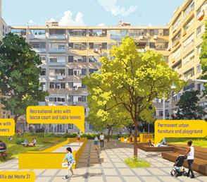
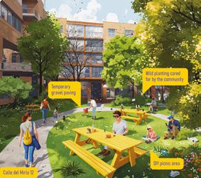
Contact — jaka.korla@hotmail.com
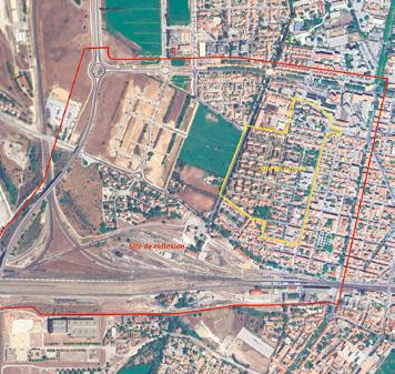
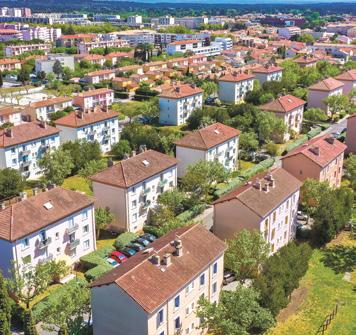
Miramas (FR)
How to transform a workers’ housing neighbourhood from the 1930s into a garden city of the 21st century?
Site Context
The town of Miramas is a ‘railway agglomeration’, developed around the activities generated by the railway freight station and the expansion of the Paris-LyonMediterranean line. An industrial town was established to house railway workers starting in 1924, continuing through the 1950s. With more than 750 homes in the municipality, including 420 in the workers’ housing area, ICF Habitat is a key housing provider in the town. It is a unique neighbourhood with significant heritage value, strategically placed between several urban development projects. Collective housing, particularly the ‘railway block’ urban form, became the dominant architectural feature. But from the 1950s, a shift toward individual housing began. Recent constructions, which break away from the architectural and urban identity of the workers’ district, highlight the importance of taking a firm stance in preserving this heritage.
Questions to the competitors
What changes in the workers’ housing area could initiate social, economic, and ecological transformations at the town centre scale? How can the renovation of the ‘railway blocks’ and their surroundings contribute to opening up the neighbourhood to its environment and boosting the town’s economic dynamism? How can the built heritage from the 1930s be renovated to meet the challenges of the 21st century while preserving the identity of the railway blocks? What individual, communal, or collective uses can the outdoor spaces of the workers’ housing area accommodate? What spatial transformations can encourage these new practices and foster a dialogue between the neighbourhood and its immediate environment?
Scales XL/L
Location Miramas, Métropole Aix-Marseille-Provence
Population 26,405
Reflection site 124 ha
Project site 12.7 ha
Site proposed by City of Miramas, ICF Habitat
Actor(s) involved City of Miramas, ICF Habitat
Owner(s) of the site ICF Habitat
Radical softness
Team point of view
On the Crau plain, the Cité cheminote of Miramas becomes a laboratory for adaptation. Between arid steppes, fertile meadows, and humid zones, the neighbourhood redefines its relationship with climate and resources. Faced with demographic pressure and climate change, the project proposes a frugal transformation: densifying without erasing, activating open spaces, and experimenting with bio- and geo-sourced materials such as Crau hay. Starting from the existing housing fabric, a resilient and inclusive ecosystem neighbourhood emerges-one that welcomes both humans and non-humans, and builds a new relationship with its landscape and territory.
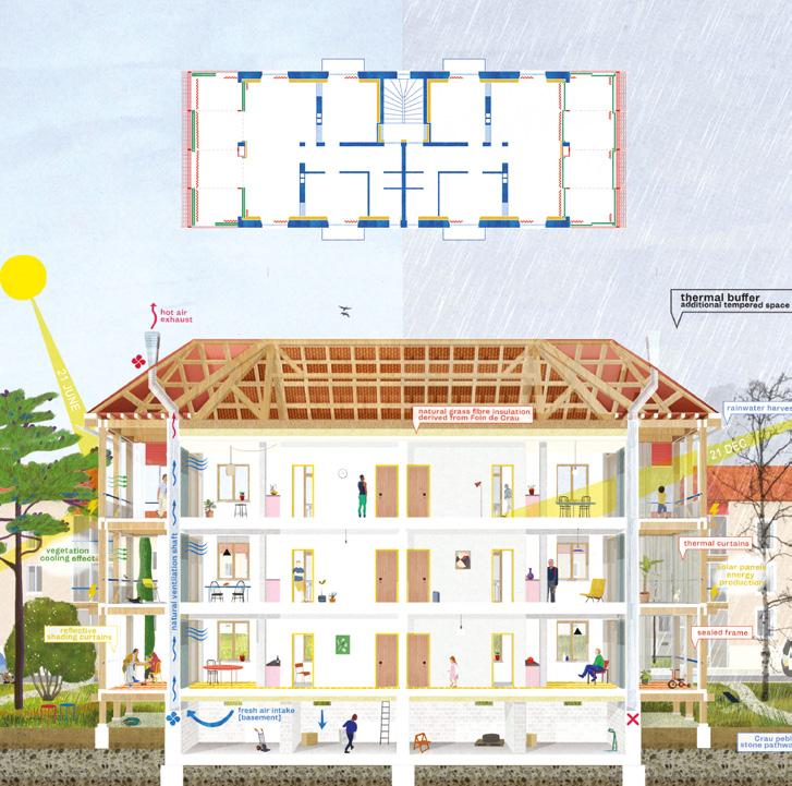
Author(s) —
Gautier Rey (FR), Davide Cauciello (IT), Octavio Piñeiro Aramburu (AR), Architects
Jury point of view
Contact — reygautier.a@gmail.com
The project stands out for its bioclimatic approach to landscape design (ecological and productive framework in the interstices of the building; plantings to minimise the effects of wind and ensure shade) and the architectural interventions (treatment of gables, bioclimatic extensions, biosourced materials).
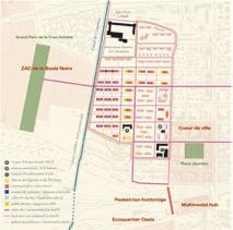
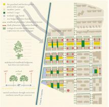
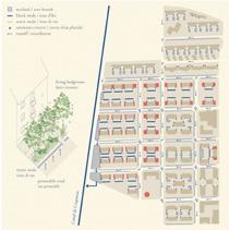
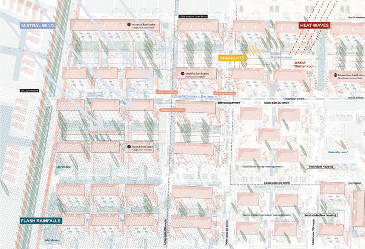
Still, Life
Team point of view
Still, Life is an urban and landscape regeneration project for a former railway workers’ housing estate in Miramas, at the junction of two major ecosystems: the Crau and the Berre Lagoon. It views the estate not as a frozen heritage of decline (still life), but as a lived, evolving and adaptable environment (Still, Life.). Through small, reversible interventions (shared gardens, water systems, vegetation, soft mobility, and housing and threshold transformations) the enclave becomes an inhabited ecotone linking productive landscapes, natural habitats and the urban fabric. Without nostalgia, the project reactivates working-class values of collectivity, frugality and a strong relation to the ground, using local materials and soil-based strategies as drivers of ecological repair and long-term territorial resilience.
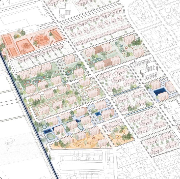
Author(s) —
Céline Donzello (FR), Claire Sarrazin (FR), Architects; Moussa Belkacem (FR), Architect, lecturer
Jury point of view
Contact — Paris (FR) celine.donzello@hotmail.fr sarrazin.claire@hotmail.fr moussa.belkacem@gmail.com
The team reinterprets traditional working-class lifestyles and housing, particularly around the garden. The project leverages the regularity and spacing of the dwellings to create more space for shared uses and support the revitalization of collective living. This proposal stands out for its consideration of social dynamics, its respect for the landscape, and its water management practices for the treatment of a garden island.
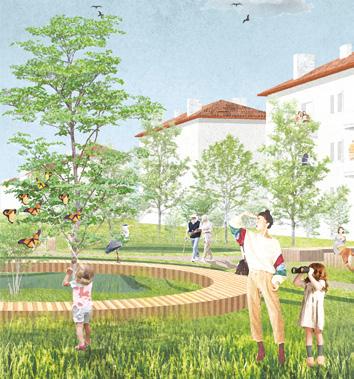
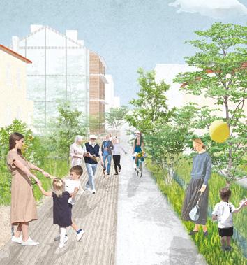
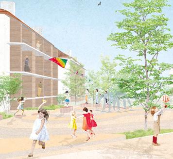
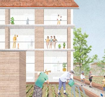
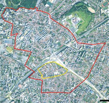
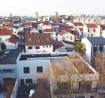
Romainville (FR)
How to restore an individual housing district without altering its nature as popular suburban neighbourhood?
Site Context
Located at the heart of the Est Ensemble territory in the municipality of Romainville, bordered by the A3 highway and the future T1 tramway, Les Ormes district is a working-class suburban neighbourhood undergoing radical transformation. Composed mostly of single-family homes built between the late 19th and the second half of the 20th century on former agricultural plots, it is now experiencing often brutal densification dynamics that erode its unique character. The urban forms emerging from these densification processes contribute to standardising the neighbourhood and fostering social exclusion. Now situated within a dense urban environment whose appeal continues to grow due to improved public transport connections, this neighbourhood stands at a crossroads in terms of its urban future.
Questions to the competitors
As an object of speculation and urban desire, how can we ensure that it does not become an urban object at risk of disappearing? How can we change the way developers perceive suburban housing, shifting from a speculative land approach to one that sees it as a resourceful territory? How can we help current and future residents regain pride in living in a resourceful neighbourhood by creating the conditions for welcoming a diverse community? What are the inherent qualities of its fabric that could support an alternative model of intensification while addressing climate adaptation challenges, despite its low construction quality? What renewal strategies should be prioritised, and how can residents be engaged in this renewal?
Scales XL/L
Location Les Ormes district, Romainville
Population Les Ormes 1,097, Romainville 33,266
Reflection site 275 ha
Project site 18 ha
Site proposed by EPT Est Ensemble, City of Romainville
Actor(s) involved EPT Est Ensemble, City of Romainville
Owner(s) of the site 350 private owners, the State, EPFIF, City of Romainville
Rendez-vous sous les Ormes
Team point of view
The Ormes neighbourhood is becoming a laboratory for regenerative urbanism on the Romainville plateau, based on the enhancement of local resources — social, ecological, and economic. By engaging residents in the co-conception of public spaces, the project encourages a gradual and guided transformation of the suburban fabric. Five key interventions — pedestrian crossings, commercial mall, artisanal fringe, park edge, and plateau promenade — form a system of public spaces that fosters social connection, climate resilience, and urban continuity. These interventions become the driving force behind a gentle, controlled, inclusive densification rooted in the existing context.
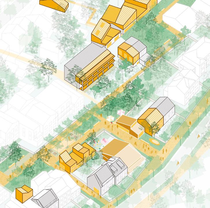
Author(s) —
Zhen Ren (CN), Edouard Wilk (FR), Baptiste Quételart (FR), Architects; Bertrand Salaün (FR), Architect urbanist; Milena Kramarz (FR), Landscape architect, urbanist
Jury point of view
Contact —
Sous les Ormes — Collective of architecture, landscape and urban planning, Pantin (FR) souslesormes@gmail.com
The team develops a sensitive approach to the site relying on a detailed identification of situations that are characteristic of a suburban housing district within the Paris metropolitan area. This identification allows them to propose a series of small, site-specific actions that reveal the potential of this detached housing. The jury noted the aptness of the interventions, which target the ‘right places’ to increase the number of dwellings, integrate public facilities, maintain or accommodate artisanal activities, and create shared living spaces.
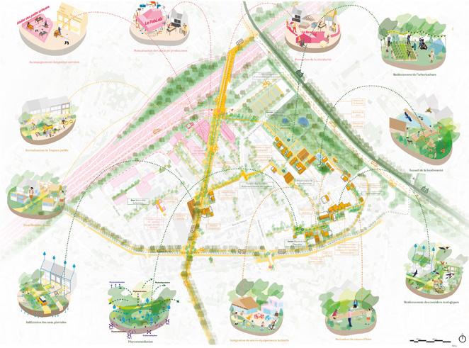
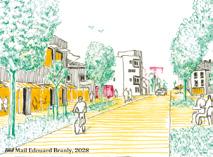
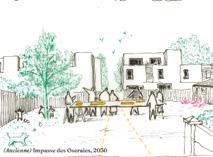
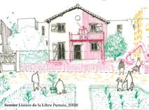
QUARTIER MONDE — Libre pensée
Team point of view
Le QUARTIER MONDE (World District) is an invitation to conceive urbanism as an art of hospitality. In Romainville, a median and porous territory, the aim is no longer to produce the city according to fixed norms, but to glean vernacular and cultural forms. By stepping away from standardised logics, a sensitive, situated, and evolving city can emerge. Rethinking regulatory tools would restore inhabitants’ agency over the ground and transform planning into a democratic process. Against the projected city stands the city composed of what is already there. Inhabited forms of construction, sometimes awkward, weave a shared vocabulary and become the material of an attentive urbanism. Libre Pensée (Free Thought) grows from these situations and unfolds as a collective narrative in the making.
Author(s) —
Roméo Sanséau (FR), Architect, urbanist; Julie Joly (FR), Writer, author
Contact — Lorient / Paris (FR) sanseau.romeo@gmail.com www.romeosanseau.com
Jury point of view
Philosophical and poetic, this unique proposal offers an enigmatic perspective on the Romainville site. The graphic complexity hides a simple intervention. The innovation lies not in the representation itself, but in the shift in perspective and method. The project leaves room for imagination and interpretation, leading to a different kind of operational approach. It provides a fresh perspective and has the advantage of not imposing preconceived architectural images, favouring instead an open design process.
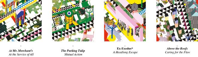
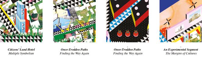
Hors Normes
Team point of view
Tuning into the stories and struggles of the Ormes’ residents, alongside a patient reading of the neighbourhood’s forms and dynamics, exposes the layered complexity behind the label of ‘suburban housing’. Against top-down planning, Hors Normes mobilises a constellation of initiatives rooted in daily life, using the commons as a framework for collective repair. Repairing housing, creating public spaces, establishing walking paths, caring for land — these are acts of spatial and political reconstruction: grounded, generous, situated, and firmly post-speculative.
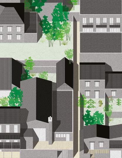
Author(s) —
Thomas Goblet (FR), Architect urbanist; Nastassia Nasser (FR), Clément Migeon (FR), Architects
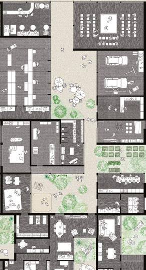
Contact — Bruits architecture (FR) agence@bruits-archi.fr www.bruits-archi.fr
It Takes A Village
Team point of view
Re-sourcing Les Ormes: Weaving Local Resilience
Amid rising land pressure and ecological urgency, Les Ormes becomes a testing ground for resilience through local cooperation. By cross-referencing ecological, material and social resources, our team proposes a light, low-carbon renewal rooted in the neighbourhood’s own strengths. We activate vacant plots for shared gardens, unlock circular reuse networks, and empower residents to resist speculation via housing cooperatives. Through multi-scalar governance — individual, collective, public — we envision Les Ormes not as a future erased, but as a living heritage reassembled, ready to inspire other fragile urban edges.
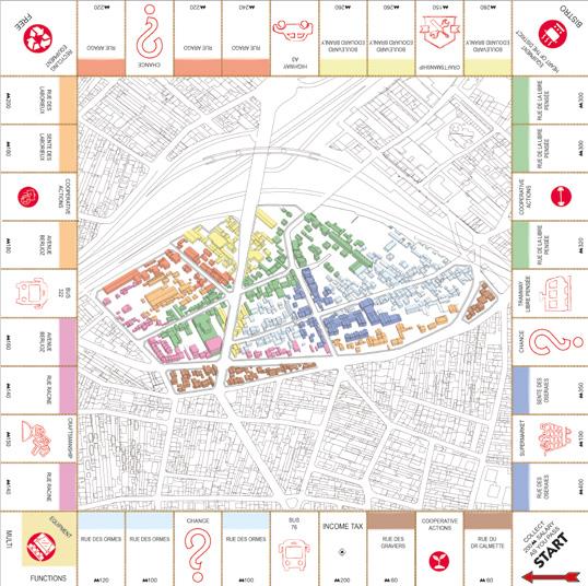
Author(s) —
Laetitia Roggeman (FR), Architect, urbanist, photographer; Vincent Hannebert (FR), Théo Mahut (FR), Architects
Contact — l.roggeman.rade@gmail.com, www.laetitiaroggeman.eu v.hannebert@scan-architecture.com, www.scan-architecture.com tm@cura-archi.com, www.cura-archi.com
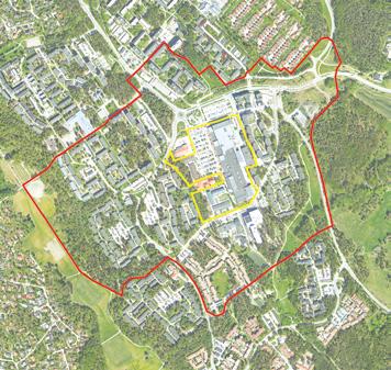
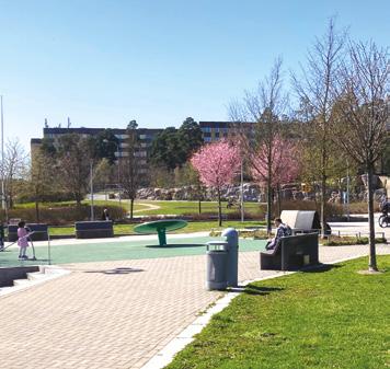
Uppsala (SE)
How to create a coherent urban structure linked to nature for a new district?
Site Context
Gottsunda is the heart of southern Uppsala and was planned in the 60s as a satellite city approximately 6 km south of the city centre. Gottsunda is a green district with a strong identity , a wide range of cultural and sports activities , and the popular Gottsunda Centre at its core. Today Gottsunda is now being transformed into a denser urban district with more than 5,000 new homes and public facilities, including a new school, a public swimming pool, a library, and cultural institutions. As Gottsunda undergoes these changes, the central area is set to be further developed to establish itself as a strong heart of southern Uppsala. In 2024, construction began on a new tramway that will connect the district to Uppsala Central Station, the new Uppsala Södra train station in Bergsbrunna, nearby districts, and the city’s two universities.
Questions to the competitors
By relocating cars from the current surface parking lot to a mobility hub, land will be freed up for a mixed-use development that includes housing, public functions, and other facilities. How can we design a cohesive urban structure that integrates the Gottsunda Centre, new public spaces and housing blocks with the planned urban corridor and the surrounding neighbourhoods, parks, and infrastructure? What strategies can connect and invite the Gottsunda Centre area to the surrounding natural landscapes? How can Gottsunda Centre embrace the future, transforming into a vibrant meeting place without neglected or unused spaces?
Scales L/S
Location Gottsunda, Uppsala
Population 240,000
Reflection site 89 ha
Project site 8.59 ha
Site proposed by Hemmaplan, Uppsala municipality
Owner(s) of the site Hemmaplan, Uppsala municipality
Centrumstaden
Team point of view
Centrumstaden transforms Gottsunda Centrum into a place for people, in harmony with its context; nature and the existing built environment. It is a small-scale urban centre, a fine-grained structure that weaves together public spaces, schools, parks, and community facilities along a central civic spine. Here, urban and rural life meet, commerce blends with culture, and the urban merges with the agrarian. A diverse housing stock, together with a rich variety of indoor and outdoor public spaces, helps create a place where people choose to stay. Green corridors, allotments, co-working spaces, and family-run businesses. Centrumstaden is a place shaped by inclusion and sustainability — designed for life, and for everyone.
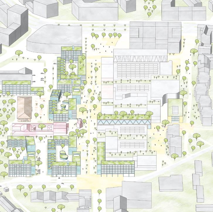
Author(s) —
Fabian Reppen
(SE), Samuel Vilson (SE), Architects
Jury point of view
Contact — Stockholm / Göteborg (SE) info@reppenvilson.se www.reppenvilson.se
This project transforms with success a car oriented, large scale commercial centre into a human scaled and socially vibrant urban district. Through active resident participation, it establishes a diverse housing mix and integrates green corridors that connect inviting public spaces. These elements together reinforce local identity, foster social interaction and promote ecological sustainability. Furthermore, the project’s commitment to reusing building materials, implementing energy efficient systems and developing adaptable façade strategies ensures a resilient, circular and enduringly attractive district.
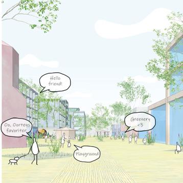
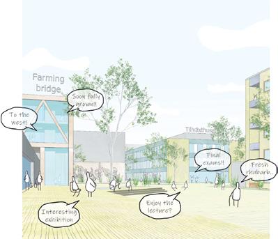
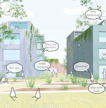
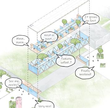
Staging the Scene
Team point of view
The proposal unlocks the hidden potential of Gottsunda by carefully transforming its centre. Existing structures are opened up, extended and reconfigured to create new connections and highlight local life. Strategic additions frame spaces for culture, housing and community while preserving what already works. Everyday life becomes more visible and vibrant, with opportunities for participation and growth. What was once a closed and introverted structure becomes a generous and inviting urban setting, a new stage for life in Gottsunda to unfold.
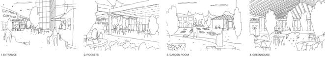
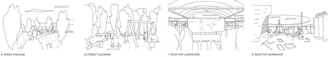
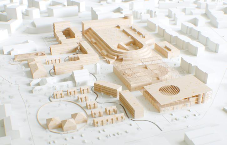
Author(s) —
Tobias Thiel (SE), Architect
Contact — Stockholm (SE) tobias@tobiasthiel.se www.tobiasthiel.se
Jury point of view
This project proposes a skillful integration of existing structures, rather than tear down and start over, preserving the area’s identity and opportunities. By opening up facades, creating clear and varied walkways and introducing makerspaces and shared spaces, both social interaction and local culture are strengthened. In addition, the project integrates sustainable materials, recycling and flexible building solutions, creating a dynamic and resilient neighbourhood that can develop together with the residents over time.
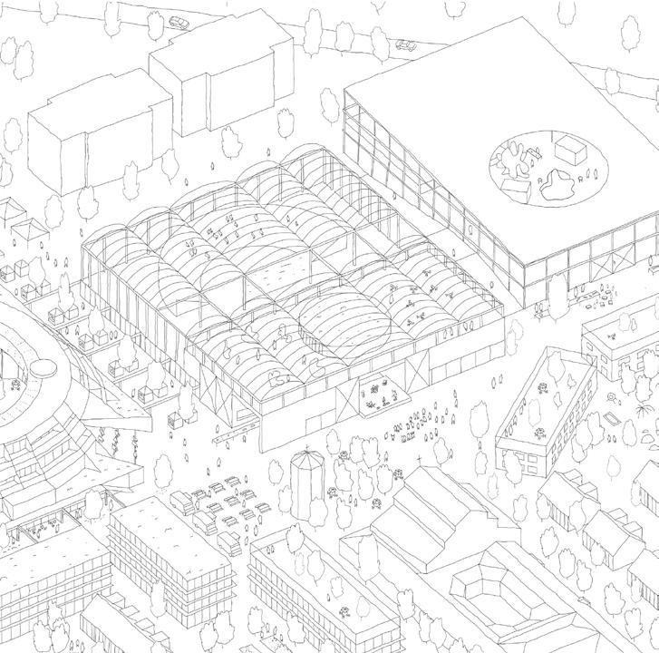
Gottsunda’s Common Ground
Team point of view
Our proposal establishes Gottsunda as an exemplary ‘green commons’ where architecture, landscape, and community programs seamlessly integrate. Addressing Europan 18’s objectives of innovation, sustainability, and inclusion, the project repositions Gottsunda Centre as an inclusive, sustainable heart for southern Uppsala. By repurposing existing structures, introducing diverse community amenities, and fostering daily cross-cultural interactions, this human-scaled development demonstrates how suburban centres can evolve to meet the socio-economic and environmental challenges of the 21st century.
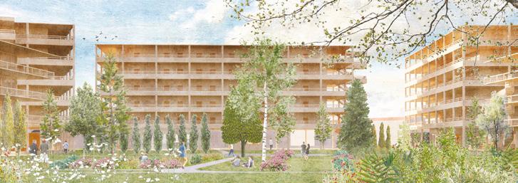
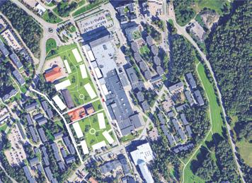
Author(s) — Evan Saarinen (US), Architect
Contributor(s) — Hongyu Huang (CN), Li Hongjin (CN), Wang Zifei (CN), Xu Yi (CN), Architects
Contact — evan.sedgwick.saarinen@gmail.com
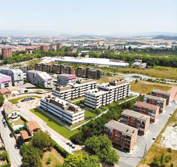
Vitoria-Gasteiz (ES)
How to reuse residential blocks in order to create a better quality of life?
Site Context
The Bustaldea neighbourhood, in Aretxabaleta, is a housing development from the late 1960s that was doomed to disappear but has recently been agreed with the Basque government to be recovered as social housing. The project site is made up of 5 buildings of a humble character, with 57 small dwellings that require total adaptation and with an urban implantation initially discordant with the rural environment, until it has been taken over relatively naturally by a residential urban fabric that has partially hidden the character of the village. The reflection site aims to enhance the natural aspects of the environment: the botanical garden and orchards of Olárizu, the crops that extend to the foot of the Montes de Vitoria or the Zapardiel river; the remaining values of the rural environment of Aretxabaleta, as well as the possibilities of relationship with the area destined for undeveloped facilities, to the south of the plot.
Questions to the competitors
How can an urban action be planned that reappropriates the natural values and rural identity of an environment that has evolved in a heterogeneous way due to new urban developments? How to integrate social cohesion and sustainability in urban and residential design to re-build what already exists, adapting it to current needs? How can we improve the quality of life of the current residents and offer a space for the new inhabitants to live together, through rehabilitation and urban renewal?
Scales L/S
Location Vitoria-Gasteiz (Álava)
Population 250,000
Reflection site 3.5 ha
Project site 5000 m2
Site proposed by Department of Housing and Urban Agenda. Basque Government
Actor(s) involved Vitoria-Gasteiz City Council, Department of Housing and Urban Agenda. Basque Government
Owner(s) of the site Public (Basque Government, after transfer by the Vitoria-Gasteiz City Council)
Care Blanket
Team point of view
Care Blanket proposes the gradual transformation of a housing complex in Vitoria-Gasteiz without demolition. Through targeted interventions at five scales — city, district, neighbourhood, building, and biotope — the project reorganises housing units, activates the ground floor with community programs, applies a modular cork-based façade, and reuses the rooftop as productive infrastructure. One building is used as temporary shelter to enable a phased renovation without displacing residents. The project acts with care, starting from the everyday and offering a replicable strategy.
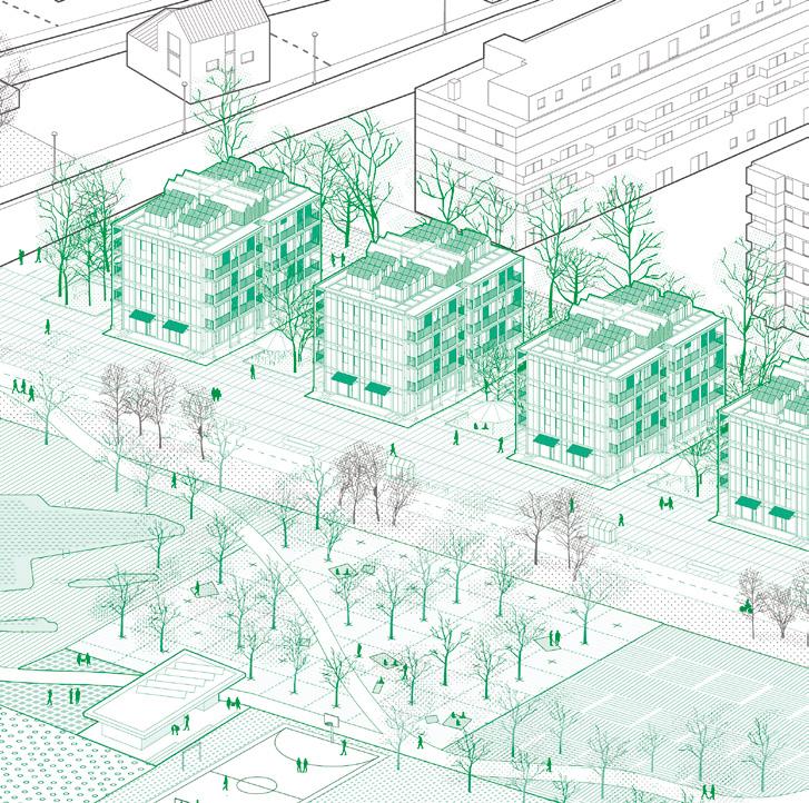
Author(s) —
Egor Gaydukov (DE), Agustin Azar (ES), Uliana Zhomnir (DE), Architects
Contributor(s) —
Nicolas Schusterman (AR), Student in architecture
Contact — egaydukov@gmail.com
Jury point of view
This proposal demonstrates throughout all its different components, a subtle sensibility in reading the existing conditions of the site and the buildings, associated with a refined strategy of implementation of the architectural design. In fact, the notion of ‘care’ as central to the project, is consistently carried through all the potential phases of its realization, consisting of numerous operations, that combined together will greatly improve the quality of life of the dwellers. The buildings are respected in their original morphology, with a beneficial impact on economic feasibility — for instance original openings and existing stairs are kept. The construction process, using prefabricated elements, is conceived in order to be executed while the inhabitants remain on site. The new interventions allow also for the participation of the dwellers and are reversible, imagining future adjustments.
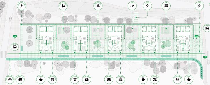
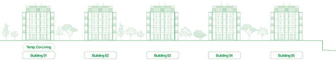
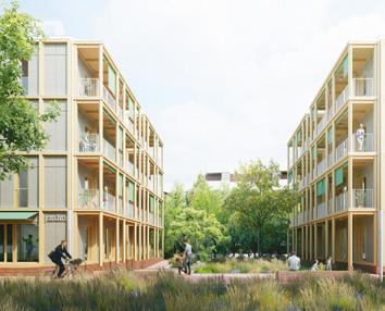
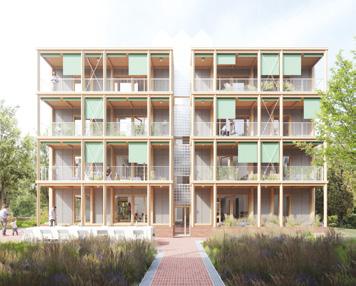
Landscape of Possibilities
Team point of view
Landscape of Possibilities rehabilitates the Bustaldea housing complex through a multiscalar infrastructure that operates at the domestic, building, and urban levels. It proposes a flexible framework that adapts to uncertainty, reconfigures housing units with compact technical cores, and wraps buildings in a new envelope that improves performance and creates shared spaces. At the urban scale, it activates the ground with resilient public space and water infrastructure. More than a retrofit, it is a tool for collective transformation.
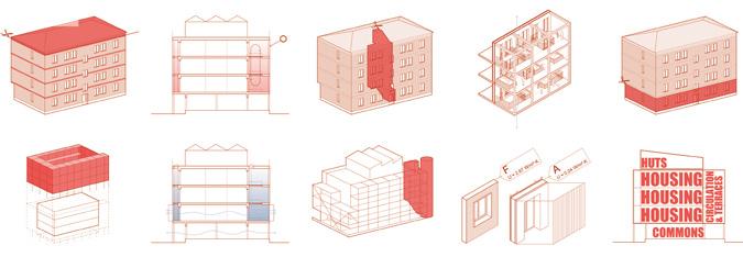
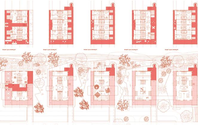
Author(s) —
María de los Ángeles Peñalver Izaguirre (ES), David Jiménez Iniesta (ES), Francisco Manuel Andreo Tudela (ES), Consolación Ibáñez Gallardo (ES), Architects
Jury point of view
Contact —
Estudio Brava C.B, Cartagena, Murcia (ES) www.estudiobrava.es / @estudio.brava ILA Estudio, Cartagena, Murcia (ES) info@ilaestudio.com / @ilaestudio.arq
This proposal expanded the architectural design beyond the boundaries of the assigned site. Such intention indicates how the team has properly understood the qualities of the landscape surrounding the site, a strong component of Vitoria’s identity. Each building can become then a component of a wider urban and landscape plan for the entire area, that mixes advanced technical solutions, pedestrian circulation, production and leisure, with interventions capable of collecting rainwater, generating clean energy or cleaning the land through Phyto-remediation processes. The internal distribution of the dwelling units, concentrating services inside a ‘wet core’, generate openness and transparency and provide wider flexibility in the spatial layouts of the apartments.
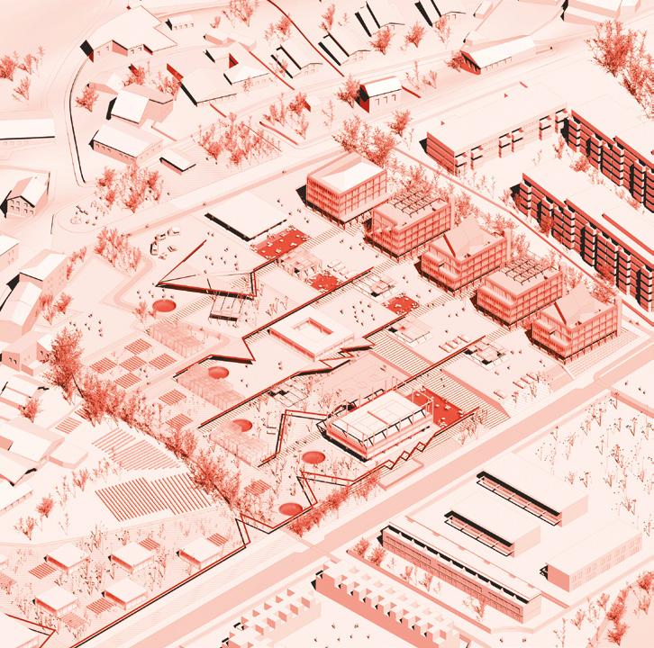
Five Skins — Bustaldea
Team point of view
Five Skins — Bustaldea proposes a comprehensive renewal inspired by Hundertwasser’s concept of the five skins, integrating privacy, sociability, community, identity, and sustainability. The project concentrates sanitary spaces at the core of each floor to enhance intimacy and technical efficiency, while social areas are oriented to the east and bedrooms to the west, optimising natural light and comfort. Community programs and enclosed gardens between the buildings foster social cohesion and intergenerational interaction. A lightweight enclosure unifies the existing blocks, improving thermal and acoustic conditions and creating new communal spaces. Environmental remediation, the use of clean energy, and direct connection to productive land reinforce a resilient, regenerative urban model.
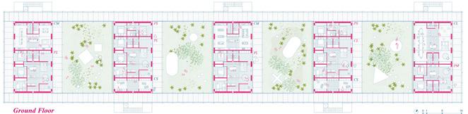
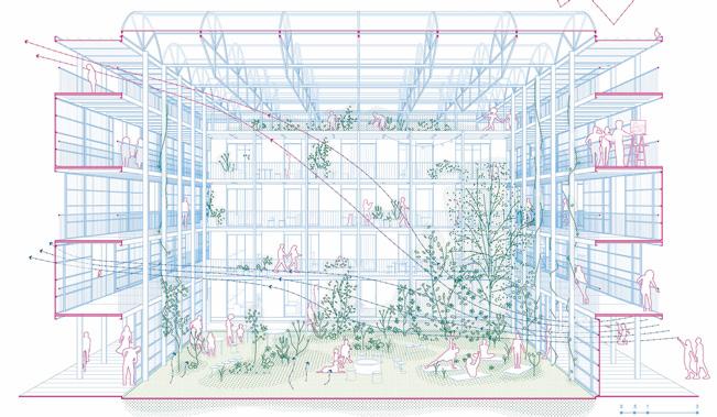
Author(s) — Alejandro Caraballo Llorente (ES), Carlos Rebolo Maderuelo (ES), Enrico Cavaglia (IT), Francisco Jose Escapil (AR), Lucila Pistolesi (AR), Gonzalo Coquet (AR), Architects
Contact — CRAC, Madrid (ES) [A. Caraballo + C. Rebolo] www.tallercrac.com IR Arquitectura, Buenos Aires (AR) www.irarquitectura.com
6/ creating new urban relationships
A missing layer of urbanity is added on a territory with underlying complexities. In all these large sites, the question is how inhabit them, how to relate to them, how to add a human ecosystem while negotiating the pros and cons of the existing complexity. It may be to reconsider an urban interrupted development, to care wounds left or created by old or new infrastructures; to regenerate sub-standard housing or the damage left behind a brownfield, to reconsider a river or former agricultural fields.
Amersfoort – Amicitia (NL) — Amersfoort – Kop van Isselt (NL)
Amersfoort – Stadhuisplein (NL) — Brignoles (FR)
Grand Nancy (FR) — Luzern (CH) — Malmö (SE) — Nailloux (FR)
Navalmoral de la Mata (ES) — Zagreb (HR)
Mediation and Duration, Two Strategies to Re-Articulate Urban Relationships
By Carlos Arroyo Zapatero (ES)
PhD Architect, urbanist, linguist, teacher at Universidad Europea
de
Madrid (ES) Founder and Director of Carlos Arroyo Architects — www.carlosarroyo.net
And Nicolás Martínez Rueda (ES)
Architect, founder of the architectural competition for students DOCEXDOCE www.docexdoce.org
In many Europan 18 sites, urban quality already exists, but it is fragmented or discontinuous: infrastructures interrupt natural and social continuities; buildings remain present, yet disconnected from their surroundings; landscapes operate alongside the city rather than with it; and everyday life unfolds across spaces that do not communicate with one another. The challenge addressed by this category is to re-articulate relationships between existing heterogeneous elements.
The projects discussed here reveal two complementary approaches. Some operate primarily through spatial mediation, negotiating between conflicting systems and transforming friction points into inhabitable interfaces. Others construct relationships through time and process, where reuse, sequencing, memory and care allow urbanity to emerge gradually, without final resolution. Together, these approaches suggest that creating new urban relationships is as much about how connections are made in space as about how they are sustained over time.
MEDIATION: SPATIAL INTERFACES AND RELATIONAL FRAMEWORKS
The following six projects approach urban design as a mediation practice. Whether working through architectural language, ground formation, spatial morphology, geometric networks, shared green structures or infrastructural frameworks, they construct new urban relationships by making connections visible and inhabitable. Urbanity here emerges from the way different systems are brought into relation and held in a productive balance.
How to Change the Language of an Existing Building
In Amersfoort-Amicitia (NL), winning project Capriccio: Beyond the Analogue (fig. 1) addresses a building whose problem is relational isolation. The existing Amicitia complex built in 2001 is physically present, yet culturally disconnected: it turns its back on the city, fails to activate its edges, and lacks a shared narrative that could anchor it within the urban fabric. Rather than proposing demolition or a purely technical retrofit, the project introduces a different architectural language as a mediating layer between the building, the city, and contemporary expectations.
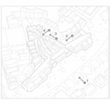
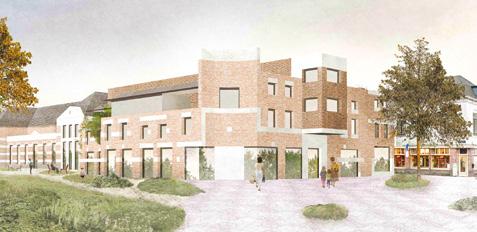
1 — Amersfoort-Amicitia (NL) Winner
Capriccio: Beyond the Analogue
→ See more p.346
→ See more p.300
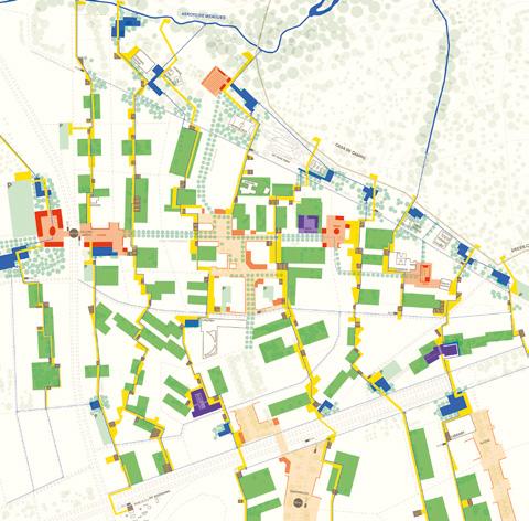
Fig.
Fig. 2 — Madrid (ES) Winner Alleyways
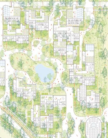
Winner
The Common Green
→ See more p.400
5 — Malmö
Special mention Hyllie Hills 21532
→ See more p.387
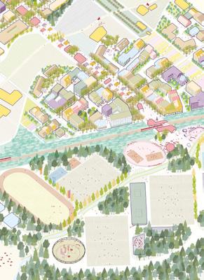
Winner ZÄME
→ See more p.378
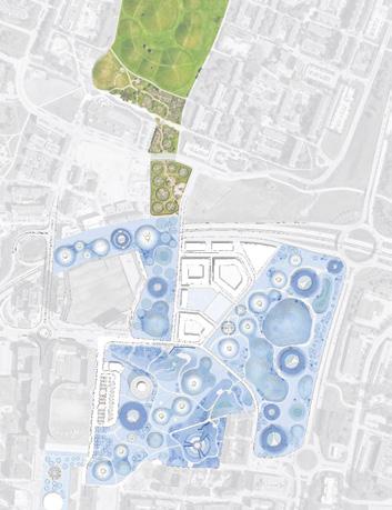
Fig.
(SE)
Fig. 4 — Zagreb (HR)
Fig. 3 — Luzern (CH)
This intervention is not conceived as a façade treatment, but as a thickened layer with depth, programme and spatial consequence. By adding volumes within the first meters above ground, the project reshapes corners, defines forecourts, and re-establishes continuity between streets, squares, park and courtyards.
The architectural vocabulary proposed is itself part of a wider debate, drawing on a lineage repeatedly mobilised for exclusionary political agendas, recalling figures such as Tessenow and the Heimatschutz culture. Such language is also at the forefront in more recent calls for prescriptive notions of beauty, legibility and identity.
How to Use Geometry to Build Connections across Scales
In Madrid (ES), winning project Alleyways (fig. 2) uses geometry as a tool to establish new urban relationships at multiple scales. Starting from the scale of the housing block, a network of pedestrian paths is traced through inner courtyards and between buildings, transforming residual spaces dominated by parking into shared gardens and meeting places. These local geometries redefine proximity, enabling everyday encounters and reactivating the social life of the blocks.
At a larger scale, the same geometric logic extends beyond the neighbourhood, stitching together fragmented public spaces and reconnecting Colonia Casa de Campo with the Casa de Campo park, adjacent districts and metropolitan infrastructures. The alleyways operate as a continuous spatial system, capable of linking schools, cultural facilities, transport nodes and landscape elements through a sequence of shaded paths, plazas and activity hotspots.
How to Use Morphology to Articulate Coexistence
In Luzern (CH), winning project ZÄME (fig. 3) approaches urban relationships through morphology. Situated in an inbetween territory where urban fabric, agricultural land and infrastructural fragments coexist without clear hierarchy, the proposal treats form as a way to negotiate different ways of living and producing. Rather than separating city and countryside, the project constructs a continuous morphological system capable of accommodating urban life, agricultural activity and a less domesticated landscape within a single articulated framework.
The spatial structure is organised around a sequence of belts and axes that recombine existing farms, productive landscapes and new neighbourhoods. Built volumes, open spaces and productive fields are shaped to interlock rather than exclude one another, allowing everyday life, work and cultivation to overlap. Agriculture is not confined to a residual edge, but becomes an active component of urban form.
How to Use Green Infrastructure as the Primary Urban Structure
In Zagreb (HR), winning project The Common Green (fig. 4) treats green infrastructure not as an addition to urban development, but as its foundational structure. Rather than organising the neighbourhood around streets, plots or buildings, the proposal begins with a continuous system of open spaces that connects ecological processes, mobility and everyday life. This green framework operates as the basic infrastructure upon which housing, services and circulation are arranged.
The landscape is conceived as a shared system, articulated through gardens with varying degrees of access and stewardship. From peripheral green buffers to interior commons and a central linear park, open space structures daily life and movement. Streets are subordinated to this logic, adapting in scale and character to support slow mobility and everyday interaction rather than vehicular flow.
How to Turn an Infrastructural Rupture into a Shared Ground
In special mention project Hyllie Hills 21532 (fig. 5) in Malmö (SE), urban relationships are constructed through the careful calibration of continuity across a fragmented urban ground. The project operates in a context shaped by large-scale infrastructure, logistics and recent development, where public space has been ruptured and urban elements remain disconnected. Rather than introducing a singular architectural figure, the proposal stitches together existing and emerging parts through a strong, readable and continuous topographic framework.
Mediation here occurs at the level of the ground and its gradients. Slopes, paths and planted surfaces, organised as a collection of circular hills, negotiate differences between infrastructure, housing and public space, allowing movement, visibility and use to overlap. Thresholds are thus softened, transforming infrastructural edges into shared spatial conditions. Urban relationships are established through continuity rather than contrast, enabling everyday use to emerge from a landscape that mediates between systems without fixing their hierarchy.
How to Turn Infrastructure into a Relational Framework
In Vitoria-Gasteiz (ES), runner-up project Landscape of Possibilities (fig. 6) approaches urban relationships through infrastructure, understood not as a hidden technical system but as a visible and inhabitable framework. Starting from the rehabilitation of an existing housing complex, the proposal reframes uncertainty about users, budgets and timeframes, as a condition to be worked with.
At the domestic and building scale, new infrastructural elements such as the vascular core, the inhabited skin and the gallery, redefine the relationship between private life and collective space. Technical systems for circulation, energy, water and climate become spatial interfaces: places to pass through, meet, cultivate plants or extend domestic activities. These intermediate zones blur the boundaries between dwelling and neighbourhood,
allowing different ways of living to coexist without being hierarchised. By making infrastructure accessible and understandable, the proposal grounds new urban relationships in shared care, collective responsibility and appropriation.
DURATION: TIME, PROCESS AND OPEN-ENDED TRANSFORMATION
If the first set of projects addressed Creating New Urban Relationships through mediation, this second group approaches the category through time . Here, urban relationships are not resolved through interfaces or formal articulation, but constructed gradually through reuse, sequencing, memory, care and long-term processes
Rather than producing immediate spatial coherence, these projects establish frameworks that allow relationships to evolve, accumulate and adapt. Urbanity emerges not from resolution, but from duration.
How to Use Time as Urban Material to Transform a Former Industrial Site
In Amersfoort-Kop van Isselt (NL), winning project Re:Isselt — Growing by Reuse (fig. 7) understands time as an operative device rather than a passive wait for a predefined outcome. Transformation is conceived as a long-term, open and negotiable process, in which social governance and material reuse form the core drivers of urban change. Urban relationships are built through incremental phases, where each intervention activates the next while remaining open to revision.
Existing structures are understood as available resources, capable of accommodating new uses without erasing their social or material memory. The progressive accumulation of biodiversity-oriented strategies constitutes a central layer of the urban project. Within this framework, adaptability, reversibility, and governance mechanisms over time become essential, allowing the site to grow through layers, learning, and continuous adjustment.
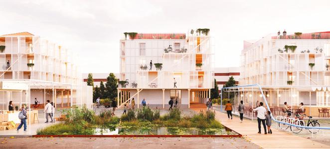
—
Landscape of Possibilities
→ See more p.328
—
Re:Isselt — Growing by Reuse
→ See more p.352
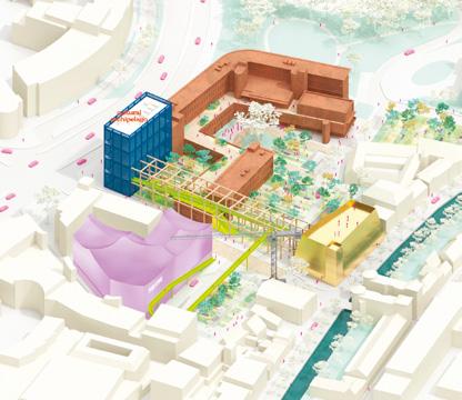
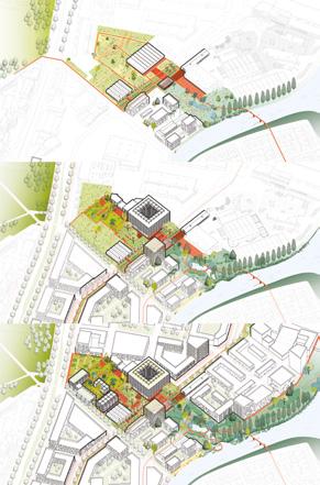
Fig. 8 — Amersfoort-Stadhuisplein (NL) Winner
Cultural Archipelago
→ See more p.358
Fig. 7
AmersfoortKop van Isselt (NL) Winner
Fig. 6
Vitoria-Gasteiz (ES) Runner-up
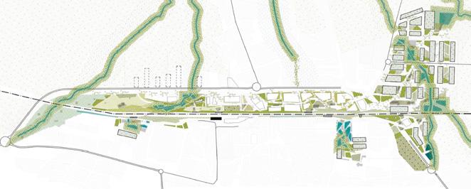
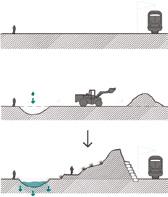
Fig. 9 — Navalmoral de la Mata (ES) Runner-up
Suturing water, memory and biodiversity together
→ See more p.396
Fig. 10 — Brignoles (FR) Runner-up
Lit mineur, lien majeur
→ See more p.366
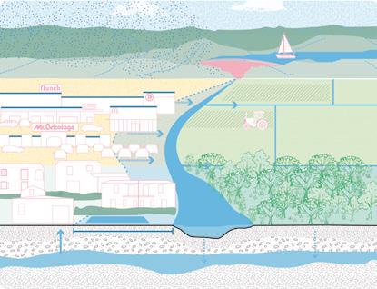
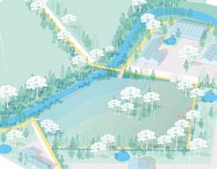
How to Plan Permanence in a Context of Programmed Obsolescence
In Amersfoort-Stadhuisplein (NL), winning project Cultural Archipelago (fig. 8) approaches urbanity through a logic distinct from the process-driven transformation of Re:Isselt — Growing by Reuse . While in that project time acts as an accumulative element, here it operates as a strategy to confront urban obsolescence, aimed at sustaining the relevance of existing cultural buildings.
The project hacks the programmed obsolescence of the Brickwall (former town hall) and the Theatre through adaptive reuse and selective deconstruction, reversing the narrative of replacement into one of active continuity. Urban relationships are organised through a distributed constellation of cultural nodes, where centrality is not formal but temporal and programmatic, allowing buildings to remain relevant through successive recalibrations The project also reclaims the memory of the city’s green belt, re-planning this green infrastructure as a continuous ecological support.
How to Prepare the Ground for a Connected Future
In Navalmoral de la Mata (ES), runner-up project Suturing water, memory and biodiversity together (fig. 9) constructs urban relationships by preparing the ground ecologically, spatially and socially, for long-term continuity rather than through immediate spatial resolution. It begins by re-reading the territory through the conflict between natural flows and infrastructural absolutism. The railway line conceived as a perfectly horizontal and continuous element interrupts watercourses descending from the surrounding landscape and imposes a rigid boundary between the historic urban centre and areas of future growth linked to new industrial activity.
Earthworks and water-related interventions constitute the initial actions, addressing urgent needs such as mobility across the railway line, flood management and safe crossings, without overriding deeper territorial continuities. These first steps operate as enabling conditions, including the creation of a linear
park along the railway and routes aligned with seasonal watercourses. On this basis, slower cycles of ecological regeneration, everyday use and intergenerational appropriation are allowed to unfold. Urban continuity is not imposed, but gradually assembled, as shortterm interventions prepare the ground for durable relationships to emerge over time.
How to Act Precisely so Time Amplifies the Impact
In Brignoles (FR), runner-up project Lit mineur, lien majeur (fig. 10) addresses water first as a decision-making criterion, guiding where, how, and how much to intervene. Rather than acting through large-scale transformations, it prioritises the reintegration of living systems through selective reopening of minor watercourses, the punctual de-sealing of strategic soils, and the insertion of small, visible hydraulic devices. These actions establish a framework of minimal spatial adjustments, aiming to generate territorially disproportionate long-term effects.
From this logic, urban relationships are not directly designed but emerge through slow territorial transformation. Coming from the first interventions, the former railway strip is then transformed into a lagoon-based public space, while the Delpon stadium is reprogrammed as a productive landscape. These actions generate a redefinition of transitional spaces, contributing to an enhanced territorial legibility that will progressively intensify over time.
How to Build Urban Relationships through Everyday Stewardship
In Nailloux (FR), winning project Re-garde l’eau (fig. 11) understands water as a common good and as a resource that ‘struggles to exist in this dry territory with its omnipresent slopes’, in the words of the project’s authors. Water cannot be addressed through form alone and urban relationships here take shape through a temporal regime based on routines, observation and adaptation.
Transformation unfolds through everyday actions: managing runoff, experimenting with desilting methods, reworking embankments, inhabiting spaces of freshness, and treating and reusing grey water. The project operates as a living laboratory, shifting the focus from form to ongoing responsibility, and allowing urban life to develop gradually through lived experience. This approach produces a form of urbanity rooted in duration and care, demonstrating how long-term responsibility can become a powerful driver for meaningful and resilient urban relationships.
How to Reshape Urban Relationships through Latent Ecological Processes
In Grand Nancy (FR), runner-up project Retour à la source (fig. 12) reconfigures urban relationships by amplifying the spontaneity of ecological processes as hydrological cycles that extend beyond the scale of the intervention. Rejecting singular solutions, it embraces emergent diversity and the coexistence of multiple micro-narratives and sets the conditions for ecological self-restoration.
Water, the original catalyst of the site’s industrial development, regains its margin of freedom, the hard boundaries once built to control it are broken and the underground channels are daylighted. In parallel, ecosystems are repaired through depaving, the reduction of road surfaces, and the restoration of ecological corridors for fauna and flora, reinforcing transversal ecological continuity across the site. Urbanity emerges through duration and adaptation, as time operates at a territorial scale rather than as a finite project horizon.
Taken together, these projects show that creating new urban relationships is not a matter of form, scale or theme, but of how systems are brought into relation across space and time. Some proposals operate through mediation, constructing interfaces where urban life can attach itself, between building and city, ground and movement, production and dwelling. Others work through duration, allowing relationships to emerge through reuse, sequencing, care and long-term ecological processes. Rather than resolving complexity, these projects make it operable, transforming fragmentation into a condition that can be inhabited, negotiated and sustained over time.
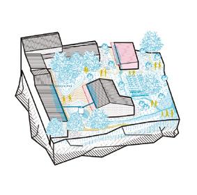
Winner
Re-garde l’eau
→ See more p.390
12 — Grand Nancy (FR) Runner-up
Retour à la source
→ See more p.370
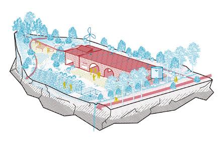
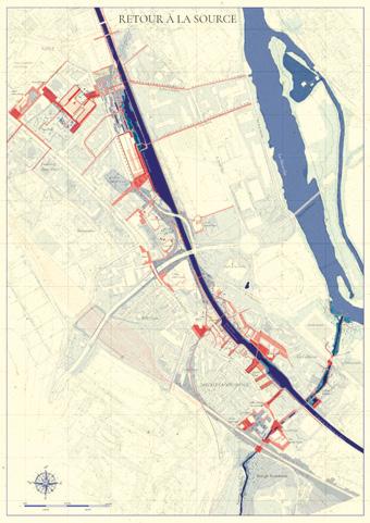
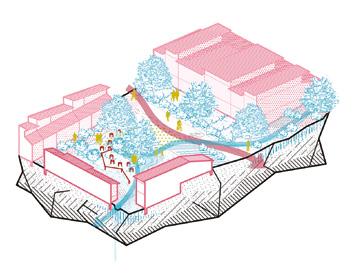
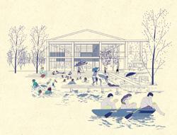
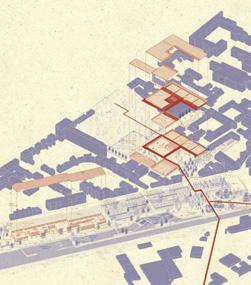
Fig.
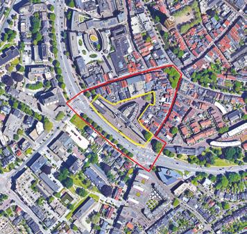
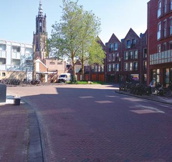
Amersfoort- Amicitia (NL)
How to reuse an underutilised building into an iconic gateway to the historic centre?
Site Context
Amersfoort, in collaboration with the owner of Amicitia, is committed to revitalise and restore the urban fabric. This initiative aligns with the city’s vision of a cohesive innercity experience through context-sensitive architectural design and integrated and connected green spaces. Amicitia offers a unique chance to redefine urban living through an iconic housing project that serves as a gateway to Amersfoort’s historic city centre. Project should create a vibrant building by combining housing with commercial and/or semi-cultural spaces at the ground floor, fostering social interaction and community cohesion. The proposal should integrate sustainable urban renewal with economic feasibility and historical preservation, fostering and contributing to the overall liveability of Amersfoort’s city centre.
Questions to the competitors
How to restore the urban fabric of the Amicitia building, transforming it from an underutilised space into a vibrant urban location? How to emphasise and strengthen the connection to the surrounding greenery? How to Create a recognizable landmark along the Stadsring that enhances the entrance to the city centre while maintaining its own identity? What programs, functions can be imagined that complements the offerings of the city centre?
Scales L/S
Location Amicitia, Amersfoort
Population 160,000
Reflection site 3.15 ha
Project site 0.83 ha
Site proposed by Amersfoort Municipality
Actor(s) involved Amersfoort Municipality, Owners of Amicitia
Capriccio: Beyond the Analogue
Team point of view
Capriccio: Beyond the Analogue proposes a transformation strategy that celebrates the multiplicity of values and perspectives related to the Amicitia building. Rather than a continuation of a singular historical interpretation, it encompasses a fragmented design approach leading to a rich architecture, that acknowledges and continues the complexity of the site, the existing building and its underlying social structures. The proposal consists of the strengthening of the monumental values of the Amicitia building in both physical structure and programmatic implementation, as well as the significant downscaling of the spatial qualities in the courtyard behind it, into a scale that invites proximity, appropriation and commonality.
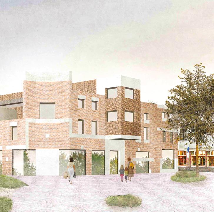
Author(s) —
Margit van Schaik (NL), Jesper Baltussen (NL), Architects
Contact — Giraffestraat 22, 3064LD Rotterdam (NL) info@baltussenvanschaik.nl www.baltussenvanschaik.nl
Rather than viewing Amicitia as an isolated architectural object, the project repositions it within Amersfoort’s broader historical continuum. By recognising the site’s location at the convergence of two key urban axes, the design uncovers Amicitia’s latent potential as a hinge between different parts of the city. The project’s strategy is one of complementarity, an architectural dialogue between preservation and transformation. Instead of erasing or replacing, the design works through careful additions, extensions, and completions. Jury point of view
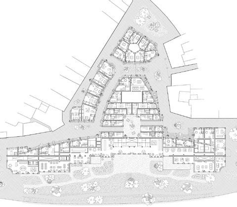
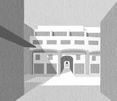
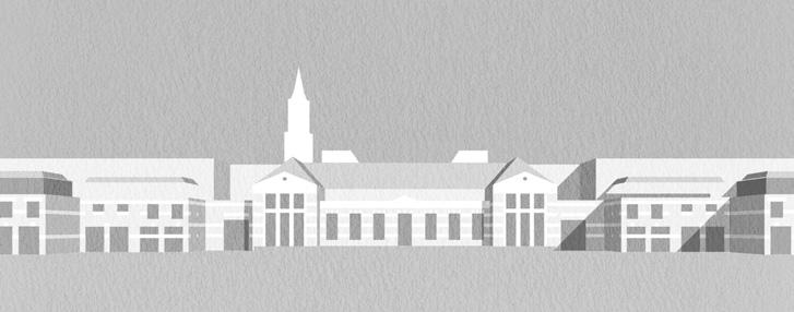
Old Walls, New Ties
Team point of view
In Amersfoort’s evolving cityscape, the Amicitia project reactivates a connoted yet iconic postmodern site. By fragmenting the monolithic complex and introducing thoughtful extensions, the proposal restores urban scale, enhances public space, and fosters cohesion through diverse cultural, productive, and social (re)programming. Particular attention is given to the diversification of dwellings to address the 21st-century challenges posed by the dissolution of the mononuclear reproductive family model. In Old Walls, New Ties, heritage is redefined not by nostalgia, but with care — retaining, rethinking, and weaving the existing into a desirable future. Ultimately, the once-disregarded estate becomes a vibrant starting point for a more connected, inclusive, and resilient Amersfoort.
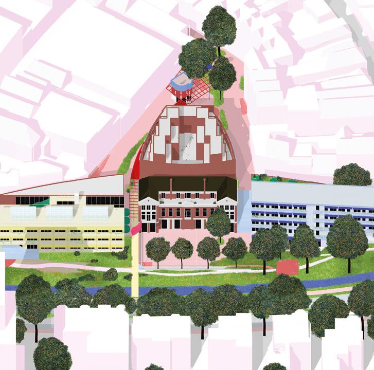
Author(s) —
Lina Etzkorn (DE), Julien Jacob (FR), Lucien Schmidt-Berteau (DE/FR), Architects; Karla Radovic (HR), Architect, urbanist
Jury point of view
This project stands out for its compelling strategy to give the Amicitia complex another presence within the city of Amersfoort and along the urban ring road. The design approach is both simple and effective: through four strategic cuts and two carefully considered additions, the Amicitia complex is transformed into a new urban formation. The fragmentation allows the historic Amicitia building to rediscover its own identity while granting autonomy to the newly formed blocks. The result is a renewed urban porosity that aligns Amicitia with Amersfoort’s fine-grained morphology and everyday pedestrian rhythms.
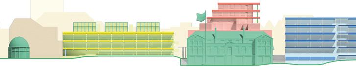
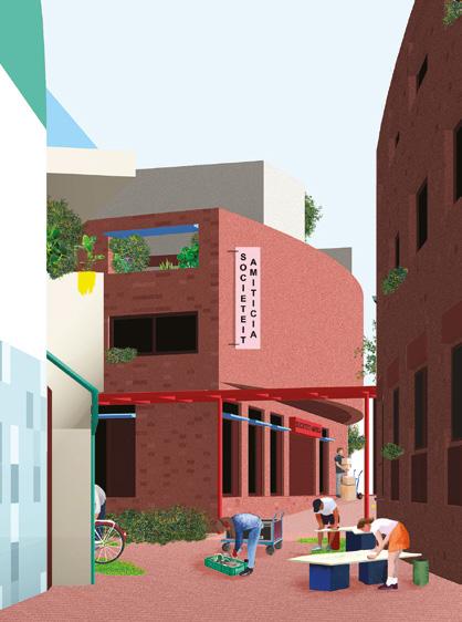
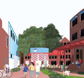
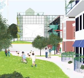
Amicitia Exchange
Team point of view
Amicitia Exchange revitalises a key site in Amersfoort by introducing flexible live/work units to tackle high rents and support startups. Lowering the ground level removes blind façades, creating a more open, active street edge. Above, diverse housing supports families, seniors, and individuals. A new public square and courtyard connect to extended green space, while the historic Amicitia becomes a community hub with a gym, nursery, library, and kitchen. Prefabricated red-brick modules with balconies promote interaction. A one-way street and timed deliveries improve safety and livability.
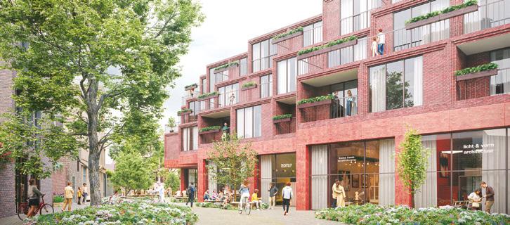
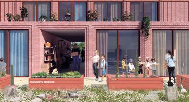
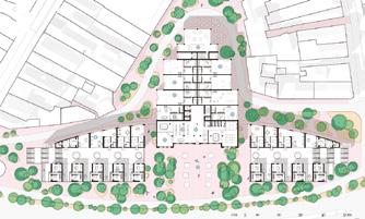
Author(s) —
Andrew Jackson (UK), Architect; Joe Wojewoda (UK), Architect assistant
Contact — Andrew Jackson Architects www.andrewjacksonarchitects.com
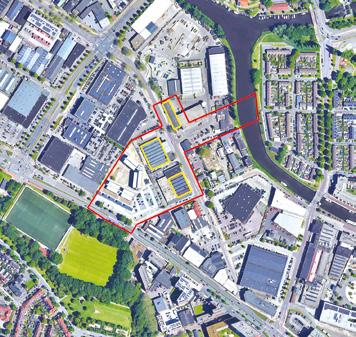
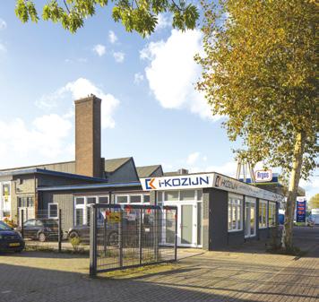
AmersfoortKop van Isselt (NL)
How to integrate industrial heritage buildings into a new vibrant mix-use area?
Site Context
Amersfoort is reimagining its urban landscape to create vibrant, sustainable and inclusive growth. The transformation of the Kop van Isselt area presents an opportunity to reintegrate industrial legacy into a dynamic district. This mixed-use development envisions 2,000 to 3,000 new residences, creative industries, and public amenities, fostering a lively and sustainable urban ecosystem. Propose bold yet practical solutions for the comprehensive transformation of this area by repurposing industrial heritage structures, integrating diverse mixed-use programs, enhancing ecological connectivity. The goal is to create a distinctive central urban area with a renewed identity, creating vibrant public spaces that reflect adaptability and sustainability while addressing local and urban-scale needs.
Questions to the competitors
How to blend the old and new, activating urban life at the ground floor and adding 16,500 m² of residential space above? How to integrate residential spaces that foster a lively community atmosphere by introducing new and interesting ways of living through innovative typologies that redefine urban lifestyles? How to preserve the industrial character while fostering community through mixed-use spaces and innovative housing that reshape urban living? How to prioritise sustainability and circular design principles?
Scales L/S
Location Kop van Isselt, Amersfoort
Population 160,000
Reflection site 3.45 ha
Project site 0.32 ha
Site proposed by Amersfoort Municipality
Actor(s) involved Amersfoort Municipality
Re:Isselt — Growing by Reuse
Team point of view
Re:Isselt offers a blueprint for future neighbourhoods where the built environment supports resource-conscious lifestyles and mindful growth. Kop van Isselt is developed around 5 circularity pillars: heritage preservation through material reuse, strong local economy, adaptable modular building systems, natural succession cycles, and strong community ties. The plan unfolds in three phases: Phase 1 lays the groundwork for a circular network around ROVA Hall and initiates natural succession process. Phase 2 creates a Circular Economy Hub with Van der Meiden Hall as an incubator, topped by an iconic volume. Phase 3 enables the creation of experimental living models. Connected to NeNaFa Hall, serving as a community incubator, they create an intergenerational co-housing ensemble.
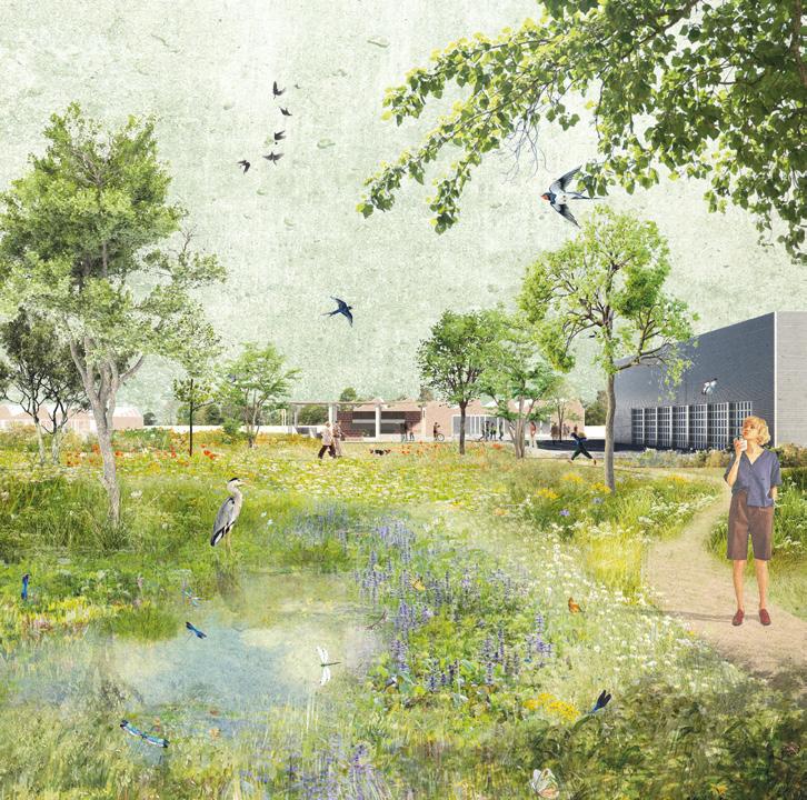
Author(s) — Ada Jaskowiec (PL), Urban designer, architect; Kinga Murawska (PL), Urbanist; Zuzanna Sekuła (PL), Landscape architect; Michał Strupiński (PL), Małgorzata (Gosia) Wyszyńska (PL), Paulina Gocoł (PL), Architects
Jury point of view
Contact — Rotterdam (NL) ada.jaskowiec@gmail.com www.strupinski.net / @atelier.ways www.linkedin.com/in/adajaskowiec/ www.linkedin.com/company/atelier-ways
This project proposes a comprehensive and forward-looking strategy for transforming Kop van Isselt into a resilient and inclusive urban ecosystem. Rather than focusing solely on form, Re: Isselt articulates a clear step-by-step redevelopment process in which placemaking, natural regeneration, and circularity form the foundation for long-term change. The proposal begins with the reactivation of the site’s landscape and industrial heritage, establishing conditions for gradual urban growth. A striking architectural gesture defines the ensemble: a substantial housing superblock rising above the Van der Meijden Factory, becoming both landmark and anchor.
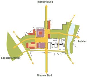
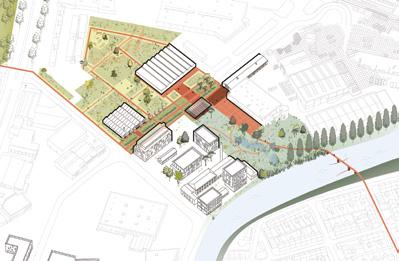
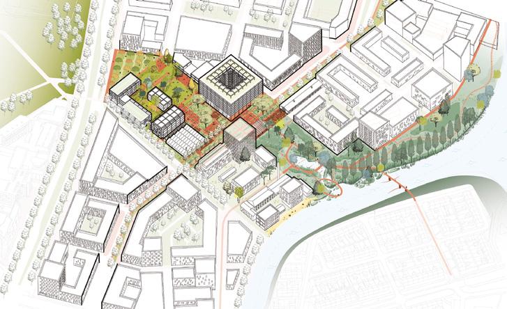
Parkplein aan de Eem
Team point of view
Reimagining the city square not as stone but as soil, our proposal fuses domestic life, ecological sensitivity, and urban heritage into a quietly radical blueprint for living. Low-rise, bio-based buildings organised on a 4m grid reduce building complexity, rejecting high-rises. Floor plans evolve with their inhabitants, accommodating shifting household constellations. At its heart, the Parkplein redefines public space as a verdant living room — less a stage for consumption, more a canvas for daily life. Industrial relics are repurposed into civic anchors, blending memory with utility. A simple material palette and edible landscape yield a park that is as nourishing as it is inclusive.
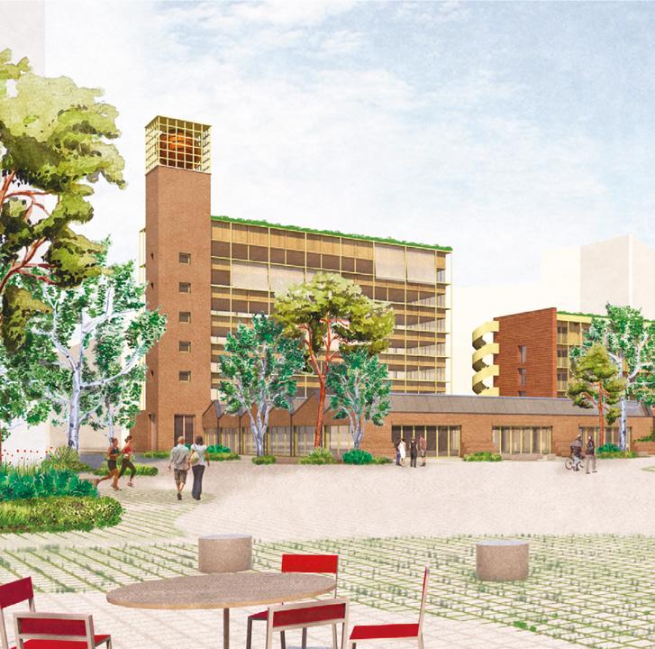
Author(s) —
Kees Fritschy (NL), Hellmer Rahms (ES), Marta Cendra i Vilardebó (ES), Architects
Jury point of view
Contact — Rotterdam (NL) info@officeoverzee.com / www.officeoverzee.com marta@martacendra.com / www.martacendra.com
This proposal offers a refined and balanced vision of urban transformation through the careful orchestration of built form and landscape. By concentrating development along the site’s perimeter, Parkplein aan de Eem defines a generous central green space that acts as both communal park and ecological corridor. The resulting composition — an inhabited garden enclosed by low-rise timber buildings — translates industrial heritage into a new, human-scaled urban fabric. At the centre, the former industrial landmarks are repurposed as active social and cultural anchors. The transformation of the Van der Meijden Factory into a covered outdoor space, combining production, recreation, and gastronomy, captures the imagination and gives the ensemble an inviting civic character.


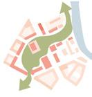
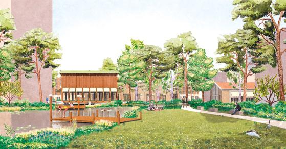
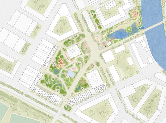
In Between
The Kop van Isselt site is key to Amersfoort’s future development. As the city expands, it aims to repair fragmented areas around the historic centre. Located at a crossroads of trade routes and along the Eem River, Kop van Isselt forms a threshold between rural outskirts and the city. Once an industrial zone, the site is now being reimagined through the In Between project, which enhances its transitional role. Instead of starting from scratch, the project builds on existing elements to link key systems — especially the Eem River and the green corridor to the south. These former production landscapes are now becoming leisure infrastructures, drawing public interest and investment. Acting like an urban hourglass, the project connects these systems between the old Nenafa and Van der Meiden factories, creating an inclusive, ecological, and efficient neighbourhood. Team point of view
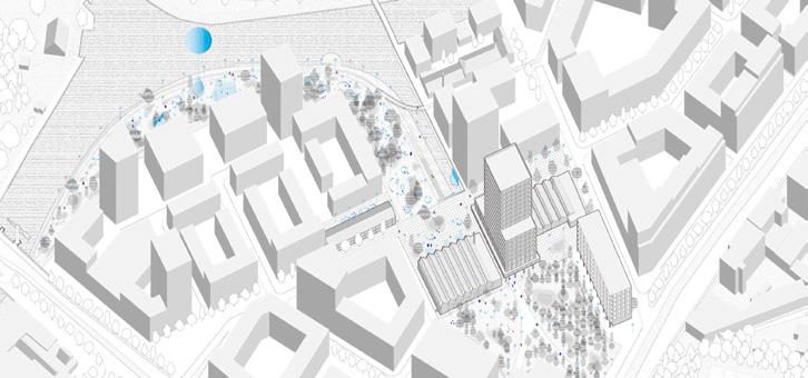
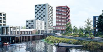
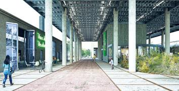
Author(s) — Michele Marini (IT), Edoardo Comotti (IT), Architects
Contributor(s) — Enrico Gobbi (IT), Lemuel Pedrotti (IT), Architects
Contact — Berlin (DE) mole.collab00@gmail.com www.molecollab.com
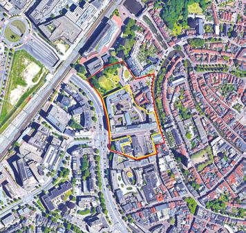
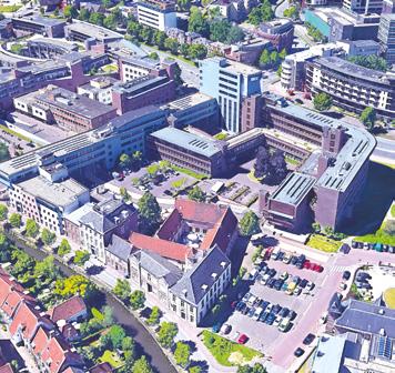
Amersfoort - Stadhuisplein (NL)
How to balance public spaces, new cultural buildings with the preservation of heritage?
Site Context
The Stadhuisplein area in Amersfoort is a historically layered urban site that reflects the city’s evolution from a medieval settlement to a modern municipality. The location is part of the protected cityscape of Amersfoort’s historic core, emphasising its high cultural and architectural value. The challenge is to rebuild a dynamic cultural quarter integrating cultural podiums while respecting and using the quality of its historical character and scale that amplify the city’s social and cultural vibrancy. The area lies in the historic city centre at the border of the significant redevelopment zones along the River Eem, presenting the challenge of crafting a cultural urban district with a pedestrian friendly design that acts as a transformative link uniting these areas into a cohesive and harmonious urban experience.
Questions to the competitors
How to propose visionary urban design ideas to transform Stadhuisplein into a new cultural district, balancing historical preservation with modern urban functionality? How to integrate cultural performance spaces — theatre, music, film, and education creating seamless connection from Varkensmarkt, Eem, Stadsring and Westsingel? How to propose a phased development strategy that will guide this transformation over the next seven years, ensuring an organic and sustainable evolution, leveraging the City Hall as an anchor for place-making and fostering dynamic cultural experiences?
Scales L/L
Location Stadhuisplein, Amersfoort
Population 160,000
Reflection site 3.56 ha
Project site 1.90 ha
Site proposed by Amersfoort Municipality
Actor(s) involved Amersfoort Municipality
Cultural Archipelago
Team point of view
Cultural Archipelago reimagines Amersfoort’s cultural district as a dynamic network of repurposed buildings, each with a distinct identity, all linked together. This dispersed model fosters urban diversity, cultural interaction, and sustainable regeneration. Rather than concentrating all functions in one large volume, it forms a dynamic ecosystem where existing institutions and new actors coexist. Through three phases the area evolves over time, together with a renewed green infrastructure that enhances biodiversity and human/non-human coexistence. The Archipelago establishes a condition where architecture, landscape, heritage and culture are deeply intertwined, generating a place that is open, sustainable and grounded in the values of community and continuity while making city.
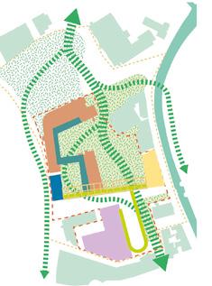
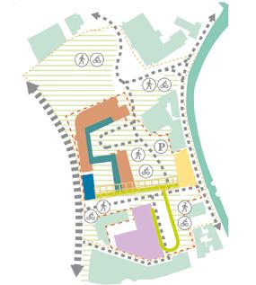
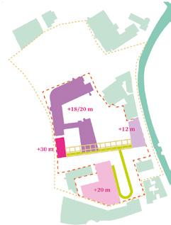

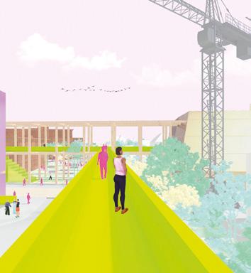
Author(s) —
Flavio Martella (IT), Architect;
Maria Vittoria Tesei (IT), Architect, urbanist
Jury point of view
Contact — Madrid (ES) info@m2ft-architects.com m2ft.architects@gmail.com www.m2ft-architects.com
This project proposes a strong strategy, a step-by-step vision for transforming the Stadhuisplein into a living cultural district. Rather than presenting a fixed architectural design, the project establishes a development framework capable of evolving over time. This gradual and adaptive approach aligns with Amersfoort’s scale and pace, turning complexity into opportunity. The plan skillfully combines reuse and renewal. It repositions the former town hall at the heart of the scheme while introducing a network of smaller cultural buildings and open spaces that together form a vibrant urban fabric.
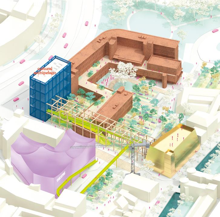
Fragments of History
Team point of view
What if time had no other nature than the three spatial dimensions, and at any given point in space, all layers of time co-exist side by side? Taking a reflective step back, the project intertwines the new cultural district of Amersfoort with its historical context and the pulse of today’s society. Fragments of the past reveal themselves in the way the existing structure is treated (inside, around or instead of). The split program is connected by an underground gallery that traces the outline of the old Hellestraat, while the park weaves through the site and over the ring, evoking the spirit of a 19thcentury romantic park. These links to history continue to weave the fabric of our community today, creating a fertile ground for artistic incubation, social bounds and a true identity.
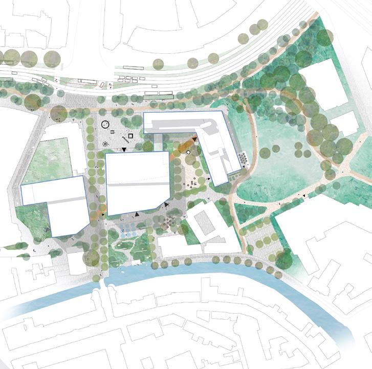
Author(s) —
Mathilde Flas (BE), Urban planner; Nathan Guillaume (BE), Architect, urbanist; Justine Noulin (FR), Engineer-architect
Contact — Liège (BE) / Paris (FR) nathan.guillaume@outlook.com Jury point of view
Fragments of History stands out for its ambition to create a coherent and breathing urban network that reconnects the Stadhuisplein with the city’s green and public space structure. By organising a series of buildings around a diagonal underground link, the design introduces new layers of connection and circulation. The elevated central theatre becomes the key civic figure, addressing multiple open spaces; a green square along the Stadsring, a waterside garden at the Westsingel, and smaller plazas tied to the historic context. The careful separation of volumes and the integration of the existing town hall within this ensemble are handled with skill, achieving a balance between old and new. The proposal’s clarity at the urban level, particularly its treatment of public spaces and pedestrian accessibility adds generosity to the site.
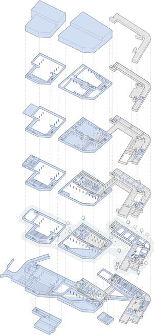
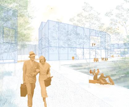
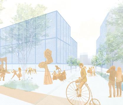
Onze Lieve Boogie Woogie
Team point of view
The OLBW cultural district celebrates the city’s love for the arts as a communal and dynamic achievement — a shared endeavor where all layers of society are re-sourced through bottom-up culture and local human ecology. Conceived as an urban theatre, the district transforms the passerby into a flâneur, becoming both observer and performer in a vibrant townscape. Its form draws from the idea of a ‘picturesque’ townscape, where creativity can thrive, everyone is welcome, and each person or activity finds a ‘stage’. Architecture here is not a mere backdrop for city life but an active urban force — inviting curiosity, participation, and collective experience. As people move through squares, gardens, foyers, rooftops, and studios, they animate the civic realm, enriching a lively and inclusive cultural landscape.
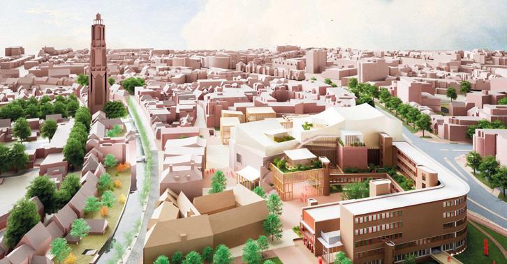
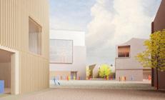
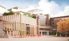
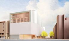
Author(s) —
Mark Kanters (NL), Bogdan Vlădescu (RO), Architects; Phoebus Panigyrakis (GR), Architect, historian; Dario Sposini (IT), Architect, theorist; Dimitrios Gerardus Andrinopoulos (GR), Architect, urban designer
Contact — Amsterdam (NL) bwcollective26@gmail.com
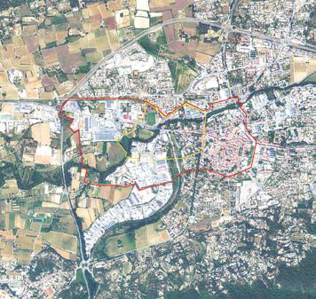
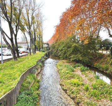
Brignoles (FR)
What long term vision can be proposed for the Western Gateway linking it to the urban, rural and fluvial environments?
Site Context
Brignoles stands at the confluence of several structuring forces shaping the cultural landscape of the Var region. The second half of the 20th century saw the rise of the automobile, reshaping mobility patterns. Highways, ring roads, and expressways gradually overshadowed the former Nationale 7 along with the railway axis linking Brignoles to Paris. The municipality and the wider metropolitan area seek to clarify and enhance the western gateway to Brignoles, reestablishing connections between the peripheral neighbourhoods along the former Nationale 7 and the town centre, a designated priority district.
Questions to the competitors
What imaginary should the western gateway to Brignoles embody to create a holistic, accessible, and inclusive transition between the historic town and its periphery? How can infrastructure be reimagined to reinforce its urban character? In what ways can the agricultural landscapes of Provence Verte and Brignoles’ history as a hub of trade and cultural exchange inform this vision? What long-term vision can be proposed for the town’s western gateway and its relationship with the former Nationale 7, as well as the surrounding urban, rural, and riverine spaces? How can calmer urban connections and new programs enhance the quality of life, foster inclusion, and strengthen Brignoles’ appeal?
Scales XL/L
Location Brignoles
Population 17,846
Reflection site 109.7 ha
Project site 27.9 ha
Site proposed by City of Brignoles, Communauté d’Agglomération Provence Verte
Actor(s) involved City of Brignoles, Communauté d’Agglomération Provence Verte
Owner(s) of the site Public and private properties
The dragonfly’s wonder
Team point of view
Narratives of a regenerative provencal valley 2050. Brignoles has regenerated. Not by erasing the past but by embracing what endured: the permanence of the provençal territory (water, stone, wood and fertile land). These became tools for transformation. The riverbed has been restored, soils rehydrated and a food belt reconnects town and countryside. Mobility is decarbonised and cultural life flourishes. Witness to every era, the Dragonfly glides over this landscape and reminds us: regeneration is not a rupture but a revelation. Wonder has reopened perception and guided towards deeper knowledge and interdependence, and a renewed harmony between humans and all forms of life. In restoring depth to its landscapes and relationships, Brignoles has learned to dwell differently.
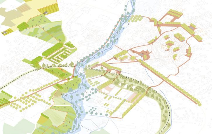
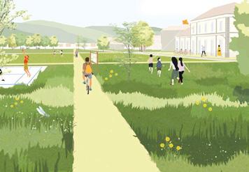
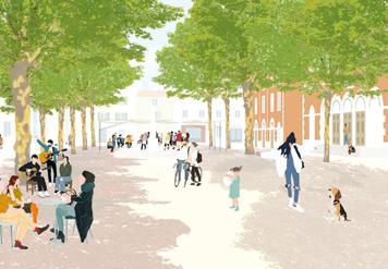
Author(s) —
Fanny
Bel-Giess (FR), Rose Hewins (FR), Robinson Mangematin (FR), Esther Morin (FR), Myriam Richter (FR), Architects urbanists
Contact — dsa.brignoles@gmail.com
The project highlights a landscape and agricultural belt that connects production and consumption sites. This major territorial feature extends into urban public spaces through a network of gardens and cultural venues linked by landscape pathways. The team designed a robust framework and proposes innovative tools, particularly for soil rehydration. The proposal is particularly remarkable for its consideration of soils and the interaction between urban and productive soils. Jury point of view
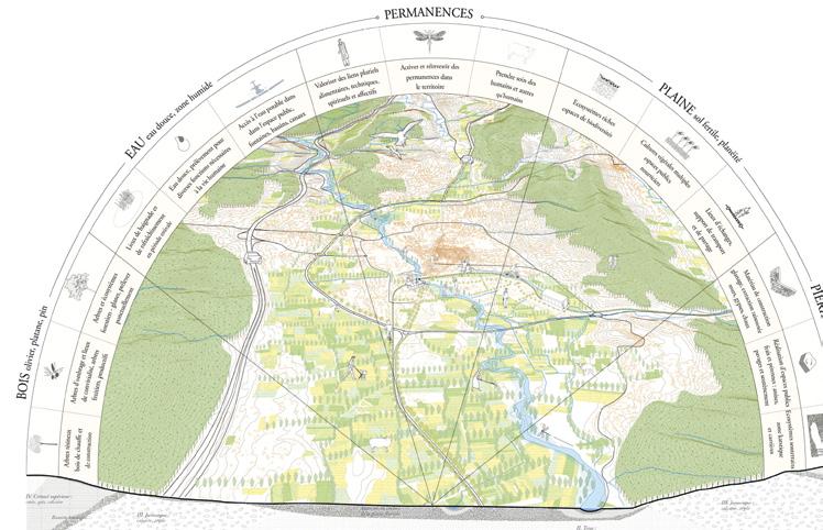
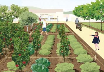
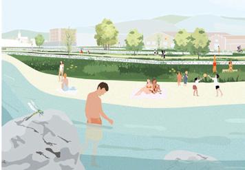
Lit mineur, lien majeur
Team point of view
In Brignoles, the city entrance becomes a manifesto: a disjointed area is reinvented as a living sequence, bringing together hydrology, agriculture and social ties. Water lies at the heart of the project, irrigating an urban bathing area, a lagooning system on disused railway land, a market garden and a new network of public spaces. Through the ‘Jeu de l’Eau’ (Water Game), local stakeholders experiment with shared, concrete governance based on five pillars: reconnecting, adapting, producing, negotiating and preserving. As opportunities and climatic, political and cultural events unfold, the project creates a collective vision for the city entrance in line with the identity of the territory.
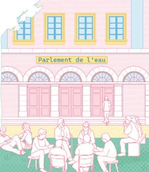
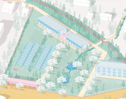
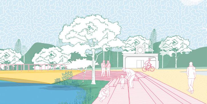
Author(s) —
Théo Bienvenu (FR), Laora Congestri (FR), Fabio Previtali (FR), Eva Tronquet (FR), Architects, urbanists
Contact — Paris (FR) e18.brignoles@gmail.com Jury point of view
The team has made the Caramy River the central feature and guiding thread of an urban planning project that is more attentive to the milieus. Though located some distance from the city centre, the waterway is reintegrated into the landscape and urban fabric, connecting the historic centre, residential neighbourhoods, and business parks. The project develops new ecological and social continuities (a natural lagoon on the former railway land) and new uses (urban swimming, a vegetable farm). The proposal takes up the theme of water and is of interest for re-establishing a link between the city and its river.
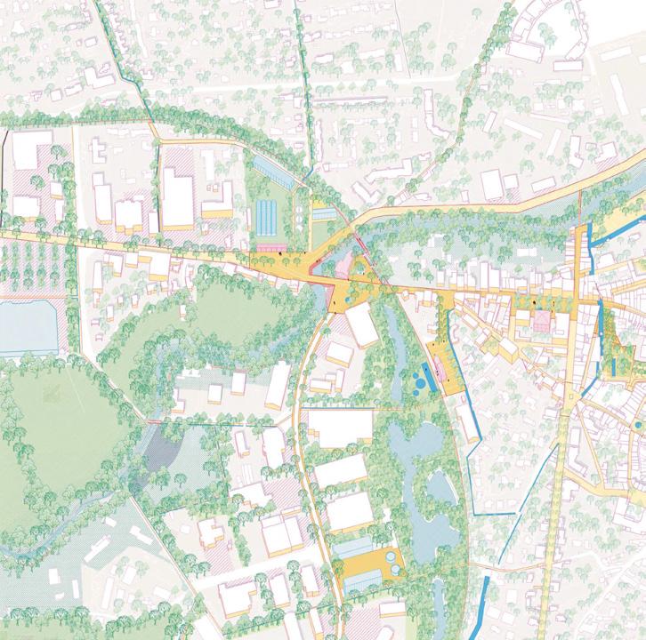
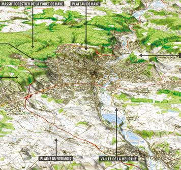
Grand Nancy (FR)
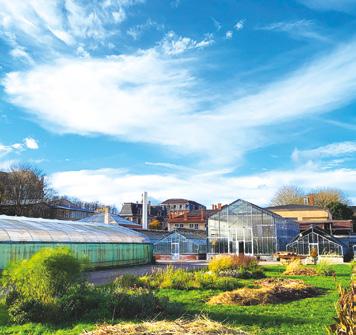
How to find landscape, ecological and social interfaces between the fragmented suburban quartiers by the canal?
Site Context
At the gateway to the old town, classified as a Site Patrimonial Remarquable, the Europan site stretches along the Marne au Rhin canal in the communes of Nancy and Jarville-la-Malgrange. On a metropolitan and local scale, this historic suburb appears as a city gateway and in-between-city area, cut off by the ring road and its interchange: flows and infrastructures act as separations rather than links between neighbourhoods and residents. The Grand Nancy metropolitan area and the towns of Nancy and Jarville want to restore the unity of this area in transition. The aim is to decompartmentalise parts of the city by restoring social and environmental continuity.
Questions to the competitors
How can we strengthen the social and economic dynamics of this metropolitan gateway? How can we overcome the effects of boundaries and perimeters , and create new porosities and accessibility between large urban areas? How do we deal with inherited infrastructures? How can we rediscover links and places between contrasting neighbourhoods that bear witness to different eras? How can water be revealed in the landscape and the urban imagination? How can we enhance the value of plants and horticultural know-how? How can we reinvest built heritage to be recycled, natural heritage to be enhanced, urban and social memories to be revived?
Scales XL/L
Location Nancy, Jarville-la-Malgrange
Population Nancy 105,000, Jarville 9,400
Reflection site 150 ha
Project site 12 ha; 25 ha; 15 ha; 10 ha
Site proposed by Métropole du Grand Nancy, Cities of Nancy and Jarville
Actor(s) involved Scalen, Solorem, EPFGE, VNF, State services, social landlords (Meurthe & Moselle Habitat)
Owner(s) of the site Public and private
Retour à la source
Team point of view
Retour à la source is a call to reconnect with land, water, and the living world — not in nostalgia, but in search of new ways to inhabit the Earth. Against a modernity that instrumentalises everything, it proposes a return to the essential: coexistence, care, and freedom. Water, once controlled and hidden, is liberated and revealed; soil and ecosystems are repaired; public space and collective life are reactivated. This shift from inert infrastructure to organic vitality invites Grand Nancy to become a place of relationships — between humans, nature, and the city. A place where nothing is a mere resource, and everything is part of a shared, poetic way of living.
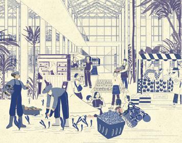
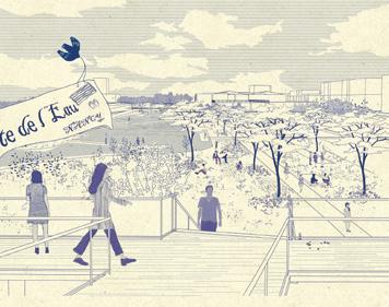
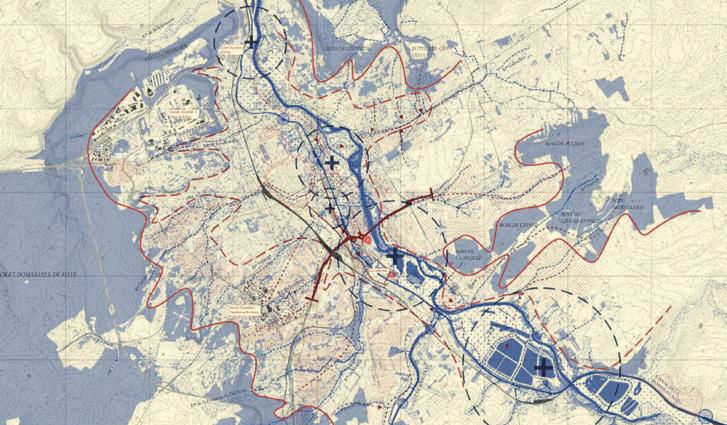
Author(s) —
Jinyi Xiao (CN), Landscape architect, urbanist; Hongfei Xiang (CN), Architect; Danyan Liu (NL), Landscape architect, lecturer
Contact — Paris (FR) xiaojinyi1013@gmail.com @atelieryimu Jury point of view
The team proposes a ‘plan guide’ for public spaces connected to the canal, east-west connections, and the activation of recreational areas and facilities. They emphasise social participation as well as the empowerment of living beings. The project develops progressively through the expansion of a network of public spaces radiating from the canal axis. This proposal is valuable for revitalising social functions through a ‘plan guide’ for public spaces, which aligns well with the sub-theme of social dynamics.
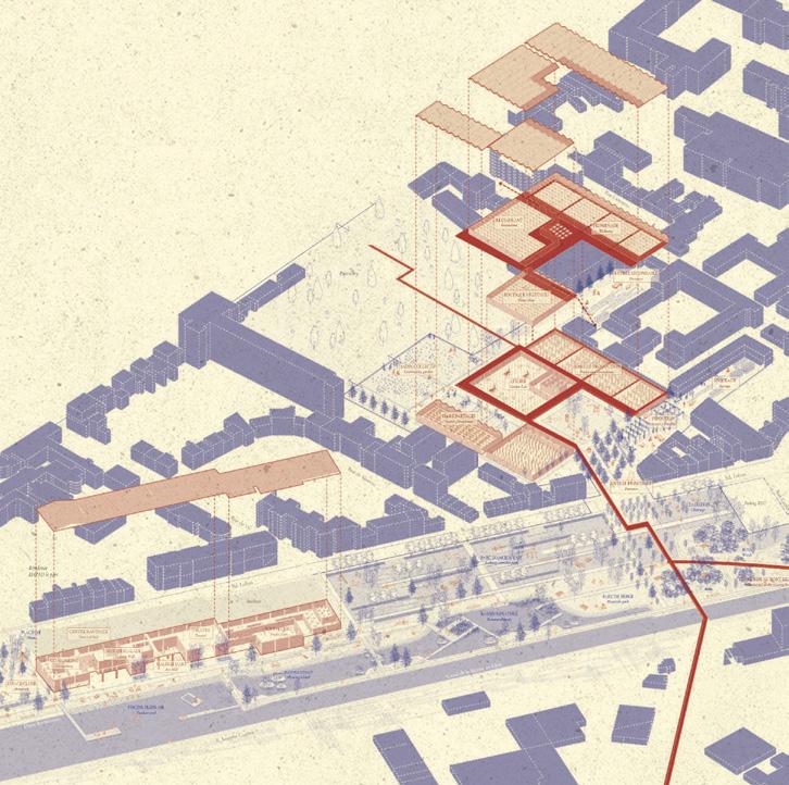
The Ribbon, the Sponge and the Willows
Team point of view
These figures replace the water resource by resurgence in temporality and scales invoking geography. The Riparian Park, federator of a common culture, values the landscape potential of the territory while adapting it to climate change. The Meurthe valley should be understood, from upstream to downstream. In this configuration, a park core is drawn: the garden of Greater Nancy, figurehead of the Riparian Park. This space, stretching from Jarville to the Rive de Meurthe district, becomes the place of the first flexible, progressive and frugal developments. Leaning against the canal, these transformations transform the urban fabric through uses, factors of new cultural and social vitality.
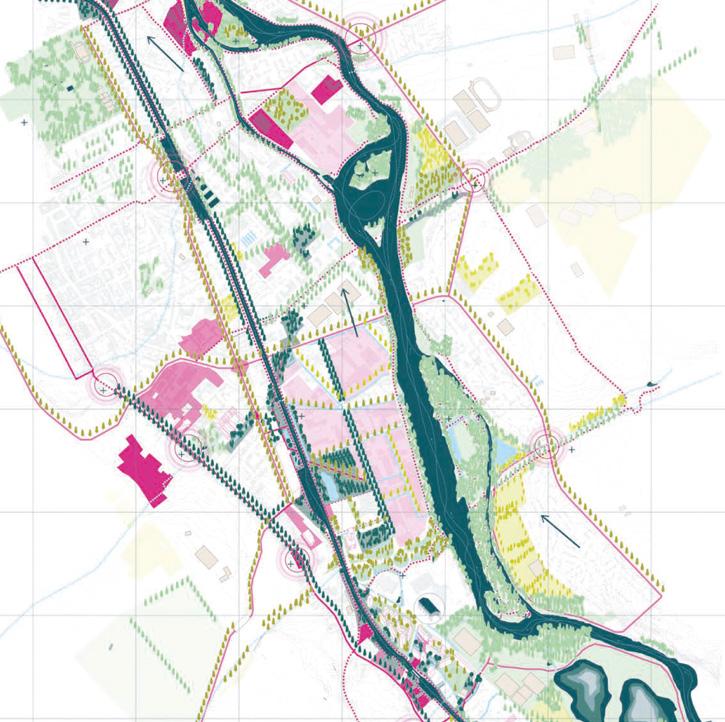
Author(s) —
Alexis Perrocheau
(FR),
Mathias Goutelle
Landscape architects; Anaïs Berthomé (FR), Architect, urbanist
(FR),
Jury point of view
Contact — Agence TELLU (FR) contact@agence-tellu.com www.agence-tellu.com
The team advocates for a large-scale river park encompassing two watersheds, an ecological, cultural, and social framework conceived both as a hydraulic system and as a territorial project. The entire site is viewed as an experimental space with a primary objective: to slow down the flow of water and connect vegetation corridors and permeable soils. The team proposes a geographical approach and to take into account the impacts of climate change on water resources.
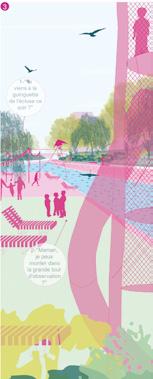
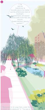
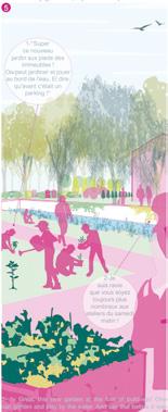
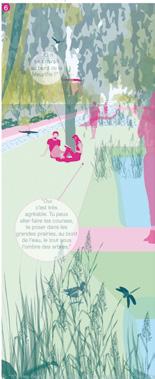
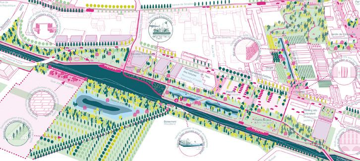
FIVE/FIVE: thinking through transversalities
FIVE/FIVE proposes to rethink the canal of the Grand Nancy metropolitan area, as the backbone of a series of transversal and complementary urban sequences, between city and water. Amplified and connected, the strong urban and programmatic heterogeneities that characterise its surroundings become a source of potential. The canal, once a rupture, becomes the link. Through five actions, five sites with complementary qualities are linked by a common contextual approach. The project, conceived as an ongoing process, relies on short-term activations to transform the canal and its surroundings into a dynamic neighbourhood over the long term.
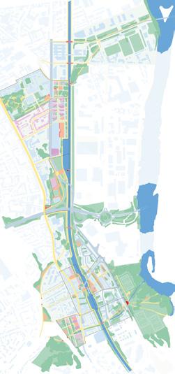
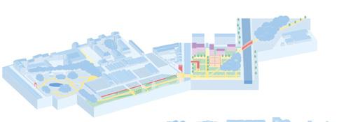
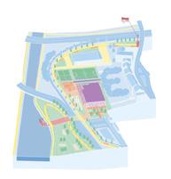
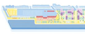
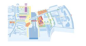
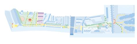
Author(s) —
Hadrien Cassan (FR) Urbanist, landscape architect; Anatole Poirier (FR), Architect, urbanist; Alex Roux (FR), Juliette Soubrane (FR), Architects
Contact — studio.h2aj@gmail.com
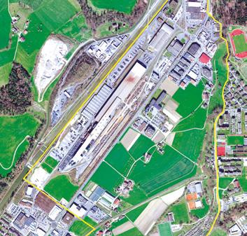
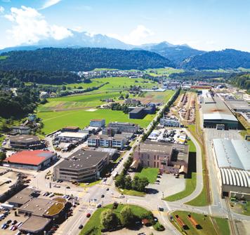
Luzern (CH)
How to transform a ‘zone’ around a station and sports facilities in a new living urban district?
Site Context
The Littauerboden is a largely undeveloped area in the west of the city of Lucerne with hardly any spatial planning and urban development ideas to date. Despite its proximity to Lucerne’s city centre, Littauerboden has a low public profile. With the planned train-stop, the location is moving closer to the city and opening up for a spatial reorientation. This raises the question of the future identity of the site and its significance in the context of the city as a whole, as well as in relation to the surrounding neighbourhoods and landscapes.
Questions to the competitors
How to develop a new diverse, lively and climate-resilient urban neighbourhood with a high quality of living, which has its own identity and is spatially and functionally linked to the surrounding structures? How to design a resource-conserving and space-efficient development project with innovative and broadly mixed uses, including existing buildings and facilities? How can the coexistence of industry, commerce, agriculture and housing generate added value? How to create diverse and attractive open spaces that are linked to the surrounding landscape and recreational areas to ensure the connectivity of ecosystems?
Scales XL/L
Location Littauerboden, Luzern
Population 84,000
Reflection site 350 ha
Project site 120 ha
Site proposed by City of Luzern
Actor(s) involved City of Luzern
Owner(s) of the site City of Luzern, others
Kleine Emmie & The Others
The transformation of Littauerboden is structured through four interwoven layers: nature, living, production, and culture. Nature forms the base — renatured grounds, ruderal ecologies, and cultivated fields. Living follows closely, integrated into the productive landscape with housing. Production is not hidden, but redefined — modernised, automated, and opened up to coexist with the everyday life of residents. And finally, culture is not confined to institutions but embedded into daily routines. Littauerboden doesn’t hide what it is. Spaces are reclaimed, reshaped and nature is let in. It’s not a tabula rasa — it’s a mosaic landscape, where steelwork meets soil, cranes meet joggers, and orchards meet innovation. Here, living is layered, and the future is not only human! Team point of view
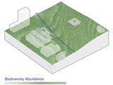
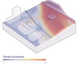
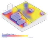
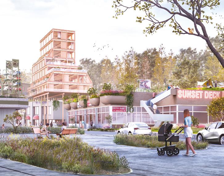
Author(s) —
Andrea Suardi (IT), Architect; Ani Safaryan (AM), Architect urbanist
Contact — noha.earth noharch@outlook.com
Jury point of view
This project offers a visionary depiction of a future society that supports its inhabitants, enables individual development, and integrates nature and living environments in a meaningful and selfevident way. It fundamentally reinterprets the site’s spatial potential and possible future uses taking agriculture and nature as central guiding themes. The proposed coexistence of traditional, respectful forms of agriculture with technologically intensified production is regarded as an innovative and convincing core principle of the scheme.
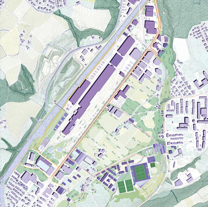
ZÄME
Team point of view
ZÄME develops a new paradigm of urban development in Switzerland that integrates greater density and innovative uses with the porosity, relational spaces, and living comforts to which locals have been accustomed. The goals are to contribute to the debate on densification and offer a concrete opportunity to develop the area, overcoming the dichotomy between building intensification and quality of life. With a strategy of territorial recomposition, the vision aspires to redefine the agriculture-nature-human relationship within a new urban condition. The human being is no longer a shaping subject but an equal player in a synergistic relationship of mutual benefits. In parallel, the project fosters quality of life and workplaces through restorative environments theories and the -15minute city.
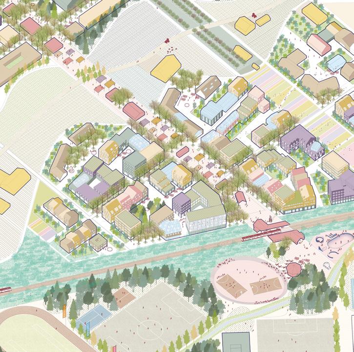
Author(s) —
Geronimo Felici Fioravanti (IT), Urban planner, urban designer; Cris Skenderi (IT), Architect, urbanist
point of view
Contact — Kastelruth (IT) / Paris (FR) info@lia-collective.it / info@dereurbana.com www.lia-collective.com / www.dereurbana.com
The project proposes a porous neighbourhood at the interface between the linear suburban fabric and the agricultural zone, enabling future residents to participate actively in a cooperative agricultural configuration. The team succeeds convincingly in implementing the concept of a porous city. Particularly noteworthy is the balanced interplay between clearly legible urban interventions and an open, flexible urban structure that offers strong potential for future development. Existing landscape features are incorporated and further articulated. The project skillfully interweaves the various existing scales to propose future-oriented urban development in the agglomeration belt.
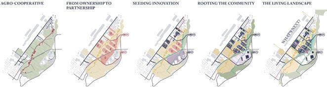
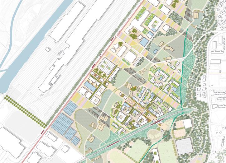
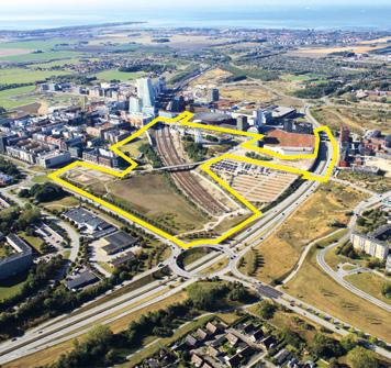
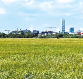
Malmö (SE)
How to redefine the barriers in a district linked to Malmö to strengthen connections in order to create a second metropolitan centre?
Site Context
Hyllie is a district in southern Malmö whose strategic location is a driver of the city’s sustainability goals. Hyllie Station is a key part of the regional and international infrastructure, positioned as Sweden’s first station for travellers arriving from Denmark. The district is planned to become Malmö’s second city centre , featuring a mix of housing, work, and recreational spaces. Urban development in Hyllie is now ‘halfway’ complete, with 8,000 residents and 12,000 workplaces. The railway tracks that, in the early 2000s, brought a station and urban development to valuable agricultural land now exist in a very different context. The ring road, which during the expansion of the social housing area served as a kind of city wall, still functions as a key link. However, the neighbourhoods it divided have now placed it in a new spatial context. There is now a need to reimagine these barriers
Questions to the competitors
How can the spatial impact of barriers in Hyllie be redefined to strengthen connections between existing and planned areas, while preserving the functionality of transport infrastructure? How can Hyllie be developed to offer values and functions in the form of more culture, everyday life, small-scale commerce, and restaurants? How can the area’s history and cultural background be integrated into urban planning to reinforce a sense of place and cultural anchoring while creating a vibrant and sustainable district? What innovative design solutions can minimise the negative effects of noise and wind, improve the microclimate, and create high-quality living environments in Hyllie?
Scales L/S
Location Hyllie, Malmö
Population 360,000
Reflection site 485 ha
Project site 40.4 ha
Site proposed by City of Malmö, The Swedish Transport Administration, PEAB Owner(s) of the site City of Malmö, The Swedish Transport Administration
Hyllie tegelstig
Team point of view
Building on the concept of the existing bike and pedestrian network of Tygelsjöstigen, the Hyllie tegelstig project introduces a brick path that implements the idea of placemaking as a method to create a living urban environment in Hyllie. The project both reinforces the unique identity of this neighbourhood and corresponds to current traditions of human oriented urban development in Malmö. The project reuses existing systems and local traditions in the area which can be summarised into four categories: train node, water, parks and avant-garde art. The project addresses the need for public spaces in Hyllie that support people’s sense of safety and well-being, while also contributing to an inclusive, playful, dynamic, meaningful and attractive urban environment in the Malmö region.
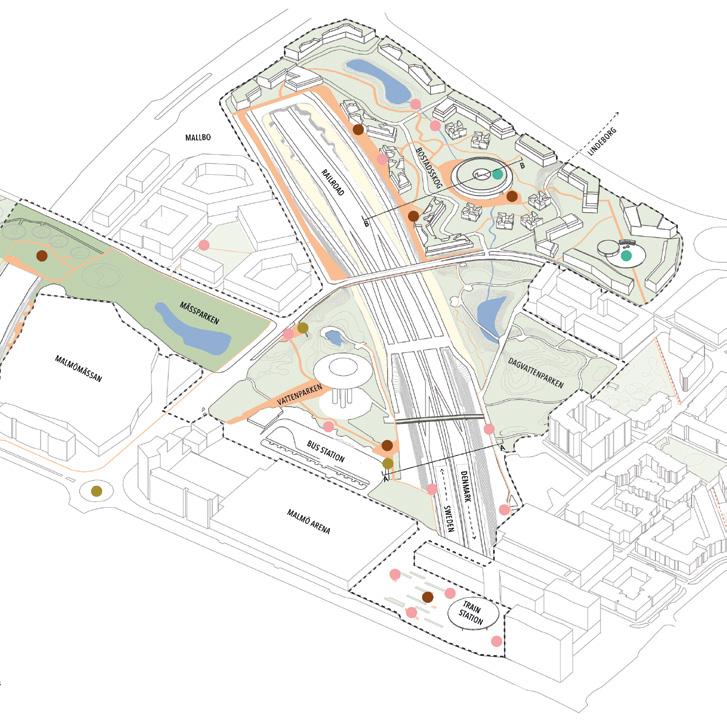
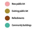
Author(s) —
Elise Cervin (SE), Therese Östman (SE), Architects; Sara Lalmi (FR), Urban planner
Jury point of view
Contributor(s) — Philippa Clarén (SE), Artist; Johan Stohne (SE), Composer; Iris Molendijk Hessel (NL), Razan Albunayah (SE), Lighting Designers; Filippa Leitz (SE), Student in Landscape Architecture; Louise Åström (SE), Student in Architecture
Contact — elise@tonrum.com
Tegelstigen shows a skillful handling of the site with its distinctive and characterful vision where the brick walkway acts as both a physical and poetic thread weaving through the district. By connecting housing, parks, art and local services, it creates a vivid and inclusive urban environment. The proposal cleverly bridges mental and physical barriers through art installations, pavilions and wooden bridges, while enhancing existing greenery into a coherent and continuous green corridor. Its residential concept combines small-scale, socially mixed housing with shared atrium courtyards, urban gardens and a cultural centre that foster social interaction, sustainability and a strong sense of local identity.


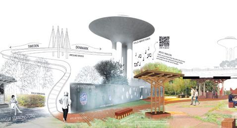
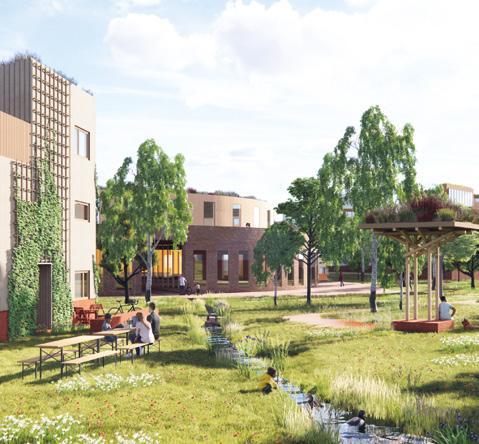
Between Grounds
Team point of view
Between Grounds is a project about seeking balance and building on what already exists in Hyllie. It draws from the area’s agricultural past, the topographic imprint of regional growth, and the cultural diversity of its residents. By rotating the kaleidoscope of urban parameters, new connections emerge between soft and hard, past and future, local and regional. A lookout deck, a market hall, shaded alleys, and civic rooftops form a layered urban fabric. Where infrastructures become social, and housing meets ecology, Hyllie becomes a shared platform for Malmö’s inclusive, regenerative future.
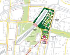
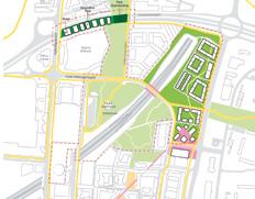
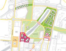
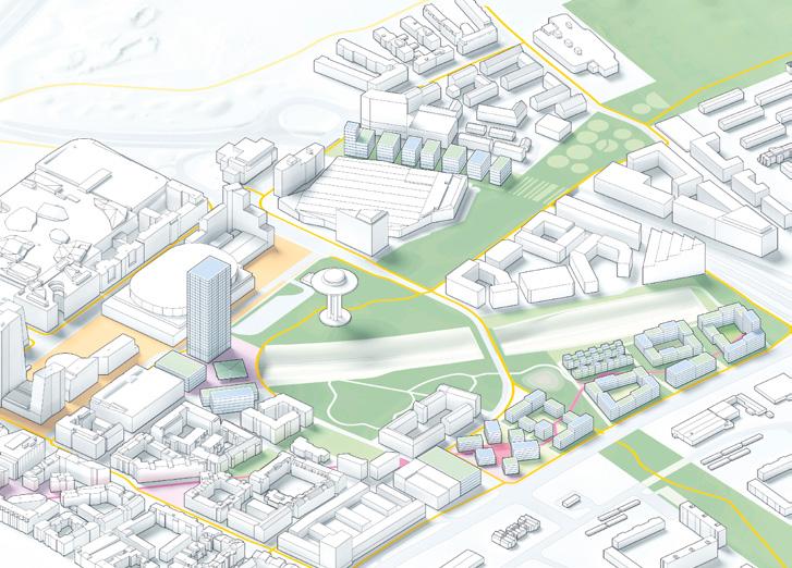
Author(s) —
Eugenia Bevz (UA), Architect, urban planner
Jury point of view
Contact — info@re-in.se www.re-in.se
Between Grounds is based on a holistic approach that integrates social, ecological and physical infrastructure to create an inclusive and regenerative urban district. The project transforms fragmented areas by turning barriers into connections, activating public spaces and promoting pedestrian and bicycle traffic while reintroducing historical and ecological layers into the urban landscape. Through a three step process, from the neighbourhood level, via the city level to the regional level, the proposal combines long term social, ecological and economic sustainability with participatory citizenship and innovative use of public spaces.
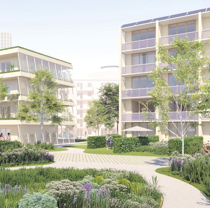
Hyllie — a stone’s throw away
Team point of view
Hyllie remains physically and socially fragmented, divided by infrastructure and distant from Malmö’s historic centre. Our project shifts focus from imposed visions to Hyllie’s existing ecosystems, communities, and potential, embracing its openness and ongoing transformation. Drawing on Guattari’s Three Ecologies and Sennett’s concept of porous boundaries, we reimagine barriers like railways as corridors of reconnection where social, ecological, and multi-species interactions can thrive. The future of Hyllie is defined not by its appearance but by how it is experienced a community within reach, just a stone’s throw away.
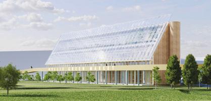
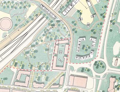
Author(s) —
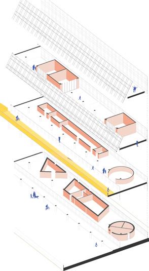
Consuelo Camerota (IT), Alessandra Farina (IT), Architects urbanists; Alexandra Chairetaki (GR) Landscape architect; Valentino Danilo Matteis (IT), Architect; Raffaele Orrù (IT), Agronomist
Contact — 10pavilions@gmail.com
Hyllie Hills 21532
Team point of view
The proposal envisions a new habitable topography inspired by the nearby hills of Kroksbäcksparken, integrating landscape, community and infrastructures. Also inspired by the zen Enso symbol, the design engages with the many circular forms in the area: roundabouts, urban gardens… It proposes a green, dense and mixed-use city composed of sustainable housing, cultural, sports and urban agricultural spaces, where each ‘ring’ functions as a programmatic node within a broader, more integrated urban system. The new topography connects areas currently fragmented by railway lines and the highway, promoting clean mobility; creating a green, multifunctional, accessible and deeply human urban environment. It is a resilient and holistic vision of a neighbourhood for both the present and the future.
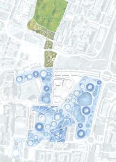
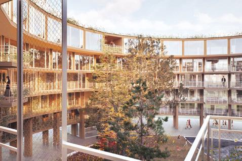
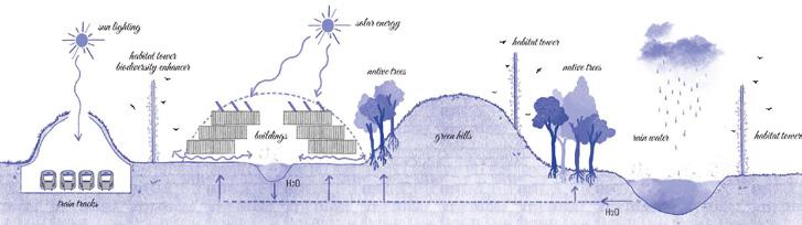
Author(s) —
Inmaculada Hervés González (ES), Architect
Contributor(s) —
Fernando Balea Domínguez (ES), Architect
Contact — Galicia (ES) inmaherves@gmail.com www.crudoarquitectura.com
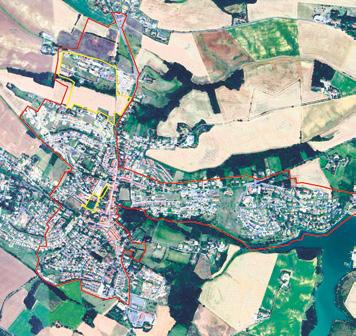
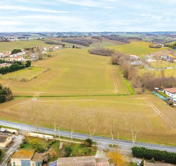
Nailloux (FR)
The ‘rurban city’, thanks to its proximity to Toulouse, has to become more attractive: how to insert urban facilities in two strategic areas?
Site Context
Nailloux was historically a rural commune, but with the construction of the A66 motorway, the travel time between Toulouse and Nailloux has been reduced. This new road connection has sparked significant peri-urban expansion, quadrupling the town’s population over the past two decades. The development of housing estates and public facilities has occurred in a fragmented and opportunistic manner and today the municipality recognises the dispersed and poorly connected nature of local services. Two project sites are proposed:
— The first site, located north of the town, is intended for space-intensive developments. This site presents a pronounced topography.
— The second site is centred around a new unifying public space, the Esplanade de la Fraternité where the municipality aims to expand the range of services and facilities available in the heart of Nailloux.
Questions to the competitors
How can the municipality be better structured while preserving its identity, status, and environment in the context of transition? How can the interfaces between the town, infrastructure, and the surrounding countryside be managed while preserving ecological and landscape balances? What approaches can improve water management in this hilly landscape, which is increasingly affected by drought? How can Nailloux become more walkable and bike-friendly? What strategies can help reduce dependency on the Toulouse metropolitan area and mitigate commuter flows?
Scales L/S
Location Nailloux
Population 4,200
Reflection site 159 ha
Project site 14 + 1 ha
Site proposed by Town of Nailloux
Actor(s) involved Town of Nailloux
Owner(s) of the site Town of Nailloux + private individual
Re-garde l’eau
Team point of view
Re-garde l’eau, means being less dependent on the Toulouse metropolis and moving towards a bio-regional solidarity. Re-garde l’eau, is about understanding a specific territory with intervention logics linked to topography, soils, urban organization and programmatic equilibrium. Re-garde l’eau, is about revealing Nailloux’s capacity to reinvent its urban development by balancing its efforts between public space and urbanity. Re-garde l’eau, is about proposing flexible architecture within a framework of local actors. Finally, Re-garde l’eau, means choosing water, the water that feeds, that flows, evaporates, freezes and flows again, revealing water at every moment, from the territorial path to the kitchen impluvium.
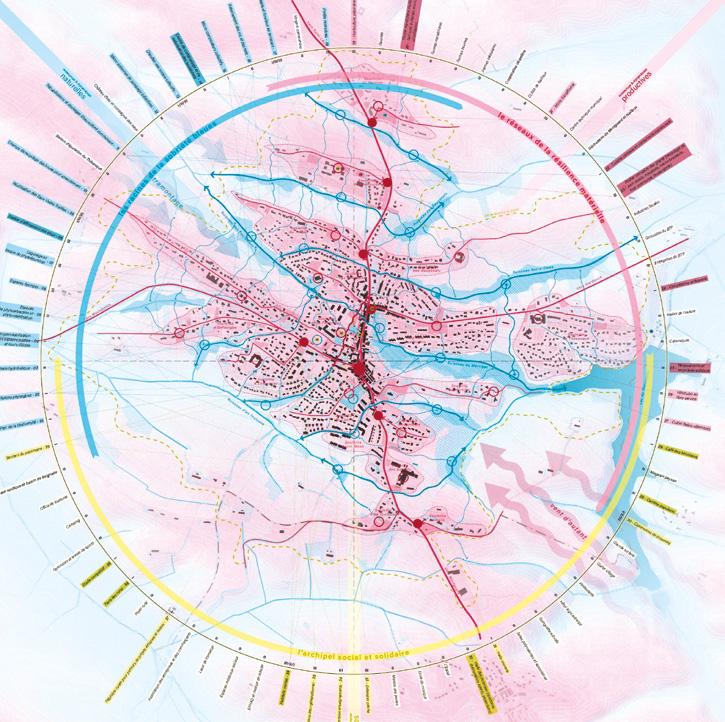
Author(s) —
Rémy Itard
(FR),
Jules Padioleau (FR), Léonard Pinel (FR), Architects; Antoine Ryo (FR), Architect urbanist
Jury point of view
Contributor(s) —
Germain Pluvinage
(FR),
Architect
Contact — admin@core-architecture.fr www.core-architecture.fr @co.re_architecture
The project is based on two essential elements organising the territory and the existing city: water and topography. The team reveals the power of a topological and landscape structure to address the urban edge, potential spaces for rewilding within urbanization, and areas of intense use. The water/ topography relationship is explored at all scales (territory, block, building) and is reflected in proposals for promoting local agriculture and micro-projects with a cultural focus. The jury distinguished the team for its ability to broaden the scope of the project and integrate the site into a systemic vision that combines social, economic, and cultural dimensions.
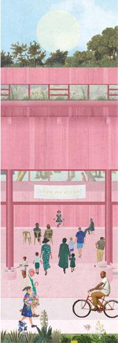
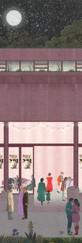
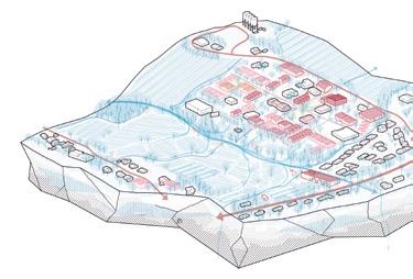
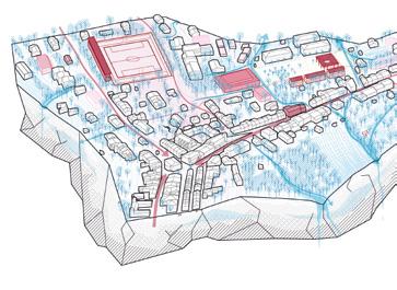
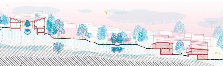
Histoire d’un ruisseau
The heart of the project lies in implementing a careful territorial strategy rooted in the geography of Nailloux, structured by ridges, valleys, edges, and a network of discreet streams. Re-sourcing means activating these landscapes as the foundation of a regenerative approach: restoring soils, rehydrating valleys, enhancing waterways, transforming existing buildings, and optimising artificial land. In response to urban sprawl, car dependency, and increasing droughts and floods, each local intervention is embedded within a broader landscape-based vision. The proposal seeks to foster new imaginaries in which architecture and social, economic, or agricultural practices serve nature rather than dominate it, fostering more cohesive and less resource-intensive ways of living. Team point of view
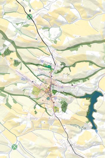
Author(s)
—
Orlane Bouguennec (FR), Architect, urbanist
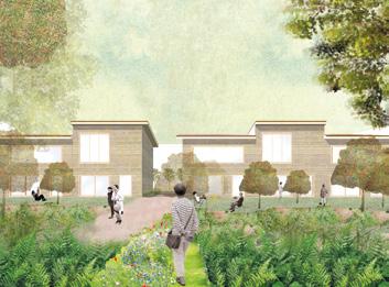
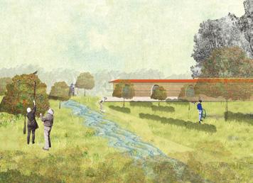
Contact — Quimper / Paris (FR) bouguennec.orlane@gmail.com www.odearchitectures.fr
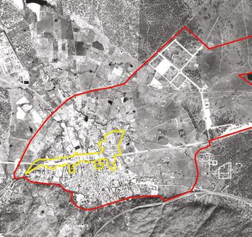
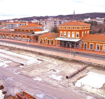
Navalmoral- de-la-Mata (ES)
How to integrate a high-speed transport infrastructure into the existing urban fabric?
Site Context
Navalmoral de la Mata is a municipality located in the northeast of the province of Cáceres, in the region of Extremadura. It enjoys a privileged location, at a crossroads that connects it directly with other cities, including Madrid and Lisbon. The A5 (Madrid-Lisbon) and the EX-A1 to Portugal (which in turn connects with the A66 and links Oviedo with Seville) pass through it.
The implementation of the significant industrial and logistics centre Expacio Navalmoral, the construction and operation of the high-speed railway line and the simultaneous creation of new residential areas are causing a major transformation, not only on a socio-economic level, but also on an urban and territorial one.
Questions to the competitors
Is it possible to integrate a transport infrastructure into the existing urban fabric and adapt it to the possible population growth of Navalmoral de la Mata? Could the spaces separated by the high-speed line be re-connected ? How can social and cultural cohesion between the areas divided by the train be promoted through cultural integration projects and the creation of meeting points between them? Could existing empty spaces be re-qualified? Could the mobility of the municipality be re-arranged?
Scales L/S
Location Navalmoral de la Mata (Cáceres)
Population 16,895
Reflection site 1197 ha
Project site 55 ha
Site proposed by Regional Government of Extremadura
Actor(s) involved Regional Government of Extremadura, Navalmoral de la Mata City Council, ADIF
Owner(s) of the site Public, private
ACTION — REACTION
Team point of view
The project addresses the disruption caused by the high-speed rail in Navalmoral through a regenerative vision based on three strategies: RE-NATURALIZATION, restoring ecological continuity with green corridors, permeable systems, and microclimate buffers; RE-CONNECTION, integrating planned infrastructures and improving surrounding mobility networks, while identifying opportunities for new pedestrian crossings; and RE-ACTIVATION, transforming vacant spaces into dynamic civic areas through adaptive reuse, flexible public programs, and use of local materials. A participatory process involving experts, institutions, and citizens ensures inclusive, resilient, and sustainable urban transformation.
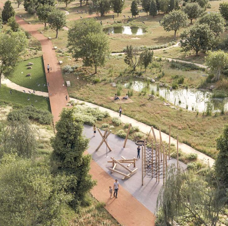
Author(s) —
Borja Santurino Yáñez (ES), Luis Manovel Mariño (ES), Jaime Barreiro Gallego (ES), Architects
Contact — action.reaction.e18@gmail.com www.luismanovel.wixsite.com/architect @borja_santurino, @luismanovelarch, @jaimebgg Jury point of view
This proposal demonstrates a very good analytical understanding of the territory, raising critical questions and identifying the moments that demand transformation. It articulates a comprehensive vision capable of unifying the city. The proposal’s strategy extends across scales, combining a coherent territorial vision with a series of small, precise interventions that take advantage of site constraints, ranging from temporary fairs to parking areas, from amphitheatres to water reservoirs. Its walking path system, weaving through the city and along the railway, connects natural parks and public spaces, providing shaded, comfortable routes that enhance everyday life. The project’s layered structure proposes a new kind of metropolitan metabolism that balances precision and openness. Its strength lies in its capacity to evolve with the city.
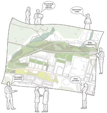
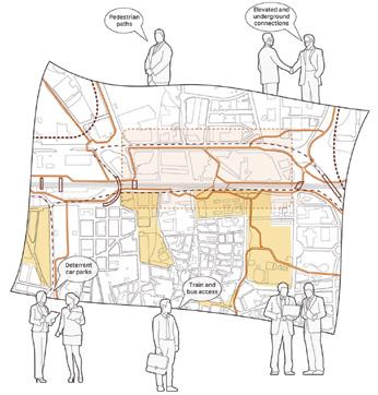
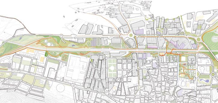
Suturing water, memory and biodiversity together
Team point of view
Suturing water, memory, and biodiversity together reconnects the agricultural landscape, streams, and ponds with urban fabrics fragmented by infrastructures like the railway and N-V road. A multiscale network promotes sustainable mobility, restoring environmental and heritage value through public spaces, wetlands, and productive areas. The model advocates for urban compactness, incorporating drainage solutions, climate refuges, and elevated crossings that foster biodiversity and sensory experiences. This builds a more resilient and liveable city territory, strengthening identity, sustainability, and social connection.
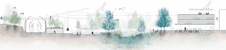
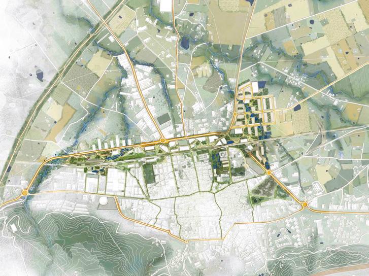
Author(s) —
Silvia Montesdeoca Cabrera (ES), José Carlos Ramírez Ceballos (ES), Javier Herrera Rosríguez (ES), Architects; Jorge Espinosa Morales (ES), Landsape architect, architect; Miranda Inman (GB), Landsape architect
Jury point of view
Contact — pya.collective@gmail.com www.pyacollective.com @pya.collective
This project presents a deeply territorial and landscape-driven vision, addressing with clarity the overwhelming presence of the new railway wall. Through a detailed analysis of the site, it proposes a network of green paths and natural water basins designed to collect runoff and sustain the city’s vegetation, transforming water management into a spatial and ecological strategy. Its ambition lies in reinterpreting the railway’s barrier as a generative landscape. The project stands out for its sensitivity, its precision in analysis, and its attempt to merge infrastructure, ecology, and urban experience into a single continuous landscape.
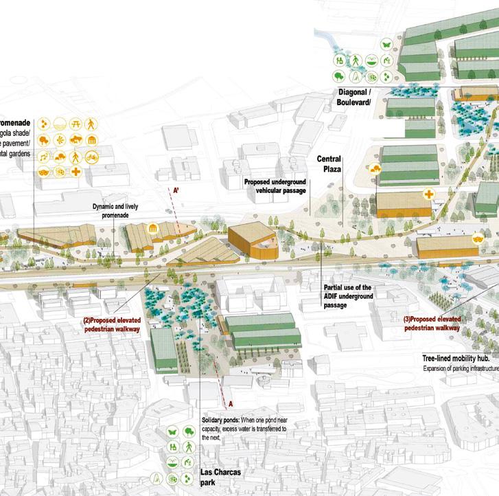
reCoser
Team point of view
Navalmoral de la Mata is a prominent town that attracts visitors from neighbouring towns every day. The town is set to undergo major infrastructure development, focusing on improving urban connections, including the regeneration of train tracks to accommodate high-speed rail services. reCoser will leverage the strengths of this new, fast communication network to connect Navalmoral with main capitals, integrating this infrastructure with urban interventions. Through new pedestrian bridges, the use of abandoned spaces, combinations of uses, and mobility strategies, we will create a robust mesh of connections inside the current surface area and with the planned expansion to the north. Thinking in terms of strategies that contribute to regenerating the city solves the current issue and provides residents with the means to adapt to future urban changes.

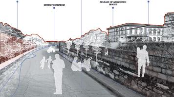
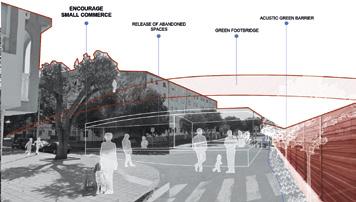
Author(s) —
Ignacio Merino (ES), Berta Rueda (ES), Architects
Contact — Paseo cerrado de Calderón 18, oficina k, 29018 Málaga (ES) studio@flow81.com @flow81 / www.flow81.com
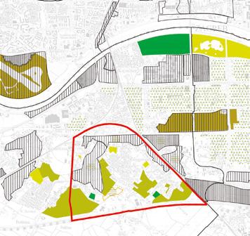
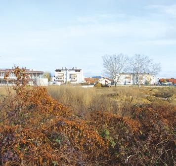
Zagreb (HR)
How to revitalise the city outskirts with a sustainable and inclusive affordable housing neighbourhood?
Site Context
Klara Nova is located on the southern edge of Novi Zagreb. Its typology and level of consolidation define it as a suburban periphery of Zagreb. It is developed on a matrix of rural agricultural parcelling, separated from its broader context by infrastructure corridors, which clearly mark the boundary between the planned Modernist neighbourhoods of Novi Zagreb and its rural outskirts.
A persistent trend of expensive and unaffordable housing has been aggravated by a limited supply of public housing units, the increase of short-term rentals, and the 2020 earthquake that temporarily rendered a substantial portion of the housing stock unusable. The implementation of municipal policies envisions the development of affordable public housing on this brownfield site, including public, social, and sports-recreational facilities, as well as green park areas.
Questions to the competitors
How can new spatial models be developed to coexist with the existing ones, in order to strengthen the neighbourhood of Sveta Klara as a place of interaction and participation for its residents and users? How can the use of sustainable modes of transportation in suburban areas be encouraged while reducing dependence on personal vehicles? How can we create a new residential neighbourhood that will serve as an integrating factor within the existing substandard suburban housing structure? How can we design flexible buildings for affordable living and working, adaptable to various lifestyles?
Scales L/S
Location Klara_Nova, Zagreb
Population 767,131
Reflection site 410 ha
Project site 4.62 ha
Site proposed by City of Zagreb
Actor(s) involved City of Zagreb
Owner(s) of the site City of Zagreb
The Common Green
Team point of view
The Common Green presents a sustainable, polycentric, and interconnected urban strategy for the outskirts of Zagreb. It envisions a network of small, open communities that, while maintaining their autonomy, collectively form a constellation of vibrant centres characterised by distinct identity, unique character, and a strong commitment to ecological development. This project serves as a model of centrality within a future network of developments that, through mutual reinforcement, will create a cohesive and resilient urban fabric. By integrating natural systems, lifestyles, and innovative design, The Common Green establishes a framework for reimagining the urban periphery as a space of care, proximity, and ecological stewardship.
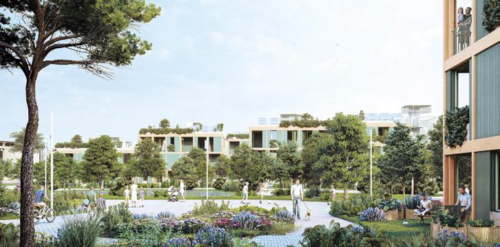
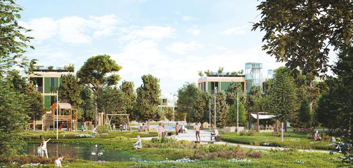
Author(s) —
Alejandro Caraballo Llorente (ES), Carlos Rebolo Maderuelo (ES), José (Pepe) Lacruz Vela (ES), Architects
Contact — CRAC, Madrid (ES) [A. Caraballo + C. Rebolo] www.tallercrac.com pepelacruzcarch, Onda (ES) [J. Lacruz Vela] www.pepelacruzarch.com Jury point of view
This project not only offers a high-quality and innovative urban design and a sound model of affordable housing, but also articulates a compelling vision of contemporary collective living an idea of community in which social cohesion is grounded in shared green space. The project’s strength lies in its consistent integration of three interrelated layers: the natural environment, the social life of the community, and the architectural and constructive dimension. Nature and greenery are not introduced as decorative additions, rather, they constitute a formative element in shaping the settlement’s identity through the integration of the natural landscape into everyday life. The project proposes a participatory approach to promote collaboration, mutual care, and meaningful interpersonal connections among residents.
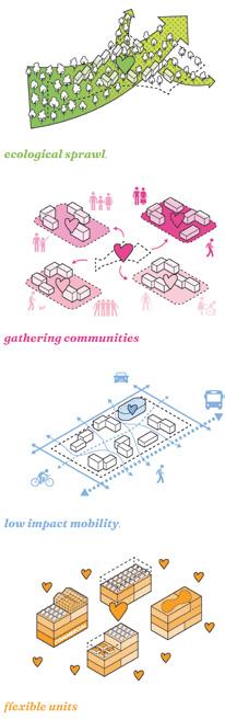
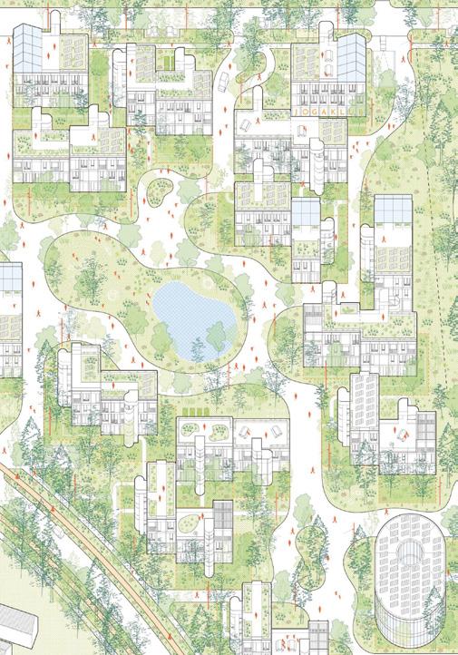
Where the Wildflowers Grow
Team point of view
Amid today’s housing crisis, Zagreb’s southern edge becomes a testing ground for a new kind of neighbourhood. Klara, caught between rural memory and urban expansion, offers both the friction and freedom to imagine it. Rather than start from scratch, we re-source knowledge from three domains: the planning of Novi Zagreb, the informal customs of Klara, and the resilience of nature. Three strategies guide the reflection site: micro green interventions, new connections for mobility and amenities, and a rethinking of the agricultural fringe. On the project site, architecture responds to various border conditions, shielding or connecting as needed. Across all scales, community and nature remain central themes, interpreted and adapted to different rhythms of everyday life.
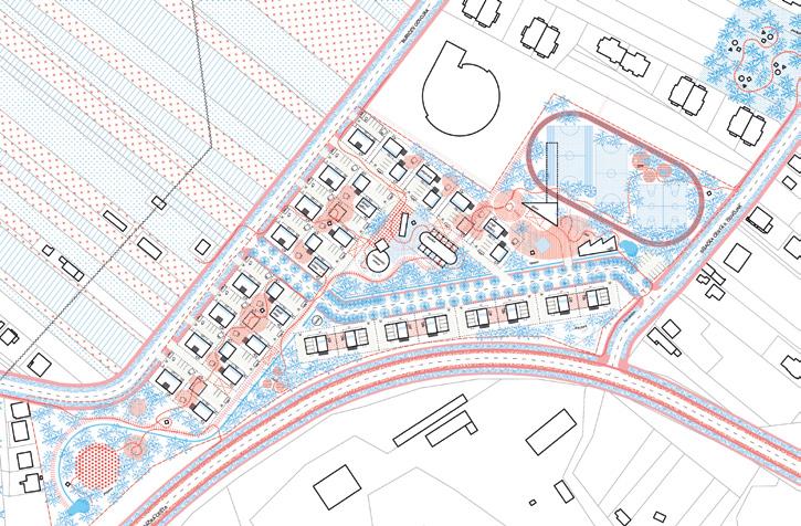
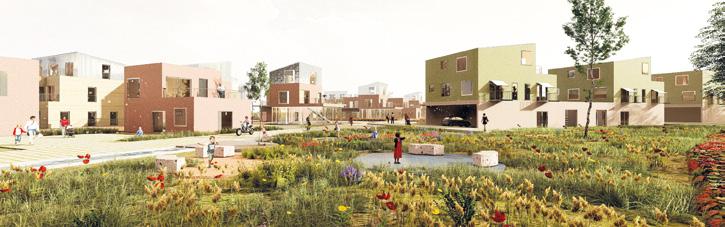
Author(s) —
Hana Dašić (HR),
Jana Horvat
(HR), Ria
Tursan (HR), Architects
Jury point of view
Contact — Zagreb (HR) hana@b-u-r-a.com www.b-u-r-a.com
This project shows a high level of understanding of the context and its problems, which leads to subtle but efficient intervention proposals and strategies to improve the quality of life in the area. Especially the proposal of pocket gardens seems plausible and beneficial for the quality of green public spaces across the wider area of Klara. To further integrate the Klara Nova area into the surroundings and reduce dependency on private cars, an extension of the public transport network is being proposed, making the entire city easily accessible. The urban design concept responds to the site’s edges with different architectural typologies varying degree of permeability.
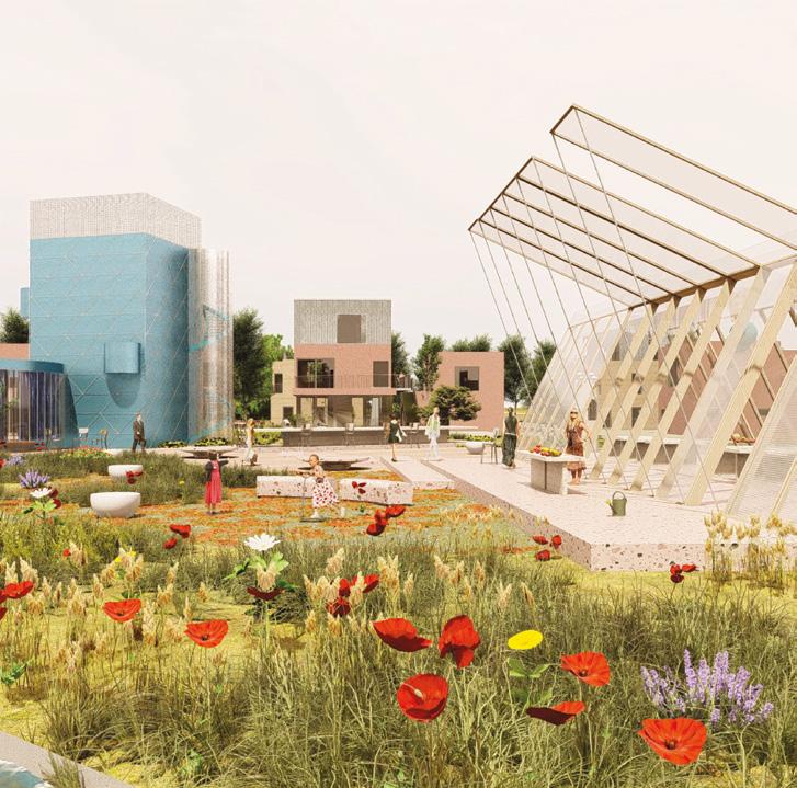
Learning from Klara
Team point of view
A Prototype for Collective Living at the Edge of the City
This proposal reconsiders suburban development through the lens of Klara’s informal urbanism. Rather than overwrite existing patterns, it builds upon them, recognising the spatial intelligence embedded in everyday practices. A central public spine connects residential clusters, where modular timber units support diverse, evolving household structures. Publicness emerges not through grand gestures, but through layered, adaptable infrastructures: shared gardens, porches, pavilions. Learning from Klara offers a framework for gradual transformation, embracing informality, coexistence, and care as fundamental tools of urban design.
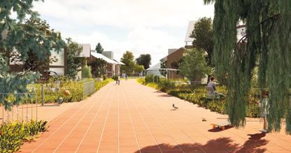
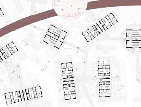
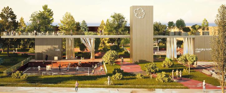
Author(s) — Sara Blekić (HR), Antea Divić (HR), Maciej Wieczorkowski (PL), Architects
Contact — Baum Studios, info@baumstudios.com, www.baumstudios.com
Post Studio, info@post-studio.eu, www.post-studio.eu Dividual, office@dividual.eu, www.dividual.eu
Soft Prospect
Team point of view
Soft Prospect proposes a low-cost housing model in Klara Nova, Zagreb, combining traditional brick construction, modular typologies, and ecological design. Paired buildings share walls on the ground floor and touch lightly above, maximising usable space and light. Minimal paving, preserved natural soil, and shared green spaces reduce costs and foster biodiversity. Ground-floor units host local production, while pedestrian porosity and proximity networks support social cohesion. A flexible, resilient urban fabric for affordable futures.
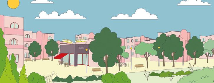
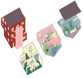
Author(s) —
María Amador Gálvez (ES), Julio Sánchez García (ES), Architects
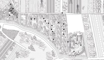
Contact — Sevilla (ES) hola@poof-poof.com www.poof-poof.com
E18 juries presentation
Deutschland
Urban/architectural order

Dr. Elisabeth Merk (DE) [Jury President]
City Building Councillor of the provincial capital Munich, Munich (DE) www.stadt.muenchen.de www.professoren.tum.de

Theresa Keilhacker (DE)
President of the Berlin Chamber of Architects, Kazanski. Keilhacker Urban Design Architektur, Berlin (DE) www.urbandesign-architektur.com www.ak-berlin.de
Urban/architectural design


Nikolaus Hirsch (BE)
Artistic Director of the CIVA Architecture Museum, Brüssel (BE) — www.v-a-i.at
Julio de la Fuente (ES)
Architect, urbanist, Partner at GutiérrezdelaFuente Arquitectos, Madrid (ES) www.gutierrez-delafuente.com
Andrea Klinge (DE)
Architect engineer, Professor of Construction and Design at the KIT and for Circular Construction at the HABG, Berlin/Karlsruhe (DE) / Basel (CH) — www.zrs.berlin www.fhnw.ch / www.arch.kit.edu

Anna Lundquist (DE)
Professor of Landscape Architecture at the Brandenburg University of Technology Cottbus-Senftenberg, Man Made Land, Berlin (DE) www.manmadeland.de / www.b-tu.de
Public figure

Kaye Geipel (DE)
Architecture critic, urbanist and curator, 2010–22 deputy editor-in-chief of Bauwelt magazine, Berlin (DE) / Brüssel (BE)
Substitutes


Ingrid Sabatier (DE)
ISSS research | architecture | urbanism, Berlin (DE) — www.isssresearch.com
Tobias Hönig (DE)
Professor of Building Theory and Design at the New School of Architecture at the University of Siegen and Studio CO NOW GmbH, Berlin / Siegen (DE) — www.co-now.eu www.architektur.uni-siegen.de
España/Portugal
Urban/architectural order


Iñaqui Carnicero (ES)
General secretary, Ministry of Housing and Urban Agenda, Madrid (ES) www.mivau.gob.es
Xavier Monteys (ES)
Architect, professor, Barcelona (ES) www.cccb.org
Urban/architectural design


Fernanda Canales (MX)
Architect, Mexico (MX) www.fernandacanales.com
Ana Luisa Soares (PT)
Architect, Porto (PT) / Lausanne (CH) www.falaatelier.com/
Nader Tehrani (US)
Urban Planning and Design, Boston (US) www.nadaaa.com
Pascale Hannetel (FR) Landscaper, Paris (FR) www.hyl.fr
Débora Mesa (ES) [Jury President]
Architect, Madrid (ES) www.ensamble.info
David Lorente (ES)
Architect, Sabadell (ES) www.harquitectes.com
Rui Florentino (PT)
Architect, Professor at Portucalense University, Department of Architecture and Multimedia Gallaecia, and Researcher in the UPT branch of CIAUD, in urbanism and planning / appointed by the Ordem dos Arquitectos, Porto (PT)
Public figure

Fabrizio Gallanti (IT)
Curator and architect, director of arc en rêve, centre d’architecture, in Bordeaux (FR) www.arcenreve.eu
Substitutes


Catalina Salvà (ES)
Architect, winner in Europan 14, 15, 17, Barcelona / Llucmajor (ES) www.salvaortin.com
António Laúndes (PT)
Architecte, Ordem dos Arquitectos, Lisbon (PT)
France
Urban/architectural order


Suzanne Brolly (FR)
2nd Deputy in charge of the resilient city, urban planning and green spaces, Strasbourg (FR)
Hélène Fernandez (FR)
Assistant director of Heritage and Architecture, Paris (FR)
Philippe Mazenc (FR)
General director of Planning, Housing and Nature, Ministry of Ecological Transition and Territorial Cohesion, Paris (FR)
Urban/architectural design


Dominique Jakob (FR)
Architect, JACOB+MACFARLANE, Paris (FR) www.jakobmacfarlane.com
Carles Llop (ES)
Architect, urban planner, JORNETLLOPPASTOR Arquitectes, Barcelona (ES) — www.jlp.cat
Françoise Nthépé (FR)
Architect, FRANÇOISE N’THÉPÉ
Architecture & Design, Paris (FR) www.fnthepe-paris.com
Daniel Pearl (CA)
Architect and professor at the University of Montreal, specializing in regenerative architecture, L’OEUF Architectes, Montreal (CA) — www.loeuf.com
Paola Viganò (IT)
Architect, urban planner, Studio Paola Viganó, Milano (IT) / Brussels (BE) www.studiopaolavigano.eu
Public figure

Claire Schorter (FR) [Jury President]
Architect, urban planner, LAQ agency, grand prize for urban planning 2024, Paris / Nantes (FR) — www.laq.eu
Substitutes


Benoit Barnoud (FR)
Architect, landscape architect, Altitude 35, Paris (FR) — www.altitude35.com
Iris Chervet (FR)
Architect, landscape architect, Atelier Iris Chervet, Paris (FR) www.irischervet.fr
Hrvatska
Urban/architectural order


Nataša Bošnjak (HR)
Architect, Osijek (HR) www.osijek.hr
Zoran Paunović (HR)
PhD in Economy, Mayor of Makarska (HR) www.makarska.hr/gradonacelnik
Urban/architectural design


David Mikhail (UK) [Jury President]
Architect, Mikhail Riches Architects, London, Stirling prize winner 2019 (UK) www.mikhailriches.com
Josip Jerković (HR)
Architect, PARK Architekten, Zürich (CH) www.park.ch
Alan Kostrenčić (HR)
PhD Architect, architect, Zagreb (HR) www.arhitekt.hr/en/teaching/employee/ alankostrencic,381.html zs.kostrencic-krebel.com
Jana Čulek (HR)
PhD Architect, architect, Zagreb (HR) www.janaculek.com
Public
figure

Ivana Antunović Jović (HR)
Journalist, Zagreb (HR) www.hrt.hr
Substitutes


Snježana Turalija (HR)
Economist, specialized in green management, Zagreb (HR) www.greenika.hr
Senka Dombi (HR)
Architect, Zagreb (HR) www.asa-web.netlify.app
Italia
Urban/architectural order

Michele Talia (IT)
President of INU (National Institute of Urban planning), Roma (IT) www.inu.it
Urban/architectural design

Michele Rossi (IT) [Jury President]
Architect, partner and co-founder of PARK Associates, ‘Italian Architect 2024’ Award, Milano (IT) www.parkassociati.com

Dinco Peračić (HR)
Architect, founder of the Architects’ Collective Platforma 9.81 and partner in Architects’ Office ARP, Split (HR) www.dinkoperacic.com

Gianluca Andreoletti (IT)
Architect, founder of GAA architecture and Ebner and Friends international office in partership with AVAA associates Architects, Roma (IT) www.ga-a.it
Public figure

Giorgio De Finis (IT)
Anthropologist, artist, artistic director and curator at ‘Museo delle Periferie’ in Rome, artistic director and curator at CAMP (Colonna Art Museum) in Pescara, creator and artistic director at MAAM (Museo dell’Altroe dell’Altrove di Metropoliz_ mixed-race city), Roma (IT) www.museodelleperiferie.it
Substitutes


Luca Luini (IT)
Architect, LLUMAA architecture, winner E16 Bitonto, Gallarate (IT) www.llumaa.com
Riccardo Masiero (IT)
Architect, LLUMAA architecture, winner E16 Bitonto, Milano (IT) www.llumaa.com
Nederland
Urban/architectural order


Kristiaan Borret (BE)
Bouwmeester Maitre Architecte (BMA) at Brussels Capital Region (BE) www.bma.brussels
Jeroen de Willigen (NL)
Urbanist and partner at De Zwarte Hond, Chairman BNA, Supervisor Amsterdam Amstel, Healthy Ageing Campus (NL) www.dezwartehond.nl

Eric van der Kooij (NL)
Chairman BNSP, Concept development at BPD Amsterdam (NL) www.linkedin.com/in/eric-van-der-kooija18469ab/
Urban/architectural design


Oana Rades (NL)
Architect, partner at Shift architecture urbanism, Rotterdam (NL) www.shift-au.com
Wouter Veldhuis (NL)
Urban planner, State advisor for the physical living environment, director MUST Ambassador, Platform Space for Walking, Amsterdam (NL) www.must.nl


Cécilia Gross (NL) [Jury President] Architect partner, director at VenhoevenCS architecture+urbanism, Amsterdam (NL) www.venhoevencs.nl
Nathalie van Hoeven (NL)
Concept development at Eigen Haard, Amsterdam (NL) www.eigenhaard.nl
Rob Meurders (NL)
Architect partner, Diederendirrix architects Voorzitter Adviescommissie Omgevings Kwaliteit Eindhoven (NL) www.diederendirrix.nl
Public figure

Tom Avermaete (CH)
Professor for the History and Theory of Urban Design at ETH Zürich (CH) www.nsl.ethz.ch/en/professur/prof-dr-tomavermaete
Urban/architectural order


Kotchakorn Voraakhom (TH)
Landscape architect, CEO and founder of Landprocess and Porous City Network www.landprocess.co.th
Therese Øijord (NO)
Architect, City architect Askim (NO) www.linkedin.com/in/therese-%C3%B8ijord26384a35/
Urban/architectural design


Magnus Wåge (NO) [Jury President]
Architect, partner Mestres Wåge, Barcelona (ES) / Oslo (NO) www.mestreswage.com
Jens Richer (DE)
Architect, partner Estudio Herreros, Madrid (ES) / New York (US) / Mexico (MX) www.estudioherreros.com
Siri Lundestad (NO)
Architect, partner Transborders studio, Oslo (NO) www.transborderstudio.com
Rainer Stange (NO)
Landscape architect, partner Bokemo and professor in landscape at AHO, Oslo (NO) www.bokemo.no
Public figure

Mansoor Hussain (NO)
Politician, urbanist, Oslo (NO) www.linkedin.com/in/mansoor-hussaina8615613a/
Substitute

Oda Solberg (NO)
Architect, natural state and leader of Oslo chapter of the national association of architects, Oslo (NO) www.naturalstate.no
Suomi-Finland
Urban/architectural order


Andro Mänd (EE)
City Architect, City of Tallinn (EE) www.arhliit.ee/en/author/andro-mand
Suvi Saastamoinen (FI)
Landscape architect (MARK), Sitowise Ltd, Helsinki (FI) www.fi.linkedin.com/in/suvisaastamoinen-61261219;
Urban/architectural design


Miia-Liina Tommila (FI) [Jury President] Architect (SAFA), Tommila Architects Ltd, Helsinki (FI) www.tommilaarchitects.com
Frédéric Chartier (FR) Architect, ChartierDalix, Paris (FR) www.chartier-dalix.com
Pekka Pakkanen (FI)
Architect (SAFA), Planetary Architecture Ltd, Helsinki (FI) www.planetary.fi
Sofie Pelsmakers (BE)
Prof., architect (ARB/RIBA), University of Tampere (FI) www.tuni.fi/en/people/sofie-pelsmakers
Public figure

Frank Martela (FI)
Assistant professor, PhD Philosopher, philosopher, Aalto University, Helsinki (FI) www.frankmartela.com/about-the-author
©C. Gharbi
©R. Avaste
©L. J ä rnefelt
©A. Jalonen
©M. Sabogal
Suisse/Österreich
Urban/architectural
order

Regula Lüscher (CH) [Jury President]
Architect and urban planner, former Senatsbaudirektorin / Staatssekretärin für Stadtentwicklung, Berlin (DE) www.stadtmacherin.ch

Sascha Roesler (CH)
Theory of Urbanization and Urban Environment, USI Mendrisio (CH) www.roesler.arc.usi.ch
Urban/architectural design


Anouk Kuitenbrouwer (NL)
Architect, urban planner, KCAP, Zürich (CH) www.kcap.eu
Anne Femmer (DE)
Architect, SUMMACUMFEMMER, Leipzig (DE) www.summacumfemmer.com
Marco Rampini (CH)
Landscape architect, Atelier Descombes Rampini, Genève (CH) www.landezine.com/landscape-architects/ atelier-descombes-rampini/
Lina Streeruwitz (AT)
Architect, urban planner, studiovlaystreeruwitz, Wien (AT) www.vlst.at
Felix Brüssow (DE)
Landscape architect, La Comète, winner Europan 16, Genève (CH) www.la-comete.ch
Charlélie Michel (FR)
Architect urbanist, winner Europan 16, Bern (CH) — www.europan-europe.eu/en/ exchanges/the-city-as-a-living-organism
Public figure

Alice Hollenstein (CH)
Urban Psychologist, Co-Managing Director CUREM, Zürich (CH) www.urbanpsychology.com
Substitutes


Mathias Heinz (CH)
Architect, pool Architekten, Zürich (CH) www.poolarch.ch
Konrad Scheffer (DE)
Architect, Office Oblique,Zürich (CH) www.officeoblique.com
Sverige
Urban/architectural order

Pernilla Wåhlin Norén (SE) [Jury President]
Architect and building conservator, city architect of Borlänge, board member of Swedish Architects Plan academy, Borlänge (SE) — www.borlange.se

Sam Keshavarz (SE)
Landscape architect, founder of Outer Space Arkitekter, Sotckholm (SE) www.outerspacearkitekter.se
Urban/architectural design

Johan Arrhov (SE)
Architect, founding partner, Arrhov Frick Arkitektkontor, visiting professor Accademia di Architettura, Mendrisio (CH) / Stockholm (SE) www.arrhovfrick.se

Lone-Pia Bach (SE)
Professor architectural preservation at Royal institute of art, founder of Bach architects, Stockholm (SE) www.bacharkitekter.se

Helle Juul (DK)
PhD Architect, founding partner of JUULFROST Architects, president to INTA, Copenhagen (DK) www.juulfrost.dk/da

Øystein Rø (NO)
Architect, founding partner Transborder Studio, Oslo (NO) www.transborderstudio.com
Public figure

Meta Berghauser Pont (SE)
Professor in Urban Morphology and Urban Design at Chalmers University of Technology in Gothenburg, runs the research group SMoG, Norrköping (DE) www.chalmers.se
Substitutes


Anders Johansson (SE)
Architect, founding partner at Ateljé Södersvik, Stockholm (SE) www.ateljesodersvik.se
Frida Öster (SE)
Architect, municipal architect of Nynäshamn Municipality, Stockholm (SE) www.nynashamn.se
E18 Europan Secretariats
Europan DEUTSCHLAND
Friedrichstraße 23 A 10969 Berlin — Germany mail@europan.de www.europan.de
Europan ESPAÑA
Paseo de la Castellana, 12 28046 Madrid — Spain europan.esp@cscae.com www.europan-esp.es
Europan FRANCE
39 Bd de Magenta 75010 Paris — France contact@europanfrance.org
Europan HRVATSKA
c/o Ministry of Construction Republike Austrije 20 10000 Zagreb — Croatia info@europan.hr www.europan.hr
Europan ITALIA
c/o Consiglio Nazionale Architetti PPC Via Santa Maria dell’Anima 10 00186 Roma — Italy contact@europan-italia.eu www.europan-italia.org
Europan NEDERLAND
c/o URBANOFFICE Architects Amsteldijk 83-2 1074JB Amsterdam — Netherlands e18@europan.nl www.europan.nl
Europan NORGE
c/o Utopic AS Daniel Hansens gate 7 5008 Bergen, Norway post@europan.no www.europan.no
Europan ÖSTERREICH
Mariahilferstrasse 93/1/14 1060 Wien — Austria office@europan.at www.europan.at
Europan PORTUGAL
Travessa do Carvalho 23 1249-003 Lisboa — Portugal celia.faria@ordemdosarquitectos.org
Europan SUISSE
Werkhofstrasse 11 2503 Biel — Switzerland bureau@europan.swiss www.europan.ch
Europan SUOMI–FINLAND
Hämeentie 19 A 00500 Helsinki — Finland info@europan.fi www.europan.fi
Europan SVERIGE
c/o Asante Architecture & Design
Brännkyrkagatan 98 117 26 Stockholm — Sweden info@europan.se www.europan.se
Europan EUROPE
39 Bd de Magenta 75010 Paris — France contact@europan-europe.eu www.europan-europe.eu
Credits
EUROPAN 18 RESULTS
This book is published in the context of the eighteenth session of Europan
Head of publication
Didier Rebois — Secretary General of Europan
Editorial secretary
Françoise Bonnat — responsible of the Europan publications
Authors
Iñaki Alday — Architect, co-founder of aldayjover architecture and landscape (ES / US), Dean at Tulane School of Architecture and Built Environment (US)
Carlos Arroyo Zapatero — PhD Architect, urbanist, linguist, founder of Carlos Arroyo Architects, teacher in Madrid’s Universidad Europea (ES), Europan Scientific Committee member
Céline Bodart — PhD Architect, lecturer at the Faculty of Architecture of Liege University (BE) and at the Paris-la-Villette School of Architecture (FR), Europan Technical Committee member
Annelies De Nijs — Urban designer, co - founder of Atelier Horizon, lecturer at KASK School of Arts Ghent (BE), Europan Scientific Committee member
Julio de la Fuente — Architect, urbanist, co-founder of Gutiérrez-delaFuente Arquitectos, Madrid (ES), Europan Technical Committee member
Miriam García García — PhD Architect, landscape architect, urbanist, co-founder of Landlab, professor, Barcelona (ES), Europan Scientific Committee member
Didier Rebois — Architect, Secretary General of Europan, coordinator of the Scientific Committee, Paris (FR)
Nicolás Martínez Rueda — Architect, founder of DOCEXDOCE Architecture
Competition for students, Barcelona (ES), Europan Technical Committee member
Socrates Stratis — PhD Architect, urbanist, co-founder of AA&U and LUCY director, Professor, Dpt. Architecture, Univ. of Cyprus, Nicosia (CY), Europan Scientific Committee member
Dimitri Szuter — PhD Architect, researcher and performer. Founder of P.E.R.F.O.R.M! (FR), Europan Technical Committee member
Bernd Vlay — Architect, teacher, researcher, co-founder of StudioVlayStreeruwitz, president of Europan Österreich, Wien (AT), Europan Scientific Committee member
Wim Wambecq — Architect, assistant Professor, Researcher URBinLAB in Lisbon (PT), founding partner Midi (BE/PT)
Chris Younès — Anthro-philosopher, professor at the ESA school of architecture. Founder and member of the Gerphau research laboratory, Paris (FR), founder and member of ARENA, Europan Scientific Committee member
English translation / proofreading
Frederic Bourgeois
Graphic design and layout
Radiographique
Léa Rolland & Redouan Chetuan www.radiographique.com
Printing
UAB Balto print (Vilnius, Lithuania)
Edited by
Europan Europe
Paris, France
www.europan-europe.eu
ISBN: 978-2-914296-36-6
Legally registered
2nd quarter 2026
CALLE FUENTESAUCO