UTÓPICA VILLAHERMOSA
The presented work is an excerpt from my Bachelor’s in Architecture Thesis.
Para nuestras familias, quienes desde el apellido nos han inculcado profundo amor por nuestras raíces.
For our families, who, even through our surname, have instilled in us a profound love for our roots
Y de una para la otra, por alentarnos tanto en el proyecto como en todos los demás aspectos de nuestras vidas.
And from one to the other, for encouraging us not only in this project but in all other aspects of our lives.
utopia
1. Feminine noun
An ideal plan, project, doctrine, or system that appears to be very difficult to achieve.
2. Feminine noun
An imaginative representation of a future society characterized by conditions that promote human well-being.


We were born in the south of Mexico:
A region rich in culture yet often overlooked in discussions regarding urban development. Villahermosa is primarily recognized as an oil city or a stopover en route to Cancún. Utopica Villahermosa explores the factors constraining Villahermosa’s growth, and the opportunities that could catalyze it into a thriving, walkable, biophilic, and equitable city.
This project arose from a deep-seated desire to address questions that have long preoccupied those of us from southeastern Mexico: Why do we experience stagnant growth? Why are our cities so deeply unequal? How can we contribute to the sustainable development of the region? Our proposal signifies a return to the Olmec principles of our ancestors: an economy centered around local products such as maize, plantain, chocolate, and even oil, and infrastructure that shows reverence for the rivers and mountains that preceded our existence and continue to challenge it.
Guided by the Urban Resilience Index, we conducted a systematic analysis of Villahermosa, examining its multifaceted challenges and opportunities. Through this framework, we identified eight core issues impeding the city’s progress and developed a series of strategic interventions that respond to those issues.
The idea behind this thesis is not to propose a rigid framework for an urban plan, but rather to offer an array of flexible and adaptable urban strategies that can be implemented throughout the city in an acupuncture-like manner. This approach aligns with Mexico’s current political model, where frequent changes in leadership often result in inconsistencies in implementing long-term plans. By offering flexible solutions, the framework allows each administration to select interventions that align with their budget and objectives, while the remaining elements can be integrated as needed.
In this model, legibility is paramount, as governments seek tangible results for citizens. Driven by a commitment to social justice and clarity, we prioritized collaborative approaches to secure consensual community interventions. This master plan does not present a rigid transformation timeline constrained by political terms. Instead, it offers a dynamic, adaptable set of solutions for incremental, non-linear implementation, aiming to create an urban environment that fosters resilience, equity, and well-being for all inhabitants.
ENVIRONMENT
1. Location
2. Topography
3. Open Spaces
4. Weather
5. Water
Villahermosa consists of two municipalities of Tabasco: Centro and Nacajuca. While the city has primarily developed within the municipality of Centro, the metropolitan delimitation exercise conducted by SEDATU in 2020 incorporated both entities based on the principles of “physical conurbation” and “100,000 or more inhabitants.”
metrópoli Villahermosa
municipios Tabasco
estados de México
However, it is important for us to provide the nuances of this distinction. While the southern part of Nacajuca is nearly fully conurbated with the city of Villahermosa through predominantly residential areas, the western part of Nacajuca possesses an economy, history, culture, and overall functionality that are entirely distinct from its southern counterpart. Throughout our work, we will maintain this distinction as a sign of respect to the individuality of the municipality (its culture and ancestry) while also acknowledging the urban expansion that has extended from the municipality of Centro into the peripheries of Nacajuca.
golfo de México
localidades urbanas
localidades urbanas
localidades rurales
localidades rurales
municipios Tabasco
municipios Tabasco
estados de México fondos
estados de México fondos
golfo de México
golfo de México
Guatemala
Guatemala
localidades urbanas Villahermosa
urban localities (Villahermosa)
localidades urbanas Villahermosa
metrópoli Villahermosa
metrópoli Villahermosa
Villahermosa Metropolis
localidades rurales Villahermosa
localidades rurales Villahermosa
rural localities (Villahermosa)
municipios Tabasco
Tabasco
Guatemala x México
municipios Tabasco
Tabasco municipalities
Gulf of Mexico
golfo de México
golfo de México
RURAL AND URBAN
According to the 2020 National Population Census defines rural entities as those with fewer than 2,500 inhabitants. The entities with the highest rural populations are Chiapas, Oaxaca, Hidalgo, and, in fourth place, Tabasco, with 41.5% of its population residing in rural localities. In the figures below, we can observe the vast number of rural localities in Tabasco and their distribution. Most urban localities are concentrated in the central part of the state, near Villahermosa, while the peripheries are predominantly composed of rural localities, with some municipalities having relatively small urban centers


metrópoli Villahermosa
municipios Tabasco
estados de México
golfo de México
localidades urbanas
localidades urbanas
urban localities
localidades rurales
localidades rurales
Guatemala
rural localities
municipios Tabasco
municipios Tabasco
Tabasco municipalities
estados de México
estados de México
Mexico states
fondos
fondos
golfo de México
Gulf of Mexico
golfo de México
Guatemala
Guatemala
Guatemala
TOPOGRAPHY


TOPOGRAPHY
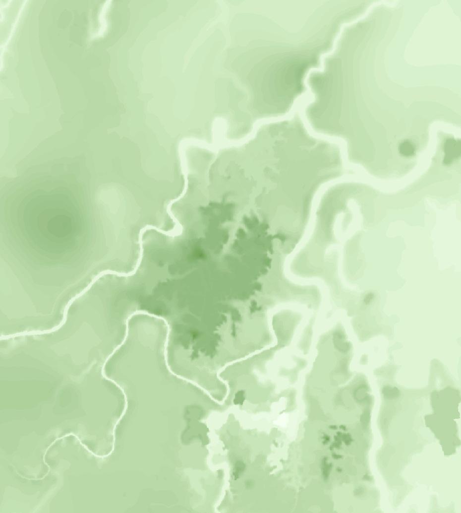
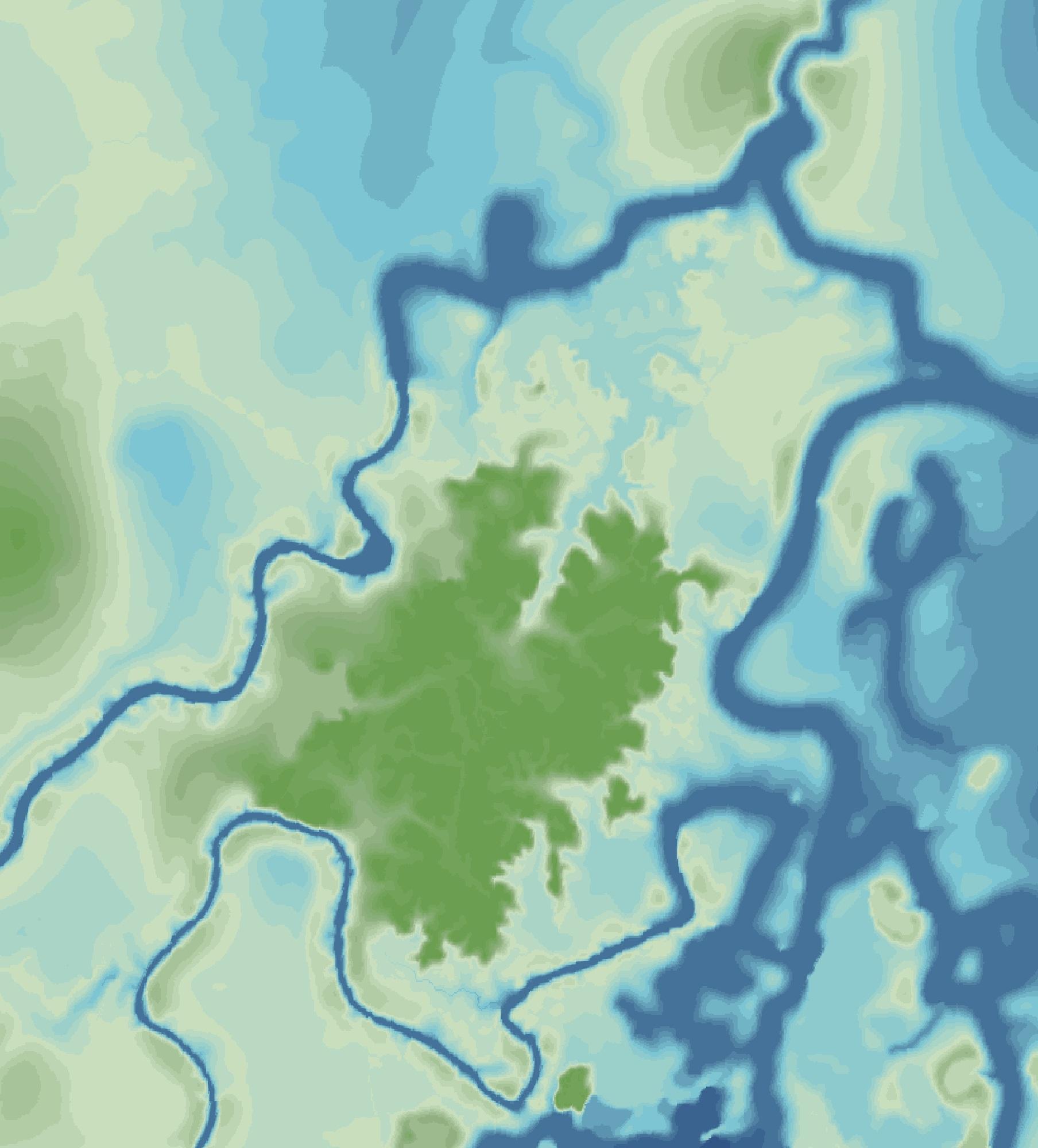
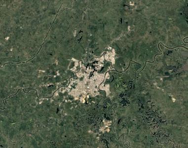
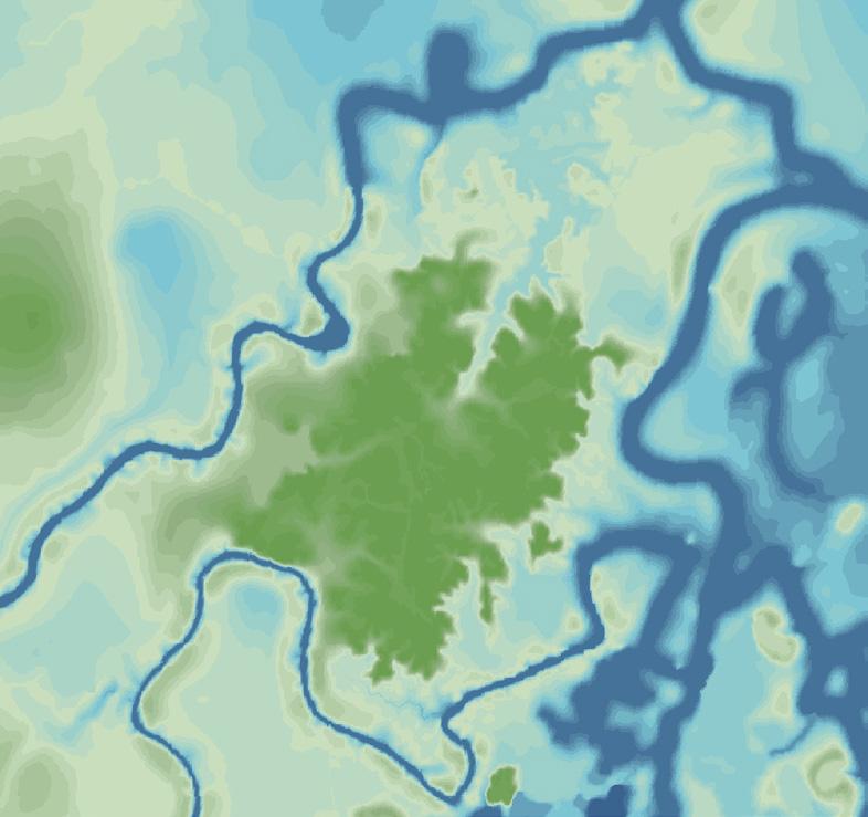
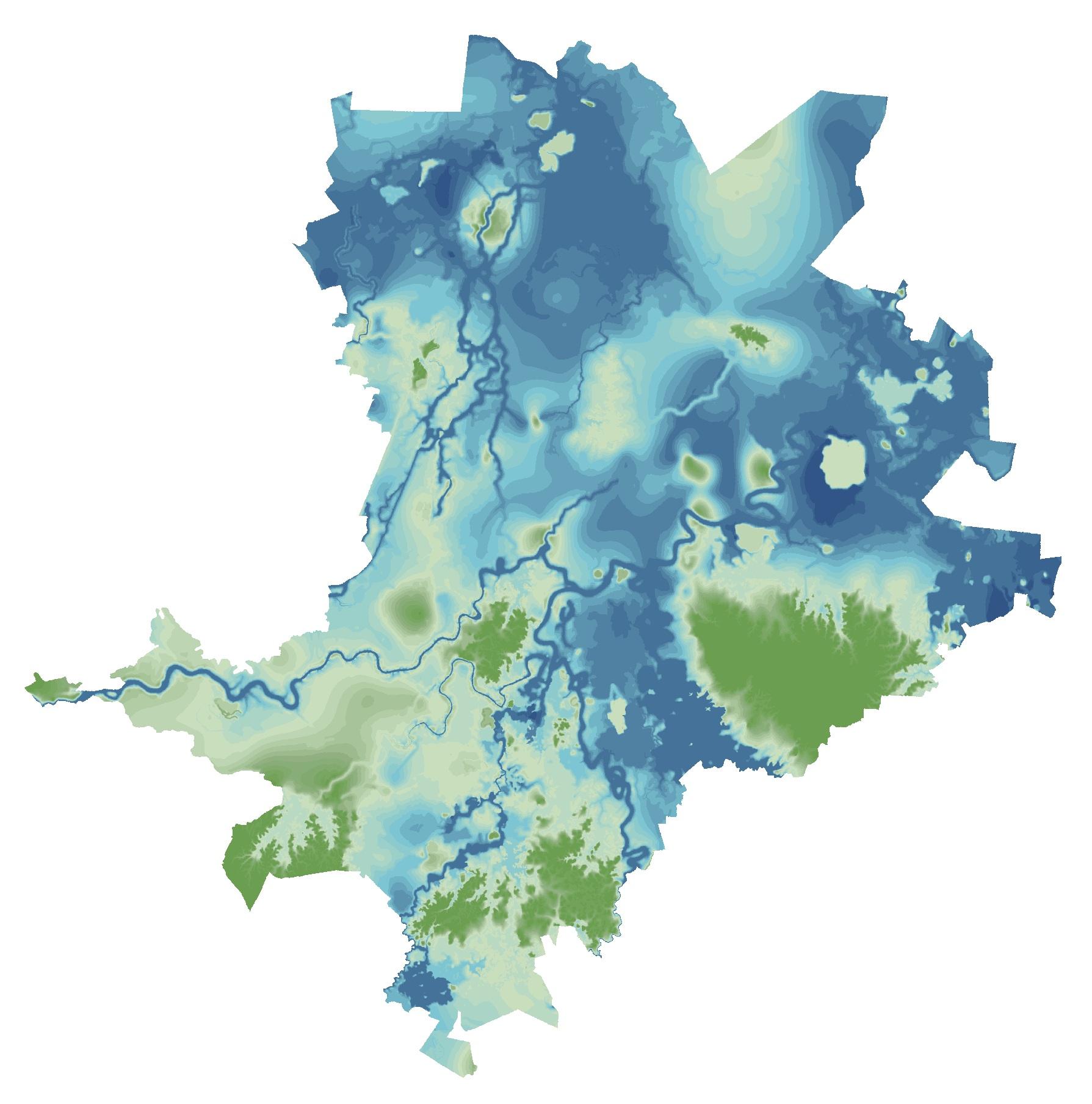
The figure above illustrates the variations in elevation above sea level within the city of Villahermosa. The hills located in the eastern part of the city serve as a comparative reference, allowing us to appreciate the predominantly flat nature of the city. The city’s gradual decrease in elevation toward the center is what causes flooding when water flows down from the Chiapas mountain range. In this map, we can observe the urban areas of Villahermosa, its bodies of water, and its topography, helping us understand where the flood-prone areas are located.



topografía localidades urbanas
xxx
xxx
topografía localidades urbanas
cuerpos de agua Villahermosa
topographic lines urban localities bodies of water Villahermosa
cuerpos de agua Villahermosa
MANGROVES AND WETLANDS:
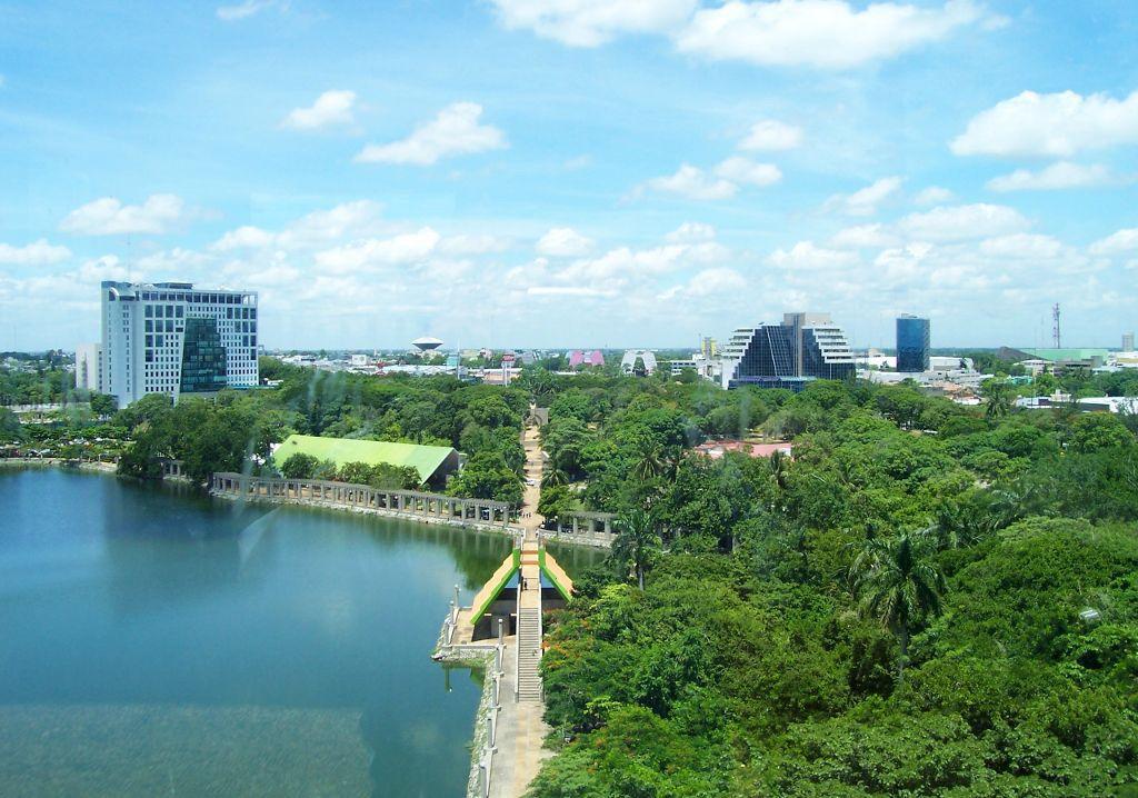
The figure to the right highlights the crucial role of mangrove, popal, and reed bed vegetation around Villahermosa’s water bodies, as well as their proximity to urbanized areas. Historically, the city benefited from these ecosystems, which acted as natural water purifiers and flood buffers. However, urban expansion has reduced their ability to perform these functions. We therefore advocate for the conservation of these areas and propose planning strategies that manage urban growth to promote density while minimizing environmental disruption.
trees
natural reserve and bodies of water
Parques
parks
Edificios
buildings

HEAT ISLAND EFFECT
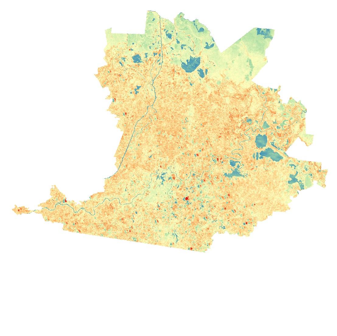
To study the urban heat island effect in Villahermosa, we created temperature maps using site data. The first map, based on maximum temperatures of 44°C recorded in July, shows limited areas of extreme heat. However, the second map, with a maximum of 37°C, reveals nearly the entire city experiences high temperatures. This comparison highlights the significant heat exposure residents face, which impacts labor productivity and health. A second study focused on building temperatures to identify “heat islands.” These areas, typically found in the city’s outskirts, contrast with cooler central spaces that benefit from trees and water bodies. Buildings in central areas experience less heat, while those in rural zones are more affected.


URBAN HEAT INDEX (degrees celsius)
Elaborated using data from CEM (Continuo de
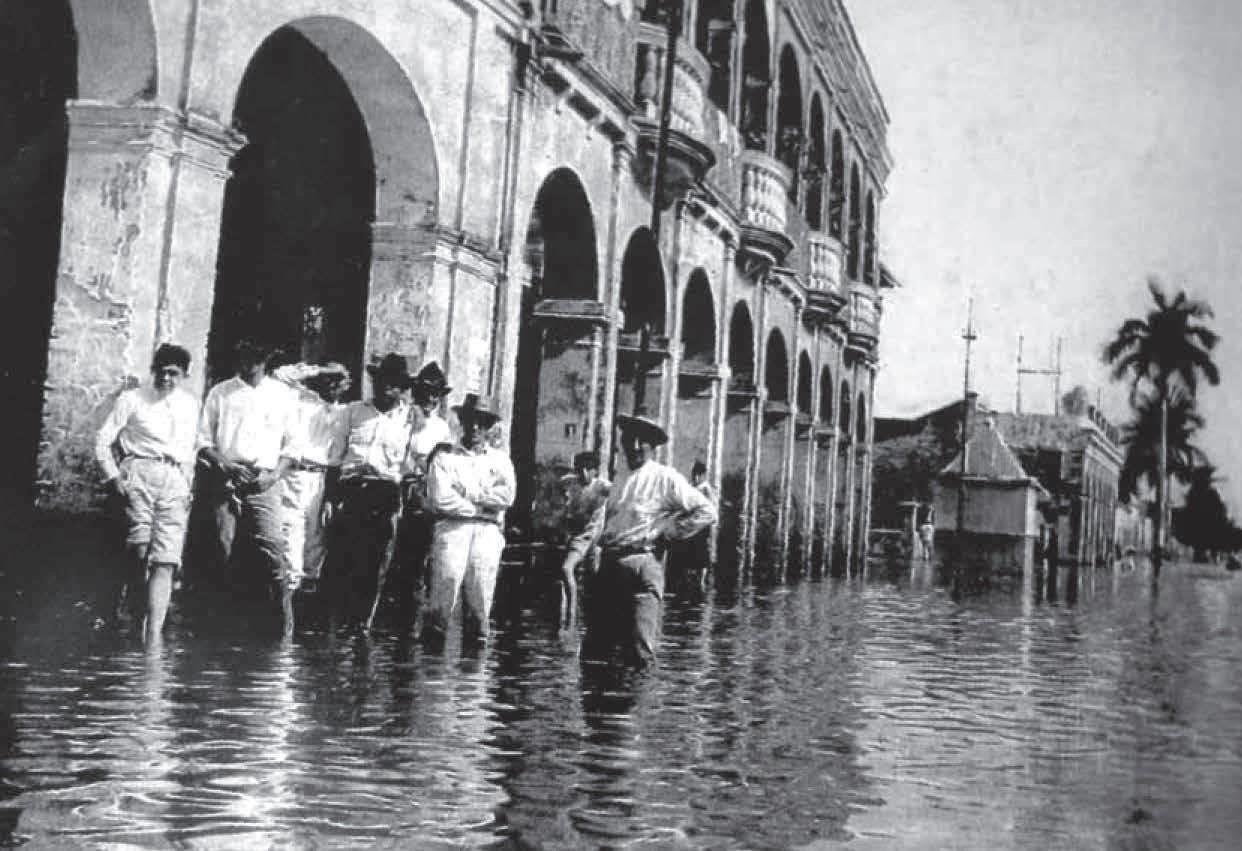
As far back as the collective memory of the people of Tabasco reaches, water has been a force to be feared. However, this was not always the case. The city is surrounded by lagoons, wetlands, and streams, with its aquifer system linked to the basin of the Usumacinta and Grijalva rivers. Originating in the Guatemalan mountains, these rivers flow gradually toward the Gulf of Mexico, contributing to the region’s exposure to heavy rainfall, mountain runoff, and frequent river surges, leading to significant flooding.

The abundance of water was not always a problem. In the early days of the city, there are testimonies indicating that the seasonal floods actually benefited the fertility of the land, supporting agricultural industries.
“The rivers were the open veins of a dynamic trade that made possible the splendor of steamships and cayucos coming and going nearby. The horse-drawn roads were rarely used, as during the rainy season they would be submerged up to four meters under water,” (The Hell Beneath the Water in Tabasco).
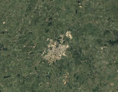
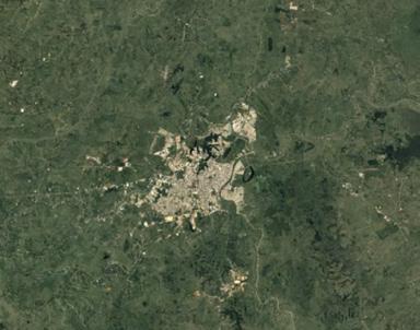
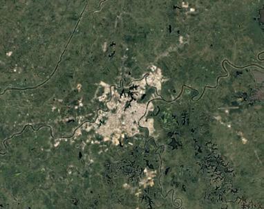
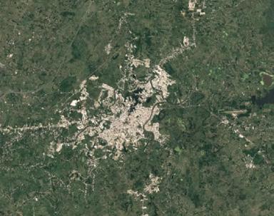
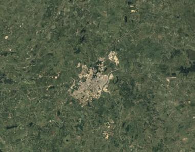
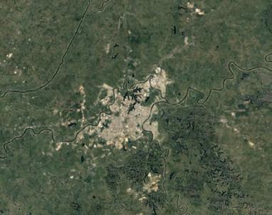
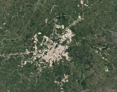
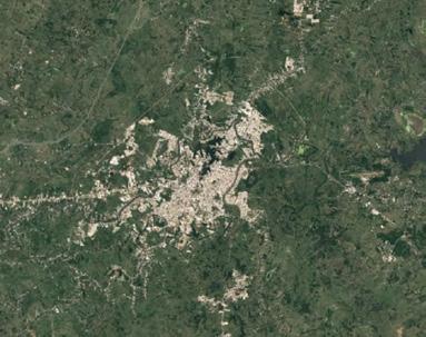
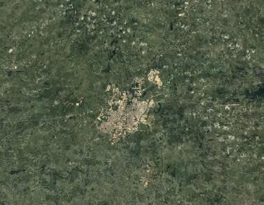
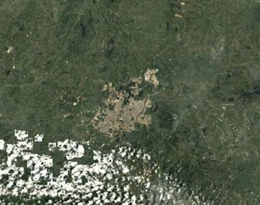
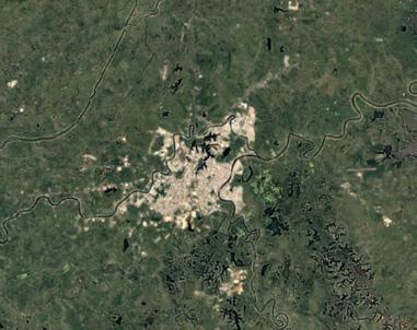
However, it has been some time now since the growing population settled in previously agricultural areas, and as a result, water has become an increasingly significant concern for the locals. There have been major floods in Tabasco, but it was in 2007 that the overflowing waters covered nearly 62% of the state. Since then, the threat of intensifying floods due to climate change has loomed over the people of Tabasco.
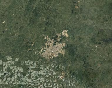
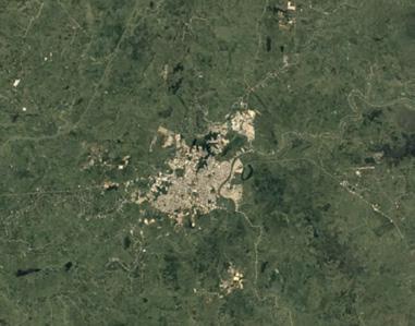
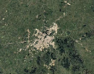
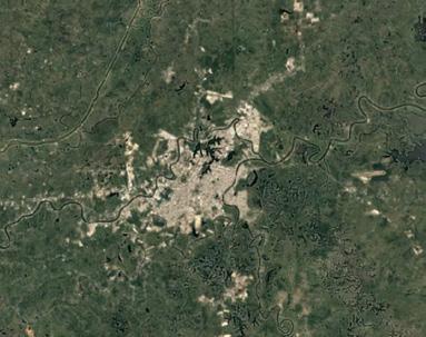
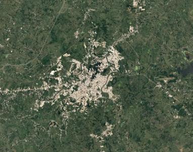
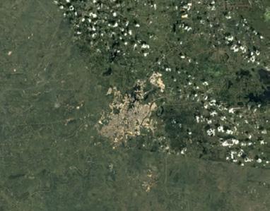
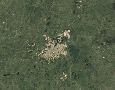
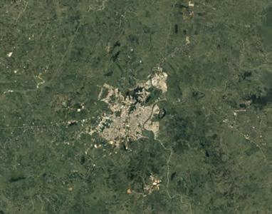
Ecological disasters in Tabasco highlight the consequences of unplanned development and settlement expansion. The region has suffered significant environmental degradation, including soil and water contamination, and the confinement of rivers that once flowed freely. These changes stem from deforestation for livestock grazing, unregulated infrastructure projects, and uncontrolled urban growth. Infrastructure like drains, canals, and roads has restricted water flow, exacerbating flooding by concentrating water in specific areas. The 2007 flood was classified as one of the largest disasters in the country. Data indicates that the total number of homes estimated to have sustained various types of damage was 2,289 (representing 0.4% of the total in the state). However, considering that the floodwaters covered approximately 62% of the state at the time, this figure appears to be severely underreported. This is without mentioning the countless stories of friends and family members from Tabasco who experienced personal losses during the 2007 flood. In the figure below, we decided to simulate the flood-prone areas within Villahermosa (data supported by the flood risk zones map from the same atlas) and cross-referenced these data with the city’s buildings. The map reveals at least 53,744 buildings in flood-prone zones. While not all of these structures may have sustained severe damage, it is highly probable that most of them had water enter their homes during the catastrophe, inevitably causing damage to these properties.
















URBAN SPRAWL AND FLOODING
The city’s dependence on the Grijalva River for drinking water has been hindered by high turbidity levels, leading to frequent shutdowns at the water treatment plant. In response, a 4.1-kilometer underground aqueduct is being constructed to channel water from the Carrizal River to address water shortages exacerbated by urban growth. Both the Risk Atlas and the proposed aqueduct project take a preventive approach to water management. However, instead of focusing on preventing water influx during floods, the objective should be to work with the water, learning from its natural behaviors to create an integrated, sustainable solution that aligns with the environment and fosters community.
edificios en riesgo de inundación
xxx
xxx
edificios en riesgo de inundación
Buildings at flood risk bodies of water
cuerpos de agua
open spaces
cuerpos de agua parques y camellones
parques y camellones
zona urbanizada
zona urbanizada
zonas inundables
urban spaces floodable areas
zonas inundables
edificios en riesgo d xxx
cuerpos de agua parques y camellon
zona urbanizada
zonas inundables
plantas tratadoras de agua
ruta del acueducto proyectada
cárcamos xxx
pozo
tanques elevados de agua
plantas tratadoras de agua
ruta del acueducto proyectada
cárcamos xxx
pozo
zona de extracción proyectada
zona de extracción actual
parques xxx
cuerpos de agua xxx
planta de tratamiento actual
tanques elevados de agua
zona de extracción proyectada
zona de extracción actual parques xxx
vialidades (potenciales rutas de distribución)
existing water treatment plant
ruta actual
zona urbanizada water treatment plants projected aqueduct tanks wells elevated water tanks projected extraction zone actual extraction zone parks bodies of water roads (potential distribution routes)
cuerpos de agua xxx
existing route urban area
vialidades (potenciales rutas de
planta de tratamiento actual
ruta actual
zona urbanizada
MAIN ISSUES TO ADDRESS
1. centralization of urban infrastructure
2. loss of water
3. heat island effect
4. cardiovascular diseases
5. access to specialized clinics
6. access to healthy food
7. Failure to connect between social welfare activities
8. Falta de acceso a instancias de justice y seguridad


xxx
ejes viales


xxx

ejes viales
áreas con menor efecto de isla de calor xxx
xxx
xxx
xxx
xxx
xxx


colonias con índices medios a muy altos de marginación xxx
áreas con menor efecto de isla de calor
ejes viales
roads
vacíos urbanos
areas with controled heat island effect
áreas con menor efecto de isla de calor
vacíos urbanos
urban voids bodies of water
vacíos urbanos
cuerpos de agua
áreas verdes
green areas
cuerpos de agua
zonas urbanas
áreas verdes
cuerpos de agua
zonas urbanas en riesgo de inundación
zonas urbanas
urban areas risk of flooding
áreas verdes
insufficient infrastructure
frentes de manzanas con infraestructura carente
zonas urbanas
zonas urbanas en riesgo de inundación
marginalized neighborhoods
frentes de manzanas con infraestructura carente
zonas urbanas en riesgo de inundación
frentes de manzanas con infraestructura carente
colonias con índices medios a muy altos de marginación
colonias con índices medios a muy altos de marginación
Utilization of water bodies for the greening of urban areas
floodable parks
recovering flood risk zones peripheral congregaton spaces
Increasing justice entities in marginilized areas centralization of urban infrastructure
water management
heat island effect
Access to specialized healthcare Women's health clinics cardiovascular disease mobility and physical activity infrastructure urban greenways
access to safety
access to nourishing food
connectivity between social welfare instances
Network of care
Centers for Mercados and accessible restaurants
1.problem 2.strategy 3.project 1
Community hubs
neighborhood hubs
urban greenways
floodable parks
transit axes bodies of water
green areas
urban areas
flood risk zones
