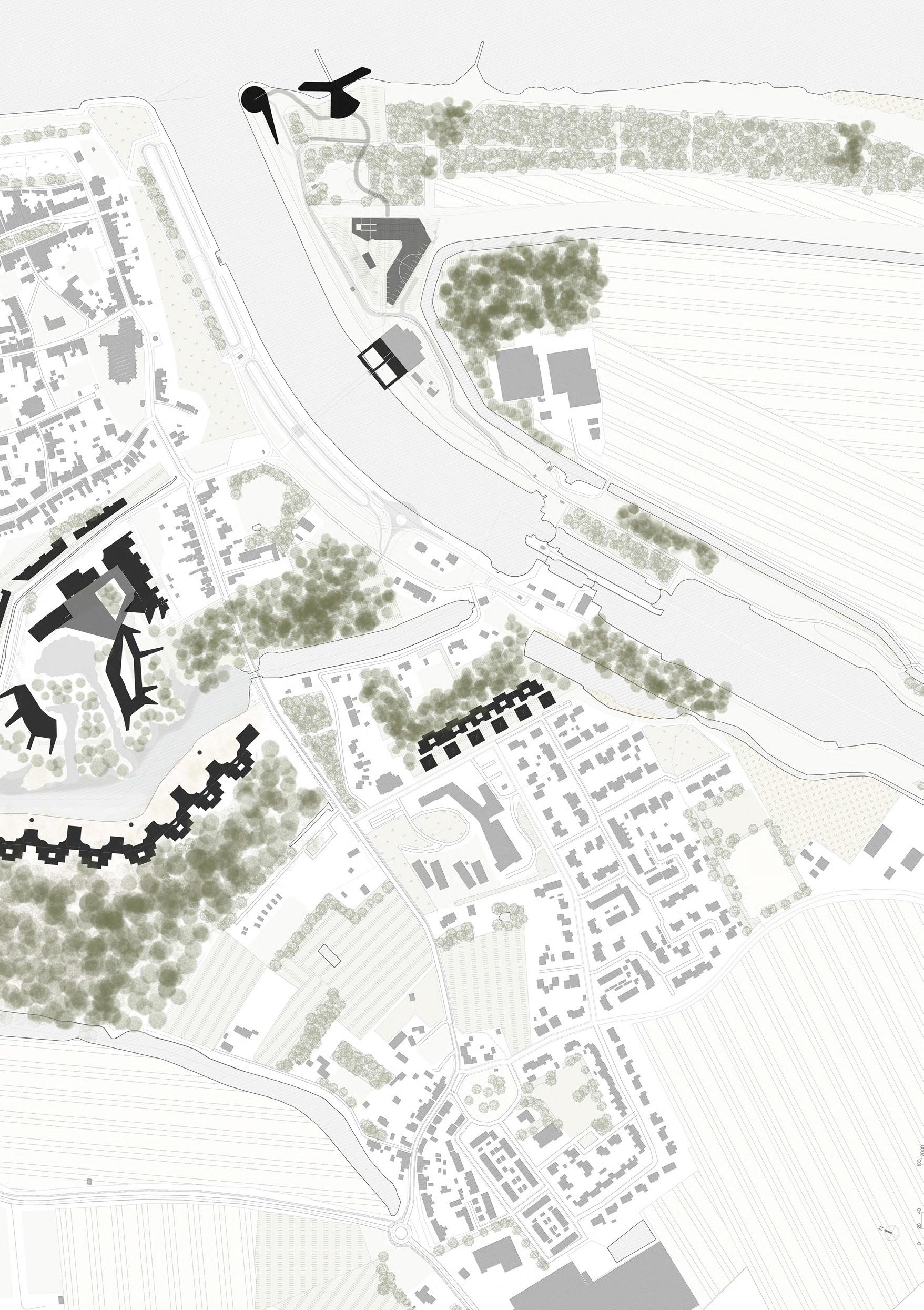
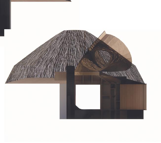
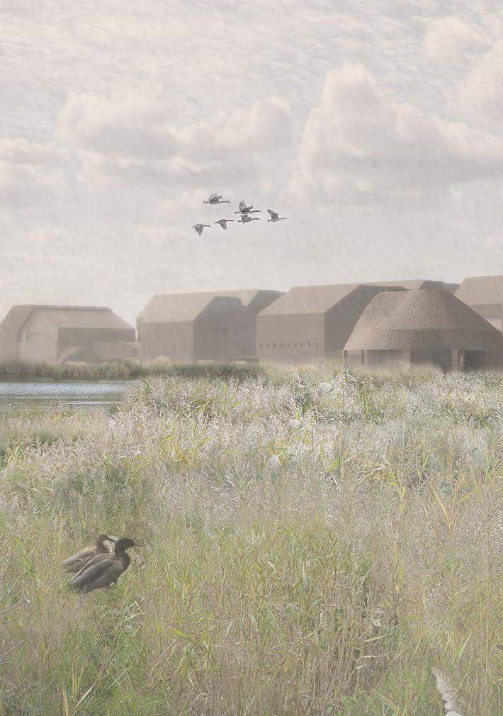
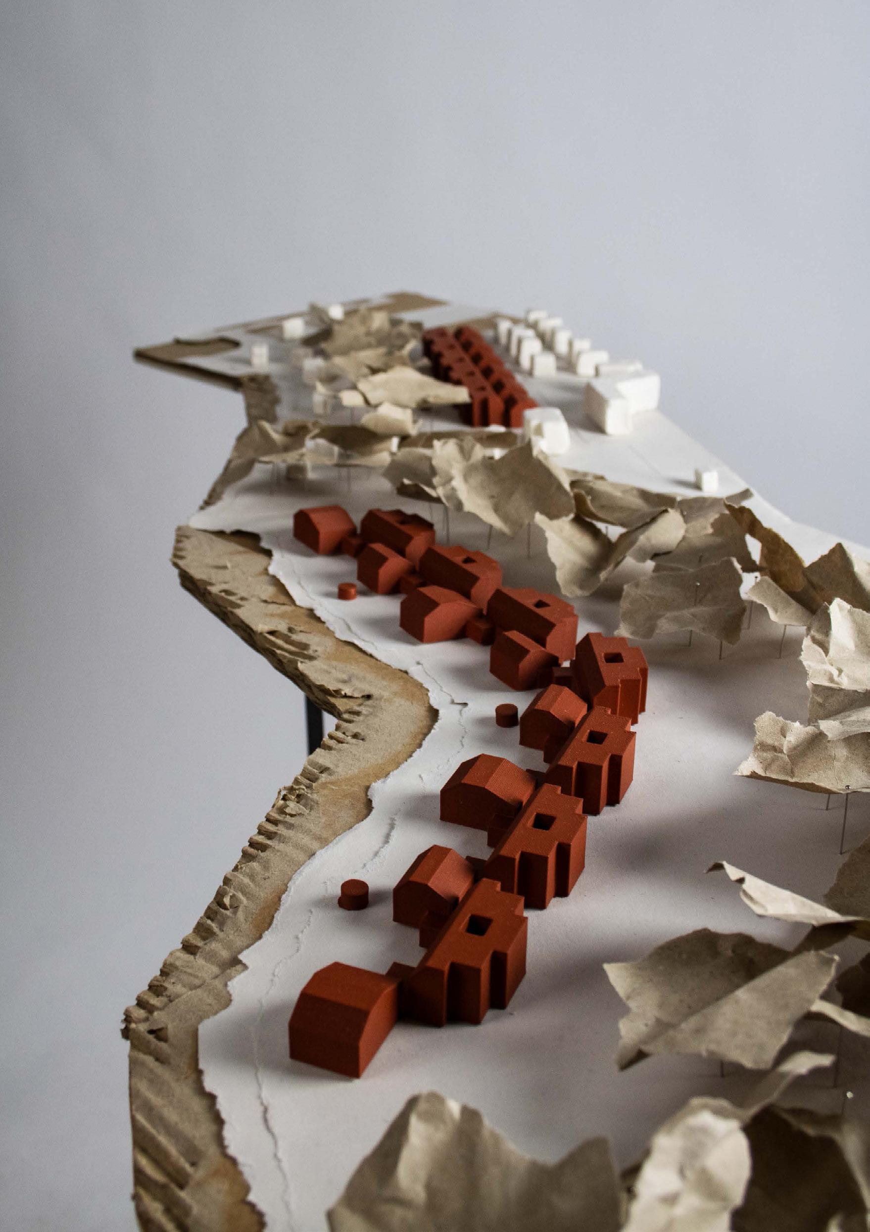
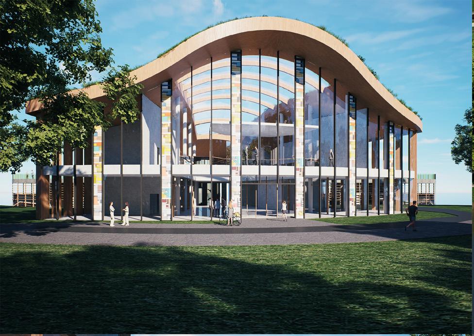
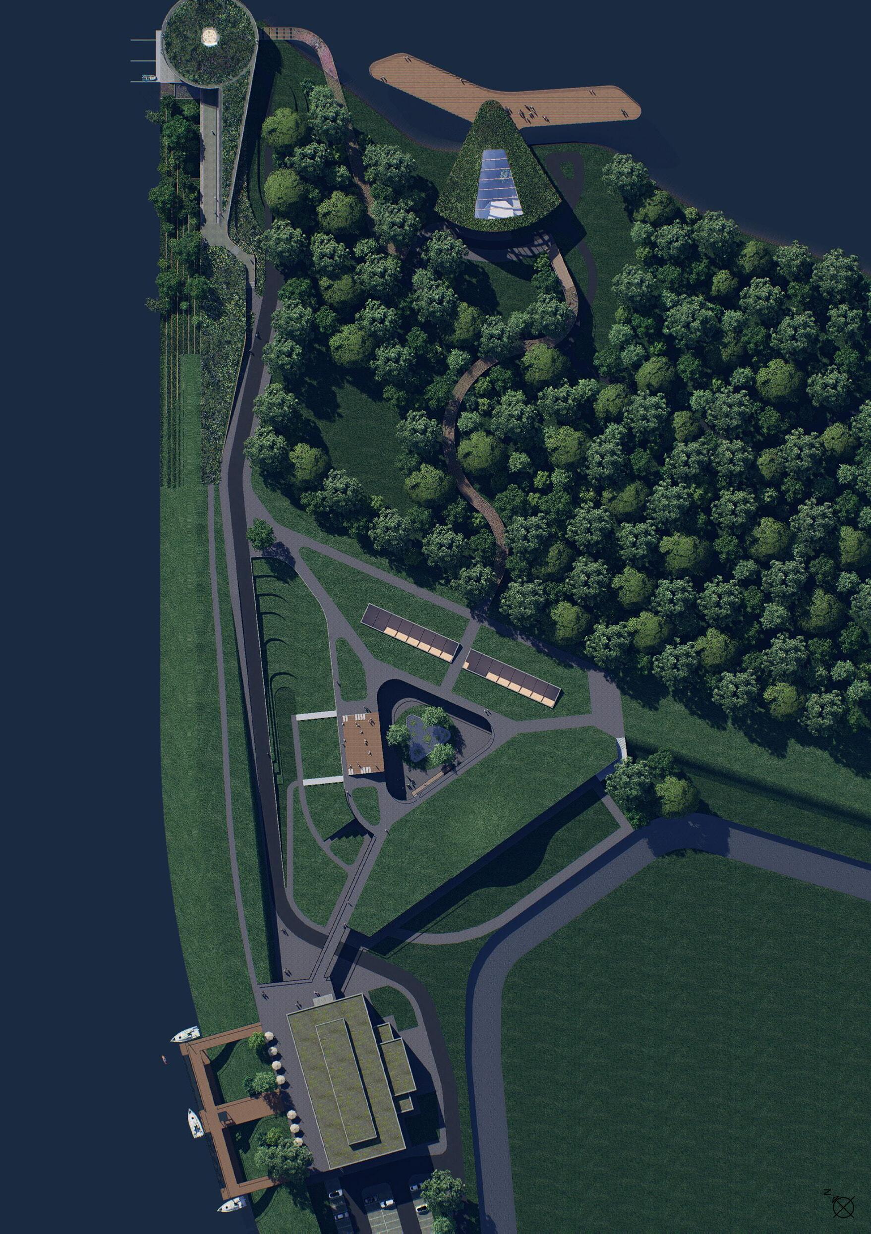
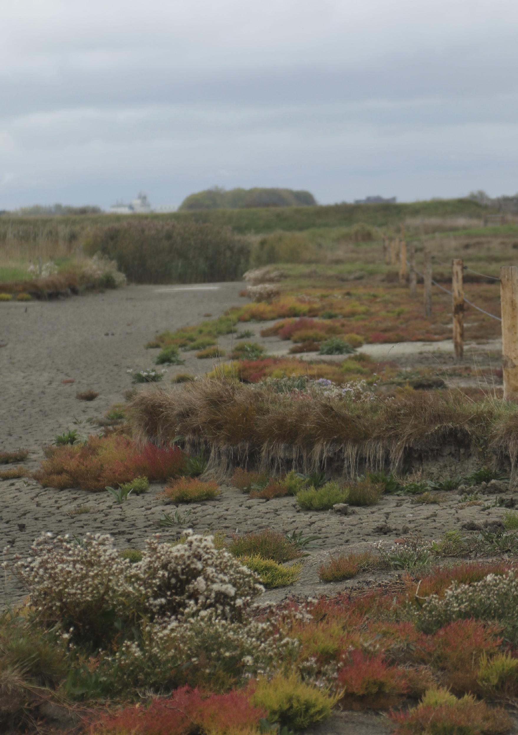
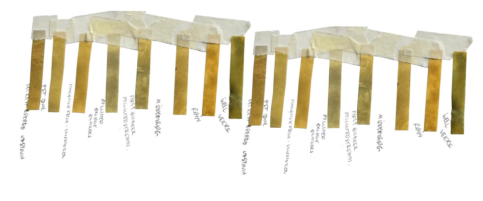
This catalogue is part of a collection published by the Edinburgh School of Architecture and Landscape Architecture (ESALA), Edinburgh College of Art, University of Edinburgh. It documents student design work produced in the Master of Architecture (MArch) programme in 2025-26. Each catalogue describes one of the following design studios in the MArch programme. The full collection is available to view online at issuu.com/esala.eca.
Catalogues 2025-26:
Crossing Tangier: Architectures of Enjoyment Doing Enough with Less: Rigorous Simplifcation Grounding Athens, Vol. 1
Moving Water II. North Sea Edge Radical Harvest: Earth/Care/Reuse, Vol. 3 The Shared Island Unit
Published in 2026 by The University of Edinburgh, under the Creative Commons Attribution Non-Commercial Non-Derivative 4.0 International License (CC BY-NC-ND 4.0).
Andrea Faed and Jack Green. MovingWaterII.NorthSeaEdge. Edinburgh: University of Edinburgh, 2026.
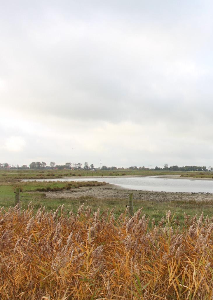
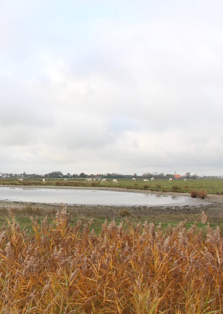
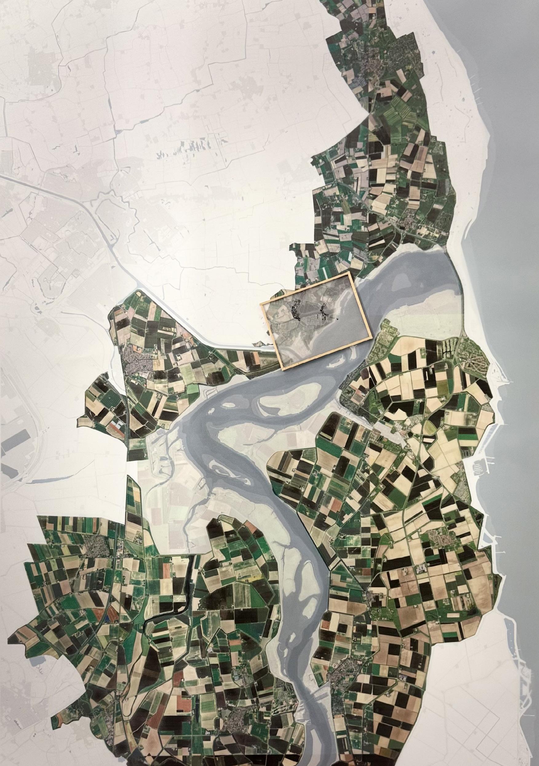
With more frequent ash oods across the planet, pollution, and freshwater scarcity, this studio inquiring into the problematics of ‘moving water’ is vital and timely. Freshwater resources are essential for human health, nature and functioning economies and societies. However, across the planet these resources are threatened by multiple pressures, Cyprus and Malta being the worst hit in water scarcity. ey rely on rain to provide household water but in the past 30 years average yearly precipitation has decreased. In contrast, the coastal cities and their hinterland of the North Sea region have an overabundance of water. With these climatic challenges we are also noting sea levels rising and coastal erosion from increased tides. Zeeland, the location of moving water 2025-26 is situated at the delta of the Scheldt, Rhine, and the Meuse rivers, which along with their distributaries create the islands and waterways that de ne Zeeland’s geography.
Zeeland was an endless network of small islands. It was engaged in a constant battle with the sea - the region’s motto being luctor et emergo (I struggle and emerge). Following a disastrous ood in 1953, an elaborate system of dykes and bridges called the Delta Works was built to connect the islands and provide a defence against the sea water.
In architecture we need to consider the micro to the macro impact of water; from the route of the rain drop landing on the roof, to our personal water needs and the ooded ground beneath our feet. e way we build, what materials we build with and where we build are all factors to consider in
1
assisting living with these ood and drought climate challenges. Tokyo is prepared for oods with huge, cathedral-like underground ood tunnels to attenuate the water – temporarily storing the storm water for a period, to then release it back into a watercourse or sewer network after the storm.
e city has built over the existing rivers burying them underground in culverts, subterranean waterways, lost rivers, breaking the natural cycle of water dispersal. At the other extreme but equally concerning is the globally common problem of subsidence from water extraction – when taking out ground water or draining soils, the land tends to subside.
Water bodies come in various forms, either man-made or naturally occurring - aqueducts, reservoirs, loch/lake/ponds/pools/lidos, wetlands, canal/ditches, river/stream/burns. ese bodies have beds and banks, weirs/ waterfalls, lades, springs/wells. ere is water at the beach for swimming and play, and at harbours for docking boats. Water can create cooling, re ection and well-being, and supports an essential watery ecosystem. Water is a friend of light and sound, clearly revealed in the architecture of Carlo Scarpa and Louis Kahn. Around 1510 Leonardo Da Vinci stated the importance of water with his famous quote: ‘Water is the vehicle of nature’. A recurring theme in Leonardo’s work was the movement of water.
is academic year began by walking Edinburgh’s watery landscape of the Water of Leith. Across the walk, nature was observed, logged, surveyed, recorded, mapped, and ndings collected.
e studio then focused on the lowland coast of the southeastern part of the North Sea. e sea here is a shallow body of water, rich in biological diversity - a multitude of transitional habitats with tidal channels, sandy shoals, sea-grass meadows, mussel beds, sandbars, mud ats, salt marshes, estuaries, beaches and dunes11. e northern coast of the North Sea has rugged uplands, but this studio focussed on the lowland coast of the south - the marshy and sandy areas with low o shore islands. Historically, the coastal regions were subjected to large oods, signi cantly changing the coastline. Ditches and causeways have been built to reduce destruction from oods, making it among the most human-altered habitats on the planet.
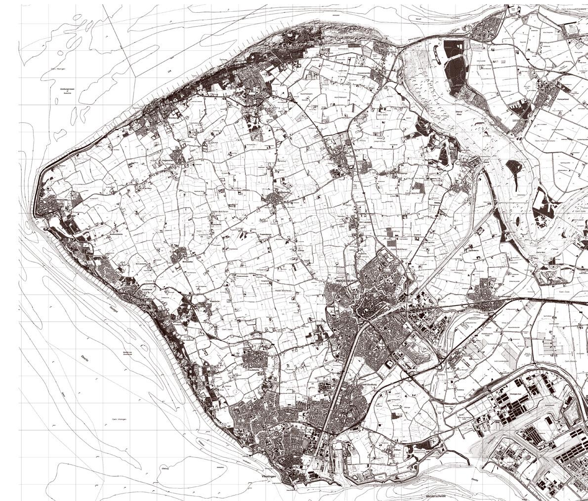
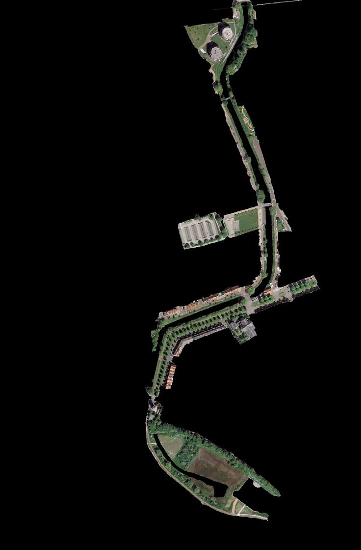
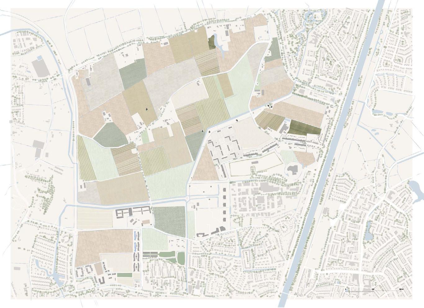
On this lowland coast, the studio focused on the Kanaal Door Walcheren in Zeeland, the canal on the rhombus-shaped island of Walcheren. Digging the 16km canal began in 1817 to connect the city of Middelburg to the sea, to keep its economy growing. Unlike Esbjerg, the location of last year’s studio, which was a new city, Walcheren, meaning “moist” and “sandy ridge”, has been inhabited since Roman times. e island was used as a point of departure for ships going to Britain. It was a major Viking settlement in the 9th Century and maintains a wealth with farming and trade.
ENTANGLED ECOSYSTEMS
Ecosystems are dynamic entities that are always recovering from some form of disturbance. As humans take on the role of custodians of the planet, we need careful stewardship and responsible management of its resources for all its organisms. As biology professor and citizen of the Potawatomi Nation Robin Wall Kimmerer suggests, to address the increasingly urgent question of How are we to live? we must start paying more attention to the world around us. Pay attention to those living and non-living others who share the planet with humans – and who make it possible for humans to survive. Coexist with more-than-humans.
Canal:
a long, thin stretch of water that is arti cially made either for boats to travel along or for taking water from one area to another. 2
Canals are linear ecosystems, rich in biodiversity. rough exploring these landscape devices and mapping their physicality, we can learn how to assist and encourage diversity and take this knowledge into the creation of an Architecture of Entangled Ecosystems.
ese lines in the landscape are bu ers, transitions, places where nature and urbanity can merge. Anthropologist Tim Ingold believes that everything is interwoven with an interconnected line, weaving paths, through an anthropological archaeology of the line. Within the chapter e Mountain and the Skyscraper, Ingold describes the ground as a sheet of paper that lifts to form a crease, registering the line of the crease. 3
2 Canal, Cambridge English Dictionary
3 Tim Ingold, The Life of Lines, Routledge, 2014
Lines in the landscape: Hedges, ditches, dykes, embankments and drystone walls have been around in the British Isles since the rst settlers tried managing the land, elds, their defences and their crops. Ditches (and banks – they are usually found together for obvious reasons) are long-lived structures, still existing today, evidenced as watercourses through aquatic and bankside species such as watercress being present. Drainage schemes of varying quality and success have been attempted throughout history because of how boggy the British landscape is. Ditches are the simplest form of drainage but much of our agriculture depends on eld drains (subsurface drains historically made of ceramic but now mostly plastic) which discharge into these ditches.4 Hedges could be seen as green barricades, enclosures to keep stock contained and mark the boundaries between elds and properties. If hedges are biologically rich there is a good reason to conserve them, however wide ditches can support aquatic ecosystems and may be a better boundary feature. 5m uncropped strips around elds are nancially supported by the UK government to support and maintain wildlife corridors - in New Zealand a technique of contouring pastures called hump and hollow or ‘ ipping’ is practiced, improving productivity. is technique, used on peat soils and in areas of high rainfall, allows for faster water runo and lowers the level of the water table.
Richard Mabey in his book e Accidental Garden believes plants are argumentative beings – we/humans create gardens, ‘outdoor rooms’, frameworks in which natural forces, uninvited organisms improvise their own landscape and make the vital processes of succession and decay.5 Don’t ght it in the manner municipal parklands tend to with their mono-cultured cut grass – allow biodiversity. e ancient provenance of ‘common land’ was for a place belonging or a ecting the community with exceptional wildlife and a habitat for humans. Hamstead Heath in London being a prime example with its ponds and woodlands. How much do we intervene – do we preserve or conserve? Environmental philosopher John Muir advocated for the preservation of the wilderness, protecting it from human impact.
Philosopher Henry oreau’s vision was to bundle all the hedgelets into a single parish treeland: ‘Every town should have a park, or rather a primitive forest of 500 or 1000 acres, where a stick should never be cut for fuel, a
4 John Wright, A Natural History of the Hedgerow and ditches, dykes and dry-stone walls, Profle Books, 2017
5 Richard Mabey, The Accidental Garden, Profle Books, 2024
common possession forever, for instruction and recreation. We have cowcommons and ministerial lots, but we want men-commons and lay lots, inalienable forever’. Trees lock up carbon dioxide, lter pollution, refresh urban landscapes and provide habitats for many living things. Seedlings, self-sown trees can also require managing. Rewilding is not necessarily leaving the wilderness alone – lowland habitats would become too woody.
Following the studio’s exploration of the common ground around Edinburgh’s waterways and the design of ‘A Place to Lie Down’, the studio then focused on the Zeelandic Islands as a testing ground to explore the intertwining of human societies and natural ecosystems in this watery landscape.
THE LAND
Drawing from the readings of environmental and political activist George Monbiot, who has pointed out that farming is the most destructive human activity on the planet, the studio explored the landscape of the Netherlands. e Netherlands agricultural sector is highly productive despite the countries small size and high population density. Its key products are owers, diary and eggs, fruit and vegetables.
According to Monbiot, farming has caused the extinction of many species. We must feed the world without devouring the planet, rewild the land released from farming, and restore a balanced living ecosystem. With the smaller resulting farmland area, we would need to eat di erently - farm-free proteins and fat – fermenting with microbes from the soil and consuming locally-grown and seasonal produce powered by clean electricity.6
Zeelanders have crafted their own landscape primarily to keep their feet dry; they have claimed land from the water to create elds, defended their land with dykes, and now in some areas are ‘de-poldering’ to give the land back to nature.
ere was a eld trip to the Zeelandic Islands where the studio carried out a range of observatory and data collecting research, with the intention
6 George Monbiot, Feral: Rewilding the Land, Sea and Human Life. Penguin, 2014
to return to the studio to design ‘A Useful Folly’ between land and water, building upon the initial design project ‘A Place to Lie Down’.
Folly: noun
1. lack of good sense; foolishness. “An act of sheer folly”
2. a costly ornamental building with no practical purpose, especially a tower or mock-Gothic ruin built in a large garden or park.
Although an oxymoron, A Useful Folly on the other hand should have ‘purpose’ to create a new, thought-provoking, piece of work in the landscape. Follies are generally a small, one or two space enclosure. ey are generally a free-standing building but can be a part of a building. ey are often eccentric in design or construction and commonly call attention to themselves through unusual details or forms. e building does not need to have conditioned interiors. e design process provided an opportunity to explore the expressive potential in the assembly of materials, speci cally earth and timber.
Follies often belong in the grounds of large estates: in the gardens of country mansions from the 16th to 19th centuries. At Marchmont House in the Scottish Borders, a folly lies at the end of a great boulevard of trees, when viewed from the house. Marchmont, a ‘Palladian’ mansion was designed by William Adam and omas Gibson in 1750-55, with alterations carried out in 1914-17 by Robert Lorimer. It is a private family home who also set up the Hugo Burge Foundation, a charity that supports creativity o ering several artists residency across the year. It is the location of skyboat, where ve oak trees were planted under an oak frame and boat. Eventually the trees will take the weight of the boat, the frame removed, and the boat will ‘ oat’ in the trees. It is based on the Norse legend of Skioblaonir where a magical boat could y over land and sail on the sea.
e concept of the Montessori School was discussed where children are encouraged to love their environment and have a sense of responsibility towards it. e Montessori School also educates how to live together,
relationships with other people, knowing how to negotiate, how to help people with di %culties and to have a creative approach to everything according to Herman Herzberger.7
Students’ follies sit within a considered masterplan. As a prompt to develop individual briefs, programmes were asked to address ‘learning from the land’ to make future cities greener through self-sustaining energy, water and food systems. ey have resulted in buildings/landscapes that raise questions about our relationship with the environment, the natural world and the changes that this relationship has undergone or must undergo. It has involved balancing land use, infrastructure, and community needs to create sustainable and functional environments. Masterplans have addressed the architectural aspect of living – eating, working, playing, sleeping - in this northern location which has issues with managing water for humans and more-than-humans. Timescales were considered, reacting to the seasons or the crop rotations on a 2- or 3-year cycle. Drawing from Bruno Latour’s account of the entangled co-dependence of all planetary beings within the con nes of a thin, shared ‘Critical Zone’ 8 the studio goal was to develop architectures that support novel methods of interspecies coexistence. In so doing, take a broad view of collective urban life – one that encompasses both human and nonhuman entities as equally deserving agents.
To the Rain
Ursula K. Le Guin
Mother rain, manifold, measureless, Falling on fallow, on eld and forest, On house-roof, low hovel, high tower, Downwelling waters all-washing, wider an cites, softer than sisterhood, vaster an countrysides, calming, recalling: Return to us, teaching our troubled Souls in your ceaseless descent
To fall, to be fellow, to feel to the root, To sink in, to heal, to sweeten the sea.
7 Interview with Herman Hertzberger (2016), Architecture and Education, accessed 23.07.2024
8 Bruno Latour and Peter Weibel, eds., Critical Zones: The Science and Politics of Landing on Earth, MIT Press, 2020
THE NORTH SEA
e North Sea lies between Great Britain, Norway, Denmark, Germany, e Netherlands, Belgium and France. An epeiric, inland sea on the European continental shelf, it connects to the Atlantic Ocean through the English Channel in the south and the Norwegian Sea in the north. It is more than 970 kilometre long and 580km wide, covering 570,000km 2 . 9 Few parts are more than 90m deep and in the south, depths are less than 35m – shallow shifting banks of glacial deposits reworked by tidal currents. e extent of the North Sea and the level of its water surface have varied considerably over geologic time – the basin south of Dogger Bank, a large glacial deposit, a sandbank now known as a productive shing bank, was once part of mainland Europe. Ice sheets advanced and retreated several times, leaving a thick layer of clay deposit on the sea oor with its nal retreat about 8,000 years ago. e sea rose and nally broke the land bridge that had linked Britain with France to create the English Channel.10
Vlissingen
Middelburg
Veere
Vrouwenpolder
Westkapelle
e constant mixing of waters in the shallow sea basin provides a rich supply of nutrient salts upon which the lower forms of marine organisms depend. is abundance of plant and animal plankton creates a valuable shing resource. In 1959 natural gas was discovered under the sea oor in the northeastern part of the Netherlands, and over the decade’s discoveries stretched north.
e North Sea coastline is constantly changing with erosion caused by wind and water. In the Netherlands there has been a long history of land reclamation, draining the land and building dikes to protect their settlements and farms – a considerable area of their country would be under water at high tide if it were not for dikes, dunes and pumps – they have created polders – low-lying land reclaimed from the sea and protected by dykes. It was the Dutch engineer Sir Cornelius Vermuyden who introduced Dutch land reclamation methods to England. In the 1650s, the British crown was preoccupied with the fertile agricultural land beneath the oodwaters. ey longed to bring that land to the surface, to pro t from it economically, and to demonstrate their power to defeat nature, to manipulate earth and water alike. e Fens in eastern England, a naturally marshy area is now tamed, with water having been drained away through a complex system of ditches and drains leaving only at land for farming. Over 70% of the Fens is involved in environmental stewardship schemes, under which 270 miles of hedgerow and 1,780 miles of ditches are managed, providing large wildlife corridors and habitat for endangered animals such as the water vole. However, people remain vigilant for oods to strike at any moment. As sea levels rise the land will be submerged increasingly often. Once these elds had been a peaty, waterlogged marshland, where huge beds of sedge and reeds alternated with willow trees. ere were eels and herons among the tall grasses. Historically humans lived around the edges of the marsh, on the fen islands and the silt banks, shing, gathering reeds, hunting waterfowl and carving out chunks of peat.11
We should envy the otter, the dolphin and the whale, our mammal cousins who are so much better adapted to water than we are. Otters’ outer fur traps air in an insulating layer much like a wetsuit, and the inner fur is so ne and tight that the water never penetrates it. However, the sensuality of water touching your own skin beats swimming in a wetsuit.12
11 Noreen Masud, A Flat Place, Penguin, 2024
12 Roger Deakin, Waterlog, Vintage, 2000
When out walking, observing and mapping sites, both in Edinburgh and in Zeeland students enhance their cognitive skills through thought, experience and the senses. ey ‘feel’ water, considering it in all its states and across the seasons, referring to Juhani Pallasmaa in e Eyes of the Skin. Nature writers, many of which are listed in the studio’s References, such as Nan Shepherd, Barry Lopez or Richard Macfarlane, have honed their skill in observing the landscape and in nding ways to communicate what they see and feel. Dominick Tyler in Uncommon Ground: A wordlover’s guide to the British Landscape, has collected words to allow him to describe the landscape with a feeling of belonging to that place. e words are as poetic as the landscape they describe.
“my eyes are in my feet”
Nan Shepherd, e Living Mountain, Canongate Books, 2011
MATERIALS AND ARCHITECTURE OF NORTHERN LATITUDES
Kengo Kuma notes when looking at the Finnish Architects OOPEAA, architecture and cooking have something in common. e expression of each material is determined by how it is cut. It is what de nes the relationship between body and the material13. Carlo Scarpa looks at the skills of the carpenter, stonemason and weaver to give form to architectural motifs. Material joints reconstitute the whole.
Being inspired by the resourcefulness of the Northern people the studio encourages the use of natural materials - Reeds, willow, hazel, earth, clay, timber, stone. e timber species known – is their property suitable for the function required? Aspen and poplar wood are used in the manufacture of wooden matches. Tennis racquets were made of Ash due to it being easy to bend when cut along the grain. What timber suits the making of your building landscape? How is the timber cut and how is it jointed? Does the timber come from a sustainable source? (During the initial exercise in researching water bodies in Edinburgh it is discovered that Willow has been planted on the banks of the Water of Leith to support the ground from being washed away).
13 Julie Cirelli, OOPEAA
Which parts of architecture are ephemeral and which parts have permanence, and therefore what materials are each part of the building made from? What will leave its mark for future archaeologists to nd, like the young Kathleen Jamie in her chapter Woman in the eld within her book Sightlines.
e moving water studio 2024-25 visited the Wadden Sea Centre by Copenhagen-based Architects Dorte Mandrup. With its big, thatched roof, inspired by the regional material and traditional craftmanship, it sits in its marshy landscape where the tide has come and gone over millions of years. e studio immersed themselves in Whitearkiteker’s Kastrup sea bath, and the landscape at Cobe’s Opera Park. e studio was fortunate to be shown around homes in Vandkunsten’s project in the repurposed torpedo boat workshop by not only the architect but also a resident, and had a guided tour from Gehl Architects of a the major regeneration project in Malmo by Kjellander Sjoberg Architects where the shipyards have been developed into a sustainable mixed-use urban district, where glulam timber and CLT have been added to existing steel framed buildings.
Moving water studio 2025-26 focused on Belgian/Flemish/Dutch architecture. e studio considered the soft curves of Art Nouveau buildings in Brussels and Antwerp, with a visit to Victor Horta’s house and studio; Herman Hertzburger and his Montessori Apollo Schools were looked at in detail with regards to ways of bringing people together; Aldo Van Eyck’s playgrounds in Amsterdam showing how to invite children to actively explore the numerous a ordances; H. P. Berlage for his play of volumes and atmospheric internal spaces; and Rotor, the cooperative design practice who are active in dismantling, processing and selling reusable building materials.
Andrea Faed and Jack Green
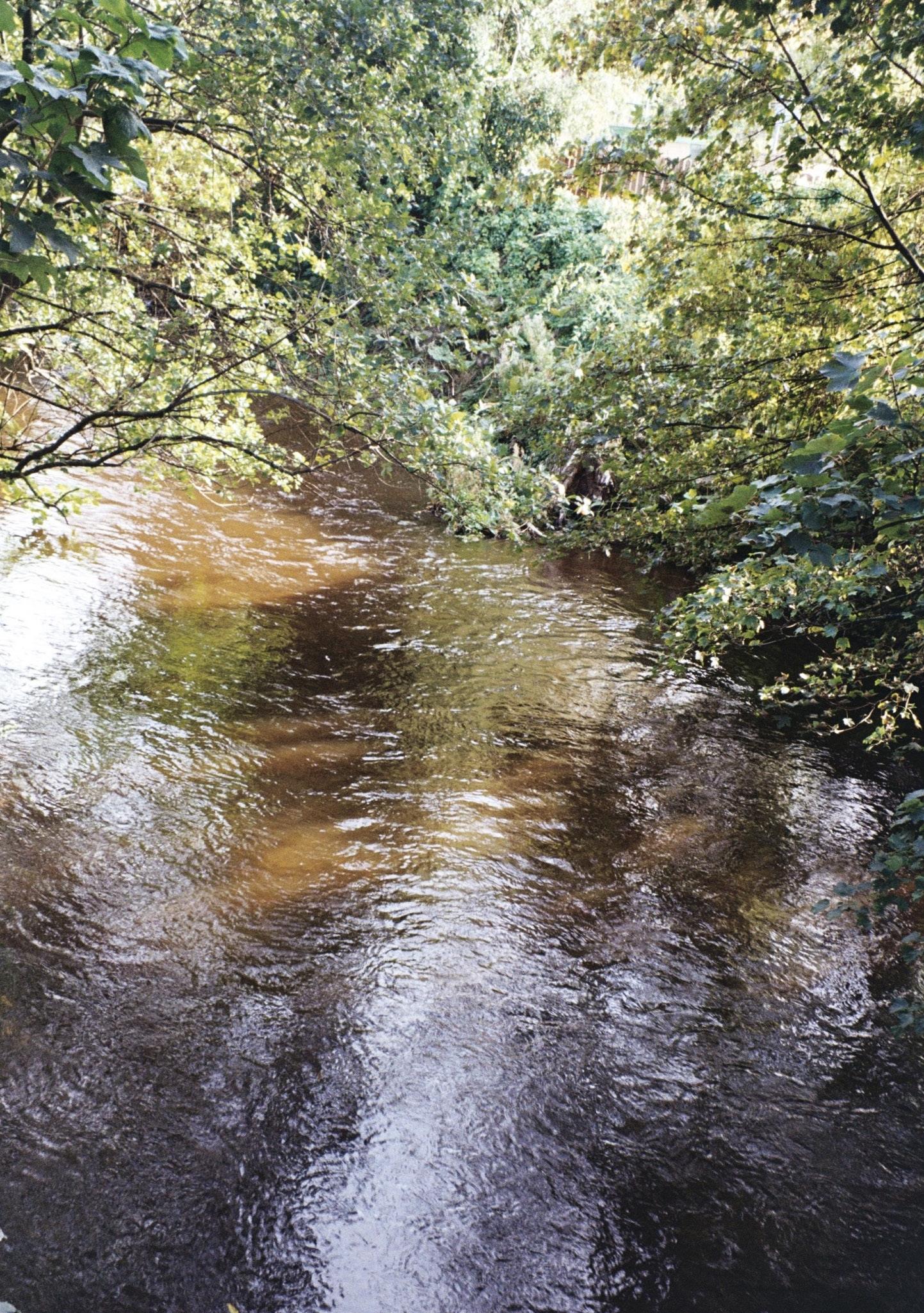
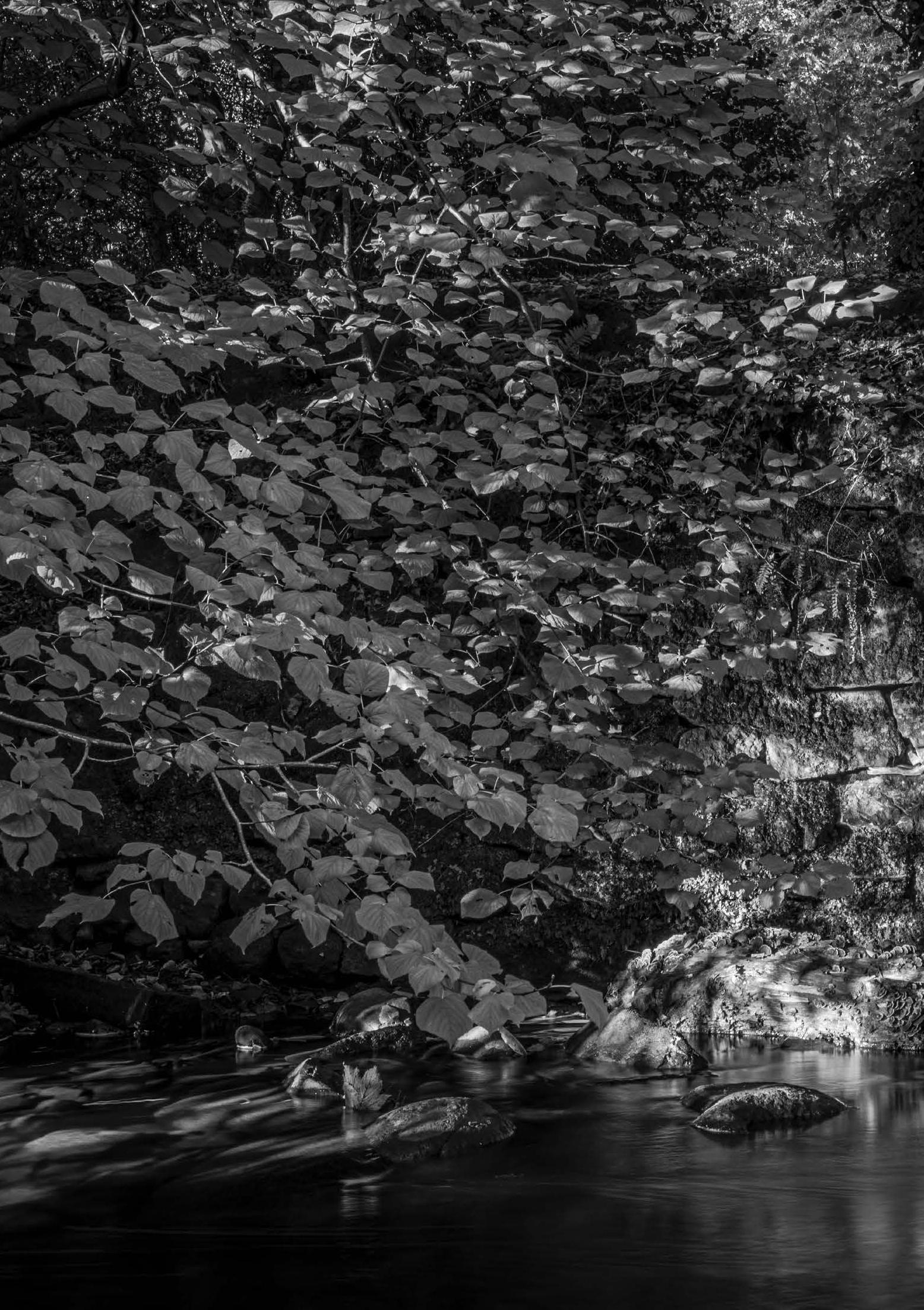
Dappled Light, Water of Leith Loren Brundrett
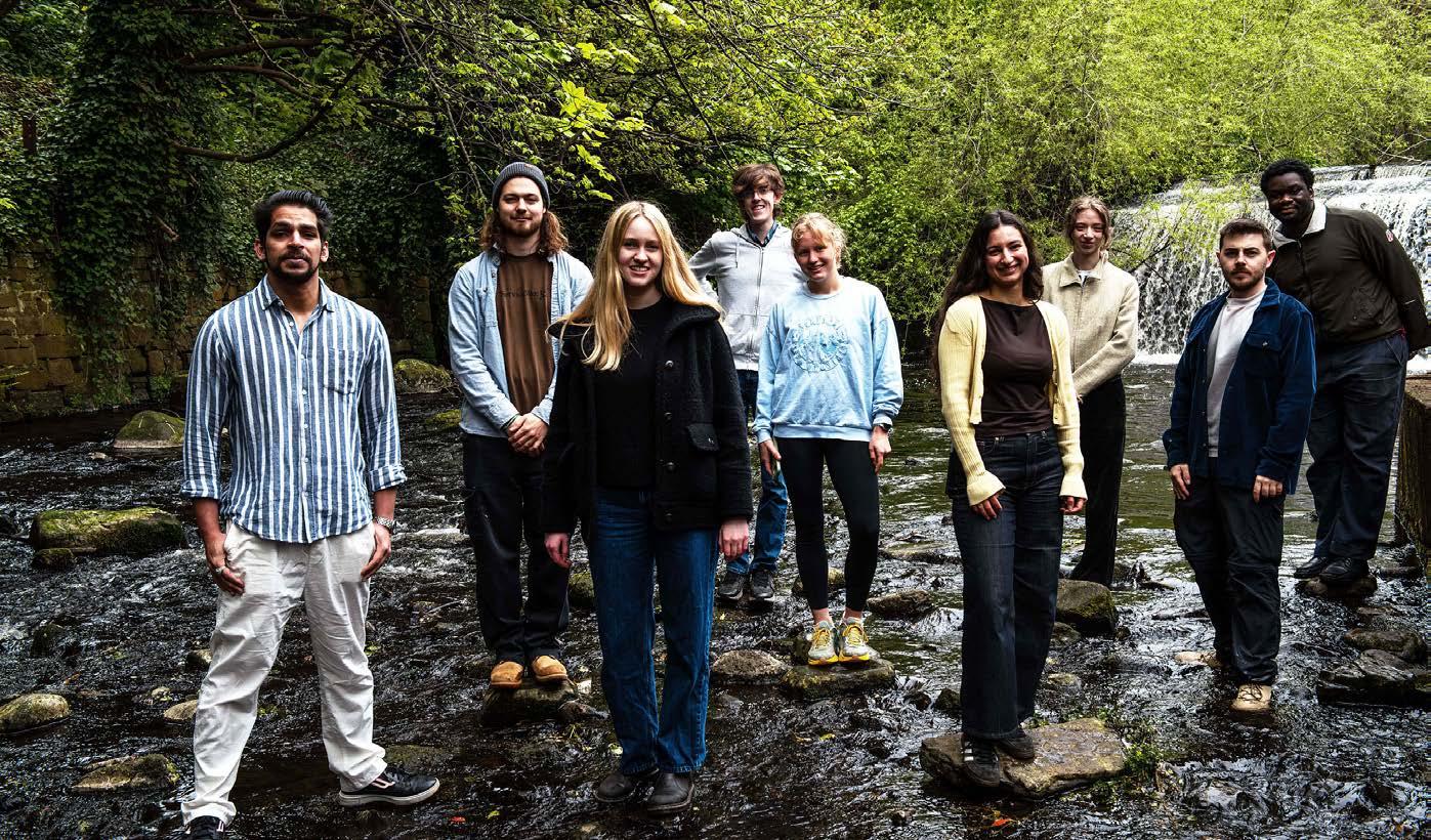
Top. MArch 1 at the Water of Leith, Sean Mihael. Bottom. MArch 2 at the Graduate Show, Andrea Faed.
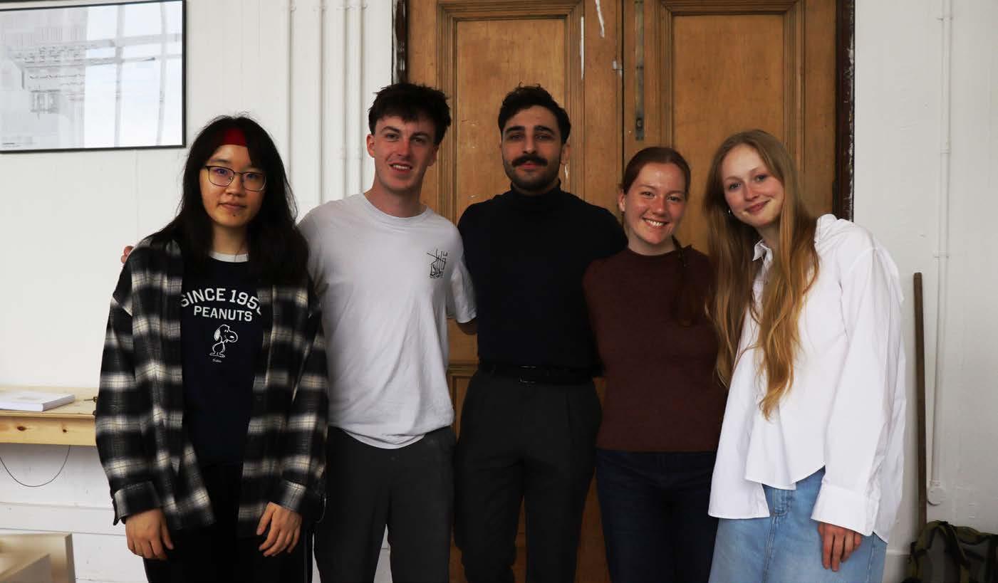
From Left: Xinning Huang, Hugo Twigger, Iason Nielsen, Loren Brundrett, Anna Szczerba. Missing: Evie Hall, Abdul Hannan Waseem.
From Left: Akib Aman, Charlie Oxley, Antonia Graham, Samuel Barker, Callie Hock, Layla El Wadnakssi, Georgina Inchbald, Sean Mihael, Delan Aribigbola.
Missing: Chloe Tunnell, Charlie Young, Farah Aburemsh, James Kerr, Linda Martinez Ubilluz
OBSERVATION AND SURVEYING
WATER OF LEITH
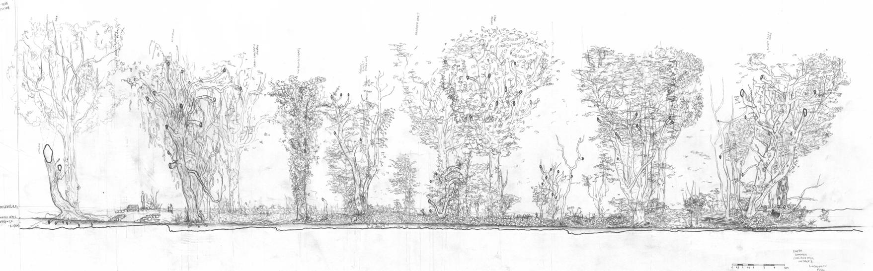
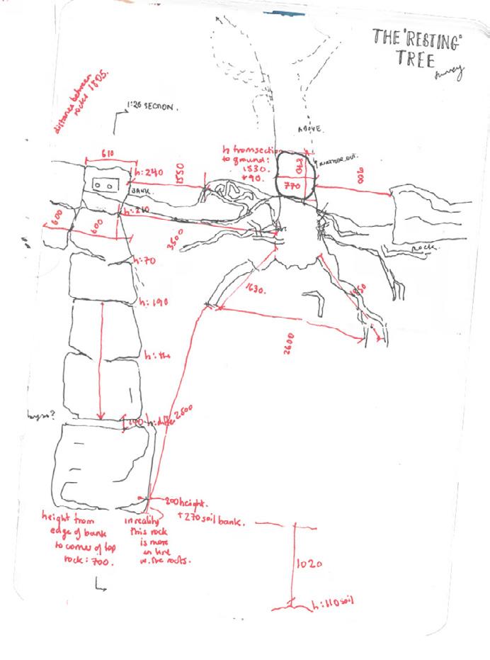
Above. Tree study, Chlöe Tunnell.
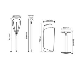
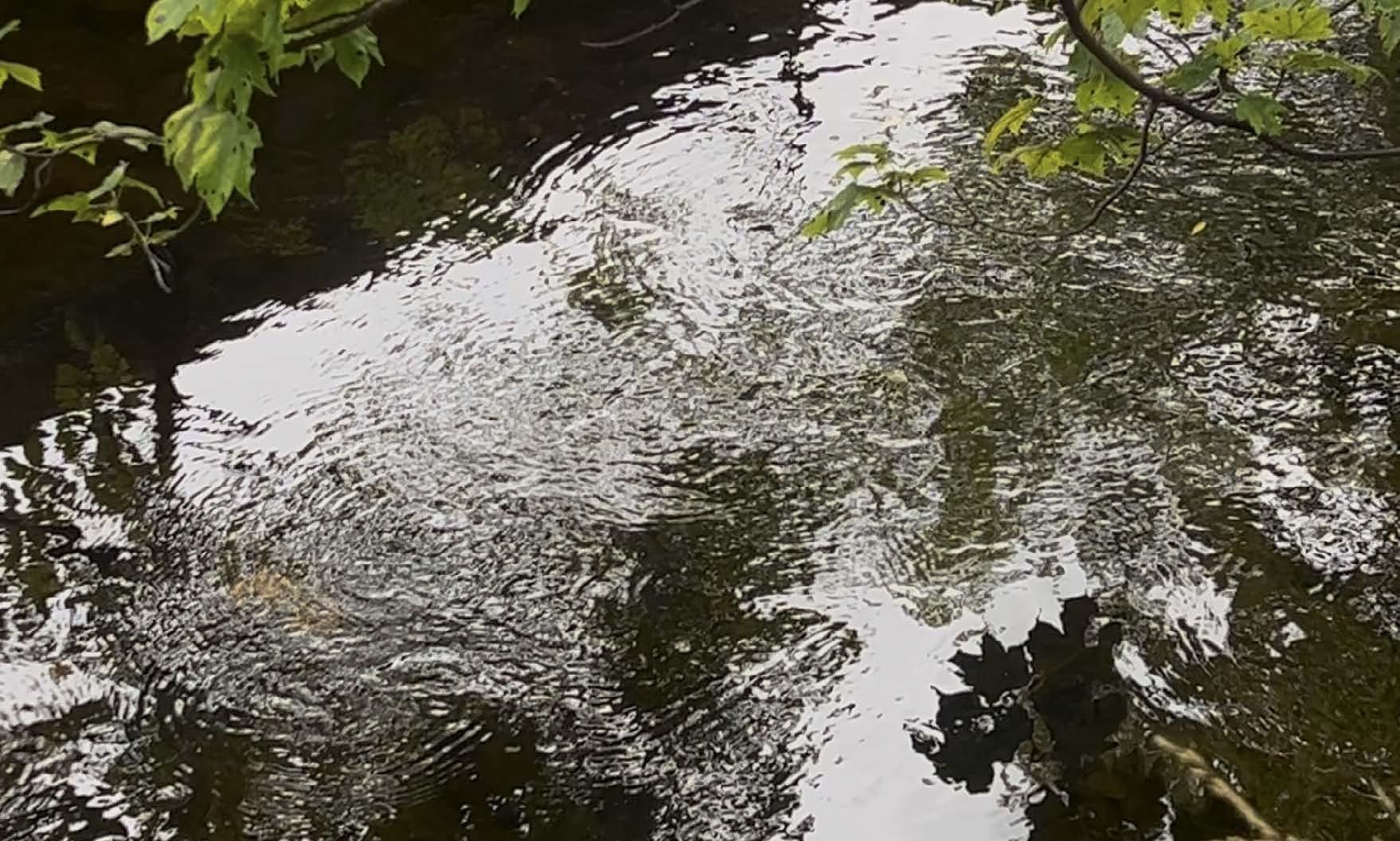
Below. Tools of Observation, Delan Aribigbola. Water Ripples, Georgina Inchbald.
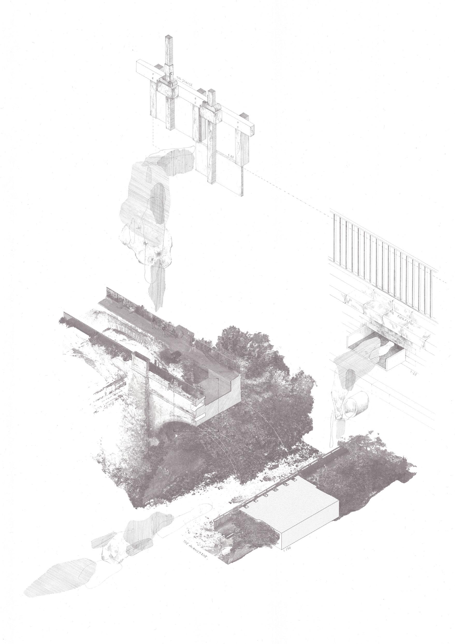
Slateford Aqueduct Analytique
Loren Brundrett, Iason Nielsen, Anna Szczerba
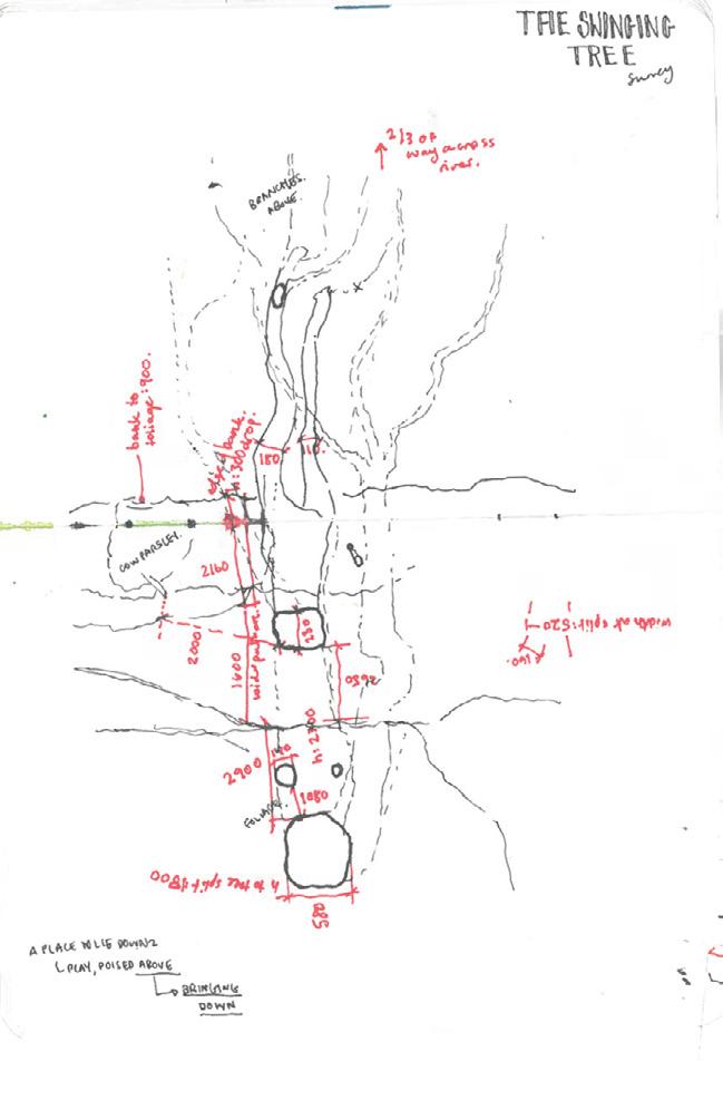
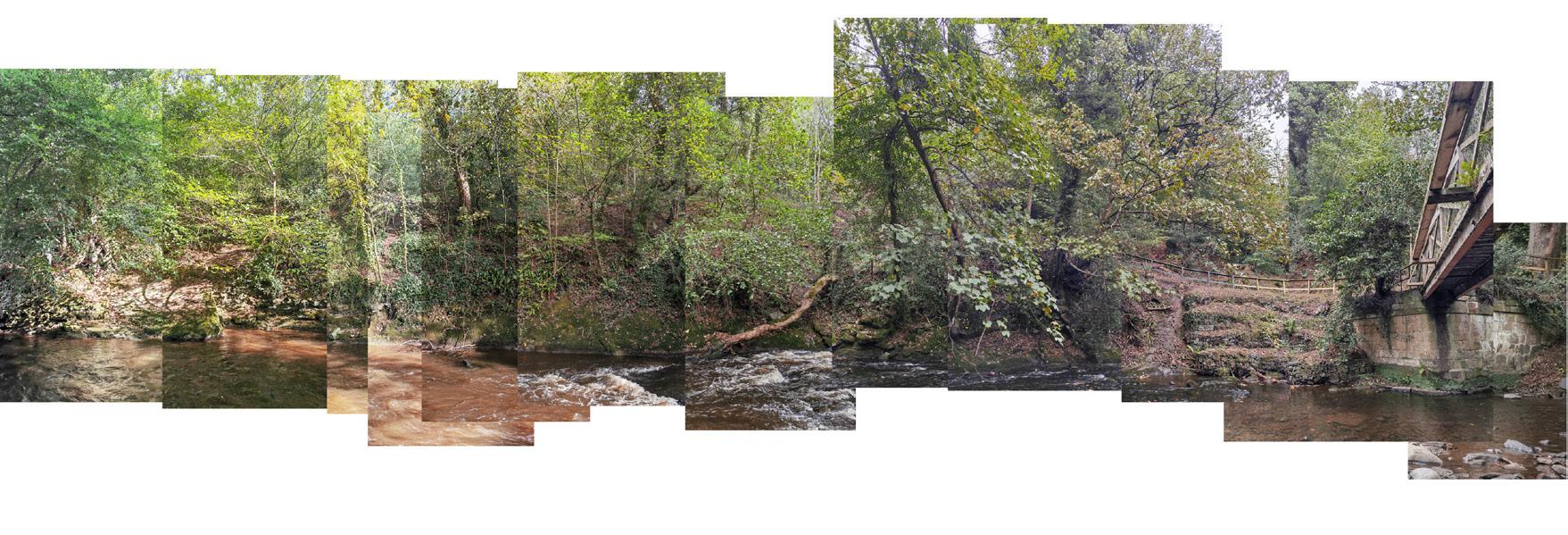
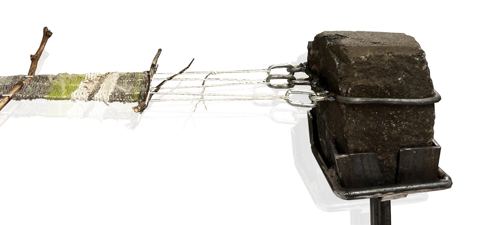
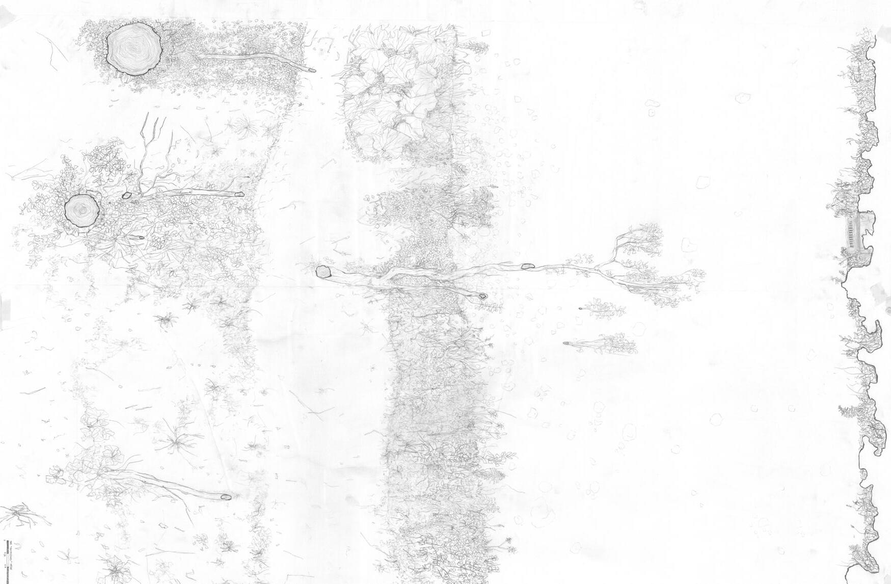
Left. Survey Notes, Chlöe Tunnell. Composite Photos, Evie Hall. Bottom Left. Weaving the PlacetoLieDown,Loren Brundrett, Iason Nielsen, Anna Szczerba.
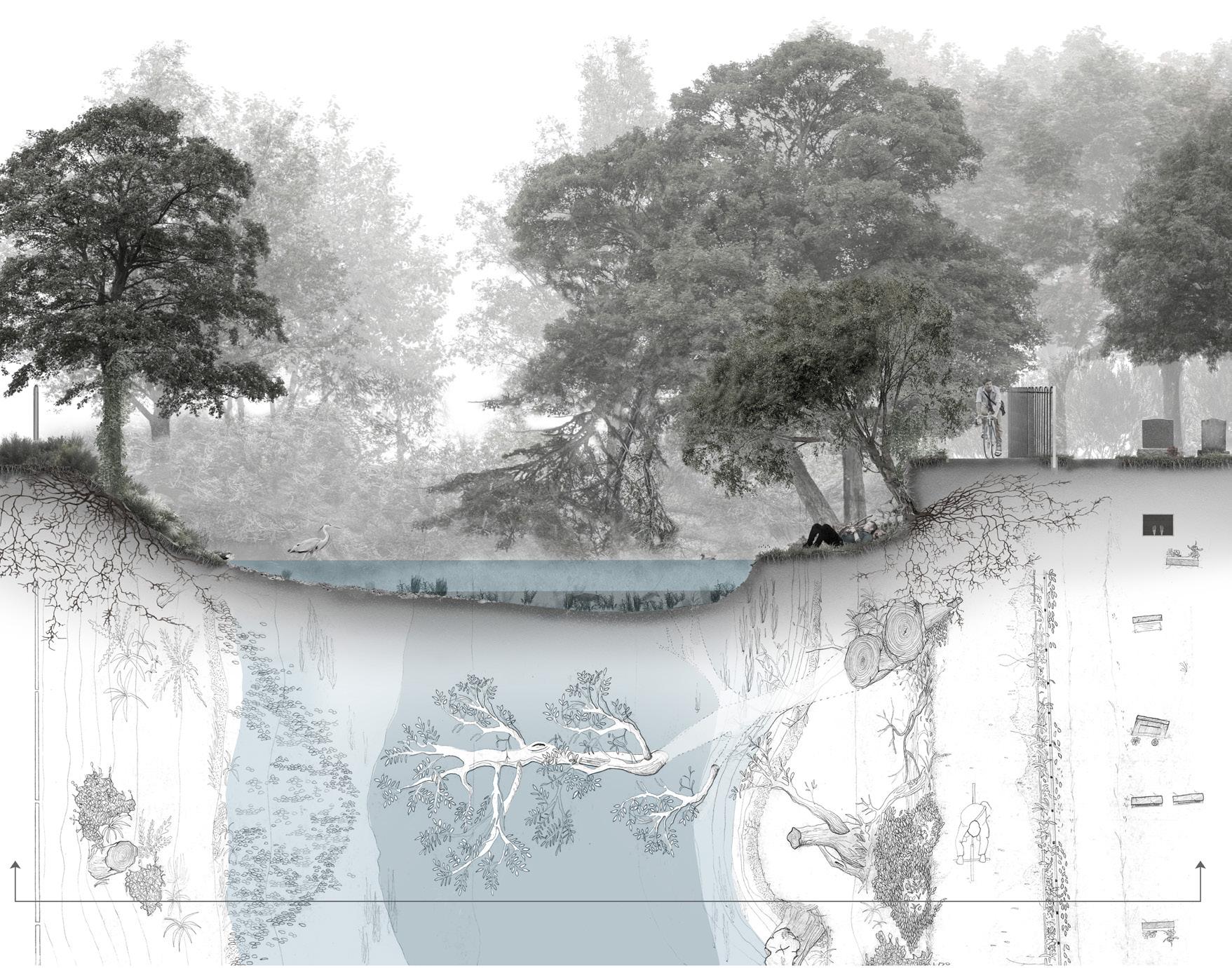
Right. River Section, Charlie Oxley. Riverside Plan, Chlöe Tunnell.
FIELD TRIP
WALCHEREN, ZEELAND, NETHERLANDS
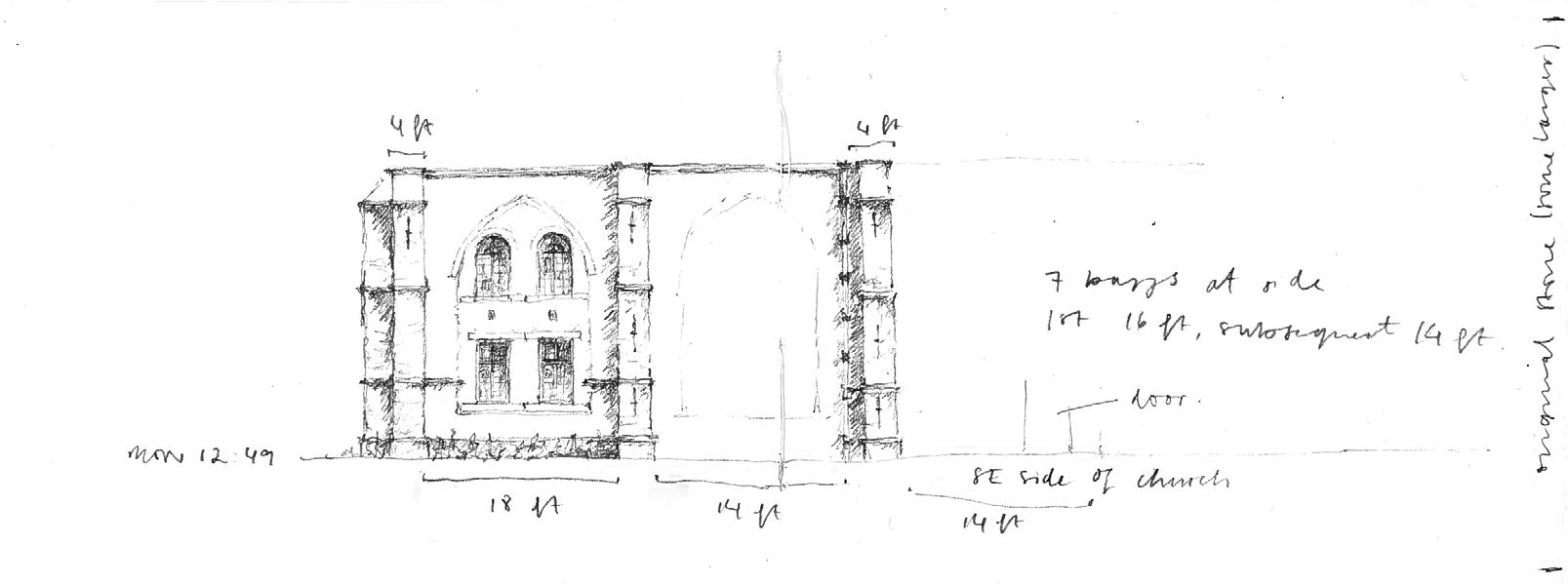
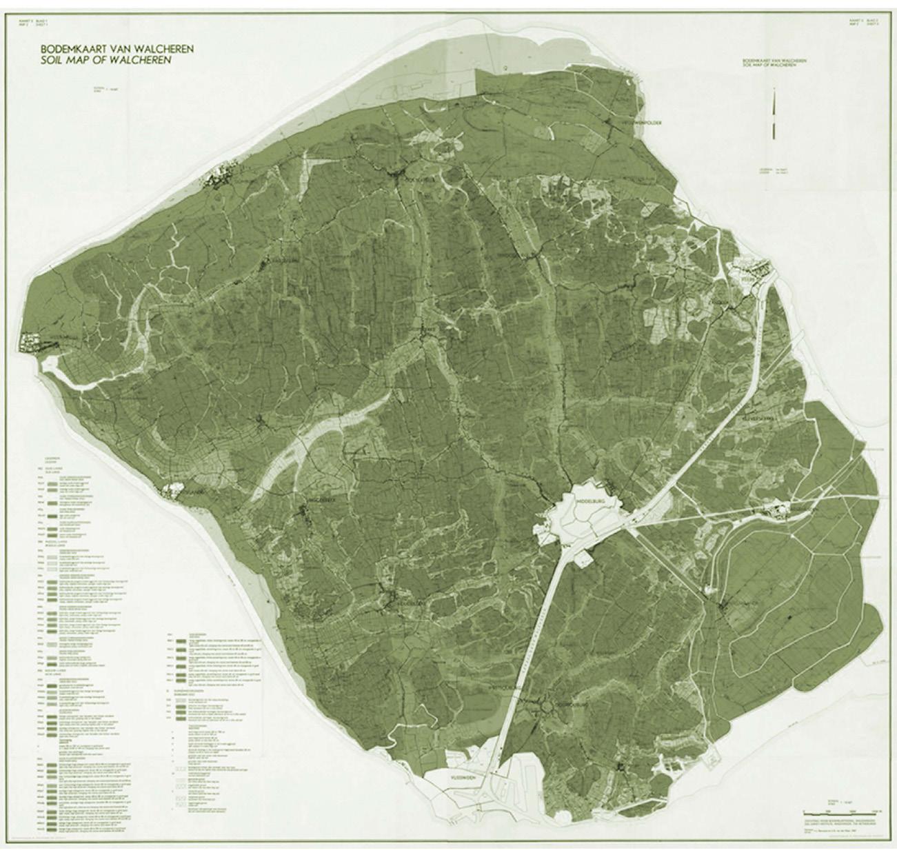
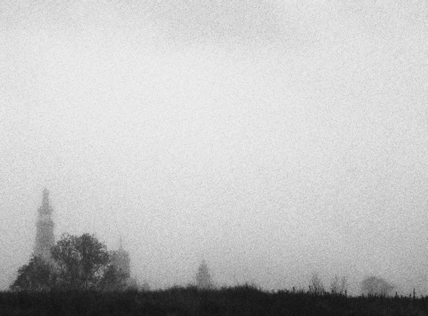
Top. Mapping the Grote Kerk, Loren Brundrett. Bottom. Soil Map of Walcheren, Zeeuws Bodem Venster, 1947.
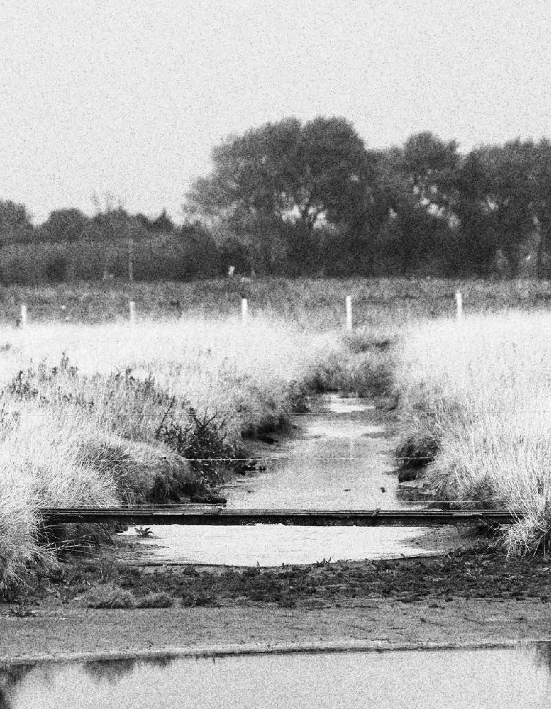
Ditches of Middelburg
Iason Nielsen
Top Left. Analysing the Rocks, Georgina Inchbald.
Bottom Left. To Middelburg, Iason Nielsen.
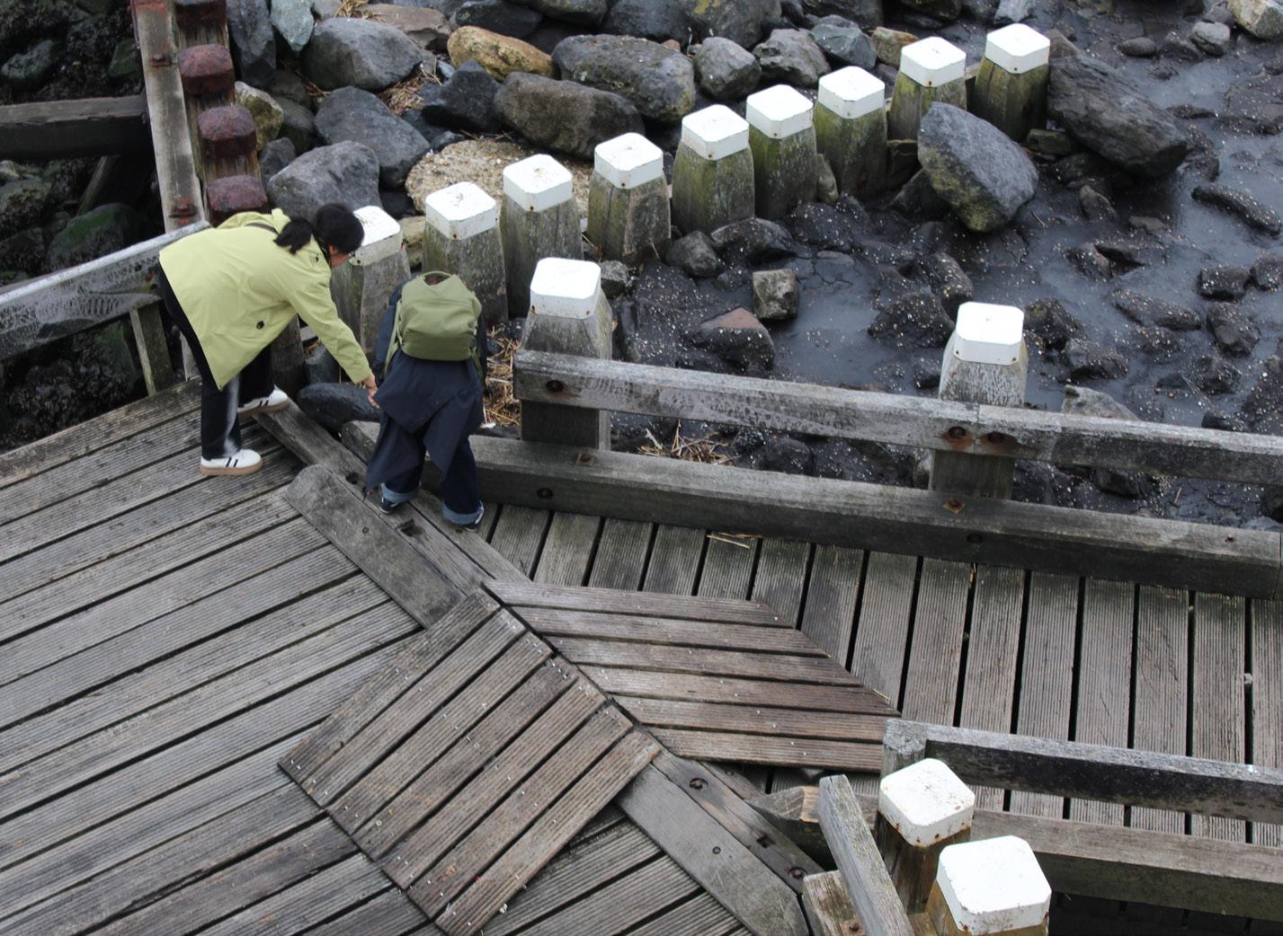
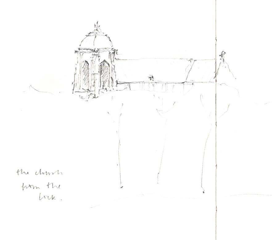
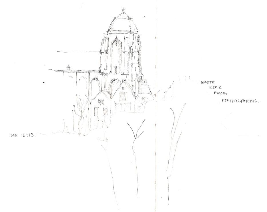
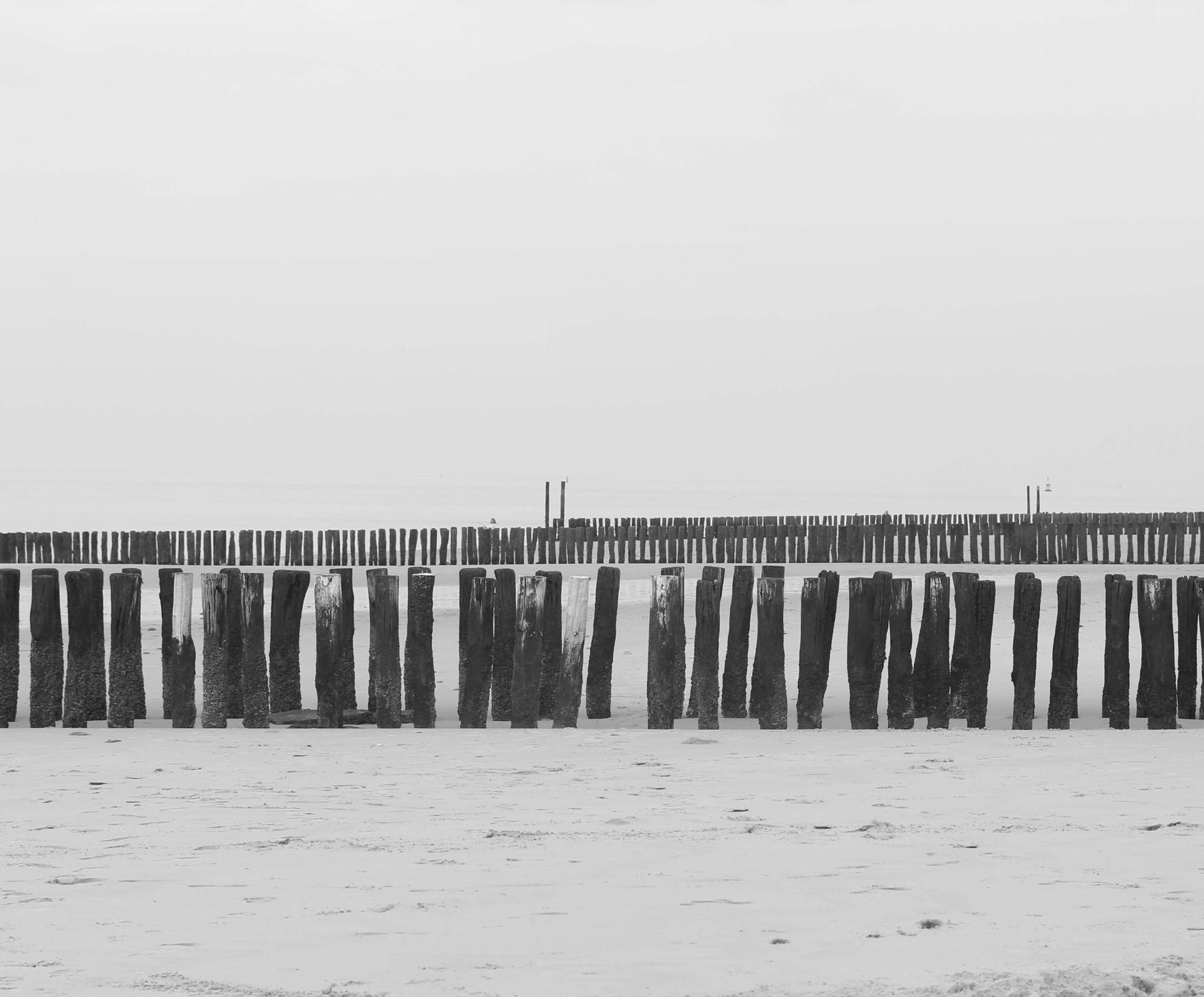
Right. Sketching the Kerk and the Bastionstrand, Loren Brundrett. Groynes, Chlöe Tunnell.
MOVING WATER BOOK CLUB
TEXTS FOR ENTANGLED
ECOSYSTEMS
Body. Selected Readings, Various Authors.
CARTOGRAPHIC DESIGN
WITH NABI AGZAMOV
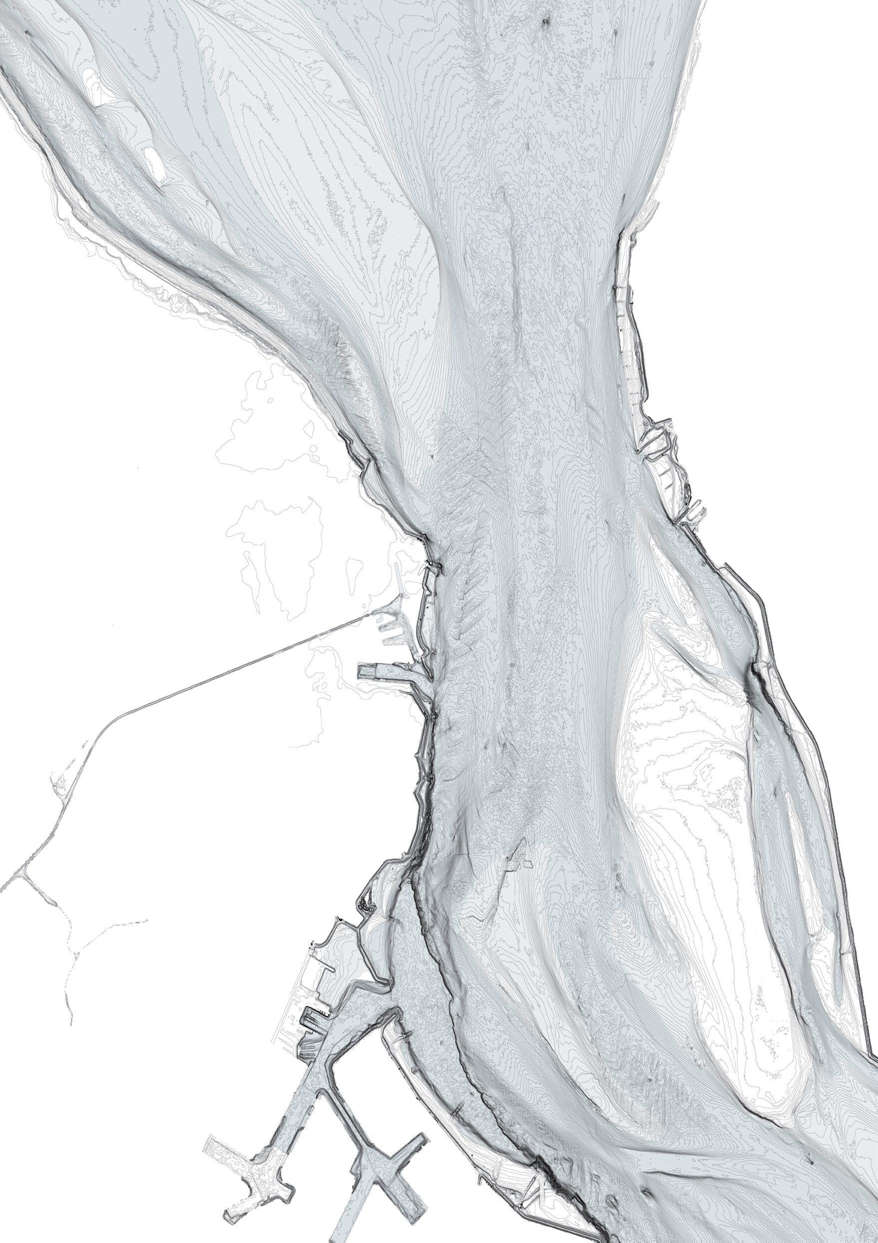
Body. Western Scheldt Seabed Contours, Georgina Inchbald.
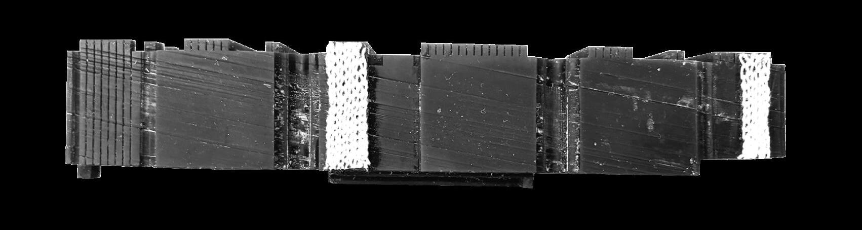
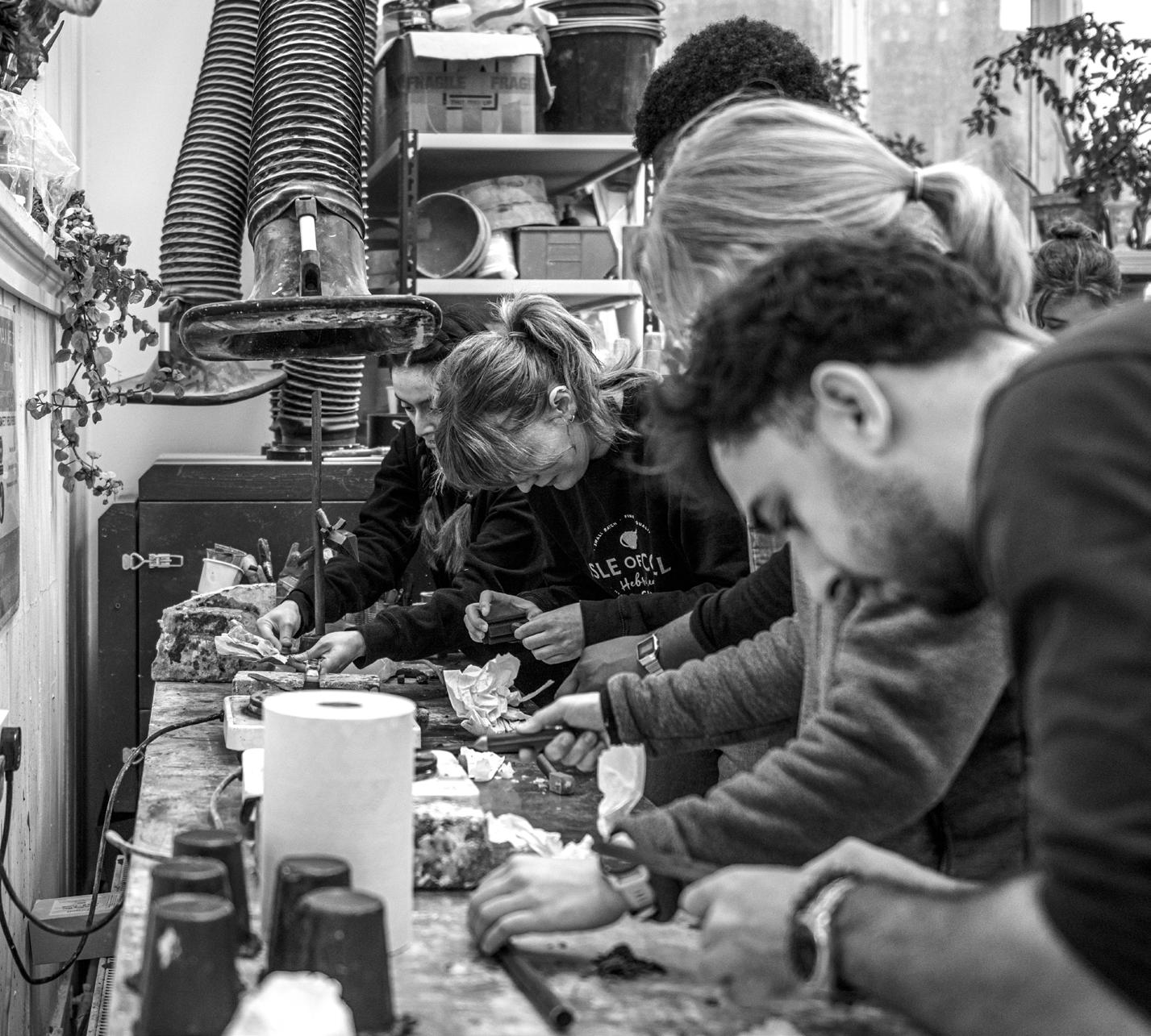
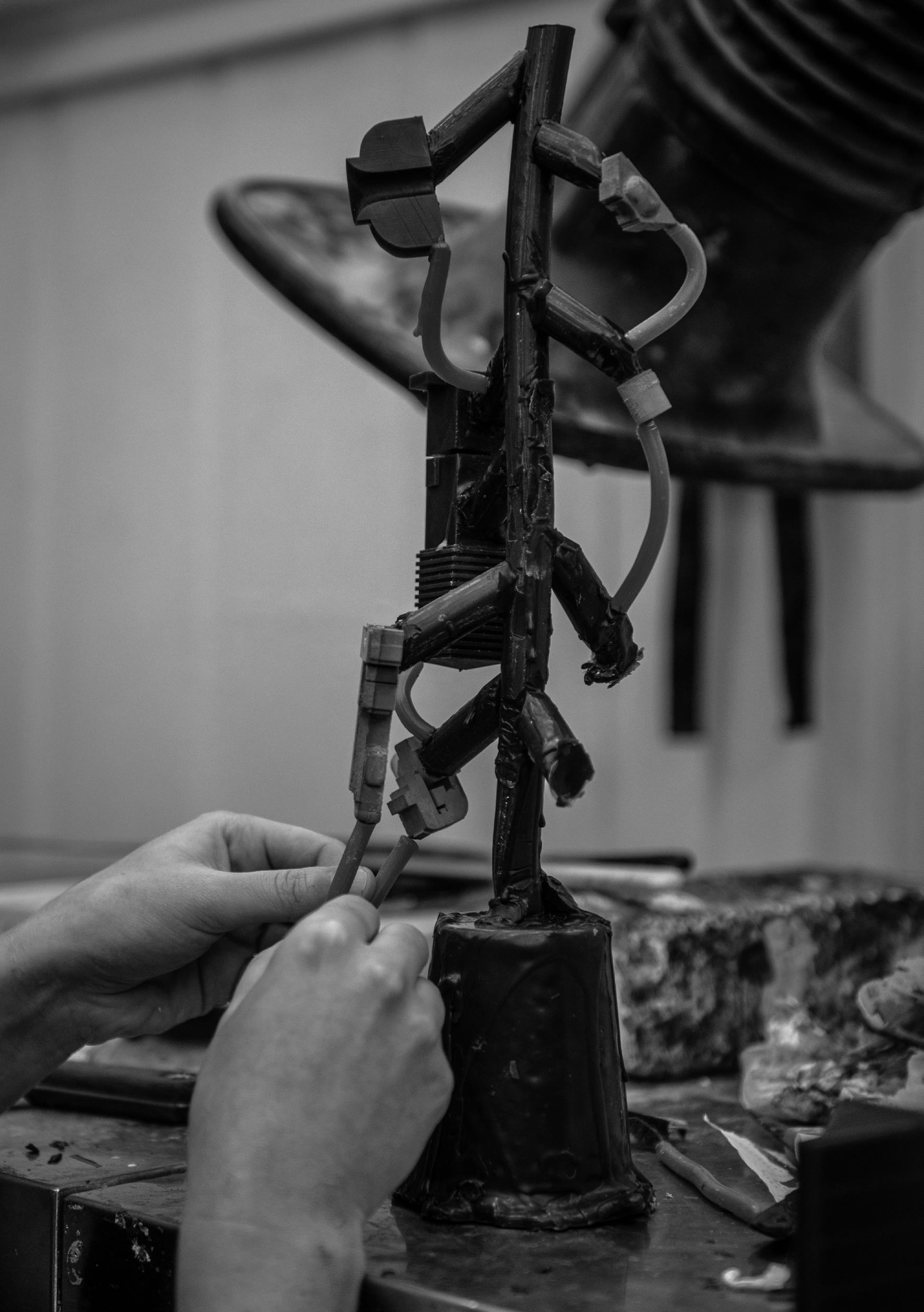
DIGITAL MAKING - WAX MODELS
WITH RICHARD COLLINS AND ANDREW DUNLOP
Left. The Wax Mould, Loren Brundrett. Preparing the Wax, Sean Mihael.
The Wax Tree Sean Mihael
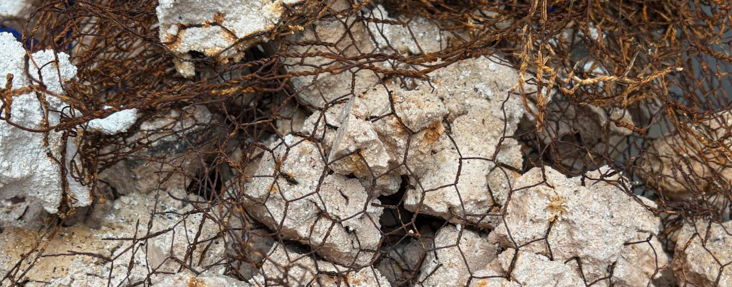
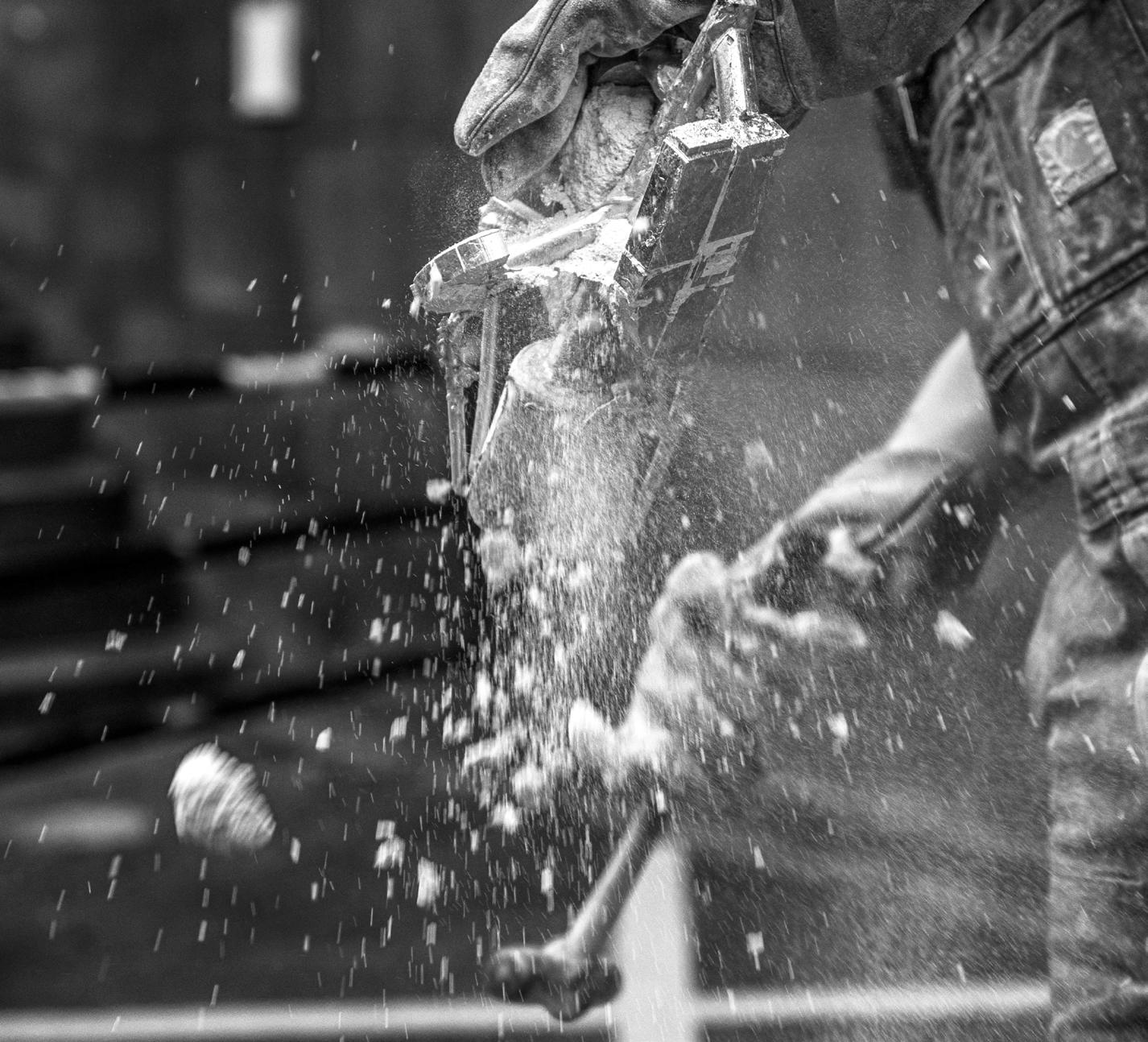
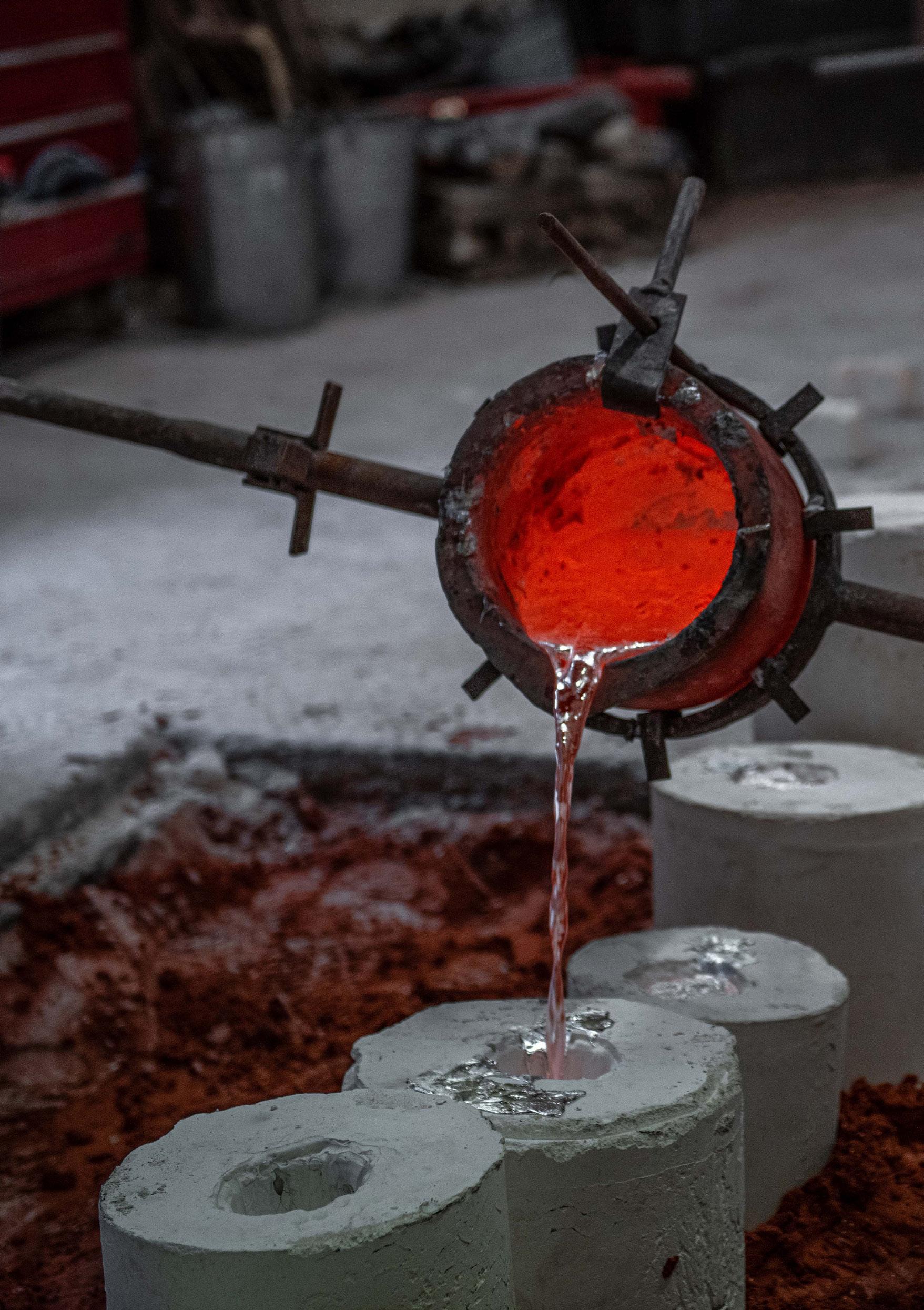
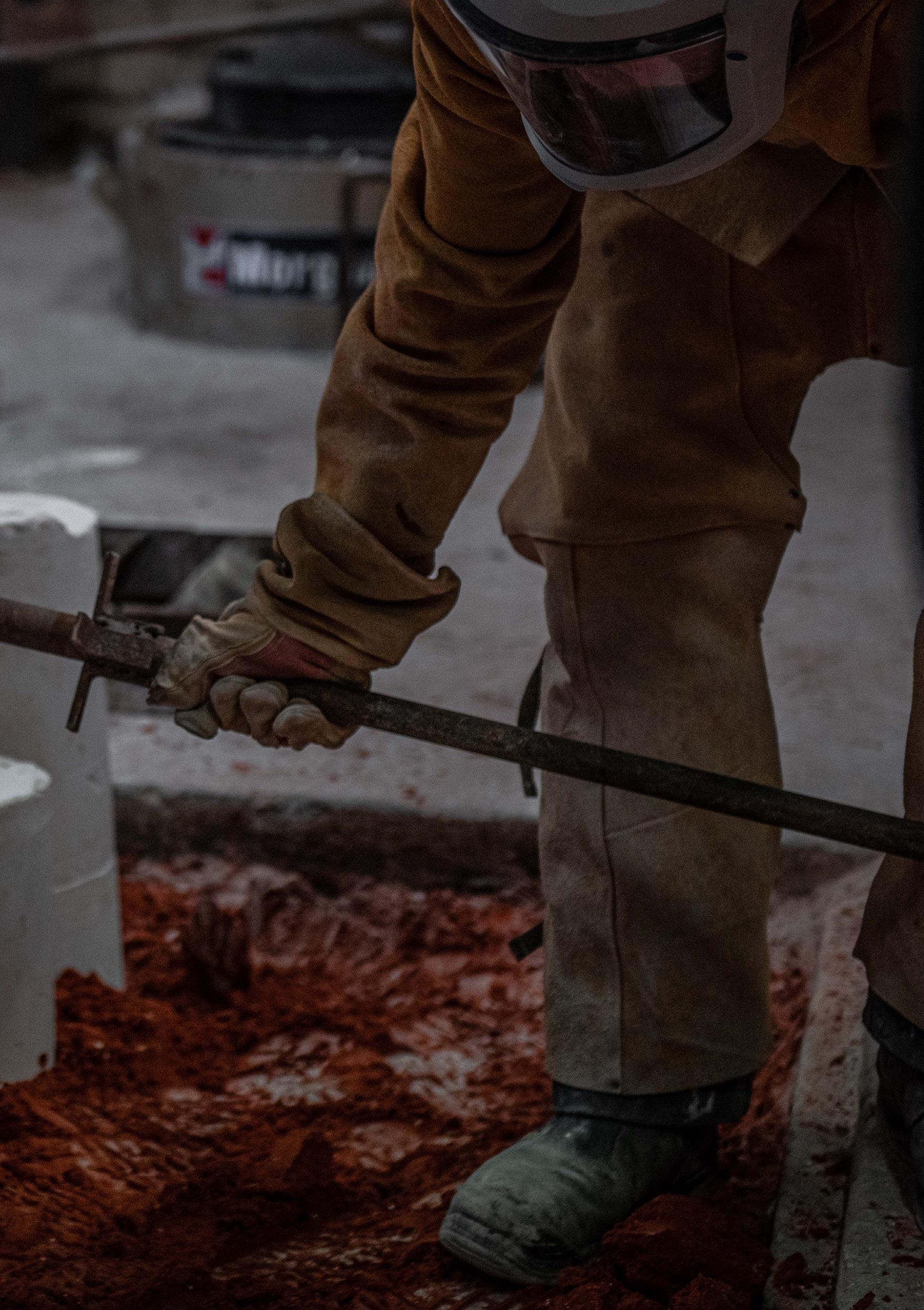
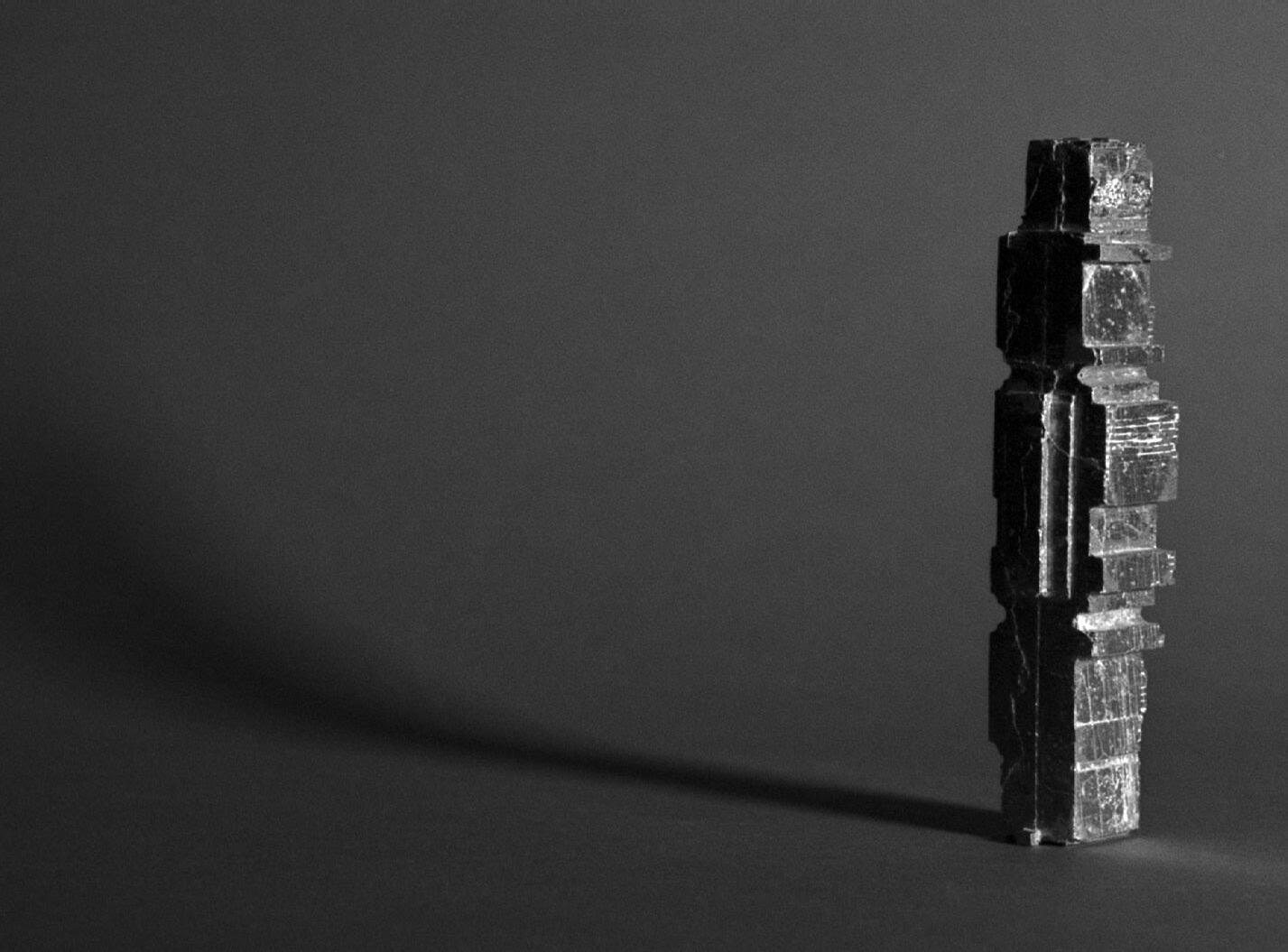
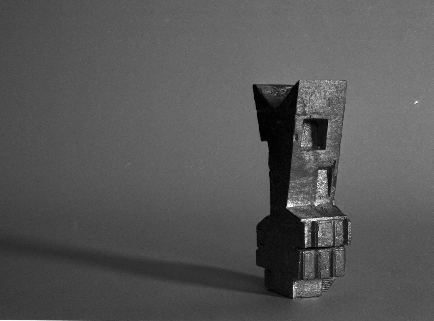
HOT CASTING - ALUMINIUM MODELS
WITH ANDREW DUNLOP
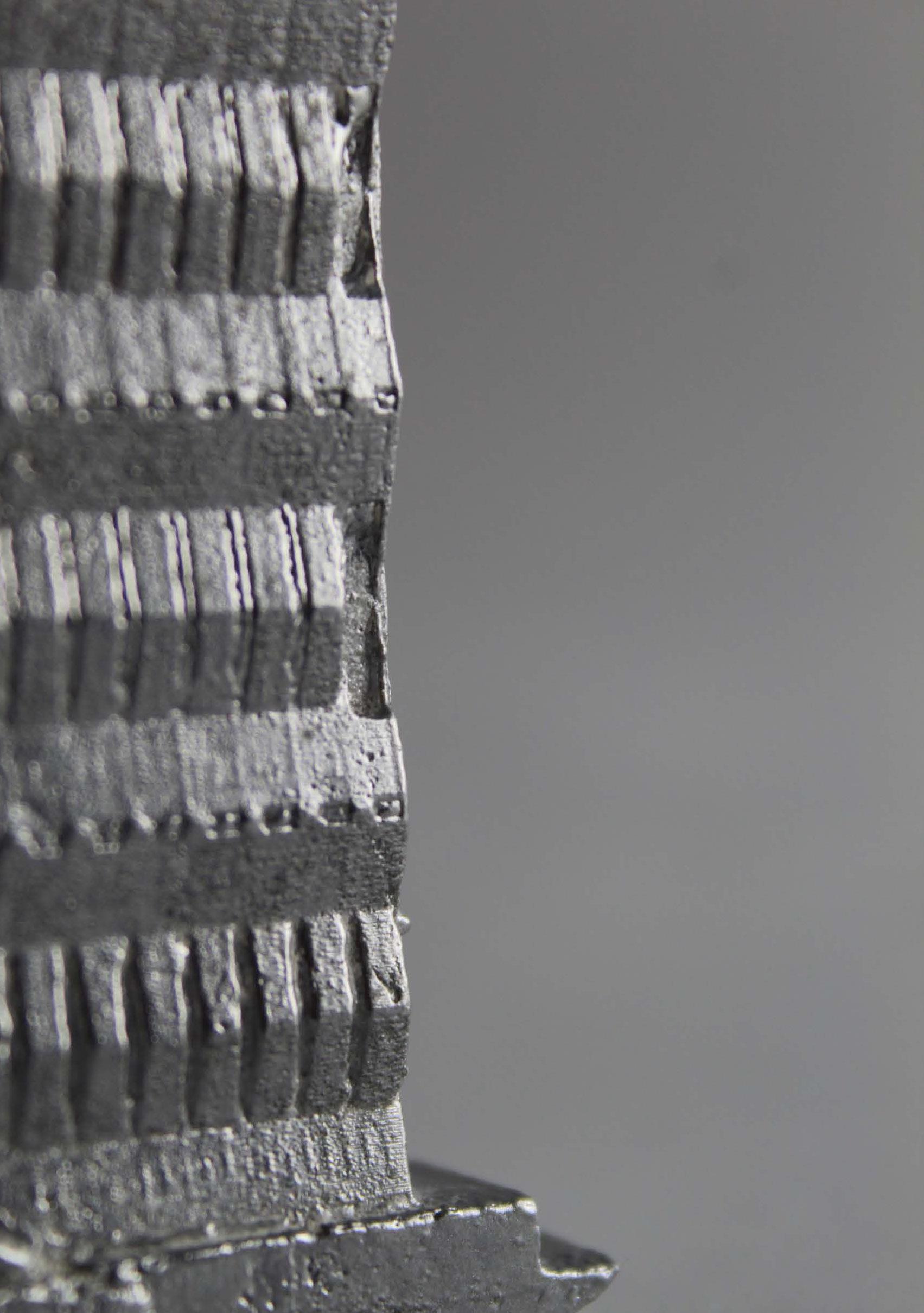
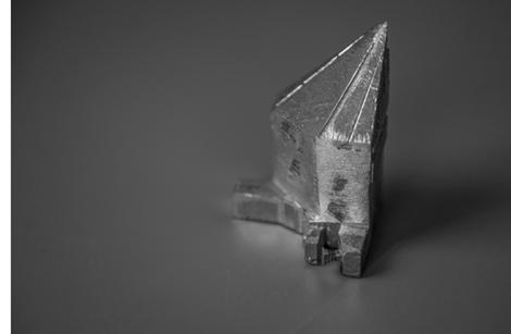
Left. Remnants of Casting, Loren Brundrett. Breaking the Cast, Sean Mihael.
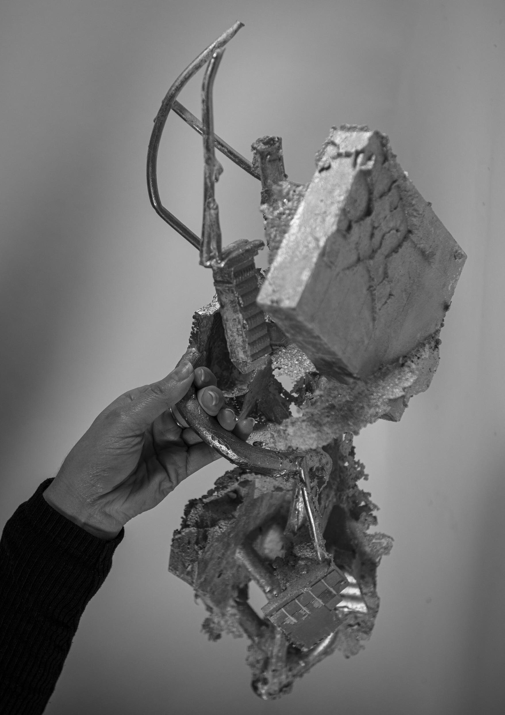
The Aluminium Tree
Sean Mihael
Pouring Aluminium
Sean Mihael
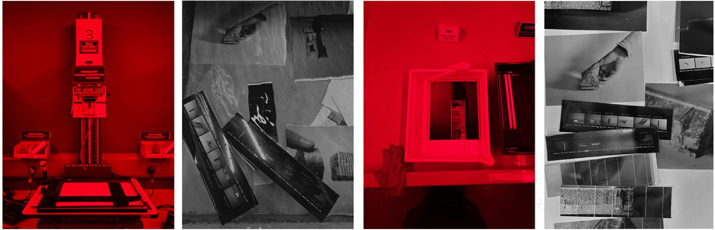
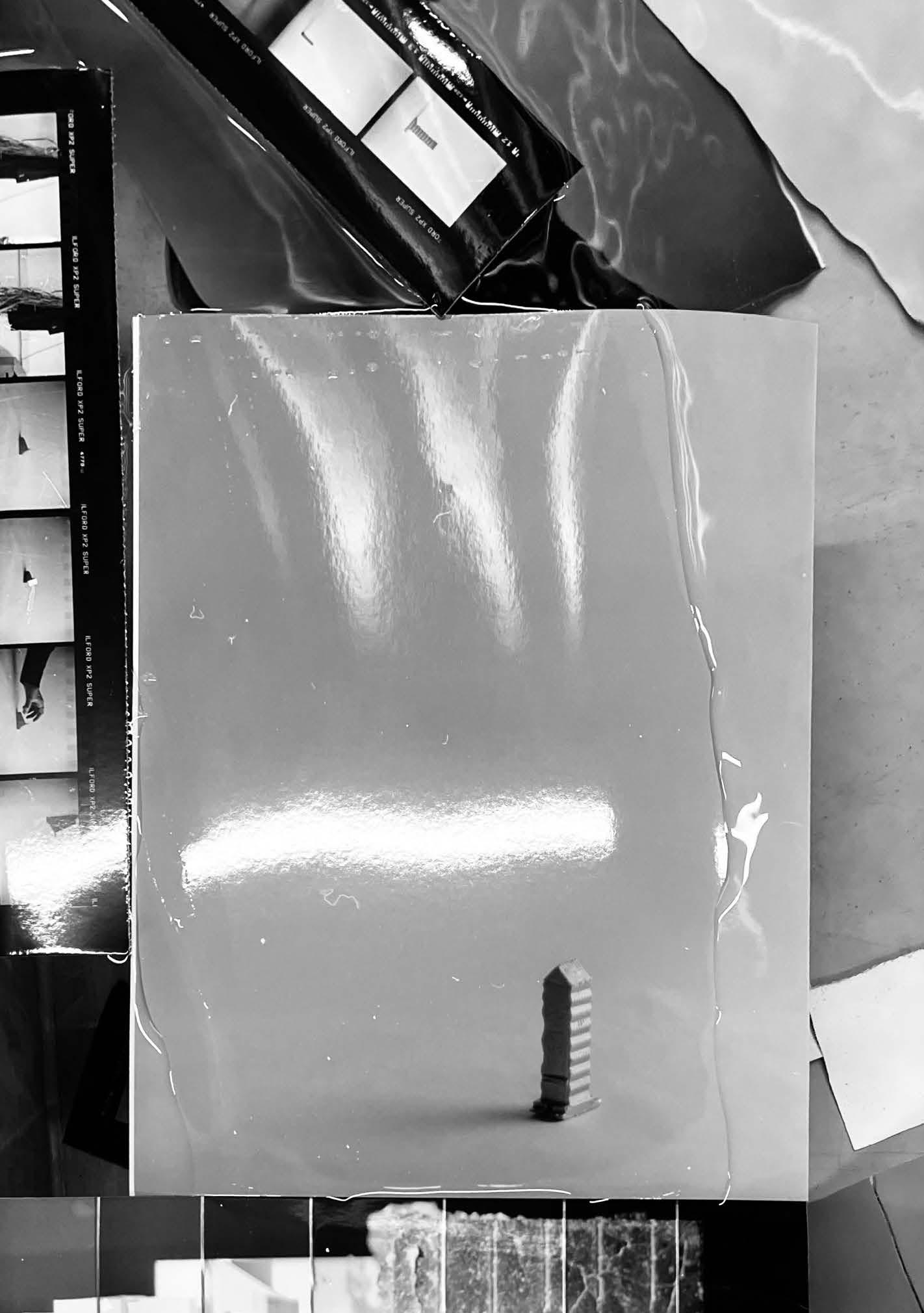
PHOTOGRAPHY AND DEVELOPING IMAGES WITH SHAREEN SOROUR
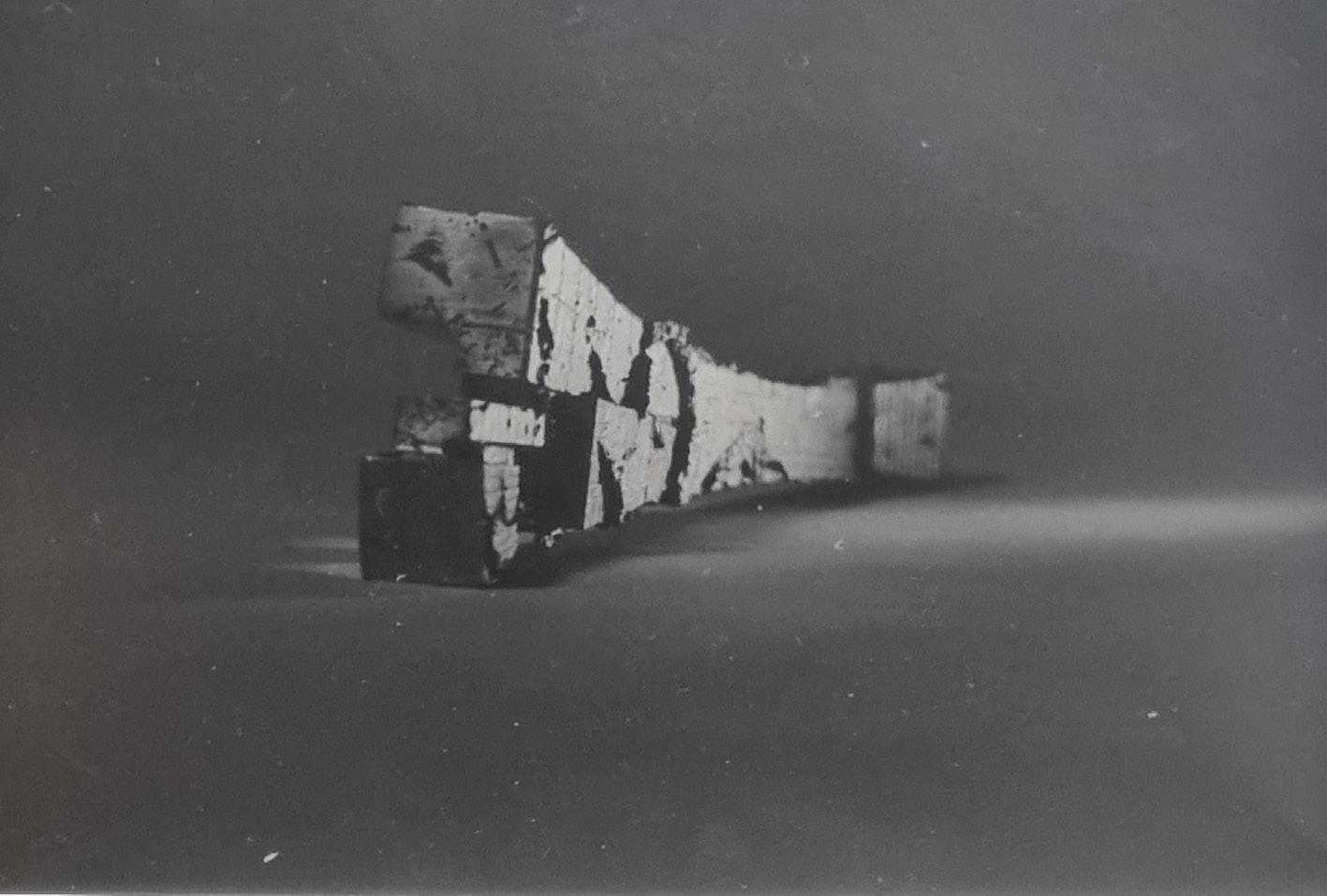
Left. From the Darkroom, Xinning Huang. Aluminium Cast, Charlie Young.
Developed Photos
Georgina Inchbald
Top Left. Aluminium Cast, Loren Brundrett.
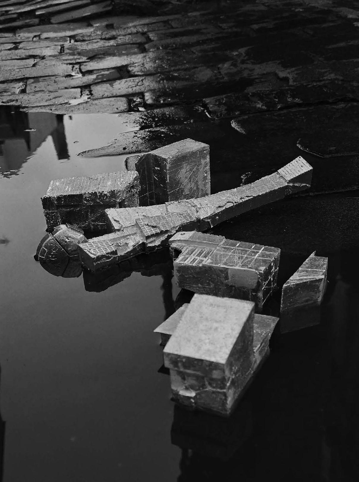
Bottom Left. Aluminium Cast, Anna Szczerba. Body. Casts in the Rain, Layla El Wadnakssi.
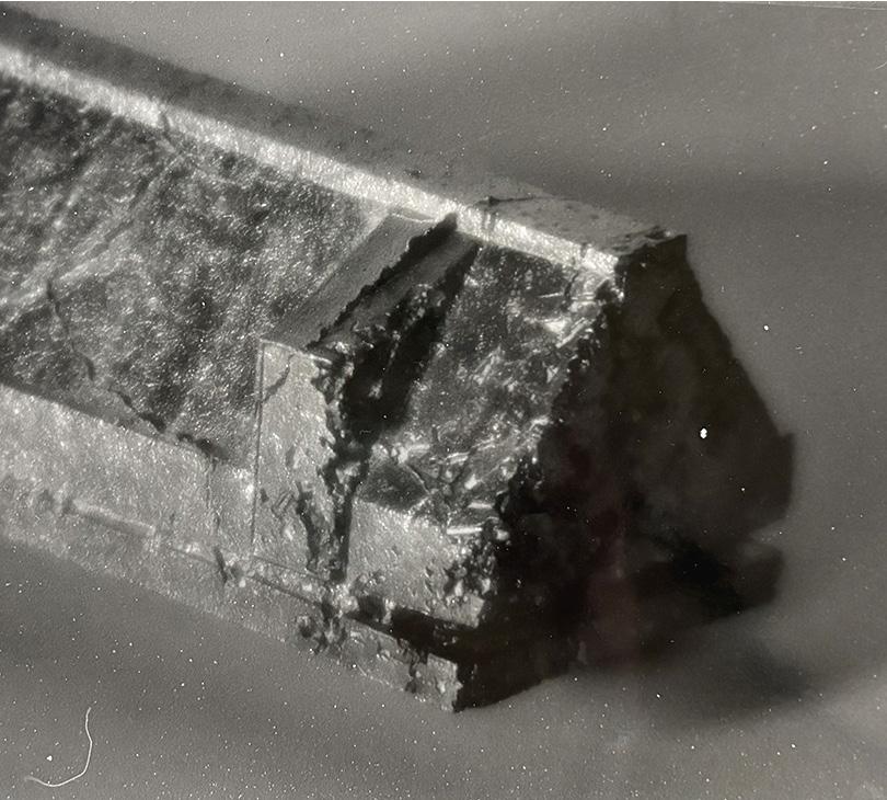
Left. Aluminium Cast on Film, Georgina Inchbald.
Above. Aluminium Cast on Film, Iason Nielsen.
Below. Aluminium Cast on Film, Samuel Barker.
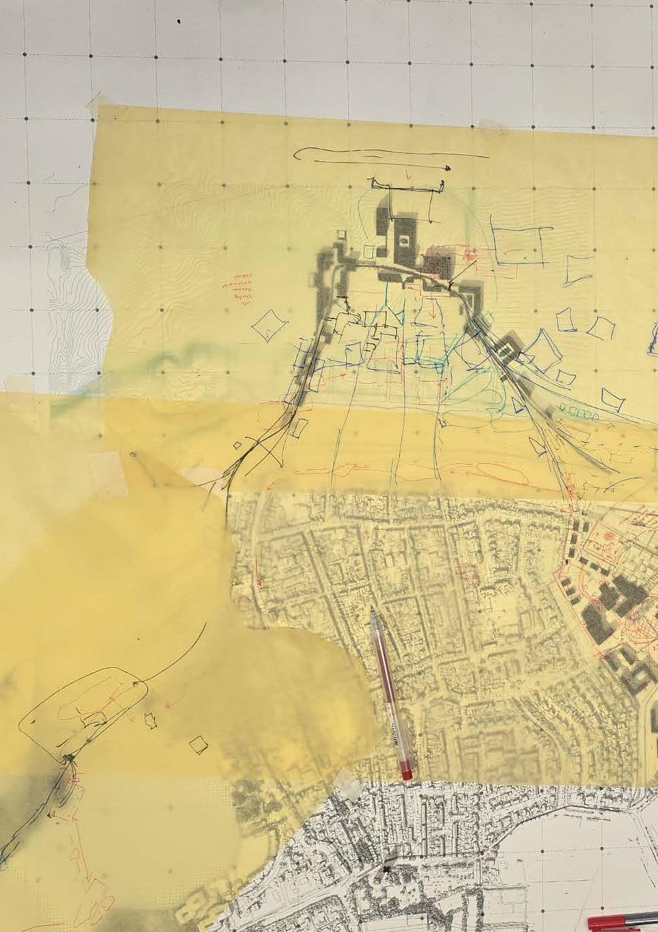
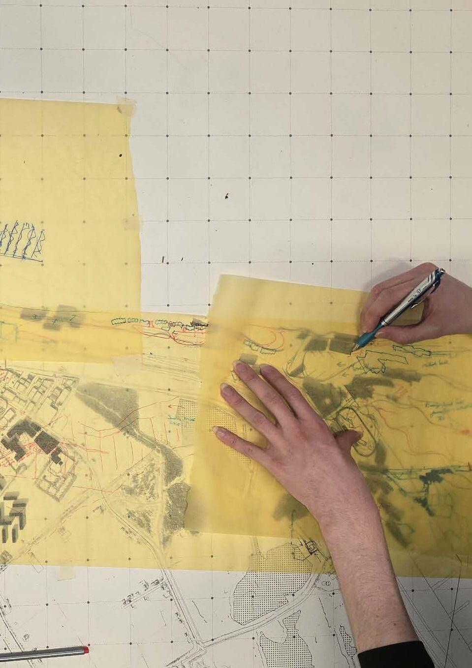
Mapping on Yellow Trace
Samuel Barker
01
WESTKAPELLE
UNIVERSITY OF WESTKAPELLE
CALLIE HOCK
CHARLIE OXLEY
LAYLA EL WADNAKSSI
SAMUEL BARKER
Group Masterplan
Callie Hock, Charlie Oxley, Layla El Wadnakssi, Samuel Barker
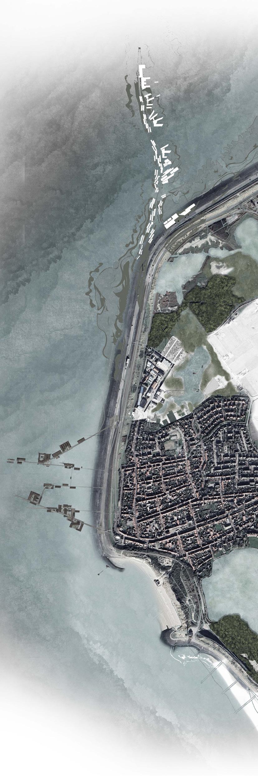
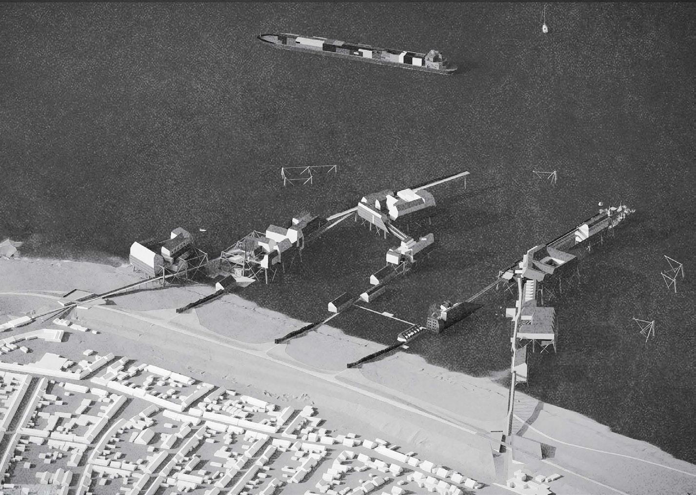
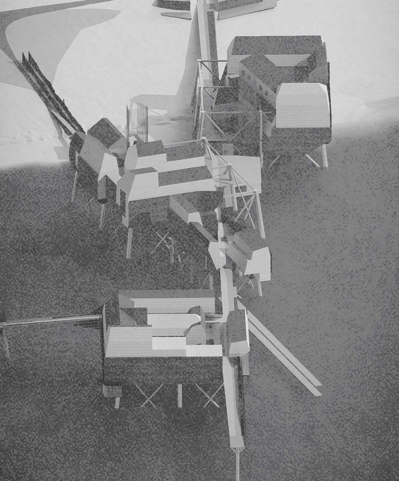
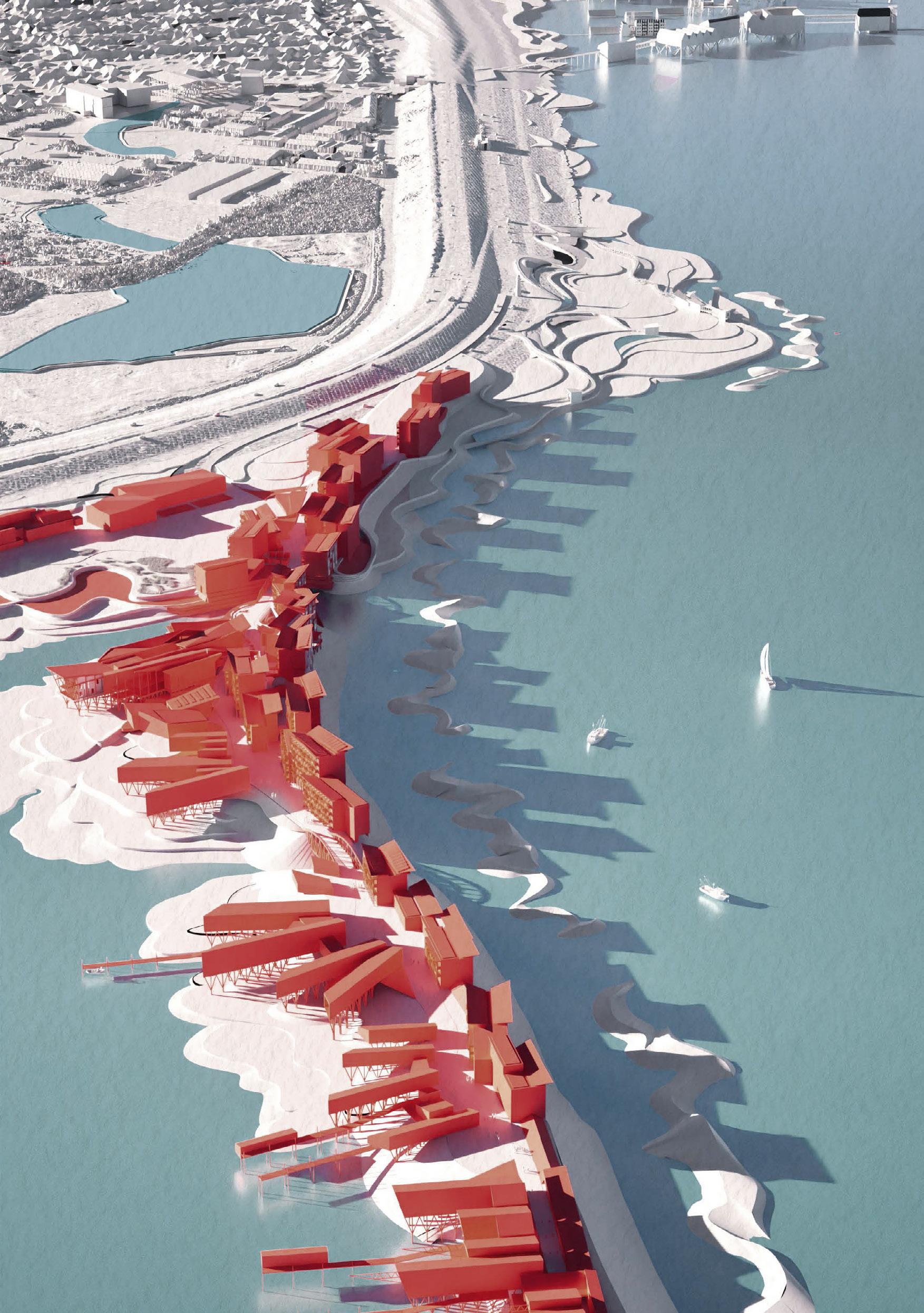
Site: North Sea o Westkapelle, Walcheren. Programme: Facilities and accomodation for the Univeristy of Westkapelle and an extension of the town’s amenities and residential infrastructure.
01 a
UNIVERSITY OF WESTKAPELLE
ZEEVUR
CALLIE HOCK
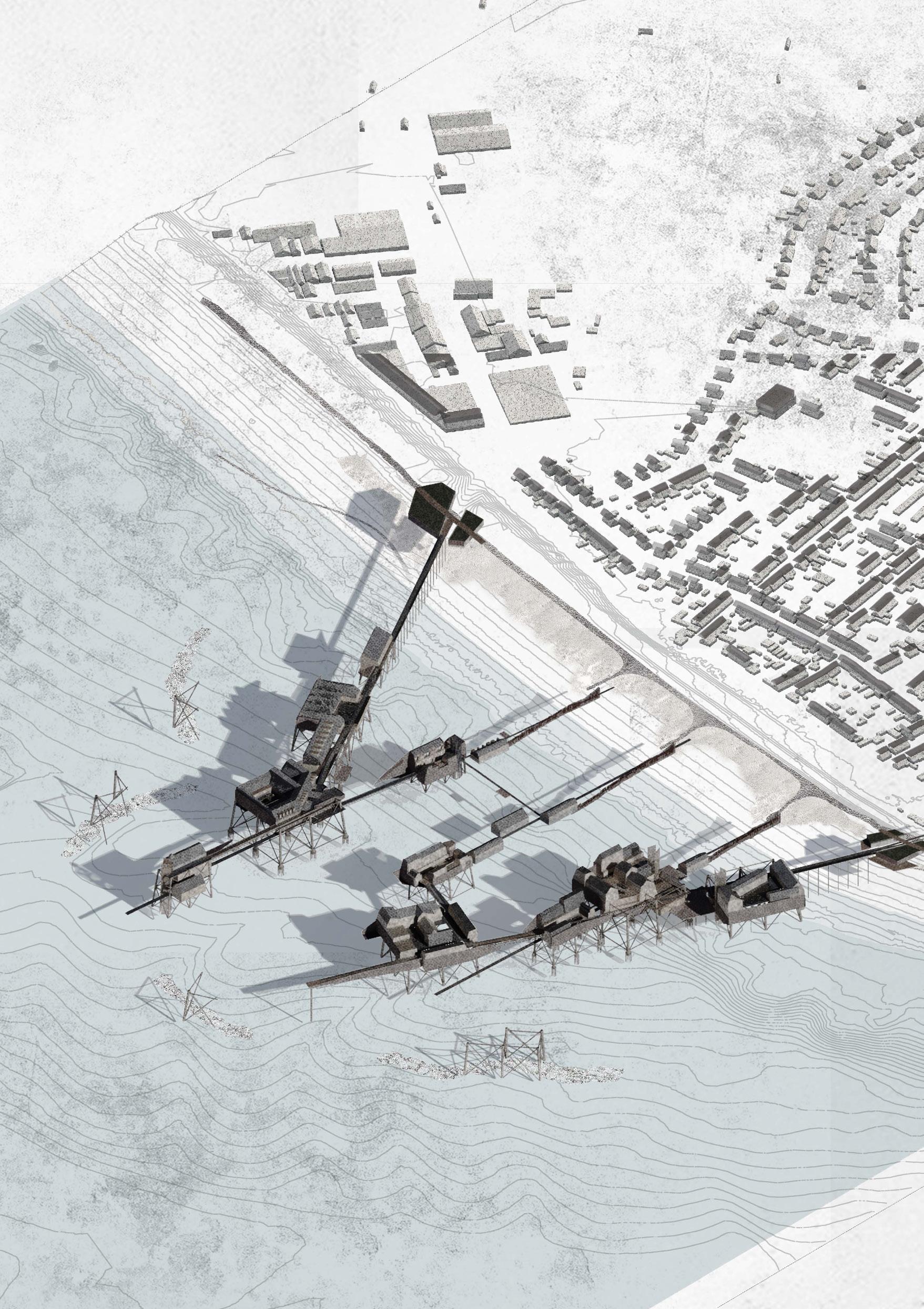
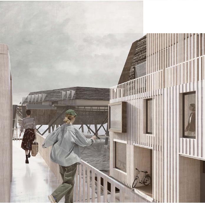
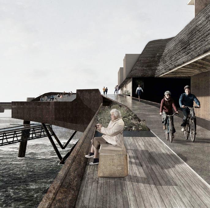
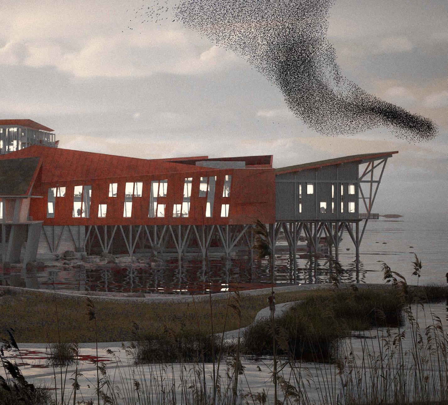
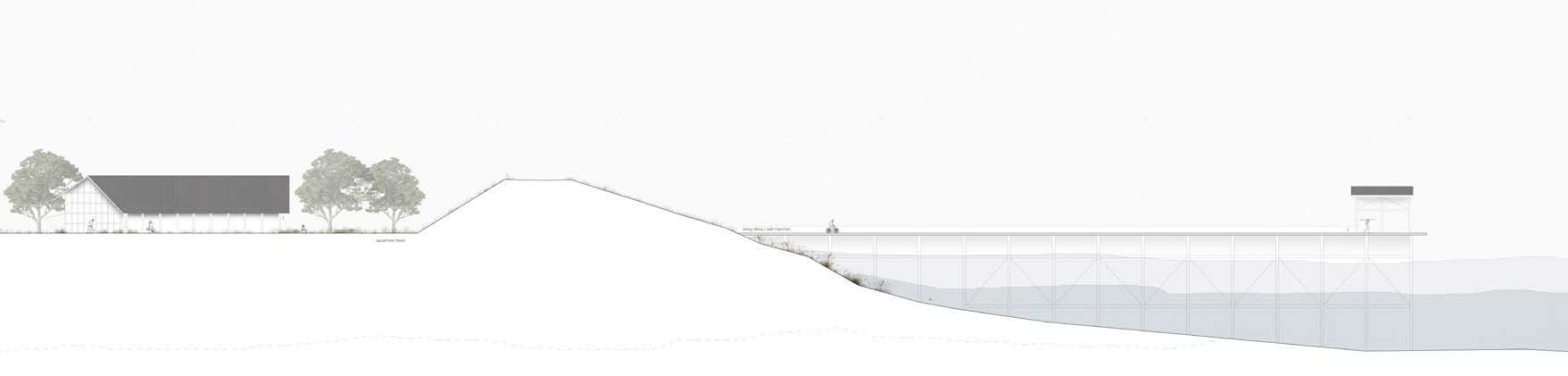
Extending from Westkapelle - the westernmost point of Zeeland - this masterplan expands the village o shore, introducing new residential and commercial spaces alongside facilities for our newly introduced university, my portion focusing on oceanography and climate research. By building at sea, the project continues the Dutch tradition of reclaiming space from the water, addressing land scarcity without encroaching on valuable terrestrial landscapes. e design prioritises a direct relationship with water, reaping the bene ts that it o ers, prioritising rainwater collection, whilst reconnecting the village to the sea. e design has a central material focus, with a palette of reclaimed industrial components and timber and aquaculture by-products from local industries. e proposal repurposes decommissioned oil rigs - a nod to the North Sea’s industrial legacy - leveraging their inherent structural strength to support new habitats - for both humans and marine life via arti cial reefs. Reclaimed ship hulls material provides a tough outer skin to the buildings, protecting the softer ‘belly’ of the design. e masterplan establishes a network of xed and oating elements connected through vertical access towers, allowing ux with the nature of the changing tidal and seasonal landscape.
The Proposal in Axonometric (thumbnail: Testing Maquettes)
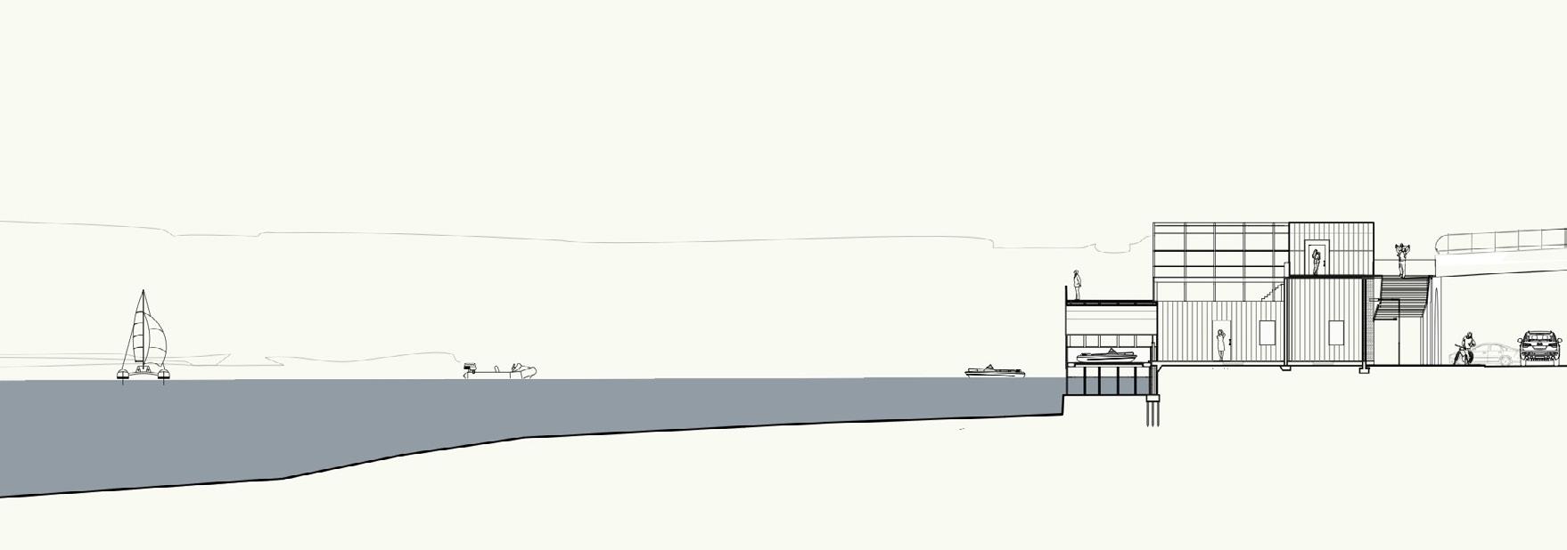
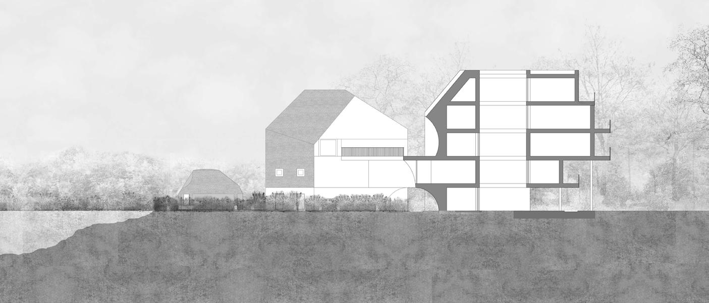
Top. Site Section.
Left. Extending into the North Sea, Along the Boardwalks. Right. Contextualised Axonometric.
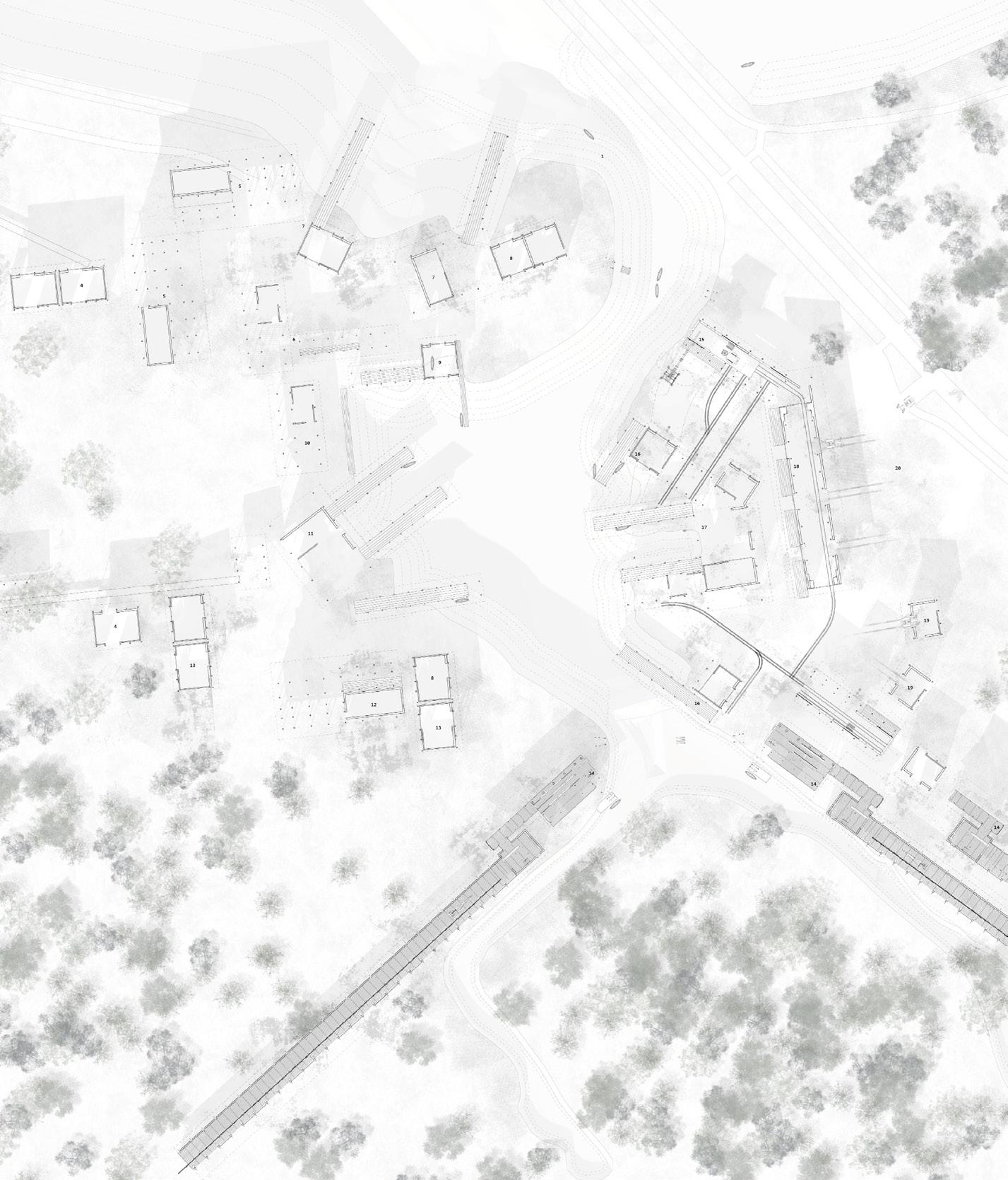
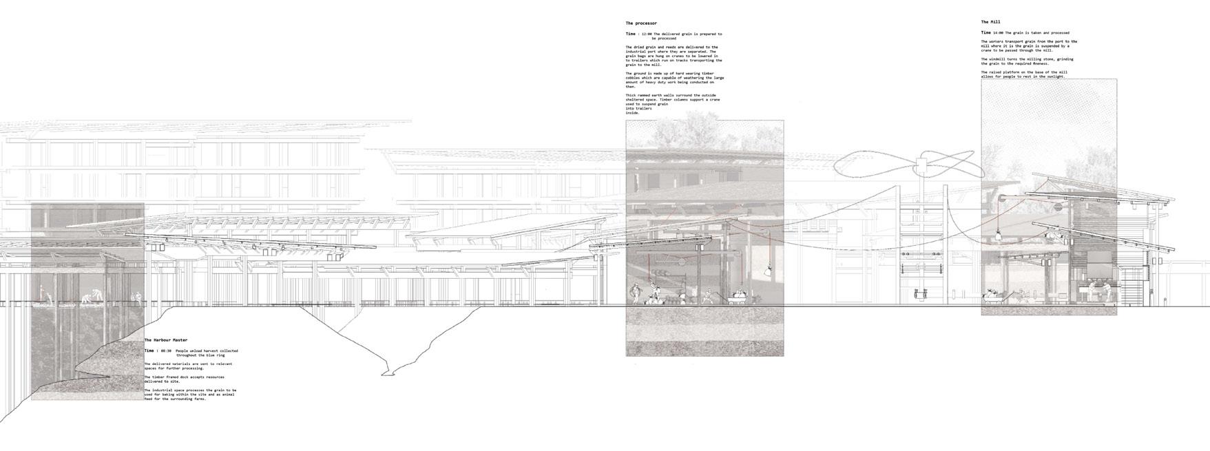
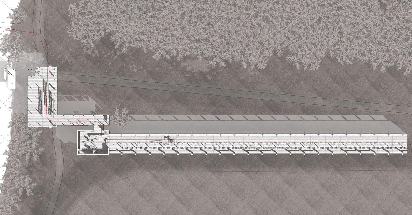
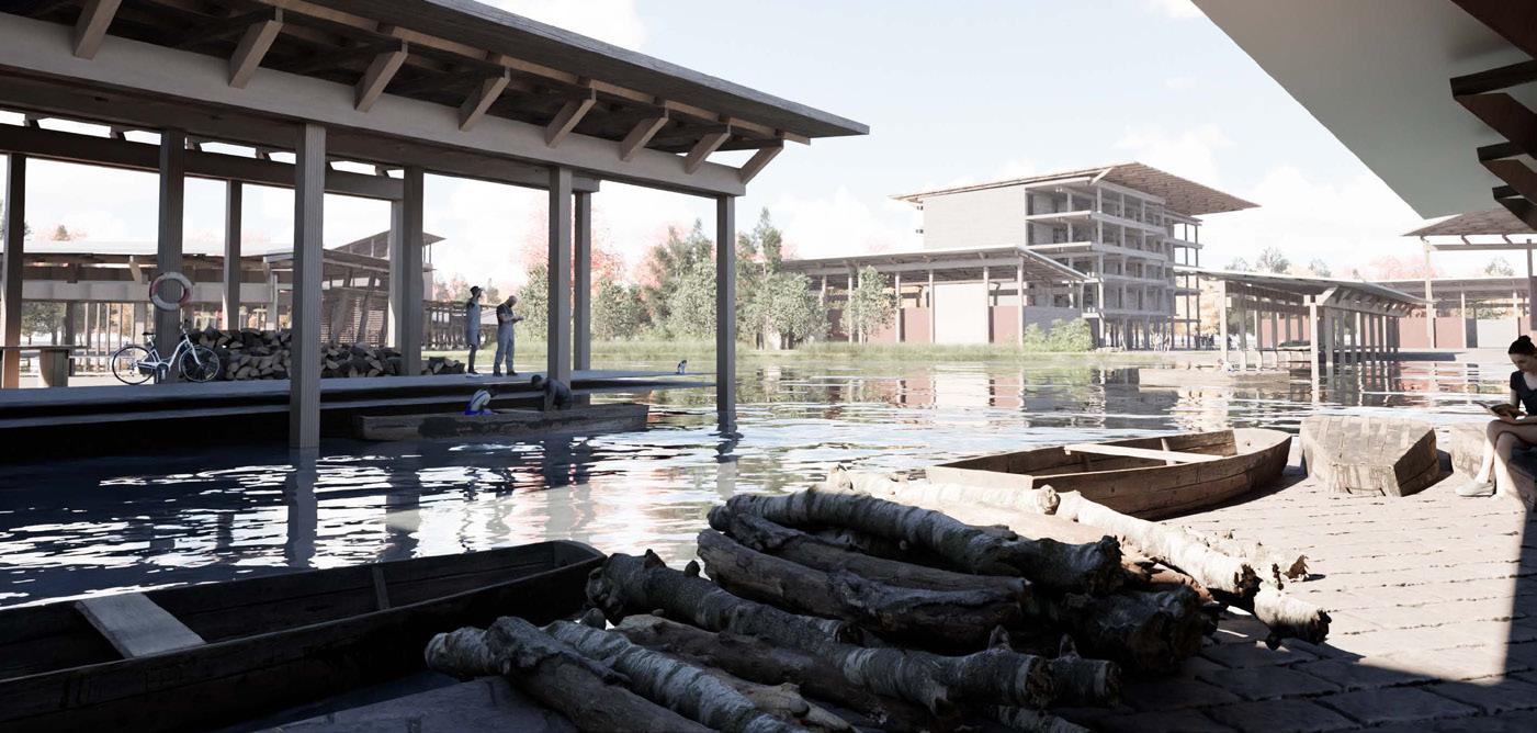
My master plan is based on the southern end of Westkapelle Creek, located south of Westkapelle. At the base of the creek, we are extending an interconnecting waterway that connects the Westkapelle creek to the Nordervroom nature reserve located north of Westkapelle.
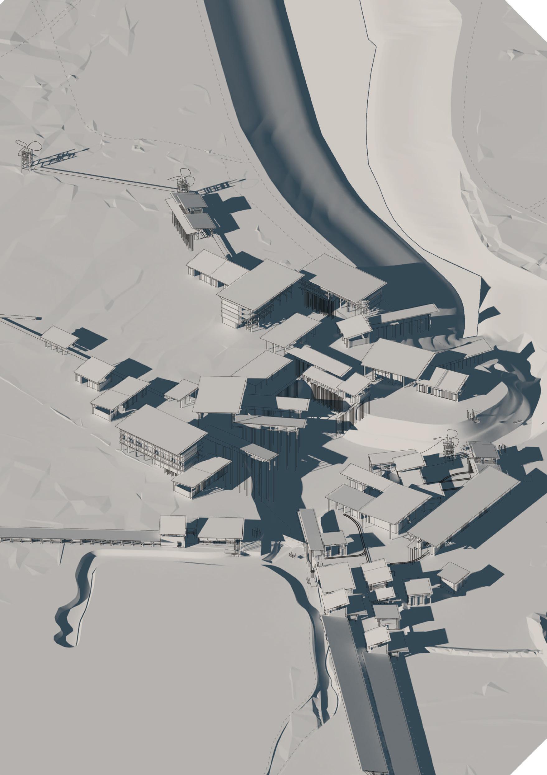
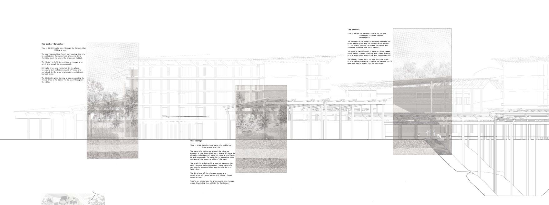
e new connecting waterway is to be forged through farmland surrounding the city, allowing my scheme to utilise the waterway as a way of transport and harvest. Grain and reeds are harvested from around the waterway, and traditional methods are used to process the materials into usable products. Surrounding the proposal is a regenerative forest, designed to be processed on-site using traditional methods, generating power through windmills located around the site.
e site incorporates teaching and residential spaces for the university campus, with access to both the waterway and the surrounding woodland.
The Proposal in Axonometric (thumbnail: The Façade)
Top. Textured Section.
Left. Site Plan.
Right. Waterway in Plan, Waterway in Elevation, Docking by the Waterway.
Site: Westkapelle, Walcheren. Programme: Research University, Waterway, Marshland, Community Gardens, Allotments.
01 c
UNIVERSITY OF WESTKAPELLE
BETWEEN TOWN AND FIELD
LAYLA EL WADNAKSSI
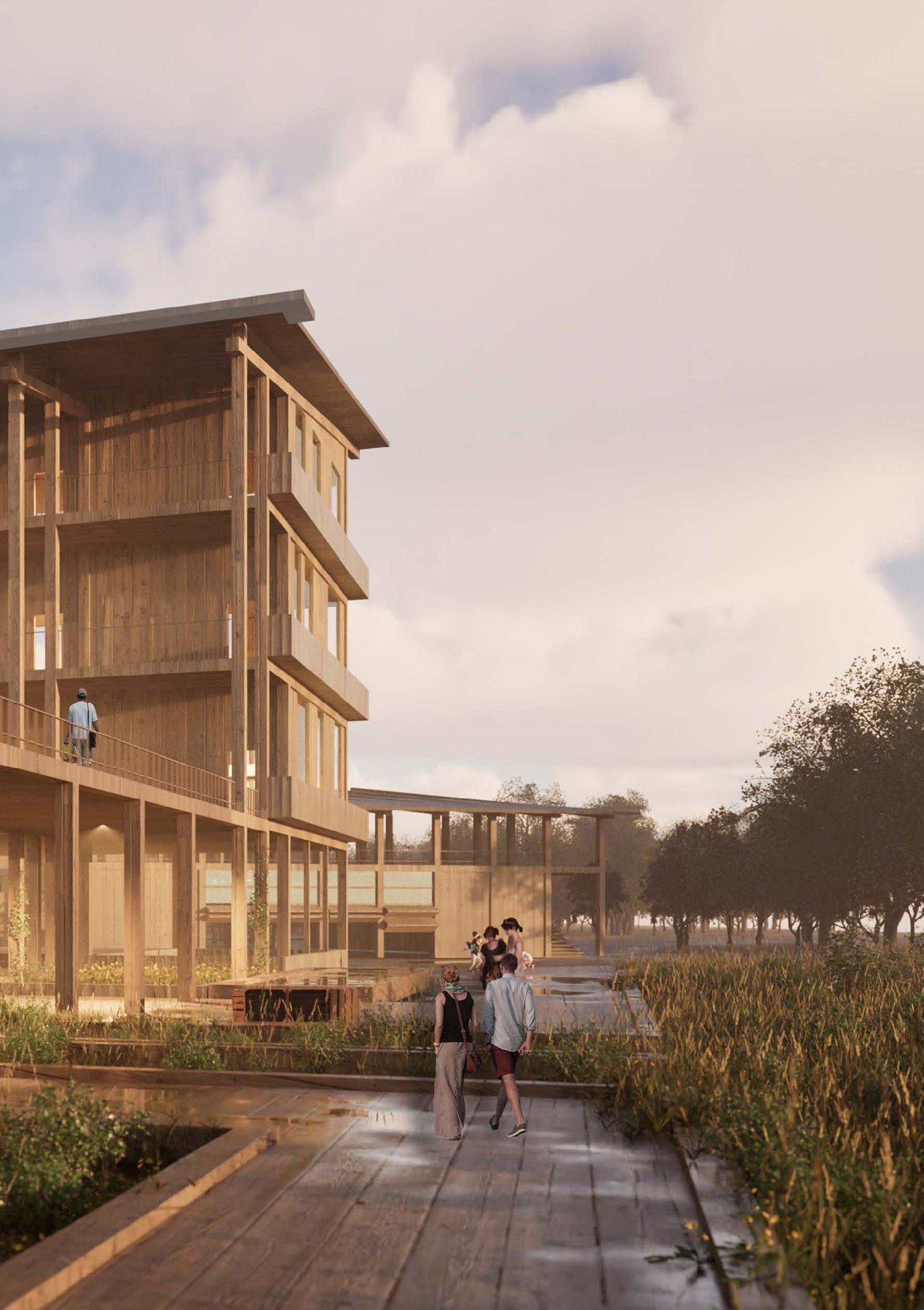
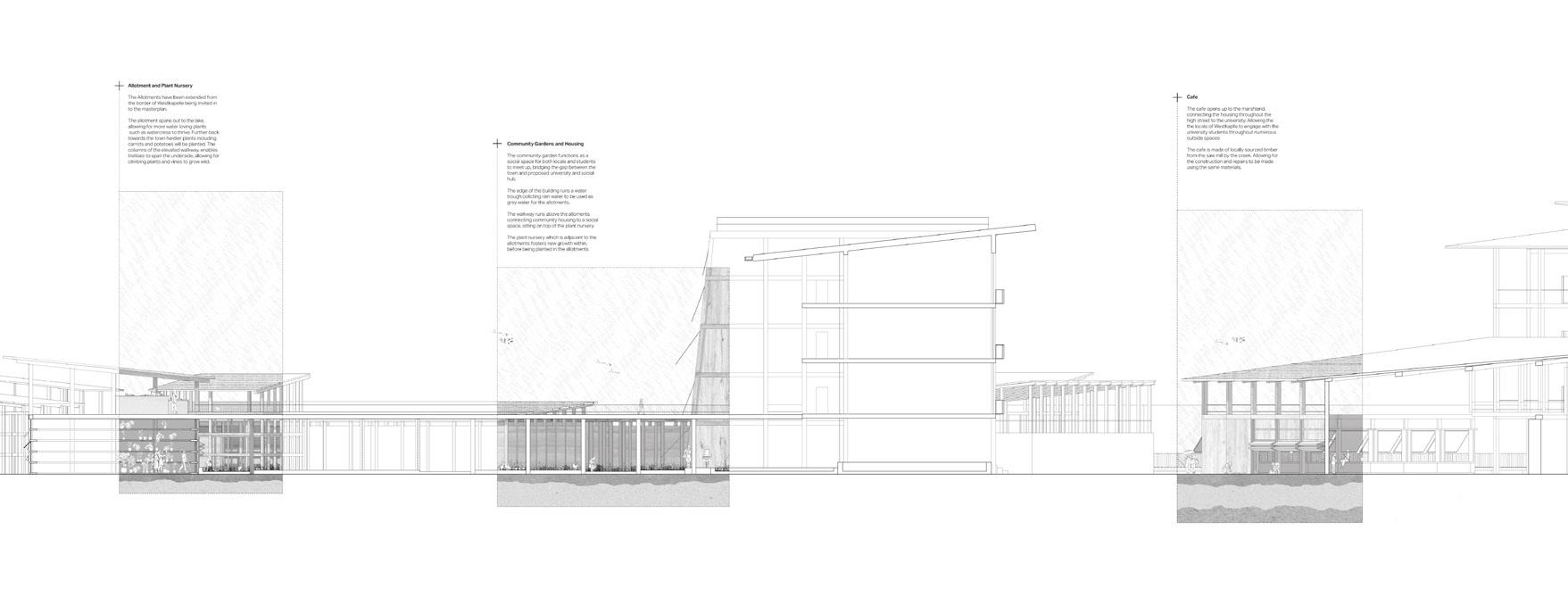
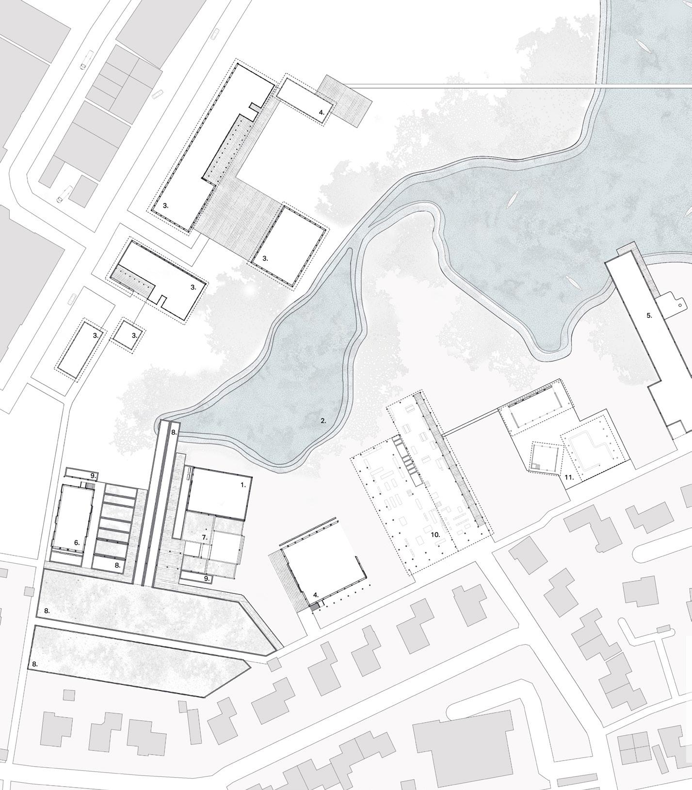
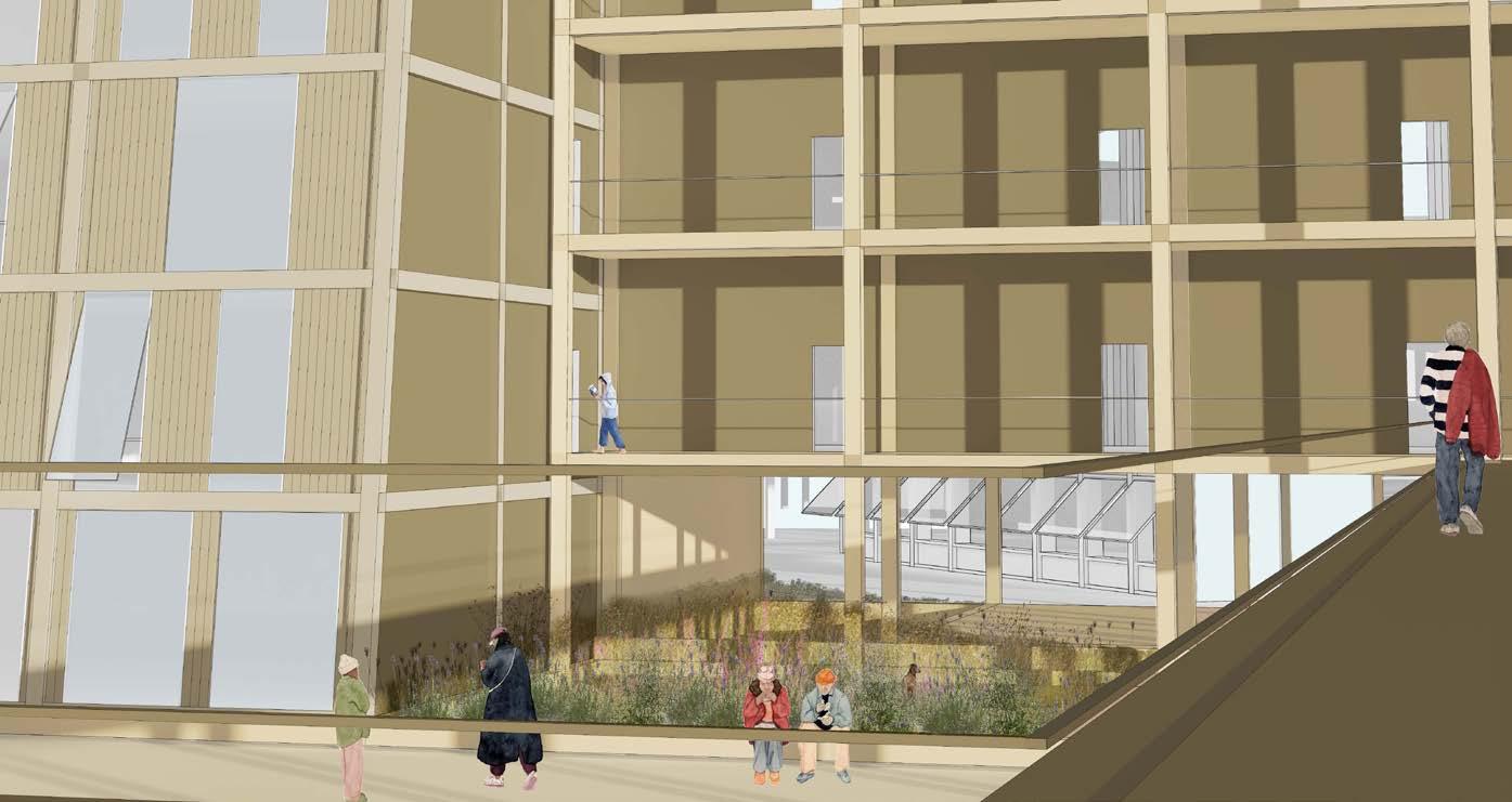
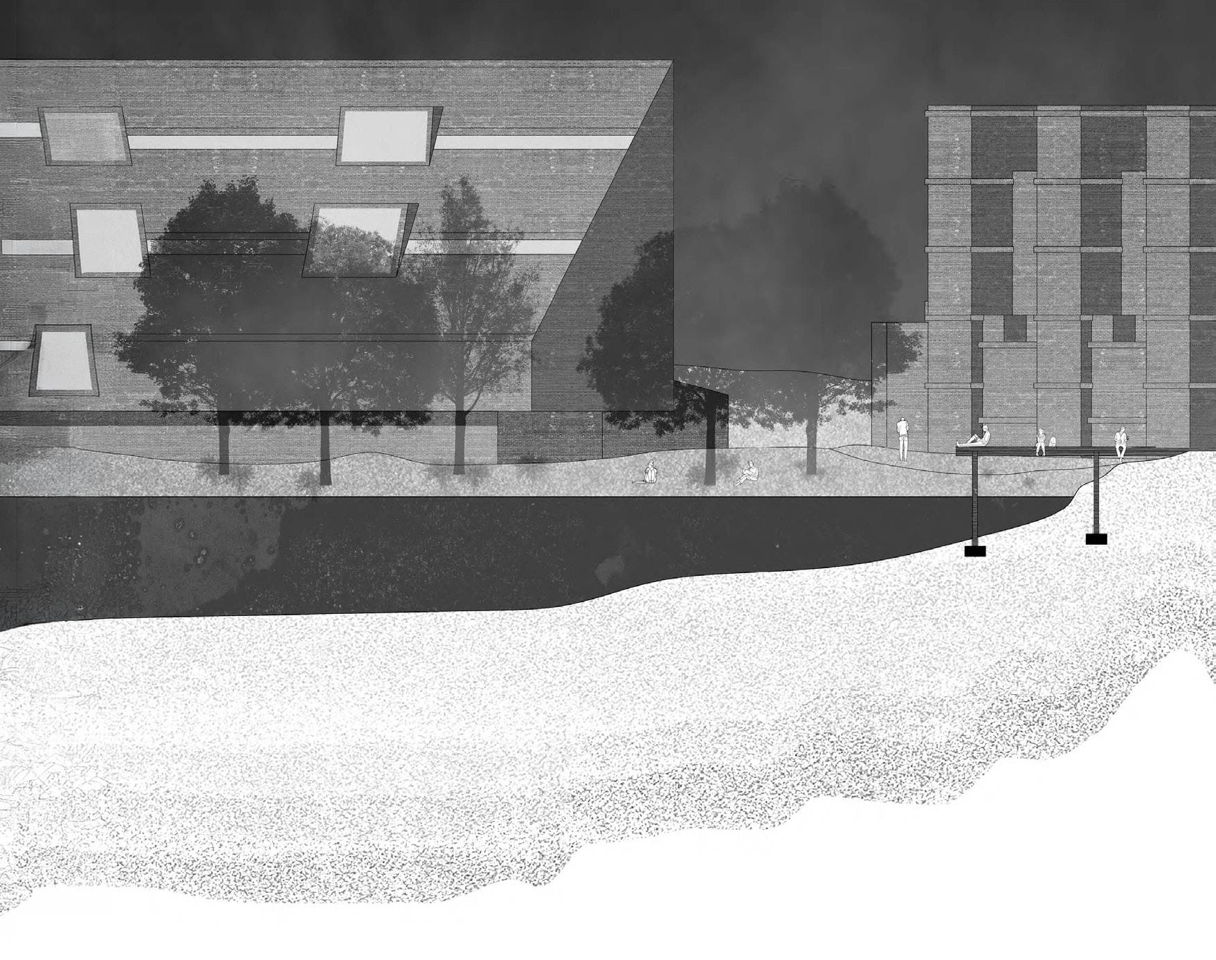
e project focuses on creating a master plan that allows for humans and animals to coexist. e site is located to the north of Westkapelle, between the town, the industrial area and the surrounding elds. Situated on disused grass elds, the master plan utilises the site to connect the useful folly to Westkapelle. e Noordervroon Nature Reserve sits north of the town and is connected via a new waterway, which is made of a series of lakes that run from the Creek to the Nature Reserve.
To densify Westkapelle, a new specialised research university is created, focusing on the local ecology both on land and sea. e university aims to work with farmers of Walcheren to support agriculture and foster broader environmental regeneration.
e main aim is to expand the local ecology by introducing a marshland surrounding the new waterway. is provides a sheltered area for wild grasses and owers to thrive, supporting a rich biodiversity of ora and fauna. e site’s community gardens and allotments encourage locals and students to grow food and learn sustainable agricultural practices. e social spaces allow for the green roofs to be utilised as protected spaces for pollinators and birds to nest.
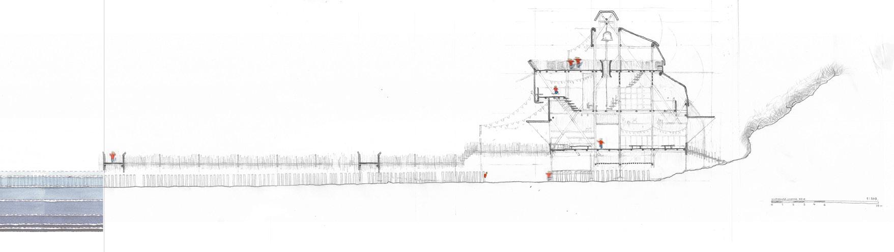
Along the Walkway (thumbnail: Painting Water)
Left. Site Plan.
Right. Within the scheme, The Folly in Section.
Top. Proposal Section.
Site: Westkapelle, Walcheren.
Programme: Univeristy Campus, Secondary School, Student and Sta Accomodation, Shops, Cafés, Social Hubs, Aquaculture Production Facility.
01 d
UNIVERSITY OF WESTKAPELLE
BREAKWATER
SAMUEL BARKER
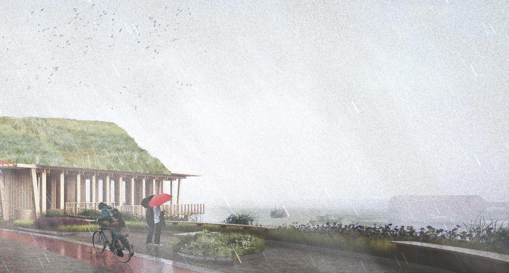
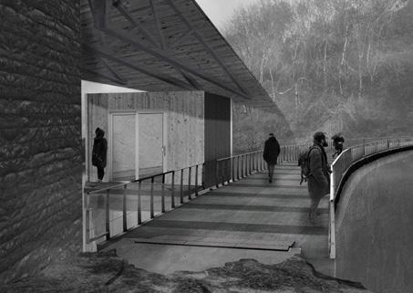
Located on the exposed arti cial coastline just north of Westkapelle, my masterplan is conceptualised as a university campus embedded along a form of inhabited breakwater; permeable and closely tied to its landscape, both forming it and reacting to the harsh reality of the exposed coastline through its form.
While at its core lie university facilities the programme is multifaceted with homes for over 1500 students and sta , a secondary school, sports facilities, shops, cafés and social hubs and a high capacity aquaculture production facility utilising the surrounding water as well as other service tunnels and support spaces.
On a landscape scale the scheme is positioned as a stepping stone between the arti cially disconnected ecosystems of the Noordervroon Nature reserve, e North Sea, and the two adjacent Estuaries ( e Oostershelde and Westerschelde). e scheme reconnects them ecologically with a diverse series of sheltered habitats and tidal pools integrated throughout the buildings ranging from tidal pools and sunken courtyards to widely implemented nesting infrastructure for a range of coastal bird species, all while architecturally echoing the historic aquaculture industry and lost buildings of Oud Westkapelle and providing a specialised campus to help develop future oriented sustainable technologies.
Site Plan)
The Breakwater
Top. In the Rain.
Left. Nestled within the landscape.
Right. Site Plan.
02
Natuurgebied Oranjezon
VROUWENPOLDER & VEERSE MEER
WALCHEREN
ANTONIA GRAHAM
CHARLIE YOUNG
ABDUL HANNAN WASEEM
Mapping the Polders
Boone
Goede Polder
Vrouwe Polder
Beekhoeks Polder
Antonia Graham, Charlie Young
Polder
Gerst Polder
BREEZAND
VROUWENPOLDER
Noorder Nieuwland Polder
Strand Vrouwenpolder
Boone Polder
Ooster Nieuwland Polder
VEERSE MEER
VEERSE GATDAM
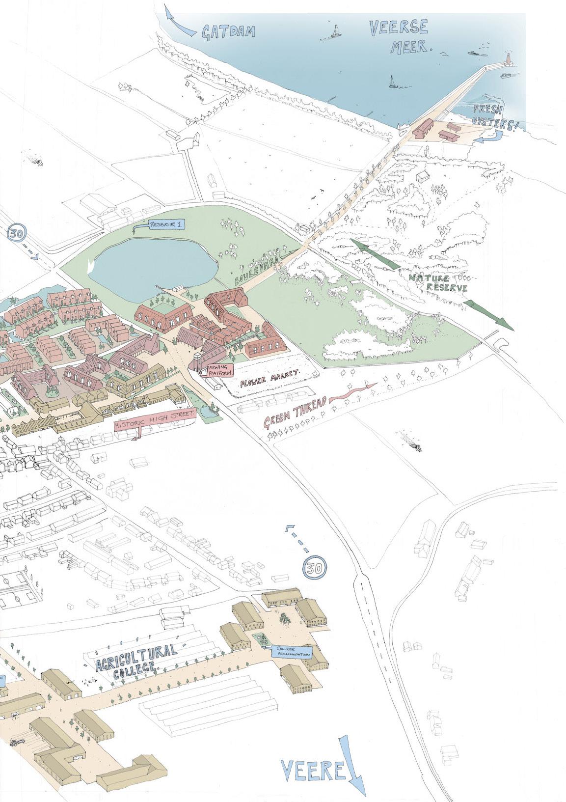
Site: Vrouwenpolder, Walcheren.
Programme: Village Housing, Allotments, Market Square, Shopping High Street, Secondary School, Agricultural College, Harbour, Freshwater Reservoirs.
02 a
REPOLDERING VROUWENPOLDER
DIJKS, DITCHES AND ANGELS
ANTONIA GRAHAM | CHARLOTTE YOUNG
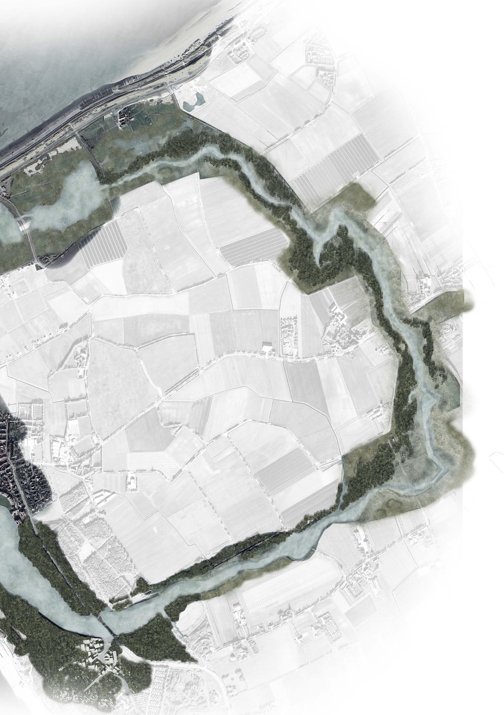
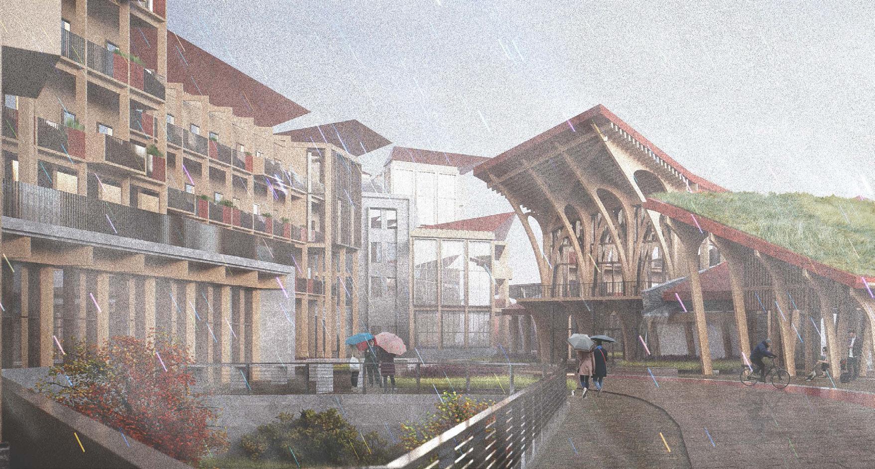
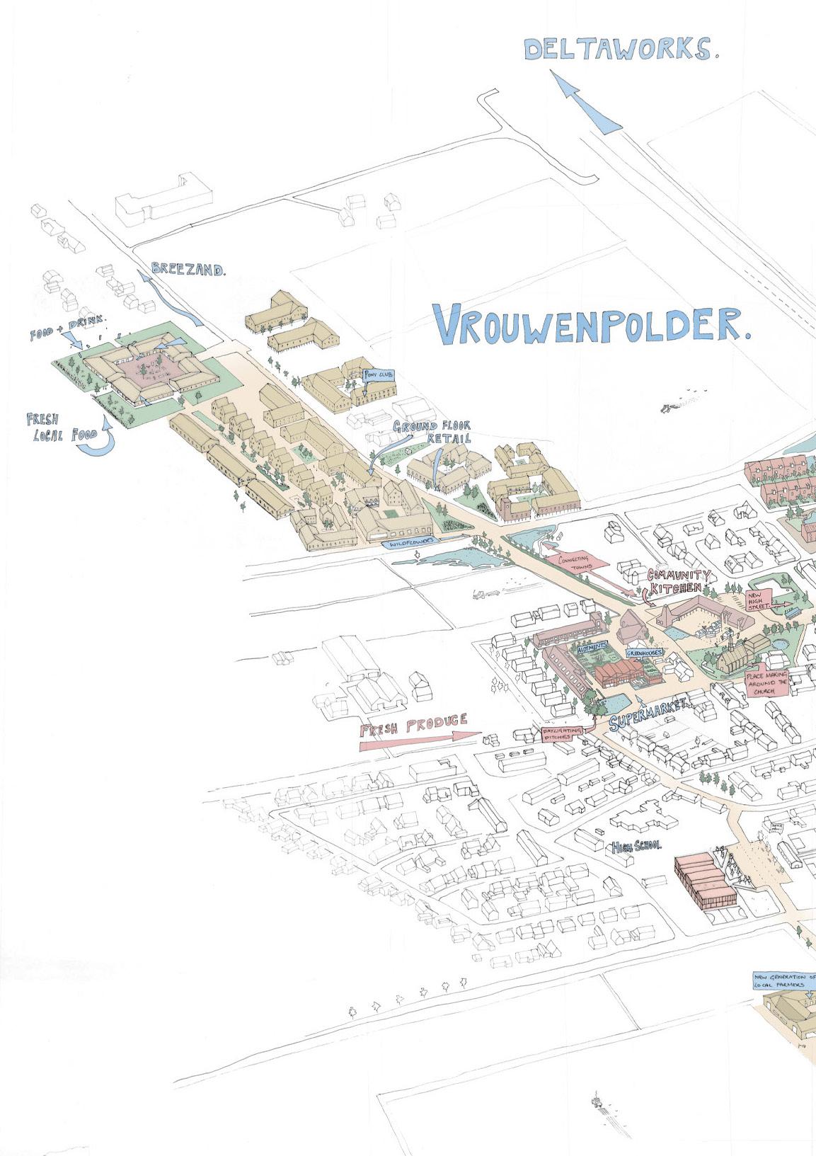
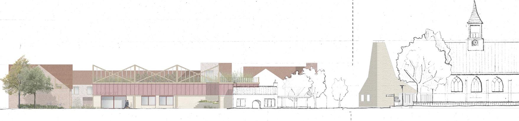
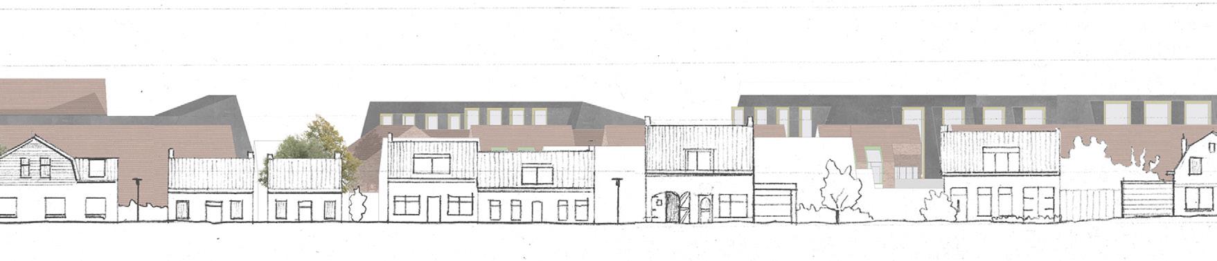
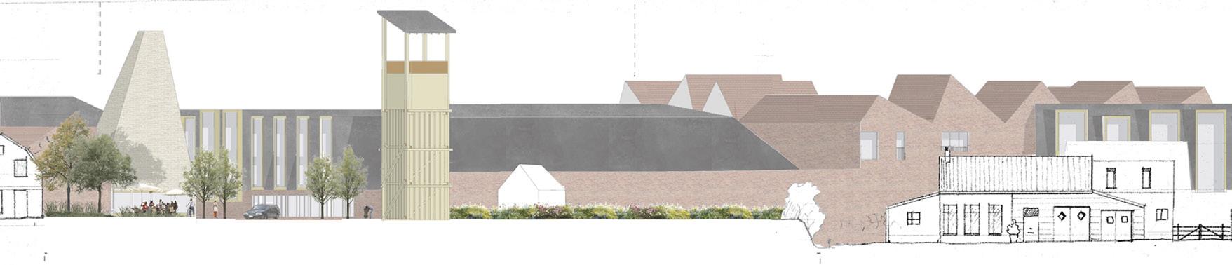
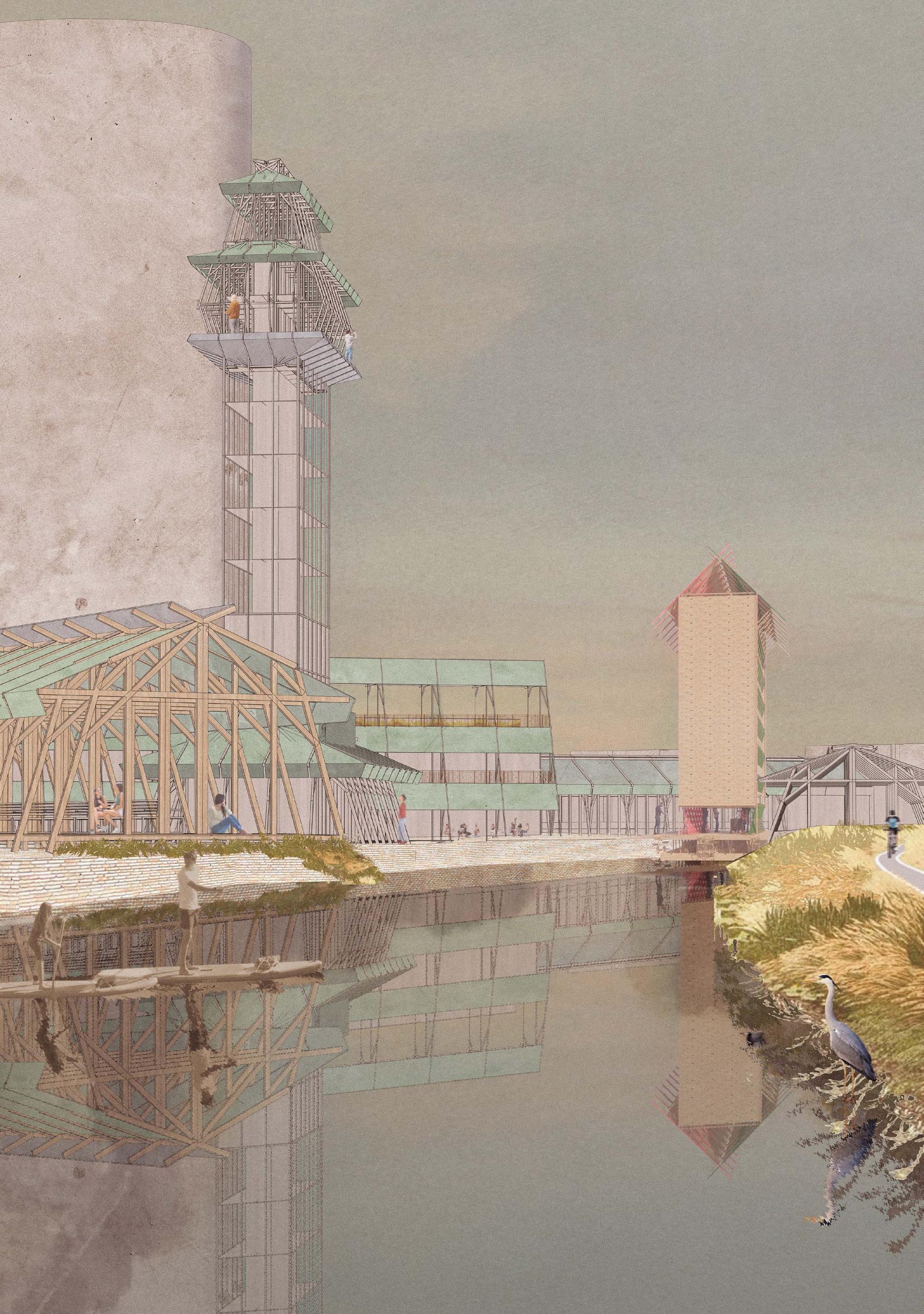
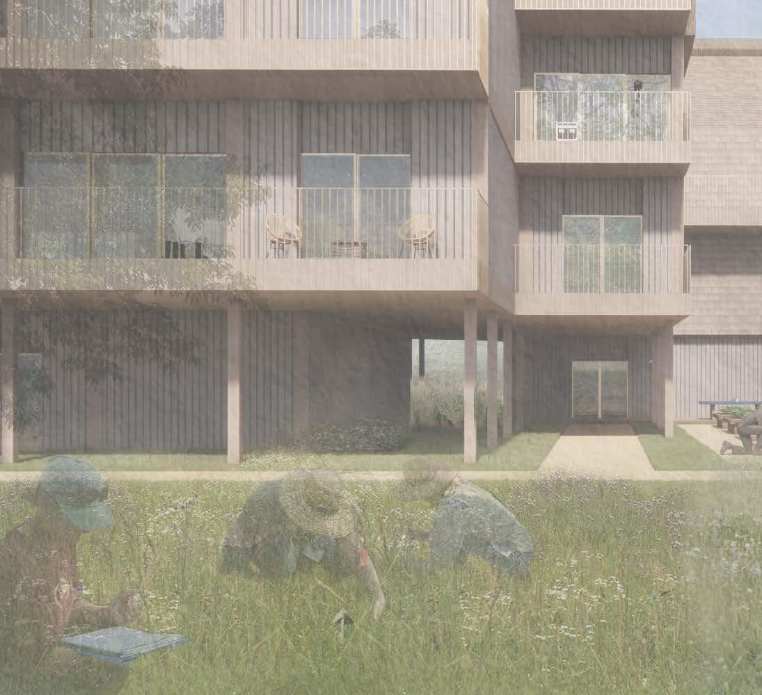
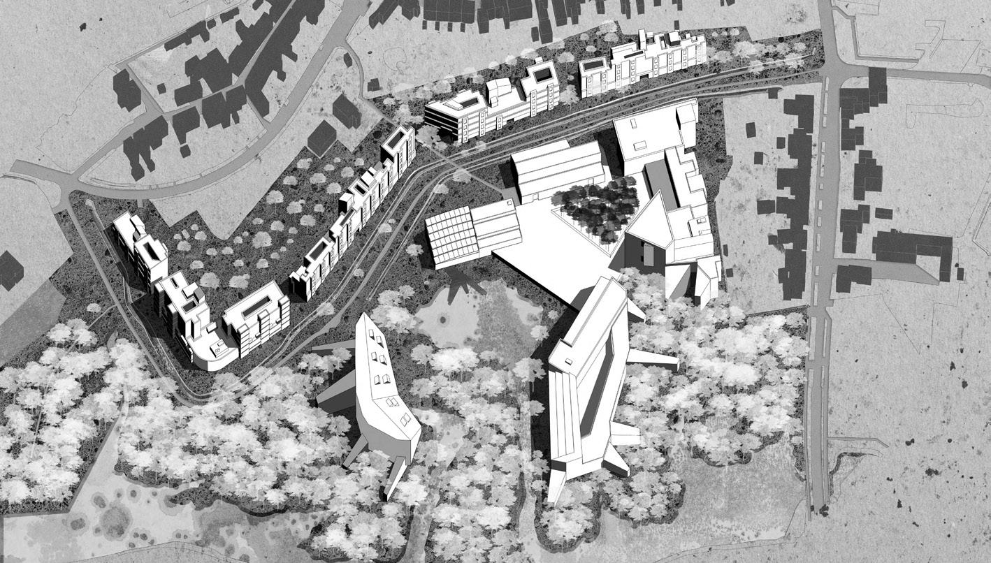
Vrouwenpolder, a dijk village on the northeastern edge of Walcheren, sits between the North Sea and the Veerse Meer lagoon but is currently divided by a highway towards the gatdam. is proposal restores connectivity through two key axes: an east/west residential spine rooted in the historic polder landscape, and a north/south civic route linking farmlands to the coast and tourist areas.
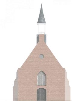
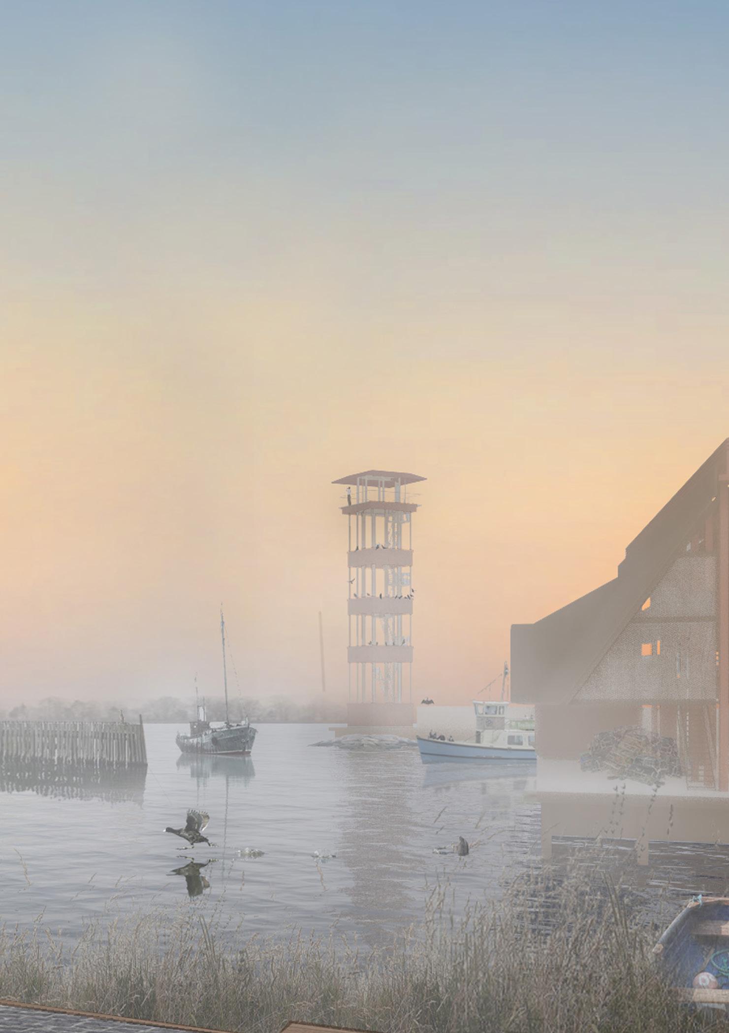
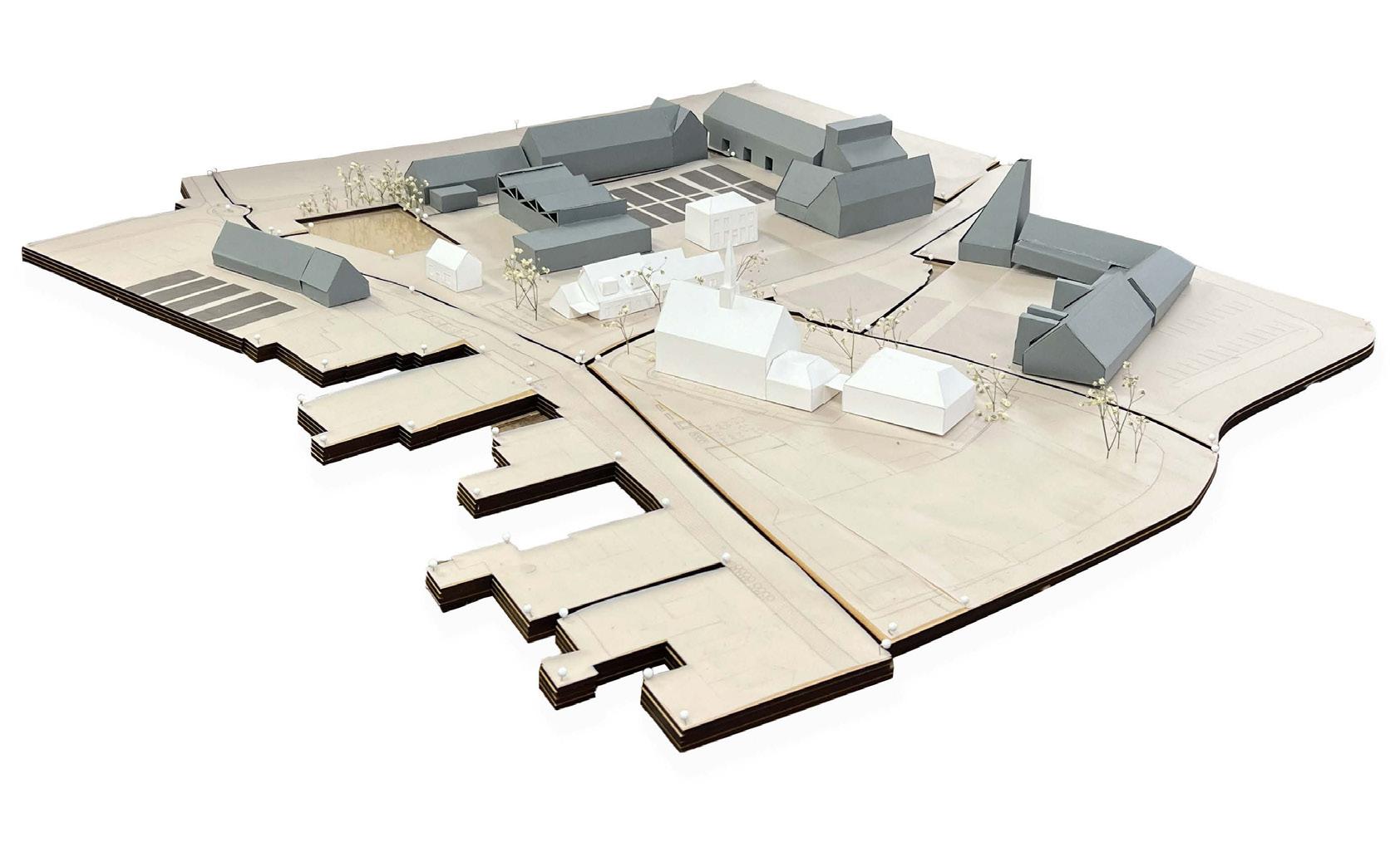
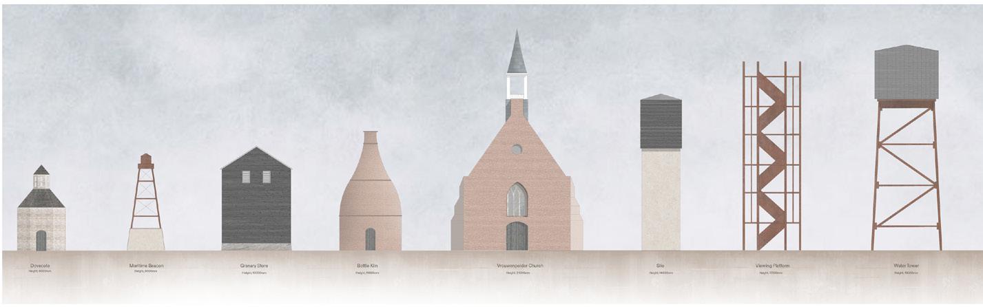
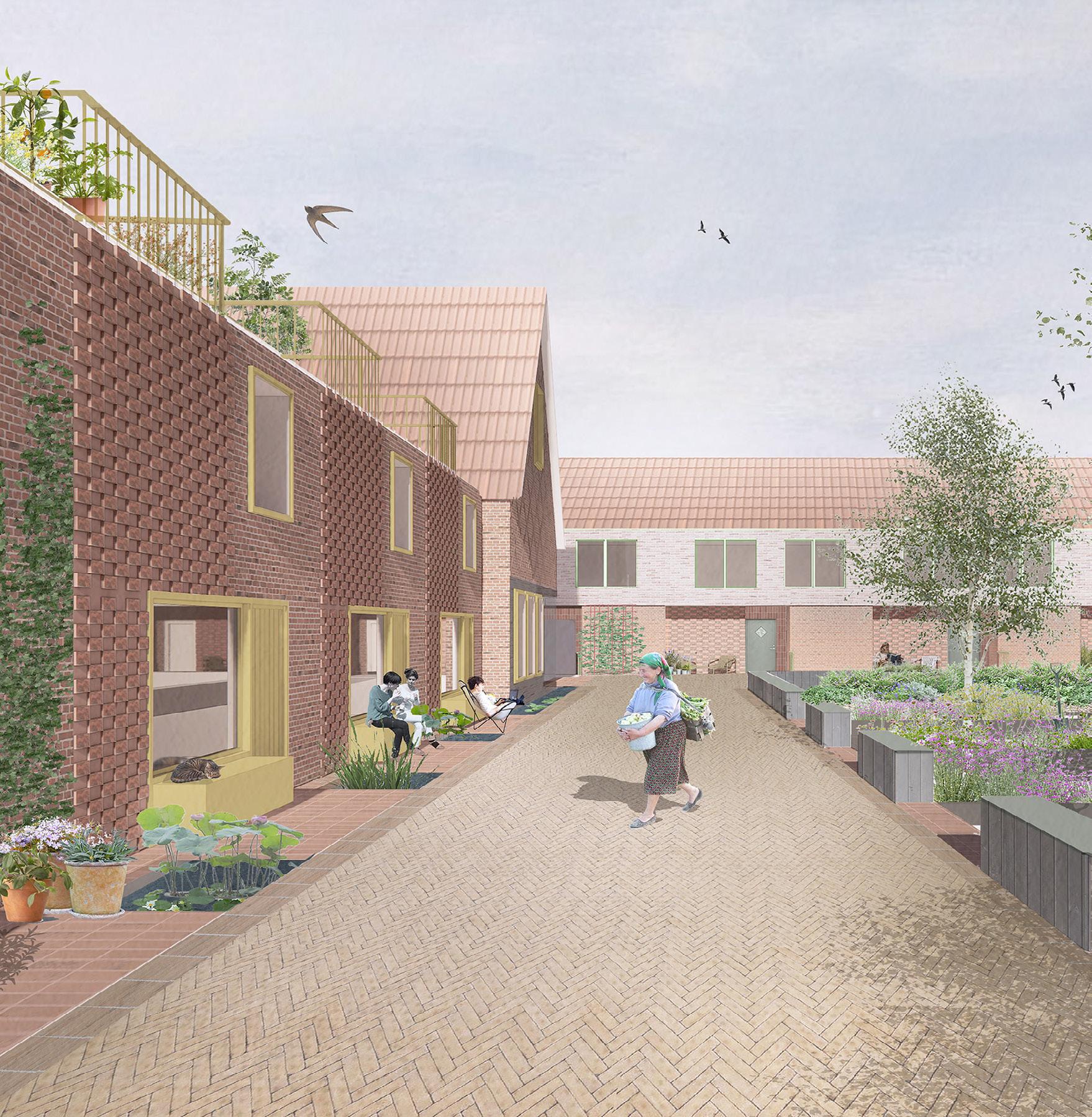
A closed-loop freshwater system of ditches, wetlands, and reservoirs enhances biodiversity, supports irrigation, and reconnects settlement with landscape. e plan also introduces a gradient of agricultural intensity, placing high maintenance crops closer to the village. Drawing on precedents such as Malmo’s Bo01, and Dutch Art Nouveau, the design creates dynamic spaces, courtyards, and permeable edges, forming a contemporary ‘historic village’. Landmark towers known as ‘angels’ within the landscape provide way marking orientation and reference to the village’s original ‘angel’ of the historic Pelgrimskerk church, a focal point of pilgrimage since the 14th century.
Across the Water to an Angel. (thumbnail: Vrouwenpolder Church)
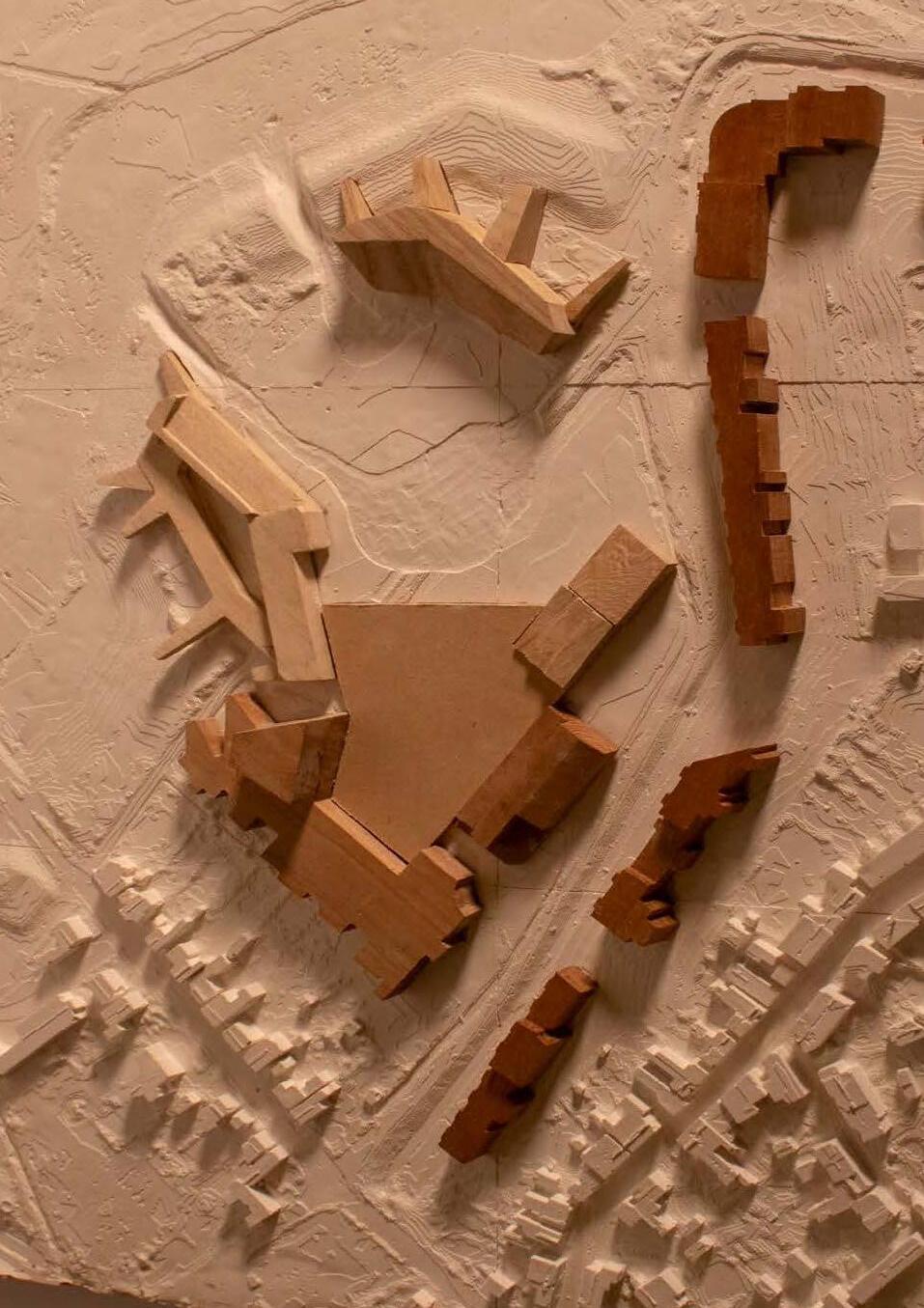
Body. The Masterplan.
Top. Collaged Section.
Left. Site Model, Nodes and Angels.
Right. In Summer, In Winter.
Top. Collaged Section. Left. Folly Section, Site Processes. Right. Within the Development.
Site: Veerse Meer.
Programme: Mixed-use Neighbourhood.
02 b
VERGE OF VEERE
VEERSE MEER
ABDUL HANNAN WASEEM
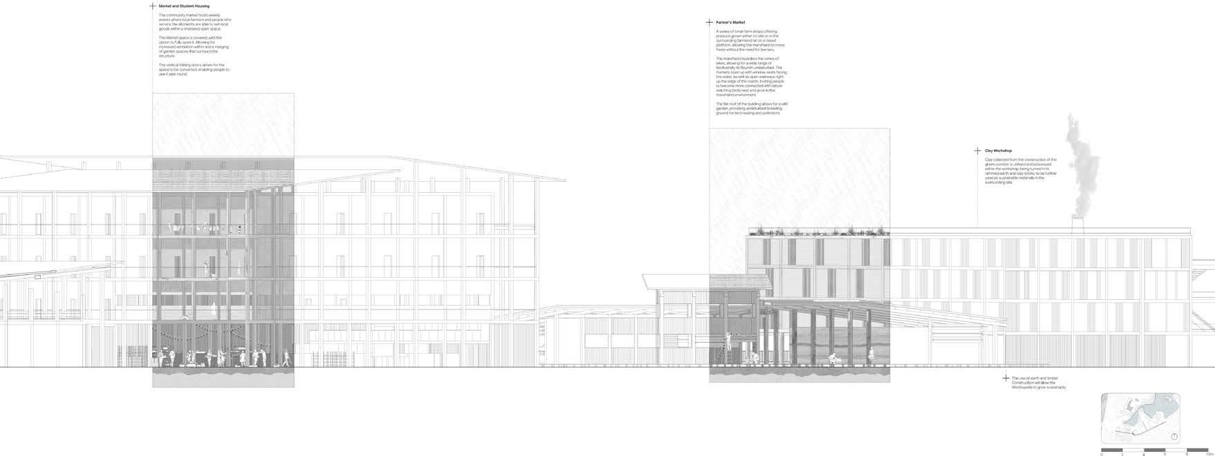
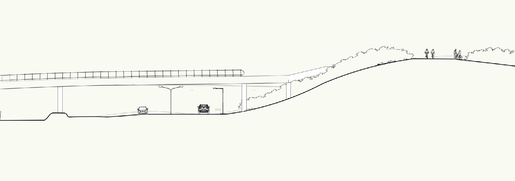
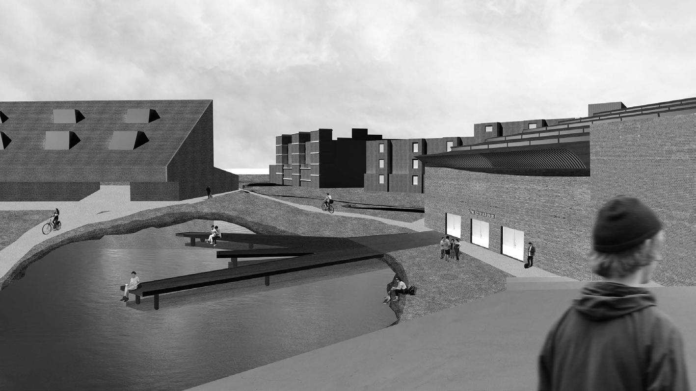
What began as an observation to clean the lagoon’s edges of algae, implemented by providing follies across Veere Gatdam (large dike) to host boats dedicated to cleaning up surface overgrowth, expanded into a vast environmental scheme that targets the gradual puri cation of the entire lagoon of Veere Meer as an outcome of accumulating decades’ worth of nutrient-dense rainwater runo from its arti cial embankments, which resulted in a polluted lagoon. is was planned through setting zones of urban interventions across the verge of Veerse Meer’s embankment where rainwater is held before it is mechanically pumped back into the lagoon through an existing network of water pumping stations. e focus was then cast to develop one of these urban interventions as a mixed-use neighbourhood, chosen to be in the periphery of the historic city of Veere; it combines the feature of anchored oating wetlands to lter nutrient-dense water while also adapting building use to accommodate the dynamic culture of the site.
Top. The Folly in Section.
Left. The Façade modelled, The Façade drawn Right. The Folly in Plan
03
VLISSINGEN
FIVE PLANS FOR VLISSINGEN
CHLÖE TUNNEL
DELAN ARIBIGBOLA
FARAH ABUREMSH
GEORGINA INCHBALD
XINNING HUANG
Areas of Operation
Group Drawing
XH.
DA.
Site: Paauwenburg West, Vlissingen, Walcheren. Programme: Tech School Campus, Mixed-use Civic Functions, Artist Residencies, Greenhouses/Winter Gardens.
03 a
SUPPLEMENTARY PLAY
EEN ZWERFTOCHT DOOR PAAUWENBURG
CHLÖE TUNNEL
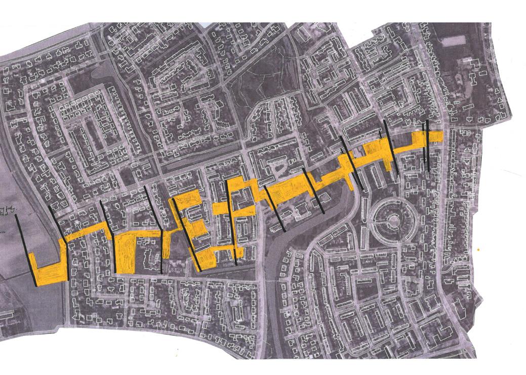
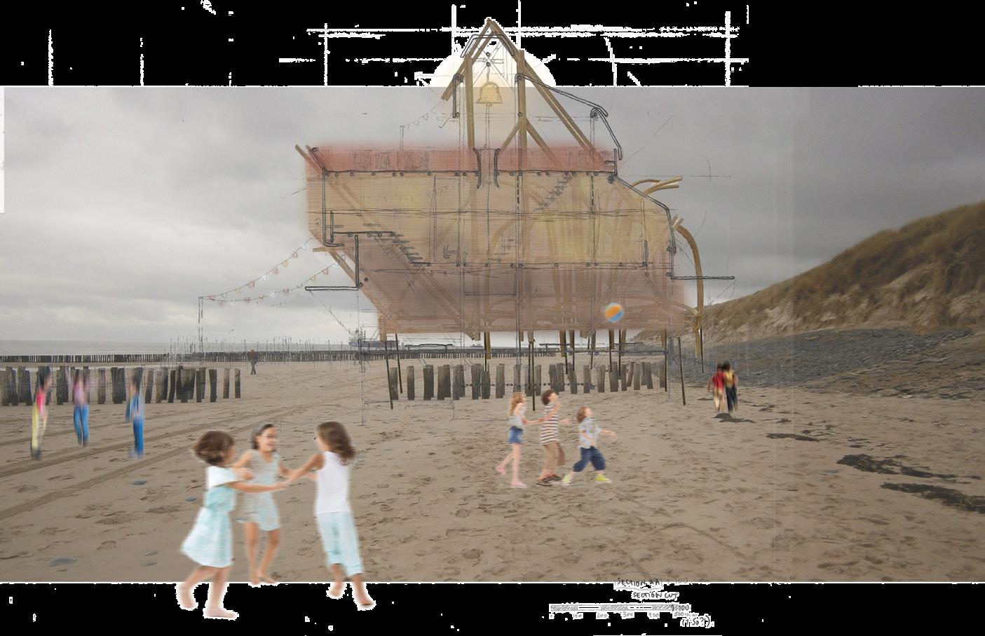
Rooted in educational play and the observed rural landscape of the beaches in Walcheren, this project utilises ‘urban groynes’ to weave the non-human through the existing urban grain of Paauwenburg, a suburban district in Vlissingen. ‘Een zwerftocht’, or a rambling route through the town is created.
e blurring of urban/rural through a corridor of free play aims to foster an intergenerational connection between the residents, providing collaborative spaces for learning from the land and each other. In facilitating a strong connection with place, the likelihood of youth retention in the town is increased, with generations coming together and remaining together to continue the growth of the rural corridor.
e programme introduces a new tech school campus, mix-use civic functions, artist residencies, and greenhouses/winter gardens. ese are delivered by utilising existing, underdeveloped ‘pockets’ within the dense residential grain, as well as redeveloping a series of existing 1960s ats, the Regenboog ats, and their surrounding landscape.
Research into Mondrian and the neighbouring towns puts the use of groynes at the projects centre. e design ‘accretes’ against a new groyne grid in Paauwenburg with various permeable/non-permeable conditions (surface, pergola, plinth, and structure) to mark the new route through the town.
Modelled Framework (thumbnail: The Aluminium Volume)
Top. Collaged Section.
Left. Hand Sketched Folly Section, Maquettes.
Right. Mapping the Proposal, At Play.
Site: Binnenstad, Vlissingen.
Programme: Allotments, Public Canteens, Community Buildings with Residential and Commercial Accommodation.
03 b
GROWING SPACE
AN URBAN SYNTHESIS
DELAN ARIBIGBOLA
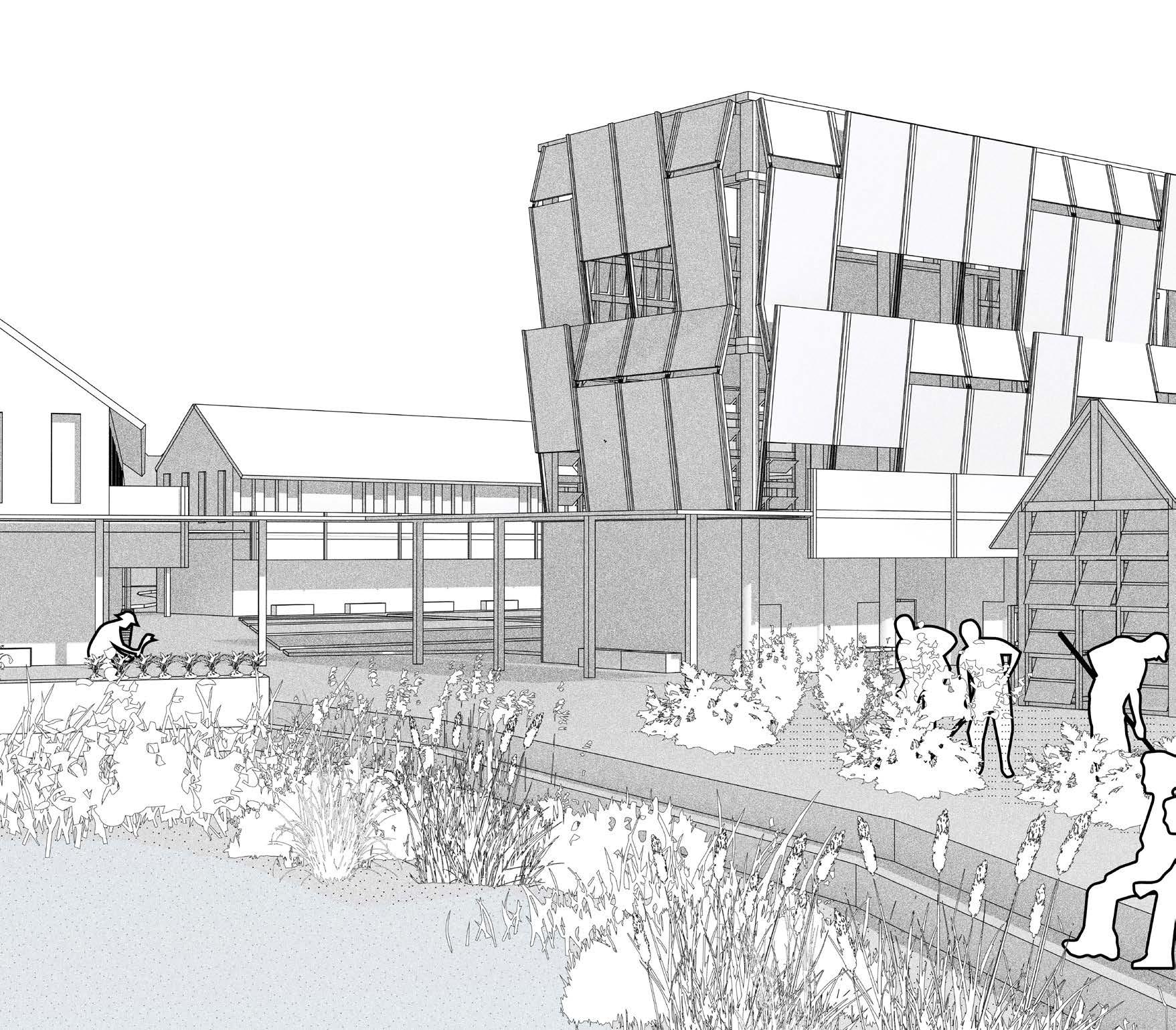
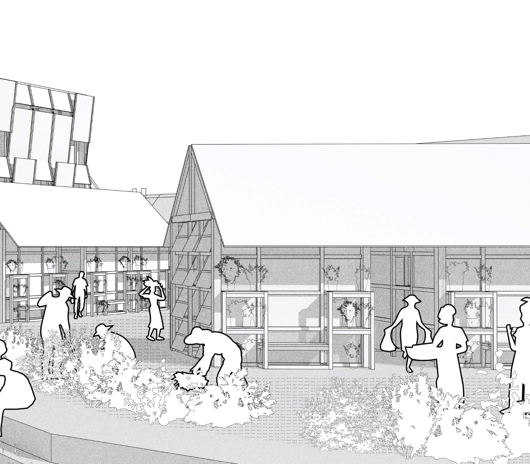
is project aims to improve social cohesion in Vlissingen through agriculture. By transforming existing brown eld sites and car parks into growing spaces, the urban strategy provides opportunities for citizens to connect with one another through food production, while also becoming better acquainted with the land.
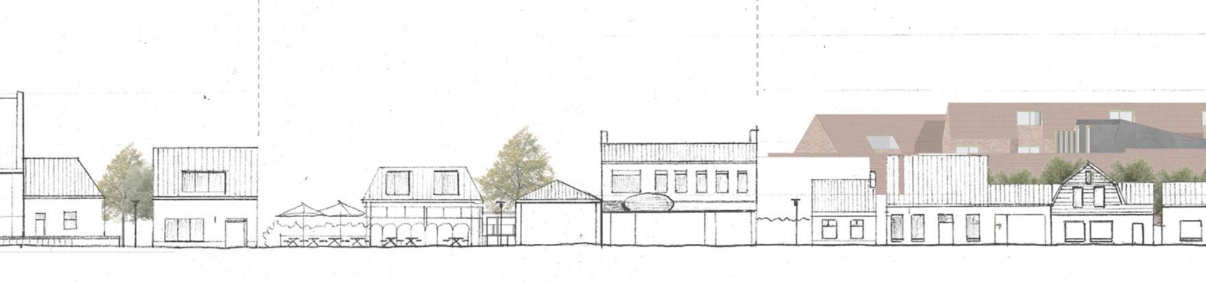
e ground oor function across the site is facilitated through a family of structures dotted around the urban and agricultural landscape. Greenhouses exist in close proximity to street canteens, entrenching the journey from soil to plate into the minds of those who inhabit the spaces. e proposed end goal is for the true value of food to be recognised through an urban education.
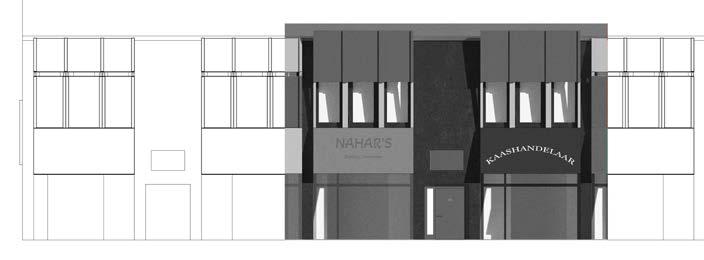
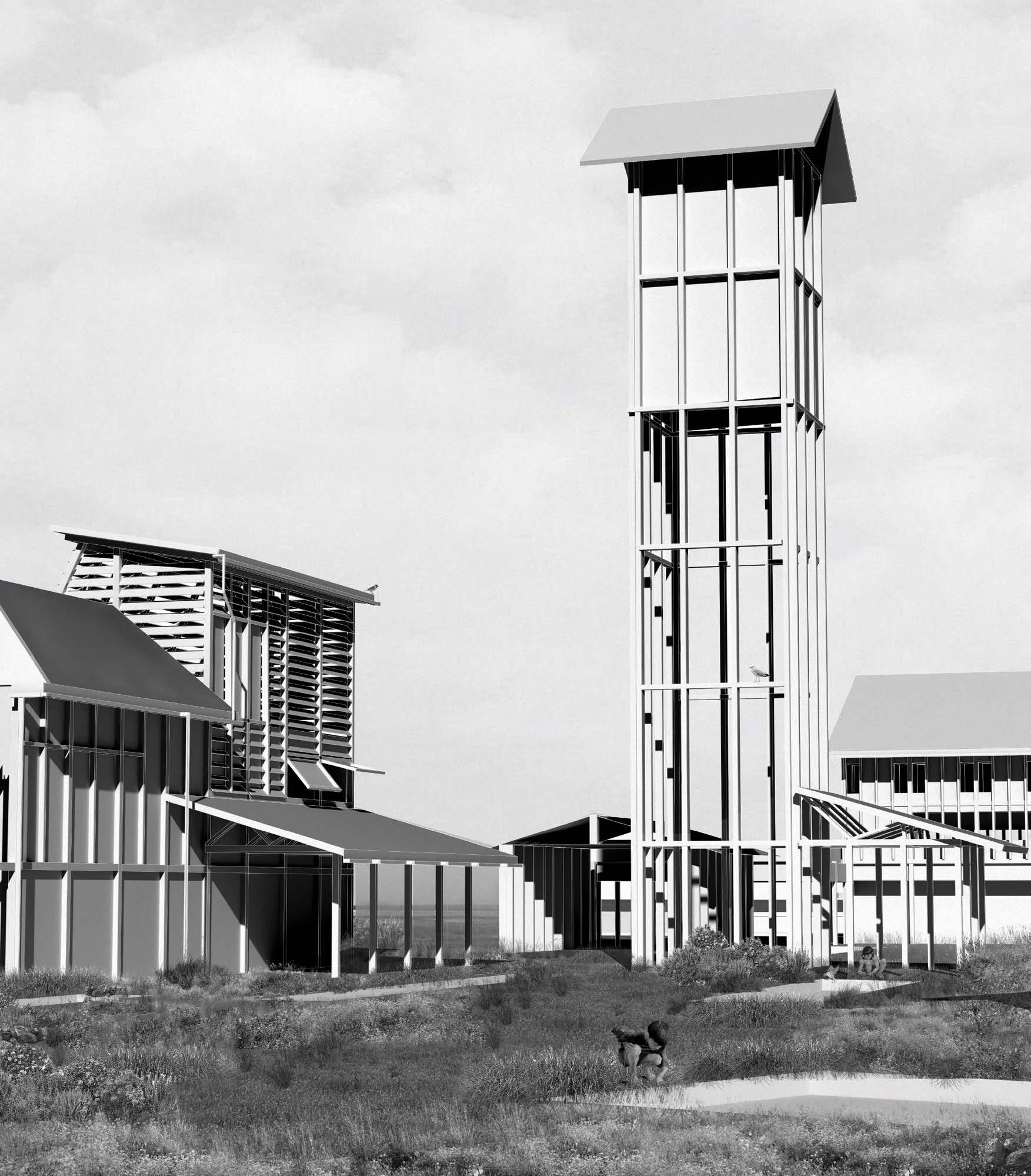
Architecturally, the project codi es activity through form; public buildings consist of fully permeable facades, with sliding panels that the user can open or close, putting privacy in the hands of the inhabitant. Residential buildings combine this feature with local forms, consisting of brick gabled buildings with a commercial ground oor. us, the vernacular typology is adjusted to suit new habitation routines. Overall, this urban strategy proposes a development that encourages permeability in multiple dimensions; the social, the architectural and the agricultural.
Top. Masterplan. Body. Within the Proposal. Bottom. Section Cut.
Site: Vlissingen Sea Wall, Walcheren.
Programme: A new neighbourhood including Bath House and Laundrette.
03 c
IN BETWEEN WATERS
WATER AS CONNECTION, COEXISTENCE & EVERYDAY LIFE
FARAH ABUREMSH
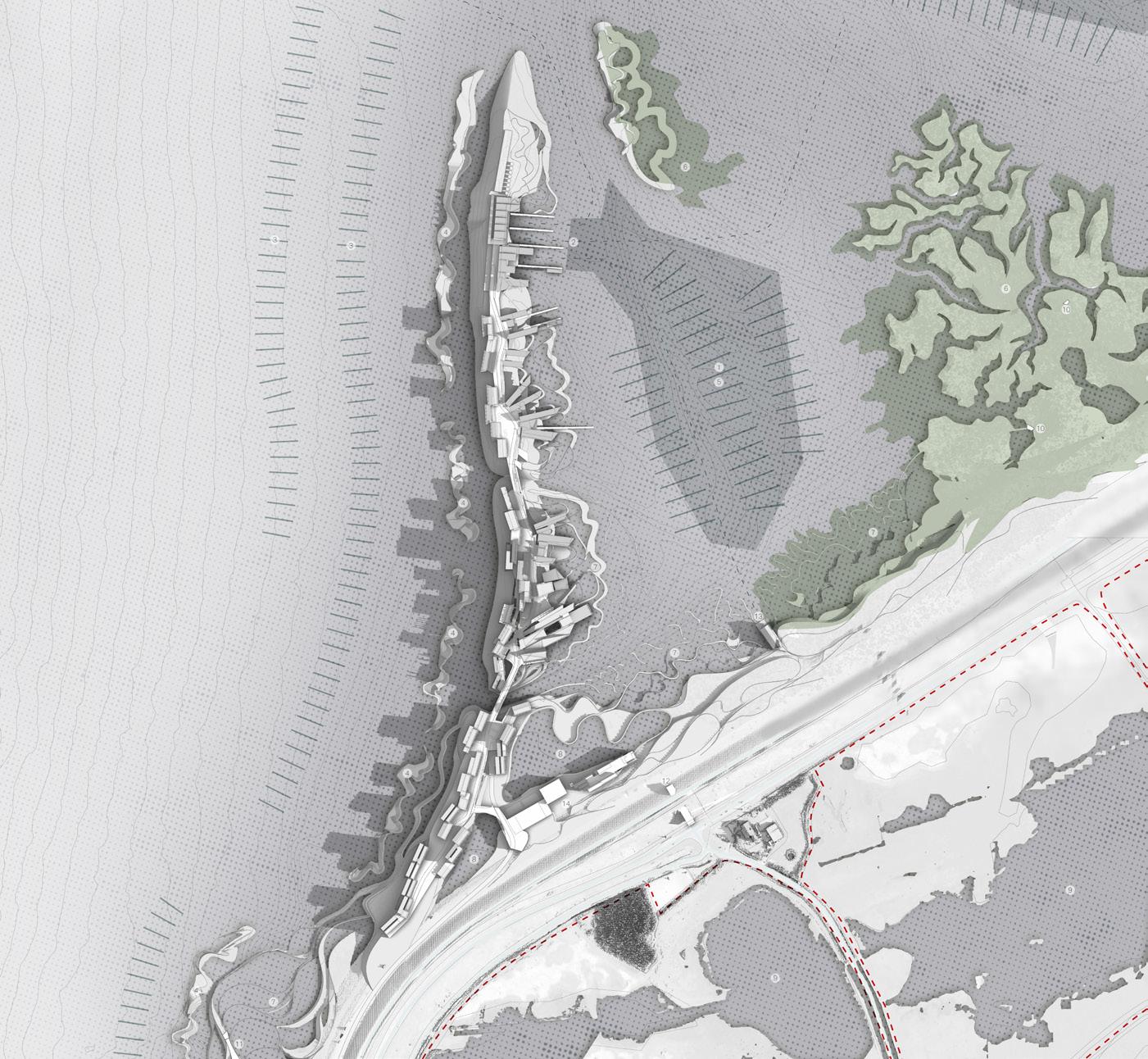
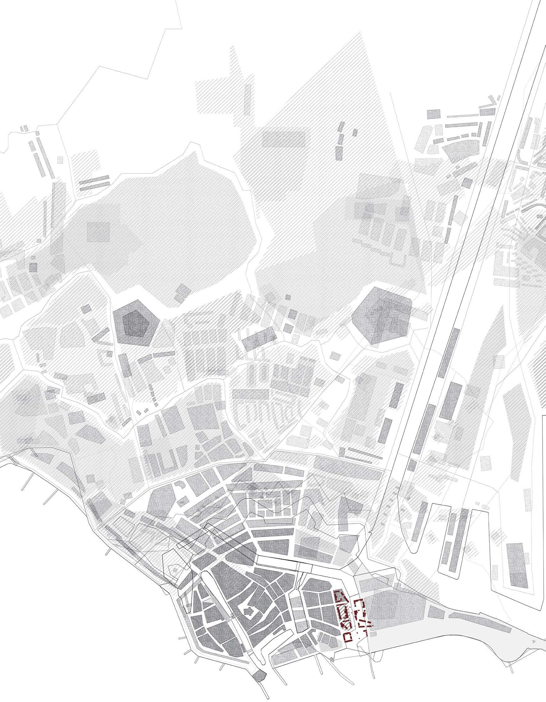
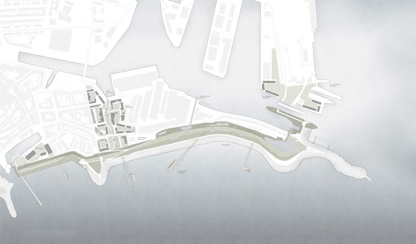
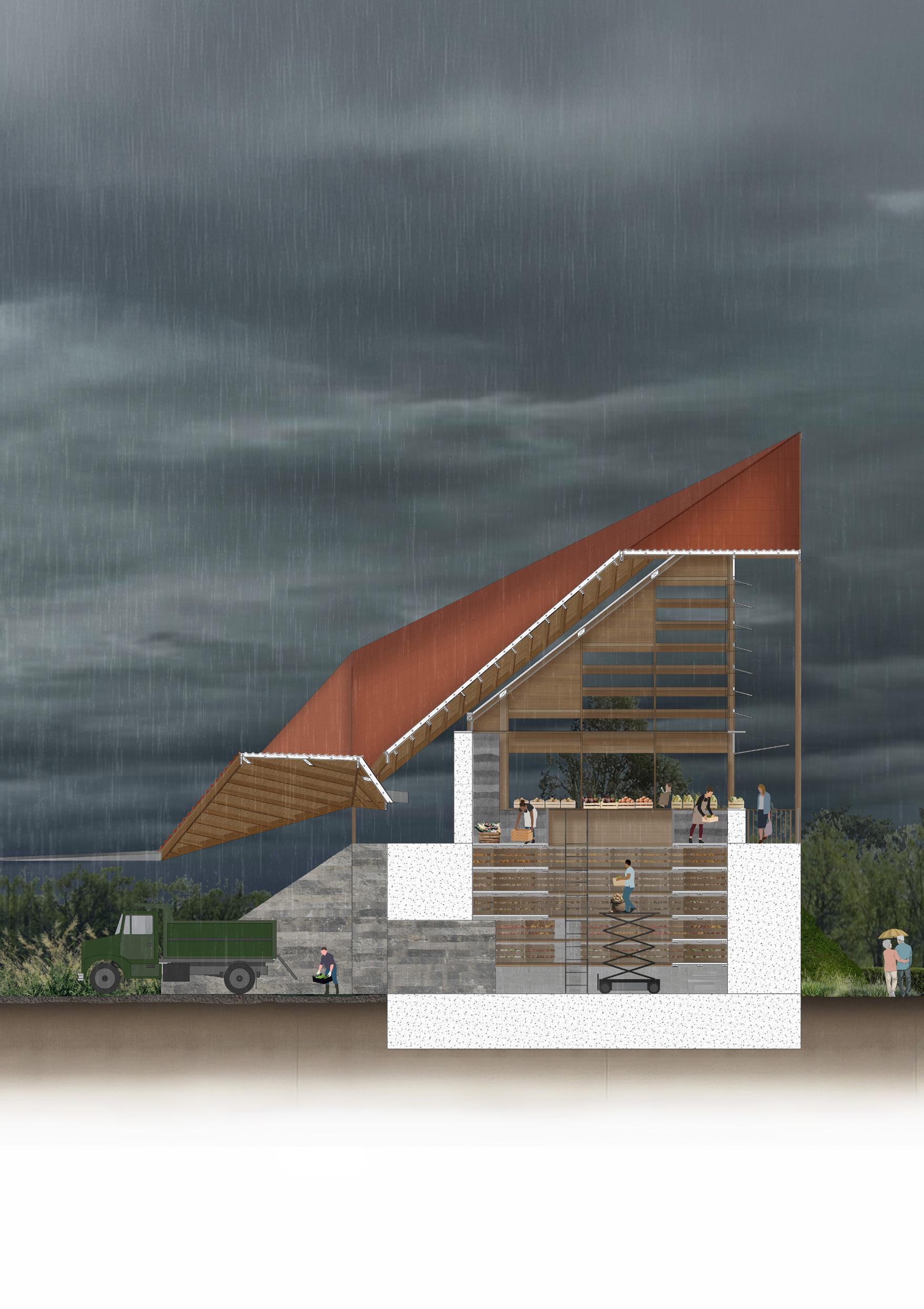
Set on the post-industrial edge of Vlissingen, the project reworks a former parking lot that once connected the docks to the sea. Positioned between two bodies of water and shaped by a shipbuilding industry and the site’s historic relationship to water, the masterplan explores how architecture can support shared inhabitation between human and non-human life through everyday acts of dwelling, making, cleansing, and care.
Structured around a water-led programme, the proposal brings together a launderette, bathhouse, planting, and the everyday functions of a 15-minute neighborhood. Water and biodiversity are woven through the site as active spatial systems where habitats are integrated into roofs, walls, courtyards, and sheltered edges. While biodiverse planting across the landscape and within shared courtyards supports birds, pollinators, and wetland ecologies alongside inhabitation. Water is collected across the roofscape, guided through the site, and redistributed into basins that support drainage, ltration, and non-human use.
Developed from the folly as an initial spatial test, the project establishes an architectural language through the relationship between heavier enclosed volumes and lighter timber structures that extend inhabitation into the landscape creating sheltered edges for both use and habitat. In response to Vlissingen’s shifting coastal edge, the masterplan proposes a biodiverse urban framework shaped by water, shelter, and ecological co-existence.
Historic Development of Vlissingen (thumbnail: Folly Models)
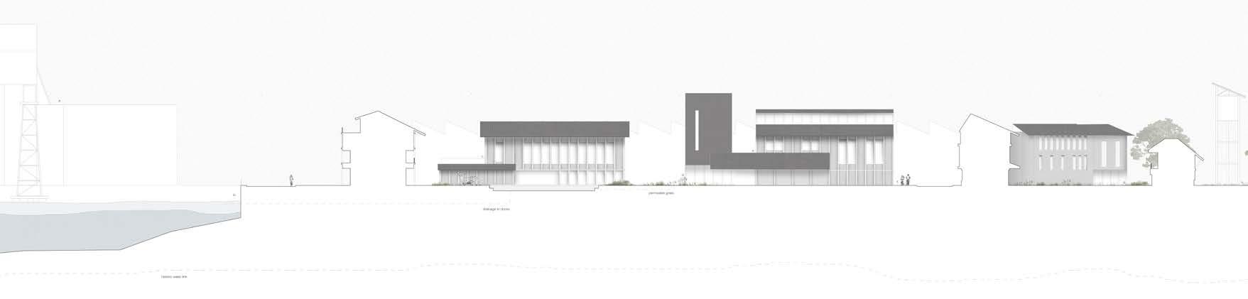
Top. Masterplan Section.
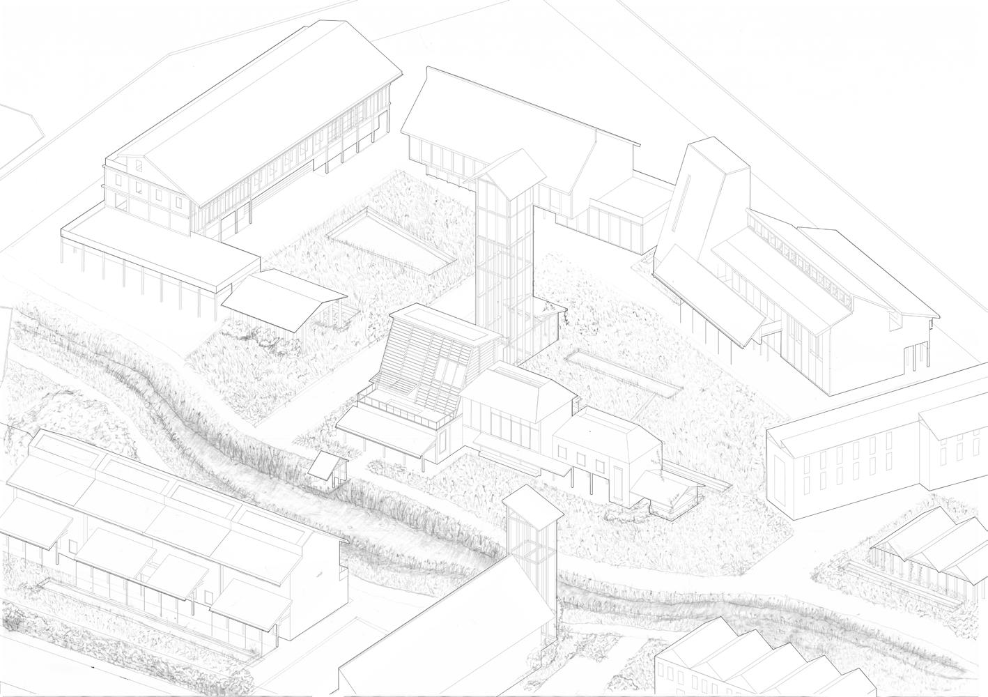
Left. Isometric, Textured Plan.
Right. Within the Proposal.
Site: Vlissingse Watergang, Vlissingen, Walcheren. Programme: Boat Moorings, Public Squares, Swimming / Kayaking / Waterpolo Pools, Changing Rooms, Showers, Market Square, Retail space, Terraced Houses, Vlissingen Park and Ride Water Taxi.
03 d
JOURNEYING ON WATER
A WATER CONNECTED CITY
GEORGINA INCHBALD
is masterplan envisions three disused sites along an existing canal. Linked on a north–south axis, the waterway is revitalised as the primary form of transport for visitors and residents travelling into the centre of Vlissingen. Travellers are ltered from motor-powered vehicles before continuing their journey by foot, bicycle, paddle. Water becomes the main tool for orientation, marking routes to enabling wanderers in nding the three sites of the masterplan.
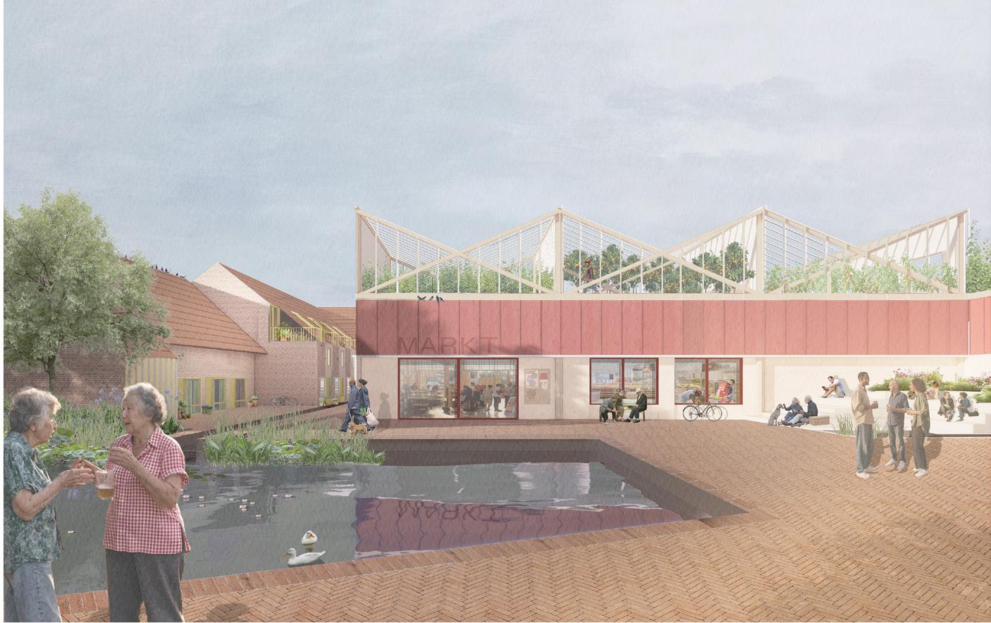
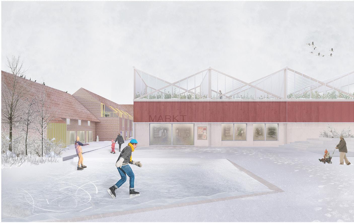
As travellers’ journey along the canal, the three sites emerge as catchment areas where new docking sites allow boats to berth and depart. Structures serve as waymarkers in the skyline, signifying each public gathering site. e rst site is leisure focused and features water pools with adjustable ooring, changing the water depths for water sports in the summer, skating in the summer. ese pools activate a exible public square reactive to the seasons, opening to or closing against Dutch weather. e second site o ers a market square midway along the canal. At the nal site, the land softens into a ooded marsh, giving refuge to wildlife, and marking the conclusion of the water-based travel into the existing town centre. Together, the three sites restore the city’s use of water for navigation and interconnection, unlocking a new approach to the existing urban life.
Along the Waterway (thumbnail: Shadow Plan)
Top. The Masterplan in Section. Left. Proposal in Plan. Right. The Masterplan Modelled.
Site: Vacant Parking Lot, Vlissingen.
Programme: Residential units, care facilities, communal spaces, activity areas, courtyards and gardens for the elderly.
03 e
LIVING IN SEAMS
A GARDEN-BASED COMMUNITY FOR AGEING
XINNING HUANG
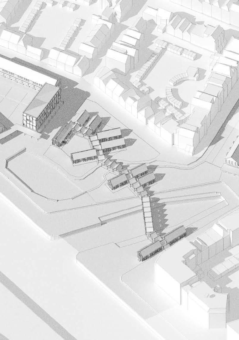
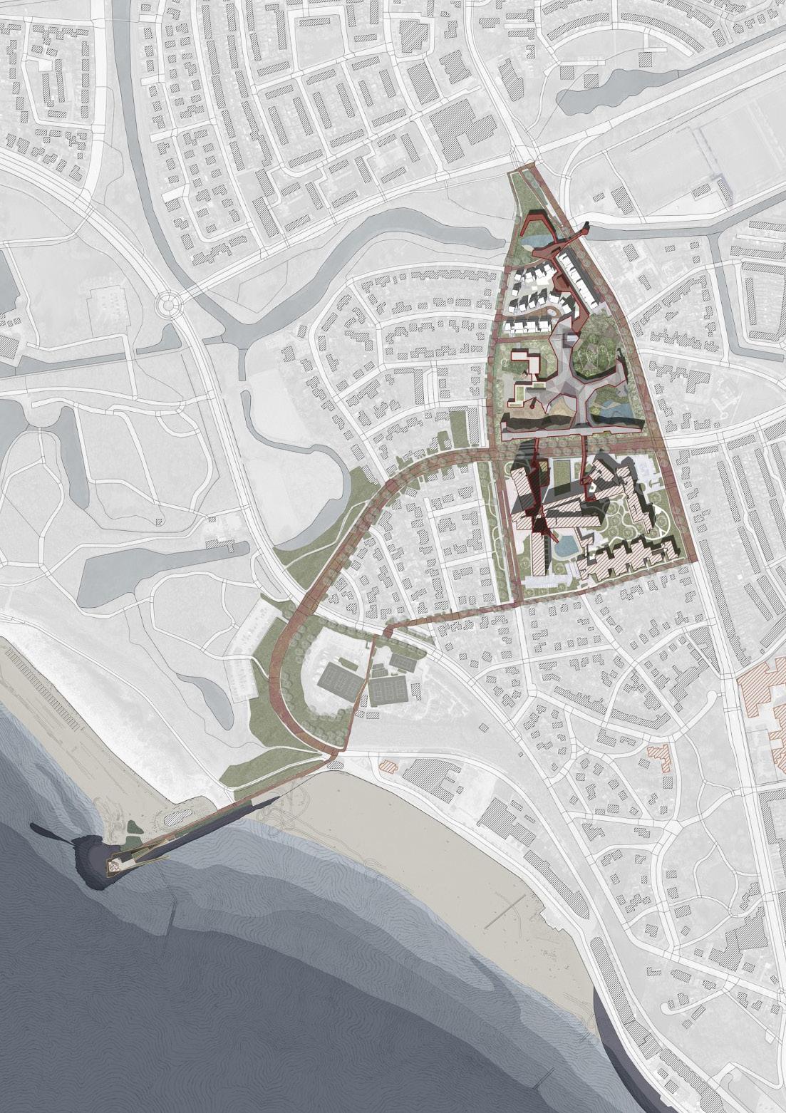
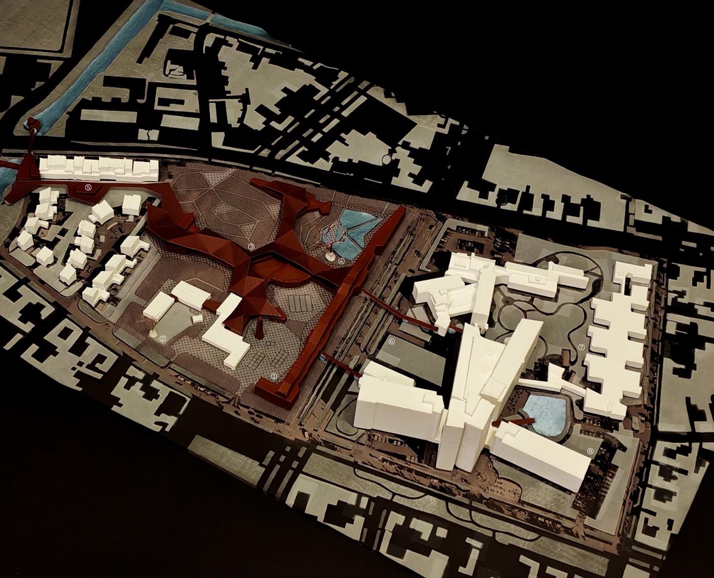
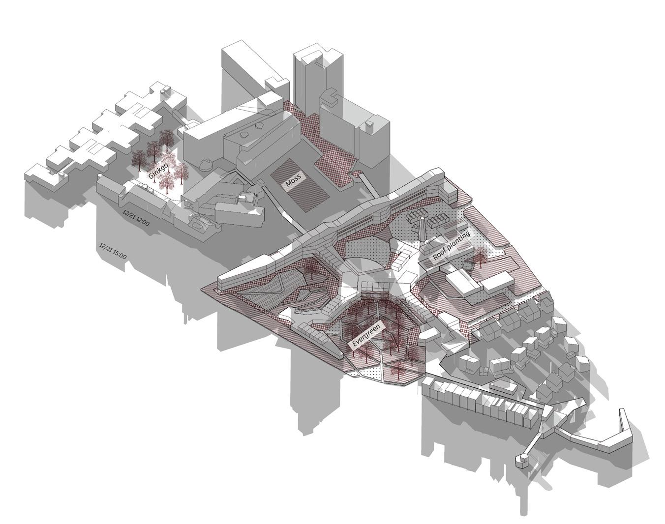
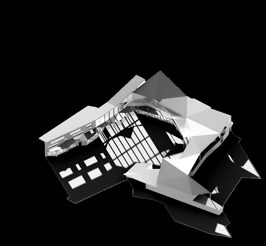
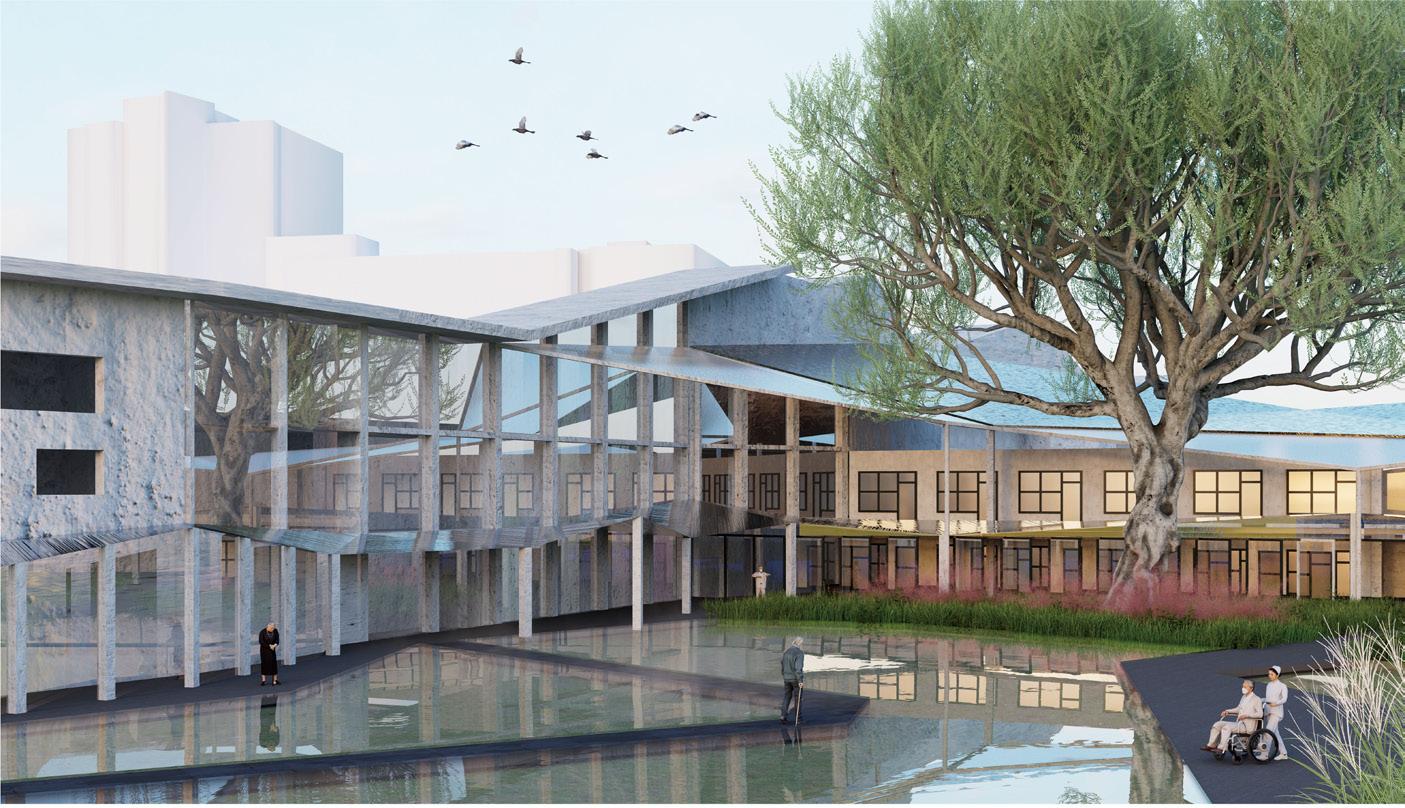
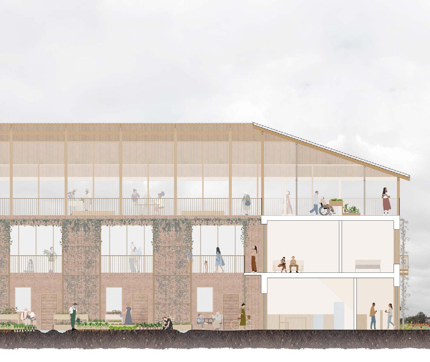
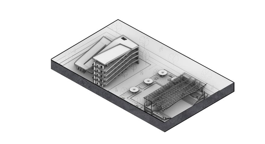
e urban design project is in Vlissingen on a vacant parking lot north of an existing high-rise elderly care building. It proposes 2–4 storey, gardencentred housing to establish a low-rise, walkable, and landscape-led model for elderly living, responding to Vlissingen’s demographic ageing. Drawing on textile terminology as a spatial logic, the site is understood as a surface, and the building as a seam. A linear building subdivides the site into four courtyard conditions. e building operates as both a separator and a connector, forming a patchwork spatial system with the courtyards, allowing residents to access di erent gardens and engage in diverse daily activities. e building primarily consists of residential units, while care facilities, communal spaces, and activity areas are embedded within the structure, forming a hybrid living environment. e building and courtyards create a network of everyday spaces. Together with the three existing courtyards of the original elderly care building, the project forms a system of seven gardens. ese gardens function as an ecological network that balances activity and rest, openness and shelter through di erentiated spatial conditions.
In addition, a green urban corridor connects the project to the previous Underneath Folly project, guiding elderly residents towards the coastal beach landscape and extending everyday life into a continuous relationship with nature.
The Masterplan (thumbnail: Patterns of Water)
Left. The Masterplan Modelled, Shadow and Planting Analysis.
Top Right. Shadow Studies.
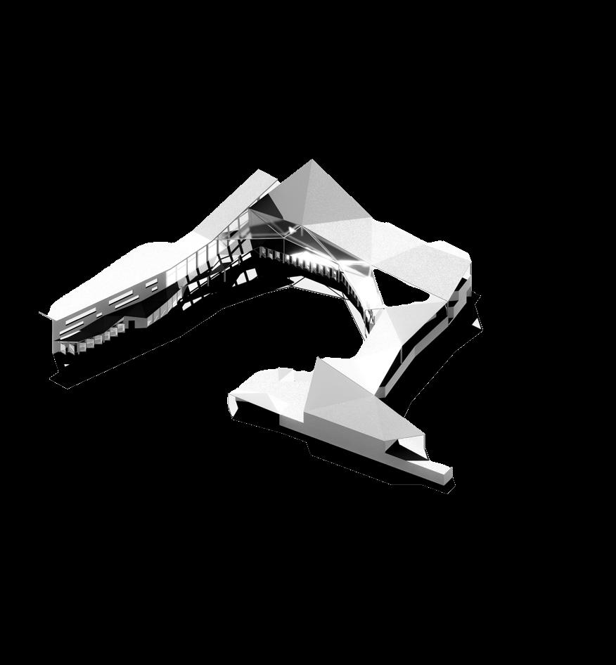
Bottom Right.The Folly in Section, Across the Masterplan.
KANAAL DOOR WALCHEREN
INHABITING THE EDGE
ANNA SZCZERBA
IASON NIELSEN LOREN BRUNDRETT
The Kanaal door Walchen | Weaving the PlacetoLieDown
Loren Brundrett, Iason Nielsen, Anna Szczerba
Site: Land left by De Schelde industry decline, Vlissingen. Programme: Mixed-use urban block elevated over a new wetland, construction processes within the neglected Machinefabriek warehouse.
04 a
ENTANGLED INHABITATION
ARCHITECTURES OF RECYCLED INDUSTRIES
ANNA SZCZERBA
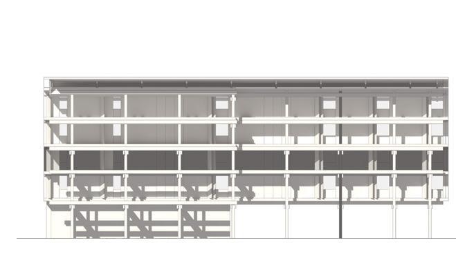
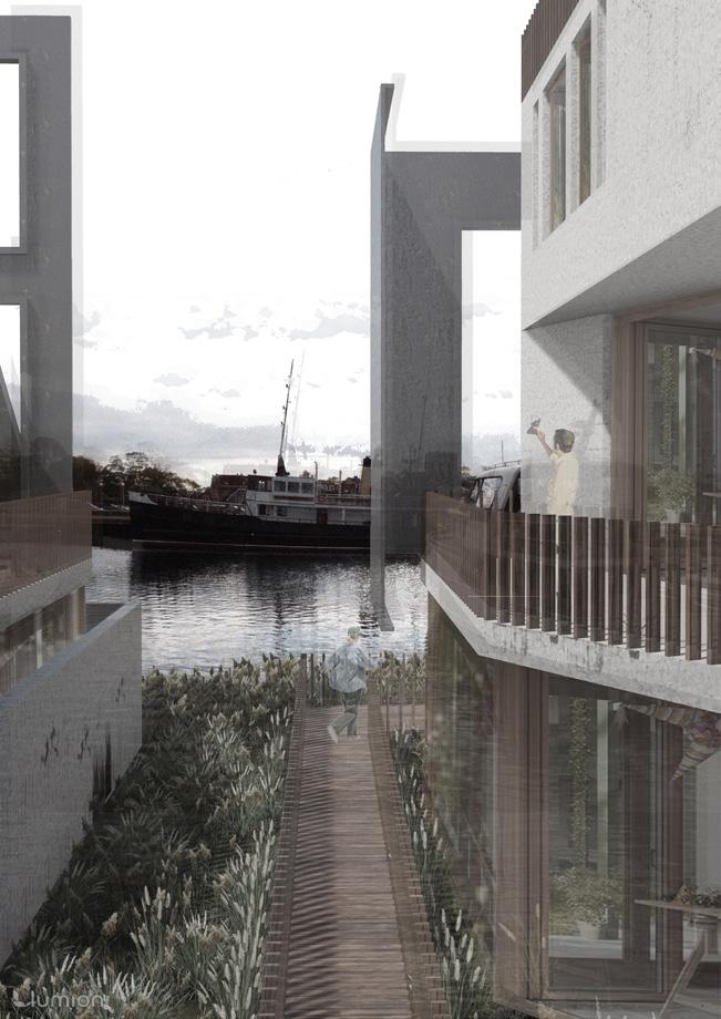
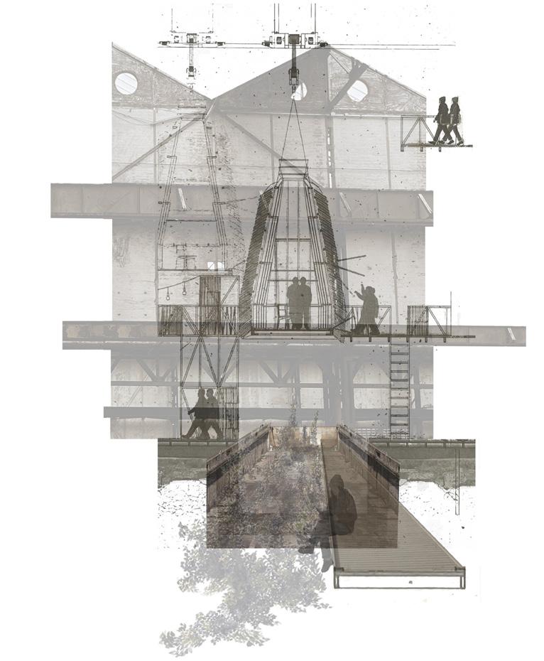
Flowing between land and water, the thesis entangled inhabitation emerges from Walcheren’s layered history shaped by water management. Anchored in the port town of Vlissingen at the bottom of Kanaal door Walcheren, the project focuses on a neglected land left behind by the decline of the De Schelde shipbuilding industry. Once a de ning force within the city, its departure has left a gap within the urban fabric, where fragments of maritime heritage remain embedded within an expanding residential context.
Secured with sea walls and de ned edges, Walcheren Peninsula no longer evokes the vast wetlands from which it evolved. e project looks at the potential of echoing that lost soft bu er by introducing habitats rich in entangled ecosystems along the canal. is soft edge acts as a porous ood control, while its vegetation is subsequently harvested, processed within the existing warehouse, and used for reactivation of post-industrial voids along the canal.
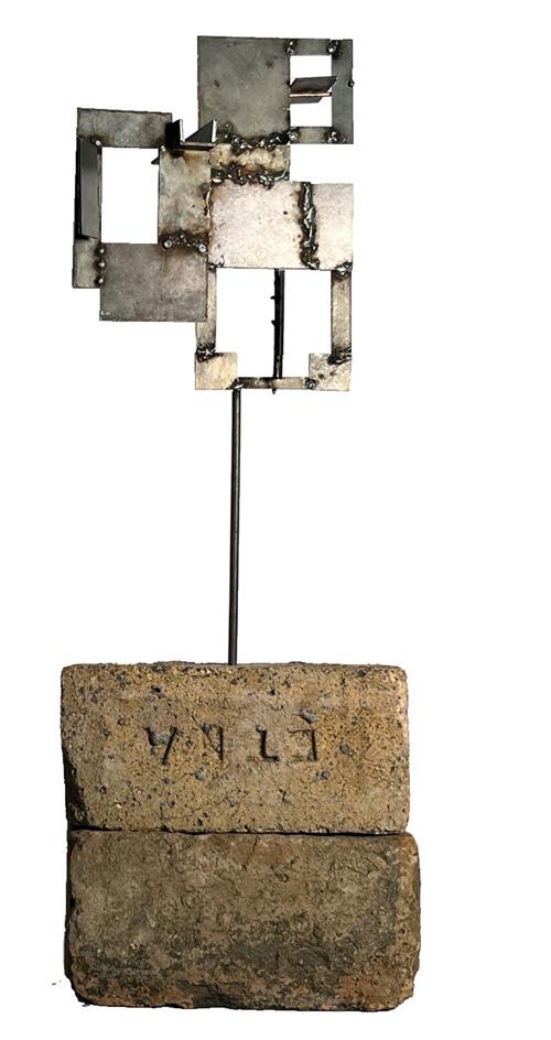
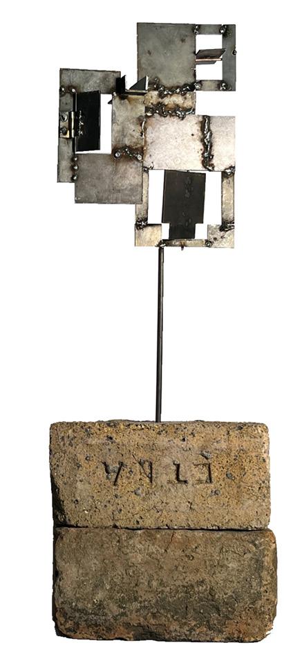
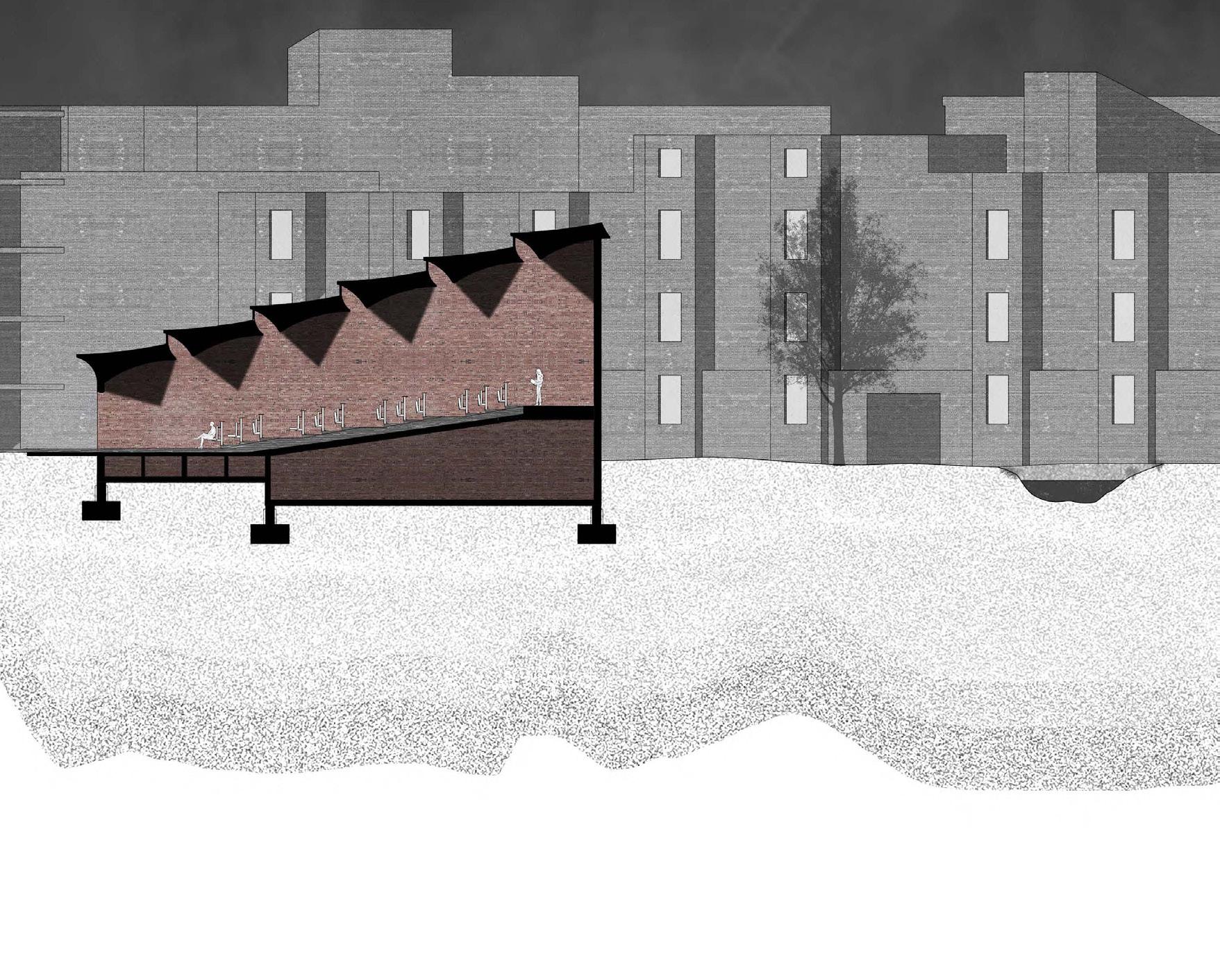
e proposal then explores waste as a construction resource. Former steel boundary sheets are cut, assembled and welded into a dynamic facade. Waste rubble is formed into blocks and used as primary structure. Sca old timber is arranged into pods initially accommodating workers during construction and later becoming part of the broader masterplan.
Site: Wetlands East of Middelburg. Programme: Naturehoods of Communal Inhabitation and Shared Social Cores, Walking Folly, Walking Machines.
04 b
ZEELAND’S NATUREHOODS
& THE WALKING FOLLY
IASON NIELSEN
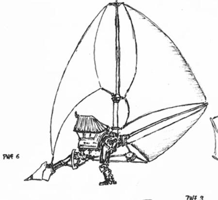
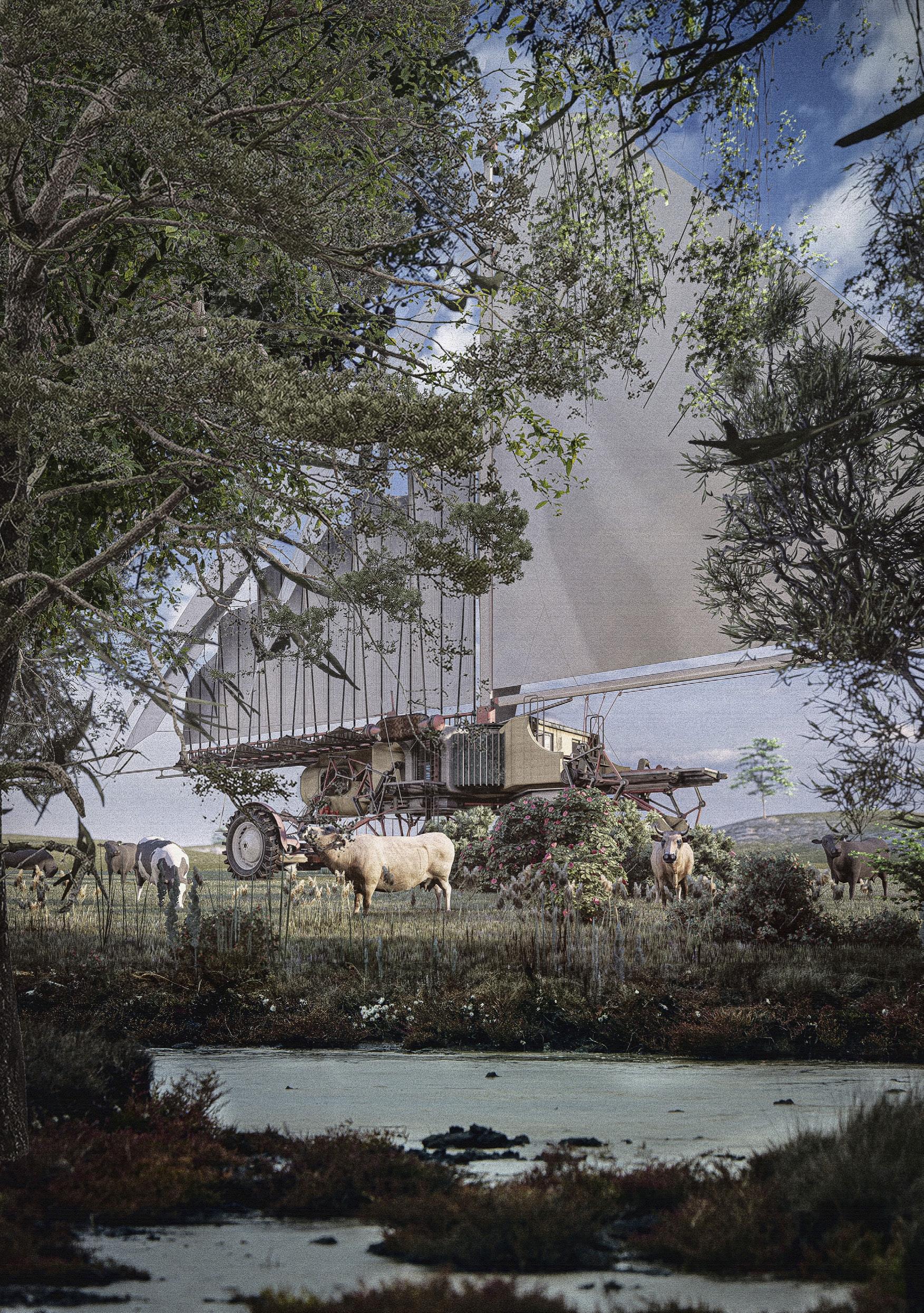
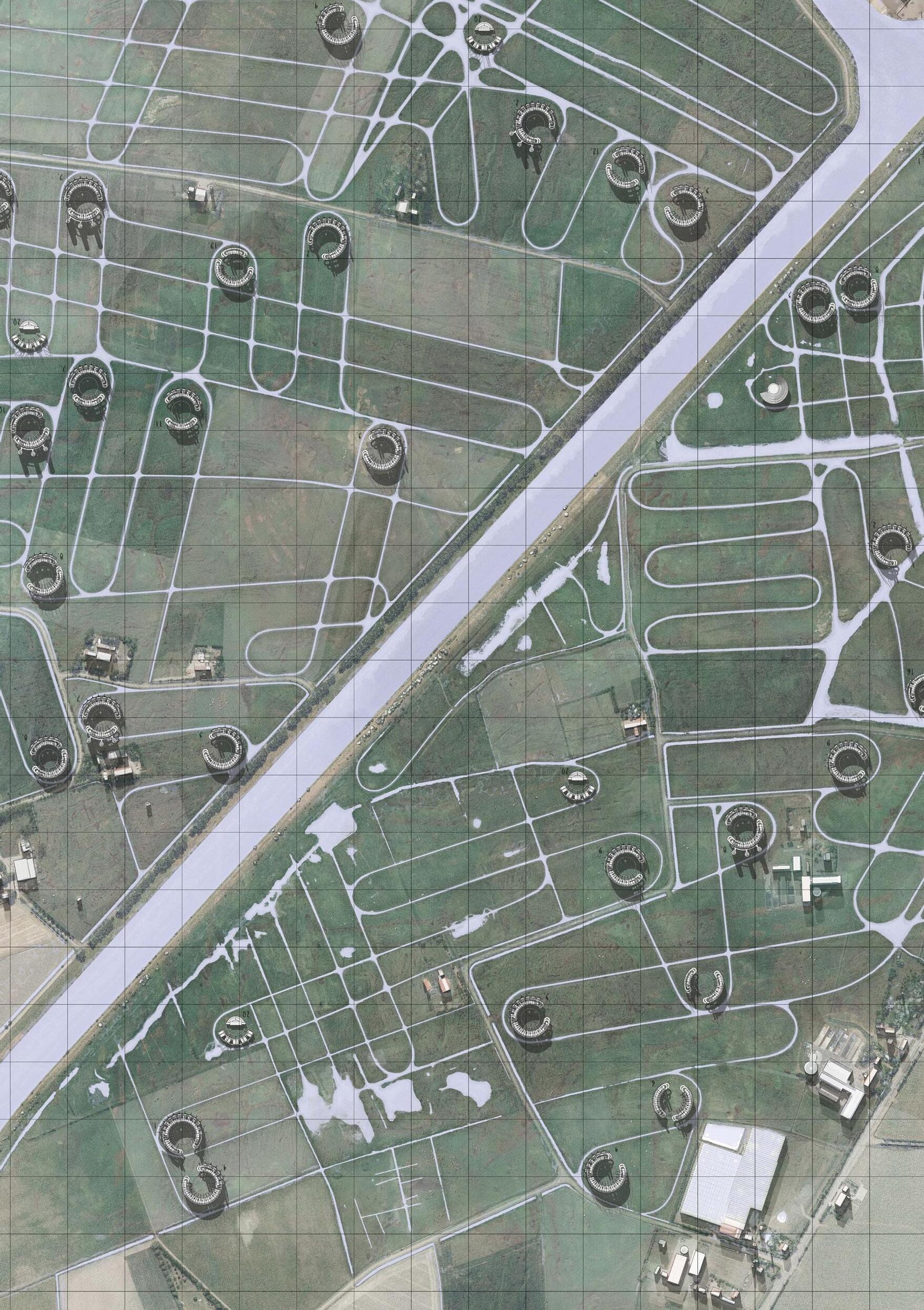
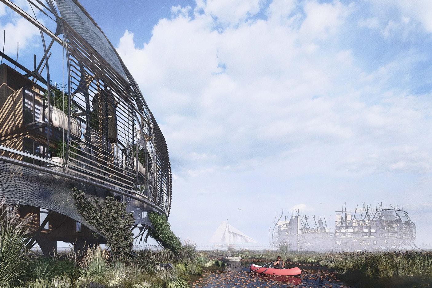
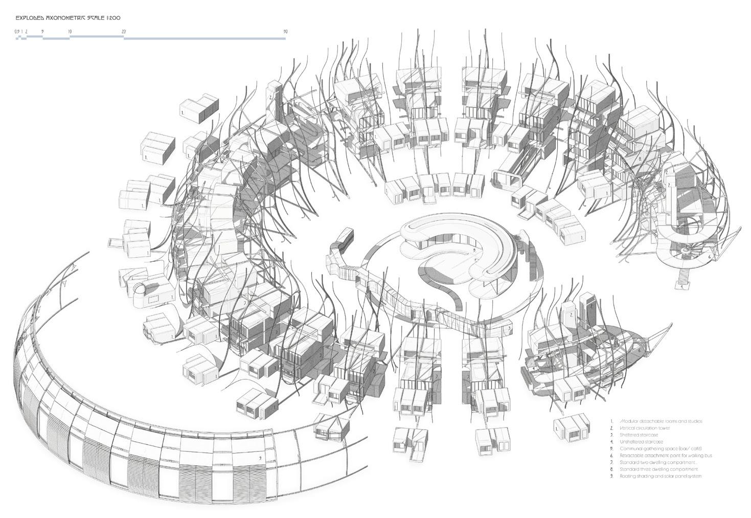
is project proposes a speculative rewilding masterplan for the agricultural northern edge of the Dutch town, Middelburg. rough the controlled transformation of farmland into a wetland environment, the proposal re-imagines habitation as an ecological condition where architecture, infrastructure, wildlife, and landscape operate as part of a shared environmental system. At the centre of the proposal are the ‘Naturehoods’: modular circular elevated communal dwelling structures embedded within a rewilded landscape (generated through trenching and water introduction). Raised above the wetlands on thin structural supports, the Naturehoods preserve ecological continuity beneath while establishing dense communal forms of inhabitation organized around shared social cores. eir morphology draws from collective housing, modern and traditional precedents, and wetland photographic studies and observations. Integrated docking platforms, planted structural frames, bridges, and vertical circulation systems connect the structures internally as well as with the surrounding moving infrastructure. e transformation of the landscape is initiated and maintained by the ‘Walking Folly’ and a wider family of walking machines operating as mobile infrastructural actors. Powered through wind-assisted mechanical systems and moving through eo Jansen’s mechanical principles, they trench, seed, transport materials, test soil conditions, and maintain the wetlands while traversing muddy terrain. Together, the Naturehoods and walking machines establish an alternative model of inhabitation integrated within an evolving wetland landscape.
The Walking Folly (thumbnail: Initial Folly Sketch)
Left. The Naturehoods Site Plan.
Top Right. Across the Wetland. Bottom Right. The Naturehood.
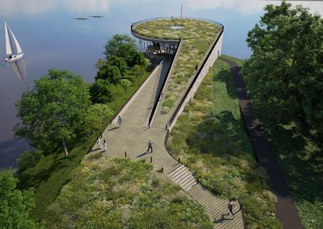
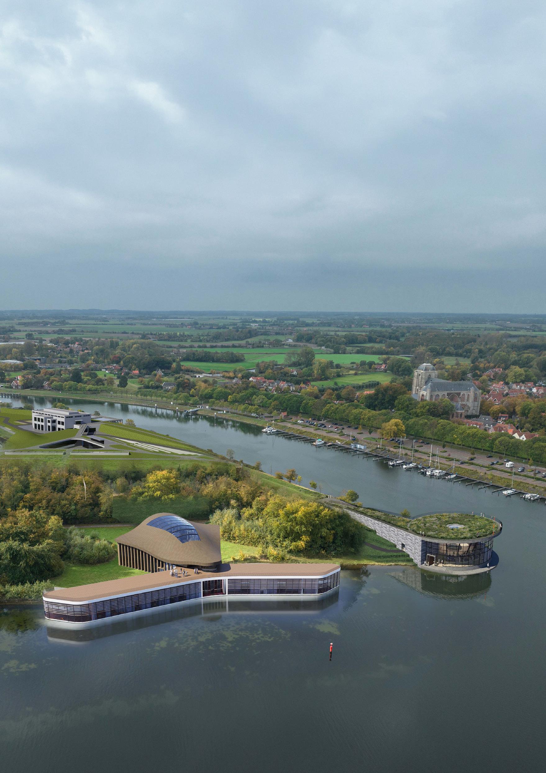
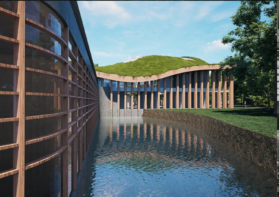
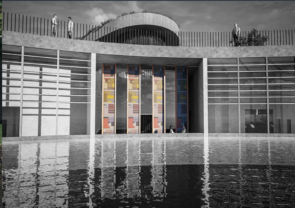
Site: e Grote Kerk, Schotse Quai and Bastionstrand, Veere. Programme: ematic Folly within the Grote Kerk, Biotextiles community and accomodation across the Schotse Quai and the Bastionstrand.
04 c
A NEW GENESIS
ARCHITECTURES TO THRIVE IN A FLOODED WORLD
LOREN BRUNDRETT
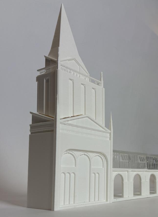
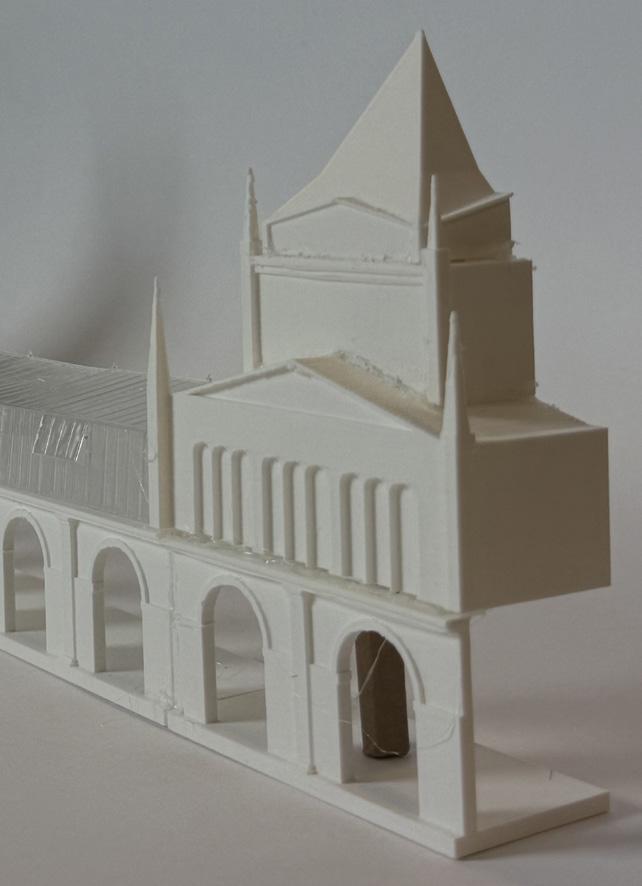
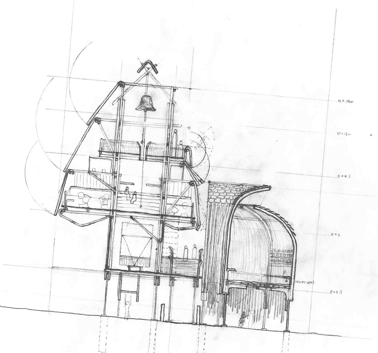
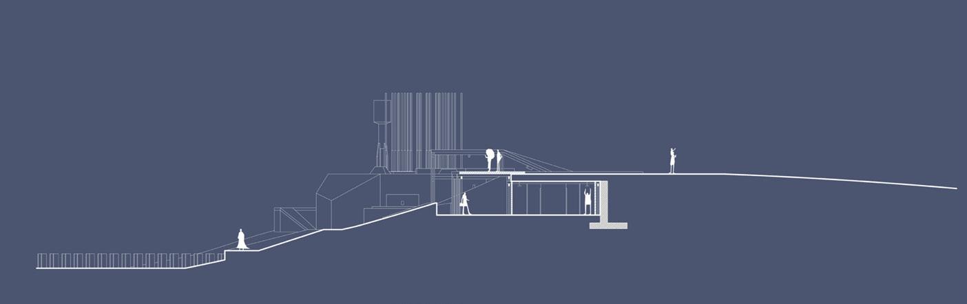
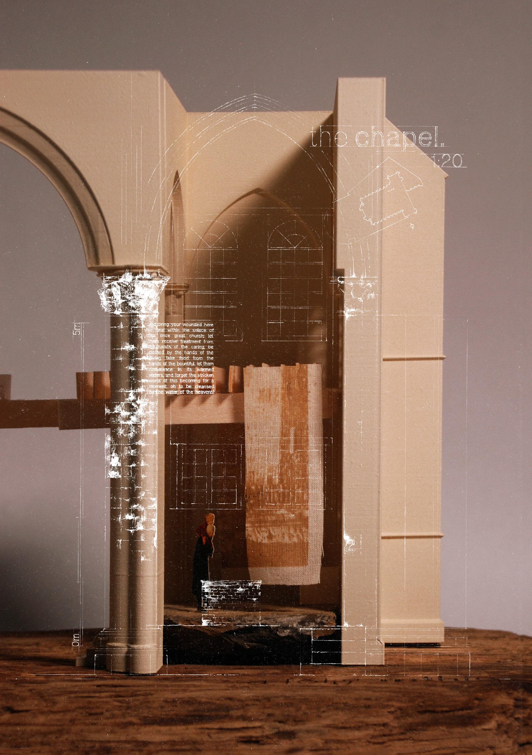
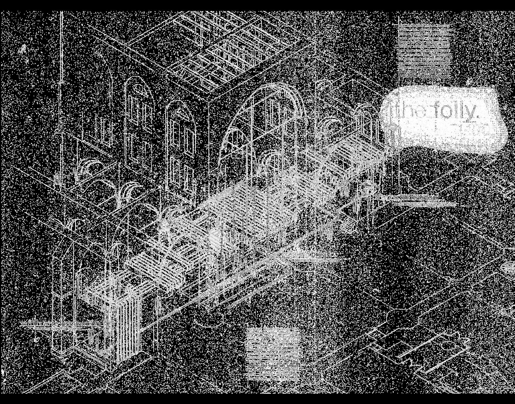
Holding staple rights to the trade of Scottish wool for over 250 years, the placement of a ‘useful folly’ within Veere’s Grote Kerk sought to reawaken the site’s rich heritage; drawing attention to - and encouraging conversations around - the impact of Veere’s water systems. Now deconsecrated, the Grote Kerk - and its adjacent cistern - were integral to the city’s development. With demands for fresh water to wash their wool, in 1551 the town built the traders a cistern; which stored the rains from the roof of the church and subsequently acted as the town’s only fresh water source until 1932.
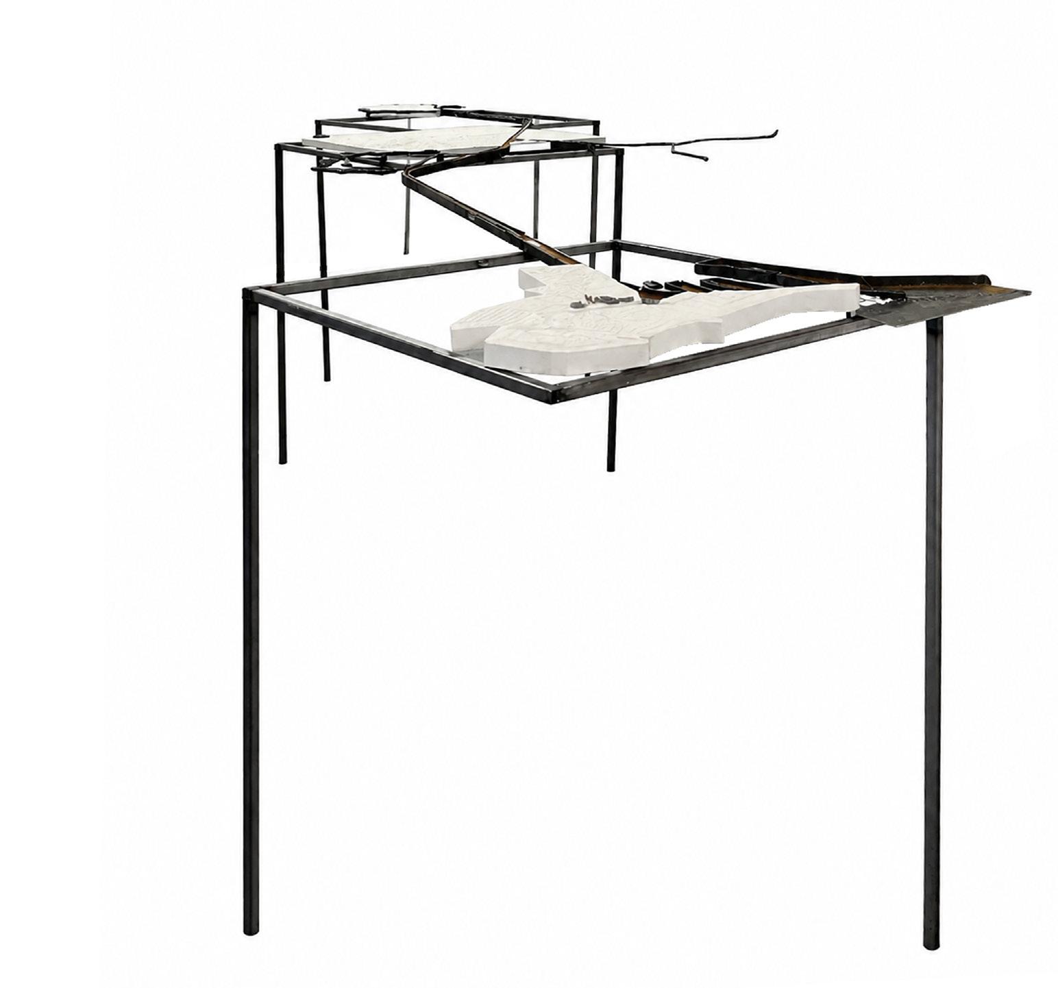
ree distinct spaces - a changing exhibition, a sunken table and a workshop space - are linked together by a channel of water; which ows only when it has rained. e suspended form of the pavilion then draws inspiration from the geometry of the looms used to weave the woollen fabric Veere once relied so heavily upon.
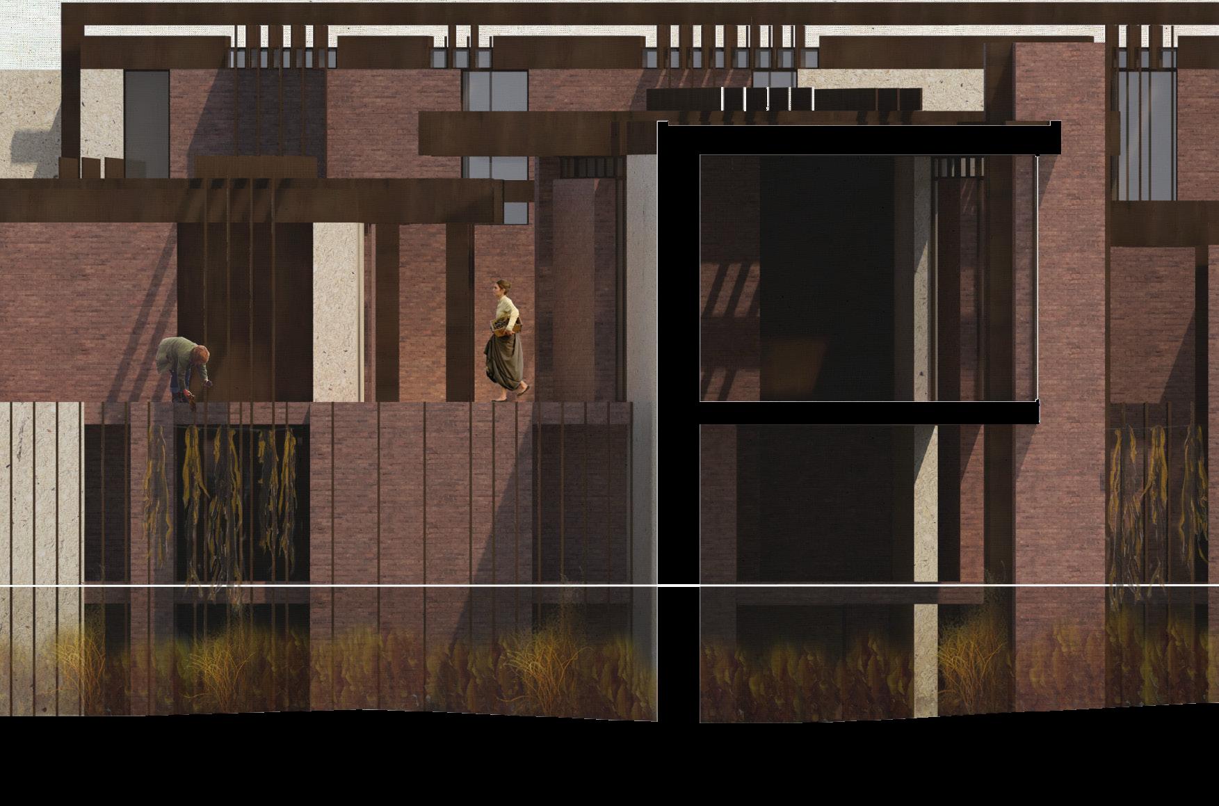
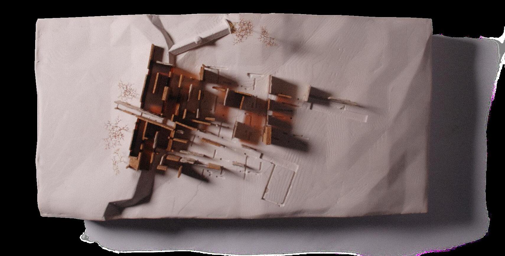
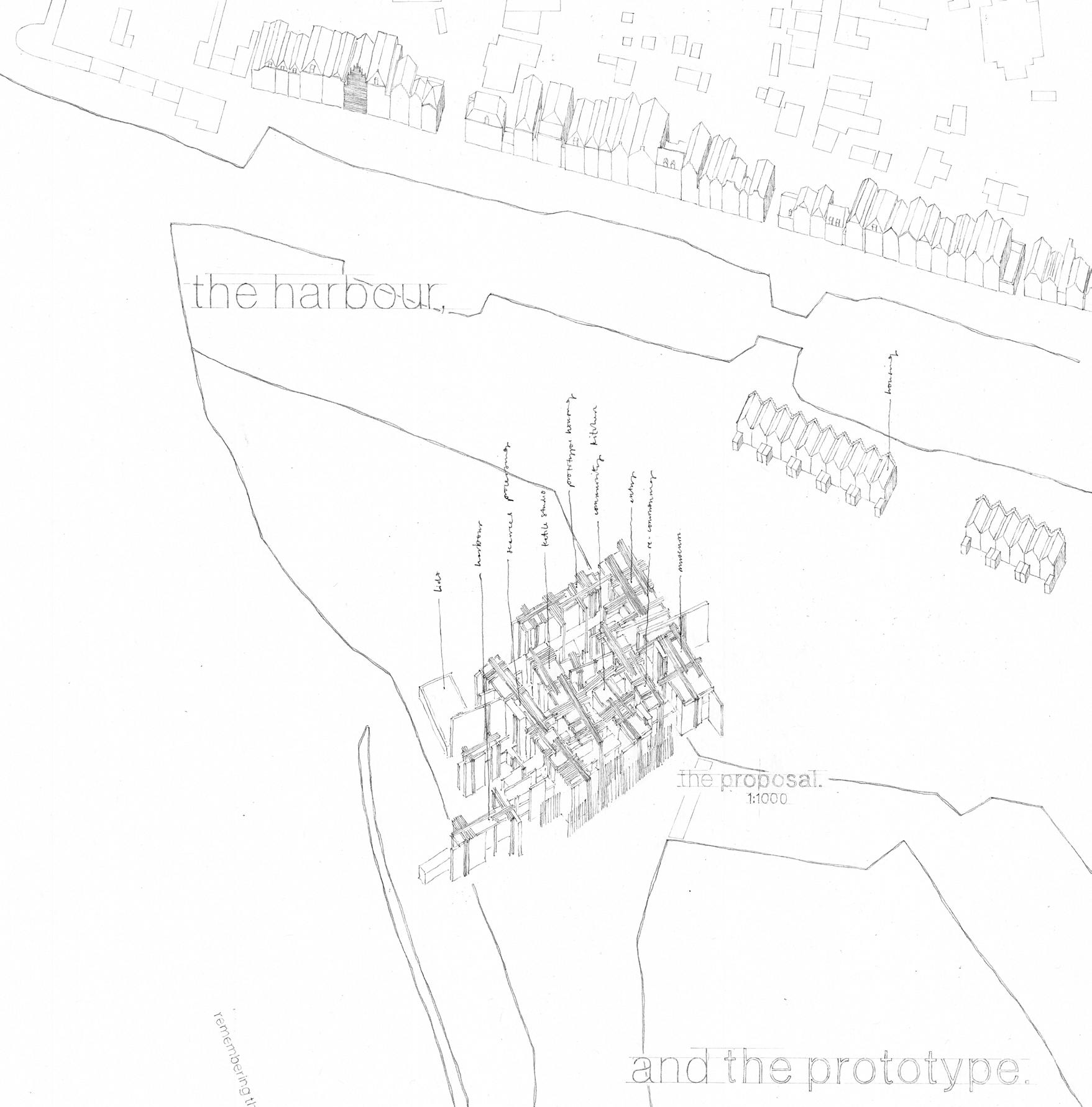
ese themes are then expanded into the development of a biotextiles community - a prototype for the purpose of thriving in our ooding realms - at the Bastionstrand; echoing the form of the historic pier and repopulating the Scottish quay.
Utilising brick and seastone, the development proposes a new industry and new typologies which - rather than fortify against rising sea levels and increasing rainfall - become permeable and bene t from cyclical ooding. e North Sea Commons, within which the wool trade thrived, is then reawakened as a means for sharing these new architectures; a new Hansa for this new Genesis.
Sharing Knowledge/The Chapel (thumbnail: Biotextiles Community Plan)
Top Left. The Folly in Axo.
Bottom Left. Harvesting Seaweed.
Right. The Fragmented Model, The Prototype in Axo.
VLISSINGEN TO MIDDELBURG 05
JAMES KERR
LINDA MARTINEZ UBILLUZ
AKIB AMAN
The Masterplan
James Kerr
Site: Rural Lammerenburg, Vlissingen.
Programme: Living Quarters, Shared Paddocks, Training School, Working Stables, Farrier / Veterinary Suites, Elevated Walkways, reshold Spaces, Resident Communal Facilities.
05 a
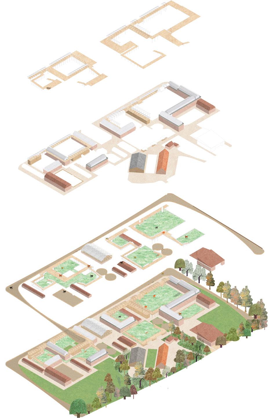
THE EQUINE ENCLAVE
INTERSPECIES THRESHOLDS: ARCHITECTURES OF COHABITATION
JAMES KERR
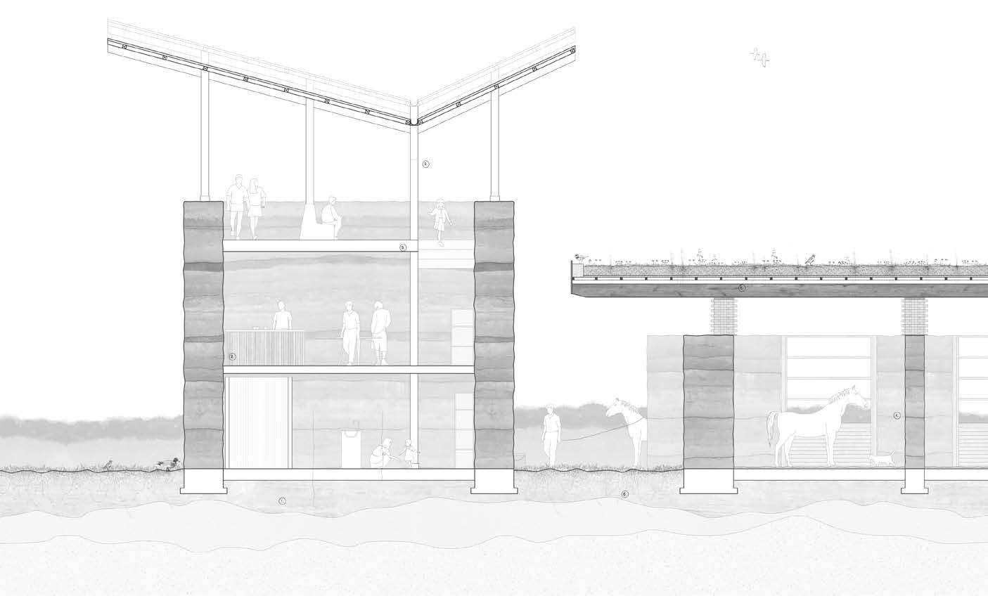
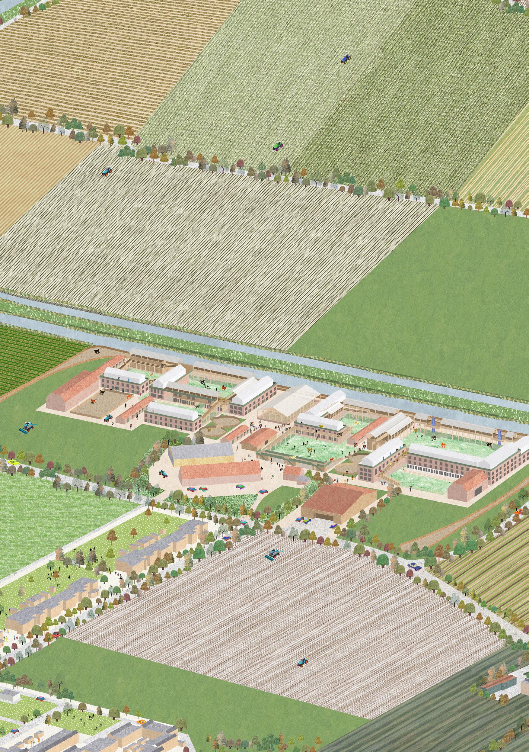
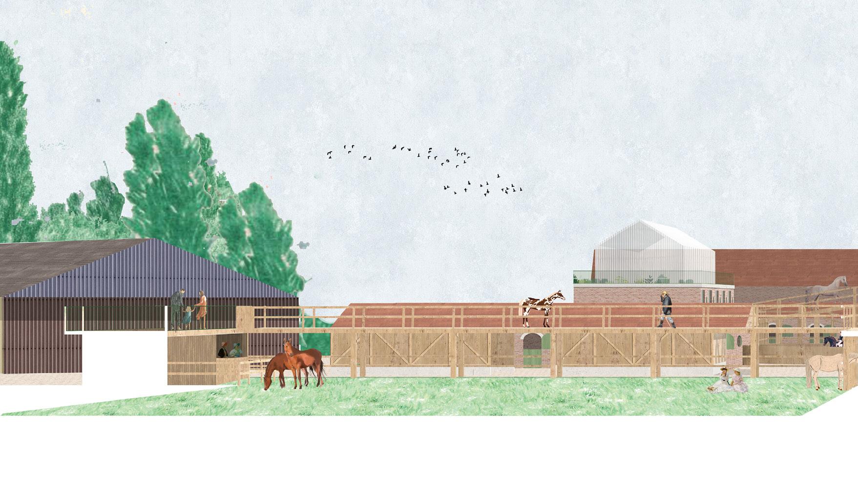
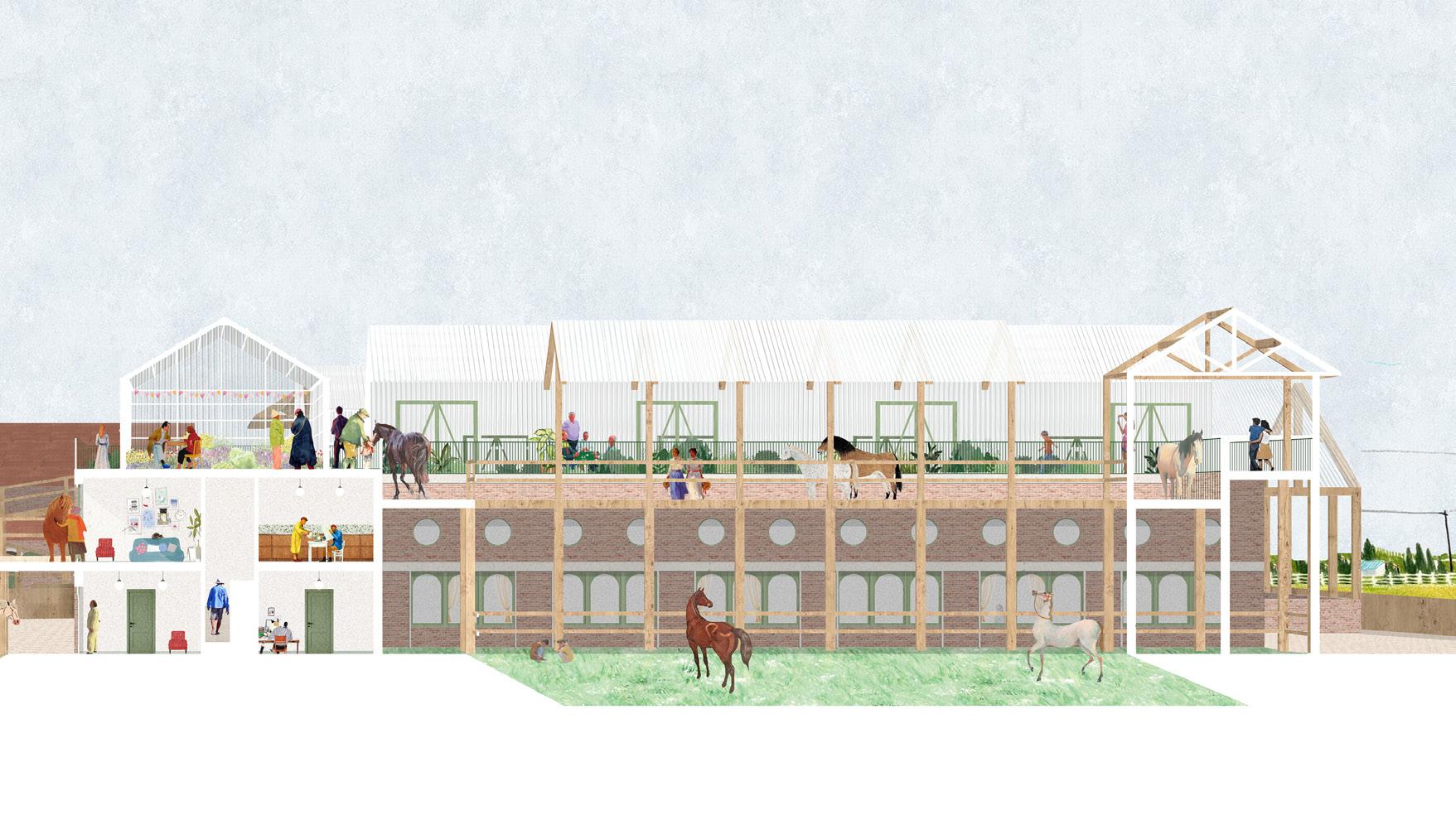
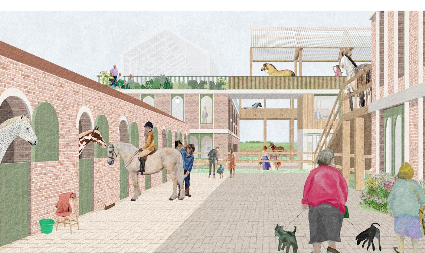
e Equine Enclave, nestled on the urban fringe of Vlissingen, reimagines the traditional livery yard as a new model of interspecies co-living. e masterplan arranges living quarters, shared paddocks, training schools and working stables across the site, while a network of elevated walkways entwines horse and human movement, dissolving the boundary between domestic and agricultural typologies. Residents cohabit alongside the horses, partaking in the daily rhythms of feeding, grooming, and exercise, forming the social infrastructure of the community.
e masterplan is organised around a single governing principle: that no matter where you stand on site, a horse is always within sight. is visual continuity shapes the entire arrangement of the proposal, weaving equine presence into every aspect of daily life.
e project introduces a new architectural typology in which dedicated horse walkways wrap around residential façades, embedding equine movement into the fabric of domestic life. At certain points, walkways open directly across living spaces, allowing a horse to cross the threshold into the home, collapsing the distinction between stable and dwelling. At others, they meet on rooftops and balconies, close enough for a resident to reach out and stroke a passing horse. e facade becomes a negotiated edge between human and equine inhabitation, forming a permeable membrane through which two ways of living continuously touch, overlap, and inform one another.
Here, equine life is not a backdrop but the organising presence around which this community takes shape.
The Equine Enclave (thumbnail: Vernacular Typologies Analysis)
Top. The Proposal in Section.
Left. Exploded Programme Axo.
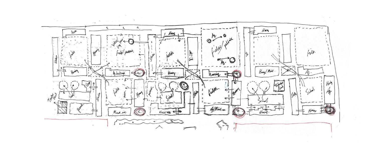
Right. Initial Hand-sketched Proposal, Within the Equine Enclave.
Site: e Productive Edge between Vlissingen and Middelburg, Walcheren. Programme: Residential and Mixed-use buildings supporting local businesses, communal growing spaces, productive agriculture and integrated rainwater-managment systems.
05 b
A CONTINUOUS INTERTWINED LANDSCAPE
ARCHITECTURE, AGRICULTURE AND WATER MANAGEMENT
LINDA MARTINEZ UBILLUZ
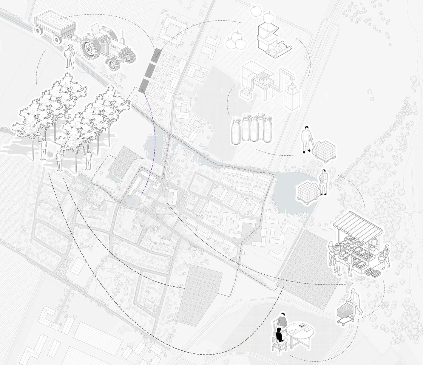
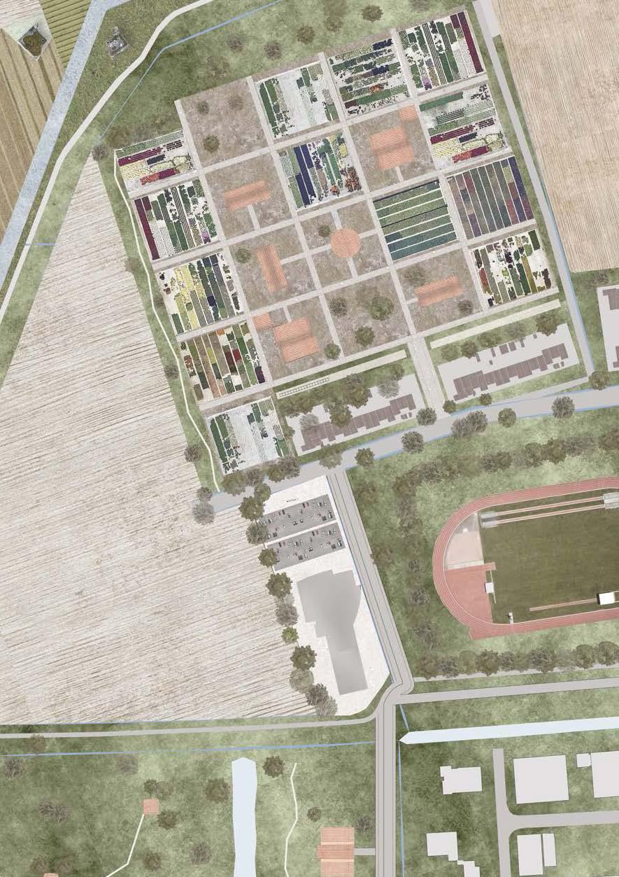
is project explores the relationship between architecture and agriculture through the development of a continuous, productive landscape on the edge between urban and rural conditions. Located in Walcheren, the separation between city and farmland is reconsidered - framing both as part of a shared community and ecological system. Developing from an earlier bunkermarket folly - where an existing bunker was transformed into a place of gathering, exchange, and local production - this initial study informed the wider masterplan, expanding its ideas of materiality, water management, and social encounter across the landscape. Rather than treating the site as a xed boundary, the proposal softens the edge between urban and rural through a network of new routes, productive gardens, communal spaces, and architectural nodes.
Comprised of housing, workshops, communal spaces, landmarks formed by the existing bunkers and productive gardens,these elements are embedded within agricultural patterns; establishing a gradient from collective gardens and allotments to larger cultivated elds, allowing urban life and agricultural production to coexist and overlap. Water management plays a central role in shaping the architecture - with roof forms informed by observed natural movements, translating processes of collecting, directing, and releasing water into spatial and material strategies. ese principles extend from the building scale to the wider landscape, reinforcing continuity across systems. Responding to seasonal change, supporting cycles of growth, use, and transformation over time, the project proposes a model in which living, working, cultivating, and gathering are integrated, forming an environment that is both productive and socially active.
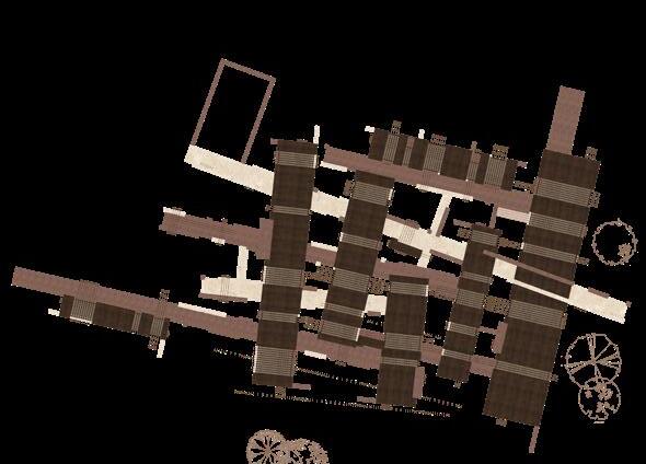
The Proposal in Plan (thumbnail: The Aluminium Cast)
Top Left. The Masterplan. Bottom Left. Residential Section. Right. The Folly in Section.
Site: Kanaal door Walcheren, Rouaansekaai, Middelburg, Zeeland, Netherlands. Programme: A continuous civic and ecological landscape woven from canal interface, productive allotments, athletic terrain, modular pavilions, and shared community lawn.
05 c
THE HYDRO , CIVIC CARPET
REWEAVING MIDDELBURG’S WATERFRONT INTO A LIVING COMMONS
AKIB AMAN
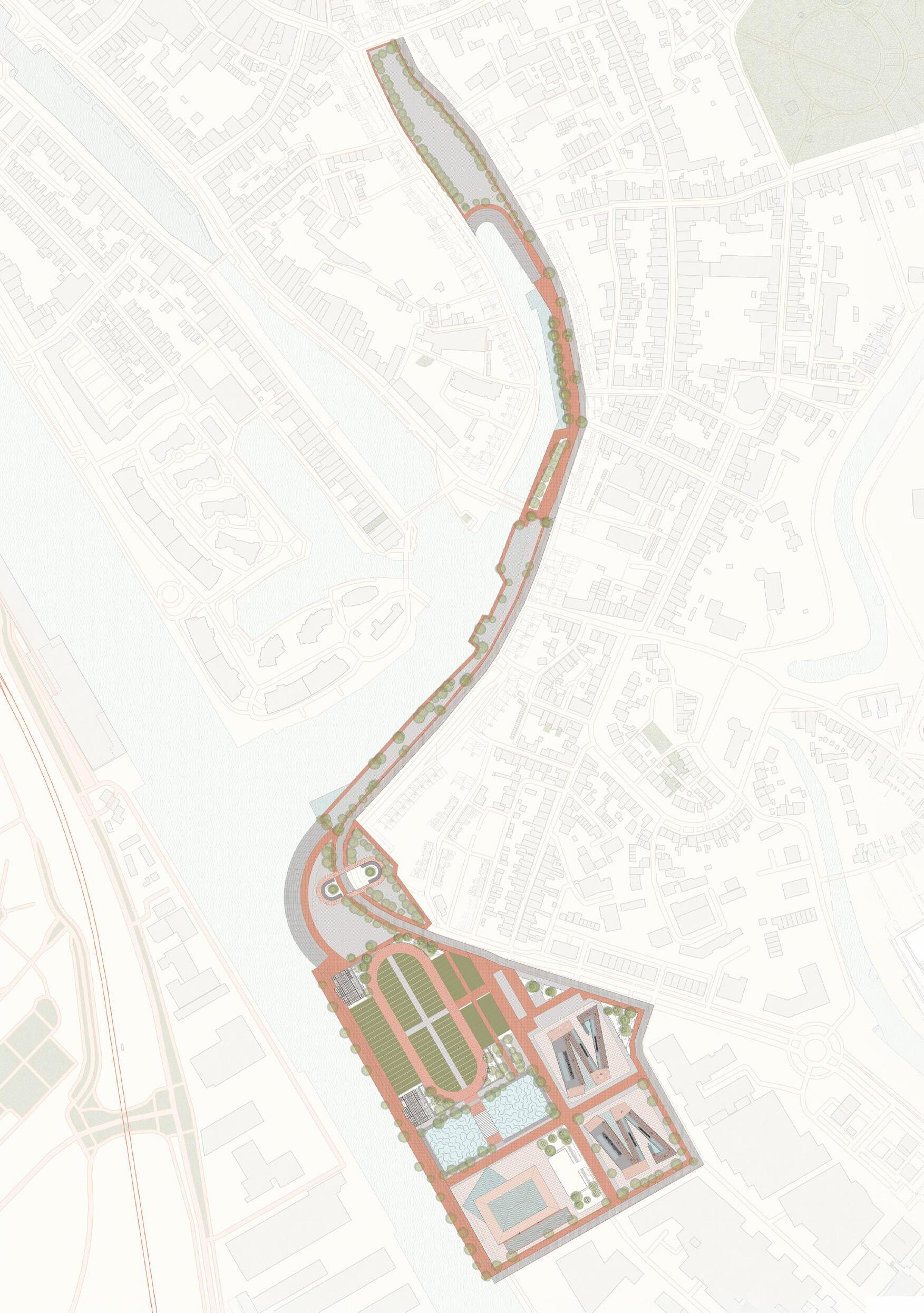
Middelburg’s canal edge has always been a place caught between two worlds. On one side sits the historic defensive ring that shaped the city for centuries; on the other, the sprawling contemporary districts that grew up around it. is threshold has been treated as a leftover, a strip of underused quay and fragmented industrial land that quietly disconnected the old city from everything built after it.
e design doesn’t try to erase what’s already there. Instead, it works with the canal’s existing logic and slowly pulls it into the life of the city around it.
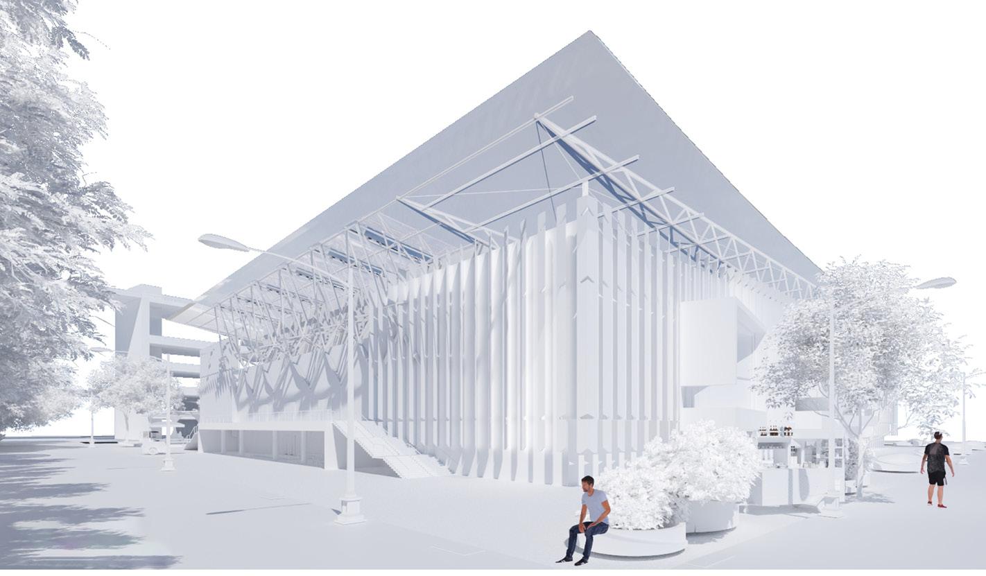
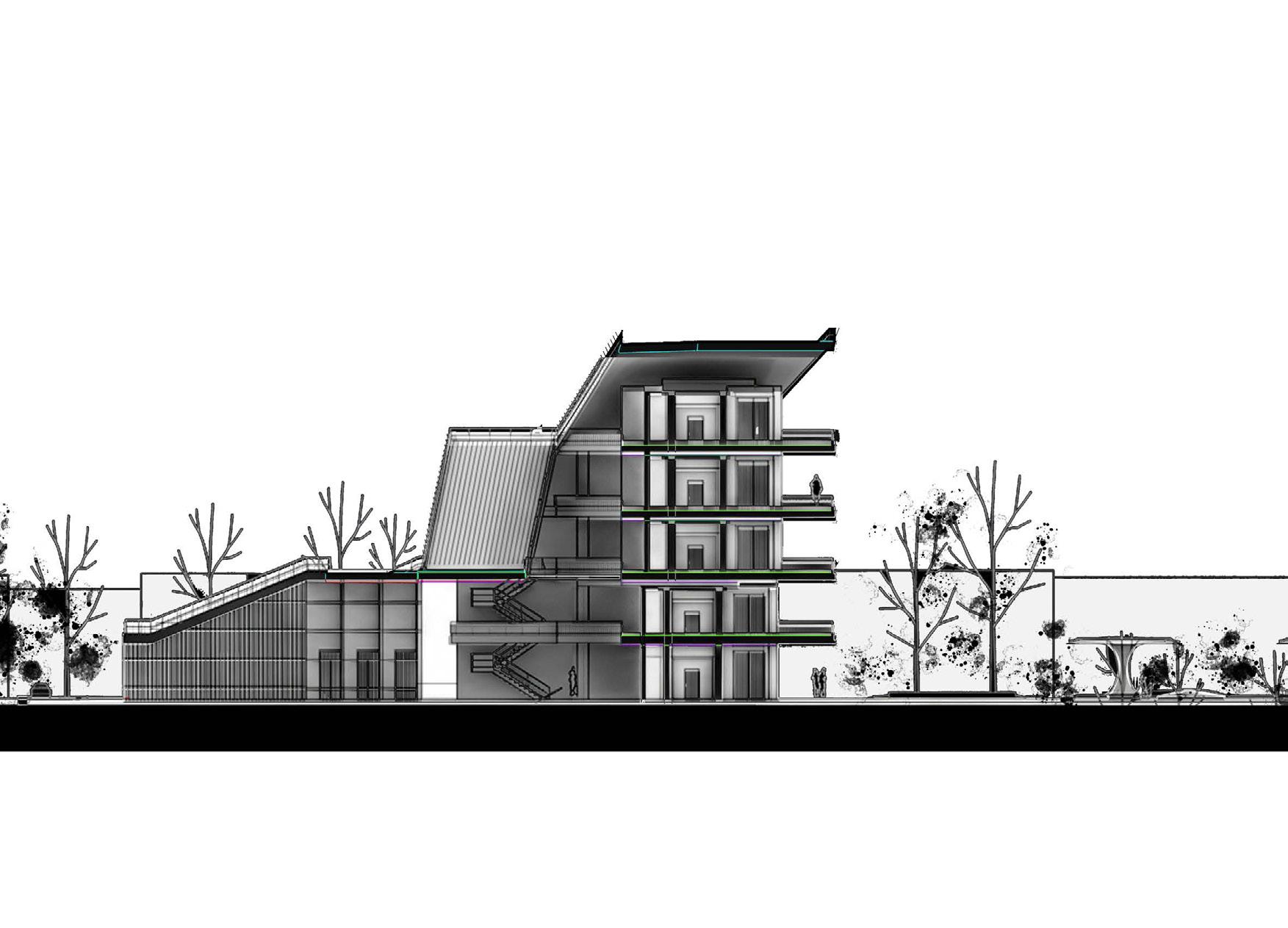
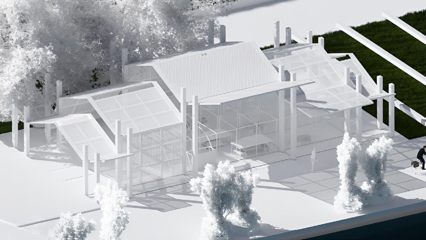
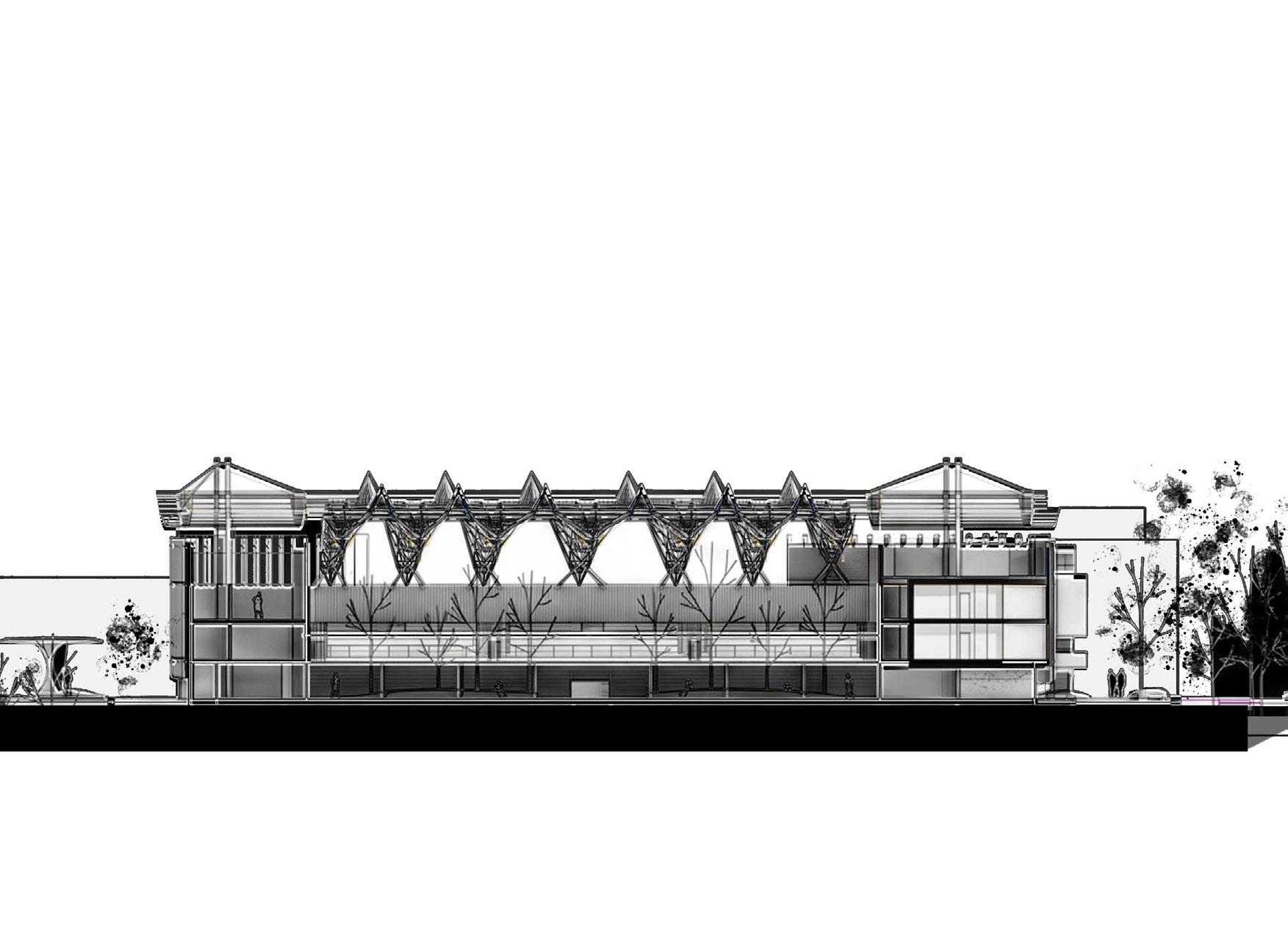
Perforated Corten steel platforms reach out across the Rouaansekaai, giving people two ways to experience the water up close at the edge, or raised above the daily movement of canal tra%c. e hard curbs and tarmac that once kept pedestrians at a distance are replaced with a resin-bound gravel surface that runs continuously along the front, slowing things down and making space for people to stop and be there. Further back from the water, the neglected parking plots and industrial quays are quietly transformed into something more generous. Productive allotments wrap themselves around a new running track, so that growing food, absorbing rainfall, and getting some exercise all happen in the same place at the same time. Native tree rows, rain gardens and bioswales thread through the whole thing, borrowing the quiet logic of the Zeeland polder and bringing it right into the heart of the built-up city. Holding it all together at the human scale is a series of lightweight timber pavilions that line the promenade. ey’re modest and exible seasonal markets one month, bicycle shelters the next, somewhere to sit out of the rain after that.
THE PROPOSAL IN PLAN
(thumbnail: Sectional Isometric)
Left. Within the Proposal. Right. The Proposal from Above. Bottom. The Long Section.
VEERE
WALCHEREN’S CRITICAL ZONES
EVIE HALL
HUGO TWIGGER
SEAN MIHAEL
Walcheren’s Critical Zones
Hugo Twigger
Site: Veersche Kreek, Veere.
Programme: Field Station Outposts along the Water Network, Ecological Campus Providing Research Facilities, Laboratories and Accommodation.
06 a
LISTENING TO ECOLOGY
THE ECOLOGICAL CAMPUS
EVIE HALL
e ecosystems of Walcheren and their relationship with one another play a vital role in keeping the balance between the land and the North Sea. At Veersche Kreek, the network of waters and the woodland green corridors act as important habitats for wildlife, but for the communities living in Veere, they house a series of trails for walks, cycling and other recreational activities.
is dynamic state of functions of the landscape is one to be nurtured and preserved from the ever-increasing threat of ooding and the unpredictable elements of the climate crisis. To investigate this interconnected relationship, a study of the unique soundscape is carried out, and facilities to aid the research of this entwined ecology are proposed.
e nature’s sound Field Station was set up to aid these objectives. Equipped for observation of the surroundings and the opportunity for deep listening to the environment, the user can fully immerse in the ecology of place. e eld stations loop back to the main campus nest of research, where studies are done to better understand the life that is contained within this critical zone. Exploring what it means to live as human and non-human side by side. A shared ecology.
ACROSS THE WETLAND (thumbnail: Folly Section)
Left. The Masterplan Modelled.
Top Right. Residential Section.
Bottom Right. Observing the Wetland.
Site: Veere, Walcheren. Programme: Hydromorphology-Centred University Campus.
06 b
CHANGING WATERSCAPE
INTERWEAVING EDUCATION WITH LATOUR’S CRITICAL ZONES
HUGO TWIGGER
is project proposes a new university campus in Veere, centred on the study and experience of hydrology and water-scapes. Situated within a landscape historically shaped by the negotiation between land and water, the design embraces this dynamic relationship as both context and generator. Rather than imposing a rigid architectural order, the masterplan is conceived as a porous and evolving system in which built form and natural processes are interwoven.
Water is treated as the primary structuring element. Existing hydrological patterns are extended through the careful carving of new waterways, allowing tidal movement, drainage, and ecological succession to inform spatial organisation. Woodland is introduced as a complementary system, stabilising soil, enhancing biodiversity, and creating a sequence of sheltered environments that mediate between open water and built space. Circulation follows the logic of water and topography, encouraging a slow, experiential engagement with the site.
As both an educational institution and a working landscape, the university operates as a living laboratory, where students and researchers directly engage with hydrological systems, climate adaptation, and ecological design. e project ultimately explores how architecture can move beyond coexistence with nature toward active collaboration, using design as a tool to reveal, restore, and re-imagine the relationships between land, water, and human inhabitation.
THE PROPOSAL MODELLED
(thumbnail: The Folly Perspective)
Top. Through the Theatre.
Left. The Proposal in Axo.
Right. Across the Campus.
Site: Land South-East and South-West of Veere, the shores of the Veerse Gat. Programme: Environmental research complex, marine, atmospheric, and geological eld stations, wetland restoration, specialist research facilities and residential accomodation.
06 c
THE NEGOTIATED
GROUND
SETTLEMENT, ECOLOGY, AND LIVING WITH WATER
SEAN MIHAEL
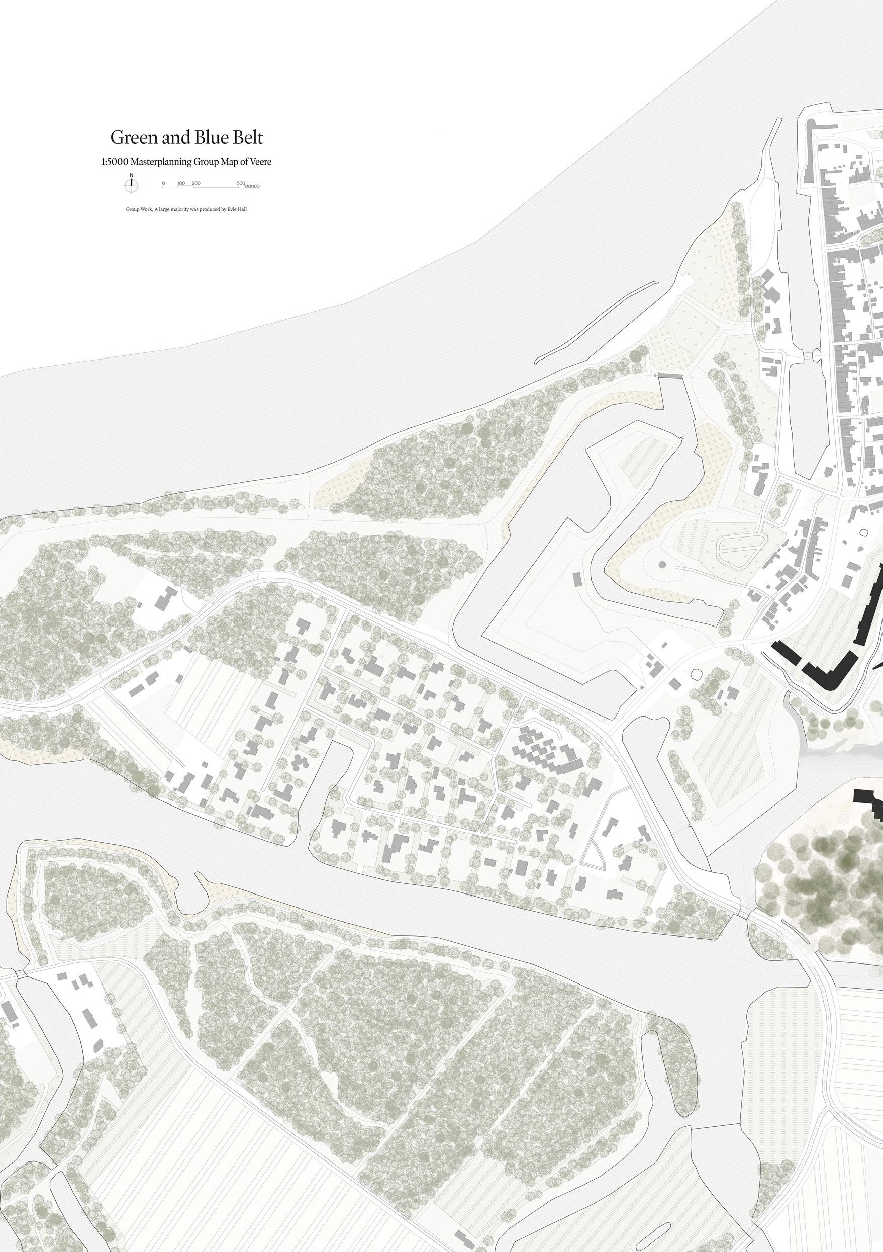
is project proposes an urban plan for the historic town of Veere, that reframes the town as a living, learning organism embedded within a dynamic watery landscape. Building upon earlier research conducted through the design of the folly, an earth-integrated deep-ocean eld station, the urban plan project scales architectural enquiry from the object to the territory. It proposes a research-driven urban framework in which real-time environmental data, ecological processes, and biological systems actively inform the management, growth, and lived experience of the town. rough the introduction of a distributed environmental research framework, a continuous ecological corridor, and carefully integrated urban additions, Veere is reimagined as a prototype for living with water, where settlement, landscape, and infrastructure operate in unison, as a single interconnected system across social, environmental, and cultural scales. Veere exists within a landscape de ned by constant negotiation with water. Seasonal ooding, uctuating groundwater levels, salt intrusion, and winddriven weather systems are not anomalies rather structural conditions. Traditional Dutch engineering has historically responded through resistance; dikes, barriers and controlled infrastructure. While e ective, these systems often sever ecological continuity and obscure the deeper relationship between settlement and environment. erefore, this project asks: what if the city could sense, learn from, and adapt to the element of water in real time?
THE PROPOSAL FROM ABOVE
(thumbnail: The Folly from Above)
SEAN MIHAEL
Left. The Proposal Rendered. Right. The Masterplan.
Ground Textures
Iason Nielsen
BIBLIOGRAPHY
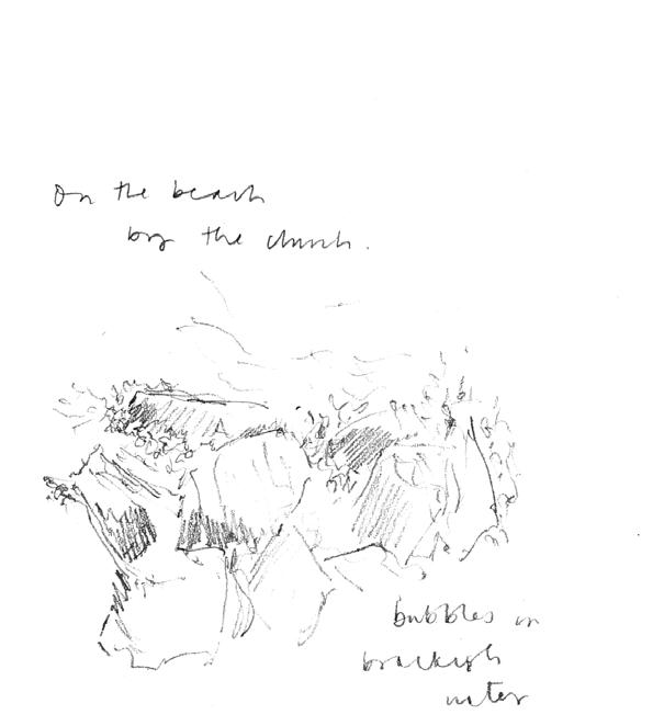
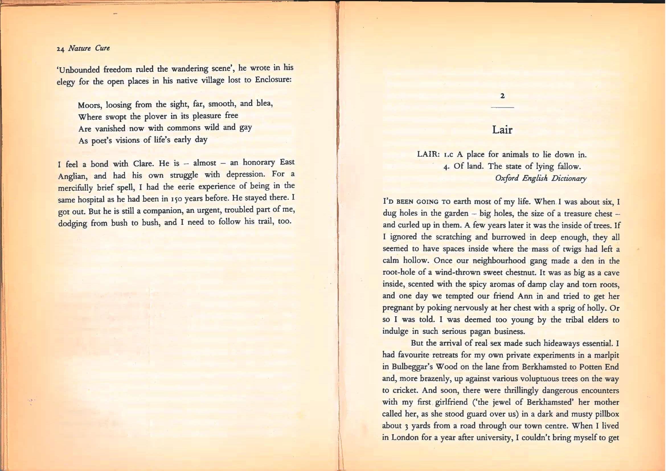
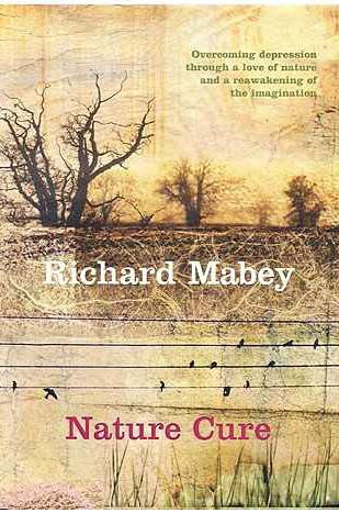
Richard Mabey, Nature Cure, Vintage, 2008
Roger Deakin, Waterlog, Vintage, 2000
Rebecca Solnit, A Field Guide to Getting Lost, Canongate, 2006
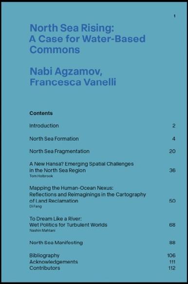
Nabi Agzamov, Francesca Vanelli, North Sea Rising: A Case for Water-based Commons, vi per, 2024
Tim Ingold, The life of lines, Routledge, 2015
George Monbiot, Regenesis, Penguin, 2022
Robert Macfarlane, The Old Ways: A Journey on Foot, Penguin, 2012
Frederique Ait-Touati, Terra Forma: A book of speculative maps, MIT Press, 2022
Bruno Latour, Critical Zones: the science and politics of landing on earth, MIT Press, 2020
FIGURES
Cover
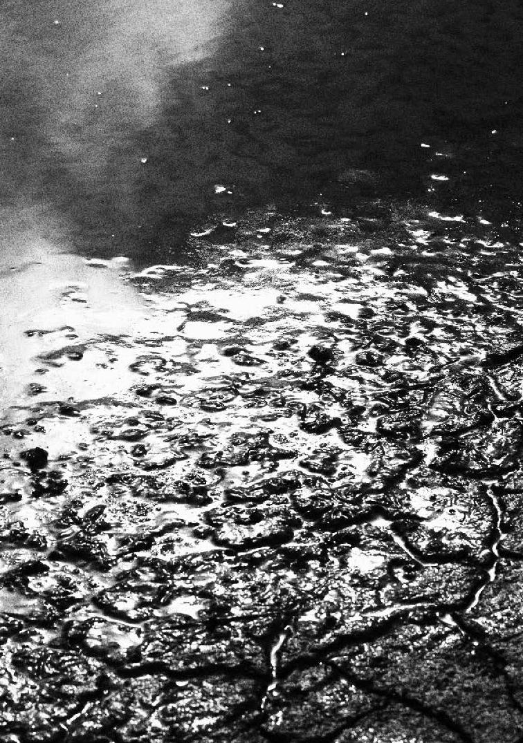
Refections in Canal Surface, Vlissingen, Georgina Inchbald.
Bibliography and Figures
Testing Water, Walcheren, Loren Brundrett and Anna Szczerba.
Acknowledgements
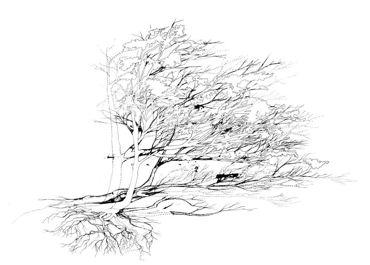
Sketched Tree Section, Water of Leith, Georgina Inchbald.
Preserving Seaweed
Loren Brundrett
ACKNOWLEDGEMENTS
Tutors
Andrea Faed and Jack Green
Students
Farah Aburemsh, Akib Aman, Delan Aribigbola, Samuel Barker, Loren Brundrett, Layla El Wadnakssi, Antonia Graham, Evie Hall, Abdul Hannan Waseem, Callie Hock, Xinning Huang, Georgina Inchbald, James Kerr, Linda Martinez Ubilluz, Iason Nielson, Charlie Oxley, Anna Szczerba, Chlöe Tunnell, Hugo Twigger, Charlie Young.
Visitors
Pepe Navarrete Jimenez, Paddi Benson, Colin Harris, Hilary Sample, Mark Dorrian, Adrian Hawker
Special Thanks Nabi Agzamov, Margaret Stewart
Technicians
Richard Collins, Andrew Dunlop, Shareen Sorour, Rachel Travers, Paul Diamond, Paul Charlton, Malcolm Cruickshank
Moving Water II. North Sea Edge, edited by Loren Brundrett and Georgina Inchbald
The format of this catalogue has developed annually, evolving from the inaugural catalogue series produced for the ESALA MArch studios 2017-18, designed by Emma Bennett and Rachel Braude.