EMILY ROGERS
a visual resume

Work with Field Studio
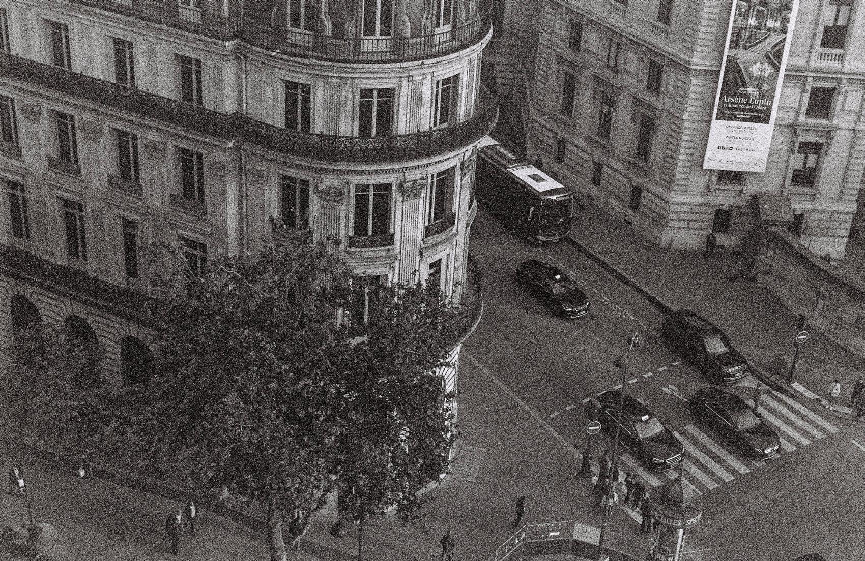
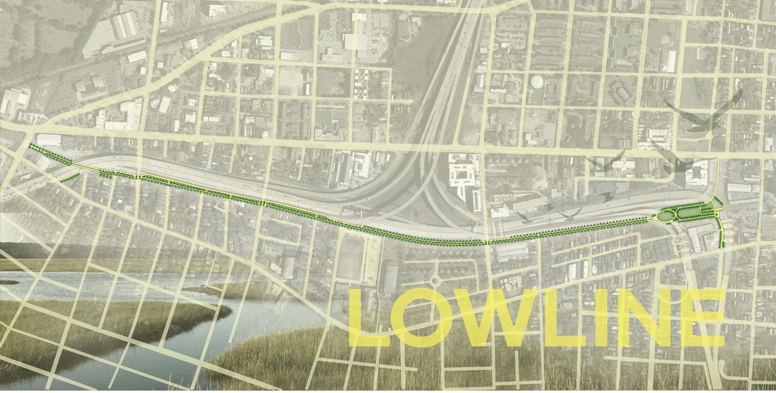
Pedestrian/Bike Path Design and Graphic with DesignWorks LC
Broke Ground December 2025
Location: Charleston, South Carolina
Independent Conceptual Work 2019
Location: Cortona, Italy
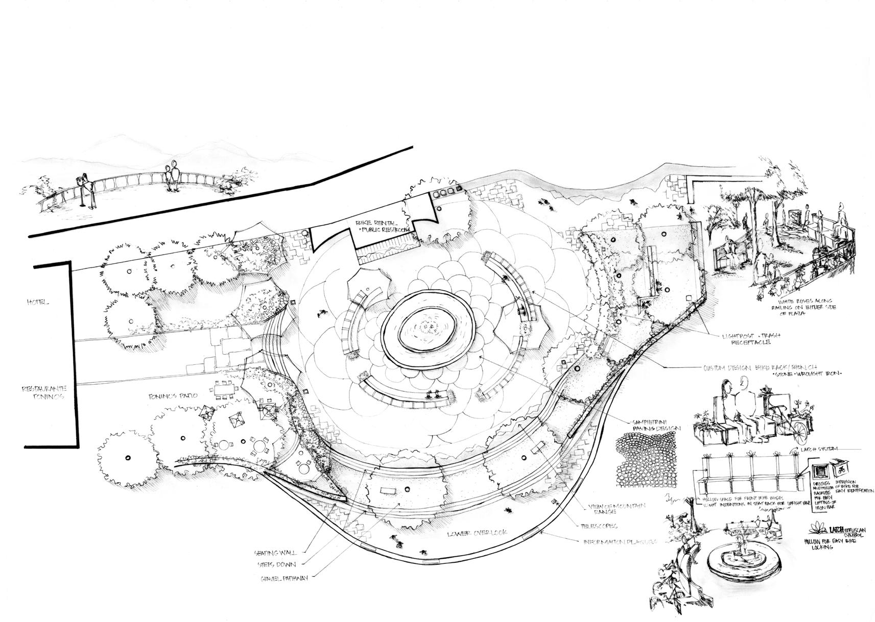
A space should remind someone of where they are. As a pedestrian and bike-only piazza, this city center is without vehicular noises and influence. Information plaques, telescopes, and the repetition of the overlooking view allow for curiosity to blossom. Cortona’s relentless history and raod-bike destination speak to the custom design bike rack stone benches.
supporting sketches
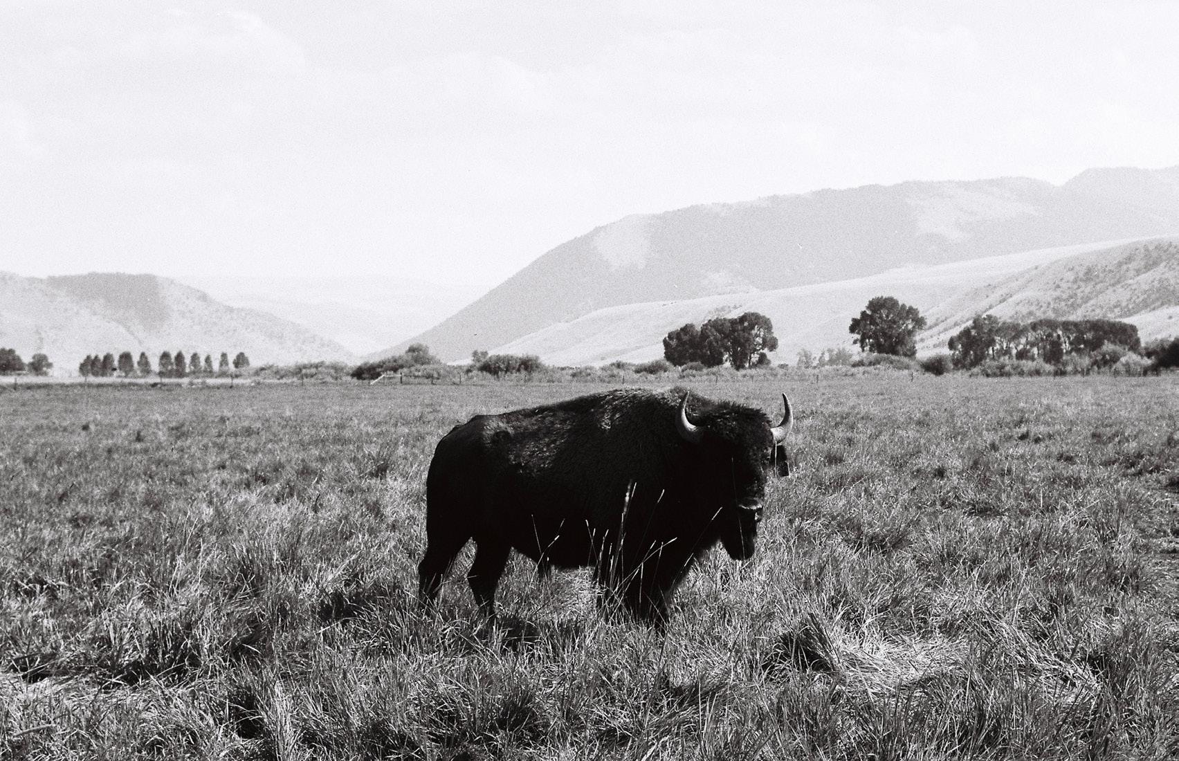
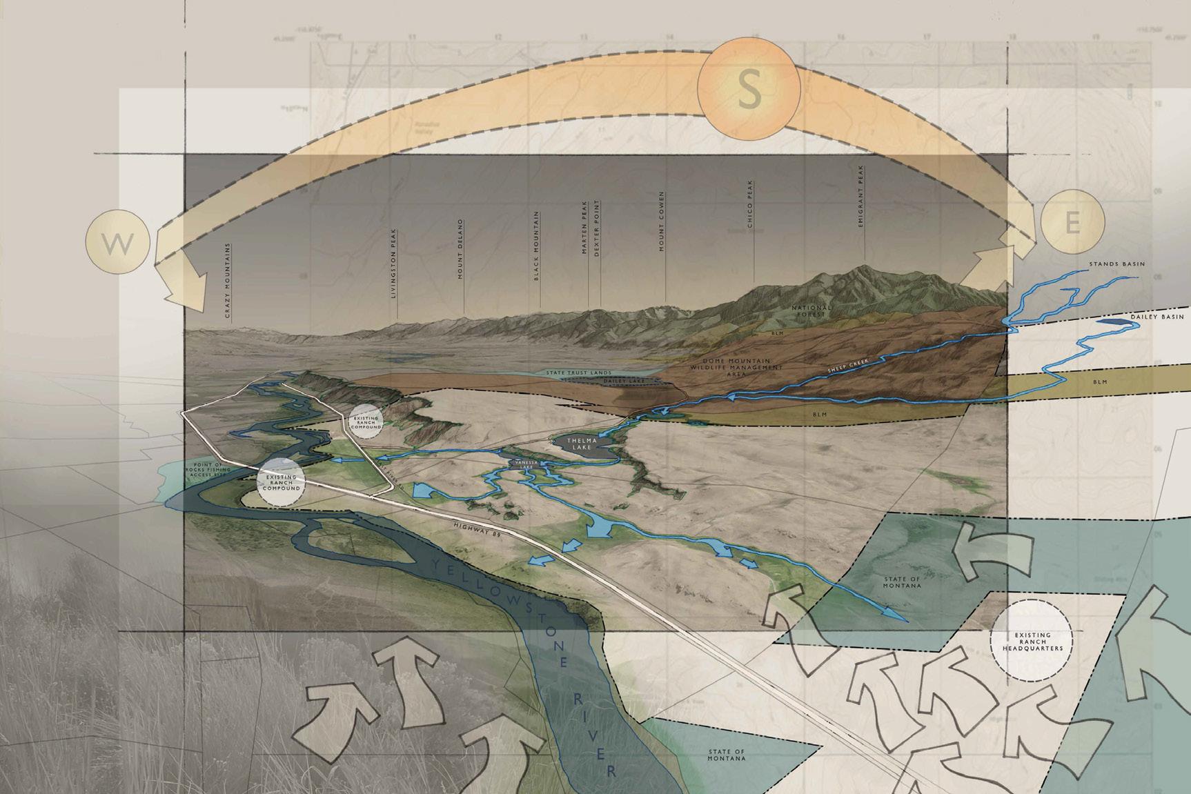
Work with Field Studion LA
Completed 2023
Location: Idaho
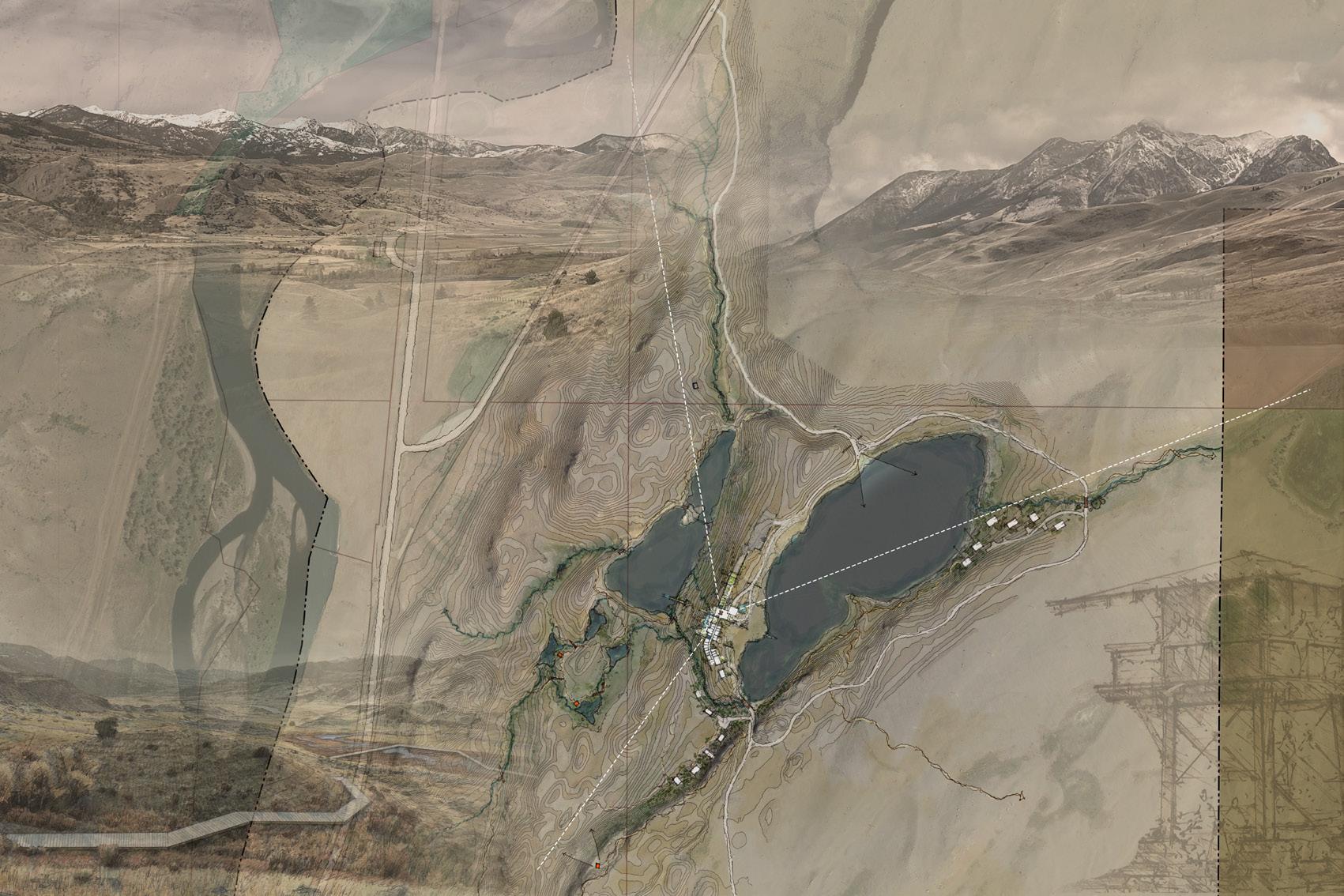
Cultural Landscape virgin islands national park
Rebuild Basemaps for NPS
Work with The University of Georgia
Completed 2020
Location: 9779+7XG, St John 00830, U.S. Virgin Islands GPS Coordinates (18°21’45.7”N 64°43’46.9”W)
not to scale
The 18th century Danish Sugar Factory, as part of the Sugar Plantation known as Annaberg, currently consists of the remains of a sugar factory industrial complex, several clusters of enslaved worker housing and a hillside water collection system on the island of St. John in the U.S. Virgin Islands. Located on a south‐facing slope of Leinster Bay, Annaberg was documented by the University of Georgia (UGA) College of Environment & Design’s Cultural Landscape Lab (CLL) March 9‐12, 2020. The site’s existing conditions were documented during a 4‐day period by eight people (1 Professor and 7 students) divided into 3 teams to cover as much of the site as possible. With some historic research and existing conditions provided by NPS prior to the fieldwork, these existing conditions drawings are as accurate as possible for the time spent on site. Thorough measurements of all buildings and structures were taken, as well as numerous GPS points of known and suspected cultural resource ruins throughout the property. For historic context, the NPS provided several references on Annaberg, including the 1972 Historic Resource Study, 2001 Updated Survey of the Annaberg Factory Complex, the 2011 Sugar Factory Cultural Landscape Inventory (CLI), along with several historic maps and photographs. UGA’s CLL further studied the NOAA Hurricane Irma aerial photographs from the US Virgins Islands tax database Map Geo, along with 2020 LiDAR, and topography derived from the LiDAR.
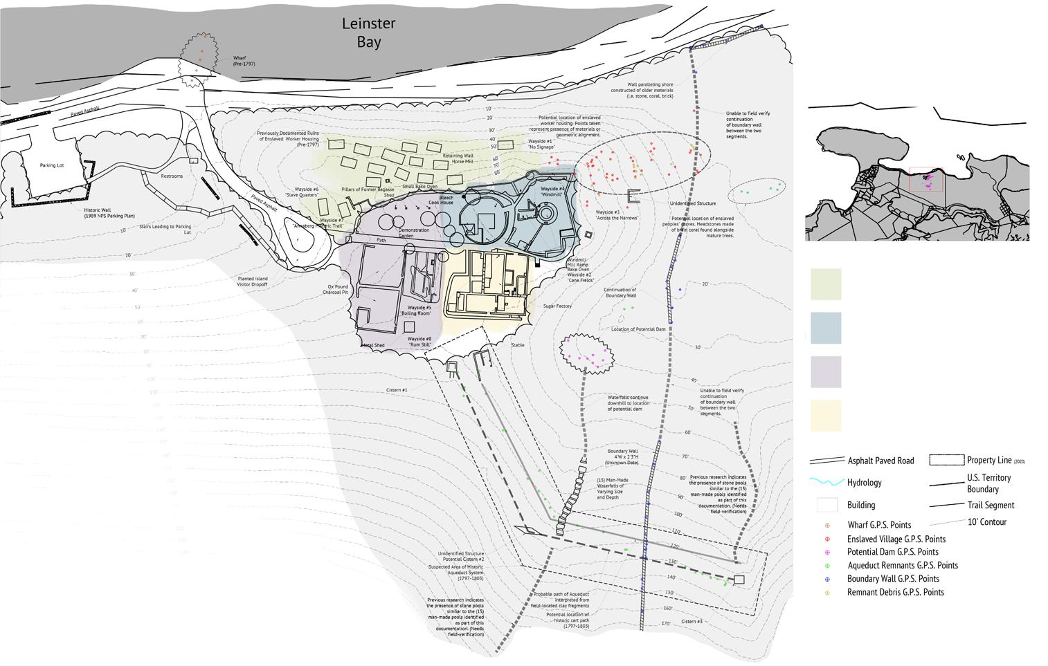
Enslaved Residential Initial Sugar Processing
Support Livestock Area & Crop Production
Refined Sugar Processing