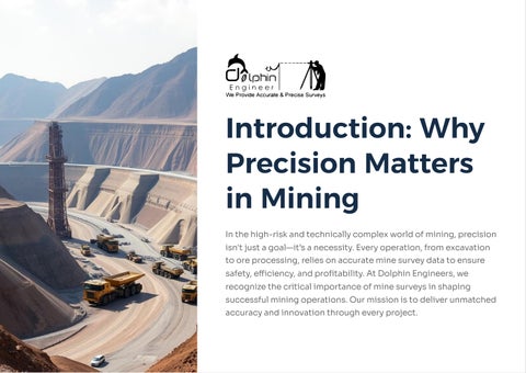

In the high-risk and technically complex world of mining, precision isn't just a goal4it9s a necessity. Every operation, from excavation to ore processing, relies on accurate mine survey data to ensure safety, efficiency, and profitability. At Dolphin Engineers, we recognize the critical importance of mine surveys in shaping successful mining operations. Our mission is to deliver unmatched accuracy and innovation through every project.
Mine surveying is the science of determining the relative positions of points on or beneath the earth9s surface.
It plays a foundational role in planning and executing all phases of mining.
From establishing boundaries to monitoring excavation progress, mine surveys provide the geospatial backbone of all mining activities.
Mapping
Mapping underground and surface mines
Monitoring
Monitoring slope stability and subsidence
Volume Calculations
Volume calculations for ore extraction
Infrastructure Setting
Setting out infrastructure such as shafts and tunnels
Safety & Compliance
Safety and compliance reporting
Inaccurate data can lead to unsafe working conditions, financial losses, or even environmental violations. Here9s why precision should be at the core of your mining team:
Accurate surveys help detect hazardous zones and ensure the structural integrity of mines.
Ensures adherence to mining laws and documentation standards.
Proper planning with correct data eliminates guesswork and reduces rework.
Prevents resource wastage and controls unexpected costs.
Enables informed decision-making for long-term extraction strategies.
At Dolphin Engineers, we combine advanced technology with years of field expertise to offer the most reliable mine surveying services in India.
20+
Over two decades of excellence in engineering and surveying services.
100% Reliability
Committed to delivering the most reliable mine surveying services.
Total Station Surveying Drone-Based Mapping & Monitoring 3D Laser Scanning
GPS & GIS Integration Topographic & Volume Surveys
We use industry-leading tools and software for delivering accurate, high-resolution data to empower your mining team.
Whether you are a mining company, government body, or construction firm involved in geological projects, our solutions are tailored to meet your specific needs:
Underground Mapping
For coal, metal, and mineral mines
Mine Planning
Layouts, haul roads, and pit boundaries
To verify the accuracy of blasting patterns
Monitoring
For land reclamation and water table control
Digital Reporting
Complete with CAD drawings and 3D models