CASE STUDY: OLD FORT, NORTH CAROLINA AND THE PISGAH NATIONAL FOREST
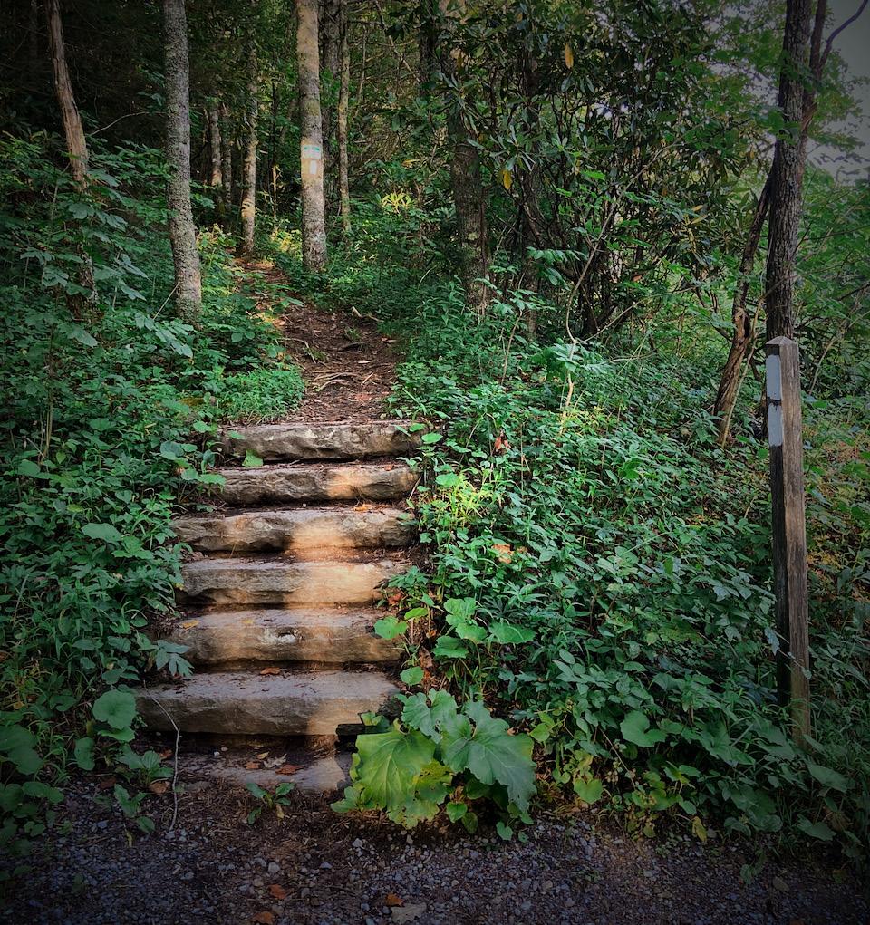
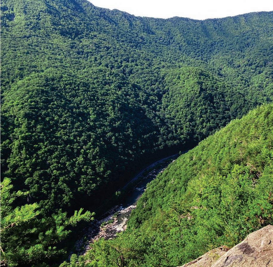
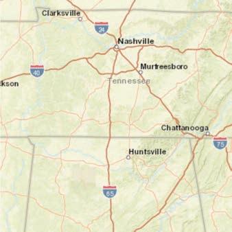
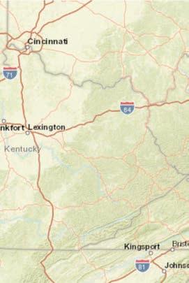
Located in western North Carolina, the small town of Old Fort is surrounded by the Grandfather District of Pisgah National Forest, yet for much of its history, this natural resource remained untapped for recreation.
In 2019, a diverse group of community leaders recognized the forest’s potential to drive economic growth and help revitalize the town, which had been impacted by the decline of textile manufacturing and other industries. This vision led to the creation of the Old Fort Trails Project and the G5
Trail Collective, with a mission to build a network of accessible, sustainable trails and transform Old Fort into a vibrant gateway community.
With plans for 42 miles of new trail, G5 is a collaboration between the USFS, local communities, and recreational trail user groups. Since its inception, G5 has raised $4 million, built 13 miles of new trail, logged nearly 7,000 volunteer hours, and contributed to the creation of 18 new businesses in nearby mountain communities.
OUTDOOR RECREATION HUB RECOMMENDATIONS
The recommendations for Unicoi County include site classification, project needs, and priority. The criteria for these categories are defined below.
SITE CLASSIFICATIONS:
Site classifications fall under one or a combination of the following three categories:
• Visitor Orientation Area - Provides kiosks with maps, rules and regulations, local outdoor recreation information, regional wayfinding information, and temporary parking.
• Developed Site - Provides parking areas with multiple amenities to provide a distinct recreational experience for visitors.
a
PROJECT NEEDS:
• Planning - Project requires additional planning, design, and engineering before being shovel-ready for construction.
• Implementation - Project plans are complete and permits secured. Project is ready for construction.
• Maintenance - Project exists and may have future maintenance and enhancement needs.
• Trailhead - Provides visitor parking, restrooms, and bear-proof trash cans.
• Trail - Provides a path for trail users and may be designed for a specific trail use.
PRIORITY:
• High
• Medium
• Low
RECOMMENDATIONS MATRIX
The specific recommendations for Unicoi County are listed below by focus area and project name, with details regarding land manager, site classification, project needs, and priority.
FOCUS AREA
PROJECT NAME
PROJECT RECOMMENDATION
INFORMATION AND HIKING HUB
Unaka Mountain Road GatewayNorth
• Develop gateway sign for Unaka Mountain Road and Wilderness
• Develop information kiosk (2-Panel) with temporary parking (3 spaces)
• Assess and develop new location for trailhead parking and trail alignment
Appalachian TrailIron Mountain Gap Kiosk
EQUESTRIAN HUB
Limestone Cove Day Use Area
Limestone Cove Trailhead
Unaka Trail Loop Red Fork Falls
• Develop information kiosk (1-Panel)
Limestone Trail Loop
• Maintain existing infrastructure
• Update kiosk panel to address potential trail loop options
• Maintain and assess for improvements - Rocky Branch Road (FR #4343) Stamping Ground Horse Trail (FS #110) Limestone Cove Trail (FS #30)
• Maintain and assess for improvements - Rocky Branch Road (FR #4343) Limestone Cove Trail (FS #30) Dark Hollow Connector (FS #32) Turkey Tail Branch Road (FR #307A) Dick Creek Horse Trail (FS# 27/307) Dark Hollow Horse Trail (FS #28)
FOCUS AREA
PROJECT NAME
PROJECT RECOMMENDATION
• Maintain existing infrastructure
Rock Creek Recreation Area
Rock Creek Trailhead
Rock Creek Recreation Area Trail System
Rock Creek Falls Trail (FS #148)
Rattlesnake Ridge Trail (FS #26)
Pleasant Garden Overlook
Pinnacle Mountain Fire Tower Trail Trailhead
Erwin Linear Trail Extension (North)
• Conduct a planning process to reimagine the recreation area to address a centralized trailhead, trail connectivity, and additional campsites
• Define at a centralized location and enhance
• Maintain and assess for improvements - Rock Creek Bicycle Trail (FS #178)
• Hemlock Forest Trail (FS #179) Trail of the Hardwoods (FS #525)
• Maintain, assess for improvements, and consider bridging creek crossings
• Maintain and assess for improvements as access to the Limestone Cove Trail System and Pleasant Garden Overlook
• Maintain, assess for improvements, and enhance with signage
• Enhance trailhead and update kiosk panel
• Conduct landowner outreach, acquire trail easements or corridor, engineer, and develop
PROJECT NAME
PROJECT RECOMMENDATION
INFORMATION AND HIKING HUB
Unaka Mountain Road GatewaySouth
Appalachian Trail - Indian Grave Gap Gateway and Kiosk
Appalachian Trail (North) - Beauty Spot
Martins Creek Appalachian Trail Connector Trail
Appalachian Trail (South) - Rock Stack
• Develop gateway sign for Unaka Mountain Road and Wilderness
• Develop information kiosk (2-Panel) with temporary parking (3 spaces)
• Develop gateway sign and information kiosk (1-panel) or potentially incorporate into the recommendation above
• Maintain and assess for improvements
• Develop new connector from Appalachian Trail to Martins Creek Trail
• Formalize, maintain, and assess existing unofficial trail connection for improvements
Ephiram Place Road - Shinbone Trail (FS #187) to Eagles Nest
• Develop kiosk and small parking area at the trailhead located on Ephiram Place Road (FR #5583) and encourage equestrian and mountain bike access from Indian Grave Gap
• Maintain and assess for improvements - Shinbone Trail (FS #187)
FOCUS AREA
PROJECT NAME
MOUNTAIN BIKING HUB
Unaka Bike Park
Erwin Linear Trail Extension (South)
Downtown Trailhead
PROJECT RECOMMENDATION
• Maintain and expand existing infrastructure
• Conduct landowner outreach, acquire trail easements or corridor, engineer, and develop
• Identify an appropriate location and develop
LAND MANAGER Erwin Utilities
Town of Erwin/ Unicoi County
SITE CLASSIFICATION Trail
Downtown Trailhead Connectors
Martins Creek Trailhead and Trail
• Identify and develop trail and greenway connections to Martins Creek Trailhead, Erwin Linear Trail, and Unaka Bike Park from proposed downtown trailhead
• Expand trailhead and develop information kiosk
• Maintain and assess existing trail for improvements and consider expansion to create loop
Martins Creek Appalachian Trail Connector Trail
Unaka Mountain Bike Trail System
• Develop new connector from Appalachian Trail to Martins Creek Trail
• Plan and develop a purpose-built mountain bike trail system on USFS land east of the existing Unaka Bike Park
Town of Erwin USFS USFS
Town of Erwin USFS/ATC
Visitor Orientation Area, Trailhead Trailhead, Trail Trail Trail Trail Trail
FOCUS AREA
PROJECT NAME
PROJECT RECOMMENDATION
SITE CLASSIFICATION
Appalachian TrailChestoa Overlook Chestoa Recreation AreaAppalachian Trail Trailhead
• Work with Unicoi County, USFS, and TNDOT on bridge replacement that will highlight the Appalachian Trail route
• Conduct a planning process to reimagine the recreation area to address existing uses and a trailhead for the Appalachian Trail
• Promote hike and destination on kiosk panel at Chestoa Recreation Area trailhead
• Maintain and assess for improvements -
• Appalachian Trail
• Promote loop trail options on kiosk panel at Chestoa Recreation Area trailhead
Chestoa Loop Trail Options
Appalachian TrailBridge Across the Nolichucky River Clarks Creek Outdoor Recreation Hub Master Plan
• Maintain and assess for improvements - Temple Hill Trail (FS #524) Granny Lewis Trail (FS #108) Unaka Springs Road (FR #107) Granny Lewis Road (FR #189)
LAND MANAGER USFS/ Unicoi County/ ATC
Visitor Orientation Area, Developed Site, Trailhead
Visitor Orientation Area
Rocky Fork Outdoor Recreation Hub Development
• Conduct a planning process to determine sustainable trail routes and connections for a number of falls located on USFS lands in western Unicoi County
Visitor Orientation Area
Visitor Orientation Area, Developed Site, Trailhead, Trail
• Conduct a planning process to formalize existing trails/roads utilized in park trail system to USFS lands expansion (to Clarks Creek Hub)
Appalachian TrailSams Gap
• Develop information kiosk (1-Panel)
Visitor Orientation Area, Developed Site, Trailhead, Trail
Visitor Orientation Area, Trailhead
