Weekender October 15 2025 • www.weekender.co.uk
Greenwich & Lewisham
News / Cinema / Theatre / Education / Arts / Music / Food & Drink / Family / Property
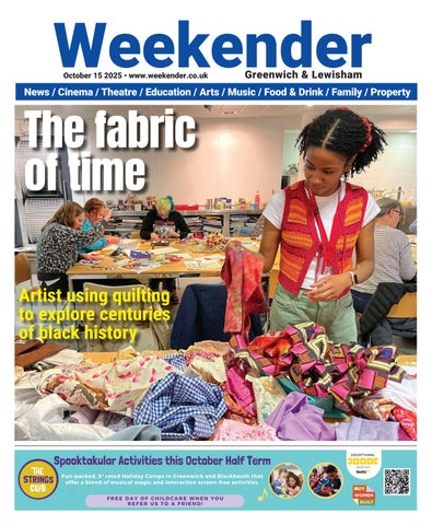
The fabric of time Artist using quilting to explore centuries of black history
Weekender October 15 2025 • www.weekender.co.uk
Greenwich & Lewisham
News / Cinema / Theatre / Education / Arts / Music / Food & Drink / Family / Property
The fabric of time Artist using quilting to explore centuries of black history