
Stakeholder Event
Banners 2026
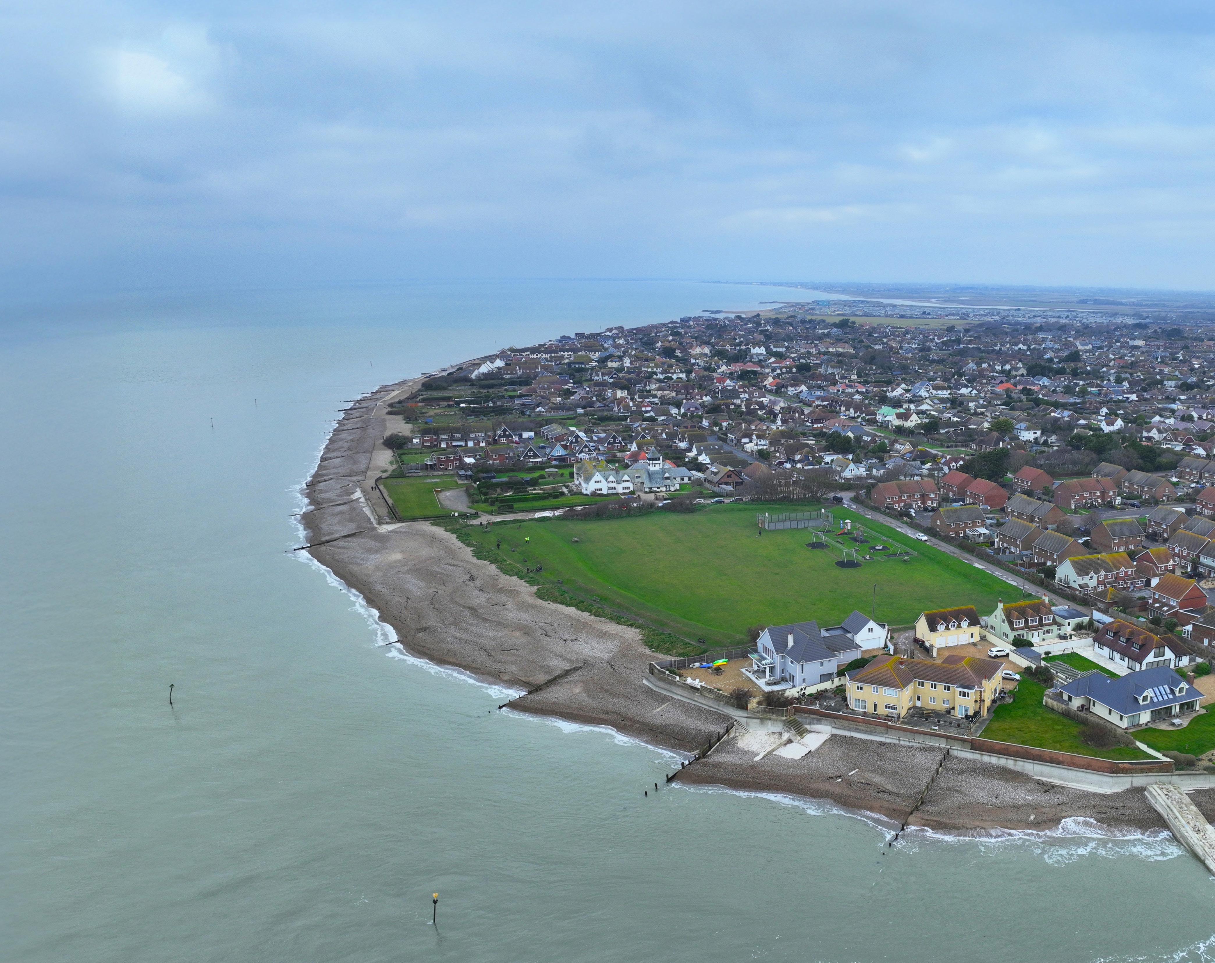


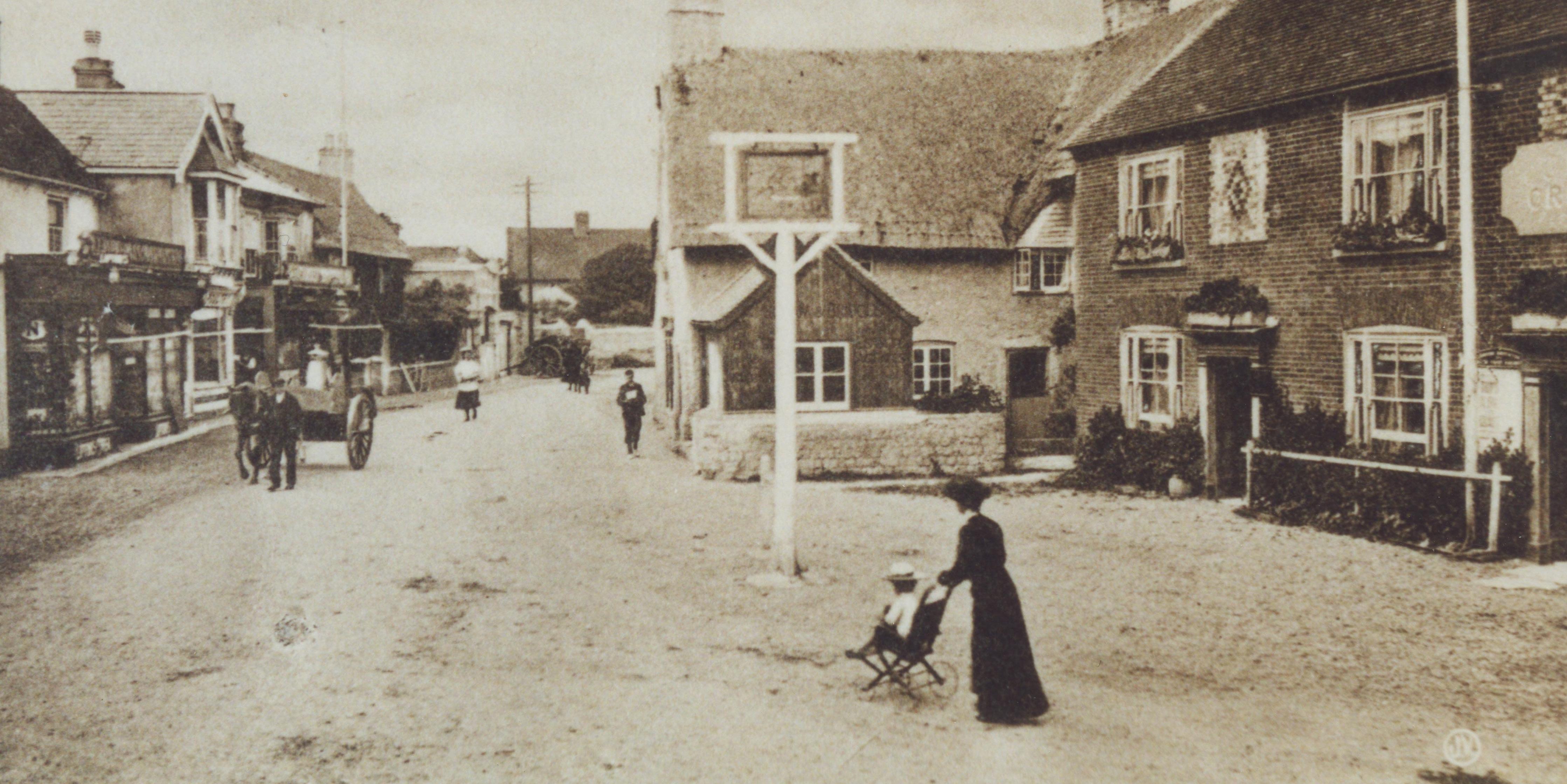
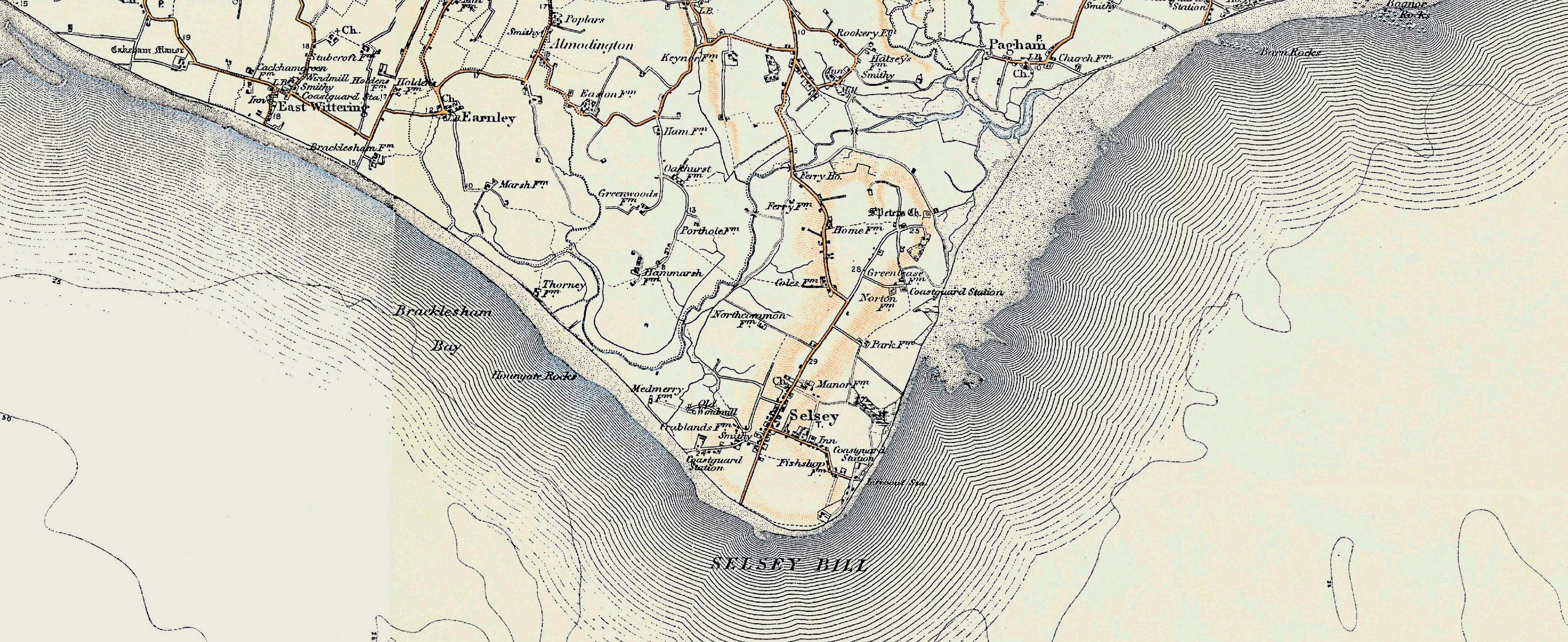
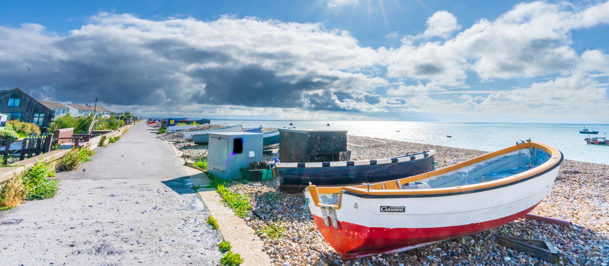
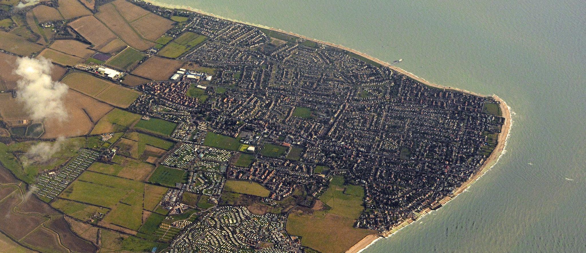
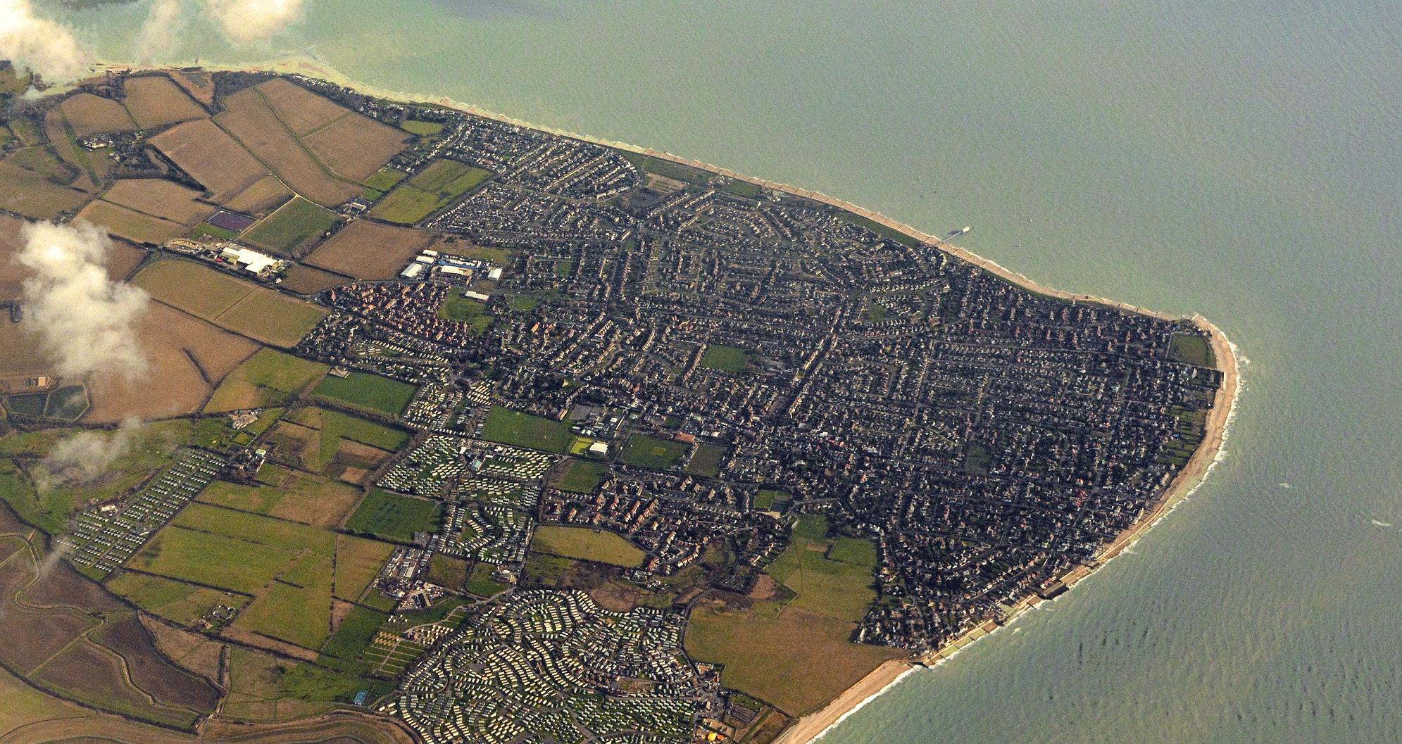
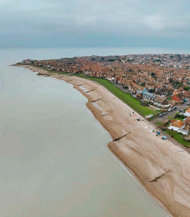
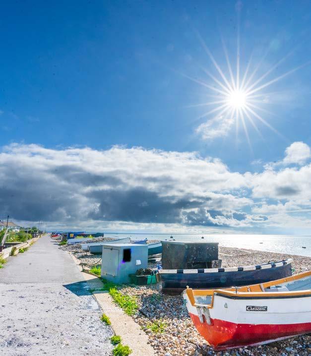
Selsey is located on the southern point of the Manhood Peninsula, a name considered to derive from the Anglo-Saxon word ‘maene-wudu’ meaning ‘common land’.
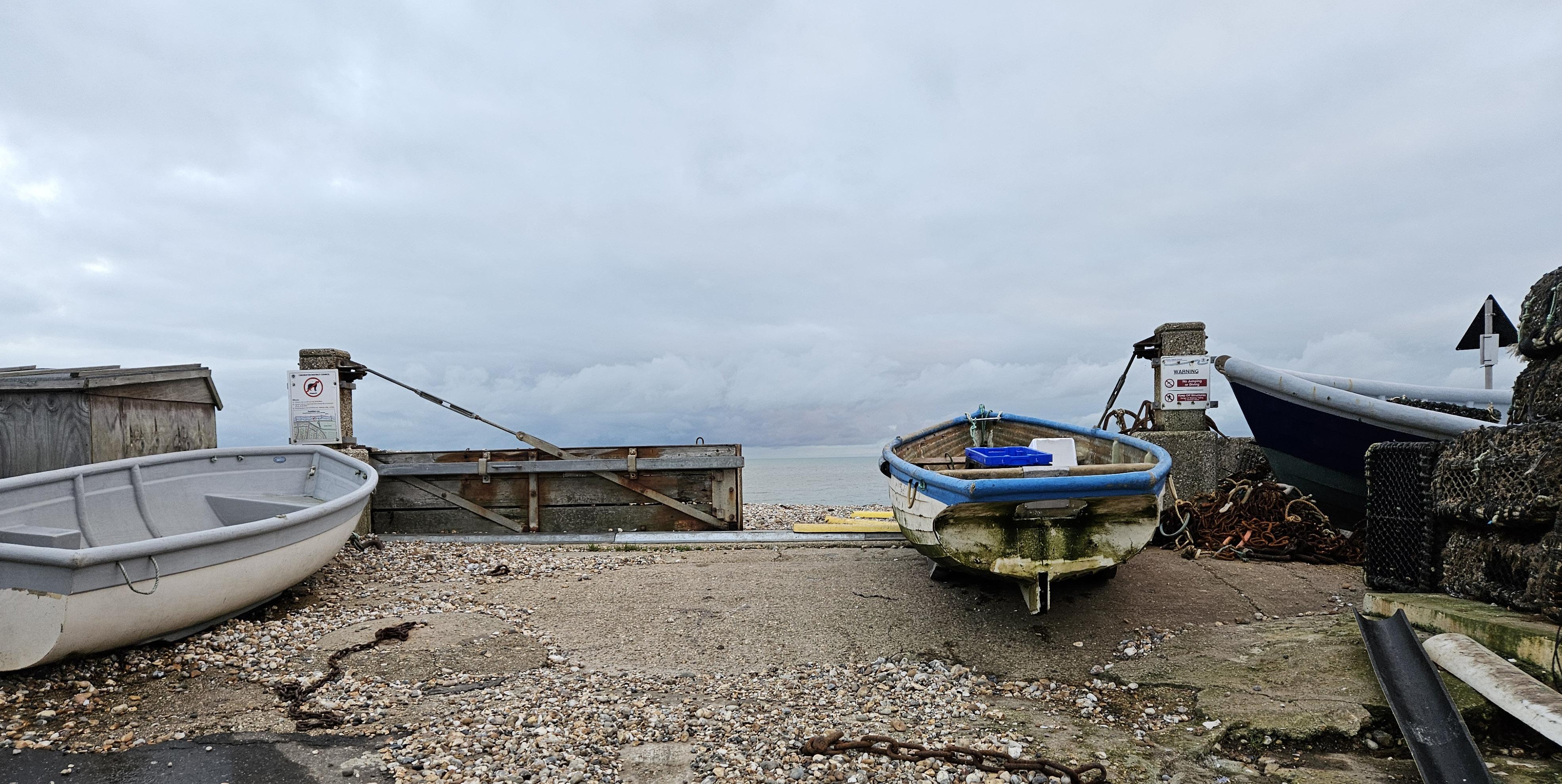
Due to its location, Selsey has a close connection with the sea and has some of the oldest fishing records in the United Kingdom. This dates back to approximately 700AD, when the Venerable Bede wrote about St Wilfred and his monks teaching Selsey residents to fish.
Historically, the Manhood Peninsula has experienced considerable impacts from the sea. Records suggest that the King of Wessex passed the area to St Wilfred around 680AD because coastal erosion made it less valuable.
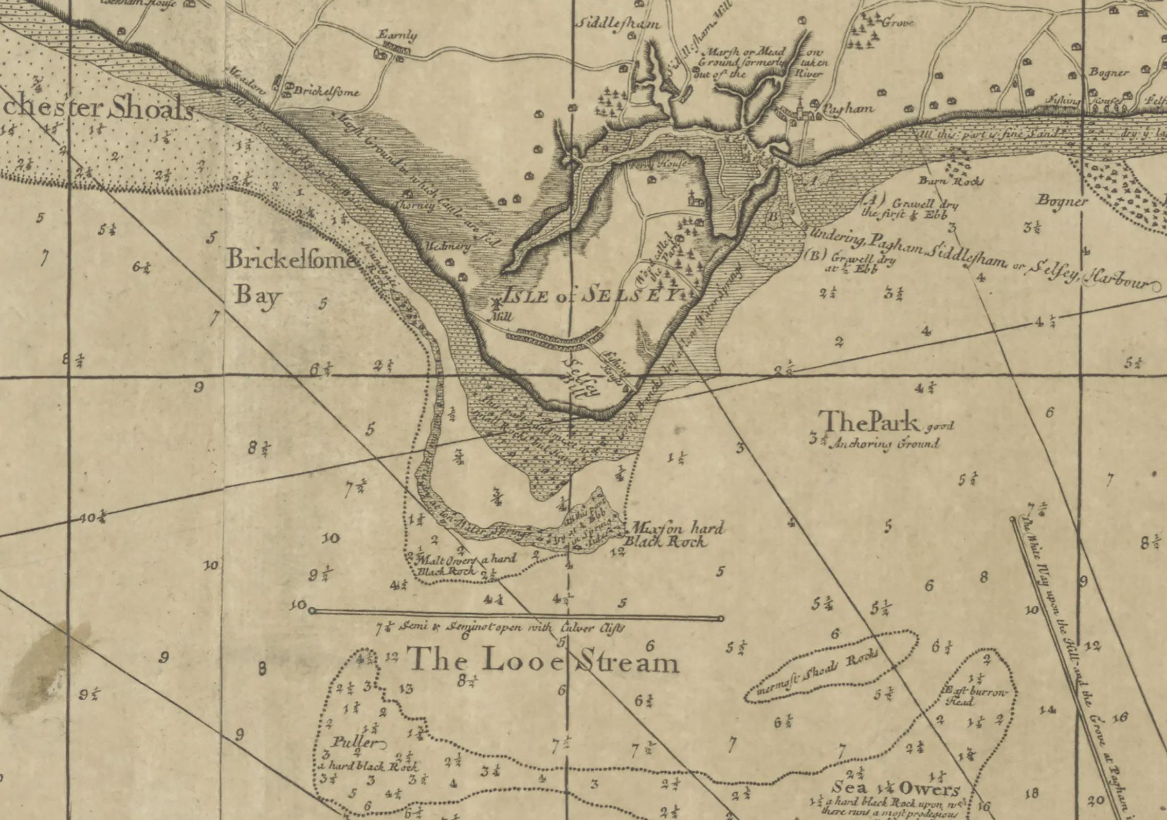
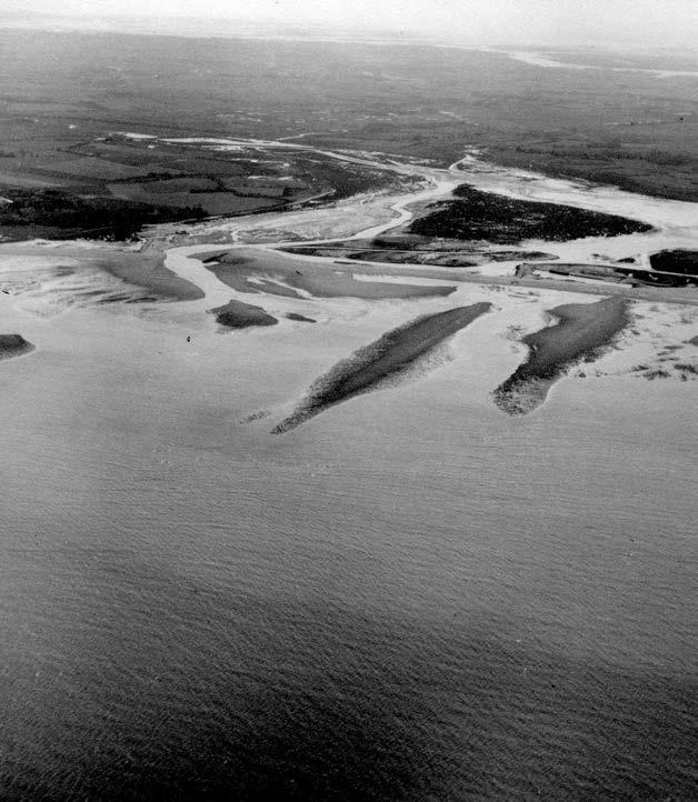
An early record of a significant coastal event dates back to 1340, when over 1000 hectares of land around Pagham Harbour was lost to the sea. This is the equivalent size of 1500 football pitches and the event was famous for creating Selsey into an island.
It wasn’t until around 1810 when Selsey was reconnected to the mainland by a causeway. However, in 1910, the Pagham Harbour area was inundated again, with 2000 hectares flooded, demonstrating the dynamic nature of the coastline and the vulnerability of the surrounding marshland.
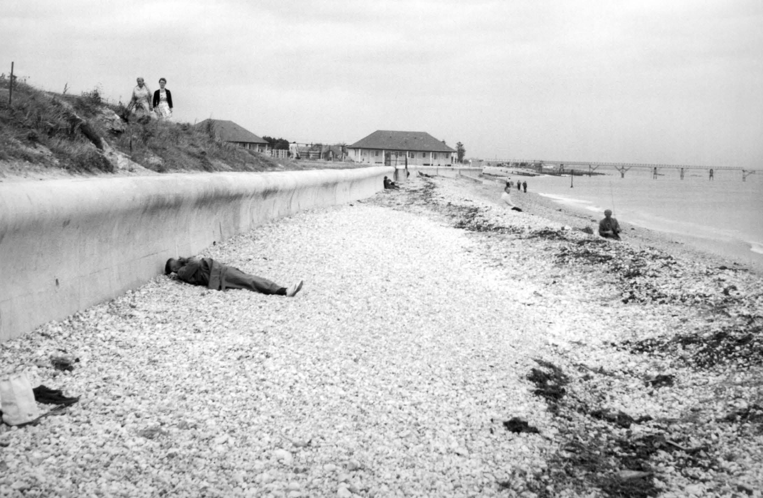
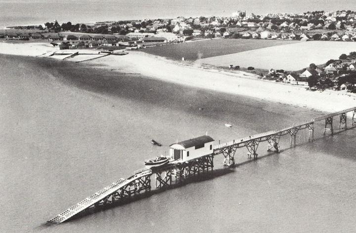
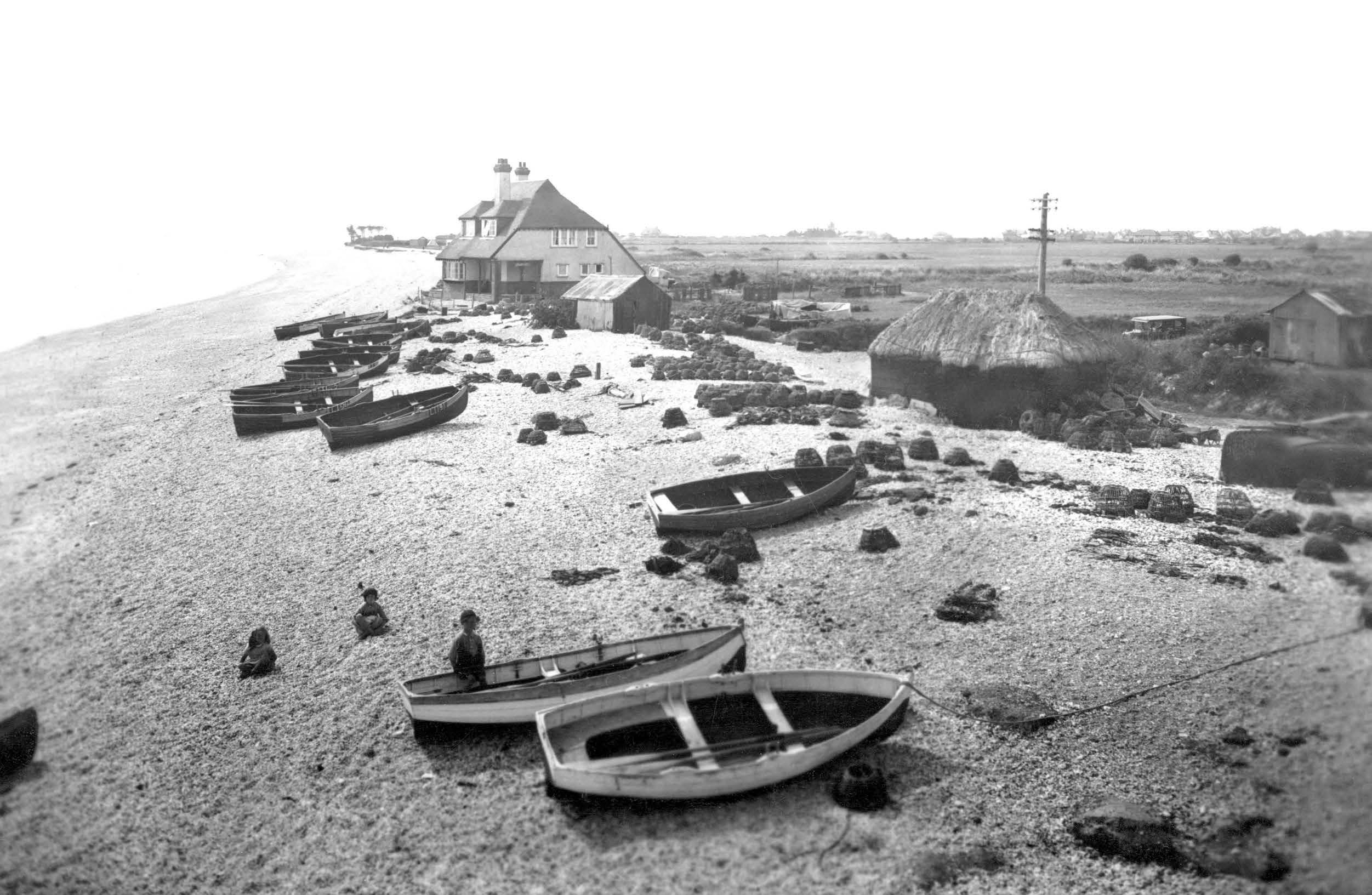
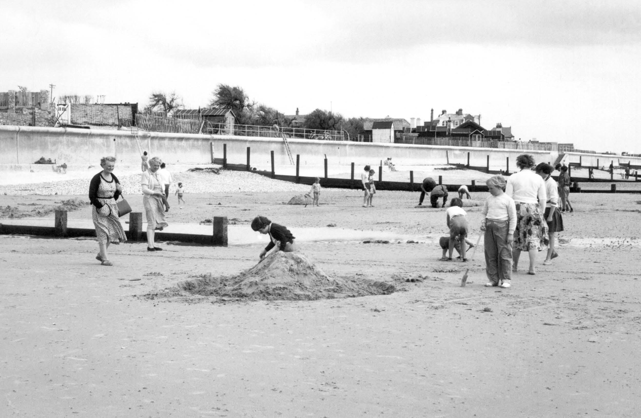
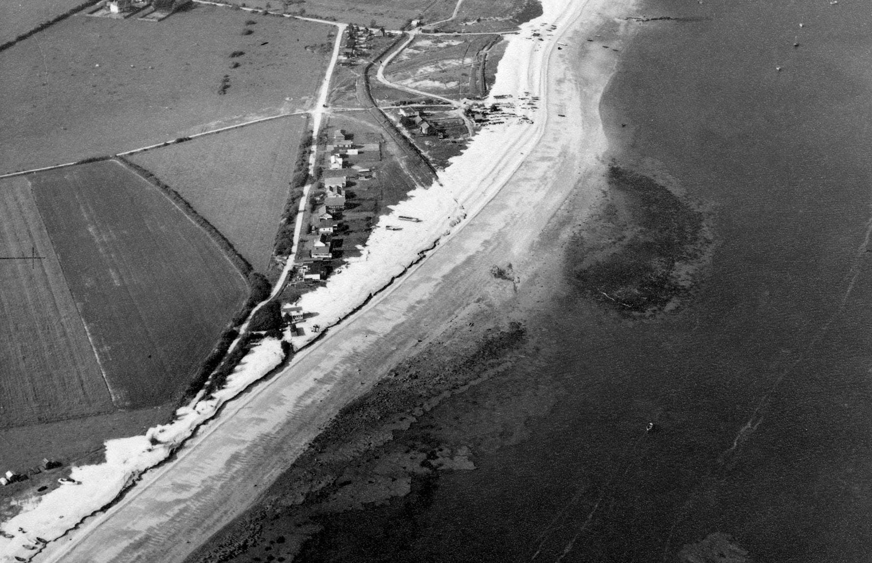
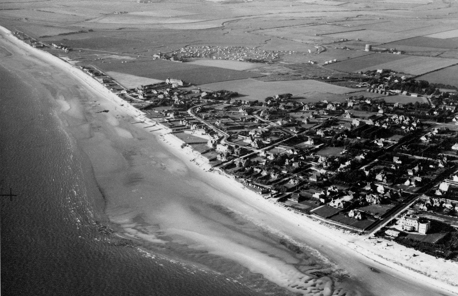
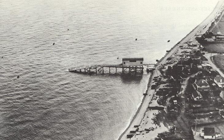
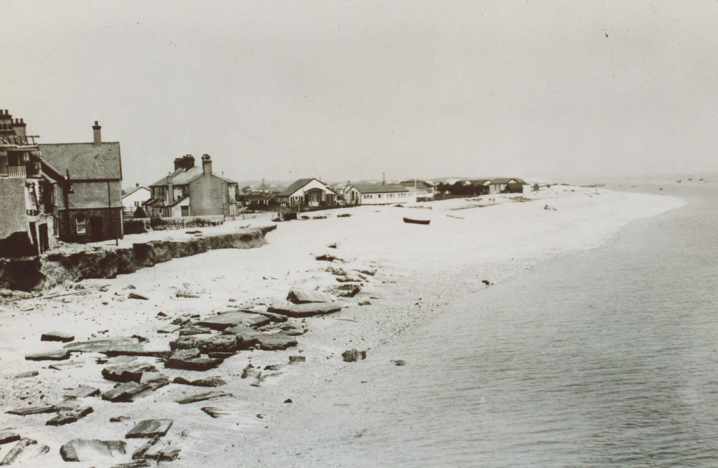
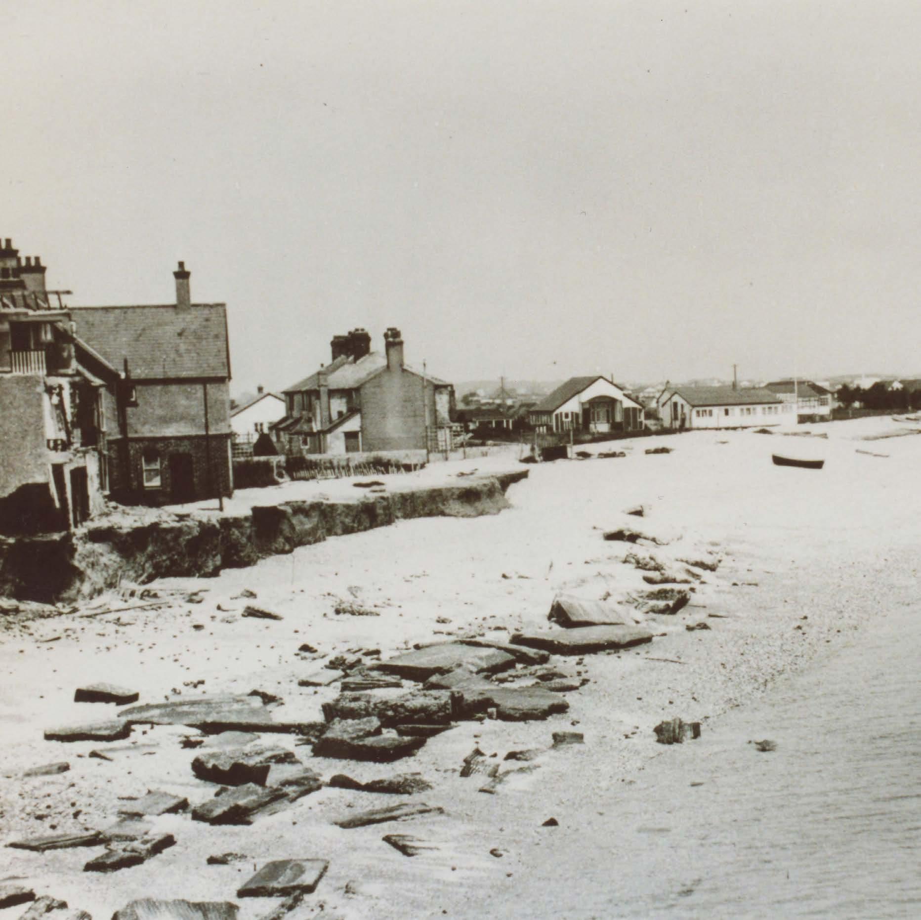
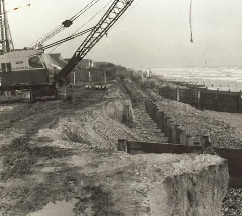
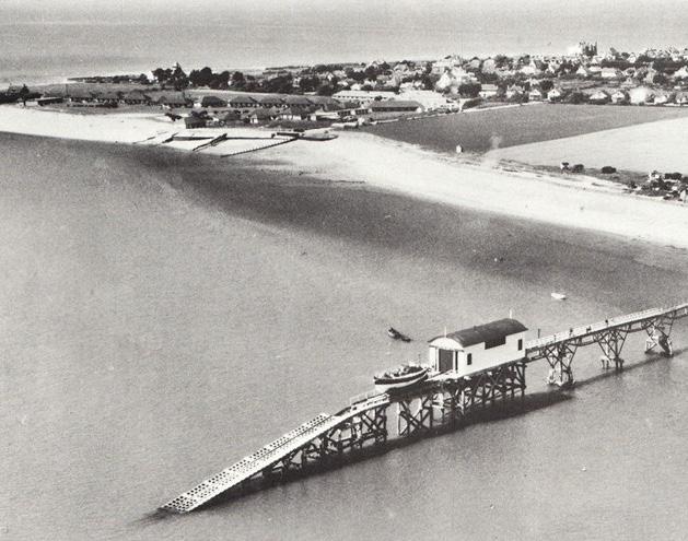
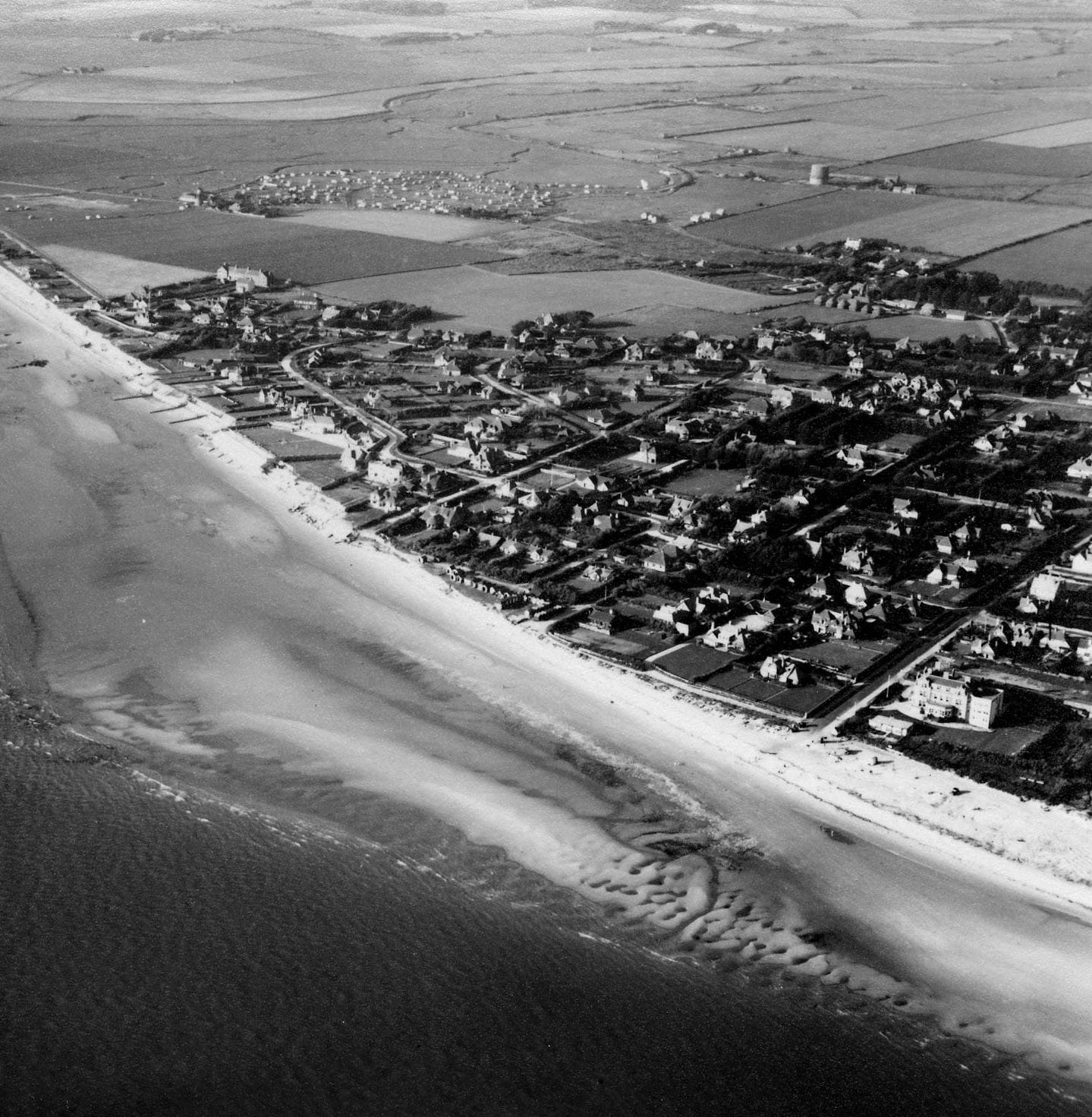
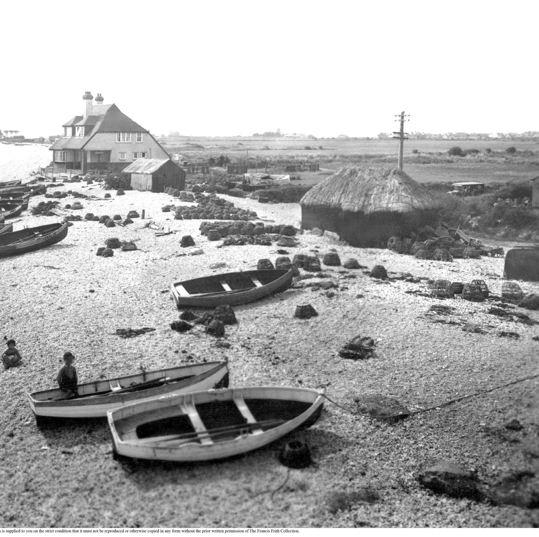
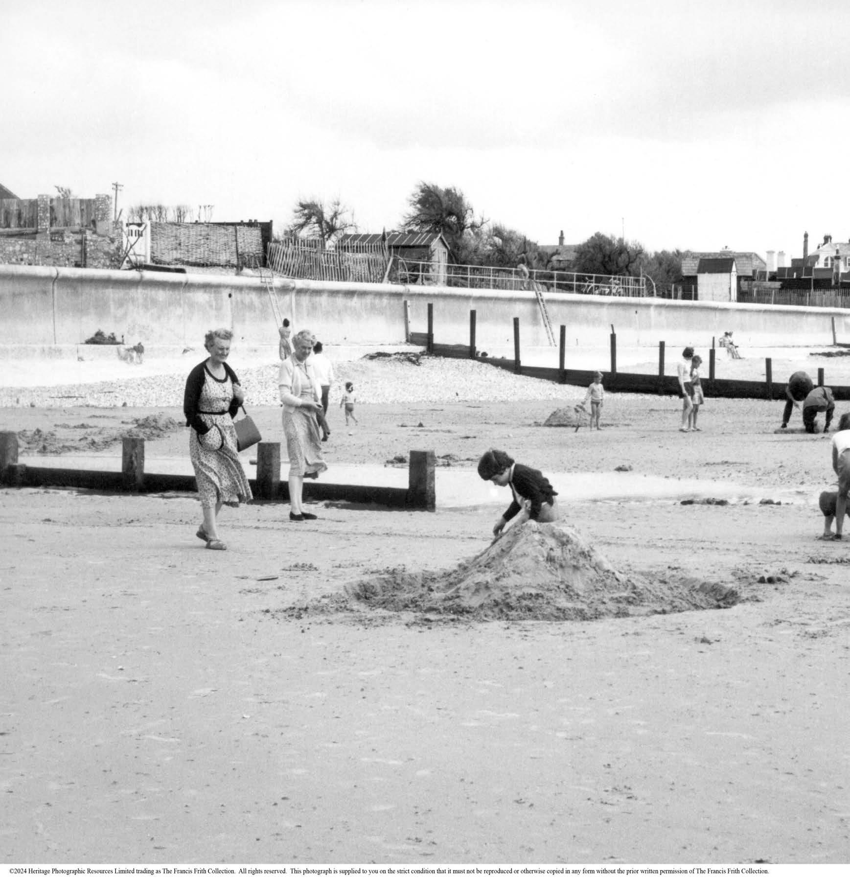
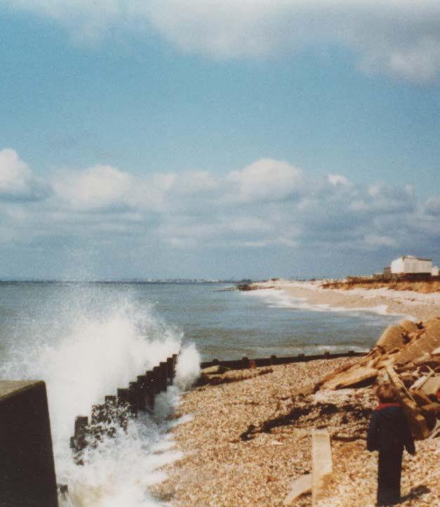
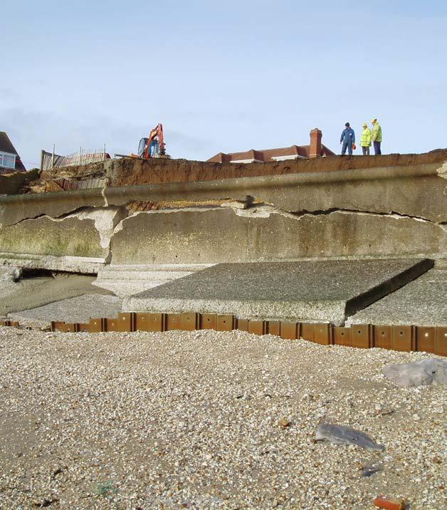
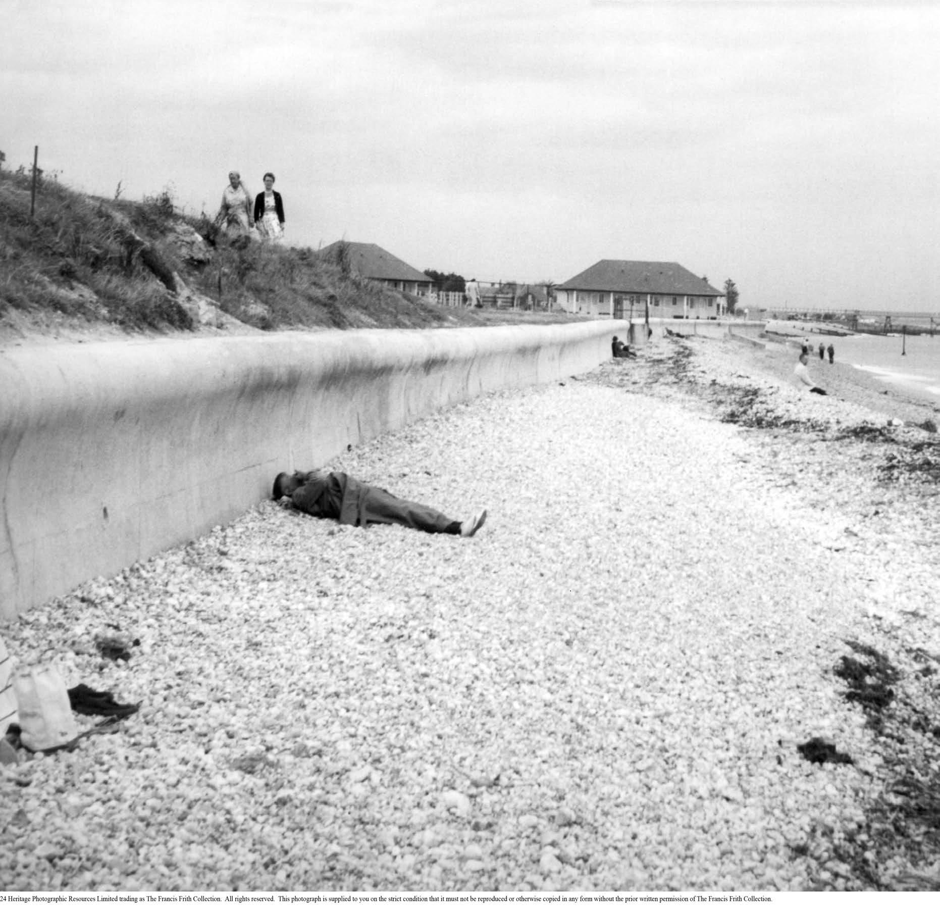
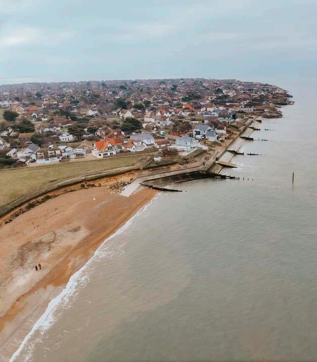
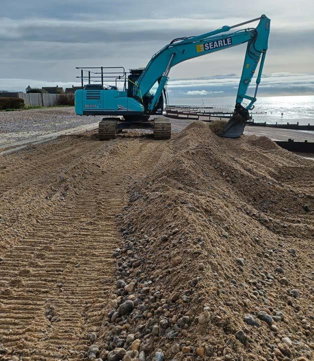
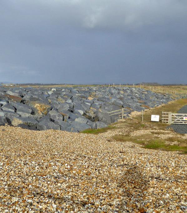
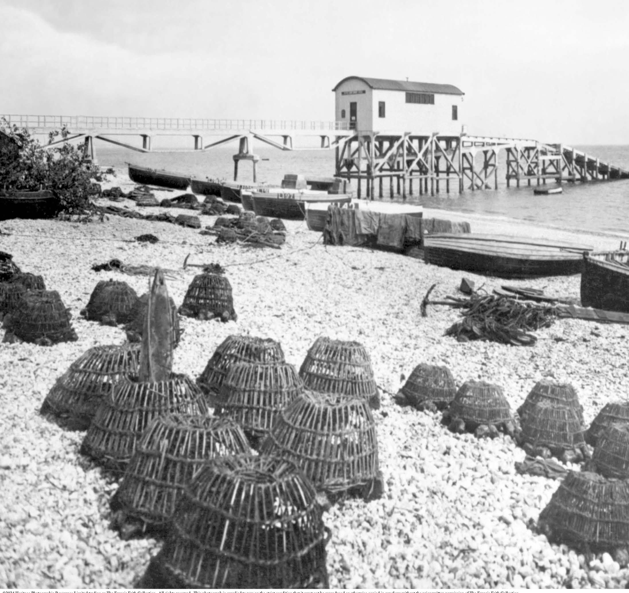
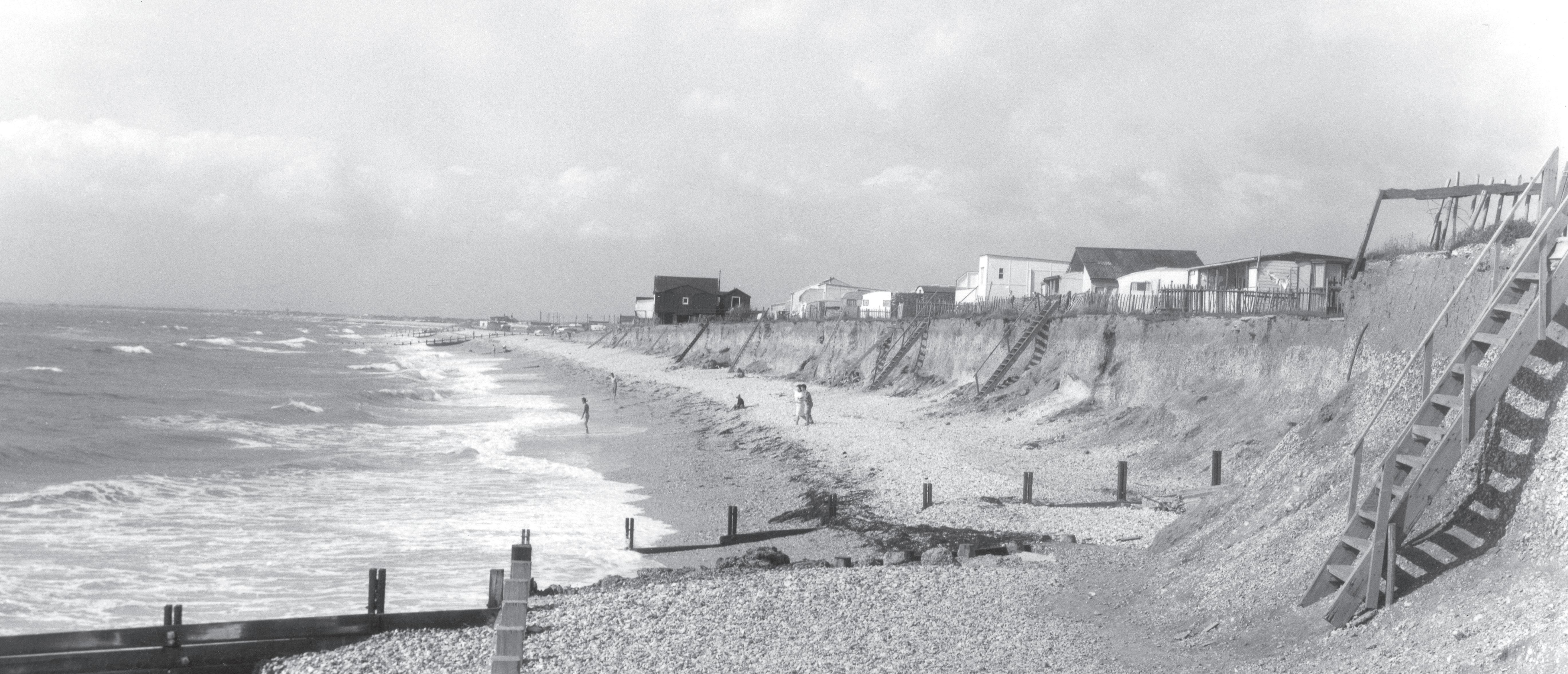
During the 1920s coastal erosion took its toll on infrastructure and property. With the shoreline rapidly changing, many homeowners on the west of the peninsula built private defences.
Selsey lost over 150m to the sea between 1923-1942 which amounted to 8m per year and made Selsey’s coastline one of the fastest eroding in the UK at the time.
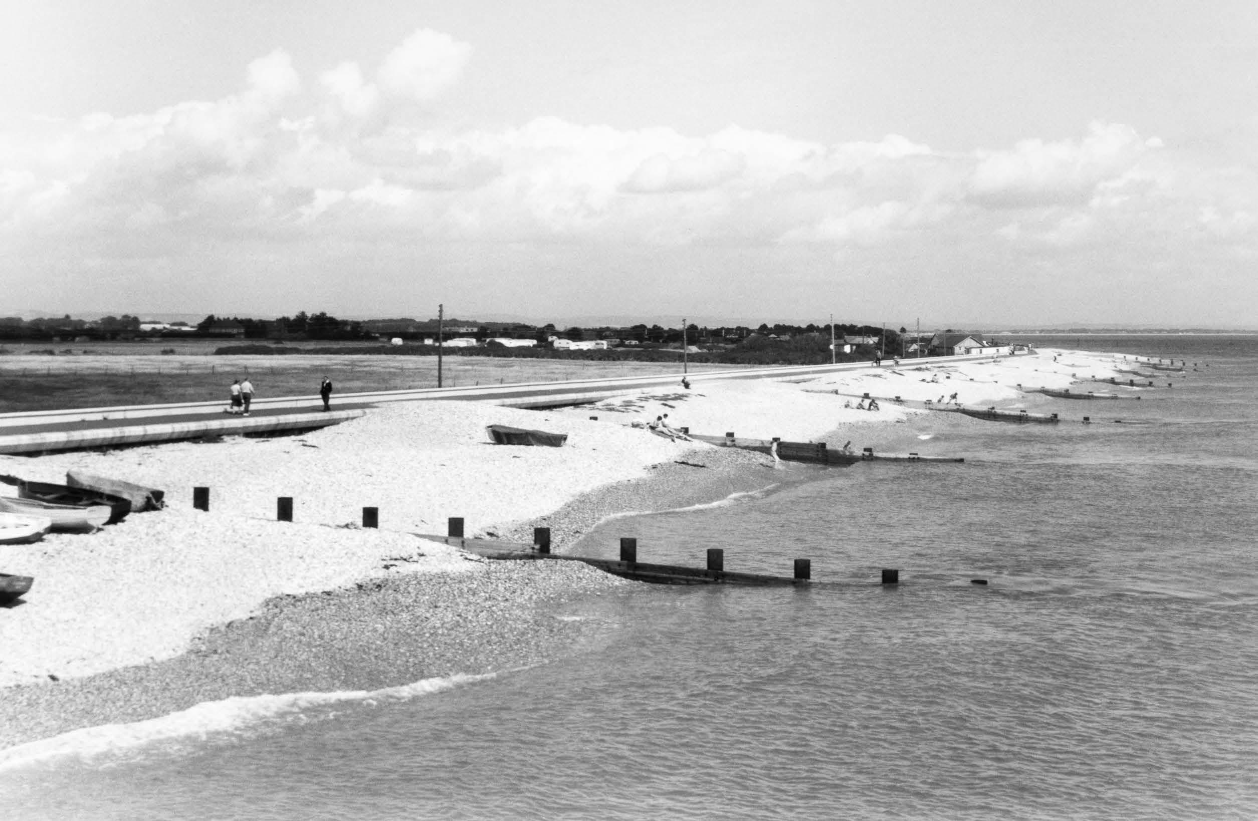
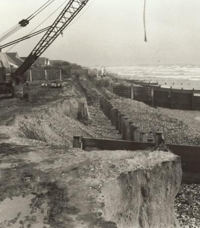
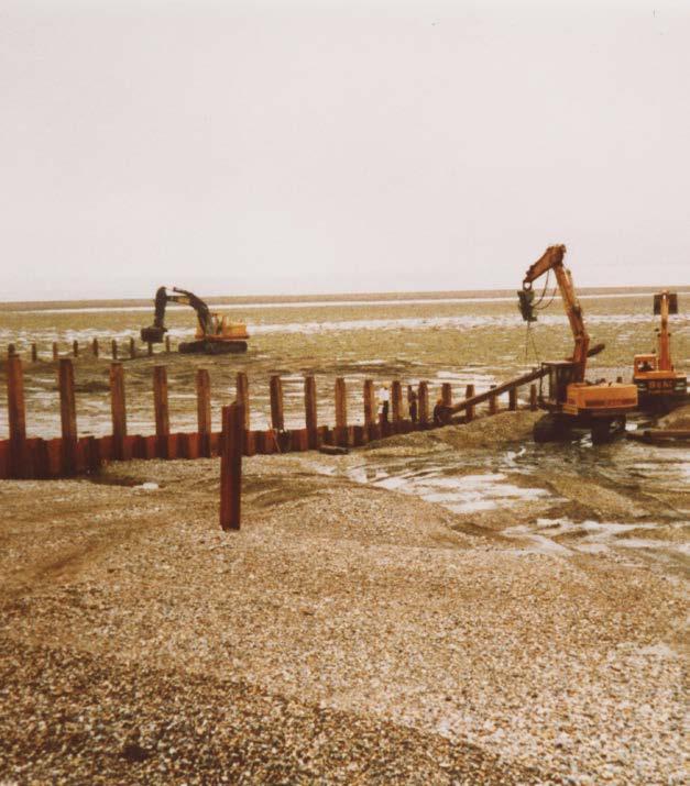
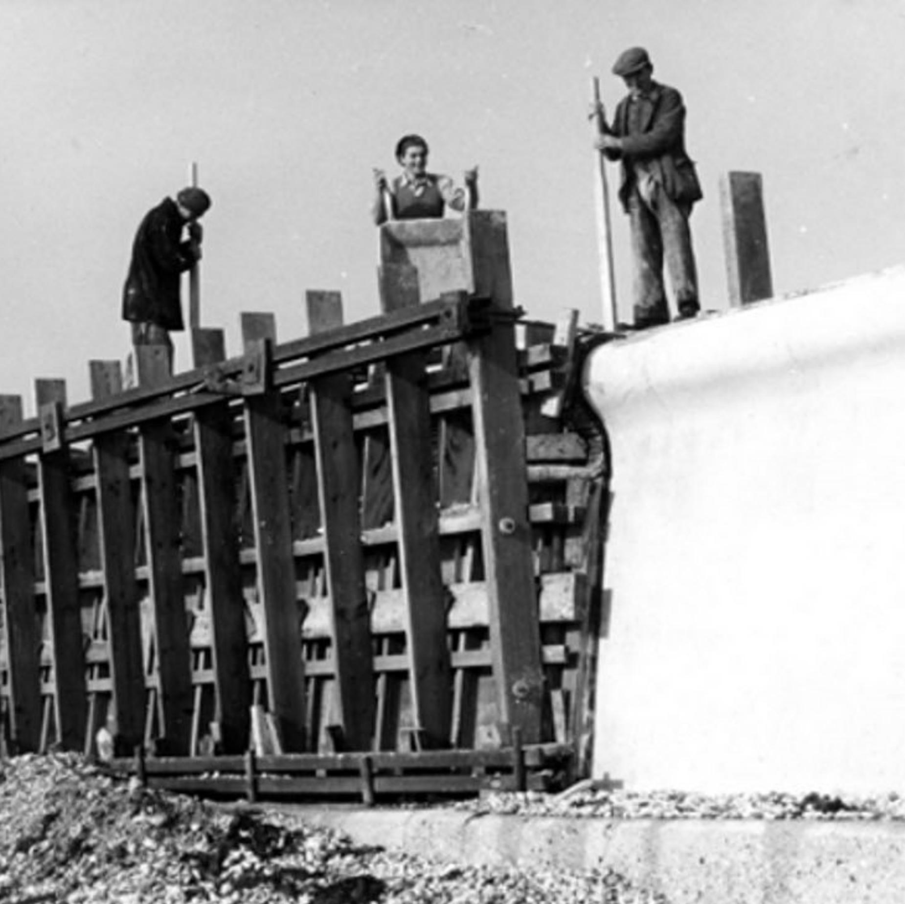
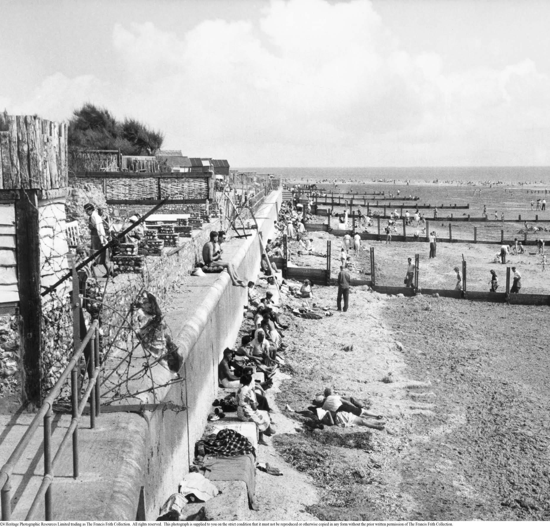
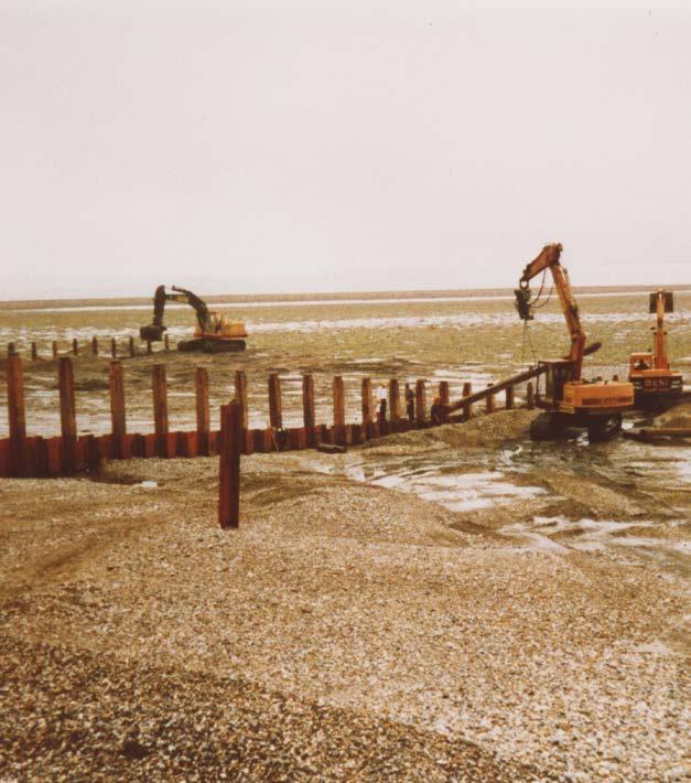
With damage occurring across the country, in 1949 the Coast Protection Act was passed to defend erosion and support public safety. This led to the construction of groynes and sea walls at Selsey during the 1950s. The scheme protecting the coastline around Selsey Bill was one of the first projects to be delivered under the new Coast Protection Act.
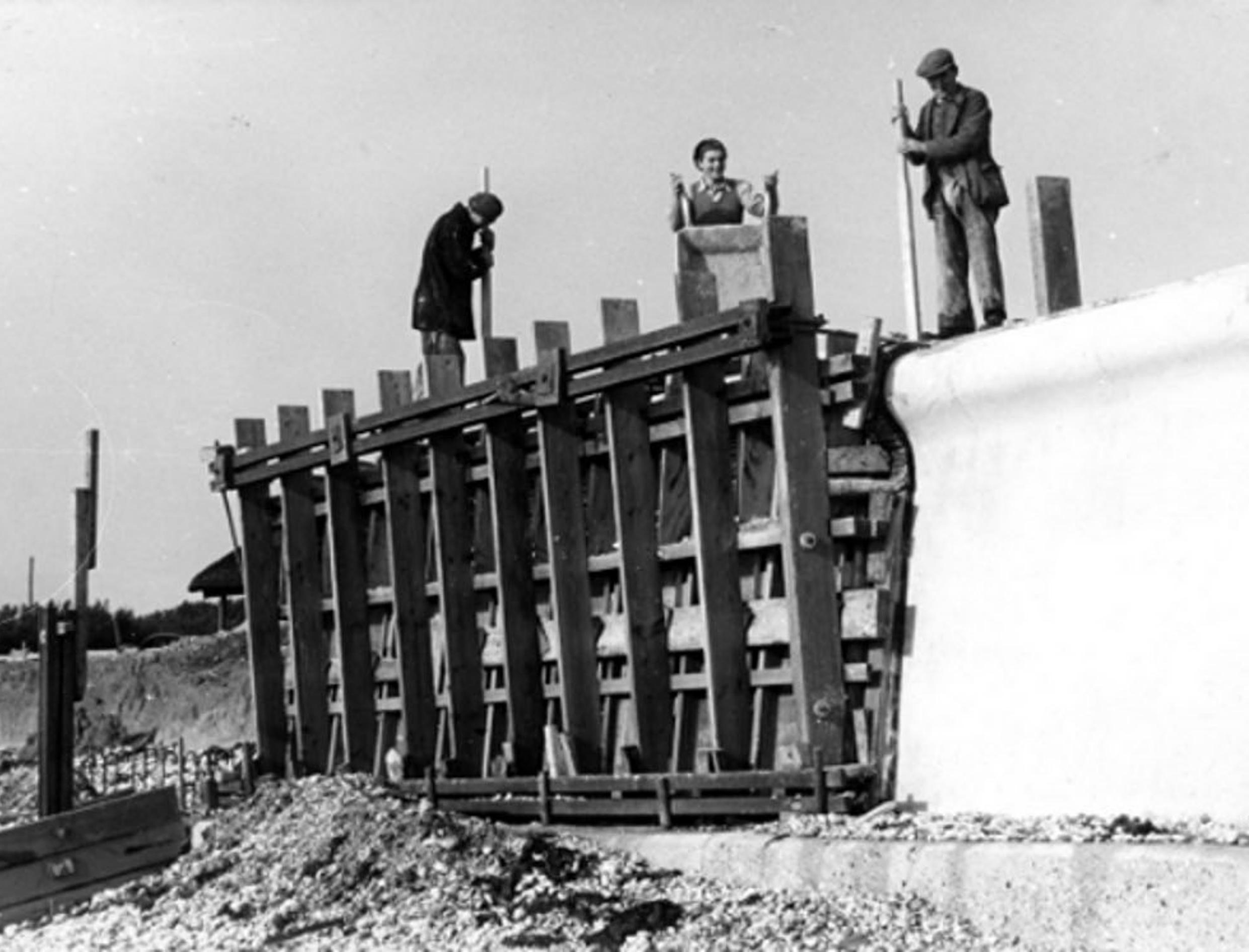
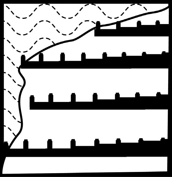
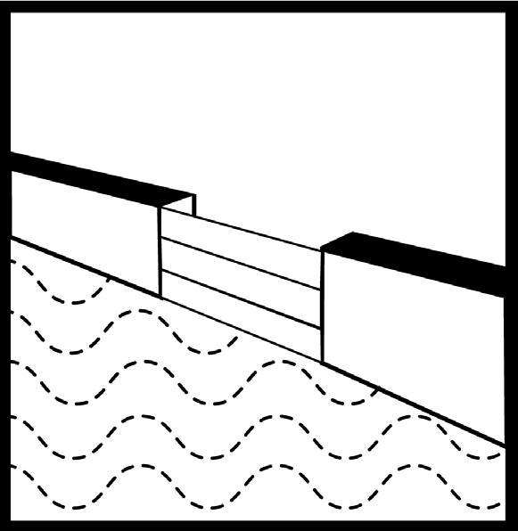
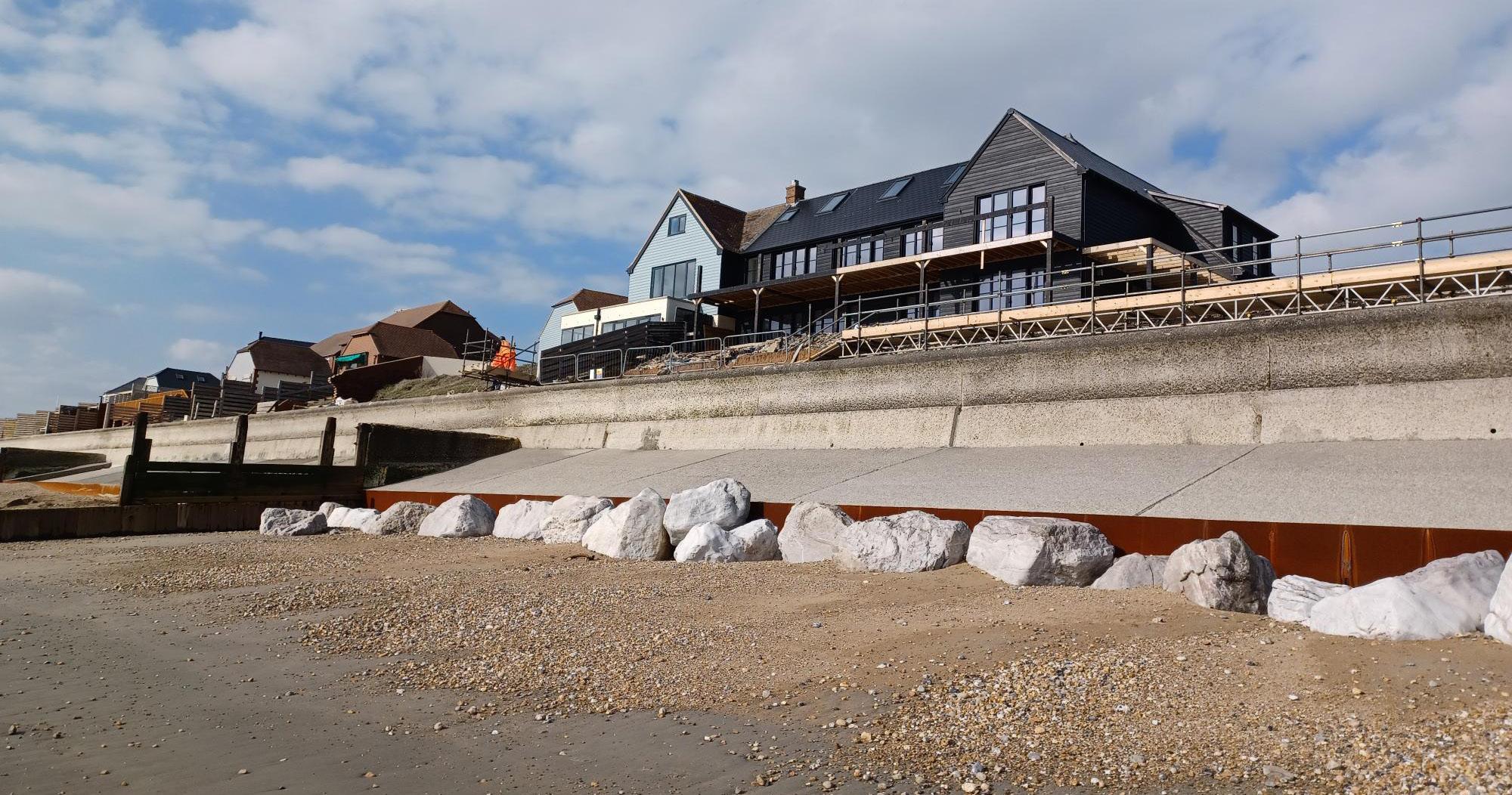
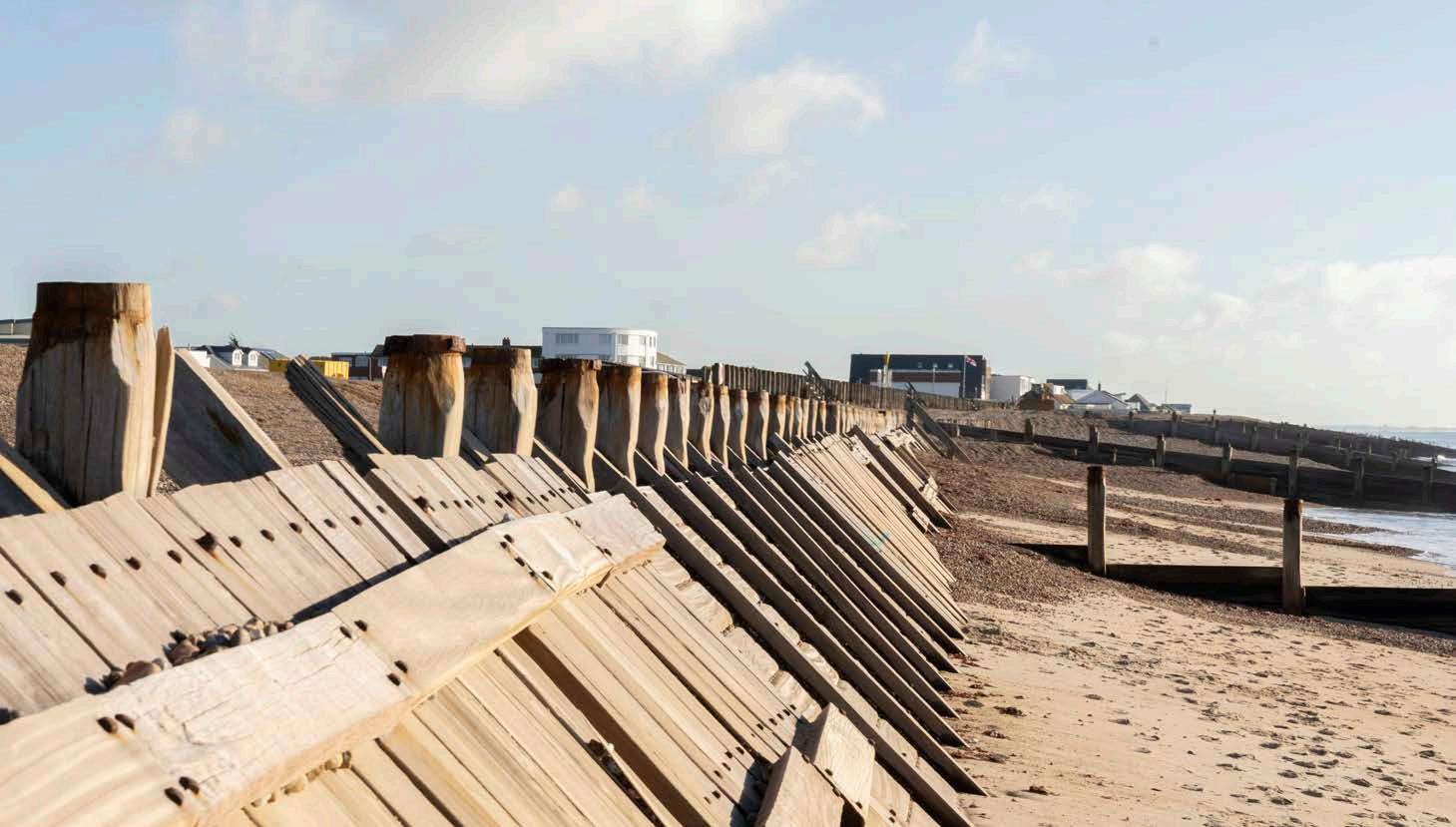
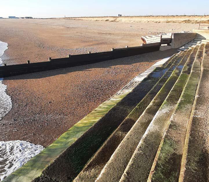
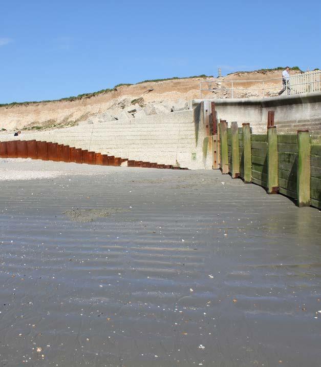
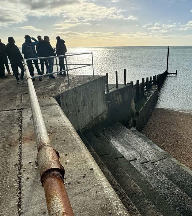
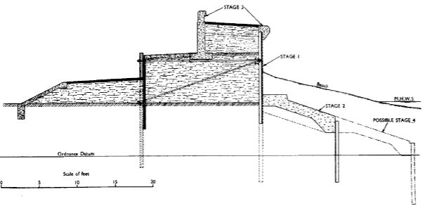
The seawalls that were built around Selsey are substantial structures and consist of sheet piles, ties, concrete and ballast cores. To the west of Selsey Bill these walls helped prevent further erosion of the soft low cliffs. Whilst to the East of the Bill the seawalls protect the low-lying land behind.
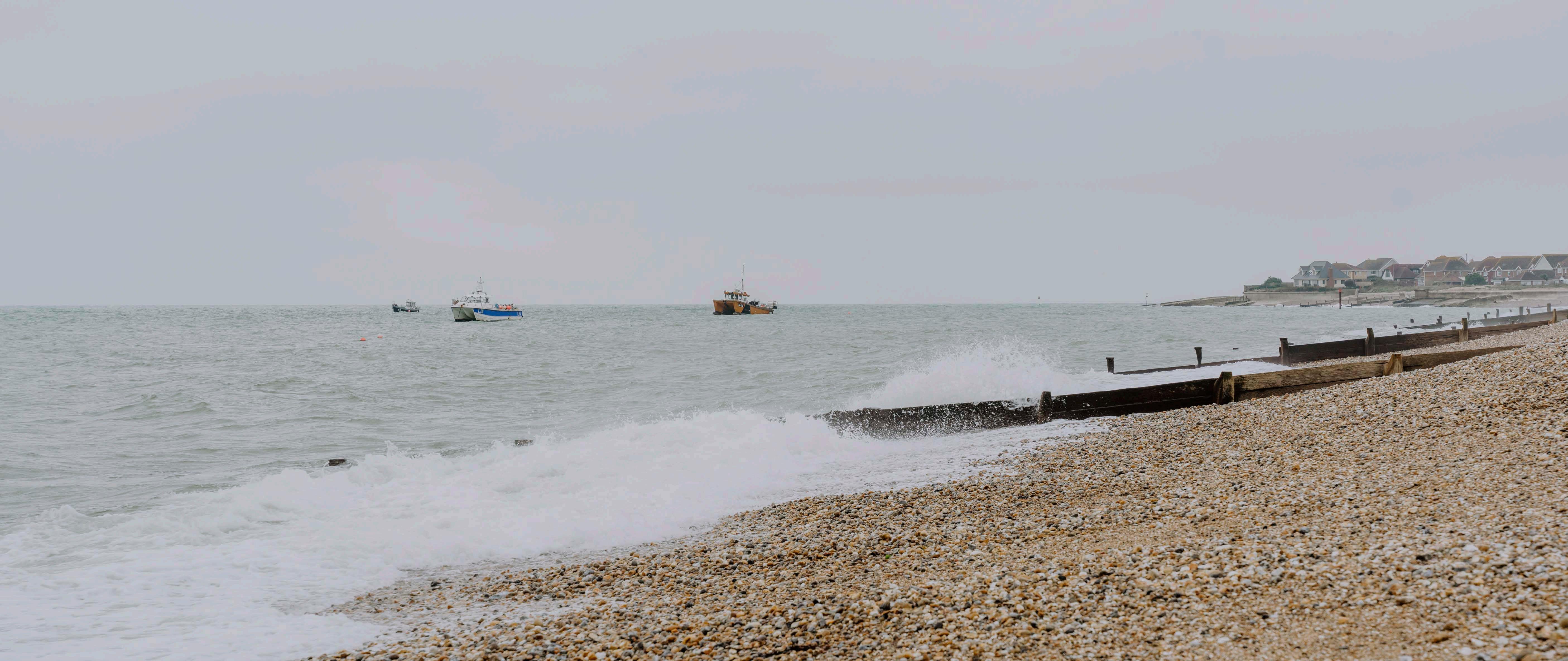
Groynes were also installed in front of the new seawalls to trap and slow down the movement of shingle and hold a stable beach, providing a buffer and first line of defence against storms.
In more recent years, shingle has been imported to maintain the beach and help protect the defences. This has been a key element of coastal management in Selsey since 2012 and remains in place today.
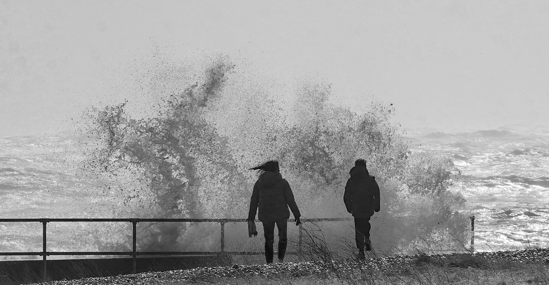
In 2001, concerns raised by Selsey residents led to a 5-day workshop involving Dutch and British experts on coastal and water management issues and integrated planning. Their task was to formulate ideas about a sustainable integrated planning approach for the future of the Manhood Peninsular. The thinking was innovative and progressive and led to a series of future scenarios for Selsey. The Manhood Peninsula Partnership was formed as a result of this work and exists today to help drive sustainable outcomes for the diverse issues the area faces.
In 2008, the coastal management specialists returned again. The 3-day workshop reviewed the Draft Coastal Defence Strategy and examine other options put forward by local residents. The outcome was the production of several management options offering new approaches and potential opportunities.
The work of the Manhood Peninsula Partnership continues today by promoting a sustainable approach to addressing the environmental, social, and economic challenges the area faces due to climate change.
On the west coast of Selsey, two significant schemes were introduced to help combat flooding and erosion in the 2010s.
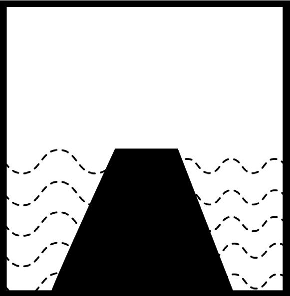
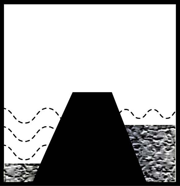
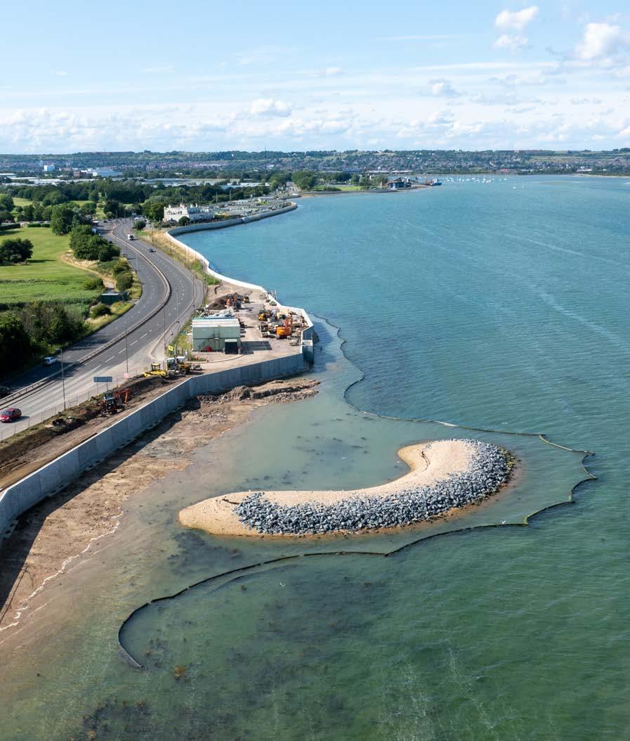
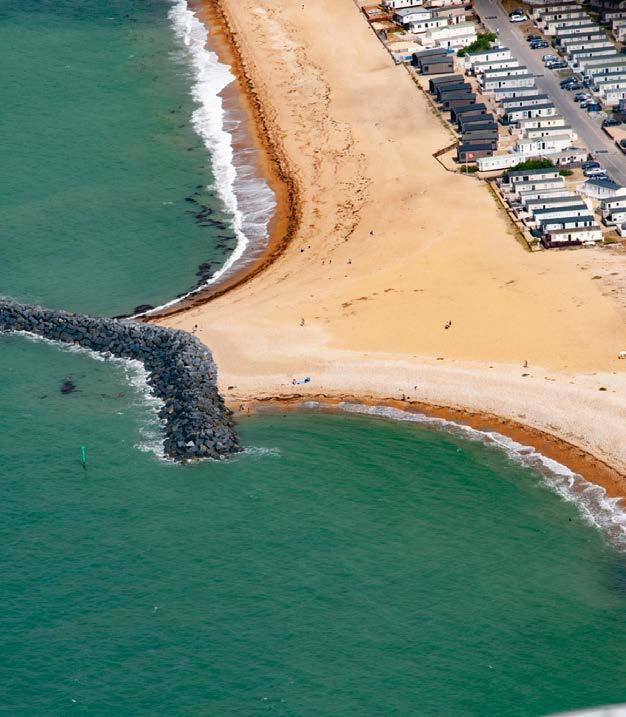
In 2012, Bunn Leisure (now Seal Bay Resort) invested in the largest private sea defence project in UK history. This scheme included 93,000 tonnes of Norwegian Larvik granite to create two large breakwaters and 3,000 cubic metres of sand and shingle to raise beach levels.
Shortly after, in 2013, the Medmerry managed realignment project was completed. Led by the Environment Agency in partnership with the RSPB, the scheme was the first habitat creation scheme in the UK and the largest in Europe. It improved the standard of flood protection to over 300 homes and created 183 hectares of new intertidal habitat that is important to wildlife on an international level.
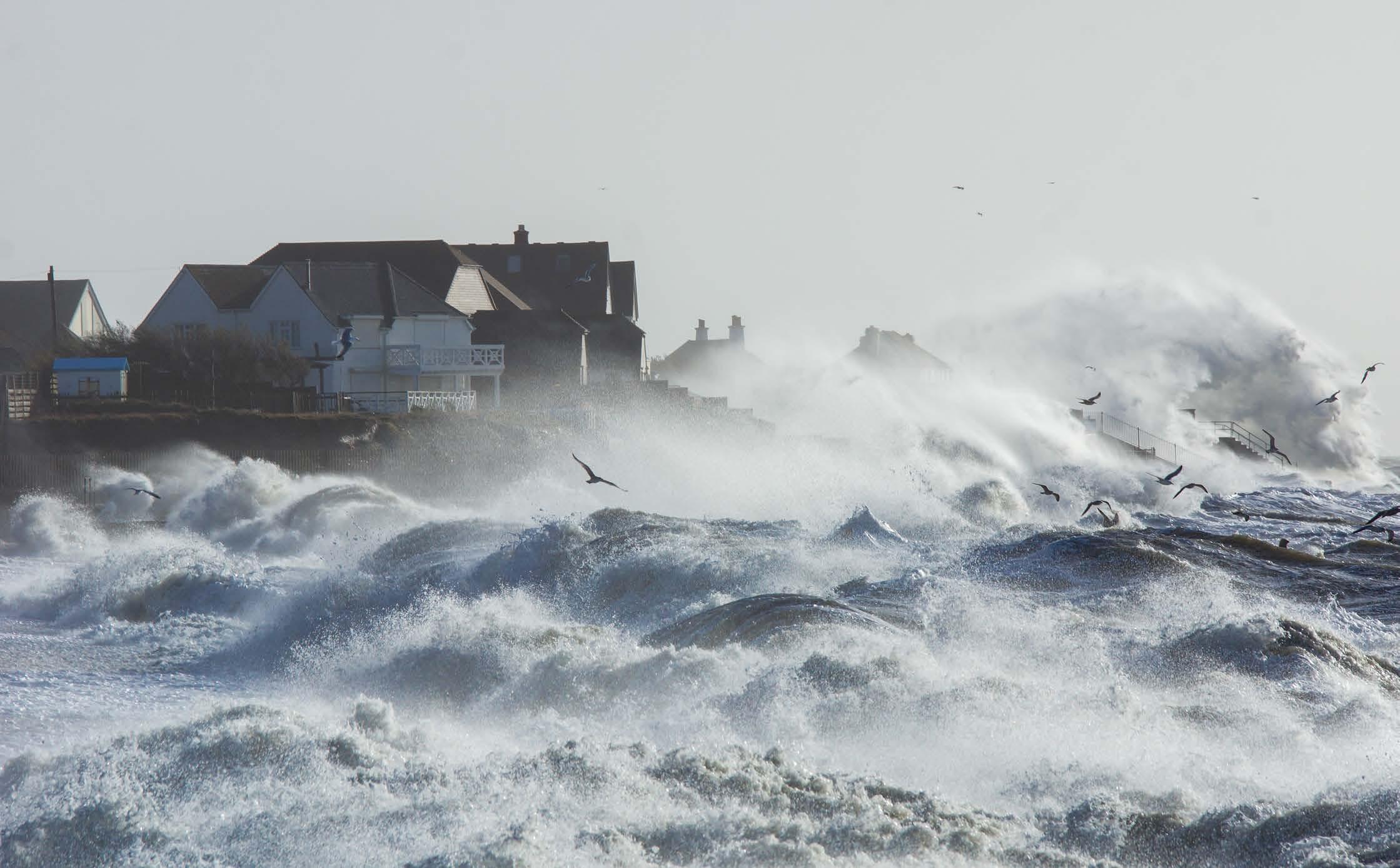
These flood maps are generated by computer modelling and show where coastal flooding may occur during an extreme weather event for both present day and in the future. The future extent (2127) shows how this would increase over time, with sea level rise and the defences were left to deteriorate. The severity of coastal flooding depends on a range of factors including existing defence heights, ground levels and how close properties are to the sea. In some cases, the areas identified may never have experienced flooding before.
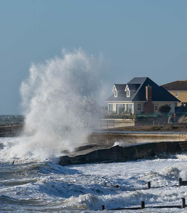
Selsey’s sea defences help reduce the risk of coastal flooding and erosion. At their current height, the risk to the community from an extreme event is high and will increase over time due to sea level rise.
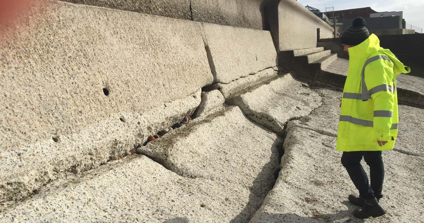
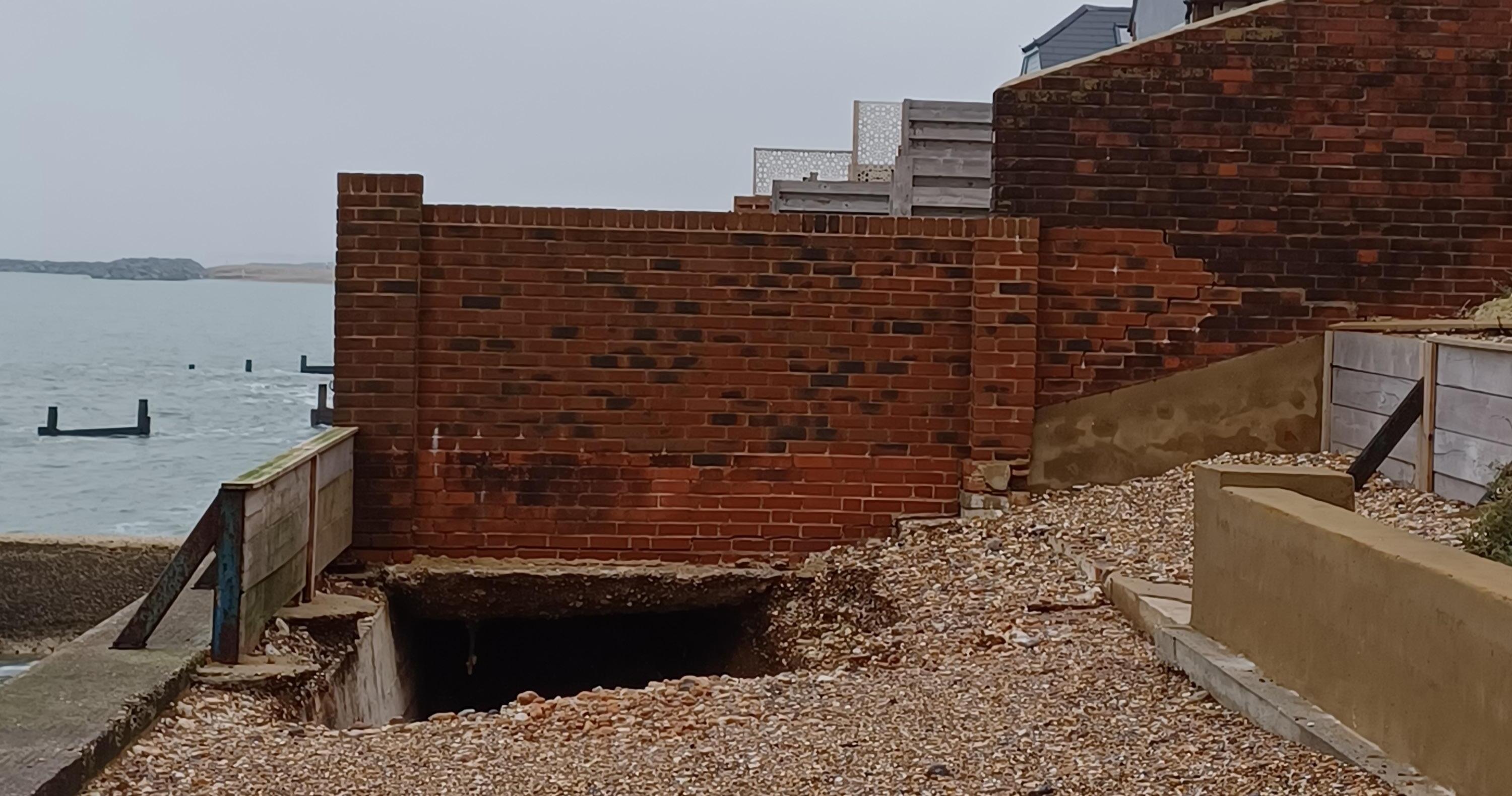
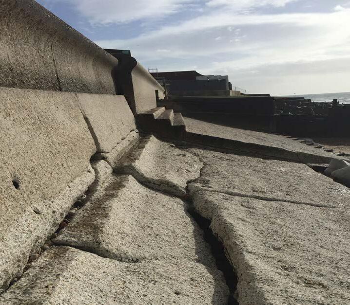
Due to the age and condition of the sea defences there is an increasing risk of them failing. Historical maps and ground conditions show that Selsey is highly susceptible to coastal erosion. This is reflected in the substantial erosion rates predicted in the absence of coastal defences.
This map is accurate as of April 2026. The projected erosion zones have been generated using methodology consistent with that applied by the Environment Agency in the January 2025 update to the National Coastal Erosion Risk Mapping (NCERM).
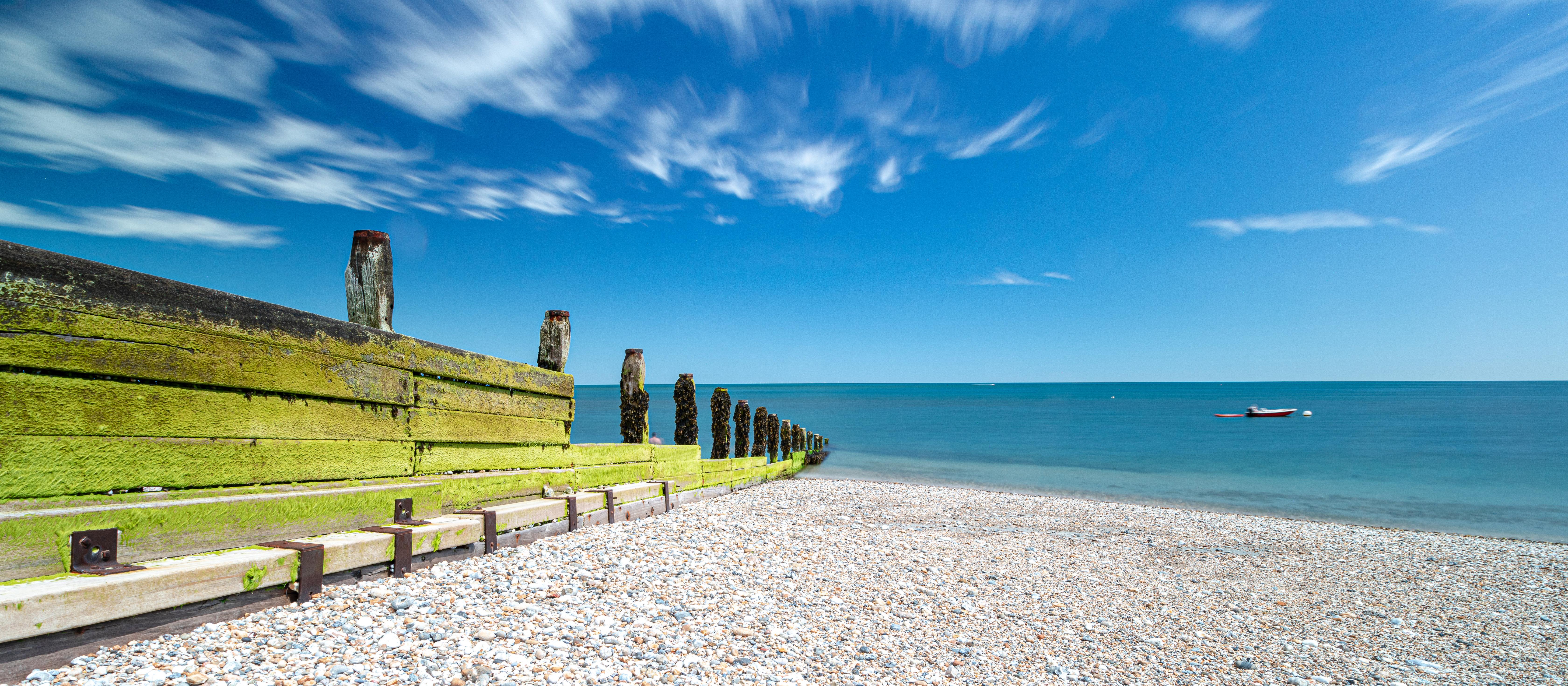
and costly. Coupled with increasing pressure from the sea through climate change, the need to review the defences and consider options for how to manage the flood and erosion risk has become extremely important.
Managing future coastal flooding and erosion risk and seeking long-term solution for Selsey is a key priority for Chichester District Council. In the UK there is a three-tiered framework for planning and delivering coastal management:
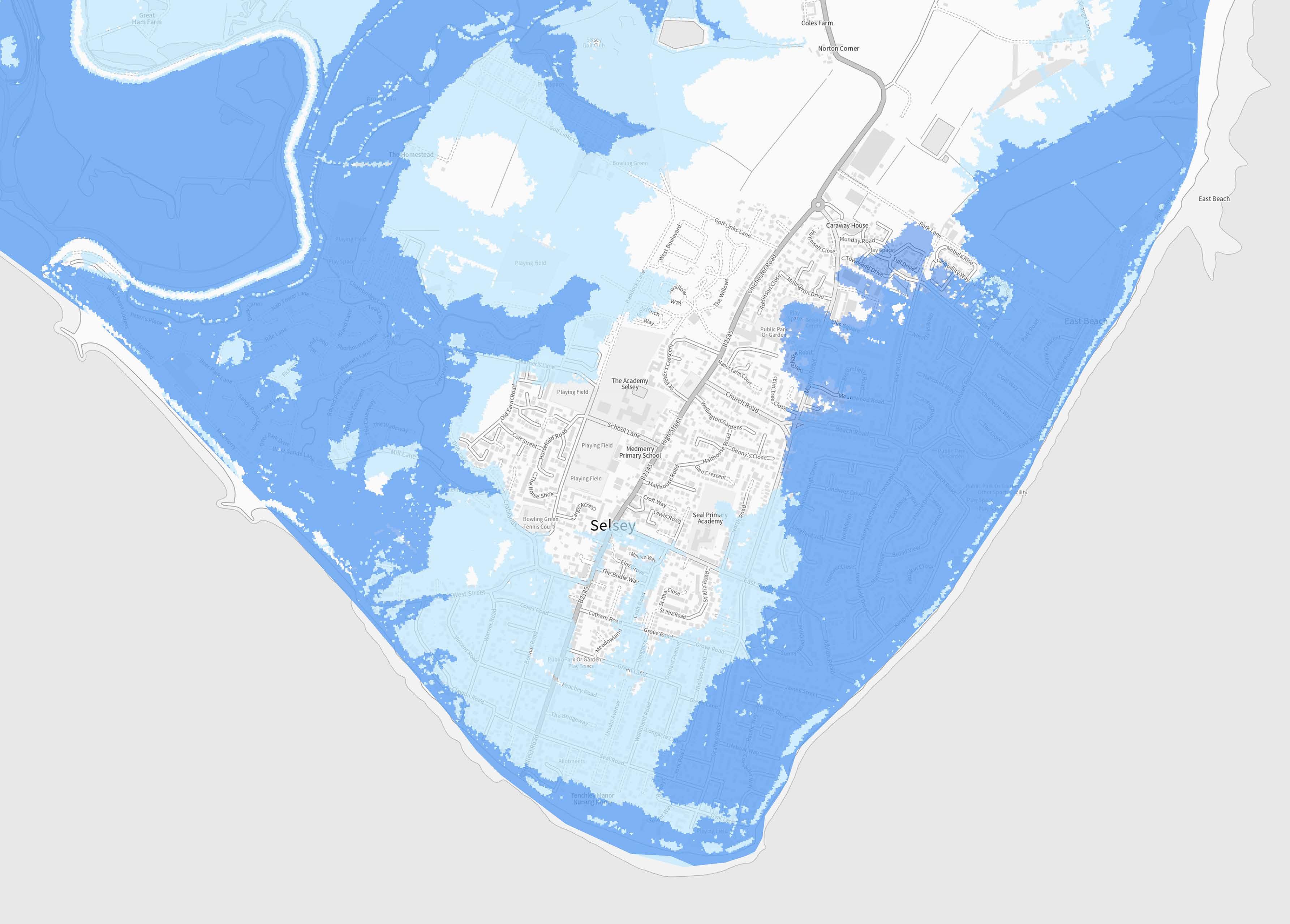
Shoreline Management Plans (SMPs) are based on a long-term perspective to inform how the coast should be sustainably managed in the future. Chichester’s coastline is covered by two SMPs; The North Solent SMP (2010) and the South Downs SMP (2006) They join together at Selsey Bill and both set policy of ‘Hold The line’ for Selsey.

Coastal Defence Schemes
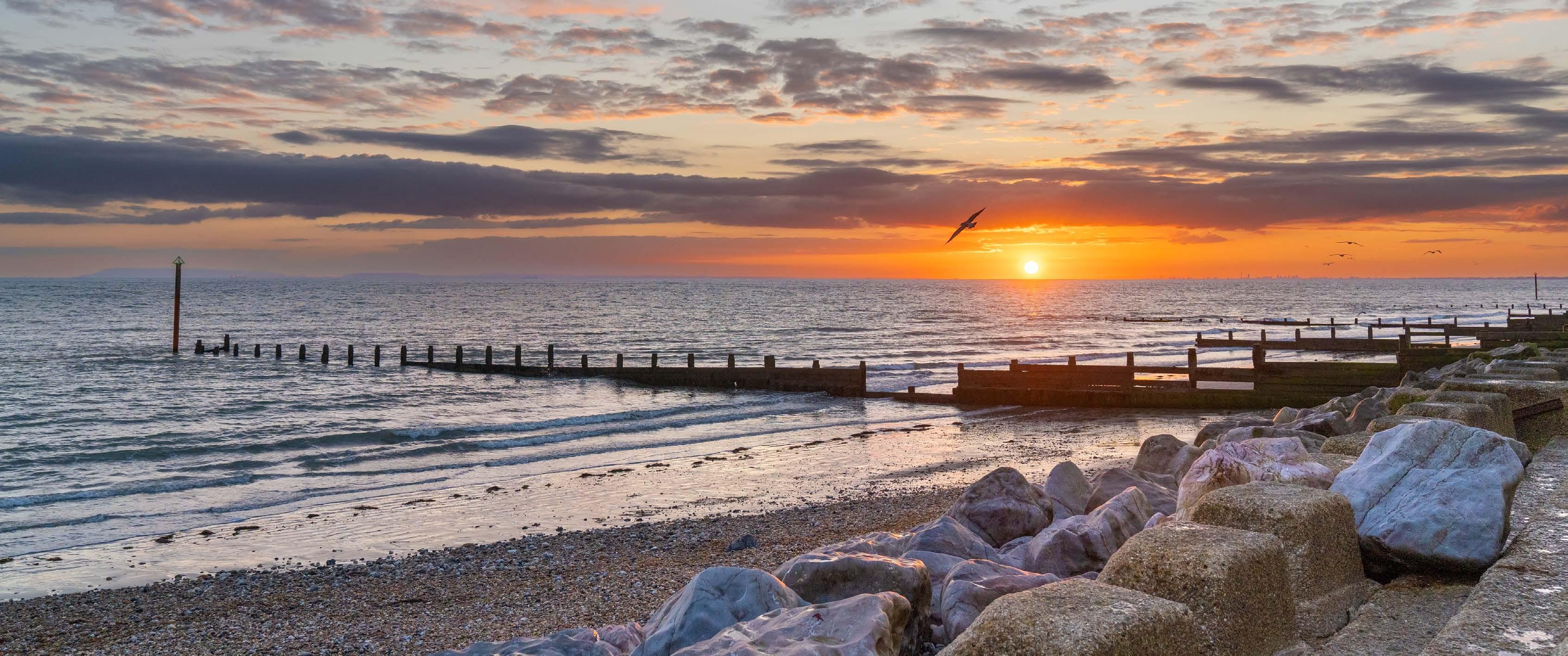
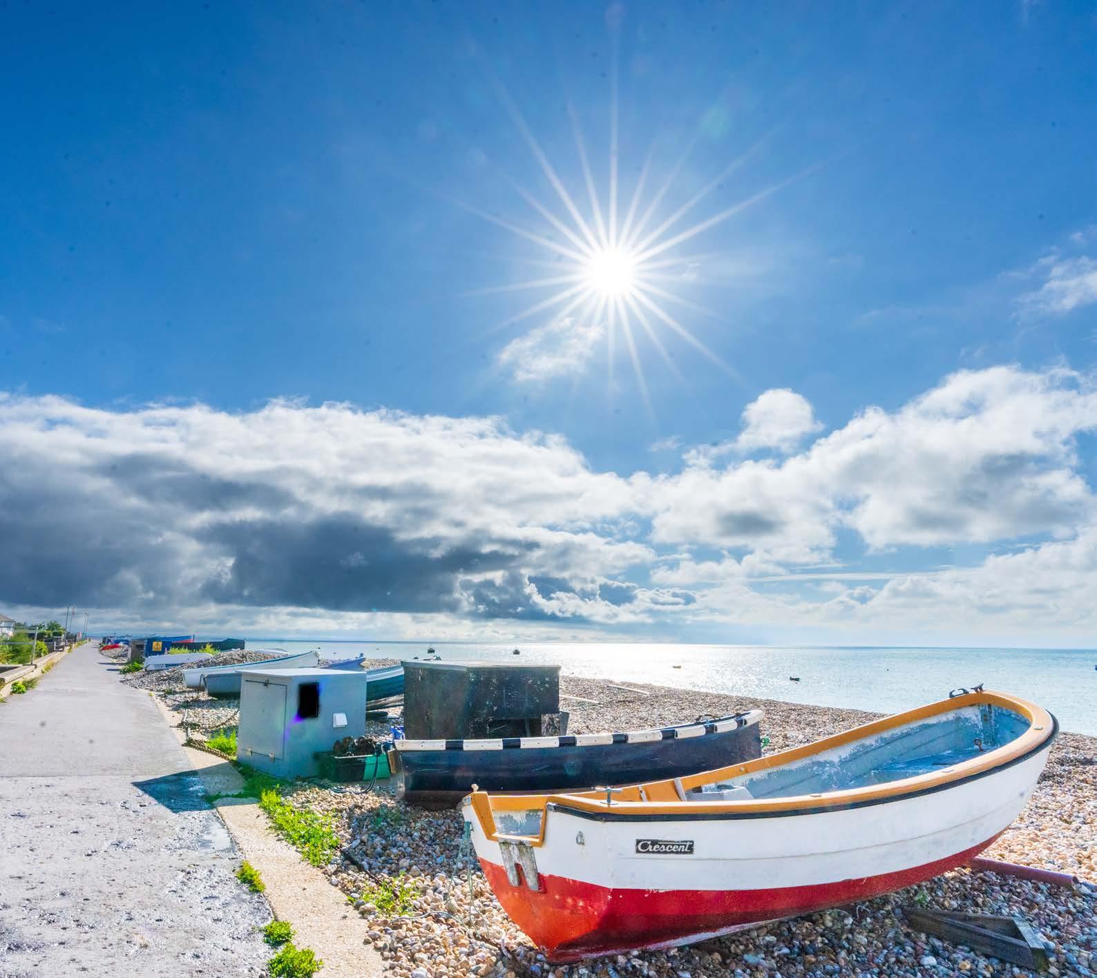
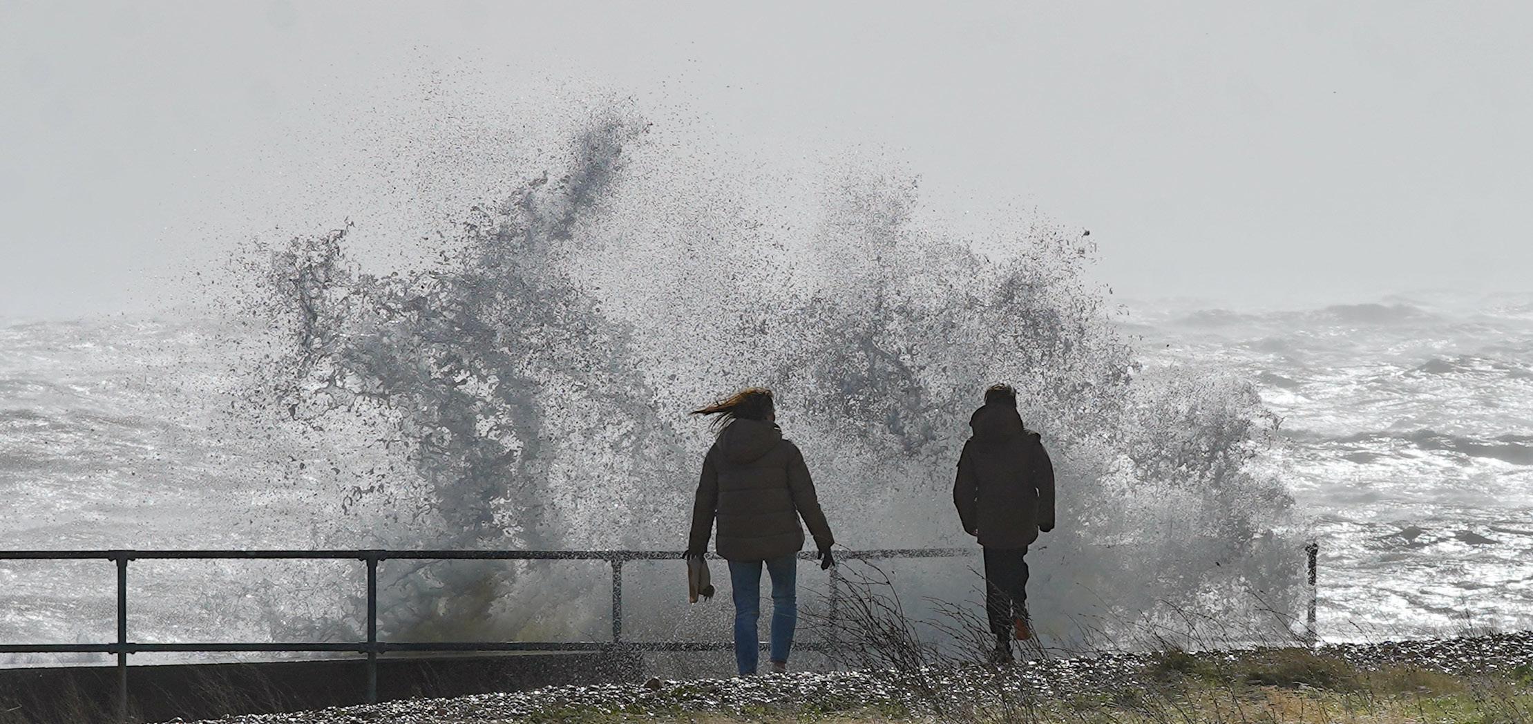
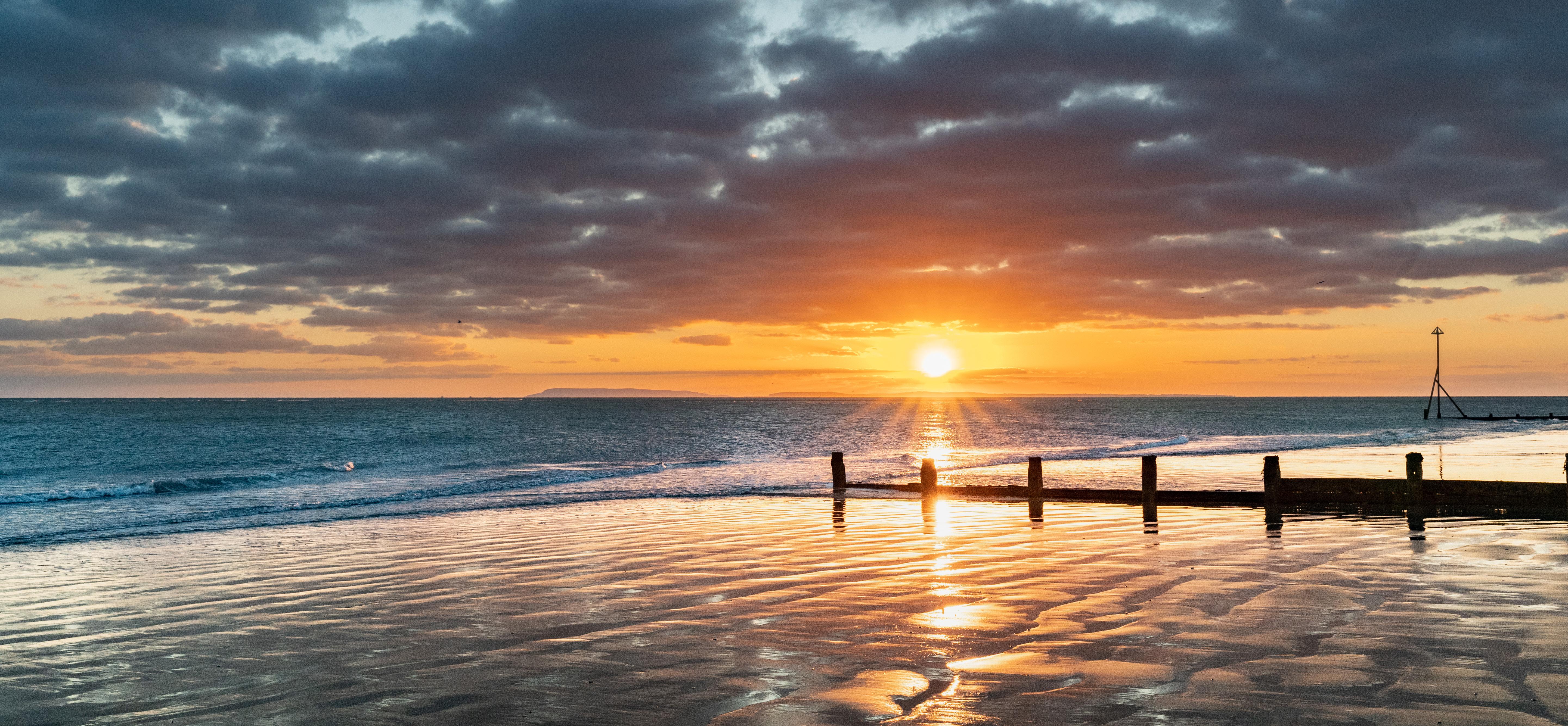
Environmental designations of international, national, and local importance are located within or in close proximity to the scheme study area.
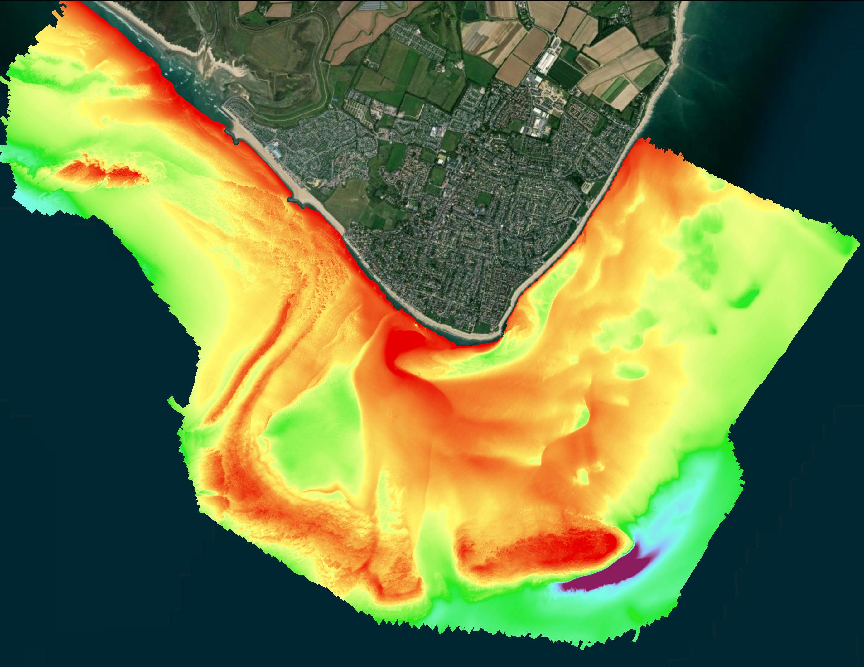

One of the survey data outputs used for analysis is ‘backscatter data’. This works by sending soundwaves down to the seabed and measuring the signal that bounces back. The intensity of the return signal helps us identify what is on the seabed high intensity signals show reflective surfaces and low intensity signals reflect absorbent surfaces. We combine this information with physical samples and underwater photographs to understand the sediment type and textures that make up the local seabed.
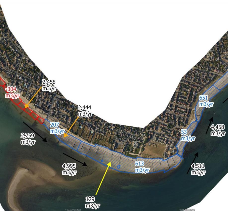
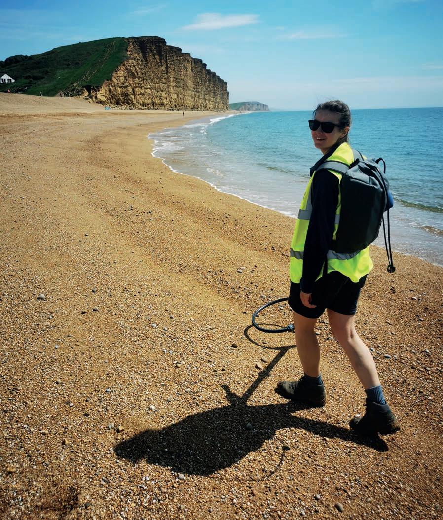
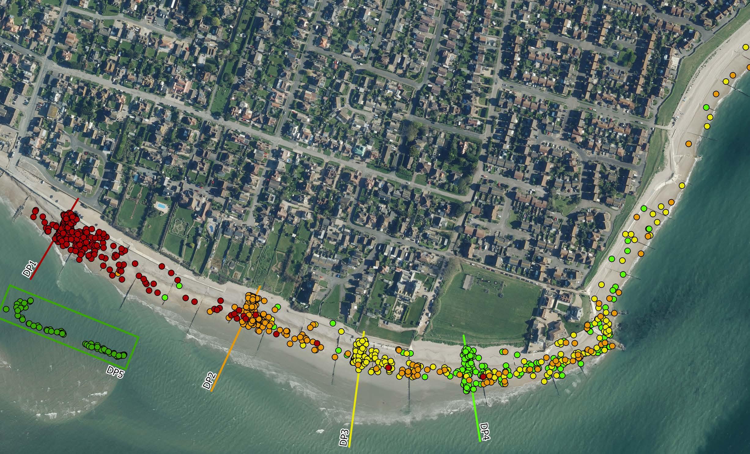
Tracer studies provide a unique way of tracking pebbles as they move along the beach. Radio Frequency Identification (RFID) tags are inserted into drilled native pebbles and sealed in place. These tracer pebbles are then deployed at set locations on the beach and their positions are resurveyed over a 12-month period to track their movement. This helps to understand longshore and cross-shore sediment movement and rates at local areas.
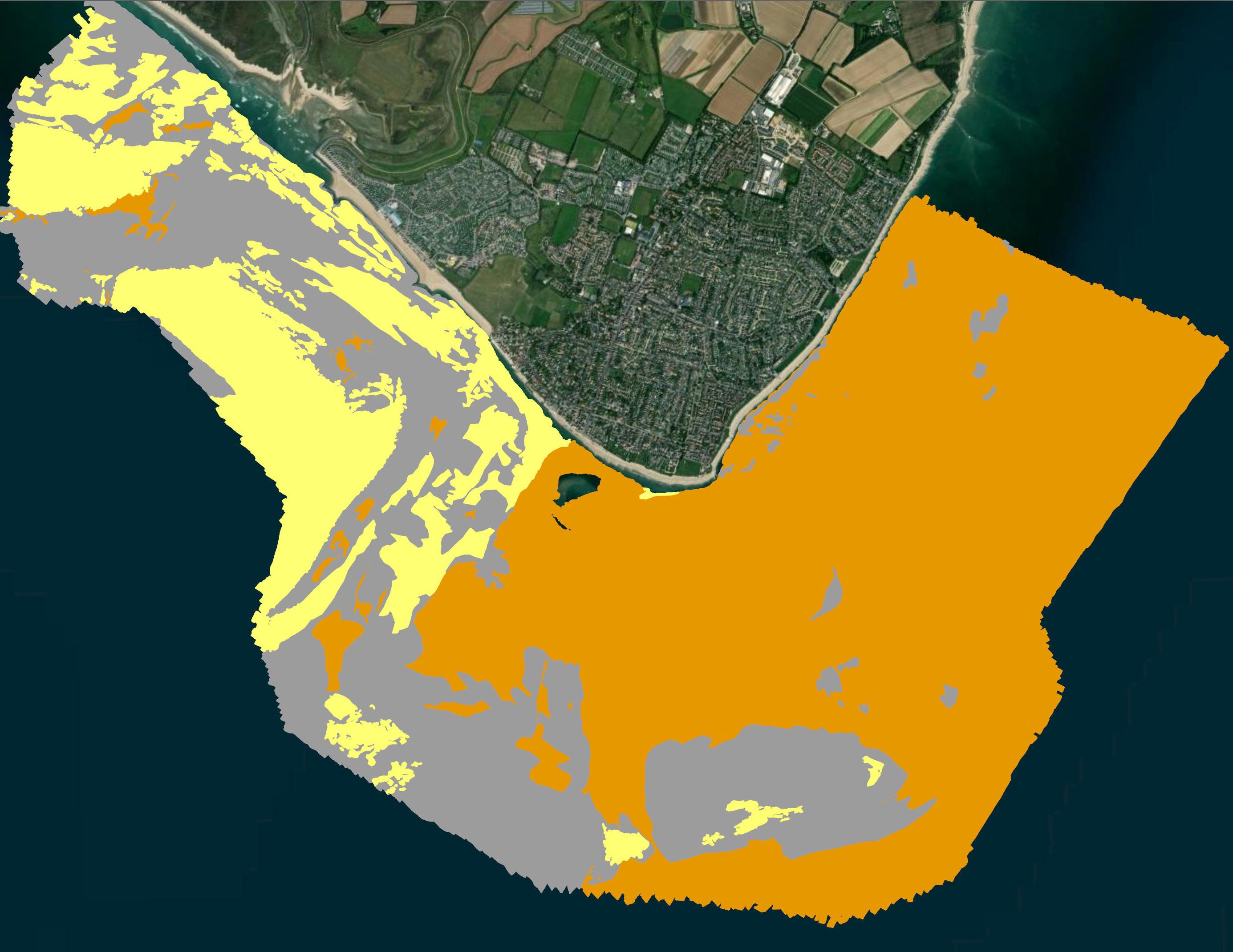
We can also produce a detailed habitat map using a classification system called ‘EUNIS Level 3’. This highlights important ecological habitats by combining information on seabed type, wave exposure and environmental conditions. These insights help us better understand the rich biodiversity within the MCZ and ensure it is protected for the future.
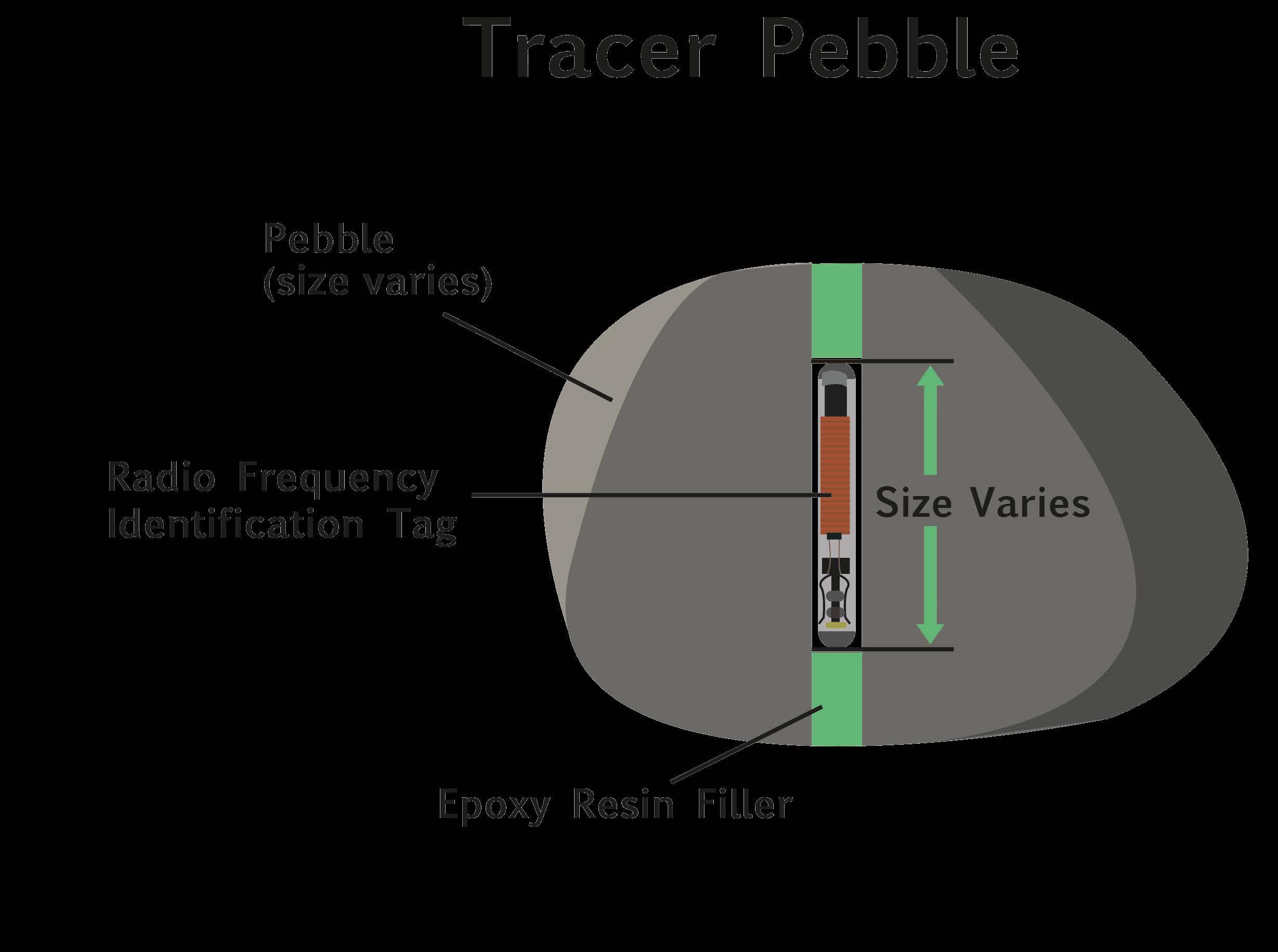
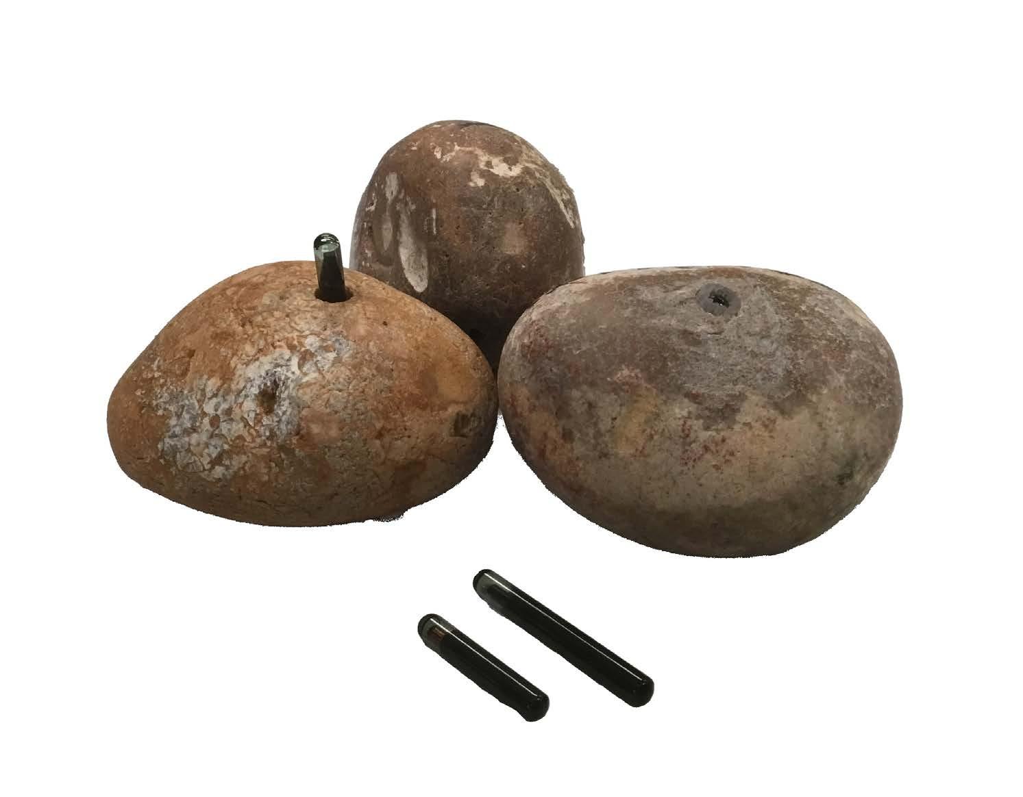
This image shows examples of tracer pebbles deployed at 5 sites in July 2025. After 6 surveys (over approx. 5 months), we can see that the pebbles have made their way around Selsey Bill and up towards the RNLI station.
Results are analysed as they are collected. Once full year of data has been gathered, patterns and trends in sediment transport identified from the tracked pebbles will be assessed and used to evaluate any potential impacts of new coastal defence structures on sediment transport.
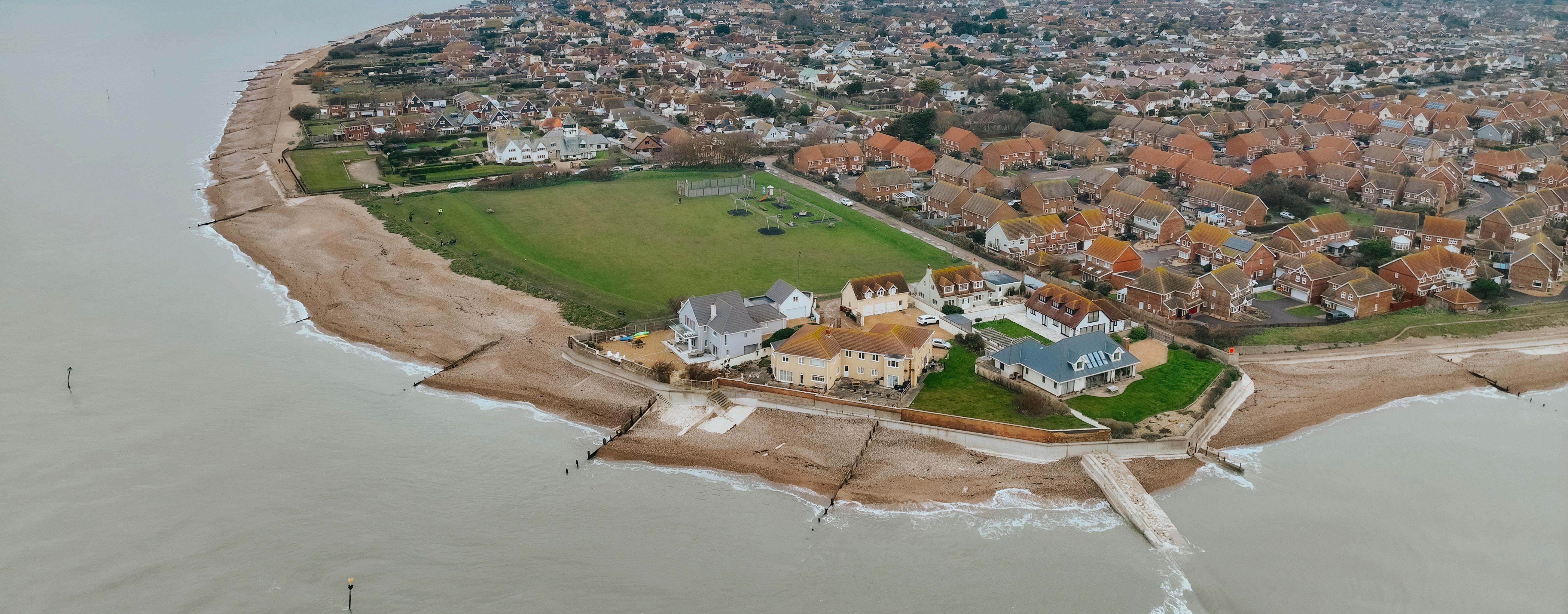
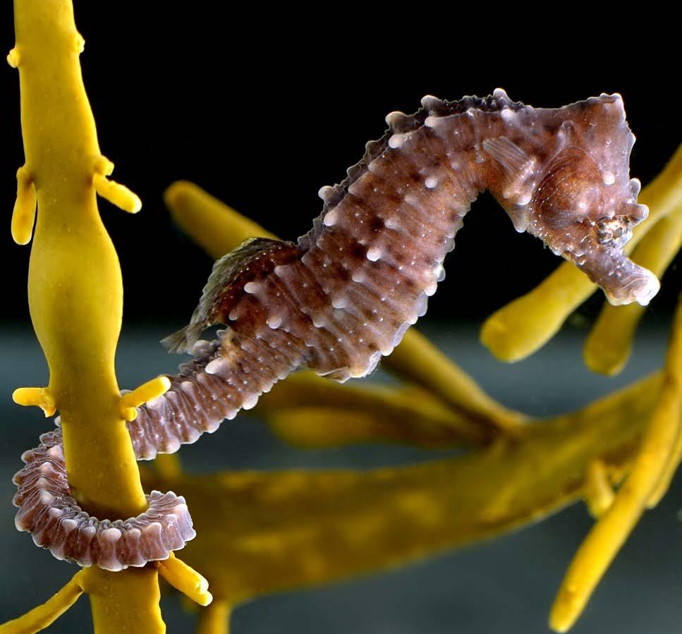
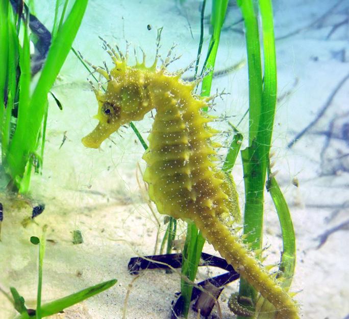
One of the most significant designations within the study area is the Selsey Bill and the Hounds Marine Conservation Zone (MCZ). This covers 16 km2 and it was established in 2019 for its high biodiversity and variety of habitats ranging from rocky layers, soft sandy sediments and native British Seahorses.
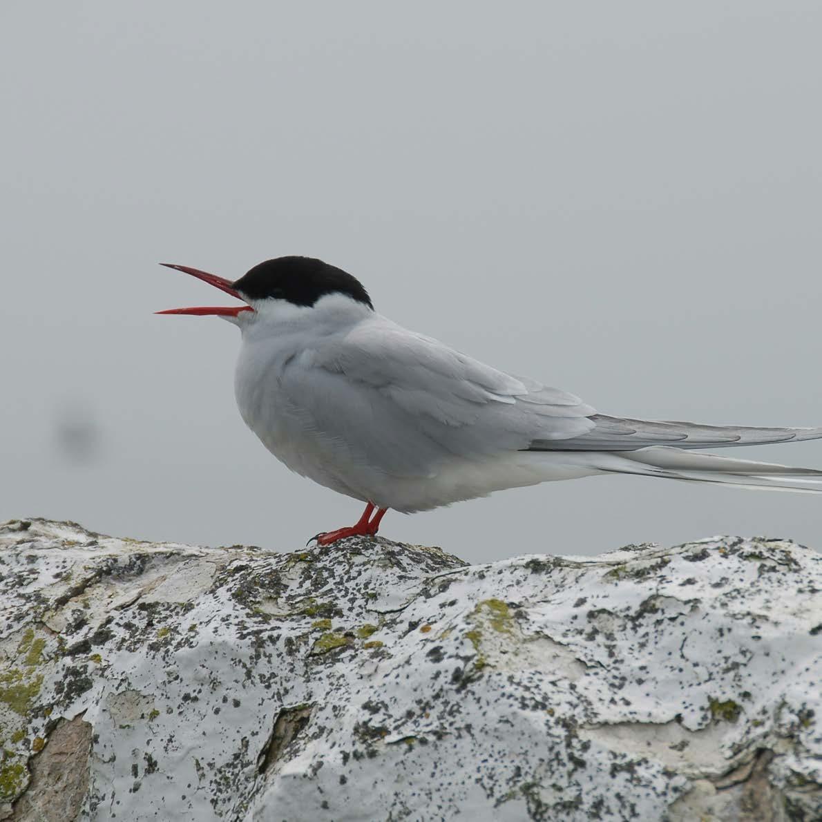
In addition, the scheme lies within the Solent & Dorset Coast Special Protection Area (SPA). This international designation is approximately 89,000 hectares in size and encompasses shallow coastal waters that are important feeding areas for Terns.
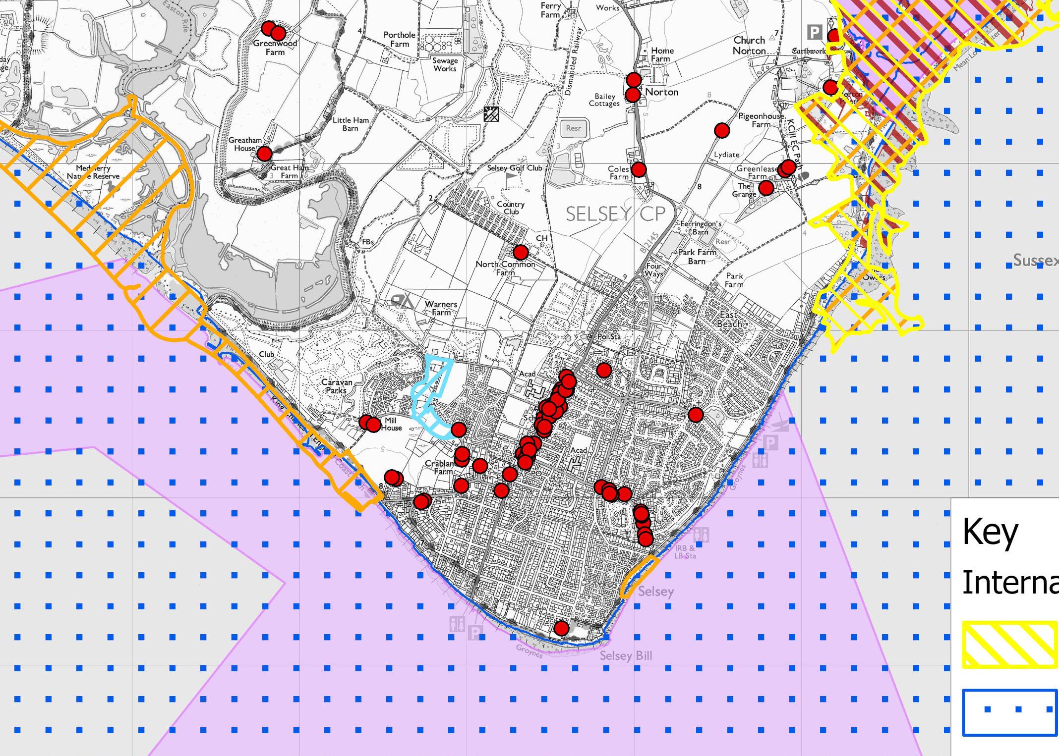



The scheme also overlaps with Selsey East Beach Site of Special Scientific Interest (SSSI) which is of geological importance. The Pagham Harbour SPA, Ramsar and SSSI overlap at the Eastern extent and the Bracklesham Bay SSSI at the Western end.
The project team is carrying out surveys and investigations to establish robust baseline understanding of the environment and identify any ecological constraints. These will also determine whether more detailed surveys are required during the next phase of the scheme, and whether targeted mitigation measures will be needed to support the delivery of the scheme. The findings will also help identify opportunities for environmental enhancements that can be incorporated into the scheme design and delivery. These surveys and investigations include:
Environmental designations protect our important plants and animals. Created to keep ecosystems healthy, they conserve biodiversity by carefully managing or limiting activities that could cause harm, ensuring these special places thrive for future generations.
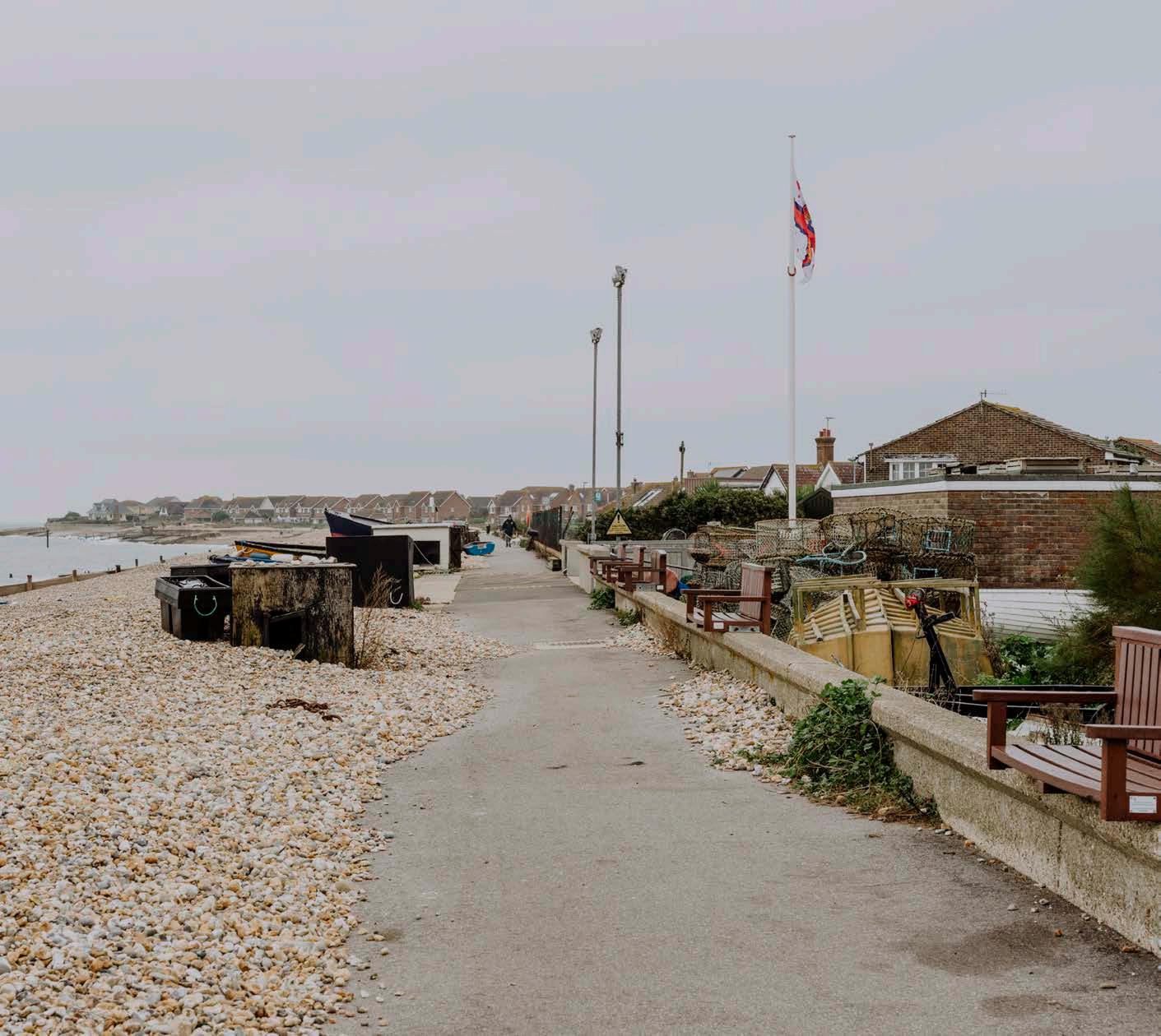
In Selsey, many homes sit right beside the seawall, placing them close to the protected environmental areas. This unique setting brings challenges and responsibilities for how the coastline is managed. To secure planning and environmental regulator consent for new defences, the project will need to demonstrate that all ‘alternatives’ have been considered and that there will be minimal impact on the environment.
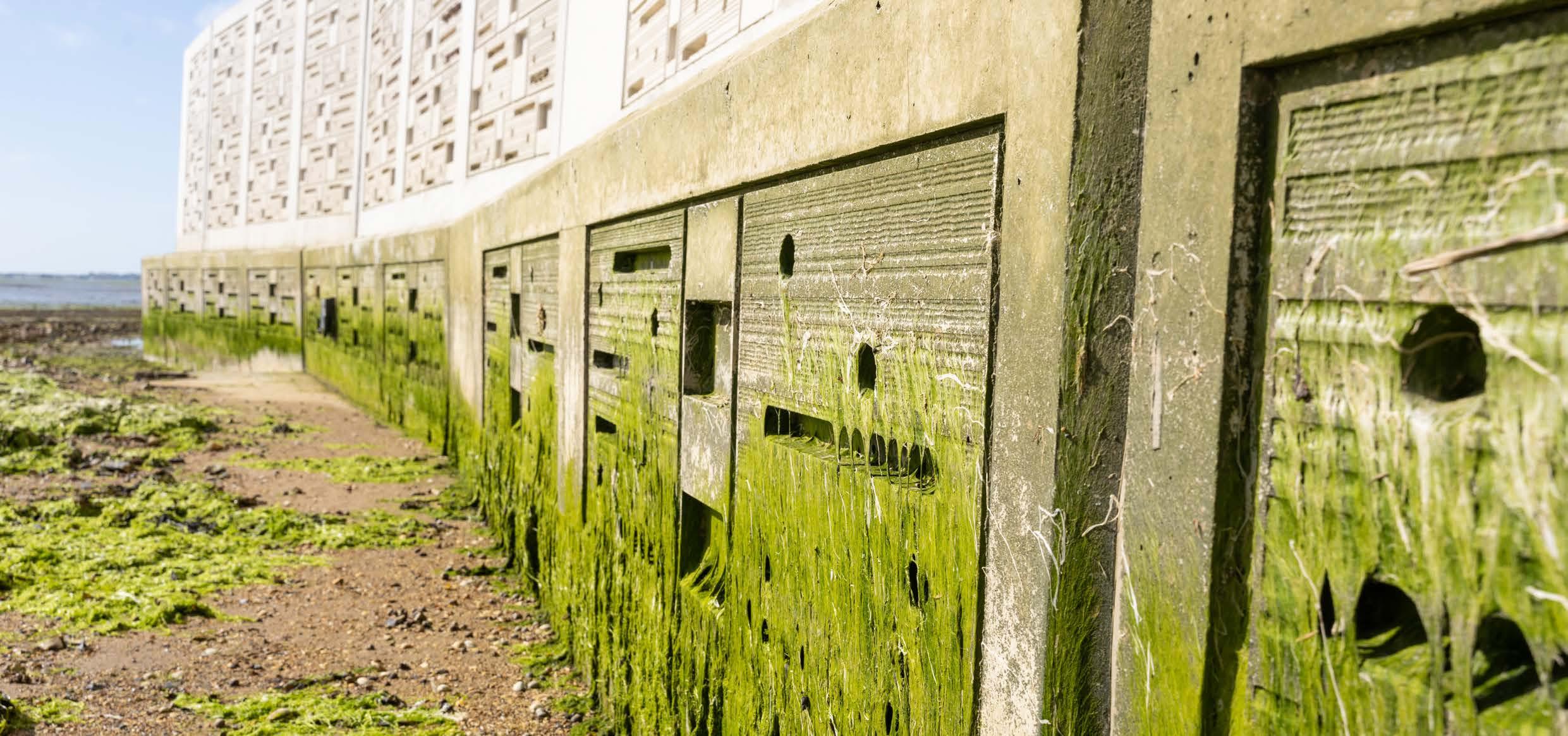
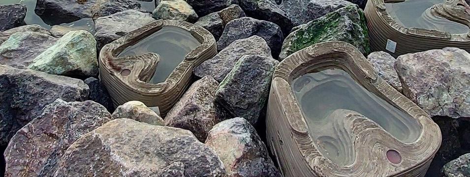
The scheme also brings opportunities to create better and more stable ecosystems. These might include habitat creation initiatives (such as walls designed for habitats and tidal pools) and environmentally considerate solutions for Selsey’s distinctive marine life. The project team are working alongside the statutory stakeholders, such as Natural England to protect and enhance nature.


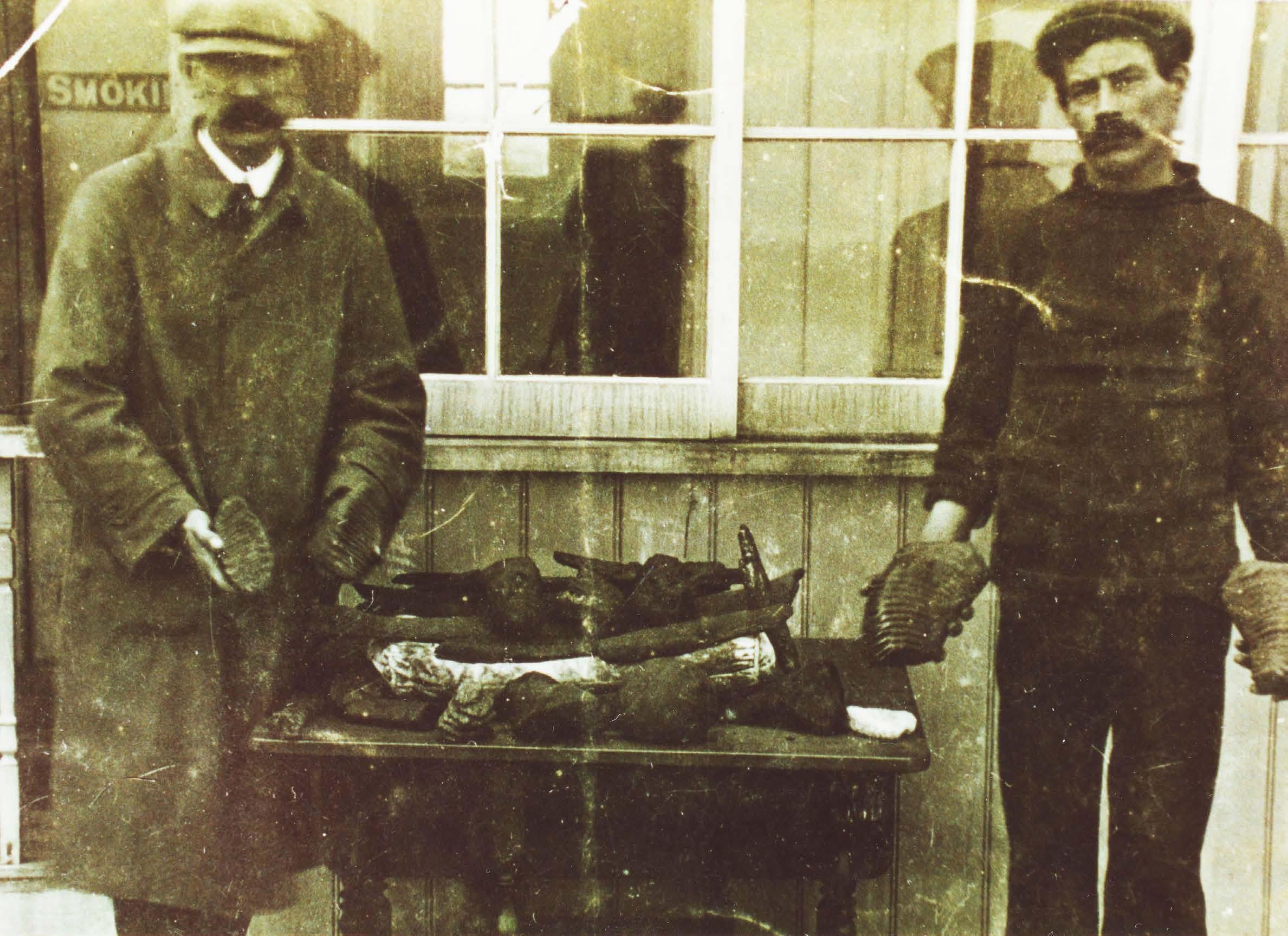
that they are preserved, and future ground investigations will be targeted to resolve uncertainties regarding the location of geoarchaeological deposits. The work may recover material suitable for paleoenvironmental analysis which will
more about the historic landscape.