City of Woodstock – Transportation Plan
City of Woodstock – Transportation Plan
199 Ridge Trail Extension
203 Reeves Street Extension I
205 575/Ridgewalk Rapid Response
208 575/TLP Rapid Response
211 Hub Transformation Project (TLP/Mill/Roundabout)
220 AMR/Hubbard Intersection
223 Arnold Mill Road – Streetscapes V Project
228 SR 92 at Neese Road Intersection Improvement
235 Brownlee Road Grid Street Connection
238 Ridgewalk Pkwy at Main Intersection
241 Ridgewalk Parkway Lane Extension
245 Chambers Street Extension I (Wheeler to AMR)
249 E Main Street at Arnold Mill Road Intersection
252 Hames Road Improvements
256 SR 92 Pedestrian Improvements
261 Main St Stormwater and Pedestrian (library area)
265 Rope Mill Road
268 Buckhead Crossing/TLP Intersection
270 Serenade/Main Intersection
273 Wynchase Bridge Rehabilitation
275 Ragsdale Road Pedestrian Crossing
278 Streetscapes II (Main from Elm to Fowler)
281 Streetscapes III (Main from TLP to RMR)
284 Main/RMR turn lanes
286 Main Left to Johnston Farm Dr
288 Main Left to Bell Industrial Pkwy
290 TLP Left to Tag Office
292 AMR Left to FS14 & Senior Center
294 AMR Left to Sandy Circle
296 AMR Left to AME parking
298 RMR Left to WES Bus
300 Main at Lincoln Intersection
302 Main Left to Brooke Blvd
304 Dobbs/Main Intersection (phase 1)
306 Molly Lane Improvements
309 Pkwy 575 Pedestrian Project
313 Dupree Road Sidewalk Project
316 Olde Rope Mill Park Pedestrian
319 Wdst Pkwy Pedestrian Project I
322 Towne Lake Parkway Sidewalk and Parking Project
325 Dobbs Road Stormwater Project
329 Towne Lake Parkway Widening
334 Lyndee Lane Extension I (TLP Roundabout north to existing Lyndee Ln)
339 Neese Road Southern Segment
345 Neese Road Northern Segment
350 SR 92 at Trickum Road Intersection
357 Trickum Road at Nocatee Trail Roundabout
361
Streetscapes IV (Main St – Fowler to Serenade)
366 Streetscapes VI (Towne Lake Pkwy - Main to Mill)
371 AMR at Neese Rd Roundabout
374 I-575 Ridgewalk Interchange
380 Oakbridge Road Grid Street (Neese to Gunnin)
382 AMR at Dobbs Rd Roundabout
385 Main St at Dobbs Rd Roundabout
388 Haney Road Extension II
390 Lincoln Street Extension I
393 Reeves St Extension II
395 Paden St Extension I
399 Dupree Rd @ Main St improvement
403 Barnesdale Terr @ Main St improvement
406 North Main Street - Wildcat Implementation
409 Noon Day Creek Trailhead & Pedestrian Plaza
413 AMR Trail Extension
416 Dobbs Road Sidewalk
419 Woodstock Parkway Trail Extension
422 Rope Mill Road Stormwater and Trail Extension
425 Woodstock Parkway Extension Concept
428 Grid Street Connections
435 Resurfacing Neighborhoods
443 I-575 Towne Lake Parkway Interchange
447 Market Street Extension I
451 Market Street Extension II
454 Market Street Extension III
456 Reeves Street Extension III
459 Paden Street Extension II
462 Lyndee Lane Extension II (Rusk to RMR)
465 SR 92 at Main Street Intersection
469 SR 92 at Springfield Dr Intersection
473 Mill Street to Wheeler Street Extension
477 Chambers Street Extension II (Fowler to Dupree)
480 Chambers Street Conversion to 2-Way (Hubbard to Fowler)
483 E Main Street Conversion to Pedestrian (Hubbard to Fowler)
486 Hubbard Road Extension I
489 SR 92 @ Parkway 575 Intersection
492 Rusk Street Renovation (Lewis to Robinhood)
499 Appendix – Project Names Explanation
City of Woodstock – Transportation Plan
The Woodstock Comprehensive Transportation Plan is designed to plan and forecast major road projects, corridor enhancements, and resurfacing projects, as well as sidewalks, crosswalks, parking, and other improvements, over a revolving cycle updated annually. The actual work that is accomplished in future years is always subject to City Council approval, and to the availability of resources in any given year or multi-year cycle. The activities planned herein are in various phases of development, some of which might be speculative for future consideration and approval. Such speculative plans can provide alternatives for both the planning process and for the approval process. This Transportation Plan allows for coordinated long range planning by providing a comprehensive list of current projects and probable plans, based on stated goals and circumstances, while maintaining the flexibility to accommodate the uncertainty of the future.
The Transportation Plan is first based on goals and ideas for civic improvement. It is intended that the enhancements proceed in such a manner as to maximize the larger intentions and plans of the overall City. The Plan further serves as a list of possible improvements that are available for consideration on a multi-year period to further aid in
City of Woodstock – Transportation Plan
the consistency and efficacy of City Council decision-making processes over long periods of time.
Major transportation initiatives are pursued with continual involvement by the City Council, civic leaders, and outside consultants, in addition to the administrative leadership team of the City. The administrative leadership team aids in this process by providing coordination in the decision-making process and by overseeing the fulfillment of the projects according to what has been approved and funded by the City Council.
The goal of the City is to continually improve the vehicular and pedestrian traffic flow, as well as public parking, in a manner that facilitates convenience and access for the citizens and businesses of Woodstock. However, every individual has different concepts as to what is best, and many of those individual thoughts conflict with one another. It is obvious that the goal of civic improvement must include realistic trade-offs of conditions and possibilities.
The City of Woodstock has experienced a renaissance that includes incredible growth, accompanied by tremendous increases in vehicular and pedestrian traffic, as well as in special events. There are also severe logistical limitations for the possible expansion of streets and sidewalks to accommodate the increase in traffic. In addition to the geographical and property-rights limitations, there are other advisable limits of infrastructure expansion. Long-range planners point to many communities that begin a renaissance, but then react with huge road-widening projects, as well as the destruction of much natural terrain to install traditional suburban parking lots. This reaction has often been shown to stall the initial success prematurely.
Examples of this phenomenon are prevalent throughout the United States and beyond. Perhaps it is best to use local examples to illustrate the point. Cobb County and north Fulton County serve as the closest examples where a region went through this growth spike within the lifetimes of those reading this document. Regardless of whether a larger highway is designated as US or GA, it is considered as multi-jurisdictional and is designed for regional traffic flow, not local traffic flow. This is true of our SR 92 corridor, but it is NOT true of our Main Street, TLP/AMR, Neese Road, Trickum Road, or similar corridors.
Highway 41 in Cobb County experienced this growth decades ago. The section between Windy Hill Road and Barrett Parkway is primarily a 5-6 lane highway that serves commuter cut-through traffic efficiently, until there are back-ups on I-75, at which time the wide lanes serve only as additional storage spots for such traffic jams, waiting to eventually clear. During non-rush hour traffic, the extra wide roadway serves to inhibit pedestrian traffic and only serves suburban vehicular traffic to enter/exit marginalized shopping plazas on the brink of irrelevance. The additional unused lanes on Highway 41 are eerily similar to unused parking spots in suburban plazas that are only utilized during the very few peak shopping days of the year. They are not only severely and inefficiently underutilized, but they simultaneously inhibit pedestrian traffic and the creation of a community identity around interacting with humans instead of vehicles.
These issues are intense and require thoughtful analysis, instead of brief posts on social media. The City of Woodstock has planned for a walkable downtown core of new urbanism, while maintaining the traditional suburban feel throughout the remainder of the City. This includes spending sufficient time and funds to make the best of each section of the community. In such a small geographic footprint, this allows the best of both worlds and the comingling of the two based upon the preferences of the citizens. There is no intent to force those who feel most comfortable in the suburban environment into the walkable and pedestrian-centric commerce of downtown, nor is there intent to force those who feel most comfortable in the urban environment to live with suburban infrastructure. The two can coexist and they can thrive together.
The goal of our plan is to raise the issue of trade-offs within this plan itself. The trade-offs are a very important component of the decision-making process and should not be left unsaid. These will be raised along with the suggestions concerning which roads, sidewalks, and parking facilities to build, expand, or repair.
City of Woodstock – Transportation Plan
Vehicular, pedestrian, and parking volumes in Woodstock have skyrocketed since the end of the Great Recession. It is important to characterize this demand with more specificity. Every roadway and section of the city is different. Broad generalization of these matters merely adds to the confusion. Therefore, we will address every corridor in the City separately, as well as discuss the relationships with overall patterns and with the residential neighborhoods supported by those corridors.
The traffic volume growth on I-575 and SR 92 are only marginally associated with the popularity of Woodstock. Those are regional corridors that are controlled by the State of Georgia, and they were designed to be regional thoroughfares. They are absorbing the growth of the entire region, far beyond the City of Woodstock. That growth is a component of sprawl that has been occurring for nearly 100 years across the nation.
Most of us are uncomfortable with sprawl. Yet growth and sprawl are a natural outcome of popular and convenient metropolitan areas. The Atlanta metro area essentially extends in a circular outward pattern for nearly 100 miles, and it continues to expand. Private property development rights inevitably fuel the onslaught of sprawl. Communities within that sphere of influence, such as Woodstock, are inundated with the traffic associated
with that sprawl. The State of Georgia utilizes I-575 and SR 92 to facilitate most of the regional traffic, but City streets continually absorb a portion of the sprawl traffic either as regular cut-through patterns or as emergency detours. The amount of traffic associated with City citizens and businesses represents a miniscule percentage of traffic as compared to the overall regional traffic. This dichotomy will be referenced throughout this plan.
The business districts on and along SR 92 and those close to I-575 (including west Towne Lake Parkway and Ridgewalk Parkway), are considered within this Transportation Plan. The residential neighborhoods throughout the City are considered within this plan as they intersect the local corridors outlined herein. Most of the corridors, business districts, and residential neighborhoods are directly or closely connected to I-575 or SR 92
The popularity of Woodstock has primarily impacted the downtown district, centered around what can be described as the City Center Main intersection. This includes Main Street and Arnold Mill Road (AMR) / Towne Lake Parkway (TLP). This intersection will hereafter be referenced as City Center Main and the extended cross district of Main Street (Serenade Lane to Ridgewalk Parkway) and AMR/TLP (Woodstock Parkway to Dobbs Road) will be referenced as City Center District. The congestion associated with this district is an important dilemma facing the city, but it is also a very pleasant dilemma.
These downtown congestion issues are created by the intense popularity of the City of Woodstock, mixed with cut-through traffic. Our City is busy virtually every day of the year. Traffic backs up, automobiles search for a parking spot, and pedestrians are continually walking to and from, in and out of vehicular traffic, ultimately enjoying this fun-filled juggernaut called Woodstock. It would not take long to name many other cities in North Georgia or throughout the nation that are desperately seeking such popularity.
It should also be noted that many of the issues outside the City Center District are related in some way to the flow issues centered on City Center Main. Most flow issues on the corridors of Rope Mill Road, Dobbs Road, Dupree Road – as well as outer sections of Main Street, Towne Lake Parkway, and Arnold Mill Road – are partially the result of traffic attempting to avoid City Center Main and nearby congestion. This extends all the way to the corridors of Neese Road and Trickum Road These issues will be discussed throughout the plan.
City of Woodstock – Transportation Plan
Eastern Side Conditions - A special note here is that of the Trickum Road corridor. Although partially impacted by issues at City Center Main, it is more impacted by regional traffic and the lack of north/south alternatives between City Center Main and SR 140 to the east. The Trickum Road corridor (including Ragsdale Road and Barnes Road connectors) represents the only realistic option between Main Street and SR 140 for residents of unincorporated Cherokee County and the City of Holly Springs in southeastern Cherokee County to traverse north/south to SR 92 and beyond. This limitation is caused by Trickum Road having the only north/south bridge across the Little River in this stretch, thereby creating an hourglass effect with the pinch point occurring at the bridge near Little River Elementary School.
Although I-575 and Ga 400 generally serve the north metro-Atlanta region as north/south superhighways between I-75 and I-85, SR 140 serves as a major north/south corridor in between, with an important diagonal aspect that connects Hickory Flat and Canton to Roswell, Sandy Springs, and I-285 from the east. The congestion associated with SR 140 impacts the local Trickum Road corridor dramatically because Trickum Road serves as an alternative for northwest/southeast traffic. This has created substantial expansion of a commuter pattern that can be called a “corridor,” but it is a series of links with multiple alternatives. For the Woodstock area, the southeast/northwest flow of this series starts in the Trickum Road Corridor area near SR92/Trickum Road (including Ragsdale Road), then travels north through the hourglass of the Little River bridge, then north to AMR, west to Mill Creek Road, north to East Cherokee Drive (ECD), west to Main Street, and north on Main Street to Holly Springs, Canton, and the middle and northern parts of Cherokee County, also experiencing record growth. Additionally, there is a similar southwest/northeast corridor version that causes congestion in the Eastern Side Conditions. This also traverses through the hourglass at the Little River Bridge, then uses Barnes Road, North Arnold Mill Road, Tripp Road, and East Cherokee Drive.
All these various connections are primarily serving regional flows and are only marginally impacted by any new neighborhood growth along the corridor. The “growth” that is causing the congestion in the Trickum Road area, is regional growth that extends all the way between I-285 to the south and Pickens County to the north. Regardless, the congestion within the Eastern Side of Woodstock is impactful and is considered within this Transportation Plan, although the alternatives available to the City are limited without cooperation from nearby counties and the state. Cherokee County has already improved some of these conditions with the dramatic improvement of the Main/ECD/Mill Creek intersection(s), and the addition of the traffic signal at Tripp/ECD. In particular, the improvement of the Mill Creek Road portion of the corridor has lessened the demand for
City of Woodstock – Transportation Plan
a bypass on the southwestern side of the Little River connecting Neese Road to north Main Street.
Western Side Conditions – A special note here about the Bells Ferry corridor. Despite being wholly outside of the City of Woodstock, it remains impactful to Woodstock, because some of the north Bells Ferry commuter traffic utilizes Towne Lake Parkway to access I-575 and/or other roadways to access areas to the east of Woodstock. Bells Ferry Road is totally dominated by proximity to I-575 and the narrowness between I-575 and Lake Allatoona. This means that the aspects discussed within this Transportation Plan concerning the west side conditions will primarily concern the east/west aspects of Towne Lake Parkway, rather than the north/south components on the western side of Woodstock. The I-575 superhighway runs through the western portions of Woodstock and dominates all nearby traffic patterns. Therefore, for the western portions of the City, the Transportation Plan concentrates on the I-575 interchanges, and the east/west patterns that cross I-575.
The primary transportation limitations are twofold. First is the metamorphosis of Woodstock from a traditional suburban or exurban bedroom community to a premier example of grassroots, new-urbanism, and populism. Second is that our City – like so many other formerly rural areas – is centered on a railroad line. Those two factors combine to form a substantial limitation for vehicular, pedestrian, and parking flows. However, they simultaneously combine to give Woodstock incredible charm and genuineness that is distinct from many other cities attempting to artificially manufacture the ambiance of new-urbanism and populism.
There is no doubt that the original Hedgewood Mixed-Use Development in downtown Woodstock jump-started the new urban environment, but most of the subsequent downtown growth has been a hodgepodge of eclectic development around the railroad and around odd corners in such a way as to create an organic ambiance that is genuine and extremely popular. Genuineness is likely to manifest itself in staying power. This type of organic development – although not recession-proof – is likely to have more antifragility than other communities.
of Woodstock – Transportation Plan
These advantages and these limitations are intricately intertwined. The urge to solve every traffic and parking issue with traditional suburban solutions is a substantial dilemma of this Plan. The City Center corridors could be substantially widened, large surface parking lots could be developed from the few remaining undeveloped downtown areas, and the City Center District could become a more commuter-friendly environment for non-citizens cutting through Woodstock on their way to somewhere else. Such solutions may create unintended consequences that should be carefully considered along the way. The intent of this Plan is to fully discuss and describe the various limitations and solutions to facilitate the decision-making process of the City Council, City Administration, civic leaders, and the public.
The primary dilemma of the plan is how to facilitate Destination transportation, without changing the character of the revitalized downtown and without the old cut-through commuter patterns (Main Street for north/south and TLP/AMR for east/west) reemerging with dramatic cut-through volume increases on the two principal City corridors. The primary commuter patterns should be utilizing the State corridors of I-575 and SR 92. These State corridors were designed and constructed for the purpose of serving regional cut-through traffic. They were designed and constructed to handle traffic volume many orders of magnitude greater than our City corridors. No amount of intersection improvements or widening will facilitate the City corridors to handle even a small fraction of the cut-through commuters. Instead, those widened roadways would eventually look much more like US 41 in the previous Marietta example. They would provide some brief advantage to cut-through commuters, but serve as under-utilized storage space at other times, while simultaneously devastating the pedestrian-friendly success of the revitalized downtown Woodstock.
Therefore, the primary strategy discussed throughout this plan is how to utilize the innovative techniques of Smart Cities, Grid Streets, Roundabouts, Signal Coordination, and similar projects to enhance Destination traffic flow without deteriorating the pedestrian-centric environment that has created the intense popularity of Woodstock. At the same time, the strategy also includes how to use those same techniques, as well as more traditional suburban techniques, in all the sections of the City outside the downtown district.
City of Woodstock – Transportation Plan
It is best to clarify many common issues before continuing further to other transportation planning issues, especially since we have already introduced the controversial topic of sprawl. This Special Section will aid the reader in understanding the terms and conditions being discussed throughout the Plan.
Most citizens abhor sprawl but feel powerless to stop it. Why? Because sprawl is an inevitable economic trend of property owners wishing to sell their property for new development at ever-increasing prices, necessitating ever-increasing density and prices for commercial and residential properties. Any area within concentric circles of popular and prosperous cities (such as Atlanta, Charlotte, Miami, Orlando, Tampa, Nashville, Dallas, Austin, Phoenix, etc.) will face the continuation of sprawl until the sprawl has reached beyond reasonable driving distance of the center of the metro area.
City of Woodstock – Transportation Plan
That distance criterion is subjective but usually extends up to approximately 75 miles. Woodstock is only 35 miles from downtown Atlanta. Woodstock was once considered to be on the fringe of the metro area. However, it is clearly in the middle of the eventual overall sprawl.
Many people uncomfortable with sprawl wonder why their local government doesn’t just stop the growth. There are two primary reasons why any local jurisdiction is mostly powerless to stop the growth: (1) Property rights and (2) Jurisdictional borders. The property rights issue involves constitutional protections that restrict local jurisdictional ability to deny new development rights that have already been granted to others previously, under like conditions. The jurisdictional issue is simply that most aspects of sprawl (especially traffic) immediately spill across jurisdictional boundaries.
This reality does not mean we like sprawl. It merely means that it is inevitable in areas close to popular big cities. There is no way to avoid sprawl in popular metro areas such as Atlanta, unless the metro area becomes widely unpopular and begins decaying before reaching a nearby community.
The renaissance of Woodstock in the 21st century was created through a planning process designed along the lines of the New Urbanism movement. The movement includes creating vibrant and walkable downtowns within the sprawl areas through mixed-use development that combines residential and commercial sectors within walkable districts. This concept intentionally keeps streets as narrow as feasible, especially in the core downtown area, to facilitate a pedestrian-centric and walkable community. The dramatic influx of residents and visitors in downtown Woodstock is testimony to the vitality of the concept. Woodstock has regularly been recognized as one of the most vibrant small cities in the nation.
Outside of the downtown area there are still plentiful residential and commercial areas that conform to the more traditional suburban style of development. In this way, the city appeals to both lifestyles. The narrow side streets downtown provide for adequate vehicular mobility, but traffic congestion continues on the two primary arteries because there remains such high volume of cut-through traffic. This is a central component of the Transportation Plan and will be highlighted in multiple sections.
of Woodstock – Transportation Plan
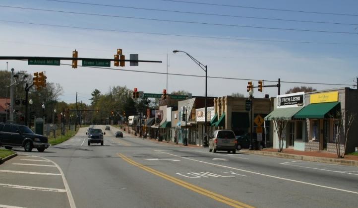
Most of us have nostalgia for the past. And Woodstock has over 129 years of adapting to the conditions of the times. Before the Atlanta sprawl reached Woodstock, there was a time when the streets were narrow and we had a vibrant downtown. Then I-575 was constructed in the 1980s and Woodstock suddenly began growing as a suburban locale. The streets were widened to accommodate commuter traffic, and the downtown district began withering away. Notice the two photos below to see how it changed between 1960 to the year 2000.
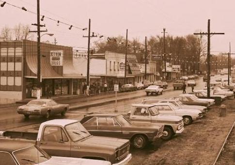
For most of our 129 years, Woodstock had a vibrant downtown that served as the identity of our wider community, where locals would gather to shop and commune with one another. The streets were narrow and businesses were busy. But once suburbia arrived, the streets were widened and the businesses withered, as seen below.
of Woodstock – Transportation Plan
Now, we have returned to a thriving downtown with narrow streets. With that comes the traffic issues that will be addressed throughout this Transportation Plan.
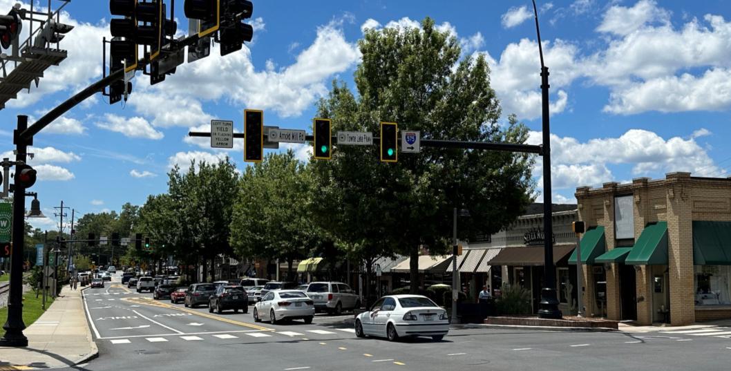
Road construction projects inevitably include detours and disruption. Many citizens become frustrated during construction projects and wonder why they take so long and cost so much. The City participates in the Local Administered Projects (LAP) program sponsored by GDOT that requires following precise guidelines for handling Right-of-Way property rights, contractor procurement, and other aspects of road projects. This special process has been authorized by the USDOT and has been implemented by the states. It is designed to treat property owners fairly, and it is intended to minimize financial mismanagement of road projects. However, it also creates a bureaucratic structure that is extremely slow and costly.
Road construction projects authorized by a jurisdiction are then designed by engineering firms and competitively bid out to construction contractors. Most construction companies are juggling numerous projects simultaneously so they can keep their personnel and equipment as close to full utilization as possible. There are also multiple phases of each project that require tight supply-chain coordination for asphalt, concrete, and many other materials, some of which are weather or temperature sensitive. And
City of Woodstock – Transportation Plan
there are multiple utilities sharing the roadway with poles, controller boxes, overhead lines, and underground lines. Attempts to require tighter construction time frames in the bid documents result in higher prices because it requires contractors to maintain crews and equipment that are more dedicated to one project at a time, and because it might hold them accountable for separate utility companies which they are powerless to control. Therefore, the timing of projects is elongated to keep costs down. This results in some interim periods during projects when the contractor appears to have halted progress, thereby further frustrating citizens that are most impacted by the project.
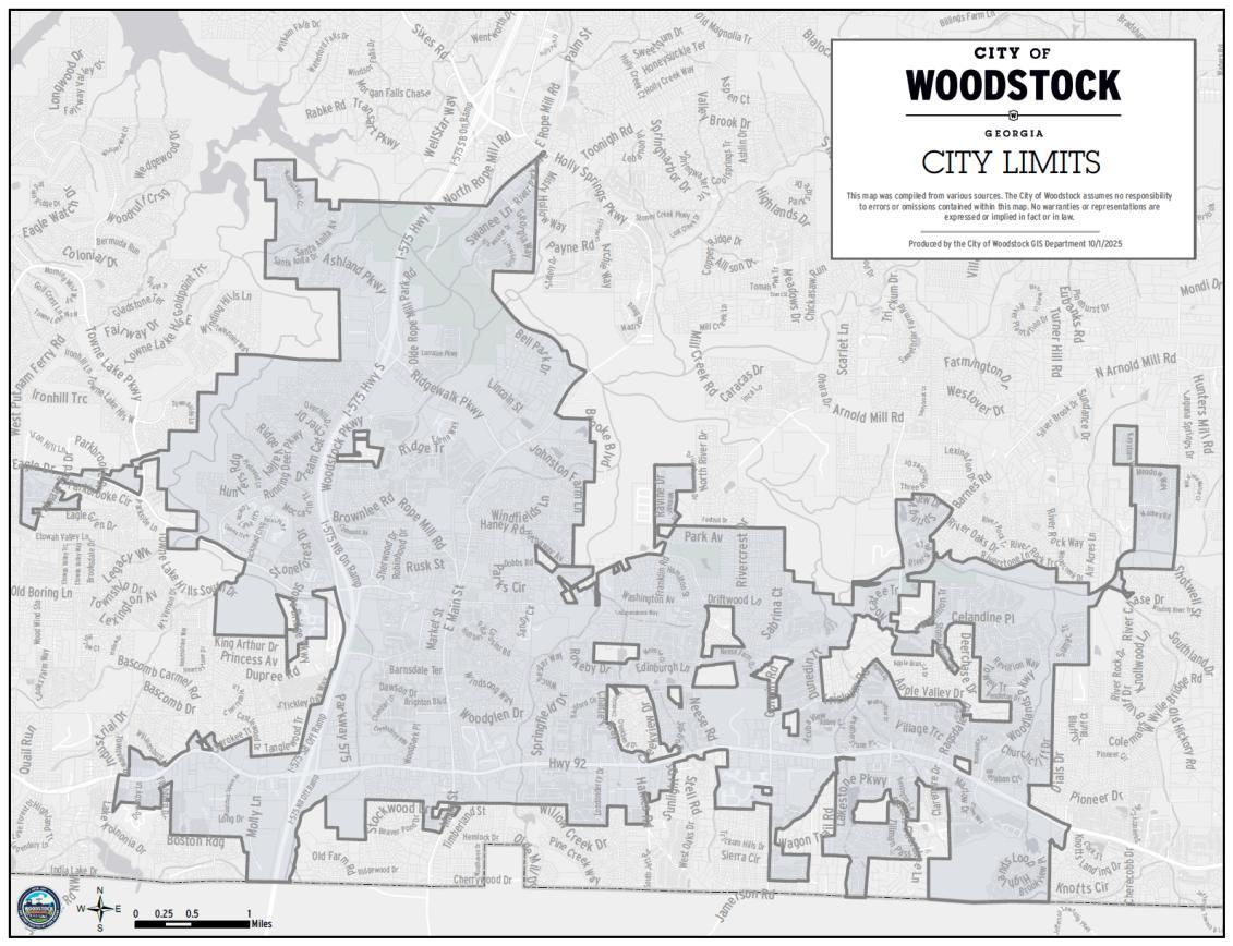
Jurisdictional boundaries are very complex, primarily because the boundaries differ for different purposes. The primary jurisdiction for the City of Woodstock is the city limits boundaries as shown below.
City of Woodstock – Transportation Plan
This map represents the primary jurisdictional boundaries of the City of Woodstock as of 10/01/2025. However, it does not represent the jurisdiction of road or ROW responsibility, nor does it represent the boundaries of the City Water utility. The Road/ROW responsibility is divided in three ways between the State of Georgia, Cherokee County, and the City of Woodstock.
The State of Georgia is responsible for all State roads, of which there are three that pass through the Woodstock city limits. They include: (1) I-575; (2) SR 92; and (3) SR 5. The first two are probably very familiar to most citizens, as I-575 passes directly through Woodstock from the south to the north and SR 92 passes directly through Woodstock from the east to the west. The SR 5 route in Woodstock is much less prominent and often misunderstood because it was rerouted many decades ago and most of this route within Woodstock was combined into sections of SR 92 and I-575. The only non-combined portion of SR 5 within Woodstock is a small section of Main Street south of SR 92 to the edge of the city limits near the Cobb County line. All three of these State routes are managed and controlled by GDOT.
The division of road jurisdiction beyond the state highways is further divided between Cherokee County and the City of Woodstock, based primarily on the administrative jurisdiction on either side of the road. If both sides of the road are within the City jurisdiction, then the City maintains the roadway; but if at least one side of the road is within the unincorporated County jurisdiction, then the County maintains the roadway. This guideline can be superseded upon mutual agreement between the County and the City. This Comprehensive Transportation Plan discusses projects within all three roadway jurisdictions for the benefit of public awareness, but the ultimate control of the projects remains the responsibility of the formal jurisdiction, with the other jurisdictions participating upon mutual consent.
The Woodstock Greenprints Trail System is designed for both recreation and as an alternative form of transportation. The Trail System is a very significant contributor to the popularity of the City of Woodstock. The Trail System operations and plans are administered through the Parks and Recreation Department and are highlighted in various venues, including the City website. This Transportation Plan highlights only the Trail segments that are adjacent to City streets and are constructed within roadway projects.
City of Woodstock – Transportation Plan
This can add to confusion about the difference between Trails and Sidewalks. Trails within Woodstock are officially named paths that meet design guidelines originally established through the state Georgia Land Conservation Act, the ARC Envision 6 Development Plan, and The Greenprints Project. Sidewalks within Woodstock are other hardscaped paths adjacent to City streets. Portions of Trails can sometimes run adjacent to City streets and, if so, they will often be constructed as component parts of roadway projects. Additionally, many new sidewalks are constructed according to Trail Guidelines to enable eligibility for inclusion within the official Trail System paths in the future. These descriptions are offered to aid readers in understanding why certain Trails are referenced in this Transportation Plan, while others might be referenced in other planning documents.
The impact of cut-through traffic will be explained in much greater detail in the next section. It is important to highlight that the term does NOT apply to any of Woodstock residents or those doing business in Woodstock. We refer to that as Destination Traffic. Cut-through traffic ONLY applies to those who travel through Woodstock without stopping or starting there. These are mostly vehicles traveling north/south on Main Street instead of using I-575 or traveling east/west on Towne Lark Parkway/Arnold Mill Road instead of using SR 92, or those traveling north/south on Trickum Road or Neese Road (plus spurs) instead of using I-575 or SR 140. This cut-through traffic continues to grow and usually overwhelms the Destination Traffic, especially when I-575 suffers from blockages due to accidents or construction. Many observers blame traffic growth on new developments within the City, but the cut-through traffic has the most devastating impact by far.
of Woodstock – Transportation Plan
City of Woodstock – Transportation Plan
The vehicular flow of Woodstock is characterized by a combination of through and destination traffic. The distinction between the two is crucial:
Through-Traffic is essentially commuter traffic from outside the jurisdiction to a destination also outside the jurisdiction. This definition describes most of the traffic on I575 and SR 92. Those two routes were designed for that purpose. Unfortunately, it also describes a portion of the traffic at City Center Main and even a portion of the traffic on most other Corridors cutting through to avoid the congestion at City Center Main.
Destination Traffic is traffic coming to start or stop in Woodstock as a resident, visitor, or business stakeholder. This definition describes all our citizens (even if they are commuting elsewhere) and describes the customers and employees of local businesses. These constituents are navigating traffic, finding a place to park (unless they walk or bike in), and then walking to their destination.
The Through and Destination Traffic have very different patterns and needs. The City also has very different obligations to these diverse groups when it comes to the Citymaintained streets, which exclude I-575, SR 92, and SR 5. The City has little obligation to Through Traffic, except as a portion of the state and national traffic flow that cannot be completely disregarded. The City has a deep and substantial obligation to the Destination Traffic that constitutes the residences and businesses of the community.
The flow patterns of both the Destination and Through traffic are best described by dividing the overall flow into sub-patterns according to corridor types as follows:
These are the heart of Through Traffic and of considerable convenience for Destination Traffic.
(1) I-575 – the primary north-south corridor of commuter traffic
(2) SR 92 – the primary east-west corridor of commuter traffic
These are the heart of Destination Traffic but also used by Through Traffic to some degree.
(1) Main Street – the primary north-south corridor of destination traffic
(2) AMR/TLP – the primary east-west corridor of destination traffic
City of Woodstock – Transportation Plan
The Secondary Local Corridors (Majority portions Inside City)
These are the heart of access to residential neighborhoods but also used by cut-through traffic.
(1) Neese Road
(2) Trickum Road (from AMR through Cobb Co line) and Ragsdale Rd & Barnes Rd spurs
(3) Dupree Road (from Main Street to Stone Bridge Pkwy)
(4) Dobbs Road
(5) Rope Mill Road
(6) Main Street (from Ridgewalk to Little River bridge and Serenade Ln to Cobb Co line)
(7) Towne Lake Parkway (from Woodstock Parkway to Eagle Drive split)
(8) Arnold Mill Road (from Dobbs Rd to Neese Rd)
(9) Ridgewalk Parkway
(10) Woodstock Parkway
(11) Molly Lane
(12) Parkway 575
(13) Buckhead Crossing
(14) Hames Road
(15) Ragsdale Road
(16) S Cherokee Lane
(17) Ridge Trail
The Secondary Periphery Corridors (Majority portions Outside City)
These strongly impact City flows, positively or negatively.
East/West
(1) East Cherokee Drive/Main Street/Ridgewalk Parkway
(2) Jamerson Road/Shallowford Road
(3) Arnold Mill Road from Neese Road east to SR 140
(4) Towne Lake Parkway/Eagle Drive from split to Bells Ferry Road
North-South
(5) Bells Ferry Road
(6) Trickum (plus Ragsdale)- then split to either - AMR/Mill Creek or Barnes/NAMR
City of Woodstock – Transportation Plan
The relationships between the four main road types are intricate and diverse. The north/south relationship is in better order mainly because it is supported by a major freeway. And much of this region was built around that limited-access artery which flows toward the Atlanta Metro region and now supports the more recent growth to the north between Woodstock and Blue Ridge. The East/West relationship is not at all in good order, despite SR 92 flowing reasonably well for a major divided highway with frequent crossings. Some of the blame for this condition can be placed on the railroad that must be crossed east/west, but most of the problems are related to the lack of an Outer Perimeter freeway that would be east/west in our area if it existed. This puts undo pressure on the Towne Lake/Arnold Mill corridor to support not only the Destination Traffic, but too much Through Traffic as well.
The City Center corridors were both used traditionally by Through Traffic, as well as by Destination Traffic, although there was very little destination traffic prior to the recent renaissance of Woodstock. However, north/south conditions are very different from east/west conditions, and changes in streets have also contributed greatly to a divergence. The first and most substantial difference is that the north/south Through Traffic is supported by a limited-access freeway, so Main Street was (since the 1980s) only a very limited alternative to the larger regional flow. And the designation of SR 5 was transferred over to I-575, while the old SR 5 became known exclusively as a local road named Main Street. This was further changed by aggressively lowering speed limits on Main Street as far north as Ridgewalk Parkway and as far south as Serenade Lane. Finally, the new Streetscapes design of Main Street created a very slow, pedestrian-friendly environment that serves to frustrate most Through Traffic, but not all.
Much of the Through Traffic that remains on Main Street is accidental – disoriented map/GPS followers often mistakenly diverted from I-575 – and is highly unlikely to ever attempt the pattern a second time. There remains a stubborn contingent of Through commuters utilizing Main Street all the way from Holly Springs to the Cobb County line and, although they are a small percentage of overall north/south commuters, most of which use I-575, the actual number remains substantial for such a small two-lane road with a 25-MPH speed limit and five traffic signals between Ridgewalk Parkway and Serenade Lane.
The east/west pattern is substantially different. It is supported primarily by SR 92 which is not limited-access like I-575. It traverses territory with frequent minor road intersections and several large intersections with left turn problems during rush hour. The east/west corridors of SR 92 and TLP/AMR are also separated by a greater distance from one another than is the separation between I-575 and Main Street. This creates more intense demand (desire) of Through commuters with destinations north of SR 92, especially the Towne Lake and Bells Ferry neighborhoods on the west side and the SR 140 and (North) Arnold Mill neighborhoods on the east side. The Through Traffic patterns of these commuters are very diverse, but the predominant Through flow is west-to-east in the morning and east-to-west in the evening, caused by so many residents of Towne Lake/Bells Ferry/Lake Allatoona neighborhoods with workplaces in Alpharetta and north Roswell, along the Ga 400 corridor. Again, this is traffic that might have been supported by an Outer Perimeter. This pattern is harder to overcome because the alternatives are unappealing and require a north/south detour at both ends of the commute.
The commuter who lives near the intersection of Eagle Drive and Bells Ferry Road, and works near Winward in Alpharetta, instinctively desires to use TLP/AMR as one primary artery of their commute. They do not want to go all the way south to SR 92 on both ends of the commute, and SR 20 poses a similar dilemma to the north. The only realistic alternative for such traffic is the intricate combination of East Cherokee Drive/Main St/Ridgewalk Parkway/I-575/Towne Lake Parkway. That pattern is very distinct and is one of the primary reasons for the expansion by Cherokee County of the East Cherokee Dr/Main intersection to include dual left turn lanes westbound to southbound. This commute is also used by unincorporated neighborhoods of east Cherokee County to reach I-575 for commuting toward Atlanta. It is in the best interest of Woodstock to keep that flow as smooth and steady as possible because it diverts through traffic away from City Center Main. Even with that alternative corridor flowing well, there remains substantial east/west demand by Through Traffic on TLP/AMR, mostly because of the lack of obvious and desirable alternatives. This substantial east/west Through Traffic is likely to be impacted by street changes as TLP/AMR (from Woodstock Parkway to Dobbs Rd) becomes more like Main Street over time, with Streetscapes atmosphere, frequent pedestrian crossings, lower speed limits, and more traffic signals or roundabouts.
All the major road enhancements must also be in consideration of probable future developmental growth, as well as the needs of pedestrian traffic, parking availability, and event planning. The decisions involve trade-offs. The primary one is the trade-off between the needs of Through Traffic and Destination Traffic. There is a distinct and substantial difference in the strategies and needs of these two groups.
The Through Traffic patrons are often the most vocal critics of the growth and popularity of Woodstock because the previously uncongested 45-mph commuter route has been transformed into a consistently congested 25-mph destination route. As previously stated, a large percentage of Through Traffic patrons have already been dissuaded from their pattern and have sought other alternatives due to the transformation of Woodstock, although occasional blockages on I-575 cause substantial fluctuations. This brings forth a major trade-off issue of how future improvements will impact on the dissuasion process of Through Traffic.
The transformation of Downtown Woodstock has been substantial and so has the dissuasion process of Through commuters. It is reasonable to conclude that logical and efficient-minded through-commuters have already been dissuaded from traversing through downtown during their commute. The remaining through-commuters have stronger needs than mere efficiency, such as fear of I-575 and SR 92, nostalgia, or other emotional motivations. In terms of Pareto Principles, the easy 80% have already been dissuaded, while the remaining 20% represent two similar dilemmas for our road enhancement decisions: (1) Slowing downtown traffic further is unlikely to have much impact in dissuading the remaining hardcore commuters; and (2) Speeding up traffic flows downtown will likely invite a relatively high percentage of previously dissuaded commuters back into the fold. Thus, the strategy continues to be to improve the continual flow of the traffic patterns, but not to the degree that it allows higher speeds. This is a very difficult balance.
Another principal trade-off for the City decision-making process of road enhancements involves aesthetics and ambiance. Widening streets and building huge parking areas are legitimate strategy ideas, but they also alter the aesthetic ambiance that has become Destination Woodstock. The popular and congested downtown area requires frequent pedestrian crosswalks and sidewalks, communal parking alternatives, playgrounds for both children and adults, room for events and festivals, and many other components that are at odds with traditional suburban traffic flows and sprawl.
The potential to transform the traffic flows through grid streets, roundabouts, and similar enhancements proceeds based upon opportunities that are often unforeseen in advance. They also involve enhancement decisions that are strategic, constantly changing, and involve complex property rights. The strategy is to add vehicular and pedestrian flow alternatives in the places where there exist logistical constraints and limited flow opportunities for motorists and pedestrians today. Such logistical constraints are especially acute near City Center Main in all directions. Therefore, alternatives for traversing around and avoiding that intersection within a six-block radius are constantly under consideration and study.
These are many of the difficult and intricate decisions to be made about future road enhancements. They involve how to help Destination Traffic flow smoothly in consideration of more neighborhoods along the local corridors and how to help the new downtown urbanism gracefully expand beyond a four-block radius.
City of Woodstock – Transportation Plan
City of Woodstock – Transportation Plan
The City of Woodstock has participated in the nationwide trend of the Smart Cities approach to municipal administration. This includes the administration of transportation initiatives. The primary transportation-related initiatives within our Smart Cities approach include:
Traffic Volume Pattern Recognition and Predictive Capability
Traffic Signal Operation and Data Collection Dashboard
Traffic Signal Adaptive Software and Techniques
Connected Vehicle Communications
Parking Management and Wayfinding
City of Woodstock – Transportation Plan
The goal for predictive pattern recognition is to utilize software to recognize specific traffic patterns by Time/Day/Season/Event, analyze those patterns and how they change over time in such a way as to rationally predict patterns and volumes in advance. This analysis allows for the most effective planning of infrastructure improvements. Such an analysis requires large amounts of complex data and software programs designed to make use of the data. Traffic counts have been collected periodically in the past at various locations for various reasons. Those counts have been stored in centralized electronic file locations More complex data was purchased from StreetLight Data in 2019 and in 2021, and then through PlacerAI and other providers, that helped staff understand the availability of information and the capability of recognizing patterns. Robust data is also available via the Regional Integrated Transportation Information System (RITIS) and has been utilized since 2022. At the same time, the City was investing in Gridsmart infrastructure that now collects data at every traffic signal every minute of the day. The primary advance in 2024 was the new use of the Urban SDK platform for traffic counts, speed counts, trip times, accident reports, and overall accumulation of our data into one platform that can serve as the Transportation Control Center. This industry trend is now referred to as geospatial AI.
The patterns can be very complex, even for a City with a population under 50,000, because the patterns often involve several roads with multiple alternatives associated with each route. As an example, there is a distinct morning commuter pattern that begins outside the City along East Cherokee Drive. Commuters enter this pattern as far north as SR 140 and travel southwest in the morning toward Main Street, then turn south on Main Street and enter the City Limits at the Little River Bridge, then turn west on Ridgewalk Parkway, and finally turn south on I-575. This pattern utilizes four separate roadways on good days, then changes to other alternatives when there is unusual congestion. Analyzing the primary patterns, with the alternatives, begins to multiply the complexity to a level requiring sophisticated software. However, the most sophisticated data collection and software services are generally designed and priced for state DOTs with extensive freeways and limited access points. This is why geospatial AI is usually best combined with manual visual observations and with citizen input.
The traffic count data that has been accumulated over the years has primarily been at intersections with traffic signals. This data was very limited because it was expensive to collect it on an infrequent basis. The first significant introduction of Smart Transportation Technology for the City occurred in 2020 with the installation of GRIDSMART at some traffic signals, of which 14 intersections have been included as of 2026. The equipment at these intersections now provides real time access to traffic counts in every lane, with every turning movement, every moment of every day. And the data will be stored forever as a historical database. The software at these intersections will be upgraded to include full connected signal coordination once the smart technology is installed at more signals.
However, manual coordination of a limited number of signals is already in place and has been greatly enhanced in 2025 Also, the City added in 2024 the technology of Urban SDK that includes 365X24 analysis of traffic and speeds on every City street, along with the capability of combining traffic accident data and GRIDSMART data. The capability of this technology also includes adaptive techniques and connected vehicles to be discussed next.
An adaptive traffic control system is a mechanism to change signal timing in real time based upon demand data arriving from sensors prearranged in the pavement or from another nearby traffic signal, and eventually in Connected Vehicles. This capability is hindered by the safety requirements associated with traffic signals requiring yellow warning times and failsafe internal controls that eliminate the possibility of two simultaneous greens in conflict.
The adaptive software available in the marketplace today was designed for major roadways with limited access. The ability of Woodstock to utilize such a software program is very limited, but we can use adaptive techniques to maximize effectiveness in our unique circumstances. This will be addressed again in the Smart Cities Traffic Project section below. Future adaptive technologies are likely to be associated with the connected vehicle phenomenon, as well as on-demand autonomous vehicular traffic.
The Transportation Plan includes cooperating with the international initiative to establish “connected vehicles” that know where other nearby vehicles are, that can receive warning alerts, that can communicate with traffic signals and can establish unprecedented safety and mobility for the public. This initiative includes establishing the technology within vehicles by the original equipment manufacturers, but it also includes connectivity to infrastructure such as traffic signals and railroad crossings. Although connected vehicles may sound futuristic, there is likely to be exponential growth before 2030. The industry movement toward autonomous on-demand vehicles necessitates the connection of every vehicle for every purpose. This could occur as fast as the introduction of seat belts or airbags did in previous decades.
Smart Parking Technology includes devices and software that can simultaneously track the availability of parking spaces in multiple locations and help guide drivers to parking options without unnecessary circling or delay. It includes the ability to analyze usage trends for maximization of parking infrastructure. Various options are currently under consideration for downtown Woodstock parking management. This began with the installation of Smart Parking Technology in the City Center East Parking Deck. This system helps guide drivers to open spots and is capable of altering usage types, if necessary, based upon the demand at differing times.
City of Woodstock – Transportation Plan
The Smart Cities Traffic Project 2022/2023 was a coordinated project between the City’s Smart Woodstock Program, Inclusive Innovation Smart Community Corps, and Georgia Tech’s Serve-Learn-Sustain program. The project included an analysis of traffic congestion in Downtown Woodstock, along with understanding how the traffic patterns would be changing with the completion of the Hub Transformation Project, and how traffic signal coordination should change accordingly to help improve efficiency and safety. The primary summary findings were as follows:
Congestion is a product of popular destination traffic mixed with cut-through commuters.
Considerable inefficiencies exist at City Center Main and nearby that will be addressed in the Hub Project, including (a) Lack of TLP eastbound left turn lane at Main; (b) Mill Street as a limited one-way street; and (c) Combined impact on Main Street from TLP to Mill causes extreme difficulties for north/south traffic.
Railroad, School buses, and Emergency vehicles produce extreme limitations and demands.
Festivals, events, and detours from I-575 cause frequent disruptions.
Pedestrians and on-street parking cause additional disruptions.
Existing data sources should be augmented using RITIS, Urban SDK, and additional resources.
Adaptive Traffic Control Systems (ATCS) are not suitable to solve the complexities of downtown Woodstock traffic because they were designed for limited-access highways.
Woodstock should take the “adaptive” approach but implement it as a “trafficresponsive” plan in a customized manner that requires frequent manual observations and adaptations, primarily utilizing remote access and tools such as the GRIDSMART program already underway.
City of Woodstock – Transportation Plan
The pretimed signal plans should be multiplied and fine-tuned to specific pattern changes associated with time of day, day of week, season of year, scheduled events, and unexpected detours from I-575.
The clocks on all downtown signals should be regularly synchronized to allow for more perfect set-plans along the two axes of travel.
The cross streets on each axis should be synchronized with precision to allow for maximum flow, except for actuated time periods in the late-night period.
After Hub Transformation completion, the primary remaining disruption in flow will be from the three mid-block pedestrian crossings on Main between Elm and Fowler, and these should be reduced to one “protected and restricted” crossing near Elm Street.
Other remaining disruptions would be school buses and emergency vehicles that can be partially resolved by a new project with the school system and a pre-emption for FS14 emergency vehicles that use this route the most frequently.
The downtown patterns should be continually researched through the latest technology and that research should be regularly used to fine-tune these plans.
City of Woodstock – Transportation Plan
Public input in traffic flow issues is very important to the long-term success of the plan. The input of the public can often uncover opportunities that are frequently identifiable only to those closest to the vehicular flow itself. The eyes of citizens that live at an intersection or drive the same corridor multiple times per day can be incredibly valuable in ways that can never be duplicated by raw statistics of traffic volumes.
However, average citizens have other daily concerns in life and rarely concentrate on specific traffic circumstances. Much of the public input is received only during times of new development cases. It is the intent of the City to continually improve informational access for the public and the usage of the information collected from the public. The City has conducted numerous Transportation Input meetings, including virtual meetings, and intends to substantially expand this approach in 2026.
More importantly, communication technology now makes it possible to conduct public input on transportation projects electronically. The transportation plan includes the
availability of project information to citizens continually via electronic means on a geobased mapping system so citizens can visualize the projects in the area that interests them. They can also see how some projects connect with each other. We anticipate citizens will have an opportunity to learn more about the projects, as well as the circumstances determining design options. Much of this information will help citizens provide even keener insight into the traffic issues closest to them, thus allowing for more fruitful input on a continual basis.
Transportation Projects Maps and additional information can be found at:
https://www.woodstockga.gov/your_government/capital_projects.php and
https://data-woodstockga.opendata.arcgis.com/
The City will be substantially expanding the public meetings about transportation projects with a wider variety of locations and schedules. This will include varying the day of the week and hour of the day in ways that will make the meetings more accessible to those who have difficult schedule commitments.
In the past, transportation public input meetings were conducted as each new project was in the design stage, with unpredictable timing. This is the standard in the industry. However, this resulted in very few participants because there were only so many people interested in just one specific project. The intent for the future is to add more predictably scheduled meetings and to discuss broader transportation plans at each meeting, as well as the most recently proposed projects. These meetings will be more structured and will provide greater opportunities to obtain very specific input about any specific project, as well as the overall transportation plan.
The City of Woodstock welcomes public input on this plan and on any of the projects. Please forward comments, questions, or requests to requests@woodstockga.gov. The staff can also forward more details or schedule follow-up meetings to facilitate discussion.
of Woodstock – Transportation Plan
City of Woodstock – Transportation Plan
City of Woodstock – Transportation Plan
City of Woodstock – Transportation Plan
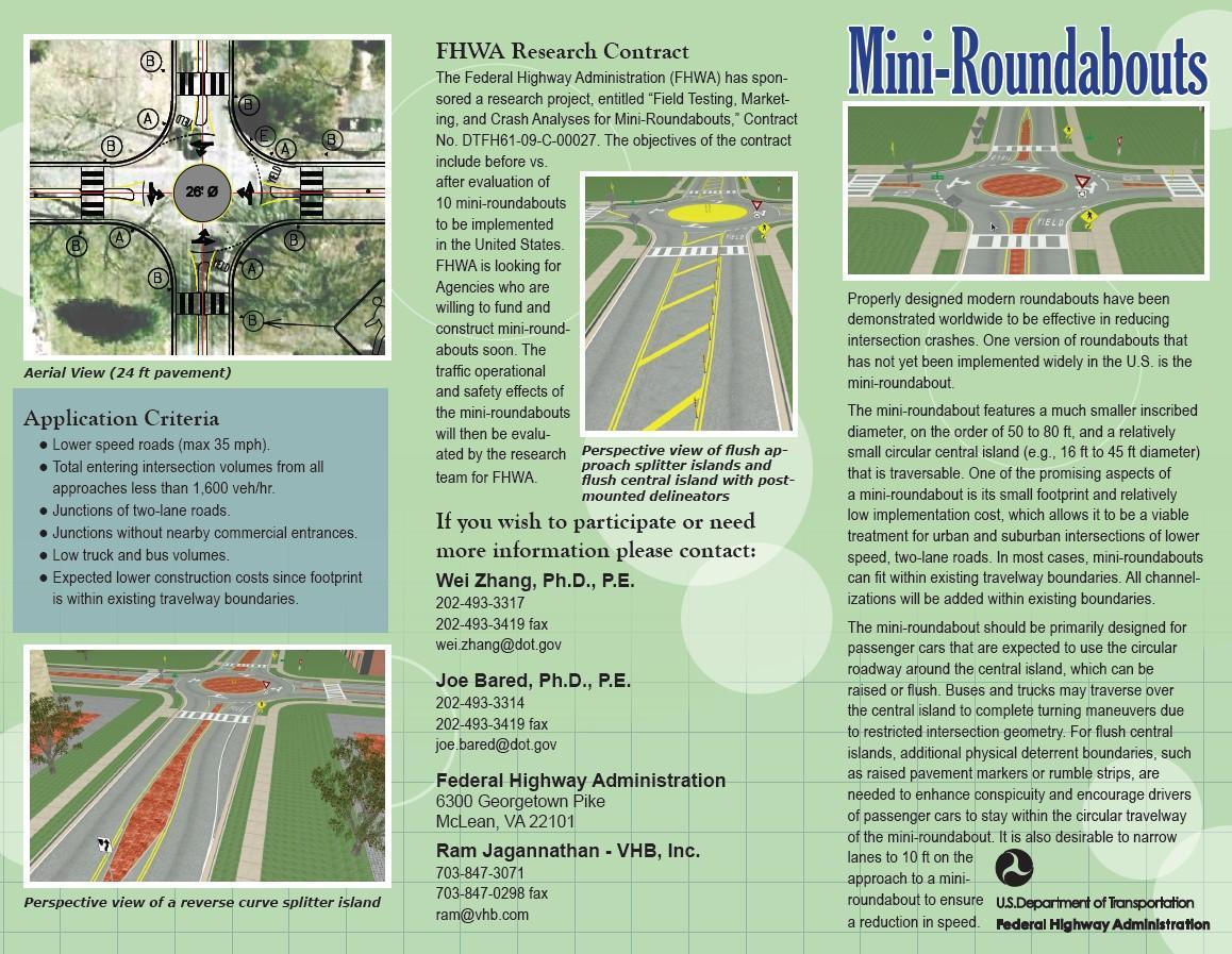
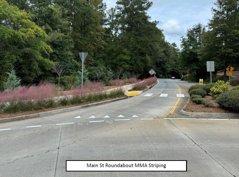
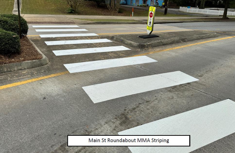
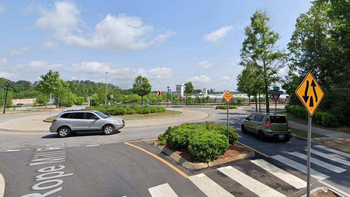
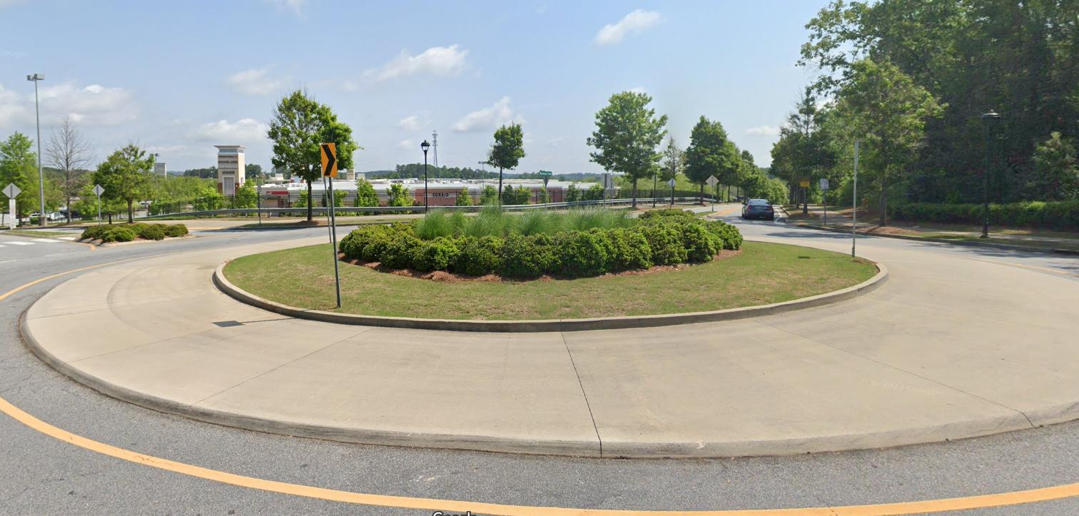
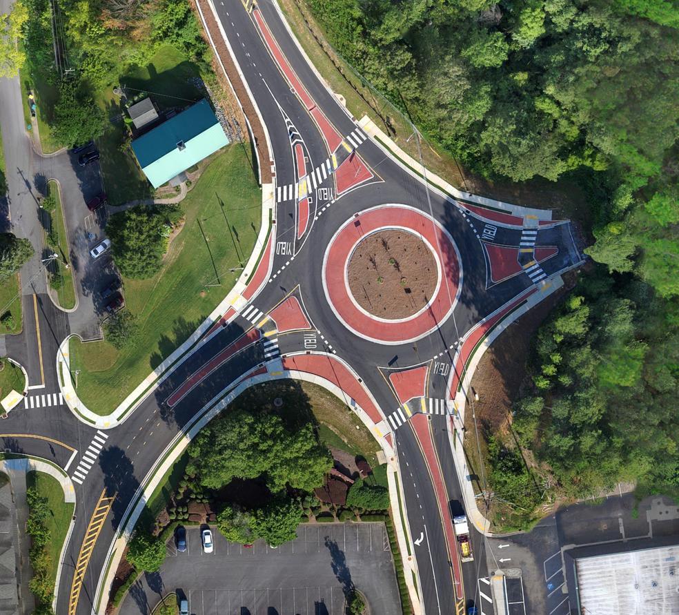
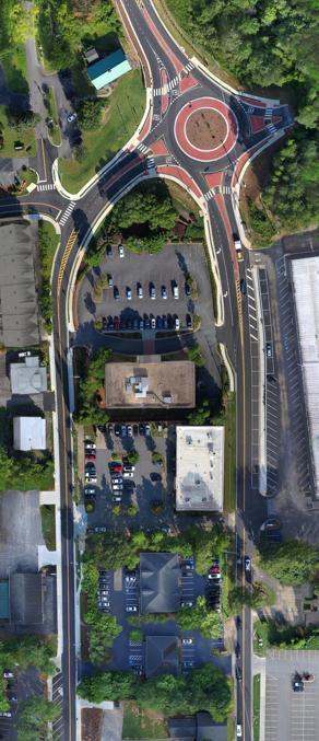
Roundabouts create a method for continual movement at an intersection that can keep traffic flowing with minimal congestion but without the need for a traffic signal or all-way stop sign. This very efficient transportation design has already been utilized at three public street locations in Woodstock, as well as at some private locations. This Transportation Plan encourages the expansion of Roundabouts wherever feasible.
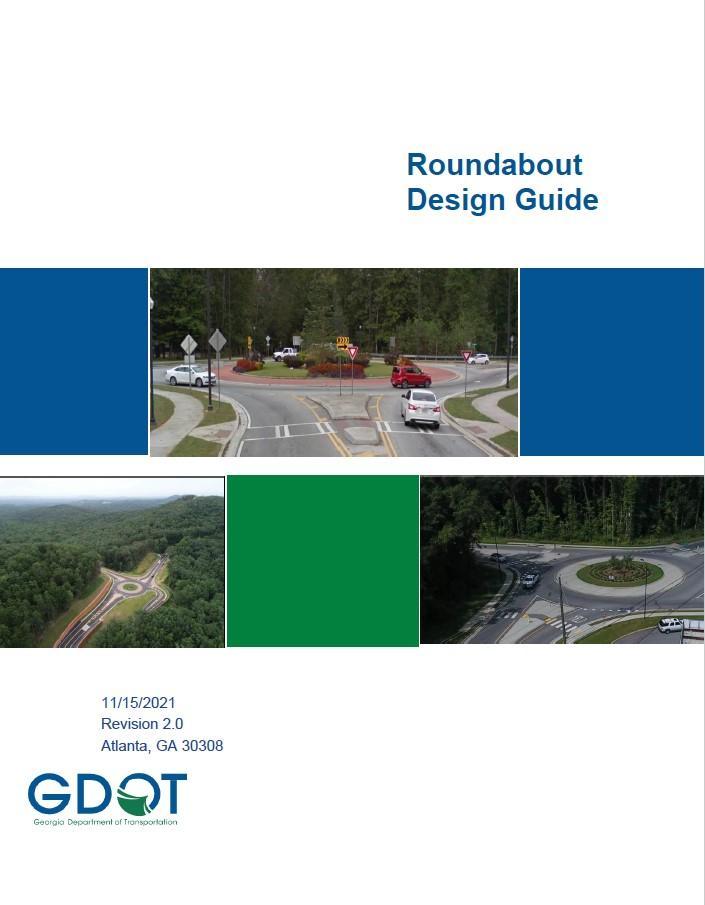
The plan calls for roundabouts to replace existing stop signs and traffic signals when feasible. It also preferences roundabouts over signals or stop signs in new developments and at new public intersections. This includes roundabouts of various sizes and emphasizes the use of the mini-roundabout concept in lower volume positions where allway stop signs might be displaced. The GDOT Roundabout Design Guide will be used as the primary guide and it will be augmented by the FHWA research on Mini-Roundabouts, as can be seen in the two illustrations below
City of Woodstock – Transportation Plan
City of Woodstock – Transportation Plan
City of Woodstock – Transportation Plan
City of Woodstock – Transportation Plan
City of Woodstock – Transportation Plan
City of Woodstock – Transportation Plan
City of Woodstock – Transportation Plan
The Planning Process includes existing, in-progress, planned, and aspirational roundabout locations as follows:
Main Street at Haney Road
Woodstock Parkway at Rope Mill Road
Towne Lake Parkway at Mill Street
Trickum Road at Nocatee Trail
Neese Road at Washington/Driftwood
Neese Road at Arnold Mill Road
Arnold Mill Road at Dobbs Road
Main Street at Dobbs Road
AMR at Trickum (wholly outside jurisdiction)
AMR at Barnes (wholly outside jurisdiction)
AMR at Mill Creek (wholly outside jurisdiction)
AMR at Sandy Circle
AMR at Bentley
AMR at Hubbard
Barnes at Brookdale
Barnes at Meadowland
Barnesdale at Paden or Reeves or Market
Dupree at Market
Dupree at Reeves
Dupree at Goshen/Paden
Dupree at Stone Bridge (wholly outside jurisdiction)
Dobbs at Melanie (mini)
Gold Creek at Claremore
Haney at Windfields (mini)
Lyndee at Rusk (mini)
Main at Serenade
Main at Brighton
Main at Barnesdale
Main at Dupree
Main at Fowler
Main at Arnold Mill Road
Main at Ridgewalk
Main at Lincoln
Main at Bell Pk
Neese at Neese Farm
Ragsdale Rd at Cornerstone
Ragsdale at Persimmon
Ridge at Plantation (mini)
Ridge at Whitfield (mini)
Running Deer at Buckhead Crossing
Trickum at Sycamore
Trickum at Ragsdale
Trickum at Barnes
S Cherokee Ln at Lakestone
Woodlands Pkwy at Celandine
City of Woodstock – Transportation Plan
City of Woodstock – Transportation Plan
Traffic signal timing involves determining the sequence of operation and assigning green time to each approach at an intersection while considering time for pedestrians and other users as well. Understanding cycle timing requires a look at some fundamentals such as cycle lengths, phases, splits, peak hour trends, pre-timed and actuated signals, optimization, coordination, and communications. It also requires a very basic appreciation for safety and the fact that the entire traffic signal industry has been constructed around the issue of safety. Traffic signals are designed and manufactured to prohibit the possibility of simultaneous green signals in opposition to one another. And they are required to include mandatory yellow signals in preparation for switching from green to red. This necessarily limits the flexibility for fast plan changes or adaptive techniques that might endanger the public. The issue of traffic flow efficiency will be subservient to the issue of safety, until such a time that the two can be merged in a completely automated control system of both signals and vehicles.
City of Woodstock – Transportation Plan
Cycle time is the amount of time required to display all phases for each direction of an intersection before returning to the starting point, or the first phase (split) of the cycle. Cycle lengths are based on traffic volumes and work best within a certain range depending on the conditions of the intersection. The goal of signal timing is to find an optimum cycle length for the most efficiency during a particular time-period. The most efficiency is generally produced when the green phase provides the most vehicular throughput, while wasting the least amount of green time with no vehicles passing through. Typical cycle lengths generally range from one to three minutes.
A split is the directional flow, which is normally comprised of two splits per intersection, although complex intersections may be comprised of more than two splits. The traditional dual split would be comprised of one split for east/west and another split for north/south. Each split can maintain different cycle lengths, to include the green and yellow times. The needs of each split would include anticipated traffic demand in that direction, as well as differences in travel speed and roadway conditions. The differential between splits always requires balancing the need for efficiency against the tolerable waiting times for the cross traffic. A typical intersection would rarely have traffic demands in opposite directions that are perfectly equal. Most intersection splits are unequal, favoring one split with longer cycle times than the other split. Heavier traffic patterns require longer cycle times to lessen the likelihood of gridlock, but they also frustrate cross traffic. Traffic signal planning involves finding the most effective balance between the need for efficiency and the human emotion of frustration.
The start and stop times at a traffic signal create a wave effect as drivers have differing reaction times. The sequence creates an “accordion effect” due to the unpredictable amount of reaction delays within a platoon of vehicles, especially at the start of the green cycle. This accordion effect creates a dramatic difference in traffic flow efficiency between short and long cycle times. Cycle time of 60 seconds is much more than double the pure throughput efficiency of a 30 second cycle time because the accordion effect is recycled twice in the 30 second cycles compared to once in the 60 second cycles. Longer cycle times minimize the accordion effect overall, while shorter cycle times exacerbate the impact. This accordion effect has increased in the age of cell phones and technological
distractions, and this has made traffic congestion worse even where the actual traffic volume has remained the same.
Pre-timed signal plans are predetermined based on observed traffic volumes and trends. These pre-timed plans are common during the heaviest traffic periods and allow for elongating the cycle splits for maximum efficiency. They are uninterrupted by crosstraffic actuation.
Actuated signal plans are usually a cross of a pre-timed plan, plus acceptable interruptions based upon the actuation at the cross street. Such plans are common in low-volume time periods, and they usually keep the primary directional flow green until the cross street is actuated by detecting a vehicle in waiting. The variations of actuated plans are practically limitless depending on the circumstances at any given intersection. Actuation requires devices that can detect the presence of vehicles, such as in-road detection loops or cameras above the intersection, both of which are subject to individualized failures.
Signals are typically coordinated on a time-of-day basis for each associated peak period. The most common peak periods are the AM and PM rush hours associated with commuter traffic on weekdays. There are also destination peak periods associated with known events, such as schools, factories, shopping, event venues, and restaurant districts. These destination trends may or may not blend into either or both commuter rush hours. Depending on circumstances, any of the traffic trends may be heavily “directional,” often with a definitive in/out directional trend, such as south in the morning rush hour that reverses to north in the evening rush hour.
Detection systems are critical to actuate signals, using various methods to detect a vehicle approach. Examples include induction loop detectors, radar, sub-pavement electromagnetic pucks, and video detections. Induction loops are wirings that are placed in saw cuts in the pavement and run back to the traffic signal cabinet. There are less intrusive forms of detection, such as radar detection and video detection that typically also require less maintenance. However, all forms of detection are subject to occasional
failure, which require constant monitoring and maintenance, especially if there is extensive use of actuation within the signal plans.
Within the traffic signal cabinet is a traffic signal controller that acts as the “brains” of the traffic signal. The controller sends signal instructions of what to run, how long to run, when to run, etc. The controller collects information from the intersection through the detection system, then responds based upon pre-set criteria, and thus controls the operations of the traffic signal lights. Again, the criteria can be altered by a trained professional, but even experts are incapable of forcing the apparatus to display greens in opposition to one another. Some systems include collecting and storing extensive information, usually off-site by sending the data to a centralized data server.
Signal plans are important at all signals, but the design of plans becomes much more complicated when they must be coordinated in groups. Isolated intersections only require a plan for one intersection based upon known conditions. System intersections (groups of intersections relatively close together with influences on one another) have exponentially increasing complexities based upon the degree of differences between signals in the system and the need to coordinate those differences. System intersections are usually closely spaced intersections and any timing changes at one intersection influences the upstream and downstream intersections. Therefore, system intersections are frequently programmed to be synchronized exactly, without variation except in lowvolume actuation-based periods. The exception to this advantage of exact synchronization involves intersections so close to others that the cross traffic may stack into the primary flow in such a way as to cause gridlock conditions, such as our Mill Street and Hubbard Road intersections which will be explained elsewhere in this plan.
Often signal system corridors can be connected via fiber optics, copper wiring, or wireless networks to each other and/or to local traffic management centers (or traffic control centers) where they are monitored and controlled remotely. Through remote connections, an engineer or a computerized system can communicate directly to intersections and make remote changes to the traffic signal operation. Remote communications and signal operation allow agencies to make changes to traffic plans or
patterns during special events or incidents. Traffic signal timing and coordination is rooted in sophisticated algorithms and optimization models, but there is no “one size fits all” solution because there are many factors such as local trends and driving behaviors involved.
Progressive offsets are used on corridors with very distinct commuter patterns that are reversed between morning and evenings. This allows for one-directional offsets that can be reversed for the opposite end of the workday. This gives preference to the commuter pattern by progressively timing greens as the traffic moves forward in such a way as to create a very long series of non-stop green lights. This strategy is unlikely to be useful in Woodstock because it is helpful only in cases with extreme commuter patterns. What is progressive in one direction is regressive in the opposite direction.
Adaptive signal timing is the most complex of all signal timing technology. Adaptive timing requires sophisticated detection devices in all directions, usually much further away from the intersections, and uses information from these devices to change signal timing adaptively. This type of software programming adds tremendously to the complexity of system coordination. The traffic signal industry has only recently developed this type of software, which is obviously most successful in “controlled” circumstances, where limited-access highways can have more control in all directions and for all possible disruptions. It may seem counterintuitive, but large limited-access highways (even with very high traffic counts) have much less complexity than smaller streets and roads that have a plethora of connections, driveways, pedestrians, parking, and disruptions at unpredictable lengths.
The Downtown Woodstock Coordinated Signal program is comprised of City Center Main, Main/Mill, Main/Fowler, Main/Dupree, and AMR/Hubbard, plus an anticipated addition soon at AMR/Bentley. A more extended version of this “signal system” sometimes includes Main/Serenade, Main/Sam’s and TLP/Woodstock Pkwy. However, it should be noted that Main/Sam’s and TLP/Woodstock Pkwy are component parts of other signal systems associated with SR 92 and I-575 Interchange and will remain connected to those larger systems due to their massive traffic volumes. It is also in the best interest of the City to use Main/Serenade to facilitate the smoothest possible transition between the Woodstock Downtown and SR 92 systems. For the purposes of this discussion, we will primarily be addressing the Downtown Woodstock signal system.
The City of Woodstock officially operates 20 local traffic signals (including the impending addition at AMR/Bentley) but also monitors and coordinates with other jurisdictions at 39 nearby signals. These include those along SR 92 within our City Limits, but within the GDOT ROW jurisdiction. The number of signals has grown substantially over the years. The City only has two true signal systems (Downtown 6 and Ridgewalk 6), comprising 12 of the 20 signals, while the others would be characterized as “isolated” or connected to the systems of other jurisdictions. The City maintained very few traffic signals prior to the year 2000, and there was very little traffic to be controlled, except at City Center Main, and that was only during rush hours for cut-through traffic. That all changed once the inevitable sprawl dramatically reached Cherokee and surrounding counties.
This new plan describes the Downtown Traffic Signal Plan and concentrates on the six downtown signals. This plan will also consider the three other nearby signals at Sam’s, Serenade, and Woodstock Pkwy for planning purposes. Half of the six downtown signals were installed since the end of the Great Recession. It was in this period that Downtown Woodstock became a popular destination, with destination and commuter traffic competing for access at the six signals. It is unlikely that many more signals will be included in the future within the Downtown District. This is because the Woodstock Transportation Plan calls for the construction of roundabouts at intersections in place of traffic signals, where feasible. The three most recent additional signals (Fowler, Hubbard, and Bentley) are at tight intersections without the realistic space needed to easily construct a roundabout at the time of construction. That is also true for the oldest three
City of Woodstock – Transportation Plan
signalized intersections (Main, Mill, and Dupree). The new roundabout at TLP/Mill has been constructed in an area with sufficient space and will be serving to replace what would have been a necessary seventh signal in the system. You will find more reference to the future possibilities of these intersections in the Design Table Section where the concept of smaller roundabouts will be continually pursued as an alternative to traffic signals, even at intersections with tight logistical constraints.
There was no formal downtown signal coordination “system” or plan until 2017. Prior to that, the signals were manually coordinated for the singular purpose of maximizing cutthrough commuter convenience. As the Fowler and Hubbard signals were added, there was a new need for coordination. The destination traffic was substantially changing the traffic patterns. The first plan was facilitated through a grant, and it combined GDOT and Arcadis engineering analysis in 2017. This plan essentially created the synchronization of the two competing axes and concentrated on the hardware necessary to achieve synchronized clocks, while manually installing the same pre-time and actuated plans on each axis. This plan was a good first step. However, the plan suffered from a fast-changing hardware environment and an even faster change in the downtown traffic patterns, especially the extreme popularity of the Market Street district. This plan was updated again in 2019, mostly to accommodate the changed destination traffic.
The City has now completed the Hub Transformation and Arnold Mill Road construction projects. These projects have changed the traffic patterns yet again. The Smart Cities Traffic Project (SCTP) was initiated in 2022 to consider downtown traffic signal coordination considering the changing technology and traffic patterns. The SCTP was completed by graduate students from Georgia Tech, as part of the Smart Community Corps program. Their findings were presented to City Council on August 8, 2022, and the summary findings were included in the previous section of this document.
In August-November 2023, the City conducted an analysis of the downtown signal plan (and nearby signals) to maximize the advantages of the Hub & AMR projects. The overall traffic flows were improved dramatically, but there were four unintended consequences that were addressed: (1) SB Main between TLP and Mill was regularly filling beyond capacity, thereby creating congestion at City Center Main; (2) Flashing yellows at the City Center Main three left turn lanes were creating congestion and safety concerns; (3) NB
Hubbard left turners were frequently impeded by lack of queuing space; and (4) NB Main was experiencing unusual congestion from Serenade to SR92 due to side street timing at the Serenade traffic signal. All four of these issues were resolved by changes that were completed in early December 2023 and described below in the next section
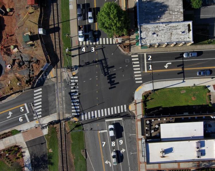
The traffic signal at City Center Main is the lynchpin of downtown signal coordination because this is the point where the east/west and north/south axes cross paths. This crucial intersection is very congested and has severe physical limitations that restrict widening options. The intersection was renovated in 2023 with the Hub Transformation Project. Therefore, the detailed specifics of the current configuration are important components of the 2026 Transportation Plan. There are 9 inbound lanes entering the intersection. These are numbered in the following diagram, and those numbers will be referred to in the descriptive sections below.
City of Woodstock – Transportation Plan
Lanes –
Towne Lake Parkway was widened in the Hub Transformation Project to include an eastbound left turn lane at Main Street (Lane 1). This was a crucial aspect of the overall project because the lack of this turn lane had previously been overcome by turning Mill Street into one-way traffic and forcing these left-turning vehicles down Mill Street to turn left onto Main Street (thereby traveling an unnecessary additional block on Main St between Mill and TLP, the shortest and most congested block in the City between two signals). The old configuration was reasonably successful until 2016. By that time, traffic volume through downtown Woodstock had risen considerably, and the new popularity of the Market Street District began creating intense strain by forcing destination traffic leaving the Market Street District through a similar route as the left turn traffic already on Mill Street.
The Hub Transformation Project solved both issues by establishing the TLP Left Turn Lane, creating the roundabout at TLP/Mill, and turning Mill Street back to two-way traffic. In the project planning process, it was noted that most of the traffic turning left onto TLP from Main Street (Lane 3) were doing so because they were exiting the Market Street District toward I-575 and Towne Lake neighborhoods to the west. It was also noted that northbound Main Street traffic was being severely delayed by right-turning vehicles making an arduous turn across the railroad tracks and crosswalk at the same time (Lane 4). Therefore, the project plan included exchanging the dedicated left turn lane for a dedicated right turn lane.
Signal –
The traffic signal at City Center Main was reconfigured to include the new eastbound TLP turn lane (Lane 1), as well as the reconfiguration of the two northbound lanes exchanging a dedicated left lane for a dedicated right lane (Lanes 3 & 4). After project completion, the signal timing was adjusted to obtain the most appropriate lane timing associated with the new vehicle patterns. This primarily included the time length of dedicated left turn arrows, the alternate use of “leading” or “lagging” timing plans, and the alternate use of flashing yellow left turn arrows. Leading left turn arrows provide a dedicated left turn at the beginning of a cycle, while lagging left turn arrows provide a dedicated left turn at the end of a cycle. The following signal configuration (during prime usage hours) was instituted in December 2023:
of Woodstock – Transportation Plan
- Southbound Main Street left turn onto AMR (Lane 7) was turned into a Lagging Left Turn arrow. This lagging aspect was created to maximize northbound traffic throughput. The northbound queue is full at the beginning of the cycle, but not full at the end of the cycle (Lane 3), due to staggering toward the end of the cycle. The staggering is caused by a combination of pedestrian crossings, on-street parking delays, and general distraction by drivers. Therefore, the lagging left at Lane 7 dramatically improves the northbound throughput in Lane 3, without changing the amount of time used for the dedicated left arrow. Additionally, the flashing yellow turn arrow is not used in Lane 7 due to the immediate conflict between the southbound left turn lane and the northbound straight lane, which creates no capacity for vehicles to stage a left turn in the middle of the intersection.
- Eastbound TLP left turn onto Main Street (Lane 1) was turned into a Leading Left Turn arrow, with usage of flashing left turn arrow in the remainder of the cycle. The leading aspect was created to lessen the probability of eastbound congestion caused by inadequate left turn queueing capacity, prioritize the higher traffic volume (EB Left greater than WB Left) and to minimize conflict with the westbound AMR turn lane designed as a lagging pattern.
- Westbound AMR left turn onto Main Street (Lane 5) was turned into a Lagging Left Turn arrow, with usage of flashing left turn arrow in the beginning of the cycle. This allows best use of the extended queuing space of the turn lane, and to provide an opposite configuration to the eastbound configuration, thereby minimizing conflict between eastbound and westbound in the middle of the difficult intersection. All of the decisions between utilizing leading or lagging left turns are subject to adjustment based on changing conditions, and this is especially true for this AMR left turn onto Main Street.
- Adjustments have been made at the two closet intersections (Main/Mill and AMR/Hubbard) to CCM to allow for more effective flow than was originally planned with exact synchronization. These two intersections experienced unanticipated queuing issues that have been resolved via realignment of timing to facilitate sufficient queuing space for southbound Main between Mill and TLP, as well as northbound Hubbard left turns to westbound AMR. These purposeful and productive changes were made to overcome specific queuing issues, while
minimizing the delays to the entire CCM flow. These adjustments are likely to be updated frequently to further gain efficiency as new data and traffic patterns emerge.
The lane and signal configuration will become more familiar to regular users over time. And GPS providers are incorporating the new configurations into their systems. Signage has been added as shown in the following photos. One oddity to remember is that the Mill and Hubbard signals are purposely out of synch with CCM to address queuing capacity issues specific to each of these two intersections.
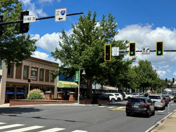
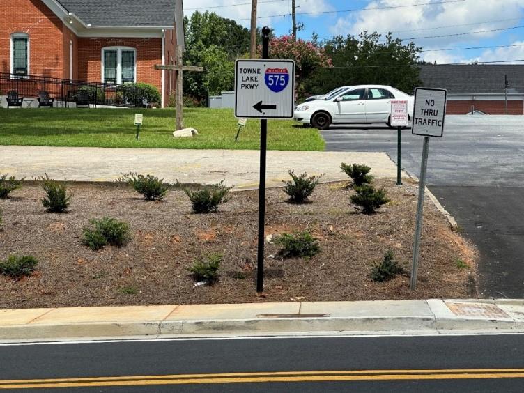
City of Woodstock – Transportation Plan
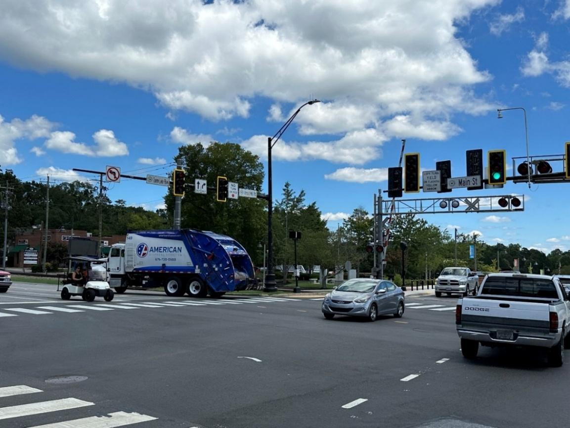
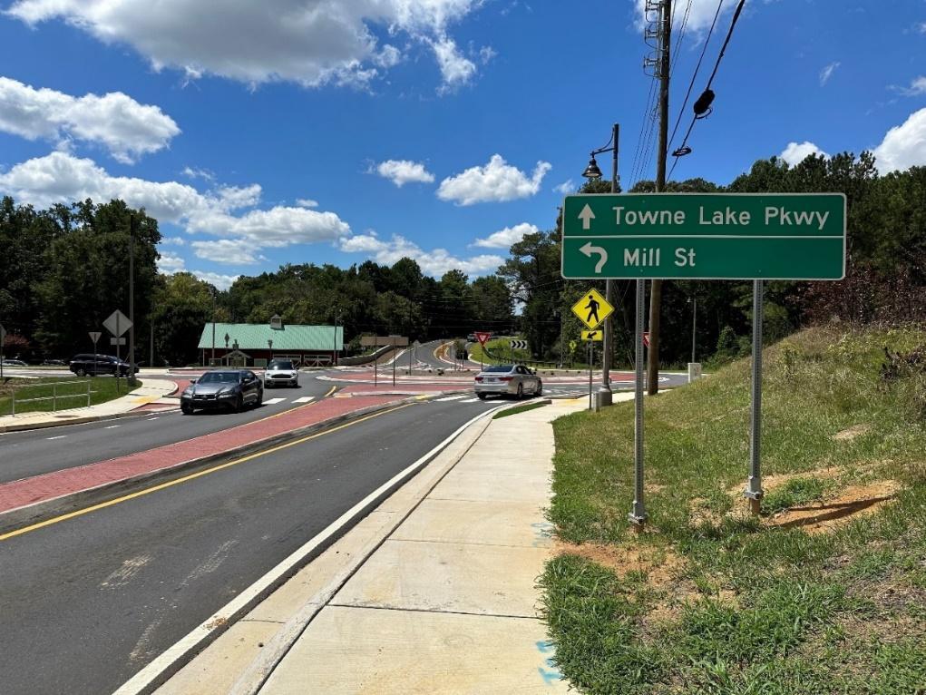
City of Woodstock – Transportation Plan
The existing signal plan for Ridgewalk Parkway is working efficiently at this time but will be revised in 2026 after review of the most recent traffic patterns. The new signal system plan for Ridgewalk Parkway will be based on similar concepts and techniques as discussed above on Main Street but will be adapted according to the conditions of the parkway. Ridgewalk Parkway is a busy corridor that also struggles with a conflict between cutthrough commuter patterns mixing with destination shopping traffic. However, these patterns are much more consistent and predictable than downtown, except for unanticipated traffic problems on I-575 that periodically deluge the parkway with gridlock levels of congestion. Even the very high volumes associated with holiday shopping are largely predictable, although difficult to control based upon sheer volumes.
The primary advantage at Ridgewalk Parkway is that the two directions are not at all equal, so the east/west traffic will always have significantly longer cycle times than the north/south cross streets that are not through streets, except for the connected ends at I-575 and Main Street. This requires very careful coordination for the weekday rush hours, weekend shopping/church schedules, and special holiday schedules. The primary emergency plans will be devised in such a way to accommodate I-575 diverted traffic, one plan for northbound and another plan for southbound.
Overall, the plan follows the same concept of directional synchronization and maximizing cycle lengths during the heaviest traffic volume periods. The plan will also be helped greatly by the newly designed diverging diamond interchange at I-575. This will allow for the elimination of one signal configuration for most vehicle movements at the interchange by creating continual movement patterns for entrance ramps for traffic that had previously been congested by the wait for left turn protected arrows. The timing of the interchange project is unpredictable, so this plan is likely to be updated before and after the interchange project.
Based on the conditions and recommendations above, the Public Works Department, in conjunction with outside engineering firms, will continue to revise traffic signal timing plans. The Downtown Woodstock Plan will include City Center Main as the axis point of control with several levels of cycle lengths as described below, to be based on a review of the traffic volumes by 15-minute increments in the data as captured since the installation of GridSmart at City Center Main and other nearby locations. The cycle lengths of fixed plans would be synchronized by axis, with East/West synchronized as City Center Main, Hubbard Rd, and Bentley Pkwy, and with North/South synchronized as City Center Main, Mill St, Fowler St, and Dupree Rd. Serenade Lane and Woodstock Parkway signals would also be coordinated to the degree feasible without jeopardizing the coordinated plans of Highway 92 and the TLP Interchange. Off-peak, actuated plans will maximize flexibility by rotating the City Center Main directions with short cycle lengths, while allowing all other signals to remain green on the Main/AMR corridors and to actuate (with very short cycles) for side street access as necessary. The various cycle lengths would be established for the most distinct time periods throughout the day by 15-minute increments as warranted in the analysis of the data.
City of Woodstock – Transportation Plan
Strategy to be used in deciding which cycle splits to utilize under various conditions:
Cycle times of higher or lower lengths will be considered and used as appropriate.
Continual adjustments and improvements will be considered each day.
Cycle times for each axis will be considered based on relative value to the opposing axis.
North/south volume usually surpasses east/west volume in the PM peak, while East/West volume usually surpasses north/south volume in the AM peak, but the difference will be based on the available data
The longest cycles will be used only during the highest volume periods.
The longest cycle time will be evening rush hour (and periodic emergency conditions).
Actuated cycles will be used only during the low volume periods.
Cycles longer than 120 seconds are likely to cause adverse effects based upon frustration.
Longer cycle times create greatest efficiency, but also maximum frustration to cross traffic.
Plans and cycles must be continually assessed based on changing conditions. Clock calibration at each signal is essential
Plans should be pre-set at all 6 signals with exact synchronicity by axis, as feasible.
City of Woodstock – Transportation Plan
The newest plans should result in greater throughput efficiency (on a per-volume basis) in the busiest times, without creating undo frustration, and accommodating maximum flexibility during the least busy times. That sounds easier than it is to accomplish in realtime.
North/South will be synchronized for simultaneous greens (with the Mill exception already noted) that should allow for vehicles to traverse through City Center Main, Mill St, and Fowler St under most conditions, while east/west is in simultaneous reds.
East/West will be synchronized for simultaneous greens (with the Hubbard exception already noted) that should allow for vehicles to traverse through City Center Main and Hubbard Rd (with Bentley added soon) under most conditions, while north/south is in simultaneous reds.
There will be variations to these patterns based upon differences in the turn lanes associated with each traffic signal. Although the entire directional split is synchronized, the individual turn lane configuration utilizes a portion of that directional split. This is most impactful to the turn lanes at City Center Main, which is the only intersection with high traffic counts in the turn lanes, which will require longer turn lane cycles than elsewhere. (See previous City Center Main section). This will allow the downstream signals to release straight traffic slightly before City Center Main, thereby maximizing the throughput efficiency northbound and westbound, while not impacting southbound and eastbound.
The exceptions to this improved efficiency will be the previously mentioned interruptions of pedestrians, trains, school buses, emergency vehicles, on-street parking, driveways, and other temporary conditions. Many of these cannot be solved by coordinating traffic signals. Therefore, three of the most impactful (pedestrians, school buses, and emergency vehicles) will be addressed in separate projects designed to mitigate the most extreme problems associated with those three issues.
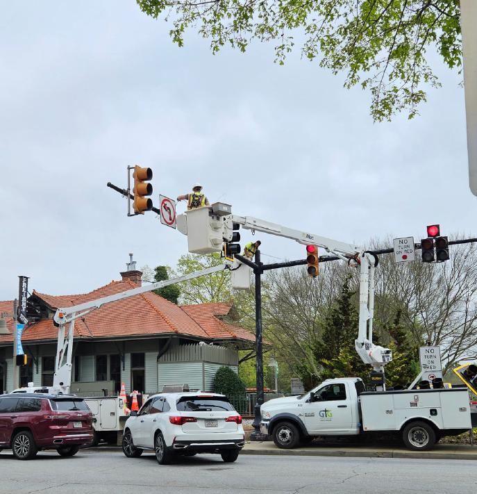
City of Woodstock – Transportation Plan
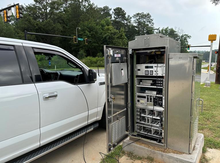
City of Woodstock – Transportation Plan
City of Woodstock – Transportation Plan
Other road enhancements include rapid response projects that can mostly fit inside existing right-of-way boundaries. These primarily include the addition of brief left or right turn lanes, the slight widening of streets where ruts develop, and changes in signage and striping that add to safety and convenience. These measures within the streets have been found to be very helpful in improving the overall flow of vehicular and pedestrian traffic. (Within neighborhoods, such activity will be covered in the Traffic Calming section of this document).
The rapid response projects associated with the state routes of I-575 and SR 92 must be approved by GDOT and usually proceed through the GDOT prioritization and procurement processes, according to established guidelines. The City of Woodstock can influence these processes by conceiving of the improvements and sponsoring the conceptual designs. The larger projects on I-575 and SR 92 must go through very elaborate and time-consuming processes, such as the projects listed in the Major Projects section. The projects of lesser scope can often proceed faster. They are called Quick Response Projects by GDOT.
City of Woodstock – Transportation Plan
Two Quick Response Projects are included in this 2026 Transportation Plan for illustration purposes. They are both on I-575, one at the Ridgewalk Parkway Interchange and one at the Towne Lake Parkway Interchange. These should not be confused with the comprehensive interchange projects. These two projects have the Quick Response moniker in the project title for clarity, and they both have been completed.
The I-575 at Ridgewalk Parkway Quick Response Project design added an eastbound lane on the western side of the interchange. The extra lane serves as a dedicated right turn lane onto the I-575 southbound entrance ramp. This allows vehicles uninterrupted access to the ramp by shifting the straight travel lane out of flow of interruption. This design also considered the changes inherent in the future full interchange project, to avoid unnecessary conflicts. This project was completed in 2024.
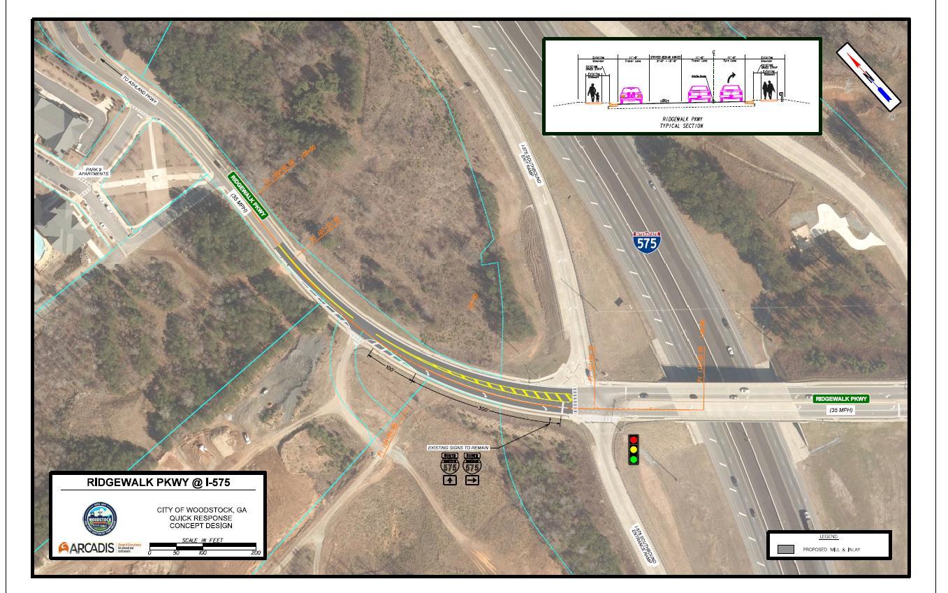
City of Woodstock – Transportation Plan
The I-575 at Towne Lake Parkway Quick Response Project design added the second eastbound TLP turn lane onto I-575 northbound entrance ramp. This extra turn lane has been supplied within the current width of Towne Lake Parkway, although small widening was necessary on the entrance ramp to receive the new dual-left turns appropriately. This work was consistent with the design of the comprehensive interchange project. And it solved one of the primary deficiencies of this interchange. This deficiency was caused by the shift over multiple decades from a lopsided interchange serving commuters going toward Atlanta, to a more balanced interchange serving a higher volume of northbound commuters. This shift has caused severe congestion to eastbound Towne Lake Parkway travelers once the left-turners backed up into the travel lane. Once that initial back up occurred, the congestion quickly continued to consume intersections back to the west, frequently reaching all the way to Eagle Drive. This project was completed in 2023.
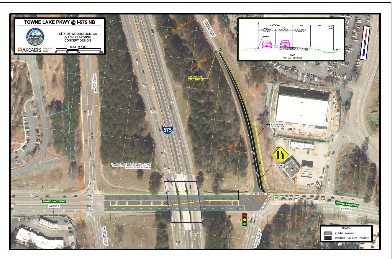
City of Woodstock – Transportation Plan
I-575 at Towne Lake Parkway Quick Response Project Complete
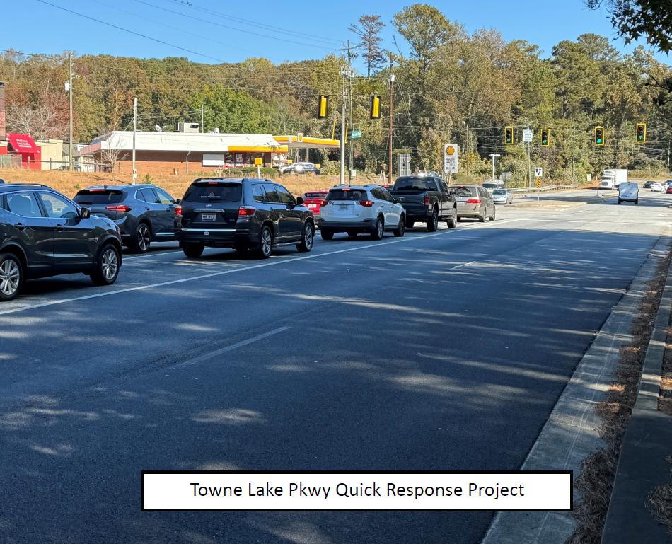
City of Woodstock – Transportation Plan
Both Quick Response Projects just highlighted serve to illustrate the extreme importance of turn lanes. The addition of brief left or right turn lanes is a very important component of this overall transportation plan. Blockage caused by left turners is a major component of the traffic congestion on two-lane roads. This strategy within the transportation plan has evolved because of the success found in previous projects to install turn lanes. Although these turn lanes can often only accommodate two cars or one truck, that has been found to take care of over 50% of turners and sometimes the percentage is nearing 100%. These short lanes are also more feasible from available right-of-way and can sometimes be easily incorporated within other road repairs or resurfacing work.
The following are examples of successful brief turns of the past few years:
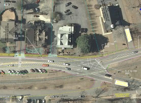
City of Woodstock – Transportation Plan
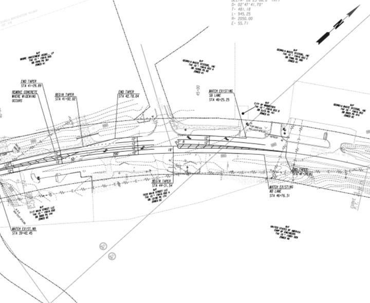
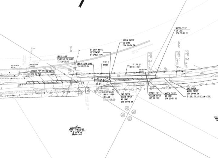
City of Woodstock – Transportation Plan
Serenade Right Turn Lane to Main Street Northbound
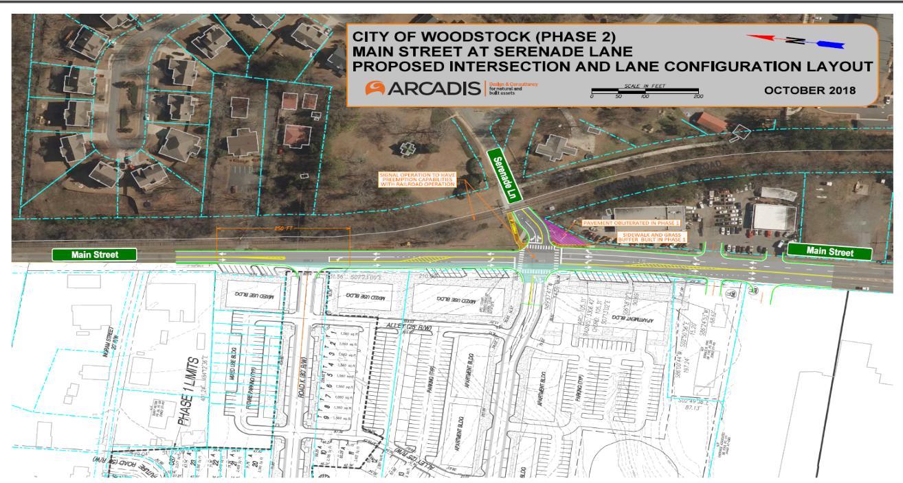
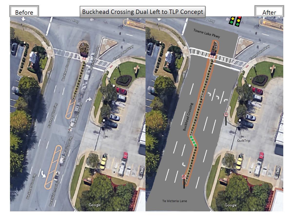
City of Woodstock – Transportation Plan
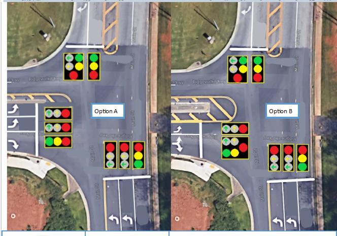
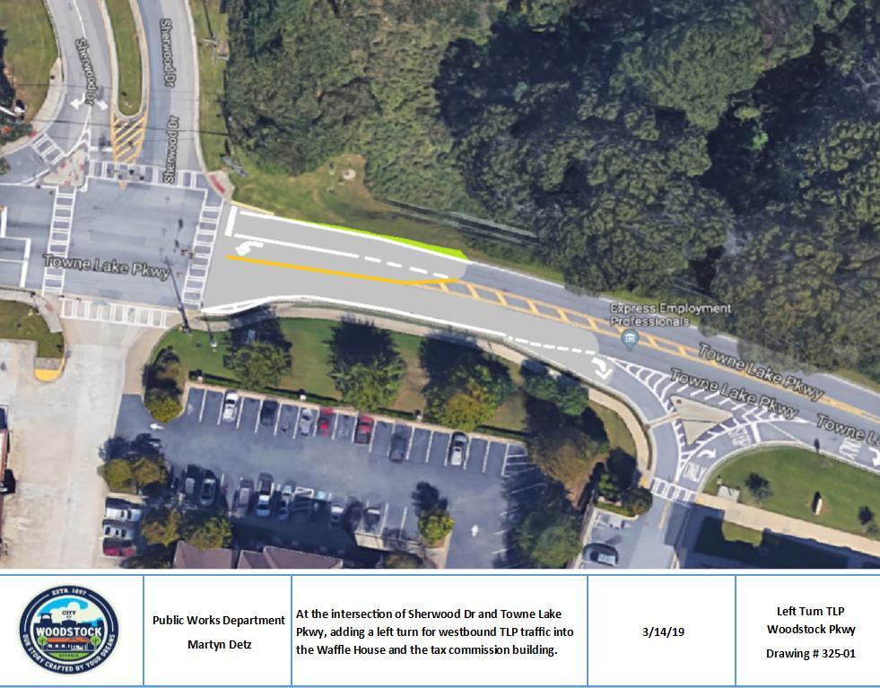
City of Woodstock – Transportation Plan
The City corridors are largely two-lane roads. Two-lane roads can accommodate 1900 vehicles per lane per hour, if the traffic is not blocked by traffic signals, stop signs, leftturners, on-street parkers, or pedestrians. The City Center extended corridors of Main between Ridgewalk and Serenade and TLP/AMR between Woodstock Parkway and Dobbs Road include only six traffic signals and no stop signs. The primary short-term strategy for improvement in congestion is to coordinate the signals to foster smooth, unstopped patterns and to create as many brief left turn lanes as feasible to lessen temporary blockages. This strategy is likely to increase the potential flow much closer to pure capacity of two-lane roads and provide more immediate relief while longer-term grid streets, roundabouts, and alternative routes are developed over time. However, there are severe limitations to north/south flow improvements on Main Street due to the extreme volume of pedestrians, as well as space limitations that make left turn lanes onto Elm Street and Oak Street unrealistic.
The list for past and future turn lanes includes:
Recently Completed 2018 and After
- Northbound Main Street turning northwest onto Rope Mill Road
- Southbound Rope Mill Road turning north onto Main Street
- Northbound Main Street turning west onto Bell Parkway
- Southbound Main Street turning east onto Johnston Farm Lane
- Westbound AMR turning south onto Sandy Circle
- Westbound AMR turning south into AME Church
- Eastbound AMR turning north into Senior Center/FS14
- Dual Southbound Buckhead Crossing turning east onto TLP
- Westbound TLP turning south into businesses at Tag Office area
- Rope Mill Road southbound turning east into WES Bus Entrance
- Dual Eastbound Ridgewalk Pkwy turning north onto Main Street
- Dual Northbound Main Street turning west onto Ridgewalk Pkwy
- Southbound Main Street turning east onto Lincoln Street at Ace Hardware
- Southbound Main Street turning east onto Brooke Boulevard
- Northbound Main Street turning west into Transfer Station
- Eastbound Ridgewalk Pkwy turning south onto I-575 (2022)
- Eastbound TLP turning north onto I-575 (2023)
- Eastbound TLP turning north onto Main St (2023)
- Northbound Main Street turning west onto Mill Street (2023)
- Eastbound AMR turning north into Amphitheater (2023)
- Westbound AMR turning south onto Hubbard Rd (2023)
- Northbound Hubbard Road turning west onto AMR (2023)
- Dual Left Southbound Neese Rd turning east onto Highway 92 (2023)
- Dual Left Eastbound Highway 92 turning north onto Neese Rd (2023)
- Westbound TLP turning north onto Woodstock Parkway (2026)
- Westbound AMR turning south onto Bentley Parkway (2026)
- Dual Left Westbound Highway 92 turning south onto Trickum Rd (2026)
- Dual Left Southbound Trickum Rd turning east onto Highway 92 (2026)
- Dual Left Northbound Trickum Rd turning west onto Highway 92 (2026)
- Eastbound Dupree Rd turning north onto Main St (2027)
- Southbound Main St turning east onto Dupree Rd (2027)
- Northbound Main Street turning west onto Barnesdale Terrace (2027)
- Eastbound AMR turning north onto Dobbs Road or roundabout (2027)
- Westbound AMR turning south onto Arnold Mill Way or roundabout (2027)
- Southbound Dobbs Rd turning east onto Arnold Mill Road or roundabout (2027)
- Triple Left Northbound Main St turning west onto Highway 92 (2027)
- Eastbound AMR turning north into 229-233 AMR west entrance (2028)
- Eastbound AMR turning north into 229-233 AMR east entrance (2028)
- Westbound AMR turning south into 238 & 240 AMR shared entrance (2028)
- Dual Left Southbound Parkway 575 turning east onto Highway 92 (2029)
City of Woodstock – Transportation Plan
City of Woodstock – Transportation Plan
The Master Corridor Summary section is intended to help the reader understand the plans for each corridor, which usually involve many separate project plans. In this way, the reader does not have to search through the entire Projects Section to fully understand a particular corridor. There will be references within each corridor summary directing readers to the applicable projects so the reader can easily find more detailed information about each individual project.
The first two corridors listed below are controlled by the State of Georgia, while the remainder are controlled by the City (in part or in total).
Corridor summaries are tentative based upon multiple intersections and locations on each corridor. Every individual project is subject to uncertainty concerning approval, funding, logistical findings, and changing conditions. The number of potential individual projects along any corridor necessarily multiplies such uncertainty by the number of projects. Therefore, corridor summaries are more speculative than any one project and should be used primarily as a long-term coordination tool.
This Comprehensive Transportation Plan is intended to bring together these ideas, concepts, and tentative plans. This is the primary difference from traditional jurisdictional transportation plans. Traditional jurisdictional transportation plans are often less comprehensive and often amount to a list of specific projects. This Comprehensive Transportation Plan attempts to broaden the scope to show how one project fits into the overall plan. This gives the public additional information and time to consider various aspects of improvements to the community.
The Corridor Summaries section is the primary portion of this exchange of information. This is why such care has been taken to refer the reader to the specific projects within each corridor. The corridor section involves verbiage without visual displays. Therefore, the reader is encouraged to utilize the cross-references to explore the additional visual displays within the Projects Section.
City of Woodstock – Transportation Plan
The travel lanes of I-575 are considered as regional flow matters that are coordinated across many jurisdictions, so the primary local input concerns interchanges and ramps. There are three I-575 interchanges within the footprint of the City of Woodstock The SR 92 interchange involves one State Roadway intersecting another, so changes there are pursued by the State, with minimal input from the city and the county. The City and County have jointly pursued substantial changes to the two interchanges that include local roads, Ridgewalk Parkway and Towne Lake Parkway. These major projects are listed in another section with conceptual designs and described below. And they both had GDOT Quick Response projects at these intersections that are also displayed in the Projects Section and described below.
The I-575 at Ridgewalk Parkway Interchange starts with the Quick Response Project that was completed in 2024, and which added an eastbound Ridgewalk right turn lane to southbound I-575. (More details can be found on page 205). This project facilitated the increased eastbound Ridgewalk vehicular flow from the additional vehicles now residing west of I-575.
This improvement sets the stage for the major enhancement project for the interchange. The more comprehensive I-575 Ridgewalk Parkway Interchange Project is a joint project with GDOT, Cherokee County, and the City of Woodstock. (More details can be found on page 374). The project features a diverging diamond conceptual design that has proven incredibly successful across the nation. The traffic patterns at this interchange will be enhanced significantly by allowing both Ridgewalk westbound to southbound I-575 and Ridgewalk eastbound to northbound I-575 to reduce delays by subtracting one traffic signal for each of these two turning movements. This design does not hinder the
traditional right turns onto ramps for westbound Ridgewalk to northbound I-575 and eastbound Ridgewalk to southbound I-575. These advantages of the new design are substantial.
The highest volume of improvement is supporting the dominant commuter flow that enters the interchange in the morning traveling westbound on Ridgewalk, headed toward the I-575 southbound ramp. This flow would traditionally be delayed by a traffic signal at both sides of the interchange, but the second of those is replaced in the diverging diamond design with a continuous flow entrance onto the southbound ramp. This advantage is shared with the high-volume destination traffic exiting the outlet mall, Woodstock City Church, or Costco area to get to the southbound ramp. These various flows are expedited in the exchange, thereby providing significant improvement to the overall interchange.
The I-575 at Towne Lake Parkway Interchange starts with the Quick Response Project that was completed in 2023. (More details can be found on page 208). This project added the second eastbound TLP turn lane onto I-575 northbound entrance ramp. This extra turn lane has been supplied within the current width of Towne Lake Parkway, although small widening was necessary on the entrance ramp to receive the new dual-left turns appropriately. This work was consistent with the design of the comprehensive interchange project. And it solved one of the primary deficiencies of this interchange. This deficiency was caused by the shift over multiple decades from a lopsided interchange serving commuters going toward Atlanta, to a more balanced interchange serving an additional volume of northbound commuters. This shift has caused severe congestion to eastbound Towne Lake Parkway travelers once the left turn vehicles backed up into the travel lane. Once that initial back up occurred, the congestion quickly continued to consume intersections back to the west, frequently reaching all the way to Eagle Drive.
The more comprehensive I-575 Towne Lake Parkway Interchange Project is a joint project with GDOT, Cherokee County, and the City of Woodstock. (More details can be found on page 443) The project adds a second left turn lane from eastbound Towne Lake Parkway to I-575 northbound; it adds a second right turn lane from southbound I-575 to westbound Towne Lake Parkway; it adds a third eastbound travel lane from Stone Bridge Parkway to the southbound entrance ramp; it adds a third westbound travel lane between the southbound exit ramp and the approach to Stone Bridge Parkway; it adds a second eastbound lane from the northbound exit ramp through Woodstock Parkway; and
City of Woodstock – Transportation Plan
it adds a second left turn lane from Towne Lake Parkway eastbound to Woodstock Parkway northbound.
These two interchange projects will provide substantial benefits to traffic utilizing or traversing these interchanges. The I-575 at SR 92 Interchange will continue to be improved by GDOT in the future, as will the travel lanes of I-575 that pass through the Woodstock area.
City of Woodstock – Transportation Plan
The SR 92 Corridor continues through the entire east/west jurisdictional lines of the City. It is controlled by the State of Georgia, with input from the City primarily at the intersections where City streets are crossed. The enhancement plan described herein concerns mostly the numerous intersections.
Four intersection projects have been completed in the past six years (Ragsdale Road, Molly Lane, Woodstock Square, and Neese Road) and they have provided a very positive impact on traffic flow. Four more intersection projects are designed and in various stages of development. These are Main Street, Springfield Drive, Trickum Road, and Parkway 575 intersection projects as described below.
Additionally, the City is participating in the joint county grant to study SR 92 for safety improvements within the entire SR 92 corridor within the county, much of which is within the City jurisdiction. That program will be highlighted after the four future projects, plus we will start by highlighting the most recently completed project at SR 92 and Neese Road.
The SR 92 at Neese Road Intersection Improvement was a joint project between the City and GDOT that began construction in 2022 and was completed in 2023. This was a substantial improvement to a key intersection. This project added dual left turn lanes from eastbound SR 92 onto Neese Road and dual left turn lanes from southbound Neese Road onto SR 92 eastbound. The project widened the mouth of Neese Road at the intersection from three lanes to five lanes, while also adding a second left turn lane on SR 92. (More details can be found on page 228).
City of Woodstock – Transportation Plan
The SR 92 at Main Street Project is designed for multiple improvements. The primary feature is to add a third left turn lane from northbound Main Street (SR 5) onto westbound SR 92 (also SR 5 at this point). This will complete the first triple left turn in the region. It will reduce dramatic delays in weekday PM commute periods where I-575 traffic diverts onto SR 5 in Marietta and continues to this intersection to turn left to reconnect with I-575 at SR 92. (More details can be found on page 465)
The SR 92 at Springfield Drive Project is designed for multiple improvements. The primary improvement is to add a third westbound travel lane from east of Springfield to where the third lane currently begins at Laurelwood Drive. This sets up the SR 92 at Main Street enhancements previously mentioned. The new design provides additional storage capacity for SR 92 westbound traffic that backs up to the east from I-575 and Main Street, thereby impacting traffic much further back to the east all the way to the Ragsdale Road intersection. (More details can be found on page 469).
The SR 92 at Trickum Road Project is a joint project with GDOT, Cherokee County, and the City of Woodstock. This will be a substantial improvement to a key intersection. This project will add dual left turn lanes from westbound SR 92 onto Trickum Road and dual left turn lanes from northbound and southbound Trickum Road onto SR 92. The project widens the mouth of Trickum Road at the intersection, while also adding a Continuous T at the Trickum/Gunnin intersection. The project also adds a northbound travel lane between Sycamore Lane and SR 92; adds a southbound travel lane between SR 92 and Sycamore Lane; and adds protective medians on Trickum Road between Sycamore Lane and Gunnin Road. (More details can be found on page 350).
This project is in the initial concept phase and is intended to facilitate the addition of a second lane from southbound Parkway 575 onto eastbound SR 92, if the traffic volumes and turning counts warrant this additional lane. During most of the day, the existing lanes are full, and it is rare that the entire queue can empty during a green signal. The time given for the outbound left turn cannot be reasonably extended because the extreme
City of Woodstock – Transportation Plan
volumes on SR 92 necessitate the continued long cycle times for east/west traffic. (More details can be found on page 489).
The City will also be participating with Cherokee County in the Safe Streets and Road for All program aimed at improvements along the SR 92 Corridor. The county was awarded this $7.6 million grant by USDOT in December 2025.
The intersections along the SR 92 corridor need to be continually analyzed and included in future planning. Many current intersections need to add dedicated turn arrows within traffic signals at the side streets to improve safety. The travel lanes of SR 92 will be continually analyzed and improved by GDOT, mostly within the context of the nearby intersection projects. A significant percentage of SR 92 traffic is Through Traffic using a regional artery as it was designed. As previously stated, SR 92 from Acworth to Roswell and on to Stone Mountain (as combined with Holcomb Bridge Rd and Jimmy Carter Boulevard) serves as the only East/West through corridor north of I-285 and south of SR 20. As such, it will remain congested, and it will be heavily influenced by improvements (or lack thereof) on both I-285 and SR 20
City of Woodstock – Transportation Plan
The Main Street northside corridor (Ridgewalk north to City Limits) is one of the highest traffic volume corridors within the City street system. This is a significant commuter route for regional Through Traffic to reach I-575 at Ridgewalk Parkway. There is a solid waste transfer station within the corridor and an unusually high volume of heavy truck traffic. The City has recently enhanced this corridor by adding 7 new left turn lanes, adding one new traffic signal, and completely resurfacing the corridor during the 2018-2021 period.
These recent projects will be featured below. Afterwards, we will discuss the future plans that will be a component part of a larger joint plan between the City of Woodstock, City of Holly Springs, and Cherokee County. The plan is known as the Wildcat Initiative.
The recent projects along this corridor have included:
- Creating dual left turn lanes from northbound Main Street onto westbound Ridgewalk Parkway (More details can be found on page 238).
- Creating dual left turn lanes from eastbound Ridgewalk Parkway onto northbound Main Street (More details can be found on page 238).
- Creating a left turn lane for northbound Main Street onto westbound Bell Parkway (More details can be found on page 288).
- Creating a new street (Lincoln Street) and traffic signal at the point that will eventually serve as the entrance to JJ Biello Park (as described below) (More details can be found on page 300).
- This new street will be extended eastbound into JJ Biello Park and westbound to connect to the existing Lincoln Street (More details can be found on page 390)
-
of Woodstock – Transportation Plan
- Creating a left turn lane for southbound Main Street onto eastbound Brooke Boulevard (More details can be found on page 302).
- Creating a left turn lane for southbound Main Street onto eastbound Johnston Farm Lane (More details can be found on page 286).
- Creating a right turn lane for eastbound Bell Parkway onto southbound Main Street.
Additional major improvement is contemplated within the auspices of the Wildcat Project which is a joint initiative between City of Woodstock, City of Holly Springs, and Cherokee County. The Wildcat Project includes a much larger section of roadways and developments, but for the purposes here, we will discuss the area that includes Main Street from East Cherokee Drive south through Ridgewalk Parkway.
This section of roadway is a significant commuter route with heavy traffic. The preliminary designs are characterized in the documents highlighted below. This includes widening Main Street to four lanes, plus median, from East Cherokee Drive to Ridgewalk Parkway. Other components of this design should also include the following: (1) Ensuring the new bridge across the Little River includes pedestrian and bicycle access; (2) Establishing left and right turn lanes into SCRA; (3) Creating intersection enhancement at Bell Industrial Parkway; (4) Discontinuing the intersection with Brooke Boulevard and rerouting the JJ Biello Park entrance to the Lincoln Street traffic signal; (5) Creating intersection enhancement at Johnston Farm Lane; (6) Developing a continuous flow lane from southbound Main Street onto westbound Ridgewalk Parkway; and (7) Considering enhancing the Ridgewalk/Main intersection into a Continuous T-Roundabout.
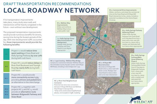
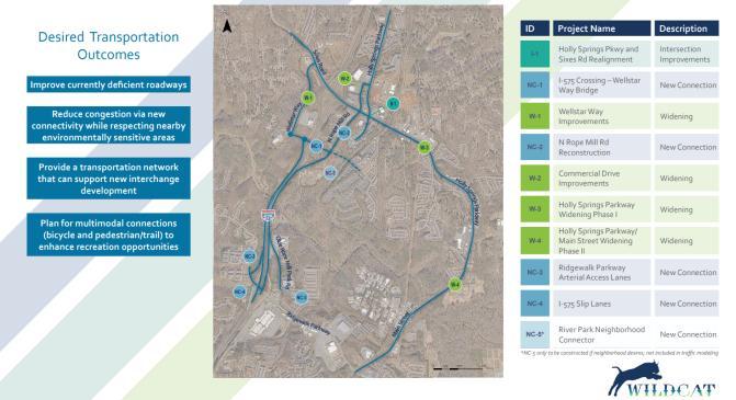
The Main Street (central) corridor summary extends from Ridgewalk to Serenade. It starts from the north with the gateway section of Main Street (between Ridgewalk and Roundabout) that was significantly enhanced over the past ten years. (More details can be found on page 261). The Main Street (central) corridor will be continually improved as demonstrated over the next several pages. The corridor will be covered from the north to the south, beginning with the addition of the fourth leg at the Main/Haney Roundabout.
The Haney Road roundabout will be enhanced to include a fourth leg proceeding to the west as part of the Haney Road Extension II Project (More details can be found on page 388). This road extension begins at the Main/Haney Roundabout by completing the fourth leg and then continues to the west through Adair Park, over the railroad, and connects to Rope Mill Road. This would provide an important connection between Main Street and Rope Mill Road, thereby facilitating significantly improved access to Woodstock Elementary School. This will provide a more direct route for parents and school buses to the neighborhoods to the east of Main Street, thus eliminating a meaningful share of the congestion at the intersection of Main Street and Rope Mill Road.
Further to the south, the intersection at Dobbs Road will be enhanced with additional projects. The City has commissioned an engineering study to review this intersection for
the feasibility of establishing a roundabout to facilitate continual vehicular movement. (More details can be found on page 385).
Continuing to the south, the Rope Mill Road intersection is likely to include some rapid response designs to help in the short term. An important component of the design is to alter the angle of the southbound Rope Mill Road connection to Main Street that creates a right-angle approach for better site distance to gauge oncoming traffic. Another component is to create a northbound Main Street left-turn lane to serve the traffic attempting to turn into the Ipp’s restaurant. The current lack of turn lane capacity for northbound traffic is causing delays and backups that can occasionally extend all the way back into City Center Main, thus creating gridlock conditions.
Continuing to the south, the City Center Main intersection is under constant review for design changes. It is the lynchpin of downtown traffic. (More details can be found on page 211). The addition of an eastbound left-turn lane from Towne Lake Parkway to northbound Main Street was a significant addition in the past five years. The next addition under review is a possible dedicated right-turn lane for westbound Arnold Mill Road onto northbound Main Street. Even a short right-turn lane could facilitate substantial improvement for the westbound throughput at the intersection because right-turn activity backs up westbound through travel lane due to the awkward angle of turns and the large number of pedestrians at the location. More substantial ideas for City Center Main will be discussed in the Drawing Board Section later in this Plan.
Continuing to the south, the Mill Street intersection was substantially changed in recent years with the turning of Mill Street back to two-way traffic. (More details can be found on page 211). However, the proximity of the intersection to City Center Main continues to cause problems due to the lack of storage space for southbound Main traffic when the Mill/Main traffic signal is red. Southbound traffic at that location can sometimes back up into the City Center Main intersection. When this occurs, gridlock conditions begin to emerge because the City Center Main intersection can begin to block all four directions simultaneously. Therefore, the traffic signal timing must be adjusted in what appears to be an unsynchronized plan, but only because the Main/Mill signal must provide the necessary storage space for southbound traffic.
This intersection was recently designed to extend Mill Street across the railroad tracks to connect to Wheeler Street. (More details can be found on page 473). This would provide significant relief to the southeastern quadrant of the downtown area, especially for access to and from the parking deck. However, the preliminary engineering plans uncovered elevation changes and stormwater mitigation issues that have caused this project to be placed on hold pending further consideration. It would require significant changes in the area that would deteriorate the Streetscapes continuity and would require extensive road closure during a long construction cycle.
Continuing to the south, the Elm Street intersection will undergo a substantial renovation in 2026 to include a signalized pedestrian crossing to alleviate the unprotected mid-block pedestrian crossing that currently exists. (More details can be found on page 409). This project will be an important progression after the Hub Transformation Project. It is intended to protect and control pedestrians crossing Main Street between Towne Lake Parkway and Fowler Street, primarily at the mid-block crossing near Elm Street. There were three mid-block pedestrian crossings in this area that contributed to extreme vehicular delays and congestion during prime entertainment times for the popular downtown entertainment district. There is strong pedestrian traffic using the railroad crossing near Elm Street that is an important part of the pedestrian balance between the eastern and western business districts.
Two of the mid-block crossings were eliminated in 2025. The concept of this project is to replace the final mid-block crossing with a new signalized pedestrian crossing just a few feet away from the existing crossing. This signalized pedestrian crossing will restrict pedestrian flow crossing the road so that vehicles can continue progressing until the signal turns red and the pedestrian flow is allowed in groups instead of unsteady flow. Elm Street will be converted into a pedestrian-only plaza, thus allowing the elimination of vehicles turning from Main Street, which is another cause of traffic delays. All of this helps to increase the safety for pedestrians while simultaneously reducing vehicle delays.
Continuing to the south, the Fowler Street intersection represents one of only two signalized entrances to the southeastern quadrant of the core downtown area. This crucial intersection includes a railroad crossing of Fowler Street very close to Main Street. This difficulty is then multiplied by the nearby connection to East Main Street that
terminates onto Fowler Street. The traffic leaving the quadrant must deal with two intersections and a railroad crossing all within a few feet of one another. Two roadway projects have been designed to eliminate the most difficult component of this intersection.
These two projects are intended to facilitate southbound traffic on East Main between Hubbard and Fowler. The plan first calls for the conversion of a small segment of Chambers Street (Hubbard to Fowler) to be converted to two-way traffic. (More details can be found on page 480). This facilitates rerouting the southbound East Main Street traffic to turn left on Hubbard and then right on Chambers Street to proceed to Fowler Street. This new traffic flow provides three benefits: (1) Allows for East Main closure between Hubbard Road and Fowler Street (more details can be found on page 483); (2) Allows longer storage for westbound Fowler Street waiting for traffic signal; and (3) Sets up two-way traffic to be extended southward to Dupree Road (see Chambers Street Extension II, more details can be found on page 477).
Continuing to the south, the Dupree Road intersection project provides a significant expansion and extension of this key entrance into downtown Woodstock. (More details can be found on page 399). The project is very complex and is expected to be completed over multiple years. The project began with establishing a signalized pedestrian crossing across Dupree Road on the western side of Main Street in early 2022. The project will later expand the width of Dupree Road to add a much-needed left turn lane on Dupree Road eastbound onto northbound Main Street. It will eventually extend Dupree Road
through Main Street and across a new railroad crossing upon redevelopment anticipated east of the railroad tracks, with an accompanying new left turn lane for southbound Main Street onto eastbound Dupree Road. The project will include extensive ROW acquisition and Utility Relocation, which is also why the project will extend over multiple years and why the time horizon is more than other similar sized projects.
Continuing to the south, the Barnesdale Terrace intersection will be extensively renovated soon. (More details can be found on page 403). This project will include a renovation of the entire intersection, as well as nearby streetscapes. The new intersection
City of Woodstock – Transportation Plan 100
is being designed to include a new left turn lane on Main Street, a third lane on Barnesdale Terrace, and a possible traffic signal.
Continuing to the south, both Napa Drive and Brighton Boulevard (each without signalized intersections with Main) will be enhanced by the extension of the grid street program that allows for alternatives to travel north/south without going onto Main Street. This process begins with the Market Street Extension I project that will connect Napa Drive to Brighton Boulevard. (More details can be found on page 447). This allows both neighborhoods an alternative for north/south travel without having to navigate Main Street.
Continuing to the south, the Serenade Lane intersection was recently enhanced by the first Serenade Lane project, and then the new connection to South on Main Drive. (More details can be found on page 270). These two projects have incorporated the Serenade and Woodglen neighborhoods into the grid street network, plus connecting to the Reeves Street Extension that allowed alternative connectivity to SR 92 to the south.
City of Woodstock – Transportation Plan
The South Main Street corridor is dominated by the intersection with SR 92, which is discussed in other sections herein. And the portion of Main Street south of SR 92 is officially SR 5, therefore in the jurisdiction of GDOT. The primary design change currently planned is for the addition of the first triple left turn in the region. (More details can be found on page 465). This is designed to reduce the extreme congestion associated with a regional commuter pattern of Through Traffic.
This is an evening northbound commute pattern that begins in Marietta where some commuters exit I-75 at Canton Road and travel north to SR 92, where they then proceed west to reenter the freeway at I-575 and SR 92. This route has been the official route of SR 5 since it was rerouted at the time I-575 was constructed. (It should be noted that a very large percentage of these commuters would prefer to continue on Main Street through downtown Woodstock but have been dissuaded from doing so.) The large number of commuters in this pattern has caused significant backups on both SR 5 and SR 92. These backups occur on every workday of the year and have become serious sources of gridlock on Thursday and Friday evenings, when commuter traffic mixes more heavily with destination traffic.
This South Main Street corridor also includes the traffic signals and intersections at Sam’s Club and at Mauldin Drive. Both intersections are subject to change as redevelopment occurs in these areas. The principal congestion through these intersections is associated with the same evening rush hour northbound flow described above. The northbound congestion at Mauldin Drive should be significantly reduced by the triple left turn project at SR 92 because there is sufficient storage for commuters to the south of Mauldin Drive.
City of Woodstock – Transportation Plan
The storage for southbound traffic at Sam’s Club intersection has been sufficient, but the approach to Serenade needs to be reviewed for better alternatives to lessen confusion and frustration into the taper to one straight travel lane.
City of Woodstock – Transportation Plan
This section of Towne Lake Parkway corridor is controlled by Cherokee County and is dominated by the I-575 interchange. The City participates in ways to help the county, such as the recent Quick Response Project completed at the Interchange in 2023, which was a very positive improvement. (More details can be found on page 208). This Quick Response Project was designed to alleviate the eastbound TLP congestion associated with the northbound I-575 entrance. The original interchange was constructed with an obvious emphasis on southbound I-575 traffic patterns. More recently, traffic patterns have grown for northbound traffic due to the regional growth north of Woodstock. This has created intense congestion for eastbound TLP traffic waiting to turn north onto I-575. There was existing space within TLP to establish a dual left to the northbound entrance ramp, in combination with some entrance ramp widening, that would relieve much of the congestion that backs up eastbound TLP regularly to Buckhead Crossing and sometimes to Eagle Drive or worse.
There is a much larger project for the Interchange, that is being led by the County in cooperation with GDOT and Woodstock. (More details can be found on page 443). This project was highlighted in the I-575 Corridor Plan in the previous section. And it was carefully coordinated with the Towne Lake Parkway Widening Project (to be highlighted in the next section) because the two projects meet at the intersection with Woodstock Parkway.
The TLP at Buckhead Crossing intersection was recently improved by adding an additional left turn lane from Buckhead Crossing onto eastbound Towne Lake Parkway. (More details can be found on page 268) This relieved most congestion that was backing up on
Buckhead Crossing without sufficient capacity to enter Towne Lake Parkway in one traffic signal cycle.
Additional improvements within this corridor will be planned by the County as necessary.
City of Woodstock – Transportation Plan
The central portion of Towne Lake Parkway (from Woodstock Parkway east to Main Street) is wholly within the jurisdiction of Woodstock. This section is in the process of fundamental transformation. The primary transformation was the construction of the roundabout at the TLP at Mill Street intersection. (More details can be found on page 211). This roundabout discontinued an outdated intersection that was destined to become another traffic signal. The roundabout allows continuous flow in four directions and allowed for the reformation of the nearby Mill Street at Pinehill Drive intersection that was a source of considerable confusion to drivers in the past. The four directions at the roundabout include an important grid street connection to the Paden/Lyndee grid street. The Paden Street portion extends to the south, while the Lyndee Lane portion extends to the north, and is currently under construction (More details can be found on page 334).
The section of Towne Lake Parkway from the roundabout west to Woodstock Parkway is currently being widened considerably. (More details can be found on page 329) The eastbound portion will include two straight travel lanes, one of which will connect to the Mill Street continuous flow lane at the roundabout. This additional travel lane will greatly improve the flow rate of east-bound traffic out of the I-575 Interchange area. The westbound portion will include an additional straight travel lane, as well as a new right turn lane onto Woodstock Parkway. This new configuration will allow for considerably more westbound storage for queuing at Woodstock Parkway and for entering the Interchange area. This traffic currently backs up on workdays during afternoon rush hours which cause significant delays in the roundabout and sometimes all the way back to Main Street.
The section of Towne Lake Parkway from the roundabout east to Main Street was significantly improved during the Hub Transformation Project with the addition of an extra lane at the Main Street intersection for a left turn lane. (More details can be found on page 211). The previous lack of such a turn lane was the key obstacle to traffic flow in the district prior to the project. The remainder of this section is currently being renovated by the Streetscapes VI Project. (More details can be found on page 366). This project extends a sidewalk down the southern side of TLP to the roundabout and it completes the trail on the northern side of TLP, connecting the public parking lot to the commercial activity to the west.
City of Woodstock – Transportation Plan
The central portion of Arnold Mill Road (from Main Street east to Dobbs Road) has recently been transformed from Main Street to Bentley Parkway. (More details can be found on page 223). This included the lengthening of the westbound left turn lane at Main Street and the extensive widening of the AMR at Hubbard Road intersection in all four directions. (More details can be found on page 220). This section also included the undergrounding of utilities and the relocation of the trail on the north side, plus new entrances to the Amphitheater.
The next portion will include the addition of a westbound left turn lane from AMR to Bentley Parkway and a traffic signal at that intersection. Further to the east, a streetscapes environment will be installed on the southside of the roadway all the way from Bentley Parkway to Sandy Circle, which will include the undergrounding of utilities.
The portion from Sandy Circle through Fire Station 14 has recently been widened with the addition of three left turn lanes and a signalized pedestrian crossing. (More details can be found on page 292, 294, and 296). These included westbound left turn to Sandy Circle, an eastbound left turn lane into the Fire Station and Senior Center, and an eastbound left turn across from the Fire Station 14, supporting the signalized pedestrian crossing that was installed using the fire station emergency traffic signal.
The portion further to the east includes future plans to establish more left turn lanes to serve the numerous commercial entrances on both sides of Arnol Mill Road. It also includes a section of the Arnold Mill Road Trail project that will be extending the trail on
the south side of the road to meet the existing connection across from Fire Station 14. (More details can be found on page 413).
That segment also continues to the intersection of Dobbs Road where the intersection will be transformed by the construction of a roundabout (or traffic signal, conditions permitting). (More details can be found on page 382). This intersection improvement should include the nearby intersection of Arnold Mill Way.
City of Woodstock – Transportation Plan
The Arnold Mill Road Eastside Corridor (Dobbs Road to Park Avenue segment) is currently planned to include a roundabout at both primary intersections, as outlined in the Dobbs Road at Arnold Mill Road Roundabout Project (more details can be found on page 382) and the Neese Road at Arnold Mill Road Roundabout Project. (More details can be found on page 371). These roundabouts are intended to serve as the new eastern gateway into the City, along with the extension of the slower, pedestrian-friendly 25 mph speed zone to cover most of the City. Dupree Park is also planned to be extended all the way to Arnold Mill Road and into parcels on the north side near the intersection of Neese Road.
The primary section of this roadway includes a new Trail connection on the south side of Arnold Mill Road from Neese Road to Fire Station 14. (More details can be found on page 413). This project will serve to provide a crucial pedestrian connection for the AMR and Neese Road neighborhoods in the eastern side of the City to the downtown district. This trail will also connect to the Rubes Creek Trail that will run north/south from Arnold Mill Road to Woodglen Drive, and eventually on to SR 92.
The most impactful project in this corridor will be the proposed T-Roundabout at the intersection of Arnold Mill Road and Neese Road. (More details can be found on page 371). This project will replace the existing traffic signal and provide continuous flow in all three directions with a special unimpeded flow for westbound Arnold Mill Road traffic. This roundabout will provide substantial improvement for both Arnold Mill Road and Neese Road and serves as the completion of the renovation of the entirety of Neese Road.
City of Woodstock – Transportation Plan
Further to the east, Dupree Park will be extended to Arnold Mill Road and will include a sidewalk along the south side of Arnold Mill Road from Neese Road to Park Avenue, near the edge of the city limits. Intersection improvements were recently constructed at and near the intersection of Park Avenue with an eastbound right turn lane for the Park Avenue neighborhood and an eastbound left turn lane for the Little River Falls neighborhood.
City of Woodstock – Transportation Plan
The Neese Road corridor is planned for complete renovation that began in 2022. All four segments of the renovation plan have been included in the Projects section. The projects are proceeding in chronological order from south to north.
The first project was the SR 92 at Neese Road Intersection Project which was a joint project between the City and GDOT that began construction in 2022 and was completed in 2023. (More details can be found on page 228). This provided a substantial improvement to a key intersection. The project added dual left turn lanes from east bound SR 92 onto Neese Road and dual left turn lanes from southbound Neese Road onto SR 92 eastbound. The project widened the mouth of Neese Road at the intersection from three lanes to five lanes, while also adding a second left turn lane on SR 92. A sidewalk was added on the east side of Neese Road and a trail was added on the west side. And the most southern parking entrance to the First Baptist Church was eliminated due to unsafe proximity to the turning movements from SR 92.
The intersection project was successful in significantly reducing delays for eastbound SR 92 traffic that had previously been stacked in the single turn lane and extended back into through traffic. Similar reduction of delays was successful for southbound Neese Road traffic to turn left or right. The previous delays had been severe for eastbound SR 92 traffic in the afternoon rush hour and on Sundays with church traffic, and for southbound Neese Road traffic in the morning rush hour.
The second segment of the Neese Road renovation is known as the Neese Road Southern Segment. (More details can be found on page 339). This segment began in 2024 and is
City of Woodstock – Transportation Plan
scheduled for completion in 2026. This starts at the edge of the SR 92 at Neese Road Intersection project, then continues improvements to the north all the way to the northern edge of the Marlowe neighborhood. This project is designed to eliminate both the extreme hill and curve where the Oakhurst and Marlowe neighborhoods meet, as well as widening a third lane for turn lanes for most turning movements, and sidewalks and landscaping throughout the segment.
The third segment of the Neese Road renovation is known as the Neese Road Northern Segment. (More details can be found on page 345). This segment began in 2025 and is scheduled for completion in late 2026 or early 2027. This starts at the northern edge of the previous project just described, then continues to the north with the most impactful component of the project, which is the new roundabout to replace the incredibly inefficient and awkward all-way stop sign at the Neese Road/Driftwood Lane/Washington Avenue intersection. This all-way stop sign has been the primary cause of traffic delays along the entire corridor. It will now be transformed into a continuous movement flow by utilizing the efficient roundabout design. Continuing from the roundabout to the north, the roadway will be widened to accommodate a third turn lane as necessary, plus it will include new entrances to the park, as well as sidewalks on both sides. This design is intended to keep a continuous flow of traffic moving, while simultaneously enhancing the neighborhood feel with pedestrian connections to the park in all directions.
The fourth segment of the Neese Road renovation is the Neese Road at Arnold Mill Road Roundabout. (More details can be found on page 371). This segment is not yet scheduled. It is designed as a T-Roundabout which includes one direction (westbound AMR) that has no impediment from cross traffic. The other directions will function as a traditional roundabout replacing the inefficient traffic signal currently in place. The entire intersection area will include sidewalks and landscaping to feature the extension of the park to the edge of Arnold Mill Road.
City of Woodstock – Transportation Plan 113
Most of the Trickum Road corridor is controlled by the County, and the intersection with SR 92 is controlled by the State. The City coordinates with both entities to keep this vital corridor operating efficiently. The Trickum Road South Project is being constructed in 2025-2026 in a County project that runs from the Cobb County line north through the intersection with Trickum Hills Drive, primarily adding much needed turn lanes and sidewalks.
Moving to the north, the SR 92 at Trickum Road Intersection Project is being constructed from Sycamore Lane through Dunnedin Trail to include widening Trickum Road throughout that segment, while adding dual left turn lanes in both directions at the SR 92 intersection, adding a Continuous-T intersection at Gunnin Road, and restricting left turning movements without traffic signal protection. This is a substantial project at the intersection most impacting traffic on Trickum Road. (More details can be found on page 350)
Further to the north, the Trickum Road @ Nocatee Trail Roundabout Project is under construction and will be completed in 2026. This will serve to provide protected access to The Glen at Kingsgate neighborhood and the new Little River Park, while still facilitating continuous flow of traffic. (More details can be found on page 357).
Elsewhere along the corridor, the plan is to work with the county to devise renovation plans for both the Ragsdale Road at Trickum Road and Barnes Road at Trickum Road intersections. Each of these intersections maintain substantial traffic volumes that suffer from traffic delays at the traffic signals. In particular, the Ragsdale intersection suffers from the frustration of northbound straight vehicles conflicting with westbound right
of Woodstock – Transportation Plan
turns with a yield configuration. And the southbound Trickum Road traffic could have a continuous flow lane if the intersection was converted to a Continuous-T intersection or a T-Roundabout. Likewise, the Barnes Road intersection suffers serious delays for the high volume of westbound left turns, while the opposite northbound right turns could easily have continuous movement with extra lanes established to avoid conflict with opposing traffic flows. A new Trickum Pedestrian Plan is being established to complete sidewalks throughout the corridor in any segment where they do not exist today, or that will be included in the three current roadways projects.
City of Woodstock – Transportation Plan
The Dupree Road corridor has been redeveloped over the past several years. New infrastructure – sidewalks, curbs, gutters, storm drains – have been installed to transition Dupree Road into a grid street. This will continue the pattern of nearby grid streets (Market/Reeves/Paden), all of which will eventually cross Dupree Road as the grid street pattern is extended to the south. The corridor plan includes major change at the intersection with Main Street, which also includes the plan to extend Dupree Road to the east to link to another grid street, Chambers Street. (More details can be found on page 477). At the time of establishing the crossings of Dupree Road by Market/Reeves/Paden, these new intersections are planned to become 4-way stops in the similar style as the Market Street at Fowler Street intersection that exists today, or to be mini-roundabouts. And a similar 25mph speed limit should be in place from the Noonday Creek bridge and everything to the east.
The Dupree Road Sidewalk Project was recently completed on the north side of Dupree Road. (More details can be found on page 313). This included completing the multi-use trail along Dupree Road from Market Street to the city limits at the I-575 bridge. At which point a coordinated County project will continue the extension to the west to Stone Bridge Road. Over the next several years, the south side of Dupree Road will be renovated similarly, mostly as new development occurs.
of Woodstock – Transportation Plan
The Dobbs Road corridor is a mix of corridor and grid street. It has been used as a cutthrough corridor for at least 30 years, and the corridor traffic has increased during the most recent years. Dobbs Road remains mostly a grid street with a 25mph speed limit and two all-way stops, serving residential neighborhoods. Dobbs Road has recently been upgraded from a very old substandard street, and this renovation is still under construction, one section at a time. First, the intersection of Dobbs/Main was improved by raising up the last several feet of Dobbs to create an improved line-of-sight. (More details can be found on page 304).
A trail-size sidewalk was established from Main Street past the Chattahoochee Technical College parking area to meet the Amphitheater Trail. Storm drains, curbs, and gutters were established from Melanie Lane most of the way to Arnold Mill Road, which simultaneously added 4’ additional width to the road. (More details can be found on page 325). Similar improvements will occur from Melanie Lane back to Main Street, as well as planned sidewalks on both sides of the street. Much of the sidewalk was recently completed along the southside of the road from Chattahoochee Tech to Melanie Lane. (More details can be found on page 416)
The intersection of AMR/Dobbs is planned to become a roundabout and the intersection of Main/Dobbs is still in research phase for further renovation, but is likely to be renovated with a mini-roundabout. (More details can be found on page 385).
City of Woodstock – Transportation Plan
The Rope Mill Road corridor was significantly renovated in 2020-2021. (More details can be found on page 265). This included widening over 0.5 mile of roadway by 6’, substantial trail extension from Ridge Trail south to Rusk Street, including a logistically difficult portion near Angela Court that has included a park like setting, as well as an actual pocket park near Ridge Trail.
The corridor enhancement also included adding a bus turn lane at the elementary school and lowering the speed limit to 25mph from Main Street to Ridge Trail. The entirety of Rope Mill Road was also resurfaced and restriped.
The remaining plans call for the addition of a traffic calming median near Camellia Place, the connection of two new grid streets, at Brownlee Road (completed 2025) and Haney Road (undetermined timing), and adding sidewalks and lowering the speed limit along the last segment approaching the roundabout (More details can be found on page 422)
The addition of both grid street connections will lessen the overall traffic (by mileage) on Rope Mill Road over time by providing closer access to Woodstock Elementary School and the prominent churches in the middle section of Rope Mill Road. This outcome occurs because prior to grid street connections, the majority of trips to the school or churches came from either end of Rope Mill Road, thus traversing more overall mileage than when they can get to the destination in a more direct way. It is important to remember that these grid street connections are not producing more total trips, they are merely providing quicker access for the existing trips.
of Woodstock – Transportation Plan
The Ridgewalk Parkway corridor is a well-constructed four lane divided corridor. The primary changes planned for this corridor include enhancement projects on both ends that were highlighted in the major projects section. The other intersections will be continually analyzed for potential improvements, but none of the other intersections facilitate through cross traffic because they all dead end at or prior to the Little River.
The I-575 Interchange project will provide a very substantial improvement, as described in the project documentation. (More details can be found on page 374). This includes bringing all left turning movements down from two traffic signals to one traffic signal, while keeping right turning movements free flowing without a traffic signal.
At the Main Street end of the corridor, the new dual left turns were extended to the west to add approximately 200% more queuing space to accommodate PM rush hour volume. The next substantial improvement will be in conjunction with the Wildcat Initiative described in the projects section. (More details can be found on page 406). This will change the entire north Main Street (Ridgewalk to East Cherokee Drive), but for our purposes here, the Ridgewalk intersection will be included because it is such a lynchpin of the area. Although engineering research has yet to be completed, this intersection would probably be best redesigned as a T-Roundabout with two distinct improvements of an unimpeded right turn flow for southbound Main Street turning westbound on Ridgewalk Parkway, and an unimpeded straight flow for northbound Main Street.
City of Woodstock – Transportation Plan
The Woodstock Parkway corridor changed dramatically with the development of the outlet mall. The southern connection at Towne Lake Parkway will be enhanced as a component of the I-575 Interchange Project and the Towne Lake Widening Project. (More details can be found on page 329 and 439). The components to the north will include an important trail extension described in the Pedestrian Flow Section, to connect Woodstock Parkway to downtown for pedestrians. (More details can be found on page 425). There will be trail extensions toward the north, plus a new Trailhead at the new Faith Church with a public parking agreement. The roadway between Towne Lake Parkway and the Mall Roundabout will be enhanced with turn lanes and curb/gutter/stormwater improvements, as necessary.
Most dramatically, the new Brownlee Road has been established that connects Woodstock Parkway to Rope Mill Road, creating a very important new east/west grid street. (More details can be found on page 235). This allows for more efficient connections to reach Woodstock Elementary School and the many churches on Rope Mill Road. In this way, Woodstock Parkway begins to function more as the collector route it was designed to be, thus relieving some traffic congestion nearby.
City of Woodstock – Transportation Plan
The Molly Lane corridor is sufficiently wide from SR 92 through the intersection of Long Drive. A sidewalk has been established, and an elevated crosswalk was installed just south of Long Drive in 2021. (More details can be found on page 306). Roadway repairs were completed in 2022 and more extensive resurfacing should be completed within 3 years.
Additional sidewalks, landscaping, and median projects are contemplated within this district. A new Fire Station is being constructed on Long Drive and will necessarily impact the traffic on Molly Lane. This impact will be considered within the planning for additional roadway projects.
City of Woodstock – Transportation Plan
The Parkway 575 corridor was enhanced significantly in 2019-2020 with the addition of a sidewalk from the hotel district to SR 92. (More details can be found on page 309). This also included several various driveway improvements. The plans call for a major roadway improvement that would be a joint GDOT project to install an additional southbound Parkway 575 exit lane onto Highway 92, and/or other intersection improvements that will help relieve congestion of southbound traffic that is necessarily delayed by the prominent east/west movement on SR 92. (More details can be found on page 489). The southbound Parkway 575 traffic currently has only two exiting lanes (right turn lane and a second lane that serves both left turns and straight traffic). The second lane that serves left turns is frequently beyond capacity during business hours.
This parkway is also being considered for extension to the north to connect with Woodstock Parkway. (More details can be found on page 425). Such an extension would result in a meaningful I-575 access road between Ridgewalk Parkway and SR 92, which essentially covers I-575 through the Woodstock footprint.
City of Woodstock – Transportation Plan
The Buckhead Crossing corridor was significantly enhanced in 2020 with the establishment of a dual left exit and a raised median restricting dangerous vehicular movements at the Towne Lake Parkway intersection. (More details can be found on page 268). As can be seen in those documents, Buckhead Crossing had insufficient lanes southbound at this intersection yet had unnecessary lanes northbound. Thus, the project plan called for exchanging an underutilized northbound lane for the new dual left southbound lane. This improvement was enhanced by also adding a more complete median separating the directions and restricting movements attempting to cross both directional flows very close to Towne Lake Parkway.
The remainder of the roadway has sufficient width and will be scheduled for resurfacing within the next 5 years. The roadway will be reviewed annually for other enhancements, as necessary.
City of Woodstock – Transportation Plan
The Ragsdale Road corridor begins at the intersection with Trickum Road and this intersection is the cause of most of the delays within the entire corridor. The delays stem from an unusual combination of traffic movements. The intersection includes four possible movements on Trickum Road and two possible movements on Ragsdale Road. Of the six possible movements, two of these movements are very rare statistically, yet they must be accounted for within the traffic signal operation, thus creating unnecessary delays. This issue could be solved with the conversion of the intersection to a TRoundabout which could be designed to offer unimpeded flow to southbound Trickum, as well as Ragsdale right turns onto Trickum. Although this intersection is within the jurisdiction of Cherokee County, the City plan includes an effort to work with the county to study the intersection for such beneficial changes.
Elsewhere along the corridor, the intersection of Ragsdale Road and Ragsdale Terrace will be studied for an improvement to lessen the curve and hill at that location. And sidewalks will be completed on the eastern side of the roadway. This is needed to accommodate increased pedestrian traffic associated with the Little River Park, currently under construction.
of Woodstock – Transportation Plan
The Barnes Road corridor is dominated by the intersection with Trickum Road. This intersection is the recipient of steady commuter traffic that begins throughout southeastern Cherokee County and travels to Trickum Road to access the Little River Bridge, which is the only north/south bridge across the river between Main Street and SR 140. Although this intersection is within the jurisdiction of Cherokee County, this plan includes an initiative to work with the county to study the intersection enhancement alternatives. The intersection is technically a T-intersection, but it is complicated by the two entrances to the Little River Elementary School that must be accommodated within any changes. The remainder of Barnes Road will also be studied for potential improvements.
City of Woodstock – Transportation Plan
City of Woodstock – Transportation Plan
The Transportation Plan includes the resurfacing of City streets with new asphalt and striping. The City participates in the State of Georgia Local Maintenance Improvement Grant (LMIG) program. This program divides gasoline and EV tax receipts between the state, counties, and cities for use in road maintenance, most of which is used for resurfacing projects to keep roadways smooth and safe. The division of receipts is based upon the overall road miles and population total.
It is necessary for the LMIG funds to be augmented by additional local funds to proceed with resurfacing at the rate for each roadway over the lifespan of the asphalt. The gasoline tax receipts are not sufficient alone, but additional funding has been used from other sources. A study of the density of growth in 2020 showed a 62.53% improvement (lower cost per ERU) over the life cycle of streets when comparing the older suburban density to the newer urban density pattern of recent years. This means that the financial burden for Woodstock will be dramatically less of a financial burden than faced by traditional suburban cities.
City of Woodstock – Transportation Plan
Which roadways need resurfacing (and when) is primarily dependent on surface conditions, traffic counts, and other road usage issues. As a simplistic average, low-traffic neighborhood streets require resurfacing every 20-25 years and high-traffic corridor roads require resurfacing every 10-15 years. The decision-making process necessitates continual assessments of roadway conditions, as well as long-term planning due to the high costs associated with paving projects.
The complexity of this decision-making process for Woodstock includes the timing of past growth. The roads we have today were not constructed proportionally over time. The City has experienced phenomenal growth since the mid-1990s, but this growth has been in spurts, especially the 9-year period (1998-2007) prior to the Great Recession and the 13year period (2013-2026) since then. The pace of development within the spurts was also not evenly dispersed. This means that many roads will be due for resurfacing in the coming years and the scheduling and budgeting process will become increasingly intense.
The City instituted an automated road condition assessment system in 2019, and the streets have been assessed annually for six consecutive years. This assessment is used to prioritize the streets to be included in the planning of coming years. The 10-Year Resurfacing Plan includes two plan segments that separate Corridors and Neighborhoods. This resurfacing plan is outlined in brief detail below that summarizes the primary multiyear resurfacing plan. The plans will be re-calibrated each year based upon City Council decisions, funding alternatives, road conditions, development growth, traffic changes, and economic conditions. The strategic list below was compiled primarily by using a costeffective automated road assessment technology that began in April 2019. As of FY26, the plans within the ten-year period include:
Rope Mill Road (completed 2020 and 2021 in two segments)
Main Street from Ridgewalk to City limits (completed 2021)
Hames Road (county project completed 2024)
Neese Road (anticipated 2023 - 2026 in three segments)
Remaining sections of Arnold Mill Road, Towne Lake Parkway (completed 2023 and 2024)
Woodpark Place and Woodpark Blvd (completed 2024)
Professional Parkway (completed 2024)
Laurelwood Drive (completed 2024)
Molly Lane
Woodstock Parkway
Buckhead Crossing
Kingsgate I and II (completed 2025) - Wellington Manor (completed 2024) - Sherwood Forest (completed 2024 and 2025) - Woodberry Court (completed 2024) – Bell Park (completed 2025) - Nowlin Hall - Colony Woods - Arnold Mill Estates Park Place EstatesDriftwood Forest – Woodlands – Magnolias – Whitfield - Parkview – Serenade –
Weatherstone - Stonecroft - Woodstock Station - Joshua Landing - River Park - Moccasin - North Towne - Preserve at Woodlands - Regency
There are strategic issues of importance in the selection of projects as outlined above. The primary issue is whether to complete whole neighborhoods at one time or split up activity in any given year among numerous neighborhoods. The strategy as of 2026 is to resurface whole neighborhoods at a time (to the degree feasible) because:
(1) It is logistically more feasible from the standpoint of site deployment and management; and
(2) Partial completion and long delays within a neighborhood lead to more citizen dissatisfaction due to the day-to-day visibility of the issue.
City of Woodstock – Transportation Plan
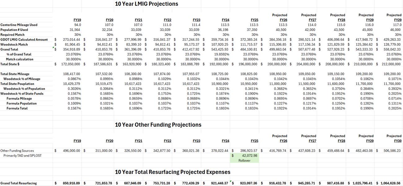
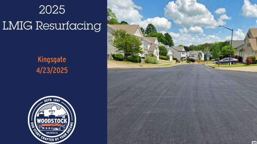
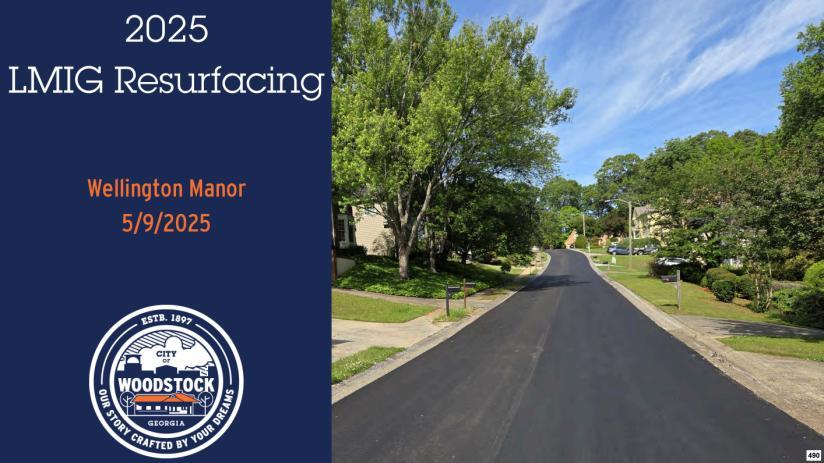
City of Woodstock – Transportation Plan
City of Woodstock – Transportation Plan
Woodstock has experienced extremely rapid growth in pedestrian activity. This is mostly due to the popularity of Destination Woodstock, but it is also an outgrowth of an international trend toward live/work/play communities and a health-conscious public. The City has invested heavily in a spectacular Trail System and the trails often lead directly into shopping, entertainment, and residential districts with sidewalks and crosswalks designed to enable pedestrians.
The Long-Term Pedestrian Plan includes:
Developmental Planning – Requiring new developments to include ample sidewalks, trail connections, crosswalks, accessible ramps, pedestrian bridges, boardwalks, and other pedestrian infrastructure as feasible depending on terrain, density, and zoning requirements.
Public Planning – Continually enhance the public pedestrian infrastructure to create, extend, and refurbish plazas, sidewalks, trails, crosswalks, accessible ramps, pedestrian bridges, and boardwalks as feasible throughout the City.
City of Woodstock – Transportation Plan
The 2026 Transportation Plan includes a new emphasis on pedestrian plazas in and around entertainment and shopping districts. This includes the prominent Elm Street Pedestrian Project, shown separately.
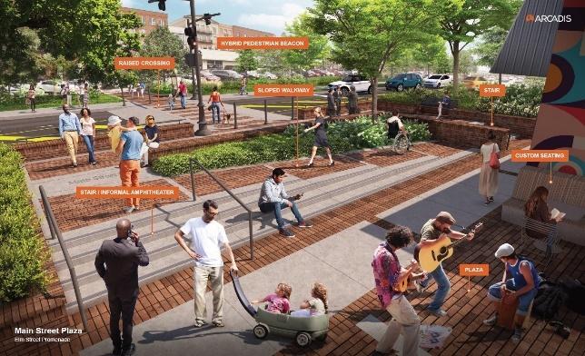
However, the concept includes small pedestrian plazas in additional areas, including some outside the downtown district.
Within the downtown district, there are two additional plaza locations recommended as follows:
East Main Street (Hubbard to Fowler)
East Main Street (AMR to City Park entrance)
These locations (and others TBD) can create spaces for special events, art, and everyday leisure. The distribution of these plazas in various locations is intended to make best use of limited space, as well as continue the organic ambiance of the downtown district. Additional locations are most likely to be from reuse of closed road sections, as well as parking spaces that will no longer be in demand now that the parking deck is completed.
Plazas that are spread throughout a district can be used very effectively during many special events, such as Arts & Crafts Shows, Music Festivals, Farmer’s Markets, and Scarecrow Exhibits, where the exhibitors can be spread out around the district in a way
City of Woodstock – Transportation Plan 133
that provides more intimacy for each exhibitor, while simultaneously providing additional pedestrian circulation which helps the permanent stores and restaurants get more exposure to the public. These plazas also get additional exposure during such events, thereby creating identifiable meeting places for friends and family to congregate at times other than the special events.
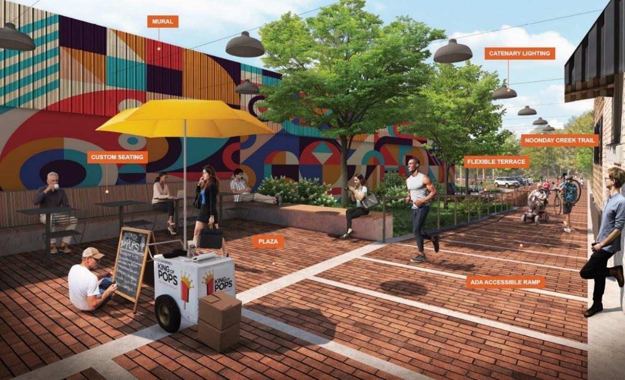
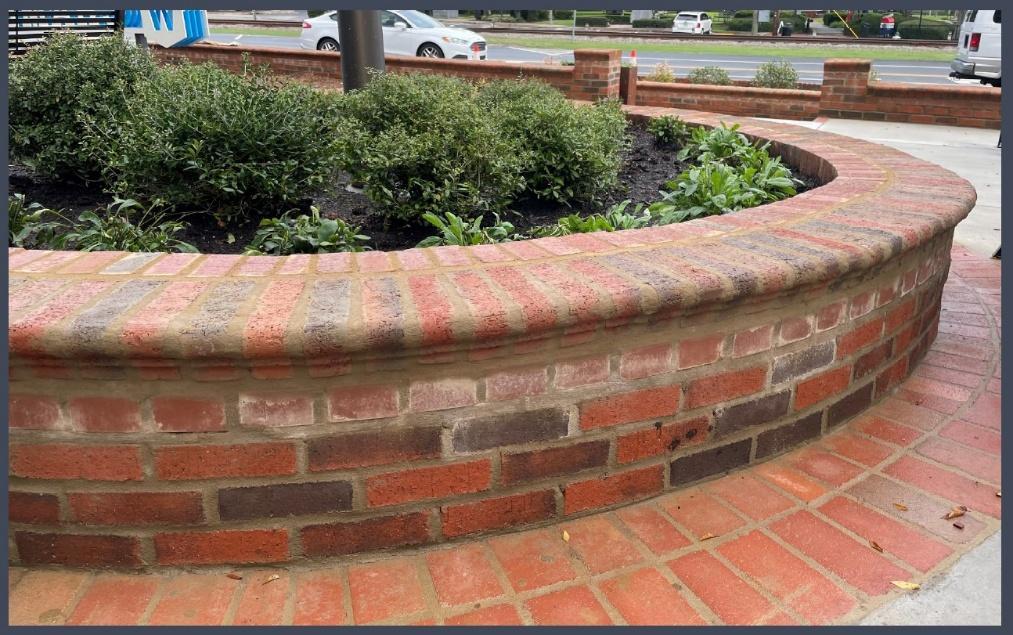
City of Woodstock – Transportation Plan 134
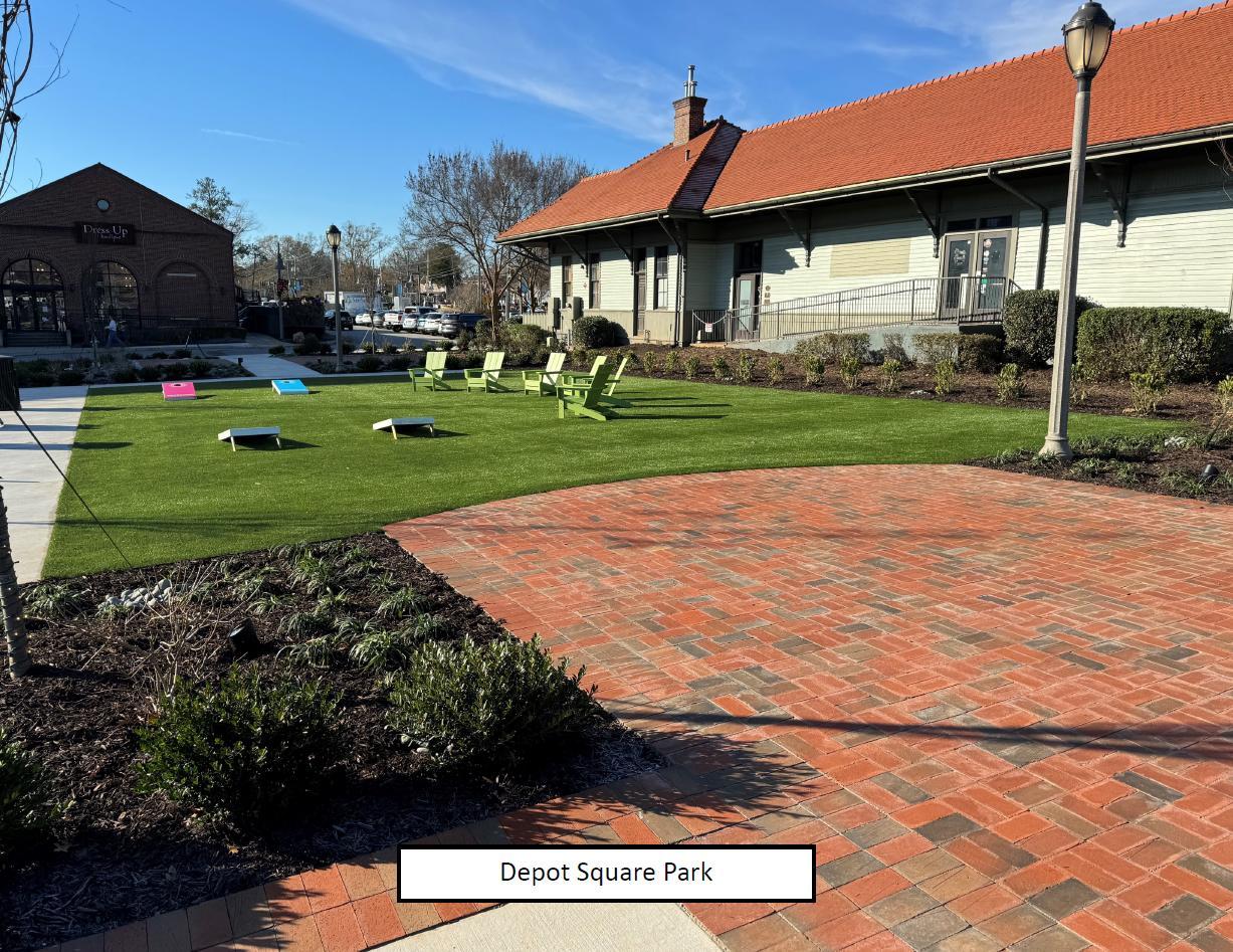
City of Woodstock – Transportation Plan
The transportation plan includes continued replacement of older and damaged sidewalks with wider, more pedestrian-friendly walkways, trail extensions (as feasible), plus continued installation of new sidewalks where they were never installed, and the continued creation of accessible ramps throughout the City.
Arnold Mill Road north side from Main St to FS14 (Trail sidewalk)
Towne Lake Parkway north side (along City Center Parking)
Towne Lake Parkway north side (along retail center)
Dobbs Road south side from Main St to Melanie Ln
Parkway 575 switching sides as necessary (entirety)
Ridge Trail extension (entirety)
Olde Rope Mill Park Road east side (from auxiliary parking to park)
Rope Mill Road (from Main Street to Inwood Walk)
Main Street westside (from Walker’s Point to Roundabout)
Molly Lane
Woodstock Parkway (from Haddonstone to Towne Lake Parkway)
Main Street (from Roundabout through Adair Park)
Mill Street (entirety)
Rope Mill Road (segment completions)
Current Target List of major sidewalk Gap Program extensions:
Neese Road 2026
Dobbs Road (segments) 2026
Towne Lake Parkway (segments) 2026
South Main Street 2022-2028
Arnold Mill Road 2023-2028
Dupree Road 2023-2028
Woodstock Parkway 2022-2028
Trickum Road (segments) 2026-2028
Ragsdale Road (segments) 2026-2028
Rope Mill Road (northern segment) 2027
City of Woodstock – Transportation Plan
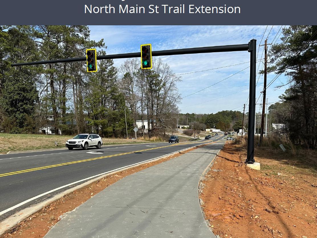
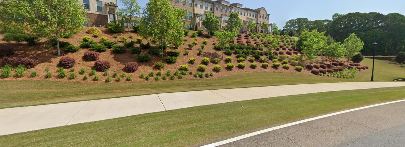
City of Woodstock – Transportation Plan
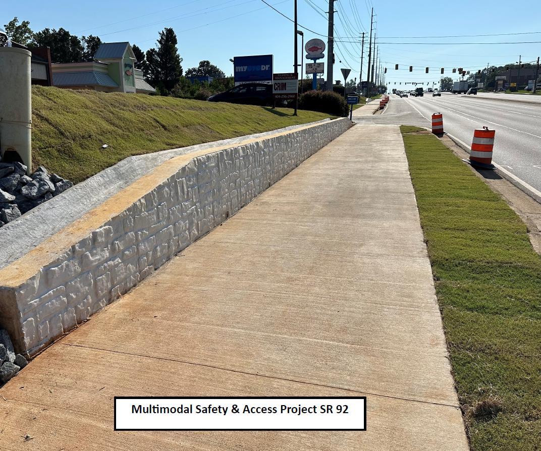
City of Woodstock – Transportation Plan
The transportation plan includes replacement of older and damaged crosswalks with more updated crosswalks. It also includes the continued installation of new crosswalks where they were never installed, and the continued creation of accessible ramps throughout the city. The city has dramatically improved pedestrian crossings in recent years. This includes the strategic use of In-Road Illuminated Technology and Methyl Methacrylate (MMA) Paint that was originally developed for use on airport runways. This technology has been installed at three locations in 2023 and will be used extensively in future years. The transportation plan also includes elimination of mid-block crossings in the downtown area where signalized crossings are available.
Completed Signalized or Actuated Crossings since 2018:
- Across Main Street at Towne Lake Parkway (north side of intersection)
- Across Arnold Mill Road at E Main Street (east side of railroad)
- At Arnold Mill Road at Hubbard Road in all four directions
- Across Main Street at Fowler Street
- Across Arnold Mill Road at Fire Station 14
- Across Main Street at south side of Ridgewalk Parkway
- Across Rope Mill Road near Rusk Street (since relocated to the north)
- Across Main Street at Linton Street (since relocated and renovated)
- Across Rope Mill Rd at Inwood Walk
- At Main Street at Serenade Lane in all four directions
- Across Dupree Road at Main Street (west side)
- Across Main Street In-Road Illuminated near Rope Mill Road (Ipp’s)
- Across Towne Lake Pkwy In-Road Illuminated west of Main Street
- Across Main Street In-Road Illuminated at Linton Street
- Across Chambers St Raised near Depot Square
- Across Ragsdale Road In-Road Illuminated at Persimmon Lane
- Across Molly Lane Raised south of Long Drive
Current Target List for Crossings:
- Across Main Street at Elm Street Signalized 2026
o Eliminated two mid-block crossings to the south
- Across Arnold Mill Rd at Bentley Pkwy Signalized 2026
- Across Main St In-Road Illuminated at E Main St (awaiting roadway concepts)
- Across Rope Mill Road In-Road Illuminated at Main St (awaiting roadway concepts)
- Across Main Street at Dupree Rd Signalized 2028
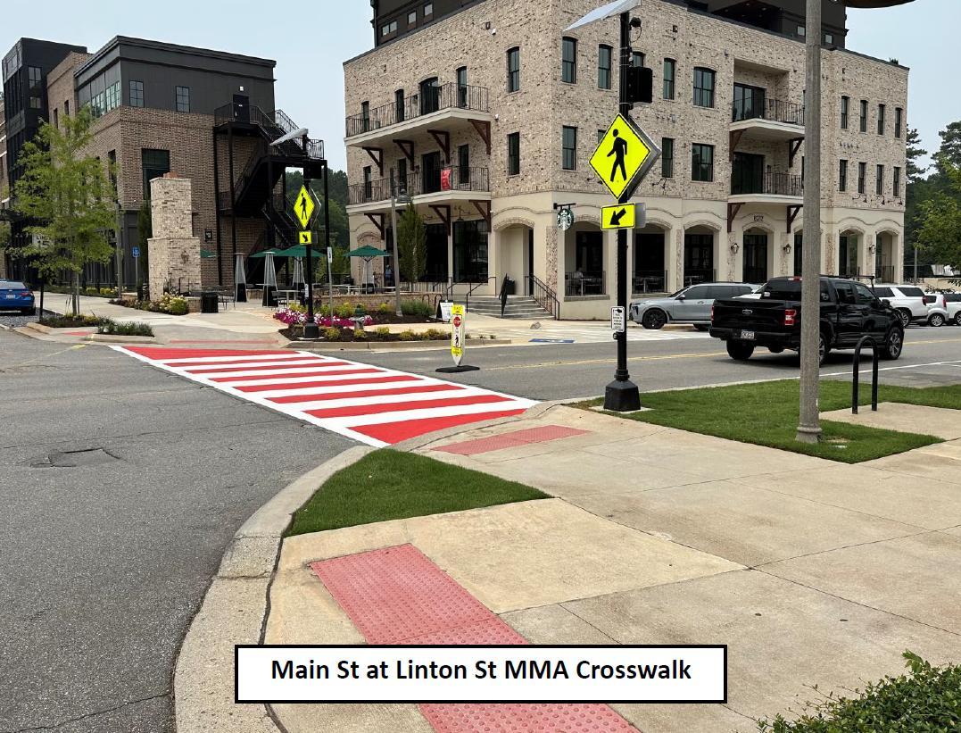
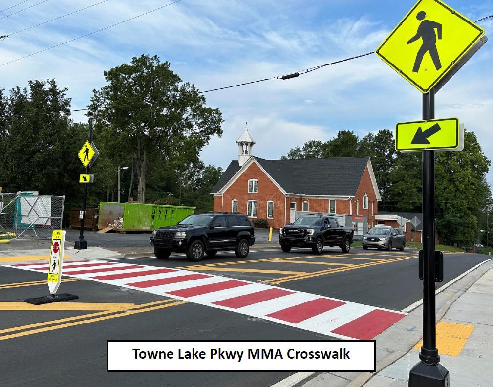
City of Woodstock – Transportation Plan
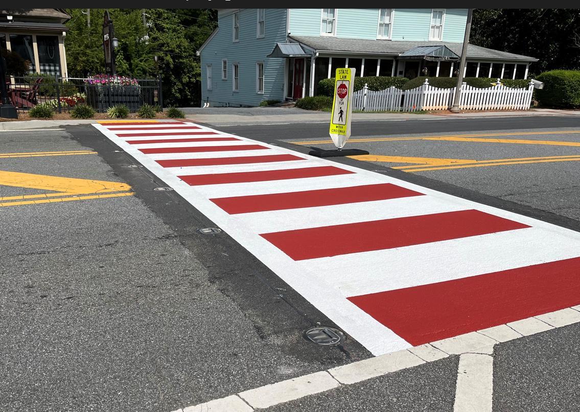
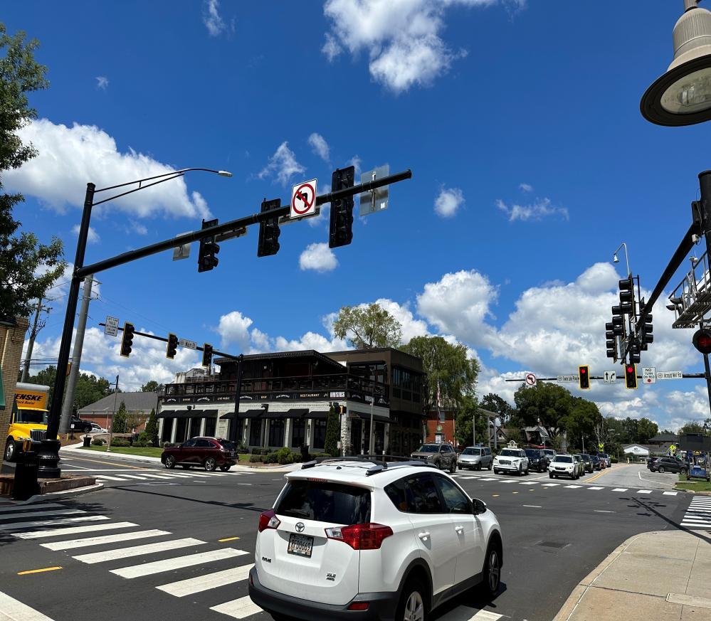
City of Woodstock – Transportation Plan
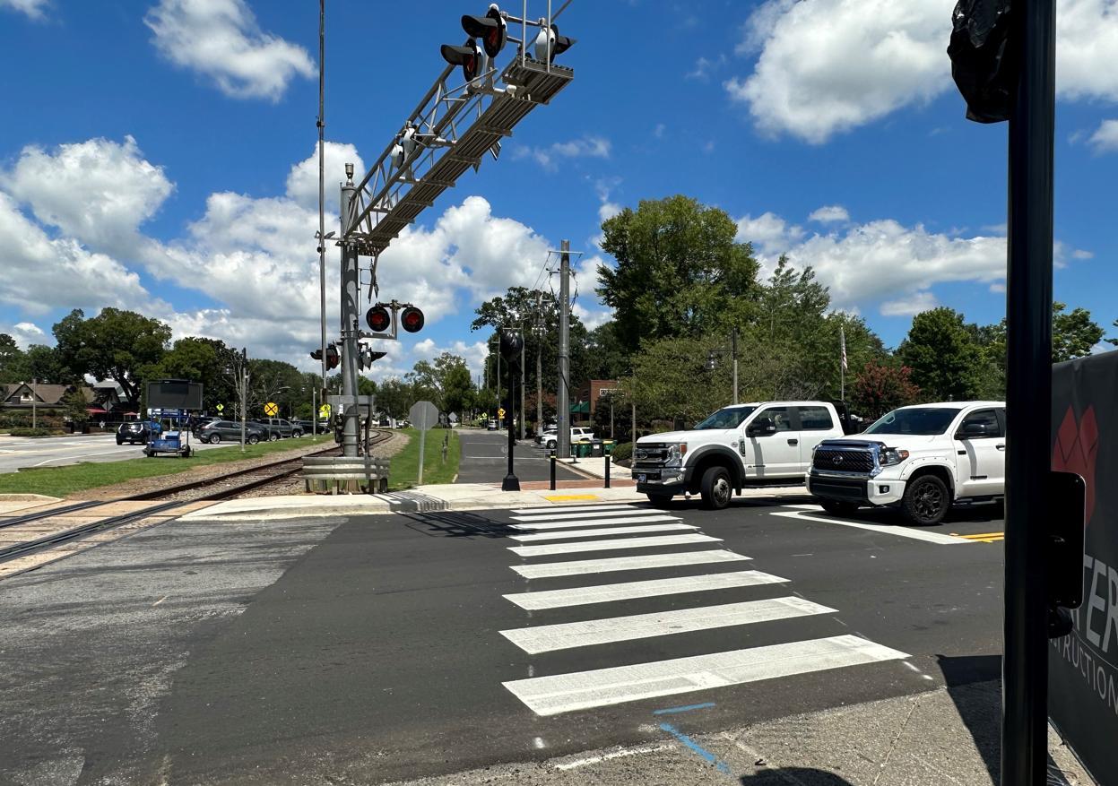
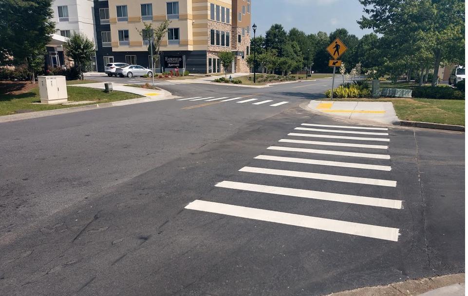
City of Woodstock – Transportation Plan
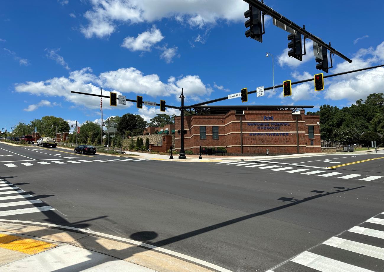
City of Woodstock – Transportation Plan 143
(also presented in Major
section)
All major transportation projects include an emphasis on pedestrian traffic and multimodal access. However, the eight projects listed below have predominant pedestrian focus and represent very significant contributions to the pedestrian experience.
Streetscapes V Project on Arnold Mill Road (Main Street to Bentley Parkway)
This includes redevelopment at the City Center site, undergrounding of utilities, relocation of the Trail in a way that has become a beautiful addition to the overall downtown experience.
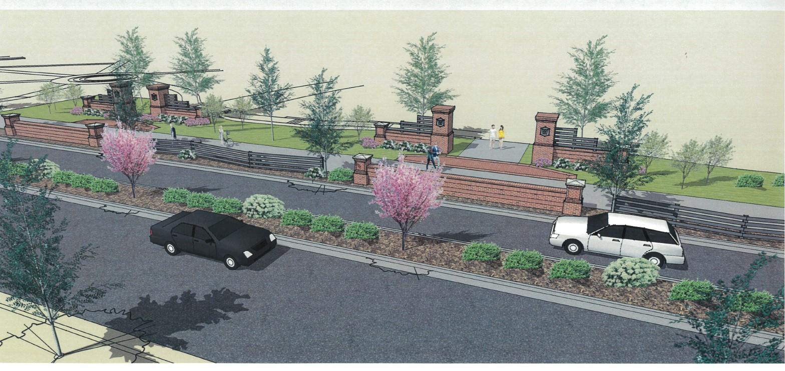
City of Woodstock – Transportation Plan 144
This plan includes enhancing the westside pedestrian experience on Main Street from Fowler Street (where Streetscapes II was completed) to the south to the edge of South on Main near Brighton Boulevard. This will be accomplished through a series of individual projects in various segments. The differing segments are required because of the length of this stretch and the complicated actors of each. This section is extremely difficult to complete because the proximity of the railroad on the east side of the street restricts the flexibility on the west side of the street. The sections closest to the intersection with Barnesdale Terrace represent the most challenging logistical dilemmas.
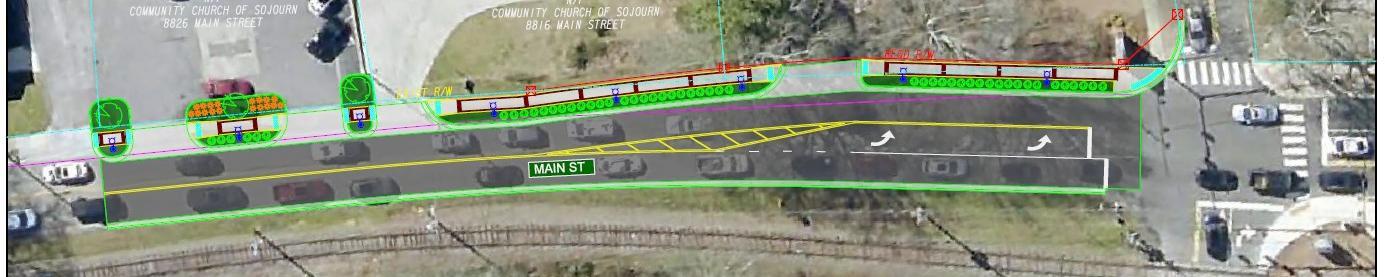


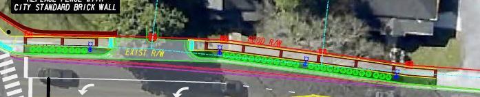
City of Woodstock – Transportation Plan
This project is expected to proceed after the completion of the Hub Transformation Project. It is intended to protect and control pedestrians crossing Main Street between Towne Lake Parkway and Fowler Street, primarily to replace the mid-block crossings near Elm Street. There are currently three mid-block pedestrian crossings in this area that contribute to extreme vehicular delays and congestion during prime entertainment times for the popular downtown entertainment district. There is strong pedestrian traffic using the railroad crossing near Elm Street that is an important part of the pedestrian balance between the eastern and western business districts.
The concept of this project is to create a new pedestrian crossing of Main Street at Elm Street (just a few feet away from the existing crossing), signalize this crossing in synchronicity with the traffic signals to the north and south, discontinue three mid-block crossings in this area, convert Elm Street (Main to Wall) as pedestrian-only, discontinue vehicular turns off Main Street at Elm Street, and reduce vehicular delays caused by pedestrians. This project essentially creates the first pedestrian “corridor” in the city.
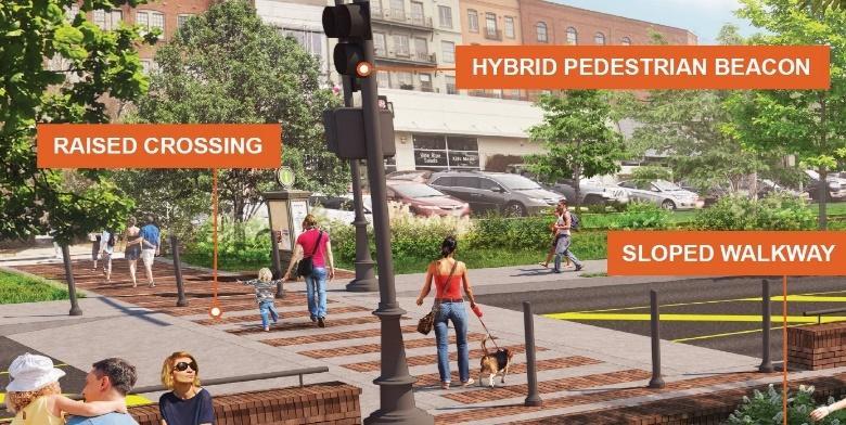
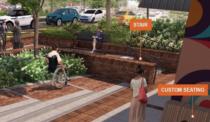

City of Woodstock – Transportation Plan
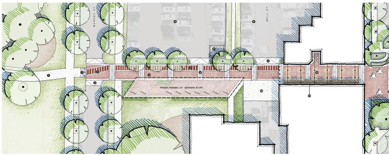
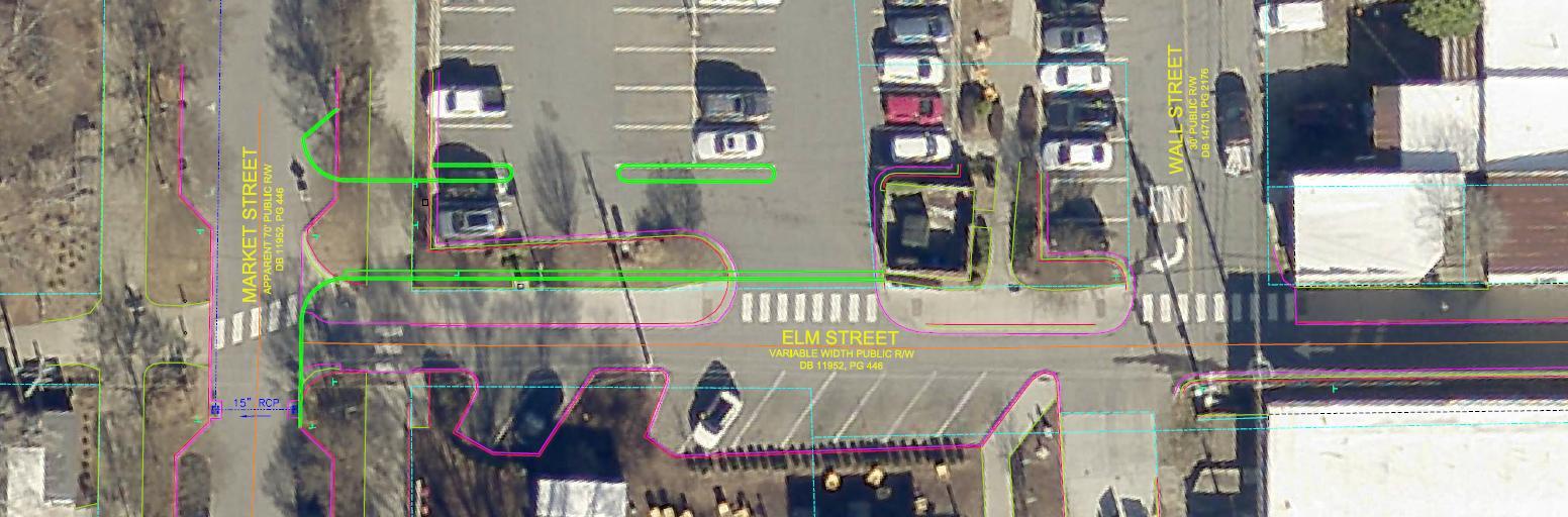
City of Woodstock – Transportation Plan
This project includes a 10’ Multi-Use Trail along the northern shoulder of SR 92 that connects the existing Noonday Creek Trail to the Woodpark Place Intersection. This trail provides improved pedestrian facilities for the developments on Woodpark place as well as the commercial properties along SR 92. There is robust pedestrian traffic in this area, alongside the tremendous volume of vehicular traffic. The pedestrian traffic is expected to grow substantially as the Woodpark area continues to redevelop. This project was in coordination with the Multimodal Safety & Access Grant that GDOT has approved and will fund up to 70% of the total construction cost.




City of Woodstock – Transportation Plan 148
This plan includes enhancing the southern side pedestrian experience on Towne Lake Parkway from Main Street to the west to the edge of the sidewalk recently completed at the Mill Street Roundabout. And one remaining trail segment will be included on the north side of Towne Lake Parkway. This will be accomplished by constructing streetscape designs in the style of the Streetscapes I – V projects, based upon the available space in each linear section
The narrowest segment is closest to Main Street, where the oldest structures are very close to the roadway, and width is limited. The elevation changes in some areas will require retaining walls and/or handrails. The engineering designs are still in progress, but the following examples are demonstrative of the style that will be used throughout this project.
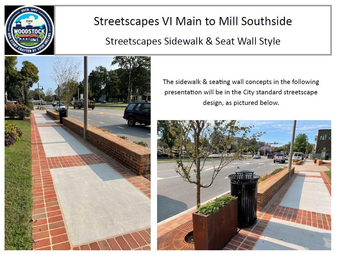
City of Woodstock – Transportation Plan
This plan includes enhancing the eastern-side pedestrian experience on Main Street from Brooke Boulevard to Holly Springs, to include a pedestrian bridge over the Little River. This project will require a cooperative effort between the City of Woodstock, City of Holly Springs, Cherokee County, and USACE.
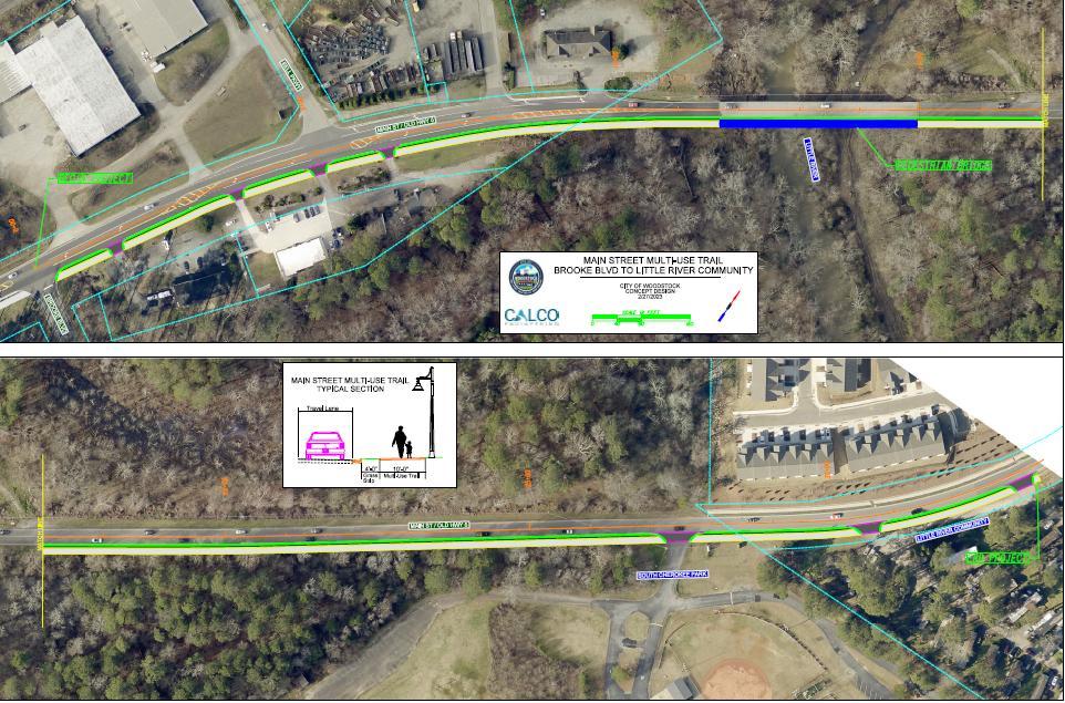
City of Woodstock – Transportation Plan
This plan includes enhancing the northern-side pedestrian experience on Dupree Road from Highland Park to the I-575 bridge, plus a small segment east of Reeves Street.
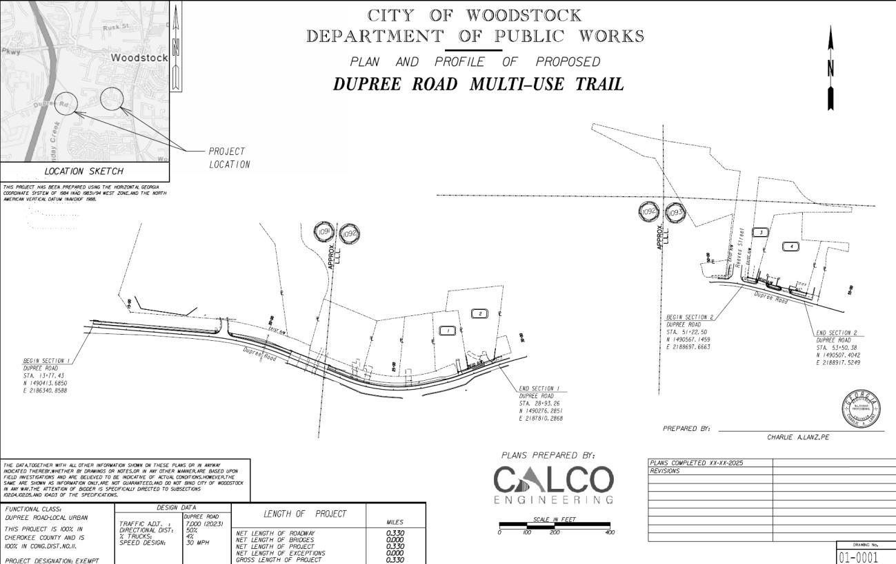
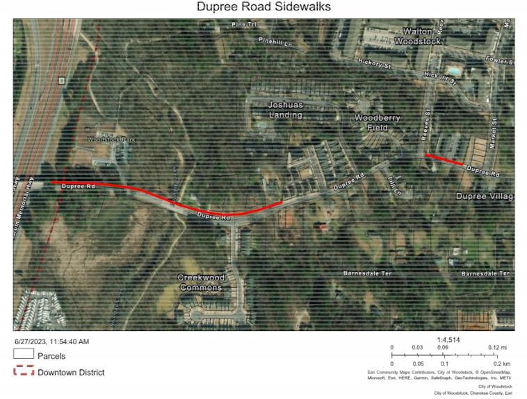
City of Woodstock – Transportation Plan
This plan includes enhancing the pedestrian experience on Dobbs Road to include segments designed to eventually complete the entirety of the roadway.
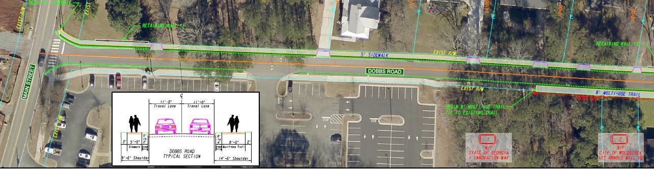
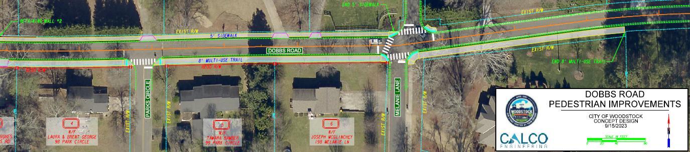
City of Woodstock – Transportation Plan
City of Woodstock – Transportation Plan
Public parking is a very significant component associated with vehicular and pedestrian traffic flows. The City Center District was faced with consistent parking dilemmas. The new parking deck has provided tremendous improvement. The transportation plan includes continued improvement projects to adapt to the changing environment.
The demand for parking is acute during special events, and challenging during warm weather weekends, but much less so during non-peak times. There is a constant trade-off between efficient utilization of public parking spaces and the peak demand for special events. Most communities attempt to build public parking infrastructure to accommodate the weekday or weekend peak demand and choose other alternatives to accommodate less frequent special events.
The parking plans are designed to accommodate overall parking demand, while maximizing the space available in the downtown area.
City of Woodstock – Transportation Plan
The public parking available for existing weekend demand is sufficient, though not to accommodate the growth anticipated in coming years. The dilemma faced currently is that patrons are not consistently utilizing the three larger facilities (City Center Parking Deck, Chambers at City Center, and Chattahoochee Technical College). Many patrons became used to parking adjacent to their favorite establishment during the Great Recession and have not familiarized themselves with or utilized these larger alternatives. The Plan calls for popularizing and maximizing these facilities in the short run.
Additional parking facilities may be necessary in the long run The locations of such facilities will be a crucial part of the plan, as will the type of facility (surface or deck) and the size of facility (scattered or concentrated). The most realistic long-term parking plan includes the addition of multiple deck/lots, with small footprints, and spread out within multiple quadrants of the City Center District (usually in conjunction with private new development).
Such a plan allows for the addition of parking on an as-needed basis, without undue impact on the utilization of prime acreage within Destination Woodstock or the ambiance of the area. The most impactful plan is to target all four quadrants with additional parking, which began with the most acute southeast quadrant. The deck for the southeast quadrant was completed in the southeast quadrant in 2024. Additional decks and lots will be considered on an as needed basis. The second deck will most likely be in the southwest quadrant, which is also experiencing acute need.
The long-term plan also includes establishing methods to publicize the location of existing parking infrastructure and to help visitors park quickly and easily. The improved accessibility, safety, and attractiveness of parking facilities is an important component of this plan. “Smart Parking” programs will be utilized to reduce unnecessary circling and maximize the existing spaces.
City of Woodstock – Transportation Plan
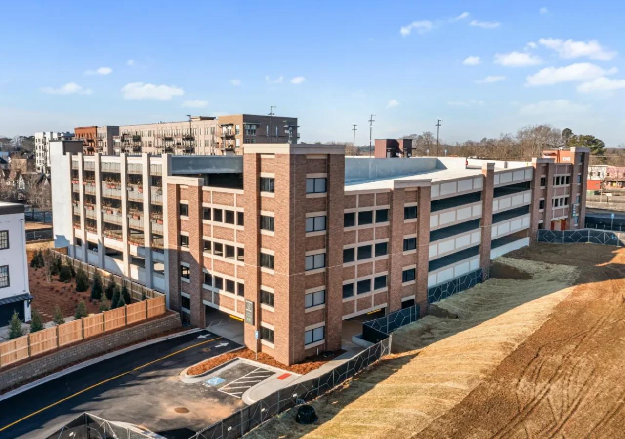
The overall parking dilemma included a circling problem that detrimentally impacted the City Center (Main/TLP) intersection but was even more devasting to the Woodstock Downtown Residential Neighborhood and Chambers Street Retail District. The pattern in this area is to circle around the shops in search of on-street parking, then proceed into the neighborhood, depending on the level of congestion and desperation. The primary streets impacted were Chambers Street, East Main Street, Wheeler Street, Fowler Street, Hubbard Road, and McAffee Street. The additional traffic associated with circling for parking was adding to congestion and safety concerns on all six of those streets, plus more nearby streets.
The City Center Parking Deck was constructed as a deck with 633 parking spaces on 6 levels with three entrances on three separate levels from three separate streets. It is also designed to be wrapped by the new buildings of the City Center Development, thereby maintaining the look and feel of Downtown Woodstock while providing substantial parking availability. The capacity of spaces was designed to accommodate the new activity of City Center and the needs of the existing retail district. This has had a very
City of Woodstock – Transportation Plan
positive impact on the traffic of the six streets highlighted above, as the circling volume has been reduced.
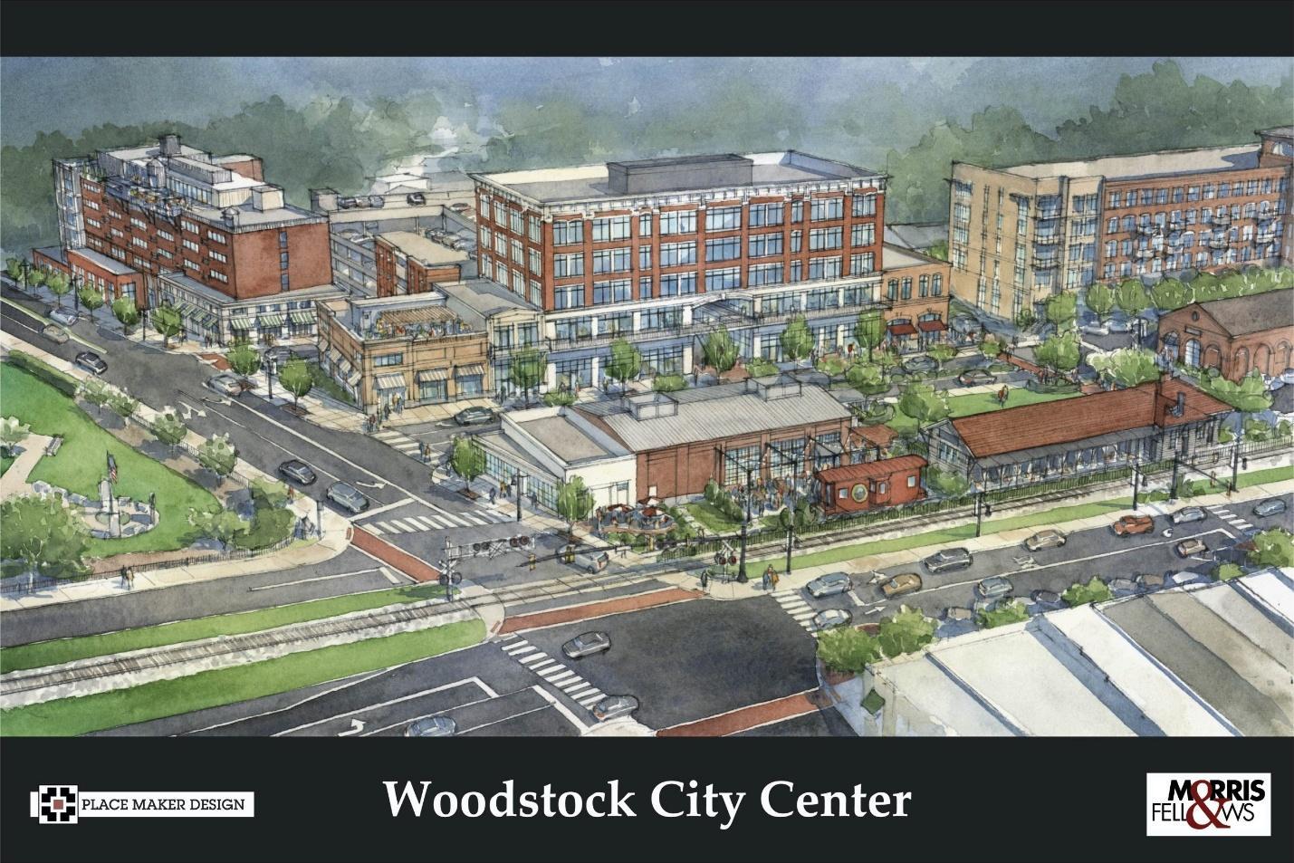
It is very important to understand that most of the parking visits and vehicular miles associated with parking already exist today but are spread out over all six streets, with a great deal of unnecessary circling and confusion by visitors unfamiliar with the area.
The design of the deck with three separate entrances will allow for efficient access without unduly burdening any one entrance. The parking plan of FREE & UNLIMITED parking within the deck, but paid parking within the closest street parking, strongly encourages the use of the deck, especially for nearby residents and employees that had been utilizing those spaces for long term and overnight parking. Most visitors come from the west on I-575 and they are provided with an easy entrance into the deck without needing to access any of the six streets. The deck also allows for circling within the deck instead of on the six streets. The latest electronic wayfinding technology is used to direct parkers to the deck and to the most convenient spaces.
City of Woodstock – Transportation Plan
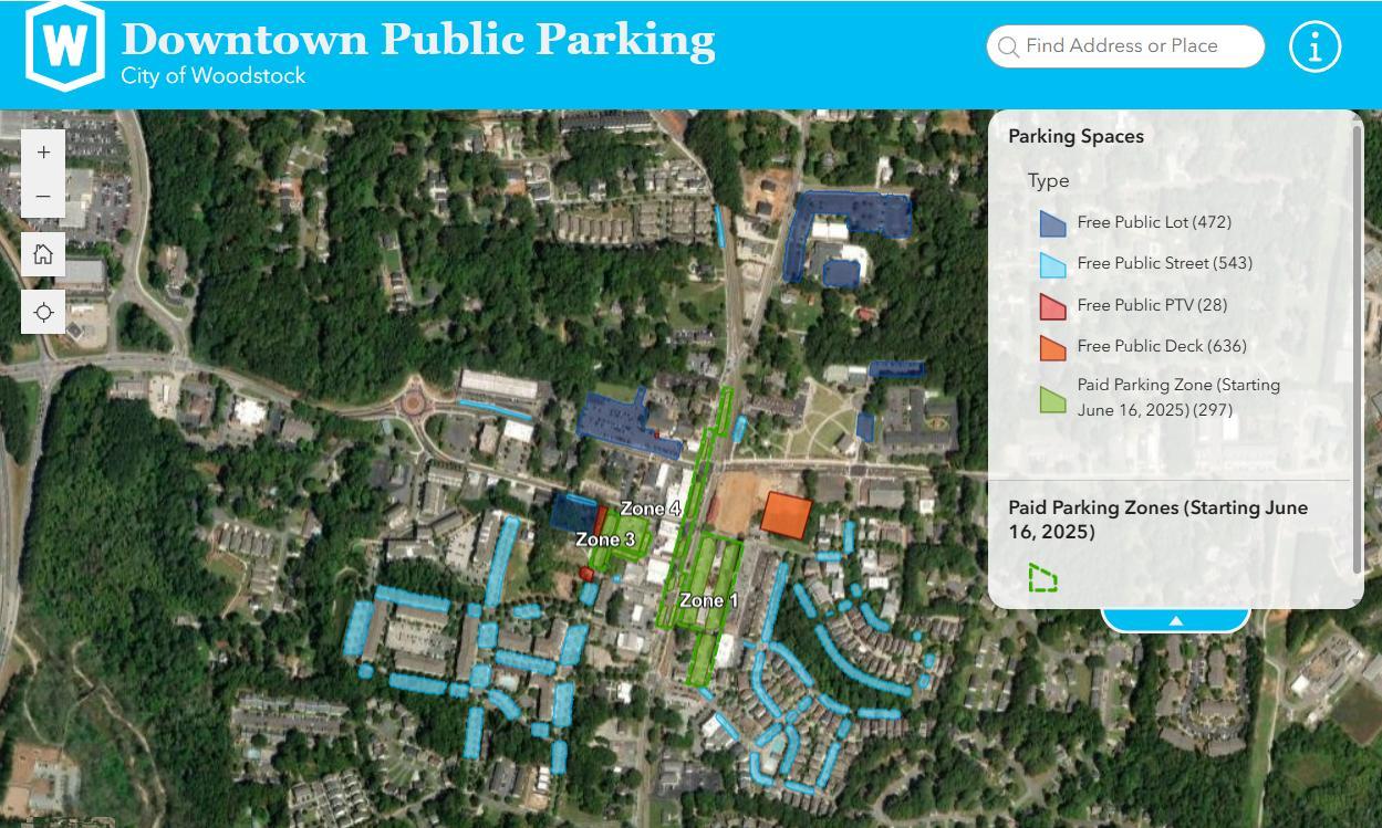
The Parking Plan includes a managed plan that coordinates the spaces available within the deck, in surface lots, and along city streets to maximize the available parking responsibly. Parking management has been studied and discussed since 2016. The impetus for the new Managed Plan began at the request of downtown business owners looking for a way to restrict long-term parkers from using the most desirable spaces directly adjacent to businesses. Enforcing paid time in these spaces creates turnover, frees up additional parking opportunities and reduces traffic congestion within the district due to spaces being readily available. Studies that were conducted indicated that during the business day, parkers were staying for less than 30 minutes on average, but with a portion staying for more than 9 hours. Each study has suggested that around 300 of the 2000 spaces should transition to paid enforced spaces. This represents only 15% of the total spaces.
This plan is intended to make sure customers and visitors have access to convenient, short-term parking while still providing ample free, long-term options just a short walk away. The plan is intended to improve access, support local businesses, and keep downtown Woodstock vibrant and welcoming.
City of Woodstock – Transportation Plan
Other parking alternatives have been and will continue to be added for PTVs and motorcycles, as conditions demand. The first PTV/Motorcycle spaces were installed in 2019 at Elm Street Green, the Chambers at City Center, and on East Main Street. The spaces near Elm Street Green have been used very consistently. Demand is most acute in that area. Additional spaces were added in that area in early 2022. And more are planned throughout the community, as necessary.
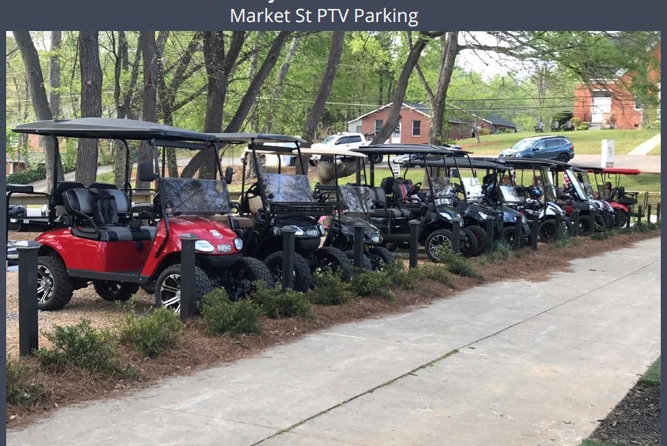
City of Woodstock – Transportation Plan 159
City of Woodstock – Transportation Plan
The City of Woodstock has established a Traffic Calming Program to analyze and facilitate physical changes within roadway right of way that are designed to enhance public safety in a consistent manner in tune with the neighborhoods and corridors of the City. The program includes a Traffic Calming Application process to coordinate requests, analyze circumstances, ensure certified engineering review, manage physical implementation, and proceed according to the ordinances, policies, and practices of the City.
This has been designed as a deliberative process because it involves conflicts between the various desires of citizens. Many participants in the application process have strong opinions about the severity of the traffic issue at hand and potential solutions. They are often unaware of different opinions and potential unintended consequences of various solutions. This process is like most other civic issues. The most vocal and active participants have strong opinions and desires for action. These most active participants generally attract other citizens with similar views and together they come to reinforce these views as the overwhelming majority opinion. Less active citizens may have opinions
of Woodstock – Transportation Plan
in conflict, but these opinions are less likely to be known or made public until action is already taken. Unfortunately, the volume of opposing ideas and opinions is rarely understood in advance.
Traffic calming issues within neighborhoods are frequently sources of ongoing turmoil, especially when they proceed so fast that they circumvent the deliberative process. It is best to proceed slowly and to communicate widely, with a great deal of study of the facts of the case and broad consideration of the various alternatives. The history of traffic calming requests in the past has included cases where the solutions turned out to be worse than the original problem. Overuse of some traffic calming techniques can dramatically impact the overall character of a neighborhood and thereby impact the property values of every property owner.
These are communitywide impacts that require communitywide communication and consideration. There are also issues of community cohesiveness and conflict involving the original traffic issues and potential reactions to proposed solutions. There are many examples where neighborhoods with well-established cohesiveness have been disrupted by divisive conflicts over speed humps and other traffic calming solutions. It is imperative to maintain deliberative processes to minimize similar unintended consequences.
The history of traffic calming has included efforts over the past few decades to share ideas across jurisdictions and to share statistical data as feasible. However, it is important to emphasize that every community and every roadway is different. This makes the topic very complex. The Traffic Calming process within neighborhoods with HOAs proceeds as a communitywide initiative in communication with the HOA. Traffic Calming on corridors and in neighborhoods without HOAs proceed through the deliberative process with as much public involvement as feasible.
City of Woodstock – Transportation Plan
This Transportation Plan includes the design of an eventual 25mph zone (or lower) within the major portions of the City Limits east of I-575, except for state highways and the commuter corridors of north Main Street, south Main Street, and Ridgewalk Parkway. The map of that zone is shown below.
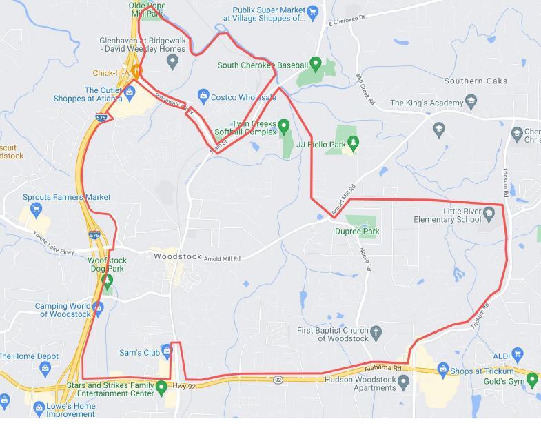
The process of setting and changing speed limits is complex because it involves two separate jurisdictional authorities. The City Council sets speed limits on City Streets. The Georgia Department of Public Safety regulates the radar permit on City streets and state highways. The radar permit establishes the areas of realistic speed enforcement by the Police Department. Therefore, the two processes need to be in synchronicity to allow for effective enforcement.
City of Woodstock – Transportation Plan 163
The radar permit process is the most complex component because of the standards used to determine acceptable permitted speed limits. Most citizens are in favor of lowering speed limits on City streets for safety purposes. However, the permitting process is designed to restrict the setting of lower speed limits in favor of protecting motorists from potential speed traps. The standards used by GDOT as the primary condition to lower speed limits is that the local jurisdiction must prove that 85% of traffic is already traveling at or near lower speeds. This is the opposite of what most individuals imagine the process entails.
Therefore, this Transportation Plan recommends the periodic use of outside engineering firms to help gather evidence of why other factors should be under consideration for the protection of the public. This strategy was successfully used in 2019-2020, as major sections of Rope Mill Road, Arnold Mill Road, and Towne Lake Parkway were lowered to 25mph. The remainder of the mapped segment listed above should be accomplished in a similar way.
City of Woodstock – Transportation Plan
City of Woodstock – Transportation Plan
The Transportation Plan pays considerable attention to the landscaping in rights-of-way (ROW) and the overall beautification and cleanliness of the community. The rights-of-way require continual cutting and trimming during the growing season, as well as litter and critter removal year-round. These areas are also considered for additional landscaping that will add to the ambiance of the community.
The plan is to add landscaping and art each year in small, cost-effective ways that maximize the use of limited public funds. This requires a design plan that identifies the most appropriate plants and trees for the locale and the consistent use of these plants and trees (as well as planters, benches, art, lighting, and monument signage), so the public landscaping can gain greater continuity around the entire City.
The primary areas of the design include the four quadrants of entrance into downtown (Main Street North, Main Street South, Arnold Mill Road East, Towne Lake Pkwy West), as well nearby corridors of Rope Mill Road, Dobbs Road, and Dupree Road. The design is
City of Woodstock – Transportation Plan
best exemplified by the work completed to date along Main Street North near the library. There have been significant improvements between the Haney Roundabout and Ridgewalk Parkway that have resulted in a picturesque approach to downtown as travelers continue south from Ridgewalk Parkway. The plan includes establishing similar parkway-type landscaping areas everywhere there is sufficient right-of-way.
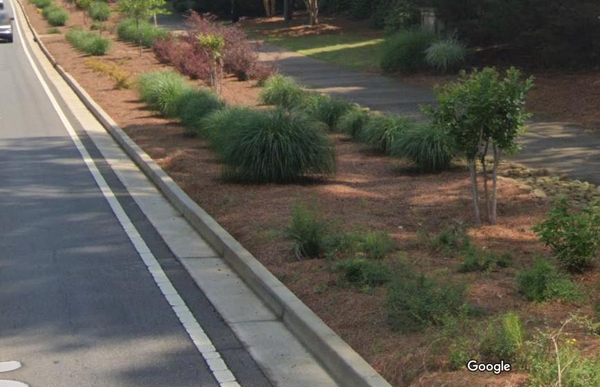
City of Woodstock – Transportation Plan 167
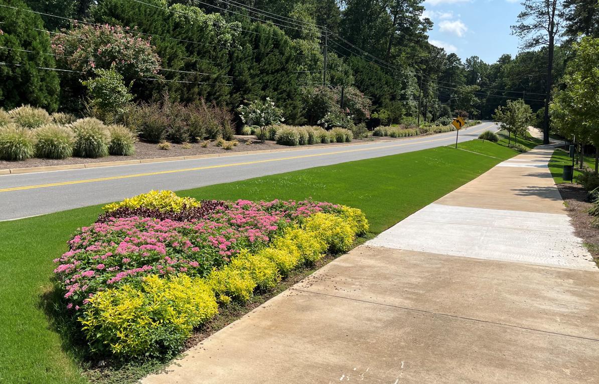
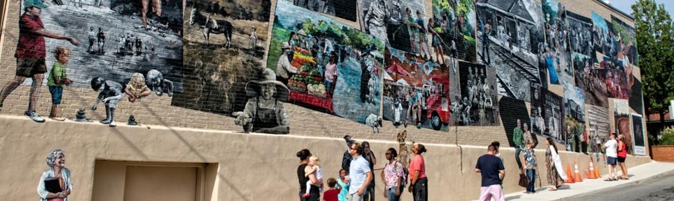
City of Woodstock – Transportation Plan
Another recent example includes Rope Mill Road between Inwood I and Cardinal Woods on the west side, as well as in smaller pockets within the Rope Mill Road corridor. In these locations, there were limited opportunities for landscaping, so those few opportunities were maximized by installing attractive landscaping and benches where feasible to create a parkway feel along the roadway, designed to enhance both the pedestrian and vehicular experience.
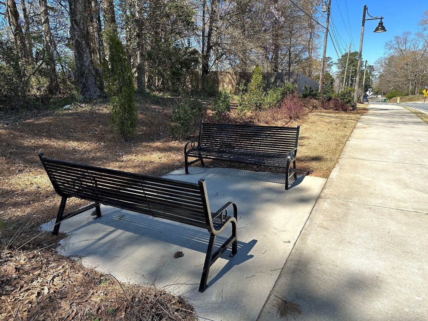
City of Woodstock – Transportation Plan
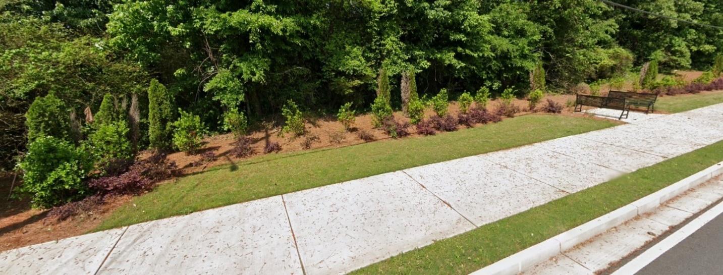
Additionally, the Transportation Plan includes an emphasis in formalizing exact plans and standards that have been established in major projects, but that can be reused in the future to establish greater consistency. This is exemplified by the care and attention used in the Arnold Mill Road – Streetscapes V Project previously highlighted. This included engineered plans for lighting, hardscapes, and landscaping, all combined with vision and precision to establish a special attractiveness and ambiance for the community.
City of Woodstock – Transportation Plan
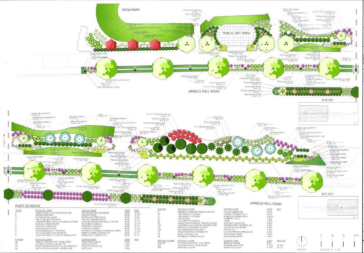
City of Woodstock – Transportation Plan
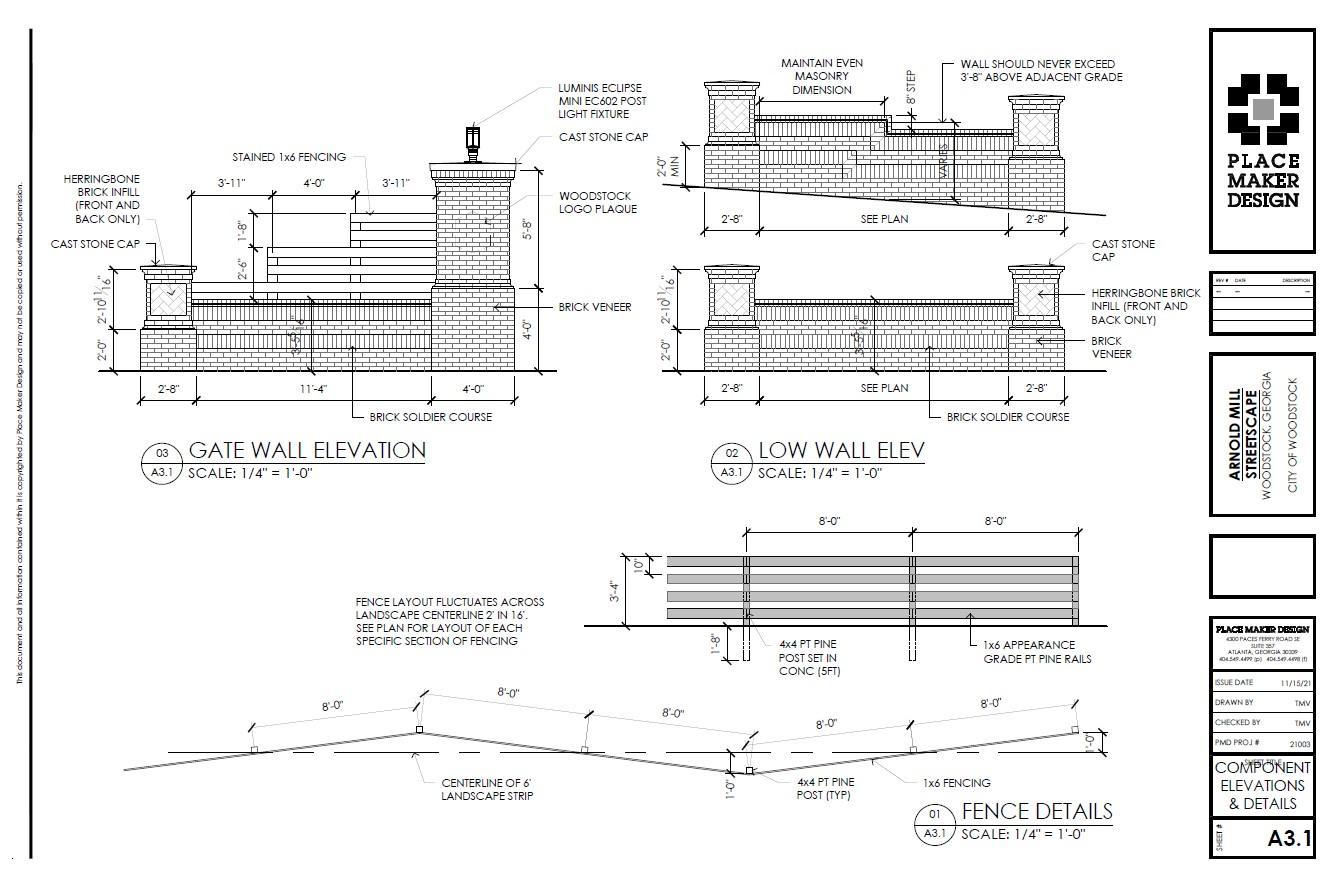
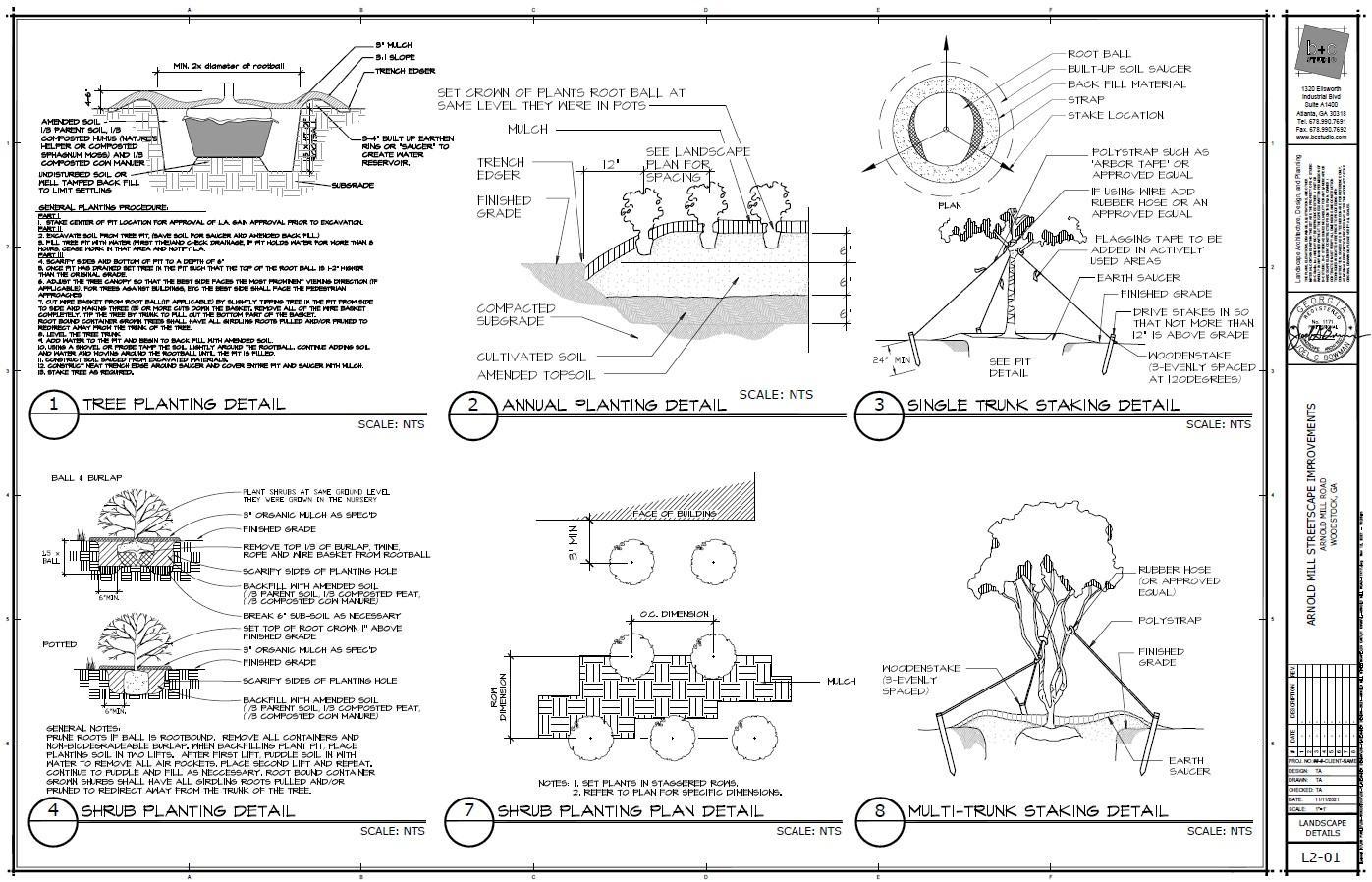
City of Woodstock – Transportation Plan 172
Such continued improvements within Major Projects will help establish a “look & feel” for Woodstock that is as important as logos, street signs, and other identifying features. This plan will be coordinated with the departments responsible for planning/zoning, parks, trails, downtown coordination, and other entities intimately involved in the greenery associated with public spaces.
This emphasis is a continuation of the multi-decade Streetscapes Project where a consistent use of brick colors and patterns has established a distinctive vision for the City. These styles have been used in multiple streetscapes projects over many years.
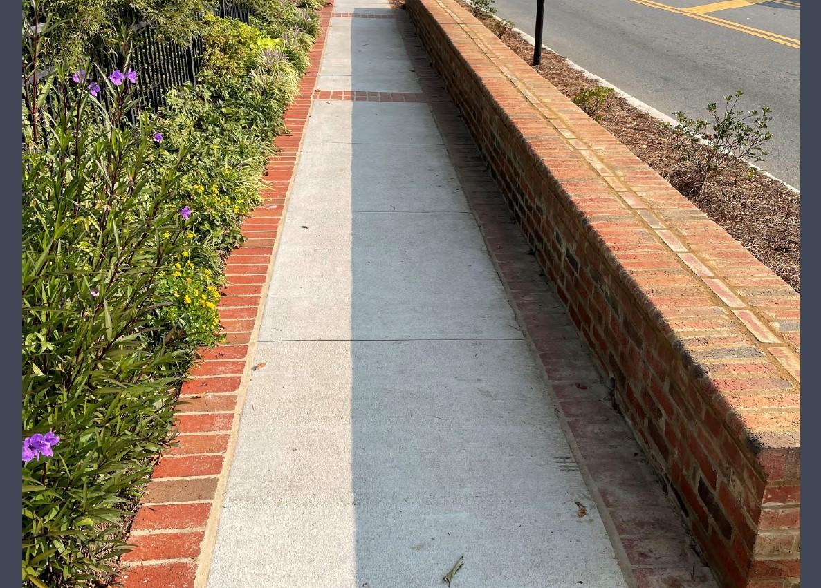
City of Woodstock – Transportation Plan 173
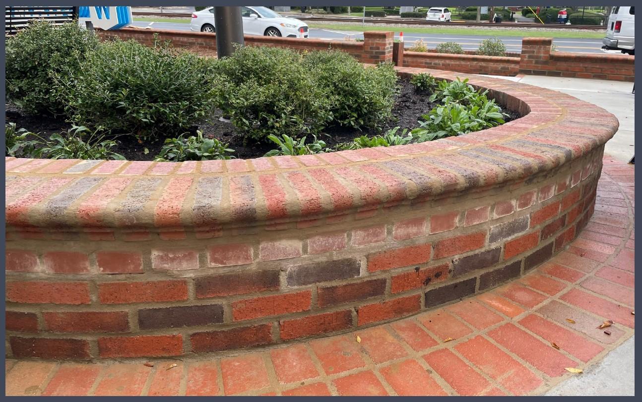
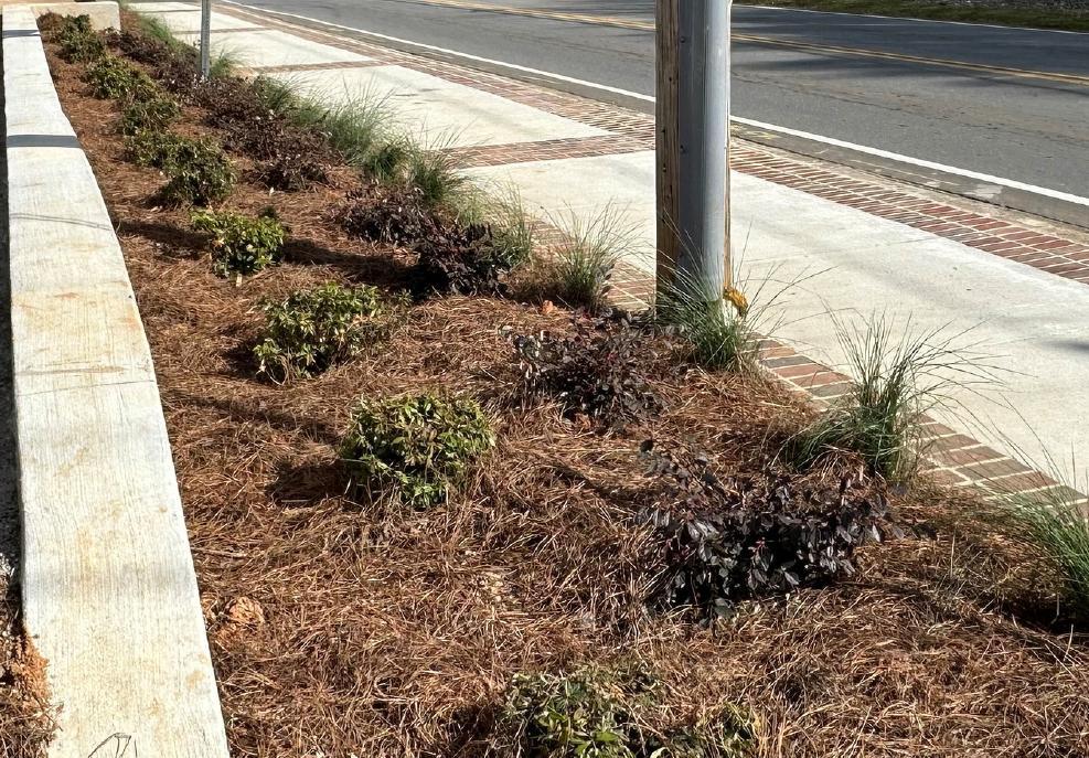
City of Woodstock – Transportation Plan 174
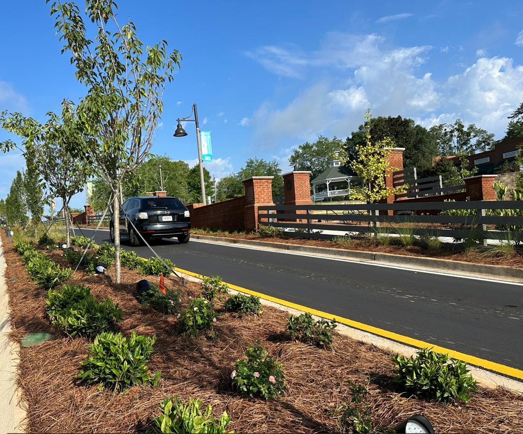
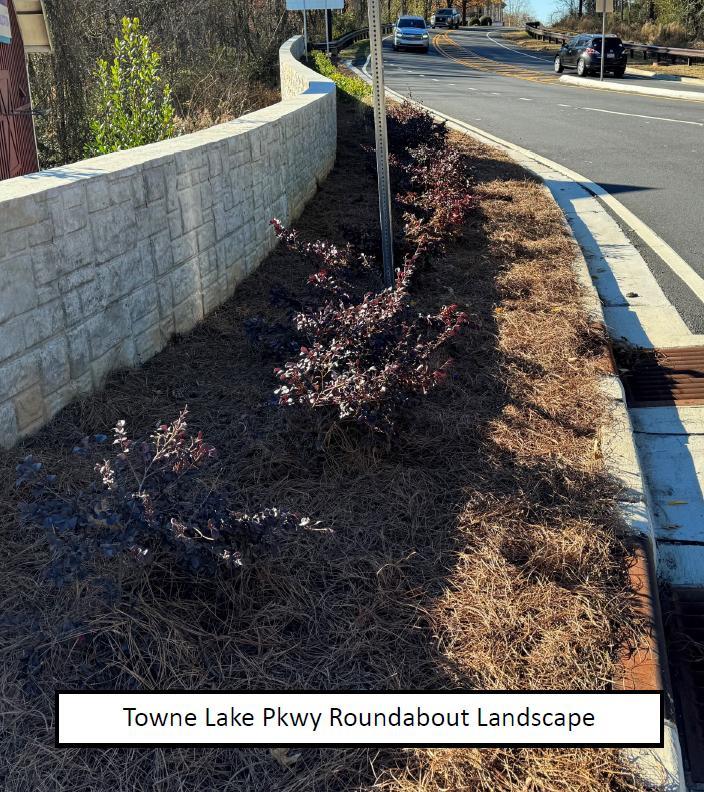
City of Woodstock – Transportation Plan
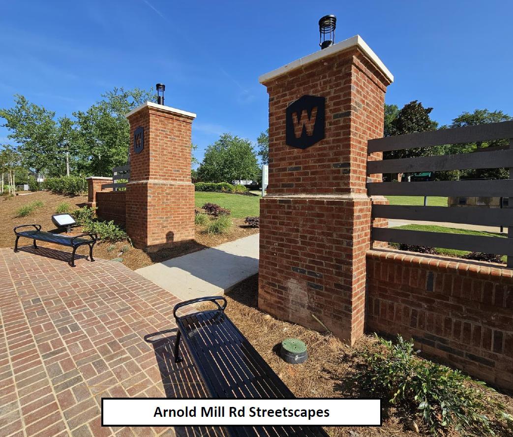
City of Woodstock – Transportation Plan
The Transportation Plan pays considerable attention to the signage within the public right-of-way and the markings on roads and in public parking areas. The Plan includes the intention to continue systematic standardization of signage according to the overall plan of the City. Part of this plan is to minimize the unnecessary or ineffective use of signage, and to ensure the inclusion of community-friendly messaging where feasible. The plan also calls for the creation of an inventory database of every City sign on a GIS mapping system.
City of Woodstock – Transportation Plan 177
City of Woodstock – Transportation Plan 178
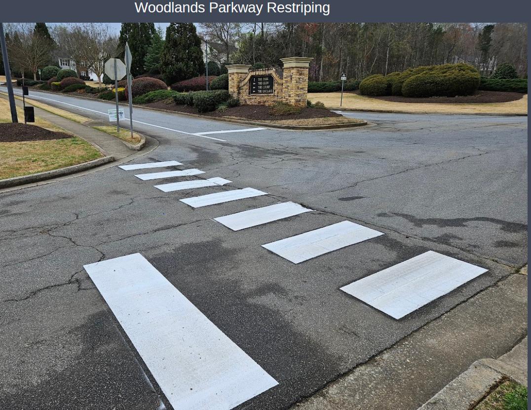
City of Woodstock – Transportation Plan 179
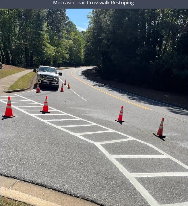
City of Woodstock – Transportation Plan
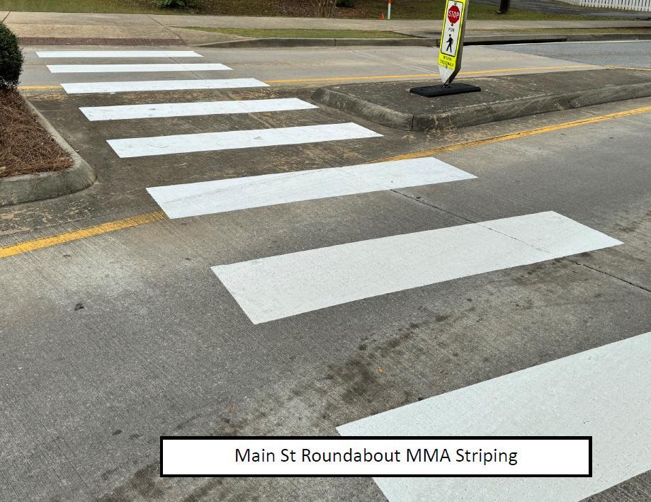
City of Woodstock – Transportation Plan
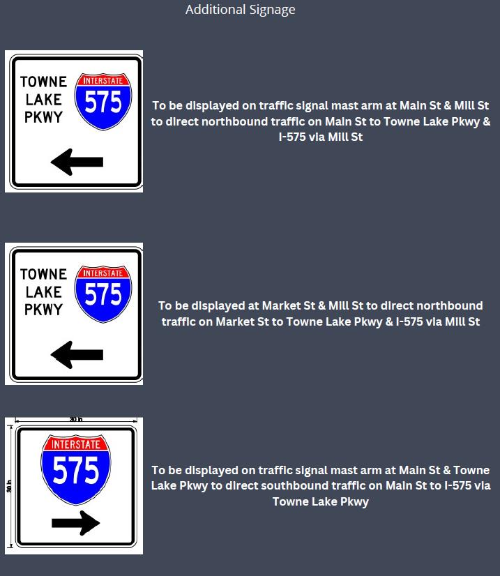
City of Woodstock – Transportation Plan 182
City of Woodstock – Transportation Plan
This Transportation Plan includes preparations and clearing of roads and sidewalks during winter weather events and other natural disasters such as flooding and downed trees on public property. The plan calls for the continued improvement of this process through industry benchmarking, automated tracking of activity, and systematic process controls during emergency conditions. It also includes full participation in and support of the Incident Command process of the City.
Winter weather events occur each year without a consistent pattern. The severity of winter weather events varies widely from year to year. Therefore, the plan calls for standardized procedures for maintaining supplies, equipment, and staffing to ensure preparedness for the unusually severe winter storms that can arise with little warning. This task is more difficult because of the many false alarms of possible storms that do not impact our city dramatically. The preparations must proceed in each case as if the worst of the storm might happen. This is the only way to be ready when the worst-case storm materializes.
City of Woodstock – Transportation Plan


City of Woodstock – Transportation Plan
Severe storms, flooding, or storm pipe failures also occur throughout the year. The crew must be prepared to clear the roadway of falling trees and branches, or secure emergency replacement of storm water infrastructure while keeping traffic disruptions to a minimum.
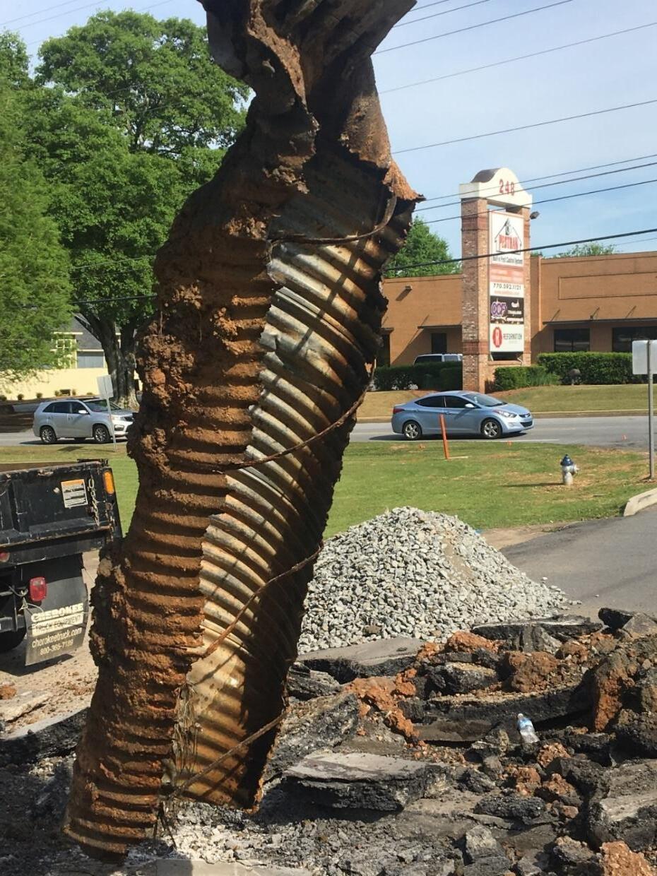
City of Woodstock – Transportation Plan
City of Woodstock – Transportation Plan 187
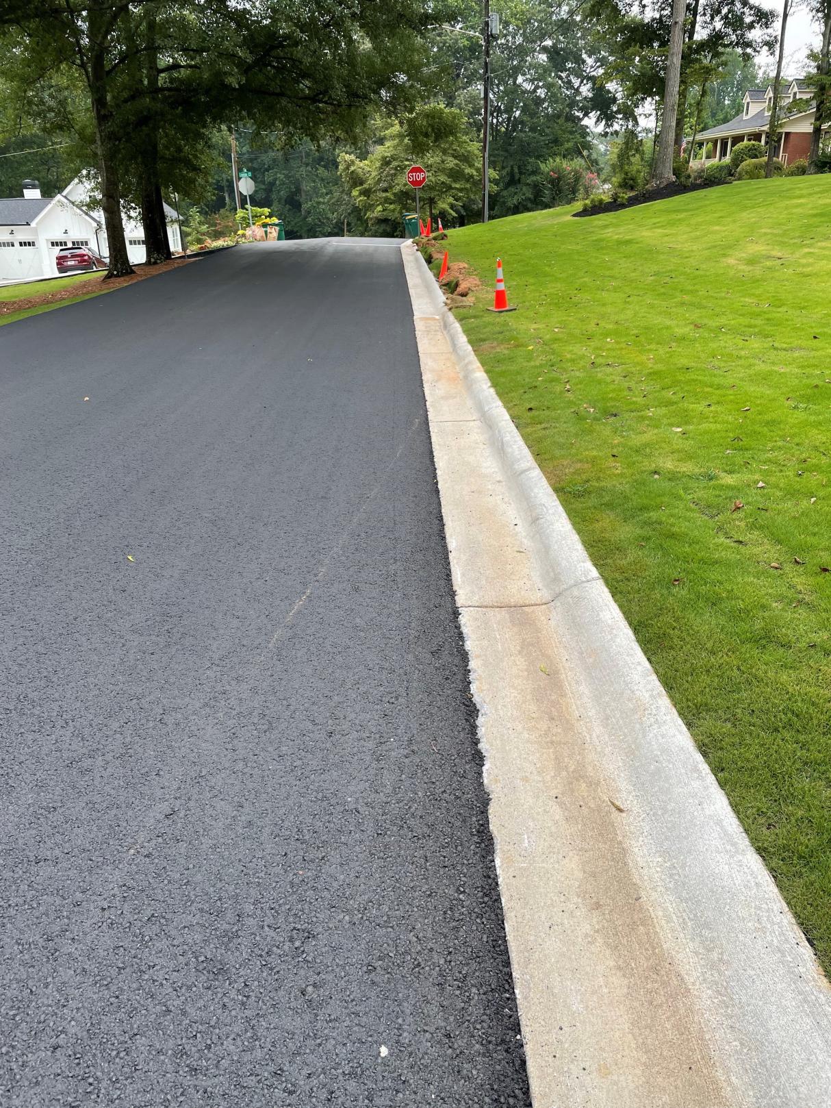
City of Woodstock – Transportation Plan
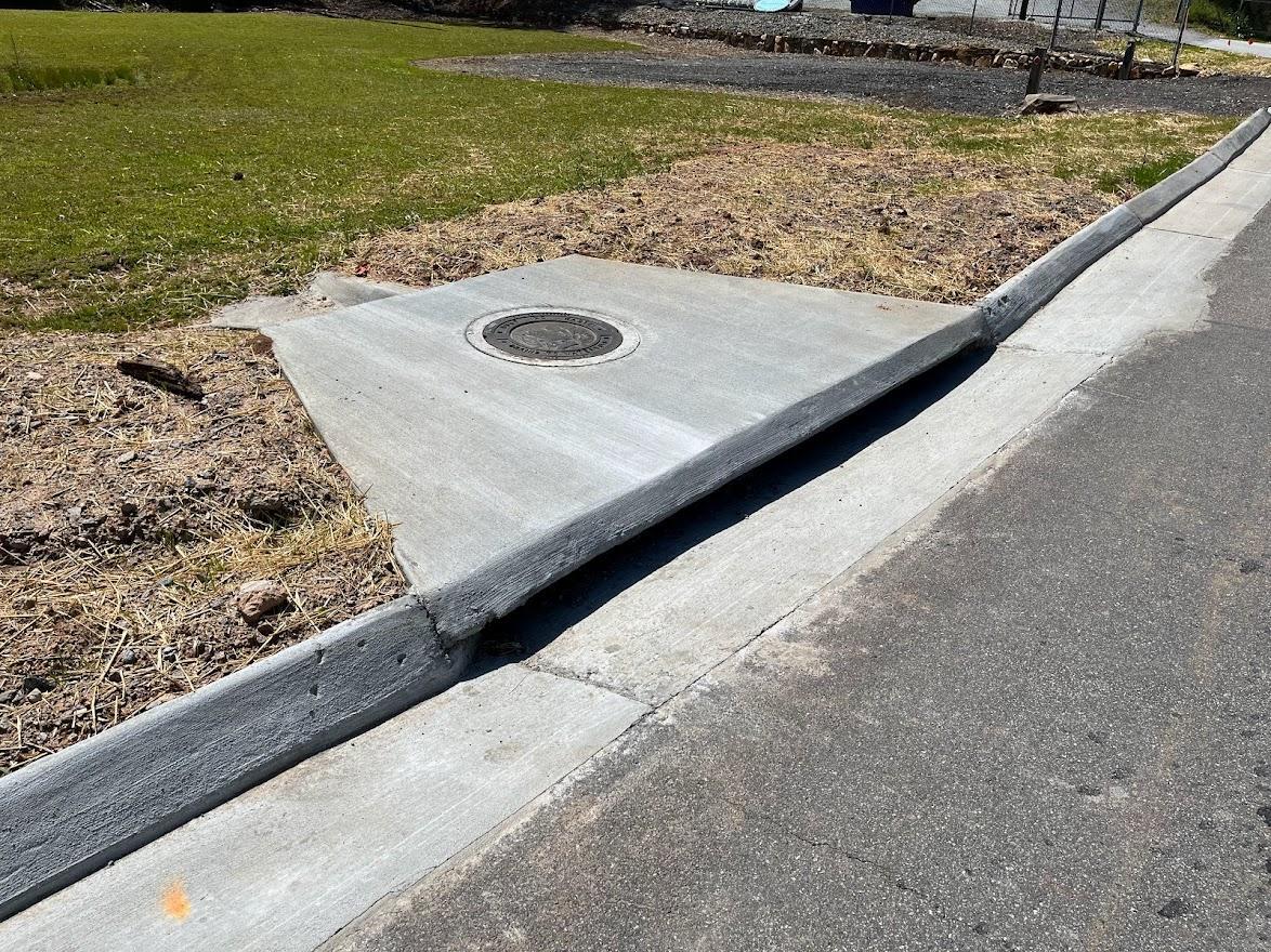
City of Woodstock – Transportation Plan
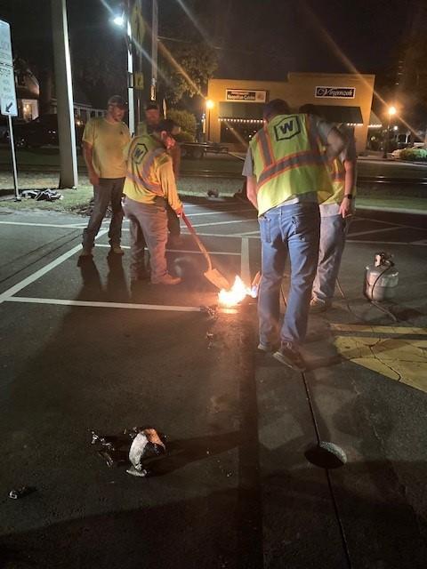
City of Woodstock – Transportation Plan
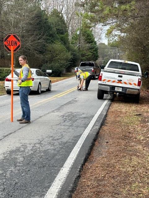
City of Woodstock – Transportation Plan
City of Woodstock – Transportation Plan
City of Woodstock – Transportation Plan 193
199 Ridge Trail Extension
203 Reeves Street Extension I
205 575/Ridgewalk Rapid Response
208 575/TLP Rapid Response
211 Hub Transformation Project (TLP/Mill/Roundabout)
220 AMR/Hubbard Intersection
223 Arnold Mill Road – Streetscapes V Project
228 SR 92 at Neese Road Intersection Improvement
235 Brownlee Road Grid Street Connection
238 Ridgewalk Pkwy at Main Intersection
241 Ridgewalk Parkway Lane Extension
245 Chambers Street Extension I (Wheeler to AMR)
249 E Main Street at Arnold Mill Road Intersection
252 Hames Road Improvements
256 SR 92 Pedestrian Improvements
261 Main St Stormwater and Pedestrian (library area)
265 Rope Mill Road
268 Buckhead Crossing/TLP Intersection
270 Serenade/Main Intersection
273 Wynchase Bridge Rehabilitation
275 Ragsdale Road Pedestrian Crossing
278 Streetscapes II (Main from Elm to Fowler)
281 Streetscapes III (Main from TLP to RMR)
284 Main/RMR turn lanes
286 Main Left to Johnston Farm Dr
288 Main Left to Bell Industrial Pkwy
290 TLP Left to Tag Office
292 AMR Left to FS14 & Senior Center
294 AMR Left to Sandy Circle
296 AMR Left to AME parking
298 RMR Left to WES Bus
300 Main at Lincoln Intersection
302 Main Left to Brooke Blvd
304 Dobbs/Main Intersection (phase 1)
306 Molly Lane Improvements
309 Pkwy 575 Pedestrian Project
313 Dupree Road Sidewalk Project
316 Olde Rope Mill Park Pedestrian
319 Wdst Pkwy Pedestrian Project I
322 Towne Lake Parkway Sidewalk and Parking Project
325 Dobbs Road Stormwater Project
328 Towne Lake Parkway Widening
333 Lyndee Lane Extension I
338 Neese Road Southern Segment
344 Neese Road Northern Segment
349 SR 92 at Trickum Road Intersection
356 Trickum Road at Nocatee Trail Roundabout
360 Streetscapes IV (Main St – Fowler to Serenade)
365 Streetscapes VI (Towne Lake Pkwy - Main to Mill)
370 AMR at Neese Rd Roundabout
373 I-575 Ridgewalk Interchange
379 Oakbridge Road Grid Street (Neese to Gunnin)
381 AMR at Dobbs Rd Roundabout
384 Main St at Dobbs Rd Roundabout
387 Haney Road Extension II
389 Lincoln Street Extension I
392 Reeves St Extension II
394 Paden St Extension I
398 Dupree @ Main St improvement
402 Barnesdale @ Main St improvement
405 North Main Street - Wildcat Implementation
408 Noon Day Creek Trailhead & Pedestrian Plaza
412 AMR Sidewalk
415 Dobbs Road Sidewalk
418 Woodstock Parkway Sidewalk
421 Rope Mill Road Stormwater and Sidewalk
424 Woodstock Parkway Extension Concept
427 Grid St Connections
431 Resurfacing neighborhoods
439 I-575 Towne Lake Parkway Interchange
443 SR 92 at Main Street Intersection
447 SR 92 at Springfield Dr Intersection
454 Mill Street to Wheeler Street Extension
458 Chambers Street Extension II (Fowler to Dupree)
461 Chambers Street Conversion to 2-Way (Hubbard to Fowler)
464 E Main Street Conversion to Pedestrian (Hubbard to Fowler)
467 Market Street Extension I
471 Hubbard Road Extension I
474 SR 92 @ Parkway 575 Intersection
477 Rusk Street (Lewis to Robinhood)
479 Lyndee Lane Extension II (Rusk to Clay)
City of Woodstock – Transportation Plan 197
Major road enhancements – widening, roundabouts, grid streets, bypasses, traffic signals, signal coordination, parking decks, etc. – represent significant changes in the overall civic environment. These issues are pursued with continual involvement by the City Council, civic leaders, the public, and outside consultants, in addition to the administrative leadership team of the City. It is the intent of the administrative leadership team to aid in this process by providing coordination in the decision-making process and to oversee the fulfillment of the projects according to what has been approved and funded by the City Council.
The following summary of completed projects are included below to help the reader understand the continuity of projects overall. These projects provide context for the specific corridor plans covered in a previous section.
City of Woodstock – Transportation Plan
The Ridge Trail Extension project was one of the most challenging projects in the past 10 years. It solved a tremendous issue of the original Ridge Trail that was designed and constructed as a dead-end spur. Ridgewalk Parkway was a new road with a new I-575 Interchange which sparked considerable new development. That development started with three new neighborhoods (Alta Ridgewalk, Whitfield at Ridgewalk, and the Magnolias at Ridgewalk), before the primary commercial developments began. All three of these neighborhoods were served by a dead-end spur road of Ridgewalk Parkway.
The challenge was to connect this roadway to Rope Mill Road further to the southwest over dramatic topography that included very steep gullies. Once the second phase of the Inwood neighborhood was announced, the City worked with the developer to construct the portion of the Ridge Trail Extension as a component of the neighborhood. The City then constructed the remaining portion of the extension from the edge of Inwood to the original dead end of Ridge Trail.
The result was a new, important grid street connection that provides new access in and out of the Ridgewalk Corridor Area, as well as providing a second emergency access.
City of Woodstock – Transportation Plan
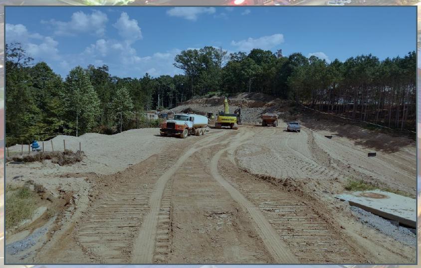
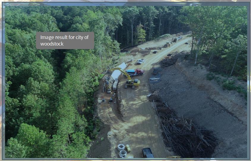
City of Woodstock – Transportation Plan 200
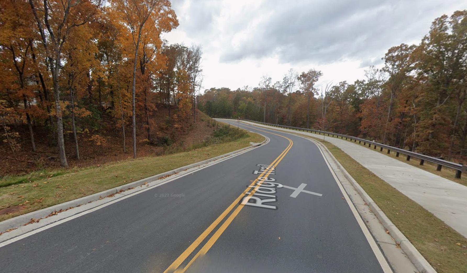
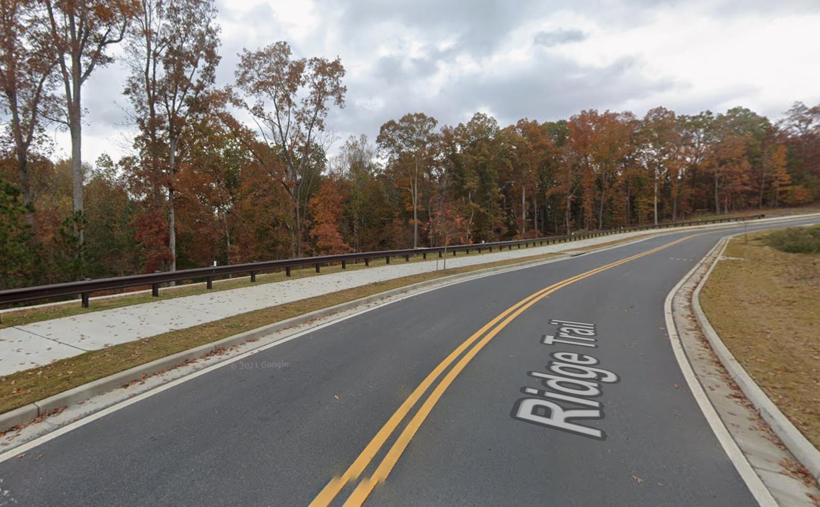
City of Woodstock – Transportation Plan
City of Woodstock – Transportation Plan
The Reeves Street Extension I Project was a major accomplishment in the Grid Street Program. It served to extend Reeves Street from the northern edge of the South On Main neighborhood to the northern dead end of Woodpark Place, which further connects to SR 92 to the south. This completed nearly half of the entirety of the grid street that will eventually run from Towne Lake Parkway to SR 92.
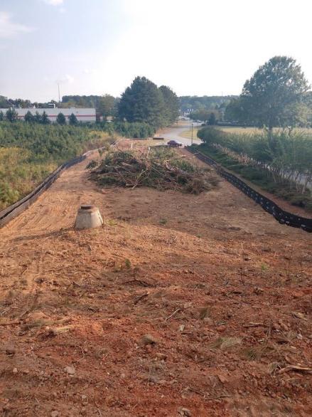
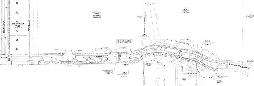
City of Woodstock – Transportation Plan
City of Woodstock – Transportation Plan
The I-575 at Ridgewalk Parkway Quick Response Project design added an eastbound lane on the western side of the interchange. The extra lane serves as a dedicated right turn lane onto the I-575 southbound entrance ramp. This allows vehicles uninterrupted access to the ramp by shifting the straight travel lane out of flow of interruption. This design also considered the changes inherent in the future full interchange project, to avoid unnecessary conflicts. This project was completed in 2024.
City of Woodstock – Transportation Plan 205
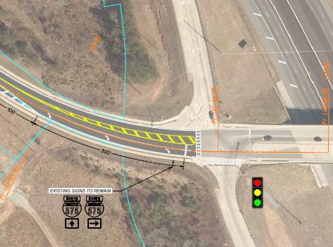
City of Woodstock – Transportation Plan
City of Woodstock – Transportation Plan
The I-575 at Towne Lake Parkway Interchange features a Quick Response project that created a dual left bound lane for eastbound Towne Lake Parkway vehicles turning northbound onto I-575. The interchange was originally constructed for a predominant flow from Towne Lake Parkway to I-575 southbound due to the south Cherokee area serving primarily as a bedroom community for commuters working inside the perimeter.
Once middle and north Cherokee began developing significant commercial infrastructure, the demand for northbound turns began increasing steadily. This included the substantial increase in medical facilities in Holly Springs and Canton. The traffic of TLP eastbound turning northbound I-575 began to reach capacity for the single turn lane. Once capacity was reached, the backup would extend through the traffic signal at the west side of the interchange and then quickly extend through the signal at Stonebridge and beyond.
A new I-575 at Towne Lake Parkway Interchange project was in the planning stage to increase that capacity, as well as several other aspects of the interchange. However, major interchange projects take many years just in the planning stage because of state and federal guidelines. Therefore, the City designed this rapid response project to simply realign an underutilized lane and gore area into a dual left turn at this crucial point. This was completed in 2023 and had an immediate positive impact.
City of Woodstock – Transportation Plan
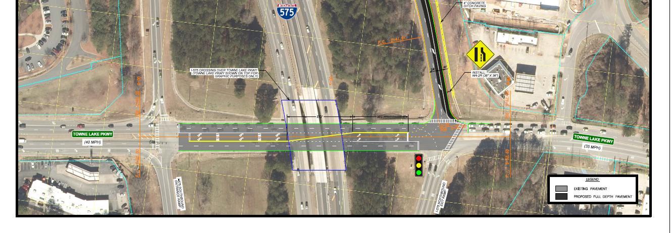
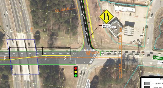
City of Woodstock – Transportation Plan 209
City of Woodstock – Transportation Plan
This is a transformative transportation project that has significantly improved traffic flow efficiency in the heart of Downtown Woodstock, as well as providing a more efficient connection to I-575. It solved the most significant deficiency at the City Center Main intersection, directly improved seven streets, and dramatically improved pedestrian mobility. All of this from minimal changes to the footprint of the Right of Way by making smarter use of the existing space. This allows continued transition to the Live/Work/Play environment while maintaining the attractive ambiance of a cohesive community. This project was completed in 2023.
City of Woodstock – Transportation Plan
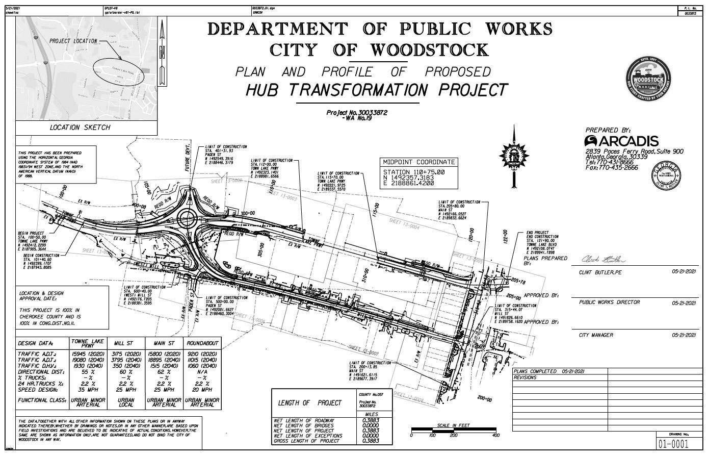
City of Woodstock – Transportation Plan
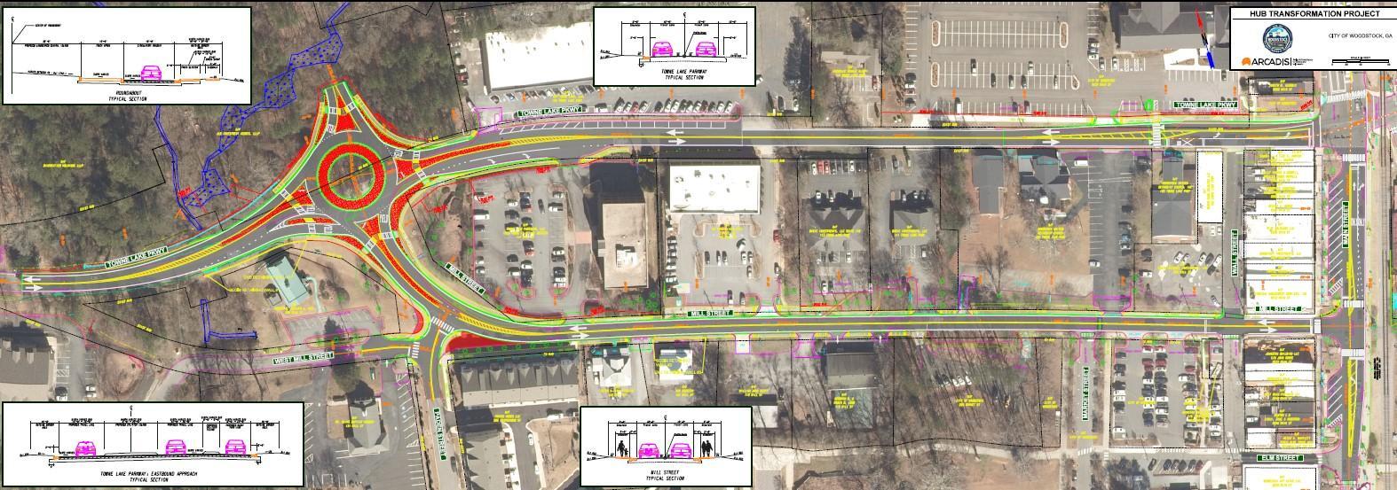
The Hub Transformation Project contains three intersection projects, as well as a major renovation of Mill Street and conversion of Mill Street to two-way traffic. Some of these major components are identified in the illustrations below:
Hub Transformation New Left Turn Lane TLP at Main
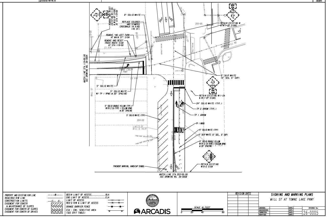
City of Woodstock – Transportation Plan 213
Transformation Roundabout TLP at Mill
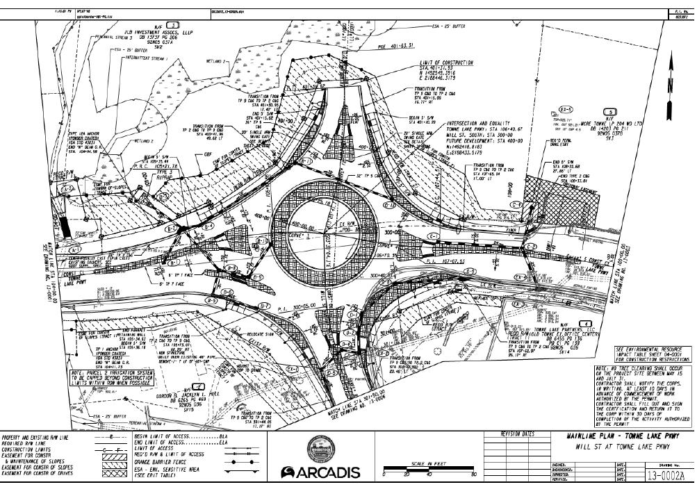
Transformation Intersection Improvement Mill at Paden
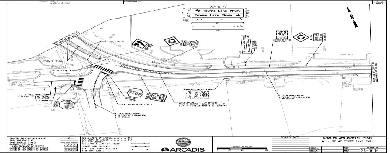
City of Woodstock – Transportation Plan 214
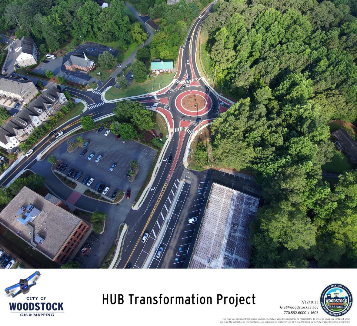
City of Woodstock – Transportation Plan
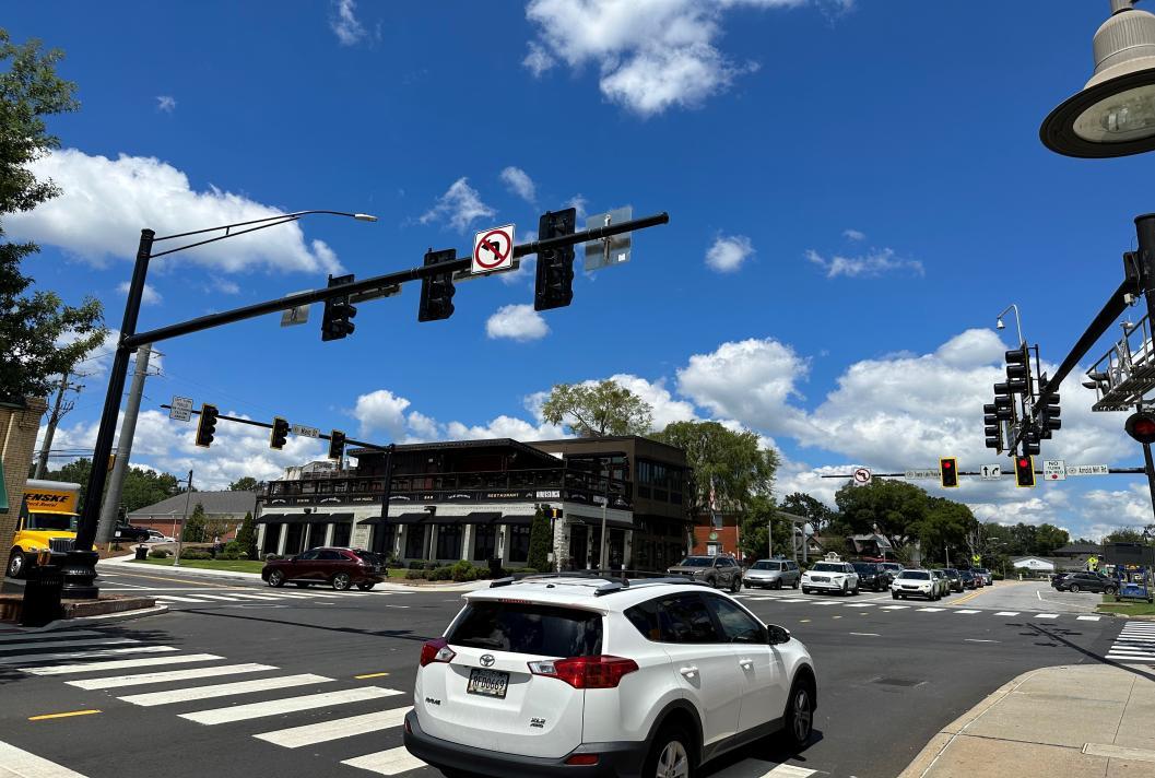
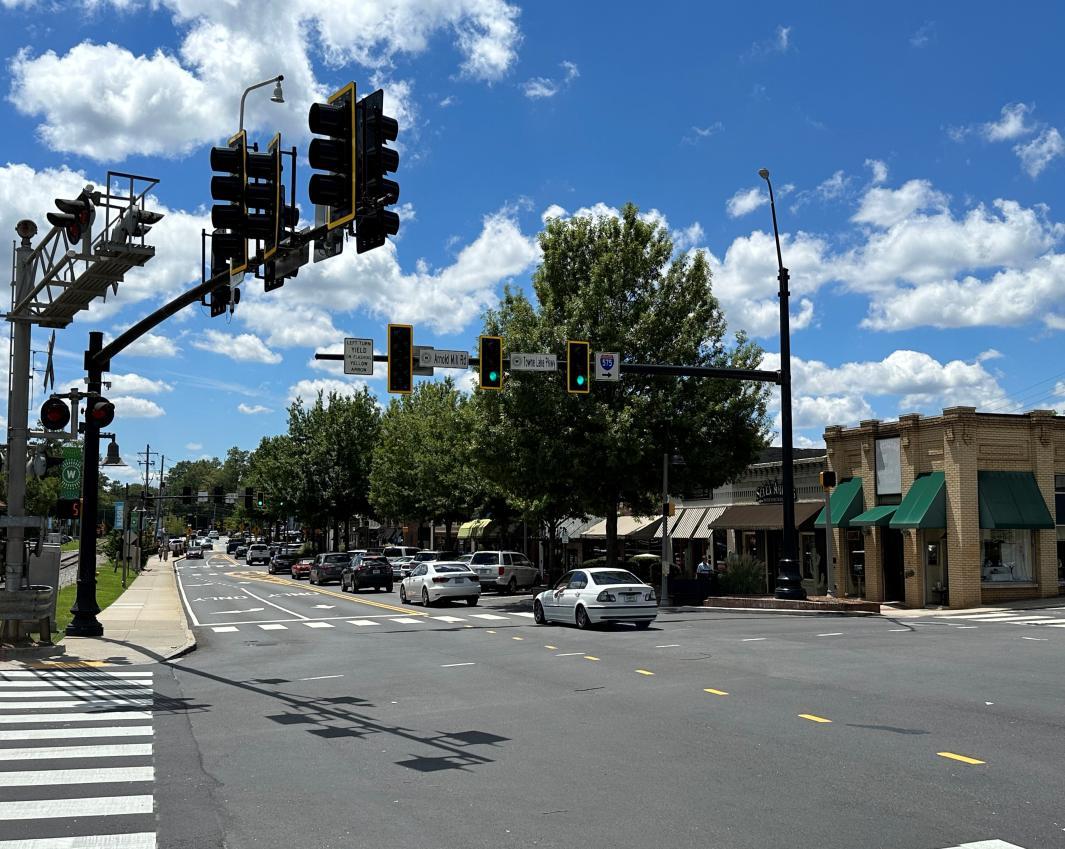
City of Woodstock – Transportation Plan 216
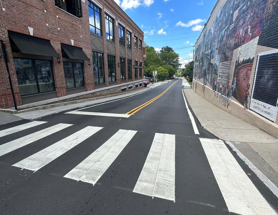
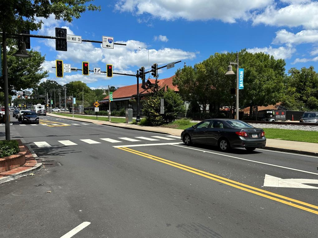
City of Woodstock – Transportation Plan 217
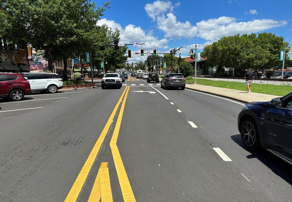
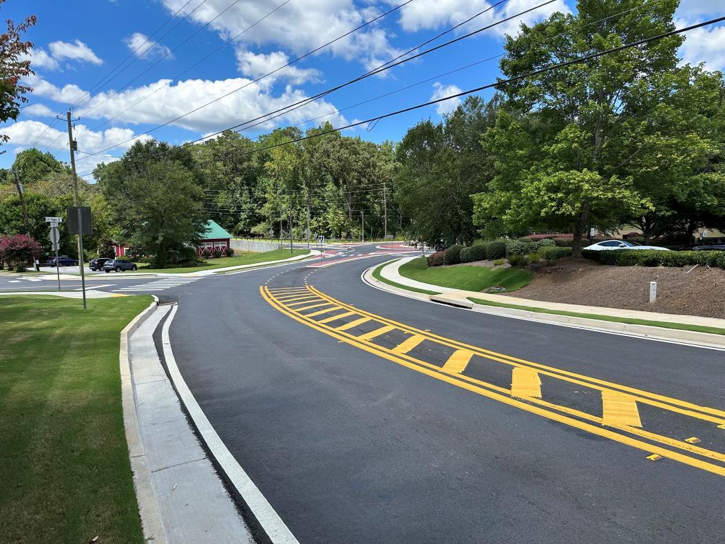
City of Woodstock – Transportation Plan 218
City of Woodstock – Transportation Plan
The AMR/Hubbard intersection was significantly improved by adding a left turn lane in all four directions, extending Hubbard Road to the north, and creating a new signalprotected entrance for the busy amphitheater and senior-living facility. This project was completed in 2023.
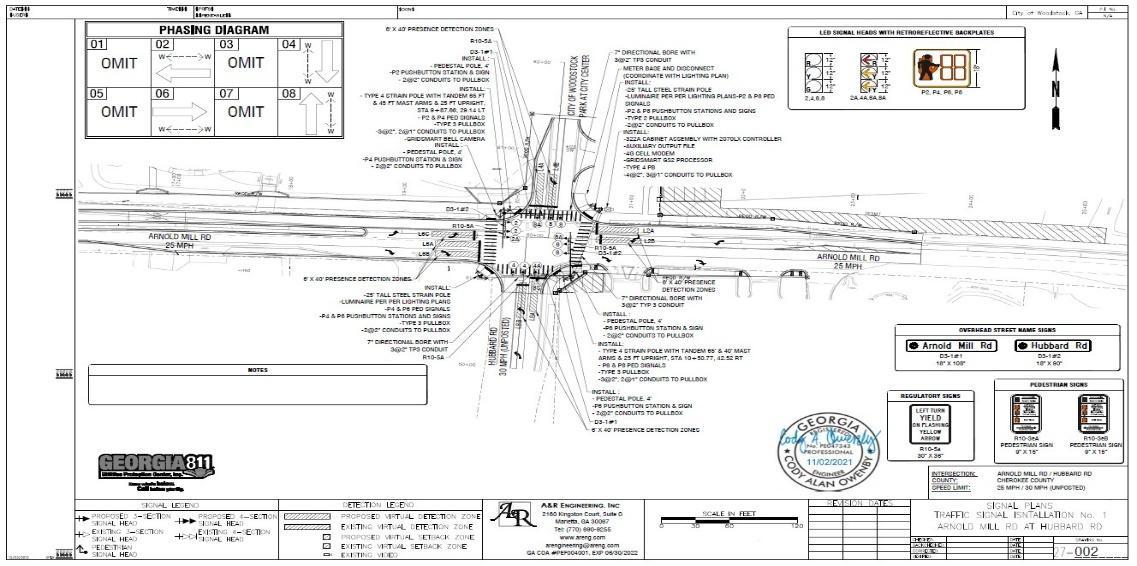
City of Woodstock – Transportation Plan
Arnold Mill Road at Hubbard Road Completed
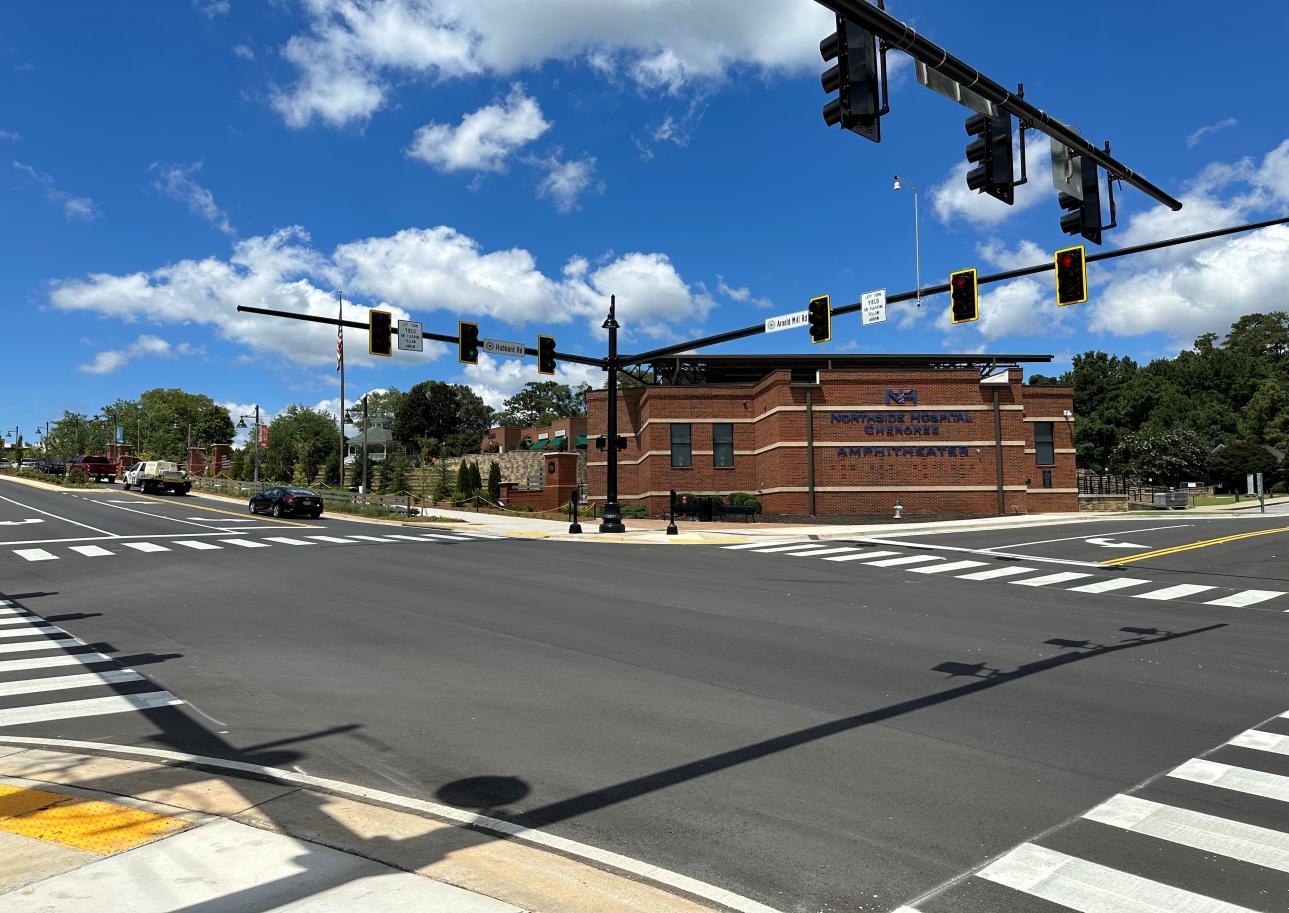
City of Woodstock – Transportation Plan 221
City of Woodstock – Transportation Plan
This is a series of contiguous projects that will extend to the east from Main Street. The project will transform Arnold Mill Road from Main Street east, all the way to Sandy Circle, but the segment described herein proceeded first.
It began with the section between Main Street and Bentley Parkway with a complete renovation of the roadway and streetscapes on both sides. This includes redevelopment at the City Center site, undergrounding of utilities, relocation of the Trail in a way that became a beautiful addition to the overall downtown experience. This project was completed in 2023.
City of Woodstock – Transportation Plan 223
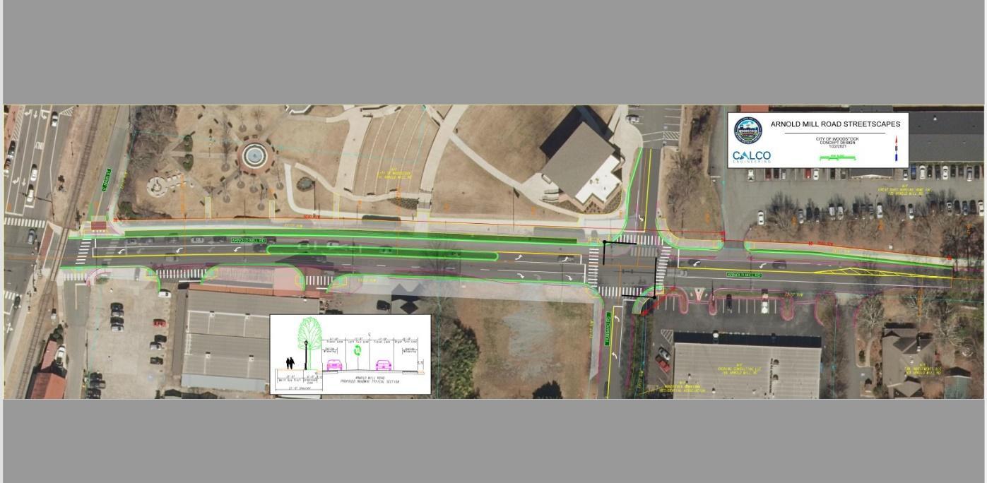
City of Woodstock – Transportation Plan 224
Arnold Mill Road Streetscapes
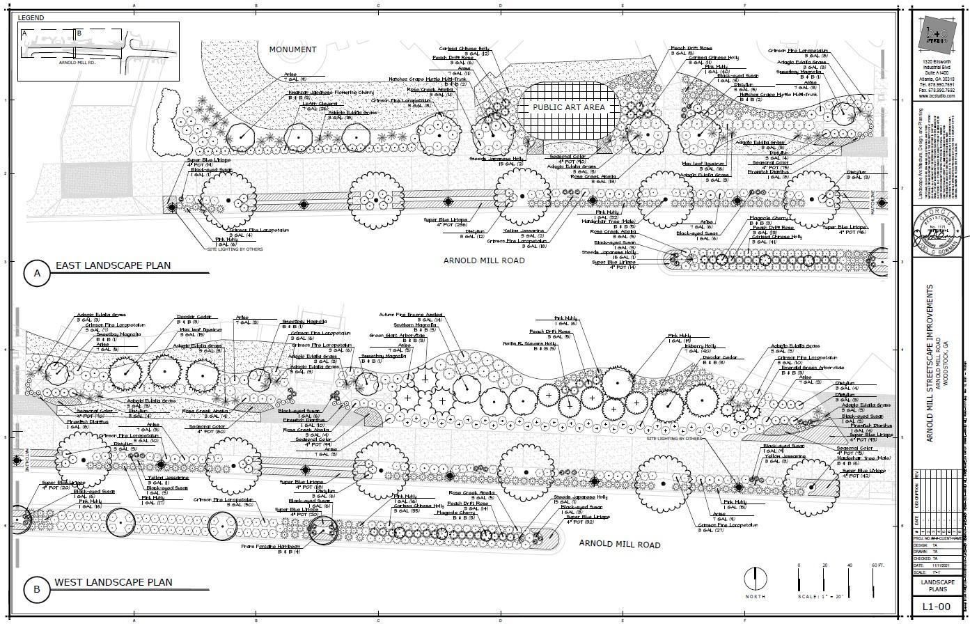
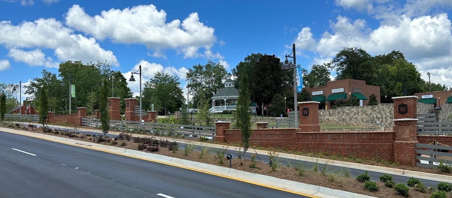
City of Woodstock – Transportation Plan
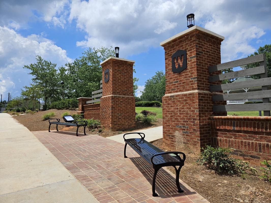
City of Woodstock – Transportation Plan
City of Woodstock – Transportation Plan
The SR 92 at Neese Road Intersection Improvement was a joint project between the City and GDOT that began construction in 2022 and was completed in 2023. This is a substantial improvement to a key intersection. This project adds dual left turn lanes from east bound SR 92 onto Neese Road and dual left turn lanes from southbound Neese Road onto SR 92 eastbound. The project widens the mouth of Neese Road at the intersection from three lanes to five lanes, while also adding a second left turn lane on SR 92.
City of Woodstock – Transportation Plan
92 at Neese Road Displays
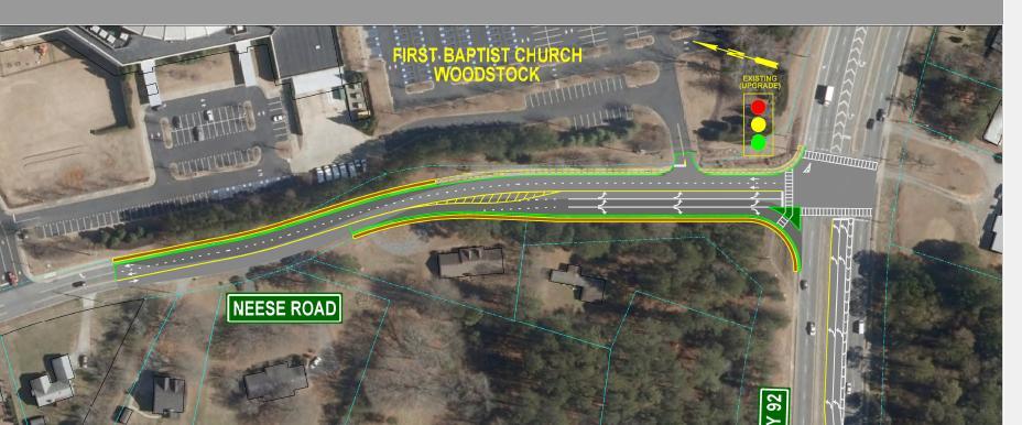
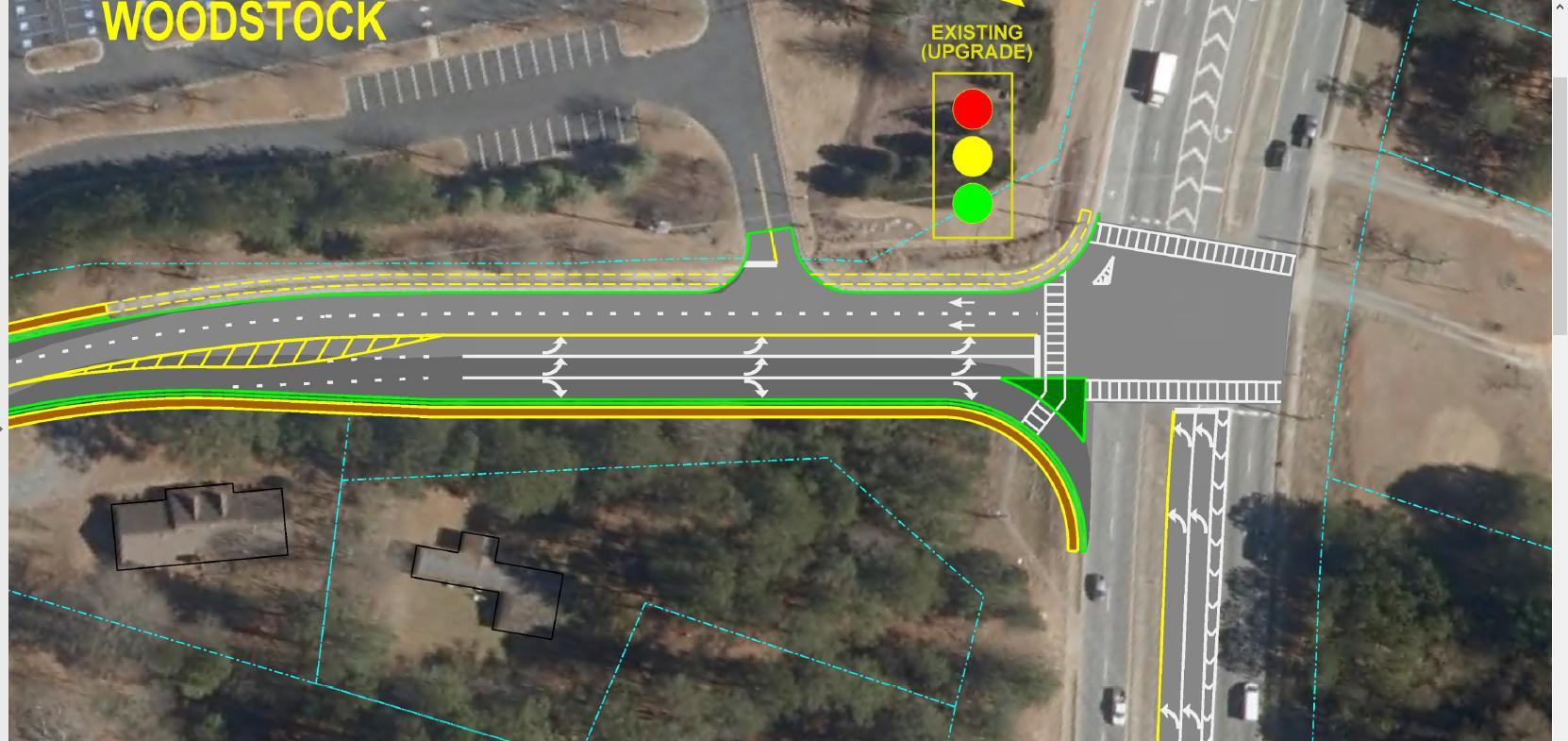
City of Woodstock – Transportation Plan
92 at Neese Road Overall
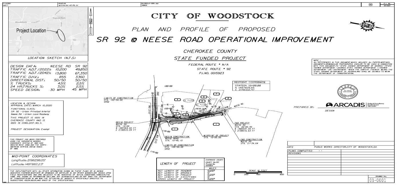
92 at
Road Lane Configuration
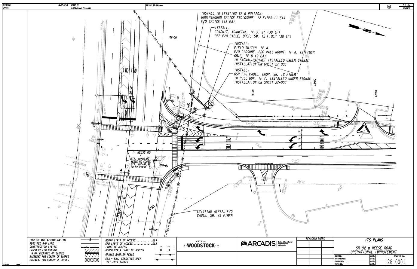
City of Woodstock – Transportation Plan
City of Woodstock – Transportation Plan 231 SR 92 at Neese Road Completed
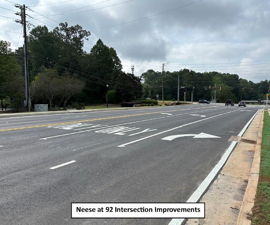
City of Woodstock – Transportation Plan 232 SR 92 at Neese Road Completed
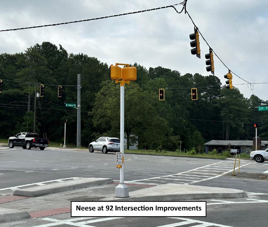
92 at Neese Road Completed
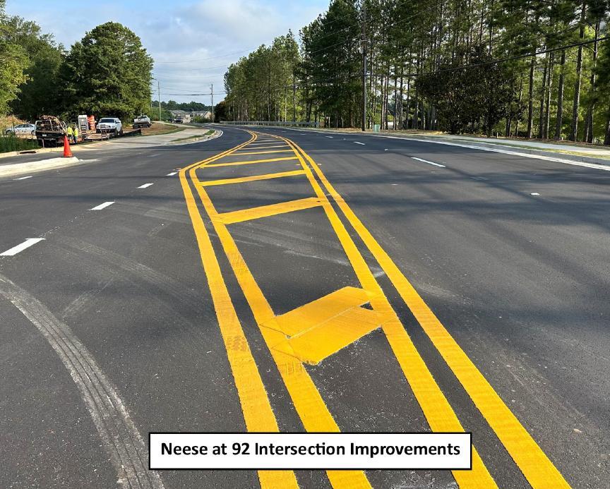
City of Woodstock – Transportation Plan 233
City of Woodstock – Transportation Plan
This project created a full grid street named Brownlee Road from Rope Mill Road to Woodstock Parkway and provides as important connection between those two corridors. This roadway project was constructed in 2025. This construction represents the first direct route from Rope Mill Road to Woodstock Parkway. This typifies the designs of the grid street program and will help relieve congestion along two other routes for eastbound traffic on Towne Lake Parkway to get to Woodstock Elementary School and nearby churches. This traffic typically traverses through downtown Woodstock or cuts through neighborhoods, primarily along Rusk Street.
The new Brownlee Road is named after the prominent Woodstock family that owned the property for most of the past one hundred years. This continues the tradition of naming streets after prominent founding families and highlighting the heritage of Woodstock.
City of Woodstock – Transportation Plan 235
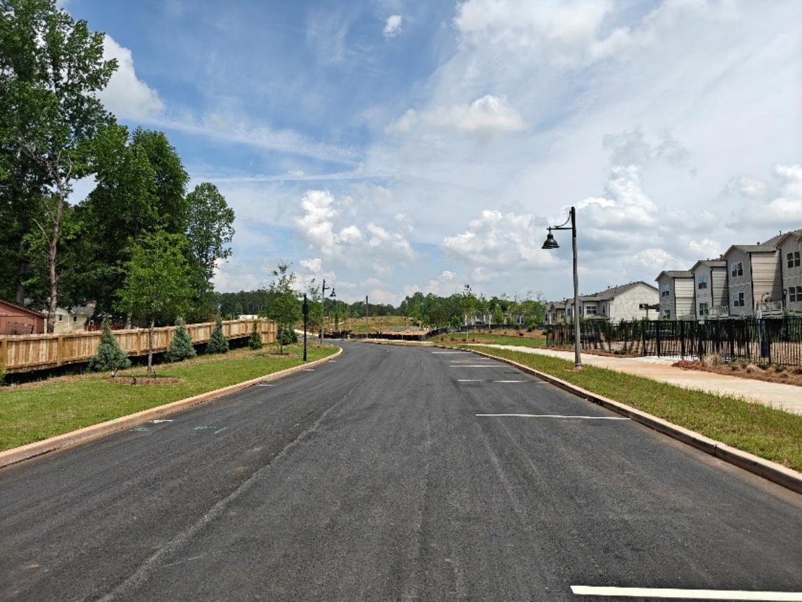
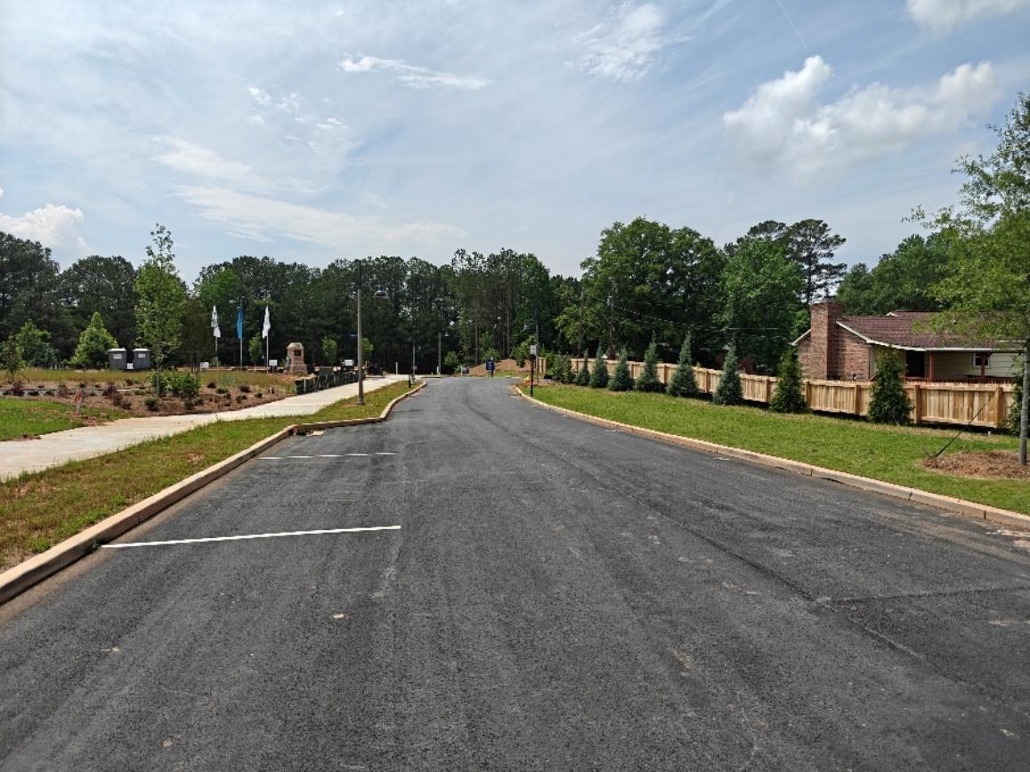
City of Woodstock – Transportation Plan 236
City of Woodstock – Transportation Plan
This crucial intersection originally had one left turn lane eastbound Ridgewalk Parkway to northbound Main Street, as well as northbound Main Street to westbound Ridgewalk Parkway. Both of these turning movements were insufficient to handle volume in peak times. This created traffic delays, especially in the PM rush hour for eastbound Ridgewalk turning northbound Main Street which remains a very prominent commuter route through the area.
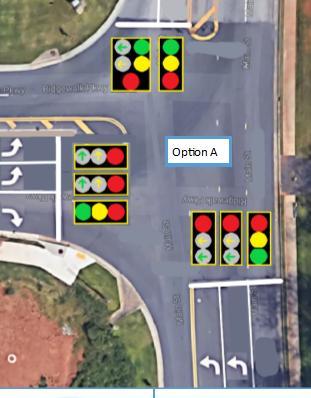
City of Woodstock – Transportation Plan 238
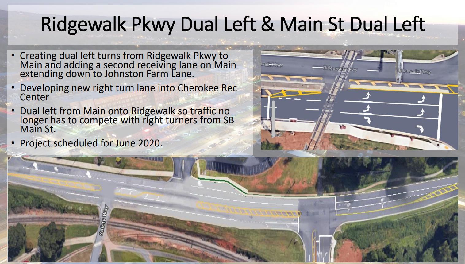
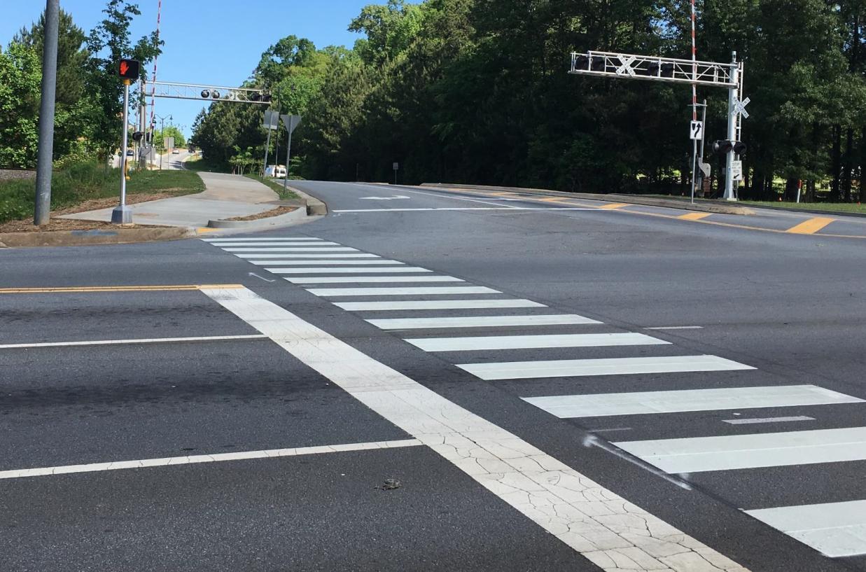
City of Woodstock – Transportation Plan 239
City of Woodstock – Transportation Plan
This project extends both dual left lanes to the west to expand the storage space for these turn lanes by approximately 200%. It was not included in the original project due to the impact on the railroad gate, which would have delayed the original project significantly. This extension was completed in 2023.
City of Woodstock – Transportation Plan 241
Ridgewalk Parkway Lane Extension Display
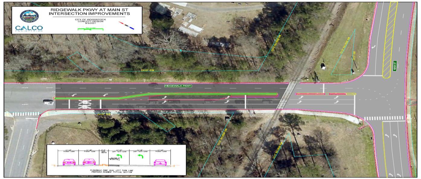
Ridgewalk Parkway Lane Extension Completed
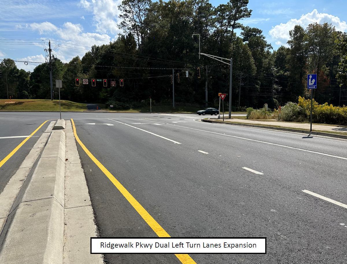
City of Woodstock – Transportation Plan
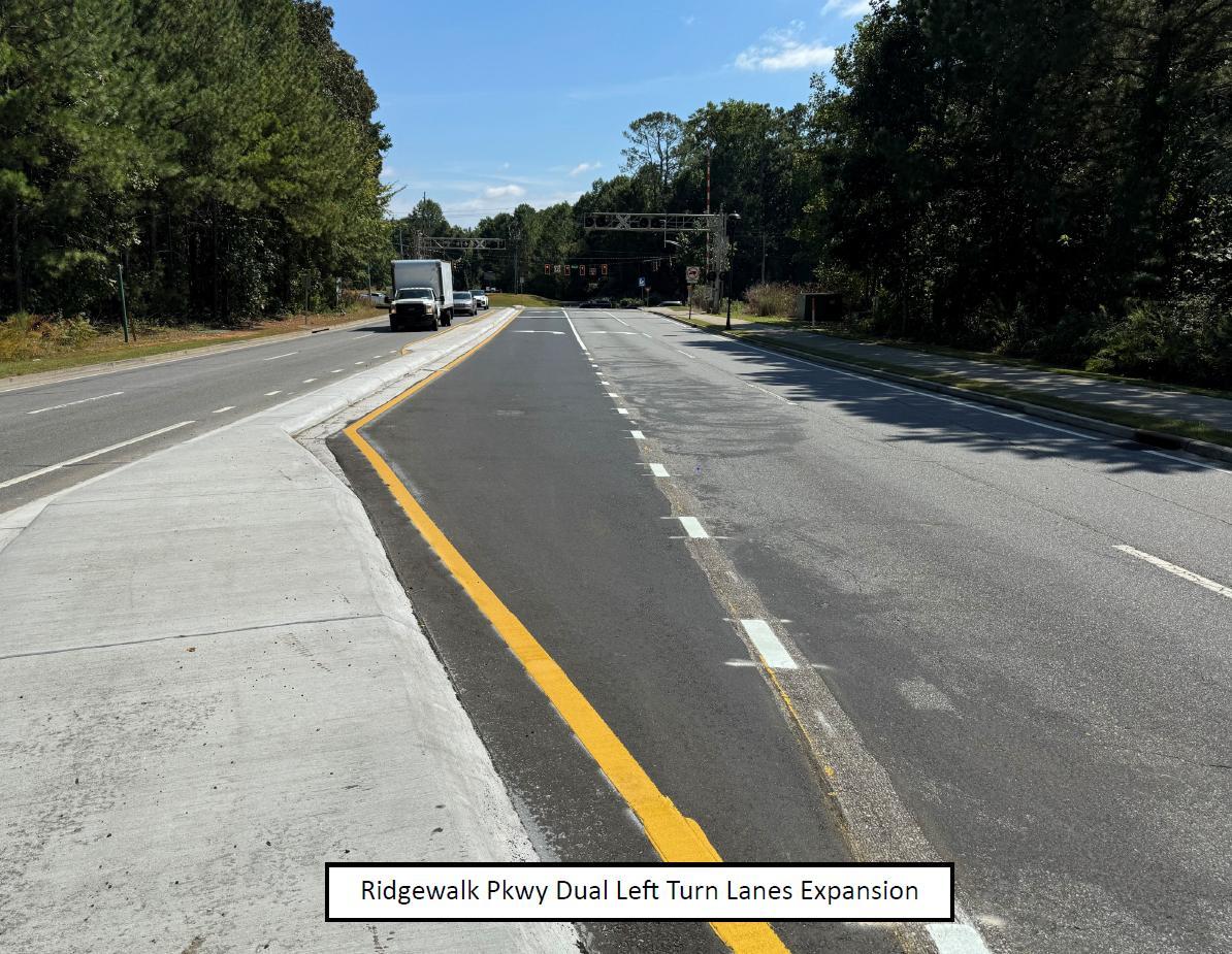
City of Woodstock – Transportation Plan 243
City of Woodstock – Transportation Plan
This new section of Chambers Street is for two-way traffic and has allowed for the removal of East Main Street from AMR to Wheeler Street. This will also establish Chambers Street as a Grid Street that will eventually run all the way from Dupree Road to Arnold Mill Road. The position of this new section of Chambers Street allows it to serve all activity for the City Center Development west of the parking deck, while also serving as a more efficient entrance for the remainder of the district than was accommodated by the old East Main Street. This project was completed in 2023.
City of Woodstock – Transportation Plan
Chambers Street Extension I Completed
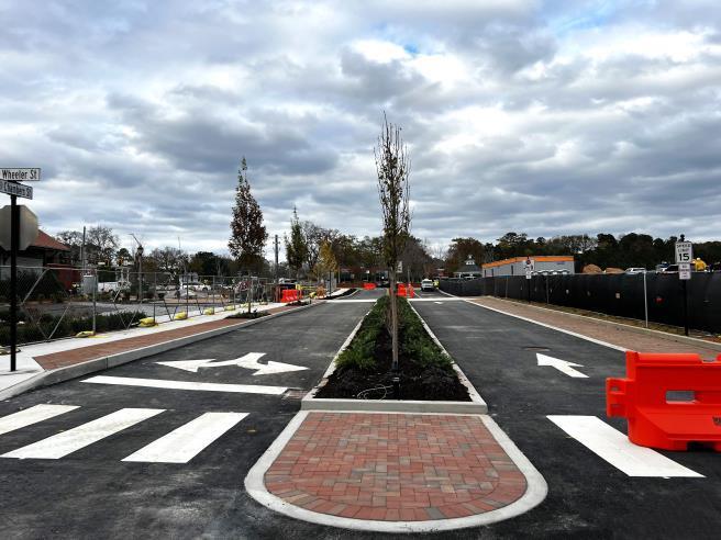
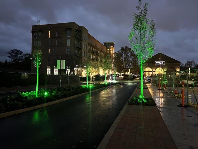
City of Woodstock – Transportation Plan 246
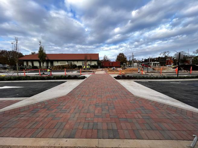
City of Woodstock – Transportation Plan 247
City of Woodstock – Transportation Plan
A combination of projects allowed for the removal of the incredibly inefficient East Main Street at Arnold Mill Road intersection in 2023. The section of East Main Street from Arnold Mill Road to Wheeler Street has been replaced by the Chambers Street extension just referenced. The section of East Main Street from Arnold Mill Road north to the first parking space at City Park allowed for that small section of East Main Street to become a pedestrian plaza with bollards that can be removed for the creation of a Special Events loading zone.
The East Main Street at Arnold Mill Road intersection was one of the most problematic in Woodstock. It was very close to the railroad crossing and to Main Street. This caused unusual congestion, as well as unsafe roadway conditions. The additional space along Arnold Mill Road allowed for the westbound stop bars to be moved west by nearly 20’, thereby allowing for additional vehicular storage length within the westbound left turn lane, and increased throughput at the intersection. It also allowed for the protected signalized pedestrian crossing to be 20’ to the west and accommodated more directly and obviously as part of the Main/TLP intersection.
City of Woodstock – Transportation Plan
E Main Street at Arnold Mill Road Intersection Crosswalk Shift
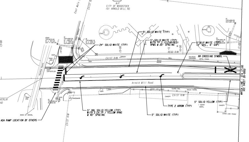
E Main Street at Arnold Mill Road Intersection Completed
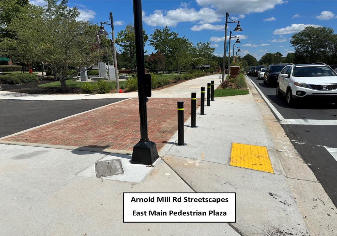
City of Woodstock – Transportation Plan
City of Woodstock – Transportation Plan
The Hames Road Improvement Project is a county-exclusive project that renovates the entirety of Hames Road and includes the construction of a roundabout at the most difficult intersection of Hames Road and South Jett Road. The project includes severe difficulties associated with the previous narrowness of the roadway. In similar cases of severity, the road would need to be completely closed during the project, but this project area has some neighborhoods and businesses with only one access point that must remain accessible during construction. This project was completed in 2024.
City of Woodstock – Transportation Plan 252
Overview of Hames Road Improvements Project
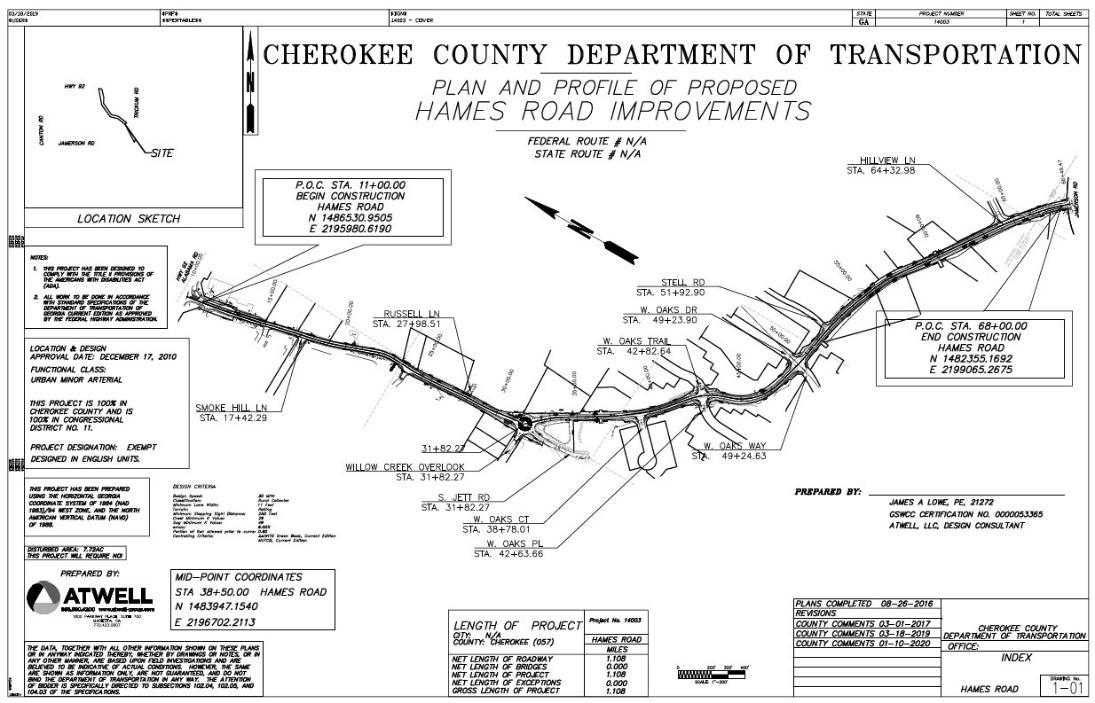
Hames Road Improvements Project at SR 92 and at Roundabout
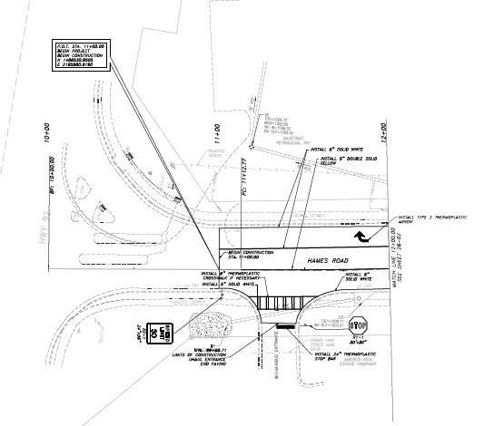
City of Woodstock – Transportation Plan 253
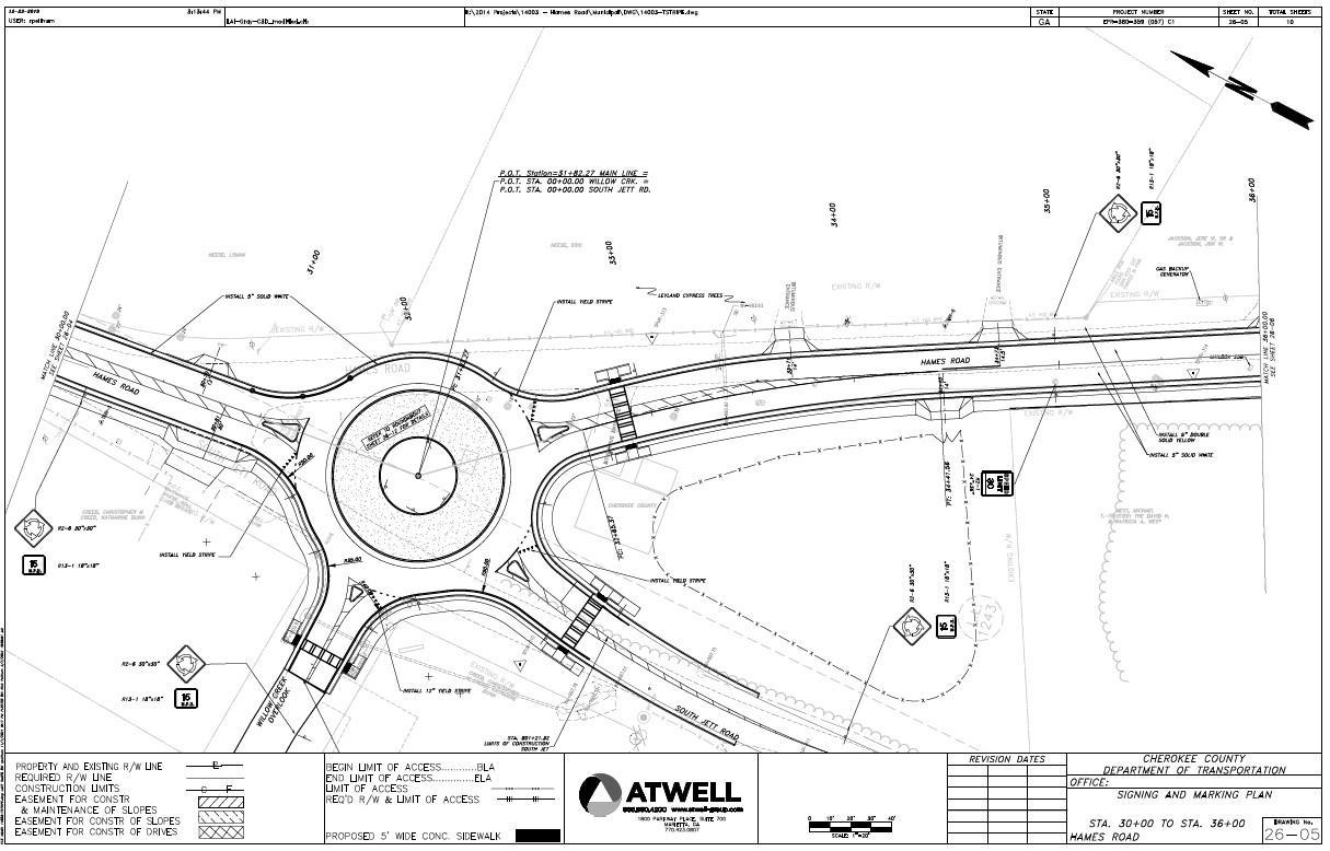
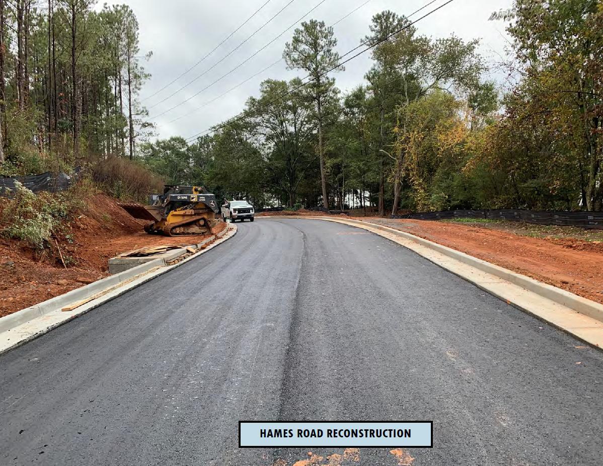
City of Woodstock – Transportation Plan
City of Woodstock – Transportation Plan
This project includes a 10’ Multi-Use Trail along the northern shoulder of SR 92 that connects the existing Noonday Creek Trail to the Woodpark Place Intersection. This trail provides improved pedestrian facilities for the developments on Woodpark place as well as the commercial properties along SR 92. There is robust pedestrian traffic in this area, alongside the tremendous volume of vehicular traffic. The pedestrian traffic is expected to grow substantially as the Woodpark area continues to redevelop. This project was in coordination with the Multimodal Safety & Access Grant that GDOT has approved and funded 70% of the total construction cost. The project was completed in 2023.
City of Woodstock – Transportation Plan
SR 92 Pedestrian Improvements Display
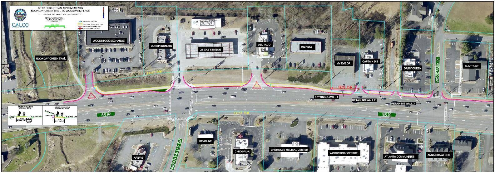
SR 92 Pedestrian Improvements Displayed from East to West in 3 Segments
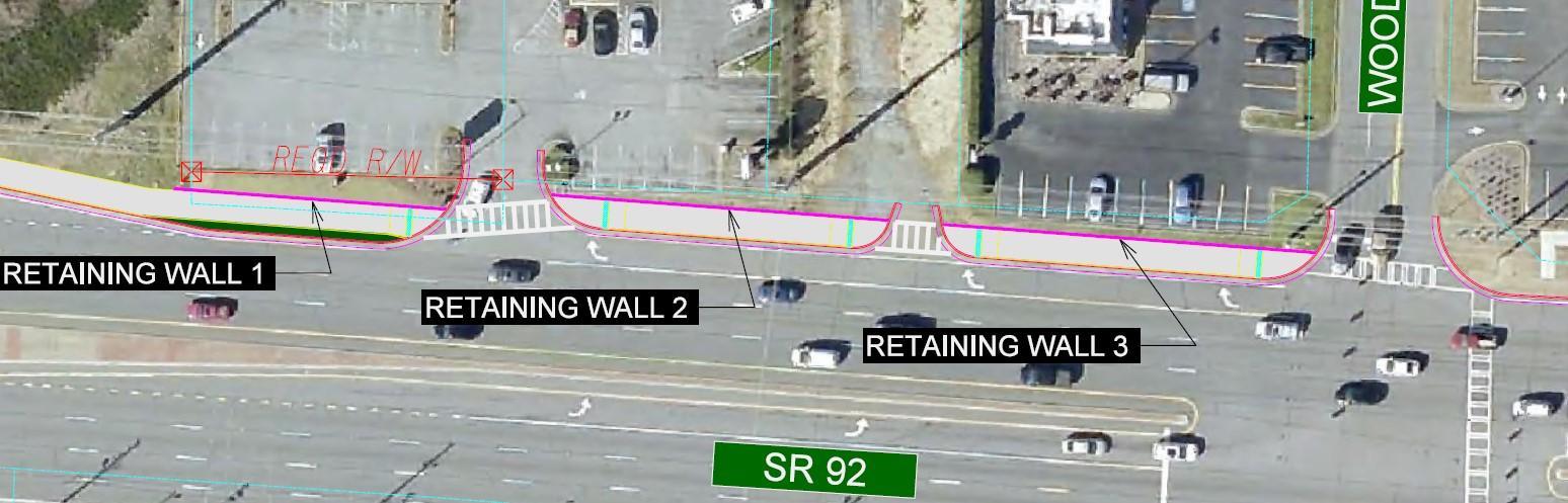
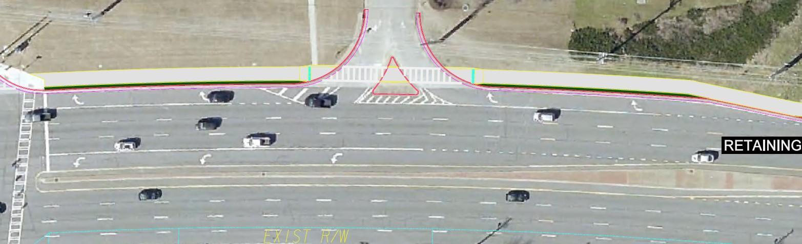
City of Woodstock – Transportation Plan 257
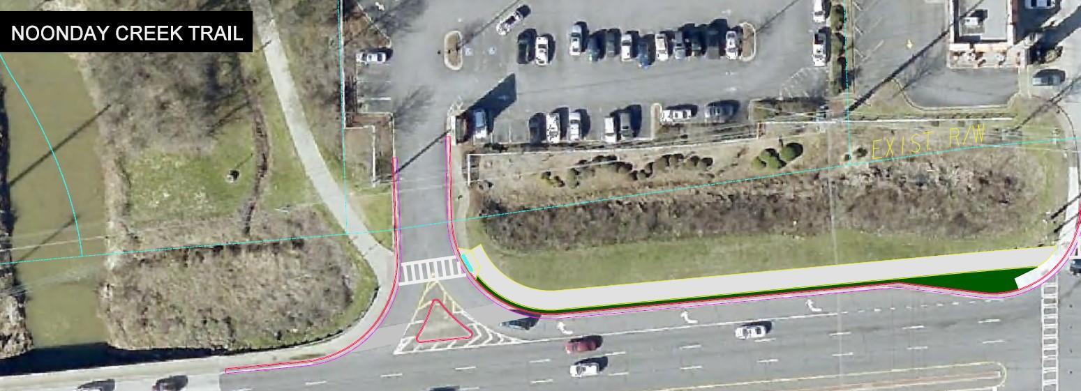
SR 92 Pedestrian Improvements Completed
City of Woodstock – Transportation Plan 258
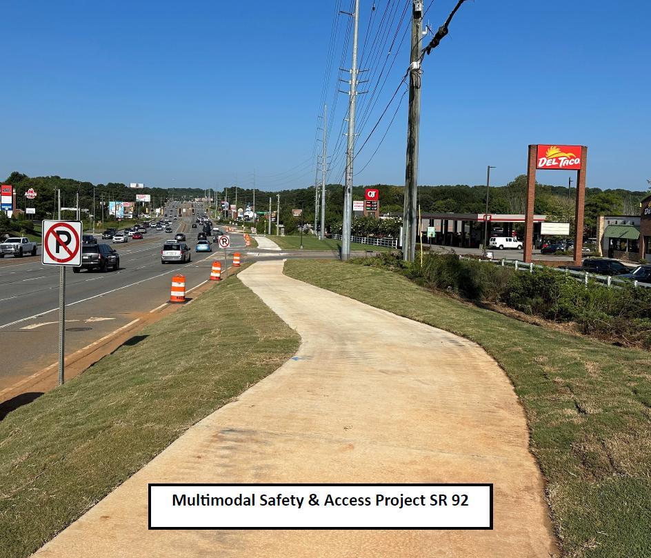
City of Woodstock – Transportation Plan 259
City of Woodstock – Transportation Plan
This project was necessitated by northbound stormwater flow deteriorating several sections of the Right of Way in this area. The project included the removal of an unnecessary guardrail, stormwater piping where necessary, and the establishment of curb and gutter throughout the project zone. Along with significant landscaping, this turned the area into a beautiful gateway into Woodstock.
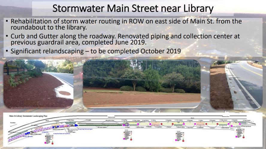
City of Woodstock – Transportation Plan 261
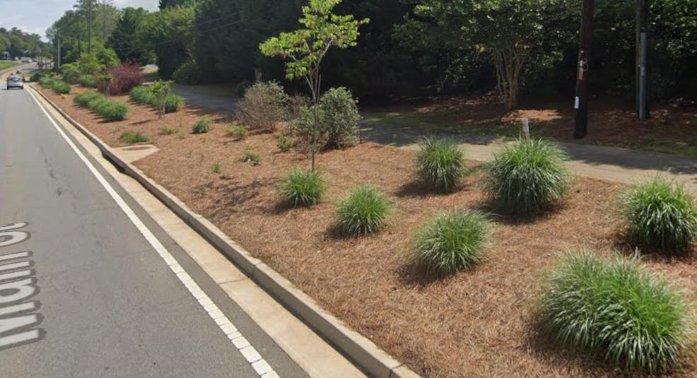
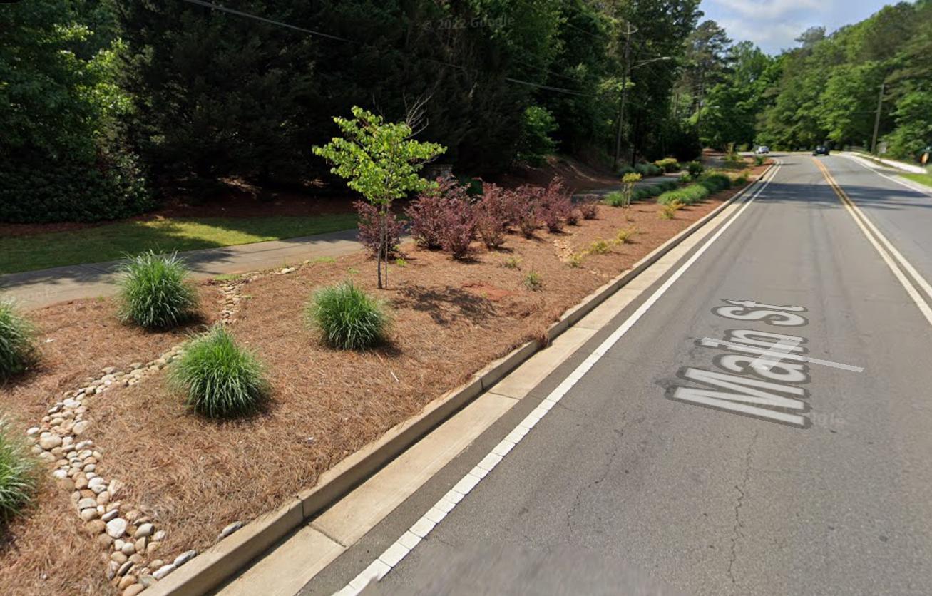
City of Woodstock – Transportation Plan 262
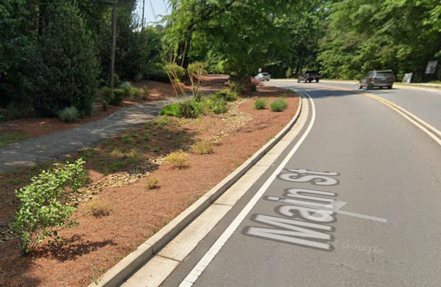
City of Woodstock – Transportation Plan 263
City of Woodstock – Transportation Plan
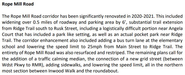
City of Woodstock – Transportation Plan 265
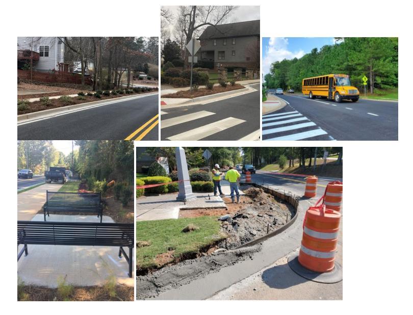
City of Woodstock – Transportation Plan
City of Woodstock – Transportation Plan
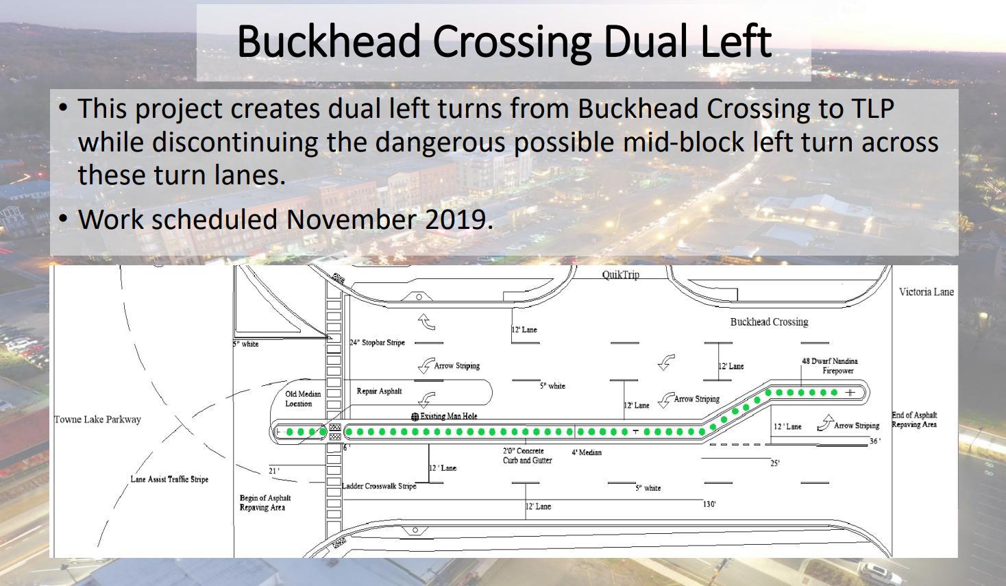
City of Woodstock – Transportation Plan 268
City of Woodstock – Transportation Plan
This project was intended to modify the intersection on the east side to meet the specifications of the new construction on the west side within the South On Main development. The new road on the west side is named South On Main Drive. The combination of Serenade Lane and South On Main Drive creates a new east/west grid street because it now extends to a crucial north/south grid street named Reeves Street. This new grid street is one of the few roads operating on both the east and west sides of Main Street.
City of Woodstock – Transportation Plan 270
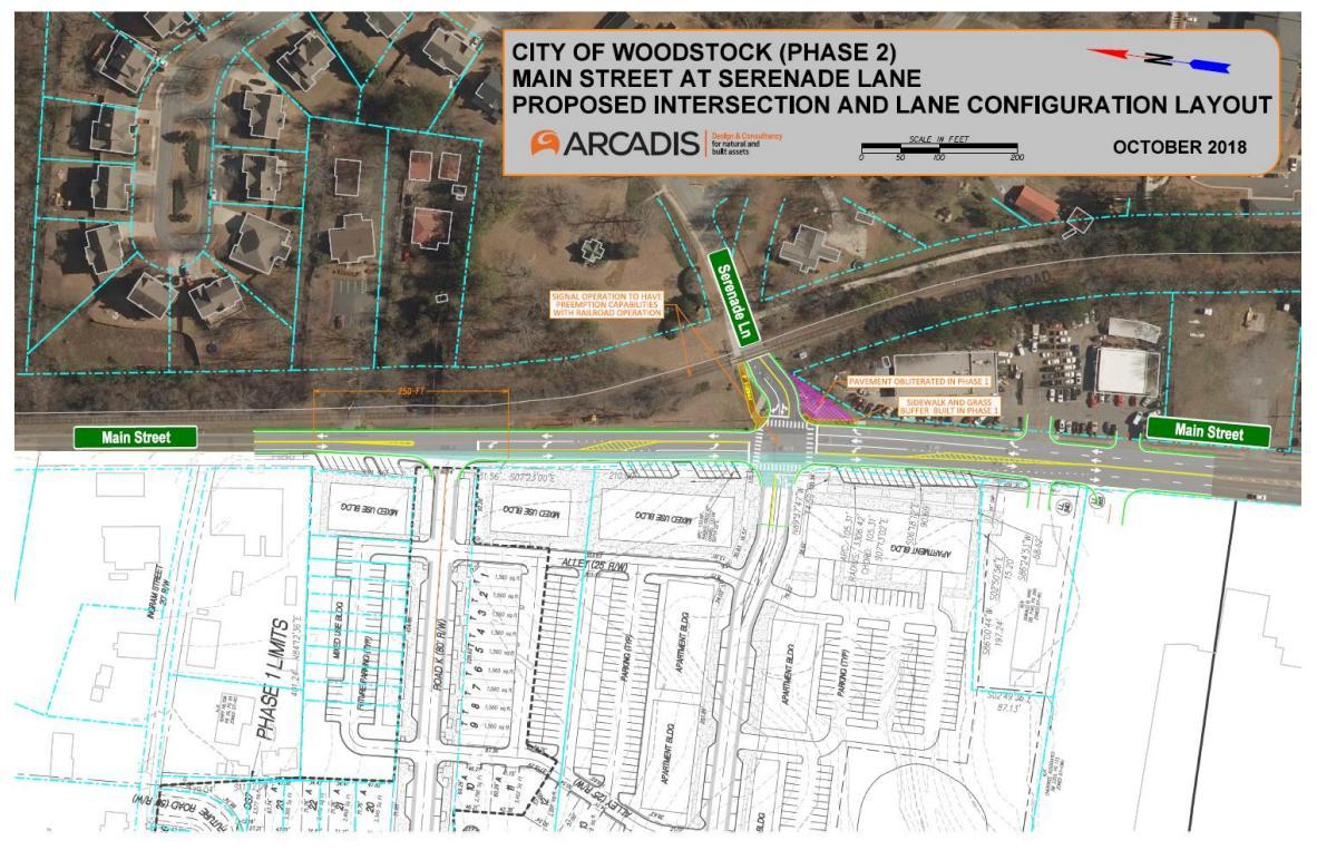
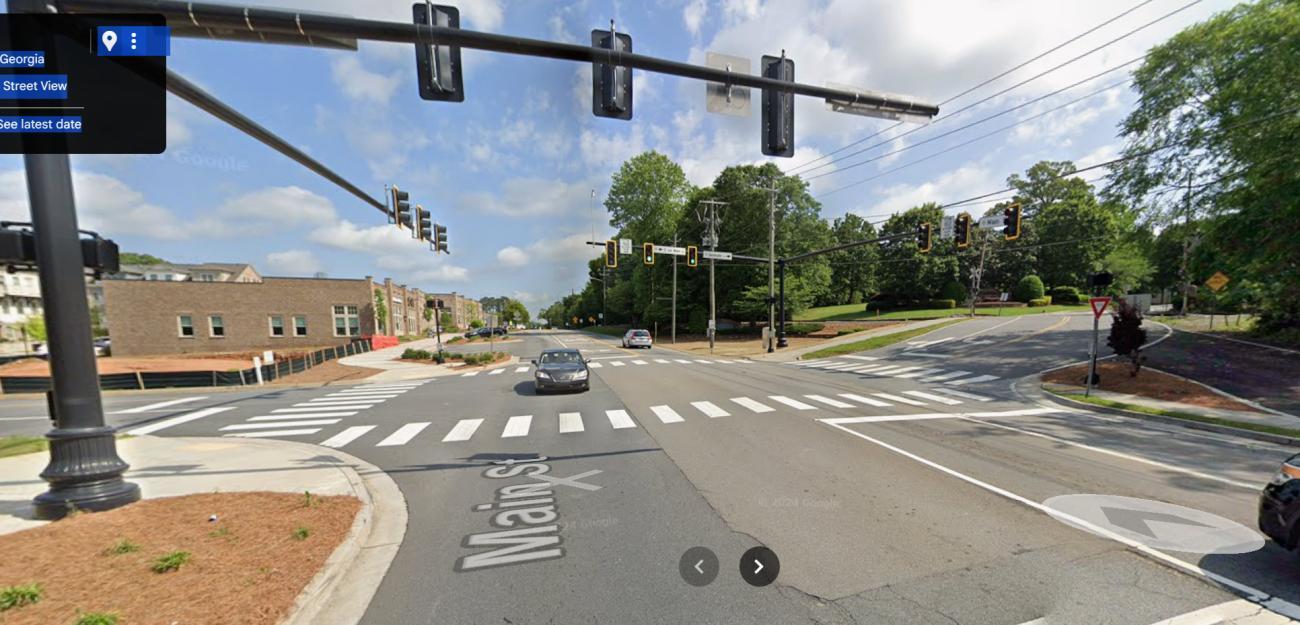
City of Woodstock – Transportation Plan 271
City of Woodstock – Transportation Plan
This project included the resurfacing of the wooden bridge on Edinburgh Lane, the only wooden bridge on a public street in the City.
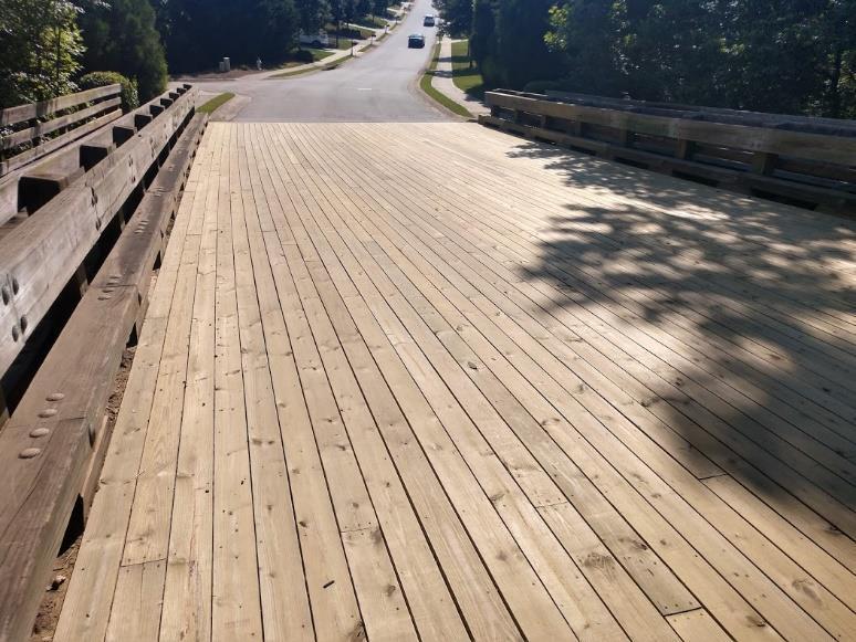
City of Woodstock – Transportation Plan 273
City of Woodstock – Transportation Plan
This project established a pedestrian crossing of Ragsdale Road near Persimmon Trail. The pedestrian crossing includes in-road flashing lights and special MMA striping, plus a median safety refuge.
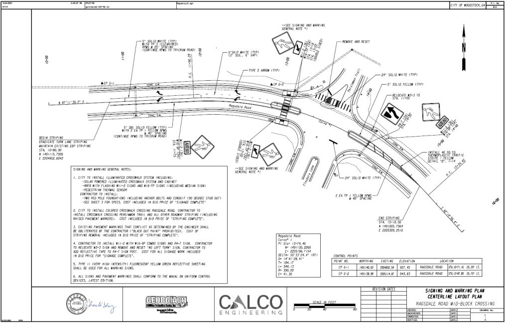
City of Woodstock – Transportation Plan
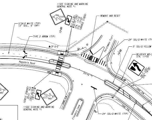
City of Woodstock – Transportation Plan 276
City of Woodstock – Transportation Plan
The Streetscapes II project on Main Street extended from Oak Street to Fowler Street on both sides of Main. This project included new brick-accented sidewalks and seat walls, plus benches and landscaping.
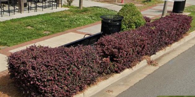
City of Woodstock – Transportation Plan 278
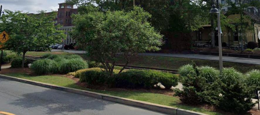
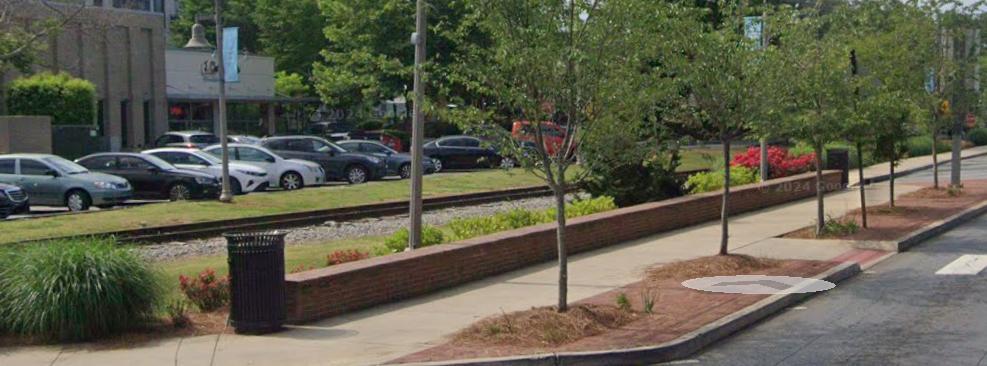
City of Woodstock – Transportation Plan 279
City of Woodstock – Transportation Plan
The Streetscapes III project on Main Street extended from Towne Lake Parkway to Rope Mill Road on the west side of Main. This project included new brick-accented sidewalks and seat walls, plus benches and landscaping.
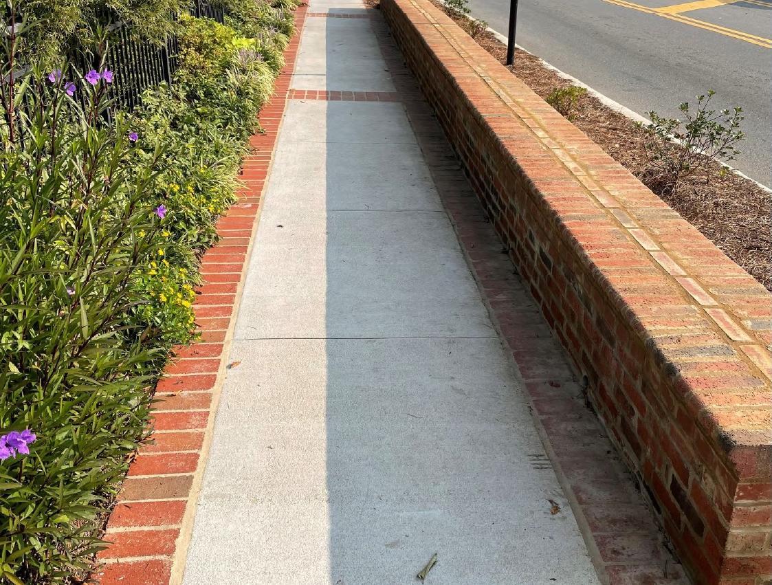
City of Woodstock – Transportation Plan
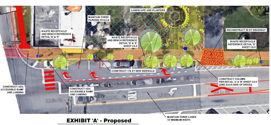
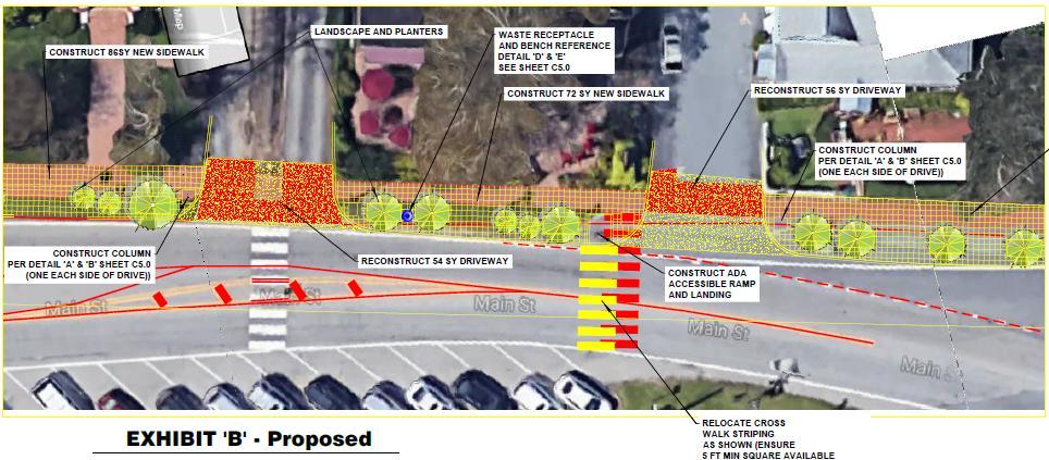
City of Woodstock – Transportation Plan 282
City of Woodstock – Transportation Plan
This project repurposed underutilized space within both roads to create new left turn lanes. Unusual congestion had previously been caused by blockages as left turning vehicles waited for clearage of oncoming traffic.
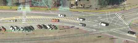
City of Woodstock – Transportation Plan
City of Woodstock – Transportation Plan
This project repurposed underutilized space to create a new left turn lane. Unusual congestion had previously been caused by blockages as left turning vehicles waited for clearage of oncoming traffic.
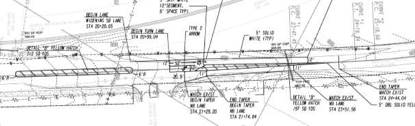
City of Woodstock – Transportation Plan
City of Woodstock – Transportation Plan
This project repurposed underutilized space to create a new left turn lane. Unusual congestion had previously been caused by blockages as left turning vehicles waited for clearage of oncoming traffic.
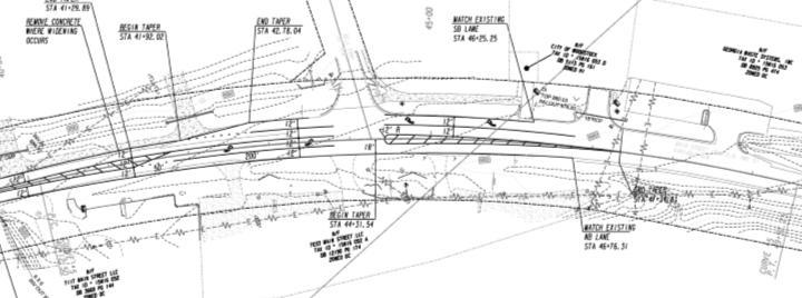
City of Woodstock – Transportation Plan
City of Woodstock – Transportation Plan
This project repurposed underutilized space to create a new left turn lane. Unusual congestion had previously been caused by blockages as left turning vehicles waited for clearage of oncoming traffic.
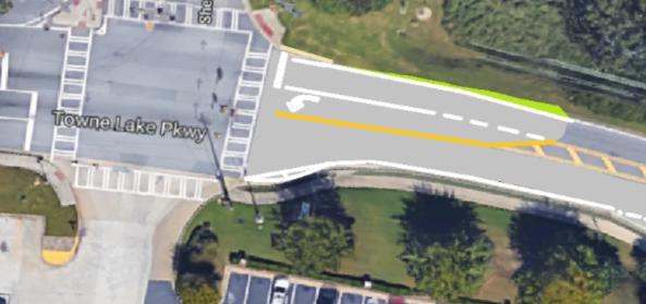
City of Woodstock – Transportation Plan
City of Woodstock – Transportation Plan
This project repurposed underutilized space to create a new left turn lane. Unusual congestion had previously been caused by blockages as left turning vehicles waited for clearage of oncoming traffic.
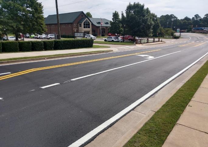
City of Woodstock – Transportation Plan
This project repurposed underutilized space to create a new left turn lane. Unusual congestion had previously been caused by blockages as left turning vehicles waited for
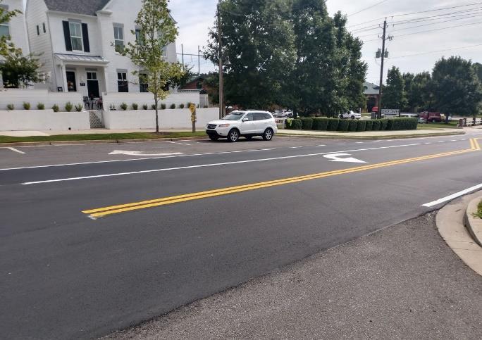
City of Woodstock – Transportation Plan
This project repurposed underutilized space to create a new left turn lane. Unusual congestion had previously been caused by blockages as left turning vehicles waited for clearage of oncoming traffic.
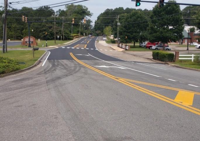
City of Woodstock – Transportation Plan
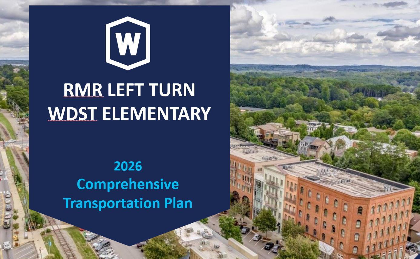
This project repurposed underutilized space to create a new left turn lane. Unusual congestion had previously been caused by blockages as left turning vehicles waited for clearage of oncoming traffic.
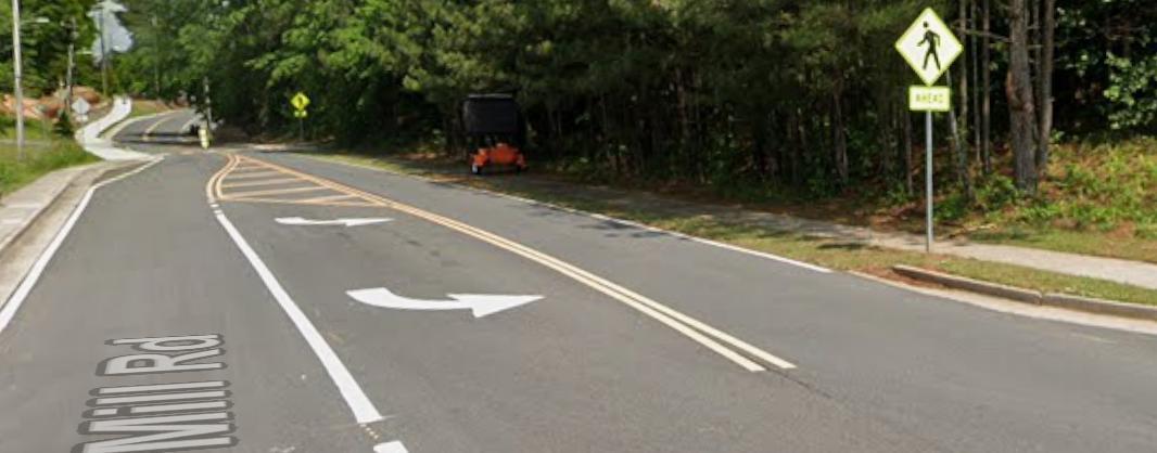
City of Woodstock – Transportation Plan 298
City of Woodstock – Transportation Plan
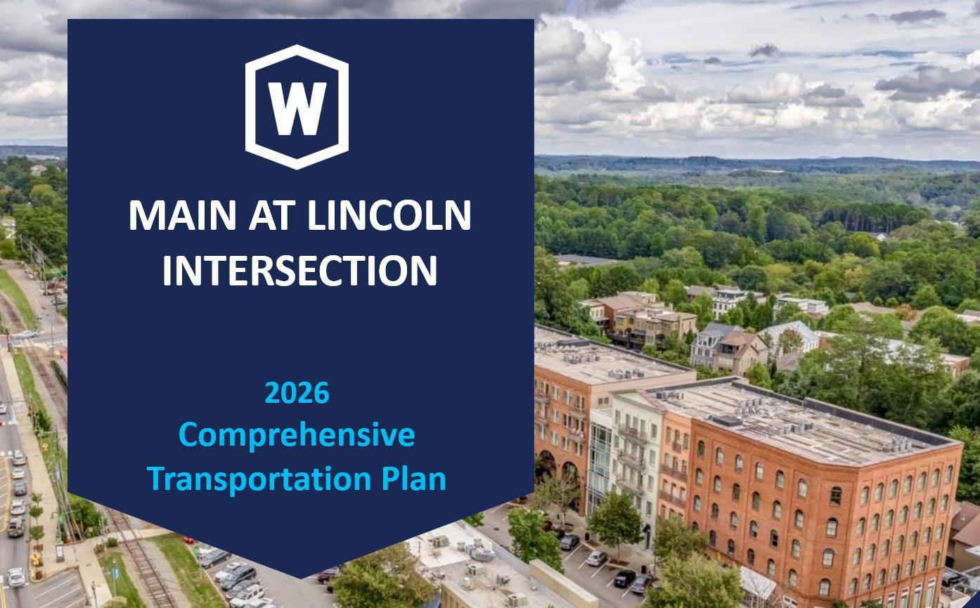
This project created a new intersection for the extension of Lincoln Street. This important grid street is intended to eventually extend from the current dead end of Lincoln Street east across Main Street (at this new intersection) and through to Brooke Boulevard. This will then provide for a new entrance to JJ Biello Park that is served by a traffic signal.
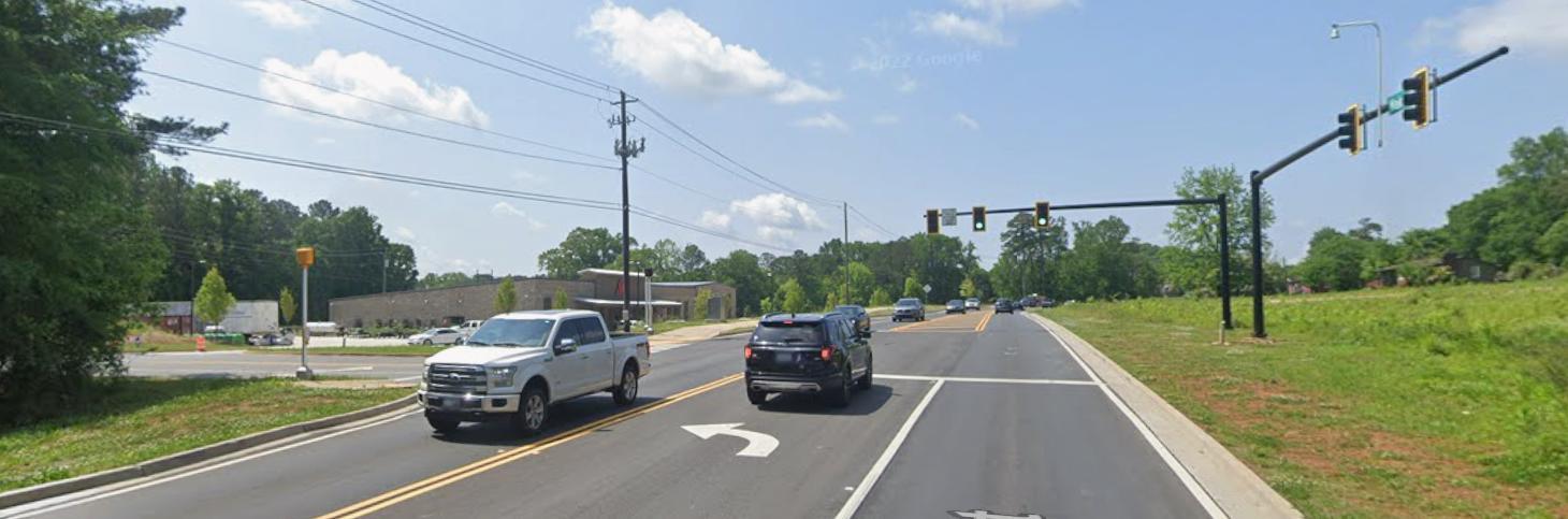
City of Woodstock – Transportation Plan
City of Woodstock – Transportation Plan
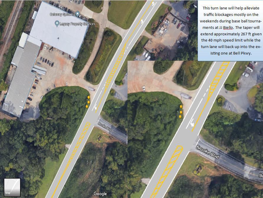
This project repurposed underutilized space to create a new left turn lane. Unusual congestion had previously been caused by blockages as left turning vehicles waited for
Transportation Plan
City of Woodstock – Transportation Plan
This project raised the elevation of approximately 150 ft of Dobbs Road as it connects to Main Street. This intersection was hindered by the extreme slope of the roadway as a
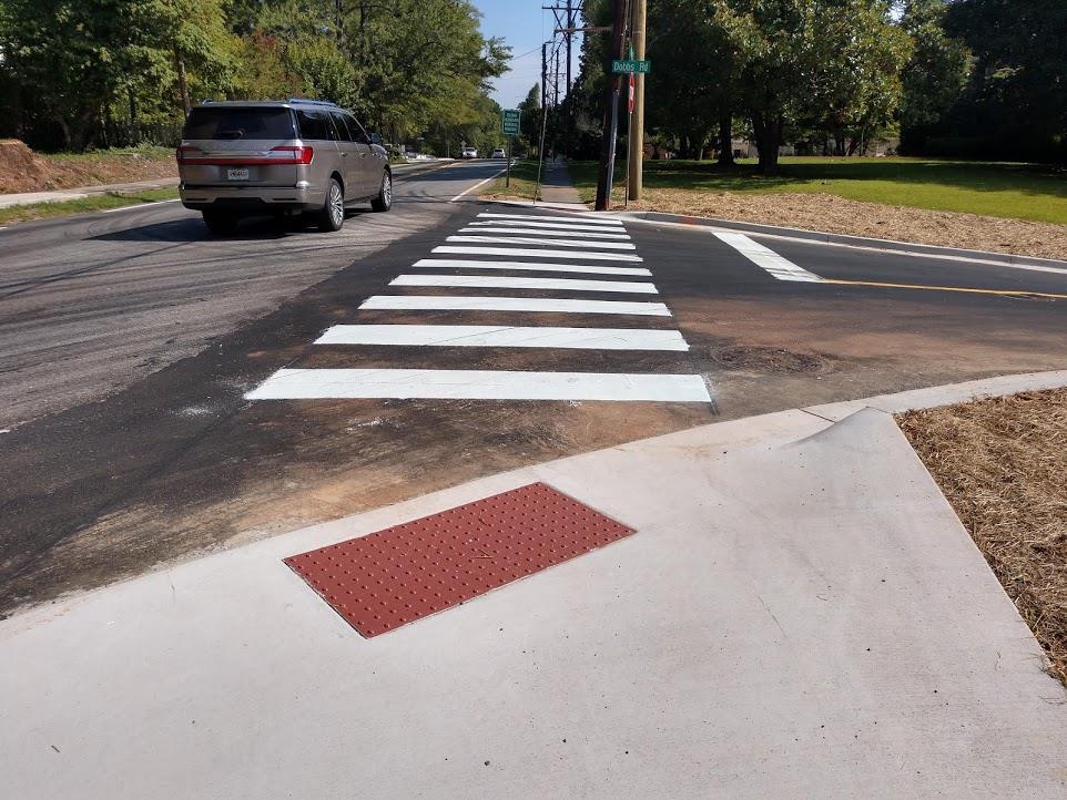
City of Woodstock – Transportation Plan
City of Woodstock – Transportation Plan
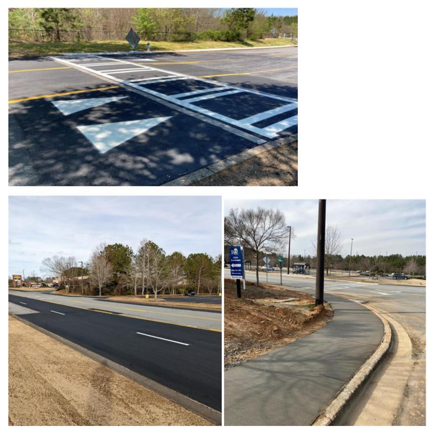
City of Woodstock – Transportation Plan
City of Woodstock – Transportation Plan
City of Woodstock – Transportation Plan
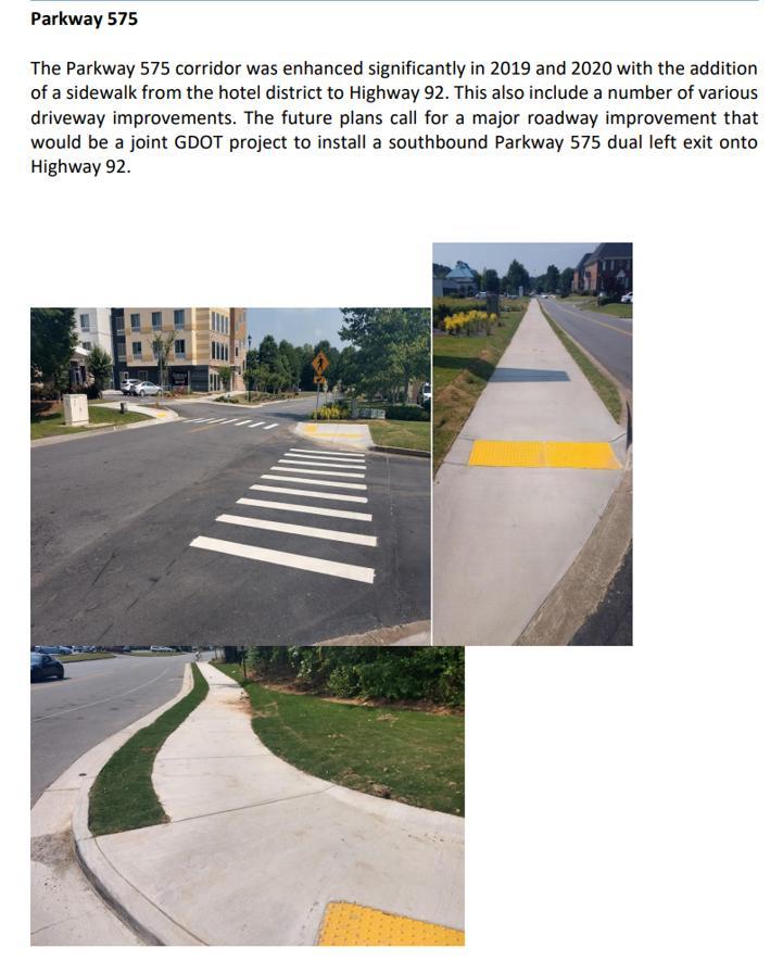
City of Woodstock – Transportation Plan 310
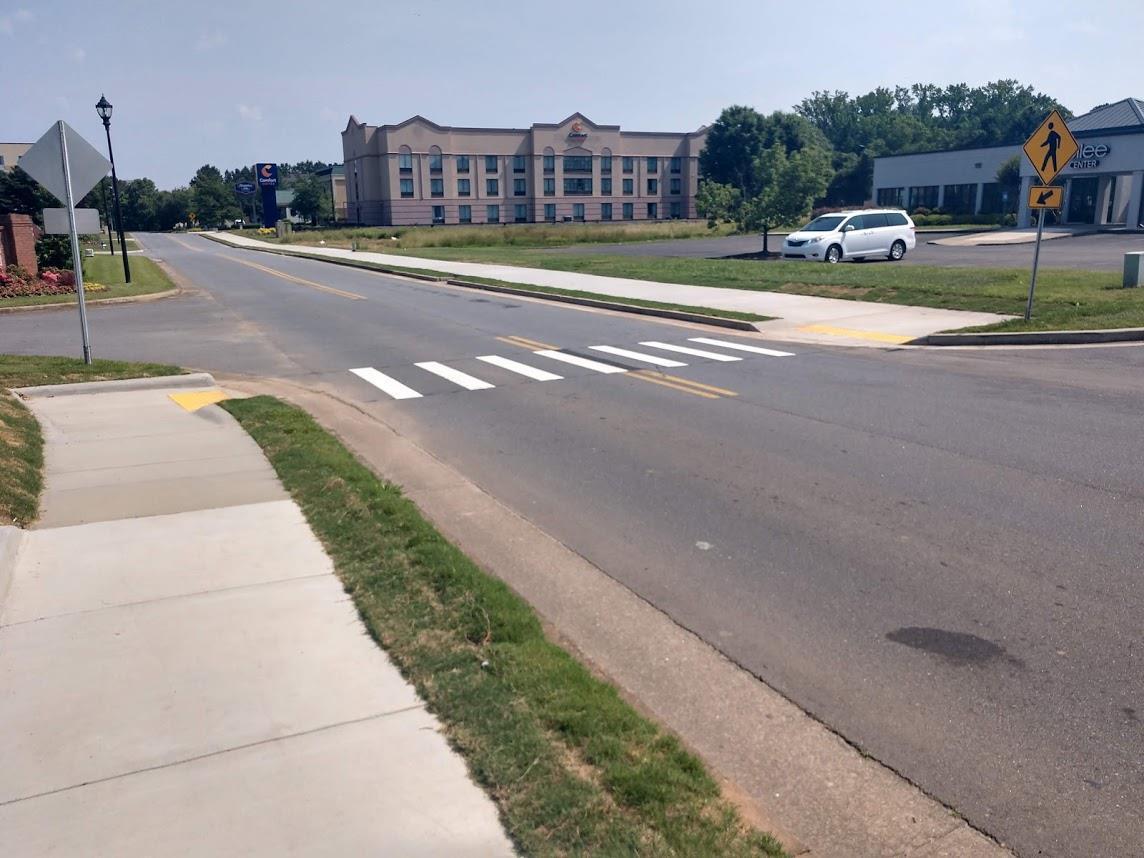
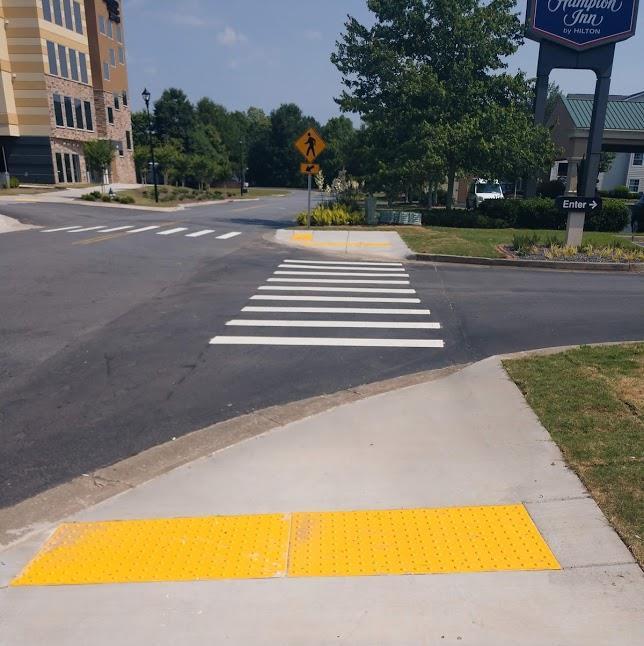
City of Woodstock – Transportation Plan 311
City of Woodstock – Transportation Plan
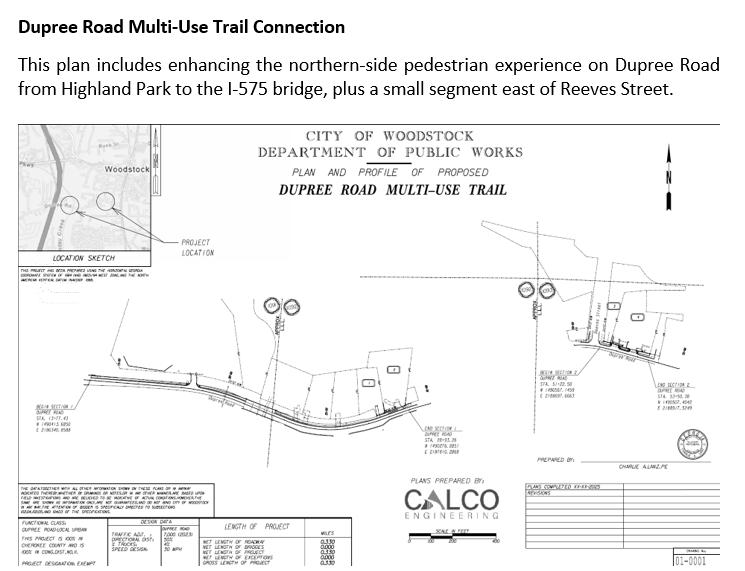
City of Woodstock – Transportation Plan 313
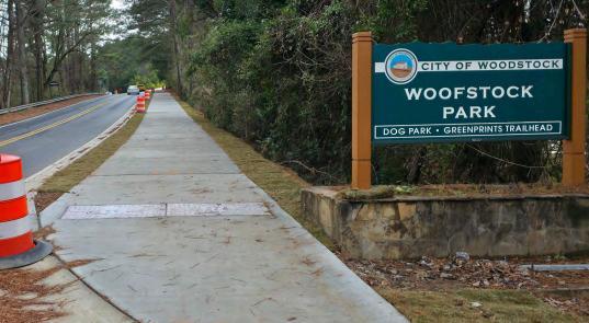
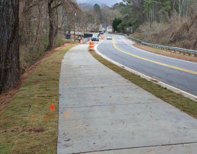
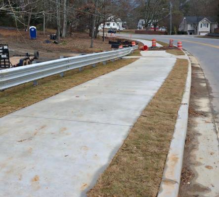
City of Woodstock – Transportation Plan 314
City of Woodstock – Transportation Plan
This project
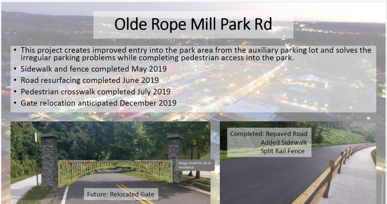
City of Woodstock – Transportation Plan 316
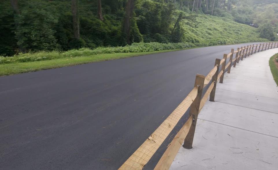
City of Woodstock – Transportation Plan 317
City of Woodstock – Transportation Plan
This project is an ongoing effort to extend the Trail and landscaping along the entire east side of the roadway from Towne Lake Parkway to the Roundabout at the Outlet Shoppes. The portion being referenced here as completed is the portion from Towne Lake Parkway to Brownlee Road. (The west side of the roadway abuts I-575 and has no pedestrian traffic to serve).
City of Woodstock – Transportation Plan 319
City of Woodstock – Transportation Plan
City of Woodstock – Transportation Plan
This project extended the Trail along a portion of Towne Lake Parkway and created additional parking spaces in underutilized ROW.
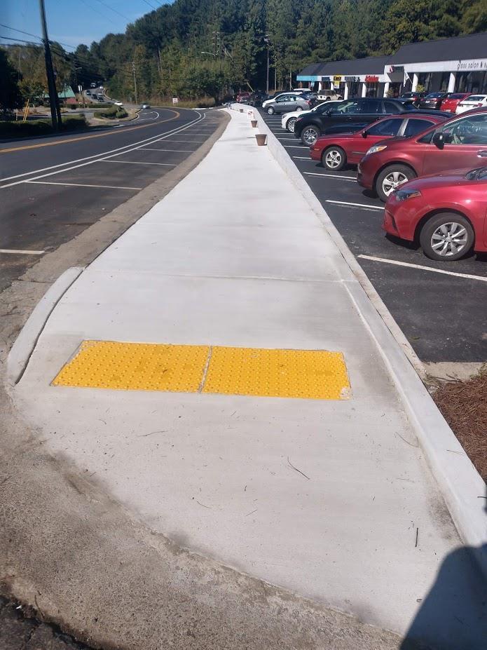
City of Woodstock – Transportation Plan 322
City of Woodstock – Transportation Plan 323
City of Woodstock – Transportation Plan
This project added stormwater piping, drains, curb, gutters, and widening of 4’ along Dobbs Road from Melanie Circle to Arnold Mill Road.
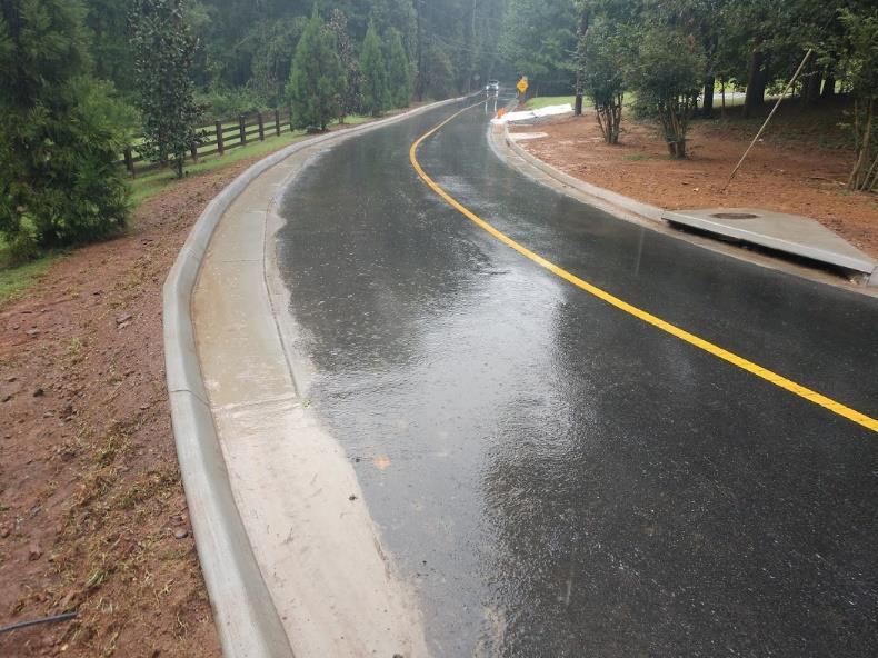
City of Woodstock – Transportation Plan 325
City of Woodstock – Transportation Plan
City of Woodstock – Transportation Plan 327
329 Towne Lake Parkway Widening
334 Lyndee Lane Extension I (TLP Roundabout north to existing Lyndee Ln)
339 Neese Road Southern Segment
345 Neese Road Northern Segment
350 SR 92 at Trickum Road Intersection
357 Trickum Road at Nocatee Trail Roundabout
361 Streetscapes IV (Main St – Fowler to Serenade)
366 Streetscapes VI (Towne Lake Pkwy - Main to Mill)
This project widens and redesigns a brief section of Towne Lake Parkway between Woodstock Parkway and the TLP/Mill Roundabout. It serves to connect the western end of the Hub Transformation Project to the eastern end of the TLP Interchange Project, while anticipating redevelopment of the large tract on the northside of the roadway at this point. This project is to be constructed in 2026.
City of Woodstock – Transportation Plan

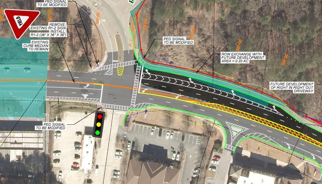
City of Woodstock – Transportation Plan
Towne Lake Parkway Widening Eastern Side
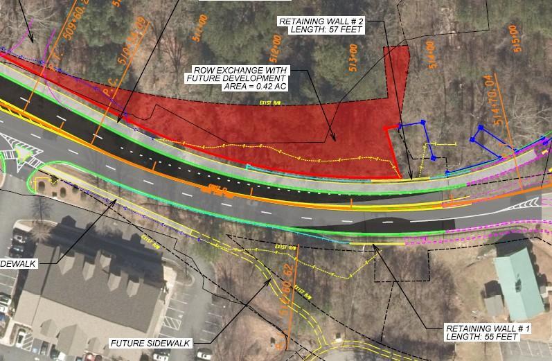
City of Woodstock – Transportation Plan 331

City of Woodstock – Transportation Plan
City of Woodstock – Transportation Plan
The Lyndee Lane Extension I will proceed from the northern edge of the new Mill/TLP roundabout to the north to connect to the current southern dead end of Lyndee Lane. This project is scheduled to proceed following the Hub Transformation Project. It is expected to be constructed in 2026. This will provide accessibility with the neighborhoods to the north, providing additional mobility flexibility. It will be a critical link in the Grid Streets Program in that Lyndee Lane lines up north/south with Paden Street and will serve as a continuation of the Paden Grid Street to north of Towne Lake Parkway, while Paden Street is simultaneously being extended to Dupree Road. These changes, both expected to be completed in 2026, will extend the Paden Street grid street all the way from Rusk Street in the north, to Dupree Road in the south, with additional extensions imminent further in both directions.
City of Woodstock – Transportation Plan
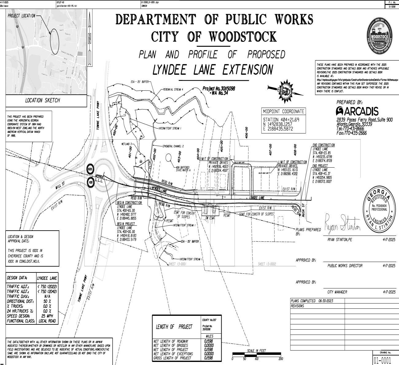
City of Woodstock – Transportation Plan
Construction portion of the Lyndee Lane Extension I
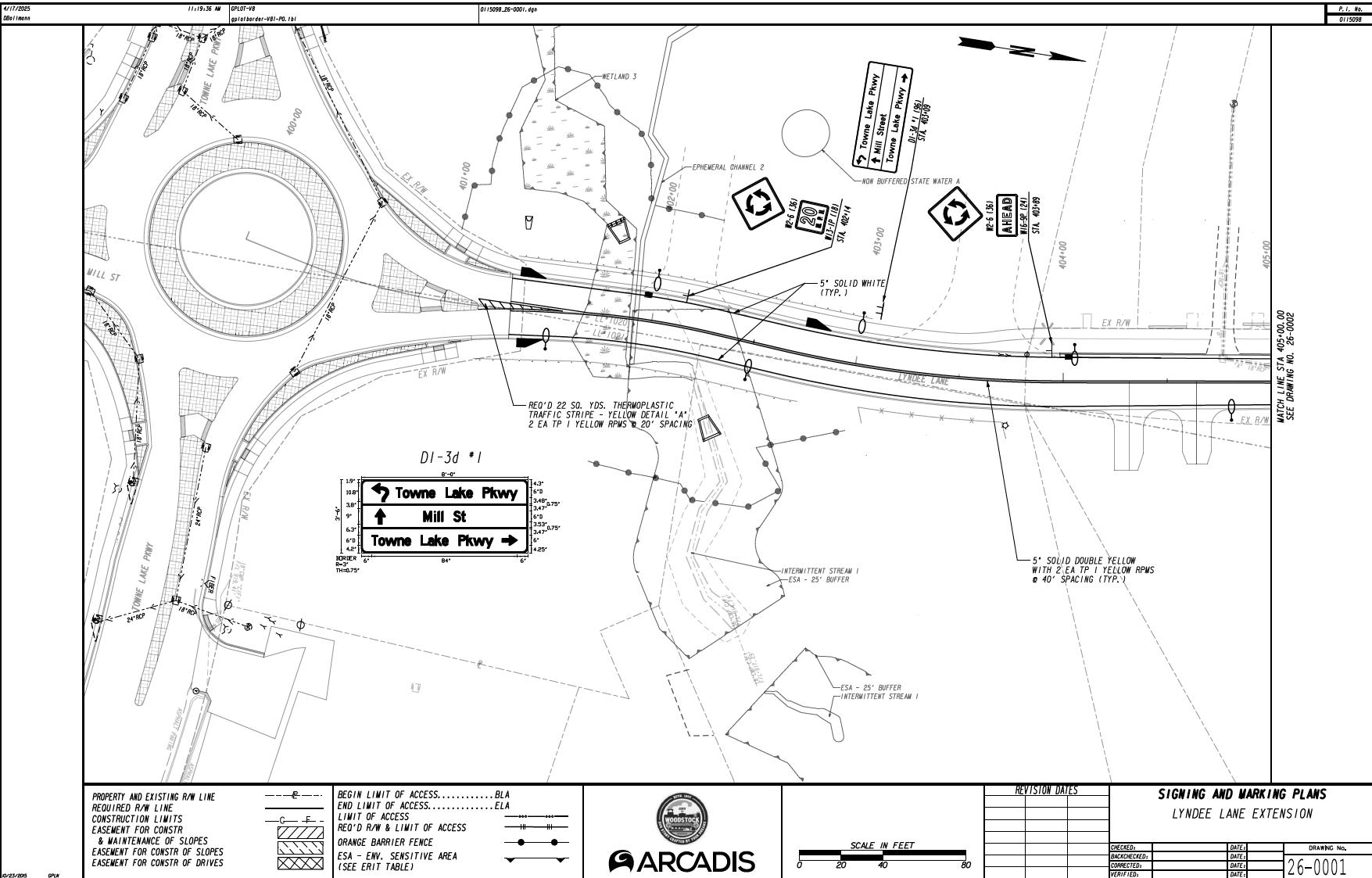
City of Woodstock – Transportation Plan
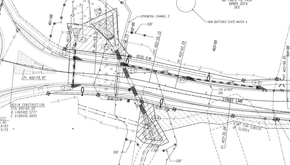
City of Woodstock – Transportation Plan 337
City of Woodstock – Transportation Plan
This is an important transportation project that will significantly improve Neese Road from the edge of the Intersection Project on the previous page to the edge of the new development named Marlowe. This project is expected to be completed in 2026. This project makes more efficient use of the wider section of Neese Road to the south of Neese Farm Drive and then dramatically improves the narrow section of Neese Road to the north of Neese Farm Drive that will include sidewalks for pedestrians on the western side.
City of Woodstock – Transportation Plan 339
Neese Road Southern Segment Overall

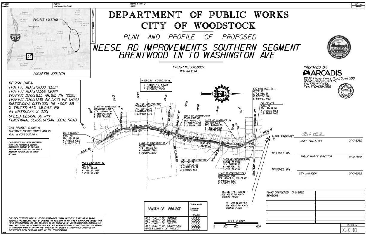
City of Woodstock – Transportation Plan
Neese Road Southern Segment Connection Point
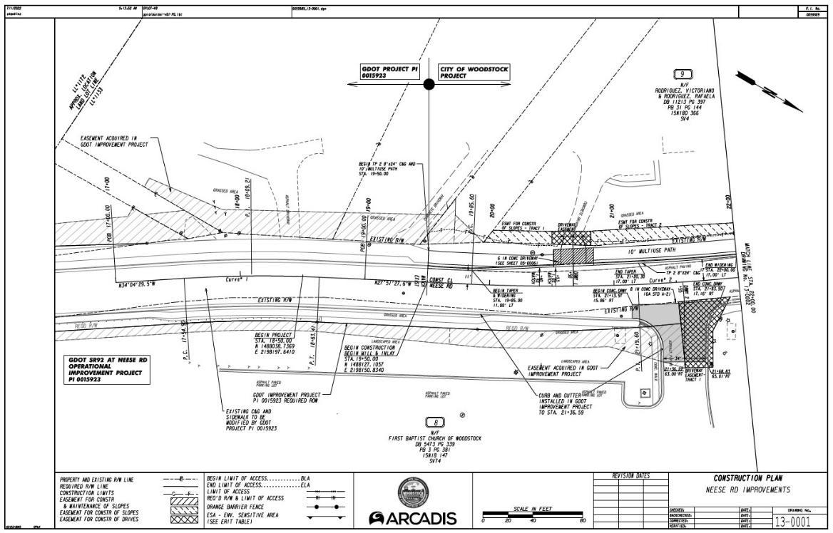
Neese Road Southern Segment End
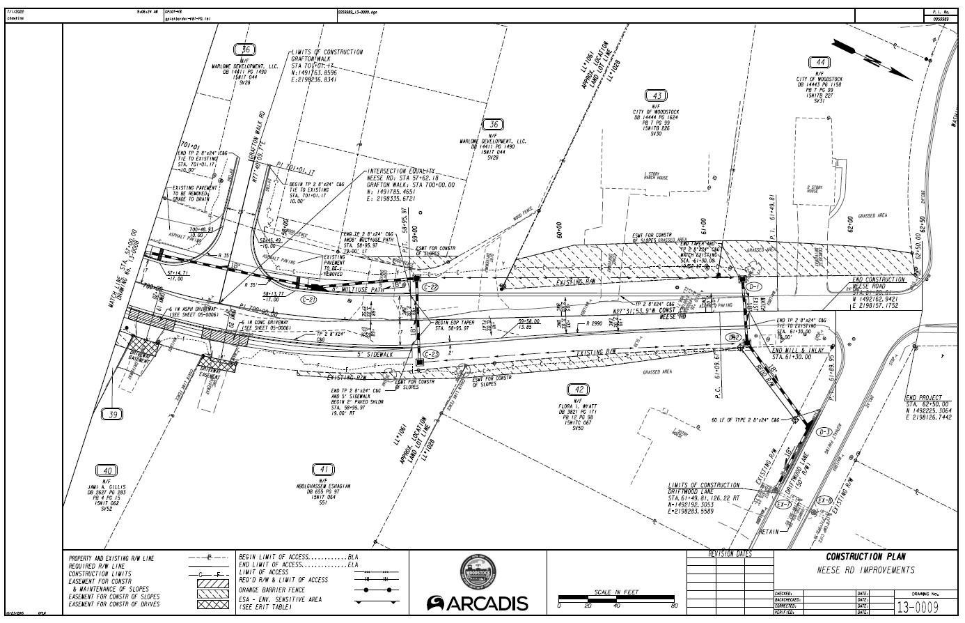
City of Woodstock – Transportation Plan
Neese Road Southern Segment Under Construction
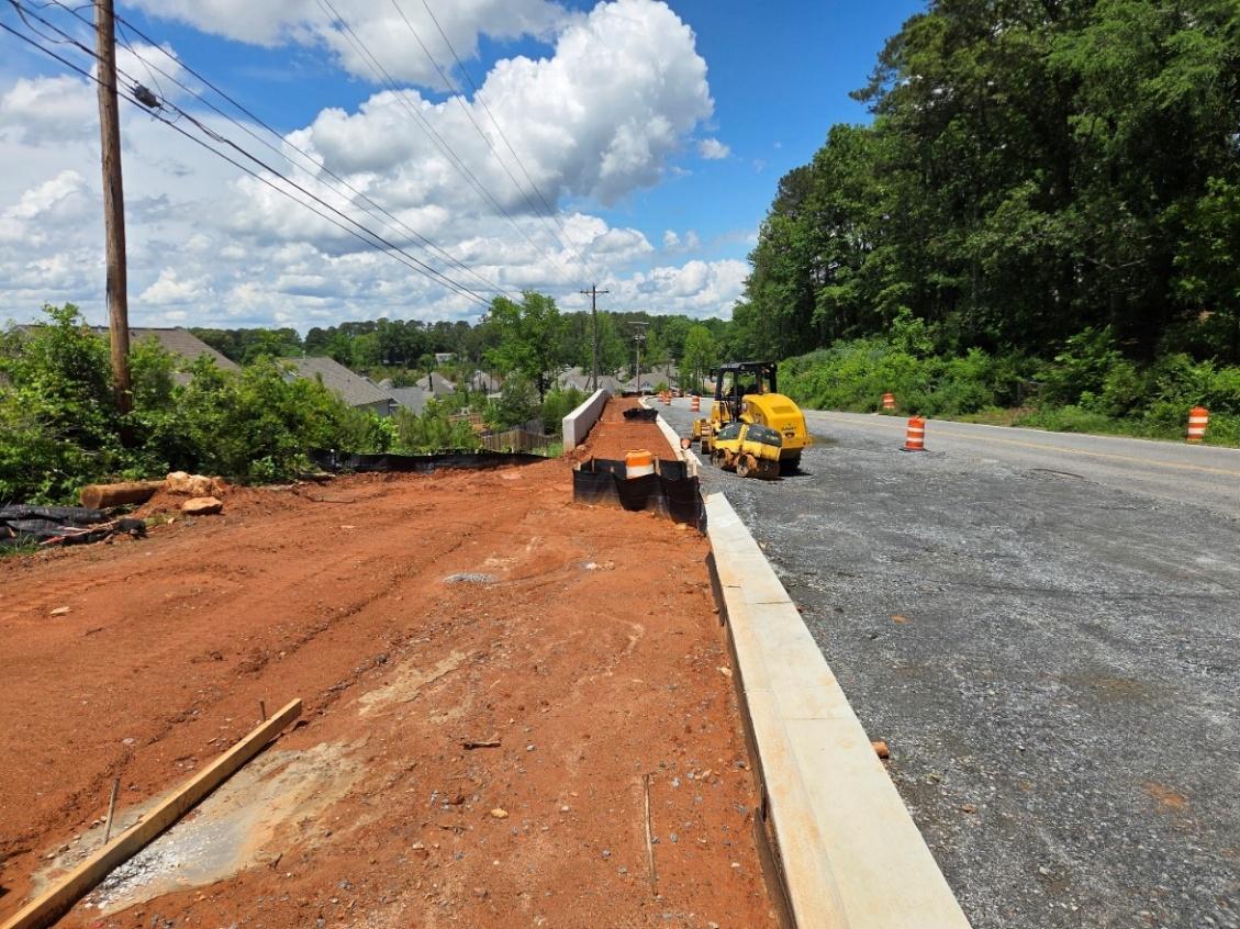
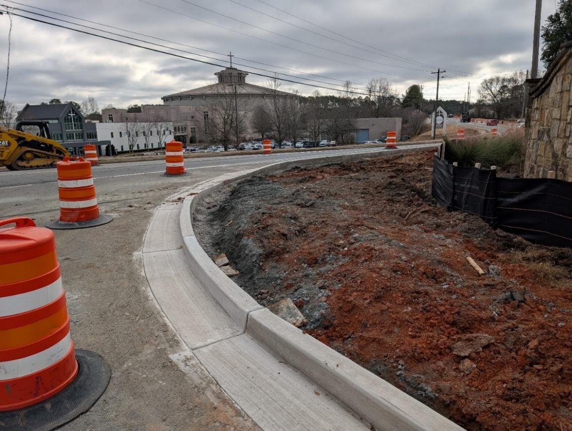
City of Woodstock – Transportation Plan
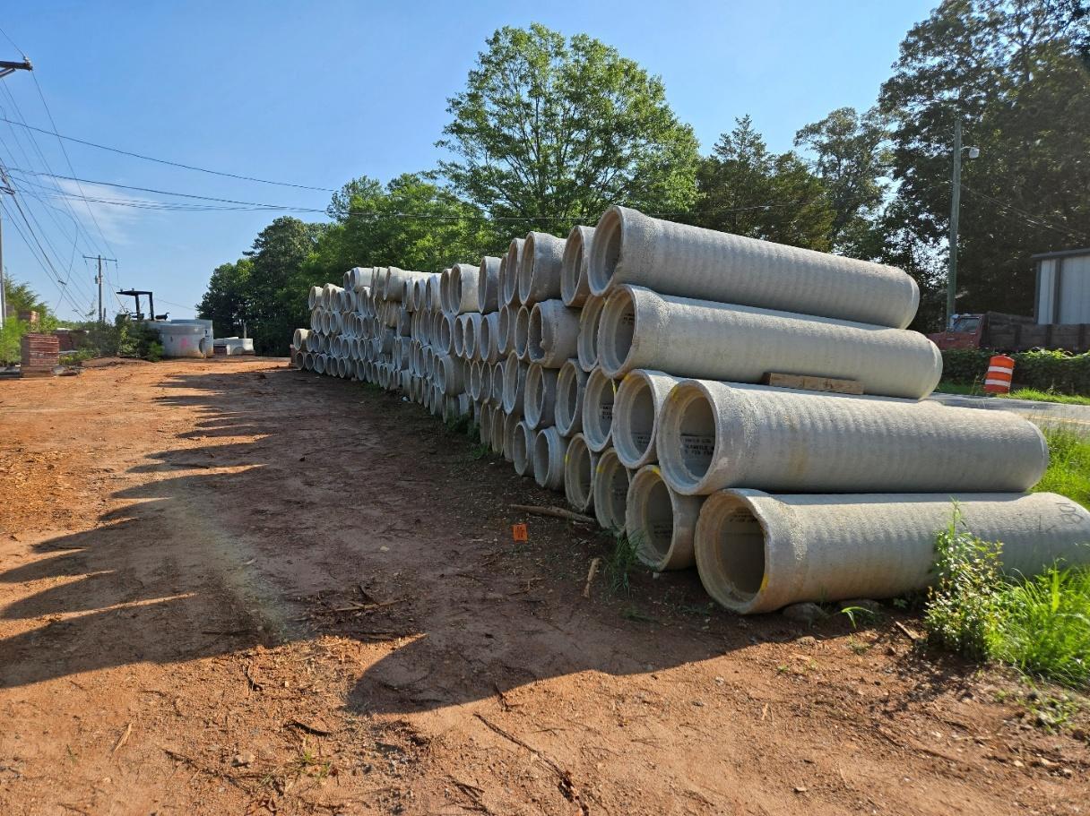
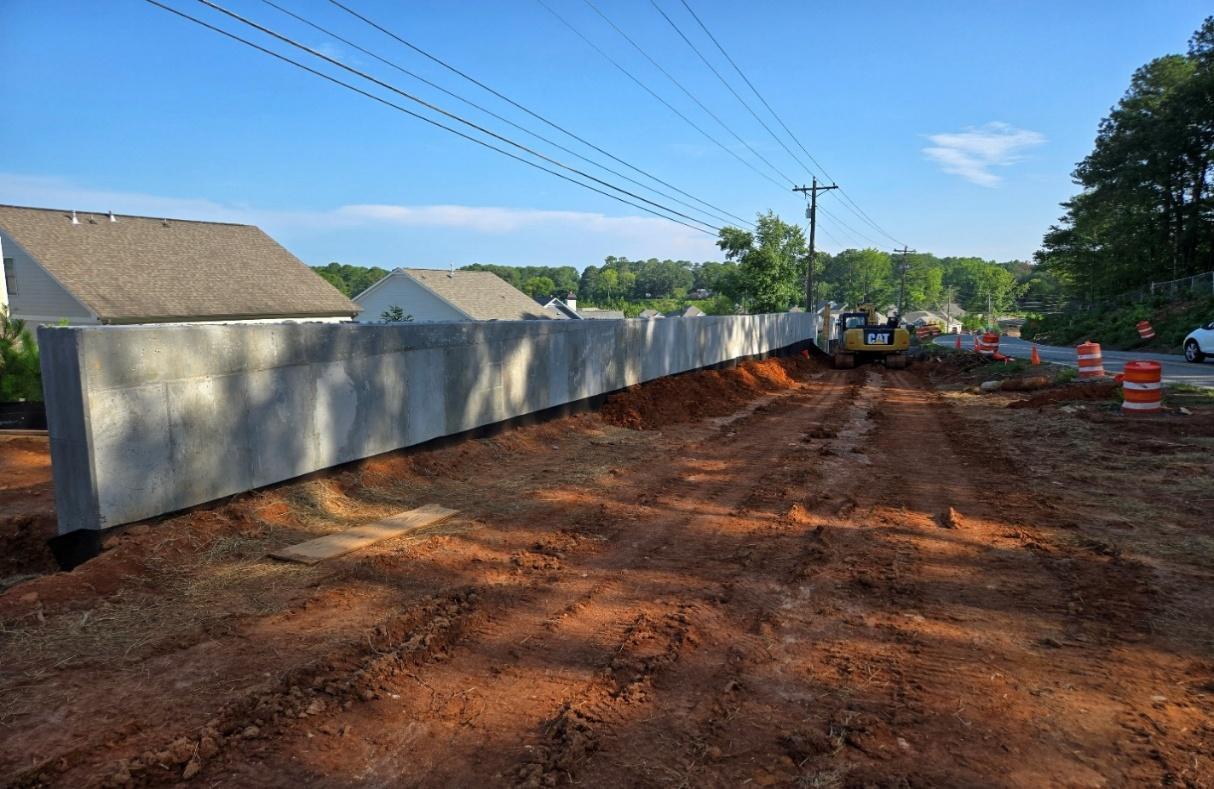
City of Woodstock – Transportation Plan 343
City of Woodstock – Transportation Plan
This is an important transportation project that will significantly improve Neese Road from the edge of the new Marlowe development northward to Arnold Mill Road. This project is expected to begin construction in 2026. The project includes a critical roundabout at the Neese/Washington/Driftwood intersection that replaces the inefficient 4-way stop. The project includes sidewalks and trail access for Dupree Park.
City of Woodstock – Transportation Plan
Neese Road Overall Display
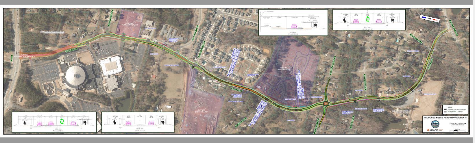
Neese Road Northern Segment Plan Title Page
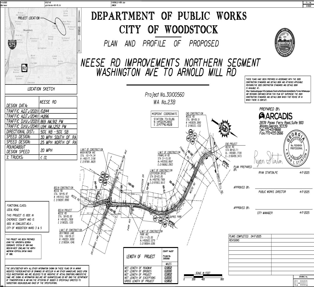
City of Woodstock – Transportation Plan
Road Northern Segment Dividing Line
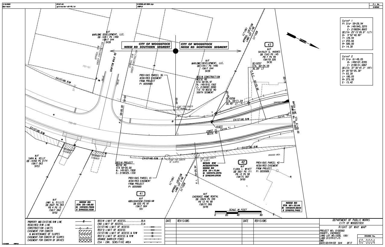
City of Woodstock – Transportation Plan
Neese Road Northern Segment Roundabout Washington/Driftwood/Neese
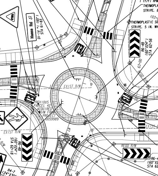
City of Woodstock – Transportation Plan
City of Woodstock – Transportation Plan
The SR 92 at Trickum Road Project was a joint project with GDOT, Cherokee County, and the City of Woodstock. This will be a substantial improvement to a key intersection. This project will add dual left turn lanes from westbound SR 92 onto Trickum Road and dual left turn lanes from northbound and southbound Trickum Road onto SR 92. The project widens the mouth of Trickum Road at the intersection, while also adding a Continuous T at the Trickum/Gunnin intersection. The project also adds a northbound travel lane between Sycamore Lane and SR 92; adds a southbound travel lane between SR 92 and Sycamore Lane; and adds protective medians on Trickum Road between Sycamore Lane and Gunnin Road.
City of Woodstock – Transportation Plan
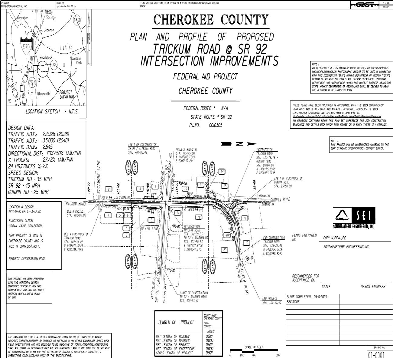
City of Woodstock – Transportation Plan
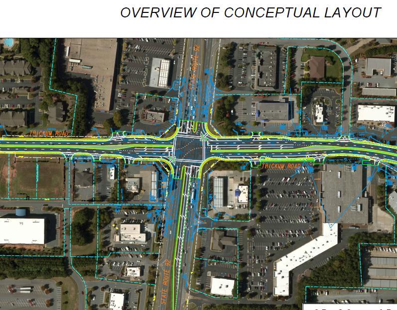
City of Woodstock – Transportation Plan 352
SR92 at Trickum Road Intersection Primary Segment
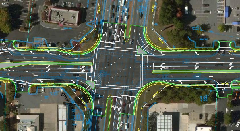
SR92 at Trickum Road Intersection Project Sycamore Southern Segment
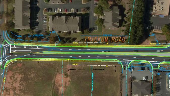
City of Woodstock – Transportation Plan
SR92 at Trickum Road Intersection Project Northern Segment
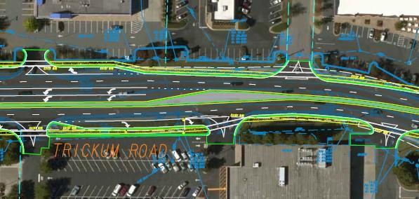
SR92 at Trickum Road Intersection Project Continuous T Segment
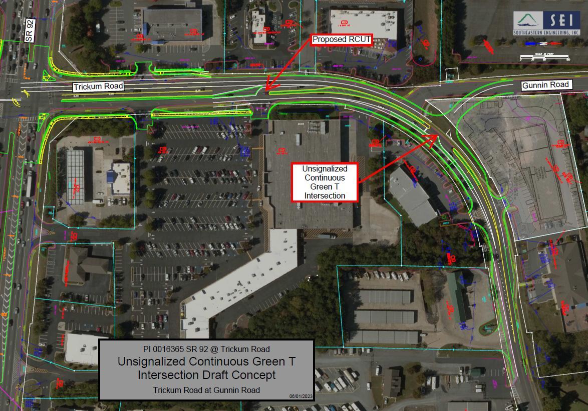
City of Woodstock – Transportation Plan 354
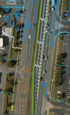
City of Woodstock – Transportation Plan
City of Woodstock – Transportation Plan
The Trickum Road at Nocatee Trail Project will include the creation of a roundabout at this location. This intersection is hindered by very heavy traffic on Trickum Road, especially during rush hours, making it extremely difficult for left turns out of the Kingsgate II neighborhood. There are also excessively high speeds in this area, due to no impediments on Trickum Road between Ragsdale Road and Barnes Road. A traffic study established that there was a PM Peak Hour of 42 left turns occurring without the benefit of a left turn lane, therefore backing up traffic and creating safety issues.
This intersection will become even busier once Little River Park is constructed. The intersection will serve as the primary entrance to the park. The park patrons will be generating even more left turns onto Trickum Road. The roundabout concept plan solves the access issues for Kingsgate II and Little River Park, while simultaneously slowing the Trickum Road traffic down to create a more residential feel for the area, improve safety, and encourage pedestrian accessibility.
City of Woodstock – Transportation Plan
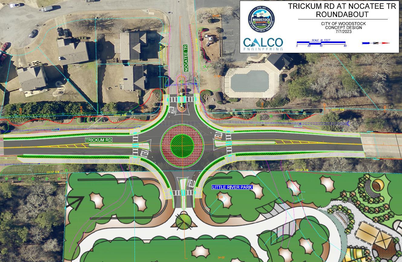
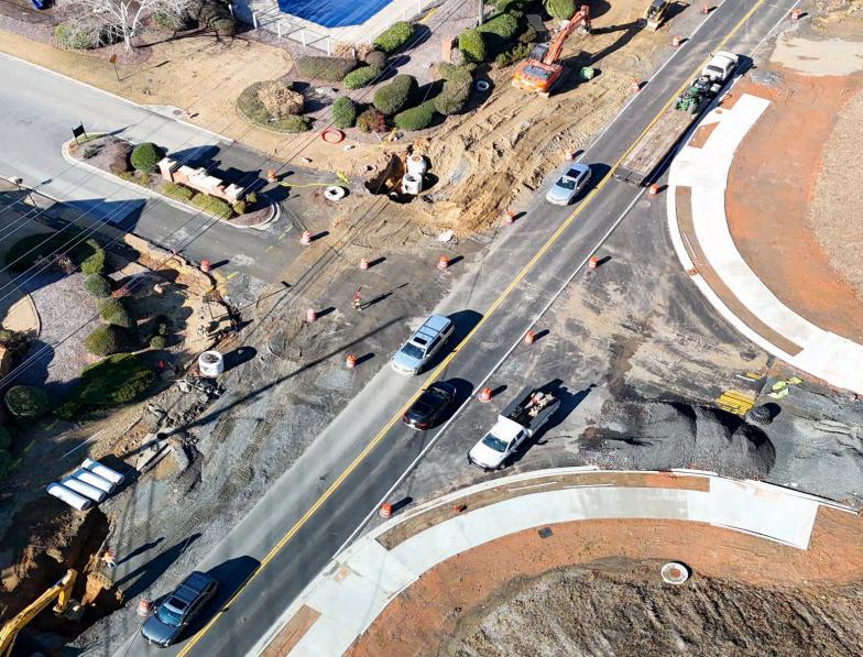
City of Woodstock – Transportation Plan
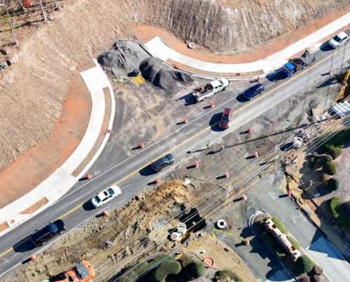
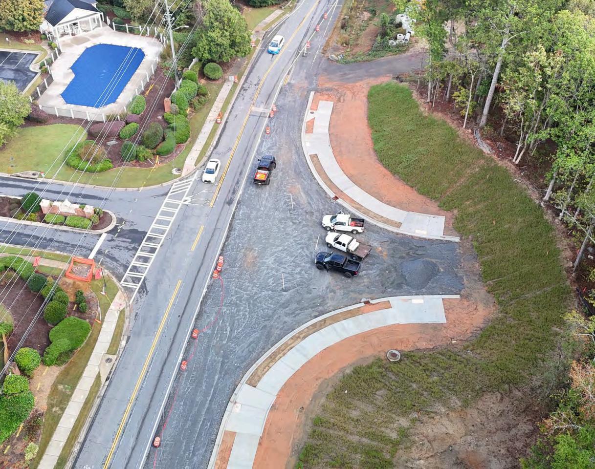
City of Woodstock – Transportation Plan 359
City of Woodstock – Transportation Plan
This plan includes enhancing the westside pedestrian experience on Main Street from Fowler Street (where Streetscapes II was completed) to the south to the edge of South on Main near Brighton Boulevard. This will be accomplished through a series of individual projects in various segments. The differing segments are required because of the length of this stretch and the complicated factors of each. This section is extremely difficult to complete because the proximity of the railroad on the east side of the street restricts flexibility on the west side of the street. The sections closest to the intersection with Barnesdale Terrace represent the most challenging logistical dilemmas.
City of Woodstock – Transportation Plan
Streetscapes IV Project Northern Segment
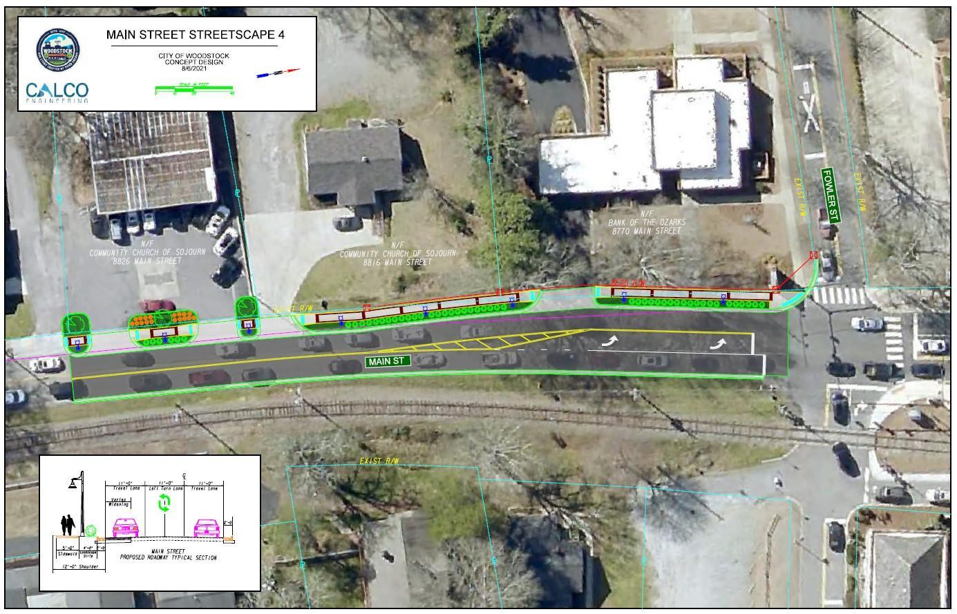
Streetscapes IV Project Southern Segment
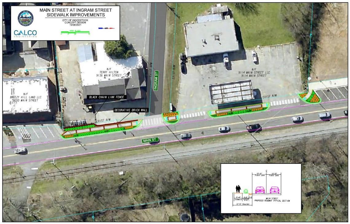
City of Woodstock – Transportation Plan 362
Streetscapes IV Project Middle Segments
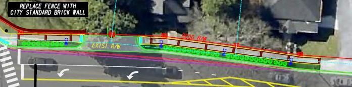
Streetscapes IV Project Completed Segments
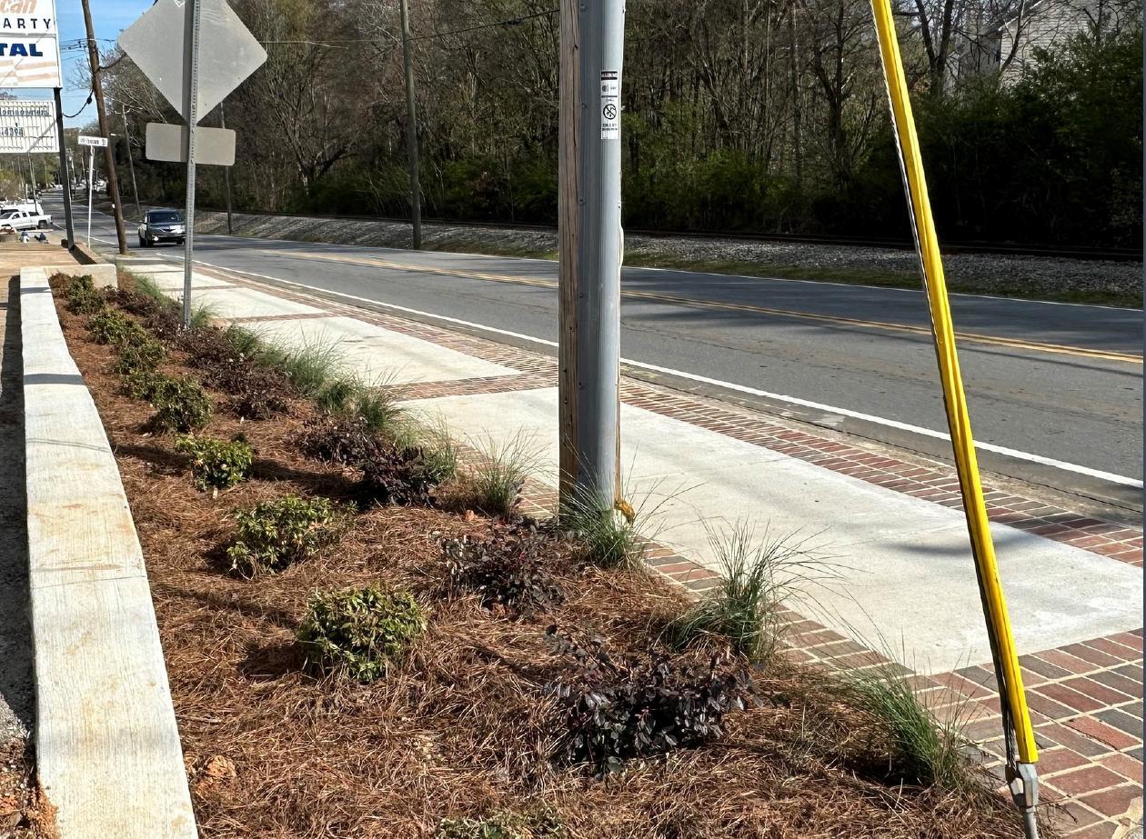
City of Woodstock – Transportation Plan 363
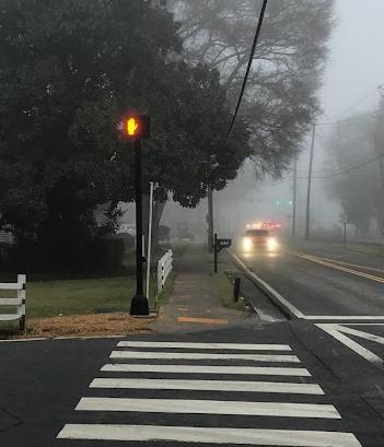
City of Woodstock – Transportation Plan 364
City of Woodstock – Transportation Plan
This plan includes enhancing the southern side pedestrian experience on Towne Lake Parkway from Main Street to the west to the edge of the sidewalk recently completed at the Mill Street Roundabout. And one remaining trail segment will be included on the north side of Towne Lake Parkway. This will be accomplished by constructing streetscape designs in the style of the Streetscapes I – V projects, based upon the available space in each linear section.
The narrowest segment is closest to Main Street, where the oldest structures are very close to the roadway, and width is limited. The elevation changes in some areas will require retaining walls and/or handrails. The engineering designs are still in progress, but the following examples are demonstrative of the style that will be used throughout this project.
This project is being constructed in 2026.
City of Woodstock – Transportation Plan
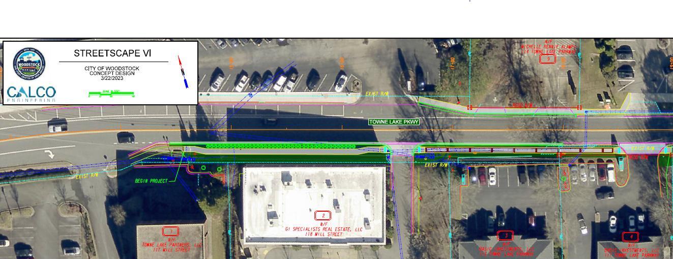
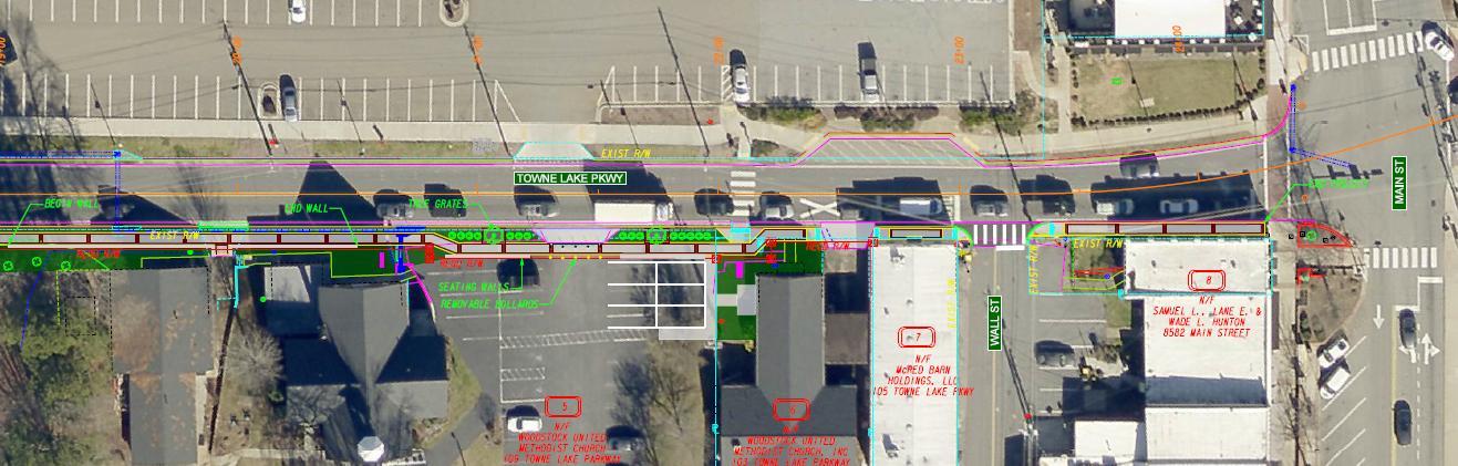
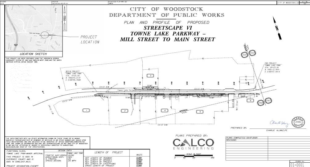
City of Woodstock – Transportation Plan 367
City of Woodstock – Transportation Plan
City of Woodstock – Transportation Plan 369
371 AMR at Neese Rd Roundabout
374 I-575 Ridgewalk Interchange
380 Oakbridge Road Grid Street (Neese to Gunnin)
382 AMR at Dobbs Rd Roundabout
385 Main St at Dobbs Rd Roundabout
388 Haney Road Extension II
390 Lincoln Street Extension I
393 Reeves St Extension II
395 Paden St Extension I
399 Dupree Rd @ Main St improvement
403 Barnesdale Terr @ Main St improvement
406 North Main Street - Wildcat Implementation
409 Noon Day Creek Trailhead & Pedestrian Plaza
413 AMR Trail Extension
416 Dobbs Road Sidewalk
419 Woodstock Parkway Trail Extension
422 Rope Mill Road Stormwater and Trail Extension
425 Woodstock Parkway Extension Concept
428 Grid Street Connections
435 Resurfacing Neighborhoods
This crucial project will complete the renovation of Neese Road and will serve as the primary gateway to Woodstock from the east. The roundabout will allow the elimination of a traffic signal and will keep traffic flowing in all directions. It will also keep traffic flowing slowly and will provide the northeastern edge of the ultimate 25mph pedestrianfriendly zone, including important pedestrian connections to Dupree Park. This project is expected to be completed in 2028. It is a joint project between the City of Woodstock and Cherokee County.
City of Woodstock – Transportation Plan 371
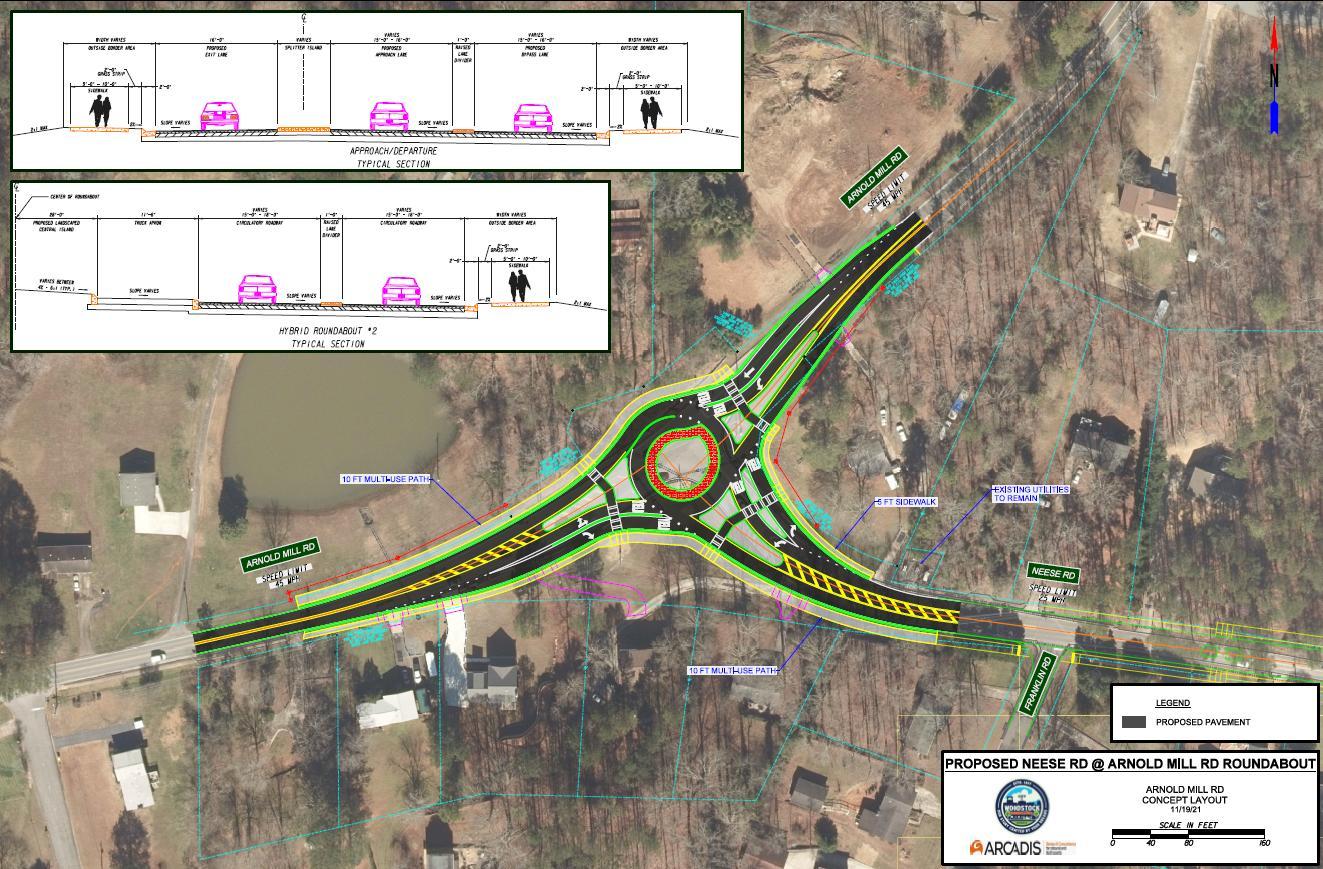
City of Woodstock – Transportation Plan 372
City of Woodstock – Transportation Plan
The I-575 Ridgewalk Parkway Interchange Project is a joint project with GDOT, Cherokee County, and the City of Woodstock. The project converts the interchange into a diverging diamond design (DDI) in a way that maximizes the limited width of the bridge, while transforming the pedestrian experience across the interchange. The predominant commuter traffic pattern will be significantly enhanced by reducing the number of traffic signals to traverse on the bridge from two to one, for most of the traffic.
City of Woodstock – Transportation Plan
I-575 Ridgewalk Parkway Interchange Project Concept
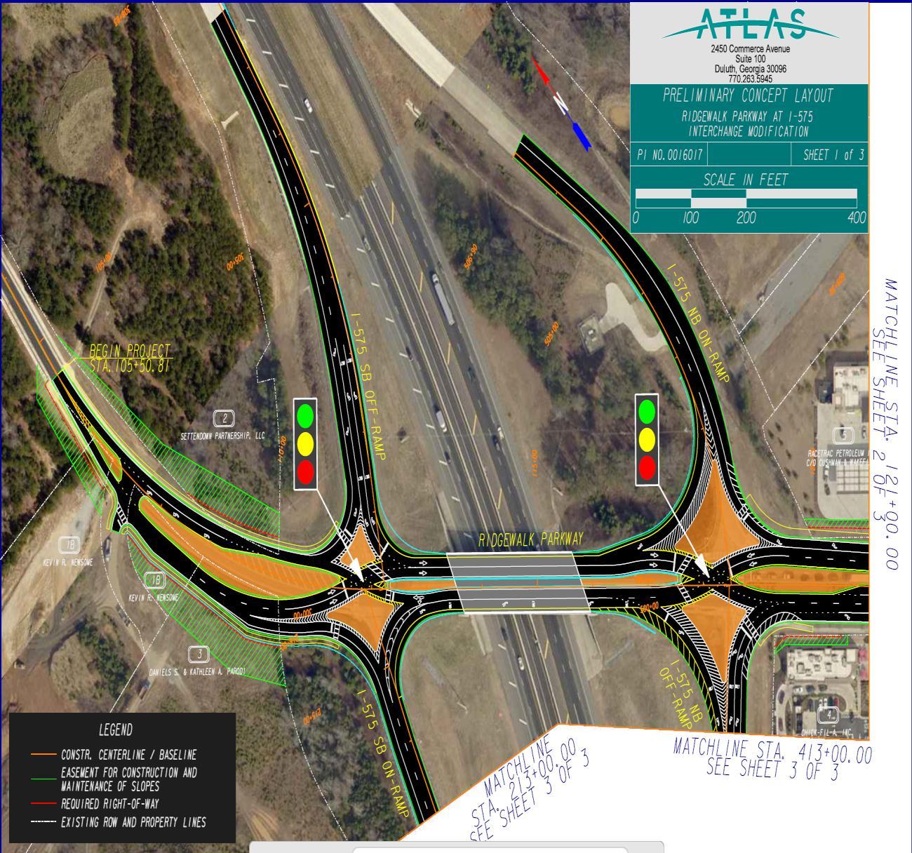
City of Woodstock – Transportation Plan
I575 Ridgewalk Parkway Interchange Project Preliminary Eastern Segment
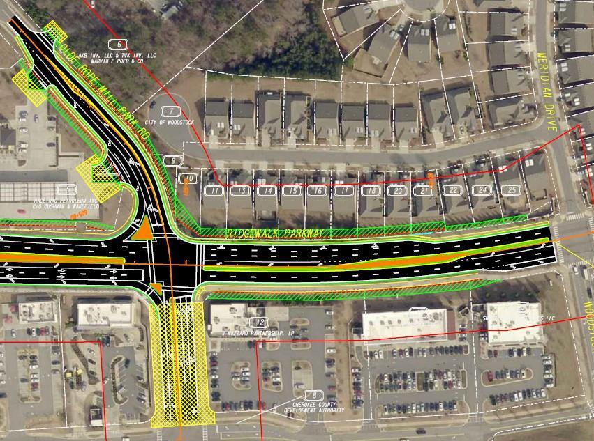
City of Woodstock – Transportation Plan
I575 Ridgewalk Parkway Interchange Project Preliminary Eastern Ramps
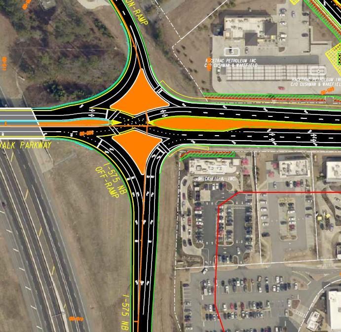
City of Woodstock – Transportation Plan
I575 Ridgewalk Parkway Interchange Project Preliminary Western Ramps
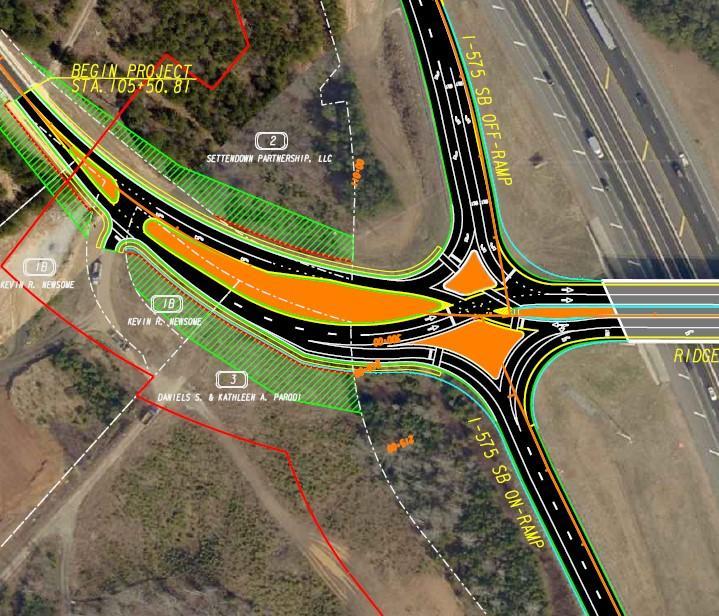
City of Woodstock – Transportation Plan 378
City of Woodstock – Transportation Plan
The Oakbridge Road Grid Street project creates a new grid street connection between Neese Road and Gunnin Road providing nearby access to Trickum Road. This will be the first and only grid street connection between Trickum Road and Neese Road. There does exist another route on Neese Farm Drive, but that is a twisting neighborhood street that does not lend itself to a direct connection.
This new connection will provide alternatives for traffic on both Neese Road and Trickum Road. Both of these roads have high traffic volumes and need as many alternative connections as feasible.
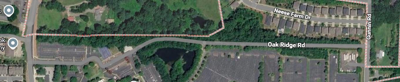
City of Woodstock – Transportation Plan
City of Woodstock – Transportation Plan
This intersection project plans for a roundabout to be constructed at the Dobbs/AMR intersection as part of the concept of two roundabouts along Arnold Mill Road (Neese and Dobbs) that will serve as gateways into Woodstock from the east. These roundabouts will serve to allow for continual flow of vehicular traffic, while simultaneously slowing the speeds and creating a pedestrian-friendly environment much farther to the east than has traditionally existed.
City of Woodstock – Transportation Plan 382
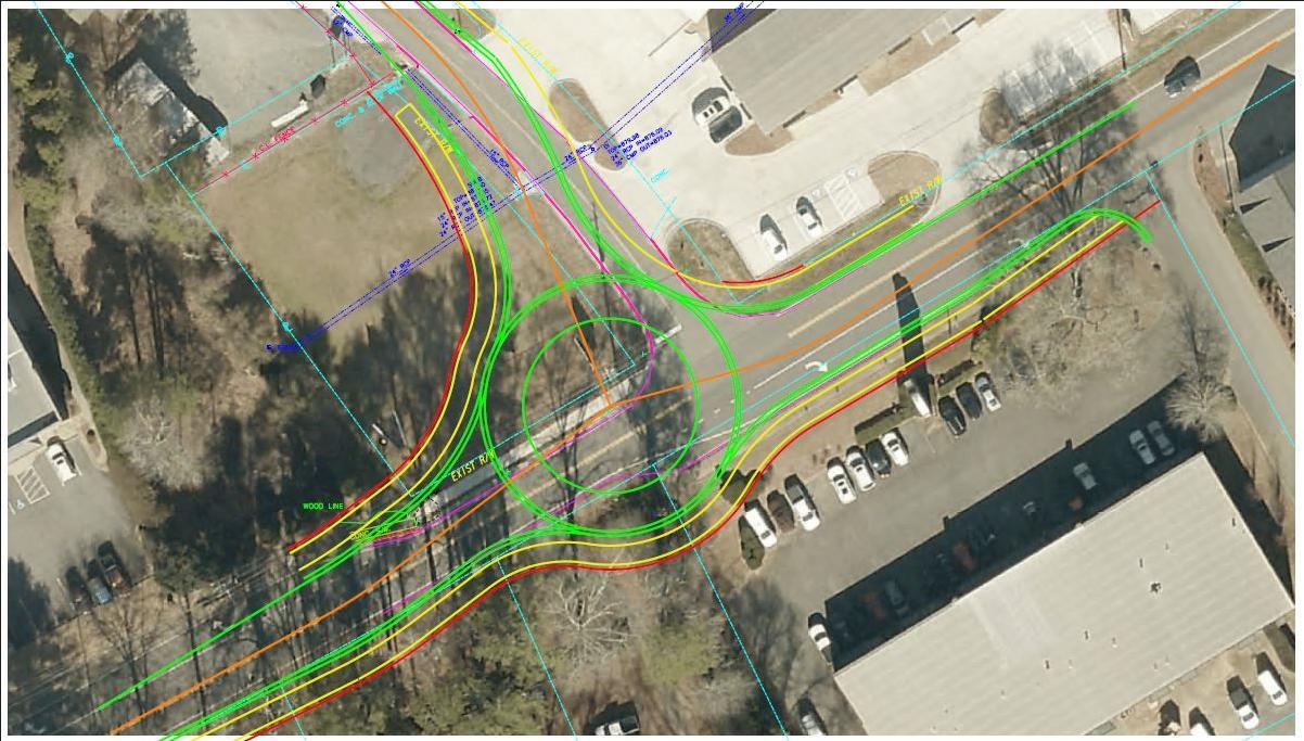
City of Woodstock – Transportation Plan 383
City of Woodstock – Transportation Plan
The Main Street at Dobbs Road Intersection Project is still in the conceptual design phase with an engineering firm reviewing the options for a roundabout There are severe topography issues at the location, as described in the Phase I project completed there in 2019. However, the concept of a roundabout is best at this location because of the lopsided nature of traffic distribution between Main Street and Dobbs Road. The roundabout would allow the predominant flow on Main Street to keep moving continuing, while still providing for slight delays as the occasional flow from Dobbs Road needs to enter.
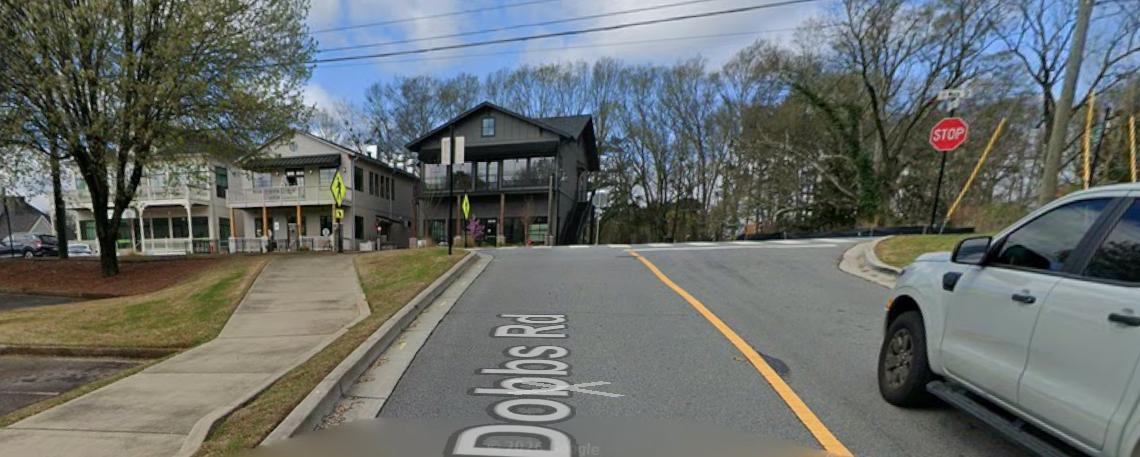
City of Woodstock – Transportation Plan
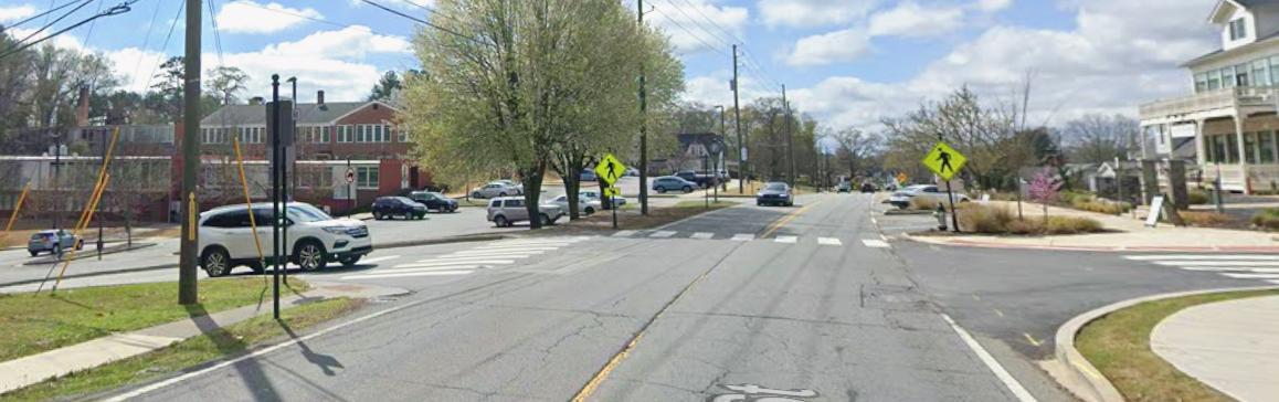
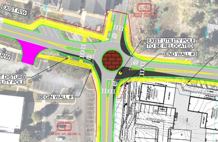
City of Woodstock – Transportation Plan
City of Woodstock – Transportation Plan
This road extension begins at the Main/Haney Roundabout by completing the fourth leg and then continues to the west through Adair Park, over the railroad, and connects to Rope Mill Road. This would provide an important connection between Main Street and Rope Mill Road, thereby facilitating significantly improved access to Woodstock Elementary School. This design is projected for construction in 2029.
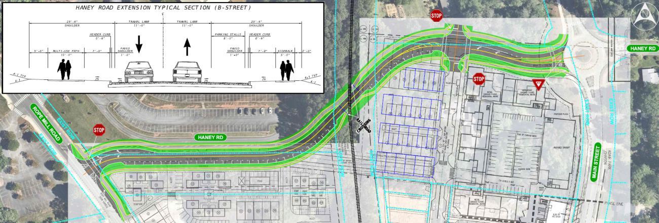
City of Woodstock – Transportation Plan 388
City of Woodstock – Transportation Plan
This project extends from the Main Street traffic signal at the new Morgan’s Ace Hardware to the existing Brooke Boulevard within JJ Biello Park. This roadway extension is a component part of the overall Lincoln Street grid street that will later be extended from Main Street to the west and over to the existing Lincoln Street. This first extension connects to Brooke Boulevard and will allow for park patrons to have access to a signalized connection to Main Street to replace the unsignalized connection that currently exists.
City of Woodstock – Transportation Plan 390
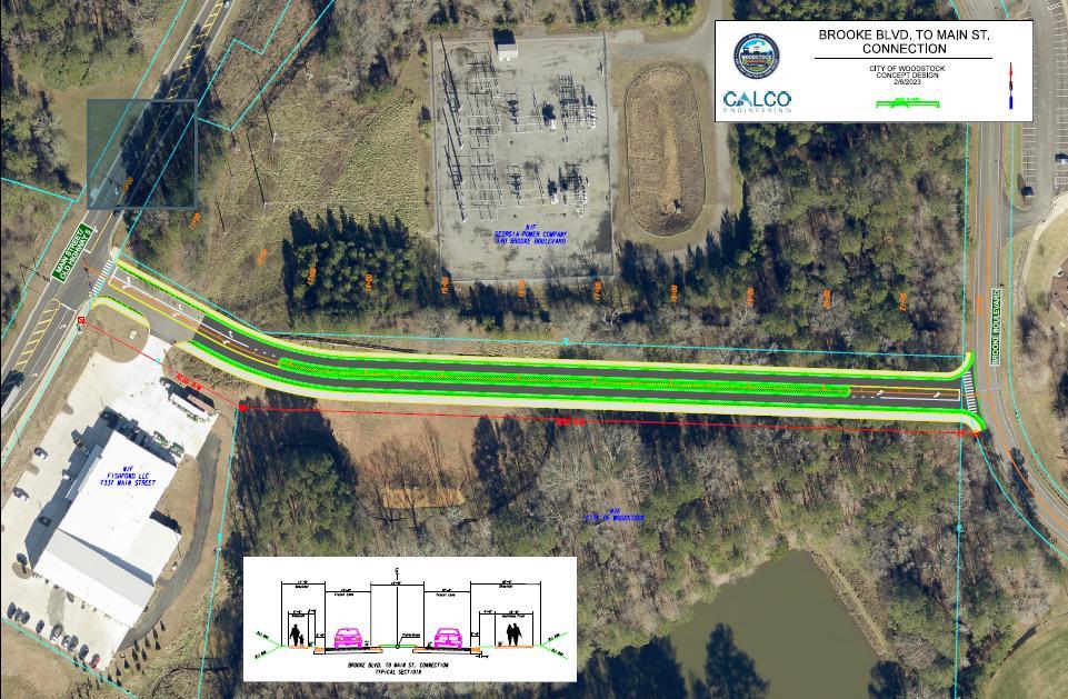
City of Woodstock – Transportation Plan 391
City of Woodstock – Transportation Plan
The Reeves Street Extension II connects the northernmost section of Reeves Street to Mill Street in a crucial grid street connection that will significantly improve accessibility through the southwestern downtown quadrant. This project is projected to begin construction in 2026.
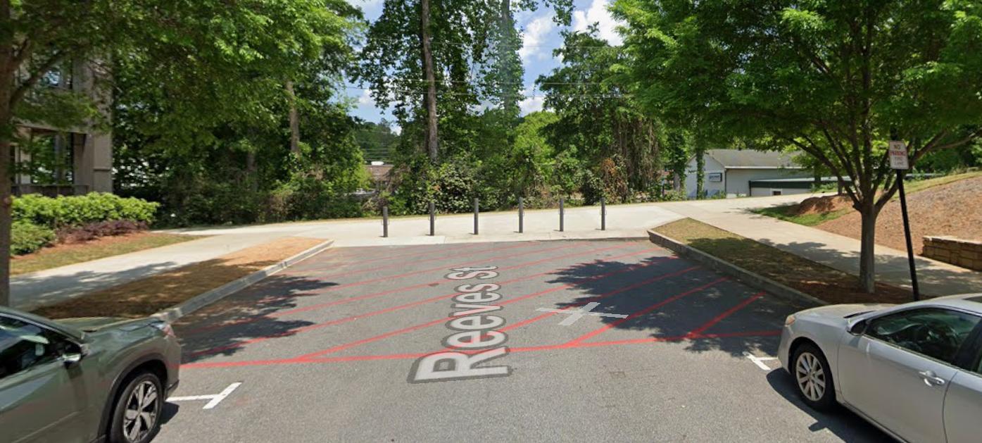
City of Woodstock – Transportation Plan
393
City of Woodstock – Transportation Plan
The Paden Street Extension I will proceed from the southern edge of Paden Street at Hickory Street to the south to connect to Goshen Lane at the point which Goshen Lane turns into the Joshua Landing neighborhood. This project is scheduled to proceed following the Hub Transformation Project. It is expected to be constructed in 2027. This will provide accessibility to the neighborhoods to the south, providing additional traffic flexibility. This extension is projected to begin construction in 2026.
It will be a critical link in the Grid Streets Program in that Paden Street lines up north/south with Lyndee Lane and together the Paden/Lyndee/Goshen grid street, after these two projects, will connect from Rusk Street in the north all the way to Dupree Road in the south. It will be the first north/south grid street to cross Towne Lake Parkway and Mill Street. Imminent future extensions are planned further to the north and to the south, beyond Dupree Road and Rusk Street.
City of Woodstock – Transportation Plan
Paden Street Extension I Display
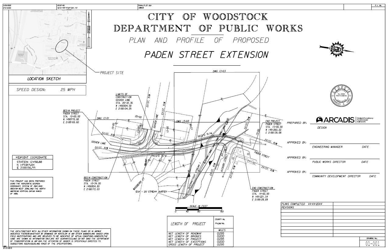
City of Woodstock – Transportation Plan
Southern end Paden Street Extension I
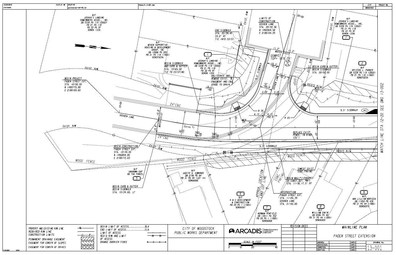
Northern end Paden Street Extension I
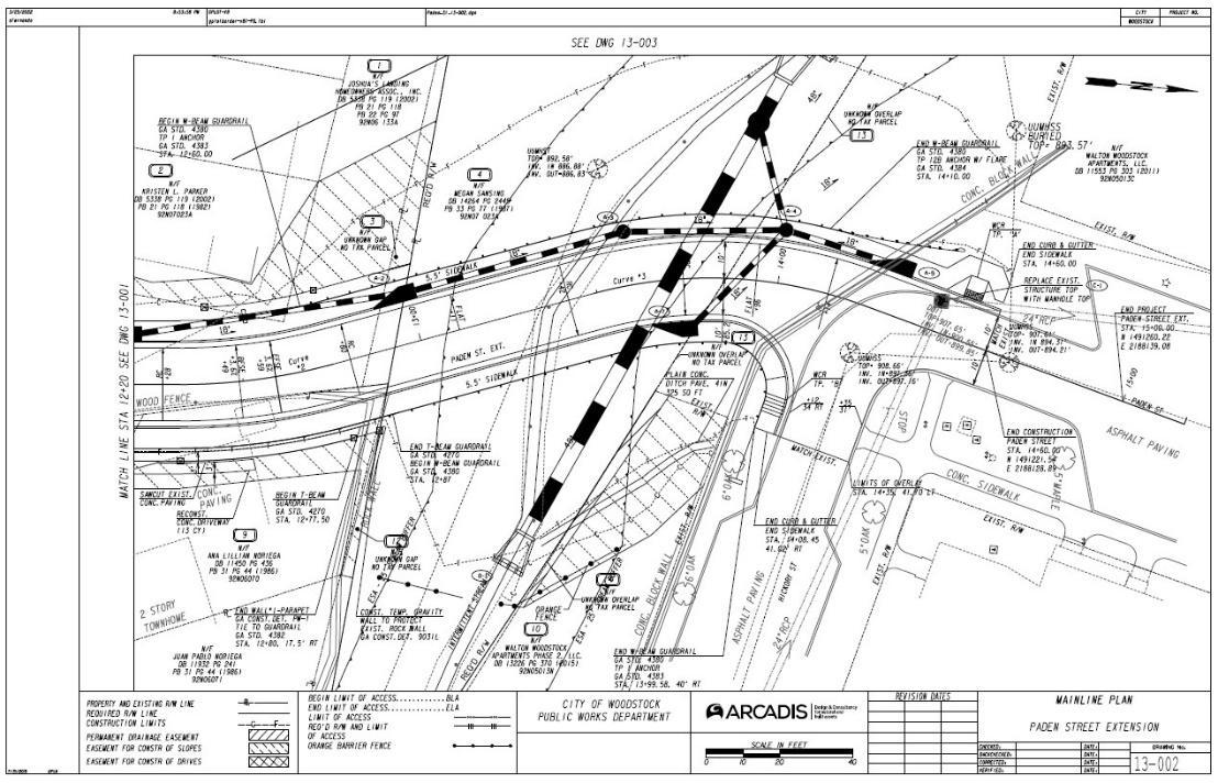
City of Woodstock – Transportation Plan
City of Woodstock – Transportation Plan
This intersection project provides a significant expansion and extension of this key entrance into downtown Woodstock. The project is very complex and is expected to be completed over multiple years beginning in 2022. The project began with establishing a signalized pedestrian crossing across Dupree Road on the western side of Main Street in early 2022. The project will later expand the width of Dupree Road to add a much-needed left turn lane on Dupree Road eastbound onto northbound Main Street. It will eventually extend Dupree Road through Main Street and across a new railroad crossing upon redevelopment anticipated east of the railroad tracks, with an accompanying new left turn lane for southbound Main Street onto eastbound Dupree Road. The project will include extensive ROW acquisition and utility Relocation, which is also why the project will extend over multiple years and why the time horizon is more than similar sized projects. This project is subject to redevelop on the east side of Main Street and is projected for 2029.
City of Woodstock – Transportation Plan
Road at Main Street Intersection Overall Display
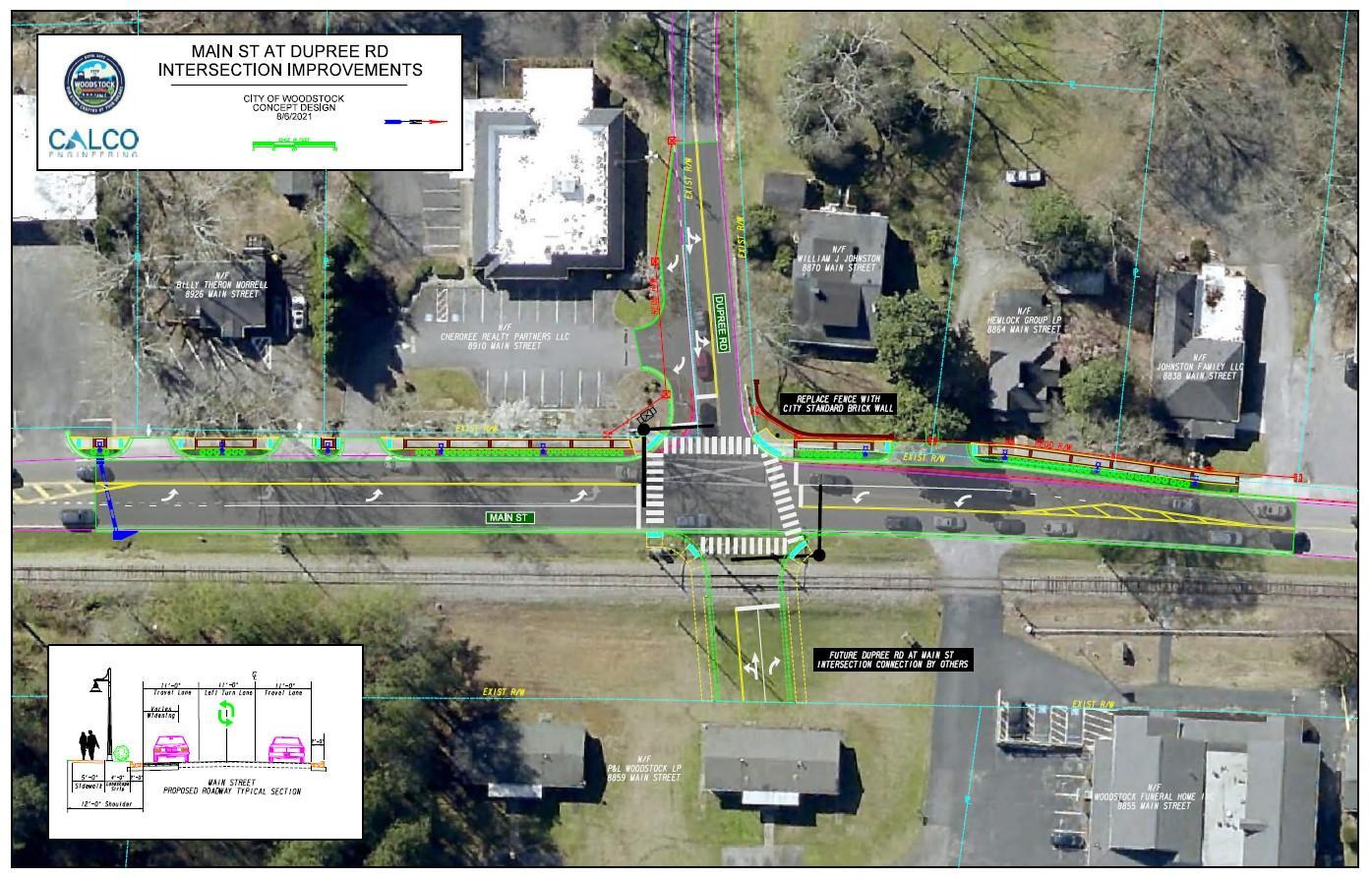
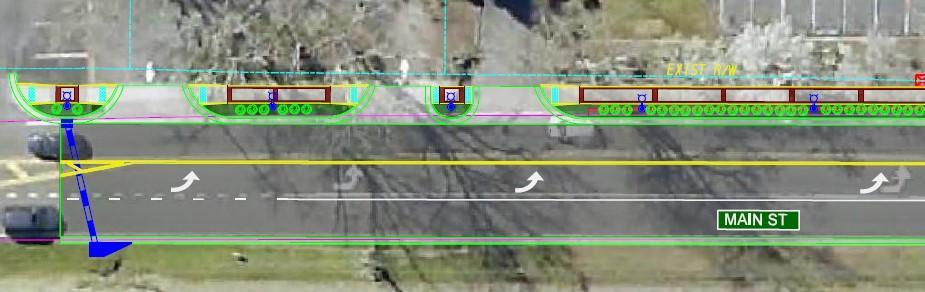
City of Woodstock – Transportation Plan
Dupree Road at Main Street Intersection Northern Segment
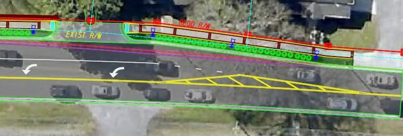
Dupree Road at Main Street Intersection Eastern and Western Segments
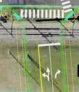
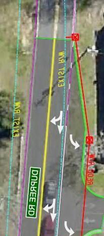
City of Woodstock – Transportation Plan
City of Woodstock – Transportation Plan
This project will include a renovation of the entire intersection, as well as nearby streetscapes. The new intersection is being designed to include a new left turn lane on Main Street, a third lane on Barnesdale Road, and a traffic signal. This design is scheduled for construction in 2027.
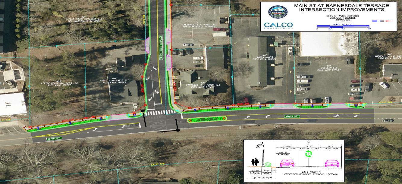
City of Woodstock – Transportation Plan 403
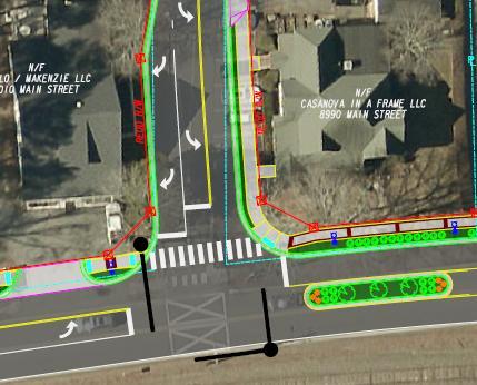
City of Woodstock – Transportation Plan
City of Woodstock – Transportation Plan
The Wildcat Initiative is joint project by the City of Woodstock, City of Holly Springs, and Cherokee County. It includes a development project from Sixes Road to Ridgewalk Parkway. The roadway component for the City of Woodstock includes Main Street from Ridgewalk Parkway to the Little River Bridge.
This section of roadway is a significant commuter route with heavy traffic. The preliminary designs are characterized in the documents highlighted below. This includes widening Main Street to four lanes, plus median, from East Cherokee Drive to Ridgewalk Parkway. Other components of this design should also include the following: (1) Ensuring the new bridge across the Little River includes pedestrian and bicycle access; (2) Establishing left and right turn lanes into SCRA; (3) Creating intersection enhancement at Bell Industrial Parkway; (4) Discontinuing the intersection with Brooke Boulevard and rerouting the JJ Biello Park entrance to the Lincoln Street traffic signal; (5) Creating intersection enhancement at Johnston Farm Lane; (6) Developing a continuous flow lane from southbound Main Street onto westbound Ridgewalk Parkway; and (7) Considering enhancing the Ridgewalk/Main intersection into a Continuous T-Roundabout.
City of Woodstock – Transportation Plan
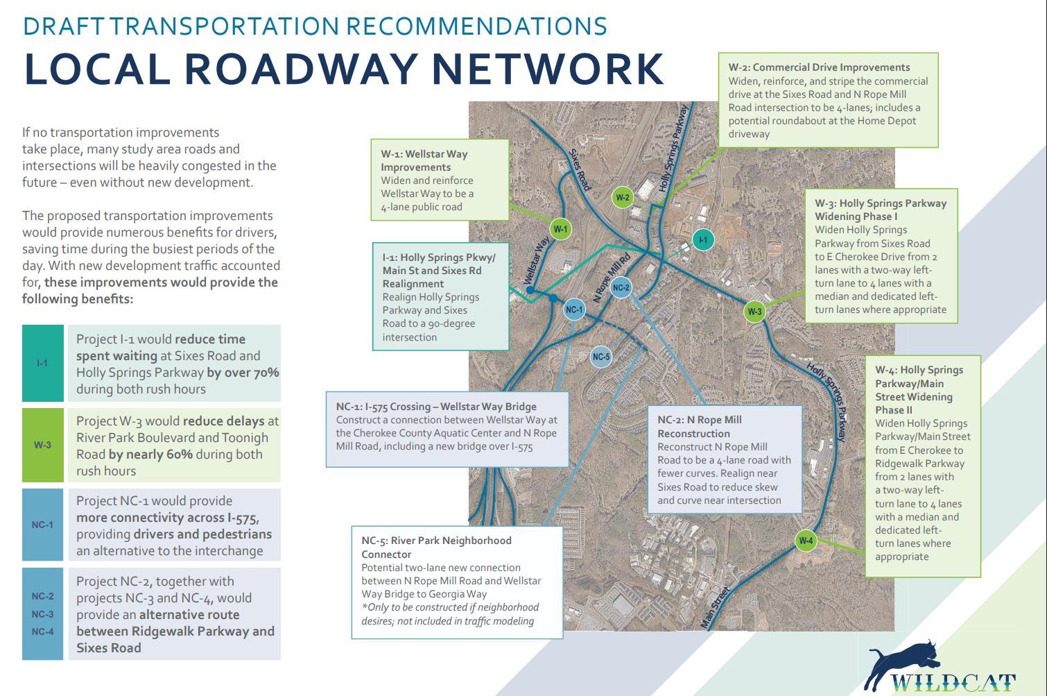
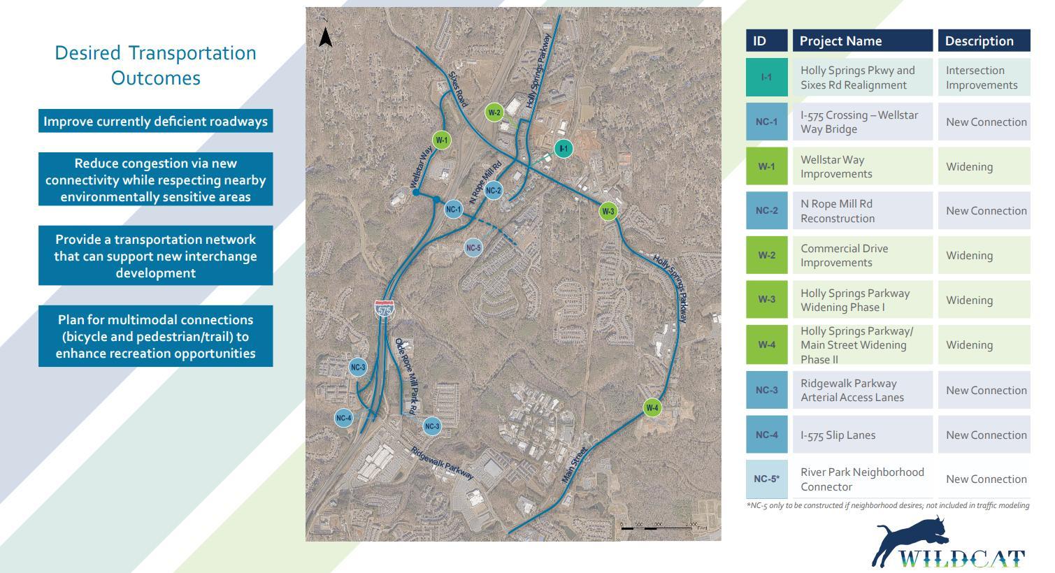
City of Woodstock – Transportation Plan
City of Woodstock – Transportation Plan
This project is an important progression after the Hub Transformation Project. It is intended to protect and control pedestrians crossing Main Street between Towne Lake Parkway and Fowler Street, primarily at the mid-block crossing near Elm Street. There were three mid-block pedestrian crossings in this area that contributed to extreme vehicular delays and congestion during prime entertainment times for the popular downtown entertainment district. There is strong pedestrian traffic using the railroad crossing near Elm Street that is an important part of the pedestrian balance between the eastern and western business districts.
The concept of this project is to create a new pedestrian crossing of Main Street at Elm Street (just a few feet away from the existing crossing), signalize this crossing in synchronicity with the traffic signals to the north and south, discontinue three mid-block crossings in this area, convert Elm Street (Main to Wall) as pedestrian-only, discontinue vehicular turns off Main Street at Elm Street, and reduce vehicular delays caused by pedestrians. Likewise, some adjustments of northbound on-street parking might also be considered in this plan.
City of Woodstock – Transportation Plan
This extensive project is divided into three segments. These three segments may proceed at different times, depending on funding and coordination with other projects. It is planned to begin with the signalized Main Street pedestrian crossing. The project segments go from east to west as follows:
1 - Main Street Signalized Pedestrian Crossing Segment
2 - Elm Street Pedestrian Promenade (Main to Wall) Segment
3 - Elm Street Multimodal Plaza (Wall to Market) Segment
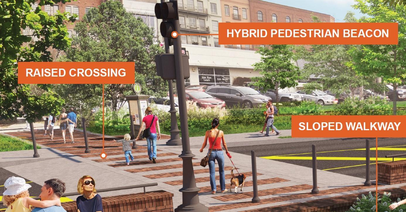

City of Woodstock – Transportation Plan 410
View of Prominade extending into Plaza
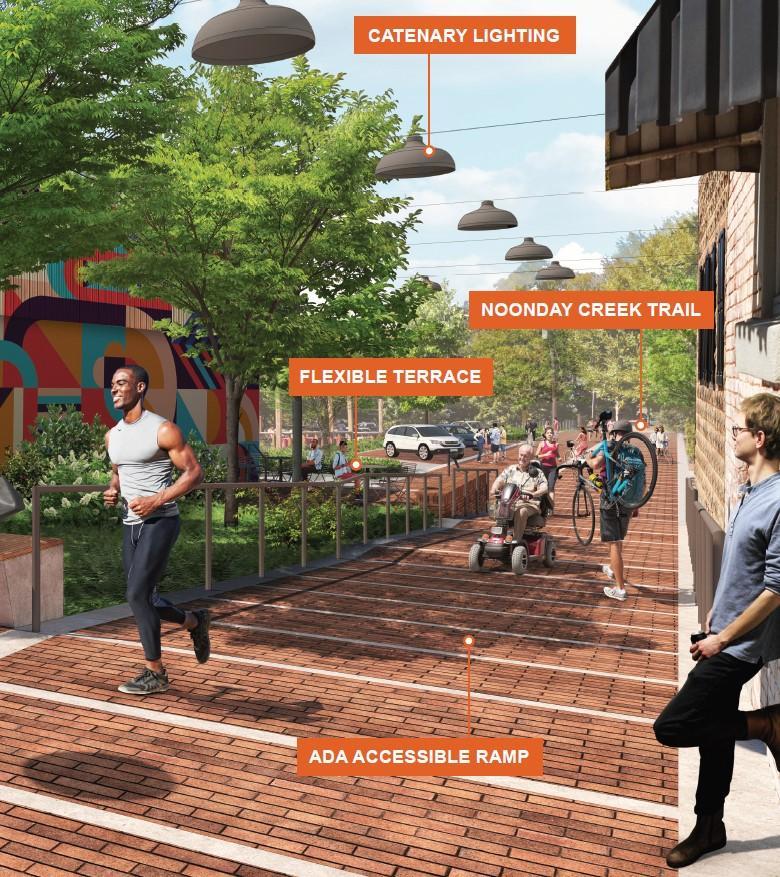
City of Woodstock – Transportation Plan 411
City of Woodstock – Transportation Plan
This project extends the trail system from Neese Road to Fire Station 14 and is alternately known as the Neese Road Trail Connector. This new trail connection will proceed along the southern side of Arnold Mill Road and will include a crossing of Rubes Creek. It renovates this entire section of the eastern approach into the City.
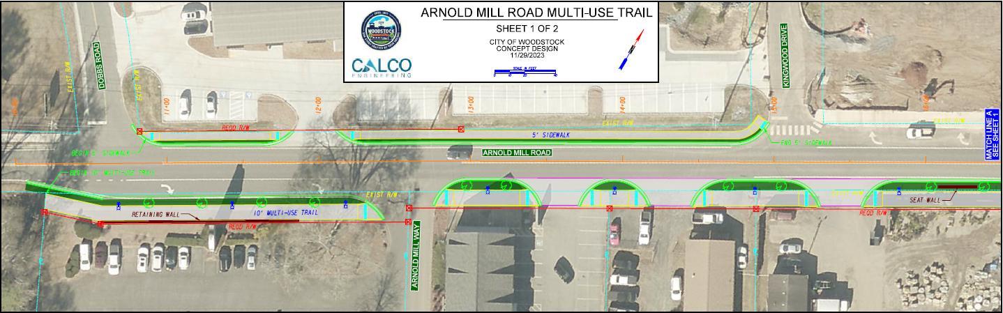
City of Woodstock – Transportation Plan 413
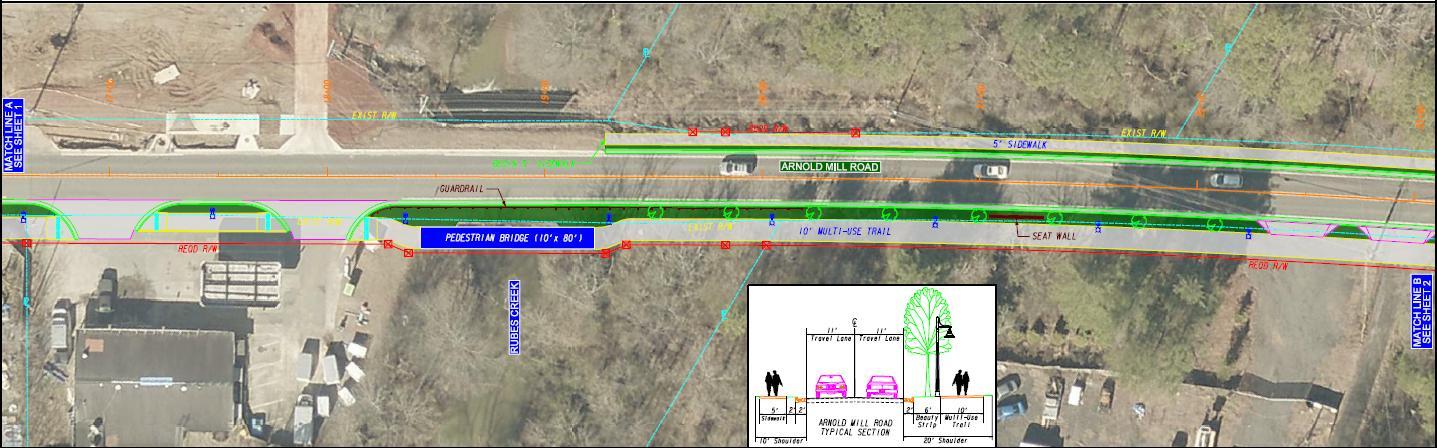
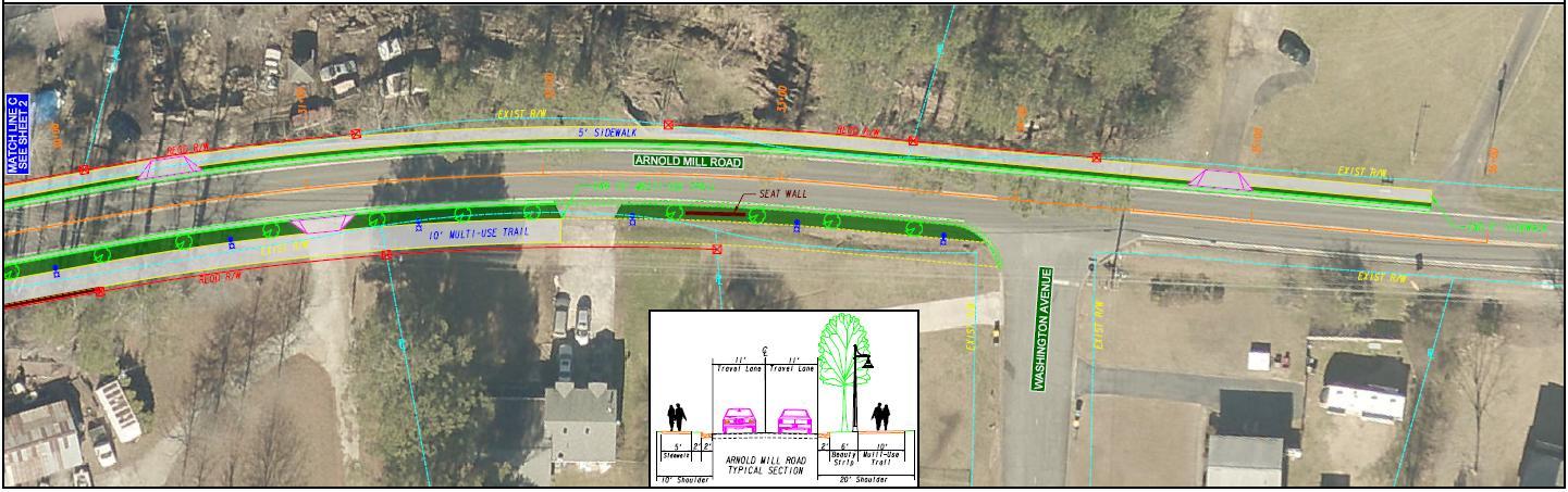

City of Woodstock – Transportation Plan 414
City of Woodstock – Transportation Plan
This project includes various portions of trails and sidewalks along the Dobbs Road corridor. This project is projected to be completed in 2026.
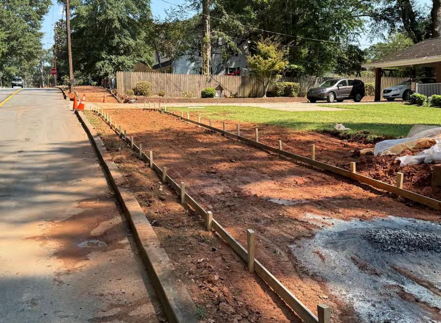
City of Woodstock – Transportation Plan 416
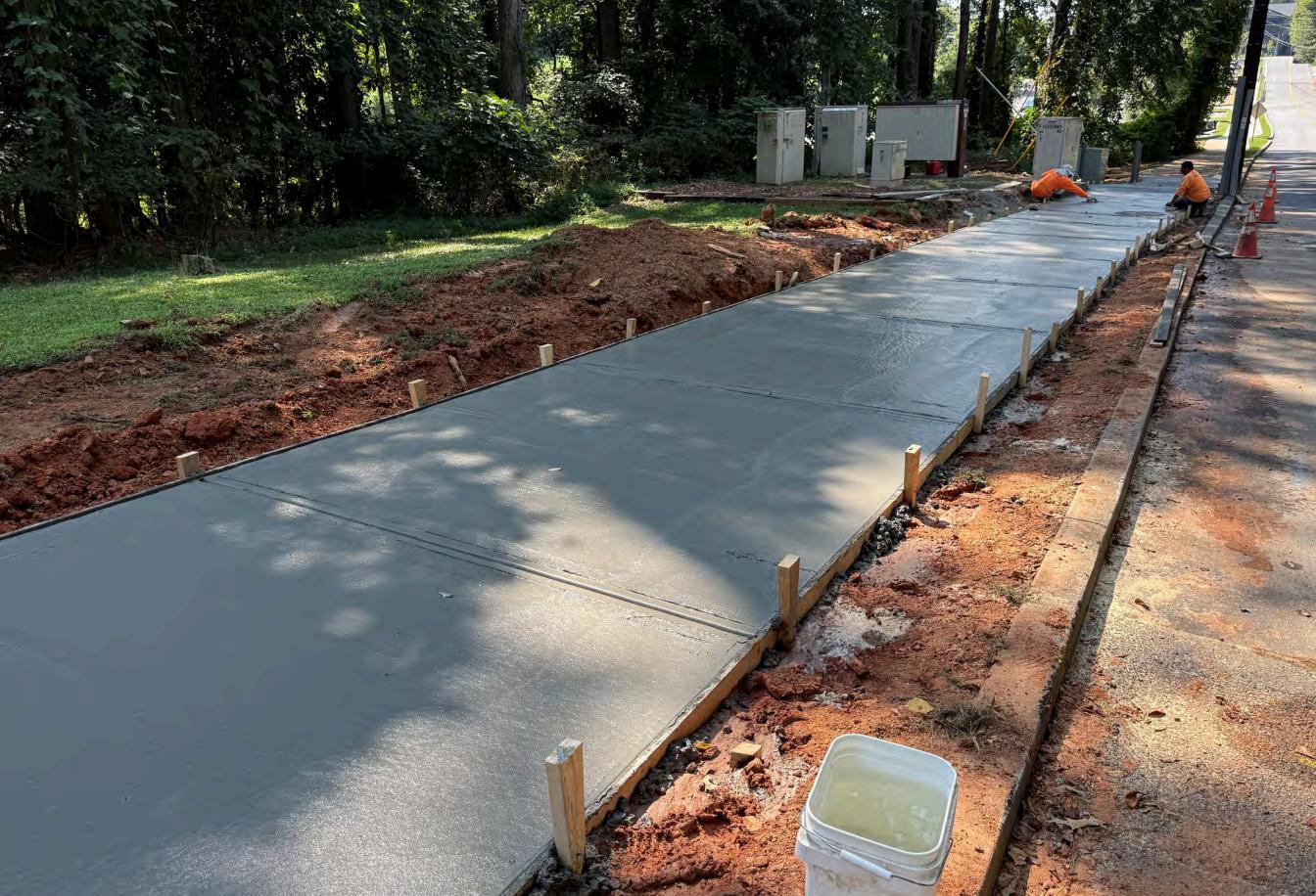
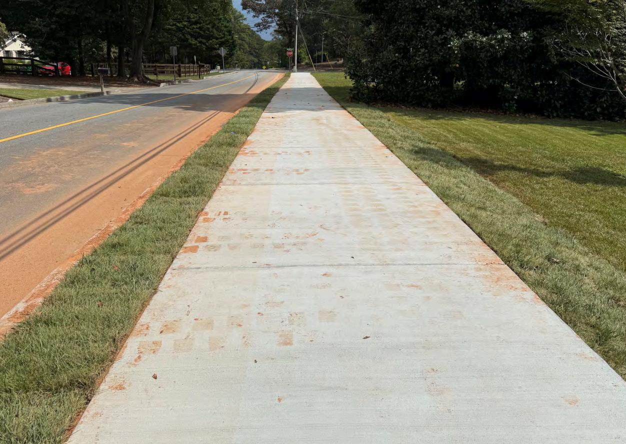
City of Woodstock – Transportation Plan 417
City of Woodstock – Transportation Plan
This project includes various portions of the trail along the Woodstock Parkway corridor. Approximately fifty percent of the trail has been completed in previous years and the remainder is expected to be completed in 2026-2027.
City of Woodstock – Transportation Plan 419
City of Woodstock – Transportation Plan
City of Woodstock – Transportation Plan
This project completes the Rope Mill Road Trail and resolves stormwater issues in the segment of Rope Mill Road from Ridge Trail to the roundabout at Woodstock Parkway. The Trail will crossover from the east side to the west side with a median and mid-block crossing constructed at the southern edge of the Camellia Place property.
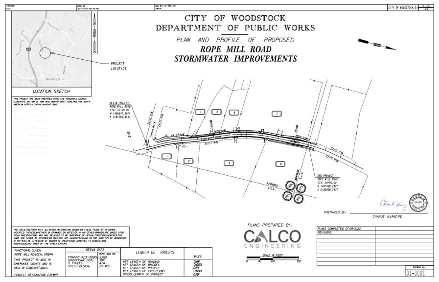
City of Woodstock – Transportation Plan 422
Segment including Median and Crosswalk
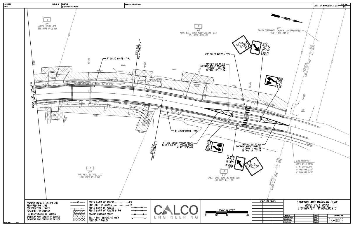
City of Woodstock – Transportation Plan
City of Woodstock – Transportation Plan
This conceptual extension of Woodstock Parkway seeks to extend the parkway from its southern end at Towne Lake Parkway to the northernmost point of Parkway 575. This phase of the project is to engage an engineering firm to research the feasibility of the concept, develop a conceptual design, and provide a cost estimate.
The area is illustrated in the satellite image below. The project could essentially create an access road parallel to I-575 from the southern edge of the City to the northern edge.
City of Woodstock – Transportation Plan 425
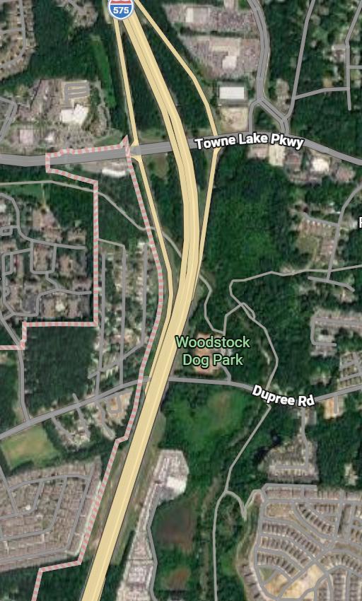
City of Woodstock – Transportation Plan
City of Woodstock – Transportation Plan
The Grid Streets Program is a master plan to add flexibility for traffic flows. The universal design of grid streets is to dissipate traffic with multiple routes instead of concentrating traffic only on major arteries that are frequently congested and subject to gridlock. This allows citizens in local neighborhoods to avoid major corridors, and to get in and out even during the busiest times and events.
The program expanded significantly with the development of the Woodstock West by Walton Project. That project included the establishment of several new grid streets, including Market Street, Reeves Street, Paden Street, Hickory Street, and Maple Street. The development of the Market/Reeves/Paden grid streets provided new efficient north/south connections between Mill Street and Dupree Road. This also set up Dupree Road and Mill Street to become key east/west grid streets. Additional probable connections were subsequently proposed in all directions to create the overall Grid Street Map as shown below and updated annually.
City of Woodstock – Transportation Plan
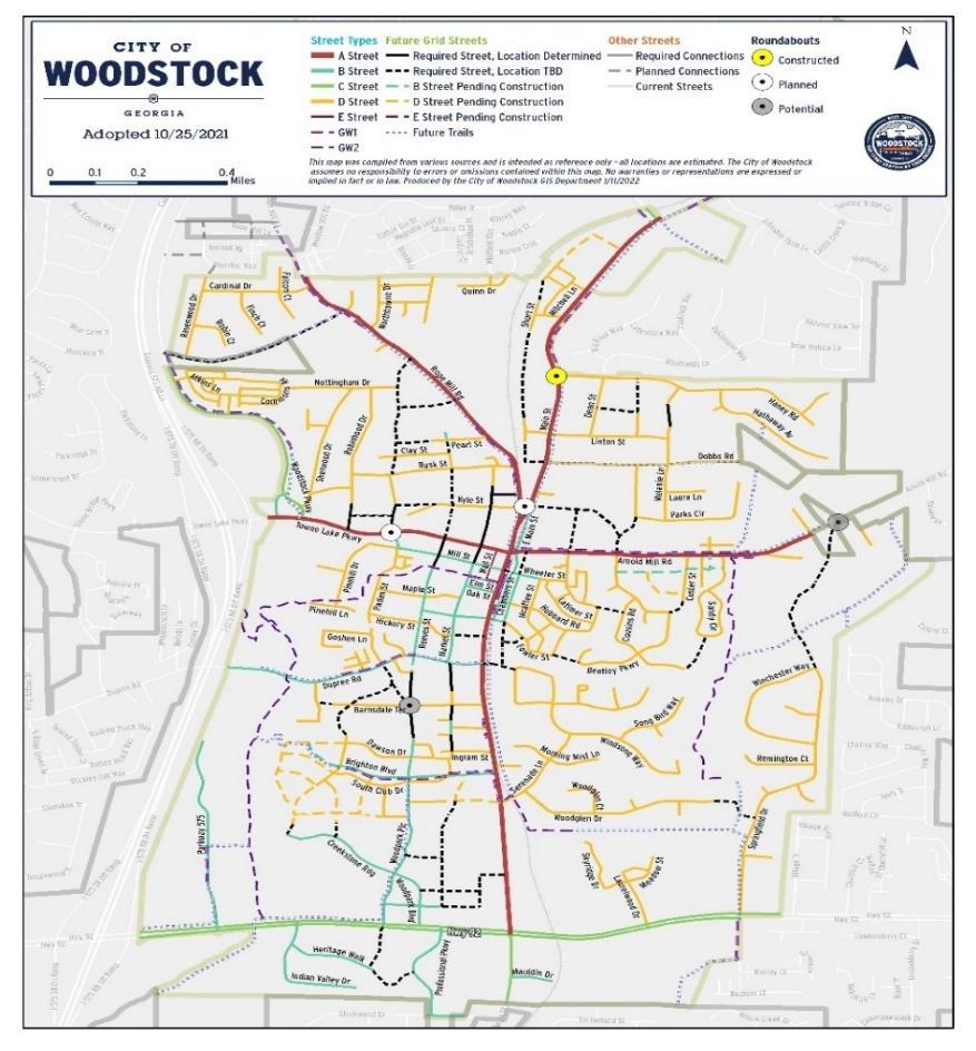
City of Woodstock – Transportation Plan
Many projects listed elsewhere in this Transportation Plan are component parts of the overall grid street plan. These include, but are not limited to:
Ridge Trail Extension (Completed 2020)
Rope Mill Rd at Brownlee Rd Intersection (Completed 2021)
Serenade Lane at Main St Intersection (Completed 2021)
Reeves St Extension I (Completed 2021)
TLP/Mill Roundabout (Completed 2023 – Hub Project)
Mill St 2-Way Conversion (Completed 2023 – Hub Project)
Mill St at Paden St Intersection (Completed 2023 – Hub Project)
Mill St at Market St Intersection (Completed 2023 – Hub Project)
Arnold Mill Rd at Hubbard Rd Intersection (Completed 2023)
Chambers St Extension I (Wheeler to AMR - Completed 2024)
Brownlee Rd (RMR to Wdst Pkwy - Completed 2025)
Lyndee Ln Extension I (TLP to Rusk - In Progress – Completion projected 2026)
Market St Extension I (Dawson to Market - Projected construction start – Late 2026)
Paden St Extension I (Hickory to Goshen - Projected construction start – Late 2026)
Reeves St Extension II (Mill south to existing - Projected Late 2026)
Market St Extension II (Barnesdale south to existing - Projected 2027)
Paden St Extension II (aka Chandler – Barnesdale to Chandler - Projected 2027)
Reeves St Extension III (Barnesdale south to existing - Projected 2027)
Dupree Rd at Main St Intersection Project (Projected 2029)
Dupree Rd Extension I (Main to Chambers - Projected 2029)
Chambers St Extension II (Fowler to Dupree - Projected 2029)
Haney Rd Extension II (Main to RMR - Projected 2029)
Lyndee Lane Extension II (Rusk to RMR - Projected 2029)
Oakbridge Rd (Neese to Gunnin - Projected 2030)
Market St Extension III (Dupree to Barnesdale - Projected 2030)
Reeves St Extension IV (Dupree to Barnesdale - Projected 2030)
Paden St Extension III (aka Goshen/Chandler - Dupree to Barnesdale Projected 2030)
*** Reminder ***
The list above only includes GRID Streets, not all Transportation Projects
Please reference project names appendix on the next page
City of Woodstock – Transportation Plan
The process of naming projects and grid streets involves multiple considerations. Some projects create new roads, while others involve existing streets already registered with USPS and GIS systems. Therefore, project names and locations can be confusing. This appendix is provided to help observers understand various project names used throughout the plan where project series are named with Roman numerals and Grid Streets are connecting existing roads with different names.
Street Name Abbreviations
Street names are rarely abbreviated herein except for three very prominent exceptions:
TLP – Towne Lake Parkway
AMR – Arnold Mill Road
RMR – Rope Mill Road
Grid Street Project Series
Market Street Extensions
I Between Dawson St north to Market St – p.447 – Late 2026
II Between existing segment in Adyn Park north to Barnesdale Terr – p.451 - 2027
III Between Barnesdale north to Dupree – p.454 – 2030
Reeves Street Extensions
I Between Woodpark Place north to Booth St – p.203 – 2021
II Between existing Reeves St (Walton) north to Mill St – p.393 -Late 2026
III Between existing Reeves St (SOM) north to Barnesdale Terr – p.456 - 2027
IV Between Barnesdale north to Dupree – TBD – 2030
Paden Street and Lyndee Lane Extensions (as a continuous Grid Street)
Some links include the existing street names of Chandler Lane and Goshen Lane
Paden I Between Hickory Rd south to existing Goshen Lane – p.395 - Late 2026
Paden II (Chandler Ln) between Dawson Dr north to Barnesdale Terr – p.459 - 2027
Paden III Barnesdale north to Dupree – TBD – 2030
Lyndee I Between Mill Roundabout north to existing Lyndee Lane – p.334 - 2026
Lyndee II Between Rusk St north to Rope Mill Rd – p.462 – 2029
City of Woodstock – Transportation Plan
Chambers Street Extensions
I Between AMR south to Wheeler St – p.245 – 2024
II Between Fowler St south to Dupree Rd Extension I – p.477 - 2029
Haney Road Extensions
I Between Dean St east to current dead end – not in CTP – 2016
II Between Main Roundabout west to RMR – p.388 - 2029
Hubbard Road Extensions
I Between AMR north and west to RMR – p.486 – TBD
Lincoln Street Extensions
I Between Main St and Brooke Blvd – p.390 – TBD
Hub Transformation Series
The Hub Transformation Project (p.211) included several downtown projects:
TLP/Mill Roundabout
TLP eastbound left turn lane at Main Mill St conversion to two-way traffic
Reconfiguration of Mill/Paden/Pinehill Intersection
Reconfiguration of Main/Mill Intersection
Reconfiguration of Mill/Market Intersection
Reconfiguration of TLP mid-block Pedestrian Crossing
Completing sidewalks on Mill St
Streetscapes Project Series
I Main St between TLP south to Oak St - not in CTP – 2010
II Main St between Oak St south to Fowler St – p.278 – 2018
III Main St between TLP north to RMR – p.281 – 2020
IV Main St between Fowler St south to Serenade Lane – p.361 – In progress
V AMR between Main st east to Bentley Pkwy – p.223 – 2022
VI TLP between Main St west to Mill St – p.366 - 2026
City of Woodstock – Transportation Plan 432
A significant sectional addition was completed in 2020 with the extension of Reeves Street through the new South on Main neighborhood and connecting to Woodpark Place that already connects to Highway 92 with a traffic signal. This addition means that more than 50% of the distance of this grid street from Towne Lake Parkway to Highway 92 has now been completed and opened to the public. Importantly, the Serenade and Woodglen neighborhoods have also been connected to the Grid Streets Project by the extension of South On Main Drive from Reeves Street to the expanded Serenade/Main intersection.
An important enhancement to the Grid Streets Plan has been completed within the Hub Transformation Project by converting Mill Street back to two-way traffic. The previous efficiencies of the Market/Reeves/Paden grid streets had been severely constricted by being bordered to the north by a one-way street. With Mill Street converted back to twoway, the Market/Reeves/Paden grid street pattern gains significant efficiencies and fluidity.
Other additional segments are continually being added and adjusted according to the conditions of development, venues, and traffic patterns. Two important connections are anticipated to be added in 2026 and 2027 at Lyndee Lane (from Mill Roundabout northward to the existing Lyndee Lane) and at Paden Street (from the existing southern edge of Paden Street at Hickory Street southward to Goshen Lane). Although both extensions include existing segments with different street names, they help Paden Street become the first Grid Street to extend all the way from Rusk Street to Dupree Road, via the middle connection at the new roundabout.
City of Woodstock – Transportation Plan
City of Woodstock – Transportation Plan
The Transportation Plan includes the resurfacing of City streets with new asphalt and striping. The City participates in the State of Georgia Local Maintenance Improvement Grant (LMIG) program. This program divides gasoline tax receipts between the state, counties, and cities for use in road maintenance, most of which is used for resurfacing projects to keep roadways smooth and safe. The division of receipts is based upon the overall road miles and population total.
It is necessary for the LMIG funds to be augmented by additional local funds to proceed with resurfacing at the rate for each roadway over the lifespan of the asphalt. The gasoline tax receipts are not sufficient alone, but additional funding has been used from other sources. A study of the density of growth in 2020 showed a 62.53% improvement (lower cost per ERU) over the life cycle of streets when comparing the older suburban density to the newer urban density pattern of recent years. This means that the financial burden for Woodstock will be dramatically less of a financial burden than faced by traditional suburban cities.
City of Woodstock – Transportation Plan 435
Which roadways need resurfacing (and when) is primarily dependent on surface conditions, traffic counts, and other road usage issues. As a simplistic average, low-traffic neighborhood streets require resurfacing every 20-25 years and high-traffic corridor roads require resurfacing every 10-15 years. The decision-making process necessitates continual assessments of roadway conditions, as well as long-term planning due to the high costs associated with paving projects.
The complexity of this decision-making process for Woodstock includes the timing of past growth. The roads we have today were not constructed proportionally over time. The City has experienced phenomenal growth since the mid-1990s, but this growth has been in spurts, especially the 9-year period (1998-2007) prior to the Great Recession and the 13year period (2012-2025) since then. The pace of development within the spurts was also not evenly dispersed. This means that many roads will be due for resurfacing in the coming years and the scheduling and budgeting process will become increasingly intense.
The City instituted an automated road condition assessment system in 2019, and the streets have been assessed annually for six consecutive years. This assessment is used to prioritize the streets to be included in the planning of coming years. The 10-Year Resurfacing Plan includes two plan segments that separate Corridors and Neighborhoods. This resurfacing plan is outlined in brief detail below that summarizes the primary multiyear resurfacing plan. The plans will be re-calibrated each year based upon City Council decisions, funding alternatives, road conditions, development growth, traffic changes, and economic conditions. The strategic list below was compiled primarily by using a costeffective automated road assessment technology that began in April 2019. As of FY25, the plans within the ten-year period include:
Rope Mill Road (completed 2020 and 2021 in two segments)
Main Street from Ridgewalk to City limits (completed 2021)
Hames Road (county project completed 2024)
Neese Road (anticipated 2023 - 2026 in three segments)
Remaining sections of Arnold Mill Road, Towne Lake Parkway (completed 2023 and 2024)
Woodpark Place and Woodpark Blvd (completed 2024)
Professional Parkway (completed 2024)
Laurelwood Drive (completed 2024)
Molly Lane
Woodstock Parkway
Buckhead Crossing
Neighborhoods
Kingsgate I and II - Wellington Manor - Sherwood Forest (completed 2024)
Woodberry Court (completed 2024) - Nowlin Hall - Colony Woods - Arnold Mill Estates
Park Place Estates - Driftwood Forest - Bell Park – Woodlands – Magnolias - Whitfield
Parkview – Serenade – Weatherstone - Stonecroft - Woodstock Station
Joshua Landing - River Park - Moccasin - North Towne
Preserve at Woodlands - Regency
There are strategic issues of importance in the selection of projects as outlined above. The primary issue is whether to complete whole neighborhoods at one time or split up activity in any given year among numerous neighborhoods. The strategy as of 2026 is to resurface whole neighborhoods at a time (to the degree feasible) because:
(1) It is logistically more feasible from the standpoint of site deployment and management; and
(2) Partial completion and long delays within a neighborhood lead to more citizen dissatisfaction due to the day-to-day visibility of the issue.
City of Woodstock – Transportation Plan 437
City of Woodstock – Transportation Plan
City of Woodstock – Transportation Plan
City of Woodstock – Transportation Plan 440
443 I-575 Towne Lake Parkway Interchange
447 Market Street Extension I
451 Market Street Extension II
454 Market Street Extension III
456 Reeves Street Extension III
459 Paden Street Extension II
462 Lyndee Lane Extension II (Rusk to RMR)
465 SR 92 at Main Street Intersection
469 SR 92 at Springfield Dr Intersection
473 Mill Street to Wheeler Street Extension
477 Chambers Street Extension II (Fowler to Dupree)
480 Chambers Street Conversion to 2-Way (Hubbard to Fowler)
483 E Main Street Conversion to Pedestrian (Hubbard to Fowler)
486 Hubbard Road Extension I
489 SR 92 @ Parkway 575 Intersection
492 Rusk Street Renovation (Lewis to Robinhood)
City of Woodstock – Transportation Plan
City of Woodstock – Transportation Plan
The I-575 Towne Lake Parkway Interchange Project is a joint project with GDOT, Cherokee County, and the City of Woodstock. The project adds a second left turn lane from eastbound Towne Lake Parkway to I-575 northbound; it adds a second right turn lane from southbound I-575 to westbound Towne Lake Parkway; it adds a third eastbound travel lane from Stone Bridge Parkway to the southbound entrance ramp; it adds a third westbound travel lane between the southbound exit ramp and the approach to Stone Bridge Parkway; it adds a second eastbound lane from the northbound exit ramp through Woodstock Parkway; and it adds a second left turn lane from Towne Lake Parkway eastbound to Woodstock Parkway northbound.
City of Woodstock – Transportation Plan 443
I-575 Towne Lake Parkway Interchange Project Preliminary Concept
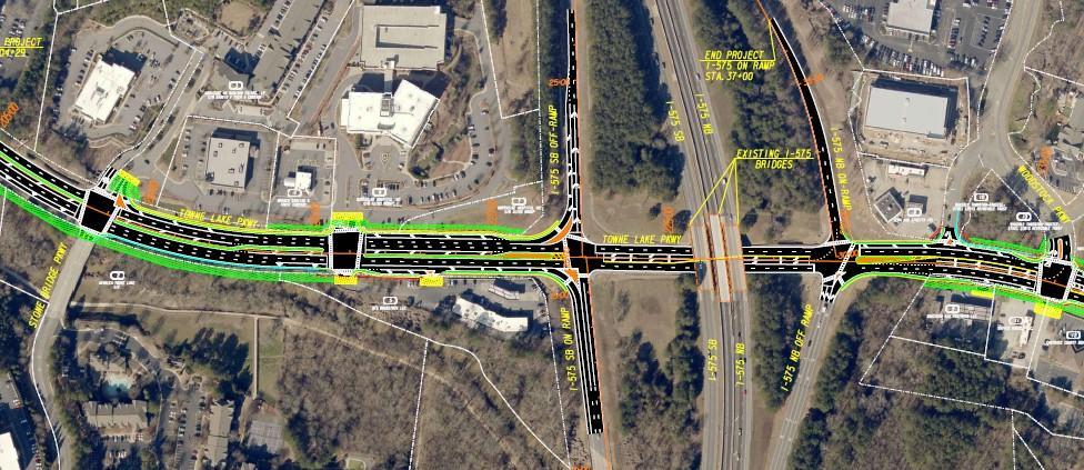
I-575 Towne Lake Parkway Interchange Project Preliminary Stone Bridge Area
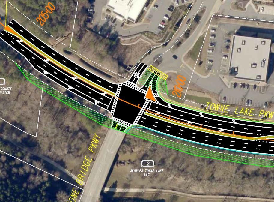
City of Woodstock – Transportation Plan 444
I-575 Towne Lake Parkway Interchange Project Preliminary Western Ramps
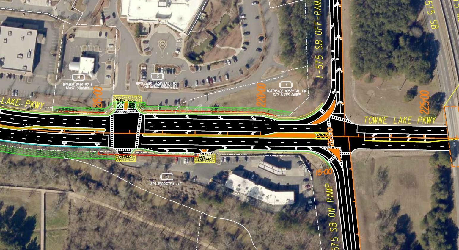
I-575 Towne Lake Parkway Interchange Project Preliminary Eastern Ramps
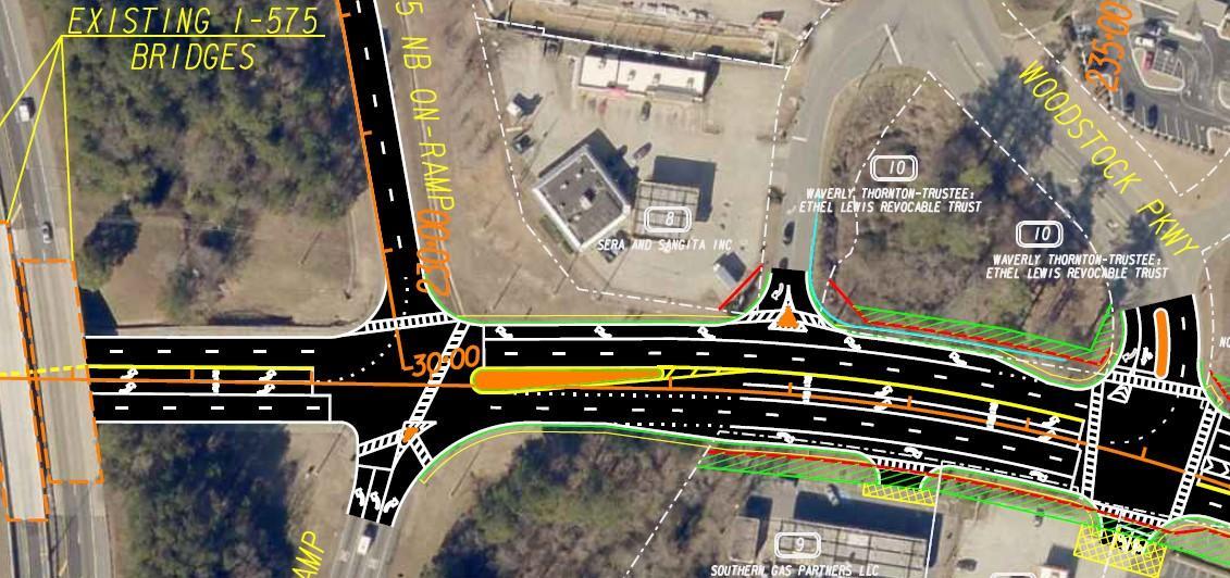
City of Woodstock – Transportation Plan 445
City of Woodstock – Transportation Plan
This project extends Market Street from Chardonnay Way to Dawson Drive. This is one of many grid street extensions previously highlighted and it connects two new neighborhoods together, Adyn Park and South on Main. Both neighborhoods were designed with this connection included. This project is intended to begin construction in 2026.
City of Woodstock – Transportation Plan
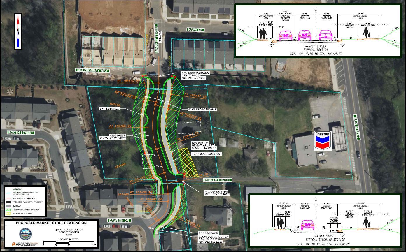
City of Woodstock – Transportation Plan
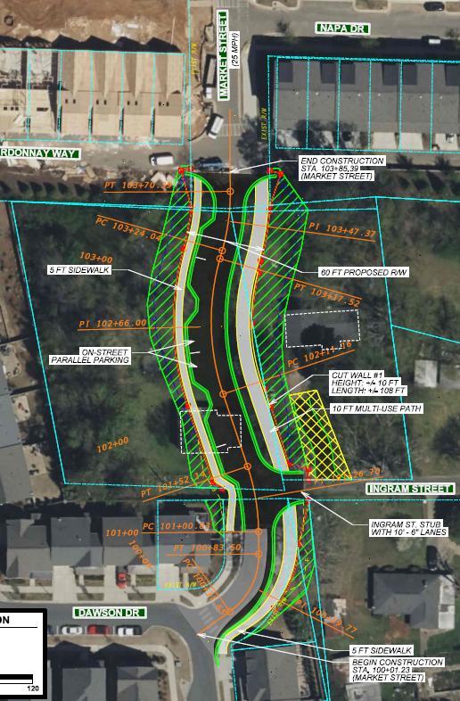
City of Woodstock – Transportation Plan
City of Woodstock – Transportation Plan
Market Street Extension II (from existing Market St in Adyn Park north to Barnesdale)
This extension of Market Street is intended to follow closely after Extension I. These two extensions help connect on either ends of the existing Market Street in Adyn Park. Once completed, these two extensions will have facilitated the completion of Market Street from Dawson Drive north to Barnesdale Terrace. Further to the north, Market Street already exists from Dupree Road north to Mill Street, as well as a small segment to the north near Rusk Street.
The Market Street Extension II project is a crucial component of the Grid Street Program and it is projected to be completed in 2027.
City of Woodstock – Transportation Plan 451
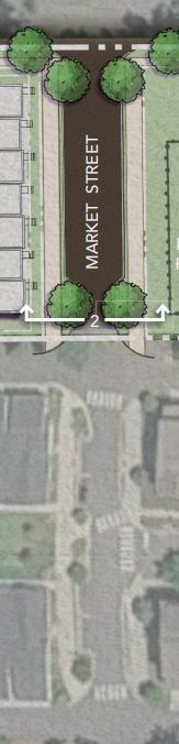
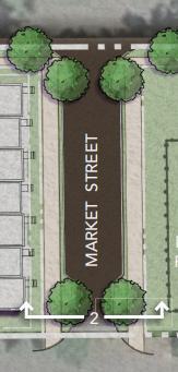
City of Woodstock – Transportation Plan
City of Woodstock – Transportation Plan
Market Street Extension III (from Barnesdale Terrace north to Dupree Road)
This extension of Market Street is intended to follow closely after Extensions I and II. This extension will complete the connection of Market Street from Dawson Drive north to Mill Street. This sectional extension has not yet been conceptually designed and is scheduled for 2030.
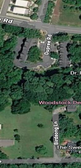
City of Woodstock – Transportation Plan
City of Woodstock – Transportation Plan
Reeves Street Extension III (from existing Reeves St in SOM north to Barnesdale Terrace)
This extension of Reeves Street is intended to be constructed simultaneously with Market Street Extension II and Paden Street Extension II. This extension of Reeves Street marks another milestone in the Grid Street program by extending Reeves Street’s previous record of longest Grid Street in the City. It will be one short link shy of extending from SR92 to Mill Street, as well as small components to the north.
The Reeves Street Extension III project is a crucial component of the Grid Street Program and it is projected to be completed in 2027.
City of Woodstock – Transportation Plan
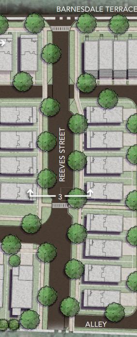
City of Woodstock – Transportation Plan 457
City of Woodstock – Transportation Plan
Paden Street Extension II (from existing Chandler Ln in SOM north to Barnesdale)
This extension of Paden Street (this segment is named Chandler Lane) is intended to be constructed simultaneously with Market Street Extension II and Reeves Street Extension III. This extension Paden Street marks another milestone in the Grid Street program by extending Paden Street’s previous second place record of longest Grid Street in the City. It will be one short link shy of extending from Brashy Street to Rusk Street. Once the Lyndee Lane Extension II is completed to Rope Mill Road, the Paden/Lyndee Grid Street may overtake Reeves Street as the longest grid street in the City.
The Paden Street Extension II project is a crucial component of the Grid Street Program and it is projected to be completed in 2027.
City of Woodstock – Transportation Plan
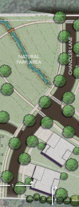
City of Woodstock – Transportation Plan
City of Woodstock – Transportation Plan
This project will extend Lyndee Lane from Rusk Street to Rope Mill Road. This grid street plan includes looping it to connect at Rope Mill Road with the Haney Road extension described as a separate project.
This is a very important project as it takes the Paden/Lyndee grid street further to the north than the other two primary north/south grid streets of Market Street and Reeves Street. This will provide crucial connectivity for the neighborhoods throughout the area.
City of Woodstock – Transportation Plan
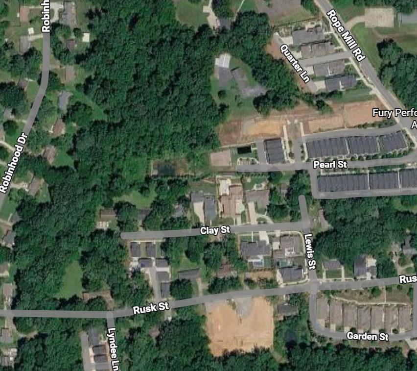
City of Woodstock – Transportation Plan
City of Woodstock – Transportation Plan
The SR 92 at Main Street Project is a GDOT-exclusive project that is designed to relieve excessive congestion on southbound Main St turning left onto SR 92. This is an evening commute pattern that begins in Marietta where some commuters exit I-75 at Canton Road and travel north to SR 92, where they then proceed west to reenter the freeway at I-575 and SR 92. The large number of commuters in this pattern has caused significant backups on both Main Street and SR 92. These backups occur on every weekday of the year and have become serious sources of gridlock on Thursday and Friday evenings, when commuter traffic mixes more heavily with destination traffic. The improvements include a triple left turn northbound Main Street onto westbound SR 92, and improvements elsewhere east/west on SR 92.
City of Woodstock – Transportation Plan
SR92 at Main Street Intersection Project Display
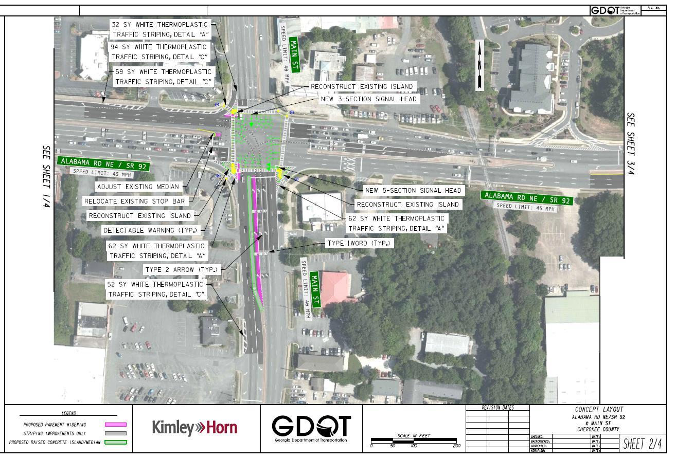
City of Woodstock – Transportation Plan
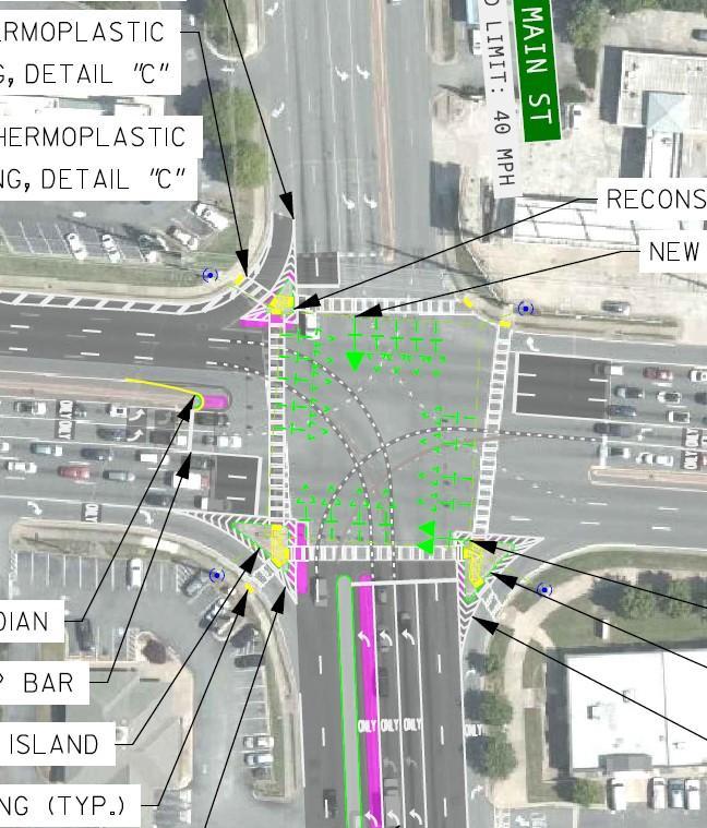
City of Woodstock – Transportation Plan
City of Woodstock – Transportation Plan
The SR 92 at Springfield Drive Project is a GDOT-exclusive project that is an important connection with the Main Street intersection previously described. It is designed to relieve excessive congestion on westbound SR 92, especially during PM rush hours. This project will add a third westbound travel lane before and after Springfield Drive, without having to widen the pavement. The extra travel lane will be deducted from the excess striped median.
City of Woodstock – Transportation Plan
at Springfield Drive Intersection Project Display
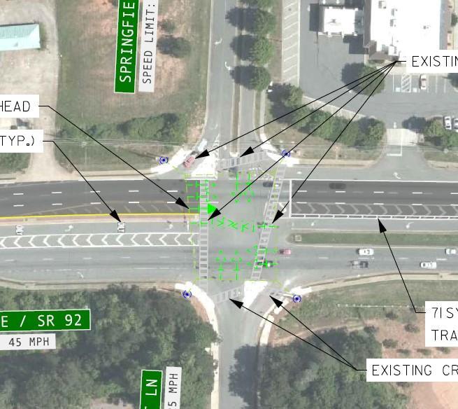
City of Woodstock – Transportation Plan 470
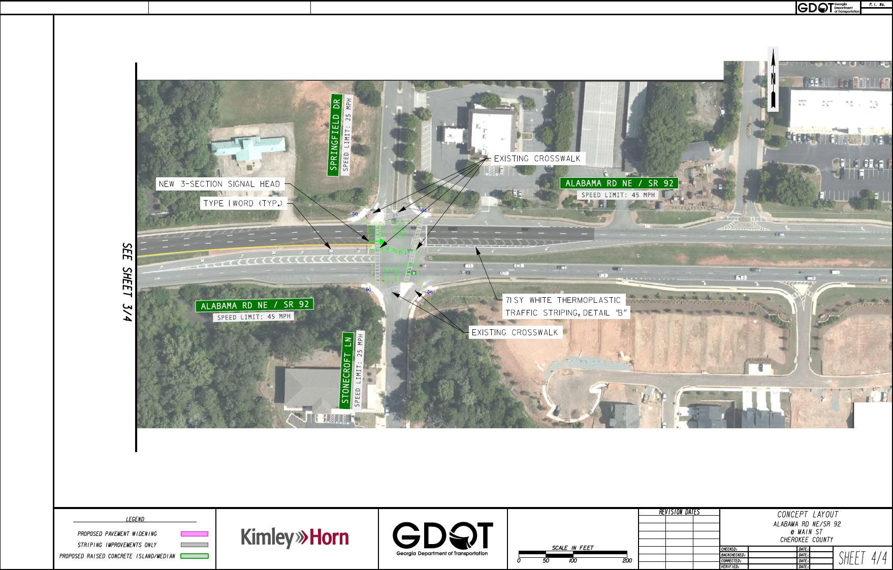
City of Woodstock – Transportation Plan
City of Woodstock – Transportation Plan
Mill Street was converted back to two-way traffic in 2023 at the completion of the Hub Transformation Project. The Mill Street Extension to Wheeler Street Project was proposed to dramatically add accessibility to the business district in the southeast quadrant of the downtown area, the parking deck, and the new City Center Project. That SE Quadrant District has long been subject to congestive traffic due to minimal egress, as well as excessive circling for parking. The Mill Street to Wheeler Street connection would add a crucial signalized egress that would allow more district patrons to exit the area without traversing through the residential neighborhood in search of an exit.
As the engineering firm progressed with the plans, it became obvious that the difference in grade of Main Street (at Mill St) and the railroad tracks could be overcome, but only at considerable expense and very dramatic changes to the Main Street corridor from Elm Street to Towne Lake Parkway. These changes would also necessitate an extensive closing of Main Street during construction. Therefore, this project has been put on hold until further notice.
City of Woodstock – Transportation Plan
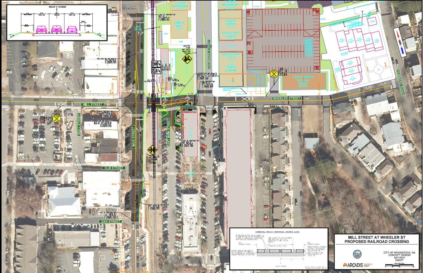
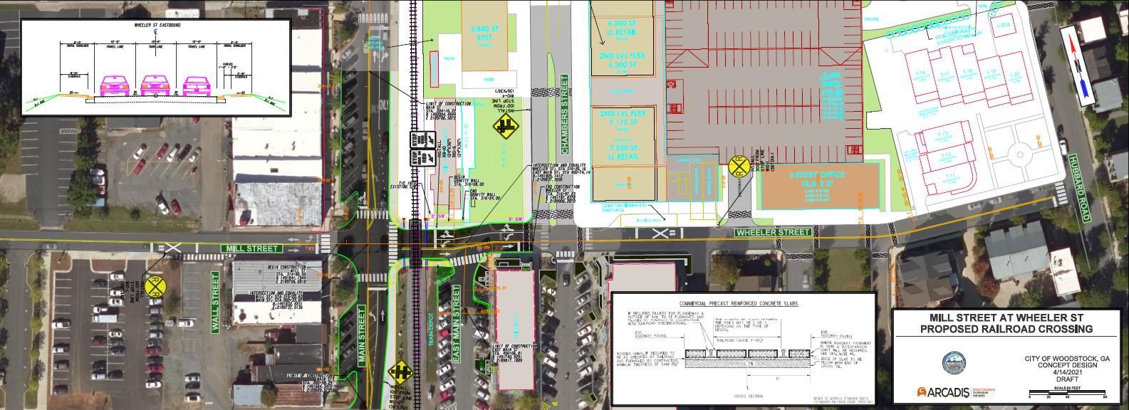
City of Woodstock – Transportation Plan 474
Close-Up of the Mill Street Extension
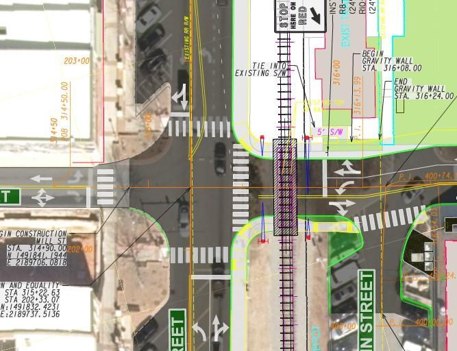
City of Woodstock – Transportation Plan 475
City of Woodstock – Transportation Plan
This project is intended to facilitate the major addition of another entrance/exit for the Chambers Street Business District. This extension of Chambers Street would progress southward to meet a new extension of Dupree Road and thus connect to the expanded Dupree/Main intersection through a new crossing of the railroad. This new Dupree connection would bring the total signalized access points in the Chambers St District to three (from only two today). This would also solidify Chambers Street as an important north/south grid street from AMR to Dupree, with possible extensions further, as redevelopment occurs. The beginning of the southward extension can be seen in the design on the following page. It would then continue to the south and connect to Dupree Road in a tentative path shown in the following design.
City of Woodstock – Transportation Plan
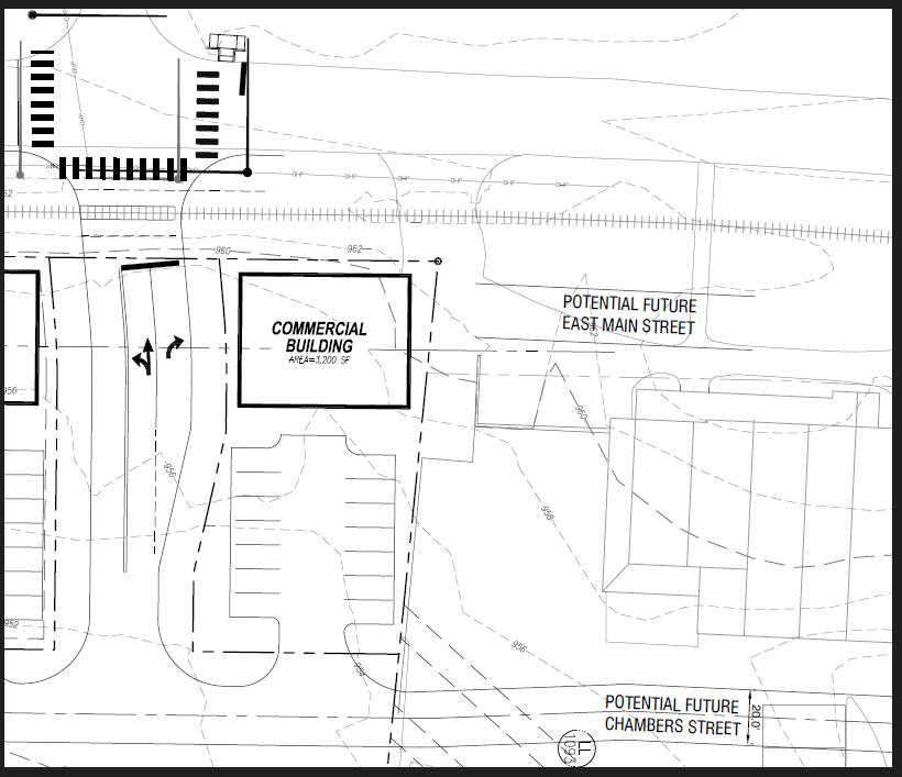
City of Woodstock – Transportation Plan
City of Woodstock – Transportation Plan
(City-Exclusive Project)
This project is intended to facilitate the relocation of southbound traffic on East Main between Hubbard and Fowler. Other projects mentioned herein contemplate the elimination of East Main between Hubbard and Fowler, and this plan allows traffic to turn left onto Hubbard and then right onto Chambers Street to proceed to Fowler Street. This new traffic flow provides three benefits: (1) Allows for the elimination of the difficult and confusing East Main at Fowler Street intersection; (2) Allows longer storage for westbound Fowler Street waiting for traffic signal; and (3) Sets up two-way traffic to be extended southward to Dupree Road (see Chambers Street Extension II), as shown below:
City of Woodstock – Transportation Plan 480
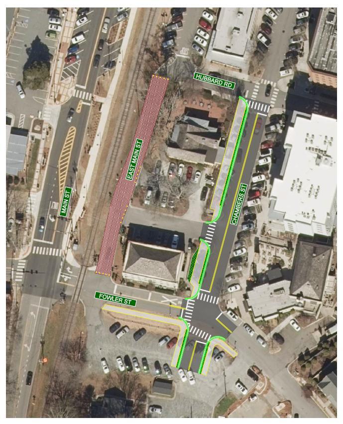
City of Woodstock – Transportation Plan 481
City of Woodstock – Transportation Plan
This project is intended to eliminate the difficult East Main Street at Fowler Street Intersection. The current traffic pattern at the Fowler Street and East Main Street intersection is untenable at times of high traffic volume, due to the proximity of the railroad tracks. The westbound vehicles on Fowler Street and the southbound vehicles on East Main Street are frequently confused and in conflict. Both are anxious to progress through the Fowler/Main intersection, and both must adhere to railroad crossing guidelines, while East Main vehicles also have a necessary stop sign. Both are unsure which vehicles might be turning right at Fowler/Main, thus eligible to cross the railroad tracks in hopes of a right-turn-on-red. And eastbound pedestrians crossing Main Street have a sidewalk that does not continue beyond East Main. This complexity is unsolvable and untenable. It is best for the overall traffic flow to discontinue this intersection entirely. The concept is to route southbound E Main traffic left onto Hubbard Road and create a multimodal plaza out of the current E Main between Hubbard and Fowler. This project resolves the difficulty and allows for pedestrian accommodation in the new plaza. This project is outlined in the following overview concept and will be repeated for the contiguous project Chambers Street Two-Way Conversion.
City of Woodstock – Transportation Plan 483
City of Woodstock – Transportation Plan 484
The Hubbard Road Extension will proceed from the northern edge of Hubbard Road at Arnold Mill Road (Amphitheater parking entrance) and extend to the north and then to the west to meet Main Street. This project was originally proposed by the Arcadis engineering firm in the original Downtown Traffic Study. This project will begin with the northern extension of Hubbard Road into the amphitheater parking area and eventually continue further extension to the north and west to establish a new connection to Main Street.
City of Woodstock – Transportation Plan
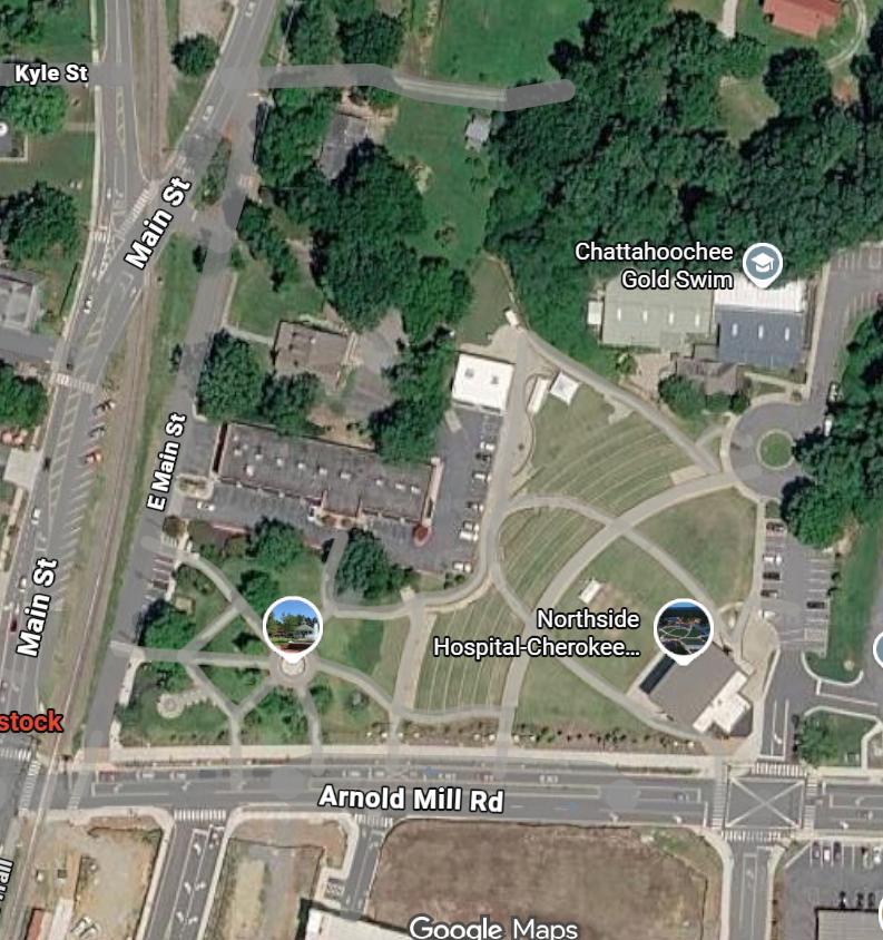
City of Woodstock – Transportation Plan 487
This project is in the initial concept phase and is intended to facilitate the addition of a an additional exit lane from southbound Parkway 575 onto eastbound SR 92. The traffic volumes and turning counts warrant an additional lane. During most of the day, the existing lanes are full, and it is rare that the entire queue can empty during a green signal. The time given for the outbound left turn cannot be reasonably extended because the extreme volumes on SR 92 necessitate the continued long cycle times for east/west traffic.
City of Woodstock – Transportation Plan
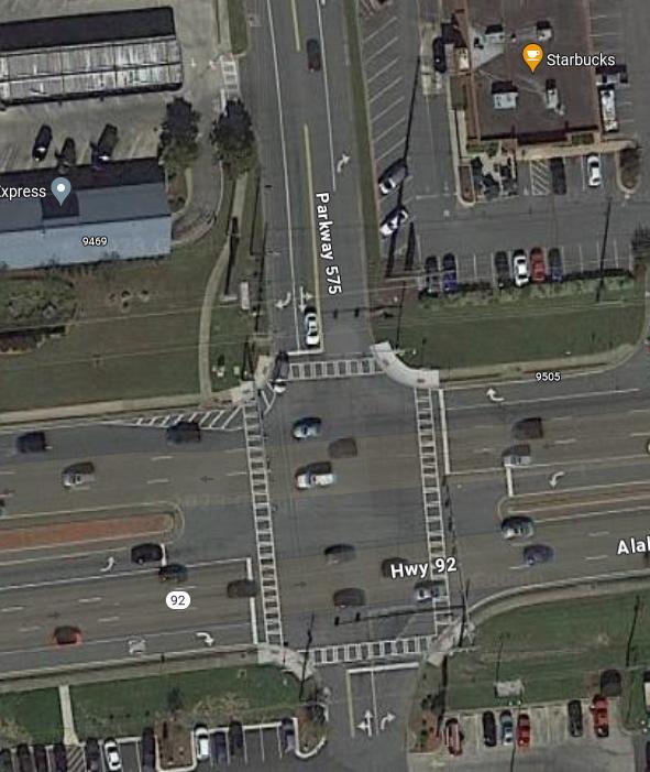
City of Woodstock – Transportation Plan 490
This project is intended to widen Rusk Street by a few feet from Lewis Street to Robinhood Drive and to add stormwater services with curb, gutters, and drains. The project will also plan a new Lyndee Lane at Rusk Street intersection, with the impending extension of Lyndee Lane further to the north.

City of Woodstock – Transportation Plan
492
City of Woodstock – Transportation Plan 494
The design table includes many of the concepts that are being considered for possible inclusion into the conceptual phase soon. This means they are speculative until specific engineering details have been established. They are not yet far enough along to have designs for full consideration. However, the concept is important enough to be on the design table for pre-design study and analysis.
City of Woodstock – Transportation Plan
I-575 at SR 92 Interchange – Possible Diverging Diamond Plan (GDOT Jurisdiction)
I-575 at TLP Interchange – Possible Double Roundabout Plan (GDOT and local Jurisdiction)
Woodstock Parkway Extension (TLP to Dupree Road new Roundabout east of bridge)
Parkway 575 Ext (Dupree Rd new Roundabout west of bridge south to current end)
Main Street at Ridgewalk Parkway T-Roundabout
Main Street at Rope Mill Road Roundabout
Main Street at Mill Street Traffic Signal Removal
Main Street at Arnold Mill Road Roundabout
Main Street at Fowler Street Mini-Roundabout
Main Street at Dupree Road Mini-Roundabout
Main Street at Barnesdale Road Mini-Roundabout
Main Street at Serenade Lane Roundabout
Trickum Road at Ragsdale Road T-Roundabout (County Jurisdiction)
Trickum Road at Barnes Road Roundabout (County Jurisdiction)
Trickum Road at Arnold Mill Road Roundabout (County Jurisdiction)
Arnold Mill Road at Mill Creek Road Roundabout (County Jurisdiction)
Arnold Mill Road at Barnes Road Roundabout (County Jurisdiction)
Ragsdale Road Enhancement
Towne Lake Parkway at Woodstock Parkway Roundabout
Towne Lake Parkway at I-575 (eastside) Roundabout (GDOT Jurisdiction)
Towne Lake Parkway at I-575 (westside) Roundabout (GDOT Jurisdiction)
Towne Lake Parkway at Northside Complex Roundabout (County Jurisdiction)
Towne Lake Parkway at Stone Bridge Pkwy Roundabout (County Jurisdiction)
Towne Lake Parkway at Stoneforest Drive T-Roundabout (County Jurisdiction)
Towne Lake Parkway at Buckhead Crossing T-Roundabout (County Jurisdiction)
Towne Lake Parkway at Running Dear Pkwy Drive T-Roundabout (County Jurisdiction)
Towne Lake Parkway at Towne Lake Hills South Roundabout (County Jurisdiction)
Towne Lake Parkway at Eagle Drive Roundabout (County Jurisdiction)
of Woodstock – Transportation Plan
Reeves St – Mill Street to TLP
Reeves St – TLP to Kyle Street
Reeves St – Kyle Street to Rusk Street
Reeves St – Clay Street to Pearl Street
Reeves St – Dupree Road to Lilli Lane
Reeves St – Lilli Lane to Barnesdale Terrace
Paden St/Lyndee Ln – Dupree Road to Barnesdale Terrace
Paden St/Lyndee Ln – Chandler Street to Creekstone Ridge
Market St – TLP to Kyle Street
Market St – Kyle Street to Market Street (north)
Market St – TLP to Mill Street
Market St – Dupree Road to Barnesdale Terrace
Hickory St – Market Street to Main Street
Adair Walk/Short St – Short Street (south) to Adair Walk (north)
Adair Walk/Short St – Adair Walk (south) to Adair Marketplace
Faith Church Rd – Woodstock Parkway to Rope Mill Road
Brownlee Walk – Brownlee Road to Nottingham Drive
Nottingham Dr – Nottingham Drive (east) to Lyndee Lane Extension (north)
Lincoln St – Lincoln Street (west) to Bell Place (extension)
Lincoln St – Bell Place (extension) to Main Street
Lincoln St – Brooke Boulevard (south) to Drew Cameron Court
Fowler St – Fowler Street (east) to Bentley Parkway
Bentley Pkwy – Arnold Mill Road to Parks Circle
Sessions St – Sessions Street (north) to Parks Circle
Woodglen Dr – Woodglen Drive (east) to Springfield Drive
Springfield Dr – Springfield Drive (north) to Arnold Mill Road
City of Woodstock – Transportation Plan
Rokeby Drive – Rokeby Drive (west) to Springfield Drive (extension)
Laurelwood Dr – Laurelwood Drive (north) to Woodglen Drive
Woodpark Pl – SR 92 to Heritage Walk
City of Woodstock – Transportation Plan
The process of naming projects and grid streets involves multiple considerations. Some projects create new roads, while others involve existing streets already registered with USPS and GIS systems. Therefore, project names and locations can be confusing. This appendix is provided to help observers understand various project names used throughout the plan where project series are named with Roman numerals and Grid Streets are connecting existing roads with different names.
Street Name Abbreviations
Street names are rarely abbreviated herein except for three very prominent exceptions:
TLP – Towne Lake Parkway
AMR – Arnold Mill Road
RMR – Rope Mill Road
Grid Street Project Series
Market Street Extensions
I Between Dawson St north to Market St – p.447 – Late 2026
II Between existing segment in Adyn Park north to Barnesdale Terr – p.451 - 2027
III Between Barnesdale north to Dupree – p.454 – 2030
Reeves Street Extensions
I Between Woodpark Place north to Booth St – p.203 – 2021
II Between existing Reeves St (Walton) north to Mill St – p.393 -Late 2026
III Between existing Reeves St (SOM) north to Barnesdale Terr – p.456 - 2027
IV Between Barnesdale north to Dupree – TBD – 2030
Paden Street and Lyndee Lane Extensions (as a continuous Grid Street)
Some links include the existing street names of Chandler Lane and Goshen Lane
Paden I Between Hickory Rd south to existing Goshen Lane – p.395 - Late 2026
Paden II (Chandler Ln) between Dawson Dr north to Barnesdale Terr – p.459 - 2027
Paden III Barnesdale north to Dupree – TBD – 2030
Lyndee I Between Mill Roundabout north to existing Lyndee Lane – p.334 - 2026
Lyndee II Between Rusk St north to Rope Mill Rd – p.462 – 2029
City of Woodstock – Transportation Plan
499
Chambers Street Extensions
I Between AMR south to Wheeler St – p.245 – 2024
II Between Fowler St south to Dupree Rd Extension I – p.477 - 2029
Haney Road Extensions
I Between Dean St east to current dead end – not in CTP – 2016
II Between Main Roundabout west to RMR – p.388 - 2029
Hubbard Road Extensions
I Between AMR north and west to RMR – p.486 – TBD
Lincoln Street Extensions
I Between Main St and Brooke Blvd – p.390 – TBD
Hub Transformation Series
The Hub Transformation Project (p.211) included several downtown projects:
TLP/Mill Roundabout
TLP eastbound left turn lane at Main Mill St conversion to two-way traffic
Reconfiguration of Mill/Paden/Pinehill Intersection
Reconfiguration of Main/Mill Intersection
Reconfiguration of Mill/Market Intersection
Reconfiguration of TLP mid-block Pedestrian Crossing
Completing sidewalks on Mill St
Streetscapes Project Series
I Main St between TLP south to Oak St - not in CTP – 2010
II Main St between Oak St south to Fowler St – p.278 – 2018
III Main St between TLP north to RMR – p.281 – 2020
IV Main St between Fowler St south to Serenade Lane – p.361 – In progress
V AMR between Main st east to Bentley Pkwy – p.223 – 2022
VI TLP between Main St west to Mill St – p.366 - 2026
City of Woodstock – Transportation Plan
500

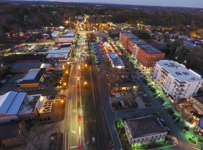
City of Woodstock – Transportation Plan
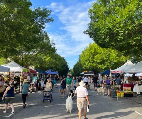
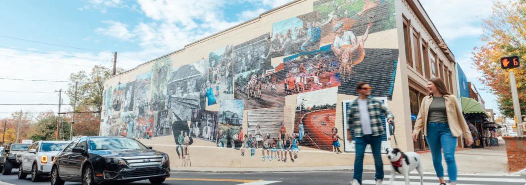
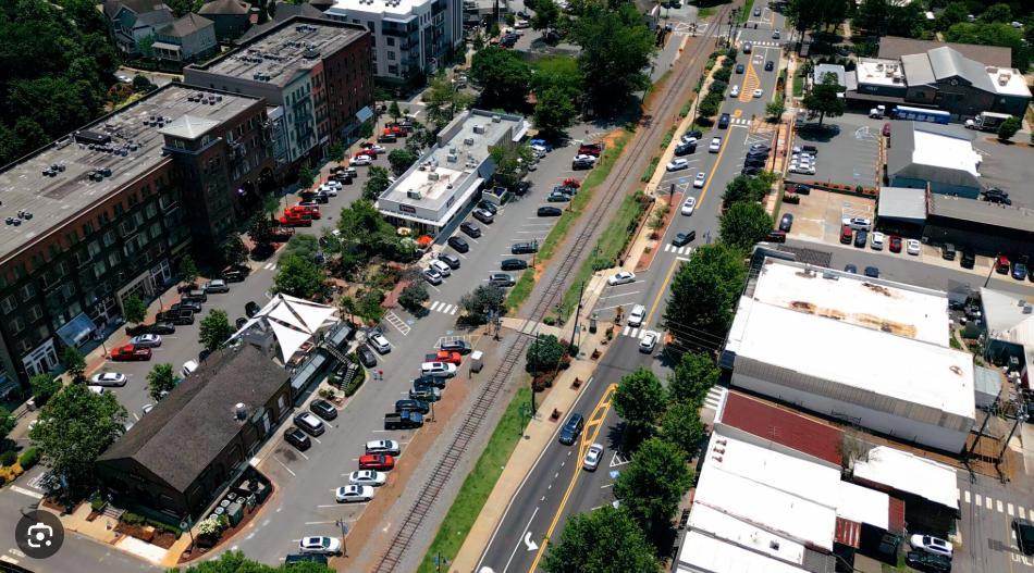
City of Woodstock – Transportation Plan
This Transportation Plan is updated annually and is subject to constant revision. The plan components are not specifically certified, and future dates are necessarily speculative. More details about specific projects are available for public review upon request but are not included herein due to space and time limitations.
City of Woodstock – Transportation Plan