CITY OF CIBOLO | APRIL 2026
CITY OF CIBOLO | APRIL 2026
The Cibolo Old Town Plan was developed by the City of Cibolo with the technical support and design assistance of Lionheart Places. A special thanks goes to the countless citizens, additional staff members, and other community leaders for their insight and support during this planning process. The following are recognized for their substantial contributions towards the creation of the Cibolo Old Town Plan.
• Kara Latimer, Mayor
• Jeff McGlothin, Council Place 1
• Randy Roberts, Council Place 2
• Marissa-Ellen Patterson, Council Place 3
• Katie Cunningham, Council Place 4
• Norma Sanchez-Stephens, Council At-Large Place 5
• Donetta Roberts, Council At-Large Place 6
• Summer Marie Brown, Council At-Large Place 7
CITY OF CIBOLO STAFF
• Wayne Reed, City Manager
• Rick Vasquez, Planning and Economic Development Director
• Clancy Hardin, Economic Development Manager
• Eron Spencer, Assistant Director of Planning
• Jeannette Gonzales, Communications Manager ECONOMIC DEVELOPMENT CORPORATION
• Patricia Qaiyyim, Secretary District 1
• Terry Hinze, Director District 2
• Charity Rodriguez, Director District 3
• Kevin Neafie, Director District 4
• Leona Adkins
• Tina Beecham
• Jasen Day
• Dick Hetzel
• Terry Hinze
• Lis Mathis
• Cynthia Rose
• Marion Victorian
• Ron Henry
• Naden Long
• Austin Schlather
• Lionheart Places
• Doucet & Associates, Inc.
• Dixon Resources Unlimited
Key Challenges: Old Town Cibolo is a hidden gem, a historically rich, walkable district with an authentic character that distinguishes it from the commercial development along the I-35 corridor in recent years. While this growth has attracted new residents and visitors to the broader Cibolo area, much of that activity has overlooked Old Town entirely. A central challenge for this plan is visibility: many people who live and work in and around Cibolo are simply unaware that Old Town exists, which limits the foot traffic and economic activity necessary for the district to thrive.
Key challenges include improving connectivity to and within Old Town, addressing aging infrastructure, activating underutilized parcels and buildings, and managing parking and drainage in a compact, historically developed environment. However, Old Town’s authenticity and small-town charm are significant assets. As the newer commercial corridors along I-35 offer largely interchangeable retail and dining experiences, Old Town has an opportunity to position itself as a distinct regional destination, defined by its historic character, community events, and an environment that encourages people to slow down and enjoy their time.
Approach: To achieve the community’s vision for Old Town, the City of Cibolo should implement projects, programs, and policies that improve visibility, connectivity, and the quality of the public realm, thereby creating conditions for increased visitorship and private investment. These implementation strategies include developing a comprehensive wayfinding system to guide people from major corridors to Old Town, updating development codes and design standards to reflect Old Town’s unique context, and investing in pedestrian and green infrastructure to make the district more comfortable and inviting. Establishing a Tax Increment Reinvestment Zone (TIRZ) as a dedicated funding mechanism will ensure the city has the resources to implement capital improvements over time. Expanding Old Town’s event and festival programming will further enhance its profile and attract visitors from across the region. Throughout all of these efforts, it is crucial to preserve the historic character and human scale that define Old Town, ensuring that future growth enhances rather than diminishes the qualities that make it a distinctive and cherished part of Cibolo.
Goals (pg. 27)
Goals outlining how the City of Cibolo should support Old Town and maintain its identity were developed through an extensive public outreach process. Recommended actions were created in response to the goals and can be directly tied back to them.
Foster community-wide support of Old Town as the heart of Cibolo.
Invest in district-wide shared solutions for drainage, parking, and traffic to support Old Town businesses and residents. Strengthen and preserve the unique character of Old Town.
Enhance the experience of visitors and residents.
Leverage existing public spaces to support business and vibrancy in Old Town.
Greenspace (pg. 76)
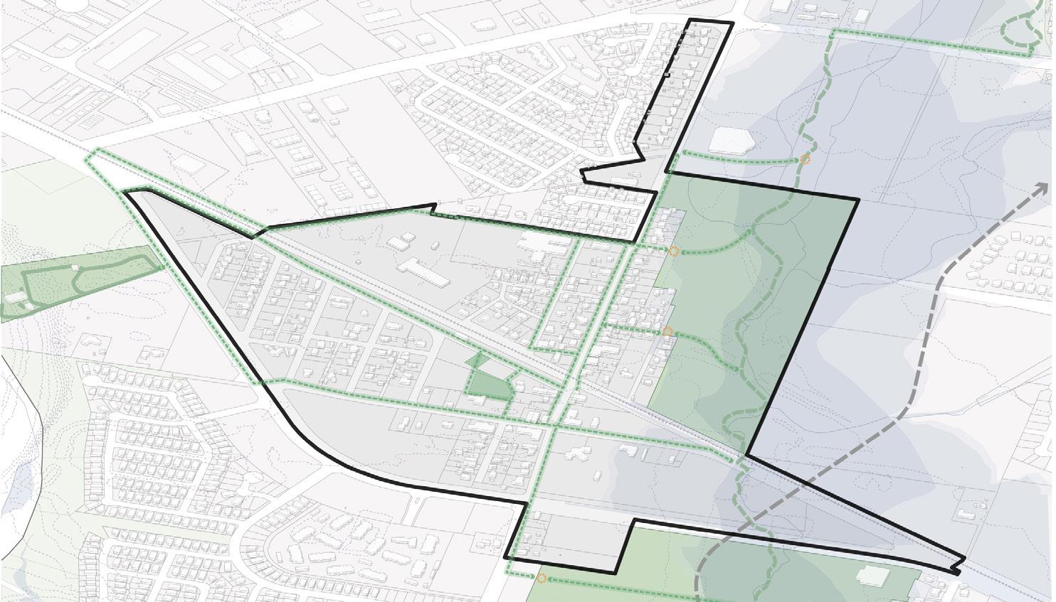
This framework envisions a vibrant park in the heart of Old Town and a loop trail linking to other parks, ensuring a safe experience for pedestrians and cyclists. Investing in these green spaces will increase foot traffic, enhancing the area’s livability and economic vitality, benefiting local businesses and enriching the community overall.
Signage & Wayfinding (pg. 76)
A well-designed signage and wayfinding system should welcome visitors and highlight key locations that define its unique character. Monumental signs can greet visitors, directing them to parking areas, while street signs guide them to restaurants, parks, and shopping. This approach ensures visitors can easily find Old Town, park their cars, and enjoy various activities upon arrival.
(pg. 77)
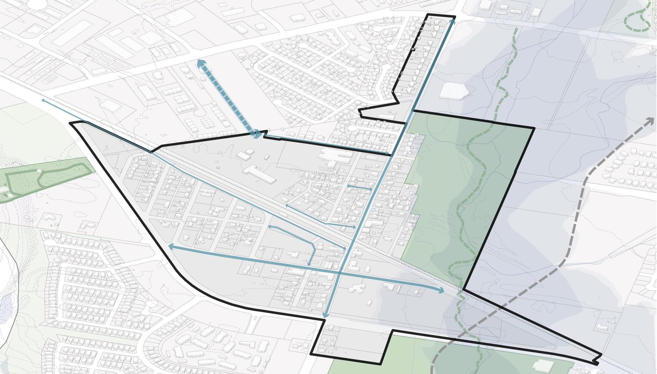
To attract more visitors to Old Town, it is essential to create new connections and enhance existing ones for various modes of transportation, not just vehicles. This framework outlines several proposed improvements. These improvements and new connections aim to boost the vitality of Old Town by making the area more accessible and providing a safe, comfortable environment for visitors.
There are a total of eight strategies, that were identified as the highest-ranked priorities by stakeholders who participated in an online poll and will move this plan forward from a vision to reality. Implementation strategies provide a roadmap for success. With an emphasis on connectivity, economic development, placemaking, and infrastructure improvements, they will provide the necessary actions that will advance the long-term vision of the Cibolo Old Town Plan.

Old Town is defined by its unique founding character as a railroad town. It retains the small-town feel still today for residents and visitors.
The importance of shared public spaces like Old Town matters more than ever as the City of Cibolo continues to grow with new residents and development. People and small businesses are searching for places that offer the ability to live, work, play, and innovate. Lively squares and main streets invite informal interactions, while walkable streets lined with cafes and unique shops draw a critical mass of people.
The City of Cibolo is undertaking this plan because they understand that Old Town will be impacted by the fast growing region. This plan is an opportunity to provide shape and direction to help ensure that desired outcomes are met. Positive and directed change will emerge from an accessible, inclusive, and accountable process, throughout which all voices have the opportunity to be heard and give shape to their futures.
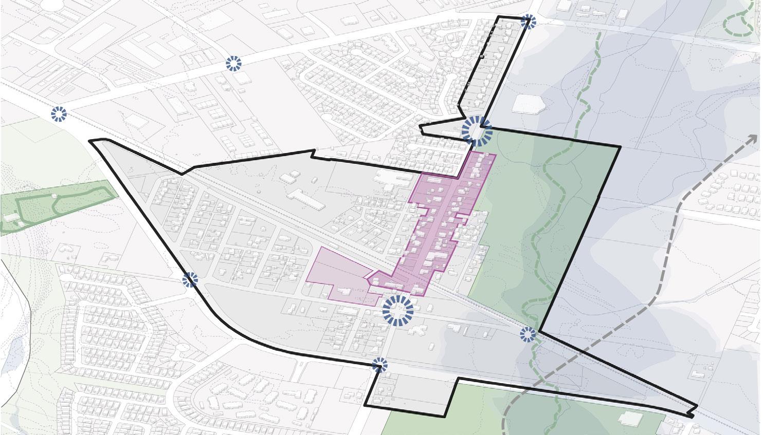
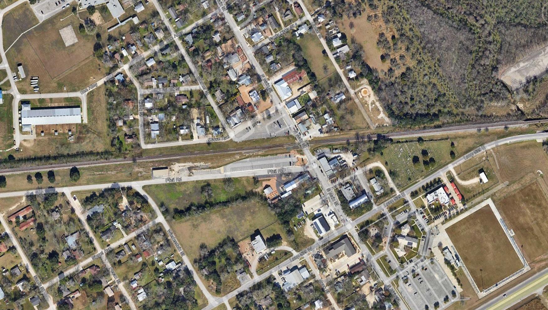
The Old Town study area consists of 260 acres and includes several cross-street intersections along north and south Main Street. The Union Pacific railroad tracks run east and west through the study area dividing the district.
The timeline includes three Community Dialogues throughout different phases of the process. The Cibolo Old Town Plan is a culmination of input from the community and Old Town stakeholders.
Develop a strong strategy with the City of Cibolo and stakeholders to guide the schedule, engagement of stakeholders, and achievement of project goals.
Review Cibolo Old Town’s physical, environmental, community, financial, and regulatory context against project goals to understand baseline conditions.
3. Create
Design concepts and recommendations, test the concepts, and measure them against our project goals and baselines to create a preferred plan and implementation program.
4. Share
Package the final plan as an easy to digest, highly graphic document to share with implementation partners, community, and policymakers.
5. Build & Review
A plan is not a static document; soon after the plan is complete, projects are already being implemented. The City should reflect on project goals and the success of implemented projects to achieve said goals.
The Cibolo Old Town Plan process endeavors to understand what quality of life means for Cibolo residents, business owners, community members, and visitors. Project goals are created around this understanding. The plan is guided by a metricsbased approach that measures the degree to which identified
projects, plans, and policies meet the goals. A metrics-based approach prioritizes transparency and trust, removes assumptions, and openly communicates and weighs the impacts of the Cibolo Old Town Plan.
Located approximately 20 miles northeast of San Antonio between Interstate 10 and Interstate 35, Cibolo’s growth and potential are linked to the adjacent metroplex.
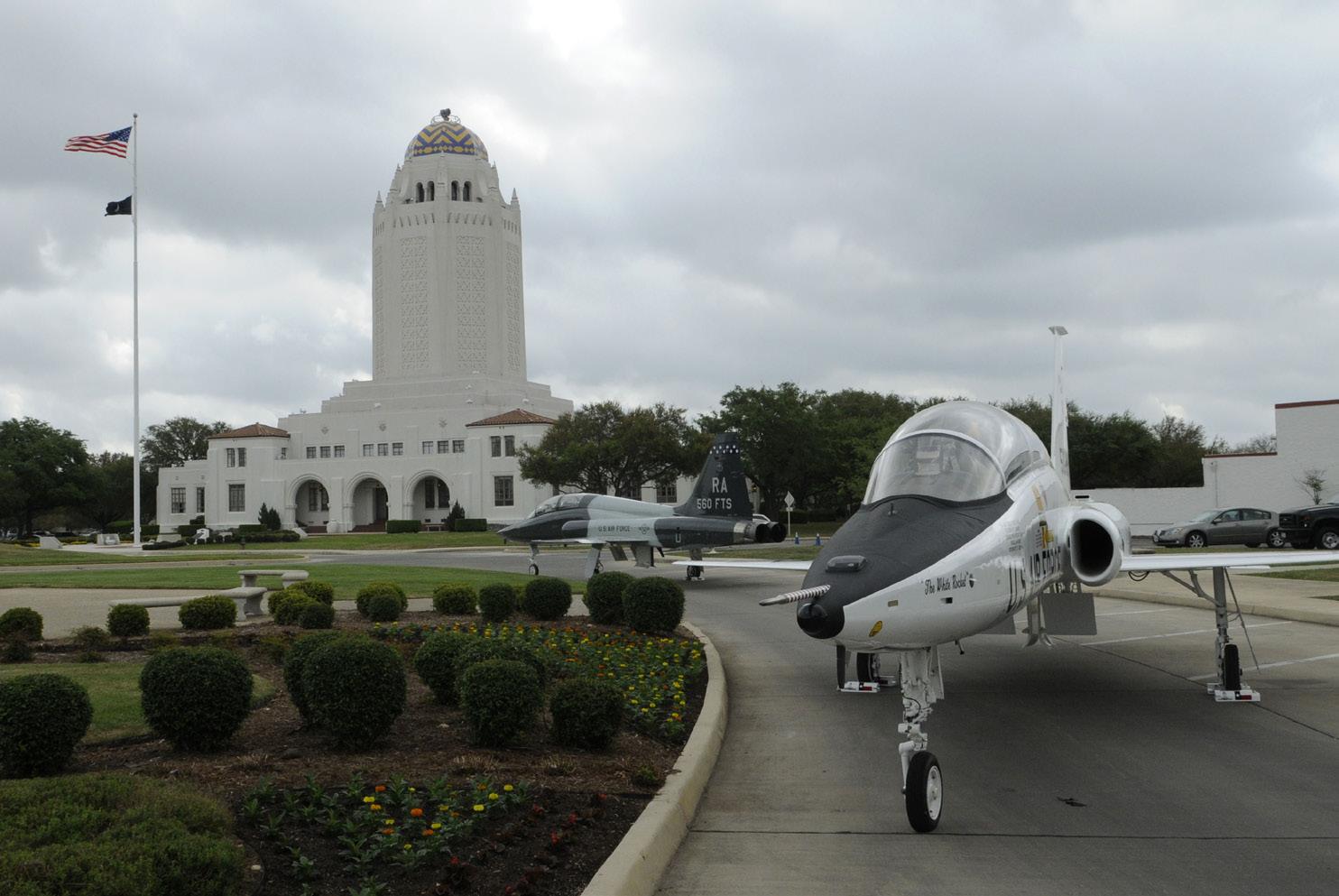
The nearby Randolph Air Force Base and its proximity to the Eagle Ford Shale formation have contributed to strong economic growth, attracting new residents and families. Recognized as the historic core of Cibolo, Old Town features historic homes, local small businesses, shops, and municipal and civic buildings
Today, Cibolo is a thriving city with new residents and visitors alike. With a population that has doubled over the past decade, the City expects this growth to continue in the coming years.
Joint Base San AntonioRandolph Air Force Base is a large contributor to the regional population and attracts visitors from across the country.
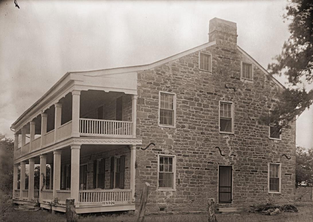
Cibolo was first settled in 1876 near the end of the MexicanAmerican War when the Southern Pacific Railroad cut through present-day Cibolo, connecting it to other larger cities such as Houston and San Antonio. Old Town developed around the railroad depot. Over the years, Old Town has been home to a variety of businesses, including saloons, general stores, banks, and restaurants.
As Cibolo has grown in recent years Old Town has seen renewed interest as a destination for shopping, dining, and entertainment. A plan for Old Town can build on this history and identity by creating a vision for a vibrant, pedestrian-friendly place that celebrates the town’s heritage while accommodating the needs of modern residents and visitors. By recognizing the history of Cibolo and building on its strengths, this plan can help ensure that Old Town continues to thrive and serve as a focal point for the community.
Source: losttexasroads.com
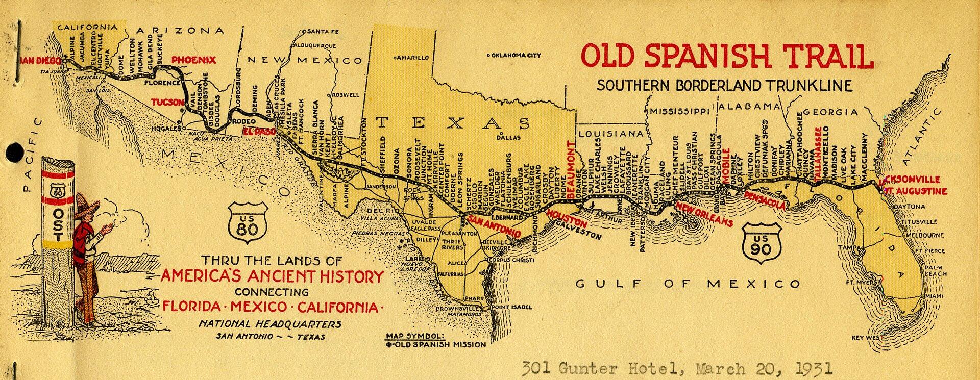
Source: www.oldspanishtrailcentennial.com/
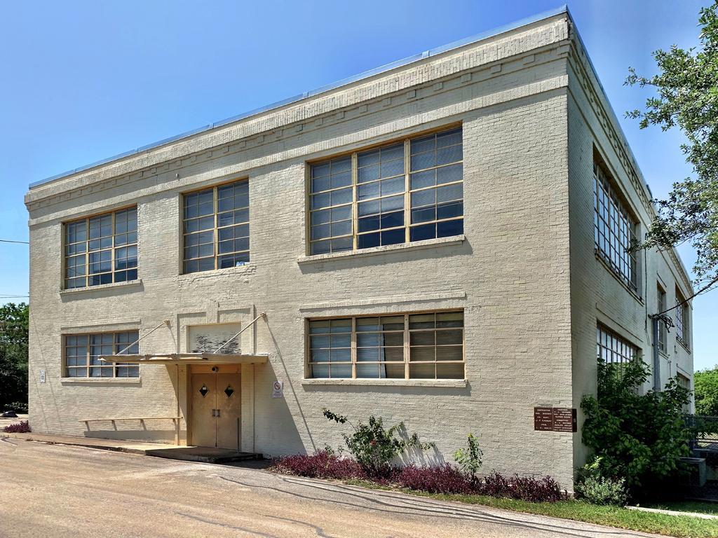
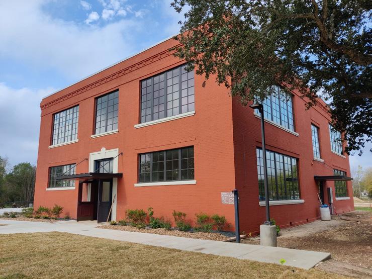
Source: architexas.com/
The Cibolo Old Town Plan study area overlaps with two census tracts. Census Tract 2107.18 covers the eastern portion of the study area and primarily contains several residential subdivisions and a substantial amount of floodplain. Census Tract 2107.17, which covers the western portion of the study area and includes a mix of industrial and commercial uses, as well as residences. The Cibolo Tomorrow Comprehensive Plan projected that the population of Cibolo will almost double by 2050, to 68,100 residents. This population increase will result in more residents needing places to shop, eat, and gather. Old Town can capitalize on this projected growth by becoming the heart of Cibolo in the coming years.
Both census tracts make up 32.2 percent of the total population of Cibolo and each tract has a varied population. Census Tract 2107.18, representing most of the eastern study area, has the highest population, due to a number of new subdivisions developed over the years. Census Tracts 2107.17 has a lower population due to the large rural, industrial, undeveloped, and open space land uses along FM 1103.
Cibolo’s growth rate between 2020 and 2024 was 11.53 percent, higher than the growth rate of Guadalupe County alone. Census Tract 2107.17 and Census Tract 2107.18 experienced growth.
Guadalupe County 9.4%
ESRI uses the Diversity Index to measure the probability that two persons, chosen at random from the same area, belong to different races or ethnic groups. The Diversity Index uses a scaled measure that ranges from 0 (no diversity) to 100 (complete diversity).
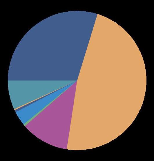
Alaska Native, Hawaiian/Pacific Islander, and Other
5:
The median age for both Census Tracts vary. Census Tract 2107.17 has an older median age, at 46.6, whereas Census Tract 2107.18 has a median age much closer to that of the city as a whole, at 34.4.
The median age across the benchmarks for other cities is similar but the neighborhoods of Old Town skew much older than the others.
The diversity index of Cibolo is similar to that of the State of Texas and Guadalupe County at 81.6, and is one of the most diverse of its peer communities.
Indian/ Alaska Native, Hawaiian/Pacific Islander, and Other
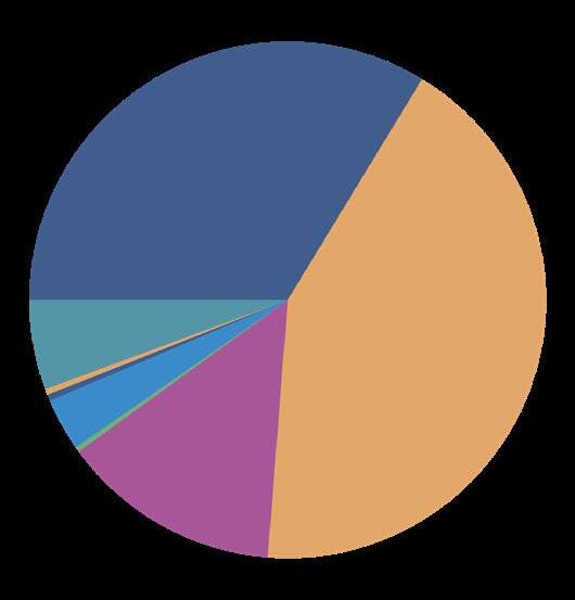
Cibolo has a high veteran population due to its proximity to Randolph Air Force Base, which is located between Cibolo and Schertz.
Figure 10: Veteran Population by City
Cibolo and Old Town’s growth accelerated in the early 2000s. Surrounding development would affect Old Town over time as growth moved closer.
Located between a floodplain to the east and an industrial park to the west, Old Town’s residential neighborhoods are contained by Main Street, FM 1103, and FM 78.
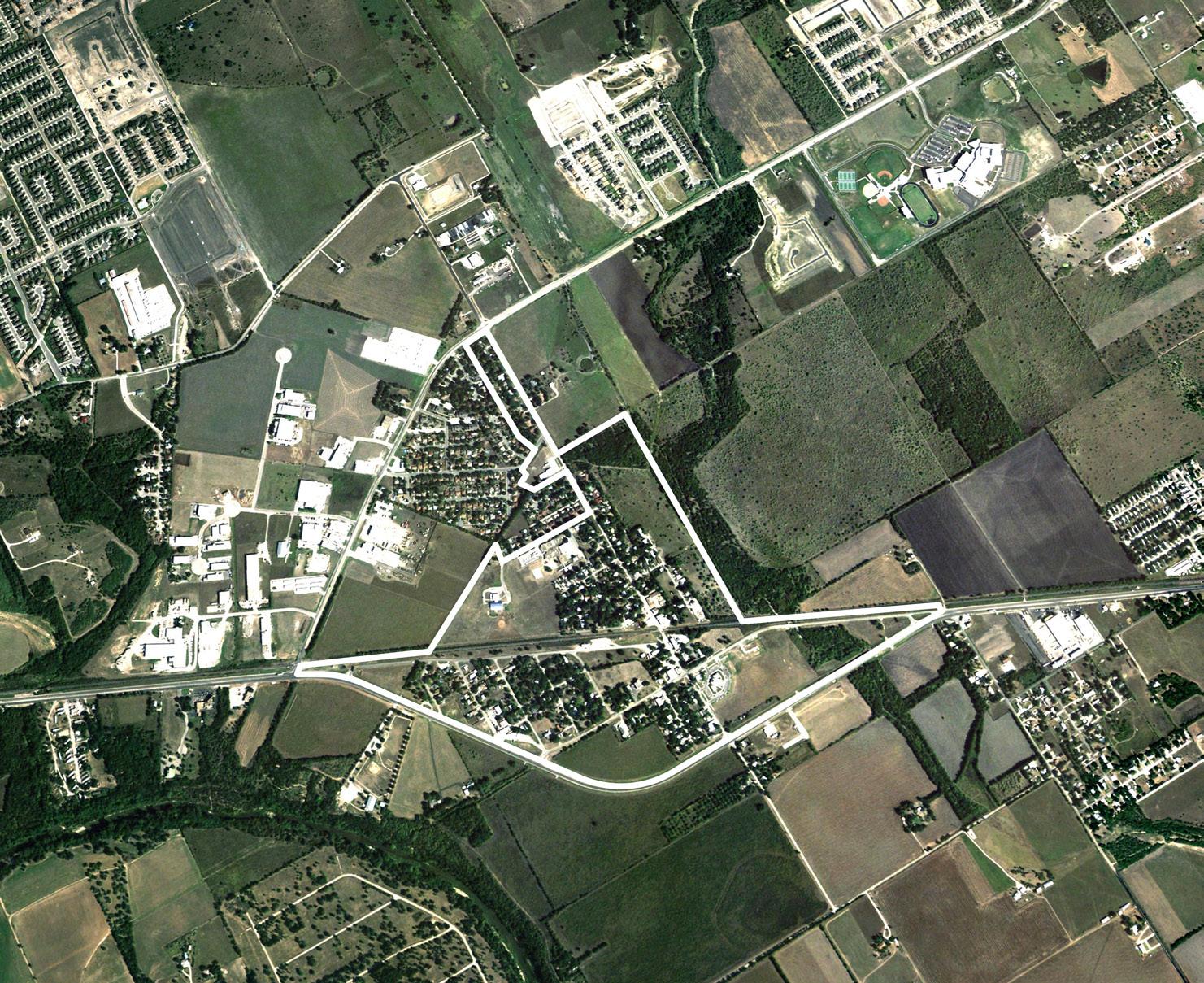
During the following ten years there were a number of residential subdivisions built to the north of Old Town. Additionally, a major thoroughfare extension of Cibolo Valley Drive connected Main Street to these new subdivisions and commercial development. There were also a number of civic uses and public facilities developed within and around Old Town.
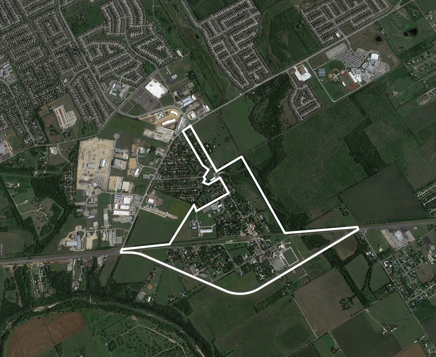
Retail continued to fill in vacant lots, while public sports facilities and family centers were developed south of Old Town. Residential subdivisions expanded to the east and south, and multifamily apartment construction began just south of Old Town. Meanwhile, a new senior living center opened north of Main Street.
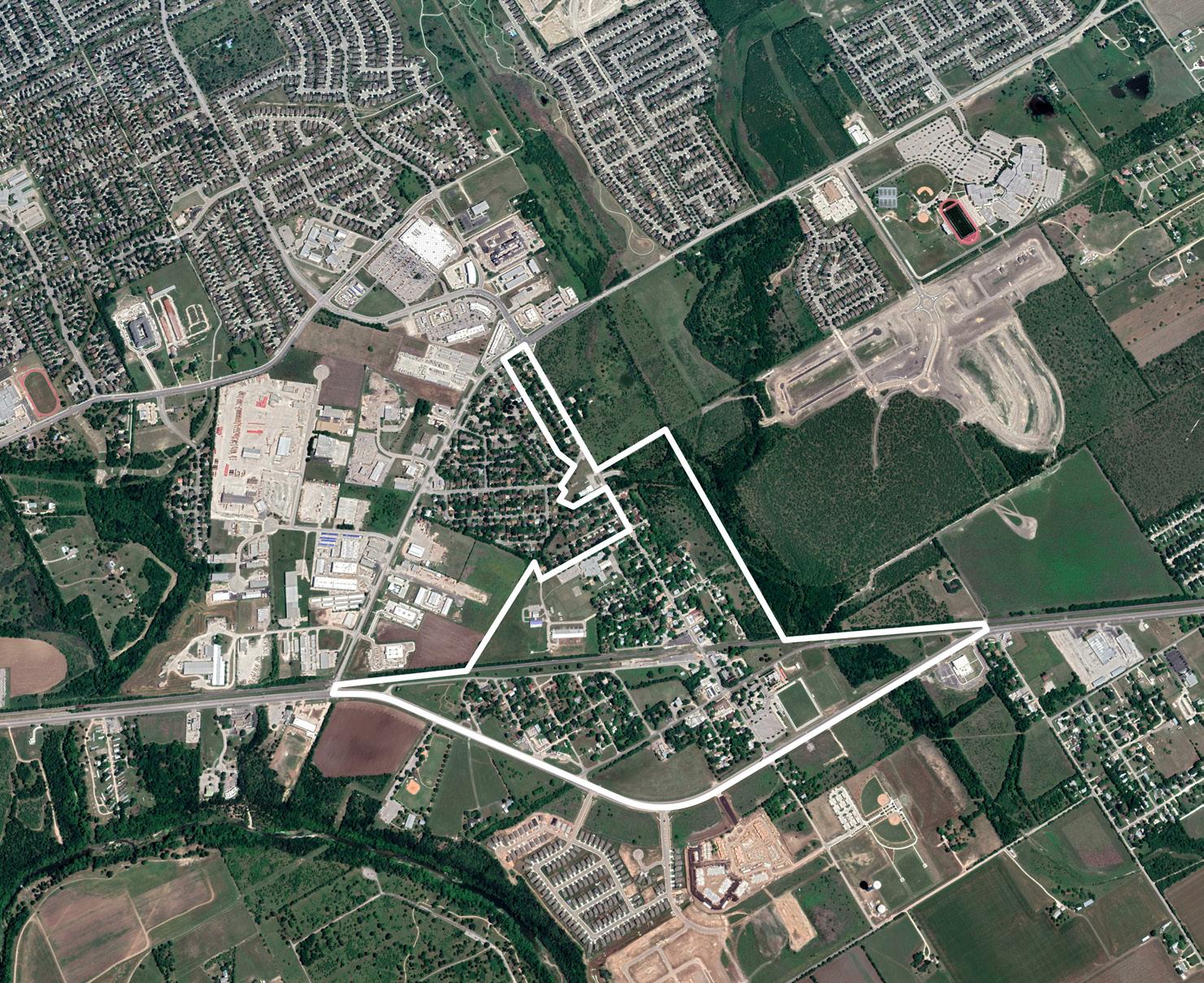
Since 2020, additional phases of residential subdivisions continue to be built, along with a new H-E-B grocery store along Main Street. Multifamily construction north of Old Town has added additional residential units to the area. A basketball court opened north of Old Town and west of Schlather Park.
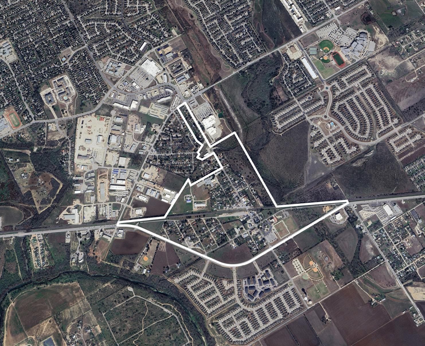
The City of Cibolo has developed and implemented several plans over the years to guide growth and development. Notable past plans include the 2014 Downtown Revitalization Plan, the 2015 CEDC Strategic Plan, and the 2016 FM 78 Corridor Plan. These plans identified goals and policies related to land use, transportation, infrastructure, and
business attraction. Recently the City of Cibolo completed the 2024 CEDC Strategic Plan, the 2024 Cibolo Tomorrow Comprehensive Plan, the 2024 IH-10 Corridor Plan and the FY25-27 Strategic Plan.
The updated Old Town Plan will consolidate the recommendations from each study assessing their relevancy and identify opportunities to coordinate and
build on the recommendations to form a comprehensive framework for growth and development in Old Town.
The plan also ties into larger planning efforts that are underway including the updated Unified Development Code and the Parks & Recreation Master Plan.
The planning, design framework, and economic strategy developed in the Cibolo Downtown Revitalization Plan include a strategy to establish, reinforce, and reinvigorate Old Town’s historical mixed use character by creating a Mixed Use Town Center (‘Core’) district at the geographic heart of the city. The district is intended to ensure harmonious development, redevelopment, and rehabilitation of uses by integrating an appropriate mix of retail, office, entertainment, civic, and residential uses proportionate with the values of the city, its citizens and the surrounding area.
The overarching goal of this plan is to ensure the future economic diversity of the city. The recommendations presented in this report represent the thoughts, feelings, ideas, and visions held by stakeholders in the community. Research for those phases was made possible through insight provided by more than 1,020 businesses and residents in Cibolo.
This Corridor Plan is intended to develop a proactive vision and action strategy for one of Cibolo’s priority corridors. Through advance planning, the City will be able to influence the growth and development of this corridor so that it creates a special place in the City, one that provides citizens and visitors with opportunities to live, work, and play. The FM 78 corridor can contribute to the long-term quality, character, and livability of Cibolo.
The 2024 CEDC Strategic Plan identifies market-driven opportunities and recommends strategies to bolster Cibolo’s environment for pursuing economic development. The recommended strategies in this report reflect a collaborative effort with the Working Group—composed of the City’s elected officials, staff, business community, and key stakeholders— who helped identify feasible economic development goals, review market findings, and prioritize the recommendations.
The primary objective of the 2024 Cibolo Tomorrow Comprehensive Plan is to facilitate Cibolo’s growth and development in a predictable, and economically responsible way, providing an outlook for the year 2050. The vision and goals outlined in the Cibolo Tomorrow Comprehensive Plan aim to ensure that the city’s resources are strategically aligned with the identified needs and desires of the community. The Comprehensive Plan serves as a transparent framework for both current and future decision-makers, offering a clear structure for assessing proposed projects and initiatives.
This plan is intended to communicate the long-term vision of the Cibolo City Council and how it plans to allocate limited resources in a realistic and practical manner to proactively improve the community and better serve residents, businesses, and various stakeholders. This document includes a comprehensive overview of the steps taken to build the strategic plan and details how each session was built on the last and how through every step consensus was reached.
The Cibolo Old Town Plan is an opportunity for the community to help shape the future of Old Town. Input on local priorities and concerns is critical to developing a successful plan through an inclusive, transparent process. Feedback from each stakeholder dialogue helps guide the plan’s vision and goals.
Stakeholders:
• Residents of Cibolo
• Old Town Plan Advisory Committee
• Economic Development Corporation
• Business and Property Owners in Cibolo
• Historic Committee
• Unified Development Code Committee
• Focus Groups
• City Staff
• Elected and Appointed Officials
Tools:
• Public Open Houses
• Community Events
• Online Surveys
• Digital Communications
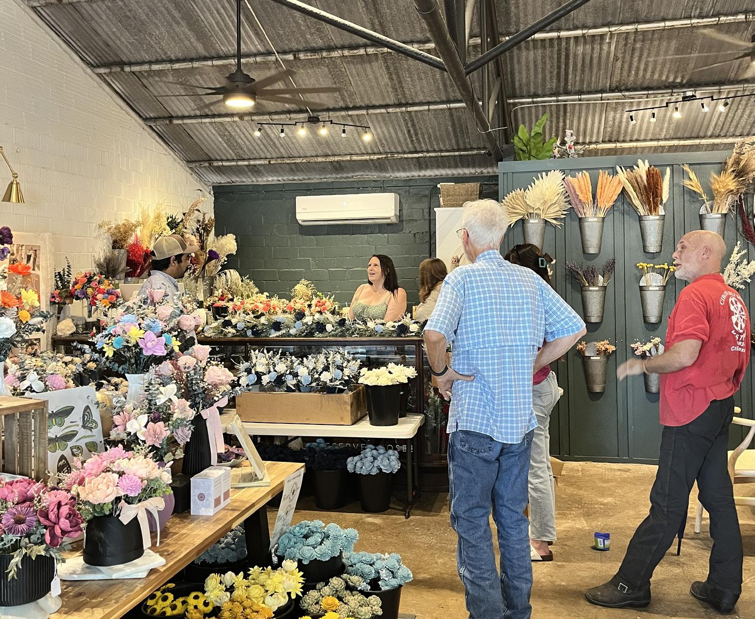

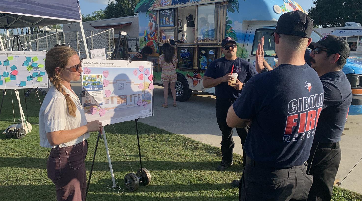
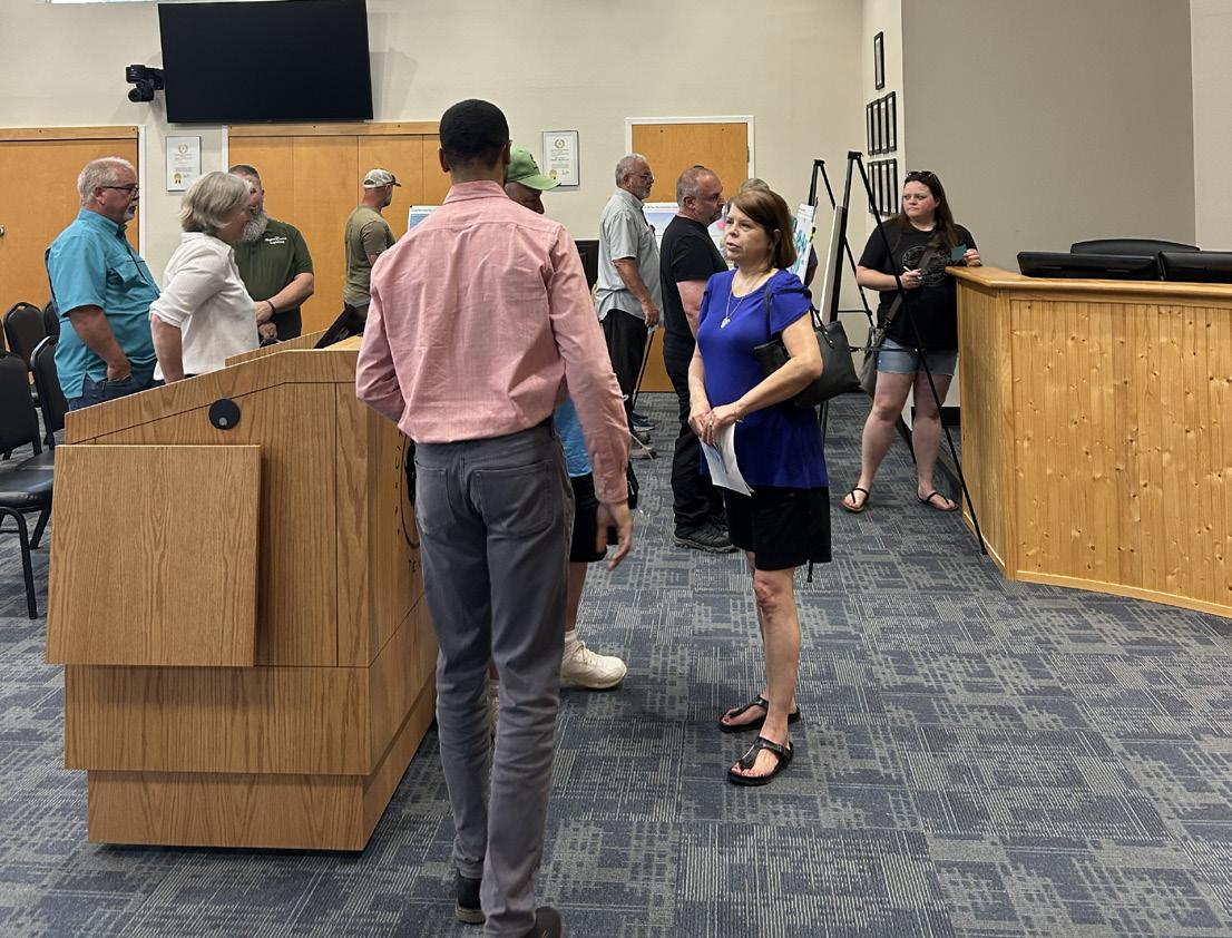
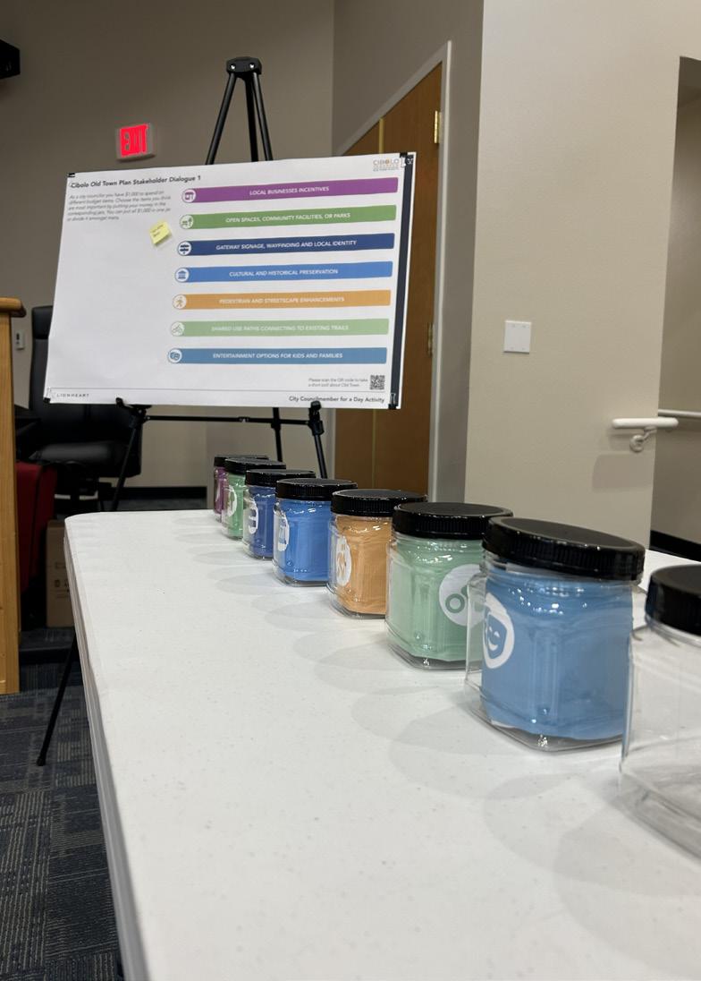
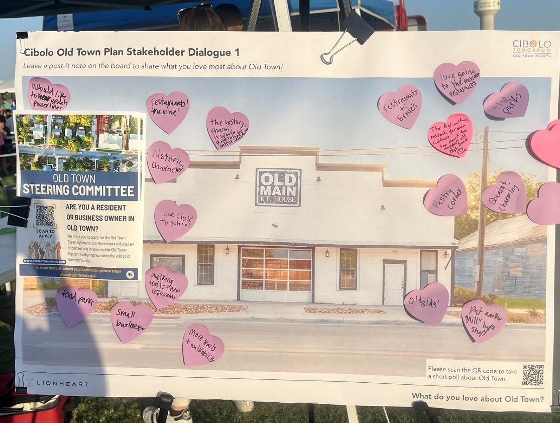
On June 5 and 6, 2025, City staff and the consulting team hosted the first of three in-person stakeholder dialogues, including an open house, focus groups, and a walking tour. The team also gathered input at Cibolo’s Summer Nights and through an online poll that mirrored the in-person activities. 33+ people participated in-person and 209 completed the online poll.
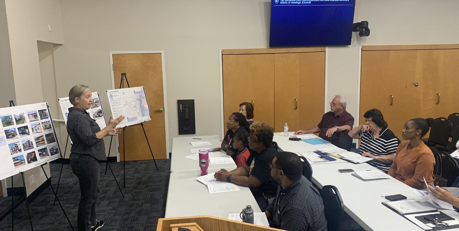
On October 20, 2025, City staff and the consulting team hosted a presentation where residents, business owners, and other stakeholders shared ideas and feedback to help shape the Cibolo Old Town Plan. An online poll covering the proposed framework, implementation strategies, and financing options ran concurrently, with 239 participants completing it.
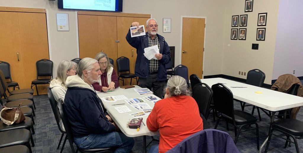
On February 23, 2026, City staff and the consulting team hosted the third and final in-person stakeholder dialogue. The event included a presentation, informational boards, and small group activities where 12 in-person participants collaborated to identify and rank implementation strategies for the Old Town Plan. 320 people participated through an online poll.
The Cibolo Old Town Plan focuses on bringing visitors and residents to Old Town by creating a cohesive, walkable neighborhood that supports local business and celebrates local character.
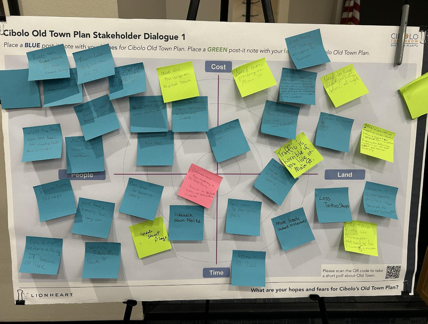
The vision and goals identified for the Cibolo Old Town Plan reflect what stakeholders value most about Cibolo, as well as the hopes and concerns they shared during the first Stakeholder Dialogue.
Foster community-wide support of Old Town as the heart of Cibolo.
Old Town is an integral part of Cibolo’s identity.
Strengthen and preserve the unique character of Old Town.
Character makes Old Town special.
Enhance the experience of visitors and residents. A curated visitor experience from arrival to departure is prioritized.
Invest in district-wide shared solutions for drainage, parking, and traffic to support Old Town businesses and residents.
District-wide infrastructure is shared in Old Town.
Leverage existing public spaces to support business and vibrancy in Old Town.
Old Town is a place to gather.
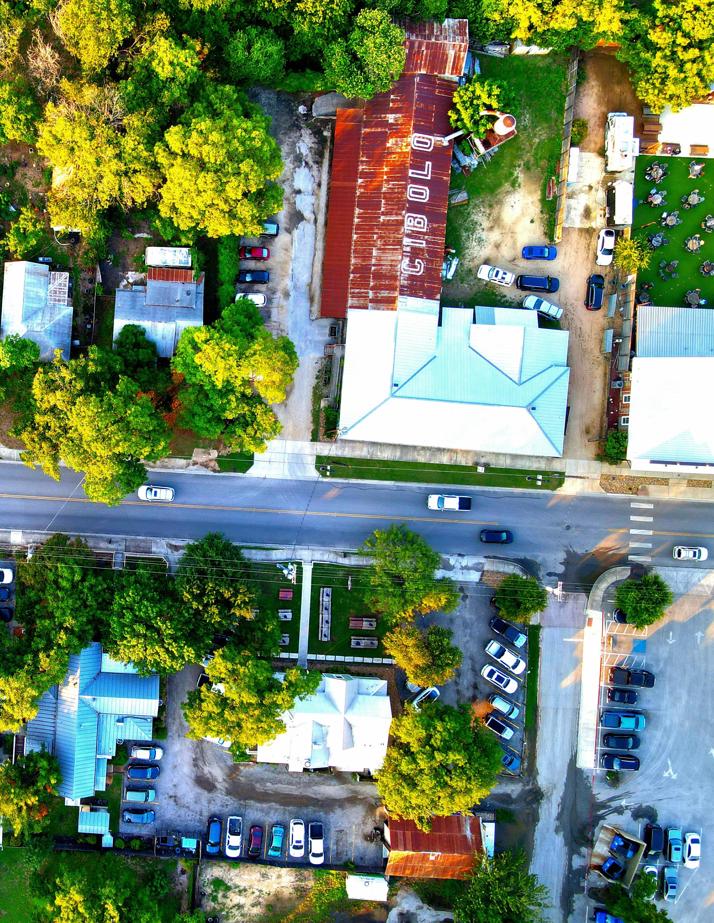
Old Town is known for its charming single family homes and older industrial buildings along the railroad, many of which have been converted into local businesses throughout the years.
21.2 percent of the buildings in Old Town were built prior to 1950 and 15 percent were built in
1970 to 1989 following the official incorporation of the town in 1965. Many of the buildings built after 1990 are dispersed throughout Old Town, a number of which are civic buildings.
During Stakeholder Dialogue 1, many participants stated the conversion of older homes into businesses is appropriate.
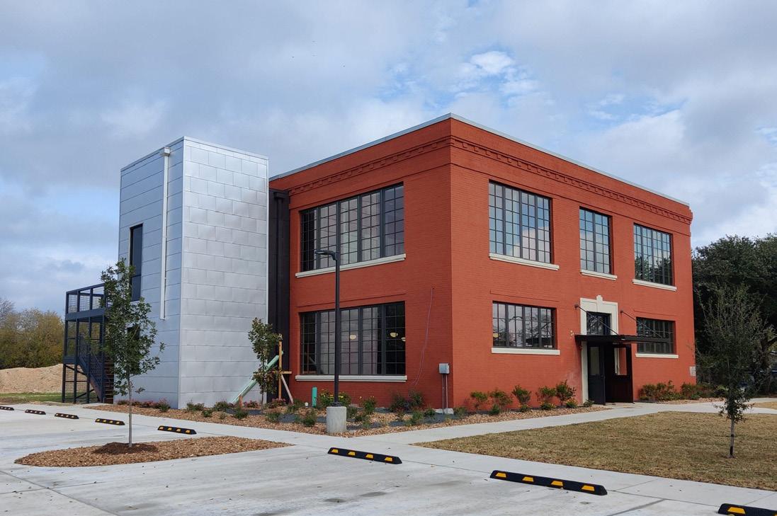
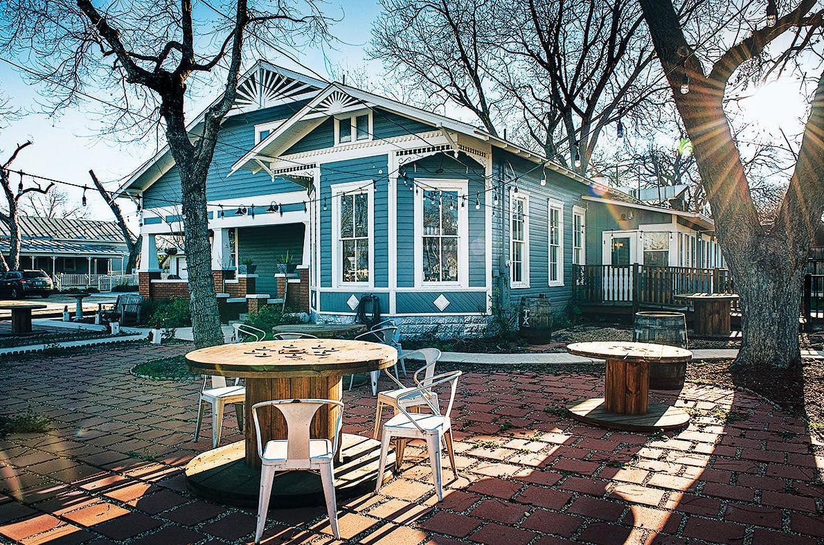
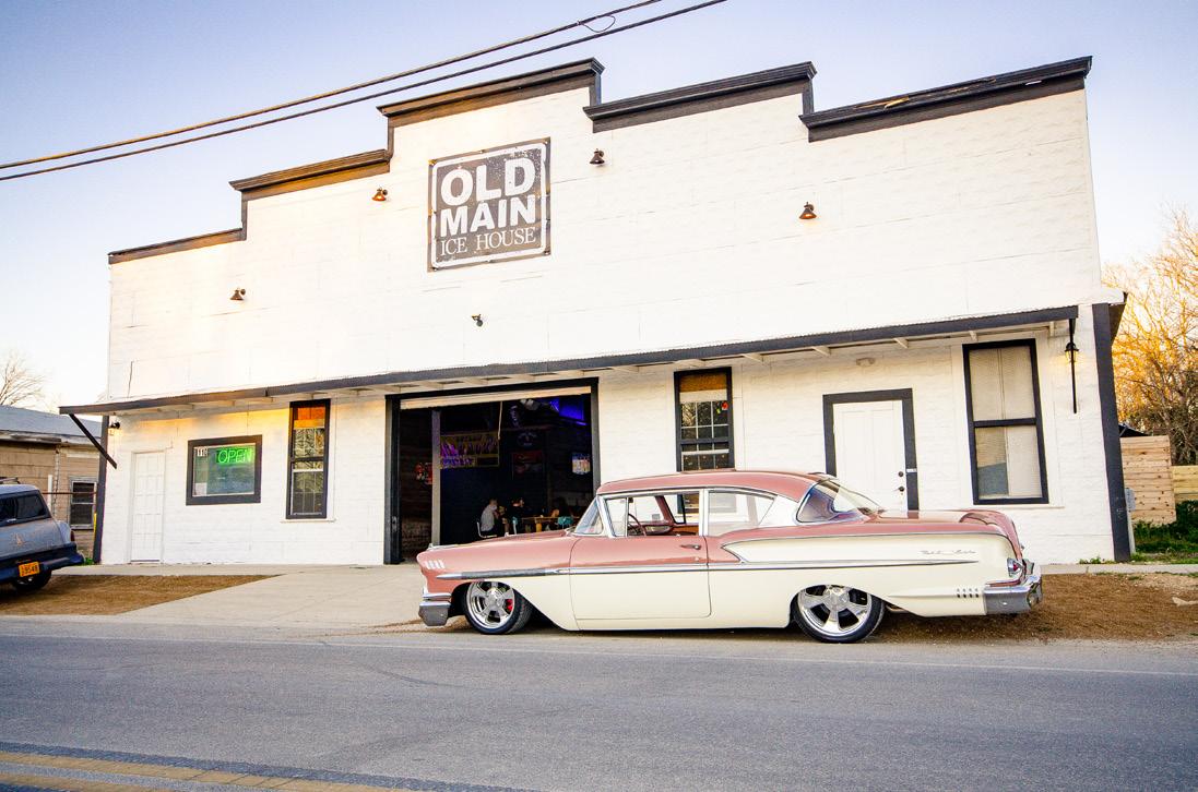
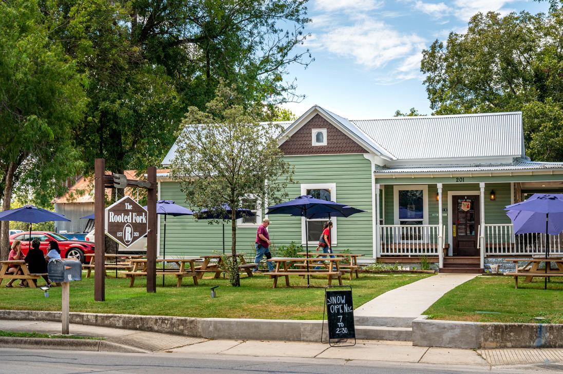
A number of older homes have been converted into local businesses.
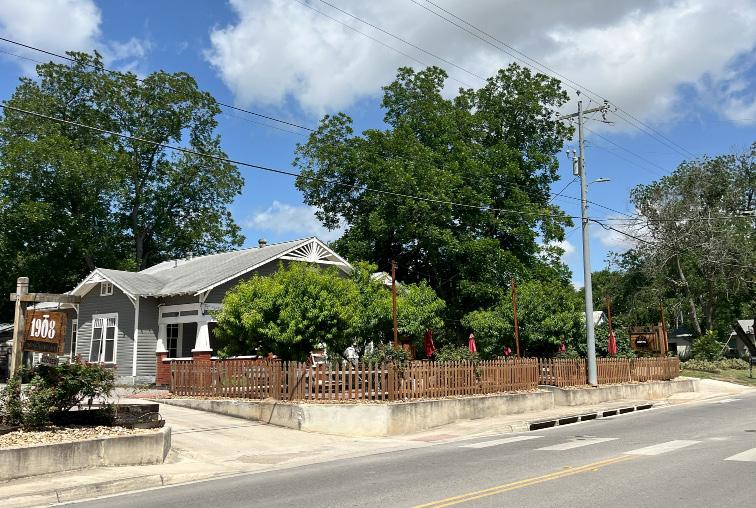
Large trees throughout the city create the feeling of an established neighborhood.
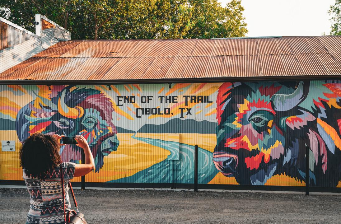
In 2024, the City of Cibolo adopted a comprehensive plan called Cibolo Tomorrow, which outlines the city’s growth strategy for the upcoming decades.
The plan identified three growth areas where the City anticipates development and future public facilities and services that will be needed. Old Town is located in close proximity to Growth Area 2, which intends to facilitate growth along the FM 78 corridor to provide future and adequate public services. This designation will result in more residents and employees within close proximity to Old Town, which presents an opportunity for Old Town to serve more local residents as it prepares to double its population in the coming decades.
The Old Town study area boundary includes four additional Place Types from the 2025 Future Land Use Map, which describe the overall character of an area rather than specific land uses. The new boundary was derived from dialogues with community members and encompasses residential areas along N. Main
Street, potential commercial destinations along S. Main Street, a significant portion of floodplain and green space east of Old Town, the proposed Town Creek Trail segment, and institutional sites such as the Schertz-CiboloUniversal City ISD Marion Dolford Learning Center and the Toby Connor Agriculture Complex.
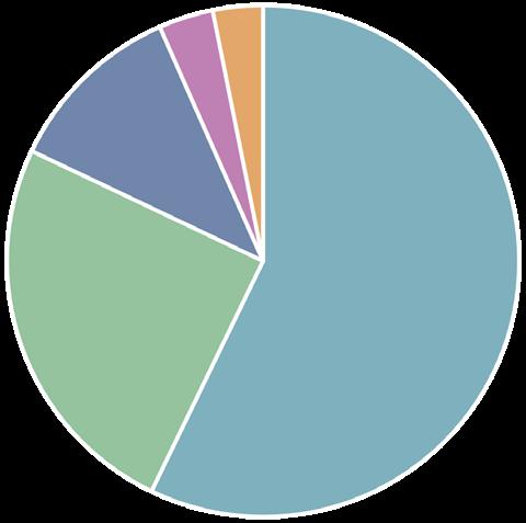
Old Town Cibolo is defined by an overlay that allows for a mix of uses, that adhere to specific design standards to maintain the area’s character, scale, and architecture.
An overlay district works by providing additional standards that lay on top of the standards in the base district. Overlay districts can add a layer of complexity to zoning regulations when conflicts arise between the overlay and base district.
Over the years, Old Town has experienced several zoning changes in regard to the Old Town Overlay. The initial overlay was created in 2010 to rezone a number of properties as commercial from residential, with the intention of encouraging more businesses in Old Town. In 2023, an update was made to the overlay to revert certain properties back to residential.
The Old Town Overlay is “intended to provide a cohesive
set of design and use standards for properties within its boundaries.” The following items regulate development in Old Town.
1. Approval Mechanism - Any site plan over three acres requires Planning and Zoning and City council Approval. Site plans between one and three acres can be referred to Planning and Zoning by staff. Any site plan under one acre can be approved by staff.
2. Permitted Uses - Include single family residential, attached residential, institutional uses, townhouses residential, condominium residential, duplex residential up to 12 units per acre (subject to conditional use permit), and hotel/motel (subject to conditional use permit)
3. Performance Standards
a. Lighting and Glare - No light pollution across a property line from visible source of illumination.
b. Open Storage - No storage or refuse containers visible to the public.
Table 1: Cibolo Unified Development Code Zoning District Standards Code Name
C2 Community Retail / Service
C4 General Commercial
SF4 Medium Density Residential
PF-I Institution
PF-P Park
c. Parking - Must meet the standards of the base district, However, shared parking is allowed and staff can reduce off-street parking requirements.
d. Internal Circulation and Connectivity - Minimize access to adjacent arterial streets and connect pedestrian and vehicular circulation across property lines when possible.
e. Setbacks - Must meet standards of base district, but may be reduced to average setback of existing buildings.
f. Maximum Lot CoverageImpervious cover may be increased to 95% by waiver request only.
g. Screening Wall and Buffer Yard - Required between residential and non-residential uses.
h. Building Design - Shall preserve or enhance historical fabric by utilizing appropriate colors, building materials, and scale for all new buildings
This district reinforces and reinvigorates Cibolo’s historical traditions and monuments. Town Center preserves the character, pedestrian scale, and architecture of the area surrounding Main Street by providing a limited range of business; creating a mixed use environment for local storefronts, restaurants, lodging, and entertainment venues, including live music and dance halls.
This district allows a broad range of commercial uses and activities in high visibility areas to serve the needs of the surrounding region. It is the most intensive commercial zoning district and generally situated along a highway, arterial or collector thoroughfare.
This district establishes a traditional suburban development of single-family detached dwellings in a medium density setting of up to four (4) units per acre maximum. Higher intensity residential development serves as a buffer to protect this area from incompatible and nuisance issues.
This district is intended to provide for public, semi-public and institutional facilities within close proximity to various neighborhood and commercial land uses and to serve as a transitional or buffer use. Permitted uses include, parks, green space, government buildings and schools.
The majority of the study area is designated as Community Retail/Service, aimed at fostering a compact and walkable environment that supports local businesses. Within the study area, there are two residential districts: medium-density and high-density single-family housing. This allows for a variety of densities
throughout Old Town, with a maximum of 5.5 units per acre.
Additionally, there are several publicly owned lots in Old Town, including City Hall, the Cibolo Multi-Event Center, and the Schertz-Cibolo-Universal City Independent School District.
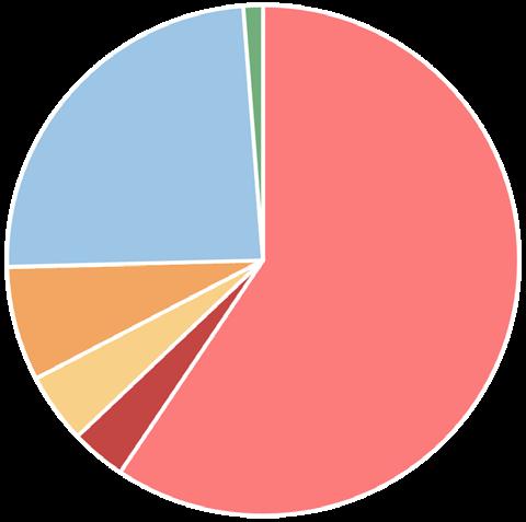
Old Town’s infrastructure— especially its water and wastewater systems—reflects a blend of historic and modern conditions shaped by targeted capital investments and a legacy of residential-era construction.
While Main Street has benefited from recent PVC line replacements as well as curb, sidewalk, and accessibility upgrades in the past 15 years, most side street systems are significantly older and were installed when local demand was much lower.
As redevelopment brings new residential, commercial, and civic activity, existing system capacity will need to be carefully evaluated, with a particular focus on aging clay and asbestos concrete lines that may be more prone to deterioration and may not meet projected demand. Performance concerns such as leakage, stormwater infiltration, or loosened joints are not uncommon in older systems, heightening the importance of strategic, targeted reinvestment rather than wholesale infrastructure replacement.
In the context of the city’s Capital Improvement Program (CIP), only a few current or planned projects are located within or directly adjacent to the Old Town study area. The City Hall Annex expansion and Loop 539 mill and overlay are notable local investments, with ancillary benefits for services, public spaces, and stormwater management.
However, several larger and more costly CIP projects— including neighborhood street reconstruction, FM 1103 widening, and major utility replacements— are situated outside of Old Town, highlighting the potential for similar future needs within the study area as redevelopment occurs. The Town Creek Trail project, though not directly in the core, will greatly improve pedestrian connectivity between Old Town and surrounding areas, and the proposed northsouth parkway would offer new alternatives for vehicular access in the greater vicinity.
A key takeaway is that there are currently no major near-term CIP projects specifically planned for Old Town, meaning upcoming investments will necessarily be in competition with other citywide
priorities. It will be important to thoughtfully integrate Old Town’s infrastructure needs into future CIP updates, leveraging findings from more detailed condition and capacity studies to prioritize improvements that support the activation, sequencing, and longterm sustainability of the area.
The water system in Old Town appears to be composed of a mix of older and newer infrastructure, and its ability to support future redevelopment will need further study. Along Main Street, the water lines are newer PVC pipes installed within the last 15 years, meaning that condition is less of a concern; however, future capacity should be evaluated to ensure assumptions reflect the higher demand likely to result
from commercial and mixed-use development. In surrounding residential areas, many of the water lines are believed to be older asbestos concrete pipes, which are generally recommended for replacement rather than repair, particularly as redevelopment activity increases. Since commercial uses typically place
greater demand on water service than residential uses, there is the potential for capacity shortfalls, especially as older homes are converted to businesses and as underutilized properties are reactivated. A detailed conditions and capacity assessment would help identify where replacement or upsizing is needed, where
rehabilitation methods such as sliplining might be appropriate, and how to prioritize investments like eliminating dead ends to support efficient long-term system performance.
The sanitary sewer system in Old Town greatly varies in material and age, requiring a variety of approaches for long term maintenance.
The existing sanitary sewer system in Old Town will require thoughtful evaluation as redevelopment occurs. While comprehensive data is limited at this time, general observations can be made based on the age and material of the infrastructure. Much of the network consists of older clay pipes, which can be more prone over time to cracking, root intrusion, and joint deterioration—factors that may affect long-term efficiency.
In contrast, the sewer lines along Main Street are newer and constructed of PVC, making their condition less of an immediate concern. However, even with newer infrastructure, capacity remains an important consideration, particularly as Main Street is anticipated to transition toward more intensive commercial and mixed-use activity. A detailed conditions and capacity assessment would help clarify where repairs or upgrades may be needed in the older system, while also confirming that the current assumptions about projected demand along Main Street align with the type and scale of development envisioned in the Old Town Plan.
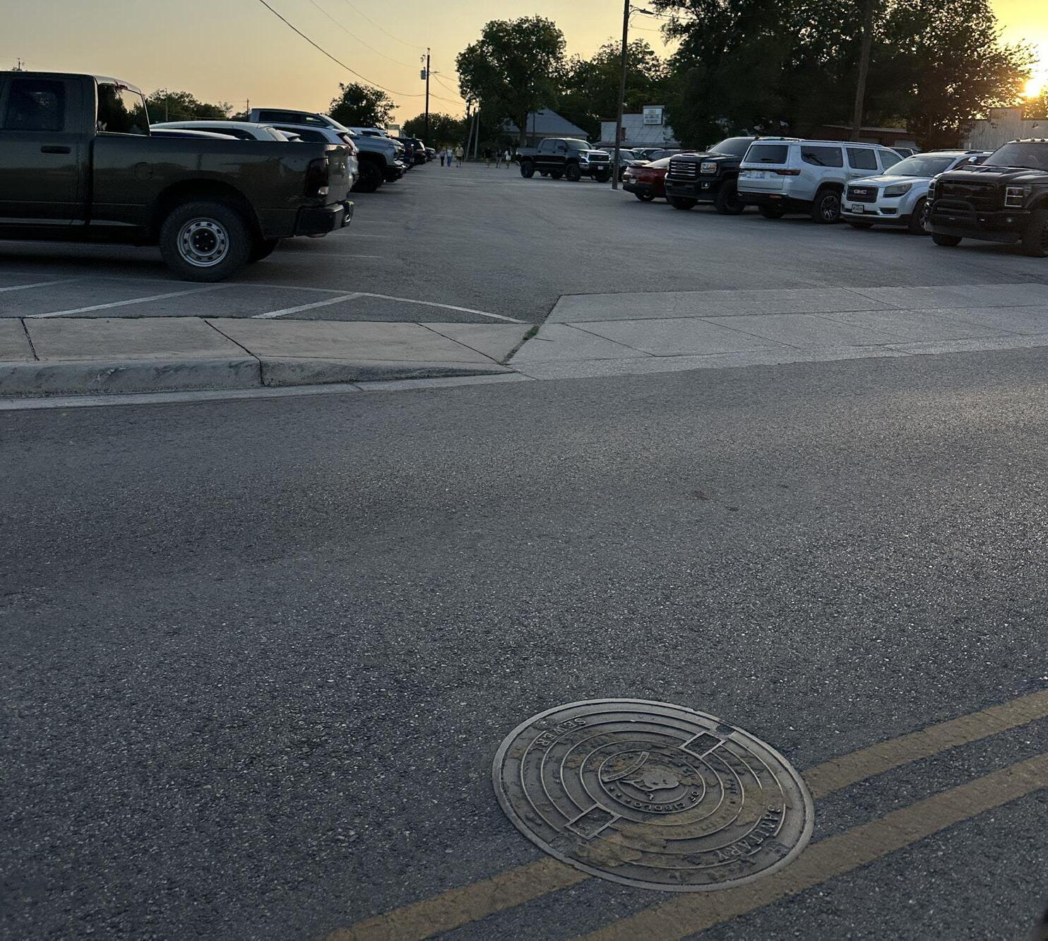
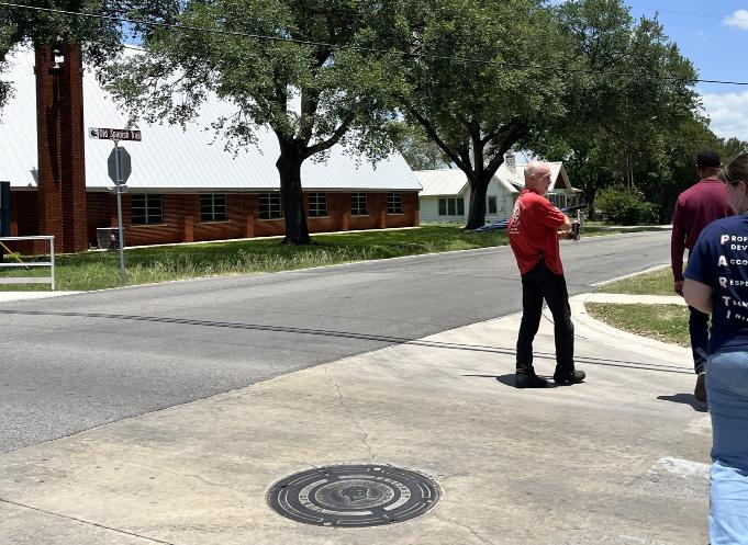
The pipe material for sewer lines within Old Town’s boundary consists of vitrified clay pipe (VCP) and polyvinyl chloride (PVC). The total linear feet of sewer lines is 30,652 feet with 42 percent less than 19 years of age. PVC pipe material consists of 51 percent of linear feet including North Main Street and
along the eastern portion of Old Town. VCP and unknown pipe material contribute 49% of linear feet compared to 58 percent of sewer lines older than 20 years. The majority of VCP material and lines over 20 years of age are contained within the predominately residential areas.
22: Age of Sewer Line Infrastructure and Pipe Diameter
values match most recent development trends. **Unknown values correlate with older VCP material within Old Town’s boundary.
The City of Cibolo has an annual Capital Improvement Budget and Plan. Some of the planned projects have been identified near the Old Town area. The Cibolo Old Town Plan presents an opportunity to ensure that the identified projects are aligned with the goals of this plan.
Table 3: Completed & Planned Capital Improvements Name Description
1
2
3
4
5
FY 22: City Hall Annex$2,600,000 (Completed)
FY 23: City Hall HVAC$1,882,085 (Completed)
FY 24: Loop 539 Mill & Overlay - $8,280 (Completed)
FY 25: Town Creek Trail Parking Lot - $239,077 (Planned)
FY 25-27 (Planned): FM 1103 Phase 2$7,400,000 (Planned)
6
7
FY 26: Cibolo South Neighborhood Street Reconstruction
$5,657,827 (Planned)
FY 26: Town Creek Trail Project - $1,664,814 (Under Design)
8 North-South ParkwayFM1103 to Haeckerville Rd (Proposed)
Expansion of City services and accommodate personnel. Provide a community meeting room, furniture, fixtures, equipment, additional downtown parking and green space.
Replacement of existing residential HVAC system - minor renovations to the existing building.
Improvements to drainage infrastructure to enhance the conveyance of stormwater from Old Town through Loop 539 to FM 78.
Development of a parking lot and trail head adjacent to the H-E-B parking lot to connect to the Town Creek Trail.
Widening of FM 1103 with improvements including additional travel lanes and bike lanes for a total pavement width of 62 feet with curb and gutter and 8 foot sidewalks on both sides.
Reconstruction of street with curbs, sidewalk, & water line replacement, ~6,900 feet total. These streets include: Apache Circle, Buffalo Trail, Sioux Circle, Mohawk Drive, Navajo Circle, Indian Circle, Tomahawk Circle, Comanche Circle.
Construction of a 10 foot multi-use concrete trail to connect into existing Schlather Park trail system to Schaefer Rd. Additionally enhance 12 crosswalks with ADA ramp crossing upgrades along Main Street.
Development of a new North-South Parkway from FM 1103 to Haeckerville Road; includes a future overpass across the Union Pacific Railroad, to relieve congestion from Main Street and other north/south crossings.
A feasibility study is planned to analyze engineering and environmental impacts in preparation for future STIP funding applications.
Capital improvement projects are classified by categories that include parks and public facilities, roads and transportation and drainage infrastructure. The city identified a total of eight capital improvement projects in and around Old Town.
Three of the projects relate to parks and public facilities and include the City Hall Annex, the replacement of City Hall’s HVAC system and the extension of Town Creek Trail along the eastern boundary of Old Town. Three of the projects relate to roads and transportation and
include the widening of FM 1103, improved residential streets, and a north-south parkway to alleviate congestion along Main Street. One project relates to drainage infrastructure improving the conveyance of stormwater along Loop 539.
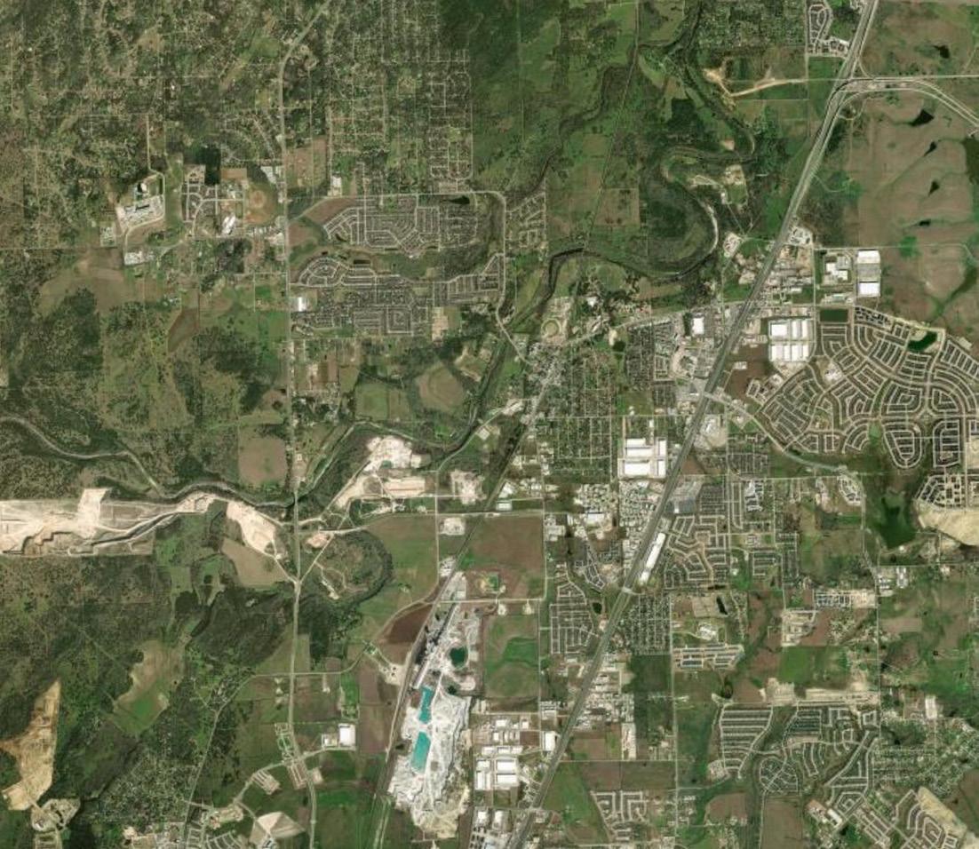
Cibolo is situated between two major corridors, Interstates 10 and 35, but neither offer direct access to Old Town.
Residents and visitors travel to and from Old Town using a network of county roads, state highways, and City-maintained streets that connect to the broader Central Texas region. I-35 links Cibolo to Austin, while I-10 connects it to Houston; both routes also provide access to San Antonio. This connectivity has fueled the city’s growth over recent decades. Old Town is situated nearly equidistant between these two corridors. Old Town is a destination rather than a pass through town. Because of this the streets and corridors passing through Old Town do not share as much responsibility for through traffic.
Old Town is connected to neighboring cities, including Schertz, Seguin, and Joint Base San Antonio - Randolph, via FM 78, an arterial road. FM 1103 serves as another important arterial, linking travelers from the northern part of the city to N. Main Street.
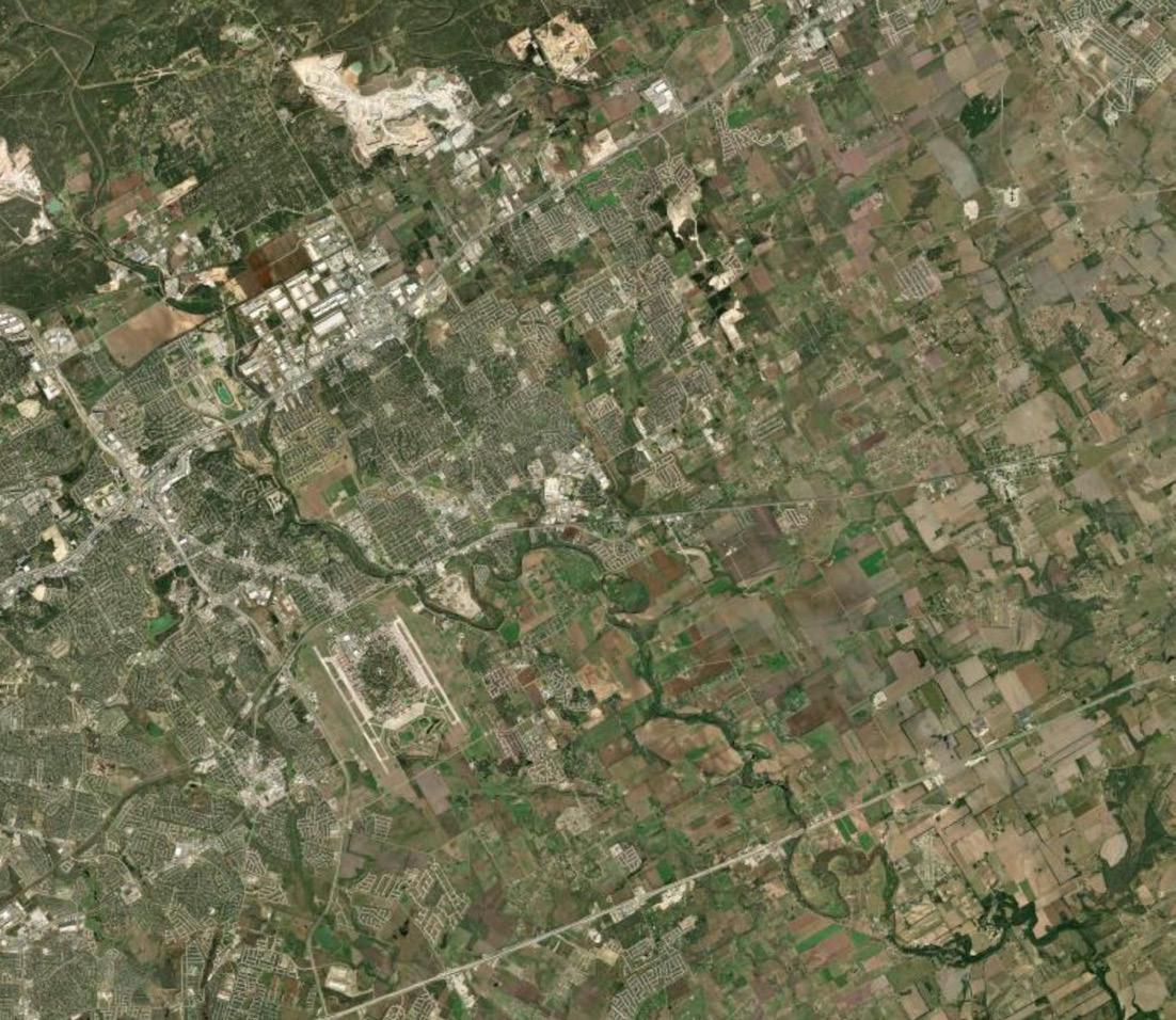
Schertz is located between the same interstates as Cibolo, but has more north-south connection to the downtown.
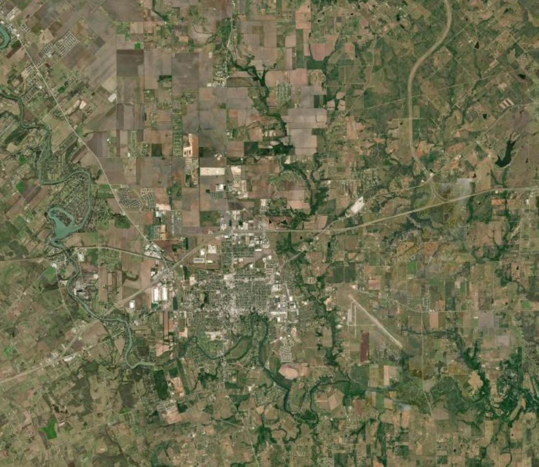
46.
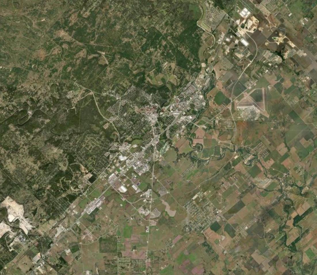
San Marcos is the closest downtown to a major highway with a number of roads that lead directly to downtown.
Cibolo’s 2024 Master Thoroughfare Plan aims to relieve congestion through Old Town due to recent growth in adjacent neighborhoods by widening and increasing north-south bound thoroughfares and connecting new developments to Interstate 10 on the southern city limits.
Recent capital improvement projects have widened FM 1103 to include additional travel lanes, bike lanes, and 8-foot sidewalks on both sides. FM 78, located south of Old Town, is a major arterial corridor identified by the City as a targeted growth area for new commercial, residential, and industrial development.
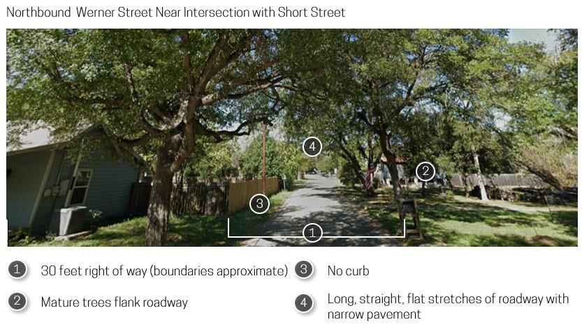
Local streets north of the railroad are narrow, with rights-of-way between 30 and 40 feet. Streets south of the railroad have wider rights-of-way, about 50 feet, but remain constrained for major infrastructure upgrades.
As development continues to surround Old Town, traffic and congestion have increased. In response, new north–south streets have been proposed, including a new North–South Parkway east of Main Street.
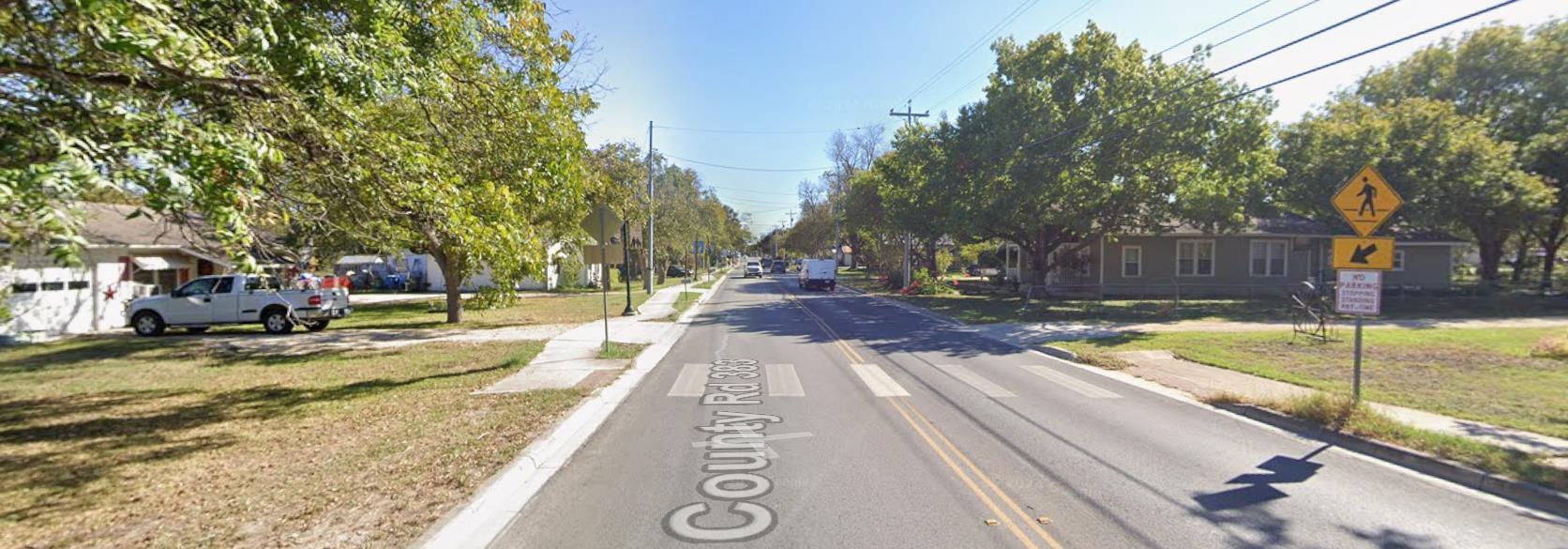





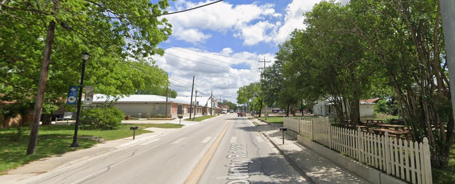


Other portions of Main Street have pedestrian infrastructure, but are obstructed fences, mailboxes, or abrupt breaks in the network.
The right-of-way (ROW) conditions in Old Town Cibolo present both opportunities and challenges for future improvements envisioned in the Old Town Plan.
Along the primary north-south thoroughfare, ROW widths range between 50 and 80 feet, and the City has made notable infrastructure and pedestrian improvements within the last 15 years.
However, sidewalks remain inconsistent, with some locations constrained by missing segments, narrow paths, or utility obstacles such as telephone poles. It is not always clear whether these gaps are the result of restricted ROW or other factors.
In many downtown settings, a cross-section in the range of 65 feet is commonly used as a planning go-by to accommodate wider pedestrian areas, outdoor seating, street furniture, landscaping, medians, and onstreet parking along with travel lanes. In locations where the existing ROW is less than this benchmark, targeted acquisitions may be necessary, though a range of section alternatives could also be used to minimize the need for additional land.
On the smaller local streets in and around Old Town, ROW conditions are much tighter, typically between 40 and 50 feet. These streets were originally designed for residential use but are increasingly serving a mix of residential and commercial
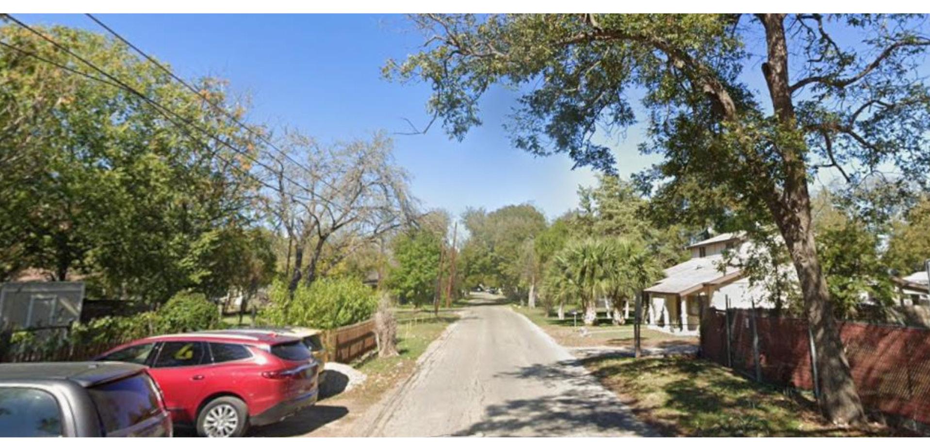
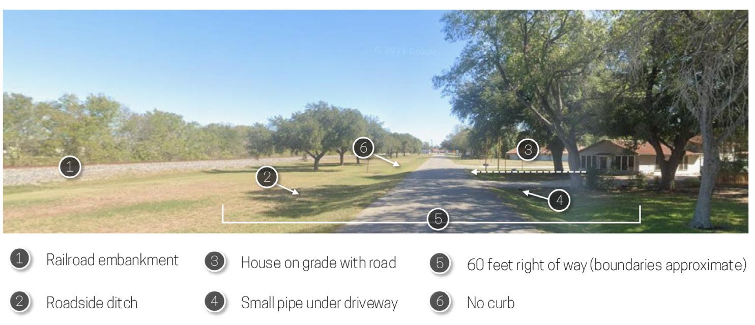
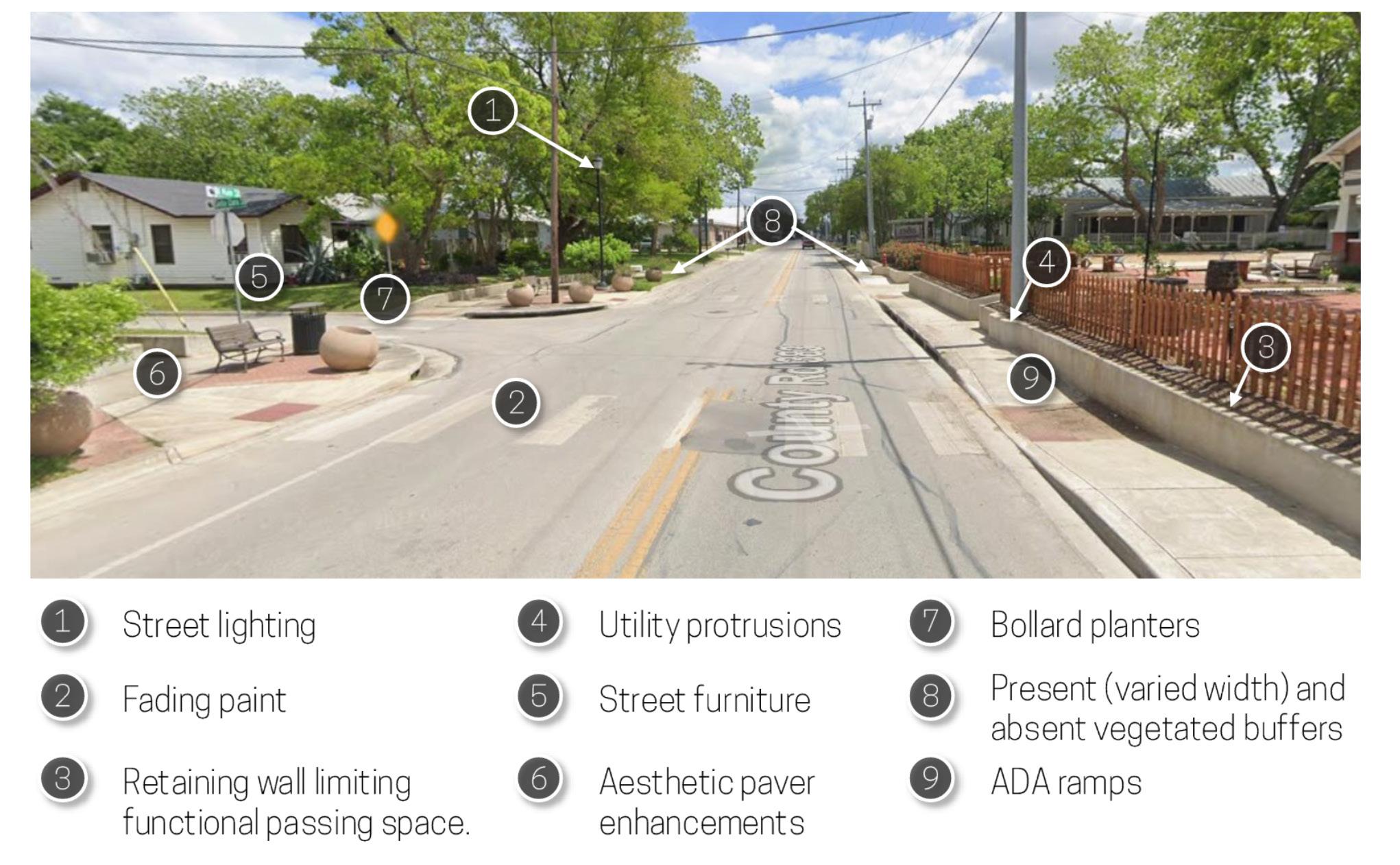
activity. In addition to roadways, they accommodate open drainage swales, overhead utilities, and mature trees that contribute to the area’s character but also limit available space for improvements.
The street surface itself is often shared by vehicles, pedestrians, and informal on-street parking.
These crowding issues are dramatically exacerbated during community events, making it difficult to navigate. Because travel lanes are already narrow and shoulders are lacking, opportunities to reallocate space are limited without acquiring additional ROW. Any modifications here will need to be carefully tailored, balancing utility
needs and safety improvements with preservation of the neighborhood’s existing character. In all areas of Old Town, ROW conditions and acquisition needs should be factored into future development and cost planning, with more detailed section drawings needed to determine exact requirements.
Main Street has sidewalks, but many of them are on one side of the street, requiring pedestrians to cross frequently, or are narrow and obstructed by utilities, creating an uncomfortable environment.
In contrast, several streets in Old Town lack sidewalks entirely. Despite this, residents feel comfortable walking on many of these streets due to the low traffic volume and speed in the area.
Sidewalk widths increase slightly near the core of Old Town, especially along the blocks closest to the railroad tracks, where they range from five to ten feet wide. This area also has larger vegetated buffers east of Main Street.
A significant obstacle to pedestrian connectivity in Old Town is the Union Pacific Railroad, which creates a 150-foot gap between several restaurants and retail shops.
Enhancing pedestrian connectivity remains a high priority for residents and stakeholders, as Old Town’s attractions continue to draw visitors to city events and local businesses. However, Old Town ranks lowest in terms of walkability compared to its peer communities.
WalkScore
Schertz 53 (Somewhat Walkable)
Buda 59 (Somewhat Walkable)
San Marcos 95 (Walkers Paradise)
Seguin 64 (Somewhat Walkable)
New Braunfels 72 (Very Walkable)
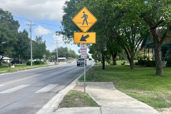
There are a number of instances in Old Town where the sidewalk ends and pedestrians are required to cross the street to another sidewalk.
During Stakeholder Dialogue 1, participants said walkability in Old Town is hindered by sidewalk gaps, limited pedestrian space, lack of lighting and signage, and the existing railroad crossing.
There are a number of destinations throughout Old Town that draw different types of visitors during the daytime and the night time.
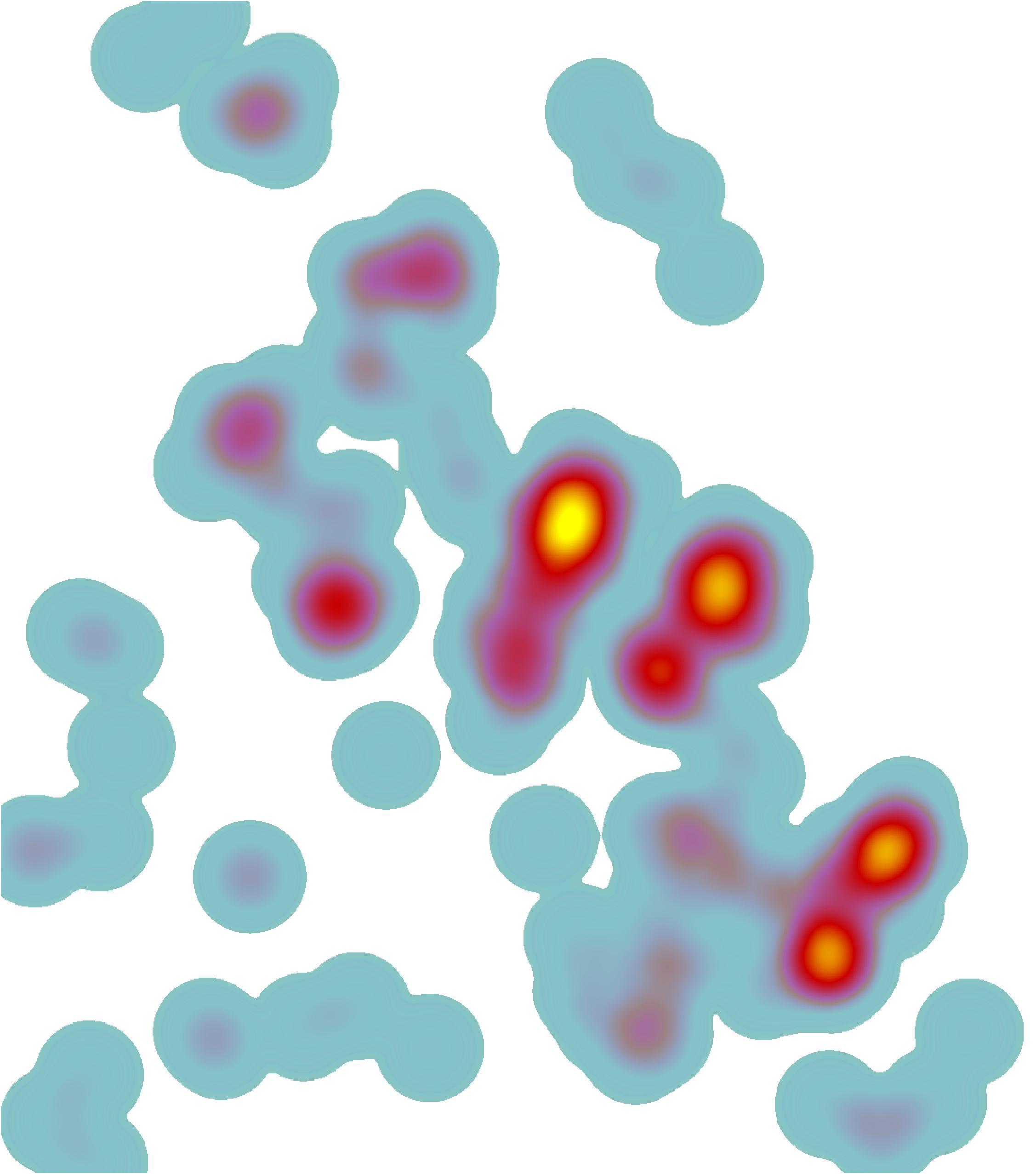
Old Town has a very active nightlife, with a number of restaurants and bars as well as music venues. The most active locations shown in Figure 28 show the Old Main Ice House, The Rooted Fork, 1908 House of Wine and Ale, and Kindling Texas Kitchen, some of Old Town’s popular restaurants and bars.
Other destinations that draw a lot of visitors are the Municipal Building, Police and Fire Departments, and City Hall Annex. These buildings house a number of employees and are important community spaces.
Data from Figure 28 includes cell phone data from those that have visited the study area. To be considered a visitor, a device must have been found at the point of interest at least four times in one year. This data was utilized in the Cibolo Retail Study. This data also found that Old Town’s reach extends into major metropolitan area including San Antonio, Austin, Houston, Corpus Christi, Brownsville, and Dallas.

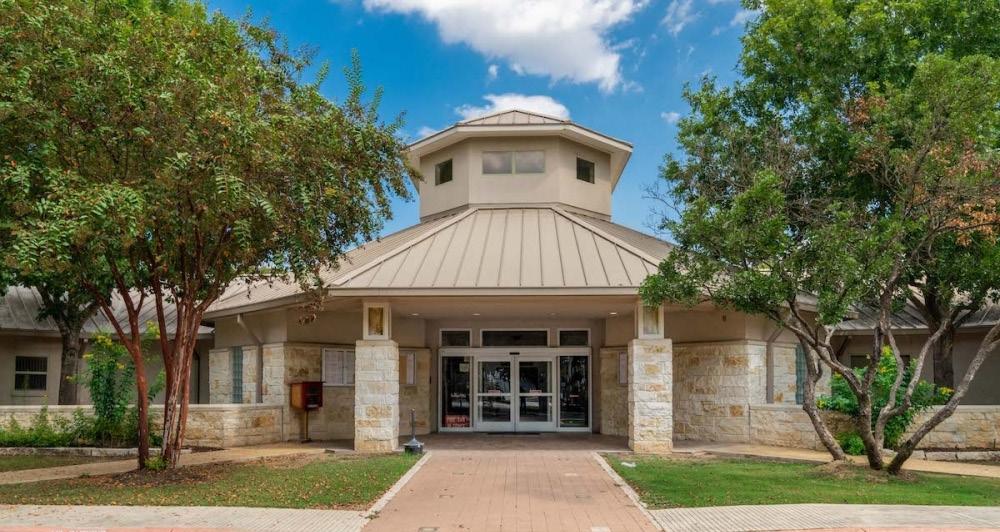
Source: https://communityimpact.com/
During Community Dialogue 1, some residents mentioned that they would like to see more daytime destinations in Old Town, like retail and coffee shops.
The City is developing the Town Creek Trail to connect surrounding neighborhoods and parks with Old Town through a network of hike and bike trails.
A long-range plan has been created to establish a linear trail system that will allow residents to walk, hike, and bike along paths linking neighborhoods to City parks and Old Town.
The Town Creek Trail will feature approximately 2 miles of tenfoot-wide hike and bike paths that connect to existing trails in Schlather Park. The trail will extend south to FM 1103, through Old Town, past FM 78, and further south of Schaefer Road near the Cibolo Sports Complex.
Access to the Town Creek Trail from N. Main Street is located just south of HEB and also on Santa Clara Street, which will enhance connectivity between Old Town and the linear park
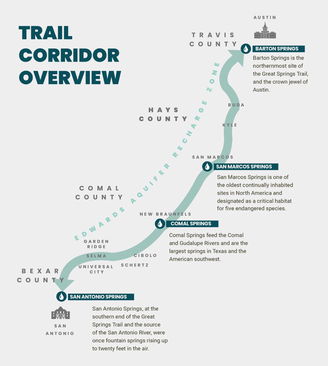
The City has the opportunity to connect into the larger regional hike and bike trail network through the Great Springs Trail Corridor project.
The Great Springs Trail Corridor aims to establish a continuous 100-mile trail for hiking and biking that will connect Austin and San Antonio by 2036. This trail will link the region’s four springs: Barton Springs, San Marcos Springs, Comal Springs, and San Antonio Springs. The proposed route runs north of Old Town, but the plan also highlights existing pedestrian connections along Cibolo Valley Drive and Main Street as essential links to key origin and destination points.
Enhancing regional connectivity through the Great Springs Trail is a significant benefit for Old Town. It will improve access for the cycling community that uses the current trails and attract more visitors from the surrounding regions to Old Town.
greatspringsproject.org/
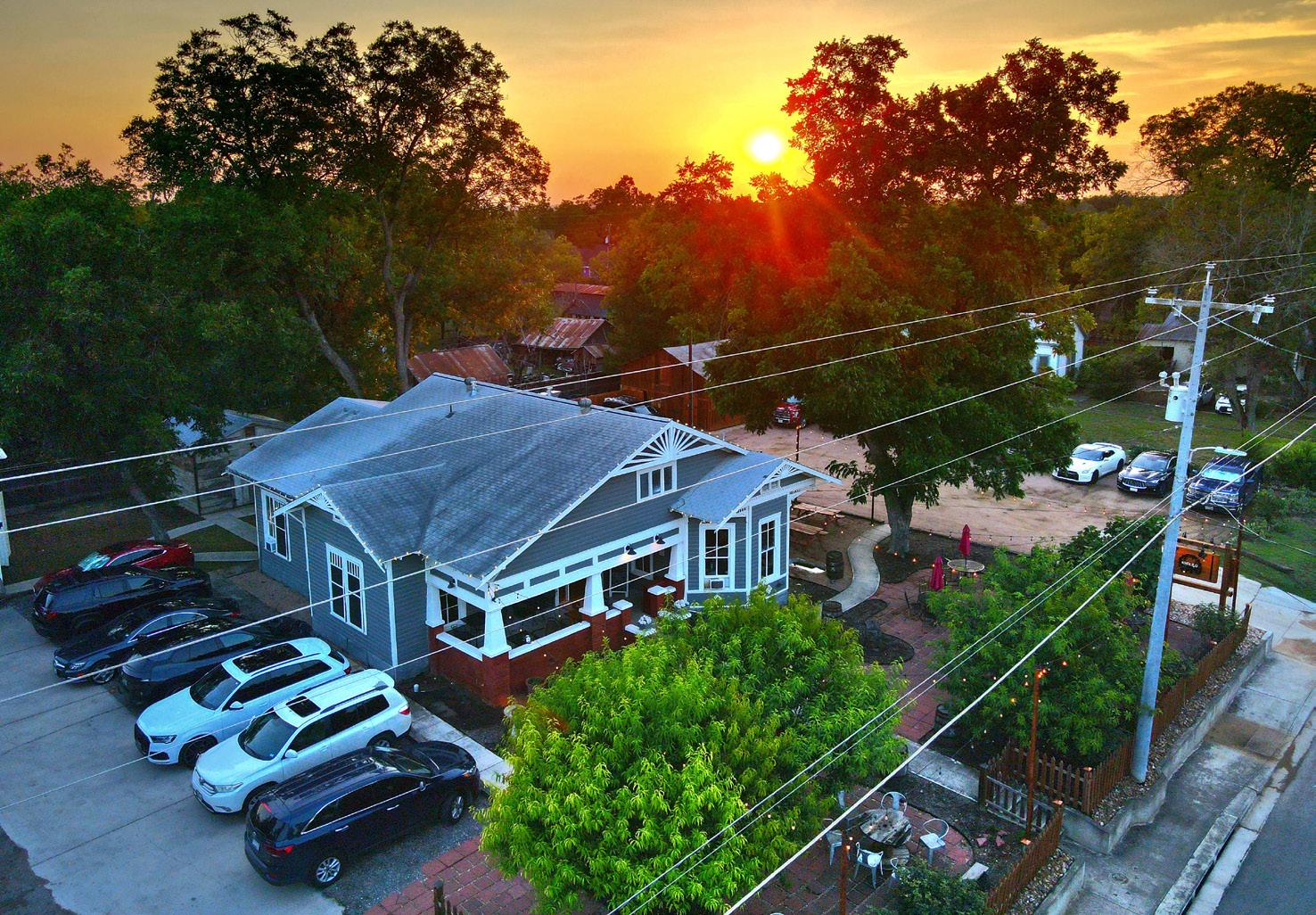
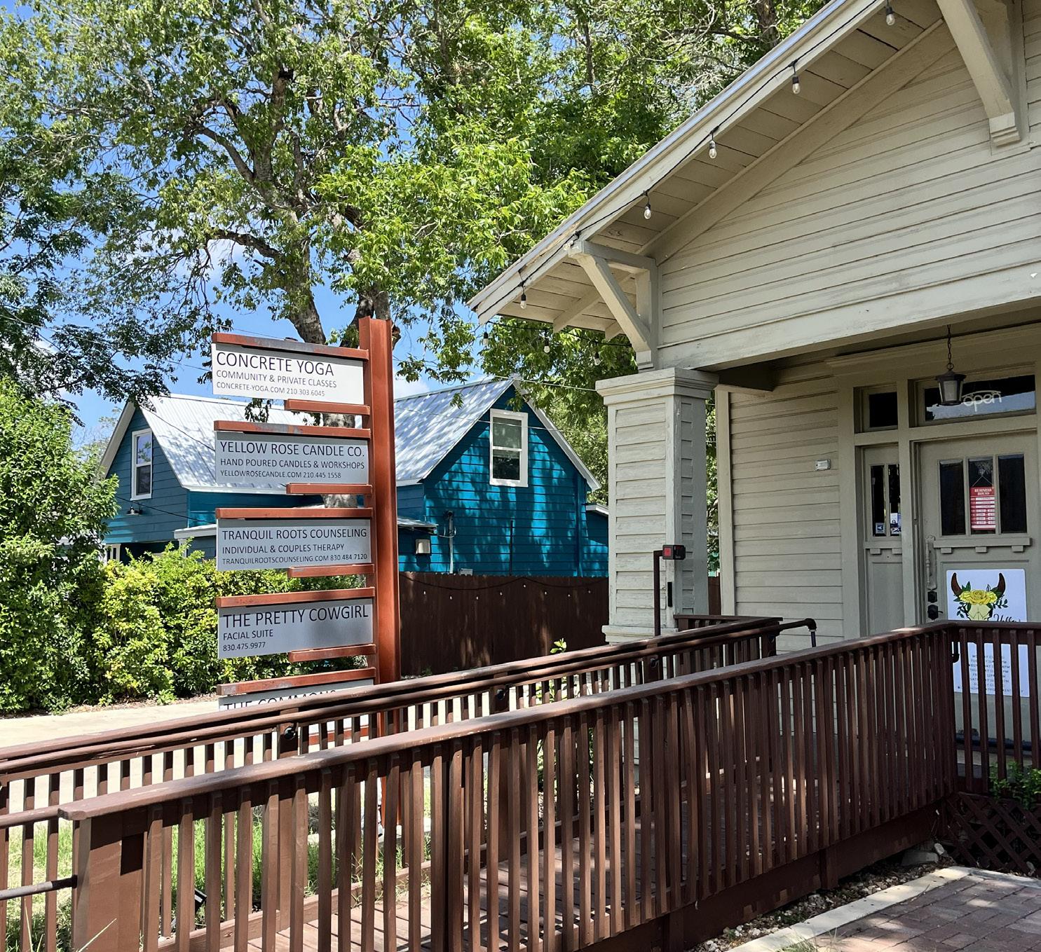
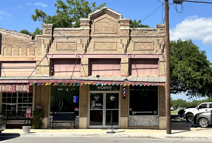
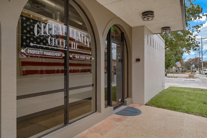
The majority of the businesses in Old Town are located in historic buildings that were once used as single-family residential.
Over the years, many single family homes have been repurposed into businesses throughout the area. A number of homes are occupied by two to four small businesses.
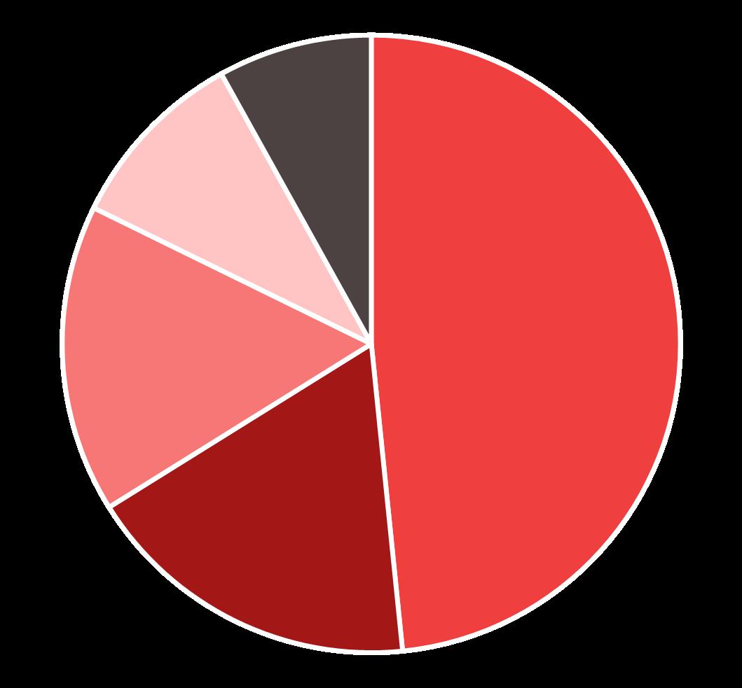
The majority of the businesses in Old Town are services, followed by restaurants and retail. Most of the businesses are located along Main Street, but there are also a number located on Pfeil Road and Rawe Avenue.
Tax Revenue per Acre
Low-density development patterns and a significant area occupied by the railroad contribute to the low average property tax revenue per acre in Old Town compared to other commercial development patterns in the city.
However, Old Town features parcels with the highest property tax revenue per acre in the city, as demonstrated by the two buildings shown on the next page. The property tax revenue per acre for these sites is $18,165 and $9,412, respectively. This high revenue per acre is attributed to the character of Old Town’s development, which includes smaller lots that are fully occupied by buildings. Parking and detention areas can be efficiently accommodated in shared spaces.
When compared to other commercial development patterns within the city, Old Town’s average revenue per acre is still lower. Several parcels that generate lower tax revenue per acre are larger or vacant lots, indicating potential opportunities for future increases in property taxes through targeted infill development.
It is also important to note that 19.7 percent of the area in Old Town is City-owned. These parcels do not generate any property tax revenue, which contributes to the overall lower average. Also, 32.2 percent of the land in Old Town is vacant which affects the average property tax revenue.
A majority of the parcels in Old Town have an improvement value to land value ratio below 2.0.
When thinking about potential opportunities for new development or redevelopment, the ratio of improvement value to land value is an important indicator to track. Figure 34 shows land with an improvement value to land value ratio of 2.0 or less, indicating a higher likelihood of redevelopment. Much of this land is located in the southwestern portion of Old Town, along FM 78, Loop 539, and Pfeil Road.
$1,200,000
$1,000,000
$800,000
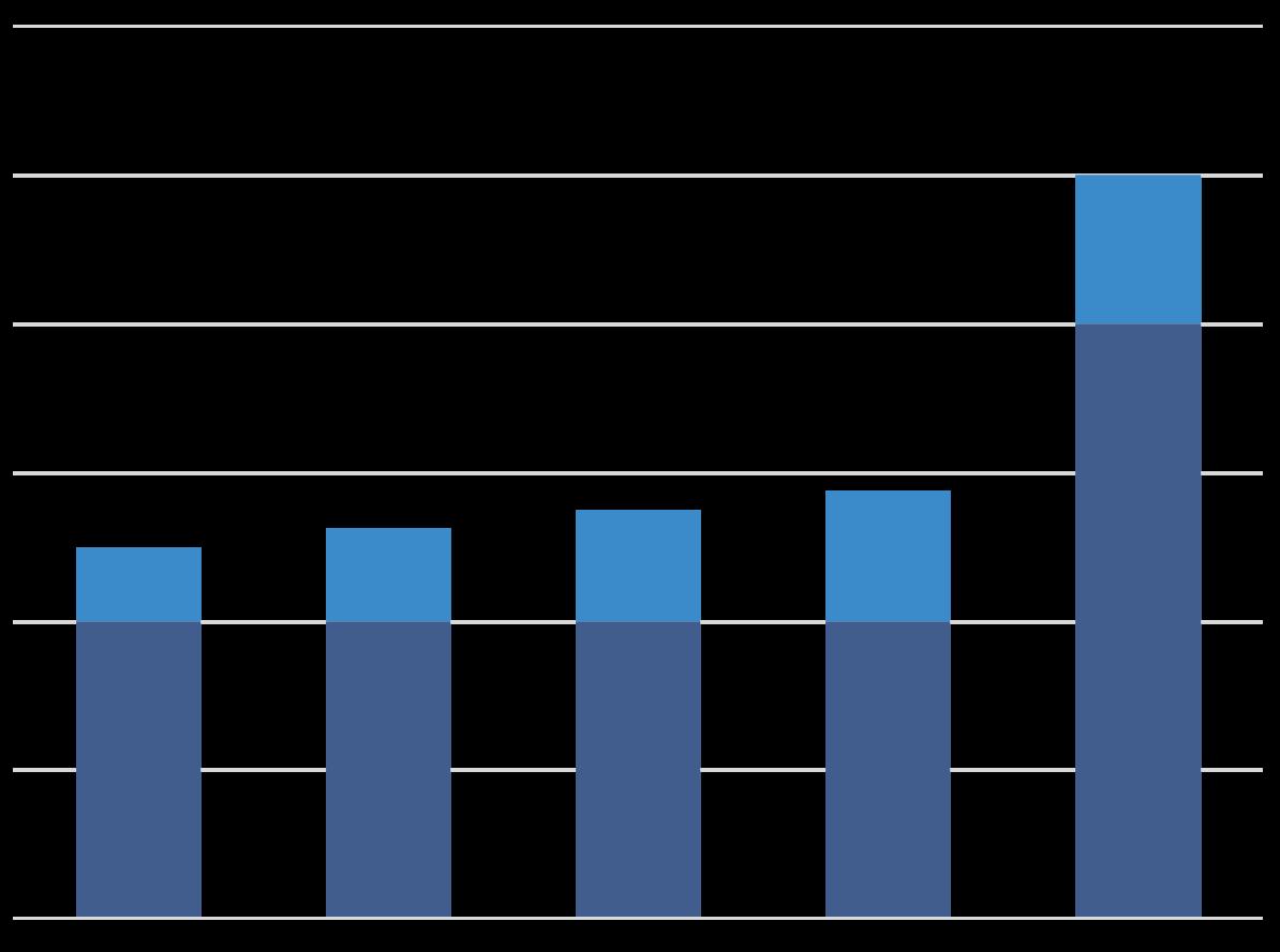
Consider a property valued at $500,000, with the improvements valued at $400,000 and the land valued at $100,000. This results in an improvement value to land value ratio of 4:1. The property is stable, and the owner has a strong incentive to continue improving and maintaining it in order to preserve its overall value. As Old Town continues to flourish, there is likely to be an increased demand for land within the area. In a healthy scenario, this increased demand could encourage further investment in existing buildings, leading to an increase in both improvement and land values, thus maintaining the same overall ratio.
However, if increases in land value significantly outpace those in improvement value, a tipping point may be reached. At this point, it may become more economically advantageous to redevelop the property with larger, new buildings to restore the ratio to a more balanced state. Figure 34 highlights properties where, according to the appraisal district, the improvement value to land ratio is 2.0 or lower.
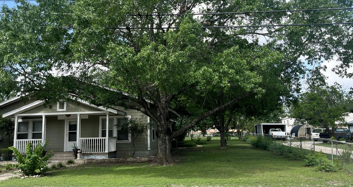
Most homes in Old Town are single-unit dwellings, although there are multi-unit buildings located nearby.
There are approximately 135 residential units in Old Town. The residential zoning districts within Old Town include medium density residential and high density single-family residential. According to these regulations, the maximum number of units allowed per acre in Old Town without a conditional use permit is 5.5. This limit is the lowest among its peer communities, with Seguin having the next lowest at 8 units per acre.
The Cibolo Tomorrow Comprehensive Plan outlines appropriate “missing middle” housing types for Old Town, including live-work housing and accessory dwelling units (ADUs).
Two significant residential developments located within close proximity to Old Town, Steele Creek to the east and Red River Ranch to the south.
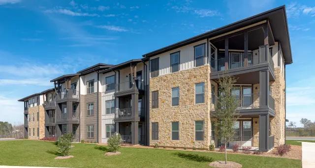
Source: https://www.apartmentlist.com/tx/cibolo
Old Town has less area within a five-minute walk to a park than the majority of its peer communities.
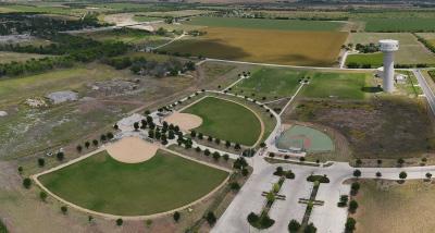
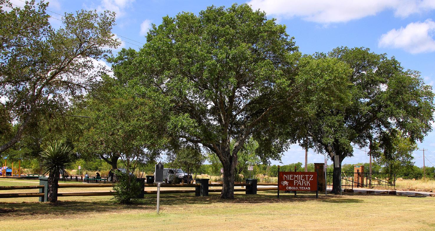
The only park within Old Town is the Cibolo Multi-Event Center. The nearest major park is Niemietz Park, located on the southwestern edge of the study area. However, there is no safe access for active transportation to Niemietz Park, as it is situated on the other side of FM 78.
Currently, the City is working on a plan to create a linear trail network that will connect Old Town to Schlather Park and the Cibolo Sports Complex. This new trail will improve access for residents of Old Town to existing parks. However, there are no plans currently to establish a park within the Old Town area. A Parks & Recreation Master Plan is a planned initiative per the City Council Strategic Plan, and will follow the adoption of the Old Town Plan.The Strategic Plan also includes an initiative related to exploring enhancement options for the pond near H-E-B, which will connect to the Town Creek Regional Trail project. This will be incorporated into the future Parks & Recreation Master Plan.
Old Town faces chronic flooding due to its location between Town Creek and Cibolo/Dietz Creek.
It is situated within two watersheds, the Upper Santa Clara Creek Watershed and the Dietz Creek/Cibolo Creek Watershed. Old Town relies on a mixed conveyance system that primarily consists of surface conveyance, such as shallow roadside ditches, along with limited stormwater infrastructure throughout the city.
Even though the entirety of Old Town faces drainage challenges, there are three sub-areas with distinct characteristics: Downtown Core, South Corridor, and Upper Old Town. The Downtown Core experiences frequent ponding due to the flat topography. FM 78 in the South Corridor acts as a dam, impeding southward flow, and in Upper Old Town, stormwater is managed through shallow roadside ditches, which result in ponding after heavy rainfall.
Originally, Main Street was designed to collect runoff from the western portion of Old Town. However, this design is no longer suitable, given the level of vehicular traffic, and compromises the development of a safe and inviting environment for pedestrians. This situation causes significant challenges for people trying to access businesses and services in Old Town during flood events. Percent of Old Town within the 100-year Floodplain:
Benchmark City Downtown Percentage of Acreage in Floodplain
Space for surface stormwater solutions is extremely limited due to buildings constructed to the lot lines and exceptionally narrow rights of way.
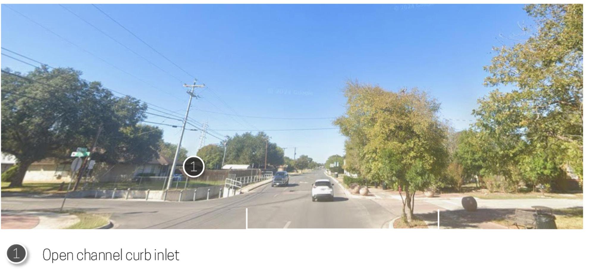
Main Street was originally designed to act as a collector for runoff from the western portion of downtown, particularly areas west of Main Street that naturally drain toward it. However, the street lacked sufficient capacity to convey stormwater eastward t o Town Creek. This deficiency led to the installation of a large curb inlet at the intersection of Main Street and Schlather Road.
Despite this intervention, the intersection still experiences several feet of submergence during storm events. This level of flooding is incompatible with the current volume of vehicular traffic and undermines efforts to create a safe and inviting pedestri an environment. If this project were reconsidered today, it is unlikely that the same design approach would be deemed appropriate
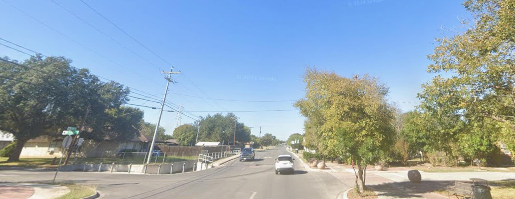
Street in Old Town faces recurring flood challenges due to outdated drainage design and its location within two major watersheds.
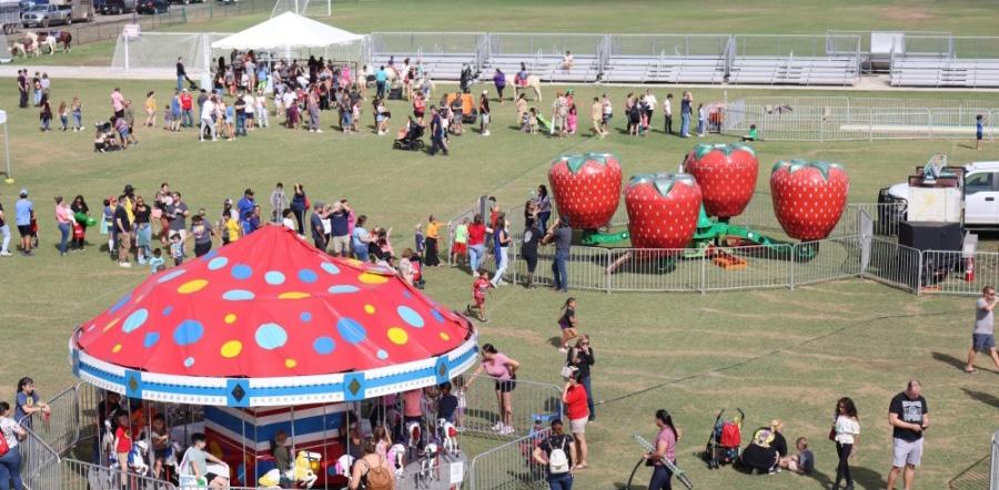
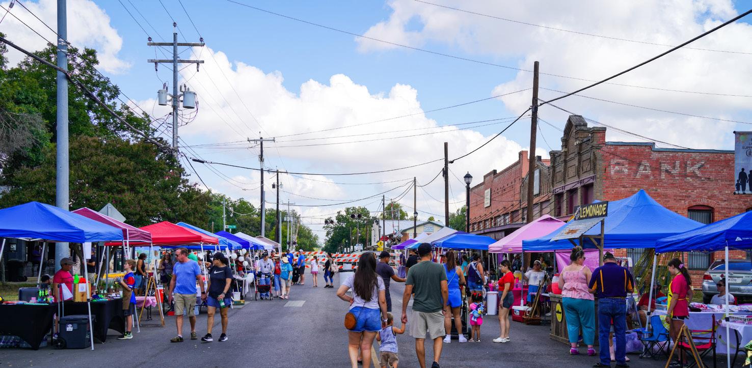
Cibolo draws in visitors throughout the year for numerous events.
The city’s events draw a diverse crowd, encompassing both local residents and guests from across the region. Most of these events take place at the Cibolo MultiEvent Center, where popular events like Cibolofest and Cibolo Summer Nights are held.
Additionally, there are numerous events hosted by other groups throughout the year, including farmers’ markets that provide local business owners to sell goods and connect with the community.
Source: https://communityimpact.com

www.mysanantonio.com
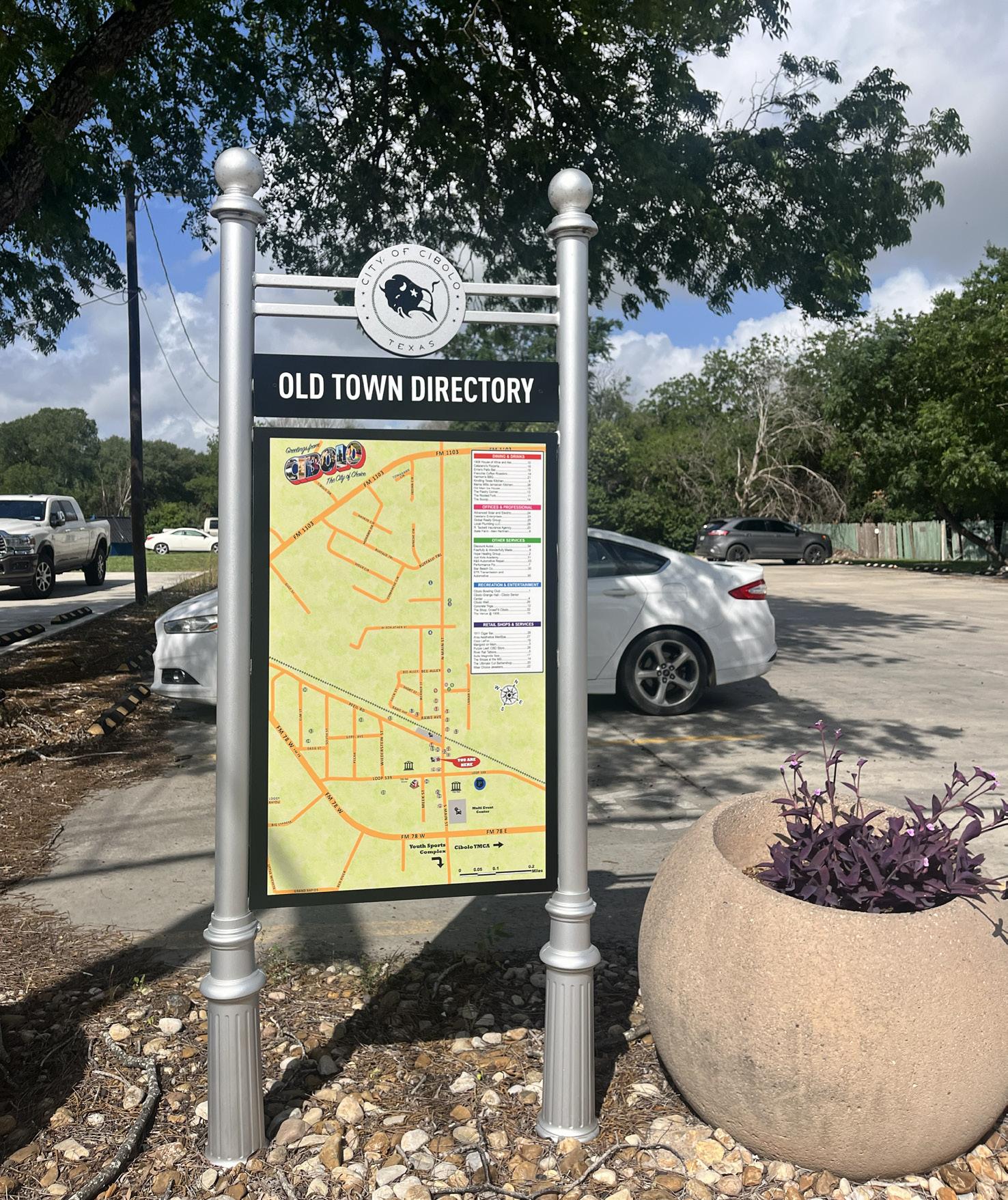
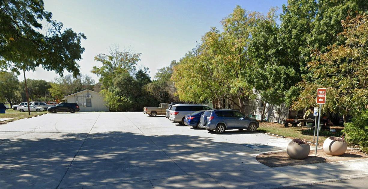
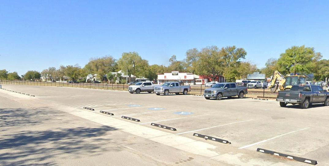
Old Town offers several parking options, including public lots, on-street parking, and private lots. However, limited signage and the private ownership of some lots can make it difficult for visitors to find parking.
In total, there are four parking lots in Old Town: one is privately owned, two are owned by the City, and one is leased to the City by the Union Pacific Railroad. Additionally, many businesses in Old Town have private parking lots that they often share informally with neighboring businesses.
There are only a few signs indicating parking locations, which can make it challenging for residents and visitors to locate available parking.
97 percent of poll respondents stated they parked in a parking lot versus onstreet parking.
Key Parking Inventory
• Multiple Private Lots
• Two City Managed Lots
• Limited On-street parking !
Parking Demand
City Hall
Soccer Fields
Restaurants
Shops
Other Businesses • Community Events
This chapter outlines the recommendations for the Cibolo Old Town Plan to help the City achieve the goals established at the beginning of the planning process.
These recommendations are organized into three frameworks: Greenspaces, Connectivity, and Signage and Wayfinding. Each section contains relevant framework plans. Following these sections, several implementation strategies are outlined to implement this plan.
Invest in Infrastructure
Support Business and Vibrancy
Policies, strategies and actions outline how development should be accommodated within the city. These are part of the implementation plan.
• Policy Statements are outlines and guidance for the City as they make important decisions. Policy statements should be referred back to when decision makers are evaluating development proposals.
• Strategies are found within each chapter and outline how the City will implement the goals of the plan. These strategies should be utilized by City Council to determine their priorities for the year.
• Actions are projects, programs, and policies that correspond with each strategy. City staff should refer to these actions to address the strategies that the City Council wants to prioritize.
Plan Amendments
The City Council may approve amendments for unique or extraordinary situations that were not anticipated when the Plan was adopted. Proposed amendments should meet the spirit and intent of the goals and policies of the Plan.
The process for amending the Plan is as follows:
1. A pre-application meeting is attended by Staff and the applicant requesting the amendment.
2. An application for a plan amendment is received by City Staff (if amendment is not city-initiated).
3. Public notice is provided in accordance with State law and City ordinances.
4. City Staff prepare an analysis of the requested amendment and provide it to Cibolo’s Economic Development Corporation board. The analysis should consider the following.
• The need for the proposed change;
• The effect of the proposed change on the need for City services and facilities;
• Whether the proposed change is consistent with the intent of the goals and policies of the Plan;
• The implications, if any, that the amendment may have for other parts of the Plan; and
• A descriptions and analysis of unforeseen circumstances or the emergence of new information (such as a significant economic development opportunity).
5. Cibolo’s Economic Development Corporation board holds a public hearing(s) and makes a recommendation to City Council.
6. City Council holds a public hearing(s) and makes a decision regarding the amendment. If the decision is to amend the Plan, the amendment is adopted by ordinance.
If a Plan is to have value and remain constructive over time, it is imperative to monitor progress on its many recommendations. Implementation of Cibolo’s Old Town Plan should be thought of as an ongoing process and not as a one-time event. The Plan is not an end in itself, but rather the foundation that will guide ongoing, more detailed planning. Without the evaluation and feedback loop, the plan can soon become out of date. For this reason, the Plan must be structured to respond to changing needs and conditions.
Heart & Hub
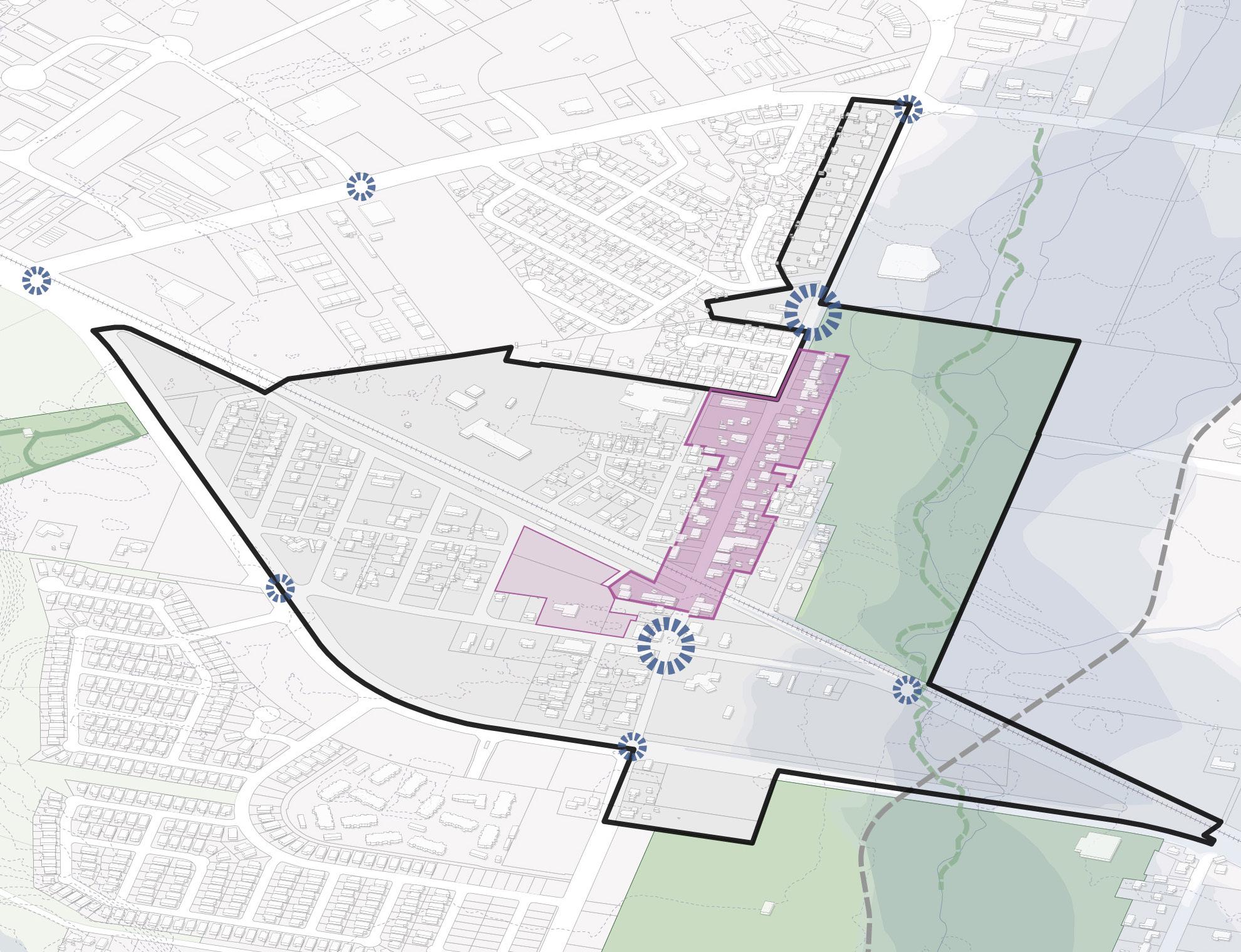
This plan outlines a vision for Old Town centered around creating spaces for community gathering and growth. The boundaries of Old Town have been expanded to incorporate areas essential for its cohesion. This framework consists of three main components aimed at enhancing community: greenspace, connectivity, and signage and wayfinding.
By implementing this framework, Old Town will transform into the vibrant heart of Cibolo for residents and visitors alike, creating new experiences while preserving its unique character. The following projects will support the implementation of this plan.
1. Connected Trail Network - A dedicated shared use path activating the surrounding open space and connecting people to Old Town.
2. New Trailheads - Connections to the larger trail network within Old Town.
3. The Hub - A public / private partnership to develop a central hub for Old Town.
4. Old Town Gateway Signage - Gateway signage letting visitors know that they have arrived in Old Town.
5. Old Town Wayfinding Signage - Smaller wayfinding signage directing visitors to key landmarks and parking.
6. Major Street Enhancements - Planned enhancements to major street corridors to support economic development and placemaking.
7. Minor Street Enhancements - Support current and planned local business and provide access to parking areas and strong pedestrian connections.
8. New Street Connections - New street connections provided greater access and connectivity to Old Town.
The Framework should serve as a central guide for Old Town’s future—establishing both the vision and the practical steps needed to achieve a vibrant, communityfocused district. The Heart and Hub approach reinforces Old Town as the true center of Cibolo by preserving Main Street’s historic charm while creating a welcoming community hub that serves residents first. - Participant from Stakeholder Dialogue 2
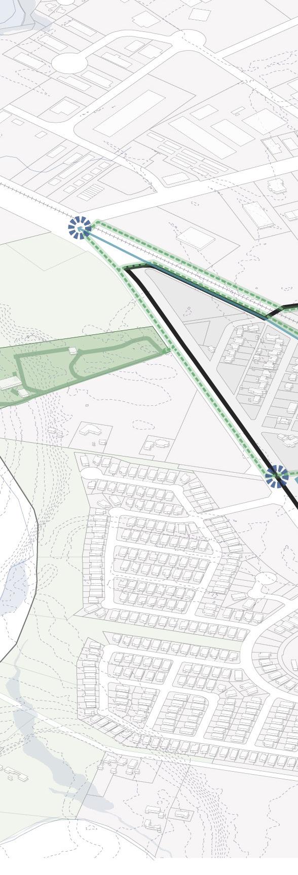
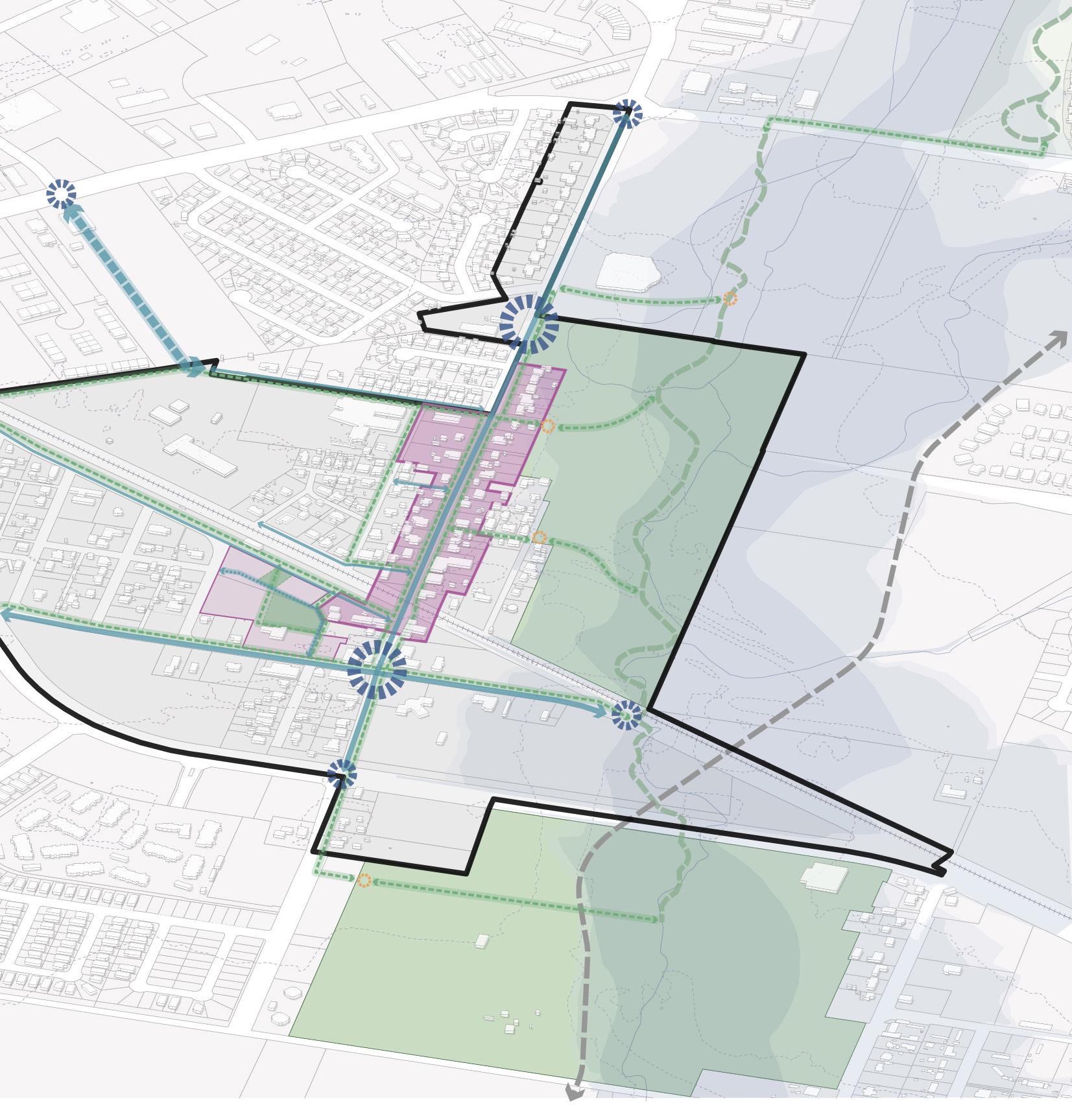
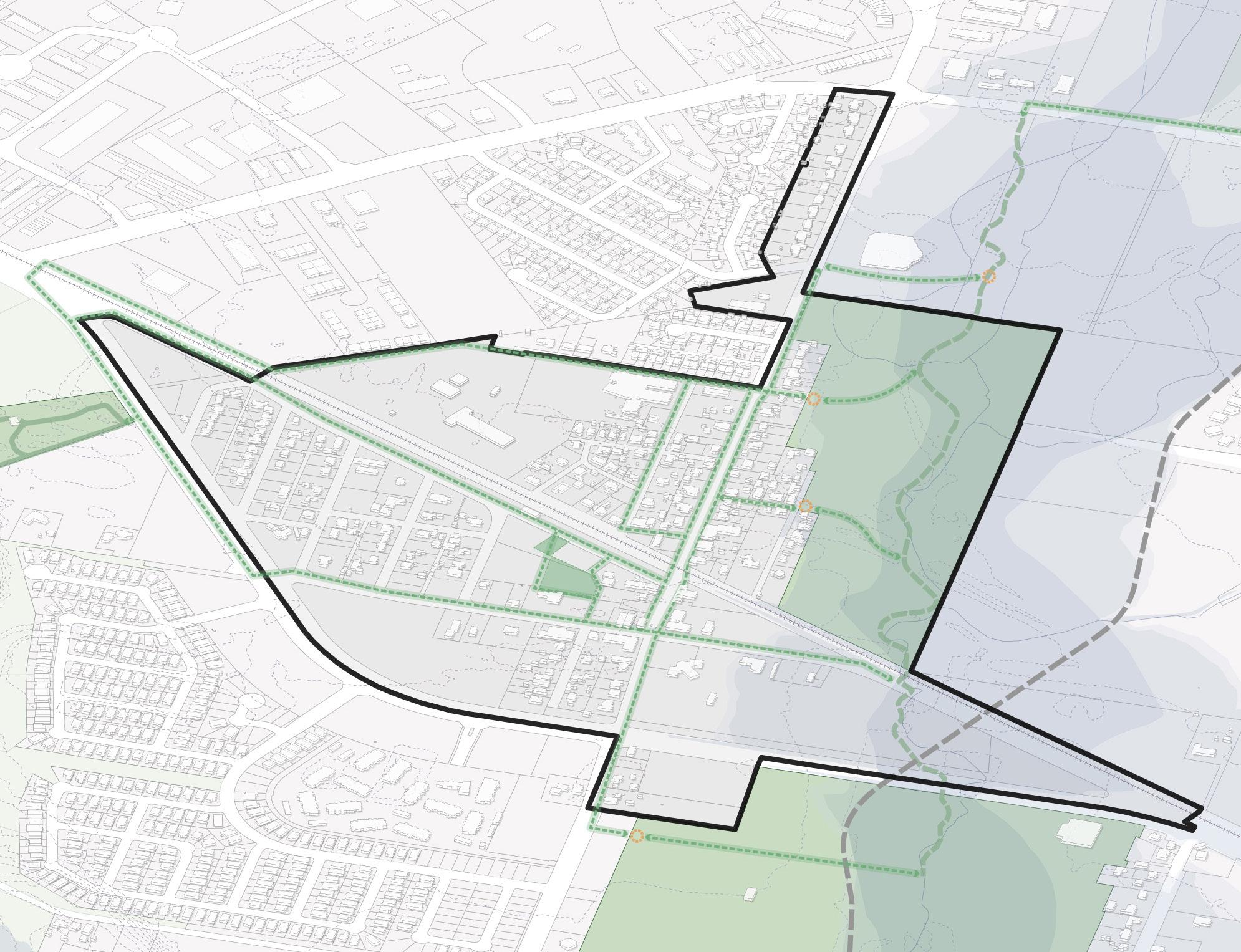
Creating new parks and open spaces in Old Town, along with connecting them to nearby green areas, will attract more visitors. This framework envisions a vibrant park in the heart of Old Town and a loop trail linking to other parks, ensuring a safe experience for pedestrians and cyclists.
Investing in these green spaces will increase foot traffic, enhancing the area’s livability and economic vitality, benefiting local businesses and enriching the community overall.
Clearly marking the entrance to Old Town is vital for distinguishing it from the surrounding city. A well-designed signage and wayfinding system should welcome visitors and highlight key locations that define its unique character. Monumental signs can greet visitors, directing them to parking areas, while street signs guide them to restaurants, parks, and shopping.
This approach ensures visitors can easily find Old Town, park their cars, and enjoy various activities upon arrival.
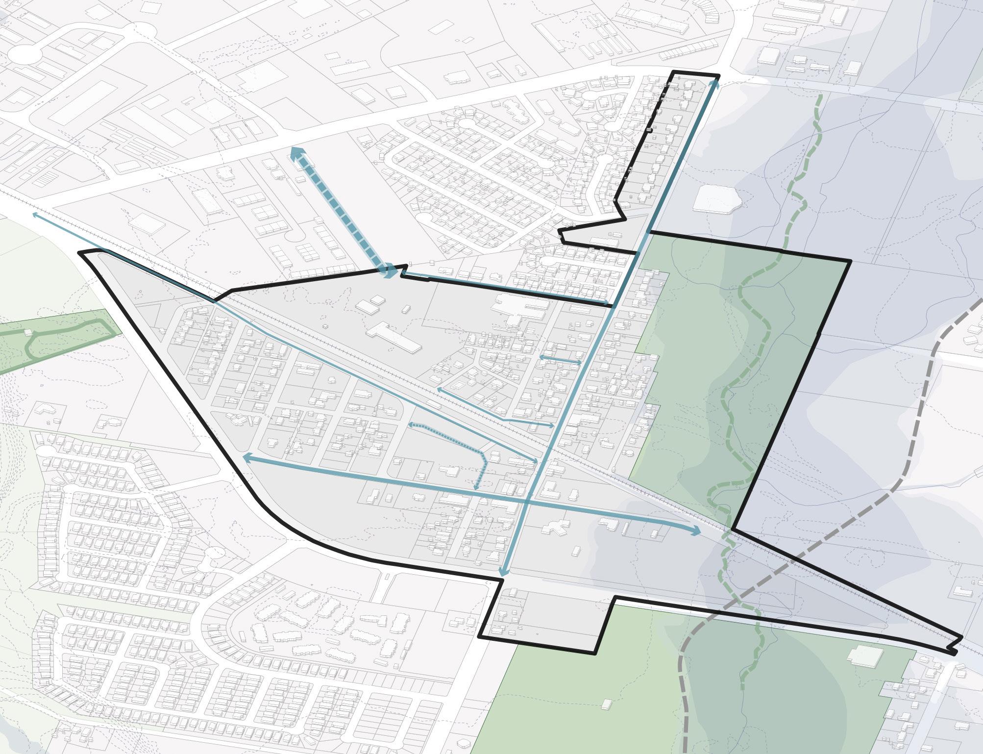
To attract more visitors to Old Town, it is essential to create new connections and enhance existing ones for various modes of transportation, not just vehicles. The connectivity framework outlines several proposed improvements. New connections include:
• A street connecting Loop 539 to Wiederstein Street and Pfeil Road
• An extension of Schlather Street to FM 1103.
The streets designated for enhancement are:
• Main Street
• Pfeil Road
• Loop 539
• Schlather Street
• Rawe Avenue
• Bee Alley
These improvements and new connections aim to boost the vitality of Old Town by making the area more accessible and providing a safe, comfortable environment for visitors.
1. Create a New Community Hub
Old Town has several gathering places along Main Street, but no centralized hub for the community. Establishing a new community hub will serve as a shared space for residents, visitors, and small businesses. The hub will include flexible outdoor areas for markets, performances, and cultural programming, reinforcing Old Town’s identity as the social heart of Cibolo. This strategy will involve constructing new streets and pedestrian connections to improve circulation, prioritize walkability, and balance vehicular access with the pedestrian experience.
ACTIONS
PROJECT 1
PROJECT 2
PROGRAM 1
POLICY 1
Create a community event space for active daytime and evening use that reflects Old Town’s identity.
Construct new streets that connect pedestrians, cyclists, and vehicles through the site.
Further develop the vision and a strategic plan for delivering this space through a public-private partnership.
Establish design standards and a vision that can apply to any site.
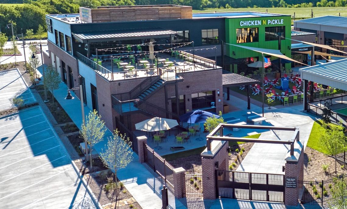
Project 1. Create a community event space for active daytime and evening use that reflects Old Town’s identity.
Cost Time
A centrally located community event space would serve as a landmark destination within Old Town, drawing residents and visitors throughout the day and evening, anchoring activity around local businesses, and providing a venue for programming and gatherings that reinforce Old Town’s identity as the heart of Cibolo. The City should prioritize this space as a foundational investment in Old Town’s longterm vitality.
Project 2. Construct new streets that connect pedestrians, cyclists, and vehicles through the site.
Cost Time
New street connections through the community hub site will extend Old Town’s walkable network and improve access for pedestrians, cyclists, and vehicles alike. In addition to supporting public uses, these streets will open adjacent parcels to private development, creating a framework that distributes activity across the site and generating broader economic benefits for Old Town.
Program 1. Further develop the vision and a strategic plan for delivering this space through a public-private partnership.
Cost Time
Realizing the community event space will require a clear delivery strategy that aligns public goals with private investment. The City should develop a strategic plan that defines the vision, establishes roles and responsibilities for public and private partners, and identifies how infrastructure, land, and design standards will be allocated, providing the framework needed to attract partners and advance the project.
Policy 1. Establish design standards and a vision that can apply to any site.
Cost Time
A clear vision and design standards are essential tools for guiding development in Old Town in a way that reinforces its character. While creating zoning district(s), the City should establish standards that address architectural form, scale, and materials, ensuring that new development on any site contributes positively to Old Town’s identity as a place defined by its historic residential fabric and small-scale commercial activity.
Economic Development Corporation, Planning Department, Public Works, Engineering
• Tax Increment
Redevelopment Zone
• City of Cibolo’s Budget Allocation
• Transportation funding programs and grants for road improvements
• Local businesses and community organizations
• Local development community
GOALS ADDRESSED
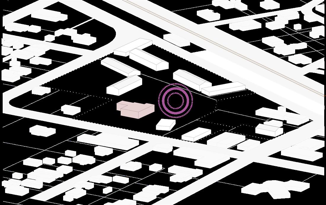
One site the City can consider for its next community hub is the City Hall Annex site. Since it is owned by the city, there are opportunities to develop the land or sell a portion of it to create additional revenue. There are also surrounding undeveloped or under-developed parcels that can be included in this opportunity as partners to the City.
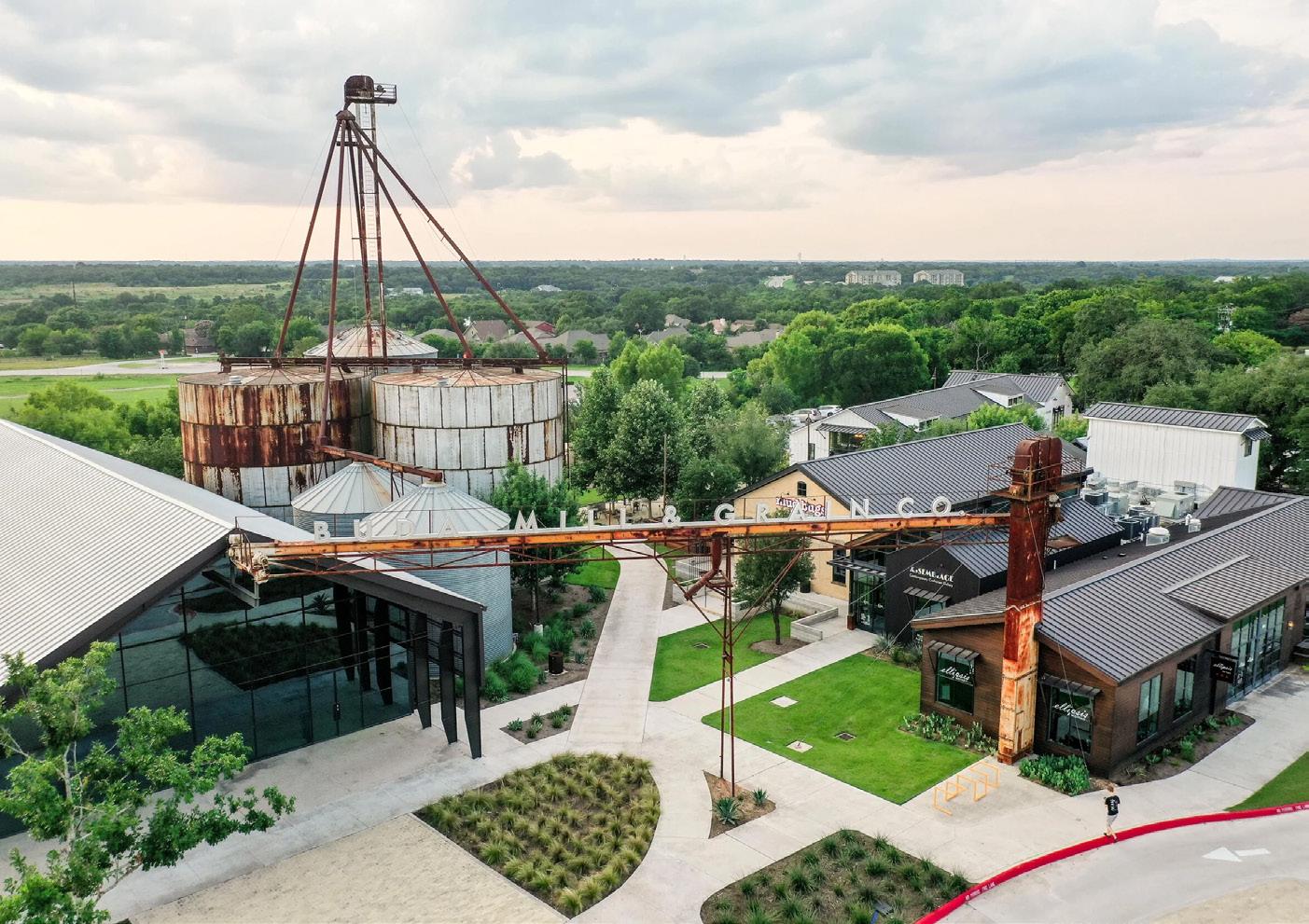
Located in a historic cotton gin, the Buda Mill & Grain Co. is a retail and restaurant destination celebrating the area’s farming, ranching, and milling past. The structures were repurposed into 30,000 square feet of marketplace retail featuring unique shops, restaurants, and local businesses in the heart of downtown Buda. This site was privately developed, but supported by the city as they worked to preserve the history of the building to create a community destination for locals and visitors.
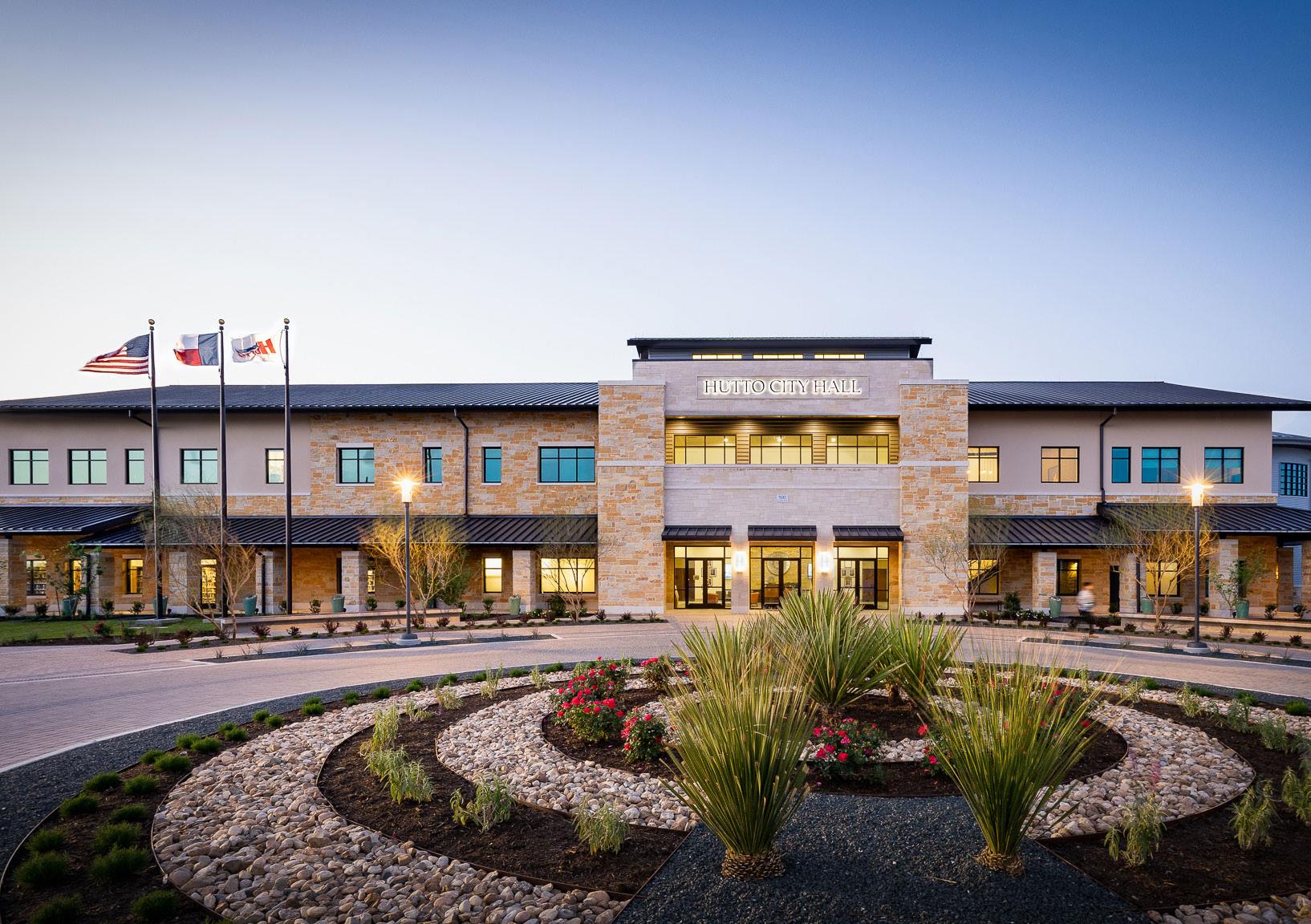
Anchored by City Hall and the public library, The Co-op District recognizes Hutto’s rich heritage and includes a public park, an amphitheater and a multi-use building. The citydeveloper partnership sought a “civic center where people can meet, attend events, and access essential services” (ihutto.com/coop).” This mixed-use development offers high-density residential, retail, entertainment, restaurants, and community spaces. This district has quickly become an economic driver of the area, attracting residents and employers to Hutto.
Developing new parks and open spaces in Old Town and connecting them to nearby green spaces will attract people to the area. This greenspace framework outlines a vision to create a vibrant new park in the heart of Old Town and to establish a loop trail linking to other local parks and open spaces, ensuring a safe and enjoyable experience for pedestrians and cyclists.
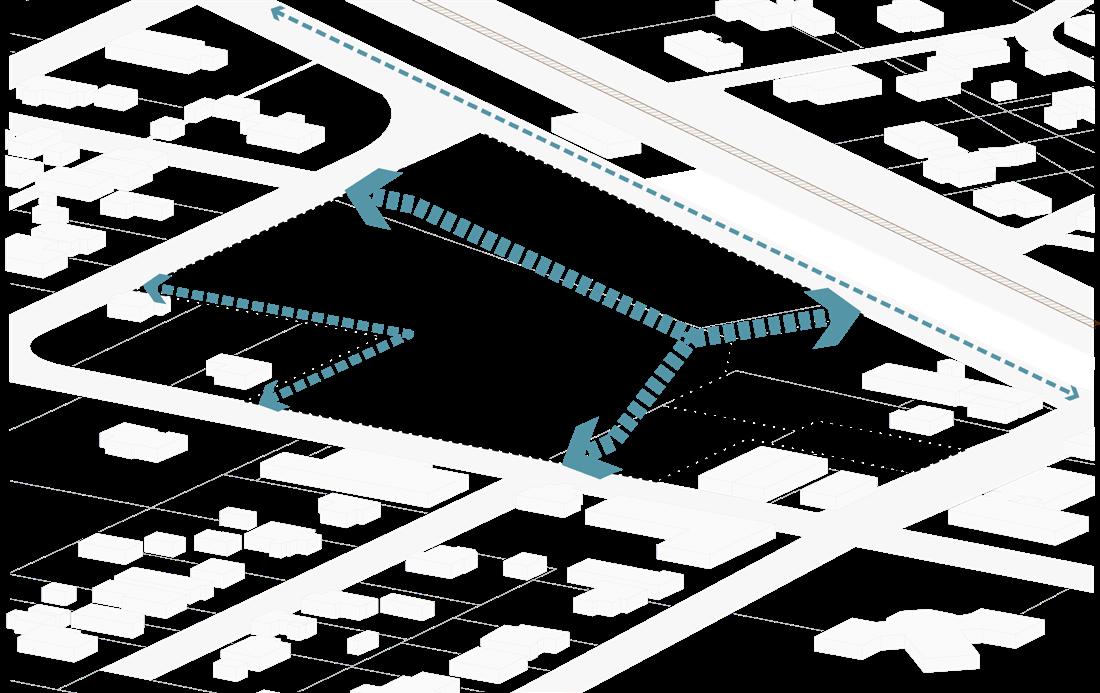
Create a connected network for vehicles, bicyclists, and pedestrians to travel through the site to the surrounding area.
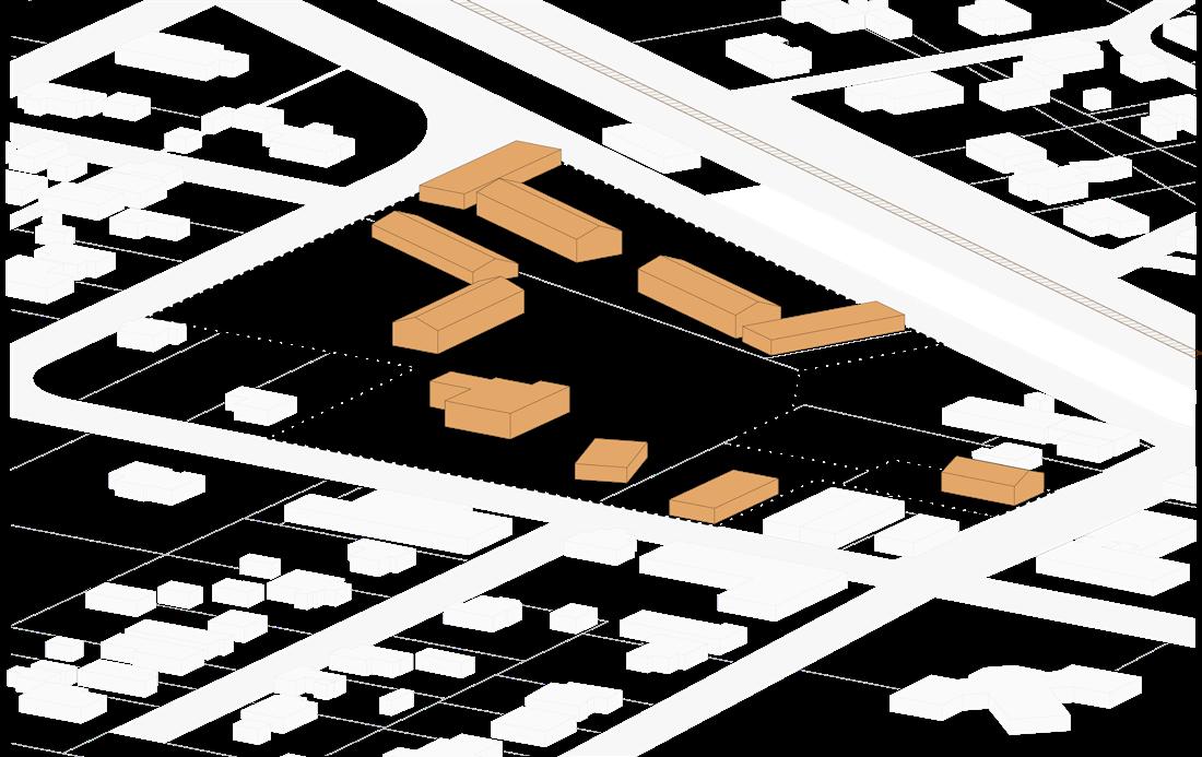
New buildings should remain in the same character and scale of the existing buildings
By investing in green spaces and enhancing connections to other parks and open spaces, foot traffic within Old Town will increase. This increase in visitors will enhance the area’s livability and economic vitality, fostering local businesses and increasing the community’s overall vibrancy.
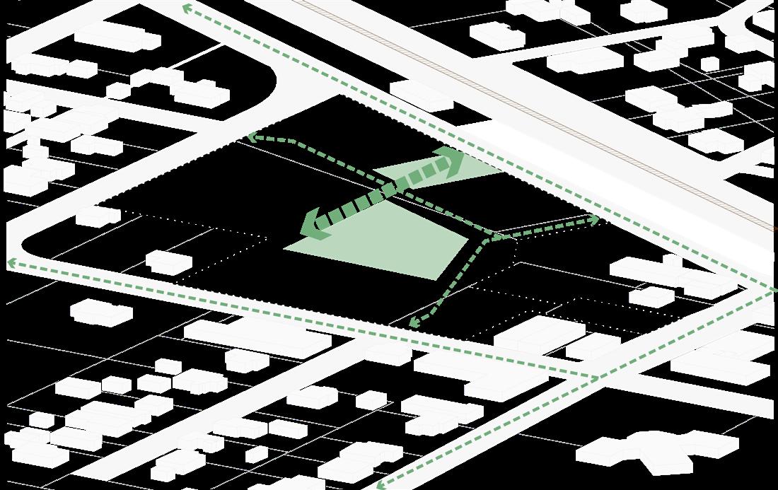
Develop park space for community gathering that connects into the larger trail network in Old Town.
This new space should function as a gathering space for community events and support local businesses.
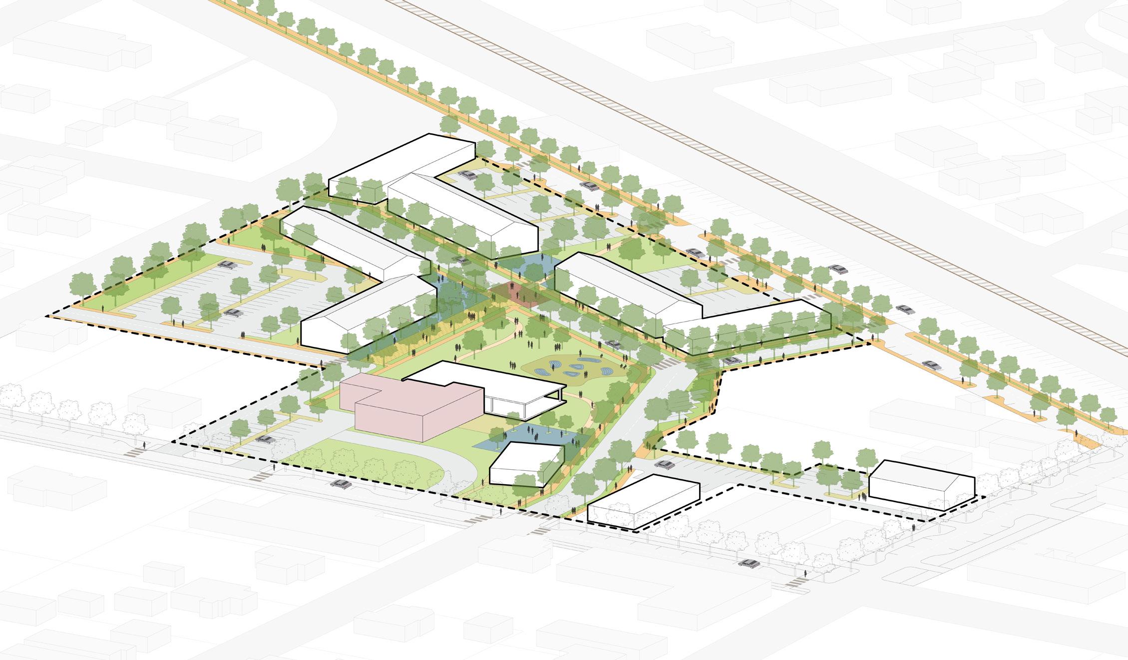
Figure 45 illustrates a conceptual vision for the Community Hub, informed by community feedback. It is intended to convey an overall direction rather than a fixed development plan. The specific form and character of future development will likely evolve in response to market opportunities, partnerships, and evolving community priorities.
While the final outcome may differ, this vision is valuable in documenting core principles, such as the creation of a vibrant central gathering place, that should guide future decisions as opportunities arise.
It is also important to recognize that this vision will not be realized all at once. The community hub will likely develop incrementally over time, through multiple phases of public and private investment and redevelopment. The following pages outline a potential sequence of phases that illustrate how this vision could be implemented over time.
Due to the growing number of families and the increase in single-family housing developments in the area, it would be highly beneficial to invest in the creation of a large community park. This park could feature amenities comparable to those found at the recently upgraded Live Oak Park, providing residents with recreational spaces, walking trails, playgrounds, and family-friendly facilities that encourage community engagement and outdoor activity. - Participant from Stakeholder Dialogue 2
Establish a TIRZ district and strategic financing plan. Establish a vision and partnership with private property owners.
City builds a new street, upgrades existing utilities and stormwater infrastructure, and adds parking on Pfeil Road as part of a public-private partnership with property owners.
New private development follows infrastructure upgrades, increasing property values and contributing to the TIRZ.
Phase 4
City develops greenspace behind the City Hall Annex and a festival street connecting the new road to the parking along Loop 539 and upgrades existing utilities and stormwater infrastructure.
Private development follows contributing to the TIRZ.
City extends new street from Phase 2 to connect to Loop 539 and upgrades existing utilities and stormwater infrastructure.
Road
Hub Overall Design
The Community Hub is designed to be a space where the community can come together to connect, celebrate, and share experiences. This space can accommodate a variety of events, from social gatherings to cultural celebrations, fostering a sense of belonging and unity among residents and serving as a cornerstone of community engagement and interaction for many years to come. Key elements of the final design include:
1. A pedestrian promenade that can accommodate food trucks and other needed event access.
2. A pavilion or stage that remains active even when no events are taking place.
3. New parking along Pfeil Road.
4. Walkable streets within a connected network.
5. A central gathering space surrounded by streets and activated retail and commercial buildings.
6. Support for redevelopment of new buildings on adjacent lots.
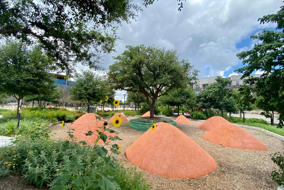
7. A new play zone for children.
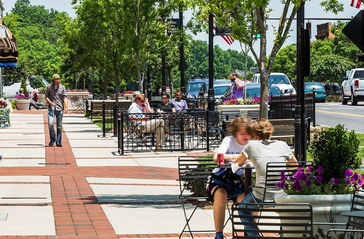
8. New plazas that can accommodate outdoor dining.
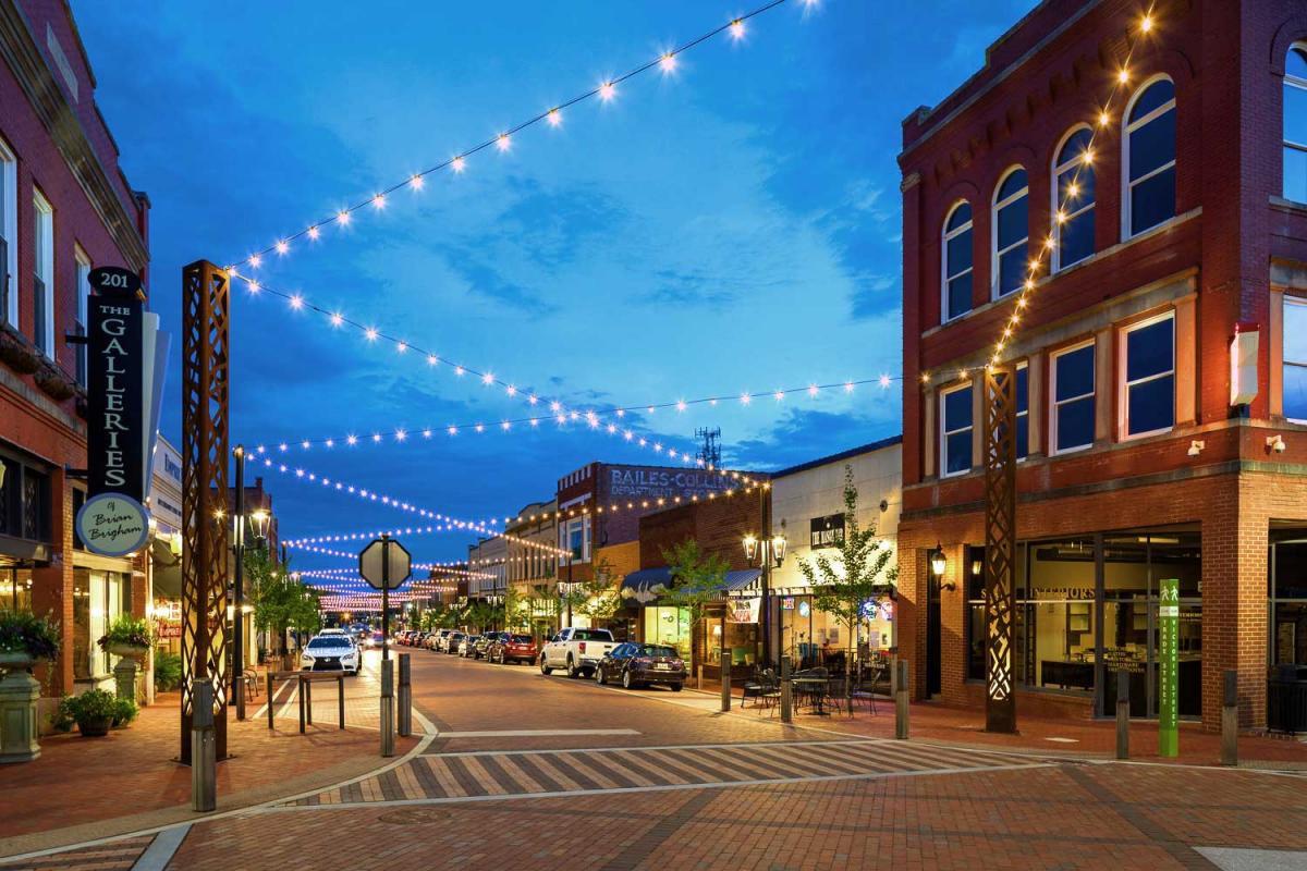
Flexible, curbless streets create a pedestrian promenade to be used as public space for festivals and special events.
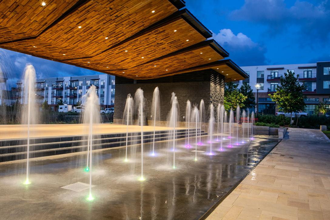
The stage area can double as a splash pad when not in use.
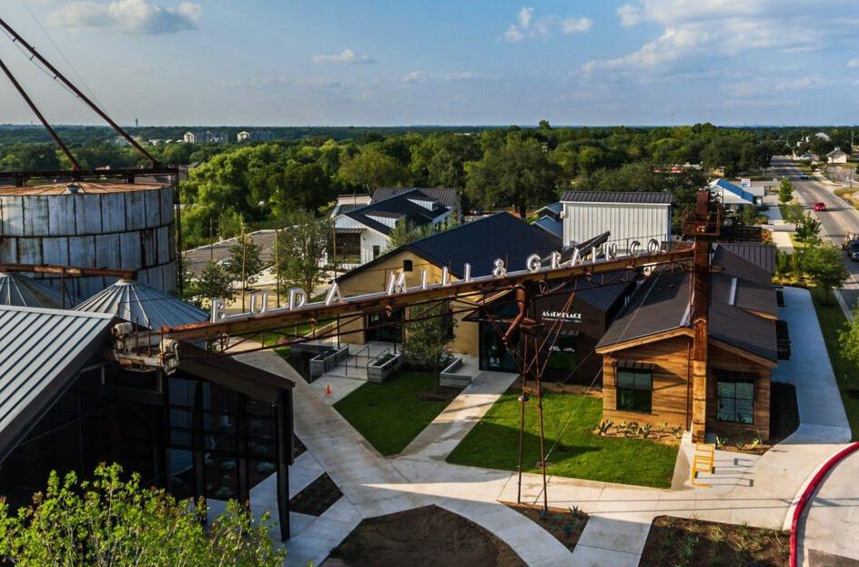
Using existing buildings and/or developing new buildings to match the character of the neighborhood creates a cohesive identity for the site.
Source: www.texasmonthly.com
There is a need for play zones within Old Town.
Old Town has undergone a number of code updates to accommodate the changing nature of the types of uses needed in the area. There is a need to review and revise zoning and development standards to ensure that new projects in Old Town complement existing character and scale. This includes establishing an Old Town zoning district, allowing new uses, and simplifying approval processes to encourage appropriate infill and adaptive reuse.
ACTIONS
POLICY 2
POLICY 3
Establish an Old Town zoning district to include gateway entries and publicly-owned property.
Establish distinct character areas that include standards to define the architectural style and built environment of each area.
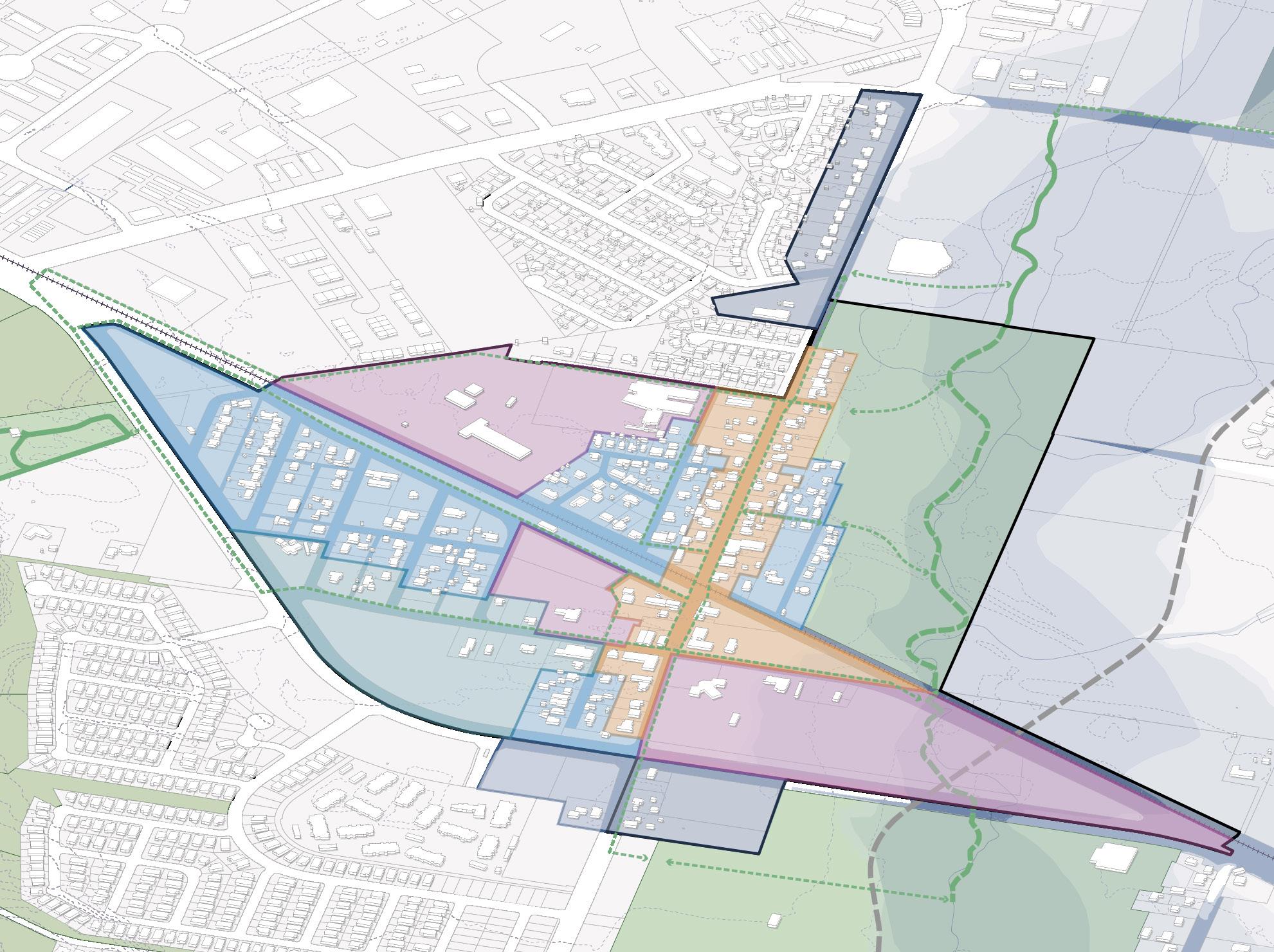
Policy 2. Establish an Old Town zoning district to include gateway entries and publicly-owned property.
Cost Time
As Cibolo continues to grow, areas adjacent to Old Town, including the northern gateway along Main Street and school district properties, are increasingly vulnerable to development that could undermine Old Town’s character. Expanding the overlay to include these areas will ensure future development is subject to appropriate standards, providing a stronger framework for protecting Old Town’s identity.
Policy 3. Establish distinct character areas that include standards to define the architectural style and built environment of each area.
Cost Time
Old Town encompasses a range of spaces that each contribute differently to the district’s overall identity. The City should define distinct character areas, each with its own architectural and built environment standards, that reinforce the unique qualities of different parts of the district while working together to form a coherent and recognizable whole.
IMPLEMENTING AGENCY Planning Department
FUNDING TOOLS
• City of Cibolo’s Budget Allocation
PARTNERSHIPS
• Local businesses and community organizations
• Local development community
GOALS ADDRESSED
This character area allows mixed-use and medium density residential along Old Town’s gateways. Civic and public green spaces integrate pedestrian and cyclists access within Old Town’s streets.
The character should define Old Town’s historic charm and character from nearby development with appropriate signage and distinguished gateway signage.
North Main Street’s character includes residential lots with mix-use options that offer access to Cibolo’s Town Creek Trail. South Main Street is situated between public facilities with land use categorized as general commercial. Streetscape improvements invite pedestrians into Old Town and activate both sides of Main Street with small retail and commercial uses.
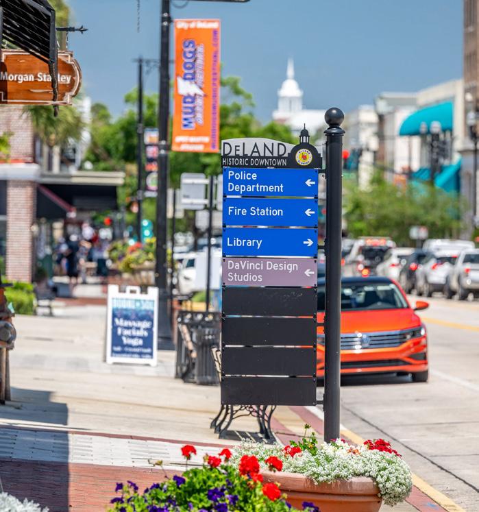
Signage on North Main Street into Old Town should welcome and distinguish itself from adjacent development and guide visitors to amenities and recreational areas. .
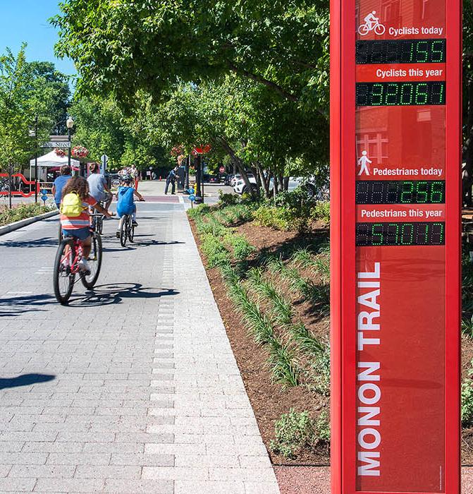
Signage should help visitors navigate between Old Town and public facilities including the City’s sports facilities, Town Creek Trail, and Cibolo’s YMCA
Land Use: Development is generally characterized by low density types including larger single-family lots, municipal buildings, and public spaces.
Built Form: Building height and mass should be compatible with adjacent buildings and development quality (architecture and landscaping) should be of a higher standard.
Mobility:
Existing streets should be connected into the larger city grid network including pedestrian trails from green space. Disconnected sidewalks with street trees should be developed to prioritize pedestrian connectivity
Public Space: Typically characterized by public open spaces like sports and recreations fields.
Main Street is the heart of Old Town, serving as a center of shopping and entertainment for Cibolo. The area is characterized by a mix of small residential and commercial buildings, with pedestrian-friendly infrastructure that creates a lively, walkable environment for residents and visitors alike.
To support local character, development and design standards should encourage vibrant facades, residential units over retail shops, outdoor seating areas, wide sidewalks, bike lanes, and public art. These elements will help create inviting public spaces along Main Street.
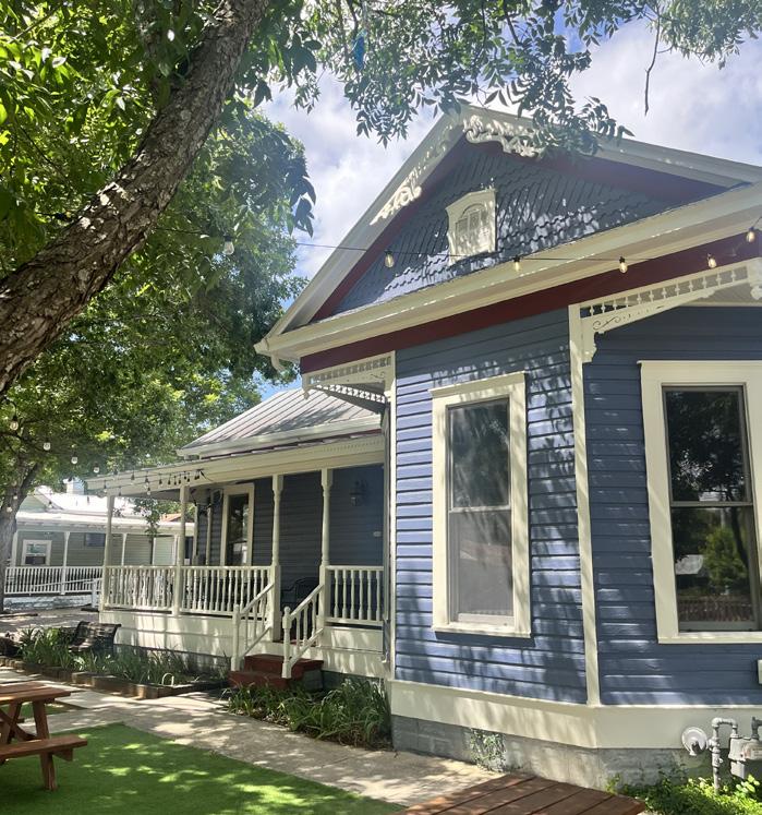
Business have re-adapted residential units, keeping the Old Town character.
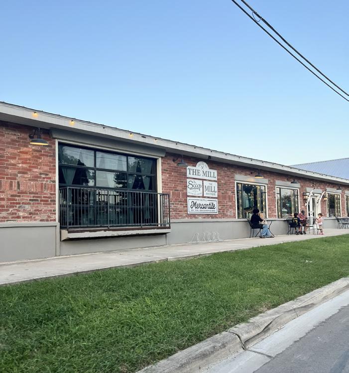
Portions of Main Street with ample sidewalk widths for pedestrians
Land Use: Land uses are characterized by a mix of uses that includes varying forms of mixed residential and commercial.
Built Form: Buildings are typically one to two stories to encourage more efficient utilization of land. Buildings are kept up to the street edge to encourage a walkable urban form.
Mobility:
Streets should provide separate facilities for pedestrians with connected sidewalks and safe crosswalks. Safe travel for bicycles should be accommodated along predetermined or shared bicycle routes.
Public Space: Public spaces and plazas are integrated into well designed civic buildings, plaza spaces, and pocket parks with a high level of amenities including benches, shade structure or trees and signage.
With a larger right-of-way the area includes recently widened sidewalk access to the City Annex and Fire Department closest to S. Main Street. The vacant land along FM 78 is suitable for extended retail and small commercial uses that connect to other parts of Old Town.
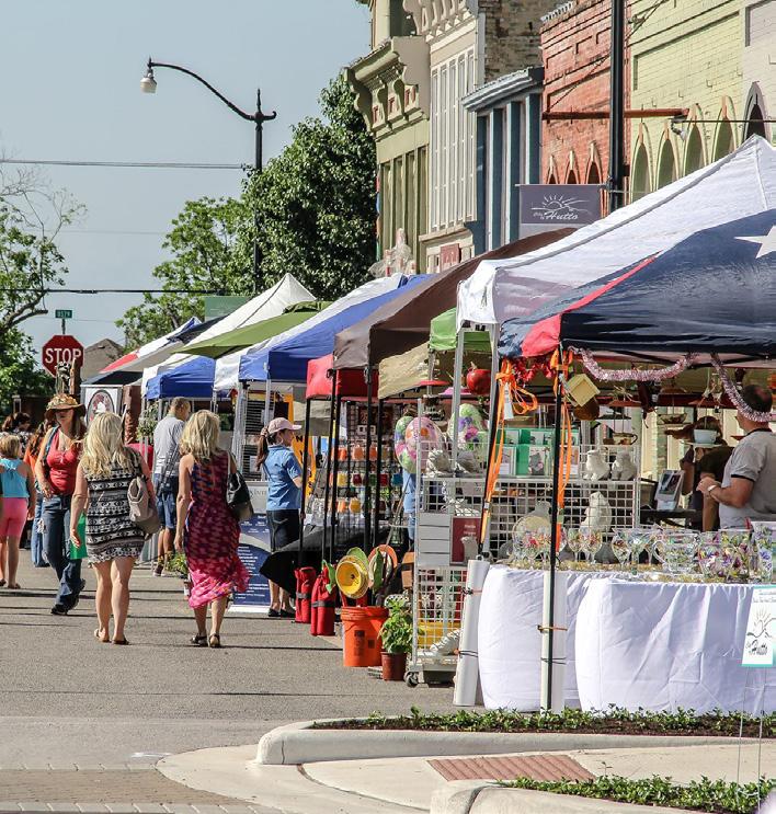
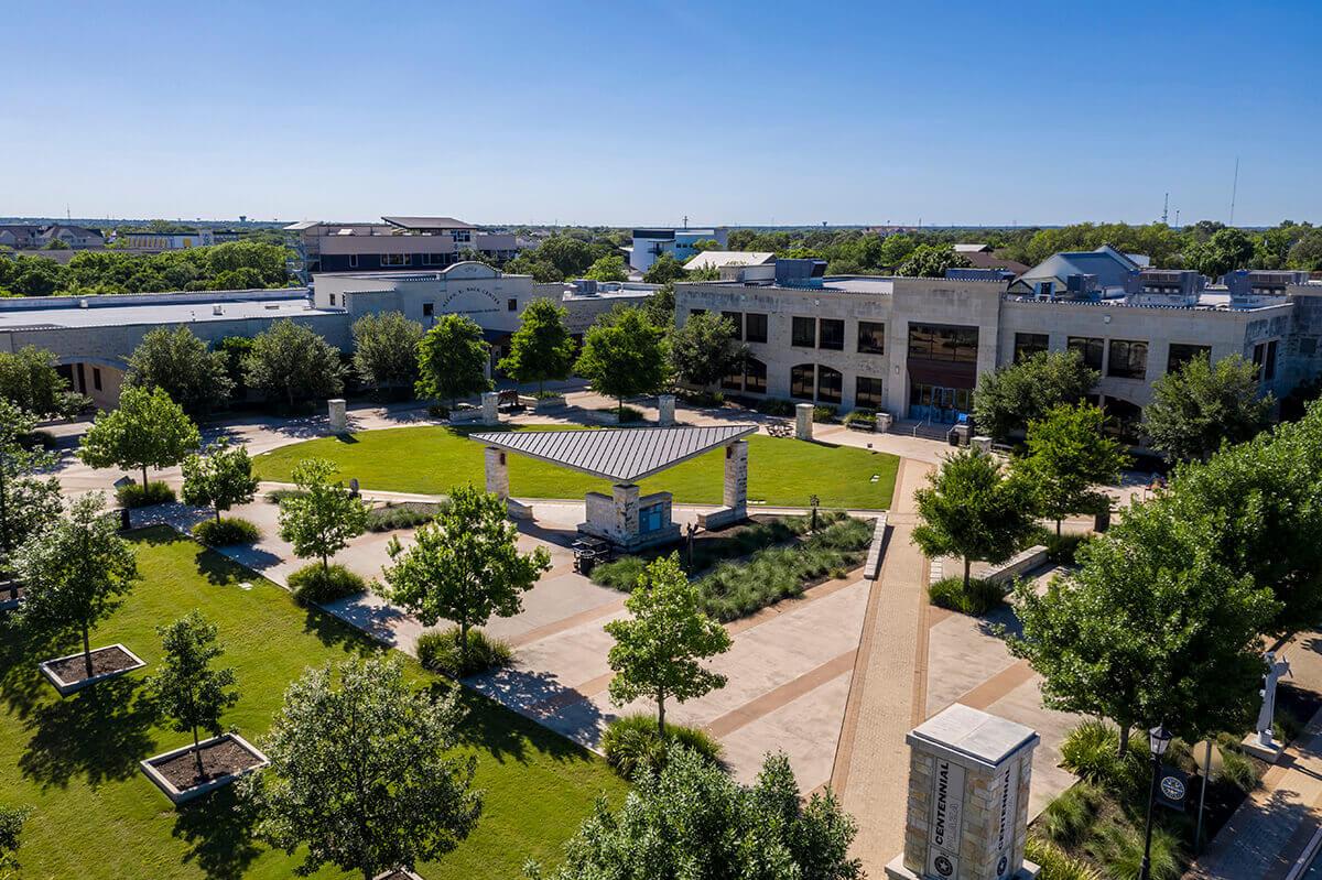
A pedestrian friendly street in Hutto’s Co-op District is activated with local business and adjacent to public services.
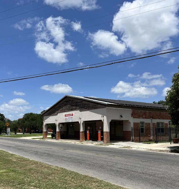
Loop 539 W connection among several public buildings has the potential for commercial growth and financing options to facilitate and maintain Old Town’s character.
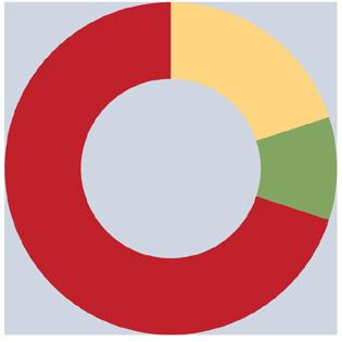
Land Use: Land uses are characterized by a mix of uses that includes varying forms of mixed residential and commercial.
Built Form: Buildings are primarily one to two stories with some three story buildings along the major corridor.
Mobility: Existing streets should be connected into the larger grid network where disconnected and sidewalk with street trees should be developed to prioritize pedestrian connectivity.
Public Space: Public spaces and plazas are integrated into the development framework as well designed and highly amenitized civic buildings, plaza spaces, and gardens.
The neighborhoods in Old Town are characterized mostly by residential buildings with a few commercial uses. The location of the neighborhoods and flexible mix-use provide opportunities for attractions for local businesses and visitors.
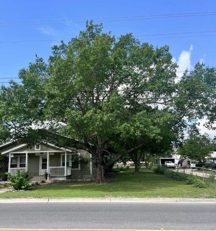
A residential house on North Main Street is close to Old Town’s businesses.
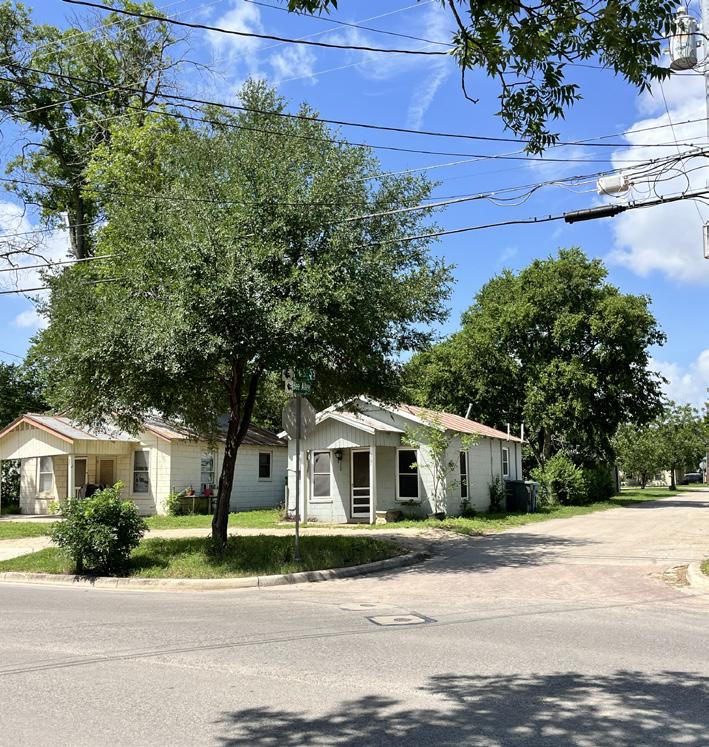
Residential houses beyond Main Street still have Old Town’s charm with potential for future development.
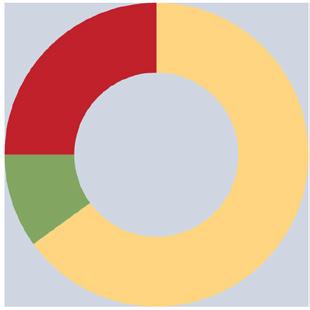
Land Use: Development is generally characterized by low density types single-family lots and small mixed-use.
Built Form: Building height and mass should be compatible with adjacent buildings and development quality (architecture and landscaping) should be of a higher standard.
Mobility: Existing streets should be connected into the larger grid network where disconnected and sidewalks with street trees should be developed to prioritize pedestrian connectivity.
Public Space: Public spaces and plazas are integrated into the development framework as well designed and highly amenitized civic buildings, plaza spaces, and gardens.
Old Town provides various parking options for visitors. However, these options are not always convenient or easily accessible. The City should develop a comprehensive, area-wide parking plan for Old Town that identifies potential gaps and opportunities for additional parking. This plan should include programs to assist local businesses in helping their customers find parking and incorporate wayfinding signage to direct visitors to available parking locations.
ACTIONS
PROJECT 3
PROJECT 4
PROGRAM 2
POLICY 4
POLICY 5
Develop a wayfinding system to quickly direct out-of-town visitors to shared public parking and encourage a “park once” policy.
Convert on-street parking on Main Street to loading zones.
Implement shared parking agreements, cost-sharing methods, and an employee parking program that designates safe, shared locations outside prime visitor/ customer spaces.
Update the Unified Development Code to adjust requirements for off-street parking on small lots and small businesses.
Initiate a parking study to assess current parking usage and identify if there is a need for additional supply.
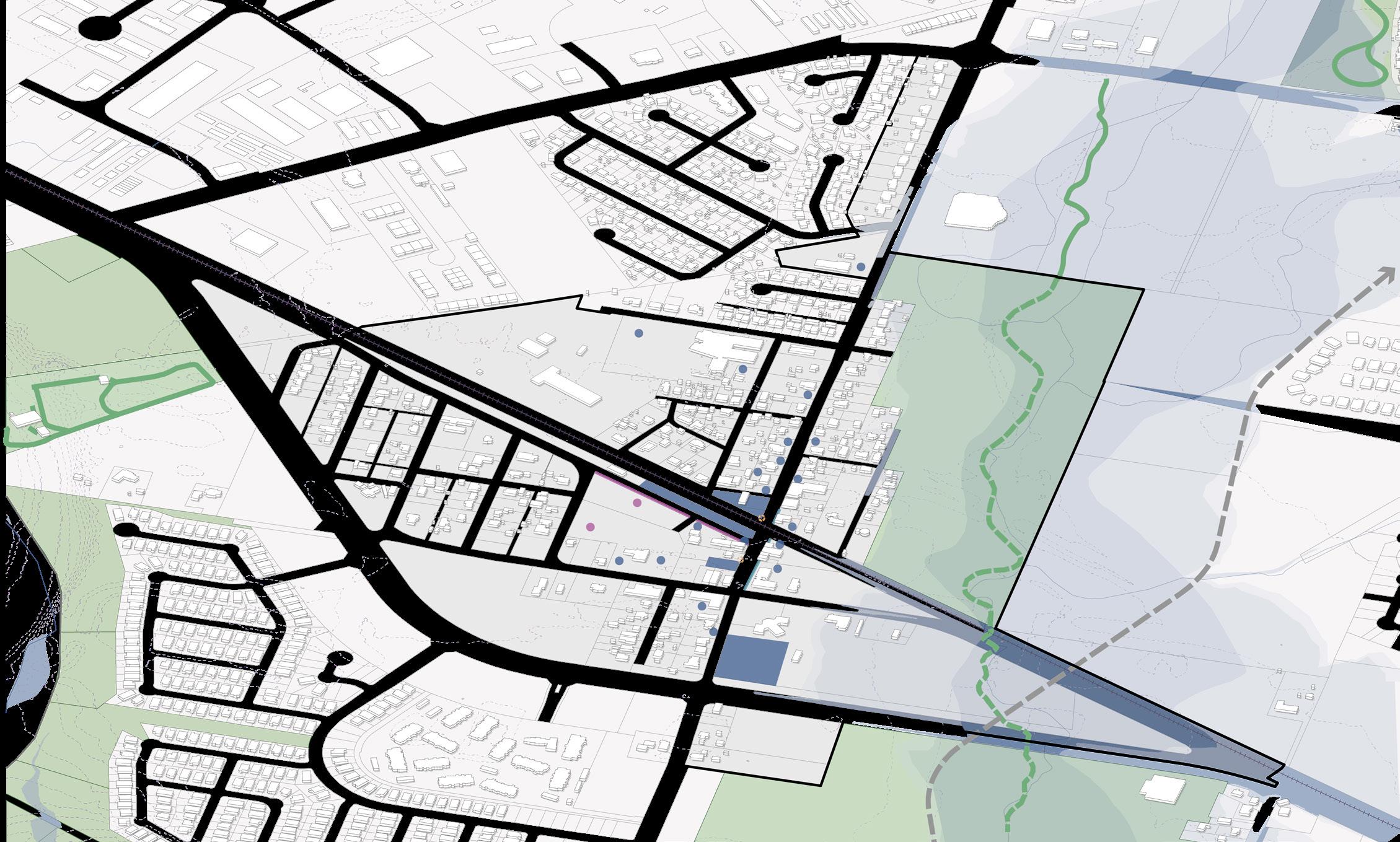
Project 3. Develop a wayfinding system to quickly direct out-oftown visitors to shared public parking and encourage “park once” policy.
Cost Time
Many of Old Town’s available parking areas are not easily visible to first-time visitors, leading to unnecessary vehicle circulation and a less welcoming arrival experience. A coordinated wayfinding system with clear signage will help visitors locate shared parking quickly, reduce congestion, and encourage a “park once” approach that supports pedestrian activity and benefits local businesses.
Project 4. Convert on-street parking on Main Street to loading zones.
Cost Time
On-street parking on Main Street represents a limited number of stalls that can serve a broader range of uses when converted to short-term loading zones. Given the availability of off-street parking in Old Town, repurposing these spaces for ride-share pick-up and drop-off, customer loading, and commercial deliveries will reduce vehicle circulation, improve pedestrian safety, and enhance business access.
Program 2. Implement shared parking agreements, costsharing methods, and an employee parking program that designates safe, shared locations outside prime visitor/ customer spaces.
Cost Time
Shared parking agreements offer an alternative to constructing new parking facilities by maximizing use of existing supply. The City should assign qualified staff to manage Old Town’s parking inventory and oversee compliance, while allowing businesses to set terms of the arrangements. An employee parking program should designate shared locations away from prime visitor spaces..
Policy 4. Update the Unified Development Code to adjust requirements for off-street parking on small lots and small businesses.
Cost Time
Current off-street parking requirements create significant obstacles for small businesses in Old Town, where lot sizes and built conditions differ from newer commercial areas. The City should update its Unified Development Code to establish more flexible standards that reflect Old Town’s context, and develop a parking inventory to understand demand patterns to inform future regulatory decisions.
Public Works & Engineering
FUNDING TOOLS
• City of Cibolo’s Budget Allocation
• Local businesses and community organizations
• Local development community
• Cibolo Economic Development Corporation
Policy 5. Initiate a parking study to assess current parking usage and identify if there is a need for additional supply.
Cost Time
Before investing in new parking infrastructure or altering existing supply, the City should conduct a parking study to establish a clear picture of current usage, availability, and demand in Old Town. The study should engage key stakeholders, evaluate costs and benefits of various strategies, and produce a parking plan that guides near-term management and long-term investments.
A consolidated parking plan and study creates a baseline for Old Town’s parking inventory, empowering the city to better manage future parking supply with the growth and needs of local businesses. Parking can be established in a central public location and/or a shared parking agreement that is flexible for small businesses. Consolidating parking
and shared parking agreements are beneficial for employees and employers, allowing “premium” parking closest to the business for visitors and customers. Marketing strategies such as “Park Once” accompanied with easily visible wayfinding signage to civic and retail activated areas reduces vehicle circulation promoting a vibrant and pedestrian-friendly
environment. Loading zones and time sensitive parking limits for on-street parking can ensure a higher frequency of vehicle turnover for “premium” parking spots on Main Street. Enforcement and compliance mechanisms for on-street parking ensure more lively and active streets.
To support Wimberley’s lively downtown, the Oak Park and Welcome Center provides parking 1,500 feet from the downtown square. The space is outfitted with well lit facilities, public restrooms, garbage cans and more than 130 additional parking spaces available for free 24/7. With downtown parking limited, the Oak Park and Welcome Center provides much needed parking to support tourism. The city advertises this free public parking area on its website to help visitor plan their visit.
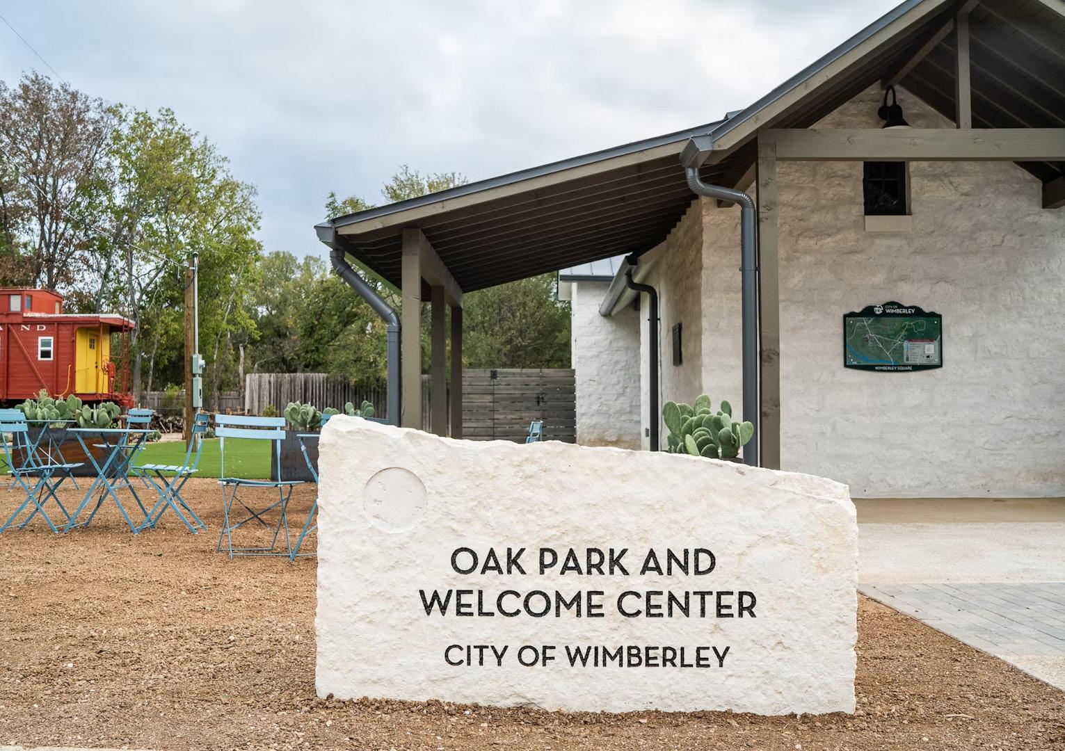
Gruene, a small town within the city limits of New Braunfels, attract tens of thousands of visitors each year. It addresses high parking demand through a centralized parking supply with two lots open 24 hours per day at no cost. Gruene also provides a cost-free weekend shuttle service from an alternative lot to the core area. This supports economic vitality throughout the city utilizing a “park once” strategy.
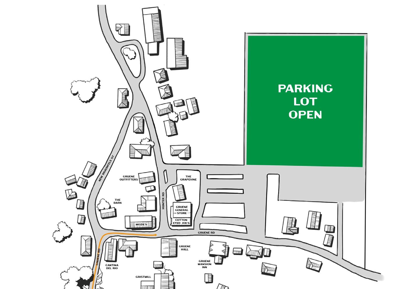
4. Enhance Safety and Comfort along Streetscapes
By enhancing the design and function of streetscapes, Old Town will support pedestrians and cyclists while maintaining efficient vehicular traffic flow. The re-imagined streets will reflect a balanced approach that accommodates future growth while preserving the city’s rural nature and small-town charm.
ACTIONS
PROJECT 5
PROJECT 6
POLICY 6
POLICY 7
Enhance Main Street to improve pedestrian infrastructure and walkability.
Redevelop Loop 539 with pedestrian and bicycle infrastructure to support additional business activity.
Update the development code to include enhanced mobility and streetscaping elements for Old Town’s boundary.
Include streetscape and infrastructure improvements as an eligible expenditure in the TIRZ plan.
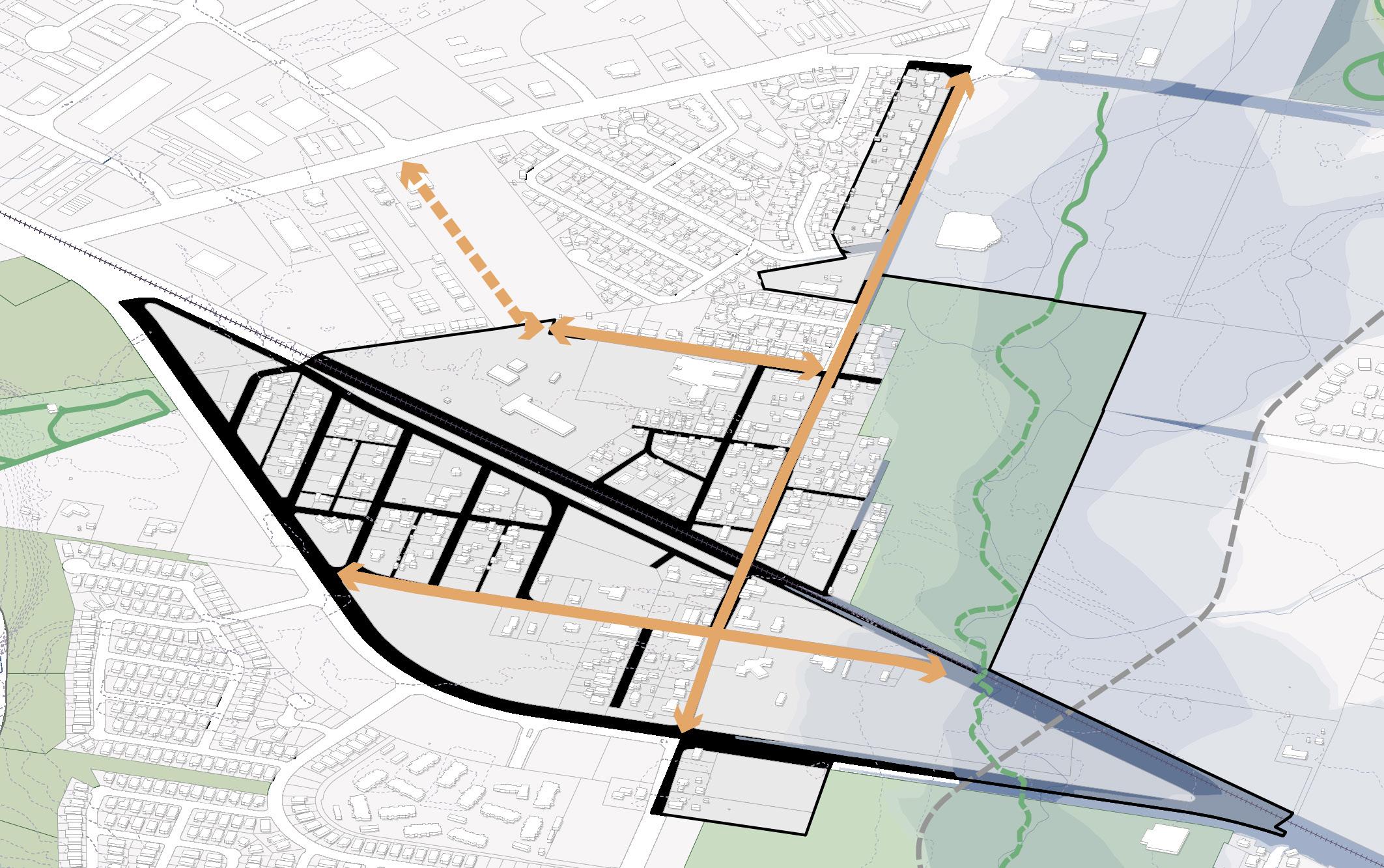
Project 5. Enhance Main Street to improve pedestrian infrastructure and walkability.
Cost Time
Main Street is the commercial and civic core of Old Town, and the quality of its pedestrian environment directly influences the success of surrounding businesses and its appeal to visitors. Enhancements should include improved lighting, street trees, and street furnishings that create a comfortable atmosphere, making it easier for people to linger, explore, and support local businesses on foot.
Project 6. Redevelop Loop 539 with pedestrian and bicycle infrastructure to support additional business activity.
Cost Time
Loop 539 is an underutilized corridor with significant potential to accommodate new retail and commercial activity within Old Town. Redeveloping the roadway to include pedestrian and bicycle infrastructure will improve connectivity, make the corridor more accessible to a wider range of users, and help attract new business investment along the street.
Policy 6. Update the development code to include enhanced mobility and streetscaping elements in the Old Town boundaries.
Cost Time
Old Town’s streets currently prioritize vehicle traffic in ways that limit accessibility and discourage pedestrian activity. The City should update its development code to establish higher standards for mobility and streetscaping within Old Town, ensuring future street redevelopments incorporate design elements that support safe, comfortable access for pedestrians, cyclists, and other users.
Policy 7. Include streetscape and infrastructure improvements as an eligible expenditure in the TIRZ plan.
Cost Time
For the TIRZ to serve as an effective funding mechanism, its plan must explicitly identify streetscape and infrastructure improvements as eligible expenditures. Without this designation, key projects, including street reconstructions, pedestrian enhancements, and green infrastructure improvements, may not qualify for TIRZ funding, limiting the City’s ability to implement its vision for Old Town.
Public Works & Engineering
• General Obligation Bonds
• Five-Year Capital Improvement Program
• TXDOT SS4A Grant
• Main Street America Grants
• City of Cibolo’s Budget Allocation
• Local businesses and properties in Old Town
• TXDOT
• Cibolo Economic Development Corporation
• Arbor Day Foundation
GOALS ADDRESSED
The streets in Old Town Cibolo serve as more than just passageways; they are essential public spaces that define the area’s character, functionality, and long-term success. Therefore, street design decisions should be guided by a clear and consistent set of principles.
In Old Town, right-of-way is often constrained, the landscape is relatively flat, making drainage a challenge, and many existing structures are located close to the street edge, limiting opportunities for roadway widening. These conditions mean that trade-offs are unavoidable. Not every street can include every desired feature, and design solutions often need to be tailored to specific locations.
These principles are crucial as they provide a decision-making framework. They help the City, property owners, and project partners prioritize what matters most when space is restricted. Rather than applying a one-sizefits-all solution, these principles ensure that each improvement, whether large or small, advances Old Town toward a shared vision
Old Town presents a unique set of challenges, constrained rightof-way, drainage limitations, and a historic development pattern that limits expansion. These conditions require tradeoffs. By using these principles as a guide, each decision, regardless of size can contribute to a cohesive, walkable, and economically vibrant district that reflects and reinforces Old Town’s character.
Streets should function as extensions of the public realm, where people gather, interact, and experience Old Town.
• Prioritize continuous sidewalks over additional travel lane width,
• Use incremental additions like trees in planters or pedestrianscale lighting,
• Consider flexible or shared street treatments rather than maximizing vehicle capacity side streets, and
• Preserve existing building frontage relationships to avoid disrupting the historic street edge.
Street design should support visibility, access, and activity for local businesses.
• Prioritizing on-street parking instead of adding turn lanes where feasible to support shortterm access,
• Wider pedestrian zones to allow for outdoor dining or storefront activity,
• Use curb extensions to improve access without requiring full reconstruction, and
• Design for slower vehicle speeds, as comfort and visibility promote economic activity more than efficiency.
Street design should be adaptable and implemented over time.
• Use striping, temporary curb extensions, or pilot projects instead of waiting for full reconstruction,
• Test changes such as reconfigured parking or lane reductions before making permanent investments, and
• Focus on low-cost, high-impact improvements that move the street toward the long-term vision.
Safety should guide all design decisions, especially where space is limited.
• Prioritize shorter crossing distances over maintaining wider travel lanes,
• Use narrower lane widths and on-street parking to naturally calm traffic, and
• Improve safety through visibility enhancements (lighting, striping, clear crossings).
Streets should contribute to environmental performance and resilience.
• Integrate small-scale drainage solutions (e.g., curb cuts, rain gardens, permeable edges),
• Prioritize street trees where possible to build canopy over time,
• Use landscape areas for, both aesthetic and stormwater management, and
• Coordinate street improvements with infrastructure upgrades to maximize impact within limited space.
Source:
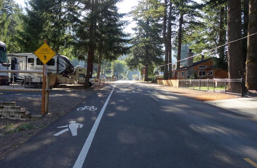
A striped lane provides a safe, visually separated place for pedestrians to walk within the roadway.
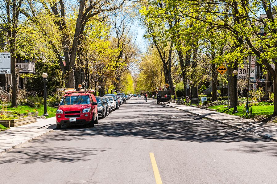
On-street parking narrows travel lanes, slows vehicle speeds, and creates a more organized and predictable street environment.

Landscape buffers can be used to manage stormwater through rain gardens or bioswales, addressing drainage challenges in flat conditions.
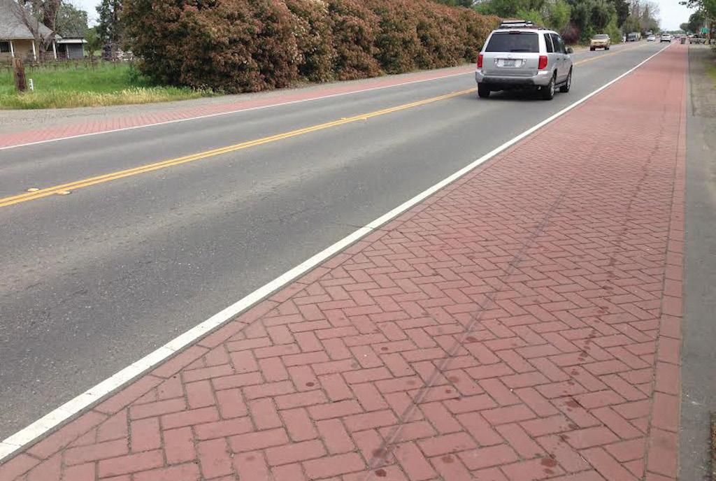
Painted asphalt provides a visual separation that cues vehicles to drive at slower speeds.
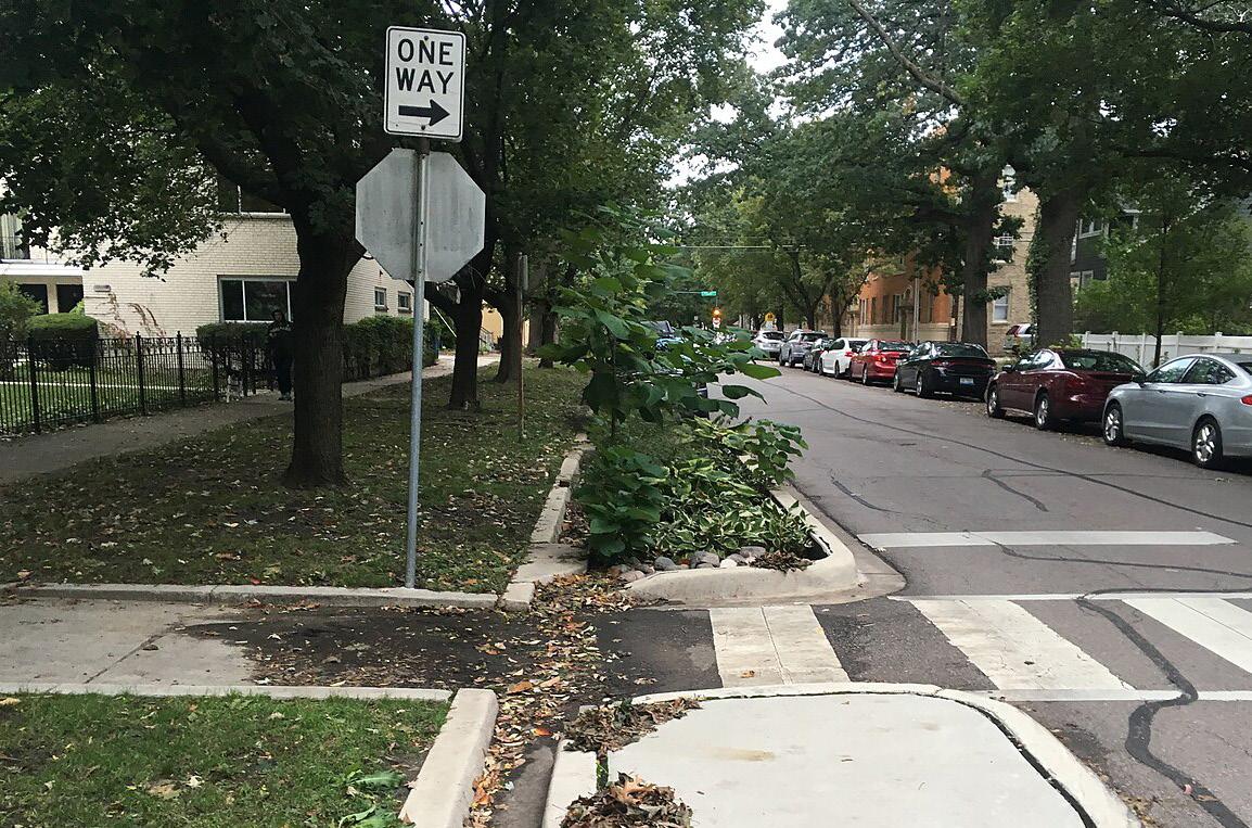
Chicanes function as rain gardens, managing stormwater in flat conditions while adding greenery and creating a buffer between moving vehicles and parked cars.
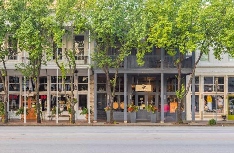
Street trees create a continuous shaded edge along the street.
Main Street is the heart of Old Town. It is the center of activity in the area, with several restaurants and retail options. Main Street right-of-way varies throughout Old Town from 50 feet in some sections up to 80 feet in others. As the right-of-way width changes, what can fit within it varies. Figures 55, 56, and 57 show how the City should address each section of the road based on the available rightof-way. Each section always has two travel lanes for vehicles, sidewalks on both sides for pedestrians, and street trees to create a comfortable walking environment. When additional right-of-way is available, outdoor dining or shared-use paths should be included, depending on the surrounding area.
AThe majority of participants in Stakeholder Dialogue believe shopping and dining should be prioritized along Main Street.
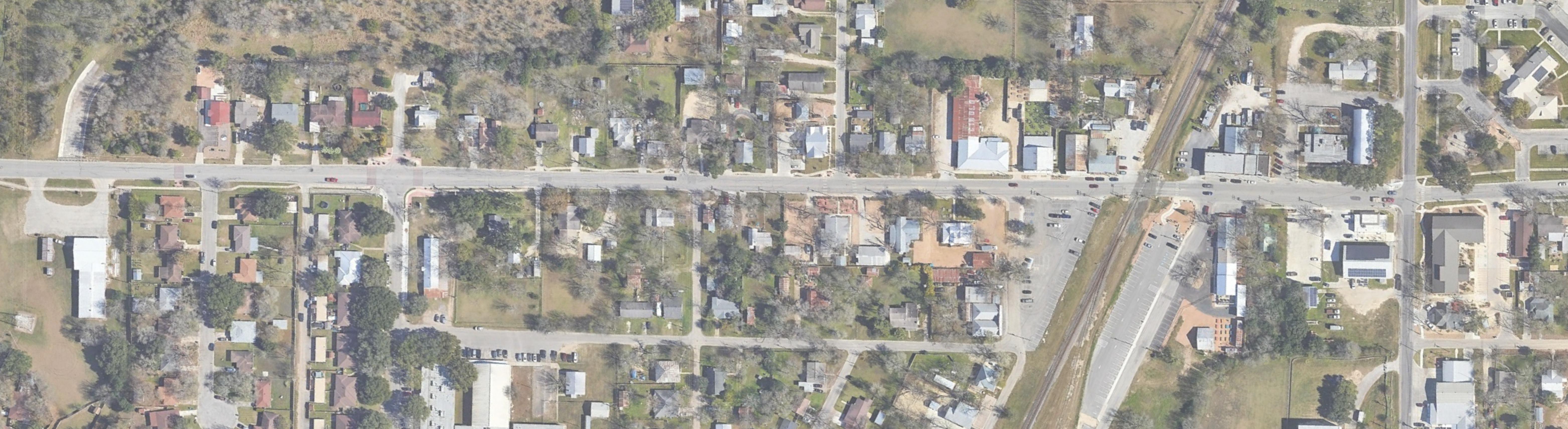
The north gateway on Main Street has an 80’ rightof-way.
Between Schlather Street and Bee Alley the right-ofway decreases to 55 feet.
The right-of-way increases to 65’ between Bee Alley and Pfeil Road. South Main Street’s right-of-way increases to 80’ between Pfeil Road and Loop 539.
The right-of-way decreases to 50 ’ between Loop 539 and FM 78.
Loop 539 serves as a key connector between FM 78 and Main Street in Old Town. The street is lined with several existing businesses and residences, along with the City Hall Annex and a fire station, and features a significant amount of vacant land. Located within the proposed Loop 539 Corridor character area, this street should support additional commercial activities such as retail and restaurants along the corridor.
To enhance the vibrancy of the area and attract more foot traffic, several street upgrades are needed. These improvements include striped crossings, improved lighting and signage, trash and recycling bins, sidewalks, shared-use paths, and street trees.
When asked what the top priority for Loop 539 should be, the majority of participants (39%) responded that shopping and dining should be prioritized, over 6 other options.
Designated a Texas Main Street in 2018 and nationally accredited in 2020, downtown Buda maintains its historic roots with a vibrant downtown connecting businesses and visitors. The Main Street
Downtown Improvement Grant program encourages private sector investment and historic preservation in collaboration with the public sector. Ongoing support for businesses include downtown grants for eligible projects with up to 100% reimbursements through its Downtown Co-Marketing Fund and a resource directory for additional grant opportunities.
The City’s 2010 Downtown Master Plan outlined strategies for streetscaping and road improvements including design standards for historic preservation and redevelopment. Along with large public investments, the City has revitalized downtown into a community destination through policy and design strategies preserving Round Rock’s heritage while supporting economic reinvestment for the creation of a thriving town center featuring retail, dining, and entertainment options in a walkable, historic environment.
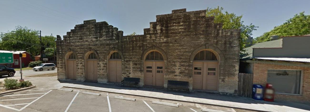
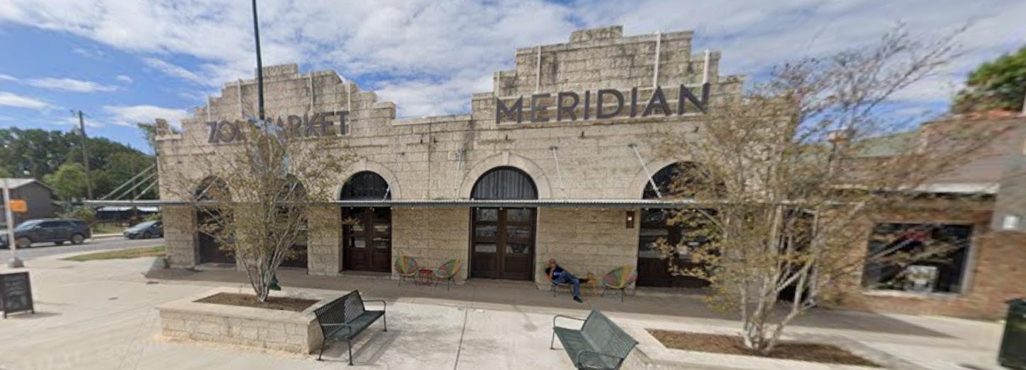
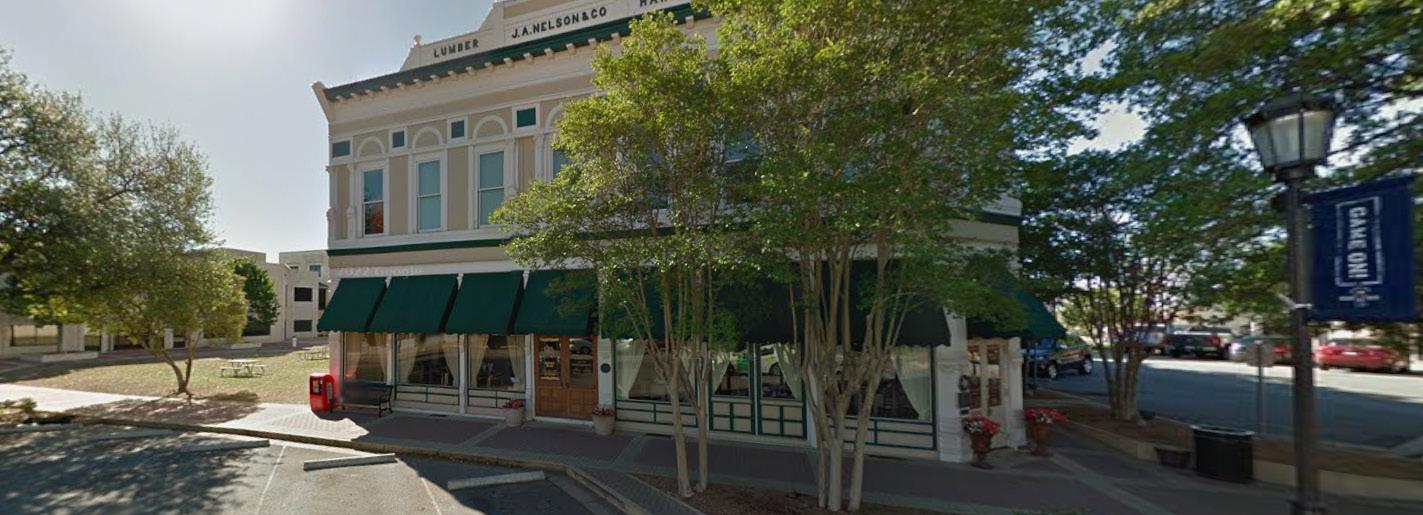
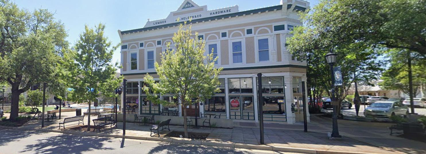
Old Town should enhance connectivity and resilience by upgrading and connecting new streets to the existing street grid and maintaining traditional block sizes to preserve the historic character. These streets and alleys should prioritize pedestrians and cyclists while integrating green infrastructure that will improve drainage, reduce flooding, and enhance visual appeal.
ACTIONS
PROJECT 7
PROJECT 8
PROGRAM 3
POLICY 8
Reconstruct Rawe Avenue and its surrounding parking area to accommodate additional visitors, businesses, and drainage.
Redesign Pfeil Road as a shared street accommodating all modes of transport.
Develop a program for maintenance of existing drainage swales in Old Town.
Develop a streetscapes manual to direct both public and private projects within city right-of-way in Old Town.
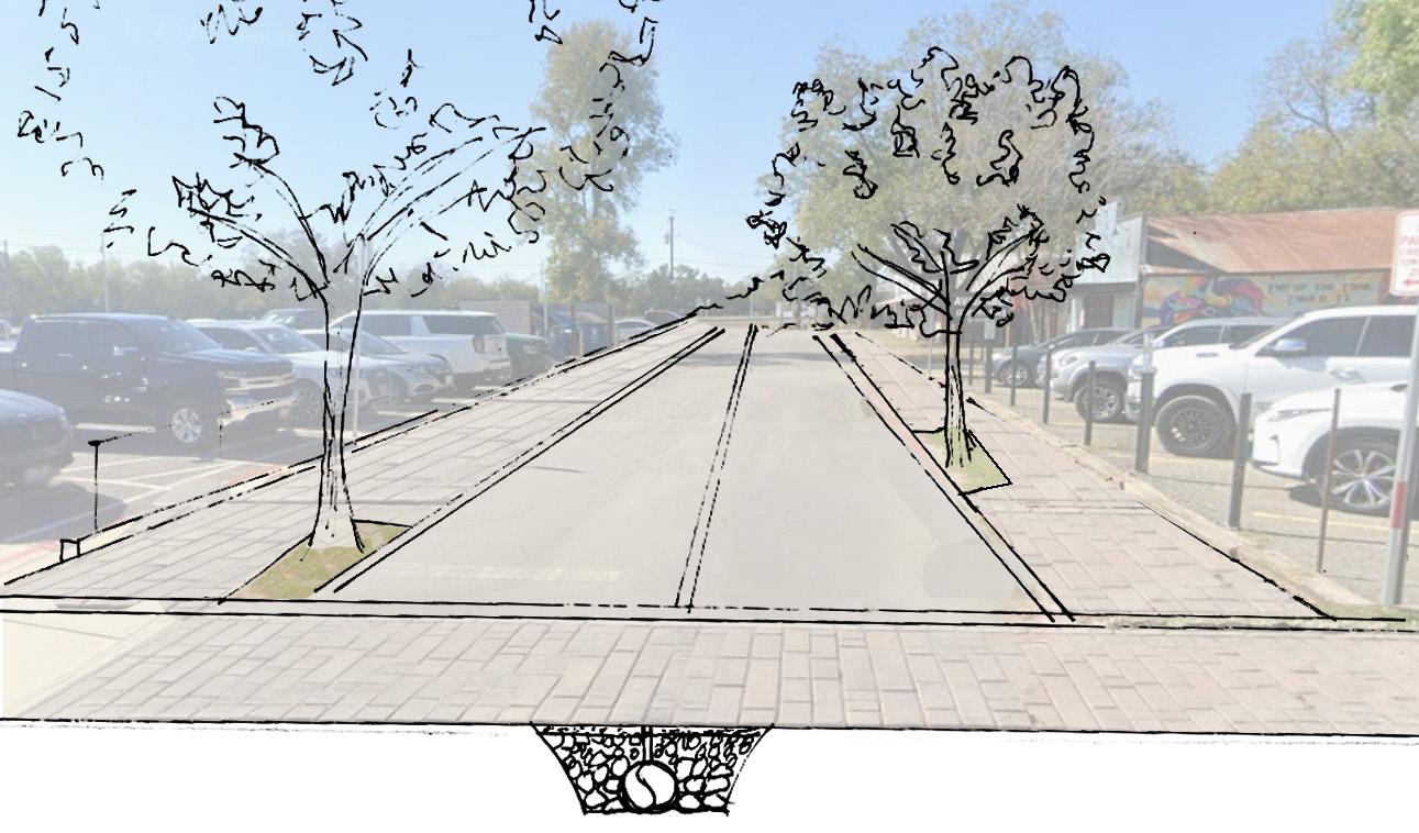
Project 7. Reconstruct Rawe Avenue and its surrounding parking area to accommodate additional visitors, businesses, and drainage.
Cost Time
Rawe Avenue has grown into one of Old Town’s most active commercial corridors, but current conditions are not equipped to handle increased pedestrian and vehicle activity. Reconstruction will include upgraded sidewalks on both sides of the street, trees in soil cells, and a center drain to manage stormwater, creating a safer, more attractive environment that supports continued commercial growth.
Project 8. Redesign Pfeil Road as a shared street that accommodates all modes of transportation.
Cost Time
Pfeil Road presents an opportunity to create a more flexible, peoplecentered street environment in Old Town. By redesigning it as a shared street, using signage, pavement markings, and design elements that signal equal priority among pedestrians, cyclists, and vehicles, the City can create a safer, more inviting space that supports both everyday use and community events.
Program 3. Develop a program for maintenance of existing drainage swales in Old Town.
Cost Time
Old Town’s drainage swales are important in managing stormwater but have not been consistently maintained, reducing their effectiveness. This program establishes a schedule of inspections and maintenance to keep swales functional and clear. Local businesses will be invited to participate in beautification efforts, such as plantings or art installations along swale edges, fostering community ownership and enhancing Old Town.
Policy 8. Develop a streetscapes manual to direct both public and private projects within city right-of-way in Old Town.
Cost Time
A streetscapes manual will establish clear, consistent standards for improvements within Old Town’s public right-of-way, ensuring that City-led or privately initiated projects contribute to a cohesive public realm. It should address materials, landscaping, signage, and lighting, and serve as a reference for maintaining Old Town’s historic character while meeting modern design and safety standards.
Public Works & Engineering
FUNDING TOOLS
• TXDOT SS4A Grant
• Main Street America Grants
• City of Cibolo’s Budget Allocation
• Certificate of Obligation
• Local businesses and properties in Old Town
• TXDOT
• Cibolo Economic Development Corporation
Old Town’s narrow rights of way, flat topography, and closely spaced buildings, many of which are traditional houses that remain residential or have been or are envisioned to be converted into small shops, restaurants, and other neighborhood serving businesses, leave very little room to solve circulation and drainage with conventional “curb and gutter plus pipe” street sections. Rather than forcing a suburban template into a historic main street context, the plan recommends treating key corridors, particularly Rawe Avenue and Bee Alley, as shared streets where low speed vehicles, pedestrians, and cyclists occupy the same surface and design cues, rather than raised curbs, communicate where people should walk, drive, park, and gather.
Changes in paving, tree wells, and lighting define the travel path and flexible edge zones while calming traffic and preserving the intimate, small town character of the corridor.
Because the area is so flat and many existing structures sit close to street grade, it is not feasible to achieve the slopes and clearances needed for a center bioswale, bioswales along the sides, or deep storm pipes along both edges of the right of way, where utilities and limited setbacks further constrain the section.
The Nueva Street shared street at Hemisfair in downtown San Antonio illustrates how a narrow,
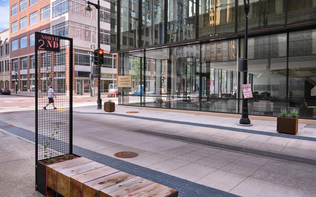
The 2nd Street shared-street corridor in Milwaukee WI welcomes pedestrians, cyclists, and motorists to share the road while strengthening connections to nearby business and cultural destinations; along the edge of the Milwaukee Symphony Orchestra’s Bradley Symphony Center, a creative shallow centerline trench-drain system manages stormwater and keeps runoff away from adjacent building entrances, illustrating a repeatable engineering strategy for narrow, flat streets where there is limited room for traditional curb-and-gutter or deep pipes at the edges.
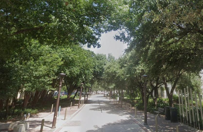
Nueva Street at Hemisfair functions as a narrow shared street, where people walking, biking, and driving all move slowly within the same compact right-of-way. A continuous change in paving materials, street trees, and lighting clearly frames the travel lane and shared edge zones without relying on continuous bollards, allowing curbside space to flex between parking, loading, and pedestrian use as needs change.
event ready corridor can use a center slot drain and legible changes in materials to manage runoff while still functioning as a flexible public space.
In the blocks northwest of the railroad, a cross section with a shallow centerline drain is the most realistic way to move water without creating conflicts with buildings, utilities, or walkable street design.
Within this framework, pavers and tree wells are recommended primarily as tools for delineation and placemaking rather than as formal stormwater treatment. Permeable pavers, in particular, are not advised for the Rawe / Old Town core segment because the combination of shallow grades and likely low infiltration subsoils means they would not perform reliably without an underdrain system, and those underdrains would be difficult to tie into a shallow centerline storm system. Any permeable paving installed in this area should therefore be treated as an amenity, not counted toward detention or water quality credit. Instead, the plan encourages low impact elements that do not depend on underdrains, such as tree wells with curb cuts that accept runoff from the travel lane and small rain garden bump outs where space allows, to provide modest water quality benefits and reinforce the identity of Old Town’s streets, with the understanding that these are supplemental features rather than primary drainage infrastructure.
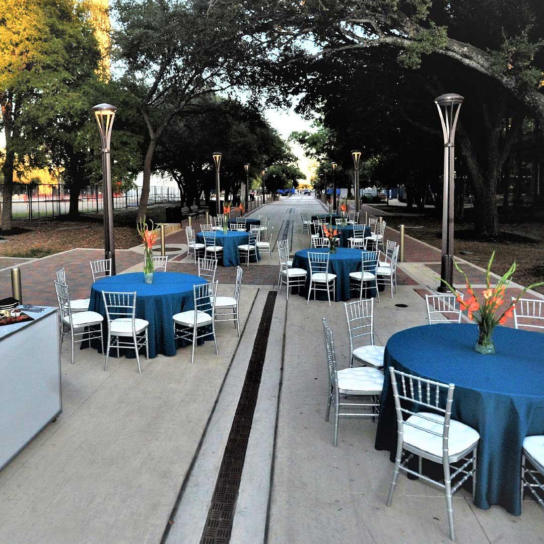
In Hemisfair’s mixed-use core, Nueva Street can be temporarily closed so the entire right-of-way becomes an outdoor room for dining and events. The same shared-street geometry that supports low-speed traffic on typical days allows the corridor to flip seamlessly into a programmable public space, an approach that is especially relevant for Rawe Avenue and blocks near Bee Alley, where occasional street closures can support future commercial and civic activity.
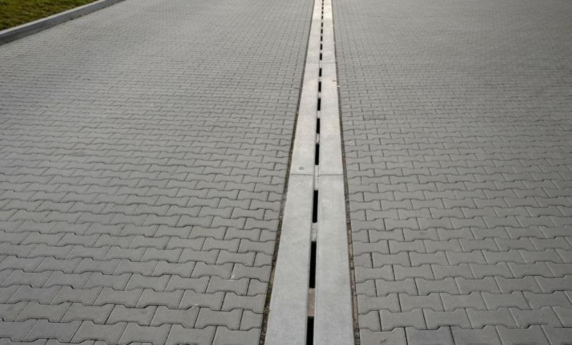
A shallow centerline slot or trench drain collects runoff from both sides of Nueva Street, making the most of limited slope and avoiding conflicts with shallow utilities and building foundations along the edges. Concentrating drainage in the middle of the section reduces the depth and size of storm infrastructure compared with traditional pipes at the curbs, which is a useful model for Old Town’s flat grades and tight right-of-way.
Pfeil Road provides access to Main Street and a large public parking lot that provide the majority of spaces for Old Town. It runs parallel to the Union Pacific Railroad and connects Main Street to FM 78.
To encourage a more walkable environment, Pfeil Road should be developed in conjunction with the Community Hub as a shared street. A shared street is a curbless street where people walking, bicycling, and driving share the same space. This type of street prioritizes pedestrians. This type of street can be achieved by painting curb extensions, crosswalks, and pedestrian and bicycle paths, or the road can be reconstructed to be curbless. Street trees can be planted to create a buffer of large tree planters can be used to create that barrier between people and the vehicles.
The Town of Basalt redesigned Midland Avenue to address failing utilities, narrow sidewalks, and parking issues. Funding included a $9.5 million bond, $4.6 million from the town, and $2.6 million from state and county partners, nonprofits, and grants. Upgrades feature new parking spaces, seating areas, a drainage system, and updated water, broadband, and electric infrastructure, all compliant with the Americans with Disabilities Act. These improvements have enhanced the downtown area, supporting local businesses and boosting sales tax revenue.
The City of Fayetteville has encouraged residents to construct and lead tactical urbanism projects for its downtown. This project began in 2016 and since then, residents transformed three blocks connecting Fayetteville Square to the nearby Razorback Greenway with painted curb extensions, crosswalks, roundabouts, and green “super sharrows“ for shared bike lanes and vehicles. This project led to the creation of a manual and application process for tactical urbanism permits in the city and a guide to inform communityled placemaking projects.
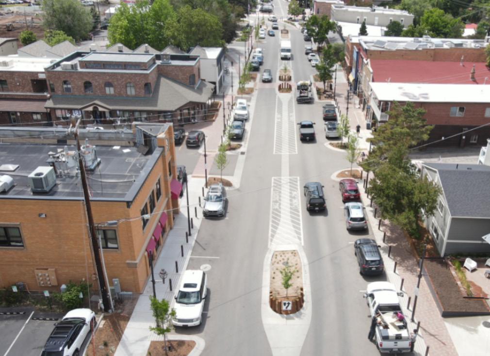
Source: soprissun.com
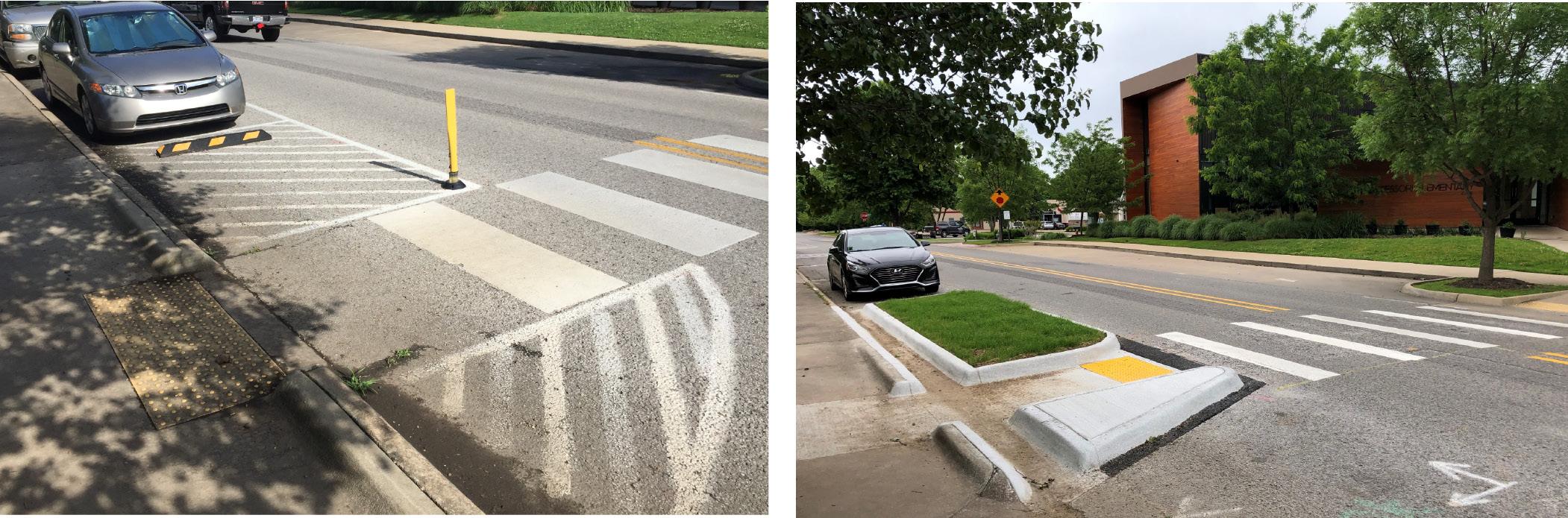
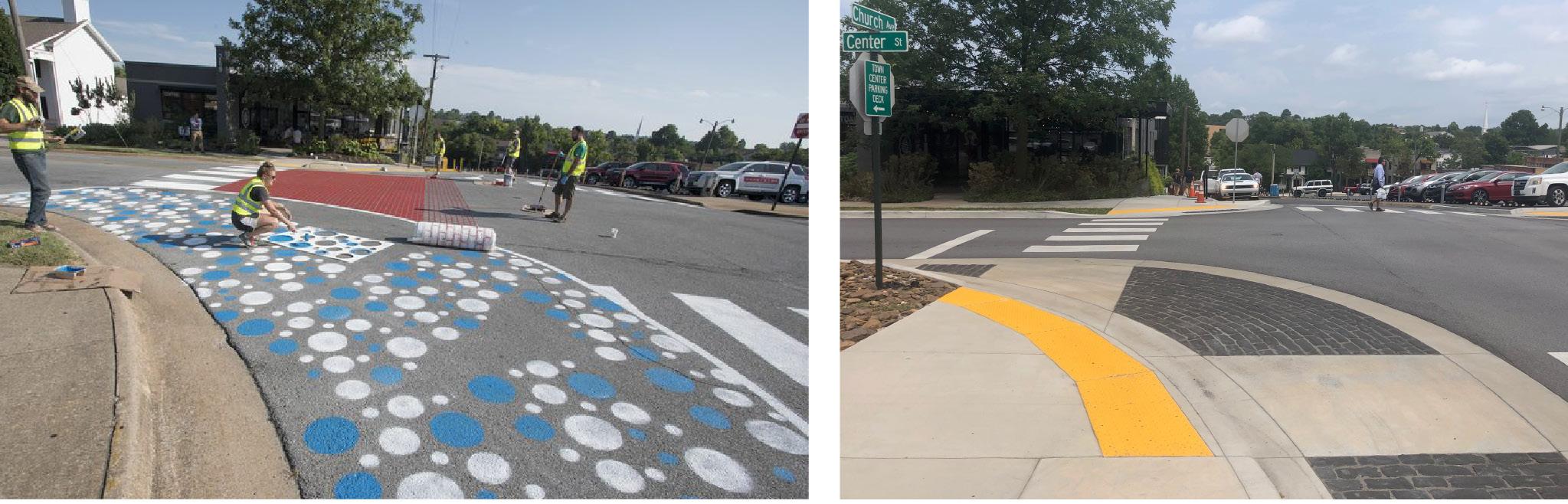
Source: www.fayetteville-ar.gov
Short-term, low-cost pilot projects like painted curb extensions and crossings have led to permanent intersection improvements in Fayetteville since the inception of this program in 2016.
6. Make Strategic Infrastructure Investments
Investment is needed in Old Town to support infrastructure improvements that will enhance the area and support economic development. Currently, there is no funding mechanism outside of the Cibolo City Budget to support projects in the area. Establishing a Tax Increment Reinvestment Zone (TIRZ) to capture future increases in property tax revenue within Old Town will enable reinvestment in infrastructure, streetscape, and public realm improvements within the TIRZ boundary. This public investment in infrastructure will support future private development.
ACTIONS
POLICY 9
POLICY 10
POLICY 11
Conduct a utility study to direct infrastructure improvements into areas that planned for economic development in Old Town.
Update street sections and ROW development code to include low cost interventions that support walkability and economic development.
Create a Tax Increment Reinvestment Zone (TIRZ) for Old Town to fund infrastructure improvements.
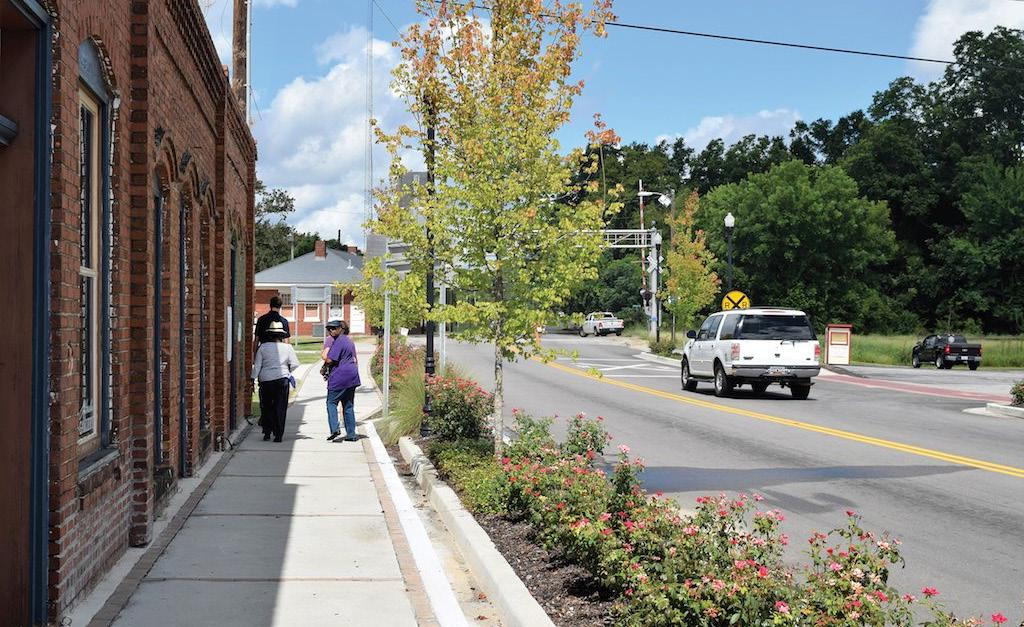
Policy 9. Conduct a utility study to direct infrastructure improvements into areas that planned for economic development in Old Town.
Cost Time
Portions of Old Town’s existing sewer infrastructure are undersized and may be insufficient to support the level of development envisioned by this plan. A utility study will allow the City to identify deficiencies, prioritize improvements, and direct investments to areas where development activity is most anticipated — ensuring utilities do not become a barrier to growth.
Policy 10. Update street sections and ROW development code to include low cost interventions that support walkability and economic development.
Cost Time
Old Town’s narrow, historically rural streets require a different approach than standards applied to newer developments elsewhere in Cibolo. The City should update its street sections to reflect Old Town’s character while incorporating design elements that support pedestrian activity, accommodate multiple modes of transportation, and address drainage, and formally adopt these into the Design Construction Manual.
Policy 11. Create a Tax Increment Reinvestment Zone (TIRZ) for Old Town to fund infrastructure improvements.
Cost Time
A Tax Increment Reinvestment Zone (TIRZ) captures increases in property tax revenue generated by new development and reinvests those funds into a defined area. Designating Old Town as a TIRZ would give the City a dedicated, self-sustaining mechanism to fund infrastructure and public space investments outlined in this plan — without relying solely on the general fund.
Economic Development Corporation, Public Works & Engineering
FUNDING TOOLS
• Tax Increment Redevelopment Zone
• City of Cibolo’s Budget Allocation
• Transportation funding programs and grants for road improvements
PARTNERSHIPS
• Local businesses and community organizations
• Local development community
• TxDOT
GOALS ADDRESSED
Given these physical constraints of many of the right-of-ways in Old Town, there are few truly “low cost” standalone infrastructure projects that can be delivered in without more detailed utility and drainage engineering. A focused utility and drainage study is therefore recommended as a first step before pursuing any major capital improvements, especially in locations like Bee Alley where the feasibility of new storm infrastructure is not yet known.
In the near term, the most cost effective strategy is to pair targeted public realm upgrades with adjacent private development, so that new buildings help deliver sidewalk extensions, shared street elements, and drainage tie ins through public private partnerships rather than placing the full burden on the City.
Regulatory refinements are a key part of this approach. The plan recommends allowing property owners to voluntarily widen sidewalks within the front yard setback, using a simple license agreement and standard details, to create more continuous, accessible pedestrian routes where buildings are set back far enough from the curb. An expedited license agreement process should also enable business owners to add awnings, galleries, and other shade structures within the right-ofway, provided they meet basic clearance, accessibility, and drainage criteria. South of the
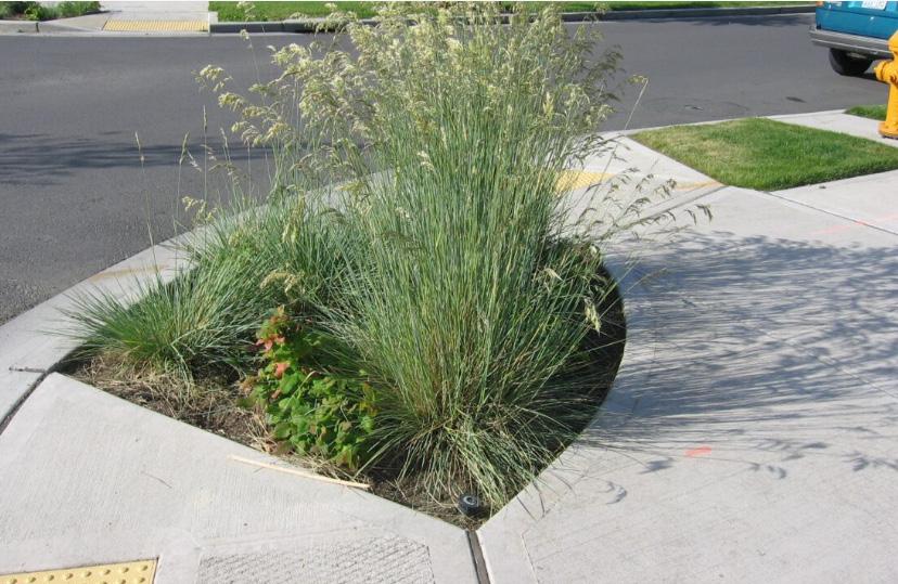
A small, triangular planter tucked into the existing curb line captures runoff at the intersection without requiring a full bump-out. Openings in the edge let water flow in and out, providing a bit of traffic calming and a visible green element in a very tight footprint.
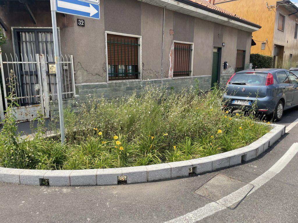
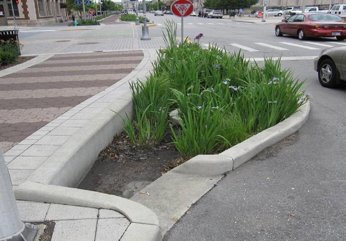
Source: Sustainable Technologies Evaluation Program
These curb-edged planters sit within the parking lane, using small square openings along the base of the curb to admit and release stormwater. The simple wall protects plantings from cars while turning an otherwise leftover edge of pavement into functional green infrastructure.
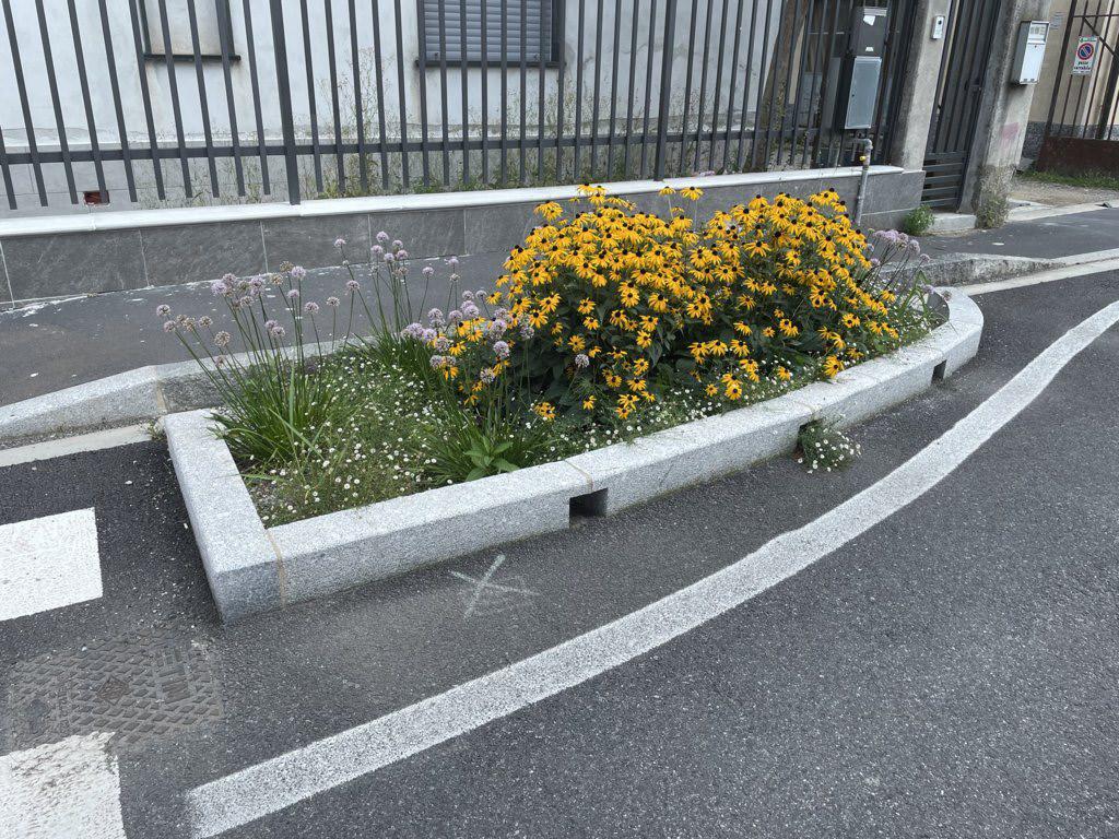
These curb-edged planters sit within the parking lane, using small square openings at the base of the wall to admit and release stormwater while keeping soil and plants contained. The simple curb protects the plantings from cars and turns an otherwise leftover edge of pavement into functional green infrastructure that can work in similarly constrained intersections in Old Town.
railroad in particular, updated frontage and setback standards can nudge new, non historic buildings closer to the street, with active façades and civic quality architecture framing the public realm.
To further support walkability and economic activity, the City should streamline approvals for both temporary and permanent street furniture, café tables and chairs, planters, and small merchandise displays, within clearly defined “furniture zones” that preserve a minimum clear path for
accessibility. Over time, these small, lower cost interventions can make Old Town’s streets feel more lived in and business friendly while larger, more capital intensive drainage and utility projects are studied and sequenced.
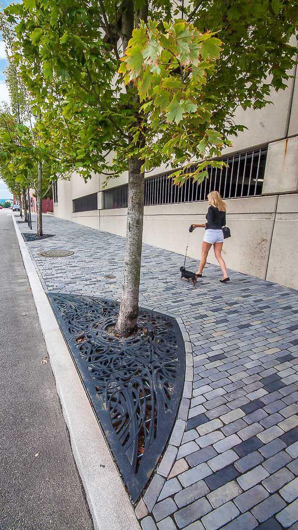
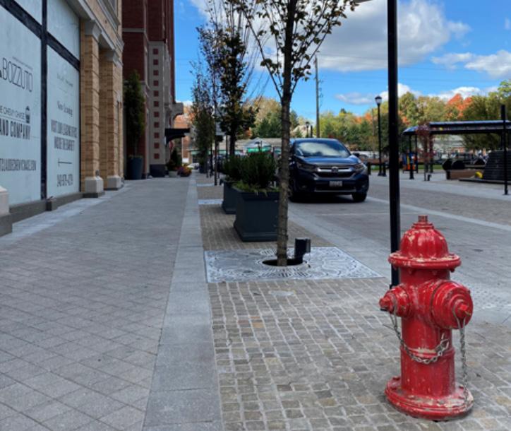
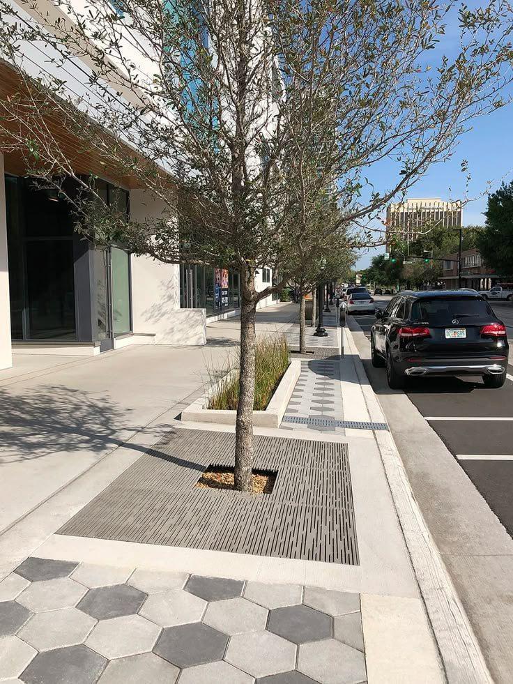
These examples show how tree grates and planting zones can sit at grade and gently slope toward the street, allowing runoff to flow into the root zone and overflow back out without needing a traditional raised curb. The varied paving patterns and grate designs add visual interest and help define the shared-street space, so people and vehicles can comfortably mix on the same surface while the trees still receive water and protection.
!On Pike Street in Covington, Kentucky, a simple parklet platform extends the sidewalk into the curb lane to create level outdoor seating while keeping the existing curb, tree, and utilities in place. This type of temporary, business-driven installation illustrates how strategic, low-cost investments, paired with private partners, can activate Old Town’s streets and test ideas for expanded pedestrian space before committing to more permanent reconstruction.
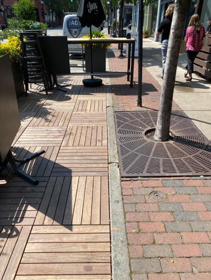
Typical street sections are provided as a reference to illustrate the range of elements that could be accommodated within the available right-of-way. However, the intent of this section is not to prescribe full reconstruction, but to demonstrate how striping, signage, and other low-cost interventions can be used to improve street function in the near term. In many cases, these incremental approaches should be prioritized ahead of more costly capital projects, allowing the City to enhance safety, slow traffic, and support walkability while working within existing constraints.
Streetscape improvements should be prioritized in locations that can catalyze economic activity, support small businesses, and reinforce Old Town as a destination focusing on areas where improvements will have the greatest impact. Emphasize low-cost, incremental interventions—such as re-striping, curb extensions, enhanced crossings, and targeted streetscape elements—on slow-moving, low-volume streets where the focus can shift from vehicle throughput to safety, comfort, and placemaking. Apply context-sensitive design that responds to Old Town’s constrained right-of-way, flat drainage conditions, and buildings located close to the street, ensuring that improvements are phased and adaptable while preserving the district’s unique character.
TL Travel Lane
PS Pedestrian Space
BS Bioswale
PZ Parking Zone
LB Landscape Buffer
Old Town includes approximately 2,400 linear feet of streets with a 30-foot right-of-way. Lowcost interventions should focus on improving how these streets function for all users. Striping informal pedestrian walkways or buffer areas that narrow travel lanes and slow vehicle speeds clearly communicate that these are shared, lowspeed environments. In many cases, the goal is not to fully separate users, but to create a condition where drivers understand they must proceed cautiously and prioritize pedestrians. Additional strategies may include edge striping, signage, and subtle visual cues that reinforce the constrained nature of the street. Legend
Old Town includes approximately 4,600 linear feet of streets with a 40-foot right-of-way. Additional low-cost interventions should focus on introducing elements that support parking, drainage, and traffic calming. On-street parking can be added on one side of the street to support adjacent homes and businesses. Landscape islands can be introduced in a chicane pattern to shift vehicle travel paths and reduce speeds.
Street - 50 feet (flex yield parking)
Street - 50 feet (flex yield parking)
Old Town includes approximately 8,500 linear feet of streets with a 50-foot right-of-way. Additional low-cost interventions should focus on introducing more defined pedestrian space and opportunities for landscaping. A landscape buffer can be incorporated between the roadway and pedestrian space to provide separation from traffic and improve comfort. Street trees are critical to improving comfort and walkability in Old Town. Trees should be located within a landscape strip where space allows. In more constrained conditions, trees in planters can also be used to provide shade and enhance the pedestrian environment, particularly where sidewalks are wider.
Old Town must maintain an attractive and well-kept appearance to preserve its character and appeal to residents and visitors. The City should make this goal more manageable by developing a clear Operations and Maintenance Plan and identifying funding sources to ensure its long-term feasibility.
PROGRAM 4
POLICY 12
Create an Operations and Maintenance Plan for public spaces and right-of-way areas.
Identify additional City and/or other funding sources for increased operations and maintenance activities.
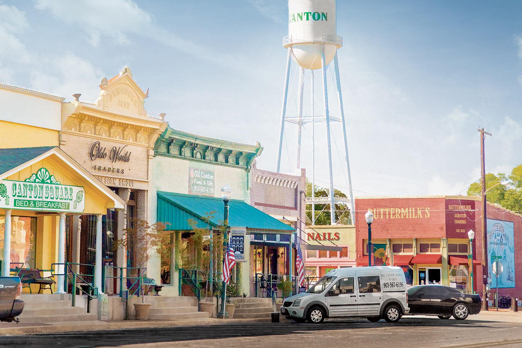
Program 4. Create an Operations and Maintenance Plan for public spaces and rightof-way areas.
Cost Time
As public improvements are made in Old Town, a coordinated Operations and Maintenance Plan will be essential to protecting those investments. The City should develop a plan that establishes clear responsibilities, maintenance schedules, and service standards for landscaped areas, streetscapes, and other public spaces, ensuring they remain safe, attractive, and functional for residents and visitors.
Policy 12. Identify additional City and/or other funding sources for increased operations and maintenance activities.
Cost Time
Sustained investment in operations and maintenance requires a reliable and diversified funding strategy. The City should identify funding sources, including grants, public-private partnerships, special districts, and budget reallocations, to support ongoing maintenance of Old Town’s public spaces. Securing dedicated funding will help protect capital investments, uphold safety standards, and preserve the quality of the public realm over time.
Economic Development Corporation, Parks and Recreation Division, Public Works
• Tax Increment
Redevelopment Zone
• City of Cibolo’s Budget Allocation
• Transportation funding programs and grants for road improvements
• Local businesses and community organizations
• Local development community
GOALS ADDRESSED
An operations and maintenance manual is a foundational tool for ensuring that Old Town’s public spaces remain clean, safe, and visually cohesive over time. For a small downtown like Old Town, where the public realm plays an outsized role in shaping the visitor experience and supporting local businesses, consistent and thoughtful maintenance is essential. A well-maintained streetscape, plaza, or park signals civic pride, builds trust with potential investors, and creates the kind of inviting environment that encourages people to linger, return, and spend time in the district.
By aligning the day-to-day maintenance of parks, plazas, street right-of-ways, and public parking lots with the broader goals of this plan, the manual translates a long-term vision for a beautiful, welcoming downtown into actionable, repeatable standards. In a smaller city, where resources are often limited and staff responsibilities are broad, clear and practical guidance is especially valuable, reducing ambiguity, improving efficiency, and ensuring that maintenance efforts are directed where they matter most.
The manual establishes design guidelines and maintenance protocols across a range of elements, including hardscape, softscape, trees, irrigation, drainage and stormwater quality, and fixtures and structures. Together, these standards ensure
Source: Houston Metro Facilities and Maintenance Landscape Manual
These pages from the Houston Metro Facilities and Maintenance Manual outline timing for inspections and best practices that support the ongoing maintenance for a number of public spaces.
that each component of Old Town’s public realm is cared for consistently and in a way that reinforces the district’s character. Regular inspection schedules are also included to monitor
conditions, identify maintenance needs early, and ensure that quality standards are upheld as the district grows and evolves.
In 2009, New Braunfels recognized the need for better signage and maintenance downtown. Despite attracting many tourists, walkability and wayfinding were challenging. The city added prominent highway-visible signage and promoted the city as lively. Additionally, deteriorated sidewalks and crosswalks complicated navigation. After fixing these issues, it launched a traffic signal box art program to showcase local artists and values. These beautification efforts have contributed to the area’s success.
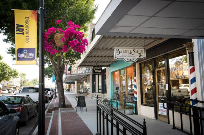
Wimberley has several projects, like Keep Wimberley Beautiful, that help organize community members to pick up litter and protect natural resources that shape the city, which is a nonprofit created by residents of the city. The City of Wimberley is also a hub for the arts in Texas. To promote local artists and beautification, they have a Public Art Committee that works with the community to create murals and art at crosswalks that align with community values.
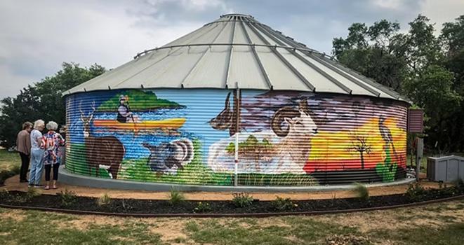
Old Town can strengthen its role as the social and economic heart of Cibolo by attracting more visitors to the area. By improving access, visibility, and wayfinding, both residents and visitors will find it easier to explore and enjoy Old Town, encouraging them to spend more time and support local businesses. Expanding events and activities will further establish Old Town as the cultural and social hub of Cibolo, drawing a wider range of visitors and reinforcing its identity as a vibrant community destination.
ACTIONS
PROJECT 9
PROGRAM 5
POLICY 13
POLICY 14
Construct a new road connection from FM 1103 to West Schlather Street.
Establish a wayfinding network for local businesses and attractions.
Update the thoroughfare plan to add new street connections to Old Town.
Examine existing festivals and logically seek to expand the activities in those that have the ability to attract a regional audience.
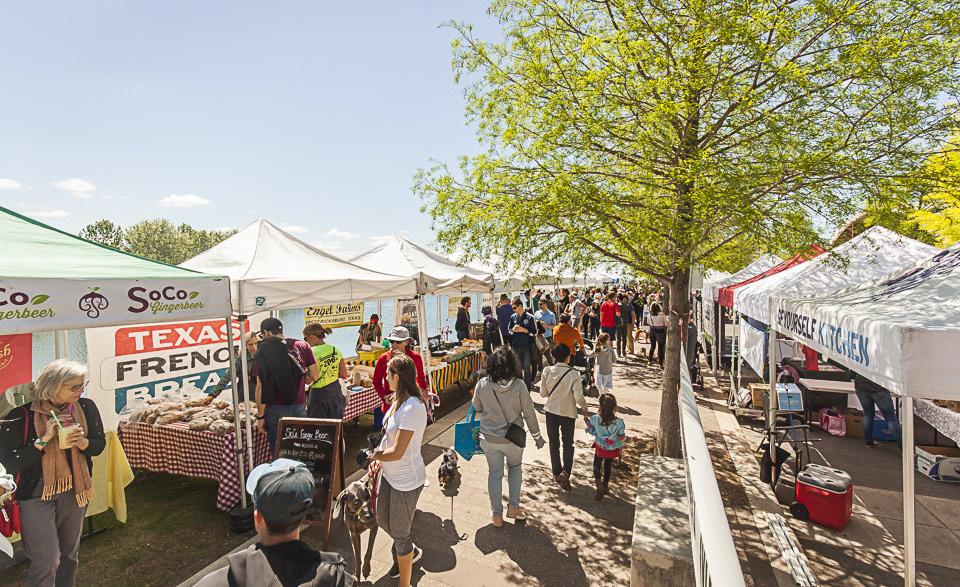
Project 9. Construct a new road connection from FM 1103 to West Schlather Street.
Cost Time
Old Town is largely isolated from Cibolo’s broader street network, making it difficult for visitors and residents to reach the area. Constructing a new road connection from FM 1103 to West Schlather Street will improve access, reduce reliance on a limited number of entry points, and support increased foot traffic to local businesses and attractions.
Program 5. Establish a wayfinding network for local businesses and attractions.
Cost Time
Old Town’s historic character and local businesses are an asset to Cibolo, but visitors may have difficulty locating destinations. A coordinated wayfinding system, including gateway signage, directional signs, and pedestrianscale markers, will guide drivers and pedestrians to key attractions, parking, and businesses, improving the visitor experience and supporting local economic activity.
Policy 13. Update the thoroughfare plan to add new street connections to Old Town.
Cost Time
The City’s thoroughfare plan should be updated to reflect new street connections that improve access to Old Town, including the proposed FM 1103 to West Schlather Street connection. Designating this connection as a collector street will signal its priority to future developers and ensure new development supports, and does not impede, its eventual construction
Policy 14. Examine existing festivals and logically seek to expand the activities in those that have the ability to attract a regional audience.
Cost Time
Cibolo’s existing festivals provide a foundation for growing Old Town’s regional identity. The City should assess current events to identify those with the strongest potential to draw visitors from beyond the local area, and invest in programming, marketing, and infrastructure improvements that expand their reach and economic impact.
Economic Development Corporation, Planning Department, Public Works, Communications
• Tax Increment
Redevelopment Zone
• City of Cibolo’s Budget Allocation
• Transportation funding programs and grants for road improvements
• Local businesses and community organizations
• Local development community
• TxDOT
GOALS ADDRESSED
Wayfinding signage plays an important role in drawing people into Old Town and helping them navigate the area once they arrive. A cohesive wayfinding system operates at three scales, each serving a distinct purpose in guiding visitors and residents through the district.
• Entry signage marks the transition into Old Town, welcoming visitors and establishing a sense of arrival at the district’s key access points. These installations anchor the district’s identity and set the tone for the experience ahead.
• Neighborhood signage is embedded throughout the district, helping people orient themselves as they move through Old Town’s streets, blocks, and destinations. This scale of signage reinforces the character of the area and connects people to the places around them.
• Directional signage provides clear guidance along key routes, pointing drivers and pedestrians toward parking, destinations, and connections to the broader Cibolo community.
Together, these three scales of signage create a layered wayfinding system that reinforces Old Town’s identity, improves the visitor experience, and encourages people to explore the district on foot.
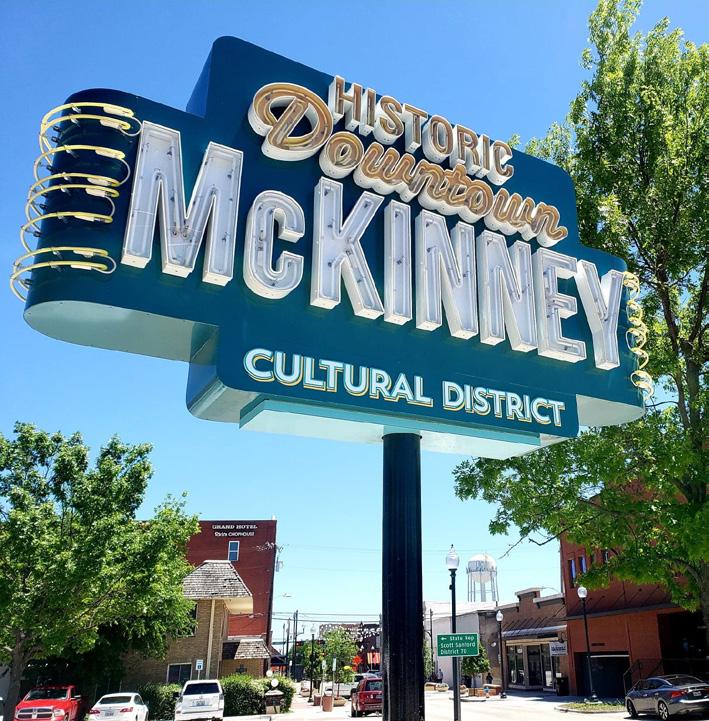
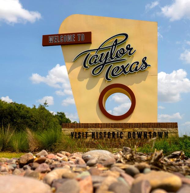
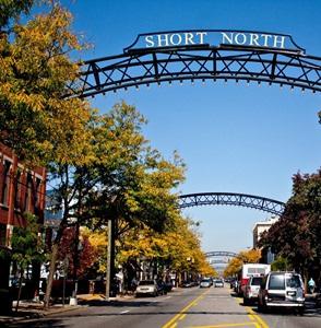
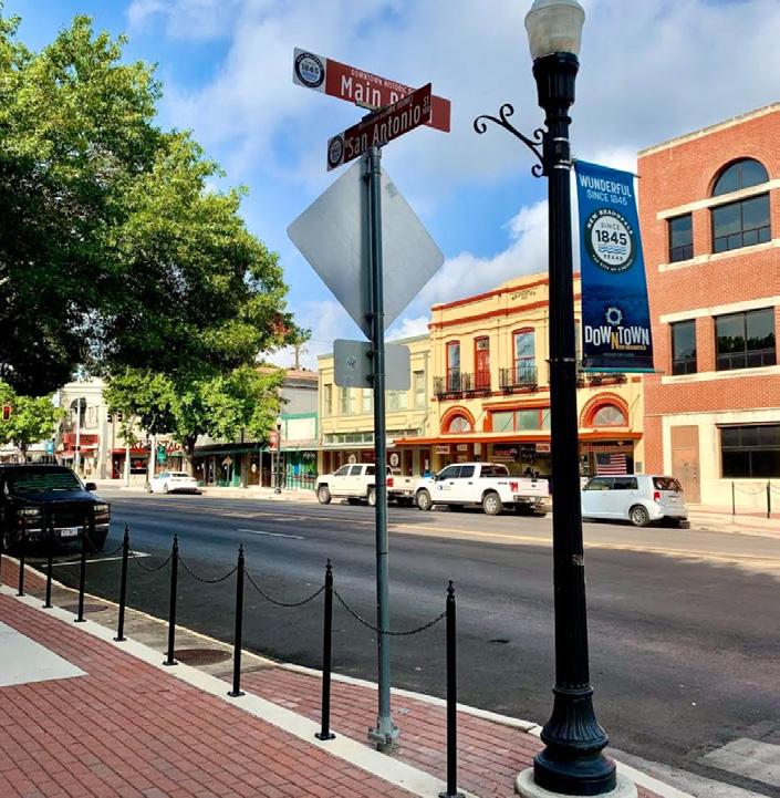
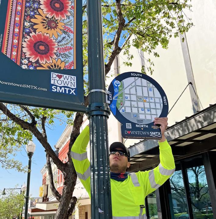
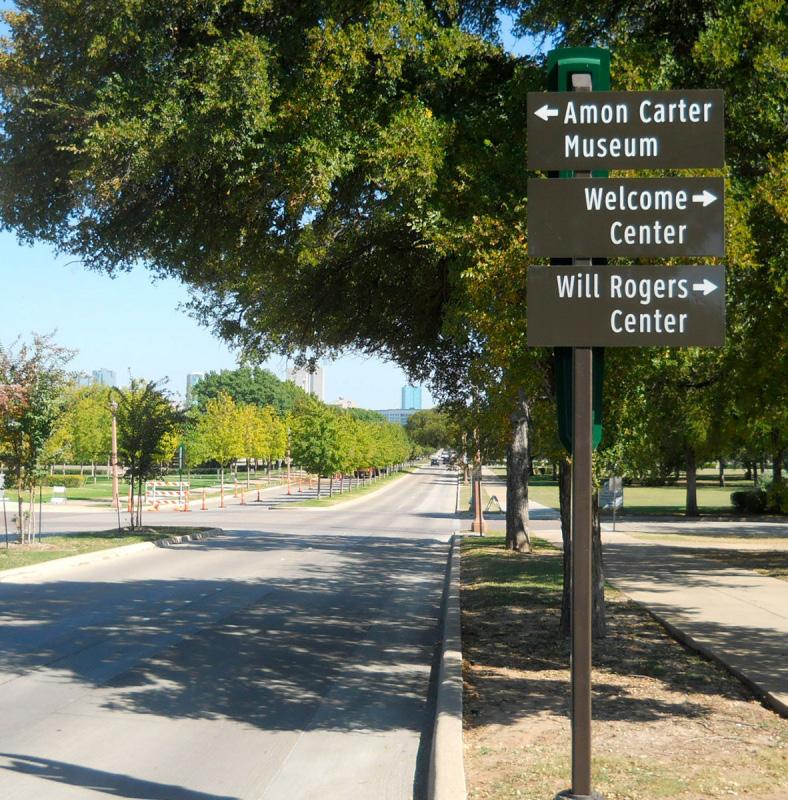
In the 1990s, there was little foot traffic in Downtown Bryan, making it difficult for local businesses to survive. In 2005, a gallery owner began hosting monthly art shows and inviting local artists on the first Friday. Neighborhood businesses extended their hours to attract more visitors. Today, First Fridays draw thousands of visitors each month, featuring live performances, local vendors and artists, as well as dining and shopping at nearby spots. This event supports local businesses and fosters community among residents, businesses, and artists.
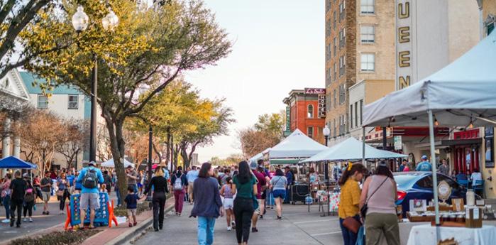
Fredericksburg’s historic downtown offers a distinctive shopping experience. This is partly due to the area’s historic character and the fact that only local businesses are allowed in the National Historic District, as the city prohibits chain stores. Many tourists visit downtown specifically to shop at local businesses, attend farmers’ markets, and view art by local artists and vendors. These local businesses contribute to the community’s identity, support a resilient economy, and draw visitors to their historic downtown.
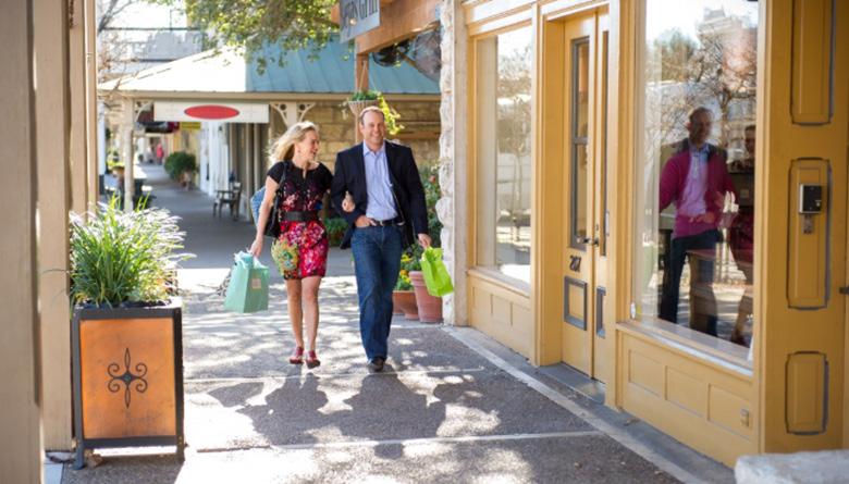
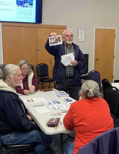
Action steps provide guidance about where and how to start implementing each of the recommendations. Action steps also help in planning for full implementation and establishing when funding sources will be needed.
Implementation phases are estimated time frames for initiation to completion of each recommendation. They are classified as follows:
Short-term (1-5 years): These are typically less complex recommendations which require fewer resources and involve fewer partners for implementation. It also includes projects which are currently in advanced planning or full design stage.
Mid-term (5-10 years): These are recommendations that may require more resources and planning than the 5-year horizon.
Long-term (10+ years): These recommendations typically require a large amount of capital and coordination between different partners. Their implementation may begin earlier but may include a number of phases to construct, taking the full completion of the recommendation past the 10 year horizon.
Level of investment designations help to provide planning level estimates for future budgets, resources and funding sources. The symbology for the designations is described here:
• $ Low - Typically includes allocating or reallocating existing resources, staff time and partner coordination. A low level of investment does not typically require capital expenditures.
• $$ Medium - Typically includes design, studies, aesthetic enhancements and limited infrastructure improvements.
• $$$ High - Typically includes construction of significant infrastructure that would be part of a Capital Improvement Program.
Potential funding sources are included for each recommendation. Funding strategies are to assist the City of Cibolo in seeking available funding. Every strategy is not applicable in every case; however, a single strategy may be utilized to fund multiple recommendations. Potential funding sources include:
• City of Cibolo Budget
• Bonds
• State Grants
• Funding Programs
• Public-Private Partnerships
• Tax Increment Districts
• Debt
• Private Organizations and Developers
Public, private and community organizations have roles to play in contributing to the implementation of these recommendations. Partners can play a number of different roles including:
• Organize
• Advocate
• Initiate
• Participate
• Lead
Examples of organizations include:
• City of Cibolo departments
• Local businesses and property owners
• Community Organizations
• Greater Cibolo Area Chamber of Commerce
• Schertz-Cibolo-Universal City ISD (SCUC ISD)
• Guadalupe County
• State of Texas

Projects are built, permanent, physical changes.


Programs are one-time events or ongoing actions that influence the study area but do not require permanent physical changes.
Policies are legal laws, regulations, rules, or definitions that control and influence future changes.
Each Project, Program or Policy ties back to our previous goals:
Heart of Old Town Preserve Character Enhance Experience Invest in Infrastructure Support Business and Vibrancy
Each Project, Program or Policy includes the following elements:
ACTION STEPS PHASE
LEVEL OF INVESTMENT
FUNDING TOOLS
Of the projects, policies, and programs recommended in this plan, a few are considered priority actions for the plan. These actions ensure that they support the successful implementation of the plan. These recommendations include;
• Policies 2, 3, and 6 all related to the Unified Development Code, which should be updated following the adoption of this plan,
• Policy 9: Conduct a utility study to direct infrastructure improvements into areas that planned for economic development in Old Town, and
• Policy 11: Create a Tax Increment Reinvestment Zone (TIRZ) for Old Town to fund infrastructure improvements.
Strategy 2 Establish an Old Town zoning district to include gateway entries and publicly-owned property. Establish distinct character areas that include standards to define the architectural style and built environment of each area.
Strategy 4 Update the development code to include enhanced mobility and streetscaping elements for Old Town’s boundary.
Strategy 6 Conduct a utility study to direct infrastructure improvements into areas that planned for economic development in Old Town.
Create a Tax Increment Reinvestment Zone (TIRZ) for Old Town to fund infrastructure improvements.
Long Term
In addition to the priority actions, several low-cost quick wins can be implemented in the short term. While the priority actions lay the foundation for the longer-term projects in Old Town Cibolo, these initiatives provide an opportunity to advance the plan swiftly, demonstrating to residents, businesses, and stakeholders that significant improvements are underway. These actions have been categorized to support a variety of initiatives outlined in this plan, helping the City coordinate efforts across departments and partners.
Strategy 1 Further develop the vision and a strategic plan for delivering this space through a public-private partnership.
Establish design standards and a vision that can apply to any site.
Strategy 3 Update the Unified Development Code to adjust requirements for off-street parking on small lots and small businesses.
Implement shared parking agreements, cost-sharing methods, and an employee parking program that designates safe, shared locations outside prime visitor/ customer spaces.
Strategy 7 Create an Operations and Maintenance Plan for public spaces and right-of-way areas.
Identify additional City and/or other funding sources for increased operations and maintenance activities.
Strategy 4 Include streetscape and infrastructure improvements as an eligible expenditure in the TIRZ plan.
Strategy 5 Develop a streetscapes manual for Old Town to direct both public and private projects within city right-of-way in Old Town.
Strategy 6 Update street sections to include low cost interventions that support walkability and economic development.
Strategy 8 Update the thoroughfare plan to add new street connections to Old Town.
1 Create a New Community Hub
Old Town has several gathering places along Main Street, but no centralized hub for the community. Establishing a new community hub will serve as a shared space for residents, visitors, and small businesses. The community hub will include flexible outdoor areas for markets, performances, and cultural programming, reinforcing Old Town’s identity as the social heart of Cibolo. This strategy will involve constructing new streets and pedestrian connections to improve circulation, prioritize walkability, and balance vehicular access with the pedestrian experience.
Project
Project
Program
Policy
Create a community event space daytime and evening use that Town’s identity.
Construct new streets that connect pedestrians, bicyclists, and vehicles the site.
Further develop the vision and for delivering this space through private partnership.
Establish design standards and can apply to any site.
2 Update Development Standards
Old Town has undergone a number of code updates to accommodate the changing nature of the types of uses needed in the area. There is a need to review and revise zoning and development standards to ensure that new projects in Old Town complement existing character and scale. This includes establishing an Old Town zoning district, allowing new uses, and simplifying approval processes to encourage appropriate infill and adaptive reuse.
Policy
3 Create an AreaWide Consolidated Parking Plan
Old Town provides various parking options for visitors. However, these options are not always convenient or easily accessible. The City should develop a comprehensive, area-wide parking plan for Old Town that identifies potential gaps and opportunities for additional parking. This plan should include programs to assist local businesses in helping their customers find parking and incorporate wayfinding signage to direct visitors to available parking locations.
Policy
Project
Establish an Old Town zoning include gateway entries and publicly-owned property.
Establish distinct character areas standards to define the architectural built environment of each area.
Develop a wayfinding system out-of-town visitors to shared and encourage a “park once”
Project Convert on-street parking on loading zones.
Program
Policy
Policy
Implement shared parking agreements, sharing methods, and an employee program that designates safe, outside prime visitor/customer
Update the Unified Development adjust requirements for off-street small lots and small businesses.
Initiate a parking study to assess parking usage and identify if there additional supply.
space for active that reflects Old Tax Increment
connect vehicles through and a strategic plan through a publicand a vision that district to publicly-owned
Redevelopment Zone, City of Cibolo’s Budget Allocation, Transportation Funding Programs, and Grants for Road Improvements
City of Cibolo’s Budget Allocation
Local businesses, community organizations, Local development community Economic Development Corporation, Planning Department, Public Works Engineering
Local businesses and community organizations, Local development community Planning Department areas that include architectural style and area.
to quickly direct public parking once” policy.
Main Street to agreements, costemployee parking safe, shared locations visitor/customer spaces.
Development Code to off-street parking on businesses.
assess current there is a need for
City of Cibolo’s Budget Allocation, Public-Private Partnerships
Local businesses and community organizations, Local development community, Cibolo Economic Development Corporation Public Works & Engineering
Project
4 Enhance Safety and Comfort along Streetscapes
5 Design Streets for People and Drainage
By enhancing the design and function of streetscapes, Old Town will support pedestrians and cyclists while maintaining efficient vehicular traffic flow. The reimagined streets will reflect a balanced approach that accommodates future growth while preserving the city’s rural nature and smalltown charm.
Old Town should enhance connectivity and resilience by upgrading and connecting new streets to the existing street grid and maintaining traditional block sizes to preserve the historic character. These streets and alleys should prioritize pedestrians and cyclists while integrating green infrastructure that will improve drainage, reduce flooding, and enhance visual appeal.
Project
Policy
Enhance Main Street to improve infrastructure and walkability.
Redevelop Loop 539 with pedestrian bicycle infrastructure to support business activity.
Update the development code enhanced mobility and streetscaping for Old Town’s boundary.
Policy Include streetscape and infrastructure improvements as an eligible expenditure TIRZ plan.
Project Reconstruct Rawe Avenue and parking area to accommodate visitors, businesses, and drainage.
Project Redesign Pfeil Road as a shared accommodates all modes of transportation.
Program
Policy
6 Make Strategic Infrastructure Investments
Investment is needed in Old Town to support infrastructure improvements that will enhance the area and support economic development. Currently, there is no funding mechanism outside of the Cibolo City Budget to support projects in the area. Establishing a Tax Increment Reinvestment Zone (TIRZ) to capture future increases in property tax revenue within Old Town will enable reinvestment in infrastructure, streetscape, and public realm improvements within the TIRZ boundary. This public investment in infrastructure will support future private development.
Policy
Develop a program for maintenance drainage swales in Old Town.
Develop a streetscapes manual to direct both public and private within city right-of-way in Old
Conduct a utility study to direct improvements into areas that economic development in Old
Policy
Policy
Update street sections and ROW code to include low cost interventions that support walkability and economic development.
Create a Tax Increment Reinvestment (TIRZ) for Old Town to fund infrastructure improvements.
improve pedestrian
General Obligation Bonds, FiveYear Capital Improvement Program Budget, TXDOT SS4A
Grant, Main Street America Grants, City of Cibolo’s Budget Allocation
Local businesses and properties in Old Town, Cibolo Economic Development Corporation, TXDOT, Arbor Day Foundation Public Works & Engineering pedestrian and support additional code to include streetscaping elements infrastructure expenditure in the and its surrounding accommodate additional drainage.
shared street that transportation. maintenance of existing manual for Old Town private projects Town.
direct infrastructure planned for Old Town.
ROW development interventions economic
Reinvestment Zone infrastructure KEY:
TXDOT SS4A
Grant, Main Street America Grants, City of Cibolo’s Budget Allocation, Certificate of Obligation
Local businesses and properties in Old Town, Cibolo Economic Development Corporation, TXDOT Public Works & Engineering
Tax Increment Redevelopment Zone, City of Cibolo’s Budget Allocation, Transportation funding programs and grants for road improvements
Local businesses, community organizations, and the development community, TxDOT Economic Development Corporation, Public Works & Engineering
7 Enhance Beautification and Maintenance
8 Bring More People to Old Town
Old Town must maintain an attractive and well-kept appearance to preserve its character and appeal to residents and visitors. The City should make this goal more manageable by developing a clear Operations and Maintenance Plan and identifying funding sources to ensure its long-term feasibility.
Old Town can strengthen its role as the social and economic heart of Cibolo by attracting more visitors to the area. By improving access, visibility, and wayfinding, both residents and visitors will find it easier to explore and enjoy Old Town, encouraging them to spend more time and support local businesses. Expanding events and activities will further establish Old Town as the cultural and social hub of Cibolo, drawing a wider range of visitors and reinforcing its identity as a vibrant community destination.
Program Create an Operations and Maintenance for public spaces and right-of-way
Policy
Project
Identify additional City and/or sources for increased operations maintenance activities.
Construct a new road connection 1103 to West Schlather Street.
Program Establish a wayfinding network businesses and attractions.
Policy Update the thoroughfare plan street connections to Old Town.
Policy
Examine existing festivals and to expand the activities in those ability to attract a regional audience.
Maintenance Plan right-of-way areas.
and/or other funding operations and
connection from FM
Street.
network for local plan to add new Town. and logically seek those that have the audience.
Tax Increment
Redevelopment Zone, City of Cibolo’s Budget Allocation, Certificate of Obligation
Tax Increment
Redevelopment Zone, City of Cibolo’s Budget Allocation, Transportation funding programs and grants for road improvements
Local businesses, community organizations, the development community
Public Works, Parks and Recreation Division, Economic Development Corporation
Local businesses, community organizations, the development community, TxDOT Economic Development Corporation, Planning Department, Public Works, Communications